

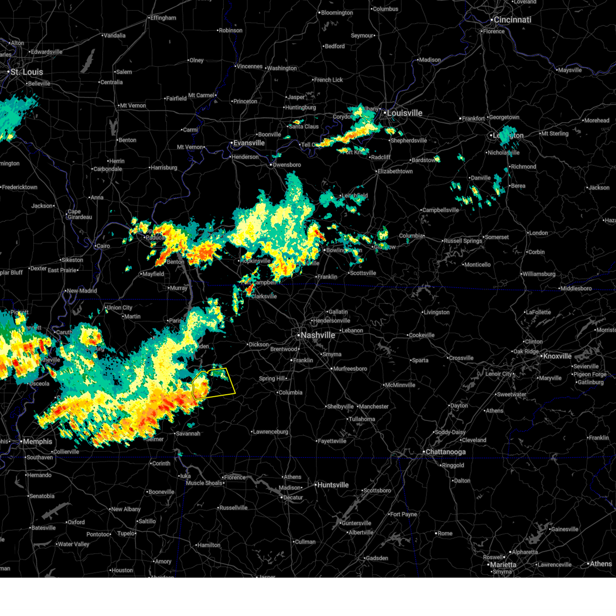
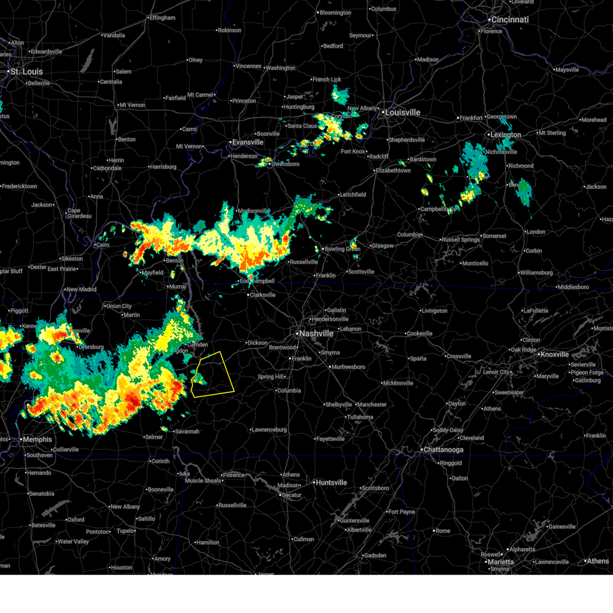
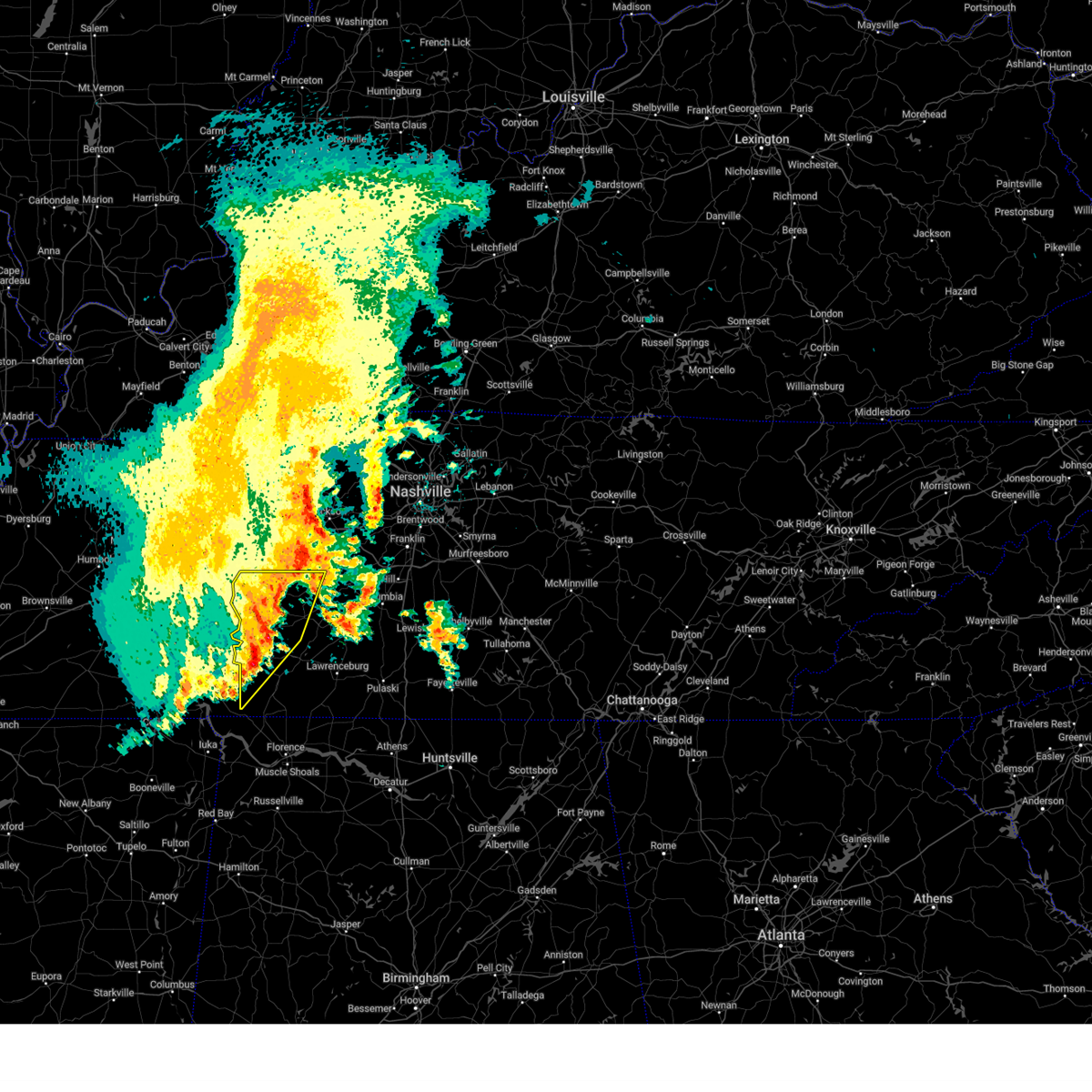
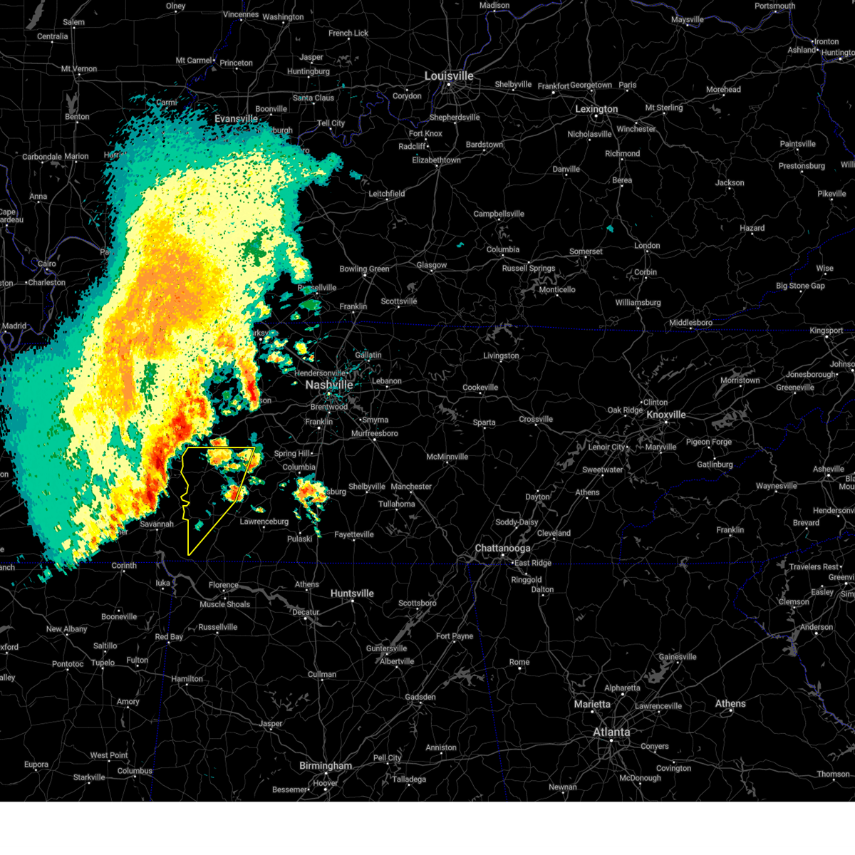
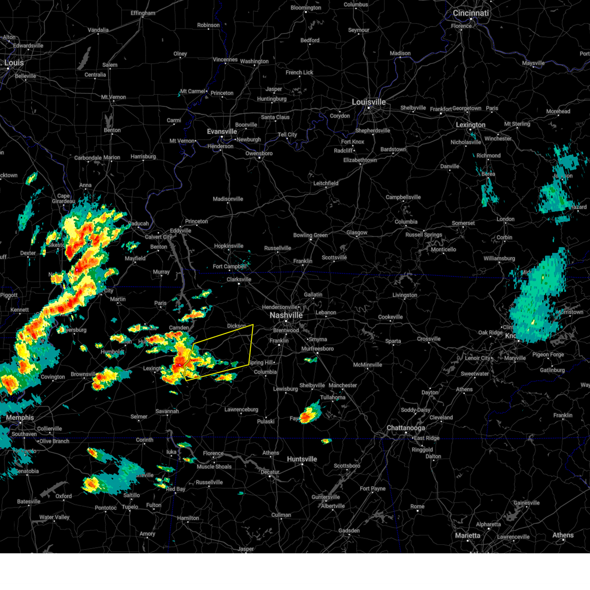
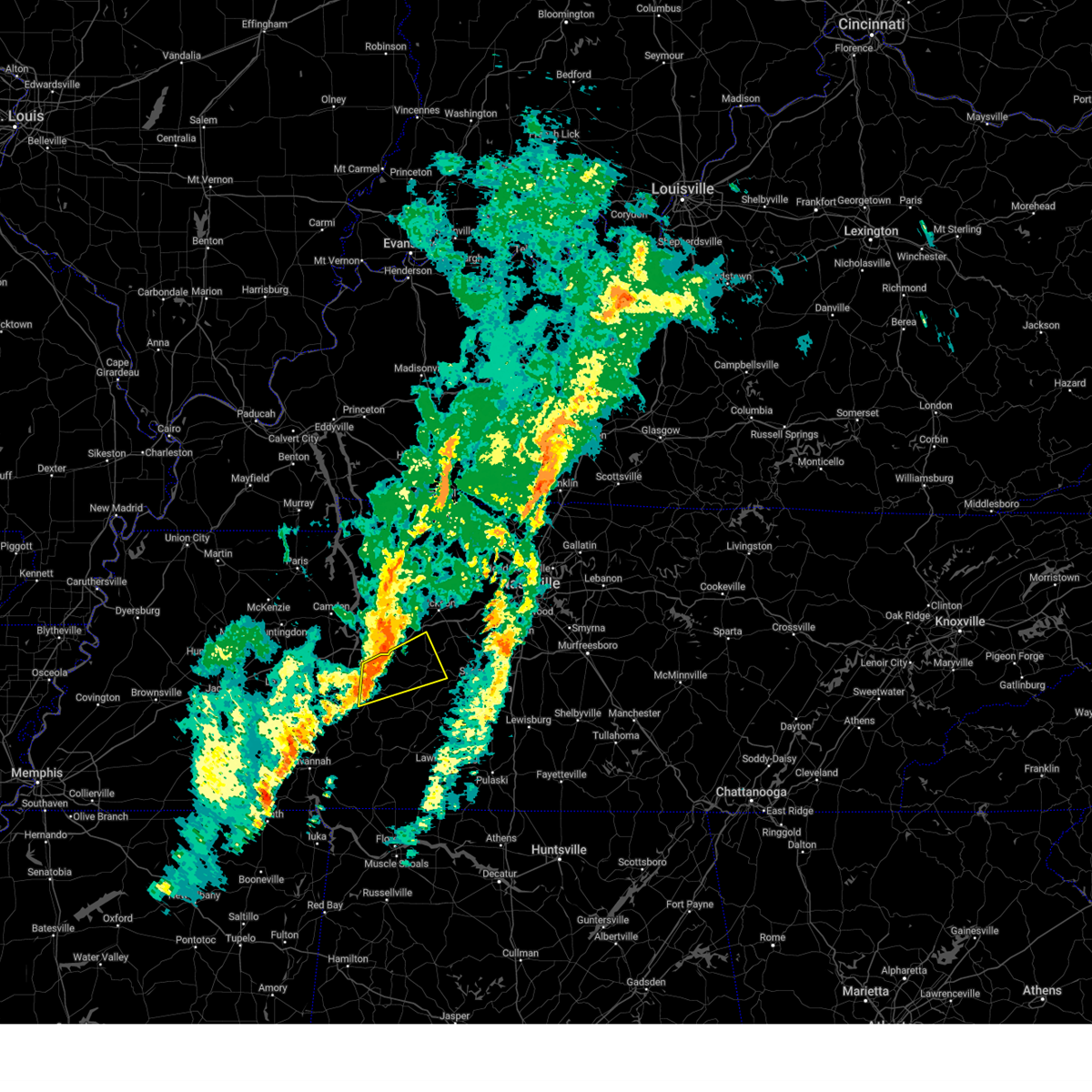
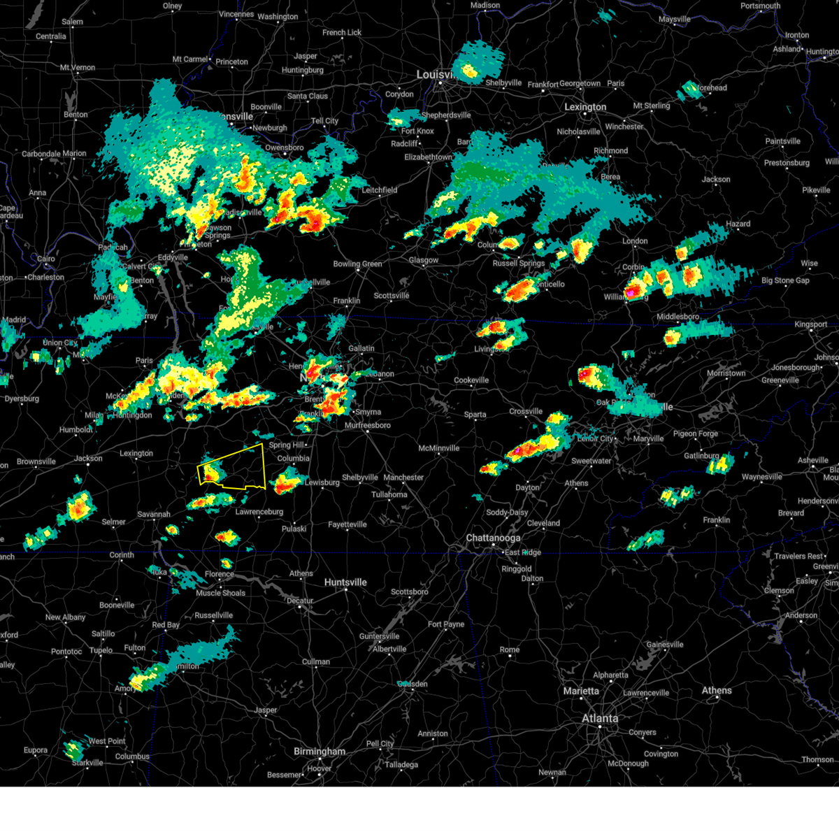
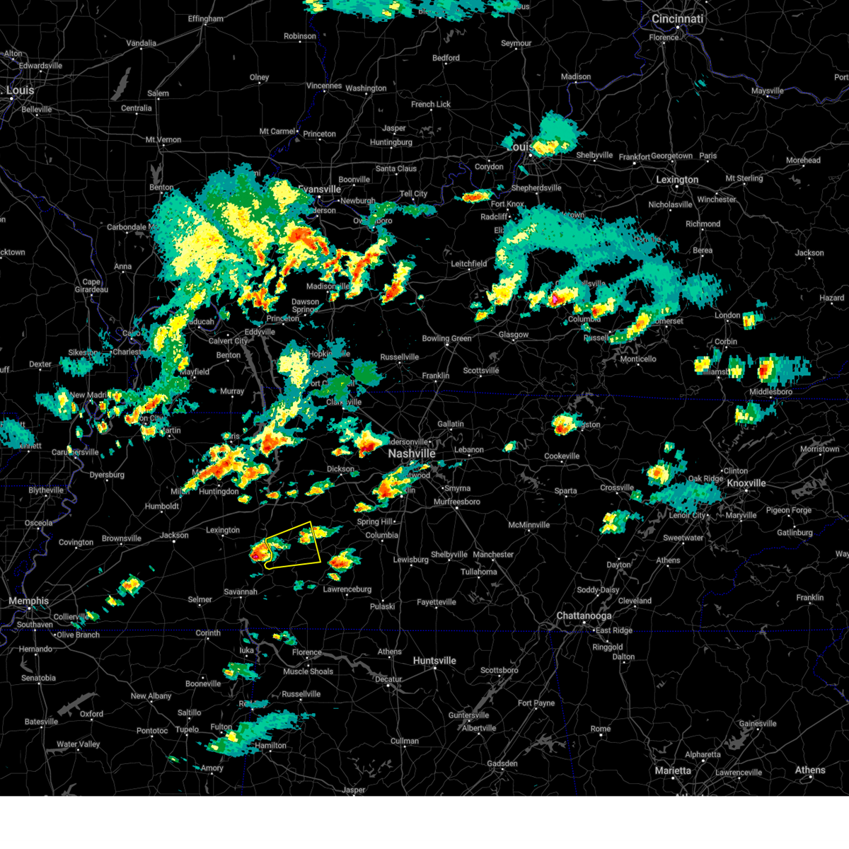
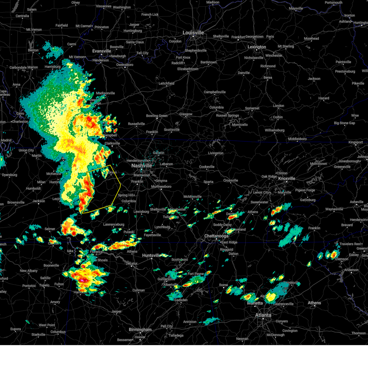
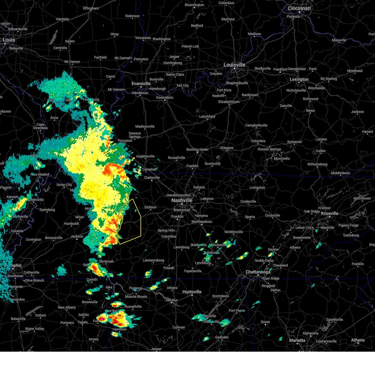
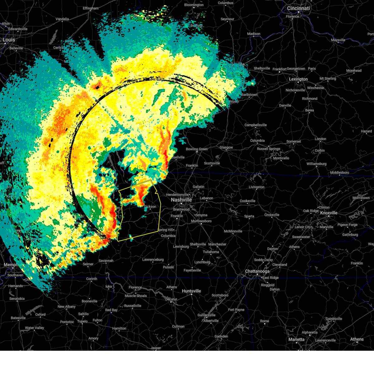
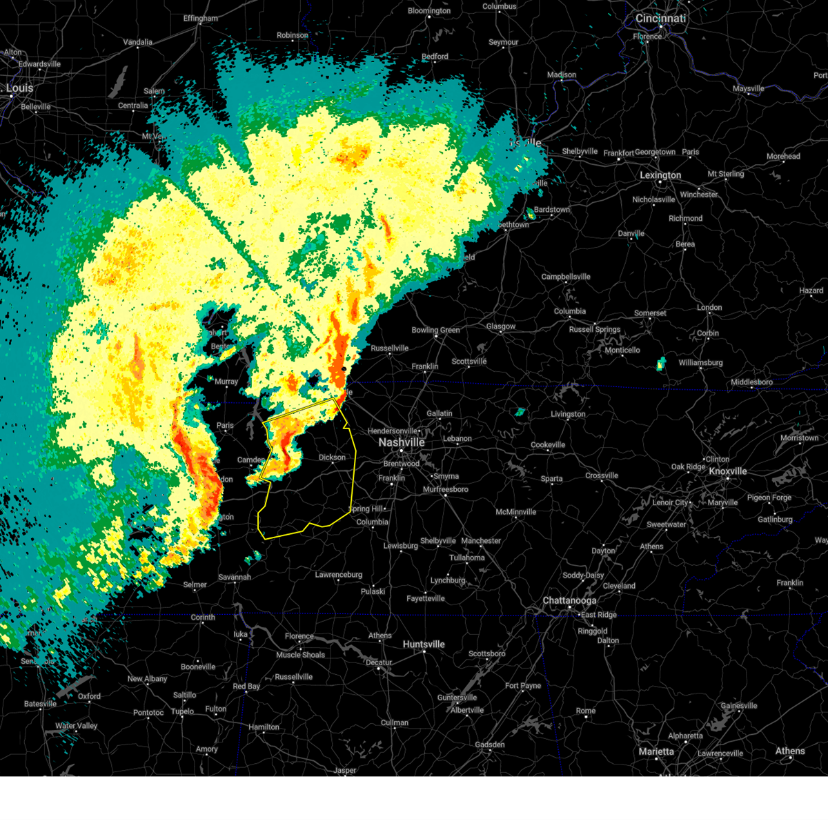
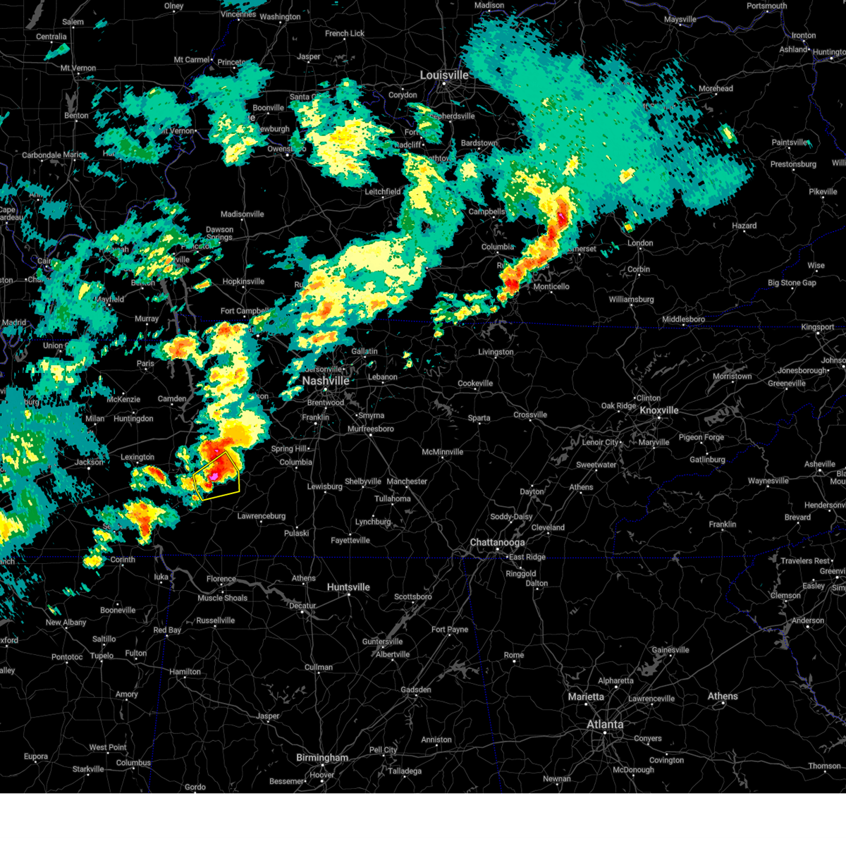
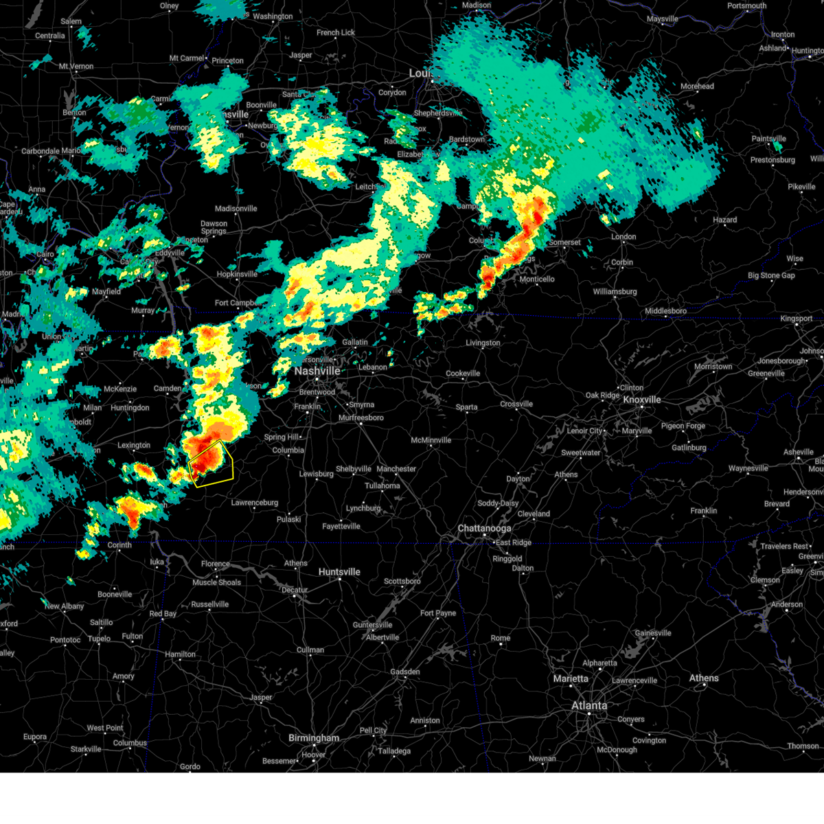
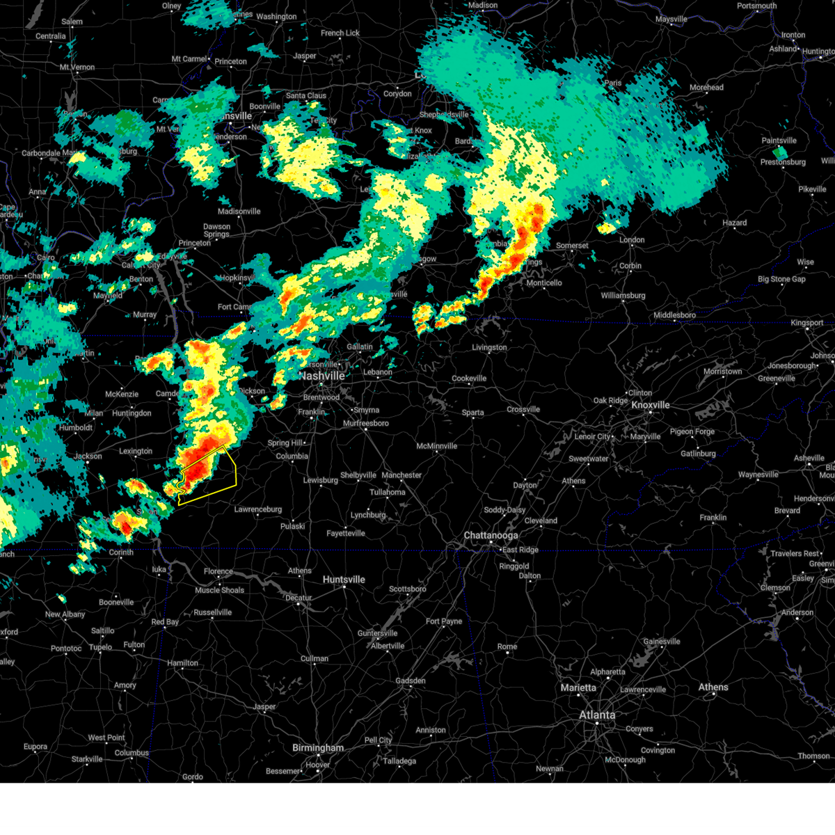
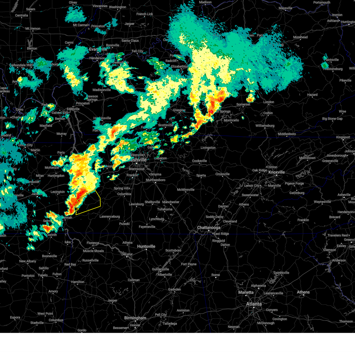
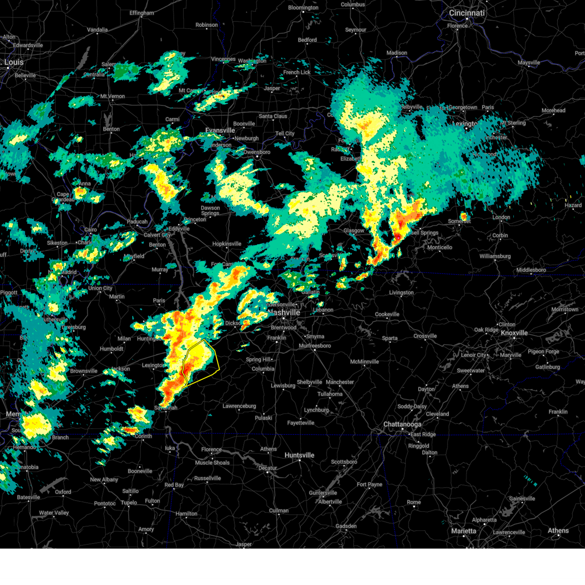
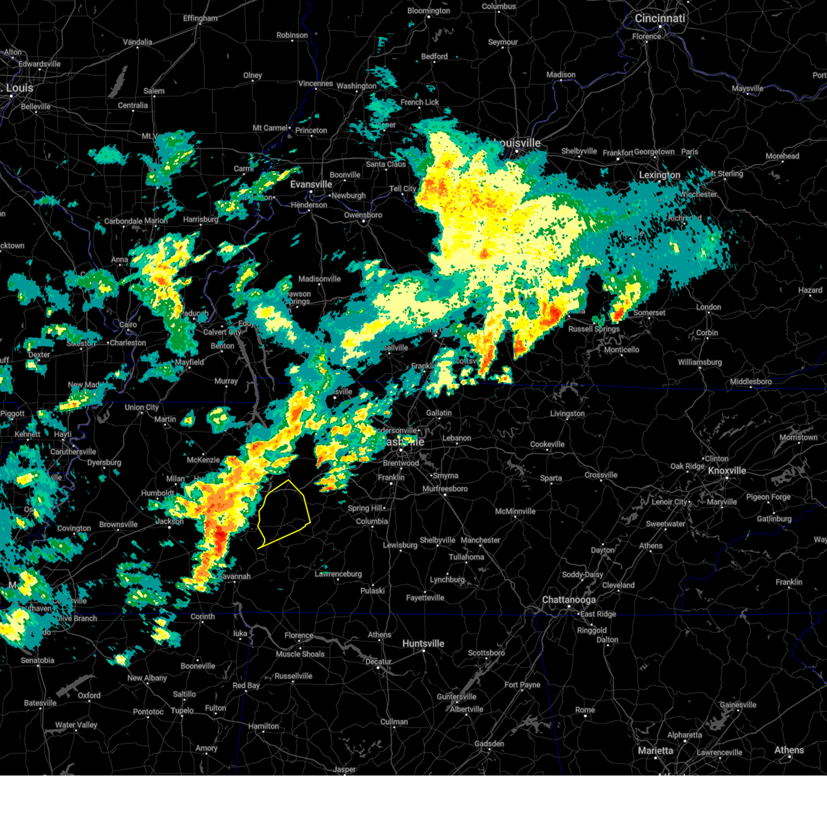
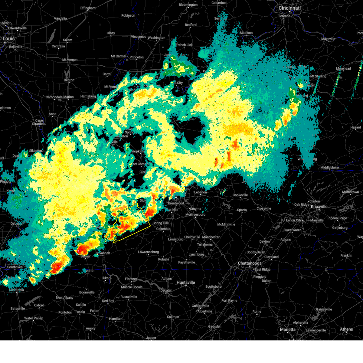
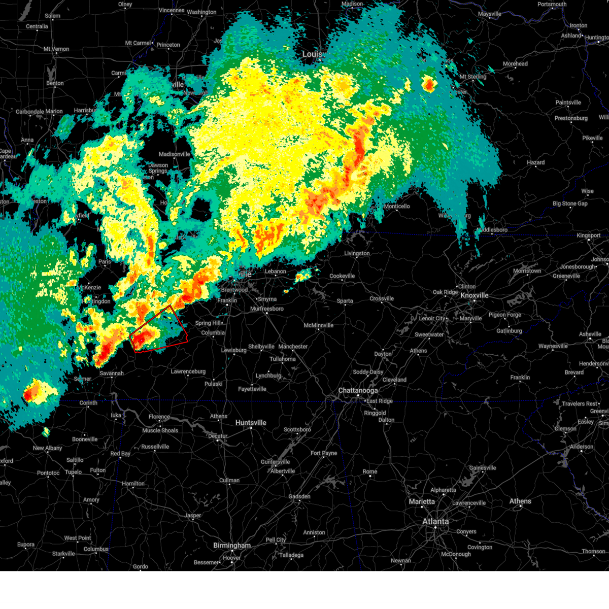
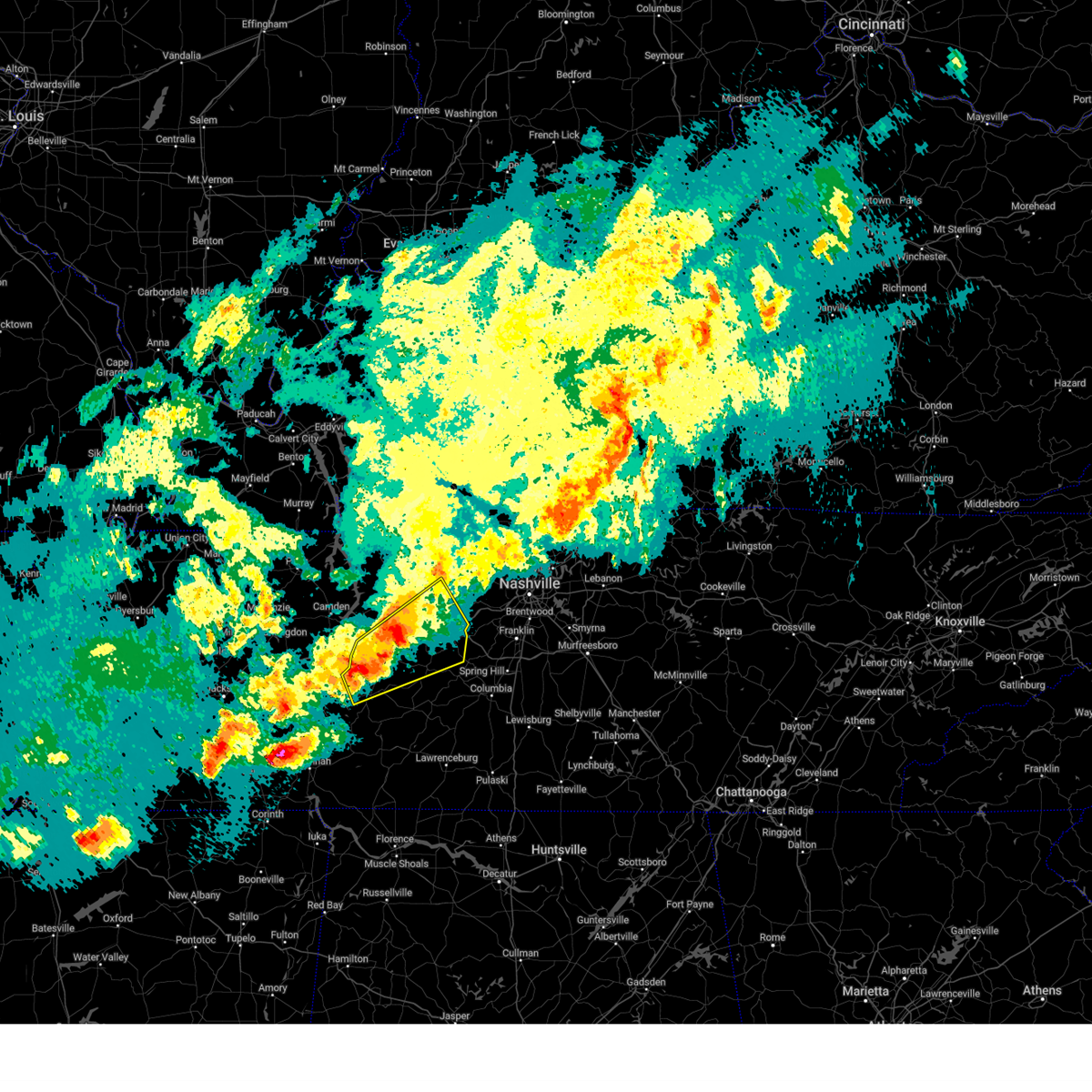
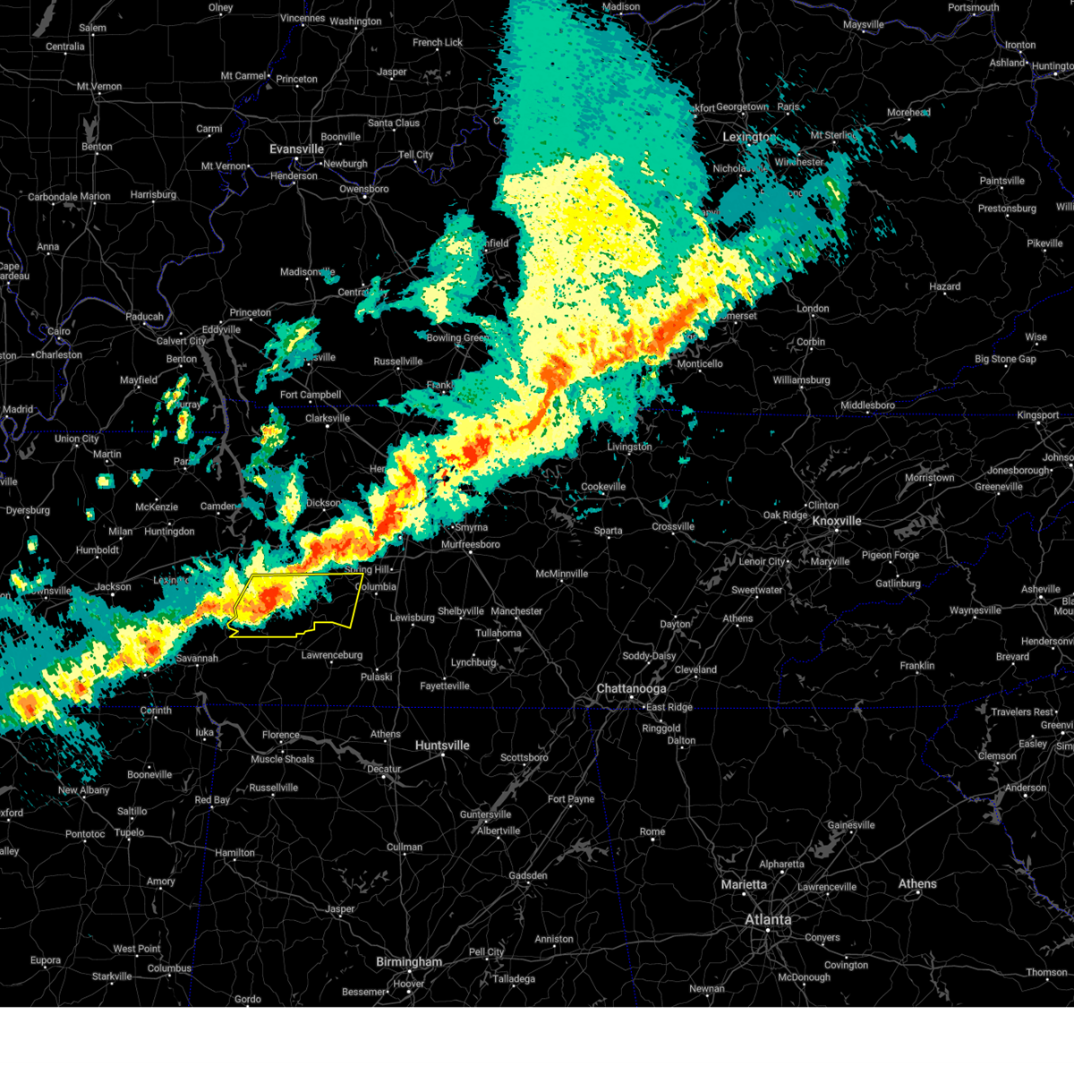
Hail Map for Linden, TN
The Linden, TN area has had 12 reports of on-the-ground hail by trained spotters, and has been under severe weather warnings 43 times during the past 12 months. Doppler radar has detected hail at or near Linden, TN on 70 occasions, including 7 occasions during the past year.
| Name: | Linden, TN |
| Where Located: | 52.2 miles SE of Mc Kenzie, TN |
| Map: | Google Map for Linden, TN |
| Population: | 908 |
| Housing Units: | 464 |
| More Info: | Search Google for Linden, TN |
1
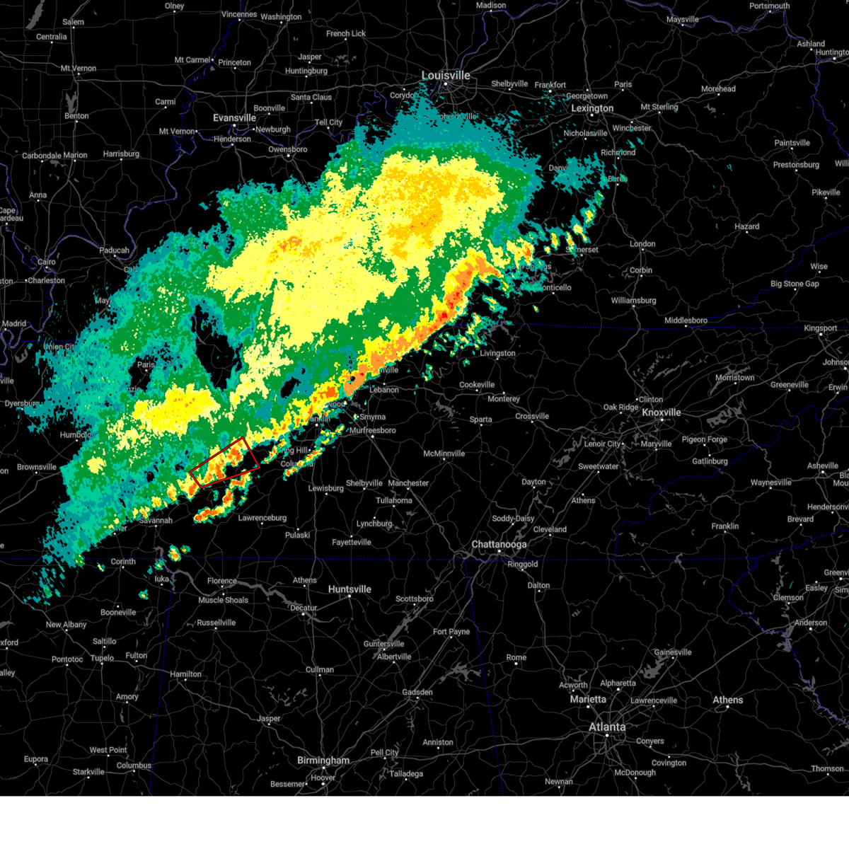
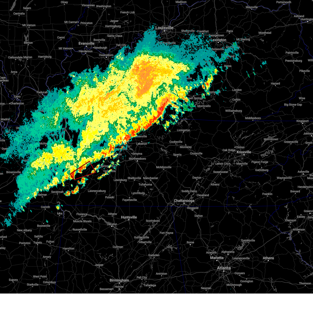
The Top Recent Hail Date for Linden, TN is Wednesday, April 2, 2025 (3rd out of 70)

Hail and Wind Damage Spotted near Linden, TN
| Date / Time | Report Details |
|---|---|
| 6/19/2025 2:23 AM CDT | Access tn radio reports tree blocking highway 13 s near bethel road in perry county... via 91 in perry county TN, 1.1 miles NE of Linden, TN |
| 6/19/2025 2:23 AM CDT |
 The storm which prompted the warning has weakened below severe limits, and no longer poses an immediate threat to life or property. therefore, the warning will be allowed to expire. The storm which prompted the warning has weakened below severe limits, and no longer poses an immediate threat to life or property. therefore, the warning will be allowed to expire.
|
| 6/19/2025 2:17 AM CDT |
 At 217 am cdt, a severe thunderstorm was located 10 miles north of linden, moving east at 45 mph (radar indicated). Hazards include 60 mph wind gusts and quarter size hail. Hail damage to vehicles is expected. expect wind damage to roofs, siding, and trees. Locations impacted include, linden, lobelville, kimmins, mousetail landing state park, and pleasantville. At 217 am cdt, a severe thunderstorm was located 10 miles north of linden, moving east at 45 mph (radar indicated). Hazards include 60 mph wind gusts and quarter size hail. Hail damage to vehicles is expected. expect wind damage to roofs, siding, and trees. Locations impacted include, linden, lobelville, kimmins, mousetail landing state park, and pleasantville.
|
| 6/19/2025 2:17 AM CDT |
 the severe thunderstorm warning has been cancelled and is no longer in effect the severe thunderstorm warning has been cancelled and is no longer in effect
|
| 6/19/2025 1:54 AM CDT |
 Svrohx the national weather service in nashville has issued a * severe thunderstorm warning for, northwestern lewis county in middle tennessee, perry county in middle tennessee, southwestern humphreys county in middle tennessee, southwestern hickman county in middle tennessee, * until 230 am cdt. * at 154 am cdt, a severe thunderstorm was located over parsons, or 7 miles southeast of natchez trace state forest, moving east at 45 mph (radar indicated). Hazards include 60 mph wind gusts and quarter size hail. Hail damage to vehicles is expected. Expect wind damage to roofs, siding, and trees. Svrohx the national weather service in nashville has issued a * severe thunderstorm warning for, northwestern lewis county in middle tennessee, perry county in middle tennessee, southwestern humphreys county in middle tennessee, southwestern hickman county in middle tennessee, * until 230 am cdt. * at 154 am cdt, a severe thunderstorm was located over parsons, or 7 miles southeast of natchez trace state forest, moving east at 45 mph (radar indicated). Hazards include 60 mph wind gusts and quarter size hail. Hail damage to vehicles is expected. Expect wind damage to roofs, siding, and trees.
|
| 6/18/2025 7:36 PM CDT | Torohx the national weather service in nashville has issued a * tornado warning for, northwestern lewis county in middle tennessee, northeastern perry county in middle tennessee, southwestern hickman county in middle tennessee, * until 800 pm cdt. * at 736 pm cdt, a severe thunderstorm capable of producing a tornado was located near linden, moving east at 40 mph (radar indicated rotation). Hazards include tornado. Flying debris will be dangerous to those caught without shelter. mobile homes will be damaged or destroyed. damage to roofs, windows, and vehicles will occur. tree damage is likely. This tornadic thunderstorm will remain over mainly rural areas of northwestern lewis, northeastern perry and southwestern hickman counties, including the following locations, lobelville, gordonsburg, kimmins, and pleasantville. |
| 6/6/2025 2:04 PM CDT | Svrohx the national weather service in nashville has issued a * severe thunderstorm warning for, lewis county in middle tennessee, central perry county in middle tennessee, southwestern hickman county in middle tennessee, * until 245 pm cdt. * at 204 pm cdt, a severe thunderstorm was located near linden, moving east at 35 mph (radar indicated). Hazards include 60 mph wind gusts and quarter size hail. Hail damage to vehicles is expected. Expect wind damage to roofs, siding, and trees. |
| 5/25/2025 2:24 PM CDT |
 At 223 pm cdt, severe thunderstorms were located along a line extending from 7 miles west of centerville to near waynesboro to near savannah, moving east at 60 mph (radar indicated). Hazards include 60 mph wind gusts. Expect damage to roofs, siding, and trees. Locations impacted include, hohenwald, centerville, waynesboro, linden, clifton, lobelville, kimmins, mousetail landing state park, pleasantville, flatwoods, and lutts. At 223 pm cdt, severe thunderstorms were located along a line extending from 7 miles west of centerville to near waynesboro to near savannah, moving east at 60 mph (radar indicated). Hazards include 60 mph wind gusts. Expect damage to roofs, siding, and trees. Locations impacted include, hohenwald, centerville, waynesboro, linden, clifton, lobelville, kimmins, mousetail landing state park, pleasantville, flatwoods, and lutts.
|
| 5/25/2025 2:10 PM CDT | Trained spotter reports tree down on hwy-13 south near the linden co-op. time estimate in perry county TN, 2.3 miles NNE of Linden, TN |
| 5/25/2025 1:50 PM CDT |
 Svrohx the national weather service in nashville has issued a * severe thunderstorm warning for, western lewis county in middle tennessee, northwestern wayne county in middle tennessee, perry county in middle tennessee, southwestern hickman county in middle tennessee, * until 230 pm cdt. * at 148 pm cdt, severe thunderstorms were located along a line extending from 6 miles southwest of new johnsonville to near decaturville to near masseyville, moving east at 45 mph (radar indicated). Hazards include 60 mph wind gusts. expect damage to roofs, siding, and trees Svrohx the national weather service in nashville has issued a * severe thunderstorm warning for, western lewis county in middle tennessee, northwestern wayne county in middle tennessee, perry county in middle tennessee, southwestern hickman county in middle tennessee, * until 230 pm cdt. * at 148 pm cdt, severe thunderstorms were located along a line extending from 6 miles southwest of new johnsonville to near decaturville to near masseyville, moving east at 45 mph (radar indicated). Hazards include 60 mph wind gusts. expect damage to roofs, siding, and trees
|
| 5/20/2025 3:29 PM CDT | At 328 pm cdt, a severe thunderstorm was located 12 miles west of centerville, or near coble, moving northeast at 50 mph (radar indicated). Hazards include 60 mph wind gusts and half dollar size hail. Hail damage to vehicles is expected. expect wind damage to roofs, siding, and trees. Locations impacted include, hurricane mills, bon aqua, primm springs, lyles, bucksnort, centerville, lobelville, pinewood, pleasantville, white bluff, nunnelly, burns, dickson, and linden. |
| 5/20/2025 2:56 PM CDT |
 Svrohx the national weather service in nashville has issued a * severe thunderstorm warning for, southern dickson county in middle tennessee, perry county in middle tennessee, southern humphreys county in middle tennessee, hickman county in middle tennessee, * until 400 pm cdt. * at 255 pm cdt, a severe thunderstorm was located near parsons, or 11 miles east of natchez trace state forest, moving northeast at 50 mph (radar indicated). Hazards include 60 mph wind gusts and quarter size hail. Hail damage to vehicles is expected. Expect wind damage to roofs, siding, and trees. Svrohx the national weather service in nashville has issued a * severe thunderstorm warning for, southern dickson county in middle tennessee, perry county in middle tennessee, southern humphreys county in middle tennessee, hickman county in middle tennessee, * until 400 pm cdt. * at 255 pm cdt, a severe thunderstorm was located near parsons, or 11 miles east of natchez trace state forest, moving northeast at 50 mph (radar indicated). Hazards include 60 mph wind gusts and quarter size hail. Hail damage to vehicles is expected. Expect wind damage to roofs, siding, and trees.
|
| 5/20/2025 9:39 AM CDT |
 Svrohx the national weather service in nashville has issued a * severe thunderstorm warning for, northeastern perry county in middle tennessee, western hickman county in middle tennessee, * until 1030 am cdt. * at 939 am cdt, a severe thunderstorm was located near linden, moving east at 40 mph (radar indicated). Hazards include 60 mph wind gusts. expect damage to roofs, siding, and trees Svrohx the national weather service in nashville has issued a * severe thunderstorm warning for, northeastern perry county in middle tennessee, western hickman county in middle tennessee, * until 1030 am cdt. * at 939 am cdt, a severe thunderstorm was located near linden, moving east at 40 mph (radar indicated). Hazards include 60 mph wind gusts. expect damage to roofs, siding, and trees
|
| 5/8/2025 3:46 PM CDT |
 the severe thunderstorm warning has been cancelled and is no longer in effect the severe thunderstorm warning has been cancelled and is no longer in effect
|
| 5/8/2025 3:39 PM CDT |
 Svrohx the national weather service in nashville has issued a * severe thunderstorm warning for, lewis county in middle tennessee, southwestern maury county in middle tennessee, southeastern perry county in middle tennessee, southern hickman county in middle tennessee, * until 430 pm cdt. * at 339 pm cdt, a severe thunderstorm was located 7 miles southeast of linden, moving east at 30 mph (radar indicated). Hazards include 60 mph wind gusts and quarter size hail. Hail damage to vehicles is expected. Expect wind damage to roofs, siding, and trees. Svrohx the national weather service in nashville has issued a * severe thunderstorm warning for, lewis county in middle tennessee, southwestern maury county in middle tennessee, southeastern perry county in middle tennessee, southern hickman county in middle tennessee, * until 430 pm cdt. * at 339 pm cdt, a severe thunderstorm was located 7 miles southeast of linden, moving east at 30 mph (radar indicated). Hazards include 60 mph wind gusts and quarter size hail. Hail damage to vehicles is expected. Expect wind damage to roofs, siding, and trees.
|
| 5/8/2025 3:30 PM CDT | Ping Pong Ball sized hail reported 5.9 miles NNE of Linden, TN, hail in a mixture of sizes... as large as ping pong balls. |
| 5/8/2025 3:05 PM CDT |
 Svrohx the national weather service in nashville has issued a * severe thunderstorm warning for, northwestern lewis county in middle tennessee, northwestern wayne county in middle tennessee, perry county in middle tennessee, southwestern hickman county in middle tennessee, * until 345 pm cdt. * at 304 pm cdt, a severe thunderstorm was located near decaturville, or 15 miles southwest of linden, moving east at 30 mph (radar indicated). Hazards include 60 mph wind gusts and quarter size hail. Hail damage to vehicles is expected. Expect wind damage to roofs, siding, and trees. Svrohx the national weather service in nashville has issued a * severe thunderstorm warning for, northwestern lewis county in middle tennessee, northwestern wayne county in middle tennessee, perry county in middle tennessee, southwestern hickman county in middle tennessee, * until 345 pm cdt. * at 304 pm cdt, a severe thunderstorm was located near decaturville, or 15 miles southwest of linden, moving east at 30 mph (radar indicated). Hazards include 60 mph wind gusts and quarter size hail. Hail damage to vehicles is expected. Expect wind damage to roofs, siding, and trees.
|
| 5/2/2025 11:52 AM CDT |
 Svrohx the national weather service in nashville has issued a * severe thunderstorm warning for, northwestern lewis county in middle tennessee, southwestern dickson county in middle tennessee, eastern perry county in middle tennessee, eastern humphreys county in middle tennessee, hickman county in middle tennessee, * until 1230 pm cdt. * at 1152 am cdt, severe thunderstorms were located along a line extending from waverly to 13 miles west of centerville to 7 miles south of linden, moving northeast at 45 mph (radar indicated). Hazards include 60 mph wind gusts and quarter size hail. Hail damage to vehicles is expected. Expect wind damage to roofs, siding, and trees. Svrohx the national weather service in nashville has issued a * severe thunderstorm warning for, northwestern lewis county in middle tennessee, southwestern dickson county in middle tennessee, eastern perry county in middle tennessee, eastern humphreys county in middle tennessee, hickman county in middle tennessee, * until 1230 pm cdt. * at 1152 am cdt, severe thunderstorms were located along a line extending from waverly to 13 miles west of centerville to 7 miles south of linden, moving northeast at 45 mph (radar indicated). Hazards include 60 mph wind gusts and quarter size hail. Hail damage to vehicles is expected. Expect wind damage to roofs, siding, and trees.
|
| 5/2/2025 11:25 AM CDT |
 Svrohx the national weather service in nashville has issued a * severe thunderstorm warning for, perry county in middle tennessee, humphreys county in middle tennessee, western hickman county in middle tennessee, * until noon cdt. * at 1125 am cdt, severe thunderstorms were located along a line extending from near camden to 10 miles northeast of parsons to near decaturville, moving northeast at 35 mph (radar indicated). Hazards include 60 mph wind gusts and quarter size hail. Hail damage to vehicles is expected. Expect wind damage to roofs, siding, and trees. Svrohx the national weather service in nashville has issued a * severe thunderstorm warning for, perry county in middle tennessee, humphreys county in middle tennessee, western hickman county in middle tennessee, * until noon cdt. * at 1125 am cdt, severe thunderstorms were located along a line extending from near camden to 10 miles northeast of parsons to near decaturville, moving northeast at 35 mph (radar indicated). Hazards include 60 mph wind gusts and quarter size hail. Hail damage to vehicles is expected. Expect wind damage to roofs, siding, and trees.
|
| 4/5/2025 3:58 PM CDT |
 At 358 pm cdt, severe thunderstorms were located along a line extending from near erin to 6 miles east of hurricane mills to 6 miles north of linden, moving east at 65 mph (radar indicated). Hazards include 60 mph wind gusts and quarter size hail. Hail damage to vehicles is expected. expect wind damage to roofs, siding, and trees. locations impacted include, hurricane mills, charlotte, bon aqua, mcewen, primm springs, palmyra, tennessee ridge, bucksnort, erin, linden, pleasantville, houston county airport, white bluff, nunnelly, cunningham, dickson, cumberland city, lyles, i-40 near the tennessee river, and centerville. this includes the following highways, interstate 40 between mile markers 136 and 180. Interstate 840 between mile markers 1 and 6. At 358 pm cdt, severe thunderstorms were located along a line extending from near erin to 6 miles east of hurricane mills to 6 miles north of linden, moving east at 65 mph (radar indicated). Hazards include 60 mph wind gusts and quarter size hail. Hail damage to vehicles is expected. expect wind damage to roofs, siding, and trees. locations impacted include, hurricane mills, charlotte, bon aqua, mcewen, primm springs, palmyra, tennessee ridge, bucksnort, erin, linden, pleasantville, houston county airport, white bluff, nunnelly, cunningham, dickson, cumberland city, lyles, i-40 near the tennessee river, and centerville. this includes the following highways, interstate 40 between mile markers 136 and 180. Interstate 840 between mile markers 1 and 6.
|
| 4/5/2025 3:34 PM CDT |
 Svrohx the national weather service in nashville has issued a * severe thunderstorm warning for, dickson county in middle tennessee, southwestern montgomery county in middle tennessee, southeastern stewart county in middle tennessee, houston county in middle tennessee, perry county in middle tennessee, humphreys county in middle tennessee, hickman county in middle tennessee, * until 430 pm cdt. * at 334 pm cdt, severe thunderstorms were located along a line extending from 6 miles east of vale to 10 miles southwest of new johnsonville to decaturville, moving east at 60 mph (radar indicated). Hazards include 60 mph wind gusts and quarter size hail. Hail damage to vehicles is expected. Expect wind damage to roofs, siding, and trees. Svrohx the national weather service in nashville has issued a * severe thunderstorm warning for, dickson county in middle tennessee, southwestern montgomery county in middle tennessee, southeastern stewart county in middle tennessee, houston county in middle tennessee, perry county in middle tennessee, humphreys county in middle tennessee, hickman county in middle tennessee, * until 430 pm cdt. * at 334 pm cdt, severe thunderstorms were located along a line extending from 6 miles east of vale to 10 miles southwest of new johnsonville to decaturville, moving east at 60 mph (radar indicated). Hazards include 60 mph wind gusts and quarter size hail. Hail damage to vehicles is expected. Expect wind damage to roofs, siding, and trees.
|
| 4/3/2025 5:22 PM CDT | Possible tornado. multiple trees down along king branch road and jones hollow road south of lobelville. tree on king branch road fell onto a home... causing significant in perry county TN, 6.3 miles SSW of Linden, TN |
| 4/3/2025 2:48 PM CDT | Half Dollar sized hail reported 11 miles WNW of Linden, TN, report of large hail on the perry/lewis county line on highway 412. time estimated via radar. |
| 4/3/2025 2:46 PM CDT |
 At 245 pm cdt, a severe thunderstorm was located 7 miles southeast of linden, moving northeast at 40 mph (radar indicated). Hazards include golf ball size hail and 60 mph wind gusts. People and animals outdoors will be injured. expect hail damage to roofs, siding, windows, and vehicles. expect wind damage to roofs, siding, and trees. Locations impacted include, flatwoods, hohenwald, linden, and pleasantville. At 245 pm cdt, a severe thunderstorm was located 7 miles southeast of linden, moving northeast at 40 mph (radar indicated). Hazards include golf ball size hail and 60 mph wind gusts. People and animals outdoors will be injured. expect hail damage to roofs, siding, windows, and vehicles. expect wind damage to roofs, siding, and trees. Locations impacted include, flatwoods, hohenwald, linden, and pleasantville.
|
| 4/3/2025 2:42 PM CDT |
 At 241 pm cdt, a severe thunderstorm was located near linden, moving northeast at 40 mph (radar indicated). Hazards include ping pong ball size hail and 60 mph wind gusts. People and animals outdoors will be injured. expect hail damage to roofs, siding, windows, and vehicles. expect wind damage to roofs, siding, and trees. Locations impacted include, flatwoods, hohenwald, linden, and pleasantville. At 241 pm cdt, a severe thunderstorm was located near linden, moving northeast at 40 mph (radar indicated). Hazards include ping pong ball size hail and 60 mph wind gusts. People and animals outdoors will be injured. expect hail damage to roofs, siding, windows, and vehicles. expect wind damage to roofs, siding, and trees. Locations impacted include, flatwoods, hohenwald, linden, and pleasantville.
|
| 4/3/2025 2:34 PM CDT |
 At 234 pm cdt, a severe thunderstorm was located 7 miles south of linden, moving northeast at 45 mph (radar indicated). Hazards include ping pong ball size hail and 60 mph wind gusts. People and animals outdoors will be injured. expect hail damage to roofs, siding, windows, and vehicles. expect wind damage to roofs, siding, and trees. Locations impacted include, clifton, flatwoods, hohenwald, linden, and pleasantville. At 234 pm cdt, a severe thunderstorm was located 7 miles south of linden, moving northeast at 45 mph (radar indicated). Hazards include ping pong ball size hail and 60 mph wind gusts. People and animals outdoors will be injured. expect hail damage to roofs, siding, windows, and vehicles. expect wind damage to roofs, siding, and trees. Locations impacted include, clifton, flatwoods, hohenwald, linden, and pleasantville.
|
| 4/3/2025 2:19 PM CDT |
 Svrohx the national weather service in nashville has issued a * severe thunderstorm warning for, western lewis county in middle tennessee, northern wayne county in middle tennessee, southern perry county in middle tennessee, southwestern hickman county in middle tennessee, * until 300 pm cdt. * at 218 pm cdt, a severe thunderstorm was located 9 miles north of olive hill, or 14 miles northeast of savannah, moving northeast at 40 mph (radar indicated). Hazards include 60 mph wind gusts and quarter size hail. Hail damage to vehicles is expected. Expect wind damage to roofs, siding, and trees. Svrohx the national weather service in nashville has issued a * severe thunderstorm warning for, western lewis county in middle tennessee, northern wayne county in middle tennessee, southern perry county in middle tennessee, southwestern hickman county in middle tennessee, * until 300 pm cdt. * at 218 pm cdt, a severe thunderstorm was located 9 miles north of olive hill, or 14 miles northeast of savannah, moving northeast at 40 mph (radar indicated). Hazards include 60 mph wind gusts and quarter size hail. Hail damage to vehicles is expected. Expect wind damage to roofs, siding, and trees.
|
| 4/3/2025 2:15 PM CDT |
 At 214 pm cdt, a severe thunderstorm was located 7 miles west of linden, moving northeast at 45 mph (radar indicated). Hazards include 60 mph wind gusts and quarter size hail. Hail damage to vehicles is expected. expect wind damage to roofs, siding, and trees. locations impacted include, lobelville, mousetail landing state park, linden, and pleasantville. This includes interstate 40 between mile markers 136 and 149. At 214 pm cdt, a severe thunderstorm was located 7 miles west of linden, moving northeast at 45 mph (radar indicated). Hazards include 60 mph wind gusts and quarter size hail. Hail damage to vehicles is expected. expect wind damage to roofs, siding, and trees. locations impacted include, lobelville, mousetail landing state park, linden, and pleasantville. This includes interstate 40 between mile markers 136 and 149.
|
| 4/3/2025 2:12 PM CDT | Trees down on a power lin in perry county TN, 8.4 miles ENE of Linden, TN |
| 4/3/2025 1:48 PM CDT |
 Svrohx the national weather service in nashville has issued a * severe thunderstorm warning for, perry county in middle tennessee, south central humphreys county in middle tennessee, southwestern hickman county in middle tennessee, * until 230 pm cdt. * at 147 pm cdt, a severe thunderstorm was located near reagan, or 10 miles southeast of lexington, moving northeast at 55 mph (radar indicated). Hazards include 60 mph wind gusts and quarter size hail. Hail damage to vehicles is expected. Expect wind damage to roofs, siding, and trees. Svrohx the national weather service in nashville has issued a * severe thunderstorm warning for, perry county in middle tennessee, south central humphreys county in middle tennessee, southwestern hickman county in middle tennessee, * until 230 pm cdt. * at 147 pm cdt, a severe thunderstorm was located near reagan, or 10 miles southeast of lexington, moving northeast at 55 mph (radar indicated). Hazards include 60 mph wind gusts and quarter size hail. Hail damage to vehicles is expected. Expect wind damage to roofs, siding, and trees.
|
| 4/3/2025 4:19 AM CDT | At 419 am cdt, a severe thunderstorm was located 9 miles southwest of hohenwald, moving east at 45 mph (radar indicated). Hazards include ping pong ball size hail and 60 mph wind gusts. People and animals outdoors will be injured. expect hail damage to roofs, siding, windows, and vehicles. expect wind damage to roofs, siding, and trees. Locations impacted include, hohenwald, flatwoods, and linden. |
| 4/3/2025 3:53 AM CDT | Svrohx the national weather service in nashville has issued a * severe thunderstorm warning for, western lewis county in middle tennessee, northern wayne county in middle tennessee, southern perry county in middle tennessee, southwestern hickman county in middle tennessee, * until 430 am cdt. * at 353 am cdt, a severe thunderstorm was located 10 miles north of olive hill, or 17 miles northeast of savannah, moving east at 50 mph (radar indicated). Hazards include 60 mph wind gusts and quarter size hail. Hail damage to vehicles is expected. Expect wind damage to roofs, siding, and trees. |
| 4/3/2025 3:21 AM CDT | Torohx the national weather service in nashville has issued a * tornado warning for, northwestern lewis county in middle tennessee, central perry county in middle tennessee, western hickman county in middle tennessee, * until 345 am cdt. * at 321 am cdt, a severe thunderstorm capable of producing a tornado was located over linden, moving northeast at 55 mph (radar indicated rotation). Hazards include tornado and quarter size hail. Flying debris will be dangerous to those caught without shelter. mobile homes will be damaged or destroyed. damage to roofs, windows, and vehicles will occur. tree damage is likely. this dangerous storm will be near, linden around 325 am cdt. Other locations impacted by this tornadic thunderstorm include lobelville, kimmins, and pleasantville. |
| 4/3/2025 3:02 AM CDT | Svrohx the national weather service in nashville has issued a * severe thunderstorm warning for, northwestern lewis county in middle tennessee, northwestern wayne county in middle tennessee, perry county in middle tennessee, southwestern hickman county in middle tennessee, * until 345 am cdt. * at 301 am cdt, a severe thunderstorm was located near decaturville, or 14 miles southwest of linden, moving northeast at 50 mph (radar indicated). Hazards include 60 mph wind gusts and quarter size hail. Hail damage to vehicles is expected. Expect wind damage to roofs, siding, and trees. |
| 4/3/2025 2:27 AM CDT |
 the severe thunderstorm warning has been cancelled and is no longer in effect the severe thunderstorm warning has been cancelled and is no longer in effect
|
| 4/3/2025 2:27 AM CDT |
 At 226 am cdt, a severe thunderstorm was located 12 miles west of centerville, moving northeast at 45 mph (radar indicated). Hazards include 60 mph wind gusts and quarter size hail. Hail damage to vehicles is expected. expect wind damage to roofs, siding, and trees. locations impacted include, hurricane mills, lobelville, kimmins, mousetail landing state park, pinewood, linden, pleasantville, i-40 near the tennessee river, nunnelly, bucksnort, and centerville. This includes interstate 40 between mile markers 136 and 163. At 226 am cdt, a severe thunderstorm was located 12 miles west of centerville, moving northeast at 45 mph (radar indicated). Hazards include 60 mph wind gusts and quarter size hail. Hail damage to vehicles is expected. expect wind damage to roofs, siding, and trees. locations impacted include, hurricane mills, lobelville, kimmins, mousetail landing state park, pinewood, linden, pleasantville, i-40 near the tennessee river, nunnelly, bucksnort, and centerville. This includes interstate 40 between mile markers 136 and 163.
|
| 4/3/2025 1:50 AM CDT | At 149 am cdt, a confirmed large and extremely dangerous tornado was located near linden, moving east at 40 mph. this is a particularly dangerous situation. take cover now! (radar confirmed tornado). Hazards include damaging tornado. You are in a life-threatening situation. flying debris may be deadly to those caught without shelter. mobile homes will be destroyed. considerable damage to homes, businesses, and vehicles is likely and complete destruction is possible. the tornado will be near, centerville around 210 am cdt. Other locations impacted by this tornadic thunderstorm include lobelville, gordonsburg, kimmins, and pleasantville. |
| 4/3/2025 1:46 AM CDT | Svrohx the national weather service in nashville has issued a * severe thunderstorm warning for, northern lewis county in middle tennessee, northwestern wayne county in middle tennessee, perry county in middle tennessee, southern humphreys county in middle tennessee, hickman county in middle tennessee, * until 245 am cdt. * at 145 am cdt, a severe thunderstorm was located over decaturville, or 14 miles southeast of natchez trace state forest, moving northeast at 50 mph (radar indicated). Hazards include 60 mph wind gusts and quarter size hail. Hail damage to vehicles is expected. Expect wind damage to roofs, siding, and trees. |
| 4/3/2025 1:40 AM CDT |
 Torohx the national weather service in nashville has issued a * tornado warning for, northern lewis county in middle tennessee, perry county in middle tennessee, western hickman county in middle tennessee, * until 215 am cdt. * at 140 am cdt, a confirmed large and extremely dangerous tornado was located over linden, moving northeast at 50 mph. this is a particularly dangerous situation. take cover now! (radar confirmed tornado). Hazards include damaging tornado. You are in a life-threatening situation. flying debris may be deadly to those caught without shelter. mobile homes will be destroyed. considerable damage to homes, businesses, and vehicles is likely and complete destruction is possible. the tornado will be near, linden around 145 am cdt. centerville around 205 am cdt. Other locations impacted by this tornadic thunderstorm include flatwoods, lobelville, gordonsburg, kimmins, and pleasantville. Torohx the national weather service in nashville has issued a * tornado warning for, northern lewis county in middle tennessee, perry county in middle tennessee, western hickman county in middle tennessee, * until 215 am cdt. * at 140 am cdt, a confirmed large and extremely dangerous tornado was located over linden, moving northeast at 50 mph. this is a particularly dangerous situation. take cover now! (radar confirmed tornado). Hazards include damaging tornado. You are in a life-threatening situation. flying debris may be deadly to those caught without shelter. mobile homes will be destroyed. considerable damage to homes, businesses, and vehicles is likely and complete destruction is possible. the tornado will be near, linden around 145 am cdt. centerville around 205 am cdt. Other locations impacted by this tornadic thunderstorm include flatwoods, lobelville, gordonsburg, kimmins, and pleasantville.
|
| 4/3/2025 1:06 AM CDT | Torohx the national weather service in nashville has issued a * tornado warning for, western lewis county in middle tennessee, northern wayne county in middle tennessee, perry county in middle tennessee, southwestern hickman county in middle tennessee, * until 145 am cdt. * at 106 am cdt, a confirmed large and extremely dangerous tornado was located near morris chapel, or 9 miles northwest of savannah, moving northeast at 50 mph. this is a particularly dangerous situation. take cover now! (weather spotters confirmed tornado). Hazards include damaging tornado. You are in a life-threatening situation. flying debris may be deadly to those caught without shelter. mobile homes will be destroyed. considerable damage to homes, businesses, and vehicles is likely and complete destruction is possible. the tornado will be near, linden around 140 am cdt. Other locations impacted by this tornadic thunderstorm include clifton, flatwoods, lobelville, mousetail landing state park, and pleasantville. |
| 4/3/2025 12:58 AM CDT |
 Svrohx the national weather service in nashville has issued a * severe thunderstorm warning for, southern dickson county in middle tennessee, northern perry county in middle tennessee, southern humphreys county in middle tennessee, hickman county in middle tennessee, * until 200 am cdt. * at 1258 am cdt, a severe thunderstorm was located 9 miles north of linden, moving northeast at 50 mph (radar indicated). Hazards include 60 mph wind gusts and quarter size hail. Hail damage to vehicles is expected. Expect wind damage to roofs, siding, and trees. Svrohx the national weather service in nashville has issued a * severe thunderstorm warning for, southern dickson county in middle tennessee, northern perry county in middle tennessee, southern humphreys county in middle tennessee, hickman county in middle tennessee, * until 200 am cdt. * at 1258 am cdt, a severe thunderstorm was located 9 miles north of linden, moving northeast at 50 mph (radar indicated). Hazards include 60 mph wind gusts and quarter size hail. Hail damage to vehicles is expected. Expect wind damage to roofs, siding, and trees.
|
| 4/2/2025 5:32 PM CDT | the severe thunderstorm warning has been cancelled and is no longer in effect |
| 4/2/2025 5:15 PM CDT | Svrohx the national weather service in nashville has issued a * severe thunderstorm warning for, perry county in middle tennessee, southeastern humphreys county in middle tennessee, western hickman county in middle tennessee, * until 545 pm cdt. * at 514 pm cdt, a severe thunderstorm was located over linden, moving northeast at 60 mph (radar indicated). Hazards include 60 mph wind gusts and quarter size hail. Hail damage to vehicles is expected. Expect wind damage to roofs, siding, and trees. |
| 3/30/2025 11:33 PM CDT | the tornado warning has been cancelled and is no longer in effect |
| 3/30/2025 11:25 PM CDT |
 Svrohx the national weather service in nashville has issued a * severe thunderstorm warning for, lewis county in middle tennessee, northern wayne county in middle tennessee, southwestern maury county in middle tennessee, southern perry county in middle tennessee, southern hickman county in middle tennessee, * until midnight cdt. * at 1124 pm cdt, a severe thunderstorm was located near linden, moving east at 45 mph (radar indicated). Hazards include 60 mph wind gusts and penny size hail. expect damage to roofs, siding, and trees Svrohx the national weather service in nashville has issued a * severe thunderstorm warning for, lewis county in middle tennessee, northern wayne county in middle tennessee, southwestern maury county in middle tennessee, southern perry county in middle tennessee, southern hickman county in middle tennessee, * until midnight cdt. * at 1124 pm cdt, a severe thunderstorm was located near linden, moving east at 45 mph (radar indicated). Hazards include 60 mph wind gusts and penny size hail. expect damage to roofs, siding, and trees
|
| 3/30/2025 11:09 PM CDT |
 At 1109 pm cdt, a severe thunderstorm capable of producing a tornado was located 7 miles west of linden, moving east at 40 mph (radar indicated rotation). Hazards include tornado and quarter size hail. Flying debris will be dangerous to those caught without shelter. mobile homes will be damaged or destroyed. damage to roofs, windows, and vehicles will occur. tree damage is likely. this dangerous storm will be near, linden around 1115 pm cdt. Other locations impacted by this tornadic thunderstorm include mousetail landing state park and lobelville. At 1109 pm cdt, a severe thunderstorm capable of producing a tornado was located 7 miles west of linden, moving east at 40 mph (radar indicated rotation). Hazards include tornado and quarter size hail. Flying debris will be dangerous to those caught without shelter. mobile homes will be damaged or destroyed. damage to roofs, windows, and vehicles will occur. tree damage is likely. this dangerous storm will be near, linden around 1115 pm cdt. Other locations impacted by this tornadic thunderstorm include mousetail landing state park and lobelville.
|
| 3/30/2025 10:49 PM CDT |
 Torohx the national weather service in nashville has issued a * tornado warning for, perry county in middle tennessee, * until 1145 pm cdt. * at 1048 pm cdt, a severe thunderstorm capable of producing a tornado was located near darden, or near lexington, moving east at 30 mph (radar indicated rotation). Hazards include tornado and quarter size hail. Flying debris will be dangerous to those caught without shelter. mobile homes will be damaged or destroyed. damage to roofs, windows, and vehicles will occur. tree damage is likely. this dangerous storm will be near, linden around 1125 pm cdt. Other locations impacted by this tornadic thunderstorm include mousetail landing state park and lobelville. Torohx the national weather service in nashville has issued a * tornado warning for, perry county in middle tennessee, * until 1145 pm cdt. * at 1048 pm cdt, a severe thunderstorm capable of producing a tornado was located near darden, or near lexington, moving east at 30 mph (radar indicated rotation). Hazards include tornado and quarter size hail. Flying debris will be dangerous to those caught without shelter. mobile homes will be damaged or destroyed. damage to roofs, windows, and vehicles will occur. tree damage is likely. this dangerous storm will be near, linden around 1125 pm cdt. Other locations impacted by this tornadic thunderstorm include mousetail landing state park and lobelville.
|
| 12/18/2024 7:36 AM CST |
 The storm which prompted the warning has weakened below severe limits, and no longer appears capable of producing a tornado. therefore, the warning will be allowed to expire. however, gusty winds and heavy rain are still possible with this thunderstorm. The storm which prompted the warning has weakened below severe limits, and no longer appears capable of producing a tornado. therefore, the warning will be allowed to expire. however, gusty winds and heavy rain are still possible with this thunderstorm.
|
| 12/18/2024 7:23 AM CST |
 Torohx the national weather service in nashville has issued a * tornado warning for, northwestern lewis county in middle tennessee, central perry county in middle tennessee, southwestern hickman county in middle tennessee, * until 745 am cst. * at 723 am cst, a severe thunderstorm capable of producing a tornado was located near linden, moving northeast at 50 mph (radar indicated rotation). Hazards include tornado. Flying debris will be dangerous to those caught without shelter. mobile homes will be damaged or destroyed. damage to roofs, windows, and vehicles will occur. tree damage is likely. This tornadic thunderstorm will remain over mainly rural areas of northwestern lewis, central perry and southwestern hickman counties, including the following locations, kimmins and pleasantville. Torohx the national weather service in nashville has issued a * tornado warning for, northwestern lewis county in middle tennessee, central perry county in middle tennessee, southwestern hickman county in middle tennessee, * until 745 am cst. * at 723 am cst, a severe thunderstorm capable of producing a tornado was located near linden, moving northeast at 50 mph (radar indicated rotation). Hazards include tornado. Flying debris will be dangerous to those caught without shelter. mobile homes will be damaged or destroyed. damage to roofs, windows, and vehicles will occur. tree damage is likely. This tornadic thunderstorm will remain over mainly rural areas of northwestern lewis, central perry and southwestern hickman counties, including the following locations, kimmins and pleasantville.
|
| 5/27/2024 1:36 AM CDT |
 Svrohx the national weather service in nashville has issued a * severe thunderstorm warning for, lewis county in middle tennessee, wayne county in middle tennessee, lawrence county in middle tennessee, southwestern maury county in middle tennessee, perry county in middle tennessee, southwestern hickman county in middle tennessee, * until 245 am cdt. * at 135 am cdt, severe thunderstorms were located along a line extending from near parsons to near corinth, moving east at 50 mph (radar indicated). Hazards include 70 mph wind gusts and penny size hail. Expect considerable tree damage. Damage is likely to mobile homes, roofs, and outbuildings. Svrohx the national weather service in nashville has issued a * severe thunderstorm warning for, lewis county in middle tennessee, wayne county in middle tennessee, lawrence county in middle tennessee, southwestern maury county in middle tennessee, perry county in middle tennessee, southwestern hickman county in middle tennessee, * until 245 am cdt. * at 135 am cdt, severe thunderstorms were located along a line extending from near parsons to near corinth, moving east at 50 mph (radar indicated). Hazards include 70 mph wind gusts and penny size hail. Expect considerable tree damage. Damage is likely to mobile homes, roofs, and outbuildings.
|
| 5/8/2024 4:15 PM CDT | Baseball sized hail reported 9.1 miles N of Linden, TN, reported in the flat woods area. |
| 5/8/2024 4:10 PM CDT |
 At 410 pm cdt, a severe thunderstorm capable of producing a tornado was located near linden, moving east at 25 mph (radar indicated rotation). Hazards include tornado and golf ball size hail. Flying debris will be dangerous to those caught without shelter. mobile homes will be damaged or destroyed. damage to roofs, windows, and vehicles will occur. tree damage is likely. locations impacted include, linden, lobelville, bucksnort, and pleasantville. This includes interstate 40 between mile markers 146 and 155. At 410 pm cdt, a severe thunderstorm capable of producing a tornado was located near linden, moving east at 25 mph (radar indicated rotation). Hazards include tornado and golf ball size hail. Flying debris will be dangerous to those caught without shelter. mobile homes will be damaged or destroyed. damage to roofs, windows, and vehicles will occur. tree damage is likely. locations impacted include, linden, lobelville, bucksnort, and pleasantville. This includes interstate 40 between mile markers 146 and 155.
|
| 5/8/2024 3:56 PM CDT |
 Torohx the national weather service in nashville has issued a * tornado warning for, perry county in middle tennessee, southeastern humphreys county in middle tennessee, western hickman county in middle tennessee, * until 430 pm cdt. * at 356 pm cdt, a severe thunderstorm capable of producing a tornado was located 9 miles northwest of linden, moving northeast at 45 mph (radar indicated rotation). Hazards include tornado and ping pong ball size hail. Flying debris will be dangerous to those caught without shelter. mobile homes will be damaged or destroyed. damage to roofs, windows, and vehicles will occur. tree damage is likely. this tornadic thunderstorm will remain over mainly rural areas of perry, southeastern humphreys and western hickman counties, including the following locations, lobelville, mousetail landing state park, bucksnort, and pleasantville. This includes interstate 40 between mile markers 137 and 155. Torohx the national weather service in nashville has issued a * tornado warning for, perry county in middle tennessee, southeastern humphreys county in middle tennessee, western hickman county in middle tennessee, * until 430 pm cdt. * at 356 pm cdt, a severe thunderstorm capable of producing a tornado was located 9 miles northwest of linden, moving northeast at 45 mph (radar indicated rotation). Hazards include tornado and ping pong ball size hail. Flying debris will be dangerous to those caught without shelter. mobile homes will be damaged or destroyed. damage to roofs, windows, and vehicles will occur. tree damage is likely. this tornadic thunderstorm will remain over mainly rural areas of perry, southeastern humphreys and western hickman counties, including the following locations, lobelville, mousetail landing state park, bucksnort, and pleasantville. This includes interstate 40 between mile markers 137 and 155.
|
| 5/8/2024 3:43 PM CDT |
 At 342 pm cdt, a severe thunderstorm was located near parsons, or 11 miles northwest of linden, moving northeast at 45 mph (public). Hazards include 60 mph wind gusts and half dollar size hail. Hail damage to vehicles is expected. expect wind damage to roofs, siding, and trees. locations impacted include, centerville, linden, hurricane mills, lobelville, mousetail landing state park, pleasantville, bucksnort, and i-40 near the tennessee river. This includes interstate 40 between mile markers 136 and 155. At 342 pm cdt, a severe thunderstorm was located near parsons, or 11 miles northwest of linden, moving northeast at 45 mph (public). Hazards include 60 mph wind gusts and half dollar size hail. Hail damage to vehicles is expected. expect wind damage to roofs, siding, and trees. locations impacted include, centerville, linden, hurricane mills, lobelville, mousetail landing state park, pleasantville, bucksnort, and i-40 near the tennessee river. This includes interstate 40 between mile markers 136 and 155.
|
| 5/8/2024 3:35 PM CDT |
 Svrohx the national weather service in nashville has issued a * severe thunderstorm warning for, perry county in middle tennessee, southern humphreys county in middle tennessee, western hickman county in middle tennessee, * until 415 pm cdt. * at 334 pm cdt, a severe thunderstorm was located over parsons, or 10 miles southeast of natchez trace state forest, moving northeast at 45 mph (radar indicated). Hazards include 60 mph wind gusts and quarter size hail. Hail damage to vehicles is expected. Expect wind damage to roofs, siding, and trees. Svrohx the national weather service in nashville has issued a * severe thunderstorm warning for, perry county in middle tennessee, southern humphreys county in middle tennessee, western hickman county in middle tennessee, * until 415 pm cdt. * at 334 pm cdt, a severe thunderstorm was located over parsons, or 10 miles southeast of natchez trace state forest, moving northeast at 45 mph (radar indicated). Hazards include 60 mph wind gusts and quarter size hail. Hail damage to vehicles is expected. Expect wind damage to roofs, siding, and trees.
|
| 12/9/2023 4:24 PM CST |
 At 424 pm cst, severe thunderstorms were located along a line extending from hurricane mills to near big hill pond state park, moving northeast at 45 mph (radar indicated). Hazards include 60 mph wind gusts and quarter size hail. Hail damage to vehicles is expected. Expect wind damage to roofs, siding, and trees. At 424 pm cst, severe thunderstorms were located along a line extending from hurricane mills to near big hill pond state park, moving northeast at 45 mph (radar indicated). Hazards include 60 mph wind gusts and quarter size hail. Hail damage to vehicles is expected. Expect wind damage to roofs, siding, and trees.
|
| 8/26/2023 6:12 PM CDT |
 The severe thunderstorm warning for lewis, wayne, northern lawrence, southwestern maury and southern perry counties will expire at 615 pm cdt, the storms which prompted the warning have weakened below severe limits, and no longer pose an immediate threat to life or property. therefore, the warning will be allowed to expire. to report severe weather, contact your nearest law enforcement agency. they will relay your report to the national weather service nashville. The severe thunderstorm warning for lewis, wayne, northern lawrence, southwestern maury and southern perry counties will expire at 615 pm cdt, the storms which prompted the warning have weakened below severe limits, and no longer pose an immediate threat to life or property. therefore, the warning will be allowed to expire. to report severe weather, contact your nearest law enforcement agency. they will relay your report to the national weather service nashville.
|
| 8/26/2023 5:52 PM CDT |
 At 552 pm cdt, severe thunderstorms were located along a line extending from near summertown to 12 miles southwest of linden, moving south at 35 mph (radar indicated). Hazards include 60 mph wind gusts. Expect damage to roofs, siding, and trees. locations impacted include, lawrenceburg, hohenwald, waynesboro, linden, mount pleasant, collinwood, summertown, clifton, ethridge, henryville, flatwoods, and lutts. hail threat, radar indicated max hail size, <. 75 in wind threat, radar indicated max wind gust, 60 mph. At 552 pm cdt, severe thunderstorms were located along a line extending from near summertown to 12 miles southwest of linden, moving south at 35 mph (radar indicated). Hazards include 60 mph wind gusts. Expect damage to roofs, siding, and trees. locations impacted include, lawrenceburg, hohenwald, waynesboro, linden, mount pleasant, collinwood, summertown, clifton, ethridge, henryville, flatwoods, and lutts. hail threat, radar indicated max hail size, <. 75 in wind threat, radar indicated max wind gust, 60 mph.
|
| 8/26/2023 5:19 PM CDT |
 At 519 pm cdt, severe thunderstorms were located along a line extending from 9 miles southeast of centerville to linden, moving south at 30 mph (radar indicated). Hazards include 60 mph wind gusts. expect damage to roofs, siding, and trees At 519 pm cdt, severe thunderstorms were located along a line extending from 9 miles southeast of centerville to linden, moving south at 30 mph (radar indicated). Hazards include 60 mph wind gusts. expect damage to roofs, siding, and trees
|
| 8/10/2023 12:43 AM CDT |
 At 1243 am cdt, severe thunderstorms were located along a line extending from parsons to near savannah, moving east at 50 mph (radar indicated). Hazards include 60 mph wind gusts and penny size hail. expect damage to roofs, siding, and trees At 1243 am cdt, severe thunderstorms were located along a line extending from parsons to near savannah, moving east at 50 mph (radar indicated). Hazards include 60 mph wind gusts and penny size hail. expect damage to roofs, siding, and trees
|
| 8/7/2023 9:51 AM CDT |
 At 950 am cdt, severe thunderstorms were located along a line extending from near parsons to 6 miles southwest of shiloh, moving east at 50 mph (radar indicated). Hazards include 60 mph wind gusts and nickel size hail. expect damage to roofs, siding, and trees At 950 am cdt, severe thunderstorms were located along a line extending from near parsons to 6 miles southwest of shiloh, moving east at 50 mph (radar indicated). Hazards include 60 mph wind gusts and nickel size hail. expect damage to roofs, siding, and trees
|
| 7/18/2023 3:55 PM CDT |
 At 355 pm cdt, severe thunderstorms were located along a line extending from near thompson`s station to 7 miles north of mount pleasant to 9 miles west of hohenwald, moving southeast at 55 mph (radar indicated). Hazards include 60 mph wind gusts and penny size hail. Expect damage to roofs, siding, and trees. locations impacted include, franklin, columbia, dickson, hohenwald, centerville, linden, spring hill, mount pleasant, white bluff, kingston springs, thompson`s station, pegram, burns, fairview, lobelville, gordonsburg, kimmins, bon aqua, primm springs and natchez trace at highway 96. this includes the following highways, interstate 40 between mile markers 166 and 192. interstate 65 between mile markers 50 and 63. interstate 840 between mile markers 1 and 32. hail threat, radar indicated max hail size, 0. 75 in wind threat, radar indicated max wind gust, 60 mph. At 355 pm cdt, severe thunderstorms were located along a line extending from near thompson`s station to 7 miles north of mount pleasant to 9 miles west of hohenwald, moving southeast at 55 mph (radar indicated). Hazards include 60 mph wind gusts and penny size hail. Expect damage to roofs, siding, and trees. locations impacted include, franklin, columbia, dickson, hohenwald, centerville, linden, spring hill, mount pleasant, white bluff, kingston springs, thompson`s station, pegram, burns, fairview, lobelville, gordonsburg, kimmins, bon aqua, primm springs and natchez trace at highway 96. this includes the following highways, interstate 40 between mile markers 166 and 192. interstate 65 between mile markers 50 and 63. interstate 840 between mile markers 1 and 32. hail threat, radar indicated max hail size, 0. 75 in wind threat, radar indicated max wind gust, 60 mph.
|
| 7/18/2023 3:12 PM CDT |
 At 311 pm cdt, severe thunderstorms were located along a line extending from 14 miles northwest of white bluff to near mcewen to near camden, moving southeast at 55 mph (radar indicated). Hazards include 70 mph wind gusts and penny size hail. Expect considerable tree damage. Damage is likely to mobile homes, roofs, and outbuildings. At 311 pm cdt, severe thunderstorms were located along a line extending from 14 miles northwest of white bluff to near mcewen to near camden, moving southeast at 55 mph (radar indicated). Hazards include 70 mph wind gusts and penny size hail. Expect considerable tree damage. Damage is likely to mobile homes, roofs, and outbuildings.
|
| 7/1/2023 12:41 PM CDT |
 The severe thunderstorm warning for southwestern dickson, houston, northern perry, humphreys and western hickman counties will expire at 1245 pm cdt, the storms which prompted the warning have moved out of the area. therefore, the warning will be allowed to expire. a severe thunderstorm watch remains in effect until 800 pm cdt for middle tennessee. remember, a severe thunderstorm warning still remains in effect for hickman and dickson counties. The severe thunderstorm warning for southwestern dickson, houston, northern perry, humphreys and western hickman counties will expire at 1245 pm cdt, the storms which prompted the warning have moved out of the area. therefore, the warning will be allowed to expire. a severe thunderstorm watch remains in effect until 800 pm cdt for middle tennessee. remember, a severe thunderstorm warning still remains in effect for hickman and dickson counties.
|
| 7/1/2023 12:29 PM CDT |
 At 1228 pm cdt, severe thunderstorms were located along a line extending from 8 miles north of mcewen to 7 miles north of hohenwald, moving east at 35 mph (radar indicated). Hazards include 70 mph wind gusts and quarter size hail. Hail damage to vehicles is expected. expect considerable tree damage. Wind damage is also likely to mobile homes, roofs, and outbuildings. At 1228 pm cdt, severe thunderstorms were located along a line extending from 8 miles north of mcewen to 7 miles north of hohenwald, moving east at 35 mph (radar indicated). Hazards include 70 mph wind gusts and quarter size hail. Hail damage to vehicles is expected. expect considerable tree damage. Wind damage is also likely to mobile homes, roofs, and outbuildings.
|
| 7/1/2023 12:27 PM CDT |
 At 1226 pm cdt, a severe thunderstorm was located 10 miles south of linden, moving east at 20 mph (radar indicated). Hazards include 60 mph wind gusts and quarter size hail. Hail damage to vehicles is expected. expect wind damage to roofs, siding, and trees. locations impacted include, waynesboro, linden, clifton and flatwoods. hail threat, radar indicated max hail size, 1. 00 in wind threat, radar indicated max wind gust, 60 mph. At 1226 pm cdt, a severe thunderstorm was located 10 miles south of linden, moving east at 20 mph (radar indicated). Hazards include 60 mph wind gusts and quarter size hail. Hail damage to vehicles is expected. expect wind damage to roofs, siding, and trees. locations impacted include, waynesboro, linden, clifton and flatwoods. hail threat, radar indicated max hail size, 1. 00 in wind threat, radar indicated max wind gust, 60 mph.
|
| 7/1/2023 12:17 PM CDT |
 At 1216 pm cdt, severe thunderstorms were located along a line extending from 7 miles south of tennessee ridge to near linden, moving east at 20 mph (radar indicated). Hazards include 70 mph wind gusts and quarter size hail. Hail damage to vehicles is expected. expect considerable tree damage. wind damage is also likely to mobile homes, roofs, and outbuildings. locations impacted include, waverly, erin, linden, mcewen, tennessee ridge, hurricane mills, lobelville, pinewood, pleasantville and bucksnort. this includes interstate 40 between mile markers 139 and 164. thunderstorm damage threat, considerable hail threat, radar indicated max hail size, 1. 00 in wind threat, radar indicated max wind gust, 70 mph. At 1216 pm cdt, severe thunderstorms were located along a line extending from 7 miles south of tennessee ridge to near linden, moving east at 20 mph (radar indicated). Hazards include 70 mph wind gusts and quarter size hail. Hail damage to vehicles is expected. expect considerable tree damage. wind damage is also likely to mobile homes, roofs, and outbuildings. locations impacted include, waverly, erin, linden, mcewen, tennessee ridge, hurricane mills, lobelville, pinewood, pleasantville and bucksnort. this includes interstate 40 between mile markers 139 and 164. thunderstorm damage threat, considerable hail threat, radar indicated max hail size, 1. 00 in wind threat, radar indicated max wind gust, 70 mph.
|
| 7/1/2023 12:07 PM CDT |
 At 1207 pm cdt, a severe thunderstorm was located 10 miles southeast of decaturville, or 13 miles southwest of linden, moving east at 20 mph (radar indicated). Hazards include 60 mph wind gusts and quarter size hail. Hail damage to vehicles is expected. Expect wind damage to roofs, siding, and trees. At 1207 pm cdt, a severe thunderstorm was located 10 miles southeast of decaturville, or 13 miles southwest of linden, moving east at 20 mph (radar indicated). Hazards include 60 mph wind gusts and quarter size hail. Hail damage to vehicles is expected. Expect wind damage to roofs, siding, and trees.
|
| 7/1/2023 12:03 PM CDT |
 At 1203 pm cdt, severe thunderstorms were located along a line extending from 7 miles southwest of tennessee ridge to near linden, moving east at 20 mph (radar indicated). Hazards include 60 mph wind gusts and quarter size hail. Hail damage to vehicles is expected. Expect wind damage to roofs, siding, and trees. At 1203 pm cdt, severe thunderstorms were located along a line extending from 7 miles southwest of tennessee ridge to near linden, moving east at 20 mph (radar indicated). Hazards include 60 mph wind gusts and quarter size hail. Hail damage to vehicles is expected. Expect wind damage to roofs, siding, and trees.
|
| 3/24/2023 9:42 PM CDT |
 At 941 pm cdt, severe thunderstorms were located along a line extending from near new johnsonville to 6 miles north of linden to 12 miles northwest of waynesboro, moving east at 70 mph (radar indicated). Hazards include 60 mph wind gusts and quarter size hail. Hail damage to vehicles is expected. expect wind damage to roofs, siding, and trees. locations impacted include, centerville, linden, hurricane mills, lobelville, mousetail landing state park, pinewood, pleasantville, flatwoods, i-40 near the tennessee river and bucksnort. this includes interstate 40 between mile markers 136 and 160. hail threat, radar indicated max hail size, 1. 00 in wind threat, radar indicated max wind gust, 60 mph. At 941 pm cdt, severe thunderstorms were located along a line extending from near new johnsonville to 6 miles north of linden to 12 miles northwest of waynesboro, moving east at 70 mph (radar indicated). Hazards include 60 mph wind gusts and quarter size hail. Hail damage to vehicles is expected. expect wind damage to roofs, siding, and trees. locations impacted include, centerville, linden, hurricane mills, lobelville, mousetail landing state park, pinewood, pleasantville, flatwoods, i-40 near the tennessee river and bucksnort. this includes interstate 40 between mile markers 136 and 160. hail threat, radar indicated max hail size, 1. 00 in wind threat, radar indicated max wind gust, 60 mph.
|
| 3/24/2023 9:24 PM CDT |
 At 923 pm cdt, severe thunderstorms were located along a line extending from near bruceton to near parsons to morris chapel, moving east at 60 mph (radar indicated). Hazards include 60 mph wind gusts. expect damage to roofs, siding, and trees At 923 pm cdt, severe thunderstorms were located along a line extending from near bruceton to near parsons to morris chapel, moving east at 60 mph (radar indicated). Hazards include 60 mph wind gusts. expect damage to roofs, siding, and trees
|
| 4/13/2022 7:05 PM CDT |
 At 704 pm cdt, severe thunderstorms were located along a line extending from 8 miles northwest of centerville to 12 miles north of hohenwald to 8 miles north of waynesboro to 9 miles east of walnut grove, moving east at 60 mph (radar indicated). Hazards include 70 mph wind gusts. Expect considerable tree damage. damage is likely to mobile homes, roofs, and outbuildings. locations impacted include, hohenwald, centerville, waynesboro, linden, loretto, collinwood, clifton, lobelville, st. joseph, gordonsburg, bon aqua, kimmins, henryville, flatwoods, bucksnort, lutts, pleasantville, nunnelly, cypress inn and lyles. this includes interstate 40 between mile markers 134 and 161. thunderstorm damage threat, considerable hail threat, radar indicated max hail size, <. 75 in wind threat, radar indicated max wind gust, 70 mph. At 704 pm cdt, severe thunderstorms were located along a line extending from 8 miles northwest of centerville to 12 miles north of hohenwald to 8 miles north of waynesboro to 9 miles east of walnut grove, moving east at 60 mph (radar indicated). Hazards include 70 mph wind gusts. Expect considerable tree damage. damage is likely to mobile homes, roofs, and outbuildings. locations impacted include, hohenwald, centerville, waynesboro, linden, loretto, collinwood, clifton, lobelville, st. joseph, gordonsburg, bon aqua, kimmins, henryville, flatwoods, bucksnort, lutts, pleasantville, nunnelly, cypress inn and lyles. this includes interstate 40 between mile markers 134 and 161. thunderstorm damage threat, considerable hail threat, radar indicated max hail size, <. 75 in wind threat, radar indicated max wind gust, 70 mph.
|
| 1/1/0001 12:00 AM | Roof from an adjacent building blown onto the roof of the rusty fish hook restauran in perry county TN, 0.3 miles W of Linden, TN |
| 4/13/2022 6:34 PM CDT |
 At 633 pm cdt, severe thunderstorms were located along a line extending from 11 miles southwest of new johnsonville to near darden to near sardis to near corinth, moving east at 55 mph (radar indicated). Hazards include 70 mph wind gusts. Expect considerable tree damage. Damage is likely to mobile homes, roofs, and outbuildings. At 633 pm cdt, severe thunderstorms were located along a line extending from 11 miles southwest of new johnsonville to near darden to near sardis to near corinth, moving east at 55 mph (radar indicated). Hazards include 70 mph wind gusts. Expect considerable tree damage. Damage is likely to mobile homes, roofs, and outbuildings.
|
| 3/30/2022 7:38 PM CDT |
 At 737 pm cdt, severe thunderstorms were located along a line extending from near hurricane mills to near collinwood, moving northeast at 65 mph (radar indicated). Hazards include 70 mph wind gusts. Expect considerable tree damage. damage is likely to mobile homes, roofs, and outbuildings. locations impacted include, hohenwald, waynesboro, linden, mcewen, collinwood, hurricane mills, clifton, lobelville, cypress inn, flatwoods, i-40 near the tennessee river, bucksnort, lutts, mousetail landing state park and pleasantville. This includes interstate 40 between mile markers 136 and 157. At 737 pm cdt, severe thunderstorms were located along a line extending from near hurricane mills to near collinwood, moving northeast at 65 mph (radar indicated). Hazards include 70 mph wind gusts. Expect considerable tree damage. damage is likely to mobile homes, roofs, and outbuildings. locations impacted include, hohenwald, waynesboro, linden, mcewen, collinwood, hurricane mills, clifton, lobelville, cypress inn, flatwoods, i-40 near the tennessee river, bucksnort, lutts, mousetail landing state park and pleasantville. This includes interstate 40 between mile markers 136 and 157.
|
| 3/30/2022 7:12 PM CDT |
 At 711 pm cdt, severe thunderstorms were located along a line extending from decaturville to near walnut grove, moving northeast at 70 mph (radar indicated). Hazards include 60 mph wind gusts. expect damage to roofs, siding, and trees At 711 pm cdt, severe thunderstorms were located along a line extending from decaturville to near walnut grove, moving northeast at 70 mph (radar indicated). Hazards include 60 mph wind gusts. expect damage to roofs, siding, and trees
|
| 1/1/2022 12:18 PM CST |
 At 1218 pm cst, a severe thunderstorm was located near parsons, or 12 miles northwest of linden, moving east at 65 mph (radar indicated). Hazards include 60 mph wind gusts and penny size hail. expect damage to roofs, siding, and trees At 1218 pm cst, a severe thunderstorm was located near parsons, or 12 miles northwest of linden, moving east at 65 mph (radar indicated). Hazards include 60 mph wind gusts and penny size hail. expect damage to roofs, siding, and trees
|
| 7/31/2021 11:24 PM CDT |
 At 1124 pm cdt, severe thunderstorms were located along a line extending from near parsons to 7 miles southeast of decaturville to 7 miles southeast of sardis, moving southeast at 40 mph (radar indicated). Hazards include 60 mph wind gusts. expect damage to roofs, siding, and trees At 1124 pm cdt, severe thunderstorms were located along a line extending from near parsons to 7 miles southeast of decaturville to 7 miles southeast of sardis, moving southeast at 40 mph (radar indicated). Hazards include 60 mph wind gusts. expect damage to roofs, siding, and trees
|
| 5/28/2021 12:17 AM CDT |
 At 1217 am cdt, a severe thunderstorm was located 8 miles north of waynesboro, moving east at 30 mph (radar indicated). Hazards include 60 mph wind gusts. Expect damage to roofs, siding, and trees. Locations impacted include, hohenwald, waynesboro, linden, clifton and flatwoods. At 1217 am cdt, a severe thunderstorm was located 8 miles north of waynesboro, moving east at 30 mph (radar indicated). Hazards include 60 mph wind gusts. Expect damage to roofs, siding, and trees. Locations impacted include, hohenwald, waynesboro, linden, clifton and flatwoods.
|
| 5/28/2021 12:04 AM CDT |
 At 1203 am cdt, a severe thunderstorm was located 12 miles southwest of linden, moving east at 35 mph (radar indicated). Hazards include 60 mph wind gusts and penny size hail. Expect damage to roofs, siding, and trees. Locations impacted include, hohenwald, waynesboro, linden, clifton and flatwoods. At 1203 am cdt, a severe thunderstorm was located 12 miles southwest of linden, moving east at 35 mph (radar indicated). Hazards include 60 mph wind gusts and penny size hail. Expect damage to roofs, siding, and trees. Locations impacted include, hohenwald, waynesboro, linden, clifton and flatwoods.
|
| 5/27/2021 11:50 PM CDT |
 At 1149 pm cdt, a severe thunderstorm was located 10 miles east of sardis, or 14 miles northeast of savannah, moving east at 35 mph (radar indicated). Hazards include 60 mph wind gusts and penny size hail. expect damage to roofs, siding, and trees At 1149 pm cdt, a severe thunderstorm was located 10 miles east of sardis, or 14 miles northeast of savannah, moving east at 35 mph (radar indicated). Hazards include 60 mph wind gusts and penny size hail. expect damage to roofs, siding, and trees
|
| 3/28/2021 12:42 AM CDT |
 At 1241 am cdt, severe thunderstorms were located along a line extending from 7 miles northwest of hohenwald to 10 miles southwest of collinwood, moving east at 60 mph (radar indicated). Hazards include 60 mph wind gusts. Expect damage to roofs, siding, and trees. locations impacted include, hohenwald, waynesboro, linden, collinwood, clifton, st. Joseph, gordonsburg, kimmins, henryville, cypress inn, flatwoods, lutts, westpoint, iron city and pleasantville. At 1241 am cdt, severe thunderstorms were located along a line extending from 7 miles northwest of hohenwald to 10 miles southwest of collinwood, moving east at 60 mph (radar indicated). Hazards include 60 mph wind gusts. Expect damage to roofs, siding, and trees. locations impacted include, hohenwald, waynesboro, linden, collinwood, clifton, st. Joseph, gordonsburg, kimmins, henryville, cypress inn, flatwoods, lutts, westpoint, iron city and pleasantville.
|
| 3/28/2021 12:17 AM CDT |
 At 1216 am cdt, severe thunderstorms were located along a line extending from near parsons to pickwick dam, moving east at 60 mph (radar indicated). Hazards include 60 mph wind gusts. expect damage to roofs, siding, and trees At 1216 am cdt, severe thunderstorms were located along a line extending from near parsons to pickwick dam, moving east at 60 mph (radar indicated). Hazards include 60 mph wind gusts. expect damage to roofs, siding, and trees
|
| 3/27/2021 8:49 PM CDT |
 At 849 pm cdt, a severe thunderstorm was located near parsons, or 11 miles northwest of linden, moving east at 50 mph (radar indicated). Hazards include 60 mph wind gusts and quarter size hail. Hail damage to vehicles is expected. Expect wind damage to roofs, siding, and trees. At 849 pm cdt, a severe thunderstorm was located near parsons, or 11 miles northwest of linden, moving east at 50 mph (radar indicated). Hazards include 60 mph wind gusts and quarter size hail. Hail damage to vehicles is expected. Expect wind damage to roofs, siding, and trees.
|
| 3/27/2021 6:09 PM CDT |
 The tornado warning for eastern perry and southwestern hickman counties will expire at 615 pm cdt, the storm which prompted the warning has moved out of the area. therefore, the warning will be allowed to expire. a tornado watch remains in effect until 900 pm cdt for middle tennessee. The tornado warning for eastern perry and southwestern hickman counties will expire at 615 pm cdt, the storm which prompted the warning has moved out of the area. therefore, the warning will be allowed to expire. a tornado watch remains in effect until 900 pm cdt for middle tennessee.
|
| 3/27/2021 5:49 PM CDT |
 At 549 pm cdt, a severe thunderstorm capable of producing a tornado was located near linden, moving northeast at 25 mph (radar indicated rotation). Hazards include tornado. Flying debris will be dangerous to those caught without shelter. mobile homes will be damaged or destroyed. damage to roofs, windows, and vehicles will occur. tree damage is likely. this dangerous storm will be near, linden around 605 pm cdt. Other locations impacted by this tornadic thunderstorm include pleasantville and lobelville. At 549 pm cdt, a severe thunderstorm capable of producing a tornado was located near linden, moving northeast at 25 mph (radar indicated rotation). Hazards include tornado. Flying debris will be dangerous to those caught without shelter. mobile homes will be damaged or destroyed. damage to roofs, windows, and vehicles will occur. tree damage is likely. this dangerous storm will be near, linden around 605 pm cdt. Other locations impacted by this tornadic thunderstorm include pleasantville and lobelville.
|
| 3/27/2021 5:39 PM CDT |
 At 538 pm cdt, a severe thunderstorm capable of producing a tornado was located 8 miles southwest of linden, moving northeast at 25 mph (radar indicated rotation). Hazards include tornado. Flying debris will be dangerous to those caught without shelter. mobile homes will be damaged or destroyed. damage to roofs, windows, and vehicles will occur. tree damage is likely. this dangerous storm will be near, linden around 605 pm cdt. Other locations impacted by this tornadic thunderstorm include pleasantville and lobelville. At 538 pm cdt, a severe thunderstorm capable of producing a tornado was located 8 miles southwest of linden, moving northeast at 25 mph (radar indicated rotation). Hazards include tornado. Flying debris will be dangerous to those caught without shelter. mobile homes will be damaged or destroyed. damage to roofs, windows, and vehicles will occur. tree damage is likely. this dangerous storm will be near, linden around 605 pm cdt. Other locations impacted by this tornadic thunderstorm include pleasantville and lobelville.
|
| 3/27/2021 5:17 PM CDT |
 At 516 pm cdt, a severe thunderstorm capable of producing a tornado was located near decaturville, or 12 miles west of linden, moving east at 40 mph (radar indicated rotation). Hazards include tornado and quarter size hail. Flying debris will be dangerous to those caught without shelter. mobile homes will be damaged or destroyed. damage to roofs, windows, and vehicles will occur. tree damage is likely. this dangerous storm will be near, linden around 535 pm cdt. Other locations impacted by this tornadic thunderstorm include mousetail landing state park, lobelville and pleasantville. At 516 pm cdt, a severe thunderstorm capable of producing a tornado was located near decaturville, or 12 miles west of linden, moving east at 40 mph (radar indicated rotation). Hazards include tornado and quarter size hail. Flying debris will be dangerous to those caught without shelter. mobile homes will be damaged or destroyed. damage to roofs, windows, and vehicles will occur. tree damage is likely. this dangerous storm will be near, linden around 535 pm cdt. Other locations impacted by this tornadic thunderstorm include mousetail landing state park, lobelville and pleasantville.
|
| 3/27/2021 5:13 PM CDT |
 At 513 pm cdt, a severe thunderstorm capable of producing a tornado was located over linden, moving northeast at 40 mph (radar indicated rotation). Hazards include tornado and quarter size hail. Flying debris will be dangerous to those caught without shelter. mobile homes will be damaged or destroyed. damage to roofs, windows, and vehicles will occur. tree damage is likely. This tornadic thunderstorm will remain over mainly rural areas of perry and southwestern hickman counties, including the following locations, flatwoods, lobelville and pleasantville. At 513 pm cdt, a severe thunderstorm capable of producing a tornado was located over linden, moving northeast at 40 mph (radar indicated rotation). Hazards include tornado and quarter size hail. Flying debris will be dangerous to those caught without shelter. mobile homes will be damaged or destroyed. damage to roofs, windows, and vehicles will occur. tree damage is likely. This tornadic thunderstorm will remain over mainly rural areas of perry and southwestern hickman counties, including the following locations, flatwoods, lobelville and pleasantville.
|
| 3/27/2021 4:54 PM CDT |
 At 453 pm cdt, a severe thunderstorm capable of producing a tornado was located near decaturville, or 15 miles southwest of linden, moving northeast at 40 mph (radar indicated rotation). Hazards include tornado and quarter size hail. Flying debris will be dangerous to those caught without shelter. mobile homes will be damaged or destroyed. damage to roofs, windows, and vehicles will occur. tree damage is likely. this dangerous storm will be near, linden around 520 pm cdt. Other locations impacted by this tornadic thunderstorm include flatwoods, lobelville and pleasantville. At 453 pm cdt, a severe thunderstorm capable of producing a tornado was located near decaturville, or 15 miles southwest of linden, moving northeast at 40 mph (radar indicated rotation). Hazards include tornado and quarter size hail. Flying debris will be dangerous to those caught without shelter. mobile homes will be damaged or destroyed. damage to roofs, windows, and vehicles will occur. tree damage is likely. this dangerous storm will be near, linden around 520 pm cdt. Other locations impacted by this tornadic thunderstorm include flatwoods, lobelville and pleasantville.
|
| 8/28/2020 11:39 AM CDT |
 At 1139 am cdt, a severe thunderstorm was located 7 miles southwest of centerville, moving northeast at 50 mph (radar indicated). Hazards include 60 mph wind gusts. Expect damage to roofs, siding, and trees. Locations impacted include, hohenwald, centerville, linden, kimmins and pleasantville. At 1139 am cdt, a severe thunderstorm was located 7 miles southwest of centerville, moving northeast at 50 mph (radar indicated). Hazards include 60 mph wind gusts. Expect damage to roofs, siding, and trees. Locations impacted include, hohenwald, centerville, linden, kimmins and pleasantville.
|
| 8/28/2020 11:21 AM CDT |
 At 1120 am cdt, a severe thunderstorm was located near linden, moving northeast at 50 mph (radar indicated). Hazards include 60 mph wind gusts. expect damage to roofs, siding, and trees At 1120 am cdt, a severe thunderstorm was located near linden, moving northeast at 50 mph (radar indicated). Hazards include 60 mph wind gusts. expect damage to roofs, siding, and trees
|
| 5/4/2020 8:05 PM CDT | Numerous trees and power lines down on whiteoak creek road in perry county TN, 10.5 miles NNE of Linden, TN |
| 5/4/2020 7:40 PM CDT | Quarter sized hail reported 0.3 miles W of Linden, TN, quarter size hail reported near linden |
| 5/4/2020 7:25 PM CDT |
 At 725 pm cdt, a severe thunderstorm was located near darden, or near natchez trace state forest, moving southeast at 45 mph (radar indicated). Hazards include 60 mph wind gusts and half dollar size hail. Hail damage to vehicles is expected. Expect wind damage to roofs, siding, and trees. At 725 pm cdt, a severe thunderstorm was located near darden, or near natchez trace state forest, moving southeast at 45 mph (radar indicated). Hazards include 60 mph wind gusts and half dollar size hail. Hail damage to vehicles is expected. Expect wind damage to roofs, siding, and trees.
|
| 5/4/2020 6:40 PM CDT |
 At 640 pm cdt, a severe thunderstorm was located near parsons, or near natchez trace state forest, moving east at 55 mph (radar indicated). Hazards include 60 mph wind gusts and quarter size hail. Hail damage to vehicles is expected. Expect wind damage to roofs, siding, and trees. At 640 pm cdt, a severe thunderstorm was located near parsons, or near natchez trace state forest, moving east at 55 mph (radar indicated). Hazards include 60 mph wind gusts and quarter size hail. Hail damage to vehicles is expected. Expect wind damage to roofs, siding, and trees.
|
| 5/3/2020 4:05 PM CDT | Numerous reports of trees and power lines down with power outages across perry county in perry county TN, 0.3 miles W of Linden, TN |
| 5/3/2020 4:04 PM CDT |
 At 403 pm cdt, severe thunderstorms were located along a line extending from 8 miles west of centerville to 9 miles north of olive hill, moving east at 65 mph (radar indicated). Hazards include 60 mph wind gusts and nickel size hail. Expect damage to roofs, siding, and trees. Locations impacted include, hohenwald, waynesboro, linden, lobelville, gordonsburg, kimmins, pleasantville and flatwoods. At 403 pm cdt, severe thunderstorms were located along a line extending from 8 miles west of centerville to 9 miles north of olive hill, moving east at 65 mph (radar indicated). Hazards include 60 mph wind gusts and nickel size hail. Expect damage to roofs, siding, and trees. Locations impacted include, hohenwald, waynesboro, linden, lobelville, gordonsburg, kimmins, pleasantville and flatwoods.
|
| 5/3/2020 3:37 PM CDT |
 At 337 pm cdt, severe thunderstorms were located along a line extending from 8 miles south of new johnsonville to near mifflin, moving east at 65 mph (radar indicated). Hazards include 60 mph wind gusts and nickel size hail. expect damage to roofs, siding, and trees At 337 pm cdt, severe thunderstorms were located along a line extending from 8 miles south of new johnsonville to near mifflin, moving east at 65 mph (radar indicated). Hazards include 60 mph wind gusts and nickel size hail. expect damage to roofs, siding, and trees
|
| 3/28/2020 10:03 PM CDT |
 At 1003 pm cdt, severe thunderstorms were located along a line extending from near camden to olive hill, moving northeast at 55 mph (radar indicated). Hazards include 60 mph wind gusts. expect damage to roofs, siding, and trees At 1003 pm cdt, severe thunderstorms were located along a line extending from near camden to olive hill, moving northeast at 55 mph (radar indicated). Hazards include 60 mph wind gusts. expect damage to roofs, siding, and trees
|
| 1/11/2020 8:06 AM CST |
 At 805 am cst, severe thunderstorms were located along a line extending from near linden to 7 miles northeast of cherokee, moving northeast at 35 mph (radar indicated). Hazards include 70 mph wind gusts. Expect considerable tree damage. Damage is likely to mobile homes, roofs, and outbuildings. At 805 am cst, severe thunderstorms were located along a line extending from near linden to 7 miles northeast of cherokee, moving northeast at 35 mph (radar indicated). Hazards include 70 mph wind gusts. Expect considerable tree damage. Damage is likely to mobile homes, roofs, and outbuildings.
|
| 1/11/2020 7:42 AM CST |
 At 742 am cst, severe thunderstorms were located along a line extending from near mcewen to 11 miles west of centerville to 9 miles northwest of waynesboro, moving northeast at 45 mph (radar indicated). Hazards include 60 mph wind gusts. expect damage to roofs, siding, and trees At 742 am cst, severe thunderstorms were located along a line extending from near mcewen to 11 miles west of centerville to 9 miles northwest of waynesboro, moving northeast at 45 mph (radar indicated). Hazards include 60 mph wind gusts. expect damage to roofs, siding, and trees
|
| 1/11/2020 7:32 AM CST |
 At 731 am cst, severe thunderstorms were located along a line extending from near waverly to 9 miles south of hurricane mills to 10 miles northeast of olive hill, moving northeast at 45 mph (radar indicated). Hazards include 70 mph wind gusts. Expect considerable tree damage. damage is likely to mobile homes, roofs, and outbuildings. locations impacted include, waverly, hohenwald, centerville, linden, new johnsonville, mcewen, hurricane mills, clifton, lobelville, kimmins, flatwoods, i-40 near the tennessee river, bucksnort, pinewood, pleasantville and nunnelly. This includes interstate 40 between mile markers 136 and 166. At 731 am cst, severe thunderstorms were located along a line extending from near waverly to 9 miles south of hurricane mills to 10 miles northeast of olive hill, moving northeast at 45 mph (radar indicated). Hazards include 70 mph wind gusts. Expect considerable tree damage. damage is likely to mobile homes, roofs, and outbuildings. locations impacted include, waverly, hohenwald, centerville, linden, new johnsonville, mcewen, hurricane mills, clifton, lobelville, kimmins, flatwoods, i-40 near the tennessee river, bucksnort, pinewood, pleasantville and nunnelly. This includes interstate 40 between mile markers 136 and 166.
|
| 1/11/2020 7:30 AM CST | Tree down on marsh creek rd. scattered tree damage throughout the count in perry county TN, 2 miles NE of Linden, TN |
| 1/11/2020 7:09 AM CST |
 At 709 am cst, severe thunderstorms were located along a line extending from near camden to 7 miles northeast of parsons to near savannah, moving northeast at 45 mph (radar indicated). Hazards include 70 mph wind gusts. Expect considerable tree damage. Damage is likely to mobile homes, roofs, and outbuildings. At 709 am cst, severe thunderstorms were located along a line extending from near camden to 7 miles northeast of parsons to near savannah, moving northeast at 45 mph (radar indicated). Hazards include 70 mph wind gusts. Expect considerable tree damage. Damage is likely to mobile homes, roofs, and outbuildings.
|
| 8/13/2019 7:15 PM CDT | Tree and power lines down on highway 13 south near the water plant. time estimate in perry county TN, 0.3 miles W of Linden, TN |
| 6/21/2019 7:43 PM CDT |
 At 742 pm cdt, severe thunderstorms were located along a line extending from near centerville to 6 miles northeast of linden to 6 miles south of decaturville, moving southeast at 40 mph (radar indicated). Hazards include 60 mph wind gusts and nickel size hail. Expect damage to roofs, siding, and trees. Locations impacted include, hohenwald, centerville, waynesboro, linden, clifton, lobelville, gordonsburg, kimmins, flatwoods, primm springs, lyles, santa fe, hampshire, pleasantville, williamsport and nunnelly. At 742 pm cdt, severe thunderstorms were located along a line extending from near centerville to 6 miles northeast of linden to 6 miles south of decaturville, moving southeast at 40 mph (radar indicated). Hazards include 60 mph wind gusts and nickel size hail. Expect damage to roofs, siding, and trees. Locations impacted include, hohenwald, centerville, waynesboro, linden, clifton, lobelville, gordonsburg, kimmins, flatwoods, primm springs, lyles, santa fe, hampshire, pleasantville, williamsport and nunnelly.
|
| 6/21/2019 7:26 PM CDT |
 At 726 pm cdt, severe thunderstorms were located along a line extending from 10 miles southwest of dickson to 10 miles north of linden to near darden, moving southeast at 50 mph (radar indicated). Hazards include 60 mph wind gusts and nickel size hail. expect damage to roofs, siding, and trees At 726 pm cdt, severe thunderstorms were located along a line extending from 10 miles southwest of dickson to 10 miles north of linden to near darden, moving southeast at 50 mph (radar indicated). Hazards include 60 mph wind gusts and nickel size hail. expect damage to roofs, siding, and trees
|
| 6/21/2019 7:08 PM CDT |
 At 708 pm cdt, severe thunderstorms were located along a line extending from 8 miles northeast of mcewen to waverly to 9 miles southwest of new johnsonville, moving southeast at 40 mph (radar indicated). Hazards include 60 mph wind gusts and nickel size hail. Expect damage to roofs, siding, and trees. locations impacted include, dickson, waverly, centerville, linden, white bluff, new johnsonville, mcewen, burns, hurricane mills, charlotte, lobelville, vanleer, slayden, bon aqua, lyles, bucksnort, mousetail landing state park, pinewood and nunnelly. this includes the following highways, interstate 40 between mile markers 136 and 181. Interstate 840 between mile markers 1 and 4. At 708 pm cdt, severe thunderstorms were located along a line extending from 8 miles northeast of mcewen to waverly to 9 miles southwest of new johnsonville, moving southeast at 40 mph (radar indicated). Hazards include 60 mph wind gusts and nickel size hail. Expect damage to roofs, siding, and trees. locations impacted include, dickson, waverly, centerville, linden, white bluff, new johnsonville, mcewen, burns, hurricane mills, charlotte, lobelville, vanleer, slayden, bon aqua, lyles, bucksnort, mousetail landing state park, pinewood and nunnelly. this includes the following highways, interstate 40 between mile markers 136 and 181. Interstate 840 between mile markers 1 and 4.
|
| 6/21/2019 6:54 PM CDT |
 At 653 pm cdt, severe thunderstorms were located along a line extending from erin to 7 miles northwest of waverly to near bruceton, moving southeast at 40 mph (radar indicated). Hazards include 60 mph wind gusts and nickel size hail. expect damage to roofs, siding, and trees At 653 pm cdt, severe thunderstorms were located along a line extending from erin to 7 miles northwest of waverly to near bruceton, moving southeast at 40 mph (radar indicated). Hazards include 60 mph wind gusts and nickel size hail. expect damage to roofs, siding, and trees
|
| 2/23/2019 5:07 PM CST |
 At 507 pm cst, a severe thunderstorm capable of producing a tornado was located near linden, moving northeast at 60 mph (radar indicated rotation). Hazards include tornado. Flying debris will be dangerous to those caught without shelter. mobile homes will be damaged or destroyed. damage to roofs, windows, and vehicles will occur. tree damage is likely. this dangerous storm will be near, centerville around 530 pm cst. Other locations impacted by this tornadic thunderstorm include lobelville, bon aqua, pinewood, pleasantville, primm springs, lyles and nunnelly. At 507 pm cst, a severe thunderstorm capable of producing a tornado was located near linden, moving northeast at 60 mph (radar indicated rotation). Hazards include tornado. Flying debris will be dangerous to those caught without shelter. mobile homes will be damaged or destroyed. damage to roofs, windows, and vehicles will occur. tree damage is likely. this dangerous storm will be near, centerville around 530 pm cst. Other locations impacted by this tornadic thunderstorm include lobelville, bon aqua, pinewood, pleasantville, primm springs, lyles and nunnelly.
|
| 11/5/2018 10:41 PM CST |
 At 1040 pm cst, a severe thunderstorm capable of producing a tornado was located 7 miles northwest of hohenwald, moving northeast at 50 mph (radar indicated rotation). Hazards include tornado. Flying debris will be dangerous to those caught without shelter. mobile homes will be damaged or destroyed. damage to roofs, windows, and vehicles will occur. tree damage is likely. this dangerous storm will be near, centerville around 1100 pm cst. Other locations impacted by this tornadic thunderstorm include gordonsburg, kimmins and pleasantville. At 1040 pm cst, a severe thunderstorm capable of producing a tornado was located 7 miles northwest of hohenwald, moving northeast at 50 mph (radar indicated rotation). Hazards include tornado. Flying debris will be dangerous to those caught without shelter. mobile homes will be damaged or destroyed. damage to roofs, windows, and vehicles will occur. tree damage is likely. this dangerous storm will be near, centerville around 1100 pm cst. Other locations impacted by this tornadic thunderstorm include gordonsburg, kimmins and pleasantville.
|
| 11/5/2018 10:33 PM CST |
 At 1033 pm cst, a severe thunderstorm capable of producing a tornado was located near linden, moving northeast at 55 mph (radar indicated rotation). Hazards include tornado. Flying debris will be dangerous to those caught without shelter. mobile homes will be damaged or destroyed. damage to roofs, windows, and vehicles will occur. tree damage is likely. this dangerous storm will be near, hohenwald around 1040 pm cst. centerville around 1100 pm cst. Other locations impacted by this tornadic thunderstorm include gordonsburg, kimmins and pleasantville. At 1033 pm cst, a severe thunderstorm capable of producing a tornado was located near linden, moving northeast at 55 mph (radar indicated rotation). Hazards include tornado. Flying debris will be dangerous to those caught without shelter. mobile homes will be damaged or destroyed. damage to roofs, windows, and vehicles will occur. tree damage is likely. this dangerous storm will be near, hohenwald around 1040 pm cst. centerville around 1100 pm cst. Other locations impacted by this tornadic thunderstorm include gordonsburg, kimmins and pleasantville.
|
| 6/28/2018 12:53 PM CDT |
 At 1253 pm cdt, severe thunderstorms were located along a line extending from 8 miles east of centerville to 6 miles south of linden, moving southeast at 70 mph (radar indicated). Hazards include 70 mph wind gusts and quarter size hail. Hail damage to vehicles is expected. expect considerable tree damage. wind damage is also likely to mobile homes, roofs, and outbuildings. Locations impacted include, linden, lobelville, mousetail landing state park, pleasantville and flatwoods. At 1253 pm cdt, severe thunderstorms were located along a line extending from 8 miles east of centerville to 6 miles south of linden, moving southeast at 70 mph (radar indicated). Hazards include 70 mph wind gusts and quarter size hail. Hail damage to vehicles is expected. expect considerable tree damage. wind damage is also likely to mobile homes, roofs, and outbuildings. Locations impacted include, linden, lobelville, mousetail landing state park, pleasantville and flatwoods.
|
| 6/28/2018 12:27 PM CDT |
 At 1226 pm cdt, severe thunderstorms were located along a line extending from 6 miles southeast of mcewen to near holladay, moving southeast at 45 mph (radar indicated). Hazards include 70 mph wind gusts and quarter size hail. Hail damage to vehicles is expected. expect considerable tree damage. Wind damage is also likely to mobile homes, roofs, and outbuildings. At 1226 pm cdt, severe thunderstorms were located along a line extending from 6 miles southeast of mcewen to near holladay, moving southeast at 45 mph (radar indicated). Hazards include 70 mph wind gusts and quarter size hail. Hail damage to vehicles is expected. expect considerable tree damage. Wind damage is also likely to mobile homes, roofs, and outbuildings.
|
| 6/21/2018 7:01 PM CDT | 1 tree down west of linde in perry county TN, 4.8 miles E of Linden, TN |
| 6/17/2018 7:57 PM CDT |
 At 756 pm cdt, a severe thunderstorm was located 7 miles north of linden, moving northwest at 10 mph (radar indicated). Hazards include 60 mph wind gusts and quarter size hail. Hail damage to vehicles is expected. Expect wind damage to roofs, siding, and trees. At 756 pm cdt, a severe thunderstorm was located 7 miles north of linden, moving northwest at 10 mph (radar indicated). Hazards include 60 mph wind gusts and quarter size hail. Hail damage to vehicles is expected. Expect wind damage to roofs, siding, and trees.
|
| 6/17/2018 7:44 PM CDT |
 At 744 pm cdt, a severe thunderstorm was located over linden, and is nearly stationary (radar indicated). Hazards include 60 mph wind gusts and quarter size hail. Hail damage to vehicles is expected. expect wind damage to roofs, siding, and trees. Locations impacted include, linden and lobelville. At 744 pm cdt, a severe thunderstorm was located over linden, and is nearly stationary (radar indicated). Hazards include 60 mph wind gusts and quarter size hail. Hail damage to vehicles is expected. expect wind damage to roofs, siding, and trees. Locations impacted include, linden and lobelville.
|
| 6/17/2018 7:37 PM CDT | Talked to dispatch and got reports of numerous trees down across perry county. time estimated via rada in perry county TN, 0.3 miles W of Linden, TN |
| 6/17/2018 7:28 PM CDT |
 At 728 pm cdt, a severe thunderstorm was located over linden, and is nearly stationary (radar indicated). Hazards include 60 mph wind gusts and quarter size hail. Hail damage to vehicles is expected. Expect wind damage to roofs, siding, and trees. At 728 pm cdt, a severe thunderstorm was located over linden, and is nearly stationary (radar indicated). Hazards include 60 mph wind gusts and quarter size hail. Hail damage to vehicles is expected. Expect wind damage to roofs, siding, and trees.
|
| 5/15/2018 2:13 PM CDT |
 At 213 pm cdt, a severe thunderstorm was located 7 miles northwest of linden, moving east at 15 mph (radar indicated). Hazards include 60 mph wind gusts and half dollar size hail. Hail damage to vehicles is expected. Expect wind damage to roofs, siding, and trees. At 213 pm cdt, a severe thunderstorm was located 7 miles northwest of linden, moving east at 15 mph (radar indicated). Hazards include 60 mph wind gusts and half dollar size hail. Hail damage to vehicles is expected. Expect wind damage to roofs, siding, and trees.
|
| 11/18/2017 4:02 PM CST |
 At 402 pm cst, severe thunderstorms were located along a line extending from near burns to 6 miles south of linden, moving east at 55 mph (radar indicated). Hazards include 70 mph wind gusts. Expect considerable tree damage. damage is likely to mobile homes, roofs, and outbuildings. Locations impacted include, hohenwald, centerville, linden, gordonsburg, bon aqua, kimmins, pleasantville, lyles and nunnelly. At 402 pm cst, severe thunderstorms were located along a line extending from near burns to 6 miles south of linden, moving east at 55 mph (radar indicated). Hazards include 70 mph wind gusts. Expect considerable tree damage. damage is likely to mobile homes, roofs, and outbuildings. Locations impacted include, hohenwald, centerville, linden, gordonsburg, bon aqua, kimmins, pleasantville, lyles and nunnelly.
|
| 11/18/2017 3:47 PM CST |
 At 347 pm cst, severe thunderstorms were located along a line extending from 10 miles southeast of mcewen to 6 miles southeast of decaturville, moving east at 55 mph (radar indicated). Hazards include 70 mph wind gusts. Expect considerable tree damage. Damage is likely to mobile homes, roofs, and outbuildings. At 347 pm cst, severe thunderstorms were located along a line extending from 10 miles southeast of mcewen to 6 miles southeast of decaturville, moving east at 55 mph (radar indicated). Hazards include 70 mph wind gusts. Expect considerable tree damage. Damage is likely to mobile homes, roofs, and outbuildings.
|
| 8/31/2017 4:38 PM CDT |
 At 438 pm cdt, a severe thunderstorm capable of producing a tornado was located near linden, moving northwest at 15 mph (radar indicated rotation). Hazards include tornado. Flying debris will be dangerous to those caught without shelter. mobile homes will be damaged or destroyed. damage to roofs, windows, and vehicles will occur. tree damage is likely. This tornadic thunderstorm will remain over mainly rural areas of central perry county, including the following locations: lobelville. At 438 pm cdt, a severe thunderstorm capable of producing a tornado was located near linden, moving northwest at 15 mph (radar indicated rotation). Hazards include tornado. Flying debris will be dangerous to those caught without shelter. mobile homes will be damaged or destroyed. damage to roofs, windows, and vehicles will occur. tree damage is likely. This tornadic thunderstorm will remain over mainly rural areas of central perry county, including the following locations: lobelville.
|
| 8/31/2017 4:26 PM CDT |
 At 426 pm cdt, a severe thunderstorm capable of producing a tornado was located near linden, moving northwest at 20 mph (radar indicated rotation). Hazards include tornado. Flying debris will be dangerous to those caught without shelter. mobile homes will be damaged or destroyed. damage to roofs, windows, and vehicles will occur. tree damage is likely. this dangerous storm will be near, linden around 440 pm cdt. Other locations impacted by this tornadic thunderstorm include lobelville. At 426 pm cdt, a severe thunderstorm capable of producing a tornado was located near linden, moving northwest at 20 mph (radar indicated rotation). Hazards include tornado. Flying debris will be dangerous to those caught without shelter. mobile homes will be damaged or destroyed. damage to roofs, windows, and vehicles will occur. tree damage is likely. this dangerous storm will be near, linden around 440 pm cdt. Other locations impacted by this tornadic thunderstorm include lobelville.
|
| 7/5/2017 8:43 PM CDT |
 At 841 pm cdt, severe thunderstorms were located along a line extending from near waverly to about 10 miles west of linden, moving northeast at 45 mph (radar indicated). Hazards include 60 mph wind gusts. expect damage to roofs, siding, and trees At 841 pm cdt, severe thunderstorms were located along a line extending from near waverly to about 10 miles west of linden, moving northeast at 45 mph (radar indicated). Hazards include 60 mph wind gusts. expect damage to roofs, siding, and trees
|
| 6/18/2017 5:13 PM CDT | Tree reported down on highway 412 west. time estimated based on rada in perry county TN, 2.6 miles ESE of Linden, TN |
| 6/18/2017 5:06 PM CDT |
 The severe thunderstorm warning for northwestern wayne and southwestern perry counties will expire at 515 pm cdt, the storm which prompted the warning has weakened below severe limits, and no longer poses an immediate threat to life or property. therefore the warning will be allowed to expire. to report severe weather, contact your nearest law enforcement agency. they will relay your report to the national weather service nashville. The severe thunderstorm warning for northwestern wayne and southwestern perry counties will expire at 515 pm cdt, the storm which prompted the warning has weakened below severe limits, and no longer poses an immediate threat to life or property. therefore the warning will be allowed to expire. to report severe weather, contact your nearest law enforcement agency. they will relay your report to the national weather service nashville.
|
| 6/18/2017 4:57 PM CDT |
 At 457 pm cdt, a severe thunderstorm was located 11 miles southwest of linden, or near flatwoods, moving northeast at 20 mph (radar indicated). Hazards include 60 mph wind gusts and penny size hail. Expect damage to roofs, siding, and trees. Locations impacted include, linden, clifton and flatwoods. At 457 pm cdt, a severe thunderstorm was located 11 miles southwest of linden, or near flatwoods, moving northeast at 20 mph (radar indicated). Hazards include 60 mph wind gusts and penny size hail. Expect damage to roofs, siding, and trees. Locations impacted include, linden, clifton and flatwoods.
|
| 6/18/2017 4:39 PM CDT |
 At 439 pm cdt, a severe thunderstorm was located near clifton, or 10 miles north of olive hill, moving northeast at 25 mph (radar indicated). Hazards include 60 mph wind gusts and quarter size hail. Hail damage to vehicles is expected. Expect wind damage to roofs, siding, and trees. At 439 pm cdt, a severe thunderstorm was located near clifton, or 10 miles north of olive hill, moving northeast at 25 mph (radar indicated). Hazards include 60 mph wind gusts and quarter size hail. Hail damage to vehicles is expected. Expect wind damage to roofs, siding, and trees.
|
| 3/27/2017 6:20 PM CDT | Quarter sized hail reported 0.3 miles W of Linden, TN, quarter size hail ongoing. |
| 3/27/2017 6:09 PM CDT | Hwy 412 blocked from damage. possible tornad in perry county TN, 10.6 miles WNW of Linden, TN |
| 3/27/2017 6:04 PM CDT |
 At 604 pm cdt, several severe thunderstorms were located near linden, moving east at 30 mph (radar indicated). Hazards include golf ball size hail and 60 mph wind gusts. People and animals outdoors will be injured. expect hail damage to roofs, siding, windows, and vehicles. expect wind damage to roofs, siding, and trees. Locations impacted include, linden, lobelville and mousetail landing state park. At 604 pm cdt, several severe thunderstorms were located near linden, moving east at 30 mph (radar indicated). Hazards include golf ball size hail and 60 mph wind gusts. People and animals outdoors will be injured. expect hail damage to roofs, siding, windows, and vehicles. expect wind damage to roofs, siding, and trees. Locations impacted include, linden, lobelville and mousetail landing state park.
|
| 3/27/2017 6:02 PM CDT |
 At 601 pm cdt, a severe thunderstorm capable of producing a tornado was located near linden, moving east at 30 mph (radar indicated rotation. at 530 pm, damage was reported in decaturville with this storm). Hazards include tornado and golf ball size hail. Flying debris will be dangerous to those caught without shelter. mobile homes will be damaged or destroyed. damage to roofs, windows, and vehicles will occur. tree damage is likely. this dangerous storm will be near, hohenwald around 625 pm cdt. Other locations impacted by this tornadic thunderstorm include gordonsburg, kimmins and pleasantville. At 601 pm cdt, a severe thunderstorm capable of producing a tornado was located near linden, moving east at 30 mph (radar indicated rotation. at 530 pm, damage was reported in decaturville with this storm). Hazards include tornado and golf ball size hail. Flying debris will be dangerous to those caught without shelter. mobile homes will be damaged or destroyed. damage to roofs, windows, and vehicles will occur. tree damage is likely. this dangerous storm will be near, hohenwald around 625 pm cdt. Other locations impacted by this tornadic thunderstorm include gordonsburg, kimmins and pleasantville.
|
| 3/27/2017 5:56 PM CDT | Quarter sized hail reported 0.9 miles E of Linden, TN, quarter size hail ongoing. |
| 3/27/2017 5:56 PM CDT | Golf Ball sized hail reported 0.3 miles W of Linden, TN |
| 3/27/2017 5:50 PM CDT |
 At 550 pm cdt, a severe thunderstorm capable of producing a tornado was located just southwest of linden, moving east at 30 mph (radar indicated rotation). Hazards include tornado and golf ball size hail. Flying debris will be dangerous to those caught without shelter. mobile homes will be damaged or destroyed. damage to roofs, windows, and vehicles will occur. tree damage is likely. This tornadic thunderstorm will remain over mainly rural areas of north central wayne and southern perry counties, including the following locations: flatwoods. At 550 pm cdt, a severe thunderstorm capable of producing a tornado was located just southwest of linden, moving east at 30 mph (radar indicated rotation). Hazards include tornado and golf ball size hail. Flying debris will be dangerous to those caught without shelter. mobile homes will be damaged or destroyed. damage to roofs, windows, and vehicles will occur. tree damage is likely. This tornadic thunderstorm will remain over mainly rural areas of north central wayne and southern perry counties, including the following locations: flatwoods.
|
| 3/27/2017 5:39 PM CDT |
 At 539 pm cdt, a severe thunderstorm capable of producing a tornado was located 7 miles east of decaturville, or 9 miles southwest of linden, moving east at 30 mph (radar indicated rotation). Hazards include tornado and golf ball size hail. Flying debris will be dangerous to those caught without shelter. mobile homes will be damaged or destroyed. damage to roofs, windows, and vehicles will occur. tree damage is likely. this dangerous storm will be near, linden around 555 pm cdt. Other locations impacted by this tornadic thunderstorm include flatwoods. At 539 pm cdt, a severe thunderstorm capable of producing a tornado was located 7 miles east of decaturville, or 9 miles southwest of linden, moving east at 30 mph (radar indicated rotation). Hazards include tornado and golf ball size hail. Flying debris will be dangerous to those caught without shelter. mobile homes will be damaged or destroyed. damage to roofs, windows, and vehicles will occur. tree damage is likely. this dangerous storm will be near, linden around 555 pm cdt. Other locations impacted by this tornadic thunderstorm include flatwoods.
|
| 3/27/2017 5:25 PM CDT |
 At 524 pm cdt, a severe thunderstorm was located over decaturville, moving east at 30 mph (radar indicated). Hazards include golf ball size hail and 60 mph wind gusts. People and animals outdoors will be injured. expect hail damage to roofs, siding, windows, and vehicles. Expect wind damage to roofs, siding, and trees. At 524 pm cdt, a severe thunderstorm was located over decaturville, moving east at 30 mph (radar indicated). Hazards include golf ball size hail and 60 mph wind gusts. People and animals outdoors will be injured. expect hail damage to roofs, siding, windows, and vehicles. Expect wind damage to roofs, siding, and trees.
|
| 3/21/2017 3:25 PM CDT | Quarter sized hail reported 0.3 miles W of Linden, TN, video showed hail of quarter size and larger in linden |
| 3/21/2017 3:25 PM CDT |
 At 324 pm cdt, a severe thunderstorm was located near linden, moving east at 30 mph (radar indicated). Hazards include 60 mph wind gusts and half dollar size hail. Hail damage to vehicles is expected. Expect wind damage to roofs, siding, and trees. At 324 pm cdt, a severe thunderstorm was located near linden, moving east at 30 mph (radar indicated). Hazards include 60 mph wind gusts and half dollar size hail. Hail damage to vehicles is expected. Expect wind damage to roofs, siding, and trees.
|
| 3/21/2017 3:14 PM CDT |
 At 314 pm cdt, a severe thunderstorm was located near linden, moving southeast at 40 mph (radar indicated). Hazards include ping pong ball size hail and 60 mph wind gusts. People and animals outdoors will be injured. expect hail damage to roofs, siding, windows, and vehicles. Expect wind damage to roofs, siding, and trees. At 314 pm cdt, a severe thunderstorm was located near linden, moving southeast at 40 mph (radar indicated). Hazards include ping pong ball size hail and 60 mph wind gusts. People and animals outdoors will be injured. expect hail damage to roofs, siding, windows, and vehicles. Expect wind damage to roofs, siding, and trees.
|
| 3/21/2017 3:00 PM CDT |
 At 259 pm cdt, a severe thunderstorm was located 10 miles north of linden, moving east at 45 mph (radar indicated). Hazards include ping pong ball size hail and 60 mph wind gusts. People and animals outdoors will be injured. expect hail damage to roofs, siding, windows, and vehicles. expect wind damage to roofs, siding, and trees. Locations impacted include, linden, lobelville, mousetail landing state park, bucksnort, pleasantville and i-40 near the tennessee river. At 259 pm cdt, a severe thunderstorm was located 10 miles north of linden, moving east at 45 mph (radar indicated). Hazards include ping pong ball size hail and 60 mph wind gusts. People and animals outdoors will be injured. expect hail damage to roofs, siding, windows, and vehicles. expect wind damage to roofs, siding, and trees. Locations impacted include, linden, lobelville, mousetail landing state park, bucksnort, pleasantville and i-40 near the tennessee river.
|
| 3/21/2017 2:43 PM CDT |
 At 242 pm cdt, a severe thunderstorm was located 10 miles northeast of natchez trace state park, moving east at 50 mph (radar indicated). Hazards include ping pong ball size hail and 60 mph wind gusts. People and animals outdoors will be injured. expect hail damage to roofs, siding, windows, and vehicles. Expect wind damage to roofs, siding, and trees. At 242 pm cdt, a severe thunderstorm was located 10 miles northeast of natchez trace state park, moving east at 50 mph (radar indicated). Hazards include ping pong ball size hail and 60 mph wind gusts. People and animals outdoors will be injured. expect hail damage to roofs, siding, windows, and vehicles. Expect wind damage to roofs, siding, and trees.
|
| 3/9/2017 10:34 PM CST |
 At 1034 pm cst, a severe thunderstorm capable of producing a tornado was located 12 miles west of centerville, moving east at 55 mph (radar indicated rotation). Hazards include tornado and quarter size hail. Flying debris will be dangerous to those caught without shelter. mobile homes will be damaged or destroyed. damage to roofs, windows, and vehicles will occur. tree damage is likely. Locations impacted include, linden and lobelville. At 1034 pm cst, a severe thunderstorm capable of producing a tornado was located 12 miles west of centerville, moving east at 55 mph (radar indicated rotation). Hazards include tornado and quarter size hail. Flying debris will be dangerous to those caught without shelter. mobile homes will be damaged or destroyed. damage to roofs, windows, and vehicles will occur. tree damage is likely. Locations impacted include, linden and lobelville.
|
| 3/9/2017 10:29 PM CST |
 At 1029 pm cst, a severe thunderstorm was located 11 miles northeast of linden, moving east at 55 mph (radar indicated). Hazards include 70 mph wind gusts and nickel size hail. Expect considerable tree damage. Damage is likely to mobile homes, roofs, and outbuildings. At 1029 pm cst, a severe thunderstorm was located 11 miles northeast of linden, moving east at 55 mph (radar indicated). Hazards include 70 mph wind gusts and nickel size hail. Expect considerable tree damage. Damage is likely to mobile homes, roofs, and outbuildings.
|
| 3/9/2017 10:26 PM CST |
 At 1026 pm cst, a severe thunderstorm was located 7 miles east of decaturville, or 8 miles west of linden, moving east at 55 mph (radar indicated). Hazards include 60 mph wind gusts and nickel size hail. expect damage to roofs, siding, and trees At 1026 pm cst, a severe thunderstorm was located 7 miles east of decaturville, or 8 miles west of linden, moving east at 55 mph (radar indicated). Hazards include 60 mph wind gusts and nickel size hail. expect damage to roofs, siding, and trees
|
| 3/9/2017 10:18 PM CST |
 At 1018 pm cst, a severe thunderstorm capable of producing a tornado was located 13 miles northwest of linden, moving east at 55 mph (radar indicated rotation). Hazards include tornado and quarter size hail. Flying debris will be dangerous to those caught without shelter. mobile homes will be damaged or destroyed. damage to roofs, windows, and vehicles will occur. tree damage is likely. This tornadic thunderstorm will remain over mainly rural areas of northwestern perry and southwestern humphreys counties, including the following locations: lobelville and i-40 near the tennessee river. At 1018 pm cst, a severe thunderstorm capable of producing a tornado was located 13 miles northwest of linden, moving east at 55 mph (radar indicated rotation). Hazards include tornado and quarter size hail. Flying debris will be dangerous to those caught without shelter. mobile homes will be damaged or destroyed. damage to roofs, windows, and vehicles will occur. tree damage is likely. This tornadic thunderstorm will remain over mainly rural areas of northwestern perry and southwestern humphreys counties, including the following locations: lobelville and i-40 near the tennessee river.
|
| 3/1/2017 6:27 AM CST |
 At 626 am cst, severe thunderstorms were located along a line extending from 6 miles west of dickson to 9 miles west of centerville to 6 miles northwest of linden, moving east at 65 mph (radar indicated). Hazards include 60 mph wind gusts. Expect damage to roofs, siding, and trees. locations impacted include, hohenwald, centerville, linden, lobelville, gordonsburg, kimmins, mousetail landing state park and pleasantville. A tornado watch remains in effect until 1000 am cst for middle tennessee. At 626 am cst, severe thunderstorms were located along a line extending from 6 miles west of dickson to 9 miles west of centerville to 6 miles northwest of linden, moving east at 65 mph (radar indicated). Hazards include 60 mph wind gusts. Expect damage to roofs, siding, and trees. locations impacted include, hohenwald, centerville, linden, lobelville, gordonsburg, kimmins, mousetail landing state park and pleasantville. A tornado watch remains in effect until 1000 am cst for middle tennessee.
|
| 3/1/2017 6:04 AM CST |
 At 604 am cst, severe thunderstorms were located along a line extending from near hurricane mills to 9 miles northeast of parsons to near darden, moving east at 65 mph (radar indicated). Hazards include 70 mph wind gusts. Expect considerable tree damage. Damage is likely to mobile homes, roofs, and outbuildings. At 604 am cst, severe thunderstorms were located along a line extending from near hurricane mills to 9 miles northeast of parsons to near darden, moving east at 65 mph (radar indicated). Hazards include 70 mph wind gusts. Expect considerable tree damage. Damage is likely to mobile homes, roofs, and outbuildings.
|
| 8/26/2016 6:26 PM CDT |
 The severe thunderstorm warning for central perry and southwestern hickman counties will expire at 630 pm cdt, the storm which prompted the warning has weakened below severe limits, and no longer poses an immediate threat to life or property. therefore the warning will be allowed to expire. however gusty winds and heavy rain are still possible with this thunderstorm. The severe thunderstorm warning for central perry and southwestern hickman counties will expire at 630 pm cdt, the storm which prompted the warning has weakened below severe limits, and no longer poses an immediate threat to life or property. therefore the warning will be allowed to expire. however gusty winds and heavy rain are still possible with this thunderstorm.
|
| 8/26/2016 6:24 PM CDT | One tree reported down on highway 412 eas in perry county TN, 2 miles E of Linden, TN |
| 8/26/2016 6:18 PM CDT |
 At 617 pm cdt, a severe thunderstorm was located near linden, moving northwest at 30 mph (radar indicated). Hazards include 60 mph wind gusts. Expect damage to roofs. siding. and trees. Locations impacted include, linden, lobelville and pleasantville. At 617 pm cdt, a severe thunderstorm was located near linden, moving northwest at 30 mph (radar indicated). Hazards include 60 mph wind gusts. Expect damage to roofs. siding. and trees. Locations impacted include, linden, lobelville and pleasantville.
|
| 8/26/2016 6:03 PM CDT |
 At 603 pm cdt, a severe thunderstorm was located near hohenwald, moving northwest at 20 mph (radar indicated). Hazards include 60 mph wind gusts. Expect damage to roofs. siding. And trees. At 603 pm cdt, a severe thunderstorm was located near hohenwald, moving northwest at 20 mph (radar indicated). Hazards include 60 mph wind gusts. Expect damage to roofs. siding. And trees.
|
| 5/12/2016 12:42 PM CDT | The severe thunderstorm warning for southeastern perry, north central wayne and west central lewis counties will expire at 1245 pm cdt, the storm which prompted the warning has weakened below severe limits, and no longer poses an immediate threat to life or property. therefore the warning will be allowed to expire. however small hail and gusty winds are still possible with this thunderstorm. |
| 5/12/2016 12:25 PM CDT |
 At 1225 pm cdt, a severe thunderstorm was located 7 miles south of linden, moving northeast at 30 mph (radar indicated). Hazards include 60 mph wind gusts and quarter size hail. Hail damage to vehicles is expected. expect wind damage to roofs, siding, and trees. Locations impacted include, linden and flatwoods. At 1225 pm cdt, a severe thunderstorm was located 7 miles south of linden, moving northeast at 30 mph (radar indicated). Hazards include 60 mph wind gusts and quarter size hail. Hail damage to vehicles is expected. expect wind damage to roofs, siding, and trees. Locations impacted include, linden and flatwoods.
|
| 5/12/2016 12:12 PM CDT |
 At 1211 pm cdt, a severe thunderstorm was located 11 miles northwest of waynesboro, moving northeast at 35 mph (radar indicated). Hazards include 60 mph wind gusts and quarter size hail. Hail damage to vehicles is expected. Expect wind damage to roofs, siding, and trees. At 1211 pm cdt, a severe thunderstorm was located 11 miles northwest of waynesboro, moving northeast at 35 mph (radar indicated). Hazards include 60 mph wind gusts and quarter size hail. Hail damage to vehicles is expected. Expect wind damage to roofs, siding, and trees.
|
| 3/31/2016 4:14 PM CDT |
 At 413 pm cdt, a severe thunderstorm capable of producing a tornado was located over linden, moving northeast at 55 mph (radar indicated rotation). Hazards include tornado and ping pong ball size hail. Flying debris will be dangerous to those caught without shelter. mobile homes will be damaged or destroyed. damage to roofs, windows, and vehicles will occur. tree damage is likely. This tornadic thunderstorm will remain over mainly rural areas of central perry, northwestern lewis and southwestern hickman counties, including the following locations: kimmins, pleasantville, flatwoods and lobelville. At 413 pm cdt, a severe thunderstorm capable of producing a tornado was located over linden, moving northeast at 55 mph (radar indicated rotation). Hazards include tornado and ping pong ball size hail. Flying debris will be dangerous to those caught without shelter. mobile homes will be damaged or destroyed. damage to roofs, windows, and vehicles will occur. tree damage is likely. This tornadic thunderstorm will remain over mainly rural areas of central perry, northwestern lewis and southwestern hickman counties, including the following locations: kimmins, pleasantville, flatwoods and lobelville.
|
| 3/31/2016 4:06 PM CDT |
 At 406 pm cdt, a severe thunderstorm capable of producing a tornado was located 10 miles northeast of linden, moving northeast at 55 mph (radar indicated rotation). Hazards include tornado and ping pong ball size hail. Flying debris will be dangerous to those caught without shelter. mobile homes will be damaged or destroyed. damage to roofs, windows, and vehicles will occur. tree damage is likely. This tornadic thunderstorm will remain over mainly rural areas of perry and northern wayne counties, including the following locations: mousetail landing state park, lobelville and flatwoods. At 406 pm cdt, a severe thunderstorm capable of producing a tornado was located 10 miles northeast of linden, moving northeast at 55 mph (radar indicated rotation). Hazards include tornado and ping pong ball size hail. Flying debris will be dangerous to those caught without shelter. mobile homes will be damaged or destroyed. damage to roofs, windows, and vehicles will occur. tree damage is likely. This tornadic thunderstorm will remain over mainly rural areas of perry and northern wayne counties, including the following locations: mousetail landing state park, lobelville and flatwoods.
|
| 3/31/2016 3:49 PM CDT |
 At 348 pm cdt, a severe thunderstorm capable of producing a tornado was located 7 miles southwest of linden, moving northeast at 55 mph (radar indicated rotation). Hazards include tornado and ping pong ball size hail. Flying debris will be dangerous to those caught without shelter. mobile homes will be damaged or destroyed. damage to roofs, windows, and vehicles will occur. tree damage is likely. this dangerous storm will be near, linden around 355 pm cdt. Other locations impacted by this tornadic thunderstorm include mousetail landing state park, lobelville and flatwoods. At 348 pm cdt, a severe thunderstorm capable of producing a tornado was located 7 miles southwest of linden, moving northeast at 55 mph (radar indicated rotation). Hazards include tornado and ping pong ball size hail. Flying debris will be dangerous to those caught without shelter. mobile homes will be damaged or destroyed. damage to roofs, windows, and vehicles will occur. tree damage is likely. this dangerous storm will be near, linden around 355 pm cdt. Other locations impacted by this tornadic thunderstorm include mousetail landing state park, lobelville and flatwoods.
|
| 12/23/2015 6:25 PM CST | *** 2 fatal *** 2 deaths in house between linden and hohenwald in perry county TN, 8.1 miles WNW of Linden, TN |
| 12/23/2015 6:20 PM CST | Likely tornado damage to homes near hwy 412 e and hurricane creek rd in perry county TN, 4.2 miles W of Linden, TN |
| 12/23/2015 6:13 PM CST | The national weather service in nashville has issued a * tornado warning for. central perry county in middle tennessee. northwestern lewis county in middle tennessee. southwestern hickman county in middle tennessee. Until 645 pm cst. |
| 12/23/2015 6:02 PM CST | At 601 pm cst, a severe thunderstorm capable of producing a tornado was located 8 miles southeast of decaturville, or 14 miles southwest of linden, moving northeast at 60 mph (radar indicated rotation). Hazards include tornado and quarter size hail. Flying debris will be dangerous to those caught without shelter. mobile homes will be damaged or destroyed. damage to roofs, windows and vehicles will occur. tree damage is likely. this dangerous storm will be near, linden around 615 pm cst. Other locations impacted by this tornadic thunderstorm include clifton and flatwoods. |
| 12/23/2015 5:52 PM CST | At 552 pm cst, a severe thunderstorm capable of producing a tornado was located near sardis, or 10 miles north of savannah, moving northeast at 65 mph (radar indicated rotation). Hazards include tornado and quarter size hail. Flying debris will be dangerous to those caught without shelter. mobile homes will be damaged or destroyed. damage to roofs, windows and vehicles will occur. tree damage is likely. this dangerous storm will be near, linden around 615 pm cst. Other locations impacted by this tornadic thunderstorm include clifton and flatwoods. |
| 7/14/2015 3:23 PM CDT |
 At 323 pm cdt, severe thunderstorms were located along a line extending from 11 miles east of centerville to 8 miles north of linden, moving southeast at 25 mph (radar indicated). Hazards include 60 mph wind gusts and quarter size hail. Hail damage to vehicles is expected. expect wind damage to roofs, siding and trees. Locations impacted include, centerville, linden, lobelville, nunnelly, primm springs, mousetail landing state park, pleasantville, lyles, pinewood, bon aqua and bucksnort. At 323 pm cdt, severe thunderstorms were located along a line extending from 11 miles east of centerville to 8 miles north of linden, moving southeast at 25 mph (radar indicated). Hazards include 60 mph wind gusts and quarter size hail. Hail damage to vehicles is expected. expect wind damage to roofs, siding and trees. Locations impacted include, centerville, linden, lobelville, nunnelly, primm springs, mousetail landing state park, pleasantville, lyles, pinewood, bon aqua and bucksnort.
|
| 7/14/2015 2:58 PM CDT |
 At 258 pm cdt, severe thunderstorms were located along a line extending from 9 miles northeast of centerville to 12 miles south of new johnsonville, moving southeast at 25 mph (radar indicated). Hazards include 60 mph wind gusts and quarter size hail. Hail damage to vehicles is expected. expect wind damage to roofs, siding and trees. These severe thunderstorms will remain over mainly rural areas of southern humphreys, northern perry and hickman counties, including the following locations, nunnelly, primm springs, mousetail landing state park, pleasantville, lyles, pinewood, bon aqua, lobelville and bucksnort. At 258 pm cdt, severe thunderstorms were located along a line extending from 9 miles northeast of centerville to 12 miles south of new johnsonville, moving southeast at 25 mph (radar indicated). Hazards include 60 mph wind gusts and quarter size hail. Hail damage to vehicles is expected. expect wind damage to roofs, siding and trees. These severe thunderstorms will remain over mainly rural areas of southern humphreys, northern perry and hickman counties, including the following locations, nunnelly, primm springs, mousetail landing state park, pleasantville, lyles, pinewood, bon aqua, lobelville and bucksnort.
|
| 6/23/2015 9:10 PM CDT | A tree downed on state highway 128 and a couple of trees downed on crooked road across the western part of the count in perry county TN, 4.8 miles E of Linden, TN |
| 6/23/2015 9:05 PM CDT |
 At 905 pm cdt, a severe thunderstorm was located near linden, moving east at 10 mph (radar indicated). Hazards include 60 mph wind gusts and quarter size hail. Hail damage to vehicles is expected. expect wind damage to roofs, siding and trees. This severe thunderstorm will be near, linden around 930 pm cdt. At 905 pm cdt, a severe thunderstorm was located near linden, moving east at 10 mph (radar indicated). Hazards include 60 mph wind gusts and quarter size hail. Hail damage to vehicles is expected. expect wind damage to roofs, siding and trees. This severe thunderstorm will be near, linden around 930 pm cdt.
|
| 4/3/2015 4:55 PM CDT | The national weather service in nashville has issued a * severe thunderstorm warning for. hickman county in middle tennessee. northern lewis county in middle tennessee. perry county in middle tennessee. Until 545 pm cdt. |
| 6/9/2014 8:53 PM CDT | A tree was reported down in the community of flatwoods along highway 13 sout in perry county TN, 6.3 miles N of Linden, TN |
| 6/5/2014 4:00 PM CDT | Trees were downed on state highway 438 wes in perry county TN, 4.8 miles E of Linden, TN |
| 4/4/2014 4:33 AM CDT | Two trees reported down on hwy 438 near paw paw road 3 miles nw of linde in perry county TN, 2.8 miles SE of Linden, TN |
| 4/4/2014 4:33 AM CDT | A tree was blocking bethel road off highway 13 outside of linde in perry county TN, 2.3 miles NNE of Linden, TN |
| 2/20/2014 7:03 PM CST | A few trees were blown down. half inch hail was also reporte in perry county TN, 4.9 miles N of Linden, TN |
| 12/21/2013 8:14 PM CST | Trees down across the county...as well as power outages countywid in perry county TN, 0.3 miles W of Linden, TN |
| 5/21/2013 8:52 PM CDT | Sheriffs dept reported a tree down on old linden hwy near linde in perry county TN, 0.3 miles W of Linden, TN |
| 4/27/2013 10:50 PM CDT | Spotter reported downed tree branches in linden on southwood drive with hail of unknown size in perry county TN, 0.3 miles W of Linden, TN |
| 6/11/2012 4:50 PM CDT | Two trees were blown down in perry county TN, 0.3 miles W of Linden, TN |
| 6/3/2012 8:47 PM CDT | Quarter sized hail reported 0.3 miles W of Linden, TN |
| 6/3/2012 8:47 PM CDT | On u.s. 412 just east of linden a few trees were reported dow in perry county TN, 0.3 miles W of Linden, TN |
| 3/31/2012 3:35 PM CDT | Golf Ball sized hail reported 9.9 miles NW of Linden, TN, reported to have occurred in flatwoods. |
| 1/1/0001 12:00 AM | Several trees were downed across the count in perry county TN, 0.3 miles W of Linden, TN |
| 1/1/0001 12:00 AM | One house destroyed and another with structural damage in southern perry county in perry county TN, 0.3 miles W of Linden, TN |
| 1/1/0001 12:00 AM | Numerous trees and powerlines were blown dow in perry county TN, 5.3 miles W of Linden, TN |
| 1/1/0001 12:00 AM | Quarter sized hail reported 0.3 miles W of Linden, TN, trained spotter rpts hail of one inch diameter. |
| 1/1/0001 12:00 AM | Trained spotter rpts structural damage and trees down in linde in perry county TN, 0.3 miles W of Linden, TN |
| 1/1/0001 12:00 AM | Trees blown down on lick creek roa in perry county TN, 1.1 miles SE of Linden, TN |
| 1/1/0001 12:00 AM | Tree down across hwy 412 near linden in perry county TN, 0.3 miles W of Linden, TN |
| 1/1/0001 12:00 AM | Quarter sized hail reported 8.1 miles NW of Linden, TN, quarter size hail reported 8 se linden. |
Hail Maps for Linden, TN


Connect with Interactive Hail Maps