

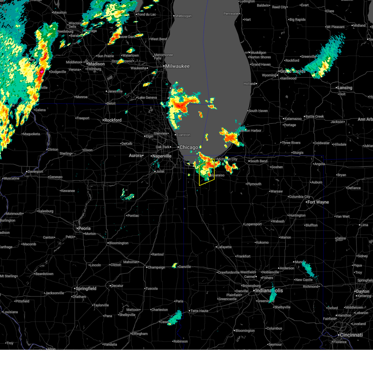
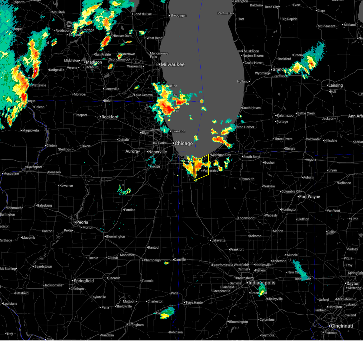
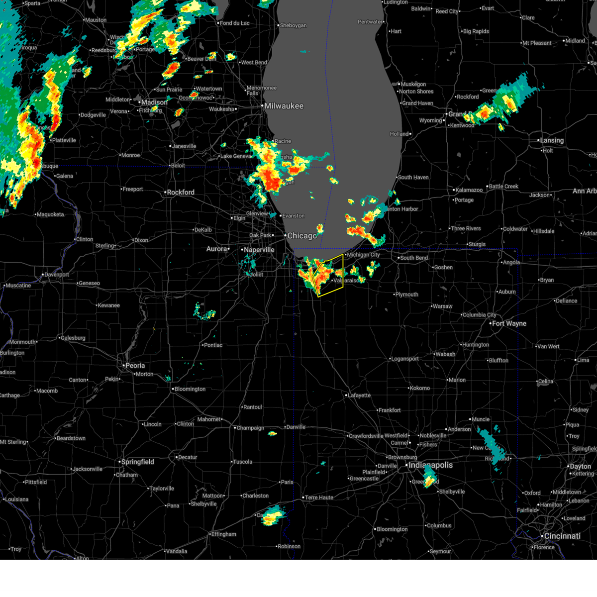
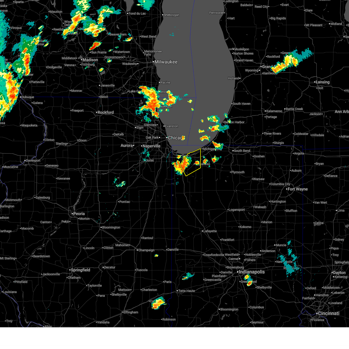
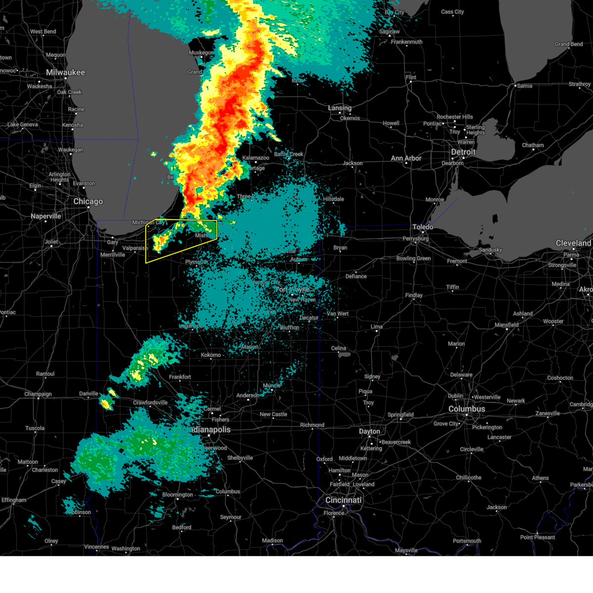
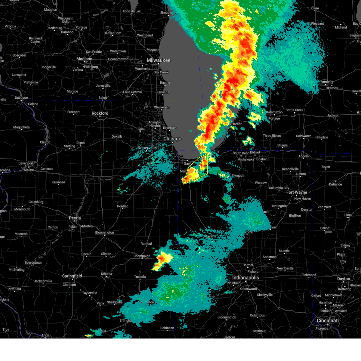
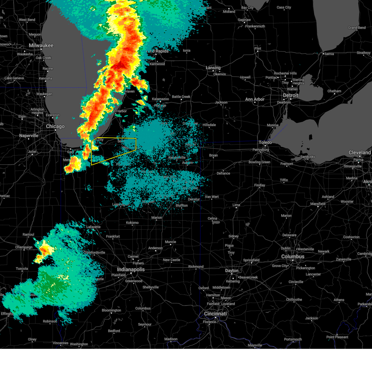
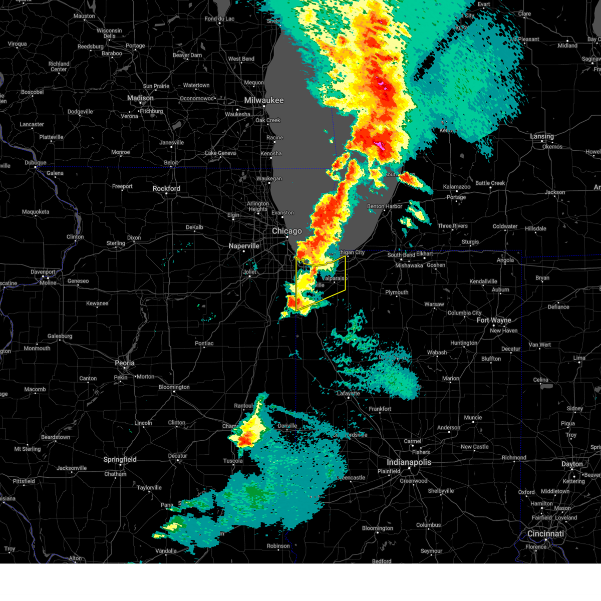
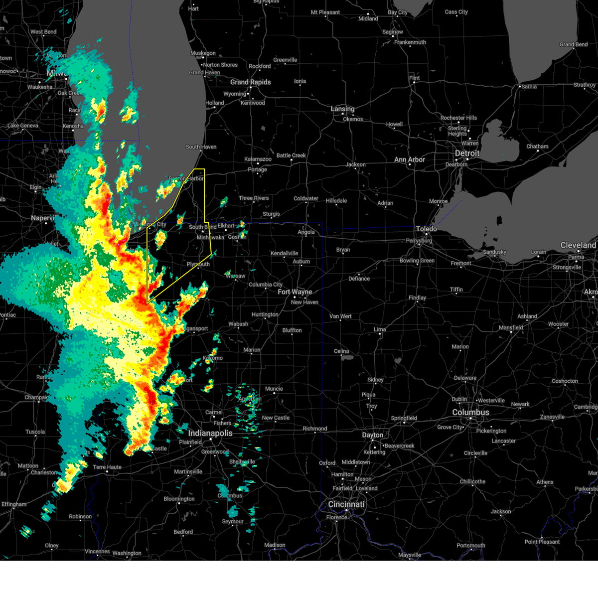
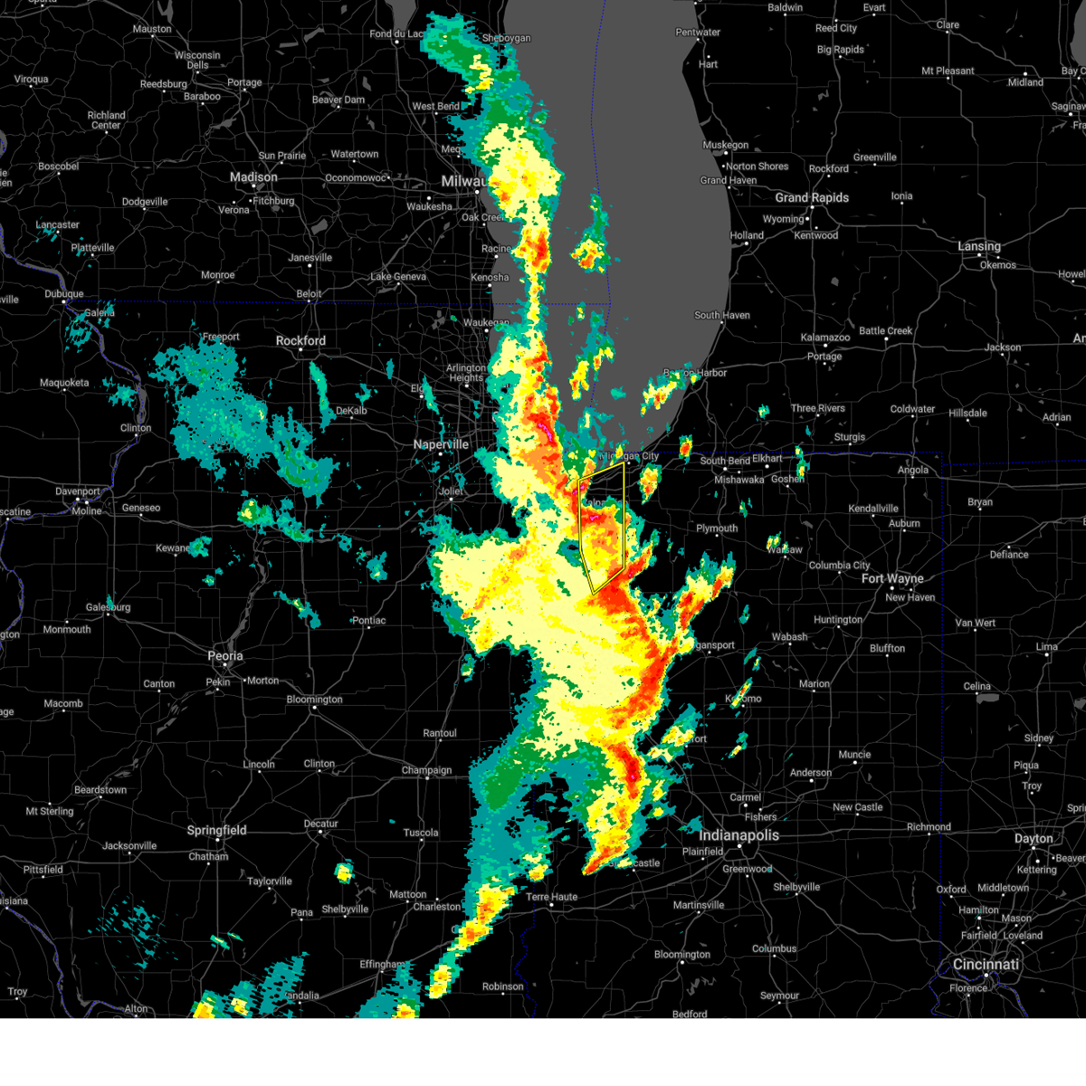
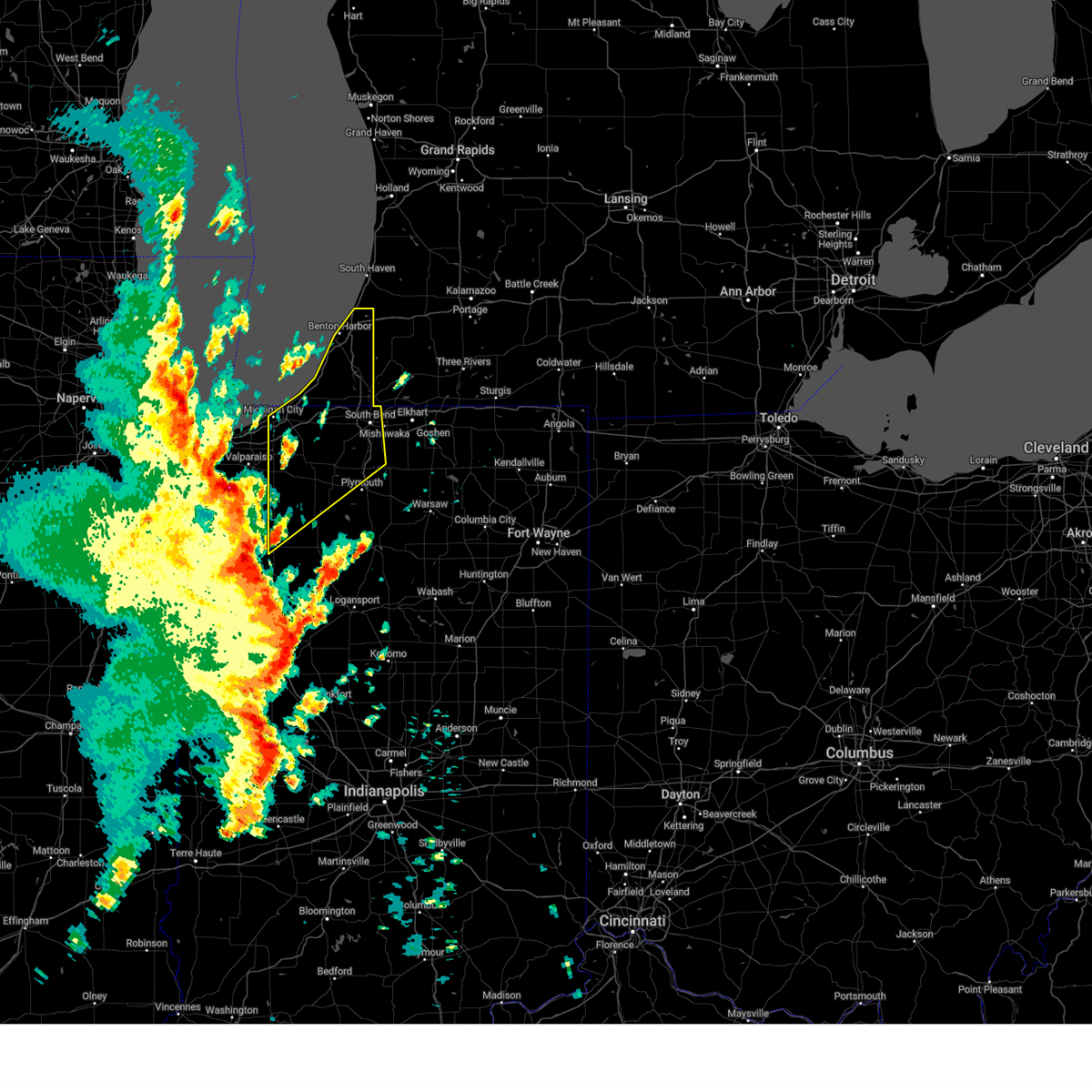
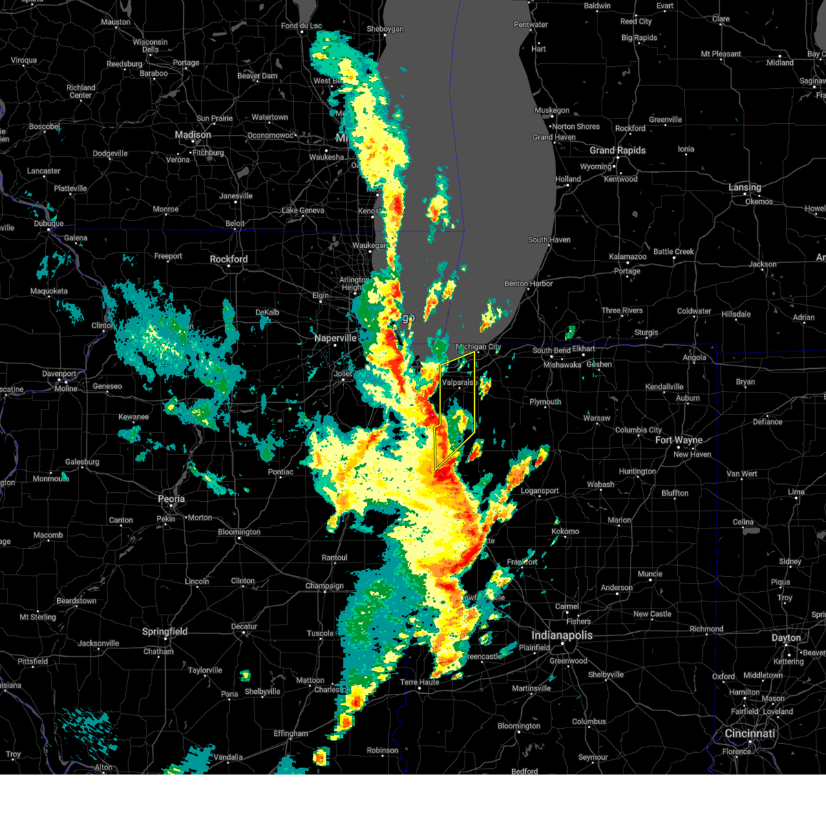
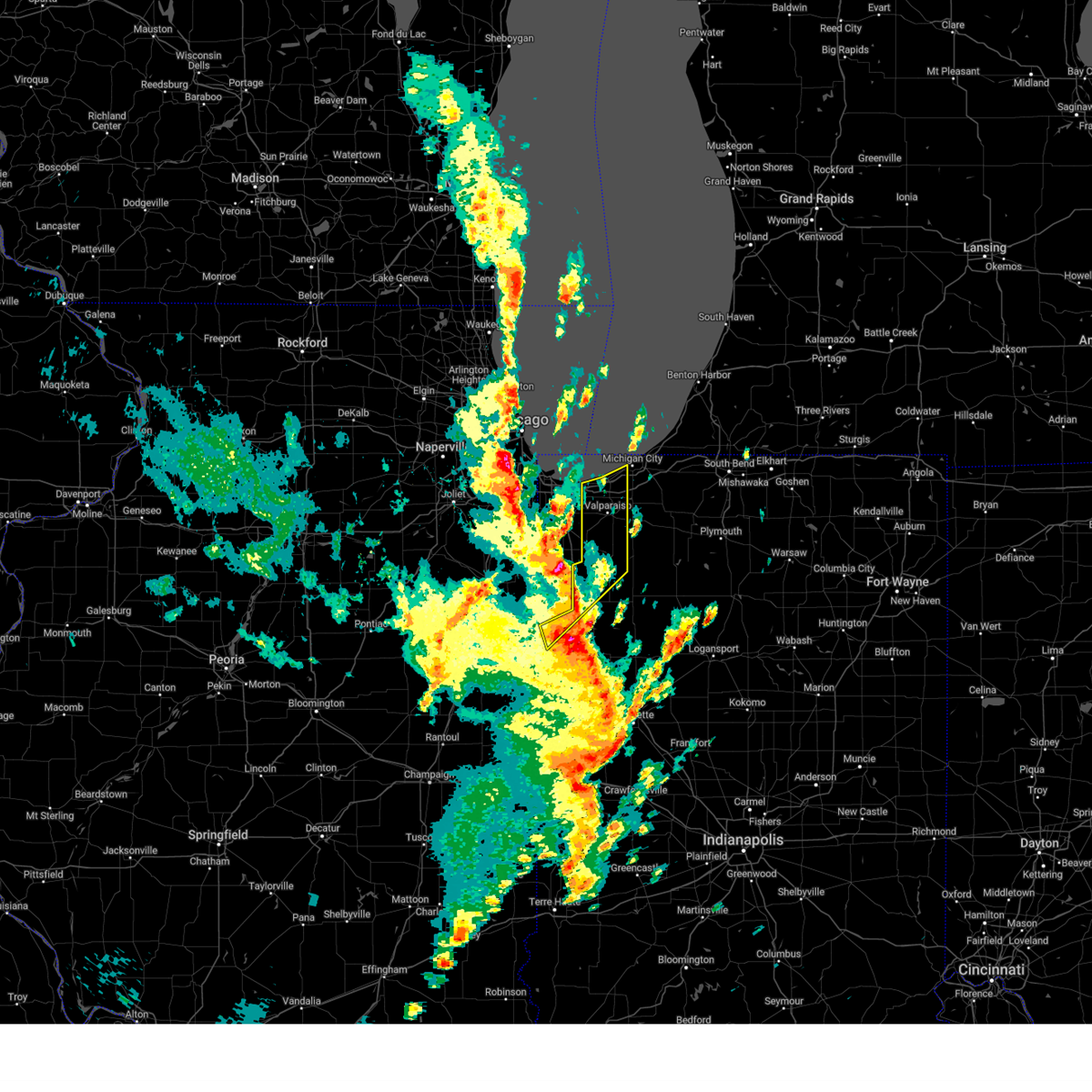
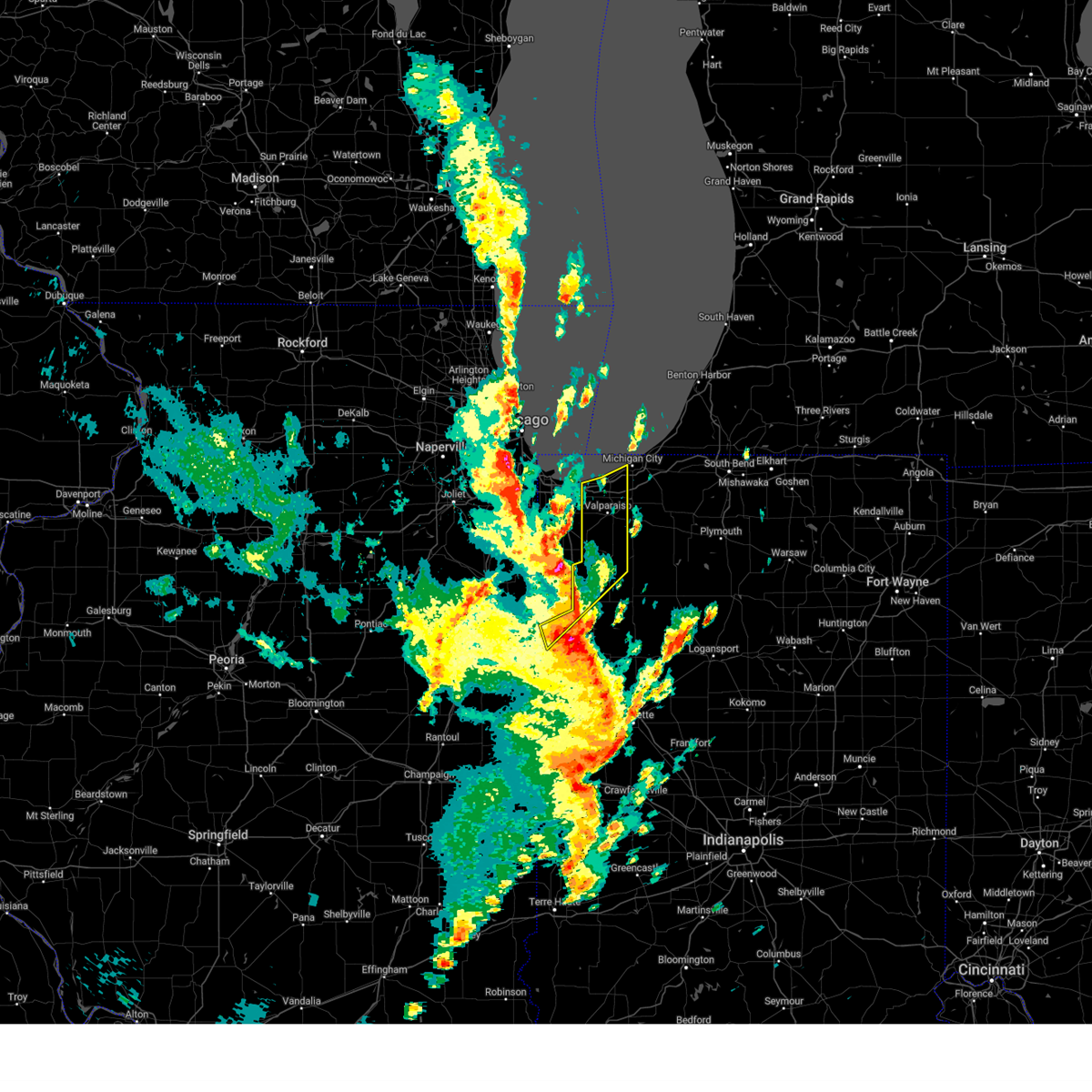
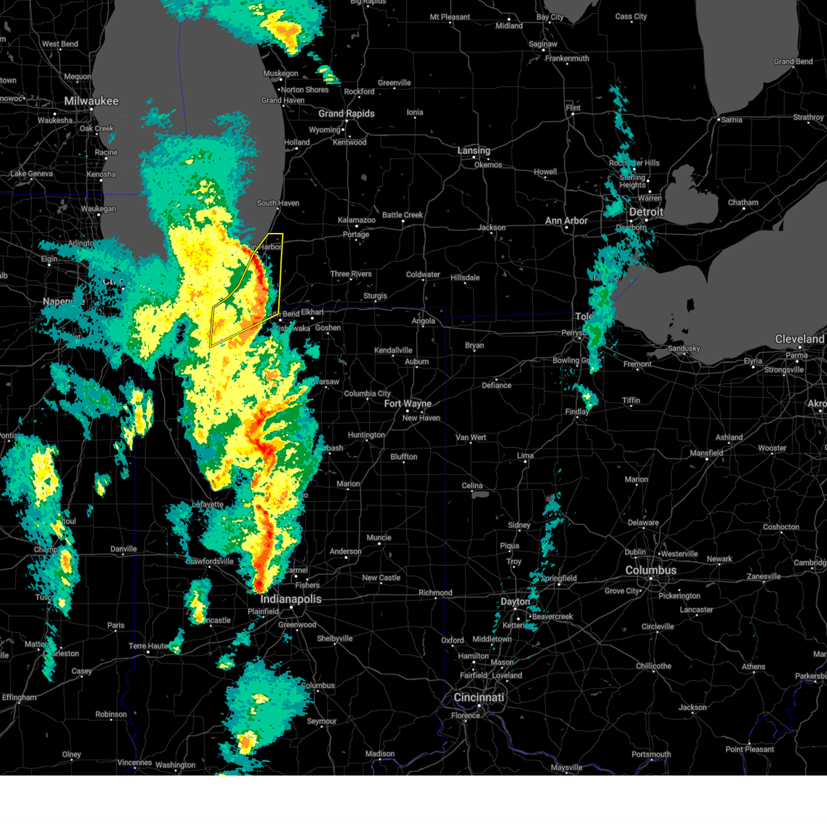
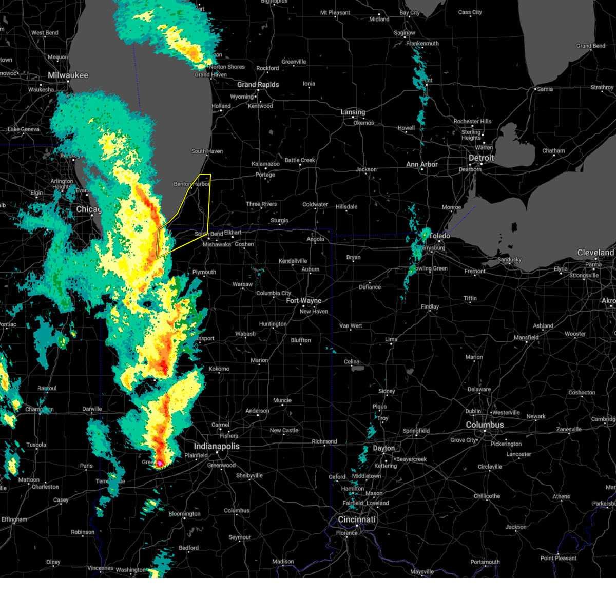
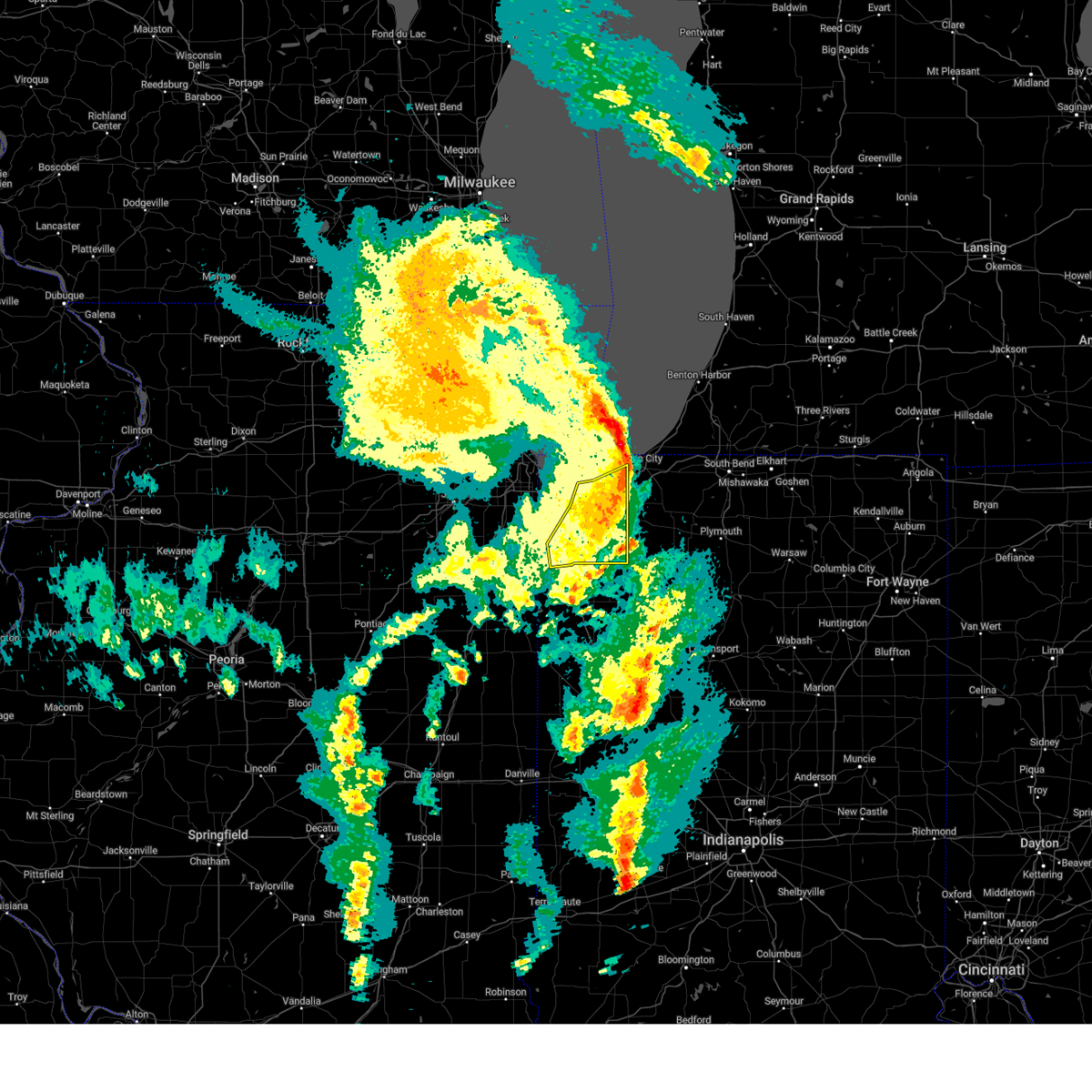
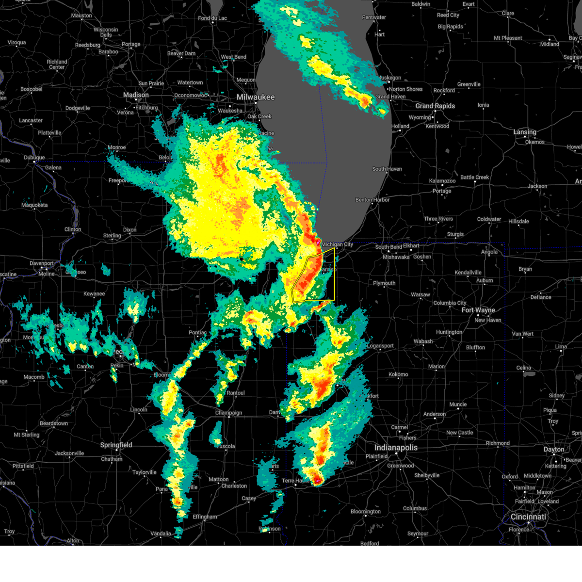
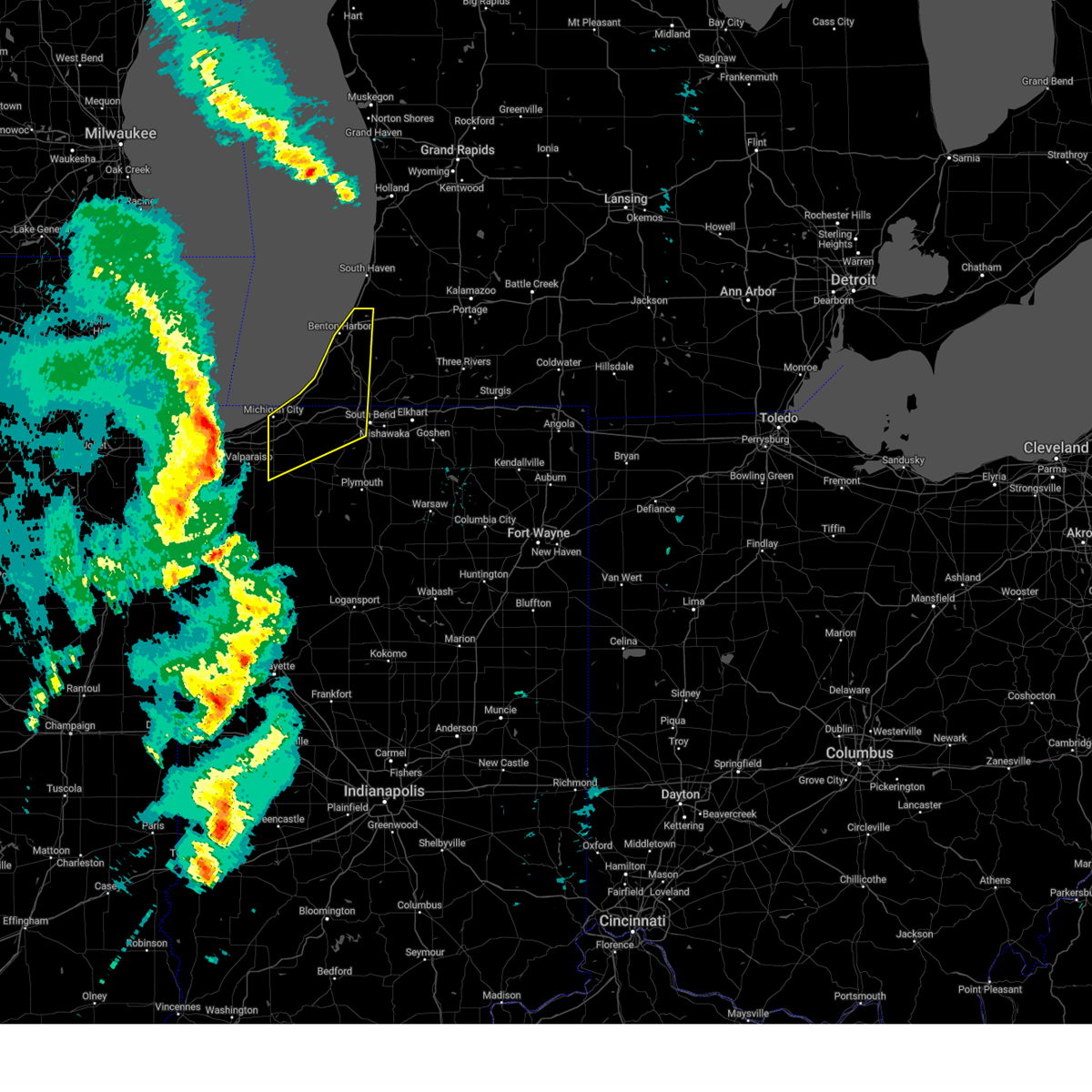
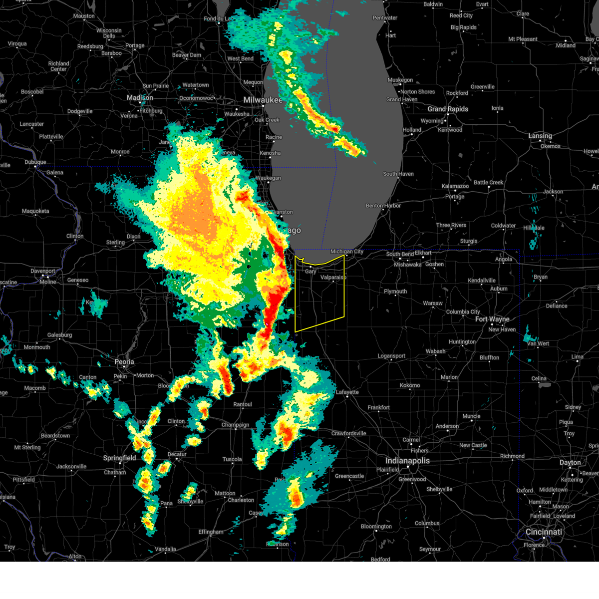
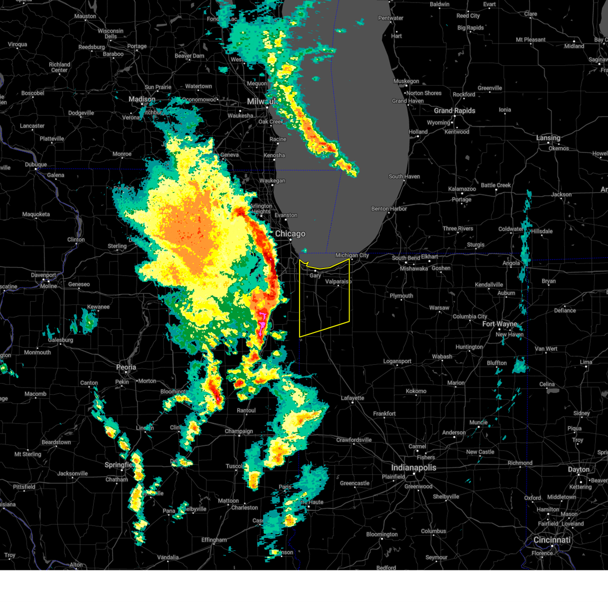
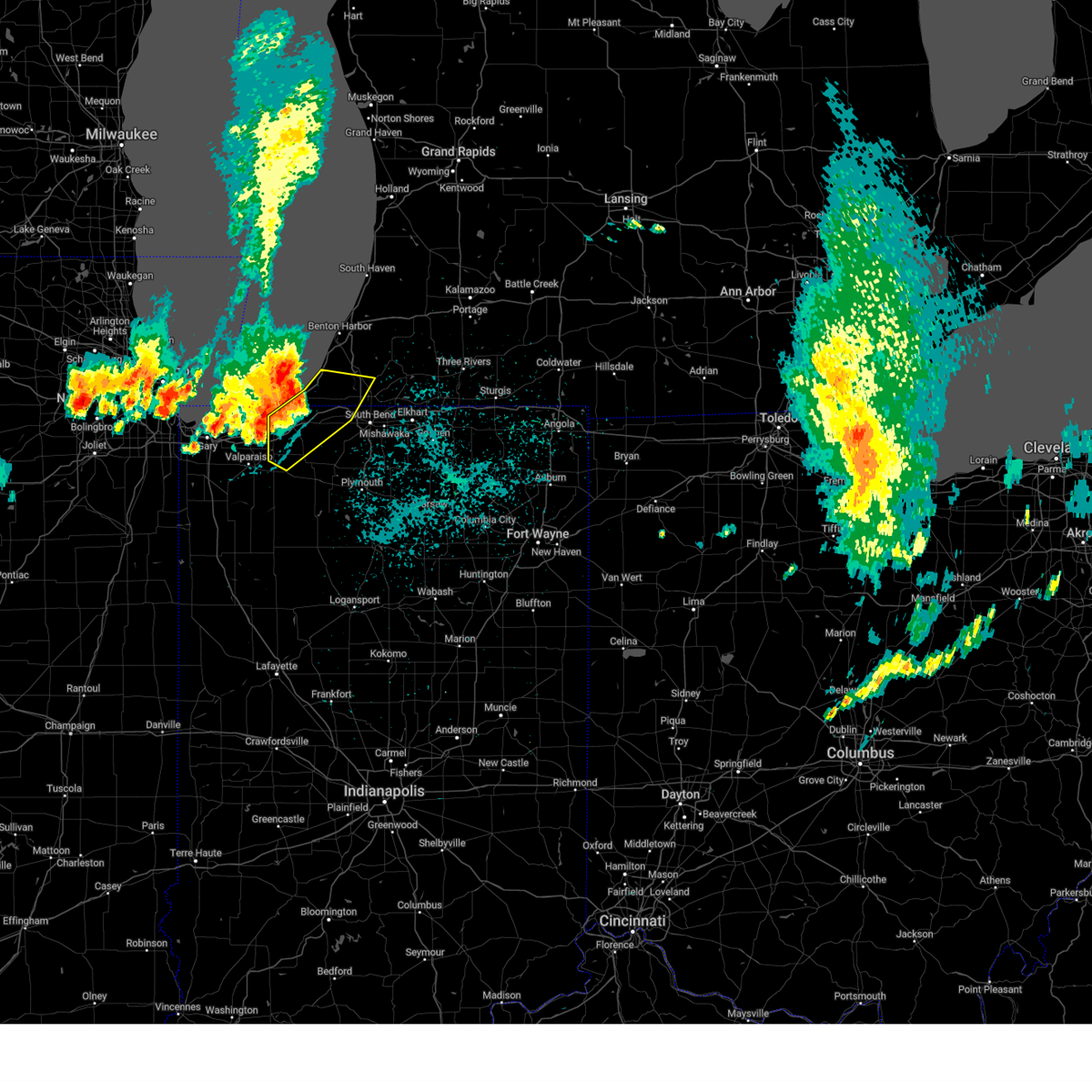
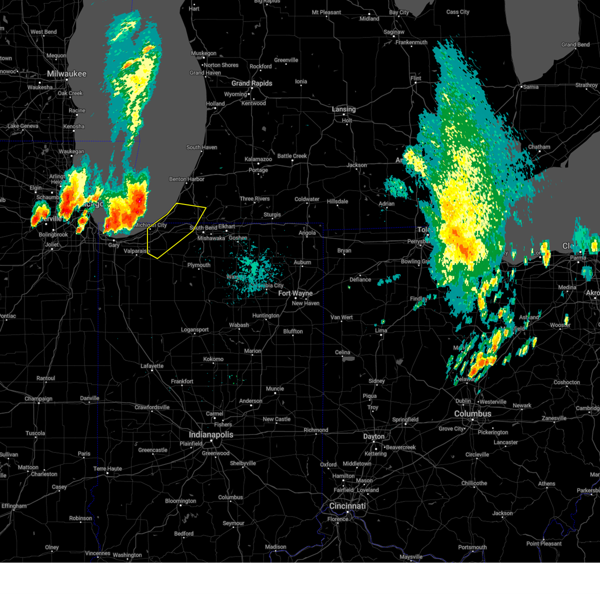
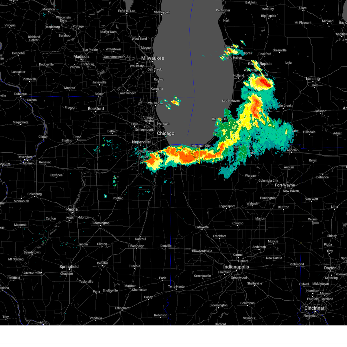
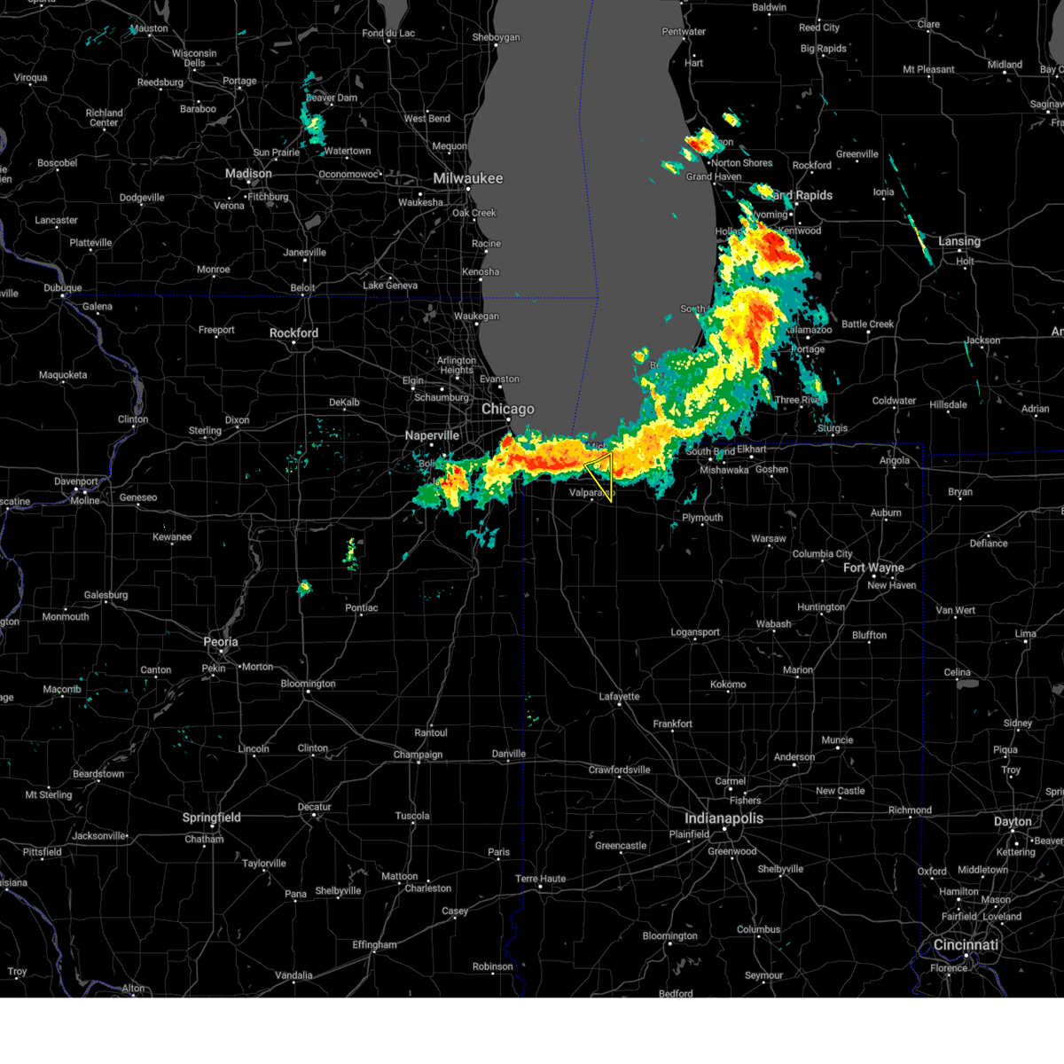
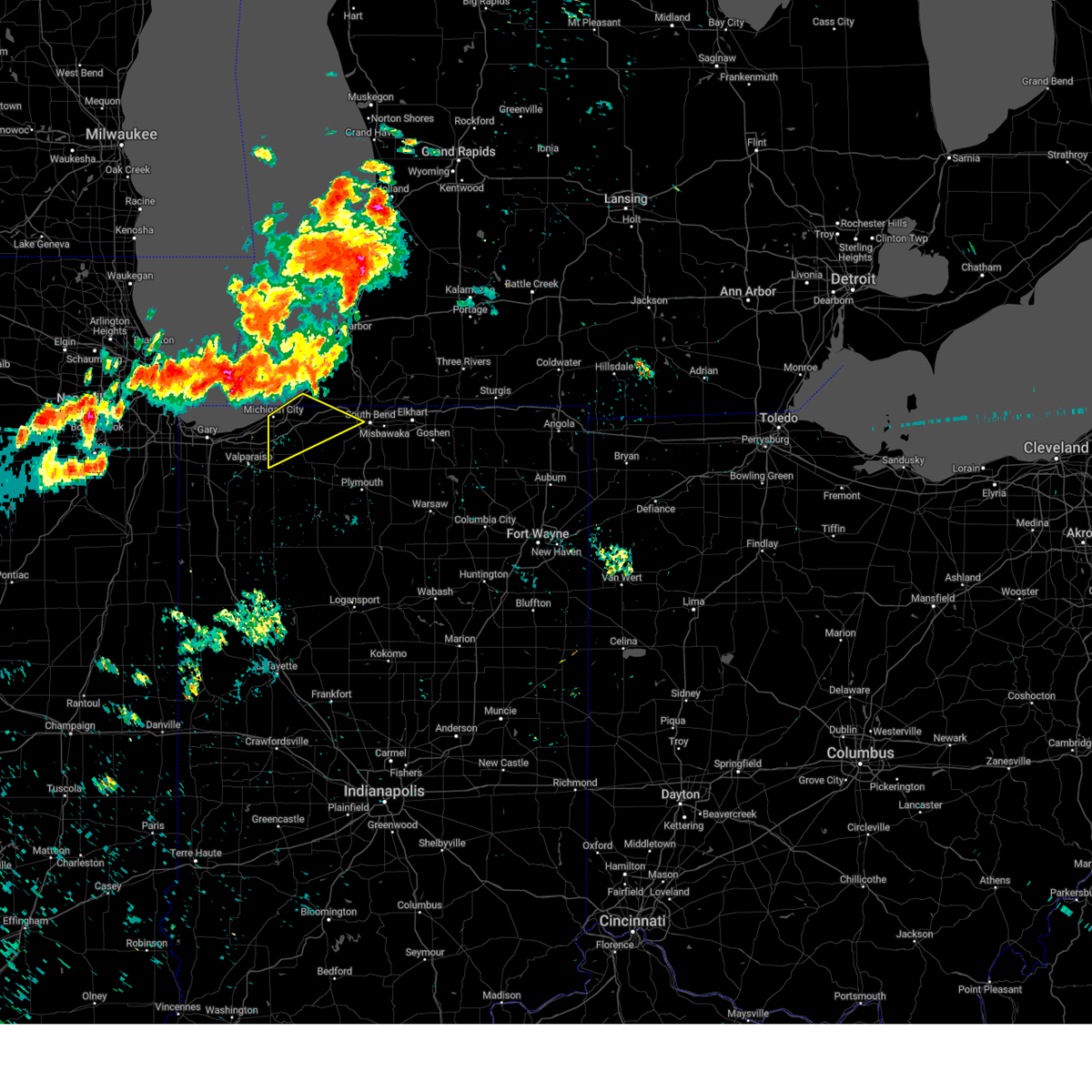
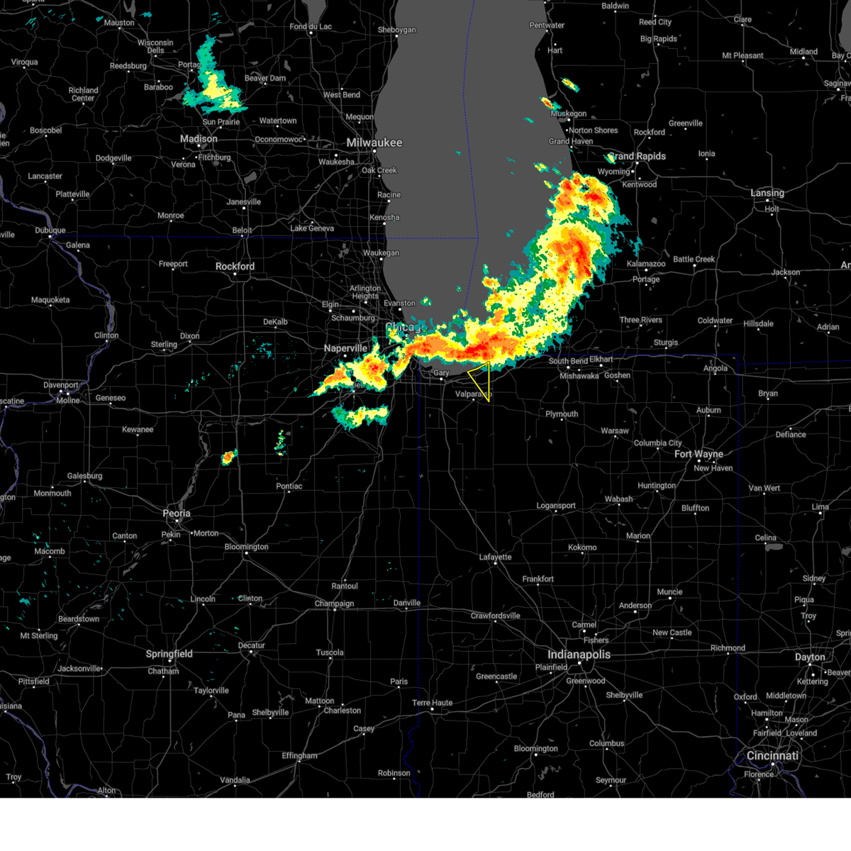
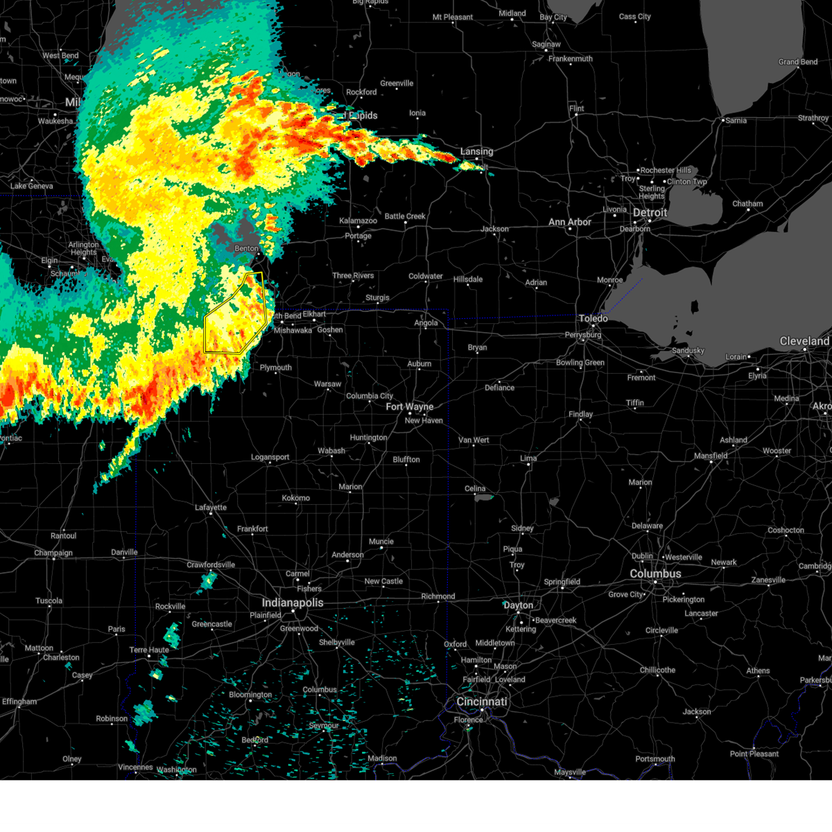
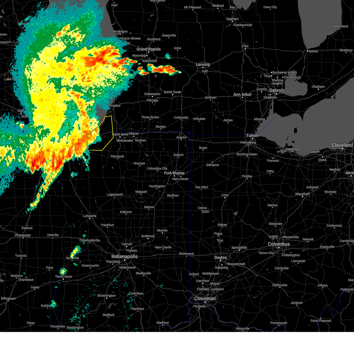
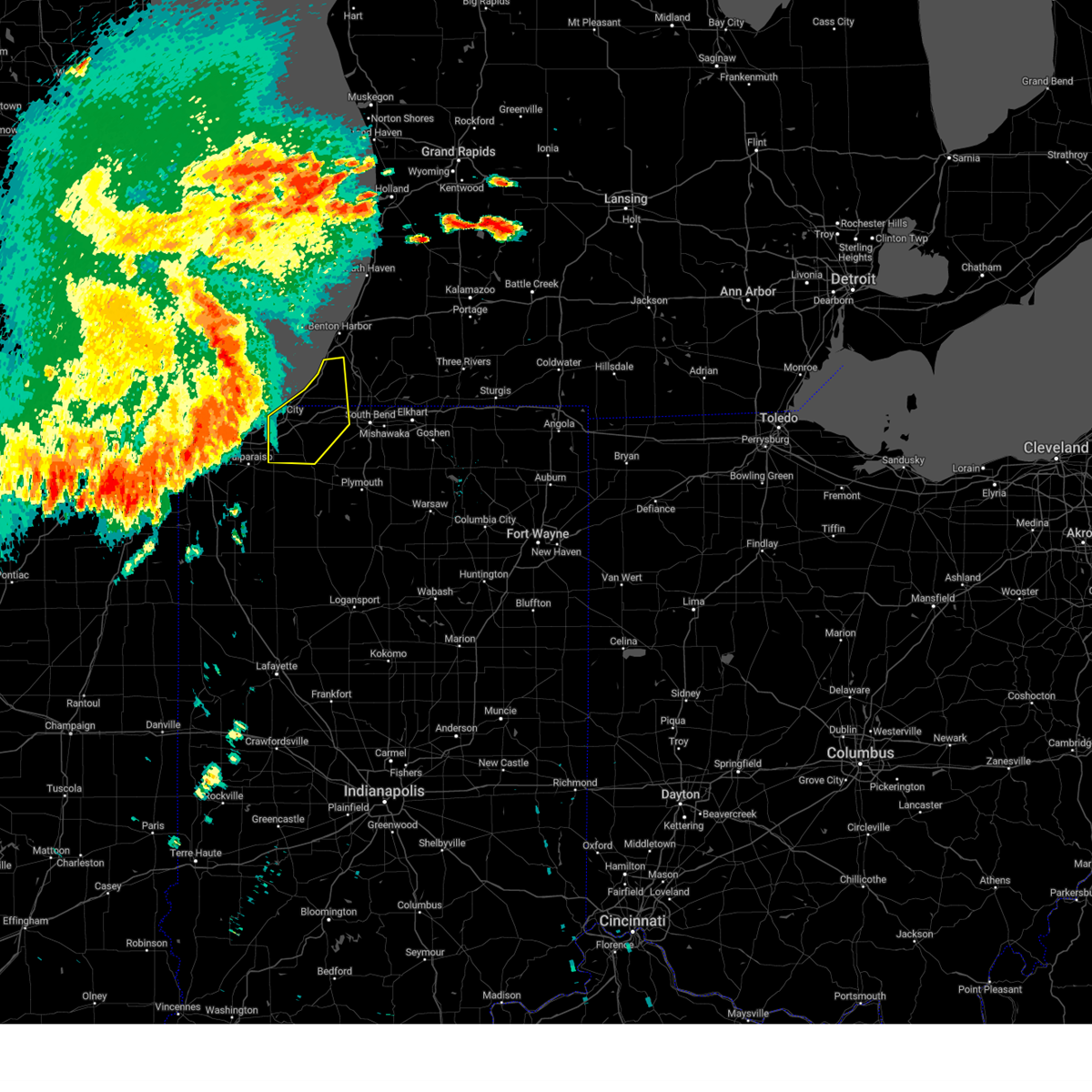
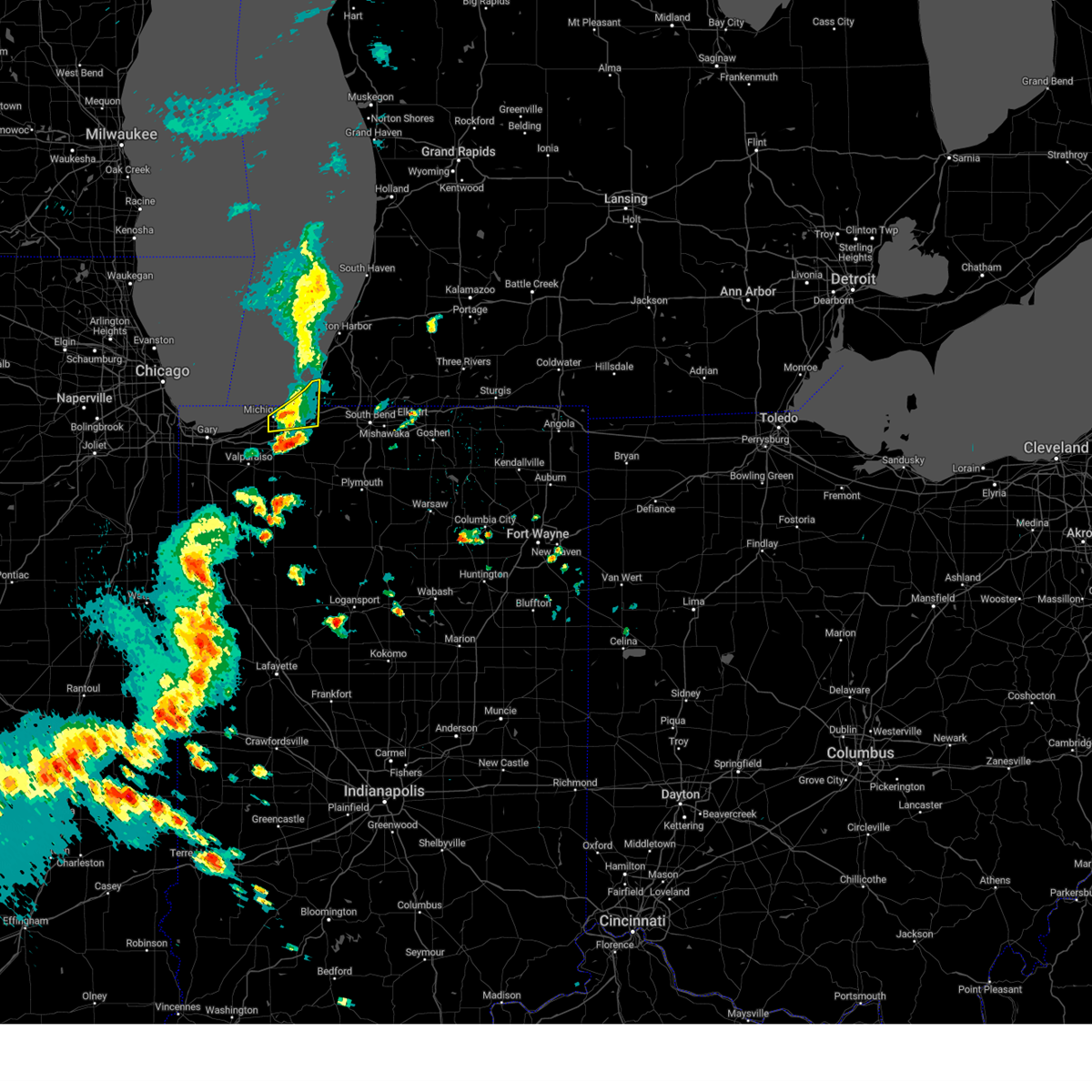
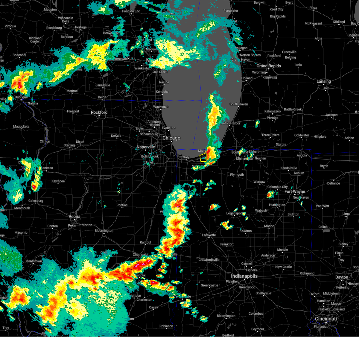
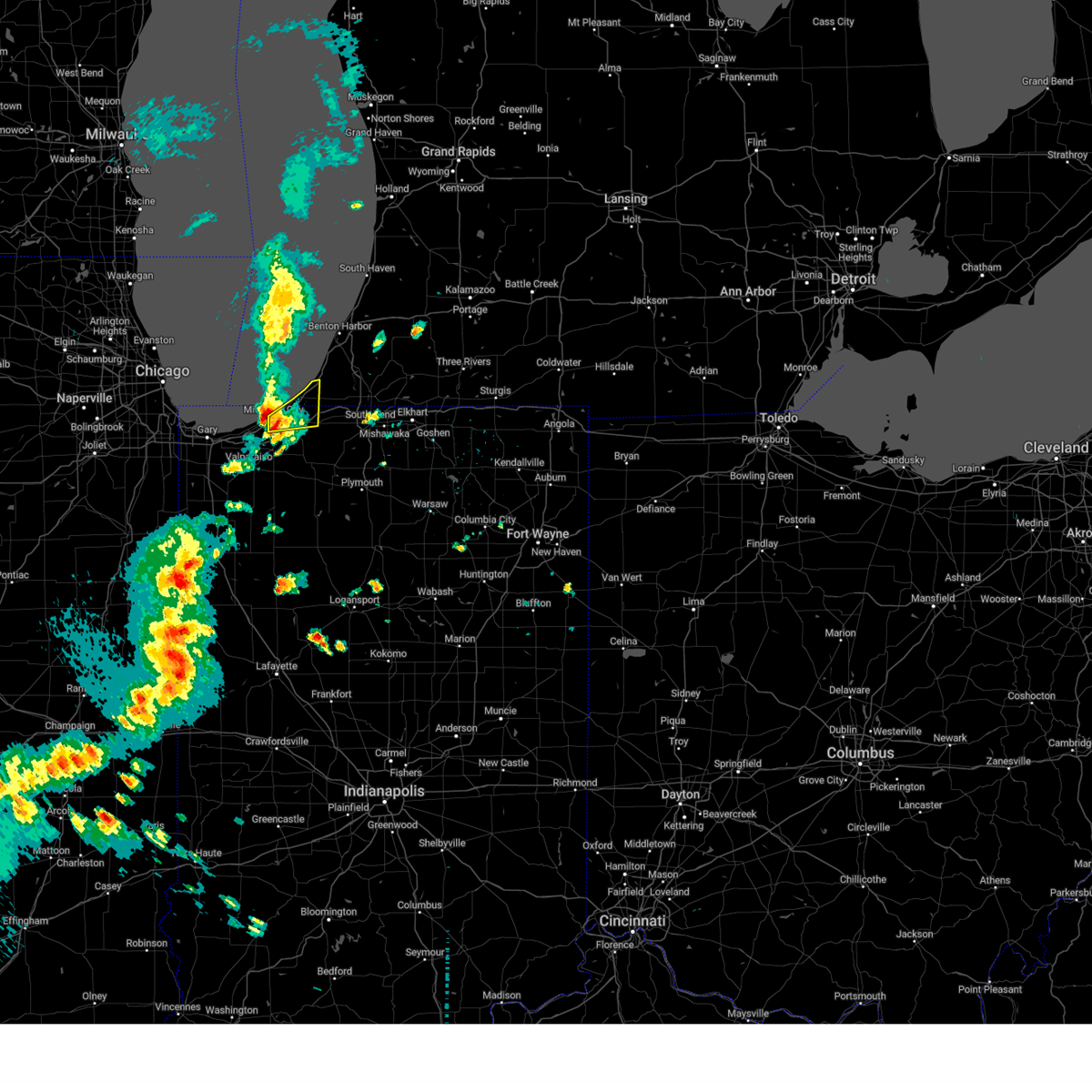
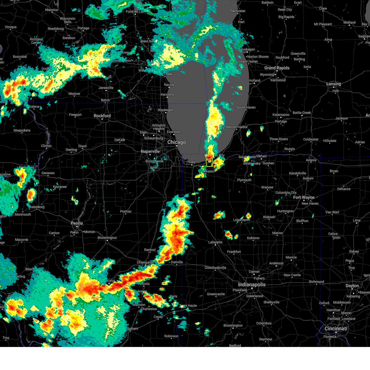
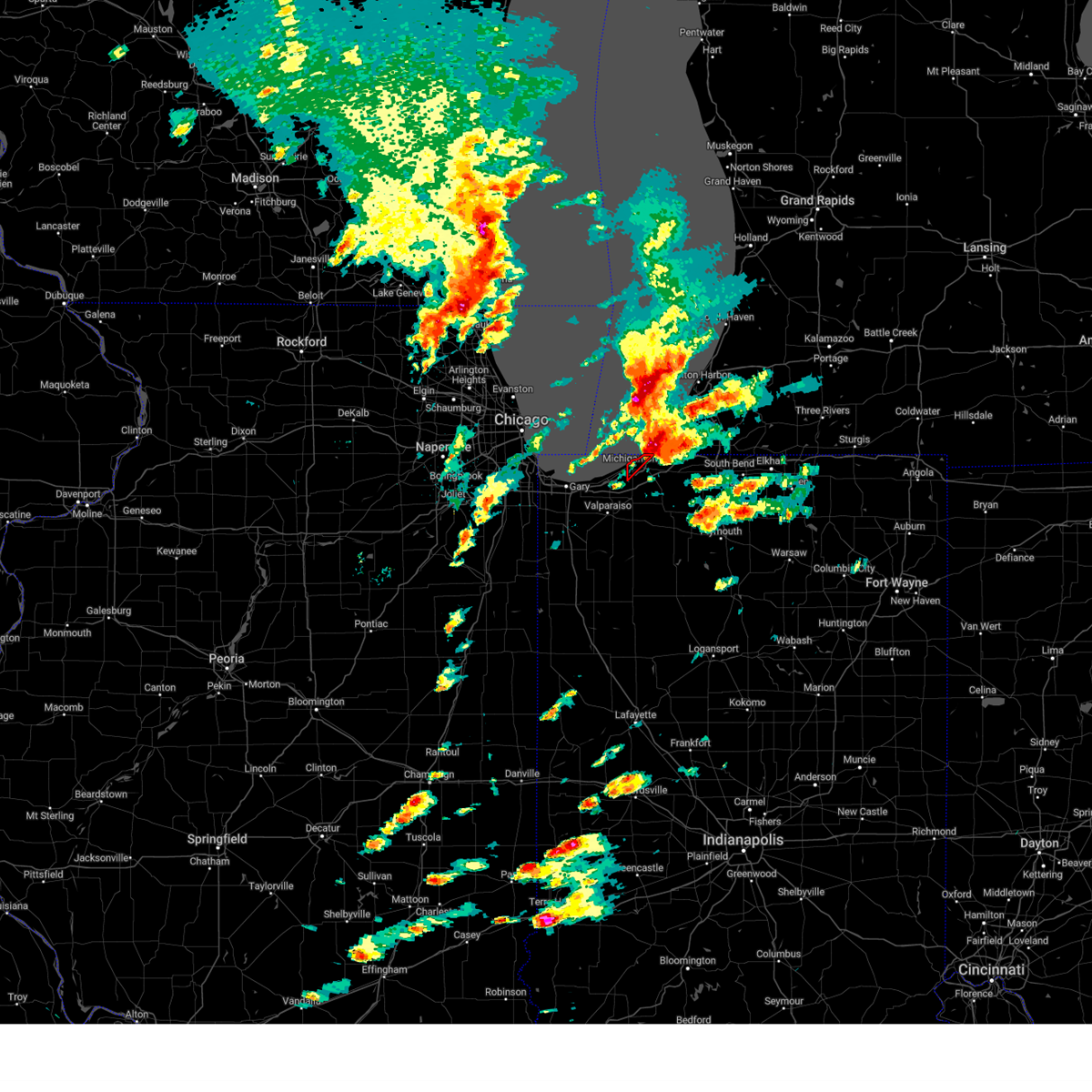
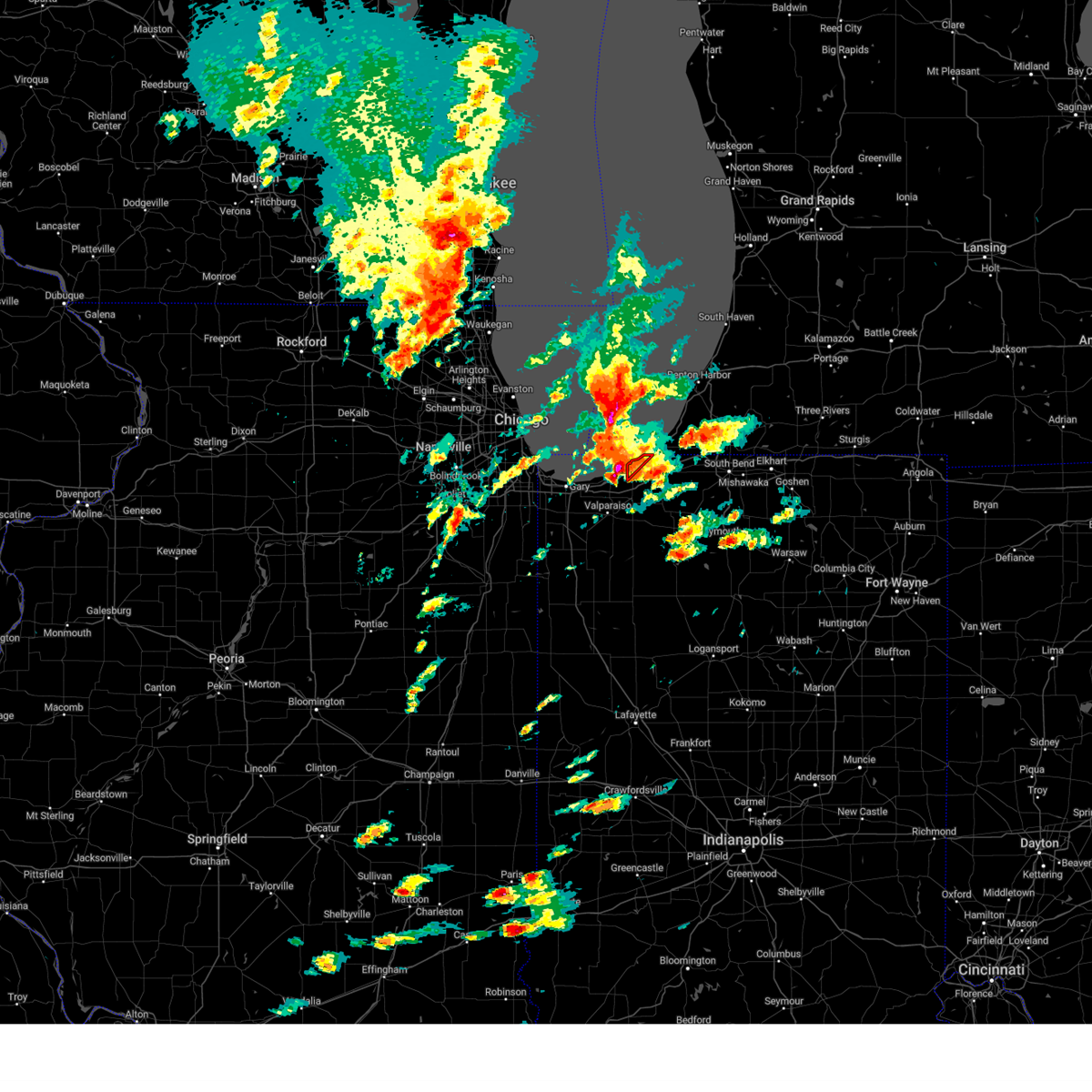
Hail Map for Michigan City, IN
The Michigan City, IN area has had 9 reports of on-the-ground hail by trained spotters, and has been under severe weather warnings 59 times during the past 12 months. Doppler radar has detected hail at or near Michigan City, IN on 61 occasions, including 1 occasion during the past year.
| Name: | Michigan City, IN |
| Where Located: | 41.2 miles ESE of Chicago, IL |
| Map: | Google Map for Michigan City, IN |
| Population: | 31479 |
| Housing Units: | 14435 |
| More Info: | Search Google for Michigan City, IN |
0
The Top Recent Hail Date for Michigan City, IN is Tuesday, August 27, 2024 (49th out of 61)

Hail and Wind Damage Spotted near Michigan City, IN
| Date / Time | Report Details |
|---|---|
| 6/26/2025 8:41 PM CDT |
 the severe thunderstorm warning has been cancelled and is no longer in effect the severe thunderstorm warning has been cancelled and is no longer in effect
|
| 6/26/2025 8:23 PM CDT |
 At 823 pm cdt, a severe thunderstorm was located near south haven, or near hobart, moving northeast at 20 mph (radar indicated). Hazards include 60 mph wind gusts. Expect damage to roofs, siding, and trees. Locations impacted include, chesterton, boone grove, portage, south haven, valparaiso, town of pines, beverly shores, burns harbor, ogden dunes, porter, dune acres, wheeler, lakes of the four seasons, and hebron. At 823 pm cdt, a severe thunderstorm was located near south haven, or near hobart, moving northeast at 20 mph (radar indicated). Hazards include 60 mph wind gusts. Expect damage to roofs, siding, and trees. Locations impacted include, chesterton, boone grove, portage, south haven, valparaiso, town of pines, beverly shores, burns harbor, ogden dunes, porter, dune acres, wheeler, lakes of the four seasons, and hebron.
|
| 6/26/2025 8:23 PM CDT |
 the severe thunderstorm warning has been cancelled and is no longer in effect the severe thunderstorm warning has been cancelled and is no longer in effect
|
| 6/26/2025 8:17 PM CDT |
 At 817 pm cdt, a severe thunderstorm was located near lakes of the four seasons, or near hobart, moving northeast at 20 mph (radar indicated). Hazards include 60 mph wind gusts. Expect damage to roofs, siding, and trees. Locations impacted include, chesterton, boone grove, winfield, portage, south haven, valparaiso, town of pines, beverly shores, burns harbor, ogden dunes, hobart, porter, dune acres, wheeler, lakes of the four seasons, hebron, lake station, and merrillville. At 817 pm cdt, a severe thunderstorm was located near lakes of the four seasons, or near hobart, moving northeast at 20 mph (radar indicated). Hazards include 60 mph wind gusts. Expect damage to roofs, siding, and trees. Locations impacted include, chesterton, boone grove, winfield, portage, south haven, valparaiso, town of pines, beverly shores, burns harbor, ogden dunes, hobart, porter, dune acres, wheeler, lakes of the four seasons, hebron, lake station, and merrillville.
|
| 6/26/2025 8:04 PM CDT |
 Svrlot the national weather service in chicago has issued a * severe thunderstorm warning for, porter county in northwestern indiana, east central lake county in northwestern indiana, * until 900 pm cdt. * at 804 pm cdt, a severe thunderstorm was located over winfield, or near merrillville, moving northeast at 20 mph (radar indicated). Hazards include 60 mph wind gusts. expect damage to roofs, siding, and trees Svrlot the national weather service in chicago has issued a * severe thunderstorm warning for, porter county in northwestern indiana, east central lake county in northwestern indiana, * until 900 pm cdt. * at 804 pm cdt, a severe thunderstorm was located over winfield, or near merrillville, moving northeast at 20 mph (radar indicated). Hazards include 60 mph wind gusts. expect damage to roofs, siding, and trees
|
| 6/18/2025 3:52 PM EDT | Svriwx the national weather service in northern indiana has issued a * severe thunderstorm warning for, northwestern st. joseph county in north central indiana, northern la porte county in northwestern indiana, berrien county in southwestern michigan, * until 430 pm edt/330 pm cdt/. * at 352 pm edt/252 pm cdt/, severe thunderstorms were located along a line extending from near chesterton to near la porte to near knox, moving north at 65 mph (radar indicated). Hazards include 60 mph wind gusts. expect damage to roofs, siding, and trees |
| 5/15/2025 9:31 PM CDT |
 the severe thunderstorm warning has been cancelled and is no longer in effect the severe thunderstorm warning has been cancelled and is no longer in effect
|
| 5/15/2025 9:05 PM CDT | Trees down. one reportedly on a mobile home. time estimated by rada in la porte county IN, 0.5 miles E of Michigan City, IN |
| 5/15/2025 9:04 PM CDT | Received photos of tree limbs down. time estimated by rada in la porte county IN, 0.9 miles NW of Michigan City, IN |
| 5/15/2025 8:59 PM CDT |
 At 859 pm cdt, a severe thunderstorm was located near valparaiso, moving northeast at 55 mph (trained weather spotters reported tree damage in crown point). Hazards include 60 mph wind gusts. Expect damage to roofs, siding, and trees. Locations impacted include, chesterton, boone grove, winfield, portage, south haven, valparaiso, town of pines, beverly shores, burns harbor, merrillville, hobart, hebron, porter, dune acres, malden, wheeler, lakes of the four seasons, crown point, and lowell. At 859 pm cdt, a severe thunderstorm was located near valparaiso, moving northeast at 55 mph (trained weather spotters reported tree damage in crown point). Hazards include 60 mph wind gusts. Expect damage to roofs, siding, and trees. Locations impacted include, chesterton, boone grove, winfield, portage, south haven, valparaiso, town of pines, beverly shores, burns harbor, merrillville, hobart, hebron, porter, dune acres, malden, wheeler, lakes of the four seasons, crown point, and lowell.
|
| 5/15/2025 8:57 PM CDT |
 Svriwx the national weather service in northern indiana has issued a * severe thunderstorm warning for, st. joseph county in north central indiana, la porte county in northwestern indiana, southwestern berrien county in southwestern michigan, * until 1115 pm edt/1015 pm cdt/. * at 956 pm edt/856 pm cdt/, severe thunderstorms were located along a line extending from near westville to near hebron, moving east at 40 mph (radar indicated). Hazards include 60 mph wind gusts and quarter size hail. Hail damage to vehicles is expected. Expect wind damage to roofs, siding, and trees. Svriwx the national weather service in northern indiana has issued a * severe thunderstorm warning for, st. joseph county in north central indiana, la porte county in northwestern indiana, southwestern berrien county in southwestern michigan, * until 1115 pm edt/1015 pm cdt/. * at 956 pm edt/856 pm cdt/, severe thunderstorms were located along a line extending from near westville to near hebron, moving east at 40 mph (radar indicated). Hazards include 60 mph wind gusts and quarter size hail. Hail damage to vehicles is expected. Expect wind damage to roofs, siding, and trees.
|
| 5/15/2025 8:43 PM CDT |
 At 843 pm cdt, a severe thunderstorm was located over cedar lake, moving northeast at 60 mph (trained weather spotters). Hazards include 70 mph wind gusts and quarter size hail. Hail damage to vehicles is expected. expect considerable tree damage. wind damage is also likely to mobile homes, roofs, and outbuildings. locations impacted include, dyer, lake station, chesterton, cedar lake, winfield, valparaiso, town of pines, lake dalecarlia, beverly shores, merrillville, hobart, hebron, east chicago, porter, dune acres, wheeler, lakes of the four seasons, munster, highland, gary, boone grove, new chicago, portage, south haven, and st. John. At 843 pm cdt, a severe thunderstorm was located over cedar lake, moving northeast at 60 mph (trained weather spotters). Hazards include 70 mph wind gusts and quarter size hail. Hail damage to vehicles is expected. expect considerable tree damage. wind damage is also likely to mobile homes, roofs, and outbuildings. locations impacted include, dyer, lake station, chesterton, cedar lake, winfield, valparaiso, town of pines, lake dalecarlia, beverly shores, merrillville, hobart, hebron, east chicago, porter, dune acres, wheeler, lakes of the four seasons, munster, highland, gary, boone grove, new chicago, portage, south haven, and st. John.
|
| 5/15/2025 8:31 PM CDT |
 At 830 pm cdt, a severe thunderstorm was located over ogden dunes, or over portage, moving northeast at 70 mph (trained weather spotters reported 74 mph wind gusts east of peotone). Hazards include 70 mph wind gusts and quarter size hail. Hail damage to vehicles is expected. expect considerable tree damage. wind damage is also likely to mobile homes, roofs, and outbuildings. locations impacted include, dyer, lake station, chesterton, cedar lake, winfield, valparaiso, town of pines, lake dalecarlia, beverly shores, merrillville, hobart, hebron, east chicago, porter, dune acres, wheeler, lakes of the four seasons, munster, highland, gary, boone grove, new chicago, portage, south haven, and st. John. At 830 pm cdt, a severe thunderstorm was located over ogden dunes, or over portage, moving northeast at 70 mph (trained weather spotters reported 74 mph wind gusts east of peotone). Hazards include 70 mph wind gusts and quarter size hail. Hail damage to vehicles is expected. expect considerable tree damage. wind damage is also likely to mobile homes, roofs, and outbuildings. locations impacted include, dyer, lake station, chesterton, cedar lake, winfield, valparaiso, town of pines, lake dalecarlia, beverly shores, merrillville, hobart, hebron, east chicago, porter, dune acres, wheeler, lakes of the four seasons, munster, highland, gary, boone grove, new chicago, portage, south haven, and st. John.
|
| 5/15/2025 8:13 PM CDT |
 Svrlot the national weather service in chicago has issued a * severe thunderstorm warning for, porter county in northwestern indiana, lake county in northwestern indiana, * until 915 pm cdt. * at 812 pm cdt, a severe thunderstorm was located over crete, or over steger, moving northeast at 60 mph (radar indicated). Hazards include 70 mph wind gusts and quarter size hail. Hail damage to vehicles is expected. expect considerable tree damage. Wind damage is also likely to mobile homes, roofs, and outbuildings. Svrlot the national weather service in chicago has issued a * severe thunderstorm warning for, porter county in northwestern indiana, lake county in northwestern indiana, * until 915 pm cdt. * at 812 pm cdt, a severe thunderstorm was located over crete, or over steger, moving northeast at 60 mph (radar indicated). Hazards include 70 mph wind gusts and quarter size hail. Hail damage to vehicles is expected. expect considerable tree damage. Wind damage is also likely to mobile homes, roofs, and outbuildings.
|
| 3/30/2025 3:24 PM CDT | Measured at the michigan city glerl sit in lmz745 county IN, 3.9 miles ESE of Michigan City, IN |
| 3/30/2025 3:24 PM CDT |
 the severe thunderstorm warning has been cancelled and is no longer in effect the severe thunderstorm warning has been cancelled and is no longer in effect
|
| 3/30/2025 3:20 PM CDT | Trees downed in michigan city with estimated wind gust of 60 mph. there are power outages. a large branch was reported downed on maple stree in lmz046 county IN, 2.5 miles ESE of Michigan City, IN |
| 3/30/2025 3:20 PM CDT | Trees downed in michigan city with estimated wind gust of 60 mph. there are power outages. a large branch was reported downed on maple stree in la porte county IN, 1.6 miles E of Michigan City, IN |
| 3/30/2025 4:20 PM EDT |
 At 419 pm edt/319 pm cdt/, severe thunderstorms were located along a line extending from near trail creek to knox, moving northeast at 65 mph (emergency management). Hazards include 70 mph wind gusts and nickel size hail. Expect considerable tree damage. damage is likely to mobile homes, roofs, and outbuildings. locations impacted include, harbert, shorewood-tower hill, paw paw lake, tyner, new carlisle, lake michigan beach, north judson, grovertown, byron, grand beach, niles, oak grove, roseland, walkerton, union mills, buchanan, watervliet, springville, hamlet, and coloma. this includes the following highways, interstate 196 between mile markers 0 and 7. interstate 80 in indiana between mile markers 39 and 80. interstate 94 in indiana between mile markers 34 and 45. Interstate 94 in michigan between mile markers 0 and 42. At 419 pm edt/319 pm cdt/, severe thunderstorms were located along a line extending from near trail creek to knox, moving northeast at 65 mph (emergency management). Hazards include 70 mph wind gusts and nickel size hail. Expect considerable tree damage. damage is likely to mobile homes, roofs, and outbuildings. locations impacted include, harbert, shorewood-tower hill, paw paw lake, tyner, new carlisle, lake michigan beach, north judson, grovertown, byron, grand beach, niles, oak grove, roseland, walkerton, union mills, buchanan, watervliet, springville, hamlet, and coloma. this includes the following highways, interstate 196 between mile markers 0 and 7. interstate 80 in indiana between mile markers 39 and 80. interstate 94 in indiana between mile markers 34 and 45. Interstate 94 in michigan between mile markers 0 and 42.
|
| 3/30/2025 3:15 PM CDT | Several big tree branches are down and this one fell on a house on avondale ave in trail cree in la porte county IN, 0.9 miles NW of Michigan City, IN |
| 3/30/2025 3:15 PM CDT | Tree downed across the road... large limbs downe in la porte county IN, 3.2 miles NNW of Michigan City, IN |
| 3/30/2025 3:15 PM CDT | 400 block of laurel drive has trees on top of houses (houses still habitable). numerous reports of trees and powerlines down in this area and around michigan city. time in la porte county IN, 1.7 miles NW of Michigan City, IN |
| 3/30/2025 3:03 PM CDT |
 the severe thunderstorm warning has been cancelled and is no longer in effect the severe thunderstorm warning has been cancelled and is no longer in effect
|
| 3/30/2025 3:03 PM CDT |
 At 302 pm cdt, severe thunderstorms were located along a line extending from near south haven to near wanatah to near wheatfield, moving northeast at 80 mph. the valparaiso airport recorded a wind gust of 81 mph with these storms (trained weather spotters). Hazards include 70 to 80 mph wind gusts. Expect considerable tree damage. damage is likely to mobile homes, roofs, and outbuildings. Locations impacted include, kouts, chesterton, boone grove, portage, south haven, valparaiso, town of pines, beverly shores, burns harbor, ogden dunes, dunns bridge, porter, malden, dune acres, wheeler, lakes of the four seasons, and hebron. At 302 pm cdt, severe thunderstorms were located along a line extending from near south haven to near wanatah to near wheatfield, moving northeast at 80 mph. the valparaiso airport recorded a wind gust of 81 mph with these storms (trained weather spotters). Hazards include 70 to 80 mph wind gusts. Expect considerable tree damage. damage is likely to mobile homes, roofs, and outbuildings. Locations impacted include, kouts, chesterton, boone grove, portage, south haven, valparaiso, town of pines, beverly shores, burns harbor, ogden dunes, dunns bridge, porter, malden, dune acres, wheeler, lakes of the four seasons, and hebron.
|
| 3/30/2025 4:03 PM EDT |
 At 403 pm edt/303 pm cdt/, severe thunderstorms were located along a line extending from near porter to 6 miles west of medaryville, moving northeast at 60 mph (radar indicated). Hazards include 70 mph wind gusts and nickel size hail. Expect considerable tree damage. damage is likely to mobile homes, roofs, and outbuildings. locations impacted include, harbert, la crosse, shorewood-tower hill, paw paw lake, tyner, clarks, medaryville, new carlisle, lake michigan beach, haskell, north judson, grovertown, byron, grand beach, niles, oak grove, roseland, walkerton, union mills, and buchanan. this includes the following highways, interstate 196 between mile markers 0 and 7. interstate 80 in indiana between mile markers 38 and 80. interstate 94 in indiana between mile markers 33 and 45. Interstate 94 in michigan between mile markers 0 and 42. At 403 pm edt/303 pm cdt/, severe thunderstorms were located along a line extending from near porter to 6 miles west of medaryville, moving northeast at 60 mph (radar indicated). Hazards include 70 mph wind gusts and nickel size hail. Expect considerable tree damage. damage is likely to mobile homes, roofs, and outbuildings. locations impacted include, harbert, la crosse, shorewood-tower hill, paw paw lake, tyner, clarks, medaryville, new carlisle, lake michigan beach, haskell, north judson, grovertown, byron, grand beach, niles, oak grove, roseland, walkerton, union mills, and buchanan. this includes the following highways, interstate 196 between mile markers 0 and 7. interstate 80 in indiana between mile markers 38 and 80. interstate 94 in indiana between mile markers 33 and 45. Interstate 94 in michigan between mile markers 0 and 42.
|
| 3/30/2025 2:58 PM CDT |
 At 258 pm cdt, severe thunderstorms were located along a line extending from lakes of the four seasons to near kouts to 7 miles northwest of hanging grove, moving northeast at 60 mph. wind gusts in excess of 70 mph have recently been reported near lake of the four seasons (trained weather spotters and weather stations). Hazards include 70 mph wind gusts. Expect considerable tree damage. damage is likely to mobile homes, roofs, and outbuildings. Locations impacted include, wheatfield, chesterton, valparaiso, town of pines, beverly shores, stoutsburg, dunns bridge, hebron, porter, dune acres, wheeler, lakes of the four seasons, kouts, boone grove, portage, south haven, burns harbor, ogden dunes, malden, demotte, lake station, winfield, hobart, merrillville, and gary. At 258 pm cdt, severe thunderstorms were located along a line extending from lakes of the four seasons to near kouts to 7 miles northwest of hanging grove, moving northeast at 60 mph. wind gusts in excess of 70 mph have recently been reported near lake of the four seasons (trained weather spotters and weather stations). Hazards include 70 mph wind gusts. Expect considerable tree damage. damage is likely to mobile homes, roofs, and outbuildings. Locations impacted include, wheatfield, chesterton, valparaiso, town of pines, beverly shores, stoutsburg, dunns bridge, hebron, porter, dune acres, wheeler, lakes of the four seasons, kouts, boone grove, portage, south haven, burns harbor, ogden dunes, malden, demotte, lake station, winfield, hobart, merrillville, and gary.
|
| 3/30/2025 3:51 PM EDT |
 Svriwx the national weather service in northern indiana has issued a * severe thunderstorm warning for, st. joseph county in north central indiana, northwestern pulaski county in northwestern indiana, starke county in northwestern indiana, northwestern marshall county in north central indiana, la porte county in northwestern indiana, berrien county in southwestern michigan, * until 500 pm edt/400 pm cdt/. * at 351 pm edt/251 pm cdt/, severe thunderstorms were located along a line extending from near portage to rensselaer, moving northeast at 60 mph (radar indicated). Hazards include 60 mph wind gusts and nickel size hail. expect damage to roofs, siding, and trees Svriwx the national weather service in northern indiana has issued a * severe thunderstorm warning for, st. joseph county in north central indiana, northwestern pulaski county in northwestern indiana, starke county in northwestern indiana, northwestern marshall county in north central indiana, la porte county in northwestern indiana, berrien county in southwestern michigan, * until 500 pm edt/400 pm cdt/. * at 351 pm edt/251 pm cdt/, severe thunderstorms were located along a line extending from near portage to rensselaer, moving northeast at 60 mph (radar indicated). Hazards include 60 mph wind gusts and nickel size hail. expect damage to roofs, siding, and trees
|
| 3/30/2025 2:48 PM CDT |
 the severe thunderstorm warning has been cancelled and is no longer in effect the severe thunderstorm warning has been cancelled and is no longer in effect
|
| 3/30/2025 2:48 PM CDT |
 At 247 pm cdt, severe thunderstorms were located along a line extending from near lake dalecarlia to near demotte to near rensselaer, moving northeast at 60 mph. these storms have a history of producing severe wind gusts (weather stations). Hazards include 70 mph wind gusts. Expect considerable tree damage. damage is likely to mobile homes, roofs, and outbuildings. Locations impacted include, wheatfield, chesterton, valparaiso, town of pines, beverly shores, stoutsburg, demotte, fair oaks, dunns bridge, hebron, porter, dune acres, wheeler, lakes of the four seasons, kouts, boone grove, portage, south haven, burns harbor, ogden dunes, parr, malden, winfield, lake station, and hobart. At 247 pm cdt, severe thunderstorms were located along a line extending from near lake dalecarlia to near demotte to near rensselaer, moving northeast at 60 mph. these storms have a history of producing severe wind gusts (weather stations). Hazards include 70 mph wind gusts. Expect considerable tree damage. damage is likely to mobile homes, roofs, and outbuildings. Locations impacted include, wheatfield, chesterton, valparaiso, town of pines, beverly shores, stoutsburg, demotte, fair oaks, dunns bridge, hebron, porter, dune acres, wheeler, lakes of the four seasons, kouts, boone grove, portage, south haven, burns harbor, ogden dunes, parr, malden, winfield, lake station, and hobart.
|
| 3/30/2025 2:39 PM CDT |
 At 239 pm cdt, severe thunderstorms were located along a line extending from near shelby to 7 miles south of roselawn to near goodland, moving northeast at 75 mph (radar indicated). Hazards include 70 mph wind gusts. Expect considerable tree damage. damage is likely to mobile homes, roofs, and outbuildings. Locations impacted include, wheatfield, chesterton, valparaiso, town of pines, beverly shores, brook, stoutsburg, demotte, fair oaks, dunns bridge, hebron, porter, dune acres, wheeler, lakes of the four seasons, kouts, boone grove, portage, south haven, mount ayr, burns harbor, ogden dunes, parr, malden, and morocco. At 239 pm cdt, severe thunderstorms were located along a line extending from near shelby to 7 miles south of roselawn to near goodland, moving northeast at 75 mph (radar indicated). Hazards include 70 mph wind gusts. Expect considerable tree damage. damage is likely to mobile homes, roofs, and outbuildings. Locations impacted include, wheatfield, chesterton, valparaiso, town of pines, beverly shores, brook, stoutsburg, demotte, fair oaks, dunns bridge, hebron, porter, dune acres, wheeler, lakes of the four seasons, kouts, boone grove, portage, south haven, mount ayr, burns harbor, ogden dunes, parr, malden, and morocco.
|
| 3/30/2025 2:39 PM CDT |
 the severe thunderstorm warning has been cancelled and is no longer in effect the severe thunderstorm warning has been cancelled and is no longer in effect
|
| 3/30/2025 2:28 PM CDT | Svrlot the national weather service in chicago has issued a * severe thunderstorm warning for, east central iroquois county in east central illinois, southeastern newton county in northwestern indiana, porter county in northwestern indiana, east central lake county in northwestern indiana, northern jasper county in northwestern indiana, * until 345 pm cdt. * at 228 pm cdt, a severe thunderstorm was located near sheldon, or near kentland, moving northeast at 50 mph (radar indicated). Hazards include 70 mph wind gusts. Expect considerable tree damage. Damage is likely to mobile homes, roofs, and outbuildings. |
| 3/19/2025 7:56 PM EDT |
 A new severe thunderstorm warning has been issued for portions of eastern berrien county, in effect until 830 pm edt. the threat of severe weather has ended in laporte county with these storms. a severe thunderstorm watch remains in effect until 100 am edt/midnight cdt/ for north central and northwestern indiana, and southwestern michigan. A new severe thunderstorm warning has been issued for portions of eastern berrien county, in effect until 830 pm edt. the threat of severe weather has ended in laporte county with these storms. a severe thunderstorm watch remains in effect until 100 am edt/midnight cdt/ for north central and northwestern indiana, and southwestern michigan.
|
| 3/19/2025 6:50 PM CDT | Trained spotter reports a tree blown down into power lines due to strong straight line winds southeast of waterford at 675 w 400 n in la porte county indian in la porte county IN, 3.5 miles NW of Michigan City, IN |
| 3/19/2025 7:31 PM EDT |
 At 731 pm edt/631 pm cdt/, severe thunderstorms were located along a line extending from 16 miles northwest of shorewood-tower hill to near new buffalo to near westville, moving northeast at 60 mph (radar indicated). Hazards include 60 mph wind gusts and penny size hail. Expect damage to roofs, siding, and trees. locations impacted include, waterford, michiana shores, harbert, shorewood-tower hill, paw paw lake, lakeside in berrien county, millburg, new carlisle, lake michigan beach, byron, grand beach, rolling prarie, turner shores, buchanan, watervliet, springville, benton heights, union pier, coloma, and benton harbor. this includes the following highways, interstate 196 between mile markers 0 and 7. interstate 80 in indiana between mile markers 42 and 75. interstate 94 in indiana between mile markers 38 and 45. Interstate 94 in michigan between mile markers 0 and 42. At 731 pm edt/631 pm cdt/, severe thunderstorms were located along a line extending from 16 miles northwest of shorewood-tower hill to near new buffalo to near westville, moving northeast at 60 mph (radar indicated). Hazards include 60 mph wind gusts and penny size hail. Expect damage to roofs, siding, and trees. locations impacted include, waterford, michiana shores, harbert, shorewood-tower hill, paw paw lake, lakeside in berrien county, millburg, new carlisle, lake michigan beach, byron, grand beach, rolling prarie, turner shores, buchanan, watervliet, springville, benton heights, union pier, coloma, and benton harbor. this includes the following highways, interstate 196 between mile markers 0 and 7. interstate 80 in indiana between mile markers 42 and 75. interstate 94 in indiana between mile markers 38 and 45. Interstate 94 in michigan between mile markers 0 and 42.
|
| 3/19/2025 6:23 PM CDT |
 the severe thunderstorm warning has been cancelled and is no longer in effect the severe thunderstorm warning has been cancelled and is no longer in effect
|
| 3/19/2025 6:18 PM CDT | Measured at the michigan city glerl sit in lmz745 county IN, 3.9 miles ESE of Michigan City, IN |
| 3/19/2025 6:08 PM CDT |
 At 607 pm cdt, severe thunderstorms were located along a line extending from porter to near valparaiso to near shelby, moving east at 40 mph (radar indicated). Hazards include 70 mph wind gusts and penny size hail. Expect considerable tree damage. damage is likely to mobile homes, roofs, and outbuildings. Locations impacted include, lake station, chesterton, winfield, valparaiso, town of pines, lake dalecarlia, beverly shores, merrillville, hobart, dunns bridge, hebron, porter, dune acres, wheeler, lakes of the four seasons, kouts, boone grove, new chicago, portage, south haven, crown point, burns harbor, ogden dunes, lowell, and malden. At 607 pm cdt, severe thunderstorms were located along a line extending from porter to near valparaiso to near shelby, moving east at 40 mph (radar indicated). Hazards include 70 mph wind gusts and penny size hail. Expect considerable tree damage. damage is likely to mobile homes, roofs, and outbuildings. Locations impacted include, lake station, chesterton, winfield, valparaiso, town of pines, lake dalecarlia, beverly shores, merrillville, hobart, dunns bridge, hebron, porter, dune acres, wheeler, lakes of the four seasons, kouts, boone grove, new chicago, portage, south haven, crown point, burns harbor, ogden dunes, lowell, and malden.
|
| 3/19/2025 6:08 PM CDT |
 the severe thunderstorm warning has been cancelled and is no longer in effect the severe thunderstorm warning has been cancelled and is no longer in effect
|
| 3/19/2025 7:05 PM EDT |
 Svriwx the national weather service in northern indiana has issued a * severe thunderstorm warning for, northwestern st. joseph county in north central indiana, la porte county in northwestern indiana, berrien county in southwestern michigan, * until 800 pm edt/700 pm cdt/. * at 704 pm edt/604 pm cdt/, severe thunderstorms were located along a line extending from 16 miles northeast of whiting to near ogden dunes to lakes of the four seasons, moving northeast at 55 mph (radar indicated). Hazards include 60 mph wind gusts and penny size hail. expect damage to roofs, siding, and trees Svriwx the national weather service in northern indiana has issued a * severe thunderstorm warning for, northwestern st. joseph county in north central indiana, la porte county in northwestern indiana, berrien county in southwestern michigan, * until 800 pm edt/700 pm cdt/. * at 704 pm edt/604 pm cdt/, severe thunderstorms were located along a line extending from 16 miles northeast of whiting to near ogden dunes to lakes of the four seasons, moving northeast at 55 mph (radar indicated). Hazards include 60 mph wind gusts and penny size hail. expect damage to roofs, siding, and trees
|
| 3/19/2025 5:41 PM CDT |
 At 540 pm cdt, severe thunderstorms were located along a line extending from hammond to st. john to near momence, moving east at 50 mph (radar indicated). Hazards include 70 mph wind gusts and quarter size hail. Hail damage to vehicles is expected. expect considerable tree damage. wind damage is also likely to mobile homes, roofs, and outbuildings. Locations impacted include, dyer, lake station, wheatfield, cedar lake, chesterton, winfield, thayer, roselawn, valparaiso, town of pines, lake dalecarlia, beverly shores, stoutsburg, merrillville, hobart, demotte, fair oaks, dunns bridge, hebron, east chicago, porter, dune acres, wheeler, lakes of the four seasons, and munster. At 540 pm cdt, severe thunderstorms were located along a line extending from hammond to st. john to near momence, moving east at 50 mph (radar indicated). Hazards include 70 mph wind gusts and quarter size hail. Hail damage to vehicles is expected. expect considerable tree damage. wind damage is also likely to mobile homes, roofs, and outbuildings. Locations impacted include, dyer, lake station, wheatfield, cedar lake, chesterton, winfield, thayer, roselawn, valparaiso, town of pines, lake dalecarlia, beverly shores, stoutsburg, merrillville, hobart, demotte, fair oaks, dunns bridge, hebron, east chicago, porter, dune acres, wheeler, lakes of the four seasons, and munster.
|
| 3/19/2025 5:27 PM CDT |
 Svrlot the national weather service in chicago has issued a * severe thunderstorm warning for, northern newton county in northwestern indiana, porter county in northwestern indiana, lake county in northwestern indiana, northern jasper county in northwestern indiana, * until 645 pm cdt. * at 526 pm cdt, severe thunderstorms were located along a line extending from oak lawn to richton park to kankakee, moving northeast at 50 mph (radar indicated). Hazards include 60 mph wind gusts and quarter size hail. Hail damage to vehicles is expected. Expect wind damage to roofs, siding, and trees. Svrlot the national weather service in chicago has issued a * severe thunderstorm warning for, northern newton county in northwestern indiana, porter county in northwestern indiana, lake county in northwestern indiana, northern jasper county in northwestern indiana, * until 645 pm cdt. * at 526 pm cdt, severe thunderstorms were located along a line extending from oak lawn to richton park to kankakee, moving northeast at 50 mph (radar indicated). Hazards include 60 mph wind gusts and quarter size hail. Hail damage to vehicles is expected. Expect wind damage to roofs, siding, and trees.
|
| 8/27/2024 8:14 PM CDT |
 At 914 pm edt/814 pm cdt/, severe thunderstorms were located along a line extending from near new buffalo to near long beach to beverly shores, moving southeast at 40 mph. these are destructive storms for laporte county (radar indicated). Hazards include 80 mph wind gusts and quarter size hail. Flying debris will be dangerous to those caught without shelter. mobile homes will be heavily damaged. expect considerable damage to roofs, windows, and vehicles. extensive tree damage and power outages are likely. locations impacted include, michigan city, la porte, niles, westville, buchanan, trail creek, bridgman, new buffalo, new carlisle, three oaks, long beach, pottawattamie park, shorewood-tower hill, shorewood-tower hills-harbert, dayton, galien, michiana shores, grand beach, kingsbury, and michiana. this includes the following highways, interstate 80 in indiana between mile markers 38 and 71. interstate 94 in indiana between mile markers 33 and 45. Interstate 94 in michigan between mile markers 0 and 16. At 914 pm edt/814 pm cdt/, severe thunderstorms were located along a line extending from near new buffalo to near long beach to beverly shores, moving southeast at 40 mph. these are destructive storms for laporte county (radar indicated). Hazards include 80 mph wind gusts and quarter size hail. Flying debris will be dangerous to those caught without shelter. mobile homes will be heavily damaged. expect considerable damage to roofs, windows, and vehicles. extensive tree damage and power outages are likely. locations impacted include, michigan city, la porte, niles, westville, buchanan, trail creek, bridgman, new buffalo, new carlisle, three oaks, long beach, pottawattamie park, shorewood-tower hill, shorewood-tower hills-harbert, dayton, galien, michiana shores, grand beach, kingsbury, and michiana. this includes the following highways, interstate 80 in indiana between mile markers 38 and 71. interstate 94 in indiana between mile markers 33 and 45. Interstate 94 in michigan between mile markers 0 and 16.
|
| 8/27/2024 8:10 PM CDT | Large tree (estimated 18 to 24 inches in diameter) down onto a car in michigan city. no injuries. time estimated from rada in la porte county IN, 0.5 miles E of Michigan City, IN |
| 8/27/2024 8:02 PM CDT | Several trees and power lines down throughout michigan city. time estimated from rada in la porte county IN, 0.9 miles SE of Michigan City, IN |
| 8/27/2024 8:00 PM CDT | Several trees downed across northern laporte county. long beach was the hardest hit are in la porte county IN, 2.9 miles SSW of Michigan City, IN |
| 8/27/2024 7:54 PM CDT |
 Svriwx the national weather service in northern indiana has issued a * severe thunderstorm warning for, northwestern st. joseph county in north central indiana, la porte county in northwestern indiana, southern berrien county in southwestern michigan, * until 1000 pm edt/900 pm cdt/. * at 853 pm edt/753 pm cdt/, severe thunderstorms were located along a line extending from 15 miles northwest of new buffalo to 8 miles northwest of long beach to near ogden dunes, moving east at 35 mph. strong outflow winds will also precede this line of severe thunderstorms (radar indicated). Hazards include 70 mph wind gusts and quarter size hail. Hail damage to vehicles is expected. expect considerable tree damage. Wind damage is also likely to mobile homes, roofs, and outbuildings. Svriwx the national weather service in northern indiana has issued a * severe thunderstorm warning for, northwestern st. joseph county in north central indiana, la porte county in northwestern indiana, southern berrien county in southwestern michigan, * until 1000 pm edt/900 pm cdt/. * at 853 pm edt/753 pm cdt/, severe thunderstorms were located along a line extending from 15 miles northwest of new buffalo to 8 miles northwest of long beach to near ogden dunes, moving east at 35 mph. strong outflow winds will also precede this line of severe thunderstorms (radar indicated). Hazards include 70 mph wind gusts and quarter size hail. Hail damage to vehicles is expected. expect considerable tree damage. Wind damage is also likely to mobile homes, roofs, and outbuildings.
|
| 8/5/2024 8:23 AM CDT |
 The storm which prompted the warning has moved out of the area. therefore, the warning will be allowed to expire. however, gusty winds and heavy rain are still possible with this thunderstorm. to report severe weather, contact your nearest law enforcement agency. they will relay your report to the national weather service chicago. The storm which prompted the warning has moved out of the area. therefore, the warning will be allowed to expire. however, gusty winds and heavy rain are still possible with this thunderstorm. to report severe weather, contact your nearest law enforcement agency. they will relay your report to the national weather service chicago.
|
| 8/5/2024 8:11 AM CDT |
 The storms which prompted the warning have weakened below severe limits, and no longer pose an immediate threat to life or property. therefore, the warning will be allowed to expire. The storms which prompted the warning have weakened below severe limits, and no longer pose an immediate threat to life or property. therefore, the warning will be allowed to expire.
|
| 8/5/2024 8:06 AM CDT |
 At 806 am cdt, a severe thunderstorm was located near trail creek, moving southeast at 30 mph (radar indicated). Hazards include 60 mph wind gusts. Expect damage to roofs, siding, and trees. Locations impacted include, chesterton, porter, town of pines, beverly shores, and dune acres. At 806 am cdt, a severe thunderstorm was located near trail creek, moving southeast at 30 mph (radar indicated). Hazards include 60 mph wind gusts. Expect damage to roofs, siding, and trees. Locations impacted include, chesterton, porter, town of pines, beverly shores, and dune acres.
|
| 8/5/2024 8:04 AM CDT |
 the severe thunderstorm warning has been cancelled and is no longer in effect the severe thunderstorm warning has been cancelled and is no longer in effect
|
| 8/5/2024 8:04 AM CDT |
 At 903 am edt/803 am cdt/, severe thunderstorms were located along a line extending from near new carlisle to near trail creek, moving east at 30 mph. the michigan city glerl observed a 45 kt wind gust (radar indicated). Hazards include 60 mph wind gusts. Expect damage to roofs, siding, and trees. locations impacted include, south bend, michigan city, la porte, westville, trail creek, new carlisle, kingsbury, byron, hudson lake, waterford, pinhook, otis, chain-o-lakes, rolling prarie, pinola, hesston, lydick, springville, and haskell. this includes the following highways, interstate 80 in indiana between mile markers 38 and 63. Interstate 94 in indiana between mile markers 33 and 42. At 903 am edt/803 am cdt/, severe thunderstorms were located along a line extending from near new carlisle to near trail creek, moving east at 30 mph. the michigan city glerl observed a 45 kt wind gust (radar indicated). Hazards include 60 mph wind gusts. Expect damage to roofs, siding, and trees. locations impacted include, south bend, michigan city, la porte, westville, trail creek, new carlisle, kingsbury, byron, hudson lake, waterford, pinhook, otis, chain-o-lakes, rolling prarie, pinola, hesston, lydick, springville, and haskell. this includes the following highways, interstate 80 in indiana between mile markers 38 and 63. Interstate 94 in indiana between mile markers 33 and 42.
|
| 8/5/2024 7:48 AM CDT |
 Svriwx the national weather service in northern indiana has issued a * severe thunderstorm warning for, northwestern st. joseph county in north central indiana, northern la porte county in northwestern indiana, southwestern berrien county in southwestern michigan, * until 915 am edt/815 am cdt/. * at 848 am edt/748 am cdt/, severe thunderstorms were located along a line extending from near new buffalo to pottawattamie park, moving east at 30 mph (radar indicated). Hazards include 60 mph wind gusts. expect damage to roofs, siding, and trees Svriwx the national weather service in northern indiana has issued a * severe thunderstorm warning for, northwestern st. joseph county in north central indiana, northern la porte county in northwestern indiana, southwestern berrien county in southwestern michigan, * until 915 am edt/815 am cdt/. * at 848 am edt/748 am cdt/, severe thunderstorms were located along a line extending from near new buffalo to pottawattamie park, moving east at 30 mph (radar indicated). Hazards include 60 mph wind gusts. expect damage to roofs, siding, and trees
|
| 8/5/2024 7:47 AM CDT |
 Svrlot the national weather service in chicago has issued a * severe thunderstorm warning for, northeastern porter county in northwestern indiana, * until 830 am cdt. * at 747 am cdt, a severe thunderstorm was located near beverly shores, or 7 miles west of michigan city, moving southeast at 30 mph (radar indicated). Hazards include 60 mph wind gusts. expect damage to roofs, siding, and trees Svrlot the national weather service in chicago has issued a * severe thunderstorm warning for, northeastern porter county in northwestern indiana, * until 830 am cdt. * at 747 am cdt, a severe thunderstorm was located near beverly shores, or 7 miles west of michigan city, moving southeast at 30 mph (radar indicated). Hazards include 60 mph wind gusts. expect damage to roofs, siding, and trees
|
| 7/15/2024 10:58 PM CDT |
 The storms which prompted the warning have moved out of the area. therefore, the warning will be allowed to expire. however, gusty winds and heavy rain are still possible with these thunderstorms. a tornado watch remains in effect until 200 am edt/100 am cdt/ for north central and northwestern indiana, and southwestern michigan. The storms which prompted the warning have moved out of the area. therefore, the warning will be allowed to expire. however, gusty winds and heavy rain are still possible with these thunderstorms. a tornado watch remains in effect until 200 am edt/100 am cdt/ for north central and northwestern indiana, and southwestern michigan.
|
| 7/15/2024 10:45 PM CDT |
 The storms which prompted the warning have moved out of the area. therefore, the warning has been allowed to expire. a tornado watch remains in effect until 100 am cdt/200 am edt/ for northwestern indiana. The storms which prompted the warning have moved out of the area. therefore, the warning has been allowed to expire. a tornado watch remains in effect until 100 am cdt/200 am edt/ for northwestern indiana.
|
| 7/15/2024 10:40 PM CDT | Powerlines down in waterford with power outages being reported. time estimated from rada in la porte county IN, 3 miles NNW of Michigan City, IN |
| 7/15/2024 10:37 PM CDT |
 At 1036 pm cdt/1136 pm edt/, severe thunderstorms were located along a line extending from la porte to near north judson to near hanging grove to near oxford, moving east at 50 mph (radar indicated). Hazards include 70 mph wind gusts. Expect considerable tree damage. damage is likely to mobile homes, roofs, and outbuildings. Locations impacted include, portage, merrillville, valparaiso, chesterton, rensselaer, demotte, hebron, fowler, otterbein, remington, wheatfield, lakes of the four seasons, south haven, porter, winfield, roselawn, kouts, oxford, burns harbor, goodland, brook, boswell, town of pines, beverly shores, and shelby. At 1036 pm cdt/1136 pm edt/, severe thunderstorms were located along a line extending from la porte to near north judson to near hanging grove to near oxford, moving east at 50 mph (radar indicated). Hazards include 70 mph wind gusts. Expect considerable tree damage. damage is likely to mobile homes, roofs, and outbuildings. Locations impacted include, portage, merrillville, valparaiso, chesterton, rensselaer, demotte, hebron, fowler, otterbein, remington, wheatfield, lakes of the four seasons, south haven, porter, winfield, roselawn, kouts, oxford, burns harbor, goodland, brook, boswell, town of pines, beverly shores, and shelby.
|
| 7/15/2024 10:30 PM CDT |
 the tornado warning has been cancelled and is no longer in effect the tornado warning has been cancelled and is no longer in effect
|
| 7/15/2024 10:25 PM CDT |
 At 1125 pm edt/1025 pm cdt/, a severe squall line capable of producing both tornadoes and extensive straight line wind damage was located along a line extending from near beverly shores to near valparaiso to near wanatah, moving east at 60 mph (radar indicated rotation). Hazards include tornado. Flying debris will be dangerous to those caught without shelter. mobile homes will be damaged or destroyed. damage to roofs, windows, and vehicles will occur. tree damage is likely. these dangerous storms will be near, michigan city, westville, trail creek, long beach, wanatah, and pottawattamie park around 1130 pm edt. la porte, new buffalo, and kingsford heights around 1135 pm edt. walkerton, new carlisle, and three oaks around 1145 pm edt. north liberty around 1150 pm edt. other locations impacted by these tornadic storms include union pier, lomax, waterford, ober, michiana shores, harbert, pinhook, english lake, salem heights, and fish lake. this includes the following highways, interstate 80 in indiana between mile markers 38 and 66. interstate 94 in indiana between mile markers 33 and 45. Interstate 94 in michigan between mile markers 0 and 11. At 1125 pm edt/1025 pm cdt/, a severe squall line capable of producing both tornadoes and extensive straight line wind damage was located along a line extending from near beverly shores to near valparaiso to near wanatah, moving east at 60 mph (radar indicated rotation). Hazards include tornado. Flying debris will be dangerous to those caught without shelter. mobile homes will be damaged or destroyed. damage to roofs, windows, and vehicles will occur. tree damage is likely. these dangerous storms will be near, michigan city, westville, trail creek, long beach, wanatah, and pottawattamie park around 1130 pm edt. la porte, new buffalo, and kingsford heights around 1135 pm edt. walkerton, new carlisle, and three oaks around 1145 pm edt. north liberty around 1150 pm edt. other locations impacted by these tornadic storms include union pier, lomax, waterford, ober, michiana shores, harbert, pinhook, english lake, salem heights, and fish lake. this includes the following highways, interstate 80 in indiana between mile markers 38 and 66. interstate 94 in indiana between mile markers 33 and 45. Interstate 94 in michigan between mile markers 0 and 11.
|
| 7/15/2024 10:19 PM CDT | At 1019 pm cdt, a severe squall line with a history of producing both tornadoes and extensive straight line wind damage was located along a line extending from chesterton to valparaiso to kouts, moving east at 80 mph (radar indicated rotation). Hazards include tornadoes. Flying debris will be dangerous to those caught without shelter. mobile homes will be damaged or destroyed. damage to roofs, windows, and vehicles will occur. tree damage is likely. These tornadic storms will remain over mainly rural areas of porter county, including the following locations, dunns bridge, malden, and dune acres. |
| 7/15/2024 10:15 PM CDT | At 1015 pm cdt/1115 pm edt/, severe thunderstorms were located along a line extending from burns harbor to near demotte to near brook to stockland, moving southeast at 55 mph (radar indicated). Hazards include 70 mph wind gusts. Expect considerable tree damage. damage is likely to mobile homes, roofs, and outbuildings. Locations impacted include, hammond, gary, portage, merrillville, valparaiso, east chicago, schererville, hobart, crown point, highland, munster, chesterton, cedar lake, lowell, rensselaer, demotte, hebron, fowler, kentland, otterbein, remington, morocco, wheatfield, lake village, and griffith. |
| 7/15/2024 10:10 PM CDT |
 Toriwx the national weather service in northern indiana has issued a * tornado warning for, western st. joseph county in north central indiana, starke county in northwestern indiana, northwestern marshall county in north central indiana, la porte county in northwestern indiana, southwestern berrien county in southwestern michigan, * until midnight edt/1100 pm cdt/. * at 1109 pm edt/1009 pm cdt/, severe thunderstorms capable of producing both tornadoes and extensive straight line wind damage were located along a line extending from near lake station to winfield to near hebron, moving east at 60 mph. wind gusts up to 80 mph and isolated tornadoes are possible with this line of thunderstorms! (radar indicated rotation). Hazards include tornado. Flying debris will be dangerous to those caught without shelter. mobile homes will be damaged or destroyed. damage to roofs, windows, and vehicles will occur. tree damage is likely. these dangerous storms will be near, michigan city, westville, wanatah, and la crosse around 1125 pm edt. trail creek, long beach, and pottawattamie park around 1130 pm edt. la porte and kingsford heights around 1135 pm edt. hamlet around 1140 pm edt. walkerton, new carlisle, and koontz lake around 1145 pm edt. north liberty around 1150 pm edt. other locations impacted by these tornadic storms include union pier, lomax, waterford, ober, michiana shores, harbert, pinhook, english lake, salem heights, and fish lake. this includes the following highways, interstate 80 in indiana between mile markers 38 and 66. interstate 94 in indiana between mile markers 33 and 45. Interstate 94 in michigan between mile markers 0 and 11. Toriwx the national weather service in northern indiana has issued a * tornado warning for, western st. joseph county in north central indiana, starke county in northwestern indiana, northwestern marshall county in north central indiana, la porte county in northwestern indiana, southwestern berrien county in southwestern michigan, * until midnight edt/1100 pm cdt/. * at 1109 pm edt/1009 pm cdt/, severe thunderstorms capable of producing both tornadoes and extensive straight line wind damage were located along a line extending from near lake station to winfield to near hebron, moving east at 60 mph. wind gusts up to 80 mph and isolated tornadoes are possible with this line of thunderstorms! (radar indicated rotation). Hazards include tornado. Flying debris will be dangerous to those caught without shelter. mobile homes will be damaged or destroyed. damage to roofs, windows, and vehicles will occur. tree damage is likely. these dangerous storms will be near, michigan city, westville, wanatah, and la crosse around 1125 pm edt. trail creek, long beach, and pottawattamie park around 1130 pm edt. la porte and kingsford heights around 1135 pm edt. hamlet around 1140 pm edt. walkerton, new carlisle, and koontz lake around 1145 pm edt. north liberty around 1150 pm edt. other locations impacted by these tornadic storms include union pier, lomax, waterford, ober, michiana shores, harbert, pinhook, english lake, salem heights, and fish lake. this includes the following highways, interstate 80 in indiana between mile markers 38 and 66. interstate 94 in indiana between mile markers 33 and 45. Interstate 94 in michigan between mile markers 0 and 11.
|
| 7/15/2024 10:07 PM CDT |
 At 1006 pm cdt, tornado producing storms were located along a line extending from lake station to winfield to near hebron, moving east at 80 mph (radar confirmed tornadoes). Hazards include damaging tornadoes. this storm is producing mulitple tornadoes at the same time!!. Flying debris will be dangerous to those caught without shelter. mobile homes will be damaged or destroyed. damage to roofs, windows, and vehicles will occur. tree damage is likely. these tornadic storms will be near, portage, valparaiso, chesterton, hebron, lakes of the four seasons, south haven, porter, burns harbor, and ogden dunes around 1010 pm cdt. Kouts around 1015 pm cdt. At 1006 pm cdt, tornado producing storms were located along a line extending from lake station to winfield to near hebron, moving east at 80 mph (radar confirmed tornadoes). Hazards include damaging tornadoes. this storm is producing mulitple tornadoes at the same time!!. Flying debris will be dangerous to those caught without shelter. mobile homes will be damaged or destroyed. damage to roofs, windows, and vehicles will occur. tree damage is likely. these tornadic storms will be near, portage, valparaiso, chesterton, hebron, lakes of the four seasons, south haven, porter, burns harbor, and ogden dunes around 1010 pm cdt. Kouts around 1015 pm cdt.
|
| 7/15/2024 9:59 PM CDT |
 Torlot the national weather service in chicago has issued a * tornado warning for, porter county in northwestern indiana, * until 1045 pm cdt. * at 958 pm cdt, tornado producing storms were located along a line extending from near highland to near st. john to near lowell, moving east at 65 mph. these storms have a history of producing tornadoes! (radar confirmed tornadoes). Hazards include damaging tornadoes. Flying debris will be dangerous to those caught without shelter. mobile homes will be damaged or destroyed. damage to roofs, windows, and vehicles will occur. tree damage is likely. these tornadic storms will be near, portage, hebron, lakes of the four seasons, and ogden dunes around 1005 pm cdt. valparaiso, chesterton, south haven, porter, and burns harbor around 1010 pm cdt. kouts and beverly shores around 1015 pm cdt. Other locations in the path of these tornadic storms include town of pines. Torlot the national weather service in chicago has issued a * tornado warning for, porter county in northwestern indiana, * until 1045 pm cdt. * at 958 pm cdt, tornado producing storms were located along a line extending from near highland to near st. john to near lowell, moving east at 65 mph. these storms have a history of producing tornadoes! (radar confirmed tornadoes). Hazards include damaging tornadoes. Flying debris will be dangerous to those caught without shelter. mobile homes will be damaged or destroyed. damage to roofs, windows, and vehicles will occur. tree damage is likely. these tornadic storms will be near, portage, hebron, lakes of the four seasons, and ogden dunes around 1005 pm cdt. valparaiso, chesterton, south haven, porter, and burns harbor around 1010 pm cdt. kouts and beverly shores around 1015 pm cdt. Other locations in the path of these tornadic storms include town of pines.
|
| 7/15/2024 9:35 PM CDT |
 Svrlot the national weather service in chicago has issued a * severe thunderstorm warning for, newton county in northwestern indiana, benton county in northwestern indiana, porter county in northwestern indiana, lake county in northwestern indiana, jasper county in northwestern indiana, * until 1045 pm cdt/1145 pm edt/. * at 935 pm cdt/1035 pm edt/, severe thunderstorms were located along a line extending from la grange park to near frankfort to near herscher to near chatsworth, moving east at 60 mph (radar indicated). Hazards include 70 mph wind gusts. Expect considerable tree damage. Damage is likely to mobile homes, roofs, and outbuildings. Svrlot the national weather service in chicago has issued a * severe thunderstorm warning for, newton county in northwestern indiana, benton county in northwestern indiana, porter county in northwestern indiana, lake county in northwestern indiana, jasper county in northwestern indiana, * until 1045 pm cdt/1145 pm edt/. * at 935 pm cdt/1035 pm edt/, severe thunderstorms were located along a line extending from la grange park to near frankfort to near herscher to near chatsworth, moving east at 60 mph (radar indicated). Hazards include 70 mph wind gusts. Expect considerable tree damage. Damage is likely to mobile homes, roofs, and outbuildings.
|
| 7/15/2024 12:21 AM CDT |
 The storms which prompted the warning have weakened below severe limits, and no longer pose an immediate threat to life or property. therefore, the warning will be allowed to expire. however, gusty winds and heavy rain are still possible with these thunderstorms. a severe thunderstorm watch remains in effect until 500 am edt/400 am cdt/ for north central and northwestern indiana, and southwestern michigan. The storms which prompted the warning have weakened below severe limits, and no longer pose an immediate threat to life or property. therefore, the warning will be allowed to expire. however, gusty winds and heavy rain are still possible with these thunderstorms. a severe thunderstorm watch remains in effect until 500 am edt/400 am cdt/ for north central and northwestern indiana, and southwestern michigan.
|
| 7/14/2024 11:52 PM CDT |
 At 1251 am edt/1151 pm cdt/, severe thunderstorms were located along a line extending from 8 miles northwest of shorewood-tower hill to 6 miles south of new buffalo to near westville, moving east at 40 mph (radar indicated). Hazards include 60 mph wind gusts. Expect damage to roofs, siding, and trees. locations impacted include, michigan city, la porte, westville, trail creek, bridgman, new buffalo, new carlisle, three oaks, kingsford heights, long beach, pottawattamie park, shorewood-tower hill, shorewood-tower hills-harbert, dayton, baroda, galien, michiana shores, grand beach, kingsbury, and michiana. this includes the following highways, interstate 80 in indiana between mile markers 38 and 68. interstate 94 in indiana between mile markers 33 and 45. Interstate 94 in michigan between mile markers 0 and 20. At 1251 am edt/1151 pm cdt/, severe thunderstorms were located along a line extending from 8 miles northwest of shorewood-tower hill to 6 miles south of new buffalo to near westville, moving east at 40 mph (radar indicated). Hazards include 60 mph wind gusts. Expect damage to roofs, siding, and trees. locations impacted include, michigan city, la porte, westville, trail creek, bridgman, new buffalo, new carlisle, three oaks, kingsford heights, long beach, pottawattamie park, shorewood-tower hill, shorewood-tower hills-harbert, dayton, baroda, galien, michiana shores, grand beach, kingsbury, and michiana. this includes the following highways, interstate 80 in indiana between mile markers 38 and 68. interstate 94 in indiana between mile markers 33 and 45. Interstate 94 in michigan between mile markers 0 and 20.
|
| 7/14/2024 11:50 PM CDT |
 The storms which prompted the warning have weakened below severe limits, and no longer pose an immediate threat to life or property. therefore, the warning will be allowed to expire. however, gusty winds and heavy rain are still possible with these thunderstorms. a severe thunderstorm watch remains in effect until 100 am cdt for northeastern illinois, and northwestern indiana. The storms which prompted the warning have weakened below severe limits, and no longer pose an immediate threat to life or property. therefore, the warning will be allowed to expire. however, gusty winds and heavy rain are still possible with these thunderstorms. a severe thunderstorm watch remains in effect until 100 am cdt for northeastern illinois, and northwestern indiana.
|
| 7/14/2024 11:29 PM CDT |
 Svriwx the national weather service in northern indiana has issued a * severe thunderstorm warning for, northwestern st. joseph county in north central indiana, la porte county in northwestern indiana, southwestern berrien county in southwestern michigan, * until 130 am edt/1230 am cdt/. * at 1228 am edt/1128 pm cdt/, severe thunderstorms were located along a line extending from 17 miles northwest of long beach to near town of pines to near hobart, moving east at 40 mph (radar indicated). Hazards include 60 mph wind gusts. expect damage to roofs, siding, and trees Svriwx the national weather service in northern indiana has issued a * severe thunderstorm warning for, northwestern st. joseph county in north central indiana, la porte county in northwestern indiana, southwestern berrien county in southwestern michigan, * until 130 am edt/1230 am cdt/. * at 1228 am edt/1128 pm cdt/, severe thunderstorms were located along a line extending from 17 miles northwest of long beach to near town of pines to near hobart, moving east at 40 mph (radar indicated). Hazards include 60 mph wind gusts. expect damage to roofs, siding, and trees
|
| 7/14/2024 11:20 PM CDT |
 the severe thunderstorm warning has been cancelled and is no longer in effect the severe thunderstorm warning has been cancelled and is no longer in effect
|
| 7/14/2024 11:20 PM CDT |
 At 1120 pm cdt, severe thunderstorms were located along a line extending from ogden dunes to near schererville, moving east at 40 mph (radar indicated). Hazards include 60 mph wind gusts. Expect damage to roofs, siding, and trees. locations impacted include, hammond, gary, portage, merrillville, valparaiso, east chicago, schererville, hobart, crown point, highland, munster, chesterton, griffith, dyer, st. John, lake station, lakes of the four seasons, south haven, porter, winfield, new chicago, burns harbor, ogden dunes, town of pines, and beverly shores. At 1120 pm cdt, severe thunderstorms were located along a line extending from ogden dunes to near schererville, moving east at 40 mph (radar indicated). Hazards include 60 mph wind gusts. Expect damage to roofs, siding, and trees. locations impacted include, hammond, gary, portage, merrillville, valparaiso, east chicago, schererville, hobart, crown point, highland, munster, chesterton, griffith, dyer, st. John, lake station, lakes of the four seasons, south haven, porter, winfield, new chicago, burns harbor, ogden dunes, town of pines, and beverly shores.
|
| 7/14/2024 11:00 PM CDT |
 Svrlot the national weather service in chicago has issued a * severe thunderstorm warning for, southeastern cook county in northeastern illinois, porter county in northwestern indiana, northern lake county in northwestern indiana, * until midnight cdt. * at 1059 pm cdt, severe thunderstorms were located along a line extending from east chicago to chicago heights, moving east at 40 mph (radar indicated). Hazards include 60 mph wind gusts. expect damage to roofs, siding, and trees Svrlot the national weather service in chicago has issued a * severe thunderstorm warning for, southeastern cook county in northeastern illinois, porter county in northwestern indiana, northern lake county in northwestern indiana, * until midnight cdt. * at 1059 pm cdt, severe thunderstorms were located along a line extending from east chicago to chicago heights, moving east at 40 mph (radar indicated). Hazards include 60 mph wind gusts. expect damage to roofs, siding, and trees
|
| 5/24/2024 3:46 PM EDT |
 the severe thunderstorm warning has been cancelled and is no longer in effect the severe thunderstorm warning has been cancelled and is no longer in effect
|
| 5/24/2024 2:29 PM CDT |
 The storm which prompted the warning has moved out of the area. therefore, the warning will be allowed to expire. a severe thunderstorm watch remains in effect until 300 pm cdt for northwestern indiana. The storm which prompted the warning has moved out of the area. therefore, the warning will be allowed to expire. a severe thunderstorm watch remains in effect until 300 pm cdt for northwestern indiana.
|
| 5/24/2024 3:22 PM EDT |
 Svriwx the national weather service in northern indiana has issued a * severe thunderstorm warning for, northwestern la porte county in northwestern indiana, southwestern berrien county in southwestern michigan, * until 400 pm edt/300 pm cdt/. * at 321 pm edt/221 pm cdt/, a severe thunderstorm was located over town of pines, or near michigan city, moving east at 25 mph (radar indicated). Hazards include 60 mph wind gusts and nickel size hail. expect damage to roofs, siding, and trees Svriwx the national weather service in northern indiana has issued a * severe thunderstorm warning for, northwestern la porte county in northwestern indiana, southwestern berrien county in southwestern michigan, * until 400 pm edt/300 pm cdt/. * at 321 pm edt/221 pm cdt/, a severe thunderstorm was located over town of pines, or near michigan city, moving east at 25 mph (radar indicated). Hazards include 60 mph wind gusts and nickel size hail. expect damage to roofs, siding, and trees
|
| 5/24/2024 2:18 PM CDT |
 At 218 pm cdt, a severe thunderstorm was located over beverly shores, or near chesterton, moving east at 25 mph (radar indicated). Hazards include 60 mph wind gusts. Expect damage to roofs, siding, and trees. Locations impacted include, chesterton, porter, town of pines, and beverly shores. At 218 pm cdt, a severe thunderstorm was located over beverly shores, or near chesterton, moving east at 25 mph (radar indicated). Hazards include 60 mph wind gusts. Expect damage to roofs, siding, and trees. Locations impacted include, chesterton, porter, town of pines, and beverly shores.
|
| 5/24/2024 1:54 PM CDT |
 At 153 pm cdt, a severe thunderstorm was located over burns harbor, or over portage, moving east at 25 mph (radar indicated). Hazards include 60 mph wind gusts. Expect damage to roofs, siding, and trees. Locations impacted include, portage, chesterton, south haven, porter, burns harbor, ogden dunes, town of pines, beverly shores, and dune acres. At 153 pm cdt, a severe thunderstorm was located over burns harbor, or over portage, moving east at 25 mph (radar indicated). Hazards include 60 mph wind gusts. Expect damage to roofs, siding, and trees. Locations impacted include, portage, chesterton, south haven, porter, burns harbor, ogden dunes, town of pines, beverly shores, and dune acres.
|
| 5/24/2024 1:35 PM CDT |
 Svrlot the national weather service in chicago has issued a * severe thunderstorm warning for, porter county in northwestern indiana, * until 230 pm cdt. * at 135 pm cdt, severe thunderstorms were located along a line extending from near ogden dunes to near crown point, moving east at 25 mph (radar indicated). Hazards include 60 mph wind gusts and quarter size hail. Hail damage to vehicles is expected. Expect wind damage to roofs, siding, and trees. Svrlot the national weather service in chicago has issued a * severe thunderstorm warning for, porter county in northwestern indiana, * until 230 pm cdt. * at 135 pm cdt, severe thunderstorms were located along a line extending from near ogden dunes to near crown point, moving east at 25 mph (radar indicated). Hazards include 60 mph wind gusts and quarter size hail. Hail damage to vehicles is expected. Expect wind damage to roofs, siding, and trees.
|
| 5/7/2024 4:00 PM CDT | Tea Cup sized hail reported 0.5 miles E of Michigan City, IN, hail damage to vehicles in downtown michigan city. public report of 2 to 2.5 inch hailstones. |
| 5/7/2024 3:31 PM CDT |
 the tornado warning has been cancelled and is no longer in effect the tornado warning has been cancelled and is no longer in effect
|
| 5/7/2024 4:29 PM EDT |
 Toriwx the national weather service in northern indiana has issued a * tornado warning for, north central la porte county in northwestern indiana, southern berrien county in southwestern michigan, * until 515 pm edt/415 pm cdt/. * at 428 pm edt/328 pm cdt/, a severe thunderstorm capable of producing a tornado was located over long beach, or near trail creek, moving northeast at 45 mph. tennis ball size hail was reported in michigan city at 422 pm edt (radar indicated rotation). Hazards include tornado and hail up to two inches in diameter. Flying debris will be dangerous to those caught without shelter. mobile homes will be damaged or destroyed. damage to roofs, windows, and vehicles will occur. tree damage is likely. this dangerous storm will be near, new buffalo and three oaks around 435 pm edt. shorewood-tower hills-harbert around 440 pm edt. berrien springs around 500 pm edt. other locations impacted by this tornadic thunderstorm include union pier, grand beach, glendora, new troy, michiana shores, harbert, pottawattomie park, sawyer, turner shores, and dayton. this includes the following highways, interstate 94 in indiana between mile markers 40 and 45. Interstate 94 in michigan between mile markers 0 and 16. Toriwx the national weather service in northern indiana has issued a * tornado warning for, north central la porte county in northwestern indiana, southern berrien county in southwestern michigan, * until 515 pm edt/415 pm cdt/. * at 428 pm edt/328 pm cdt/, a severe thunderstorm capable of producing a tornado was located over long beach, or near trail creek, moving northeast at 45 mph. tennis ball size hail was reported in michigan city at 422 pm edt (radar indicated rotation). Hazards include tornado and hail up to two inches in diameter. Flying debris will be dangerous to those caught without shelter. mobile homes will be damaged or destroyed. damage to roofs, windows, and vehicles will occur. tree damage is likely. this dangerous storm will be near, new buffalo and three oaks around 435 pm edt. shorewood-tower hills-harbert around 440 pm edt. berrien springs around 500 pm edt. other locations impacted by this tornadic thunderstorm include union pier, grand beach, glendora, new troy, michiana shores, harbert, pottawattomie park, sawyer, turner shores, and dayton. this includes the following highways, interstate 94 in indiana between mile markers 40 and 45. Interstate 94 in michigan between mile markers 0 and 16.
|
| 5/7/2024 3:28 PM CDT | Quarter sized hail reported 3.4 miles SW of Michigan City, IN |
| 5/7/2024 3:23 PM CDT | Tennis Ball sized hail reported 0.9 miles SE of Michigan City, IN |
| 5/7/2024 3:22 PM CDT | Golf Ball sized hail reported 1.2 miles ESE of Michigan City, IN |
| 5/7/2024 3:22 PM CDT |
 The storm which prompted the warning has moved out of the area. therefore, the warning will be allowed to expire. a tornado watch remains in effect until 800 pm cdt for northwestern indiana. The storm which prompted the warning has moved out of the area. therefore, the warning will be allowed to expire. a tornado watch remains in effect until 800 pm cdt for northwestern indiana.
|
| 5/7/2024 3:20 PM CDT | Hen Egg sized hail reported 0.9 miles NE of Michigan City, IN |
| 5/7/2024 3:18 PM CDT |
 Toriwx the national weather service in northern indiana has issued a * tornado warning for, northwestern la porte county in northwestern indiana, * until 345 pm cdt. * at 318 pm cdt, a severe thunderstorm capable of producing a tornado was located over town of pines, or over michigan city, moving northeast at 45 mph (radar indicated rotation). Hazards include tornado and quarter size hail. Flying debris will be dangerous to those caught without shelter. mobile homes will be damaged or destroyed. damage to roofs, windows, and vehicles will occur. tree damage is likely. this dangerous storm will be near, michigan city, long beach, and pottawattamie park around 425 pm edt. other locations impacted by this tornadic thunderstorm include pottawattomie park and michiana shores. This includes interstate 94 in indiana between mile markers 33 and 34. Toriwx the national weather service in northern indiana has issued a * tornado warning for, northwestern la porte county in northwestern indiana, * until 345 pm cdt. * at 318 pm cdt, a severe thunderstorm capable of producing a tornado was located over town of pines, or over michigan city, moving northeast at 45 mph (radar indicated rotation). Hazards include tornado and quarter size hail. Flying debris will be dangerous to those caught without shelter. mobile homes will be damaged or destroyed. damage to roofs, windows, and vehicles will occur. tree damage is likely. this dangerous storm will be near, michigan city, long beach, and pottawattamie park around 425 pm edt. other locations impacted by this tornadic thunderstorm include pottawattomie park and michiana shores. This includes interstate 94 in indiana between mile markers 33 and 34.
|
| 5/7/2024 3:16 PM CDT | Half Dollar sized hail reported 5.1 miles ENE of Michigan City, IN |
| 5/7/2024 3:15 PM CDT | Tea Cup sized hail reported 0.9 miles SE of Michigan City, IN |
| 5/7/2024 3:08 PM CDT |
 At 308 pm cdt, a severe thunderstorm was located over porter, or near chesterton, moving northeast at 45 mph (radar indicated). Hazards include golf ball size hail and 60 mph wind gusts. People and animals outdoors will be injured. expect hail damage to roofs, siding, windows, and vehicles. expect wind damage to roofs, siding, and trees. Locations impacted include, chesterton, porter, town of pines, beverly shores, and dune acres. At 308 pm cdt, a severe thunderstorm was located over porter, or near chesterton, moving northeast at 45 mph (radar indicated). Hazards include golf ball size hail and 60 mph wind gusts. People and animals outdoors will be injured. expect hail damage to roofs, siding, windows, and vehicles. expect wind damage to roofs, siding, and trees. Locations impacted include, chesterton, porter, town of pines, beverly shores, and dune acres.
|
| 5/7/2024 3:01 PM CDT |
 the severe thunderstorm warning has been cancelled and is no longer in effect the severe thunderstorm warning has been cancelled and is no longer in effect
|
| 5/7/2024 3:01 PM CDT |
 At 300 pm cdt, a severe thunderstorm was located over portage, moving northeast at 45 mph (public. quarter size hail was reported in hobart). Hazards include 60 mph wind gusts and quarter size hail. Hail damage to vehicles is expected. expect wind damage to roofs, siding, and trees. Locations impacted include, portage, valparaiso, chesterton, south haven, porter, burns harbor, ogden dunes, town of pines, beverly shores, wheeler, and dune acres. At 300 pm cdt, a severe thunderstorm was located over portage, moving northeast at 45 mph (public. quarter size hail was reported in hobart). Hazards include 60 mph wind gusts and quarter size hail. Hail damage to vehicles is expected. expect wind damage to roofs, siding, and trees. Locations impacted include, portage, valparaiso, chesterton, south haven, porter, burns harbor, ogden dunes, town of pines, beverly shores, wheeler, and dune acres.
|
| 5/7/2024 2:47 PM CDT |
 Svrlot the national weather service in chicago has issued a * severe thunderstorm warning for, northern porter county in northwestern indiana, northeastern lake county in northwestern indiana, * until 330 pm cdt. * at 247 pm cdt, a severe thunderstorm was located near merrillville, moving northeast at 45 mph (radar indicated). Hazards include 60 mph wind gusts and quarter size hail. Hail damage to vehicles is expected. Expect wind damage to roofs, siding, and trees. Svrlot the national weather service in chicago has issued a * severe thunderstorm warning for, northern porter county in northwestern indiana, northeastern lake county in northwestern indiana, * until 330 pm cdt. * at 247 pm cdt, a severe thunderstorm was located near merrillville, moving northeast at 45 mph (radar indicated). Hazards include 60 mph wind gusts and quarter size hail. Hail damage to vehicles is expected. Expect wind damage to roofs, siding, and trees.
|
| 7/29/2023 12:07 AM CDT |
 At 1206 am cdt, severe thunderstorms were located along a line extending from near chesterton to near brook, moving east at 45 mph (radar indicated). Hazards include 60 mph wind gusts. Expect damage to roofs, siding, and trees. locations impacted include, portage, valparaiso, chesterton, rensselaer, demotte, hebron, wheatfield, lakes of the four seasons, south haven, porter, roselawn, kouts, burns harbor, ogden dunes, town of pines, beverly shores, hanging grove, wheeler, collegeville and dune acres. this includes, valparaiso university, indiana dunes state park, and porter county fairgrounds. including the following interstates, indiana i-80 near mile marker 16. indiana i-90 between mile markers 22 and 37. indiana i-94 between mile markers 17 and 32. indiana i-65 between mile markers 203 and 232. hail threat, radar indicated max hail size, <. 75 in wind threat, radar indicated max wind gust, 60 mph. At 1206 am cdt, severe thunderstorms were located along a line extending from near chesterton to near brook, moving east at 45 mph (radar indicated). Hazards include 60 mph wind gusts. Expect damage to roofs, siding, and trees. locations impacted include, portage, valparaiso, chesterton, rensselaer, demotte, hebron, wheatfield, lakes of the four seasons, south haven, porter, roselawn, kouts, burns harbor, ogden dunes, town of pines, beverly shores, hanging grove, wheeler, collegeville and dune acres. this includes, valparaiso university, indiana dunes state park, and porter county fairgrounds. including the following interstates, indiana i-80 near mile marker 16. indiana i-90 between mile markers 22 and 37. indiana i-94 between mile markers 17 and 32. indiana i-65 between mile markers 203 and 232. hail threat, radar indicated max hail size, <. 75 in wind threat, radar indicated max wind gust, 60 mph.
|
| 7/29/2023 1:04 AM EDT |
 At 104 am edt/1204 am cdt/, severe thunderstorms were located along a line extending from 10 miles west of van buren sp to near shorewood-tower hills-harbert to near la porte to wanatah, moving east at 55 mph (radar indicated). Hazards include 70 mph wind gusts. Expect considerable tree damage. damage is likely to mobile homes, roofs, and outbuildings. locations impacted include, south bend, mishawaka, michigan city, la porte, niles, benton harbor, st. joseph, dowagiac, westville, buchanan, trail creek, gulivoire park, granger, benton heights, fair plain, bridgman, walkerton, north liberty, new buffalo, and new carlisle. this includes the following highways, interstate 196 between mile markers 0 and 7. interstate 80 in indiana between mile markers 38 and 83. interstate 94 in indiana between mile markers 33 and 45. Interstate 94 in michigan between mile markers 0 and 42. At 104 am edt/1204 am cdt/, severe thunderstorms were located along a line extending from 10 miles west of van buren sp to near shorewood-tower hills-harbert to near la porte to wanatah, moving east at 55 mph (radar indicated). Hazards include 70 mph wind gusts. Expect considerable tree damage. damage is likely to mobile homes, roofs, and outbuildings. locations impacted include, south bend, mishawaka, michigan city, la porte, niles, benton harbor, st. joseph, dowagiac, westville, buchanan, trail creek, gulivoire park, granger, benton heights, fair plain, bridgman, walkerton, north liberty, new buffalo, and new carlisle. this includes the following highways, interstate 196 between mile markers 0 and 7. interstate 80 in indiana between mile markers 38 and 83. interstate 94 in indiana between mile markers 33 and 45. Interstate 94 in michigan between mile markers 0 and 42.
|
| 7/29/2023 12:54 AM EDT |
 At 1254 am edt/1154 pm cdt/, severe thunderstorms were located along a line extending from 17 miles west of van buren sp to near new buffalo to near trail creek to near valparaiso, moving east at 45 mph (radar indicated). Hazards include 70 mph wind gusts. Expect considerable tree damage. Damage is likely to mobile homes, roofs, and outbuildings. At 1254 am edt/1154 pm cdt/, severe thunderstorms were located along a line extending from 17 miles west of van buren sp to near new buffalo to near trail creek to near valparaiso, moving east at 45 mph (radar indicated). Hazards include 70 mph wind gusts. Expect considerable tree damage. Damage is likely to mobile homes, roofs, and outbuildings.
|
| 7/28/2023 11:43 PM CDT |
 At 1142 pm cdt, severe thunderstorms were located along a line extending from near gary to near hopkins park, moving east at 45 mph (radar indicated). Hazards include 70 mph wind gusts. Expect considerable tree damage. Damage is likely to mobile homes, roofs, and outbuildings. At 1142 pm cdt, severe thunderstorms were located along a line extending from near gary to near hopkins park, moving east at 45 mph (radar indicated). Hazards include 70 mph wind gusts. Expect considerable tree damage. Damage is likely to mobile homes, roofs, and outbuildings.
|
| 7/28/2023 5:41 AM CDT |
 The severe thunderstorm warning for porter county will expire at 545 am cdt, the storm which prompted the warning has weakened below severe limits, and no longer poses an immediate threat to life or property. therefore, the warning will be allowed to expire. however gusty winds are still possible with this thunderstorm. to report severe weather, contact your nearest law enforcement agency. they will relay your report to the national weather service chicago. The severe thunderstorm warning for porter county will expire at 545 am cdt, the storm which prompted the warning has weakened below severe limits, and no longer poses an immediate threat to life or property. therefore, the warning will be allowed to expire. however gusty winds are still possible with this thunderstorm. to report severe weather, contact your nearest law enforcement agency. they will relay your report to the national weather service chicago.
|
| 7/28/2023 5:21 AM CDT |
 At 520 am cdt, a severe thunderstorm was located over valparaiso, moving east at 35 mph (radar indicated. the strongest winds are moving into valparaiso). Hazards include 60 mph wind gusts. Expect damage to roofs, siding, and trees. locations impacted include, portage, valparaiso, chesterton, lakes of the four seasons, south haven, porter, kouts, burns harbor, ogden dunes, town of pines, beverly shores, wheeler, dune acres, boone grove and malden. this includes, valparaiso university, indiana dunes state park, and porter county fairgrounds. including the following interstates, indiana i-80 near mile marker 16. indiana i-90 between mile markers 22 and 37. Indiana i-94 between mile markers 17 and 32. At 520 am cdt, a severe thunderstorm was located over valparaiso, moving east at 35 mph (radar indicated. the strongest winds are moving into valparaiso). Hazards include 60 mph wind gusts. Expect damage to roofs, siding, and trees. locations impacted include, portage, valparaiso, chesterton, lakes of the four seasons, south haven, porter, kouts, burns harbor, ogden dunes, town of pines, beverly shores, wheeler, dune acres, boone grove and malden. this includes, valparaiso university, indiana dunes state park, and porter county fairgrounds. including the following interstates, indiana i-80 near mile marker 16. indiana i-90 between mile markers 22 and 37. Indiana i-94 between mile markers 17 and 32.
|
| 7/28/2023 5:00 AM CDT |
 At 500 am cdt, a severe thunderstorm was located over hobart, moving east at 35 mph (radar indicated). Hazards include 60 mph wind gusts. expect damage to roofs, siding, and trees At 500 am cdt, a severe thunderstorm was located over hobart, moving east at 35 mph (radar indicated). Hazards include 60 mph wind gusts. expect damage to roofs, siding, and trees
|
| 7/26/2023 11:15 AM CDT | Multiple reports of trees down on ohio street in michigan city... near the intersection with garfield street. no specifics of the size of trees. time estimated via rada in la porte county IN, 1.7 miles ENE of Michigan City, IN |
| 7/14/2023 11:50 PM CDT |
 The severe thunderstorm warning for western st. joseph, starke and la porte counties will expire at 100 am edt/midnight cdt/, the storms which prompted the warning have weakened below severe limits, and no longer pose an immediate threat to life or property. therefore, the warning will be allowed to expire. The severe thunderstorm warning for western st. joseph, starke and la porte counties will expire at 100 am edt/midnight cdt/, the storms which prompted the warning have weakened below severe limits, and no longer pose an immediate threat to life or property. therefore, the warning will be allowed to expire.
|
| 7/14/2023 11:22 PM CDT |
 At 1122 pm cdt, a severe thunderstorm was located over la crosse, or 12 miles southeast of valparaiso, moving east at 30 mph (radar indicated). Hazards include 60 mph wind gusts. Expect damage to roofs, siding, and trees. locations impacted include, portage, valparaiso, chesterton, south haven, porter, kouts, burns harbor, town of pines, beverly shores, dune acres, dunns bridge and malden. this includes, valparaiso university, indiana dunes state park, and porter county fairgrounds. including the following interstates, indiana i-90 between mile markers 26 and 37. Indiana i-94 between mile markers 21 and 32. At 1122 pm cdt, a severe thunderstorm was located over la crosse, or 12 miles southeast of valparaiso, moving east at 30 mph (radar indicated). Hazards include 60 mph wind gusts. Expect damage to roofs, siding, and trees. locations impacted include, portage, valparaiso, chesterton, south haven, porter, kouts, burns harbor, town of pines, beverly shores, dune acres, dunns bridge and malden. this includes, valparaiso university, indiana dunes state park, and porter county fairgrounds. including the following interstates, indiana i-90 between mile markers 26 and 37. Indiana i-94 between mile markers 21 and 32.
|
| 7/14/2023 11:13 PM CDT |
 At 1212 am edt/1112 pm cdt/, severe thunderstorms were located along a line extending from near westville to kouts, moving east at 40 mph (radar indicated). Hazards include 60 mph wind gusts. expect damage to roofs, siding, and trees At 1212 am edt/1112 pm cdt/, severe thunderstorms were located along a line extending from near westville to kouts, moving east at 40 mph (radar indicated). Hazards include 60 mph wind gusts. expect damage to roofs, siding, and trees
|
| 7/14/2023 11:07 PM CDT |
 At 1106 pm cdt, a severe thunderstorm was located over kouts, or near hebron, moving east at 35 mph (radar indicated). Hazards include 60 mph wind gusts. Expect damage to roofs, siding, and trees. locations impacted include, portage, valparaiso, chesterton, hebron, lakes of the four seasons, south haven, porter, kouts, burns harbor, ogden dunes, town of pines, beverly shores, wheeler, dune acres, boone grove, dunns bridge and malden. this includes, valparaiso university, indiana dunes state park, and porter county fairgrounds. including the following interstates, indiana i-80 near mile marker 16. indiana i-90 between mile markers 22 and 37. Indiana i-94 between mile markers 17 and 32. At 1106 pm cdt, a severe thunderstorm was located over kouts, or near hebron, moving east at 35 mph (radar indicated). Hazards include 60 mph wind gusts. Expect damage to roofs, siding, and trees. locations impacted include, portage, valparaiso, chesterton, hebron, lakes of the four seasons, south haven, porter, kouts, burns harbor, ogden dunes, town of pines, beverly shores, wheeler, dune acres, boone grove, dunns bridge and malden. this includes, valparaiso university, indiana dunes state park, and porter county fairgrounds. including the following interstates, indiana i-80 near mile marker 16. indiana i-90 between mile markers 22 and 37. Indiana i-94 between mile markers 17 and 32.
|
| 7/14/2023 10:50 PM CDT |
 At 1050 pm cdt, a severe thunderstorm was located near hebron, moving east at 30 mph (radar indicated). Hazards include 60 mph wind gusts. expect damage to roofs, siding, and trees At 1050 pm cdt, a severe thunderstorm was located near hebron, moving east at 30 mph (radar indicated). Hazards include 60 mph wind gusts. expect damage to roofs, siding, and trees
|
| 7/5/2023 7:52 PM CDT |
 The severe thunderstorm warning for porter, eastern lake and northern jasper counties will expire at 800 pm cdt, the storms which prompted the warning have weakened below severe limits, and no longer pose an immediate threat to life or property. therefore, the warning will be allowed to expire. however gusty winds and heavy rain are still possible with these thunderstorms. The severe thunderstorm warning for porter, eastern lake and northern jasper counties will expire at 800 pm cdt, the storms which prompted the warning have weakened below severe limits, and no longer pose an immediate threat to life or property. therefore, the warning will be allowed to expire. however gusty winds and heavy rain are still possible with these thunderstorms.
|
| 7/5/2023 7:28 PM CDT |
 At 727 pm cdt, severe thunderstorms were located along a line extending from near gary to winfield to near shelby, moving east at 35 mph (radar indicated). Hazards include 60 mph wind gusts. Expect damage to roofs, siding, and trees. locations impacted include, gary, portage, merrillville, valparaiso, hobart, chesterton, hebron, lake station, lakes of the four seasons, south haven, porter, winfield, new chicago, kouts, burns harbor, ogden dunes, town of pines, beverly shores, wheeler and dune acres. this includes, valparaiso university, indiana dunes state park, and porter county fairgrounds. including the following interstates, indiana i-80 between mile markers 13 and 16. indiana i-90 between mile markers 19 and 37. indiana i-94 between mile markers 16 and 32. hail threat, radar indicated max hail size, <. 75 in wind threat, radar indicated max wind gust, 60 mph. At 727 pm cdt, severe thunderstorms were located along a line extending from near gary to winfield to near shelby, moving east at 35 mph (radar indicated). Hazards include 60 mph wind gusts. Expect damage to roofs, siding, and trees. locations impacted include, gary, portage, merrillville, valparaiso, hobart, chesterton, hebron, lake station, lakes of the four seasons, south haven, porter, winfield, new chicago, kouts, burns harbor, ogden dunes, town of pines, beverly shores, wheeler and dune acres. this includes, valparaiso university, indiana dunes state park, and porter county fairgrounds. including the following interstates, indiana i-80 between mile markers 13 and 16. indiana i-90 between mile markers 19 and 37. indiana i-94 between mile markers 16 and 32. hail threat, radar indicated max hail size, <. 75 in wind threat, radar indicated max wind gust, 60 mph.
|
| 7/5/2023 7:14 PM CDT |
 At 712 pm cdt, severe thunderstorms were located along a line extending from hammond to near crown point to 6 miles east of grant park, moving east at 35 mph (radar indicated). Hazards include 70 mph wind gusts. Expect considerable tree damage. Damage is likely to mobile homes, roofs, and outbuildings. At 712 pm cdt, severe thunderstorms were located along a line extending from hammond to near crown point to 6 miles east of grant park, moving east at 35 mph (radar indicated). Hazards include 70 mph wind gusts. Expect considerable tree damage. Damage is likely to mobile homes, roofs, and outbuildings.
|
| 6/25/2023 12:56 PM CDT | Gust to 52 knots at michigan city glerl sit in lmz745 county IN, 3.4 miles ESE of Michigan City, IN |
| 4/5/2023 9:40 AM CDT |
 The severe thunderstorm warning for western st. joseph, northwestern fulton, pulaski, starke, western marshall, la porte and berrien counties will expire at 1045 am edt/945 am cdt/, the storms which prompted the warning have moved out of the area. therefore, the warning will be allowed to expire. a tornado watch remains in effect until 400 pm edt/300 pm cdt/ for north central and northwestern indiana, and southwestern michigan. The severe thunderstorm warning for western st. joseph, northwestern fulton, pulaski, starke, western marshall, la porte and berrien counties will expire at 1045 am edt/945 am cdt/, the storms which prompted the warning have moved out of the area. therefore, the warning will be allowed to expire. a tornado watch remains in effect until 400 pm edt/300 pm cdt/ for north central and northwestern indiana, and southwestern michigan.
|
| 4/5/2023 9:17 AM CDT |
 At 1017 am edt/917 am cdt/, severe thunderstorms were located along a line extending from benton heights to near three oaks to la crosse, moving east at 50 mph (radar indicated). Hazards include 60 mph wind gusts and penny size hail. Expect damage to roofs, siding, and trees. these severe storms will be near, benton harbor, st. joseph, benton heights and fair plain around 1020 am edt. other locations in the path of these severe thunderstorms include buchanan, watervliet, coloma, berrien springs, paw paw lake, knox, georgetown, hamlet, niles, walkerton, koontz lake and plymouth. this includes the following highways, interstate 196 between mile markers 0 and 7. interstate 80 in indiana between mile markers 38 and 77. interstate 94 in indiana between mile markers 33 and 45. interstate 94 in michigan between mile markers 0 and 42. hail threat, radar indicated max hail size, 0. 75 in wind threat, radar indicated max wind gust, 60 mph. At 1017 am edt/917 am cdt/, severe thunderstorms were located along a line extending from benton heights to near three oaks to la crosse, moving east at 50 mph (radar indicated). Hazards include 60 mph wind gusts and penny size hail. Expect damage to roofs, siding, and trees. these severe storms will be near, benton harbor, st. joseph, benton heights and fair plain around 1020 am edt. other locations in the path of these severe thunderstorms include buchanan, watervliet, coloma, berrien springs, paw paw lake, knox, georgetown, hamlet, niles, walkerton, koontz lake and plymouth. this includes the following highways, interstate 196 between mile markers 0 and 7. interstate 80 in indiana between mile markers 38 and 77. interstate 94 in indiana between mile markers 33 and 45. interstate 94 in michigan between mile markers 0 and 42. hail threat, radar indicated max hail size, 0. 75 in wind threat, radar indicated max wind gust, 60 mph.
|
| 4/5/2023 9:02 AM CDT |
 At 1002 am edt/902 am cdt/, severe thunderstorms were located along a line extending from 7 miles west of st. joseph to new buffalo to near hebron, moving east at 50 mph (radar indicated). Hazards include 60 mph wind gusts and penny size hail. expect damage to roofs, siding, and trees At 1002 am edt/902 am cdt/, severe thunderstorms were located along a line extending from 7 miles west of st. joseph to new buffalo to near hebron, moving east at 50 mph (radar indicated). Hazards include 60 mph wind gusts and penny size hail. expect damage to roofs, siding, and trees
|
| 4/5/2023 8:39 AM CDT |
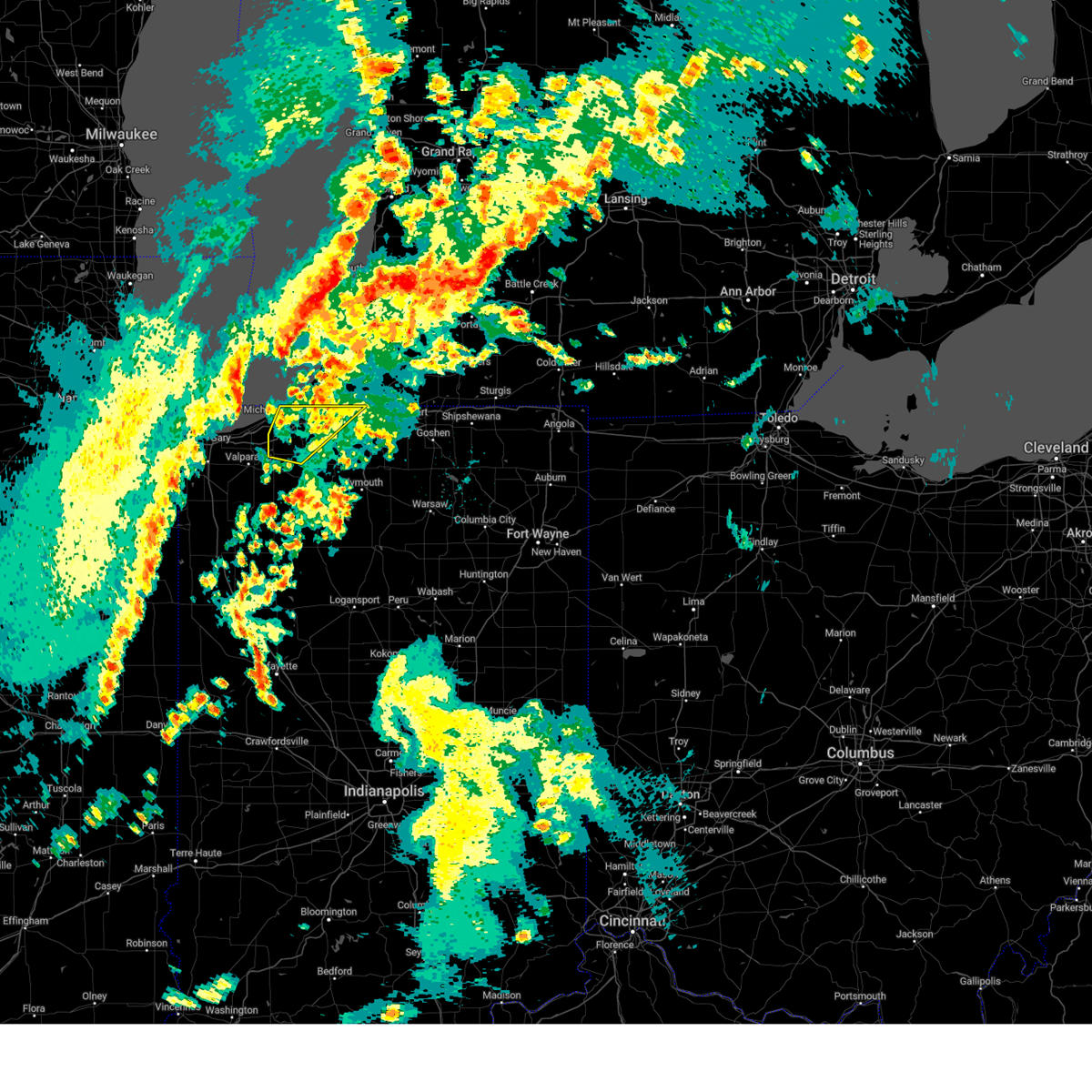 The severe thunderstorm warning for northwestern st. joseph and northern la porte counties will expire at 945 am edt/845 am cdt/, the storm which prompted the warning has weakened below severe limits, and has exited the warned area. therefore, the warning will be allowed to expire. a tornado watch remains in effect until 400 pm edt/300 pm cdt/ for north central and northwestern indiana, and southwestern michigan. The severe thunderstorm warning for northwestern st. joseph and northern la porte counties will expire at 945 am edt/845 am cdt/, the storm which prompted the warning has weakened below severe limits, and has exited the warned area. therefore, the warning will be allowed to expire. a tornado watch remains in effect until 400 pm edt/300 pm cdt/ for north central and northwestern indiana, and southwestern michigan.
|
| 4/5/2023 8:35 AM CDT |
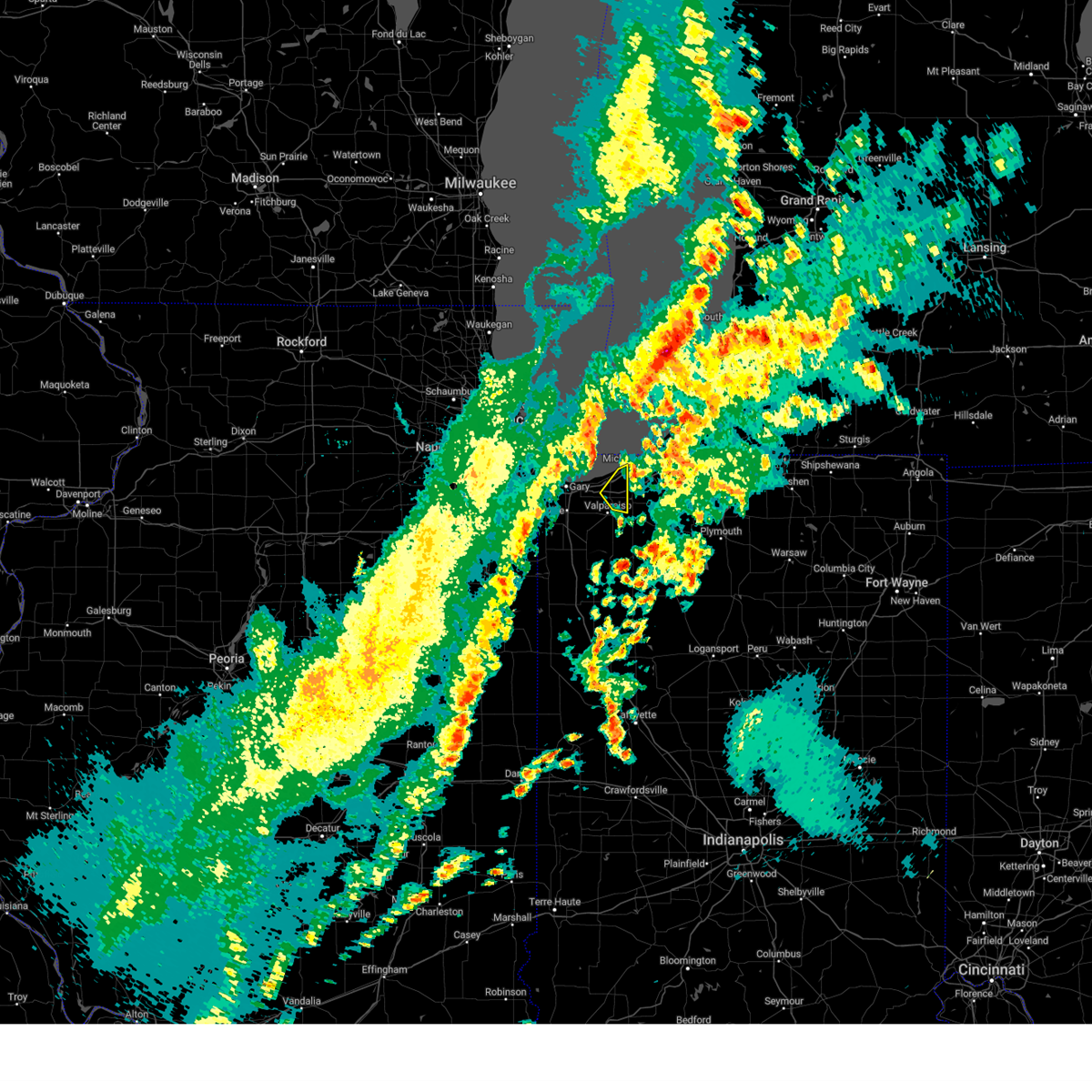 The severe thunderstorm warning for northeastern porter county will expire at 845 am cdt, the storm which prompted the warning has moved out of the area. therefore, the warning will be allowed to expire. a severe thunderstorm watch remains in effect until 1100 am cdt for northwestern indiana. The severe thunderstorm warning for northeastern porter county will expire at 845 am cdt, the storm which prompted the warning has moved out of the area. therefore, the warning will be allowed to expire. a severe thunderstorm watch remains in effect until 1100 am cdt for northwestern indiana.
|
| 4/5/2023 8:25 AM CDT |
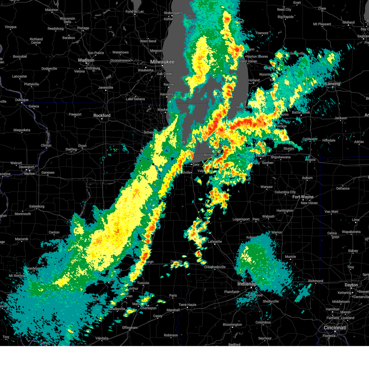 At 825 am cdt, a severe thunderstorm was located near westville, moving northeast at 55 mph (radar indicated). Hazards include 60 mph wind gusts and penny size hail. Expect damage to roofs, siding, and trees. locations impacted include, valparaiso, chesterton, porter, town of pines and beverly shores. including the following interstates, indiana i-90 between mile markers 29 and 37. indiana i-94 between mile markers 26 and 32. hail threat, radar indicated max hail size, 0. 75 in wind threat, radar indicated max wind gust, 60 mph. At 825 am cdt, a severe thunderstorm was located near westville, moving northeast at 55 mph (radar indicated). Hazards include 60 mph wind gusts and penny size hail. Expect damage to roofs, siding, and trees. locations impacted include, valparaiso, chesterton, porter, town of pines and beverly shores. including the following interstates, indiana i-90 between mile markers 29 and 37. indiana i-94 between mile markers 26 and 32. hail threat, radar indicated max hail size, 0. 75 in wind threat, radar indicated max wind gust, 60 mph.
|
| 4/5/2023 8:18 AM CDT |
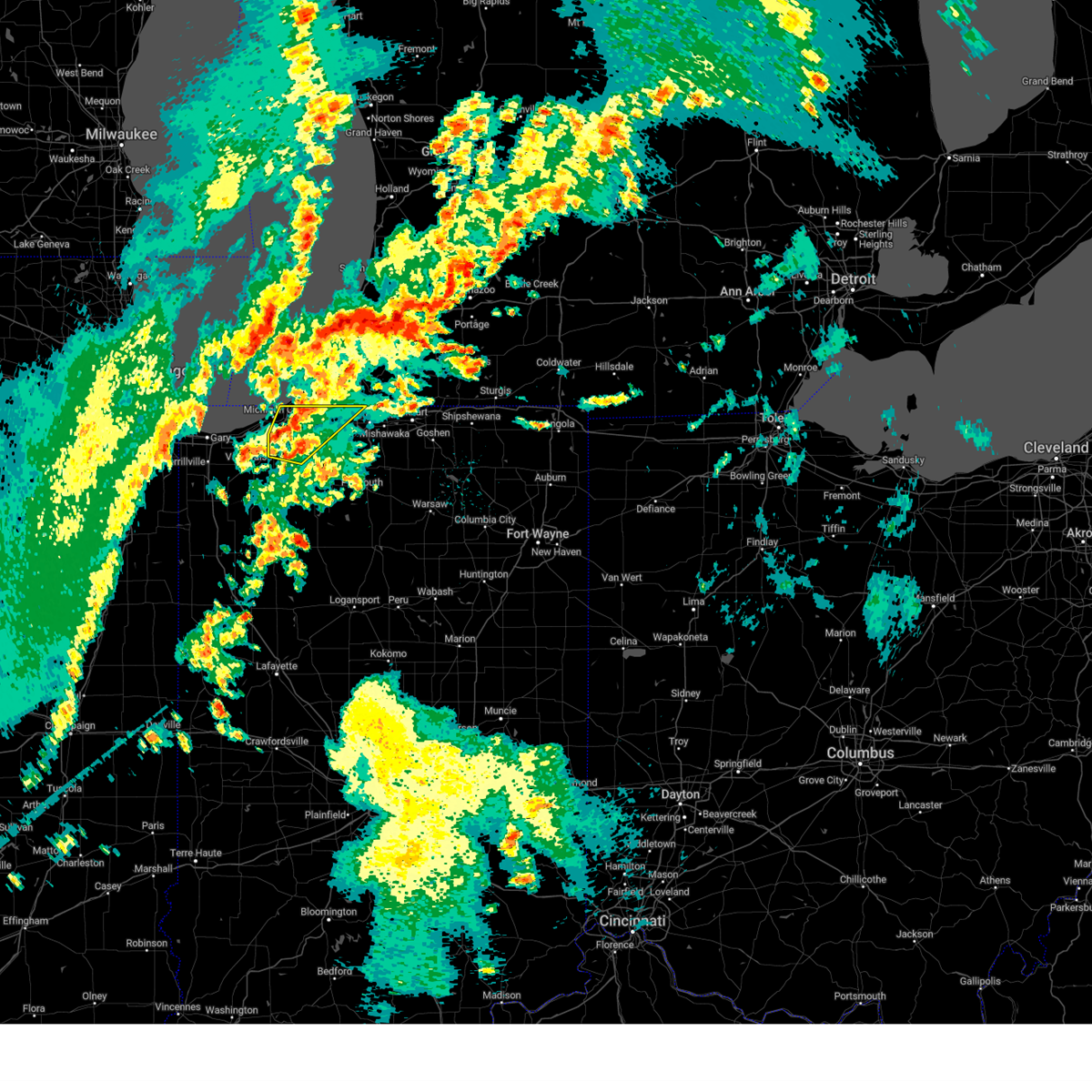 At 918 am edt/818 am cdt/, a severe thunderstorm was located near la porte, moving northeast at 50 mph (radar indicated). Hazards include 60 mph wind gusts and penny size hail. Expect damage to roofs, siding, and trees. this severe thunderstorm will remain over mainly rural areas of northwestern st. joseph and northern la porte counties, including the following locations, byron, hudson lake, waterford, michiana shores, pinhook, otis, pottawattomie park, chain-o-lakes, stillwell and kingsbury. this includes the following highways, interstate 80 in indiana between mile markers 38 and 72. interstate 94 in indiana between mile markers 34 and 45. hail threat, radar indicated max hail size, 0. 75 in wind threat, radar indicated max wind gust, 60 mph. At 918 am edt/818 am cdt/, a severe thunderstorm was located near la porte, moving northeast at 50 mph (radar indicated). Hazards include 60 mph wind gusts and penny size hail. Expect damage to roofs, siding, and trees. this severe thunderstorm will remain over mainly rural areas of northwestern st. joseph and northern la porte counties, including the following locations, byron, hudson lake, waterford, michiana shores, pinhook, otis, pottawattomie park, chain-o-lakes, stillwell and kingsbury. this includes the following highways, interstate 80 in indiana between mile markers 38 and 72. interstate 94 in indiana between mile markers 34 and 45. hail threat, radar indicated max hail size, 0. 75 in wind threat, radar indicated max wind gust, 60 mph.
|
| 4/5/2023 8:11 AM CDT |
 At 810 am cdt, a severe thunderstorm was located over valparaiso, moving northeast at 55 mph (radar indicated). Hazards include 60 mph wind gusts and penny size hail. expect damage to roofs, siding, and trees At 810 am cdt, a severe thunderstorm was located over valparaiso, moving northeast at 55 mph (radar indicated). Hazards include 60 mph wind gusts and penny size hail. expect damage to roofs, siding, and trees
|
| 4/5/2023 8:06 AM CDT |
 At 906 am edt/806 am cdt/, a severe thunderstorm was located near westville, moving northeast at 50 mph (radar indicated). Hazards include 60 mph wind gusts and penny size hail. Expect damage to roofs, siding, and trees. this severe thunderstorm will be near, la porte and trail creek around 920 am edt. michigan city and long beach around 925 am edt. new carlisle around 935 am edt. other locations impacted by this severe thunderstorm include byron, thomaston, hudson lake, waterford, michiana shores, pinhook, otis, fish lake, hanna and pottawattomie park. this includes the following highways, interstate 80 in indiana between mile markers 38 and 73. interstate 94 in indiana between mile markers 34 and 45. interstate 94 in michigan near mile marker 0. hail threat, radar indicated max hail size, 0. 75 in wind threat, radar indicated max wind gust, 60 mph. At 906 am edt/806 am cdt/, a severe thunderstorm was located near westville, moving northeast at 50 mph (radar indicated). Hazards include 60 mph wind gusts and penny size hail. Expect damage to roofs, siding, and trees. this severe thunderstorm will be near, la porte and trail creek around 920 am edt. michigan city and long beach around 925 am edt. new carlisle around 935 am edt. other locations impacted by this severe thunderstorm include byron, thomaston, hudson lake, waterford, michiana shores, pinhook, otis, fish lake, hanna and pottawattomie park. this includes the following highways, interstate 80 in indiana between mile markers 38 and 73. interstate 94 in indiana between mile markers 34 and 45. interstate 94 in michigan near mile marker 0. hail threat, radar indicated max hail size, 0. 75 in wind threat, radar indicated max wind gust, 60 mph.
|
| 4/5/2023 7:44 AM CDT | Measured at mcyi in lmz745 county IN, 3.4 miles ESE of Michigan City, IN |
| 4/5/2023 7:07 AM CDT |
 At 706 am cdt, a severe thunderstorm was located over beverly shores, or near chesterton, moving northeast at 60 mph (radar indicated). Hazards include 60 mph wind gusts and quarter size hail. Hail damage to vehicles is expected. expect wind damage to roofs, siding, and trees. locations impacted include, portage, chesterton, porter, burns harbor, ogden dunes, town of pines, beverly shores and dune acres. this includes, indiana dunes state park. including the following interstates, indiana i-80 near mile marker 16. indiana i-90 between mile markers 22 and 37. indiana i-94 between mile markers 17 and 32. hail threat, radar indicated max hail size, 1. 00 in wind threat, radar indicated max wind gust, 60 mph. At 706 am cdt, a severe thunderstorm was located over beverly shores, or near chesterton, moving northeast at 60 mph (radar indicated). Hazards include 60 mph wind gusts and quarter size hail. Hail damage to vehicles is expected. expect wind damage to roofs, siding, and trees. locations impacted include, portage, chesterton, porter, burns harbor, ogden dunes, town of pines, beverly shores and dune acres. this includes, indiana dunes state park. including the following interstates, indiana i-80 near mile marker 16. indiana i-90 between mile markers 22 and 37. indiana i-94 between mile markers 17 and 32. hail threat, radar indicated max hail size, 1. 00 in wind threat, radar indicated max wind gust, 60 mph.
|
| 4/5/2023 6:58 AM CDT |
 At 658 am cdt, a severe thunderstorm was located over south haven, or over portage, moving northeast at 60 mph (radar indicated). Hazards include 60 mph wind gusts and quarter size hail. Hail damage to vehicles is expected. expect wind damage to roofs, siding, and trees. locations impacted include, gary, portage, merrillville, valparaiso, hobart, chesterton, lake station, south haven, porter, new chicago, burns harbor, ogden dunes, town of pines, beverly shores, wheeler and dune acres. this includes, indiana university northwest, valparaiso university, indiana dunes state park, and south shore rail cats baseball. including the following interstates, indiana i-80 between mile markers 10 and 16. indiana i-90 between mile markers 15 and 37. indiana i-94 between mile markers 16 and 32. indiana i-65 between mile markers 256 and 261. hail threat, radar indicated max hail size, 1. 00 in wind threat, radar indicated max wind gust, 60 mph. At 658 am cdt, a severe thunderstorm was located over south haven, or over portage, moving northeast at 60 mph (radar indicated). Hazards include 60 mph wind gusts and quarter size hail. Hail damage to vehicles is expected. expect wind damage to roofs, siding, and trees. locations impacted include, gary, portage, merrillville, valparaiso, hobart, chesterton, lake station, south haven, porter, new chicago, burns harbor, ogden dunes, town of pines, beverly shores, wheeler and dune acres. this includes, indiana university northwest, valparaiso university, indiana dunes state park, and south shore rail cats baseball. including the following interstates, indiana i-80 between mile markers 10 and 16. indiana i-90 between mile markers 15 and 37. indiana i-94 between mile markers 16 and 32. indiana i-65 between mile markers 256 and 261. hail threat, radar indicated max hail size, 1. 00 in wind threat, radar indicated max wind gust, 60 mph.
|
| 4/5/2023 6:44 AM CDT |
 At 644 am cdt, a severe thunderstorm was located over crown point, moving northeast at 60 mph (radar indicated). Hazards include quarter size hail. damage to vehicles is expected At 644 am cdt, a severe thunderstorm was located over crown point, moving northeast at 60 mph (radar indicated). Hazards include quarter size hail. damage to vehicles is expected
|
| 4/5/2023 7:13 AM EDT |
 The severe thunderstorm warning for northwestern st. joseph, northern la porte and berrien counties will expire at 715 am edt/615 am cdt/, the storms which prompted the warning have moved out of the area. therefore, the warning will be allowed to expire. The severe thunderstorm warning for northwestern st. joseph, northern la porte and berrien counties will expire at 715 am edt/615 am cdt/, the storms which prompted the warning have moved out of the area. therefore, the warning will be allowed to expire.
|
| 4/5/2023 5:50 AM CDT |
 The severe thunderstorm warning for northern porter and northeastern lake counties will expire at 600 am cdt, the storms which prompted the warning have moved out of the area. therefore, the warning will be allowed to expire. a severe thunderstorm watch remains in effect until 1100 am cdt for northwestern indiana. The severe thunderstorm warning for northern porter and northeastern lake counties will expire at 600 am cdt, the storms which prompted the warning have moved out of the area. therefore, the warning will be allowed to expire. a severe thunderstorm watch remains in effect until 1100 am cdt for northwestern indiana.
|
| 4/5/2023 6:49 AM EDT |
 At 648 am edt/548 am cdt/, severe thunderstorms were located along a line extending from town of pines to near new carlisle to near roseland, moving northeast at 60 mph (radar indicated). Hazards include 60 mph wind gusts and quarter size hail. Hail damage to vehicles is expected. expect wind damage to roofs, siding, and trees. locations impacted include, michigan city, niles, benton harbor, st. joseph, buchanan, trail creek, fair plain, benton heights, bridgman, new buffalo, berrien springs, three oaks, long beach, stevensville, pottawattamie park, shorewood-tower hill, shorewood-tower hills-harbert, lake michigan beach, dayton and sodus. this includes the following highways, interstate 196 between mile markers 0 and 3. interstate 80 in indiana between mile markers 56 and 69. interstate 94 in indiana between mile markers 40 and 45. interstate 94 in michigan between mile markers 0 and 37. hail threat, radar indicated max hail size, 1. 00 in wind threat, radar indicated max wind gust, 60 mph. At 648 am edt/548 am cdt/, severe thunderstorms were located along a line extending from town of pines to near new carlisle to near roseland, moving northeast at 60 mph (radar indicated). Hazards include 60 mph wind gusts and quarter size hail. Hail damage to vehicles is expected. expect wind damage to roofs, siding, and trees. locations impacted include, michigan city, niles, benton harbor, st. joseph, buchanan, trail creek, fair plain, benton heights, bridgman, new buffalo, berrien springs, three oaks, long beach, stevensville, pottawattamie park, shorewood-tower hill, shorewood-tower hills-harbert, lake michigan beach, dayton and sodus. this includes the following highways, interstate 196 between mile markers 0 and 3. interstate 80 in indiana between mile markers 56 and 69. interstate 94 in indiana between mile markers 40 and 45. interstate 94 in michigan between mile markers 0 and 37. hail threat, radar indicated max hail size, 1. 00 in wind threat, radar indicated max wind gust, 60 mph.
|
| 4/5/2023 5:38 AM CDT |
 At 537 am cdt, severe thunderstorms were located along a line extending from westville to ogden dunes to gary, moving northeast at 60 mph (valparaiso airport gusted to 61 mph with these storms). Hazards include 60 mph wind gusts and quarter size hail. Hail damage to vehicles is expected. expect wind damage to roofs, siding, and trees. locations impacted include, gary, portage, hobart, chesterton, lake station, south haven, porter, new chicago, burns harbor, ogden dunes, town of pines, beverly shores and dune acres. this includes, indiana dunes state park and south shore rail cats baseball. including the following interstates, indiana i-80 between mile markers 6 and 16. indiana i-90 between mile markers 12 and 37. indiana i-94 between mile markers 16 and 32. indiana i-65 between mile markers 260 and 261. hail threat, radar indicated max hail size, 1. 00 in wind threat, observed max wind gust, 60 mph. At 537 am cdt, severe thunderstorms were located along a line extending from westville to ogden dunes to gary, moving northeast at 60 mph (valparaiso airport gusted to 61 mph with these storms). Hazards include 60 mph wind gusts and quarter size hail. Hail damage to vehicles is expected. expect wind damage to roofs, siding, and trees. locations impacted include, gary, portage, hobart, chesterton, lake station, south haven, porter, new chicago, burns harbor, ogden dunes, town of pines, beverly shores and dune acres. this includes, indiana dunes state park and south shore rail cats baseball. including the following interstates, indiana i-80 between mile markers 6 and 16. indiana i-90 between mile markers 12 and 37. indiana i-94 between mile markers 16 and 32. indiana i-65 between mile markers 260 and 261. hail threat, radar indicated max hail size, 1. 00 in wind threat, observed max wind gust, 60 mph.
|
| 4/5/2023 6:30 AM EDT |
 At 630 am edt/530 am cdt/, a severe thunderstorm was located near la porte, moving northeast at 50 mph (radar indicated). Hazards include 60 mph wind gusts and quarter size hail. Hail damage to vehicles is expected. Expect wind damage to roofs, siding, and trees. At 630 am edt/530 am cdt/, a severe thunderstorm was located near la porte, moving northeast at 50 mph (radar indicated). Hazards include 60 mph wind gusts and quarter size hail. Hail damage to vehicles is expected. Expect wind damage to roofs, siding, and trees.
|
| 4/5/2023 5:25 AM CDT |
 At 525 am cdt, severe thunderstorms were located along a line extending from near wanatah to valparaiso to lake dalecarlia, moving northeast at 60 mph (radar indicated). Hazards include 60 mph wind gusts and quarter size hail. Hail damage to vehicles is expected. expect wind damage to roofs, siding, and trees. locations impacted include, gary, portage, merrillville, valparaiso, schererville, hobart, crown point, highland, chesterton, cedar lake, griffith, st. john, lake station, lakes of the four seasons, south haven, porter, winfield, new chicago, lake dalecarlia and burns harbor. this includes, indiana university northwest, valparaiso university, illiana motor speedway, indiana dunes state park, lake county fairgrounds, porter county fairgrounds, and south shore rail cats baseball. including the following interstates, indiana i-80 between mile markers 6 and 16. indiana i-90 between mile markers 12 and 37. indiana i-94 between mile markers 16 and 32. indiana i-65 between mile markers 244 and 261. hail threat, radar indicated max hail size, 1. 00 in wind threat, radar indicated max wind gust, 60 mph. At 525 am cdt, severe thunderstorms were located along a line extending from near wanatah to valparaiso to lake dalecarlia, moving northeast at 60 mph (radar indicated). Hazards include 60 mph wind gusts and quarter size hail. Hail damage to vehicles is expected. expect wind damage to roofs, siding, and trees. locations impacted include, gary, portage, merrillville, valparaiso, schererville, hobart, crown point, highland, chesterton, cedar lake, griffith, st. john, lake station, lakes of the four seasons, south haven, porter, winfield, new chicago, lake dalecarlia and burns harbor. this includes, indiana university northwest, valparaiso university, illiana motor speedway, indiana dunes state park, lake county fairgrounds, porter county fairgrounds, and south shore rail cats baseball. including the following interstates, indiana i-80 between mile markers 6 and 16. indiana i-90 between mile markers 12 and 37. indiana i-94 between mile markers 16 and 32. indiana i-65 between mile markers 244 and 261. hail threat, radar indicated max hail size, 1. 00 in wind threat, radar indicated max wind gust, 60 mph.
|
| 4/5/2023 5:10 AM CDT |
 At 510 am cdt, severe thunderstorms were located along a line extending from kouts to near hebron to near momence, moving northeast at 60 mph (radar indicated). Hazards include 60 mph wind gusts and half dollar size hail. Hail damage to vehicles is expected. Expect wind damage to roofs, siding, and trees. At 510 am cdt, severe thunderstorms were located along a line extending from kouts to near hebron to near momence, moving northeast at 60 mph (radar indicated). Hazards include 60 mph wind gusts and half dollar size hail. Hail damage to vehicles is expected. Expect wind damage to roofs, siding, and trees.
|
| 3/31/2023 9:18 PM CDT | Measured at mcyi in lmz745 county IN, 3.4 miles ESE of Michigan City, IN |
| 3/26/2023 5:53 PM CDT |
 At 552 pm cdt, severe thunderstorms were located along a line extending from beverly shores to near hebron, moving east at 40 mph (radar indicated). Hazards include 60 mph wind gusts and quarter size hail. Hail damage to vehicles is expected. expect wind damage to roofs, siding, and trees. locations impacted include, portage, valparaiso, chesterton, hebron, lakes of the four seasons, south haven, porter, kouts, burns harbor, town of pines, beverly shores, wheeler, boone grove, dunns bridge and malden. this includes, valparaiso university, indiana dunes state park, and porter county fairgrounds. including the following interstates, indiana i-90 between mile markers 25 and 37. Indiana i-94 between mile markers 22 and 32. At 552 pm cdt, severe thunderstorms were located along a line extending from beverly shores to near hebron, moving east at 40 mph (radar indicated). Hazards include 60 mph wind gusts and quarter size hail. Hail damage to vehicles is expected. expect wind damage to roofs, siding, and trees. locations impacted include, portage, valparaiso, chesterton, hebron, lakes of the four seasons, south haven, porter, kouts, burns harbor, town of pines, beverly shores, wheeler, boone grove, dunns bridge and malden. this includes, valparaiso university, indiana dunes state park, and porter county fairgrounds. including the following interstates, indiana i-90 between mile markers 25 and 37. Indiana i-94 between mile markers 22 and 32.
|
| 3/26/2023 5:45 PM CDT |
 At 544 pm cdt, severe thunderstorms were located along a line extending from porter to hebron, moving east at 40 mph (radar indicated). Hazards include 60 mph wind gusts and quarter size hail. Hail damage to vehicles is expected. Expect wind damage to roofs, siding, and trees. At 544 pm cdt, severe thunderstorms were located along a line extending from porter to hebron, moving east at 40 mph (radar indicated). Hazards include 60 mph wind gusts and quarter size hail. Hail damage to vehicles is expected. Expect wind damage to roofs, siding, and trees.
|
| 8/29/2022 2:25 PM CDT | The severe thunderstorm warning for northeastern porter county will expire at 230 pm cdt, the storm which prompted the warning has moved out of the area. therefore, the warning will be allowed to expire. however gusty winds are still possible behind the thunderstorms. a severe thunderstorm watch remains in effect until 400 pm cdt for northwestern indiana. |
| 8/29/2022 2:16 PM CDT | At 216 pm cdt, a severe thunderstorm was located near town of pines, or near chesterton, moving east at 35 mph (radar indicated). Hazards include 60 mph wind gusts and quarter size hail. Hail damage to vehicles is expected. expect wind damage to roofs, siding, and trees. locations impacted include, chesterton, porter, town of pines, beverly shores and dune acres. this includes, indiana dunes state park. including the following interstates, indiana i-90 near mile marker 37. indiana i-94 between mile markers 24 and 32. hail threat, radar indicated max hail size, 1. 00 in wind threat, radar indicated max wind gust, 60 mph. |
| 8/29/2022 3:05 PM EDT | At 305 pm edt/205 pm cdt/, severe thunderstorms were located along a line extending from benton heights to near buchanan to near westville, moving east at 45 mph (radar indicated). Hazards include 70 mph wind gusts and penny size hail. Expect considerable tree damage. damage is likely to mobile homes, roofs, and outbuildings. locations impacted include, south bend, mishawaka, michigan city, la porte, niles, benton harbor, st. joseph, dowagiac, westville, buchanan, georgetown, trail creek, gulivoire park, granger, benton heights, fair plain, osceola, bridgman, walkerton and north liberty. this includes the following highways, interstate 196 between mile markers 0 and 7. interstate 80 in indiana between mile markers 38 and 87. interstate 94 in indiana between mile markers 33 and 45. interstate 94 in michigan between mile markers 0 and 42. thunderstorm damage threat, considerable hail threat, radar indicated max hail size, 0. 75 in wind threat, radar indicated max wind gust, 70 mph. |
| 8/29/2022 2:05 PM CDT | At 204 pm cdt, a severe thunderstorm was located near chesterton, moving east at 35 mph (radar indicated). Hazards include 60 mph wind gusts and quarter size hail. Hail damage to vehicles is expected. expect wind damage to roofs, siding, and trees. locations impacted include, portage, chesterton, porter, burns harbor, ogden dunes, town of pines, beverly shores and dune acres. this includes, indiana dunes state park. including the following interstates, indiana i-90 near mile marker 37. indiana i-94 between mile markers 18 and 32. hail threat, radar indicated max hail size, 1. 00 in wind threat, radar indicated max wind gust, 60 mph. |
| 8/29/2022 3:05 PM EDT | At 305 pm edt/205 pm cdt/, severe thunderstorms were located along a line extending from benton heights to near buchanan to near westville, moving east at 45 mph (radar indicated). Hazards include 70 mph wind gusts and penny size hail. Expect considerable tree damage. damage is likely to mobile homes, roofs, and outbuildings. locations impacted include, south bend, mishawaka, michigan city, la porte, niles, benton harbor, st. joseph, dowagiac, westville, buchanan, georgetown, trail creek, gulivoire park, granger, benton heights, fair plain, osceola, bridgman, walkerton and north liberty. this includes the following highways, interstate 196 between mile markers 0 and 7. interstate 80 in indiana between mile markers 38 and 87. interstate 94 in indiana between mile markers 33 and 45. interstate 94 in michigan between mile markers 0 and 42. thunderstorm damage threat, considerable hail threat, radar indicated max hail size, 0. 75 in wind threat, radar indicated max wind gust, 70 mph. |
| 8/29/2022 1:44 PM CDT | At 143 pm cdt, a severe thunderstorm was located over ogden dunes, or over portage, moving east at 40 mph (radar indicated). Hazards include 60 mph wind gusts and quarter size hail. Hail damage to vehicles is expected. Expect wind damage to roofs, siding, and trees. |
| 8/29/2022 2:39 PM EDT | At 238 pm edt/138 pm cdt/, severe thunderstorms were located along a line extending from 16 miles northwest of st. joseph to near new buffalo to near lake station, moving east at 40 mph (radar indicated). Hazards include 60 mph wind gusts and quarter size hail. Hail damage to vehicles is expected. Expect wind damage to roofs, siding, and trees. |
| 8/29/2022 2:39 PM EDT | At 238 pm edt/138 pm cdt/, severe thunderstorms were located along a line extending from 16 miles northwest of st. joseph to near new buffalo to near lake station, moving east at 40 mph (radar indicated). Hazards include 60 mph wind gusts and quarter size hail. Hail damage to vehicles is expected. Expect wind damage to roofs, siding, and trees. |
| 8/3/2022 3:00 PM CDT | Multiple trees and power lines down within the cit in la porte county IN, 0.5 miles E of Michigan City, IN |
| 8/3/2022 2:47 PM CDT |
 At 247 pm cdt, severe thunderstorms were located along a line extending from near town of pines to near westville to near boone grove, moving east at 40 mph (radar indicated). Hazards include 70 mph wind gusts and quarter size hail. Hail damage to vehicles is expected. expect considerable tree damage. wind damage is also likely to mobile homes, roofs, and outbuildings. locations impacted include, michigan city, la porte, westville, trail creek, kingsford heights, long beach, wanatah, pottawattamie park, hanna, michiana shores, kingsbury, michiana, waterford, pinhook, salem heights, otis, stillwell, hesston, haskell and byron. this includes the following highways, interstate 80 in indiana between mile markers 38 and 58. interstate 94 in indiana between mile markers 33 and 45. interstate 94 in michigan near mile marker 0. thunderstorm damage threat, considerable hail threat, radar indicated max hail size, 1. 00 in wind threat, radar indicated max wind gust, 70 mph. At 247 pm cdt, severe thunderstorms were located along a line extending from near town of pines to near westville to near boone grove, moving east at 40 mph (radar indicated). Hazards include 70 mph wind gusts and quarter size hail. Hail damage to vehicles is expected. expect considerable tree damage. wind damage is also likely to mobile homes, roofs, and outbuildings. locations impacted include, michigan city, la porte, westville, trail creek, kingsford heights, long beach, wanatah, pottawattamie park, hanna, michiana shores, kingsbury, michiana, waterford, pinhook, salem heights, otis, stillwell, hesston, haskell and byron. this includes the following highways, interstate 80 in indiana between mile markers 38 and 58. interstate 94 in indiana between mile markers 33 and 45. interstate 94 in michigan near mile marker 0. thunderstorm damage threat, considerable hail threat, radar indicated max hail size, 1. 00 in wind threat, radar indicated max wind gust, 70 mph.
|
| 8/3/2022 2:46 PM CDT |
 At 245 pm cdt, severe thunderstorms were located along a line extending from near town of pines to near westville to near valparaiso, moving east at 50 mph (radar indicated). Hazards include 60 mph wind gusts. Expect damage to roofs, siding, and trees. locations impacted include, portage, valparaiso, chesterton, hebron, lakes of the four seasons, south haven, porter, burns harbor, ogden dunes, town of pines, beverly shores, wheeler, dune acres, boone grove and malden. this includes, valparaiso university, indiana dunes state park, and porter county fairgrounds. including the following interstates, indiana i-80 near mile marker 16. indiana i-90 between mile markers 22 and 37. indiana i-94 between mile markers 17 and 32. hail threat, radar indicated max hail size, <. 75 in wind threat, observed max wind gust, 60 mph. At 245 pm cdt, severe thunderstorms were located along a line extending from near town of pines to near westville to near valparaiso, moving east at 50 mph (radar indicated). Hazards include 60 mph wind gusts. Expect damage to roofs, siding, and trees. locations impacted include, portage, valparaiso, chesterton, hebron, lakes of the four seasons, south haven, porter, burns harbor, ogden dunes, town of pines, beverly shores, wheeler, dune acres, boone grove and malden. this includes, valparaiso university, indiana dunes state park, and porter county fairgrounds. including the following interstates, indiana i-80 near mile marker 16. indiana i-90 between mile markers 22 and 37. indiana i-94 between mile markers 17 and 32. hail threat, radar indicated max hail size, <. 75 in wind threat, observed max wind gust, 60 mph.
|
| 8/3/2022 2:29 PM CDT |
 At 228 pm cdt, severe thunderstorms were located along a line extending from 9 miles north of ogden dunes to wheeler to near hebron, moving east at 35 mph (radar indicated). Hazards include 60 mph wind gusts and nickel size hail. expect damage to roofs, siding, and trees At 228 pm cdt, severe thunderstorms were located along a line extending from 9 miles north of ogden dunes to wheeler to near hebron, moving east at 35 mph (radar indicated). Hazards include 60 mph wind gusts and nickel size hail. expect damage to roofs, siding, and trees
|
| 8/3/2022 2:17 PM CDT |
 At 217 pm cdt, severe thunderstorms were located along a line extending from 6 miles north of gary to near hobart to near lake dalecarlia, moving east at 50 mph (radar indicated). Hazards include 60 mph wind gusts. expect damage to roofs, siding, and trees At 217 pm cdt, severe thunderstorms were located along a line extending from 6 miles north of gary to near hobart to near lake dalecarlia, moving east at 50 mph (radar indicated). Hazards include 60 mph wind gusts. expect damage to roofs, siding, and trees
|
| 7/23/2022 5:43 AM CDT |
 At 543 am cdt, a severe thunderstorm was located near westville, moving east at 25 mph (radar indicated). Hazards include 60 mph wind gusts. Expect damage to roofs, siding, and trees. locations impacted include, portage, valparaiso, chesterton, south haven, porter, burns harbor, ogden dunes, town of pines, beverly shores, wheeler and dune acres. this includes, valparaiso university, indiana dunes state park, and porter county fairgrounds. including the following interstates, indiana i-80 near mile marker 16. indiana i-90 between mile markers 22 and 37. indiana i-94 between mile markers 17 and 32. hail threat, radar indicated max hail size, <. 75 in wind threat, radar indicated max wind gust, 60 mph. At 543 am cdt, a severe thunderstorm was located near westville, moving east at 25 mph (radar indicated). Hazards include 60 mph wind gusts. Expect damage to roofs, siding, and trees. locations impacted include, portage, valparaiso, chesterton, south haven, porter, burns harbor, ogden dunes, town of pines, beverly shores, wheeler and dune acres. this includes, valparaiso university, indiana dunes state park, and porter county fairgrounds. including the following interstates, indiana i-80 near mile marker 16. indiana i-90 between mile markers 22 and 37. indiana i-94 between mile markers 17 and 32. hail threat, radar indicated max hail size, <. 75 in wind threat, radar indicated max wind gust, 60 mph.
|
| 7/23/2022 5:29 AM CDT |
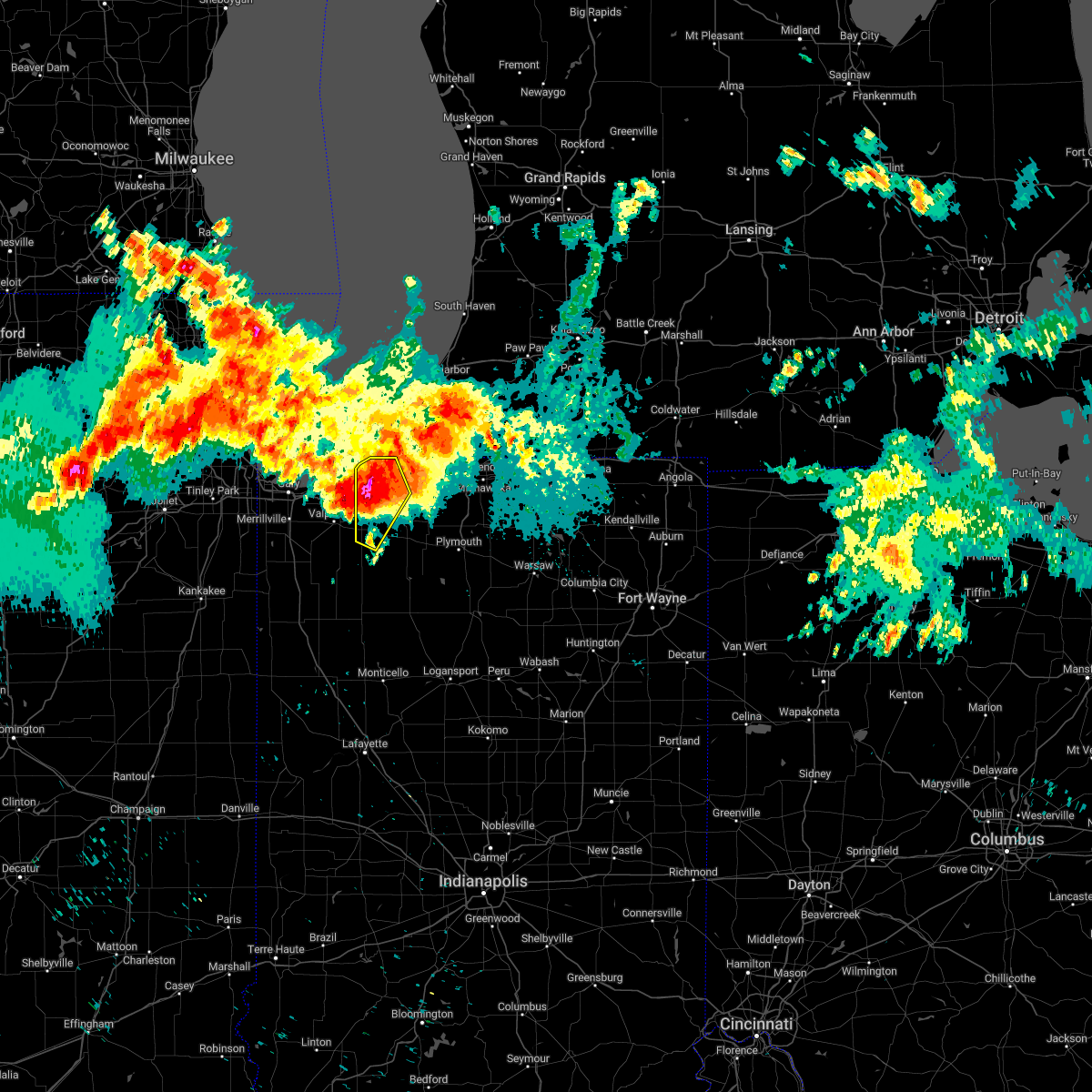 At 529 am cdt, a severe thunderstorm was located near la porte, moving southeast at 35 mph (radar indicated). Hazards include 60 mph wind gusts and half dollar size hail. Hail damage to vehicles is expected. expect wind damage to roofs, siding, and trees. locations impacted include, michigan city, la porte, westville, trail creek, kingsford heights, long beach, wanatah, pottawattamie park, hanna, michiana shores, kingsbury, thomaston, waterford, pinhook, south wanatah, otis, pottawattomie park, union mills, pinola and springville. this includes the following highways, interstate 80 in indiana between mile markers 38 and 53. interstate 94 in indiana between mile markers 33 and 45. hail threat, radar indicated max hail size, 1. 25 in wind threat, radar indicated max wind gust, 60 mph. At 529 am cdt, a severe thunderstorm was located near la porte, moving southeast at 35 mph (radar indicated). Hazards include 60 mph wind gusts and half dollar size hail. Hail damage to vehicles is expected. expect wind damage to roofs, siding, and trees. locations impacted include, michigan city, la porte, westville, trail creek, kingsford heights, long beach, wanatah, pottawattamie park, hanna, michiana shores, kingsbury, thomaston, waterford, pinhook, south wanatah, otis, pottawattomie park, union mills, pinola and springville. this includes the following highways, interstate 80 in indiana between mile markers 38 and 53. interstate 94 in indiana between mile markers 33 and 45. hail threat, radar indicated max hail size, 1. 25 in wind threat, radar indicated max wind gust, 60 mph.
|
| 7/23/2022 5:18 AM CDT |
 At 517 am cdt, a severe thunderstorm was located over chesterton, moving southeast at 20 mph (radar indicated). Hazards include 60 mph wind gusts and half dollar size hail. Hail damage to vehicles is expected. expect wind damage to roofs, siding, and trees. locations impacted include, portage, valparaiso, chesterton, south haven, porter, burns harbor, ogden dunes, town of pines, beverly shores, wheeler and dune acres. this includes, valparaiso university, indiana dunes state park, and porter county fairgrounds. including the following interstates, indiana i-80 near mile marker 16. indiana i-90 between mile markers 22 and 37. indiana i-94 between mile markers 17 and 32. hail threat, radar indicated max hail size, 1. 25 in wind threat, radar indicated max wind gust, 60 mph. At 517 am cdt, a severe thunderstorm was located over chesterton, moving southeast at 20 mph (radar indicated). Hazards include 60 mph wind gusts and half dollar size hail. Hail damage to vehicles is expected. expect wind damage to roofs, siding, and trees. locations impacted include, portage, valparaiso, chesterton, south haven, porter, burns harbor, ogden dunes, town of pines, beverly shores, wheeler and dune acres. this includes, valparaiso university, indiana dunes state park, and porter county fairgrounds. including the following interstates, indiana i-80 near mile marker 16. indiana i-90 between mile markers 22 and 37. indiana i-94 between mile markers 17 and 32. hail threat, radar indicated max hail size, 1. 25 in wind threat, radar indicated max wind gust, 60 mph.
|
| 7/23/2022 5:05 AM CDT |
 At 505 am cdt, a severe thunderstorm was located over chesterton, moving east at 40 mph (radar indicated). Hazards include 60 mph wind gusts and half dollar size hail. Hail damage to vehicles is expected. Expect wind damage to roofs, siding, and trees. At 505 am cdt, a severe thunderstorm was located over chesterton, moving east at 40 mph (radar indicated). Hazards include 60 mph wind gusts and half dollar size hail. Hail damage to vehicles is expected. Expect wind damage to roofs, siding, and trees.
|
| 7/23/2022 4:58 AM CDT |
 At 458 am cdt, a severe thunderstorm was located near chesterton, moving east at 30 mph (radar indicated). Hazards include 60 mph wind gusts and half dollar size hail. Hail damage to vehicles is expected. Expect wind damage to roofs, siding, and trees. At 458 am cdt, a severe thunderstorm was located near chesterton, moving east at 30 mph (radar indicated). Hazards include 60 mph wind gusts and half dollar size hail. Hail damage to vehicles is expected. Expect wind damage to roofs, siding, and trees.
|
| 6/13/2022 8:01 PM CDT |
 The national weather service in northern indiana has issued a * severe thunderstorm warning for. southern st. joseph county in north central indiana. northeastern starke county in northwestern indiana. northwestern marshall county in north central indiana. La porte county in northwestern indiana. The national weather service in northern indiana has issued a * severe thunderstorm warning for. southern st. joseph county in north central indiana. northeastern starke county in northwestern indiana. northwestern marshall county in north central indiana. La porte county in northwestern indiana.
|
| 3/25/2022 5:47 PM CDT |
 At 547 pm cdt, a severe thunderstorm was located near chesterton, moving east at 45 mph. hazard..65 to 70 mph wind gusts (radar indicated). Expect considerable tree damage. damage is likely to mobile homes, roofs, and outbuildings. locations impacted include, portage, valparaiso, chesterton, south haven, porter, burns harbor, ogden dunes, town of pines, beverly shores, wheeler and dune acres. this includes, valparaiso university, indiana dunes state park, and porter county fairgrounds. including the following interstates, indiana i-80 near mile marker 16. indiana i-90 between mile markers 22 and 37. indiana i-94 between mile markers 17 and 32. thunderstorm damage threat, considerable hail threat, radar indicated max hail size, <. 75 in wind threat, radar indicated max wind gust, 70 mph. At 547 pm cdt, a severe thunderstorm was located near chesterton, moving east at 45 mph. hazard..65 to 70 mph wind gusts (radar indicated). Expect considerable tree damage. damage is likely to mobile homes, roofs, and outbuildings. locations impacted include, portage, valparaiso, chesterton, south haven, porter, burns harbor, ogden dunes, town of pines, beverly shores, wheeler and dune acres. this includes, valparaiso university, indiana dunes state park, and porter county fairgrounds. including the following interstates, indiana i-80 near mile marker 16. indiana i-90 between mile markers 22 and 37. indiana i-94 between mile markers 17 and 32. thunderstorm damage threat, considerable hail threat, radar indicated max hail size, <. 75 in wind threat, radar indicated max wind gust, 70 mph.
|
| 3/25/2022 5:37 PM CDT |
 At 537 pm cdt, a severe thunderstorm was located over portage, moving east at 50 mph (radar indicated). Hazards include 65 to 70 mph wind gusts. Expect considerable tree damage. damage is likely to mobile homes, roofs, and outbuildings. locations impacted include, gary, portage, merrillville, valparaiso, hobart, chesterton, lake station, south haven, porter, winfield, new chicago, burns harbor, ogden dunes, town of pines, beverly shores, wheeler and dune acres. this includes, indiana university northwest, valparaiso university, indiana dunes state park, porter county fairgrounds, and south shore rail cats baseball. including the following interstates, indiana i-80 between mile markers 9 and 16. indiana i-90 between mile markers 15 and 37. indiana i-94 between mile markers 16 and 32. indiana i-65 between mile markers 251 and 261. thunderstorm damage threat, considerable hail threat, radar indicated max hail size, <. 75 in wind threat, radar indicated max wind gust, 70 mph. At 537 pm cdt, a severe thunderstorm was located over portage, moving east at 50 mph (radar indicated). Hazards include 65 to 70 mph wind gusts. Expect considerable tree damage. damage is likely to mobile homes, roofs, and outbuildings. locations impacted include, gary, portage, merrillville, valparaiso, hobart, chesterton, lake station, south haven, porter, winfield, new chicago, burns harbor, ogden dunes, town of pines, beverly shores, wheeler and dune acres. this includes, indiana university northwest, valparaiso university, indiana dunes state park, porter county fairgrounds, and south shore rail cats baseball. including the following interstates, indiana i-80 between mile markers 9 and 16. indiana i-90 between mile markers 15 and 37. indiana i-94 between mile markers 16 and 32. indiana i-65 between mile markers 251 and 261. thunderstorm damage threat, considerable hail threat, radar indicated max hail size, <. 75 in wind threat, radar indicated max wind gust, 70 mph.
|
| 3/25/2022 5:20 PM CDT |
 At 520 pm cdt, a severe thunderstorm was located near gary, moving east at 50 mph (radar indicated). Hazards include 65 to 70 mph wind gusts. Expect considerable tree damage. Damage is likely to mobile homes, roofs, and outbuildings. At 520 pm cdt, a severe thunderstorm was located near gary, moving east at 50 mph (radar indicated). Hazards include 65 to 70 mph wind gusts. Expect considerable tree damage. Damage is likely to mobile homes, roofs, and outbuildings.
|
| 10/11/2021 5:42 PM CDT |
 At 638 pm edt/538 pm cdt/, a severe thunderstorm was located over north liberty, or 11 miles northwest of plymouth, moving northeast at 60 mph (radar indicated. at 623 pm edt a 75 mph wind gust was reported just west of knox). Hazards include 70 mph wind gusts. Expect considerable tree damage. damage is likely to mobile homes, roofs, and outbuildings. locations impacted include, south bend, mishawaka, michigan city, la porte, plymouth, westville, bremen, georgetown, trail creek, gulivoire park, granger, osceola, walkerton, north liberty, new carlisle, argos, kingsford heights, long beach, wanatah and lakeville. this includes the following highways, interstate 80 in indiana between mile markers 38 and 86. interstate 94 in indiana between mile markers 33 and 45. Interstate 94 in michigan near mile marker 0. At 638 pm edt/538 pm cdt/, a severe thunderstorm was located over north liberty, or 11 miles northwest of plymouth, moving northeast at 60 mph (radar indicated. at 623 pm edt a 75 mph wind gust was reported just west of knox). Hazards include 70 mph wind gusts. Expect considerable tree damage. damage is likely to mobile homes, roofs, and outbuildings. locations impacted include, south bend, mishawaka, michigan city, la porte, plymouth, westville, bremen, georgetown, trail creek, gulivoire park, granger, osceola, walkerton, north liberty, new carlisle, argos, kingsford heights, long beach, wanatah and lakeville. this includes the following highways, interstate 80 in indiana between mile markers 38 and 86. interstate 94 in indiana between mile markers 33 and 45. Interstate 94 in michigan near mile marker 0.
|
| 10/11/2021 5:36 PM CDT |
 At 536 pm cdt, severe thunderstorms were located along a line extending from south haven to near kingsford heights, moving north at 50 mph (radar indicated). Hazards include 60 mph wind gusts. Expect damage to roofs, siding, and trees. these severe storms will be near, chesterton around 540 pm cdt. porter, burns harbor and ogden dunes around 545 pm cdt. town of pines and beverly shores around 550 pm cdt. other locations impacted by these severe thunderstorms include dune acres and wheeler. this includes, valparaiso university, indiana dunes state park, and porter county fairgrounds. including the following interstates, indiana i-90 between mile markers 24 and 37. Indiana i-94 between mile markers 19 and 32. At 536 pm cdt, severe thunderstorms were located along a line extending from south haven to near kingsford heights, moving north at 50 mph (radar indicated). Hazards include 60 mph wind gusts. Expect damage to roofs, siding, and trees. these severe storms will be near, chesterton around 540 pm cdt. porter, burns harbor and ogden dunes around 545 pm cdt. town of pines and beverly shores around 550 pm cdt. other locations impacted by these severe thunderstorms include dune acres and wheeler. this includes, valparaiso university, indiana dunes state park, and porter county fairgrounds. including the following interstates, indiana i-90 between mile markers 24 and 37. Indiana i-94 between mile markers 19 and 32.
|
| 10/11/2021 5:29 PM CDT |
 At 628 pm edt/528 pm cdt/, a severe thunderstorm was located near koontz lake, or 8 miles northeast of knox, moving northeast at 60 mph (public). Hazards include 70 mph wind gusts. Expect considerable tree damage. Damage is likely to mobile homes, roofs, and outbuildings. At 628 pm edt/528 pm cdt/, a severe thunderstorm was located near koontz lake, or 8 miles northeast of knox, moving northeast at 60 mph (public). Hazards include 70 mph wind gusts. Expect considerable tree damage. Damage is likely to mobile homes, roofs, and outbuildings.
|
| 10/11/2021 5:19 PM CDT |
 At 519 pm cdt, severe thunderstorms were located along a line extending from near hebron to near north judson, moving north at 55 mph (radar indicated). Hazards include 60 mph wind gusts. Expect damage to roofs, siding, and trees. these severe storms will be near, lakes of the four seasons around 530 pm cdt. valparaiso around 535 pm cdt. south haven around 540 pm cdt. portage, chesterton, burns harbor and ogden dunes around 545 pm cdt. porter around 550 pm cdt. town of pines and beverly shores around 555 pm cdt. other locations impacted by these severe thunderstorms include malden, dune acres, wheeler, stoutsburg, dunns bridge and boone grove. this includes, valparaiso university, indiana dunes state park, and porter county fairgrounds. including the following interstates, indiana i-80 near mile marker 16. indiana i-90 between mile markers 22 and 37. Indiana i-94 between mile markers 17 and 32. At 519 pm cdt, severe thunderstorms were located along a line extending from near hebron to near north judson, moving north at 55 mph (radar indicated). Hazards include 60 mph wind gusts. Expect damage to roofs, siding, and trees. these severe storms will be near, lakes of the four seasons around 530 pm cdt. valparaiso around 535 pm cdt. south haven around 540 pm cdt. portage, chesterton, burns harbor and ogden dunes around 545 pm cdt. porter around 550 pm cdt. town of pines and beverly shores around 555 pm cdt. other locations impacted by these severe thunderstorms include malden, dune acres, wheeler, stoutsburg, dunns bridge and boone grove. this includes, valparaiso university, indiana dunes state park, and porter county fairgrounds. including the following interstates, indiana i-80 near mile marker 16. indiana i-90 between mile markers 22 and 37. Indiana i-94 between mile markers 17 and 32.
|
| 10/11/2021 5:04 PM CDT |
 At 504 pm cdt, severe thunderstorms were located along a line extending from near roselawn to near medaryville, moving north at 55 mph (radar indicated). Hazards include 60 mph wind gusts. Expect damage to roofs, siding, and trees. these severe storms will be near, demotte around 515 pm cdt. hebron around 525 pm cdt. lakes of the four seasons around 530 pm cdt. valparaiso around 535 pm cdt. south haven around 540 pm cdt. portage, chesterton, burns harbor and ogden dunes around 545 pm cdt. porter around 550 pm cdt. town of pines and beverly shores around 555 pm cdt. other locations impacted by these severe thunderstorms include fair oaks, parr, dunns bridge, boone grove, baileys corner, malden, dune acres, wheeler and stoutsburg. this includes, valparaiso university, indiana dunes state park, and porter county fairgrounds. including the following interstates, indiana i-80 near mile marker 16. indiana i-90 between mile markers 22 and 37. indiana i-94 between mile markers 17 and 32. Indiana i-65 between mile markers 221 and 231. At 504 pm cdt, severe thunderstorms were located along a line extending from near roselawn to near medaryville, moving north at 55 mph (radar indicated). Hazards include 60 mph wind gusts. Expect damage to roofs, siding, and trees. these severe storms will be near, demotte around 515 pm cdt. hebron around 525 pm cdt. lakes of the four seasons around 530 pm cdt. valparaiso around 535 pm cdt. south haven around 540 pm cdt. portage, chesterton, burns harbor and ogden dunes around 545 pm cdt. porter around 550 pm cdt. town of pines and beverly shores around 555 pm cdt. other locations impacted by these severe thunderstorms include fair oaks, parr, dunns bridge, boone grove, baileys corner, malden, dune acres, wheeler and stoutsburg. this includes, valparaiso university, indiana dunes state park, and porter county fairgrounds. including the following interstates, indiana i-80 near mile marker 16. indiana i-90 between mile markers 22 and 37. indiana i-94 between mile markers 17 and 32. Indiana i-65 between mile markers 221 and 231.
|
| 10/11/2021 4:50 PM CDT |
 At 449 pm cdt, severe thunderstorms were located along a line extending from 8 miles northwest of rensselaer to near hanging grove, moving north at 50 mph (radar indicated). Hazards include 60 mph wind gusts. expect damage to roofs, siding, and trees At 449 pm cdt, severe thunderstorms were located along a line extending from 8 miles northwest of rensselaer to near hanging grove, moving north at 50 mph (radar indicated). Hazards include 60 mph wind gusts. expect damage to roofs, siding, and trees
|
| 8/24/2021 7:00 PM CDT | Corrects previous tstm wnd gst report from 2 wnw pottawattomie par in lmz046 county IN, 2.9 miles SE of Michigan City, IN |
| 8/11/2021 10:52 AM CDT |
 At 1051 am cdt, a severe thunderstorm was located near chesterton, moving east at 45 mph (trained weather spotters). Hazards include 60 mph wind gusts and nickel size hail. the strongest part of this storm are moving across lake dalecarlia, hebron, boone grove, and kouts. Expect damage to roofs, siding, and trees. locations impacted include, hammond, gary, portage, merrillville, valparaiso, east chicago, schererville, hobart, crown point, highland, munster, chesterton, cedar lake, lowell, hebron, griffith, dyer, st. john, lake station and lakes of the four seasons. hail threat, radar indicated max hail size, 0. 88 in wind threat, observed max wind gust, 60 mph. At 1051 am cdt, a severe thunderstorm was located near chesterton, moving east at 45 mph (trained weather spotters). Hazards include 60 mph wind gusts and nickel size hail. the strongest part of this storm are moving across lake dalecarlia, hebron, boone grove, and kouts. Expect damage to roofs, siding, and trees. locations impacted include, hammond, gary, portage, merrillville, valparaiso, east chicago, schererville, hobart, crown point, highland, munster, chesterton, cedar lake, lowell, hebron, griffith, dyer, st. john, lake station and lakes of the four seasons. hail threat, radar indicated max hail size, 0. 88 in wind threat, observed max wind gust, 60 mph.
|
| 8/11/2021 10:36 AM CDT |
 At 1036 am cdt, a severe thunderstorm was located over portage, moving east at 45 mph (trained weather spotters. 60 mph winds were reported at gary airport with these storms!). Hazards include 60 mph wind gusts and nickel size hail. Expect damage to roofs, siding, and trees. locations impacted include, hammond, gary, portage, merrillville, valparaiso, east chicago, schererville, hobart, crown point, highland, munster, chesterton, cedar lake, lowell, hebron, griffith, dyer, st. john, lake station and lakes of the four seasons. hail threat, radar indicated max hail size, 0. 88 in wind threat, observed max wind gust, 60 mph. At 1036 am cdt, a severe thunderstorm was located over portage, moving east at 45 mph (trained weather spotters. 60 mph winds were reported at gary airport with these storms!). Hazards include 60 mph wind gusts and nickel size hail. Expect damage to roofs, siding, and trees. locations impacted include, hammond, gary, portage, merrillville, valparaiso, east chicago, schererville, hobart, crown point, highland, munster, chesterton, cedar lake, lowell, hebron, griffith, dyer, st. john, lake station and lakes of the four seasons. hail threat, radar indicated max hail size, 0. 88 in wind threat, observed max wind gust, 60 mph.
|
| 8/11/2021 10:25 AM CDT |
 At 1025 am cdt, a severe thunderstorm was located over griffith, or near highland, moving east at 45 mph (trained weather spotters). Hazards include 60 mph wind gusts and nickel size hail. Expect damage to roofs, siding, and trees. locations impacted include, hammond, gary, portage, merrillville, valparaiso, east chicago, schererville, hobart, crown point, highland, munster, chesterton, cedar lake, lowell, hebron, griffith, dyer, st. john, lake station and lakes of the four seasons. hail threat, radar indicated max hail size, 0. 88 in wind threat, observed max wind gust, 60 mph. At 1025 am cdt, a severe thunderstorm was located over griffith, or near highland, moving east at 45 mph (trained weather spotters). Hazards include 60 mph wind gusts and nickel size hail. Expect damage to roofs, siding, and trees. locations impacted include, hammond, gary, portage, merrillville, valparaiso, east chicago, schererville, hobart, crown point, highland, munster, chesterton, cedar lake, lowell, hebron, griffith, dyer, st. john, lake station and lakes of the four seasons. hail threat, radar indicated max hail size, 0. 88 in wind threat, observed max wind gust, 60 mph.
|
| 8/11/2021 10:12 AM CDT |
 At 1011 am cdt, a severe thunderstorm was located over south holland, or over calumet city, moving east at 45 mph (trained weather spotters. this storm has a history of producing damaging winds!). Hazards include 60 mph wind gusts and nickel size hail. expect damage to roofs, siding, and trees At 1011 am cdt, a severe thunderstorm was located over south holland, or over calumet city, moving east at 45 mph (trained weather spotters. this storm has a history of producing damaging winds!). Hazards include 60 mph wind gusts and nickel size hail. expect damage to roofs, siding, and trees
|
| 8/10/2021 10:10 PM EDT |
 At 1010 pm edt/910 pm cdt/, a severe thunderstorm was located near new buffalo, or near trail creek, moving northeast at 30 mph (radar indicated). Hazards include 60 mph wind gusts and quarter size hail. Hail damage to vehicles is expected. expect wind damage to roofs, siding, and trees. locations impacted include, michigan city, la porte, niles, st. joseph, buchanan, trail creek, fair plain, bridgman, new buffalo, new carlisle, berrien springs, three oaks, long beach, stevensville, pottawattamie park, shorewood-tower hill, shorewood-tower hills-harbert, dayton, baroda and shoreham. this includes the following highways, interstate 80 in indiana between mile markers 42 and 70. interstate 94 in indiana between mile markers 36 and 45. interstate 94 in michigan between mile markers 0 and 27. hail threat, radar indicated max hail size, 1. 00 in wind threat, radar indicated max wind gust, 60 mph. At 1010 pm edt/910 pm cdt/, a severe thunderstorm was located near new buffalo, or near trail creek, moving northeast at 30 mph (radar indicated). Hazards include 60 mph wind gusts and quarter size hail. Hail damage to vehicles is expected. expect wind damage to roofs, siding, and trees. locations impacted include, michigan city, la porte, niles, st. joseph, buchanan, trail creek, fair plain, bridgman, new buffalo, new carlisle, berrien springs, three oaks, long beach, stevensville, pottawattamie park, shorewood-tower hill, shorewood-tower hills-harbert, dayton, baroda and shoreham. this includes the following highways, interstate 80 in indiana between mile markers 42 and 70. interstate 94 in indiana between mile markers 36 and 45. interstate 94 in michigan between mile markers 0 and 27. hail threat, radar indicated max hail size, 1. 00 in wind threat, radar indicated max wind gust, 60 mph.
|
| 8/10/2021 9:56 PM EDT |
 At 956 pm edt/856 pm cdt/, a severe thunderstorm was located near long beach, or near trail creek, moving northeast at 25 mph (radar indicated). Hazards include 60 mph wind gusts and quarter size hail. Hail damage to vehicles is expected. Expect wind damage to roofs, siding, and trees. At 956 pm edt/856 pm cdt/, a severe thunderstorm was located near long beach, or near trail creek, moving northeast at 25 mph (radar indicated). Hazards include 60 mph wind gusts and quarter size hail. Hail damage to vehicles is expected. Expect wind damage to roofs, siding, and trees.
|
| 8/10/2021 8:50 PM CDT |
 At 850 pm cdt, severe thunderstorms were located along a line extending from near trail creek to near south haven, moving east at 40 mph (radar indicated). Hazards include 60 mph wind gusts and nickel size hail. Expect damage to roofs, siding, and trees. locations impacted include, portage, valparaiso, chesterton, south haven, porter, burns harbor, ogden dunes, town of pines, beverly shores, wheeler and dune acres. hail threat, radar indicated max hail size, 0. 88 in wind threat, radar indicated max wind gust, 60 mph. At 850 pm cdt, severe thunderstorms were located along a line extending from near trail creek to near south haven, moving east at 40 mph (radar indicated). Hazards include 60 mph wind gusts and nickel size hail. Expect damage to roofs, siding, and trees. locations impacted include, portage, valparaiso, chesterton, south haven, porter, burns harbor, ogden dunes, town of pines, beverly shores, wheeler and dune acres. hail threat, radar indicated max hail size, 0. 88 in wind threat, radar indicated max wind gust, 60 mph.
|
| 8/10/2021 8:38 PM CDT | Glerl michigan city buo in la porte county IN, 2.2 miles ESE of Michigan City, IN |
| 8/10/2021 8:35 PM CDT |
 At 834 pm cdt, severe thunderstorms were located along a line extending from near porter to hobart, moving east at 45 mph (radar indicated). Hazards include 60 mph wind gusts and nickel size hail. Expect damage to roofs, siding, and trees. locations impacted include, portage, valparaiso, chesterton, south haven, porter, burns harbor, ogden dunes, town of pines, beverly shores, wheeler and dune acres. hail threat, radar indicated max hail size, 0. 88 in wind threat, radar indicated max wind gust, 60 mph. At 834 pm cdt, severe thunderstorms were located along a line extending from near porter to hobart, moving east at 45 mph (radar indicated). Hazards include 60 mph wind gusts and nickel size hail. Expect damage to roofs, siding, and trees. locations impacted include, portage, valparaiso, chesterton, south haven, porter, burns harbor, ogden dunes, town of pines, beverly shores, wheeler and dune acres. hail threat, radar indicated max hail size, 0. 88 in wind threat, radar indicated max wind gust, 60 mph.
|
| 8/10/2021 8:20 PM CDT |
 At 820 pm cdt, severe thunderstorms were located along a line extending from 7 miles northwest of ogden dunes to griffith, moving east at 55 mph (radar indicated). Hazards include 60 mph wind gusts. expect damage to roofs, siding, and trees At 820 pm cdt, severe thunderstorms were located along a line extending from 7 miles northwest of ogden dunes to griffith, moving east at 55 mph (radar indicated). Hazards include 60 mph wind gusts. expect damage to roofs, siding, and trees
|
| 7/29/2021 4:02 AM CDT |
 At 401 am cdt, severe thunderstorms were located along a line extending from near valparaiso to lowell to near wilmington, illinois, moving southeast at 45 mph. these storms have a history of producing scattered severe wind damage in the chicago metro (emergency management). Hazards include 70 mph wind gusts. Expect considerable tree damage. damage is likely to mobile homes, roofs, and outbuildings. Locations impacted include, gary, portage, merrillville, valparaiso, hobart, kankakee, crown point, bourbonnais, bradley, chesterton, cedar lake, lowell, manteno, demotte, hebron, momence, herscher, wheatfield, lake village and lake station. At 401 am cdt, severe thunderstorms were located along a line extending from near valparaiso to lowell to near wilmington, illinois, moving southeast at 45 mph. these storms have a history of producing scattered severe wind damage in the chicago metro (emergency management). Hazards include 70 mph wind gusts. Expect considerable tree damage. damage is likely to mobile homes, roofs, and outbuildings. Locations impacted include, gary, portage, merrillville, valparaiso, hobart, kankakee, crown point, bourbonnais, bradley, chesterton, cedar lake, lowell, manteno, demotte, hebron, momence, herscher, wheatfield, lake village and lake station.
|
| 7/29/2021 3:45 AM CDT |
 At 344 am cdt, severe thunderstorms were located along a line extending from ogden dunes to crete to channahon, moving southeast at 55 mph (emergency management. multiple reports of wind damage across the chicago metro). Hazards include 70 mph wind gusts. Expect considerable tree damage. Damage is likely to mobile homes, roofs, and outbuildings. At 344 am cdt, severe thunderstorms were located along a line extending from ogden dunes to crete to channahon, moving southeast at 55 mph (emergency management. multiple reports of wind damage across the chicago metro). Hazards include 70 mph wind gusts. Expect considerable tree damage. Damage is likely to mobile homes, roofs, and outbuildings.
|
| 7/24/2021 6:04 PM CDT |
 At 704 pm edt/604 pm cdt/, a severe thunderstorm was located near la porte, moving southeast at 35 mph (radar indicated). Hazards include 60 mph wind gusts. Expect damage to roofs, siding, and trees. Locations impacted include, michigan city, la porte, westville, trail creek, three oaks, kingsbury, byron, waterford, pinhook, fish lake, otis, rolling prarie, stillwell, pinola, hesston and springville. At 704 pm edt/604 pm cdt/, a severe thunderstorm was located near la porte, moving southeast at 35 mph (radar indicated). Hazards include 60 mph wind gusts. Expect damage to roofs, siding, and trees. Locations impacted include, michigan city, la porte, westville, trail creek, three oaks, kingsbury, byron, waterford, pinhook, fish lake, otis, rolling prarie, stillwell, pinola, hesston and springville.
|
| 7/24/2021 6:00 PM CDT |
 At 600 pm cdt, severe thunderstorms were located along a line extending from burns harbor to near portage to dyer, moving east at 40 mph (radar indicated). Hazards include 60 mph wind gusts. expect damage to roofs, siding, and trees At 600 pm cdt, severe thunderstorms were located along a line extending from burns harbor to near portage to dyer, moving east at 40 mph (radar indicated). Hazards include 60 mph wind gusts. expect damage to roofs, siding, and trees
|
| 7/24/2021 5:49 PM CDT |
 At 649 pm edt/549 pm cdt/, a severe thunderstorm was located near michigan city, moving southeast at 35 mph (radar indicated). Hazards include 60 mph wind gusts. expect damage to roofs, siding, and trees At 649 pm edt/549 pm cdt/, a severe thunderstorm was located near michigan city, moving southeast at 35 mph (radar indicated). Hazards include 60 mph wind gusts. expect damage to roofs, siding, and trees
|
| 6/26/2021 7:20 PM EDT |
 At 720 pm edt/620 pm cdt/, severe thunderstorms were located along a line extending from near three oaks to kingsford heights to near hamlet to 6 miles south of knox, moving northeast at 60 mph (radar indicated). Hazards include 70 mph wind gusts. Expect considerable tree damage. Damage is likely to mobile homes, roofs, and outbuildings. At 720 pm edt/620 pm cdt/, severe thunderstorms were located along a line extending from near three oaks to kingsford heights to near hamlet to 6 miles south of knox, moving northeast at 60 mph (radar indicated). Hazards include 70 mph wind gusts. Expect considerable tree damage. Damage is likely to mobile homes, roofs, and outbuildings.
|
| 6/26/2021 7:16 PM EDT |
 At 715 pm edt/615 pm cdt/, severe thunderstorms were located along a line extending from near three oaks to trail creek, moving northeast at 45 mph (radar indicated). Hazards include 60 mph wind gusts. Expect damage to roofs, siding, and trees. severe thunderstorms will be near, shorewood-tower hill around 720 pm edt. bridgman and shorewood-tower hills-harbert around 725 pm edt. three oaks around 735 pm edt. berrien springs around 740 pm edt. buchanan around 750 pm edt. niles around 800 pm edt. other locations impacted by these severe thunderstorms include union pier, grand beach, glendora, sodus, new troy, michiana shores, harbert, bertrand, pottawattomie park and sawyer. this includes the following highways, interstate 80 in indiana between mile markers 61 and 68. interstate 94 in indiana between mile markers 42 and 45. Interstate 94 in michigan between mile markers 0 and 21. At 715 pm edt/615 pm cdt/, severe thunderstorms were located along a line extending from near three oaks to trail creek, moving northeast at 45 mph (radar indicated). Hazards include 60 mph wind gusts. Expect damage to roofs, siding, and trees. severe thunderstorms will be near, shorewood-tower hill around 720 pm edt. bridgman and shorewood-tower hills-harbert around 725 pm edt. three oaks around 735 pm edt. berrien springs around 740 pm edt. buchanan around 750 pm edt. niles around 800 pm edt. other locations impacted by these severe thunderstorms include union pier, grand beach, glendora, sodus, new troy, michiana shores, harbert, bertrand, pottawattomie park and sawyer. this includes the following highways, interstate 80 in indiana between mile markers 61 and 68. interstate 94 in indiana between mile markers 42 and 45. Interstate 94 in michigan between mile markers 0 and 21.
|
| 6/26/2021 6:08 PM CDT |
 At 708 pm edt/608 pm cdt/, severe thunderstorms were located along a line extending from beverly shores to near westville to near la crosse to 6 miles south of north judson to hanging grove, moving east at 60 mph (radar indicated). Hazards include 70 mph wind gusts. Expect considerable tree damage. damage is likely to mobile homes, roofs, and outbuildings. Locations impacted include, michigan city, la porte, westville, knox, winamac, trail creek, north judson, kingsford heights, wanatah, francesville, hamlet, medaryville, la crosse, pulaski, ripley, hanna, kingsbury, monterey, lomax and beardstown. At 708 pm edt/608 pm cdt/, severe thunderstorms were located along a line extending from beverly shores to near westville to near la crosse to 6 miles south of north judson to hanging grove, moving east at 60 mph (radar indicated). Hazards include 70 mph wind gusts. Expect considerable tree damage. damage is likely to mobile homes, roofs, and outbuildings. Locations impacted include, michigan city, la porte, westville, knox, winamac, trail creek, north judson, kingsford heights, wanatah, francesville, hamlet, medaryville, la crosse, pulaski, ripley, hanna, kingsbury, monterey, lomax and beardstown.
|
| 6/26/2021 5:44 PM CDT |
 At 643 pm edt/543 pm cdt/, severe thunderstorms were located along a line extending from south haven to near hebron to near fair oaks to near percy junction, moving east at 55 mph (radar indicated). Hazards include 60 mph wind gusts. expect damage to roofs, siding, and trees At 643 pm edt/543 pm cdt/, severe thunderstorms were located along a line extending from south haven to near hebron to near fair oaks to near percy junction, moving east at 55 mph (radar indicated). Hazards include 60 mph wind gusts. expect damage to roofs, siding, and trees
|
| 6/26/2021 5:38 PM CDT |
 At 538 pm cdt, severe thunderstorms were located along a line extending from hobart to lowell to near roselawn to stockland, moving northeast at 70 mph (radar indicated). Hazards include 70 mph wind gusts. Expect considerable tree damage. damage is likely to mobile homes, roofs, and outbuildings. locations impacted include, gary, portage, merrillville, valparaiso, schererville, hobart, crown point, chesterton, cedar lake, lowell, rensselaer, demotte, hebron, kentland, remington, morocco, wheatfield, lake village, griffith and st. John. At 538 pm cdt, severe thunderstorms were located along a line extending from hobart to lowell to near roselawn to stockland, moving northeast at 70 mph (radar indicated). Hazards include 70 mph wind gusts. Expect considerable tree damage. damage is likely to mobile homes, roofs, and outbuildings. locations impacted include, gary, portage, merrillville, valparaiso, schererville, hobart, crown point, chesterton, cedar lake, lowell, rensselaer, demotte, hebron, kentland, remington, morocco, wheatfield, lake village, griffith and st. John.
|
| 6/26/2021 5:21 PM CDT |
 At 521 pm cdt, severe thunderstorms were located along a line extending from near st. anne to near hopkins park to near sheldon, moving northeast at 55 mph (radar indicated). Hazards include 70 mph wind gusts. Expect considerable tree damage. Damage is likely to mobile homes, roofs, and outbuildings. At 521 pm cdt, severe thunderstorms were located along a line extending from near st. anne to near hopkins park to near sheldon, moving northeast at 55 mph (radar indicated). Hazards include 70 mph wind gusts. Expect considerable tree damage. Damage is likely to mobile homes, roofs, and outbuildings.
|
| 6/26/2021 5:19 PM CDT |
 At 519 pm cdt, a severe thunderstorm capable of producing a tornado was located over lake station, moving northeast at 35 mph (radar indicated rotation). Hazards include tornado. Flying debris will be dangerous to those caught without shelter. mobile homes will be damaged or destroyed. damage to roofs, windows, and vehicles will occur. tree damage is likely. this dangerous storm will be near, chesterton and burns harbor around 530 pm cdt. porter around 535 pm cdt. other locations in the path of this tornadic thunderstorm include town of pines and beverly shores. this includes, indiana dunes state park. including the following interstates, indiana i-80 between mile markers 13 and 16. indiana i-90 between mile markers 18 and 24. Indiana i-94 between mile markers 16 and 32. At 519 pm cdt, a severe thunderstorm capable of producing a tornado was located over lake station, moving northeast at 35 mph (radar indicated rotation). Hazards include tornado. Flying debris will be dangerous to those caught without shelter. mobile homes will be damaged or destroyed. damage to roofs, windows, and vehicles will occur. tree damage is likely. this dangerous storm will be near, chesterton and burns harbor around 530 pm cdt. porter around 535 pm cdt. other locations in the path of this tornadic thunderstorm include town of pines and beverly shores. this includes, indiana dunes state park. including the following interstates, indiana i-80 between mile markers 13 and 16. indiana i-90 between mile markers 18 and 24. Indiana i-94 between mile markers 16 and 32.
|
| 6/21/2021 12:47 AM CDT |
 At 1247 am cdt, severe thunderstorms were located along a line extending from kingsford heights to 6 miles south of demotte, moving southeast at 35 mph. the strongest winds with these storms are in eastern porter county and far northern jasper county (radar indicated). Hazards include 70 mph wind gusts and penny size hail. Expect considerable tree damage. damage is likely to mobile homes, roofs, and outbuildings. Locations impacted include, valparaiso, demotte, wheatfield, kouts, town of pines, hanging grove, fair oaks, parr, dunns bridge, baileys corner, malden and stoutsburg. At 1247 am cdt, severe thunderstorms were located along a line extending from kingsford heights to 6 miles south of demotte, moving southeast at 35 mph. the strongest winds with these storms are in eastern porter county and far northern jasper county (radar indicated). Hazards include 70 mph wind gusts and penny size hail. Expect considerable tree damage. damage is likely to mobile homes, roofs, and outbuildings. Locations impacted include, valparaiso, demotte, wheatfield, kouts, town of pines, hanging grove, fair oaks, parr, dunns bridge, baileys corner, malden and stoutsburg.
|
| 6/21/2021 1:30 AM EDT |
 At 130 am edt/1230 am cdt/, severe thunderstorms were located along a line extending from new buffalo to near moody, moving east at 60 mph (radar indicated). Hazards include 70 mph wind gusts and quarter size hail. Hail damage to vehicles is expected. expect considerable tree damage. Wind damage is also likely to mobile homes, roofs, and outbuildings. At 130 am edt/1230 am cdt/, severe thunderstorms were located along a line extending from new buffalo to near moody, moving east at 60 mph (radar indicated). Hazards include 70 mph wind gusts and quarter size hail. Hail damage to vehicles is expected. expect considerable tree damage. Wind damage is also likely to mobile homes, roofs, and outbuildings.
|
| 6/21/2021 12:26 AM CDT |
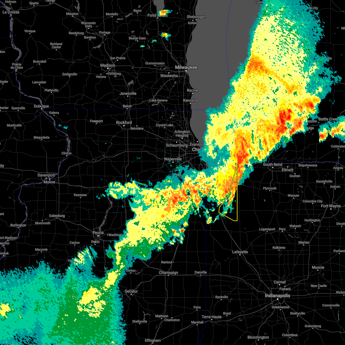 At 1226 am cdt, severe thunderstorms were located along a line extending from near westville to shelby, moving southeast at 40 mph. these storms have a history of producing wind damage (radar indicated). Hazards include 70 mph wind gusts and penny size hail. Expect considerable tree damage. damage is likely to mobile homes, roofs, and outbuildings. Locations impacted include, valparaiso, demotte, wheatfield, kouts, town of pines, hanging grove, fair oaks, parr, dunns bridge, baileys corner, malden and stoutsburg. At 1226 am cdt, severe thunderstorms were located along a line extending from near westville to shelby, moving southeast at 40 mph. these storms have a history of producing wind damage (radar indicated). Hazards include 70 mph wind gusts and penny size hail. Expect considerable tree damage. damage is likely to mobile homes, roofs, and outbuildings. Locations impacted include, valparaiso, demotte, wheatfield, kouts, town of pines, hanging grove, fair oaks, parr, dunns bridge, baileys corner, malden and stoutsburg.
|
| 6/21/2021 12:23 AM CDT |
 At 1222 am cdt, severe thunderstorms were located along a line extending from near chesterton to lake village, moving east at 45 mph. gusty winds continue for a while after the leading edge of the storms (radar indicated). Hazards include 70 mph wind gusts and penny size hail. Expect considerable tree damage. damage is likely to mobile homes, roofs, and outbuildings. Locations impacted include, portage, merrillville, valparaiso, hobart, crown point, chesterton, cedar lake, lowell, demotte, hebron, momence, lake village, lakes of the four seasons, south haven, porter, winfield, roselawn, lake dalecarlia, burns harbor and town of pines. At 1222 am cdt, severe thunderstorms were located along a line extending from near chesterton to lake village, moving east at 45 mph. gusty winds continue for a while after the leading edge of the storms (radar indicated). Hazards include 70 mph wind gusts and penny size hail. Expect considerable tree damage. damage is likely to mobile homes, roofs, and outbuildings. Locations impacted include, portage, merrillville, valparaiso, hobart, crown point, chesterton, cedar lake, lowell, demotte, hebron, momence, lake village, lakes of the four seasons, south haven, porter, winfield, roselawn, lake dalecarlia, burns harbor and town of pines.
|
| 6/21/2021 12:21 AM CDT |
 At 1221 am cdt, a severe thunderstorm capable of producing a tornado was located near westville, moving east at 55 mph (radar indicated rotation). Hazards include tornado. Flying debris will be dangerous to those caught without shelter. mobile homes will be damaged or destroyed. damage to roofs, windows, and vehicles will occur. tree damage is likely. this dangerous storm will be near, la porte around 135 am edt. this includes the following highways, interstate 80 in indiana between mile markers 38 and 56. Interstate 94 in indiana between mile markers 33 and 36. At 1221 am cdt, a severe thunderstorm capable of producing a tornado was located near westville, moving east at 55 mph (radar indicated rotation). Hazards include tornado. Flying debris will be dangerous to those caught without shelter. mobile homes will be damaged or destroyed. damage to roofs, windows, and vehicles will occur. tree damage is likely. this dangerous storm will be near, la porte around 135 am edt. this includes the following highways, interstate 80 in indiana between mile markers 38 and 56. Interstate 94 in indiana between mile markers 33 and 36.
|
| 6/21/2021 12:08 AM CDT |
 At 1207 am cdt, severe thunderstorms were located along a line extending from ogden dunes to near grant park, moving east at 40 mph. gusty winds continue for a while behind the leading edge of the storms (radar indicated). Hazards include 70 mph wind gusts and penny size hail. Expect considerable tree damage. damage is likely to mobile homes, roofs, and outbuildings. Locations impacted include, hammond, gary, portage, merrillville, valparaiso, east chicago, schererville, hobart, kankakee, crown point, highland, munster, bourbonnais, bradley, chesterton, cedar lake, lowell, manteno, demotte and hebron. At 1207 am cdt, severe thunderstorms were located along a line extending from ogden dunes to near grant park, moving east at 40 mph. gusty winds continue for a while behind the leading edge of the storms (radar indicated). Hazards include 70 mph wind gusts and penny size hail. Expect considerable tree damage. damage is likely to mobile homes, roofs, and outbuildings. Locations impacted include, hammond, gary, portage, merrillville, valparaiso, east chicago, schererville, hobart, kankakee, crown point, highland, munster, bourbonnais, bradley, chesterton, cedar lake, lowell, manteno, demotte and hebron.
|
| 6/21/2021 12:06 AM CDT |
 At 1205 am cdt, severe thunderstorms were located along a line extending from 8 miles north of porter to near grant park, moving southeast at 40 mph. these storms have a long history of producing wind damage (radar indicated). Hazards include 70 mph wind gusts and penny size hail. Expect considerable tree damage. Damage is likely to mobile homes, roofs, and outbuildings. At 1205 am cdt, severe thunderstorms were located along a line extending from 8 miles north of porter to near grant park, moving southeast at 40 mph. these storms have a long history of producing wind damage (radar indicated). Hazards include 70 mph wind gusts and penny size hail. Expect considerable tree damage. Damage is likely to mobile homes, roofs, and outbuildings.
|
| 6/21/2021 12:47 AM EDT |
 At 1247 am edt/1147 pm cdt/, severe thunderstorms were located along a line extending from near lake michigan beach to 14 miles north of long beach to griffith, moving east at 50 mph (radar indicated). Hazards include 60 mph wind gusts and quarter size hail. Hail damage to vehicles is expected. Expect wind damage to roofs, siding, and trees. At 1247 am edt/1147 pm cdt/, severe thunderstorms were located along a line extending from near lake michigan beach to 14 miles north of long beach to griffith, moving east at 50 mph (radar indicated). Hazards include 60 mph wind gusts and quarter size hail. Hail damage to vehicles is expected. Expect wind damage to roofs, siding, and trees.
|
| 6/20/2021 11:41 PM CDT |
 At 1141 pm cdt, severe thunderstorms were located along a line extending from near whiting to near elwood, moving east at 35 mph. these storms have a history of producing wind damage (radar indicated). Hazards include 70 mph wind gusts and penny size hail. Expect considerable tree damage. Damage is likely to mobile homes, roofs, and outbuildings. At 1141 pm cdt, severe thunderstorms were located along a line extending from near whiting to near elwood, moving east at 35 mph. these storms have a history of producing wind damage (radar indicated). Hazards include 70 mph wind gusts and penny size hail. Expect considerable tree damage. Damage is likely to mobile homes, roofs, and outbuildings.
|
| 6/19/2021 7:56 PM EDT |
 At 756 pm edt/656 pm cdt/, severe thunderstorms were located along a line extending from near buchanan to near la porte, moving east at 40 mph (radar indicated). Hazards include 60 mph wind gusts and quarter size hail. Hail damage to vehicles is expected. expect wind damage to roofs, siding, and trees. Locations impacted include, south bend, michigan city, buchanan, trail creek, new buffalo, new carlisle, three oaks, pottawattamie park, dayton, galien, michiana shores, grand beach, michiana, byron, hudson lake, chain-o-lakes, rolling prarie, crumstown, hesston and lydick. At 756 pm edt/656 pm cdt/, severe thunderstorms were located along a line extending from near buchanan to near la porte, moving east at 40 mph (radar indicated). Hazards include 60 mph wind gusts and quarter size hail. Hail damage to vehicles is expected. expect wind damage to roofs, siding, and trees. Locations impacted include, south bend, michigan city, buchanan, trail creek, new buffalo, new carlisle, three oaks, pottawattamie park, dayton, galien, michiana shores, grand beach, michiana, byron, hudson lake, chain-o-lakes, rolling prarie, crumstown, hesston and lydick.
|
| 6/19/2021 7:56 PM EDT |
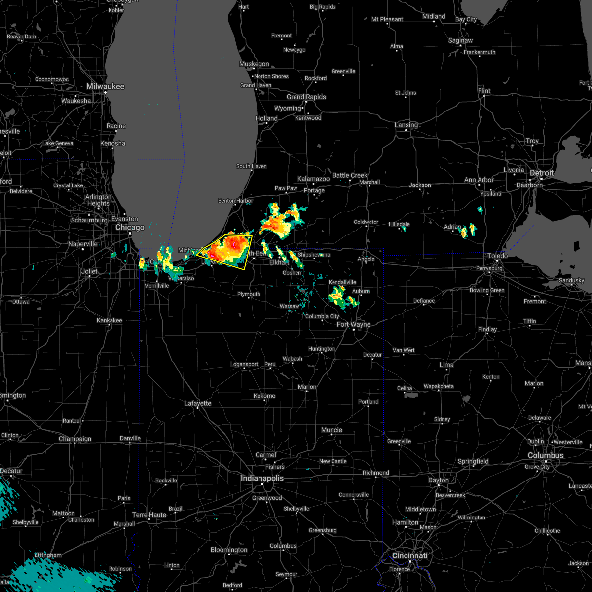 At 756 pm edt/656 pm cdt/, severe thunderstorms were located along a line extending from near buchanan to near la porte, moving east at 40 mph (radar indicated). Hazards include 60 mph wind gusts and quarter size hail. Hail damage to vehicles is expected. expect wind damage to roofs, siding, and trees. Locations impacted include, south bend, michigan city, buchanan, trail creek, new buffalo, new carlisle, three oaks, pottawattamie park, dayton, galien, michiana shores, grand beach, michiana, byron, hudson lake, chain-o-lakes, rolling prarie, crumstown, hesston and lydick. At 756 pm edt/656 pm cdt/, severe thunderstorms were located along a line extending from near buchanan to near la porte, moving east at 40 mph (radar indicated). Hazards include 60 mph wind gusts and quarter size hail. Hail damage to vehicles is expected. expect wind damage to roofs, siding, and trees. Locations impacted include, south bend, michigan city, buchanan, trail creek, new buffalo, new carlisle, three oaks, pottawattamie park, dayton, galien, michiana shores, grand beach, michiana, byron, hudson lake, chain-o-lakes, rolling prarie, crumstown, hesston and lydick.
|
| 6/19/2021 7:35 PM EDT |
 At 735 pm edt/635 pm cdt/, a severe thunderstorm was located over new buffalo, or 8 miles northeast of michigan city, moving east at 30 mph (radar indicated). Hazards include 60 mph wind gusts and quarter size hail. Hail damage to vehicles is expected. Expect wind damage to roofs, siding, and trees. At 735 pm edt/635 pm cdt/, a severe thunderstorm was located over new buffalo, or 8 miles northeast of michigan city, moving east at 30 mph (radar indicated). Hazards include 60 mph wind gusts and quarter size hail. Hail damage to vehicles is expected. Expect wind damage to roofs, siding, and trees.
|
| 6/19/2021 7:35 PM EDT |
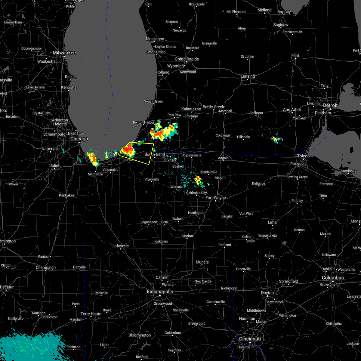 At 735 pm edt/635 pm cdt/, a severe thunderstorm was located over new buffalo, or 8 miles northeast of michigan city, moving east at 30 mph (radar indicated). Hazards include 60 mph wind gusts and quarter size hail. Hail damage to vehicles is expected. Expect wind damage to roofs, siding, and trees. At 735 pm edt/635 pm cdt/, a severe thunderstorm was located over new buffalo, or 8 miles northeast of michigan city, moving east at 30 mph (radar indicated). Hazards include 60 mph wind gusts and quarter size hail. Hail damage to vehicles is expected. Expect wind damage to roofs, siding, and trees.
|
| 11/10/2020 8:42 PM EST |
 The national weather service in northern indiana has issued a * severe thunderstorm warning for. st. joseph county in north central indiana. northeastern starke county in northwestern indiana. northwestern marshall county in north central indiana. La porte county in northwestern indiana. The national weather service in northern indiana has issued a * severe thunderstorm warning for. st. joseph county in north central indiana. northeastern starke county in northwestern indiana. northwestern marshall county in north central indiana. La porte county in northwestern indiana.
|
| 11/10/2020 8:42 PM EST |
 At 842 pm est/742 pm cst/, severe thunderstorms were located along a line extending from near benton harbor to wanatah, moving east at 45 mph (radar indicated). Hazards include 60 mph wind gusts. expect damage to roofs, siding, and trees At 842 pm est/742 pm cst/, severe thunderstorms were located along a line extending from near benton harbor to wanatah, moving east at 45 mph (radar indicated). Hazards include 60 mph wind gusts. expect damage to roofs, siding, and trees
|
| 11/10/2020 8:23 PM EST |
 At 822 pm est/722 pm cst/, severe thunderstorms were located along a line extending from 13 miles northwest of stevensville to near long beach to near chesterton, moving northeast at 40 mph (radar indicated). Hazards include 60 mph wind gusts. Expect damage to roofs, siding, and trees. locations impacted include, michigan city, la porte, benton harbor, st. Joseph, westville, buchanan, trail creek, benton heights, fair plain, bridgman, new buffalo, new carlisle, berrien springs, watervliet, three oaks, coloma, long beach, stevensville, pottawattamie park and shorewood-tower hill. At 822 pm est/722 pm cst/, severe thunderstorms were located along a line extending from 13 miles northwest of stevensville to near long beach to near chesterton, moving northeast at 40 mph (radar indicated). Hazards include 60 mph wind gusts. Expect damage to roofs, siding, and trees. locations impacted include, michigan city, la porte, benton harbor, st. Joseph, westville, buchanan, trail creek, benton heights, fair plain, bridgman, new buffalo, new carlisle, berrien springs, watervliet, three oaks, coloma, long beach, stevensville, pottawattamie park and shorewood-tower hill.
|
| 11/10/2020 7:21 PM CST |
 At 720 pm cst, severe thunderstorms were located along a line extending from near beverly shores to near south haven to near lakes of the four seasons, moving east at 30 mph (radar indicated). Hazards include 60 mph wind gusts. Expect damage to roofs, siding, and trees. Locations impacted include, valparaiso, chesterton, south haven, porter, burns harbor, town of pines, beverly shores and dune acres. At 720 pm cst, severe thunderstorms were located along a line extending from near beverly shores to near south haven to near lakes of the four seasons, moving east at 30 mph (radar indicated). Hazards include 60 mph wind gusts. Expect damage to roofs, siding, and trees. Locations impacted include, valparaiso, chesterton, south haven, porter, burns harbor, town of pines, beverly shores and dune acres.
|
| 11/10/2020 7:04 PM CST |
 At 703 pm cst, severe thunderstorms were located along a line extending from near ogden dunes to near hobart to near crown point, moving east at 30 mph. gary regional airport recorded a 62 mph wind gust (radar indicated). Hazards include 60 mph wind gusts. Expect damage to roofs, siding, and trees. Locations impacted include, gary, portage, merrillville, valparaiso, schererville, hobart, crown point, chesterton, lake station, lakes of the four seasons, south haven, porter, winfield, new chicago, burns harbor, ogden dunes, town of pines, beverly shores, wheeler and dune acres. At 703 pm cst, severe thunderstorms were located along a line extending from near ogden dunes to near hobart to near crown point, moving east at 30 mph. gary regional airport recorded a 62 mph wind gust (radar indicated). Hazards include 60 mph wind gusts. Expect damage to roofs, siding, and trees. Locations impacted include, gary, portage, merrillville, valparaiso, schererville, hobart, crown point, chesterton, lake station, lakes of the four seasons, south haven, porter, winfield, new chicago, burns harbor, ogden dunes, town of pines, beverly shores, wheeler and dune acres.
|
| 11/10/2020 8:01 PM EST |
 At 801 pm est/701 pm cst/, severe thunderstorms were located along a line extending from 9 miles north of beverly shores to lakes of the four seasons, moving northeast at 55 mph (radar indicated). Hazards include 60 mph wind gusts. expect damage to roofs, siding, and trees At 801 pm est/701 pm cst/, severe thunderstorms were located along a line extending from 9 miles north of beverly shores to lakes of the four seasons, moving northeast at 55 mph (radar indicated). Hazards include 60 mph wind gusts. expect damage to roofs, siding, and trees
|
| 11/10/2020 6:43 PM CST |
 At 643 pm cst, a severe thunderstorm was located over gary, moving east at 25 mph (radar indicated). Hazards include 60 mph wind gusts. expect damage to roofs, siding, and trees At 643 pm cst, a severe thunderstorm was located over gary, moving east at 25 mph (radar indicated). Hazards include 60 mph wind gusts. expect damage to roofs, siding, and trees
|
| 8/10/2020 6:11 PM EDT |
 At 610 pm edt/510 pm cdt/, severe thunderstorms were located along a line extending from berrien springs to 6 miles southeast of new carlisle to 6 miles northwest of plymouth to near culver, moving east at 60 mph. these are very dangerous storms (trained weather spotters quarter sized hail and tree branches down in baroda, michigan). Hazards include 80 mph wind gusts and quarter size hail. Flying debris will be dangerous to those caught without shelter. mobile homes will be heavily damaged. expect considerable damage to roofs, windows, and vehicles. extensive tree damage and power outages are likely. these severe storms will be near, south bend and plymouth around 615 pm edt. niles, gulivoire park, lakeville and roseland around 620 pm edt. mishawaka, dowagiac, bremen and argos around 625 pm edt. osceola and bourbon around 630 pm edt. Other locations impacted by these severe thunderstorms include dewey lake, lomax, waterford, michiana shores, harbert, bertrand, fish lake, brems, crumstown and tyner. At 610 pm edt/510 pm cdt/, severe thunderstorms were located along a line extending from berrien springs to 6 miles southeast of new carlisle to 6 miles northwest of plymouth to near culver, moving east at 60 mph. these are very dangerous storms (trained weather spotters quarter sized hail and tree branches down in baroda, michigan). Hazards include 80 mph wind gusts and quarter size hail. Flying debris will be dangerous to those caught without shelter. mobile homes will be heavily damaged. expect considerable damage to roofs, windows, and vehicles. extensive tree damage and power outages are likely. these severe storms will be near, south bend and plymouth around 615 pm edt. niles, gulivoire park, lakeville and roseland around 620 pm edt. mishawaka, dowagiac, bremen and argos around 625 pm edt. osceola and bourbon around 630 pm edt. Other locations impacted by these severe thunderstorms include dewey lake, lomax, waterford, michiana shores, harbert, bertrand, fish lake, brems, crumstown and tyner.
|
| 8/10/2020 4:48 PM CDT |
 At 448 pm cdt/548 pm edt/, a severe thunderstorm was located near north judson, or 10 miles southwest of knox, moving east at 55 mph. this is a very dangerous storm (radar indicated). Hazards include 80 mph wind gusts. Flying debris will be dangerous to those caught without shelter. mobile homes will be heavily damaged. expect considerable damage to roofs, windows, and vehicles. extensive tree damage and power outages are likely. Locations impacted include, hammond, gary, portage, merrillville, valparaiso, schererville, hobart, crown point, highland, chesterton, cedar lake, lowell, rensselaer, demotte, hebron, fowler, kentland, otterbein, remington and morocco. At 448 pm cdt/548 pm edt/, a severe thunderstorm was located near north judson, or 10 miles southwest of knox, moving east at 55 mph. this is a very dangerous storm (radar indicated). Hazards include 80 mph wind gusts. Flying debris will be dangerous to those caught without shelter. mobile homes will be heavily damaged. expect considerable damage to roofs, windows, and vehicles. extensive tree damage and power outages are likely. Locations impacted include, hammond, gary, portage, merrillville, valparaiso, schererville, hobart, crown point, highland, chesterton, cedar lake, lowell, rensselaer, demotte, hebron, fowler, kentland, otterbein, remington and morocco.
|
| 8/10/2020 5:42 PM EDT |
 At 541 pm edt/441 pm cdt/, severe thunderstorms were located along a line extending from 9 miles northwest of new buffalo to near westville to wanatah to near dunns bridge, moving east at 60 mph. these are very dangerous storms (radar indicated). Hazards include 80 mph wind gusts and quarter size hail. Flying debris will be dangerous to those caught without shelter. mobile homes will be heavily damaged. expect considerable damage to roofs, windows, and vehicles. extensive tree damage and power outages are likely. these severe storms will be near, trail creek around 545 pm edt. new buffalo and kingsford heights around 550 pm edt. la porte, bridgman, north judson, shorewood-tower hills-harbert and shorewood-tower hill around 555 pm edt. knox, stevensville and hamlet around 600 pm edt. buchanan, walkerton, new carlisle and koontz lake around 605 pm edt. plymouth, north liberty and berrien springs around 610 pm edt. south bend, niles and culver around 615 pm edt. bremen, georgetown, gulivoire park, lakeville and roseland around 620 pm edt. Other locations impacted by these severe thunderstorms include dewey lake, lomax, waterford, michiana shores, harbert, bertrand, fish lake, brems, crumstown and tyner. At 541 pm edt/441 pm cdt/, severe thunderstorms were located along a line extending from 9 miles northwest of new buffalo to near westville to wanatah to near dunns bridge, moving east at 60 mph. these are very dangerous storms (radar indicated). Hazards include 80 mph wind gusts and quarter size hail. Flying debris will be dangerous to those caught without shelter. mobile homes will be heavily damaged. expect considerable damage to roofs, windows, and vehicles. extensive tree damage and power outages are likely. these severe storms will be near, trail creek around 545 pm edt. new buffalo and kingsford heights around 550 pm edt. la porte, bridgman, north judson, shorewood-tower hills-harbert and shorewood-tower hill around 555 pm edt. knox, stevensville and hamlet around 600 pm edt. buchanan, walkerton, new carlisle and koontz lake around 605 pm edt. plymouth, north liberty and berrien springs around 610 pm edt. south bend, niles and culver around 615 pm edt. bremen, georgetown, gulivoire park, lakeville and roseland around 620 pm edt. Other locations impacted by these severe thunderstorms include dewey lake, lomax, waterford, michiana shores, harbert, bertrand, fish lake, brems, crumstown and tyner.
|
| 8/10/2020 4:32 PM CDT |
 At 432 pm cdt/532 pm edt/, a severe thunderstorm was located over wheatfield, moving east at 55 mph. this is a very dangerous storm (radar indicated). Hazards include 80 mph wind gusts and quarter size hail. Flying debris will be dangerous to those caught without shelter. mobile homes will be heavily damaged. expect considerable damage to roofs, windows, and vehicles. extensive tree damage and power outages are likely. Locations impacted include, hammond, gary, portage, merrillville, valparaiso, east chicago, schererville, hobart, crown point, highland, munster, chesterton, cedar lake, lowell, rensselaer, demotte, hebron, fowler, kentland and otterbein. At 432 pm cdt/532 pm edt/, a severe thunderstorm was located over wheatfield, moving east at 55 mph. this is a very dangerous storm (radar indicated). Hazards include 80 mph wind gusts and quarter size hail. Flying debris will be dangerous to those caught without shelter. mobile homes will be heavily damaged. expect considerable damage to roofs, windows, and vehicles. extensive tree damage and power outages are likely. Locations impacted include, hammond, gary, portage, merrillville, valparaiso, east chicago, schererville, hobart, crown point, highland, munster, chesterton, cedar lake, lowell, rensselaer, demotte, hebron, fowler, kentland and otterbein.
|
| 8/10/2020 5:19 PM EDT |
 At 517 pm edt/417 pm cdt/, severe thunderstorms were located along a line extending from 16 miles northeast of hyde park to near gary to near crown point to near lake village, moving east at 55 mph. these are very dangerous storms (radar indicated). Hazards include 80 mph wind gusts and quarter size hail. Flying debris will be dangerous to those caught without shelter. mobile homes will be heavily damaged. expect considerable damage to roofs, windows, and vehicles. extensive tree damage and power outages are likely. severe thunderstorms will be near, wanatah and la crosse around 540 pm edt. westville and trail creek around 545 pm edt. new buffalo and kingsford heights around 550 pm edt. la porte, knox, bridgman, north judson, three oaks, hamlet, shorewood-tower hills-harbert and shorewood-tower hill around 555 pm edt. stevensville around 600 pm edt. buchanan, walkerton, new carlisle and koontz lake around 605 pm edt. plymouth, north liberty and berrien springs around 610 pm edt. south bend, niles and culver around 615 pm edt. this includes the following highways, interstate 196 between mile markers 0 and 7. interstate 80 in indiana between mile markers 38 and 87. interstate 94 in indiana between mile markers 33 and 45. Interstate 94 in michigan between mile markers 0 and 42. At 517 pm edt/417 pm cdt/, severe thunderstorms were located along a line extending from 16 miles northeast of hyde park to near gary to near crown point to near lake village, moving east at 55 mph. these are very dangerous storms (radar indicated). Hazards include 80 mph wind gusts and quarter size hail. Flying debris will be dangerous to those caught without shelter. mobile homes will be heavily damaged. expect considerable damage to roofs, windows, and vehicles. extensive tree damage and power outages are likely. severe thunderstorms will be near, wanatah and la crosse around 540 pm edt. westville and trail creek around 545 pm edt. new buffalo and kingsford heights around 550 pm edt. la porte, knox, bridgman, north judson, three oaks, hamlet, shorewood-tower hills-harbert and shorewood-tower hill around 555 pm edt. stevensville around 600 pm edt. buchanan, walkerton, new carlisle and koontz lake around 605 pm edt. plymouth, north liberty and berrien springs around 610 pm edt. south bend, niles and culver around 615 pm edt. this includes the following highways, interstate 196 between mile markers 0 and 7. interstate 80 in indiana between mile markers 38 and 87. interstate 94 in indiana between mile markers 33 and 45. Interstate 94 in michigan between mile markers 0 and 42.
|
| 8/10/2020 4:13 PM CDT |
 At 412 pm cdt/512 pm edt/, a severe thunderstorm was located over lake village, moving east at 55 mph. this is a very dangerous storm (radar indicated. the strongest winds are heading toward crown point, lake of the four seasnos, and lowell). Hazards include 80 mph wind gusts and quarter size hail. Flying debris will be dangerous to those caught without shelter. mobile homes will be heavily damaged. expect considerable damage to roofs, windows, and vehicles. extensive tree damage and power outages are likely. Locations impacted include, hammond, gary, portage, merrillville, valparaiso, east chicago, schererville, hobart, lansing, crown point, highland, munster, chesterton, cedar lake, lowell, rensselaer, demotte, hebron, fowler and kentland. At 412 pm cdt/512 pm edt/, a severe thunderstorm was located over lake village, moving east at 55 mph. this is a very dangerous storm (radar indicated. the strongest winds are heading toward crown point, lake of the four seasnos, and lowell). Hazards include 80 mph wind gusts and quarter size hail. Flying debris will be dangerous to those caught without shelter. mobile homes will be heavily damaged. expect considerable damage to roofs, windows, and vehicles. extensive tree damage and power outages are likely. Locations impacted include, hammond, gary, portage, merrillville, valparaiso, east chicago, schererville, hobart, lansing, crown point, highland, munster, chesterton, cedar lake, lowell, rensselaer, demotte, hebron, fowler and kentland.
|
| 8/10/2020 3:53 PM CDT |
 At 353 pm cdt/453 pm edt/, a severe thunderstorm was located near aroma park, or near bradley, moving east at 55 mph. this is a very dangerous storm (radar indicated). Hazards include 80 mph wind gusts. Flying debris will be dangerous to those caught without shelter. mobile homes will be heavily damaged. expect considerable damage to roofs, windows, and vehicles. extensive tree damage and power outages are likely. Locations impacted include, hammond, gary, portage, merrillville, valparaiso, east chicago, schererville, hobart, lansing, crown point, highland, munster, chesterton, cedar lake, lowell, rensselaer, demotte, hebron, fowler and kentland. At 353 pm cdt/453 pm edt/, a severe thunderstorm was located near aroma park, or near bradley, moving east at 55 mph. this is a very dangerous storm (radar indicated). Hazards include 80 mph wind gusts. Flying debris will be dangerous to those caught without shelter. mobile homes will be heavily damaged. expect considerable damage to roofs, windows, and vehicles. extensive tree damage and power outages are likely. Locations impacted include, hammond, gary, portage, merrillville, valparaiso, east chicago, schererville, hobart, lansing, crown point, highland, munster, chesterton, cedar lake, lowell, rensselaer, demotte, hebron, fowler and kentland.
|
| 8/10/2020 3:31 PM CDT |
 At 330 pm cdt/430 pm edt/, a severe thunderstorm was located near herscher, moving east at 55 mph (radar indicated). Hazards include 70 mph wind gusts. Expect considerable tree damage. Damage is likely to mobile homes, roofs, and outbuildings. At 330 pm cdt/430 pm edt/, a severe thunderstorm was located near herscher, moving east at 55 mph (radar indicated). Hazards include 70 mph wind gusts. Expect considerable tree damage. Damage is likely to mobile homes, roofs, and outbuildings.
|
| 6/26/2020 8:56 PM CDT |
 At 955 pm edt/855 pm cdt/, a severe thunderstorm was located near north liberty, or 11 miles southeast of la porte, moving east at 65 mph (radar indicated). Hazards include 70 mph wind gusts. Expect considerable tree damage. damage is likely to mobile homes, roofs, and outbuildings. Locations impacted include, michigan city, la porte, westville, walkerton, north liberty, kingsford heights, koontz lake, la paz, kingsbury, teegarden, pinhook, south center, salem heights, fish lake, otis, tracy, stillwell, tyner, union mills and pinola. At 955 pm edt/855 pm cdt/, a severe thunderstorm was located near north liberty, or 11 miles southeast of la porte, moving east at 65 mph (radar indicated). Hazards include 70 mph wind gusts. Expect considerable tree damage. damage is likely to mobile homes, roofs, and outbuildings. Locations impacted include, michigan city, la porte, westville, walkerton, north liberty, kingsford heights, koontz lake, la paz, kingsbury, teegarden, pinhook, south center, salem heights, fish lake, otis, tracy, stillwell, tyner, union mills and pinola.
|
| 6/26/2020 8:54 PM CDT |
 At 953 pm edt/853 pm cdt/, a severe thunderstorm was located near new carlisle, or 9 miles northeast of la porte, moving east at 55 mph (radar indicated). Hazards include 70 mph wind gusts. Expect considerable tree damage. Damage is likely to mobile homes, roofs, and outbuildings. At 953 pm edt/853 pm cdt/, a severe thunderstorm was located near new carlisle, or 9 miles northeast of la porte, moving east at 55 mph (radar indicated). Hazards include 70 mph wind gusts. Expect considerable tree damage. Damage is likely to mobile homes, roofs, and outbuildings.
|
| 6/26/2020 8:42 PM CDT |
 At 841 pm cdt, severe thunderstorms were located along a line extending from westville to near beecher to near streator, moving east at 65 mph (radar indicated). Hazards include 70 mph wind gusts. Expect considerable tree damage. damage is likely to mobile homes, roofs, and outbuildings. locations impacted include, hammond, gary, portage, merrillville, valparaiso, chicago heights, schererville, hobart, lansing, crown point, highland, munster, park forest, matteson, frankfort, griffith, st. John, streator, chesterton and lake station. At 841 pm cdt, severe thunderstorms were located along a line extending from westville to near beecher to near streator, moving east at 65 mph (radar indicated). Hazards include 70 mph wind gusts. Expect considerable tree damage. damage is likely to mobile homes, roofs, and outbuildings. locations impacted include, hammond, gary, portage, merrillville, valparaiso, chicago heights, schererville, hobart, lansing, crown point, highland, munster, park forest, matteson, frankfort, griffith, st. John, streator, chesterton and lake station.
|
| 6/26/2020 9:34 PM EDT |
 At 933 pm edt/833 pm cdt/, a severe thunderstorm was located near three oaks, or 10 miles northeast of la porte, moving east at 50 mph (radar indicated). Hazards include 70 mph wind gusts. Expect considerable tree damage. damage is likely to mobile homes, roofs, and outbuildings. Locations impacted include, south bend, michigan city, la porte, niles, buchanan, georgetown, trail creek, gulivoire park, bridgman, north liberty, new buffalo, new carlisle, berrien springs, three oaks, stevensville, lakeville, roseland, pottawattamie park, shorewood-tower hills-harbert and bertrand. At 933 pm edt/833 pm cdt/, a severe thunderstorm was located near three oaks, or 10 miles northeast of la porte, moving east at 50 mph (radar indicated). Hazards include 70 mph wind gusts. Expect considerable tree damage. damage is likely to mobile homes, roofs, and outbuildings. Locations impacted include, south bend, michigan city, la porte, niles, buchanan, georgetown, trail creek, gulivoire park, bridgman, north liberty, new buffalo, new carlisle, berrien springs, three oaks, stevensville, lakeville, roseland, pottawattamie park, shorewood-tower hills-harbert and bertrand.
|
| 6/26/2020 8:31 PM CDT |
 At 930 pm edt/830 pm cdt/, a severe thunderstorm was located over chesterton, moving east at 50 mph (radar indicated). Hazards include 70 mph wind gusts. Expect considerable tree damage. Damage is likely to mobile homes, roofs, and outbuildings. At 930 pm edt/830 pm cdt/, a severe thunderstorm was located over chesterton, moving east at 50 mph (radar indicated). Hazards include 70 mph wind gusts. Expect considerable tree damage. Damage is likely to mobile homes, roofs, and outbuildings.
|
| 6/26/2020 8:22 PM CDT |
 At 822 pm cdt, severe thunderstorms were located along a line extending from ogden dunes to near wilmington to near wenona, moving east at 55 mph (radar indicated). Hazards include 70 mph wind gusts. Expect considerable tree damage. Damage is likely to mobile homes, roofs, and outbuildings. At 822 pm cdt, severe thunderstorms were located along a line extending from ogden dunes to near wilmington to near wenona, moving east at 55 mph (radar indicated). Hazards include 70 mph wind gusts. Expect considerable tree damage. Damage is likely to mobile homes, roofs, and outbuildings.
|
| 6/26/2020 8:22 PM CDT |
 The national weather service in chicago has issued a * severe thunderstorm warning for. northern livingston county in central illinois. southern la salle county in north central illinois. southern will county in northeastern illinois. Southern grundy county in northeastern illinois. The national weather service in chicago has issued a * severe thunderstorm warning for. northern livingston county in central illinois. southern la salle county in north central illinois. southern will county in northeastern illinois. Southern grundy county in northeastern illinois.
|
| 6/26/2020 9:04 PM EDT |
 At 904 pm edt/804 pm cdt/, a severe thunderstorm was located 8 miles north of beverly shores, or 9 miles northwest of michigan city, moving east at 40 mph (radar indicated). Hazards include 70 mph wind gusts. Expect considerable tree damage. Damage is likely to mobile homes, roofs, and outbuildings. At 904 pm edt/804 pm cdt/, a severe thunderstorm was located 8 miles north of beverly shores, or 9 miles northwest of michigan city, moving east at 40 mph (radar indicated). Hazards include 70 mph wind gusts. Expect considerable tree damage. Damage is likely to mobile homes, roofs, and outbuildings.
|
| 6/22/2020 3:57 PM CDT |
 At 355 pm cdt, a severe thunderstorm was located over la porte, moving east at 30 mph (emergency management in porter county reported numerous trees and power lines down around 3:40 pm cdt). Hazards include 60 mph wind gusts and penny size hail. Expect damage to roofs, siding, and trees. Locations impacted include, michigan city, la porte, trail creek, kingsford heights, wanatah, hanna, michiana shores, kingsbury, byron, waterford, pinhook, south center, salem heights, tracy, rolling prarie, stillwell, union mills, pinola, hesston and springville. At 355 pm cdt, a severe thunderstorm was located over la porte, moving east at 30 mph (emergency management in porter county reported numerous trees and power lines down around 3:40 pm cdt). Hazards include 60 mph wind gusts and penny size hail. Expect damage to roofs, siding, and trees. Locations impacted include, michigan city, la porte, trail creek, kingsford heights, wanatah, hanna, michiana shores, kingsbury, byron, waterford, pinhook, south center, salem heights, tracy, rolling prarie, stillwell, union mills, pinola, hesston and springville.
|
| 6/22/2020 3:44 PM CDT |
 At 343 pm cdt, a severe thunderstorm was located near westville, moving east at 30 mph (emergency management in porter county reported numerous trees and power lines down). Hazards include 60 mph wind gusts and quarter size hail. Hail damage to vehicles is expected. Expect wind damage to roofs, siding, and trees. At 343 pm cdt, a severe thunderstorm was located near westville, moving east at 30 mph (emergency management in porter county reported numerous trees and power lines down). Hazards include 60 mph wind gusts and quarter size hail. Hail damage to vehicles is expected. Expect wind damage to roofs, siding, and trees.
|
| 6/22/2020 3:30 PM CDT |
 At 430 pm edt/330 pm cdt/, a severe thunderstorm was located over westville, moving east at 25 mph (radar indicated). Hazards include 60 mph wind gusts and quarter size hail. Hail damage to vehicles is expected. Expect wind damage to roofs, siding, and trees. At 430 pm edt/330 pm cdt/, a severe thunderstorm was located over westville, moving east at 25 mph (radar indicated). Hazards include 60 mph wind gusts and quarter size hail. Hail damage to vehicles is expected. Expect wind damage to roofs, siding, and trees.
|
| 5/23/2020 6:04 PM CDT |
 At 604 pm cdt, severe thunderstorms were located along a line extending from near trail creek to la porte to near kingsford heights, moving east at 30 mph (radar indicated). Hazards include 70 mph wind gusts and nickel size hail. Expect considerable tree damage. damage is likely to mobile homes, roofs, and outbuildings. Locations impacted include, michigan city, la porte, trail creek, byron, pinola, waterford, springville and rolling prarie. At 604 pm cdt, severe thunderstorms were located along a line extending from near trail creek to la porte to near kingsford heights, moving east at 30 mph (radar indicated). Hazards include 70 mph wind gusts and nickel size hail. Expect considerable tree damage. damage is likely to mobile homes, roofs, and outbuildings. Locations impacted include, michigan city, la porte, trail creek, byron, pinola, waterford, springville and rolling prarie.
|
| 5/23/2020 5:42 PM CDT |
 At 542 pm cdt, severe thunderstorms were located along a line extending from near town of pines to near valparaiso, moving east at 25 mph (radar indicated). Hazards include 60 mph wind gusts and quarter size hail. Hail damage to vehicles is expected. expect wind damage to roofs, siding, and trees. These severe storms will be near, town of pines around 550 pm cdt. At 542 pm cdt, severe thunderstorms were located along a line extending from near town of pines to near valparaiso, moving east at 25 mph (radar indicated). Hazards include 60 mph wind gusts and quarter size hail. Hail damage to vehicles is expected. expect wind damage to roofs, siding, and trees. These severe storms will be near, town of pines around 550 pm cdt.
|
| 5/23/2020 5:35 PM CDT |
 At 634 pm edt/534 pm cdt/, severe thunderstorms were located along a line extending from beverly shores to near valparaiso, moving east northeast at 35 mph (radar indicated). Hazards include 70 mph wind gusts and quarter size hail. Hail damage to vehicles is expected. expect considerable tree damage. Wind damage is also likely to mobile homes, roofs, and outbuildings. At 634 pm edt/534 pm cdt/, severe thunderstorms were located along a line extending from beverly shores to near valparaiso, moving east northeast at 35 mph (radar indicated). Hazards include 70 mph wind gusts and quarter size hail. Hail damage to vehicles is expected. expect considerable tree damage. Wind damage is also likely to mobile homes, roofs, and outbuildings.
|
| 5/23/2020 5:35 PM CDT |
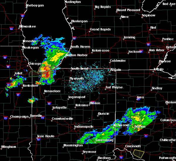 At 634 pm edt/534 pm cdt/, severe thunderstorms were located along a line extending from beverly shores to near valparaiso, moving east northeast at 35 mph (radar indicated). Hazards include 70 mph wind gusts and quarter size hail. Hail damage to vehicles is expected. expect considerable tree damage. Wind damage is also likely to mobile homes, roofs, and outbuildings. At 634 pm edt/534 pm cdt/, severe thunderstorms were located along a line extending from beverly shores to near valparaiso, moving east northeast at 35 mph (radar indicated). Hazards include 70 mph wind gusts and quarter size hail. Hail damage to vehicles is expected. expect considerable tree damage. Wind damage is also likely to mobile homes, roofs, and outbuildings.
|
| 5/23/2020 5:29 PM CDT |
 At 529 pm cdt, severe thunderstorms were located along a line extending from near chesterton to valparaiso, moving east at 25 mph (radar indicated). Hazards include 70 mph wind gusts and quarter size hail. Hail damage to vehicles is expected. expect considerable tree damage. wind damage is also likely to mobile homes, roofs, and outbuildings. severe thunderstorms will be near, town of pines and beverly shores around 545 pm cdt. including the following interstates, indiana i-90 between mile markers 29 and 37. indiana i-94 between mile markers 24 and 32. A tornado watch remains in effect until 800 pm cdt for northwestern indiana. At 529 pm cdt, severe thunderstorms were located along a line extending from near chesterton to valparaiso, moving east at 25 mph (radar indicated). Hazards include 70 mph wind gusts and quarter size hail. Hail damage to vehicles is expected. expect considerable tree damage. wind damage is also likely to mobile homes, roofs, and outbuildings. severe thunderstorms will be near, town of pines and beverly shores around 545 pm cdt. including the following interstates, indiana i-90 between mile markers 29 and 37. indiana i-94 between mile markers 24 and 32. A tornado watch remains in effect until 800 pm cdt for northwestern indiana.
|
| 4/7/2020 9:36 PM EDT |
 At 935 pm edt/835 pm cdt/, severe thunderstorms were located along a line extending from near three oaks to near trail creek, moving east at 35 mph (radar indicated). Hazards include 60 mph wind gusts and quarter size hail. Hail damage to vehicles is expected. Expect wind damage to roofs, siding, and trees. At 935 pm edt/835 pm cdt/, severe thunderstorms were located along a line extending from near three oaks to near trail creek, moving east at 35 mph (radar indicated). Hazards include 60 mph wind gusts and quarter size hail. Hail damage to vehicles is expected. Expect wind damage to roofs, siding, and trees.
|
| 8/18/2019 7:48 AM CDT |
 At 748 am cdt, a severe thunderstorm was located over wheeler, moving east at 35 mph (radar indicated). Hazards include 60 mph wind gusts and quarter size hail. Hail damage to vehicles is expected. expect wind damage to roofs, siding, and trees. Locations impacted include, gary, portage, merrillville, valparaiso, hobart, crown point, chesterton, lake station, porter, burns harbor, south haven, lakes of the four seasons, lincoln hills, malden, wheeler, winfield, new chicago, ogden dunes, town of pines and beverly shores. At 748 am cdt, a severe thunderstorm was located over wheeler, moving east at 35 mph (radar indicated). Hazards include 60 mph wind gusts and quarter size hail. Hail damage to vehicles is expected. expect wind damage to roofs, siding, and trees. Locations impacted include, gary, portage, merrillville, valparaiso, hobart, crown point, chesterton, lake station, porter, burns harbor, south haven, lakes of the four seasons, lincoln hills, malden, wheeler, winfield, new chicago, ogden dunes, town of pines and beverly shores.
|
| 8/18/2019 7:33 AM CDT |
 At 733 am cdt, a severe thunderstorm was located over new chicago, or over lake station, moving east at 35 mph (radar indicated). Hazards include 60 mph wind gusts and quarter size hail. Hail damage to vehicles is expected. expect wind damage to roofs, siding, and trees. locations impacted include, hammond, gary, calumet city, portage, merrillville, valparaiso, east chicago, schererville, hobart, lansing, crown point, highland, blue island, munster, dolton, alsip, griffith, st. John, midlothian and chesterton. At 733 am cdt, a severe thunderstorm was located over new chicago, or over lake station, moving east at 35 mph (radar indicated). Hazards include 60 mph wind gusts and quarter size hail. Hail damage to vehicles is expected. expect wind damage to roofs, siding, and trees. locations impacted include, hammond, gary, calumet city, portage, merrillville, valparaiso, east chicago, schererville, hobart, lansing, crown point, highland, blue island, munster, dolton, alsip, griffith, st. John, midlothian and chesterton.
|
| 8/18/2019 7:20 AM CDT |
 At 720 am cdt, a severe thunderstorm was located over highland, moving northeast at 50 mph (radar indicated). Hazards include 60 mph wind gusts and quarter size hail. Hail damage to vehicles is expected. Expect wind damage to roofs, siding, and trees. At 720 am cdt, a severe thunderstorm was located over highland, moving northeast at 50 mph (radar indicated). Hazards include 60 mph wind gusts and quarter size hail. Hail damage to vehicles is expected. Expect wind damage to roofs, siding, and trees.
|
| 6/25/2019 6:18 PM CDT |
 At 717 pm edt/617 pm cdt/, a severe thunderstorm was located near three oaks, or 9 miles north of la porte, moving east at 35 mph (radar indicated). Hazards include 60 mph wind gusts and quarter size hail. Hail damage to vehicles is expected. expect wind damage to roofs, siding, and trees. Locations impacted include, michigan city, la porte, new buffalo, new carlisle, three oaks, dayton, galien, michiana shores, grand beach, michiana, byron, union pier, hudson lake, rolling prarie, lakeside in berrien county, hesston, springville and turner shores. At 717 pm edt/617 pm cdt/, a severe thunderstorm was located near three oaks, or 9 miles north of la porte, moving east at 35 mph (radar indicated). Hazards include 60 mph wind gusts and quarter size hail. Hail damage to vehicles is expected. expect wind damage to roofs, siding, and trees. Locations impacted include, michigan city, la porte, new buffalo, new carlisle, three oaks, dayton, galien, michiana shores, grand beach, michiana, byron, union pier, hudson lake, rolling prarie, lakeside in berrien county, hesston, springville and turner shores.
|
| 6/25/2019 5:49 PM CDT |
 At 649 pm edt/549 pm cdt/, a severe thunderstorm was located 7 miles north of town of pines, or 7 miles northwest of michigan city, moving east at 35 mph (radar indicated). Hazards include 60 mph wind gusts and quarter size hail. Hail damage to vehicles is expected. Expect wind damage to roofs, siding, and trees. At 649 pm edt/549 pm cdt/, a severe thunderstorm was located 7 miles north of town of pines, or 7 miles northwest of michigan city, moving east at 35 mph (radar indicated). Hazards include 60 mph wind gusts and quarter size hail. Hail damage to vehicles is expected. Expect wind damage to roofs, siding, and trees.
|
| 5/27/2019 6:23 PM CDT |
 At 623 pm cdt, a severe thunderstorm was located over gary, moving east at 50 mph (radar indicated). Hazards include 60 mph wind gusts and quarter size hail. Hail damage to vehicles is expected. expect wind damage to roofs, siding, and trees. Locations impacted include, gary, portage, merrillville, valparaiso, hobart, griffith, chesterton, lake station, porter, burns harbor, south haven, wheeler, new chicago, ogden dunes, town of pines, beverly shores and dune acres. At 623 pm cdt, a severe thunderstorm was located over gary, moving east at 50 mph (radar indicated). Hazards include 60 mph wind gusts and quarter size hail. Hail damage to vehicles is expected. expect wind damage to roofs, siding, and trees. Locations impacted include, gary, portage, merrillville, valparaiso, hobart, griffith, chesterton, lake station, porter, burns harbor, south haven, wheeler, new chicago, ogden dunes, town of pines, beverly shores and dune acres.
|
| 5/27/2019 6:10 PM CDT |
 At 610 pm cdt, a severe thunderstorm was located over highland, moving east at 50 mph (radar indicated). Hazards include 60 mph wind gusts and half dollar size hail. Hail damage to vehicles is expected. Expect wind damage to roofs, siding, and trees. At 610 pm cdt, a severe thunderstorm was located over highland, moving east at 50 mph (radar indicated). Hazards include 60 mph wind gusts and half dollar size hail. Hail damage to vehicles is expected. Expect wind damage to roofs, siding, and trees.
|
| 5/27/2019 5:21 PM CDT |
 At 519 pm cdt, a severe thunderstorm capable of producing a tornado was located over valparaiso, moving east at 25 mph. spotters recently reported rapid rotation just north of route 30 near valparaiso. another thunderstorm near gary, moving northeast at 25 mph has shown signs of increasing low level rotation (radar indicated rotation). Hazards include tornado and quarter size hail. Flying debris will be dangerous to those caught without shelter. mobile homes will be damaged or destroyed. damage to roofs, windows, and vehicles will occur. tree damage is likely. this dangerous storm will be near, kvpz around 525 pm cdt. Other locations impacted by this tornadic thunderstorm include dune acres. At 519 pm cdt, a severe thunderstorm capable of producing a tornado was located over valparaiso, moving east at 25 mph. spotters recently reported rapid rotation just north of route 30 near valparaiso. another thunderstorm near gary, moving northeast at 25 mph has shown signs of increasing low level rotation (radar indicated rotation). Hazards include tornado and quarter size hail. Flying debris will be dangerous to those caught without shelter. mobile homes will be damaged or destroyed. damage to roofs, windows, and vehicles will occur. tree damage is likely. this dangerous storm will be near, kvpz around 525 pm cdt. Other locations impacted by this tornadic thunderstorm include dune acres.
|
| 5/27/2019 5:09 PM CDT |
 At 509 pm cdt, a severe thunderstorm capable of producing a tornado was located over lincoln hills, moving east at 25 mph (radar indicated rotation). Hazards include tornado and quarter size hail. Flying debris will be dangerous to those caught without shelter. mobile homes will be damaged or destroyed. damage to roofs, windows, and vehicles will occur. tree damage is likely. this dangerous storm will be near, valparaiso and chesterton around 515 pm cdt. kvpz around 525 pm cdt. Other locations impacted by this tornadic thunderstorm include dune acres. At 509 pm cdt, a severe thunderstorm capable of producing a tornado was located over lincoln hills, moving east at 25 mph (radar indicated rotation). Hazards include tornado and quarter size hail. Flying debris will be dangerous to those caught without shelter. mobile homes will be damaged or destroyed. damage to roofs, windows, and vehicles will occur. tree damage is likely. this dangerous storm will be near, valparaiso and chesterton around 515 pm cdt. kvpz around 525 pm cdt. Other locations impacted by this tornadic thunderstorm include dune acres.
|
| 5/27/2019 4:52 PM CDT |
 At 452 pm cdt, a severe thunderstorm capable of producing a tornado was located over merrillville, moving east at 25 mph. this storm produced a tornado earlier near dyer. another thunderstorm capable of producing a tornado is located 3 miles north of valparaiso and moving to the northeast at 30 mph (radar indicated rotation). Hazards include tornado. Flying debris will be dangerous to those caught without shelter. mobile homes will be damaged or destroyed. damage to roofs, windows, and vehicles will occur. tree damage is likely. this dangerous storm will be near, lake station, lakes of the four seasons and new chicago around 455 pm cdt. hobart and wheeler around 505 pm cdt. ogden dunes around 510 pm cdt. portage, burns harbor, south haven and lincoln hills around 515 pm cdt. valparaiso and chesterton around 520 pm cdt. porter and kvpz around 525 pm cdt. other locations impacted by this tornadic thunderstorm include dune acres. this includes, indiana university northwest, valparaiso university, indiana dunes state park, and porter county fairgrounds. including the following interstates, indiana i-80 between mile markers 10 and 16. indiana i-90 between mile markers 17 and 37. indiana i-94 between mile markers 16 and 32. Indiana i-65 between mile markers 250 and 261. At 452 pm cdt, a severe thunderstorm capable of producing a tornado was located over merrillville, moving east at 25 mph. this storm produced a tornado earlier near dyer. another thunderstorm capable of producing a tornado is located 3 miles north of valparaiso and moving to the northeast at 30 mph (radar indicated rotation). Hazards include tornado. Flying debris will be dangerous to those caught without shelter. mobile homes will be damaged or destroyed. damage to roofs, windows, and vehicles will occur. tree damage is likely. this dangerous storm will be near, lake station, lakes of the four seasons and new chicago around 455 pm cdt. hobart and wheeler around 505 pm cdt. ogden dunes around 510 pm cdt. portage, burns harbor, south haven and lincoln hills around 515 pm cdt. valparaiso and chesterton around 520 pm cdt. porter and kvpz around 525 pm cdt. other locations impacted by this tornadic thunderstorm include dune acres. this includes, indiana university northwest, valparaiso university, indiana dunes state park, and porter county fairgrounds. including the following interstates, indiana i-80 between mile markers 10 and 16. indiana i-90 between mile markers 17 and 37. indiana i-94 between mile markers 16 and 32. Indiana i-65 between mile markers 250 and 261.
|
| 5/27/2019 4:20 PM CDT |
 At 403 pm cdt, a severe thunderstorm capable of producing a tornado was located near westville, moving east at 30 mph (radar indicated rotation). Hazards include tornado and ping pong ball size hail. Flying debris will be dangerous to those caught without shelter. mobile homes will be damaged or destroyed. damage to roofs, windows, and vehicles will occur. tree damage is likely. this dangerous storm will be near, la porte around 525 pm edt. Other locations impacted by this tornadic thunderstorm include springville, pinola, otis, waterford and pinhook. At 403 pm cdt, a severe thunderstorm capable of producing a tornado was located near westville, moving east at 30 mph (radar indicated rotation). Hazards include tornado and ping pong ball size hail. Flying debris will be dangerous to those caught without shelter. mobile homes will be damaged or destroyed. damage to roofs, windows, and vehicles will occur. tree damage is likely. this dangerous storm will be near, la porte around 525 pm edt. Other locations impacted by this tornadic thunderstorm include springville, pinola, otis, waterford and pinhook.
|
| 5/27/2019 4:12 PM CDT | Quarter sized hail reported 1.6 miles E of Michigan City, IN |
| 5/27/2019 4:06 PM CDT |
 At 506 pm edt/406 pm cdt/, a severe thunderstorm was located near trail creek, moving east at 40 mph (radar indicated). Hazards include ping pong ball size hail and 60 mph wind gusts. People and animals outdoors will be injured. expect hail damage to roofs, siding, windows, and vehicles. expect wind damage to roofs, siding, and trees. Locations impacted include, michigan city, la porte, westville, trail creek, new buffalo, three oaks, long beach, pottawattamie park, michiana shores, grand beach, kingsbury, michiana, union pier, waterford, pinhook, fish lake, otis, stillwell, lakeside in berrien county and hesston. At 506 pm edt/406 pm cdt/, a severe thunderstorm was located near trail creek, moving east at 40 mph (radar indicated). Hazards include ping pong ball size hail and 60 mph wind gusts. People and animals outdoors will be injured. expect hail damage to roofs, siding, windows, and vehicles. expect wind damage to roofs, siding, and trees. Locations impacted include, michigan city, la porte, westville, trail creek, new buffalo, three oaks, long beach, pottawattamie park, michiana shores, grand beach, kingsbury, michiana, union pier, waterford, pinhook, fish lake, otis, stillwell, lakeside in berrien county and hesston.
|
| 5/27/2019 4:04 PM CDT |
 At 403 pm cdt, a severe thunderstorm capable of producing a tornado was located near westville, moving east at 30 mph (radar indicated rotation). Hazards include tornado and ping pong ball size hail. Flying debris will be dangerous to those caught without shelter. mobile homes will be damaged or destroyed. damage to roofs, windows, and vehicles will occur. tree damage is likely. this dangerous storm will be near, la porte around 525 pm edt. Other locations impacted by this tornadic thunderstorm include springville, pinola, otis, waterford and pinhook. At 403 pm cdt, a severe thunderstorm capable of producing a tornado was located near westville, moving east at 30 mph (radar indicated rotation). Hazards include tornado and ping pong ball size hail. Flying debris will be dangerous to those caught without shelter. mobile homes will be damaged or destroyed. damage to roofs, windows, and vehicles will occur. tree damage is likely. this dangerous storm will be near, la porte around 525 pm edt. Other locations impacted by this tornadic thunderstorm include springville, pinola, otis, waterford and pinhook.
|
| 5/27/2019 4:02 PM CDT |
 At 402 pm cdt, a severe thunderstorm capable of producing a tornado was located near chesterton, moving east at 30 mph (radar indicated rotation). Hazards include tornado and ping pong ball size hail. Flying debris will be dangerous to those caught without shelter. mobile homes will be damaged or destroyed. damage to roofs, windows, and vehicles will occur. tree damage is likely. this tornadic thunderstorm will remain over mainly rural areas of northeastern porter county. this includes, indiana dunes state park. including the following interstates, indiana i-90 between mile markers 31 and 37. Indiana i-94 between mile markers 25 and 32. At 402 pm cdt, a severe thunderstorm capable of producing a tornado was located near chesterton, moving east at 30 mph (radar indicated rotation). Hazards include tornado and ping pong ball size hail. Flying debris will be dangerous to those caught without shelter. mobile homes will be damaged or destroyed. damage to roofs, windows, and vehicles will occur. tree damage is likely. this tornadic thunderstorm will remain over mainly rural areas of northeastern porter county. this includes, indiana dunes state park. including the following interstates, indiana i-90 between mile markers 31 and 37. Indiana i-94 between mile markers 25 and 32.
|
| 5/27/2019 3:48 PM CDT |
 At 347 pm cdt, a severe thunderstorm was located over burns harbor, moving east at 30 mph (radar indicated). Hazards include ping pong ball size hail and 60 mph wind gusts. People and animals outdoors will be injured. expect hail damage to roofs, siding, windows, and vehicles. expect wind damage to roofs, siding, and trees. Locations impacted include, portage, valparaiso, chesterton, porter, burns harbor, south haven, wheeler, ogden dunes, town of pines, beverly shores and dune acres. At 347 pm cdt, a severe thunderstorm was located over burns harbor, moving east at 30 mph (radar indicated). Hazards include ping pong ball size hail and 60 mph wind gusts. People and animals outdoors will be injured. expect hail damage to roofs, siding, windows, and vehicles. expect wind damage to roofs, siding, and trees. Locations impacted include, portage, valparaiso, chesterton, porter, burns harbor, south haven, wheeler, ogden dunes, town of pines, beverly shores and dune acres.
|
| 5/27/2019 3:46 PM CDT |
 At 446 pm edt/346 pm cdt/, a severe thunderstorm was located over south haven, moving east at 40 mph (radar indicated). Hazards include 60 mph wind gusts and half dollar size hail. Hail damage to vehicles is expected. Expect wind damage to roofs, siding, and trees. At 446 pm edt/346 pm cdt/, a severe thunderstorm was located over south haven, moving east at 40 mph (radar indicated). Hazards include 60 mph wind gusts and half dollar size hail. Hail damage to vehicles is expected. Expect wind damage to roofs, siding, and trees.
|
| 5/27/2019 3:34 PM CDT |
 At 333 pm cdt, a severe thunderstorm was located over lake station, moving east at 30 mph (radar indicated). Hazards include ping pong ball size hail and 60 mph wind gusts. People and animals outdoors will be injured. expect hail damage to roofs, siding, windows, and vehicles. Expect wind damage to roofs, siding, and trees. At 333 pm cdt, a severe thunderstorm was located over lake station, moving east at 30 mph (radar indicated). Hazards include ping pong ball size hail and 60 mph wind gusts. People and animals outdoors will be injured. expect hail damage to roofs, siding, windows, and vehicles. Expect wind damage to roofs, siding, and trees.
|
| 3/14/2019 2:33 PM CDT |
 At 233 pm cdt, a severe thunderstorm was located near westville, moving northeast at 70 mph (radar indicated). Hazards include golf ball size hail and 60 mph wind gusts. People and animals outdoors will be injured. expect hail damage to roofs, siding, windows, and vehicles. expect wind damage to roofs, siding, and trees. Locations impacted include, michigan city, la porte, westville, trail creek, long beach, wanatah, pottawattamie park, michiana shores, byron, hudson lake, waterford, pinhook, south wanatah, otis, pottawattomie park, rolling prarie, union mills, pinola, hesston and springville. At 233 pm cdt, a severe thunderstorm was located near westville, moving northeast at 70 mph (radar indicated). Hazards include golf ball size hail and 60 mph wind gusts. People and animals outdoors will be injured. expect hail damage to roofs, siding, windows, and vehicles. expect wind damage to roofs, siding, and trees. Locations impacted include, michigan city, la porte, westville, trail creek, long beach, wanatah, pottawattamie park, michiana shores, byron, hudson lake, waterford, pinhook, south wanatah, otis, pottawattomie park, rolling prarie, union mills, pinola, hesston and springville.
|
| 3/14/2019 2:23 PM CDT |
 At 222 pm cdt, a severe thunderstorm was located over malden, moving northeast at 70 mph (radar indicated). Hazards include ping pong ball size hail and 60 mph wind gusts. People and animals outdoors will be injured. expect hail damage to roofs, siding, windows, and vehicles. Expect wind damage to roofs, siding, and trees. At 222 pm cdt, a severe thunderstorm was located over malden, moving northeast at 70 mph (radar indicated). Hazards include ping pong ball size hail and 60 mph wind gusts. People and animals outdoors will be injured. expect hail damage to roofs, siding, windows, and vehicles. Expect wind damage to roofs, siding, and trees.
|
| 3/14/2019 2:12 PM CDT |
 At 211 pm cdt, a severe thunderstorm was located near hebron, moving northeast at 55 mph. more storms further north in the county were also capable of producing large hail (radar indicated). Hazards include 60 mph wind gusts and quarter size hail. Hail damage to vehicles is expected. Expect wind damage to roofs, siding, and trees. At 211 pm cdt, a severe thunderstorm was located near hebron, moving northeast at 55 mph. more storms further north in the county were also capable of producing large hail (radar indicated). Hazards include 60 mph wind gusts and quarter size hail. Hail damage to vehicles is expected. Expect wind damage to roofs, siding, and trees.
|
| 9/25/2018 8:24 PM EDT |
 At 823 pm edt/723 pm cdt/, severe thunderstorms were located along a line extending from near bridgman to near three oaks, moving east at 50 mph (radar indicated). Hazards include 60 mph wind gusts and penny size hail. Expect damage to roofs, siding, and trees. Locations impacted include, michigan city, bridgman, new buffalo, three oaks, shorewood-tower hill, shorewood-tower hills-harbert, baroda, galien, michiana shores, grand beach, michiana, union pier, glendora, new troy, harbert, sawyer, turner shores, lakeside in berrien county and hesston. At 823 pm edt/723 pm cdt/, severe thunderstorms were located along a line extending from near bridgman to near three oaks, moving east at 50 mph (radar indicated). Hazards include 60 mph wind gusts and penny size hail. Expect damage to roofs, siding, and trees. Locations impacted include, michigan city, bridgman, new buffalo, three oaks, shorewood-tower hill, shorewood-tower hills-harbert, baroda, galien, michiana shores, grand beach, michiana, union pier, glendora, new troy, harbert, sawyer, turner shores, lakeside in berrien county and hesston.
|
| 9/25/2018 7:22 PM CDT |
 At 822 pm edt/722 pm cdt/, a severe thunderstorm was located over la porte, moving east at 50 mph (radar indicated). Hazards include 60 mph wind gusts and penny size hail. Expect damage to roofs, siding, and trees. Locations impacted include, michigan city, la porte, westville, trail creek, walkerton, new carlisle, kingsford heights, wanatah, hamlet, koontz lake, hanna, kingsbury, waterford, pinhook, salem heights, fish lake, otis, stillwell, haskell and grovertown. At 822 pm edt/722 pm cdt/, a severe thunderstorm was located over la porte, moving east at 50 mph (radar indicated). Hazards include 60 mph wind gusts and penny size hail. Expect damage to roofs, siding, and trees. Locations impacted include, michigan city, la porte, westville, trail creek, walkerton, new carlisle, kingsford heights, wanatah, hamlet, koontz lake, hanna, kingsbury, waterford, pinhook, salem heights, fish lake, otis, stillwell, haskell and grovertown.
|
| 9/25/2018 8:09 PM EDT |
 At 809 pm edt/709 pm cdt/, severe thunderstorms were located along a line extending from near shorewood-tower hills-harbert to trail creek, moving east at 50 mph (radar indicated). Hazards include 60 mph wind gusts and penny size hail. expect damage to roofs, siding, and trees At 809 pm edt/709 pm cdt/, severe thunderstorms were located along a line extending from near shorewood-tower hills-harbert to trail creek, moving east at 50 mph (radar indicated). Hazards include 60 mph wind gusts and penny size hail. expect damage to roofs, siding, and trees
|
| 9/25/2018 6:58 PM CDT |
 At 658 pm cdt, a severe thunderstorm was located over burns harbor, moving northeast at 45 mph (radar indicated). Hazards include 60 mph wind gusts and quarter size hail. Hail damage to vehicles is expected. expect wind damage to roofs, siding, and trees. Locations impacted include, portage, valparaiso, chesterton, porter, burns harbor, south haven, wheeler, ogden dunes, town of pines, beverly shores and dune acres. At 658 pm cdt, a severe thunderstorm was located over burns harbor, moving northeast at 45 mph (radar indicated). Hazards include 60 mph wind gusts and quarter size hail. Hail damage to vehicles is expected. expect wind damage to roofs, siding, and trees. Locations impacted include, portage, valparaiso, chesterton, porter, burns harbor, south haven, wheeler, ogden dunes, town of pines, beverly shores and dune acres.
|
| 9/25/2018 6:56 PM CDT |
 At 755 pm edt/655 pm cdt/, a severe thunderstorm was located over south haven, moving east at 50 mph (radar indicated). Hazards include 60 mph wind gusts and nickel size hail. expect damage to roofs, siding, and trees At 755 pm edt/655 pm cdt/, a severe thunderstorm was located over south haven, moving east at 50 mph (radar indicated). Hazards include 60 mph wind gusts and nickel size hail. expect damage to roofs, siding, and trees
|
| 9/25/2018 6:47 PM CDT |
 At 646 pm cdt, a severe thunderstorm was located over hobart, moving east at 50 mph (radar indicated). Hazards include 60 mph wind gusts. expect damage to roofs, siding, and trees At 646 pm cdt, a severe thunderstorm was located over hobart, moving east at 50 mph (radar indicated). Hazards include 60 mph wind gusts. expect damage to roofs, siding, and trees
|
| 8/9/2018 6:45 PM CDT | Trees were blown down across a road. time estimate in porter county IN, 4.4 miles ENE of Michigan City, IN |
| 7/20/2018 11:40 AM CDT | *** 1 inj *** tree down on car. at least 1 injured. time estimated from rada in la porte county IN, 0.5 miles E of Michigan City, IN |
| 5/9/2018 6:56 PM CDT |
 At 656 pm cdt, a severe thunderstorm was located near la porte, moving northeast at 45 mph (radar indicated). Hazards include 60 mph wind gusts and quarter size hail. Hail damage to vehicles is expected. expect wind damage to roofs, siding, and trees. Locations impacted include, michigan city, la porte, westville, trail creek, wanatah, pottawattamie park, kingsbury, byron, hudson lake, waterford, pinhook, fish lake, otis, rolling prarie, stillwell, union mills, pinola, hesston, springville and haskell. At 656 pm cdt, a severe thunderstorm was located near la porte, moving northeast at 45 mph (radar indicated). Hazards include 60 mph wind gusts and quarter size hail. Hail damage to vehicles is expected. expect wind damage to roofs, siding, and trees. Locations impacted include, michigan city, la porte, westville, trail creek, wanatah, pottawattamie park, kingsbury, byron, hudson lake, waterford, pinhook, fish lake, otis, rolling prarie, stillwell, union mills, pinola, hesston, springville and haskell.
|
| 5/9/2018 6:46 PM CDT |
 At 646 pm cdt, a severe thunderstorm was located near westville, moving northeast at 45 mph (radar indicated). Hazards include 60 mph wind gusts and penny size hail. expect damage to roofs, siding, and trees At 646 pm cdt, a severe thunderstorm was located near westville, moving northeast at 45 mph (radar indicated). Hazards include 60 mph wind gusts and penny size hail. expect damage to roofs, siding, and trees
|
| 5/2/2018 10:05 PM EDT |
 The national weather service in northern indiana has issued a * severe thunderstorm warning for. northwestern st. joseph county in north central indiana. northern la porte county in northwestern indiana. berrien county in southwestern michigan. Until 1045 pm edt/945 pm cdt/. The national weather service in northern indiana has issued a * severe thunderstorm warning for. northwestern st. joseph county in north central indiana. northern la porte county in northwestern indiana. berrien county in southwestern michigan. Until 1045 pm edt/945 pm cdt/.
|
| 5/2/2018 8:35 PM CDT |
 At 834 pm cdt, a severe thunderstorm was located over lakes of the four seasons, moving northeast at 45 mph (trained weather spotters). Hazards include 60 mph wind gusts and quarter size hail. Hail damage to vehicles is expected. expect wind damage to roofs, siding, and trees. Locations impacted include, portage, merrillville, valparaiso, hobart, crown point, chesterton, porter, hebron, burns harbor, boone grove, south haven, lakes of the four seasons, lincoln hills, malden, wheeler, winfield, town of pines, beverly shores, kvpz and dune acres. At 834 pm cdt, a severe thunderstorm was located over lakes of the four seasons, moving northeast at 45 mph (trained weather spotters). Hazards include 60 mph wind gusts and quarter size hail. Hail damage to vehicles is expected. expect wind damage to roofs, siding, and trees. Locations impacted include, portage, merrillville, valparaiso, hobart, crown point, chesterton, porter, hebron, burns harbor, boone grove, south haven, lakes of the four seasons, lincoln hills, malden, wheeler, winfield, town of pines, beverly shores, kvpz and dune acres.
|
| 5/2/2018 8:09 PM CDT |
 At 809 pm cdt, a severe thunderstorm was located over winfield, or over lakes of the four seasons, moving northeast at 45 mph (trained weather spotters). Hazards include 60 mph wind gusts. expect damage to roofs, siding, and trees At 809 pm cdt, a severe thunderstorm was located over winfield, or over lakes of the four seasons, moving northeast at 45 mph (trained weather spotters). Hazards include 60 mph wind gusts. expect damage to roofs, siding, and trees
|
| 8/10/2017 8:36 PM CDT | Michigan city lighthouse. anemometer located 70ft above the water leve in lmz046 county IN, 2.5 miles ESE of Michigan City, IN |
| 8/3/2017 9:48 PM CDT |
 At 946 pm cdt, a severe thunderstorm was located near westville, moving northeast at 45 mph (radar indicated). Hazards include 60 mph wind gusts and quarter size hail. Hail damage to vehicles is expected. Expect wind damage to roofs, siding, and trees. At 946 pm cdt, a severe thunderstorm was located near westville, moving northeast at 45 mph (radar indicated). Hazards include 60 mph wind gusts and quarter size hail. Hail damage to vehicles is expected. Expect wind damage to roofs, siding, and trees.
|
| 7/7/2017 9:16 AM CDT |
 At 1015 am edt/915 am cdt/, a severe thunderstorm was located near beverly shores, or near porter, moving southeast at 30 mph (radar indicated). Hazards include 60 mph wind gusts and nickel size hail. expect damage to roofs, siding, and trees At 1015 am edt/915 am cdt/, a severe thunderstorm was located near beverly shores, or near porter, moving southeast at 30 mph (radar indicated). Hazards include 60 mph wind gusts and nickel size hail. expect damage to roofs, siding, and trees
|
| 7/7/2017 9:11 AM CDT |
 At 911 am cdt, a severe thunderstorm was located near beverly shores, or 7 miles north of porter, moving east at 30 mph (radar indicated). Hazards include half dollar size hail. Damage to vehicles is expected. this severe thunderstorm will be near, town of pines and beverly shores around 925 am cdt. Including the following interstate, indiana i-94 between mile markers 30 and 32. At 911 am cdt, a severe thunderstorm was located near beverly shores, or 7 miles north of porter, moving east at 30 mph (radar indicated). Hazards include half dollar size hail. Damage to vehicles is expected. this severe thunderstorm will be near, town of pines and beverly shores around 925 am cdt. Including the following interstate, indiana i-94 between mile markers 30 and 32.
|
| 5/26/2017 7:17 PM CDT |
 At 716 pm cdt, a severe thunderstorm was located over westville, moving east at 35 mph. this storm has a history of producing isolated wind damage across northern lake county into northwest porter county (public). Hazards include 60 mph wind gusts. Expect damage to roofs, siding, and trees. Locations impacted include, valparaiso, chesterton, porter, town of pines and beverly shores. At 716 pm cdt, a severe thunderstorm was located over westville, moving east at 35 mph. this storm has a history of producing isolated wind damage across northern lake county into northwest porter county (public). Hazards include 60 mph wind gusts. Expect damage to roofs, siding, and trees. Locations impacted include, valparaiso, chesterton, porter, town of pines and beverly shores.
|
| 5/26/2017 7:01 PM CDT |
 At 700 pm cdt, strong showers with isolated damaging winds were located over chesterton, moving east at 45 mph. some of the strongest winds will not be accompanied by any rain and likely no thunder at all. there have been reports of isolated wind damage in northern lake county and northwest porter county with this area (public). Hazards include 60 mph wind gusts. expect damage to roofs, siding, and trees At 700 pm cdt, strong showers with isolated damaging winds were located over chesterton, moving east at 45 mph. some of the strongest winds will not be accompanied by any rain and likely no thunder at all. there have been reports of isolated wind damage in northern lake county and northwest porter county with this area (public). Hazards include 60 mph wind gusts. expect damage to roofs, siding, and trees
|
| 2/28/2017 11:42 PM CST | . in lmz046 county IN, 2.9 miles SE of Michigan City, IN |
| 3/1/2017 12:40 AM EST |
 At 1240 am est/1140 pm cst/, severe thunderstorms were located along a line extending from 12 miles northwest of new buffalo to near long beach to near beverly shores, moving east at 65 mph (radar indicated). Hazards include 60 mph wind gusts and half dollar size hail. Hail damage to vehicles is expected. Expect wind damage to roofs, siding, and trees. At 1240 am est/1140 pm cst/, severe thunderstorms were located along a line extending from 12 miles northwest of new buffalo to near long beach to near beverly shores, moving east at 65 mph (radar indicated). Hazards include 60 mph wind gusts and half dollar size hail. Hail damage to vehicles is expected. Expect wind damage to roofs, siding, and trees.
|
| 2/28/2017 9:26 PM CST |
 At 926 pm cst, a severe thunderstorm was located over lake station, moving east at 60 mph (radar indicated). Hazards include 60 mph wind gusts and quarter size hail. Hail damage to vehicles is expected. expect wind damage to roofs, siding, and trees. locations impacted include, hammond, gary, portage, east chicago, hobart, munster, griffith, chesterton, lake station, whiting, porter, burns harbor, south haven, new chicago, ogden dunes, town of pines, beverly shores and dune acres. A tornado watch remains in effect until 1000 pm cst for northwestern indiana. At 926 pm cst, a severe thunderstorm was located over lake station, moving east at 60 mph (radar indicated). Hazards include 60 mph wind gusts and quarter size hail. Hail damage to vehicles is expected. expect wind damage to roofs, siding, and trees. locations impacted include, hammond, gary, portage, east chicago, hobart, munster, griffith, chesterton, lake station, whiting, porter, burns harbor, south haven, new chicago, ogden dunes, town of pines, beverly shores and dune acres. A tornado watch remains in effect until 1000 pm cst for northwestern indiana.
|
| 2/28/2017 9:13 PM CST |
 At 912 pm cst, a severe thunderstorm was located over gary, moving east at 60 mph (radar indicated). Hazards include 60 mph wind gusts and quarter size hail. Hail damage to vehicles is expected. expect wind damage to roofs, siding, and trees. locations impacted include, hammond, gary, portage, merrillville, valparaiso, east chicago, schererville, hobart, crown point, highland, munster, griffith, st. john, chesterton, lake station, whiting, porter, burns harbor, wheeler and south haven. A tornado watch remains in effect until 1000 pm cst for northwestern indiana. At 912 pm cst, a severe thunderstorm was located over gary, moving east at 60 mph (radar indicated). Hazards include 60 mph wind gusts and quarter size hail. Hail damage to vehicles is expected. expect wind damage to roofs, siding, and trees. locations impacted include, hammond, gary, portage, merrillville, valparaiso, east chicago, schererville, hobart, crown point, highland, munster, griffith, st. john, chesterton, lake station, whiting, porter, burns harbor, wheeler and south haven. A tornado watch remains in effect until 1000 pm cst for northwestern indiana.
|
| 2/28/2017 8:57 PM CST |
 At 857 pm cst, a severe thunderstorm was located over ford heights, or over glenwood, moving east at 60 mph (radar indicated). Hazards include 60 mph wind gusts and quarter size hail. Hail damage to vehicles is expected. Expect wind damage to roofs, siding, and trees. At 857 pm cst, a severe thunderstorm was located over ford heights, or over glenwood, moving east at 60 mph (radar indicated). Hazards include 60 mph wind gusts and quarter size hail. Hail damage to vehicles is expected. Expect wind damage to roofs, siding, and trees.
|
| 2/28/2017 8:35 PM EST |
 At 835 pm est/735 pm cst/, severe thunderstorms were located along a line extending from near benton heights to near buchanan to westville, moving east at 65 mph (radar indicated). Hazards include 60 mph wind gusts and quarter size hail. Hail damage to vehicles is expected. expect wind damage to roofs, siding, and trees. locations impacted include, south bend, michigan city, la porte, niles, dowagiac, westville, buchanan, trail creek, fair plain, bridgman, new buffalo, new carlisle, berrien springs, three oaks, long beach, stevensville, pottawattamie park, shorewood-tower hill, shorewood-tower hills-harbert and bertrand. this includes the following highways, interstate 80 in indiana between mile markers 38 and 74. interstate 94 in indiana between mile markers 33 and 45. Interstate 94 in michigan between mile markers 0 and 30. At 835 pm est/735 pm cst/, severe thunderstorms were located along a line extending from near benton heights to near buchanan to westville, moving east at 65 mph (radar indicated). Hazards include 60 mph wind gusts and quarter size hail. Hail damage to vehicles is expected. expect wind damage to roofs, siding, and trees. locations impacted include, south bend, michigan city, la porte, niles, dowagiac, westville, buchanan, trail creek, fair plain, bridgman, new buffalo, new carlisle, berrien springs, three oaks, long beach, stevensville, pottawattamie park, shorewood-tower hill, shorewood-tower hills-harbert and bertrand. this includes the following highways, interstate 80 in indiana between mile markers 38 and 74. interstate 94 in indiana between mile markers 33 and 45. Interstate 94 in michigan between mile markers 0 and 30.
|
| 2/28/2017 7:14 PM CST | Measured at michigan city c-man statio in lmz046 county IN, 2.9 miles SE of Michigan City, IN |
| 2/28/2017 8:06 PM EST |
 At 805 pm est/705 pm cst/, severe thunderstorms were located along a line extending from 12 miles north of long beach to near beverly shores to merrillville, moving east at 60 mph (radar indicated). Hazards include 60 mph wind gusts and quarter size hail. Hail damage to vehicles is expected. Expect wind damage to roofs, siding, and trees. At 805 pm est/705 pm cst/, severe thunderstorms were located along a line extending from 12 miles north of long beach to near beverly shores to merrillville, moving east at 60 mph (radar indicated). Hazards include 60 mph wind gusts and quarter size hail. Hail damage to vehicles is expected. Expect wind damage to roofs, siding, and trees.
|
| 8/18/2016 9:22 AM CDT |
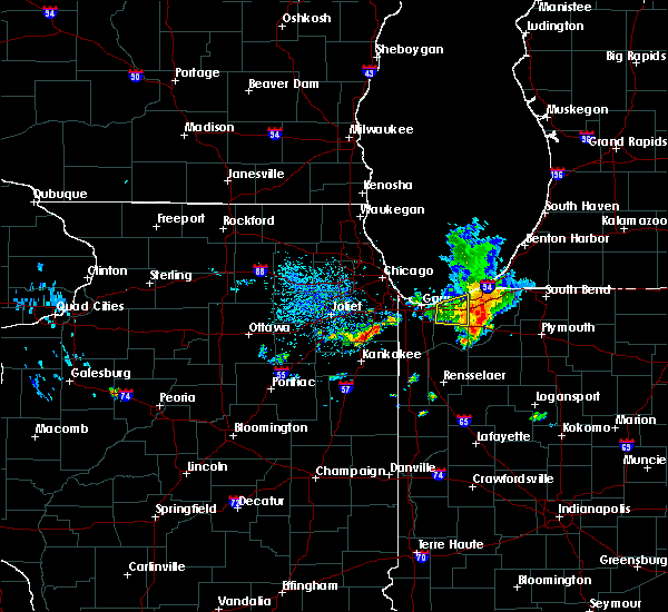 At 922 am cdt, severe thunderstorms were located along a line extending from near town of pines to westville to kvpz, moving east at 15 mph (radar indicated). Hazards include 60 mph wind gusts. Expect damage to roofs. siding. and trees. locations impacted include, valparaiso, chesterton, lincoln hills, town of pines and kvpz. this includes, valparaiso university. including the following interstates, indiana i-90 between mile markers 29 and 37. Indiana i-94 between mile markers 27 and 32. At 922 am cdt, severe thunderstorms were located along a line extending from near town of pines to westville to kvpz, moving east at 15 mph (radar indicated). Hazards include 60 mph wind gusts. Expect damage to roofs. siding. and trees. locations impacted include, valparaiso, chesterton, lincoln hills, town of pines and kvpz. this includes, valparaiso university. including the following interstates, indiana i-90 between mile markers 29 and 37. Indiana i-94 between mile markers 27 and 32.
|
| 8/18/2016 9:08 AM CDT |
 At 907 am cdt, severe thunderstorms were located along a line extending from near trail creek to near westville to near lincoln hills, moving east at 25 mph (radar indicated). Hazards include 60 mph wind gusts. Expect damage to roofs. siding. and trees. locations impacted include, portage, valparaiso, chesterton, porter, burns harbor, lincoln hills, wheeler, south haven, ogden dunes, town of pines, beverly shores, kvpz and dune acres. this includes, valparaiso university and indiana dunes state park. including the following interstates, indiana i-90 between mile markers 23 and 37. Indiana i-94 between mile markers 18 and 32. At 907 am cdt, severe thunderstorms were located along a line extending from near trail creek to near westville to near lincoln hills, moving east at 25 mph (radar indicated). Hazards include 60 mph wind gusts. Expect damage to roofs. siding. and trees. locations impacted include, portage, valparaiso, chesterton, porter, burns harbor, lincoln hills, wheeler, south haven, ogden dunes, town of pines, beverly shores, kvpz and dune acres. this includes, valparaiso university and indiana dunes state park. including the following interstates, indiana i-90 between mile markers 23 and 37. Indiana i-94 between mile markers 18 and 32.
|
| 8/18/2016 8:54 AM CDT |
 At 854 am cdt, severe thunderstorms were located along a line extending from town of pines to near valparaiso to near wheeler, moving east at 25 mph (radar indicated). Hazards include 60 mph wind gusts. Expect damage to roofs. siding. And trees. At 854 am cdt, severe thunderstorms were located along a line extending from town of pines to near valparaiso to near wheeler, moving east at 25 mph (radar indicated). Hazards include 60 mph wind gusts. Expect damage to roofs. siding. And trees.
|
| 7/21/2016 1:47 PM CDT |
 At 146 pm cdt, a severe thunderstorm was located 5 miles south of chesterton, moving east at 30 mph (radar indicated). Hazards include 60 mph wind gusts and penny size hail. Expect damage to roofs. siding. and trees. locations impacted include, portage, valparaiso, chesterton, porter, burns harbor, wheeler, south haven, town of pines, beverly shores and dune acres. this includes, indiana dunes state park. including the following interstates, indiana i-90 between mile markers 25 and 37. Indiana i-94 between mile markers 20 and 32. At 146 pm cdt, a severe thunderstorm was located 5 miles south of chesterton, moving east at 30 mph (radar indicated). Hazards include 60 mph wind gusts and penny size hail. Expect damage to roofs. siding. and trees. locations impacted include, portage, valparaiso, chesterton, porter, burns harbor, wheeler, south haven, town of pines, beverly shores and dune acres. this includes, indiana dunes state park. including the following interstates, indiana i-90 between mile markers 25 and 37. Indiana i-94 between mile markers 20 and 32.
|
| 7/21/2016 1:35 PM CDT |
 At 134 pm cdt, a severe thunderstorm was located over portage, moving east at 30 mph. this storm has a history of producing a 62 mph gust at gary airport at 114 pm cdt (radar indicated). Hazards include 60 mph wind gusts and penny size hail. Expect damage to roofs. siding. And trees. At 134 pm cdt, a severe thunderstorm was located over portage, moving east at 30 mph. this storm has a history of producing a 62 mph gust at gary airport at 114 pm cdt (radar indicated). Hazards include 60 mph wind gusts and penny size hail. Expect damage to roofs. siding. And trees.
|
| 7/18/2016 1:34 AM CDT | Gusts in excess of 34 kt from 0036 to 0048cdt. peak gust occurred 0044cd in lmz745 county IN, 3.4 miles ESE of Michigan City, IN |
| 7/6/2016 4:00 AM CDT |
 At 359 am cdt, severe thunderstorms were located along a line extending from near westville to near grant park to near bourbonnais, moving southeast at 40 mph (radar indicated). Hazards include 60 mph wind gusts. Expect damage to roofs. siding. and trees. locations impacted include, hammond, gary, calumet city, portage, merrillville, valparaiso, chicago heights, east chicago, schererville, hobart, lansing, kankakee, crown point, highland, munster, park forest, bourbonnais, griffith, bradley and st. John. At 359 am cdt, severe thunderstorms were located along a line extending from near westville to near grant park to near bourbonnais, moving southeast at 40 mph (radar indicated). Hazards include 60 mph wind gusts. Expect damage to roofs. siding. and trees. locations impacted include, hammond, gary, calumet city, portage, merrillville, valparaiso, chicago heights, east chicago, schererville, hobart, lansing, kankakee, crown point, highland, munster, park forest, bourbonnais, griffith, bradley and st. John.
|
| 7/6/2016 3:38 AM CDT |
 At 338 am cdt, severe thunderstorms were located along a line extending from near hammond to park forest to lakewood shores, moving east at 40 mph (radar indicated). Hazards include 70 mph wind gusts. Expect considerable tree damage. Damage is likely to mobile homes, roofs, and outbuildings. At 338 am cdt, severe thunderstorms were located along a line extending from near hammond to park forest to lakewood shores, moving east at 40 mph (radar indicated). Hazards include 70 mph wind gusts. Expect considerable tree damage. Damage is likely to mobile homes, roofs, and outbuildings.
|
| 6/20/2016 2:01 PM CDT |
 At 301 pm edt /201 pm cdt/, a severe thunderstorm was located near la porte, moving southeast at 60 mph (radar indicated). Hazards include 60 mph wind gusts and quarter size hail. Hail damage to vehicles is expected. Expect wind damage to roofs, siding and trees. At 301 pm edt /201 pm cdt/, a severe thunderstorm was located near la porte, moving southeast at 60 mph (radar indicated). Hazards include 60 mph wind gusts and quarter size hail. Hail damage to vehicles is expected. Expect wind damage to roofs, siding and trees.
|
| 8/3/2015 12:05 AM CDT |
 At 1204 am cdt, severe thunderstorms were located along a line extending from rockdale to near 5 miles east of valparaiso, moving southeast at 40 mph (radar indicated). Hazards include 60 mph wind gusts and quarter size hail. Hail damage to vehicles is expected. expect wind damage to roofs, siding and trees. Locations impacted include, joliet, hammond, gary, orland park, tinley park, plainfield, calumet city, portage, merrillville, valparaiso, chicago heights, east chicago, schererville, hobart, lansing, crown point, lockport, new lenox, highland and blue island. At 1204 am cdt, severe thunderstorms were located along a line extending from rockdale to near 5 miles east of valparaiso, moving southeast at 40 mph (radar indicated). Hazards include 60 mph wind gusts and quarter size hail. Hail damage to vehicles is expected. expect wind damage to roofs, siding and trees. Locations impacted include, joliet, hammond, gary, orland park, tinley park, plainfield, calumet city, portage, merrillville, valparaiso, chicago heights, east chicago, schererville, hobart, lansing, crown point, lockport, new lenox, highland and blue island.
|
| 8/2/2015 11:42 PM CDT |
 At 1140 pm cdt, severe thunderstorms were located along a line extending from near plainfield to near porter, moving southeast at 45 mph (radar indicated). Hazards include 60 mph wind gusts and quarter size hail. Hail damage to vehicles is expected. expect wind damage to roofs, siding and trees. Locations impacted include, southern part of chicago, aurora, joliet, naperville, hammond, gary, bolingbrook, orland park, tinley park, oak lawn, romeoville, plainfield, calumet city, portage, merrillville, valparaiso, oswego, chicago heights, east chicago and schererville. At 1140 pm cdt, severe thunderstorms were located along a line extending from near plainfield to near porter, moving southeast at 45 mph (radar indicated). Hazards include 60 mph wind gusts and quarter size hail. Hail damage to vehicles is expected. expect wind damage to roofs, siding and trees. Locations impacted include, southern part of chicago, aurora, joliet, naperville, hammond, gary, bolingbrook, orland park, tinley park, oak lawn, romeoville, plainfield, calumet city, portage, merrillville, valparaiso, oswego, chicago heights, east chicago and schererville.
|
| 8/2/2015 11:22 PM CDT |
 At 1121 pm cdt, severe thunderstorms were located along a line extending from near sugar grove to 6 miles northeast of whiting, moving southeast at 45 mph (radar indicated). Hazards include 60 mph wind gusts and quarter size hail. Hail damage to vehicles is expected. Expect wind damage to roofs, siding and trees. At 1121 pm cdt, severe thunderstorms were located along a line extending from near sugar grove to 6 miles northeast of whiting, moving southeast at 45 mph (radar indicated). Hazards include 60 mph wind gusts and quarter size hail. Hail damage to vehicles is expected. Expect wind damage to roofs, siding and trees.
|
| 8/2/2015 11:20 PM CDT | 50 knot wind gust measured at michigan city c-man statio in lmz745 county IN, 2.9 miles ESE of Michigan City, IN |
| 8/2/2015 11:20 PM CDT | Storm damage reported in lmz046 county IN, 2.9 miles SE of Michigan City, IN |
| 8/2/2015 11:11 PM CDT |
 At 1110 pm cdt, a severe thunderstorm was located near beverly shores, or near michigan city, moving southeast at 50 mph (radar indicated). Hazards include 70 mph wind gusts and quarter size hail. Hail damage to vehicles is expected. expect considerable tree damage. Wind damage is also likely to mobile homes, roofs and outbuildings. At 1110 pm cdt, a severe thunderstorm was located near beverly shores, or near michigan city, moving southeast at 50 mph (radar indicated). Hazards include 70 mph wind gusts and quarter size hail. Hail damage to vehicles is expected. expect considerable tree damage. Wind damage is also likely to mobile homes, roofs and outbuildings.
|
| 7/18/2015 5:27 PM CDT |
 At 527 pm cdt, a severe thunderstorm was located over town of pines, or near michigan city, moving east at 25 mph (radar indicated). Hazards include 60 mph wind gusts. Expect damage to roofs. siding and trees. this severe thunderstorm will be near, trail creek and pottawattamie park around 535 pm cdt. michigan city and long beach around 540 pm cdt. la porte around 550 pm cdt. new carlisle around 615 pm cdt. other locations impacted by this severe thunderstorm include kingsbury, hudson lake, waterford, rolling prarie, fish lake, pinhook, stillwell, byron, pottawattomie park and otis. this includes the following highways, interstate 80 in indiana between mile markers 38 and 61. interstate 94 in indiana between mile markers 33 and 44. A tornado watch remains in effect until 1100 pm cdt for northwestern indiana. At 527 pm cdt, a severe thunderstorm was located over town of pines, or near michigan city, moving east at 25 mph (radar indicated). Hazards include 60 mph wind gusts. Expect damage to roofs. siding and trees. this severe thunderstorm will be near, trail creek and pottawattamie park around 535 pm cdt. michigan city and long beach around 540 pm cdt. la porte around 550 pm cdt. new carlisle around 615 pm cdt. other locations impacted by this severe thunderstorm include kingsbury, hudson lake, waterford, rolling prarie, fish lake, pinhook, stillwell, byron, pottawattomie park and otis. this includes the following highways, interstate 80 in indiana between mile markers 38 and 61. interstate 94 in indiana between mile markers 33 and 44. A tornado watch remains in effect until 1100 pm cdt for northwestern indiana.
|
| 7/18/2015 4:58 PM CDT |
 At 558 pm edt /458 pm cdt/, severe thunderstorms were located along a line extending from near long beach to near la porte, moving northeast at 45 mph (radar indicated). Hazards include 60 mph wind gusts and quarter size hail. Hail damage to vehicles is expected. expect wind damage to roofs, siding and trees. these severe thunderstorms will remain over mainly rural areas of northern la porte and southwestern berrien counties, including the following locations, kingsbury, waterford, michiana, lakeside in berrien county, michiana shores, fish lake, pinhook, stillwell, pottawattomie park and south center. this includes the following highways, interstate 80 in indiana between mile markers 40 and 57. interstate 94 in indiana between mile markers 35 and 45. interstate 94 in michigan between mile markers 0 and 7. A tornado watch remains in effect until midnight edt/1100 pm cdt/ for northwestern indiana and southwestern michigan. At 558 pm edt /458 pm cdt/, severe thunderstorms were located along a line extending from near long beach to near la porte, moving northeast at 45 mph (radar indicated). Hazards include 60 mph wind gusts and quarter size hail. Hail damage to vehicles is expected. expect wind damage to roofs, siding and trees. these severe thunderstorms will remain over mainly rural areas of northern la porte and southwestern berrien counties, including the following locations, kingsbury, waterford, michiana, lakeside in berrien county, michiana shores, fish lake, pinhook, stillwell, pottawattomie park and south center. this includes the following highways, interstate 80 in indiana between mile markers 40 and 57. interstate 94 in indiana between mile markers 35 and 45. interstate 94 in michigan between mile markers 0 and 7. A tornado watch remains in effect until midnight edt/1100 pm cdt/ for northwestern indiana and southwestern michigan.
|
| 7/18/2015 4:50 PM CDT | Tree limbs down. winds estimated on i94 at 65mp in la porte county IN, 1.7 miles ESE of Michigan City, IN |
| 7/18/2015 4:50 PM CDT | Trees and power lines down in la porte county IN, 1.6 miles E of Michigan City, IN |
| 7/18/2015 4:44 PM CDT | Tree down on north wozniak road... just south of 400 wozniak intersection in la porte county IN, 1.6 miles E of Michigan City, IN |
| 7/18/2015 4:33 PM CDT |
 At 532 pm edt /432 pm cdt/, severe thunderstorms were located along a line extending from near chesterton to kvpz, moving northeast at 35 mph (radar indicated). Hazards include 60 mph wind gusts and quarter size hail. Hail damage to vehicles is expected. expect wind damage to roofs, siding and trees. severe thunderstorms will be near, trail creek and pottawattamie park around 450 pm cdt. michigan city and long beach around 455 pm cdt. la porte around 500 pm cdt. new buffalo around 505 pm cdt. other locations impacted by these severe thunderstorms include kingsbury, waterford, michiana, fish lake, stillwell, pinola, tracy, rolling prarie, union pier and hesston. this includes the following highways, interstate 80 in indiana between mile markers 38 and 57. interstate 94 in indiana between mile markers 33 and 45. interstate 94 in michigan between mile markers 0 and 7. A tornado watch remains in effect until midnight edt/1100 pm cdt/ for northwestern indiana and southwestern michigan. At 532 pm edt /432 pm cdt/, severe thunderstorms were located along a line extending from near chesterton to kvpz, moving northeast at 35 mph (radar indicated). Hazards include 60 mph wind gusts and quarter size hail. Hail damage to vehicles is expected. expect wind damage to roofs, siding and trees. severe thunderstorms will be near, trail creek and pottawattamie park around 450 pm cdt. michigan city and long beach around 455 pm cdt. la porte around 500 pm cdt. new buffalo around 505 pm cdt. other locations impacted by these severe thunderstorms include kingsbury, waterford, michiana, fish lake, stillwell, pinola, tracy, rolling prarie, union pier and hesston. this includes the following highways, interstate 80 in indiana between mile markers 38 and 57. interstate 94 in indiana between mile markers 33 and 45. interstate 94 in michigan between mile markers 0 and 7. A tornado watch remains in effect until midnight edt/1100 pm cdt/ for northwestern indiana and southwestern michigan.
|
| 7/18/2015 4:29 PM CDT |
 At 428 pm cdt, severe thunderstorms were located along a line extending from burns harbor to la crosse, moving northeast at 30 mph (radar indicated). Hazards include 60 mph wind gusts and quarter size hail. Hail damage to vehicles is expected. expect wind damage to roofs, siding and trees. these severe storms will be near, town of pines, beverly shores around 445 pm cdt. other locations impacted by these severe thunderstorms include dune acres. this includes, valparaiso university, indiana dunes state park, and porter county fairgrounds. including the following interstates, indiana i-80 near mile marker 16. indiana i-90 between mile markers 22 and 37. indiana i-94 between mile markers 17 and 32. A tornado watch remains in effect until 1000 pm cdt for northwestern indiana. At 428 pm cdt, severe thunderstorms were located along a line extending from burns harbor to la crosse, moving northeast at 30 mph (radar indicated). Hazards include 60 mph wind gusts and quarter size hail. Hail damage to vehicles is expected. expect wind damage to roofs, siding and trees. these severe storms will be near, town of pines, beverly shores around 445 pm cdt. other locations impacted by these severe thunderstorms include dune acres. this includes, valparaiso university, indiana dunes state park, and porter county fairgrounds. including the following interstates, indiana i-80 near mile marker 16. indiana i-90 between mile markers 22 and 37. indiana i-94 between mile markers 17 and 32. A tornado watch remains in effect until 1000 pm cdt for northwestern indiana.
|
| 7/18/2015 4:22 PM CDT |
 At 422 pm cdt, severe thunderstorms were located along a line extending from burns harbor to la crosse, moving northeast at 30 mph (radar indicated). Hazards include 60 mph wind gusts and quarter size hail. Hail damage to vehicles is expected. expect wind damage to roofs, siding and trees. severe thunderstorms will be near, chesterton around 425 pm cdt. porter around 435 pm cdt. town of pines, town of pines, beverly shores and beverly shores around 445 pm cdt. other locations impacted by these severe thunderstorms include dune acres. including the following interstates, indiana i-80 near mile marker 16. indiana i-90 between mile markers 22 and 37. indiana i-94 between mile markers 17 and 32. this includes, valparaiso university, indiana dunes state park, and porter county fairgrounds. A tornado watch remains in effect until 1000 pm cdt for northwestern indiana. At 422 pm cdt, severe thunderstorms were located along a line extending from burns harbor to la crosse, moving northeast at 30 mph (radar indicated). Hazards include 60 mph wind gusts and quarter size hail. Hail damage to vehicles is expected. expect wind damage to roofs, siding and trees. severe thunderstorms will be near, chesterton around 425 pm cdt. porter around 435 pm cdt. town of pines, town of pines, beverly shores and beverly shores around 445 pm cdt. other locations impacted by these severe thunderstorms include dune acres. including the following interstates, indiana i-80 near mile marker 16. indiana i-90 between mile markers 22 and 37. indiana i-94 between mile markers 17 and 32. this includes, valparaiso university, indiana dunes state park, and porter county fairgrounds. A tornado watch remains in effect until 1000 pm cdt for northwestern indiana.
|
| 7/13/2015 9:52 PM CDT |
 At 952 pm cdt, severe thunderstorms were located along a line extending from 9 miles north of ogden dunes to near kvpz, moving east at 50 mph (radar indicated). Hazards include 60 mph wind gusts and nickel size hail. Expect damage to roofs. siding and trees. locations impacted include, portage, valparaiso, chesterton, porter, burns harbor, south haven, lincoln hills, ogden dunes, town of pines, beverly shores, kvpz and dune acres. this includes, valparaiso university and indiana dunes state park. including the following interstates, indiana i-80 near mile marker 16. indiana i-90 between mile markers 22 and 37. indiana i-94 between mile markers 17 and 32. A tornado watch remains in effect until 1100 pm cdt for northwestern indiana. At 952 pm cdt, severe thunderstorms were located along a line extending from 9 miles north of ogden dunes to near kvpz, moving east at 50 mph (radar indicated). Hazards include 60 mph wind gusts and nickel size hail. Expect damage to roofs. siding and trees. locations impacted include, portage, valparaiso, chesterton, porter, burns harbor, south haven, lincoln hills, ogden dunes, town of pines, beverly shores, kvpz and dune acres. this includes, valparaiso university and indiana dunes state park. including the following interstates, indiana i-80 near mile marker 16. indiana i-90 between mile markers 22 and 37. indiana i-94 between mile markers 17 and 32. A tornado watch remains in effect until 1100 pm cdt for northwestern indiana.
|
| 7/13/2015 9:34 PM CDT |
 At 934 pm cdt, severe thunderstorms were located along a line extending from englewood to schererville, moving east at 30 mph (radar indicated). Hazards include 70 mph wind gusts and quarter size hail. Hail damage to vehicles is expected. expect considerable tree damage. Wind damage is also likely to mobile homes, roofs and outbuildings. At 934 pm cdt, severe thunderstorms were located along a line extending from englewood to schererville, moving east at 30 mph (radar indicated). Hazards include 70 mph wind gusts and quarter size hail. Hail damage to vehicles is expected. expect considerable tree damage. Wind damage is also likely to mobile homes, roofs and outbuildings.
|
| 6/10/2015 7:11 AM CDT |
 At 711 am cdt, severe thunderstorms were located along a line extending from near beverly shores to near westville to near valparaiso, moving east at 25 mph (radar indicated). Hazards include 60 mph wind gusts and penny size hail. Expect damage to roofs. siding and trees. locations impacted include, valparaiso, chesterton, porter, burns harbor, lincoln hills, town of pines, beverly shores, kvpz and dune acres. this includes, valparaiso university, indiana dunes state park, and porter county fairgrounds. including the following interstates, indiana i-90 between mile markers 29 and 37. Indiana i-94 between mile markers 23 and 32. At 711 am cdt, severe thunderstorms were located along a line extending from near beverly shores to near westville to near valparaiso, moving east at 25 mph (radar indicated). Hazards include 60 mph wind gusts and penny size hail. Expect damage to roofs. siding and trees. locations impacted include, valparaiso, chesterton, porter, burns harbor, lincoln hills, town of pines, beverly shores, kvpz and dune acres. this includes, valparaiso university, indiana dunes state park, and porter county fairgrounds. including the following interstates, indiana i-90 between mile markers 29 and 37. Indiana i-94 between mile markers 23 and 32.
|
| 6/10/2015 7:01 AM CDT |
 At 700 am cdt, severe thunderstorms were located along a line extending from near porter to near south haven to near lincoln hills, moving east at 25 mph (radar indicated). Hazards include 60 mph wind gusts. Expect damage to roofs. siding and trees. locations impacted include, portage, valparaiso, chesterton, porter, burns harbor, wheeler, south haven, lincoln hills, town of pines, beverly shores, and dune acres. this includes, valparaiso university, indiana dunes state park, and porter county fairgrounds. including the following interstates, indiana i-90 between mile markers 25 and 37. Indiana i-94 between mile markers 20 and 32. At 700 am cdt, severe thunderstorms were located along a line extending from near porter to near south haven to near lincoln hills, moving east at 25 mph (radar indicated). Hazards include 60 mph wind gusts. Expect damage to roofs. siding and trees. locations impacted include, portage, valparaiso, chesterton, porter, burns harbor, wheeler, south haven, lincoln hills, town of pines, beverly shores, and dune acres. this includes, valparaiso university, indiana dunes state park, and porter county fairgrounds. including the following interstates, indiana i-90 between mile markers 25 and 37. Indiana i-94 between mile markers 20 and 32.
|
| 6/10/2015 6:48 AM CDT |
 At 647 am cdt, severe thunderstorms were located along a line extending from ogden dunes to south haven to near lakes of the four seasons, moving east at 25 mph (radar indicated). Hazards include 60 mph wind gusts. Expect damage to roofs. Siding and trees. At 647 am cdt, severe thunderstorms were located along a line extending from ogden dunes to south haven to near lakes of the four seasons, moving east at 25 mph (radar indicated). Hazards include 60 mph wind gusts. Expect damage to roofs. Siding and trees.
|
| 6/8/2015 4:29 PM CDT | At 428 pm cdt, severe thunderstorms were located along a line extending from 6 miles southwest of la porte to near westville to south haven, moving east at 25 mph (radar indicated. at 355 pm cdt a 60 mph wind gust was reported at burns harbor with this line of storms). Hazards include 70 mph wind gusts and quarter size hail. Hail damage to vehicles is expected. expect considerable tree damage. wind damage is also likely to mobile homes, roofs and outbuildings. these severe thunderstorms will remain over mainly rural areas of northern porter county, including the following locations, dune acres. this includes, valparaiso university and indiana dunes state park. including the following interstates, indiana i-80 near mile marker 16. indiana i-90 between mile markers 22 and 37. Indiana i-94 between mile markers 17 and 32. |
| 6/8/2015 4:16 PM CDT | At 415 pm cdt, severe thunderstorms were located along a line extending from near westville to near chesterton to portage, moving east at 30 mph. a wind gust to 60 mph was reported at burns harbor with this storm at 355 pm cdt (radar indicated). Hazards include 70 mph wind gusts and quarter size hail. Hail damage to vehicles is expected. expect considerable tree damage. wind damage is also likely to mobile homes, roofs and outbuildings. these severe storms will be near, kvpz around 420 pm cdt. other locations impacted by these severe thunderstorms include dune acres. this includes, valparaiso university and indiana dunes state park. including the following interstates, indiana i-80 near mile marker 16. indiana i-90 between mile markers 22 and 37. Indiana i-94 between mile markers 17 and 32. |
| 6/8/2015 3:56 PM CDT | At 356 pm cdt, severe thunderstorms were located along a line extending from near beverly shores to wheeler, moving east at 25 mph (radar indicated). Hazards include 70 mph wind gusts and quarter size hail. Hail damage to vehicles is expected. expect considerable tree damage. Wind damage is also likely to mobile homes, roofs and outbuildings. |
| 6/30/2014 8:30 PM CDT | Two foot diameter tree snapped at the base in la porte county IN, 1.6 miles E of Michigan City, IN |
| 5/11/2014 7:40 PM CDT | Michigan city c-man statio in porter county IN, 2.5 miles ESE of Michigan City, IN |
| 5/11/2014 7:40 PM CDT | Michigan city c-man station in lmz046 county IN, 2.9 miles SE of Michigan City, IN |
| 5/11/2014 7:26 PM CDT | Reports of a few trees down in michigan city and near westville around county line rd. and snider rd. numerous power outages in michigan city and laport in la porte county IN, 1.6 miles E of Michigan City, IN |
| 11/17/2013 1:45 PM CST | Storm damage reported in lmz046 county IN, 2.9 miles SE of Michigan City, IN |
| 11/17/2013 1:45 PM CST | Storm damage reported in lmz745 county IN, 2.7 miles ESE of Michigan City, IN |
| 11/17/2013 1:37 PM CST | 2 foot diameter tree uprooted and fell on hom in la porte county IN, 1.6 miles E of Michigan City, IN |
| 11/17/2013 1:36 PM CST | Measured gusts in excess of 55mph trees and power lines down in michigan city pea sz hail. time estimated from rada in la porte county IN, 3.7 miles NW of Michigan City, IN |
| 11/17/2013 12:36 PM CST | Measured gusts in excess of 55mph trees and power lines down in michigan city pea sz hail in la porte county IN, 3.7 miles NW of Michigan City, IN |
| 6/24/2013 6:47 PM CDT | Storm damage reported in la porte county IN, 1.6 miles E of Michigan City, IN |
| 5/28/2013 9:40 PM CDT | Gust to 67 knots at michigan city glerl sit in lmz745 county IN, 2.7 miles ESE of Michigan City, IN |
| 5/28/2013 9:27 PM CDT | A few large tree branches down...spotter report relayed by nws chicago in la porte county IN, 3.1 miles E of Michigan City, IN |
| 7/26/2012 7:10 PM CDT | Storm damage reported in lmz046 county IN, 2.9 miles SE of Michigan City, IN |
| 7/24/2012 7:15 AM CDT | Storm damage reported in lmz046 county IN, 2.9 miles SE of Michigan City, IN |
| 7/24/2012 7:15 AM CDT | Storm damage reported in la porte county IN, 3.2 miles ENE of Michigan City, IN |
| 7/1/2012 1:45 PM CDT | Storm damage reported in lmz046 county IN, 2.9 miles SE of Michigan City, IN |
| 6/29/2012 12:20 PM CDT | News media reports trees down throughout michigan city. time estimated from rada in la porte county IN, 1.6 miles E of Michigan City, IN |
| 6/29/2012 12:15 PM CDT | Storm damage reported in lmz046 county IN, 2.9 miles SE of Michigan City, IN |
| 6/29/2012 12:15 PM CDT | Storm damage reported in lmz046 county IN, 2.9 miles SE of Michigan City, IN |
| 1/1/0001 12:00 AM | Quarter sized hail reported 0.9 miles NE of Michigan City, IN, public report of hail ranging from dime to quarter sized. time estimated from radar. |
| 1/1/0001 12:00 AM | Storm damage reported in lmz046 county IN, 2.9 miles SE of Michigan City, IN |
| 1/1/0001 12:00 AM | Reports of trees and powerlines down in michigan city...time estimated from rada in laporte county IN, 1.6 miles E of Michigan City, IN |
Hail Maps for Michigan City, IN


Connect with Interactive Hail Maps