

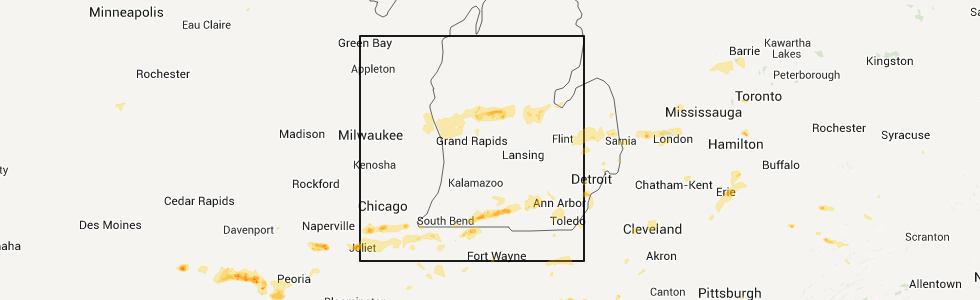
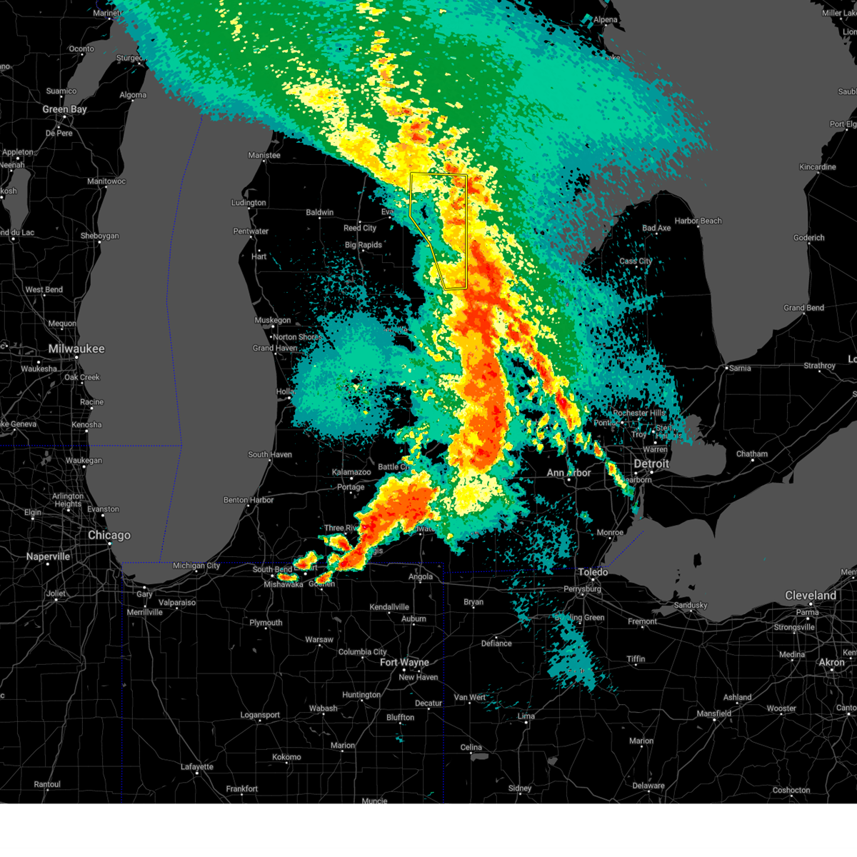
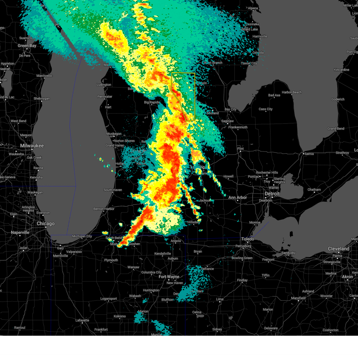
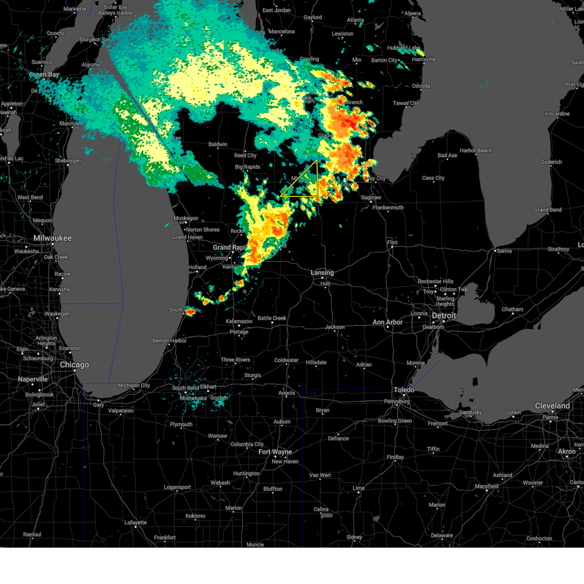
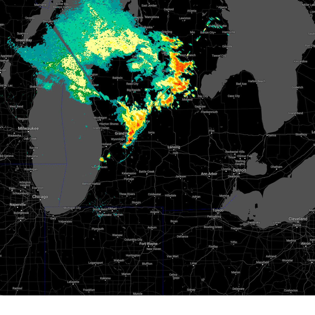
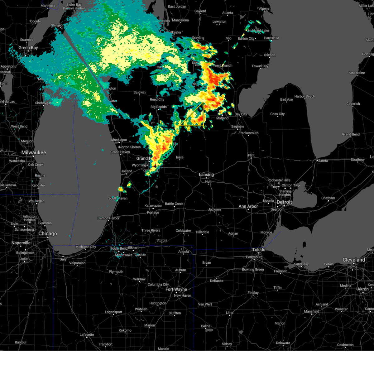
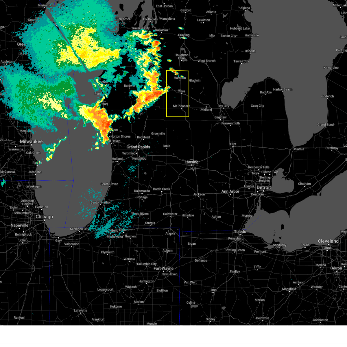
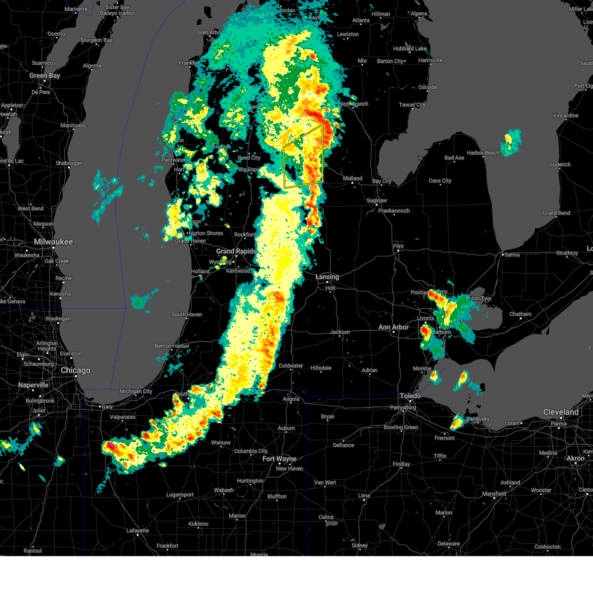
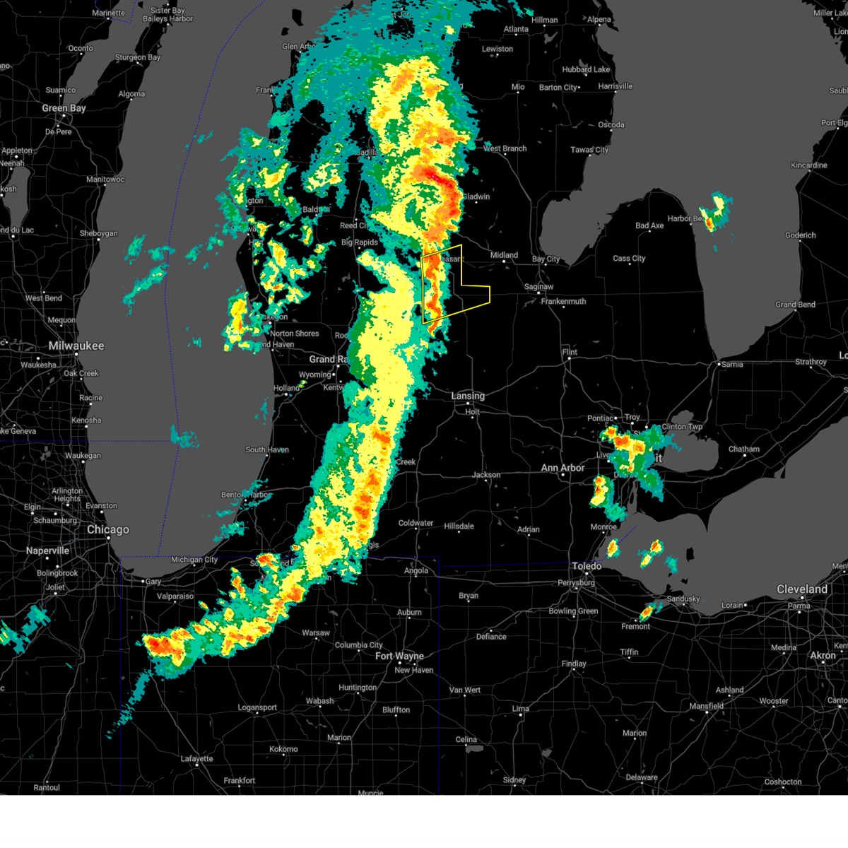
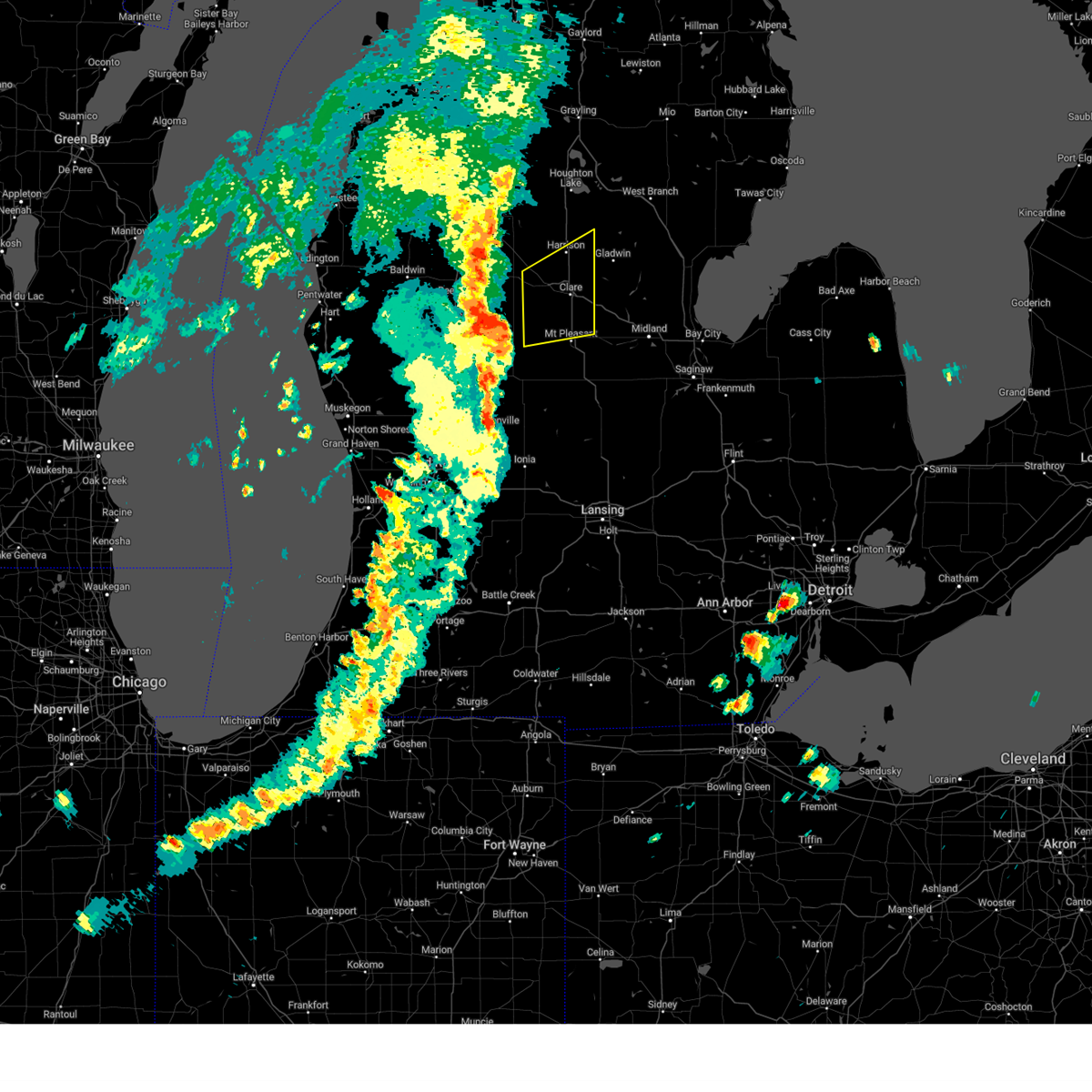
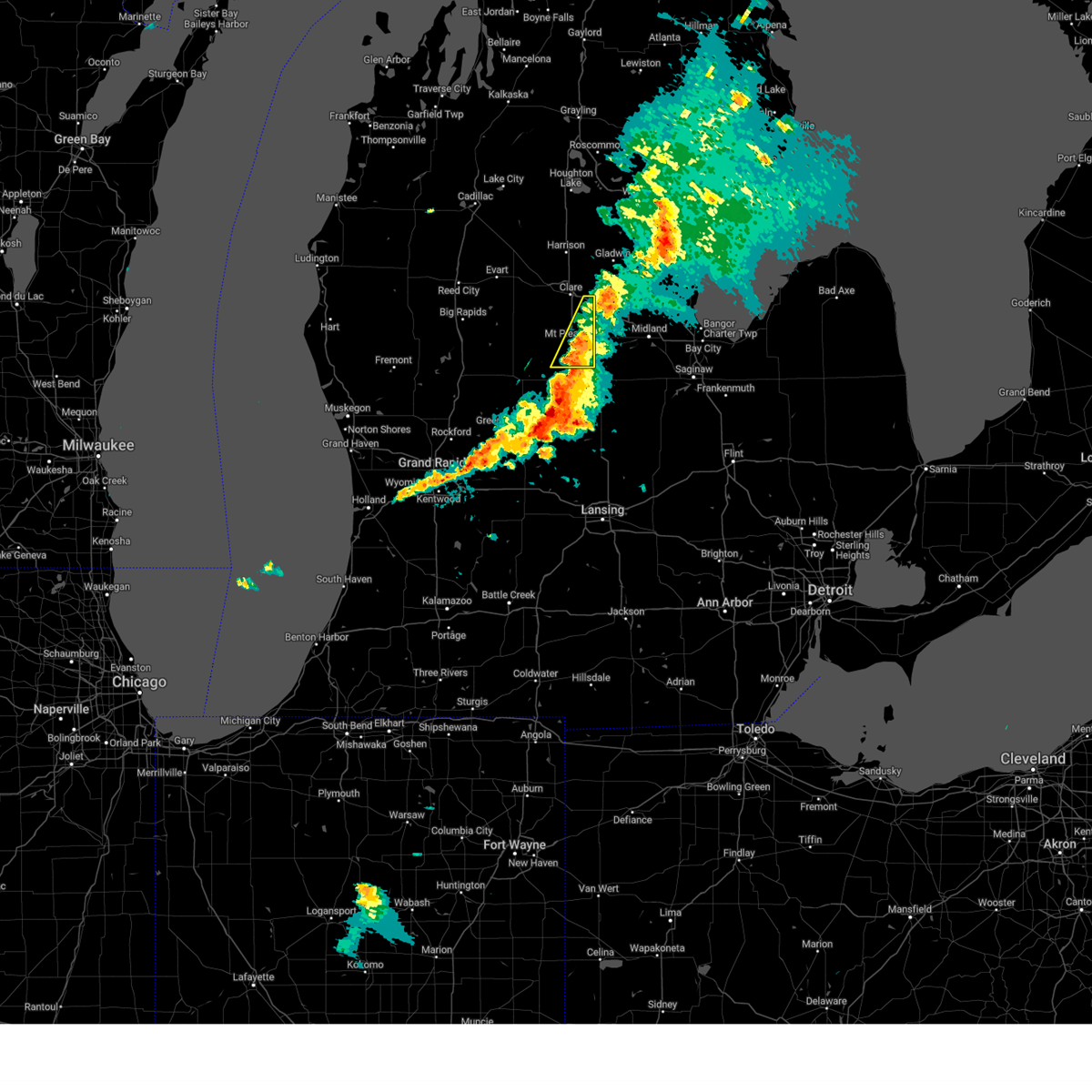
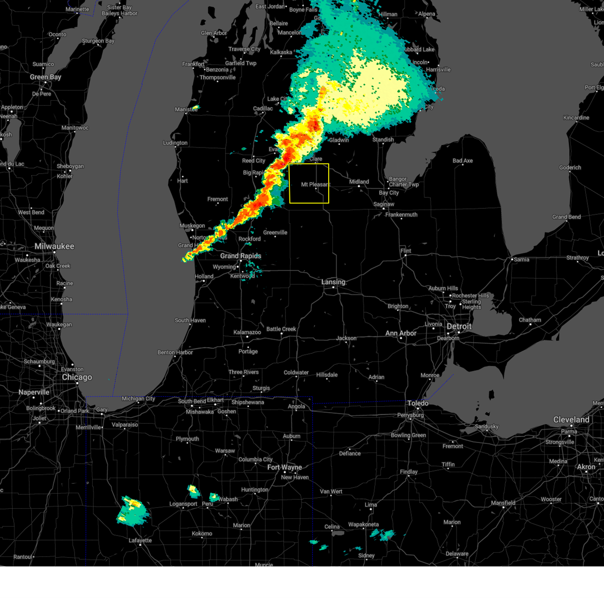
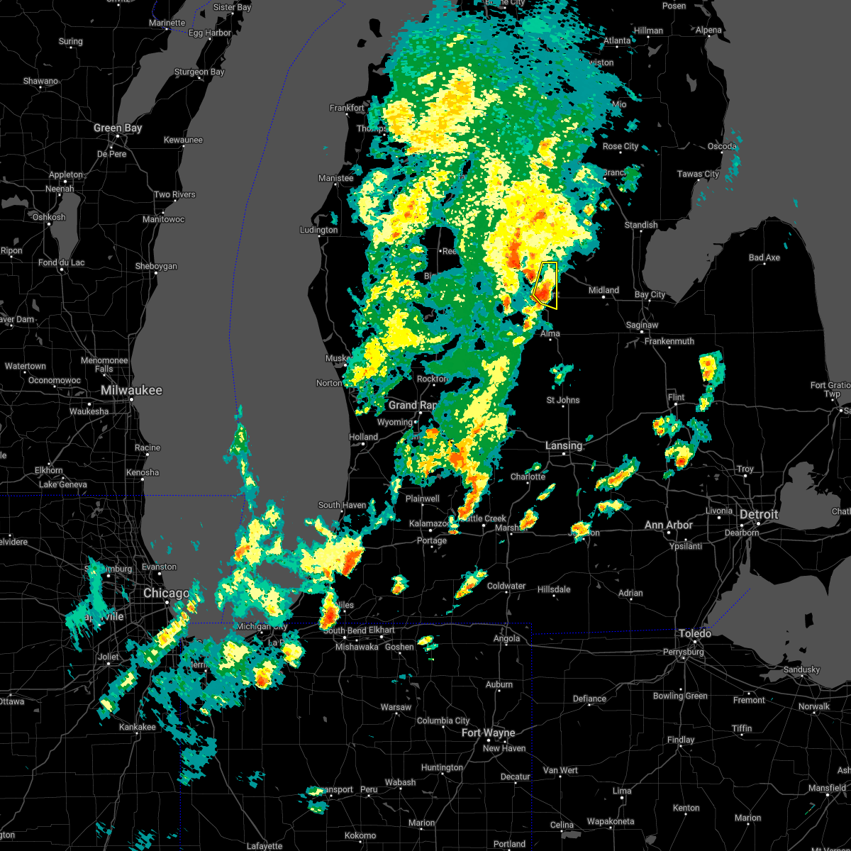
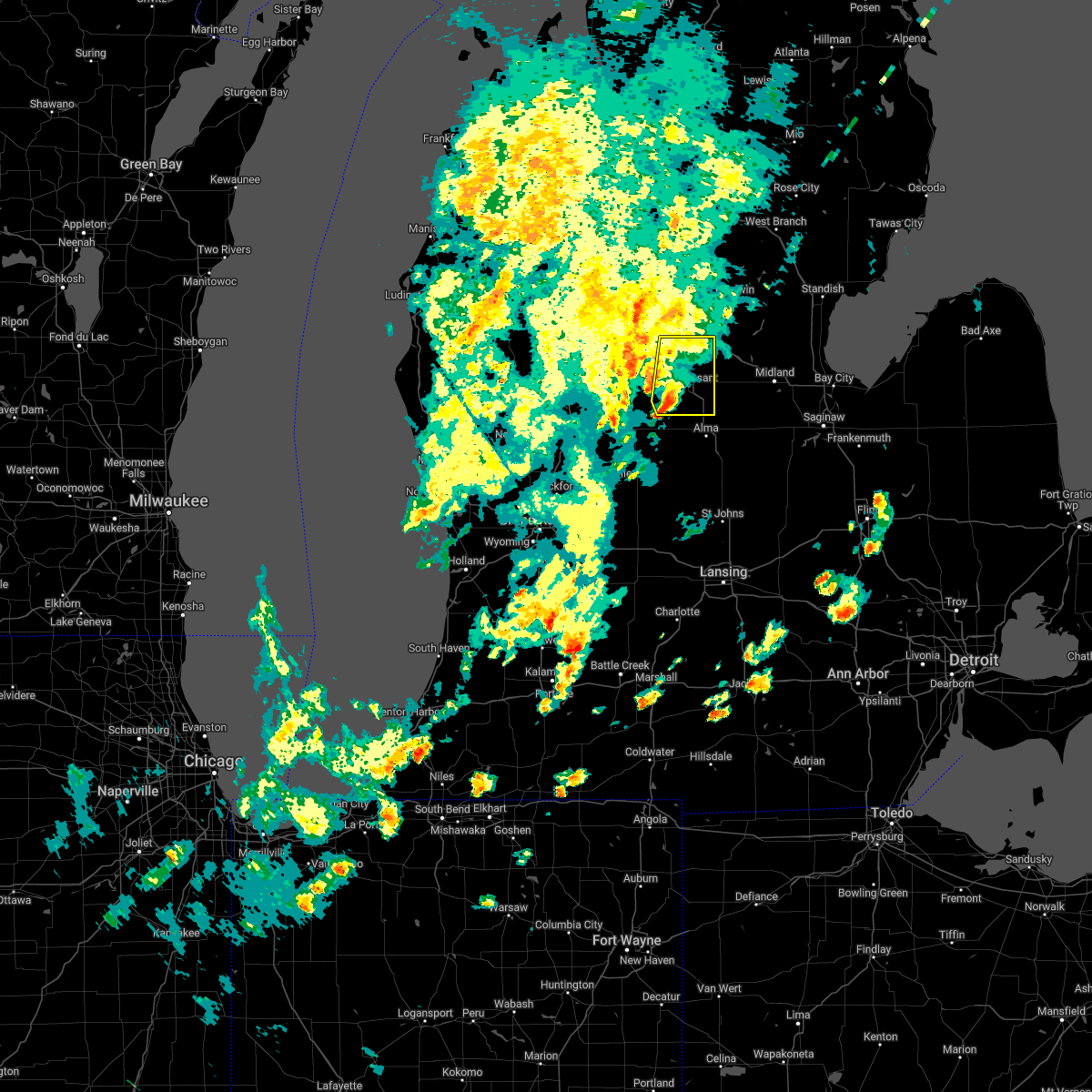
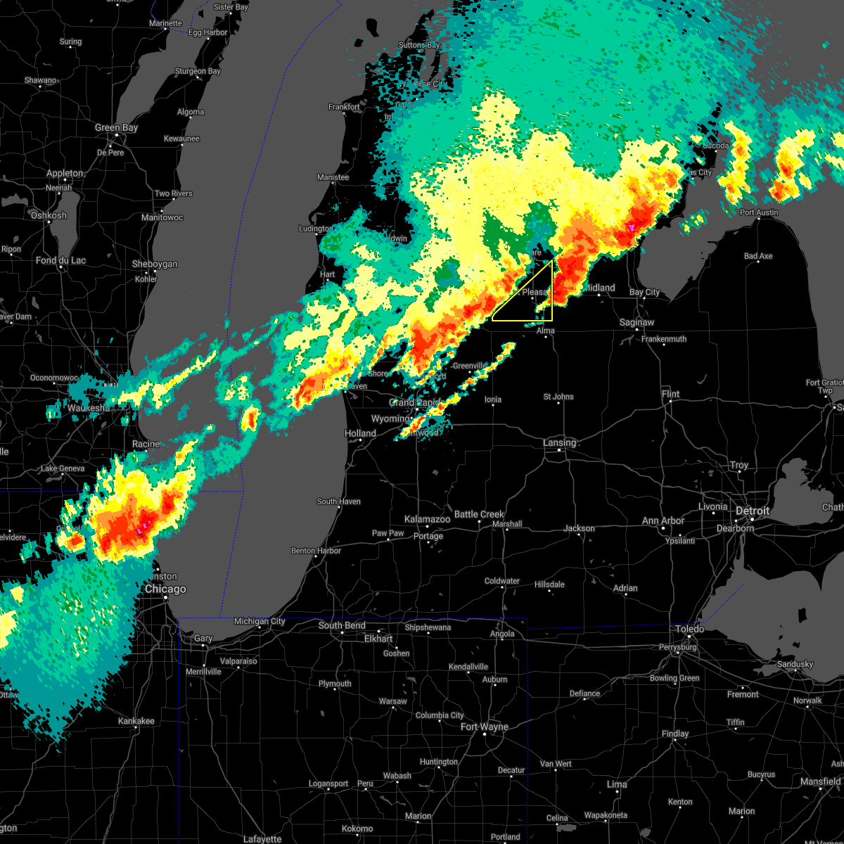
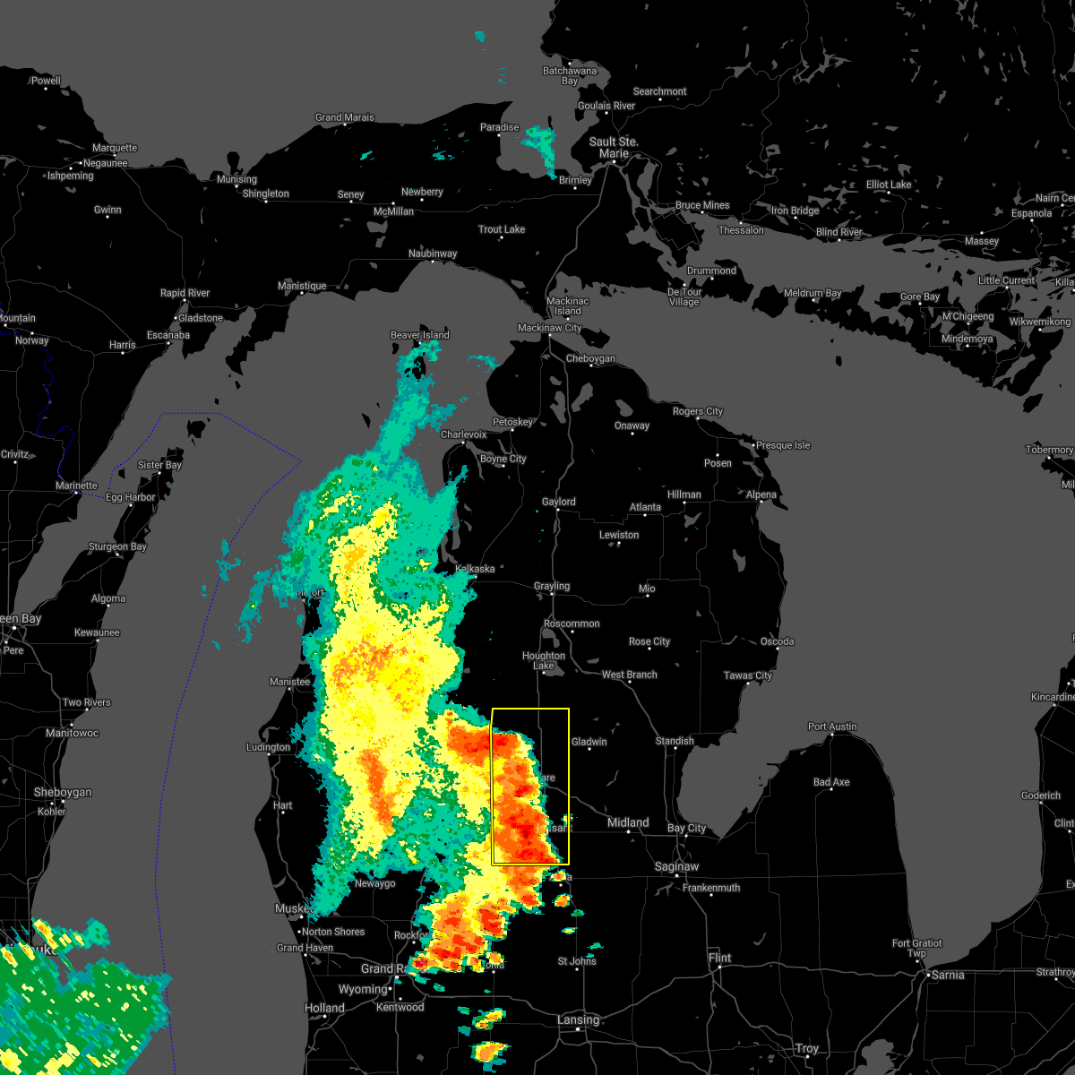
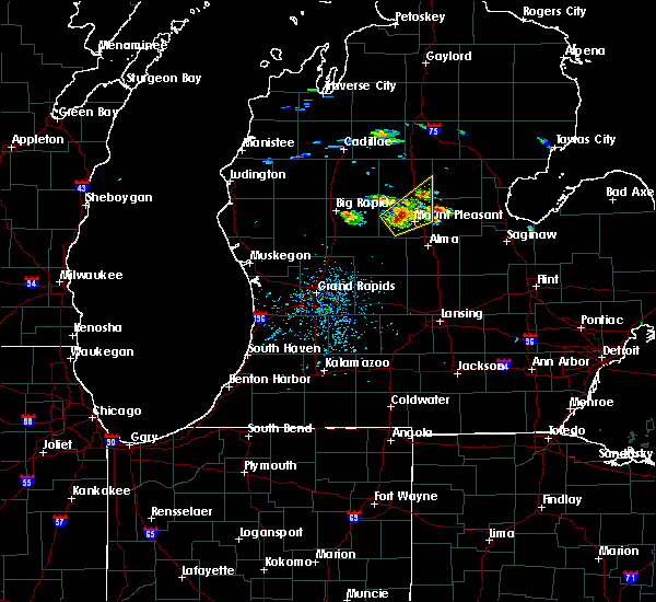
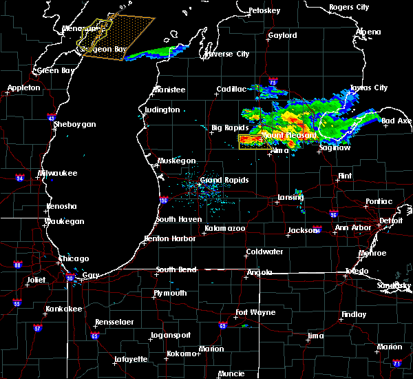
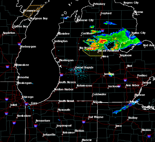
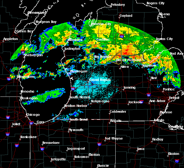
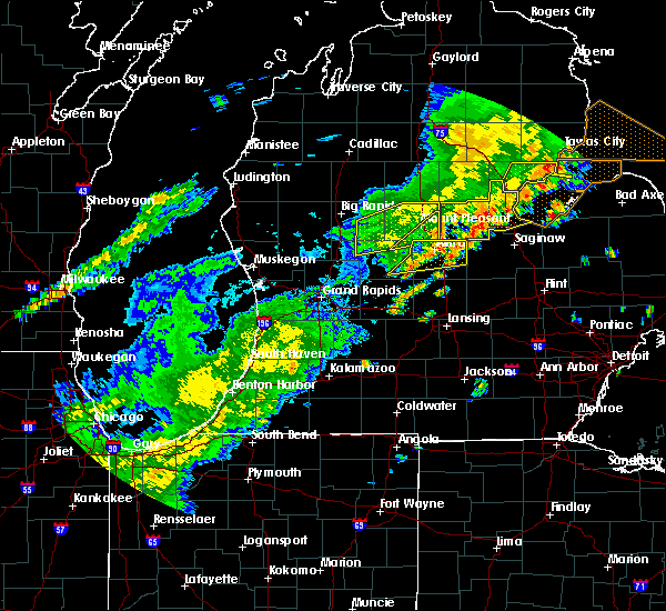
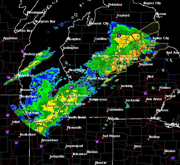
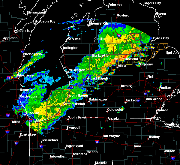
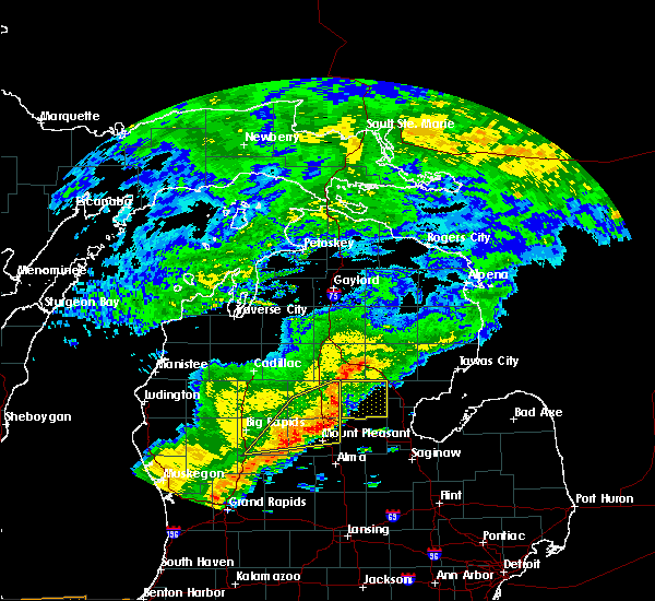
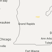
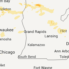
Hail Map for Mount Pleasant, MI
The Mount Pleasant, MI area has had 7 reports of on-the-ground hail by trained spotters, and has been under severe weather warnings 9 times during the past 12 months. Doppler radar has detected hail at or near Mount Pleasant, MI on 33 occasions.
| Name: | Mount Pleasant, MI |
| Where Located: | 63.3 miles NE of Grand Rapids, MI |
| Map: | Google Map for Mount Pleasant, MI |
| Population: | 26016 |
| Housing Units: | 8981 |
| More Info: | Search Google for Mount Pleasant, MI |
5
The Top Recent Hail Date for Mount Pleasant, MI is Saturday, September 3, 2011 (1st out of 33)
Hail and Wind Damage Spotted near Mount Pleasant, MI
| Date / Time | Report Details |
|---|---|
| 5/16/2025 12:00 AM EDT |
 the severe thunderstorm warning has been cancelled and is no longer in effect the severe thunderstorm warning has been cancelled and is no longer in effect
|
| 5/15/2025 11:22 PM EDT |
 Svrgrr the national weather service in grand rapids has issued a * severe thunderstorm warning for, eastern isabella county in central michigan, clare county in central michigan, * until 1215 am edt. * at 1121 pm edt, severe thunderstorms were located along a line extending from near mcbain to 5 miles south of farwell to near shepherd, moving east at 30 mph (radar indicated). Hazards include 60 mph wind gusts. expect damage to roofs, siding, and trees Svrgrr the national weather service in grand rapids has issued a * severe thunderstorm warning for, eastern isabella county in central michigan, clare county in central michigan, * until 1215 am edt. * at 1121 pm edt, severe thunderstorms were located along a line extending from near mcbain to 5 miles south of farwell to near shepherd, moving east at 30 mph (radar indicated). Hazards include 60 mph wind gusts. expect damage to roofs, siding, and trees
|
| 3/30/2025 7:07 PM EDT | The storm which prompted the warning has weakened below severe limits, and no longer poses an immediate threat to life or property. therefore, the warning will be allowed to expire. however, gusty winds are still possible with this thunderstorm. |
| 3/30/2025 6:52 PM EDT | At 652 pm edt, a severe thunderstorm was located near mount pleasant, moving northeast at 50 mph (radar indicated). Hazards include 60 mph wind gusts and penny size hail. Expect damage to roofs, siding, and trees. Locations impacted include, brinton, mount pleasant, lake isabella, loomis, blanchard, shepherd, rosebush, delwin, beal city, winn, mount pleasant munic, weidman, clare,. |
| 3/30/2025 6:37 PM EDT | Svrgrr the national weather service in grand rapids has issued a * severe thunderstorm warning for, isabella county in central michigan, * until 715 pm edt. * at 637 pm edt, a severe thunderstorm was located 7 miles north of edmore, or 13 miles southwest of mount pleasant, moving northeast at 55 mph (radar indicated). Hazards include 60 mph wind gusts and penny size hail. expect damage to roofs, siding, and trees |
| 8/27/2024 3:54 PM EDT |
 the severe thunderstorm warning has been cancelled and is no longer in effect the severe thunderstorm warning has been cancelled and is no longer in effect
|
| 8/27/2024 3:41 PM EDT |
 the severe thunderstorm warning has been cancelled and is no longer in effect the severe thunderstorm warning has been cancelled and is no longer in effect
|
| 8/27/2024 3:41 PM EDT |
 At 340 pm edt, a severe thunderstorm was located near shepherd, moving east at 40 mph (radar indicated). Hazards include 60 mph wind gusts. Expect damage to roofs, siding, and trees. Locations impacted include, mount pleasant, shepherd, rosebush, delwin, winn, mount pleasant munic,. At 340 pm edt, a severe thunderstorm was located near shepherd, moving east at 40 mph (radar indicated). Hazards include 60 mph wind gusts. Expect damage to roofs, siding, and trees. Locations impacted include, mount pleasant, shepherd, rosebush, delwin, winn, mount pleasant munic,.
|
| 8/27/2024 3:30 PM EDT | Numerous trees damage around the mount pleasant area. time estimated via rada in isabella county MI, 0.6 miles ENE of Mount Pleasant, MI |
| 8/27/2024 2:50 PM EDT |
 Svrgrr the national weather service in grand rapids has issued a * severe thunderstorm warning for, isabella county in central michigan, clare county in central michigan, * until 415 pm edt. * at 250 pm edt, severe thunderstorms were located along a line extending from near leota to near big rapids, moving east at 40 mph (radar indicated). Hazards include 60 mph wind gusts. expect damage to roofs, siding, and trees Svrgrr the national weather service in grand rapids has issued a * severe thunderstorm warning for, isabella county in central michigan, clare county in central michigan, * until 415 pm edt. * at 250 pm edt, severe thunderstorms were located along a line extending from near leota to near big rapids, moving east at 40 mph (radar indicated). Hazards include 60 mph wind gusts. expect damage to roofs, siding, and trees
|
| 5/20/2024 8:29 PM EDT |
 The storm which prompted the warning has moved out of the area. therefore, the warning will be allowed to expire. a severe thunderstorm watch remains in effect until 1000 pm edt for central michigan. The storm which prompted the warning has moved out of the area. therefore, the warning will be allowed to expire. a severe thunderstorm watch remains in effect until 1000 pm edt for central michigan.
|
| 5/20/2024 8:18 PM EDT |
 At 818 pm edt, severe thunderstorms were located along a line extending from near mount pleasant to 6 miles northeast of carson city, moving northeast at 30 mph (radar indicated). Hazards include 60 mph wind gusts. Expect damage to roofs, siding, and trees. locations impacted include, mount pleasant, alma, ithaca, st. Louis, shepherd, breckenridge, wheeler, crystal, sumner, elm hall, gratiot community ai, vestaburg, forest hill, riverdale, delwin, winn, mount pleasant munic,. At 818 pm edt, severe thunderstorms were located along a line extending from near mount pleasant to 6 miles northeast of carson city, moving northeast at 30 mph (radar indicated). Hazards include 60 mph wind gusts. Expect damage to roofs, siding, and trees. locations impacted include, mount pleasant, alma, ithaca, st. Louis, shepherd, breckenridge, wheeler, crystal, sumner, elm hall, gratiot community ai, vestaburg, forest hill, riverdale, delwin, winn, mount pleasant munic,.
|
| 5/20/2024 7:42 PM EDT |
 Svrgrr the national weather service in grand rapids has issued a * severe thunderstorm warning for, northern gratiot county in central michigan, southern isabella county in central michigan, eastern montcalm county in central michigan, * until 845 pm edt. * at 741 pm edt, a severe thunderstorm was located over stanton, moving northeast at 30 mph (radar indicated). Hazards include 60 mph wind gusts. expect damage to roofs, siding, and trees Svrgrr the national weather service in grand rapids has issued a * severe thunderstorm warning for, northern gratiot county in central michigan, southern isabella county in central michigan, eastern montcalm county in central michigan, * until 845 pm edt. * at 741 pm edt, a severe thunderstorm was located over stanton, moving northeast at 30 mph (radar indicated). Hazards include 60 mph wind gusts. expect damage to roofs, siding, and trees
|
| 5/20/2024 7:29 PM EDT |
 Svrgrr the national weather service in grand rapids has issued a * severe thunderstorm warning for, isabella county in central michigan, clare county in central michigan, * until 830 pm edt. * at 728 pm edt, a severe thunderstorm was located 7 miles northeast of mecosta, or 14 miles southeast of evart, moving northeast at 30 mph (radar indicated). Hazards include 60 mph wind gusts. expect damage to roofs, siding, and trees Svrgrr the national weather service in grand rapids has issued a * severe thunderstorm warning for, isabella county in central michigan, clare county in central michigan, * until 830 pm edt. * at 728 pm edt, a severe thunderstorm was located 7 miles northeast of mecosta, or 14 miles southeast of evart, moving northeast at 30 mph (radar indicated). Hazards include 60 mph wind gusts. expect damage to roofs, siding, and trees
|
| 11/8/2023 6:07 PM EST |
 At 607 pm est, a severe thunderstorm was located over mecosta, or 15 miles east of big rapids, moving east-northeast at 45 mph (radar indicated). Hazards include quarter size hail. damage to vehicles is expected At 607 pm est, a severe thunderstorm was located over mecosta, or 15 miles east of big rapids, moving east-northeast at 45 mph (radar indicated). Hazards include quarter size hail. damage to vehicles is expected
|
| 11/6/2023 9:45 AM EST |
 At 944 am est, severe thunderstorms were located along a line extending from near lakeview to 6 miles northeast of sparta, moving east at 75 mph (radar indicated). Hazards include 60 mph wind gusts and quarter size hail. Hail damage to vehicles is expected. Expect wind damage to roofs, siding, and trees. At 944 am est, severe thunderstorms were located along a line extending from near lakeview to 6 miles northeast of sparta, moving east at 75 mph (radar indicated). Hazards include 60 mph wind gusts and quarter size hail. Hail damage to vehicles is expected. Expect wind damage to roofs, siding, and trees.
|
| 7/20/2023 1:26 PM EDT |
 At 124 pm edt, severe thunderstorms were located along a line extending from near coleman to 6 miles southwest of shepherd, moving east at 30 mph (radar indicated). Hazards include 60 mph wind gusts and quarter size hail. Hail damage to vehicles is expected. expect wind damage to roofs, siding, and trees. locations impacted include, shepherd hail threat, radar indicated max hail size, 1. 00 in wind threat, radar indicated max wind gust, 60 mph. At 124 pm edt, severe thunderstorms were located along a line extending from near coleman to 6 miles southwest of shepherd, moving east at 30 mph (radar indicated). Hazards include 60 mph wind gusts and quarter size hail. Hail damage to vehicles is expected. expect wind damage to roofs, siding, and trees. locations impacted include, shepherd hail threat, radar indicated max hail size, 1. 00 in wind threat, radar indicated max wind gust, 60 mph.
|
| 7/20/2023 12:29 PM EDT |
 At 1228 pm edt, severe thunderstorms were located along a line extending from 10 miles east of evart to near morley, moving east at 30 mph (radar indicated). Hazards include 60 mph wind gusts and quarter size hail. Hail damage to vehicles is expected. Expect wind damage to roofs, siding, and trees. At 1228 pm edt, severe thunderstorms were located along a line extending from 10 miles east of evart to near morley, moving east at 30 mph (radar indicated). Hazards include 60 mph wind gusts and quarter size hail. Hail damage to vehicles is expected. Expect wind damage to roofs, siding, and trees.
|
| 6/25/2023 6:27 PM EDT |
 The severe thunderstorm warning for gratiot and isabella counties will expire at 630 pm edt, the storms which prompted the warning have weakened and moved out of the warned area. therefore, the warning will be allowed to expire. a severe thunderstorm watch remains in effect until 700 pm edt for central michigan. The severe thunderstorm warning for gratiot and isabella counties will expire at 630 pm edt, the storms which prompted the warning have weakened and moved out of the warned area. therefore, the warning will be allowed to expire. a severe thunderstorm watch remains in effect until 700 pm edt for central michigan.
|
| 6/25/2023 6:04 PM EDT |
 At 604 pm edt, severe thunderstorms were located along a line extending from farwell to ithaca, moving northeast at 30 mph (radar indicated). Hazards include 60 mph wind gusts and penny size hail. Expect damage to roofs, siding, and trees. locations impacted include, mount pleasant, alma, clare, ithaca, st. louis, shepherd, breckenridge, rosebush, wheeler, north star, ashley, perrinton, brinton, loomis, gratiot community ai, bannister, forest hill, pompeii, delwin, beal city, hail threat, radar indicated max hail size, 0. 75 in wind threat, radar indicated max wind gust, 60 mph. At 604 pm edt, severe thunderstorms were located along a line extending from farwell to ithaca, moving northeast at 30 mph (radar indicated). Hazards include 60 mph wind gusts and penny size hail. Expect damage to roofs, siding, and trees. locations impacted include, mount pleasant, alma, clare, ithaca, st. louis, shepherd, breckenridge, rosebush, wheeler, north star, ashley, perrinton, brinton, loomis, gratiot community ai, bannister, forest hill, pompeii, delwin, beal city, hail threat, radar indicated max hail size, 0. 75 in wind threat, radar indicated max wind gust, 60 mph.
|
| 6/25/2023 5:58 PM EDT | 911 call center reports multiple trees and wires down across the count in isabella county MI, 11.1 miles E of Mount Pleasant, MI |
| 6/25/2023 5:32 PM EDT |
 At 531 pm edt, severe thunderstorms were located along a line extending from 6 miles northeast of mecosta to near carson city, moving northeast at 30 mph (radar indicated). Hazards include 60 mph wind gusts and penny size hail. expect damage to roofs, siding, and trees At 531 pm edt, severe thunderstorms were located along a line extending from 6 miles northeast of mecosta to near carson city, moving northeast at 30 mph (radar indicated). Hazards include 60 mph wind gusts and penny size hail. expect damage to roofs, siding, and trees
|
| 9/21/2022 8:51 AM EDT |
 At 850 am edt, a severe thunderstorm was located 7 miles south of lake isabella, or 9 miles west of mount pleasant, moving east at 65 mph (radar indicated). Hazards include 60 mph wind gusts and quarter size hail. Hail damage to vehicles is expected. Expect wind damage to roofs, siding, and trees. At 850 am edt, a severe thunderstorm was located 7 miles south of lake isabella, or 9 miles west of mount pleasant, moving east at 65 mph (radar indicated). Hazards include 60 mph wind gusts and quarter size hail. Hail damage to vehicles is expected. Expect wind damage to roofs, siding, and trees.
|
| 9/21/2022 8:31 AM EDT |
 At 831 am edt, a severe thunderstorm was located near lake isabella, or 14 miles northwest of mount pleasant, moving east at 45 mph (radar indicated). Hazards include 60 mph wind gusts and quarter size hail. Hail damage to vehicles is expected. Expect wind damage to roofs, siding, and trees. At 831 am edt, a severe thunderstorm was located near lake isabella, or 14 miles northwest of mount pleasant, moving east at 45 mph (radar indicated). Hazards include 60 mph wind gusts and quarter size hail. Hail damage to vehicles is expected. Expect wind damage to roofs, siding, and trees.
|
| 8/29/2022 4:12 PM EDT |
 At 411 pm edt, a severe thunderstorm was located near coleman, moving east at 45 mph (radar indicated). Hazards include 60 mph wind gusts and penny size hail. Expect damage to roofs, siding, and trees. locations impacted include, mount pleasant, clare, shepherd, farwell, rosebush, lake isabella, harrison, lake, brinton, lake george, delwin, winn, mount pleasant munic, loomis, blanchard, long lake, beal city, leota, weidman, hail threat, radar indicated max hail size, 0. 75 in wind threat, radar indicated max wind gust, 60 mph. At 411 pm edt, a severe thunderstorm was located near coleman, moving east at 45 mph (radar indicated). Hazards include 60 mph wind gusts and penny size hail. Expect damage to roofs, siding, and trees. locations impacted include, mount pleasant, clare, shepherd, farwell, rosebush, lake isabella, harrison, lake, brinton, lake george, delwin, winn, mount pleasant munic, loomis, blanchard, long lake, beal city, leota, weidman, hail threat, radar indicated max hail size, 0. 75 in wind threat, radar indicated max wind gust, 60 mph.
|
| 8/29/2022 3:33 PM EDT |
 At 332 pm edt, a severe thunderstorm was located 9 miles north of mecosta, or 10 miles east of big rapids, moving east at 45 mph (radar indicated). Hazards include 60 mph wind gusts and penny size hail. expect damage to roofs, siding, and trees At 332 pm edt, a severe thunderstorm was located 9 miles north of mecosta, or 10 miles east of big rapids, moving east at 45 mph (radar indicated). Hazards include 60 mph wind gusts and penny size hail. expect damage to roofs, siding, and trees
|
| 8/3/2022 2:11 PM EDT |
 At 210 pm edt, a severe thunderstorm was located 7 miles east of edmore, or 11 miles northeast of stanton, moving east at 40 mph (radar indicated). Hazards include 60 mph wind gusts. expect damage to roofs, siding, and trees At 210 pm edt, a severe thunderstorm was located 7 miles east of edmore, or 11 miles northeast of stanton, moving east at 40 mph (radar indicated). Hazards include 60 mph wind gusts. expect damage to roofs, siding, and trees
|
| 6/16/2022 3:48 AM EDT |
 At 348 am edt, a severe thunderstorm was located near pleasant valley, or 10 miles northeast of alma, moving east at 50 mph (radar indicated). Hazards include 60 mph wind gusts and quarter size hail. Hail damage to vehicles is expected. Expect wind damage to roofs, siding, and trees. At 348 am edt, a severe thunderstorm was located near pleasant valley, or 10 miles northeast of alma, moving east at 50 mph (radar indicated). Hazards include 60 mph wind gusts and quarter size hail. Hail damage to vehicles is expected. Expect wind damage to roofs, siding, and trees.
|
| 5/11/2022 12:57 PM EDT |
 The severe thunderstorm warning for southwestern isabella and northeastern mecosta counties will expire at 100 pm edt, the storm which prompted the warning has weakened below severe limits, and no longer poses an immediate threat to life or property. therefore, the warning will be allowed to expire. however, heavy rain is still possible with this thunderstorm. The severe thunderstorm warning for southwestern isabella and northeastern mecosta counties will expire at 100 pm edt, the storm which prompted the warning has weakened below severe limits, and no longer poses an immediate threat to life or property. therefore, the warning will be allowed to expire. however, heavy rain is still possible with this thunderstorm.
|
| 5/11/2022 12:22 PM EDT |
 At 1222 pm edt, a severe thunderstorm was located near mecosta, or 16 miles west of mount pleasant, moving southeast at 10 mph (radar indicated). Hazards include golf ball size hail and 60 mph wind gusts. People and animals outdoors will be injured. expect hail damage to roofs, siding, windows, and vehicles. expect wind damage to roofs, siding, and trees. locations impacted include, mount pleasant, mecosta, lake isabella, remus, millbrook, blanchard, thunderstorm damage threat, considerable hail threat, radar indicated max hail size, 1. 75 in wind threat, radar indicated max wind gust, 60 mph. At 1222 pm edt, a severe thunderstorm was located near mecosta, or 16 miles west of mount pleasant, moving southeast at 10 mph (radar indicated). Hazards include golf ball size hail and 60 mph wind gusts. People and animals outdoors will be injured. expect hail damage to roofs, siding, windows, and vehicles. expect wind damage to roofs, siding, and trees. locations impacted include, mount pleasant, mecosta, lake isabella, remus, millbrook, blanchard, thunderstorm damage threat, considerable hail threat, radar indicated max hail size, 1. 75 in wind threat, radar indicated max wind gust, 60 mph.
|
| 5/11/2022 12:14 PM EDT |
 At 1213 pm edt, a severe thunderstorm was located near mecosta, or 17 miles west of mount pleasant, moving southeast at 10 mph (radar indicated). Hazards include ping pong ball size hail and 60 mph wind gusts. People and animals outdoors will be injured. expect hail damage to roofs, siding, windows, and vehicles. locations impacted include, mount pleasant, mecosta, lake isabella, remus, millbrook, blanchard, hail threat, radar indicated max hail size, 1. 50 in wind threat, radar indicated max wind gust, 60 mph. At 1213 pm edt, a severe thunderstorm was located near mecosta, or 17 miles west of mount pleasant, moving southeast at 10 mph (radar indicated). Hazards include ping pong ball size hail and 60 mph wind gusts. People and animals outdoors will be injured. expect hail damage to roofs, siding, windows, and vehicles. locations impacted include, mount pleasant, mecosta, lake isabella, remus, millbrook, blanchard, hail threat, radar indicated max hail size, 1. 50 in wind threat, radar indicated max wind gust, 60 mph.
|
| 5/11/2022 12:07 PM EDT |
 At 1206 pm edt, a severe thunderstorm was located near lake isabella, or 16 miles west of mount pleasant, moving southeast at 15 mph (radar indicated). Hazards include 60 mph wind gusts and quarter size hail. Hail damage to vehicles is expected. Expect wind damage to roofs, siding, and trees. At 1206 pm edt, a severe thunderstorm was located near lake isabella, or 16 miles west of mount pleasant, moving southeast at 15 mph (radar indicated). Hazards include 60 mph wind gusts and quarter size hail. Hail damage to vehicles is expected. Expect wind damage to roofs, siding, and trees.
|
| 5/11/2022 11:29 AM EDT |
 At 1129 am edt, a severe thunderstorm was located near rosebush, or 6 miles northeast of mount pleasant, moving southeast at 10 mph (radar indicated). Hazards include 60 mph wind gusts and quarter size hail. Hail damage to vehicles is expected. expect wind damage to roofs, siding, and trees. locations impacted include, mount pleasant, shepherd, rosebush, delwin, loomis, hail threat, radar indicated max hail size, 1. 00 in wind threat, radar indicated max wind gust, 60 mph. At 1129 am edt, a severe thunderstorm was located near rosebush, or 6 miles northeast of mount pleasant, moving southeast at 10 mph (radar indicated). Hazards include 60 mph wind gusts and quarter size hail. Hail damage to vehicles is expected. expect wind damage to roofs, siding, and trees. locations impacted include, mount pleasant, shepherd, rosebush, delwin, loomis, hail threat, radar indicated max hail size, 1. 00 in wind threat, radar indicated max wind gust, 60 mph.
|
| 5/11/2022 11:28 AM EDT |
 At 1127 am edt, a severe thunderstorm was located 7 miles east of oil city, or 7 miles southwest of sanford, moving southeast at 25 mph (radar indicated). Hazards include 60 mph wind gusts and quarter size hail. Hail damage to vehicles is expected. expect wind damage to roofs, siding, and trees. locations impacted include, mount pleasant, shepherd, rosebush, delwin, loomis, hail threat, radar indicated max hail size, 1. 00 in wind threat, radar indicated max wind gust, 60 mph. At 1127 am edt, a severe thunderstorm was located 7 miles east of oil city, or 7 miles southwest of sanford, moving southeast at 25 mph (radar indicated). Hazards include 60 mph wind gusts and quarter size hail. Hail damage to vehicles is expected. expect wind damage to roofs, siding, and trees. locations impacted include, mount pleasant, shepherd, rosebush, delwin, loomis, hail threat, radar indicated max hail size, 1. 00 in wind threat, radar indicated max wind gust, 60 mph.
|
| 5/11/2022 10:58 AM EDT |
 At 1058 am edt, a severe thunderstorm was located near oil city, or 6 miles south of coleman, moving southeast at 25 mph (radar indicated). Hazards include ping pong ball size hail. People and animals outdoors will be injured. Expect damage to roofs, siding, windows, and vehicles. At 1058 am edt, a severe thunderstorm was located near oil city, or 6 miles south of coleman, moving southeast at 25 mph (radar indicated). Hazards include ping pong ball size hail. People and animals outdoors will be injured. Expect damage to roofs, siding, windows, and vehicles.
|
| 4/24/2022 3:50 PM EDT |
 At 350 pm edt, a severe thunderstorm was located near mount pleasant, moving northeast at 50 mph (radar indicated). Hazards include 60 mph wind gusts. Expect damage to roofs, siding, and trees. This severe thunderstorm will remain over mainly rural areas of northeastern isabella county, including the following locations, delwin and loomis. At 350 pm edt, a severe thunderstorm was located near mount pleasant, moving northeast at 50 mph (radar indicated). Hazards include 60 mph wind gusts. Expect damage to roofs, siding, and trees. This severe thunderstorm will remain over mainly rural areas of northeastern isabella county, including the following locations, delwin and loomis.
|
| 4/24/2022 3:36 PM EDT |
 At 335 pm edt, a severe thunderstorm was located 7 miles southwest of mount pleasant, moving northeast at 45 mph (radar indicated). Hazards include 60 mph wind gusts. Expect damage to roofs, siding, and trees. this severe storm will be near, mount pleasant and shepherd around 345 pm edt. rosebush around 350 pm edt. Other locations impacted by this severe thunderstorm include delwin, winn, loomis, beal city and weidman. At 335 pm edt, a severe thunderstorm was located 7 miles southwest of mount pleasant, moving northeast at 45 mph (radar indicated). Hazards include 60 mph wind gusts. Expect damage to roofs, siding, and trees. this severe storm will be near, mount pleasant and shepherd around 345 pm edt. rosebush around 350 pm edt. Other locations impacted by this severe thunderstorm include delwin, winn, loomis, beal city and weidman.
|
| 4/24/2022 3:22 PM EDT |
 At 321 pm edt, a severe thunderstorm was located over edmore, or 7 miles north of stanton, moving northeast at 50 mph (radar indicated). Hazards include 60 mph wind gusts. Expect damage to roofs, siding, and trees. this severe thunderstorm will be near, mount pleasant and shepherd around 345 pm edt. rosebush around 355 pm edt. Other locations impacted by this severe thunderstorm include mcbride, westville, cedar lake, six lakes, loomis, vestaburg, blanchard, wyman, delwin and winn. At 321 pm edt, a severe thunderstorm was located over edmore, or 7 miles north of stanton, moving northeast at 50 mph (radar indicated). Hazards include 60 mph wind gusts. Expect damage to roofs, siding, and trees. this severe thunderstorm will be near, mount pleasant and shepherd around 345 pm edt. rosebush around 355 pm edt. Other locations impacted by this severe thunderstorm include mcbride, westville, cedar lake, six lakes, loomis, vestaburg, blanchard, wyman, delwin and winn.
|
| 9/12/2021 4:45 PM EDT | One mile wide area with trees down and signs ripped off some building in isabella county MI, 8.3 miles NE of Mount Pleasant, MI |
| 9/7/2021 3:46 PM EDT | Photo of large tree down across millbrook rd. between s. lincoln and s. crawford....via social medi in isabella county MI, 3.4 miles NNE of Mount Pleasant, MI |
| 9/7/2021 3:08 PM EDT |
 At 308 pm edt, severe thunderstorms were located along a line extending from near rosebush to 7 miles north of edmore to 8 miles northwest of greenville, moving east at 50 mph (radar indicated). Hazards include 60 mph wind gusts. Expect damage to roofs, siding, and trees. locations impacted include, mount pleasant, shepherd, rosebush, delwin, winn, hail threat, radar indicated max hail size, <. 75 in wind threat, radar indicated max wind gust, 60 mph. At 308 pm edt, severe thunderstorms were located along a line extending from near rosebush to 7 miles north of edmore to 8 miles northwest of greenville, moving east at 50 mph (radar indicated). Hazards include 60 mph wind gusts. Expect damage to roofs, siding, and trees. locations impacted include, mount pleasant, shepherd, rosebush, delwin, winn, hail threat, radar indicated max hail size, <. 75 in wind threat, radar indicated max wind gust, 60 mph.
|
| 9/7/2021 2:41 PM EDT |
 At 241 pm edt, severe thunderstorms were located along a line extending from near clare to near canadian lakes to near grant, moving east at 50 mph (radar indicated). Hazards include 60 mph wind gusts and penny size hail. Expect damage to roofs, siding, and trees. locations impacted include, mount pleasant, big rapids, clare, newaygo, white cloud, fremont, shepherd, grant, morley, mecosta, rosebush, canadian lakes, lake isabella, croton, bridgeton, remus, millbrook, barryton, stanwood, brinton, hail threat, radar indicated max hail size, 0. 75 in wind threat, radar indicated max wind gust, 60 mph. At 241 pm edt, severe thunderstorms were located along a line extending from near clare to near canadian lakes to near grant, moving east at 50 mph (radar indicated). Hazards include 60 mph wind gusts and penny size hail. Expect damage to roofs, siding, and trees. locations impacted include, mount pleasant, big rapids, clare, newaygo, white cloud, fremont, shepherd, grant, morley, mecosta, rosebush, canadian lakes, lake isabella, croton, bridgeton, remus, millbrook, barryton, stanwood, brinton, hail threat, radar indicated max hail size, 0. 75 in wind threat, radar indicated max wind gust, 60 mph.
|
| 9/7/2021 2:38 PM EDT | Photo of limbs down on cmu campus...related via social media. time estimated from rada in isabella county MI, 1.1 miles NNE of Mount Pleasant, MI |
| 9/7/2021 2:20 PM EDT |
 At 219 pm edt, a severe thunderstorm was located over white cloud, moving east at 65 mph (radar indicated). Hazards include 60 mph wind gusts and penny size hail. expect damage to roofs, siding, and trees At 219 pm edt, a severe thunderstorm was located over white cloud, moving east at 65 mph (radar indicated). Hazards include 60 mph wind gusts and penny size hail. expect damage to roofs, siding, and trees
|
| 8/24/2021 5:56 PM EDT |
 At 556 pm edt, severe thunderstorms were located along a line extending from near harrison to 8 miles southwest of shepherd, moving east at 20 mph (radar indicated). Hazards include quarter size hail. damage to vehicles is expected At 556 pm edt, severe thunderstorms were located along a line extending from near harrison to 8 miles southwest of shepherd, moving east at 20 mph (radar indicated). Hazards include quarter size hail. damage to vehicles is expected
|
| 8/11/2021 12:07 AM EDT |
 The severe thunderstorm warning for jackson, ingham, gratiot, isabella, clare and clinton counties will expire at 1215 am edt, the storms which prompted the warning have moved out of the area. therefore, the warning will be allowed to expire. a severe thunderstorm watch remains in effect until 300 am edt for south central and central michigan. The severe thunderstorm warning for jackson, ingham, gratiot, isabella, clare and clinton counties will expire at 1215 am edt, the storms which prompted the warning have moved out of the area. therefore, the warning will be allowed to expire. a severe thunderstorm watch remains in effect until 300 am edt for south central and central michigan.
|
| 8/10/2021 11:55 PM EDT | Awos station kmop mt pleasant muni arp in isabella county MI, 2.3 miles WSW of Mount Pleasant, MI |
| 8/10/2021 11:55 PM EDT | Uprooted tree across e broomfield st near cmu campu in isabella county MI, 1.7 miles NNE of Mount Pleasant, MI |
| 8/10/2021 11:09 PM EDT |
 At 1108 pm edt, severe thunderstorms were located along a line extending from 9 miles south of mitchell state park to near canadian lakes to 6 miles east of greenville to near nashville to 5 miles west of union city, moving east at 55 mph (radar indicated). Hazards include 60 mph wind gusts. expect damage to roofs, siding, and trees At 1108 pm edt, severe thunderstorms were located along a line extending from 9 miles south of mitchell state park to near canadian lakes to 6 miles east of greenville to near nashville to 5 miles west of union city, moving east at 55 mph (radar indicated). Hazards include 60 mph wind gusts. expect damage to roofs, siding, and trees
|
| 7/19/2020 8:47 AM EDT |
 At 846 am edt, severe thunderstorms were located along a line extending from coleman to 7 miles north of edmore, moving southeast at 35 mph (radar indicated). Hazards include 60 mph wind gusts. Expect damage to roofs, siding, and trees. Locations impacted include, mount pleasant, shepherd, rosebush, delwin, winn, blanchard, beal city,. At 846 am edt, severe thunderstorms were located along a line extending from coleman to 7 miles north of edmore, moving southeast at 35 mph (radar indicated). Hazards include 60 mph wind gusts. Expect damage to roofs, siding, and trees. Locations impacted include, mount pleasant, shepherd, rosebush, delwin, winn, blanchard, beal city,.
|
| 7/19/2020 8:25 AM EDT |
 At 825 am edt, a severe thunderstorms were located between mecosta and clare, moving southeast at 50 mph (radar indicated). Hazards include 60 mph wind gusts. expect damage to roofs, siding, and trees At 825 am edt, a severe thunderstorms were located between mecosta and clare, moving southeast at 50 mph (radar indicated). Hazards include 60 mph wind gusts. expect damage to roofs, siding, and trees
|
| 6/10/2020 1:35 PM EDT |
 At 134 pm edt, severe thunderstorms were located along a line extending from near moddersville to 6 miles east of clare to near breckenridge to near elsie, moving northeast at 45 mph (radar indicated). Hazards include 60 mph wind gusts. Expect damage to roofs, siding, and trees. locations impacted include, mount pleasant, alma, clare, ithaca, st. Louis, shepherd, breckenridge, farwell, rosebush, harrison, wheeler, north star, ashley, perrinton, lake george, forest hill, pompeii, middleton, delwin, loomis,. At 134 pm edt, severe thunderstorms were located along a line extending from near moddersville to 6 miles east of clare to near breckenridge to near elsie, moving northeast at 45 mph (radar indicated). Hazards include 60 mph wind gusts. Expect damage to roofs, siding, and trees. locations impacted include, mount pleasant, alma, clare, ithaca, st. Louis, shepherd, breckenridge, farwell, rosebush, harrison, wheeler, north star, ashley, perrinton, lake george, forest hill, pompeii, middleton, delwin, loomis,.
|
| 6/10/2020 12:51 PM EDT |
 At 1250 pm edt, severe thunderstorms were located along a line extending from 5 miles south of big rapids to 5 miles southeast of stanton, moving northeast at 60 mph (radar indicated). Hazards include 60 mph wind gusts. expect damage to roofs, siding, and trees At 1250 pm edt, severe thunderstorms were located along a line extending from 5 miles south of big rapids to 5 miles southeast of stanton, moving northeast at 60 mph (radar indicated). Hazards include 60 mph wind gusts. expect damage to roofs, siding, and trees
|
| 6/3/2020 1:58 AM EDT |
 At 1252 am edt, severe thunderstorms were located along a line extending from near evart to near ionia, moving east at 50 mph (radar indicated). Hazards include 60 mph wind gusts. expect damage to roofs, siding, and trees At 1252 am edt, severe thunderstorms were located along a line extending from near evart to near ionia, moving east at 50 mph (radar indicated). Hazards include 60 mph wind gusts. expect damage to roofs, siding, and trees
|
| 6/3/2020 1:30 AM EDT | Several reports of trees down in the city and county. some trees are across road in isabella county MI, 0.3 miles N of Mount Pleasant, MI |
| 6/3/2020 12:54 AM EDT |
 At 1252 am edt, severe thunderstorms were located along a line extending from near evart to near ionia, moving east at 50 mph (radar indicated). Hazards include 60 mph wind gusts. expect damage to roofs, siding, and trees At 1252 am edt, severe thunderstorms were located along a line extending from near evart to near ionia, moving east at 50 mph (radar indicated). Hazards include 60 mph wind gusts. expect damage to roofs, siding, and trees
|
| 4/7/2020 9:28 PM EDT | Half Dollar sized hail reported 2.4 miles N of Mount Pleasant, MI |
| 4/7/2020 9:05 PM EDT |
 At 904 pm edt, a severe thunderstorm was located south of mount pleasant and west of shepherd, moving east at 60 mph (radar indicated). Hazards include golf ball size hail. People and animals outdoors will be injured. Expect damage to roofs, siding, windows, and vehicles. At 904 pm edt, a severe thunderstorm was located south of mount pleasant and west of shepherd, moving east at 60 mph (radar indicated). Hazards include golf ball size hail. People and animals outdoors will be injured. Expect damage to roofs, siding, windows, and vehicles.
|
| 4/7/2020 7:59 PM EDT |
 At 758 pm edt, a severe thunderstorm was located between winn and shepherd, moving southeast at 50 mph (radar indicated). Hazards include 60 mph wind gusts and quarter size hail. Hail damage to vehicles is expected. expect wind damage to roofs, siding, and trees. Locations impacted include, shepherd, winn,. At 758 pm edt, a severe thunderstorm was located between winn and shepherd, moving southeast at 50 mph (radar indicated). Hazards include 60 mph wind gusts and quarter size hail. Hail damage to vehicles is expected. expect wind damage to roofs, siding, and trees. Locations impacted include, shepherd, winn,.
|
| 4/7/2020 7:56 PM EDT |
 The severe thunderstorm warning for northern isabella, southern clare and northeastern mecosta counties will expire at 800 pm edt, the storms which prompted the warning have weakened below severe limits, and have exited the warned area into southern isabella county. therefore, the warning will be allowed to expire. severe hail remains a possibility south of mount pleasant, near winn and shepherd. a severe thunderstorm watch remains in effect until 1000 pm edt for central michigan. The severe thunderstorm warning for northern isabella, southern clare and northeastern mecosta counties will expire at 800 pm edt, the storms which prompted the warning have weakened below severe limits, and have exited the warned area into southern isabella county. therefore, the warning will be allowed to expire. severe hail remains a possibility south of mount pleasant, near winn and shepherd. a severe thunderstorm watch remains in effect until 1000 pm edt for central michigan.
|
| 4/7/2020 7:42 PM EDT |
 At 742 pm edt, severe thunderstorms were located along a line extending from lake isabella to near mecosta, moving southeast at 45 mph (radar indicated). Hazards include 60 mph wind gusts and quarter size hail. Hail damage to vehicles is expected. Expect wind damage to roofs, siding, and trees. At 742 pm edt, severe thunderstorms were located along a line extending from lake isabella to near mecosta, moving southeast at 45 mph (radar indicated). Hazards include 60 mph wind gusts and quarter size hail. Hail damage to vehicles is expected. Expect wind damage to roofs, siding, and trees.
|
| 4/7/2020 7:33 PM EDT |
 At 732 pm edt, severe thunderstorms were located along a line extending from near farwell to 5 miles northwest of mecosta, moving east at 60 mph (radar indicated). Hazards include golf ball size hail and 60 mph wind gusts. People and animals outdoors will be injured. expect hail damage to roofs, siding, windows, and vehicles. expect wind damage to roofs, siding, and trees. Locations impacted include, mount pleasant, clare, farwell, rosebush, barryton, lake isabella, lake, brinton, delwin, loomis, beal city, weidman,. At 732 pm edt, severe thunderstorms were located along a line extending from near farwell to 5 miles northwest of mecosta, moving east at 60 mph (radar indicated). Hazards include golf ball size hail and 60 mph wind gusts. People and animals outdoors will be injured. expect hail damage to roofs, siding, windows, and vehicles. expect wind damage to roofs, siding, and trees. Locations impacted include, mount pleasant, clare, farwell, rosebush, barryton, lake isabella, lake, brinton, delwin, loomis, beal city, weidman,.
|
| 4/7/2020 7:14 PM EDT |
 At 713 pm edt, a severe thunderstorm was located 7 miles south of evart, moving east at 60 mph (radar indicated). Hazards include 60 mph wind gusts and quarter size hail. Hail damage to vehicles is expected. Expect wind damage to roofs, siding, and trees. At 713 pm edt, a severe thunderstorm was located 7 miles south of evart, moving east at 60 mph (radar indicated). Hazards include 60 mph wind gusts and quarter size hail. Hail damage to vehicles is expected. Expect wind damage to roofs, siding, and trees.
|
| 9/10/2019 6:36 PM EDT | Trees downed near m-20 and coleman rd. time estimated via rada in midland county MI, 9 miles W of Mount Pleasant, MI |
| 9/10/2019 6:29 PM EDT |
 At 629 pm edt, a severe thunderstorm was located near shepherd, or 7 miles southeast of mount pleasant, moving east at 40 mph (radar indicated). Hazards include 60 mph wind gusts and quarter size hail. Hail damage to vehicles is expected. expect wind damage to roofs, siding, and trees. Locations impacted include, mount pleasant, shepherd,. At 629 pm edt, a severe thunderstorm was located near shepherd, or 7 miles southeast of mount pleasant, moving east at 40 mph (radar indicated). Hazards include 60 mph wind gusts and quarter size hail. Hail damage to vehicles is expected. expect wind damage to roofs, siding, and trees. Locations impacted include, mount pleasant, shepherd,.
|
| 9/10/2019 6:28 PM EDT | Quarter sized hail reported 4 miles W of Mount Pleasant, MI |
| 9/10/2019 6:17 PM EDT |
 The national weather service in grand rapids has issued a * severe thunderstorm warning for. southeastern isabella county in central michigan. until 700 pm edt. At 617 pm edt, a severe thunderstorm was located 7 miles southwest of mount pleasant, moving east at 35 mph. The national weather service in grand rapids has issued a * severe thunderstorm warning for. southeastern isabella county in central michigan. until 700 pm edt. At 617 pm edt, a severe thunderstorm was located 7 miles southwest of mount pleasant, moving east at 35 mph.
|
| 7/20/2019 1:42 AM EDT | 911 call center relayed reports of trees down on the west side of mount pleasant and west side of isabella county. time estimated by rada in isabella county MI, 1 miles N of Mount Pleasant, MI |
| 7/15/2019 2:45 PM EDT | Several large tree limbs blown down in winn. several power lines and power poles were also blown down along west blanchard road just west of winn. time estimated by rad in isabella county MI, 8.8 miles NE of Mount Pleasant, MI |
| 9/1/2018 8:18 PM EDT |
 At 817 pm edt, a severe thunderstorm was located near edmore, or 12 miles north of stanton, moving east at 25 mph (radar indicated). Hazards include 60 mph wind gusts. expect damage to roofs, siding, and trees At 817 pm edt, a severe thunderstorm was located near edmore, or 12 miles north of stanton, moving east at 25 mph (radar indicated). Hazards include 60 mph wind gusts. expect damage to roofs, siding, and trees
|
| 8/28/2018 8:51 PM EDT |
 The severe thunderstorm warning for isabella and eastern clare counties will expire at 900 pm edt, the storms which prompted the warning have weakened below severe limits, and have exited the warned area. therefore, the warning will be allowed to expire. a severe thunderstorm watch remains in effect until 100 am edt for central michigan. The severe thunderstorm warning for isabella and eastern clare counties will expire at 900 pm edt, the storms which prompted the warning have weakened below severe limits, and have exited the warned area. therefore, the warning will be allowed to expire. a severe thunderstorm watch remains in effect until 100 am edt for central michigan.
|
| 8/28/2018 8:23 PM EDT |
 At 822 pm edt, severe thunderstorms were located along a line extending from near nester township to 7 miles northeast of clare to 5 miles southeast of lake isabella, moving east at 70 mph (radar indicated). Hazards include 60 mph wind gusts. Expect damage to roofs, siding, and trees. Locations impacted include, mount pleasant, clare, shepherd, farwell, rosebush, lake isabella, lake, brinton, loomis, lake george, temple, delwin, beal city, winn, leota, weidman, blanchard,. At 822 pm edt, severe thunderstorms were located along a line extending from near nester township to 7 miles northeast of clare to 5 miles southeast of lake isabella, moving east at 70 mph (radar indicated). Hazards include 60 mph wind gusts. Expect damage to roofs, siding, and trees. Locations impacted include, mount pleasant, clare, shepherd, farwell, rosebush, lake isabella, lake, brinton, loomis, lake george, temple, delwin, beal city, winn, leota, weidman, blanchard,.
|
| 8/28/2018 7:54 PM EDT |
 At 753 pm edt, severe thunderstorms were located along a line extending from near marion to near evart to 7 miles east of white cloud, moving east at 70 mph. this storm has a history of producing widespread wind damage. additionally, weak rotation has been noted along this line (radar indicated). Hazards include 60 mph wind gusts. expect damage to roofs, siding, and trees At 753 pm edt, severe thunderstorms were located along a line extending from near marion to near evart to 7 miles east of white cloud, moving east at 70 mph. this storm has a history of producing widespread wind damage. additionally, weak rotation has been noted along this line (radar indicated). Hazards include 60 mph wind gusts. expect damage to roofs, siding, and trees
|
| 8/2/2018 2:20 PM EDT | Tree down along leaton r in isabella county MI, 6 miles SSW of Mount Pleasant, MI |
| 8/2/2018 2:10 PM EDT |
 At 209 pm edt, a severe thunderstorm was located near rosebush, or 6 miles south of clare, moving northeast at 35 mph (radar indicated). Hazards include 60 mph wind gusts and quarter size hail. Hail damage to vehicles is expected. expect wind damage to roofs, siding, and trees. Locations impacted include, mount pleasant, clare, rosebush, delwin, beal city, loomis, weidman,. At 209 pm edt, a severe thunderstorm was located near rosebush, or 6 miles south of clare, moving northeast at 35 mph (radar indicated). Hazards include 60 mph wind gusts and quarter size hail. Hail damage to vehicles is expected. expect wind damage to roofs, siding, and trees. Locations impacted include, mount pleasant, clare, rosebush, delwin, beal city, loomis, weidman,.
|
| 8/2/2018 1:51 PM EDT |
 At 151 pm edt, a severe thunderstorm was located near lake isabella, or 6 miles northwest of mount pleasant, moving northeast at 35 mph (radar indicated). Hazards include 60 mph wind gusts and quarter size hail. Hail damage to vehicles is expected. Expect wind damage to roofs, siding, and trees. At 151 pm edt, a severe thunderstorm was located near lake isabella, or 6 miles northwest of mount pleasant, moving northeast at 35 mph (radar indicated). Hazards include 60 mph wind gusts and quarter size hail. Hail damage to vehicles is expected. Expect wind damage to roofs, siding, and trees.
|
| 5/27/2018 4:25 PM EDT |
 The severe thunderstorm warning for isabella county will expire at 430 pm edt, the storms which prompted the warning have moved out of the area. therefore the warning will be allowed to expire. to report severe weather, contact your nearest law enforcement agency. they will relay your report to the national weather service grand rapids. The severe thunderstorm warning for isabella county will expire at 430 pm edt, the storms which prompted the warning have moved out of the area. therefore the warning will be allowed to expire. to report severe weather, contact your nearest law enforcement agency. they will relay your report to the national weather service grand rapids.
|
| 5/27/2018 4:15 PM EDT | Central dispatch reports a 24 inch diameter tree is down on river rd between loomis rd and chippewa r in isabella county MI, 6.3 miles WSW of Mount Pleasant, MI |
| 5/27/2018 4:08 PM EDT | Quarter sized hail reported 5.9 miles WSW of Mount Pleasant, MI, quarter size hail at outdoor adventures. time is approximate. |
| 5/27/2018 4:00 PM EDT |
 At 359 pm edt, severe thunderstorms were located along a line extending from near clare to 5 miles west of mount pleasant, moving east at 20 mph (radar indicated). Hazards include quarter size hail. Damage to vehicles is expected. Locations impacted include, mount pleasant, clare, shepherd, rosebush, delwin, beal city, loomis, winn,. At 359 pm edt, severe thunderstorms were located along a line extending from near clare to 5 miles west of mount pleasant, moving east at 20 mph (radar indicated). Hazards include quarter size hail. Damage to vehicles is expected. Locations impacted include, mount pleasant, clare, shepherd, rosebush, delwin, beal city, loomis, winn,.
|
| 5/27/2018 3:50 PM EDT | Central dispatch reports multiple 10-14 inch diameter trees down on baseline rd between winn rd and lincoln rd as well as on beal city rd. time is approximat in isabella county MI, 4.7 miles ESE of Mount Pleasant, MI |
| 5/27/2018 3:43 PM EDT |
 At 343 pm edt, severe thunderstorms were located along a line extending from near clare to near lake isabella, moving east at 20 mph (radar indicated). Hazards include quarter size hail. damage to vehicles is expected At 343 pm edt, severe thunderstorms were located along a line extending from near clare to near lake isabella, moving east at 20 mph (radar indicated). Hazards include quarter size hail. damage to vehicles is expected
|
| 5/26/2018 8:25 PM EDT |
 The severe thunderstorm warning for southern isabella county will expire at 830 pm edt, the severe thunderstorm which prompted the warning has weakened. therefore, the warning will be allowed to expire. dangerous lightning and heavy rainfall will still be possible in southern isabella county through 900 pm edt. The severe thunderstorm warning for southern isabella county will expire at 830 pm edt, the severe thunderstorm which prompted the warning has weakened. therefore, the warning will be allowed to expire. dangerous lightning and heavy rainfall will still be possible in southern isabella county through 900 pm edt.
|
| 5/26/2018 8:10 PM EDT |
 At 809 pm edt, a severe thunderstorm was located near mount pleasant, moving southeast at 25 mph (radar indicated). Hazards include quarter size hail. Damage to vehicles is expected. Locations impacted include, mount pleasant, shepherd, lake isabella, winn, blanchard, beal city,. At 809 pm edt, a severe thunderstorm was located near mount pleasant, moving southeast at 25 mph (radar indicated). Hazards include quarter size hail. Damage to vehicles is expected. Locations impacted include, mount pleasant, shepherd, lake isabella, winn, blanchard, beal city,.
|
| 5/26/2018 7:47 PM EDT |
 At 745 pm edt, a severe thunderstorm was located over lake isabella, or 11 miles northwest of mount pleasant, moving southeast at 20 mph (radar indicated). Hazards include quarter size hail. Damage to vehicles is expected. Locations impacted include, mount pleasant, shepherd, lake isabella, beal city, winn, weidman, blanchard,. At 745 pm edt, a severe thunderstorm was located over lake isabella, or 11 miles northwest of mount pleasant, moving southeast at 20 mph (radar indicated). Hazards include quarter size hail. Damage to vehicles is expected. Locations impacted include, mount pleasant, shepherd, lake isabella, beal city, winn, weidman, blanchard,.
|
| 5/26/2018 7:31 PM EDT |
 At 730 pm edt, a severe thunderstorm was located near barryton, or 16 miles northwest of mount pleasant, moving southeast at 25 mph (radar indicated). Hazards include quarter size hail. damage to vehicles is expected At 730 pm edt, a severe thunderstorm was located near barryton, or 16 miles northwest of mount pleasant, moving southeast at 25 mph (radar indicated). Hazards include quarter size hail. damage to vehicles is expected
|
| 6/23/2017 1:06 AM EDT |
 The severe thunderstorm warning for eastern isabella and southeastern clare counties will expire at 115 am edt, the storms which prompted the warning have weakened below severe limits, and have exited the warned area. therefore the warning will be allowed to expire. The severe thunderstorm warning for eastern isabella and southeastern clare counties will expire at 115 am edt, the storms which prompted the warning have weakened below severe limits, and have exited the warned area. therefore the warning will be allowed to expire.
|
| 6/23/2017 12:52 AM EDT |
 At 1251 am edt, severe thunderstorms were located along a line extending from near clare to near rosebush to near lake isabella, moving southeast at 25 mph (radar indicated). Hazards include 60 mph wind gusts. Expect damage to roofs, siding, and trees. Locations impacted include, mount pleasant, clare, shepherd, rosebush, lake isabella, delwin, beal city, loomis,. At 1251 am edt, severe thunderstorms were located along a line extending from near clare to near rosebush to near lake isabella, moving southeast at 25 mph (radar indicated). Hazards include 60 mph wind gusts. Expect damage to roofs, siding, and trees. Locations impacted include, mount pleasant, clare, shepherd, rosebush, lake isabella, delwin, beal city, loomis,.
|
| 6/23/2017 12:37 AM EDT |
 At 1236 am edt, severe thunderstorms were located along a line extending from 6 miles northwest of clare to near farwell to near barryton, moving southeast at 25 mph (radar indicated). Hazards include 60 mph wind gusts. expect damage to roofs, siding, and trees At 1236 am edt, severe thunderstorms were located along a line extending from 6 miles northwest of clare to near farwell to near barryton, moving southeast at 25 mph (radar indicated). Hazards include 60 mph wind gusts. expect damage to roofs, siding, and trees
|
| 8/20/2016 4:14 PM EDT |
 At 413 pm edt, severe thunderstorms were located along a line extending from rosebush to 8 miles south of ithaca to 9 miles northeast of portland, moving northeast at 40 mph (radar indicated). Hazards include 60 mph wind gusts. Expect damage to roofs. siding. And trees. At 413 pm edt, severe thunderstorms were located along a line extending from rosebush to 8 miles south of ithaca to 9 miles northeast of portland, moving northeast at 40 mph (radar indicated). Hazards include 60 mph wind gusts. Expect damage to roofs. siding. And trees.
|
| 8/20/2016 4:00 PM EDT |
 At 359 pm edt, severe thunderstorms were located along a line extending from rosebush to pleasant valley to 5 miles southwest of ithaca, moving northeast at 55 mph (radar indicated). Hazards include 60 mph wind gusts. Expect damage to roofs. siding. and trees. locations impacted include, mount pleasant, alma, st. johns, clare, ithaca, st. Louis, shepherd, breckenridge, carson city, elsie, rosebush, eureka, wheeler, sumner, fowler, westphalia, maple rapids, ashley, perrinton, hubbardston,. At 359 pm edt, severe thunderstorms were located along a line extending from rosebush to pleasant valley to 5 miles southwest of ithaca, moving northeast at 55 mph (radar indicated). Hazards include 60 mph wind gusts. Expect damage to roofs. siding. and trees. locations impacted include, mount pleasant, alma, st. johns, clare, ithaca, st. Louis, shepherd, breckenridge, carson city, elsie, rosebush, eureka, wheeler, sumner, fowler, westphalia, maple rapids, ashley, perrinton, hubbardston,.
|
| 8/20/2016 3:33 PM EDT |
 At 332 pm edt, severe thunderstorms were located along a line extending from edmore to carson city to near ionia, moving northeast at 55 mph (radar indicated). Hazards include 60 mph wind gusts. Expect damage to roofs. siding. And trees. At 332 pm edt, severe thunderstorms were located along a line extending from edmore to carson city to near ionia, moving northeast at 55 mph (radar indicated). Hazards include 60 mph wind gusts. Expect damage to roofs. siding. And trees.
|
| 9/8/2015 4:21 PM EDT |
 The severe thunderstorm warning for southeastern isabella and northeastern montcalm counties will expire at 430 pm edt, the storms which prompted the warning have moved out of the area. therefore the warning will be allowed to expire. The severe thunderstorm warning for southeastern isabella and northeastern montcalm counties will expire at 430 pm edt, the storms which prompted the warning have moved out of the area. therefore the warning will be allowed to expire.
|
| 9/8/2015 4:13 PM EDT |
 At 411 pm edt, severe thunderstorms were located along a line extending from oil city to 9 miles east of edmore, moving east at 45 mph. trees were knocked down near shepard from these storms. shepard will see another round of storms by 425 pm (radar indicated). Hazards include 60 mph wind gusts. Expect damage to roofs. siding and trees. these severe storms will be near, shepherd around 425 pm edt. Other locations impacted by these severe thunderstorms include cedar lake and delwin. At 411 pm edt, severe thunderstorms were located along a line extending from oil city to 9 miles east of edmore, moving east at 45 mph. trees were knocked down near shepard from these storms. shepard will see another round of storms by 425 pm (radar indicated). Hazards include 60 mph wind gusts. Expect damage to roofs. siding and trees. these severe storms will be near, shepherd around 425 pm edt. Other locations impacted by these severe thunderstorms include cedar lake and delwin.
|
| 9/8/2015 3:55 PM EDT |
 At 354 pm edt, severe thunderstorms were located along a line extending from near oil city to near edmore, moving northeast at 50 mph (radar indicated). Hazards include 60 mph wind gusts. Expect damage to roofs. siding and trees. these severe storms will be near, shepherd around 415 pm edt. Other locations impacted by these severe thunderstorms include wyman, delwin, six lakes, winn, blanchard and cedar lake. At 354 pm edt, severe thunderstorms were located along a line extending from near oil city to near edmore, moving northeast at 50 mph (radar indicated). Hazards include 60 mph wind gusts. Expect damage to roofs. siding and trees. these severe storms will be near, shepherd around 415 pm edt. Other locations impacted by these severe thunderstorms include wyman, delwin, six lakes, winn, blanchard and cedar lake.
|
| 9/8/2015 3:40 PM EDT | Scattered trees down in the area with power outages in isabella county MI, 4.5 miles NNW of Mount Pleasant, MI |
| 9/8/2015 3:27 PM EDT |
 At 327 pm edt, severe thunderstorms were located along a line extending from near rosebush to 6 miles southwest of mount pleasant, moving northeast at 65 mph (radar indicated). Hazards include 60 mph wind gusts. Expect damage to roofs. siding and trees. severe thunderstorms will be near, rosebush around 330 pm edt. clare and shepherd around 335 pm edt. Other locations impacted by these severe thunderstorms include wyman, sylvester, winn, loomis, weidman, beal city, delwin, six lakes, altona and brinton. At 327 pm edt, severe thunderstorms were located along a line extending from near rosebush to 6 miles southwest of mount pleasant, moving northeast at 65 mph (radar indicated). Hazards include 60 mph wind gusts. Expect damage to roofs. siding and trees. severe thunderstorms will be near, rosebush around 330 pm edt. clare and shepherd around 335 pm edt. Other locations impacted by these severe thunderstorms include wyman, sylvester, winn, loomis, weidman, beal city, delwin, six lakes, altona and brinton.
|
| 9/8/2015 3:16 PM EDT |
 At 313 pm edt, severe thunderstorms were located along a line extending from 10 miles northeast of farwell to near clare to near village of lake isabella, moving northeast at 40 mph. the storm with the strongest rotation was located 8 miles southeast of harrison and will impact east central parts of harrison county (radar indicated). Hazards include 60 mph wind gusts. Expect damage to roofs. siding and trees. Locations impacted include, mount pleasant, clare, farwell, rosebush, village of lake isab, loomis, weidman, beal city, delwin, brinton,. At 313 pm edt, severe thunderstorms were located along a line extending from 10 miles northeast of farwell to near clare to near village of lake isabella, moving northeast at 40 mph. the storm with the strongest rotation was located 8 miles southeast of harrison and will impact east central parts of harrison county (radar indicated). Hazards include 60 mph wind gusts. Expect damage to roofs. siding and trees. Locations impacted include, mount pleasant, clare, farwell, rosebush, village of lake isab, loomis, weidman, beal city, delwin, brinton,.
|
| 9/8/2015 3:00 PM EDT |
 At 254 pm edt, severe thunderstorms were located along a line extending from near farwell to 8 miles northeast of village of lake isabella to near canadian lakes, moving northeast at 45 mph. the storm with the strongest rotation was 4 miles southeast of lake george in clare county. this cell will track between harrison and farwell (radar indicated). Hazards include 60 mph wind gusts. Expect damage to roofs. siding and trees. Locations impacted include, mount pleasant, clare, farwell, morley, mecosta, rosebush, barryton, village of lake isab, canadian lakes, lake, gibos corners, rodney, weidman, beal city, brinton, sylvester, loomis, lake george, delwin, altona,. At 254 pm edt, severe thunderstorms were located along a line extending from near farwell to 8 miles northeast of village of lake isabella to near canadian lakes, moving northeast at 45 mph. the storm with the strongest rotation was 4 miles southeast of lake george in clare county. this cell will track between harrison and farwell (radar indicated). Hazards include 60 mph wind gusts. Expect damage to roofs. siding and trees. Locations impacted include, mount pleasant, clare, farwell, morley, mecosta, rosebush, barryton, village of lake isab, canadian lakes, lake, gibos corners, rodney, weidman, beal city, brinton, sylvester, loomis, lake george, delwin, altona,.
|
| 9/8/2015 2:44 PM EDT |
 At 244 pm edt, severe thunderstorms were located along a line extending from 9 miles northwest of farwell to near barryton to canadian lakes, moving east at 40 mph (radar indicated). Hazards include 60 mph wind gusts. Expect damage to roofs. siding and trees. Locations impacted include, mount pleasant, clare, farwell, morley, mecosta, rosebush, barryton, village of lake isab, canadian lakes, lake, stanwood, gibos corners, rodney, weidman, beal city, brinton, sylvester, chippewa lake, loomis, lake george,. At 244 pm edt, severe thunderstorms were located along a line extending from 9 miles northwest of farwell to near barryton to canadian lakes, moving east at 40 mph (radar indicated). Hazards include 60 mph wind gusts. Expect damage to roofs. siding and trees. Locations impacted include, mount pleasant, clare, farwell, morley, mecosta, rosebush, barryton, village of lake isab, canadian lakes, lake, stanwood, gibos corners, rodney, weidman, beal city, brinton, sylvester, chippewa lake, loomis, lake george,.
|
| 9/8/2015 2:31 PM EDT |
 At 231 pm edt, a severe thunderstorm was located near mecosta, moving northeast at 50 mph (radar indicated). Hazards include 60 mph wind gusts. Expect damage to roofs. Siding and trees. At 231 pm edt, a severe thunderstorm was located near mecosta, moving northeast at 50 mph (radar indicated). Hazards include 60 mph wind gusts. Expect damage to roofs. Siding and trees.
|
| 9/1/2014 2:26 PM EDT | 1 medium-sized tree down and over the road blocking 1 lane at s mission st and e millbrook just south of mt. pleasant in isabella county MI, 3.7 miles N of Mount Pleasant, MI |
| 9/1/2014 2:26 PM EDT | 1 larger tree leaning on a house on s university av in isabella county MI, 0.6 miles ENE of Mount Pleasant, MI |
| 7/19/2013 1:54 PM EDT | 2 inch diameter tree limbs down everywhere near pickard and loomis roads. spotter heard reports via radio of power lines down in several locations. downed power lines h in isabella county MI, 5 miles W of Mount Pleasant, MI |
| 7/19/2013 1:46 PM EDT | A healthy one foot diameter willow was reported dow in isabella county MI, 5 miles W of Mount Pleasant, MI |
| 7/19/2013 1:45 PM EDT | Many mid to large size branches down with power outages. also reports of power poles down and route m20 closed due to power lines down as relayed by wood t in isabella county MI, 5 miles W of Mount Pleasant, MI |
| 5/30/2013 3:18 PM EDT | Golf Ball sized hail reported 9 miles W of Mount Pleasant, MI, reported from gas station on m-20 and coleman roads |
| 7/25/2012 11:55 PM EDT | Isabella county central dispatch reported a few trees and wires down in mt pleasant and shepherd. time estimate in isabella county MI, 0.3 miles N of Mount Pleasant, MI |
| 7/4/2012 4:45 PM EDT | Several trees reported down in mount pleasant by isabella 91 in isabella county MI, 0.3 miles N of Mount Pleasant, MI |
| 1/1/0001 12:00 AM | Pea sized hail. wind est at 60 mph. siding torn off building. lot of 2 -3 inch limbs dow in isabella county MI, 3.1 miles N of Mount Pleasant, MI |
| 1/1/0001 12:00 AM | 2 healthy one foot diameter trees snapped near the bas in isabella county MI, 4.7 miles ENE of Mount Pleasant, MI |
| 1/1/0001 12:00 AM | Ping Pong Ball sized hail reported 3 miles W of Mount Pleasant, MI, golf ball sized hail. |
| 1/1/0001 12:00 AM | Ping Pong Ball sized hail reported 4 miles W of Mount Pleasant, MI, trained spotter reports hail of 1.5 inches in diameter |
| 1/1/0001 12:00 AM | Quarter sized hail reported 0.3 miles N of Mount Pleasant, MI, reported via the mount pleasant morning sun. |
| 1/1/0001 12:00 AM | Estimated wind gusts from 65 to 75 mph with one inch hail stones fallin in isabella county MI, 8.8 miles NE of Mount Pleasant, MI |
Hail Maps for Mount Pleasant, MI


Connect with Interactive Hail Maps