

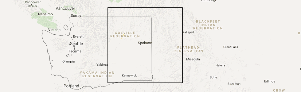
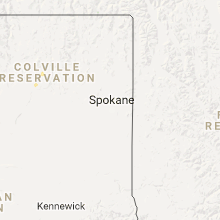
Hail Map for Nespelem, WA
The Nespelem, WA area has had 1 report of on-the-ground hail by trained spotters, and has been under severe weather warnings 0 times during the past 12 months. Doppler radar has detected hail at or near Nespelem, WA on 3 occasions.
| Name: | Nespelem, WA |
| Where Located: | 30.5 miles ESE of Omak, WA |
| Map: | Google Map for Nespelem, WA |
| Population: | 236 |
| Housing Units: | 77 |
| More Info: | Search Google for Nespelem, WA |
5
The Top Recent Hail Date for Nespelem, WA is Thursday, May 11, 2017 (1st out of 3)
Hail and Wind Damage Spotted near Nespelem, WA
| Date / Time | Report Details |
|---|---|
| 5/11/2017 3:18 PM PDT | Quarter sized hail reported 0.3 miles SW of Nespelem, WA, trained spotter reported 1 inch hail. |
| 5/11/2017 3:18 PM PDT |
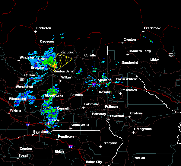 At 318 pm pdt, a severe thunderstorm was located near nespelem community, or 31 miles southeast of omak, moving northeast at 45 mph (trained weather spotters). Hazards include quarter size hail. damage to vehicles is expected At 318 pm pdt, a severe thunderstorm was located near nespelem community, or 31 miles southeast of omak, moving northeast at 45 mph (trained weather spotters). Hazards include quarter size hail. damage to vehicles is expected
|
| 8/12/2014 7:20 PM PDT | Imet stationed in nespelem fire camp received winds in excess of 50 mph along with blowing dust. relayed that there were reports of trees down and boxes... tarps... sig in okanogan county WA, 0.3 miles SW of Nespelem, WA |
| 8/2/2014 5:02 PM PDT | Trees and power outages reported around nespele in okanogan county WA, 0.3 miles SW of Nespelem, WA |
| 7/20/2012 3:40 PM PDT | Post office building sustained roof damage. rain entered office lobby and resulted in minor water damage. dime size also reported with stor in okanogan county WA, 0.3 miles SW of Nespelem, WA |
| 7/20/2012 3:30 PM PDT | Nespelem school had trees 10 to 12 inches fall and damage to a dumpster due to high wind in okanogan county WA, 0.3 miles SW of Nespelem, WA |
Hail Maps for Nespelem, WA


Connect with Interactive Hail Maps