

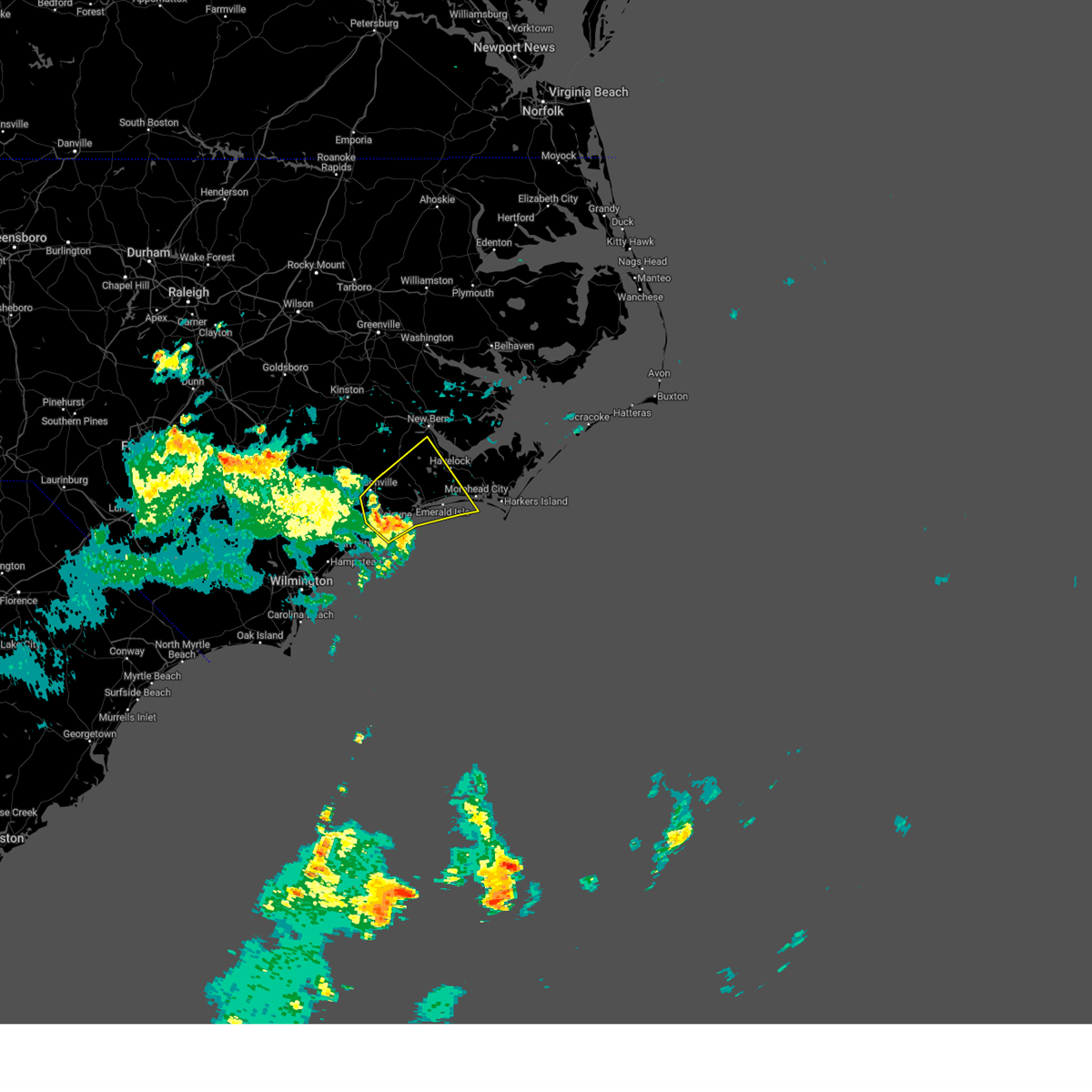
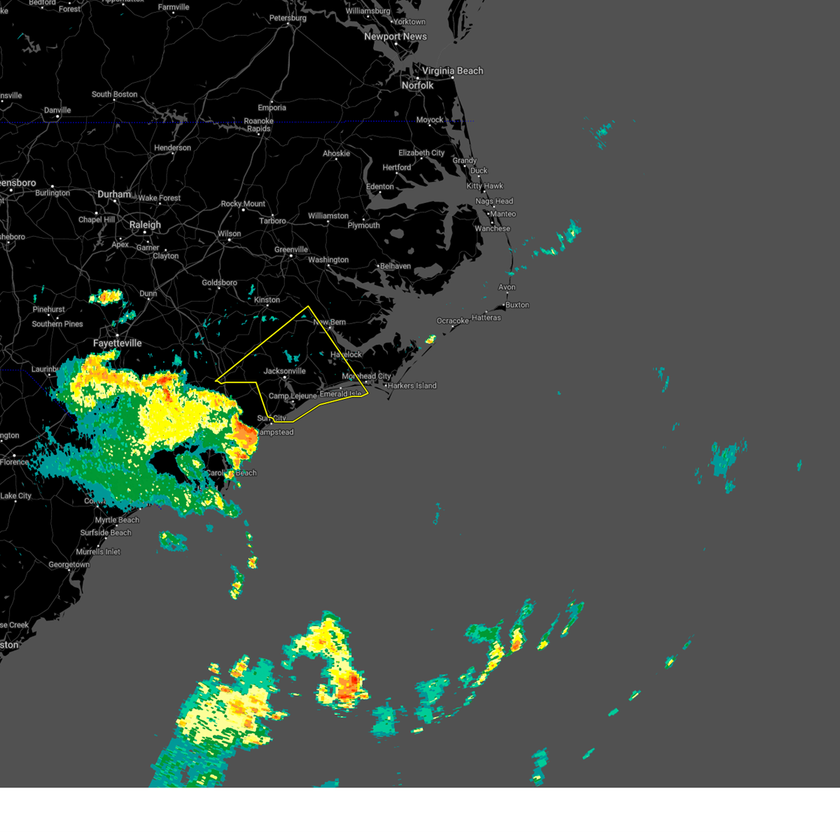
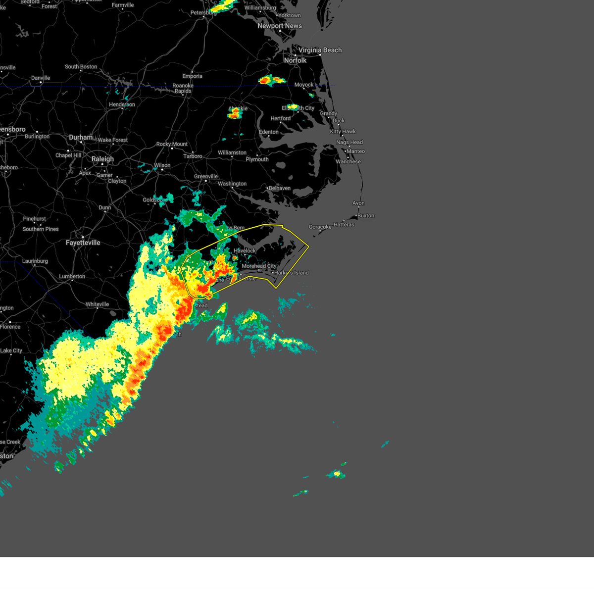
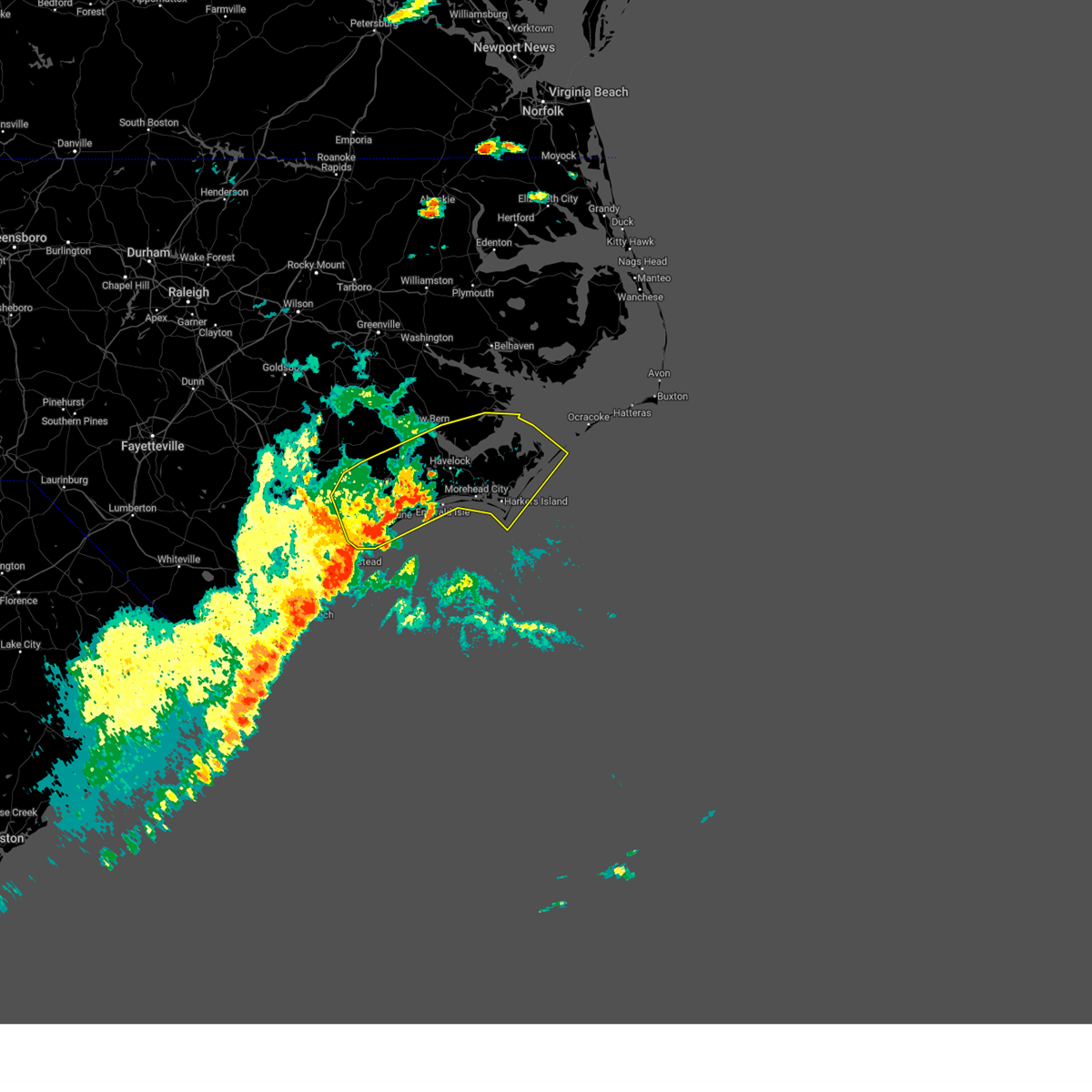
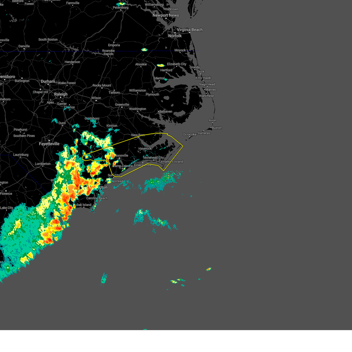
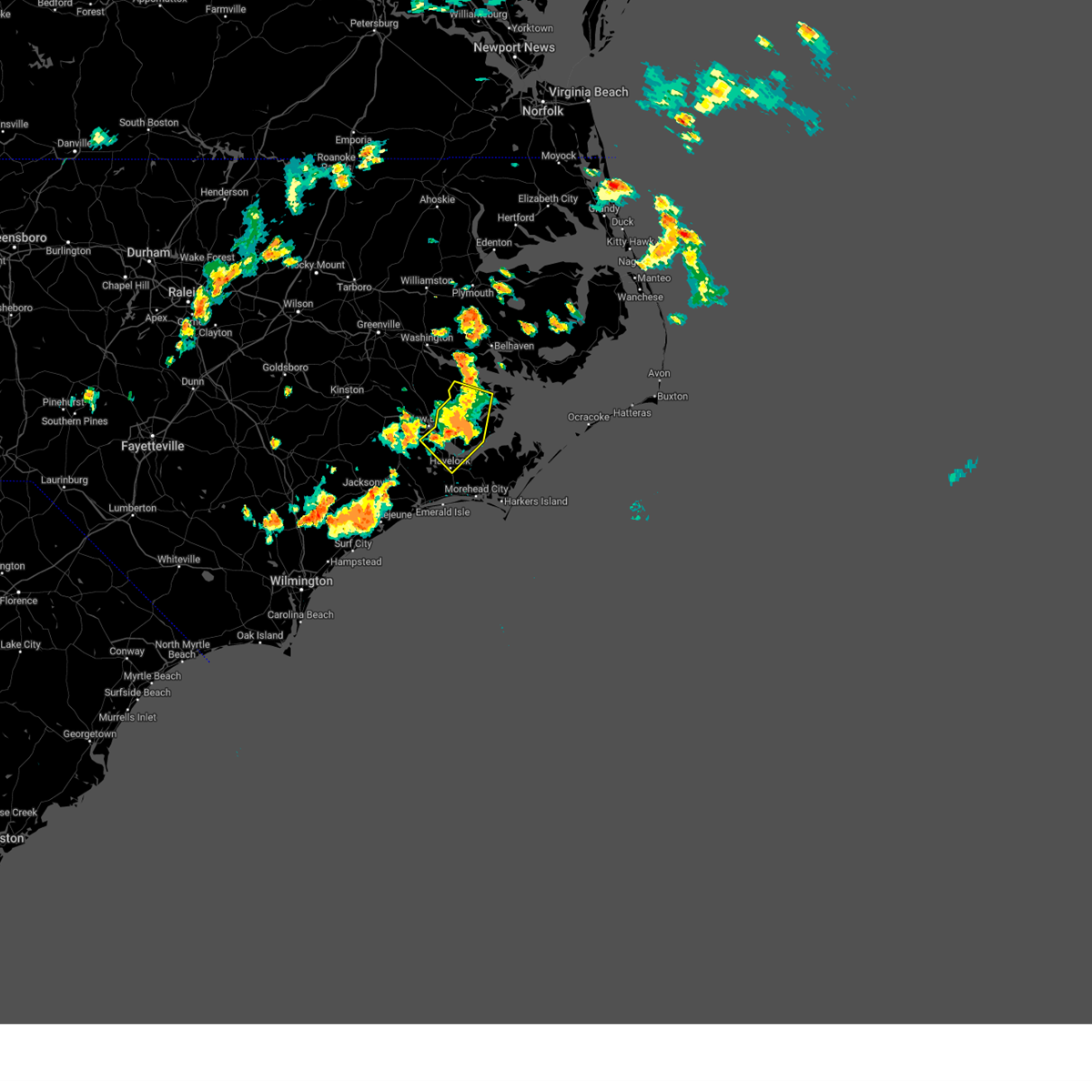
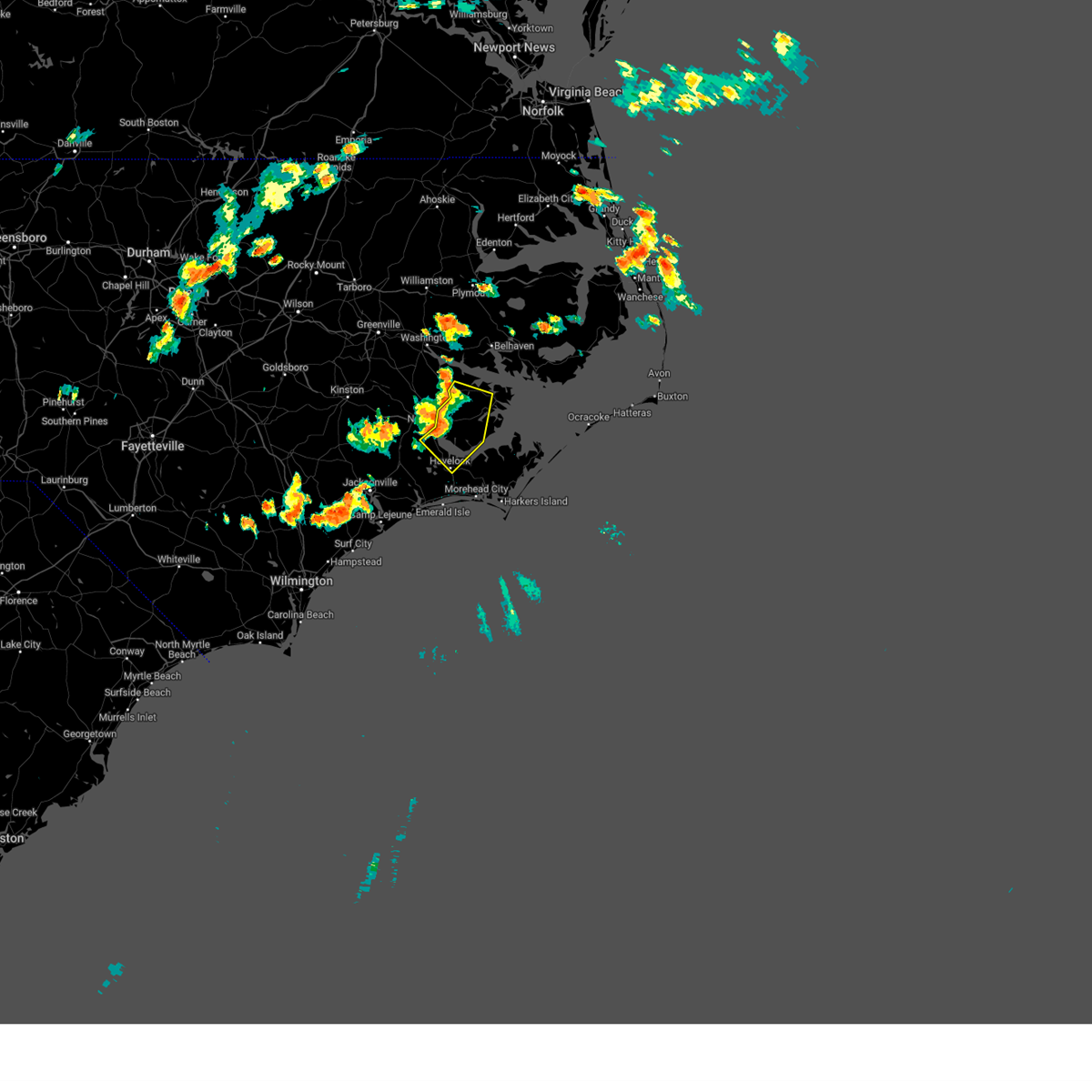
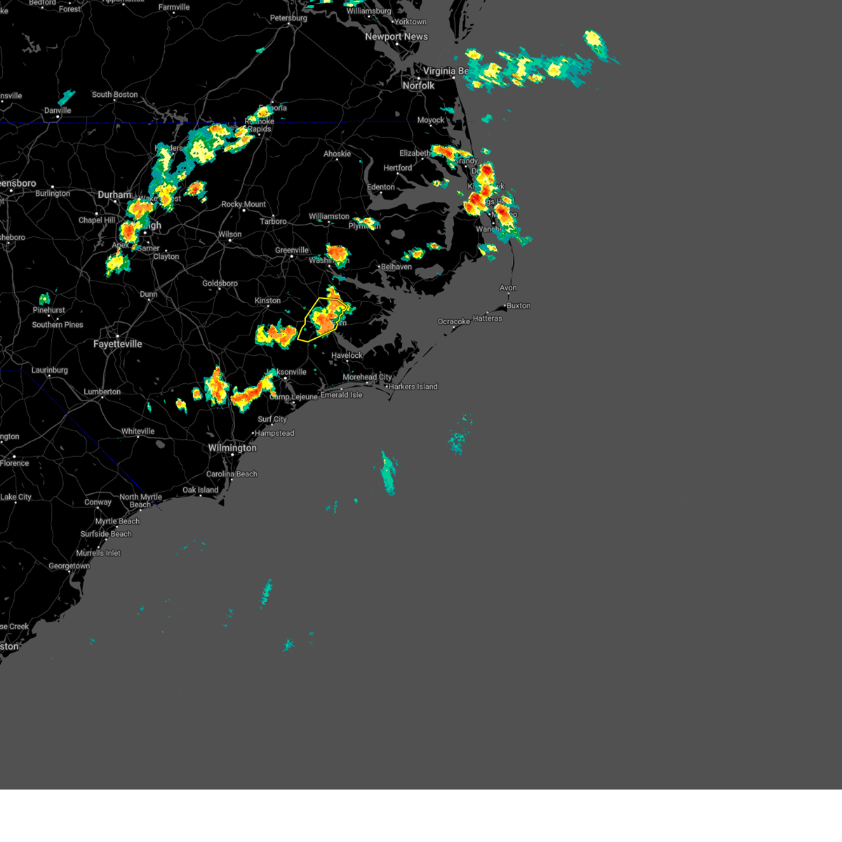
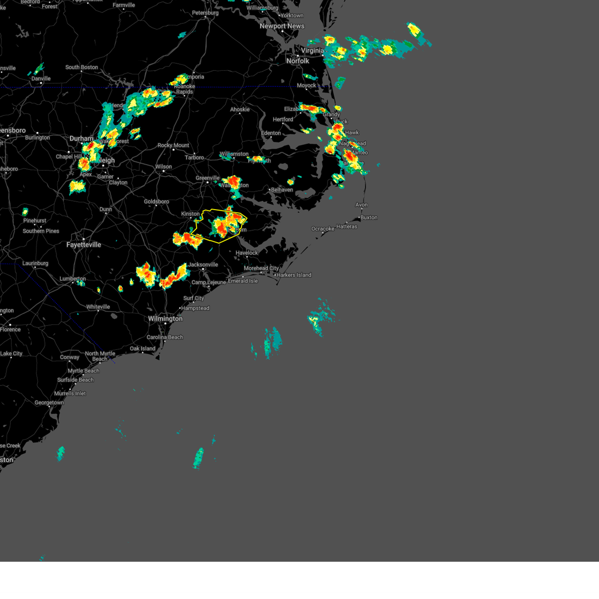
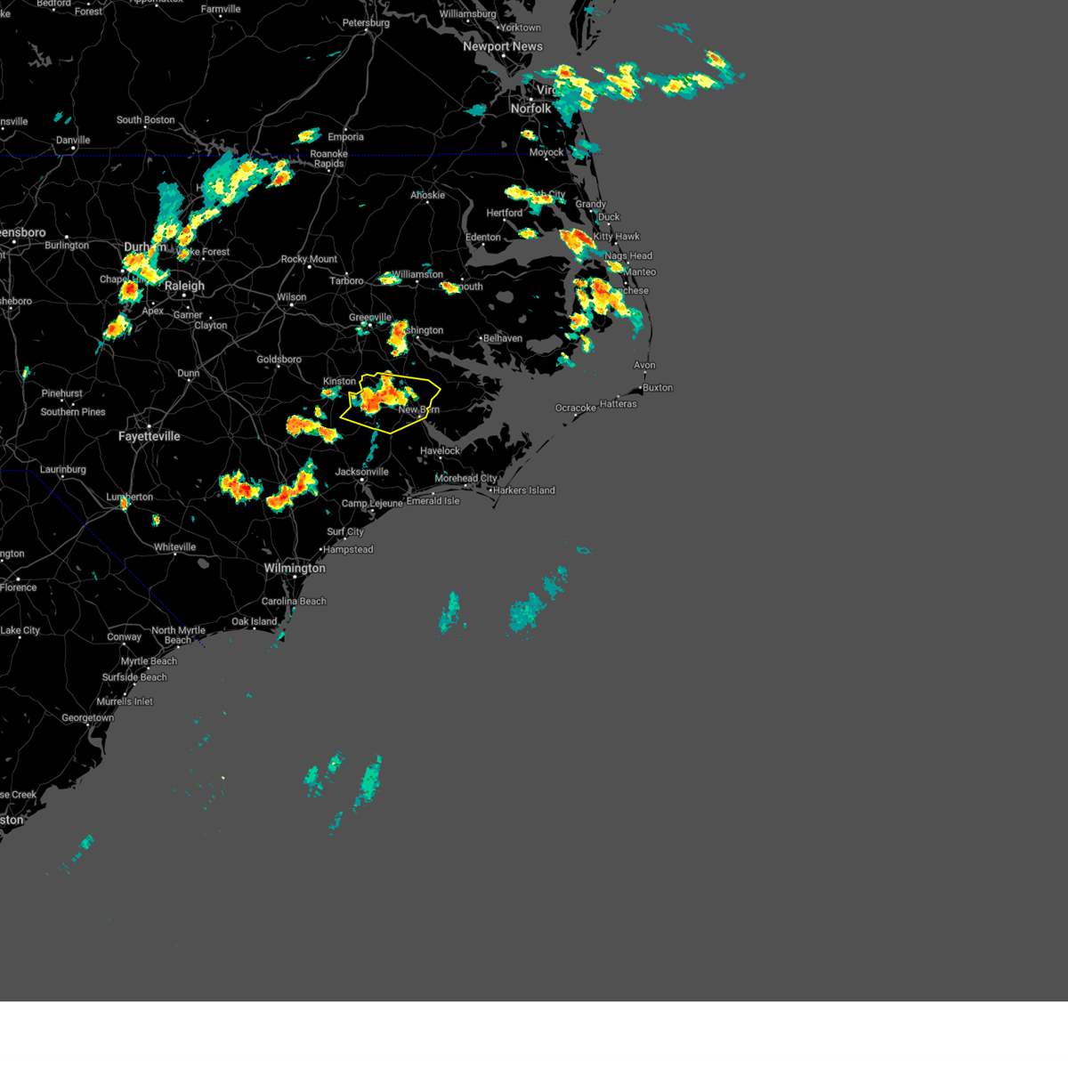
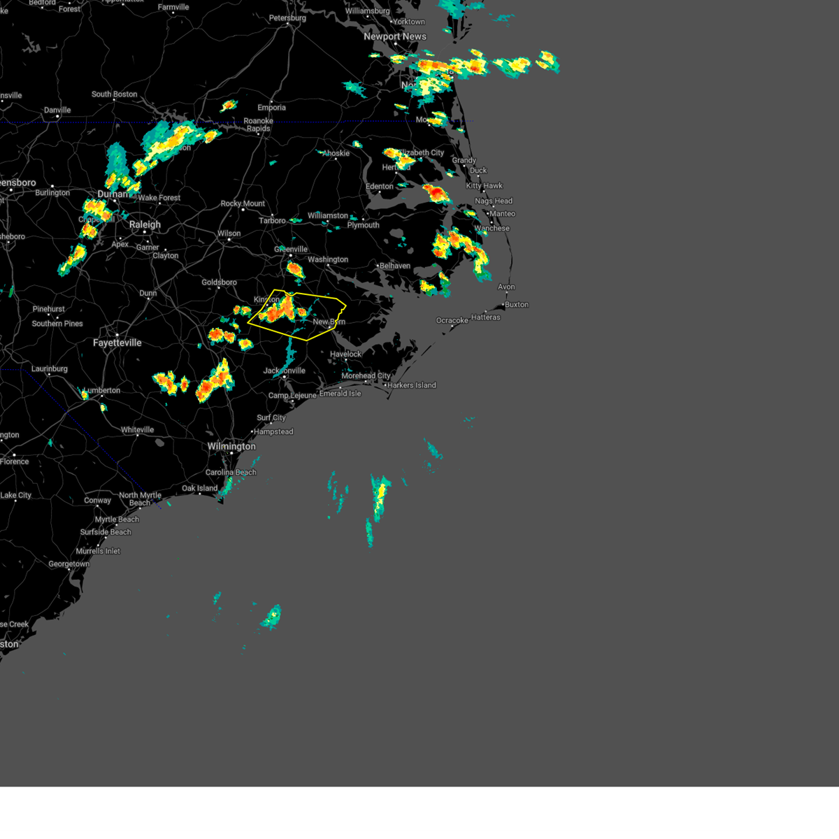
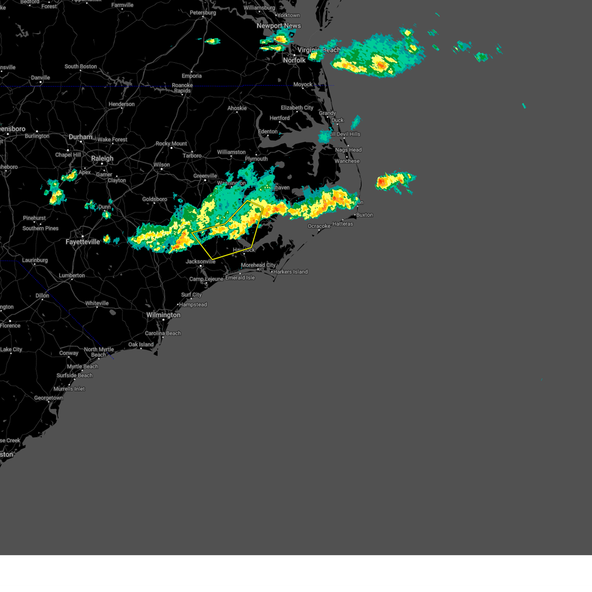
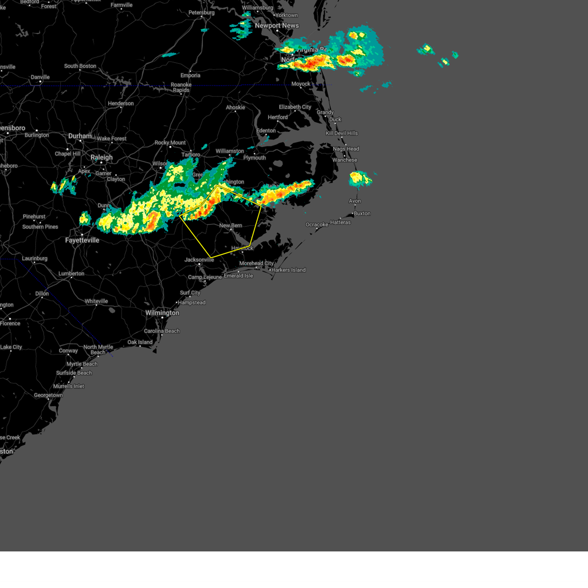
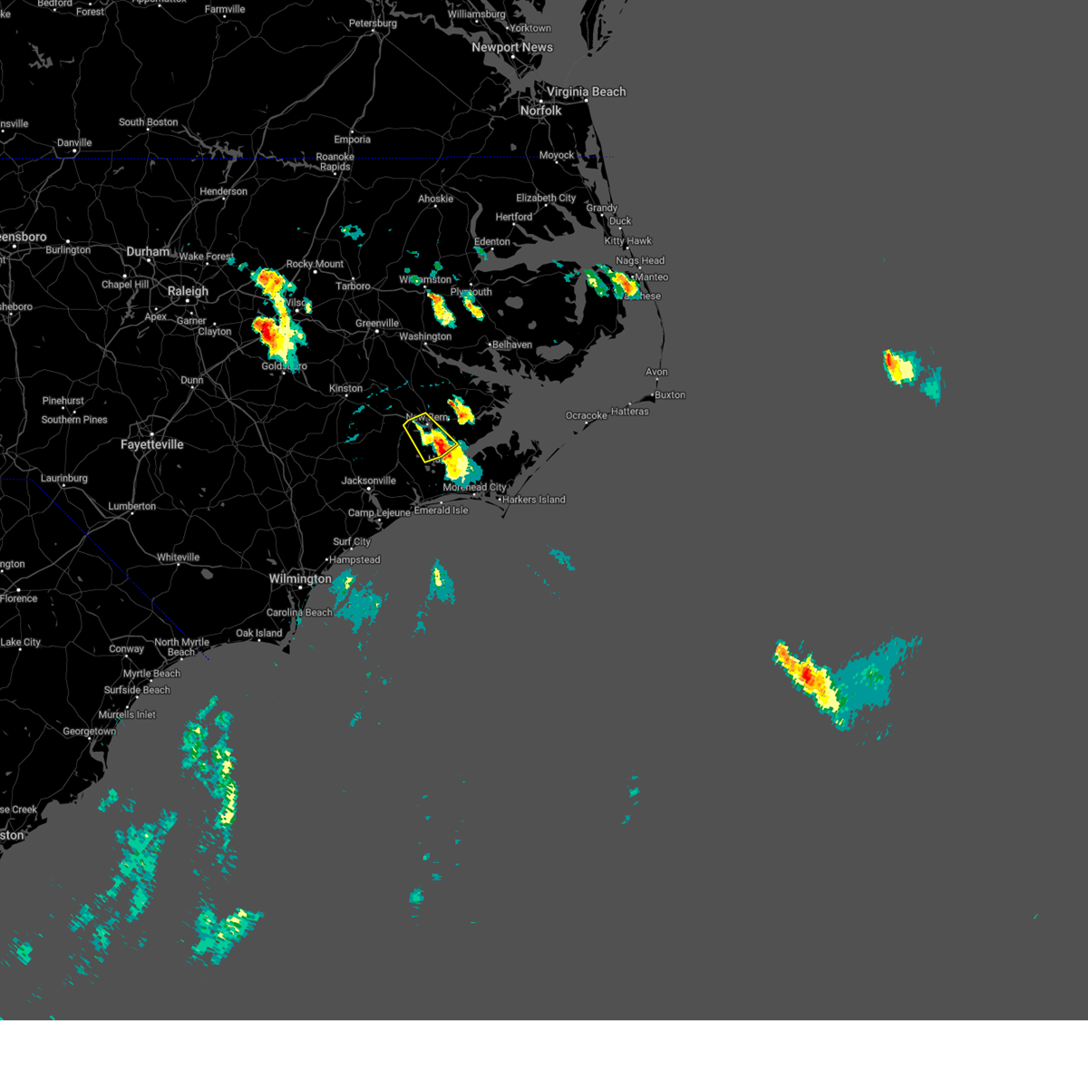
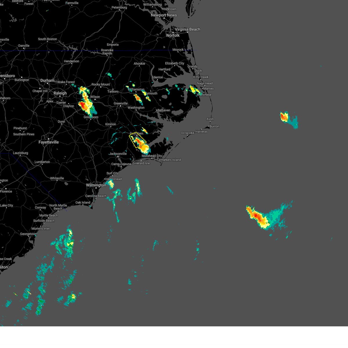
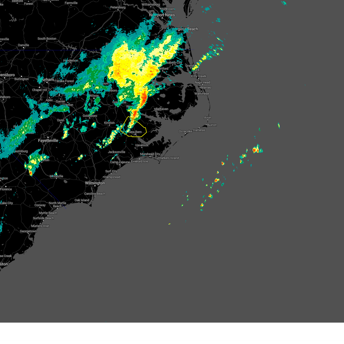
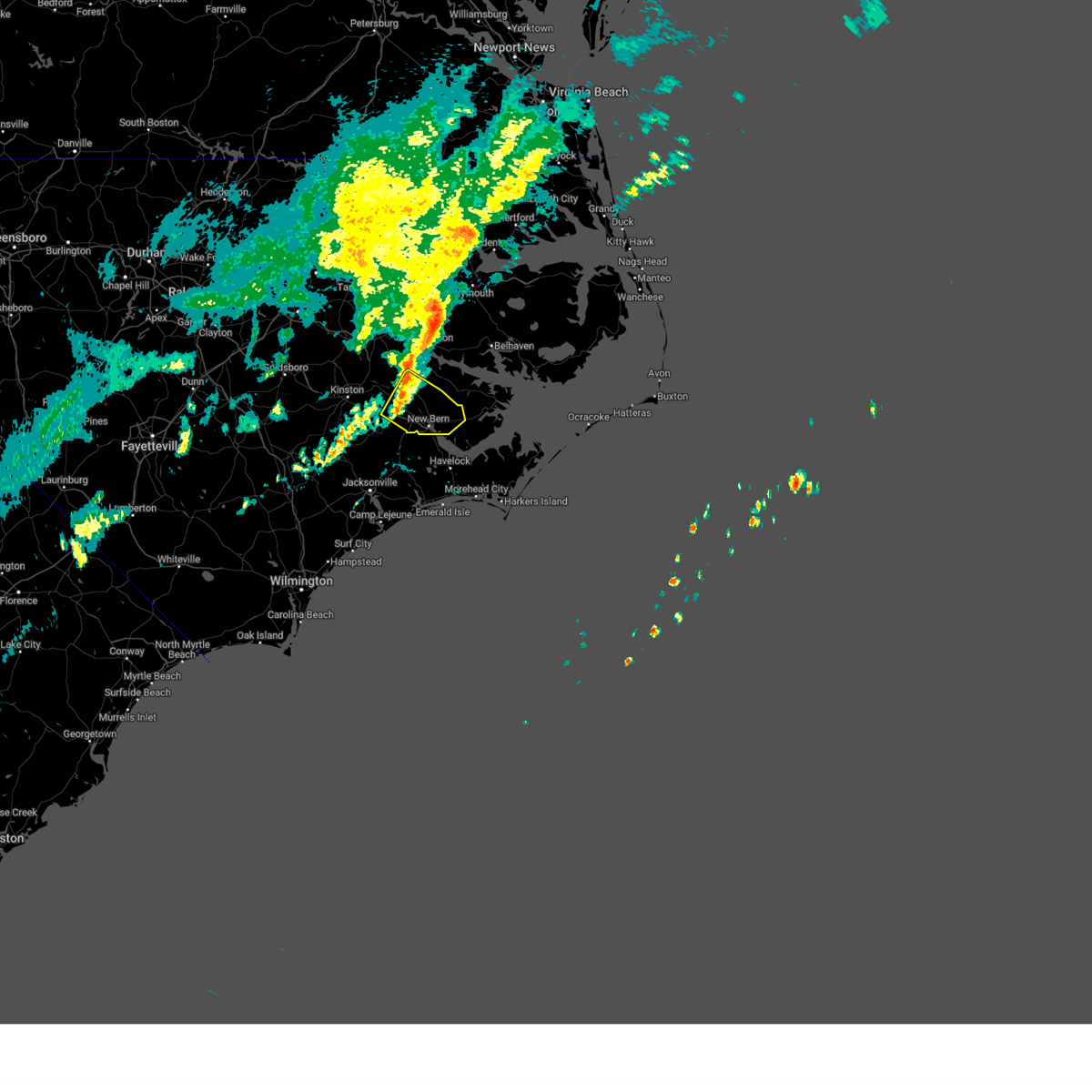
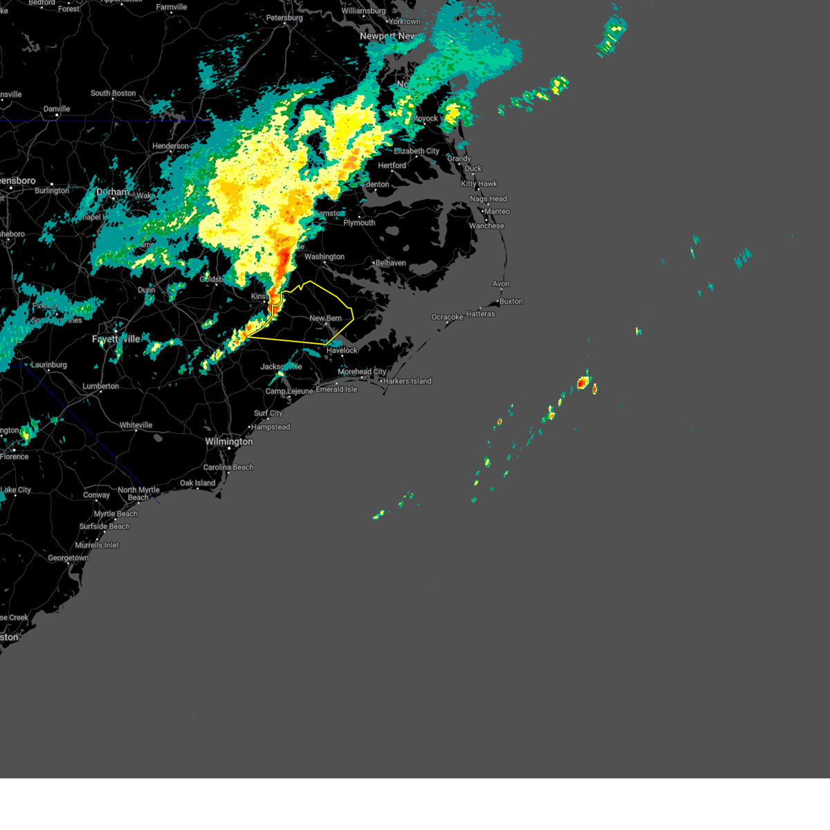
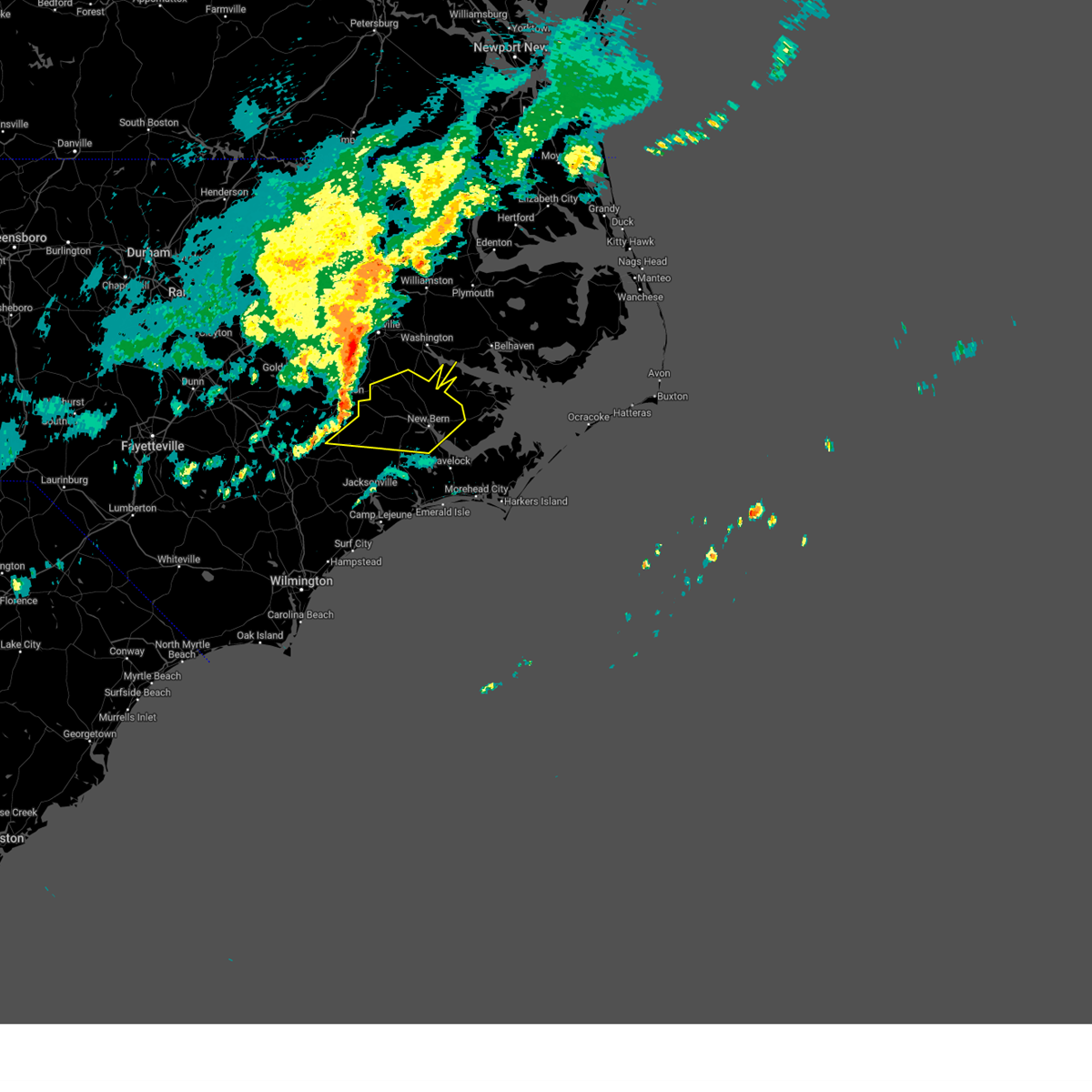
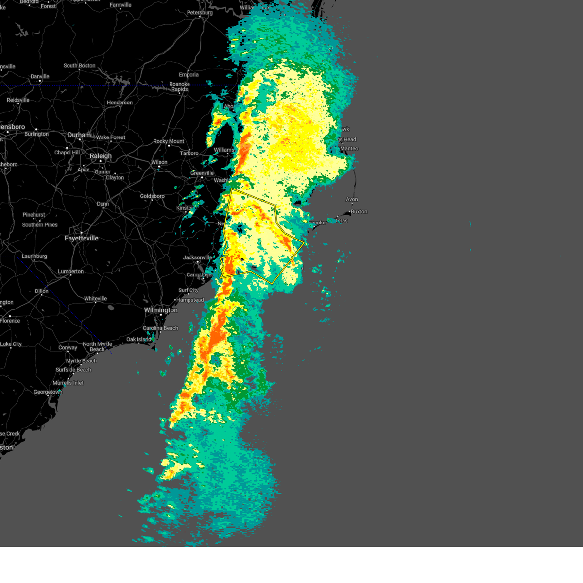
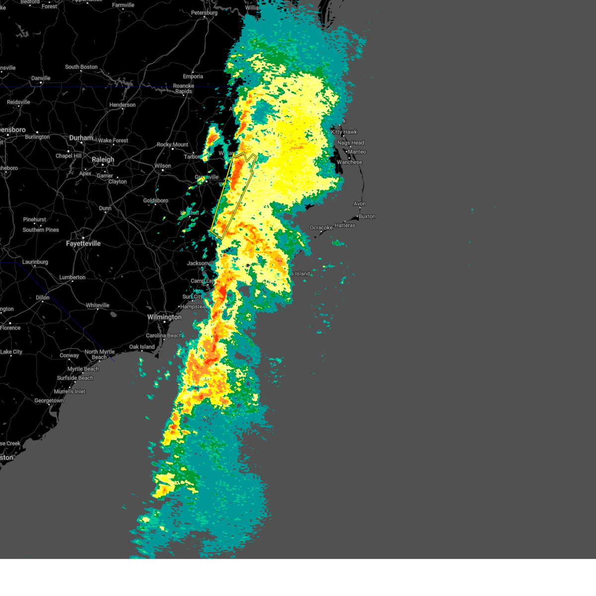
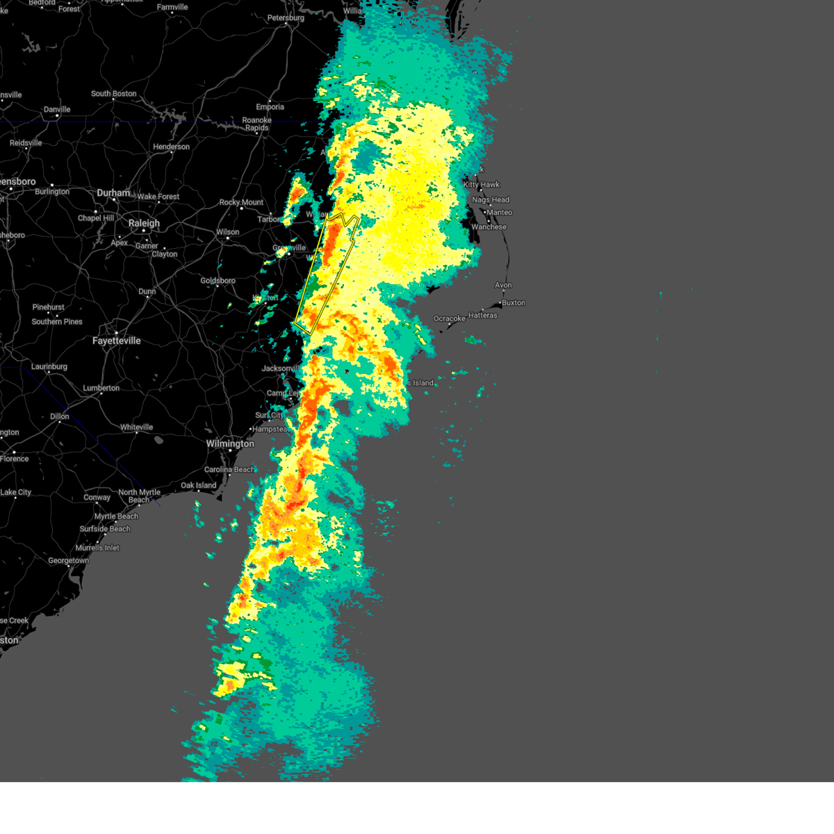
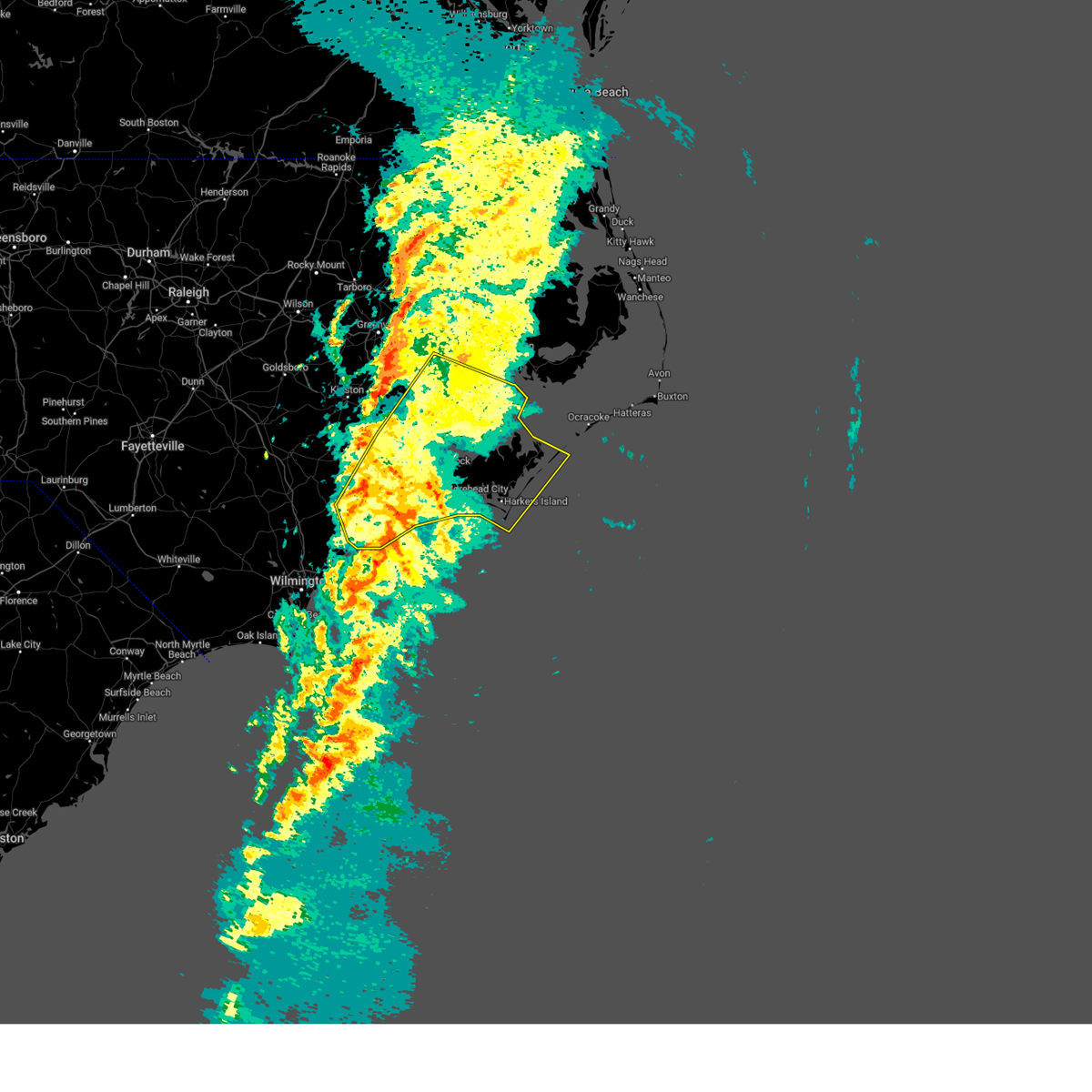
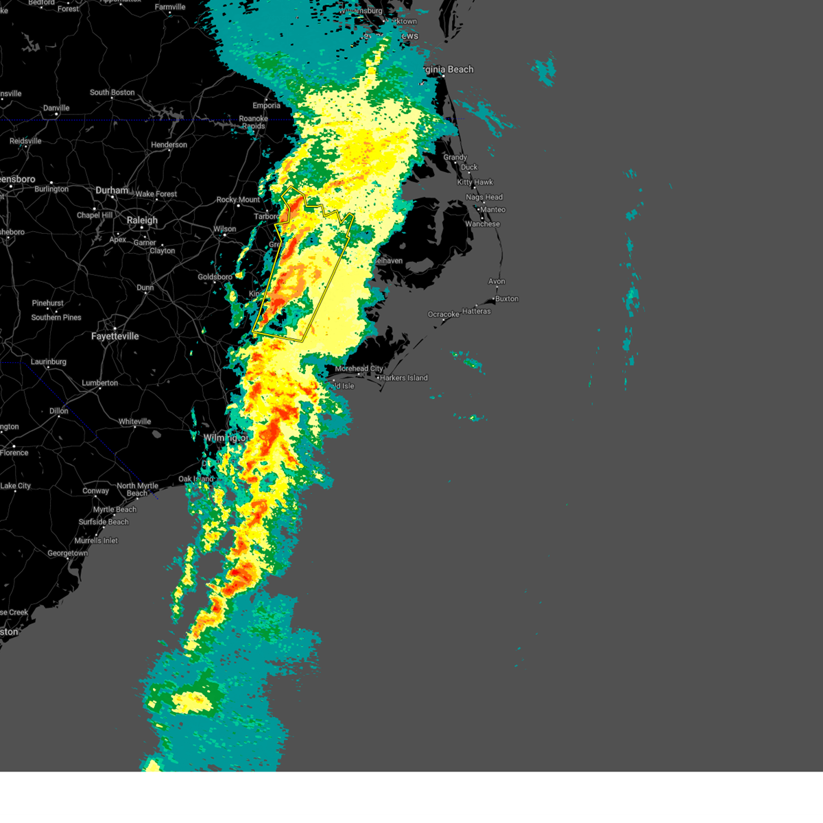
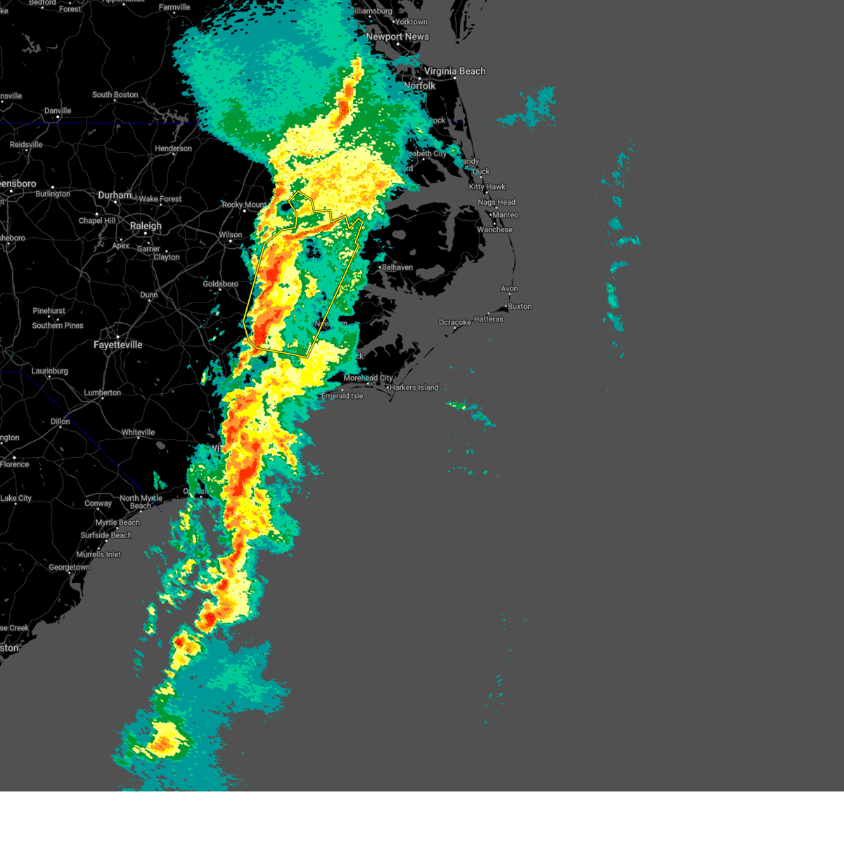
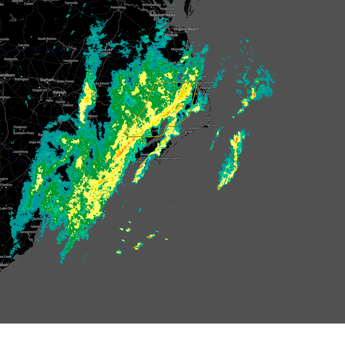
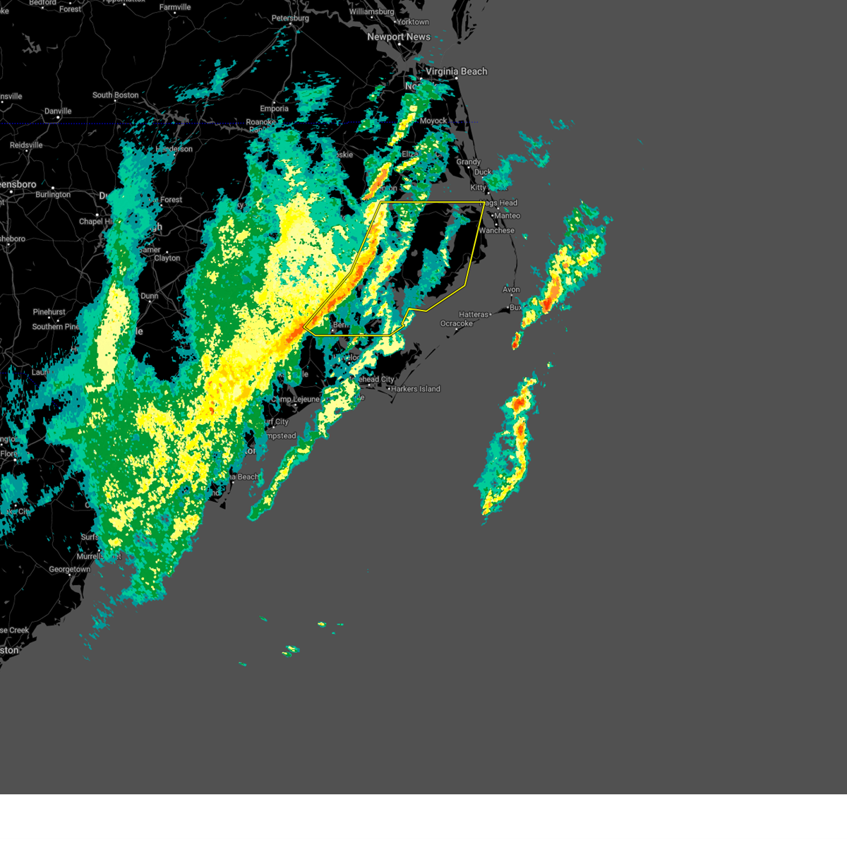
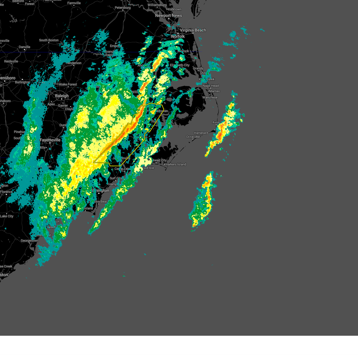
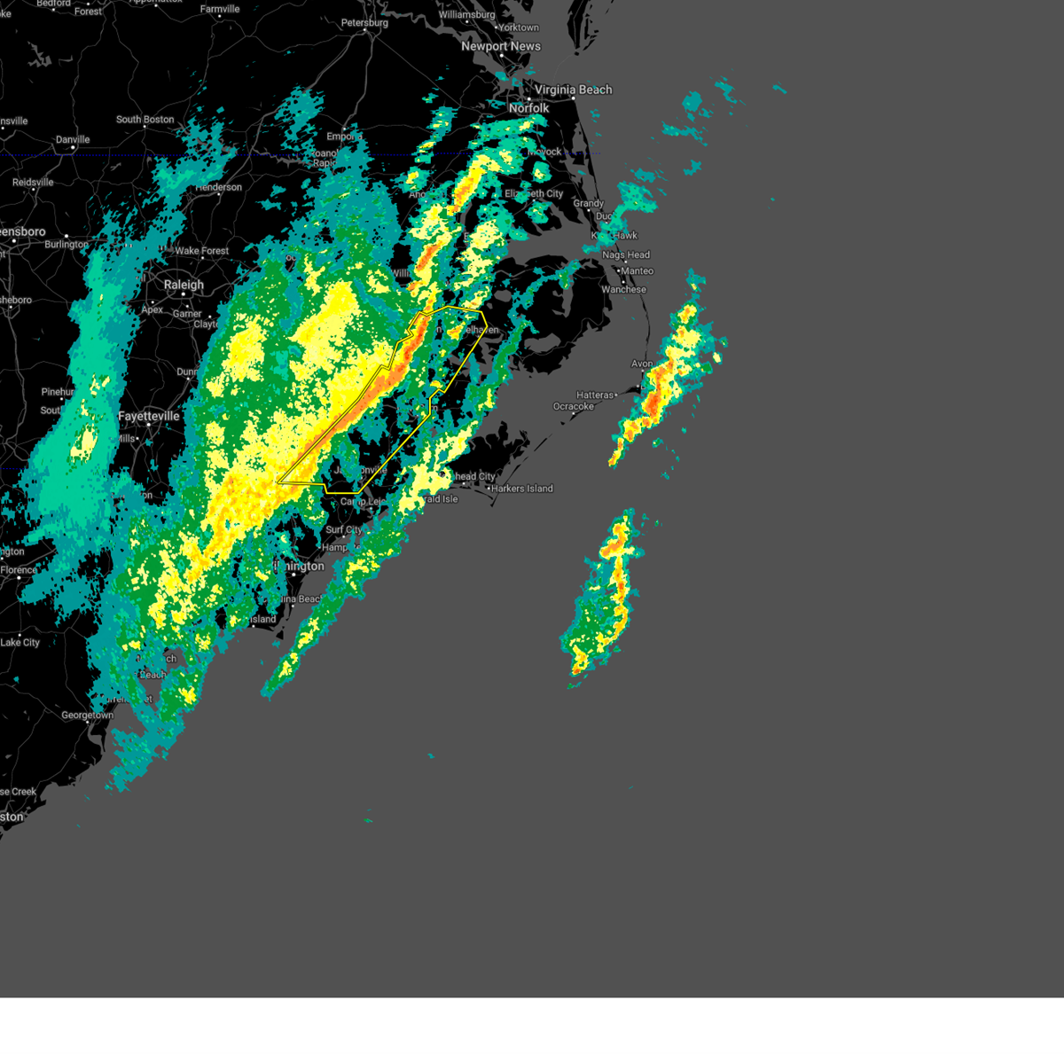
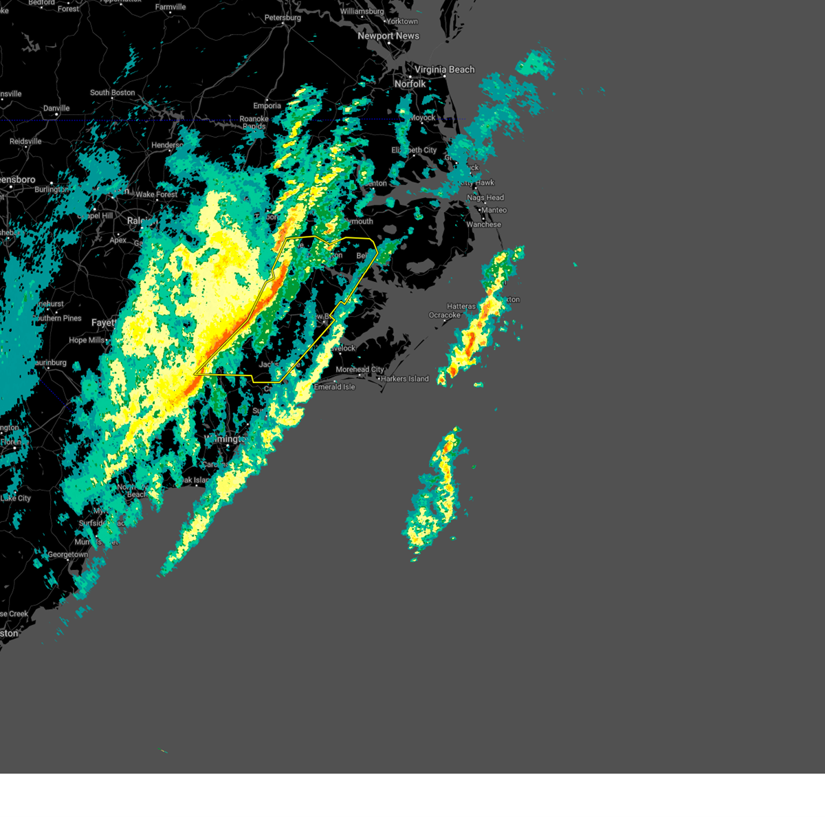
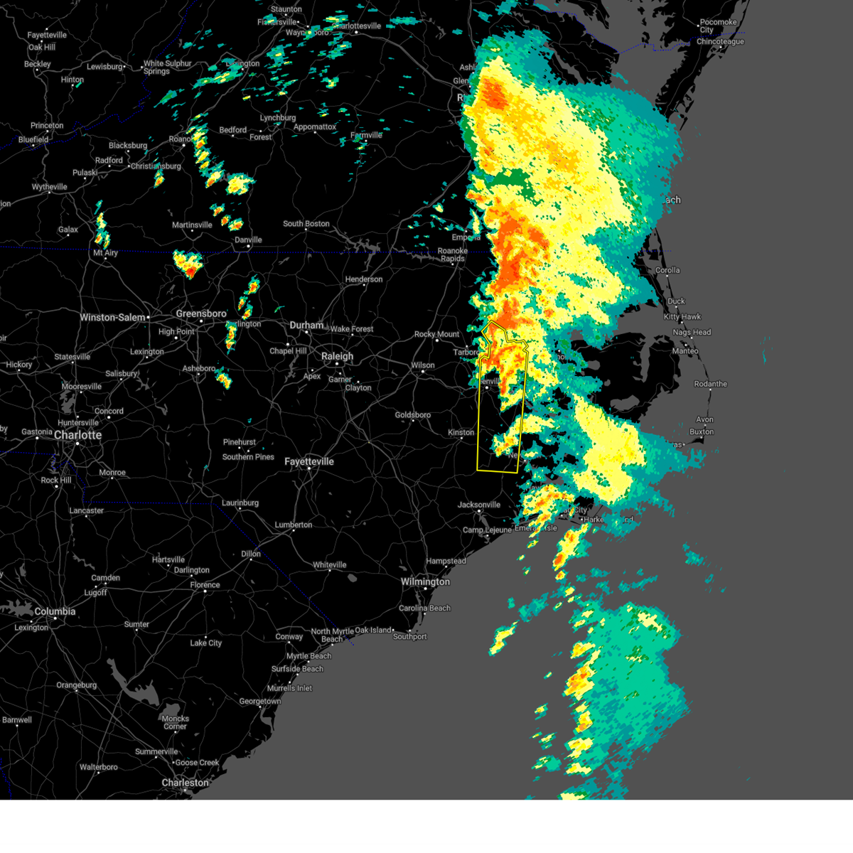
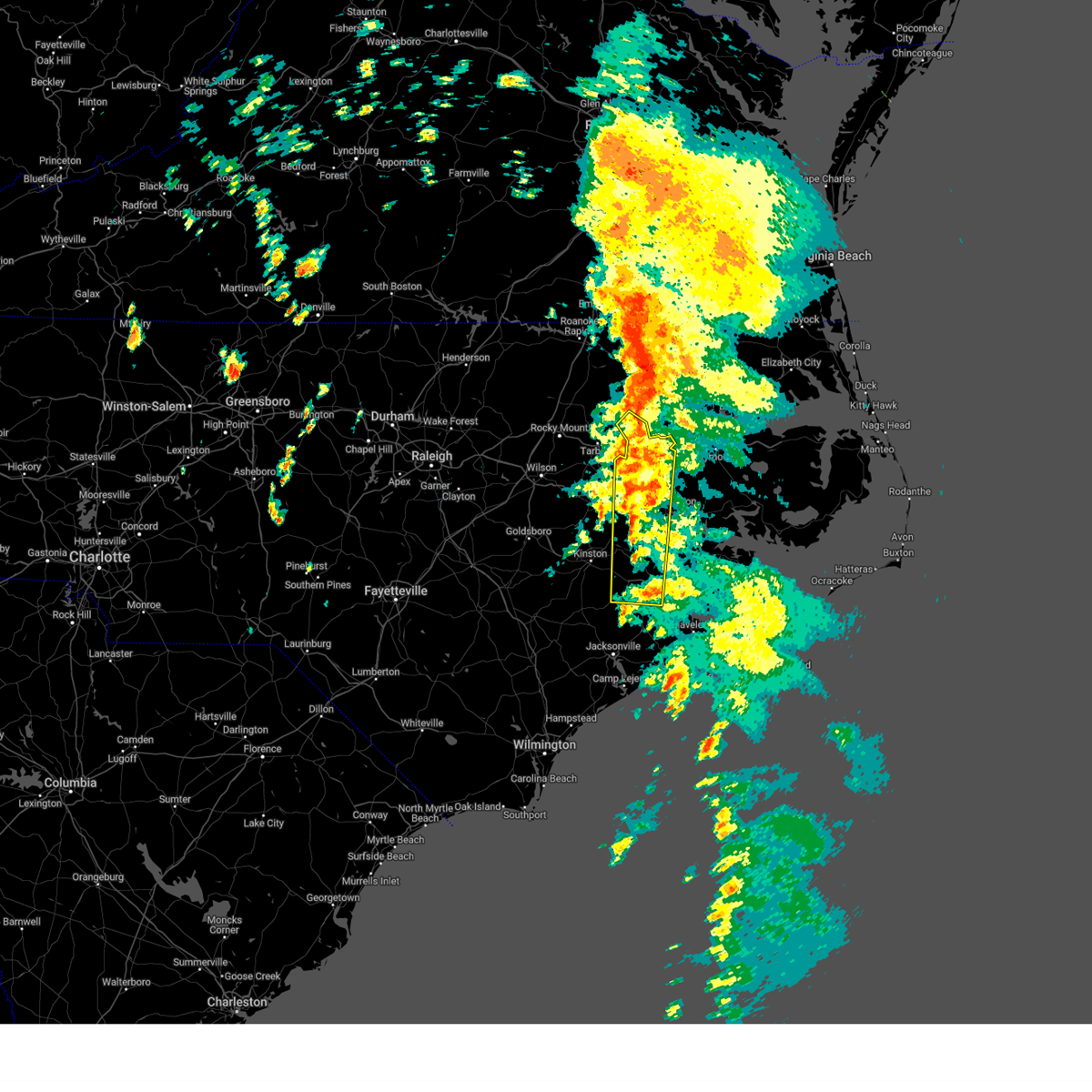
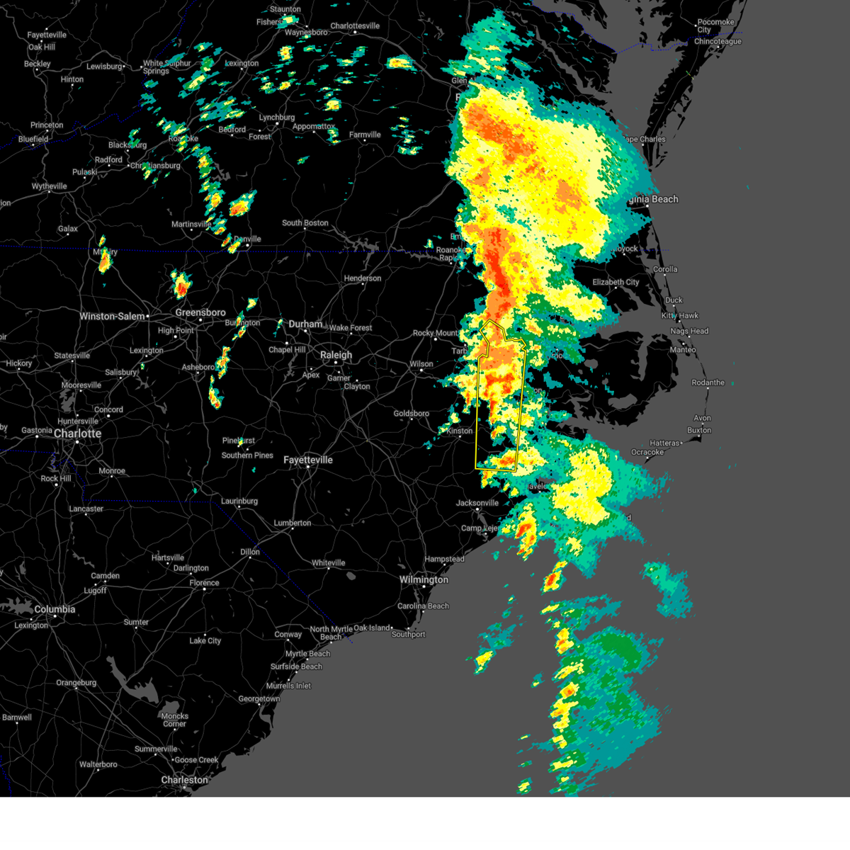
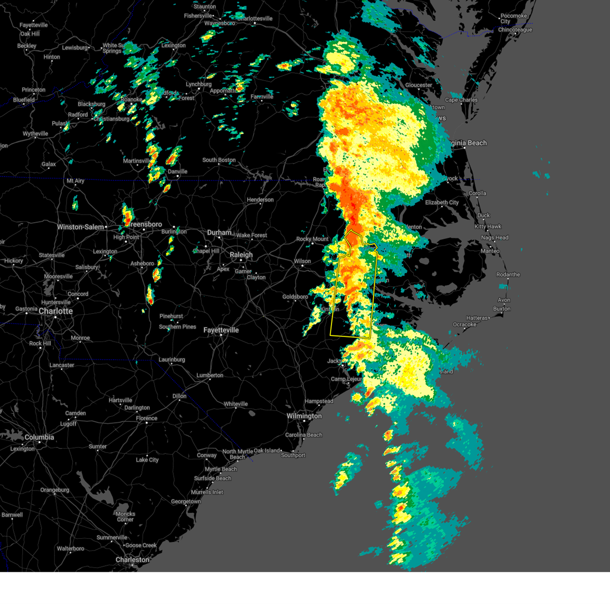
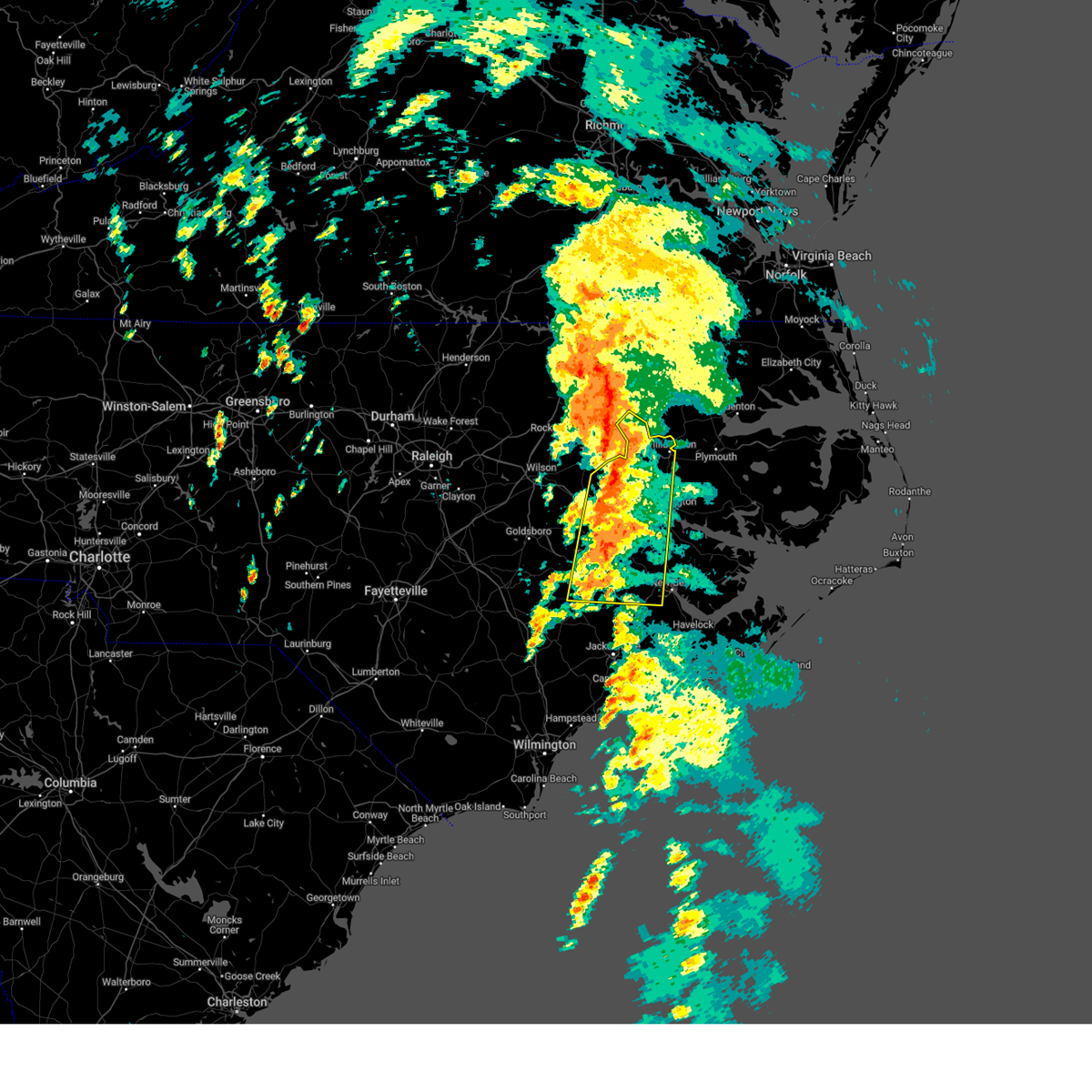
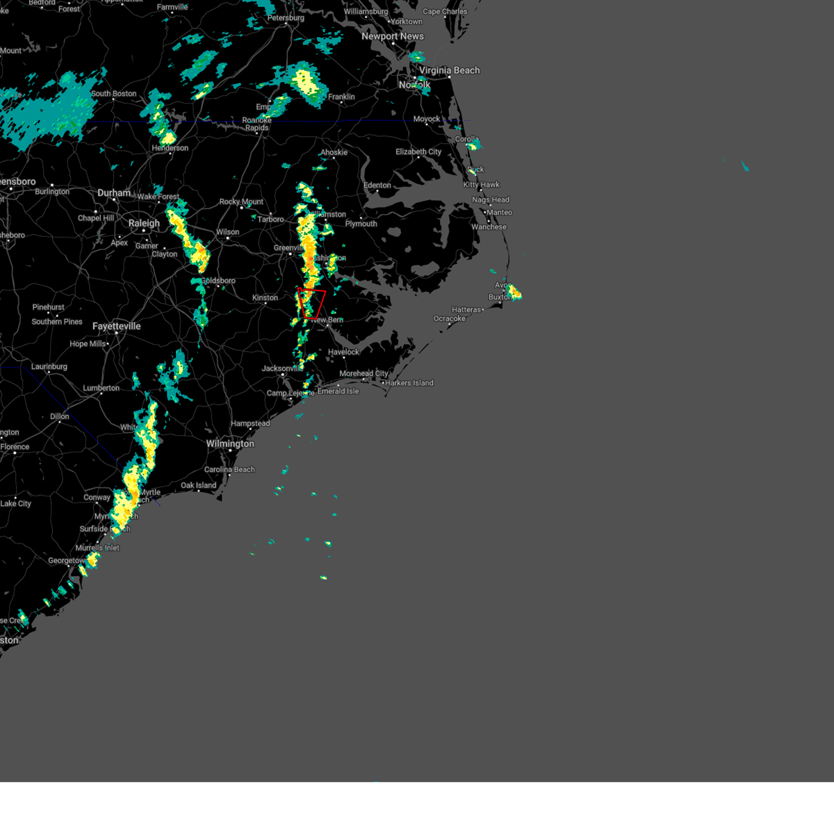
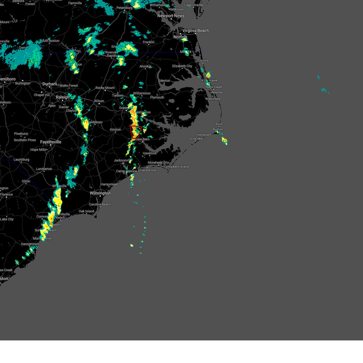
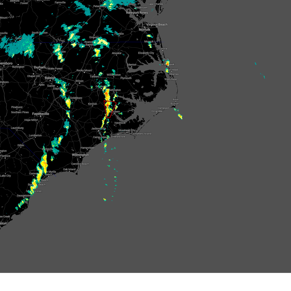
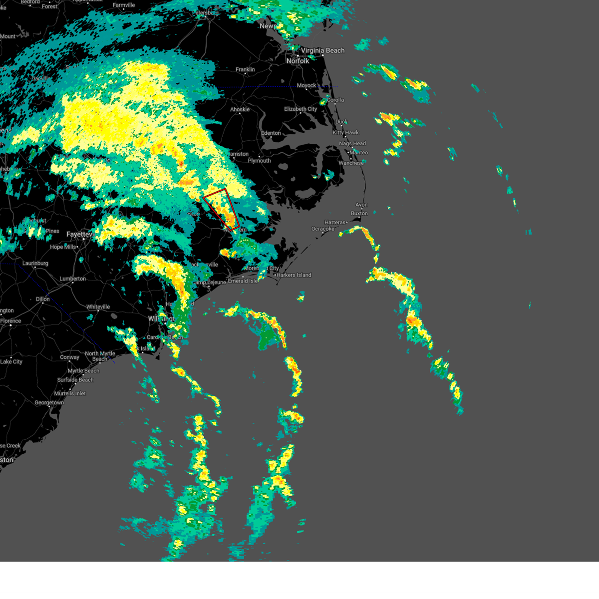
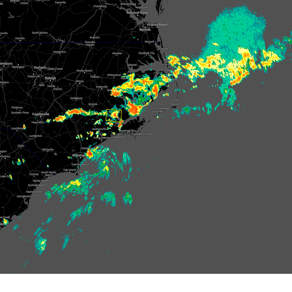
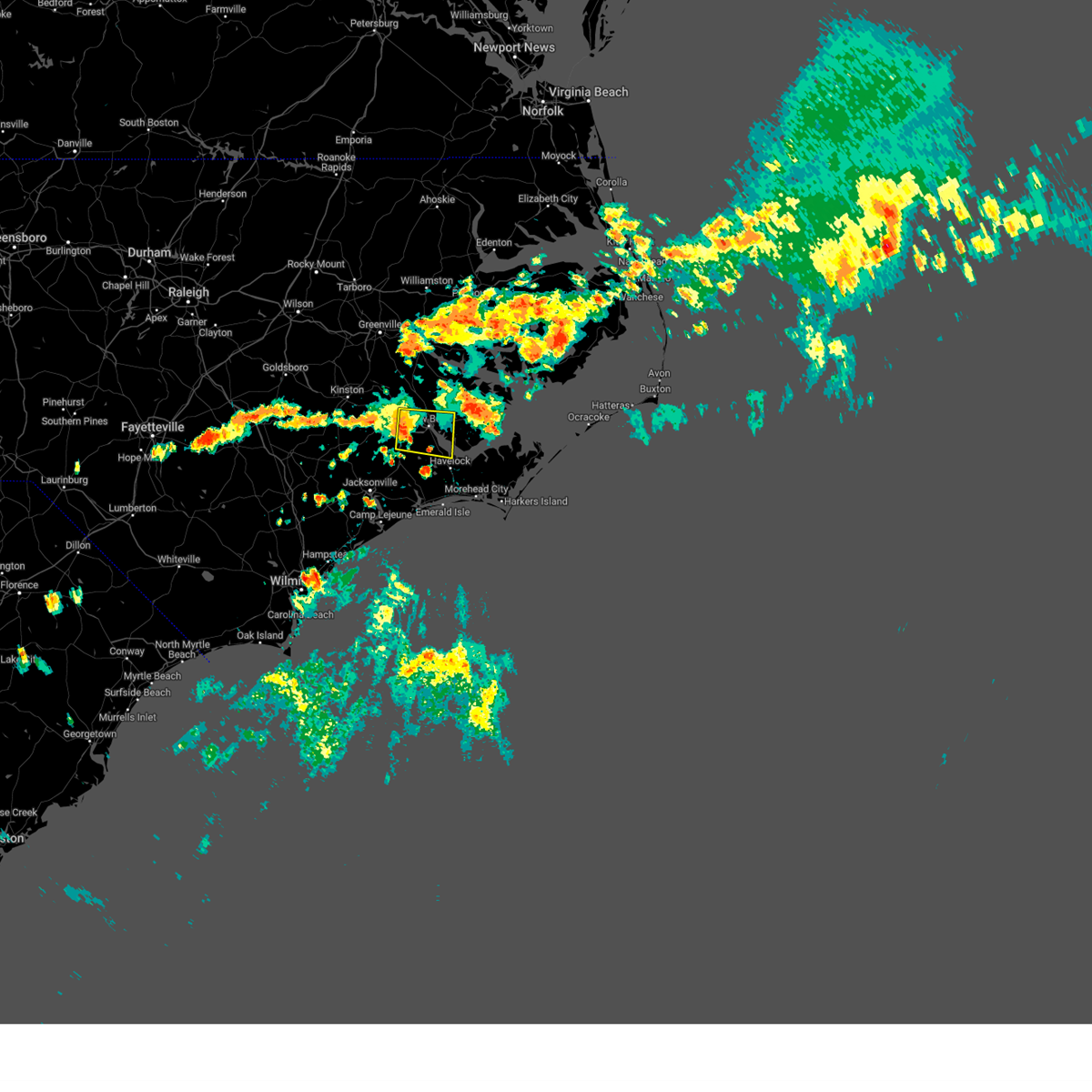
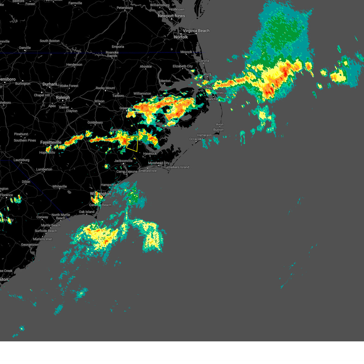
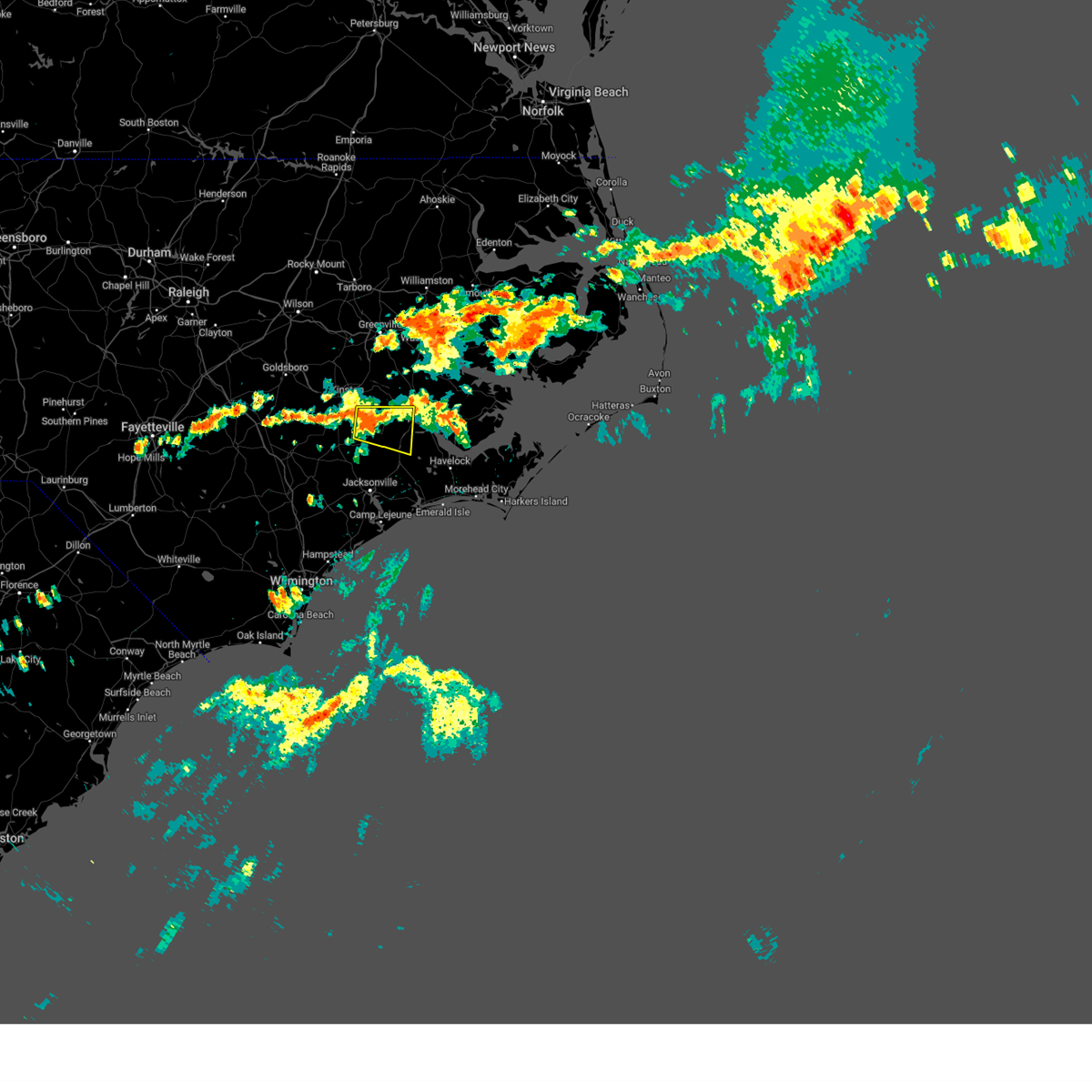
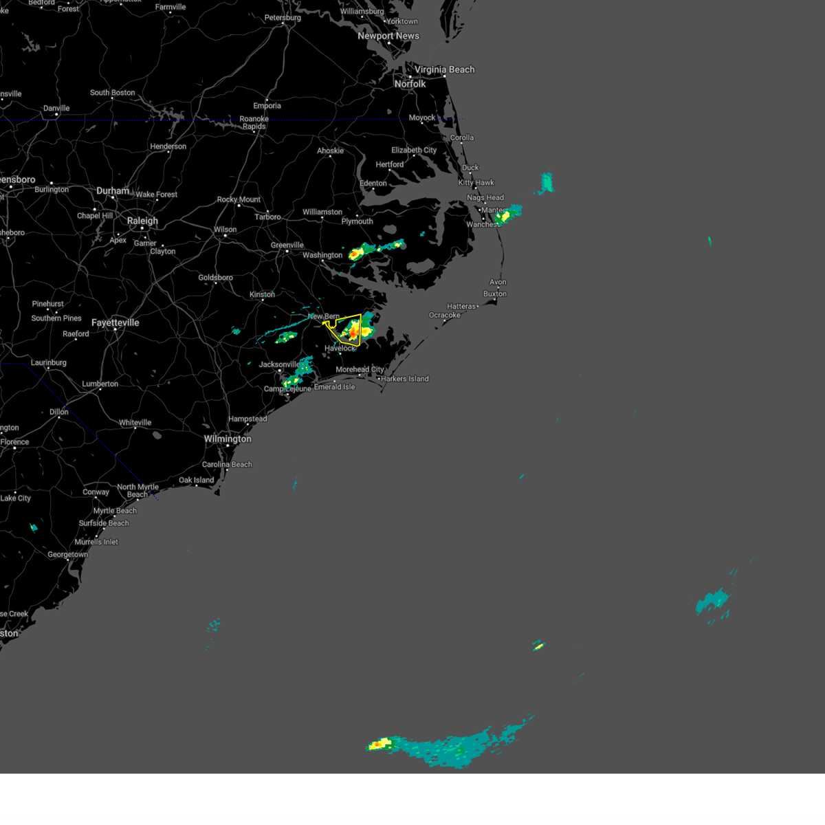
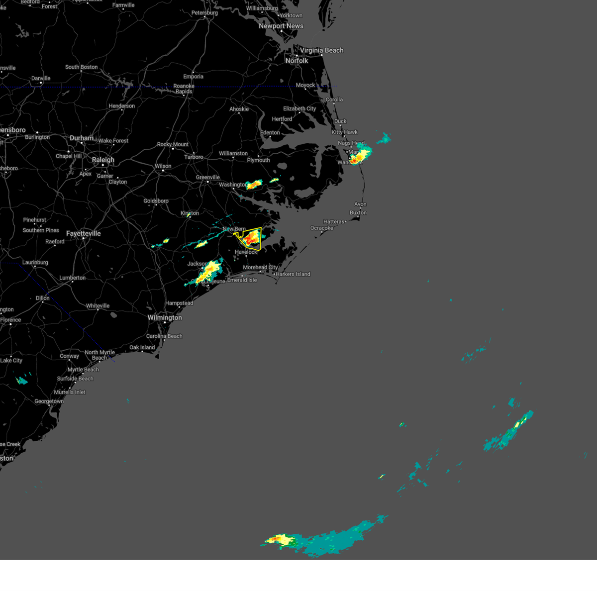
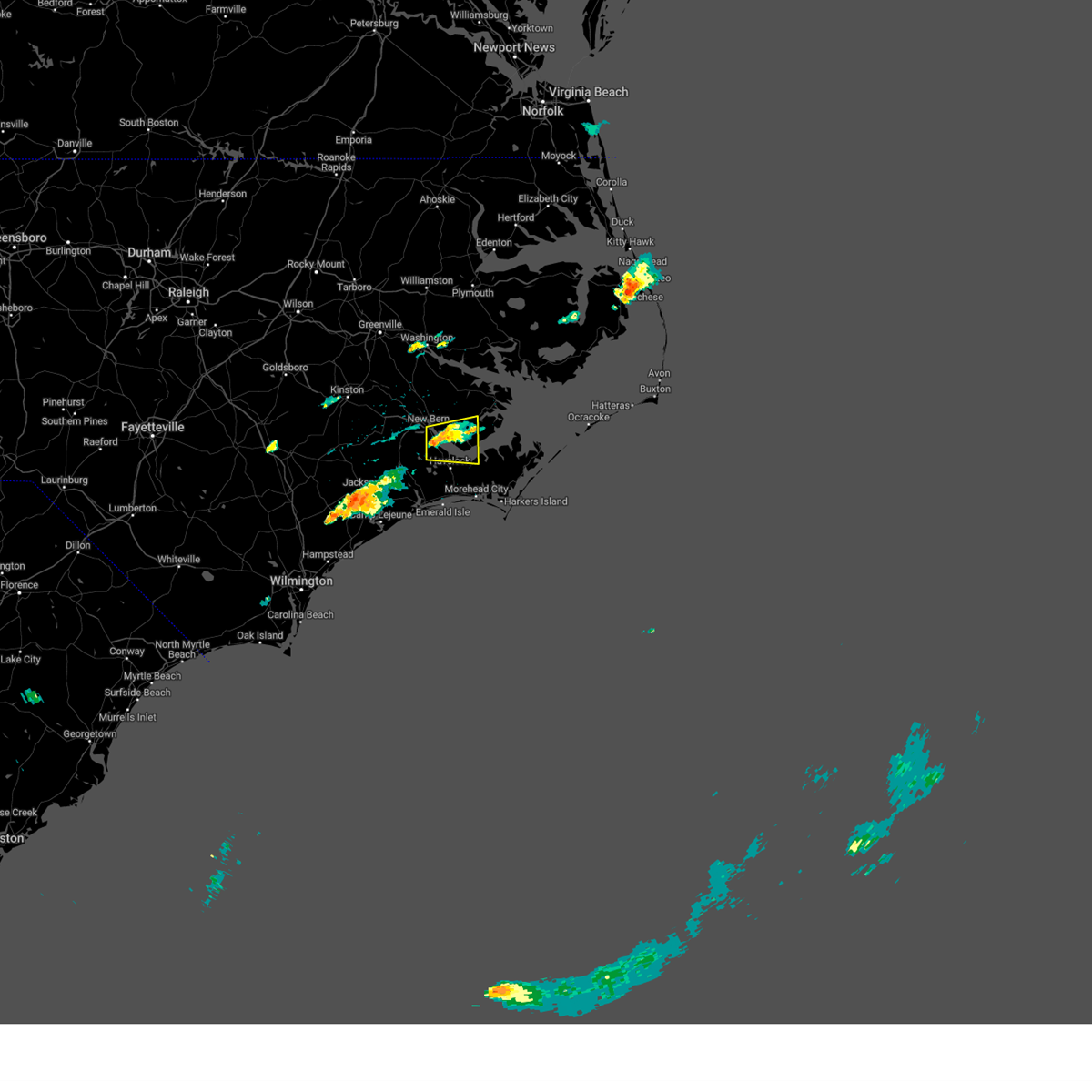
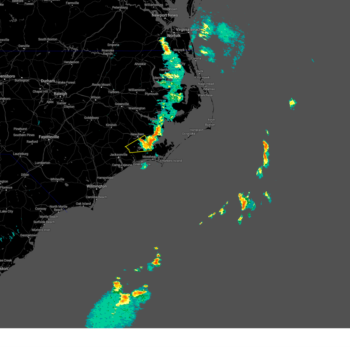
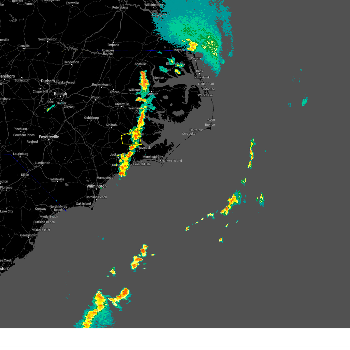
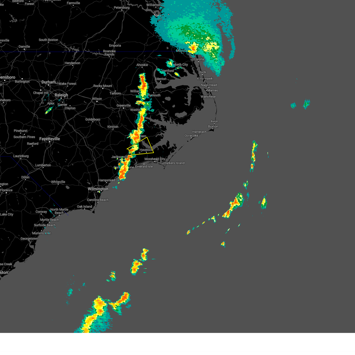
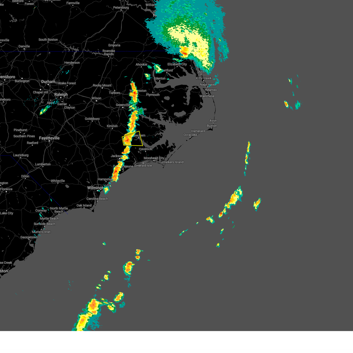
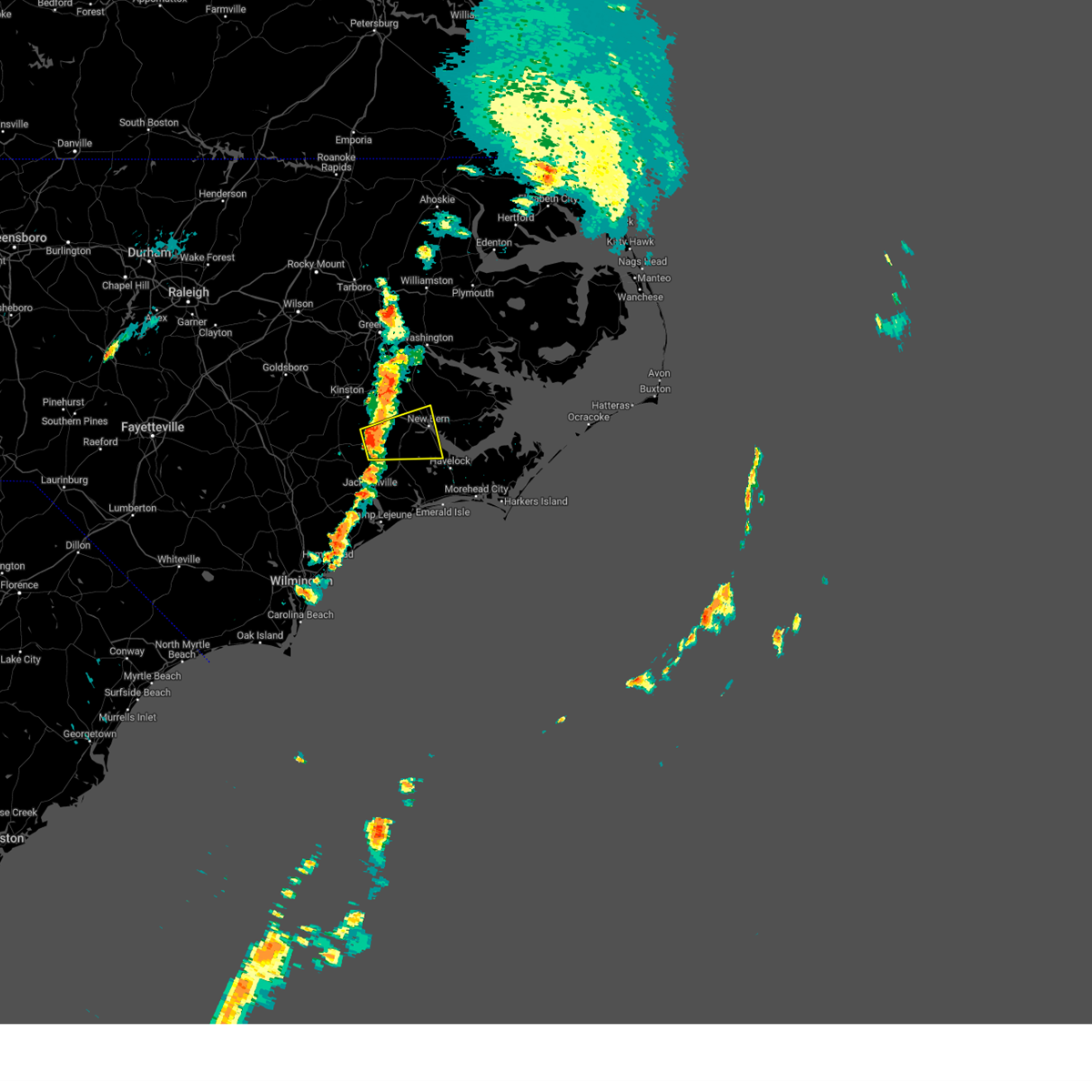
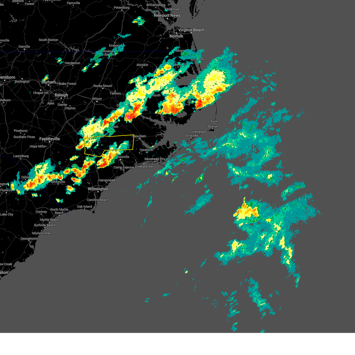
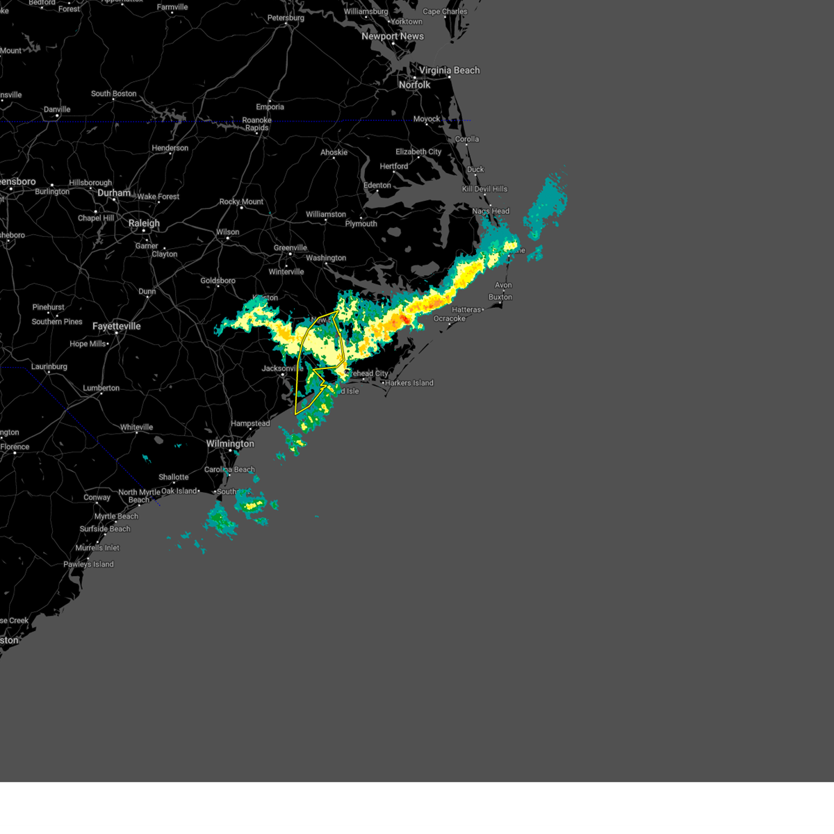
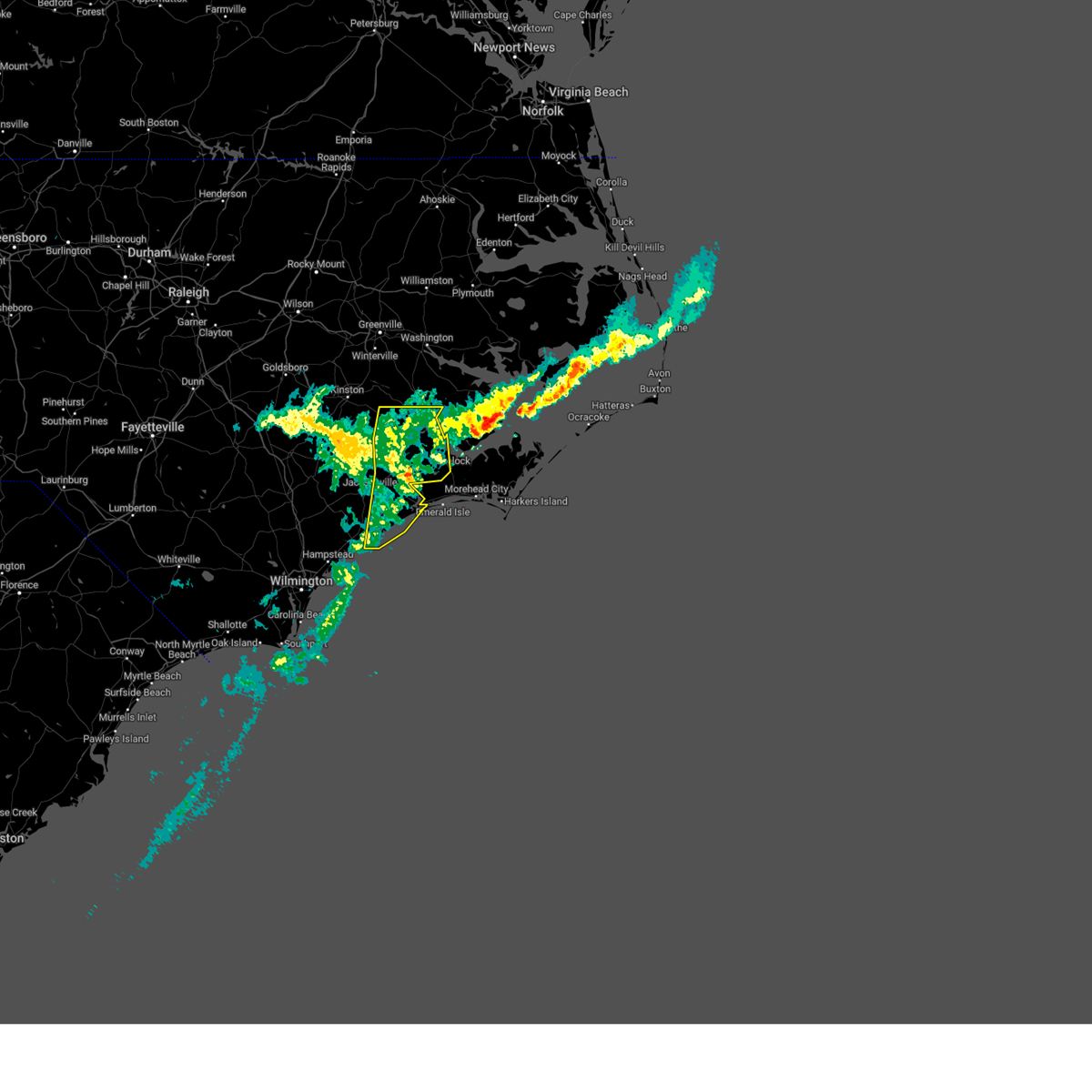
Hail Map for New Bern, NC
The New Bern, NC area has had 14 reports of on-the-ground hail by trained spotters, and has been under severe weather warnings 51 times during the past 12 months. Doppler radar has detected hail at or near New Bern, NC on 80 occasions, including 1 occasion during the past year.
| Name: | New Bern, NC |
| Where Located: | 77.2 miles NE of Wilmington, NC |
| Map: | Google Map for New Bern, NC |
| Population: | 29524 |
| Housing Units: | 14471 |
| More Info: | Search Google for New Bern, NC |
1
The Top Recent Hail Date for New Bern, NC is Thursday, May 15, 2025 (22nd out of 80)

Hail and Wind Damage Spotted near New Bern, NC
| Date / Time | Report Details |
|---|---|
| 6/10/2025 2:34 PM EDT |
 At 233 pm edt, a severe thunderstorm was located over hammocks beach, or 13 miles southeast of piney green, moving northeast at 60 mph (radar indicated). Hazards include 60 mph wind gusts. Expect damage to roofs, siding, and trees. Locations impacted include, jacksonville, havelock, morehead city, newport, new river station, pumpkin center, piney green, camp lejeune center, stella, swansboro, hubert, cape carteret, pine knoll shores, maysville, silverdale, kellum, midway park, verona, belgrade, and broad creek. At 233 pm edt, a severe thunderstorm was located over hammocks beach, or 13 miles southeast of piney green, moving northeast at 60 mph (radar indicated). Hazards include 60 mph wind gusts. Expect damage to roofs, siding, and trees. Locations impacted include, jacksonville, havelock, morehead city, newport, new river station, pumpkin center, piney green, camp lejeune center, stella, swansboro, hubert, cape carteret, pine knoll shores, maysville, silverdale, kellum, midway park, verona, belgrade, and broad creek.
|
| 6/10/2025 2:34 PM EDT |
 the severe thunderstorm warning has been cancelled and is no longer in effect the severe thunderstorm warning has been cancelled and is no longer in effect
|
| 6/10/2025 2:02 PM EDT |
 Svrmhx the national weather service in newport has issued a * severe thunderstorm warning for, jones county in eastern north carolina, southwestern craven county in eastern north carolina, onslow county in eastern north carolina, southeastern duplin county in eastern north carolina, southwestern carteret county in eastern north carolina, * until 245 pm edt. * at 201 pm edt, a severe thunderstorm was located over topsail beach, or near surf city, moving northeast at 55 mph (radar indicated). Hazards include 60 mph wind gusts. expect damage to roofs, siding, and trees Svrmhx the national weather service in newport has issued a * severe thunderstorm warning for, jones county in eastern north carolina, southwestern craven county in eastern north carolina, onslow county in eastern north carolina, southeastern duplin county in eastern north carolina, southwestern carteret county in eastern north carolina, * until 245 pm edt. * at 201 pm edt, a severe thunderstorm was located over topsail beach, or near surf city, moving northeast at 55 mph (radar indicated). Hazards include 60 mph wind gusts. expect damage to roofs, siding, and trees
|
| 6/8/2025 2:51 PM EDT |
 At 251 pm edt, severe thunderstorms were located along a line extending from near kuhns to sea view pier, moving northeast at 50 mph (radar indicated). Hazards include 70 mph wind gusts and ping pong ball size hail. People and animals outdoors will be injured. expect hail damage to roofs, siding, windows, and vehicles. expect considerable tree damage. wind damage is also likely to mobile homes, roofs, and outbuildings. Locations impacted include, jacksonville, new bern, havelock, morehead city, north topsail beach, newport, cedar island, harkers island, pumpkin center, piney green, new river station, half moon, camp lejeune center, james city, stella, swansboro, hubert, south river, cape carteret, and north river. At 251 pm edt, severe thunderstorms were located along a line extending from near kuhns to sea view pier, moving northeast at 50 mph (radar indicated). Hazards include 70 mph wind gusts and ping pong ball size hail. People and animals outdoors will be injured. expect hail damage to roofs, siding, windows, and vehicles. expect considerable tree damage. wind damage is also likely to mobile homes, roofs, and outbuildings. Locations impacted include, jacksonville, new bern, havelock, morehead city, north topsail beach, newport, cedar island, harkers island, pumpkin center, piney green, new river station, half moon, camp lejeune center, james city, stella, swansboro, hubert, south river, cape carteret, and north river.
|
| 6/8/2025 2:51 PM EDT |
 the severe thunderstorm warning has been cancelled and is no longer in effect the severe thunderstorm warning has been cancelled and is no longer in effect
|
| 6/8/2025 2:10 PM EDT |
 Svrmhx the national weather service in newport has issued a * severe thunderstorm warning for, southeastern jones county in eastern north carolina, southeastern craven county in eastern north carolina, onslow county in eastern north carolina, southern duplin county in eastern north carolina, carteret county in eastern north carolina, southern pamlico county in eastern north carolina, * until 330 pm edt. * at 209 pm edt, severe thunderstorms were located along a line extending from near maple hill to ogden, moving east at 55 mph (radar indicated). Hazards include 60 mph wind gusts and quarter size hail. Hail damage to vehicles is expected. Expect wind damage to roofs, siding, and trees. Svrmhx the national weather service in newport has issued a * severe thunderstorm warning for, southeastern jones county in eastern north carolina, southeastern craven county in eastern north carolina, onslow county in eastern north carolina, southern duplin county in eastern north carolina, carteret county in eastern north carolina, southern pamlico county in eastern north carolina, * until 330 pm edt. * at 209 pm edt, severe thunderstorms were located along a line extending from near maple hill to ogden, moving east at 55 mph (radar indicated). Hazards include 60 mph wind gusts and quarter size hail. Hail damage to vehicles is expected. Expect wind damage to roofs, siding, and trees.
|
| 6/7/2025 6:14 PM EDT |
 The storm which prompted the warning has weakened below severe limits, and no longer poses an immediate threat to life or property. therefore, the warning will be allowed to expire. however, gusty winds and heavy rain are still possible with this thunderstorm. The storm which prompted the warning has weakened below severe limits, and no longer poses an immediate threat to life or property. therefore, the warning will be allowed to expire. however, gusty winds and heavy rain are still possible with this thunderstorm.
|
| 6/7/2025 6:04 PM EDT |
 the severe thunderstorm warning has been cancelled and is no longer in effect the severe thunderstorm warning has been cancelled and is no longer in effect
|
| 6/7/2025 6:04 PM EDT |
 At 603 pm edt, a severe thunderstorm was located near minnesott beach ferry, or 8 miles east of james city, moving east at 35 mph (law enforcement. this thunderstorm has a history of producing tree damage in parts of craven county). Hazards include 60 mph wind gusts. Expect damage to roofs, siding, and trees. Locations impacted include, new bern, havelock, james city, olympia, janeiro, edward, grantsboro, royal, croatan, riverdale, maribel, merritt, neuse forest, cherry branch ferry terminal, fairfield harbour, minnesott beach ferry, bayboro, alliance, arapahoe, and aurora. At 603 pm edt, a severe thunderstorm was located near minnesott beach ferry, or 8 miles east of james city, moving east at 35 mph (law enforcement. this thunderstorm has a history of producing tree damage in parts of craven county). Hazards include 60 mph wind gusts. Expect damage to roofs, siding, and trees. Locations impacted include, new bern, havelock, james city, olympia, janeiro, edward, grantsboro, royal, croatan, riverdale, maribel, merritt, neuse forest, cherry branch ferry terminal, fairfield harbour, minnesott beach ferry, bayboro, alliance, arapahoe, and aurora.
|
| 6/7/2025 6:02 PM EDT |
 The storms which prompted the warning have moved out of the area. therefore, the warning has been allowed to expire. however, gusty winds and heavy rain are still possible with these thunderstorms. remember, a severe thunderstorm warning still remains in effect for a portion of craven county until 615 pm. The storms which prompted the warning have moved out of the area. therefore, the warning has been allowed to expire. however, gusty winds and heavy rain are still possible with these thunderstorms. remember, a severe thunderstorm warning still remains in effect for a portion of craven county until 615 pm.
|
| 6/7/2025 5:53 PM EDT | 51 kt gust observed in james cit in craven county NC, 2.1 miles W of New Bern, NC |
| 6/7/2025 5:53 PM EDT | Tree down along broad creek road near fairfield harbo in craven county NC, 6.1 miles W of New Bern, NC |
| 6/7/2025 5:48 PM EDT |
 At 548 pm edt, severe thunderstorms were located along a line extending from near cayton to near askins to near tuscarora, moving east at 30 mph (law enforcement. this thunderstorm has a history of producing tree damage in vanceboro and cove city). Hazards include 70 mph wind gusts and quarter size hail. Hail damage to vehicles is expected. expect considerable tree damage. wind damage is also likely to mobile homes, roofs, and outbuildings. Locations impacted include, new bern, trent woods, river bend, askins, cayton, jasper, tuscarora, rhems, ernul, and bridgeton. At 548 pm edt, severe thunderstorms were located along a line extending from near cayton to near askins to near tuscarora, moving east at 30 mph (law enforcement. this thunderstorm has a history of producing tree damage in vanceboro and cove city). Hazards include 70 mph wind gusts and quarter size hail. Hail damage to vehicles is expected. expect considerable tree damage. wind damage is also likely to mobile homes, roofs, and outbuildings. Locations impacted include, new bern, trent woods, river bend, askins, cayton, jasper, tuscarora, rhems, ernul, and bridgeton.
|
| 6/7/2025 5:41 PM EDT | Door blown out at walmart in new bern. report relayed via faceboo in craven county NC, 2.4 miles SE of New Bern, NC |
| 6/7/2025 5:37 PM EDT |
 At 537 pm edt, severe thunderstorms were located along a line extending from near vanceboro to tuscarora to 7 miles southwest of jasper, moving east at 30 mph (law enforcement. this thunderstorm has a history of producing tree damage in vanceboro and cove city). Hazards include 70 mph wind gusts and quarter size hail. Hail damage to vehicles is expected. expect considerable tree damage. wind damage is also likely to mobile homes, roofs, and outbuildings. Locations impacted include, new bern, trent woods, river bend, phillips crossroads, vanceboro, askins, cayton, fort barnwell, jasper, tuscarora, rhems, wyse fork, ernul, bridgeton, dover, cove city, and trenton. At 537 pm edt, severe thunderstorms were located along a line extending from near vanceboro to tuscarora to 7 miles southwest of jasper, moving east at 30 mph (law enforcement. this thunderstorm has a history of producing tree damage in vanceboro and cove city). Hazards include 70 mph wind gusts and quarter size hail. Hail damage to vehicles is expected. expect considerable tree damage. wind damage is also likely to mobile homes, roofs, and outbuildings. Locations impacted include, new bern, trent woods, river bend, phillips crossroads, vanceboro, askins, cayton, fort barnwell, jasper, tuscarora, rhems, wyse fork, ernul, bridgeton, dover, cove city, and trenton.
|
| 6/7/2025 5:36 PM EDT |
 Svrmhx the national weather service in newport has issued a * severe thunderstorm warning for, east central jones county in eastern north carolina, eastern craven county in eastern north carolina, south central beaufort county in eastern north carolina, pamlico county in eastern north carolina, * until 615 pm edt. * at 535 pm edt, a severe thunderstorm was located over river bend, or near new bern, moving east at 35 mph (law enforcement. this thunderstorm has a history of producing tree damage in vanceboro and cove city). Hazards include 70 mph wind gusts and quarter size hail. Hail damage to vehicles is expected. expect considerable tree damage. Wind damage is also likely to mobile homes, roofs, and outbuildings. Svrmhx the national weather service in newport has issued a * severe thunderstorm warning for, east central jones county in eastern north carolina, eastern craven county in eastern north carolina, south central beaufort county in eastern north carolina, pamlico county in eastern north carolina, * until 615 pm edt. * at 535 pm edt, a severe thunderstorm was located over river bend, or near new bern, moving east at 35 mph (law enforcement. this thunderstorm has a history of producing tree damage in vanceboro and cove city). Hazards include 70 mph wind gusts and quarter size hail. Hail damage to vehicles is expected. expect considerable tree damage. Wind damage is also likely to mobile homes, roofs, and outbuildings.
|
| 6/7/2025 5:33 PM EDT | Trees down on hyman roa in craven county NC, 9.4 miles SE of New Bern, NC |
| 6/7/2025 5:24 PM EDT |
 At 524 pm edt, severe thunderstorms were located along a line extending from near vanceboro to near jasper to near phillips crossroads, moving east at 30 mph (radar indicated). Hazards include 70 mph wind gusts and quarter size hail. Hail damage to vehicles is expected. expect considerable tree damage. wind damage is also likely to mobile homes, roofs, and outbuildings. Locations impacted include, new bern, trent woods, river bend, phillips crossroads, vanceboro, askins, cayton, fort barnwell, jasper, tuscarora, rhems, wyse fork, ernul, bridgeton, dover, cove city, and trenton. At 524 pm edt, severe thunderstorms were located along a line extending from near vanceboro to near jasper to near phillips crossroads, moving east at 30 mph (radar indicated). Hazards include 70 mph wind gusts and quarter size hail. Hail damage to vehicles is expected. expect considerable tree damage. wind damage is also likely to mobile homes, roofs, and outbuildings. Locations impacted include, new bern, trent woods, river bend, phillips crossroads, vanceboro, askins, cayton, fort barnwell, jasper, tuscarora, rhems, wyse fork, ernul, bridgeton, dover, cove city, and trenton.
|
| 6/7/2025 5:18 PM EDT |
 At 517 pm edt, severe thunderstorms were located along a line extending from near fort barnwell to 8 miles east of wyse fork to near phillips crossroads, moving east at 35 mph (radar indicated). Hazards include 70 mph wind gusts and quarter size hail. Hail damage to vehicles is expected. expect considerable tree damage. wind damage is also likely to mobile homes, roofs, and outbuildings. Locations impacted include, new bern, trent woods, river bend, phillips crossroads, vanceboro, askins, cayton, fort barnwell, jasper, tuscarora, rhems, wyse fork, ernul, bridgeton, dover, cove city, and trenton. At 517 pm edt, severe thunderstorms were located along a line extending from near fort barnwell to 8 miles east of wyse fork to near phillips crossroads, moving east at 35 mph (radar indicated). Hazards include 70 mph wind gusts and quarter size hail. Hail damage to vehicles is expected. expect considerable tree damage. wind damage is also likely to mobile homes, roofs, and outbuildings. Locations impacted include, new bern, trent woods, river bend, phillips crossroads, vanceboro, askins, cayton, fort barnwell, jasper, tuscarora, rhems, wyse fork, ernul, bridgeton, dover, cove city, and trenton.
|
| 6/7/2025 5:18 PM EDT |
 the severe thunderstorm warning has been cancelled and is no longer in effect the severe thunderstorm warning has been cancelled and is no longer in effect
|
| 6/7/2025 5:03 PM EDT |
 Svrmhx the national weather service in newport has issued a * severe thunderstorm warning for, northeastern jones county in eastern north carolina, central lenoir county in eastern north carolina, northwestern craven county in eastern north carolina, * until 600 pm edt. * at 503 pm edt, severe thunderstorms were located along a line extending from near graingers to wyse fork to deep run, moving east at 30 mph (radar indicated). Hazards include 60 mph wind gusts and quarter size hail. Hail damage to vehicles is expected. Expect wind damage to roofs, siding, and trees. Svrmhx the national weather service in newport has issued a * severe thunderstorm warning for, northeastern jones county in eastern north carolina, central lenoir county in eastern north carolina, northwestern craven county in eastern north carolina, * until 600 pm edt. * at 503 pm edt, severe thunderstorms were located along a line extending from near graingers to wyse fork to deep run, moving east at 30 mph (radar indicated). Hazards include 60 mph wind gusts and quarter size hail. Hail damage to vehicles is expected. Expect wind damage to roofs, siding, and trees.
|
| 5/31/2025 7:49 PM EDT |
 the severe thunderstorm warning has been cancelled and is no longer in effect the severe thunderstorm warning has been cancelled and is no longer in effect
|
| 5/31/2025 7:49 PM EDT |
 At 749 pm edt, severe thunderstorms were located along a line extending from near grantsboro to fairfield harbour to near trent woods, moving east at 45 mph (radar indicated). Hazards include 60 mph wind gusts. Expect damage to roofs, siding, and trees. Locations impacted include, new bern, havelock, james city, trent woods, river bend, phillips crossroads, maysville, askins, cayton, tuscarora, belgrade, rhems, edward, grantsboro, royal, bonnerton, riverdale, olympia, croatan, and south creek. At 749 pm edt, severe thunderstorms were located along a line extending from near grantsboro to fairfield harbour to near trent woods, moving east at 45 mph (radar indicated). Hazards include 60 mph wind gusts. Expect damage to roofs, siding, and trees. Locations impacted include, new bern, havelock, james city, trent woods, river bend, phillips crossroads, maysville, askins, cayton, tuscarora, belgrade, rhems, edward, grantsboro, royal, bonnerton, riverdale, olympia, croatan, and south creek.
|
| 5/31/2025 7:25 PM EDT | Craven co 911 center relays report of tree down near mile marker 403 on nc70. time estimated by rada in craven county NC, 13.3 miles ESE of New Bern, NC |
| 5/31/2025 7:10 PM EDT |
 Svrmhx the national weather service in newport has issued a * severe thunderstorm warning for, jones county in eastern north carolina, east central lenoir county in eastern north carolina, craven county in eastern north carolina, southeastern pitt county in eastern north carolina, northeastern onslow county in eastern north carolina, southwestern beaufort county in eastern north carolina, southwestern pamlico county in eastern north carolina, * until 800 pm edt. * at 710 pm edt, severe thunderstorms were located along a line extending from calico to fort barnwell to near wyse fork, moving southeast at 45 mph (radar indicated). Hazards include 60 mph wind gusts. expect damage to roofs, siding, and trees Svrmhx the national weather service in newport has issued a * severe thunderstorm warning for, jones county in eastern north carolina, east central lenoir county in eastern north carolina, craven county in eastern north carolina, southeastern pitt county in eastern north carolina, northeastern onslow county in eastern north carolina, southwestern beaufort county in eastern north carolina, southwestern pamlico county in eastern north carolina, * until 800 pm edt. * at 710 pm edt, severe thunderstorms were located along a line extending from calico to fort barnwell to near wyse fork, moving southeast at 45 mph (radar indicated). Hazards include 60 mph wind gusts. expect damage to roofs, siding, and trees
|
| 5/15/2025 4:29 PM EDT |
 The storm which prompted the warning has weakened below severe limits, and no longer poses an immediate threat to life or property. therefore, the warning will be allowed to expire. however, small hail, gusty winds and heavy rain are still possible with this thunderstorm. The storm which prompted the warning has weakened below severe limits, and no longer poses an immediate threat to life or property. therefore, the warning will be allowed to expire. however, small hail, gusty winds and heavy rain are still possible with this thunderstorm.
|
| 5/15/2025 4:16 PM EDT |
 At 416 pm edt, a severe thunderstorm was located over riverdale, or near james city, moving east at 5 mph (radar indicated). Hazards include 60 mph wind gusts and half dollar size hail. Hail damage to vehicles is expected. expect wind damage to roofs, siding, and trees. Locations impacted include, new bern, james city, trent woods, river bend, rhems, croatan, riverdale, neuse forest, fairfield harbour, coastal carolina regional airport, and bridgeton. At 416 pm edt, a severe thunderstorm was located over riverdale, or near james city, moving east at 5 mph (radar indicated). Hazards include 60 mph wind gusts and half dollar size hail. Hail damage to vehicles is expected. expect wind damage to roofs, siding, and trees. Locations impacted include, new bern, james city, trent woods, river bend, rhems, croatan, riverdale, neuse forest, fairfield harbour, coastal carolina regional airport, and bridgeton.
|
| 5/15/2025 4:10 PM EDT | Half Dollar sized hail reported 3.8 miles NW of New Bern, NC, social media report of half dollar sized hail. time estimated from radar. |
| 5/15/2025 3:54 PM EDT | At 354 pm edt, a severe thunderstorm was located near trent woods, or near new bern, and is nearly stationary (radar indicated). Hazards include 60 mph wind gusts and half dollar size hail. Hail damage to vehicles is expected. expect wind damage to roofs, siding, and trees. Locations impacted include, new bern, james city, trent woods, river bend, rhems, croatan, riverdale, catfish lake, neuse forest, fairfield harbour, coastal carolina regional airport, and bridgeton. |
| 5/15/2025 3:51 PM EDT | Svrmhx the national weather service in newport has issued a * severe thunderstorm warning for, east central jones county in eastern north carolina, south central craven county in eastern north carolina, southwestern pamlico county in eastern north carolina, * until 430 pm edt. * at 351 pm edt, a severe thunderstorm was located near trent woods, or near new bern, and is nearly stationary (radar indicated). Hazards include 60 mph wind gusts and quarter size hail. Hail damage to vehicles is expected. Expect wind damage to roofs, siding, and trees. |
| 4/7/2025 4:34 PM EDT |
 the severe thunderstorm warning has been cancelled and is no longer in effect the severe thunderstorm warning has been cancelled and is no longer in effect
|
| 4/7/2025 4:32 PM EDT | Duke/progress energy reports power outages caused by fallen trees or limbs damaging their equipment. time estimated based on radar dat in craven county NC, 3.6 miles E of New Bern, NC |
| 4/7/2025 4:25 PM EDT |
 At 424 pm edt, severe thunderstorms were located along a line extending from near wilmar to near tuscarora, moving east at 45 mph (radar indicated). Hazards include 60 mph wind gusts. Expect damage to roofs, siding, and trees. Locations impacted include, rhems, olympia, askins, vanceboro, fairfield harbour, grantsboro, river bend, bridgeton, jasper, cove city, james city, alliance, ernul, tuscarora, new bern, cayton, coastal carolina regional airport, and trent woods. At 424 pm edt, severe thunderstorms were located along a line extending from near wilmar to near tuscarora, moving east at 45 mph (radar indicated). Hazards include 60 mph wind gusts. Expect damage to roofs, siding, and trees. Locations impacted include, rhems, olympia, askins, vanceboro, fairfield harbour, grantsboro, river bend, bridgeton, jasper, cove city, james city, alliance, ernul, tuscarora, new bern, cayton, coastal carolina regional airport, and trent woods.
|
| 4/7/2025 4:25 PM EDT |
 the severe thunderstorm warning has been cancelled and is no longer in effect the severe thunderstorm warning has been cancelled and is no longer in effect
|
| 4/7/2025 4:07 PM EDT |
 At 406 pm edt, severe thunderstorms were located along a line extending from near fort barnwell to near phillips crossroads to near pleasant hill, moving east at 45 mph (radar indicated). Hazards include 60 mph wind gusts. Expect damage to roofs, siding, and trees. Locations impacted include, rhems, askins, vanceboro, grantsboro, pollocksville, bridgeton, phillips crossroads, alliance, ernul, new bern, cayton, trent woods, fort barnwell, olympia, fairfield harbour, dover, river bend, jasper, pleasant hill, and wyse fork. At 406 pm edt, severe thunderstorms were located along a line extending from near fort barnwell to near phillips crossroads to near pleasant hill, moving east at 45 mph (radar indicated). Hazards include 60 mph wind gusts. Expect damage to roofs, siding, and trees. Locations impacted include, rhems, askins, vanceboro, grantsboro, pollocksville, bridgeton, phillips crossroads, alliance, ernul, new bern, cayton, trent woods, fort barnwell, olympia, fairfield harbour, dover, river bend, jasper, pleasant hill, and wyse fork.
|
| 4/7/2025 4:03 PM EDT |
 Svrmhx the national weather service in newport has issued a * severe thunderstorm warning for, jones county in eastern north carolina, craven county in eastern north carolina, west central pamlico county in eastern north carolina, * until 445 pm edt. * at 402 pm edt, severe thunderstorms were located along a line extending from near fort barnwell to near phillips crossroads to near pleasant hill, moving east at 45 mph (radar indicated). Hazards include 60 mph wind gusts. expect damage to roofs, siding, and trees Svrmhx the national weather service in newport has issued a * severe thunderstorm warning for, jones county in eastern north carolina, craven county in eastern north carolina, west central pamlico county in eastern north carolina, * until 445 pm edt. * at 402 pm edt, severe thunderstorms were located along a line extending from near fort barnwell to near phillips crossroads to near pleasant hill, moving east at 45 mph (radar indicated). Hazards include 60 mph wind gusts. expect damage to roofs, siding, and trees
|
| 3/5/2025 4:25 PM EST |
 the severe thunderstorm warning has been cancelled and is no longer in effect the severe thunderstorm warning has been cancelled and is no longer in effect
|
| 3/5/2025 4:25 PM EST |
 At 424 pm est, severe thunderstorms were located along a line extending from near royal to near broad creek, moving northeast at 60 mph (radar indicated). Hazards include 70 mph wind gusts and quarter size hail. Hail damage to vehicles is expected. expect considerable tree damage. wind damage is also likely to mobile homes, roofs, and outbuildings. Locations impacted include, neuse forest, maribel, askins, broad creek, florence, stonewall, janeiro, north harlowe, davis, aurora, north river, bonnerton, great neck, riverdale, ernul, bettie, new bern, lowland, south river, and havelock. At 424 pm est, severe thunderstorms were located along a line extending from near royal to near broad creek, moving northeast at 60 mph (radar indicated). Hazards include 70 mph wind gusts and quarter size hail. Hail damage to vehicles is expected. expect considerable tree damage. wind damage is also likely to mobile homes, roofs, and outbuildings. Locations impacted include, neuse forest, maribel, askins, broad creek, florence, stonewall, janeiro, north harlowe, davis, aurora, north river, bonnerton, great neck, riverdale, ernul, bettie, new bern, lowland, south river, and havelock.
|
| 3/5/2025 4:14 PM EST |
 At 413 pm est, severe thunderstorms were located along a line extending from near williamston to near tuscarora, moving northeast at 60 mph (radar indicated). Hazards include 70 mph wind gusts. Expect considerable tree damage. damage is likely to mobile homes, roofs, and outbuildings. Locations impacted include, rhems, vanceboro, jamesville, wilmar, washington, bunyan, old ford, jasper, chocowinity, dardens, washington park, tuscarora, smithwick, river road, and williamston. At 413 pm est, severe thunderstorms were located along a line extending from near williamston to near tuscarora, moving northeast at 60 mph (radar indicated). Hazards include 70 mph wind gusts. Expect considerable tree damage. damage is likely to mobile homes, roofs, and outbuildings. Locations impacted include, rhems, vanceboro, jamesville, wilmar, washington, bunyan, old ford, jasper, chocowinity, dardens, washington park, tuscarora, smithwick, river road, and williamston.
|
| 3/5/2025 4:14 PM EST |
 the severe thunderstorm warning has been cancelled and is no longer in effect the severe thunderstorm warning has been cancelled and is no longer in effect
|
| 3/5/2025 3:45 PM EST |
 Svrmhx the national weather service in newport has issued a * severe thunderstorm warning for, eastern jones county in eastern north carolina, craven county in eastern north carolina, onslow county in eastern north carolina, southern beaufort county in eastern north carolina, carteret county in eastern north carolina, pamlico county in eastern north carolina, * until 500 pm est. * at 345 pm est, severe thunderstorms were located along a line extending from near belgrade to 14 miles southeast of topsail beach, moving northeast at 60 mph (radar indicated). Hazards include 70 mph wind gusts. Expect considerable tree damage. Damage is likely to mobile homes, roofs, and outbuildings. Svrmhx the national weather service in newport has issued a * severe thunderstorm warning for, eastern jones county in eastern north carolina, craven county in eastern north carolina, onslow county in eastern north carolina, southern beaufort county in eastern north carolina, carteret county in eastern north carolina, pamlico county in eastern north carolina, * until 500 pm est. * at 345 pm est, severe thunderstorms were located along a line extending from near belgrade to 14 miles southeast of topsail beach, moving northeast at 60 mph (radar indicated). Hazards include 70 mph wind gusts. Expect considerable tree damage. Damage is likely to mobile homes, roofs, and outbuildings.
|
| 3/5/2025 3:35 PM EST |
 At 334 pm est, severe thunderstorms were located along a line extending from stokes to near phillips crossroads, moving northeast at 60 mph (radar indicated). Hazards include 70 mph wind gusts. Expect considerable tree damage. damage is likely to mobile homes, roofs, and outbuildings. Locations impacted include, rhems, vanceboro, black jack, wilmar, dowdy ficklen stadium, everetts, graingers, phillips crossroads, chocowinity, bethel, hassell, oak city, fort barnwell, greenville, house, shelmerdine, east carolina university, grifton, stokes, and cove city. At 334 pm est, severe thunderstorms were located along a line extending from stokes to near phillips crossroads, moving northeast at 60 mph (radar indicated). Hazards include 70 mph wind gusts. Expect considerable tree damage. damage is likely to mobile homes, roofs, and outbuildings. Locations impacted include, rhems, vanceboro, black jack, wilmar, dowdy ficklen stadium, everetts, graingers, phillips crossroads, chocowinity, bethel, hassell, oak city, fort barnwell, greenville, house, shelmerdine, east carolina university, grifton, stokes, and cove city.
|
| 3/5/2025 3:16 PM EST |
 Svrmhx the national weather service in newport has issued a * severe thunderstorm warning for, jones county in eastern north carolina, eastern greene county in eastern north carolina, lenoir county in eastern north carolina, northwestern craven county in eastern north carolina, pitt county in eastern north carolina, martin county in eastern north carolina, western beaufort county in eastern north carolina, * until 430 pm est. * at 315 pm est, severe thunderstorms were located along a line extending from near ormondsville to near potters hill, moving northeast at 60 mph (radar indicated). Hazards include 70 mph wind gusts. Expect considerable tree damage. Damage is likely to mobile homes, roofs, and outbuildings. Svrmhx the national weather service in newport has issued a * severe thunderstorm warning for, jones county in eastern north carolina, eastern greene county in eastern north carolina, lenoir county in eastern north carolina, northwestern craven county in eastern north carolina, pitt county in eastern north carolina, martin county in eastern north carolina, western beaufort county in eastern north carolina, * until 430 pm est. * at 315 pm est, severe thunderstorms were located along a line extending from near ormondsville to near potters hill, moving northeast at 60 mph (radar indicated). Hazards include 70 mph wind gusts. Expect considerable tree damage. Damage is likely to mobile homes, roofs, and outbuildings.
|
| 2/16/2025 12:00 PM EST |
 the severe thunderstorm warning has been cancelled and is no longer in effect the severe thunderstorm warning has been cancelled and is no longer in effect
|
| 2/16/2025 11:27 AM EST |
 Svrmhx the national weather service in newport has issued a * severe thunderstorm warning for, washington county in eastern north carolina, northern craven county in eastern north carolina, hyde county in eastern north carolina, west central dare county in eastern north carolina, beaufort county in eastern north carolina, tyrrell county in eastern north carolina, pamlico county in eastern north carolina, * until 1215 pm est. * at 1126 am est, severe thunderstorms were located along a line extending from near pleasant grove to ransomville to near tuscarora, moving east at 50 mph (radar indicated). Hazards include 60 mph wind gusts. expect damage to roofs, siding, and trees Svrmhx the national weather service in newport has issued a * severe thunderstorm warning for, washington county in eastern north carolina, northern craven county in eastern north carolina, hyde county in eastern north carolina, west central dare county in eastern north carolina, beaufort county in eastern north carolina, tyrrell county in eastern north carolina, pamlico county in eastern north carolina, * until 1215 pm est. * at 1126 am est, severe thunderstorms were located along a line extending from near pleasant grove to ransomville to near tuscarora, moving east at 50 mph (radar indicated). Hazards include 60 mph wind gusts. expect damage to roofs, siding, and trees
|
| 2/16/2025 11:06 AM EST |
 At 1105 am est, severe thunderstorms were located along a line extending from near old ford to 6 miles south of fort barnwell to near willard, moving east at 45 mph (trained weather spotters). Hazards include 60 mph wind gusts. Expect damage to roofs, siding, and trees. Locations impacted include, jacksonville, new bern, washington, wallace, pumpkin center, new river station, river road, half moon, james city, trent woods, river bend, phillips crossroads, belhaven, richlands, ransomville, pinetown, pungo, blounts creek, maysville, and vanceboro. At 1105 am est, severe thunderstorms were located along a line extending from near old ford to 6 miles south of fort barnwell to near willard, moving east at 45 mph (trained weather spotters). Hazards include 60 mph wind gusts. Expect damage to roofs, siding, and trees. Locations impacted include, jacksonville, new bern, washington, wallace, pumpkin center, new river station, river road, half moon, james city, trent woods, river bend, phillips crossroads, belhaven, richlands, ransomville, pinetown, pungo, blounts creek, maysville, and vanceboro.
|
| 2/16/2025 11:06 AM EST |
 the severe thunderstorm warning has been cancelled and is no longer in effect the severe thunderstorm warning has been cancelled and is no longer in effect
|
| 2/16/2025 10:44 AM EST |
 Svrmhx the national weather service in newport has issued a * severe thunderstorm warning for, jones county in eastern north carolina, central lenoir county in eastern north carolina, craven county in eastern north carolina, central pitt county in eastern north carolina, northern onslow county in eastern north carolina, beaufort county in eastern north carolina, southern duplin county in eastern north carolina, * until 1130 am est. * at 1043 am est, severe thunderstorms were located along a line extending from dowdy ficklen stadium to near deep run to near harrells, moving east at 50 mph (trained weather spotters). Hazards include 60 mph wind gusts. expect damage to roofs, siding, and trees Svrmhx the national weather service in newport has issued a * severe thunderstorm warning for, jones county in eastern north carolina, central lenoir county in eastern north carolina, craven county in eastern north carolina, central pitt county in eastern north carolina, northern onslow county in eastern north carolina, beaufort county in eastern north carolina, southern duplin county in eastern north carolina, * until 1130 am est. * at 1043 am est, severe thunderstorms were located along a line extending from dowdy ficklen stadium to near deep run to near harrells, moving east at 50 mph (trained weather spotters). Hazards include 60 mph wind gusts. expect damage to roofs, siding, and trees
|
| 9/27/2024 3:16 PM EDT |
 The storms which prompted the warning have weakened below severe limits, and no longer pose an immediate threat to life or property. therefore, the warning has been allowed to expire. however, gusty winds are still possible with these thunderstorms. a tornado watch remains in effect until 600 pm edt for eastern north carolina. The storms which prompted the warning have weakened below severe limits, and no longer pose an immediate threat to life or property. therefore, the warning has been allowed to expire. however, gusty winds are still possible with these thunderstorms. a tornado watch remains in effect until 600 pm edt for eastern north carolina.
|
| 9/27/2024 3:02 PM EDT |
 the severe thunderstorm warning has been cancelled and is no longer in effect the severe thunderstorm warning has been cancelled and is no longer in effect
|
| 9/27/2024 3:02 PM EDT |
 At 301 pm edt, severe thunderstorms were located along a line extending from near robersonville to stokes to near shelmerdine to 6 miles south of fort barnwell, moving northeast at 25 mph (radar indicated). Hazards include 60 mph wind gusts. Expect damage to roofs, siding, and trees. Locations impacted include, greenville, new bern, washington, winterville, williamston, ayden, bethel, river bend, grifton, stokes, robersonville, vanceboro, pactolus, house, shelmerdine, calico, black jack, fort barnwell, jasper, and tuscarora. At 301 pm edt, severe thunderstorms were located along a line extending from near robersonville to stokes to near shelmerdine to 6 miles south of fort barnwell, moving northeast at 25 mph (radar indicated). Hazards include 60 mph wind gusts. Expect damage to roofs, siding, and trees. Locations impacted include, greenville, new bern, washington, winterville, williamston, ayden, bethel, river bend, grifton, stokes, robersonville, vanceboro, pactolus, house, shelmerdine, calico, black jack, fort barnwell, jasper, and tuscarora.
|
| 9/27/2024 2:40 PM EDT |
 At 240 pm edt, severe thunderstorms were located along a line extending from bethel to dowdy ficklen stadium to near grifton to phillips crossroads, moving north at 35 mph (radar indicated). Hazards include 60 mph wind gusts. Expect damage to roofs, siding, and trees. Locations impacted include, greenville, new bern, kinston, washington, winterville, williamston, ayden, bethel, river bend, grifton, phillips crossroads, stokes, robersonville, vanceboro, pactolus, house, shelmerdine, calico, black jack, and fort barnwell. At 240 pm edt, severe thunderstorms were located along a line extending from bethel to dowdy ficklen stadium to near grifton to phillips crossroads, moving north at 35 mph (radar indicated). Hazards include 60 mph wind gusts. Expect damage to roofs, siding, and trees. Locations impacted include, greenville, new bern, kinston, washington, winterville, williamston, ayden, bethel, river bend, grifton, phillips crossroads, stokes, robersonville, vanceboro, pactolus, house, shelmerdine, calico, black jack, and fort barnwell.
|
| 9/27/2024 2:12 PM EDT |
 Svrmhx the national weather service in newport has issued a * severe thunderstorm warning for, northern jones county in eastern north carolina, southeastern greene county in eastern north carolina, lenoir county in eastern north carolina, northwestern craven county in eastern north carolina, pitt county in eastern north carolina, martin county in eastern north carolina, northwestern beaufort county in eastern north carolina, * until 315 pm edt. * at 211 pm edt, severe thunderstorms were located along a line extending from near bethel to near pitt greenville airport to near ayden to near phillips crossroads, moving northeast at 25 mph (radar indicated). Hazards include 60 mph wind gusts. expect damage to roofs, siding, and trees Svrmhx the national weather service in newport has issued a * severe thunderstorm warning for, northern jones county in eastern north carolina, southeastern greene county in eastern north carolina, lenoir county in eastern north carolina, northwestern craven county in eastern north carolina, pitt county in eastern north carolina, martin county in eastern north carolina, northwestern beaufort county in eastern north carolina, * until 315 pm edt. * at 211 pm edt, severe thunderstorms were located along a line extending from near bethel to near pitt greenville airport to near ayden to near phillips crossroads, moving northeast at 25 mph (radar indicated). Hazards include 60 mph wind gusts. expect damage to roofs, siding, and trees
|
| 8/8/2024 6:11 PM EDT |
 The storm which prompted the warning has weakened below severe limits, and has exited the warned area. therefore, the warning will be allowed to expire. a tornado watch remains in effect until 800 pm edt for eastern north carolina. The storm which prompted the warning has weakened below severe limits, and has exited the warned area. therefore, the warning will be allowed to expire. a tornado watch remains in effect until 800 pm edt for eastern north carolina.
|
| 8/8/2024 5:56 PM EDT |
 At 556 pm edt, a severe thunderstorm capable of producing a tornado was located over jasper, or 12 miles northwest of new bern, moving north at 40 mph (radar indicated rotation). Hazards include tornado. Flying debris will be dangerous to those caught without shelter. mobile homes will be damaged or destroyed. damage to roofs, windows, and vehicles will occur. tree damage is likely. This dangerous storm will be near, vanceboro around 600 pm edt. At 556 pm edt, a severe thunderstorm capable of producing a tornado was located over jasper, or 12 miles northwest of new bern, moving north at 40 mph (radar indicated rotation). Hazards include tornado. Flying debris will be dangerous to those caught without shelter. mobile homes will be damaged or destroyed. damage to roofs, windows, and vehicles will occur. tree damage is likely. This dangerous storm will be near, vanceboro around 600 pm edt.
|
| 8/8/2024 5:56 PM EDT |
 the tornado warning has been cancelled and is no longer in effect the tornado warning has been cancelled and is no longer in effect
|
| 8/8/2024 5:43 PM EDT |
 Tormhx the national weather service in newport has issued a * tornado warning for, east central jones county in eastern north carolina, north central craven county in eastern north carolina, southeastern pitt county in eastern north carolina, southwestern beaufort county in eastern north carolina, * until 615 pm edt. * at 541 pm edt, a severe thunderstorm capable of producing a tornado was located over rhems, or 7 miles west of new bern, moving north at 40 mph (radar indicated rotation). Hazards include tornado. Flying debris will be dangerous to those caught without shelter. mobile homes will be damaged or destroyed. damage to roofs, windows, and vehicles will occur. tree damage is likely. this dangerous storm will be near, new bern, river bend, tuscarora, and rhems around 545 pm edt. jasper around 555 pm edt. Vanceboro around 600 pm edt. Tormhx the national weather service in newport has issued a * tornado warning for, east central jones county in eastern north carolina, north central craven county in eastern north carolina, southeastern pitt county in eastern north carolina, southwestern beaufort county in eastern north carolina, * until 615 pm edt. * at 541 pm edt, a severe thunderstorm capable of producing a tornado was located over rhems, or 7 miles west of new bern, moving north at 40 mph (radar indicated rotation). Hazards include tornado. Flying debris will be dangerous to those caught without shelter. mobile homes will be damaged or destroyed. damage to roofs, windows, and vehicles will occur. tree damage is likely. this dangerous storm will be near, new bern, river bend, tuscarora, and rhems around 545 pm edt. jasper around 555 pm edt. Vanceboro around 600 pm edt.
|
| 8/8/2024 7:41 AM EDT |
 Tormhx the national weather service in newport has issued a * tornado warning for, north central craven county in eastern north carolina, southeastern pitt county in eastern north carolina, west central beaufort county in eastern north carolina, * until 815 am edt. * at 741 am edt, a severe thunderstorm capable of producing a tornado was located over askins, or 9 miles north of new bern, moving northwest at 45 mph (radar indicated rotation). Hazards include tornado. Flying debris will be dangerous to those caught without shelter. mobile homes will be damaged or destroyed. damage to roofs, windows, and vehicles will occur. tree damage is likely. this dangerous storm will be near, vanceboro and ernul around 745 am edt. wilmar around 755 am edt. calico and shelmerdine around 800 am edt. black jack around 805 am edt. Other locations impacted by this tornadic thunderstorm include gardnerville. Tormhx the national weather service in newport has issued a * tornado warning for, north central craven county in eastern north carolina, southeastern pitt county in eastern north carolina, west central beaufort county in eastern north carolina, * until 815 am edt. * at 741 am edt, a severe thunderstorm capable of producing a tornado was located over askins, or 9 miles north of new bern, moving northwest at 45 mph (radar indicated rotation). Hazards include tornado. Flying debris will be dangerous to those caught without shelter. mobile homes will be damaged or destroyed. damage to roofs, windows, and vehicles will occur. tree damage is likely. this dangerous storm will be near, vanceboro and ernul around 745 am edt. wilmar around 755 am edt. calico and shelmerdine around 800 am edt. black jack around 805 am edt. Other locations impacted by this tornadic thunderstorm include gardnerville.
|
| 6/24/2024 4:31 PM EDT |
 the severe thunderstorm warning has been cancelled and is no longer in effect the severe thunderstorm warning has been cancelled and is no longer in effect
|
| 6/24/2024 4:12 PM EDT |
 Svrmhx the national weather service in newport has issued a * severe thunderstorm warning for, east central jones county in eastern north carolina, central craven county in eastern north carolina, southwestern pamlico county in eastern north carolina, * until 445 pm edt. * at 412 pm edt, a severe thunderstorm was located over rhems, or 7 miles west of new bern, moving east at 40 mph (radar indicated). Hazards include 60 mph wind gusts. expect damage to roofs, siding, and trees Svrmhx the national weather service in newport has issued a * severe thunderstorm warning for, east central jones county in eastern north carolina, central craven county in eastern north carolina, southwestern pamlico county in eastern north carolina, * until 445 pm edt. * at 412 pm edt, a severe thunderstorm was located over rhems, or 7 miles west of new bern, moving east at 40 mph (radar indicated). Hazards include 60 mph wind gusts. expect damage to roofs, siding, and trees
|
| 6/24/2024 4:05 PM EDT |
 the severe thunderstorm warning has been cancelled and is no longer in effect the severe thunderstorm warning has been cancelled and is no longer in effect
|
| 6/24/2024 4:05 PM EDT |
 At 404 pm edt, a severe thunderstorm was located near rhems, or 12 miles west of new bern, moving east at 40 mph (radar indicated). Hazards include 60 mph wind gusts and penny size hail. Expect damage to roofs, siding, and trees. Locations impacted include, new bern, river bend, tuscarora, rhems, cove city, pollocksville, and trenton. At 404 pm edt, a severe thunderstorm was located near rhems, or 12 miles west of new bern, moving east at 40 mph (radar indicated). Hazards include 60 mph wind gusts and penny size hail. Expect damage to roofs, siding, and trees. Locations impacted include, new bern, river bend, tuscarora, rhems, cove city, pollocksville, and trenton.
|
| 6/24/2024 3:49 PM EDT |
 Svrmhx the national weather service in newport has issued a * severe thunderstorm warning for, central jones county in eastern north carolina, southeastern lenoir county in eastern north carolina, west central craven county in eastern north carolina, * until 415 pm edt. * at 349 pm edt, a severe thunderstorm was located over phillips crossroads, or 16 miles southeast of kinston, moving east at 30 mph (radar indicated). Hazards include 60 mph wind gusts and penny size hail. expect damage to roofs, siding, and trees Svrmhx the national weather service in newport has issued a * severe thunderstorm warning for, central jones county in eastern north carolina, southeastern lenoir county in eastern north carolina, west central craven county in eastern north carolina, * until 415 pm edt. * at 349 pm edt, a severe thunderstorm was located over phillips crossroads, or 16 miles southeast of kinston, moving east at 30 mph (radar indicated). Hazards include 60 mph wind gusts and penny size hail. expect damage to roofs, siding, and trees
|
| 5/28/2024 6:05 PM EDT |
 The storm which prompted the warning has weakened below severe limits, and no longer poses an immediate threat to life or property. therefore, the warning will be allowed to expire. however, gusty winds and heavy rain are still possible with this thunderstorm. The storm which prompted the warning has weakened below severe limits, and no longer poses an immediate threat to life or property. therefore, the warning will be allowed to expire. however, gusty winds and heavy rain are still possible with this thunderstorm.
|
| 5/28/2024 5:52 PM EDT |
 the severe thunderstorm warning has been cancelled and is no longer in effect the severe thunderstorm warning has been cancelled and is no longer in effect
|
| 5/28/2024 5:52 PM EDT |
 At 551 pm edt, a severe thunderstorm was located near minnesott beach ferry, or 9 miles east of james city, moving east at 15 mph (radar indicated). Hazards include 60 mph wind gusts and quarter size hail. Hail damage to vehicles is expected. expect wind damage to roofs, siding, and trees. Locations impacted include, janeiro, minnesott beach ferry, fairfield harbour, bayboro, alliance, arapahoe, minnesott beach, and stonewall. At 551 pm edt, a severe thunderstorm was located near minnesott beach ferry, or 9 miles east of james city, moving east at 15 mph (radar indicated). Hazards include 60 mph wind gusts and quarter size hail. Hail damage to vehicles is expected. expect wind damage to roofs, siding, and trees. Locations impacted include, janeiro, minnesott beach ferry, fairfield harbour, bayboro, alliance, arapahoe, minnesott beach, and stonewall.
|
| 5/28/2024 5:32 PM EDT |
 Svrmhx the national weather service in newport has issued a * severe thunderstorm warning for, southeastern craven county in eastern north carolina, southwestern pamlico county in eastern north carolina, * until 615 pm edt. * at 532 pm edt, a severe thunderstorm was located near riverdale, or near james city, moving east at 15 mph (radar indicated). Hazards include 60 mph wind gusts and quarter size hail. Hail damage to vehicles is expected. Expect wind damage to roofs, siding, and trees. Svrmhx the national weather service in newport has issued a * severe thunderstorm warning for, southeastern craven county in eastern north carolina, southwestern pamlico county in eastern north carolina, * until 615 pm edt. * at 532 pm edt, a severe thunderstorm was located near riverdale, or near james city, moving east at 15 mph (radar indicated). Hazards include 60 mph wind gusts and quarter size hail. Hail damage to vehicles is expected. Expect wind damage to roofs, siding, and trees.
|
| 5/27/2024 1:42 PM EDT |
 The storm which prompted the warning has moved out of the area. therefore, the warning will be allowed to expire. to report severe weather, contact your nearest law enforcement agency. they will relay your report to the national weather service newport. The storm which prompted the warning has moved out of the area. therefore, the warning will be allowed to expire. to report severe weather, contact your nearest law enforcement agency. they will relay your report to the national weather service newport.
|
| 5/27/2024 1:36 PM EDT |
 Svrmhx the national weather service in newport has issued a * severe thunderstorm warning for, southeastern craven county in eastern north carolina, west central hyde county in eastern north carolina, southeastern beaufort county in eastern north carolina, pamlico county in eastern north carolina, north central carteret county in eastern north carolina, * until 215 pm edt. * at 135 pm edt, severe thunderstorms were located along a line extending from near maribel to havelock, moving northeast at 40 mph (radar indicated). Hazards include 60 mph wind gusts and penny size hail. expect damage to roofs, siding, and trees Svrmhx the national weather service in newport has issued a * severe thunderstorm warning for, southeastern craven county in eastern north carolina, west central hyde county in eastern north carolina, southeastern beaufort county in eastern north carolina, pamlico county in eastern north carolina, north central carteret county in eastern north carolina, * until 215 pm edt. * at 135 pm edt, severe thunderstorms were located along a line extending from near maribel to havelock, moving northeast at 40 mph (radar indicated). Hazards include 60 mph wind gusts and penny size hail. expect damage to roofs, siding, and trees
|
| 5/27/2024 12:55 PM EDT |
 The storm which prompted the warning has weakened below severe limits, and no longer poses an immediate threat to life or property. therefore, the warning will be allowed to expire. remember, a severe thunderstorm warning still remains in effect for craven county south of james city. The storm which prompted the warning has weakened below severe limits, and no longer poses an immediate threat to life or property. therefore, the warning will be allowed to expire. remember, a severe thunderstorm warning still remains in effect for craven county south of james city.
|
| 5/27/2024 12:53 PM EDT |
 Svrmhx the national weather service in newport has issued a * severe thunderstorm warning for, southeastern jones county in eastern north carolina, southeastern craven county in eastern north carolina, southwestern pamlico county in eastern north carolina, * until 145 pm edt. * at 1253 pm edt, a severe thunderstorm was located over maysville, or 13 miles northeast of piney green, moving east at 30 mph (radar indicated). Hazards include 60 mph wind gusts. expect damage to roofs, siding, and trees Svrmhx the national weather service in newport has issued a * severe thunderstorm warning for, southeastern jones county in eastern north carolina, southeastern craven county in eastern north carolina, southwestern pamlico county in eastern north carolina, * until 145 pm edt. * at 1253 pm edt, a severe thunderstorm was located over maysville, or 13 miles northeast of piney green, moving east at 30 mph (radar indicated). Hazards include 60 mph wind gusts. expect damage to roofs, siding, and trees
|
| 5/27/2024 12:37 PM EDT |
 At 1237 pm edt, a severe thunderstorm was located near rhems, or 10 miles west of new bern, moving east at 35 mph (radar indicated). Hazards include 60 mph wind gusts and quarter size hail. Hail damage to vehicles is expected. expect wind damage to roofs, siding, and trees. Locations impacted include, new bern, james city, trent woods, river bend, tuscarora, rhems, riverdale, coastal carolina regional airport, bridgeton, pollocksville, and trenton. At 1237 pm edt, a severe thunderstorm was located near rhems, or 10 miles west of new bern, moving east at 35 mph (radar indicated). Hazards include 60 mph wind gusts and quarter size hail. Hail damage to vehicles is expected. expect wind damage to roofs, siding, and trees. Locations impacted include, new bern, james city, trent woods, river bend, tuscarora, rhems, riverdale, coastal carolina regional airport, bridgeton, pollocksville, and trenton.
|
| 5/27/2024 12:37 PM EDT |
 the severe thunderstorm warning has been cancelled and is no longer in effect the severe thunderstorm warning has been cancelled and is no longer in effect
|
| 5/27/2024 12:21 PM EDT |
 Svrmhx the national weather service in newport has issued a * severe thunderstorm warning for, central jones county in eastern north carolina, central craven county in eastern north carolina, north central onslow county in eastern north carolina, * until 100 pm edt. * at 1221 pm edt, a severe thunderstorm was located near comfort, or 13 miles north of half moon, moving east at 30 mph (radar indicated). Hazards include 60 mph wind gusts and quarter size hail. Hail damage to vehicles is expected. Expect wind damage to roofs, siding, and trees. Svrmhx the national weather service in newport has issued a * severe thunderstorm warning for, central jones county in eastern north carolina, central craven county in eastern north carolina, north central onslow county in eastern north carolina, * until 100 pm edt. * at 1221 pm edt, a severe thunderstorm was located near comfort, or 13 miles north of half moon, moving east at 30 mph (radar indicated). Hazards include 60 mph wind gusts and quarter size hail. Hail damage to vehicles is expected. Expect wind damage to roofs, siding, and trees.
|
| 5/10/2024 6:25 PM EDT |
 At 625 pm edt, severe thunderstorms were located along a line extending from near rose bay to near lowland to near askins, moving east at 40 mph (public). Hazards include 70 mph wind gusts and ping pong ball size hail. People and animals outdoors will be injured. expect hail damage to roofs, siding, windows, and vehicles. expect considerable tree damage. wind damage is also likely to mobile homes, roofs, and outbuildings. Locations impacted include, new bern, havelock, james city, trent woods, river bend, swindell fork, sladesville, scranton, gull rock, fairfield, new holland, pamlico beach, askins, lowland, cayton, florence, tuscarora, jasper, rhems, and janeiro. At 625 pm edt, severe thunderstorms were located along a line extending from near rose bay to near lowland to near askins, moving east at 40 mph (public). Hazards include 70 mph wind gusts and ping pong ball size hail. People and animals outdoors will be injured. expect hail damage to roofs, siding, windows, and vehicles. expect considerable tree damage. wind damage is also likely to mobile homes, roofs, and outbuildings. Locations impacted include, new bern, havelock, james city, trent woods, river bend, swindell fork, sladesville, scranton, gull rock, fairfield, new holland, pamlico beach, askins, lowland, cayton, florence, tuscarora, jasper, rhems, and janeiro.
|
| 5/10/2024 5:58 PM EDT |
 Svrmhx the national weather service in newport has issued a * severe thunderstorm warning for, jones county in eastern north carolina, craven county in eastern north carolina, hyde county in eastern north carolina, southeastern beaufort county in eastern north carolina, pamlico county in eastern north carolina, * until 700 pm edt. * at 558 pm edt, severe thunderstorms were located along a line extending from near yeatesville to blounts creek to near wyse fork, moving east at 35 mph (public). Hazards include golf ball size hail and 70 mph wind gusts. People and animals outdoors will be injured. expect hail damage to roofs, siding, windows, and vehicles. expect considerable tree damage. Wind damage is also likely to mobile homes, roofs, and outbuildings. Svrmhx the national weather service in newport has issued a * severe thunderstorm warning for, jones county in eastern north carolina, craven county in eastern north carolina, hyde county in eastern north carolina, southeastern beaufort county in eastern north carolina, pamlico county in eastern north carolina, * until 700 pm edt. * at 558 pm edt, severe thunderstorms were located along a line extending from near yeatesville to blounts creek to near wyse fork, moving east at 35 mph (public). Hazards include golf ball size hail and 70 mph wind gusts. People and animals outdoors will be injured. expect hail damage to roofs, siding, windows, and vehicles. expect considerable tree damage. Wind damage is also likely to mobile homes, roofs, and outbuildings.
|
| 5/10/2024 5:25 PM EDT |
 Svrmhx the national weather service in newport has issued a * severe thunderstorm warning for, jones county in eastern north carolina, southwestern lenoir county in eastern north carolina, west central craven county in eastern north carolina, northwestern onslow county in eastern north carolina, duplin county in eastern north carolina, * until 645 pm edt. * at 525 pm edt, a severe thunderstorm was located over warsaw, moving east at 35 mph (radar indicated). Hazards include 60 mph wind gusts and quarter size hail. Hail damage to vehicles is expected. Expect wind damage to roofs, siding, and trees. Svrmhx the national weather service in newport has issued a * severe thunderstorm warning for, jones county in eastern north carolina, southwestern lenoir county in eastern north carolina, west central craven county in eastern north carolina, northwestern onslow county in eastern north carolina, duplin county in eastern north carolina, * until 645 pm edt. * at 525 pm edt, a severe thunderstorm was located over warsaw, moving east at 35 mph (radar indicated). Hazards include 60 mph wind gusts and quarter size hail. Hail damage to vehicles is expected. Expect wind damage to roofs, siding, and trees.
|
| 5/10/2024 5:10 PM EDT |
 Svrmhx the national weather service in newport has issued a * severe thunderstorm warning for, north central jones county in eastern north carolina, greene county in eastern north carolina, lenoir county in eastern north carolina, northwestern craven county in eastern north carolina, central pitt county in eastern north carolina, beaufort county in eastern north carolina, * until 615 pm edt. * at 510 pm edt, severe thunderstorms were located along a line extending from near pactolus to jason, moving east at 40 mph (public). Hazards include 70 mph wind gusts and ping pong ball size hail. People and animals outdoors will be injured. expect hail damage to roofs, siding, windows, and vehicles. expect considerable tree damage. Wind damage is also likely to mobile homes, roofs, and outbuildings. Svrmhx the national weather service in newport has issued a * severe thunderstorm warning for, north central jones county in eastern north carolina, greene county in eastern north carolina, lenoir county in eastern north carolina, northwestern craven county in eastern north carolina, central pitt county in eastern north carolina, beaufort county in eastern north carolina, * until 615 pm edt. * at 510 pm edt, severe thunderstorms were located along a line extending from near pactolus to jason, moving east at 40 mph (public). Hazards include 70 mph wind gusts and ping pong ball size hail. People and animals outdoors will be injured. expect hail damage to roofs, siding, windows, and vehicles. expect considerable tree damage. Wind damage is also likely to mobile homes, roofs, and outbuildings.
|
| 4/12/2024 8:48 PM EDT |
 At 848 pm edt, severe thunderstorms were located along a line extending from near olympia to near havelock to 7 miles south of bogue inlet pier, moving east at 45 mph (law enforcement. these thunderstorms have a history of producing wind gusts of 60 to 65 mph and tree damage). Hazards include 60 mph wind gusts. Expect damage to roofs, siding, and trees. Locations impacted include, new bern, havelock, morehead city, james city, trent woods, river bend, swansboro, hubert, maysville, silverdale, belgrade, rhems, croatan, riverdale, hammocks beach, catfish lake, onslow beach, neuse forest, fairfield harbour, and hammocks beach state park. At 848 pm edt, severe thunderstorms were located along a line extending from near olympia to near havelock to 7 miles south of bogue inlet pier, moving east at 45 mph (law enforcement. these thunderstorms have a history of producing wind gusts of 60 to 65 mph and tree damage). Hazards include 60 mph wind gusts. Expect damage to roofs, siding, and trees. Locations impacted include, new bern, havelock, morehead city, james city, trent woods, river bend, swansboro, hubert, maysville, silverdale, belgrade, rhems, croatan, riverdale, hammocks beach, catfish lake, onslow beach, neuse forest, fairfield harbour, and hammocks beach state park.
|
| 4/12/2024 8:36 PM EDT |
 At 835 pm edt, severe thunderstorms were located along a line extending from near janeiro to near broad creek to 11 miles south of onslow beach, moving east at 45 mph (trained weather spotters. these thunderstorms have a history of producing wind damage, 60 to 65 mph winds, and quarter size hail). Hazards include 60 mph wind gusts and quarter size hail. Hail damage to vehicles is expected. expect wind damage to roofs, siding, and trees. Locations impacted include, new bern, havelock, morehead city, newport, cedar island, harkers island, james city, stella, swansboro, south river, cape carteret, north river, davis, straits, atlantic, sealevel, marshallberg, smyrna, merrimon, and pine knoll shores. At 835 pm edt, severe thunderstorms were located along a line extending from near janeiro to near broad creek to 11 miles south of onslow beach, moving east at 45 mph (trained weather spotters. these thunderstorms have a history of producing wind damage, 60 to 65 mph winds, and quarter size hail). Hazards include 60 mph wind gusts and quarter size hail. Hail damage to vehicles is expected. expect wind damage to roofs, siding, and trees. Locations impacted include, new bern, havelock, morehead city, newport, cedar island, harkers island, james city, stella, swansboro, south river, cape carteret, north river, davis, straits, atlantic, sealevel, marshallberg, smyrna, merrimon, and pine knoll shores.
|
| 4/12/2024 8:27 PM EDT |
 At 826 pm edt, severe thunderstorms were located along a line extending from near tuscarora to near belgrade to onslow beach, moving east at 55 mph (law enforcement. these thunderstorms have a history of producing wind gusts of 60 to 65 mph, and wind damage). Hazards include 60 mph wind gusts. Expect damage to roofs, siding, and trees. Locations impacted include, jacksonville, new bern, havelock, morehead city, pumpkin center, piney green, camp lejeune center, james city, trent woods, river bend, swansboro, hubert, maysville, silverdale, kellum, midway park, jasper, tuscarora, belgrade, and rhems. At 826 pm edt, severe thunderstorms were located along a line extending from near tuscarora to near belgrade to onslow beach, moving east at 55 mph (law enforcement. these thunderstorms have a history of producing wind gusts of 60 to 65 mph, and wind damage). Hazards include 60 mph wind gusts. Expect damage to roofs, siding, and trees. Locations impacted include, jacksonville, new bern, havelock, morehead city, pumpkin center, piney green, camp lejeune center, james city, trent woods, river bend, swansboro, hubert, maysville, silverdale, kellum, midway park, jasper, tuscarora, belgrade, and rhems.
|
| 4/12/2024 8:14 PM EDT |
 Svrmhx the national weather service in newport has issued a * severe thunderstorm warning for, southeastern craven county in eastern north carolina, southeastern beaufort county in eastern north carolina, pamlico county in eastern north carolina, carteret county in eastern north carolina, * until 930 pm edt. * at 813 pm edt, severe thunderstorms were located along a line extending from new bern to silverdale to near north topsail beach, moving east at 45 mph (law enforcement. these thunderstorms have a history of producing wind damage across duplin, lenoir, and jones counties). Hazards include 60 mph wind gusts. expect damage to roofs, siding, and trees Svrmhx the national weather service in newport has issued a * severe thunderstorm warning for, southeastern craven county in eastern north carolina, southeastern beaufort county in eastern north carolina, pamlico county in eastern north carolina, carteret county in eastern north carolina, * until 930 pm edt. * at 813 pm edt, severe thunderstorms were located along a line extending from new bern to silverdale to near north topsail beach, moving east at 45 mph (law enforcement. these thunderstorms have a history of producing wind damage across duplin, lenoir, and jones counties). Hazards include 60 mph wind gusts. expect damage to roofs, siding, and trees
|
| 4/12/2024 7:44 PM EDT |
 Svrmhx the national weather service in newport has issued a * severe thunderstorm warning for, jones county in eastern north carolina, central craven county in eastern north carolina, onslow county in eastern north carolina, * until 900 pm edt. * at 743 pm edt, severe thunderstorms were located along a line extending from near albertson to 6 miles southeast of kenansville to near burgaw, moving east at 45 mph (law enforcement. these thunderstorms have a history of producing tree damage and wind gusts to 60 mph). Hazards include 60 mph wind gusts. expect damage to roofs, siding, and trees Svrmhx the national weather service in newport has issued a * severe thunderstorm warning for, jones county in eastern north carolina, central craven county in eastern north carolina, onslow county in eastern north carolina, * until 900 pm edt. * at 743 pm edt, severe thunderstorms were located along a line extending from near albertson to 6 miles southeast of kenansville to near burgaw, moving east at 45 mph (law enforcement. these thunderstorms have a history of producing tree damage and wind gusts to 60 mph). Hazards include 60 mph wind gusts. expect damage to roofs, siding, and trees
|
| 3/28/2024 5:42 AM EDT |
 The storms which prompted the warning have weakened below severe limits, and have exited the warned area. therefore, the warning will be allowed to expire. however, gusty winds are still possible with these thunderstorms. The storms which prompted the warning have weakened below severe limits, and have exited the warned area. therefore, the warning will be allowed to expire. however, gusty winds are still possible with these thunderstorms.
|
| 3/28/2024 5:01 AM EDT |
 Svrmhx the national weather service in newport has issued a * severe thunderstorm warning for, east central jones county in eastern north carolina, central craven county in eastern north carolina, southern beaufort county in eastern north carolina, pamlico county in eastern north carolina, * until 545 am edt. * at 500 am edt, severe thunderstorms were located along a line extending from jasper to near rhems to near catfish lake, moving northeast at 45 mph (radar indicated). Hazards include 60 mph wind gusts. expect damage to roofs, siding, and trees Svrmhx the national weather service in newport has issued a * severe thunderstorm warning for, east central jones county in eastern north carolina, central craven county in eastern north carolina, southern beaufort county in eastern north carolina, pamlico county in eastern north carolina, * until 545 am edt. * at 500 am edt, severe thunderstorms were located along a line extending from jasper to near rhems to near catfish lake, moving northeast at 45 mph (radar indicated). Hazards include 60 mph wind gusts. expect damage to roofs, siding, and trees
|
| 1/9/2024 8:40 PM EST |
 The severe thunderstorm warning for jones, craven and central onslow counties will expire at 845 pm est, the storms which prompted the warning have moved out of the area. therefore, the warning will be allowed to expire. however, gusty winds are still possible with these thunderstorms and a severe thunderstorm warning still exists for craven county. a tornado watch remains in effect until 1100 pm est for eastern north carolina. to report severe weather, contact your nearest law enforcement agency. they will relay your report to the national weather service newport. remember, a severe thunderstorm warning still remains in effect for craven county until 915 pm. The severe thunderstorm warning for jones, craven and central onslow counties will expire at 845 pm est, the storms which prompted the warning have moved out of the area. therefore, the warning will be allowed to expire. however, gusty winds are still possible with these thunderstorms and a severe thunderstorm warning still exists for craven county. a tornado watch remains in effect until 1100 pm est for eastern north carolina. to report severe weather, contact your nearest law enforcement agency. they will relay your report to the national weather service newport. remember, a severe thunderstorm warning still remains in effect for craven county until 915 pm.
|
| 1/9/2024 8:25 PM EST |
 At 825 pm est, severe thunderstorms were located along a line extending from near vanceboro to near cape carteret, moving east at 40 mph (radar indicated). Hazards include 70 mph wind gusts. Expect considerable tree damage. Damage is likely to mobile homes, roofs, and outbuildings. At 825 pm est, severe thunderstorms were located along a line extending from near vanceboro to near cape carteret, moving east at 40 mph (radar indicated). Hazards include 70 mph wind gusts. Expect considerable tree damage. Damage is likely to mobile homes, roofs, and outbuildings.
|
| 1/9/2024 8:17 PM EST |
 At 814 pm est, severe thunderstorms were located along a line extending from near shelmerdine to near catfish lake to 6 miles east of onslow beach, moving east at 80 mph (radar indicated). Hazards include 70 mph wind gusts. Expect considerable tree damage. damage is likely to mobile homes, roofs, and outbuildings. locations impacted include, jacksonville, new bern, havelock, new river station, pumpkin center, piney green, camp lejeune center, james city, trent woods, river bend, swansboro, hubert, maysville, vanceboro, askins, cayton, silverdale, kellum, midway park, and fort barnwell. thunderstorm damage threat, considerable hail threat, radar indicated max hail size, <. 75 in wind threat, radar indicated max wind gust, 70 mph. At 814 pm est, severe thunderstorms were located along a line extending from near shelmerdine to near catfish lake to 6 miles east of onslow beach, moving east at 80 mph (radar indicated). Hazards include 70 mph wind gusts. Expect considerable tree damage. damage is likely to mobile homes, roofs, and outbuildings. locations impacted include, jacksonville, new bern, havelock, new river station, pumpkin center, piney green, camp lejeune center, james city, trent woods, river bend, swansboro, hubert, maysville, vanceboro, askins, cayton, silverdale, kellum, midway park, and fort barnwell. thunderstorm damage threat, considerable hail threat, radar indicated max hail size, <. 75 in wind threat, radar indicated max wind gust, 70 mph.
|
| 1/9/2024 8:16 PM EST | Kew in craven county NC, 1.5 miles W of New Bern, NC |
| 1/9/2024 8:03 PM EST |
 At 803 pm est, a severe thunderstorm capable of producing a tornado was located over tuscarora, or 9 miles northwest of new bern, moving north at 80 mph (radar indicated rotation). Hazards include tornado. Flying debris will be dangerous to those caught without shelter. mobile homes will be damaged or destroyed. damage to roofs, windows, and vehicles will occur. tree damage is likely. this dangerous storm will be near, vanceboro and ernul around 810 pm est. Wilmar around 815 pm est. At 803 pm est, a severe thunderstorm capable of producing a tornado was located over tuscarora, or 9 miles northwest of new bern, moving north at 80 mph (radar indicated rotation). Hazards include tornado. Flying debris will be dangerous to those caught without shelter. mobile homes will be damaged or destroyed. damage to roofs, windows, and vehicles will occur. tree damage is likely. this dangerous storm will be near, vanceboro and ernul around 810 pm est. Wilmar around 815 pm est.
|
| 1/9/2024 7:55 PM EST |
 At 755 pm est, severe thunderstorms were located along a line extending from snow hill to near petersburg to near edgecomb, moving east at 80 mph (radar indicated). Hazards include 70 mph wind gusts. Expect considerable tree damage. damage is likely to mobile homes, roofs, and outbuildings. locations impacted include, jacksonville, new bern, kinston, havelock, wallace, la grange, pumpkin center, piney green, new river station, half moon, camp lejeune center, james city, trent woods, river bend, swansboro, grifton, phillips crossroads, hubert, kornegay, and snow hill. thunderstorm damage threat, considerable hail threat, radar indicated max hail size, <. 75 in wind threat, radar indicated max wind gust, 70 mph. At 755 pm est, severe thunderstorms were located along a line extending from snow hill to near petersburg to near edgecomb, moving east at 80 mph (radar indicated). Hazards include 70 mph wind gusts. Expect considerable tree damage. damage is likely to mobile homes, roofs, and outbuildings. locations impacted include, jacksonville, new bern, kinston, havelock, wallace, la grange, pumpkin center, piney green, new river station, half moon, camp lejeune center, james city, trent woods, river bend, swansboro, grifton, phillips crossroads, hubert, kornegay, and snow hill. thunderstorm damage threat, considerable hail threat, radar indicated max hail size, <. 75 in wind threat, radar indicated max wind gust, 70 mph.
|
| 1/9/2024 7:51 PM EST |
 At 751 pm est, severe thunderstorms were located along a line extending from near snow hill to near pleasant hill to near edgecomb, moving east at 80 mph (radar indicated). Hazards include 70 mph wind gusts. Expect considerable tree damage. Damage is likely to mobile homes, roofs, and outbuildings. At 751 pm est, severe thunderstorms were located along a line extending from near snow hill to near pleasant hill to near edgecomb, moving east at 80 mph (radar indicated). Hazards include 70 mph wind gusts. Expect considerable tree damage. Damage is likely to mobile homes, roofs, and outbuildings.
|
| 1/9/2024 7:45 PM EST | Trees and powerlines down throughout craven county... including new bern... cove city and bridgeto in craven county NC, 4.3 miles SE of New Bern, NC |
| 1/9/2024 7:26 PM EST |
 At 725 pm est, severe thunderstorms were located along a line extending from near fort barnwell to near tuscarora to near maysville, moving northeast at 115 mph (radar indicated). Hazards include 70 mph wind gusts. Expect considerable tree damage. Damage is likely to mobile homes, roofs, and outbuildings. At 725 pm est, severe thunderstorms were located along a line extending from near fort barnwell to near tuscarora to near maysville, moving northeast at 115 mph (radar indicated). Hazards include 70 mph wind gusts. Expect considerable tree damage. Damage is likely to mobile homes, roofs, and outbuildings.
|
| 1/9/2024 6:29 PM EST |
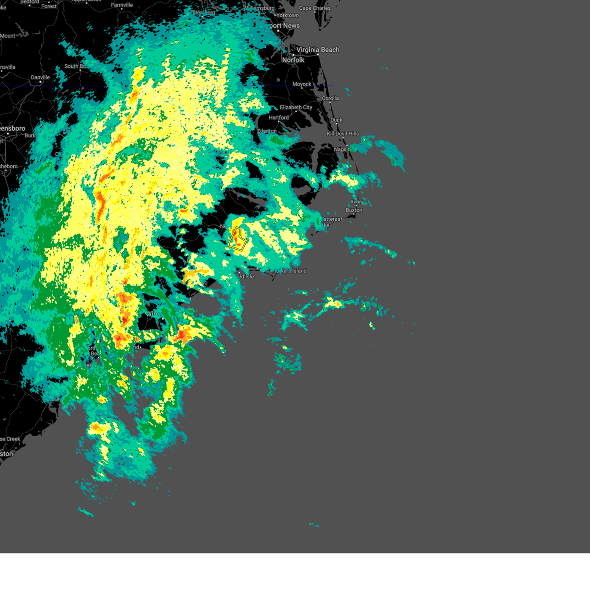 At 629 pm est, a severe thunderstorm was located over riverdale, or near james city, moving north at 65 mph (radar indicated). Hazards include 70 mph wind gusts. Expect considerable tree damage. damage is likely to mobile homes, roofs, and outbuildings. Locations impacted include, new bern, havelock, james city, croatan, riverdale, neuse forest, and fairfield harbour. At 629 pm est, a severe thunderstorm was located over riverdale, or near james city, moving north at 65 mph (radar indicated). Hazards include 70 mph wind gusts. Expect considerable tree damage. damage is likely to mobile homes, roofs, and outbuildings. Locations impacted include, new bern, havelock, james city, croatan, riverdale, neuse forest, and fairfield harbour.
|
| 1/9/2024 6:25 PM EST |
 At 625 pm est, severe thunderstorms were located along a line extending from near james city to near croatan, moving north at 75 mph (radar indicated). Hazards include 70 mph wind gusts. Expect considerable tree damage. Damage is likely to mobile homes, roofs, and outbuildings. At 625 pm est, severe thunderstorms were located along a line extending from near james city to near croatan, moving north at 75 mph (radar indicated). Hazards include 70 mph wind gusts. Expect considerable tree damage. Damage is likely to mobile homes, roofs, and outbuildings.
|
| 1/9/2024 5:57 PM EST |
 At 557 pm est, a severe thunderstorm was located near hammocks beach state park, or 15 miles southeast of camp lejeune center, moving northeast at 65 mph (radar indicated). Hazards include 70 mph wind gusts. Expect considerable tree damage. Damage is likely to mobile homes, roofs, and outbuildings. At 557 pm est, a severe thunderstorm was located near hammocks beach state park, or 15 miles southeast of camp lejeune center, moving northeast at 65 mph (radar indicated). Hazards include 70 mph wind gusts. Expect considerable tree damage. Damage is likely to mobile homes, roofs, and outbuildings.
|
| 12/17/2023 9:40 PM EST |
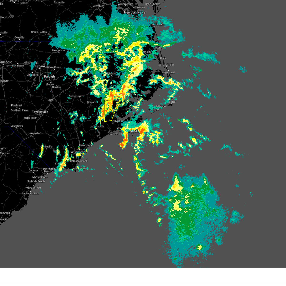 The severe thunderstorm warning for east central jones, central craven, south central beaufort and west central pamlico counties will expire at 945 pm est, the storm which prompted the warning has weakened below severe limits, and no longer poses an immediate threat to life or property. therefore, the warning will be allowed to expire. however, gusty winds and heavy rain are still possible with this thunderstorm. a tornado watch remains in effect until 1000 pm est for eastern north carolina. The severe thunderstorm warning for east central jones, central craven, south central beaufort and west central pamlico counties will expire at 945 pm est, the storm which prompted the warning has weakened below severe limits, and no longer poses an immediate threat to life or property. therefore, the warning will be allowed to expire. however, gusty winds and heavy rain are still possible with this thunderstorm. a tornado watch remains in effect until 1000 pm est for eastern north carolina.
|
| 12/17/2023 9:19 PM EST |
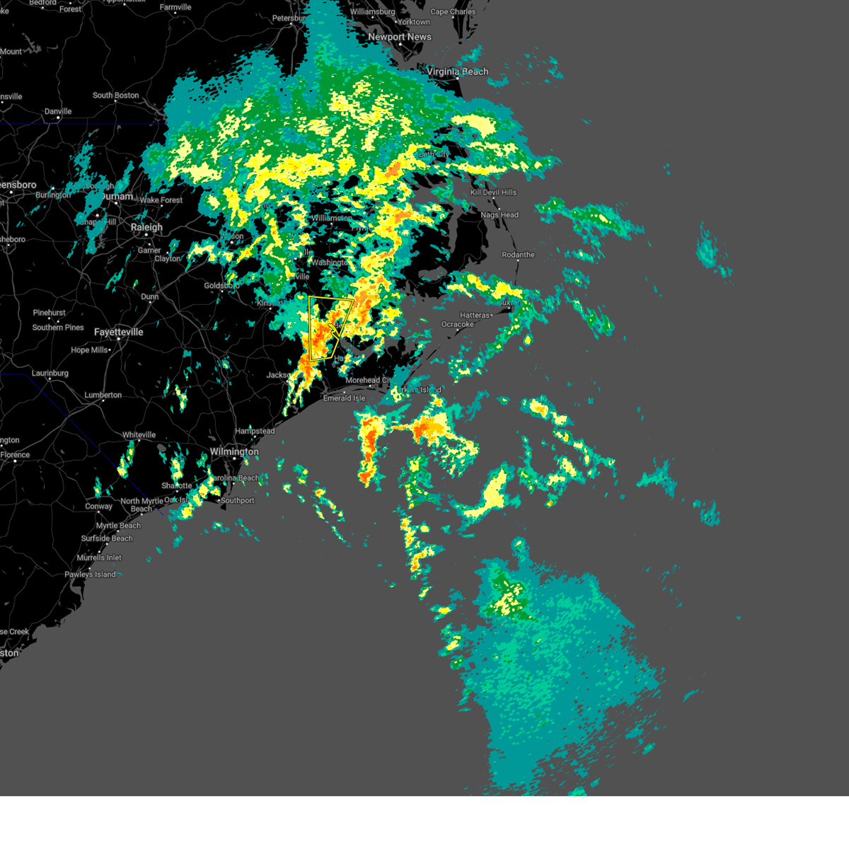 At 918 pm est, a severe thunderstorm was located over river bend, or near new bern, moving north at 60 mph (radar indicated). Hazards include 60 mph wind gusts. expect damage to roofs, siding, and trees At 918 pm est, a severe thunderstorm was located over river bend, or near new bern, moving north at 60 mph (radar indicated). Hazards include 60 mph wind gusts. expect damage to roofs, siding, and trees
|
| 8/10/2023 7:14 PM EDT |
 At 713 pm edt, a severe thunderstorm was located over james city, moving east at 35 mph (radar indicated). Hazards include 60 mph wind gusts. expect damage to roofs, siding, and trees At 713 pm edt, a severe thunderstorm was located over james city, moving east at 35 mph (radar indicated). Hazards include 60 mph wind gusts. expect damage to roofs, siding, and trees
|
| 8/10/2023 7:05 PM EDT |
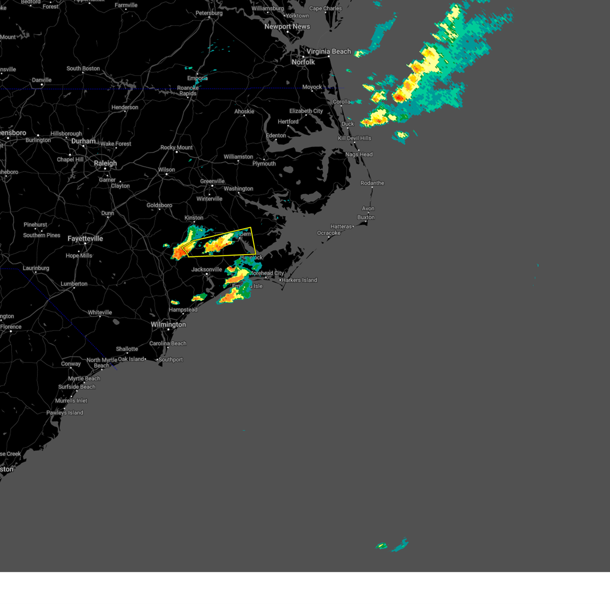 At 705 pm edt, a severe thunderstorm was located over river bend, or near new bern, moving east at 35 mph (radar indicated). Hazards include 60 mph wind gusts. Expect damage to roofs, siding, and trees. locations impacted include, new bern, james city, trent woods, river bend, phillips crossroads, comfort, tuscarora, rhems, olympia, petersburg, pleasant hill, croatan, riverdale, catfish lake, neuse forest, fairfield harbour, coastal carolina regional airport, bridgeton, pollocksville and hargetts crossroads. hail threat, radar indicated max hail size, <. 75 in wind threat, radar indicated max wind gust, 60 mph. At 705 pm edt, a severe thunderstorm was located over river bend, or near new bern, moving east at 35 mph (radar indicated). Hazards include 60 mph wind gusts. Expect damage to roofs, siding, and trees. locations impacted include, new bern, james city, trent woods, river bend, phillips crossroads, comfort, tuscarora, rhems, olympia, petersburg, pleasant hill, croatan, riverdale, catfish lake, neuse forest, fairfield harbour, coastal carolina regional airport, bridgeton, pollocksville and hargetts crossroads. hail threat, radar indicated max hail size, <. 75 in wind threat, radar indicated max wind gust, 60 mph.
|
| 8/10/2023 6:19 PM EDT |
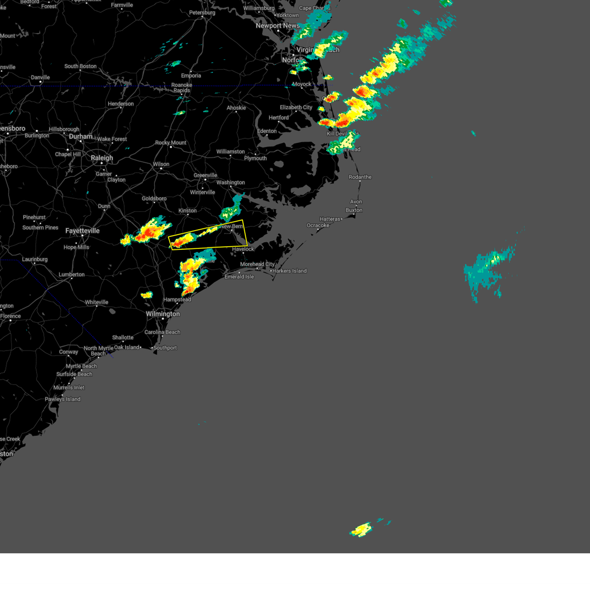 At 619 pm edt, a severe thunderstorm was located near potters hill, or 14 miles northwest of half moon, moving east at 35 mph (radar indicated). Hazards include 60 mph wind gusts. expect damage to roofs, siding, and trees At 619 pm edt, a severe thunderstorm was located near potters hill, or 14 miles northwest of half moon, moving east at 35 mph (radar indicated). Hazards include 60 mph wind gusts. expect damage to roofs, siding, and trees
|
| 8/10/2023 6:17 PM EDT |
 At 617 pm edt, a severe thunderstorm was located over verona, or near new river station, moving east at 35 mph (radar indicated). Hazards include 60 mph wind gusts. expect damage to roofs, siding, and trees At 617 pm edt, a severe thunderstorm was located over verona, or near new river station, moving east at 35 mph (radar indicated). Hazards include 60 mph wind gusts. expect damage to roofs, siding, and trees
|
| 8/7/2023 9:49 PM EDT |
 At 949 pm edt, severe thunderstorms were located along a line extending from near edward to hubert to sneads ferry, moving east at 45 mph (radar indicated). Hazards include 60 mph wind gusts. Expect damage to roofs, siding, and trees. locations impacted include, jacksonville, new bern, havelock, morehead city, north topsail beach, newport, pumpkin center, new river station, half moon, camp lejeune center, piney green, james city, trent woods, river bend, stella, swansboro, hubert, south river, cape carteret and merrimon. hail threat, radar indicated max hail size, <. 75 in wind threat, radar indicated max wind gust, 60 mph. At 949 pm edt, severe thunderstorms were located along a line extending from near edward to hubert to sneads ferry, moving east at 45 mph (radar indicated). Hazards include 60 mph wind gusts. Expect damage to roofs, siding, and trees. locations impacted include, jacksonville, new bern, havelock, morehead city, north topsail beach, newport, pumpkin center, new river station, half moon, camp lejeune center, piney green, james city, trent woods, river bend, stella, swansboro, hubert, south river, cape carteret and merrimon. hail threat, radar indicated max hail size, <. 75 in wind threat, radar indicated max wind gust, 60 mph.
|
| 8/7/2023 9:35 PM EDT |
 At 934 pm edt, severe thunderstorms were located along a line extending from near wilmar to jacksonville to near folkstone, moving east at 35 mph (radar indicated). Hazards include 60 mph wind gusts. expect damage to roofs, siding, and trees At 934 pm edt, severe thunderstorms were located along a line extending from near wilmar to jacksonville to near folkstone, moving east at 35 mph (radar indicated). Hazards include 60 mph wind gusts. expect damage to roofs, siding, and trees
|
| 8/7/2023 8:50 PM EDT |
 At 849 pm edt, severe thunderstorms were located along a line extending from near lizzie to 6 miles northwest of deep run to willard, moving east at 55 mph (radar indicated). Hazards include 60 mph wind gusts. expect damage to roofs, siding, and trees At 849 pm edt, severe thunderstorms were located along a line extending from near lizzie to 6 miles northwest of deep run to willard, moving east at 55 mph (radar indicated). Hazards include 60 mph wind gusts. expect damage to roofs, siding, and trees
|
| 7/24/2023 3:30 AM EDT |
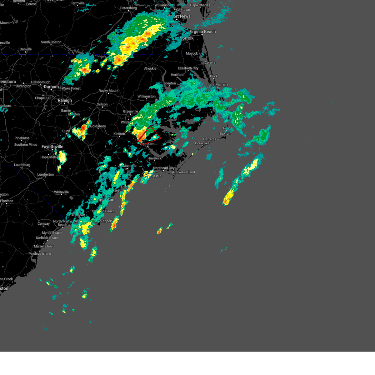 At 329 am edt, a severe thunderstorm capable of producing a tornado was located near askins, or 9 miles northwest of new bern, moving northeast at 15 mph (radar indicated rotation). Hazards include tornado. Flying debris will be dangerous to those caught without shelter. mobile homes will be damaged or destroyed. damage to roofs, windows, and vehicles will occur. tree damage is likely. this dangerous storm will be near, askins around 345 am edt. ernul around 350 am edt. Blounts creek, cayton and cox crossroads around 400 am edt. At 329 am edt, a severe thunderstorm capable of producing a tornado was located near askins, or 9 miles northwest of new bern, moving northeast at 15 mph (radar indicated rotation). Hazards include tornado. Flying debris will be dangerous to those caught without shelter. mobile homes will be damaged or destroyed. damage to roofs, windows, and vehicles will occur. tree damage is likely. this dangerous storm will be near, askins around 345 am edt. ernul around 350 am edt. Blounts creek, cayton and cox crossroads around 400 am edt.
|
| 7/9/2023 3:57 PM EDT |
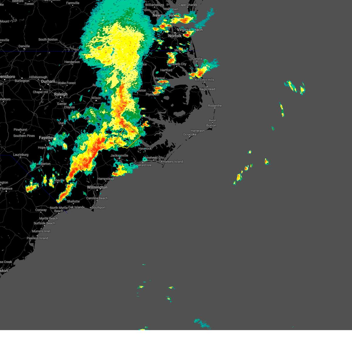 The severe thunderstorm warning for central jones and northwestern craven counties will expire at 400 pm edt, the storm which prompted the warning has weakened below severe limits, and has exited the warned area. therefore, the warning will be allowed to expire. however gusty winds are still possible with this thunderstorm. a severe thunderstorm watch remains in effect until 800 pm edt for eastern north carolina. remember, a severe thunderstorm warning still remains in effect for jones county until 430 pm edt. The severe thunderstorm warning for central jones and northwestern craven counties will expire at 400 pm edt, the storm which prompted the warning has weakened below severe limits, and has exited the warned area. therefore, the warning will be allowed to expire. however gusty winds are still possible with this thunderstorm. a severe thunderstorm watch remains in effect until 800 pm edt for eastern north carolina. remember, a severe thunderstorm warning still remains in effect for jones county until 430 pm edt.
|
| 7/9/2023 3:47 PM EDT |
 At 347 pm edt, severe thunderstorms were located along a line extending from near la grange to near rose hill to near rowan, moving east at 45 mph (radar indicated). Hazards include 60 mph wind gusts and nickel size hail. expect damage to roofs, siding, and trees At 347 pm edt, severe thunderstorms were located along a line extending from near la grange to near rose hill to near rowan, moving east at 45 mph (radar indicated). Hazards include 60 mph wind gusts and nickel size hail. expect damage to roofs, siding, and trees
|
| 7/9/2023 3:27 PM EDT |
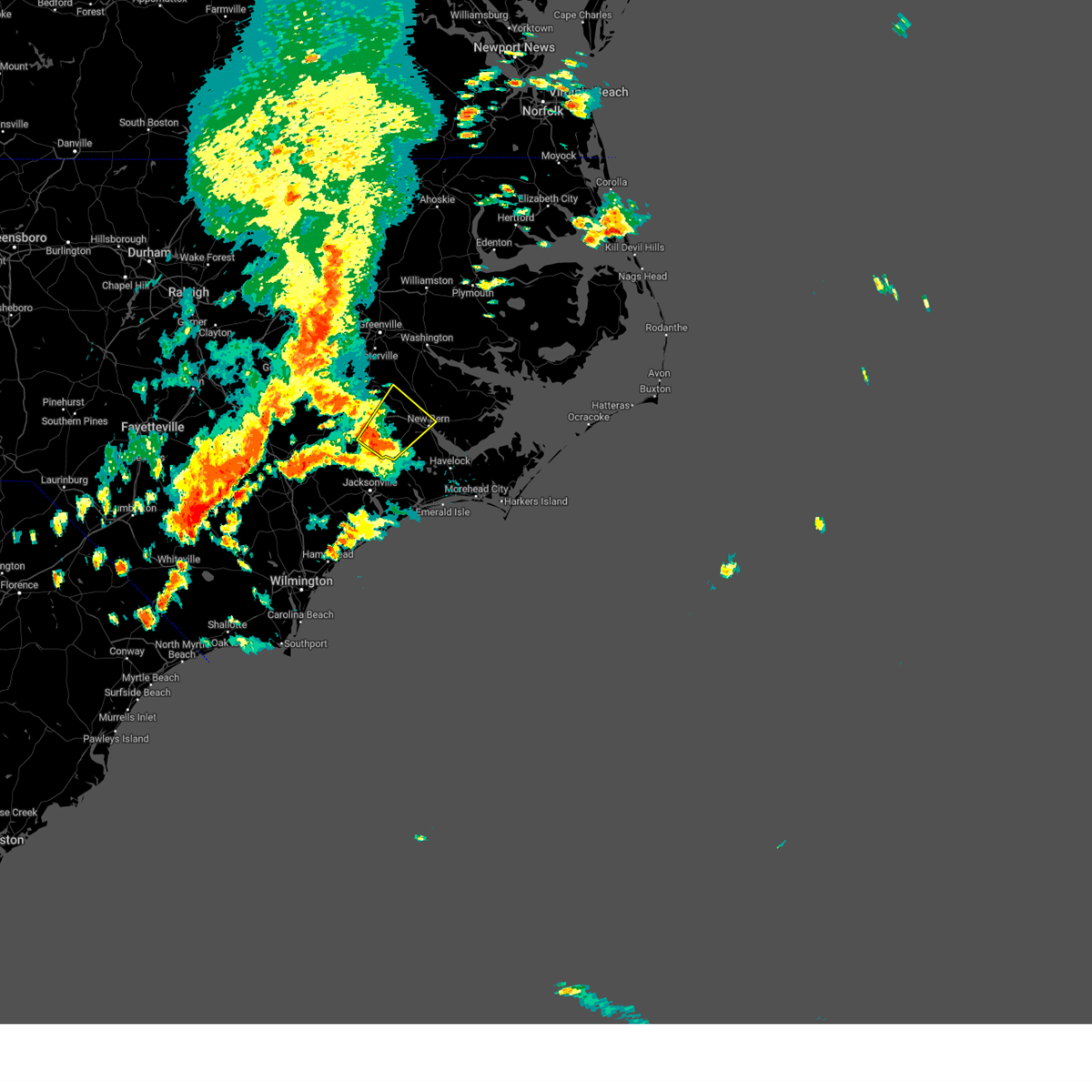 At 326 pm edt, a severe thunderstorm was located near phillips crossroads, or 16 miles west of new bern, moving northeast at 30 mph (radar indicated). Hazards include 60 mph wind gusts and nickel size hail. Expect damage to roofs, siding, and trees. locations impacted include, new bern, trent woods, river bend, phillips crossroads, comfort, jasper, tuscarora, rhems, bridgeton, cove city, pollocksville and trenton. hail threat, radar indicated max hail size, 0. 88 in wind threat, radar indicated max wind gust, 60 mph. At 326 pm edt, a severe thunderstorm was located near phillips crossroads, or 16 miles west of new bern, moving northeast at 30 mph (radar indicated). Hazards include 60 mph wind gusts and nickel size hail. Expect damage to roofs, siding, and trees. locations impacted include, new bern, trent woods, river bend, phillips crossroads, comfort, jasper, tuscarora, rhems, bridgeton, cove city, pollocksville and trenton. hail threat, radar indicated max hail size, 0. 88 in wind threat, radar indicated max wind gust, 60 mph.
|
| 7/9/2023 3:09 PM EDT |
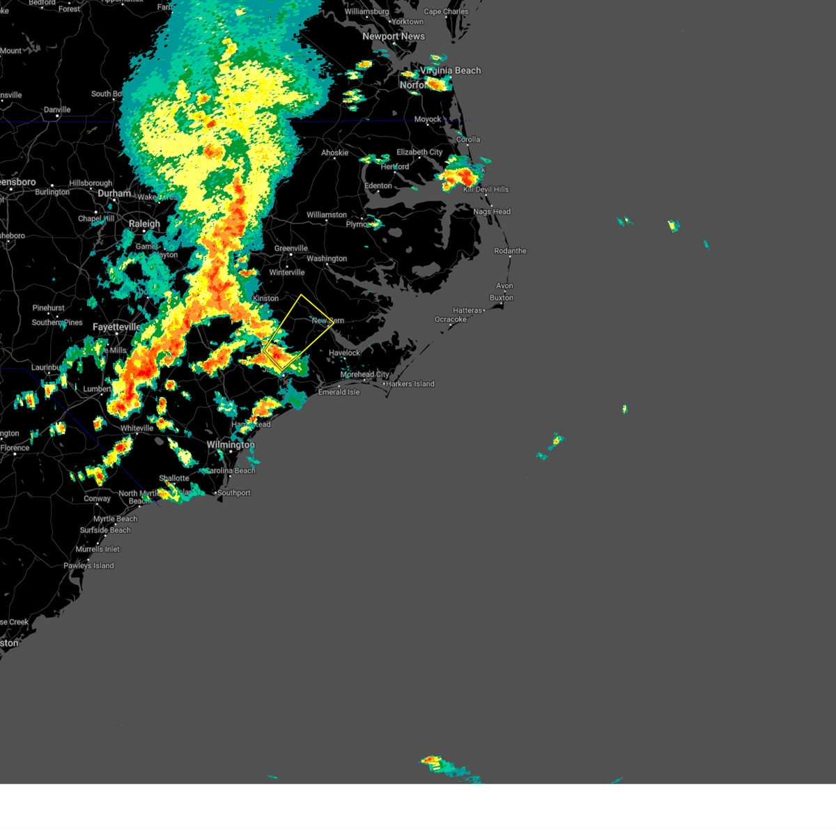 At 308 pm edt, a severe thunderstorm was located near petersburg, or 7 miles north of half moon, moving northeast at 30 mph (radar indicated). Hazards include 60 mph wind gusts and quarter size hail. Hail damage to vehicles is expected. Expect wind damage to roofs, siding, and trees. At 308 pm edt, a severe thunderstorm was located near petersburg, or 7 miles north of half moon, moving northeast at 30 mph (radar indicated). Hazards include 60 mph wind gusts and quarter size hail. Hail damage to vehicles is expected. Expect wind damage to roofs, siding, and trees.
|
| 7/7/2023 7:37 PM EDT |
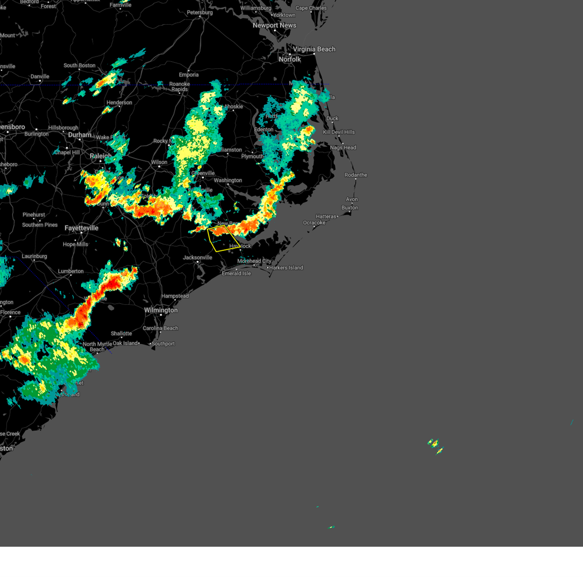 At 736 pm edt, a severe thunderstorm was located near river bend, or 7 miles southwest of new bern, moving southeast at 15 mph (radar indicated). Hazards include 60 mph wind gusts. expect damage to roofs, siding, and trees At 736 pm edt, a severe thunderstorm was located near river bend, or 7 miles southwest of new bern, moving southeast at 15 mph (radar indicated). Hazards include 60 mph wind gusts. expect damage to roofs, siding, and trees
|
| 7/7/2023 6:45 PM EDT |
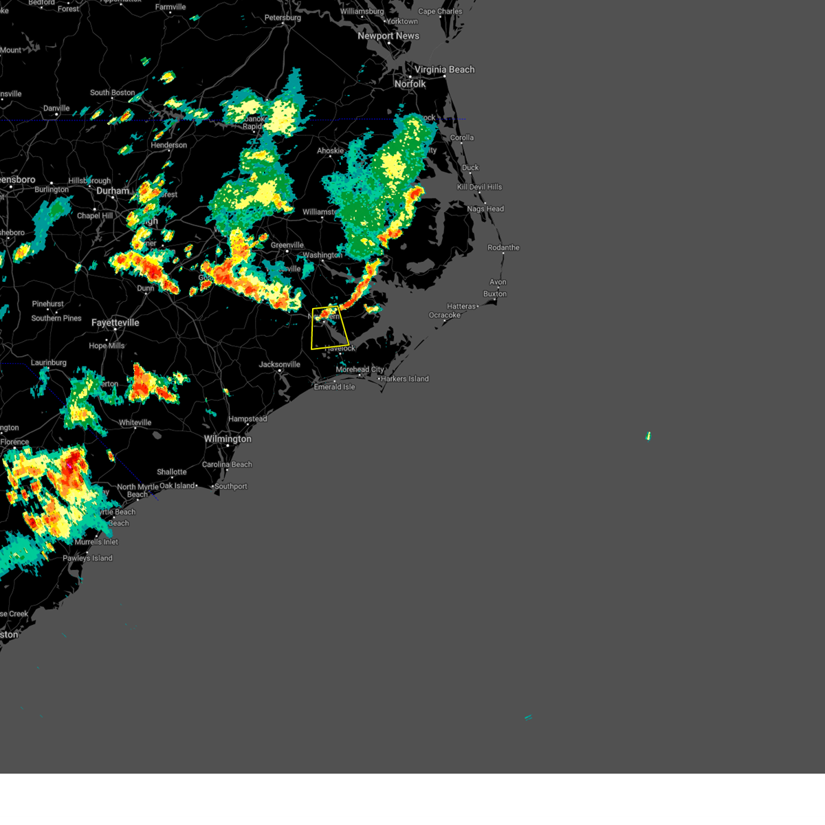 At 644 pm edt, a severe thunderstorm was located over olympia, or near new bern, moving south at 15 mph (radar indicated). Hazards include 60 mph wind gusts. expect damage to roofs, siding, and trees At 644 pm edt, a severe thunderstorm was located over olympia, or near new bern, moving south at 15 mph (radar indicated). Hazards include 60 mph wind gusts. expect damage to roofs, siding, and trees
|
| 6/27/2023 1:36 AM EDT |
 At 136 am edt, severe thunderstorms were located along a line extending from near wenona to leechville to near maribel, moving east at 50 mph (radar indicated). Hazards include 70 mph wind gusts and quarter size hail. Hail damage to vehicles is expected. expect considerable tree damage. wind damage is also likely to mobile homes, roofs, and outbuildings. locations impacted include, new bern, plymouth, james city, trent woods, belhaven, killkenny, swindell fork, sladesville, ransomville, ponzer, scranton, gull rock, gum neck, kilkenny, fairfield, pungo, new holland, pamlico beach, lowland and columbia. thunderstorm damage threat, considerable hail threat, observed max hail size, 1. 00 in wind threat, observed max wind gust, 70 mph. At 136 am edt, severe thunderstorms were located along a line extending from near wenona to leechville to near maribel, moving east at 50 mph (radar indicated). Hazards include 70 mph wind gusts and quarter size hail. Hail damage to vehicles is expected. expect considerable tree damage. wind damage is also likely to mobile homes, roofs, and outbuildings. locations impacted include, new bern, plymouth, james city, trent woods, belhaven, killkenny, swindell fork, sladesville, ransomville, ponzer, scranton, gull rock, gum neck, kilkenny, fairfield, pungo, new holland, pamlico beach, lowland and columbia. thunderstorm damage threat, considerable hail threat, observed max hail size, 1. 00 in wind threat, observed max wind gust, 70 mph.
|
| 6/27/2023 1:16 AM EDT |
 At 115 am edt, severe thunderstorms were located along a line extending from near pinetown to near yeatesville to near olympia, moving east at 50 mph (radar indicated). Hazards include 70 mph wind gusts and quarter size hail. Hail damage to vehicles is expected. expect considerable tree damage. wind damage is also likely to mobile homes, roofs, and outbuildings. locations impacted include, new bern, washington, plymouth, river road, james city, trent woods, belhaven, killkenny, swindell fork, sladesville, ransomville, ponzer, scranton, pinetown, gull rock, gum neck, kilkenny, fairfield, pungo and new holland. thunderstorm damage threat, considerable hail threat, observed max hail size, 1. 00 in wind threat, observed max wind gust, 70 mph. At 115 am edt, severe thunderstorms were located along a line extending from near pinetown to near yeatesville to near olympia, moving east at 50 mph (radar indicated). Hazards include 70 mph wind gusts and quarter size hail. Hail damage to vehicles is expected. expect considerable tree damage. wind damage is also likely to mobile homes, roofs, and outbuildings. locations impacted include, new bern, washington, plymouth, river road, james city, trent woods, belhaven, killkenny, swindell fork, sladesville, ransomville, ponzer, scranton, pinetown, gull rock, gum neck, kilkenny, fairfield, pungo and new holland. thunderstorm damage threat, considerable hail threat, observed max hail size, 1. 00 in wind threat, observed max wind gust, 70 mph.
|
| 6/27/2023 1:04 AM EDT |
 At 104 am edt, severe thunderstorms were located along a line extending from near yeatesville to kellum, moving east at 45 mph (radar indicated). Hazards include 60 mph wind gusts and quarter size hail. Hail damage to vehicles is expected. expect wind damage to roofs, siding, and trees. locations impacted include, jacksonville, new bern, washington, wallace, pumpkin center, piney green, new river station, river road, half moon, james city, trent woods, river bend, phillips crossroads, richlands, pinetown, beulaville, blounts creek, maysville, vanceboro and askins. hail threat, radar indicated max hail size, 1. 00 in wind threat, radar indicated max wind gust, 60 mph. At 104 am edt, severe thunderstorms were located along a line extending from near yeatesville to kellum, moving east at 45 mph (radar indicated). Hazards include 60 mph wind gusts and quarter size hail. Hail damage to vehicles is expected. expect wind damage to roofs, siding, and trees. locations impacted include, jacksonville, new bern, washington, wallace, pumpkin center, piney green, new river station, river road, half moon, james city, trent woods, river bend, phillips crossroads, richlands, pinetown, beulaville, blounts creek, maysville, vanceboro and askins. hail threat, radar indicated max hail size, 1. 00 in wind threat, radar indicated max wind gust, 60 mph.
|
| 6/27/2023 1:00 AM EDT |
 At 1259 am edt, severe thunderstorms were located along a line extending from old ford to near cayton, moving east at 50 mph (radar indicated). Hazards include 60 mph wind gusts and quarter size hail. Hail damage to vehicles is expected. Expect wind damage to roofs, siding, and trees. At 1259 am edt, severe thunderstorms were located along a line extending from old ford to near cayton, moving east at 50 mph (radar indicated). Hazards include 60 mph wind gusts and quarter size hail. Hail damage to vehicles is expected. Expect wind damage to roofs, siding, and trees.
|
| 6/27/2023 12:13 AM EDT |
 At 1212 am edt, severe thunderstorms were located along a line extending from near bell arthur to near rose hill, moving east at 45 mph (radar indicated). Hazards include 60 mph wind gusts and quarter size hail. Hail damage to vehicles is expected. Expect wind damage to roofs, siding, and trees. At 1212 am edt, severe thunderstorms were located along a line extending from near bell arthur to near rose hill, moving east at 45 mph (radar indicated). Hazards include 60 mph wind gusts and quarter size hail. Hail damage to vehicles is expected. Expect wind damage to roofs, siding, and trees.
|
| 6/22/2023 1:48 PM EDT |
 At 147 pm edt, severe thunderstorms were located along a line extending from near ernul to near olympia to cherry branch ferry terminal, moving northeast at 40 mph (emergency management. these thunderstorms have a history of producing wind damage). Hazards include 70 mph wind gusts. Expect considerable tree damage. damage is likely to mobile homes, roofs, and outbuildings. Locations impacted include, new bern, havelock, james city, blounts creek, askins, cayton, lowland, florence, janeiro, edward, grantsboro, royal, cox crossroads, bonnerton, riverdale, olympia, whortonsville, croatan, south creek and maribel. At 147 pm edt, severe thunderstorms were located along a line extending from near ernul to near olympia to cherry branch ferry terminal, moving northeast at 40 mph (emergency management. these thunderstorms have a history of producing wind damage). Hazards include 70 mph wind gusts. Expect considerable tree damage. damage is likely to mobile homes, roofs, and outbuildings. Locations impacted include, new bern, havelock, james city, blounts creek, askins, cayton, lowland, florence, janeiro, edward, grantsboro, royal, cox crossroads, bonnerton, riverdale, olympia, whortonsville, croatan, south creek and maribel.
|
| 6/22/2023 1:40 PM EDT | Trees down. time estimated from rada in craven county NC, 3.7 miles NE of New Bern, NC |
| 6/22/2023 1:40 PM EDT | Trees down... transformer on fire... stoplight not working. time estimated from rada in craven county NC, 8.7 miles SSE of New Bern, NC |
| 6/22/2023 1:23 PM EDT |
 At 123 pm edt, severe thunderstorms were located along a line extending from jasper to near catfish lake to near kuhns, moving northeast at 45 mph (radar indicated). Hazards include 60 mph wind gusts. expect damage to roofs, siding, and trees At 123 pm edt, severe thunderstorms were located along a line extending from jasper to near catfish lake to near kuhns, moving northeast at 45 mph (radar indicated). Hazards include 60 mph wind gusts. expect damage to roofs, siding, and trees
|
| 5/9/2023 9:20 PM EDT |
 The severe thunderstorm warning for southeastern jones, central craven and southwestern pamlico counties will expire at 930 pm edt, the storm which prompted the warning has weakened below severe limits, and no longer poses an immediate threat to life or property. therefore, the warning will be allowed to expire. a severe thunderstorm watch remains in effect until 1000 pm edt for eastern north carolina. The severe thunderstorm warning for southeastern jones, central craven and southwestern pamlico counties will expire at 930 pm edt, the storm which prompted the warning has weakened below severe limits, and no longer poses an immediate threat to life or property. therefore, the warning will be allowed to expire. a severe thunderstorm watch remains in effect until 1000 pm edt for eastern north carolina.
|
| 5/9/2023 9:00 PM EDT |
 At 859 pm edt, a severe thunderstorm was located over trent woods, or over new bern, moving south at 30 mph (radar indicated). Hazards include ping pong ball size hail and 60 mph wind gusts. People and animals outdoors will be injured. expect hail damage to roofs, siding, windows, and vehicles. expect wind damage to roofs, siding, and trees. locations impacted include, new bern, havelock, james city, trent woods, river bend, maysville, tuscarora, rhems, olympia, croatan, riverdale, catfish lake, neuse forest, fairfield harbour, coastal carolina regional airport, bridgeton and pollocksville. hail threat, observed max hail size, 1. 50 in wind threat, radar indicated max wind gust, 60 mph. At 859 pm edt, a severe thunderstorm was located over trent woods, or over new bern, moving south at 30 mph (radar indicated). Hazards include ping pong ball size hail and 60 mph wind gusts. People and animals outdoors will be injured. expect hail damage to roofs, siding, windows, and vehicles. expect wind damage to roofs, siding, and trees. locations impacted include, new bern, havelock, james city, trent woods, river bend, maysville, tuscarora, rhems, olympia, croatan, riverdale, catfish lake, neuse forest, fairfield harbour, coastal carolina regional airport, bridgeton and pollocksville. hail threat, observed max hail size, 1. 50 in wind threat, radar indicated max wind gust, 60 mph.
|
| 5/9/2023 8:42 PM EDT |
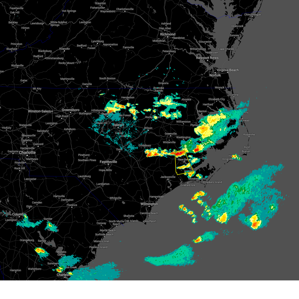 At 841 pm edt, a severe thunderstorm was located near askins, or 11 miles northwest of new bern, moving south at 35 mph (radar indicated. at 8:05 pm, half dollar size hail was reported in pitt county near simpson, nc). Hazards include ping pong ball size hail and 60 mph wind gusts. People and animals outdoors will be injured. expect hail damage to roofs, siding, windows, and vehicles. Expect wind damage to roofs, siding, and trees. At 841 pm edt, a severe thunderstorm was located near askins, or 11 miles northwest of new bern, moving south at 35 mph (radar indicated. at 8:05 pm, half dollar size hail was reported in pitt county near simpson, nc). Hazards include ping pong ball size hail and 60 mph wind gusts. People and animals outdoors will be injured. expect hail damage to roofs, siding, windows, and vehicles. Expect wind damage to roofs, siding, and trees.
|
| 5/9/2023 8:37 PM EDT |
 At 835 pm edt, a severe thunderstorm was located over vanceboro, or 15 miles northwest of new bern, moving south at 40 mph (radar indicated. at 8:02 pm, ping pong ball size hail (1.5") was reported in simpson, nc). Hazards include ping pong ball size hail and 60 mph wind gusts. People and animals outdoors will be injured. expect hail damage to roofs, siding, windows, and vehicles. expect wind damage to roofs, siding, and trees. locations impacted include, new bern, james city, trent woods, river bend, vanceboro, askins, cayton, jasper, tuscarora, rhems, olympia, ernul, fairfield harbour, coastal carolina regional airport and bridgeton. hail threat, observed max hail size, 1. 50 in wind threat, radar indicated max wind gust, 60 mph. At 835 pm edt, a severe thunderstorm was located over vanceboro, or 15 miles northwest of new bern, moving south at 40 mph (radar indicated. at 8:02 pm, ping pong ball size hail (1.5") was reported in simpson, nc). Hazards include ping pong ball size hail and 60 mph wind gusts. People and animals outdoors will be injured. expect hail damage to roofs, siding, windows, and vehicles. expect wind damage to roofs, siding, and trees. locations impacted include, new bern, james city, trent woods, river bend, vanceboro, askins, cayton, jasper, tuscarora, rhems, olympia, ernul, fairfield harbour, coastal carolina regional airport and bridgeton. hail threat, observed max hail size, 1. 50 in wind threat, radar indicated max wind gust, 60 mph.
|
| 5/9/2023 8:22 PM EDT |
 At 822 pm edt, a severe thunderstorm was located over wilmar, or 13 miles southwest of river road, moving south at 55 mph (radar indicated. at 8:05 pm, half dollar size hail was reported in pitt county near simpson, nc). Hazards include ping pong ball size hail and 60 mph wind gusts. People and animals outdoors will be injured. expect hail damage to roofs, siding, windows, and vehicles. Expect wind damage to roofs, siding, and trees. At 822 pm edt, a severe thunderstorm was located over wilmar, or 13 miles southwest of river road, moving south at 55 mph (radar indicated. at 8:05 pm, half dollar size hail was reported in pitt county near simpson, nc). Hazards include ping pong ball size hail and 60 mph wind gusts. People and animals outdoors will be injured. expect hail damage to roofs, siding, windows, and vehicles. Expect wind damage to roofs, siding, and trees.
|
| 5/9/2023 6:03 PM EDT |
 At 603 pm edt, a severe thunderstorm was located near belgrade, or 11 miles northeast of piney green, moving southeast at 45 mph (radar indicated). Hazards include 60 mph wind gusts and quarter size hail. Hail damage to vehicles is expected. Expect wind damage to roofs, siding, and trees. At 603 pm edt, a severe thunderstorm was located near belgrade, or 11 miles northeast of piney green, moving southeast at 45 mph (radar indicated). Hazards include 60 mph wind gusts and quarter size hail. Hail damage to vehicles is expected. Expect wind damage to roofs, siding, and trees.
|
| 5/9/2023 5:30 PM EDT | Public measured 73 mph gus in amz137 county NC, 5 miles W of New Bern, NC |
| 5/9/2023 5:30 PM EDT |
 At 528 pm edt, a severe thunderstorm was located near janeiro, or 9 miles east of james city, moving southeast at 40 mph (radar indicated. at 5:01 pm, a trained spotter reported extensive tree debris in ernul, nc). Hazards include golf ball size hail and 60 mph wind gusts. People and animals outdoors will be injured. expect hail damage to roofs, siding, windows, and vehicles. expect wind damage to roofs, siding, and trees. locations impacted include, new bern, janeiro, grantsboro, whortonsville, riverdale, nc pamlico, merritt, minnesott beach ferry, fairfield harbour, bayboro, alliance, arapahoe, minnesott beach and stonewall. thunderstorm damage threat, considerable hail threat, observed max hail size, 1. 75 in wind threat, radar indicated max wind gust, 60 mph. At 528 pm edt, a severe thunderstorm was located near janeiro, or 9 miles east of james city, moving southeast at 40 mph (radar indicated. at 5:01 pm, a trained spotter reported extensive tree debris in ernul, nc). Hazards include golf ball size hail and 60 mph wind gusts. People and animals outdoors will be injured. expect hail damage to roofs, siding, windows, and vehicles. expect wind damage to roofs, siding, and trees. locations impacted include, new bern, janeiro, grantsboro, whortonsville, riverdale, nc pamlico, merritt, minnesott beach ferry, fairfield harbour, bayboro, alliance, arapahoe, minnesott beach and stonewall. thunderstorm damage threat, considerable hail threat, observed max hail size, 1. 75 in wind threat, radar indicated max wind gust, 60 mph.
|
| 5/9/2023 5:22 PM EDT | Corrects location and time of previous tstm wnd dmg report from 1 e river road. multiple trees down on broad creek roa in craven county NC, 5.9 miles WSW of New Bern, NC |
| 5/9/2023 5:21 PM EDT | Large pine tree snapped in fairfield harbor. time estimated from rada in craven county NC, 5.5 miles W of New Bern, NC |
| 5/9/2023 5:12 PM EDT | Trees down on power line in craven county NC, 4.9 miles W of New Bern, NC |
| 5/9/2023 5:02 PM EDT |
 At 502 pm edt, a severe thunderstorm was located over askins, or 11 miles north of new bern, moving southeast at 40 mph (radar indicated. at 4:25 pm, 1" hail was reported in ayden, nc). Hazards include golf ball size hail and 60 mph wind gusts. People and animals outdoors will be injured. expect hail damage to roofs, siding, windows, and vehicles. Expect wind damage to roofs, siding, and trees. At 502 pm edt, a severe thunderstorm was located over askins, or 11 miles north of new bern, moving southeast at 40 mph (radar indicated. at 4:25 pm, 1" hail was reported in ayden, nc). Hazards include golf ball size hail and 60 mph wind gusts. People and animals outdoors will be injured. expect hail damage to roofs, siding, windows, and vehicles. Expect wind damage to roofs, siding, and trees.
|
| 5/9/2023 4:46 PM EDT |
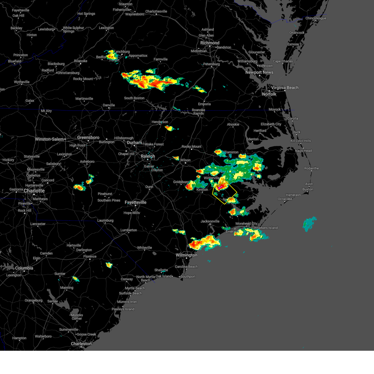 At 446 pm edt, a severe thunderstorm was located near vanceboro, or 15 miles southeast of ayden, moving southeast at 45 mph (radar indicated). Hazards include ping pong ball size hail and 60 mph wind gusts. People and animals outdoors will be injured. expect hail damage to roofs, siding, windows, and vehicles. expect wind damage to roofs, siding, and trees. locations impacted include, new bern, river bend, vanceboro, askins, cayton, fort barnwell, jasper, tuscarora, wilmar, ernul and cove city. hail threat, radar indicated max hail size, 1. 50 in wind threat, radar indicated max wind gust, 60 mph. At 446 pm edt, a severe thunderstorm was located near vanceboro, or 15 miles southeast of ayden, moving southeast at 45 mph (radar indicated). Hazards include ping pong ball size hail and 60 mph wind gusts. People and animals outdoors will be injured. expect hail damage to roofs, siding, windows, and vehicles. expect wind damage to roofs, siding, and trees. locations impacted include, new bern, river bend, vanceboro, askins, cayton, fort barnwell, jasper, tuscarora, wilmar, ernul and cove city. hail threat, radar indicated max hail size, 1. 50 in wind threat, radar indicated max wind gust, 60 mph.
|
| 5/9/2023 4:29 PM EDT |
 At 429 pm edt, a severe thunderstorm was located near grifton, or near ayden, moving southeast at 50 mph (radar indicated). Hazards include ping pong ball size hail and 60 mph wind gusts. People and animals outdoors will be injured. expect hail damage to roofs, siding, windows, and vehicles. Expect wind damage to roofs, siding, and trees. At 429 pm edt, a severe thunderstorm was located near grifton, or near ayden, moving southeast at 50 mph (radar indicated). Hazards include ping pong ball size hail and 60 mph wind gusts. People and animals outdoors will be injured. expect hail damage to roofs, siding, windows, and vehicles. Expect wind damage to roofs, siding, and trees.
|
| 4/30/2023 4:15 PM EDT | Tree down on murphy road in brices cree in craven county NC, 3.7 miles NE of New Bern, NC |
| 4/30/2023 4:07 PM EDT |
 At 407 pm edt, severe thunderstorms were located along a line extending from trent woods to near topsail beach, moving east at 45 mph (radar indicated). Hazards include 60 mph wind gusts and nickel size hail. expect damage to roofs, siding, and trees At 407 pm edt, severe thunderstorms were located along a line extending from trent woods to near topsail beach, moving east at 45 mph (radar indicated). Hazards include 60 mph wind gusts and nickel size hail. expect damage to roofs, siding, and trees
|
| 4/30/2023 12:21 AM EDT |
 At 1220 am edt, severe thunderstorms were located along a line extending from 8 miles southeast of onslow beach to 16 miles south of pine knoll shores to 15 miles south of cape lookout lighthouse, moving north at 45 mph (radar indicated). Hazards include 60 mph wind gusts and penny size hail. expect damage to roofs, siding, and trees At 1220 am edt, severe thunderstorms were located along a line extending from 8 miles southeast of onslow beach to 16 miles south of pine knoll shores to 15 miles south of cape lookout lighthouse, moving north at 45 mph (radar indicated). Hazards include 60 mph wind gusts and penny size hail. expect damage to roofs, siding, and trees
|
| 1/13/2023 1:23 AM EST |
 At 123 am est, severe thunderstorms were located along a line extending from near james city to onslow beach, moving northeast at 35 mph (radar indicated). Hazards include 60 mph wind gusts. expect damage to roofs, siding, and trees At 123 am est, severe thunderstorms were located along a line extending from near james city to onslow beach, moving northeast at 35 mph (radar indicated). Hazards include 60 mph wind gusts. expect damage to roofs, siding, and trees
|
| 1/4/2023 2:38 PM EST | Craven co. emergency management reported trees down... one on a house... on morgan swamp rd. northeast of new ber in craven county NC, 8.3 miles SSW of New Bern, NC |
| 1/4/2023 2:35 PM EST | Emergency manager reported multiple trees down with some damage to houses along territorial rd just ne of bridgeto in craven county NC, 7.7 miles S of New Bern, NC |
| 1/4/2023 2:31 PM EST |
 At 231 pm est, severe thunderstorms were located along a line extending from black jack to near cox crossroads to catfish lake, moving east at 55 mph (radar indicated). Hazards include 60 mph wind gusts. expect damage to roofs, siding, and trees At 231 pm est, severe thunderstorms were located along a line extending from black jack to near cox crossroads to catfish lake, moving east at 55 mph (radar indicated). Hazards include 60 mph wind gusts. expect damage to roofs, siding, and trees
|
| 9/30/2022 4:19 PM EDT |
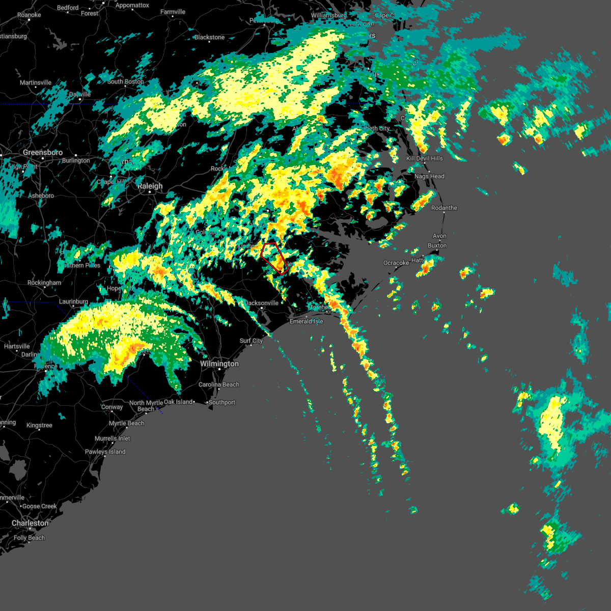 At 419 pm edt, a severe thunderstorm capable of producing a tornado was located near tuscarora, or 9 miles west of new bern, moving northwest at 45 mph (radar indicated rotation). Hazards include tornado. Flying debris will be dangerous to those caught without shelter. mobile homes will be damaged or destroyed. damage to roofs, windows, and vehicles will occur. Tree damage is likely. At 419 pm edt, a severe thunderstorm capable of producing a tornado was located near tuscarora, or 9 miles west of new bern, moving northwest at 45 mph (radar indicated rotation). Hazards include tornado. Flying debris will be dangerous to those caught without shelter. mobile homes will be damaged or destroyed. damage to roofs, windows, and vehicles will occur. Tree damage is likely.
|
| 7/31/2022 6:25 PM EDT |
 At 625 pm edt, severe thunderstorms were located along a line extending from near havelock to hammocks beach state park, moving east at 25 mph (radar indicated). Hazards include 70 mph wind gusts and nickel size hail. Expect considerable tree damage. damage is likely to mobile homes, roofs, and outbuildings. locations impacted include, new bern, havelock, morehead city, newport, croatan, riverdale, wildwood, north harlowe, catfish lake, neuse forest, cherry branch ferry terminal and indian beach. thunderstorm damage threat, considerable hail threat, radar indicated max hail size, 0. 88 in wind threat, radar indicated max wind gust, 70 mph. At 625 pm edt, severe thunderstorms were located along a line extending from near havelock to hammocks beach state park, moving east at 25 mph (radar indicated). Hazards include 70 mph wind gusts and nickel size hail. Expect considerable tree damage. damage is likely to mobile homes, roofs, and outbuildings. locations impacted include, new bern, havelock, morehead city, newport, croatan, riverdale, wildwood, north harlowe, catfish lake, neuse forest, cherry branch ferry terminal and indian beach. thunderstorm damage threat, considerable hail threat, radar indicated max hail size, 0. 88 in wind threat, radar indicated max wind gust, 70 mph.
|
| 7/31/2022 6:05 PM EDT |
 At 605 pm edt, severe thunderstorms were located along a line extending from near catfish lake to near swansboro, moving east at 25 mph (radar indicated). Hazards include 70 mph wind gusts and nickel size hail. Expect considerable tree damage. damage is likely to mobile homes, roofs, and outbuildings. locations impacted include, new bern, havelock, morehead city, newport, cape carteret, broad creek, wildwood, croatan, kuhns, peletier, riverdale, bogue, north harlowe, catfish lake, neuse forest, cherry branch ferry terminal, bogue inlet pier, cedar point and indian beach. thunderstorm damage threat, considerable hail threat, radar indicated max hail size, 0. 88 in wind threat, radar indicated max wind gust, 70 mph. At 605 pm edt, severe thunderstorms were located along a line extending from near catfish lake to near swansboro, moving east at 25 mph (radar indicated). Hazards include 70 mph wind gusts and nickel size hail. Expect considerable tree damage. damage is likely to mobile homes, roofs, and outbuildings. locations impacted include, new bern, havelock, morehead city, newport, cape carteret, broad creek, wildwood, croatan, kuhns, peletier, riverdale, bogue, north harlowe, catfish lake, neuse forest, cherry branch ferry terminal, bogue inlet pier, cedar point and indian beach. thunderstorm damage threat, considerable hail threat, radar indicated max hail size, 0. 88 in wind threat, radar indicated max wind gust, 70 mph.
|
| 7/31/2022 5:42 PM EDT |
 At 542 pm edt, severe thunderstorms were located along a line extending from near maysville to near camp lejeune center, moving east at 25 mph (radar indicated). Hazards include 70 mph wind gusts and nickel size hail. Expect considerable tree damage. Damage is likely to mobile homes, roofs, and outbuildings. At 542 pm edt, severe thunderstorms were located along a line extending from near maysville to near camp lejeune center, moving east at 25 mph (radar indicated). Hazards include 70 mph wind gusts and nickel size hail. Expect considerable tree damage. Damage is likely to mobile homes, roofs, and outbuildings.
|
| 7/7/2022 12:09 AM EDT |
 At 1208 am edt, severe thunderstorms were located along a line extending from rose bay to near rhems, moving southeast at 25 mph (radar indicated). Hazards include 60 mph wind gusts. Expect damage to roofs, siding, and trees. locations impacted include, new bern, havelock, james city, trent woods, river bend, sladesville, pamlico beach, maysville, askins, cayton, lowland, florence, tuscarora, rhems, janeiro, grantsboro, royal, riverdale, rose bay and olympia. hail threat, radar indicated max hail size, <. 75 in wind threat, radar indicated max wind gust, 60 mph. At 1208 am edt, severe thunderstorms were located along a line extending from rose bay to near rhems, moving southeast at 25 mph (radar indicated). Hazards include 60 mph wind gusts. Expect damage to roofs, siding, and trees. locations impacted include, new bern, havelock, james city, trent woods, river bend, sladesville, pamlico beach, maysville, askins, cayton, lowland, florence, tuscarora, rhems, janeiro, grantsboro, royal, riverdale, rose bay and olympia. hail threat, radar indicated max hail size, <. 75 in wind threat, radar indicated max wind gust, 60 mph.
|
| 7/6/2022 11:50 PM EDT | Utility company reports multiple power outages in an area northwest of new ber in craven county NC, 6.6 miles SSE of New Bern, NC |
| 7/6/2022 11:41 PM EDT |
 At 1141 pm edt, severe thunderstorms were located along a line extending from near leechville to near fort barnwell, moving southeast at 20 mph (radar indicated). Hazards include 60 mph wind gusts. expect damage to roofs, siding, and trees At 1141 pm edt, severe thunderstorms were located along a line extending from near leechville to near fort barnwell, moving southeast at 20 mph (radar indicated). Hazards include 60 mph wind gusts. expect damage to roofs, siding, and trees
|
| 6/17/2022 9:24 PM EDT |
 At 923 pm edt, severe thunderstorms were located along a line extending from near lowland to near minnesott beach ferry to near silverdale to near maple hill, moving southeast at 35 mph (radar indicated). Hazards include 60 mph wind gusts and quarter size hail. Hail damage to vehicles is expected. expect wind damage to roofs, siding, and trees. locations impacted include, jacksonville, new bern, havelock, morehead city, north topsail beach, newport, cedar island, harkers island, pumpkin center, new river station, half moon, camp lejeune center, piney green, james city, stella, swansboro, hubert, south river, cape carteret and north river. hail threat, radar indicated max hail size, 1. 00 in wind threat, radar indicated max wind gust, 60 mph. At 923 pm edt, severe thunderstorms were located along a line extending from near lowland to near minnesott beach ferry to near silverdale to near maple hill, moving southeast at 35 mph (radar indicated). Hazards include 60 mph wind gusts and quarter size hail. Hail damage to vehicles is expected. expect wind damage to roofs, siding, and trees. locations impacted include, jacksonville, new bern, havelock, morehead city, north topsail beach, newport, cedar island, harkers island, pumpkin center, new river station, half moon, camp lejeune center, piney green, james city, stella, swansboro, hubert, south river, cape carteret and north river. hail threat, radar indicated max hail size, 1. 00 in wind threat, radar indicated max wind gust, 60 mph.
|
| 6/17/2022 9:04 PM EDT | Multiple trees down on roads in the city of new bern and in fairfield harbor. estimated just over 2600 people without power across craven county according to tideland e in craven county NC, 2.3 miles SSW of New Bern, NC |
| 6/17/2022 8:52 PM EDT |
 At 851 pm edt, severe thunderstorms were located along a line extending from near goose creek state park to near askins to near petersburg to near penderlea, moving southeast at 40 mph (radar indicated). Hazards include 60 mph wind gusts and quarter size hail. Hail damage to vehicles is expected. Expect wind damage to roofs, siding, and trees. At 851 pm edt, severe thunderstorms were located along a line extending from near goose creek state park to near askins to near petersburg to near penderlea, moving southeast at 40 mph (radar indicated). Hazards include 60 mph wind gusts and quarter size hail. Hail damage to vehicles is expected. Expect wind damage to roofs, siding, and trees.
|
| 6/17/2022 8:46 PM EDT |
 At 845 pm edt, severe thunderstorms were located along a line extending from near goose creek state park to 7 miles southwest of tuscarora to richlands to near wallace, moving southeast at 45 mph (radar indicated). Hazards include 60 mph wind gusts and quarter size hail. Hail damage to vehicles is expected. expect wind damage to roofs, siding, and trees. locations impacted include, jacksonville, new bern, washington, wallace, pumpkin center, piney green, new river station, river road, half moon, camp lejeune center, james city, trent woods, river bend, stella, swansboro, phillips crossroads, hubert, rose hill, richlands and beulaville. hail threat, radar indicated max hail size, 1. 00 in wind threat, radar indicated max wind gust, 60 mph. At 845 pm edt, severe thunderstorms were located along a line extending from near goose creek state park to 7 miles southwest of tuscarora to richlands to near wallace, moving southeast at 45 mph (radar indicated). Hazards include 60 mph wind gusts and quarter size hail. Hail damage to vehicles is expected. expect wind damage to roofs, siding, and trees. locations impacted include, jacksonville, new bern, washington, wallace, pumpkin center, piney green, new river station, river road, half moon, camp lejeune center, james city, trent woods, river bend, stella, swansboro, phillips crossroads, hubert, rose hill, richlands and beulaville. hail threat, radar indicated max hail size, 1. 00 in wind threat, radar indicated max wind gust, 60 mph.
|
| 6/17/2022 8:37 PM EDT |
 At 835 pm edt, severe thunderstorms were located along a line extending from near washington to near phillips crossroads to near potters hill to near harrells, moving southeast at 40 mph (radar indicated). Hazards include 60 mph wind gusts. Expect damage to roofs, siding, and trees. locations impacted include, jacksonville, new bern, washington, wallace, pumpkin center, piney green, new river station, river road, half moon, camp lejeune center, james city, trent woods, river bend, stella, swansboro, phillips crossroads, hubert, rose hill, richlands and beulaville. hail threat, radar indicated max hail size, <. 75 in wind threat, radar indicated max wind gust, 60 mph. At 835 pm edt, severe thunderstorms were located along a line extending from near washington to near phillips crossroads to near potters hill to near harrells, moving southeast at 40 mph (radar indicated). Hazards include 60 mph wind gusts. Expect damage to roofs, siding, and trees. locations impacted include, jacksonville, new bern, washington, wallace, pumpkin center, piney green, new river station, river road, half moon, camp lejeune center, james city, trent woods, river bend, stella, swansboro, phillips crossroads, hubert, rose hill, richlands and beulaville. hail threat, radar indicated max hail size, <. 75 in wind threat, radar indicated max wind gust, 60 mph.
|
| 6/17/2022 8:09 PM EDT |
 At 808 pm edt, severe thunderstorms were located along a line extending from pactolus to near wyse fork to near kornegay to near rose hill, moving southeast at 45 mph (radar indicated). Hazards include 60 mph wind gusts. expect damage to roofs, siding, and trees At 808 pm edt, severe thunderstorms were located along a line extending from pactolus to near wyse fork to near kornegay to near rose hill, moving southeast at 45 mph (radar indicated). Hazards include 60 mph wind gusts. expect damage to roofs, siding, and trees
|
| 6/12/2022 8:26 PM EDT |
 At 826 pm edt, a severe thunderstorm was located near rhems, or 10 miles west of new bern, moving southeast at 20 mph (radar indicated). Hazards include 60 mph wind gusts and penny size hail. expect damage to roofs, siding, and trees At 826 pm edt, a severe thunderstorm was located near rhems, or 10 miles west of new bern, moving southeast at 20 mph (radar indicated). Hazards include 60 mph wind gusts and penny size hail. expect damage to roofs, siding, and trees
|
| 6/12/2022 8:13 PM EDT |
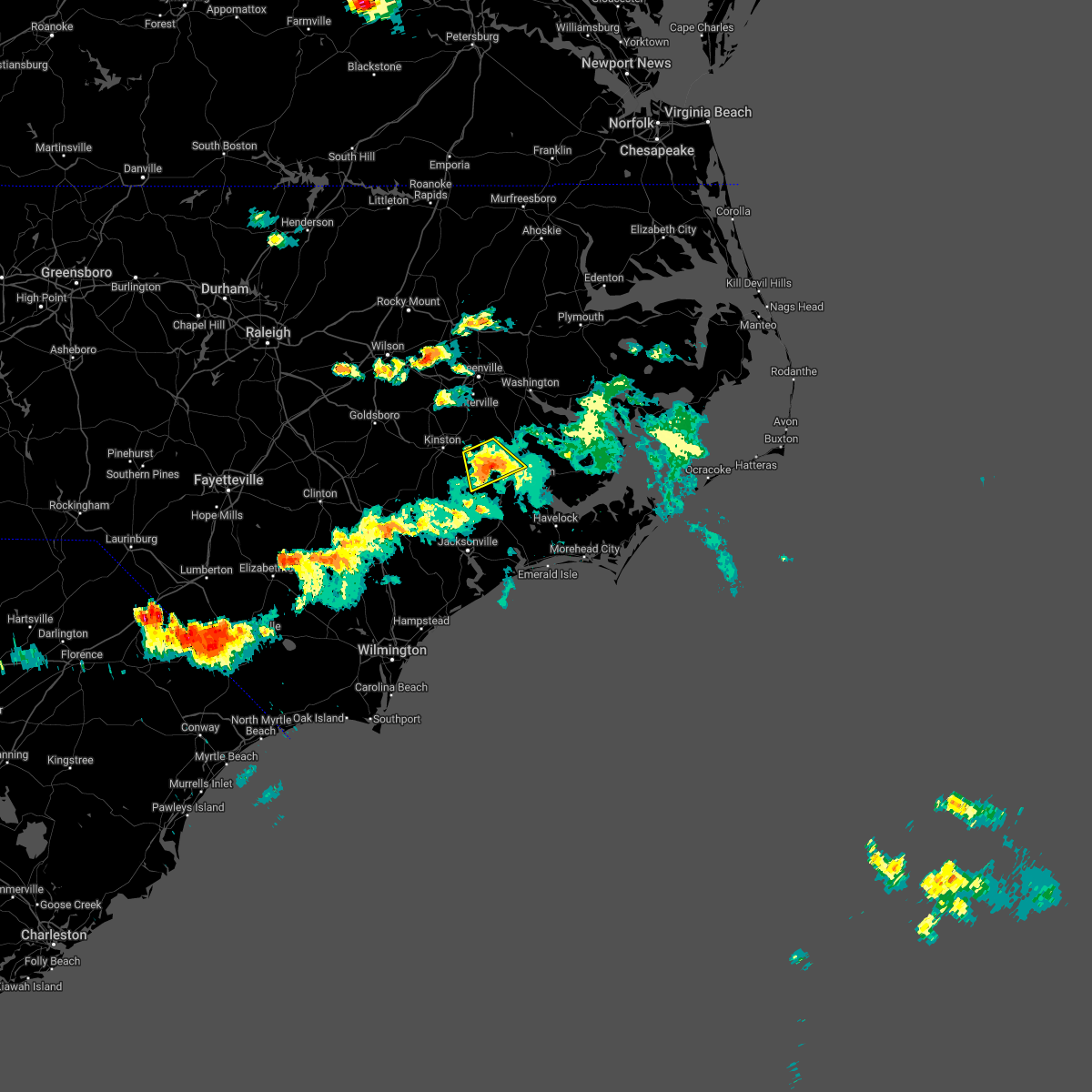 The severe thunderstorm warning for north central jones and northwestern craven counties will expire at 815 pm edt, the storm which prompted the warning has moved out of the area. therefore, the warning will be allowed to expire. however gusty winds and heavy rain are still possible with this thunderstorm. remember, a severe thunderstorm warning still remains in effect for central jones county and west central craven county. The severe thunderstorm warning for north central jones and northwestern craven counties will expire at 815 pm edt, the storm which prompted the warning has moved out of the area. therefore, the warning will be allowed to expire. however gusty winds and heavy rain are still possible with this thunderstorm. remember, a severe thunderstorm warning still remains in effect for central jones county and west central craven county.
|
| 6/12/2022 7:59 PM EDT |
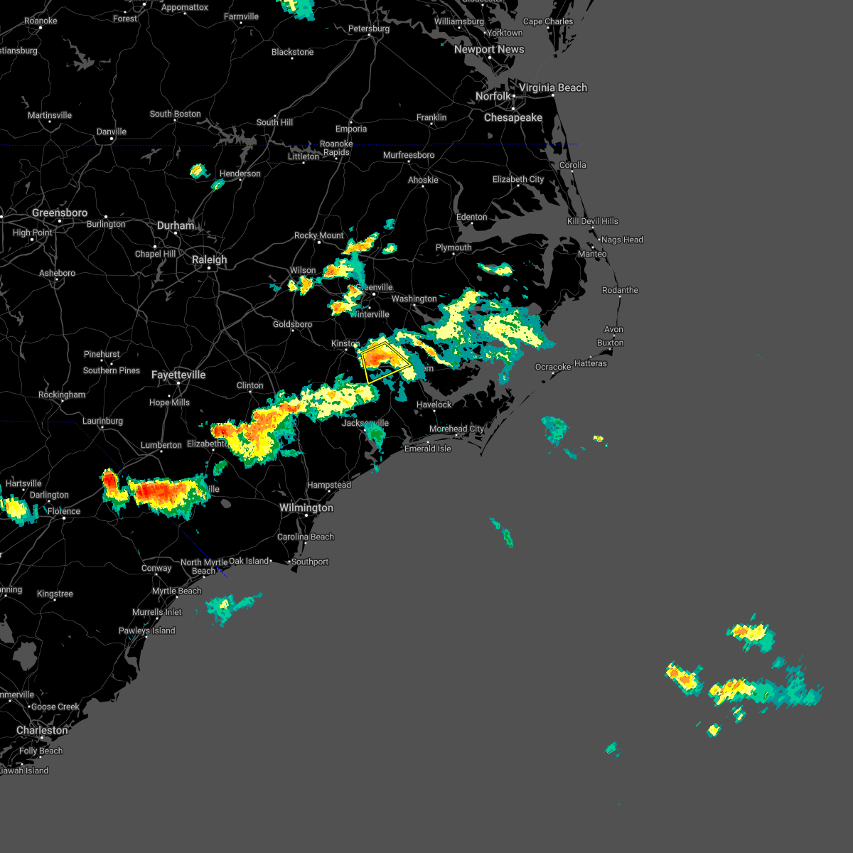 At 758 pm edt, a severe thunderstorm was located near fort barnwell, or 17 miles northwest of new bern, moving southeast at 15 mph (emergency management. at 738 pm edt, downed trees and damage to buildings was reported around fort barnwell). Hazards include 60 mph wind gusts and quarter size hail. Hail damage to vehicles is expected. expect wind damage to roofs, siding, and trees. locations impacted include, fort barnwell, jasper, tuscarora, dover and cove city. hail threat, radar indicated max hail size, 1. 00 in wind threat, observed max wind gust, 60 mph. At 758 pm edt, a severe thunderstorm was located near fort barnwell, or 17 miles northwest of new bern, moving southeast at 15 mph (emergency management. at 738 pm edt, downed trees and damage to buildings was reported around fort barnwell). Hazards include 60 mph wind gusts and quarter size hail. Hail damage to vehicles is expected. expect wind damage to roofs, siding, and trees. locations impacted include, fort barnwell, jasper, tuscarora, dover and cove city. hail threat, radar indicated max hail size, 1. 00 in wind threat, observed max wind gust, 60 mph.
|
| 6/12/2022 7:44 PM EDT |
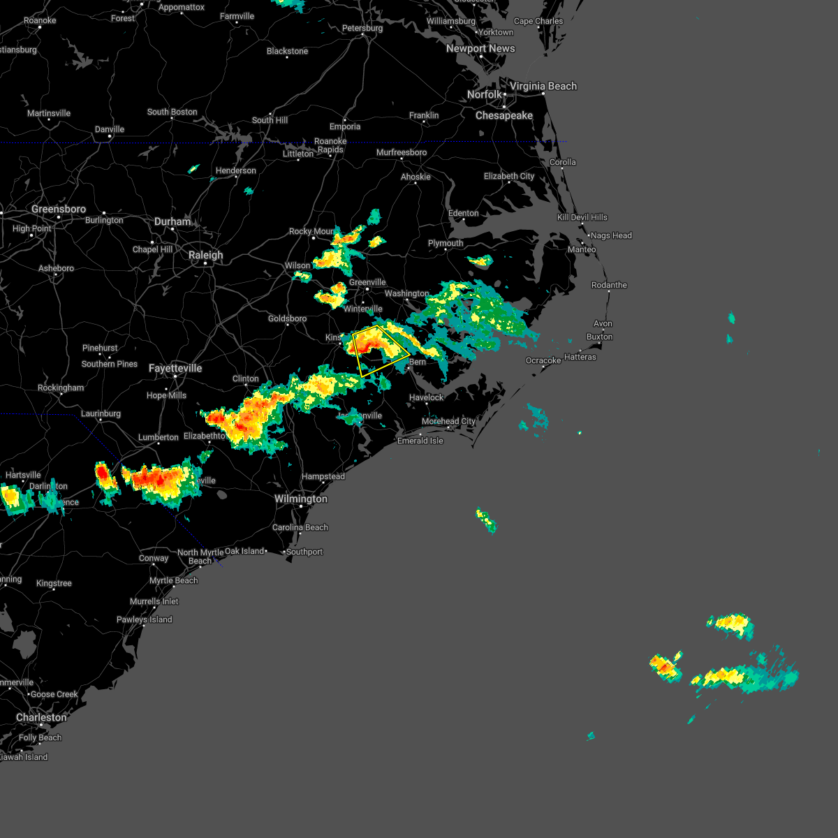 At 744 pm edt, a severe thunderstorm was located over fort barnwell, or 14 miles south of ayden, moving southeast at 15 mph (emergency management. at 738 pm edt, downed trees and damage to buildings was reported around fort barnwell). Hazards include 60 mph wind gusts and quarter size hail. Hail damage to vehicles is expected. expect wind damage to roofs, siding, and trees. locations impacted include, fort barnwell, jasper, tuscarora, dover and cove city. hail threat, radar indicated max hail size, 1. 00 in wind threat, observed max wind gust, 60 mph. At 744 pm edt, a severe thunderstorm was located over fort barnwell, or 14 miles south of ayden, moving southeast at 15 mph (emergency management. at 738 pm edt, downed trees and damage to buildings was reported around fort barnwell). Hazards include 60 mph wind gusts and quarter size hail. Hail damage to vehicles is expected. expect wind damage to roofs, siding, and trees. locations impacted include, fort barnwell, jasper, tuscarora, dover and cove city. hail threat, radar indicated max hail size, 1. 00 in wind threat, observed max wind gust, 60 mph.
|
| 6/12/2022 7:25 PM EDT |
 At 725 pm edt, a severe thunderstorm was located near grifton, or 9 miles south of ayden, moving southeast at 15 mph (radar indicated). Hazards include 60 mph wind gusts and quarter size hail. Hail damage to vehicles is expected. Expect wind damage to roofs, siding, and trees. At 725 pm edt, a severe thunderstorm was located near grifton, or 9 miles south of ayden, moving southeast at 15 mph (radar indicated). Hazards include 60 mph wind gusts and quarter size hail. Hail damage to vehicles is expected. Expect wind damage to roofs, siding, and trees.
|
| 6/12/2022 6:28 PM EDT |
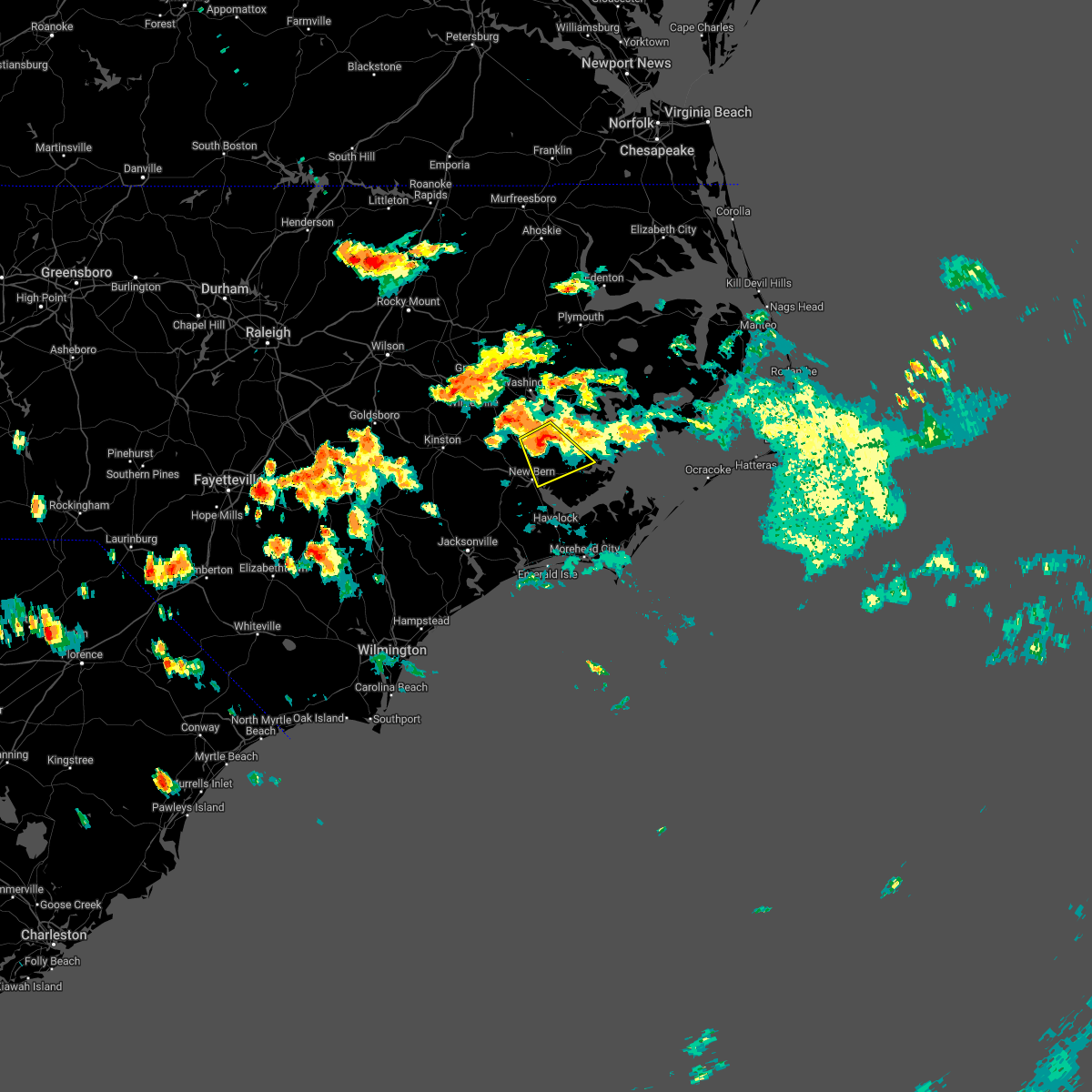 At 627 pm edt, a severe thunderstorm was located over cayton, or 14 miles north of new bern, moving southeast at 10 mph (radar indicated). Hazards include 60 mph wind gusts and quarter size hail. Hail damage to vehicles is expected. Expect wind damage to roofs, siding, and trees. At 627 pm edt, a severe thunderstorm was located over cayton, or 14 miles north of new bern, moving southeast at 10 mph (radar indicated). Hazards include 60 mph wind gusts and quarter size hail. Hail damage to vehicles is expected. Expect wind damage to roofs, siding, and trees.
|
| 5/23/2022 6:10 PM EDT |
 At 610 pm edt, a severe thunderstorm was located near jasper, or 16 miles northwest of new bern, moving east at 25 mph (radar indicated). Hazards include 60 mph wind gusts and quarter size hail. Hail damage to vehicles is expected. expect wind damage to roofs, siding, and trees. Locations impacted include, new bern, washington, james city, trent woods, grifton, blounts creek, vanceboro, askins, cayton, shelmerdine, calico, fort barnwell, jasper, tuscarora, rhems, wilmar, cox crossroads, ernul, fairfield harbour and coastal carolina regional airport. At 610 pm edt, a severe thunderstorm was located near jasper, or 16 miles northwest of new bern, moving east at 25 mph (radar indicated). Hazards include 60 mph wind gusts and quarter size hail. Hail damage to vehicles is expected. expect wind damage to roofs, siding, and trees. Locations impacted include, new bern, washington, james city, trent woods, grifton, blounts creek, vanceboro, askins, cayton, shelmerdine, calico, fort barnwell, jasper, tuscarora, rhems, wilmar, cox crossroads, ernul, fairfield harbour and coastal carolina regional airport.
|
| 5/23/2022 6:05 PM EDT | Craven county 911 relayed report of trees down near the intersection of camelot dr. and north ridge rd. in james city. time based on rada in craven county NC, 3.5 miles WNW of New Bern, NC |
| 5/23/2022 5:51 PM EDT |
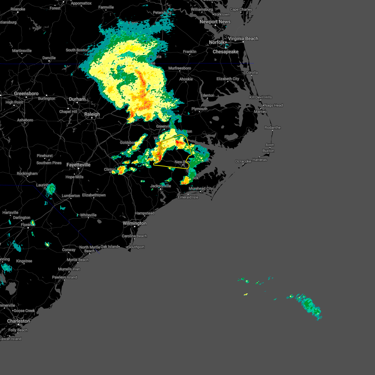 At 550 pm edt, a severe thunderstorm was located near fort barnwell, or 12 miles east of kinston, moving east at 25 mph (radar indicated). Hazards include 60 mph wind gusts and quarter size hail. Hail damage to vehicles is expected. Expect wind damage to roofs, siding, and trees. At 550 pm edt, a severe thunderstorm was located near fort barnwell, or 12 miles east of kinston, moving east at 25 mph (radar indicated). Hazards include 60 mph wind gusts and quarter size hail. Hail damage to vehicles is expected. Expect wind damage to roofs, siding, and trees.
|
| 5/16/2022 9:20 PM EDT |
 The severe thunderstorm warning for central craven, south central beaufort and pamlico counties will expire at 930 pm edt, the storm which prompted the warning has weakened below severe limits, and no longer poses an immediate threat to life or property. therefore, the warning will be allowed to expire. however small hail, gusty winds and heavy rain are still possible with this thunderstorm. a severe thunderstorm watch remains in effect until 1100 pm edt for eastern north carolina. to report severe weather, contact your nearest law enforcement agency. they will relay your report to the national weather service newport. The severe thunderstorm warning for central craven, south central beaufort and pamlico counties will expire at 930 pm edt, the storm which prompted the warning has weakened below severe limits, and no longer poses an immediate threat to life or property. therefore, the warning will be allowed to expire. however small hail, gusty winds and heavy rain are still possible with this thunderstorm. a severe thunderstorm watch remains in effect until 1100 pm edt for eastern north carolina. to report severe weather, contact your nearest law enforcement agency. they will relay your report to the national weather service newport.
|
| 5/16/2022 8:46 PM EDT |
 At 846 pm edt, a severe thunderstorm was located over fairfield harbour, or near james city, moving southeast at 25 mph (radar indicated). Hazards include 60 mph wind gusts and quarter size hail. Hail damage to vehicles is expected. Expect wind damage to roofs, siding, and trees. At 846 pm edt, a severe thunderstorm was located over fairfield harbour, or near james city, moving southeast at 25 mph (radar indicated). Hazards include 60 mph wind gusts and quarter size hail. Hail damage to vehicles is expected. Expect wind damage to roofs, siding, and trees.
|
| 5/16/2022 8:39 PM EDT |
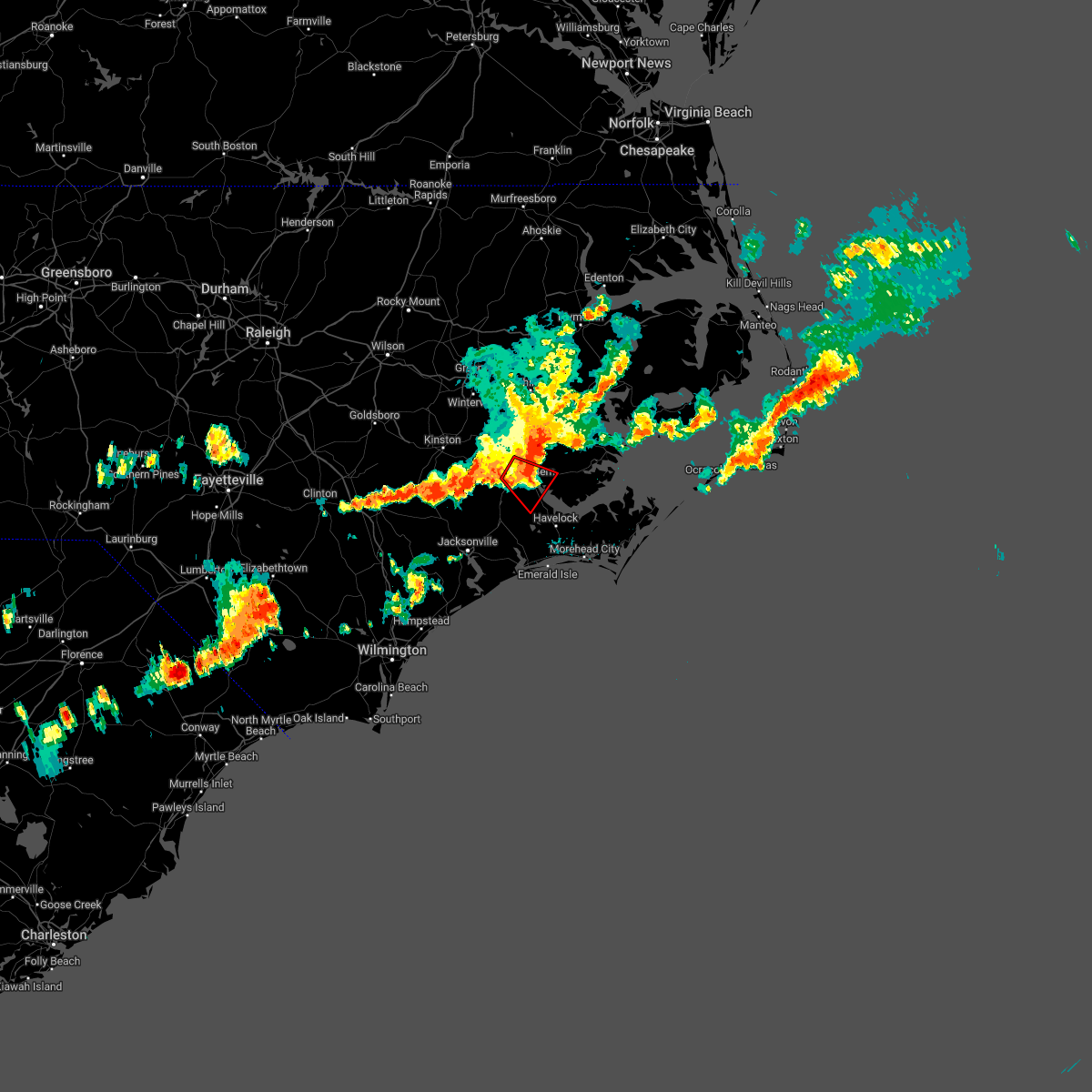 At 838 pm edt, a possible tornado was located over coastal carolina regional airport, or over james city, moving southeast at 35 mph (weather spotters reported tornado). Hazards include damaging tornado and quarter size hail. Flying debris will be dangerous to those caught without shelter. mobile homes will be damaged or destroyed. damage to roofs, windows, and vehicles will occur. tree damage is likely. Locations impacted include, new bern, james city, trent woods, river bend, rhems, olympia, fairfield harbour, coastal carolina regional airport and bridgeton. At 838 pm edt, a possible tornado was located over coastal carolina regional airport, or over james city, moving southeast at 35 mph (weather spotters reported tornado). Hazards include damaging tornado and quarter size hail. Flying debris will be dangerous to those caught without shelter. mobile homes will be damaged or destroyed. damage to roofs, windows, and vehicles will occur. tree damage is likely. Locations impacted include, new bern, james city, trent woods, river bend, rhems, olympia, fairfield harbour, coastal carolina regional airport and bridgeton.
|
| 5/16/2022 8:33 PM EDT | Duke energy reports 1...221 customers without power across much of western new bern and the trent woods are in craven county NC, 3.2 miles SE of New Bern, NC |
| 5/16/2022 8:28 PM EDT |
 At 828 pm edt, a severe thunderstorm capable of producing a tornado was located near trent woods, or near new bern, moving southeast at 35 mph (radar indicated rotation). Hazards include tornado and quarter size hail. Flying debris will be dangerous to those caught without shelter. mobile homes will be damaged or destroyed. damage to roofs, windows, and vehicles will occur. Tree damage is likely. At 828 pm edt, a severe thunderstorm capable of producing a tornado was located near trent woods, or near new bern, moving southeast at 35 mph (radar indicated rotation). Hazards include tornado and quarter size hail. Flying debris will be dangerous to those caught without shelter. mobile homes will be damaged or destroyed. damage to roofs, windows, and vehicles will occur. Tree damage is likely.
|
| 5/16/2022 8:24 PM EDT |
 At 824 pm edt, a severe thunderstorm was located near tuscarora, or 8 miles northwest of new bern, moving southeast at 30 mph (radar indicated). Hazards include 70 mph wind gusts and quarter size hail. Hail damage to vehicles is expected. expect considerable tree damage. wind damage is also likely to mobile homes, roofs, and outbuildings. Locations impacted include, new bern, trent woods, river bend, askins, cayton, jasper, tuscarora, rhems, ernul, bridgeton, cove city, pollocksville and trenton. At 824 pm edt, a severe thunderstorm was located near tuscarora, or 8 miles northwest of new bern, moving southeast at 30 mph (radar indicated). Hazards include 70 mph wind gusts and quarter size hail. Hail damage to vehicles is expected. expect considerable tree damage. wind damage is also likely to mobile homes, roofs, and outbuildings. Locations impacted include, new bern, trent woods, river bend, askins, cayton, jasper, tuscarora, rhems, ernul, bridgeton, cove city, pollocksville and trenton.
|
| 5/16/2022 8:12 PM EDT |
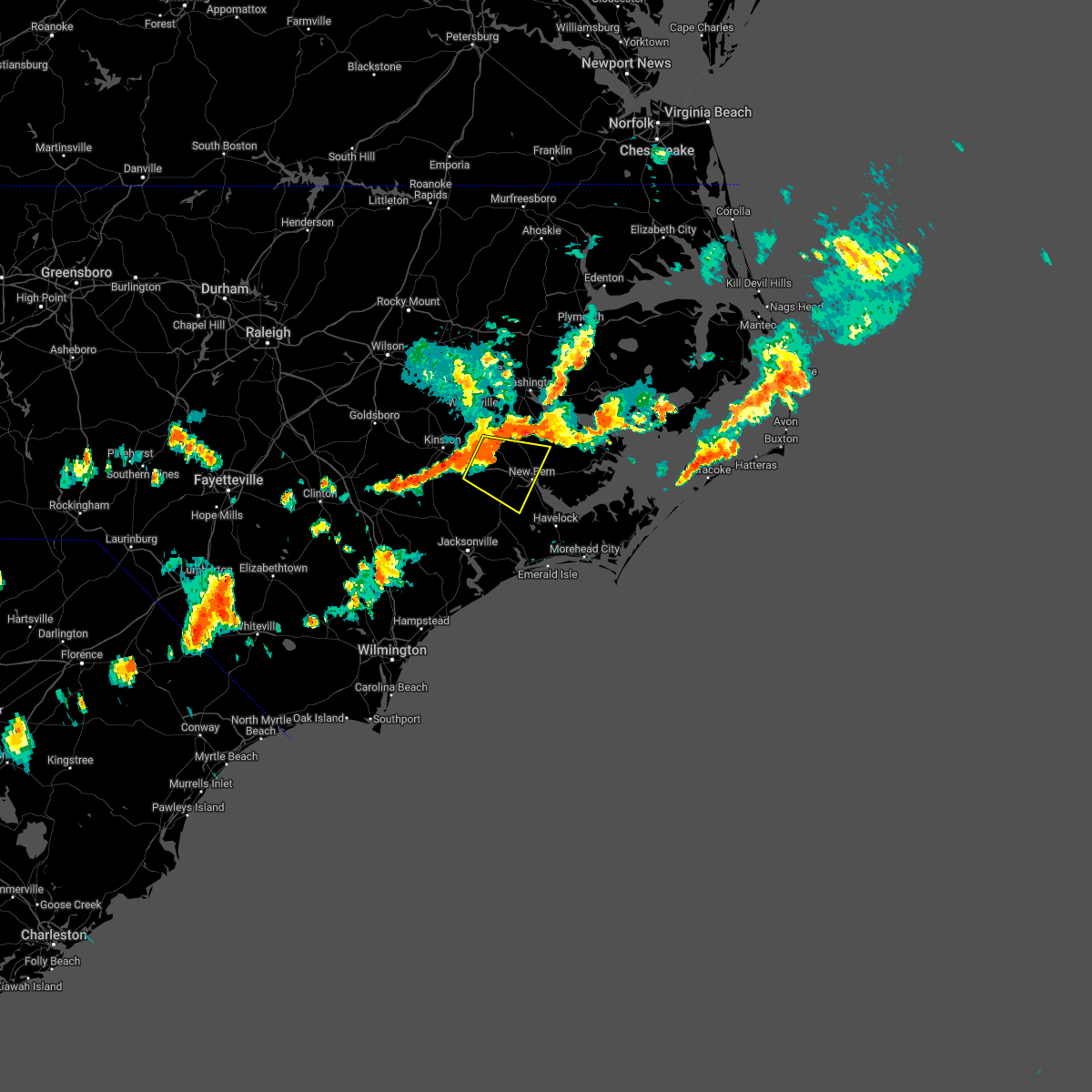 At 811 pm edt, a severe thunderstorm was located near jasper, or 15 miles northwest of new bern, moving east at 40 mph (radar indicated). Hazards include 60 mph wind gusts and quarter size hail. Hail damage to vehicles is expected. Expect wind damage to roofs, siding, and trees. At 811 pm edt, a severe thunderstorm was located near jasper, or 15 miles northwest of new bern, moving east at 40 mph (radar indicated). Hazards include 60 mph wind gusts and quarter size hail. Hail damage to vehicles is expected. Expect wind damage to roofs, siding, and trees.
|
| 5/16/2022 6:25 PM EDT | Quarter sized hail reported 9.7 miles S of New Bern, NC, public called to report quarter sized hail in the ernul/askin area. causing some dings in metal. |
| 5/16/2022 6:07 PM EDT |
 At 606 pm edt, a severe thunderstorm was located over askins, or 10 miles north of new bern, moving east at 30 mph (radar indicated). Hazards include 60 mph wind gusts and quarter size hail. Hail damage to vehicles is expected. Expect wind damage to roofs, siding, and trees. At 606 pm edt, a severe thunderstorm was located over askins, or 10 miles north of new bern, moving east at 30 mph (radar indicated). Hazards include 60 mph wind gusts and quarter size hail. Hail damage to vehicles is expected. Expect wind damage to roofs, siding, and trees.
|
| 5/16/2022 5:51 PM EDT |
 At 551 pm edt, a severe thunderstorm was located near fort barnwell, or 16 miles southeast of ayden, moving east at 20 mph (radar indicated). Hazards include 60 mph wind gusts and quarter size hail. Hail damage to vehicles is expected. expect wind damage to roofs, siding, and trees. locations impacted include, new bern, vanceboro, askins, jasper and ernul. hail threat, radar indicated max hail size, 1. 00 in wind threat, radar indicated max wind gust, 60 mph. At 551 pm edt, a severe thunderstorm was located near fort barnwell, or 16 miles southeast of ayden, moving east at 20 mph (radar indicated). Hazards include 60 mph wind gusts and quarter size hail. Hail damage to vehicles is expected. expect wind damage to roofs, siding, and trees. locations impacted include, new bern, vanceboro, askins, jasper and ernul. hail threat, radar indicated max hail size, 1. 00 in wind threat, radar indicated max wind gust, 60 mph.
|
| 5/16/2022 5:37 PM EDT |
 At 537 pm edt, a severe thunderstorm was located over fort barnwell, or 14 miles south of ayden, moving east at 20 mph (radar indicated). Hazards include 60 mph wind gusts and quarter size hail. Hail damage to vehicles is expected. Expect wind damage to roofs, siding, and trees. At 537 pm edt, a severe thunderstorm was located over fort barnwell, or 14 miles south of ayden, moving east at 20 mph (radar indicated). Hazards include 60 mph wind gusts and quarter size hail. Hail damage to vehicles is expected. Expect wind damage to roofs, siding, and trees.
|
| 4/26/2022 7:23 PM EDT |
 The severe thunderstorm warning for northeastern jones, northeastern lenoir, craven, southeastern pitt, south central beaufort and pamlico counties will expire at 730 pm edt, the storms which prompted the warning have weakened below severe limits, and no longer pose an immediate threat to life or property. therefore, the warning will be allowed to expire. however gusty winds and heavy rain are still possible with these thunderstorms. to report severe weather, contact your nearest law enforcement agency. they will relay your report to the national weather service newport. The severe thunderstorm warning for northeastern jones, northeastern lenoir, craven, southeastern pitt, south central beaufort and pamlico counties will expire at 730 pm edt, the storms which prompted the warning have weakened below severe limits, and no longer pose an immediate threat to life or property. therefore, the warning will be allowed to expire. however gusty winds and heavy rain are still possible with these thunderstorms. to report severe weather, contact your nearest law enforcement agency. they will relay your report to the national weather service newport.
|
| 4/26/2022 6:47 PM EDT |
 At 647 pm edt, severe thunderstorms were located along a line extending from wilmar to cypress creek, moving east at 30 mph (radar indicated). Hazards include 60 mph wind gusts and quarter size hail. Hail damage to vehicles is expected. Expect wind damage to roofs, siding, and trees. At 647 pm edt, severe thunderstorms were located along a line extending from wilmar to cypress creek, moving east at 30 mph (radar indicated). Hazards include 60 mph wind gusts and quarter size hail. Hail damage to vehicles is expected. Expect wind damage to roofs, siding, and trees.
|
| 3/31/2022 7:36 PM EDT |
 At 735 pm edt, a severe thunderstorm was located over bonnerton, or 10 miles southeast of river road, moving northeast at 55 mph (radar indicated). Hazards include 60 mph wind gusts. Expect damage to roofs, siding, and trees. locations impacted include, new bern, james city, trent woods, river bend, blounts creek, vanceboro, askins, cayton, jasper, tuscarora, rhems, edward, grantsboro, royal, bonnerton, cox crossroads, riverdale, olympia, maribel and merritt. hail threat, radar indicated max hail size, <. 75 in wind threat, radar indicated max wind gust, 60 mph. At 735 pm edt, a severe thunderstorm was located over bonnerton, or 10 miles southeast of river road, moving northeast at 55 mph (radar indicated). Hazards include 60 mph wind gusts. Expect damage to roofs, siding, and trees. locations impacted include, new bern, james city, trent woods, river bend, blounts creek, vanceboro, askins, cayton, jasper, tuscarora, rhems, edward, grantsboro, royal, bonnerton, cox crossroads, riverdale, olympia, maribel and merritt. hail threat, radar indicated max hail size, <. 75 in wind threat, radar indicated max wind gust, 60 mph.
|
| 3/31/2022 7:29 PM EDT | Trees down in the trent woods area along wedgewood driv in craven county NC, 1.3 miles E of New Bern, NC |
| 3/31/2022 7:24 PM EDT |
 At 724 pm edt, a severe thunderstorm capable of producing a tornado was located over askins, or 10 miles north of new bern, moving northeast at 45 mph (radar indicated rotation). Hazards include tornado. Flying debris will be dangerous to those caught without shelter. mobile homes will be damaged or destroyed. damage to roofs, windows, and vehicles will occur. tree damage is likely. Locations impacted include, new bern, trent woods, river bend, vanceboro, askins, cayton, jasper, tuscarora, rhems, olympia, ernul, bridgeton, cove city, pollocksville and trenton. At 724 pm edt, a severe thunderstorm capable of producing a tornado was located over askins, or 10 miles north of new bern, moving northeast at 45 mph (radar indicated rotation). Hazards include tornado. Flying debris will be dangerous to those caught without shelter. mobile homes will be damaged or destroyed. damage to roofs, windows, and vehicles will occur. tree damage is likely. Locations impacted include, new bern, trent woods, river bend, vanceboro, askins, cayton, jasper, tuscarora, rhems, olympia, ernul, bridgeton, cove city, pollocksville and trenton.
|
| 3/31/2022 7:23 PM EDT |
 At 723 pm edt, a severe thunderstorm was located over ernul, or 14 miles north of new bern, moving northeast at 45 mph (radar indicated). Hazards include 60 mph wind gusts. Expect damage to roofs, siding, and trees. locations impacted include, new bern, james city, trent woods, river bend, blounts creek, vanceboro, askins, cayton, fort barnwell, jasper, tuscarora, rhems, wilmar, edward, grantsboro, royal, bonnerton, cox crossroads, riverdale and olympia. hail threat, radar indicated max hail size, <. 75 in wind threat, radar indicated max wind gust, 60 mph. At 723 pm edt, a severe thunderstorm was located over ernul, or 14 miles north of new bern, moving northeast at 45 mph (radar indicated). Hazards include 60 mph wind gusts. Expect damage to roofs, siding, and trees. locations impacted include, new bern, james city, trent woods, river bend, blounts creek, vanceboro, askins, cayton, fort barnwell, jasper, tuscarora, rhems, wilmar, edward, grantsboro, royal, bonnerton, cox crossroads, riverdale and olympia. hail threat, radar indicated max hail size, <. 75 in wind threat, radar indicated max wind gust, 60 mph.
|
| 3/31/2022 7:11 PM EDT |
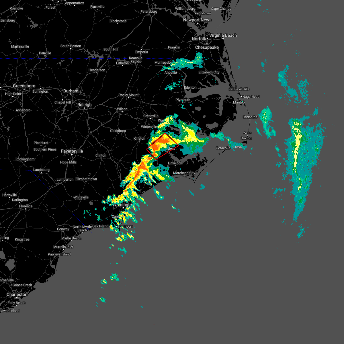 At 711 pm edt, a severe thunderstorm capable of producing a tornado was located near tuscarora, or 11 miles west of new bern, moving northeast at 45 mph (radar indicated rotation). Hazards include tornado. Flying debris will be dangerous to those caught without shelter. mobile homes will be damaged or destroyed. damage to roofs, windows, and vehicles will occur. Tree damage is likely. At 711 pm edt, a severe thunderstorm capable of producing a tornado was located near tuscarora, or 11 miles west of new bern, moving northeast at 45 mph (radar indicated rotation). Hazards include tornado. Flying debris will be dangerous to those caught without shelter. mobile homes will be damaged or destroyed. damage to roofs, windows, and vehicles will occur. Tree damage is likely.
|
| 3/31/2022 7:01 PM EDT |
 At 700 pm edt, a severe thunderstorm was located near phillips crossroads, or 18 miles west of new bern, moving northeast at 45 mph (radar indicated). Hazards include 60 mph wind gusts. expect damage to roofs, siding, and trees At 700 pm edt, a severe thunderstorm was located near phillips crossroads, or 18 miles west of new bern, moving northeast at 45 mph (radar indicated). Hazards include 60 mph wind gusts. expect damage to roofs, siding, and trees
|
| 3/12/2022 10:24 AM EST |
 At 1023 am est, severe thunderstorms were located along a line extending from near sladesville to near fairfield harbour to near verona, moving east at 20 mph (radar indicated). Hazards include 70 mph wind gusts. Expect considerable tree damage. damage is likely to mobile homes, roofs, and outbuildings. locations impacted include, jacksonville, new bern, havelock, morehead city, north topsail beach, newport, kill devil hills, stumpy point, cedar island, frisco, harkers island, camp lejeune center, piney green, stella, southern shores, swansboro, hubert, south river, cape carteret and north river. thunderstorm damage threat, considerable hail threat, radar indicated max hail size, <. 75 in wind threat, radar indicated max wind gust, 70 mph. At 1023 am est, severe thunderstorms were located along a line extending from near sladesville to near fairfield harbour to near verona, moving east at 20 mph (radar indicated). Hazards include 70 mph wind gusts. Expect considerable tree damage. damage is likely to mobile homes, roofs, and outbuildings. locations impacted include, jacksonville, new bern, havelock, morehead city, north topsail beach, newport, kill devil hills, stumpy point, cedar island, frisco, harkers island, camp lejeune center, piney green, stella, southern shores, swansboro, hubert, south river, cape carteret and north river. thunderstorm damage threat, considerable hail threat, radar indicated max hail size, <. 75 in wind threat, radar indicated max wind gust, 70 mph.
|
| 3/12/2022 9:50 AM EST | Tree fell over power line in craven county NC, 6.2 miles S of New Bern, NC |
| 3/12/2022 9:40 AM EST |
 At 939 am est, severe thunderstorms were located along a line extending from sidney crossroads to near rhems to near cypress creek, moving east at 20 mph (radar indicated). Hazards include 70 mph wind gusts. Expect considerable tree damage. Damage is likely to mobile homes, roofs, and outbuildings. At 939 am est, severe thunderstorms were located along a line extending from sidney crossroads to near rhems to near cypress creek, moving east at 20 mph (radar indicated). Hazards include 70 mph wind gusts. Expect considerable tree damage. Damage is likely to mobile homes, roofs, and outbuildings.
|
| 3/12/2022 9:36 AM EST | Call center at craven co. reported 12 in diameter tree down in river bend are in craven county NC, 4.8 miles E of New Bern, NC |
| 3/12/2022 9:27 AM EST | Ewn aso in craven county NC, 0.9 miles W of New Bern, NC |
| 3/12/2022 9:20 AM EST |
 At 919 am est, severe thunderstorms were located along a line extending from near plymouth to near blounts creek to near potters hill, moving northeast at 90 mph (radar indicated). Hazards include 70 mph wind gusts. Expect considerable tree damage. damage is likely to mobile homes, roofs, and outbuildings. locations impacted include, jacksonville, new bern, havelock, washington, wallace, pumpkin center, river road, half moon, james city, trent woods, river bend, phillips crossroads, belhaven, richlands, ransomville, pinetown, pungo, beulaville, blounts creek and pamlico beach. thunderstorm damage threat, considerable hail threat, radar indicated max hail size, <. 75 in wind threat, radar indicated max wind gust, 70 mph. At 919 am est, severe thunderstorms were located along a line extending from near plymouth to near blounts creek to near potters hill, moving northeast at 90 mph (radar indicated). Hazards include 70 mph wind gusts. Expect considerable tree damage. damage is likely to mobile homes, roofs, and outbuildings. locations impacted include, jacksonville, new bern, havelock, washington, wallace, pumpkin center, river road, half moon, james city, trent woods, river bend, phillips crossroads, belhaven, richlands, ransomville, pinetown, pungo, beulaville, blounts creek and pamlico beach. thunderstorm damage threat, considerable hail threat, radar indicated max hail size, <. 75 in wind threat, radar indicated max wind gust, 70 mph.
|
| 3/12/2022 9:18 AM EST | Call center reported a tree fell over hous in craven county NC, 5.1 miles NW of New Bern, NC |
| 3/12/2022 9:01 AM EST |
 At 900 am est, severe thunderstorms were located along a line extending from near pactolus to near wyse fork to near wallace, moving northeast at 80 mph (radar indicated). Hazards include 60 mph wind gusts. expect damage to roofs, siding, and trees At 900 am est, severe thunderstorms were located along a line extending from near pactolus to near wyse fork to near wallace, moving northeast at 80 mph (radar indicated). Hazards include 60 mph wind gusts. expect damage to roofs, siding, and trees
|
| 1/3/2022 8:32 AM EST |
 At 832 am est, severe thunderstorms were located along a line extending from near olympia to 6 miles west of newport, moving northeast at 55 mph (radar indicated). Hazards include 60 mph wind gusts. Expect damage to roofs, siding, and trees. locations impacted include, new bern, havelock, morehead city, newport, pine knoll shores, harlowe, broad creek, janeiro, grantsboro, royal, riverdale, olympia, wildwood, croatan, south creek, maribel, north harlowe, merritt, neuse forest and cherry branch ferry terminal. hail threat, radar indicated max hail size, <. 75 in wind threat, radar indicated max wind gust, 60 mph. At 832 am est, severe thunderstorms were located along a line extending from near olympia to 6 miles west of newport, moving northeast at 55 mph (radar indicated). Hazards include 60 mph wind gusts. Expect damage to roofs, siding, and trees. locations impacted include, new bern, havelock, morehead city, newport, pine knoll shores, harlowe, broad creek, janeiro, grantsboro, royal, riverdale, olympia, wildwood, croatan, south creek, maribel, north harlowe, merritt, neuse forest and cherry branch ferry terminal. hail threat, radar indicated max hail size, <. 75 in wind threat, radar indicated max wind gust, 60 mph.
|
| 1/3/2022 8:03 AM EST |
 At 801 am est, severe thunderstorms were located along a line extending from near belgrade to near onslow beach, moving northeast at 55 mph (radar indicated). Hazards include 60 mph wind gusts. expect damage to roofs, siding, and trees At 801 am est, severe thunderstorms were located along a line extending from near belgrade to near onslow beach, moving northeast at 55 mph (radar indicated). Hazards include 60 mph wind gusts. expect damage to roofs, siding, and trees
|
| 8/1/2021 4:40 PM EDT |
 The severe thunderstorm warning for east central jones, southeastern craven, northeastern carteret and southern pamlico counties will expire at 445 pm edt, the storm which prompted the warning has weakened below severe limits, and no longer poses an immediate threat to life or property. therefore, the warning will be allowed to expire. however gusty winds are still possible with this thunderstorm. a severe thunderstorm watch remains in effect until 800 pm edt for eastern north carolina. The severe thunderstorm warning for east central jones, southeastern craven, northeastern carteret and southern pamlico counties will expire at 445 pm edt, the storm which prompted the warning has weakened below severe limits, and no longer poses an immediate threat to life or property. therefore, the warning will be allowed to expire. however gusty winds are still possible with this thunderstorm. a severe thunderstorm watch remains in effect until 800 pm edt for eastern north carolina.
|
| 8/1/2021 3:57 PM EDT |
 At 356 pm edt, a severe thunderstorm was located near minnesott beach ferry, or 9 miles north of havelock, moving east at 45 mph (radar indicated). Hazards include 60 mph wind gusts and penny size hail. expect damage to roofs, siding, and trees At 356 pm edt, a severe thunderstorm was located near minnesott beach ferry, or 9 miles north of havelock, moving east at 45 mph (radar indicated). Hazards include 60 mph wind gusts and penny size hail. expect damage to roofs, siding, and trees
|
| 8/1/2021 3:39 PM EDT |
 At 338 pm edt, severe thunderstorms were located along a line extending from near rose bay to trent woods, moving east at 40 mph (radar indicated). Hazards include 60 mph wind gusts and penny size hail. Expect damage to roofs, siding, and trees. Locations impacted include, new bern, james city, trent woods, river bend, sladesville, ransomville, swindell fork, gull rock, pamlico beach, askins, cayton, lowland, florence, tuscarora, rhems, edward, grantsboro, royal, bonnerton and riverdale. At 338 pm edt, severe thunderstorms were located along a line extending from near rose bay to trent woods, moving east at 40 mph (radar indicated). Hazards include 60 mph wind gusts and penny size hail. Expect damage to roofs, siding, and trees. Locations impacted include, new bern, james city, trent woods, river bend, sladesville, ransomville, swindell fork, gull rock, pamlico beach, askins, cayton, lowland, florence, tuscarora, rhems, edward, grantsboro, royal, bonnerton and riverdale.
|
| 8/1/2021 3:15 PM EDT |
 At 314 pm edt, severe thunderstorms were located along a line extending from near ransomville to near phillips crossroads, moving east at 40 mph (radar indicated). Hazards include 60 mph wind gusts and nickel size hail. expect damage to roofs, siding, and trees At 314 pm edt, severe thunderstorms were located along a line extending from near ransomville to near phillips crossroads, moving east at 40 mph (radar indicated). Hazards include 60 mph wind gusts and nickel size hail. expect damage to roofs, siding, and trees
|
| 8/1/2021 2:52 PM EDT |
 At 252 pm edt, a severe thunderstorm was located near deep run, or 9 miles south of kinston, moving east at 30 mph (radar indicated). Hazards include 60 mph wind gusts and half dollar size hail. Hail damage to vehicles is expected. expect wind damage to roofs, siding, and trees. Locations impacted include, new bern, kinston, river bend, phillips crossroads, deep run, comfort, tuscarora, rhems, pleasant hill, wyse fork, albertson, dover, sandy bottom, cove city, pollocksville and trenton. At 252 pm edt, a severe thunderstorm was located near deep run, or 9 miles south of kinston, moving east at 30 mph (radar indicated). Hazards include 60 mph wind gusts and half dollar size hail. Hail damage to vehicles is expected. expect wind damage to roofs, siding, and trees. Locations impacted include, new bern, kinston, river bend, phillips crossroads, deep run, comfort, tuscarora, rhems, pleasant hill, wyse fork, albertson, dover, sandy bottom, cove city, pollocksville and trenton.
|
| 8/1/2021 2:26 PM EDT |
 At 225 pm edt, a severe thunderstorm was located 7 miles south of walnut creek, or 9 miles southwest of la grange, moving east at 30 mph (radar indicated). Hazards include 60 mph wind gusts and quarter size hail. Hail damage to vehicles is expected. Expect wind damage to roofs, siding, and trees. At 225 pm edt, a severe thunderstorm was located 7 miles south of walnut creek, or 9 miles southwest of la grange, moving east at 30 mph (radar indicated). Hazards include 60 mph wind gusts and quarter size hail. Hail damage to vehicles is expected. Expect wind damage to roofs, siding, and trees.
|
| 7/28/2021 7:17 PM EDT |
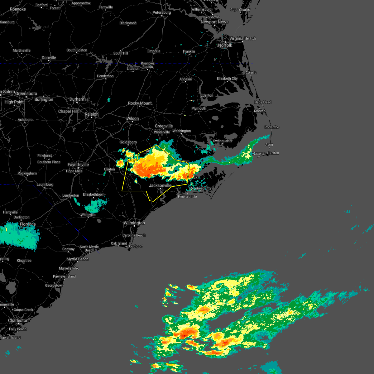 At 717 pm edt, severe thunderstorms were located along a line extending from near potters hill to 6 miles southwest of tuscarora to near catfish lake, moving east at 30 mph (radar indicated). Hazards include 60 mph wind gusts and quarter size hail. Hail damage to vehicles is expected. expect wind damage to roofs, siding, and trees. Locations impacted include, jacksonville, new bern, kinston, havelock, wallace, pumpkin center, piney green, new river station, half moon, camp lejeune center, james city, trent woods, river bend, grifton, phillips crossroads, kornegay, rose hill, richlands, beulaville and deep run. At 717 pm edt, severe thunderstorms were located along a line extending from near potters hill to 6 miles southwest of tuscarora to near catfish lake, moving east at 30 mph (radar indicated). Hazards include 60 mph wind gusts and quarter size hail. Hail damage to vehicles is expected. expect wind damage to roofs, siding, and trees. Locations impacted include, jacksonville, new bern, kinston, havelock, wallace, pumpkin center, piney green, new river station, half moon, camp lejeune center, james city, trent woods, river bend, grifton, phillips crossroads, kornegay, rose hill, richlands, beulaville and deep run.
|
| 7/28/2021 6:39 PM EDT |
 At 638 pm edt, severe thunderstorms were located along a line extending from 6 miles south of la grange to near graingers to near river bend, moving south at 30 mph (radar indicated). Hazards include 60 mph wind gusts and quarter size hail. Hail damage to vehicles is expected. Expect wind damage to roofs, siding, and trees. At 638 pm edt, severe thunderstorms were located along a line extending from 6 miles south of la grange to near graingers to near river bend, moving south at 30 mph (radar indicated). Hazards include 60 mph wind gusts and quarter size hail. Hail damage to vehicles is expected. Expect wind damage to roofs, siding, and trees.
|
| 7/28/2021 6:27 PM EDT |
 At 627 pm edt, severe thunderstorms were located along a line extending from near fremont to near roundtree to jasper, moving east at 20 mph (radar indicated). Hazards include 60 mph wind gusts and quarter size hail. Hail damage to vehicles is expected. expect wind damage to roofs, siding, and trees. Locations impacted include, greenville, new bern, kinston, winterville, ayden, farmville, la grange, river bend, grifton, snow hill, bell arthur, vanceboro, shelmerdine, calico, black jack, fort barnwell, jasper, tuscarora, dawson and rhems. At 627 pm edt, severe thunderstorms were located along a line extending from near fremont to near roundtree to jasper, moving east at 20 mph (radar indicated). Hazards include 60 mph wind gusts and quarter size hail. Hail damage to vehicles is expected. expect wind damage to roofs, siding, and trees. Locations impacted include, greenville, new bern, kinston, winterville, ayden, farmville, la grange, river bend, grifton, snow hill, bell arthur, vanceboro, shelmerdine, calico, black jack, fort barnwell, jasper, tuscarora, dawson and rhems.
|
| 7/28/2021 5:47 PM EDT |
 At 547 pm edt, severe thunderstorms were located along a line extending from near elm city to house to wilmar, moving south at 20 mph (radar indicated). Hazards include 60 mph wind gusts and quarter size hail. Hail damage to vehicles is expected. Expect wind damage to roofs, siding, and trees. At 547 pm edt, severe thunderstorms were located along a line extending from near elm city to house to wilmar, moving south at 20 mph (radar indicated). Hazards include 60 mph wind gusts and quarter size hail. Hail damage to vehicles is expected. Expect wind damage to roofs, siding, and trees.
|
| 7/28/2021 5:37 PM EDT |
 At 536 pm edt, severe thunderstorms were located along a line extending from near goose creek state park to near winsteadville to near rose bay, moving south at 30 mph (radar indicated). Hazards include 60 mph wind gusts and quarter size hail. Hail damage to vehicles is expected. Expect wind damage to roofs, siding, and trees. At 536 pm edt, severe thunderstorms were located along a line extending from near goose creek state park to near winsteadville to near rose bay, moving south at 30 mph (radar indicated). Hazards include 60 mph wind gusts and quarter size hail. Hail damage to vehicles is expected. Expect wind damage to roofs, siding, and trees.
|
| 7/28/2021 5:05 PM EDT |
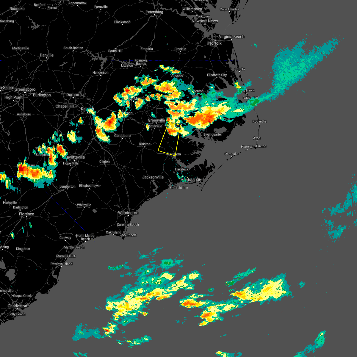 At 504 pm edt, a severe thunderstorm was located over vanceboro, or 13 miles southwest of river road, moving south at 20 mph (radar indicated). Hazards include 60 mph wind gusts and quarter size hail. Hail damage to vehicles is expected. expect wind damage to roofs, siding, and trees. Locations impacted include, new bern, washington, river road, blounts creek, vanceboro, askins, cayton, jasper, wilmar, bunyan, ernul, chocowinity, bridgeton and washington park. At 504 pm edt, a severe thunderstorm was located over vanceboro, or 13 miles southwest of river road, moving south at 20 mph (radar indicated). Hazards include 60 mph wind gusts and quarter size hail. Hail damage to vehicles is expected. expect wind damage to roofs, siding, and trees. Locations impacted include, new bern, washington, river road, blounts creek, vanceboro, askins, cayton, jasper, wilmar, bunyan, ernul, chocowinity, bridgeton and washington park.
|
| 7/28/2021 4:37 PM EDT |
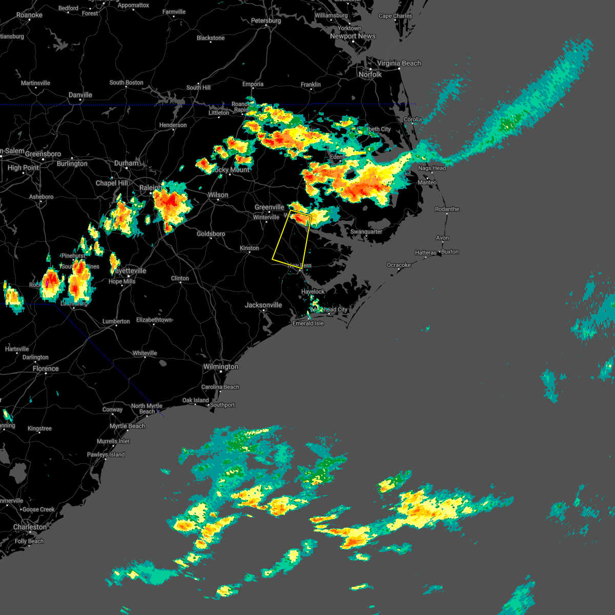 At 436 pm edt, a severe thunderstorm was located over washington, moving south at 30 mph (radar indicated). Hazards include 60 mph wind gusts and quarter size hail. Hail damage to vehicles is expected. Expect wind damage to roofs, siding, and trees. At 436 pm edt, a severe thunderstorm was located over washington, moving south at 30 mph (radar indicated). Hazards include 60 mph wind gusts and quarter size hail. Hail damage to vehicles is expected. Expect wind damage to roofs, siding, and trees.
|
| 7/9/2021 8:26 PM EDT |
 At 826 pm edt, severe thunderstorms were located along a line extending from near vanceboro to 6 miles northwest of maysville to catherine lake, moving east at 15 mph (radar indicated). Hazards include 60 mph wind gusts and penny size hail. Expect damage to roofs, siding, and trees. Locations impacted include, jacksonville, new bern, havelock, pumpkin center, piney green, new river station, half moon, james city, trent woods, river bend, richlands, maysville, askins, catherine lake, kellum, cayton, florence, tuscarora, jasper and belgrade. At 826 pm edt, severe thunderstorms were located along a line extending from near vanceboro to 6 miles northwest of maysville to catherine lake, moving east at 15 mph (radar indicated). Hazards include 60 mph wind gusts and penny size hail. Expect damage to roofs, siding, and trees. Locations impacted include, jacksonville, new bern, havelock, pumpkin center, piney green, new river station, half moon, james city, trent woods, river bend, richlands, maysville, askins, catherine lake, kellum, cayton, florence, tuscarora, jasper and belgrade.
|
| 7/9/2021 8:00 PM EDT |
 At 800 pm edt, severe thunderstorms were located along a line extending from near fort barnwell to near comfort to near cypress creek, moving east at 20 mph (radar indicated). Hazards include 60 mph wind gusts and penny size hail. expect damage to roofs, siding, and trees At 800 pm edt, severe thunderstorms were located along a line extending from near fort barnwell to near comfort to near cypress creek, moving east at 20 mph (radar indicated). Hazards include 60 mph wind gusts and penny size hail. expect damage to roofs, siding, and trees
|
| 6/15/2021 3:51 PM EDT |
 At 350 pm edt, a severe thunderstorm was located over harlowe, or near newport, moving east at 40 mph (radar indicated). Hazards include 60 mph wind gusts and quarter size hail. Hail damage to vehicles is expected. expect wind damage to roofs, siding, and trees. Locations impacted include, new bern, havelock, morehead city, newport, james city, trent woods, stella, swansboro, south river, cape carteret, north river, merrimon, pine knoll shores, harlowe, broad creek, janeiro, great neck, riverdale, wildwood and croatan. At 350 pm edt, a severe thunderstorm was located over harlowe, or near newport, moving east at 40 mph (radar indicated). Hazards include 60 mph wind gusts and quarter size hail. Hail damage to vehicles is expected. expect wind damage to roofs, siding, and trees. Locations impacted include, new bern, havelock, morehead city, newport, james city, trent woods, stella, swansboro, south river, cape carteret, north river, merrimon, pine knoll shores, harlowe, broad creek, janeiro, great neck, riverdale, wildwood and croatan.
|
| 6/15/2021 3:30 PM EDT |
 At 330 pm edt, a severe thunderstorm was located near havelock, moving east at 40 mph (radar indicated). Hazards include 70 mph wind gusts and half dollar size hail. Hail damage to vehicles is expected. expect considerable tree damage. Wind damage is also likely to mobile homes, roofs, and outbuildings. At 330 pm edt, a severe thunderstorm was located near havelock, moving east at 40 mph (radar indicated). Hazards include 70 mph wind gusts and half dollar size hail. Hail damage to vehicles is expected. expect considerable tree damage. Wind damage is also likely to mobile homes, roofs, and outbuildings.
|
| 6/15/2021 3:08 PM EDT |
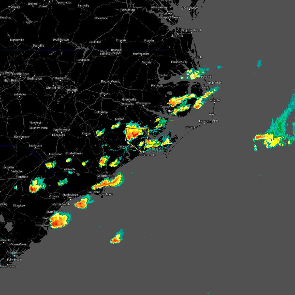 At 308 pm edt, a severe thunderstorm was located near maysville, or 9 miles north of pumpkin center, moving east at 40 mph (radar indicated). Hazards include 70 mph wind gusts and ping pong ball size hail. People and animals outdoors will be injured. expect hail damage to roofs, siding, windows, and vehicles. expect considerable tree damage. wind damage is also likely to mobile homes, roofs, and outbuildings. Locations impacted include, new bern, james city, trent woods, river bend, stella, swansboro, cape carteret, maysville, silverdale, belgrade, rhems, croatan, kuhns, peletier, riverdale, catfish lake, fairfield harbour, coastal carolina regional airport, deppe and bridgeton. At 308 pm edt, a severe thunderstorm was located near maysville, or 9 miles north of pumpkin center, moving east at 40 mph (radar indicated). Hazards include 70 mph wind gusts and ping pong ball size hail. People and animals outdoors will be injured. expect hail damage to roofs, siding, windows, and vehicles. expect considerable tree damage. wind damage is also likely to mobile homes, roofs, and outbuildings. Locations impacted include, new bern, james city, trent woods, river bend, stella, swansboro, cape carteret, maysville, silverdale, belgrade, rhems, croatan, kuhns, peletier, riverdale, catfish lake, fairfield harbour, coastal carolina regional airport, deppe and bridgeton.
|
| 6/15/2021 2:54 PM EDT |
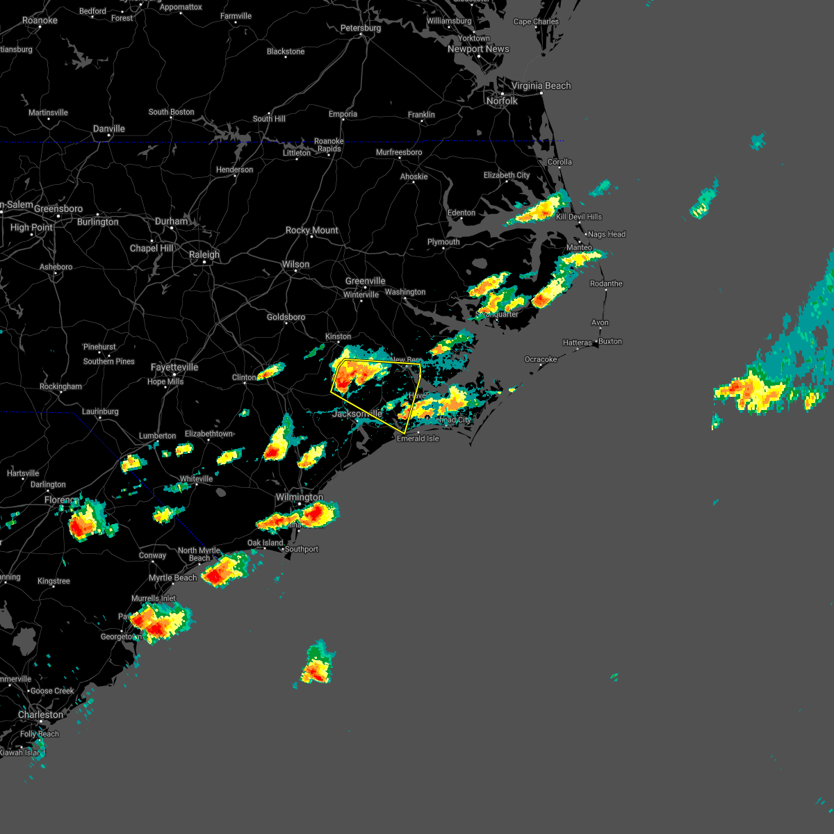 At 253 pm edt, a severe thunderstorm was located near comfort, or 9 miles north of half moon, moving east at 40 mph (radar indicated). Hazards include ping pong ball size hail and 60 mph wind gusts. People and animals outdoors will be injured. expect hail damage to roofs, siding, windows, and vehicles. Expect wind damage to roofs, siding, and trees. At 253 pm edt, a severe thunderstorm was located near comfort, or 9 miles north of half moon, moving east at 40 mph (radar indicated). Hazards include ping pong ball size hail and 60 mph wind gusts. People and animals outdoors will be injured. expect hail damage to roofs, siding, windows, and vehicles. Expect wind damage to roofs, siding, and trees.
|
| 3/31/2021 5:02 PM EDT |
 At 502 pm edt, a severe thunderstorm was located over rhems, or 7 miles west of new bern, moving east at 30 mph (radar indicated). Hazards include 60 mph wind gusts and quarter size hail. Hail damage to vehicles is expected. expect wind damage to roofs, siding, and trees. Locations impacted include, new bern, james city, trent woods, river bend, rhems, riverdale, coastal carolina regional airport, fairfield harbour, bridgeton and pollocksville. At 502 pm edt, a severe thunderstorm was located over rhems, or 7 miles west of new bern, moving east at 30 mph (radar indicated). Hazards include 60 mph wind gusts and quarter size hail. Hail damage to vehicles is expected. expect wind damage to roofs, siding, and trees. Locations impacted include, new bern, james city, trent woods, river bend, rhems, riverdale, coastal carolina regional airport, fairfield harbour, bridgeton and pollocksville.
|
| 3/31/2021 4:39 PM EDT |
 At 438 pm edt, a severe thunderstorm was located near comfort, or 14 miles north of half moon, moving east at 25 mph (radar indicated). Hazards include 60 mph wind gusts and quarter size hail. Hail damage to vehicles is expected. Expect wind damage to roofs, siding, and trees. At 438 pm edt, a severe thunderstorm was located near comfort, or 14 miles north of half moon, moving east at 25 mph (radar indicated). Hazards include 60 mph wind gusts and quarter size hail. Hail damage to vehicles is expected. Expect wind damage to roofs, siding, and trees.
|
| 3/28/2021 6:05 PM EDT |
 At 605 pm edt, severe thunderstorms were located along a line extending from goose creek state park to near olympia to near river bend, moving east at 50 mph (radar indicated). Hazards include 60 mph wind gusts and penny size hail. Expect damage to roofs, siding, and trees. Locations impacted include, new bern, james city, trent woods, river bend, ransomville, blounts creek, askins, cayton, rhems, edward, grantsboro, royal, bonnerton, cox crossroads, bayview, olympia, winsteadville, core point, south creek and sidney crossroads. At 605 pm edt, severe thunderstorms were located along a line extending from goose creek state park to near olympia to near river bend, moving east at 50 mph (radar indicated). Hazards include 60 mph wind gusts and penny size hail. Expect damage to roofs, siding, and trees. Locations impacted include, new bern, james city, trent woods, river bend, ransomville, blounts creek, askins, cayton, rhems, edward, grantsboro, royal, bonnerton, cox crossroads, bayview, olympia, winsteadville, core point, south creek and sidney crossroads.
|
| 3/28/2021 5:51 PM EDT | Powerlines down near junction of ipock ln and hwy 5 in craven county NC, 8.1 miles SE of New Bern, NC |
| 3/28/2021 5:48 PM EDT |
 At 548 pm edt, severe thunderstorms were located along a line extending from wilmar to 8 miles southeast of phillips crossroads to cypress creek, moving east at 45 mph (radar indicated). Hazards include 60 mph wind gusts and penny size hail. Expect damage to roofs, siding, and trees. Locations impacted include, jacksonville, new bern, pumpkin center, piney green, half moon, james city, trent woods, river bend, ransomville, blounts creek, maysville, vanceboro, askins, catherine lake, kellum, midway park, cayton, tuscarora, jasper and belgrade. At 548 pm edt, severe thunderstorms were located along a line extending from wilmar to 8 miles southeast of phillips crossroads to cypress creek, moving east at 45 mph (radar indicated). Hazards include 60 mph wind gusts and penny size hail. Expect damage to roofs, siding, and trees. Locations impacted include, jacksonville, new bern, pumpkin center, piney green, half moon, james city, trent woods, river bend, ransomville, blounts creek, maysville, vanceboro, askins, catherine lake, kellum, midway park, cayton, tuscarora, jasper and belgrade.
|
| 3/28/2021 5:32 PM EDT |
 At 532 pm edt, severe thunderstorms were located along a line extending from near fort barnwell to comfort to 7 miles southwest of chinquapin, moving east at 45 mph (radar indicated). Hazards include 60 mph wind gusts and nickel size hail. expect damage to roofs, siding, and trees At 532 pm edt, severe thunderstorms were located along a line extending from near fort barnwell to comfort to 7 miles southwest of chinquapin, moving east at 45 mph (radar indicated). Hazards include 60 mph wind gusts and nickel size hail. expect damage to roofs, siding, and trees
|
| 3/27/2021 8:09 PM EDT |
 At 809 pm edt, severe thunderstorms were located along a line extending from near fort barnwell to potters hill to 8 miles west of harrells, moving east at 35 mph (radar indicated). Hazards include 60 mph wind gusts and quarter size hail. Hail damage to vehicles is expected. expect wind damage to roofs, siding, and trees. Locations impacted include, jacksonville, new bern, kinston, wallace, warsaw, pumpkin center, piney green, new river station, half moon, james city, trent woods, river bend, grifton, phillips crossroads, kornegay, rose hill, richlands, beulaville, deep run and maysville. At 809 pm edt, severe thunderstorms were located along a line extending from near fort barnwell to potters hill to 8 miles west of harrells, moving east at 35 mph (radar indicated). Hazards include 60 mph wind gusts and quarter size hail. Hail damage to vehicles is expected. expect wind damage to roofs, siding, and trees. Locations impacted include, jacksonville, new bern, kinston, wallace, warsaw, pumpkin center, piney green, new river station, half moon, james city, trent woods, river bend, grifton, phillips crossroads, kornegay, rose hill, richlands, beulaville, deep run and maysville.
|
| 3/27/2021 7:44 PM EDT |
 At 743 pm edt, severe thunderstorms were located along a line extending from near kinston to near beautancus to near ammon, moving east at 35 mph (radar indicated). Hazards include two inch hail and 70 mph wind gusts. People and animals outdoors will be injured. expect hail damage to roofs, siding, windows, and vehicles. expect considerable tree damage. Wind damage is also likely to mobile homes, roofs, and outbuildings. At 743 pm edt, severe thunderstorms were located along a line extending from near kinston to near beautancus to near ammon, moving east at 35 mph (radar indicated). Hazards include two inch hail and 70 mph wind gusts. People and animals outdoors will be injured. expect hail damage to roofs, siding, windows, and vehicles. expect considerable tree damage. Wind damage is also likely to mobile homes, roofs, and outbuildings.
|
| 12/24/2020 11:40 PM EST | Large tree limb down on road near fairfield harbo in craven county NC, 4.9 miles W of New Bern, NC |
| 12/24/2020 11:29 PM EST |
 At 1129 pm est, severe thunderstorms were located along a line extending from near vanceboro to kuhns, moving northeast at 65 mph (radar indicated). Hazards include 60 mph wind gusts. Expect damage to roofs, siding, and trees. Locations impacted include, new bern, havelock, morehead city, newport, james city, trent woods, river bend, stella, cape carteret, pine knoll shores, rhems, broad creek, riverdale, wildwood, peletier, kuhns, croatan, bogue, catfish lake and neuse forest. At 1129 pm est, severe thunderstorms were located along a line extending from near vanceboro to kuhns, moving northeast at 65 mph (radar indicated). Hazards include 60 mph wind gusts. Expect damage to roofs, siding, and trees. Locations impacted include, new bern, havelock, morehead city, newport, james city, trent woods, river bend, stella, cape carteret, pine knoll shores, rhems, broad creek, riverdale, wildwood, peletier, kuhns, croatan, bogue, catfish lake and neuse forest.
|
| 12/24/2020 11:03 PM EST |
 At 1102 pm est, severe thunderstorms were located along a line extending from near comfort to near sea view pier, moving northeast at 65 mph (radar indicated). Hazards include 60 mph wind gusts. Expect damage to roofs, siding, and trees. Locations impacted include, jacksonville, new bern, havelock, morehead city, newport, pumpkin center, piney green, new river station, half moon, camp lejeune center, james city, trent woods, river bend, stella, swansboro, hubert, cape carteret, pine knoll shores, maysville and silverdale. At 1102 pm est, severe thunderstorms were located along a line extending from near comfort to near sea view pier, moving northeast at 65 mph (radar indicated). Hazards include 60 mph wind gusts. Expect damage to roofs, siding, and trees. Locations impacted include, jacksonville, new bern, havelock, morehead city, newport, pumpkin center, piney green, new river station, half moon, camp lejeune center, james city, trent woods, river bend, stella, swansboro, hubert, cape carteret, pine knoll shores, maysville and silverdale.
|
| 12/24/2020 10:39 PM EST |
 At 1038 pm est, severe thunderstorms were located along a line extending from near cypress creek to 7 miles southeast of johnny mercer pier, moving northeast at 65 mph (radar indicated). Hazards include 60 mph wind gusts. expect damage to roofs, siding, and trees At 1038 pm est, severe thunderstorms were located along a line extending from near cypress creek to 7 miles southeast of johnny mercer pier, moving northeast at 65 mph (radar indicated). Hazards include 60 mph wind gusts. expect damage to roofs, siding, and trees
|
| 12/16/2020 2:03 PM EST |
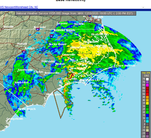 At 203 pm est, a severe thunderstorm capable of producing a tornado was located over catfish lake, or 8 miles west of havelock, moving northeast at 30 mph (radar indicated rotation). Hazards include tornado. Flying debris will be dangerous to those caught without shelter. mobile homes will be damaged or destroyed. damage to roofs, windows, and vehicles will occur. tree damage is likely. Locations impacted include, new bern and riverdale. At 203 pm est, a severe thunderstorm capable of producing a tornado was located over catfish lake, or 8 miles west of havelock, moving northeast at 30 mph (radar indicated rotation). Hazards include tornado. Flying debris will be dangerous to those caught without shelter. mobile homes will be damaged or destroyed. damage to roofs, windows, and vehicles will occur. tree damage is likely. Locations impacted include, new bern and riverdale.
|
| 12/16/2020 1:54 PM EST |
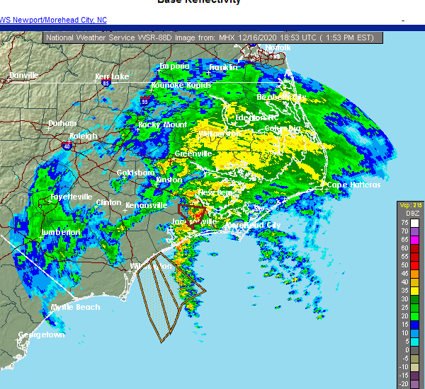 At 154 pm est, a severe thunderstorm capable of producing a tornado was located near catfish lake, or 12 miles west of havelock, moving northeast at 25 mph (radar indicated rotation). Hazards include tornado. Flying debris will be dangerous to those caught without shelter. mobile homes will be damaged or destroyed. damage to roofs, windows, and vehicles will occur. tree damage is likely. Locations impacted include, new bern, riverdale and catfish lake. At 154 pm est, a severe thunderstorm capable of producing a tornado was located near catfish lake, or 12 miles west of havelock, moving northeast at 25 mph (radar indicated rotation). Hazards include tornado. Flying debris will be dangerous to those caught without shelter. mobile homes will be damaged or destroyed. damage to roofs, windows, and vehicles will occur. tree damage is likely. Locations impacted include, new bern, riverdale and catfish lake.
|
| 12/16/2020 1:44 PM EST |
 At 144 pm est, a severe thunderstorm capable of producing a tornado was located near kuhns, or 9 miles northeast of piney green, moving north at 25 mph (radar indicated rotation). Hazards include tornado. Flying debris will be dangerous to those caught without shelter. mobile homes will be damaged or destroyed. damage to roofs, windows, and vehicles will occur. Tree damage is likely. At 144 pm est, a severe thunderstorm capable of producing a tornado was located near kuhns, or 9 miles northeast of piney green, moving north at 25 mph (radar indicated rotation). Hazards include tornado. Flying debris will be dangerous to those caught without shelter. mobile homes will be damaged or destroyed. damage to roofs, windows, and vehicles will occur. Tree damage is likely.
|
| 8/3/2020 11:21 PM EDT |
 At 1121 pm edt, a severe thunderstorm capable of producing a tornado was located near neuse forest, or 7 miles southeast of james city, moving north at 55 mph (radar indicated rotation). Hazards include tornado. Flying debris will be dangerous to those caught without shelter. mobile homes will be damaged or destroyed. damage to roofs, windows, and vehicles will occur. Tree damage is likely. At 1121 pm edt, a severe thunderstorm capable of producing a tornado was located near neuse forest, or 7 miles southeast of james city, moving north at 55 mph (radar indicated rotation). Hazards include tornado. Flying debris will be dangerous to those caught without shelter. mobile homes will be damaged or destroyed. damage to roofs, windows, and vehicles will occur. Tree damage is likely.
|
| 7/13/2020 3:24 PM EDT | Quarter sized hail reported 7 miles E of New Bern, NC, craven county comms reports rhems vfd observed quarter-sized hail at the station. |
| 7/13/2020 3:21 PM EDT | Duke energy reported power outages due to downed trees or limbs on electrical equipment. time based on rada in jones county NC, 8.2 miles E of New Bern, NC |
| 7/13/2020 3:20 PM EDT | Tree down on us 17 bypas in jones county NC, 8.2 miles E of New Bern, NC |
| 7/13/2020 3:19 PM EDT |
 At 318 pm edt, a severe thunderstorm was located over river bend, or near new bern, moving northeast at 20 mph (radar indicated). Hazards include 60 mph wind gusts and quarter size hail. Hail damage to vehicles is expected. expect wind damage to roofs, siding, and trees. Locations impacted include, new bern, trent woods, river bend, vanceboro, askins, cayton, jasper, tuscarora, rhems, wilmar, ernul and bridgeton. At 318 pm edt, a severe thunderstorm was located over river bend, or near new bern, moving northeast at 20 mph (radar indicated). Hazards include 60 mph wind gusts and quarter size hail. Hail damage to vehicles is expected. expect wind damage to roofs, siding, and trees. Locations impacted include, new bern, trent woods, river bend, vanceboro, askins, cayton, jasper, tuscarora, rhems, wilmar, ernul and bridgeton.
|
| 7/13/2020 3:00 PM EDT |
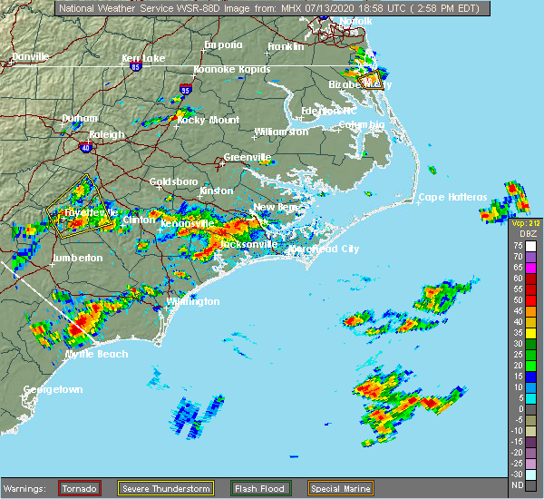 At 258 pm edt, a severe thunderstorm was located near rhems, or 10 miles southwest of new bern, moving northeast at 25 mph (radar indicated). Hazards include 60 mph wind gusts and quarter size hail. Hail damage to vehicles is expected. Expect wind damage to roofs, siding, and trees. At 258 pm edt, a severe thunderstorm was located near rhems, or 10 miles southwest of new bern, moving northeast at 25 mph (radar indicated). Hazards include 60 mph wind gusts and quarter size hail. Hail damage to vehicles is expected. Expect wind damage to roofs, siding, and trees.
|
| 6/22/2020 3:20 PM EDT | Quarter sized hail reported 3.8 miles SW of New Bern, NC, public reported nickel to quarter sized hail in bridgeton... relayed via social media. time based on radar. |
| 6/22/2020 3:01 PM EDT |
 At 301 pm edt, a severe thunderstorm was located over trent woods, or over new bern, moving northeast at 20 mph (radar indicated). Hazards include 60 mph wind gusts and quarter size hail. Hail damage to vehicles is expected. expect wind damage to roofs, siding, and trees. Locations impacted include, new bern, james city, trent woods, olympia, grantsboro, fairfield harbour, coastal carolina regional airport, bayboro, alliance, aurora, bridgeton and stonewall. At 301 pm edt, a severe thunderstorm was located over trent woods, or over new bern, moving northeast at 20 mph (radar indicated). Hazards include 60 mph wind gusts and quarter size hail. Hail damage to vehicles is expected. expect wind damage to roofs, siding, and trees. Locations impacted include, new bern, james city, trent woods, olympia, grantsboro, fairfield harbour, coastal carolina regional airport, bayboro, alliance, aurora, bridgeton and stonewall.
|
| 6/22/2020 2:51 PM EDT | Trees down on croatan lane and perrytown loop road. time estimated by rada in craven county NC, 2.3 miles NE of New Bern, NC |
| 6/22/2020 2:40 PM EDT |
 At 239 pm edt, a severe thunderstorm was located over new bern, moving northeast at 15 mph (radar indicated). Hazards include 60 mph wind gusts and quarter size hail. Hail damage to vehicles is expected. Expect wind damage to roofs, siding, and trees. At 239 pm edt, a severe thunderstorm was located over new bern, moving northeast at 15 mph (radar indicated). Hazards include 60 mph wind gusts and quarter size hail. Hail damage to vehicles is expected. Expect wind damage to roofs, siding, and trees.
|
| 4/30/2020 1:42 PM EDT |
 At 142 pm edt, severe thunderstorms were located along a line extending from near blounts creek to near pine knoll shores, moving east at 35 mph (radar indicated). Hazards include 60 mph wind gusts. Expect damage to roofs, siding, and trees. Locations impacted include, new bern, havelock, morehead city, newport, harkers island, james city, south river, north river, davis, straits, ransomville, marshallberg, smyrna, merrimon, pine knoll shores, harlowe, blounts creek, pamlico beach, askins and cayton. At 142 pm edt, severe thunderstorms were located along a line extending from near blounts creek to near pine knoll shores, moving east at 35 mph (radar indicated). Hazards include 60 mph wind gusts. Expect damage to roofs, siding, and trees. Locations impacted include, new bern, havelock, morehead city, newport, harkers island, james city, south river, north river, davis, straits, ransomville, marshallberg, smyrna, merrimon, pine knoll shores, harlowe, blounts creek, pamlico beach, askins and cayton.
|
| 4/30/2020 1:35 PM EDT | Huge pine tree blown down across a drivewa in craven county NC, 5.5 miles W of New Bern, NC |
| 4/30/2020 1:28 PM EDT |
 At 127 pm edt, severe thunderstorms were located along a line extending from near vanceboro to near bogue inlet pier, moving east at 35 mph (radar indicated). Hazards include 60 mph wind gusts. Expect damage to roofs, siding, and trees. Locations impacted include, new bern, havelock, morehead city, newport, harkers island, james city, trent woods, river bend, south river, cape carteret, north river, davis, straits, ransomville, marshallberg, smyrna, merrimon, pine knoll shores, harlowe and blounts creek. At 127 pm edt, severe thunderstorms were located along a line extending from near vanceboro to near bogue inlet pier, moving east at 35 mph (radar indicated). Hazards include 60 mph wind gusts. Expect damage to roofs, siding, and trees. Locations impacted include, new bern, havelock, morehead city, newport, harkers island, james city, trent woods, river bend, south river, cape carteret, north river, davis, straits, ransomville, marshallberg, smyrna, merrimon, pine knoll shores, harlowe and blounts creek.
|
| 4/30/2020 1:11 PM EDT |
 At 110 pm edt, severe thunderstorms were located along a line extending from fort barnwell to near hammocks beach state park, moving east at 35 mph (radar indicated). Hazards include 60 mph wind gusts. expect damage to roofs, siding, and trees At 110 pm edt, severe thunderstorms were located along a line extending from fort barnwell to near hammocks beach state park, moving east at 35 mph (radar indicated). Hazards include 60 mph wind gusts. expect damage to roofs, siding, and trees
|
| 4/18/2020 12:26 PM EDT |
 The severe thunderstorm warning for jones, central craven and northern onslow counties will expire at 1230 pm edt, the storm which prompted the warning has moved out of the area. therefore, the warning will be allowed to expire. The severe thunderstorm warning for jones, central craven and northern onslow counties will expire at 1230 pm edt, the storm which prompted the warning has moved out of the area. therefore, the warning will be allowed to expire.
|
| 4/18/2020 12:21 PM EDT |
 At 1221 pm edt, a severe thunderstorm was located over grantsboro, or 12 miles northeast of james city, moving east at 55 mph (radar indicated). Hazards include 60 mph wind gusts and penny size hail. expect damage to roofs, siding, and trees At 1221 pm edt, a severe thunderstorm was located over grantsboro, or 12 miles northeast of james city, moving east at 55 mph (radar indicated). Hazards include 60 mph wind gusts and penny size hail. expect damage to roofs, siding, and trees
|
| 4/18/2020 12:11 PM EDT |
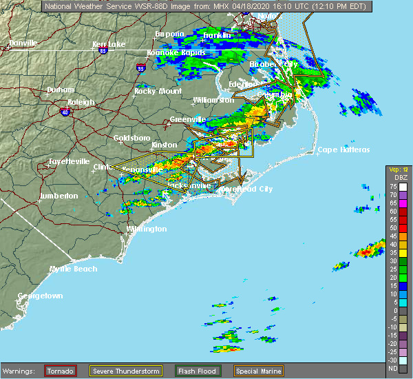 At 1210 pm edt, a severe thunderstorm was located over new bern, moving east at 65 mph (radar indicated). Hazards include 60 mph wind gusts and penny size hail. Expect damage to roofs, siding, and trees. Locations impacted include, new bern, james city, trent woods, river bend, phillips crossroads, richlands, maysville, askins, silverdale, comfort, jasper, tuscarora, rhems, belgrade, petersburg, pleasant hill, kuhns, wyse fork, catfish lake and coastal carolina regional airport. At 1210 pm edt, a severe thunderstorm was located over new bern, moving east at 65 mph (radar indicated). Hazards include 60 mph wind gusts and penny size hail. Expect damage to roofs, siding, and trees. Locations impacted include, new bern, james city, trent woods, river bend, phillips crossroads, richlands, maysville, askins, silverdale, comfort, jasper, tuscarora, rhems, belgrade, petersburg, pleasant hill, kuhns, wyse fork, catfish lake and coastal carolina regional airport.
|
| 4/18/2020 12:05 PM EDT | Social media photo shows metal roof peeled back on house near the intersection of beamans fork rd and hwy 55 west of new ber in craven county NC, 6.4 miles SE of New Bern, NC |
| 4/18/2020 11:48 AM EDT |
 At 1148 am edt, a severe thunderstorm was located near wyse fork, or 8 miles southeast of kinston, moving east at 65 mph (radar indicated). Hazards include 60 mph wind gusts and penny size hail. expect damage to roofs, siding, and trees At 1148 am edt, a severe thunderstorm was located near wyse fork, or 8 miles southeast of kinston, moving east at 65 mph (radar indicated). Hazards include 60 mph wind gusts and penny size hail. expect damage to roofs, siding, and trees
|
| 4/13/2020 10:19 AM EDT |
 At 1019 am edt, a severe thunderstorm capable of producing a tornado was located over fairfield harbour, or near james city, moving northeast at 55 mph (radar indicated rotation). Hazards include tornado and quarter size hail. Flying debris will be dangerous to those caught without shelter. mobile homes will be damaged or destroyed. damage to roofs, windows, and vehicles will occur. Tree damage is likely. At 1019 am edt, a severe thunderstorm capable of producing a tornado was located over fairfield harbour, or near james city, moving northeast at 55 mph (radar indicated rotation). Hazards include tornado and quarter size hail. Flying debris will be dangerous to those caught without shelter. mobile homes will be damaged or destroyed. damage to roofs, windows, and vehicles will occur. Tree damage is likely.
|
| 4/13/2020 10:12 AM EDT |
 At 1012 am edt, severe thunderstorms were located along a line extending from near royal to near broad creek to 7 miles south of north topsail beach, moving east at 60 mph (radar indicated). Hazards include 60 mph wind gusts. expect damage to roofs, siding, and trees At 1012 am edt, severe thunderstorms were located along a line extending from near royal to near broad creek to 7 miles south of north topsail beach, moving east at 60 mph (radar indicated). Hazards include 60 mph wind gusts. expect damage to roofs, siding, and trees
|
| 4/13/2020 10:10 AM EDT | Tree down on power lines at hwy 70 and falcon bridge roa in craven county NC, 9 miles NNW of New Bern, NC |
| 4/13/2020 10:06 AM EDT |
 At 1005 am edt, a tornado producing storm was located near maysville, or 12 miles southwest of james city, moving northeast at 50 mph (radar confirmed tornado). Hazards include damaging tornado. Flying debris will be dangerous to those caught without shelter. mobile homes will be damaged or destroyed. damage to roofs, windows, and vehicles will occur. Tree damage is likely. At 1005 am edt, a tornado producing storm was located near maysville, or 12 miles southwest of james city, moving northeast at 50 mph (radar confirmed tornado). Hazards include damaging tornado. Flying debris will be dangerous to those caught without shelter. mobile homes will be damaged or destroyed. damage to roofs, windows, and vehicles will occur. Tree damage is likely.
|
| 4/13/2020 9:53 AM EDT | . in craven county NC, 2.8 miles S of New Bern, NC |
| 4/13/2020 9:53 AM EDT | Blown transformer and tree on a line at hazel ave north of opal stree in craven county NC, 2.9 miles SSE of New Bern, NC |
| 4/13/2020 9:52 AM EDT | Reported at washington post road... vanceboro... n in craven county NC, 8.1 miles SSE of New Bern, NC |
| 4/13/2020 9:46 AM EDT |
 At 946 am edt, severe thunderstorms were located along a line extending from near hinson to near tuscarora to edgecomb, moving east at 35 mph (law enforcement). Hazards include 60 mph wind gusts. Expect damage to roofs, siding, and trees. locations impacted include, jacksonville, new bern, havelock, washington, plymouth, pumpkin center, piney green, new river station, river road, half moon, camp lejeune center, trent woods, river bend, stella, swansboro, hubert, cape carteret, pinetown, blounts creek and maysville. A tornado watch remains in effect until noon edt for eastern north carolina. At 946 am edt, severe thunderstorms were located along a line extending from near hinson to near tuscarora to edgecomb, moving east at 35 mph (law enforcement). Hazards include 60 mph wind gusts. Expect damage to roofs, siding, and trees. locations impacted include, jacksonville, new bern, havelock, washington, plymouth, pumpkin center, piney green, new river station, river road, half moon, camp lejeune center, trent woods, river bend, stella, swansboro, hubert, cape carteret, pinetown, blounts creek and maysville. A tornado watch remains in effect until noon edt for eastern north carolina.
|
| 4/13/2020 9:45 AM EDT | Reported at 321 gatewood drive... riverben in craven county NC, 5.9 miles E of New Bern, NC |
| 4/13/2020 9:28 AM EDT |
 At 927 am edt, severe thunderstorms were located along a line extending from near old ford to near phillips crossroads to near rocky point, moving east at 30 mph (radar indicated). Hazards include 60 mph wind gusts. expect damage to roofs, siding, and trees At 927 am edt, severe thunderstorms were located along a line extending from near old ford to near phillips crossroads to near rocky point, moving east at 30 mph (radar indicated). Hazards include 60 mph wind gusts. expect damage to roofs, siding, and trees
|
| 4/6/2020 6:32 PM EDT |
 At 631 pm edt, severe thunderstorms were located along a line extending from near phelps lake to core point to near wyse fork, moving east at 45 mph (law enforcement). Hazards include 60 mph wind gusts and nickel size hail. Expect damage to roofs, siding, and trees. Locations impacted include, new bern, washington, plymouth, river road, belhaven, ransomville, ponzer, pinetown, pungo, blounts creek, pamlico beach, vanceboro, askins, cayton, columbia, fort barnwell, tuscarora, jasper, wilmar and bonnerton. At 631 pm edt, severe thunderstorms were located along a line extending from near phelps lake to core point to near wyse fork, moving east at 45 mph (law enforcement). Hazards include 60 mph wind gusts and nickel size hail. Expect damage to roofs, siding, and trees. Locations impacted include, new bern, washington, plymouth, river road, belhaven, ransomville, ponzer, pinetown, pungo, blounts creek, pamlico beach, vanceboro, askins, cayton, columbia, fort barnwell, tuscarora, jasper, wilmar and bonnerton.
|
| 4/6/2020 6:10 PM EDT |
 At 610 pm edt, severe thunderstorms were located along a line extending from near plymouth to near washington to near kinston regional jetport, moving southeast at 45 mph (radar indicated). Hazards include 60 mph wind gusts and quarter size hail. Hail damage to vehicles is expected. Expect wind damage to roofs, siding, and trees. At 610 pm edt, severe thunderstorms were located along a line extending from near plymouth to near washington to near kinston regional jetport, moving southeast at 45 mph (radar indicated). Hazards include 60 mph wind gusts and quarter size hail. Hail damage to vehicles is expected. Expect wind damage to roofs, siding, and trees.
|
| 4/6/2020 5:43 PM EDT |
 At 542 pm edt, a severe thunderstorm was located over rhems, or 7 miles southwest of new bern, moving east at 35 mph (radar indicated). Hazards include 60 mph wind gusts and quarter size hail. Hail damage to vehicles is expected. Expect wind damage to roofs, siding, and trees. At 542 pm edt, a severe thunderstorm was located over rhems, or 7 miles southwest of new bern, moving east at 35 mph (radar indicated). Hazards include 60 mph wind gusts and quarter size hail. Hail damage to vehicles is expected. Expect wind damage to roofs, siding, and trees.
|
| 11/1/2019 1:08 AM EDT |
 At 107 am edt, a severe thunderstorm capable of producing a tornado was located over silverdale, or near piney green, moving northeast at 45 mph (radar indicated rotation). Hazards include tornado. Flying debris will be dangerous to those caught without shelter. mobile homes will be damaged or destroyed. damage to roofs, windows, and vehicles will occur. Tree damage is likely. At 107 am edt, a severe thunderstorm capable of producing a tornado was located over silverdale, or near piney green, moving northeast at 45 mph (radar indicated rotation). Hazards include tornado. Flying debris will be dangerous to those caught without shelter. mobile homes will be damaged or destroyed. damage to roofs, windows, and vehicles will occur. Tree damage is likely.
|
| 9/5/2019 5:11 PM EDT |
 At 511 pm edt, a severe thunderstorm capable of producing a tornado was located near tuscarora, or near new bern, moving northwest at 35 mph (radar indicated rotation). Hazards include tornado. Flying debris will be dangerous to those caught without shelter. mobile homes will be damaged or destroyed. damage to roofs, windows, and vehicles will occur. tree damage is likely. Locations impacted include, new bern, fort barnwell, jasper, tuscarora and cove city. At 511 pm edt, a severe thunderstorm capable of producing a tornado was located near tuscarora, or near new bern, moving northwest at 35 mph (radar indicated rotation). Hazards include tornado. Flying debris will be dangerous to those caught without shelter. mobile homes will be damaged or destroyed. damage to roofs, windows, and vehicles will occur. tree damage is likely. Locations impacted include, new bern, fort barnwell, jasper, tuscarora and cove city.
|
| 9/5/2019 4:56 PM EDT |
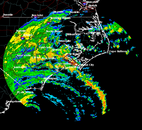 At 456 pm edt, a severe thunderstorm capable of producing a tornado was located over coastal carolina regional airport, or over james city, moving northwest at 35 mph (radar indicated rotation). Hazards include tornado. Flying debris will be dangerous to those caught without shelter. mobile homes will be damaged or destroyed. damage to roofs, windows, and vehicles will occur. Tree damage is likely. At 456 pm edt, a severe thunderstorm capable of producing a tornado was located over coastal carolina regional airport, or over james city, moving northwest at 35 mph (radar indicated rotation). Hazards include tornado. Flying debris will be dangerous to those caught without shelter. mobile homes will be damaged or destroyed. damage to roofs, windows, and vehicles will occur. Tree damage is likely.
|
| 9/5/2019 4:54 PM EDT |
 At 454 pm edt, a severe thunderstorm capable of producing a tornado was located over north harlowe, or near newport, moving northwest at 50 mph (radar indicated rotation). Hazards include tornado. Flying debris will be dangerous to those caught without shelter. mobile homes will be damaged or destroyed. damage to roofs, windows, and vehicles will occur. Tree damage is likely. At 454 pm edt, a severe thunderstorm capable of producing a tornado was located over north harlowe, or near newport, moving northwest at 50 mph (radar indicated rotation). Hazards include tornado. Flying debris will be dangerous to those caught without shelter. mobile homes will be damaged or destroyed. damage to roofs, windows, and vehicles will occur. Tree damage is likely.
|
| 9/5/2019 4:10 PM EDT |
 At 410 pm edt, a severe thunderstorm capable of producing a tornado was located over north river, or 8 miles northeast of morehead city, moving northwest at 25 mph (radar indicated rotation). Hazards include tornado. Flying debris will be dangerous to those caught without shelter. mobile homes will be damaged or destroyed. damage to roofs, windows, and vehicles will occur. Tree damage is likely. At 410 pm edt, a severe thunderstorm capable of producing a tornado was located over north river, or 8 miles northeast of morehead city, moving northwest at 25 mph (radar indicated rotation). Hazards include tornado. Flying debris will be dangerous to those caught without shelter. mobile homes will be damaged or destroyed. damage to roofs, windows, and vehicles will occur. Tree damage is likely.
|
| 8/10/2019 3:55 PM EDT | Tree blown down on moores swamp road. time estimated from rada in pamlico county NC, 10.8 miles WSW of New Bern, NC |
| 8/10/2019 3:53 PM EDT |
 At 353 pm edt, a severe thunderstorm was located over olympia, or near james city, moving northeast at 25 mph (radar indicated). Hazards include two inch hail and 70 mph wind gusts. People and animals outdoors will be injured. expect hail damage to roofs, siding, windows, and vehicles. expect considerable tree damage. Wind damage is also likely to mobile homes, roofs, and outbuildings. At 353 pm edt, a severe thunderstorm was located over olympia, or near james city, moving northeast at 25 mph (radar indicated). Hazards include two inch hail and 70 mph wind gusts. People and animals outdoors will be injured. expect hail damage to roofs, siding, windows, and vehicles. expect considerable tree damage. Wind damage is also likely to mobile homes, roofs, and outbuildings.
|
| 8/10/2019 3:48 PM EDT | Quarter sized hail reported 2.5 miles NW of New Bern, NC |
| 8/10/2019 3:48 PM EDT | Quarter sized hail reported 2.1 miles S of New Bern, NC |
| 8/10/2019 3:48 PM EDT |
 At 347 pm edt, a severe thunderstorm was located over fairfield harbour, or near james city, moving northeast at 30 mph (radar indicated and public reported). Hazards include two inch hail and 70 mph wind gusts. People and animals outdoors will be injured. expect hail damage to roofs, siding, windows, and vehicles. expect considerable tree damage. wind damage is also likely to mobile homes, roofs, and outbuildings. Locations impacted include, new bern, havelock, james city, olympia, janeiro, grantsboro, croatan, riverdale, neuse forest, cherry branch ferry terminal, fairfield harbour, minnesott beach ferry, coastal carolina regional airport, bayboro, alliance, arapahoe, bridgeton, minnesott beach and stonewall. At 347 pm edt, a severe thunderstorm was located over fairfield harbour, or near james city, moving northeast at 30 mph (radar indicated and public reported). Hazards include two inch hail and 70 mph wind gusts. People and animals outdoors will be injured. expect hail damage to roofs, siding, windows, and vehicles. expect considerable tree damage. wind damage is also likely to mobile homes, roofs, and outbuildings. Locations impacted include, new bern, havelock, james city, olympia, janeiro, grantsboro, croatan, riverdale, neuse forest, cherry branch ferry terminal, fairfield harbour, minnesott beach ferry, coastal carolina regional airport, bayboro, alliance, arapahoe, bridgeton, minnesott beach and stonewall.
|
| 8/10/2019 3:45 PM EDT | Half Dollar sized hail reported 1.7 miles SSW of New Bern, NC, quarter to half dollar size hail via social media. |
| 8/10/2019 3:45 PM EDT | Golf Ball sized hail reported 1.6 miles WNW of New Bern, NC, golf ball size hail reported in james city via social media. |
| 8/10/2019 3:40 PM EDT | Tree blown down near neuse avenu in craven county NC, 2.8 miles S of New Bern, NC |
| 8/10/2019 3:39 PM EDT | Quarter sized hail reported 2 miles NW of New Bern, NC |
| 8/10/2019 3:37 PM EDT |
 At 337 pm edt, a severe thunderstorm was located over james city, moving northeast at 30 mph (radar indicated). Hazards include two inch hail and 70 mph wind gusts. People and animals outdoors will be injured. expect hail damage to roofs, siding, windows, and vehicles. expect considerable tree damage. wind damage is also likely to mobile homes, roofs, and outbuildings. Locations impacted include, new bern, havelock, james city, trent woods, river bend, rhems, olympia, janeiro, grantsboro, croatan, riverdale, catfish lake, neuse forest, cherry branch ferry terminal, fairfield harbour, minnesott beach ferry, coastal carolina regional airport, bayboro, alliance and arapahoe. At 337 pm edt, a severe thunderstorm was located over james city, moving northeast at 30 mph (radar indicated). Hazards include two inch hail and 70 mph wind gusts. People and animals outdoors will be injured. expect hail damage to roofs, siding, windows, and vehicles. expect considerable tree damage. wind damage is also likely to mobile homes, roofs, and outbuildings. Locations impacted include, new bern, havelock, james city, trent woods, river bend, rhems, olympia, janeiro, grantsboro, croatan, riverdale, catfish lake, neuse forest, cherry branch ferry terminal, fairfield harbour, minnesott beach ferry, coastal carolina regional airport, bayboro, alliance and arapahoe.
|
| 8/10/2019 3:24 PM EDT |
 At 324 pm edt, a severe thunderstorm was located near trent woods, or near james city, moving northeast at 30 mph (radar indicated). Hazards include 60 mph wind gusts and half dollar size hail. Hail damage to vehicles is expected. Expect wind damage to roofs, siding, and trees. At 324 pm edt, a severe thunderstorm was located near trent woods, or near james city, moving northeast at 30 mph (radar indicated). Hazards include 60 mph wind gusts and half dollar size hail. Hail damage to vehicles is expected. Expect wind damage to roofs, siding, and trees.
|
| 8/7/2019 9:42 PM EDT |
 The severe thunderstorm warning for east central jones, central craven and southwestern pamlico counties will expire at 945 pm edt, the storm which prompted the warning has weakened below severe limits, and no longer poses an immediate threat to life or property. therefore, the warning will be allowed to expire. however gusty winds and heavy rain are still possible with this thunderstorm. The severe thunderstorm warning for east central jones, central craven and southwestern pamlico counties will expire at 945 pm edt, the storm which prompted the warning has weakened below severe limits, and no longer poses an immediate threat to life or property. therefore, the warning will be allowed to expire. however gusty winds and heavy rain are still possible with this thunderstorm.
|
| 8/7/2019 9:17 PM EDT |
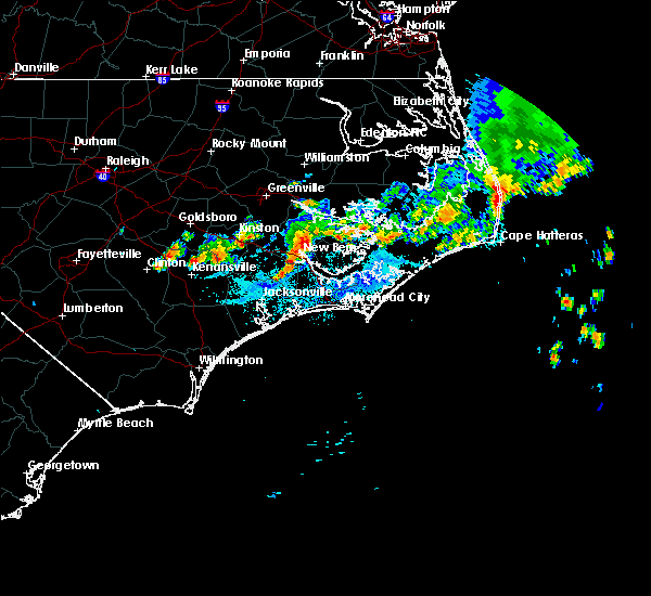 At 917 pm edt, a severe thunderstorm was located over new bern, moving east at 35 mph (radar indicated). Hazards include 60 mph wind gusts. Expect damage to roofs, siding, and trees. Locations impacted include, new bern, havelock, james city, trent woods, river bend, askins, rhems, olympia, grantsboro, croatan, riverdale, neuse forest, fairfield harbour, coastal carolina regional airport, bayboro, alliance, arapahoe and bridgeton. At 917 pm edt, a severe thunderstorm was located over new bern, moving east at 35 mph (radar indicated). Hazards include 60 mph wind gusts. Expect damage to roofs, siding, and trees. Locations impacted include, new bern, havelock, james city, trent woods, river bend, askins, rhems, olympia, grantsboro, croatan, riverdale, neuse forest, fairfield harbour, coastal carolina regional airport, bayboro, alliance, arapahoe and bridgeton.
|
| 8/7/2019 9:13 PM EDT | Many power outages in vcty of trent wood in craven county NC, 4.4 miles ESE of New Bern, NC |
| 8/7/2019 9:01 PM EDT |
 At 901 pm edt, a severe thunderstorm was located over tuscarora, or 7 miles west of new bern, moving east at 20 mph (radar indicated). Hazards include 60 mph wind gusts. expect damage to roofs, siding, and trees At 901 pm edt, a severe thunderstorm was located over tuscarora, or 7 miles west of new bern, moving east at 20 mph (radar indicated). Hazards include 60 mph wind gusts. expect damage to roofs, siding, and trees
|
| 8/7/2019 2:43 PM EDT |
 The severe thunderstorm warning for southeastern jones, southeastern craven, west central carteret and south central pamlico counties will expire at 245 pm edt, the storm which prompted the warning has weakened below severe limits, and no longer poses an immediate threat to life or property. therefore, the warning will be allowed to expire. however gusty winds and heavy rain are still possible with this thunderstorm. a severe thunderstorm watch remains in effect until 800 pm edt for eastern north carolina. The severe thunderstorm warning for southeastern jones, southeastern craven, west central carteret and south central pamlico counties will expire at 245 pm edt, the storm which prompted the warning has weakened below severe limits, and no longer poses an immediate threat to life or property. therefore, the warning will be allowed to expire. however gusty winds and heavy rain are still possible with this thunderstorm. a severe thunderstorm watch remains in effect until 800 pm edt for eastern north carolina.
|
| 8/7/2019 1:54 PM EDT |
 At 154 pm edt, a severe thunderstorm was located over catfish lake, or 11 miles west of havelock, moving east at 15 mph (radar indicated). Hazards include 60 mph wind gusts. expect damage to roofs, siding, and trees At 154 pm edt, a severe thunderstorm was located over catfish lake, or 11 miles west of havelock, moving east at 15 mph (radar indicated). Hazards include 60 mph wind gusts. expect damage to roofs, siding, and trees
|
| 7/3/2019 2:01 PM EDT | Limbs down. nickel size hail. report from the fuel market gas station. time estimated by rada in craven county NC, 10.2 miles NW of New Bern, NC |
| 7/3/2019 1:50 PM EDT |
 The national weather service in newport has issued a * severe thunderstorm warning for. southeastern jones county in eastern north carolina. southeastern craven county in eastern north carolina. southwestern pamlico county in eastern north carolina. Until 230 pm edt. The national weather service in newport has issued a * severe thunderstorm warning for. southeastern jones county in eastern north carolina. southeastern craven county in eastern north carolina. southwestern pamlico county in eastern north carolina. Until 230 pm edt.
|
| 5/31/2019 4:55 PM EDT |
 At 455 pm edt, a severe thunderstorm was located over cayton, or 10 miles north of new bern, moving east at 60 mph (radar indicated). Hazards include ping pong ball size hail and 60 mph wind gusts. People and animals outdoors will be injured. expect hail damage to roofs, siding, windows, and vehicles. expect wind damage to roofs, siding, and trees. Locations impacted include, new bern, sladesville, blounts creek, pamlico beach, vanceboro, askins, lowland, cayton, florence, jasper, tuscarora, wilmar, edward, grantsboro, royal, bonnerton, cox crossroads, olympia, core point and south creek. At 455 pm edt, a severe thunderstorm was located over cayton, or 10 miles north of new bern, moving east at 60 mph (radar indicated). Hazards include ping pong ball size hail and 60 mph wind gusts. People and animals outdoors will be injured. expect hail damage to roofs, siding, windows, and vehicles. expect wind damage to roofs, siding, and trees. Locations impacted include, new bern, sladesville, blounts creek, pamlico beach, vanceboro, askins, lowland, cayton, florence, jasper, tuscarora, wilmar, edward, grantsboro, royal, bonnerton, cox crossroads, olympia, core point and south creek.
|
| 5/31/2019 4:42 PM EDT |
 At 442 pm edt, a severe thunderstorm was located near jasper, or 13 miles northwest of new bern, moving east at 55 mph (radar indicated). Hazards include ping pong ball size hail and 60 mph wind gusts. People and animals outdoors will be injured. expect hail damage to roofs, siding, windows, and vehicles. Expect wind damage to roofs, siding, and trees. At 442 pm edt, a severe thunderstorm was located near jasper, or 13 miles northwest of new bern, moving east at 55 mph (radar indicated). Hazards include ping pong ball size hail and 60 mph wind gusts. People and animals outdoors will be injured. expect hail damage to roofs, siding, windows, and vehicles. Expect wind damage to roofs, siding, and trees.
|
| 5/31/2019 2:47 PM EDT |
 At 247 pm edt, a severe thunderstorm was located over riverdale, or near james city, moving northeast at 30 mph (radar indicated). Hazards include 60 mph wind gusts and quarter size hail. Hail damage to vehicles is expected. Expect wind damage to roofs, siding, and trees. At 247 pm edt, a severe thunderstorm was located over riverdale, or near james city, moving northeast at 30 mph (radar indicated). Hazards include 60 mph wind gusts and quarter size hail. Hail damage to vehicles is expected. Expect wind damage to roofs, siding, and trees.
|
| 5/31/2019 2:30 PM EDT |
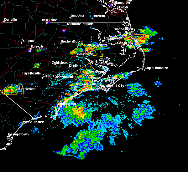 At 229 pm edt, a severe thunderstorm was located near askins, or near new bern, moving northeast at 35 mph (radar indicated). Hazards include 60 mph wind gusts and quarter size hail. Hail damage to vehicles is expected. expect wind damage to roofs, siding, and trees. Locations impacted include, new bern, river bend, blounts creek, askins, cayton, jasper, tuscarora, olympia, ernul and bridgeton. At 229 pm edt, a severe thunderstorm was located near askins, or near new bern, moving northeast at 35 mph (radar indicated). Hazards include 60 mph wind gusts and quarter size hail. Hail damage to vehicles is expected. expect wind damage to roofs, siding, and trees. Locations impacted include, new bern, river bend, blounts creek, askins, cayton, jasper, tuscarora, olympia, ernul and bridgeton.
|
| 5/31/2019 2:01 PM EDT |
 At 201 pm edt, a severe thunderstorm was located near phillips crossroads, or 17 miles west of new bern, moving northeast at 30 mph (radar indicated). Hazards include 60 mph wind gusts and quarter size hail. Hail damage to vehicles is expected. Expect wind damage to roofs, siding, and trees. At 201 pm edt, a severe thunderstorm was located near phillips crossroads, or 17 miles west of new bern, moving northeast at 30 mph (radar indicated). Hazards include 60 mph wind gusts and quarter size hail. Hail damage to vehicles is expected. Expect wind damage to roofs, siding, and trees.
|
| 5/30/2019 9:52 PM EDT |
 The severe thunderstorm warning for northeastern jones, central craven and southwestern pamlico counties will expire at 1000 pm edt, the storm which prompted the warning has weakened below severe limits, and no longer poses an immediate threat to life or property. therefore, the warning will be allowed to expire. The severe thunderstorm warning for northeastern jones, central craven and southwestern pamlico counties will expire at 1000 pm edt, the storm which prompted the warning has weakened below severe limits, and no longer poses an immediate threat to life or property. therefore, the warning will be allowed to expire.
|
| 5/30/2019 9:25 PM EDT | Trees down on wires near highway 1 in craven county NC, 4.4 miles SSW of New Bern, NC |
| 5/30/2019 9:14 PM EDT |
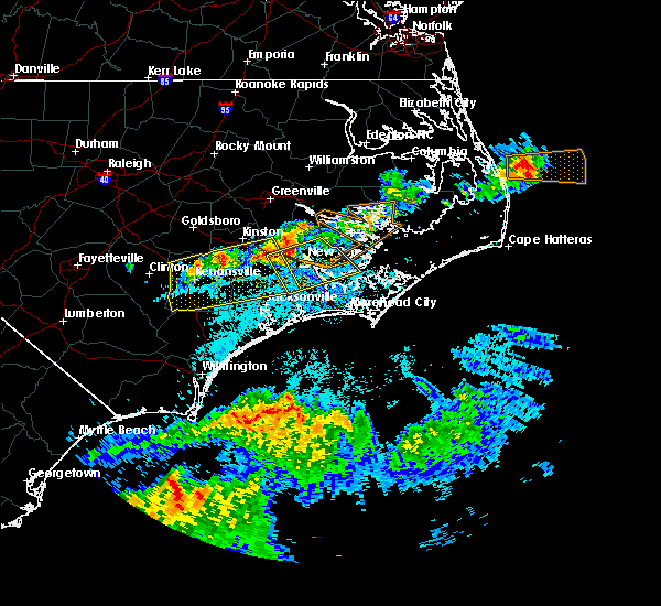 At 912 pm edt, a severe thunderstorm was located near tuscarora, or 11 miles west of new bern, moving southeast at 30 mph. this storm has a history of producing damaging winds and knocking down trees (trained weather spotters). Hazards include 70 mph wind gusts. Expect considerable tree damage. Damage is likely to mobile homes, roofs, and outbuildings. At 912 pm edt, a severe thunderstorm was located near tuscarora, or 11 miles west of new bern, moving southeast at 30 mph. this storm has a history of producing damaging winds and knocking down trees (trained weather spotters). Hazards include 70 mph wind gusts. Expect considerable tree damage. Damage is likely to mobile homes, roofs, and outbuildings.
|
| 5/30/2019 8:36 PM EDT |
 At 836 pm edt, severe thunderstorms were located along a line extending from near cayton to 6 miles west of tuscarora, moving southeast at 30 mph (radar indicated). Hazards include 60 mph wind gusts and quarter size hail. Hail damage to vehicles is expected. Expect wind damage to roofs, siding, and trees. At 836 pm edt, severe thunderstorms were located along a line extending from near cayton to 6 miles west of tuscarora, moving southeast at 30 mph (radar indicated). Hazards include 60 mph wind gusts and quarter size hail. Hail damage to vehicles is expected. Expect wind damage to roofs, siding, and trees.
|
| 5/12/2019 4:02 PM EDT |
 At 402 pm edt, severe thunderstorms were located along a line extending from near catfish lake to near bogue to 6 miles south of hammocks beach state park, moving east at 30 mph (radar indicated). Hazards include 60 mph wind gusts and quarter size hail. Hail damage to vehicles is expected. Expect wind damage to roofs, siding, and trees. At 402 pm edt, severe thunderstorms were located along a line extending from near catfish lake to near bogue to 6 miles south of hammocks beach state park, moving east at 30 mph (radar indicated). Hazards include 60 mph wind gusts and quarter size hail. Hail damage to vehicles is expected. Expect wind damage to roofs, siding, and trees.
|
| 4/15/2019 4:01 AM EDT |
 At 400 am edt, severe thunderstorms were located along a line extending from blounts creek to near onslow beach, moving northeast at 40 mph (radar indicated). Hazards include 60 mph wind gusts. Expect damage to roofs, siding, and trees. Locations impacted include, new bern, havelock, james city, trent woods, stella, swansboro, hubert, cape carteret, blounts creek, askins, cayton, silverdale, edward, riverdale, bonnerton, cox crossroads, bayview, olympia, peletier and kuhns. At 400 am edt, severe thunderstorms were located along a line extending from blounts creek to near onslow beach, moving northeast at 40 mph (radar indicated). Hazards include 60 mph wind gusts. Expect damage to roofs, siding, and trees. Locations impacted include, new bern, havelock, james city, trent woods, stella, swansboro, hubert, cape carteret, blounts creek, askins, cayton, silverdale, edward, riverdale, bonnerton, cox crossroads, bayview, olympia, peletier and kuhns.
|
| 4/15/2019 3:58 AM EDT | New bern/craven county asos (ewn) reports gust of 61 mp in craven county NC, 1.2 miles NW of New Bern, NC |
| 4/15/2019 3:47 AM EDT |
 At 346 am edt, severe thunderstorms were located along a line extending from near vanceboro to near sea view pier, moving northeast at 35 mph (radar indicated). Hazards include 60 mph wind gusts. Expect damage to roofs, siding, and trees. Locations impacted include, jacksonville, new bern, havelock, pumpkin center, piney green, camp lejeune center, james city, trent woods, river bend, stella, swansboro, hubert, cape carteret, blounts creek, maysville, vanceboro, askins, silverdale, kellum and midway park. At 346 am edt, severe thunderstorms were located along a line extending from near vanceboro to near sea view pier, moving northeast at 35 mph (radar indicated). Hazards include 60 mph wind gusts. Expect damage to roofs, siding, and trees. Locations impacted include, jacksonville, new bern, havelock, pumpkin center, piney green, camp lejeune center, james city, trent woods, river bend, stella, swansboro, hubert, cape carteret, blounts creek, maysville, vanceboro, askins, silverdale, kellum and midway park.
|
| 4/15/2019 3:26 AM EDT |
 At 325 am edt, severe thunderstorms were located along a line extending from jasper to topsail beach, moving northeast at 30 mph (radar indicated). Hazards include 60 mph wind gusts. expect damage to roofs, siding, and trees At 325 am edt, severe thunderstorms were located along a line extending from jasper to topsail beach, moving northeast at 30 mph (radar indicated). Hazards include 60 mph wind gusts. expect damage to roofs, siding, and trees
|
| 12/20/2018 9:10 PM EST |
 At 910 pm est, severe thunderstorms were located along a line extending from near fairfield harbour to near wildwood, moving northeast at 60 mph (radar indicated). Hazards include 60 mph wind gusts and penny size hail. Expect damage to roofs, siding, and trees. Locations impacted include, new bern, havelock, morehead city, newport, james city, trent woods, river bend, stella, swansboro, hubert, cape carteret, pine knoll shores, harlowe, silverdale, rhems, broad creek, janeiro, grantsboro, riverdale and olympia. At 910 pm est, severe thunderstorms were located along a line extending from near fairfield harbour to near wildwood, moving northeast at 60 mph (radar indicated). Hazards include 60 mph wind gusts and penny size hail. Expect damage to roofs, siding, and trees. Locations impacted include, new bern, havelock, morehead city, newport, james city, trent woods, river bend, stella, swansboro, hubert, cape carteret, pine knoll shores, harlowe, silverdale, rhems, broad creek, janeiro, grantsboro, riverdale and olympia.
|
| 12/20/2018 8:34 PM EST |
 At 833 pm est, severe thunderstorms were located along a line extending from near hammocks beach state park to 22 miles southeast of sea view pier, moving northeast at 60 mph (radar indicated). Hazards include 60 mph wind gusts and penny size hail. expect damage to roofs, siding, and trees At 833 pm est, severe thunderstorms were located along a line extending from near hammocks beach state park to 22 miles southeast of sea view pier, moving northeast at 60 mph (radar indicated). Hazards include 60 mph wind gusts and penny size hail. expect damage to roofs, siding, and trees
|
| 11/13/2018 3:32 AM EST |
 At 332 am est, severe thunderstorms were located along a line extending from near williamston to near black jack to near fort barnwell, moving northeast at 50 mph (radar indicated). Hazards include 60 mph wind gusts and quarter size hail. Hail damage to vehicles is expected. Expect wind damage to roofs, siding, and trees. At 332 am est, severe thunderstorms were located along a line extending from near williamston to near black jack to near fort barnwell, moving northeast at 50 mph (radar indicated). Hazards include 60 mph wind gusts and quarter size hail. Hail damage to vehicles is expected. Expect wind damage to roofs, siding, and trees.
|
| 9/14/2018 1:06 PM EDT |
 At 105 pm edt, a severe thunderstorm capable of producing a tornado was located over marshallberg, or near harkers island, moving northwest at 60 mph (radar indicated rotation). Hazards include tornado. Flying debris will be dangerous to those caught without shelter. mobile homes will be damaged or destroyed. damage to roofs, windows, and vehicles will occur. Tree damage is likely. At 105 pm edt, a severe thunderstorm capable of producing a tornado was located over marshallberg, or near harkers island, moving northwest at 60 mph (radar indicated rotation). Hazards include tornado. Flying debris will be dangerous to those caught without shelter. mobile homes will be damaged or destroyed. damage to roofs, windows, and vehicles will occur. Tree damage is likely.
|
| 9/14/2018 11:57 AM EDT |
 At 1156 am edt, a severe thunderstorm capable of producing a tornado was located over davis, or 7 miles northeast of harkers island, moving northwest at 55 mph (radar indicated rotation). Hazards include tornado. Flying debris will be dangerous to those caught without shelter. mobile homes will be damaged or destroyed. damage to roofs, windows, and vehicles will occur. Tree damage is likely. At 1156 am edt, a severe thunderstorm capable of producing a tornado was located over davis, or 7 miles northeast of harkers island, moving northwest at 55 mph (radar indicated rotation). Hazards include tornado. Flying debris will be dangerous to those caught without shelter. mobile homes will be damaged or destroyed. damage to roofs, windows, and vehicles will occur. Tree damage is likely.
|
| 9/14/2018 10:48 AM EDT |
 At 1048 am edt, a severe thunderstorm capable of producing a tornado was located over open grounds farm, or 13 miles north of harkers island, moving northwest at 85 mph (radar indicated rotation). Hazards include tornado. Flying debris will be dangerous to those caught without shelter. mobile homes will be damaged or destroyed. damage to roofs, windows, and vehicles will occur. tree damage is likely. Locations impacted include, new bern, havelock, harkers island, james city, south river, north river, sealevel, marshallberg, davis, smyrna, merrimon, straits, harlowe, askins, cayton, otway, janeiro, grantsboro, great neck and olympia. At 1048 am edt, a severe thunderstorm capable of producing a tornado was located over open grounds farm, or 13 miles north of harkers island, moving northwest at 85 mph (radar indicated rotation). Hazards include tornado. Flying debris will be dangerous to those caught without shelter. mobile homes will be damaged or destroyed. damage to roofs, windows, and vehicles will occur. tree damage is likely. Locations impacted include, new bern, havelock, harkers island, james city, south river, north river, sealevel, marshallberg, davis, smyrna, merrimon, straits, harlowe, askins, cayton, otway, janeiro, grantsboro, great neck and olympia.
|
| 9/14/2018 10:24 AM EDT |
 At 1024 am edt, a severe thunderstorm capable of producing a tornado was located near merrimon, or 13 miles north of harkers island, moving northwest at 60 mph (radar indicated rotation). Hazards include tornado. Flying debris will be dangerous to those caught without shelter. mobile homes will be damaged or destroyed. damage to roofs, windows, and vehicles will occur. Tree damage is likely. At 1024 am edt, a severe thunderstorm capable of producing a tornado was located near merrimon, or 13 miles north of harkers island, moving northwest at 60 mph (radar indicated rotation). Hazards include tornado. Flying debris will be dangerous to those caught without shelter. mobile homes will be damaged or destroyed. damage to roofs, windows, and vehicles will occur. Tree damage is likely.
|
| 9/13/2018 11:31 AM EDT |
 At 1131 am edt, a severe thunderstorm capable of producing a tornado was located near lowland, or 25 miles southeast of river road, moving southwest at 40 mph (radar indicated rotation). Hazards include tornado. Flying debris will be dangerous to those caught without shelter. mobile homes will be damaged or destroyed. damage to roofs, windows, and vehicles will occur. tree damage is likely. this dangerous storm will be near, royal and maribel around 1140 am edt. grantsboro around 1145 am edt. Other locations impacted by this tornadic thunderstorm include aurora, stonewall, mesic, alliance, bayboro, vandemere and bridgeton. At 1131 am edt, a severe thunderstorm capable of producing a tornado was located near lowland, or 25 miles southeast of river road, moving southwest at 40 mph (radar indicated rotation). Hazards include tornado. Flying debris will be dangerous to those caught without shelter. mobile homes will be damaged or destroyed. damage to roofs, windows, and vehicles will occur. tree damage is likely. this dangerous storm will be near, royal and maribel around 1140 am edt. grantsboro around 1145 am edt. Other locations impacted by this tornadic thunderstorm include aurora, stonewall, mesic, alliance, bayboro, vandemere and bridgeton.
|
| 9/13/2018 11:19 AM EDT |
 At 1118 am edt, a severe thunderstorm capable of producing a tornado was located near lowland, or 24 miles northwest of cedar island, moving west at 50 mph (radar indicated rotation). Hazards include tornado. Flying debris will be dangerous to those caught without shelter. mobile homes will be damaged or destroyed. damage to roofs, windows, and vehicles will occur. tree damage is likely. this dangerous storm will be near, south creek around 1130 am edt. royal and maribel around 1135 am edt. edward around 1140 am edt. grantsboro and olympia around 1145 am edt. Other locations impacted by this tornadic thunderstorm include aurora, stonewall, mesic, alliance, bayboro, vandemere and bridgeton. At 1118 am edt, a severe thunderstorm capable of producing a tornado was located near lowland, or 24 miles northwest of cedar island, moving west at 50 mph (radar indicated rotation). Hazards include tornado. Flying debris will be dangerous to those caught without shelter. mobile homes will be damaged or destroyed. damage to roofs, windows, and vehicles will occur. tree damage is likely. this dangerous storm will be near, south creek around 1130 am edt. royal and maribel around 1135 am edt. edward around 1140 am edt. grantsboro and olympia around 1145 am edt. Other locations impacted by this tornadic thunderstorm include aurora, stonewall, mesic, alliance, bayboro, vandemere and bridgeton.
|
| 7/24/2018 4:36 AM EDT |
 At 435 am edt, severe thunderstorms were located along a line extending from near neuse forest to near janeiro, moving north at 40 mph (radar indicated). Hazards include 60 mph wind gusts. Expect damage to roofs, siding, and trees. Locations impacted include, new bern, havelock, james city, merrimon, cayton, florence, janeiro, grantsboro, great neck, riverdale, olympia, whortonsville, croatan, maribel, nc pamlico, merritt, neuse forest, cherry branch ferry terminal, fairfield harbour and minnesott beach ferry. At 435 am edt, severe thunderstorms were located along a line extending from near neuse forest to near janeiro, moving north at 40 mph (radar indicated). Hazards include 60 mph wind gusts. Expect damage to roofs, siding, and trees. Locations impacted include, new bern, havelock, james city, merrimon, cayton, florence, janeiro, grantsboro, great neck, riverdale, olympia, whortonsville, croatan, maribel, nc pamlico, merritt, neuse forest, cherry branch ferry terminal, fairfield harbour and minnesott beach ferry.
|
| 7/24/2018 3:54 AM EDT |
 At 352 am edt, severe thunderstorms were located along a line extending from broad creek to pine knoll shores, moving north at 35 mph (radar indicated). Hazards include 60 mph wind gusts. expect damage to roofs, siding, and trees At 352 am edt, severe thunderstorms were located along a line extending from broad creek to pine knoll shores, moving north at 35 mph (radar indicated). Hazards include 60 mph wind gusts. expect damage to roofs, siding, and trees
|
| 6/24/2018 6:58 PM EDT |
 At 658 pm edt, severe thunderstorms were located along a line extending from ernul to james city to near kuhns to near cypress creek, moving southeast at 30 mph (radar indicated). Hazards include 60 mph wind gusts and penny size hail. expect damage to roofs, siding, and trees At 658 pm edt, severe thunderstorms were located along a line extending from ernul to james city to near kuhns to near cypress creek, moving southeast at 30 mph (radar indicated). Hazards include 60 mph wind gusts and penny size hail. expect damage to roofs, siding, and trees
|
| 6/24/2018 6:40 PM EDT |
 At 638 pm edt, severe thunderstorms were located along a line extending from coastal carolina regional airport to near croatan to hubert to near maple hill, moving east at 35 mph (radar indicated). Hazards include 60 mph wind gusts and quarter size hail. Hail damage to vehicles is expected. expect wind damage to roofs, siding, and trees. Locations impacted include, jacksonville, new bern, havelock, morehead city, newport, pumpkin center, piney green, new river station, camp lejeune center, james city, trent woods, stella, swansboro, hubert, south river, cape carteret, merrimon, harlowe, maysville and silverdale. At 638 pm edt, severe thunderstorms were located along a line extending from coastal carolina regional airport to near croatan to hubert to near maple hill, moving east at 35 mph (radar indicated). Hazards include 60 mph wind gusts and quarter size hail. Hail damage to vehicles is expected. expect wind damage to roofs, siding, and trees. Locations impacted include, jacksonville, new bern, havelock, morehead city, newport, pumpkin center, piney green, new river station, camp lejeune center, james city, trent woods, stella, swansboro, hubert, south river, cape carteret, merrimon, harlowe, maysville and silverdale.
|
| 6/24/2018 6:30 PM EDT | Public reported several trees down in the trent woods neighborhood... including one on top of a house. time estimated from rada in craven county NC, 1.9 miles E of New Bern, NC |
| 6/24/2018 6:16 PM EDT |
 At 616 pm edt, severe thunderstorms were located along a line extending from near trent woods to near kellum to near maple hill, moving east at 45 mph (radar indicated). Hazards include 60 mph wind gusts and quarter size hail. Hail damage to vehicles is expected. Expect wind damage to roofs, siding, and trees. At 616 pm edt, severe thunderstorms were located along a line extending from near trent woods to near kellum to near maple hill, moving east at 45 mph (radar indicated). Hazards include 60 mph wind gusts and quarter size hail. Hail damage to vehicles is expected. Expect wind damage to roofs, siding, and trees.
|
| 6/24/2018 4:30 PM EDT |
 At 430 pm edt, a severe thunderstorm was located over royal, or 18 miles northeast of james city, moving east at 35 mph (emergency management). Hazards include 60 mph wind gusts and penny size hail. expect damage to roofs, siding, and trees At 430 pm edt, a severe thunderstorm was located over royal, or 18 miles northeast of james city, moving east at 35 mph (emergency management). Hazards include 60 mph wind gusts and penny size hail. expect damage to roofs, siding, and trees
|
| 6/24/2018 4:13 PM EDT |
 At 412 pm edt, a severe thunderstorm was located near askins, or near new bern, moving east at 35 mph (radar indicated). Hazards include 60 mph wind gusts and penny size hail. Expect damage to roofs, siding, and trees. Locations impacted include, new bern, james city, trent woods, askins, cayton, tuscarora, olympia, edward, royal, ernul, fairfield harbour, coastal carolina regional airport, aurora and bridgeton. At 412 pm edt, a severe thunderstorm was located near askins, or near new bern, moving east at 35 mph (radar indicated). Hazards include 60 mph wind gusts and penny size hail. Expect damage to roofs, siding, and trees. Locations impacted include, new bern, james city, trent woods, askins, cayton, tuscarora, olympia, edward, royal, ernul, fairfield harbour, coastal carolina regional airport, aurora and bridgeton.
|
| 6/24/2018 3:56 PM EDT |
 At 355 pm edt, a severe thunderstorm was located over jasper, or 10 miles northwest of new bern, moving east at 30 mph (radar indicated). Hazards include 60 mph wind gusts and quarter size hail. Hail damage to vehicles is expected. Expect wind damage to roofs, siding, and trees. At 355 pm edt, a severe thunderstorm was located over jasper, or 10 miles northwest of new bern, moving east at 30 mph (radar indicated). Hazards include 60 mph wind gusts and quarter size hail. Hail damage to vehicles is expected. Expect wind damage to roofs, siding, and trees.
|
| 6/11/2018 2:57 PM EDT |
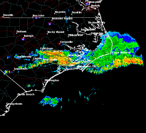 At 257 pm edt, a severe thunderstorm was located near maysville, or 13 miles southwest of new bern, moving east at 35 mph (radar indicated). Hazards include 60 mph wind gusts and quarter size hail. Hail damage to vehicles is expected. expect wind damage to roofs, siding, and trees. Locations impacted include, new bern, trent woods, river bend, phillips crossroads, richlands, deep run, maysville, comfort, rhems, belgrade, potters hill, petersburg, pleasant hill, catfish lake, deppe, loco vfd, pollocksville, hargetts crossroads and trenton. At 257 pm edt, a severe thunderstorm was located near maysville, or 13 miles southwest of new bern, moving east at 35 mph (radar indicated). Hazards include 60 mph wind gusts and quarter size hail. Hail damage to vehicles is expected. expect wind damage to roofs, siding, and trees. Locations impacted include, new bern, trent woods, river bend, phillips crossroads, richlands, deep run, maysville, comfort, rhems, belgrade, potters hill, petersburg, pleasant hill, catfish lake, deppe, loco vfd, pollocksville, hargetts crossroads and trenton.
|
| 6/11/2018 2:28 PM EDT |
 At 227 pm edt, a severe thunderstorm was located near pleasant hill, or 13 miles north of half moon, moving east at 35 mph (radar indicated). Hazards include 60 mph wind gusts and quarter size hail. Hail damage to vehicles is expected. Expect wind damage to roofs, siding, and trees. At 227 pm edt, a severe thunderstorm was located near pleasant hill, or 13 miles north of half moon, moving east at 35 mph (radar indicated). Hazards include 60 mph wind gusts and quarter size hail. Hail damage to vehicles is expected. Expect wind damage to roofs, siding, and trees.
|
| 9/21/2017 3:10 PM EDT |
 The severe thunderstorm warning for southeastern jones, south central craven and northeastern onslow counties will expire at 315 pm edt, the storms which prompted the warning have weakened below severe limits, and no longer pose an immediate threat to life or property. therefore the warning will be allowed to expire. The severe thunderstorm warning for southeastern jones, south central craven and northeastern onslow counties will expire at 315 pm edt, the storms which prompted the warning have weakened below severe limits, and no longer pose an immediate threat to life or property. therefore the warning will be allowed to expire.
|
| 9/21/2017 2:54 PM EDT |
 At 253 pm edt, severe thunderstorms were located along a line extending from riverdale to catfish lake to near maysville, moving south at 20 mph (radar indicated). Hazards include quarter size hail. Damage to vehicles is expected. Locations impacted include, new bern, havelock, maysville, belgrade, croatan, riverdale, catfish lake, neuse forest and pollocksville. At 253 pm edt, severe thunderstorms were located along a line extending from riverdale to catfish lake to near maysville, moving south at 20 mph (radar indicated). Hazards include quarter size hail. Damage to vehicles is expected. Locations impacted include, new bern, havelock, maysville, belgrade, croatan, riverdale, catfish lake, neuse forest and pollocksville.
|
| 9/21/2017 2:27 PM EDT |
 At 226 pm edt, severe thunderstorms were located along a line extending from near askins to coastal carolina regional airport to rhems, moving south at 20 mph (trained spotter). Hazards include quarter size hail. damage to vehicles is expected At 226 pm edt, severe thunderstorms were located along a line extending from near askins to coastal carolina regional airport to rhems, moving south at 20 mph (trained spotter). Hazards include quarter size hail. damage to vehicles is expected
|
| 9/21/2017 2:25 PM EDT | Quarter sized hail reported 2.2 miles NNW of New Bern, NC, nickel to quarter size hail reported in perrytown |
| 8/23/2017 8:54 PM EDT |
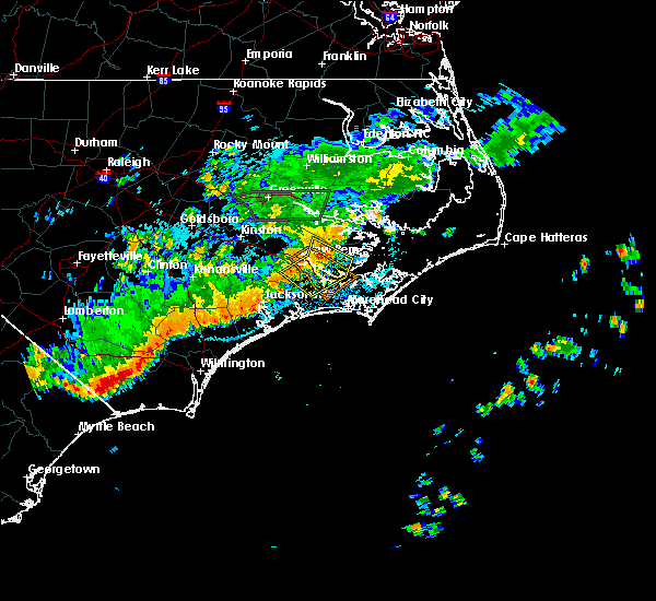 At 854 pm edt, severe thunderstorms were located along a line extending from near grantsboro to near fairfield harbour to croatan, moving southeast at 25 mph (radar indicated). Hazards include 60 mph wind gusts. Expect damage to roofs, siding, and trees. Locations impacted include, new bern, havelock, james city, trent woods, cayton, olympia, janeiro, grantsboro, croatan, riverdale, merritt, catfish lake, neuse forest, cherry branch ferry terminal, fairfield harbour, minnesott beach ferry, coastal carolina regional airport, bayboro, alliance and arapahoe. At 854 pm edt, severe thunderstorms were located along a line extending from near grantsboro to near fairfield harbour to croatan, moving southeast at 25 mph (radar indicated). Hazards include 60 mph wind gusts. Expect damage to roofs, siding, and trees. Locations impacted include, new bern, havelock, james city, trent woods, cayton, olympia, janeiro, grantsboro, croatan, riverdale, merritt, catfish lake, neuse forest, cherry branch ferry terminal, fairfield harbour, minnesott beach ferry, coastal carolina regional airport, bayboro, alliance and arapahoe.
|
| 8/23/2017 8:30 PM EDT |
 At 829 pm edt, severe thunderstorms were located along a line extending from near cayton to near new bern to near rhems, moving southeast at 25 mph (radar indicated). Hazards include 60 mph wind gusts. expect damage to roofs, siding, and trees At 829 pm edt, severe thunderstorms were located along a line extending from near cayton to near new bern to near rhems, moving southeast at 25 mph (radar indicated). Hazards include 60 mph wind gusts. expect damage to roofs, siding, and trees
|
| 7/15/2017 5:43 PM EDT |
 At 542 pm edt, severe thunderstorms were located along a line extending from neuse forest to 9 miles east of maysville to near piney green, moving southeast at 15 mph (radar indicated). Hazards include 60 mph wind gusts and quarter size hail. Hail damage to vehicles is expected. Expect wind damage to roofs, siding, and trees. At 542 pm edt, severe thunderstorms were located along a line extending from neuse forest to 9 miles east of maysville to near piney green, moving southeast at 15 mph (radar indicated). Hazards include 60 mph wind gusts and quarter size hail. Hail damage to vehicles is expected. Expect wind damage to roofs, siding, and trees.
|
| 7/8/2017 10:24 PM EDT |
 At 1023 pm edt, a severe thunderstorm was located 12 miles west of river bend, or 15 miles west of new bern, moving southeast at 60 mph. this storm has produced wind damage near kinston (radar indicated). Hazards include 60 mph wind gusts. expect damage to roofs, siding, and trees At 1023 pm edt, a severe thunderstorm was located 12 miles west of river bend, or 15 miles west of new bern, moving southeast at 60 mph. this storm has produced wind damage near kinston (radar indicated). Hazards include 60 mph wind gusts. expect damage to roofs, siding, and trees
|
| 6/24/2017 3:40 PM EDT |
 At 339 pm edt, a severe thunderstorm was located near fairfield harbour, or near james city, moving east at 30 mph (radar indicated). Hazards include 60 mph wind gusts and penny size hail. Expect damage to roofs, siding, and trees. Locations impacted include, new bern, fairfield harbour, minnesott beach ferry, bayboro, alliance, arapahoe, minnesott beach and stonewall. At 339 pm edt, a severe thunderstorm was located near fairfield harbour, or near james city, moving east at 30 mph (radar indicated). Hazards include 60 mph wind gusts and penny size hail. Expect damage to roofs, siding, and trees. Locations impacted include, new bern, fairfield harbour, minnesott beach ferry, bayboro, alliance, arapahoe, minnesott beach and stonewall.
|
| 6/24/2017 3:30 PM EDT |
 At 329 pm edt, a severe thunderstorm was located over trent woods, or near new bern, moving east at 35 mph (radar indicated). Hazards include 60 mph wind gusts and penny size hail. Expect damage to roofs, siding, and trees. Locations impacted include, new bern, havelock, james city, trent woods, river bend, neuse forest, cherry branch ferry terminal, fairfield harbour, minnesott beach ferry, coastal carolina regional airport, bayboro, alliance, arapahoe, bridgeton, minnesott beach and stonewall. At 329 pm edt, a severe thunderstorm was located over trent woods, or near new bern, moving east at 35 mph (radar indicated). Hazards include 60 mph wind gusts and penny size hail. Expect damage to roofs, siding, and trees. Locations impacted include, new bern, havelock, james city, trent woods, river bend, neuse forest, cherry branch ferry terminal, fairfield harbour, minnesott beach ferry, coastal carolina regional airport, bayboro, alliance, arapahoe, bridgeton, minnesott beach and stonewall.
|
| 6/24/2017 3:11 PM EDT |
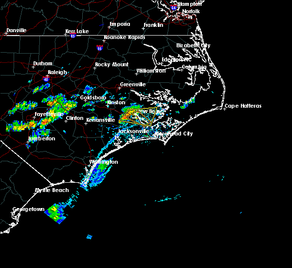 At 310 pm edt, a severe thunderstorm was located near river bend, or 9 miles west of new bern, moving east at 35 mph (radar indicated). Hazards include 60 mph wind gusts and penny size hail. expect damage to roofs, siding, and trees At 310 pm edt, a severe thunderstorm was located near river bend, or 9 miles west of new bern, moving east at 35 mph (radar indicated). Hazards include 60 mph wind gusts and penny size hail. expect damage to roofs, siding, and trees
|
| 5/31/2017 5:22 PM EDT |
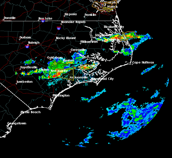 At 522 pm edt, a severe thunderstorm was located near fairfield harbour, or 8 miles northeast of james city, moving northeast at 20 mph (radar indicated). Hazards include 60 mph wind gusts and quarter size hail. Hail damage to vehicles is expected. expect wind damage to roofs, siding, and trees. Locations impacted include, new bern, fairfield harbour, bayboro, alliance, bridgeton and stonewall. At 522 pm edt, a severe thunderstorm was located near fairfield harbour, or 8 miles northeast of james city, moving northeast at 20 mph (radar indicated). Hazards include 60 mph wind gusts and quarter size hail. Hail damage to vehicles is expected. expect wind damage to roofs, siding, and trees. Locations impacted include, new bern, fairfield harbour, bayboro, alliance, bridgeton and stonewall.
|
| 5/31/2017 5:03 PM EDT | Tree down on madam moores lane in new ber in craven county NC, 3.1 miles SSE of New Bern, NC |
| 5/31/2017 5:03 PM EDT |
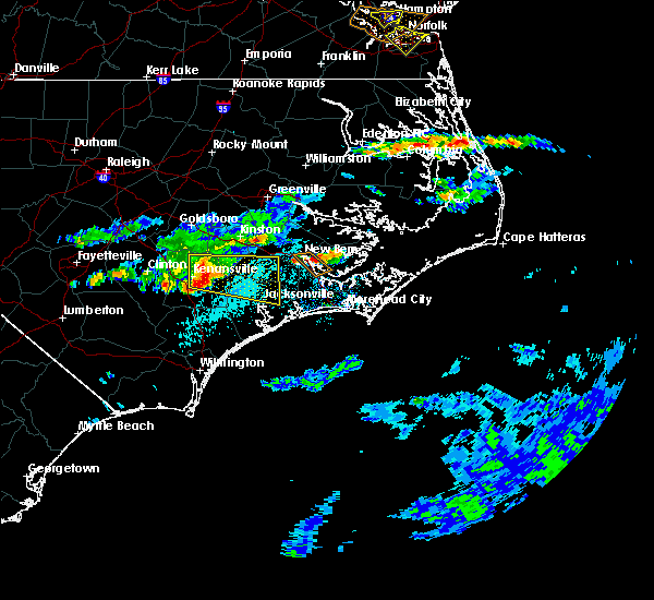 The national weather service in newport has issued a * severe thunderstorm warning for. central craven county in eastern north carolina. west central pamlico county in north carolina. Until 545 pm edt * at 503 pm edt, a severe thunderstorm was located over fairfield. The national weather service in newport has issued a * severe thunderstorm warning for. central craven county in eastern north carolina. west central pamlico county in north carolina. Until 545 pm edt * at 503 pm edt, a severe thunderstorm was located over fairfield.
|
| 5/5/2017 7:46 AM EDT |
 At 745 am edt, severe thunderstorms were located along a line extending from coastal carolina regional airport to near pine knoll shores to 18 miles south of oceana pier, moving northeast at 50 mph (radar indicated). Hazards include 60 mph wind gusts. Expect damage to roofs, siding, and trees. locations impacted include, new bern, havelock, morehead city, newport, cedar island, harkers island, james city, sealevel, marshallberg, davis, smyrna, merrimon, straits, atlantic, pine knoll shores, neuse forest, cedar island ferry terminal, cherry branch ferry terminal, fairfield harbour and minnesott beach ferry. A tornado watch remains in effect until 900 am edt for eastern north carolina. At 745 am edt, severe thunderstorms were located along a line extending from coastal carolina regional airport to near pine knoll shores to 18 miles south of oceana pier, moving northeast at 50 mph (radar indicated). Hazards include 60 mph wind gusts. Expect damage to roofs, siding, and trees. locations impacted include, new bern, havelock, morehead city, newport, cedar island, harkers island, james city, sealevel, marshallberg, davis, smyrna, merrimon, straits, atlantic, pine knoll shores, neuse forest, cedar island ferry terminal, cherry branch ferry terminal, fairfield harbour and minnesott beach ferry. A tornado watch remains in effect until 900 am edt for eastern north carolina.
|
| 5/5/2017 7:19 AM EDT |
 At 718 am edt, severe thunderstorms were located along a line extending from near pumpkin center to 8 miles south of hammocks beach state park to 25 miles southeast of sea view pier, moving northeast at 50 mph (radar indicated). Hazards include 60 mph wind gusts. expect damage to roofs, siding, and trees At 718 am edt, severe thunderstorms were located along a line extending from near pumpkin center to 8 miles south of hammocks beach state park to 25 miles southeast of sea view pier, moving northeast at 50 mph (radar indicated). Hazards include 60 mph wind gusts. expect damage to roofs, siding, and trees
|
| 5/5/2017 6:52 AM EDT |
 At 652 am edt, a severe thunderstorm capable of producing a tornado was located 7 miles northwest of river bend, or 10 miles west of new bern, moving northeast at 30 mph (radar indicated rotation). Hazards include tornado. Flying debris will be dangerous to those caught without shelter. mobile homes will be damaged or destroyed. damage to roofs, windows, and vehicles will occur. tree damage is likely. Locations impacted include, vanceboro and cove city. At 652 am edt, a severe thunderstorm capable of producing a tornado was located 7 miles northwest of river bend, or 10 miles west of new bern, moving northeast at 30 mph (radar indicated rotation). Hazards include tornado. Flying debris will be dangerous to those caught without shelter. mobile homes will be damaged or destroyed. damage to roofs, windows, and vehicles will occur. tree damage is likely. Locations impacted include, vanceboro and cove city.
|
| 5/5/2017 6:42 AM EDT |
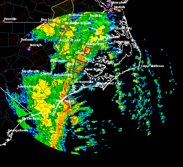 At 641 am edt, a severe thunderstorm capable of producing a tornado was located 9 miles northwest of river bend, or 12 miles west of new bern, moving north at 40 mph (radar indicated rotation). Hazards include tornado. Flying debris will be dangerous to those caught without shelter. mobile homes will be damaged or destroyed. damage to roofs, windows, and vehicles will occur. tree damage is likely. Locations impacted include, vanceboro and cove city. At 641 am edt, a severe thunderstorm capable of producing a tornado was located 9 miles northwest of river bend, or 12 miles west of new bern, moving north at 40 mph (radar indicated rotation). Hazards include tornado. Flying debris will be dangerous to those caught without shelter. mobile homes will be damaged or destroyed. damage to roofs, windows, and vehicles will occur. tree damage is likely. Locations impacted include, vanceboro and cove city.
|
| 5/5/2017 6:28 AM EDT |
 At 627 am edt, a severe thunderstorm capable of producing a tornado was located 10 miles northwest of maysville, or 15 miles northeast of half moon, moving north at 45 mph (radar indicated rotation). Hazards include tornado. Flying debris will be dangerous to those caught without shelter. mobile homes will be damaged or destroyed. damage to roofs, windows, and vehicles will occur. Tree damage is likely. At 627 am edt, a severe thunderstorm capable of producing a tornado was located 10 miles northwest of maysville, or 15 miles northeast of half moon, moving north at 45 mph (radar indicated rotation). Hazards include tornado. Flying debris will be dangerous to those caught without shelter. mobile homes will be damaged or destroyed. damage to roofs, windows, and vehicles will occur. Tree damage is likely.
|
| 5/5/2017 5:47 AM EDT |
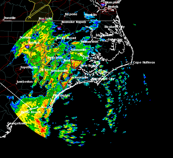 At 546 am edt, a severe thunderstorm capable of producing a tornado was located 7 miles southwest of vanceboro, or 11 miles northwest of new bern, moving north at 35 mph (radar indicated rotation). Hazards include tornado. Flying debris will be dangerous to those caught without shelter. mobile homes will be damaged or destroyed. damage to roofs, windows, and vehicles will occur. tree damage is likely. this dangerous storm will be near, vanceboro around 600 am edt. Other locations impacted by this tornadic thunderstorm include cove city and rural portions of the counties. At 546 am edt, a severe thunderstorm capable of producing a tornado was located 7 miles southwest of vanceboro, or 11 miles northwest of new bern, moving north at 35 mph (radar indicated rotation). Hazards include tornado. Flying debris will be dangerous to those caught without shelter. mobile homes will be damaged or destroyed. damage to roofs, windows, and vehicles will occur. tree damage is likely. this dangerous storm will be near, vanceboro around 600 am edt. Other locations impacted by this tornadic thunderstorm include cove city and rural portions of the counties.
|
| 5/5/2017 5:29 AM EDT |
 At 528 am edt, a severe thunderstorm capable of producing a tornado was located near river bend, or 11 miles southwest of new bern, moving north at 35 mph (radar indicated rotation). Hazards include tornado. Flying debris will be dangerous to those caught without shelter. mobile homes will be damaged or destroyed. damage to roofs, windows, and vehicles will occur. tree damage is likely. this dangerous storm will be near, vanceboro around 600 am edt. Other locations impacted by this tornadic thunderstorm include trenton, pollocksville and cove city. At 528 am edt, a severe thunderstorm capable of producing a tornado was located near river bend, or 11 miles southwest of new bern, moving north at 35 mph (radar indicated rotation). Hazards include tornado. Flying debris will be dangerous to those caught without shelter. mobile homes will be damaged or destroyed. damage to roofs, windows, and vehicles will occur. tree damage is likely. this dangerous storm will be near, vanceboro around 600 am edt. Other locations impacted by this tornadic thunderstorm include trenton, pollocksville and cove city.
|
| 3/28/2017 5:08 PM EDT |
 At 507 pm edt, a severe thunderstorm was located near maysville, or 10 miles southwest of james city, moving southeast at 30 mph. this storm has a history of producing quarter size hail (radar indicated). Hazards include 60 mph wind gusts and quarter size hail. Hail damage to vehicles is expected. expect wind damage to roofs, siding, and trees. Locations impacted include, new bern, havelock and neuse forest. At 507 pm edt, a severe thunderstorm was located near maysville, or 10 miles southwest of james city, moving southeast at 30 mph. this storm has a history of producing quarter size hail (radar indicated). Hazards include 60 mph wind gusts and quarter size hail. Hail damage to vehicles is expected. expect wind damage to roofs, siding, and trees. Locations impacted include, new bern, havelock and neuse forest.
|
| 3/28/2017 4:52 PM EDT |
 At 452 pm edt, a severe thunderstorm was located 7 miles southwest of river bend, or 12 miles southwest of new bern, moving southeast at 30 mph. recently, quarter size hail was reported with this storm in trenton, jones county (radar indicated). Hazards include ping pong ball size hail and 60 mph wind gusts. People and animals outdoors will be injured. expect hail damage to roofs, siding, windows, and vehicles. Expect wind damage to roofs, siding, and trees. At 452 pm edt, a severe thunderstorm was located 7 miles southwest of river bend, or 12 miles southwest of new bern, moving southeast at 30 mph. recently, quarter size hail was reported with this storm in trenton, jones county (radar indicated). Hazards include ping pong ball size hail and 60 mph wind gusts. People and animals outdoors will be injured. expect hail damage to roofs, siding, windows, and vehicles. Expect wind damage to roofs, siding, and trees.
|
| 3/28/2017 4:46 PM EDT |
 At 446 pm edt, a severe thunderstorm was located near river bend, or 8 miles southwest of new bern, moving east at 30 mph. recently, quarter size hail was reported in trenton, jones county (public). Hazards include 60 mph wind gusts and quarter size hail. Hail damage to vehicles is expected. expect wind damage to roofs, siding, and trees. Locations impacted include, new bern, river bend, pollocksville and trenton. At 446 pm edt, a severe thunderstorm was located near river bend, or 8 miles southwest of new bern, moving east at 30 mph. recently, quarter size hail was reported in trenton, jones county (public). Hazards include 60 mph wind gusts and quarter size hail. Hail damage to vehicles is expected. expect wind damage to roofs, siding, and trees. Locations impacted include, new bern, river bend, pollocksville and trenton.
|
| 3/28/2017 4:42 PM EDT |
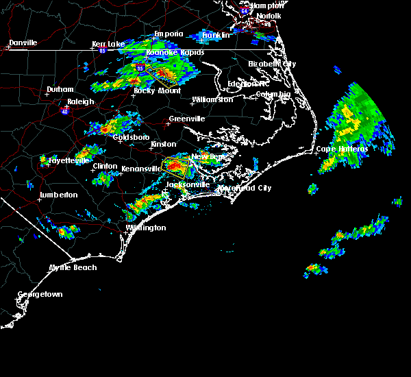 At 446 pm edt, a severe thunderstorm was located near river bend, or 8 miles southwest of new bern, moving east at 30 mph. recently, quarter size hail was reported in trenton, jones county (public). Hazards include 60 mph wind gusts and quarter size hail. Hail damage to vehicles is expected. expect wind damage to roofs, siding, and trees. Locations impacted include, new bern, river bend, pollocksville and trenton. At 446 pm edt, a severe thunderstorm was located near river bend, or 8 miles southwest of new bern, moving east at 30 mph. recently, quarter size hail was reported in trenton, jones county (public). Hazards include 60 mph wind gusts and quarter size hail. Hail damage to vehicles is expected. expect wind damage to roofs, siding, and trees. Locations impacted include, new bern, river bend, pollocksville and trenton.
|
| 3/28/2017 4:27 PM EDT |
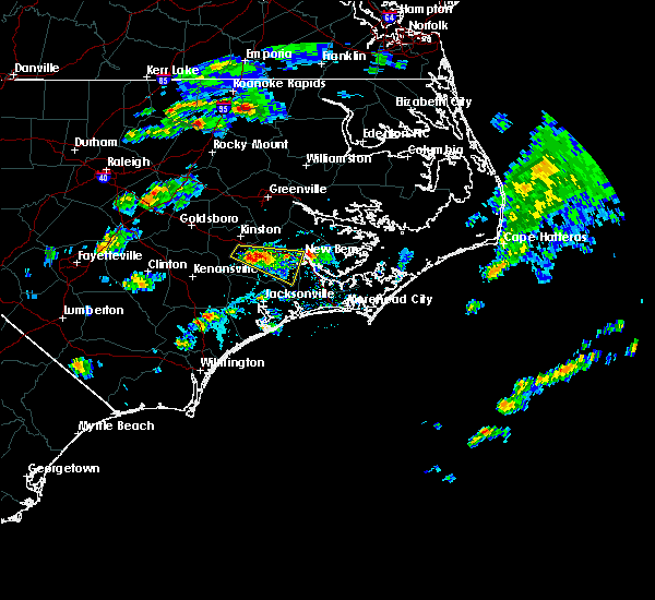 At 426 pm edt, a severe thunderstorm was located 13 miles west of river bend, or 16 miles southeast of kinston, moving east at 30 mph (radar indicated). Hazards include 60 mph wind gusts and quarter size hail. Hail damage to vehicles is expected. expect wind damage to roofs, siding, and trees. Locations impacted include, new bern, river bend, cove city, pollocksville and trenton. At 426 pm edt, a severe thunderstorm was located 13 miles west of river bend, or 16 miles southeast of kinston, moving east at 30 mph (radar indicated). Hazards include 60 mph wind gusts and quarter size hail. Hail damage to vehicles is expected. expect wind damage to roofs, siding, and trees. Locations impacted include, new bern, river bend, cove city, pollocksville and trenton.
|
| 3/28/2017 4:14 PM EDT |
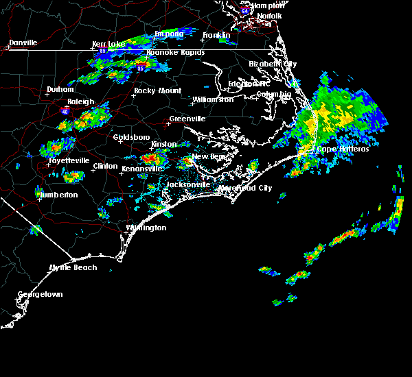 At 413 pm edt, a severe thunderstorm was located 11 miles southeast of kinston, moving east at 30 mph (radar indicated). Hazards include quarter size hail. damage to vehicles is expected At 413 pm edt, a severe thunderstorm was located 11 miles southeast of kinston, moving east at 30 mph (radar indicated). Hazards include quarter size hail. damage to vehicles is expected
|
| 8/19/2016 5:34 PM EDT |
 At 533 pm edt, a severe thunderstorm was located near trent woods, or near james city, moving southeast at 20 mph (radar indicated). Hazards include 60 mph wind gusts. Expect damage to roofs. siding. and trees. Locations impacted include, new bern, havelock, james city, trent woods, neuse forest, coastal carolina regional airport and fairfield harbour. At 533 pm edt, a severe thunderstorm was located near trent woods, or near james city, moving southeast at 20 mph (radar indicated). Hazards include 60 mph wind gusts. Expect damage to roofs. siding. and trees. Locations impacted include, new bern, havelock, james city, trent woods, neuse forest, coastal carolina regional airport and fairfield harbour.
|
| 8/19/2016 5:18 PM EDT |
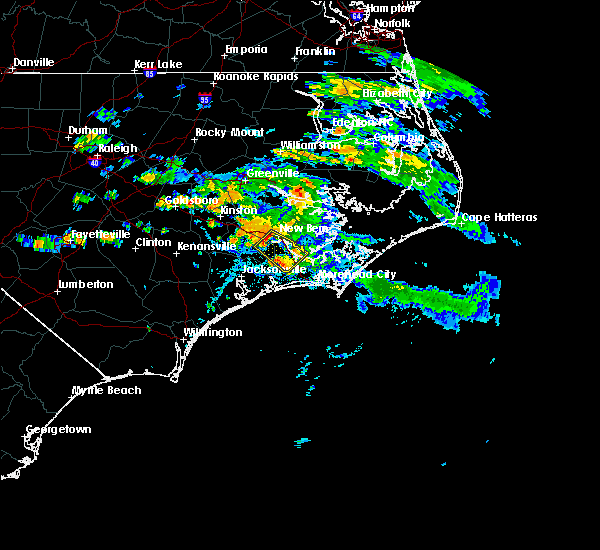 At 517 pm edt, a severe thunderstorm was located over river bend, or near new bern, moving southeast at 20 mph (radar indicated). Hazards include 60 mph wind gusts and penny size hail. Expect damage to roofs. siding. And trees. At 517 pm edt, a severe thunderstorm was located over river bend, or near new bern, moving southeast at 20 mph (radar indicated). Hazards include 60 mph wind gusts and penny size hail. Expect damage to roofs. siding. And trees.
|
| 8/18/2016 3:50 PM EDT |
 At 349 pm edt, a severe thunderstorm was located near havelock, moving east at 30 mph (radar indicated). Hazards include 60 mph wind gusts. Expect damage to roofs. siding. and trees. Locations impacted include, new bern, havelock, morehead city, newport, minnesott beach ferry, neuse forest, cherry branch ferry terminal and minnesott beach. At 349 pm edt, a severe thunderstorm was located near havelock, moving east at 30 mph (radar indicated). Hazards include 60 mph wind gusts. Expect damage to roofs. siding. and trees. Locations impacted include, new bern, havelock, morehead city, newport, minnesott beach ferry, neuse forest, cherry branch ferry terminal and minnesott beach.
|
| 8/18/2016 3:30 PM EDT |
 At 329 pm edt, a severe thunderstorm was located near maysville, or 11 miles southwest of james city, moving east at 30 mph (radar indicated). Hazards include 60 to 70 mph wind gusts. Expect considerable tree damage. Damage is likely to mobile homes, roofs, and outbuildings. At 329 pm edt, a severe thunderstorm was located near maysville, or 11 miles southwest of james city, moving east at 30 mph (radar indicated). Hazards include 60 to 70 mph wind gusts. Expect considerable tree damage. Damage is likely to mobile homes, roofs, and outbuildings.
|
| 7/27/2016 8:28 PM EDT |
 At 827 pm edt, a severe thunderstorm was located near fairfield harbour, or 7 miles northeast of james city, moving east at 30 mph (radar indicated). Hazards include 60 mph wind gusts and quarter size hail. Hail damage to vehicles is expected. Expect wind damage to roofs, siding, and trees. At 827 pm edt, a severe thunderstorm was located near fairfield harbour, or 7 miles northeast of james city, moving east at 30 mph (radar indicated). Hazards include 60 mph wind gusts and quarter size hail. Hail damage to vehicles is expected. Expect wind damage to roofs, siding, and trees.
|
| 7/15/2016 3:40 PM EDT | Trees down in riverbend. large tree down on shoreline drive. time estimate in craven county NC, 5.3 miles E of New Bern, NC |
| 7/8/2016 10:31 PM EDT |
 At 1030 pm edt, severe thunderstorms were located along a line extending from 7 miles northwest of ocracoke ferry terminal to 7 miles north of morehead city to near half moon, moving southeast at 45 mph (law enforcement indicated). Hazards include 60 mph wind gusts. Expect damage to roofs. siding. and trees. Locations impacted include, jacksonville, new bern, havelock, morehead city, newport, wallace, warsaw, camp lejeune center, pumpkin center, half moon, new river station, piney green, james city, mount olive, swansboro, cape carteret, rose hill, richlands, pine knoll shores and beulaville. At 1030 pm edt, severe thunderstorms were located along a line extending from 7 miles northwest of ocracoke ferry terminal to 7 miles north of morehead city to near half moon, moving southeast at 45 mph (law enforcement indicated). Hazards include 60 mph wind gusts. Expect damage to roofs. siding. and trees. Locations impacted include, jacksonville, new bern, havelock, morehead city, newport, wallace, warsaw, camp lejeune center, pumpkin center, half moon, new river station, piney green, james city, mount olive, swansboro, cape carteret, rose hill, richlands, pine knoll shores and beulaville.
|
| 7/8/2016 10:14 PM EDT |
 At 1012 pm edt, severe thunderstorms were located along a line extending from 7 miles east of swan quarter ferry terminal to near neuse forest to 8 miles north of richlands, moving southeast at 45 mph. a gust to 58 mph was recorded at the the coastal carolina regional airport in new bern (radar indicated). Hazards include 60 mph wind gusts. Expect damage to roofs. siding. and trees. Locations impacted include, jacksonville, new bern, havelock, morehead city, newport, wallace, warsaw, camp lejeune center, pumpkin center, half moon, new river station, piney green, james city, mount olive, trent woods, river bend, swansboro, cape carteret, rose hill and richlands. At 1012 pm edt, severe thunderstorms were located along a line extending from 7 miles east of swan quarter ferry terminal to near neuse forest to 8 miles north of richlands, moving southeast at 45 mph. a gust to 58 mph was recorded at the the coastal carolina regional airport in new bern (radar indicated). Hazards include 60 mph wind gusts. Expect damage to roofs. siding. and trees. Locations impacted include, jacksonville, new bern, havelock, morehead city, newport, wallace, warsaw, camp lejeune center, pumpkin center, half moon, new river station, piney green, james city, mount olive, trent woods, river bend, swansboro, cape carteret, rose hill and richlands.
|
| 7/8/2016 9:55 PM EDT | Kewn asos gust to 58 mp in craven county NC, 3.1 miles SSE of New Bern, NC |
| 7/8/2016 9:41 PM EDT |
 At 940 pm edt, severe thunderstorms were located along a line extending from 8 miles east of belhaven to 7 miles northwest of new bern to 6 miles south of walnut creek, moving southeast at 40 mph (radar indicated). Hazards include 60 mph wind gusts. Expect damage to roofs. siding. And trees. At 940 pm edt, severe thunderstorms were located along a line extending from 8 miles east of belhaven to 7 miles northwest of new bern to 6 miles south of walnut creek, moving southeast at 40 mph (radar indicated). Hazards include 60 mph wind gusts. Expect damage to roofs. siding. And trees.
|
| 7/8/2016 9:33 PM EDT |
 At 932 pm edt, severe thunderstorms were located along a line extending from near belhaven to 6 miles north of vanceboro to kinston, moving southeast at 40 mph (law enforcement). Hazards include 60 mph wind gusts. Expect damage to roofs. siding. and trees. Locations impacted include, greenville, jacksonville, new bern, kinston, washington, winterville, ayden, la grange, half moon, river road, james city, trent woods, river bend, grifton, belhaven, snow hill, richlands, maysville, vanceboro and kinston regional jetport. At 932 pm edt, severe thunderstorms were located along a line extending from near belhaven to 6 miles north of vanceboro to kinston, moving southeast at 40 mph (law enforcement). Hazards include 60 mph wind gusts. Expect damage to roofs. siding. and trees. Locations impacted include, greenville, jacksonville, new bern, kinston, washington, winterville, ayden, la grange, half moon, river road, james city, trent woods, river bend, grifton, belhaven, snow hill, richlands, maysville, vanceboro and kinston regional jetport.
|
| 7/8/2016 9:16 PM EDT |
 At 915 pm edt, severe thunderstorms were located along a line extending from 11 miles south of plymouth to near winterville to 6 miles west of snow hill, moving southeast at 40 mph (radar indicated). Hazards include 60 mph wind gusts. Expect damage to roofs. siding. and trees. Locations impacted include, greenville, jacksonville, new bern, kinston, washington, winterville, williamston, ayden, farmville, la grange, river road, half moon, james city, trent woods, river bend, grifton, belhaven, snow hill, richlands and robersonville. At 915 pm edt, severe thunderstorms were located along a line extending from 11 miles south of plymouth to near winterville to 6 miles west of snow hill, moving southeast at 40 mph (radar indicated). Hazards include 60 mph wind gusts. Expect damage to roofs. siding. and trees. Locations impacted include, greenville, jacksonville, new bern, kinston, washington, winterville, williamston, ayden, farmville, la grange, river road, half moon, james city, trent woods, river bend, grifton, belhaven, snow hill, richlands and robersonville.
|
| 7/8/2016 8:50 PM EDT |
 At 849 pm edt, severe thunderstorms were located along a line extending from 6 miles north of robersonville to 6 miles west of pitt greenville airport to near goldsboro, moving southeast at 45 mph (radar indicated). Hazards include 60 mph wind gusts. Expect damage to roofs. siding. And trees. At 849 pm edt, severe thunderstorms were located along a line extending from 6 miles north of robersonville to 6 miles west of pitt greenville airport to near goldsboro, moving southeast at 45 mph (radar indicated). Hazards include 60 mph wind gusts. Expect damage to roofs. siding. And trees.
|
| 7/7/2016 9:09 PM EDT |
 At 908 pm edt, severe thunderstorms were located along a line extending from near winterville to 8 miles west of vanceboro to 8 miles northeast of richlands, moving east at 45 mph (radar indicated). Hazards include 60 mph wind gusts. Expect damage to roofs. siding. and trees. Locations impacted include, greenville, new bern, winterville, ayden, james city, trent woods, river bend, grifton, vanceboro, pitt greenville airport, dowdy ficklen stadium, east carolina university, coastal carolina regional airport, bridgeton, grimesland, simpson, cove city, pollocksville and trenton. At 908 pm edt, severe thunderstorms were located along a line extending from near winterville to 8 miles west of vanceboro to 8 miles northeast of richlands, moving east at 45 mph (radar indicated). Hazards include 60 mph wind gusts. Expect damage to roofs. siding. and trees. Locations impacted include, greenville, new bern, winterville, ayden, james city, trent woods, river bend, grifton, vanceboro, pitt greenville airport, dowdy ficklen stadium, east carolina university, coastal carolina regional airport, bridgeton, grimesland, simpson, cove city, pollocksville and trenton.
|
| 7/7/2016 8:57 PM EDT |
 At 856 pm edt, severe thunderstorms were located along a line extending from near farmville to 8 miles south of grifton to near richlands, moving east at 45 mph (radar indicated). Hazards include 60 mph wind gusts. Expect damage to roofs. siding. and trees. Locations impacted include, greenville, new bern, winterville, ayden, farmville, james city, trent woods, river bend, grifton, richlands, vanceboro, east carolina university, coastal carolina regional airport, bridgeton, grimesland, simpson, hookerton and dover. At 856 pm edt, severe thunderstorms were located along a line extending from near farmville to 8 miles south of grifton to near richlands, moving east at 45 mph (radar indicated). Hazards include 60 mph wind gusts. Expect damage to roofs. siding. and trees. Locations impacted include, greenville, new bern, winterville, ayden, farmville, james city, trent woods, river bend, grifton, richlands, vanceboro, east carolina university, coastal carolina regional airport, bridgeton, grimesland, simpson, hookerton and dover.
|
| 7/7/2016 8:46 PM EDT |
 At 845 pm edt, severe thunderstorms were located along a line extending from near snow hill to near kinston to near richlands, moving east at 45 mph (radar indicated). Hazards include 60 mph wind gusts. Expect damage to roofs. siding. and trees. Locations impacted include, greenville, new bern, kinston, winterville, ayden, farmville, la grange, james city, trent woods, river bend, grifton, snow hill, richlands, maysville, vanceboro, east carolina university and coastal carolina regional airport. At 845 pm edt, severe thunderstorms were located along a line extending from near snow hill to near kinston to near richlands, moving east at 45 mph (radar indicated). Hazards include 60 mph wind gusts. Expect damage to roofs. siding. and trees. Locations impacted include, greenville, new bern, kinston, winterville, ayden, farmville, la grange, james city, trent woods, river bend, grifton, snow hill, richlands, maysville, vanceboro, east carolina university and coastal carolina regional airport.
|
| 7/7/2016 8:32 PM EDT |
 At 831 pm edt, severe thunderstorms were located along a line extending from near goldsboro to 9 miles south of la grange to near beulaville, moving east at 40 mph (radar indicated). Hazards include 60 mph wind gusts and nickel size hail. Expect damage to roofs. siding. And trees. At 831 pm edt, severe thunderstorms were located along a line extending from near goldsboro to 9 miles south of la grange to near beulaville, moving east at 40 mph (radar indicated). Hazards include 60 mph wind gusts and nickel size hail. Expect damage to roofs. siding. And trees.
|
| 7/7/2016 7:32 PM EDT |
 At 731 pm edt, severe thunderstorms were located along a line extending from 10 miles southeast of belhaven to 17 miles northwest of cedar island ferry terminal to near havelock to maysville, moving east at 30 mph (radar indicated). Hazards include 60 mph wind gusts and nickel size hail. Expect damage to roofs. siding. and trees. Locations impacted include, new bern, havelock, maysville, minnesott beach ferry, neuse forest, cherry branch ferry terminal, bayboro, alliance, arapahoe, minnesott beach, stonewall, vandemere and mesic. At 731 pm edt, severe thunderstorms were located along a line extending from 10 miles southeast of belhaven to 17 miles northwest of cedar island ferry terminal to near havelock to maysville, moving east at 30 mph (radar indicated). Hazards include 60 mph wind gusts and nickel size hail. Expect damage to roofs. siding. and trees. Locations impacted include, new bern, havelock, maysville, minnesott beach ferry, neuse forest, cherry branch ferry terminal, bayboro, alliance, arapahoe, minnesott beach, stonewall, vandemere and mesic.
|
| 7/7/2016 7:15 PM EDT |
 At 714 pm edt, severe thunderstorms were located along a line extending from near bayview ferry terminal to 6 miles east of fairfield harbour to near maysville, moving east at 35 mph (radar indicated). Hazards include 60 mph wind gusts and quarter size hail. Hail damage to vehicles is expected. expect wind damage to roofs, siding, and trees. Locations impacted include, new bern, havelock, james city, maysville, aurora ferry terminal, fairfield harbour, neuse forest, bayview ferry terminal, cherry branch ferry terminal, bayboro, alliance, arapahoe, aurora, minnesott beach, stonewall, vandemere and mesic. At 714 pm edt, severe thunderstorms were located along a line extending from near bayview ferry terminal to 6 miles east of fairfield harbour to near maysville, moving east at 35 mph (radar indicated). Hazards include 60 mph wind gusts and quarter size hail. Hail damage to vehicles is expected. expect wind damage to roofs, siding, and trees. Locations impacted include, new bern, havelock, james city, maysville, aurora ferry terminal, fairfield harbour, neuse forest, bayview ferry terminal, cherry branch ferry terminal, bayboro, alliance, arapahoe, aurora, minnesott beach, stonewall, vandemere and mesic.
|
| 7/7/2016 6:59 PM EDT |
 At 658 pm edt, severe thunderstorms were located along a line extending from near goose creek state park to near coastal carolina regional airport to near half moon, moving east at 35 mph (radar indicated). Hazards include 60 mph wind gusts. Expect damage to roofs. siding. And trees. At 658 pm edt, severe thunderstorms were located along a line extending from near goose creek state park to near coastal carolina regional airport to near half moon, moving east at 35 mph (radar indicated). Hazards include 60 mph wind gusts. Expect damage to roofs. siding. And trees.
|
| 7/7/2016 6:43 PM EDT |
 At 642 pm edt, severe thunderstorms were located along a line extending from 7 miles southwest of washington to 6 miles southeast of vanceboro to 7 miles west of river bend to near richlands, moving east at 40 mph (radar indicated). Hazards include 60 mph wind gusts. Expect damage to roofs. siding. and trees. Locations impacted include, new bern, washington, river road, trent woods, river bend, richlands, vanceboro, goose creek state park, coastal carolina regional airport, richlands south, chocowinity, bridgeton, washington park, pollocksville and trenton. At 642 pm edt, severe thunderstorms were located along a line extending from 7 miles southwest of washington to 6 miles southeast of vanceboro to 7 miles west of river bend to near richlands, moving east at 40 mph (radar indicated). Hazards include 60 mph wind gusts. Expect damage to roofs. siding. and trees. Locations impacted include, new bern, washington, river road, trent woods, river bend, richlands, vanceboro, goose creek state park, coastal carolina regional airport, richlands south, chocowinity, bridgeton, washington park, pollocksville and trenton.
|
| 7/7/2016 6:31 PM EDT |
 At 630 pm edt, severe thunderstorms were located along a line extending from 9 miles southeast of winterville to near vanceboro to 13 miles northwest of maysville to near richlands, moving east at 45 mph (radar indicated). Hazards include 60 mph wind gusts. Expect damage to roofs. siding. and trees. Locations impacted include, greenville, new bern, washington, winterville, ayden, river road, trent woods, river bend, richlands, beulaville, vanceboro, goose creek state park, coastal carolina regional airport, richlands south, chocowinity, bridgeton, washington park, grimesland, simpson and cove city. At 630 pm edt, severe thunderstorms were located along a line extending from 9 miles southeast of winterville to near vanceboro to 13 miles northwest of maysville to near richlands, moving east at 45 mph (radar indicated). Hazards include 60 mph wind gusts. Expect damage to roofs. siding. and trees. Locations impacted include, greenville, new bern, washington, winterville, ayden, river road, trent woods, river bend, richlands, beulaville, vanceboro, goose creek state park, coastal carolina regional airport, richlands south, chocowinity, bridgeton, washington park, grimesland, simpson and cove city.
|
| 7/7/2016 6:18 PM EDT |
 At 617 pm edt, severe thunderstorms were located along a line extending from ayden to near grifton to 11 miles south of kinston to near beulaville, moving east at 40 mph (radar indicated). Hazards include 60 mph wind gusts. Expect damage to roofs. siding. And trees. At 617 pm edt, severe thunderstorms were located along a line extending from ayden to near grifton to 11 miles south of kinston to near beulaville, moving east at 40 mph (radar indicated). Hazards include 60 mph wind gusts. Expect damage to roofs. siding. And trees.
|
| 7/5/2016 9:14 PM EDT | Tree fell on vehicle and brought down power lines near james cit in craven county NC, 2.1 miles W of New Bern, NC |
| 5/5/2016 3:56 PM EDT |
 At 354 pm edt, a severe thunderstorm was located near swansboro, or 10 miles east of piney green, moving east at 20 mph (radar indicated). Hazards include 60 mph wind gusts and penny size hail. Expect damage to roofs. siding and trees. Locations impacted include, swansboro, cape carteret, bogue inlet pier, hammocks beach state park, and cedar point. At 354 pm edt, a severe thunderstorm was located near swansboro, or 10 miles east of piney green, moving east at 20 mph (radar indicated). Hazards include 60 mph wind gusts and penny size hail. Expect damage to roofs. siding and trees. Locations impacted include, swansboro, cape carteret, bogue inlet pier, hammocks beach state park, and cedar point.
|
| 5/5/2016 3:31 PM EDT |
 At 330 pm edt, a severe thunderstorm was located near piney green, moving northeast at 30 mph (radar indicated). Hazards include 60 mph wind gusts and quarter size hail. Hail damage to vehicles is expected. Expect wind damage to roofs, siding and trees. At 330 pm edt, a severe thunderstorm was located near piney green, moving northeast at 30 mph (radar indicated). Hazards include 60 mph wind gusts and quarter size hail. Hail damage to vehicles is expected. Expect wind damage to roofs, siding and trees.
|
| 5/3/2016 8:29 PM EDT |
 At 828 pm edt, a severe thunderstorm was located near ayden, moving east at 35 mph (radar indicated). Hazards include 60 mph wind gusts and quarter size hail. Hail damage to vehicles is expected. Expect wind damage to roofs, siding and trees. At 828 pm edt, a severe thunderstorm was located near ayden, moving east at 35 mph (radar indicated). Hazards include 60 mph wind gusts and quarter size hail. Hail damage to vehicles is expected. Expect wind damage to roofs, siding and trees.
|
| 5/3/2016 7:02 AM EDT |
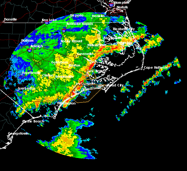 At 702 am edt, a severe thunderstorm was located over james city, moving east at 45 mph (radar indicated). Hazards include 60 mph wind gusts. Expect damage to roofs. siding and trees. Locations impacted include, new bern, james city, fairfield harbour, neuse forest, coastal carolina regional airport, arapahoe, bridgeton and minnesott beach. At 702 am edt, a severe thunderstorm was located over james city, moving east at 45 mph (radar indicated). Hazards include 60 mph wind gusts. Expect damage to roofs. siding and trees. Locations impacted include, new bern, james city, fairfield harbour, neuse forest, coastal carolina regional airport, arapahoe, bridgeton and minnesott beach.
|
| 5/3/2016 6:46 AM EDT |
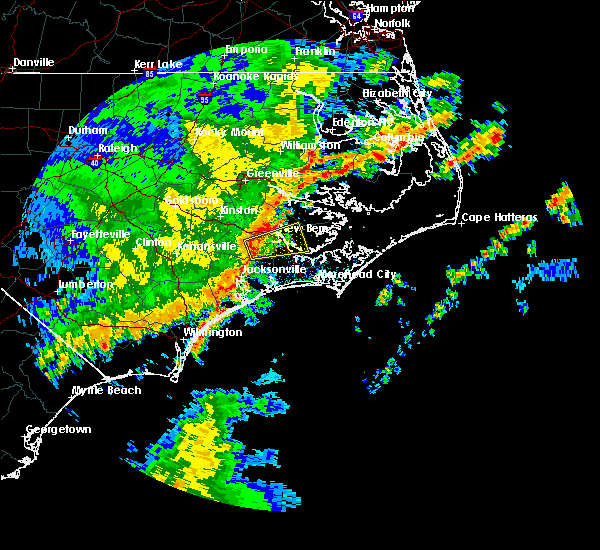 At 646 am edt, a severe thunderstorm was located near maysville, or 13 miles southwest of new bern, moving east at 45 mph (radar indicated). Hazards include 60 mph wind gusts. Expect damage to roofs. Siding and trees. At 646 am edt, a severe thunderstorm was located near maysville, or 13 miles southwest of new bern, moving east at 45 mph (radar indicated). Hazards include 60 mph wind gusts. Expect damage to roofs. Siding and trees.
|
| 8/11/2015 5:13 PM EDT |
 At 512 pm edt, doppler radar indicated a severe thunderstorm capable of producing a tornado. this dangerous storm was located near maysville, or 12 miles northeast of pumpkin center, moving northeast at 25 mph. locations impacted include, new bern, james city, trent woods, river bend, coastal carolina regional airport and pollocksville. At 512 pm edt, doppler radar indicated a severe thunderstorm capable of producing a tornado. this dangerous storm was located near maysville, or 12 miles northeast of pumpkin center, moving northeast at 25 mph. locations impacted include, new bern, james city, trent woods, river bend, coastal carolina regional airport and pollocksville.
|
| 8/11/2015 5:06 PM EDT |
 At 506 pm edt, doppler radar indicated a severe thunderstorm capable of producing a tornado. this dangerous storm was located near maysville, or 10 miles north of pumpkin center, and moving northeast at 30 mph. At 506 pm edt, doppler radar indicated a severe thunderstorm capable of producing a tornado. this dangerous storm was located near maysville, or 10 miles north of pumpkin center, and moving northeast at 30 mph.
|
| 7/21/2015 10:36 PM EDT |
 At 1035 pm edt, doppler radar indicated a severe thunderstorm capable of producing damaging winds in excess of 60 mph. this storm was located near cherry branch ferry terminal, or 9 miles northeast of newport, moving east at 45 mph. locations impacted include, new bern, havelock, morehead city, newport, james city, pine knoll shores, minnesott beach ferry, neuse forest, michael j smith airport, cherry branch ferry terminal, rachel carson estuarine reserve, fairfield harbour, arapahoe and minnesott beach. At 1035 pm edt, doppler radar indicated a severe thunderstorm capable of producing damaging winds in excess of 60 mph. this storm was located near cherry branch ferry terminal, or 9 miles northeast of newport, moving east at 45 mph. locations impacted include, new bern, havelock, morehead city, newport, james city, pine knoll shores, minnesott beach ferry, neuse forest, michael j smith airport, cherry branch ferry terminal, rachel carson estuarine reserve, fairfield harbour, arapahoe and minnesott beach.
|
| 7/21/2015 10:01 PM EDT |
 At 1000 pm edt, doppler radar indicated a severe thunderstorm capable of producing damaging winds in excess of 60 mph. this storm was located over maysville, or 13 miles southwest of james city, and moving east at 45 mph. At 1000 pm edt, doppler radar indicated a severe thunderstorm capable of producing damaging winds in excess of 60 mph. this storm was located over maysville, or 13 miles southwest of james city, and moving east at 45 mph.
|
| 7/21/2015 9:07 PM EDT |
 At 907 pm edt, doppler radar indicated a severe thunderstorm capable of producing damaging winds in excess of 60 mph. this storm was located over grifton, or 7 miles south of ayden, and moving east at 45 mph. At 907 pm edt, doppler radar indicated a severe thunderstorm capable of producing damaging winds in excess of 60 mph. this storm was located over grifton, or 7 miles south of ayden, and moving east at 45 mph.
|
| 6/27/2015 10:50 PM EDT |
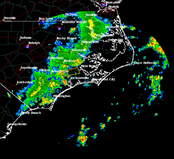 At 1049 pm edt, doppler radar indicated a severe thunderstorm producing damaging winds in excess of 60 mph. this storm was located near richlands, or 8 miles north of half moon, moving east at 40 mph. locations impacted include, new bern, river bend, richlands, pollocksville and trenton. At 1049 pm edt, doppler radar indicated a severe thunderstorm producing damaging winds in excess of 60 mph. this storm was located near richlands, or 8 miles north of half moon, moving east at 40 mph. locations impacted include, new bern, river bend, richlands, pollocksville and trenton.
|
| 6/27/2015 10:36 PM EDT |
 At 1036 pm edt, doppler radar indicated a severe thunderstorm capable of producing damaging winds in excess of 60 mph. this storm was located near beulaville, or 15 miles northwest of half moon, and moving east at 35 mph. At 1036 pm edt, doppler radar indicated a severe thunderstorm capable of producing damaging winds in excess of 60 mph. this storm was located near beulaville, or 15 miles northwest of half moon, and moving east at 35 mph.
|
| 6/26/2015 6:06 PM EDT | At 605 pm edt, doppler radar indicated a line of severe thunderstorms capable of producing quarter size hail and damaging winds in excess of 60 mph. these storms were located along a line extending from 14 miles southwest of swan quarter ferry terminal to 11 miles south of aurora ferry terminal to near fairfield harbour to near maysville, moving southeast at 20 mph. locations impacted include, new bern, havelock, trent woods, coastal carolina regional airport, bayboro, alliance, aurora, stonewall, vandemere and mesic. |
| 6/26/2015 5:50 PM EDT | At 548 pm edt, doppler radar indicated a line of severe thunderstorms capable of producing quarter size hail and damaging winds in excess of 60 mph. these storms were located along a line extending from 13 miles southwest of swan quarter ferry terminal to 9 miles south of aurora ferry terminal to 6 miles east of vanceboro to near maysville, and moving southeast at 10 mph. |
| 6/26/2015 5:25 PM EDT | At 524 pm edt, doppler radar indicated a severe thunderstorm capable of producing quarter size hail and damaging winds in excess of 60 mph. this storm was located over vanceboro, or 13 miles northwest of new bern, and moving east at 10 mph. |
| 6/26/2015 5:17 PM EDT | At 516 pm edt, local law enforcement reported a severe thunderstorm producing quarter size hail. this storm was located 5 miles northwest of trenton, moving east at 10 mph. locations impacted include, dover, cove city and trenton. |
| 6/26/2015 4:58 PM EDT | At 457 pm edt, doppler radar indicated a severe thunderstorm capable of producing quarter size hail and damaging winds in excess of 60 mph. this storm was located 13 miles southeast of kinston, moving east at 10 mph. locations impacted include, dover, cove city and trenton. |
| 6/26/2015 4:36 PM EDT | At 435 pm edt, doppler radar indicated a severe thunderstorm capable of producing quarter size hail and damaging winds in excess of 60 mph. this storm was located 10 miles southeast of kinston, and moving east at 15 mph. |
| 6/20/2015 4:05 PM EDT | A tree down along hwy-17 just south of aurora rd in craven county NC, 7.6 miles S of New Bern, NC |
| 6/17/2015 6:45 PM EDT |
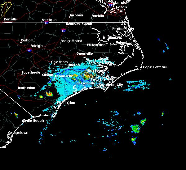 At 645 pm edt, doppler radar indicated a severe thunderstorm capable of producing quarter size hail and damaging winds in excess of 60 mph. this storm was located over coastal carolina regional airport, or over james city, moving northeast at 15 mph. this severe storm will be near, fairfield harbour around 655 pm edt. other locations impacted by this severe thunderstorm include bridgeton. At 645 pm edt, doppler radar indicated a severe thunderstorm capable of producing quarter size hail and damaging winds in excess of 60 mph. this storm was located over coastal carolina regional airport, or over james city, moving northeast at 15 mph. this severe storm will be near, fairfield harbour around 655 pm edt. other locations impacted by this severe thunderstorm include bridgeton.
|
| 6/17/2015 6:30 PM EDT |
 At 629 pm edt, doppler radar indicated a severe thunderstorm capable of producing quarter size hail and damaging winds in excess of 60 mph. this storm was located over trent woods, or near new bern, and moving northeast at 15 mph. * this severe thunderstorm will be near, new bern around 635 pm edt. james city and coastal carolina regional airport around 645 pm edt. fairfield harbour around 700 pm edt. other locations impacted by this severe thunderstorm include bridgeton. At 629 pm edt, doppler radar indicated a severe thunderstorm capable of producing quarter size hail and damaging winds in excess of 60 mph. this storm was located over trent woods, or near new bern, and moving northeast at 15 mph. * this severe thunderstorm will be near, new bern around 635 pm edt. james city and coastal carolina regional airport around 645 pm edt. fairfield harbour around 700 pm edt. other locations impacted by this severe thunderstorm include bridgeton.
|
| 6/9/2015 4:10 PM EDT |
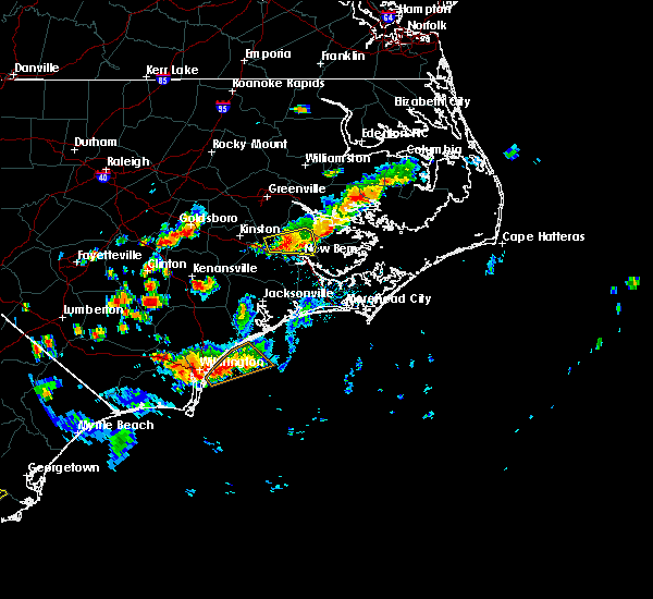 At 409 pm edt, doppler radar indicated a severe thunderstorm capable of producing quarter size hail and damaging winds in excess of 60 mph. this storm was located near vanceboro, or 9 miles northwest of new bern, moving east at 10 mph. locations impacted include, new bern, vanceboro and cove city. At 409 pm edt, doppler radar indicated a severe thunderstorm capable of producing quarter size hail and damaging winds in excess of 60 mph. this storm was located near vanceboro, or 9 miles northwest of new bern, moving east at 10 mph. locations impacted include, new bern, vanceboro and cove city.
|
| 6/9/2015 3:53 PM EDT |
 The national weather service in newport has issued a * severe thunderstorm warning for. northwestern craven county in eastern north carolina. until 445 pm edt * at 353 pm edt. Doppler radar indicated a severe thunderstorm capable of producing quarter size hail and damaging winds in excess. The national weather service in newport has issued a * severe thunderstorm warning for. northwestern craven county in eastern north carolina. until 445 pm edt * at 353 pm edt. Doppler radar indicated a severe thunderstorm capable of producing quarter size hail and damaging winds in excess.
|
| 6/6/2015 5:11 PM EDT | At 510 pm edt, doppler radar indicated a severe thunderstorm capable of producing damaging winds in excess of 60 mph. this storm was located 7 miles northeast of fairfield harbour, or 9 miles northeast of james city, moving south at 25 mph. nickel size hail may also accompany the damaging winds. locations impacted include, new bern, havelock, fairfield harbour, minnesott beach ferry, neuse forest, cherry branch ferry terminal, bayboro, alliance, arapahoe and minnesott beach. |
| 6/6/2015 4:53 PM EDT | At 452 pm edt, doppler radar indicated a severe thunderstorm capable of producing damaging winds in excess of 60 mph. this storm was located 10 miles southwest of aurora ferry terminal, or 15 miles northeast of new bern, and moving south at 30 mph. nickel size hail may also accompany the damaging winds. |
| 5/21/2015 4:53 PM EDT | At 452 pm edt, doppler radar indicated a line of severe thunderstorms capable of producing quarter size hail and damaging winds in excess of 60 mph. these storms were located along a line extending from 13 miles south of kinston to near richlands to white stocking, moving east at 30 mph. locations impacted include, jacksonville, new bern, piney green, half moon, pumpkin center, camp lejeune center, new river station, trent woods, river bend, richlands, maysville, albert j ellis airport, richlands south, sneads ferry, holly ridge, pollocksville and trenton. |
| 5/21/2015 4:27 PM EDT | At 426 pm edt, doppler radar indicated a line of severe thunderstorms capable of producing quarter size hail and damaging winds in excess of 60 mph. these storms were located along a line extending from 14 miles southwest of kinston to beulaville to near wards corner, and moving east at 25 mph. |
| 7/28/2014 5:00 PM EDT | Half Dollar sized hail reported 10.2 miles NW of New Bern, NC, quarter to half dollar size hail in carolina pines. |
| 7/28/2014 4:54 PM EDT | Quarter sized hail reported 10.2 miles NW of New Bern, NC |
| 9/18/2012 4:44 PM EDT | Public reports limbs down in tuscaror in craven county NC, 10 miles ESE of New Bern, NC |
| 7/20/2012 5:45 PM EDT | Progress energy reported powerlines down due to strong winds off hwy 17 in new ber in craven county NC, 2.8 miles SE of New Bern, NC |
| 7/16/2012 7:08 PM EDT | Power lines down in downtown new bern in craven county NC, 3.1 miles SSE of New Bern, NC |
| 7/1/2012 5:15 PM EDT | Several trees down in the area in craven county NC, 3.1 miles SSE of New Bern, NC |
| 7/1/2012 5:07 PM EDT | Storm damage reported in craven county NC, 3.1 miles SSE of New Bern, NC |
| 7/1/2012 4:56 PM EDT | Multiple trees down. time estimated by rada in craven county NC, 7.6 miles S of New Bern, NC |
| 7/1/2012 3:20 PM EDT | Quarter sized hail reported 4.3 miles WNW of New Bern, NC |
| 7/1/2012 3:15 PM EDT | Quarter sized hail reported 5.1 miles NW of New Bern, NC, relayed by 911 call center from craven county sheriffs deputy |
| 1/1/0001 12:00 AM | Tree down on a house near hwy 5 in craven county NC, 11.6 miles SE of New Bern, NC |
| 1/1/0001 12:00 AM | Multiple trees down in downtown new bern near main and chatman rd in craven county NC, 3.1 miles SSE of New Bern, NC |
| 1/1/0001 12:00 AM | Tree down on catfish lake road in craven county NC, 9.9 miles NNE of New Bern, NC |
Hail Maps for New Bern, NC
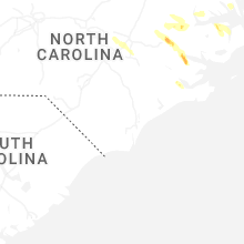


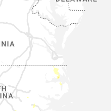


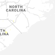
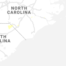


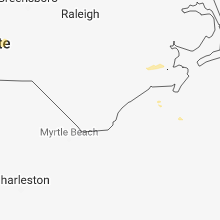

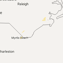


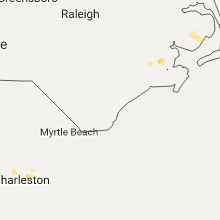

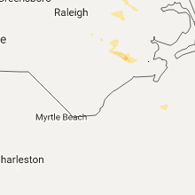


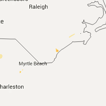

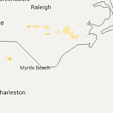

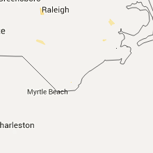
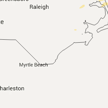


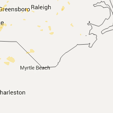


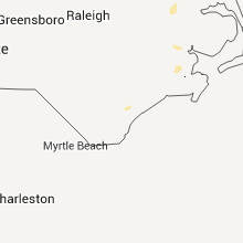


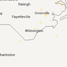


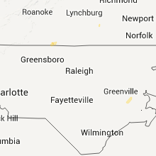


Connect with Interactive Hail Maps