

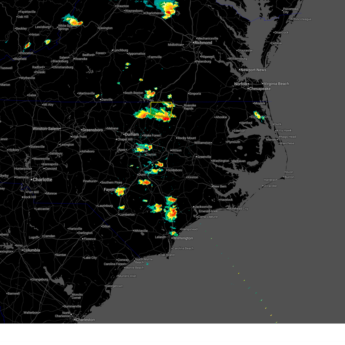
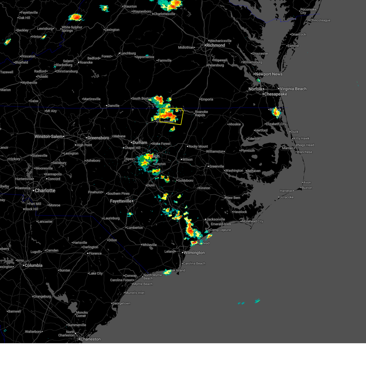
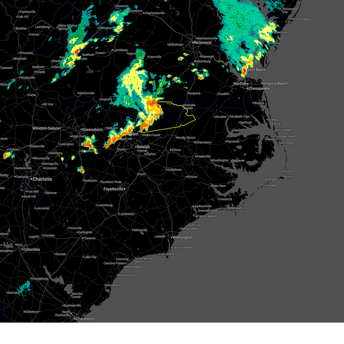
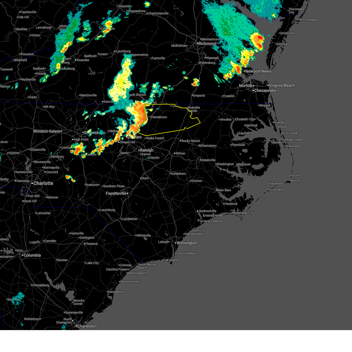
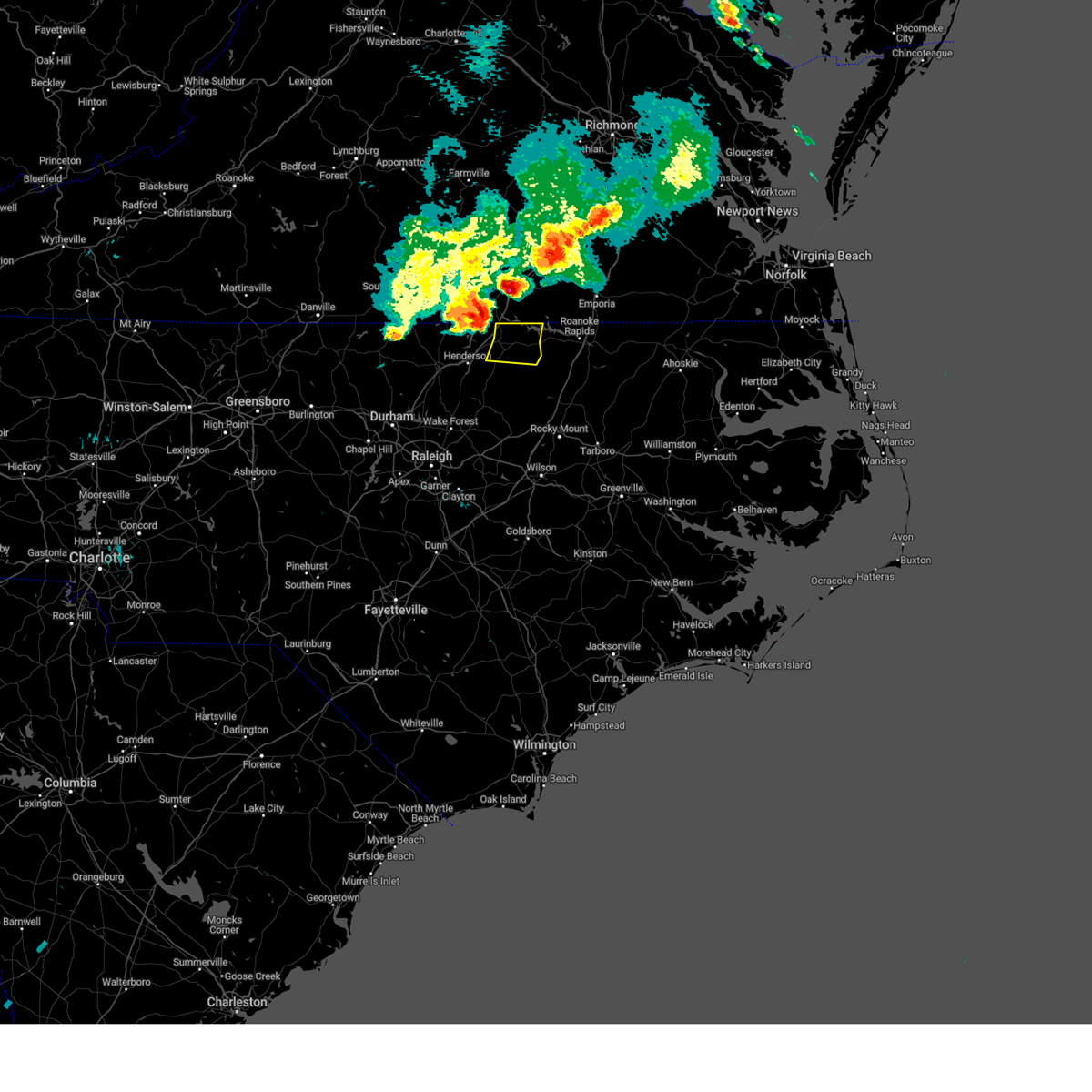
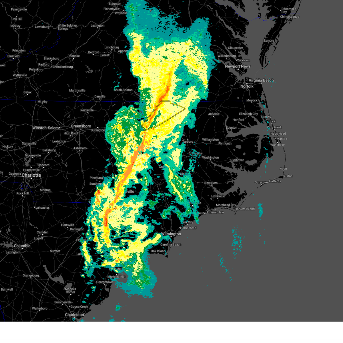
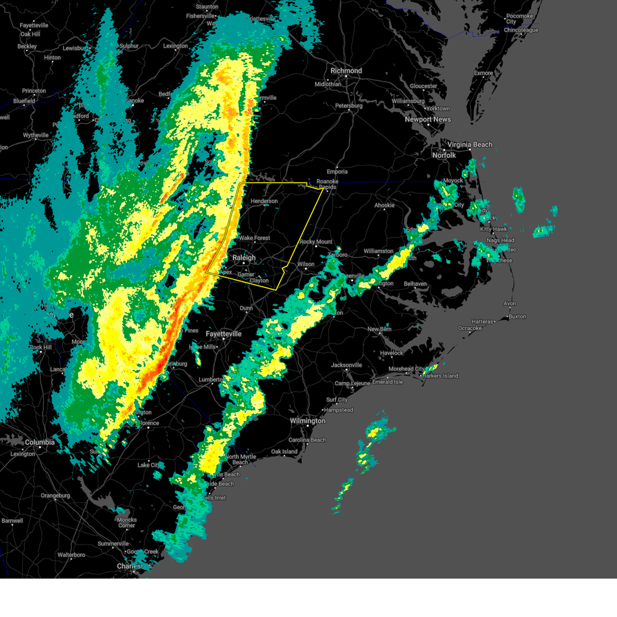
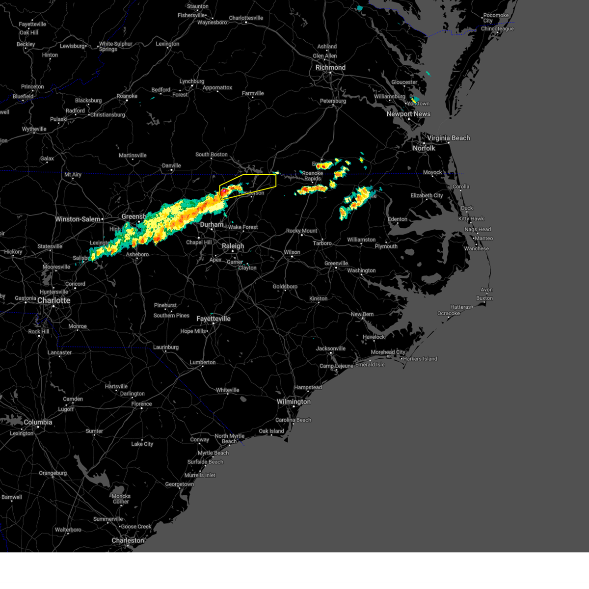
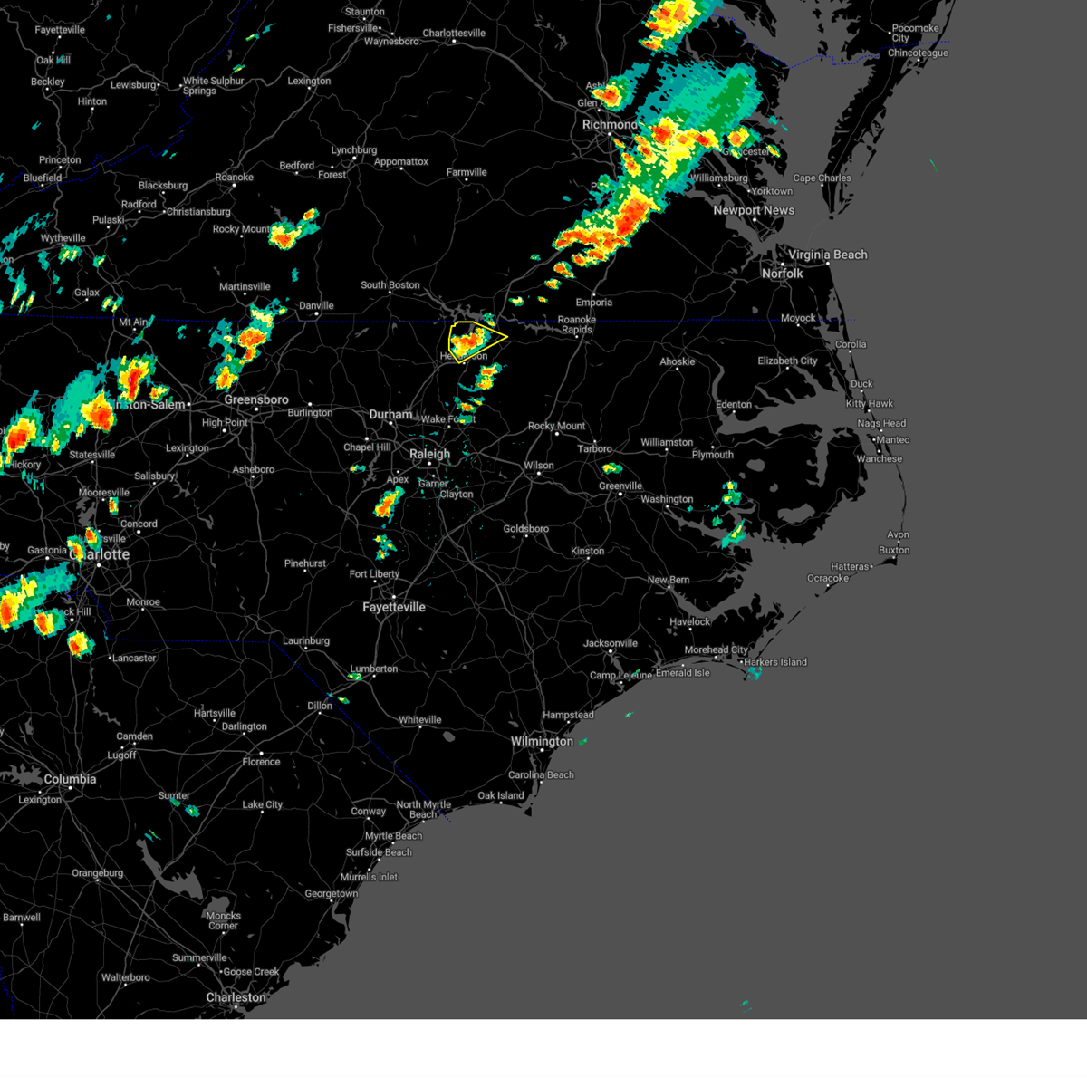
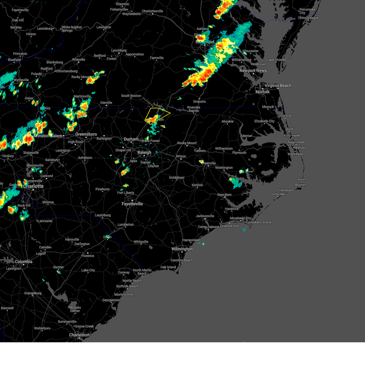
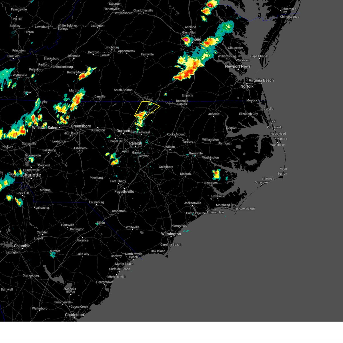
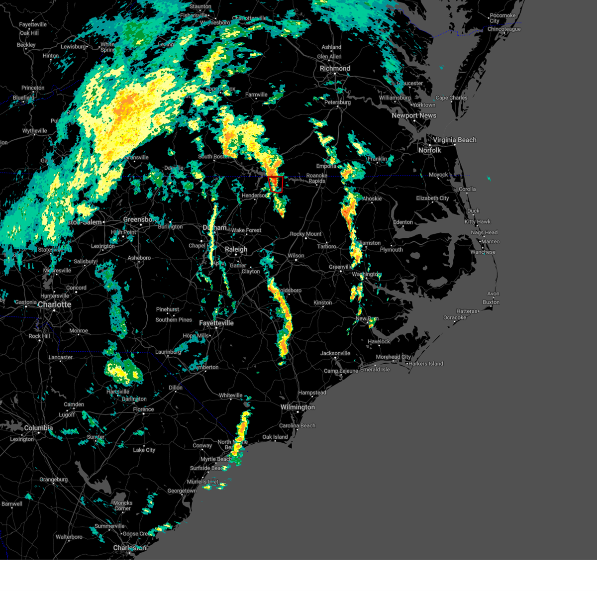
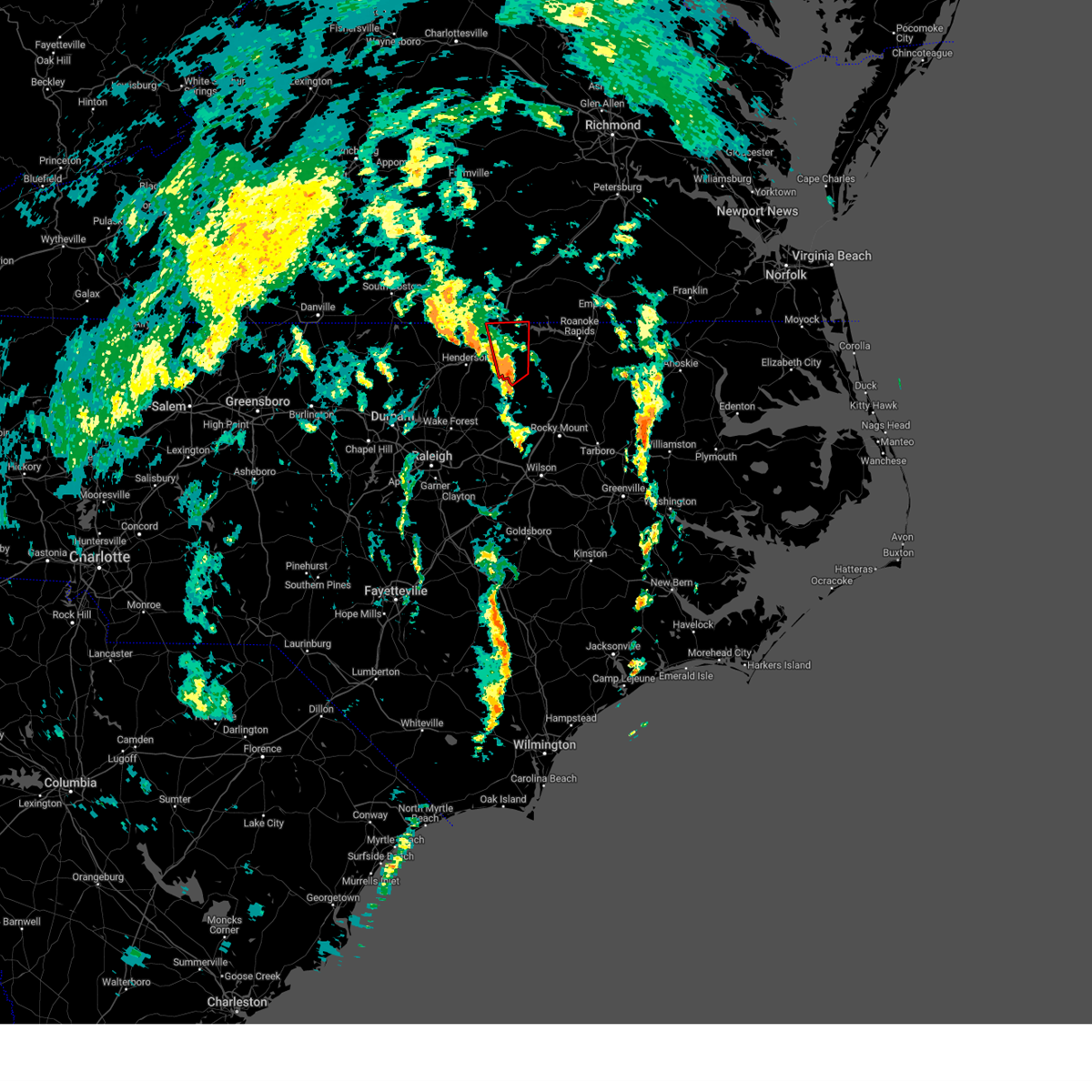
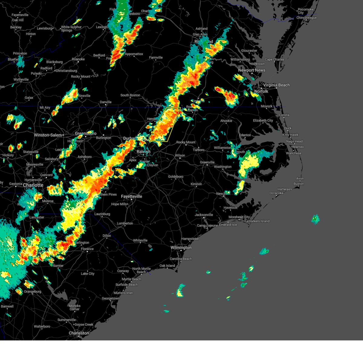
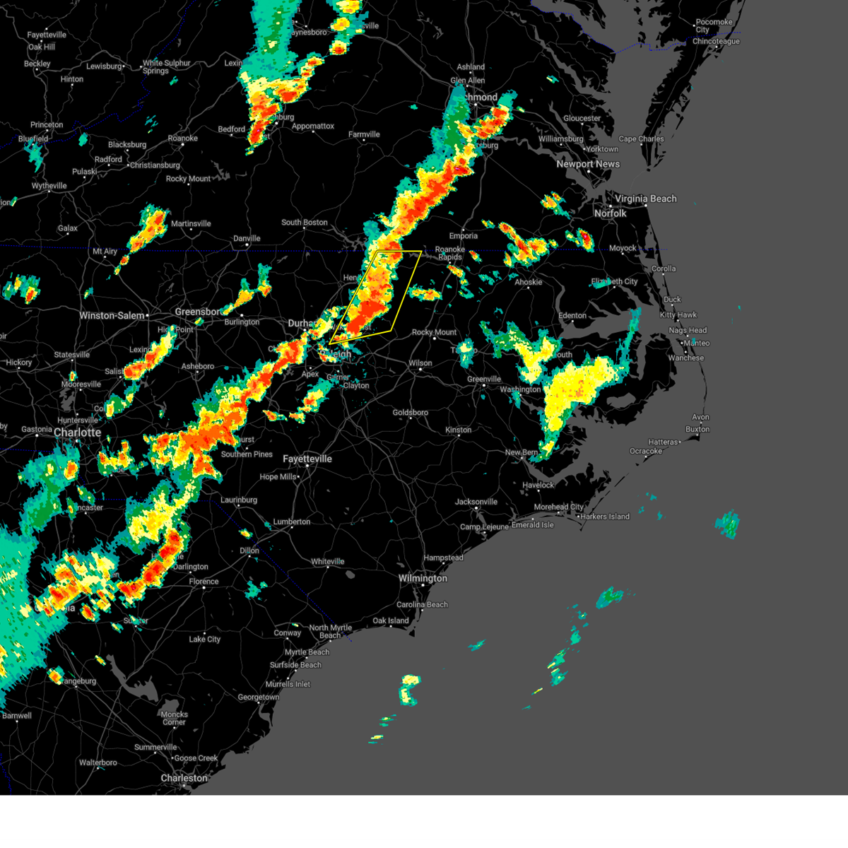
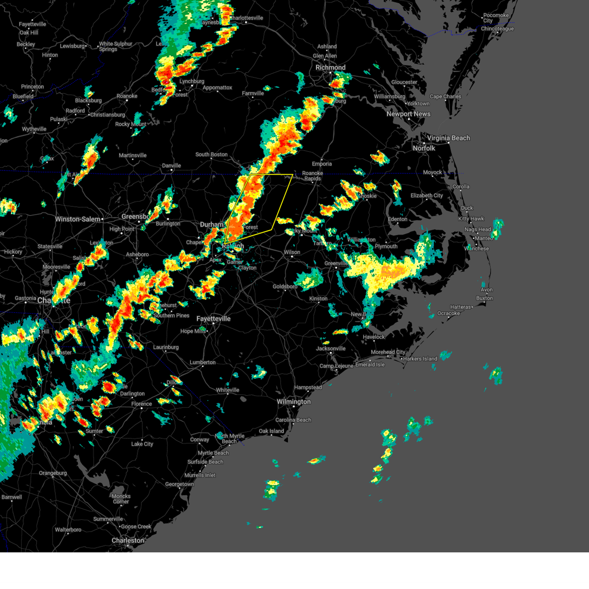
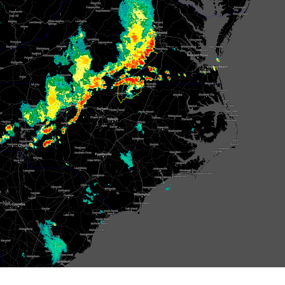
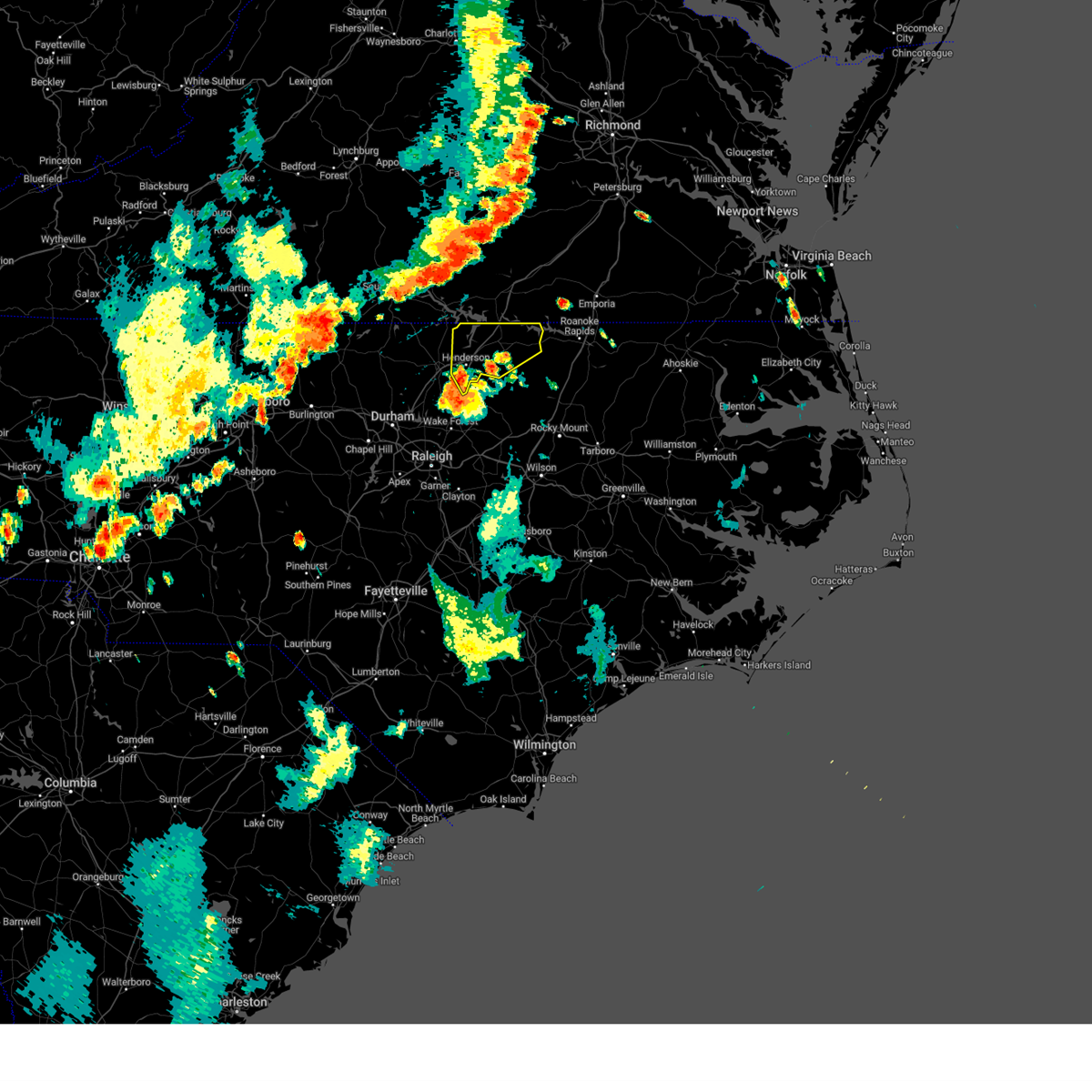
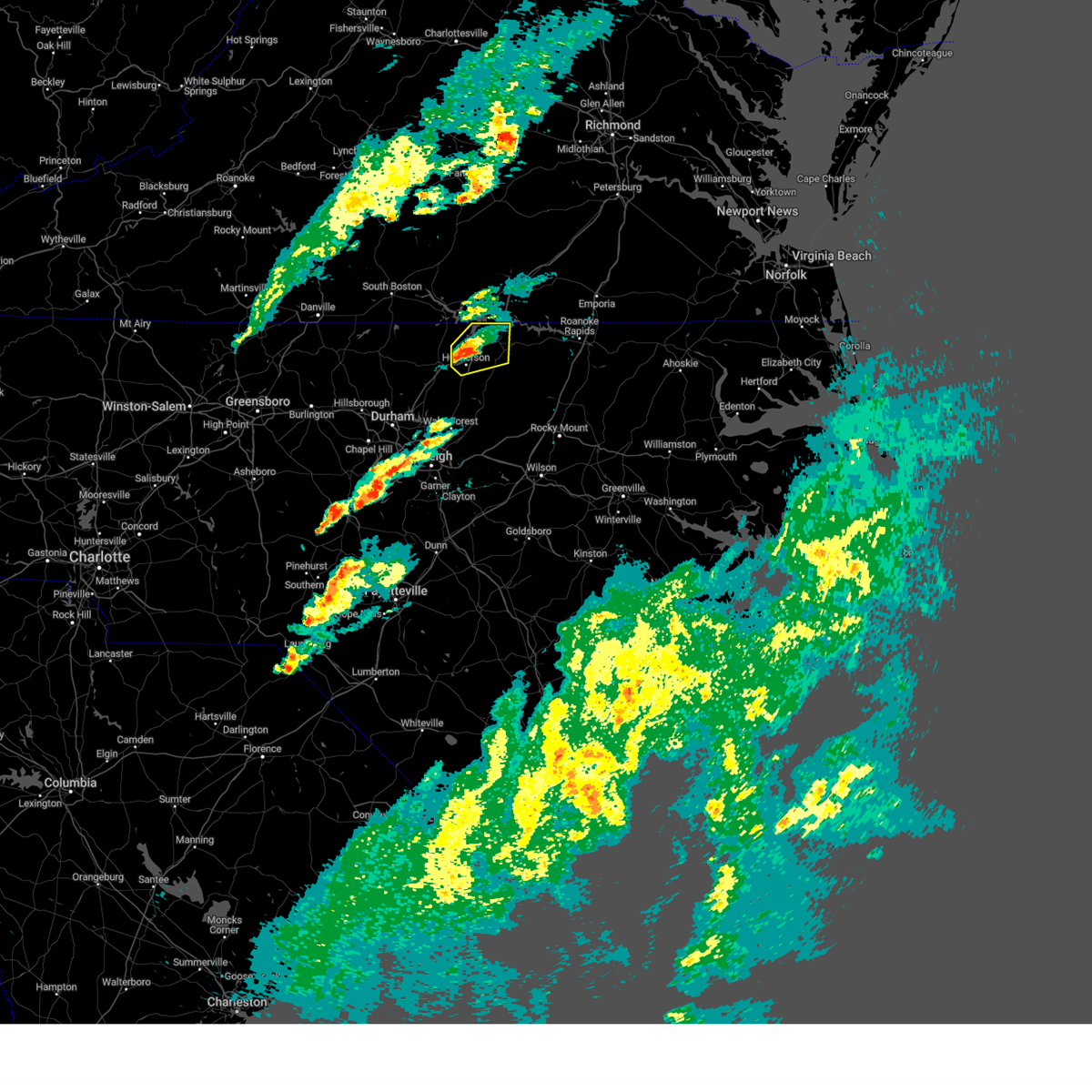
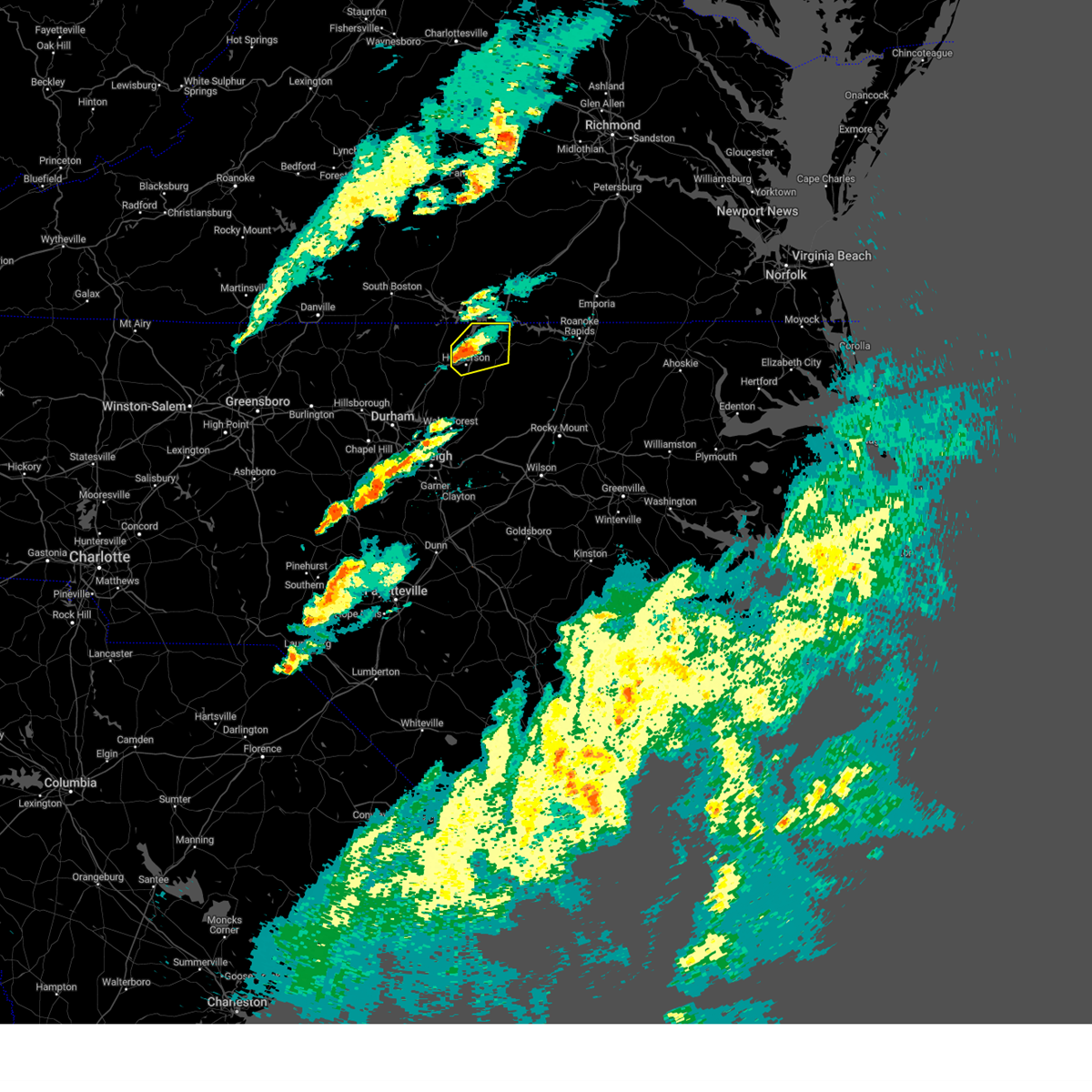
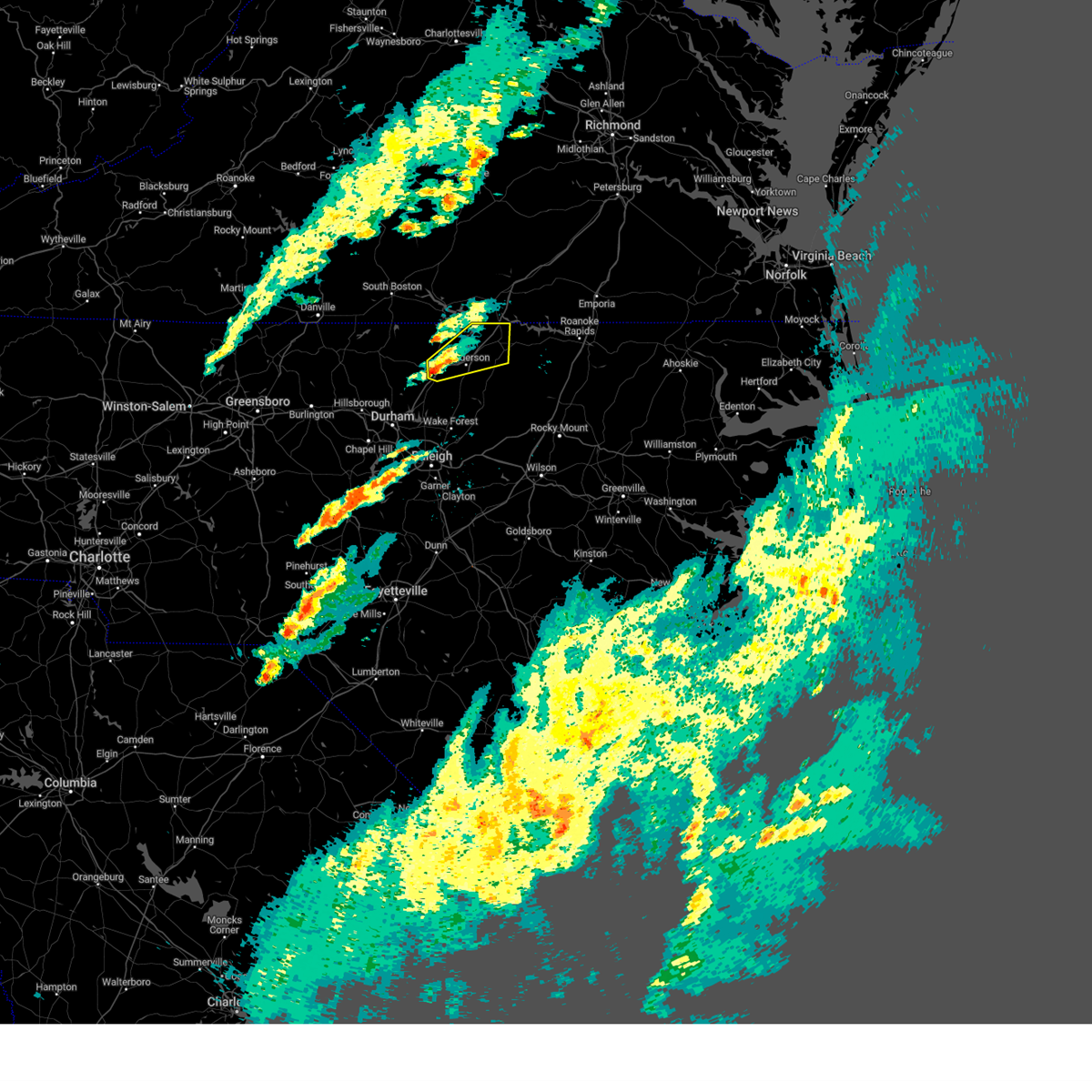
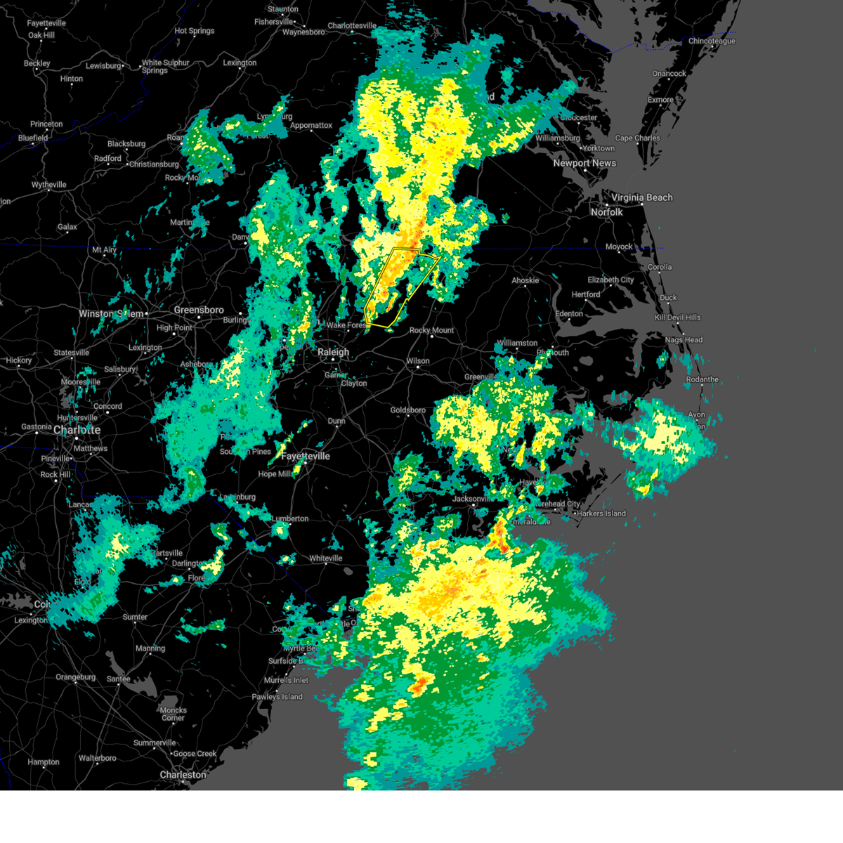
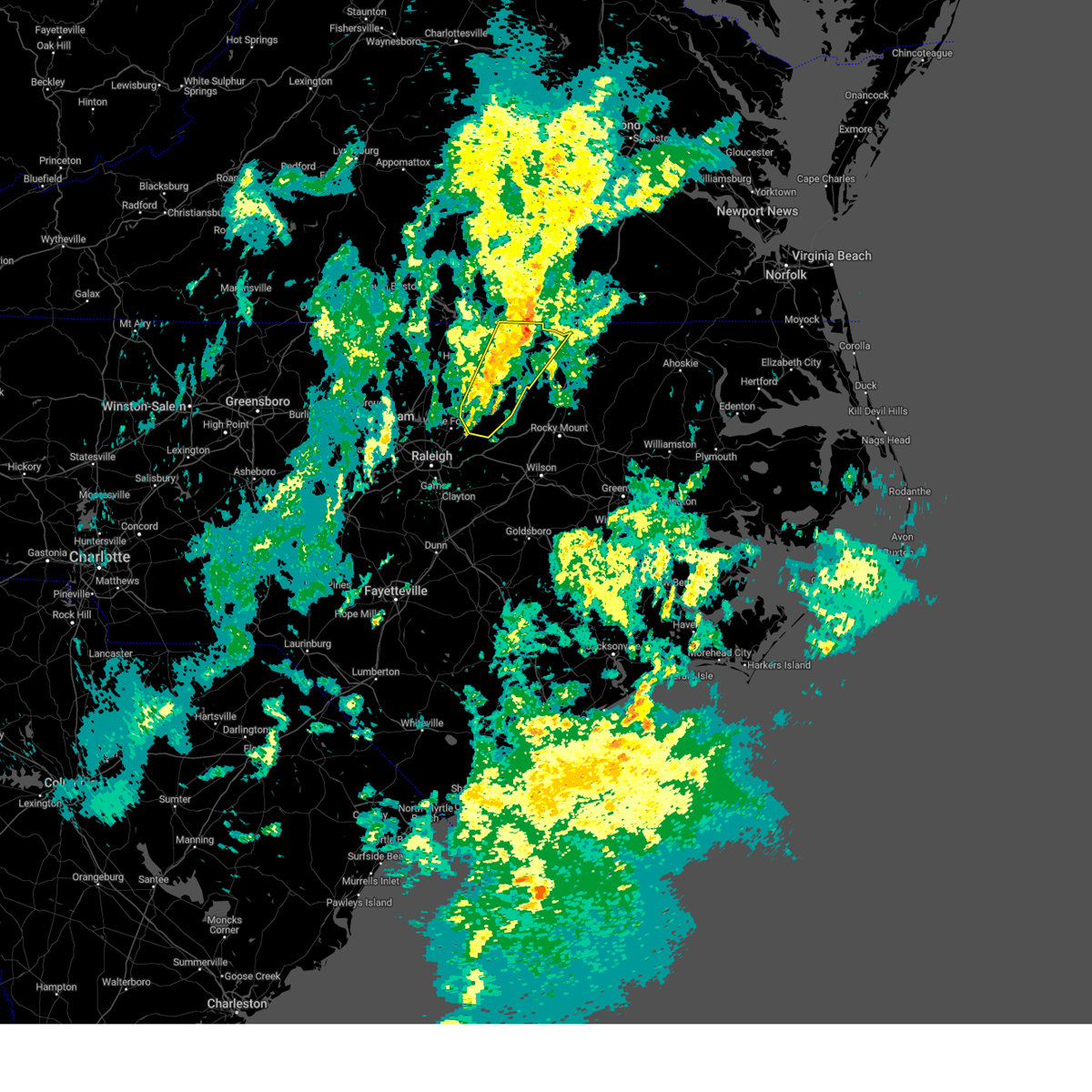
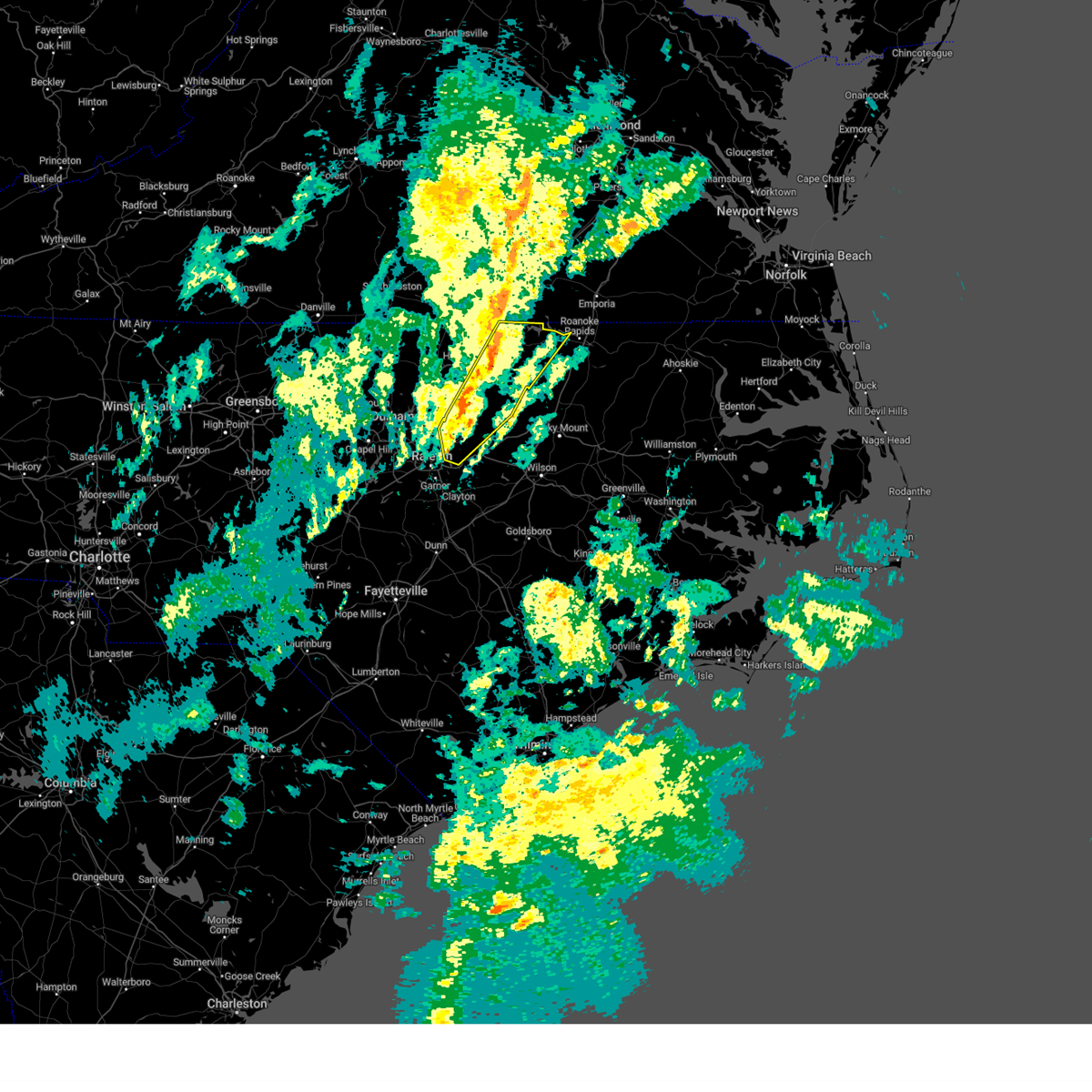
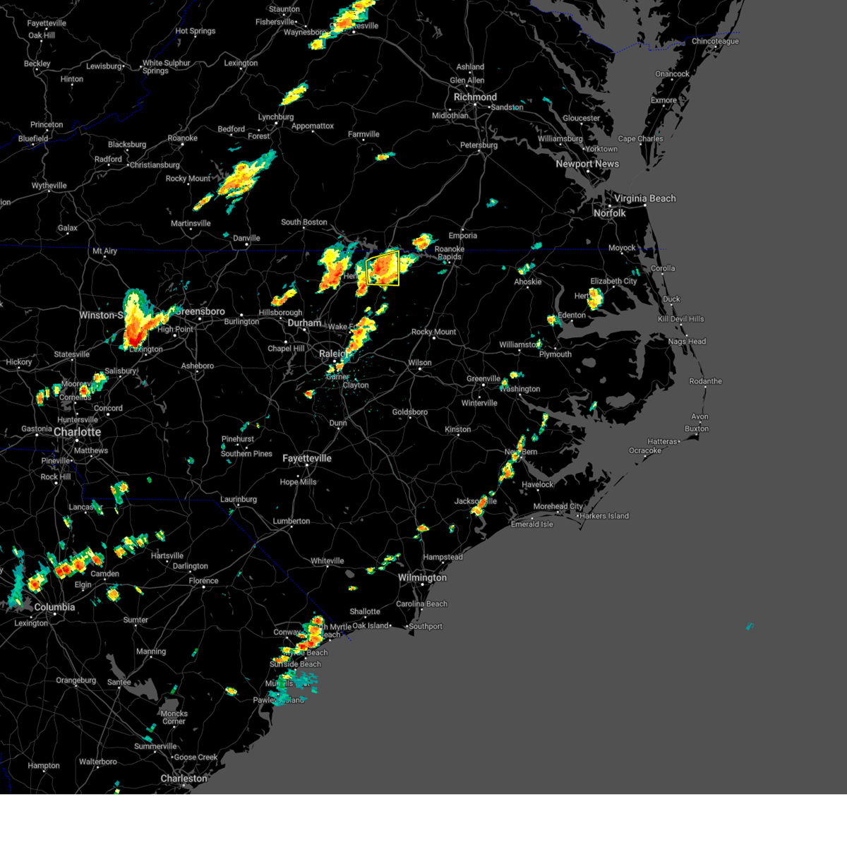
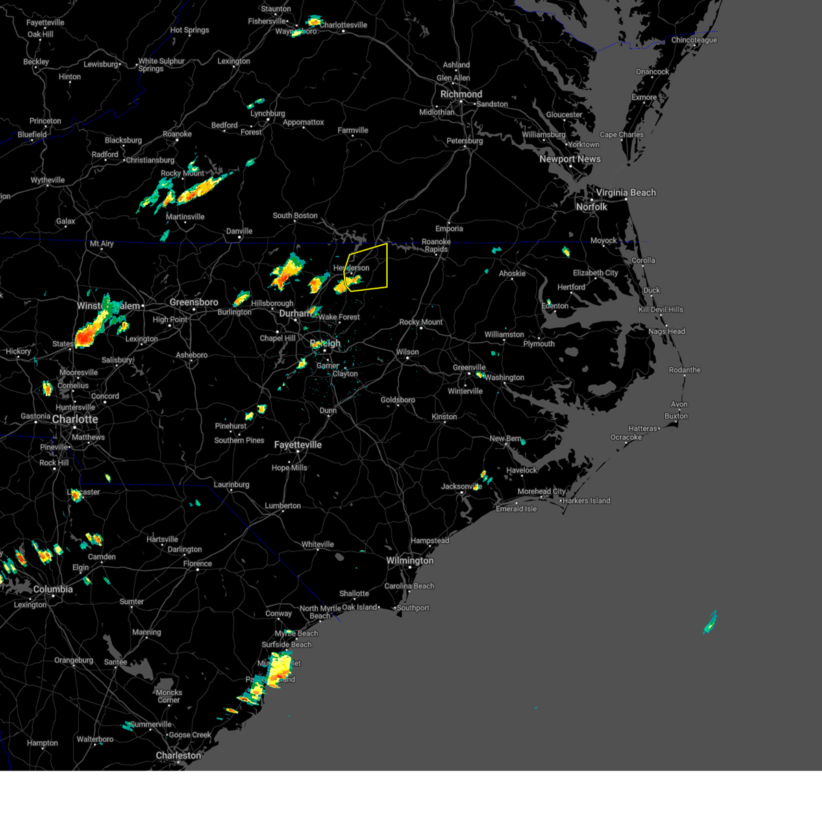
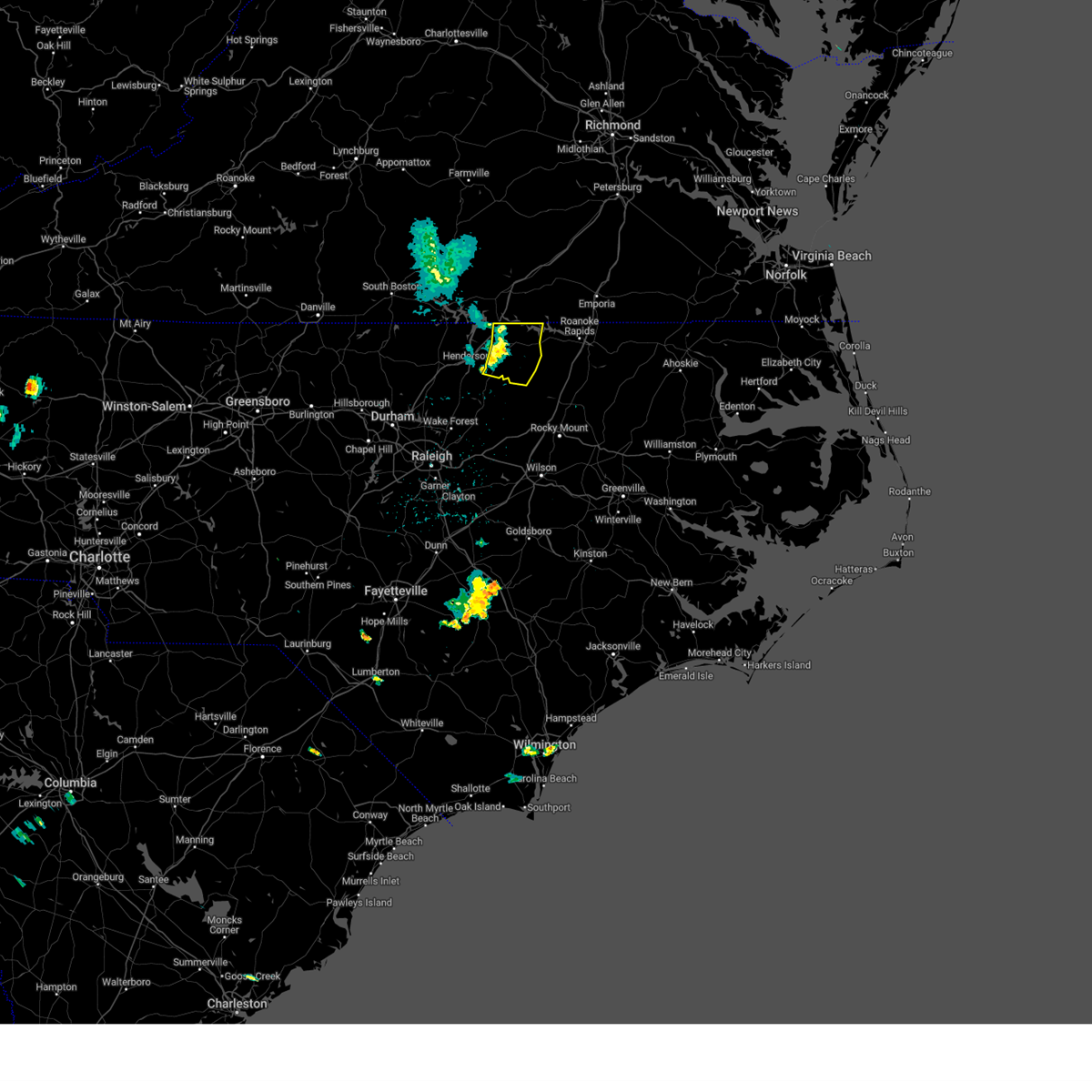
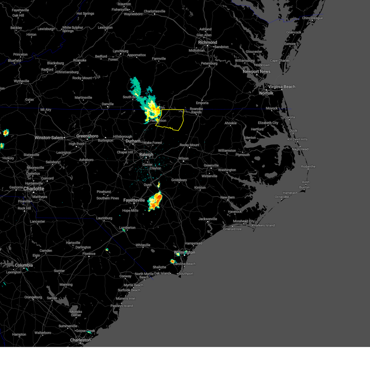
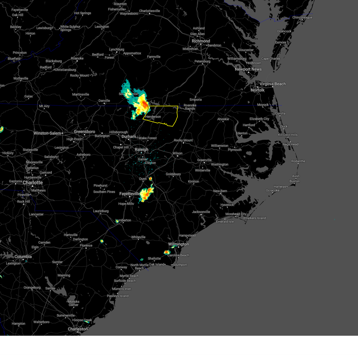
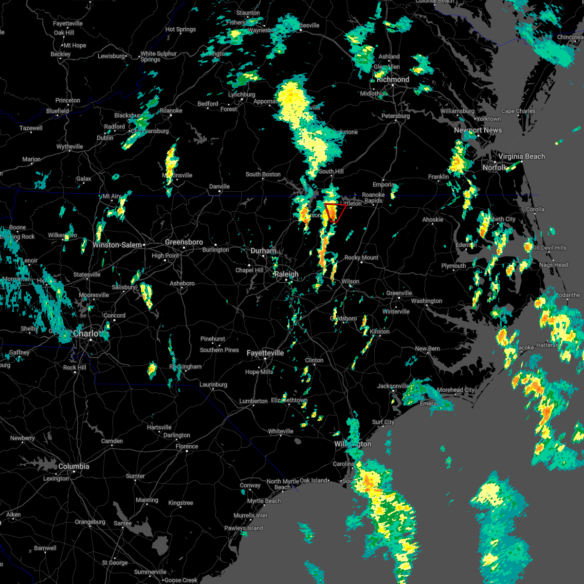
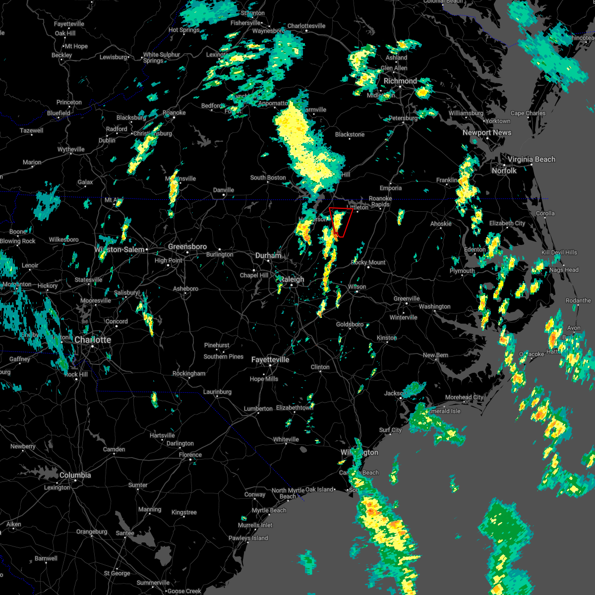
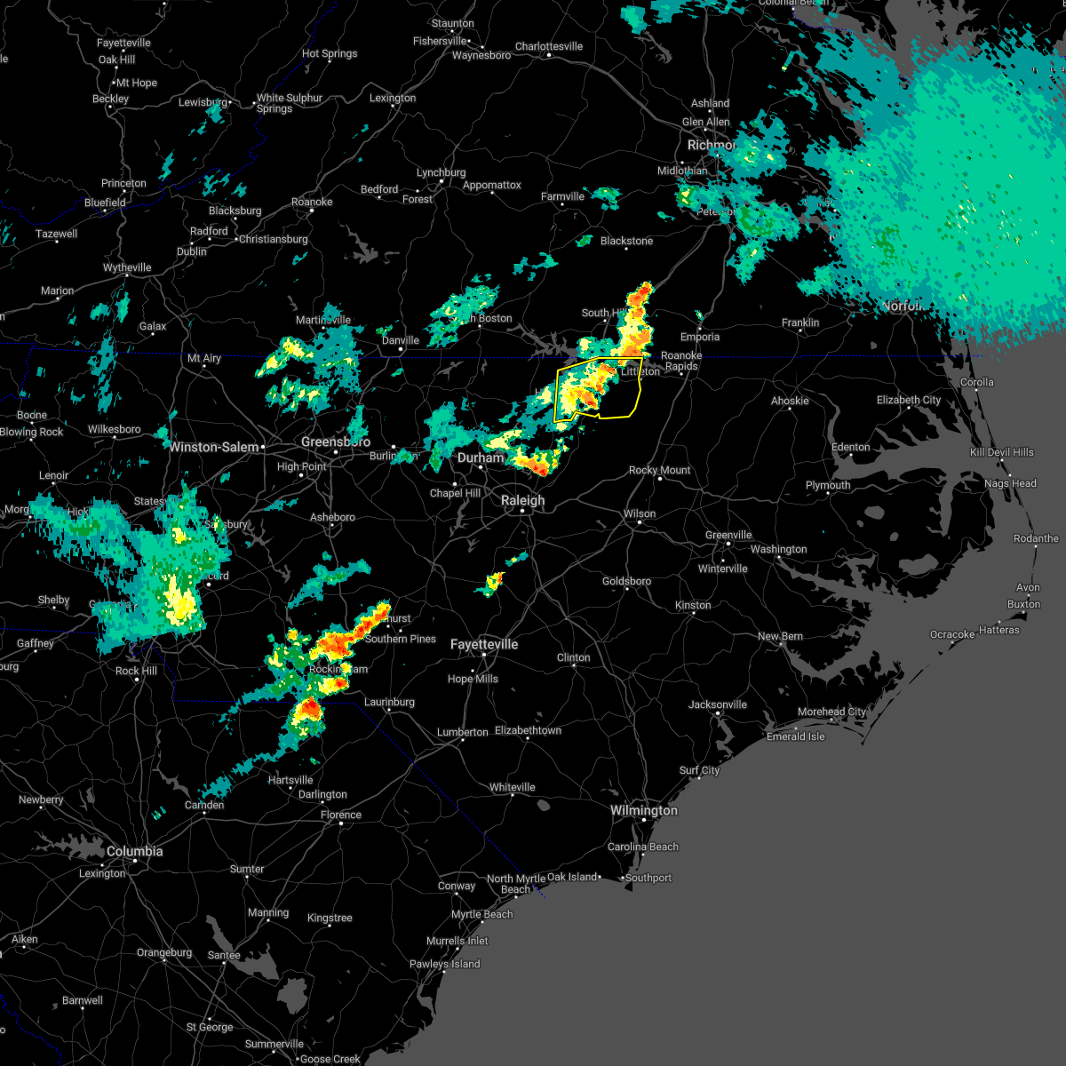
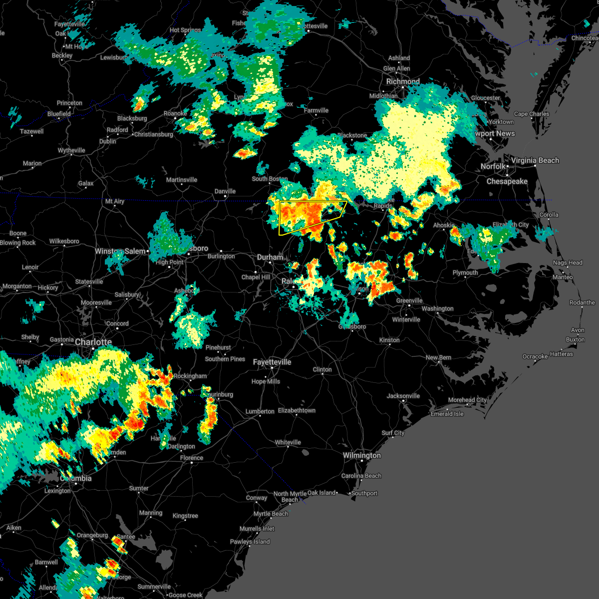
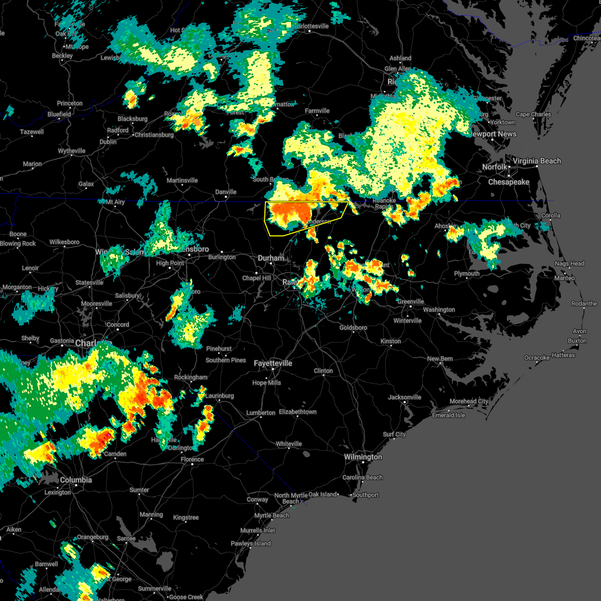
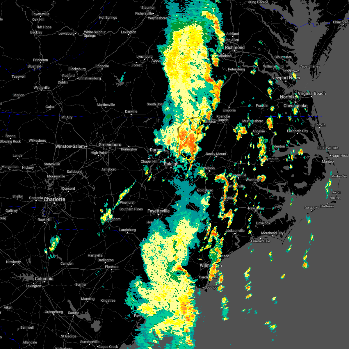
Hail Map for Norlina, NC
The Norlina, NC area has had 1 report of on-the-ground hail by trained spotters, and has been under severe weather warnings 39 times during the past 12 months. Doppler radar has detected hail at or near Norlina, NC on 32 occasions, including 3 occasions during the past year.
| Name: | Norlina, NC |
| Where Located: | 51.8 miles NNE of Raleigh, NC |
| Map: | Google Map for Norlina, NC |
| Population: | 1118 |
| Housing Units: | 567 |
| More Info: | Search Google for Norlina, NC |
4
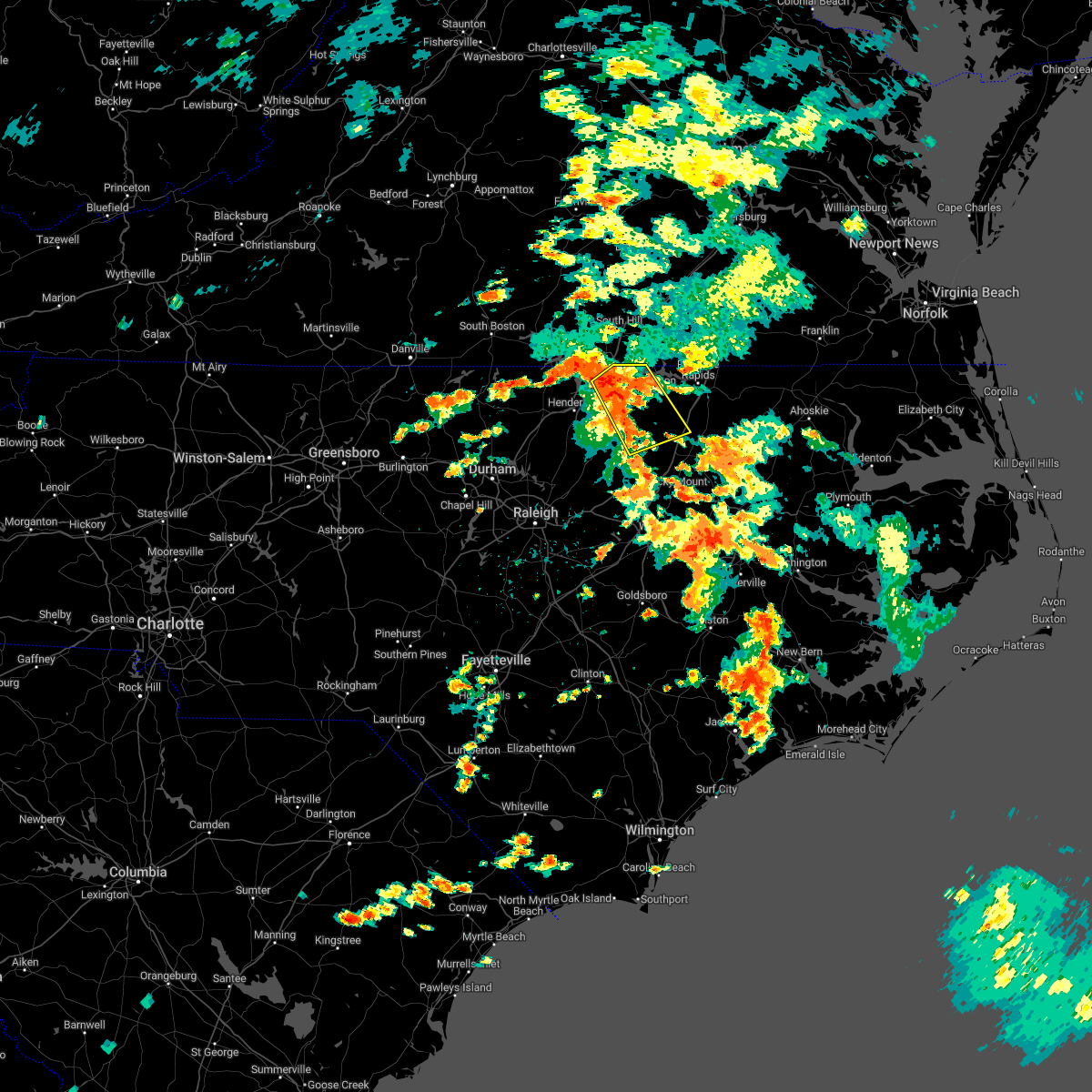
The Top Recent Hail Date for Norlina, NC is Wednesday, June 25, 2025 (3rd out of 32)

Hail and Wind Damage Spotted near Norlina, NC
| Date / Time | Report Details |
|---|---|
| 6/25/2025 2:50 PM EDT |
 The storm which prompted the warning has moved out of the area. therefore, the warning will be allowed to expire. The storm which prompted the warning has moved out of the area. therefore, the warning will be allowed to expire.
|
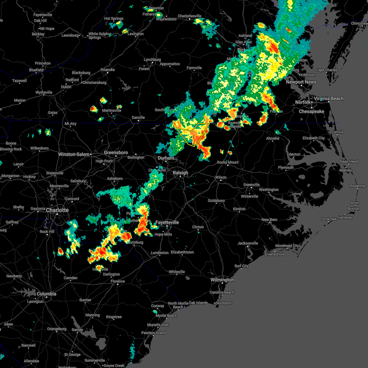
| 6/25/2025 2:12 PM EDT |
 Svrrah the national weather service in raleigh has issued a * severe thunderstorm warning for, northeastern vance county in central north carolina, warren county in central north carolina, northwestern halifax county in central north carolina, * until 300 pm edt. * at 212 pm edt, a severe thunderstorm was located near warrenton, moving east at 15 mph (radar indicated). Hazards include 60 mph wind gusts and quarter size hail. Hail damage to vehicles is expected. Expect wind damage to roofs, siding, and trees. Svrrah the national weather service in raleigh has issued a * severe thunderstorm warning for, northeastern vance county in central north carolina, warren county in central north carolina, northwestern halifax county in central north carolina, * until 300 pm edt. * at 212 pm edt, a severe thunderstorm was located near warrenton, moving east at 15 mph (radar indicated). Hazards include 60 mph wind gusts and quarter size hail. Hail damage to vehicles is expected. Expect wind damage to roofs, siding, and trees.
|
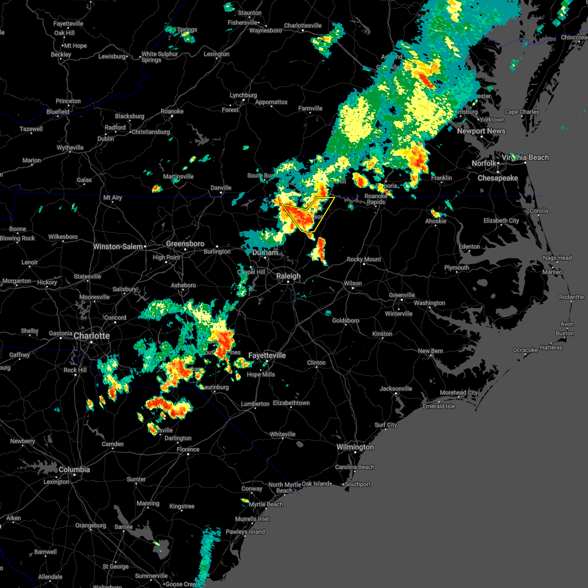
| 6/19/2025 7:46 PM EDT | At 746 pm edt, severe thunderstorms were located along a line extending from 8 miles west of ebony to near warrenton to 12 miles northeast of louisburg, moving east at 55 mph (radar indicated). Hazards include 60 mph wind gusts. Expect damage to roofs, siding, and trees. Locations impacted include, roanoke rapids, louisburg, warrenton, halifax, franklinton, norlina, littleton, enfield, weldon and youngsville. |
| 6/19/2025 7:35 PM EDT |
 the severe thunderstorm warning has been cancelled and is no longer in effect the severe thunderstorm warning has been cancelled and is no longer in effect
|
| 6/19/2025 7:35 PM EDT |
 At 735 pm edt, severe thunderstorms were located along a line extending from 7 miles northwest of norlina to near warrenton to 6 miles east of kittrell, moving east at 55 mph (radar indicated). Hazards include 60 mph wind gusts. Expect damage to roofs, siding, and trees. Locations impacted include, roanoke rapids, henderson, louisburg, warrenton, halifax, franklinton, norlina, littleton, kittrell and enfield. At 735 pm edt, severe thunderstorms were located along a line extending from 7 miles northwest of norlina to near warrenton to 6 miles east of kittrell, moving east at 55 mph (radar indicated). Hazards include 60 mph wind gusts. Expect damage to roofs, siding, and trees. Locations impacted include, roanoke rapids, henderson, louisburg, warrenton, halifax, franklinton, norlina, littleton, kittrell and enfield.
|
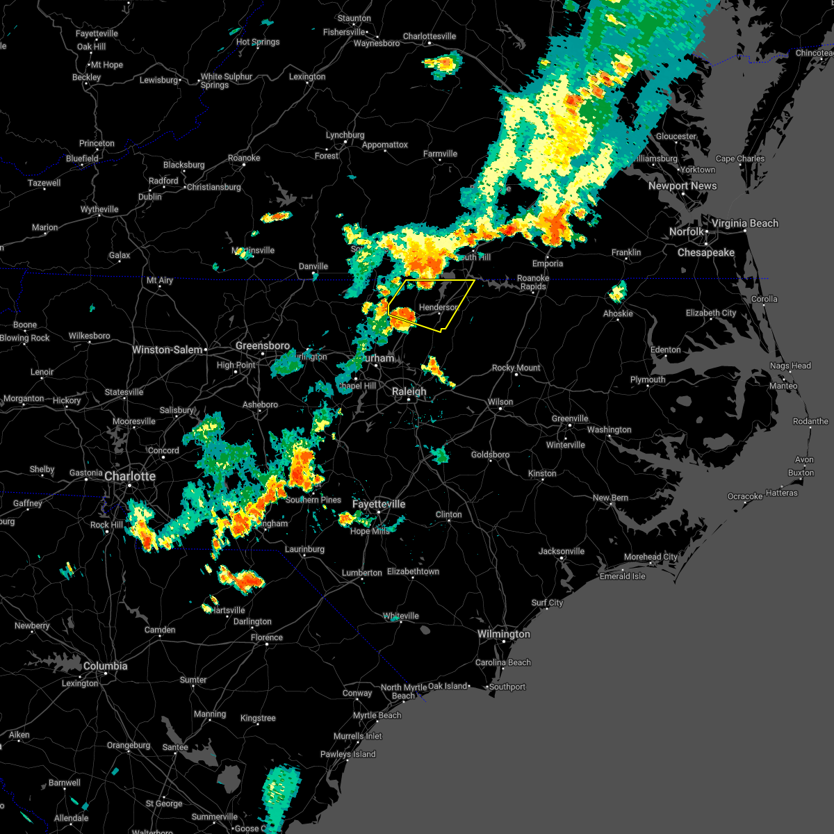
| 6/19/2025 7:30 PM EDT | Local em reported multiple trees and power poles down along the i-85 corridor in the county due to straight line winds. i-85 was closed for short time but is back open in warren county NC, 3.7 miles SSE of Norlina, NC |
| 6/19/2025 7:10 PM EDT |
 Svrrah the national weather service in raleigh has issued a * severe thunderstorm warning for, vance county in central north carolina, warren county in central north carolina, northeastern nash county in central north carolina, eastern granville county in central north carolina, halifax county in central north carolina, franklin county in central north carolina, * until 815 pm edt. * at 710 pm edt, severe thunderstorms were located along a line extending from near clarksville to near oxford to creedmoor, moving east at 55 mph (radar indicated). Hazards include 60 mph wind gusts. expect damage to roofs, siding, and trees Svrrah the national weather service in raleigh has issued a * severe thunderstorm warning for, vance county in central north carolina, warren county in central north carolina, northeastern nash county in central north carolina, eastern granville county in central north carolina, halifax county in central north carolina, franklin county in central north carolina, * until 815 pm edt. * at 710 pm edt, severe thunderstorms were located along a line extending from near clarksville to near oxford to creedmoor, moving east at 55 mph (radar indicated). Hazards include 60 mph wind gusts. expect damage to roofs, siding, and trees
|
| 5/16/2025 6:04 PM EDT |
 At 602 pm edt, a severe thunderstorm was located near norlina, or 8 miles north of warrenton, moving east at 65 mph (radar indicated). Hazards include 60 mph wind gusts. Expect damage to roofs, siding, and trees. Locations impacted include, warrenton, norlina, littleton, macon, lake gaston, wise, and southpointe and morningstar marinas. At 602 pm edt, a severe thunderstorm was located near norlina, or 8 miles north of warrenton, moving east at 65 mph (radar indicated). Hazards include 60 mph wind gusts. Expect damage to roofs, siding, and trees. Locations impacted include, warrenton, norlina, littleton, macon, lake gaston, wise, and southpointe and morningstar marinas.
|
| 5/16/2025 6:04 PM EDT |
 the severe thunderstorm warning has been cancelled and is no longer in effect the severe thunderstorm warning has been cancelled and is no longer in effect
|
| 5/16/2025 5:55 PM EDT |
 At 554 pm edt, a severe thunderstorm was located 9 miles southeast of clarksville, or 14 miles north of henderson, moving east at 45 mph (radar indicated). Hazards include 60 mph wind gusts and penny size hail. Expect damage to roofs, siding, and trees. Locations impacted include, norlina, littleton, stovall, middleburg, macon, gillburg, and afton. At 554 pm edt, a severe thunderstorm was located 9 miles southeast of clarksville, or 14 miles north of henderson, moving east at 45 mph (radar indicated). Hazards include 60 mph wind gusts and penny size hail. Expect damage to roofs, siding, and trees. Locations impacted include, norlina, littleton, stovall, middleburg, macon, gillburg, and afton.
|
| 5/16/2025 5:44 PM EDT |
 the severe thunderstorm warning has been cancelled and is no longer in effect the severe thunderstorm warning has been cancelled and is no longer in effect
|
| 5/16/2025 5:44 PM EDT |
 At 543 pm edt, a severe thunderstorm was located 7 miles south of clarksville, or 9 miles east of virgilina, moving east at 50 mph (radar indicated). Hazards include 60 mph wind gusts and penny size hail. Expect damage to roofs, siding, and trees. Locations impacted include, henderson, oxford, warrenton, norlina, littleton, stovall, middleburg, macon, gillburg, and afton. At 543 pm edt, a severe thunderstorm was located 7 miles south of clarksville, or 9 miles east of virgilina, moving east at 50 mph (radar indicated). Hazards include 60 mph wind gusts and penny size hail. Expect damage to roofs, siding, and trees. Locations impacted include, henderson, oxford, warrenton, norlina, littleton, stovall, middleburg, macon, gillburg, and afton.
|
| 5/16/2025 5:28 PM EDT |
 Svrrah the national weather service in raleigh has issued a * severe thunderstorm warning for, person county in central north carolina, vance county in central north carolina, warren county in central north carolina, northern granville county in central north carolina, northeastern franklin county in central north carolina, * until 615 pm edt. * at 526 pm edt, a severe thunderstorm was located near alton, or 8 miles west of virgilina, moving east at 55 mph (radar indicated). Hazards include 60 mph wind gusts. expect damage to roofs, siding, and trees Svrrah the national weather service in raleigh has issued a * severe thunderstorm warning for, person county in central north carolina, vance county in central north carolina, warren county in central north carolina, northern granville county in central north carolina, northeastern franklin county in central north carolina, * until 615 pm edt. * at 526 pm edt, a severe thunderstorm was located near alton, or 8 miles west of virgilina, moving east at 55 mph (radar indicated). Hazards include 60 mph wind gusts. expect damage to roofs, siding, and trees
|
| 3/5/2025 12:51 PM EST |
 Svrrah the national weather service in raleigh has issued a * severe thunderstorm warning for, southeastern vance county in central north carolina, warren county in central north carolina, northwestern halifax county in central north carolina, northern franklin county in central north carolina, * until 130 pm est. * at 1251 pm est, a severe thunderstorm was located near louisburg, moving northeast at 40 mph (radar indicated). Hazards include 60 mph wind gusts. expect damage to roofs, siding, and trees Svrrah the national weather service in raleigh has issued a * severe thunderstorm warning for, southeastern vance county in central north carolina, warren county in central north carolina, northwestern halifax county in central north carolina, northern franklin county in central north carolina, * until 130 pm est. * at 1251 pm est, a severe thunderstorm was located near louisburg, moving northeast at 40 mph (radar indicated). Hazards include 60 mph wind gusts. expect damage to roofs, siding, and trees
|
| 3/5/2025 12:02 PM EST | Svrrah the national weather service in raleigh has issued a * severe thunderstorm warning for, vance county in central north carolina, warren county in central north carolina, northwestern franklin county in central north carolina, * until 1245 pm est. * at 1202 pm est, severe thunderstorms were located along a line extending from 9 miles south of boydton to near franklinton, moving northeast at 45 mph (radar indicated). Hazards include 60 mph wind gusts. expect damage to roofs, siding, and trees |
| 2/16/2025 8:44 AM EST |
 Svrrah the national weather service in raleigh has issued a * severe thunderstorm warning for, vance county in central north carolina, warren county in central north carolina, western nash county in central north carolina, granville county in central north carolina, northwestern halifax county in central north carolina, wake county in central north carolina, northern johnston county in central north carolina, eastern durham county in central north carolina, northeastern chatham county in central north carolina, franklin county in central north carolina, * until 930 am est. * at 844 am est, severe thunderstorms were located along a line extending from 8 miles southeast of virgilina to 7 miles south of butner to 9 miles southeast of pittsboro, moving northeast at 65 mph (radar indicated). Hazards include 60 mph wind gusts. expect damage to roofs, siding, and trees Svrrah the national weather service in raleigh has issued a * severe thunderstorm warning for, vance county in central north carolina, warren county in central north carolina, western nash county in central north carolina, granville county in central north carolina, northwestern halifax county in central north carolina, wake county in central north carolina, northern johnston county in central north carolina, eastern durham county in central north carolina, northeastern chatham county in central north carolina, franklin county in central north carolina, * until 930 am est. * at 844 am est, severe thunderstorms were located along a line extending from 8 miles southeast of virgilina to 7 miles south of butner to 9 miles southeast of pittsboro, moving northeast at 65 mph (radar indicated). Hazards include 60 mph wind gusts. expect damage to roofs, siding, and trees
|
| 12/31/2024 9:00 PM EST |
 The storm which prompted the warning has weakened below severe limits, and has exited the warned area. therefore, the warning has been allowed to expire. The storm which prompted the warning has weakened below severe limits, and has exited the warned area. therefore, the warning has been allowed to expire.
|
| 12/31/2024 8:36 PM EST |
 the severe thunderstorm warning has been cancelled and is no longer in effect the severe thunderstorm warning has been cancelled and is no longer in effect
|
| 12/31/2024 8:36 PM EST |
 At 835 pm est, a severe thunderstorm was located 8 miles north of henderson, moving east at 55 mph (radar indicated). Hazards include ping pong ball size hail and 60 mph wind gusts. People and animals outdoors will be injured. expect hail damage to roofs, siding, windows, and vehicles. expect wind damage to roofs, siding, and trees. Locations impacted include, norlina, middleburg, dabney, satterwhite point marina, drewry, steele creek marina & campground, bullocksville, kerr lake, wise, and john h kerr reservoir. At 835 pm est, a severe thunderstorm was located 8 miles north of henderson, moving east at 55 mph (radar indicated). Hazards include ping pong ball size hail and 60 mph wind gusts. People and animals outdoors will be injured. expect hail damage to roofs, siding, windows, and vehicles. expect wind damage to roofs, siding, and trees. Locations impacted include, norlina, middleburg, dabney, satterwhite point marina, drewry, steele creek marina & campground, bullocksville, kerr lake, wise, and john h kerr reservoir.
|
| 12/31/2024 8:15 PM EST |
 Svrrah the national weather service in raleigh has issued a * severe thunderstorm warning for, northern vance county in central north carolina, northwestern warren county in central north carolina, northern granville county in central north carolina, * until 900 pm est. * at 815 pm est, a severe thunderstorm was located 8 miles northwest of oxford, moving east at 50 mph (radar indicated). Hazards include 60 mph wind gusts and half dollar size hail. Hail damage to vehicles is expected. Expect wind damage to roofs, siding, and trees. Svrrah the national weather service in raleigh has issued a * severe thunderstorm warning for, northern vance county in central north carolina, northwestern warren county in central north carolina, northern granville county in central north carolina, * until 900 pm est. * at 815 pm est, a severe thunderstorm was located 8 miles northwest of oxford, moving east at 50 mph (radar indicated). Hazards include 60 mph wind gusts and half dollar size hail. Hail damage to vehicles is expected. Expect wind damage to roofs, siding, and trees.
|
| 8/18/2024 5:21 PM EDT |
 The storm which prompted the warning has weakened below severe limits, and no longer poses an immediate threat to life or property. therefore, the warning will be allowed to expire. a severe thunderstorm watch remains in effect until 1000 pm edt for central north carolina. The storm which prompted the warning has weakened below severe limits, and no longer poses an immediate threat to life or property. therefore, the warning will be allowed to expire. a severe thunderstorm watch remains in effect until 1000 pm edt for central north carolina.
|
| 8/18/2024 5:16 PM EDT |
 At 515 pm edt, a severe thunderstorm was located 8 miles north of henderson, moving northeast at 15 mph (radar indicated). Hazards include 60 mph wind gusts and quarter size hail. Hail damage to vehicles is expected. expect wind damage to roofs, siding, and trees. Locations impacted include, henderson, norlina, middleburg, tungsten, satterwhite point marina, drewry, steele creek marina & campground, bullocksville, kerr lake, and wise. At 515 pm edt, a severe thunderstorm was located 8 miles north of henderson, moving northeast at 15 mph (radar indicated). Hazards include 60 mph wind gusts and quarter size hail. Hail damage to vehicles is expected. expect wind damage to roofs, siding, and trees. Locations impacted include, henderson, norlina, middleburg, tungsten, satterwhite point marina, drewry, steele creek marina & campground, bullocksville, kerr lake, and wise.
|
| 8/18/2024 5:16 PM EDT |
 the severe thunderstorm warning has been cancelled and is no longer in effect the severe thunderstorm warning has been cancelled and is no longer in effect
|
| 8/18/2024 5:03 PM EDT |
 At 500 pm edt, a severe thunderstorm was located near henderson, moving northeast at 20 mph (radar indicated). Hazards include 60 mph wind gusts and quarter size hail. Hail damage to vehicles is expected. expect wind damage to roofs, siding, and trees. Locations impacted include, henderson, oxford, norlina, stovall, middleburg, steele creek marina & campground, kerr lake, wise, dabney, and tungsten. At 500 pm edt, a severe thunderstorm was located near henderson, moving northeast at 20 mph (radar indicated). Hazards include 60 mph wind gusts and quarter size hail. Hail damage to vehicles is expected. expect wind damage to roofs, siding, and trees. Locations impacted include, henderson, oxford, norlina, stovall, middleburg, steele creek marina & campground, kerr lake, wise, dabney, and tungsten.
|
| 8/18/2024 4:46 PM EDT |
 Svrrah the national weather service in raleigh has issued a * severe thunderstorm warning for, vance county in central north carolina, northwestern warren county in central north carolina, northeastern granville county in central north carolina, * until 530 pm edt. * at 445 pm edt, a severe thunderstorm was located near henderson, moving northeast at 20 mph (radar indicated). Hazards include 60 mph wind gusts and quarter size hail. Hail damage to vehicles is expected. Expect wind damage to roofs, siding, and trees. Svrrah the national weather service in raleigh has issued a * severe thunderstorm warning for, vance county in central north carolina, northwestern warren county in central north carolina, northeastern granville county in central north carolina, * until 530 pm edt. * at 445 pm edt, a severe thunderstorm was located near henderson, moving northeast at 20 mph (radar indicated). Hazards include 60 mph wind gusts and quarter size hail. Hail damage to vehicles is expected. Expect wind damage to roofs, siding, and trees.
|
| 8/8/2024 8:09 PM EDT |
 The storm which prompted the warning has weakened below severe limits, and has exited the warned area. therefore, the warning will be allowed to expire. a tornado watch remains in effect until 700 am edt for central north carolina. The storm which prompted the warning has weakened below severe limits, and has exited the warned area. therefore, the warning will be allowed to expire. a tornado watch remains in effect until 700 am edt for central north carolina.
|
| 8/8/2024 7:44 PM EDT | Tree down near the intersection of weldon road and us- in warren county NC, 1.8 miles SW of Norlina, NC |
| 8/8/2024 7:44 PM EDT |
 Torrah the national weather service in raleigh has issued a * tornado warning for, northwestern warren county in central north carolina, * until 815 pm edt. * at 743 pm edt, a severe thunderstorm capable of producing a tornado was located over warrenton, moving north at 30 mph (radar indicated rotation). Hazards include tornado. Flying debris will be dangerous to those caught without shelter. mobile homes will be damaged or destroyed. damage to roofs, windows, and vehicles will occur. tree damage is likely. this dangerous storm will be near, norlina around 750 pm edt. Other locations impacted by this tornadic thunderstorm include macon, wise, and lake gaston. Torrah the national weather service in raleigh has issued a * tornado warning for, northwestern warren county in central north carolina, * until 815 pm edt. * at 743 pm edt, a severe thunderstorm capable of producing a tornado was located over warrenton, moving north at 30 mph (radar indicated rotation). Hazards include tornado. Flying debris will be dangerous to those caught without shelter. mobile homes will be damaged or destroyed. damage to roofs, windows, and vehicles will occur. tree damage is likely. this dangerous storm will be near, norlina around 750 pm edt. Other locations impacted by this tornadic thunderstorm include macon, wise, and lake gaston.
|
| 8/8/2024 7:38 PM EDT |
 At 737 pm edt, a severe thunderstorm capable of producing a tornado was located over warrenton, moving north at 30 mph (radar indicated rotation). Hazards include tornado. Flying debris will be dangerous to those caught without shelter. mobile homes will be damaged or destroyed. damage to roofs, windows, and vehicles will occur. tree damage is likely. this dangerous storm will be near, norlina around 745 pm edt. Other locations impacted by this tornadic thunderstorm include macon, wise, and lake gaston. At 737 pm edt, a severe thunderstorm capable of producing a tornado was located over warrenton, moving north at 30 mph (radar indicated rotation). Hazards include tornado. Flying debris will be dangerous to those caught without shelter. mobile homes will be damaged or destroyed. damage to roofs, windows, and vehicles will occur. tree damage is likely. this dangerous storm will be near, norlina around 745 pm edt. Other locations impacted by this tornadic thunderstorm include macon, wise, and lake gaston.
|
| 8/8/2024 7:28 PM EDT |
 the tornado warning has been cancelled and is no longer in effect the tornado warning has been cancelled and is no longer in effect
|
| 8/8/2024 7:28 PM EDT |
 At 728 pm edt, a severe thunderstorm capable of producing a tornado was located near warrenton, moving north at 40 mph (radar indicated rotation). Hazards include tornado. Flying debris will be dangerous to those caught without shelter. mobile homes will be damaged or destroyed. damage to roofs, windows, and vehicles will occur. tree damage is likely. this dangerous storm will be near, warrenton and norlina around 735 pm edt. Other locations impacted by this tornadic thunderstorm include macon, wise, and lake gaston. At 728 pm edt, a severe thunderstorm capable of producing a tornado was located near warrenton, moving north at 40 mph (radar indicated rotation). Hazards include tornado. Flying debris will be dangerous to those caught without shelter. mobile homes will be damaged or destroyed. damage to roofs, windows, and vehicles will occur. tree damage is likely. this dangerous storm will be near, warrenton and norlina around 735 pm edt. Other locations impacted by this tornadic thunderstorm include macon, wise, and lake gaston.
|
| 8/8/2024 7:22 PM EDT |
 Torrah the national weather service in raleigh has issued a * tornado warning for, warren county in central north carolina, northeastern franklin county in central north carolina, * until 745 pm edt. * at 722 pm edt, a severe thunderstorm capable of producing a tornado was located 9 miles south of warrenton, moving north at 40 mph (radar indicated rotation). Hazards include tornado. Flying debris will be dangerous to those caught without shelter. mobile homes will be damaged or destroyed. damage to roofs, windows, and vehicles will occur. tree damage is likely. this dangerous storm will be near, warrenton around 725 pm edt. norlina around 730 pm edt. Other locations impacted by this tornadic thunderstorm include afton, macon, wise, centerville, and lake gaston. Torrah the national weather service in raleigh has issued a * tornado warning for, warren county in central north carolina, northeastern franklin county in central north carolina, * until 745 pm edt. * at 722 pm edt, a severe thunderstorm capable of producing a tornado was located 9 miles south of warrenton, moving north at 40 mph (radar indicated rotation). Hazards include tornado. Flying debris will be dangerous to those caught without shelter. mobile homes will be damaged or destroyed. damage to roofs, windows, and vehicles will occur. tree damage is likely. this dangerous storm will be near, warrenton around 725 pm edt. norlina around 730 pm edt. Other locations impacted by this tornadic thunderstorm include afton, macon, wise, centerville, and lake gaston.
|
| 8/8/2024 7:06 PM EDT |
 At 706 pm edt, a confirmed tornado was located near henderson, moving north at 40 mph (radar confirmed tornado). Hazards include damaging tornado. Flying debris will be dangerous to those caught without shelter. mobile homes will be damaged or destroyed. damage to roofs, windows, and vehicles will occur. tree damage is likely. this tornado will be near, henderson around 710 pm edt. norlina around 715 pm edt. Other locations impacted by this tornadic thunderstorm include satterwhite point marina, gillburg, drewry, afton, and middleburg. At 706 pm edt, a confirmed tornado was located near henderson, moving north at 40 mph (radar confirmed tornado). Hazards include damaging tornado. Flying debris will be dangerous to those caught without shelter. mobile homes will be damaged or destroyed. damage to roofs, windows, and vehicles will occur. tree damage is likely. this tornado will be near, henderson around 710 pm edt. norlina around 715 pm edt. Other locations impacted by this tornadic thunderstorm include satterwhite point marina, gillburg, drewry, afton, and middleburg.
|
| 8/8/2024 6:55 PM EDT |
 Torrah the national weather service in raleigh has issued a * tornado warning for, vance county in central north carolina, western warren county in central north carolina, north central franklin county in central north carolina, * until 730 pm edt. * at 655 pm edt, a severe thunderstorm capable of producing a tornado was located near louisburg, moving north at 40 mph (radar indicated rotation). Hazards include tornado. Flying debris will be dangerous to those caught without shelter. mobile homes will be damaged or destroyed. damage to roofs, windows, and vehicles will occur. tree damage is likely. this dangerous storm will be near, henderson and kittrell around 700 pm edt. norlina around 720 pm edt. Other locations impacted by this tornadic thunderstorm include dabney, ingleside, satterwhite point marina, gillburg, and drewry. Torrah the national weather service in raleigh has issued a * tornado warning for, vance county in central north carolina, western warren county in central north carolina, north central franklin county in central north carolina, * until 730 pm edt. * at 655 pm edt, a severe thunderstorm capable of producing a tornado was located near louisburg, moving north at 40 mph (radar indicated rotation). Hazards include tornado. Flying debris will be dangerous to those caught without shelter. mobile homes will be damaged or destroyed. damage to roofs, windows, and vehicles will occur. tree damage is likely. this dangerous storm will be near, henderson and kittrell around 700 pm edt. norlina around 720 pm edt. Other locations impacted by this tornadic thunderstorm include dabney, ingleside, satterwhite point marina, gillburg, and drewry.
|
| 8/3/2024 5:01 PM EDT | The storms which prompted the warning have weakened below severe limits, and no longer pose an immediate threat to life or property. therefore, the warning has been allowed to expire. however, gusty winds and heavy rain are still possible with these thunderstorms. a severe thunderstorm watch remains in effect until 900 pm edt for central north carolina. |
| 8/3/2024 4:49 PM EDT |
 the severe thunderstorm warning has been cancelled and is no longer in effect the severe thunderstorm warning has been cancelled and is no longer in effect
|
| 8/3/2024 4:49 PM EDT |
 At 449 pm edt, severe thunderstorms were located along a line extending from near littleton to 6 miles northeast of wake forest, moving east at 40 mph (radar indicated). Hazards include 60 mph wind gusts and penny size hail. Expect damage to roofs, siding, and trees. Locations impacted include, louisburg, warrenton, franklinton, norlina, youngsville, macon, centerville, ingleside, afton, and wise. At 449 pm edt, severe thunderstorms were located along a line extending from near littleton to 6 miles northeast of wake forest, moving east at 40 mph (radar indicated). Hazards include 60 mph wind gusts and penny size hail. Expect damage to roofs, siding, and trees. Locations impacted include, louisburg, warrenton, franklinton, norlina, youngsville, macon, centerville, ingleside, afton, and wise.
|
| 8/3/2024 4:34 PM EDT |
 At 433 pm edt, severe thunderstorms were located along a line extending from near la crosse to 6 miles southwest of louisburg, moving northeast at 30 mph (radar indicated). Hazards include 60 mph wind gusts and penny size hail. Expect damage to roofs, siding, and trees. Locations impacted include, henderson, louisburg, warrenton, wake forest, franklinton, norlina, kittrell, youngsville, middleburg, and macon. At 433 pm edt, severe thunderstorms were located along a line extending from near la crosse to 6 miles southwest of louisburg, moving northeast at 30 mph (radar indicated). Hazards include 60 mph wind gusts and penny size hail. Expect damage to roofs, siding, and trees. Locations impacted include, henderson, louisburg, warrenton, wake forest, franklinton, norlina, kittrell, youngsville, middleburg, and macon.
|
| 8/3/2024 4:11 PM EDT | Tree down at russell union rd and martin r in warren county NC, 4.3 miles SE of Norlina, NC |
| 8/3/2024 4:11 PM EDT |
 Svrrah the national weather service in raleigh has issued a * severe thunderstorm warning for, vance county in central north carolina, warren county in central north carolina, southeastern granville county in central north carolina, northeastern wake county in central north carolina, franklin county in central north carolina, * until 500 pm edt. * at 411 pm edt, severe thunderstorms were located along a line extending from 8 miles northwest of norlina to wake forest, moving northeast at 30 mph (radar indicated). Hazards include 60 mph wind gusts and quarter size hail. Hail damage to vehicles is expected. Expect wind damage to roofs, siding, and trees. Svrrah the national weather service in raleigh has issued a * severe thunderstorm warning for, vance county in central north carolina, warren county in central north carolina, southeastern granville county in central north carolina, northeastern wake county in central north carolina, franklin county in central north carolina, * until 500 pm edt. * at 411 pm edt, severe thunderstorms were located along a line extending from 8 miles northwest of norlina to wake forest, moving northeast at 30 mph (radar indicated). Hazards include 60 mph wind gusts and quarter size hail. Hail damage to vehicles is expected. Expect wind damage to roofs, siding, and trees.
|
| 8/3/2024 4:06 PM EDT | Tree down at 233 i-85 in warren county NC, 4.1 miles E of Norlina, NC |
| 8/2/2024 6:39 PM EDT |
 The storm which prompted the warning has moved out of the area. therefore, the warning will be allowed to expire. to report severe weather, contact your nearest law enforcement agency. they will relay your report to the national weather service raleigh. The storm which prompted the warning has moved out of the area. therefore, the warning will be allowed to expire. to report severe weather, contact your nearest law enforcement agency. they will relay your report to the national weather service raleigh.
|
| 8/2/2024 5:59 PM EDT |
 Svrrah the national weather service in raleigh has issued a * severe thunderstorm warning for, vance county in central north carolina, warren county in central north carolina, * until 645 pm edt. * at 558 pm edt, a severe thunderstorm was located near kittrell, or near henderson, moving northeast at 20 mph (radar indicated). Hazards include 60 mph wind gusts. expect damage to roofs, siding, and trees Svrrah the national weather service in raleigh has issued a * severe thunderstorm warning for, vance county in central north carolina, warren county in central north carolina, * until 645 pm edt. * at 558 pm edt, a severe thunderstorm was located near kittrell, or near henderson, moving northeast at 20 mph (radar indicated). Hazards include 60 mph wind gusts. expect damage to roofs, siding, and trees
|
| 4/3/2024 3:00 PM EDT |
 the tornado warning has been cancelled and is no longer in effect the tornado warning has been cancelled and is no longer in effect
|
| 4/3/2024 2:46 PM EDT |
 Torrah the national weather service in raleigh has issued a * tornado warning for, northern warren county in central north carolina, * until 315 pm edt. * at 246 pm edt, a severe thunderstorm capable of producing a tornado was located near norlina, or near warrenton, moving northeast at 45 mph (radar indicated rotation). Hazards include tornado and quarter size hail. Flying debris will be dangerous to those caught without shelter. mobile homes will be damaged or destroyed. damage to roofs, windows, and vehicles will occur. tree damage is likely. This tornadic thunderstorm will remain over mainly rural areas of northern warren county, including the following locations, macon, wise, lake gaston, and southpointe and morningstar marinas. Torrah the national weather service in raleigh has issued a * tornado warning for, northern warren county in central north carolina, * until 315 pm edt. * at 246 pm edt, a severe thunderstorm capable of producing a tornado was located near norlina, or near warrenton, moving northeast at 45 mph (radar indicated rotation). Hazards include tornado and quarter size hail. Flying debris will be dangerous to those caught without shelter. mobile homes will be damaged or destroyed. damage to roofs, windows, and vehicles will occur. tree damage is likely. This tornadic thunderstorm will remain over mainly rural areas of northern warren county, including the following locations, macon, wise, lake gaston, and southpointe and morningstar marinas.
|
| 4/3/2024 2:42 PM EDT |
 The storm which prompted the warning has weakened below severe limits, and has exited the warned area. therefore, the warning will be allowed to expire. a tornado watch remains in effect until 700 pm edt for central north carolina. to report severe weather, contact your nearest law enforcement agency. they will relay your report to the national weather service raleigh. The storm which prompted the warning has weakened below severe limits, and has exited the warned area. therefore, the warning will be allowed to expire. a tornado watch remains in effect until 700 pm edt for central north carolina. to report severe weather, contact your nearest law enforcement agency. they will relay your report to the national weather service raleigh.
|
| 4/3/2024 2:21 PM EDT |
 the severe thunderstorm warning has been cancelled and is no longer in effect the severe thunderstorm warning has been cancelled and is no longer in effect
|
| 4/3/2024 2:21 PM EDT |
 At 220 pm edt, a severe thunderstorm was located over henderson, moving northeast at 45 mph (radar indicated). Hazards include 60 mph wind gusts and quarter size hail. Hail damage to vehicles is expected. expect wind damage to roofs, siding, and trees. Locations impacted include, henderson, warrenton, norlina, middleburg, gillburg, afton, steele creek marina & campground, kerr lake, south henderson, and wise. At 220 pm edt, a severe thunderstorm was located over henderson, moving northeast at 45 mph (radar indicated). Hazards include 60 mph wind gusts and quarter size hail. Hail damage to vehicles is expected. expect wind damage to roofs, siding, and trees. Locations impacted include, henderson, warrenton, norlina, middleburg, gillburg, afton, steele creek marina & campground, kerr lake, south henderson, and wise.
|
| 4/3/2024 2:10 PM EDT |
 Svrrah the national weather service in raleigh has issued a * severe thunderstorm warning for, vance county in central north carolina, northwestern warren county in central north carolina, northeastern granville county in central north carolina, * until 245 pm edt. * at 209 pm edt, a severe thunderstorm was located over oxford, moving northeast at 45 mph (radar indicated). Hazards include 60 mph wind gusts and quarter size hail. Hail damage to vehicles is expected. Expect wind damage to roofs, siding, and trees. Svrrah the national weather service in raleigh has issued a * severe thunderstorm warning for, vance county in central north carolina, northwestern warren county in central north carolina, northeastern granville county in central north carolina, * until 245 pm edt. * at 209 pm edt, a severe thunderstorm was located over oxford, moving northeast at 45 mph (radar indicated). Hazards include 60 mph wind gusts and quarter size hail. Hail damage to vehicles is expected. Expect wind damage to roofs, siding, and trees.
|
| 1/9/2024 6:15 PM EST |
 At 614 pm est, severe thunderstorms were located along a line extending from 10 miles west of norlina to near henderson to near wake forest to near raleigh, moving northeast at 75 mph (radar indicated). Hazards include 70 mph wind gusts. Expect considerable tree damage. damage is likely to mobile homes, roofs, and outbuildings. Locations impacted include, raleigh, cary, henderson, louisburg, warrenton, wake forest, garner, fuquay-varina, zebulon, and franklinton. At 614 pm est, severe thunderstorms were located along a line extending from 10 miles west of norlina to near henderson to near wake forest to near raleigh, moving northeast at 75 mph (radar indicated). Hazards include 70 mph wind gusts. Expect considerable tree damage. damage is likely to mobile homes, roofs, and outbuildings. Locations impacted include, raleigh, cary, henderson, louisburg, warrenton, wake forest, garner, fuquay-varina, zebulon, and franklinton.
|
| 1/9/2024 5:53 PM EST |
 At 553 pm est, severe thunderstorms were located along a line extending from near butner to 8 miles south of creedmoor to near cary, moving northeast at 70 mph (radar indicated). Hazards include 60 mph wind gusts. expect damage to roofs, siding, and trees At 553 pm est, severe thunderstorms were located along a line extending from near butner to 8 miles south of creedmoor to near cary, moving northeast at 70 mph (radar indicated). Hazards include 60 mph wind gusts. expect damage to roofs, siding, and trees
|
| 12/10/2023 4:20 PM EST |
 At 420 pm est, a severe thunderstorm was located 8 miles south of warrenton, moving northeast at 40 mph (radar indicated). Hazards include 60 mph wind gusts. Expect damage to roofs, siding, and trees. Locations impacted include, louisburg, warrenton, littleton, macon, centerville, arcola, ingleside, airlie, afton, and lake gaston. At 420 pm est, a severe thunderstorm was located 8 miles south of warrenton, moving northeast at 40 mph (radar indicated). Hazards include 60 mph wind gusts. Expect damage to roofs, siding, and trees. Locations impacted include, louisburg, warrenton, littleton, macon, centerville, arcola, ingleside, airlie, afton, and lake gaston.
|
| 12/10/2023 4:14 PM EST |
 At 413 pm est, a severe thunderstorm was located near warrenton, moving northeast at 65 mph (radar indicated). Hazards include 60 mph wind gusts. Expect damage to roofs, siding, and trees. Locations impacted include, louisburg, warrenton, norlina, littleton, bunn, macon, centerville, ingleside, afton, and wise. At 413 pm est, a severe thunderstorm was located near warrenton, moving northeast at 65 mph (radar indicated). Hazards include 60 mph wind gusts. Expect damage to roofs, siding, and trees. Locations impacted include, louisburg, warrenton, norlina, littleton, bunn, macon, centerville, ingleside, afton, and wise.
|
| 12/10/2023 4:03 PM EST |
 At 403 pm est, a severe thunderstorm was located 10 miles northeast of louisburg, moving northeast at 55 mph (radar indicated). Hazards include 60 mph wind gusts. Expect damage to roofs, siding, and trees. Locations impacted include, louisburg, warrenton, wake forest, franklinton, norlina, littleton, bunn, rolesville, youngsville, and macon. At 403 pm est, a severe thunderstorm was located 10 miles northeast of louisburg, moving northeast at 55 mph (radar indicated). Hazards include 60 mph wind gusts. Expect damage to roofs, siding, and trees. Locations impacted include, louisburg, warrenton, wake forest, franklinton, norlina, littleton, bunn, rolesville, youngsville, and macon.
|
| 12/10/2023 3:53 PM EST |
 At 353 pm est, a severe thunderstorm was located over louisburg, moving northeast at 65 mph (radar indicated). Hazards include 60 mph wind gusts. expect damage to roofs, siding, and trees At 353 pm est, a severe thunderstorm was located over louisburg, moving northeast at 65 mph (radar indicated). Hazards include 60 mph wind gusts. expect damage to roofs, siding, and trees
|
| 8/15/2023 3:06 PM EDT |
 At 306 pm edt, a severe thunderstorm was located near norlina, or near warrenton, moving east at 45 mph (radar indicated). Hazards include 60 mph wind gusts and quarter size hail. Hail damage to vehicles is expected. expect wind damage to roofs, siding, and trees. locations impacted include, warrenton, norlina, middleburg, satterwhite point marina, drewry, afton, bullocksville and wise. hail threat, radar indicated max hail size, 1. 00 in wind threat, radar indicated max wind gust, 60 mph. At 306 pm edt, a severe thunderstorm was located near norlina, or near warrenton, moving east at 45 mph (radar indicated). Hazards include 60 mph wind gusts and quarter size hail. Hail damage to vehicles is expected. expect wind damage to roofs, siding, and trees. locations impacted include, warrenton, norlina, middleburg, satterwhite point marina, drewry, afton, bullocksville and wise. hail threat, radar indicated max hail size, 1. 00 in wind threat, radar indicated max wind gust, 60 mph.
|
| 8/15/2023 2:51 PM EDT |
 At 251 pm edt, a severe thunderstorm was located near warrenton, moving east at 35 mph (radar indicated). Hazards include 60 mph wind gusts and half dollar size hail. Hail damage to vehicles is expected. Expect wind damage to roofs, siding, and trees. At 251 pm edt, a severe thunderstorm was located near warrenton, moving east at 35 mph (radar indicated). Hazards include 60 mph wind gusts and half dollar size hail. Hail damage to vehicles is expected. Expect wind damage to roofs, siding, and trees.
|
| 8/15/2023 2:46 PM EDT | Tree down on weldon r in warren county NC, 1.8 miles SW of Norlina, NC |
| 8/15/2023 2:25 PM EDT |
 At 225 pm edt, a severe thunderstorm was located over henderson, moving northeast at 30 mph (radar indicated). Hazards include 60 mph wind gusts and quarter size hail. Hail damage to vehicles is expected. Expect wind damage to roofs, siding, and trees. At 225 pm edt, a severe thunderstorm was located over henderson, moving northeast at 30 mph (radar indicated). Hazards include 60 mph wind gusts and quarter size hail. Hail damage to vehicles is expected. Expect wind damage to roofs, siding, and trees.
|
| 7/9/2023 3:06 PM EDT |
 At 305 pm edt, severe thunderstorms were located along a line extending from near gasburg to near rocky mount to 9 miles west of goldsboro, moving east at 45 mph (radar indicated. the line also has a history of producing extensive wind damage). Hazards include 60 mph wind gusts and penny size hail. Expect damage to roofs, siding, and trees. locations impacted include, rocky mount, goldsboro, roanoke rapids, nashville, warrenton, wilson, mount olive, elm city, fremont and norlina. hail threat, radar indicated max hail size, 0. 75 in wind threat, radar indicated max wind gust, 60 mph. At 305 pm edt, severe thunderstorms were located along a line extending from near gasburg to near rocky mount to 9 miles west of goldsboro, moving east at 45 mph (radar indicated. the line also has a history of producing extensive wind damage). Hazards include 60 mph wind gusts and penny size hail. Expect damage to roofs, siding, and trees. locations impacted include, rocky mount, goldsboro, roanoke rapids, nashville, warrenton, wilson, mount olive, elm city, fremont and norlina. hail threat, radar indicated max hail size, 0. 75 in wind threat, radar indicated max wind gust, 60 mph.
|
| 7/9/2023 2:24 PM EDT |
 At 223 pm edt, severe thunderstorms were located along a line extending from 11 miles south of boydton to near zebulon to dunn, moving east at 45 mph (radar indicated). Hazards include 60 mph wind gusts and penny size hail. expect damage to roofs, siding, and trees At 223 pm edt, severe thunderstorms were located along a line extending from 11 miles south of boydton to near zebulon to dunn, moving east at 45 mph (radar indicated). Hazards include 60 mph wind gusts and penny size hail. expect damage to roofs, siding, and trees
|
| 7/9/2023 1:55 PM EDT |
 At 154 pm edt, severe thunderstorms were located along a line extending from the virginia border to near wake forest to near angier to 7 miles northeast of pope afb, moving southeast at 35 mph (radar indicated). Hazards include 60 mph wind gusts and quarter size hail. Hail damage to vehicles is expected. Expect wind damage to roofs, siding, and trees. At 154 pm edt, severe thunderstorms were located along a line extending from the virginia border to near wake forest to near angier to 7 miles northeast of pope afb, moving southeast at 35 mph (radar indicated). Hazards include 60 mph wind gusts and quarter size hail. Hail damage to vehicles is expected. Expect wind damage to roofs, siding, and trees.
|
| 7/2/2023 4:13 PM EDT |
 At 412 pm edt, severe thunderstorms were located along a line extending from 6 miles west of ebony to 6 miles east of norlina to near warrenton to 7 miles east of kittrell, moving east at 45 mph (radar indicated). Hazards include 60 mph wind gusts. Expect damage to roofs, siding, and trees. locations impacted include, warrenton, norlina, littleton, macon, arcola, afton, wise, lake gaston and southpointe and morningstar marinas. hail threat, radar indicated max hail size, <. 75 in wind threat, radar indicated max wind gust, 60 mph. At 412 pm edt, severe thunderstorms were located along a line extending from 6 miles west of ebony to 6 miles east of norlina to near warrenton to 7 miles east of kittrell, moving east at 45 mph (radar indicated). Hazards include 60 mph wind gusts. Expect damage to roofs, siding, and trees. locations impacted include, warrenton, norlina, littleton, macon, arcola, afton, wise, lake gaston and southpointe and morningstar marinas. hail threat, radar indicated max hail size, <. 75 in wind threat, radar indicated max wind gust, 60 mph.
|
| 7/2/2023 4:02 PM EDT |
 At 401 pm edt, severe thunderstorms were located along a line extending from 11 miles southwest of la crosse to norlina to near warrenton to near kittrell, moving east at 45 mph (radar indicated). Hazards include 60 mph wind gusts and penny size hail. Expect damage to roofs, siding, and trees. locations impacted include, henderson, warrenton, norlina, littleton, middleburg, macon, gillburg, afton, south henderson and wise. hail threat, radar indicated max hail size, 0. 75 in wind threat, radar indicated max wind gust, 60 mph. At 401 pm edt, severe thunderstorms were located along a line extending from 11 miles southwest of la crosse to norlina to near warrenton to near kittrell, moving east at 45 mph (radar indicated). Hazards include 60 mph wind gusts and penny size hail. Expect damage to roofs, siding, and trees. locations impacted include, henderson, warrenton, norlina, littleton, middleburg, macon, gillburg, afton, south henderson and wise. hail threat, radar indicated max hail size, 0. 75 in wind threat, radar indicated max wind gust, 60 mph.
|
| 7/2/2023 3:41 PM EDT |
 At 341 pm edt, severe thunderstorms were located along a line extending from near boydton to 11 miles southeast of clarksville to 6 miles northwest of henderson to near oxford, moving east at 45 mph (law enforcement). Hazards include 60 mph wind gusts and penny size hail. expect damage to roofs, siding, and trees At 341 pm edt, severe thunderstorms were located along a line extending from near boydton to 11 miles southeast of clarksville to 6 miles northwest of henderson to near oxford, moving east at 45 mph (law enforcement). Hazards include 60 mph wind gusts and penny size hail. expect damage to roofs, siding, and trees
|
| 5/9/2023 6:06 PM EDT |
 At 605 pm edt, severe thunderstorms were located along a line extending from conway to near norlina to 7 miles south of clarksville, moving southeast at 50 mph (radar indicated). Hazards include 60 mph wind gusts and quarter size hail. Hail damage to vehicles is expected. expect wind damage to roofs, siding, and trees. locations impacted include, roanoke rapids, warrenton, halifax, norlina, littleton, weldon, macon, medoc mountain state park, afton and tillery. hail threat, radar indicated max hail size, 1. 00 in wind threat, radar indicated max wind gust, 60 mph. At 605 pm edt, severe thunderstorms were located along a line extending from conway to near norlina to 7 miles south of clarksville, moving southeast at 50 mph (radar indicated). Hazards include 60 mph wind gusts and quarter size hail. Hail damage to vehicles is expected. expect wind damage to roofs, siding, and trees. locations impacted include, roanoke rapids, warrenton, halifax, norlina, littleton, weldon, macon, medoc mountain state park, afton and tillery. hail threat, radar indicated max hail size, 1. 00 in wind threat, radar indicated max wind gust, 60 mph.
|
| 5/9/2023 5:43 PM EDT |
 At 543 pm edt, severe thunderstorms were located along a line extending from near claresville to 6 miles southwest of boydton to near dryburg, moving southeast at 20 mph (radar indicated). Hazards include 60 mph wind gusts and quarter size hail. Hail damage to vehicles is expected. Expect wind damage to roofs, siding, and trees. At 543 pm edt, severe thunderstorms were located along a line extending from near claresville to 6 miles southwest of boydton to near dryburg, moving southeast at 20 mph (radar indicated). Hazards include 60 mph wind gusts and quarter size hail. Hail damage to vehicles is expected. Expect wind damage to roofs, siding, and trees.
|
| 11/11/2022 11:26 AM EST |
 At 1126 am est, a severe thunderstorm capable of producing a tornado was located near warrenton, moving north at 30 mph (radar indicated rotation). Hazards include tornado. Flying debris will be dangerous to those caught without shelter. mobile homes will be damaged or destroyed. damage to roofs, windows, and vehicles will occur. tree damage is likely. this dangerous storm will be near, warrenton around 1135 am est. norlina around 1140 am est. Other locations impacted by this tornadic thunderstorm include macon. At 1126 am est, a severe thunderstorm capable of producing a tornado was located near warrenton, moving north at 30 mph (radar indicated rotation). Hazards include tornado. Flying debris will be dangerous to those caught without shelter. mobile homes will be damaged or destroyed. damage to roofs, windows, and vehicles will occur. tree damage is likely. this dangerous storm will be near, warrenton around 1135 am est. norlina around 1140 am est. Other locations impacted by this tornadic thunderstorm include macon.
|
| 11/11/2022 11:17 AM EST |
 At 1116 am est, a severe thunderstorm capable of producing a tornado was located 9 miles south of warrenton, moving north at 30 mph (radar indicated rotation). Hazards include tornado. Flying debris will be dangerous to those caught without shelter. mobile homes will be damaged or destroyed. damage to roofs, windows, and vehicles will occur. tree damage is likely. this dangerous storm will be near, warrenton and norlina around 1135 am est. Other locations impacted by this tornadic thunderstorm include macon. At 1116 am est, a severe thunderstorm capable of producing a tornado was located 9 miles south of warrenton, moving north at 30 mph (radar indicated rotation). Hazards include tornado. Flying debris will be dangerous to those caught without shelter. mobile homes will be damaged or destroyed. damage to roofs, windows, and vehicles will occur. tree damage is likely. this dangerous storm will be near, warrenton and norlina around 1135 am est. Other locations impacted by this tornadic thunderstorm include macon.
|
| 11/11/2022 11:11 AM EST |
 At 1110 am est, a severe thunderstorm capable of producing a tornado was located 12 miles south of warrenton, moving north at 30 mph (radar indicated rotation). Hazards include tornado. Flying debris will be dangerous to those caught without shelter. mobile homes will be damaged or destroyed. damage to roofs, windows, and vehicles will occur. tree damage is likely. this dangerous storm will be near, warrenton around 1135 am est. norlina around 1140 am est. Other locations impacted by this tornadic thunderstorm include macon and centerville. At 1110 am est, a severe thunderstorm capable of producing a tornado was located 12 miles south of warrenton, moving north at 30 mph (radar indicated rotation). Hazards include tornado. Flying debris will be dangerous to those caught without shelter. mobile homes will be damaged or destroyed. damage to roofs, windows, and vehicles will occur. tree damage is likely. this dangerous storm will be near, warrenton around 1135 am est. norlina around 1140 am est. Other locations impacted by this tornadic thunderstorm include macon and centerville.
|
| 7/31/2022 2:41 PM EDT |
 At 240 pm edt, severe thunderstorms were located along a line extending from near warrenton to 15 miles south of littleton, moving northeast at 35 mph (radar indicated). Hazards include 60 mph wind gusts and quarter size hail. Hail damage to vehicles is expected. expect wind damage to roofs, siding, and trees. locations impacted include, warrenton, norlina, littleton, macon, centerville, arcola, medoc mountain state park, aventon, airlie and wise. hail threat, radar indicated max hail size, 1. 00 in wind threat, radar indicated max wind gust, 60 mph. At 240 pm edt, severe thunderstorms were located along a line extending from near warrenton to 15 miles south of littleton, moving northeast at 35 mph (radar indicated). Hazards include 60 mph wind gusts and quarter size hail. Hail damage to vehicles is expected. expect wind damage to roofs, siding, and trees. locations impacted include, warrenton, norlina, littleton, macon, centerville, arcola, medoc mountain state park, aventon, airlie and wise. hail threat, radar indicated max hail size, 1. 00 in wind threat, radar indicated max wind gust, 60 mph.
|
| 7/31/2022 2:30 PM EDT |
 At 229 pm edt, severe thunderstorms were located along a line extending from near norlina to 12 miles northeast of louisburg, moving northeast at 35 mph (radar indicated). Hazards include 60 mph wind gusts and quarter size hail. Hail damage to vehicles is expected. expect wind damage to roofs, siding, and trees. locations impacted include, warrenton, norlina, littleton, middleburg, macon, centerville, medoc mountain state park, aventon, afton and wise. hail threat, radar indicated max hail size, 1. 00 in wind threat, radar indicated max wind gust, 60 mph. At 229 pm edt, severe thunderstorms were located along a line extending from near norlina to 12 miles northeast of louisburg, moving northeast at 35 mph (radar indicated). Hazards include 60 mph wind gusts and quarter size hail. Hail damage to vehicles is expected. expect wind damage to roofs, siding, and trees. locations impacted include, warrenton, norlina, littleton, middleburg, macon, centerville, medoc mountain state park, aventon, afton and wise. hail threat, radar indicated max hail size, 1. 00 in wind threat, radar indicated max wind gust, 60 mph.
|
| 7/31/2022 2:17 PM EDT |
 At 217 pm edt, severe thunderstorms were located along a line extending from near henderson to 6 miles east of louisburg, moving northeast at 35 mph (radar indicated). Hazards include 60 mph wind gusts and quarter size hail. Hail damage to vehicles is expected. Expect wind damage to roofs, siding, and trees. At 217 pm edt, severe thunderstorms were located along a line extending from near henderson to 6 miles east of louisburg, moving northeast at 35 mph (radar indicated). Hazards include 60 mph wind gusts and quarter size hail. Hail damage to vehicles is expected. Expect wind damage to roofs, siding, and trees.
|
| 7/28/2022 7:01 PM EDT |
 At 701 pm edt, a severe thunderstorm was located over warrenton, moving east at 20 mph (radar indicated). Hazards include 60 mph wind gusts. expect damage to roofs, siding, and trees At 701 pm edt, a severe thunderstorm was located over warrenton, moving east at 20 mph (radar indicated). Hazards include 60 mph wind gusts. expect damage to roofs, siding, and trees
|
| 7/27/2022 3:56 PM EDT |
 At 356 pm edt, a severe thunderstorm was located near norlina, or near warrenton, moving east at 25 mph (radar indicated). Hazards include 60 mph wind gusts and penny size hail. expect damage to roofs, siding, and trees At 356 pm edt, a severe thunderstorm was located near norlina, or near warrenton, moving east at 25 mph (radar indicated). Hazards include 60 mph wind gusts and penny size hail. expect damage to roofs, siding, and trees
|
| 7/25/2022 8:08 PM EDT |
 The severe thunderstorm warning for eastern vance and warren counties will expire at 815 pm edt, the storm which prompted the warning has weakened below severe limits, and no longer poses an immediate threat to life or property. therefore, the warning will be allowed to expire. however gusty winds to 35 mph are still possible with this thunderstorm. The severe thunderstorm warning for eastern vance and warren counties will expire at 815 pm edt, the storm which prompted the warning has weakened below severe limits, and no longer poses an immediate threat to life or property. therefore, the warning will be allowed to expire. however gusty winds to 35 mph are still possible with this thunderstorm.
|
| 7/25/2022 7:53 PM EDT |
 At 752 pm edt, a severe thunderstorm was located near henderson, moving east at 30 mph (radar indicated). Hazards include 60 mph wind gusts. Expect damage to roofs, siding, and trees. locations impacted include, henderson, warrenton, norlina, littleton, kittrell, middleburg, macon, gillburg, afton and steele creek marina & campground. hail threat, radar indicated max hail size, <. 75 in wind threat, radar indicated max wind gust, 60 mph. At 752 pm edt, a severe thunderstorm was located near henderson, moving east at 30 mph (radar indicated). Hazards include 60 mph wind gusts. Expect damage to roofs, siding, and trees. locations impacted include, henderson, warrenton, norlina, littleton, kittrell, middleburg, macon, gillburg, afton and steele creek marina & campground. hail threat, radar indicated max hail size, <. 75 in wind threat, radar indicated max wind gust, 60 mph.
|
| 7/25/2022 7:34 PM EDT |
 At 733 pm edt, a severe thunderstorm was located near henderson, moving east at 55 mph (radar indicated). Hazards include 60 mph wind gusts. expect damage to roofs, siding, and trees At 733 pm edt, a severe thunderstorm was located near henderson, moving east at 55 mph (radar indicated). Hazards include 60 mph wind gusts. expect damage to roofs, siding, and trees
|
| 7/16/2022 5:39 PM EDT |
 The severe thunderstorm warning for vance, northwestern warren and northeastern granville counties will expire at 545 pm edt, the storm which prompted the warning has weakened below severe limits, and no longer poses an immediate threat to life or property. therefore, the warning will be allowed to expire. however gusty winds and heavy rain are still possible with this thunderstorm. The severe thunderstorm warning for vance, northwestern warren and northeastern granville counties will expire at 545 pm edt, the storm which prompted the warning has weakened below severe limits, and no longer poses an immediate threat to life or property. therefore, the warning will be allowed to expire. however gusty winds and heavy rain are still possible with this thunderstorm.
|
| 7/16/2022 5:25 PM EDT |
 At 525 pm edt, a severe thunderstorm was located over henderson, moving east at 20 mph (radar indicated). Hazards include 60 mph wind gusts and penny size hail. Expect damage to roofs, siding, and trees. locations impacted include, henderson, norlina, kittrell, stovall, middleburg, gillburg, kerr lake, south henderson, wise and dabney. hail threat, radar indicated max hail size, 0. 75 in wind threat, radar indicated max wind gust, 60 mph. At 525 pm edt, a severe thunderstorm was located over henderson, moving east at 20 mph (radar indicated). Hazards include 60 mph wind gusts and penny size hail. Expect damage to roofs, siding, and trees. locations impacted include, henderson, norlina, kittrell, stovall, middleburg, gillburg, kerr lake, south henderson, wise and dabney. hail threat, radar indicated max hail size, 0. 75 in wind threat, radar indicated max wind gust, 60 mph.
|
| 7/16/2022 4:54 PM EDT |
 At 454 pm edt, a severe thunderstorm was located over oxford, moving northeast at 25 mph (radar indicated). Hazards include 60 mph wind gusts and penny size hail. expect damage to roofs, siding, and trees At 454 pm edt, a severe thunderstorm was located over oxford, moving northeast at 25 mph (radar indicated). Hazards include 60 mph wind gusts and penny size hail. expect damage to roofs, siding, and trees
|
| 7/6/2022 9:17 PM EDT |
 At 916 pm edt, a severe thunderstorm was located near warrenton, moving east at 55 mph (radar indicated). Hazards include 60 mph wind gusts. expect damage to roofs, siding, and trees At 916 pm edt, a severe thunderstorm was located near warrenton, moving east at 55 mph (radar indicated). Hazards include 60 mph wind gusts. expect damage to roofs, siding, and trees
|
| 7/6/2022 8:58 PM EDT |
 At 858 pm edt, severe thunderstorms were located along a line extending from near henderson to 8 miles northwest of oxford, moving southeast at 25 mph (radar indicated). Hazards include 60 mph wind gusts. Expect damage to roofs, siding, and trees. locations impacted include, henderson, oxford, warrenton, norlina, stovall, middleburg, kerr lake, wise and dabney. hail threat, radar indicated max hail size, <. 75 in wind threat, radar indicated max wind gust, 60 mph. At 858 pm edt, severe thunderstorms were located along a line extending from near henderson to 8 miles northwest of oxford, moving southeast at 25 mph (radar indicated). Hazards include 60 mph wind gusts. Expect damage to roofs, siding, and trees. locations impacted include, henderson, oxford, warrenton, norlina, stovall, middleburg, kerr lake, wise and dabney. hail threat, radar indicated max hail size, <. 75 in wind threat, radar indicated max wind gust, 60 mph.
|
| 7/6/2022 8:43 PM EDT |
 At 843 pm edt, severe thunderstorms were located along a line extending from 9 miles northeast of oxford to 7 miles south of virgilina, moving southeast at 30 mph (radar indicated). Hazards include 60 mph wind gusts. Expect damage to roofs, siding, and trees. locations impacted include, henderson, oxford, roxboro, warrenton, norlina, stovall, middleburg, mayo reservoir, and kerr lake. hail threat, radar indicated max hail size, <. 75 in wind threat, radar indicated max wind gust, 60 mph. At 843 pm edt, severe thunderstorms were located along a line extending from 9 miles northeast of oxford to 7 miles south of virgilina, moving southeast at 30 mph (radar indicated). Hazards include 60 mph wind gusts. Expect damage to roofs, siding, and trees. locations impacted include, henderson, oxford, roxboro, warrenton, norlina, stovall, middleburg, mayo reservoir, and kerr lake. hail threat, radar indicated max hail size, <. 75 in wind threat, radar indicated max wind gust, 60 mph.
|
| 7/6/2022 8:10 PM EDT |
 At 809 pm edt, severe thunderstorms were located along a line extending from near clarksville to near cluster springs, moving southeast at 25 mph. in addition, an outflow boundary surging southward well ahead of the storms is producing wind gusts of up to 40 mph (radar indicated). Hazards include 60 mph wind gusts. expect damage to roofs, siding, and trees At 809 pm edt, severe thunderstorms were located along a line extending from near clarksville to near cluster springs, moving southeast at 25 mph. in addition, an outflow boundary surging southward well ahead of the storms is producing wind gusts of up to 40 mph (radar indicated). Hazards include 60 mph wind gusts. expect damage to roofs, siding, and trees
|
| 7/5/2022 6:08 PM EDT |
 At 608 pm edt, severe thunderstorms were located along a line extending from 9 miles southeast of virgilina to 6 miles south of roxboro, moving east at 25 mph (radar indicated). Hazards include 60 mph wind gusts. expect damage to roofs, siding, and trees At 608 pm edt, severe thunderstorms were located along a line extending from 9 miles southeast of virgilina to 6 miles south of roxboro, moving east at 25 mph (radar indicated). Hazards include 60 mph wind gusts. expect damage to roofs, siding, and trees
|
| 5/27/2022 11:27 AM EDT |
 At 1126 am edt, severe thunderstorms were located along a line extending from near ebony to 8 miles southwest of littleton to 9 miles northwest of nashville, moving northeast at 35 mph (radar indicated). Hazards include 60 mph wind gusts. Expect damage to roofs, siding, and trees. locations impacted include, nashville, louisburg, warrenton, norlina, dortches, littleton, red oak, spring hope, castalia and macon. hail threat, radar indicated max hail size, <. 75 in wind threat, radar indicated max wind gust, 60 mph. At 1126 am edt, severe thunderstorms were located along a line extending from near ebony to 8 miles southwest of littleton to 9 miles northwest of nashville, moving northeast at 35 mph (radar indicated). Hazards include 60 mph wind gusts. Expect damage to roofs, siding, and trees. locations impacted include, nashville, louisburg, warrenton, norlina, dortches, littleton, red oak, spring hope, castalia and macon. hail threat, radar indicated max hail size, <. 75 in wind threat, radar indicated max wind gust, 60 mph.
|
| 5/27/2022 10:59 AM EDT |
 At 1059 am edt, severe thunderstorms were located along a line extending from near alberta to 7 miles southwest of la crosse to 6 miles west of ebony to near warrenton to 12 miles northeast of louisburg to bunn, moving northeast at 45 mph (radar indicated). Hazards include 60 mph wind gusts. Expect damage to roofs, siding, and trees. locations impacted include, henderson, louisburg, warrenton, franklinton, norlina, kittrell, bunn, youngsville, middleburg and macon. hail threat, radar indicated max hail size, <. 75 in wind threat, radar indicated max wind gust, 60 mph. At 1059 am edt, severe thunderstorms were located along a line extending from near alberta to 7 miles southwest of la crosse to 6 miles west of ebony to near warrenton to 12 miles northeast of louisburg to bunn, moving northeast at 45 mph (radar indicated). Hazards include 60 mph wind gusts. Expect damage to roofs, siding, and trees. locations impacted include, henderson, louisburg, warrenton, franklinton, norlina, kittrell, bunn, youngsville, middleburg and macon. hail threat, radar indicated max hail size, <. 75 in wind threat, radar indicated max wind gust, 60 mph.
|
| 5/27/2022 10:56 AM EDT |
 At 1055 am edt, severe thunderstorms were located along a line extending from near warrenton to near louisburg to near zebulon, moving northeast at 25 mph (radar indicated). Hazards include 60 mph wind gusts. expect damage to roofs, siding, and trees At 1055 am edt, severe thunderstorms were located along a line extending from near warrenton to near louisburg to near zebulon, moving northeast at 25 mph (radar indicated). Hazards include 60 mph wind gusts. expect damage to roofs, siding, and trees
|
| 5/27/2022 10:48 AM EDT |
 At 1047 am edt, severe thunderstorms were located along a line extending from near brodnax to near ebony to 7 miles northwest of littleton to near warrenton to 6 miles northeast of louisburg to near zebulon, moving northeast at 25 mph (radar indicated). Hazards include 60 mph wind gusts. Expect damage to roofs, siding, and trees. locations impacted include, raleigh, henderson, oxford, creedmoor, louisburg, warrenton, wake forest, zebulon, franklinton and norlina. hail threat, radar indicated max hail size, <. 75 in wind threat, radar indicated max wind gust, 60 mph. At 1047 am edt, severe thunderstorms were located along a line extending from near brodnax to near ebony to 7 miles northwest of littleton to near warrenton to 6 miles northeast of louisburg to near zebulon, moving northeast at 25 mph (radar indicated). Hazards include 60 mph wind gusts. Expect damage to roofs, siding, and trees. locations impacted include, raleigh, henderson, oxford, creedmoor, louisburg, warrenton, wake forest, zebulon, franklinton and norlina. hail threat, radar indicated max hail size, <. 75 in wind threat, radar indicated max wind gust, 60 mph.
|
| 5/27/2022 10:31 AM EDT |
 At 1030 am edt, severe thunderstorms were located along a line extending from near la crosse to near warrenton to 6 miles south of norlina to 8 miles southeast of henderson to near louisburg to raleigh, moving northeast at 45 mph (radar indicated). Hazards include 60 mph wind gusts. Expect damage to roofs, siding, and trees. locations impacted include, raleigh, durham, cary, henderson, oxford, creedmoor, louisburg, warrenton, wake forest and garner. hail threat, radar indicated max hail size, <. 75 in wind threat, radar indicated max wind gust, 60 mph. At 1030 am edt, severe thunderstorms were located along a line extending from near la crosse to near warrenton to 6 miles south of norlina to 8 miles southeast of henderson to near louisburg to raleigh, moving northeast at 45 mph (radar indicated). Hazards include 60 mph wind gusts. Expect damage to roofs, siding, and trees. locations impacted include, raleigh, durham, cary, henderson, oxford, creedmoor, louisburg, warrenton, wake forest and garner. hail threat, radar indicated max hail size, <. 75 in wind threat, radar indicated max wind gust, 60 mph.
|
| 5/27/2022 10:10 AM EDT |
 At 1009 am edt, severe thunderstorms were located along a line extending from 11 miles north of henderson to near kittrell to 7 miles south of oxford to creedmoor to 6 miles east of durham to 9 miles northwest of lillington, moving northeast at 40 mph (radar indicated). Hazards include 60 mph wind gusts. expect damage to roofs, siding, and trees At 1009 am edt, severe thunderstorms were located along a line extending from 11 miles north of henderson to near kittrell to 7 miles south of oxford to creedmoor to 6 miles east of durham to 9 miles northwest of lillington, moving northeast at 40 mph (radar indicated). Hazards include 60 mph wind gusts. expect damage to roofs, siding, and trees
|
| 5/23/2022 5:32 PM EDT |
 At 532 pm edt, a severe thunderstorm was located near littleton, or 11 miles east of warrenton, moving northeast at 35 mph (radar indicated). Hazards include 70 mph wind gusts. Expect considerable tree damage. damage is likely to mobile homes, roofs, and outbuildings. Locations impacted include, roanoke rapids, warrenton, norlina, littleton, macon, arcola, lake gaston, wise, southpointe and morningstar marinas and roanoke rapids lake. At 532 pm edt, a severe thunderstorm was located near littleton, or 11 miles east of warrenton, moving northeast at 35 mph (radar indicated). Hazards include 70 mph wind gusts. Expect considerable tree damage. damage is likely to mobile homes, roofs, and outbuildings. Locations impacted include, roanoke rapids, warrenton, norlina, littleton, macon, arcola, lake gaston, wise, southpointe and morningstar marinas and roanoke rapids lake.
|
| 5/23/2022 5:14 PM EDT |
 At 513 pm edt, a severe thunderstorm was located 7 miles south of warrenton, moving northeast at 40 mph (radar indicated). Hazards include 70 mph wind gusts. Expect considerable tree damage. Damage is likely to mobile homes, roofs, and outbuildings. At 513 pm edt, a severe thunderstorm was located 7 miles south of warrenton, moving northeast at 40 mph (radar indicated). Hazards include 70 mph wind gusts. Expect considerable tree damage. Damage is likely to mobile homes, roofs, and outbuildings.
|
| 5/6/2022 9:39 PM EDT |
 At 938 pm edt, a severe thunderstorm was located near scotland neck, or 12 miles north of tarboro, moving east at 60 mph (radar indicated). Hazards include 60 mph wind gusts. Expect damage to roofs, siding, and trees. locations impacted include, rocky mount, roanoke rapids, tarboro, warrenton, halifax, scotland neck, norlina, littleton, enfield and princeville. hail threat, radar indicated max hail size, <. 75 in wind threat, radar indicated max wind gust, 60 mph. At 938 pm edt, a severe thunderstorm was located near scotland neck, or 12 miles north of tarboro, moving east at 60 mph (radar indicated). Hazards include 60 mph wind gusts. Expect damage to roofs, siding, and trees. locations impacted include, rocky mount, roanoke rapids, tarboro, warrenton, halifax, scotland neck, norlina, littleton, enfield and princeville. hail threat, radar indicated max hail size, <. 75 in wind threat, radar indicated max wind gust, 60 mph.
|
| 5/6/2022 9:14 PM EDT |
 At 913 pm edt, a severe thunderstorm was located 8 miles northeast of dortches, or 11 miles north of rocky mount, moving northeast at 55 mph (radar indicated). Hazards include 60 mph wind gusts. expect damage to roofs, siding, and trees At 913 pm edt, a severe thunderstorm was located 8 miles northeast of dortches, or 11 miles north of rocky mount, moving northeast at 55 mph (radar indicated). Hazards include 60 mph wind gusts. expect damage to roofs, siding, and trees
|
| 4/26/2022 4:51 PM EDT |
 The severe thunderstorm warning for vance, warren, western nash, northwestern sampson, harnett, southeastern granville, northern cumberland, central wake, western wilson, johnston and franklin counties will expire at 500 pm edt, the storms which prompted the warning have moved east and new warnings have been issued to include areas farther east. therefore, the original warning will be allowed to expire. The severe thunderstorm warning for vance, warren, western nash, northwestern sampson, harnett, southeastern granville, northern cumberland, central wake, western wilson, johnston and franklin counties will expire at 500 pm edt, the storms which prompted the warning have moved east and new warnings have been issued to include areas farther east. therefore, the original warning will be allowed to expire.
|
| 4/26/2022 4:44 PM EDT |
 At 442 pm edt, severe thunderstorms were located along a line extending from near gasburg to near smithfield to near rex, moving east at 35 mph (radar indicated). Hazards include 60 mph wind gusts and quarter size hail. Hail damage is expected. expect wind damage to trees and subsequent damage to homes and businesses from falling trees. severe thunderstorms will be near, littleton around 450 pm edt. jerome around 505 pm edt. roanoke rapids and fremont around 510 pm edt. other locations impacted by these severe thunderstorms include pilot, mar-mac, salemburg, whitakers and medoc mountain state park. hail threat, radar indicated max hail size, 1. 00 in wind threat, radar indicated max wind gust, 60 mph. At 442 pm edt, severe thunderstorms were located along a line extending from near gasburg to near smithfield to near rex, moving east at 35 mph (radar indicated). Hazards include 60 mph wind gusts and quarter size hail. Hail damage is expected. expect wind damage to trees and subsequent damage to homes and businesses from falling trees. severe thunderstorms will be near, littleton around 450 pm edt. jerome around 505 pm edt. roanoke rapids and fremont around 510 pm edt. other locations impacted by these severe thunderstorms include pilot, mar-mac, salemburg, whitakers and medoc mountain state park. hail threat, radar indicated max hail size, 1. 00 in wind threat, radar indicated max wind gust, 60 mph.
|
| 4/26/2022 4:03 PM EDT |
 At 402 pm edt, severe thunderstorms were located along a line extending from near oxford to near garner to near pope afb, moving east at 35 mph (radar indicated). Hazards include 60 mph wind gusts and quarter size hail. Hail damage to vehicles is expected. expect wind damage to roofs, siding, and trees. severe thunderstorms will be near, oxford and garner around 405 pm edt. henderson, clayton and kittrell around 415 pm edt. fayetteville around 420 pm edt. zebulon around 430 pm edt. godwin around 440 pm edt. warrenton and norlina around 445 pm edt. dunn and bailey around 450 pm edt. benson around 455 pm edt. other locations impacted by these severe thunderstorms include pilot, gillburg, lake benson, falcon and selma. hail threat, radar indicated max hail size, 1. 00 in wind threat, radar indicated max wind gust, 60 mph. At 402 pm edt, severe thunderstorms were located along a line extending from near oxford to near garner to near pope afb, moving east at 35 mph (radar indicated). Hazards include 60 mph wind gusts and quarter size hail. Hail damage to vehicles is expected. expect wind damage to roofs, siding, and trees. severe thunderstorms will be near, oxford and garner around 405 pm edt. henderson, clayton and kittrell around 415 pm edt. fayetteville around 420 pm edt. zebulon around 430 pm edt. godwin around 440 pm edt. warrenton and norlina around 445 pm edt. dunn and bailey around 450 pm edt. benson around 455 pm edt. other locations impacted by these severe thunderstorms include pilot, gillburg, lake benson, falcon and selma. hail threat, radar indicated max hail size, 1. 00 in wind threat, radar indicated max wind gust, 60 mph.
|
| 7/18/2021 7:26 PM EDT |
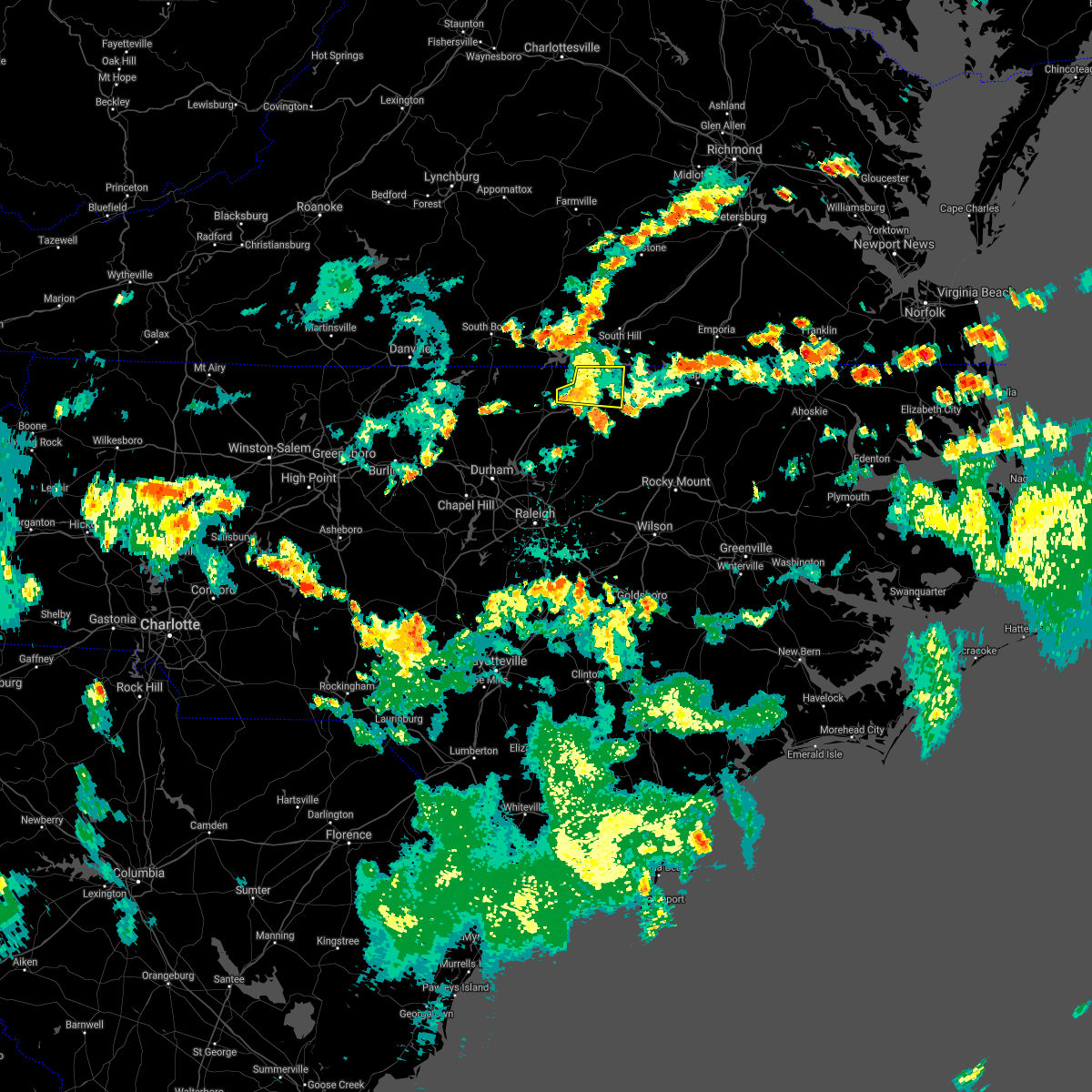 The severe thunderstorm warning for northern vance and northwestern warren counties will expire at 730 pm edt, the storms which prompted the warning have weakened below severe limits, and no longer pose an immediate threat to life or property. therefore, the warning will be allowed to expire. however gusty winds and heavy rain are still possible with these thunderstorms. to report severe weather, contact your nearest law enforcement agency. they will relay your report to the national weather service raleigh. The severe thunderstorm warning for northern vance and northwestern warren counties will expire at 730 pm edt, the storms which prompted the warning have weakened below severe limits, and no longer pose an immediate threat to life or property. therefore, the warning will be allowed to expire. however gusty winds and heavy rain are still possible with these thunderstorms. to report severe weather, contact your nearest law enforcement agency. they will relay your report to the national weather service raleigh.
|
| 7/18/2021 7:18 PM EDT |
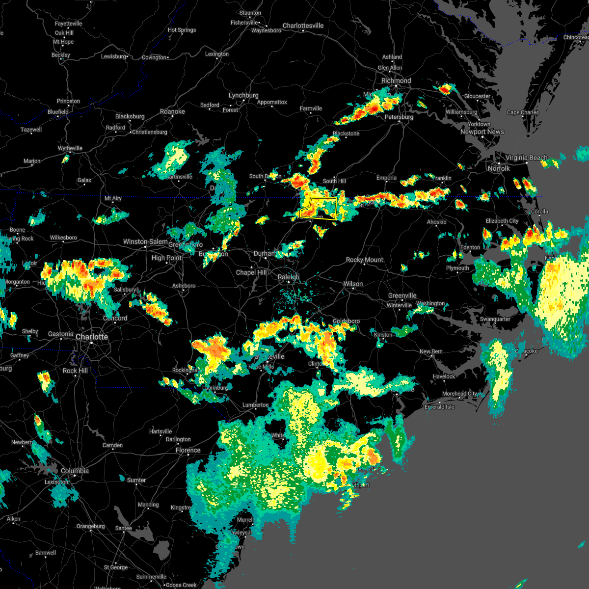 At 718 pm edt, severe thunderstorms were located along a line extending from 10 miles south of boydton to 6 miles west of norlina to near henderson, moving east at 20 mph (radar indicated). Hazards include 60 mph wind gusts. Expect damage to roofs, siding, and trees. Locations impacted include, warrenton, norlina, middleburg, satterwhite point marina, drewry, steele creek marina & campground, bullocksville, kerr lake, wise and john h kerr reservoir. At 718 pm edt, severe thunderstorms were located along a line extending from 10 miles south of boydton to 6 miles west of norlina to near henderson, moving east at 20 mph (radar indicated). Hazards include 60 mph wind gusts. Expect damage to roofs, siding, and trees. Locations impacted include, warrenton, norlina, middleburg, satterwhite point marina, drewry, steele creek marina & campground, bullocksville, kerr lake, wise and john h kerr reservoir.
|
| 7/18/2021 7:07 PM EDT |
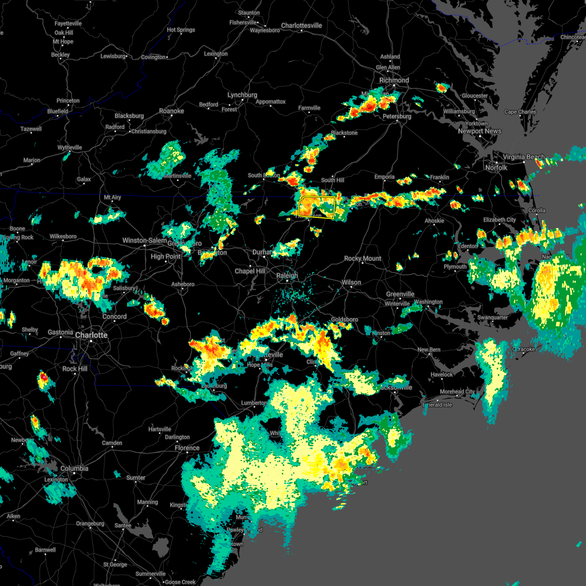 At 707 pm edt, severe thunderstorms were located along a line extending from 7 miles south of boydton to 8 miles west of norlina to near henderson, moving east at 20 mph (radar indicated). Hazards include 60 mph wind gusts. Expect damage to roofs, siding, and trees. Locations impacted include, warrenton, norlina, middleburg, tungsten, satterwhite point marina, drewry, steele creek marina & campground, bullocksville, kerr lake and wise. At 707 pm edt, severe thunderstorms were located along a line extending from 7 miles south of boydton to 8 miles west of norlina to near henderson, moving east at 20 mph (radar indicated). Hazards include 60 mph wind gusts. Expect damage to roofs, siding, and trees. Locations impacted include, warrenton, norlina, middleburg, tungsten, satterwhite point marina, drewry, steele creek marina & campground, bullocksville, kerr lake and wise.
|
| 7/18/2021 6:51 PM EDT |
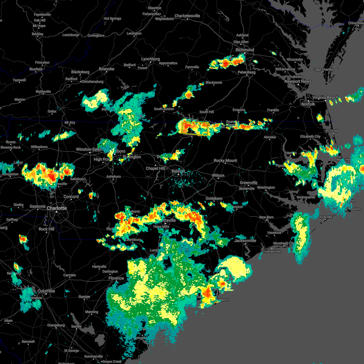 At 651 pm edt, a severe thunderstorm was located 10 miles southeast of clarksville, or 12 miles north of henderson, moving east at 20 mph (radar indicated). Hazards include 60 mph wind gusts. expect damage to roofs, siding, and trees At 651 pm edt, a severe thunderstorm was located 10 miles southeast of clarksville, or 12 miles north of henderson, moving east at 20 mph (radar indicated). Hazards include 60 mph wind gusts. expect damage to roofs, siding, and trees
|
| 7/1/2021 11:23 PM EDT |
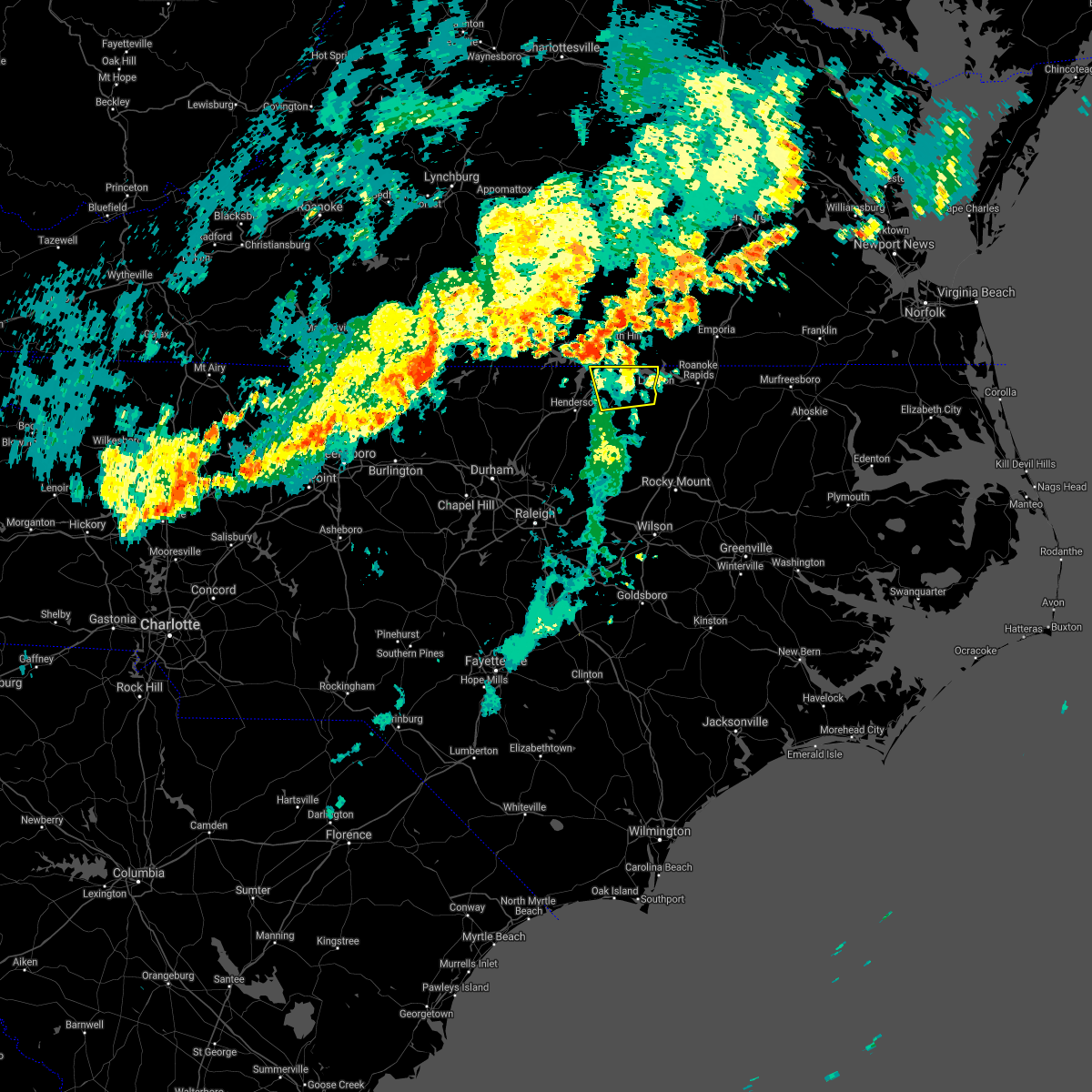 The severe thunderstorm warning for warren county will expire at 1130 pm edt, the storms which prompted the warning have moved out of the area. therefore, the warning will be allowed to expire. The severe thunderstorm warning for warren county will expire at 1130 pm edt, the storms which prompted the warning have moved out of the area. therefore, the warning will be allowed to expire.
|
| 7/1/2021 11:16 PM EDT |
 At 1116 pm edt, severe thunderstorms were located along a line extending from norlina to near littleton, moving northeast at 35 mph (radar indicated). Hazards include 60 mph wind gusts and nickel size hail. Expect damage to roofs, siding, and trees. Locations impacted include, warrenton, norlina, littleton, macon, lake gaston, wise and southpointe and morningstar marinas. At 1116 pm edt, severe thunderstorms were located along a line extending from norlina to near littleton, moving northeast at 35 mph (radar indicated). Hazards include 60 mph wind gusts and nickel size hail. Expect damage to roofs, siding, and trees. Locations impacted include, warrenton, norlina, littleton, macon, lake gaston, wise and southpointe and morningstar marinas.
|
| 7/1/2021 10:59 PM EDT |
 At 1059 pm edt, severe thunderstorms were located along a line extending from near oxford to near warrenton to 6 miles east of louisburg, moving northeast at 45 mph (radar indicated). Hazards include 60 mph wind gusts and nickel size hail. Expect damage to roofs, siding, and trees. Locations impacted include, henderson, oxford, warrenton, norlina, littleton, kittrell, stovall, middleburg, macon and centerville. At 1059 pm edt, severe thunderstorms were located along a line extending from near oxford to near warrenton to 6 miles east of louisburg, moving northeast at 45 mph (radar indicated). Hazards include 60 mph wind gusts and nickel size hail. Expect damage to roofs, siding, and trees. Locations impacted include, henderson, oxford, warrenton, norlina, littleton, kittrell, stovall, middleburg, macon and centerville.
|
| 7/1/2021 10:42 PM EDT |
 At 1041 pm edt, severe thunderstorms were located along a line extending from oxford to 7 miles northeast of louisburg to zebulon, moving northeast at 50 mph (radar indicated). Hazards include 60 mph wind gusts and nickel size hail. expect damage to roofs, siding, and trees At 1041 pm edt, severe thunderstorms were located along a line extending from oxford to 7 miles northeast of louisburg to zebulon, moving northeast at 50 mph (radar indicated). Hazards include 60 mph wind gusts and nickel size hail. expect damage to roofs, siding, and trees
|
| 4/14/2021 7:14 PM EDT |
 At 713 pm edt, severe thunderstorms were located along a line extending from near ebony to 9 miles northeast of warrenton to near norlina, moving east at 35 mph (radar indicated). Hazards include 60 mph wind gusts and quarter size hail. Hail damage to vehicles is expected. Expect wind damage to roofs, siding, and trees. At 713 pm edt, severe thunderstorms were located along a line extending from near ebony to 9 miles northeast of warrenton to near norlina, moving east at 35 mph (radar indicated). Hazards include 60 mph wind gusts and quarter size hail. Hail damage to vehicles is expected. Expect wind damage to roofs, siding, and trees.
|
| 4/14/2021 6:59 PM EDT |
 A severe thunderstorm warning remains in effect until 715 pm edt for northern warren and northwestern halifax counties. at 658 pm edt, a severe thunderstorm was located near norlina, or 8 miles north of warrenton, moving east at 45 mph. hazard. 60 mph wind gusts and quarter size hail. source. Radar indicated. A severe thunderstorm warning remains in effect until 715 pm edt for northern warren and northwestern halifax counties. at 658 pm edt, a severe thunderstorm was located near norlina, or 8 miles north of warrenton, moving east at 45 mph. hazard. 60 mph wind gusts and quarter size hail. source. Radar indicated.
|
| 4/14/2021 6:46 PM EDT |
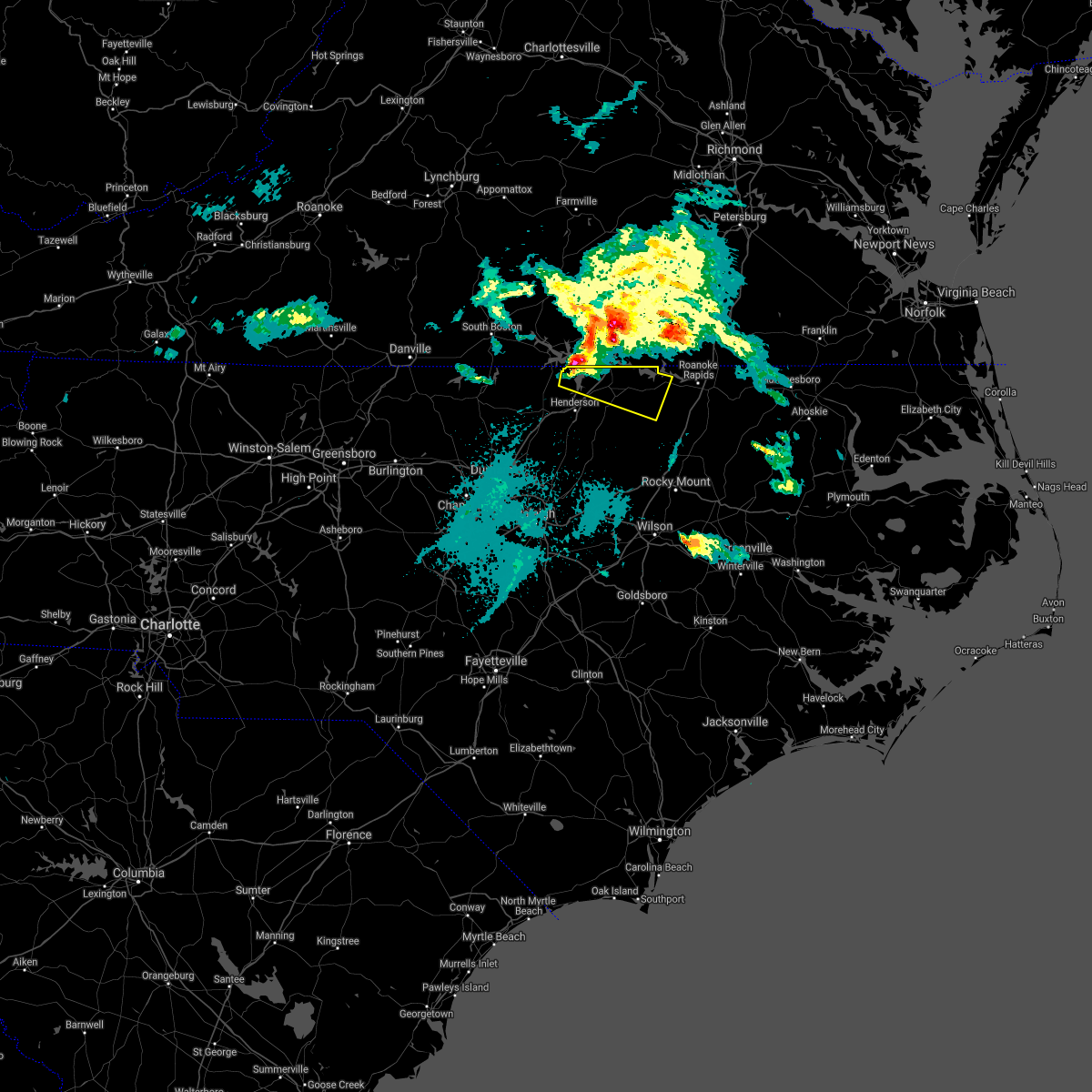 At 645 pm edt, a severe thunderstorm was located 9 miles south of boydton, or 14 miles northwest of warrenton, moving east at 35 mph (radar indicated). Hazards include 60 mph wind gusts and quarter size hail. Hail damage to vehicles is expected. expect wind damage to roofs, siding, and trees. Locations impacted include, warrenton, norlina, littleton, middleburg, macon, steele creek marina & campground, kerr lake, lake gaston, wise and southpointe and morningstar marinas. At 645 pm edt, a severe thunderstorm was located 9 miles south of boydton, or 14 miles northwest of warrenton, moving east at 35 mph (radar indicated). Hazards include 60 mph wind gusts and quarter size hail. Hail damage to vehicles is expected. expect wind damage to roofs, siding, and trees. Locations impacted include, warrenton, norlina, littleton, middleburg, macon, steele creek marina & campground, kerr lake, lake gaston, wise and southpointe and morningstar marinas.
|
| 4/14/2021 6:41 PM EDT |
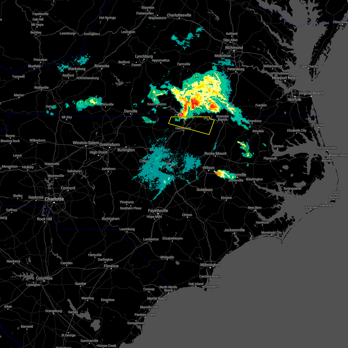 At 639 pm edt, a severe thunderstorm was located over kerr lake over northeastern granville and northern vance county, or 13 miles north of henderson, moving east at 40 mph (radar indicated). Hazards include 60 mph wind gusts and quarter size hail. Hail damage to vehicles is expected. expect wind damage to roofs, siding, and trees. Locations impacted include, kerr lake, lake gaston, warrenton, norlina, littleton, stovall, middleburg, macon, steele creek marina & campground, and wise. At 639 pm edt, a severe thunderstorm was located over kerr lake over northeastern granville and northern vance county, or 13 miles north of henderson, moving east at 40 mph (radar indicated). Hazards include 60 mph wind gusts and quarter size hail. Hail damage to vehicles is expected. expect wind damage to roofs, siding, and trees. Locations impacted include, kerr lake, lake gaston, warrenton, norlina, littleton, stovall, middleburg, macon, steele creek marina & campground, and wise.
|
| 4/14/2021 6:30 PM EDT |
 At 629 pm edt, a severe thunderstorm over kerr lake in northeastern granville and northern vance counties, moving east-southeast at 35 mph (radar indicated). Hazards include 60 mph wind gusts and quarter size hail. Hail damage to vehicles is expected. expect wind damage to roofs, siding, and trees. Locations impacted include, kerr lake, lake gaston, norlina, littleton, stovall, middleburg, macon, gillburg, afton and steele creek marina & campground. At 629 pm edt, a severe thunderstorm over kerr lake in northeastern granville and northern vance counties, moving east-southeast at 35 mph (radar indicated). Hazards include 60 mph wind gusts and quarter size hail. Hail damage to vehicles is expected. expect wind damage to roofs, siding, and trees. Locations impacted include, kerr lake, lake gaston, norlina, littleton, stovall, middleburg, macon, gillburg, afton and steele creek marina & campground.
|
| 4/14/2021 6:13 PM EDT |
 At 611 pm edt, a severe thunderstorm was located 9 miles west- northwest of kerr lake, moving east-southeast at 45 mph (radar indicated). Hazards include quarter size hail. damage to vehicles is expected At 611 pm edt, a severe thunderstorm was located 9 miles west- northwest of kerr lake, moving east-southeast at 45 mph (radar indicated). Hazards include quarter size hail. damage to vehicles is expected
|
| 4/9/2021 6:16 PM EDT |
 At 615 pm edt, a severe thunderstorm was located near norlina, or near warrenton, moving east at 20 mph (radar indicated). Hazards include 60 mph wind gusts and quarter size hail. Hail damage to vehicles is expected. expect wind damage to roofs, siding, and trees. Locations impacted include, warrenton, norlina, macon, wise and lake gaston. At 615 pm edt, a severe thunderstorm was located near norlina, or near warrenton, moving east at 20 mph (radar indicated). Hazards include 60 mph wind gusts and quarter size hail. Hail damage to vehicles is expected. expect wind damage to roofs, siding, and trees. Locations impacted include, warrenton, norlina, macon, wise and lake gaston.
|
| 4/9/2021 5:59 PM EDT |
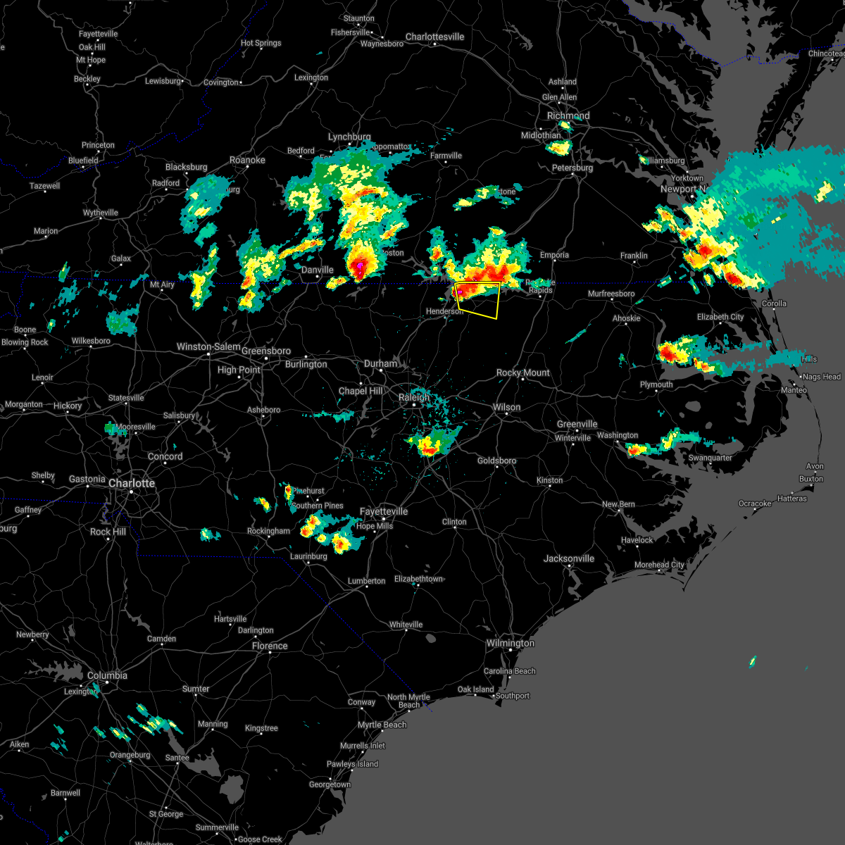 At 558 pm edt, a severe thunderstorm was located near norlina, or 8 miles northwest of warrenton, moving east at 10 mph (radar indicated). Hazards include 60 mph wind gusts and quarter size hail. Hail damage to vehicles is expected. Expect wind damage to roofs, siding, and trees. At 558 pm edt, a severe thunderstorm was located near norlina, or 8 miles northwest of warrenton, moving east at 10 mph (radar indicated). Hazards include 60 mph wind gusts and quarter size hail. Hail damage to vehicles is expected. Expect wind damage to roofs, siding, and trees.
|
| 4/9/2021 5:52 PM EDT |
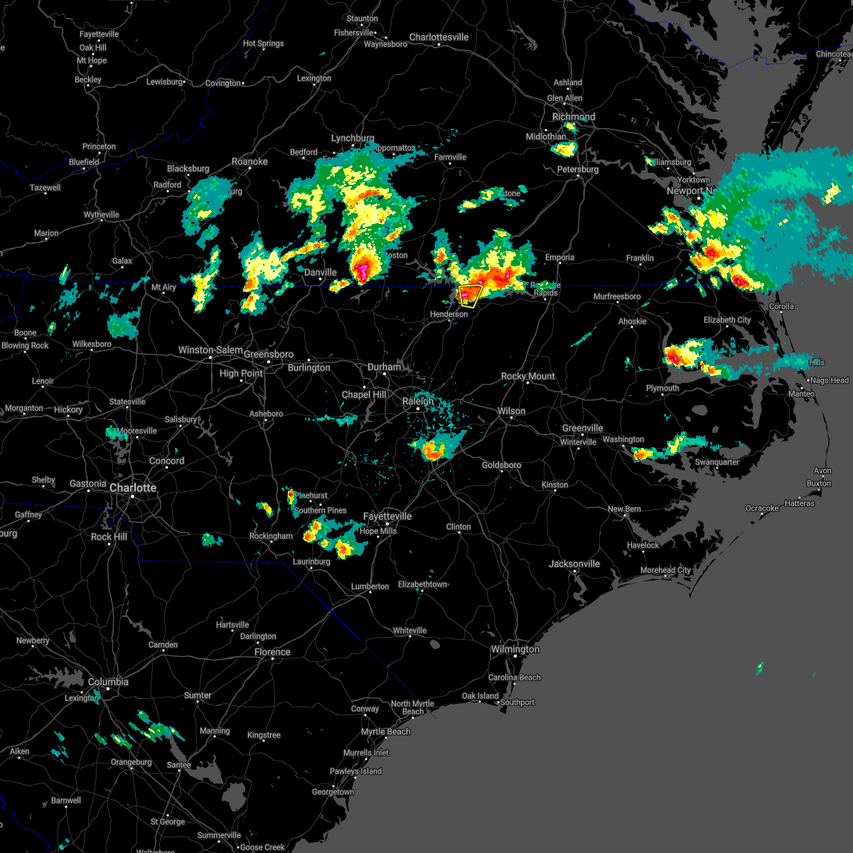 At 552 pm edt, a severe thunderstorm was located near norlina, or 8 miles northwest of warrenton, moving east at 20 mph (radar indicated). Hazards include 60 mph wind gusts and half dollar size hail. Hail damage to vehicles is expected. expect wind damage to roofs, siding, and trees. Locations impacted include, norlina, drewry and wise. At 552 pm edt, a severe thunderstorm was located near norlina, or 8 miles northwest of warrenton, moving east at 20 mph (radar indicated). Hazards include 60 mph wind gusts and half dollar size hail. Hail damage to vehicles is expected. expect wind damage to roofs, siding, and trees. Locations impacted include, norlina, drewry and wise.
|
| 4/9/2021 5:29 PM EDT |
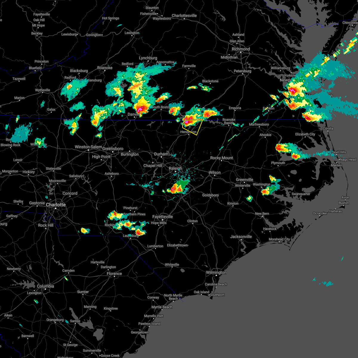 At 529 pm edt, a severe thunderstorm was located 9 miles southeast of clarksville, or 13 miles north of henderson, moving east at 15 mph (radar indicated). Hazards include 60 mph wind gusts and half dollar size hail. Hail damage to vehicles is expected. expect wind damage to roofs, siding, and trees. Locations impacted include, norlina, middleburg, tungsten, satterwhite point marina, drewry, steele creek marina & campground, bullocksville, kerr lake, wise and john h kerr reservoir. At 529 pm edt, a severe thunderstorm was located 9 miles southeast of clarksville, or 13 miles north of henderson, moving east at 15 mph (radar indicated). Hazards include 60 mph wind gusts and half dollar size hail. Hail damage to vehicles is expected. expect wind damage to roofs, siding, and trees. Locations impacted include, norlina, middleburg, tungsten, satterwhite point marina, drewry, steele creek marina & campground, bullocksville, kerr lake, wise and john h kerr reservoir.
|
| 4/9/2021 5:12 PM EDT |
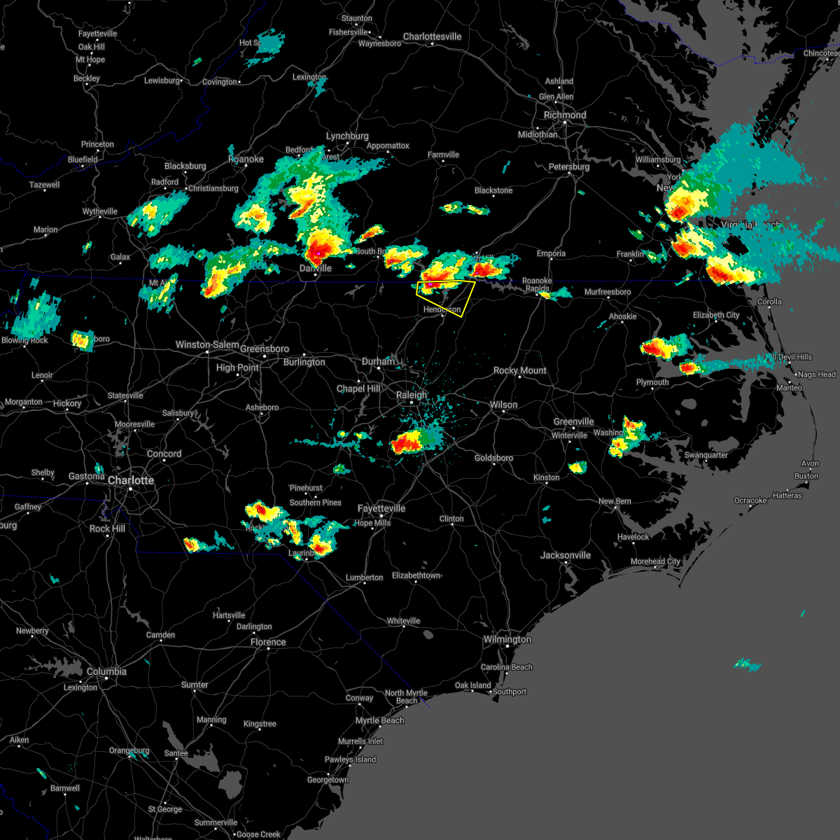 At 510 pm edt, a severe thunderstorm was located 8 miles south of clarksville, or 13 miles north of oxford, moving east at 15 mph (radar indicated). Hazards include 60 mph wind gusts and quarter size hail. Hail damage to vehicles is expected. Expect wind damage to roofs, siding, and trees. At 510 pm edt, a severe thunderstorm was located 8 miles south of clarksville, or 13 miles north of oxford, moving east at 15 mph (radar indicated). Hazards include 60 mph wind gusts and quarter size hail. Hail damage to vehicles is expected. Expect wind damage to roofs, siding, and trees.
|
| 3/18/2021 7:52 PM EDT |
 At 752 pm edt, a severe thunderstorm capable of producing a tornado was located near lake gaston, or 10 miles northeast of warrenton, moving east at 35 mph (radar indicated rotation). Hazards include tornado. Flying debris will be dangerous to those caught without shelter. mobile homes will be damaged or destroyed. damage to roofs, windows, and vehicles will occur. tree damage is likely. Locations impacted include, warrenton, norlina, littleton, macon, lake gaston, wise, southpointe and morningstar marinas and roanoke rapids lake. At 752 pm edt, a severe thunderstorm capable of producing a tornado was located near lake gaston, or 10 miles northeast of warrenton, moving east at 35 mph (radar indicated rotation). Hazards include tornado. Flying debris will be dangerous to those caught without shelter. mobile homes will be damaged or destroyed. damage to roofs, windows, and vehicles will occur. tree damage is likely. Locations impacted include, warrenton, norlina, littleton, macon, lake gaston, wise, southpointe and morningstar marinas and roanoke rapids lake.
|
| 3/18/2021 7:46 PM EDT |
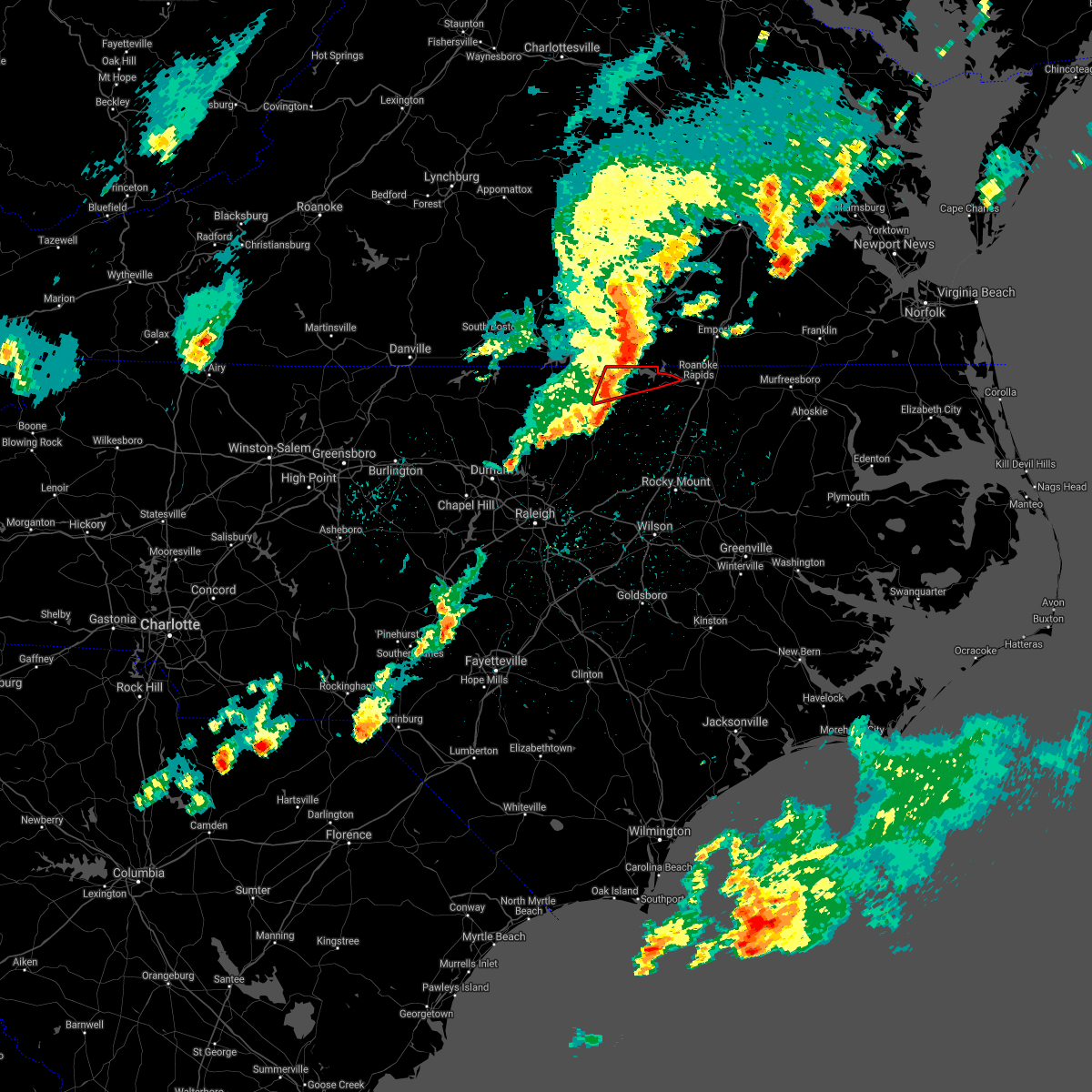 At 745 pm edt, a severe thunderstorm capable of producing a tornado was located near wise, or 7 miles north of warrenton, moving east at 40 mph (radar indicated rotation). Hazards include tornado. Flying debris will be dangerous to those caught without shelter. mobile homes will be damaged or destroyed. damage to roofs, windows, and vehicles will occur. tree damage is likely. This tornadic thunderstorm will remain over mainly rural areas of northern warren and northwestern halifax counties, including the following locations, macon, lake gaston, wise, southpointe and morningstar marinas and roanoke rapids lake. At 745 pm edt, a severe thunderstorm capable of producing a tornado was located near wise, or 7 miles north of warrenton, moving east at 40 mph (radar indicated rotation). Hazards include tornado. Flying debris will be dangerous to those caught without shelter. mobile homes will be damaged or destroyed. damage to roofs, windows, and vehicles will occur. tree damage is likely. This tornadic thunderstorm will remain over mainly rural areas of northern warren and northwestern halifax counties, including the following locations, macon, lake gaston, wise, southpointe and morningstar marinas and roanoke rapids lake.
|
| 3/18/2021 7:35 PM EDT |
 At 735 pm edt, a severe thunderstorm capable of producing a tornado was located near drewry, or 8 miles northwest of warrenton, moving east at 40 mph (radar indicated rotation). Hazards include tornado. Flying debris will be dangerous to those caught without shelter. mobile homes will be damaged or destroyed. damage to roofs, windows, and vehicles will occur. tree damage is likely. this dangerous storm will be near, warrenton around 740 pm edt. Other locations impacted by this tornadic thunderstorm include macon, drewry, middleburg, lake gaston and wise. At 735 pm edt, a severe thunderstorm capable of producing a tornado was located near drewry, or 8 miles northwest of warrenton, moving east at 40 mph (radar indicated rotation). Hazards include tornado. Flying debris will be dangerous to those caught without shelter. mobile homes will be damaged or destroyed. damage to roofs, windows, and vehicles will occur. tree damage is likely. this dangerous storm will be near, warrenton around 740 pm edt. Other locations impacted by this tornadic thunderstorm include macon, drewry, middleburg, lake gaston and wise.
|
| 3/18/2021 7:11 PM EDT |
 At 711 pm edt, a severe thunderstorm capable of producing a tornado was located near oxford, moving east at 35 mph (radar indicated rotation). Hazards include tornado. Flying debris will be dangerous to those caught without shelter. mobile homes will be damaged or destroyed. damage to roofs, windows, and vehicles will occur. tree damage is likely. this dangerous storm will be near, henderson around 715 pm edt. warrenton and norlina around 745 pm edt. Other locations impacted by this tornadic thunderstorm include macon, steele creek marina & campground, middleburg, kerr lake and lake gaston. At 711 pm edt, a severe thunderstorm capable of producing a tornado was located near oxford, moving east at 35 mph (radar indicated rotation). Hazards include tornado. Flying debris will be dangerous to those caught without shelter. mobile homes will be damaged or destroyed. damage to roofs, windows, and vehicles will occur. tree damage is likely. this dangerous storm will be near, henderson around 715 pm edt. warrenton and norlina around 745 pm edt. Other locations impacted by this tornadic thunderstorm include macon, steele creek marina & campground, middleburg, kerr lake and lake gaston.
|
| 7/28/2020 5:25 PM EDT |
 At 525 pm edt, severe thunderstorms were located along a line extending from near warrenton to near raleigh, moving southeast at 20 mph (radar indicated). Hazards include 60 mph wind gusts. expect damage to roofs, siding, and trees At 525 pm edt, severe thunderstorms were located along a line extending from near warrenton to near raleigh, moving southeast at 20 mph (radar indicated). Hazards include 60 mph wind gusts. expect damage to roofs, siding, and trees
|
| 7/17/2020 6:15 PM EDT |
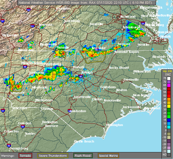 At 614 pm edt, a severe thunderstorm was located near henderson, moving southeast at 15 mph (radar indicated). Hazards include 60 mph wind gusts and quarter size hail. Hail damage to vehicles is expected. expect wind damage to roofs, siding, and trees. Locations impacted include, henderson, oxford, warrenton, norlina, littleton, kittrell, stovall, middleburg, macon and gillburg. At 614 pm edt, a severe thunderstorm was located near henderson, moving southeast at 15 mph (radar indicated). Hazards include 60 mph wind gusts and quarter size hail. Hail damage to vehicles is expected. expect wind damage to roofs, siding, and trees. Locations impacted include, henderson, oxford, warrenton, norlina, littleton, kittrell, stovall, middleburg, macon and gillburg.
|
| 7/17/2020 6:05 PM EDT | Tree down near the intersection of tower road and cool springs roa in warren county NC, 7.4 miles NNE of Norlina, NC |
| 7/17/2020 5:50 PM EDT |
 At 549 pm edt, a severe thunderstorm was located 9 miles north of henderson, moving south southeast at 10 mph (radar indicated). Hazards include 60 mph wind gusts and quarter size hail. Hail damage to vehicles is expected. Expect wind damage to roofs, siding, and trees. At 549 pm edt, a severe thunderstorm was located 9 miles north of henderson, moving south southeast at 10 mph (radar indicated). Hazards include 60 mph wind gusts and quarter size hail. Hail damage to vehicles is expected. Expect wind damage to roofs, siding, and trees.
|
| 6/19/2020 4:46 PM EDT |
 At 446 pm edt, a severe thunderstorm was located 10 miles southeast of warrenton, moving north at 30 mph (radar indicated). Hazards include 60 mph wind gusts and quarter size hail. Hail damage to vehicles is expected. expect wind damage to roofs, siding, and trees. Locations impacted include, warrenton, norlina, littleton, macon, centerville, arcola, afton, lake gaston, wise and southpointe and morningstar marinas. At 446 pm edt, a severe thunderstorm was located 10 miles southeast of warrenton, moving north at 30 mph (radar indicated). Hazards include 60 mph wind gusts and quarter size hail. Hail damage to vehicles is expected. expect wind damage to roofs, siding, and trees. Locations impacted include, warrenton, norlina, littleton, macon, centerville, arcola, afton, lake gaston, wise and southpointe and morningstar marinas.
|
| 6/19/2020 4:30 PM EDT |
 At 430 pm edt, a severe thunderstorm was located 10 miles east of louisburg, moving north at 30 mph (radar indicated). Hazards include 60 mph wind gusts and quarter size hail. Hail damage to vehicles is expected. Expect wind damage to roofs, siding, and trees. At 430 pm edt, a severe thunderstorm was located 10 miles east of louisburg, moving north at 30 mph (radar indicated). Hazards include 60 mph wind gusts and quarter size hail. Hail damage to vehicles is expected. Expect wind damage to roofs, siding, and trees.
|
| 4/13/2020 8:15 AM EDT |
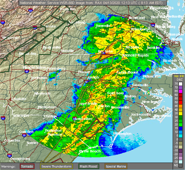 At 814 am edt, severe thunderstorms were located along a line extending from near ebony to 6 miles east of warrenton to 11 miles northeast of louisburg, moving east at 45 mph (radar indicated). Hazards include 60 mph wind gusts and penny size hail. Expect damage to roofs, siding, and trees. Locations impacted include, warrenton, norlina, littleton, macon, centerville, arcola, ingleside, drewry, afton and lake gaston. At 814 am edt, severe thunderstorms were located along a line extending from near ebony to 6 miles east of warrenton to 11 miles northeast of louisburg, moving east at 45 mph (radar indicated). Hazards include 60 mph wind gusts and penny size hail. Expect damage to roofs, siding, and trees. Locations impacted include, warrenton, norlina, littleton, macon, centerville, arcola, ingleside, drewry, afton and lake gaston.
|
| 4/13/2020 8:01 AM EDT |
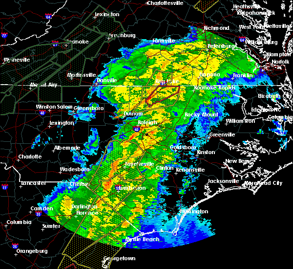 At 800 am edt, a severe thunderstorm capable of producing a tornado was located over norlina, or near warrenton, moving northeast at 50 mph (radar indicated rotation). Hazards include tornado. Flying debris will be dangerous to those caught without shelter. mobile homes will be damaged or destroyed. damage to roofs, windows, and vehicles will occur. tree damage is likely. This tornadic thunderstorm will remain over mainly rural areas of northern warren county, including the following locations, wise and lake gaston. At 800 am edt, a severe thunderstorm capable of producing a tornado was located over norlina, or near warrenton, moving northeast at 50 mph (radar indicated rotation). Hazards include tornado. Flying debris will be dangerous to those caught without shelter. mobile homes will be damaged or destroyed. damage to roofs, windows, and vehicles will occur. tree damage is likely. This tornadic thunderstorm will remain over mainly rural areas of northern warren county, including the following locations, wise and lake gaston.
|
| 4/13/2020 7:53 AM EDT |
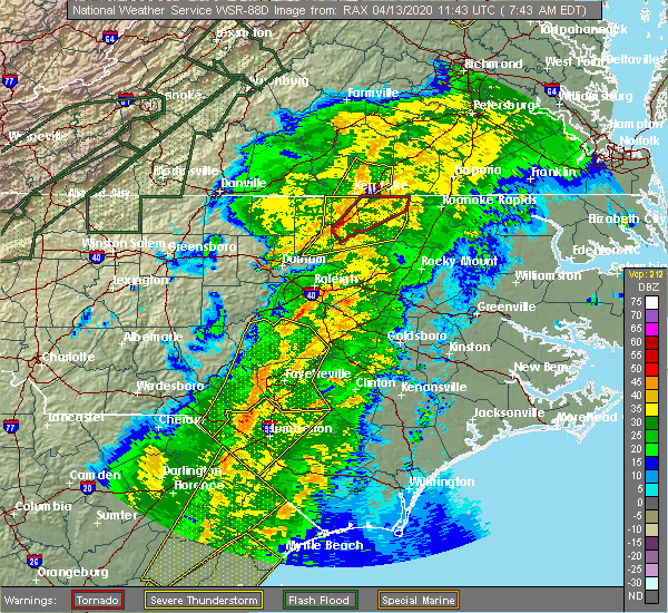 At 753 am edt, a severe thunderstorm capable of producing a tornado was located near henderson, moving northeast at 50 mph (radar indicated rotation). Hazards include tornado. Flying debris will be dangerous to those caught without shelter. mobile homes will be damaged or destroyed. damage to roofs, windows, and vehicles will occur. tree damage is likely. this dangerous storm will be near, warrenton and norlina around 805 am edt. Other locations impacted by this tornadic thunderstorm include macon, satterwhite point marina, gillburg, drewry and middleburg. At 753 am edt, a severe thunderstorm capable of producing a tornado was located near henderson, moving northeast at 50 mph (radar indicated rotation). Hazards include tornado. Flying debris will be dangerous to those caught without shelter. mobile homes will be damaged or destroyed. damage to roofs, windows, and vehicles will occur. tree damage is likely. this dangerous storm will be near, warrenton and norlina around 805 am edt. Other locations impacted by this tornadic thunderstorm include macon, satterwhite point marina, gillburg, drewry and middleburg.
|
| 4/13/2020 7:47 AM EDT |
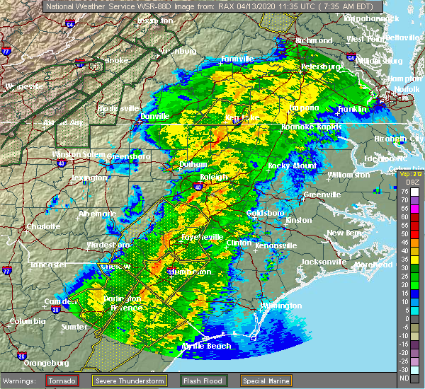 At 747 am edt, a severe thunderstorm capable of producing a tornado was located over henderson, moving northeast at 50 mph (radar indicated rotation). Hazards include tornado. Flying debris will be dangerous to those caught without shelter. mobile homes will be damaged or destroyed. damage to roofs, windows, and vehicles will occur. tree damage is likely. this dangerous storm will be near, warrenton and norlina around 805 am edt. Other locations impacted by this tornadic thunderstorm include macon, gillburg, drewry, afton and middleburg. At 747 am edt, a severe thunderstorm capable of producing a tornado was located over henderson, moving northeast at 50 mph (radar indicated rotation). Hazards include tornado. Flying debris will be dangerous to those caught without shelter. mobile homes will be damaged or destroyed. damage to roofs, windows, and vehicles will occur. tree damage is likely. this dangerous storm will be near, warrenton and norlina around 805 am edt. Other locations impacted by this tornadic thunderstorm include macon, gillburg, drewry, afton and middleburg.
|
| 4/13/2020 7:38 AM EDT |
 At 738 am edt, severe thunderstorms were located along a line extending from 11 miles north of henderson to near kittrell to creedmoor, moving east at 45 mph (radar indicated). Hazards include 60 mph wind gusts and penny size hail. expect damage to roofs, siding, and trees At 738 am edt, severe thunderstorms were located along a line extending from 11 miles north of henderson to near kittrell to creedmoor, moving east at 45 mph (radar indicated). Hazards include 60 mph wind gusts and penny size hail. expect damage to roofs, siding, and trees
|
| 2/6/2020 1:49 PM EST |
 At 148 pm est, severe thunderstorms were located along a line extending from 7 miles southwest of ebony to 9 miles east of kittrell to franklinton, moving east at 55 mph (radar indicated). Hazards include 60 mph wind gusts. Expect damage to roofs, siding, and trees. Locations impacted include, roanoke rapids, henderson, louisburg, warrenton, franklinton, norlina, littleton, kittrell, youngsville and castalia. At 148 pm est, severe thunderstorms were located along a line extending from 7 miles southwest of ebony to 9 miles east of kittrell to franklinton, moving east at 55 mph (radar indicated). Hazards include 60 mph wind gusts. Expect damage to roofs, siding, and trees. Locations impacted include, roanoke rapids, henderson, louisburg, warrenton, franklinton, norlina, littleton, kittrell, youngsville and castalia.
|
| 2/6/2020 1:28 PM EST |
 At 127 pm est, severe thunderstorms were located along a line extending from 10 miles southeast of clarksville to near creedmoor to near pittsboro, moving east at 50 mph (radar indicated). Hazards include 60 mph wind gusts. expect damage to roofs, siding, and trees At 127 pm est, severe thunderstorms were located along a line extending from 10 miles southeast of clarksville to near creedmoor to near pittsboro, moving east at 50 mph (radar indicated). Hazards include 60 mph wind gusts. expect damage to roofs, siding, and trees
|
| 1/12/2020 12:31 AM EST |
 At 1230 am est, severe thunderstorms were located along a line extending from 7 miles southeast of boydton to 9 miles north of louisburg to 7 miles east of wake forest, moving east at 65 mph (radar indicated). Hazards include 60 mph wind gusts. Expect damage to roofs, siding, and trees. Locations impacted include, rocky mount, henderson, nashville, louisburg, warrenton, franklinton, norlina, dortches, littleton and bailey. At 1230 am est, severe thunderstorms were located along a line extending from 7 miles southeast of boydton to 9 miles north of louisburg to 7 miles east of wake forest, moving east at 65 mph (radar indicated). Hazards include 60 mph wind gusts. Expect damage to roofs, siding, and trees. Locations impacted include, rocky mount, henderson, nashville, louisburg, warrenton, franklinton, norlina, dortches, littleton and bailey.
|
| 1/12/2020 12:00 AM EST |
 At 1200 am est, severe thunderstorms were located along a line extending from near scottsburg to 8 miles southwest of cary, moving northeast at 65 mph (radar indicated). Hazards include 60 mph wind gusts. expect damage to roofs, siding, and trees At 1200 am est, severe thunderstorms were located along a line extending from near scottsburg to 8 miles southwest of cary, moving northeast at 65 mph (radar indicated). Hazards include 60 mph wind gusts. expect damage to roofs, siding, and trees
|
| 10/31/2019 9:33 PM EDT |
 At 932 pm edt, severe thunderstorms were located along a line extending from near brunswick to 7 miles southwest of warrenton, moving northeast at 40 mph (radar indicated). Hazards include 60 mph wind gusts. Expect damage to roofs, siding, and trees. locations impacted include, roanoke rapids, warrenton, norlina, littleton, macon, centerville, medoc mountain state park, afton, lake gaston and southpointe and morningstar marinas. A tornado watch remains in effect until 1100 pm edt for central north carolina. At 932 pm edt, severe thunderstorms were located along a line extending from near brunswick to 7 miles southwest of warrenton, moving northeast at 40 mph (radar indicated). Hazards include 60 mph wind gusts. Expect damage to roofs, siding, and trees. locations impacted include, roanoke rapids, warrenton, norlina, littleton, macon, centerville, medoc mountain state park, afton, lake gaston and southpointe and morningstar marinas. A tornado watch remains in effect until 1100 pm edt for central north carolina.
|
| 10/31/2019 9:14 PM EDT |
 At 914 pm edt, severe thunderstorms were located along a line extending from 6 miles west of ebony to near kittrell, moving northeast at 40 mph (radar indicated). Hazards include 60 mph wind gusts. expect damage to roofs, siding, and trees At 914 pm edt, severe thunderstorms were located along a line extending from 6 miles west of ebony to near kittrell, moving northeast at 40 mph (radar indicated). Hazards include 60 mph wind gusts. expect damage to roofs, siding, and trees
|
| 10/31/2019 9:06 PM EDT |
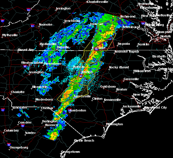 At 905 pm edt, severe thunderstorms were located along a line extending from near dundas to brodnax to near norlina, moving northeast at 50 mph (radar indicated). Hazards include 60 mph wind gusts. Expect damage to roofs, siding, and trees. locations impacted include, henderson, warrenton, norlina, kittrell, middleburg, macon, ingleside, gillburg, afton and steele creek marina & campground. A tornado watch remains in effect until 1100 pm edt for central north carolina. At 905 pm edt, severe thunderstorms were located along a line extending from near dundas to brodnax to near norlina, moving northeast at 50 mph (radar indicated). Hazards include 60 mph wind gusts. Expect damage to roofs, siding, and trees. locations impacted include, henderson, warrenton, norlina, kittrell, middleburg, macon, ingleside, gillburg, afton and steele creek marina & campground. A tornado watch remains in effect until 1100 pm edt for central north carolina.
|
| 10/31/2019 8:36 PM EDT |
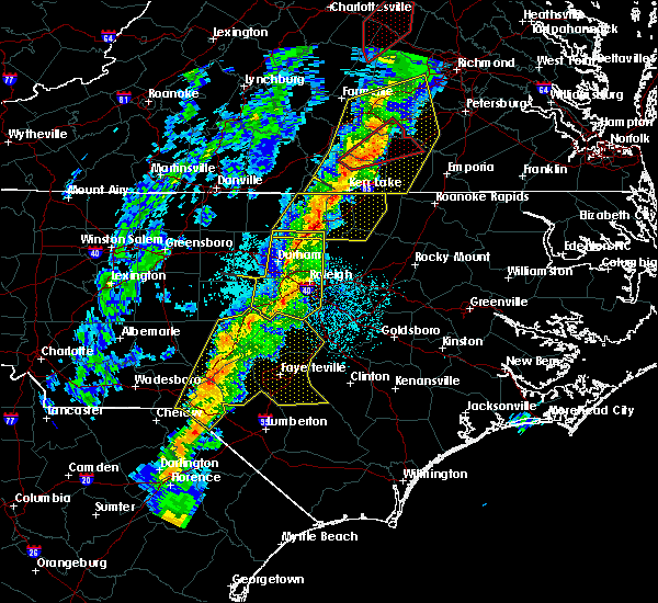 At 835 pm edt, severe thunderstorms were located along a line extending from 7 miles east of chase city to 7 miles south of boydton to near oxford, moving northeast at 50 mph (radar indicated). Hazards include 60 mph wind gusts. Expect damage to roofs, siding, and trees. locations impacted include, henderson, oxford, warrenton, norlina, kittrell, stem, stovall, middleburg, macon and ingleside. A tornado watch remains in effect until 1100 pm edt for central north carolina. At 835 pm edt, severe thunderstorms were located along a line extending from 7 miles east of chase city to 7 miles south of boydton to near oxford, moving northeast at 50 mph (radar indicated). Hazards include 60 mph wind gusts. Expect damage to roofs, siding, and trees. locations impacted include, henderson, oxford, warrenton, norlina, kittrell, stem, stovall, middleburg, macon and ingleside. A tornado watch remains in effect until 1100 pm edt for central north carolina.
|
| 10/31/2019 8:15 PM EDT |
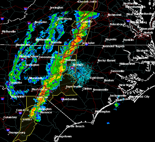 At 814 pm edt, severe thunderstorms were located along a line extending from near clarksville to 10 miles north of oxford to near butner, moving northeast at 50 mph (radar indicated). Hazards include 60 mph wind gusts. expect damage to roofs, siding, and trees At 814 pm edt, severe thunderstorms were located along a line extending from near clarksville to 10 miles north of oxford to near butner, moving northeast at 50 mph (radar indicated). Hazards include 60 mph wind gusts. expect damage to roofs, siding, and trees
|
| 8/15/2019 7:53 PM EDT |
 At 753 pm edt, severe thunderstorms were located along a line extending from near barley to 6 miles south of littleton, moving southeast at 20 mph (radar indicated). Hazards include 60 mph wind gusts and penny size hail. expect damage to roofs, siding, and trees At 753 pm edt, severe thunderstorms were located along a line extending from near barley to 6 miles south of littleton, moving southeast at 20 mph (radar indicated). Hazards include 60 mph wind gusts and penny size hail. expect damage to roofs, siding, and trees
|
| 8/13/2019 3:42 PM EDT | Downed trees and limbs resulting in power outages in norlin in warren county NC, 0.4 miles SSE of Norlina, NC |
| 8/13/2019 3:32 PM EDT |
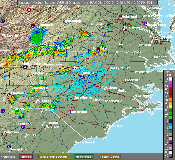 At 331 pm edt, a severe thunderstorm was located 9 miles south of boydton, or 14 miles north of henderson, moving east at 30 mph (radar indicated). Hazards include 60 mph wind gusts and quarter size hail. Hail damage to vehicles is expected. expect wind damage to roofs, siding, and trees. Locations impacted include, norlina, littleton, macon, john h kerr reservoir, bullocksville, kerr lake, lake gaston, wise and southpointe and morningstar marinas. At 331 pm edt, a severe thunderstorm was located 9 miles south of boydton, or 14 miles north of henderson, moving east at 30 mph (radar indicated). Hazards include 60 mph wind gusts and quarter size hail. Hail damage to vehicles is expected. expect wind damage to roofs, siding, and trees. Locations impacted include, norlina, littleton, macon, john h kerr reservoir, bullocksville, kerr lake, lake gaston, wise and southpointe and morningstar marinas.
|
| 8/13/2019 3:20 PM EDT |
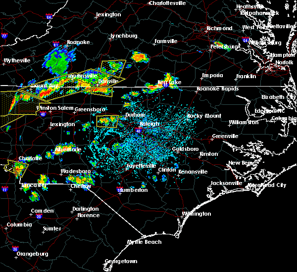 The national weather service in raleigh has issued a * severe thunderstorm warning for. northern warren county in central north carolina. northern vance county in central north carolina. Until 400 pm edt * at 319 pm edt, a severe thunderstorm was located 8 miles south of. The national weather service in raleigh has issued a * severe thunderstorm warning for. northern warren county in central north carolina. northern vance county in central north carolina. Until 400 pm edt * at 319 pm edt, a severe thunderstorm was located 8 miles south of.
|
| 7/22/2019 9:25 PM EDT |
 At 924 pm edt, severe thunderstorms were located along a line extending from near ebony to near littleton to 8 miles south of warrenton, moving northeast at 40 mph (radar indicated). Hazards include 60 mph wind gusts. Expect damage to roofs, siding, and trees. Locations impacted include, roanoke rapids, warrenton, norlina, littleton, weldon, macon, afton, lake gaston, wise and southpointe and morningstar marinas. At 924 pm edt, severe thunderstorms were located along a line extending from near ebony to near littleton to 8 miles south of warrenton, moving northeast at 40 mph (radar indicated). Hazards include 60 mph wind gusts. Expect damage to roofs, siding, and trees. Locations impacted include, roanoke rapids, warrenton, norlina, littleton, weldon, macon, afton, lake gaston, wise and southpointe and morningstar marinas.
|
| 7/22/2019 8:58 PM EDT |
 At 858 pm edt, severe thunderstorms were located along a line extending from near henderson to 6 miles northeast of kittrell to near franklinton, moving northeast at 40 mph (radar indicated). Hazards include 60 mph wind gusts. expect damage to roofs, siding, and trees At 858 pm edt, severe thunderstorms were located along a line extending from near henderson to 6 miles northeast of kittrell to near franklinton, moving northeast at 40 mph (radar indicated). Hazards include 60 mph wind gusts. expect damage to roofs, siding, and trees
|
| 6/20/2019 3:41 PM EDT |
 At 341 pm edt, severe thunderstorms were located along a line extending from 7 miles northeast of norlina to near warrenton to 10 miles east of henderson, moving east at 60 mph (emergency management reports numerous trees and powerlines down across north central north carolina). Hazards include 70 mph wind gusts and nickel size hail. Expect considerable tree damage. Damage is likely to mobile homes, roofs, and outbuildings. At 341 pm edt, severe thunderstorms were located along a line extending from 7 miles northeast of norlina to near warrenton to 10 miles east of henderson, moving east at 60 mph (emergency management reports numerous trees and powerlines down across north central north carolina). Hazards include 70 mph wind gusts and nickel size hail. Expect considerable tree damage. Damage is likely to mobile homes, roofs, and outbuildings.
|
| 6/20/2019 3:26 PM EDT |
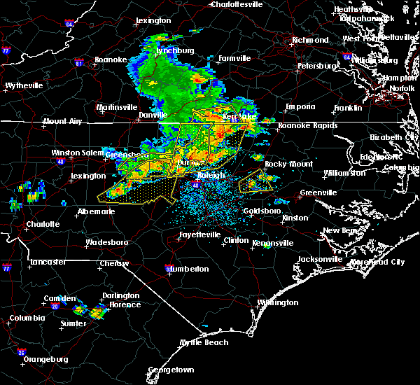 At 325 pm edt, a severe thunderstorm was located near butner, or near creedmoor, moving east at 45 mph. other, severe thunderstorms were located across vance and northern franklin counties (emergency management). Hazards include 60 mph wind gusts and nickel size hail. Expect damage to roofs, siding, and trees. Locations impacted include, durham, henderson, oxford, creedmoor, louisburg, warrenton, wake forest, butner, franklinton and norlina. At 325 pm edt, a severe thunderstorm was located near butner, or near creedmoor, moving east at 45 mph. other, severe thunderstorms were located across vance and northern franklin counties (emergency management). Hazards include 60 mph wind gusts and nickel size hail. Expect damage to roofs, siding, and trees. Locations impacted include, durham, henderson, oxford, creedmoor, louisburg, warrenton, wake forest, butner, franklinton and norlina.
|
| 6/20/2019 3:06 PM EDT |
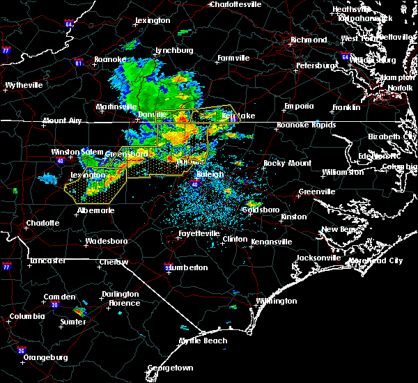 At 304 pm edt, a severe thunderstorm was located near creedmoor, moving northeast at 55 mph. other sever thunderstorms were ongoing or developing across durham and granville counties (emergency management). Hazards include 70 mph wind gusts and nickel size hail. Expect considerable tree damage. Damage is likely to mobile homes, roofs, and outbuildings. At 304 pm edt, a severe thunderstorm was located near creedmoor, moving northeast at 55 mph. other sever thunderstorms were ongoing or developing across durham and granville counties (emergency management). Hazards include 70 mph wind gusts and nickel size hail. Expect considerable tree damage. Damage is likely to mobile homes, roofs, and outbuildings.
|
| 4/19/2019 7:13 PM EDT |
 The severe thunderstorm warning for nash, warren, edgecombe, halifax and northeastern franklin counties will expire at 715 pm edt, the storms which prompted the warning have moved out of the area. therefore the warning will be allowed to expire. a tornado watch remains in effect until 800 pm edt for central north carolina. a tornado watch also remains in effect until midnight edt for central north carolina. The severe thunderstorm warning for nash, warren, edgecombe, halifax and northeastern franklin counties will expire at 715 pm edt, the storms which prompted the warning have moved out of the area. therefore the warning will be allowed to expire. a tornado watch remains in effect until 800 pm edt for central north carolina. a tornado watch also remains in effect until midnight edt for central north carolina.
|
| 4/19/2019 6:00 PM EDT |
 At 559 pm edt, a line of severe thunderstorms was moving through the area, located from henderson to louisburg to rocky mount, moving northeast at 50 mph (radar indicated). Hazards include 70 mph wind gusts. Expect considerable tree damage. Damage is likely to mobile homes, roofs, and outbuildings. At 559 pm edt, a line of severe thunderstorms was moving through the area, located from henderson to louisburg to rocky mount, moving northeast at 50 mph (radar indicated). Hazards include 70 mph wind gusts. Expect considerable tree damage. Damage is likely to mobile homes, roofs, and outbuildings.
|
| 4/15/2019 1:43 AM EDT |
 At 143 am edt, a severe thunderstorm was located 11 miles south of warrenton, moving northeast at 40 mph (radar indicated). Hazards include 60 mph wind gusts. expect damage to roofs, siding, and trees At 143 am edt, a severe thunderstorm was located 11 miles south of warrenton, moving northeast at 40 mph (radar indicated). Hazards include 60 mph wind gusts. expect damage to roofs, siding, and trees
|
| 4/15/2019 1:39 AM EDT |
 At 139 am edt, a severe thunderstorm was located near littleton, or 9 miles west of roanoke rapids, moving northeast at 45 mph (radar indicated). Hazards include 60 mph wind gusts and quarter size hail. Hail damage to vehicles is expected. expect wind damage to roofs, siding, and trees. locations impacted include, roanoke rapids, warrenton, halifax, norlina, littleton, weldon, middleburg, macon, medoc mountain state park and afton. a tornado watch remains in effect until 500 am edt for central north carolina. A tornado watch also remains in effect until 700 am edt for central north carolina. At 139 am edt, a severe thunderstorm was located near littleton, or 9 miles west of roanoke rapids, moving northeast at 45 mph (radar indicated). Hazards include 60 mph wind gusts and quarter size hail. Hail damage to vehicles is expected. expect wind damage to roofs, siding, and trees. locations impacted include, roanoke rapids, warrenton, halifax, norlina, littleton, weldon, middleburg, macon, medoc mountain state park and afton. a tornado watch remains in effect until 500 am edt for central north carolina. A tornado watch also remains in effect until 700 am edt for central north carolina.
|
| 4/15/2019 1:10 AM EDT |
 At 109 am edt, a severe thunderstorm was located near warrenton, moving northeast at 45 mph (radar indicated). Hazards include 60 mph wind gusts and quarter size hail. Hail damage to vehicles is expected. Expect wind damage to roofs, siding, and trees. At 109 am edt, a severe thunderstorm was located near warrenton, moving northeast at 45 mph (radar indicated). Hazards include 60 mph wind gusts and quarter size hail. Hail damage to vehicles is expected. Expect wind damage to roofs, siding, and trees.
|
| 4/8/2019 6:35 PM EDT |
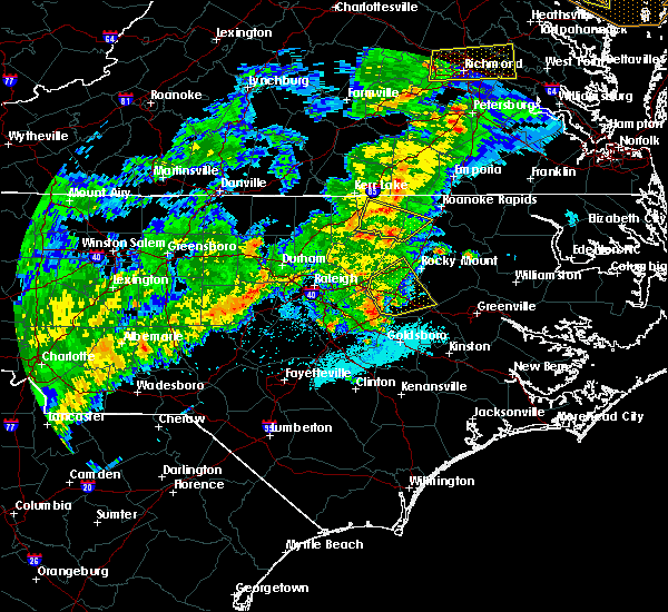 At 633 pm edt, a severe thunderstorm was located 8 miles southeast of warrenton, moving northeast at 40 mph (radar indicated). Hazards include 60 mph wind gusts. Expect damage to roofs, siding, and trees. Locations impacted include, warrenton, norlina, macon, arcola, medoc mountain state park, airlie, afton and wise. At 633 pm edt, a severe thunderstorm was located 8 miles southeast of warrenton, moving northeast at 40 mph (radar indicated). Hazards include 60 mph wind gusts. Expect damage to roofs, siding, and trees. Locations impacted include, warrenton, norlina, macon, arcola, medoc mountain state park, airlie, afton and wise.
|
| 4/8/2019 6:11 PM EDT |
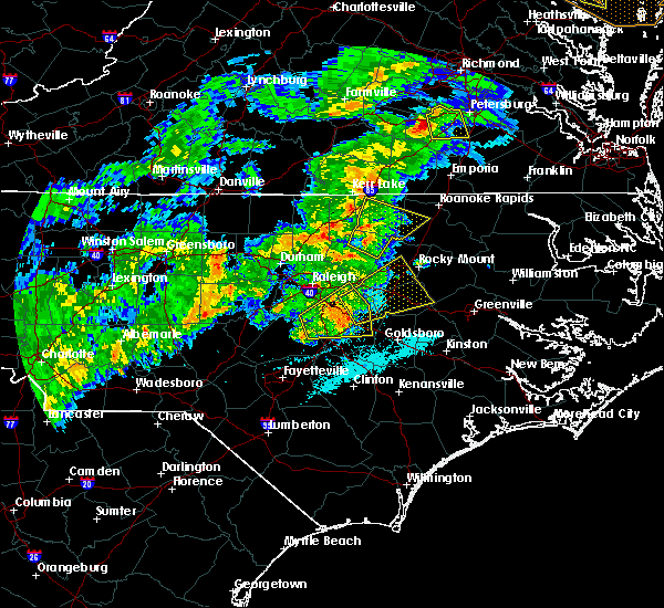 At 611 pm edt, a severe thunderstorm was located near louisburg, moving northeast at 40 mph (radar indicated). Hazards include 60 mph wind gusts. expect damage to roofs, siding, and trees At 611 pm edt, a severe thunderstorm was located near louisburg, moving northeast at 40 mph (radar indicated). Hazards include 60 mph wind gusts. expect damage to roofs, siding, and trees
|
| 10/11/2018 6:41 PM EDT |
 The severe thunderstorm warning for warren, nash, edgecombe, halifax and central franklin counties will expire at 645 pm edt, the gusty winds which prompted the warning have begun to subside. therefore the warning will be allowed to expire. however, gusty winds are still going to cause an issue across the area as tropical storm michael pushes northeast into virginia. The severe thunderstorm warning for warren, nash, edgecombe, halifax and central franklin counties will expire at 645 pm edt, the gusty winds which prompted the warning have begun to subside. therefore the warning will be allowed to expire. however, gusty winds are still going to cause an issue across the area as tropical storm michael pushes northeast into virginia.
|
| 10/11/2018 5:22 PM EDT |
 At 520 pm edt, a line of damaging winds mixing south along the western side of michael were located along a line extending from 6 miles southeast of hitesburg through creedmoor to near fuquay- varina, moving east at 25 mph. this line of wind gusts have produced extensive wind damage, and the high wind gusts could last for up to 30 minutes. an isolated spin up tornado is also not out of the question (radar indicated). Hazards include 60 mph wind gusts. expect damage to roofs, siding, and trees At 520 pm edt, a line of damaging winds mixing south along the western side of michael were located along a line extending from 6 miles southeast of hitesburg through creedmoor to near fuquay- varina, moving east at 25 mph. this line of wind gusts have produced extensive wind damage, and the high wind gusts could last for up to 30 minutes. an isolated spin up tornado is also not out of the question (radar indicated). Hazards include 60 mph wind gusts. expect damage to roofs, siding, and trees
|
| 8/7/2018 9:32 PM EDT |
 At 931 pm edt, a severe thunderstorm was located 8 miles northwest of louisburg, or 9 miles southeast of henderson, moving east at 45 mph (radar indicated). Hazards include 60 mph wind gusts. expect damage to trees At 931 pm edt, a severe thunderstorm was located 8 miles northwest of louisburg, or 9 miles southeast of henderson, moving east at 45 mph (radar indicated). Hazards include 60 mph wind gusts. expect damage to trees
|
| 7/27/2018 7:42 PM EDT |
 The severe thunderstorm warning for northern warren county will expire at 745 pm edt, the storm which prompted the warning has weakened below severe limits, and no longer poses an immediate threat to life or property. therefore the warning will be allowed to expire. however heavy rain and flooding is still possible with this thunderstorm. to report severe weather, contact your nearest law enforcement agency. they will relay your report to the national weather service raleigh. The severe thunderstorm warning for northern warren county will expire at 745 pm edt, the storm which prompted the warning has weakened below severe limits, and no longer poses an immediate threat to life or property. therefore the warning will be allowed to expire. however heavy rain and flooding is still possible with this thunderstorm. to report severe weather, contact your nearest law enforcement agency. they will relay your report to the national weather service raleigh.
|
| 7/27/2018 7:15 PM EDT | Tree down on ridgeway drewry roa in warren county NC, 2.4 miles E of Norlina, NC |
| 7/27/2018 7:15 PM EDT |
 At 714 pm edt, a severe thunderstorm was located near norlina, or near warrenton, moving northeast at 20 mph (radar indicated). Hazards include 60 mph wind gusts. Expect damage to roofs, siding, and trees. Locations impacted include, warrenton, norlina, littleton, macon, wise, lake gaston and southpointe and morningstar marinas. At 714 pm edt, a severe thunderstorm was located near norlina, or near warrenton, moving northeast at 20 mph (radar indicated). Hazards include 60 mph wind gusts. Expect damage to roofs, siding, and trees. Locations impacted include, warrenton, norlina, littleton, macon, wise, lake gaston and southpointe and morningstar marinas.
|
| 7/27/2018 6:58 PM EDT |
 At 657 pm edt, a severe thunderstorm was located over norlina, or near warrenton, moving northeast at 15 mph (radar indicated). Hazards include 60 mph wind gusts and penny size hail. expect damage to roofs, siding, and trees At 657 pm edt, a severe thunderstorm was located over norlina, or near warrenton, moving northeast at 15 mph (radar indicated). Hazards include 60 mph wind gusts and penny size hail. expect damage to roofs, siding, and trees
|
| 7/23/2018 2:19 AM EDT |
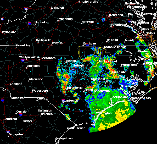 At 218 am edt, a severe thunderstorm was located near louisburg, moving northwest at 35 mph (radar indicated). Hazards include 60 mph wind gusts. Expect damage to roofs, siding, and trees. Locations impacted include, henderson, louisburg, warrenton, norlina, littleton, kittrell, middleburg, macon, centerville and gillburg. At 218 am edt, a severe thunderstorm was located near louisburg, moving northwest at 35 mph (radar indicated). Hazards include 60 mph wind gusts. Expect damage to roofs, siding, and trees. Locations impacted include, henderson, louisburg, warrenton, norlina, littleton, kittrell, middleburg, macon, centerville and gillburg.
|
| 7/23/2018 1:56 AM EDT |
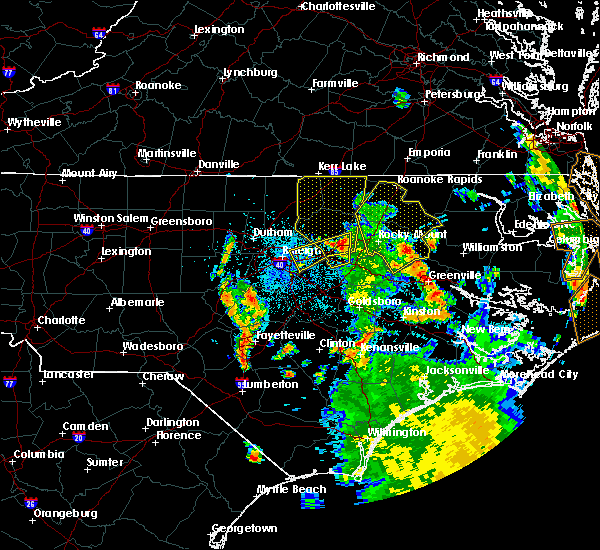 At 155 am edt, a severe thunderstorm was located near bunn, or 10 miles west of nashville, moving north at 40 mph (radar indicated). Hazards include 60 mph wind gusts. expect damage to roofs, siding, and trees At 155 am edt, a severe thunderstorm was located near bunn, or 10 miles west of nashville, moving north at 40 mph (radar indicated). Hazards include 60 mph wind gusts. expect damage to roofs, siding, and trees
|
| 6/22/2018 1:26 AM EDT |
 The severe thunderstorm warning for warren county will expire at 130 am edt, the storms which prompted the warning have weakened below severe limits, and no longer pose an immediate threat to life or property. therefore the warning will be allowed to expire. however gusty winds and heavy rain are still possible with these thunderstorms. to report severe weather, contact your nearest law enforcement agency. they will relay your report to the national weather service raleigh. The severe thunderstorm warning for warren county will expire at 130 am edt, the storms which prompted the warning have weakened below severe limits, and no longer pose an immediate threat to life or property. therefore the warning will be allowed to expire. however gusty winds and heavy rain are still possible with these thunderstorms. to report severe weather, contact your nearest law enforcement agency. they will relay your report to the national weather service raleigh.
|
| 6/22/2018 1:16 AM EDT |
 At 115 am edt, severe thunderstorms were located along a line extending from 6 miles northeast of norlina to near warrenton, moving east at 35 mph (radar indicated). Hazards include 60 mph wind gusts. Expect damage to roofs, siding, and trees. Locations impacted include, warrenton, norlina, littleton, macon, arcola, drewry, afton, wise, lake gaston and southpointe and morningstar marinas. At 115 am edt, severe thunderstorms were located along a line extending from 6 miles northeast of norlina to near warrenton, moving east at 35 mph (radar indicated). Hazards include 60 mph wind gusts. Expect damage to roofs, siding, and trees. Locations impacted include, warrenton, norlina, littleton, macon, arcola, drewry, afton, wise, lake gaston and southpointe and morningstar marinas.
|
| 6/22/2018 1:02 AM EDT |
 At 102 am edt, severe thunderstorms were located along a line extending from near norlina to near warrenton to 9 miles east of henderson, moving east at 30 mph (radar indicated). Hazards include 60 mph wind gusts. Expect damage to roofs, siding, and trees. Locations impacted include, henderson, warrenton, norlina, littleton, middleburg, macon, gillburg, afton, steele creek marina & campground and kerr lake. At 102 am edt, severe thunderstorms were located along a line extending from near norlina to near warrenton to 9 miles east of henderson, moving east at 30 mph (radar indicated). Hazards include 60 mph wind gusts. Expect damage to roofs, siding, and trees. Locations impacted include, henderson, warrenton, norlina, littleton, middleburg, macon, gillburg, afton, steele creek marina & campground and kerr lake.
|
| 6/22/2018 12:42 AM EDT |
 At 1240 am edt, severe thunderstorms were located along a line extending from 12 miles northeast of oxford to 11 miles southwest of norlina to near henderson, moving east at 30 mph (radar indicated). Hazards include 60 mph wind gusts. Expect damage to roofs, siding, and trees. Locations impacted include, henderson, warrenton, norlina, littleton, middleburg, macon, gillburg, afton, steele creek marina & campground and kerr lake. At 1240 am edt, severe thunderstorms were located along a line extending from 12 miles northeast of oxford to 11 miles southwest of norlina to near henderson, moving east at 30 mph (radar indicated). Hazards include 60 mph wind gusts. Expect damage to roofs, siding, and trees. Locations impacted include, henderson, warrenton, norlina, littleton, middleburg, macon, gillburg, afton, steele creek marina & campground and kerr lake.
|
| 6/22/2018 12:10 AM EDT |
 At 1210 am edt, severe thunderstorms were located along a line extending from near virgilina to 7 miles southwest of oxford, moving east at 35 mph (radar indicated). Hazards include 60 mph wind gusts. expect damage to roofs, siding, and trees At 1210 am edt, severe thunderstorms were located along a line extending from near virgilina to 7 miles southwest of oxford, moving east at 35 mph (radar indicated). Hazards include 60 mph wind gusts. expect damage to roofs, siding, and trees
|
| 5/10/2018 6:27 PM EDT |
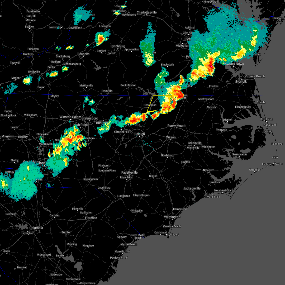 The severe thunderstorm warning for southeastern vance and warren counties will expire at 630 pm edt. the storm which prompted the warning has weakened below severe limits, and has exited the warned area. therefore, the warning will be allowed to expire. However heavy rain is still possible with this thunderstorm. The severe thunderstorm warning for southeastern vance and warren counties will expire at 630 pm edt. the storm which prompted the warning has weakened below severe limits, and has exited the warned area. therefore, the warning will be allowed to expire. However heavy rain is still possible with this thunderstorm.
|
| 5/10/2018 5:43 PM EDT |
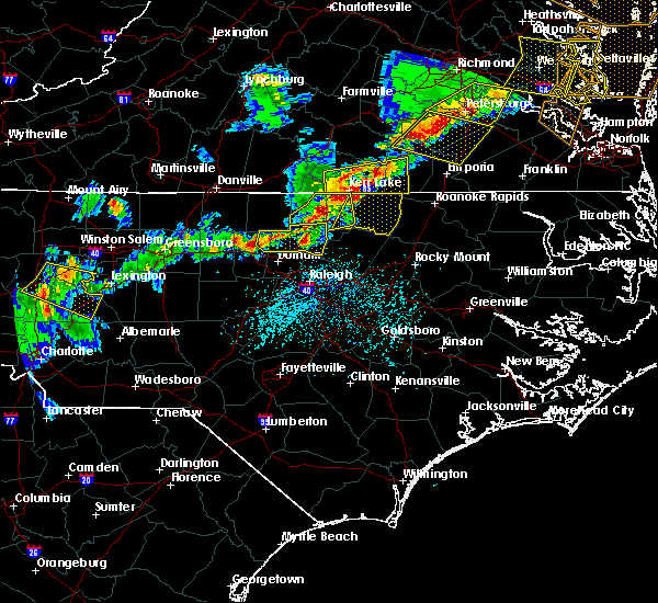 At 541 pm edt, a severe thunderstorm was located 11 miles south of boydton, or 12 miles north of henderson, moving east at 45 mph (radar indicated). Hazards include 60 mph wind gusts and quarter size hail. Hail damage to vehicles is expected. Expect wind damage to roofs, siding, and trees. At 541 pm edt, a severe thunderstorm was located 11 miles south of boydton, or 12 miles north of henderson, moving east at 45 mph (radar indicated). Hazards include 60 mph wind gusts and quarter size hail. Hail damage to vehicles is expected. Expect wind damage to roofs, siding, and trees.
|
| 4/15/2018 11:23 PM EDT |
 The national weather service in raleigh has issued a * severe thunderstorm warning for. northeastern nash county in central north carolina. warren county in central north carolina. northwestern edgecombe county in central north carolina. Halifax county in central north carolina. The national weather service in raleigh has issued a * severe thunderstorm warning for. northeastern nash county in central north carolina. warren county in central north carolina. northwestern edgecombe county in central north carolina. Halifax county in central north carolina.
|
| 4/15/2018 10:50 PM EDT |
 At 1048 pm edt, a line of severe thunderstorms stretched from near kerr lake to henderson to wake forest with individual cells moving north at 75 mph as the line moved east at around 20 mph (radar indicated). Hazards include 60 mph wind gusts. Expect damage to roofs, siding, and trees. locations impacted include, raleigh, henderson, louisburg, warrenton, wake forest, zebulon, franklinton, norlina, bailey and kittrell. a tornado watch remains in effect until 1100 pm edt for central north carolina. A tornado watch also remains in effect until 300 am edt for central north carolina. At 1048 pm edt, a line of severe thunderstorms stretched from near kerr lake to henderson to wake forest with individual cells moving north at 75 mph as the line moved east at around 20 mph (radar indicated). Hazards include 60 mph wind gusts. Expect damage to roofs, siding, and trees. locations impacted include, raleigh, henderson, louisburg, warrenton, wake forest, zebulon, franklinton, norlina, bailey and kittrell. a tornado watch remains in effect until 1100 pm edt for central north carolina. A tornado watch also remains in effect until 300 am edt for central north carolina.
|
| 4/15/2018 10:22 PM EDT |
 At 1021 pm edt, a line of severe thunderstorms stretched from near kerr lake to oxford to raleigh, with indivdual thunderstorm cells moving northeast at 80 mph (radar indicated). Hazards include 60 mph wind gusts. expect damage to roofs, siding, and trees At 1021 pm edt, a line of severe thunderstorms stretched from near kerr lake to oxford to raleigh, with indivdual thunderstorm cells moving northeast at 80 mph (radar indicated). Hazards include 60 mph wind gusts. expect damage to roofs, siding, and trees
|
| 4/15/2018 10:17 PM EDT |
 At 1016 pm edt, a line of severe thunderstorms stretching from kerr lake to near oxford to raleigh was moving east at 15 mph while individual cells in the line were racing north at 85 mph (radar indicated). Hazards include 60 mph wind gusts. Expect damage to roofs, siding, and trees. locations impacted include, raleigh, cary, henderson, oxford, creedmoor, wake forest, butner, franklinton, norlina and kittrell. a tornado watch remains in effect until 1100 pm edt for central north carolina. A tornado watch also remains in effect until 300 am edt for central north carolina. At 1016 pm edt, a line of severe thunderstorms stretching from kerr lake to near oxford to raleigh was moving east at 15 mph while individual cells in the line were racing north at 85 mph (radar indicated). Hazards include 60 mph wind gusts. Expect damage to roofs, siding, and trees. locations impacted include, raleigh, cary, henderson, oxford, creedmoor, wake forest, butner, franklinton, norlina and kittrell. a tornado watch remains in effect until 1100 pm edt for central north carolina. A tornado watch also remains in effect until 300 am edt for central north carolina.
|
| 4/15/2018 9:50 PM EDT |
 At 948 pm edt, a line of severe thunderstorms stretched from near rdu international airport to creedmoor to kerr lake, with individual storms moving north at 50 mph as the line shifts east (radar indicated). Hazards include 60 mph wind gusts. expect damage to roofs, siding, and trees At 948 pm edt, a line of severe thunderstorms stretched from near rdu international airport to creedmoor to kerr lake, with individual storms moving north at 50 mph as the line shifts east (radar indicated). Hazards include 60 mph wind gusts. expect damage to roofs, siding, and trees
|
| 4/15/2018 9:37 PM EDT |
 The tornado warning for northwestern warren county will expire at 945 pm edt, the storm which prompted the warning has moved out of the area. therefore the warning will be allowed to expire. a tornado watch remains in effect until 1100 pm edt for central north carolina. a tornado watch also remains in effect until 300 am edt for central north carolina. The tornado warning for northwestern warren county will expire at 945 pm edt, the storm which prompted the warning has moved out of the area. therefore the warning will be allowed to expire. a tornado watch remains in effect until 1100 pm edt for central north carolina. a tornado watch also remains in effect until 300 am edt for central north carolina.
|
| 4/15/2018 9:26 PM EDT |
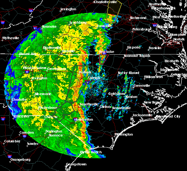 At 926 pm edt, a severe thunderstorm capable of producing a tornado was located over norlina, or near warrenton, moving north at 50 mph (radar indicated rotation). Hazards include tornado. Flying debris will be dangerous to those caught without shelter. mobile homes will be damaged or destroyed. damage to roofs, windows, and vehicles will occur. tree damage is likely. Locations impacted include, warrenton, norlina, wise and lake gaston. At 926 pm edt, a severe thunderstorm capable of producing a tornado was located over norlina, or near warrenton, moving north at 50 mph (radar indicated rotation). Hazards include tornado. Flying debris will be dangerous to those caught without shelter. mobile homes will be damaged or destroyed. damage to roofs, windows, and vehicles will occur. tree damage is likely. Locations impacted include, warrenton, norlina, wise and lake gaston.
|
| 4/15/2018 9:17 PM EDT |
 At 916 pm edt, a severe thunderstorm capable of producing a tornado was located 7 miles southwest of warrenton, moving north at 50 mph (radar indicated rotation). Hazards include tornado. Flying debris will be dangerous to those caught without shelter. mobile homes will be damaged or destroyed. damage to roofs, windows, and vehicles will occur. Tree damage is likely. At 916 pm edt, a severe thunderstorm capable of producing a tornado was located 7 miles southwest of warrenton, moving north at 50 mph (radar indicated rotation). Hazards include tornado. Flying debris will be dangerous to those caught without shelter. mobile homes will be damaged or destroyed. damage to roofs, windows, and vehicles will occur. Tree damage is likely.
|
| 1/23/2018 6:00 AM EST |
 At 557 am est, severe thunderstorms were located along a line extending from 6 miles southwest of norlina to near kittrell, moving east at 40 mph. the most intense portion of the line, which has exhibited rotation, will approach and cross lake gaston in the next ten minutes (radar indicated). Hazards include 60 mph wind gusts. Expect damage to roofs, siding, and trees. Locations impacted include, roanoke rapids, warrenton, littleton, macon, roanoke rapids lake, rosemary, afton, lake gaston and southpointe and morningstar marinas. At 557 am est, severe thunderstorms were located along a line extending from 6 miles southwest of norlina to near kittrell, moving east at 40 mph. the most intense portion of the line, which has exhibited rotation, will approach and cross lake gaston in the next ten minutes (radar indicated). Hazards include 60 mph wind gusts. Expect damage to roofs, siding, and trees. Locations impacted include, roanoke rapids, warrenton, littleton, macon, roanoke rapids lake, rosemary, afton, lake gaston and southpointe and morningstar marinas.
|
| 1/23/2018 5:41 AM EST |
 At 539 am est, a severe thunderstorm was located near warrenton, moving east at 45 mph (radar indicated). Hazards include 60 mph wind gusts. expect damage to roofs, siding, and trees At 539 am est, a severe thunderstorm was located near warrenton, moving east at 45 mph (radar indicated). Hazards include 60 mph wind gusts. expect damage to roofs, siding, and trees
|
| 7/8/2017 7:54 PM EDT |
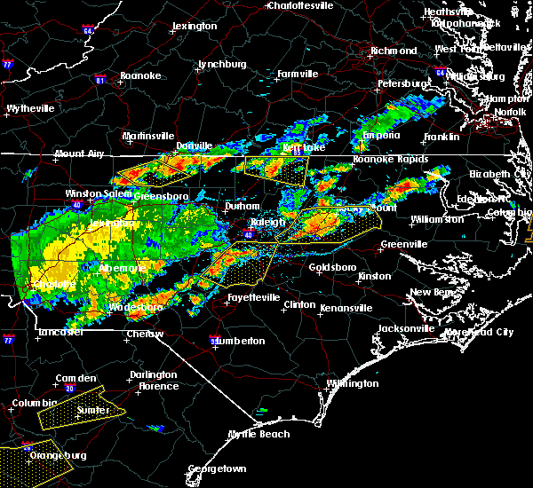 At 754 pm edt, a severe thunderstorm was located near henderson, moving east at 30 mph (radar indicated). Hazards include 60 mph wind gusts. Expect damage to roofs, siding, and trees. Locations impacted include, henderson, warrenton, norlina, middleburg, afton, steele creek marina & campground, south henderson, wise, dabney and satterwhite point marina. At 754 pm edt, a severe thunderstorm was located near henderson, moving east at 30 mph (radar indicated). Hazards include 60 mph wind gusts. Expect damage to roofs, siding, and trees. Locations impacted include, henderson, warrenton, norlina, middleburg, afton, steele creek marina & campground, south henderson, wise, dabney and satterwhite point marina.
|
| 7/8/2017 7:20 PM EDT |
 At 720 pm edt, a severe thunderstorm was located 8 miles southeast of virgilina, moving east at 30 mph (radar indicated). Hazards include 60 mph wind gusts and quarter size hail. Hail damage to vehicles is expected. Expect wind damage to roofs, siding, and trees. At 720 pm edt, a severe thunderstorm was located 8 miles southeast of virgilina, moving east at 30 mph (radar indicated). Hazards include 60 mph wind gusts and quarter size hail. Hail damage to vehicles is expected. Expect wind damage to roofs, siding, and trees.
|
| 7/6/2017 6:52 PM EDT |
 At 651 pm edt, a severe thunderstorm was located 8 miles northwest of norlina, or 12 miles northwest of warrenton, moving east at 35 mph (radar indicated). Hazards include 60 mph wind gusts. Expect damage to roofs, siding, and trees. Locations impacted include, norlina, littleton, macon, john h kerr reservoir, kerr lake, lake gaston, wise and southpointe and morningstar marinas. At 651 pm edt, a severe thunderstorm was located 8 miles northwest of norlina, or 12 miles northwest of warrenton, moving east at 35 mph (radar indicated). Hazards include 60 mph wind gusts. Expect damage to roofs, siding, and trees. Locations impacted include, norlina, littleton, macon, john h kerr reservoir, kerr lake, lake gaston, wise and southpointe and morningstar marinas.
|
| 7/6/2017 6:42 PM EDT |
 At 641 pm edt, a severe thunderstorm was located 8 miles south of boydton, or 15 miles north of henderson, moving east at 35 mph (radar indicated). Hazards include 60 mph wind gusts and quarter size hail. Hail damage to vehicles is expected. Expect wind damage to roofs, siding, and trees. At 641 pm edt, a severe thunderstorm was located 8 miles south of boydton, or 15 miles north of henderson, moving east at 35 mph (radar indicated). Hazards include 60 mph wind gusts and quarter size hail. Hail damage to vehicles is expected. Expect wind damage to roofs, siding, and trees.
|
| 5/10/2017 10:53 PM EDT |
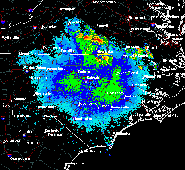 The severe thunderstorm warning for warren county will expire at 1100 pm edt, the storm which prompted the warning has weakened below severe limits, and no longer poses an immediate threat to life or property. therefore the warning will be allowed to expire. however small hail and gusty winds are still possible with this thunderstorm. to report severe weather, contact your nearest law enforcement agency. they will relay your report to the national weather service raleigh. The severe thunderstorm warning for warren county will expire at 1100 pm edt, the storm which prompted the warning has weakened below severe limits, and no longer poses an immediate threat to life or property. therefore the warning will be allowed to expire. however small hail and gusty winds are still possible with this thunderstorm. to report severe weather, contact your nearest law enforcement agency. they will relay your report to the national weather service raleigh.
|
| 5/10/2017 10:25 PM EDT |
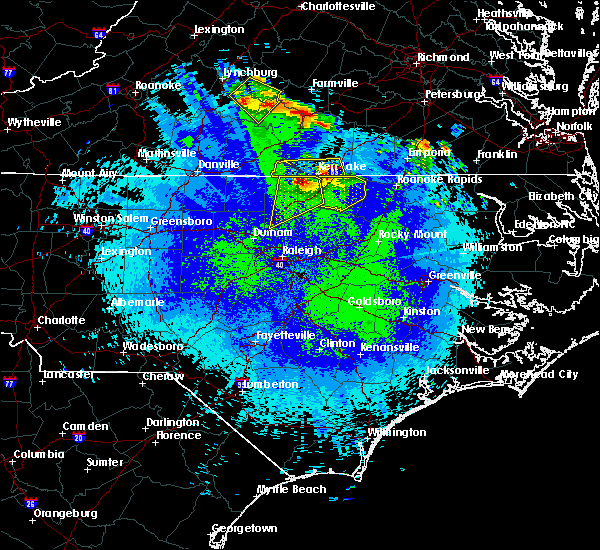 At 1024 pm edt, a severe thunderstorm was located 7 miles northwest of norlina, or 11 miles northwest of warrenton, moving southeast at 25 mph (radar indicated). Hazards include 60 mph wind gusts and quarter size hail. Hail damage to vehicles is expected. expect wind damage to roofs, siding, and trees. Locations impacted include, warrenton, norlina, littleton, macon, drewry, afton, wise, southpointe and morningstar marinas and lake gaston. At 1024 pm edt, a severe thunderstorm was located 7 miles northwest of norlina, or 11 miles northwest of warrenton, moving southeast at 25 mph (radar indicated). Hazards include 60 mph wind gusts and quarter size hail. Hail damage to vehicles is expected. expect wind damage to roofs, siding, and trees. Locations impacted include, warrenton, norlina, littleton, macon, drewry, afton, wise, southpointe and morningstar marinas and lake gaston.
|
| 5/10/2017 10:07 PM EDT |
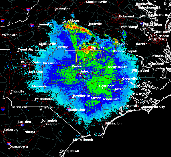 At 1006 pm edt, a severe thunderstorm was located near boydton, or 13 miles south of chase city, moving southeast at 30 mph (radar indicated). Hazards include 60 mph wind gusts and quarter size hail. Hail damage to vehicles is expected. Expect wind damage to roofs, siding, and trees. At 1006 pm edt, a severe thunderstorm was located near boydton, or 13 miles south of chase city, moving southeast at 30 mph (radar indicated). Hazards include 60 mph wind gusts and quarter size hail. Hail damage to vehicles is expected. Expect wind damage to roofs, siding, and trees.
|
| 4/6/2017 8:13 AM EDT |
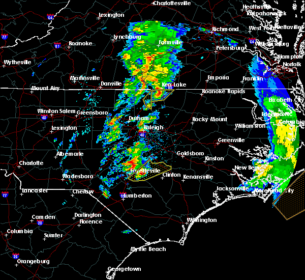 At 813 am edt, a severe thunderstorm was located 7 miles northwest of norlina, or 11 miles northwest of warrenton, moving northeast at 65 mph (radar indicated). Hazards include quarter size hail. Damage to vehicles is expected. locations impacted include, henderson, norlina, middleburg, dabney, satterwhite point marina, drewry, john h kerr reservoir, steele creek marina & campground, bullocksville and kerr lake. A tornado watch remains in effect until 100 pm edt for central north carolina. At 813 am edt, a severe thunderstorm was located 7 miles northwest of norlina, or 11 miles northwest of warrenton, moving northeast at 65 mph (radar indicated). Hazards include quarter size hail. Damage to vehicles is expected. locations impacted include, henderson, norlina, middleburg, dabney, satterwhite point marina, drewry, john h kerr reservoir, steele creek marina & campground, bullocksville and kerr lake. A tornado watch remains in effect until 100 pm edt for central north carolina.
|
| 4/6/2017 8:09 AM EDT |
 At 808 am edt, a severe thunderstorm was located near henderson, moving northeast at 75 mph (radar indicated. a trained spotter also recently reported dime-sized hail in oxford). Hazards include quarter size hail. Damage to vehicles will be possible. locations impacted include, henderson, norlina, middleburg, steele creek marina & campground, kerr lake, wise, dabney, satterwhite point marina, drewry and john h kerr reservoir. A tornado watch remains in effect until 100 pm edt for central north carolina. At 808 am edt, a severe thunderstorm was located near henderson, moving northeast at 75 mph (radar indicated. a trained spotter also recently reported dime-sized hail in oxford). Hazards include quarter size hail. Damage to vehicles will be possible. locations impacted include, henderson, norlina, middleburg, steele creek marina & campground, kerr lake, wise, dabney, satterwhite point marina, drewry and john h kerr reservoir. A tornado watch remains in effect until 100 pm edt for central north carolina.
|
| 4/6/2017 8:03 AM EDT |
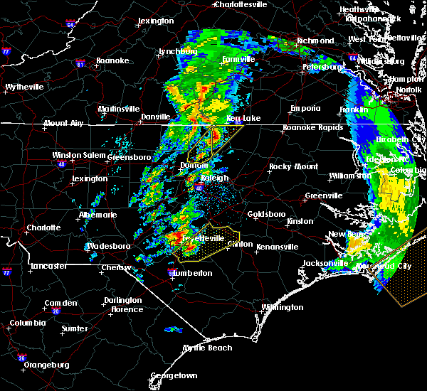 At 802 am edt, a severe thunderstorm was located near oxford, moving northeast at 75 mph (trained weather spotters). Hazards include quarter size hail. Damage to vehicles is expected. locations impacted include, henderson, norlina, kittrell, middleburg, steele creek marina & campground, kerr lake, south henderson, wise, dabney and satterwhite point marina. A tornado watch remains in effect until 100 pm edt for central north carolina. At 802 am edt, a severe thunderstorm was located near oxford, moving northeast at 75 mph (trained weather spotters). Hazards include quarter size hail. Damage to vehicles is expected. locations impacted include, henderson, norlina, kittrell, middleburg, steele creek marina & campground, kerr lake, south henderson, wise, dabney and satterwhite point marina. A tornado watch remains in effect until 100 pm edt for central north carolina.
|
| 3/31/2017 5:07 PM EDT | Half Dollar sized hail reported 8.8 miles SE of Norlina, NC, half dollar size hail was reported along keats road near the nc/va border. |
| 3/31/2017 5:05 PM EDT |
 At 505 pm edt, a severe thunderstorm was located 8 miles northwest of norlina, or 12 miles northwest of warrenton, moving east at 40 mph (radar indicated). Hazards include 60 mph wind gusts and quarter size hail. Minor hail damage to vehicles is expected. expect minor wind damage to roofs, siding, and trees. locations impacted include, norlina, littleton, macon, drewry, john h kerr reservoir, bullocksville, kerr lake, wise, lake gaston and southpointe and morningstar marinas. A tornado watch remains in effect until 1000 pm edt for central north carolina. At 505 pm edt, a severe thunderstorm was located 8 miles northwest of norlina, or 12 miles northwest of warrenton, moving east at 40 mph (radar indicated). Hazards include 60 mph wind gusts and quarter size hail. Minor hail damage to vehicles is expected. expect minor wind damage to roofs, siding, and trees. locations impacted include, norlina, littleton, macon, drewry, john h kerr reservoir, bullocksville, kerr lake, wise, lake gaston and southpointe and morningstar marinas. A tornado watch remains in effect until 1000 pm edt for central north carolina.
|
| 3/31/2017 4:51 PM EDT |
 At 451 pm edt, a severe thunderstorm was located 8 miles southeast of clarksville, or 14 miles north of henderson, moving east at 40 mph (radar indicated). Hazards include 60 mph wind gusts and quarter size hail. Hail damage to vehicles is expected. Expect wind damage to roofs, siding, and trees. At 451 pm edt, a severe thunderstorm was located 8 miles southeast of clarksville, or 14 miles north of henderson, moving east at 40 mph (radar indicated). Hazards include 60 mph wind gusts and quarter size hail. Hail damage to vehicles is expected. Expect wind damage to roofs, siding, and trees.
|
| 7/30/2016 7:05 PM EDT |
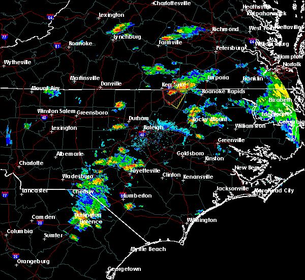 At 705 pm edt, a severe thunderstorm capable of producing a tornado was located over norlina, or near warrenton, moving southeast at 15 mph (radar indicated rotation). Hazards include tornado and quarter size hail. Flying debris will be dangerous to those caught without shelter. mobile homes will be damaged or destroyed. damage to roofs, windows, and vehicles will occur. tree damage is likely. Locations impacted include, warrenton, norlina, macon, wise and lake gaston. At 705 pm edt, a severe thunderstorm capable of producing a tornado was located over norlina, or near warrenton, moving southeast at 15 mph (radar indicated rotation). Hazards include tornado and quarter size hail. Flying debris will be dangerous to those caught without shelter. mobile homes will be damaged or destroyed. damage to roofs, windows, and vehicles will occur. tree damage is likely. Locations impacted include, warrenton, norlina, macon, wise and lake gaston.
|
| 7/30/2016 6:48 PM EDT |
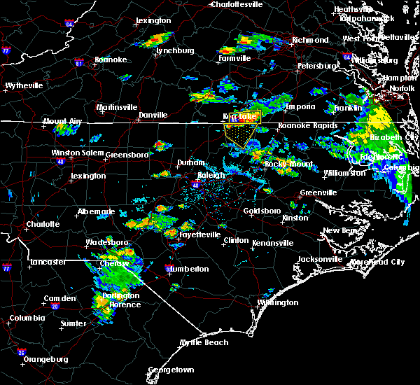 At 648 pm edt, a severe thunderstorm capable of producing a tornado was located near norlina, or 8 miles northwest of warrenton, moving southeast at 10 mph (radar indicated rotation). Hazards include tornado and quarter size hail. Flying debris will be dangerous to those caught without shelter. mobile homes will be damaged or destroyed. damage to roofs, windows, and vehicles will occur. Tree damage is likely. At 648 pm edt, a severe thunderstorm capable of producing a tornado was located near norlina, or 8 miles northwest of warrenton, moving southeast at 10 mph (radar indicated rotation). Hazards include tornado and quarter size hail. Flying debris will be dangerous to those caught without shelter. mobile homes will be damaged or destroyed. damage to roofs, windows, and vehicles will occur. Tree damage is likely.
|
| 7/30/2016 6:37 PM EDT |
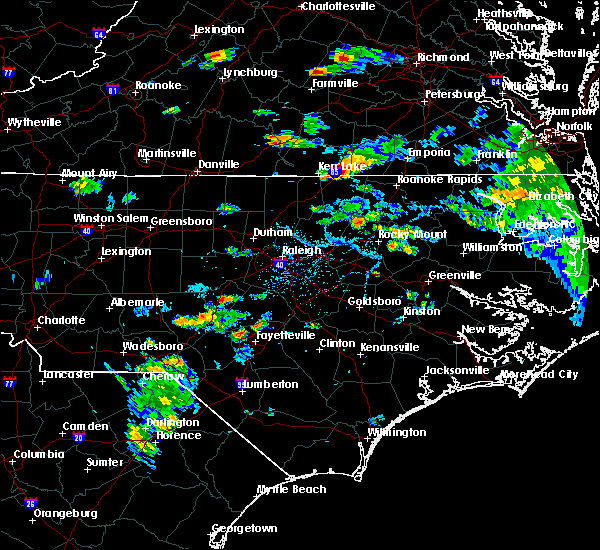 At 636 pm edt, a severe thunderstorm was located near norlina, or 9 miles northwest of warrenton, moving southeast at 15 mph (radar indicated). Hazards include 60 mph wind gusts. Expect damage to roofs. siding. And trees. At 636 pm edt, a severe thunderstorm was located near norlina, or 9 miles northwest of warrenton, moving southeast at 15 mph (radar indicated). Hazards include 60 mph wind gusts. Expect damage to roofs. siding. And trees.
|
| 7/27/2016 8:24 PM EDT |
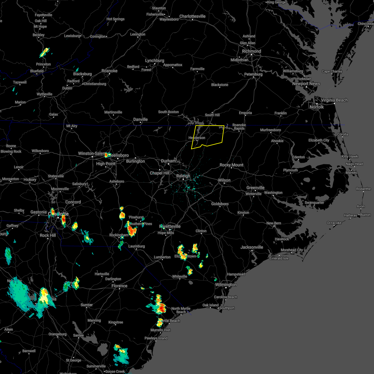 The severe thunderstorm warning for vance and warren counties will expire at 830 pm edt, the storms which prompted the warning have weakened below severe limits, and have exited the warned area. therefore the warning will be allowed to expire. to report severe weather, contact your nearest law enforcement agency. they will relay your report to the national weather service raleigh. The severe thunderstorm warning for vance and warren counties will expire at 830 pm edt, the storms which prompted the warning have weakened below severe limits, and have exited the warned area. therefore the warning will be allowed to expire. to report severe weather, contact your nearest law enforcement agency. they will relay your report to the national weather service raleigh.
|
| 7/27/2016 8:02 PM EDT |
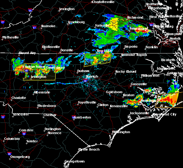 At 802 pm edt, severe thunderstorms were located along a line extending from 6 miles west of littleton to near henderson, moving southeast at 25 mph (radar indicated). Hazards include 60 mph wind gusts and quarter size hail. Hail damage to vehicles is expected. expect wind damage to roofs, siding, and trees. Locations impacted include, henderson, warrenton, norlina, kittrell, middleburg, macon, south henderson, gillburg, southpointe and morningstar marinas and drewry. At 802 pm edt, severe thunderstorms were located along a line extending from 6 miles west of littleton to near henderson, moving southeast at 25 mph (radar indicated). Hazards include 60 mph wind gusts and quarter size hail. Hail damage to vehicles is expected. expect wind damage to roofs, siding, and trees. Locations impacted include, henderson, warrenton, norlina, kittrell, middleburg, macon, south henderson, gillburg, southpointe and morningstar marinas and drewry.
|
| 7/27/2016 7:48 PM EDT | Warren county 911 reports several trees down across the northwest part of the county... including one down on i-8 in warren county NC, 3.7 miles SSE of Norlina, NC |
| 7/27/2016 7:39 PM EDT |
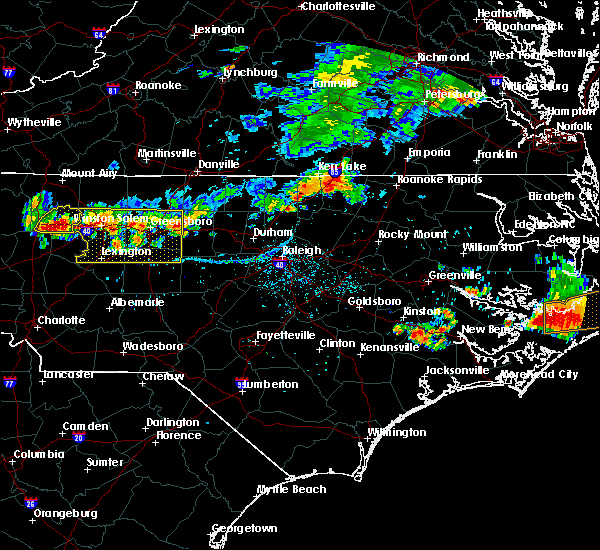 At 738 pm edt, severe thunderstorms were located along a line extending from near norlina to near oxford, moving southeast at 25 mph (radar indicated). Hazards include 60 mph wind gusts and half dollar size hail. Hail damage to vehicles is expected. Expect wind damage to roofs, siding, and trees. At 738 pm edt, severe thunderstorms were located along a line extending from near norlina to near oxford, moving southeast at 25 mph (radar indicated). Hazards include 60 mph wind gusts and half dollar size hail. Hail damage to vehicles is expected. Expect wind damage to roofs, siding, and trees.
|
| 7/19/2016 8:49 PM EDT |
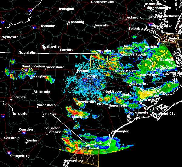 At 848 pm edt, a severe thunderstorm was located near middleburg, moving southeast at 25 mph (radar indicated). Hazards include 60 mph wind gusts. Expect damage to roofs. siding. And trees. At 848 pm edt, a severe thunderstorm was located near middleburg, moving southeast at 25 mph (radar indicated). Hazards include 60 mph wind gusts. Expect damage to roofs. siding. And trees.
|
| 7/19/2016 8:14 PM EDT |
 At 814 pm edt, a severe thunderstorm was located over ebony, or 11 miles south of brodnax, moving south at 20 mph (radar indicated). Hazards include 60 mph wind gusts and quarter size hail. Hail damage to vehicles is expected. Expect wind damage to roofs, siding, and trees. At 814 pm edt, a severe thunderstorm was located over ebony, or 11 miles south of brodnax, moving south at 20 mph (radar indicated). Hazards include 60 mph wind gusts and quarter size hail. Hail damage to vehicles is expected. Expect wind damage to roofs, siding, and trees.
|
| 7/8/2016 7:52 PM EDT |
 At 751 pm edt, severe thunderstorms were located along a line extending from near littleton to 8 miles northeast of bunn to near durham, moving southeast at 50 mph (radar indicated). Hazards include 60 mph wind gusts and penny size hail. Expect damage to roofs. siding. and trees. locations impacted include, raleigh, durham, cary, rocky mount, chapel hill, roanoke rapids, nashville, creedmoor, louisburg and warrenton. A severe thunderstorm watch remains in effect until midnight edt for central north carolina. At 751 pm edt, severe thunderstorms were located along a line extending from near littleton to 8 miles northeast of bunn to near durham, moving southeast at 50 mph (radar indicated). Hazards include 60 mph wind gusts and penny size hail. Expect damage to roofs. siding. and trees. locations impacted include, raleigh, durham, cary, rocky mount, chapel hill, roanoke rapids, nashville, creedmoor, louisburg and warrenton. A severe thunderstorm watch remains in effect until midnight edt for central north carolina.
|
| 7/8/2016 7:31 PM EDT |
 At 730 pm edt, severe thunderstorms were located along a line extending from near norlina to near kittrell to 6 miles south of rougemont, moving southeast at 50 mph (radar indicated). Hazards include 60 mph wind gusts and penny size hail. Expect damage to roofs. siding. and trees. locations impacted include, raleigh, durham, cary, rocky mount, chapel hill, roanoke rapids, henderson, nashville, creedmoor and louisburg. A severe thunderstorm watch remains in effect until midnight edt for central north carolina. At 730 pm edt, severe thunderstorms were located along a line extending from near norlina to near kittrell to 6 miles south of rougemont, moving southeast at 50 mph (radar indicated). Hazards include 60 mph wind gusts and penny size hail. Expect damage to roofs. siding. and trees. locations impacted include, raleigh, durham, cary, rocky mount, chapel hill, roanoke rapids, henderson, nashville, creedmoor and louisburg. A severe thunderstorm watch remains in effect until midnight edt for central north carolina.
|
| 7/8/2016 7:05 PM EDT |
 At 704 pm edt, severe thunderstorms were located along a line extending from near boydton to 6 miles north of oxford to near rougemont, moving southeast at 50 mph (radar indicated). Hazards include 60 mph wind gusts and penny size hail. Expect damage to roofs. siding. And trees. At 704 pm edt, severe thunderstorms were located along a line extending from near boydton to 6 miles north of oxford to near rougemont, moving southeast at 50 mph (radar indicated). Hazards include 60 mph wind gusts and penny size hail. Expect damage to roofs. siding. And trees.
|
| 6/23/2016 7:36 PM EDT |
 At 736 pm edt, a severe thunderstorm was located near warrenton, moving southeast at 30 mph (radar indicated). Hazards include ping pong ball size hail and 60 mph wind gusts. People and animals outdoors will be injured. expect hail damage to roofs, siding, windows, and vehicles. Expect wind damage to roofs, siding, and trees. At 736 pm edt, a severe thunderstorm was located near warrenton, moving southeast at 30 mph (radar indicated). Hazards include ping pong ball size hail and 60 mph wind gusts. People and animals outdoors will be injured. expect hail damage to roofs, siding, windows, and vehicles. Expect wind damage to roofs, siding, and trees.
|
| 6/23/2016 7:27 PM EDT |
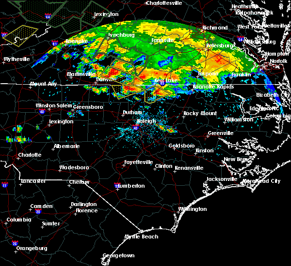 At 726 pm edt, a severe thunderstorm was located near norlina, or 7 miles west of warrenton, moving southeast at 30 mph (radar indicated). Hazards include ping pong ball size hail and 60 mph wind gusts. People and animals outdoors will be injured. expect hail damage to roofs, siding, windows, and vehicles. expect wind damage to roofs, siding, and trees. locations impacted include, henderson, warrenton, norlina, middleburg, south henderson, gillburg, drewry, afton, bullocksville and satterwhite point marina. A severe thunderstorm watch remains in effect until 1100 pm edt for central north carolina. At 726 pm edt, a severe thunderstorm was located near norlina, or 7 miles west of warrenton, moving southeast at 30 mph (radar indicated). Hazards include ping pong ball size hail and 60 mph wind gusts. People and animals outdoors will be injured. expect hail damage to roofs, siding, windows, and vehicles. expect wind damage to roofs, siding, and trees. locations impacted include, henderson, warrenton, norlina, middleburg, south henderson, gillburg, drewry, afton, bullocksville and satterwhite point marina. A severe thunderstorm watch remains in effect until 1100 pm edt for central north carolina.
|
| 6/23/2016 7:16 PM EDT |
 At 715 pm edt, a severe thunderstorm was located near henderson, moving southeast at 25 mph (radar indicated). Hazards include 60 mph wind gusts and quarter size hail. Hail damage to vehicles is expected. expect wind damage to roofs, siding, and trees. locations impacted include, henderson, warrenton, norlina, kittrell, middleburg, south henderson, gillburg, drewry, bullocksville and john h kerr reservoir. A severe thunderstorm watch remains in effect until 1100 pm edt for central north carolina. At 715 pm edt, a severe thunderstorm was located near henderson, moving southeast at 25 mph (radar indicated). Hazards include 60 mph wind gusts and quarter size hail. Hail damage to vehicles is expected. expect wind damage to roofs, siding, and trees. locations impacted include, henderson, warrenton, norlina, kittrell, middleburg, south henderson, gillburg, drewry, bullocksville and john h kerr reservoir. A severe thunderstorm watch remains in effect until 1100 pm edt for central north carolina.
|
| 6/23/2016 7:01 PM EDT |
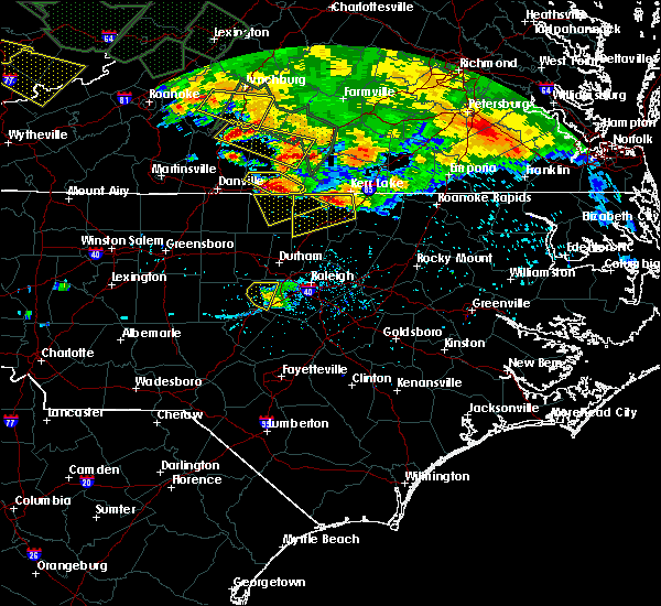 At 700 pm edt, a severe thunderstorm was located 10 miles southeast of clarksville, or 11 miles north of henderson, moving southeast at 25 mph (radar indicated). Hazards include 60 mph wind gusts and quarter size hail. Hail damage to vehicles is expected. Expect wind damage to roofs, siding, and trees. At 700 pm edt, a severe thunderstorm was located 10 miles southeast of clarksville, or 11 miles north of henderson, moving southeast at 25 mph (radar indicated). Hazards include 60 mph wind gusts and quarter size hail. Hail damage to vehicles is expected. Expect wind damage to roofs, siding, and trees.
|
| 6/16/2016 11:29 PM EDT |
 At 1128 pm edt, severe thunderstorms were located along a line extending from near south hill to 8 miles south of boydton to near virgilina, moving east at 45 mph (radar indicated). Hazards include 60 mph wind gusts. Expect damage to roofs. siding. and trees. Locations impacted include, roanoke rapids, henderson, oxford, roxboro, warrenton, halifax, norlina, littleton, enfield and weldon. At 1128 pm edt, severe thunderstorms were located along a line extending from near south hill to 8 miles south of boydton to near virgilina, moving east at 45 mph (radar indicated). Hazards include 60 mph wind gusts. Expect damage to roofs. siding. and trees. Locations impacted include, roanoke rapids, henderson, oxford, roxboro, warrenton, halifax, norlina, littleton, enfield and weldon.
|
| 6/16/2016 11:02 PM EDT |
 At 1102 pm edt, severe thunderstorms were located along a line extending from near kells corner to near clarksville to near cluster springs, moving southeast at 70 mph (radar indicated). Hazards include 60 mph wind gusts. Expect damage to roofs. siding. And trees. At 1102 pm edt, severe thunderstorms were located along a line extending from near kells corner to near clarksville to near cluster springs, moving southeast at 70 mph (radar indicated). Hazards include 60 mph wind gusts. Expect damage to roofs. siding. And trees.
|
| 6/5/2016 8:28 PM EDT |
 At 827 pm edt, severe thunderstorms were located along a line extending from near warrenton to 6 miles southeast of littleton, moving northeast at 50 mph (radar indicated). Hazards include 60 mph wind gusts. Expect damage to roofs. siding. and trees. Locations impacted include, roanoke rapids, warrenton, norlina, littleton, macon, lake gaston, roanoke rapids lake, rosemary, southpointe and morningstar marinas and airlie. At 827 pm edt, severe thunderstorms were located along a line extending from near warrenton to 6 miles southeast of littleton, moving northeast at 50 mph (radar indicated). Hazards include 60 mph wind gusts. Expect damage to roofs. siding. and trees. Locations impacted include, roanoke rapids, warrenton, norlina, littleton, macon, lake gaston, roanoke rapids lake, rosemary, southpointe and morningstar marinas and airlie.
|
| 6/5/2016 8:23 PM EDT |
 At 822 pm edt, severe thunderstorms were located along a line extending from near warrenton to near littleton, moving northeast at 50 mph (radar indicated). Hazards include 60 mph wind gusts. Expect damage to roofs. siding. and trees. Locations impacted include, roanoke rapids, warrenton, norlina, littleton, macon, roanoke rapids lake, southpointe and morningstar marinas, drewry, afton and lake gaston. At 822 pm edt, severe thunderstorms were located along a line extending from near warrenton to near littleton, moving northeast at 50 mph (radar indicated). Hazards include 60 mph wind gusts. Expect damage to roofs. siding. and trees. Locations impacted include, roanoke rapids, warrenton, norlina, littleton, macon, roanoke rapids lake, southpointe and morningstar marinas, drewry, afton and lake gaston.
|
| 6/5/2016 8:12 PM EDT |
 At 810 pm edt, severe thunderstorms were located along a line extending from 8 miles southeast of henderson to 12 miles southeast of warrenton, moving northeast at 45 mph (radar indicated). Hazards include 60 mph wind gusts. Expect damage to roofs. siding. and trees. Locations impacted include, roanoke rapids, henderson, warrenton, norlina, littleton, middleburg, macon, south henderson, roanoke rapids lake and gillburg. At 810 pm edt, severe thunderstorms were located along a line extending from 8 miles southeast of henderson to 12 miles southeast of warrenton, moving northeast at 45 mph (radar indicated). Hazards include 60 mph wind gusts. Expect damage to roofs. siding. and trees. Locations impacted include, roanoke rapids, henderson, warrenton, norlina, littleton, middleburg, macon, south henderson, roanoke rapids lake and gillburg.
|
| 6/5/2016 7:59 PM EDT |
 At 759 pm edt, severe thunderstorms were located along a line extending from near kittrell to 12 miles south of warrenton, moving northeast at 50 mph (radar indicated). Hazards include 60 mph wind gusts. Expect damage to roofs. siding. And trees. At 759 pm edt, severe thunderstorms were located along a line extending from near kittrell to 12 miles south of warrenton, moving northeast at 50 mph (radar indicated). Hazards include 60 mph wind gusts. Expect damage to roofs. siding. And trees.
|
| 6/5/2016 7:51 PM EDT |
 At 751 pm edt, a severe thunderstorm was located over ebony, or 10 miles south of brodnax, moving east at 45 mph (radar indicated). Hazards include 60 mph wind gusts. Expect damage to roofs. siding. and trees. Locations impacted include, norlina, southpointe and morningstar marinas, lake gaston and wise. At 751 pm edt, a severe thunderstorm was located over ebony, or 10 miles south of brodnax, moving east at 45 mph (radar indicated). Hazards include 60 mph wind gusts. Expect damage to roofs. siding. and trees. Locations impacted include, norlina, southpointe and morningstar marinas, lake gaston and wise.
|
| 6/5/2016 7:38 PM EDT |
 At 737 pm edt, a severe thunderstorm was located 8 miles north of norlina, or 11 miles southwest of south hill, moving east at 50 mph (radar indicated). Hazards include 60 mph wind gusts. Expect damage to roofs. siding. and trees. Locations impacted include, norlina, macon, southpointe and morningstar marinas, lake gaston, drewry and wise. At 737 pm edt, a severe thunderstorm was located 8 miles north of norlina, or 11 miles southwest of south hill, moving east at 50 mph (radar indicated). Hazards include 60 mph wind gusts. Expect damage to roofs. siding. and trees. Locations impacted include, norlina, macon, southpointe and morningstar marinas, lake gaston, drewry and wise.
|
| 6/5/2016 7:30 PM EDT |
 At 729 pm edt, a severe thunderstorm was located 8 miles south of clarksville, or 12 miles east of virgilina, moving east at 55 mph (radar indicated). Hazards include 60 mph wind gusts. Expect damage to roofs. siding. and trees. Locations impacted include, warrenton, norlina, middleburg, macon, southpointe and morningstar marinas, drewry, bullocksville, john h kerr reservoir, lake gaston and satterwhite point marina. At 729 pm edt, a severe thunderstorm was located 8 miles south of clarksville, or 12 miles east of virgilina, moving east at 55 mph (radar indicated). Hazards include 60 mph wind gusts. Expect damage to roofs. siding. and trees. Locations impacted include, warrenton, norlina, middleburg, macon, southpointe and morningstar marinas, drewry, bullocksville, john h kerr reservoir, lake gaston and satterwhite point marina.
|
| 6/5/2016 7:19 PM EDT |
 At 719 pm edt, a severe thunderstorm was located 8 miles southeast of clarksville, or 13 miles north of henderson, moving east at 40 mph (radar indicated). Hazards include 60 mph wind gusts. Expect damage to roofs. siding. and trees. Locations impacted include, warrenton, norlina, littleton, stovall, middleburg, macon, southpointe and morningstar marinas, drewry, bullocksville and john h kerr reservoir. At 719 pm edt, a severe thunderstorm was located 8 miles southeast of clarksville, or 13 miles north of henderson, moving east at 40 mph (radar indicated). Hazards include 60 mph wind gusts. Expect damage to roofs. siding. and trees. Locations impacted include, warrenton, norlina, littleton, stovall, middleburg, macon, southpointe and morningstar marinas, drewry, bullocksville and john h kerr reservoir.
|
| 6/5/2016 7:04 PM EDT |
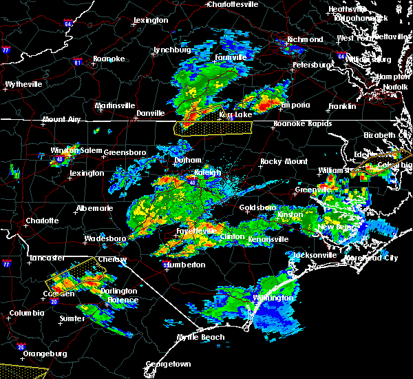 At 703 pm edt, a severe thunderstorm was located 7 miles southeast of virgilina, moving east at 40 mph (radar indicated). Hazards include 60 mph wind gusts and quarter size hail. Hail damage to vehicles is expected. expect wind damage to roofs, siding, and trees. Locations impacted include, warrenton, norlina, littleton, stovall, middleburg, macon, southpointe and morningstar marinas, drewry, bullocksville and john h kerr reservoir. At 703 pm edt, a severe thunderstorm was located 7 miles southeast of virgilina, moving east at 40 mph (radar indicated). Hazards include 60 mph wind gusts and quarter size hail. Hail damage to vehicles is expected. expect wind damage to roofs, siding, and trees. Locations impacted include, warrenton, norlina, littleton, stovall, middleburg, macon, southpointe and morningstar marinas, drewry, bullocksville and john h kerr reservoir.
|
| 6/5/2016 6:56 PM EDT |
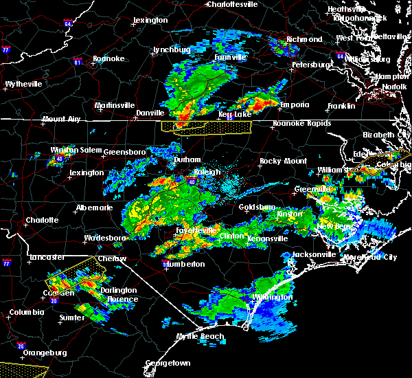 At 655 pm edt, a severe thunderstorm was located 7 miles southwest of virgilina, moving east at 40 mph (radar indicated). Hazards include 60 mph wind gusts and quarter size hail. Hail damage to vehicles is expected. Expect wind damage to roofs, siding, and trees. At 655 pm edt, a severe thunderstorm was located 7 miles southwest of virgilina, moving east at 40 mph (radar indicated). Hazards include 60 mph wind gusts and quarter size hail. Hail damage to vehicles is expected. Expect wind damage to roofs, siding, and trees.
|
| 2/24/2016 7:03 PM EST |
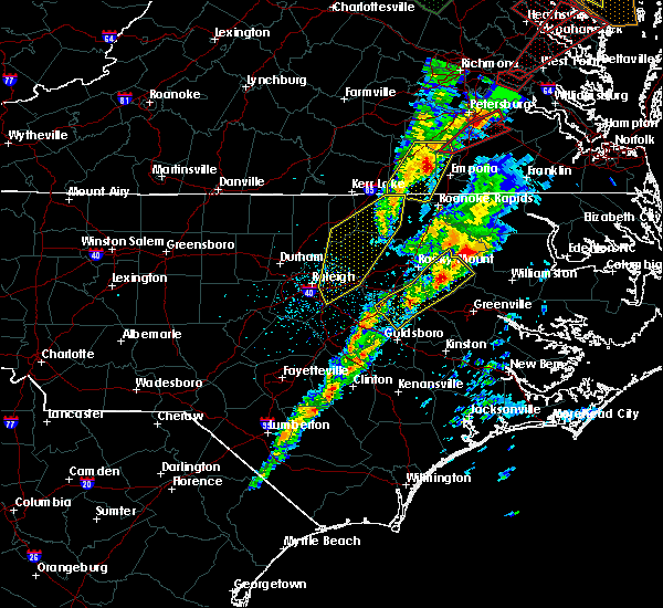 At 701 pm est, doppler radar continued to indicate a severe thunderstorm capable of producing damaging winds in excess of 58 mph. this storm was located near warrenton, moving northeast at 40 mph. locations impacted include, warrenton, lake gaston, arcola, afton. a tornado watch remains in effect until 1100 pm est for central north carolina. At 701 pm est, doppler radar continued to indicate a severe thunderstorm capable of producing damaging winds in excess of 58 mph. this storm was located near warrenton, moving northeast at 40 mph. locations impacted include, warrenton, lake gaston, arcola, afton. a tornado watch remains in effect until 1100 pm est for central north carolina.
|
| 2/24/2016 6:28 PM EST |
 At 626 pm est, doppler radar continued to indicate a line of severe thunderstorms capable of producing damaging winds in excess of 58 mph. the line extended from warrenton to littrell to wake forest, moving northeast at 40 mph. locations impacted include, henderson, louisburg, warrenton, wake forest, zebulon, franklinton, norlina, littleton and kittrell. a tornado watch remains in effect until 700 pm est for central north carolina. At 626 pm est, doppler radar continued to indicate a line of severe thunderstorms capable of producing damaging winds in excess of 58 mph. the line extended from warrenton to littrell to wake forest, moving northeast at 40 mph. locations impacted include, henderson, louisburg, warrenton, wake forest, zebulon, franklinton, norlina, littleton and kittrell. a tornado watch remains in effect until 700 pm est for central north carolina.
|
| 2/24/2016 6:19 PM EST |
 At 618 pm est, doppler radar continued to indicate a severe thunderstorm capable of producing a tornado. this dangerous storm was located 7 miles northeast of louisburg, moving northeast at 60 mph. locations impacted include, warrenton, norlina, littleton, macon, centerville, lake gaston, arcola, southpointe and morningstar marinas, ingleside and afton. At 618 pm est, doppler radar continued to indicate a severe thunderstorm capable of producing a tornado. this dangerous storm was located 7 miles northeast of louisburg, moving northeast at 60 mph. locations impacted include, warrenton, norlina, littleton, macon, centerville, lake gaston, arcola, southpointe and morningstar marinas, ingleside and afton.
|
| 2/24/2016 6:13 PM EST |
 At 611 pm est, doppler radar indicated a line of severe thunderstorms producing damaging winds to 60 mph. these storms were located over raleigh to wake forest to henderson, moving northeast at 40 mph. At 611 pm est, doppler radar indicated a line of severe thunderstorms producing damaging winds to 60 mph. these storms were located over raleigh to wake forest to henderson, moving northeast at 40 mph.
|
| 2/24/2016 6:11 PM EST |
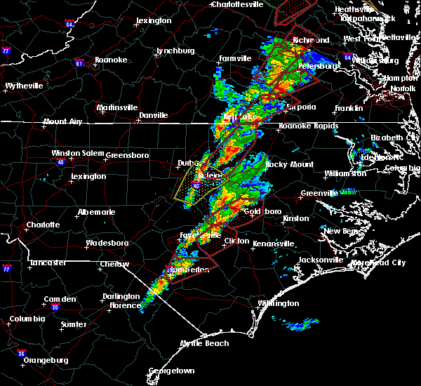 At 606 pm est, doppler radar continued to indicate a pair of supercell thunderstorms centered 2 miles south of louisburg and 2 miles southeast of lake gaston, respectively, both moving northeast at 65 mph. the storms will take similar paths as they race northeast at 65 mph through the warned area. locations impacted include, louisburg, warrenton, franklinton, norlina, littleton, bunn, youngsville, macon, centerville and southpointe and morningstar marinas. At 606 pm est, doppler radar continued to indicate a pair of supercell thunderstorms centered 2 miles south of louisburg and 2 miles southeast of lake gaston, respectively, both moving northeast at 65 mph. the storms will take similar paths as they race northeast at 65 mph through the warned area. locations impacted include, louisburg, warrenton, franklinton, norlina, littleton, bunn, youngsville, macon, centerville and southpointe and morningstar marinas.
|
| 2/24/2016 6:01 PM EST |
 At 558 pm est, doppler radar continued to indicate a pair of discrete supercell thunderstorms 3 miles east of warrenton in warren county, and 4 miles south of louisburg in southern franklin county, moving northeast at 65 mph. the storms will take similar paths as they race northeast at 60 mph through the warned area. locations impacted include, louisburg, warrenton, wake forest, franklinton, norlina, littleton, bunn, rolesville, youngsville and macon. At 558 pm est, doppler radar continued to indicate a pair of discrete supercell thunderstorms 3 miles east of warrenton in warren county, and 4 miles south of louisburg in southern franklin county, moving northeast at 65 mph. the storms will take similar paths as they race northeast at 60 mph through the warned area. locations impacted include, louisburg, warrenton, wake forest, franklinton, norlina, littleton, bunn, rolesville, youngsville and macon.
|
| 2/24/2016 5:51 PM EST |
 At 549 pm est, doppler radar continued to indicate a pair of discrete supercell thunderstorms over ingleside in northern franklin county and between new hope and rolesville in northern wake county. these dangerous storms were also located along a line extending from roughly 10 miles south of warrenton to 7 miles south of wake forest, moving northeast at 60 mph. the storms will take similar paths as they race northeast at 60 mph through the warned area. locations impacted include, raleigh, cary, louisburg, warrenton, wake forest, garner, franklinton, norlina, littleton and bunn. At 549 pm est, doppler radar continued to indicate a pair of discrete supercell thunderstorms over ingleside in northern franklin county and between new hope and rolesville in northern wake county. these dangerous storms were also located along a line extending from roughly 10 miles south of warrenton to 7 miles south of wake forest, moving northeast at 60 mph. the storms will take similar paths as they race northeast at 60 mph through the warned area. locations impacted include, raleigh, cary, louisburg, warrenton, wake forest, garner, franklinton, norlina, littleton and bunn.
|
| 2/24/2016 5:41 PM EST |
 The tornado warning for northern warren county will expire at 545 pm est, the storm which prompted the warning has moved out of the area. therefore the warning will be allowed to expire. however, there is another storm exhibiting weak rotation. another tornado warning may be needed. The tornado warning for northern warren county will expire at 545 pm est, the storm which prompted the warning has moved out of the area. therefore the warning will be allowed to expire. however, there is another storm exhibiting weak rotation. another tornado warning may be needed.
|
| 2/24/2016 5:41 PM EST |
 At 541 pm est, doppler radar indicated a severe thunderstorm capable of producing a tornado. this dangerous storm was located near raleigh, and moving northeast at 75 mph. At 541 pm est, doppler radar indicated a severe thunderstorm capable of producing a tornado. this dangerous storm was located near raleigh, and moving northeast at 75 mph.
|
| 2/24/2016 5:32 PM EST |
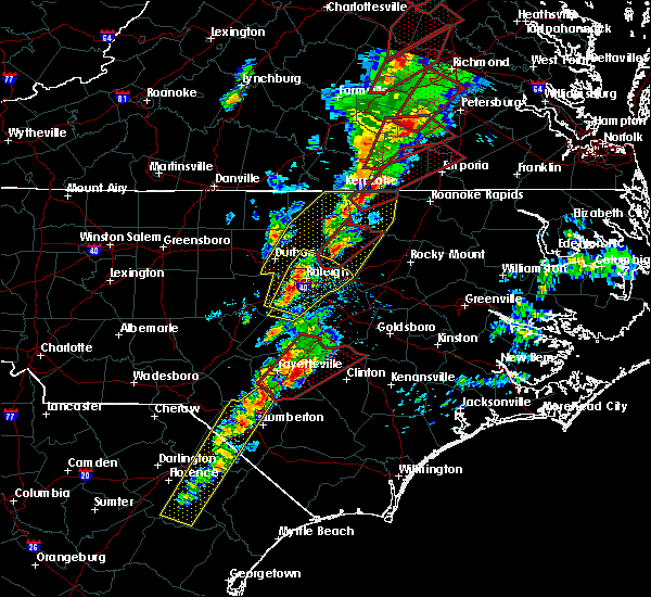 At 531 pm est, doppler radar continued to indicate a severe thunderstorm capable of producing a tornado. this dangerous storm was located near norlina, or near warrenton, moving northeast at 60 mph. locations impacted include, warrenton, norlina, macon, southpointe and morningstar marinas, lake gaston and wise. At 531 pm est, doppler radar continued to indicate a severe thunderstorm capable of producing a tornado. this dangerous storm was located near norlina, or near warrenton, moving northeast at 60 mph. locations impacted include, warrenton, norlina, macon, southpointe and morningstar marinas, lake gaston and wise.
|
| 2/24/2016 5:24 PM EST | Tree down on ridgeway-drewry r in warren county NC, 2.5 miles E of Norlina, NC |
| 2/24/2016 5:21 PM EST |
 At 521 pm est, doppler radar indicated a severe thunderstorm capable of producing a tornado. this dangerous storm was located near norlina, or 7 miles west of warrenton, and moving northeast at 60 mph. At 521 pm est, doppler radar indicated a severe thunderstorm capable of producing a tornado. this dangerous storm was located near norlina, or 7 miles west of warrenton, and moving northeast at 60 mph.
|
| 2/24/2016 4:36 PM EST |
 At 435 pm est, doppler radar indicated a line of severe thunderstorms capable of producing large hail up to ping pong ball size and damaging winds in excess of 58 mph. in addition, a tornado may rapidly form in this line. the line was moving east northeast at 35 mph. At 435 pm est, doppler radar indicated a line of severe thunderstorms capable of producing large hail up to ping pong ball size and damaging winds in excess of 58 mph. in addition, a tornado may rapidly form in this line. the line was moving east northeast at 35 mph.
|
| 9/10/2015 5:36 PM EDT |
 At 534 pm edt, doppler radar continued to indicate a line of severe thunderstorms capable of producing damaging winds in excess of 58 mph. these storms were located along a line extending from 11 miles north of henderson to near oxford, moving east at 20 mph. locations impacted include, henderson, oxford, warrenton, norlina, stovall, middleburg, macon, south henderson, gillburg and drewry. At 534 pm edt, doppler radar continued to indicate a line of severe thunderstorms capable of producing damaging winds in excess of 58 mph. these storms were located along a line extending from 11 miles north of henderson to near oxford, moving east at 20 mph. locations impacted include, henderson, oxford, warrenton, norlina, stovall, middleburg, macon, south henderson, gillburg and drewry.
|
| 9/10/2015 5:22 PM EDT |
 At 522 pm edt, doppler radar indicated a line of severe thunderstorms capable of producing quarter size hail and damaging winds in excess of 58 mph. these storms were located along a line extending from 9 miles south of clarksville to near oxford, and moving east at 20 mph. At 522 pm edt, doppler radar indicated a line of severe thunderstorms capable of producing quarter size hail and damaging winds in excess of 58 mph. these storms were located along a line extending from 9 miles south of clarksville to near oxford, and moving east at 20 mph.
|
| 9/10/2015 5:07 PM EDT |
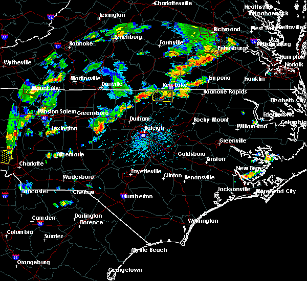 The severe thunderstorm warning for northern vance and northwestern warren counties will expire at 515 pm edt, the storms which prompted the warning have weakened below severe limits, and no longer poses an immediate threat to life or property. therefore the warning will be allowed to expire. however gusty winds and heavy rain are still possible with these thunderstorms. to report severe weather, contact your nearest law enforcement agency. they will relay your report to the national weather service raleigh. The severe thunderstorm warning for northern vance and northwestern warren counties will expire at 515 pm edt, the storms which prompted the warning have weakened below severe limits, and no longer poses an immediate threat to life or property. therefore the warning will be allowed to expire. however gusty winds and heavy rain are still possible with these thunderstorms. to report severe weather, contact your nearest law enforcement agency. they will relay your report to the national weather service raleigh.
|
| 9/10/2015 4:51 PM EDT |
 At 449 pm edt, doppler radar continued to indicate a severe thunderstorm capable of producing quarter size hail and damaging winds in excess of 58 mph. this storm was located near henderson, moving east at 25 mph. locations impacted include, norlina, middleburg, satterwhite point marina, steele creek marina & campground, drewry, wise, bullocksville, john h kerr reservoir and kerr lake. At 449 pm edt, doppler radar continued to indicate a severe thunderstorm capable of producing quarter size hail and damaging winds in excess of 58 mph. this storm was located near henderson, moving east at 25 mph. locations impacted include, norlina, middleburg, satterwhite point marina, steele creek marina & campground, drewry, wise, bullocksville, john h kerr reservoir and kerr lake.
|
| 9/10/2015 4:33 PM EDT |
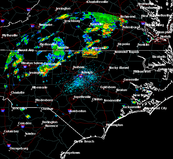 At 431 pm edt, doppler radar continued to indicate a line of severe thunderstorms capable of producing quarter size hail and damaging winds in excess of 58 mph. these storms were located along a line extending from 8 miles north of oxford to near norlina, moving east at 20 mph. locations impacted include, norlina, stovall, middleburg, satterwhite point marina, steele creek marina & campground, drewry, wise, bullocksville, tungsten and john h kerr reservoir. At 431 pm edt, doppler radar continued to indicate a line of severe thunderstorms capable of producing quarter size hail and damaging winds in excess of 58 mph. these storms were located along a line extending from 8 miles north of oxford to near norlina, moving east at 20 mph. locations impacted include, norlina, stovall, middleburg, satterwhite point marina, steele creek marina & campground, drewry, wise, bullocksville, tungsten and john h kerr reservoir.
|
| 9/10/2015 4:13 PM EDT |
 At 413 pm edt, doppler radar indicated a severe thunderstorm capable of producing quarter size hail and damaging winds in excess of 58 mph. this storm was located 8 miles north of oxford, and moving east at 15 mph. At 413 pm edt, doppler radar indicated a severe thunderstorm capable of producing quarter size hail and damaging winds in excess of 58 mph. this storm was located 8 miles north of oxford, and moving east at 15 mph.
|
| 8/6/2015 6:06 PM EDT |
 At 604 pm edt, a severe thunderstorm continued to be located near kerr lake, or 11 miles northeast of warrenton, moving northeast at 25 mph. locations impacted include, roanoke rapids, warrenton, norlina, littleton, macon, medoc mountain state park, southpointe and morningstar marinas, john h kerr reservoir, tungsten and lake gaston. At 604 pm edt, a severe thunderstorm continued to be located near kerr lake, or 11 miles northeast of warrenton, moving northeast at 25 mph. locations impacted include, roanoke rapids, warrenton, norlina, littleton, macon, medoc mountain state park, southpointe and morningstar marinas, john h kerr reservoir, tungsten and lake gaston.
|
| 8/6/2015 5:45 PM EDT |
 At 545 pm edt, doppler radar continued to indicate a severe thunderstorm capable of producing damaging winds in excess of 58 mph. this storm was located near littleton, or 7 miles east of warrenton, moving northeast at 40 mph. locations impacted include, roanoke rapids, warrenton, norlina, littleton, stovall, middleburg, macon, medoc mountain state park, southpointe and morningstar marinas and drewry. At 545 pm edt, doppler radar continued to indicate a severe thunderstorm capable of producing damaging winds in excess of 58 mph. this storm was located near littleton, or 7 miles east of warrenton, moving northeast at 40 mph. locations impacted include, roanoke rapids, warrenton, norlina, littleton, stovall, middleburg, macon, medoc mountain state park, southpointe and morningstar marinas and drewry.
|
| 8/6/2015 5:27 PM EDT |
 At 524 pm edt, doppler radar indicated a line of severe thunderstorms capable of producing damaging winds to near 60 mph. the line extended from 10 miles southwest of kerr lake to henderson to 10 miles southwest of warrenton, moving northeast at 35 mph. At 524 pm edt, doppler radar indicated a line of severe thunderstorms capable of producing damaging winds to near 60 mph. the line extended from 10 miles southwest of kerr lake to henderson to 10 miles southwest of warrenton, moving northeast at 35 mph.
|
| 7/18/2015 8:28 PM EDT |
 At 827 pm edt, doppler radar continued to indicate a severe thunderstorm capable of producing quarter size hail and damaging winds in excess of 58 mph. this storm was located near henderson, moving east at 25 mph. locations impacted include, henderson, warrenton, norlina, middleburg, macon, centerville, south henderson, gillburg, drewry and afton. At 827 pm edt, doppler radar continued to indicate a severe thunderstorm capable of producing quarter size hail and damaging winds in excess of 58 mph. this storm was located near henderson, moving east at 25 mph. locations impacted include, henderson, warrenton, norlina, middleburg, macon, centerville, south henderson, gillburg, drewry and afton.
|
| 7/18/2015 8:06 PM EDT |
 At 805 pm edt, doppler radar indicated a severe thunderstorm capable of producing quarter size hail and damaging winds in excess of 58 mph. this storm was located near oxford, and moving east at 25 mph. At 805 pm edt, doppler radar indicated a severe thunderstorm capable of producing quarter size hail and damaging winds in excess of 58 mph. this storm was located near oxford, and moving east at 25 mph.
|
| 7/5/2015 10:08 PM EDT |
 The severe thunderstorm warning for north central franklin, vance, northern granville and warren counties will expire at 1015 pm edt, the line of storms which prompted the warning have weakened below severe limits, and no longer poses an immediate threat to life or property. therefore the warning will be allowed to expire. however gusty winds and heavy rain are still possible with these thunderstorms. The severe thunderstorm warning for north central franklin, vance, northern granville and warren counties will expire at 1015 pm edt, the line of storms which prompted the warning have weakened below severe limits, and no longer poses an immediate threat to life or property. therefore the warning will be allowed to expire. however gusty winds and heavy rain are still possible with these thunderstorms.
|
| 7/5/2015 9:54 PM EDT |
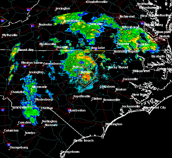 At 954 pm edt, doppler radar continued to indicate a line of severe thunderstorms capable of producing damaging winds in excess of 58 mph. these storms were located along a line extending from 9 miles north of oxford to 9 miles south of warrenton, moving northeast at 30 mph. locations impacted include, henderson, oxford, warrenton, norlina, kittrell, stovall, middleburg, macon, south henderson and oak hill. At 954 pm edt, doppler radar continued to indicate a line of severe thunderstorms capable of producing damaging winds in excess of 58 mph. these storms were located along a line extending from 9 miles north of oxford to 9 miles south of warrenton, moving northeast at 30 mph. locations impacted include, henderson, oxford, warrenton, norlina, kittrell, stovall, middleburg, macon, south henderson and oak hill.
|
| 7/5/2015 9:22 PM EDT |
 At 922 pm edt, doppler radar indicated a line of severe thunderstorms capable of producing damaging winds in excess of 58 mph. these storms were located along a line extending from 9 miles northeast of rougemont to near franklinton, and moving northeast at 30 mph. At 922 pm edt, doppler radar indicated a line of severe thunderstorms capable of producing damaging winds in excess of 58 mph. these storms were located along a line extending from 9 miles northeast of rougemont to near franklinton, and moving northeast at 30 mph.
|
| 6/30/2015 8:30 PM EDT |
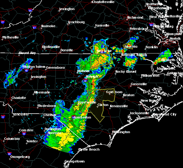 At 830 pm edt, doppler radar continued to indicate a severe thunderstorm capable of producing damaging winds in excess of 58 mph. this storm was located near warrenton, moving east at 35 mph. locations impacted include, warrenton, norlina, littleton, macon, lake gaston, gillburg, arcola, southpointe and morningstar marinas, wise and ingleside. At 830 pm edt, doppler radar continued to indicate a severe thunderstorm capable of producing damaging winds in excess of 58 mph. this storm was located near warrenton, moving east at 35 mph. locations impacted include, warrenton, norlina, littleton, macon, lake gaston, gillburg, arcola, southpointe and morningstar marinas, wise and ingleside.
|
| 6/30/2015 8:17 PM EDT |
 At 816 pm edt, doppler radar continued to indicate a severe thunderstorm capable of producing damaging winds in excess of 58 mph. this storm was located near warrenton, moving east at 35 mph. locations impacted include, henderson, warrenton, norlina, littleton, kittrell, middleburg, macon, south henderson, gillburg and southpointe and morningstar marinas. At 816 pm edt, doppler radar continued to indicate a severe thunderstorm capable of producing damaging winds in excess of 58 mph. this storm was located near warrenton, moving east at 35 mph. locations impacted include, henderson, warrenton, norlina, littleton, kittrell, middleburg, macon, south henderson, gillburg and southpointe and morningstar marinas.
|
| 6/30/2015 8:15 PM EDT | Several large tree limbs down... blocking roads. town public works and fire department dispatched to remove tree limbs from roadway in warren county NC, 0.4 miles NNE of Norlina, NC |
| 6/30/2015 7:49 PM EDT |
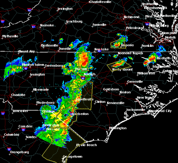 At 749 pm edt, doppler radar indicated a severe thunderstorm capable of producing damaging winds in excess of 58 mph. this storm was located near oxford, and moving east at 35 mph. At 749 pm edt, doppler radar indicated a severe thunderstorm capable of producing damaging winds in excess of 58 mph. this storm was located near oxford, and moving east at 35 mph.
|
| 6/20/2015 9:09 PM EDT |
 At 909 pm edt, doppler radar indicated a severe thunderstorm capable of producing damaging winds in excess of 58 mph. this storm was located 8 miles southeast of henderson, and moving east at 60 mph. At 909 pm edt, doppler radar indicated a severe thunderstorm capable of producing damaging winds in excess of 58 mph. this storm was located 8 miles southeast of henderson, and moving east at 60 mph.
|
| 6/20/2015 8:38 PM EDT |
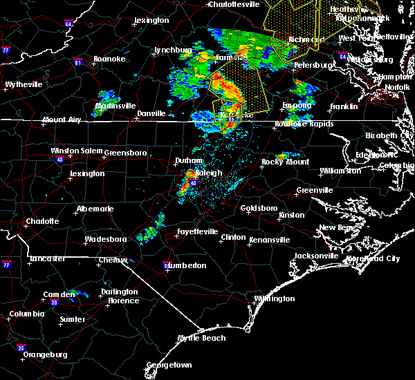 At 838 pm edt, doppler radar indicated a severe thunderstorm capable of producing damaging winds in excess of 58 mph. this storm was located near norlina, or near warrenton, and moving northeast at 65 mph. At 838 pm edt, doppler radar indicated a severe thunderstorm capable of producing damaging winds in excess of 58 mph. this storm was located near norlina, or near warrenton, and moving northeast at 65 mph.
|
| 6/20/2015 8:29 PM EDT | Tree down on hous in warren county NC, 1 miles WSW of Norlina, NC |
| 6/20/2015 8:19 PM EDT |
 At 819 pm edt, doppler radar continued to indicate a severe thunderstorm capable of producing damaging winds in excess of 58 mph. this storm was located near norlina, or 9 miles west of warrenton, moving northeast at 40 mph. locations impacted include, henderson, warrenton, norlina, middleburg, macon, south henderson, drewry, bullocksville, john h kerr reservoir and satterwhite point marina. At 819 pm edt, doppler radar continued to indicate a severe thunderstorm capable of producing damaging winds in excess of 58 mph. this storm was located near norlina, or 9 miles west of warrenton, moving northeast at 40 mph. locations impacted include, henderson, warrenton, norlina, middleburg, macon, south henderson, drewry, bullocksville, john h kerr reservoir and satterwhite point marina.
|
| 6/20/2015 7:48 PM EDT |
 At 747 pm edt, doppler radar indicated a severe thunderstorm capable of producing damaging winds in excess of 58 mph. this storm was located over oxford, and moving east northeast at 55 mph. At 747 pm edt, doppler radar indicated a severe thunderstorm capable of producing damaging winds in excess of 58 mph. this storm was located over oxford, and moving east northeast at 55 mph.
|
| 4/14/2015 7:41 PM EDT | A severe thunderstorm warning remains in effect until 745 pm edt for northeastern warren county. at 739 pm edt. doppler radar continued to indicate a severe thunderstorm capable of producing damaging winds up to 60 mph. this storm was located near warrenton. moving east at 20 mph. Locations impacted include. |
| 4/14/2015 7:28 PM EDT | A severe thunderstorm warning remains in effect until 745 pm edt for northern warren county. at 726 pm edt. doppler radar indicated a severe thunderstorm capable of producing damaging wind gusts up to 60 mph. this storm was located near norlina. or 7 miles north of warrenton. Moving east at 25 mph. |
| 4/14/2015 7:26 PM EDT | 2 foot diameter tall oak tree uprooted and blown across the road...near the intersection of us-1 and wise-five forks roa in warren county NC, 3.5 miles SSW of Norlina, NC |
| 4/14/2015 7:18 PM EDT | A severe thunderstorm warning remains in effect until 745 pm edt for northern warren county. at 716 pm edt. doppler radar indicated a severe thunderstorm capable of producing damaging wind gusts up to 60 mph. this storm was located near norlina. or 8 miles northwest of warrenton. Moving east at 25 mph. |
| 4/14/2015 7:10 PM EDT | A severe thunderstorm warning remains in effect until 745 pm edt for northeastern vance and northern warren counties. at 709 pm edt. doppler radar indicated a severe thunderstorm capable of producing damaging wind gusts up to 60 mph. this storm was located near norlina. or 9 miles northwest of warrenton. Moving east at 25 mph. |
| 4/14/2015 7:02 PM EDT | A severe thunderstorm warning remains in effect until 745 pm edt for northeastern vance and northern warren counties. at 701 pm edt. doppler radar indicated a severe thunderstorm capable of producing damaging wind gusts up to 60 mph. this storm was located 9 miles south of boydton. or 14 miles northwest of warrenton. Moving east at 15 mph. |
| 4/14/2015 6:56 PM EDT | The national weather service in raleigh has issued a * severe thunderstorm warning for. northern vance county in central north carolina. northern warren county in central north carolina. until 745 pm edt * at 655 pm edt. Doppler radar indicated a severe thunderstorm. |
| 7/9/2012 7:10 PM EDT | Power lines blown down along martin road. time estimate in warren county NC, 4 miles SE of Norlina, NC |
| 5/1/2012 5:16 PM EDT | Two trees reported down south of the i-85 welcome center toward exit 22 in warren county NC, 4.1 miles SSE of Norlina, NC |
Hail Maps for Norlina, NC

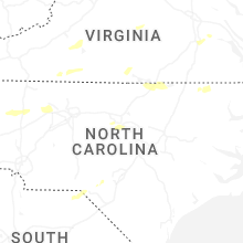
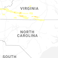


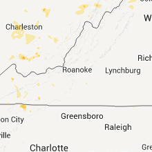


Connect with Interactive Hail Maps