

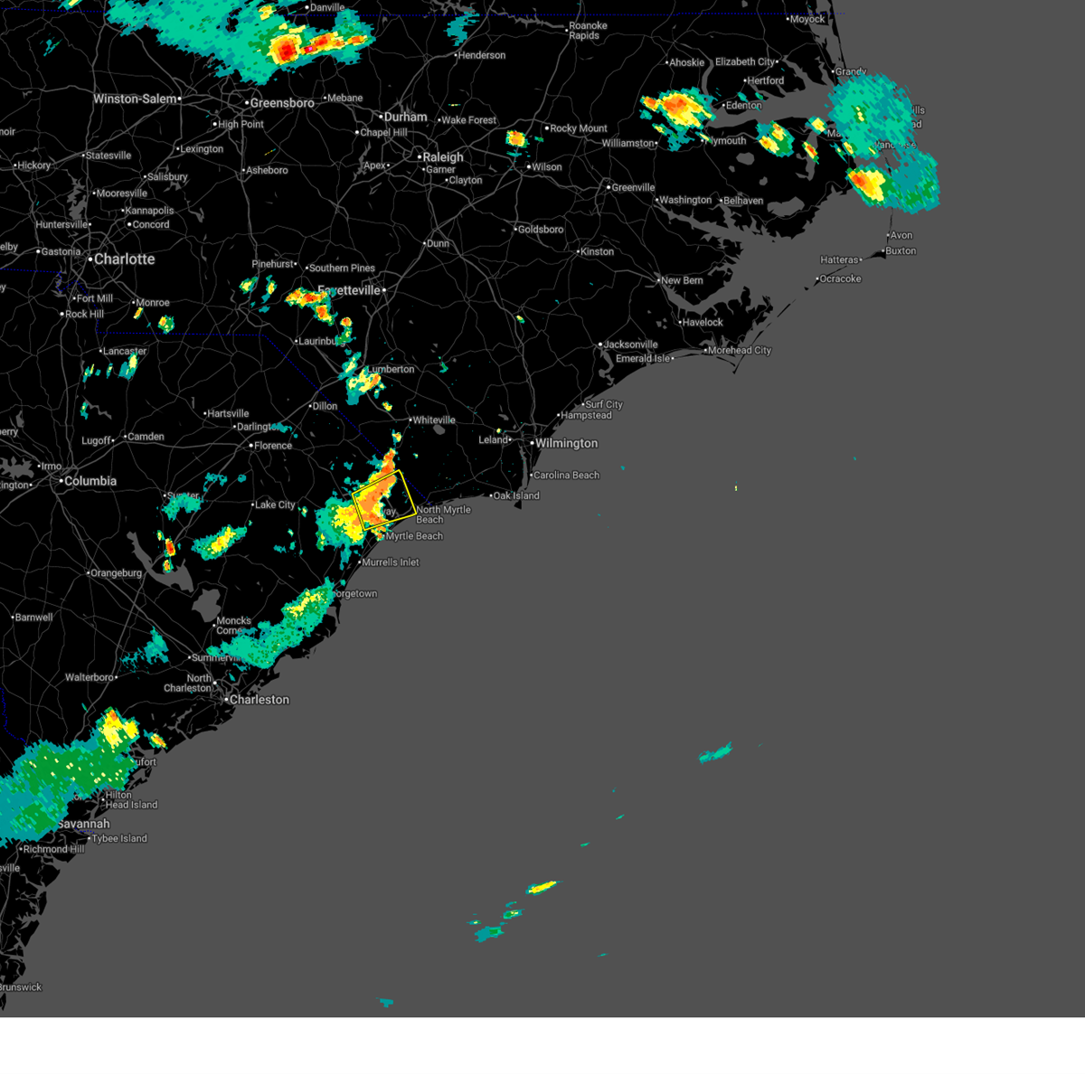
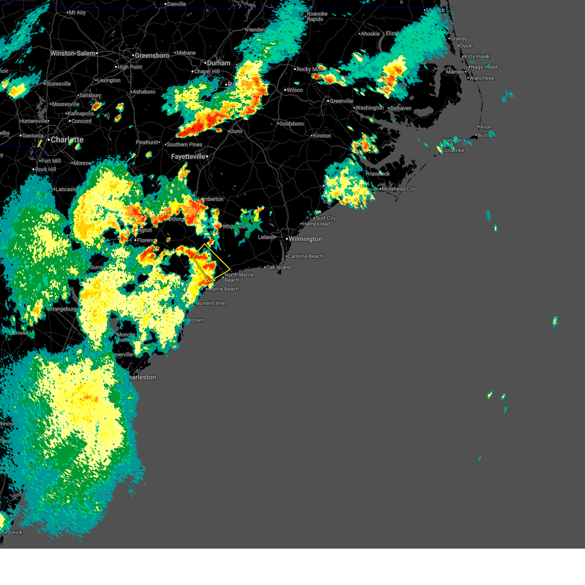
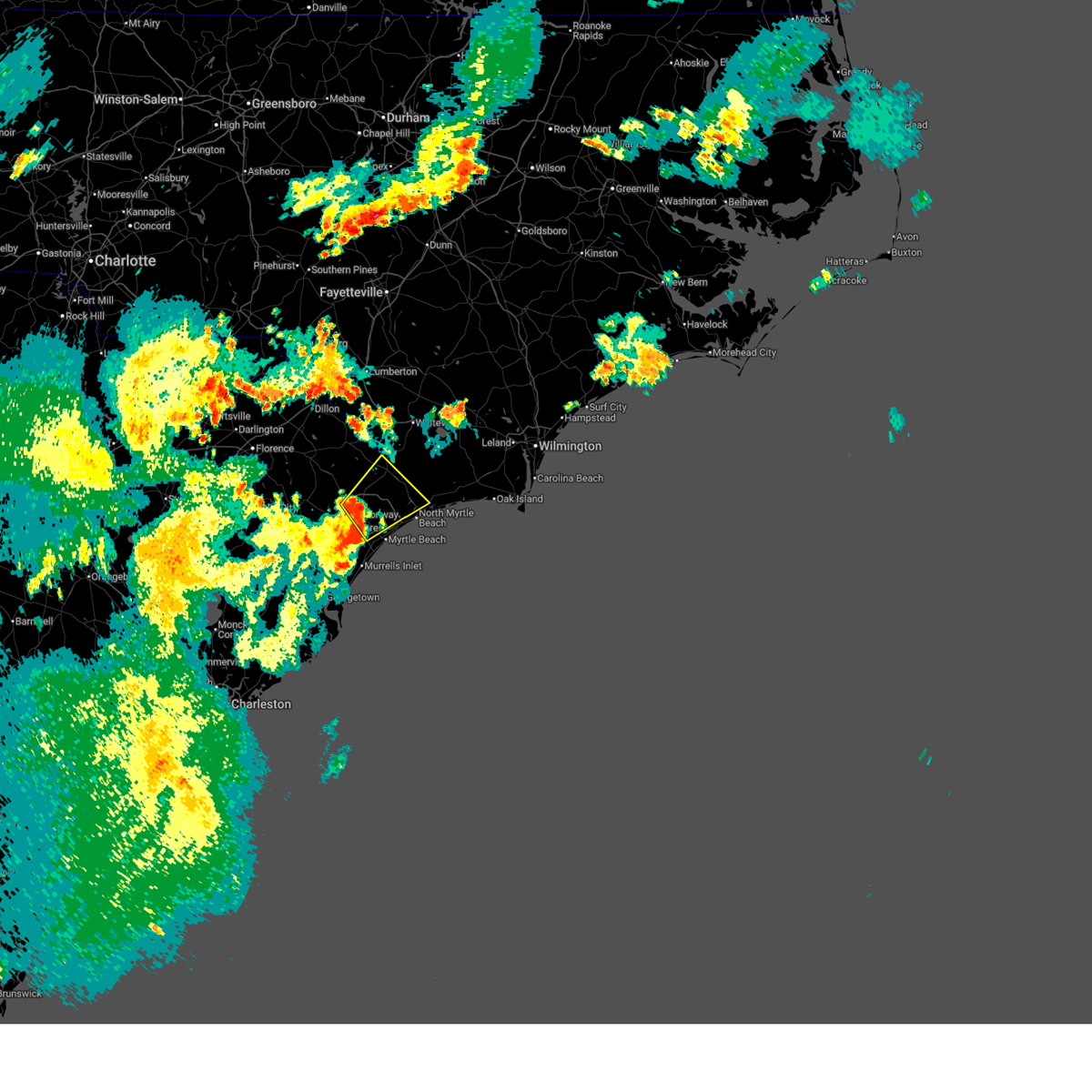
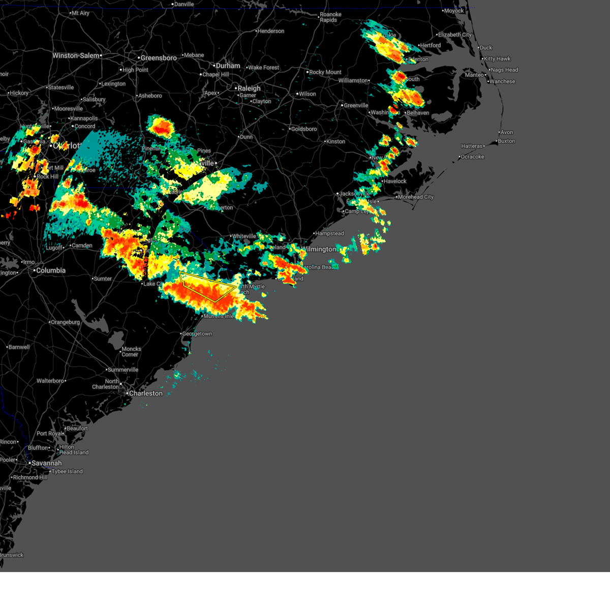
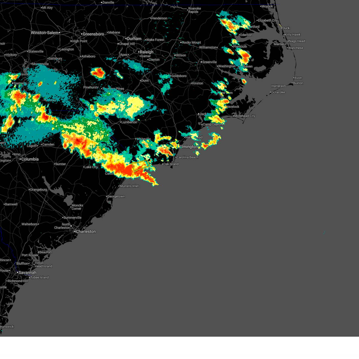
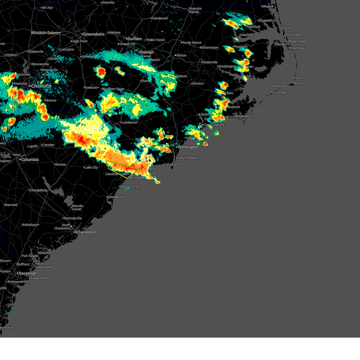
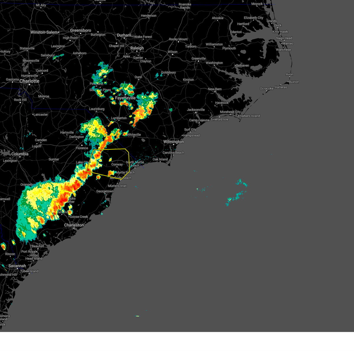
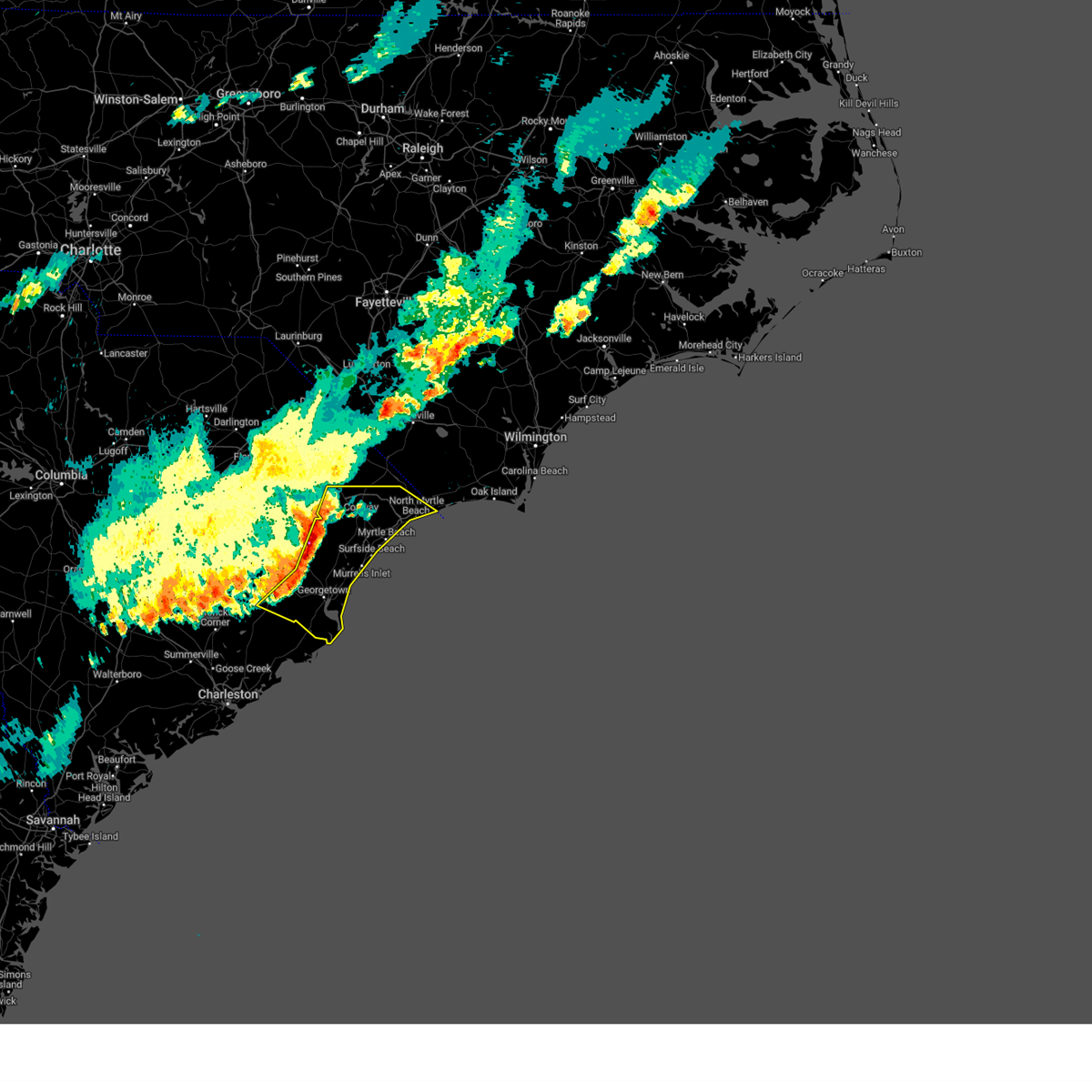
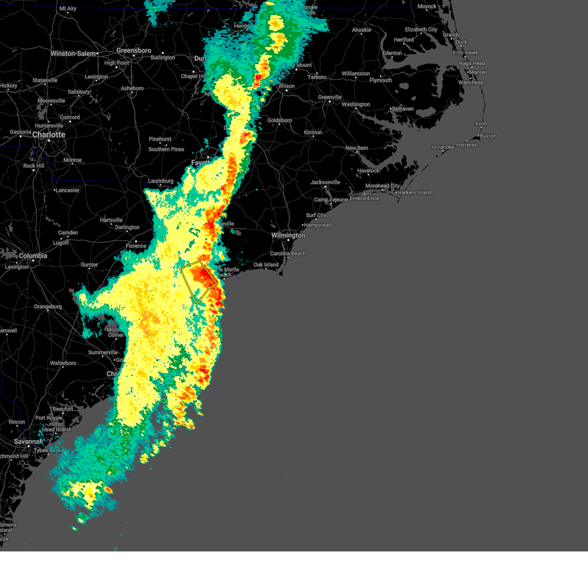
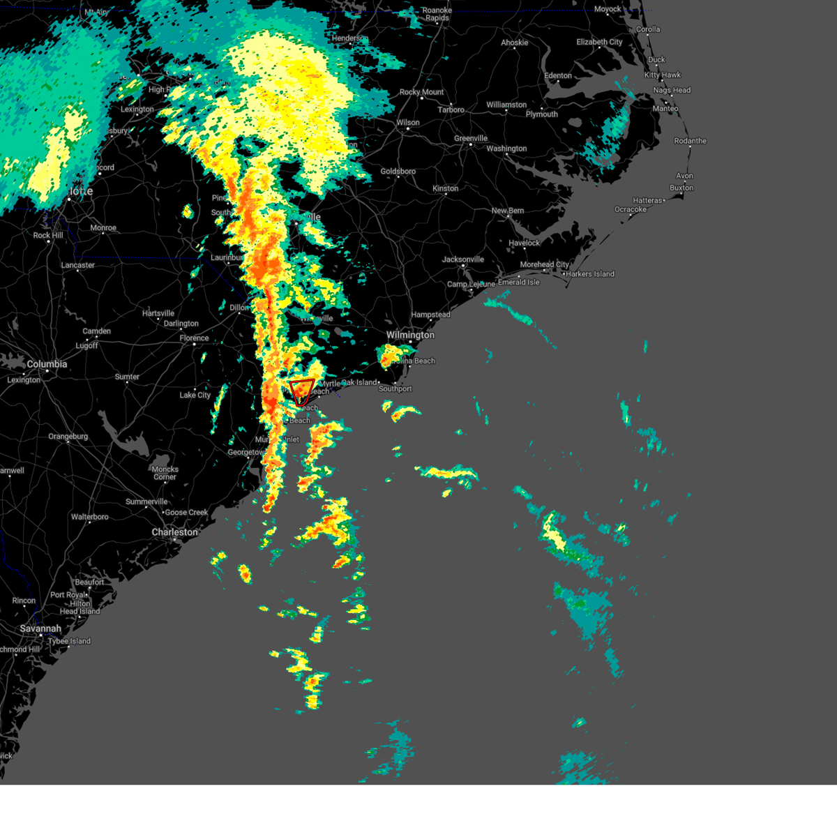
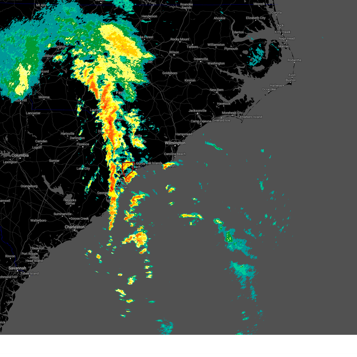
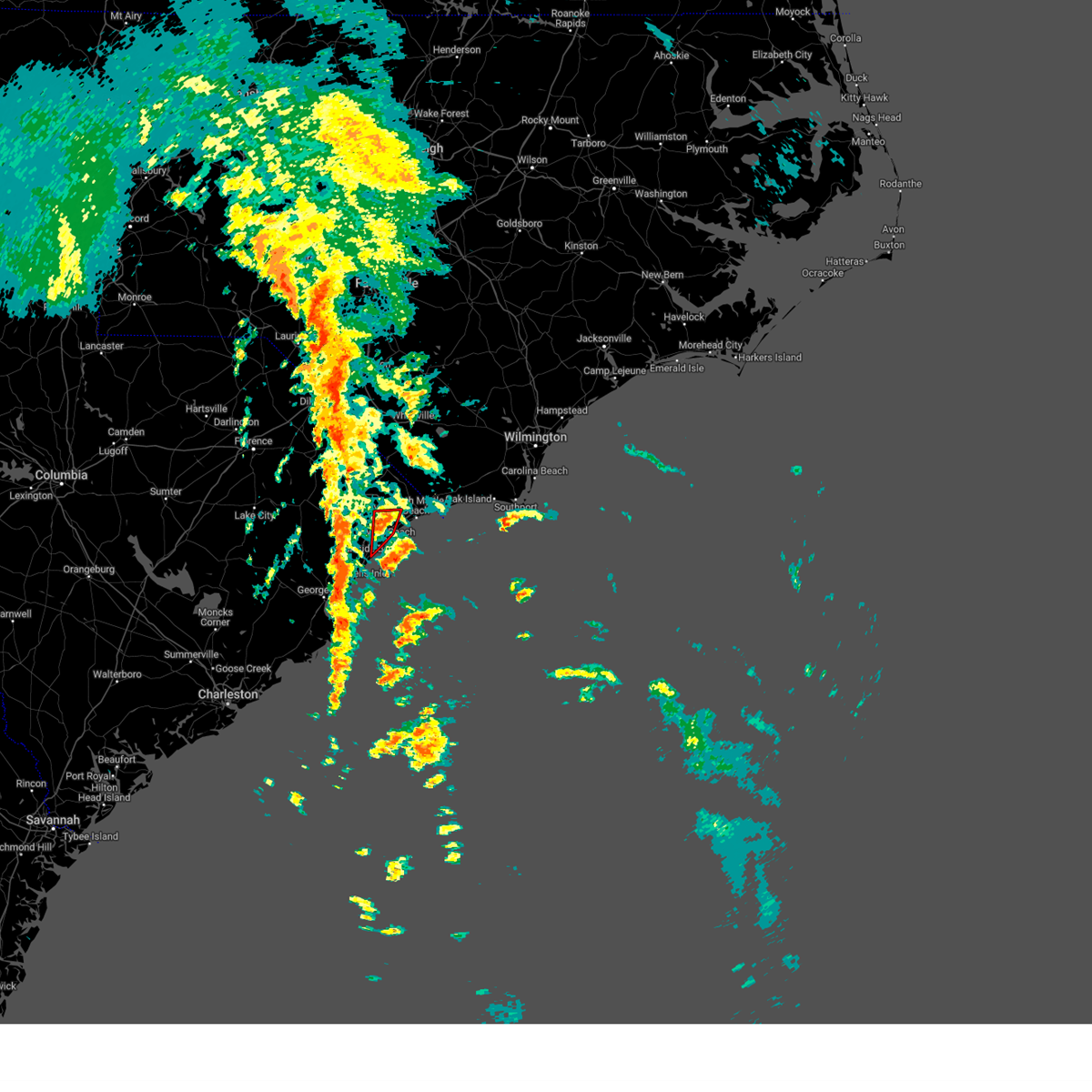
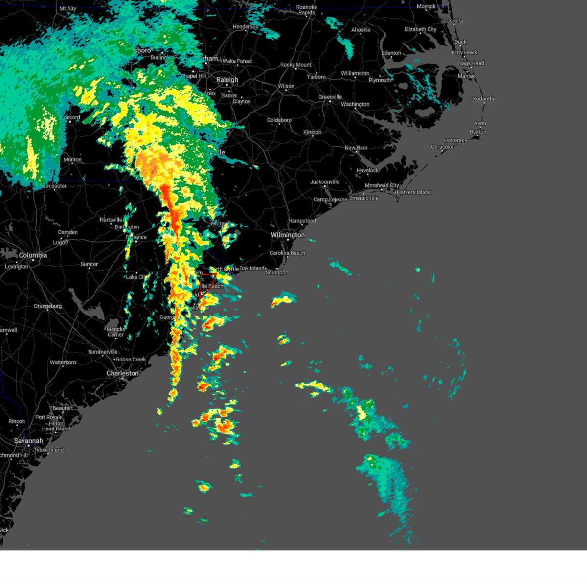
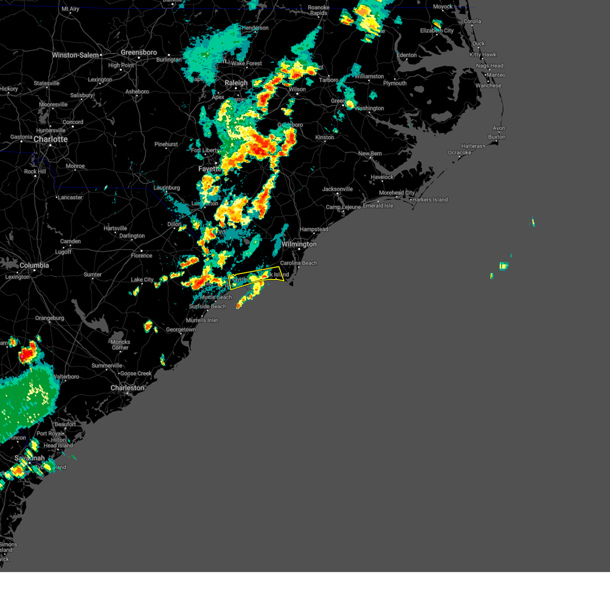
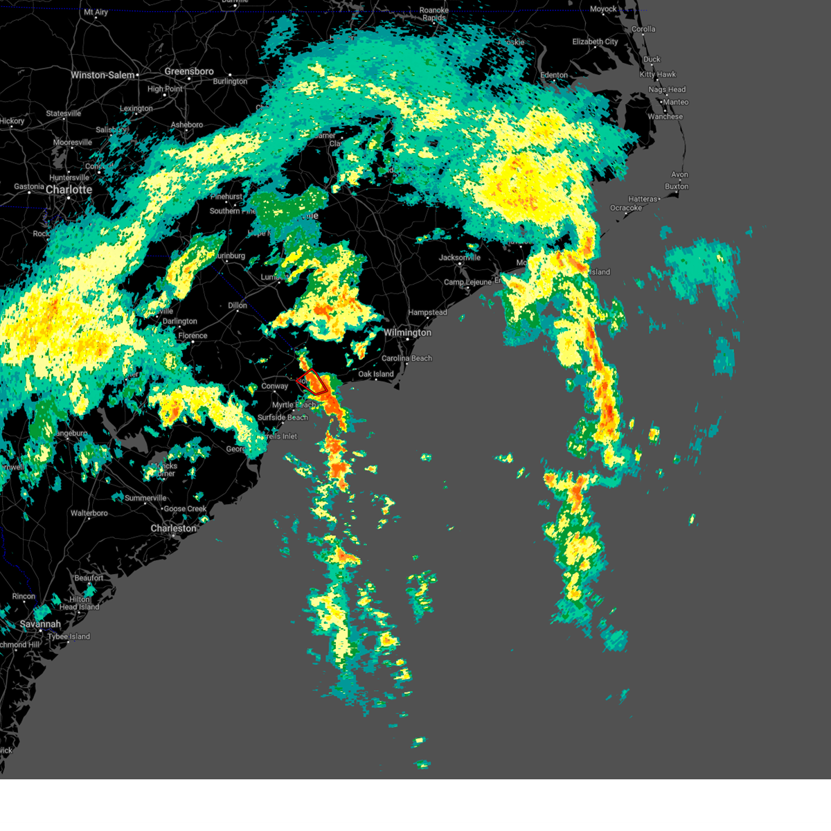
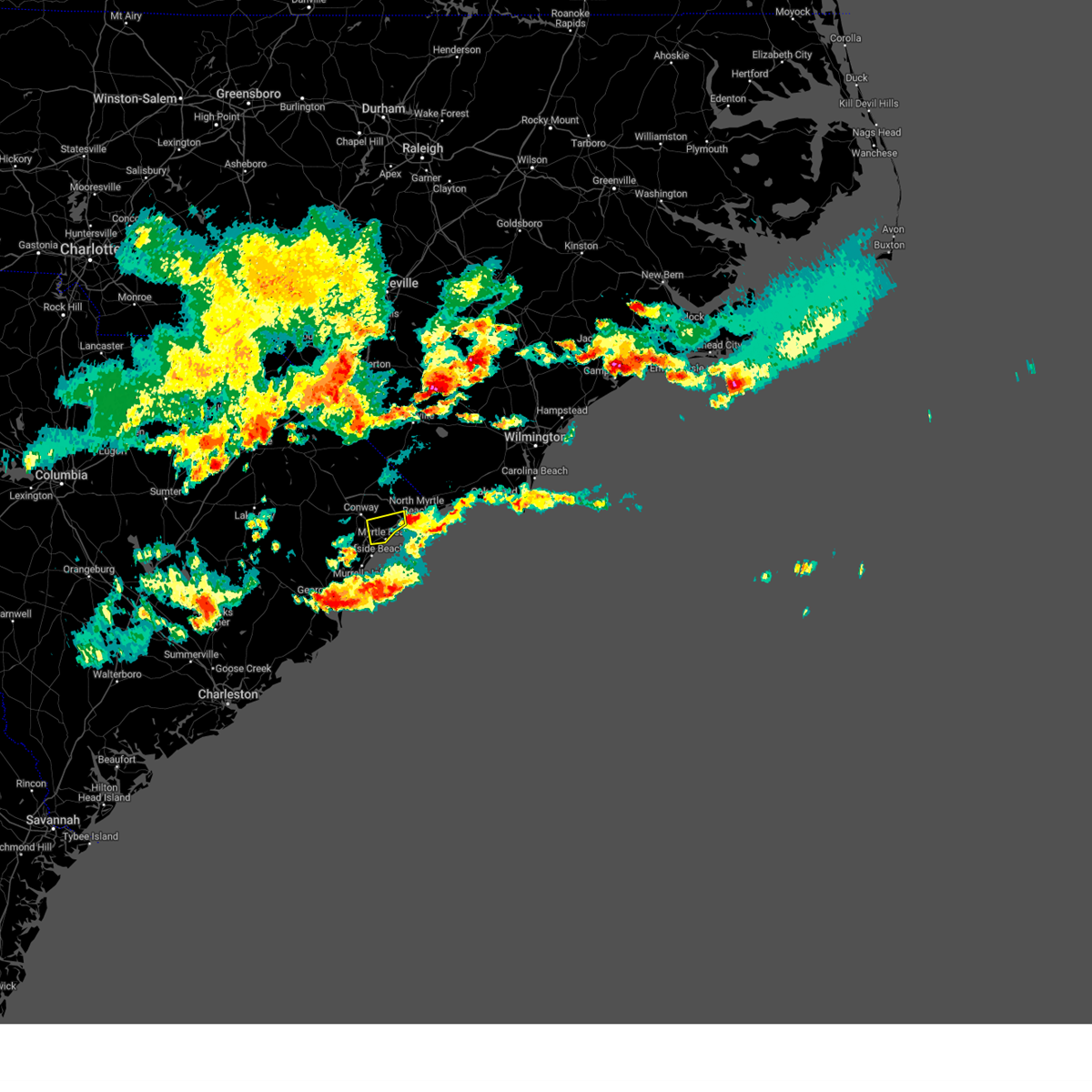
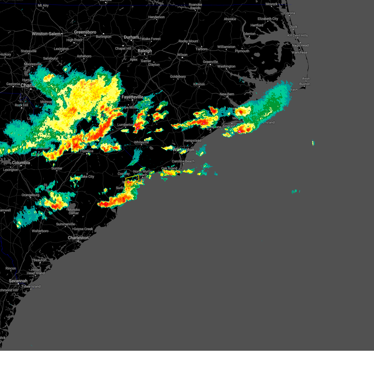
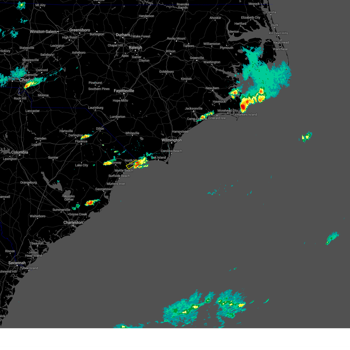
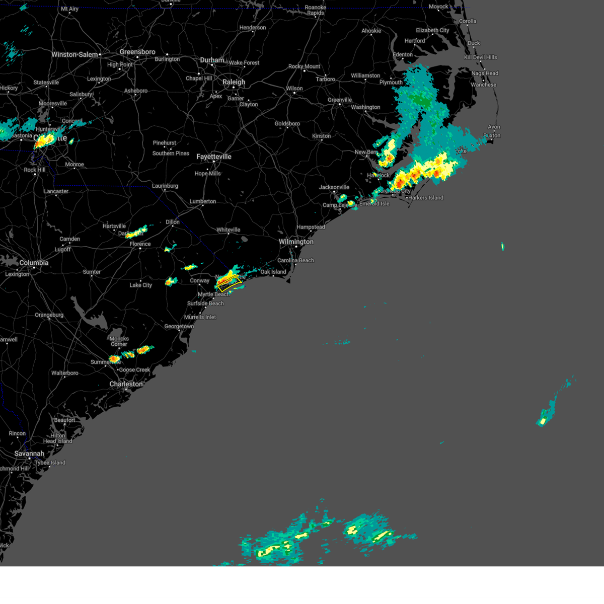
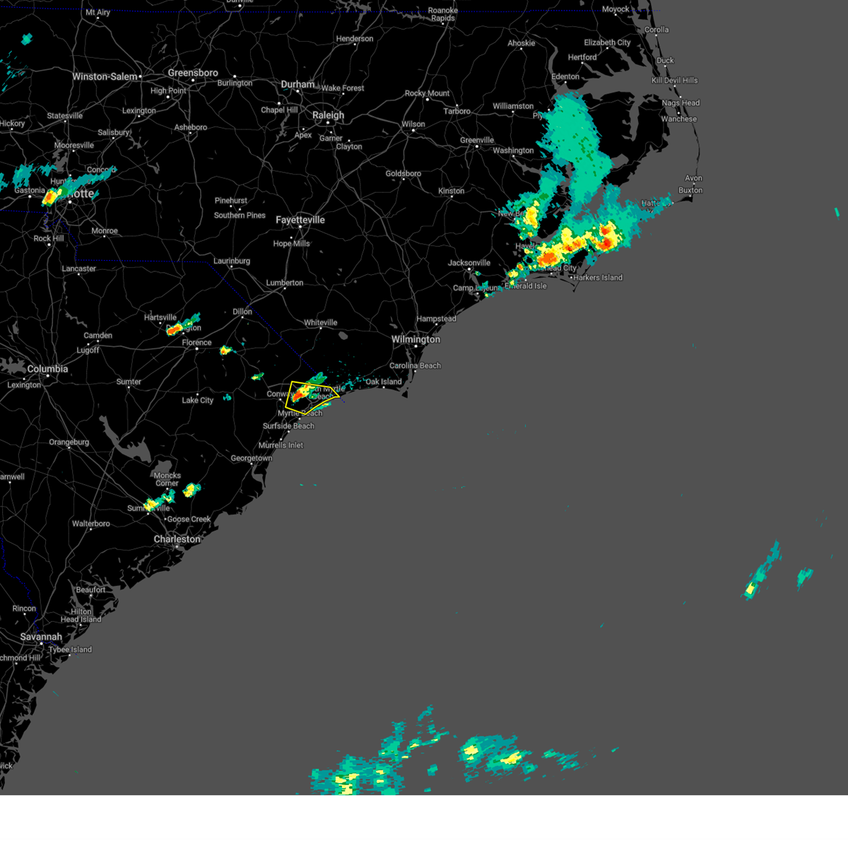
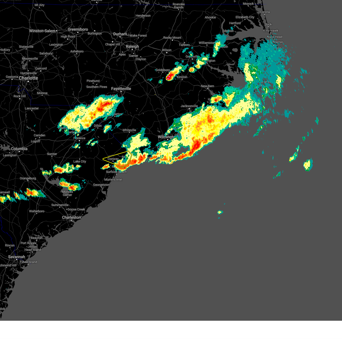
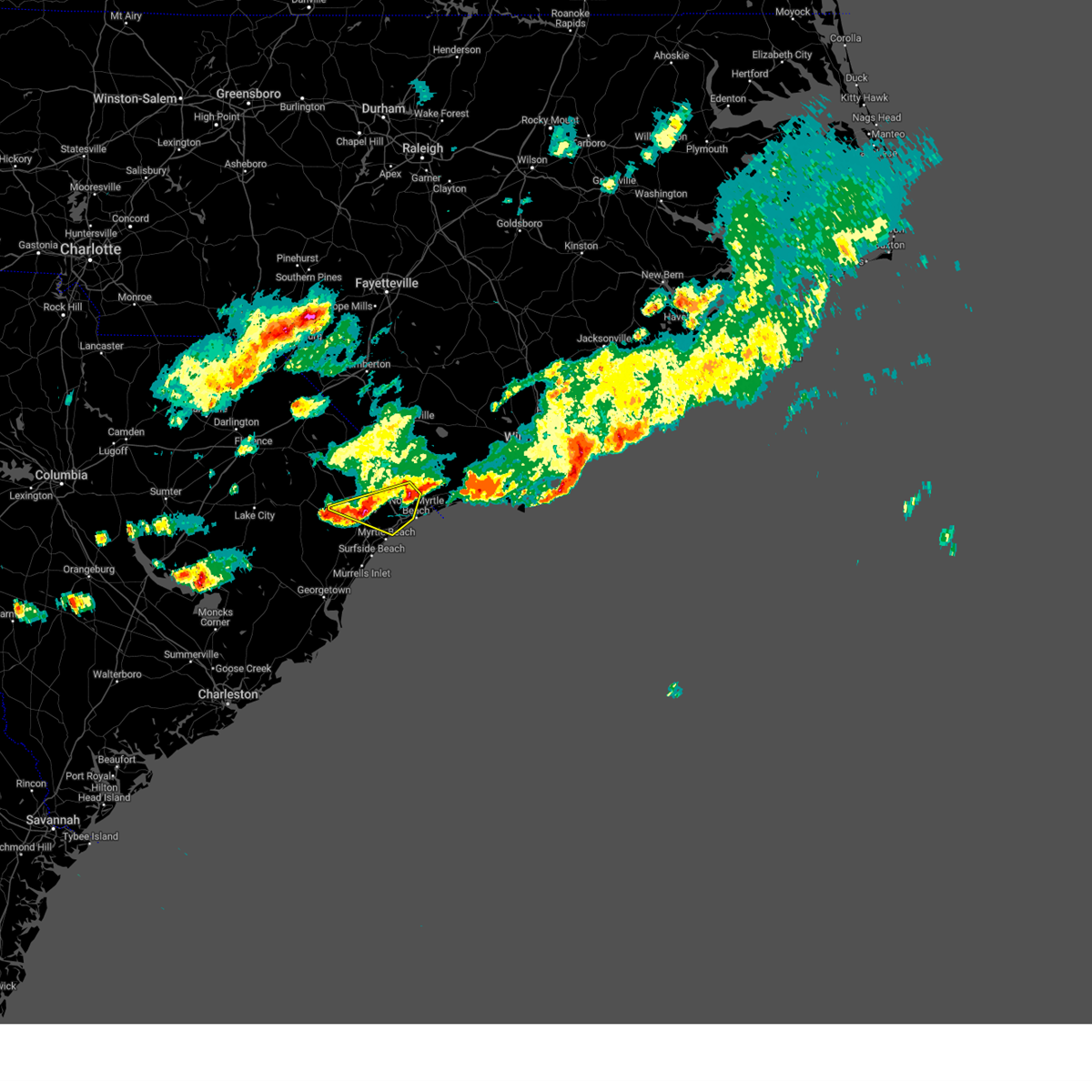
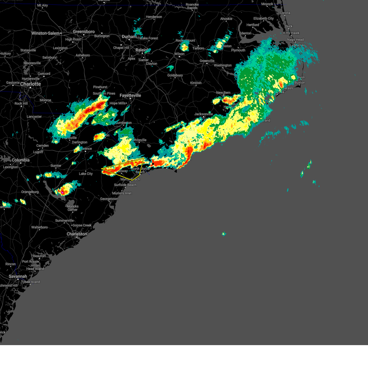
Hail Map for North Myrtle Beach, SC
The North Myrtle Beach, SC area has had 4 reports of on-the-ground hail by trained spotters, and has been under severe weather warnings 42 times during the past 12 months. Doppler radar has detected hail at or near North Myrtle Beach, SC on 47 occasions, including 3 occasions during the past year.
| Name: | North Myrtle Beach, SC |
| Where Located: | 50.9 miles WSW of Wilmington, NC |
| Map: | Google Map for North Myrtle Beach, SC |
| Population: | 13752 |
| Housing Units: | 27584 |
| More Info: | Search Google for North Myrtle Beach, SC |
1
The Top Recent Hail Date for North Myrtle Beach, SC is Tuesday, August 20, 2024 (9th out of 47)

Hail and Wind Damage Spotted near North Myrtle Beach, SC
| Date / Time | Report Details |
|---|---|
| 7/18/2025 5:17 PM EDT |
 the severe thunderstorm warning has been cancelled and is no longer in effect the severe thunderstorm warning has been cancelled and is no longer in effect
|
| 7/18/2025 5:09 PM EDT |
 At 509 pm edt, a severe thunderstorm was located over hickory grove, or 7 miles east of conway, moving east at 15 mph (radar indicated). Hazards include 60 mph wind gusts. Expect wind damage to trees and power lines. Locations impacted include, conway, north myrtle beach, north myrtle beach airport, red hill, hickory grove, homewood, horry georgetown technical college conway campus, adrian, hand, barefoot landing area of north myrtle beach, nixonville, wampee, longs, hammond, coastal carolina university, goretown, briarcliffe acres, atlantic beach, lighthouse care center of conway, and conway medical center. At 509 pm edt, a severe thunderstorm was located over hickory grove, or 7 miles east of conway, moving east at 15 mph (radar indicated). Hazards include 60 mph wind gusts. Expect wind damage to trees and power lines. Locations impacted include, conway, north myrtle beach, north myrtle beach airport, red hill, hickory grove, homewood, horry georgetown technical college conway campus, adrian, hand, barefoot landing area of north myrtle beach, nixonville, wampee, longs, hammond, coastal carolina university, goretown, briarcliffe acres, atlantic beach, lighthouse care center of conway, and conway medical center.
|
| 7/18/2025 4:33 PM EDT |
 Svrilm the national weather service in wilmington has issued a * severe thunderstorm warning for, central horry county in northeastern south carolina, * until 530 pm edt. * at 432 pm edt, a severe thunderstorm was located near conway, moving east at 15 mph (radar indicated). Hazards include 60 mph wind gusts. expect wind damage to trees and power lines Svrilm the national weather service in wilmington has issued a * severe thunderstorm warning for, central horry county in northeastern south carolina, * until 530 pm edt. * at 432 pm edt, a severe thunderstorm was located near conway, moving east at 15 mph (radar indicated). Hazards include 60 mph wind gusts. expect wind damage to trees and power lines
|
| 7/10/2025 8:41 PM EDT |
 The storm which prompted the warning has moved out of the area. please send your reports of wind damage, including trees or large limbs downed, by calling the national weather service office in wilmington at 1 800 697 3901. The storm which prompted the warning has moved out of the area. please send your reports of wind damage, including trees or large limbs downed, by calling the national weather service office in wilmington at 1 800 697 3901.
|
| 7/10/2025 8:24 PM EDT |
 At 823 pm edt, a severe thunderstorm was located near hammond, or 10 miles northwest of north myrtle beach airport, moving northeast at 35 mph (radar indicated). Hazards include 60 mph wind gusts. Expect wind damage to trees and power lines. Locations impacted include, little river, loris, hand, nixonville, wampee, longs, hammond, goretown, brooksville, bayboro, and allsbrook. At 823 pm edt, a severe thunderstorm was located near hammond, or 10 miles northwest of north myrtle beach airport, moving northeast at 35 mph (radar indicated). Hazards include 60 mph wind gusts. Expect wind damage to trees and power lines. Locations impacted include, little river, loris, hand, nixonville, wampee, longs, hammond, goretown, brooksville, bayboro, and allsbrook.
|
| 7/10/2025 8:01 PM EDT |
 Svrilm the national weather service in wilmington has issued a * severe thunderstorm warning for, horry county in northeastern south carolina, * until 845 pm edt. * at 800 pm edt, a severe thunderstorm was located over homewood, or near conway, moving northeast at 35 mph (radar indicated). Hazards include 60 mph wind gusts. expect wind damage to trees and power lines Svrilm the national weather service in wilmington has issued a * severe thunderstorm warning for, horry county in northeastern south carolina, * until 845 pm edt. * at 800 pm edt, a severe thunderstorm was located over homewood, or near conway, moving northeast at 35 mph (radar indicated). Hazards include 60 mph wind gusts. expect wind damage to trees and power lines
|
| 6/25/2025 7:23 PM EDT |
 The storms which prompted the warning have moved into southern horry county a severe thunderstorm watch remains in effect until midnight edt for northeastern south carolina. please send your reports of hail or wind damage, including trees or large limbs downed, by calling the national weather service office in wilmington at 1 800 697 3901. remember, a severe thunderstorm warning still remains in effect for southern horry county. The storms which prompted the warning have moved into southern horry county a severe thunderstorm watch remains in effect until midnight edt for northeastern south carolina. please send your reports of hail or wind damage, including trees or large limbs downed, by calling the national weather service office in wilmington at 1 800 697 3901. remember, a severe thunderstorm warning still remains in effect for southern horry county.
|
| 6/25/2025 7:05 PM EDT |
 The storm which prompted the warning has moved out of the area. therefore, the warning will be allowed to expire. a severe thunderstorm watch remains in effect until midnight edt for southeastern north carolina, and northeastern south carolina. please send your reports of hail or wind damage, including trees or large limbs downed, by calling the national weather service office in wilmington at 1 800 697 3901. The storm which prompted the warning has moved out of the area. therefore, the warning will be allowed to expire. a severe thunderstorm watch remains in effect until midnight edt for southeastern north carolina, and northeastern south carolina. please send your reports of hail or wind damage, including trees or large limbs downed, by calling the national weather service office in wilmington at 1 800 697 3901.
|
| 6/25/2025 6:53 PM EDT |
 the severe thunderstorm warning has been cancelled and is no longer in effect the severe thunderstorm warning has been cancelled and is no longer in effect
|
| 6/25/2025 6:53 PM EDT |
 At 652 pm edt, severe thunderstorms were located along a line extending from near marion to hand, moving south at 20 mph (law enforcement). Hazards include 60 mph wind gusts and quarter size hail. Minor hail damage to vehicles is possible. expect wind damage to trees and power lines. Locations impacted include, myrtle beach, conway, north myrtle beach, north myrtle beach airport, red hill, horry, hickory grove, homewood, horry georgetown technical college conway campus, pee dee crossroads, hand, barefoot landing area of north myrtle beach, nixonville, forestbrook, coastal carolina university, briarcliffe acres, atlantic beach, lighthouse care center of conway, conway medical center, and grand strand regional medical center. At 652 pm edt, severe thunderstorms were located along a line extending from near marion to hand, moving south at 20 mph (law enforcement). Hazards include 60 mph wind gusts and quarter size hail. Minor hail damage to vehicles is possible. expect wind damage to trees and power lines. Locations impacted include, myrtle beach, conway, north myrtle beach, north myrtle beach airport, red hill, horry, hickory grove, homewood, horry georgetown technical college conway campus, pee dee crossroads, hand, barefoot landing area of north myrtle beach, nixonville, forestbrook, coastal carolina university, briarcliffe acres, atlantic beach, lighthouse care center of conway, conway medical center, and grand strand regional medical center.
|
| 6/25/2025 6:46 PM EDT | At 646 pm edt, a severe thunderstorm was located over cherry grove inlet, moving south at 25 mph (radar indicated). Hazards include 60 mph wind gusts and quarter size hail. Minor hail damage to vehicles is possible. expect wind damage to trees and power lines. Locations impacted include, north myrtle beach, sunset beach, ocean isle beach, north myrtle beach airport, little river, little river entrance, iredell, carolina shores, calabash, grissettown, seaside, wampee, longs, brooksville, barefoot landing area of north myrtle beach, atlantic beach, and sea coast medical center. |
| 6/25/2025 6:23 PM EDT | Svrilm the national weather service in wilmington has issued a * severe thunderstorm warning for, horry county in northeastern south carolina, marion county in northeastern south carolina, * until 730 pm edt. * at 623 pm edt, severe thunderstorms were located along a line extending from near sellers to near goretown, moving south at 20 mph (radar indicated). Hazards include 60 mph wind gusts and quarter size hail. Minor hail damage to vehicles is possible. Expect wind damage to trees and power lines. |
| 6/25/2025 6:17 PM EDT | Svrilm the national weather service in wilmington has issued a * severe thunderstorm warning for, southwestern brunswick county in southeastern north carolina, east central horry county in northeastern south carolina, * until 715 pm edt. * at 617 pm edt, a severe thunderstorm was located over calabash, or over sunset beach, moving south at 25 mph (radar indicated). Hazards include 60 mph wind gusts and quarter size hail. Minor hail damage to vehicles is possible. Expect wind damage to trees and power lines. |
| 6/8/2025 2:09 PM EDT |
 At 207 pm edt, severe thunderstorms were located along a line extending from near the borough to near honey island to near little river entrance, moving east at 50 mph (radar indicated). Hazards include 60 mph wind gusts and quarter size hail. Minor hail damage to vehicles is possible. expect wind damage to trees and power lines. Locations impacted include, wilmington, myrtle beach, north myrtle beach, leland, oak island, carolina beach, shallotte, sunset beach, wrightsville beach, kure beach, surf city, holden beach, ocean isle beach, caswell beach, bald head island, snows cut, little river entrance, south masonboro island, ocean crest pier, and figure eight island. At 207 pm edt, severe thunderstorms were located along a line extending from near the borough to near honey island to near little river entrance, moving east at 50 mph (radar indicated). Hazards include 60 mph wind gusts and quarter size hail. Minor hail damage to vehicles is possible. expect wind damage to trees and power lines. Locations impacted include, wilmington, myrtle beach, north myrtle beach, leland, oak island, carolina beach, shallotte, sunset beach, wrightsville beach, kure beach, surf city, holden beach, ocean isle beach, caswell beach, bald head island, snows cut, little river entrance, south masonboro island, ocean crest pier, and figure eight island.
|
| 6/8/2025 1:44 PM EDT |
 The storms which prompted the warning have moved out of the area. therefore, the warning will be allowed to expire. a severe thunderstorm watch remains in effect until 500 pm edt for southeastern north carolina, and northeastern south carolina. please send your reports of hail and/or wind damage, including trees or large limbs downed, by calling the national weather service office in wilmington at 1-800-697-3901. The storms which prompted the warning have moved out of the area. therefore, the warning will be allowed to expire. a severe thunderstorm watch remains in effect until 500 pm edt for southeastern north carolina, and northeastern south carolina. please send your reports of hail and/or wind damage, including trees or large limbs downed, by calling the national weather service office in wilmington at 1-800-697-3901.
|
| 6/8/2025 1:43 PM EDT |
 Svrilm the national weather service in wilmington has issued a * severe thunderstorm warning for, new hanover county in southeastern north carolina, southern pender county in southeastern north carolina, southern bladen county in southeastern north carolina, brunswick county in southeastern north carolina, columbus county in southeastern north carolina, central horry county in northeastern south carolina, * until 300 pm edt. * at 142 pm edt, severe thunderstorms were located along a line extending from near council to near williams to forestbrook, moving east at 45 mph (radar indicated). Hazards include 60 mph wind gusts and quarter size hail. Minor hail damage to vehicles is possible. Expect wind damage to trees and power lines. Svrilm the national weather service in wilmington has issued a * severe thunderstorm warning for, new hanover county in southeastern north carolina, southern pender county in southeastern north carolina, southern bladen county in southeastern north carolina, brunswick county in southeastern north carolina, columbus county in southeastern north carolina, central horry county in northeastern south carolina, * until 300 pm edt. * at 142 pm edt, severe thunderstorms were located along a line extending from near council to near williams to forestbrook, moving east at 45 mph (radar indicated). Hazards include 60 mph wind gusts and quarter size hail. Minor hail damage to vehicles is possible. Expect wind damage to trees and power lines.
|
| 6/8/2025 1:21 PM EDT |
 At 121 pm edt, severe thunderstorms were located along a line extending from near bayboro to near horry to near yauhannah, moving east at 40 mph (radar indicated). Hazards include 60 mph wind gusts and quarter size hail. Minor hail damage to vehicles is possible. expect wind damage to trees and power lines. Locations impacted include, myrtle beach, conway, myrtle beach airport, socastee, red hill, springmaid pier, horry, loris, hemingway, hickory grove, homewood, horry georgetown technical college conway campus, adrian, pee dee crossroads, brittons neck, nixonville, bucksport, dongola, outland, and goretown. At 121 pm edt, severe thunderstorms were located along a line extending from near bayboro to near horry to near yauhannah, moving east at 40 mph (radar indicated). Hazards include 60 mph wind gusts and quarter size hail. Minor hail damage to vehicles is possible. expect wind damage to trees and power lines. Locations impacted include, myrtle beach, conway, myrtle beach airport, socastee, red hill, springmaid pier, horry, loris, hemingway, hickory grove, homewood, horry georgetown technical college conway campus, adrian, pee dee crossroads, brittons neck, nixonville, bucksport, dongola, outland, and goretown.
|
| 6/8/2025 12:52 PM EDT |
 Svrilm the national weather service in wilmington has issued a * severe thunderstorm warning for, southeastern florence county in northeastern south carolina, north central georgetown county in northeastern south carolina, horry county in northeastern south carolina, central marion county in northeastern south carolina, northeastern williamsburg county in northeastern south carolina, * until 145 pm edt. * at 1252 pm edt, a severe thunderstorm was located near gresham, or 14 miles south of marion, moving east at 40 mph (radar indicated). Hazards include 60 mph wind gusts and quarter size hail. Minor hail damage to vehicles is possible. Expect wind damage to trees and power lines. Svrilm the national weather service in wilmington has issued a * severe thunderstorm warning for, southeastern florence county in northeastern south carolina, north central georgetown county in northeastern south carolina, horry county in northeastern south carolina, central marion county in northeastern south carolina, northeastern williamsburg county in northeastern south carolina, * until 145 pm edt. * at 1252 pm edt, a severe thunderstorm was located near gresham, or 14 miles south of marion, moving east at 40 mph (radar indicated). Hazards include 60 mph wind gusts and quarter size hail. Minor hail damage to vehicles is possible. Expect wind damage to trees and power lines.
|
| 5/30/2025 7:10 PM EDT |
 The storms which prompted the warning have moved out of the area. therefore, the warning will be allowed to expire. a severe thunderstorm watch remains in effect until 1100 pm edt for northeastern south carolina. please send your reports of hail and/or wind damage, including trees or large limbs downed, by calling the national weather service office in wilmington at 1-800-697-3901. The storms which prompted the warning have moved out of the area. therefore, the warning will be allowed to expire. a severe thunderstorm watch remains in effect until 1100 pm edt for northeastern south carolina. please send your reports of hail and/or wind damage, including trees or large limbs downed, by calling the national weather service office in wilmington at 1-800-697-3901.
|
| 5/30/2025 7:02 PM EDT |
 At 702 pm edt, severe thunderstorms were located along a line extending from near cherry grove beach to 18 miles east of litchfield beach to near winyah bay entrance, moving east at 45 mph (radar indicated). Hazards include 60 mph wind gusts. Expect wind damage to trees and power lines. Locations impacted include, myrtle beach, north myrtle beach, georgetown, debordieu colony, surfside beach, pawleys island, myrtle beach airport, little river, yawkey south island, springmaid pier, garden city, north myrtle beach airport, murrells inlet, cherry grove inlet, little river entrance, winyah bay entrance, socastee, north santee, barefoot landing area of north myrtle beach, and wampee. At 702 pm edt, severe thunderstorms were located along a line extending from near cherry grove beach to 18 miles east of litchfield beach to near winyah bay entrance, moving east at 45 mph (radar indicated). Hazards include 60 mph wind gusts. Expect wind damage to trees and power lines. Locations impacted include, myrtle beach, north myrtle beach, georgetown, debordieu colony, surfside beach, pawleys island, myrtle beach airport, little river, yawkey south island, springmaid pier, garden city, north myrtle beach airport, murrells inlet, cherry grove inlet, little river entrance, winyah bay entrance, socastee, north santee, barefoot landing area of north myrtle beach, and wampee.
|
| 5/30/2025 6:48 PM EDT | Storm damage reported in horry county SC, 2.3 miles NE of North Myrtle Beach, SC |
| 5/30/2025 6:29 PM EDT |
 At 628 pm edt, severe thunderstorms were located along a line extending from conway to near plantersville to near hampton plantation state park, moving east at 45 mph (radar indicated). Hazards include 60 mph wind gusts and quarter size hail. Minor hail damage to vehicles is possible. expect wind damage to trees and power lines. Locations impacted include, myrtle beach, conway, north myrtle beach, georgetown, debordieu colony, surfside beach, pawleys island, myrtle beach airport, little river, yawkey south island, murrells inlet, little river entrance, winyah bay entrance, socastee, red hill, springmaid pier, garden city, north myrtle beach airport, cherry grove inlet, and horry. At 628 pm edt, severe thunderstorms were located along a line extending from conway to near plantersville to near hampton plantation state park, moving east at 45 mph (radar indicated). Hazards include 60 mph wind gusts and quarter size hail. Minor hail damage to vehicles is possible. expect wind damage to trees and power lines. Locations impacted include, myrtle beach, conway, north myrtle beach, georgetown, debordieu colony, surfside beach, pawleys island, myrtle beach airport, little river, yawkey south island, murrells inlet, little river entrance, winyah bay entrance, socastee, red hill, springmaid pier, garden city, north myrtle beach airport, cherry grove inlet, and horry.
|
| 5/30/2025 6:29 PM EDT |
 the severe thunderstorm warning has been cancelled and is no longer in effect the severe thunderstorm warning has been cancelled and is no longer in effect
|
| 5/30/2025 6:11 PM EDT |
 Svrilm the national weather service in wilmington has issued a * severe thunderstorm warning for, georgetown county in northeastern south carolina, horry county in northeastern south carolina, south central marion county in northeastern south carolina, southeastern williamsburg county in northeastern south carolina, * until 715 pm edt. * at 611 pm edt, severe thunderstorms were located along a line extending from near pee dee crossroads to near oatland to jamestown, moving east at 45 mph (radar indicated). Hazards include 60 mph wind gusts and quarter size hail. Minor hail damage to vehicles is possible. Expect wind damage to trees and power lines. Svrilm the national weather service in wilmington has issued a * severe thunderstorm warning for, georgetown county in northeastern south carolina, horry county in northeastern south carolina, south central marion county in northeastern south carolina, southeastern williamsburg county in northeastern south carolina, * until 715 pm edt. * at 611 pm edt, severe thunderstorms were located along a line extending from near pee dee crossroads to near oatland to jamestown, moving east at 45 mph (radar indicated). Hazards include 60 mph wind gusts and quarter size hail. Minor hail damage to vehicles is possible. Expect wind damage to trees and power lines.
|
| 5/4/2025 4:47 AM EDT |
 Svrilm the national weather service in wilmington has issued a * severe thunderstorm warning for, central brunswick county in southeastern north carolina, southeastern columbus county in southeastern north carolina, east central horry county in northeastern south carolina, * until 545 am edt. * at 446 am edt, a severe thunderstorm was located over little river, moving northeast at 45 mph (radar indicated). Hazards include 60 mph wind gusts. expect wind damage to trees and power lines Svrilm the national weather service in wilmington has issued a * severe thunderstorm warning for, central brunswick county in southeastern north carolina, southeastern columbus county in southeastern north carolina, east central horry county in northeastern south carolina, * until 545 am edt. * at 446 am edt, a severe thunderstorm was located over little river, moving northeast at 45 mph (radar indicated). Hazards include 60 mph wind gusts. expect wind damage to trees and power lines
|
| 3/31/2025 8:29 PM EDT |
 The storms which prompted the warning have moved out of the area. therefore, the warning will be allowed to expire. a severe thunderstorm watch remains in effect until 1000 pm edt for southeastern north carolina, and northeastern south carolina. please send your reports of hail and/or wind damage, including trees or large limbs downed, by calling the national weather service office in wilmington at 1-800-697-3901. remember, a severe thunderstorm warning still remains in effect for a portion of brunswick county. The storms which prompted the warning have moved out of the area. therefore, the warning will be allowed to expire. a severe thunderstorm watch remains in effect until 1000 pm edt for southeastern north carolina, and northeastern south carolina. please send your reports of hail and/or wind damage, including trees or large limbs downed, by calling the national weather service office in wilmington at 1-800-697-3901. remember, a severe thunderstorm warning still remains in effect for a portion of brunswick county.
|
| 3/31/2025 8:18 PM EDT |
 At 817 pm edt, severe thunderstorms were located along a line extending from dulah to pireway to near longwood to near little river entrance, moving northeast at 55 mph (radar indicated). Hazards include 60 mph wind gusts. Expect wind damage to trees and power lines. Locations impacted include, sea coast medical center, grissettown, bughill, longwood, seaside, iredell, north myrtle beach, longs, russtown, ocean isle beach, pireway, ash, dulah, goretown, sunset beach, carolina shores, little river, shallotte, brooksville, and calabash. At 817 pm edt, severe thunderstorms were located along a line extending from dulah to pireway to near longwood to near little river entrance, moving northeast at 55 mph (radar indicated). Hazards include 60 mph wind gusts. Expect wind damage to trees and power lines. Locations impacted include, sea coast medical center, grissettown, bughill, longwood, seaside, iredell, north myrtle beach, longs, russtown, ocean isle beach, pireway, ash, dulah, goretown, sunset beach, carolina shores, little river, shallotte, brooksville, and calabash.
|
| 3/31/2025 7:59 PM EDT |
 The storms which prompted the warning have moved out of the area. therefore, the warning will be allowed to expire. a severe thunderstorm watch remains in effect until 1000 pm edt for northeastern south carolina. please send your reports of hail and/or wind damage, including trees or large limbs downed, by calling the national weather service office in wilmington at 1-800-697-3901. remember, a severe thunderstorm warning still remains in effect for portions of horry county. The storms which prompted the warning have moved out of the area. therefore, the warning will be allowed to expire. a severe thunderstorm watch remains in effect until 1000 pm edt for northeastern south carolina. please send your reports of hail and/or wind damage, including trees or large limbs downed, by calling the national weather service office in wilmington at 1-800-697-3901. remember, a severe thunderstorm warning still remains in effect for portions of horry county.
|
| 3/31/2025 7:52 PM EDT |
 Svrilm the national weather service in wilmington has issued a * severe thunderstorm warning for, southwestern brunswick county in southeastern north carolina, south central columbus county in southeastern north carolina, east central horry county in northeastern south carolina, * until 830 pm edt. * at 751 pm edt, severe thunderstorms were located along a line extending from homewood to near hickory grove to near nixonville to 6 miles southeast of myrtle beach, moving east at 40 mph (radar indicated). Hazards include 60 mph wind gusts. expect wind damage to trees and power lines Svrilm the national weather service in wilmington has issued a * severe thunderstorm warning for, southwestern brunswick county in southeastern north carolina, south central columbus county in southeastern north carolina, east central horry county in northeastern south carolina, * until 830 pm edt. * at 751 pm edt, severe thunderstorms were located along a line extending from homewood to near hickory grove to near nixonville to 6 miles southeast of myrtle beach, moving east at 40 mph (radar indicated). Hazards include 60 mph wind gusts. expect wind damage to trees and power lines
|
| 3/31/2025 7:46 PM EDT |
 the severe thunderstorm warning has been cancelled and is no longer in effect the severe thunderstorm warning has been cancelled and is no longer in effect
|
| 3/31/2025 7:46 PM EDT |
 At 746 pm edt, severe thunderstorms were located along a line extending from homewood to near forestbrook to near springmaid pier to near surfside beach to 12 miles east of winyah bay entrance, moving east at 40 mph (radar indicated). Hazards include 60 mph wind gusts. Expect wind damage to trees and power lines. Locations impacted include, myrtle beach airport, homewood, horry georgetown technical college conway campus, adrian, bucksville, conway, socastee, garden city, nixonville, red hill, lighthouse care center of conway, forestbrook, myrtle beach, conway medical center, grand strand regional medical center, coastal carolina university, hickory grove, horry, and surfside beach. At 746 pm edt, severe thunderstorms were located along a line extending from homewood to near forestbrook to near springmaid pier to near surfside beach to 12 miles east of winyah bay entrance, moving east at 40 mph (radar indicated). Hazards include 60 mph wind gusts. Expect wind damage to trees and power lines. Locations impacted include, myrtle beach airport, homewood, horry georgetown technical college conway campus, adrian, bucksville, conway, socastee, garden city, nixonville, red hill, lighthouse care center of conway, forestbrook, myrtle beach, conway medical center, grand strand regional medical center, coastal carolina university, hickory grove, horry, and surfside beach.
|
| 3/31/2025 7:29 PM EDT |
 At 728 pm edt, severe thunderstorms were located along a line extending from near pee dee crossroads to near dongola to near burgess to near murrells inlet to near yawkey south island, moving east at 45 mph (radar indicated). Hazards include 60 mph wind gusts and penny size hail. Expect wind damage to trees and power lines. Locations impacted include, myrtle beach airport, pawleys island, homewood, horry georgetown technical college conway campus, adrian, johnsonville, pee dee crossroads, socastee, nixonville, bucksport, red hill, dongola, plantersville, outland, myrtle beach, grand strand regional medical center, horry, yawkey south island, burgess, and bucksville. At 728 pm edt, severe thunderstorms were located along a line extending from near pee dee crossroads to near dongola to near burgess to near murrells inlet to near yawkey south island, moving east at 45 mph (radar indicated). Hazards include 60 mph wind gusts and penny size hail. Expect wind damage to trees and power lines. Locations impacted include, myrtle beach airport, pawleys island, homewood, horry georgetown technical college conway campus, adrian, johnsonville, pee dee crossroads, socastee, nixonville, bucksport, red hill, dongola, plantersville, outland, myrtle beach, grand strand regional medical center, horry, yawkey south island, burgess, and bucksville.
|
| 3/31/2025 7:11 PM EDT |
 Svrilm the national weather service in wilmington has issued a * severe thunderstorm warning for, southeastern florence county in northeastern south carolina, georgetown county in northeastern south carolina, southwestern horry county in northeastern south carolina, south central marion county in northeastern south carolina, northeastern williamsburg county in northeastern south carolina, * until 800 pm edt. * at 711 pm edt, severe thunderstorms were located along a line extending from near johnsonville to near outland to near rhems to oatland to near mcclellanville, moving east at 45 mph (radar indicated). Hazards include 60 mph wind gusts and penny size hail. expect wind damage to trees and power lines Svrilm the national weather service in wilmington has issued a * severe thunderstorm warning for, southeastern florence county in northeastern south carolina, georgetown county in northeastern south carolina, southwestern horry county in northeastern south carolina, south central marion county in northeastern south carolina, northeastern williamsburg county in northeastern south carolina, * until 800 pm edt. * at 711 pm edt, severe thunderstorms were located along a line extending from near johnsonville to near outland to near rhems to oatland to near mcclellanville, moving east at 45 mph (radar indicated). Hazards include 60 mph wind gusts and penny size hail. expect wind damage to trees and power lines
|
| 9/27/2024 9:29 AM EDT |
 At 928 am edt, a severe thunderstorm capable of producing a tornado was located near nixonville, or near north myrtle beach airport, moving north at 50 mph (radar indicated rotation). Hazards include tornado. Flying debris will be dangerous to those caught without shelter. mobile homes will be damaged or destroyed. damage to roofs, windows, and vehicles will occur. tree damage is likely. this dangerous storm will be near, hand and hammond around 935 am edt. Other locations impacted by this tornadic thunderstorm include grand strand regional medical center. At 928 am edt, a severe thunderstorm capable of producing a tornado was located near nixonville, or near north myrtle beach airport, moving north at 50 mph (radar indicated rotation). Hazards include tornado. Flying debris will be dangerous to those caught without shelter. mobile homes will be damaged or destroyed. damage to roofs, windows, and vehicles will occur. tree damage is likely. this dangerous storm will be near, hand and hammond around 935 am edt. Other locations impacted by this tornadic thunderstorm include grand strand regional medical center.
|
| 9/27/2024 9:15 AM EDT |
 Torilm the national weather service in wilmington has issued a * tornado warning for, southeastern horry county in northeastern south carolina, * until 945 am edt. * at 915 am edt, a severe thunderstorm capable of producing a tornado was located near springmaid pier, moving north at 50 mph (radar indicated rotation). Hazards include tornado. Flying debris will be dangerous to those caught without shelter. mobile homes will be damaged or destroyed. damage to roofs, windows, and vehicles will occur. tree damage is likely. this dangerous storm will be near, myrtle beach around 920 am edt. barefoot landing area of north myrtle beach around 925 am edt. nixonville and hand around 930 am edt. hammond around 935 am edt. Other locations impacted by this tornadic thunderstorm include grand strand regional medical center and briarcliffe acres. Torilm the national weather service in wilmington has issued a * tornado warning for, southeastern horry county in northeastern south carolina, * until 945 am edt. * at 915 am edt, a severe thunderstorm capable of producing a tornado was located near springmaid pier, moving north at 50 mph (radar indicated rotation). Hazards include tornado. Flying debris will be dangerous to those caught without shelter. mobile homes will be damaged or destroyed. damage to roofs, windows, and vehicles will occur. tree damage is likely. this dangerous storm will be near, myrtle beach around 920 am edt. barefoot landing area of north myrtle beach around 925 am edt. nixonville and hand around 930 am edt. hammond around 935 am edt. Other locations impacted by this tornadic thunderstorm include grand strand regional medical center and briarcliffe acres.
|
| 9/27/2024 9:10 AM EDT |
 The storm which prompted the warning has weakened below severe limits, and no longer appears capable of producing a tornado. therefore, the warning will be allowed to expire. a tornado watch remains in effect until 600 pm edt for northeastern south carolina. please send your reports of hail and/or wind damage, including trees or large limbs downed, by calling the national weather service office in wilmington at 1-800-697-3901. The storm which prompted the warning has weakened below severe limits, and no longer appears capable of producing a tornado. therefore, the warning will be allowed to expire. a tornado watch remains in effect until 600 pm edt for northeastern south carolina. please send your reports of hail and/or wind damage, including trees or large limbs downed, by calling the national weather service office in wilmington at 1-800-697-3901.
|
| 9/27/2024 8:50 AM EDT |
 Torilm the national weather service in wilmington has issued a * tornado warning for, south central horry county in northeastern south carolina, * until 915 am edt. * at 849 am edt, a severe thunderstorm capable of producing a tornado was located near garden city, moving north at 50 mph (radar indicated rotation). Hazards include tornado. Flying debris will be dangerous to those caught without shelter. mobile homes will be damaged or destroyed. damage to roofs, windows, and vehicles will occur. tree damage is likely. this dangerous storm will be near, myrtle beach, surfside beach, and springmaid pier around 855 am edt. socastee and myrtle beach airport around 900 am edt. forestbrook around 905 am edt. Other locations impacted by this tornadic thunderstorm include grand strand regional medical center. Torilm the national weather service in wilmington has issued a * tornado warning for, south central horry county in northeastern south carolina, * until 915 am edt. * at 849 am edt, a severe thunderstorm capable of producing a tornado was located near garden city, moving north at 50 mph (radar indicated rotation). Hazards include tornado. Flying debris will be dangerous to those caught without shelter. mobile homes will be damaged or destroyed. damage to roofs, windows, and vehicles will occur. tree damage is likely. this dangerous storm will be near, myrtle beach, surfside beach, and springmaid pier around 855 am edt. socastee and myrtle beach airport around 900 am edt. forestbrook around 905 am edt. Other locations impacted by this tornadic thunderstorm include grand strand regional medical center.
|
| 8/18/2024 10:10 PM EDT |
 the severe thunderstorm warning has been cancelled and is no longer in effect the severe thunderstorm warning has been cancelled and is no longer in effect
|
| 8/18/2024 9:42 PM EDT |
 Svrilm the national weather service in wilmington has issued a * severe thunderstorm warning for, southwestern brunswick county in southeastern north carolina, east central horry county in northeastern south carolina, * until 1030 pm edt. * at 942 pm edt, a severe thunderstorm was located over little river, moving east at 30 mph (radar indicated). Hazards include 60 mph wind gusts. expect wind damage to trees and power lines Svrilm the national weather service in wilmington has issued a * severe thunderstorm warning for, southwestern brunswick county in southeastern north carolina, east central horry county in northeastern south carolina, * until 1030 pm edt. * at 942 pm edt, a severe thunderstorm was located over little river, moving east at 30 mph (radar indicated). Hazards include 60 mph wind gusts. expect wind damage to trees and power lines
|
| 8/6/2024 6:49 PM EDT |
 the tornado warning has been cancelled and is no longer in effect the tornado warning has been cancelled and is no longer in effect
|
| 8/6/2024 6:43 PM EDT |
 At 642 pm edt, a severe thunderstorm capable of producing a tornado was located over wampee, moving northwest at 25 mph (radar indicated rotation). Hazards include tornado. Flying debris will be dangerous to those caught without shelter. mobile homes will be damaged or destroyed. damage to roofs, windows, and vehicles will occur. tree damage is likely. this dangerous storm will be near, longs around 650 pm edt. Other locations impacted by this tornadic thunderstorm include sea coast medical center. At 642 pm edt, a severe thunderstorm capable of producing a tornado was located over wampee, moving northwest at 25 mph (radar indicated rotation). Hazards include tornado. Flying debris will be dangerous to those caught without shelter. mobile homes will be damaged or destroyed. damage to roofs, windows, and vehicles will occur. tree damage is likely. this dangerous storm will be near, longs around 650 pm edt. Other locations impacted by this tornadic thunderstorm include sea coast medical center.
|
| 8/6/2024 6:38 PM EDT |
 At 638 pm edt, a severe thunderstorm capable of producing a tornado was located over north myrtle beach, moving northwest at 25 mph (radar indicated rotation). Hazards include tornado. Flying debris will be dangerous to those caught without shelter. mobile homes will be damaged or destroyed. damage to roofs, windows, and vehicles will occur. tree damage is likely. this dangerous storm will be near, brooksville, longs, and wampee around 645 pm edt. Other locations impacted by this tornadic thunderstorm include sea coast medical center. At 638 pm edt, a severe thunderstorm capable of producing a tornado was located over north myrtle beach, moving northwest at 25 mph (radar indicated rotation). Hazards include tornado. Flying debris will be dangerous to those caught without shelter. mobile homes will be damaged or destroyed. damage to roofs, windows, and vehicles will occur. tree damage is likely. this dangerous storm will be near, brooksville, longs, and wampee around 645 pm edt. Other locations impacted by this tornadic thunderstorm include sea coast medical center.
|
| 8/6/2024 6:30 PM EDT |
 Torilm the national weather service in wilmington has issued a * tornado warning for, east central horry county in northeastern south carolina, * until 715 pm edt. * at 630 pm edt, a severe thunderstorm capable of producing a tornado was located 4 miles east of cherry grove beach, or approaching cherry grove inlet, moving northwest at 25 mph (radar indicated rotation). Hazards include tornado. Flying debris will be dangerous to those caught without shelter. mobile homes will be damaged or destroyed. damage to roofs, windows, and vehicles will occur. tree damage is likely. this dangerous storm will be near, north myrtle beach, little river, cherry grove inlet, and cherry grove beach around 635 pm edt. brooksville and wampee around 640 pm edt. longs around 650 pm edt. Other locations impacted by this tornadic thunderstorm include sea coast medical center. Torilm the national weather service in wilmington has issued a * tornado warning for, east central horry county in northeastern south carolina, * until 715 pm edt. * at 630 pm edt, a severe thunderstorm capable of producing a tornado was located 4 miles east of cherry grove beach, or approaching cherry grove inlet, moving northwest at 25 mph (radar indicated rotation). Hazards include tornado. Flying debris will be dangerous to those caught without shelter. mobile homes will be damaged or destroyed. damage to roofs, windows, and vehicles will occur. tree damage is likely. this dangerous storm will be near, north myrtle beach, little river, cherry grove inlet, and cherry grove beach around 635 pm edt. brooksville and wampee around 640 pm edt. longs around 650 pm edt. Other locations impacted by this tornadic thunderstorm include sea coast medical center.
|
| 5/15/2024 7:24 PM EDT |
 the severe thunderstorm warning has been cancelled and is no longer in effect the severe thunderstorm warning has been cancelled and is no longer in effect
|
| 5/15/2024 6:57 PM EDT |
 Svrilm the national weather service in wilmington has issued a * severe thunderstorm warning for, south central horry county in northeastern south carolina, * until 800 pm edt. * at 657 pm edt, a severe thunderstorm was located over forestbrook, or near red hill, moving east at 25 mph (radar indicated). Hazards include 60 mph wind gusts and quarter size hail. Minor hail damage to vehicles is possible. Expect wind damage to trees and power lines. Svrilm the national weather service in wilmington has issued a * severe thunderstorm warning for, south central horry county in northeastern south carolina, * until 800 pm edt. * at 657 pm edt, a severe thunderstorm was located over forestbrook, or near red hill, moving east at 25 mph (radar indicated). Hazards include 60 mph wind gusts and quarter size hail. Minor hail damage to vehicles is possible. Expect wind damage to trees and power lines.
|
| 5/15/2024 1:57 PM EDT |
 the severe thunderstorm warning has been cancelled and is no longer in effect the severe thunderstorm warning has been cancelled and is no longer in effect
|
| 5/15/2024 1:45 PM EDT |
 At 145 pm edt, a severe thunderstorm was located over north myrtle beach, moving east at 25 mph (radar indicated). Hazards include 60 mph wind gusts and quarter size hail. Minor hail damage to vehicles is possible. expect wind damage to trees and power lines. Locations impacted include, north myrtle beach, little river, north myrtle beach airport, wampee, barefoot landing area of north myrtle beach, briarcliffe acres, atlantic beach, and sea coast medical center. At 145 pm edt, a severe thunderstorm was located over north myrtle beach, moving east at 25 mph (radar indicated). Hazards include 60 mph wind gusts and quarter size hail. Minor hail damage to vehicles is possible. expect wind damage to trees and power lines. Locations impacted include, north myrtle beach, little river, north myrtle beach airport, wampee, barefoot landing area of north myrtle beach, briarcliffe acres, atlantic beach, and sea coast medical center.
|
| 5/15/2024 1:30 PM EDT | Quarter sized hail reported 7.4 miles ESE of North Myrtle Beach, SC, quarter size hail reported via social media just off hwy 22 and hwy 90 near wendys restaurant and speedway gas station. |
| 5/15/2024 1:21 PM EDT |
 Svrilm the national weather service in wilmington has issued a * severe thunderstorm warning for, southeastern horry county in northeastern south carolina, * until 215 pm edt. * at 121 pm edt, a severe thunderstorm was located over nixonville, or 8 miles northeast of red hill, moving east at 20 mph (radar indicated). Hazards include 60 mph wind gusts and quarter size hail. Minor hail damage to vehicles is possible. Expect wind damage to trees and power lines. Svrilm the national weather service in wilmington has issued a * severe thunderstorm warning for, southeastern horry county in northeastern south carolina, * until 215 pm edt. * at 121 pm edt, a severe thunderstorm was located over nixonville, or 8 miles northeast of red hill, moving east at 20 mph (radar indicated). Hazards include 60 mph wind gusts and quarter size hail. Minor hail damage to vehicles is possible. Expect wind damage to trees and power lines.
|
| 5/10/2024 7:43 PM EDT |
 The storms which prompted the warning have moved out of the area. therefore, the warning will be allowed to expire. a severe thunderstorm watch remains in effect until 900 pm edt for southeastern north carolina, and northeastern south carolina. please send your reports of hail and/or wind damage, including trees or large limbs downed, by calling the national weather service office in wilmington at 1-800-697-3901. The storms which prompted the warning have moved out of the area. therefore, the warning will be allowed to expire. a severe thunderstorm watch remains in effect until 900 pm edt for southeastern north carolina, and northeastern south carolina. please send your reports of hail and/or wind damage, including trees or large limbs downed, by calling the national weather service office in wilmington at 1-800-697-3901.
|
| 5/10/2024 7:19 PM EDT |
 the severe thunderstorm warning has been cancelled and is no longer in effect the severe thunderstorm warning has been cancelled and is no longer in effect
|
| 5/10/2024 7:19 PM EDT |
 At 718 pm edt, severe thunderstorms were located along a line extending from near pee dee crossroads to conway to longs, moving east at 40 mph (radar indicated). Hazards include 60 mph wind gusts and quarter size hail. Minor hail damage to vehicles is possible. expect wind damage to trees and power lines. these severe storms will be near, conway, red hill, hickory grove, hammond, nixonville, longs, homewood, wampee, hand, and coastal carolina university around 725 pm edt. north myrtle beach, north myrtle beach airport, and barefoot landing area of north myrtle beach around 730 pm edt. myrtle beach around 740 pm edt. Other locations impacted by these severe thunderstorms include briarcliffe acres, atlantic beach, lighthouse care center of conway, conway medical center, and grand strand regional medical center. At 718 pm edt, severe thunderstorms were located along a line extending from near pee dee crossroads to conway to longs, moving east at 40 mph (radar indicated). Hazards include 60 mph wind gusts and quarter size hail. Minor hail damage to vehicles is possible. expect wind damage to trees and power lines. these severe storms will be near, conway, red hill, hickory grove, hammond, nixonville, longs, homewood, wampee, hand, and coastal carolina university around 725 pm edt. north myrtle beach, north myrtle beach airport, and barefoot landing area of north myrtle beach around 730 pm edt. myrtle beach around 740 pm edt. Other locations impacted by these severe thunderstorms include briarcliffe acres, atlantic beach, lighthouse care center of conway, conway medical center, and grand strand regional medical center.
|
| 5/10/2024 7:11 PM EDT |
 At 711 pm edt, severe thunderstorms were located along a line extending from near brittons neck to near longs, moving southeast at 30 mph (radar indicated). Hazards include 60 mph wind gusts and penny size hail. Expect wind damage to trees and power lines. these severe storms will be near, conway, hickory grove, hammond, longs, homewood, and pee dee crossroads around 715 pm edt. nixonville and hand around 720 pm edt. red hill, wampee, coastal carolina university, and horry georgetown technical college conway campus around 725 pm edt. north myrtle beach, north myrtle beach airport, and barefoot landing area of north myrtle beach around 730 pm edt. myrtle beach around 735 pm edt. Other locations impacted by these severe thunderstorms include briarcliffe acres, atlantic beach, lighthouse care center of conway, conway medical center, and grand strand regional medical center. At 711 pm edt, severe thunderstorms were located along a line extending from near brittons neck to near longs, moving southeast at 30 mph (radar indicated). Hazards include 60 mph wind gusts and penny size hail. Expect wind damage to trees and power lines. these severe storms will be near, conway, hickory grove, hammond, longs, homewood, and pee dee crossroads around 715 pm edt. nixonville and hand around 720 pm edt. red hill, wampee, coastal carolina university, and horry georgetown technical college conway campus around 725 pm edt. north myrtle beach, north myrtle beach airport, and barefoot landing area of north myrtle beach around 730 pm edt. myrtle beach around 735 pm edt. Other locations impacted by these severe thunderstorms include briarcliffe acres, atlantic beach, lighthouse care center of conway, conway medical center, and grand strand regional medical center.
|
| 5/10/2024 6:42 PM EDT |
 Svrilm the national weather service in wilmington has issued a * severe thunderstorm warning for, southern columbus county in southeastern north carolina, horry county in northeastern south carolina, central marion county in northeastern south carolina, * until 745 pm edt. * at 642 pm edt, severe thunderstorms were located along a line extending from 6 miles northeast of pamplico to 7 miles northeast of galivants ferry, moving east at 45 mph (radar indicated). Hazards include 60 mph wind gusts and penny size hail. expect wind damage to trees and power lines Svrilm the national weather service in wilmington has issued a * severe thunderstorm warning for, southern columbus county in southeastern north carolina, horry county in northeastern south carolina, central marion county in northeastern south carolina, * until 745 pm edt. * at 642 pm edt, severe thunderstorms were located along a line extending from 6 miles northeast of pamplico to 7 miles northeast of galivants ferry, moving east at 45 mph (radar indicated). Hazards include 60 mph wind gusts and penny size hail. expect wind damage to trees and power lines
|
| 4/20/2024 8:58 PM EDT |
 The storm which prompted the warning has weakened below severe limits, and no longer poses an immediate threat to life or property. therefore, the warning will be allowed to expire. a severe thunderstorm watch remains in effect until 1000 pm edt for southeastern north carolina, and northeastern south carolina. please send your reports of hail and/or wind damage, including trees or large limbs downed, by calling the national weather service office in wilmington at 1-800-697-3901. The storm which prompted the warning has weakened below severe limits, and no longer poses an immediate threat to life or property. therefore, the warning will be allowed to expire. a severe thunderstorm watch remains in effect until 1000 pm edt for southeastern north carolina, and northeastern south carolina. please send your reports of hail and/or wind damage, including trees or large limbs downed, by calling the national weather service office in wilmington at 1-800-697-3901.
|
| 4/20/2024 7:54 PM EDT |
 Svrilm the national weather service in wilmington has issued a * severe thunderstorm warning for, southwestern brunswick county in southeastern north carolina, south central columbus county in southeastern north carolina, central horry county in northeastern south carolina, * until 900 pm edt. * at 753 pm edt, a severe thunderstorm was located over loris, or 18 miles northeast of conway, moving southeast at 40 mph (radar indicated). Hazards include ping pong ball size hail and 60 mph wind gusts. People and animals outdoors will be injured. expect hail damage to roofs, siding, windows, and vehicles. Expect wind damage to trees and power lines. Svrilm the national weather service in wilmington has issued a * severe thunderstorm warning for, southwestern brunswick county in southeastern north carolina, south central columbus county in southeastern north carolina, central horry county in northeastern south carolina, * until 900 pm edt. * at 753 pm edt, a severe thunderstorm was located over loris, or 18 miles northeast of conway, moving southeast at 40 mph (radar indicated). Hazards include ping pong ball size hail and 60 mph wind gusts. People and animals outdoors will be injured. expect hail damage to roofs, siding, windows, and vehicles. Expect wind damage to trees and power lines.
|
| 1/9/2024 7:01 PM EST |
 At 701 pm est, severe thunderstorms were located along a line extending from 7 miles southwest of warsaw to 9 miles south of cherry grove beach, moving east at 45 mph (radar indicated). Hazards include 70 mph wind gusts. Expect considerable tree damage. damage is likely to mobile homes, roofs, and outbuildings. Locations impacted include, wilmington, north myrtle beach, leland, oak island, carolina beach, burgaw, shallotte, sunset beach, wrightsville beach, kure beach, surf city, holden beach, ocean isle beach, caswell beach, bald head island, snows cut, little river entrance, south masonboro island, ocean crest pier, and figure eight island. At 701 pm est, severe thunderstorms were located along a line extending from 7 miles southwest of warsaw to 9 miles south of cherry grove beach, moving east at 45 mph (radar indicated). Hazards include 70 mph wind gusts. Expect considerable tree damage. damage is likely to mobile homes, roofs, and outbuildings. Locations impacted include, wilmington, north myrtle beach, leland, oak island, carolina beach, burgaw, shallotte, sunset beach, wrightsville beach, kure beach, surf city, holden beach, ocean isle beach, caswell beach, bald head island, snows cut, little river entrance, south masonboro island, ocean crest pier, and figure eight island.
|
| 1/9/2024 6:49 PM EST | The asos station at kcre recorded a wind gust of 54 knots (62 mph in horry county SC, 2.3 miles NE of North Myrtle Beach, SC |
| 1/9/2024 6:23 PM EST |
 At 623 pm est, a severe thunderstorm was located near lagoon, or 15 miles east of elizabethtown, moving northeast at 65 mph (radar indicated). Hazards include 60 mph wind gusts. expect wind damage to trees and power lines At 623 pm est, a severe thunderstorm was located near lagoon, or 15 miles east of elizabethtown, moving northeast at 65 mph (radar indicated). Hazards include 60 mph wind gusts. expect wind damage to trees and power lines
|
| 1/9/2024 6:21 PM EST |
 At 618 pm est, severe thunderstorms were located along a line extending from 6 miles northeast of jerome to near winyah bay entrance, moving east at 65 mph (radar indicated). Hazards include 60 mph wind gusts. Expect wind damage to trees and power lines. Locations impacted include, myrtle beach, conway, north myrtle beach, georgetown, whiteville, debordieu colony, surfside beach, elizabethtown, pawleys island, myrtle beach airport, yawkey south island, murrells inlet, winyah bay entrance, socastee, red hill, springmaid pier, garden city, north myrtle beach airport, little river, and tabor city. At 618 pm est, severe thunderstorms were located along a line extending from 6 miles northeast of jerome to near winyah bay entrance, moving east at 65 mph (radar indicated). Hazards include 60 mph wind gusts. Expect wind damage to trees and power lines. Locations impacted include, myrtle beach, conway, north myrtle beach, georgetown, whiteville, debordieu colony, surfside beach, elizabethtown, pawleys island, myrtle beach airport, yawkey south island, murrells inlet, winyah bay entrance, socastee, red hill, springmaid pier, garden city, north myrtle beach airport, little river, and tabor city.
|
| 1/9/2024 5:45 PM EST |
 At 544 pm est, severe thunderstorms were located along a line extending from 9 miles north of rex to near hampton plantation state park, moving east at 45 mph (radar indicated). Hazards include 60 mph wind gusts. expect wind damage to trees and power lines At 544 pm est, severe thunderstorms were located along a line extending from 9 miles north of rex to near hampton plantation state park, moving east at 45 mph (radar indicated). Hazards include 60 mph wind gusts. expect wind damage to trees and power lines
|
| 1/9/2024 5:30 PM EST |
 At 530 pm est, a severe thunderstorm was located over forestbrook, or over myrtle beach airport, moving northeast at 90 mph (radar indicated). Hazards include 60 mph wind gusts. expect wind damage to trees and power lines At 530 pm est, a severe thunderstorm was located over forestbrook, or over myrtle beach airport, moving northeast at 90 mph (radar indicated). Hazards include 60 mph wind gusts. expect wind damage to trees and power lines
|
| 1/9/2024 3:35 PM EST |
 The tornado warning for southwestern brunswick, south central columbus and east central horry counties will expire at 345 pm est, the storm which prompted the warning has moved out of the area. therefore, the warning will be allowed to expire. however, gusty winds are still possible with this thunderstorm. a tornado watch remains in effect until 600 pm est for northeastern south carolina. a tornado watch also remains in effect until 900 pm est for southeastern north carolina. The tornado warning for southwestern brunswick, south central columbus and east central horry counties will expire at 345 pm est, the storm which prompted the warning has moved out of the area. therefore, the warning will be allowed to expire. however, gusty winds are still possible with this thunderstorm. a tornado watch remains in effect until 600 pm est for northeastern south carolina. a tornado watch also remains in effect until 900 pm est for southeastern north carolina.
|
| 1/9/2024 3:19 PM EST |
 At 319 pm est, a severe thunderstorm capable of producing a tornado was located over calabash, or over sunset beach, moving northeast at 60 mph (radar indicated rotation). Hazards include tornado. Flying debris will be dangerous to those caught without shelter. mobile homes will be damaged or destroyed. damage to roofs, windows, and vehicles will occur. tree damage is likely. this dangerous storm will be near, longwood, grissettown, and russtown around 325 pm est. exum around 330 pm est. makatoka around 335 pm est. Other locations impacted by this tornadic thunderstorm include briarcliffe acres, atlantic beach, brunswick novant medical center, and sea coast medical center. At 319 pm est, a severe thunderstorm capable of producing a tornado was located over calabash, or over sunset beach, moving northeast at 60 mph (radar indicated rotation). Hazards include tornado. Flying debris will be dangerous to those caught without shelter. mobile homes will be damaged or destroyed. damage to roofs, windows, and vehicles will occur. tree damage is likely. this dangerous storm will be near, longwood, grissettown, and russtown around 325 pm est. exum around 330 pm est. makatoka around 335 pm est. Other locations impacted by this tornadic thunderstorm include briarcliffe acres, atlantic beach, brunswick novant medical center, and sea coast medical center.
|
| 1/9/2024 3:09 PM EST |
 At 309 pm est, a severe thunderstorm capable of producing a tornado was located near cherry grove beach, or near north myrtle beach, moving northeast at 60 mph (radar indicated rotation). Hazards include tornado. Flying debris will be dangerous to those caught without shelter. mobile homes will be damaged or destroyed. damage to roofs, windows, and vehicles will occur. tree damage is likely. this dangerous storm will be near, north myrtle beach, sunset beach, little river, little river entrance, carolina shores, and calabash around 315 pm est. iredell, grissettown, and seaside around 320 pm est. longwood around 325 pm est. exum around 330 pm est. makatoka around 335 pm est. Other locations impacted by this tornadic thunderstorm include briarcliffe acres, atlantic beach, brunswick novant medical center, and sea coast medical center. At 309 pm est, a severe thunderstorm capable of producing a tornado was located near cherry grove beach, or near north myrtle beach, moving northeast at 60 mph (radar indicated rotation). Hazards include tornado. Flying debris will be dangerous to those caught without shelter. mobile homes will be damaged or destroyed. damage to roofs, windows, and vehicles will occur. tree damage is likely. this dangerous storm will be near, north myrtle beach, sunset beach, little river, little river entrance, carolina shores, and calabash around 315 pm est. iredell, grissettown, and seaside around 320 pm est. longwood around 325 pm est. exum around 330 pm est. makatoka around 335 pm est. Other locations impacted by this tornadic thunderstorm include briarcliffe acres, atlantic beach, brunswick novant medical center, and sea coast medical center.
|
| 1/9/2024 2:58 PM EST |
 At 258 pm est, a severe thunderstorm capable of producing a tornado was located 10 miles east of springmaid pier, moving northeast at 60 mph (radar indicated rotation). Hazards include tornado. Flying debris will be dangerous to those caught without shelter. mobile homes will be damaged or destroyed. damage to roofs, windows, and vehicles will occur. tree damage is likely. this dangerous storm will be near, north myrtle beach around 310 pm est. sunset beach, little river, little river entrance, carolina shores, and calabash around 315 pm est. iredell, grissettown, and seaside around 320 pm est. longwood around 325 pm est. russtown around 330 pm est. makatoka and exum around 335 pm est. Other locations impacted by this tornadic thunderstorm include briarcliffe acres, atlantic beach, brunswick novant medical center, and sea coast medical center. At 258 pm est, a severe thunderstorm capable of producing a tornado was located 10 miles east of springmaid pier, moving northeast at 60 mph (radar indicated rotation). Hazards include tornado. Flying debris will be dangerous to those caught without shelter. mobile homes will be damaged or destroyed. damage to roofs, windows, and vehicles will occur. tree damage is likely. this dangerous storm will be near, north myrtle beach around 310 pm est. sunset beach, little river, little river entrance, carolina shores, and calabash around 315 pm est. iredell, grissettown, and seaside around 320 pm est. longwood around 325 pm est. russtown around 330 pm est. makatoka and exum around 335 pm est. Other locations impacted by this tornadic thunderstorm include briarcliffe acres, atlantic beach, brunswick novant medical center, and sea coast medical center.
|
| 1/9/2024 2:38 PM EST |
 The severe thunderstorm warning for southwestern columbus and horry counties will expire at 245 pm est, the storm which prompted the warning has weakened below severe limits, and has exited the warned area. therefore, the warning will be allowed to expire. a tornado watch remains in effect until 600 pm est for northeastern south carolina. a tornado watch also remains in effect until 900 pm est for southeastern north carolina. remember, a tornado warning still remains in effect for portions of southern horry county. The severe thunderstorm warning for southwestern columbus and horry counties will expire at 245 pm est, the storm which prompted the warning has weakened below severe limits, and has exited the warned area. therefore, the warning will be allowed to expire. a tornado watch remains in effect until 600 pm est for northeastern south carolina. a tornado watch also remains in effect until 900 pm est for southeastern north carolina. remember, a tornado warning still remains in effect for portions of southern horry county.
|
| 1/9/2024 2:08 PM EST |
 At 207 pm est, a severe thunderstorm was located over bucksville, or near socastee, moving north at 55 mph (radar indicated). Hazards include 60 mph wind gusts. Expect wind damage to trees and power lines. locations impacted include, myrtle beach, conway, surfside beach, myrtle beach airport, socastee, red hill, garden city, murrells inlet, tabor city, loris, bethel, hickory grove, homewood, horry georgetown technical college conway campus, adrian, bughill, nixonville, bucksport, goretown, and burgess. hail threat, radar indicated max hail size, <. 75 in wind threat, radar indicated max wind gust, 60 mph. At 207 pm est, a severe thunderstorm was located over bucksville, or near socastee, moving north at 55 mph (radar indicated). Hazards include 60 mph wind gusts. Expect wind damage to trees and power lines. locations impacted include, myrtle beach, conway, surfside beach, myrtle beach airport, socastee, red hill, garden city, murrells inlet, tabor city, loris, bethel, hickory grove, homewood, horry georgetown technical college conway campus, adrian, bughill, nixonville, bucksport, goretown, and burgess. hail threat, radar indicated max hail size, <. 75 in wind threat, radar indicated max wind gust, 60 mph.
|
| 1/9/2024 1:55 PM EST |
 At 155 pm est, a severe thunderstorm was located near plantersville, or near murrells inlet, moving north at 55 mph (radar indicated). Hazards include 60 mph wind gusts. expect wind damage to trees and power lines At 155 pm est, a severe thunderstorm was located near plantersville, or near murrells inlet, moving north at 55 mph (radar indicated). Hazards include 60 mph wind gusts. expect wind damage to trees and power lines
|
| 12/17/2023 1:25 PM EST |
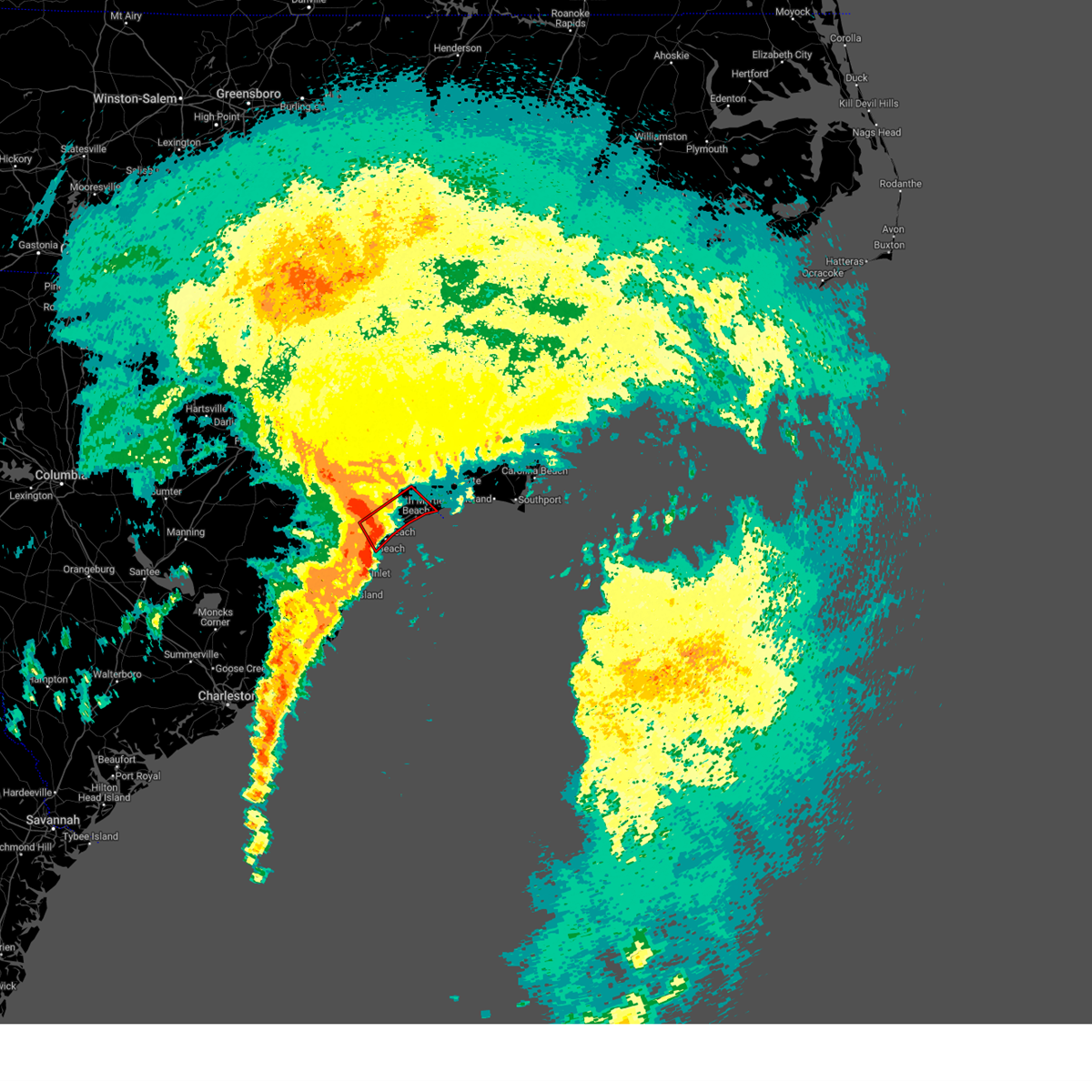 At 125 pm est, a confirmed tornado was located near nixonville, or near myrtle beach, moving northeast at 55 mph (radar confirmed tornado). Hazards include damaging tornado. Flying debris will be dangerous to those caught without shelter. mobile homes will be damaged or destroyed. damage to roofs, windows, and vehicles will occur. tree damage is likely. this tornado will be near, myrtle beach, north myrtle beach, north myrtle beach airport, nixonville, wampee, hand, and barefoot landing area of north myrtle beach around 130 pm est. little river around 135 pm est. brooksville around 140 pm est. Other locations impacted by this tornadic thunderstorm include briarcliffe acres, atlantic beach, sea coast medical center, lighthouse care center of conway, conway medical center, and grand strand regional medical center. At 125 pm est, a confirmed tornado was located near nixonville, or near myrtle beach, moving northeast at 55 mph (radar confirmed tornado). Hazards include damaging tornado. Flying debris will be dangerous to those caught without shelter. mobile homes will be damaged or destroyed. damage to roofs, windows, and vehicles will occur. tree damage is likely. this tornado will be near, myrtle beach, north myrtle beach, north myrtle beach airport, nixonville, wampee, hand, and barefoot landing area of north myrtle beach around 130 pm est. little river around 135 pm est. brooksville around 140 pm est. Other locations impacted by this tornadic thunderstorm include briarcliffe acres, atlantic beach, sea coast medical center, lighthouse care center of conway, conway medical center, and grand strand regional medical center.
|
| 12/17/2023 1:22 PM EST |
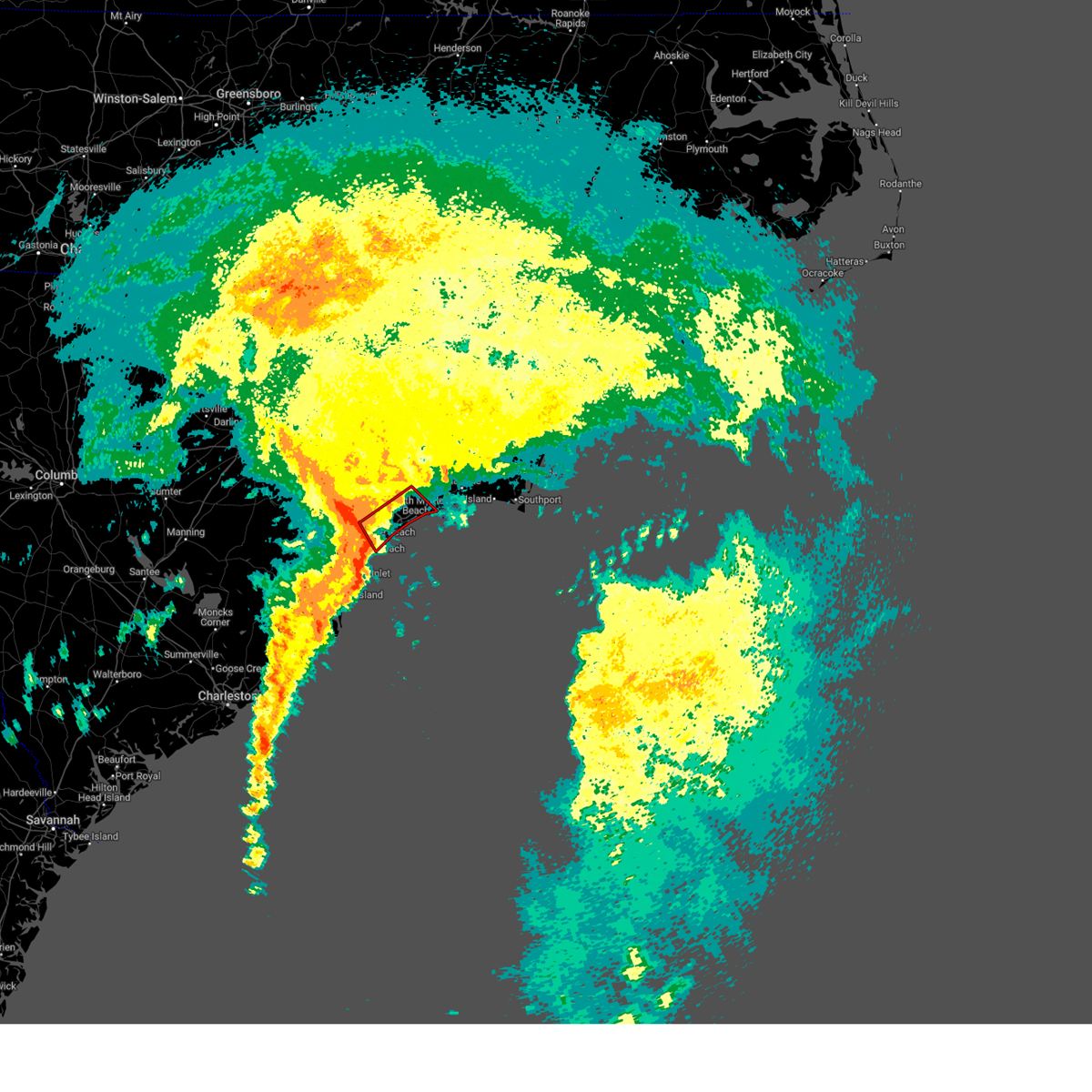 At 122 pm est, a severe thunderstorm capable of producing a tornado was located over forestbrook, or near myrtle beach, moving northeast at 55 mph (radar indicated rotation). Hazards include tornado. Flying debris will be dangerous to those caught without shelter. mobile homes will be damaged or destroyed. damage to roofs, windows, and vehicles will occur. tree damage is likely. this dangerous storm will be near, myrtle beach, north myrtle beach airport, nixonville, hand, and barefoot landing area of north myrtle beach around 130 pm est. north myrtle beach and wampee around 135 pm est. little river and brooksville around 140 pm est. Other locations impacted by this tornadic thunderstorm include briarcliffe acres, atlantic beach, sea coast medical center, lighthouse care center of conway, conway medical center, and grand strand regional medical center. At 122 pm est, a severe thunderstorm capable of producing a tornado was located over forestbrook, or near myrtle beach, moving northeast at 55 mph (radar indicated rotation). Hazards include tornado. Flying debris will be dangerous to those caught without shelter. mobile homes will be damaged or destroyed. damage to roofs, windows, and vehicles will occur. tree damage is likely. this dangerous storm will be near, myrtle beach, north myrtle beach airport, nixonville, hand, and barefoot landing area of north myrtle beach around 130 pm est. north myrtle beach and wampee around 135 pm est. little river and brooksville around 140 pm est. Other locations impacted by this tornadic thunderstorm include briarcliffe acres, atlantic beach, sea coast medical center, lighthouse care center of conway, conway medical center, and grand strand regional medical center.
|
| 12/17/2023 1:19 PM EST |
 At 119 pm est, a severe thunderstorm was located over forestbrook, or over socastee, moving northeast at 55 mph (radar indicated). Hazards include 60 mph wind gusts. expect wind damage to trees and power lines At 119 pm est, a severe thunderstorm was located over forestbrook, or over socastee, moving northeast at 55 mph (radar indicated). Hazards include 60 mph wind gusts. expect wind damage to trees and power lines
|
| 8/30/2023 10:16 PM EDT |
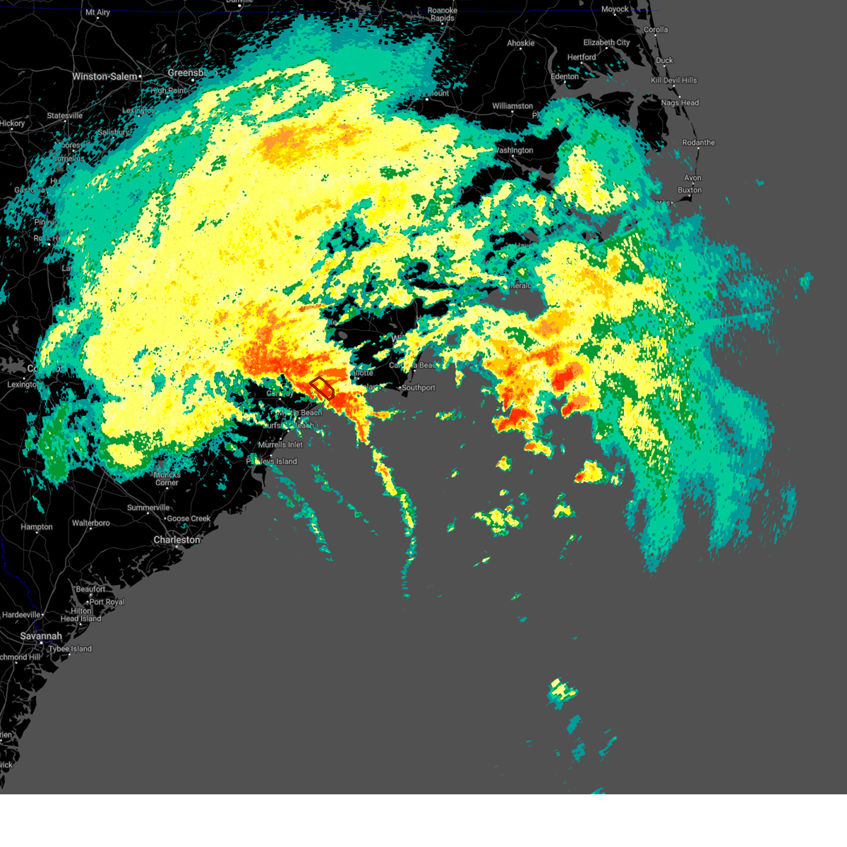 At 1015 pm edt, a thunderstorm capable of producing a tornado was located over little river, moving northwest at 35 mph (radar indicated rotation). Hazards include tornado. Flying debris will be dangerous to those caught without shelter. mobile homes will be damaged or destroyed. damage to roofs, windows, and vehicles will occur. tree damage is likely. this dangerous storm will be near, brooksville and longs around 1020 pm edt. Other locations impacted by this tornadic thunderstorm include sea coast medical center. At 1015 pm edt, a thunderstorm capable of producing a tornado was located over little river, moving northwest at 35 mph (radar indicated rotation). Hazards include tornado. Flying debris will be dangerous to those caught without shelter. mobile homes will be damaged or destroyed. damage to roofs, windows, and vehicles will occur. tree damage is likely. this dangerous storm will be near, brooksville and longs around 1020 pm edt. Other locations impacted by this tornadic thunderstorm include sea coast medical center.
|
| 8/30/2023 10:08 PM EDT |
 At 1008 pm edt, a severe thunderstorm capable of producing a tornado was located over cherry grove inlet, moving northwest at 30 mph (radar indicated rotation). Hazards include tornado. Flying debris will be dangerous to those caught without shelter. mobile homes will be damaged or destroyed. damage to roofs, windows, and vehicles will occur. tree damage is likely. this dangerous storm will be near, north myrtle beach, little river, carolina shores, calabash, and brooksville around 1015 pm edt. iredell around 1020 pm edt. longs around 1025 pm edt. Other locations impacted by this tornadic thunderstorm include sea coast medical center. At 1008 pm edt, a severe thunderstorm capable of producing a tornado was located over cherry grove inlet, moving northwest at 30 mph (radar indicated rotation). Hazards include tornado. Flying debris will be dangerous to those caught without shelter. mobile homes will be damaged or destroyed. damage to roofs, windows, and vehicles will occur. tree damage is likely. this dangerous storm will be near, north myrtle beach, little river, carolina shores, calabash, and brooksville around 1015 pm edt. iredell around 1020 pm edt. longs around 1025 pm edt. Other locations impacted by this tornadic thunderstorm include sea coast medical center.
|
| 8/30/2023 10:08 PM EDT |
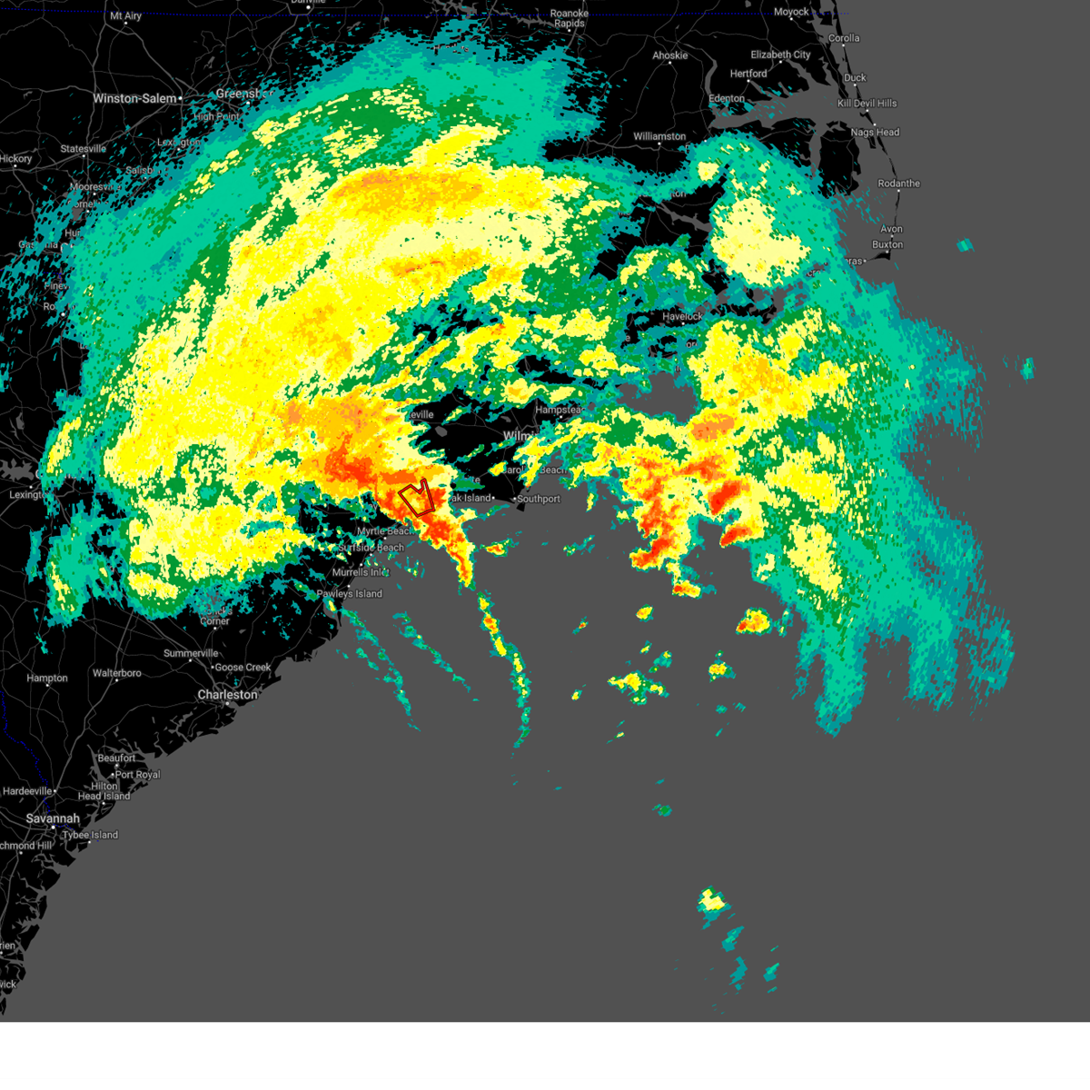 At 1008 pm edt, a severe thunderstorm capable of producing a tornado was located over cherry grove inlet, moving northwest at 30 mph (radar indicated rotation). Hazards include tornado. Flying debris will be dangerous to those caught without shelter. mobile homes will be damaged or destroyed. damage to roofs, windows, and vehicles will occur. tree damage is likely. this dangerous storm will be near, north myrtle beach, little river, carolina shores, calabash, and brooksville around 1015 pm edt. iredell around 1020 pm edt. longs around 1025 pm edt. Other locations impacted by this tornadic thunderstorm include sea coast medical center. At 1008 pm edt, a severe thunderstorm capable of producing a tornado was located over cherry grove inlet, moving northwest at 30 mph (radar indicated rotation). Hazards include tornado. Flying debris will be dangerous to those caught without shelter. mobile homes will be damaged or destroyed. damage to roofs, windows, and vehicles will occur. tree damage is likely. this dangerous storm will be near, north myrtle beach, little river, carolina shores, calabash, and brooksville around 1015 pm edt. iredell around 1020 pm edt. longs around 1025 pm edt. Other locations impacted by this tornadic thunderstorm include sea coast medical center.
|
| 8/30/2023 7:10 PM EDT |
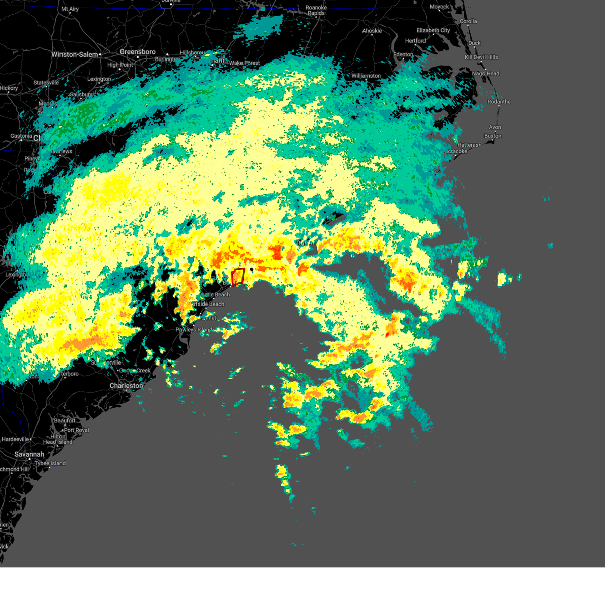 At 709 pm edt, a severe thunderstorm capable of producing a tornado was located over cherry grove inlet, moving north at 30 mph (radar indicated rotation). Hazards include tornado. Flying debris will be dangerous to those caught without shelter. mobile homes will be damaged or destroyed. damage to roofs, windows, and vehicles will occur. tree damage is likely. This dangerous storm will be near, little river, iredell, carolina shores, and calabash around 715 pm edt. At 709 pm edt, a severe thunderstorm capable of producing a tornado was located over cherry grove inlet, moving north at 30 mph (radar indicated rotation). Hazards include tornado. Flying debris will be dangerous to those caught without shelter. mobile homes will be damaged or destroyed. damage to roofs, windows, and vehicles will occur. tree damage is likely. This dangerous storm will be near, little river, iredell, carolina shores, and calabash around 715 pm edt.
|
| 8/30/2023 7:00 PM EDT |
 At 659 pm edt, a severe thunderstorm capable of producing a tornado was located near cherry grove inlet, moving north at 35 mph (radar indicated rotation). Hazards include tornado. Flying debris will be dangerous to those caught without shelter. mobile homes will be damaged or destroyed. damage to roofs, windows, and vehicles will occur. tree damage is likely. this dangerous storm will be near, north myrtle beach, little river, and cherry grove beach around 705 pm edt. carolina shores and calabash around 710 pm edt. iredell and brooksville around 715 pm edt. Other locations impacted by this tornadic thunderstorm include atlantic beach and sea coast medical center. At 659 pm edt, a severe thunderstorm capable of producing a tornado was located near cherry grove inlet, moving north at 35 mph (radar indicated rotation). Hazards include tornado. Flying debris will be dangerous to those caught without shelter. mobile homes will be damaged or destroyed. damage to roofs, windows, and vehicles will occur. tree damage is likely. this dangerous storm will be near, north myrtle beach, little river, and cherry grove beach around 705 pm edt. carolina shores and calabash around 710 pm edt. iredell and brooksville around 715 pm edt. Other locations impacted by this tornadic thunderstorm include atlantic beach and sea coast medical center.
|
| 8/30/2023 7:00 PM EDT |
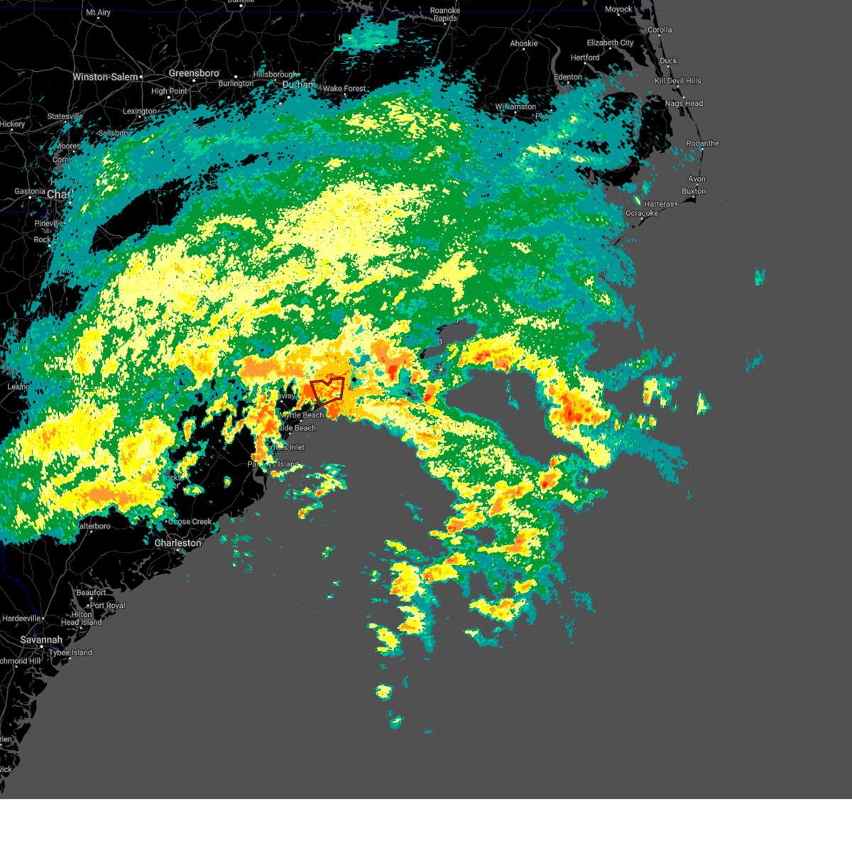 At 659 pm edt, a severe thunderstorm capable of producing a tornado was located near cherry grove inlet, moving north at 35 mph (radar indicated rotation). Hazards include tornado. Flying debris will be dangerous to those caught without shelter. mobile homes will be damaged or destroyed. damage to roofs, windows, and vehicles will occur. tree damage is likely. this dangerous storm will be near, north myrtle beach, little river, and cherry grove beach around 705 pm edt. carolina shores and calabash around 710 pm edt. iredell and brooksville around 715 pm edt. Other locations impacted by this tornadic thunderstorm include atlantic beach and sea coast medical center. At 659 pm edt, a severe thunderstorm capable of producing a tornado was located near cherry grove inlet, moving north at 35 mph (radar indicated rotation). Hazards include tornado. Flying debris will be dangerous to those caught without shelter. mobile homes will be damaged or destroyed. damage to roofs, windows, and vehicles will occur. tree damage is likely. this dangerous storm will be near, north myrtle beach, little river, and cherry grove beach around 705 pm edt. carolina shores and calabash around 710 pm edt. iredell and brooksville around 715 pm edt. Other locations impacted by this tornadic thunderstorm include atlantic beach and sea coast medical center.
|
| 8/11/2023 4:12 PM EDT |
 The severe thunderstorm warning for central horry county will expire at 415 pm edt, the storm which prompted the warning has moved out of the area. therefore, the warning will be allowed to expire. however, gusty winds are still possible with this thunderstorm. to report severe weather, contact your nearest law enforcement agency. they will relay your report to the national weather service wilmington. The severe thunderstorm warning for central horry county will expire at 415 pm edt, the storm which prompted the warning has moved out of the area. therefore, the warning will be allowed to expire. however, gusty winds are still possible with this thunderstorm. to report severe weather, contact your nearest law enforcement agency. they will relay your report to the national weather service wilmington.
|
| 8/11/2023 4:02 PM EDT |
 At 402 pm edt, a severe thunderstorm was located 10 miles southeast of pawleys island, moving east at 35 mph (radar indicated). Hazards include 60 mph wind gusts. Expect wind damage to trees and power lines. locations impacted include, myrtle beach, conway, north myrtle beach, myrtle beach airport, socastee, red hill, little river, springmaid pier, north myrtle beach airport, cherry grove inlet, little river entrance, horry, loris, hickory grove, homewood, horry georgetown technical college conway campus, adrian, nixonville, barefoot landing area of north myrtle beach, and wampee. hail threat, radar indicated max hail size, <. 75 in wind threat, radar indicated max wind gust, 60 mph. At 402 pm edt, a severe thunderstorm was located 10 miles southeast of pawleys island, moving east at 35 mph (radar indicated). Hazards include 60 mph wind gusts. Expect wind damage to trees and power lines. locations impacted include, myrtle beach, conway, north myrtle beach, myrtle beach airport, socastee, red hill, little river, springmaid pier, north myrtle beach airport, cherry grove inlet, little river entrance, horry, loris, hickory grove, homewood, horry georgetown technical college conway campus, adrian, nixonville, barefoot landing area of north myrtle beach, and wampee. hail threat, radar indicated max hail size, <. 75 in wind threat, radar indicated max wind gust, 60 mph.
|
| 8/11/2023 3:47 PM EDT |
 At 346 pm edt, a severe thunderstorm was located over debordieu colony, moving east at 35 mph (radar indicated). Hazards include 60 mph wind gusts. Expect wind damage to trees and power lines. locations impacted include, myrtle beach, conway, north myrtle beach, georgetown, debordieu colony, surfside beach, pawleys island, myrtle beach airport, little river, yawkey south island, murrells inlet, little river entrance, winyah bay entrance, socastee, red hill, springmaid pier, garden city, north myrtle beach airport, cherry grove inlet, and horry. hail threat, radar indicated max hail size, <. 75 in wind threat, radar indicated max wind gust, 60 mph. At 346 pm edt, a severe thunderstorm was located over debordieu colony, moving east at 35 mph (radar indicated). Hazards include 60 mph wind gusts. Expect wind damage to trees and power lines. locations impacted include, myrtle beach, conway, north myrtle beach, georgetown, debordieu colony, surfside beach, pawleys island, myrtle beach airport, little river, yawkey south island, murrells inlet, little river entrance, winyah bay entrance, socastee, red hill, springmaid pier, garden city, north myrtle beach airport, cherry grove inlet, and horry. hail threat, radar indicated max hail size, <. 75 in wind threat, radar indicated max wind gust, 60 mph.
|
| 8/11/2023 3:36 PM EDT |
 At 336 pm edt, a severe thunderstorm was located over georgetown, moving east at 35 mph (radar indicated). Hazards include 60 mph wind gusts. Expect wind damage to trees and power lines. locations impacted include, myrtle beach, conway, north myrtle beach, georgetown, marion, debordieu colony, mullins, surfside beach, pawleys island, myrtle beach airport, little river, yawkey south island, murrells inlet, little river entrance, winyah bay entrance, socastee, red hill, springmaid pier, garden city, and north myrtle beach airport. hail threat, radar indicated max hail size, <. 75 in wind threat, radar indicated max wind gust, 60 mph. At 336 pm edt, a severe thunderstorm was located over georgetown, moving east at 35 mph (radar indicated). Hazards include 60 mph wind gusts. Expect wind damage to trees and power lines. locations impacted include, myrtle beach, conway, north myrtle beach, georgetown, marion, debordieu colony, mullins, surfside beach, pawleys island, myrtle beach airport, little river, yawkey south island, murrells inlet, little river entrance, winyah bay entrance, socastee, red hill, springmaid pier, garden city, and north myrtle beach airport. hail threat, radar indicated max hail size, <. 75 in wind threat, radar indicated max wind gust, 60 mph.
|
| 8/11/2023 3:22 PM EDT |
 At 322 pm edt, a severe thunderstorm was located over sampit, or 9 miles west of georgetown, moving east at 35 mph (radar indicated). Hazards include 60 mph wind gusts. expect wind damage to trees and power lines At 322 pm edt, a severe thunderstorm was located over sampit, or 9 miles west of georgetown, moving east at 35 mph (radar indicated). Hazards include 60 mph wind gusts. expect wind damage to trees and power lines
|
| 8/7/2023 9:04 PM EDT |
 At 904 pm edt, a severe thunderstorm was located near shallotte, moving east at 75 mph (radar indicated). Hazards include 60 mph wind gusts and penny size hail. Expect wind damage to trees and power lines. locations impacted include, myrtle beach, conway, north myrtle beach, georgetown, debordieu colony, surfside beach, shallotte, sunset beach, ocean isle beach, pawleys island, myrtle beach airport, little river, yawkey south island, murrells inlet, little river entrance, winyah bay entrance, socastee, red hill, springmaid pier, and garden city. hail threat, radar indicated max hail size, 0. 75 in wind threat, observed max wind gust, 60 mph. At 904 pm edt, a severe thunderstorm was located near shallotte, moving east at 75 mph (radar indicated). Hazards include 60 mph wind gusts and penny size hail. Expect wind damage to trees and power lines. locations impacted include, myrtle beach, conway, north myrtle beach, georgetown, debordieu colony, surfside beach, shallotte, sunset beach, ocean isle beach, pawleys island, myrtle beach airport, little river, yawkey south island, murrells inlet, little river entrance, winyah bay entrance, socastee, red hill, springmaid pier, and garden city. hail threat, radar indicated max hail size, 0. 75 in wind threat, observed max wind gust, 60 mph.
|
| 8/7/2023 8:46 PM EDT |
 At 846 pm edt, a severe thunderstorm was located over goretown, or 16 miles northwest of little river, moving east at 75 mph (radar indicated). Hazards include 70 mph wind gusts and penny size hail. Expect considerable tree damage. damage is likely to mobile homes, roofs, and outbuildings. locations impacted include, myrtle beach, conway, north myrtle beach, georgetown, debordieu colony, surfside beach, shallotte, sunset beach, ocean isle beach, pawleys island, myrtle beach airport, little river, yawkey south island, murrells inlet, little river entrance, winyah bay entrance, socastee, red hill, springmaid pier, and garden city. thunderstorm damage threat, considerable hail threat, radar indicated max hail size, 0. 75 in wind threat, observed max wind gust, 70 mph. At 846 pm edt, a severe thunderstorm was located over goretown, or 16 miles northwest of little river, moving east at 75 mph (radar indicated). Hazards include 70 mph wind gusts and penny size hail. Expect considerable tree damage. damage is likely to mobile homes, roofs, and outbuildings. locations impacted include, myrtle beach, conway, north myrtle beach, georgetown, debordieu colony, surfside beach, shallotte, sunset beach, ocean isle beach, pawleys island, myrtle beach airport, little river, yawkey south island, murrells inlet, little river entrance, winyah bay entrance, socastee, red hill, springmaid pier, and garden city. thunderstorm damage threat, considerable hail threat, radar indicated max hail size, 0. 75 in wind threat, observed max wind gust, 70 mph.
|
| 8/7/2023 8:17 PM EDT |
 At 817 pm edt, a severe thunderstorm was located near marion, moving east at 75 mph (radar indicated). Hazards include 70 mph wind gusts and penny size hail. Expect considerable tree damage. Damage is likely to mobile homes, roofs, and outbuildings. At 817 pm edt, a severe thunderstorm was located near marion, moving east at 75 mph (radar indicated). Hazards include 70 mph wind gusts and penny size hail. Expect considerable tree damage. Damage is likely to mobile homes, roofs, and outbuildings.
|
| 7/20/2023 9:09 PM EDT |
 The severe thunderstorm warning for southwestern brunswick, southern horry and south central marion counties will expire at 915 pm edt, the storm which prompted the warning has moved out of the area. therefore, the warning will be allowed to expire. however, gusty winds are still likely with this thunderstorm. The severe thunderstorm warning for southwestern brunswick, southern horry and south central marion counties will expire at 915 pm edt, the storm which prompted the warning has moved out of the area. therefore, the warning will be allowed to expire. however, gusty winds are still likely with this thunderstorm.
|
| 7/20/2023 9:09 PM EDT |
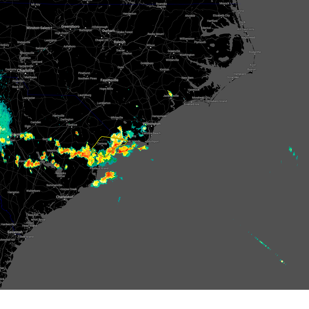 The severe thunderstorm warning for southwestern brunswick, southern horry and south central marion counties will expire at 915 pm edt, the storm which prompted the warning has moved out of the area. therefore, the warning will be allowed to expire. however, gusty winds are still likely with this thunderstorm. The severe thunderstorm warning for southwestern brunswick, southern horry and south central marion counties will expire at 915 pm edt, the storm which prompted the warning has moved out of the area. therefore, the warning will be allowed to expire. however, gusty winds are still likely with this thunderstorm.
|
| 7/20/2023 8:37 PM EDT |
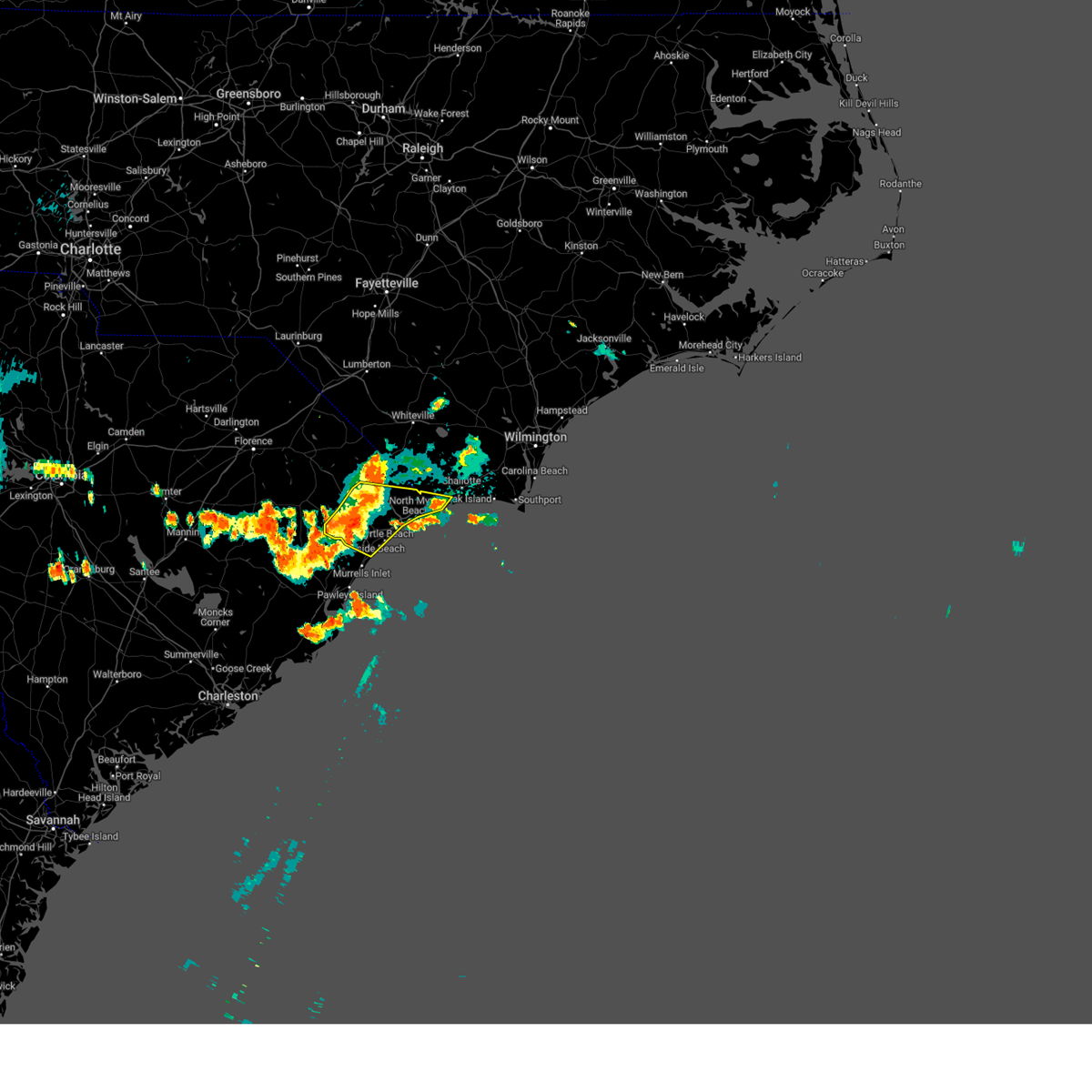 At 836 pm edt, a severe thunderstorm was located near hickory grove, or 9 miles northeast of conway, moving east at 35 mph (radar indicated). Hazards include 60 mph wind gusts and nickel size hail. Expect wind damage to trees and power lines. locations impacted include, myrtle beach, conway, north myrtle beach, surfside beach, sunset beach, myrtle beach airport, socastee, red hill, little river, springmaid pier, north myrtle beach airport, cherry grove inlet, horry, iredell, carolina shores, calabash, hickory grove, homewood, horry georgetown technical college conway campus and adrian. hail threat, radar indicated max hail size, 0. 88 in wind threat, radar indicated max wind gust, 60 mph. At 836 pm edt, a severe thunderstorm was located near hickory grove, or 9 miles northeast of conway, moving east at 35 mph (radar indicated). Hazards include 60 mph wind gusts and nickel size hail. Expect wind damage to trees and power lines. locations impacted include, myrtle beach, conway, north myrtle beach, surfside beach, sunset beach, myrtle beach airport, socastee, red hill, little river, springmaid pier, north myrtle beach airport, cherry grove inlet, horry, iredell, carolina shores, calabash, hickory grove, homewood, horry georgetown technical college conway campus and adrian. hail threat, radar indicated max hail size, 0. 88 in wind threat, radar indicated max wind gust, 60 mph.
|
| 7/20/2023 8:14 PM EDT |
 At 813 pm edt, a severe thunderstorm was located over horry, or 10 miles northwest of conway, moving east at 35 mph (radar indicated). Hazards include 60 mph wind gusts. expect wind damage to trees and power lines At 813 pm edt, a severe thunderstorm was located over horry, or 10 miles northwest of conway, moving east at 35 mph (radar indicated). Hazards include 60 mph wind gusts. expect wind damage to trees and power lines
|
| 7/3/2023 3:13 PM EDT |
 At 313 pm edt, a severe thunderstorm was located over nixonville, or 8 miles west of north myrtle beach airport, moving northeast at 30 mph (radar indicated). Hazards include 60 mph wind gusts and quarter size hail. Minor hail damage to vehicles is possible. Expect wind damage to trees and power lines. At 313 pm edt, a severe thunderstorm was located over nixonville, or 8 miles west of north myrtle beach airport, moving northeast at 30 mph (radar indicated). Hazards include 60 mph wind gusts and quarter size hail. Minor hail damage to vehicles is possible. Expect wind damage to trees and power lines.
|
| 5/9/2023 5:47 PM EDT |
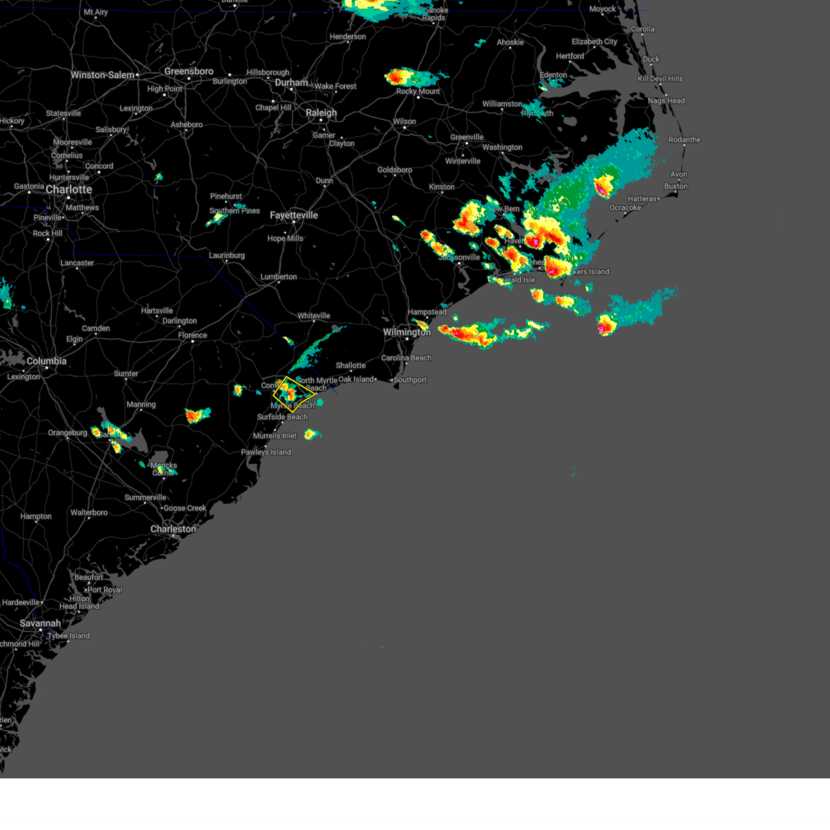 At 547 pm edt, a severe thunderstorm was located over nixonville, or 7 miles northeast of red hill, moving southeast at 30 mph (radar indicated). Hazards include 60 mph wind gusts and quarter size hail. Minor hail damage to vehicles is possible. Expect wind damage to trees and power lines. At 547 pm edt, a severe thunderstorm was located over nixonville, or 7 miles northeast of red hill, moving southeast at 30 mph (radar indicated). Hazards include 60 mph wind gusts and quarter size hail. Minor hail damage to vehicles is possible. Expect wind damage to trees and power lines.
|
| 4/30/2023 2:49 PM EDT |
 At 249 pm edt, severe thunderstorms were located along a line extending from near rowan to near barefoot landing area of north myrtle beach, moving east at 40 mph (radar indicated). Hazards include 60 mph wind gusts and quarter size hail. Minor hail damage to vehicles is possible. Expect wind damage to trees and power lines. At 249 pm edt, severe thunderstorms were located along a line extending from near rowan to near barefoot landing area of north myrtle beach, moving east at 40 mph (radar indicated). Hazards include 60 mph wind gusts and quarter size hail. Minor hail damage to vehicles is possible. Expect wind damage to trees and power lines.
|
| 9/10/2022 12:06 PM EDT |
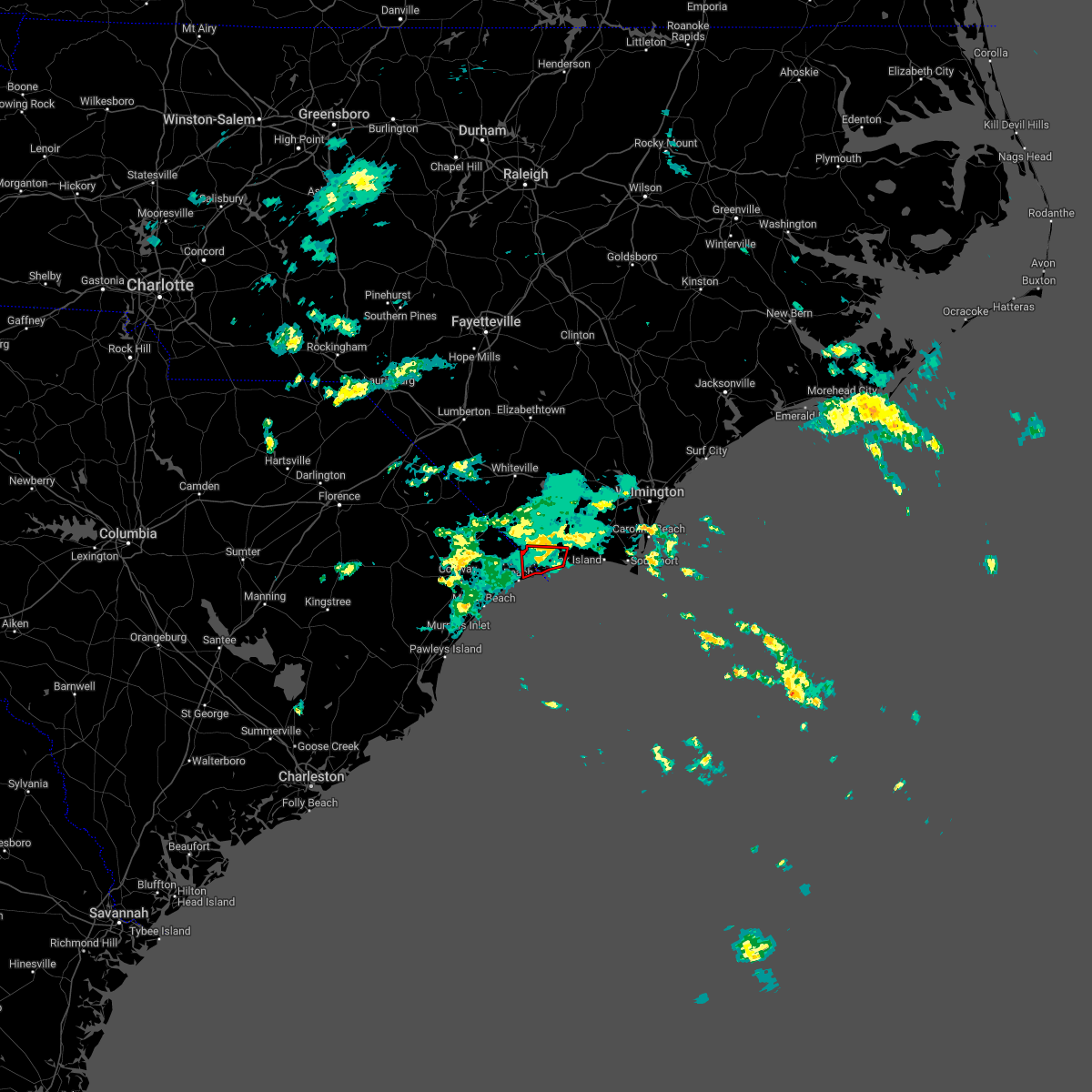 The tornado warning for southwestern brunswick and east central horry counties will expire at 1215 pm edt, the storm which prompted the warning has weakened below severe limits, and no longer appears capable of producing a tornado. therefore, the warning will be allowed to expire. The tornado warning for southwestern brunswick and east central horry counties will expire at 1215 pm edt, the storm which prompted the warning has weakened below severe limits, and no longer appears capable of producing a tornado. therefore, the warning will be allowed to expire.
|
| 9/10/2022 12:06 PM EDT |
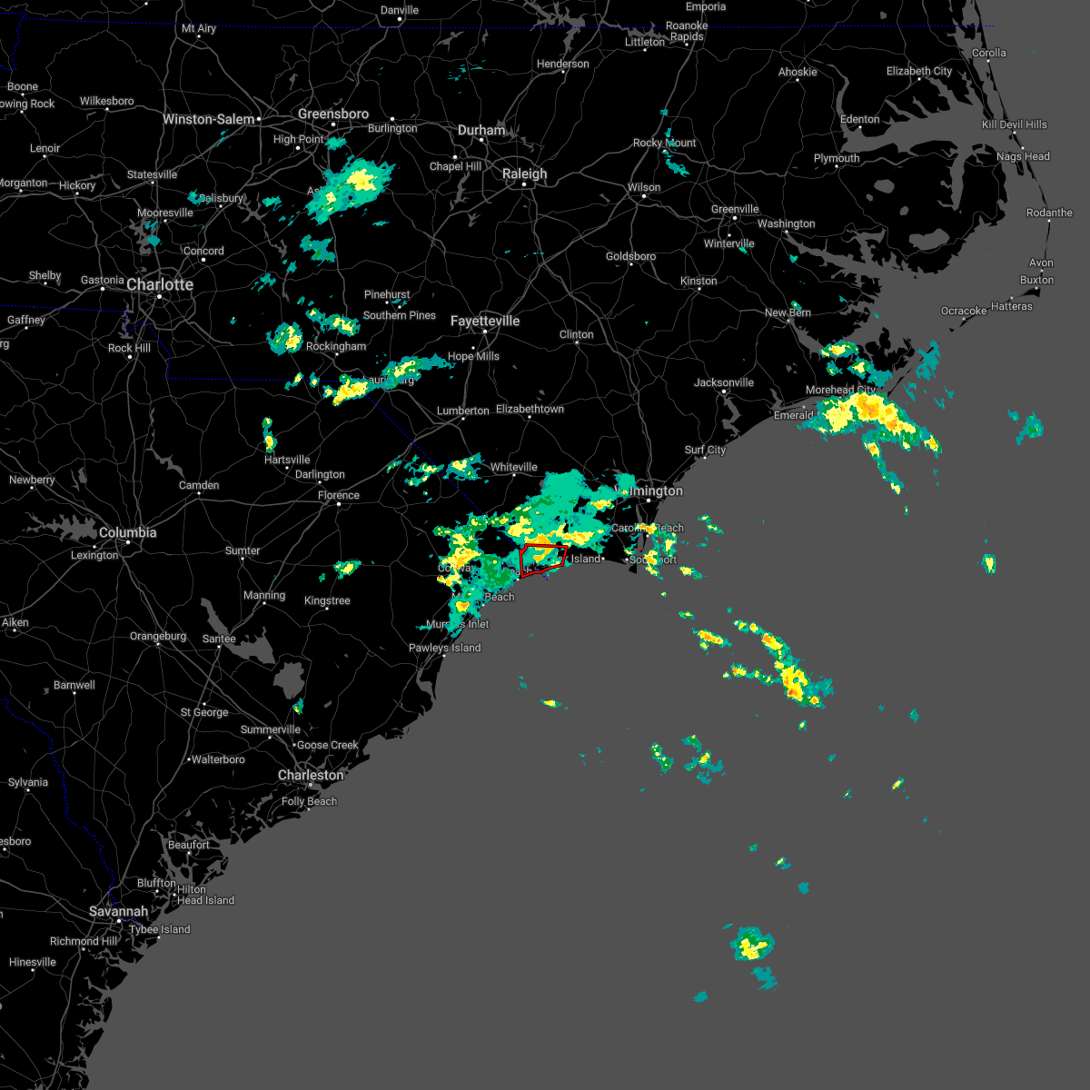 The tornado warning for southwestern brunswick and east central horry counties will expire at 1215 pm edt, the storm which prompted the warning has weakened below severe limits, and no longer appears capable of producing a tornado. therefore, the warning will be allowed to expire. The tornado warning for southwestern brunswick and east central horry counties will expire at 1215 pm edt, the storm which prompted the warning has weakened below severe limits, and no longer appears capable of producing a tornado. therefore, the warning will be allowed to expire.
|
| 9/10/2022 11:44 AM EDT |
 At 1144 am edt, a severe thunderstorm capable of producing a tornado was located over little river entrance, moving north at 10 mph (radar indicated rotation). Hazards include tornado. Flying debris will be dangerous to those caught without shelter. mobile homes will be damaged or destroyed. damage to roofs, windows, and vehicles will occur. tree damage is likely. this dangerous storm will be near, little river around 1150 am edt. seaside around 1200 pm edt. ocean isle beach and calabash around 1205 pm edt. sunset beach and carolina shores around 1210 pm edt. Iredell, grissettown and russtown around 1215 pm edt. At 1144 am edt, a severe thunderstorm capable of producing a tornado was located over little river entrance, moving north at 10 mph (radar indicated rotation). Hazards include tornado. Flying debris will be dangerous to those caught without shelter. mobile homes will be damaged or destroyed. damage to roofs, windows, and vehicles will occur. tree damage is likely. this dangerous storm will be near, little river around 1150 am edt. seaside around 1200 pm edt. ocean isle beach and calabash around 1205 pm edt. sunset beach and carolina shores around 1210 pm edt. Iredell, grissettown and russtown around 1215 pm edt.
|
| 7/31/2022 4:37 PM EDT |
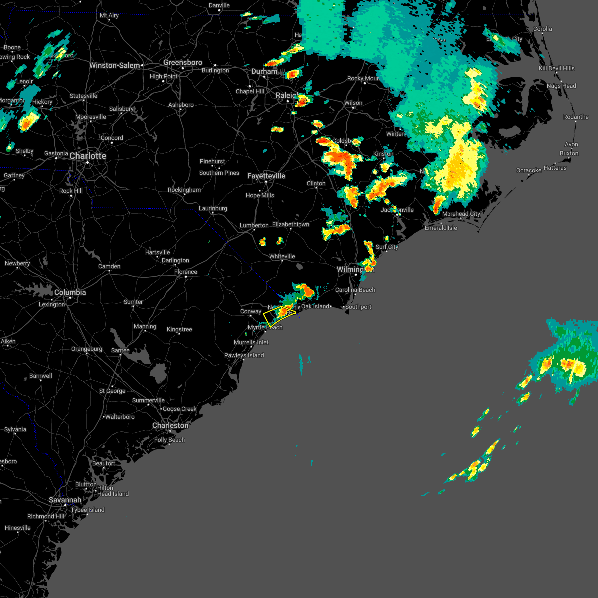 At 436 pm edt, a severe thunderstorm was located over barefoot landing area of north myrtle beach, or over north myrtle beach airport, moving southeast at 5 mph (radar indicated). Hazards include 60 mph wind gusts. Expect wind damage to trees and power lines. locations impacted include, myrtle beach, north myrtle beach, little river, north myrtle beach airport, wampee, hand, nixonville, barefoot landing area of north myrtle beach, briarcliffe acres, atlantic beach, sea coast medical center and grand strand regional medical center. hail threat, radar indicated max hail size, <. 75 in wind threat, radar indicated max wind gust, 60 mph. At 436 pm edt, a severe thunderstorm was located over barefoot landing area of north myrtle beach, or over north myrtle beach airport, moving southeast at 5 mph (radar indicated). Hazards include 60 mph wind gusts. Expect wind damage to trees and power lines. locations impacted include, myrtle beach, north myrtle beach, little river, north myrtle beach airport, wampee, hand, nixonville, barefoot landing area of north myrtle beach, briarcliffe acres, atlantic beach, sea coast medical center and grand strand regional medical center. hail threat, radar indicated max hail size, <. 75 in wind threat, radar indicated max wind gust, 60 mph.
|
| 7/31/2022 4:22 PM EDT |
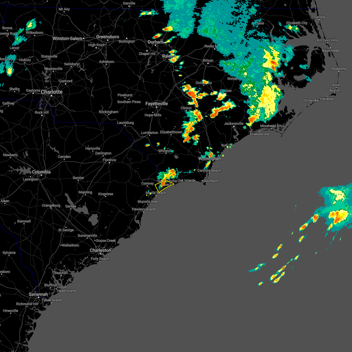 At 421 pm edt, a severe thunderstorm was located over barefoot landing area of north myrtle beach, or near north myrtle beach airport, moving southeast at 5 mph (radar indicated). Hazards include 60 mph wind gusts. expect wind damage to trees and power lines At 421 pm edt, a severe thunderstorm was located over barefoot landing area of north myrtle beach, or near north myrtle beach airport, moving southeast at 5 mph (radar indicated). Hazards include 60 mph wind gusts. expect wind damage to trees and power lines
|
| 5/6/2022 7:24 PM EDT |
 At 723 pm edt, severe thunderstorms were located along a line extending from near goretown to barefoot landing area of north myrtle beach to 9 miles southeast of springmaid pier, moving east at 60 mph (radar indicated). Hazards include 60 mph wind gusts and penny size hail. Expect wind damage to trees and power lines. locations impacted include, myrtle beach, north myrtle beach, north myrtle beach airport, cherry grove inlet, little river, little river entrance, loris, hickory grove, hand, nixonville, barefoot landing area of north myrtle beach, wampee, longs, hammond, goretown, brooksville, cherry grove beach, allsbrook, forestbrook and briarcliffe acres. hail threat, radar indicated max hail size, 0. 75 in wind threat, radar indicated max wind gust, 60 mph. At 723 pm edt, severe thunderstorms were located along a line extending from near goretown to barefoot landing area of north myrtle beach to 9 miles southeast of springmaid pier, moving east at 60 mph (radar indicated). Hazards include 60 mph wind gusts and penny size hail. Expect wind damage to trees and power lines. locations impacted include, myrtle beach, north myrtle beach, north myrtle beach airport, cherry grove inlet, little river, little river entrance, loris, hickory grove, hand, nixonville, barefoot landing area of north myrtle beach, wampee, longs, hammond, goretown, brooksville, cherry grove beach, allsbrook, forestbrook and briarcliffe acres. hail threat, radar indicated max hail size, 0. 75 in wind threat, radar indicated max wind gust, 60 mph.
|
| 5/6/2022 6:53 PM EDT |
 At 653 pm edt, severe thunderstorms were located along a line extending from brittons neck to near dongola to oatland, moving east at 60 mph (radar indicated). Hazards include 60 mph wind gusts and penny size hail. expect wind damage to trees and power lines At 653 pm edt, severe thunderstorms were located along a line extending from brittons neck to near dongola to oatland, moving east at 60 mph (radar indicated). Hazards include 60 mph wind gusts and penny size hail. expect wind damage to trees and power lines
|
| 4/7/2022 4:33 PM EDT |
 At 433 pm edt, a severe thunderstorm was located near myrtle beach, moving northeast at 45 mph (radar indicated). Hazards include quarter size hail. minor damage to vehicles is possible At 433 pm edt, a severe thunderstorm was located near myrtle beach, moving northeast at 45 mph (radar indicated). Hazards include quarter size hail. minor damage to vehicles is possible
|
| 4/7/2022 4:26 PM EDT |
 The severe thunderstorm warning for northeastern georgetown, central horry and south central marion counties will expire at 430 pm edt, the storm which prompted the warning has moved out of the area. therefore, the warning will be allowed to expire. however small hail is still possible with this thunderstorm. a severe thunderstorm watch remains in effect until 700 pm edt for northeastern south carolina. remember, a severe thunderstorm warning still remains in effect for northern horry county. The severe thunderstorm warning for northeastern georgetown, central horry and south central marion counties will expire at 430 pm edt, the storm which prompted the warning has moved out of the area. therefore, the warning will be allowed to expire. however small hail is still possible with this thunderstorm. a severe thunderstorm watch remains in effect until 700 pm edt for northeastern south carolina. remember, a severe thunderstorm warning still remains in effect for northern horry county.
|
| 4/7/2022 4:16 PM EDT |
 At 416 pm edt, a severe thunderstorm was located over adrian, or 7 miles northeast of conway, moving northeast at 45 mph (emergency management). Hazards include golf ball size hail and 60 mph wind gusts. People and animals outdoors will be injured. expect hail damage to roofs, siding, windows, and vehicles. expect wind damage to trees and power lines. locations impacted include, myrtle beach, conway, north myrtle beach, socastee, red hill, north myrtle beach airport, myrtle beach airport, horry, loris, hickory grove, homewood, horry georgetown technical college conway campus, adrian, pee dee crossroads, nixonville, barefoot landing area of north myrtle beach, bucksport, dongola, wampee and goretown. thunderstorm damage threat, considerable hail threat, observed max hail size, 1. 75 in wind threat, radar indicated max wind gust, 60 mph. At 416 pm edt, a severe thunderstorm was located over adrian, or 7 miles northeast of conway, moving northeast at 45 mph (emergency management). Hazards include golf ball size hail and 60 mph wind gusts. People and animals outdoors will be injured. expect hail damage to roofs, siding, windows, and vehicles. expect wind damage to trees and power lines. locations impacted include, myrtle beach, conway, north myrtle beach, socastee, red hill, north myrtle beach airport, myrtle beach airport, horry, loris, hickory grove, homewood, horry georgetown technical college conway campus, adrian, pee dee crossroads, nixonville, barefoot landing area of north myrtle beach, bucksport, dongola, wampee and goretown. thunderstorm damage threat, considerable hail threat, observed max hail size, 1. 75 in wind threat, radar indicated max wind gust, 60 mph.
|
| 4/7/2022 4:03 PM EDT |
 At 403 pm edt, a severe thunderstorm was located over conway, moving northeast at 45 mph (trained weather spotters). Hazards include 60 mph wind gusts and quarter size hail. Minor hail damage to vehicles is possible. expect wind damage to trees and power lines. locations impacted include, myrtle beach, conway, north myrtle beach, surfside beach, myrtle beach airport, socastee, red hill, springmaid pier, garden city, north myrtle beach airport, murrells inlet, horry, loris, hickory grove, homewood, horry georgetown technical college conway campus, adrian, pee dee crossroads, nixonville and barefoot landing area of north myrtle beach. hail threat, observed max hail size, 1. 00 in wind threat, radar indicated max wind gust, 60 mph. At 403 pm edt, a severe thunderstorm was located over conway, moving northeast at 45 mph (trained weather spotters). Hazards include 60 mph wind gusts and quarter size hail. Minor hail damage to vehicles is possible. expect wind damage to trees and power lines. locations impacted include, myrtle beach, conway, north myrtle beach, surfside beach, myrtle beach airport, socastee, red hill, springmaid pier, garden city, north myrtle beach airport, murrells inlet, horry, loris, hickory grove, homewood, horry georgetown technical college conway campus, adrian, pee dee crossroads, nixonville and barefoot landing area of north myrtle beach. hail threat, observed max hail size, 1. 00 in wind threat, radar indicated max wind gust, 60 mph.
|
| 4/7/2022 3:46 PM EDT |
 At 345 pm edt, a severe thunderstorm was located near outland, or 16 miles southwest of conway, moving northeast at 45 mph (radar indicated). Hazards include 60 mph wind gusts and quarter size hail. Minor hail damage to vehicles is possible. Expect wind damage to trees and power lines. At 345 pm edt, a severe thunderstorm was located near outland, or 16 miles southwest of conway, moving northeast at 45 mph (radar indicated). Hazards include 60 mph wind gusts and quarter size hail. Minor hail damage to vehicles is possible. Expect wind damage to trees and power lines.
|
| 4/5/2022 9:25 PM EDT | Weather station along the coast in cherry grove... sc measured a wind gust of 59mp in horry county SC, 4.5 miles W of North Myrtle Beach, SC |
| 4/5/2022 8:31 PM EDT |
 At 831 pm edt, a severe thunderstorm was located near dulah, or 12 miles northwest of little river, moving northeast at 65 mph (radar indicated). Hazards include 60 mph wind gusts. Expect wind damage to trees and power lines. Locations impacted include, whiteville, little river, iredell, carolina shores, loris, bethel, freeland, nakina, bughill, longwood, nixonville, wampee, williams, ash, goretown, grissettown, old dock, mollie, sidney and hand. At 831 pm edt, a severe thunderstorm was located near dulah, or 12 miles northwest of little river, moving northeast at 65 mph (radar indicated). Hazards include 60 mph wind gusts. Expect wind damage to trees and power lines. Locations impacted include, whiteville, little river, iredell, carolina shores, loris, bethel, freeland, nakina, bughill, longwood, nixonville, wampee, williams, ash, goretown, grissettown, old dock, mollie, sidney and hand.
|
| 4/5/2022 8:23 PM EDT |
 At 823 pm edt, a severe thunderstorm was located near hammond, or 12 miles northwest of north myrtle beach airport, moving northeast at 65 mph (radar indicated). Hazards include 60 mph wind gusts. Expect wind damage to trees and power lines. Locations impacted include, whiteville, little river, red hill, iredell, carolina shores, loris, bethel, hickory grove, freeland, horry georgetown technical college conway campus, nakina, bughill, longwood, nixonville, wampee, williams, ash, goretown, grissettown and old dock. At 823 pm edt, a severe thunderstorm was located near hammond, or 12 miles northwest of north myrtle beach airport, moving northeast at 65 mph (radar indicated). Hazards include 60 mph wind gusts. Expect wind damage to trees and power lines. Locations impacted include, whiteville, little river, red hill, iredell, carolina shores, loris, bethel, hickory grove, freeland, horry georgetown technical college conway campus, nakina, bughill, longwood, nixonville, wampee, williams, ash, goretown, grissettown and old dock.
|
| 4/5/2022 8:14 PM EDT |
 At 814 pm edt, a severe thunderstorm was located over hickory grove, or near conway, moving northeast at 65 mph (radar indicated). Hazards include 60 mph wind gusts. expect wind damage to trees and power lines At 814 pm edt, a severe thunderstorm was located over hickory grove, or near conway, moving northeast at 65 mph (radar indicated). Hazards include 60 mph wind gusts. expect wind damage to trees and power lines
|
| 3/12/2022 9:42 AM EST |
 The severe thunderstorm warning for southwestern brunswick and central horry counties will expire at 945 am est, the storm which prompted the warning will move out of the area by the time this warning expires at 945 am est. a tornado watch remains in effect until 100 pm est for southeastern north carolina, and northeastern south carolina. to report severe weather, contact your nearest law enforcement agency. they will relay your report to the national weather service wilmington. The severe thunderstorm warning for southwestern brunswick and central horry counties will expire at 945 am est, the storm which prompted the warning will move out of the area by the time this warning expires at 945 am est. a tornado watch remains in effect until 100 pm est for southeastern north carolina, and northeastern south carolina. to report severe weather, contact your nearest law enforcement agency. they will relay your report to the national weather service wilmington.
|
| 3/12/2022 9:06 AM EST |
 At 906 am est, a severe thunderstorm was located over horry georgetown technical college conway campus, or near red hill, moving east at 60 mph (radar indicated). Hazards include 70 mph wind gusts. Expect considerable tree damage. Damage is likely to mobile homes, roofs, and outbuildings. At 906 am est, a severe thunderstorm was located over horry georgetown technical college conway campus, or near red hill, moving east at 60 mph (radar indicated). Hazards include 70 mph wind gusts. Expect considerable tree damage. Damage is likely to mobile homes, roofs, and outbuildings.
|
| 1/3/2022 7:07 AM EST |
 The severe thunderstorm warning for robeson, western bladen, western columbus, eastern georgetown, southeastern dillon, horry and eastern marion counties will expire at 715 am est, the storms which prompted the warning have moved out of the area. therefore, the warning will be allowed to expire. however gusty winds are still possible with these thunderstorms. a tornado watch remains in effect until 1100 am est for southeastern north carolina, and northeastern south carolina. remember, a severe thunderstorm warning still remains in effect for portions of central and eastern bladen, eastern columbus, and extreme northeastern horry county. The severe thunderstorm warning for robeson, western bladen, western columbus, eastern georgetown, southeastern dillon, horry and eastern marion counties will expire at 715 am est, the storms which prompted the warning have moved out of the area. therefore, the warning will be allowed to expire. however gusty winds are still possible with these thunderstorms. a tornado watch remains in effect until 1100 am est for southeastern north carolina, and northeastern south carolina. remember, a severe thunderstorm warning still remains in effect for portions of central and eastern bladen, eastern columbus, and extreme northeastern horry county.
|
| 1/3/2022 6:50 AM EST |
 At 649 am est, severe thunderstorms were located along a line extending from rex to nixonville, moving east at 50 mph (radar indicated). Hazards include 60 mph wind gusts. expect wind damage to trees and power lines At 649 am est, severe thunderstorms were located along a line extending from rex to nixonville, moving east at 50 mph (radar indicated). Hazards include 60 mph wind gusts. expect wind damage to trees and power lines
|
| 1/3/2022 6:41 AM EST |
 At 640 am est, severe thunderstorms were located along a line extending from near rowland to near plantersville, moving east at 40 mph (radar indicated). Hazards include 60 mph wind gusts. Expect wind damage to trees and power lines. locations impacted include, myrtle beach, lumberton, conway, georgetown, debordieu colony, mullins, surfside beach, red springs, pawleys island, murrells inlet, garden city, north myrtle beach airport, myrtle beach airport, yawkey south island, winyah bay entrance, socastee, red hill, horry, pembroke and fairmont. hail threat, radar indicated max hail size, <. 75 in wind threat, observed max wind gust, 60 mph. At 640 am est, severe thunderstorms were located along a line extending from near rowland to near plantersville, moving east at 40 mph (radar indicated). Hazards include 60 mph wind gusts. Expect wind damage to trees and power lines. locations impacted include, myrtle beach, lumberton, conway, georgetown, debordieu colony, mullins, surfside beach, red springs, pawleys island, murrells inlet, garden city, north myrtle beach airport, myrtle beach airport, yawkey south island, winyah bay entrance, socastee, red hill, horry, pembroke and fairmont. hail threat, radar indicated max hail size, <. 75 in wind threat, observed max wind gust, 60 mph.
|
| 1/3/2022 6:16 AM EST |
 At 615 am est, severe thunderstorms were located along a line extending from near minturn to near warsaw, moving east at 40 mph (radar indicated). Hazards include 60 mph wind gusts. Expect wind damage to trees and power lines. locations impacted include, myrtle beach, lumberton, conway, georgetown, marion, dillon, debordieu colony, mullins, surfside beach, red springs, pawleys island, murrells inlet, garden city, north myrtle beach airport, myrtle beach airport, yawkey south island, winyah bay entrance, socastee, red hill and horry. hail threat, radar indicated max hail size, <. 75 in wind threat, radar indicated max wind gust, 60 mph. At 615 am est, severe thunderstorms were located along a line extending from near minturn to near warsaw, moving east at 40 mph (radar indicated). Hazards include 60 mph wind gusts. Expect wind damage to trees and power lines. locations impacted include, myrtle beach, lumberton, conway, georgetown, marion, dillon, debordieu colony, mullins, surfside beach, red springs, pawleys island, murrells inlet, garden city, north myrtle beach airport, myrtle beach airport, yawkey south island, winyah bay entrance, socastee, red hill and horry. hail threat, radar indicated max hail size, <. 75 in wind threat, radar indicated max wind gust, 60 mph.
|
| 1/3/2022 5:48 AM EST |
 At 548 am est, severe thunderstorms were located along a line extending from near mont clare to near trio, moving east at 40 mph (radar indicated). Hazards include 60 mph wind gusts. expect wind damage to trees and power lines At 548 am est, severe thunderstorms were located along a line extending from near mont clare to near trio, moving east at 40 mph (radar indicated). Hazards include 60 mph wind gusts. expect wind damage to trees and power lines
|
| 7/8/2021 7:54 AM EDT |
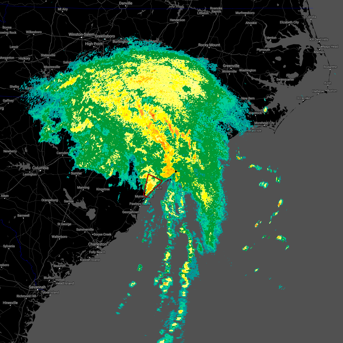 At 754 am edt, a severe thunderstorm capable of producing a tornado was located over myrtle beach airport, moving northeast at 45 mph (radar indicated rotation). Hazards include tornado. Flying debris will be dangerous to those caught without shelter. mobile homes will be damaged or destroyed. damage to roofs, windows, and vehicles will occur. tree damage is likely. this dangerous storm will be near, myrtle beach and red hill around 800 am edt. horry georgetown technical college conway campus around 805 am edt. hickory grove and nixonville around 810 am edt. north myrtle beach airport and hand around 815 am edt. hammond around 820 am edt. Other locations impacted by this tornadic thunderstorm include briarcliffe acres, lighthouse care center of conway, grand strand regional medical center, conway medical center and atlantic beach. At 754 am edt, a severe thunderstorm capable of producing a tornado was located over myrtle beach airport, moving northeast at 45 mph (radar indicated rotation). Hazards include tornado. Flying debris will be dangerous to those caught without shelter. mobile homes will be damaged or destroyed. damage to roofs, windows, and vehicles will occur. tree damage is likely. this dangerous storm will be near, myrtle beach and red hill around 800 am edt. horry georgetown technical college conway campus around 805 am edt. hickory grove and nixonville around 810 am edt. north myrtle beach airport and hand around 815 am edt. hammond around 820 am edt. Other locations impacted by this tornadic thunderstorm include briarcliffe acres, lighthouse care center of conway, grand strand regional medical center, conway medical center and atlantic beach.
|
| 7/8/2021 7:46 AM EDT |
 At 746 am edt, a severe thunderstorm capable of producing a tornado was located over garden city, moving northeast at 50 mph (radar indicated rotation). Hazards include tornado. Flying debris will be dangerous to those caught without shelter. mobile homes will be damaged or destroyed. damage to roofs, windows, and vehicles will occur. tree damage is likely. this dangerous storm will be near, myrtle beach airport, springmaid pier, socastee and bucksville around 755 am edt. myrtle beach, red hill and forestbrook around 800 am edt. horry georgetown technical college conway campus and coastal carolina university around 805 am edt. hickory grove and nixonville around 810 am edt. north myrtle beach airport, hand, hammond and barefoot landing area of north myrtle beach around 815 am edt. other locations impacted by this tornadic thunderstorm include briarcliffe acres, waccamaw community hospital, lighthouse care center of conway, grand strand regional medical center, conway medical center and atlantic beach. this includes the following highways, sc highway 31 between mile markers 5 and 21. Sc highway 22 between mile markers 13 and 17, and between mile markers 19 and 26. At 746 am edt, a severe thunderstorm capable of producing a tornado was located over garden city, moving northeast at 50 mph (radar indicated rotation). Hazards include tornado. Flying debris will be dangerous to those caught without shelter. mobile homes will be damaged or destroyed. damage to roofs, windows, and vehicles will occur. tree damage is likely. this dangerous storm will be near, myrtle beach airport, springmaid pier, socastee and bucksville around 755 am edt. myrtle beach, red hill and forestbrook around 800 am edt. horry georgetown technical college conway campus and coastal carolina university around 805 am edt. hickory grove and nixonville around 810 am edt. north myrtle beach airport, hand, hammond and barefoot landing area of north myrtle beach around 815 am edt. other locations impacted by this tornadic thunderstorm include briarcliffe acres, waccamaw community hospital, lighthouse care center of conway, grand strand regional medical center, conway medical center and atlantic beach. this includes the following highways, sc highway 31 between mile markers 5 and 21. Sc highway 22 between mile markers 13 and 17, and between mile markers 19 and 26.
|
| 5/3/2021 7:09 PM EDT |
 The severe thunderstorm warning for central horry county will expire at 715 pm edt, the storm which prompted the warning has weakened below severe limits, and no longer poses an immediate threat to life or property. therefore, the warning will be allowed to expire. however gusty winds and small hail are still possible with this thunderstorm. The severe thunderstorm warning for central horry county will expire at 715 pm edt, the storm which prompted the warning has weakened below severe limits, and no longer poses an immediate threat to life or property. therefore, the warning will be allowed to expire. however gusty winds and small hail are still possible with this thunderstorm.
|
| 5/3/2021 6:58 PM EDT |
 At 658 pm edt, a severe thunderstorm was located over hammond, or 9 miles northwest of north myrtle beach airport, moving east at 35 mph (radar indicated). Hazards include 60 mph wind gusts and quarter size hail. Minor hail damage to vehicles is possible. expect wind damage to trees and power lines. Locations impacted include, myrtle beach, north myrtle beach, north myrtle beach airport, little river, little river entrance, myrtle beach airport, socastee, hickory grove, hand, nixonville, barefoot landing area of north myrtle beach, wampee, forestbrook, longs, hammond, brooksville, briarcliffe acres, atlantic beach, sea coast medical center and grand strand regional medical center. At 658 pm edt, a severe thunderstorm was located over hammond, or 9 miles northwest of north myrtle beach airport, moving east at 35 mph (radar indicated). Hazards include 60 mph wind gusts and quarter size hail. Minor hail damage to vehicles is possible. expect wind damage to trees and power lines. Locations impacted include, myrtle beach, north myrtle beach, north myrtle beach airport, little river, little river entrance, myrtle beach airport, socastee, hickory grove, hand, nixonville, barefoot landing area of north myrtle beach, wampee, forestbrook, longs, hammond, brooksville, briarcliffe acres, atlantic beach, sea coast medical center and grand strand regional medical center.
|
| 5/3/2021 6:43 PM EDT |
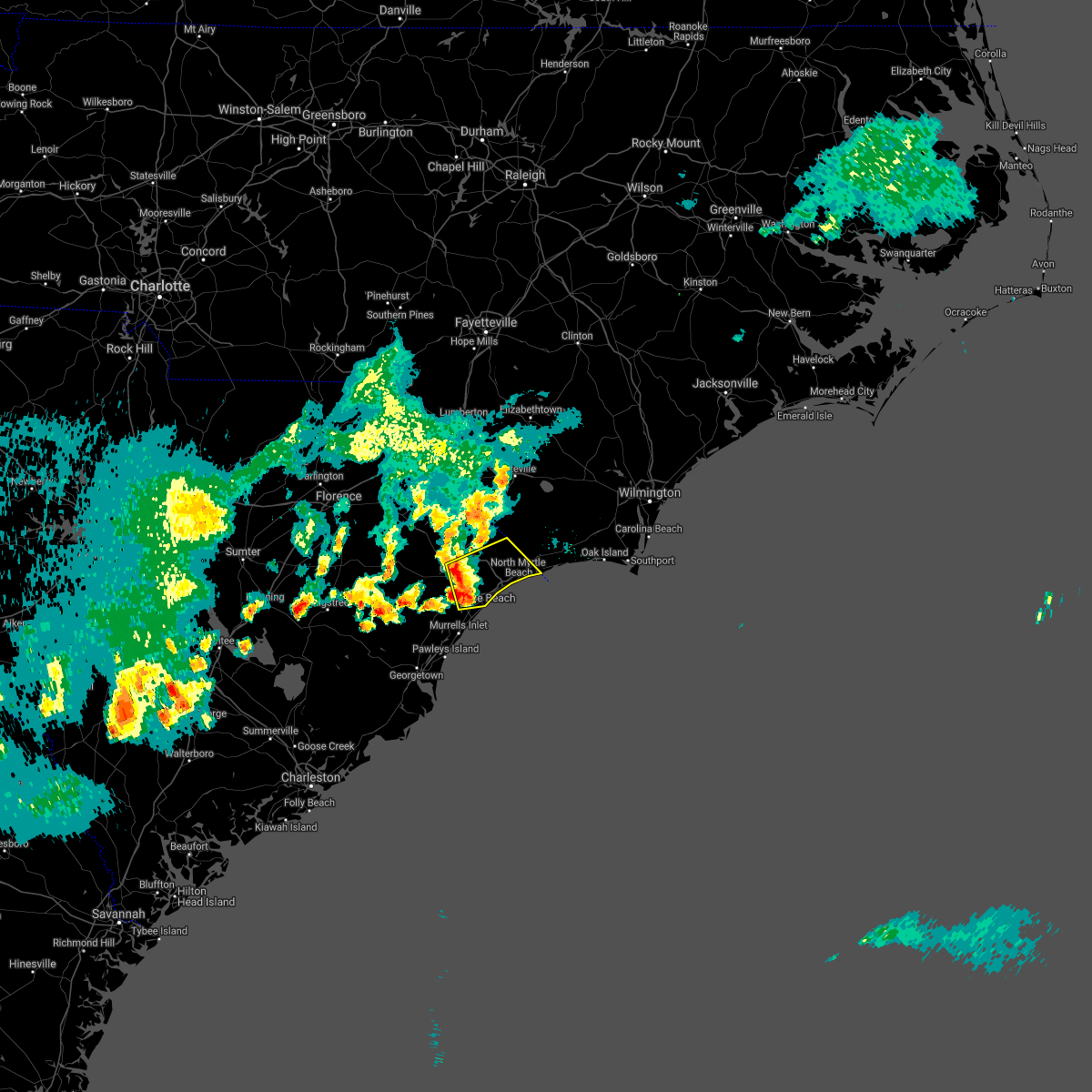 At 643 pm edt, a severe thunderstorm was located over hickory grove, or near conway, moving east at 35 mph (radar indicated). Hazards include 60 mph wind gusts and quarter size hail. Minor hail damage to vehicles is possible. Expect wind damage to trees and power lines. At 643 pm edt, a severe thunderstorm was located over hickory grove, or near conway, moving east at 35 mph (radar indicated). Hazards include 60 mph wind gusts and quarter size hail. Minor hail damage to vehicles is possible. Expect wind damage to trees and power lines.
|
| 2/15/2021 11:33 PM EST |
 At 1133 pm est, a severe thunderstorm was located over little river entrance, moving northeast at 25 mph (radar indicated). Hazards include 60 mph wind gusts. expect wind damage to trees and power lines At 1133 pm est, a severe thunderstorm was located over little river entrance, moving northeast at 25 mph (radar indicated). Hazards include 60 mph wind gusts. expect wind damage to trees and power lines
|
| 9/17/2020 2:10 PM EDT |
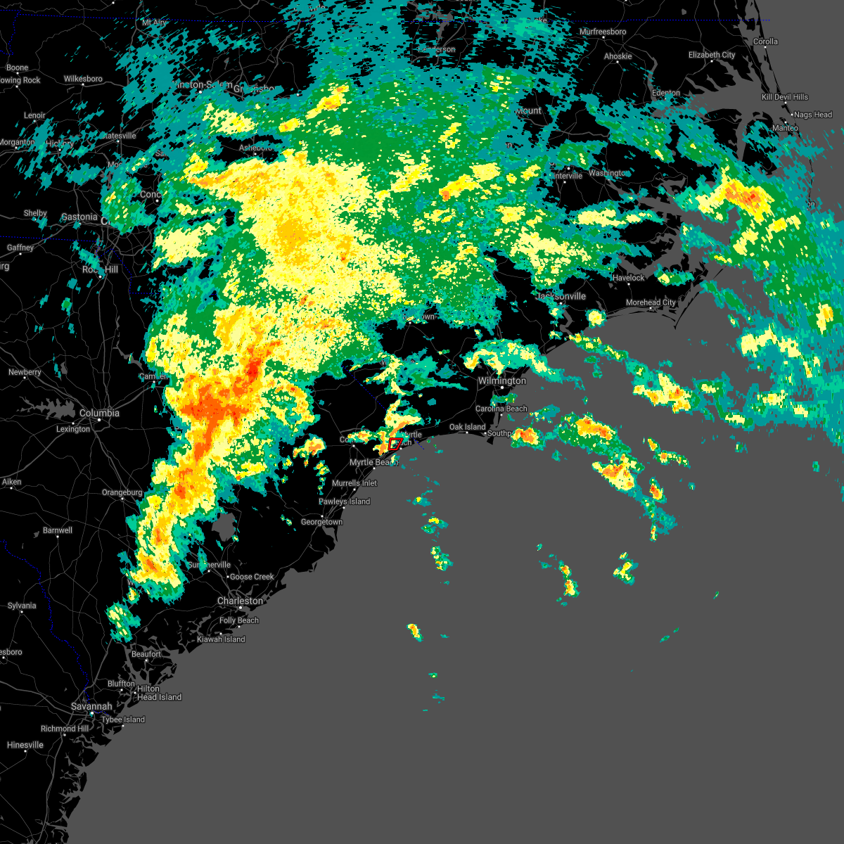 The tornado warning for southeastern horry county will expire at 215 pm edt, the storm which prompted the warning has weakened below severe limits, and has exited the warned area. therefore, the warning will be allowed to expire. a tornado watch remains in effect until 600 pm edt for northeastern south carolina. The tornado warning for southeastern horry county will expire at 215 pm edt, the storm which prompted the warning has weakened below severe limits, and has exited the warned area. therefore, the warning will be allowed to expire. a tornado watch remains in effect until 600 pm edt for northeastern south carolina.
|
| 9/17/2020 2:01 PM EDT |
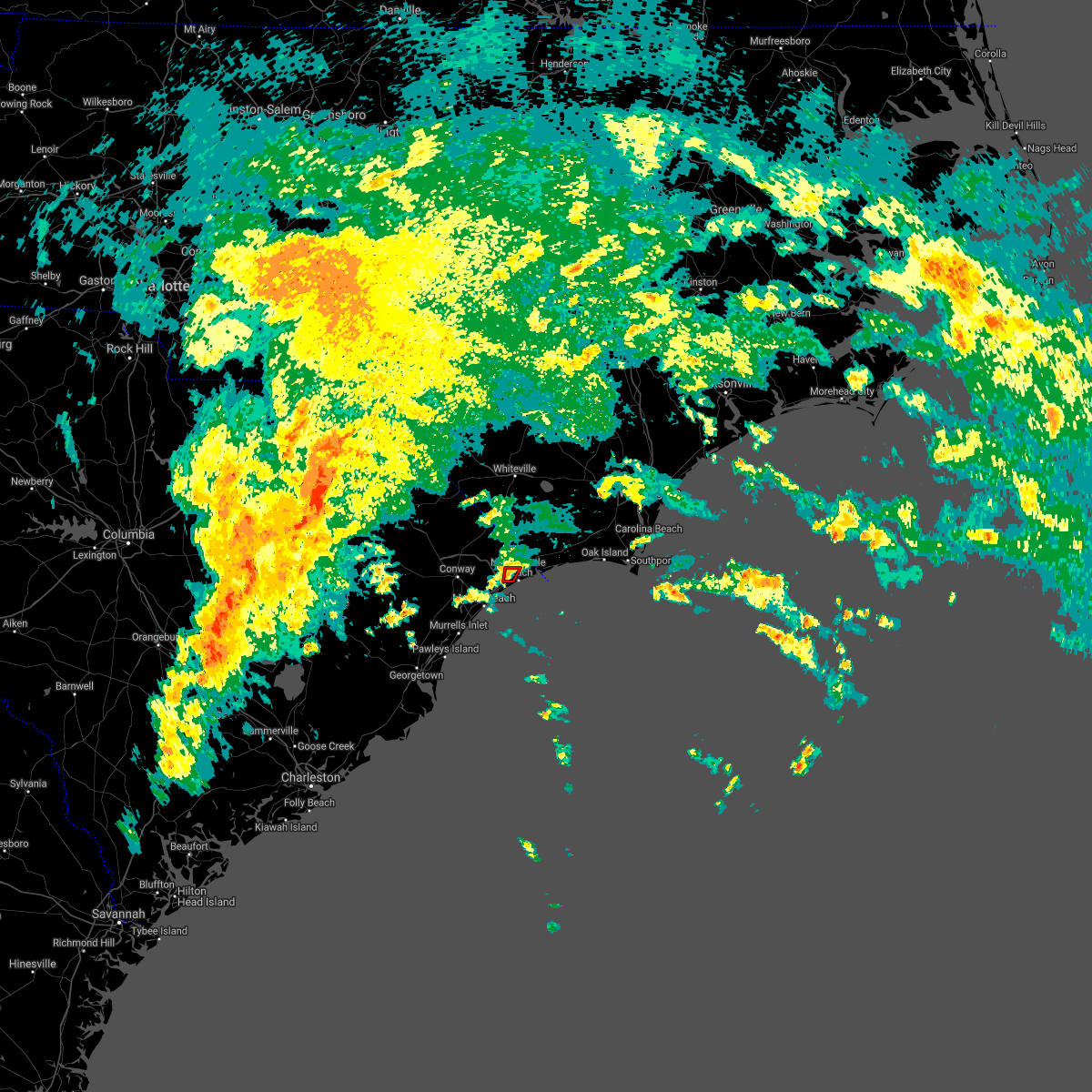 At 201 pm edt, a severe thunderstorm capable of producing a tornado was located over barefoot landing area of north myrtle beach, or over north myrtle beach airport, moving north at 20 mph (radar indicated rotation). Hazards include tornado. Flying debris will be dangerous to those caught without shelter. mobile homes will be damaged or destroyed. damage to roofs, windows, and vehicles will occur. tree damage is likely. This dangerous storm will be near, wampee around 205 pm edt. At 201 pm edt, a severe thunderstorm capable of producing a tornado was located over barefoot landing area of north myrtle beach, or over north myrtle beach airport, moving north at 20 mph (radar indicated rotation). Hazards include tornado. Flying debris will be dangerous to those caught without shelter. mobile homes will be damaged or destroyed. damage to roofs, windows, and vehicles will occur. tree damage is likely. This dangerous storm will be near, wampee around 205 pm edt.
|
| 9/17/2020 1:46 PM EDT |
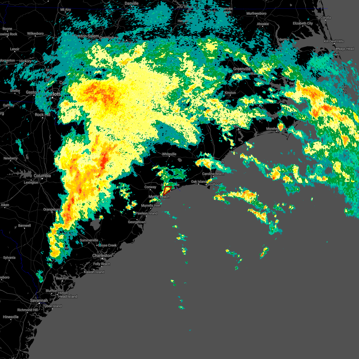 At 146 pm edt, a severe thunderstorm capable of producing a tornado was located near barefoot landing area of north myrtle beach, or near north myrtle beach airport, moving north at 15 mph (radar indicated rotation). Hazards include tornado. Flying debris will be dangerous to those caught without shelter. mobile homes will be damaged or destroyed. damage to roofs, windows, and vehicles will occur. tree damage is likely. this dangerous storm will be near, north myrtle beach, north myrtle beach airport and barefoot landing area of north myrtle beach around 205 pm edt. wampee around 215 pm edt. other locations impacted by this tornadic thunderstorm include briarcliffe acres and atlantic beach. This includes sc highway 31 between mile markers 16 and 24. At 146 pm edt, a severe thunderstorm capable of producing a tornado was located near barefoot landing area of north myrtle beach, or near north myrtle beach airport, moving north at 15 mph (radar indicated rotation). Hazards include tornado. Flying debris will be dangerous to those caught without shelter. mobile homes will be damaged or destroyed. damage to roofs, windows, and vehicles will occur. tree damage is likely. this dangerous storm will be near, north myrtle beach, north myrtle beach airport and barefoot landing area of north myrtle beach around 205 pm edt. wampee around 215 pm edt. other locations impacted by this tornadic thunderstorm include briarcliffe acres and atlantic beach. This includes sc highway 31 between mile markers 16 and 24.
|
| 6/28/2020 9:35 PM EDT |
 At 935 pm edt, a severe thunderstorm was located over dulah, or 13 miles north of little river, moving southeast at 30 mph (radar indicated). Hazards include 60 mph wind gusts and quarter size hail. Minor hail damage to vehicles is possible. Expect wind damage to trees and power lines. At 935 pm edt, a severe thunderstorm was located over dulah, or 13 miles north of little river, moving southeast at 30 mph (radar indicated). Hazards include 60 mph wind gusts and quarter size hail. Minor hail damage to vehicles is possible. Expect wind damage to trees and power lines.
|
| 6/20/2020 6:23 PM EDT |
 The severe thunderstorm warning for south central horry county will expire at 630 pm edt, the storm which prompted the warning has moved out of the area. therefore, the warning will be allowed to expire. however small hail and gusty winds are still possible with this thunderstorm. The severe thunderstorm warning for south central horry county will expire at 630 pm edt, the storm which prompted the warning has moved out of the area. therefore, the warning will be allowed to expire. however small hail and gusty winds are still possible with this thunderstorm.
|
| 6/20/2020 5:59 PM EDT |
 At 542 pm edt, a severe thunderstorm was located near nixonville, or near red hill, moving southeast at 10 mph (radar indicated). Hazards include 60 mph wind gusts and quarter size hail. Minor hail damage to vehicles is possible. Expect wind damage to trees and power lines. At 542 pm edt, a severe thunderstorm was located near nixonville, or near red hill, moving southeast at 10 mph (radar indicated). Hazards include 60 mph wind gusts and quarter size hail. Minor hail damage to vehicles is possible. Expect wind damage to trees and power lines.
|
| 6/20/2020 5:42 PM EDT |
 At 542 pm edt, a severe thunderstorm was located near nixonville, or near red hill, moving southeast at 10 mph (radar indicated). Hazards include 60 mph wind gusts and quarter size hail. Minor hail damage to vehicles is possible. Expect wind damage to trees and power lines. At 542 pm edt, a severe thunderstorm was located near nixonville, or near red hill, moving southeast at 10 mph (radar indicated). Hazards include 60 mph wind gusts and quarter size hail. Minor hail damage to vehicles is possible. Expect wind damage to trees and power lines.
|
| 6/20/2020 5:31 PM EDT |
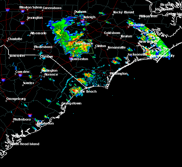 At 530 pm edt, a severe thunderstorm was located near forestbrook, or near myrtle beach, moving southeast at 10 mph (radar indicated). Hazards include 60 mph wind gusts and quarter size hail. Minor hail damage to vehicles is possible. expect wind damage to trees and power lines. locations impacted include, myrtle beach, myrtle beach airport, red hill, socastee, forestbrook, horry georgetown technical college conway campus, coastal carolina university, nixonville, lighthouse care center of conway, conway medical center and grand strand regional medical center. People attending conway medical center, and grand strand health may be affected by this storm and are urged to follow the precautionary measures of the onsite officials. At 530 pm edt, a severe thunderstorm was located near forestbrook, or near myrtle beach, moving southeast at 10 mph (radar indicated). Hazards include 60 mph wind gusts and quarter size hail. Minor hail damage to vehicles is possible. expect wind damage to trees and power lines. locations impacted include, myrtle beach, myrtle beach airport, red hill, socastee, forestbrook, horry georgetown technical college conway campus, coastal carolina university, nixonville, lighthouse care center of conway, conway medical center and grand strand regional medical center. People attending conway medical center, and grand strand health may be affected by this storm and are urged to follow the precautionary measures of the onsite officials.
|
| 6/20/2020 5:15 PM EDT |
 At 515 pm edt, a severe thunderstorm was located near horry georgetown technical college conway campus, or near red hill, moving southeast at 10 mph (radar indicated). Hazards include 60 mph wind gusts and quarter size hail. Minor hail damage to vehicles is possible. Expect wind damage to trees and power lines. At 515 pm edt, a severe thunderstorm was located near horry georgetown technical college conway campus, or near red hill, moving southeast at 10 mph (radar indicated). Hazards include 60 mph wind gusts and quarter size hail. Minor hail damage to vehicles is possible. Expect wind damage to trees and power lines.
|
| 4/13/2020 9:01 AM EDT |
 At 901 am edt, a severe thunderstorm was located near russtown, or near shallotte, moving northeast at 65 mph (radar indicated). Hazards include 70 mph wind gusts. Expect considerable tree damage. Damage is likely to mobile homes, roofs, and outbuildings. At 901 am edt, a severe thunderstorm was located near russtown, or near shallotte, moving northeast at 65 mph (radar indicated). Hazards include 70 mph wind gusts. Expect considerable tree damage. Damage is likely to mobile homes, roofs, and outbuildings.
|
| 4/13/2020 8:51 AM EDT |
 At 851 am edt, a severe thunderstorm capable of producing a tornado was located over springmaid pier, moving northeast at 65 mph (radar indicated rotation). Hazards include tornado. Flying debris will be dangerous to those caught without shelter. mobile homes will be damaged or destroyed. damage to roofs, windows, and vehicles will occur. tree damage is likely. this dangerous storm will be near, north myrtle beach, north myrtle beach airport and barefoot landing area of north myrtle beach around 905 am edt. other locations impacted by this tornadic thunderstorm include briarcliffe acres, atlantic beach and grand strand regional medical center. People attending grand strand health outdoor tent facilities should seek safe shelter immediately!. At 851 am edt, a severe thunderstorm capable of producing a tornado was located over springmaid pier, moving northeast at 65 mph (radar indicated rotation). Hazards include tornado. Flying debris will be dangerous to those caught without shelter. mobile homes will be damaged or destroyed. damage to roofs, windows, and vehicles will occur. tree damage is likely. this dangerous storm will be near, north myrtle beach, north myrtle beach airport and barefoot landing area of north myrtle beach around 905 am edt. other locations impacted by this tornadic thunderstorm include briarcliffe acres, atlantic beach and grand strand regional medical center. People attending grand strand health outdoor tent facilities should seek safe shelter immediately!.
|
| 4/13/2020 8:38 AM EDT |
 At 838 am edt, a severe thunderstorm capable of producing a tornado was located near murrells inlet, moving northeast at 65 mph (radar indicated rotation). Hazards include tornado. Flying debris will be dangerous to those caught without shelter. mobile homes will be damaged or destroyed. damage to roofs, windows, and vehicles will occur. tree damage is likely. this dangerous storm will be near, surfside beach, springmaid pier and myrtle beach airport around 850 am edt. myrtle beach around 855 am edt. north myrtle beach, north myrtle beach airport and barefoot landing area of north myrtle beach around 905 am edt. other locations impacted by this tornadic thunderstorm include briarcliffe acres, atlantic beach, waccamaw community hospital and grand strand regional medical center. people attending grand strand health outdoor tent facilities should seek safe shelter immediately! this includes the following highways, sc highway 31 between mile markers 6 and 20. Sc highway 22 between mile markers 25 and 26. At 838 am edt, a severe thunderstorm capable of producing a tornado was located near murrells inlet, moving northeast at 65 mph (radar indicated rotation). Hazards include tornado. Flying debris will be dangerous to those caught without shelter. mobile homes will be damaged or destroyed. damage to roofs, windows, and vehicles will occur. tree damage is likely. this dangerous storm will be near, surfside beach, springmaid pier and myrtle beach airport around 850 am edt. myrtle beach around 855 am edt. north myrtle beach, north myrtle beach airport and barefoot landing area of north myrtle beach around 905 am edt. other locations impacted by this tornadic thunderstorm include briarcliffe acres, atlantic beach, waccamaw community hospital and grand strand regional medical center. people attending grand strand health outdoor tent facilities should seek safe shelter immediately! this includes the following highways, sc highway 31 between mile markers 6 and 20. Sc highway 22 between mile markers 25 and 26.
|
| 4/13/2020 8:15 AM EDT |
 At 815 am edt, a severe thunderstorm was located over green sea, or 16 miles southeast of mullins, moving northeast at 65 mph (radar indicated). Hazards include 60 mph wind gusts. expect wind damage to trees and power lines At 815 am edt, a severe thunderstorm was located over green sea, or 16 miles southeast of mullins, moving northeast at 65 mph (radar indicated). Hazards include 60 mph wind gusts. expect wind damage to trees and power lines
|
| 4/9/2020 7:02 AM EDT |
 At 702 am edt, a severe thunderstorm was located over calabash, or near little river, moving east at 55 mph (radar indicated). Hazards include 60 mph wind gusts and penny size hail. Expect wind damage to trees and power lines. Locations impacted include, north myrtle beach, shallotte, sunset beach, holden beach, ocean isle beach, little river, north myrtle beach airport, iredell, carolina shores, calabash, civie town, supply, longwood, seaside, nixonville, barefoot landing area of north myrtle beach, wampee, grissettown, hand and russtown. At 702 am edt, a severe thunderstorm was located over calabash, or near little river, moving east at 55 mph (radar indicated). Hazards include 60 mph wind gusts and penny size hail. Expect wind damage to trees and power lines. Locations impacted include, north myrtle beach, shallotte, sunset beach, holden beach, ocean isle beach, little river, north myrtle beach airport, iredell, carolina shores, calabash, civie town, supply, longwood, seaside, nixonville, barefoot landing area of north myrtle beach, wampee, grissettown, hand and russtown.
|
| 4/9/2020 6:44 AM EDT |
 At 643 am edt, a severe thunderstorm was located near hammond, or 11 miles northeast of conway, moving east at 55 mph (radar indicated). Hazards include 60 mph wind gusts and penny size hail. expect wind damage to trees and power lines At 643 am edt, a severe thunderstorm was located near hammond, or 11 miles northeast of conway, moving east at 55 mph (radar indicated). Hazards include 60 mph wind gusts and penny size hail. expect wind damage to trees and power lines
|
| 2/7/2020 1:25 AM EST |
 The severe thunderstorm warning for southwestern brunswick, south central columbus and southeastern horry counties will expire at 130 am est, the storm which prompted the warning has weakened below severe limits, and has exited the warned area. therefore, the warning will be allowed to expire. however gusty winds are still possible with this thunderstorm. The severe thunderstorm warning for southwestern brunswick, south central columbus and southeastern horry counties will expire at 130 am est, the storm which prompted the warning has weakened below severe limits, and has exited the warned area. therefore, the warning will be allowed to expire. however gusty winds are still possible with this thunderstorm.
|
| 2/7/2020 1:15 AM EST | Cre asos measured a peak wind gust of 53 knots at 0615 in horry county SC, 2.3 miles NE of North Myrtle Beach, SC |
| 2/7/2020 12:59 AM EST |
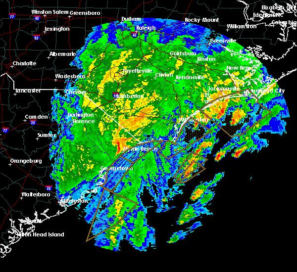 The national weather service in wilmington has issued a * severe thunderstorm warning for. southwestern brunswick county in southeastern north carolina. south central columbus county in southeastern north carolina. southeastern horry county in northeastern south carolina. Until 130 am est. The national weather service in wilmington has issued a * severe thunderstorm warning for. southwestern brunswick county in southeastern north carolina. south central columbus county in southeastern north carolina. southeastern horry county in northeastern south carolina. Until 130 am est.
|
| 10/20/2019 2:09 AM EDT |
 The tornado warning for south central horry county will expire at 215 am edt, the storm which prompted the warning has weakened below severe limits, and no longer appears capable of producing a tornado. therefore, the warning will be allowed to expire. however heavy rain is still possible. The tornado warning for south central horry county will expire at 215 am edt, the storm which prompted the warning has weakened below severe limits, and no longer appears capable of producing a tornado. therefore, the warning will be allowed to expire. however heavy rain is still possible.
|
| 10/20/2019 1:57 AM EDT |
 At 157 am edt, a severe thunderstorm capable of producing a tornado was located over hand, or near north myrtle beach airport, moving north at 40 mph (radar indicated rotation). Hazards include tornado. Expect damage to mobile homes, roofs, and vehicles. this dangerous storm will be near, hand around 200 am edt. hammond around 205 am edt. Other locations impacted by this tornadic thunderstorm include grand strand regional medical center. At 157 am edt, a severe thunderstorm capable of producing a tornado was located over hand, or near north myrtle beach airport, moving north at 40 mph (radar indicated rotation). Hazards include tornado. Expect damage to mobile homes, roofs, and vehicles. this dangerous storm will be near, hand around 200 am edt. hammond around 205 am edt. Other locations impacted by this tornadic thunderstorm include grand strand regional medical center.
|
| 10/20/2019 1:40 AM EDT |
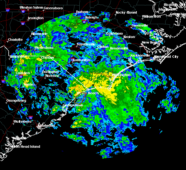 At 140 am edt, a severe thunderstorm capable of producing a tornado was located near springmaid pier, moving north at 40 mph (radar indicated rotation). Hazards include tornado. Expect damage to mobile homes, roofs, and vehicles. this dangerous storm will be near, myrtle beach around 145 am edt. nixonville around 155 am edt. north myrtle beach, north myrtle beach airport, hand and barefoot landing area of north myrtle beach around 200 am edt. wampee and hammond around 205 am edt. other locations impacted by this tornadic thunderstorm include briarcliffe acres, atlantic beach and grand strand regional medical center. this includes the following highways, sc highway 31 between mile markers 7 and 24. Sc highway 22 between mile markers 17 and 26. At 140 am edt, a severe thunderstorm capable of producing a tornado was located near springmaid pier, moving north at 40 mph (radar indicated rotation). Hazards include tornado. Expect damage to mobile homes, roofs, and vehicles. this dangerous storm will be near, myrtle beach around 145 am edt. nixonville around 155 am edt. north myrtle beach, north myrtle beach airport, hand and barefoot landing area of north myrtle beach around 200 am edt. wampee and hammond around 205 am edt. other locations impacted by this tornadic thunderstorm include briarcliffe acres, atlantic beach and grand strand regional medical center. this includes the following highways, sc highway 31 between mile markers 7 and 24. Sc highway 22 between mile markers 17 and 26.
|
| 9/5/2019 9:58 AM EDT |
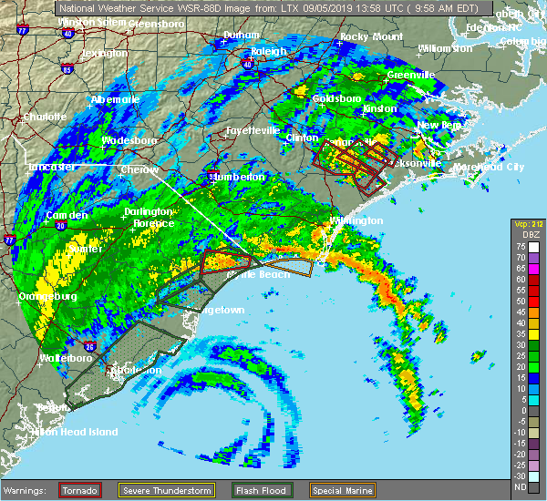 At 958 am edt, a severe thunderstorm capable of producing a tornado was located over wampee, or near north myrtle beach airport, moving west at 45 mph (radar indicated rotation). Hazards include tornado. Expect damage to mobile homes, roofs, and vehicles. this dangerous storm will be near, hammond around 1005 am edt. nixonville around 1010 am edt. hickory grove around 1015 am edt. homewood and adrian around 1020 am edt. conway around 1025 am edt. this includes the following highways, sc highway 31 between mile markers 21 and 24. Sc highway 22 between mile markers 5 and 26. At 958 am edt, a severe thunderstorm capable of producing a tornado was located over wampee, or near north myrtle beach airport, moving west at 45 mph (radar indicated rotation). Hazards include tornado. Expect damage to mobile homes, roofs, and vehicles. this dangerous storm will be near, hammond around 1005 am edt. nixonville around 1010 am edt. hickory grove around 1015 am edt. homewood and adrian around 1020 am edt. conway around 1025 am edt. this includes the following highways, sc highway 31 between mile markers 21 and 24. Sc highway 22 between mile markers 5 and 26.
|
| 9/5/2019 8:20 AM EDT |
 At 819 am edt, a severe thunderstorm capable of producing a tornado was located over hand, or 5 miles west of the north myrtle beach airport, moving west at 40 mph (radar indicated rotation). Hazards include tornado. Expect damage to mobile homes, roofs, and vehicles. this dangerous storm will be near, nixonville around 825 am edt. hickory grove and horry georgetown technical college conway campus around 835 am edt. homewood, adrian and coastal carolina university around 840 am edt. conway around 845 am edt. Other locations impacted by this tornadic thunderstorm include briarcliffe acres, conway medical center and lighthouse care center of conway. At 819 am edt, a severe thunderstorm capable of producing a tornado was located over hand, or 5 miles west of the north myrtle beach airport, moving west at 40 mph (radar indicated rotation). Hazards include tornado. Expect damage to mobile homes, roofs, and vehicles. this dangerous storm will be near, nixonville around 825 am edt. hickory grove and horry georgetown technical college conway campus around 835 am edt. homewood, adrian and coastal carolina university around 840 am edt. conway around 845 am edt. Other locations impacted by this tornadic thunderstorm include briarcliffe acres, conway medical center and lighthouse care center of conway.
|
| 9/5/2019 8:12 AM EDT |
 At 812 am edt, a severe thunderstorm capable of producing a tornado was located over wampee, or over north myrtle beach airport, moving west at 40 mph (radar indicated rotation). Hazards include tornado. Expect damage to mobile homes, roofs, and vehicles. this dangerous storm will be near, nixonville and hammond around 825 am edt. hickory grove, horry georgetown technical college conway campus and coastal carolina university around 835 am edt. conway, homewood and adrian around 840 am edt. other locations impacted by this tornadic thunderstorm include briarcliffe acres, atlantic beach, sea coast medical center, lighthouse care center of conway and conway medical center. this includes the following highways, sc highway 31 between mile markers 13 and 24. Sc highway 22 between mile markers 6 and 26. At 812 am edt, a severe thunderstorm capable of producing a tornado was located over wampee, or over north myrtle beach airport, moving west at 40 mph (radar indicated rotation). Hazards include tornado. Expect damage to mobile homes, roofs, and vehicles. this dangerous storm will be near, nixonville and hammond around 825 am edt. hickory grove, horry georgetown technical college conway campus and coastal carolina university around 835 am edt. conway, homewood and adrian around 840 am edt. other locations impacted by this tornadic thunderstorm include briarcliffe acres, atlantic beach, sea coast medical center, lighthouse care center of conway and conway medical center. this includes the following highways, sc highway 31 between mile markers 13 and 24. Sc highway 22 between mile markers 6 and 26.
|
| 9/5/2019 7:49 AM EDT |
 At 749 am edt, a severe thunderstorm capable of producing a tornado was located over cherry grove inlet, moving northwest at 35 mph (radar indicated rotation). Hazards include tornado. Expect damage to mobile homes, roofs, and vehicles. this dangerous storm will be near, brooksville around 755 am edt. north myrtle beach airport, wampee and barefoot landing area of north myrtle beach around 800 am edt. longs around 805 am edt. hand around 810 am edt. hammond and goretown around 815 am edt. other locations impacted by this tornadic thunderstorm include atlantic beach, sea coast medical center, loris community hospital and briarcliffe acres. this includes the following highways, sc highway 31 between mile markers 16 and 24. Sc highway 22 between mile markers 11 and 26. At 749 am edt, a severe thunderstorm capable of producing a tornado was located over cherry grove inlet, moving northwest at 35 mph (radar indicated rotation). Hazards include tornado. Expect damage to mobile homes, roofs, and vehicles. this dangerous storm will be near, brooksville around 755 am edt. north myrtle beach airport, wampee and barefoot landing area of north myrtle beach around 800 am edt. longs around 805 am edt. hand around 810 am edt. hammond and goretown around 815 am edt. other locations impacted by this tornadic thunderstorm include atlantic beach, sea coast medical center, loris community hospital and briarcliffe acres. this includes the following highways, sc highway 31 between mile markers 16 and 24. Sc highway 22 between mile markers 11 and 26.
|
| 9/5/2019 6:47 AM EDT |
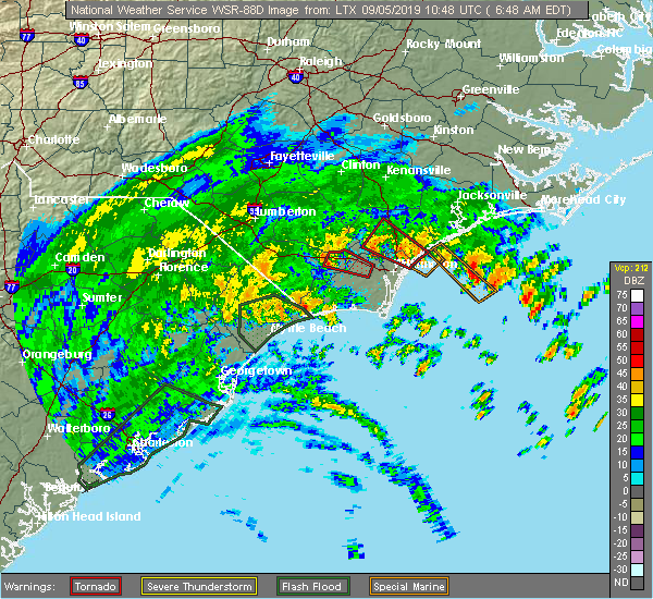 At 647 am edt, a severe thunderstorm capable of producing a tornado was located over north myrtle beach airport, moving west at 30 mph (radar indicated rotation). Hazards include tornado. Flying debris will be dangerous to those caught without shelter. mobile homes will be damaged or destroyed. damage to roofs, windows, and vehicles will occur. tree damage is likely. this dangerous storm will be near, hand around 655 am edt. other locations impacted by this tornadic thunderstorm include briarcliffe acres and atlantic beach. this includes the following highways, sc highway 31 between mile markers 14 and 23. Sc highway 22 between mile markers 23 and 26. At 647 am edt, a severe thunderstorm capable of producing a tornado was located over north myrtle beach airport, moving west at 30 mph (radar indicated rotation). Hazards include tornado. Flying debris will be dangerous to those caught without shelter. mobile homes will be damaged or destroyed. damage to roofs, windows, and vehicles will occur. tree damage is likely. this dangerous storm will be near, hand around 655 am edt. other locations impacted by this tornadic thunderstorm include briarcliffe acres and atlantic beach. this includes the following highways, sc highway 31 between mile markers 14 and 23. Sc highway 22 between mile markers 23 and 26.
|
| 9/5/2019 5:06 AM EDT |
 The national weather service in wilmington has issued a * tornado warning for. east central horry county in northeastern south carolina. until 530 am edt. At 506 am edt, a severe thunderstorm capable of producing a tornado was located over wampee, or near little river, moving northwest at. The national weather service in wilmington has issued a * tornado warning for. east central horry county in northeastern south carolina. until 530 am edt. At 506 am edt, a severe thunderstorm capable of producing a tornado was located over wampee, or near little river, moving northwest at.
|
| 9/5/2019 4:55 AM EDT |
 At 455 am edt, a severe thunderstorm capable of producing a tornado was located near hammond, or 7 miles northwest of north myrtle beach airport, moving northwest at 35 mph (radar indicated rotation). Hazards include tornado. Flying debris will be dangerous to those caught without shelter. mobile homes will be damaged or destroyed. damage to roofs, windows, and vehicles will occur. tree damage is likely. this dangerous storm will be near, hammond around 500 am edt. hickory grove around 510 am edt. other locations impacted by this tornadic thunderstorm include briarcliffe acres. this includes the following highways, sc highway 31 between mile markers 15 and 19. Sc highway 22 between mile markers 13 and 26. At 455 am edt, a severe thunderstorm capable of producing a tornado was located near hammond, or 7 miles northwest of north myrtle beach airport, moving northwest at 35 mph (radar indicated rotation). Hazards include tornado. Flying debris will be dangerous to those caught without shelter. mobile homes will be damaged or destroyed. damage to roofs, windows, and vehicles will occur. tree damage is likely. this dangerous storm will be near, hammond around 500 am edt. hickory grove around 510 am edt. other locations impacted by this tornadic thunderstorm include briarcliffe acres. this includes the following highways, sc highway 31 between mile markers 15 and 19. Sc highway 22 between mile markers 13 and 26.
|
| 9/5/2019 4:46 AM EDT |
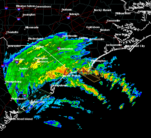 At 446 am edt, a severe thunderstorm capable of producing a tornado was located over wampee, or near north myrtle beach, moving west at 35 mph (radar indicated rotation). Hazards include tornado. Flying debris will be dangerous to those caught without shelter. mobile homes will be damaged or destroyed. damage to roofs, windows, and vehicles will occur. tree damage is likely. this dangerous storm will be near, hand around 455 am edt. Other locations impacted by this tornadic thunderstorm include briarcliffe acres, atlantic beach and sea coast medical center. At 446 am edt, a severe thunderstorm capable of producing a tornado was located over wampee, or near north myrtle beach, moving west at 35 mph (radar indicated rotation). Hazards include tornado. Flying debris will be dangerous to those caught without shelter. mobile homes will be damaged or destroyed. damage to roofs, windows, and vehicles will occur. tree damage is likely. this dangerous storm will be near, hand around 455 am edt. Other locations impacted by this tornadic thunderstorm include briarcliffe acres, atlantic beach and sea coast medical center.
|
| 9/5/2019 4:42 AM EDT |
 At 409 am edt, a severe thunderstorm capable of producing a tornado was located near barefoot landing area of north myrtle beach, or near myrtle beach, moving west at 30 mph (radar indicated rotation). Hazards include tornado. Flying debris will be dangerous to those caught without shelter. mobile homes will be damaged or destroyed. damage to roofs, windows, and vehicles will occur. tree damage is likely. this dangerous storm will be near, myrtle beach around 420 am edt. myrtle beach airport and nixonville around 425 am edt. forestbrook around 430 am edt. hickory grove around 435 am edt. red hill, socastee, coastal carolina university and horry georgetown technical college conway campus around 440 am edt. conway, bucksville, bucksport and homewood around 445 am edt. other locations impacted by this tornadic thunderstorm include briarcliffe acres, atlantic beach, lighthouse care center of conway, conway medical center and grand strand regional medical center. this includes the following highways, sc highway 31 between mile markers 5 and 19. Sc highway 22 between mile markers 25 and 26. At 409 am edt, a severe thunderstorm capable of producing a tornado was located near barefoot landing area of north myrtle beach, or near myrtle beach, moving west at 30 mph (radar indicated rotation). Hazards include tornado. Flying debris will be dangerous to those caught without shelter. mobile homes will be damaged or destroyed. damage to roofs, windows, and vehicles will occur. tree damage is likely. this dangerous storm will be near, myrtle beach around 420 am edt. myrtle beach airport and nixonville around 425 am edt. forestbrook around 430 am edt. hickory grove around 435 am edt. red hill, socastee, coastal carolina university and horry georgetown technical college conway campus around 440 am edt. conway, bucksville, bucksport and homewood around 445 am edt. other locations impacted by this tornadic thunderstorm include briarcliffe acres, atlantic beach, lighthouse care center of conway, conway medical center and grand strand regional medical center. this includes the following highways, sc highway 31 between mile markers 5 and 19. Sc highway 22 between mile markers 25 and 26.
|
| 9/5/2019 4:23 AM EDT |
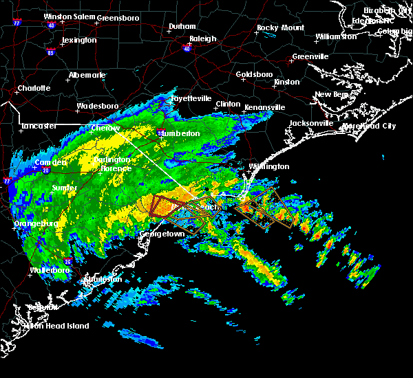 At 422 am edt, a severe thunderstorm capable of producing a tornado was located near little river entrance, moving northwest at 45 mph (radar indicated rotation). Hazards include tornado. Flying debris will be dangerous to those caught without shelter. mobile homes will be damaged or destroyed. damage to roofs, windows, and vehicles will occur. tree damage is likely. this dangerous storm will be near, little river around 435 am edt. north myrtle beach, north myrtle beach airport, brooksville and barefoot landing area of north myrtle beach around 440 am edt. longs and wampee around 445 am edt. hand around 450 am edt. other locations impacted by this tornadic thunderstorm include briarcliffe acres, atlantic beach and sea coast medical center. this includes the following highways, sc highway 31 between mile markers 15 and 24. Sc highway 22 between mile markers 25 and 26. At 422 am edt, a severe thunderstorm capable of producing a tornado was located near little river entrance, moving northwest at 45 mph (radar indicated rotation). Hazards include tornado. Flying debris will be dangerous to those caught without shelter. mobile homes will be damaged or destroyed. damage to roofs, windows, and vehicles will occur. tree damage is likely. this dangerous storm will be near, little river around 435 am edt. north myrtle beach, north myrtle beach airport, brooksville and barefoot landing area of north myrtle beach around 440 am edt. longs and wampee around 445 am edt. hand around 450 am edt. other locations impacted by this tornadic thunderstorm include briarcliffe acres, atlantic beach and sea coast medical center. this includes the following highways, sc highway 31 between mile markers 15 and 24. Sc highway 22 between mile markers 25 and 26.
|
| 9/5/2019 4:10 AM EDT |
 At 409 am edt, a severe thunderstorm capable of producing a tornado was located near barefoot landing area of north myrtle beach, or near myrtle beach, moving west at 30 mph (radar indicated rotation). Hazards include tornado. Flying debris will be dangerous to those caught without shelter. mobile homes will be damaged or destroyed. damage to roofs, windows, and vehicles will occur. tree damage is likely. this dangerous storm will be near, myrtle beach around 420 am edt. myrtle beach airport and nixonville around 425 am edt. forestbrook around 430 am edt. hickory grove around 435 am edt. red hill, socastee, coastal carolina university and horry georgetown technical college conway campus around 440 am edt. conway, bucksville, bucksport and homewood around 445 am edt. other locations impacted by this tornadic thunderstorm include briarcliffe acres, atlantic beach, lighthouse care center of conway, conway medical center and grand strand regional medical center. this includes the following highways, sc highway 31 between mile markers 5 and 19. Sc highway 22 between mile markers 25 and 26. At 409 am edt, a severe thunderstorm capable of producing a tornado was located near barefoot landing area of north myrtle beach, or near myrtle beach, moving west at 30 mph (radar indicated rotation). Hazards include tornado. Flying debris will be dangerous to those caught without shelter. mobile homes will be damaged or destroyed. damage to roofs, windows, and vehicles will occur. tree damage is likely. this dangerous storm will be near, myrtle beach around 420 am edt. myrtle beach airport and nixonville around 425 am edt. forestbrook around 430 am edt. hickory grove around 435 am edt. red hill, socastee, coastal carolina university and horry georgetown technical college conway campus around 440 am edt. conway, bucksville, bucksport and homewood around 445 am edt. other locations impacted by this tornadic thunderstorm include briarcliffe acres, atlantic beach, lighthouse care center of conway, conway medical center and grand strand regional medical center. this includes the following highways, sc highway 31 between mile markers 5 and 19. Sc highway 22 between mile markers 25 and 26.
|
| 9/5/2019 4:06 AM EDT |
 At 406 am edt, a severe thunderstorm capable of producing a tornado was located over myrtle beach, moving west at 40 mph (radar indicated rotation). Hazards include tornado. Flying debris will be dangerous to those caught without shelter. mobile homes will be damaged or destroyed. damage to roofs, windows, and vehicles will occur. tree damage is likely. this dangerous storm will be near, myrtle beach airport around 410 am edt. forestbrook and nixonville around 415 am edt. red hill, socastee, hickory grove, coastal carolina university, horry georgetown technical college conway campus and bucksville around 425 am edt. other locations impacted by this tornadic thunderstorm include conway medical center, grand strand regional medical center and lighthouse care center of conway. This includes sc highway 31 between mile markers 5 and 15. At 406 am edt, a severe thunderstorm capable of producing a tornado was located over myrtle beach, moving west at 40 mph (radar indicated rotation). Hazards include tornado. Flying debris will be dangerous to those caught without shelter. mobile homes will be damaged or destroyed. damage to roofs, windows, and vehicles will occur. tree damage is likely. this dangerous storm will be near, myrtle beach airport around 410 am edt. forestbrook and nixonville around 415 am edt. red hill, socastee, hickory grove, coastal carolina university, horry georgetown technical college conway campus and bucksville around 425 am edt. other locations impacted by this tornadic thunderstorm include conway medical center, grand strand regional medical center and lighthouse care center of conway. This includes sc highway 31 between mile markers 5 and 15.
|
| 9/5/2019 4:01 AM EDT |
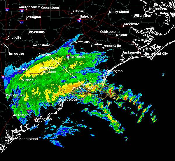 At 400 am edt, a confirmed waterspout was located just offshore near myrtle beach, moving west at 40 mph (doppler radar indicated). Hazards include tornado. Flying debris will be dangerous to those caught without shelter. mobile homes will be damaged or destroyed. damage to roofs, windows, and vehicles will occur. tree damage is likely. this tornado will be near, myrtle beach and myrtle beach airport around 410 am edt. forestbrook and nixonville around 415 am edt. red hill, socastee and horry georgetown technical college conway campus around 420 am edt. hickory grove, coastal carolina university, bucksville and bucksport around 425 am edt. other locations impacted by this tornado include conway medical center, grand strand regional medical center and lighthouse care center of conway. This includes sc highway 31 between mile markers 5 and 15. At 400 am edt, a confirmed waterspout was located just offshore near myrtle beach, moving west at 40 mph (doppler radar indicated). Hazards include tornado. Flying debris will be dangerous to those caught without shelter. mobile homes will be damaged or destroyed. damage to roofs, windows, and vehicles will occur. tree damage is likely. this tornado will be near, myrtle beach and myrtle beach airport around 410 am edt. forestbrook and nixonville around 415 am edt. red hill, socastee and horry georgetown technical college conway campus around 420 am edt. hickory grove, coastal carolina university, bucksville and bucksport around 425 am edt. other locations impacted by this tornado include conway medical center, grand strand regional medical center and lighthouse care center of conway. This includes sc highway 31 between mile markers 5 and 15.
|
| 8/14/2019 4:48 PM EDT |
 At 448 pm edt, a severe thunderstorm was located over hand, or near north myrtle beach airport, moving northeast at 15 mph (radar indicated). Hazards include 60 mph wind gusts and quarter size hail. Minor hail damage to vehicles is possible. expect wind damage to trees and power lines. Locations impacted include, north myrtle beach, north myrtle beach airport, little river, hickory grove, hand, nixonville, barefoot landing area of north myrtle beach, wampee, longs, hammond, brooksville, briarcliffe acres, atlantic beach, sea coast medical center and grand strand regional medical center. At 448 pm edt, a severe thunderstorm was located over hand, or near north myrtle beach airport, moving northeast at 15 mph (radar indicated). Hazards include 60 mph wind gusts and quarter size hail. Minor hail damage to vehicles is possible. expect wind damage to trees and power lines. Locations impacted include, north myrtle beach, north myrtle beach airport, little river, hickory grove, hand, nixonville, barefoot landing area of north myrtle beach, wampee, longs, hammond, brooksville, briarcliffe acres, atlantic beach, sea coast medical center and grand strand regional medical center.
|
| 8/14/2019 4:31 PM EDT |
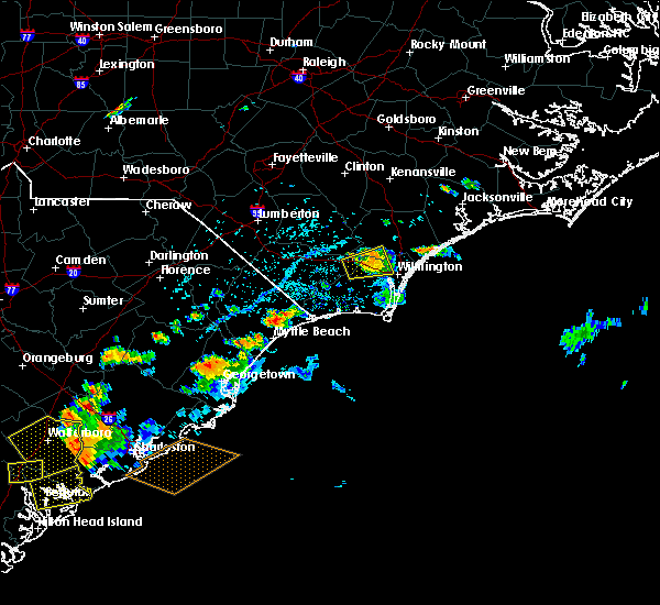 At 431 pm edt, a severe thunderstorm was located over hand, or near north myrtle beach airport, moving northeast at 15 mph (radar indicated). Hazards include 60 mph wind gusts and quarter size hail. Minor hail damage to vehicles is possible. Expect wind damage to trees and power lines. At 431 pm edt, a severe thunderstorm was located over hand, or near north myrtle beach airport, moving northeast at 15 mph (radar indicated). Hazards include 60 mph wind gusts and quarter size hail. Minor hail damage to vehicles is possible. Expect wind damage to trees and power lines.
|
| 7/3/2019 3:36 PM EDT |
 At 336 pm edt, a severe thunderstorm was located over barefoot landing and north myrtle beach, moving southeast at 5 mph (radar indicated). Hazards include 60 mph wind gusts and quarter size hail. Minor hail damage to vehicles is possible. expect wind damage to trees and power lines. Locations impacted include, myrtle beach, north myrtle beach, north myrtle beach airport, little river, wampee, cherry grove beach, hand, barefoot landing area of north myrtle beach, briarcliffe acres, atlantic beach, sea coast medical center and grand strand regional medical center. At 336 pm edt, a severe thunderstorm was located over barefoot landing and north myrtle beach, moving southeast at 5 mph (radar indicated). Hazards include 60 mph wind gusts and quarter size hail. Minor hail damage to vehicles is possible. expect wind damage to trees and power lines. Locations impacted include, myrtle beach, north myrtle beach, north myrtle beach airport, little river, wampee, cherry grove beach, hand, barefoot landing area of north myrtle beach, briarcliffe acres, atlantic beach, sea coast medical center and grand strand regional medical center.
|
| 7/3/2019 3:21 PM EDT |
 At 320 pm edt, a severe thunderstorm was located over barefoot landing area of north myrtle beach, or over north myrtle beach airport, moving southeast at 5 mph (radar indicated). Hazards include 70 mph wind gusts and quarter size hail. Minor hail damage to vehicles is possible. expect considerable tree damage. Wind damage is also likely to mobile homes, roofs, and outbuildings. At 320 pm edt, a severe thunderstorm was located over barefoot landing area of north myrtle beach, or over north myrtle beach airport, moving southeast at 5 mph (radar indicated). Hazards include 70 mph wind gusts and quarter size hail. Minor hail damage to vehicles is possible. expect considerable tree damage. Wind damage is also likely to mobile homes, roofs, and outbuildings.
|
| 6/22/2019 7:52 PM EDT |
 At 751 pm edt, a severe thunderstorm was located over ash, or 8 miles northwest of shallotte, moving southeast at 35 mph (radar indicated). Hazards include 60 mph wind gusts. Expect wind damage to trees and power lines. locations impacted include, myrtle beach, conway, north myrtle beach, oak island, shallotte, sunset beach, holden beach, ocean isle beach, caswell beach, bald head island, little river, little river entrance, ocean crest pier, yaupon beach, north myrtle beach airport, cherry grove inlet, red hill, iredell, st. James and carolina shores. At 751 pm edt, a severe thunderstorm was located over ash, or 8 miles northwest of shallotte, moving southeast at 35 mph (radar indicated). Hazards include 60 mph wind gusts. Expect wind damage to trees and power lines. locations impacted include, myrtle beach, conway, north myrtle beach, oak island, shallotte, sunset beach, holden beach, ocean isle beach, caswell beach, bald head island, little river, little river entrance, ocean crest pier, yaupon beach, north myrtle beach airport, cherry grove inlet, red hill, iredell, st. James and carolina shores.
|
| 6/22/2019 7:00 PM EDT |
 At 659 pm edt, severe thunderstorms were located along a line extending from evergreen to near galivants ferry, moving southeast at 50 mph (radar indicated). Hazards include 60 mph wind gusts and quarter size hail. Minor hail damage to vehicles is possible. Expect wind damage to trees and power lines. At 659 pm edt, severe thunderstorms were located along a line extending from evergreen to near galivants ferry, moving southeast at 50 mph (radar indicated). Hazards include 60 mph wind gusts and quarter size hail. Minor hail damage to vehicles is possible. Expect wind damage to trees and power lines.
|
| 6/22/2019 7:08 AM EDT |
 At 708 am edt, a severe thunderstorm was located over longwood, or 7 miles north of sunset beach, moving east at 50 mph (radar indicated). Hazards include 60 mph wind gusts and quarter size hail. Minor hail damage to vehicles is possible. Expect wind damage to trees and power lines. At 708 am edt, a severe thunderstorm was located over longwood, or 7 miles north of sunset beach, moving east at 50 mph (radar indicated). Hazards include 60 mph wind gusts and quarter size hail. Minor hail damage to vehicles is possible. Expect wind damage to trees and power lines.
|
| 6/20/2019 6:09 PM EDT | Wunderground station at cresent beach in horry county SC, 1.6 miles W of North Myrtle Beach, SC |
| 6/20/2019 6:02 PM EDT |
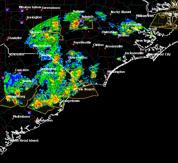 At 602 pm edt, a severe thunderstorm was located over barefoot landing area of north myrtle beach, or over north myrtle beach airport, moving east at 50 mph (radar indicated). Hazards include 60 mph wind gusts and quarter size hail. Minor hail damage to vehicles is possible. expect wind damage to trees and power lines. Locations impacted include, myrtle beach, conway, north myrtle beach, surfside beach, sunset beach, ocean isle beach, myrtle beach airport, socastee, red hill, little river, springmaid pier, garden city, north myrtle beach airport, cherry grove inlet, iredell, carolina shores, calabash, hickory grove, homewood and horry georgetown technical college conway campus. At 602 pm edt, a severe thunderstorm was located over barefoot landing area of north myrtle beach, or over north myrtle beach airport, moving east at 50 mph (radar indicated). Hazards include 60 mph wind gusts and quarter size hail. Minor hail damage to vehicles is possible. expect wind damage to trees and power lines. Locations impacted include, myrtle beach, conway, north myrtle beach, surfside beach, sunset beach, ocean isle beach, myrtle beach airport, socastee, red hill, little river, springmaid pier, garden city, north myrtle beach airport, cherry grove inlet, iredell, carolina shores, calabash, hickory grove, homewood and horry georgetown technical college conway campus.
|
| 6/20/2019 5:45 PM EDT |
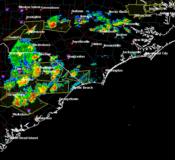 At 544 pm edt, a severe thunderstorm was located over forestbrook, or over red hill, moving east at 55 mph (radar indicated). Hazards include 60 mph wind gusts and quarter size hail. Minor hail damage to vehicles is possible. Expect wind damage to trees and power lines. At 544 pm edt, a severe thunderstorm was located over forestbrook, or over red hill, moving east at 55 mph (radar indicated). Hazards include 60 mph wind gusts and quarter size hail. Minor hail damage to vehicles is possible. Expect wind damage to trees and power lines.
|
| 6/2/2019 4:00 PM EDT |
 At 400 pm edt, a severe thunderstorm was located over calabash, or over sunset beach, and is nearly stationary (radar indicated). Hazards include 60 mph wind gusts and quarter size hail. Minor hail damage to vehicles is possible. expect wind damage to trees and power lines. Locations impacted include, north myrtle beach, sunset beach, ocean isle beach, little river, iredell, carolina shores, calabash, grissettown, longwood, seaside, russtown, brooksville and sea coast medical center. At 400 pm edt, a severe thunderstorm was located over calabash, or over sunset beach, and is nearly stationary (radar indicated). Hazards include 60 mph wind gusts and quarter size hail. Minor hail damage to vehicles is possible. expect wind damage to trees and power lines. Locations impacted include, north myrtle beach, sunset beach, ocean isle beach, little river, iredell, carolina shores, calabash, grissettown, longwood, seaside, russtown, brooksville and sea coast medical center.
|
| 6/2/2019 4:00 PM EDT |
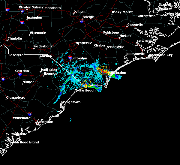 At 400 pm edt, a severe thunderstorm was located over calabash, or over sunset beach, and is nearly stationary (radar indicated). Hazards include 60 mph wind gusts and quarter size hail. Minor hail damage to vehicles is possible. expect wind damage to trees and power lines. Locations impacted include, north myrtle beach, sunset beach, ocean isle beach, little river, iredell, carolina shores, calabash, grissettown, longwood, seaside, russtown, brooksville and sea coast medical center. At 400 pm edt, a severe thunderstorm was located over calabash, or over sunset beach, and is nearly stationary (radar indicated). Hazards include 60 mph wind gusts and quarter size hail. Minor hail damage to vehicles is possible. expect wind damage to trees and power lines. Locations impacted include, north myrtle beach, sunset beach, ocean isle beach, little river, iredell, carolina shores, calabash, grissettown, longwood, seaside, russtown, brooksville and sea coast medical center.
|
| 6/2/2019 3:35 PM EDT |
 At 334 pm edt, a severe thunderstorm was located over iredell, or near sunset beach, moving south at 10 mph (radar indicated). Hazards include 60 mph wind gusts and quarter size hail. Minor hail damage to vehicles is possible. Expect wind damage to trees and power lines. At 334 pm edt, a severe thunderstorm was located over iredell, or near sunset beach, moving south at 10 mph (radar indicated). Hazards include 60 mph wind gusts and quarter size hail. Minor hail damage to vehicles is possible. Expect wind damage to trees and power lines.
|
| 5/31/2019 9:19 PM EDT |
 At 856 pm edt, a severe thunderstorm was located near longs, or 10 miles northwest of little river, moving east at 25 mph (radar indicated). Hazards include 60 mph wind gusts and quarter size hail. Minor hail damage to vehicles is possible. Expect wind damage to trees and power lines. At 856 pm edt, a severe thunderstorm was located near longs, or 10 miles northwest of little river, moving east at 25 mph (radar indicated). Hazards include 60 mph wind gusts and quarter size hail. Minor hail damage to vehicles is possible. Expect wind damage to trees and power lines.
|
| 5/31/2019 8:56 PM EDT |
 At 856 pm edt, a severe thunderstorm was located near longs, or 10 miles northwest of little river, moving east at 25 mph (radar indicated). Hazards include 60 mph wind gusts and quarter size hail. Minor hail damage to vehicles is possible. Expect wind damage to trees and power lines. At 856 pm edt, a severe thunderstorm was located near longs, or 10 miles northwest of little river, moving east at 25 mph (radar indicated). Hazards include 60 mph wind gusts and quarter size hail. Minor hail damage to vehicles is possible. Expect wind damage to trees and power lines.
|
| 5/31/2019 8:29 PM EDT |
 The national weather service in wilmington has issued a * severe thunderstorm warning for. central horry county in northeastern south carolina. until 900 pm edt. At 829 pm edt, a severe thunderstorm was located over allsbrook, or 11 miles northeast of conway, moving southeast at 30 mph. The national weather service in wilmington has issued a * severe thunderstorm warning for. central horry county in northeastern south carolina. until 900 pm edt. At 829 pm edt, a severe thunderstorm was located over allsbrook, or 11 miles northeast of conway, moving southeast at 30 mph.
|
| 5/31/2019 6:22 PM EDT |
 At 622 pm edt, a severe thunderstorm was located near myrtle beach, moving east at 15 mph (radar indicated). Hazards include 60 mph wind gusts and quarter size hail. Minor hail damage to vehicles is possible. expect wind damage to trees and powerlines. Locations impacted include, myrtle beach, north myrtle beach, myrtle beach airport, springmaid pier, north myrtle beach airport, wampee, forestbrook and cherry grove beach. At 622 pm edt, a severe thunderstorm was located near myrtle beach, moving east at 15 mph (radar indicated). Hazards include 60 mph wind gusts and quarter size hail. Minor hail damage to vehicles is possible. expect wind damage to trees and powerlines. Locations impacted include, myrtle beach, north myrtle beach, myrtle beach airport, springmaid pier, north myrtle beach airport, wampee, forestbrook and cherry grove beach.
|
| 5/31/2019 6:05 PM EDT |
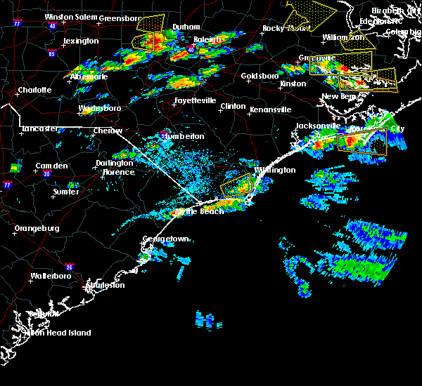 At 605 pm edt, a severe thunderstorm was located over myrtle beach, moving northeast at 15 mph (radar indicated. at 602 pm, a trained weather spotter reported hail to the size of quarters near highway 501). Hazards include 60 mph wind gusts and quarter size hail. Minor hail damage to vehicles is possible. Expect wind damage to trees and powerlines. At 605 pm edt, a severe thunderstorm was located over myrtle beach, moving northeast at 15 mph (radar indicated. at 602 pm, a trained weather spotter reported hail to the size of quarters near highway 501). Hazards include 60 mph wind gusts and quarter size hail. Minor hail damage to vehicles is possible. Expect wind damage to trees and powerlines.
|
| 4/19/2019 4:48 PM EDT |
 At 448 pm edt, severe thunderstorms were located along a line extending from near abbottsburg to north myrtle beach, moving east at 50 mph (radar indicated). Hazards include 60 mph wind gusts. Expect wind damage to trees and power lines. Locations impacted include, north myrtle beach, whiteville, sunset beach, ocean isle beach, little river, north myrtle beach airport, cherry grove inlet, iredell, carolina shores, tabor city, loris, chadbourn, calabash, bethel, lake waccamaw, fair bluff, boardman, hallsboro, exum and longwood. At 448 pm edt, severe thunderstorms were located along a line extending from near abbottsburg to north myrtle beach, moving east at 50 mph (radar indicated). Hazards include 60 mph wind gusts. Expect wind damage to trees and power lines. Locations impacted include, north myrtle beach, whiteville, sunset beach, ocean isle beach, little river, north myrtle beach airport, cherry grove inlet, iredell, carolina shores, tabor city, loris, chadbourn, calabash, bethel, lake waccamaw, fair bluff, boardman, hallsboro, exum and longwood.
|
| 4/19/2019 4:42 PM EDT | North myrtle asos reported wind gust of 58mph in horry county SC, 2.3 miles NE of North Myrtle Beach, SC |
| 4/19/2019 4:27 PM EDT |
 At 427 pm edt, severe thunderstorms were located along a line extending from near boardman to near nixonville, moving northeast at 80 mph (radar indicated). Hazards include 60 mph wind gusts. expect wind damage to trees and power lines At 427 pm edt, severe thunderstorms were located along a line extending from near boardman to near nixonville, moving northeast at 80 mph (radar indicated). Hazards include 60 mph wind gusts. expect wind damage to trees and power lines
|
| 4/19/2019 4:02 PM EDT |
 At 402 pm edt, severe thunderstorms were located along a line extending from 6 miles east of mullins to pawleys island, moving northeast at 55 mph (radar indicated). Hazards include 70 mph wind gusts. Expect considerable tree damage. damage is likely to mobile homes, roofs, and outbuildings. Locations impacted include, myrtle beach, conway, georgetown, debordieu colony, surfside beach, pawleys island, myrtle beach airport, murrells inlet, socastee, red hill, garden city, horry, tabor city, loris, chadbourn, jackson, johnsonville, fair bluff, hemingway and hickory grove. At 402 pm edt, severe thunderstorms were located along a line extending from 6 miles east of mullins to pawleys island, moving northeast at 55 mph (radar indicated). Hazards include 70 mph wind gusts. Expect considerable tree damage. damage is likely to mobile homes, roofs, and outbuildings. Locations impacted include, myrtle beach, conway, georgetown, debordieu colony, surfside beach, pawleys island, myrtle beach airport, murrells inlet, socastee, red hill, garden city, horry, tabor city, loris, chadbourn, jackson, johnsonville, fair bluff, hemingway and hickory grove.
|
| 4/19/2019 3:41 PM EDT |
 At 341 pm edt, severe thunderstorms were located along a line extending from gresham to near santee coastal reserve, moving northeast at 75 mph (radar indicated). Hazards include 70 mph wind gusts. Expect considerable tree damage. Damage is likely to mobile homes, roofs, and outbuildings. At 341 pm edt, severe thunderstorms were located along a line extending from gresham to near santee coastal reserve, moving northeast at 75 mph (radar indicated). Hazards include 70 mph wind gusts. Expect considerable tree damage. Damage is likely to mobile homes, roofs, and outbuildings.
|
| 4/19/2019 1:27 PM EDT |
 At 125 pm edt, a severe thunderstorm capable of producing a tornado was located over barefoot landing area of north myrtle beach, or over north myrtle beach airport, moving north at 50 mph (radar indicated rotation). Hazards include tornado. Expect damage to mobile homes, roofs, and vehicles. this dangerous storm will be near, north myrtle beach, wampee and cherry grove beach around 130 pm edt. little river, brooksville and longs around 135 pm edt. iredell and carolina shores around 140 pm edt. pireway and longwood around 145 pm edt. bughill, dulah and ash around 150 pm edt. bethel, nakina and freeland around 155 pm edt. other locations impacted by this tornadic thunderstorm include briarcliffe acres, atlantic beach, sea coast medical center and grand strand regional medical center. this includes the following highways, us route 17 in brunswick county between mile markers 1 and 4. sc highway 31 between mile markers 13 and 24. Sc highway 22 between mile markers 25 and 26. At 125 pm edt, a severe thunderstorm capable of producing a tornado was located over barefoot landing area of north myrtle beach, or over north myrtle beach airport, moving north at 50 mph (radar indicated rotation). Hazards include tornado. Expect damage to mobile homes, roofs, and vehicles. this dangerous storm will be near, north myrtle beach, wampee and cherry grove beach around 130 pm edt. little river, brooksville and longs around 135 pm edt. iredell and carolina shores around 140 pm edt. pireway and longwood around 145 pm edt. bughill, dulah and ash around 150 pm edt. bethel, nakina and freeland around 155 pm edt. other locations impacted by this tornadic thunderstorm include briarcliffe acres, atlantic beach, sea coast medical center and grand strand regional medical center. this includes the following highways, us route 17 in brunswick county between mile markers 1 and 4. sc highway 31 between mile markers 13 and 24. Sc highway 22 between mile markers 25 and 26.
|
| 4/19/2019 1:27 PM EDT |
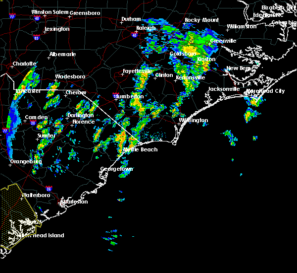 At 125 pm edt, a severe thunderstorm capable of producing a tornado was located over barefoot landing area of north myrtle beach, or over north myrtle beach airport, moving north at 50 mph (radar indicated rotation). Hazards include tornado. Expect damage to mobile homes, roofs, and vehicles. this dangerous storm will be near, north myrtle beach, wampee and cherry grove beach around 130 pm edt. little river, brooksville and longs around 135 pm edt. iredell and carolina shores around 140 pm edt. pireway and longwood around 145 pm edt. bughill, dulah and ash around 150 pm edt. bethel, nakina and freeland around 155 pm edt. other locations impacted by this tornadic thunderstorm include briarcliffe acres, atlantic beach, sea coast medical center and grand strand regional medical center. this includes the following highways, us route 17 in brunswick county between mile markers 1 and 4. sc highway 31 between mile markers 13 and 24. Sc highway 22 between mile markers 25 and 26. At 125 pm edt, a severe thunderstorm capable of producing a tornado was located over barefoot landing area of north myrtle beach, or over north myrtle beach airport, moving north at 50 mph (radar indicated rotation). Hazards include tornado. Expect damage to mobile homes, roofs, and vehicles. this dangerous storm will be near, north myrtle beach, wampee and cherry grove beach around 130 pm edt. little river, brooksville and longs around 135 pm edt. iredell and carolina shores around 140 pm edt. pireway and longwood around 145 pm edt. bughill, dulah and ash around 150 pm edt. bethel, nakina and freeland around 155 pm edt. other locations impacted by this tornadic thunderstorm include briarcliffe acres, atlantic beach, sea coast medical center and grand strand regional medical center. this includes the following highways, us route 17 in brunswick county between mile markers 1 and 4. sc highway 31 between mile markers 13 and 24. Sc highway 22 between mile markers 25 and 26.
|
| 6/2/2018 9:31 PM EDT |
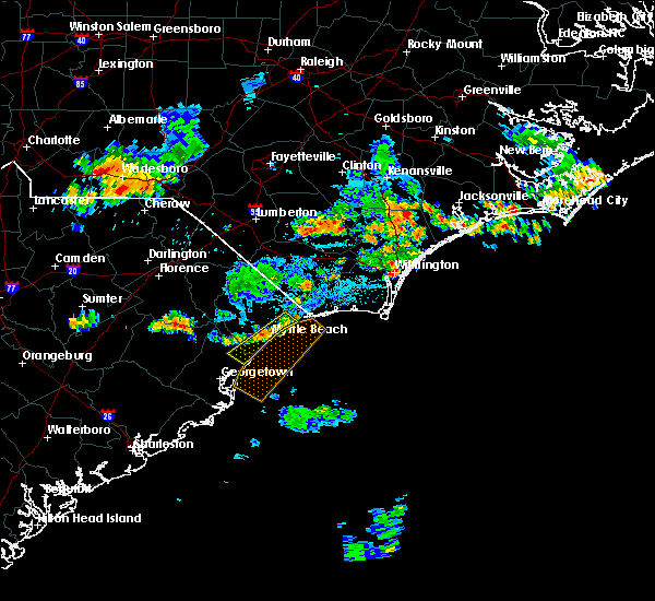 At 931 pm edt, a severe thunderstorm was located over myrtle beach airport, moving southeast at 15 mph (radar indicated). Hazards include 60 mph wind gusts. Expect wind damage to trees and power lines. locations impacted include, myrtle beach, north myrtle beach, surfside beach, myrtle beach airport, socastee, garden city, north myrtle beach airport, murrells inlet, burgess, hand, barefoot landing area of north myrtle beach, wampee, forestbrook, briarcliffe acres, atlantic beach, waccamaw community hospital and grand strand regional medical center. this includes the following highways, sc highway 31 between mile markers 5 and 22. Sc highway 22 between mile markers 24 and 26. At 931 pm edt, a severe thunderstorm was located over myrtle beach airport, moving southeast at 15 mph (radar indicated). Hazards include 60 mph wind gusts. Expect wind damage to trees and power lines. locations impacted include, myrtle beach, north myrtle beach, surfside beach, myrtle beach airport, socastee, garden city, north myrtle beach airport, murrells inlet, burgess, hand, barefoot landing area of north myrtle beach, wampee, forestbrook, briarcliffe acres, atlantic beach, waccamaw community hospital and grand strand regional medical center. this includes the following highways, sc highway 31 between mile markers 5 and 22. Sc highway 22 between mile markers 24 and 26.
|
| 6/2/2018 9:20 PM EDT |
 At 919 pm edt, a severe thunderstorm was located over forestbrook, or over myrtle beach airport, moving southeast at 15 mph (radar indicated). Hazards include 60 mph wind gusts and quarter size hail. expect wind damage to trees and power lines At 919 pm edt, a severe thunderstorm was located over forestbrook, or over myrtle beach airport, moving southeast at 15 mph (radar indicated). Hazards include 60 mph wind gusts and quarter size hail. expect wind damage to trees and power lines
|
| 3/20/2018 9:49 PM EDT |
 At 948 pm edt, a severe thunderstorm was located over wampee, or over north myrtle beach airport, moving northeast at 30 mph (trained weather spotters). Hazards include quarter size hail. minor damage to vehicles is possible At 948 pm edt, a severe thunderstorm was located over wampee, or over north myrtle beach airport, moving northeast at 30 mph (trained weather spotters). Hazards include quarter size hail. minor damage to vehicles is possible
|
| 3/20/2018 9:36 PM EDT |
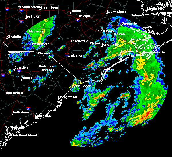 At 936 pm edt, a severe thunderstorm was located over barefoot landing area of north myrtle beach, or near north myrtle beach airport, moving northeast at 55 mph (radar indicated). Hazards include quarter size hail. Minor damage to vehicles is possible. locations impacted include, myrtle beach, north myrtle beach, north myrtle beach airport, cherry grove inlet, little river, little river entrance, hand, barefoot landing area of north myrtle beach, wampee, longs, brooksville, cherry grove beach, briarcliffe acres, atlantic beach, sea coast medical center and grand strand regional medical center. this includes the following highways, sc highway 31 between mile markers 11 and 24. Sc highway 22 between mile markers 24 and 26. At 936 pm edt, a severe thunderstorm was located over barefoot landing area of north myrtle beach, or near north myrtle beach airport, moving northeast at 55 mph (radar indicated). Hazards include quarter size hail. Minor damage to vehicles is possible. locations impacted include, myrtle beach, north myrtle beach, north myrtle beach airport, cherry grove inlet, little river, little river entrance, hand, barefoot landing area of north myrtle beach, wampee, longs, brooksville, cherry grove beach, briarcliffe acres, atlantic beach, sea coast medical center and grand strand regional medical center. this includes the following highways, sc highway 31 between mile markers 11 and 24. Sc highway 22 between mile markers 24 and 26.
|
| 3/20/2018 9:28 PM EDT |
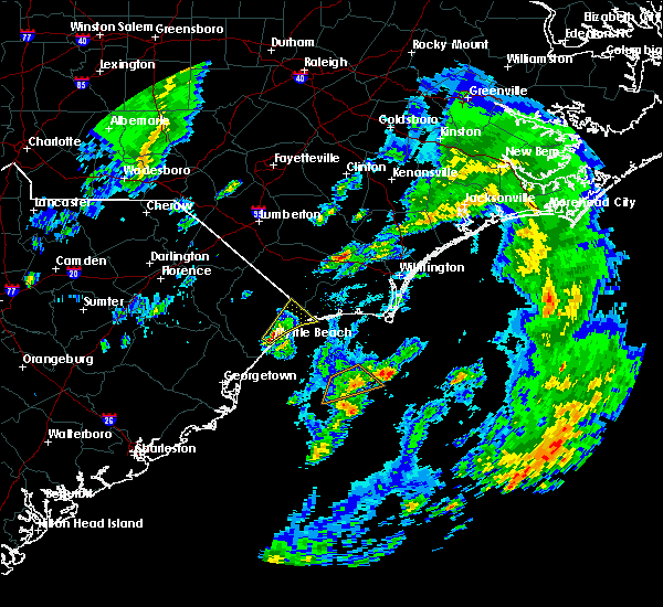 At 928 pm edt, a severe thunderstorm was located over myrtle beach, moving northeast at 60 mph (radar indicated). Hazards include quarter size hail. Minor damage to vehicles is possible. locations impacted include, myrtle beach, north myrtle beach, north myrtle beach airport, cherry grove inlet, little river, little river entrance, myrtle beach airport, hand, nixonville, barefoot landing area of north myrtle beach, wampee, forestbrook, longs, brooksville, cherry grove beach, briarcliffe acres, atlantic beach, sea coast medical center and grand strand regional medical center. this includes the following highways, sc highway 31 between mile markers 5 and 24. Sc highway 22 between mile markers 21 and 26. At 928 pm edt, a severe thunderstorm was located over myrtle beach, moving northeast at 60 mph (radar indicated). Hazards include quarter size hail. Minor damage to vehicles is possible. locations impacted include, myrtle beach, north myrtle beach, north myrtle beach airport, cherry grove inlet, little river, little river entrance, myrtle beach airport, hand, nixonville, barefoot landing area of north myrtle beach, wampee, forestbrook, longs, brooksville, cherry grove beach, briarcliffe acres, atlantic beach, sea coast medical center and grand strand regional medical center. this includes the following highways, sc highway 31 between mile markers 5 and 24. Sc highway 22 between mile markers 21 and 26.
|
| 3/20/2018 9:22 PM EDT |
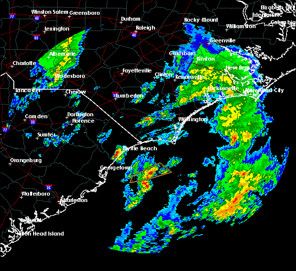 At 922 pm edt, a severe thunderstorm was located over myrtle beach airport, moving northeast at 55 mph (radar indicated). Hazards include quarter size hail. minor damage to vehicles is possible At 922 pm edt, a severe thunderstorm was located over myrtle beach airport, moving northeast at 55 mph (radar indicated). Hazards include quarter size hail. minor damage to vehicles is possible
|
| 10/23/2017 10:20 PM EDT |
 At 1019 pm edt, a severe thunderstorm capable of producing a tornado was located near nixonville, or near red hill, moving northeast at 40 mph (radar indicated rotation). Hazards include tornado. expect damage to mobile homes, roofs, and vehicles At 1019 pm edt, a severe thunderstorm capable of producing a tornado was located near nixonville, or near red hill, moving northeast at 40 mph (radar indicated rotation). Hazards include tornado. expect damage to mobile homes, roofs, and vehicles
|
| 9/6/2017 5:57 PM EDT |
 At 557 pm edt, a severe thunderstorm was located over carolina shores, or over little river, moving east at 35 mph (radar indicated). Hazards include 60 mph wind gusts and penny size hail. expect damage trees and power lines At 557 pm edt, a severe thunderstorm was located over carolina shores, or over little river, moving east at 35 mph (radar indicated). Hazards include 60 mph wind gusts and penny size hail. expect damage trees and power lines
|
| 8/17/2017 4:48 PM EDT |
 At 448 pm edt, a severe thunderstorm was located over bucksport, or near socastee, moving east at 30 mph (radar indicated). Hazards include 60 mph wind gusts and quarter size hail. Minor hail damage to vehicles is possible. Expect wind damage to trees and power lines. At 448 pm edt, a severe thunderstorm was located over bucksport, or near socastee, moving east at 30 mph (radar indicated). Hazards include 60 mph wind gusts and quarter size hail. Minor hail damage to vehicles is possible. Expect wind damage to trees and power lines.
|
| 8/7/2017 4:57 PM EDT |
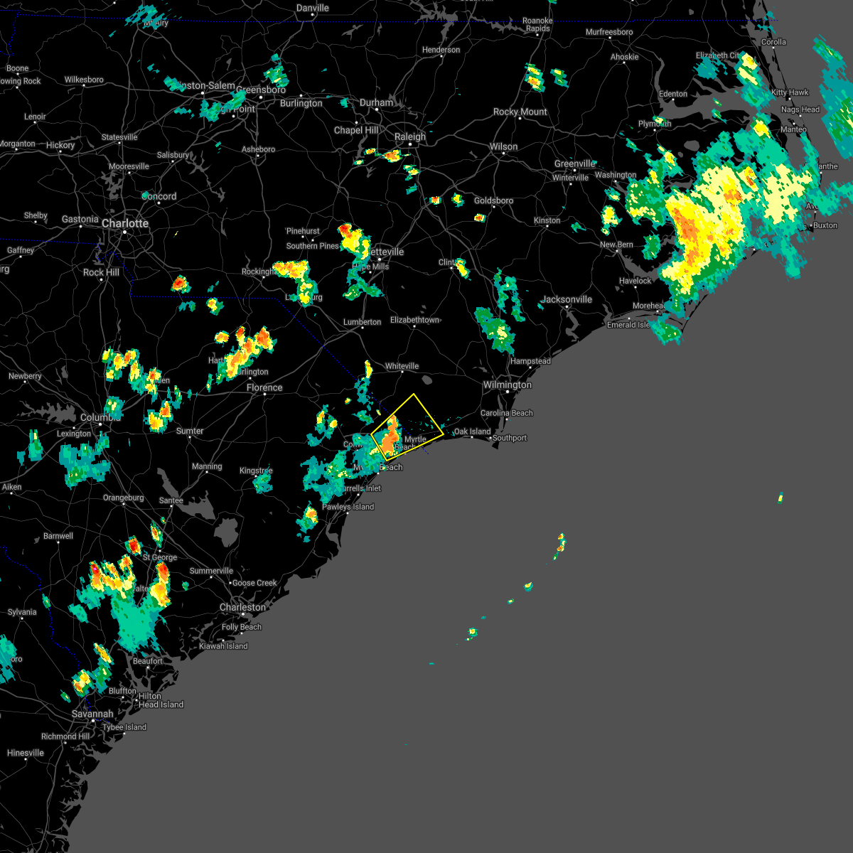 The severe thunderstorm warning for southwestern brunswick, south central columbus and east central horry counties will expire at 500 pm edt, the storm which prompted the warning has weakened below severe limits, and no longer poses an immediate threat to life or property. therefore the warning will be allowed to expire. The severe thunderstorm warning for southwestern brunswick, south central columbus and east central horry counties will expire at 500 pm edt, the storm which prompted the warning has weakened below severe limits, and no longer poses an immediate threat to life or property. therefore the warning will be allowed to expire.
|
| 8/7/2017 4:54 PM EDT |
 At 454 pm edt, a severe thunderstorm was located over hammond, or 8 miles northwest of north myrtle beach airport, moving northeast at 35 mph (radar indicated). Hazards include 60 mph wind gusts. Expect damage trees and power lines. locations impacted include, north myrtle beach, sunset beach, little river, north myrtle beach airport, iredell, carolina shores, calabash, freeland, nakina, bughill, longwood, barefoot landing area of north myrtle beach, wampee, ash, goretown, grissettown, old dock, hand, russtown and longs. this includes the following highways, us route 17 in brunswick county between mile markers 1 and 12. sc highway 31 between mile markers 13 and 24. Sc highway 22 between mile markers 14 and 26. At 454 pm edt, a severe thunderstorm was located over hammond, or 8 miles northwest of north myrtle beach airport, moving northeast at 35 mph (radar indicated). Hazards include 60 mph wind gusts. Expect damage trees and power lines. locations impacted include, north myrtle beach, sunset beach, little river, north myrtle beach airport, iredell, carolina shores, calabash, freeland, nakina, bughill, longwood, barefoot landing area of north myrtle beach, wampee, ash, goretown, grissettown, old dock, hand, russtown and longs. this includes the following highways, us route 17 in brunswick county between mile markers 1 and 12. sc highway 31 between mile markers 13 and 24. Sc highway 22 between mile markers 14 and 26.
|
| 8/7/2017 4:54 PM EDT |
 The severe thunderstorm warning for southwestern brunswick, south central columbus and east central horry counties will expire at 500 pm edt, the storm which prompted the warning has weakened below severe limits, and no longer poses an immediate threat to life or property. therefore the warning will be allowed to expire. The severe thunderstorm warning for southwestern brunswick, south central columbus and east central horry counties will expire at 500 pm edt, the storm which prompted the warning has weakened below severe limits, and no longer poses an immediate threat to life or property. therefore the warning will be allowed to expire.
|
| 8/7/2017 4:22 PM EDT |
 At 421 pm edt, a severe thunderstorm was located near bucksville, or near red hill, moving northeast at 45 mph (radar indicated). Hazards include 60 mph wind gusts. expect damage trees and power lines At 421 pm edt, a severe thunderstorm was located near bucksville, or near red hill, moving northeast at 45 mph (radar indicated). Hazards include 60 mph wind gusts. expect damage trees and power lines
|
| 5/25/2017 2:56 PM EDT |
 The severe thunderstorm warning for southwestern brunswick and east central horry counties will expire at 300 pm edt, the storm which prompted the warning has weakened below severe limits, and no longer poses an immediate threat to life or property. therefore the warning will be allowed to expire. however small hail and gusty winds are still possible with this thunderstorm. The severe thunderstorm warning for southwestern brunswick and east central horry counties will expire at 300 pm edt, the storm which prompted the warning has weakened below severe limits, and no longer poses an immediate threat to life or property. therefore the warning will be allowed to expire. however small hail and gusty winds are still possible with this thunderstorm.
|
| 5/25/2017 2:43 PM EDT |
 At 242 pm edt, a severe thunderstorm was located over pireway, or 8 miles north of little river, moving east at 35 mph (radar indicated). Hazards include 60 mph wind gusts and quarter size hail. Minor hail damage to vehicles is possible. expect wind damage to trees and power lines. locations impacted include, sunset beach, ocean isle beach, little river, iredell, carolina shores, calabash, longs, grissettown, brooksville, seaside and sea coast medical center. this includes the following highways, us route 17 in brunswick county between mile markers 1 and 9. Sc highway 31 near mile marker 24. At 242 pm edt, a severe thunderstorm was located over pireway, or 8 miles north of little river, moving east at 35 mph (radar indicated). Hazards include 60 mph wind gusts and quarter size hail. Minor hail damage to vehicles is possible. expect wind damage to trees and power lines. locations impacted include, sunset beach, ocean isle beach, little river, iredell, carolina shores, calabash, longs, grissettown, brooksville, seaside and sea coast medical center. this includes the following highways, us route 17 in brunswick county between mile markers 1 and 9. Sc highway 31 near mile marker 24.
|
| 5/25/2017 2:16 PM EDT |
 At 216 pm edt, a severe thunderstorm was located near hammond, or 11 miles northeast of conway, moving east at 35 mph (radar indicated). Hazards include 60 mph wind gusts and penny size hail. expect damage trees and power lines At 216 pm edt, a severe thunderstorm was located near hammond, or 11 miles northeast of conway, moving east at 35 mph (radar indicated). Hazards include 60 mph wind gusts and penny size hail. expect damage trees and power lines
|
| 4/5/2017 6:19 PM EDT |
 At 618 pm edt, a severe thunderstorm capable of producing a tornado was located over forestbrook, north of myrtle beach airport, moving northeast at 35 mph (radar indicated rotation). Hazards include tornado. Flying debris will be dangerous to those caught without shelter. mobile homes will be damaged or destroyed. damage to roofs, windows, and vehicles will occur. tree damage is likely. locations impacted include, myrtle beach, north myrtle beach, red hill, little river, north myrtle beach airport, cherry grove inlet, little river entrance, myrtle beach airport, socastee, hickory grove, horry georgetown technical college conway campus, nixonville, barefoot landing area of north myrtle beach, wampee, goretown, cherry grove beach, hand, forestbrook, longs and hammond. this includes the following highways, sc highway 31 between mile markers 5 and 24. Sc highway 22 between mile markers 15 and 26. At 618 pm edt, a severe thunderstorm capable of producing a tornado was located over forestbrook, north of myrtle beach airport, moving northeast at 35 mph (radar indicated rotation). Hazards include tornado. Flying debris will be dangerous to those caught without shelter. mobile homes will be damaged or destroyed. damage to roofs, windows, and vehicles will occur. tree damage is likely. locations impacted include, myrtle beach, north myrtle beach, red hill, little river, north myrtle beach airport, cherry grove inlet, little river entrance, myrtle beach airport, socastee, hickory grove, horry georgetown technical college conway campus, nixonville, barefoot landing area of north myrtle beach, wampee, goretown, cherry grove beach, hand, forestbrook, longs and hammond. this includes the following highways, sc highway 31 between mile markers 5 and 24. Sc highway 22 between mile markers 15 and 26.
|
| 4/5/2017 5:53 PM EDT |
 At 553 pm edt, a severe thunderstorm capable of producing a tornado was located over bucksport, or 8 miles west of socastee, moving northeast at 50 mph (radar indicated rotation). Hazards include tornado. Flying debris will be dangerous to those caught without shelter. mobile homes will be damaged or destroyed. damage to roofs, windows, and vehicles will occur. Tree damage is likely. At 553 pm edt, a severe thunderstorm capable of producing a tornado was located over bucksport, or 8 miles west of socastee, moving northeast at 50 mph (radar indicated rotation). Hazards include tornado. Flying debris will be dangerous to those caught without shelter. mobile homes will be damaged or destroyed. damage to roofs, windows, and vehicles will occur. Tree damage is likely.
|
| 4/3/2017 8:00 PM EDT |
 At 759 pm edt, a severe thunderstorm was located over hand, or near north myrtle beach airport, moving east at 40 mph (radar indicated). Hazards include 60 mph wind gusts. Expect damage to roofs, siding, and trees. locations impacted include, myrtle beach, north myrtle beach, surfside beach, shallotte, sunset beach, holden beach, ocean isle beach, myrtle beach airport, little river, socastee, springmaid pier, north myrtle beach airport, cherry grove inlet, garden city, red hill, iredell, carolina shores, tabor city, loris and calabash. this includes the following highways, us route 17 in brunswick county between mile markers 1 and 23. sc highway 31 between mile markers 5 and 24. Sc highway 22 between mile markers 14 and 26. At 759 pm edt, a severe thunderstorm was located over hand, or near north myrtle beach airport, moving east at 40 mph (radar indicated). Hazards include 60 mph wind gusts. Expect damage to roofs, siding, and trees. locations impacted include, myrtle beach, north myrtle beach, surfside beach, shallotte, sunset beach, holden beach, ocean isle beach, myrtle beach airport, little river, socastee, springmaid pier, north myrtle beach airport, cherry grove inlet, garden city, red hill, iredell, carolina shores, tabor city, loris and calabash. this includes the following highways, us route 17 in brunswick county between mile markers 1 and 23. sc highway 31 between mile markers 5 and 24. Sc highway 22 between mile markers 14 and 26.
|
| 4/3/2017 7:44 PM EDT |
 At 744 pm edt, a severe thunderstorm was located near hickory grove, or near red hill, moving east at 40 mph (radar indicated). Hazards include 60 mph wind gusts. expect damage to roofs, siding, and trees At 744 pm edt, a severe thunderstorm was located near hickory grove, or near red hill, moving east at 40 mph (radar indicated). Hazards include 60 mph wind gusts. expect damage to roofs, siding, and trees
|
| 4/3/2017 7:21 PM EDT |
 At 720 pm edt, a severe thunderstorm was located over aynor, moving east at 55 mph (radar indicated). Hazards include 60 mph wind gusts and penny size hail. Expect damage to roofs, siding, and trees. locations impacted include, myrtle beach, conway, north myrtle beach, mullins, surfside beach, myrtle beach airport, little river, socastee, red hill, springmaid pier, garden city, north myrtle beach airport, cherry grove inlet, horry, loris, hickory grove, nixonville, rains, barefoot landing area of north myrtle beach and bucksport. this includes the following highways, sc highway 31 between mile markers 5 and 24. Sc highway 22 between mile markers 1 and 26. At 720 pm edt, a severe thunderstorm was located over aynor, moving east at 55 mph (radar indicated). Hazards include 60 mph wind gusts and penny size hail. Expect damage to roofs, siding, and trees. locations impacted include, myrtle beach, conway, north myrtle beach, mullins, surfside beach, myrtle beach airport, little river, socastee, red hill, springmaid pier, garden city, north myrtle beach airport, cherry grove inlet, horry, loris, hickory grove, nixonville, rains, barefoot landing area of north myrtle beach and bucksport. this includes the following highways, sc highway 31 between mile markers 5 and 24. Sc highway 22 between mile markers 1 and 26.
|
| 4/3/2017 6:50 PM EDT |
 At 650 pm edt, a severe thunderstorm was located near marion, moving east at 55 mph (radar indicated). Hazards include 60 mph wind gusts and penny size hail. expect damage to roofs, siding, and trees At 650 pm edt, a severe thunderstorm was located near marion, moving east at 55 mph (radar indicated). Hazards include 60 mph wind gusts and penny size hail. expect damage to roofs, siding, and trees
|
| 10/8/2016 3:33 AM EDT |
 At 333 am edt, a severe thunderstorm capable of producing a tornado was located near hand, or near north myrtle beach airport, moving northwest at 55 mph (radar indicated rotation). Hazards include tornado. Flying debris will be dangerous to those caught without shelter. mobile homes will be damaged or destroyed. damage to roofs, windows, and vehicles will occur. tree damage is likely. this dangerous storm will be near, hickory grove, horry georgetown technical college conway campus and coastal carolina university around 345 am edt. conway, homewood, adrian and bayboro around 350 am edt. horry around 355 am edt. Other locations impacted by this tornadic thunderstorm include aynor, briarcliffe acres, atlantic beach, conway medical center, grand strand regional medical center and lighthouse care center of conway. At 333 am edt, a severe thunderstorm capable of producing a tornado was located near hand, or near north myrtle beach airport, moving northwest at 55 mph (radar indicated rotation). Hazards include tornado. Flying debris will be dangerous to those caught without shelter. mobile homes will be damaged or destroyed. damage to roofs, windows, and vehicles will occur. tree damage is likely. this dangerous storm will be near, hickory grove, horry georgetown technical college conway campus and coastal carolina university around 345 am edt. conway, homewood, adrian and bayboro around 350 am edt. horry around 355 am edt. Other locations impacted by this tornadic thunderstorm include aynor, briarcliffe acres, atlantic beach, conway medical center, grand strand regional medical center and lighthouse care center of conway.
|
| 9/2/2016 3:36 PM EDT |
 At 336 pm edt, a severe thunderstorm capable of producing a tornado was located over wampee, or near north myrtle beach airport, moving northeast at 25 mph (radar indicated rotation). Hazards include tornado. Expect damage to mobile homes. roofs. and vehicles. This dangerous storm will be near, longs and brooksville around 350 pm edt. At 336 pm edt, a severe thunderstorm capable of producing a tornado was located over wampee, or near north myrtle beach airport, moving northeast at 25 mph (radar indicated rotation). Hazards include tornado. Expect damage to mobile homes. roofs. and vehicles. This dangerous storm will be near, longs and brooksville around 350 pm edt.
|
| 7/15/2016 3:10 PM EDT |
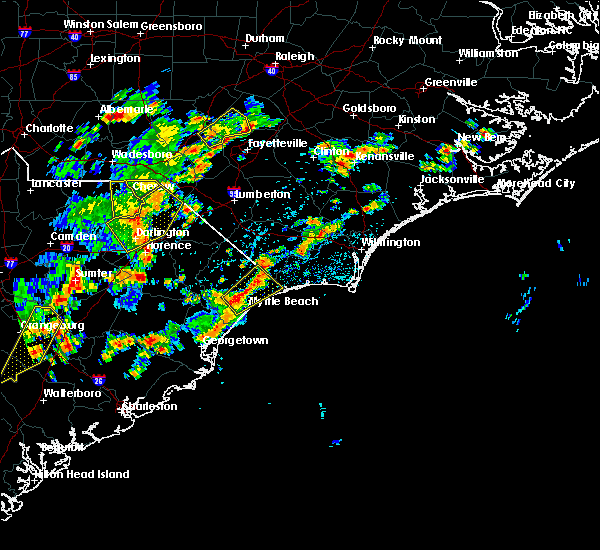 At 310 pm edt, a severe thunderstorm was located over horry georgetown technical college conway campus, or over red hill, moving northeast at 40 mph (radar indicated). Hazards include 60 mph wind gusts and quarter size hail. Hail damage to vehicles is expected. Expect wind damage to roofs, siding, and trees. At 310 pm edt, a severe thunderstorm was located over horry georgetown technical college conway campus, or over red hill, moving northeast at 40 mph (radar indicated). Hazards include 60 mph wind gusts and quarter size hail. Hail damage to vehicles is expected. Expect wind damage to roofs, siding, and trees.
|
| 7/10/2016 7:40 PM EDT | The severe thunderstorm warning for eastern horry county will expire at 745 pm edt, the storm which prompted the warning has weakened below severe limits, and no longer pose an immediate threat to life or property. therefore the warning will be allowed to expire. |
| 7/10/2016 7:30 PM EDT |
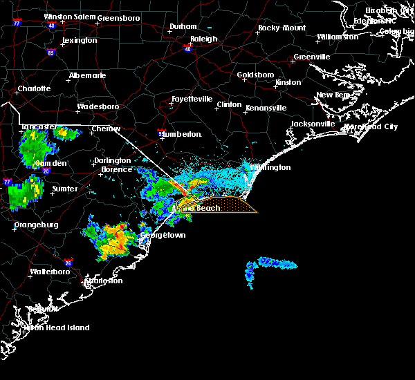 At 730 pm edt, a severe thunderstorm was located over cherry grove inlet, moving east at 20 mph (radar indicated). Hazards include 60 mph wind gusts and quarter size hail. Hail damage to vehicles is expected. expect wind damage to roofs, siding, and trees. Locations impacted include, north myrtle beach, little river, brooksville and sea coast medical center. At 730 pm edt, a severe thunderstorm was located over cherry grove inlet, moving east at 20 mph (radar indicated). Hazards include 60 mph wind gusts and quarter size hail. Hail damage to vehicles is expected. expect wind damage to roofs, siding, and trees. Locations impacted include, north myrtle beach, little river, brooksville and sea coast medical center.
|
| 7/10/2016 7:19 PM EDT |
 At 718 pm edt, a severe thunderstorm was located over north myrtle beach airport, moving east at 20 mph (radar indicated). Hazards include 60 mph wind gusts and quarter size hail. Hail damage to vehicles is expected. Expect wind damage to roofs, siding, and trees. At 718 pm edt, a severe thunderstorm was located over north myrtle beach airport, moving east at 20 mph (radar indicated). Hazards include 60 mph wind gusts and quarter size hail. Hail damage to vehicles is expected. Expect wind damage to roofs, siding, and trees.
|
| 7/10/2016 7:05 PM EDT | Storm damage reported in horry county SC, 2.3 miles NE of North Myrtle Beach, SC |
| 7/9/2016 2:24 AM EDT |
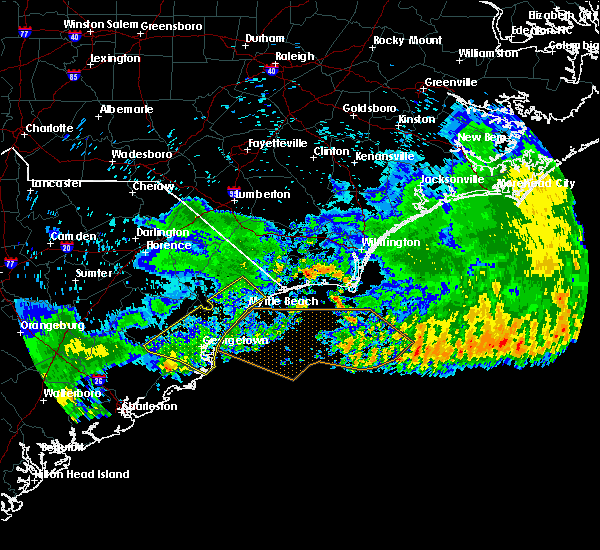 The severe thunderstorm warning for georgetown, southwestern horry and southeastern williamsburg counties will expire at 230 am edt, the storms which prompted the warning have moved out of the warned area, therefore the warning will be allowed to expire. The severe thunderstorm warning for georgetown, southwestern horry and southeastern williamsburg counties will expire at 230 am edt, the storms which prompted the warning have moved out of the warned area, therefore the warning will be allowed to expire.
|
| 7/9/2016 1:59 AM EDT |
 At 158 am edt, severe thunderstorms were located along a line extending from hand to near jamestown, moving southeast at 45 mph (radar indicated). Hazards include 60 mph wind gusts and penny size hail. Expect damage to roofs. siding. and trees. Locations impacted include, myrtle beach, conway, georgetown, debordieu colony, surfside beach, pawleys island, red hill, socastee, winyah bay entrance, yawkey south island, garden city, myrtle beach airport, murrells inlet, andrews, jackson, hickory grove, warsaw, homewood, dongola and north santee. At 158 am edt, severe thunderstorms were located along a line extending from hand to near jamestown, moving southeast at 45 mph (radar indicated). Hazards include 60 mph wind gusts and penny size hail. Expect damage to roofs. siding. and trees. Locations impacted include, myrtle beach, conway, georgetown, debordieu colony, surfside beach, pawleys island, red hill, socastee, winyah bay entrance, yawkey south island, garden city, myrtle beach airport, murrells inlet, andrews, jackson, hickory grove, warsaw, homewood, dongola and north santee.
|
| 7/9/2016 1:27 AM EDT |
 At 126 am edt, severe thunderstorms were located along a line extending from green sea to near trio, moving southeast at 45 mph (radar indicated). Hazards include 60 mph wind gusts and penny size hail. Expect damage to roofs. siding. And trees. At 126 am edt, severe thunderstorms were located along a line extending from green sea to near trio, moving southeast at 45 mph (radar indicated). Hazards include 60 mph wind gusts and penny size hail. Expect damage to roofs. siding. And trees.
|
| 7/9/2016 12:56 AM EDT |
 The severe thunderstorm warning for northeastern georgetown and southern horry counties will expire at 100 am edt, the severe thunderstorm which prompted the warning has moved out of the warned area and allowed to expire. a severe thunderstorm watch remains in effect until 200 am edt for southeastern north carolina. The severe thunderstorm warning for northeastern georgetown and southern horry counties will expire at 100 am edt, the severe thunderstorm which prompted the warning has moved out of the warned area and allowed to expire. a severe thunderstorm watch remains in effect until 200 am edt for southeastern north carolina.
|
| 7/9/2016 12:31 AM EDT |
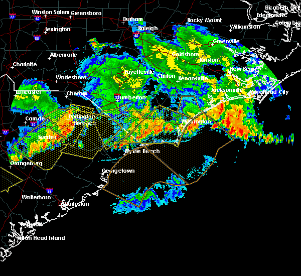 At 1230 am edt, a severe thunderstorm was located over hickory grove, or near conway, moving east, southeast at 40 mph (radar indicated). Hazards include 60 mph wind gusts and quarter size hail. Hail damage to vehicles is expected. Expect wind damage to roofs, siding, and trees. At 1230 am edt, a severe thunderstorm was located over hickory grove, or near conway, moving east, southeast at 40 mph (radar indicated). Hazards include 60 mph wind gusts and quarter size hail. Hail damage to vehicles is expected. Expect wind damage to roofs, siding, and trees.
|
| 7/7/2016 9:56 PM EDT |
 At 956 pm edt, severe thunderstorms were located along a line extending from 6 miles west of green sea to near horry to near brittons neck to near hannah to near hebron to 7 miles north of manning, moving east at 55 mph (radar indicated). Hazards include 60 mph wind gusts. Expect damage to roofs. siding. and trees. Locations impacted include, myrtle beach, conway, north myrtle beach, georgetown, marion, lake city, debordieu colony, mullins, surfside beach, sunset beach, kingstree, pawleys island, north myrtle beach airport, springmaid pier, socastee, little river, yawkey south island, myrtle beach airport, red hill and murrells inlet. At 956 pm edt, severe thunderstorms were located along a line extending from 6 miles west of green sea to near horry to near brittons neck to near hannah to near hebron to 7 miles north of manning, moving east at 55 mph (radar indicated). Hazards include 60 mph wind gusts. Expect damage to roofs. siding. and trees. Locations impacted include, myrtle beach, conway, north myrtle beach, georgetown, marion, lake city, debordieu colony, mullins, surfside beach, sunset beach, kingstree, pawleys island, north myrtle beach airport, springmaid pier, socastee, little river, yawkey south island, myrtle beach airport, red hill and murrells inlet.
|
| 7/7/2016 9:37 PM EDT |
 At 937 pm edt, severe thunderstorms were located along a line extending from near marion to 6 miles west of rains to near hyman to near sardis, moving east at 45 mph (radar indicated). Hazards include 60 mph wind gusts and penny size hail. Expect damage to roofs. siding. And trees. At 937 pm edt, severe thunderstorms were located along a line extending from near marion to 6 miles west of rains to near hyman to near sardis, moving east at 45 mph (radar indicated). Hazards include 60 mph wind gusts and penny size hail. Expect damage to roofs. siding. And trees.
|
| 7/7/2016 7:02 PM EDT | At 701 pm edt, severe thunderstorms were located along a line extending from near lake waccamaw to pireway and longs, moving east at 50 mph. this line of storms has a history of producing wind damage (radar indicated). Hazards include 60 mph wind gusts. Expect damage to roofs. siding. and trees. Locations impacted include, shallotte, sunset beach, holden beach, ocean isle beach, little river, calabash, lake waccamaw, supply, freeland, old dock, pireway, batarora, civie town, bughill, russtown and longwood. |
| 7/7/2016 7:02 PM EDT | At 701 pm edt, severe thunderstorms were located along a line extending from near lake waccamaw to pireway and longs, moving east at 50 mph. this line of storms has a history of producing wind damage (radar indicated). Hazards include 60 mph wind gusts. Expect damage to roofs. siding. and trees. Locations impacted include, shallotte, sunset beach, holden beach, ocean isle beach, little river, calabash, lake waccamaw, supply, freeland, old dock, pireway, batarora, civie town, bughill, russtown and longwood. |
| 7/7/2016 6:41 PM EDT |
 At 640 pm edt, severe thunderstorms were located along a line extending from just south of whiteville to nakina to adrian , moving east at 50 mph. this line of storms has a history of producing damaging wind gusts (radar indicated). Hazards include 60 mph wind gusts and frequent cloud to ground lightning. Expect damage to roofs. siding. And trees. At 640 pm edt, severe thunderstorms were located along a line extending from just south of whiteville to nakina to adrian , moving east at 50 mph. this line of storms has a history of producing damaging wind gusts (radar indicated). Hazards include 60 mph wind gusts and frequent cloud to ground lightning. Expect damage to roofs. siding. And trees.
|
| 6/24/2016 6:04 PM EDT |
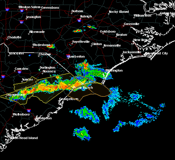 At 604 pm edt, a severe thunderstorm was located over red hill, moving southeast at 30 mph (radar indicated). Hazards include 60 mph wind gusts. Expect damage to roofs. siding. And trees. At 604 pm edt, a severe thunderstorm was located over red hill, moving southeast at 30 mph (radar indicated). Hazards include 60 mph wind gusts. Expect damage to roofs. siding. And trees.
|
| 6/24/2016 5:48 PM EDT |
 At 548 pm edt, a severe thunderstorm was located over calabash, or near little river entrance, moving east at 20 mph (radar indicated). Hazards include 60 mph wind gusts and quarter size hail. Hail damage to vehicles is expected. expect wind damage to roofs, siding, and trees. Locations impacted include, myrtle beach, north myrtle beach, oak island, shallotte, sunset beach, holden beach, ocean isle beach, ocean crest pier, north myrtle beach airport, cherry grove inlet, little river, iredell, carolina shores, calabash, bethel, hickory grove, pireway, dulah, civie town and bughill. At 548 pm edt, a severe thunderstorm was located over calabash, or near little river entrance, moving east at 20 mph (radar indicated). Hazards include 60 mph wind gusts and quarter size hail. Hail damage to vehicles is expected. expect wind damage to roofs, siding, and trees. Locations impacted include, myrtle beach, north myrtle beach, oak island, shallotte, sunset beach, holden beach, ocean isle beach, ocean crest pier, north myrtle beach airport, cherry grove inlet, little river, iredell, carolina shores, calabash, bethel, hickory grove, pireway, dulah, civie town and bughill.
|
| 6/24/2016 5:14 PM EDT |
 At 513 pm edt, a severe thunderstorm was located over longs, or 9 miles north of north myrtle beach airport, moving east at 20 mph (radar indicated). Hazards include 60 mph wind gusts and quarter size hail. Hail damage to vehicles is expected. Expect wind damage to roofs, siding, and trees. At 513 pm edt, a severe thunderstorm was located over longs, or 9 miles north of north myrtle beach airport, moving east at 20 mph (radar indicated). Hazards include 60 mph wind gusts and quarter size hail. Hail damage to vehicles is expected. Expect wind damage to roofs, siding, and trees.
|
| 6/15/2016 5:35 PM EDT | Very large sign at mellow mushroom restaurant on hwy 17 in n myrtle beach blown over onto parked vehicle. no injuries. time estimated by rada in horry county SC, 1.3 miles SW of North Myrtle Beach, SC |
| 6/15/2016 5:28 PM EDT |
 At 527 pm edt, a severe thunderstorm was located over hammond, or 10 miles northwest of north myrtle beach airport, moving east at 30 mph (radar indicated). Hazards include 60 mph wind gusts and nickel size hail. Expect damage to roofs. siding. and trees. Locations impacted include, conway, north myrtle beach, north myrtle beach airport, little river, loris, hickory grove, allsbrook, goretown, barefoot landing area of north myrtle beach, homewood, adrian, hand, longs, wampee, bayboro, hammond, brooksville, nixonville, atlantic beach and sea coast medical center. At 527 pm edt, a severe thunderstorm was located over hammond, or 10 miles northwest of north myrtle beach airport, moving east at 30 mph (radar indicated). Hazards include 60 mph wind gusts and nickel size hail. Expect damage to roofs. siding. and trees. Locations impacted include, conway, north myrtle beach, north myrtle beach airport, little river, loris, hickory grove, allsbrook, goretown, barefoot landing area of north myrtle beach, homewood, adrian, hand, longs, wampee, bayboro, hammond, brooksville, nixonville, atlantic beach and sea coast medical center.
|
| 6/15/2016 5:12 PM EDT |
 At 511 pm edt, a severe thunderstorm was located over adrian, or 7 miles northeast of conway, moving east at 20 mph (radar indicated). Hazards include 60 mph wind gusts and nickel size hail. Expect damage to roofs. siding. And trees. At 511 pm edt, a severe thunderstorm was located over adrian, or 7 miles northeast of conway, moving east at 20 mph (radar indicated). Hazards include 60 mph wind gusts and nickel size hail. Expect damage to roofs. siding. And trees.
|
| 4/7/2016 7:27 AM EDT | The severe thunderstorm warning for south central columbus, western brunswick and central horry counties will expire at 730 am edt, the storm which prompted the warning has weakened below severe limits, and no longer poses an immediate threat to life or property. therefore the warning will be allowed to expire. |
| 4/7/2016 7:27 AM EDT | The severe thunderstorm warning for south central columbus. western brunswick and central horry counties will expire at 730 am edt. the storm which prompted the warning has weakened below severe limits. and no longer poses an immediate threat to life or property. Therefore the warning will be allowed to expire. |
| 4/7/2016 7:12 AM EDT |
 At 712 am edt, doppler radar indicated a severe thunderstorm capable of producing damaging winds in excess of 60 mph. this storm was located over dulah, or 12 miles north of little river moving east at 45 mph. locations impacted include, myrtle beach, north myrtle beach, sunset beach, north myrtle beach airport, little river, little river entrance, red hill, iredell, carolina shores, loris, calabash, bethel, hickory grove, pireway, dulah, bughill, longwood, brooksville, nixonville and goretown. this includes the following highways, us route 17 in brunswick county between mile markers 1 and 7. sc highway 31 between mile markers 8 and 24. sc highway 22 between mile markers 11 and 26. At 712 am edt, doppler radar indicated a severe thunderstorm capable of producing damaging winds in excess of 60 mph. this storm was located over dulah, or 12 miles north of little river moving east at 45 mph. locations impacted include, myrtle beach, north myrtle beach, sunset beach, north myrtle beach airport, little river, little river entrance, red hill, iredell, carolina shores, loris, calabash, bethel, hickory grove, pireway, dulah, bughill, longwood, brooksville, nixonville and goretown. this includes the following highways, us route 17 in brunswick county between mile markers 1 and 7. sc highway 31 between mile markers 8 and 24. sc highway 22 between mile markers 11 and 26.
|
| 4/7/2016 7:00 AM EDT |
 At 659 am edt, doppler radar indicated a severe thunderstorm capable of producing quarter size hail and damaging winds in excess of 60 mph. this storm was located near goretown, or 16 miles northwest of north myrtle beach airport, and moving east at 45 mph. At 659 am edt, doppler radar indicated a severe thunderstorm capable of producing quarter size hail and damaging winds in excess of 60 mph. this storm was located near goretown, or 16 miles northwest of north myrtle beach airport, and moving east at 45 mph.
|
| 8/26/2015 3:40 PM EDT |
 At 340 pm edt, doppler radar indicated a severe thunderstorm capable of producing quarter size hail and damaging winds in excess of 60 mph. this storm was located over red hill, and moving northeast at 25 mph. At 340 pm edt, doppler radar indicated a severe thunderstorm capable of producing quarter size hail and damaging winds in excess of 60 mph. this storm was located over red hill, and moving northeast at 25 mph.
|
| 7/13/2015 4:57 PM EDT | The severe thunderstorm warning for west central brunswick. south central columbus and east central horry counties will expire at 500 pm edt. the storm which prompted the warning has weakened below severe limits. and no longer poses an immediate threat to life or property. therefore the warning will be allowed to expire. However gusty winds. |
| 7/13/2015 4:57 PM EDT | The severe thunderstorm warning for west central brunswick. south central columbus and east central horry counties will expire at 500 pm edt. the storm which prompted the warning has weakened below severe limits. and no longer poses an immediate threat to life or property. therefore the warning will be allowed to expire. However gusty winds. |
| 7/13/2015 4:33 PM EDT |
 At 432 pm edt, doppler radar indicated a severe thunderstorm capable of producing quarter size hail and damaging winds in excess of 60 mph. this storm was located over longs, or 7 miles northwest of little river, moving southeast at 30 mph. locations impacted include, north myrtle beach, little river, iredell, loris, bethel, goretown, ash, pireway, longs, dulah, wampee, bughill, longwood, brooksville and sea coast medical center. this includes sc highway 31 between mile markers 21 and 24. At 432 pm edt, doppler radar indicated a severe thunderstorm capable of producing quarter size hail and damaging winds in excess of 60 mph. this storm was located over longs, or 7 miles northwest of little river, moving southeast at 30 mph. locations impacted include, north myrtle beach, little river, iredell, loris, bethel, goretown, ash, pireway, longs, dulah, wampee, bughill, longwood, brooksville and sea coast medical center. this includes sc highway 31 between mile markers 21 and 24.
|
| 7/13/2015 4:15 PM EDT |
 At 415 pm edt, doppler radar indicated a severe thunderstorm capable of producing quarter size hail and damaging winds in excess of 60 mph. this storm was located near goretown, or 12 miles northwest of little river, moving southeast at 30 mph. locations impacted include, north myrtle beach, little river, iredell, loris, bethel, goretown, ash, freeland, pireway, nakina, exum, longs, mollie, dulah, wampee, bughill, longwood, brooksville and sea coast medical center. this includes sc highway 31 between mile markers 21 and 24. At 415 pm edt, doppler radar indicated a severe thunderstorm capable of producing quarter size hail and damaging winds in excess of 60 mph. this storm was located near goretown, or 12 miles northwest of little river, moving southeast at 30 mph. locations impacted include, north myrtle beach, little river, iredell, loris, bethel, goretown, ash, freeland, pireway, nakina, exum, longs, mollie, dulah, wampee, bughill, longwood, brooksville and sea coast medical center. this includes sc highway 31 between mile markers 21 and 24.
|
| 7/13/2015 3:59 PM EDT |
 At 359 pm edt, doppler radar indicated a severe thunderstorm capable of producing quarter size hail and damaging winds in excess of 60 mph. this storm was located over tabor city, or 16 miles southwest of whiteville, and moving southeast at 35 mph. At 359 pm edt, doppler radar indicated a severe thunderstorm capable of producing quarter size hail and damaging winds in excess of 60 mph. this storm was located over tabor city, or 16 miles southwest of whiteville, and moving southeast at 35 mph.
|
| 7/2/2015 7:42 PM EDT |
 At 742 pm edt, doppler radar indicated a line of severe thunderstorms capable of producing damaging winds in excess of 60 mph. these storms were located along a line extending from near honey island to near dulah to allsbrook to pee dee crossroads, and moving southeast at 40 mph. At 742 pm edt, doppler radar indicated a line of severe thunderstorms capable of producing damaging winds in excess of 60 mph. these storms were located along a line extending from near honey island to near dulah to allsbrook to pee dee crossroads, and moving southeast at 40 mph.
|
| 6/30/2015 7:05 PM EDT |
 At 705 pm edt, doppler radar indicated a line of severe thunderstorms capable of producing quarter size hail and damaging winds in excess of 60 mph. these storms were located along a line extending from brownsville to near pamplico to 7 miles southeast of kingstree, and moving northeast at 65 mph. At 705 pm edt, doppler radar indicated a line of severe thunderstorms capable of producing quarter size hail and damaging winds in excess of 60 mph. these storms were located along a line extending from brownsville to near pamplico to 7 miles southeast of kingstree, and moving northeast at 65 mph.
|
| 4/19/2015 8:02 PM EDT | A severe thunderstorm warning remains in effect until 830 pm edt for south central marion. southeastern florence. eastern georgetown and horry counties. at 801 pm edt. doppler radar indicated a line of severe thunderstorms capable of producing quarter size hail and damaging winds in excess of 60 mph. These storms were located along a line. |
| 4/19/2015 7:29 PM EDT | At 727 pm edt, doppler radar indicated a line of severe thunderstorms capable of producing quarter size hail and damaging winds in excess of 60 mph. these storms were located along a line extending from near indiantown to santee coastal reserve, and moving northeast at 40 mph. |
| 7/28/2012 4:18 PM EDT | Tree down at intersection of hwy 31 and sc 905. time estimated by rada in horry county SC, 10.4 miles ESE of North Myrtle Beach, SC |
| 5/14/2012 5:57 PM EDT | Downburst damage...eight 8 inch pine trees snapped with numerous limbs snapped. damage area 0.8 miles by 40 yards wid in horry county SC, 7.3 miles SE of North Myrtle Beach, SC |
| 1/1/0001 12:00 AM | Tennis Ball sized hail reported 6.9 miles NNW of North Myrtle Beach, SC, golfball to tennis ball size hail. hail tore the gutters off the house and damaged a car. |
| 5/10/2011 5:50 PM EDT | Tennis Ball sized hail reported 5.1 miles SE of North Myrtle Beach, SC, golfball to tennis ball size hail. hail tore the gutters off the house and damaged a car. |
| 1/1/0001 12:00 AM | Golf Ball sized hail reported 1 miles W of North Myrtle Beach, SC |
Hail Maps for North Myrtle Beach, SC


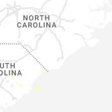

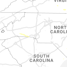


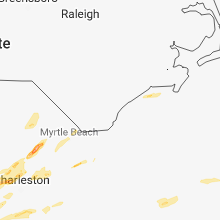
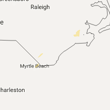


Connect with Interactive Hail Maps