

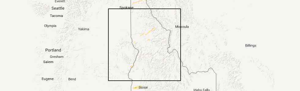
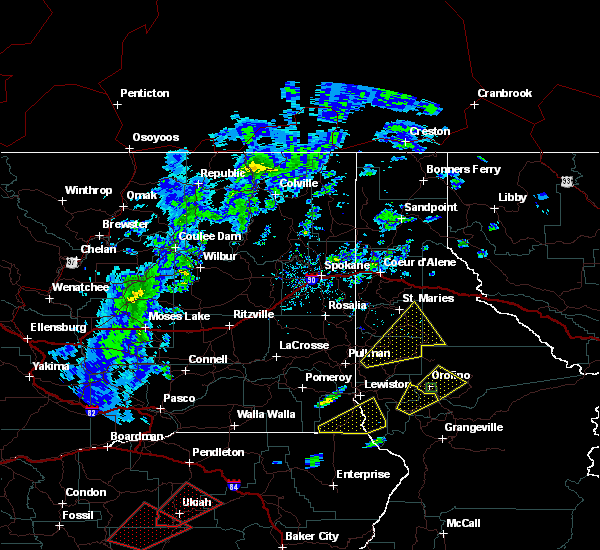
Hail Map for Orofino, ID
The Orofino, ID area has had 7 reports of on-the-ground hail by trained spotters, and has been under severe weather warnings 0 times during the past 12 months. Doppler radar has detected hail at or near Orofino, ID on 4 occasions.
| Name: | Orofino, ID |
| Where Located: | 39.4 miles N of Grangeville, ID |
| Map: | Google Map for Orofino, ID |
| Population: | 3142 |
| Housing Units: | 1285 |
| More Info: | Search Google for Orofino, ID |
5
The Top Recent Hail Date for Orofino, ID is Tuesday, April 24, 2012 (1st out of 4)
Hail and Wind Damage Spotted near Orofino, ID
| Date / Time | Report Details |
|---|---|
| 8/12/2022 1:37 PM PDT |
 The severe thunderstorm warning for northwestern idaho and southwestern clearwater counties will expire at 145 pm pdt, the storm which prompted the warning has weakened below severe limits, and no longer poses an immediate threat to life or property. therefore, the warning will be allowed to expire. however gusty winds and heavy rain are still possible with this thunderstorm. a severe thunderstorm watch remains in effect until 800 pm pdt for central and the panhandle of idaho. The severe thunderstorm warning for northwestern idaho and southwestern clearwater counties will expire at 145 pm pdt, the storm which prompted the warning has weakened below severe limits, and no longer poses an immediate threat to life or property. therefore, the warning will be allowed to expire. however gusty winds and heavy rain are still possible with this thunderstorm. a severe thunderstorm watch remains in effect until 800 pm pdt for central and the panhandle of idaho.
|
| 8/12/2022 1:08 PM PDT |
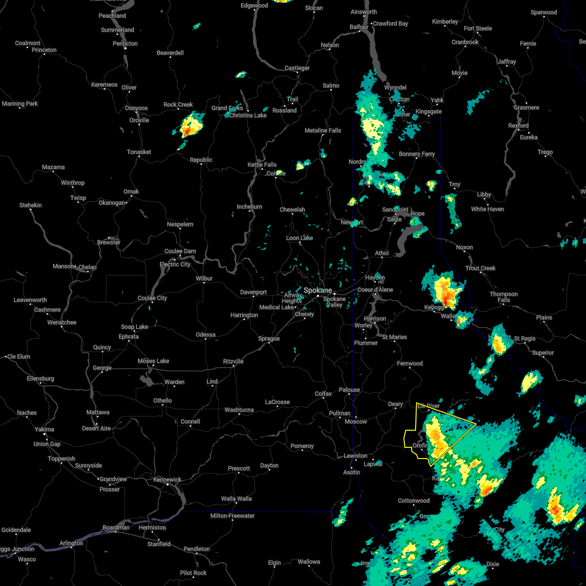
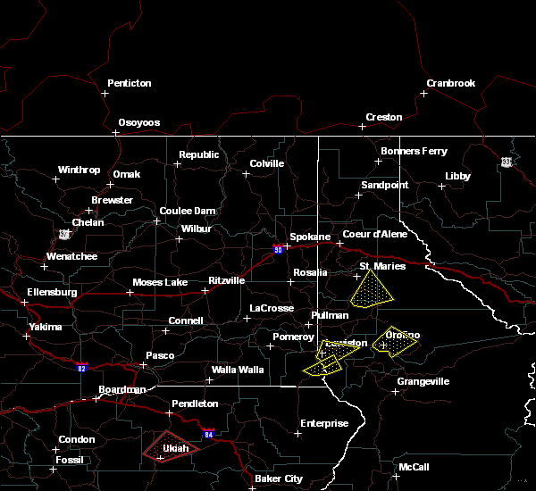
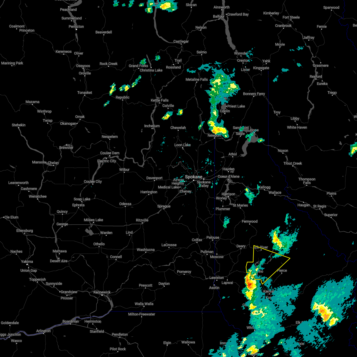 At 107 pm pdt, a severe thunderstorm was located 8 miles southwest of orofino, moving northeast at 45 mph (radar indicated). Hazards include 60 mph wind gusts and quarter size hail. Hail damage to vehicles is expected. Expect wind damage to roofs, siding, and trees. At 107 pm pdt, a severe thunderstorm was located 8 miles southwest of orofino, moving northeast at 45 mph (radar indicated). Hazards include 60 mph wind gusts and quarter size hail. Hail damage to vehicles is expected. Expect wind damage to roofs, siding, and trees.
|
| 8/11/2022 3:27 PM PDT |
 At 326 pm pdt, a severe thunderstorm was located near craigmont, or 19 miles west of kamiah, moving northeast at 30 mph (radar indicated). Hazards include 60 mph wind gusts and quarter size hail. Hail damage to vehicles is expected. Expect wind damage to roofs, siding, and trees. At 326 pm pdt, a severe thunderstorm was located near craigmont, or 19 miles west of kamiah, moving northeast at 30 mph (radar indicated). Hazards include 60 mph wind gusts and quarter size hail. Hail damage to vehicles is expected. Expect wind damage to roofs, siding, and trees.
|
| 6/8/2016 3:09 PM PDT |
 The severe thunderstorm warning for northwestern idaho and southwestern clearwater counties will expire at 315 pm pdt, the storm which prompted the warning has weakened below severe limits and exited the warned area. therefore the warning will be allowed to expire. however small hail and gusty winds are still possible with this thunderstorm. The severe thunderstorm warning for northwestern idaho and southwestern clearwater counties will expire at 315 pm pdt, the storm which prompted the warning has weakened below severe limits and exited the warned area. therefore the warning will be allowed to expire. however small hail and gusty winds are still possible with this thunderstorm.
|
| 6/8/2016 2:39 PM PDT |
 At 239 pm pdt, doppler radar indicated a severe thunderstorm capable of producing quarter size hail and damaging winds in excess of 60 mph. this storm was located over orofino, and moving northeast at 40 mph. At 239 pm pdt, doppler radar indicated a severe thunderstorm capable of producing quarter size hail and damaging winds in excess of 60 mph. this storm was located over orofino, and moving northeast at 40 mph.
|
| 6/8/2016 1:50 PM PDT | Half Dollar sized hail reported 8.7 miles NW of Orofino, ID, wind sensor reported 25 mph wind gust. |
| 6/8/2016 1:45 PM PDT | Hen Egg sized hail reported 8.1 miles NW of Orofino, ID, very large hail near the intersection of us route 12 and idaho hwy 11 in greer around 2:45 pm pdt this afternoon. |
| 8/14/2014 4:00 PM PDT | Half Dollar sized hail reported 11.5 miles NW of Orofino, ID, hail was mostly 1" but a few were up to half-dollar size. it accumulated up to 12" in places and decimated a barley crop. also holes were observed in fiberglass buildin |
| 3/20/2013 3:15 PM PDT | Multiple trees down throughout tow in clearwater county ID, 0.9 miles WNW of Orofino, ID |
| 4/24/2012 8:10 PM PDT | Quarter sized hail reported 1 miles SSE of Orofino, ID, trained spotter reported quarter size hail 2 miles nw of orofino |
| 4/24/2012 8:10 PM PDT | Half Dollar sized hail reported 5.5 miles SW of Orofino, ID, trained spotter reported half dollar size hail 5 ne of orofino |
| 4/24/2012 8:05 PM PDT | Quarter sized hail reported 2.7 miles SW of Orofino, ID, trained spotter reported 1 inch hail 3 miles ne of orofino |
| 4/24/2012 8:00 PM PDT | Golf Ball sized hail reported 0.9 miles WNW of Orofino, ID, trained spotter reported golf ball size hail in orofino |
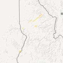
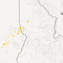
Hail Maps for Orofino, ID


Connect with Interactive Hail Maps