

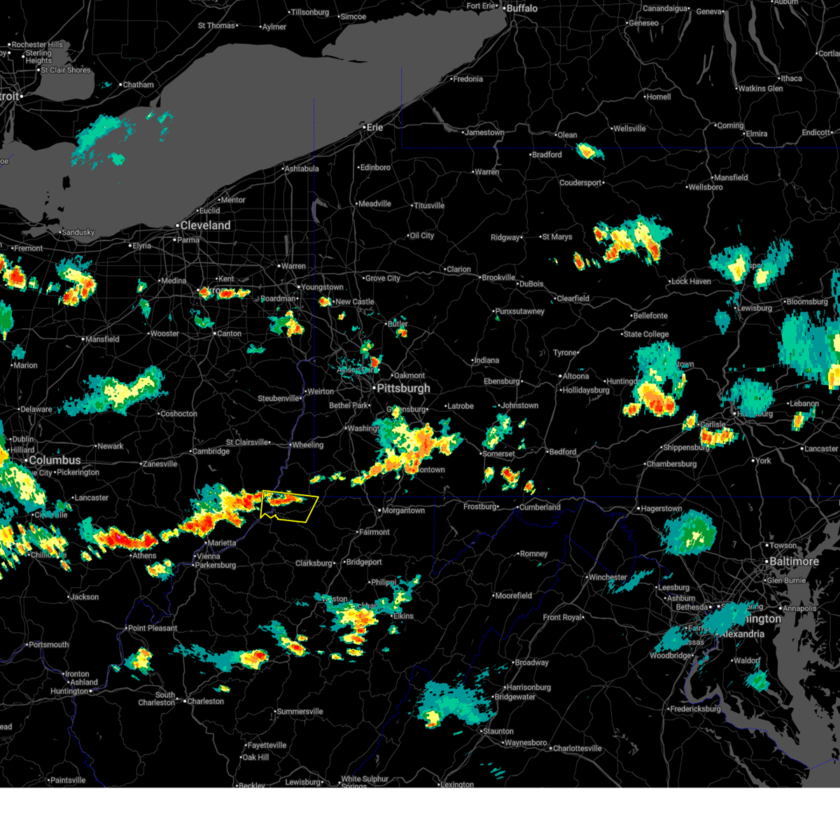
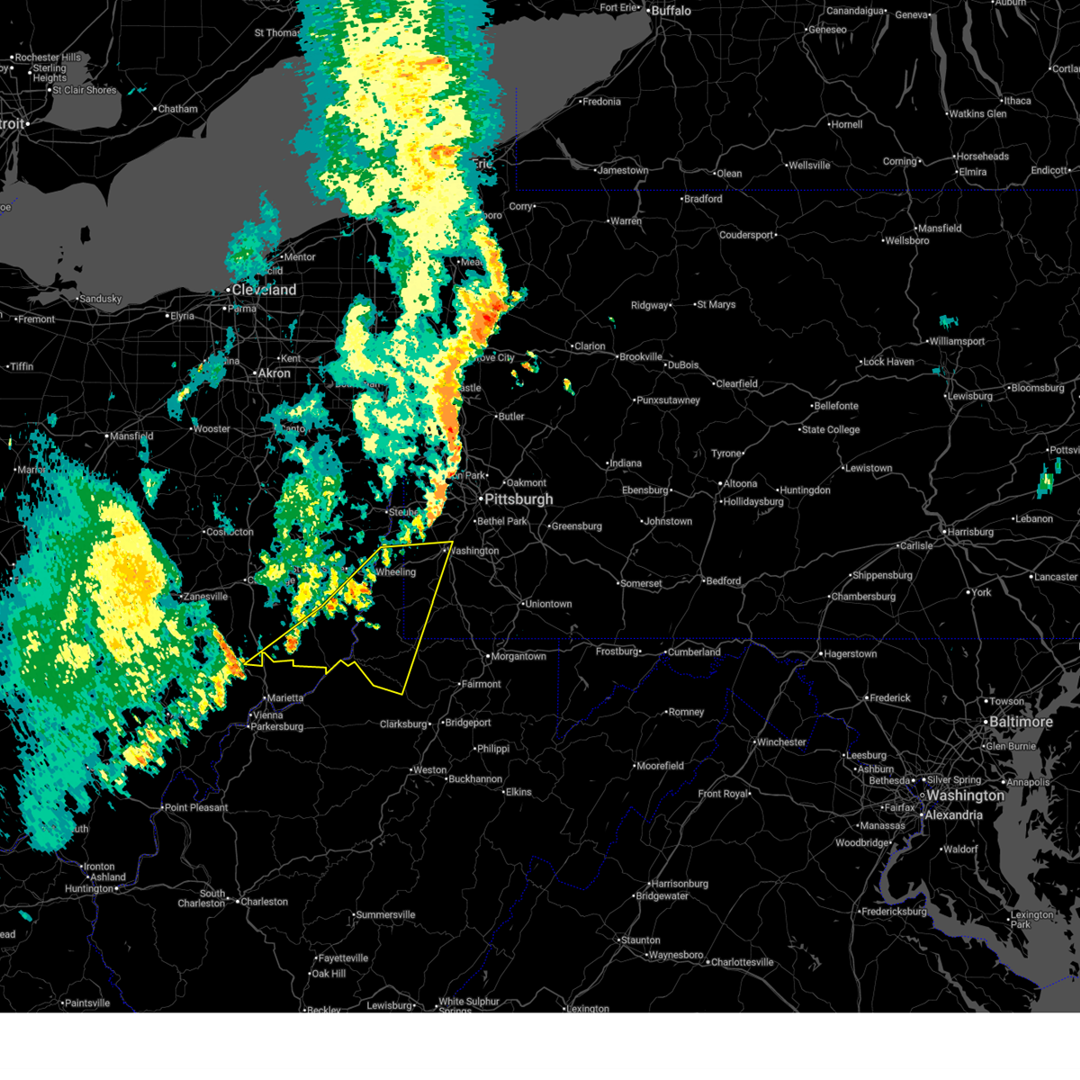
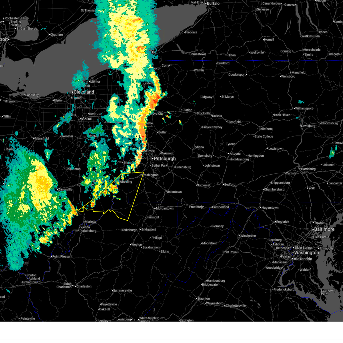
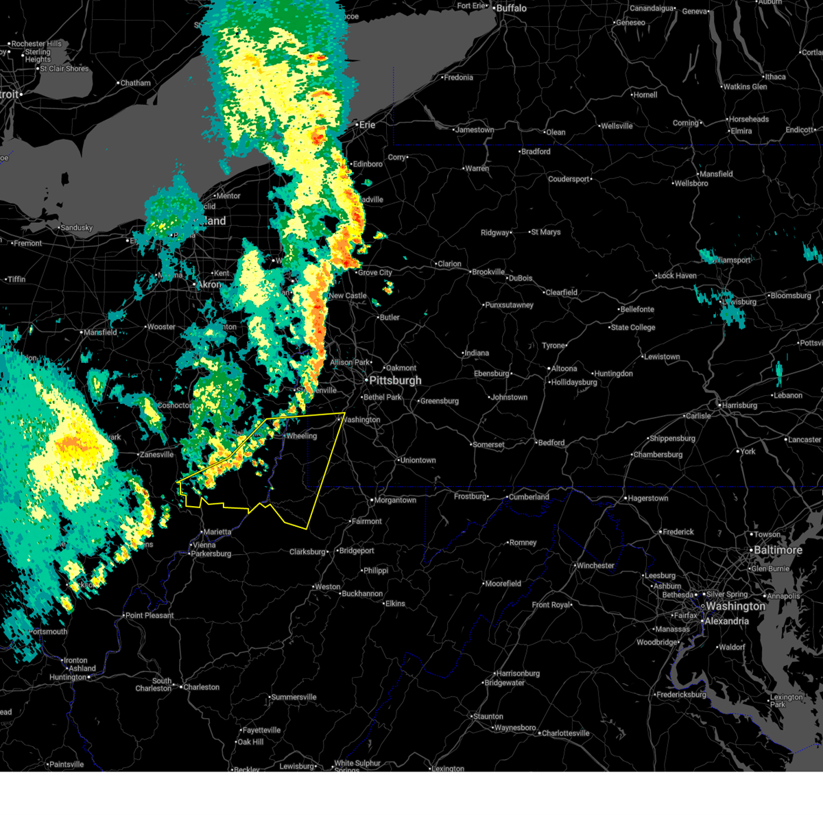
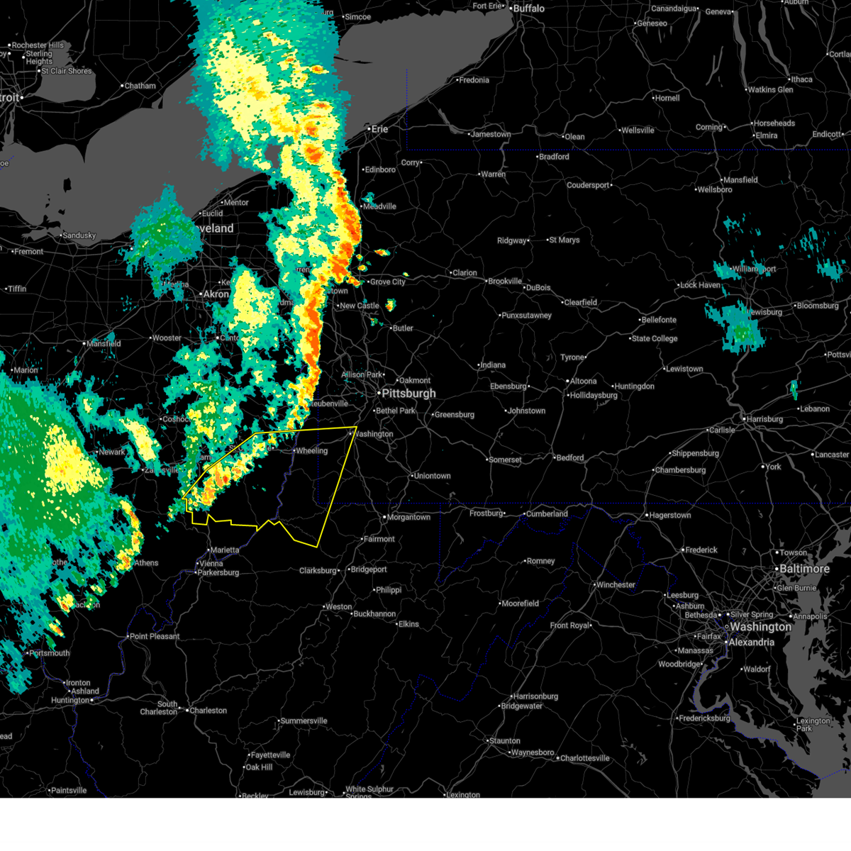
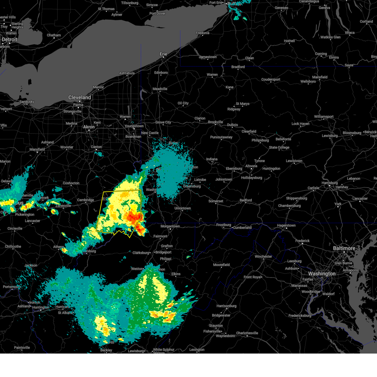
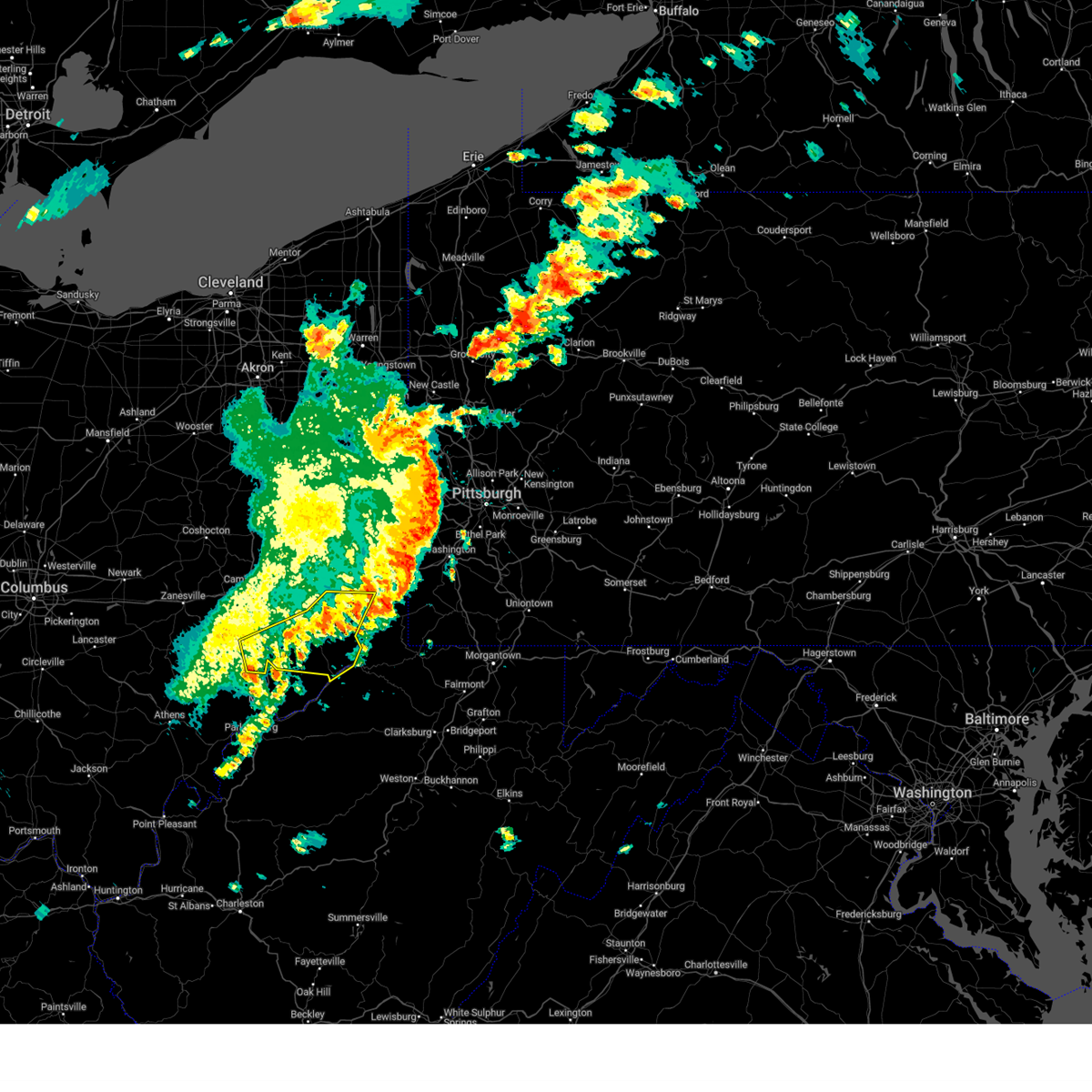
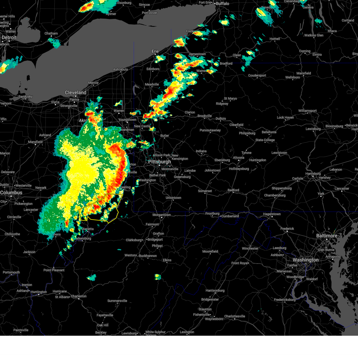
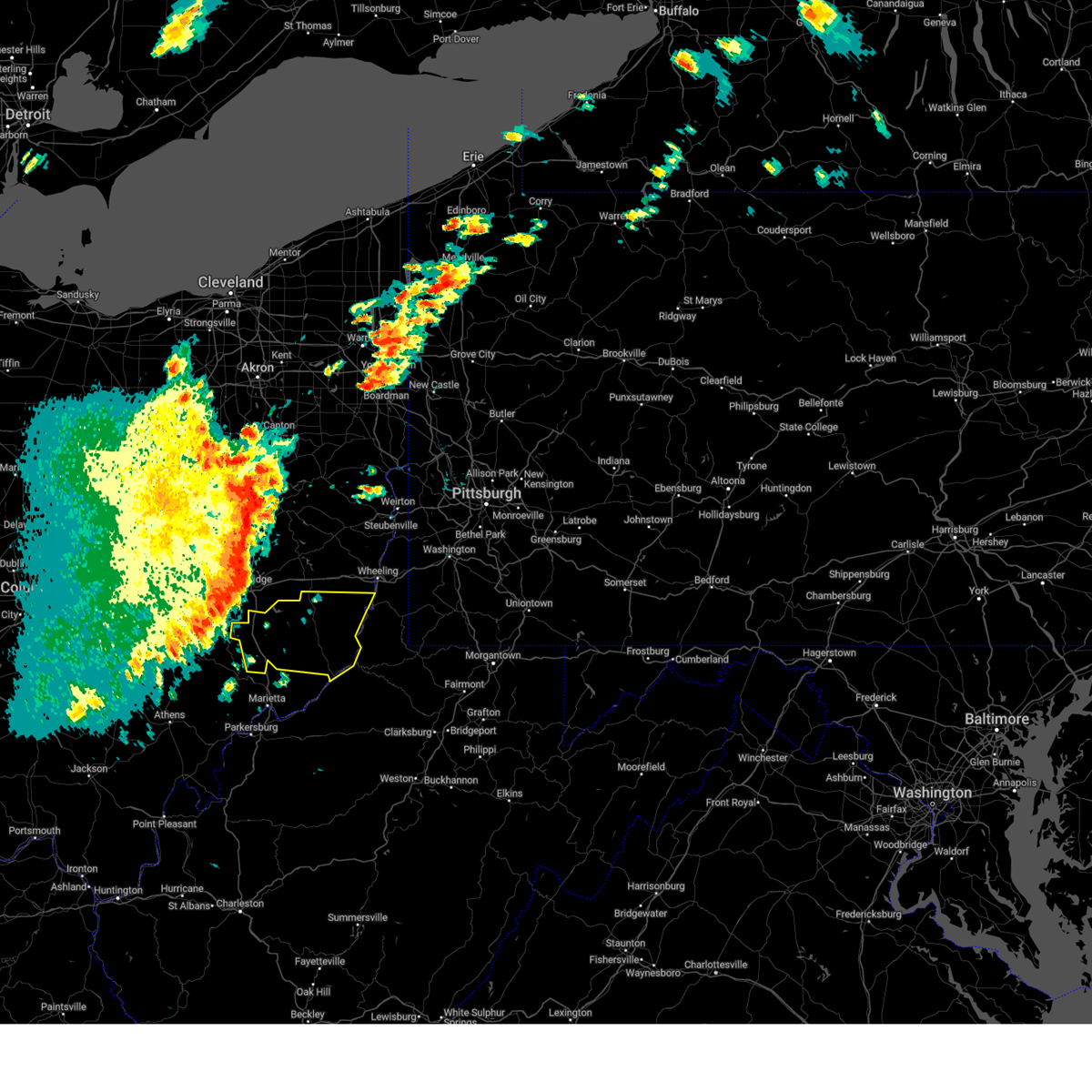
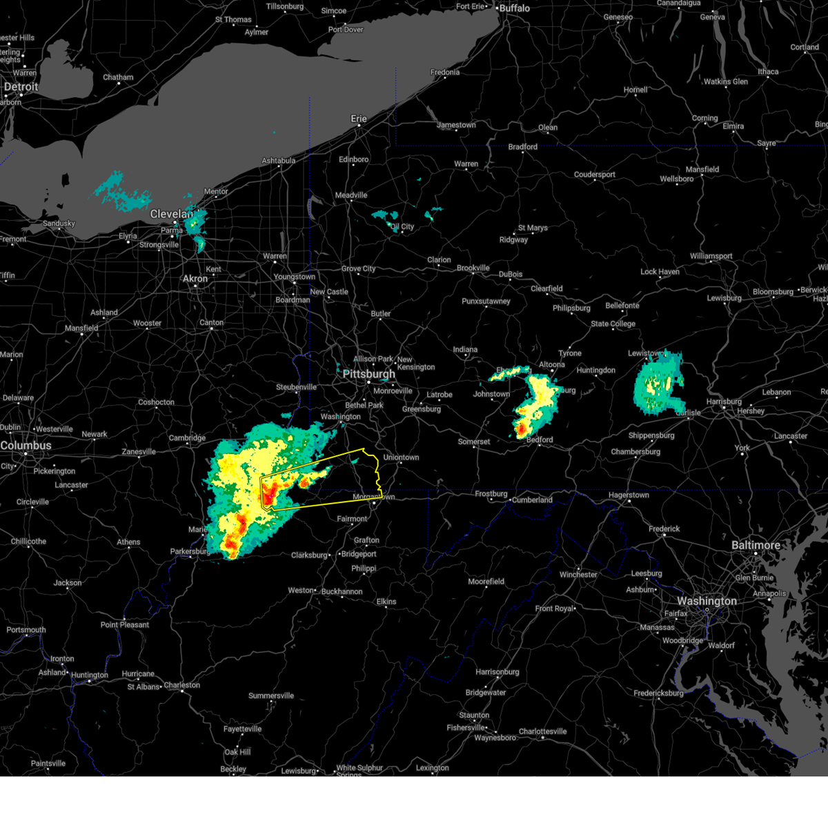
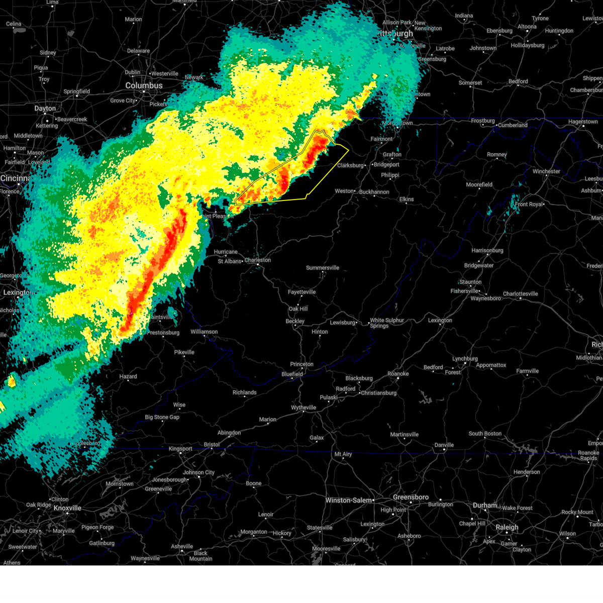
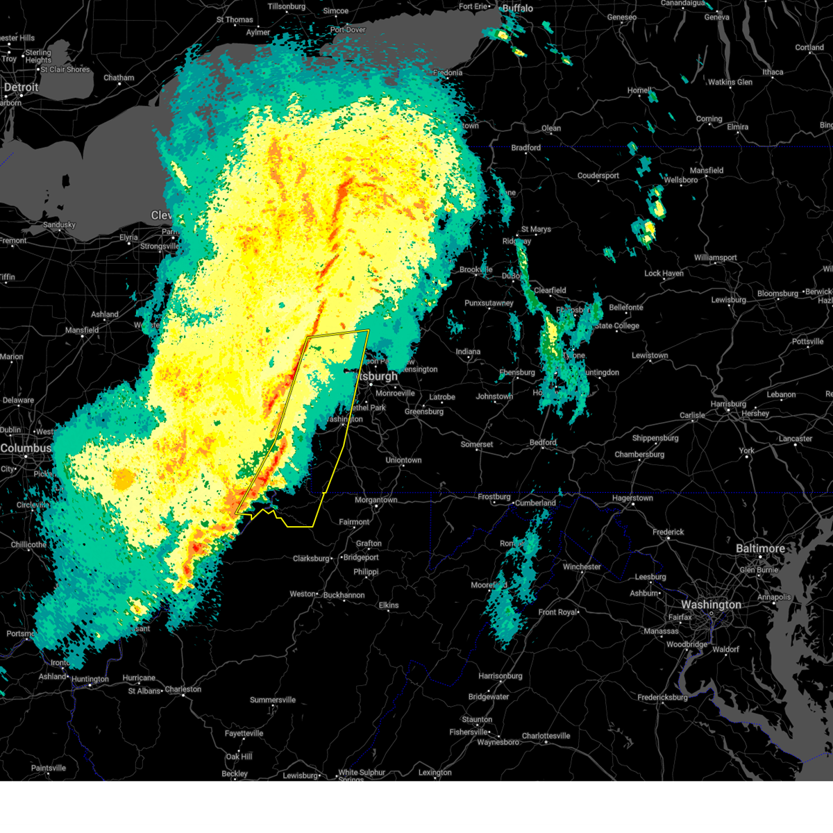
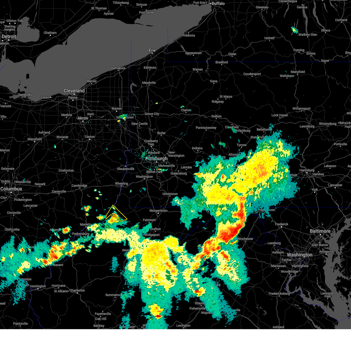
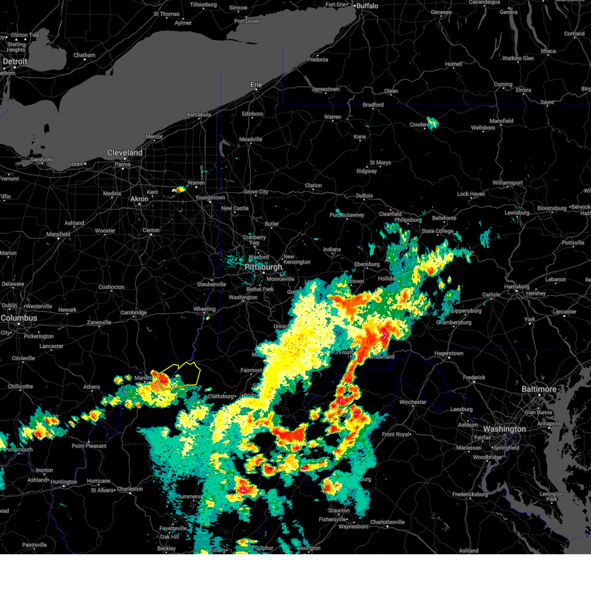
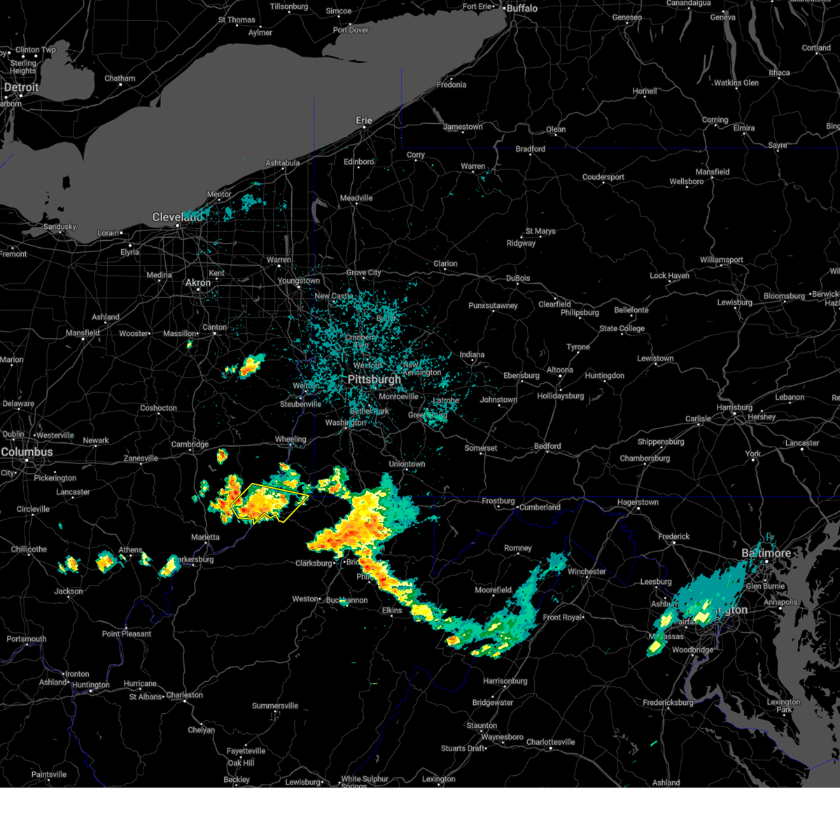
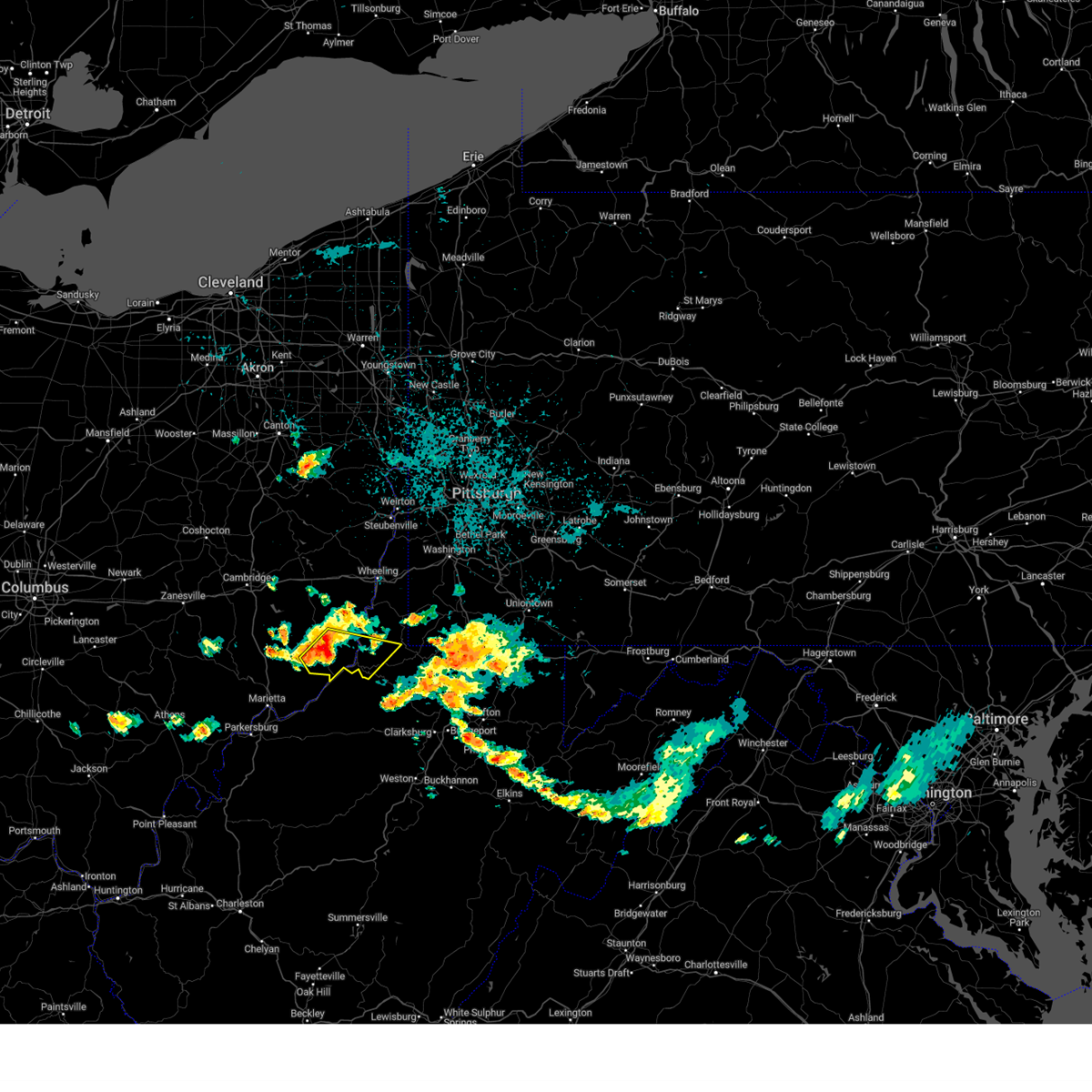
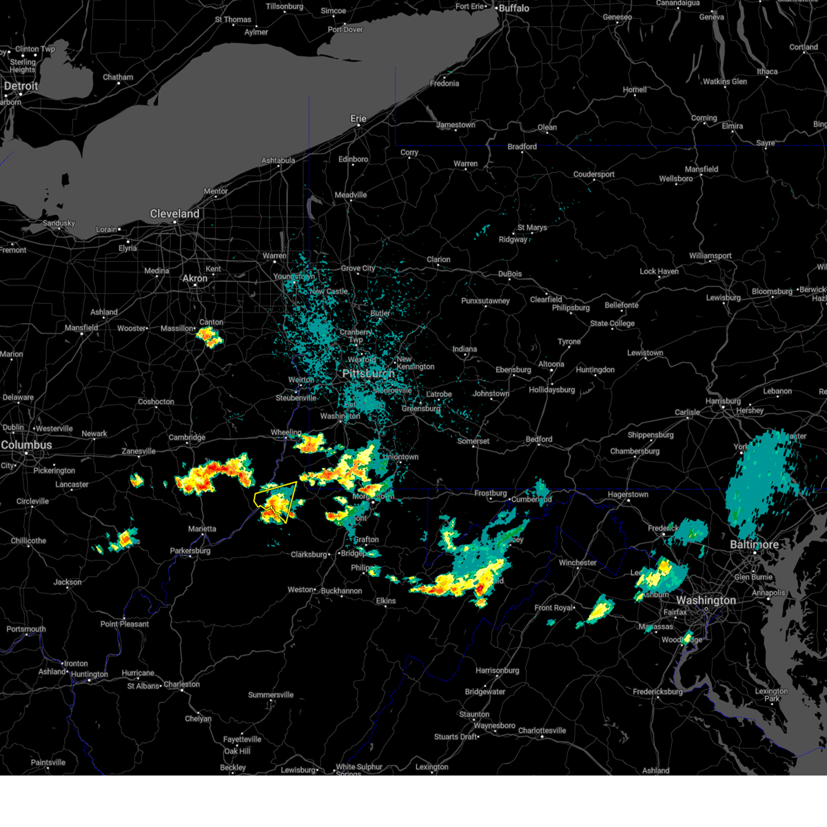
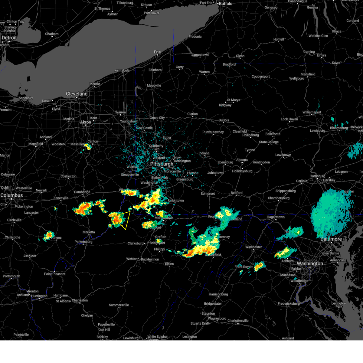
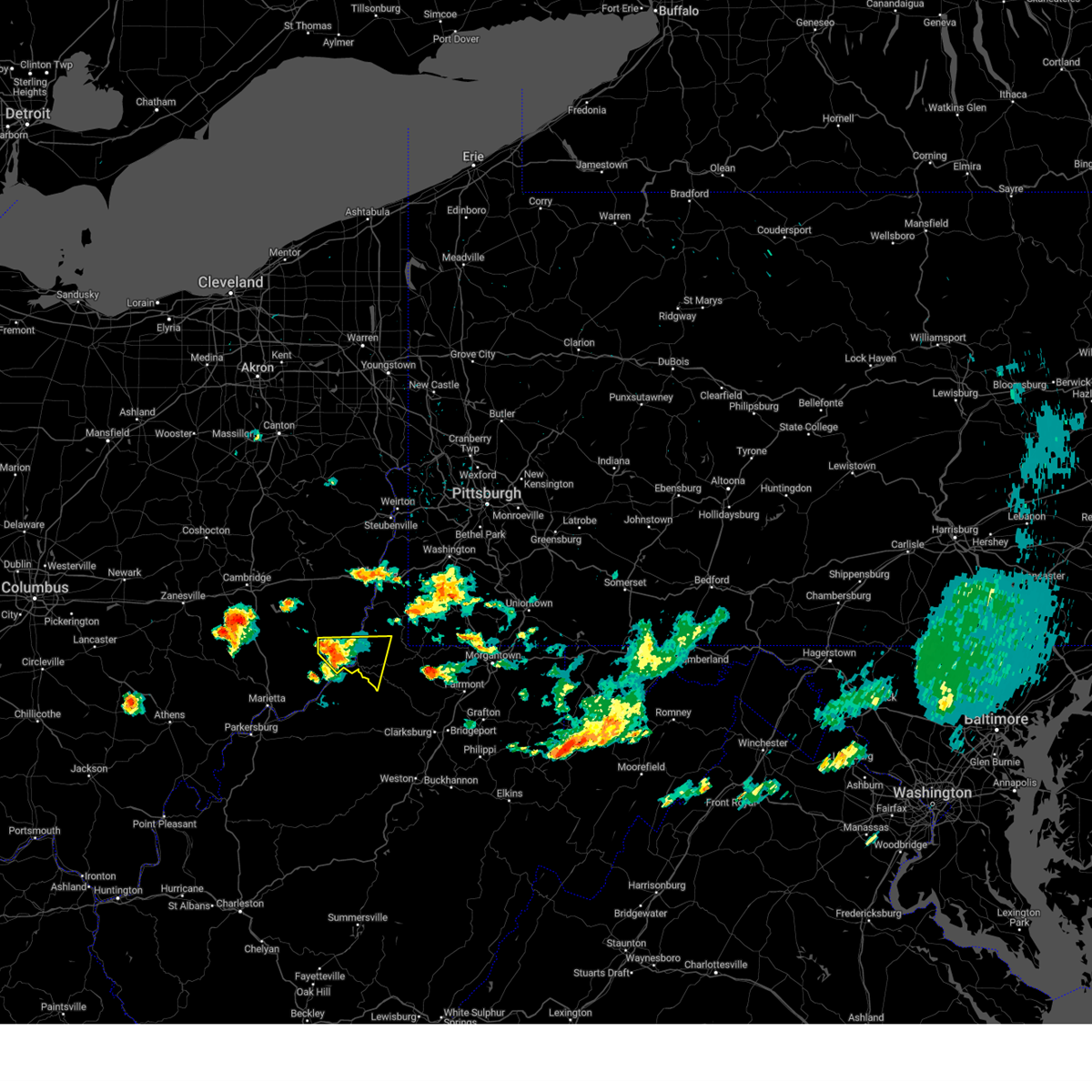
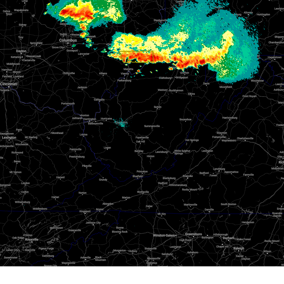
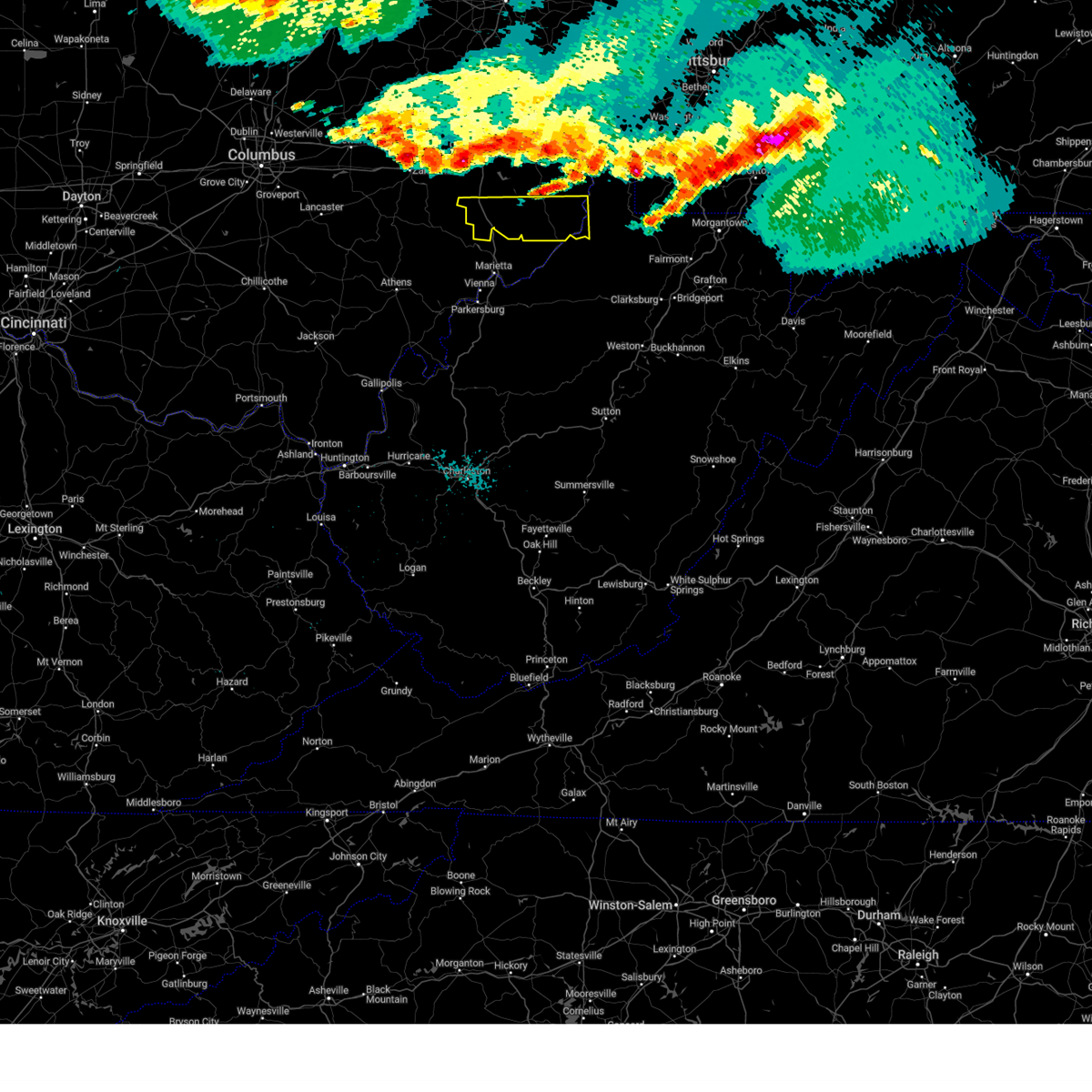
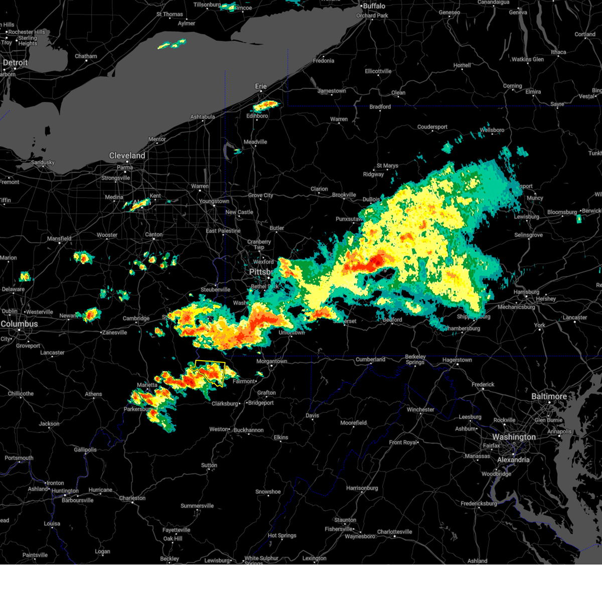
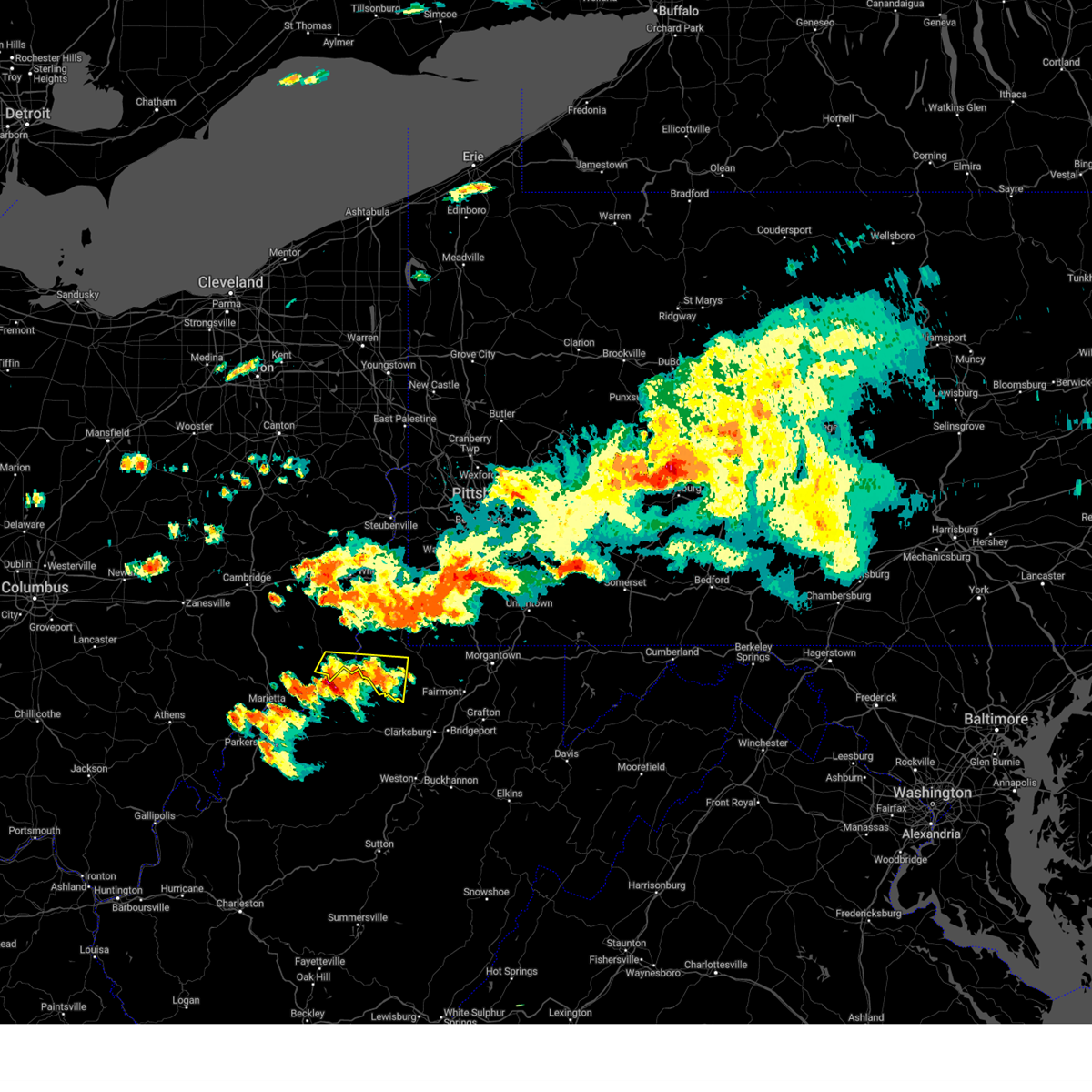
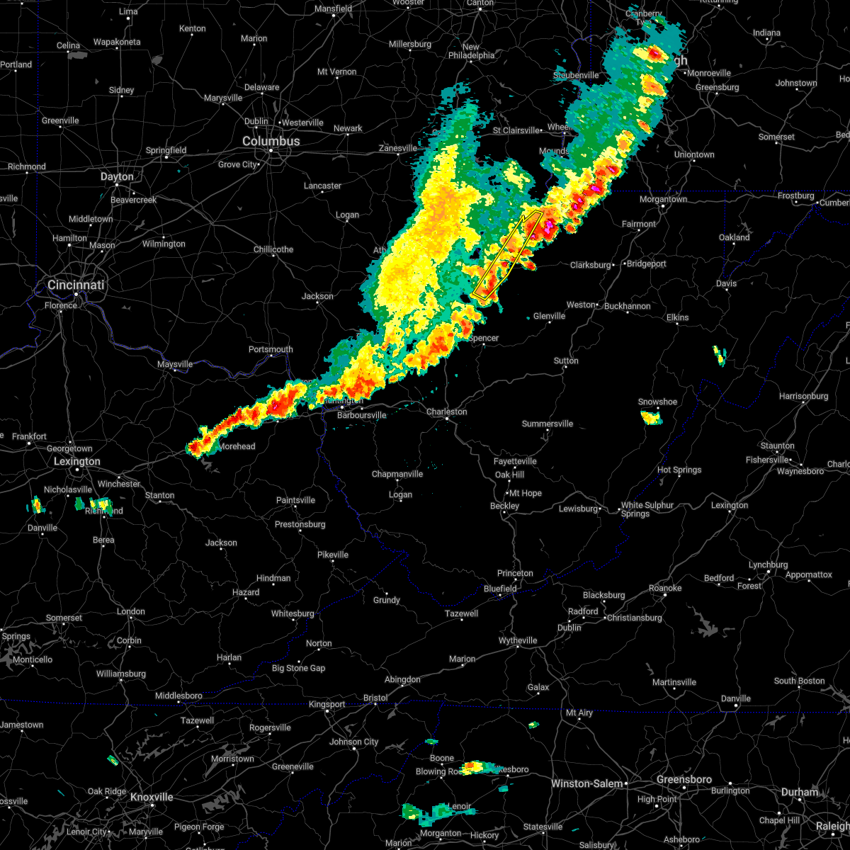
Hail Map for Paden City, WV
The Paden City, WV area has had 1 report of on-the-ground hail by trained spotters, and has been under severe weather warnings 40 times during the past 12 months. Doppler radar has detected hail at or near Paden City, WV on 34 occasions, including 1 occasion during the past year.
| Name: | Paden City, WV |
| Where Located: | 75 miles NW of Elkins, WV |
| Map: | Google Map for Paden City, WV |
| Population: | 2633 |
| Housing Units: | 1267 |
| More Info: | Search Google for Paden City, WV |
0
The Top Recent Hail Date for Paden City, WV is Saturday, September 21, 2024 (27th out of 34)

Hail and Wind Damage Spotted near Paden City, WV
| Date / Time | Report Details |
|---|---|
| 6/25/2025 6:19 PM EDT |
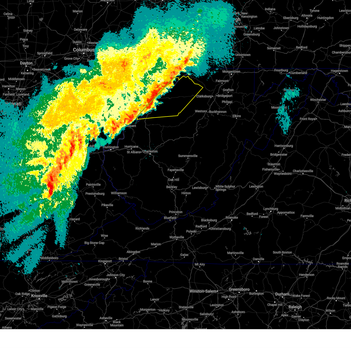
 At 619 pm edt, a severe thunderstorm was located near new martinsville, moving east at 15 mph (radar indicated). Hazards include 70 mph wind gusts and quarter size hail. Hail damage to vehicles is expected. expect considerable tree damage. wind damage is also likely to mobile homes, roofs, and outbuildings. Locations impacted include, new martinsville, pine grove, sardis, wileyville, porters falls, reader, proctor, hannibal, big run, knob fork and littleton. At 619 pm edt, a severe thunderstorm was located near new martinsville, moving east at 15 mph (radar indicated). Hazards include 70 mph wind gusts and quarter size hail. Hail damage to vehicles is expected. expect considerable tree damage. wind damage is also likely to mobile homes, roofs, and outbuildings. Locations impacted include, new martinsville, pine grove, sardis, wileyville, porters falls, reader, proctor, hannibal, big run, knob fork and littleton.
|
| 6/25/2025 6:16 PM EDT |
 Svrpbz the national weather service in pittsburgh has issued a * severe thunderstorm warning for, southeastern monroe county in east central ohio, marshall county in northern west virginia, northwestern wetzel county in northern west virginia, * until 700 pm edt. * at 616 pm edt, a severe thunderstorm was located over new martinsville, moving east at 15 mph (radar indicated). Hazards include 60 mph wind gusts. expect damage to roofs, siding, and trees Svrpbz the national weather service in pittsburgh has issued a * severe thunderstorm warning for, southeastern monroe county in east central ohio, marshall county in northern west virginia, northwestern wetzel county in northern west virginia, * until 700 pm edt. * at 616 pm edt, a severe thunderstorm was located over new martinsville, moving east at 15 mph (radar indicated). Hazards include 60 mph wind gusts. expect damage to roofs, siding, and trees
|
| 6/18/2025 11:23 PM EDT |
 At 1123 pm edt, severe thunderstorms were located along a line from near west liberty to 9 miles west of woodsfield, moving east at 35 mph (law enforcement reported trees down with this line). Hazards include 60 mph wind gusts. Expect damage to roofs, siding, and trees. Locations impacted include, wheeling, washington, moundsville, martins ferry, new martinsville, bellaire, warwood, bethlehem, woodsfield, west liberty, triadelphia, clearview, valley grove, shadyside, wolfdale, east washington, mcmechen, powhatan point, glen dale and tiltonsville. At 1123 pm edt, severe thunderstorms were located along a line from near west liberty to 9 miles west of woodsfield, moving east at 35 mph (law enforcement reported trees down with this line). Hazards include 60 mph wind gusts. Expect damage to roofs, siding, and trees. Locations impacted include, wheeling, washington, moundsville, martins ferry, new martinsville, bellaire, warwood, bethlehem, woodsfield, west liberty, triadelphia, clearview, valley grove, shadyside, wolfdale, east washington, mcmechen, powhatan point, glen dale and tiltonsville.
|
| 6/18/2025 11:23 PM EDT |
 the severe thunderstorm warning has been cancelled and is no longer in effect the severe thunderstorm warning has been cancelled and is no longer in effect
|
| 6/18/2025 11:08 PM EDT |
 At 1108 pm edt, severe thunderstorms were located along a line from over tiltonsville to 5 miles southeast of caldwell, or along a line from near clearview to 5 miles southeast of caldwell, moving east at 35 mph (law enforcement reported trees down with this line). Hazards include 60 mph wind gusts. Expect damage to roofs, siding, and trees. locations impacted include, wheeling, washington, moundsville, martins ferry, new martinsville, st. Clairsville, bellaire, warwood, bethlehem, woodsfield, caldwell, west liberty, triadelphia, clearview, valley grove, shadyside, wolfdale, east washington, mcmechen and powhatan point. At 1108 pm edt, severe thunderstorms were located along a line from over tiltonsville to 5 miles southeast of caldwell, or along a line from near clearview to 5 miles southeast of caldwell, moving east at 35 mph (law enforcement reported trees down with this line). Hazards include 60 mph wind gusts. Expect damage to roofs, siding, and trees. locations impacted include, wheeling, washington, moundsville, martins ferry, new martinsville, st. Clairsville, bellaire, warwood, bethlehem, woodsfield, caldwell, west liberty, triadelphia, clearview, valley grove, shadyside, wolfdale, east washington, mcmechen and powhatan point.
|
| 6/18/2025 11:08 PM EDT |
 the severe thunderstorm warning has been cancelled and is no longer in effect the severe thunderstorm warning has been cancelled and is no longer in effect
|
| 6/18/2025 10:57 PM EDT |
 Svrpbz the national weather service in pittsburgh has issued a * severe thunderstorm warning for, belmont county in east central ohio, southeastern guernsey county in east central ohio, southeastern harrison county in east central ohio, south central jefferson oh county in east central ohio, monroe county in east central ohio, noble county in east central ohio, western greene county in southwestern pennsylvania, southwestern washington county in southwestern pennsylvania, brooke county in northern west virginia, west central marion county in northern west virginia, marshall county in northern west virginia, ohio county in northern west virginia, wetzel county in northern west virginia, * until midnight edt. * at 1057 pm edt, severe thunderstorms were located along a line from 9 miles northeast of st. clairsville to near caldwell, moving east at 35 mph (law enforcement reported trees were reported down with this line). Hazards include 60 mph wind gusts. expect damage to roofs, siding, and trees Svrpbz the national weather service in pittsburgh has issued a * severe thunderstorm warning for, belmont county in east central ohio, southeastern guernsey county in east central ohio, southeastern harrison county in east central ohio, south central jefferson oh county in east central ohio, monroe county in east central ohio, noble county in east central ohio, western greene county in southwestern pennsylvania, southwestern washington county in southwestern pennsylvania, brooke county in northern west virginia, west central marion county in northern west virginia, marshall county in northern west virginia, ohio county in northern west virginia, wetzel county in northern west virginia, * until midnight edt. * at 1057 pm edt, severe thunderstorms were located along a line from 9 miles northeast of st. clairsville to near caldwell, moving east at 35 mph (law enforcement reported trees were reported down with this line). Hazards include 60 mph wind gusts. expect damage to roofs, siding, and trees
|
| 5/17/2025 12:44 AM EDT |
 The severe thunderstorm warning that was previously in effect has been reissued for ohio, jefferson oh, monroe, belmont, brooke, marshall, and wetzel counties. please refer to those bulletins for the latest severe weather information. a severe thunderstorm watch remains in effect until 400 am edt saturday for portions of east central ohio and west virginia. The severe thunderstorm warning that was previously in effect has been reissued for ohio, jefferson oh, monroe, belmont, brooke, marshall, and wetzel counties. please refer to those bulletins for the latest severe weather information. a severe thunderstorm watch remains in effect until 400 am edt saturday for portions of east central ohio and west virginia.
|
| 5/16/2025 11:52 PM EDT | Svrpbz the national weather service in pittsburgh has issued a * severe thunderstorm warning for, belmont county in east central ohio, east central guernsey county in east central ohio, southeastern harrison county in east central ohio, south central jefferson oh county in east central ohio, monroe county in east central ohio, eastern noble county in east central ohio, brooke county in northern west virginia, marshall county in northern west virginia, ohio county in northern west virginia, northwestern wetzel county in northern west virginia, * until 1245 am edt. * at 1152 pm edt, severe thunderstorms were located along a line from 6 miles southeast of freeport to 17 miles south of caldwell, moving east at 45 mph (radar indicated). Hazards include 60 mph wind gusts and small hail. expect damage to roofs, siding, and trees |
| 4/29/2025 5:15 PM EDT | Svrpbz the national weather service in pittsburgh has issued a * severe thunderstorm warning for, monongalia county in northern west virginia, wetzel county in northern west virginia, marion county in northern west virginia, * until 615 pm edt. * at 515 pm edt, severe thunderstorms were located along a line extending from 8 miles southwest of cameron to near middlebourne, moving east at 55 mph (radar indicated). Hazards include 60 mph wind gusts. expect damage to trees and power lines, resulting in some power outages |
| 4/29/2025 4:51 PM EDT |
 The storms which prompted the warning have weakened below severe limits, and have exited the warned area. therefore, the warning will be allowed to expire. however, gusty winds are still possible with these thunderstorms. a severe thunderstorm watch remains in effect until 700 pm edt for east central ohio, and northern west virginia. The storms which prompted the warning have weakened below severe limits, and have exited the warned area. therefore, the warning will be allowed to expire. however, gusty winds are still possible with these thunderstorms. a severe thunderstorm watch remains in effect until 700 pm edt for east central ohio, and northern west virginia.
|
| 4/29/2025 4:39 PM EDT |
 At 439 pm edt, severe thunderstorms were located along a line extending from 9 miles southeast of barnesville to 7 miles southwest of woodsfield, moving east at 50 mph (radar indicated). Hazards include 60 mph wind gusts. Expect damage to trees and power lines, resulting in some power outages. Locations impacted include, new martinsville, woodsfield, caldwell, shadyside, paden city, powhatan point, glen dale, sistersville, dudley, sardis, beallsville, clarington, summerfield, macksburg, lewisville, sarahsville, jerusalem, dexter city, wilson, and cameron. At 439 pm edt, severe thunderstorms were located along a line extending from 9 miles southeast of barnesville to 7 miles southwest of woodsfield, moving east at 50 mph (radar indicated). Hazards include 60 mph wind gusts. Expect damage to trees and power lines, resulting in some power outages. Locations impacted include, new martinsville, woodsfield, caldwell, shadyside, paden city, powhatan point, glen dale, sistersville, dudley, sardis, beallsville, clarington, summerfield, macksburg, lewisville, sarahsville, jerusalem, dexter city, wilson, and cameron.
|
| 4/29/2025 4:02 PM EDT |
 Svrpbz the national weather service in pittsburgh has issued a * severe thunderstorm warning for, monroe county in east central ohio, southern belmont county in east central ohio, noble county in east central ohio, * until 500 pm edt. * at 401 pm edt, severe thunderstorms were located along a line extending from near byesville to near mcconnelsville, moving east at 50 mph (radar indicated). Hazards include 60 mph wind gusts. expect damage to trees and power lines, resulting in some power outages Svrpbz the national weather service in pittsburgh has issued a * severe thunderstorm warning for, monroe county in east central ohio, southern belmont county in east central ohio, noble county in east central ohio, * until 500 pm edt. * at 401 pm edt, severe thunderstorms were located along a line extending from near byesville to near mcconnelsville, moving east at 50 mph (radar indicated). Hazards include 60 mph wind gusts. expect damage to trees and power lines, resulting in some power outages
|
| 4/19/2025 7:39 PM EDT |
 Svrpbz the national weather service in pittsburgh has issued a * severe thunderstorm warning for, northeastern monroe county in east central ohio, greene county in southwestern pennsylvania, northern marion county in northern west virginia, marshall county in northern west virginia, northern monongalia county in northern west virginia, northern wetzel county in northern west virginia, * until 845 pm edt. * at 739 pm edt, a severe thunderstorm was located near new martinsville, moving east at 60 mph (radar indicated). Hazards include 60 mph wind gusts and quarter size hail. Hail damage to vehicles is expected. Expect wind damage to roofs, siding, and trees. Svrpbz the national weather service in pittsburgh has issued a * severe thunderstorm warning for, northeastern monroe county in east central ohio, greene county in southwestern pennsylvania, northern marion county in northern west virginia, marshall county in northern west virginia, northern monongalia county in northern west virginia, northern wetzel county in northern west virginia, * until 845 pm edt. * at 739 pm edt, a severe thunderstorm was located near new martinsville, moving east at 60 mph (radar indicated). Hazards include 60 mph wind gusts and quarter size hail. Hail damage to vehicles is expected. Expect wind damage to roofs, siding, and trees.
|
| 4/3/2025 4:32 AM EDT |
 At 432 am edt, severe thunderstorms were located along a line extending from near pine grove to near elizabeth, moving east at 55 mph (radar indicated). Hazards include 60 mph wind gusts. Expect damage to roofs, siding, and trees. Locations impacted include, alma, portland, cherry, smithville, maxwell, mineralwells, schultz, north bend state park, mountain, lima, pennsboro, hebron, pike, center point, davisville, big springs, berea, brohard, macfarlan, and highland. At 432 am edt, severe thunderstorms were located along a line extending from near pine grove to near elizabeth, moving east at 55 mph (radar indicated). Hazards include 60 mph wind gusts. Expect damage to roofs, siding, and trees. Locations impacted include, alma, portland, cherry, smithville, maxwell, mineralwells, schultz, north bend state park, mountain, lima, pennsboro, hebron, pike, center point, davisville, big springs, berea, brohard, macfarlan, and highland.
|
| 4/3/2025 4:32 AM EDT |
 the severe thunderstorm warning has been cancelled and is no longer in effect the severe thunderstorm warning has been cancelled and is no longer in effect
|
| 4/3/2025 4:30 AM EDT | The storms which prompted the warning have weakened below severe limits, and no longer pose an immediate threat to life or property. therefore, the warning has been allowed to expire. however, gusty winds are still possible with these thunderstorms. a new severe thunderstorm warning has been issued to the east. a severe thunderstorm watch remains in effect until 700 am edt for portions of southwest pennsylvania and west virginia. |
| 4/3/2025 4:22 AM EDT | the severe thunderstorm warning has been cancelled and is no longer in effect |
| 4/3/2025 4:22 AM EDT | At 422 am edt, severe thunderstorms were located along a line from over monaca to near pine grove, or along a line from over monaca to 7 miles southeast of new martinsville, moving east at 55 mph (radar indicated). Hazards include 60 mph wind gusts. Expect damage to roofs, siding, and trees. Locations impacted include, new martinsville, cameron, pine grove, hundred, jacksonburg, west finley, claysville, sardis, aleppo, smithfield, new freeport, nineveh, fly, green hills, glen easton, beelers station, rocklick, littleton, lone oak and lynn camp. |
| 4/3/2025 4:13 AM EDT | At 413 am edt, severe thunderstorms were located along a line from over industry to near new martinsville, or along a line from 7 miles west of monaca to near new martinsville, moving east at 55 mph (radar indicated). Hazards include 60 mph wind gusts. Expect damage to roofs, siding, and trees. Locations impacted include, wheeling, cranberry, moon township, weirton, steubenville, washington, franklin park, aliquippa, moundsville, canonsburg, beaver falls, martins ferry, monaca, new martinsville, bellaire, warwood, wellsburg, bethlehem, west liberty and triadelphia. |
| 4/3/2025 4:13 AM EDT | the severe thunderstorm warning has been cancelled and is no longer in effect |
| 4/3/2025 4:03 AM EDT |
 the severe thunderstorm warning has been cancelled and is no longer in effect the severe thunderstorm warning has been cancelled and is no longer in effect
|
| 4/3/2025 4:03 AM EDT |
 At 403 am edt, severe thunderstorms were located along a line from over east liverpool to 12 miles south of woodsfield, moving east at 55 mph (radar indicated). Hazards include 60 mph wind gusts. Expect damage to roofs, siding, and trees. Locations impacted include, wheeling, cranberry, moon township, weirton, steubenville, washington, franklin park, east liverpool, aliquippa, moundsville, canonsburg, beaver falls, martins ferry, monaca, new martinsville, bellaire, warwood, wellsburg, bethlehem and west liberty. At 403 am edt, severe thunderstorms were located along a line from over east liverpool to 12 miles south of woodsfield, moving east at 55 mph (radar indicated). Hazards include 60 mph wind gusts. Expect damage to roofs, siding, and trees. Locations impacted include, wheeling, cranberry, moon township, weirton, steubenville, washington, franklin park, east liverpool, aliquippa, moundsville, canonsburg, beaver falls, martins ferry, monaca, new martinsville, bellaire, warwood, wellsburg, bethlehem and west liberty.
|
| 4/3/2025 4:02 AM EDT |
 Svrrlx the national weather service in charleston west virginia has issued a * severe thunderstorm warning for, southeastern meigs county in southeastern ohio, east central washington county in southeastern ohio, pleasants county in northwestern west virginia, northwestern calhoun county in north central west virginia, ritchie county in northwestern west virginia, central doddridge county in northern west virginia, wirt county in northwestern west virginia, tyler county in northern west virginia, northern jackson county in northwestern west virginia, wood county in northwestern west virginia, * until 445 am edt. * at 401 am edt, severe thunderstorms were located along a line extending from near sistersville to near ravenswood, moving east at 110 mph (radar indicated). Hazards include 60 mph wind gusts. expect damage to roofs, siding, and trees Svrrlx the national weather service in charleston west virginia has issued a * severe thunderstorm warning for, southeastern meigs county in southeastern ohio, east central washington county in southeastern ohio, pleasants county in northwestern west virginia, northwestern calhoun county in north central west virginia, ritchie county in northwestern west virginia, central doddridge county in northern west virginia, wirt county in northwestern west virginia, tyler county in northern west virginia, northern jackson county in northwestern west virginia, wood county in northwestern west virginia, * until 445 am edt. * at 401 am edt, severe thunderstorms were located along a line extending from near sistersville to near ravenswood, moving east at 110 mph (radar indicated). Hazards include 60 mph wind gusts. expect damage to roofs, siding, and trees
|
| 4/3/2025 3:56 AM EDT |
 Svrrlx the national weather service in charleston west virginia has issued a * severe thunderstorm warning for, northeastern washington county in southeastern ohio, northeastern pleasants county in northwestern west virginia, northern tyler county in northern west virginia, * until 415 am edt. * at 356 am edt, a severe thunderstorm was located 8 miles northwest of st. marys, moving east at 65 mph (radar indicated). Hazards include 60 mph wind gusts and penny size hail. expect damage to roofs, siding, and trees Svrrlx the national weather service in charleston west virginia has issued a * severe thunderstorm warning for, northeastern washington county in southeastern ohio, northeastern pleasants county in northwestern west virginia, northern tyler county in northern west virginia, * until 415 am edt. * at 356 am edt, a severe thunderstorm was located 8 miles northwest of st. marys, moving east at 65 mph (radar indicated). Hazards include 60 mph wind gusts and penny size hail. expect damage to roofs, siding, and trees
|
| 4/3/2025 3:50 AM EDT | Svrpbz the national weather service in pittsburgh has issued a * severe thunderstorm warning for, belmont county in east central ohio, southeastern carroll county in east central ohio, southeastern columbiana county in east central ohio, eastern harrison county in east central ohio, jefferson oh county in east central ohio, monroe county in east central ohio, southeastern noble county in east central ohio, northwestern allegheny county in southwestern pennsylvania, western greene county in southwestern pennsylvania, washington county in southwestern pennsylvania, southwestern butler county in west central pennsylvania, beaver county in western pennsylvania, brooke county in northern west virginia, hancock county in northern west virginia, west central marion county in northern west virginia, marshall county in northern west virginia, ohio county in northern west virginia, wetzel county in northern west virginia, * until 430 am edt. * at 350 am edt, severe thunderstorms were located along a line from 9 miles south of lisbon to 16 miles southwest of woodsfield, or along a line from 8 miles west of wellsville to 16 miles southwest of woodsfield, moving east at 55 mph (radar indicated). Hazards include 60 mph wind gusts. expect damage to roofs, siding, and trees |
| 3/16/2025 11:57 AM EDT |
 The severe thunderstorm warning that was previously in effect has been reissued for washington, belmont, and ohio counties and is in effect until 1245 pm edt. please refer to that bulletin for the latest severe weather information. however, gusty winds and heavy rain are still possible with this thunderstorm. to report severe weather, contact your nearest law enforcement agency. they will send your report to the national weather service office. a tornado watch remains in effect until 400 pm edt for portions of east central ohio, southwest pennsylvania, and west virginia. The severe thunderstorm warning that was previously in effect has been reissued for washington, belmont, and ohio counties and is in effect until 1245 pm edt. please refer to that bulletin for the latest severe weather information. however, gusty winds and heavy rain are still possible with this thunderstorm. to report severe weather, contact your nearest law enforcement agency. they will send your report to the national weather service office. a tornado watch remains in effect until 400 pm edt for portions of east central ohio, southwest pennsylvania, and west virginia.
|
| 3/16/2025 11:44 AM EDT |
 The storm which prompted the warning has moved out of the area. therefore, the warning will be allowed to expire. however, gusty winds and heavy rain are still possible with this thunderstorm. a tornado watch remains in effect until 400 pm edt for northern west virginia. The storm which prompted the warning has moved out of the area. therefore, the warning will be allowed to expire. however, gusty winds and heavy rain are still possible with this thunderstorm. a tornado watch remains in effect until 400 pm edt for northern west virginia.
|
| 3/16/2025 11:31 AM EDT |
 At 1131 am edt, a severe thunderstorm was located 5 miles west of cameron, or 9 miles southeast of moundsville, moving northeast at 60 mph (radar indicated). Hazards include 60 mph wind gusts and small hail. Expect damage to roofs, siding, and trees. Locations impacted include, wheeling, moundsville, martins ferry, new martinsville, bellaire, warwood, bethlehem, west liberty, triadelphia, clearview, valley grove, shadyside, mcmechen, powhatan point, glen dale, cameron, bridgeport, benwood, yorkville and west finley. At 1131 am edt, a severe thunderstorm was located 5 miles west of cameron, or 9 miles southeast of moundsville, moving northeast at 60 mph (radar indicated). Hazards include 60 mph wind gusts and small hail. Expect damage to roofs, siding, and trees. Locations impacted include, wheeling, moundsville, martins ferry, new martinsville, bellaire, warwood, bethlehem, west liberty, triadelphia, clearview, valley grove, shadyside, mcmechen, powhatan point, glen dale, cameron, bridgeport, benwood, yorkville and west finley.
|
| 3/16/2025 11:21 AM EDT |
 Svrrlx the national weather service in charleston west virginia has issued a * severe thunderstorm warning for, northwestern tyler county in northern west virginia, * until 1145 am edt. * at 1121 am edt, a severe thunderstorm was located over middlebourne, moving northeast at 30 mph (radar indicated). Hazards include 60 mph wind gusts and nickel size hail. expect damage to roofs, siding, and trees Svrrlx the national weather service in charleston west virginia has issued a * severe thunderstorm warning for, northwestern tyler county in northern west virginia, * until 1145 am edt. * at 1121 am edt, a severe thunderstorm was located over middlebourne, moving northeast at 30 mph (radar indicated). Hazards include 60 mph wind gusts and nickel size hail. expect damage to roofs, siding, and trees
|
| 3/16/2025 11:17 AM EDT | Svrpbz the national weather service in pittsburgh has issued a * severe thunderstorm warning for, southeastern belmont county in east central ohio, eastern monroe county in east central ohio, northwestern greene county in southwestern pennsylvania, southwestern washington county in southwestern pennsylvania, marshall county in northern west virginia, ohio county in northern west virginia, northwestern wetzel county in northern west virginia, * until noon edt. * at 1117 am edt, a severe thunderstorm was located near new martinsville, moving northeast at 70 mph (radar indicated). Hazards include 60 mph wind gusts and small hail. expect damage to roofs, siding, and trees |
| 8/31/2024 4:56 PM EDT |
 The storm which prompted the warning has weakened below severe limits, and no longer poses an immediate threat to life or property. therefore, the warning will be allowed to expire. The storm which prompted the warning has weakened below severe limits, and no longer poses an immediate threat to life or property. therefore, the warning will be allowed to expire.
|
| 8/31/2024 4:45 PM EDT |
 The storm which prompted the warning has moved out of the area. therefore, the warning has been allowed to expire. a severe thunderstorm watch remains in effect until 700 pm edt for northern and northwestern west virginia. The storm which prompted the warning has moved out of the area. therefore, the warning has been allowed to expire. a severe thunderstorm watch remains in effect until 700 pm edt for northern and northwestern west virginia.
|
| 8/31/2024 4:44 PM EDT |
 At 444 pm edt, a severe thunderstorm was located 9 miles south of new martinsville, moving east at 25 mph (radar indicated). Hazards include 60 mph wind gusts and small hail. Expect damage to roofs, siding, and trees. Locations impacted include, new martinsville, pine grove, jacksonburg, sardis, fly, hannibal, porters falls, proctor and reader. At 444 pm edt, a severe thunderstorm was located 9 miles south of new martinsville, moving east at 25 mph (radar indicated). Hazards include 60 mph wind gusts and small hail. Expect damage to roofs, siding, and trees. Locations impacted include, new martinsville, pine grove, jacksonburg, sardis, fly, hannibal, porters falls, proctor and reader.
|
| 8/31/2024 4:24 PM EDT |
 At 423 pm edt, a severe thunderstorm was located 7 miles west of middlebourne, moving east at 20 mph (radar indicated). Hazards include 60 mph wind gusts and penny size hail. Expect damage to roofs, siding, and trees. Locations impacted include, middlebourne, sistersville, matamoras, friendly, arvilla, alma, point lookout, new matamoras, and wick. At 423 pm edt, a severe thunderstorm was located 7 miles west of middlebourne, moving east at 20 mph (radar indicated). Hazards include 60 mph wind gusts and penny size hail. Expect damage to roofs, siding, and trees. Locations impacted include, middlebourne, sistersville, matamoras, friendly, arvilla, alma, point lookout, new matamoras, and wick.
|
| 8/31/2024 4:18 PM EDT |
 Svrpbz the national weather service in pittsburgh has issued a * severe thunderstorm warning for, southeastern monroe county in east central ohio, western wetzel county in northern west virginia, * until 500 pm edt. * at 418 pm edt, a severe thunderstorm was located 19 miles south of woodsfield, or 18 miles southwest of new martinsville, moving east at 25 mph (radar indicated). Hazards include 60 mph wind gusts and quarter size hail. Hail damage to vehicles is expected. Expect wind damage to roofs, siding, and trees. Svrpbz the national weather service in pittsburgh has issued a * severe thunderstorm warning for, southeastern monroe county in east central ohio, western wetzel county in northern west virginia, * until 500 pm edt. * at 418 pm edt, a severe thunderstorm was located 19 miles south of woodsfield, or 18 miles southwest of new martinsville, moving east at 25 mph (radar indicated). Hazards include 60 mph wind gusts and quarter size hail. Hail damage to vehicles is expected. Expect wind damage to roofs, siding, and trees.
|
| 8/31/2024 4:02 PM EDT |
 Svrrlx the national weather service in charleston west virginia has issued a * severe thunderstorm warning for, east central washington county in southeastern ohio, northeastern pleasants county in northwestern west virginia, tyler county in northern west virginia, * until 445 pm edt. * at 401 pm edt, a severe thunderstorm was located over st. marys, moving east at 20 mph (radar indicated). Hazards include 60 mph wind gusts and penny size hail. expect damage to roofs, siding, and trees Svrrlx the national weather service in charleston west virginia has issued a * severe thunderstorm warning for, east central washington county in southeastern ohio, northeastern pleasants county in northwestern west virginia, tyler county in northern west virginia, * until 445 pm edt. * at 401 pm edt, a severe thunderstorm was located over st. marys, moving east at 20 mph (radar indicated). Hazards include 60 mph wind gusts and penny size hail. expect damage to roofs, siding, and trees
|
| 8/29/2024 3:26 PM EDT |
 The storm which prompted the warning has weakened below severe limits, and no longer poses an immediate threat to life or property. therefore, the warning will be allowed to expire. The storm which prompted the warning has weakened below severe limits, and no longer poses an immediate threat to life or property. therefore, the warning will be allowed to expire.
|
| 8/29/2024 2:55 PM EDT |
 At 255 pm edt, a severe thunderstorm was located 10 miles south of woodsfield, moving east at 10 mph (radar indicated). Hazards include 60 mph wind gusts and quarter size hail. Hail damage to vehicles is expected. expect wind damage to roofs, siding, and trees. Locations impacted include, sardis, fly, graysville and rinard mills. At 255 pm edt, a severe thunderstorm was located 10 miles south of woodsfield, moving east at 10 mph (radar indicated). Hazards include 60 mph wind gusts and quarter size hail. Hail damage to vehicles is expected. expect wind damage to roofs, siding, and trees. Locations impacted include, sardis, fly, graysville and rinard mills.
|
| 8/29/2024 2:43 PM EDT |
 Svrpbz the national weather service in pittsburgh has issued a * severe thunderstorm warning for, southern monroe county in east central ohio, western wetzel county in northern west virginia, * until 330 pm edt. * at 243 pm edt, a severe thunderstorm was located 10 miles south of woodsfield, moving east at 10 mph (radar indicated). Hazards include 60 mph wind gusts and quarter size hail. Hail damage to vehicles is expected. Expect wind damage to roofs, siding, and trees. Svrpbz the national weather service in pittsburgh has issued a * severe thunderstorm warning for, southern monroe county in east central ohio, western wetzel county in northern west virginia, * until 330 pm edt. * at 243 pm edt, a severe thunderstorm was located 10 miles south of woodsfield, moving east at 10 mph (radar indicated). Hazards include 60 mph wind gusts and quarter size hail. Hail damage to vehicles is expected. Expect wind damage to roofs, siding, and trees.
|
| 5/26/2024 6:15 PM EDT |
 The storms which prompted the warning have moved out of portions of the warned area. a severe thunderstorm warning remains in effect for other portions on the area. guty winds are still a threat. a severe thunderstorm watch remains in effect until 1100 pm edt for east central ohio, and northern west virginia. The storms which prompted the warning have moved out of portions of the warned area. a severe thunderstorm warning remains in effect for other portions on the area. guty winds are still a threat. a severe thunderstorm watch remains in effect until 1100 pm edt for east central ohio, and northern west virginia.
|
| 5/26/2024 6:12 PM EDT |
 Svrpbz the national weather service in pittsburgh has issued a * severe thunderstorm warning for, southeastern jefferson county in east central ohio, eastern monroe county in east central ohio, belmont county in east central ohio, southwestern washington county in southwestern pennsylvania, southwestern greene county in southwestern pennsylvania, northwestern monongalia county in northern west virginia, ohio county in northern west virginia, wetzel county in northern west virginia, marshall county in northern west virginia, marion county in northern west virginia, brooke county in northern west virginia, * until 700 pm edt. * at 612 pm edt, severe thunderstorms were located along a line extending from barnesville to near middlebourne, moving northeast at 45 mph (radar indicated). Hazards include 60 mph wind gusts. expect damage to trees and power lines, resulting in some power outages Svrpbz the national weather service in pittsburgh has issued a * severe thunderstorm warning for, southeastern jefferson county in east central ohio, eastern monroe county in east central ohio, belmont county in east central ohio, southwestern washington county in southwestern pennsylvania, southwestern greene county in southwestern pennsylvania, northwestern monongalia county in northern west virginia, ohio county in northern west virginia, wetzel county in northern west virginia, marshall county in northern west virginia, marion county in northern west virginia, brooke county in northern west virginia, * until 700 pm edt. * at 612 pm edt, severe thunderstorms were located along a line extending from barnesville to near middlebourne, moving northeast at 45 mph (radar indicated). Hazards include 60 mph wind gusts. expect damage to trees and power lines, resulting in some power outages
|
| 5/26/2024 6:04 PM EDT |
 At 604 pm edt, severe thunderstorms were located along a line extending from near barnesville to near sistersville, moving northeast at 40 mph (radar indicated). Hazards include 60 mph wind gusts. Expect damage to trees and power lines, resulting in some power outages. locations impacted include, new martinsville, st. Clairsville, barnesville, woodsfield, paden city, powhatan point, pine grove, bethesda, sardis, belmont, beallsville, clarington, neffs, jerusalem, wilson, cameron, fly, alledonia, somerton, and antioch. At 604 pm edt, severe thunderstorms were located along a line extending from near barnesville to near sistersville, moving northeast at 40 mph (radar indicated). Hazards include 60 mph wind gusts. Expect damage to trees and power lines, resulting in some power outages. locations impacted include, new martinsville, st. Clairsville, barnesville, woodsfield, paden city, powhatan point, pine grove, bethesda, sardis, belmont, beallsville, clarington, neffs, jerusalem, wilson, cameron, fly, alledonia, somerton, and antioch.
|
| 5/26/2024 5:54 PM EDT |
 At 553 pm edt, the severe thunderstorm located along a line extending from 8 miles west of barnesville to 11 miles west of sistersville, moving northeast at 45 mph (radar indicated). Hazards include 60 mph wind gusts. Expect damage to trees and power lines, resulting in some power outages. locations impacted include, new martinsville, st. Clairsville, barnesville, woodsfield, paden city, powhatan point, pine grove, bethesda, sardis, belmont, beallsville, clarington, neffs, summerfield, lewisville, jerusalem, wilson, cameron, fly, and alledonia. At 553 pm edt, the severe thunderstorm located along a line extending from 8 miles west of barnesville to 11 miles west of sistersville, moving northeast at 45 mph (radar indicated). Hazards include 60 mph wind gusts. Expect damage to trees and power lines, resulting in some power outages. locations impacted include, new martinsville, st. Clairsville, barnesville, woodsfield, paden city, powhatan point, pine grove, bethesda, sardis, belmont, beallsville, clarington, neffs, summerfield, lewisville, jerusalem, wilson, cameron, fly, and alledonia.
|
| 5/26/2024 5:37 PM EDT |
 Svrpbz the national weather service in pittsburgh has issued a * severe thunderstorm warning for, monroe county in east central ohio, belmont county in east central ohio, eastern noble county in east central ohio, western wetzel county in northern west virginia, marshall county in northern west virginia, * until 615 pm edt. * at 537 pm edt, severe thunderstorms were located along a line extending from 7 miles northeast of caldwell to near belmont, moving northeast at 45 mph (police reported trees down affiliated with these stroms). Hazards include 60 mph wind gusts. expect damage to trees and power lines, resulting in some power outages Svrpbz the national weather service in pittsburgh has issued a * severe thunderstorm warning for, monroe county in east central ohio, belmont county in east central ohio, eastern noble county in east central ohio, western wetzel county in northern west virginia, marshall county in northern west virginia, * until 615 pm edt. * at 537 pm edt, severe thunderstorms were located along a line extending from 7 miles northeast of caldwell to near belmont, moving northeast at 45 mph (police reported trees down affiliated with these stroms). Hazards include 60 mph wind gusts. expect damage to trees and power lines, resulting in some power outages
|
| 5/25/2024 11:04 PM EDT |
 the severe thunderstorm warning has been cancelled and is no longer in effect the severe thunderstorm warning has been cancelled and is no longer in effect
|
| 5/25/2024 10:40 PM EDT |
 Svrpbz the national weather service in pittsburgh has issued a * severe thunderstorm warning for, central monroe county in east central ohio, northwestern wetzel county in northern west virginia, marshall county in northern west virginia, * until 1130 pm edt. * at 1040 pm edt, a severe thunderstorm was located near woodsfield, moving southeast at 15 mph (radar indicated). Hazards include 60 mph wind gusts. expect damage to trees and power lines, resulting in some power outages Svrpbz the national weather service in pittsburgh has issued a * severe thunderstorm warning for, central monroe county in east central ohio, northwestern wetzel county in northern west virginia, marshall county in northern west virginia, * until 1130 pm edt. * at 1040 pm edt, a severe thunderstorm was located near woodsfield, moving southeast at 15 mph (radar indicated). Hazards include 60 mph wind gusts. expect damage to trees and power lines, resulting in some power outages
|
| 5/25/2024 9:50 PM EDT |
 The severe thunderstorm which prompted the warning has weakened and moved out of the warned area. therefore, the warning will be allowed to expire. however, gusty winds and heavy rain are still possible with this thunderstorm. The severe thunderstorm which prompted the warning has weakened and moved out of the warned area. therefore, the warning will be allowed to expire. however, gusty winds and heavy rain are still possible with this thunderstorm.
|
| 5/25/2024 9:37 PM EDT |
 At 936 pm edt, a severe thunderstorm was located over new martinsville, moving east at 20 mph (radar indicated). Hazards include 60 mph wind gusts. Expect damage to trees and power lines, resulting in some power outages. Locations impacted include, new martinsville, paden city, sardis, porters falls, wileyville, proctor, hannibal, and reader. At 936 pm edt, a severe thunderstorm was located over new martinsville, moving east at 20 mph (radar indicated). Hazards include 60 mph wind gusts. Expect damage to trees and power lines, resulting in some power outages. Locations impacted include, new martinsville, paden city, sardis, porters falls, wileyville, proctor, hannibal, and reader.
|
| 5/25/2024 9:17 PM EDT |
 Svrpbz the national weather service in pittsburgh has issued a * severe thunderstorm warning for, southeastern monroe county in east central ohio, western wetzel county in northern west virginia, marshall county in northern west virginia, * until 1000 pm edt. * at 917 pm edt, a severe thunderstorm was located near paden city, or 8 miles southeast of woodsfield, moving east at 20 mph (radar indicated). Hazards include 60 mph wind gusts. expect damage to trees and power lines, resulting in some power outages Svrpbz the national weather service in pittsburgh has issued a * severe thunderstorm warning for, southeastern monroe county in east central ohio, western wetzel county in northern west virginia, marshall county in northern west virginia, * until 1000 pm edt. * at 917 pm edt, a severe thunderstorm was located near paden city, or 8 miles southeast of woodsfield, moving east at 20 mph (radar indicated). Hazards include 60 mph wind gusts. expect damage to trees and power lines, resulting in some power outages
|
| 8/25/2023 3:23 AM EDT |
 At 323 am edt, severe thunderstorms were located along a line extending from near mannington to near beverly, moving southeast at 60 mph (radar indicated). Hazards include 60 mph wind gusts and penny size hail. expect damage to roofs, siding, and trees At 323 am edt, severe thunderstorms were located along a line extending from near mannington to near beverly, moving southeast at 60 mph (radar indicated). Hazards include 60 mph wind gusts and penny size hail. expect damage to roofs, siding, and trees
|
| 8/25/2023 3:14 AM EDT |
 At 314 am edt, severe thunderstorms were located along a line extending from near beverly to new martinsville, moving southeast at 35 mph (radar indicated). Hazards include 60 mph wind gusts and penny size hail. Expect damage to trees and power lines, resulting in some power outages. locations impacted include, new martinsville, woodsfield, caldwell, paden city, dudley, sardis, clarington, summerfield, belle valley, lewisville, dexter city, cameron, antioch, stafford, graysville, harriettsville, hannibal, rinard mills, laings, and proctor. hail threat, radar indicated max hail size, 0. 75 in wind threat, radar indicated max wind gust, 60 mph. At 314 am edt, severe thunderstorms were located along a line extending from near beverly to new martinsville, moving southeast at 35 mph (radar indicated). Hazards include 60 mph wind gusts and penny size hail. Expect damage to trees and power lines, resulting in some power outages. locations impacted include, new martinsville, woodsfield, caldwell, paden city, dudley, sardis, clarington, summerfield, belle valley, lewisville, dexter city, cameron, antioch, stafford, graysville, harriettsville, hannibal, rinard mills, laings, and proctor. hail threat, radar indicated max hail size, 0. 75 in wind threat, radar indicated max wind gust, 60 mph.
|
| 8/25/2023 3:02 AM EDT |
 At 302 am edt, severe thunderstorms were located along a line extending from 7 miles east of mcconnelsville to near new martinsville, moving southeast at 35 mph (radar indicated). Hazards include 60 mph wind gusts and penny size hail. expect damage to trees and power lines, resulting in some power outages At 302 am edt, severe thunderstorms were located along a line extending from 7 miles east of mcconnelsville to near new martinsville, moving southeast at 35 mph (radar indicated). Hazards include 60 mph wind gusts and penny size hail. expect damage to trees and power lines, resulting in some power outages
|
| 8/12/2023 9:02 PM EDT |
 At 901 pm edt, a severe thunderstorm was located near middlebourne, moving east at 30 mph (radar indicated). Hazards include 60 mph wind gusts and quarter size hail. Hail damage to vehicles is expected. expect wind damage to roofs, siding, and trees. Locations impacted include, middlebourne and sistersville. At 901 pm edt, a severe thunderstorm was located near middlebourne, moving east at 30 mph (radar indicated). Hazards include 60 mph wind gusts and quarter size hail. Hail damage to vehicles is expected. expect wind damage to roofs, siding, and trees. Locations impacted include, middlebourne and sistersville.
|
| 8/12/2023 8:59 PM EDT |
 At 859 pm edt, a severe thunderstorm was located over sistersville, or near middlebourne, moving east at 30 mph (radar indicated). Hazards include 60 mph wind gusts and nickel size hail. Expect damage to trees and power lines, resulting in some power outages. locations impacted include, new martinsville, pine grove, jacksonburg, sardis, smithfield, porters falls, wileyville, big run, reader, knob fork, and hannibal. hail threat, radar indicated max hail size, 0. 88 in wind threat, radar indicated max wind gust, 60 mph. At 859 pm edt, a severe thunderstorm was located over sistersville, or near middlebourne, moving east at 30 mph (radar indicated). Hazards include 60 mph wind gusts and nickel size hail. Expect damage to trees and power lines, resulting in some power outages. locations impacted include, new martinsville, pine grove, jacksonburg, sardis, smithfield, porters falls, wileyville, big run, reader, knob fork, and hannibal. hail threat, radar indicated max hail size, 0. 88 in wind threat, radar indicated max wind gust, 60 mph.
|
| 8/12/2023 8:50 PM EDT |
 At 850 pm edt, a severe thunderstorm was located near sistersville, or 10 miles northwest of middlebourne, moving east at 30 mph (radar indicated). Hazards include 60 mph wind gusts and quarter size hail. Minor hail damage to vehicles is possible. expect wind damage to trees and power lines, resulting in some power outages. locations impacted include, new martinsville, paden city, pine grove, jacksonburg, sardis, smithfield, fly, antioch, wileyville, big run, reader, knob fork, porters falls, and hannibal. hail threat, radar indicated max hail size, 1. 00 in wind threat, radar indicated max wind gust, 60 mph. At 850 pm edt, a severe thunderstorm was located near sistersville, or 10 miles northwest of middlebourne, moving east at 30 mph (radar indicated). Hazards include 60 mph wind gusts and quarter size hail. Minor hail damage to vehicles is possible. expect wind damage to trees and power lines, resulting in some power outages. locations impacted include, new martinsville, paden city, pine grove, jacksonburg, sardis, smithfield, fly, antioch, wileyville, big run, reader, knob fork, porters falls, and hannibal. hail threat, radar indicated max hail size, 1. 00 in wind threat, radar indicated max wind gust, 60 mph.
|
| 8/12/2023 8:45 PM EDT |
 At 845 pm edt, a severe thunderstorm was located near sistersville, or 9 miles west of middlebourne, moving east at 30 mph (radar indicated). Hazards include 60 mph wind gusts and quarter size hail. Hail damage to vehicles is expected. Expect wind damage to roofs, siding, and trees. At 845 pm edt, a severe thunderstorm was located near sistersville, or 9 miles west of middlebourne, moving east at 30 mph (radar indicated). Hazards include 60 mph wind gusts and quarter size hail. Hail damage to vehicles is expected. Expect wind damage to roofs, siding, and trees.
|
| 8/12/2023 8:42 PM EDT |
 At 842 pm edt, a severe thunderstorm was located 8 miles west of sistersville, or 11 miles south of woodsfield, moving east at 30 mph (radar indicated). Hazards include 60 mph wind gusts and quarter size hail. Minor hail damage to vehicles is possible. Expect wind damage to trees and power lines, resulting in some power outages. At 842 pm edt, a severe thunderstorm was located 8 miles west of sistersville, or 11 miles south of woodsfield, moving east at 30 mph (radar indicated). Hazards include 60 mph wind gusts and quarter size hail. Minor hail damage to vehicles is possible. Expect wind damage to trees and power lines, resulting in some power outages.
|
| 8/7/2023 1:38 PM EDT |
 At 138 pm edt, a severe thunderstorm was located 7 miles southwest of middlebourne, moving northeast at 30 mph (radar indicated). Hazards include 60 mph wind gusts and quarter size hail. Hail damage to vehicles is expected. expect wind damage to roofs, siding, and trees. Locations impacted include, middlebourne, pennsboro, arvilla, alma, wick, mountain, lima, hebron, and maxwell. At 138 pm edt, a severe thunderstorm was located 7 miles southwest of middlebourne, moving northeast at 30 mph (radar indicated). Hazards include 60 mph wind gusts and quarter size hail. Hail damage to vehicles is expected. expect wind damage to roofs, siding, and trees. Locations impacted include, middlebourne, pennsboro, arvilla, alma, wick, mountain, lima, hebron, and maxwell.
|
| 8/7/2023 1:18 PM EDT |
 At 118 pm edt, a severe thunderstorm was located near st. marys, moving northeast at 30 mph (radar indicated). Hazards include 60 mph wind gusts and quarter size hail. Hail damage to vehicles is expected. Expect wind damage to roofs, siding, and trees. At 118 pm edt, a severe thunderstorm was located near st. marys, moving northeast at 30 mph (radar indicated). Hazards include 60 mph wind gusts and quarter size hail. Hail damage to vehicles is expected. Expect wind damage to roofs, siding, and trees.
|
| 8/7/2023 11:53 AM EDT |
 At 1153 am edt, a severe thunderstorm was located 7 miles southwest of middlebourne, moving east at 25 mph (radar indicated). Hazards include 60 mph wind gusts and quarter size hail. Hail damage to vehicles is expected. Expect wind damage to roofs, siding, and trees. At 1153 am edt, a severe thunderstorm was located 7 miles southwest of middlebourne, moving east at 25 mph (radar indicated). Hazards include 60 mph wind gusts and quarter size hail. Hail damage to vehicles is expected. Expect wind damage to roofs, siding, and trees.
|
| 7/28/2023 3:40 PM EDT |
 At 340 pm edt, a severe thunderstorm was located 7 miles southeast of middlebourne, moving east at 40 mph (radar indicated). Hazards include 60 mph wind gusts and quarter size hail. Hail damage to vehicles is expected. expect wind damage to roofs, siding, and trees. locations impacted include, middlebourne, sistersville, pennsboro, west union, matamoras, friendly, alma, smithburg, wick, mountain, lima, and canton. hail threat, radar indicated max hail size, 1. 00 in wind threat, radar indicated max wind gust, 60 mph. At 340 pm edt, a severe thunderstorm was located 7 miles southeast of middlebourne, moving east at 40 mph (radar indicated). Hazards include 60 mph wind gusts and quarter size hail. Hail damage to vehicles is expected. expect wind damage to roofs, siding, and trees. locations impacted include, middlebourne, sistersville, pennsboro, west union, matamoras, friendly, alma, smithburg, wick, mountain, lima, and canton. hail threat, radar indicated max hail size, 1. 00 in wind threat, radar indicated max wind gust, 60 mph.
|
| 7/28/2023 3:13 PM EDT |
 At 312 pm edt, a severe thunderstorm was located over st. marys, moving east at 40 mph (radar indicated). Hazards include 60 mph wind gusts and quarter size hail. Hail damage to vehicles is expected. Expect wind damage to roofs, siding, and trees. At 312 pm edt, a severe thunderstorm was located over st. marys, moving east at 40 mph (radar indicated). Hazards include 60 mph wind gusts and quarter size hail. Hail damage to vehicles is expected. Expect wind damage to roofs, siding, and trees.
|
| 11/27/2022 1:45 PM EST |
 At 144 pm est, severe thunderstorms were located along a line extending from near moundsville to near paden city, moving northeast at 50 mph (radar indicated). Hazards include 60 mph wind gusts. expect damage to trees and power lines, resulting in some power outages At 144 pm est, severe thunderstorms were located along a line extending from near moundsville to near paden city, moving northeast at 50 mph (radar indicated). Hazards include 60 mph wind gusts. expect damage to trees and power lines, resulting in some power outages
|
| 7/23/2022 3:10 PM EDT |
 The severe thunderstorm warning for east central washington, pleasants, northwestern ritchie, north central wirt, northwestern tyler and east central wood counties will expire at 315 pm edt, the storm which prompted the warning has moved out of the area. therefore, the warning will be allowed to expire. a severe thunderstorm watch remains in effect until 600 pm edt for southeastern ohio, and northern and northwestern west virginia. The severe thunderstorm warning for east central washington, pleasants, northwestern ritchie, north central wirt, northwestern tyler and east central wood counties will expire at 315 pm edt, the storm which prompted the warning has moved out of the area. therefore, the warning will be allowed to expire. a severe thunderstorm watch remains in effect until 600 pm edt for southeastern ohio, and northern and northwestern west virginia.
|
| 7/23/2022 3:00 PM EDT |
 At 300 pm edt, a severe thunderstorm was located near north bend state park, or 10 miles west of harrisville, moving southeast at 30 mph (radar indicated). Hazards include 60 mph wind gusts and quarter size hail. Hail damage to vehicles is expected. expect wind damage to roofs, siding, and trees. locations impacted include, sistersville, matamoras, friendly, schultz, arvilla, point lookout, new matamoras, freeport, nutter farm, greencastle, maxwell and petroleum. hail threat, radar indicated max hail size, 1. 00 in wind threat, radar indicated max wind gust, 60 mph. At 300 pm edt, a severe thunderstorm was located near north bend state park, or 10 miles west of harrisville, moving southeast at 30 mph (radar indicated). Hazards include 60 mph wind gusts and quarter size hail. Hail damage to vehicles is expected. expect wind damage to roofs, siding, and trees. locations impacted include, sistersville, matamoras, friendly, schultz, arvilla, point lookout, new matamoras, freeport, nutter farm, greencastle, maxwell and petroleum. hail threat, radar indicated max hail size, 1. 00 in wind threat, radar indicated max wind gust, 60 mph.
|
| 7/23/2022 2:41 PM EDT | Power outages and several trees dow in tyler county WV, 0.5 miles NE of Paden City, WV |
| 7/23/2022 2:41 PM EDT |
 At 240 pm edt, severe thunderstorms were located along a line extending from near cameron to near paden city, moving east at 50 mph (radar indicated). Hazards include 60 mph wind gusts. expect damage to trees and power lines, resulting in some power outages At 240 pm edt, severe thunderstorms were located along a line extending from near cameron to near paden city, moving east at 50 mph (radar indicated). Hazards include 60 mph wind gusts. expect damage to trees and power lines, resulting in some power outages
|
| 7/23/2022 2:29 PM EDT |
 At 228 pm edt, a severe thunderstorm was located over williamstown, or over marietta, moving southeast at 30 mph (radar indicated). Hazards include 60 mph wind gusts and quarter size hail. Hail damage to vehicles is expected. Expect wind damage to roofs, siding, and trees. At 228 pm edt, a severe thunderstorm was located over williamstown, or over marietta, moving southeast at 30 mph (radar indicated). Hazards include 60 mph wind gusts and quarter size hail. Hail damage to vehicles is expected. Expect wind damage to roofs, siding, and trees.
|
| 7/23/2022 2:28 PM EDT |
 At 227 pm edt, severe thunderstorms were located along a line extending from 7 miles southeast of triadelphia to near sistersville, moving east at 50 mph (radar indicated). Hazards include 60 mph wind gusts. Expect damage to trees and power lines, resulting in some power outages. locations impacted include, moundsville, new martinsville, woodsfield, paden city, powhatan point, glen dale, sardis, beallsville, clarington, cameron, fly, and alledonia. hail threat, radar indicated max hail size, <. 75 in wind threat, radar indicated max wind gust, 60 mph. At 227 pm edt, severe thunderstorms were located along a line extending from 7 miles southeast of triadelphia to near sistersville, moving east at 50 mph (radar indicated). Hazards include 60 mph wind gusts. Expect damage to trees and power lines, resulting in some power outages. locations impacted include, moundsville, new martinsville, woodsfield, paden city, powhatan point, glen dale, sardis, beallsville, clarington, cameron, fly, and alledonia. hail threat, radar indicated max hail size, <. 75 in wind threat, radar indicated max wind gust, 60 mph.
|
| 7/23/2022 2:13 PM EDT |
 At 212 pm edt, severe thunderstorms were located along a line extending from shadyside to 13 miles southwest of woodsfield, moving east at 50 mph (radar indicated). Hazards include 60 mph wind gusts. expect damage to trees and power lines, resulting in some power outages At 212 pm edt, severe thunderstorms were located along a line extending from shadyside to 13 miles southwest of woodsfield, moving east at 50 mph (radar indicated). Hazards include 60 mph wind gusts. expect damage to trees and power lines, resulting in some power outages
|
| 6/16/2022 8:23 PM EDT |
 The severe thunderstorm warning for monroe and noble counties will expire at 830 pm edt, the storm which prompted the warning has weakened below severe limits, and has exited the warned area. therefore, the warning will be allowed to expire. however gusty winds and heavy rain are still possible with this thunderstorm. a severe thunderstorm watch remains in effect until 900 pm edt for east central ohio. The severe thunderstorm warning for monroe and noble counties will expire at 830 pm edt, the storm which prompted the warning has weakened below severe limits, and has exited the warned area. therefore, the warning will be allowed to expire. however gusty winds and heavy rain are still possible with this thunderstorm. a severe thunderstorm watch remains in effect until 900 pm edt for east central ohio.
|
| 6/16/2022 8:02 PM EDT |
 At 802 pm edt, a severe thunderstorm was located over middlebourne, moving southeast at 35 mph (radar indicated). Hazards include 60 mph wind gusts and quarter size hail. Minor hail damage to vehicles is possible. expect wind damage to trees and power lines, resulting in some power outages. locations impacted include, new martinsville, woodsfield, caldwell, dudley, sardis, summerfield, belle valley, lewisville, sarahsville, dexter city, fly, and antioch. hail threat, radar indicated max hail size, 1. 00 in wind threat, radar indicated max wind gust, 60 mph. At 802 pm edt, a severe thunderstorm was located over middlebourne, moving southeast at 35 mph (radar indicated). Hazards include 60 mph wind gusts and quarter size hail. Minor hail damage to vehicles is possible. expect wind damage to trees and power lines, resulting in some power outages. locations impacted include, new martinsville, woodsfield, caldwell, dudley, sardis, summerfield, belle valley, lewisville, sarahsville, dexter city, fly, and antioch. hail threat, radar indicated max hail size, 1. 00 in wind threat, radar indicated max wind gust, 60 mph.
|
| 6/16/2022 7:46 PM EDT |
 At 746 pm edt, a severe thunderstorm was located near caldwell, and is nearly stationary (radar indicated). Hazards include 60 mph wind gusts and half dollar size hail. Hail damage to vehicles is expected. expect wind damage to roofs, siding, and trees. locations impacted include, middlebourne, sistersville, matamoras, friendly, arvilla, alma, point lookout, new matamoras, wick and hebron. hail threat, radar indicated max hail size, 1. 25 in wind threat, radar indicated max wind gust, 60 mph. At 746 pm edt, a severe thunderstorm was located near caldwell, and is nearly stationary (radar indicated). Hazards include 60 mph wind gusts and half dollar size hail. Hail damage to vehicles is expected. expect wind damage to roofs, siding, and trees. locations impacted include, middlebourne, sistersville, matamoras, friendly, arvilla, alma, point lookout, new matamoras, wick and hebron. hail threat, radar indicated max hail size, 1. 25 in wind threat, radar indicated max wind gust, 60 mph.
|
| 6/16/2022 7:44 PM EDT |
 At 744 pm edt, a severe thunderstorm was located near new martinsville, moving southeast at 30 mph (radar indicated). Hazards include 60 mph wind gusts and half dollar size hail. Minor hail damage to vehicles is possible. expect wind damage to trees and power lines, resulting in some power outages. locations impacted include, new martinsville, woodsfield, pine grove, sardis, cameron, porters falls, wileyville, proctor, hannibal, reader, and laings. hail threat, radar indicated max hail size, 1. 25 in wind threat, radar indicated max wind gust, 60 mph. At 744 pm edt, a severe thunderstorm was located near new martinsville, moving southeast at 30 mph (radar indicated). Hazards include 60 mph wind gusts and half dollar size hail. Minor hail damage to vehicles is possible. expect wind damage to trees and power lines, resulting in some power outages. locations impacted include, new martinsville, woodsfield, pine grove, sardis, cameron, porters falls, wileyville, proctor, hannibal, reader, and laings. hail threat, radar indicated max hail size, 1. 25 in wind threat, radar indicated max wind gust, 60 mph.
|
| 6/16/2022 7:41 PM EDT |
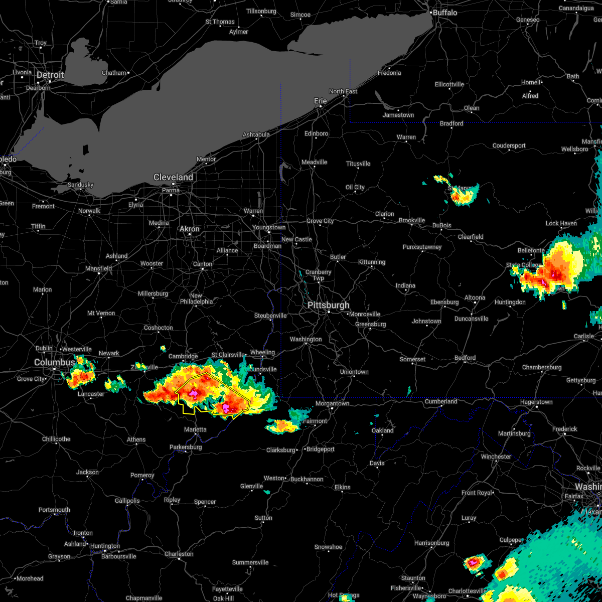 At 741 pm edt, a severe thunderstorm was located near sistersville, or 11 miles south of woodsfield, moving southeast at 35 mph (radar indicated). Hazards include 70 mph wind gusts and ping pong ball size hail. People and animals outdoors will be injured. expect hail damage to roofs, siding, windows, and vehicles. trees snapped and uprooted. Power outages can be expected. At 741 pm edt, a severe thunderstorm was located near sistersville, or 11 miles south of woodsfield, moving southeast at 35 mph (radar indicated). Hazards include 70 mph wind gusts and ping pong ball size hail. People and animals outdoors will be injured. expect hail damage to roofs, siding, windows, and vehicles. trees snapped and uprooted. Power outages can be expected.
|
| 6/16/2022 7:33 PM EDT |
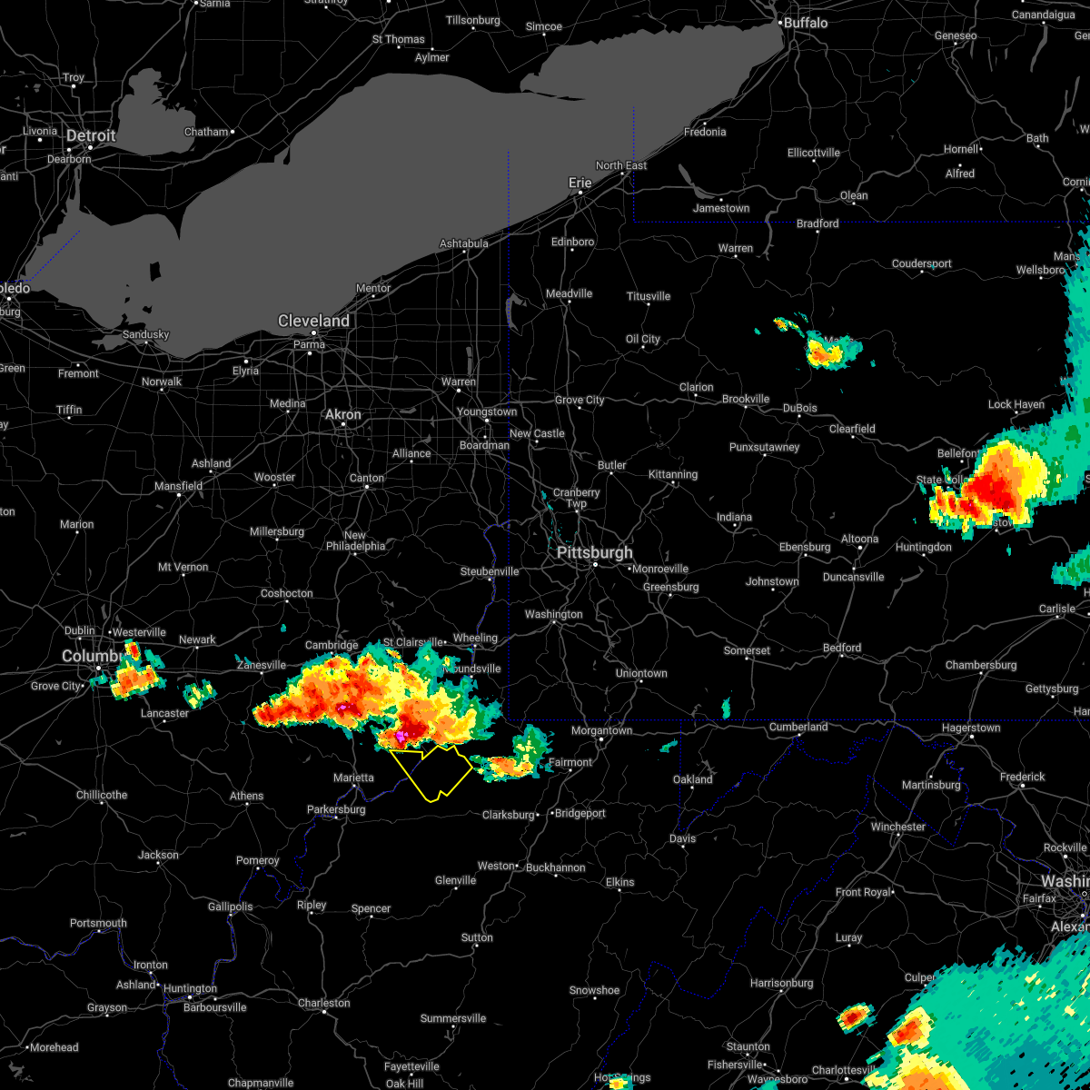 At 733 pm edt, a severe thunderstorm was located 8 miles northwest of sistersville, or 10 miles south of woodsfield, moving southeast at 30 mph (radar indicated). Hazards include 60 mph wind gusts and half dollar size hail. Hail damage to vehicles is expected. Expect wind damage to roofs, siding, and trees. At 733 pm edt, a severe thunderstorm was located 8 miles northwest of sistersville, or 10 miles south of woodsfield, moving southeast at 30 mph (radar indicated). Hazards include 60 mph wind gusts and half dollar size hail. Hail damage to vehicles is expected. Expect wind damage to roofs, siding, and trees.
|
| 6/16/2022 7:16 PM EDT |
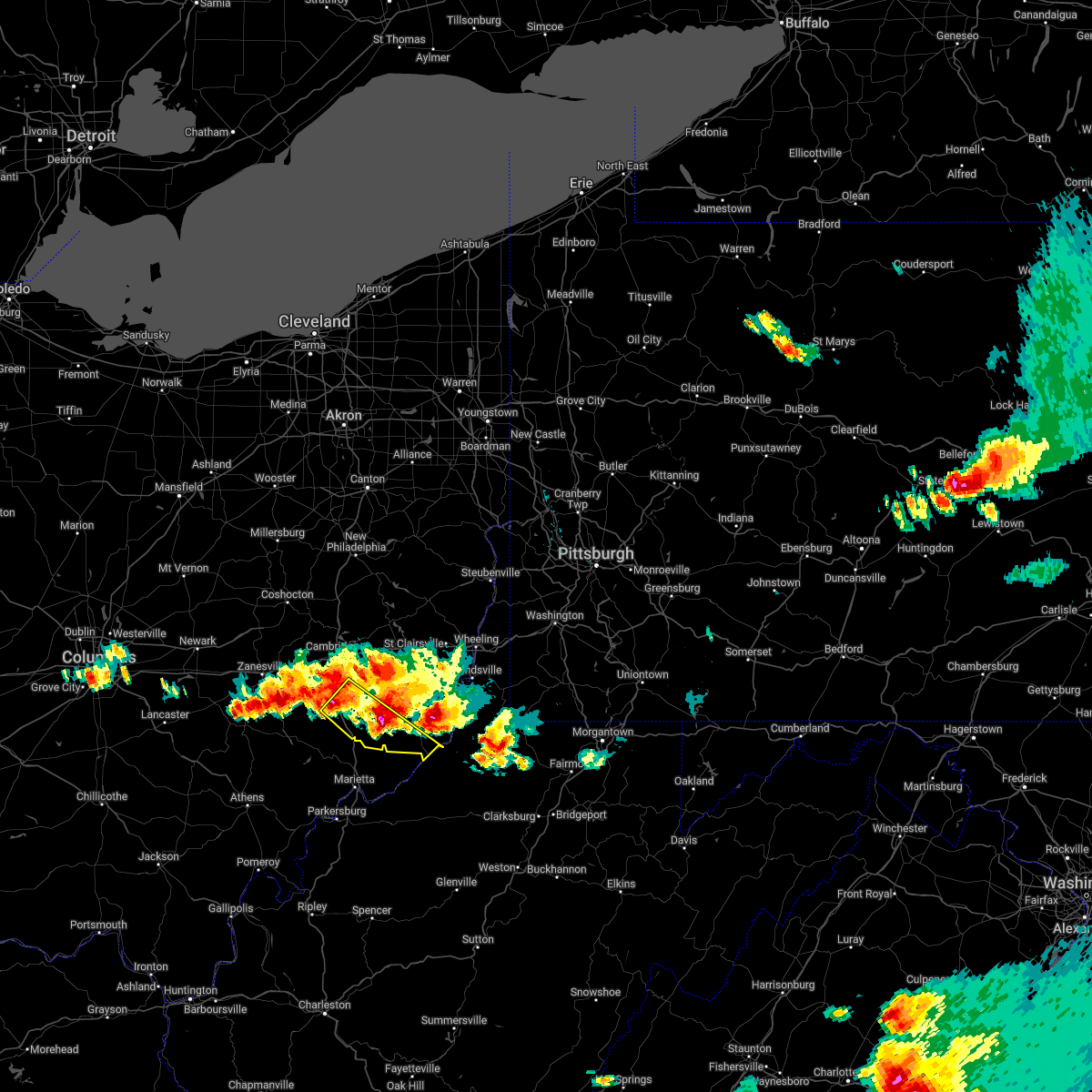 At 716 pm edt, a severe thunderstorm was located 10 miles southwest of woodsfield, moving southeast at 35 mph (radar indicated). Hazards include two inch hail and 60 mph wind gusts. People and animals outdoors will be injured. expect hail damage to roofs, siding, windows, and vehicles. expect wind damage to trees and power lines, resulting in some power outages. locations impacted include, caldwell, dudley, summerfield, belle valley, lewisville, sarahsville, dexter city, fly, antioch, stafford, graysville, and harriettsville. thunderstorm damage threat, considerable hail threat, radar indicated max hail size, 2. 00 in wind threat, radar indicated max wind gust, 60 mph. At 716 pm edt, a severe thunderstorm was located 10 miles southwest of woodsfield, moving southeast at 35 mph (radar indicated). Hazards include two inch hail and 60 mph wind gusts. People and animals outdoors will be injured. expect hail damage to roofs, siding, windows, and vehicles. expect wind damage to trees and power lines, resulting in some power outages. locations impacted include, caldwell, dudley, summerfield, belle valley, lewisville, sarahsville, dexter city, fly, antioch, stafford, graysville, and harriettsville. thunderstorm damage threat, considerable hail threat, radar indicated max hail size, 2. 00 in wind threat, radar indicated max wind gust, 60 mph.
|
| 6/16/2022 7:10 PM EDT |
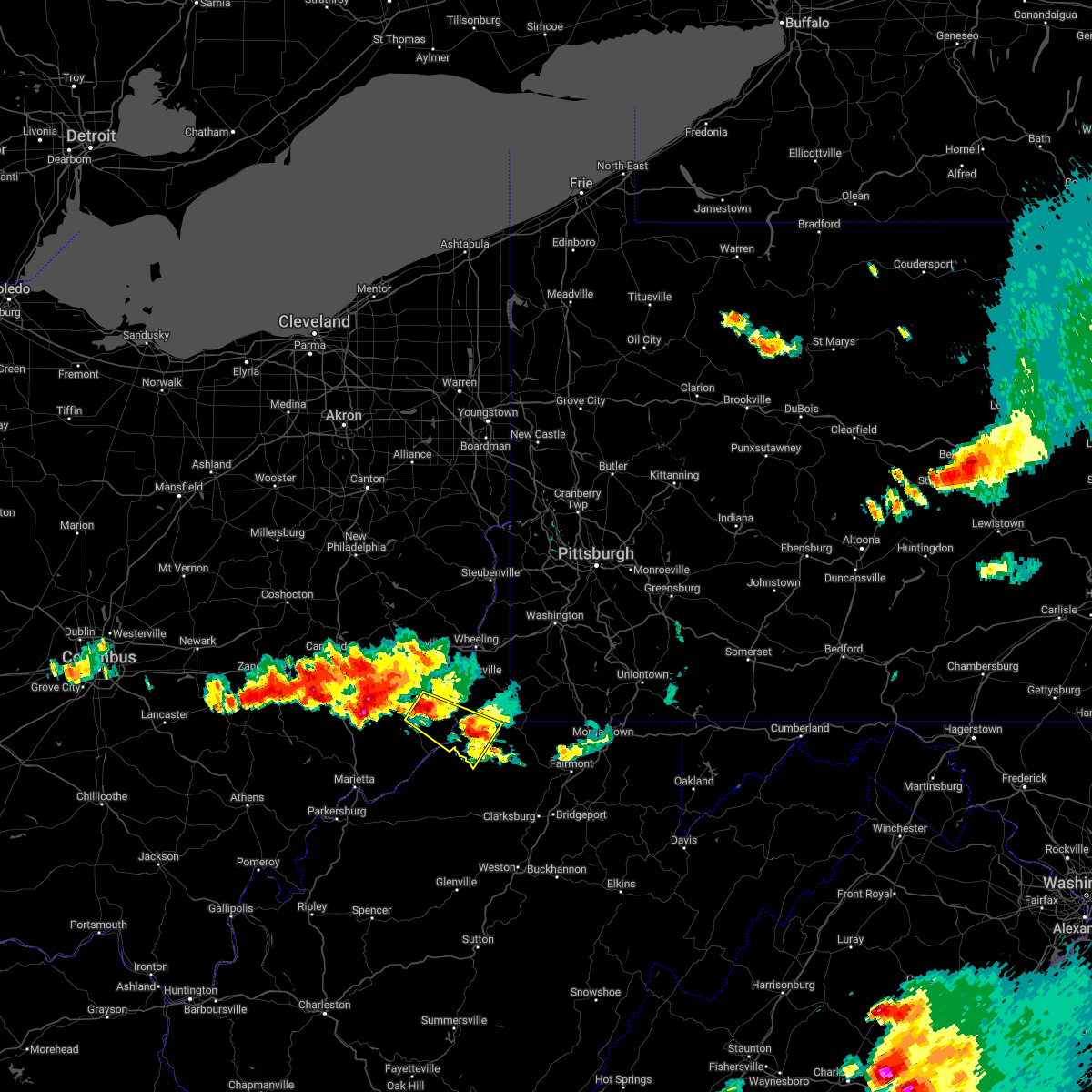 At 710 pm edt, a severe thunderstorm was located near woodsfield, moving southeast at 30 mph (radar indicated). Hazards include 60 mph wind gusts and half dollar size hail. Minor hail damage to vehicles is possible. Expect wind damage to trees and power lines, resulting in some power outages. At 710 pm edt, a severe thunderstorm was located near woodsfield, moving southeast at 30 mph (radar indicated). Hazards include 60 mph wind gusts and half dollar size hail. Minor hail damage to vehicles is possible. Expect wind damage to trees and power lines, resulting in some power outages.
|
| 6/16/2022 7:10 PM EDT |
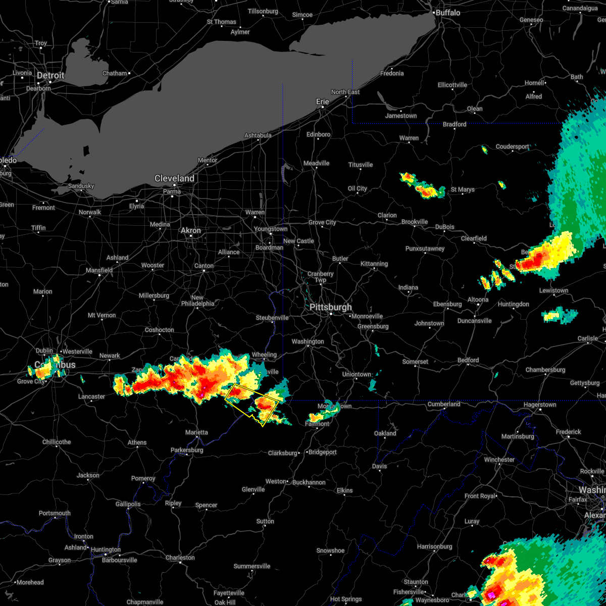 At 710 pm edt, a severe thunderstorm was located near woodsfield, moving southeast at 30 mph (radar indicated). Hazards include 60 mph wind gusts and half dollar size hail. Minor hail damage to vehicles is possible. Expect wind damage to trees and power lines, resulting in some power outages. At 710 pm edt, a severe thunderstorm was located near woodsfield, moving southeast at 30 mph (radar indicated). Hazards include 60 mph wind gusts and half dollar size hail. Minor hail damage to vehicles is possible. Expect wind damage to trees and power lines, resulting in some power outages.
|
| 6/16/2022 6:53 PM EDT |
 At 653 pm edt, a severe thunderstorm was located near caldwell, moving southeast at 35 mph (radar indicated). Hazards include ping pong ball size hail and 60 mph wind gusts. People and animals outdoors will be injured. expect hail damage to roofs, siding, windows, and vehicles. Expect wind damage to trees and power lines, resulting in some power outages. At 653 pm edt, a severe thunderstorm was located near caldwell, moving southeast at 35 mph (radar indicated). Hazards include ping pong ball size hail and 60 mph wind gusts. People and animals outdoors will be injured. expect hail damage to roofs, siding, windows, and vehicles. Expect wind damage to trees and power lines, resulting in some power outages.
|
| 6/16/2022 6:53 PM EDT |
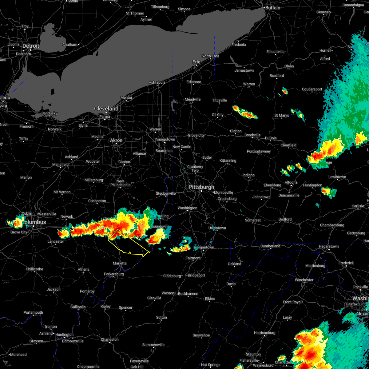 At 653 pm edt, a severe thunderstorm was located near caldwell, moving southeast at 35 mph (radar indicated). Hazards include ping pong ball size hail and 60 mph wind gusts. People and animals outdoors will be injured. expect hail damage to roofs, siding, windows, and vehicles. Expect wind damage to trees and power lines, resulting in some power outages. At 653 pm edt, a severe thunderstorm was located near caldwell, moving southeast at 35 mph (radar indicated). Hazards include ping pong ball size hail and 60 mph wind gusts. People and animals outdoors will be injured. expect hail damage to roofs, siding, windows, and vehicles. Expect wind damage to trees and power lines, resulting in some power outages.
|
| 6/16/2022 6:42 PM EDT |
 At 642 pm edt, a severe thunderstorm was located 8 miles southwest of powhatan point, or 9 miles east of woodsfield, moving southeast at 30 mph (radar indicated). Hazards include 60 mph wind gusts and half dollar size hail. Minor hail damage to vehicles is possible. expect wind damage to trees and power lines, resulting in some power outages. locations impacted include, new martinsville, barnesville, woodsfield, powhatan point, quaker city, sardis, senecaville, beallsville, clarington, lore city, old washington, and lewisville. hail threat, radar indicated max hail size, 1. 25 in wind threat, radar indicated max wind gust, 60 mph. At 642 pm edt, a severe thunderstorm was located 8 miles southwest of powhatan point, or 9 miles east of woodsfield, moving southeast at 30 mph (radar indicated). Hazards include 60 mph wind gusts and half dollar size hail. Minor hail damage to vehicles is possible. expect wind damage to trees and power lines, resulting in some power outages. locations impacted include, new martinsville, barnesville, woodsfield, powhatan point, quaker city, sardis, senecaville, beallsville, clarington, lore city, old washington, and lewisville. hail threat, radar indicated max hail size, 1. 25 in wind threat, radar indicated max wind gust, 60 mph.
|
| 6/16/2022 6:24 PM EDT |
 At 624 pm edt, a severe thunderstorm was located near woodsfield, moving southeast at 35 mph (radar indicated). Hazards include ping pong ball size hail and 60 mph wind gusts. People and animals outdoors will be injured. expect hail damage to roofs, siding, windows, and vehicles. Expect wind damage to trees and power lines, resulting in some power outages. At 624 pm edt, a severe thunderstorm was located near woodsfield, moving southeast at 35 mph (radar indicated). Hazards include ping pong ball size hail and 60 mph wind gusts. People and animals outdoors will be injured. expect hail damage to roofs, siding, windows, and vehicles. Expect wind damage to trees and power lines, resulting in some power outages.
|
| 6/14/2022 4:50 AM EDT |
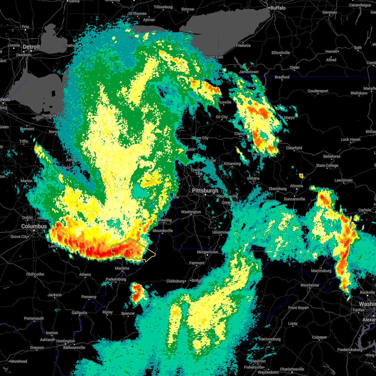 At 450 am edt, severe thunderstorms were located along a line extending from 6 miles northwest of new martinsville to 7 miles northeast of marietta, moving southeast at 55 mph (radar indicated). Hazards include 60 mph wind gusts and nickel size hail. Expect damage to trees and power lines, resulting in some power outages. locations impacted include, woodsfield, caldwell, dudley, sardis, summerfield, lewisville, dexter city, fly, antioch, stafford, graysville, and harriettsville. hail threat, radar indicated max hail size, 0. 88 in wind threat, radar indicated max wind gust, 60 mph. At 450 am edt, severe thunderstorms were located along a line extending from 6 miles northwest of new martinsville to 7 miles northeast of marietta, moving southeast at 55 mph (radar indicated). Hazards include 60 mph wind gusts and nickel size hail. Expect damage to trees and power lines, resulting in some power outages. locations impacted include, woodsfield, caldwell, dudley, sardis, summerfield, lewisville, dexter city, fly, antioch, stafford, graysville, and harriettsville. hail threat, radar indicated max hail size, 0. 88 in wind threat, radar indicated max wind gust, 60 mph.
|
| 6/14/2022 4:31 AM EDT |
 At 430 am edt, severe thunderstorms were located along a line extending from 6 miles northwest of woodsfield to 7 miles northeast of beverly, moving southeast at 55 mph (radar indicated). Hazards include 60 mph wind gusts and nickel size hail. expect damage to trees and power lines, resulting in some power outages At 430 am edt, severe thunderstorms were located along a line extending from 6 miles northwest of woodsfield to 7 miles northeast of beverly, moving southeast at 55 mph (radar indicated). Hazards include 60 mph wind gusts and nickel size hail. expect damage to trees and power lines, resulting in some power outages
|
| 6/14/2022 4:31 AM EDT |
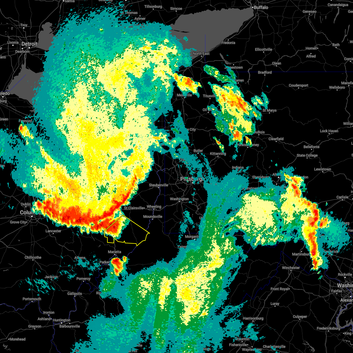 At 430 am edt, severe thunderstorms were located along a line extending from 6 miles northwest of woodsfield to 7 miles northeast of beverly, moving southeast at 55 mph (radar indicated). Hazards include 60 mph wind gusts and nickel size hail. expect damage to trees and power lines, resulting in some power outages At 430 am edt, severe thunderstorms were located along a line extending from 6 miles northwest of woodsfield to 7 miles northeast of beverly, moving southeast at 55 mph (radar indicated). Hazards include 60 mph wind gusts and nickel size hail. expect damage to trees and power lines, resulting in some power outages
|
| 6/8/2022 7:34 PM EDT |
 At 734 pm edt, a severe thunderstorm was located over new martinsville, moving northeast at 25 mph (radar indicated). Hazards include 60 mph wind gusts and quarter size hail. Minor hail damage to vehicles is possible. expect wind damage to trees and power lines, resulting in some power outages. locations impacted include, new martinsville, paden city, sardis, fly, cameron, antioch, porters falls, hannibal, rinard mills, laings, and proctor. hail threat, radar indicated max hail size, 1. 00 in wind threat, radar indicated max wind gust, 60 mph. At 734 pm edt, a severe thunderstorm was located over new martinsville, moving northeast at 25 mph (radar indicated). Hazards include 60 mph wind gusts and quarter size hail. Minor hail damage to vehicles is possible. expect wind damage to trees and power lines, resulting in some power outages. locations impacted include, new martinsville, paden city, sardis, fly, cameron, antioch, porters falls, hannibal, rinard mills, laings, and proctor. hail threat, radar indicated max hail size, 1. 00 in wind threat, radar indicated max wind gust, 60 mph.
|
| 6/8/2022 7:34 PM EDT |
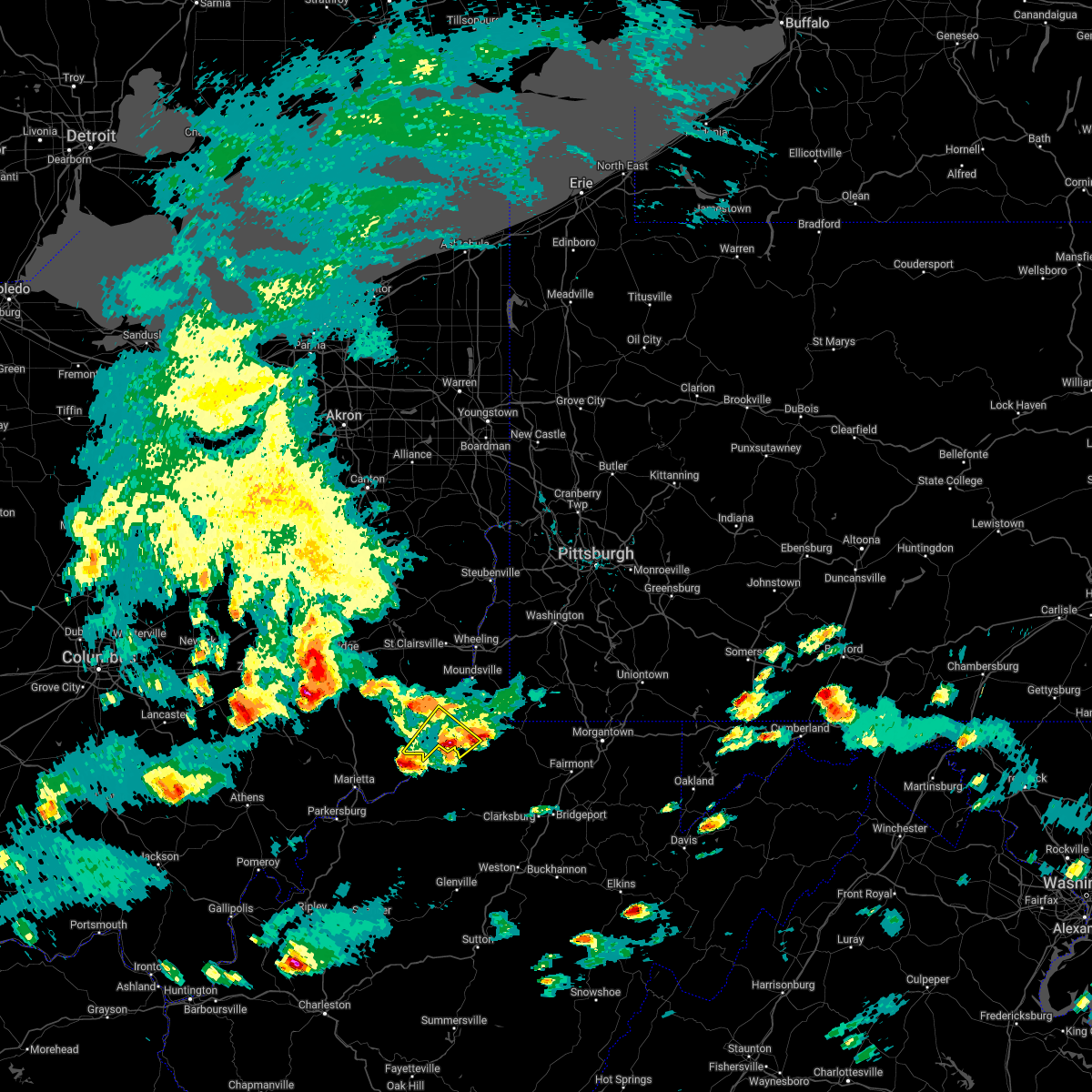 At 734 pm edt, a severe thunderstorm was located over new martinsville, moving northeast at 25 mph (radar indicated). Hazards include 60 mph wind gusts and quarter size hail. Minor hail damage to vehicles is possible. expect wind damage to trees and power lines, resulting in some power outages. locations impacted include, new martinsville, paden city, sardis, fly, cameron, antioch, porters falls, hannibal, rinard mills, laings, and proctor. hail threat, radar indicated max hail size, 1. 00 in wind threat, radar indicated max wind gust, 60 mph. At 734 pm edt, a severe thunderstorm was located over new martinsville, moving northeast at 25 mph (radar indicated). Hazards include 60 mph wind gusts and quarter size hail. Minor hail damage to vehicles is possible. expect wind damage to trees and power lines, resulting in some power outages. locations impacted include, new martinsville, paden city, sardis, fly, cameron, antioch, porters falls, hannibal, rinard mills, laings, and proctor. hail threat, radar indicated max hail size, 1. 00 in wind threat, radar indicated max wind gust, 60 mph.
|
| 1/1/0001 12:00 AM | Quarter sized hail reported 0.5 miles NE of Paden City, WV |
| 6/8/2022 7:12 PM EDT |
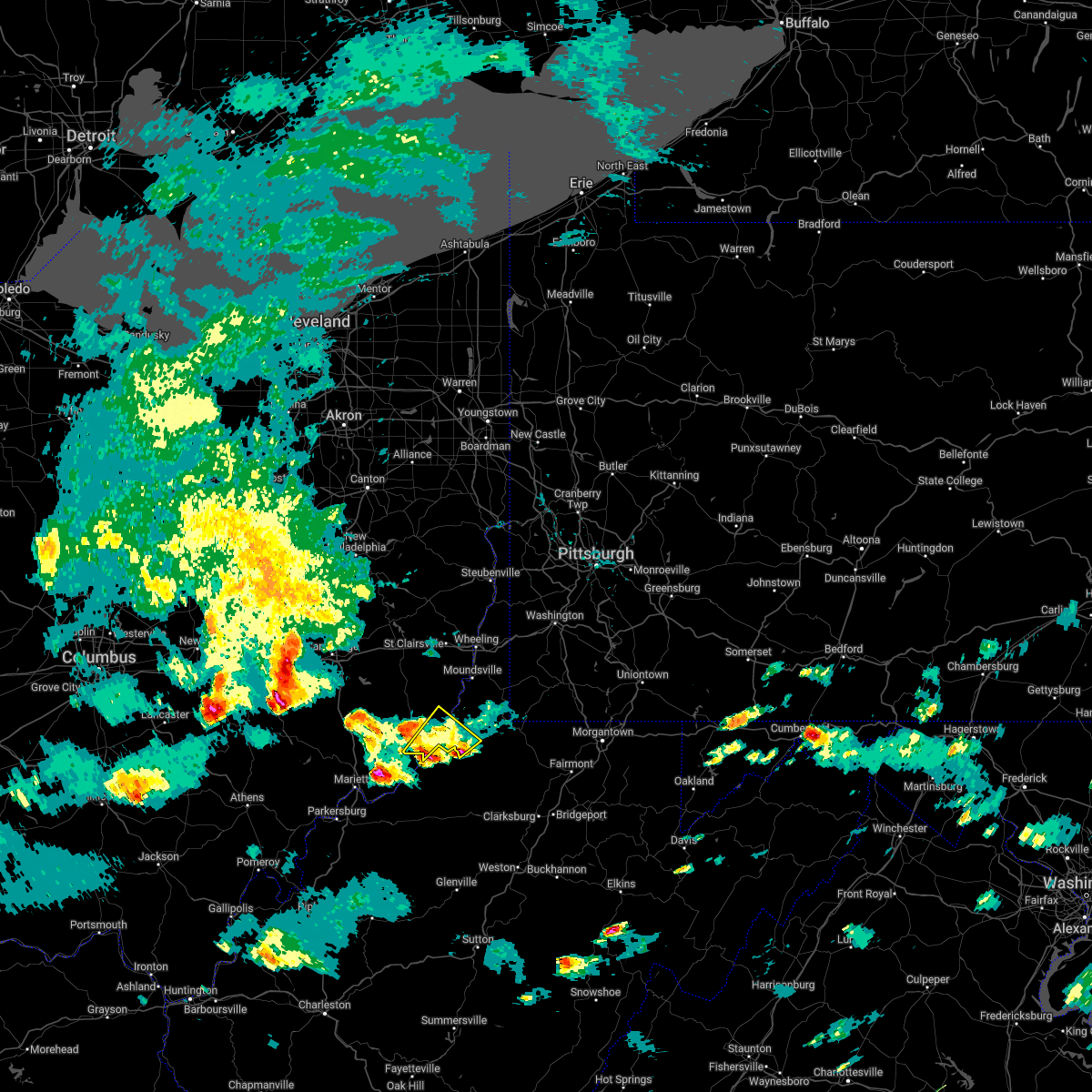 At 712 pm edt, a severe thunderstorm was located over sistersville, or 7 miles northwest of middlebourne, moving northeast at 25 mph (radar indicated). Hazards include 60 mph wind gusts and quarter size hail. Minor hail damage to vehicles is possible. Expect wind damage to trees and power lines, resulting in some power outages. At 712 pm edt, a severe thunderstorm was located over sistersville, or 7 miles northwest of middlebourne, moving northeast at 25 mph (radar indicated). Hazards include 60 mph wind gusts and quarter size hail. Minor hail damage to vehicles is possible. Expect wind damage to trees and power lines, resulting in some power outages.
|
| 9/22/2021 3:13 PM EDT |
 The severe thunderstorm warning for northeastern washington and tyler counties will expire at 315 pm edt, the storms which prompted the warning have moved out of the area. therefore, the warning will be allowed to expire. The severe thunderstorm warning for northeastern washington and tyler counties will expire at 315 pm edt, the storms which prompted the warning have moved out of the area. therefore, the warning will be allowed to expire.
|
| 9/22/2021 3:13 PM EDT |
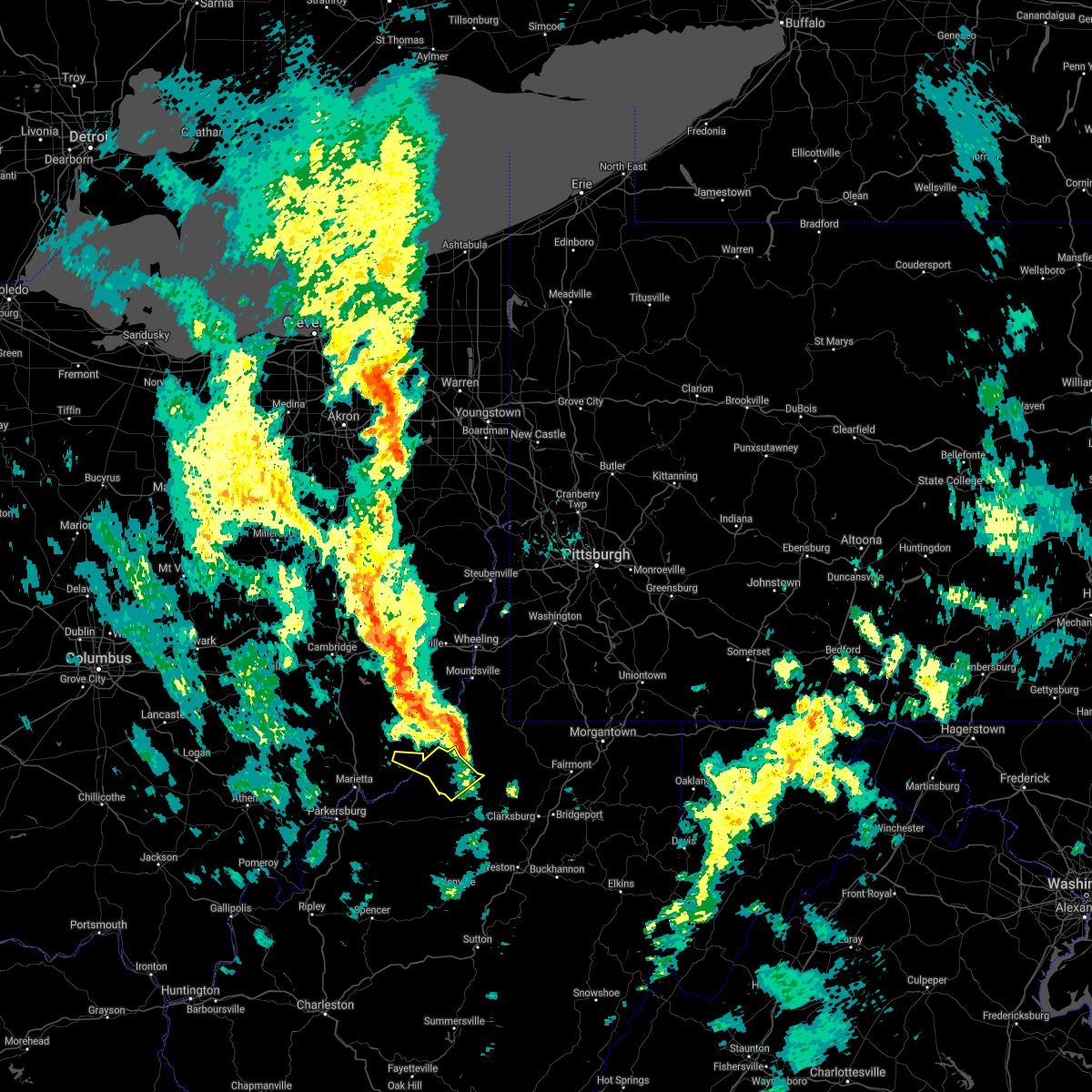 The severe thunderstorm warning for northeastern washington and tyler counties will expire at 315 pm edt, the storms which prompted the warning have moved out of the area. therefore, the warning will be allowed to expire. The severe thunderstorm warning for northeastern washington and tyler counties will expire at 315 pm edt, the storms which prompted the warning have moved out of the area. therefore, the warning will be allowed to expire.
|
| 9/22/2021 3:12 PM EDT |
 At 312 pm edt, a severe thunderstorm was located 7 miles north of new martinsville, moving northeast at 45 mph (radar indicated). Hazards include 60 mph wind gusts. expect damage to trees and power lines, resulting in some power outages At 312 pm edt, a severe thunderstorm was located 7 miles north of new martinsville, moving northeast at 45 mph (radar indicated). Hazards include 60 mph wind gusts. expect damage to trees and power lines, resulting in some power outages
|
| 9/22/2021 3:05 PM EDT |
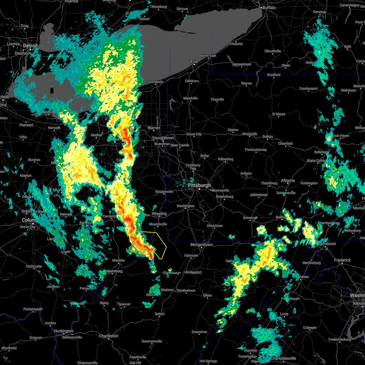 At 305 pm edt, a severe thunderstorm was located 7 miles southeast of woodsfield, moving north at 45 mph (radar indicated). Hazards include 60 mph wind gusts. Expect damage to trees and power lines, resulting in some power outages. Locations impacted include, new martinsville, woodsfield, paden city, pine grove, jacksonburg, sardis, beallsville, clarington, jerusalem, wilson, cameron, and fly. At 305 pm edt, a severe thunderstorm was located 7 miles southeast of woodsfield, moving north at 45 mph (radar indicated). Hazards include 60 mph wind gusts. Expect damage to trees and power lines, resulting in some power outages. Locations impacted include, new martinsville, woodsfield, paden city, pine grove, jacksonburg, sardis, beallsville, clarington, jerusalem, wilson, cameron, and fly.
|
| 9/22/2021 2:58 PM EDT |
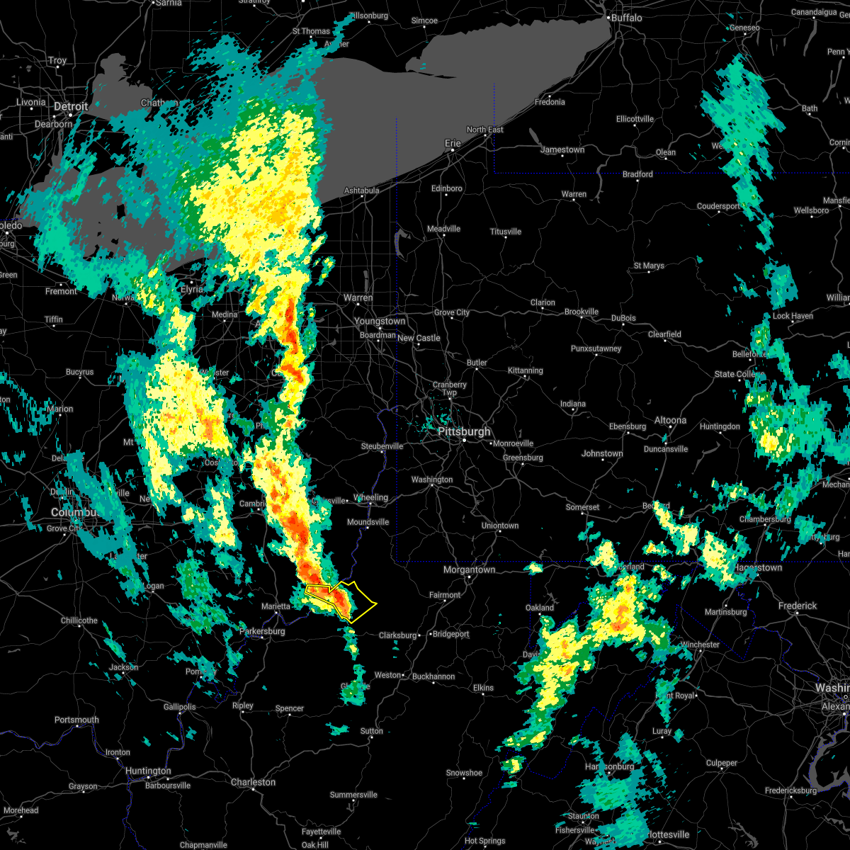 At 257 pm edt, severe thunderstorms were located along a line extending from 7 miles west of paden city to near sistersville to 6 miles south of middlebourne, moving northeast at 40 mph (radar indicated). Hazards include 60 mph wind gusts. Expect damage to roofs, siding, and trees. locations impacted include, middlebourne, sistersville, matamoras, friendly, alma, new matamoras and lima. hail threat, radar indicated max hail size, <. 75 in wind threat, radar indicated max wind gust, 60 mph. At 257 pm edt, severe thunderstorms were located along a line extending from 7 miles west of paden city to near sistersville to 6 miles south of middlebourne, moving northeast at 40 mph (radar indicated). Hazards include 60 mph wind gusts. Expect damage to roofs, siding, and trees. locations impacted include, middlebourne, sistersville, matamoras, friendly, alma, new matamoras and lima. hail threat, radar indicated max hail size, <. 75 in wind threat, radar indicated max wind gust, 60 mph.
|
| 9/22/2021 2:48 PM EDT |
 At 246 pm edt, a severe thunderstorm was located near sistersville, or 8 miles west of middlebourne, moving north at 40 mph (radar indicated). Hazards include 60 mph wind gusts. expect damage to trees and power lines, resulting in some power outages At 246 pm edt, a severe thunderstorm was located near sistersville, or 8 miles west of middlebourne, moving north at 40 mph (radar indicated). Hazards include 60 mph wind gusts. expect damage to trees and power lines, resulting in some power outages
|
| 9/22/2021 2:42 PM EDT |
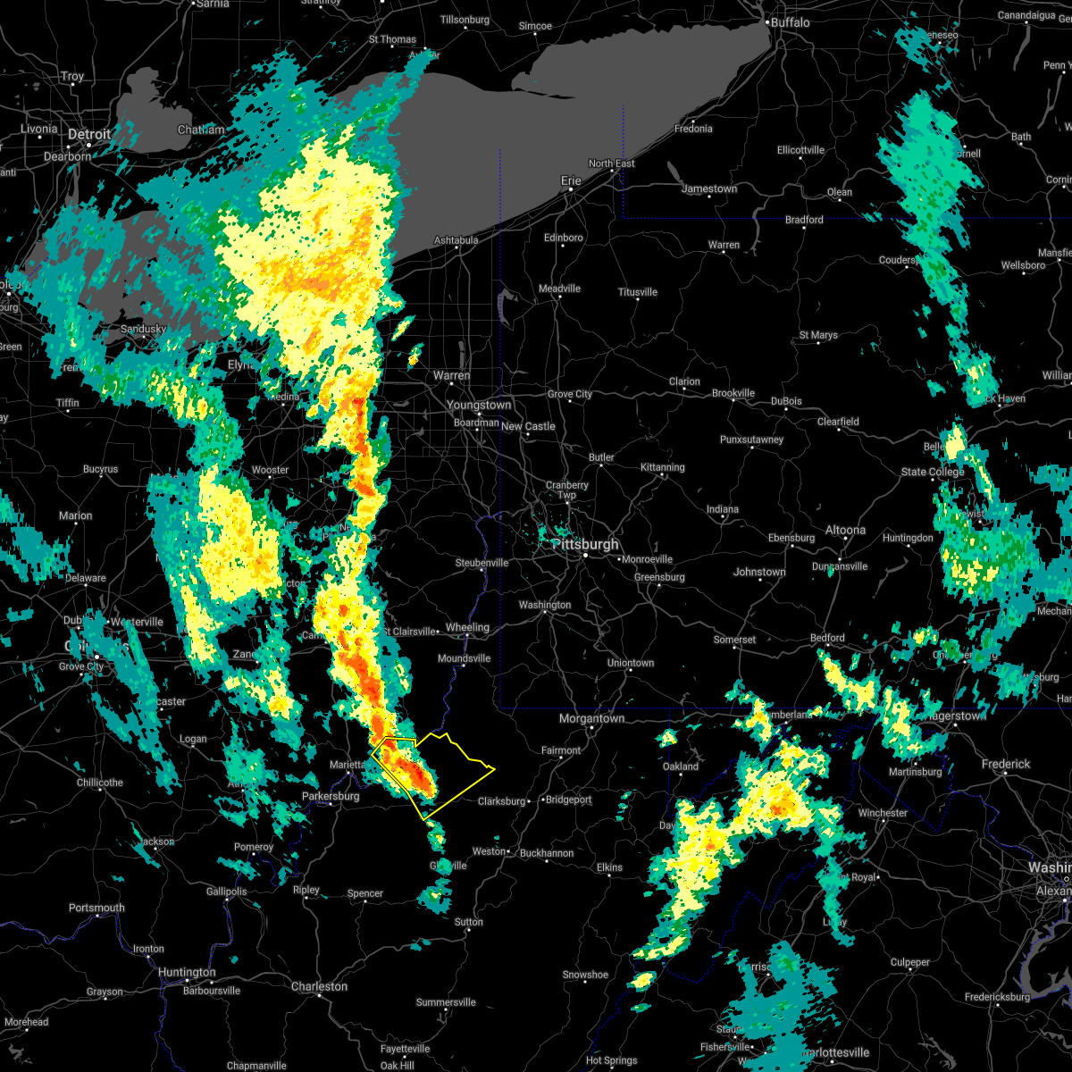 At 242 pm edt, severe thunderstorms were located along a line extending from near st. marys to pennsboro, moving northeast at 35 mph (radar indicated). Hazards include 60 mph wind gusts. expect damage to roofs, siding, and trees At 242 pm edt, severe thunderstorms were located along a line extending from near st. marys to pennsboro, moving northeast at 35 mph (radar indicated). Hazards include 60 mph wind gusts. expect damage to roofs, siding, and trees
|
| 8/10/2021 4:24 PM EDT |
 At 424 pm edt, a severe thunderstorm was located over paden city, or near new martinsville, moving east at 20 mph (radar indicated). Hazards include 60 mph wind gusts. Expect damage to trees and power lines, resulting in some power outages. locations impacted include, new martinsville, paden city, sardis, fly, and hannibal. hail threat, radar indicated max hail size, <. 75 in wind threat, radar indicated max wind gust, 60 mph. At 424 pm edt, a severe thunderstorm was located over paden city, or near new martinsville, moving east at 20 mph (radar indicated). Hazards include 60 mph wind gusts. Expect damage to trees and power lines, resulting in some power outages. locations impacted include, new martinsville, paden city, sardis, fly, and hannibal. hail threat, radar indicated max hail size, <. 75 in wind threat, radar indicated max wind gust, 60 mph.
|
| 8/10/2021 4:17 PM EDT |
 At 417 pm edt, a severe thunderstorm was located near sistersville, or 8 miles west of new martinsville, moving east at 20 mph (radar indicated). Hazards include 60 mph wind gusts. expect damage to trees and power lines, resulting in some power outages At 417 pm edt, a severe thunderstorm was located near sistersville, or 8 miles west of new martinsville, moving east at 20 mph (radar indicated). Hazards include 60 mph wind gusts. expect damage to trees and power lines, resulting in some power outages
|
| 8/10/2021 4:17 PM EDT |
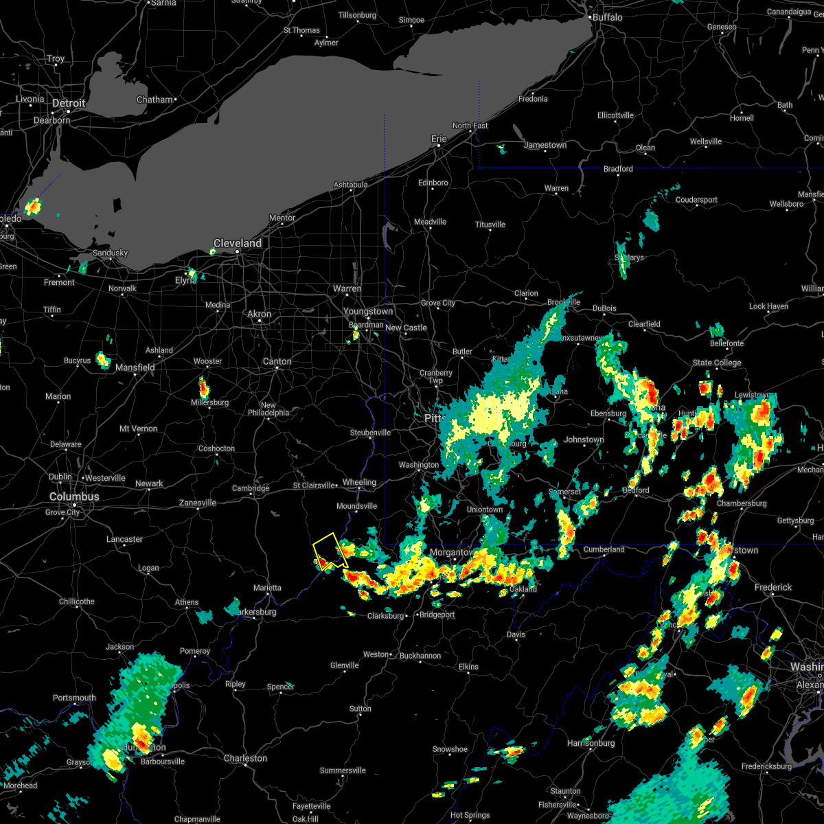 At 417 pm edt, a severe thunderstorm was located near sistersville, or 8 miles west of new martinsville, moving east at 20 mph (radar indicated). Hazards include 60 mph wind gusts. expect damage to trees and power lines, resulting in some power outages At 417 pm edt, a severe thunderstorm was located near sistersville, or 8 miles west of new martinsville, moving east at 20 mph (radar indicated). Hazards include 60 mph wind gusts. expect damage to trees and power lines, resulting in some power outages
|
| 8/10/2021 3:24 PM EDT |
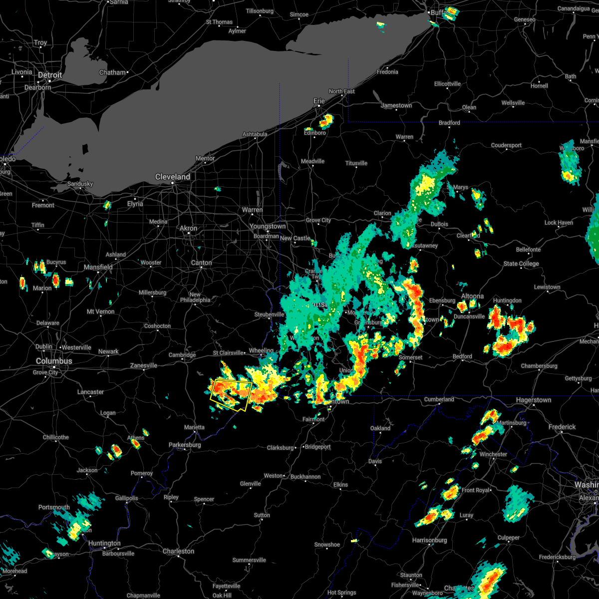 The severe thunderstorm warning for monroe, western wetzel and marshall counties will expire at 330 pm edt, the storm which prompted the warning has weakened below severe limits, and no longer poses an immediate threat to life or property. therefore, the warning will be allowed to expire. however gusty winds and heavy rain are still possible with this thunderstorm. The severe thunderstorm warning for monroe, western wetzel and marshall counties will expire at 330 pm edt, the storm which prompted the warning has weakened below severe limits, and no longer poses an immediate threat to life or property. therefore, the warning will be allowed to expire. however gusty winds and heavy rain are still possible with this thunderstorm.
|
| 8/10/2021 3:02 PM EDT |
 At 302 pm edt, a severe thunderstorm was located near woodsfield, moving east at 20 mph (radar indicated). Hazards include 60 mph wind gusts and quarter size hail. Minor hail damage to vehicles is possible. expect wind damage to trees and power lines, resulting in some power outages. locations impacted include, woodsfield, sardis, beallsville, clarington, lewisville, jerusalem, cameron, antioch, stafford, graysville, miltonsburg, and laings. hail threat, radar indicated max hail size, 1. 00 in wind threat, radar indicated max wind gust, 60 mph. At 302 pm edt, a severe thunderstorm was located near woodsfield, moving east at 20 mph (radar indicated). Hazards include 60 mph wind gusts and quarter size hail. Minor hail damage to vehicles is possible. expect wind damage to trees and power lines, resulting in some power outages. locations impacted include, woodsfield, sardis, beallsville, clarington, lewisville, jerusalem, cameron, antioch, stafford, graysville, miltonsburg, and laings. hail threat, radar indicated max hail size, 1. 00 in wind threat, radar indicated max wind gust, 60 mph.
|
| 8/10/2021 2:47 PM EDT |
 At 247 pm edt, a severe thunderstorm was located over woodsfield, moving east at 15 mph (radar indicated). Hazards include 60 mph wind gusts and quarter size hail. Minor hail damage to vehicles is possible. Expect wind damage to trees and power lines, resulting in some power outages. At 247 pm edt, a severe thunderstorm was located over woodsfield, moving east at 15 mph (radar indicated). Hazards include 60 mph wind gusts and quarter size hail. Minor hail damage to vehicles is possible. Expect wind damage to trees and power lines, resulting in some power outages.
|
| 8/10/2021 2:47 PM EDT |
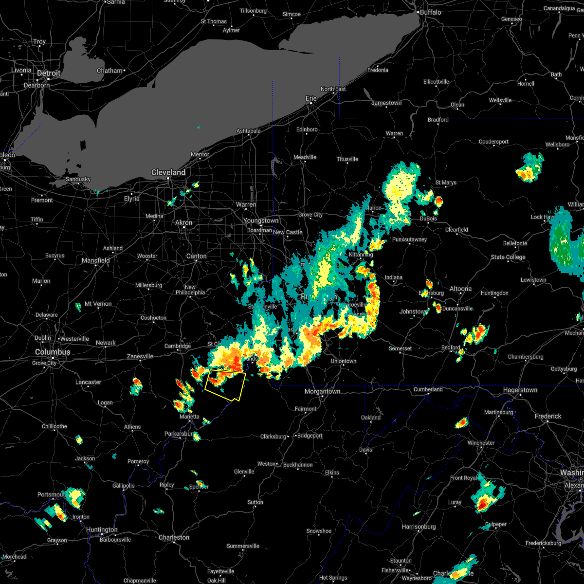 At 247 pm edt, a severe thunderstorm was located over woodsfield, moving east at 15 mph (radar indicated). Hazards include 60 mph wind gusts and quarter size hail. Minor hail damage to vehicles is possible. Expect wind damage to trees and power lines, resulting in some power outages. At 247 pm edt, a severe thunderstorm was located over woodsfield, moving east at 15 mph (radar indicated). Hazards include 60 mph wind gusts and quarter size hail. Minor hail damage to vehicles is possible. Expect wind damage to trees and power lines, resulting in some power outages.
|
| 6/21/2021 5:08 PM EDT |
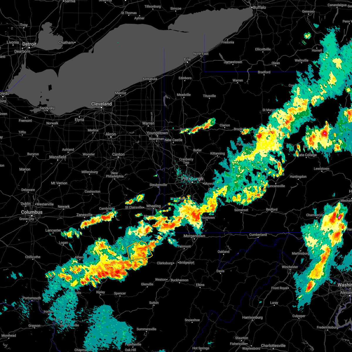 At 506 pm edt, a severe thunderstorm was located near sistersville, or near middlebourne, moving east at 20 mph (radar indicated). Hazards include 60 mph wind gusts and penny size hail. Expect damage to roofs, siding, and trees. locations impacted include, st. Marys, middlebourne, sistersville, matamoras, friendly, alma, maxwell, arvilla, point lookout, new matamoras, wick, mountain and hebron. At 506 pm edt, a severe thunderstorm was located near sistersville, or near middlebourne, moving east at 20 mph (radar indicated). Hazards include 60 mph wind gusts and penny size hail. Expect damage to roofs, siding, and trees. locations impacted include, st. Marys, middlebourne, sistersville, matamoras, friendly, alma, maxwell, arvilla, point lookout, new matamoras, wick, mountain and hebron.
|
| 6/21/2021 5:08 PM EDT |
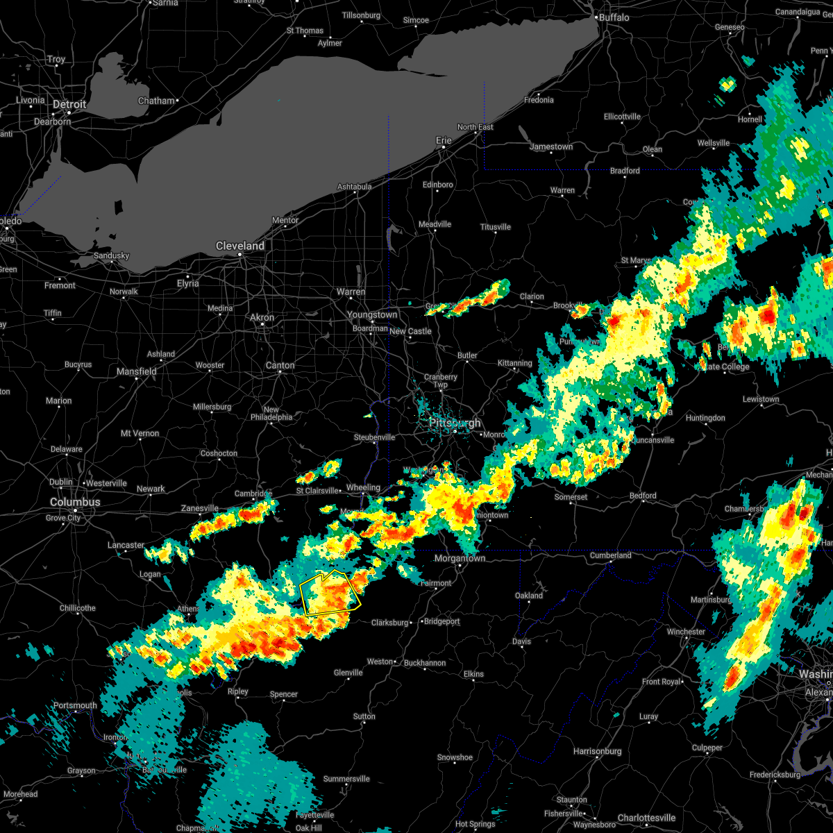 At 506 pm edt, a severe thunderstorm was located near sistersville, or near middlebourne, moving east at 20 mph (radar indicated). Hazards include 60 mph wind gusts and penny size hail. Expect damage to roofs, siding, and trees. locations impacted include, st. Marys, middlebourne, sistersville, matamoras, friendly, alma, maxwell, arvilla, point lookout, new matamoras, wick, mountain and hebron. At 506 pm edt, a severe thunderstorm was located near sistersville, or near middlebourne, moving east at 20 mph (radar indicated). Hazards include 60 mph wind gusts and penny size hail. Expect damage to roofs, siding, and trees. locations impacted include, st. Marys, middlebourne, sistersville, matamoras, friendly, alma, maxwell, arvilla, point lookout, new matamoras, wick, mountain and hebron.
|
| 6/21/2021 4:41 PM EDT |
 At 440 pm edt, a severe thunderstorm was located near st. marys, moving east at 20 mph (radar indicated). Hazards include 60 mph wind gusts and penny size hail. expect damage to roofs, siding, and trees At 440 pm edt, a severe thunderstorm was located near st. marys, moving east at 20 mph (radar indicated). Hazards include 60 mph wind gusts and penny size hail. expect damage to roofs, siding, and trees
|
| 6/14/2021 6:16 PM EDT |
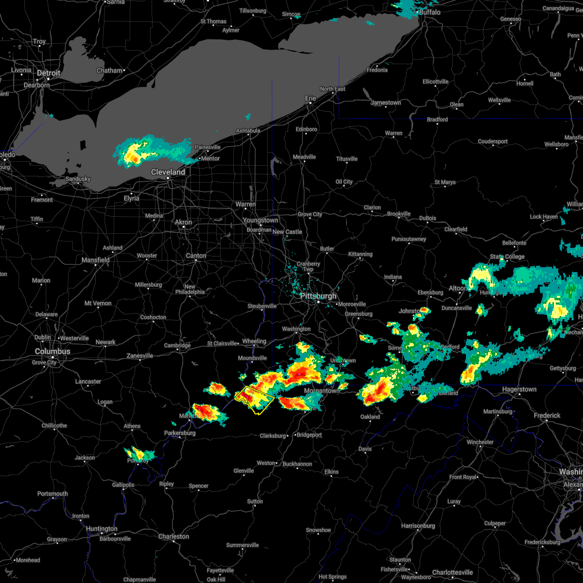 At 616 pm edt, a severe thunderstorm was located near new martinsville, moving southeast at 20 mph (radar). Hazards include wind gusts to 60 mph. expect damage to trees and power lines, resulting in some power outages At 616 pm edt, a severe thunderstorm was located near new martinsville, moving southeast at 20 mph (radar). Hazards include wind gusts to 60 mph. expect damage to trees and power lines, resulting in some power outages
|
| 6/14/2021 6:16 PM EDT |
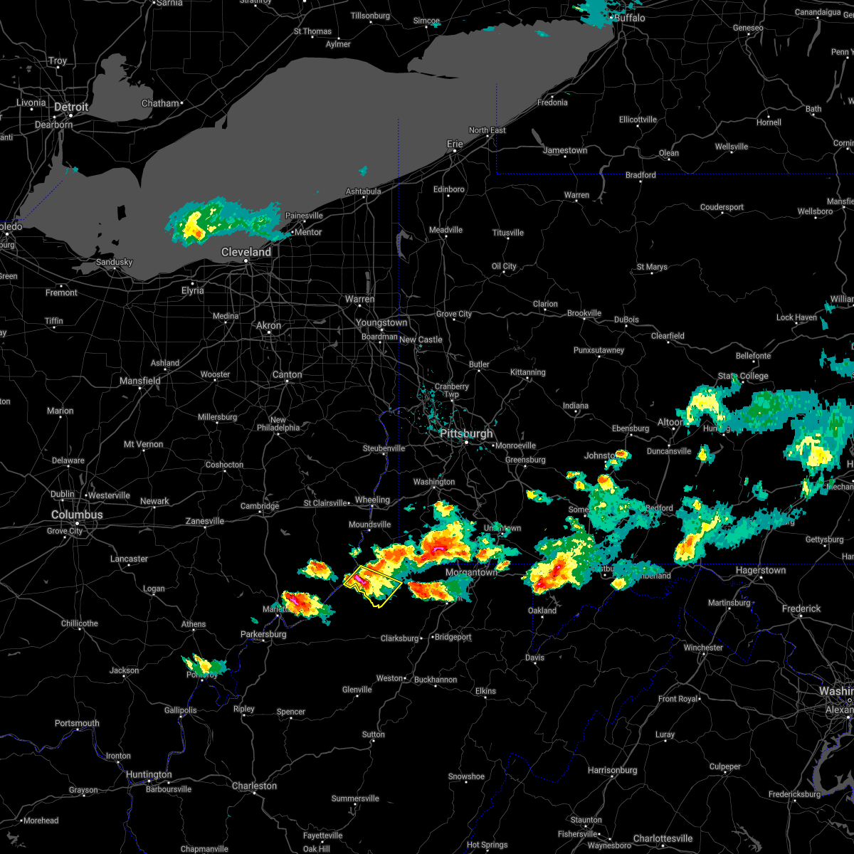 At 616 pm edt, a severe thunderstorm was located near new martinsville, moving southeast at 20 mph (radar). Hazards include wind gusts to 60 mph. expect damage to trees and power lines, resulting in some power outages At 616 pm edt, a severe thunderstorm was located near new martinsville, moving southeast at 20 mph (radar). Hazards include wind gusts to 60 mph. expect damage to trees and power lines, resulting in some power outages
|
| 6/14/2021 5:47 PM EDT |
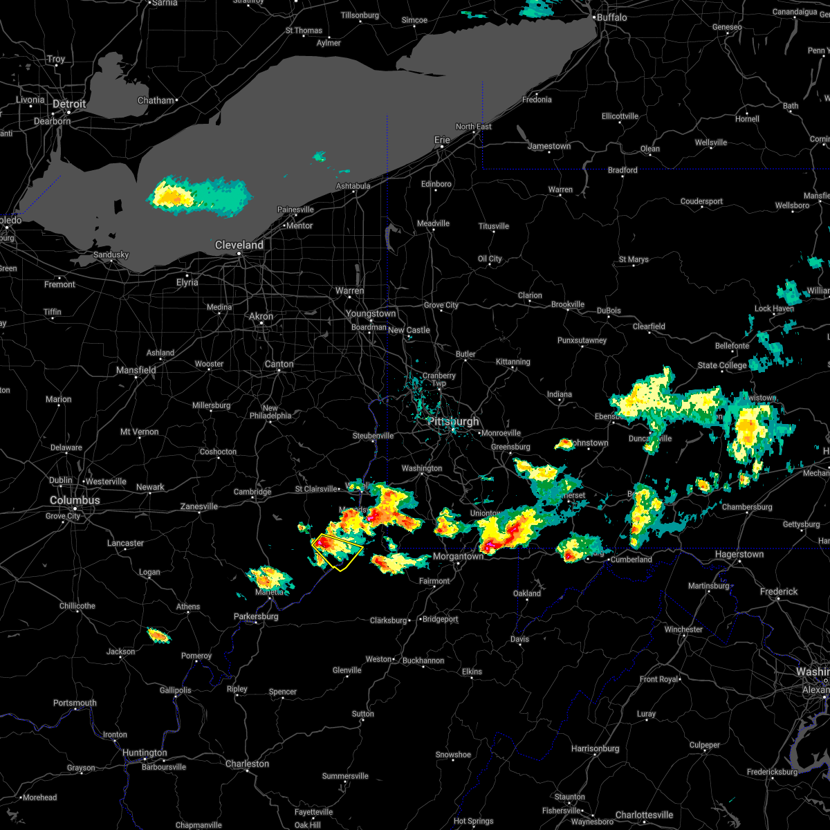 At 547 pm edt, a severe thunderstorm was located near woodsfield, moving east at 30 mph (radar). Hazards include wind gusts to 60 mph and quarter-size hail. Minor hail damage to vehicles is possible. Expect wind damage to trees and power lines, resulting in some power outages. At 547 pm edt, a severe thunderstorm was located near woodsfield, moving east at 30 mph (radar). Hazards include wind gusts to 60 mph and quarter-size hail. Minor hail damage to vehicles is possible. Expect wind damage to trees and power lines, resulting in some power outages.
|
| 6/14/2021 5:47 PM EDT |
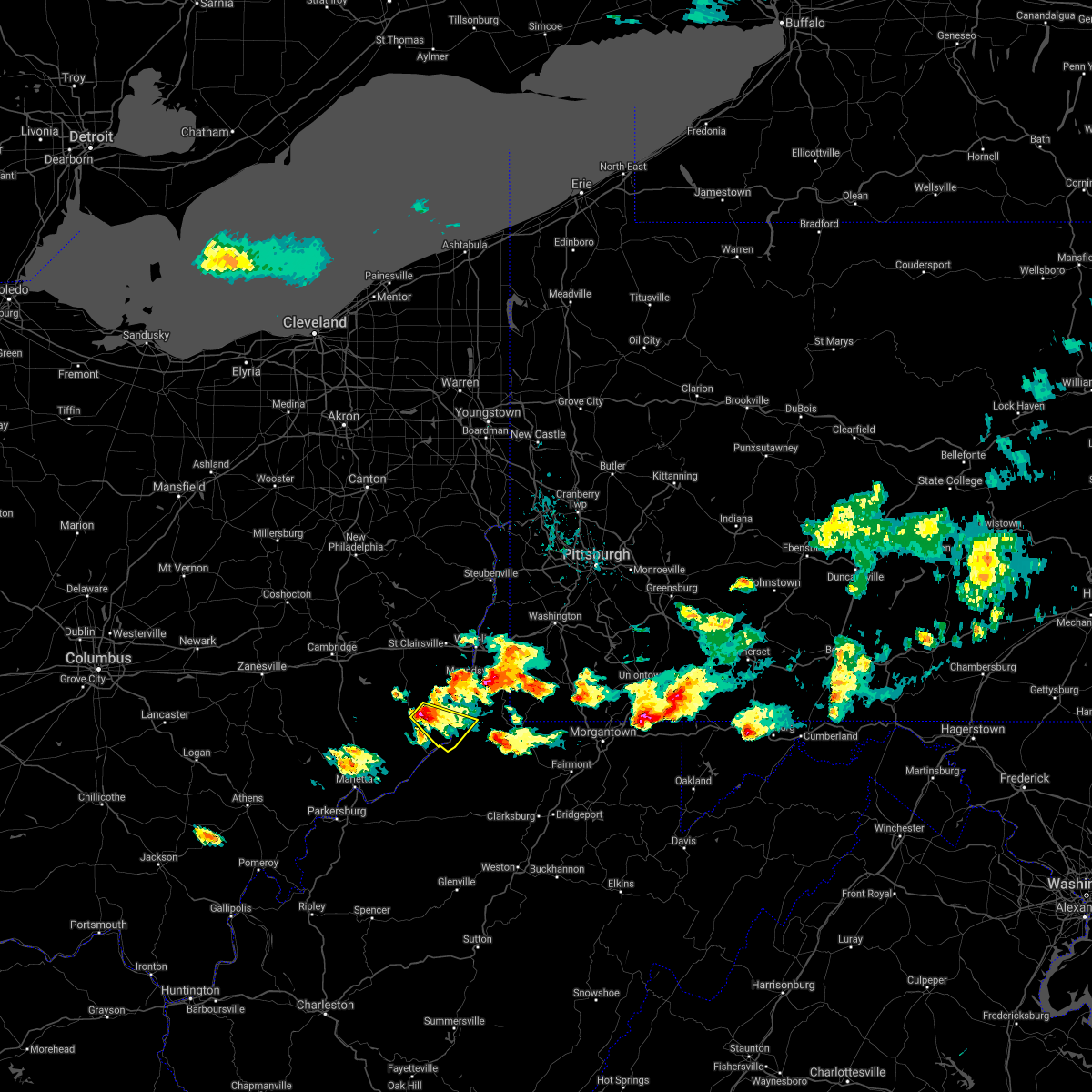 At 547 pm edt, a severe thunderstorm was located near woodsfield, moving east at 30 mph (radar). Hazards include wind gusts to 60 mph and quarter-size hail. Minor hail damage to vehicles is possible. Expect wind damage to trees and power lines, resulting in some power outages. At 547 pm edt, a severe thunderstorm was located near woodsfield, moving east at 30 mph (radar). Hazards include wind gusts to 60 mph and quarter-size hail. Minor hail damage to vehicles is possible. Expect wind damage to trees and power lines, resulting in some power outages.
|
| 8/25/2020 4:18 PM EDT |
 At 418 pm edt, a severe thunderstorm was located near cameron, or 13 miles southeast of moundsville, moving southeast at 25 mph (radar). Hazards include wind gusts to 60 mph and quarter-size hail. Minor hail damage to vehicles is possible. expect wind damage to trees and power lines, resulting in some power outages. Locations impacted include, new martinsville, waynesburg, woodsfield, mannington, paden city, powhatan point, fairdale, pine grove, hundred, jacksonburg, rogersville, sardis, this includes interstate 79 in pennsylvania between mile markers 3 and 13. At 418 pm edt, a severe thunderstorm was located near cameron, or 13 miles southeast of moundsville, moving southeast at 25 mph (radar). Hazards include wind gusts to 60 mph and quarter-size hail. Minor hail damage to vehicles is possible. expect wind damage to trees and power lines, resulting in some power outages. Locations impacted include, new martinsville, waynesburg, woodsfield, mannington, paden city, powhatan point, fairdale, pine grove, hundred, jacksonburg, rogersville, sardis, this includes interstate 79 in pennsylvania between mile markers 3 and 13.
|
| 8/25/2020 4:12 PM EDT |
 At 412 pm edt, a severe thunderstorm was located near cameron, or 11 miles southeast of moundsville, moving southeast at 25 mph (radar). Hazards include wind gusts to 60 mph and quarter-size hail. Minor hail damage to vehicles is possible. expect wind damage to trees and power lines, resulting in some power outages. locations impacted include, wheeling, moundsville, martins ferry, new martinsville, st. clairsville, bellaire, waynesburg, bethlehem, woodsfield, mannington, triadelphia, shadyside, this includes the following highways, interstate 70 in ohio between mile markers 217 and 225. interstate 70 in west virginia between mile markers 0 and 10. Interstate 79 in pennsylvania between mile markers 3 and 18. At 412 pm edt, a severe thunderstorm was located near cameron, or 11 miles southeast of moundsville, moving southeast at 25 mph (radar). Hazards include wind gusts to 60 mph and quarter-size hail. Minor hail damage to vehicles is possible. expect wind damage to trees and power lines, resulting in some power outages. locations impacted include, wheeling, moundsville, martins ferry, new martinsville, st. clairsville, bellaire, waynesburg, bethlehem, woodsfield, mannington, triadelphia, shadyside, this includes the following highways, interstate 70 in ohio between mile markers 217 and 225. interstate 70 in west virginia between mile markers 0 and 10. Interstate 79 in pennsylvania between mile markers 3 and 18.
|
| 8/25/2020 4:12 PM EDT |
 At 338 pm edt, a severe thunderstorm was located near powhatan point, or near moundsville, moving southeast at 25 mph (radar). Hazards include wind gusts to 60 mph and quarter-size hail. Minor hail damage to vehicles is possible. Expect wind damage to trees and power lines, resulting in some power outages. At 338 pm edt, a severe thunderstorm was located near powhatan point, or near moundsville, moving southeast at 25 mph (radar). Hazards include wind gusts to 60 mph and quarter-size hail. Minor hail damage to vehicles is possible. Expect wind damage to trees and power lines, resulting in some power outages.
|
| 8/25/2020 4:12 PM EDT |
 At 412 pm edt, a severe thunderstorm was located near cameron, or 11 miles southeast of moundsville, moving southeast at 25 mph (radar). Hazards include wind gusts to 60 mph and quarter-size hail. Minor hail damage to vehicles is possible. expect wind damage to trees and power lines, resulting in some power outages. locations impacted include, wheeling, moundsville, martins ferry, new martinsville, st. clairsville, bellaire, waynesburg, bethlehem, woodsfield, mannington, triadelphia, shadyside, this includes the following highways, interstate 70 in ohio between mile markers 217 and 225. interstate 70 in west virginia between mile markers 0 and 10. Interstate 79 in pennsylvania between mile markers 3 and 18. At 412 pm edt, a severe thunderstorm was located near cameron, or 11 miles southeast of moundsville, moving southeast at 25 mph (radar). Hazards include wind gusts to 60 mph and quarter-size hail. Minor hail damage to vehicles is possible. expect wind damage to trees and power lines, resulting in some power outages. locations impacted include, wheeling, moundsville, martins ferry, new martinsville, st. clairsville, bellaire, waynesburg, bethlehem, woodsfield, mannington, triadelphia, shadyside, this includes the following highways, interstate 70 in ohio between mile markers 217 and 225. interstate 70 in west virginia between mile markers 0 and 10. Interstate 79 in pennsylvania between mile markers 3 and 18.
|
| 8/25/2020 3:39 PM EDT |
 At 338 pm edt, a severe thunderstorm was located near powhatan point, or near moundsville, moving southeast at 25 mph (radar). Hazards include wind gusts to 60 mph and quarter-size hail. Minor hail damage to vehicles is possible. Expect wind damage to trees and power lines, resulting in some power outages. At 338 pm edt, a severe thunderstorm was located near powhatan point, or near moundsville, moving southeast at 25 mph (radar). Hazards include wind gusts to 60 mph and quarter-size hail. Minor hail damage to vehicles is possible. Expect wind damage to trees and power lines, resulting in some power outages.
|
| 6/3/2020 4:01 PM EDT |
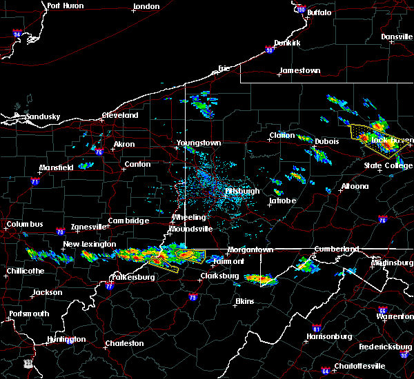 At 400 pm edt, a severe thunderstorm was located over paden city, or near middlebourne, moving east at 25 mph (radar indicated). Hazards include 60 mph wind gusts and quarter size hail. Hail damage to vehicles is expected. Expect wind damage to roofs, siding, and trees. At 400 pm edt, a severe thunderstorm was located over paden city, or near middlebourne, moving east at 25 mph (radar indicated). Hazards include 60 mph wind gusts and quarter size hail. Hail damage to vehicles is expected. Expect wind damage to roofs, siding, and trees.
|
| 1/11/2020 5:00 PM EST |
 At 500 pm est, severe thunderstorms were located along a line extending from near paden city to 7 miles southeast of middlebourne to 8 miles southeast of harrisville to 6 miles northwest of glenville to near grantsville, moving east at 55 mph (radar indicated). Hazards include 70 mph wind gusts. Expect considerable tree damage. Damage is likely to mobile homes, roofs, and outbuildings. At 500 pm est, severe thunderstorms were located along a line extending from near paden city to 7 miles southeast of middlebourne to 8 miles southeast of harrisville to 6 miles northwest of glenville to near grantsville, moving east at 55 mph (radar indicated). Hazards include 70 mph wind gusts. Expect considerable tree damage. Damage is likely to mobile homes, roofs, and outbuildings.
|
| 1/11/2020 4:52 PM EST |
 At 452 pm est, severe thunderstorms were located along a line extending from near woodsfield to near pennsboro to 10 miles east of elizabeth, moving northeast at 55 mph (radar indicated). Hazards include 60 mph wind gusts. Expect damage to roofs, siding, and trees. Locations impacted include, harrisville, middlebourne, sistersville, pennsboro, west union, north bend state park, matamoras, ellenboro, pullman, friendly, alma, greenwood, arvilla, point lookout, new matamoras, smithburg, wick, mountain, lima and hebron. At 452 pm est, severe thunderstorms were located along a line extending from near woodsfield to near pennsboro to 10 miles east of elizabeth, moving northeast at 55 mph (radar indicated). Hazards include 60 mph wind gusts. Expect damage to roofs, siding, and trees. Locations impacted include, harrisville, middlebourne, sistersville, pennsboro, west union, north bend state park, matamoras, ellenboro, pullman, friendly, alma, greenwood, arvilla, point lookout, new matamoras, smithburg, wick, mountain, lima and hebron.
|
| 1/11/2020 4:39 PM EST |
 At 438 pm est, severe thunderstorms were located along a line extending from 13 miles southeast of caldwell to near north bend state park to near elizabeth, moving northeast at 55 mph (radar indicated. a wind gust of 57 mph was reported with this line near parkersburg). Hazards include 60 mph wind gusts. expect damage to roofs, siding, and trees At 438 pm est, severe thunderstorms were located along a line extending from 13 miles southeast of caldwell to near north bend state park to near elizabeth, moving northeast at 55 mph (radar indicated. a wind gust of 57 mph was reported with this line near parkersburg). Hazards include 60 mph wind gusts. expect damage to roofs, siding, and trees
|
| 9/28/2019 7:44 PM EDT |
 The severe thunderstorm warning for southeastern monroe and northwestern wetzel counties will expire at 745 pm edt, the storm that prompted the warning has moved out of the area. a new severe thunderstorm warning has been issued for eastern wetzel county with this storm. The severe thunderstorm warning for southeastern monroe and northwestern wetzel counties will expire at 745 pm edt, the storm that prompted the warning has moved out of the area. a new severe thunderstorm warning has been issued for eastern wetzel county with this storm.
|
| 9/28/2019 7:39 PM EDT |
 The severe thunderstorm warning for northeastern tyler county will expire at 745 pm edt, the storm which prompted the warning has moved out of the area. therefore, the warning will be allowed to expire. however small hail, gusty winds and heavy rain are still possible with this thunderstorm. The severe thunderstorm warning for northeastern tyler county will expire at 745 pm edt, the storm which prompted the warning has moved out of the area. therefore, the warning will be allowed to expire. however small hail, gusty winds and heavy rain are still possible with this thunderstorm.
|
| 9/28/2019 7:25 PM EDT |
 At 724 pm edt, a severe thunderstorm was located over new martinsville, moving east at 20 mph (radar). Hazards include wind gusts to 60 mph and quarter-size hail. Minor hail damage to vehicles is possible. expect wind damage to trees and power lines, resulting in some power outages. Locations impacted include, new martinsville, pine grove, sardis, porters falls, wileyville, proctor, hannibal, reader,. At 724 pm edt, a severe thunderstorm was located over new martinsville, moving east at 20 mph (radar). Hazards include wind gusts to 60 mph and quarter-size hail. Minor hail damage to vehicles is possible. expect wind damage to trees and power lines, resulting in some power outages. Locations impacted include, new martinsville, pine grove, sardis, porters falls, wileyville, proctor, hannibal, reader,.
|
| 9/28/2019 7:23 PM EDT |
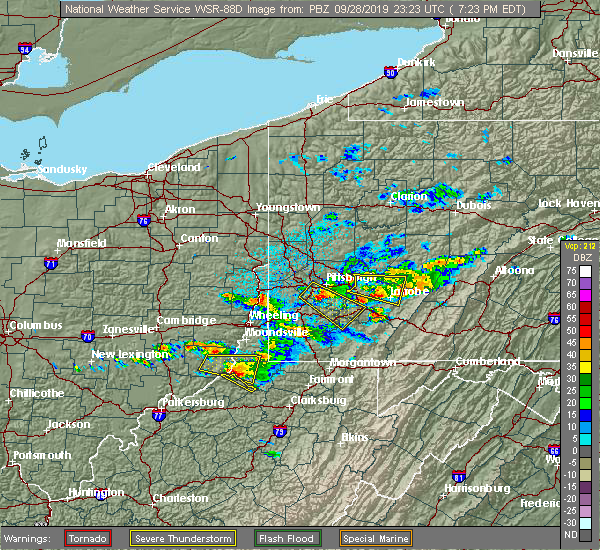 At 722 pm edt, a severe thunderstorm was located over new martinsville, moving southeast at 30 mph (radar indicated). Hazards include quarter size hail. Damage to vehicles is expected. This severe thunderstorm will remain over mainly rural areas of northeastern tyler county. At 722 pm edt, a severe thunderstorm was located over new martinsville, moving southeast at 30 mph (radar indicated). Hazards include quarter size hail. Damage to vehicles is expected. This severe thunderstorm will remain over mainly rural areas of northeastern tyler county.
|
| 9/28/2019 6:57 PM EDT |
 At 657 pm edt, a severe thunderstorm was located near woodsfield, moving east at 20 mph (radar). Hazards include wind gusts to 60 mph and quarter-size hail. Minor hail damage to vehicles is possible. Expect wind damage to trees and power lines, resulting in some power outages. At 657 pm edt, a severe thunderstorm was located near woodsfield, moving east at 20 mph (radar). Hazards include wind gusts to 60 mph and quarter-size hail. Minor hail damage to vehicles is possible. Expect wind damage to trees and power lines, resulting in some power outages.
|
| 9/28/2019 6:57 PM EDT |
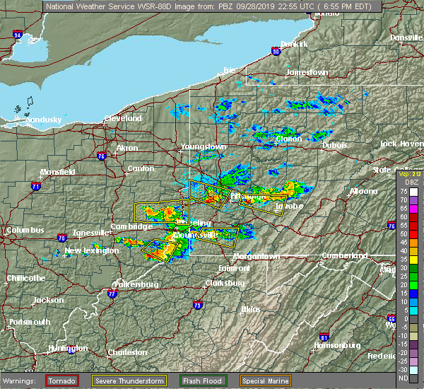 At 657 pm edt, a severe thunderstorm was located near woodsfield, moving east at 20 mph (radar). Hazards include wind gusts to 60 mph and quarter-size hail. Minor hail damage to vehicles is possible. Expect wind damage to trees and power lines, resulting in some power outages. At 657 pm edt, a severe thunderstorm was located near woodsfield, moving east at 20 mph (radar). Hazards include wind gusts to 60 mph and quarter-size hail. Minor hail damage to vehicles is possible. Expect wind damage to trees and power lines, resulting in some power outages.
|
| 8/20/2019 9:18 PM EDT |
 At 918 pm edt, a severe thunderstorm was located over middlebourne, moving east at 25 mph (radar indicated). Hazards include 60 mph wind gusts and quarter size hail. Hail damage to vehicles is expected. expect wind damage to roofs, siding, and trees. Locations impacted include, middlebourne, sistersville, matamoras, friendly, alma, wick, mountain, lima, center point, sedalia, canton and new matamoras. At 918 pm edt, a severe thunderstorm was located over middlebourne, moving east at 25 mph (radar indicated). Hazards include 60 mph wind gusts and quarter size hail. Hail damage to vehicles is expected. expect wind damage to roofs, siding, and trees. Locations impacted include, middlebourne, sistersville, matamoras, friendly, alma, wick, mountain, lima, center point, sedalia, canton and new matamoras.
|
| 8/20/2019 8:59 PM EDT |
 At 859 pm edt, a severe thunderstorm was located 7 miles southwest of middlebourne, moving east at 30 mph (radar indicated). Hazards include 60 mph wind gusts and quarter size hail. Hail damage to vehicles is expected. Expect wind damage to roofs, siding, and trees. At 859 pm edt, a severe thunderstorm was located 7 miles southwest of middlebourne, moving east at 30 mph (radar indicated). Hazards include 60 mph wind gusts and quarter size hail. Hail damage to vehicles is expected. Expect wind damage to roofs, siding, and trees.
|
| 8/20/2019 8:59 PM EDT |
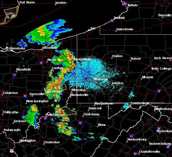 The national weather service in charleston west virginia has issued a * severe thunderstorm warning for. east central washington county in southeastern ohio. northeastern pleasants county in northwestern west virginia. northeastern ritchie county in northwestern west virginia. Northern doddridge county in northern west virginia. The national weather service in charleston west virginia has issued a * severe thunderstorm warning for. east central washington county in southeastern ohio. northeastern pleasants county in northwestern west virginia. northeastern ritchie county in northwestern west virginia. Northern doddridge county in northern west virginia.
|
| 6/24/2019 5:41 PM EDT |
 At 541 pm edt, severe thunderstorms were located along a line extending from 6 miles northwest of sistersville to near new martinsville, moving north at 25 mph (radar). Hazards include wind gusts to 60 mph. damage to trees and power lines At 541 pm edt, severe thunderstorms were located along a line extending from 6 miles northwest of sistersville to near new martinsville, moving north at 25 mph (radar). Hazards include wind gusts to 60 mph. damage to trees and power lines
|
| 6/2/2019 1:40 PM EDT |
 At 140 pm edt, a severe thunderstorm was located over new martinsville, moving east at 15 mph (radar). Hazards include quarter-size hail. Minor damage to vehicles is possible. Locations impacted include, new martinsville, paden city, sardis, fly, antioch, porters falls, hannibal, rinard mills,. At 140 pm edt, a severe thunderstorm was located over new martinsville, moving east at 15 mph (radar). Hazards include quarter-size hail. Minor damage to vehicles is possible. Locations impacted include, new martinsville, paden city, sardis, fly, antioch, porters falls, hannibal, rinard mills,.
|
| 6/2/2019 1:40 PM EDT |
 At 131 pm edt, a severe thunderstorm was located over new martinsville, moving east at 15 mph (radar). Hazards include quarter-size hail. Minor damage to vehicles is possible. Locations impacted include, new martinsville, paden city, sardis, fly, antioch, graysville, porters falls, hannibal, rinard mills,. At 131 pm edt, a severe thunderstorm was located over new martinsville, moving east at 15 mph (radar). Hazards include quarter-size hail. Minor damage to vehicles is possible. Locations impacted include, new martinsville, paden city, sardis, fly, antioch, graysville, porters falls, hannibal, rinard mills,.
|
| 6/2/2019 1:31 PM EDT |
 At 131 pm edt, a severe thunderstorm was located over new martinsville, moving east at 15 mph (radar). Hazards include quarter-size hail. Minor damage to vehicles is possible. Locations impacted include, new martinsville, paden city, sardis, fly, antioch, graysville, porters falls, hannibal, rinard mills,. At 131 pm edt, a severe thunderstorm was located over new martinsville, moving east at 15 mph (radar). Hazards include quarter-size hail. Minor damage to vehicles is possible. Locations impacted include, new martinsville, paden city, sardis, fly, antioch, graysville, porters falls, hannibal, rinard mills,.
|
| 6/2/2019 1:19 PM EDT |
 At 119 pm edt, a severe thunderstorm was located over paden city, or near new martinsville, moving east at 15 mph (radar). Hazards include quarter-size hail. Minor damage to vehicles is possible. Locations impacted include, new martinsville, paden city, sardis, fly, antioch, stafford, graysville, porters falls, proctor, hannibal, rinard mills,. At 119 pm edt, a severe thunderstorm was located over paden city, or near new martinsville, moving east at 15 mph (radar). Hazards include quarter-size hail. Minor damage to vehicles is possible. Locations impacted include, new martinsville, paden city, sardis, fly, antioch, stafford, graysville, porters falls, proctor, hannibal, rinard mills,.
|
| 6/2/2019 1:04 PM EDT |
 At 104 pm edt, a severe thunderstorm was located near paden city, or near new martinsville, moving east at 15 mph (radar). Hazards include quarter-size hail. minor damage to vehicles is possible At 104 pm edt, a severe thunderstorm was located near paden city, or near new martinsville, moving east at 15 mph (radar). Hazards include quarter-size hail. minor damage to vehicles is possible
|
| 6/2/2019 1:04 PM EDT |
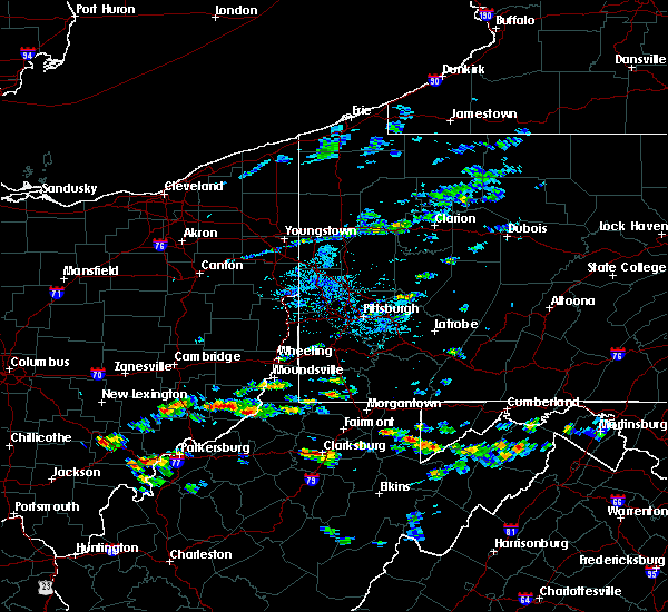 At 104 pm edt, a severe thunderstorm was located near paden city, or near new martinsville, moving east at 15 mph (radar). Hazards include quarter-size hail. minor damage to vehicles is possible At 104 pm edt, a severe thunderstorm was located near paden city, or near new martinsville, moving east at 15 mph (radar). Hazards include quarter-size hail. minor damage to vehicles is possible
|
| 5/25/2019 6:05 PM EDT |
 At 605 pm edt, a severe thunderstorm was located near middlebourne, moving east at 35 mph (radar indicated). Hazards include 60 mph wind gusts and quarter size hail. Hail damage to vehicles is expected. Expect wind damage to roofs, siding, and trees. At 605 pm edt, a severe thunderstorm was located near middlebourne, moving east at 35 mph (radar indicated). Hazards include 60 mph wind gusts and quarter size hail. Hail damage to vehicles is expected. Expect wind damage to roofs, siding, and trees.
|
| 5/25/2019 12:51 PM EDT |
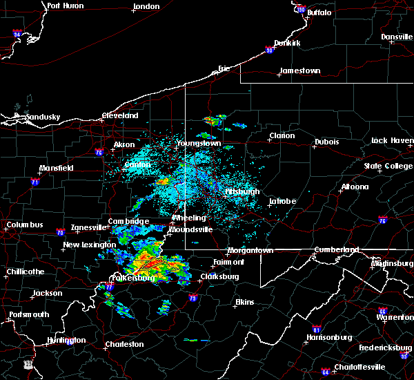 At 1250 pm edt, a severe thunderstorm was located 7 miles southwest of sistersville, or 7 miles northeast of st. marys, moving northeast at 25 mph (radar indicated). Hazards include 60 mph wind gusts and quarter size hail. Hail damage to vehicles is expected. expect wind damage to roofs, siding, and trees. Locations impacted include, paden city, sistersville, friendly and point lookout. At 1250 pm edt, a severe thunderstorm was located 7 miles southwest of sistersville, or 7 miles northeast of st. marys, moving northeast at 25 mph (radar indicated). Hazards include 60 mph wind gusts and quarter size hail. Hail damage to vehicles is expected. expect wind damage to roofs, siding, and trees. Locations impacted include, paden city, sistersville, friendly and point lookout.
|
| 5/25/2019 12:24 PM EDT |
 At 1224 pm edt, a severe thunderstorm was located near belmont, or near st. marys, moving northeast at 25 mph (radar indicated). Hazards include 60 mph wind gusts and quarter size hail. Hail damage to vehicles is expected. Expect wind damage to roofs, siding, and trees. At 1224 pm edt, a severe thunderstorm was located near belmont, or near st. marys, moving northeast at 25 mph (radar indicated). Hazards include 60 mph wind gusts and quarter size hail. Hail damage to vehicles is expected. Expect wind damage to roofs, siding, and trees.
|
| 5/25/2019 12:24 PM EDT |
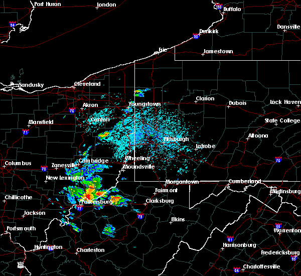 At 1224 pm edt, a severe thunderstorm was located near belmont, or near st. marys, moving northeast at 25 mph (radar indicated). Hazards include 60 mph wind gusts and quarter size hail. Hail damage to vehicles is expected. Expect wind damage to roofs, siding, and trees. At 1224 pm edt, a severe thunderstorm was located near belmont, or near st. marys, moving northeast at 25 mph (radar indicated). Hazards include 60 mph wind gusts and quarter size hail. Hail damage to vehicles is expected. Expect wind damage to roofs, siding, and trees.
|
| 5/22/2018 6:35 PM EDT |
 At 635 pm edt, a severe thunderstorm was located near sistersville, or 12 miles south of woodsfield, moving east at 15 mph (radar indicated). Hazards include 60 mph wind gusts and quarter size hail. Hail damage to vehicles is expected. Expect wind damage to roofs, siding, and trees. At 635 pm edt, a severe thunderstorm was located near sistersville, or 12 miles south of woodsfield, moving east at 15 mph (radar indicated). Hazards include 60 mph wind gusts and quarter size hail. Hail damage to vehicles is expected. Expect wind damage to roofs, siding, and trees.
|
| 5/22/2018 6:35 PM EDT |
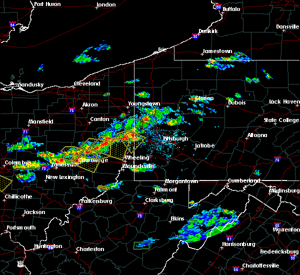 At 635 pm edt, a severe thunderstorm was located near sistersville, or 12 miles south of woodsfield, moving east at 15 mph (radar indicated). Hazards include 60 mph wind gusts and quarter size hail. Hail damage to vehicles is expected. Expect wind damage to roofs, siding, and trees. At 635 pm edt, a severe thunderstorm was located near sistersville, or 12 miles south of woodsfield, moving east at 15 mph (radar indicated). Hazards include 60 mph wind gusts and quarter size hail. Hail damage to vehicles is expected. Expect wind damage to roofs, siding, and trees.
|
| 5/15/2018 7:25 PM EDT |
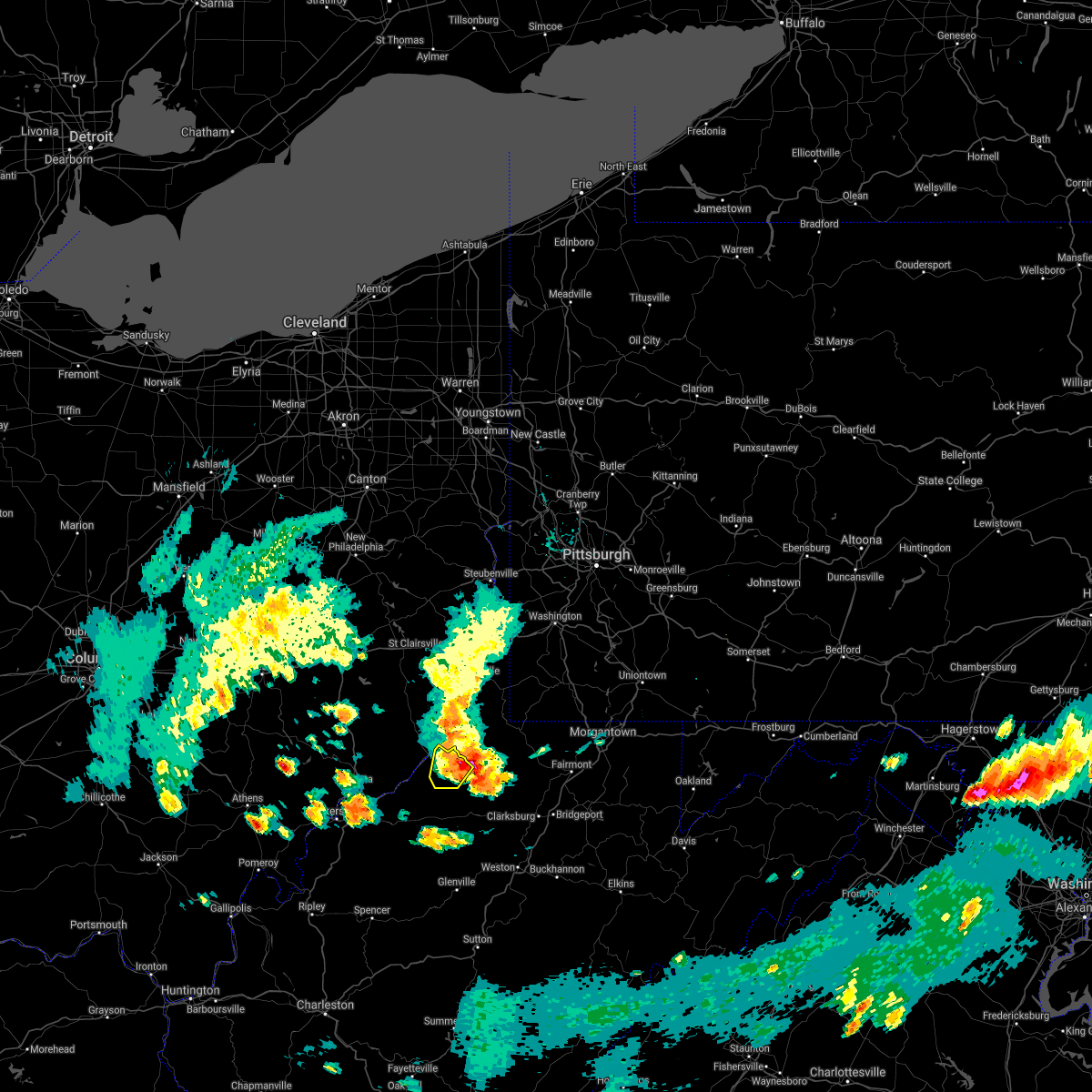 The severe thunderstorm warning for north central tyler county will expire at 730 pm edt, the storms which prompted the warning have moved out of the area. therefore the warning will be allowed to expire. The severe thunderstorm warning for north central tyler county will expire at 730 pm edt, the storms which prompted the warning have moved out of the area. therefore the warning will be allowed to expire.
|
| 5/15/2018 7:12 PM EDT |
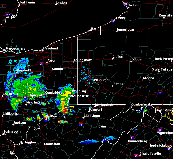 At 711 pm edt, severe thunderstorms were located along a line extending from near paden city to near middlebourne, moving east at 35 mph (radar indicated). Hazards include 60 mph wind gusts and quarter size hail. Hail damage to vehicles is expected. expect wind damage to roofs, siding, and trees. locations impacted include, middlebourne, paden city and alma. At 711 pm edt, severe thunderstorms were located along a line extending from near paden city to near middlebourne, moving east at 35 mph (radar indicated). Hazards include 60 mph wind gusts and quarter size hail. Hail damage to vehicles is expected. expect wind damage to roofs, siding, and trees. locations impacted include, middlebourne, paden city and alma.
|
| 5/15/2018 7:10 PM EDT |
 At 710 pm edt, severe thunderstorms were located along a line extending from near paden city to sistersville to 7 miles southwest of middlebourne, moving east at 35 mph (radar). Hazards include wind gusts to 60 mph and quarter-size hail. Minor hail damage to vehicles is possible. expect wind damage to trees and power lines, resulting in some power outages. Locations impacted include, new martinsville, paden city, pine grove, sardis, porters falls, wileyville, reader,. At 710 pm edt, severe thunderstorms were located along a line extending from near paden city to sistersville to 7 miles southwest of middlebourne, moving east at 35 mph (radar). Hazards include wind gusts to 60 mph and quarter-size hail. Minor hail damage to vehicles is possible. expect wind damage to trees and power lines, resulting in some power outages. Locations impacted include, new martinsville, paden city, pine grove, sardis, porters falls, wileyville, reader,.
|
| 5/15/2018 6:55 PM EDT |
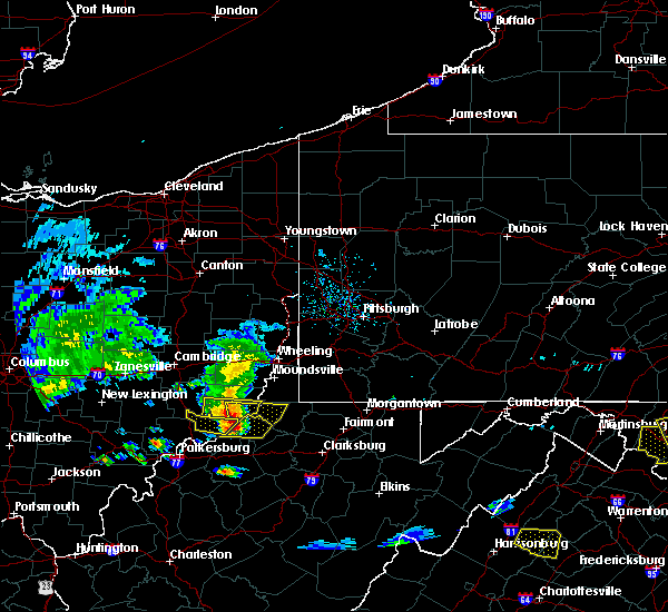 At 655 pm edt, severe thunderstorms were located along a line extending from 6 miles south of woodsfield to near sistersville to near st. marys, moving east at 35 mph (radar). Hazards include wind gusts to 60 mph and quarter-size hail. Minor hail damage to vehicles is possible. Expect wind damage to trees and power lines, resulting in some power outages. At 655 pm edt, severe thunderstorms were located along a line extending from 6 miles south of woodsfield to near sistersville to near st. marys, moving east at 35 mph (radar). Hazards include wind gusts to 60 mph and quarter-size hail. Minor hail damage to vehicles is possible. Expect wind damage to trees and power lines, resulting in some power outages.
|
| 5/15/2018 6:47 PM EDT |
 At 646 pm edt, severe thunderstorms were located along a line extending from 11 miles west of paden city to 7 miles west of sistersville to near st. marys, moving east at 25 mph (radar indicated). Hazards include 60 mph wind gusts and quarter size hail. Hail damage to vehicles is expected. Expect wind damage to roofs, siding, and trees. At 646 pm edt, severe thunderstorms were located along a line extending from 11 miles west of paden city to 7 miles west of sistersville to near st. marys, moving east at 25 mph (radar indicated). Hazards include 60 mph wind gusts and quarter size hail. Hail damage to vehicles is expected. Expect wind damage to roofs, siding, and trees.
|
| 11/5/2017 9:01 PM EST |
 At 900 pm est, severe thunderstorms were located along a line extending from 9 miles southeast of byesville to near caldwell to 10 miles northeast of beverly, moving east at 40 mph (radar). Hazards include 60 mph wind gusts. Expect damage to trees and power lines, resulting in some power outages. Locations impacted include, new martinsville, woodsfield, caldwell, paden city, powhatan point, sistersville, quaker city, sardis, beallsville, clarington, summerfield, belle valley, this includes interstate 77 in ohio between mile markers 25 and 30. At 900 pm est, severe thunderstorms were located along a line extending from 9 miles southeast of byesville to near caldwell to 10 miles northeast of beverly, moving east at 40 mph (radar). Hazards include 60 mph wind gusts. Expect damage to trees and power lines, resulting in some power outages. Locations impacted include, new martinsville, woodsfield, caldwell, paden city, powhatan point, sistersville, quaker city, sardis, beallsville, clarington, summerfield, belle valley, this includes interstate 77 in ohio between mile markers 25 and 30.
|
| 11/5/2017 8:30 PM EST |
 At 829 pm est, severe thunderstorms were located along a line extending from near new concord to 14 miles west of caldwell to mcconnelsville, moving east at 40 mph (radar). Hazards include 60 mph wind gusts. expect damage to trees and power lines, resulting in some power outages At 829 pm est, severe thunderstorms were located along a line extending from near new concord to 14 miles west of caldwell to mcconnelsville, moving east at 40 mph (radar). Hazards include 60 mph wind gusts. expect damage to trees and power lines, resulting in some power outages
|
| 7/7/2017 4:08 PM EDT |
 The severe thunderstorm warning for northeastern meigs, southeastern washington, southeastern athens, pleasants, northwestern ritchie, northwestern tyler and central wood counties will expire at 415 pm edt, the storms which prompted the warning have weakened below severe limits, and no longer pose an immediate threat to life or property. therefore the warning will be allowed to expire. however gusty winds and heavy rain are still possible with these thunderstorms. a severe thunderstorm watch remains in effect until 900 pm edt for southeastern ohio, and northern and northwestern west virginia. The severe thunderstorm warning for northeastern meigs, southeastern washington, southeastern athens, pleasants, northwestern ritchie, northwestern tyler and central wood counties will expire at 415 pm edt, the storms which prompted the warning have weakened below severe limits, and no longer pose an immediate threat to life or property. therefore the warning will be allowed to expire. however gusty winds and heavy rain are still possible with these thunderstorms. a severe thunderstorm watch remains in effect until 900 pm edt for southeastern ohio, and northern and northwestern west virginia.
|
| 7/7/2017 3:58 PM EDT |
 At 358 pm edt, severe thunderstorms were located along a line extending from near sistersville to near north bend state park to near forked run state park, moving east at 30 mph (radar indicated). Hazards include 60 mph wind gusts. Expect damage to roofs, siding, and trees. locations impacted include, parkersburg, st. Marys, coolville, sistersville, belmont, mineralwells, tuppers plains, lubeck, washington, newport, matamoras, friendly, fly, willow island, walker, nutter farm, maxwell, petroleum, schultz and arvilla. At 358 pm edt, severe thunderstorms were located along a line extending from near sistersville to near north bend state park to near forked run state park, moving east at 30 mph (radar indicated). Hazards include 60 mph wind gusts. Expect damage to roofs, siding, and trees. locations impacted include, parkersburg, st. Marys, coolville, sistersville, belmont, mineralwells, tuppers plains, lubeck, washington, newport, matamoras, friendly, fly, willow island, walker, nutter farm, maxwell, petroleum, schultz and arvilla.
|
| 7/7/2017 3:36 PM EDT |
 At 335 pm edt, severe thunderstorms were located along a line extending from 14 miles northeast of marietta to parkersburg to albany, moving east at 50 mph (radar indicated). Hazards include 60 mph wind gusts. expect damage to roofs, siding, and trees At 335 pm edt, severe thunderstorms were located along a line extending from 14 miles northeast of marietta to parkersburg to albany, moving east at 50 mph (radar indicated). Hazards include 60 mph wind gusts. expect damage to roofs, siding, and trees
|
| 5/19/2017 3:41 PM EDT |
 At 341 pm edt, severe thunderstorms were located along a line extending from near mannington to near new martinsville, moving east at 35 mph (radar). Hazards include 60 mph wind gusts. Expect damage to trees and power lines, resulting in some power outages. Locations impacted include, new martinsville, pine grove, hundred, jacksonburg, sardis, clarington, smithfield, wileyville, proctor, big run, reader, knob fork,. At 341 pm edt, severe thunderstorms were located along a line extending from near mannington to near new martinsville, moving east at 35 mph (radar). Hazards include 60 mph wind gusts. Expect damage to trees and power lines, resulting in some power outages. Locations impacted include, new martinsville, pine grove, hundred, jacksonburg, sardis, clarington, smithfield, wileyville, proctor, big run, reader, knob fork,.
|
| 5/19/2017 3:22 PM EDT |
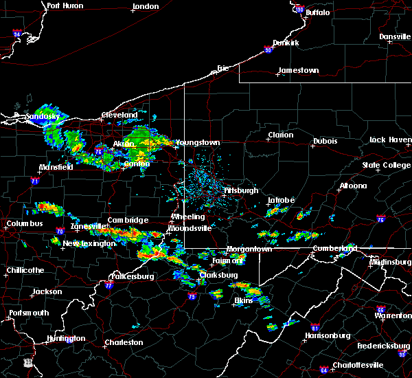 At 322 pm edt, severe thunderstorms were located along a line extending from near jacksonburg to near sistersville, moving east at 30 mph (radar). Hazards include 60 mph wind gusts and quarter-size hail. Minor hail damage to vehicles is possible. Expect wind damage to trees and power lines, resulting in some power outages. At 322 pm edt, severe thunderstorms were located along a line extending from near jacksonburg to near sistersville, moving east at 30 mph (radar). Hazards include 60 mph wind gusts and quarter-size hail. Minor hail damage to vehicles is possible. Expect wind damage to trees and power lines, resulting in some power outages.
|
| 5/19/2017 3:22 PM EDT |
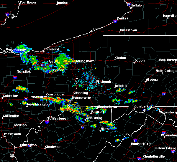 At 322 pm edt, severe thunderstorms were located along a line extending from near jacksonburg to near sistersville, moving east at 30 mph (radar). Hazards include 60 mph wind gusts and quarter-size hail. Minor hail damage to vehicles is possible. Expect wind damage to trees and power lines, resulting in some power outages. At 322 pm edt, severe thunderstorms were located along a line extending from near jacksonburg to near sistersville, moving east at 30 mph (radar). Hazards include 60 mph wind gusts and quarter-size hail. Minor hail damage to vehicles is possible. Expect wind damage to trees and power lines, resulting in some power outages.
|
| 5/1/2017 1:12 PM EDT |
 The severe thunderstorm warning for monroe. southwestern belmont and southeastern noble counties will expire at 115 pm edt. the storms that prompted the warning have weakened below severe limits and no longer pose an immediate threat to life and property. therefore, the warning will be allowed to expire. A tornado watch remains in effect until 700 pm edt for east central. The severe thunderstorm warning for monroe. southwestern belmont and southeastern noble counties will expire at 115 pm edt. the storms that prompted the warning have weakened below severe limits and no longer pose an immediate threat to life and property. therefore, the warning will be allowed to expire. A tornado watch remains in effect until 700 pm edt for east central.
|
| 5/1/2017 1:01 PM EDT |
 At 101 pm edt, severe thunderstorms were located along a line extending from 10 miles southwest of barnesville to 7 miles north of st. marys, moving northeast at 55 mph (radar). Hazards include 60 mph wind gusts. Expect damage to trees and power lines, resulting in some power outages. Locations impacted include, new martinsville, woodsfield, powhatan point, sardis, beallsville, clarington, summerfield, lewisville, jerusalem, wilson, cameron, fly, a tornado watch remains in effect until 700 pm edt for east central ohio, and northern west virginia. At 101 pm edt, severe thunderstorms were located along a line extending from 10 miles southwest of barnesville to 7 miles north of st. marys, moving northeast at 55 mph (radar). Hazards include 60 mph wind gusts. Expect damage to trees and power lines, resulting in some power outages. Locations impacted include, new martinsville, woodsfield, powhatan point, sardis, beallsville, clarington, summerfield, lewisville, jerusalem, wilson, cameron, fly, a tornado watch remains in effect until 700 pm edt for east central ohio, and northern west virginia.
|
| 5/1/2017 12:37 PM EDT |
 At 1236 pm edt, severe thunderstorms were located along a line extending from 8 miles southwest of caldwell to vienna, moving northeast at 55 mph (radar). Hazards include 60 mph wind gusts. expect damage to trees and power lines, resulting in some power outages At 1236 pm edt, severe thunderstorms were located along a line extending from 8 miles southwest of caldwell to vienna, moving northeast at 55 mph (radar). Hazards include 60 mph wind gusts. expect damage to trees and power lines, resulting in some power outages
|
| 3/1/2017 9:26 AM EST |
 At 926 am est, severe thunderstorms were located along a line extending from 8 miles northwest of powhatan point to near woodsfield, moving east at 60 mph (radar). Hazards include 60 mph wind gusts. Expect damage to trees and power lines, resulting in some power outages. Locations impacted include, wheeling, moundsville, new martinsville, bellaire, bethlehem, woodsfield, triadelphia, valley grove, shadyside, mcmechen, powhatan point, glen dale, this includes interstate 70 in west virginia between mile markers 3 and 14. At 926 am est, severe thunderstorms were located along a line extending from 8 miles northwest of powhatan point to near woodsfield, moving east at 60 mph (radar). Hazards include 60 mph wind gusts. Expect damage to trees and power lines, resulting in some power outages. Locations impacted include, wheeling, moundsville, new martinsville, bellaire, bethlehem, woodsfield, triadelphia, valley grove, shadyside, mcmechen, powhatan point, glen dale, this includes interstate 70 in west virginia between mile markers 3 and 14.
|
| 3/1/2017 9:00 AM EST |
 At 859 am est, severe thunderstorms were located along a line extending from 10 miles southeast of byesville to near caldwell to near beverly, moving east at 65 mph (radar). Hazards include 60 mph wind gusts. expect damage to trees and power lines, resulting in some power outages At 859 am est, severe thunderstorms were located along a line extending from 10 miles southeast of byesville to near caldwell to near beverly, moving east at 65 mph (radar). Hazards include 60 mph wind gusts. expect damage to trees and power lines, resulting in some power outages
|
| 10/20/2016 4:51 PM EDT |
 The severe thunderstorm warning for north central tyler county will expire at 500 pm edt, the storm which prompted the warning has moved out of the area. therefore, the warning will be allowed to expire. to report severe weather, contact your nearest law enforcement agency. they will relay your report to the national weather service. The severe thunderstorm warning for north central tyler county will expire at 500 pm edt, the storm which prompted the warning has moved out of the area. therefore, the warning will be allowed to expire. to report severe weather, contact your nearest law enforcement agency. they will relay your report to the national weather service.
|
| 10/20/2016 4:45 PM EDT |
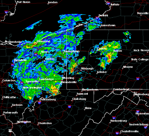 At 444 pm edt, a severe thunderstorm was located near fairview, or near new martinsville, moving northeast at 45 mph (trained weather spotters). Hazards include 60 mph wind gusts and quarter size hail. Hail damage to vehicles is expected. expect wind damage to roofs, siding, and trees. Locations impacted include, paden city. At 444 pm edt, a severe thunderstorm was located near fairview, or near new martinsville, moving northeast at 45 mph (trained weather spotters). Hazards include 60 mph wind gusts and quarter size hail. Hail damage to vehicles is expected. expect wind damage to roofs, siding, and trees. Locations impacted include, paden city.
|
| 10/20/2016 4:38 PM EDT |
 At 437 pm edt, a severe thunderstorm was located near paden city, or near new martinsville, moving east northeast at 45 mph (trained weather spotters reported tree damage and quarter size hail earlier!). Hazards include 60 mph wind gusts and quarter size hail. Hail damage to vehicles is expected. expect wind damage to roofs, siding, and trees. Locations impacted include, paden city, sistersville, matamoras, friendly, fly and new matamoras. At 437 pm edt, a severe thunderstorm was located near paden city, or near new martinsville, moving east northeast at 45 mph (trained weather spotters reported tree damage and quarter size hail earlier!). Hazards include 60 mph wind gusts and quarter size hail. Hail damage to vehicles is expected. expect wind damage to roofs, siding, and trees. Locations impacted include, paden city, sistersville, matamoras, friendly, fly and new matamoras.
|
| 10/20/2016 4:37 PM EDT | One tree down on the intersection of east main street and 4th avenue in wetzel county WV, 0.4 miles NNW of Paden City, WV |
| 10/20/2016 4:35 PM EDT |
 At 434 pm edt, a severe thunderstorm was located over sistersville, or 7 miles northwest of middlebourne, moving east at 45 mph. several reports of quarter sized hail have already been received (radar indicated). Hazards include 60 mph wind gusts and quarter size hail. Hail damage to vehicles is expected. expect wind damage to trees and power lines, resulting in some power outages. locations impacted include, new martinsville, paden city, sardis, fly, antioch, porters falls, rinard mills, hannibal and reader. Please report severe weather by calling 412-262- 1988, posting to the nws pittsburgh facebook page, or using twitter @nwspittsburgh. At 434 pm edt, a severe thunderstorm was located over sistersville, or 7 miles northwest of middlebourne, moving east at 45 mph. several reports of quarter sized hail have already been received (radar indicated). Hazards include 60 mph wind gusts and quarter size hail. Hail damage to vehicles is expected. expect wind damage to trees and power lines, resulting in some power outages. locations impacted include, new martinsville, paden city, sardis, fly, antioch, porters falls, rinard mills, hannibal and reader. Please report severe weather by calling 412-262- 1988, posting to the nws pittsburgh facebook page, or using twitter @nwspittsburgh.
|
| 10/20/2016 4:35 PM EDT |
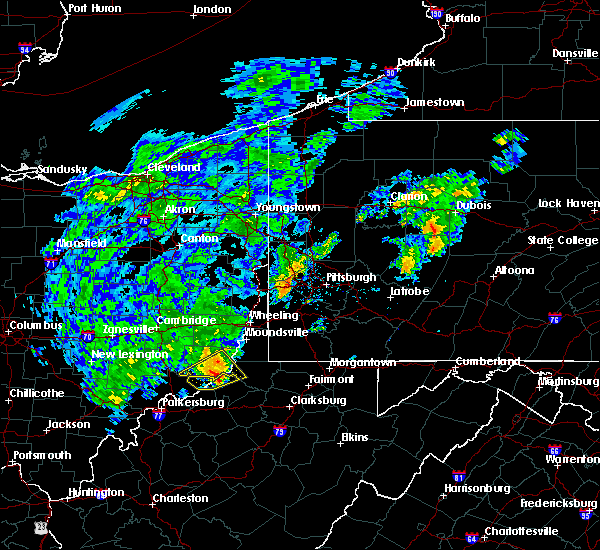 At 434 pm edt, a severe thunderstorm was located over sistersville, or 7 miles northwest of middlebourne, moving east at 45 mph. several reports of quarter sized hail have already been received (radar indicated). Hazards include 60 mph wind gusts and quarter size hail. Hail damage to vehicles is expected. expect wind damage to trees and power lines, resulting in some power outages. locations impacted include, new martinsville, paden city, sardis, fly, antioch, porters falls, rinard mills, hannibal and reader. Please report severe weather by calling 412-262- 1988, posting to the nws pittsburgh facebook page, or using twitter @nwspittsburgh. At 434 pm edt, a severe thunderstorm was located over sistersville, or 7 miles northwest of middlebourne, moving east at 45 mph. several reports of quarter sized hail have already been received (radar indicated). Hazards include 60 mph wind gusts and quarter size hail. Hail damage to vehicles is expected. expect wind damage to trees and power lines, resulting in some power outages. locations impacted include, new martinsville, paden city, sardis, fly, antioch, porters falls, rinard mills, hannibal and reader. Please report severe weather by calling 412-262- 1988, posting to the nws pittsburgh facebook page, or using twitter @nwspittsburgh.
|
| 10/20/2016 4:28 PM EDT |
 At 426 pm edt, a severe thunderstorm was located near sistersville, or 10 miles south of woodsfield, moving east northeast at 45 mph (trained weather spotters have reported wind damage and quarter size hail with this storm! seek shelter immediately!). Hazards include 60 mph wind gusts and quarter size hail. Hail damage to vehicles is expected. Expect wind damage to roofs, siding, and trees. At 426 pm edt, a severe thunderstorm was located near sistersville, or 10 miles south of woodsfield, moving east northeast at 45 mph (trained weather spotters have reported wind damage and quarter size hail with this storm! seek shelter immediately!). Hazards include 60 mph wind gusts and quarter size hail. Hail damage to vehicles is expected. Expect wind damage to roofs, siding, and trees.
|
| 10/20/2016 4:19 PM EDT |
 At 419 pm edt, a severe thunderstorm was located near marietta, moving east at 45 mph (radar indicated). Hazards include 60 mph wind gusts and quarter size hail. Hail damage to vehicles is expected. Expect wind damage to trees and power lines, resulting in some power outages. At 419 pm edt, a severe thunderstorm was located near marietta, moving east at 45 mph (radar indicated). Hazards include 60 mph wind gusts and quarter size hail. Hail damage to vehicles is expected. Expect wind damage to trees and power lines, resulting in some power outages.
|
| 10/20/2016 4:19 PM EDT |
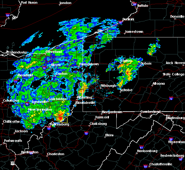 At 419 pm edt, a severe thunderstorm was located near marietta, moving east at 45 mph (radar indicated). Hazards include 60 mph wind gusts and quarter size hail. Hail damage to vehicles is expected. Expect wind damage to trees and power lines, resulting in some power outages. At 419 pm edt, a severe thunderstorm was located near marietta, moving east at 45 mph (radar indicated). Hazards include 60 mph wind gusts and quarter size hail. Hail damage to vehicles is expected. Expect wind damage to trees and power lines, resulting in some power outages.
|
| 6/23/2016 2:33 AM EDT |
 At 233 am edt, a severe thunderstorm was located 7 miles north of belmont, or 7 miles northwest of st. marys, moving east at 40 mph (radar indicated). Hazards include 70 mph wind gusts and quarter size hail. Hail damage to vehicles is expected. expect considerable tree damage. Wind damage is also likely to mobile homes, roofs, and outbuildings. At 233 am edt, a severe thunderstorm was located 7 miles north of belmont, or 7 miles northwest of st. marys, moving east at 40 mph (radar indicated). Hazards include 70 mph wind gusts and quarter size hail. Hail damage to vehicles is expected. expect considerable tree damage. Wind damage is also likely to mobile homes, roofs, and outbuildings.
|
| 6/23/2016 2:33 AM EDT |
 The national weather service in charleston west virginia has issued a * severe thunderstorm warning for. northeastern washington county in southeastern ohio. northern ritchie county in northwestern west virginia. northeastern wood county in northwestern west virginia. Pleasants county in northwestern west virginia. The national weather service in charleston west virginia has issued a * severe thunderstorm warning for. northeastern washington county in southeastern ohio. northern ritchie county in northwestern west virginia. northeastern wood county in northwestern west virginia. Pleasants county in northwestern west virginia.
|
| 6/30/2015 5:15 PM EDT |
 At 514 pm edt, doppler radar indicated a severe thunderstorm capable of producing quarter size hail and damaging winds in excess of 60 mph. this storm was located near sistersville, or 7 miles west of middlebourne, moving northeast at 35 mph. locations impacted include, middlebourne, paden city, sistersville and friendly. At 514 pm edt, doppler radar indicated a severe thunderstorm capable of producing quarter size hail and damaging winds in excess of 60 mph. this storm was located near sistersville, or 7 miles west of middlebourne, moving northeast at 35 mph. locations impacted include, middlebourne, paden city, sistersville and friendly.
|
| 6/30/2015 4:50 PM EDT |
 At 449 pm edt, doppler radar indicated a severe thunderstorm capable of producing quarter size hail and damaging winds in excess of 60 mph. this storm was located over belmont, or near st. marys, and moving northeast, near the ohio river, at 35 mph. At 449 pm edt, doppler radar indicated a severe thunderstorm capable of producing quarter size hail and damaging winds in excess of 60 mph. this storm was located over belmont, or near st. marys, and moving northeast, near the ohio river, at 35 mph.
|
| 4/9/2015 5:38 PM EDT | The national weather service in pittsburgh has issued a * severe thunderstorm warning for. central monroe county in east central ohio. southeastern belmont county in east central ohio. western greene county in southwestern pennsylvania. Wetzel county in northern west virginia. |
| 4/9/2015 5:38 PM EDT | The national weather service in pittsburgh has issued a * severe thunderstorm warning for. central monroe county in east central ohio. southeastern belmont county in east central ohio. western greene county in southwestern pennsylvania. Wetzel county in northern west virginia. |
| 4/9/2015 5:38 PM EDT | The national weather service in pittsburgh has issued a * severe thunderstorm warning for. central monroe county in east central ohio. southeastern belmont county in east central ohio. western greene county in southwestern pennsylvania. Wetzel county in northern west virginia. |
| 4/9/2015 4:41 PM EDT | The severe thunderstorm warning for northeastern washington. tyler and pleasants counties will expire at 445 pm edt. the storm which prompted the warning has moved out of the warned area. A severe thunderstorm watch remains in effect until 1000 pm edt thursday evening for central kentucky and southeast ohio and central. |
| 4/9/2015 4:41 PM EDT | The severe thunderstorm warning for northeastern washington. tyler and pleasants counties will expire at 445 pm edt. the storm which prompted the warning has moved out of the warned area. A severe thunderstorm watch remains in effect until 1000 pm edt thursday evening for central kentucky and southeast ohio and central. |
| 4/9/2015 4:38 PM EDT | The national weather service in pittsburgh has issued a * severe thunderstorm warning for. southwestern greene county in southwestern pennsylvania. wetzel county in northern west virginia. southeastern marshall county in northern west virginia. Northwestern marion county in northern west virginia. |
| 4/9/2015 4:38 PM EDT | The national weather service in pittsburgh has issued a * severe thunderstorm warning for. southwestern greene county in southwestern pennsylvania. wetzel county in northern west virginia. southeastern marshall county in northern west virginia. Northwestern marion county in northern west virginia. |
| 4/9/2015 4:10 PM EDT | A severe thunderstorm warning remains in effect until 445 pm edt for northeastern washington. tyler and pleasants counties. at 405 pm edt. doppler radar indicated a severe thunderstorm capable of producing quarter size hail. and damaging winds in excess of 60 mph. this storm was located near st. marys. Moving northeast at 45 mph. |
| 4/9/2015 4:10 PM EDT | A severe thunderstorm warning remains in effect until 445 pm edt for northeastern washington. tyler and pleasants counties. at 405 pm edt. doppler radar indicated a severe thunderstorm capable of producing quarter size hail. and damaging winds in excess of 60 mph. this storm was located near st. marys. Moving northeast at 45 mph. |
| 4/9/2015 3:42 PM EDT | The national weather service in charleston has issued a * severe thunderstorm warning for. pleasants county in west virginia. this includes the city of st. marys. tyler county in west virginia. This includes the city of middlebourne. |
| 4/9/2015 3:42 PM EDT | The national weather service in charleston has issued a * severe thunderstorm warning for. pleasants county in west virginia. this includes the city of st. marys. tyler county in west virginia. This includes the city of middlebourne. |
Hail Maps for Paden City, WV


Connect with Interactive Hail Maps