

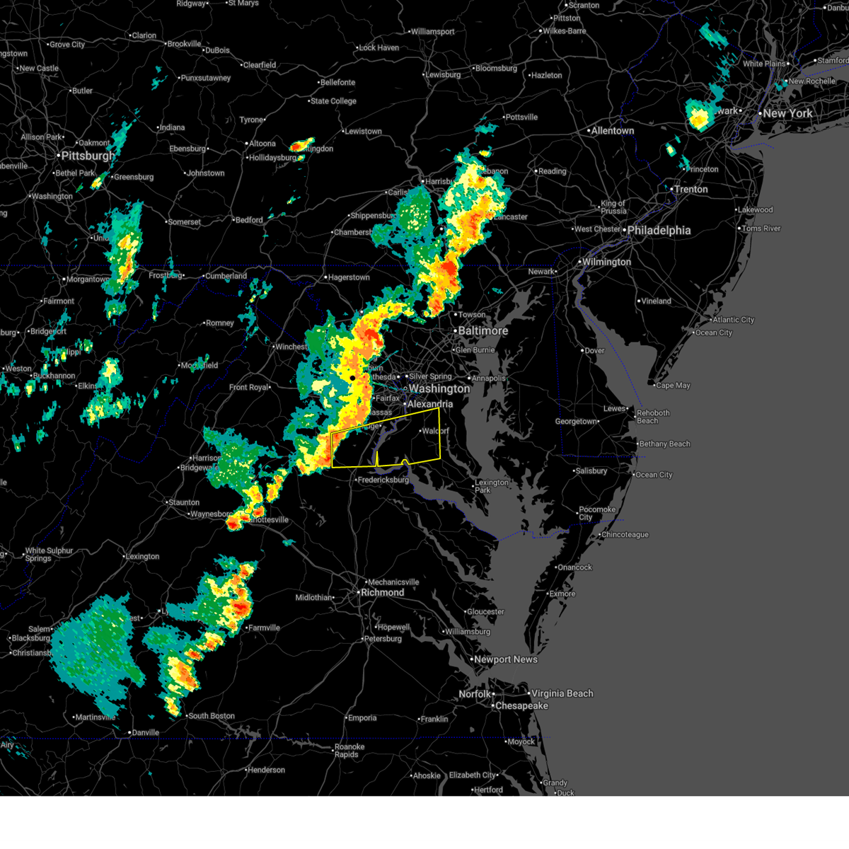
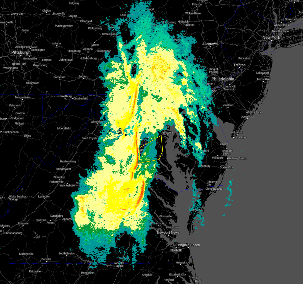
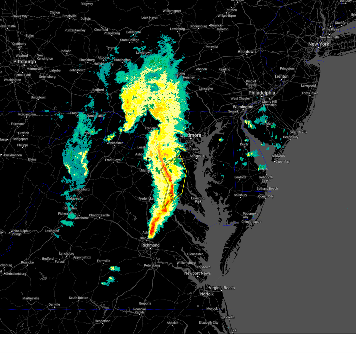
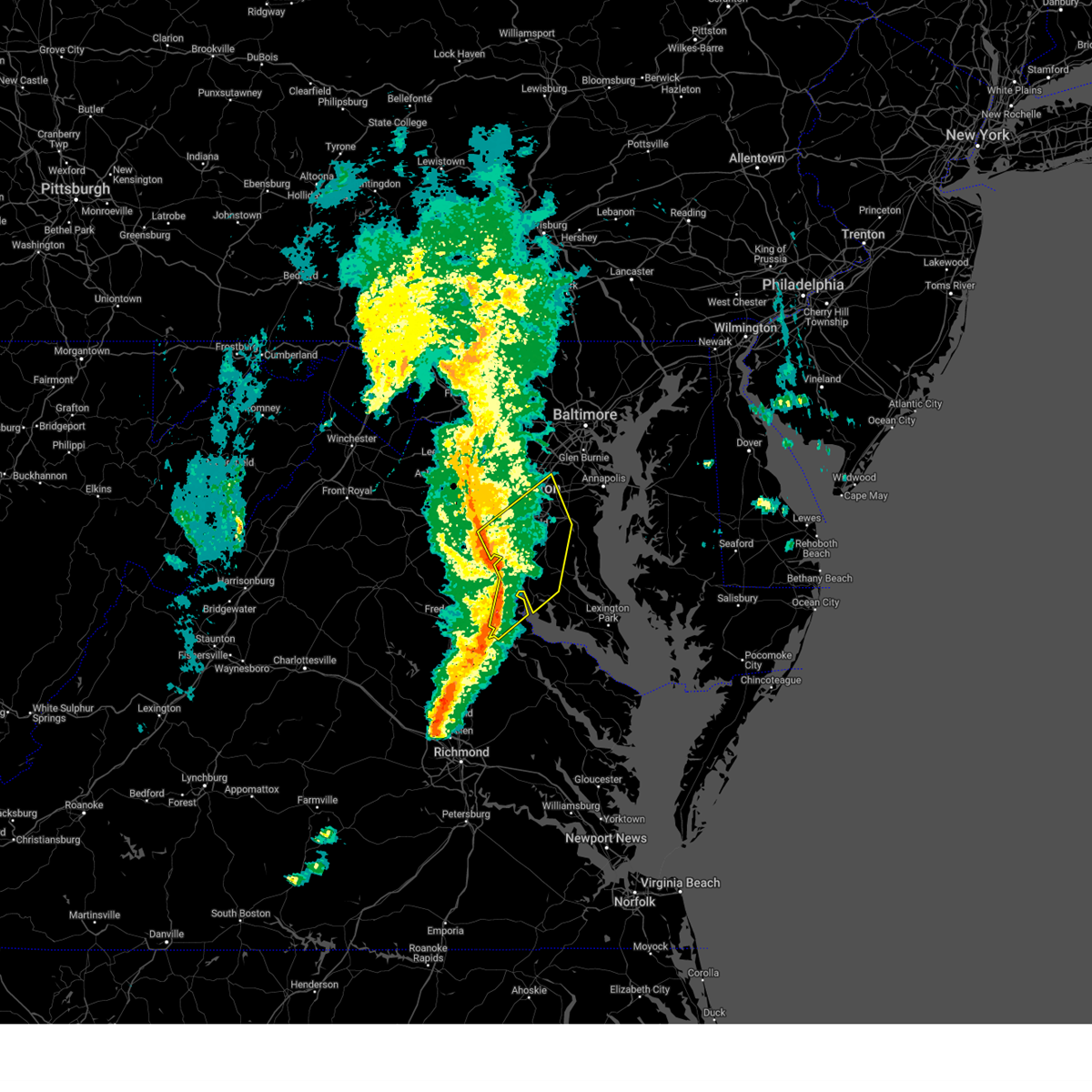
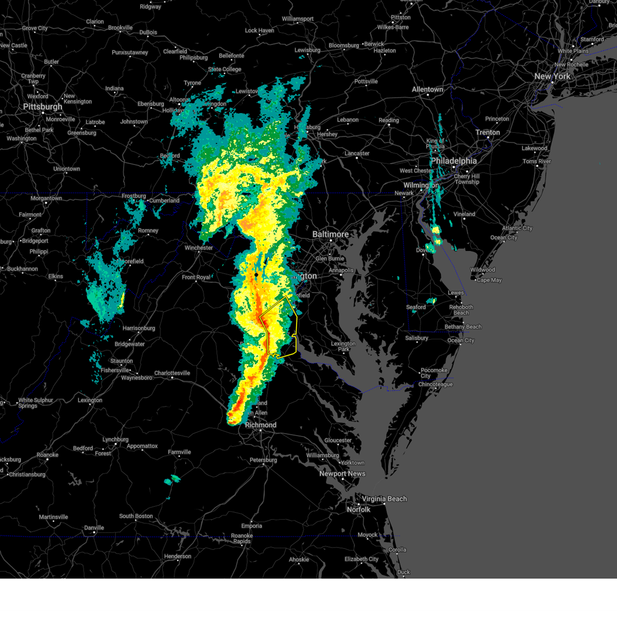
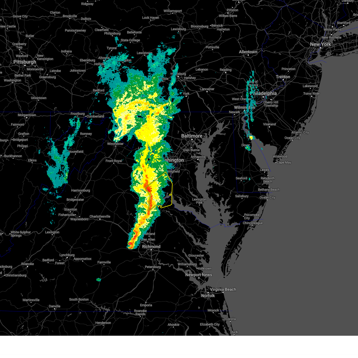
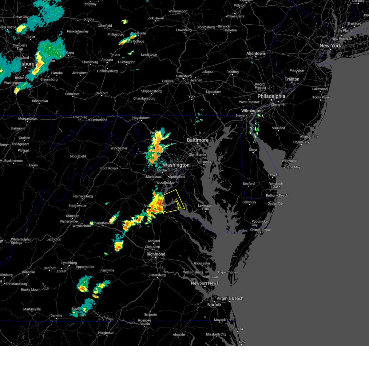
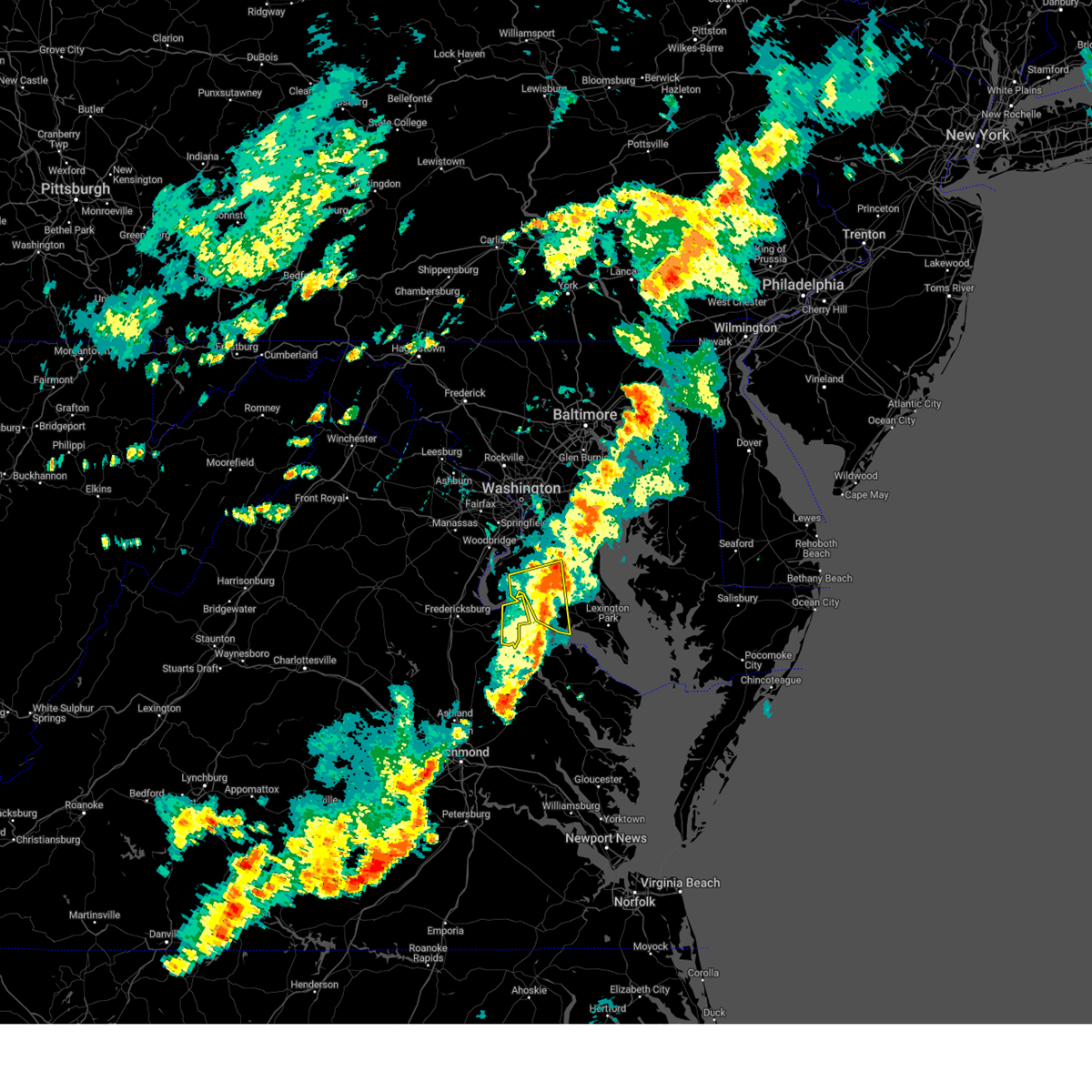
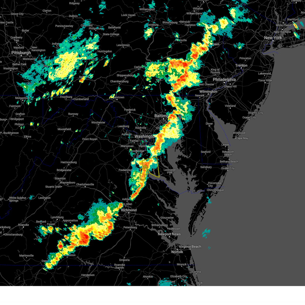
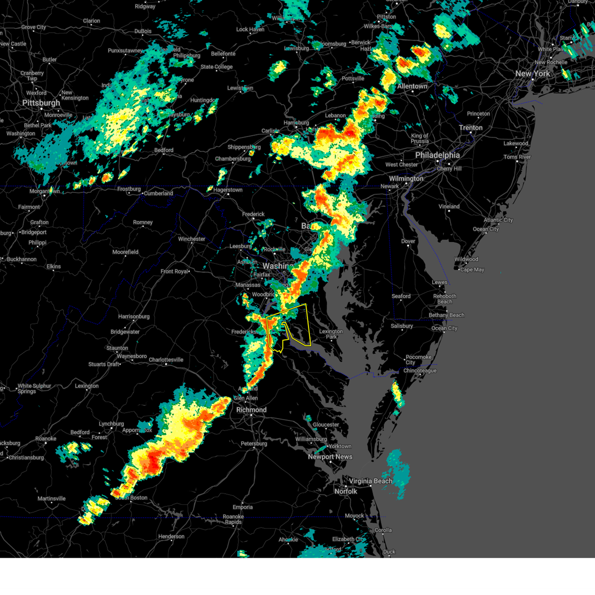
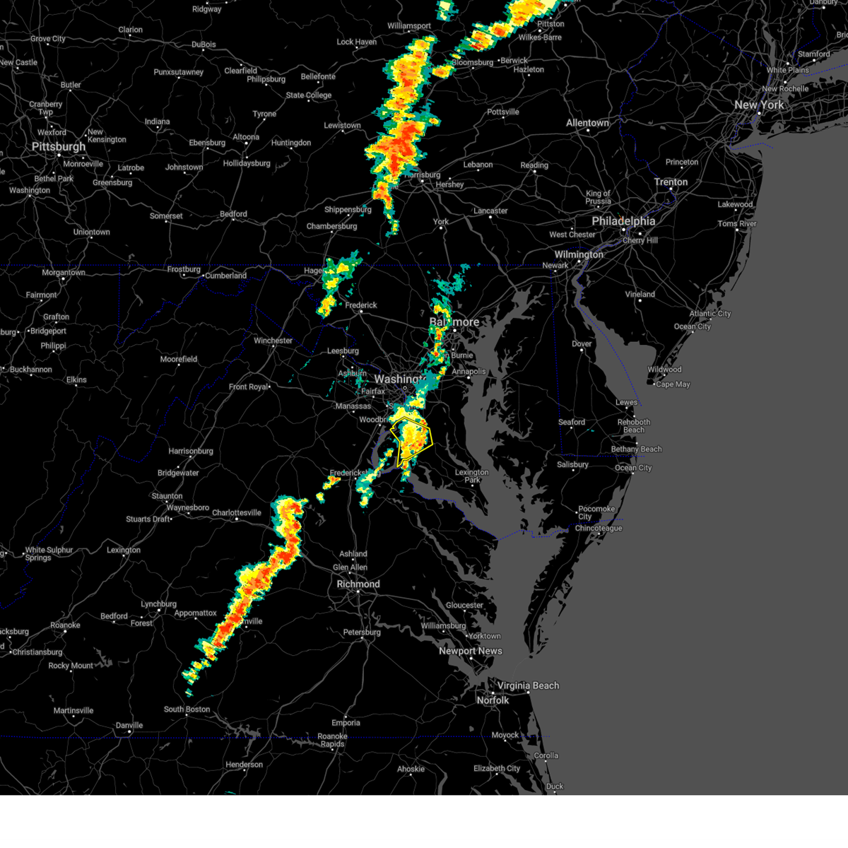
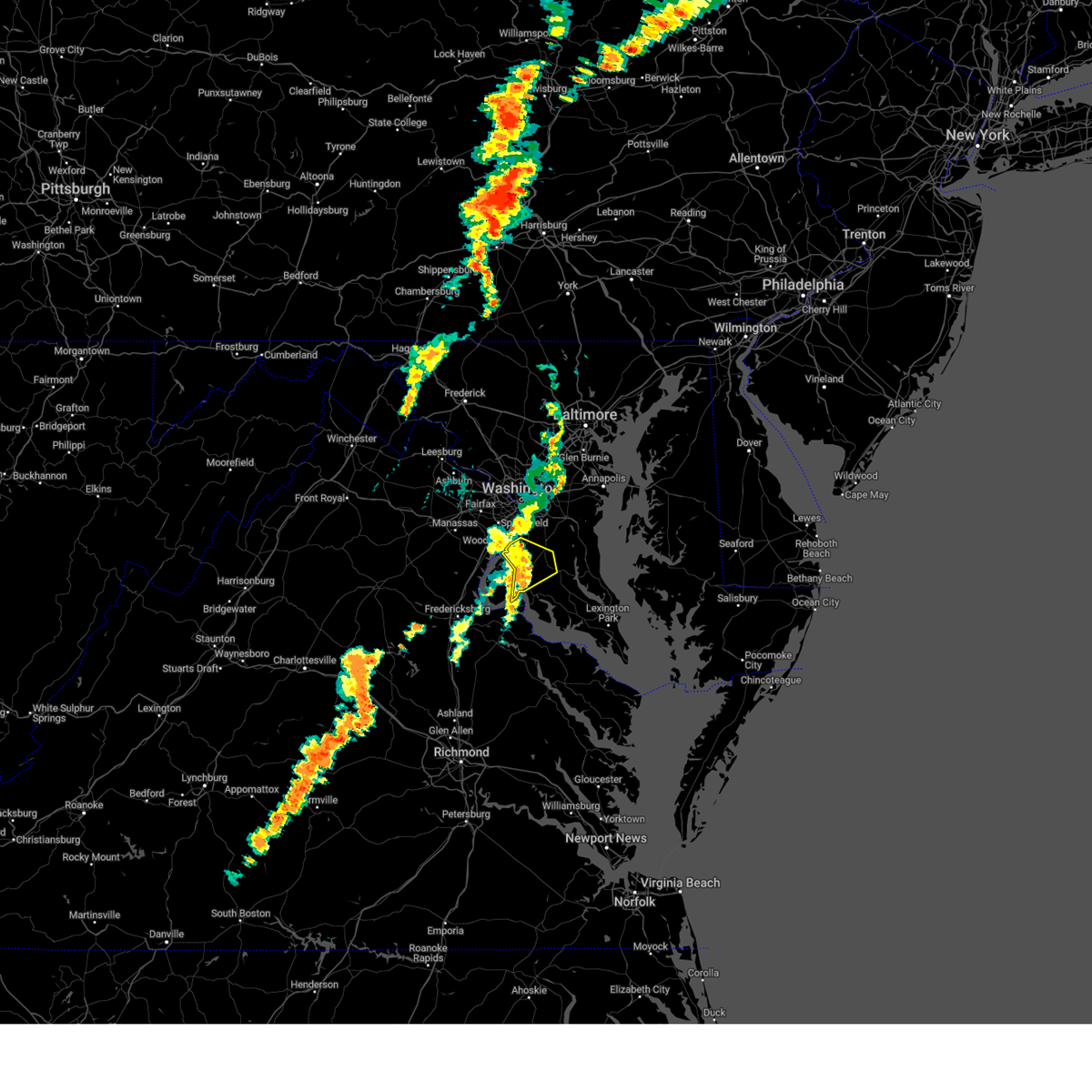
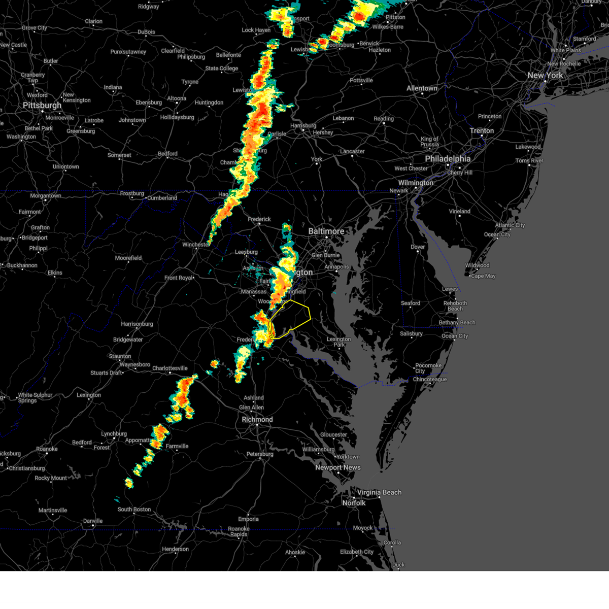
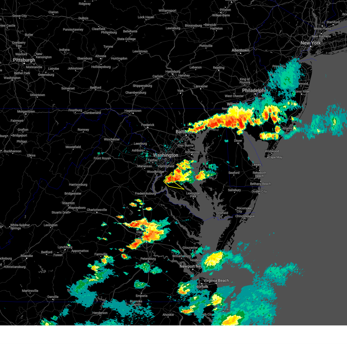
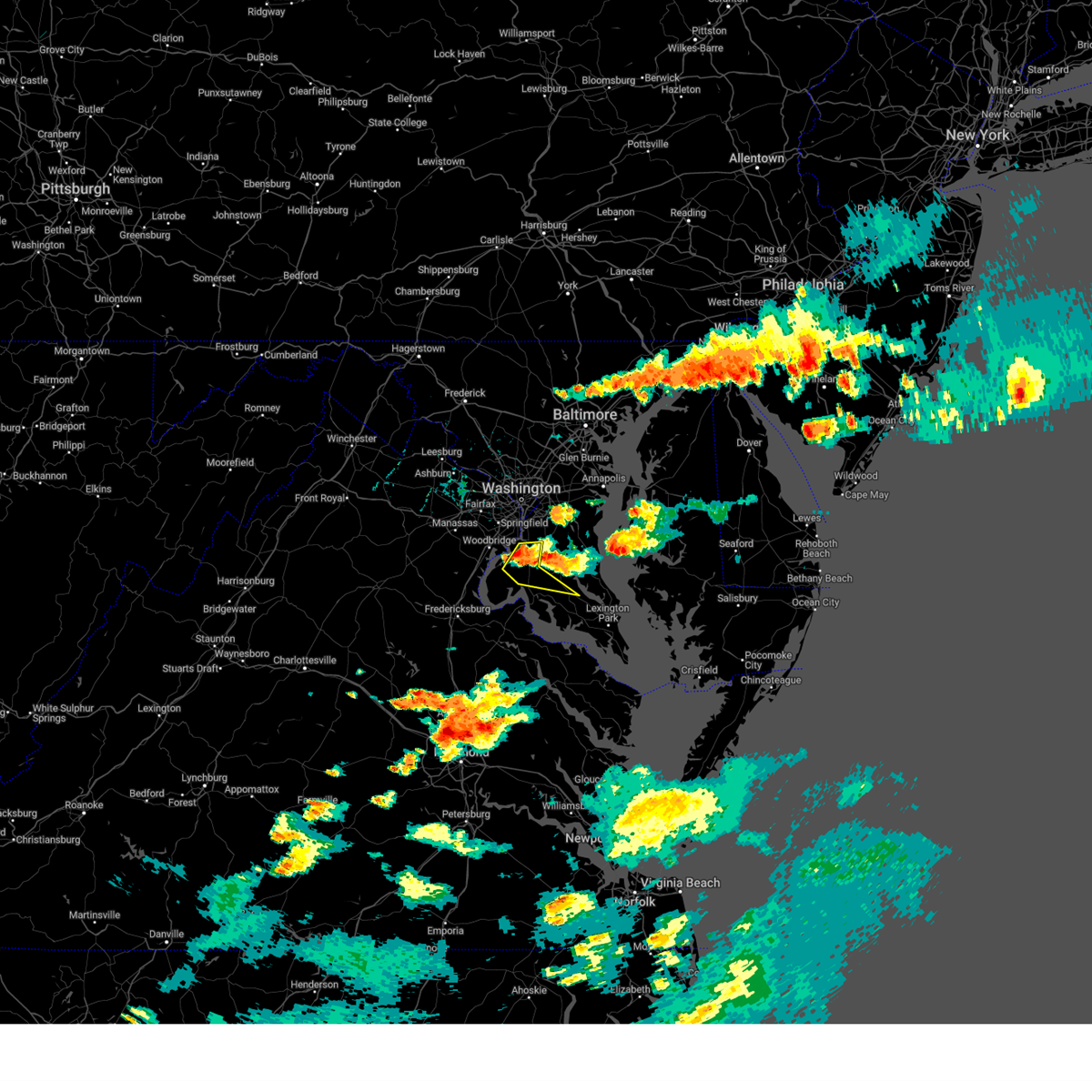
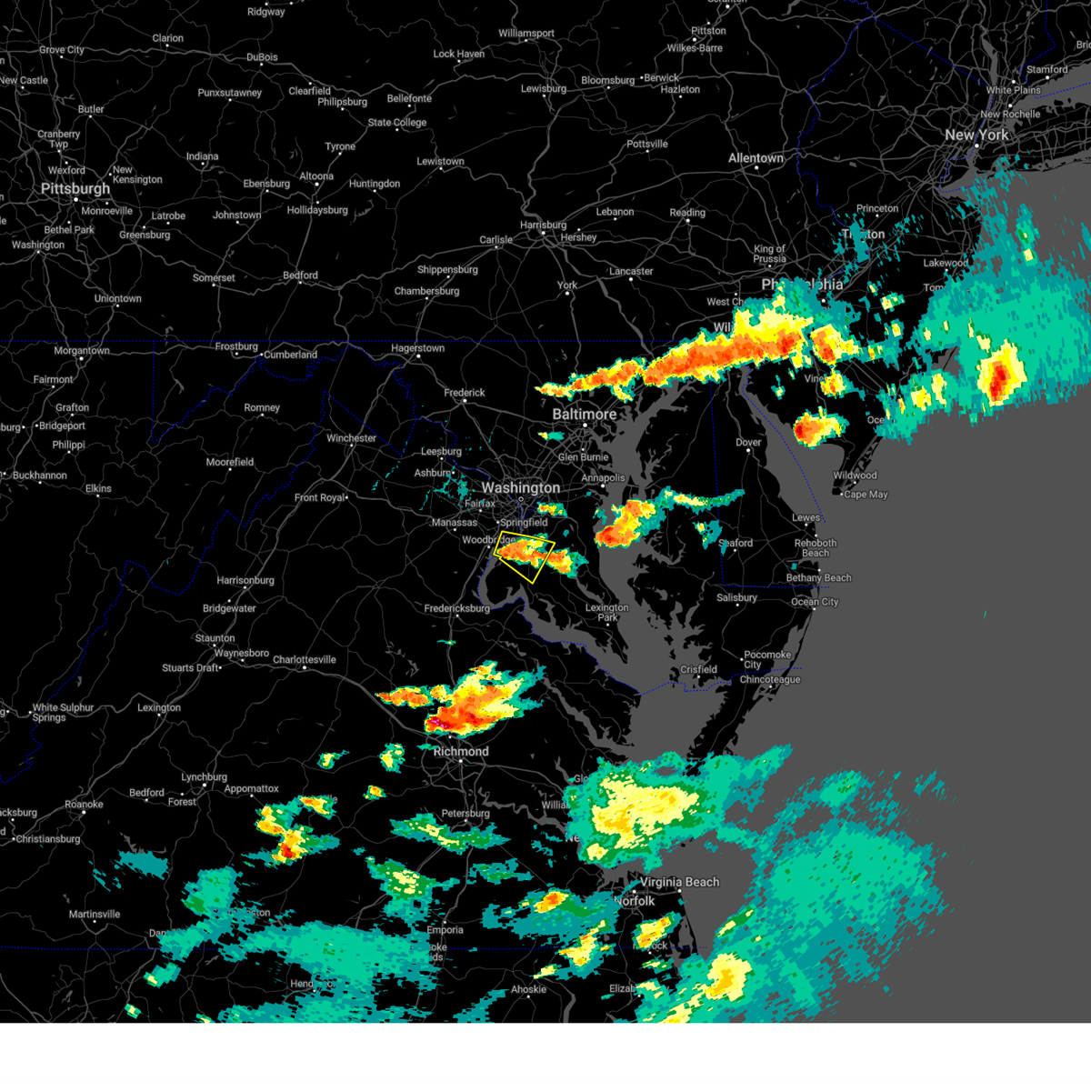
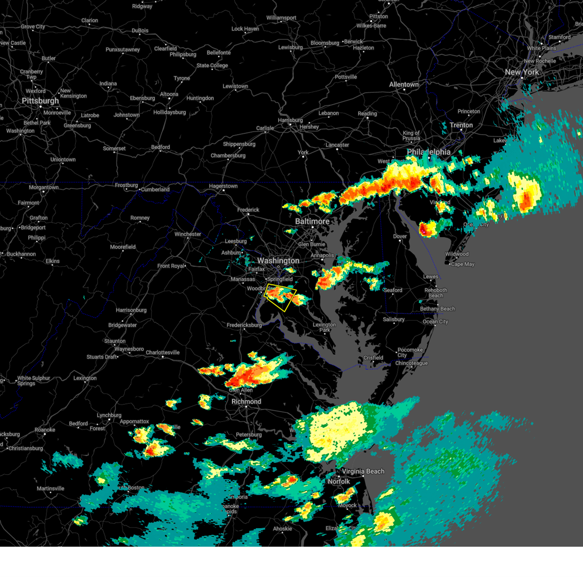
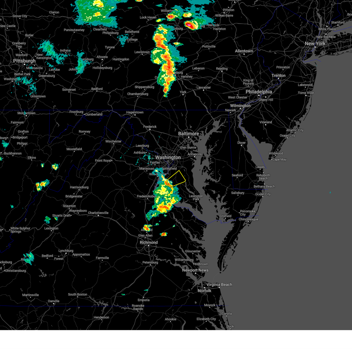
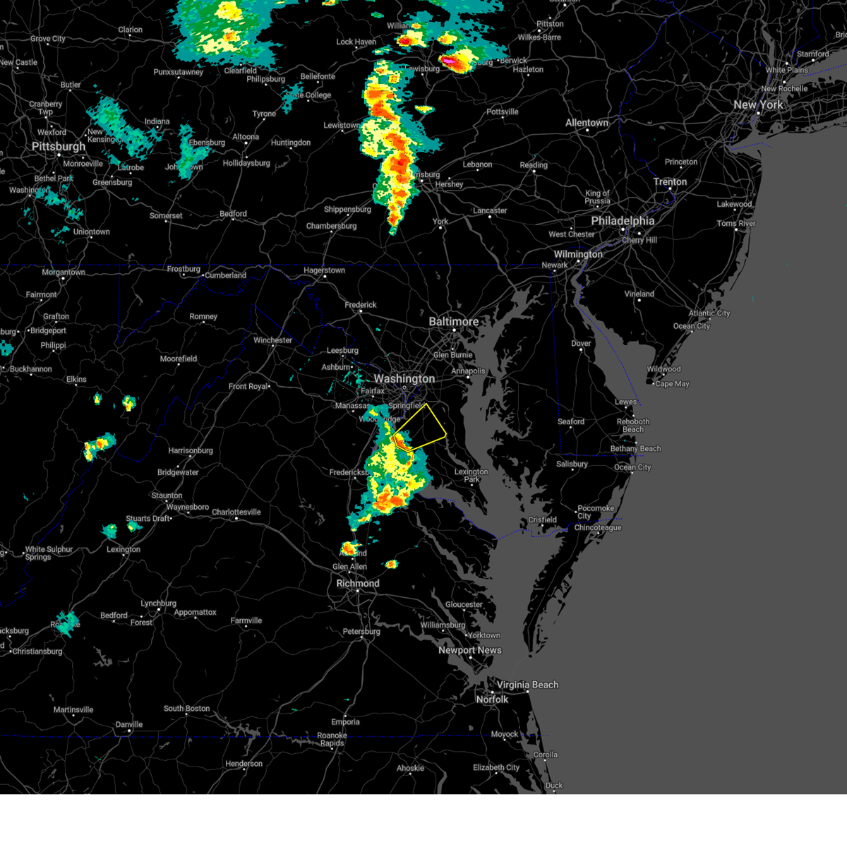
Hail Map for Port Tobacco Village, MD
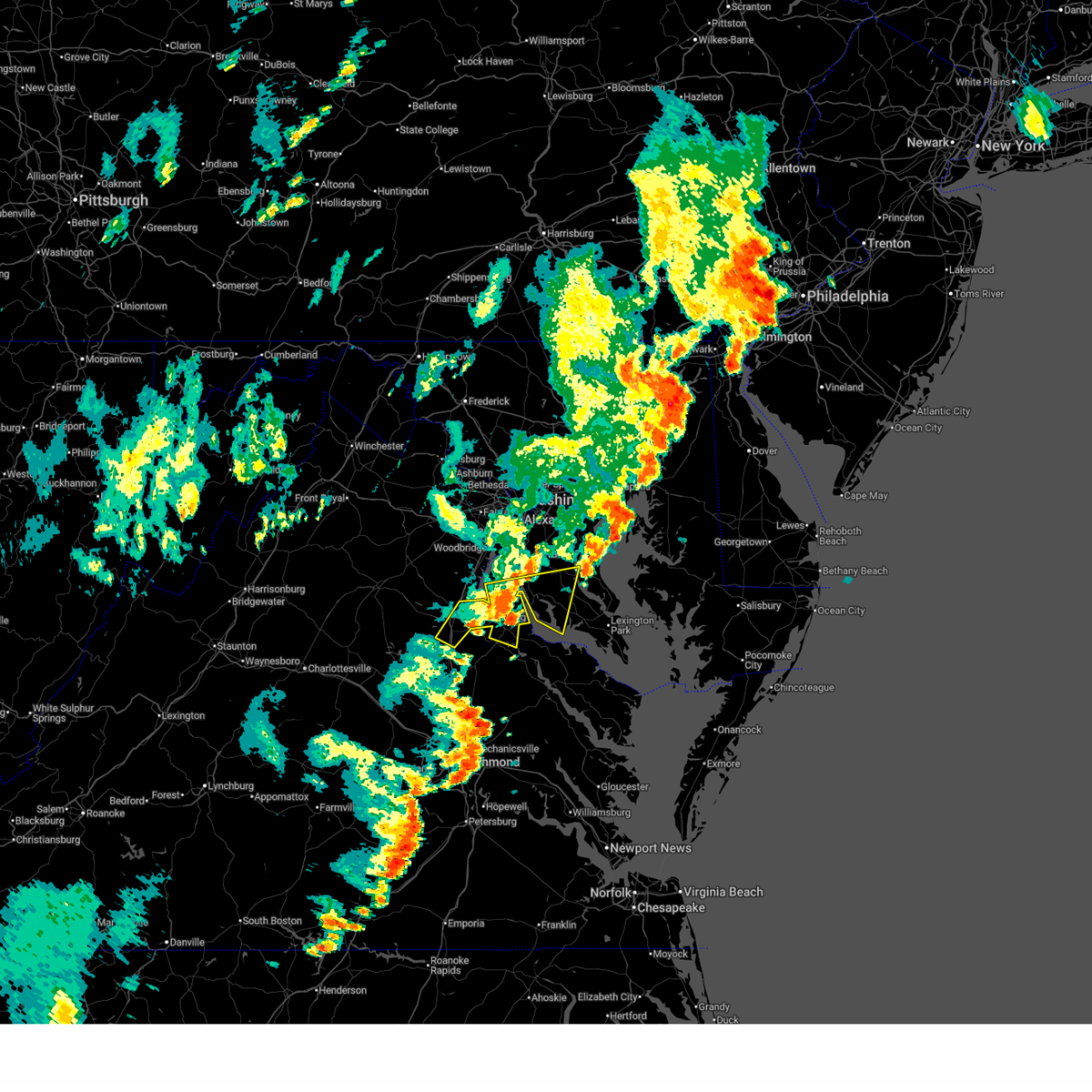
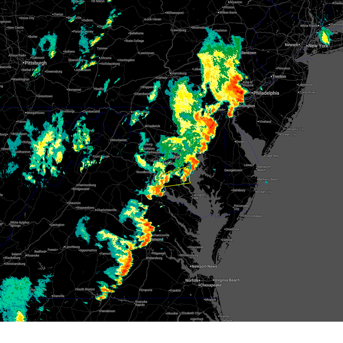
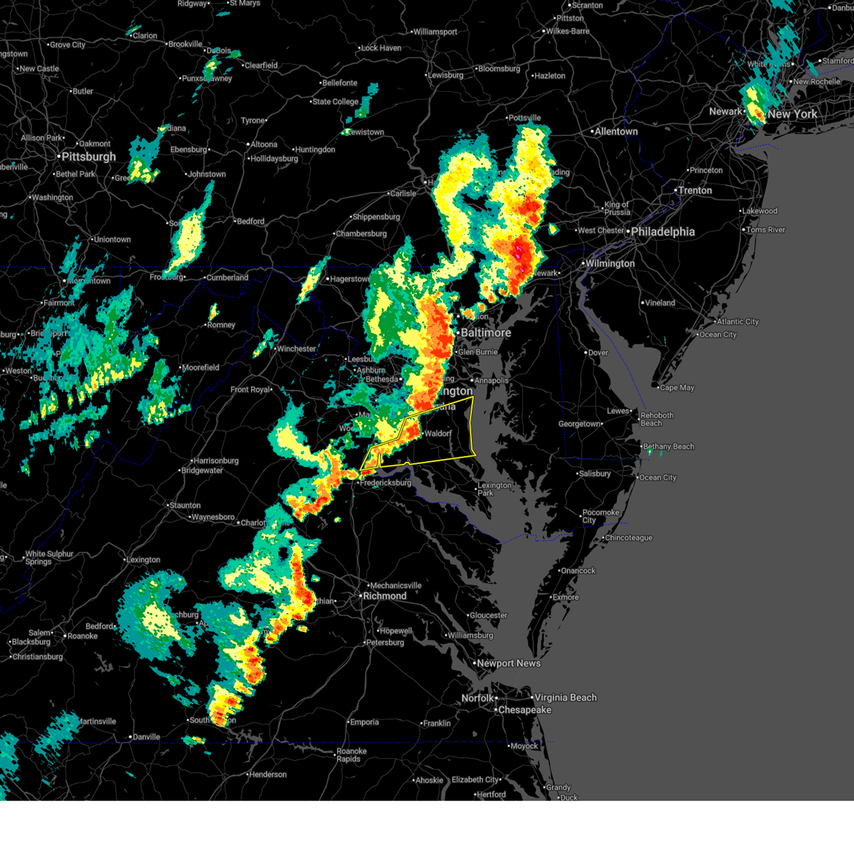
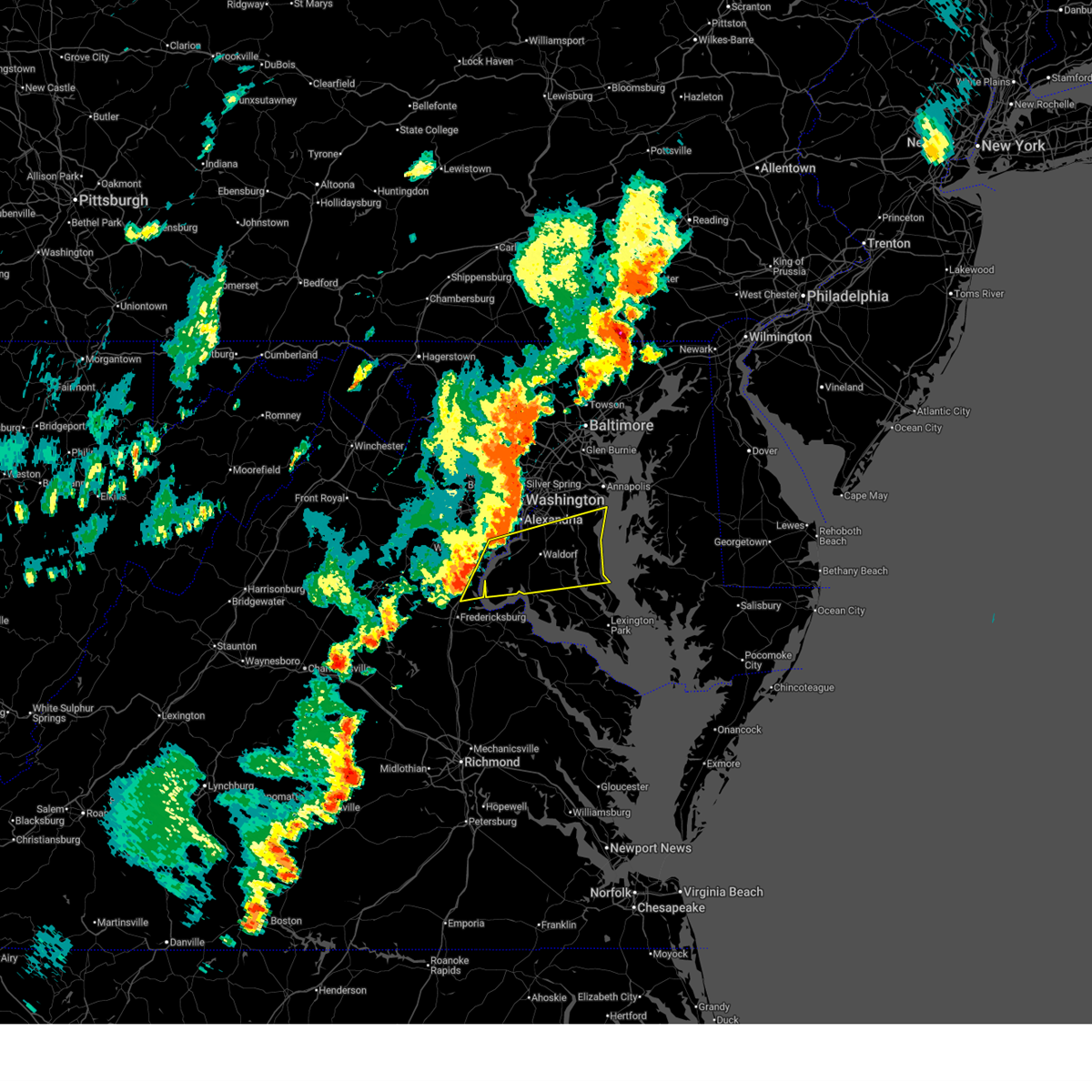
The Port Tobacco Village, MD area has had 1 report of on-the-ground hail by trained spotters, and has been under severe weather warnings 27 times during the past 12 months. Doppler radar has detected hail at or near Port Tobacco Village, MD on 35 occasions.
| Name: | Port Tobacco Village, MD |
| Where Located: | 58.2 miles SSW of Baltimore, MD |
| Map: | Google Map for Port Tobacco Village, MD |
| Population: | 13 |
| Housing Units: | 7 |
| More Info: | Search Google for Port Tobacco Village, MD |
0
The Top Recent Hail Date for Port Tobacco Village, MD is Monday, April 15, 2024 (21st out of 35)

Hail and Wind Damage Spotted near Port Tobacco Village, MD
| Date / Time | Report Details |
|---|---|
| 6/19/2025 5:26 PM EDT |
 The storm which prompted the warning has weakened below severe limits, and no longer poses an immediate threat to life or property. therefore, the warning will be allowed to expire. a severe thunderstorm watch remains in effect until 900 pm edt for southern and central maryland, and central and northern virginia. The storm which prompted the warning has weakened below severe limits, and no longer poses an immediate threat to life or property. therefore, the warning will be allowed to expire. a severe thunderstorm watch remains in effect until 900 pm edt for southern and central maryland, and central and northern virginia.
|
| 6/19/2025 5:23 PM EDT |
 the severe thunderstorm warning has been cancelled and is no longer in effect the severe thunderstorm warning has been cancelled and is no longer in effect
|
| 6/19/2025 5:23 PM EDT |
 At 523 pm edt, a severe thunderstorm was located over la plata, moving east at 15 mph (emergency management). Hazards include 60 mph wind gusts. Damaging winds will cause some trees and large branches to fall. this could injure those outdoors, as well as damage homes and vehicles. roadways may become blocked by downed trees. localized power outages are possible. unsecured light objects may become projectiles. Locations impacted include, waldorf, la plata, chesapeake beach, prince frederick, hallowing point, breezy point, port tobacco river, sheridan point, golden beach, dunkirk, saint charles, saint leonard, accokeek, bryans road, brandywine, huntingtown, hughesville, owings, baden, and mechanicsville. At 523 pm edt, a severe thunderstorm was located over la plata, moving east at 15 mph (emergency management). Hazards include 60 mph wind gusts. Damaging winds will cause some trees and large branches to fall. this could injure those outdoors, as well as damage homes and vehicles. roadways may become blocked by downed trees. localized power outages are possible. unsecured light objects may become projectiles. Locations impacted include, waldorf, la plata, chesapeake beach, prince frederick, hallowing point, breezy point, port tobacco river, sheridan point, golden beach, dunkirk, saint charles, saint leonard, accokeek, bryans road, brandywine, huntingtown, hughesville, owings, baden, and mechanicsville.
|
| 6/19/2025 5:08 PM EDT | At 507 pm edt, severe thunderstorms were located along a line extending from near nanjemoy creek to near port royal to ladysmith, moving east at 50 mph (radar indicated). Hazards include 60 mph wind gusts. Damaging winds will cause some trees and large branches to fall. this could injure those outdoors, as well as damage homes and vehicles. roadways may become blocked by downed trees. localized power outages are possible. unsecured light objects may become projectiles. Locations impacted include, fredericksburg, la plata, king george, dahlgren, fairview beach, nanjemoy creek, popes creek, hallowing point, wicomico river, potomac creek, port tobacco river, golden beach, massaponax, spotsylvania, wicomico, falmouth, hughesville, mechanicsville, charlotte hall, and passapatanzy. |
| 6/19/2025 5:08 PM EDT | the severe thunderstorm warning has been cancelled and is no longer in effect |
| 6/19/2025 4:47 PM EDT |
 At 447 pm edt, a severe thunderstorm was located over la plata, moving east at 50 mph (emergency management reports a history of downed trees with this line of storms). Hazards include 60 mph wind gusts. Damaging winds will cause some trees and large branches to fall. this could injure those outdoors, as well as damage homes and vehicles. roadways may become blocked by downed trees. localized power outages are possible. unsecured light objects may become projectiles. Locations impacted include, stafford, waldorf, clinton, fort washington, fort hunt, la plata, shady side, chesapeake beach, deale, prince frederick, quantico, hallowing point, aquia creek, breezy point, port tobacco river, sheridan point, rosaryville, friendly, marlton, and triangle. At 447 pm edt, a severe thunderstorm was located over la plata, moving east at 50 mph (emergency management reports a history of downed trees with this line of storms). Hazards include 60 mph wind gusts. Damaging winds will cause some trees and large branches to fall. this could injure those outdoors, as well as damage homes and vehicles. roadways may become blocked by downed trees. localized power outages are possible. unsecured light objects may become projectiles. Locations impacted include, stafford, waldorf, clinton, fort washington, fort hunt, la plata, shady side, chesapeake beach, deale, prince frederick, quantico, hallowing point, aquia creek, breezy point, port tobacco river, sheridan point, rosaryville, friendly, marlton, and triangle.
|
| 6/19/2025 4:43 PM EDT |
 Svrlwx the national weather service in sterling virginia has issued a * severe thunderstorm warning for, northwestern st. marys county in southern maryland, west central calvert county in southern maryland, southeastern prince georges county in central maryland, central charles county in southern maryland, southern stafford county in northern virginia, southeastern orange county in central virginia, king george county in central virginia, the city of fredericksburg in central virginia, southeastern fauquier county in northern virginia, southeastern culpeper county in northern virginia, spotsylvania county in central virginia, * until 530 pm edt. * at 442 pm edt, severe thunderstorms were located along a line extending from 6 miles northwest of fredericksburg to near spotsylvania to mineral, moving east at 50 mph (radar indicated). Hazards include 60 mph wind gusts. Damaging winds will cause some trees and large branches to fall. this could injure those outdoors, as well as damage homes and vehicles. roadways may become blocked by downed trees. localized power outages are possible. Unsecured light objects may become projectiles. Svrlwx the national weather service in sterling virginia has issued a * severe thunderstorm warning for, northwestern st. marys county in southern maryland, west central calvert county in southern maryland, southeastern prince georges county in central maryland, central charles county in southern maryland, southern stafford county in northern virginia, southeastern orange county in central virginia, king george county in central virginia, the city of fredericksburg in central virginia, southeastern fauquier county in northern virginia, southeastern culpeper county in northern virginia, spotsylvania county in central virginia, * until 530 pm edt. * at 442 pm edt, severe thunderstorms were located along a line extending from 6 miles northwest of fredericksburg to near spotsylvania to mineral, moving east at 50 mph (radar indicated). Hazards include 60 mph wind gusts. Damaging winds will cause some trees and large branches to fall. this could injure those outdoors, as well as damage homes and vehicles. roadways may become blocked by downed trees. localized power outages are possible. Unsecured light objects may become projectiles.
|
| 6/19/2025 4:27 PM EDT |
 Svrlwx the national weather service in sterling virginia has issued a * severe thunderstorm warning for, southeastern anne arundel county in central maryland, northwestern st. marys county in southern maryland, calvert county in southern maryland, southern prince georges county in central maryland, charles county in southern maryland, east central stafford county in northern virginia, southeastern fairfax county in northern virginia, southeastern prince william county in northern virginia, * until 530 pm edt. * at 426 pm edt, a severe thunderstorm was located over quantico, moving east at 50 mph (emergency management). Hazards include 60 mph wind gusts. Damaging winds will cause some trees and large branches to fall. this could injure those outdoors, as well as damage homes and vehicles. roadways may become blocked by downed trees. localized power outages are possible. Unsecured light objects may become projectiles. Svrlwx the national weather service in sterling virginia has issued a * severe thunderstorm warning for, southeastern anne arundel county in central maryland, northwestern st. marys county in southern maryland, calvert county in southern maryland, southern prince georges county in central maryland, charles county in southern maryland, east central stafford county in northern virginia, southeastern fairfax county in northern virginia, southeastern prince william county in northern virginia, * until 530 pm edt. * at 426 pm edt, a severe thunderstorm was located over quantico, moving east at 50 mph (emergency management). Hazards include 60 mph wind gusts. Damaging winds will cause some trees and large branches to fall. this could injure those outdoors, as well as damage homes and vehicles. roadways may become blocked by downed trees. localized power outages are possible. Unsecured light objects may become projectiles.
|
| 6/19/2025 4:05 PM EDT |
 Svrlwx the national weather service in sterling virginia has issued a * severe thunderstorm warning for, northwestern st. marys county in southern maryland, southern prince georges county in central maryland, charles county in southern maryland, stafford county in northern virginia, northeastern king george county in central virginia, southeastern fairfax county in northern virginia, southeastern fauquier county in northern virginia, eastern culpeper county in northern virginia, southeastern prince william county in northern virginia, * until 430 pm edt. * at 405 pm edt, a severe thunderstorm was located 10 miles northwest of stafford, moving east at 55 mph (radar indicated). Hazards include 60 mph wind gusts. Damaging winds will cause some trees and large branches to fall. this could injure those outdoors, as well as damage homes and vehicles. roadways may become blocked by downed trees. localized power outages are possible. Unsecured light objects may become projectiles. Svrlwx the national weather service in sterling virginia has issued a * severe thunderstorm warning for, northwestern st. marys county in southern maryland, southern prince georges county in central maryland, charles county in southern maryland, stafford county in northern virginia, northeastern king george county in central virginia, southeastern fairfax county in northern virginia, southeastern fauquier county in northern virginia, eastern culpeper county in northern virginia, southeastern prince william county in northern virginia, * until 430 pm edt. * at 405 pm edt, a severe thunderstorm was located 10 miles northwest of stafford, moving east at 55 mph (radar indicated). Hazards include 60 mph wind gusts. Damaging winds will cause some trees and large branches to fall. this could injure those outdoors, as well as damage homes and vehicles. roadways may become blocked by downed trees. localized power outages are possible. Unsecured light objects may become projectiles.
|
| 5/16/2025 5:43 PM EDT |
 Svrlwx the national weather service in sterling virginia has issued a * severe thunderstorm warning for, st. marys county in southern maryland, calvert county in southern maryland, southern prince georges county in central maryland, charles county in southern maryland, northeastern king george county in central virginia, southeastern fairfax county in northern virginia, * until 630 pm edt. * at 543 pm edt, severe thunderstorms were located along a line extending from near port tobacco river to near wicomico river to near montross, moving east at 45 mph (radar indicated). Hazards include 60 mph wind gusts and quarter size hail. Damaging winds will cause some trees and large branches to fall. this could injure those outdoors, as well as damage homes and vehicles. roadways may become blocked by downed trees. localized power outages are possible. Unsecured light objects may become projectiles. Svrlwx the national weather service in sterling virginia has issued a * severe thunderstorm warning for, st. marys county in southern maryland, calvert county in southern maryland, southern prince georges county in central maryland, charles county in southern maryland, northeastern king george county in central virginia, southeastern fairfax county in northern virginia, * until 630 pm edt. * at 543 pm edt, severe thunderstorms were located along a line extending from near port tobacco river to near wicomico river to near montross, moving east at 45 mph (radar indicated). Hazards include 60 mph wind gusts and quarter size hail. Damaging winds will cause some trees and large branches to fall. this could injure those outdoors, as well as damage homes and vehicles. roadways may become blocked by downed trees. localized power outages are possible. Unsecured light objects may become projectiles.
|
| 5/5/2025 7:01 PM EDT |
 At 700 pm edt, severe thunderstorms were located along a line extending from 11 miles southeast of bealeton to near dale city to near woodbridge, moving northwest at 25 mph (radar indicated). Hazards include 60 mph wind gusts. Damaging winds will cause some trees and large branches to fall. this could injure those outdoors, as well as damage homes and vehicles. roadways may become blocked by downed trees. localized power outages are possible. unsecured light objects may become projectiles. Locations impacted include, potomac beach, montclair, lorton, dale city, nanjemoy creek, newington, groveton, dahlgren, heflin, mount vernon, pisgah, mason neck, ruby, somerville, fort belvoir, hayfield, potomac heights, marbury, lake ridge, and bryans road. At 700 pm edt, severe thunderstorms were located along a line extending from 11 miles southeast of bealeton to near dale city to near woodbridge, moving northwest at 25 mph (radar indicated). Hazards include 60 mph wind gusts. Damaging winds will cause some trees and large branches to fall. this could injure those outdoors, as well as damage homes and vehicles. roadways may become blocked by downed trees. localized power outages are possible. unsecured light objects may become projectiles. Locations impacted include, potomac beach, montclair, lorton, dale city, nanjemoy creek, newington, groveton, dahlgren, heflin, mount vernon, pisgah, mason neck, ruby, somerville, fort belvoir, hayfield, potomac heights, marbury, lake ridge, and bryans road.
|
| 5/5/2025 7:01 PM EDT |
 the severe thunderstorm warning has been cancelled and is no longer in effect the severe thunderstorm warning has been cancelled and is no longer in effect
|
| 5/5/2025 6:27 PM EDT |
 Svrlwx the national weather service in sterling virginia has issued a * severe thunderstorm warning for, western prince georges county in central maryland, northwestern charles county in southern maryland, stafford county in northern virginia, king george county in central virginia, the city of fredericksburg in central virginia, southeastern fairfax county in northern virginia, southeastern fauquier county in northern virginia, southeastern prince william county in northern virginia, the southern city of manassas in northern virginia, northeastern spotsylvania county in central virginia, * until 715 pm edt. * at 627 pm edt, severe thunderstorms were located along a line extending from fredericksburg to near quantico to near port tobacco river, moving northwest at 25 mph (radar indicated). Hazards include 60 mph wind gusts and quarter size hail. Damaging winds will cause some trees and large branches to fall. this could injure those outdoors, as well as damage homes and vehicles. roadways may become blocked by downed trees. localized power outages are possible. Unsecured light objects may become projectiles. Svrlwx the national weather service in sterling virginia has issued a * severe thunderstorm warning for, western prince georges county in central maryland, northwestern charles county in southern maryland, stafford county in northern virginia, king george county in central virginia, the city of fredericksburg in central virginia, southeastern fairfax county in northern virginia, southeastern fauquier county in northern virginia, southeastern prince william county in northern virginia, the southern city of manassas in northern virginia, northeastern spotsylvania county in central virginia, * until 715 pm edt. * at 627 pm edt, severe thunderstorms were located along a line extending from fredericksburg to near quantico to near port tobacco river, moving northwest at 25 mph (radar indicated). Hazards include 60 mph wind gusts and quarter size hail. Damaging winds will cause some trees and large branches to fall. this could injure those outdoors, as well as damage homes and vehicles. roadways may become blocked by downed trees. localized power outages are possible. Unsecured light objects may become projectiles.
|
| 3/5/2025 1:06 PM EST |
 Svrlwx the national weather service in sterling virginia has issued a * severe thunderstorm warning for, south central anne arundel county in central maryland, northwestern st. marys county in southern maryland, northwestern calvert county in southern maryland, prince georges county in central maryland, northern charles county in southern maryland, southeastern fairfax county in northern virginia, * until 130 pm est. * at 105 pm est, severe thunderstorms were located along a line extending from fort belvoir to 7 miles west of la plata to king george, moving east at 45 mph (radar indicated). Hazards include 60 mph wind gusts. Damaging winds will cause some trees and large branches to fall. this could injure those outdoors, as well as damage homes and vehicles. roadways may become blocked by downed trees. localized power outages are possible. Unsecured light objects may become projectiles. Svrlwx the national weather service in sterling virginia has issued a * severe thunderstorm warning for, south central anne arundel county in central maryland, northwestern st. marys county in southern maryland, northwestern calvert county in southern maryland, prince georges county in central maryland, northern charles county in southern maryland, southeastern fairfax county in northern virginia, * until 130 pm est. * at 105 pm est, severe thunderstorms were located along a line extending from fort belvoir to 7 miles west of la plata to king george, moving east at 45 mph (radar indicated). Hazards include 60 mph wind gusts. Damaging winds will cause some trees and large branches to fall. this could injure those outdoors, as well as damage homes and vehicles. roadways may become blocked by downed trees. localized power outages are possible. Unsecured light objects may become projectiles.
|
| 12/31/2024 5:42 PM EST |
 At 541 pm est, severe thunderstorms were located along a line extending from i395 and i495 interchange to near la plata to near king george, moving northeast at 55 mph (radar indicated). Hazards include 60 mph wind gusts. Damaging winds will cause some trees and large branches to fall. this could injure those outdoors, as well as damage homes and vehicles. roadways may become blocked by downed trees. localized power outages are possible. unsecured light objects may become projectiles. Locations impacted include, arlington, alexandria, waldorf, annandale, clinton, springfield, college park, fort washington, greenbelt, fort hunt, groveton, forestville, huntington, largo, coral hills, bladensburg, la plata, fort belvoir, king george, and national harbor. At 541 pm est, severe thunderstorms were located along a line extending from i395 and i495 interchange to near la plata to near king george, moving northeast at 55 mph (radar indicated). Hazards include 60 mph wind gusts. Damaging winds will cause some trees and large branches to fall. this could injure those outdoors, as well as damage homes and vehicles. roadways may become blocked by downed trees. localized power outages are possible. unsecured light objects may become projectiles. Locations impacted include, arlington, alexandria, waldorf, annandale, clinton, springfield, college park, fort washington, greenbelt, fort hunt, groveton, forestville, huntington, largo, coral hills, bladensburg, la plata, fort belvoir, king george, and national harbor.
|
| 12/31/2024 5:42 PM EST |
 the severe thunderstorm warning has been cancelled and is no longer in effect the severe thunderstorm warning has been cancelled and is no longer in effect
|
| 12/31/2024 5:30 PM EST |
 Svrlwx the national weather service in sterling virginia has issued a * severe thunderstorm warning for, the district of columbia, southwestern anne arundel county in central maryland, northwestern st. marys county in southern maryland, prince georges county in central maryland, charles county in southern maryland, central king george county in central virginia, southeastern arlington county in northern virginia, southeastern fairfax county in northern virginia, east central prince william county in northern virginia, the city of alexandria in northern virginia, * until 600 pm est. * at 530 pm est, severe thunderstorms were located along a line extending from near burke to 8 miles east of quantico to near port royal, moving northeast at 55 mph (radar indicated). Hazards include 60 mph wind gusts. Damaging winds will cause some trees and large branches to fall. this could injure those outdoors, as well as damage homes and vehicles. roadways may become blocked by downed trees. localized power outages are possible. Unsecured light objects may become projectiles. Svrlwx the national weather service in sterling virginia has issued a * severe thunderstorm warning for, the district of columbia, southwestern anne arundel county in central maryland, northwestern st. marys county in southern maryland, prince georges county in central maryland, charles county in southern maryland, central king george county in central virginia, southeastern arlington county in northern virginia, southeastern fairfax county in northern virginia, east central prince william county in northern virginia, the city of alexandria in northern virginia, * until 600 pm est. * at 530 pm est, severe thunderstorms were located along a line extending from near burke to 8 miles east of quantico to near port royal, moving northeast at 55 mph (radar indicated). Hazards include 60 mph wind gusts. Damaging winds will cause some trees and large branches to fall. this could injure those outdoors, as well as damage homes and vehicles. roadways may become blocked by downed trees. localized power outages are possible. Unsecured light objects may become projectiles.
|
| 12/31/2024 5:17 PM EST |
 the severe thunderstorm warning has been cancelled and is no longer in effect the severe thunderstorm warning has been cancelled and is no longer in effect
|
| 12/31/2024 5:17 PM EST |
 At 516 pm est, severe thunderstorms were located along a line extending from near triangle to near quantico to 7 miles northwest of port royal, moving northeast at 45 mph (trained weather spotters reported quarter size hail in garrisonville). Hazards include 60 mph wind gusts and quarter size hail. Damaging winds will cause some trees and large branches to fall. this could injure those outdoors, as well as damage homes and vehicles. roadways may become blocked by downed trees. localized power outages are possible. unsecured light objects may become projectiles. Locations impacted include, dale city, springfield, groveton, fort belvoir, king george, woodbridge, dahlgren, quantico, fairview beach, potomac creek, nanjemoy creek, aquia creek, port tobacco river, lake ridge, montclair, lorton, franconia, newington, triangle, and dumfries. At 516 pm est, severe thunderstorms were located along a line extending from near triangle to near quantico to 7 miles northwest of port royal, moving northeast at 45 mph (trained weather spotters reported quarter size hail in garrisonville). Hazards include 60 mph wind gusts and quarter size hail. Damaging winds will cause some trees and large branches to fall. this could injure those outdoors, as well as damage homes and vehicles. roadways may become blocked by downed trees. localized power outages are possible. unsecured light objects may become projectiles. Locations impacted include, dale city, springfield, groveton, fort belvoir, king george, woodbridge, dahlgren, quantico, fairview beach, potomac creek, nanjemoy creek, aquia creek, port tobacco river, lake ridge, montclair, lorton, franconia, newington, triangle, and dumfries.
|
| 12/31/2024 5:07 PM EST |
 Svrlwx the national weather service in sterling virginia has issued a * severe thunderstorm warning for, western prince georges county in central maryland, northwestern charles county in southern maryland, stafford county in northern virginia, king george county in central virginia, the eastern city of fredericksburg in central virginia, southeastern fairfax county in northern virginia, southeastern prince william county in northern virginia, east central spotsylvania county in central virginia, * until 530 pm est. * at 507 pm est, severe thunderstorms were located along a line extending from 9 miles west of triangle to stafford to near massaponax, moving northeast at 45 mph (radar indicated). Hazards include 60 mph wind gusts. Damaging winds will cause some trees and large branches to fall. this could injure those outdoors, as well as damage homes and vehicles. roadways may become blocked by downed trees. localized power outages are possible. Unsecured light objects may become projectiles. Svrlwx the national weather service in sterling virginia has issued a * severe thunderstorm warning for, western prince georges county in central maryland, northwestern charles county in southern maryland, stafford county in northern virginia, king george county in central virginia, the eastern city of fredericksburg in central virginia, southeastern fairfax county in northern virginia, southeastern prince william county in northern virginia, east central spotsylvania county in central virginia, * until 530 pm est. * at 507 pm est, severe thunderstorms were located along a line extending from 9 miles west of triangle to stafford to near massaponax, moving northeast at 45 mph (radar indicated). Hazards include 60 mph wind gusts. Damaging winds will cause some trees and large branches to fall. this could injure those outdoors, as well as damage homes and vehicles. roadways may become blocked by downed trees. localized power outages are possible. Unsecured light objects may become projectiles.
|
| 8/17/2024 4:42 PM EDT |
 Svrlwx the national weather service in sterling virginia has issued a * severe thunderstorm warning for, southwestern charles county in southern maryland, east central stafford county in northern virginia, king george county in central virginia, * until 515 pm edt. * at 442 pm edt, a severe thunderstorm was located over aquia creek, moving east at 20 mph (radar indicated). Hazards include 60 mph wind gusts. Damaging winds will cause some trees and large branches to fall. this could injure those outdoors, as well as damage homes and vehicles. roadways may become blocked by downed trees. localized power outages are possible. Unsecured light objects may become projectiles. Svrlwx the national weather service in sterling virginia has issued a * severe thunderstorm warning for, southwestern charles county in southern maryland, east central stafford county in northern virginia, king george county in central virginia, * until 515 pm edt. * at 442 pm edt, a severe thunderstorm was located over aquia creek, moving east at 20 mph (radar indicated). Hazards include 60 mph wind gusts. Damaging winds will cause some trees and large branches to fall. this could injure those outdoors, as well as damage homes and vehicles. roadways may become blocked by downed trees. localized power outages are possible. Unsecured light objects may become projectiles.
|
| 7/17/2024 7:29 PM EDT |
 The storms which prompted the warning have weakened below severe limits, and no longer pose an immediate threat to life or property. therefore, the warning will be allowed to expire. however, gusty winds and heavy rain are still possible with these thunderstorms. a severe thunderstorm watch remains in effect until 1000 pm edt for southern maryland. The storms which prompted the warning have weakened below severe limits, and no longer pose an immediate threat to life or property. therefore, the warning will be allowed to expire. however, gusty winds and heavy rain are still possible with these thunderstorms. a severe thunderstorm watch remains in effect until 1000 pm edt for southern maryland.
|
| 7/17/2024 7:06 PM EDT |
 At 706 pm edt, severe thunderstorms were located along a line extending from near port tobacco river to near port royal to near newtown, moving east at 25 mph (radar indicated). Hazards include 60 mph wind gusts. Damaging winds will cause some trees and large branches to fall. this could injure those outdoors, as well as damage homes and vehicles. roadways may become blocked by downed trees. localized power outages are possible. unsecured light objects may become projectiles. Locations impacted include, waldorf, la plata, king george, dahlgren, popes creek, saint clements bay, port tobacco river, wicomico river, wicomico, hughesville, mechanicsville, charlotte hall, cobb island, bryantown, rock point, port tobacco village, bushwood, issue, potomac beach, and tompkinsville. At 706 pm edt, severe thunderstorms were located along a line extending from near port tobacco river to near port royal to near newtown, moving east at 25 mph (radar indicated). Hazards include 60 mph wind gusts. Damaging winds will cause some trees and large branches to fall. this could injure those outdoors, as well as damage homes and vehicles. roadways may become blocked by downed trees. localized power outages are possible. unsecured light objects may become projectiles. Locations impacted include, waldorf, la plata, king george, dahlgren, popes creek, saint clements bay, port tobacco river, wicomico river, wicomico, hughesville, mechanicsville, charlotte hall, cobb island, bryantown, rock point, port tobacco village, bushwood, issue, potomac beach, and tompkinsville.
|
| 7/17/2024 6:47 PM EDT |
 Svrlwx the national weather service in sterling virginia has issued a * severe thunderstorm warning for, northwestern st. marys county in southern maryland, charles county in southern maryland, king george county in central virginia, * until 730 pm edt. * at 646 pm edt, severe thunderstorms were located along a line extending from 6 miles northwest of nanjemoy creek to near port royal to near beulahville, moving east at 30 mph (radar indicated). Hazards include 60 mph wind gusts. Damaging winds will cause some trees and large branches to fall. this could injure those outdoors, as well as damage homes and vehicles. roadways may become blocked by downed trees. localized power outages are possible. Unsecured light objects may become projectiles. Svrlwx the national weather service in sterling virginia has issued a * severe thunderstorm warning for, northwestern st. marys county in southern maryland, charles county in southern maryland, king george county in central virginia, * until 730 pm edt. * at 646 pm edt, severe thunderstorms were located along a line extending from 6 miles northwest of nanjemoy creek to near port royal to near beulahville, moving east at 30 mph (radar indicated). Hazards include 60 mph wind gusts. Damaging winds will cause some trees and large branches to fall. this could injure those outdoors, as well as damage homes and vehicles. roadways may become blocked by downed trees. localized power outages are possible. Unsecured light objects may become projectiles.
|
| 7/10/2024 8:34 PM EDT |
 the severe thunderstorm warning has been cancelled and is no longer in effect the severe thunderstorm warning has been cancelled and is no longer in effect
|
| 7/10/2024 8:18 PM EDT |
 At 818 pm edt, severe thunderstorms were located along a line extending from near woodbridge to near la plata to port tobacco river to dahlgren, moving northeast at 35 mph (radar indicated). Hazards include 60 mph wind gusts. Damaging winds will cause some trees and large branches to fall. this could injure those outdoors, as well as damage homes and vehicles. roadways may become blocked by downed trees. localized power outages are possible. unsecured light objects may become projectiles. Locations impacted include, waldorf, fort washington, la plata, port tobacco river, saint charles, accokeek, bryans road, brandywine, hughesville, mason neck, potomac heights, bryantown, pomfret, port tobacco village, port tobacco, white plains, ripley, bel alton, and northwood. At 818 pm edt, severe thunderstorms were located along a line extending from near woodbridge to near la plata to port tobacco river to dahlgren, moving northeast at 35 mph (radar indicated). Hazards include 60 mph wind gusts. Damaging winds will cause some trees and large branches to fall. this could injure those outdoors, as well as damage homes and vehicles. roadways may become blocked by downed trees. localized power outages are possible. unsecured light objects may become projectiles. Locations impacted include, waldorf, fort washington, la plata, port tobacco river, saint charles, accokeek, bryans road, brandywine, hughesville, mason neck, potomac heights, bryantown, pomfret, port tobacco village, port tobacco, white plains, ripley, bel alton, and northwood.
|
| 7/10/2024 7:53 PM EDT |
 Svrlwx the national weather service in sterling virginia has issued a * severe thunderstorm warning for, southwestern prince georges county in central maryland, charles county in southern maryland, * until 845 pm edt. * at 753 pm edt, severe thunderstorms were located along a line extending from near triangle to near quantico to near potomac creek to near fairview beach, moving northeast at 35 mph (radar indicated). Hazards include 60 mph wind gusts. Damaging winds will cause some trees and large branches to fall. this could injure those outdoors, as well as damage homes and vehicles. roadways may become blocked by downed trees. localized power outages are possible. Unsecured light objects may become projectiles. Svrlwx the national weather service in sterling virginia has issued a * severe thunderstorm warning for, southwestern prince georges county in central maryland, charles county in southern maryland, * until 845 pm edt. * at 753 pm edt, severe thunderstorms were located along a line extending from near triangle to near quantico to near potomac creek to near fairview beach, moving northeast at 35 mph (radar indicated). Hazards include 60 mph wind gusts. Damaging winds will cause some trees and large branches to fall. this could injure those outdoors, as well as damage homes and vehicles. roadways may become blocked by downed trees. localized power outages are possible. Unsecured light objects may become projectiles.
|
| 6/30/2024 8:32 PM EDT |
 At 832 pm edt, a severe thunderstorm was located near waldorf, moving southeast at 25 mph (radar indicated). Hazards include 60 mph wind gusts and quarter size hail. Damaging winds will cause some trees and large branches to fall. this could injure those outdoors, as well as damage homes and vehicles. roadways may become blocked by downed trees. localized power outages are possible. unsecured light objects may become projectiles. Locations impacted include, waldorf, la plata, saint charles, accokeek, brandywine, mechanicsville, charlotte hall, pomfret, port tobacco village, dentsville, port tobacco, and white plains. At 832 pm edt, a severe thunderstorm was located near waldorf, moving southeast at 25 mph (radar indicated). Hazards include 60 mph wind gusts and quarter size hail. Damaging winds will cause some trees and large branches to fall. this could injure those outdoors, as well as damage homes and vehicles. roadways may become blocked by downed trees. localized power outages are possible. unsecured light objects may become projectiles. Locations impacted include, waldorf, la plata, saint charles, accokeek, brandywine, mechanicsville, charlotte hall, pomfret, port tobacco village, dentsville, port tobacco, and white plains.
|
| 6/30/2024 8:13 PM EDT |
 Svrlwx the national weather service in sterling virginia has issued a * severe thunderstorm warning for, northwestern st. marys county in southern maryland, southwestern prince georges county in central maryland, northern charles county in southern maryland, * until 845 pm edt. * at 813 pm edt, a severe thunderstorm was located near saint charles, or near waldorf, moving southeast at 25 mph (radar indicated). Hazards include 60 mph wind gusts and quarter size hail. Damaging winds will cause some trees and large branches to fall. this could injure those outdoors, as well as damage homes and vehicles. roadways may become blocked by downed trees. localized power outages are possible. Unsecured light objects may become projectiles. Svrlwx the national weather service in sterling virginia has issued a * severe thunderstorm warning for, northwestern st. marys county in southern maryland, southwestern prince georges county in central maryland, northern charles county in southern maryland, * until 845 pm edt. * at 813 pm edt, a severe thunderstorm was located near saint charles, or near waldorf, moving southeast at 25 mph (radar indicated). Hazards include 60 mph wind gusts and quarter size hail. Damaging winds will cause some trees and large branches to fall. this could injure those outdoors, as well as damage homes and vehicles. roadways may become blocked by downed trees. localized power outages are possible. Unsecured light objects may become projectiles.
|
| 6/30/2024 8:06 PM EDT |
 At 806 pm edt, a severe thunderstorm was located near saint charles, or near waldorf, moving southeast at 25 mph (radar indicated). Hazards include 70 mph wind gusts and ping pong ball size hail. Damaging winds will cause some trees and large branches to fall. this could injure those outdoors, as well as damage homes and vehicles. roadways may become blocked by downed trees. localized power outages are possible. unsecured light objects may become projectiles. Locations impacted include, waldorf, clinton, fort washington, fort hunt, la plata, fort belvoir, saint charles, mount vernon, accokeek, bryans road, brandywine, mason neck, potomac heights, pomfret, port tobacco village, port tobacco, white plains, ripley, and northwood. At 806 pm edt, a severe thunderstorm was located near saint charles, or near waldorf, moving southeast at 25 mph (radar indicated). Hazards include 70 mph wind gusts and ping pong ball size hail. Damaging winds will cause some trees and large branches to fall. this could injure those outdoors, as well as damage homes and vehicles. roadways may become blocked by downed trees. localized power outages are possible. unsecured light objects may become projectiles. Locations impacted include, waldorf, clinton, fort washington, fort hunt, la plata, fort belvoir, saint charles, mount vernon, accokeek, bryans road, brandywine, mason neck, potomac heights, pomfret, port tobacco village, port tobacco, white plains, ripley, and northwood.
|
| 6/30/2024 7:47 PM EDT |
 At 747 pm edt, a severe thunderstorm was located near fort belvoir, moving southeast at 20 mph (radar indicated). Hazards include 60 mph wind gusts and quarter size hail. Damaging winds will cause some trees and large branches to fall. this could injure those outdoors, as well as damage homes and vehicles. roadways may become blocked by downed trees. localized power outages are possible. unsecured light objects may become projectiles. Locations impacted include, waldorf, clinton, fort washington, fort hunt, la plata, fort belvoir, saint charles, mount vernon, accokeek, bryans road, brandywine, mason neck, potomac heights, pomfret, port tobacco village, port tobacco, white plains, ripley, and northwood. At 747 pm edt, a severe thunderstorm was located near fort belvoir, moving southeast at 20 mph (radar indicated). Hazards include 60 mph wind gusts and quarter size hail. Damaging winds will cause some trees and large branches to fall. this could injure those outdoors, as well as damage homes and vehicles. roadways may become blocked by downed trees. localized power outages are possible. unsecured light objects may become projectiles. Locations impacted include, waldorf, clinton, fort washington, fort hunt, la plata, fort belvoir, saint charles, mount vernon, accokeek, bryans road, brandywine, mason neck, potomac heights, pomfret, port tobacco village, port tobacco, white plains, ripley, and northwood.
|
| 6/30/2024 7:47 PM EDT |
 the severe thunderstorm warning has been cancelled and is no longer in effect the severe thunderstorm warning has been cancelled and is no longer in effect
|
| 6/30/2024 7:23 PM EDT |
 Svrlwx the national weather service in sterling virginia has issued a * severe thunderstorm warning for, southwestern prince georges county in central maryland, northwestern charles county in southern maryland, southeastern fairfax county in northern virginia, east central prince william county in northern virginia, * until 815 pm edt. * at 723 pm edt, a severe thunderstorm was located over lorton, or over woodbridge, moving southeast at 25 mph (radar indicated). Hazards include 60 mph wind gusts and quarter size hail. Damaging winds will cause some trees and large branches to fall. this could injure those outdoors, as well as damage homes and vehicles. roadways may become blocked by downed trees. localized power outages are possible. Unsecured light objects may become projectiles. Svrlwx the national weather service in sterling virginia has issued a * severe thunderstorm warning for, southwestern prince georges county in central maryland, northwestern charles county in southern maryland, southeastern fairfax county in northern virginia, east central prince william county in northern virginia, * until 815 pm edt. * at 723 pm edt, a severe thunderstorm was located over lorton, or over woodbridge, moving southeast at 25 mph (radar indicated). Hazards include 60 mph wind gusts and quarter size hail. Damaging winds will cause some trees and large branches to fall. this could injure those outdoors, as well as damage homes and vehicles. roadways may become blocked by downed trees. localized power outages are possible. Unsecured light objects may become projectiles.
|
| 6/26/2024 5:24 PM EDT |
 At 524 pm edt, a severe thunderstorm was located over la plata, moving east at 30 mph (radar indicated). Hazards include 60 mph wind gusts. Damaging winds will cause some trees and large branches to fall. this could injure those outdoors, as well as damage homes and vehicles. roadways may become blocked by downed trees. localized power outages are possible. unsecured light objects may become projectiles. Locations impacted include, waldorf, la plata, rosaryville, marlton, saint charles, accokeek, bryans road, brandywine, hughesville, baden, aquasco, bryantown, pomfret, port tobacco village, port tobacco, white plains, cheltenham, and northwood. At 524 pm edt, a severe thunderstorm was located over la plata, moving east at 30 mph (radar indicated). Hazards include 60 mph wind gusts. Damaging winds will cause some trees and large branches to fall. this could injure those outdoors, as well as damage homes and vehicles. roadways may become blocked by downed trees. localized power outages are possible. unsecured light objects may become projectiles. Locations impacted include, waldorf, la plata, rosaryville, marlton, saint charles, accokeek, bryans road, brandywine, hughesville, baden, aquasco, bryantown, pomfret, port tobacco village, port tobacco, white plains, cheltenham, and northwood.
|
| 6/26/2024 5:13 PM EDT |
 Svrlwx the national weather service in sterling virginia has issued a * severe thunderstorm warning for, southern prince georges county in central maryland, northeastern charles county in southern maryland, * until 545 pm edt. * at 513 pm edt, a severe thunderstorm was located near la plata, moving northeast at 45 mph (radar indicated). Hazards include 60 mph wind gusts. Damaging winds will cause some trees and large branches to fall. this could injure those outdoors, as well as damage homes and vehicles. roadways may become blocked by downed trees. localized power outages are possible. Unsecured light objects may become projectiles. Svrlwx the national weather service in sterling virginia has issued a * severe thunderstorm warning for, southern prince georges county in central maryland, northeastern charles county in southern maryland, * until 545 pm edt. * at 513 pm edt, a severe thunderstorm was located near la plata, moving northeast at 45 mph (radar indicated). Hazards include 60 mph wind gusts. Damaging winds will cause some trees and large branches to fall. this could injure those outdoors, as well as damage homes and vehicles. roadways may become blocked by downed trees. localized power outages are possible. Unsecured light objects may become projectiles.
|
| 9/9/2023 4:56 PM EDT |
 At 456 pm edt, a severe thunderstorm was located near la plata, moving northeast at 20 mph (radar indicated). Hazards include 60 mph wind gusts. Damaging winds will cause some trees and large branches to fall. this could injure those outdoors, as well as damage homes and vehicles. roadways may become blocked by downed trees. localized power outages are possible. unsecured light objects may become projectiles. locations impacted include, waldorf, dale city, la plata, fort belvoir, woodbridge, lake ridge, montclair, lorton, dumfries, saint charles, cherry hill, bryans road, hughesville, mason neck, potomac heights, occoquan, bryantown, pomfret, port tobacco village, and pisgah. hail threat, radar indicated max hail size, <. 75 in wind threat, radar indicated max wind gust, 60 mph. At 456 pm edt, a severe thunderstorm was located near la plata, moving northeast at 20 mph (radar indicated). Hazards include 60 mph wind gusts. Damaging winds will cause some trees and large branches to fall. this could injure those outdoors, as well as damage homes and vehicles. roadways may become blocked by downed trees. localized power outages are possible. unsecured light objects may become projectiles. locations impacted include, waldorf, dale city, la plata, fort belvoir, woodbridge, lake ridge, montclair, lorton, dumfries, saint charles, cherry hill, bryans road, hughesville, mason neck, potomac heights, occoquan, bryantown, pomfret, port tobacco village, and pisgah. hail threat, radar indicated max hail size, <. 75 in wind threat, radar indicated max wind gust, 60 mph.
|
| 9/9/2023 4:39 PM EDT |
 At 439 pm edt, a severe thunderstorm was located 7 miles northwest of port tobacco river, moving northeast at 20 mph (radar indicated). Hazards include 60 mph wind gusts. Damaging winds will cause some trees and large branches to fall. this could injure those outdoors, as well as damage homes and vehicles. roadways may become blocked by downed trees. localized power outages are possible. Unsecured light objects may become projectiles. At 439 pm edt, a severe thunderstorm was located 7 miles northwest of port tobacco river, moving northeast at 20 mph (radar indicated). Hazards include 60 mph wind gusts. Damaging winds will cause some trees and large branches to fall. this could injure those outdoors, as well as damage homes and vehicles. roadways may become blocked by downed trees. localized power outages are possible. Unsecured light objects may become projectiles.
|
| 8/14/2023 4:12 PM EDT |
 At 412 pm edt, a severe thunderstorm capable of producing a tornado was located near port tobacco river, moving northeast at 25 mph (radar indicated rotation). Hazards include tornado. For those in the direct path of a tornado touchdown, flying debris will be dangerous to those caught without shelter. damage to roofs, siding, and windows may occur. mobile homes may be damaged or destroyed. tree damage is likely. this dangerous storm will be near, waldorf and la plata around 430 pm edt. Other locations impacted by this tornadic thunderstorm include port tobacco village, pisgah, pomfret, port tobacco, welcome, ripley, and bryans road. At 412 pm edt, a severe thunderstorm capable of producing a tornado was located near port tobacco river, moving northeast at 25 mph (radar indicated rotation). Hazards include tornado. For those in the direct path of a tornado touchdown, flying debris will be dangerous to those caught without shelter. damage to roofs, siding, and windows may occur. mobile homes may be damaged or destroyed. tree damage is likely. this dangerous storm will be near, waldorf and la plata around 430 pm edt. Other locations impacted by this tornadic thunderstorm include port tobacco village, pisgah, pomfret, port tobacco, welcome, ripley, and bryans road.
|
| 8/14/2023 4:10 PM EDT |
 At 409 pm edt, a severe thunderstorm was located 7 miles east of quantico, moving northeast at 20 mph (radar indicated). Hazards include 60 mph wind gusts. Damaging winds will cause some trees and large branches to fall. this could injure those outdoors, as well as damage homes and vehicles. roadways may become blocked by downed trees. localized power outages are possible. unsecured light objects may become projectiles. locations impacted include, waldorf, dale city, la plata, fort belvoir, woodbridge, quantico, port tobacco river, lake ridge, montclair, lorton, triangle, dumfries, saint charles, cherry hill, mount vernon, accokeek, independent hill, bryans road, mason neck, and potomac heights. hail threat, radar indicated max hail size, <. 75 in wind threat, radar indicated max wind gust, 60 mph. At 409 pm edt, a severe thunderstorm was located 7 miles east of quantico, moving northeast at 20 mph (radar indicated). Hazards include 60 mph wind gusts. Damaging winds will cause some trees and large branches to fall. this could injure those outdoors, as well as damage homes and vehicles. roadways may become blocked by downed trees. localized power outages are possible. unsecured light objects may become projectiles. locations impacted include, waldorf, dale city, la plata, fort belvoir, woodbridge, quantico, port tobacco river, lake ridge, montclair, lorton, triangle, dumfries, saint charles, cherry hill, mount vernon, accokeek, independent hill, bryans road, mason neck, and potomac heights. hail threat, radar indicated max hail size, <. 75 in wind threat, radar indicated max wind gust, 60 mph.
|
| 8/14/2023 4:05 PM EDT |
 At 405 pm edt, a severe thunderstorm capable of producing a tornado was located near port tobacco river, moving northeast at 25 mph (radar indicated rotation). Hazards include tornado. For those in the direct path of a tornado touchdown, flying debris will be dangerous to those caught without shelter. damage to roofs, siding, and windows may occur. mobile homes may be damaged or destroyed. tree damage is likely. this dangerous storm will be near, waldorf and la plata around 430 pm edt. Other locations impacted by this tornadic thunderstorm include port tobacco village, pisgah, pomfret, port tobacco, welcome, ironsides, ripley, and bryans road. At 405 pm edt, a severe thunderstorm capable of producing a tornado was located near port tobacco river, moving northeast at 25 mph (radar indicated rotation). Hazards include tornado. For those in the direct path of a tornado touchdown, flying debris will be dangerous to those caught without shelter. damage to roofs, siding, and windows may occur. mobile homes may be damaged or destroyed. tree damage is likely. this dangerous storm will be near, waldorf and la plata around 430 pm edt. Other locations impacted by this tornadic thunderstorm include port tobacco village, pisgah, pomfret, port tobacco, welcome, ironsides, ripley, and bryans road.
|
| 8/14/2023 4:02 PM EDT |
 At 402 pm edt, a severe thunderstorm was located near quantico, moving northeast at 20 mph (radar indicated). Hazards include 60 mph wind gusts. Damaging winds will cause some trees and large branches to fall. this could injure those outdoors, as well as damage homes and vehicles. roadways may become blocked by downed trees. localized power outages are possible. Unsecured light objects may become projectiles. At 402 pm edt, a severe thunderstorm was located near quantico, moving northeast at 20 mph (radar indicated). Hazards include 60 mph wind gusts. Damaging winds will cause some trees and large branches to fall. this could injure those outdoors, as well as damage homes and vehicles. roadways may become blocked by downed trees. localized power outages are possible. Unsecured light objects may become projectiles.
|
| 8/7/2023 6:37 PM EDT |
 The severe thunderstorm warning for the southeastern district of columbia, south central anne arundel, northwestern calvert, prince georges, charles, southeastern fairfax, and southeastern prince william counties and the southeastern city of alexandria will expire at 645 pm edt, the storms which prompted the warning have weakened below severe limits, and no longer pose an immediate threat to life or property. therefore, the warning will be allowed to expire. however gusty winds are still possible with these thunderstorms. a tornado watch remains in effect until 900 pm edt for district of columbia, central and southern maryland, and northern virginia. The severe thunderstorm warning for the southeastern district of columbia, south central anne arundel, northwestern calvert, prince georges, charles, southeastern fairfax, and southeastern prince william counties and the southeastern city of alexandria will expire at 645 pm edt, the storms which prompted the warning have weakened below severe limits, and no longer pose an immediate threat to life or property. therefore, the warning will be allowed to expire. however gusty winds are still possible with these thunderstorms. a tornado watch remains in effect until 900 pm edt for district of columbia, central and southern maryland, and northern virginia.
|
| 8/7/2023 6:24 PM EDT |
 At 624 pm edt, severe thunderstorms were located along a line extending from crofton to near la plata, moving east at 45 mph (radar indicated). Hazards include 60 mph wind gusts. Damaging winds will cause some trees and large branches to fall. this could injure those outdoors, as well as damage homes and vehicles. roadways may become blocked by downed trees. localized power outages are possible. unsecured light objects may become projectiles. locations impacted include, alexandria, waldorf, bowie, clinton, fort washington, fort hunt, groveton, forestville, largo, coral hills, la plata, fort belvoir, shady side, woodbridge, national harbor, upper marlboro, fedex field, rhode river, port tobacco river and andrews air force base. hail threat, radar indicated max hail size, <. 75 in wind threat, radar indicated max wind gust, 60 mph. At 624 pm edt, severe thunderstorms were located along a line extending from crofton to near la plata, moving east at 45 mph (radar indicated). Hazards include 60 mph wind gusts. Damaging winds will cause some trees and large branches to fall. this could injure those outdoors, as well as damage homes and vehicles. roadways may become blocked by downed trees. localized power outages are possible. unsecured light objects may become projectiles. locations impacted include, alexandria, waldorf, bowie, clinton, fort washington, fort hunt, groveton, forestville, largo, coral hills, la plata, fort belvoir, shady side, woodbridge, national harbor, upper marlboro, fedex field, rhode river, port tobacco river and andrews air force base. hail threat, radar indicated max hail size, <. 75 in wind threat, radar indicated max wind gust, 60 mph.
|
| 8/7/2023 6:11 PM EDT |
 At 610 pm edt, severe thunderstorms were located along a line extending from lanham-seabrook to near quantico, moving east at 45 mph (radar indicated). Hazards include 60 mph wind gusts. Damaging winds will cause some trees and large branches to fall. this could injure those outdoors, as well as damage homes and vehicles. roadways may become blocked by downed trees. localized power outages are possible. unsecured light objects may become projectiles. locations impacted include, arlington, alexandria, waldorf, dale city, bethesda, bowie, annandale, clinton, springfield, college park, fort washington, greenbelt, fairfax, langley park, fort hunt, vienna, groveton, forestville, falls church and huntington. hail threat, radar indicated max hail size, <. 75 in wind threat, radar indicated max wind gust, 60 mph. At 610 pm edt, severe thunderstorms were located along a line extending from lanham-seabrook to near quantico, moving east at 45 mph (radar indicated). Hazards include 60 mph wind gusts. Damaging winds will cause some trees and large branches to fall. this could injure those outdoors, as well as damage homes and vehicles. roadways may become blocked by downed trees. localized power outages are possible. unsecured light objects may become projectiles. locations impacted include, arlington, alexandria, waldorf, dale city, bethesda, bowie, annandale, clinton, springfield, college park, fort washington, greenbelt, fairfax, langley park, fort hunt, vienna, groveton, forestville, falls church and huntington. hail threat, radar indicated max hail size, <. 75 in wind threat, radar indicated max wind gust, 60 mph.
|
| 8/7/2023 5:43 PM EDT |
 At 543 pm edt, severe thunderstorms were located along a line extending from i66 and i495 interchange to 12 miles west of stafford, moving east at 50 mph (radar indicated). Hazards include 60 mph wind gusts. Damaging winds will cause some trees and large branches to fall. this could injure those outdoors, as well as damage homes and vehicles. roadways may become blocked by downed trees. localized power outages are possible. Unsecured light objects may become projectiles. At 543 pm edt, severe thunderstorms were located along a line extending from i66 and i495 interchange to 12 miles west of stafford, moving east at 50 mph (radar indicated). Hazards include 60 mph wind gusts. Damaging winds will cause some trees and large branches to fall. this could injure those outdoors, as well as damage homes and vehicles. roadways may become blocked by downed trees. localized power outages are possible. Unsecured light objects may become projectiles.
|
| 7/29/2023 6:33 PM EDT |
 At 632 pm edt, severe thunderstorms were located along a line extending from near saint leonard to 6 miles southwest of golden beach to near port tobacco river, moving southeast at 30 mph (radar indicated). Hazards include 70 mph wind gusts and quarter size hail. Damaging winds will cause some trees and large branches to fall. this could injure those outdoors, as well as damage homes and vehicles. roadways may become blocked by downed trees. localized power outages are possible. unsecured light objects may become projectiles. locations impacted include, chesapeake ranch estates, la plata, prince frederick, cuckold creek, sheridan point, calvert cliffs, greenwell state park, hallowing point, saint leonard creek, flag harbor, california, golden beach, lusby, saint leonard, drum point, hughesville, long beach, mechanicsville, charlotte hall and aquasco. thunderstorm damage threat, considerable hail threat, radar indicated max hail size, 1. 00 in wind threat, radar indicated max wind gust, 70 mph. At 632 pm edt, severe thunderstorms were located along a line extending from near saint leonard to 6 miles southwest of golden beach to near port tobacco river, moving southeast at 30 mph (radar indicated). Hazards include 70 mph wind gusts and quarter size hail. Damaging winds will cause some trees and large branches to fall. this could injure those outdoors, as well as damage homes and vehicles. roadways may become blocked by downed trees. localized power outages are possible. unsecured light objects may become projectiles. locations impacted include, chesapeake ranch estates, la plata, prince frederick, cuckold creek, sheridan point, calvert cliffs, greenwell state park, hallowing point, saint leonard creek, flag harbor, california, golden beach, lusby, saint leonard, drum point, hughesville, long beach, mechanicsville, charlotte hall and aquasco. thunderstorm damage threat, considerable hail threat, radar indicated max hail size, 1. 00 in wind threat, radar indicated max wind gust, 70 mph.
|
| 7/29/2023 6:11 PM EDT |
 At 610 pm edt, severe thunderstorms were located along a line extending from near breezy point to near hallowing point to near la plata, moving east at 35 mph (radar indicated). Hazards include 70 mph wind gusts and quarter size hail. Damaging winds will cause some trees and large branches to fall. this could injure those outdoors, as well as damage homes and vehicles. roadways may become blocked by downed trees. localized power outages are possible. unsecured light objects may become projectiles. locations impacted include, waldorf, chesapeake ranch estates, la plata, chesapeake beach, prince frederick, greenwell state park, hallowing point, saint leonard creek, breezy point, cuckold creek, sheridan point, calvert cliffs, flag harbor, california, golden beach, lusby, saint charles, saint leonard, huntingtown and drum point. thunderstorm damage threat, considerable hail threat, radar indicated max hail size, 1. 00 in wind threat, radar indicated max wind gust, 70 mph. At 610 pm edt, severe thunderstorms were located along a line extending from near breezy point to near hallowing point to near la plata, moving east at 35 mph (radar indicated). Hazards include 70 mph wind gusts and quarter size hail. Damaging winds will cause some trees and large branches to fall. this could injure those outdoors, as well as damage homes and vehicles. roadways may become blocked by downed trees. localized power outages are possible. unsecured light objects may become projectiles. locations impacted include, waldorf, chesapeake ranch estates, la plata, chesapeake beach, prince frederick, greenwell state park, hallowing point, saint leonard creek, breezy point, cuckold creek, sheridan point, calvert cliffs, flag harbor, california, golden beach, lusby, saint charles, saint leonard, huntingtown and drum point. thunderstorm damage threat, considerable hail threat, radar indicated max hail size, 1. 00 in wind threat, radar indicated max wind gust, 70 mph.
|
| 7/29/2023 6:00 PM EDT |
 At 600 pm edt, severe thunderstorms were located along a line extending from near breezy point to 7 miles east of waldorf to near port tobacco river, moving southeast at 30 mph (radar indicated). Hazards include 70 mph wind gusts and quarter size hail. Damaging winds will cause some trees and large branches to fall. this could injure those outdoors, as well as damage homes and vehicles. roadways may become blocked by downed trees. localized power outages are possible. unsecured light objects may become projectiles. locations impacted include, waldorf, chesapeake ranch estates, la plata, chesapeake beach, prince frederick, greenwell state park, hallowing point, saint leonard creek, breezy point, cuckold creek, sheridan point, calvert cliffs, flag harbor, port tobacco river, california, golden beach, dunkirk, lusby, saint charles and saint leonard. thunderstorm damage threat, considerable hail threat, radar indicated max hail size, 1. 00 in wind threat, radar indicated max wind gust, 70 mph. At 600 pm edt, severe thunderstorms were located along a line extending from near breezy point to 7 miles east of waldorf to near port tobacco river, moving southeast at 30 mph (radar indicated). Hazards include 70 mph wind gusts and quarter size hail. Damaging winds will cause some trees and large branches to fall. this could injure those outdoors, as well as damage homes and vehicles. roadways may become blocked by downed trees. localized power outages are possible. unsecured light objects may become projectiles. locations impacted include, waldorf, chesapeake ranch estates, la plata, chesapeake beach, prince frederick, greenwell state park, hallowing point, saint leonard creek, breezy point, cuckold creek, sheridan point, calvert cliffs, flag harbor, port tobacco river, california, golden beach, dunkirk, lusby, saint charles and saint leonard. thunderstorm damage threat, considerable hail threat, radar indicated max hail size, 1. 00 in wind threat, radar indicated max wind gust, 70 mph.
|
| 7/29/2023 5:39 PM EDT |
 At 539 pm edt, severe thunderstorms were located along a line extending from near upper marlboro to near clinton to 7 miles west of saint charles, moving east at 40 mph (radar indicated). Hazards include 70 mph wind gusts and quarter size hail. Damaging winds will cause some trees and large branches to fall. this could injure those outdoors, as well as damage homes and vehicles. roadways may become blocked by downed trees. localized power outages are possible. Unsecured light objects may become projectiles. At 539 pm edt, severe thunderstorms were located along a line extending from near upper marlboro to near clinton to 7 miles west of saint charles, moving east at 40 mph (radar indicated). Hazards include 70 mph wind gusts and quarter size hail. Damaging winds will cause some trees and large branches to fall. this could injure those outdoors, as well as damage homes and vehicles. roadways may become blocked by downed trees. localized power outages are possible. Unsecured light objects may become projectiles.
|
| 7/15/2023 8:55 PM EDT |
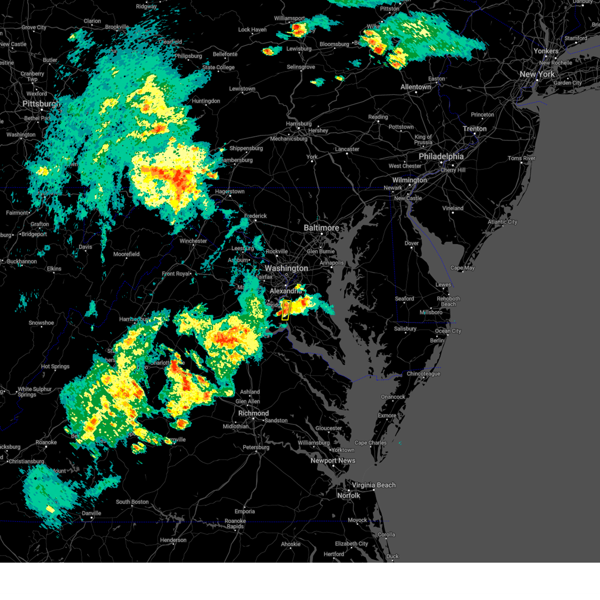 The severe thunderstorm warning for southwestern prince georges and north central charles counties will expire at 900 pm edt, the storm which prompted the warning has weakened below severe limits, and no longer poses an immediate threat to life or property. therefore, the warning will be allowed to expire. however heavy rain is still possible with this thunderstorm. to report severe weather, contact your nearest law enforcement agency. they will relay your report to the national weather service sterling virginia. The severe thunderstorm warning for southwestern prince georges and north central charles counties will expire at 900 pm edt, the storm which prompted the warning has weakened below severe limits, and no longer poses an immediate threat to life or property. therefore, the warning will be allowed to expire. however heavy rain is still possible with this thunderstorm. to report severe weather, contact your nearest law enforcement agency. they will relay your report to the national weather service sterling virginia.
|
| 7/15/2023 8:46 PM EDT |
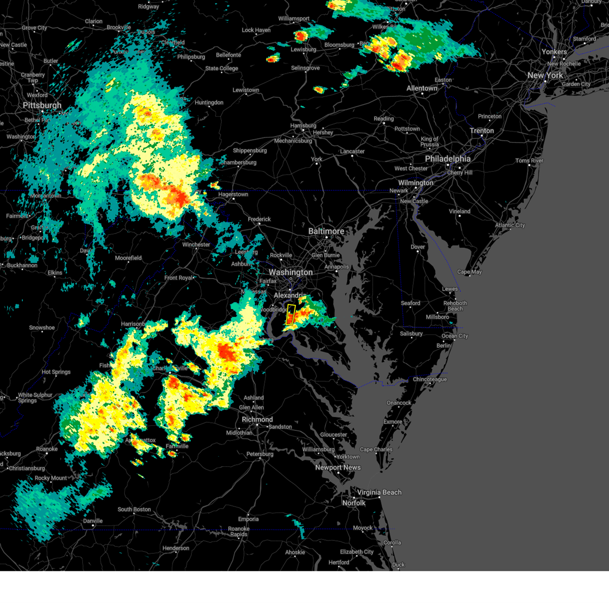 At 846 pm edt, a severe thunderstorm was located near la plata, moving north at 15 mph (radar indicated). Hazards include 60 mph wind gusts. Damaging winds will cause some trees and large branches to fall. this could injure those outdoors, as well as damage homes and vehicles. roadways may become blocked by downed trees. localized power outages are possible. unsecured light objects may become projectiles. locations impacted include, accokeek, bryans road, pomfret, port tobacco village, ripley and port tobacco. hail threat, radar indicated max hail size, <. 75 in wind threat, radar indicated max wind gust, 60 mph. At 846 pm edt, a severe thunderstorm was located near la plata, moving north at 15 mph (radar indicated). Hazards include 60 mph wind gusts. Damaging winds will cause some trees and large branches to fall. this could injure those outdoors, as well as damage homes and vehicles. roadways may become blocked by downed trees. localized power outages are possible. unsecured light objects may become projectiles. locations impacted include, accokeek, bryans road, pomfret, port tobacco village, ripley and port tobacco. hail threat, radar indicated max hail size, <. 75 in wind threat, radar indicated max wind gust, 60 mph.
|
| 7/15/2023 8:34 PM EDT |
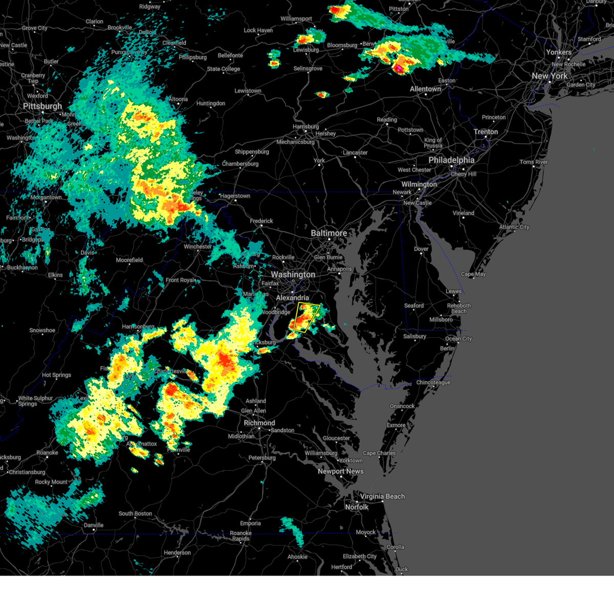 At 834 pm edt, a severe thunderstorm was located over waldorf, moving north at 10 mph (law enforcement). Hazards include 60 mph wind gusts and quarter size hail. Damaging winds will cause some trees and large branches to fall. this could injure those outdoors, as well as damage homes and vehicles. roadways may become blocked by downed trees. localized power outages are possible. unsecured light objects may become projectiles. locations impacted include, waldorf, la plata, saint charles, accokeek, brandywine, baden, bryantown, port tobacco village, northwood, dentsville, white plains and bel alton. hail threat, observed max hail size, 1. 00 in wind threat, radar indicated max wind gust, 60 mph. At 834 pm edt, a severe thunderstorm was located over waldorf, moving north at 10 mph (law enforcement). Hazards include 60 mph wind gusts and quarter size hail. Damaging winds will cause some trees and large branches to fall. this could injure those outdoors, as well as damage homes and vehicles. roadways may become blocked by downed trees. localized power outages are possible. unsecured light objects may become projectiles. locations impacted include, waldorf, la plata, saint charles, accokeek, brandywine, baden, bryantown, port tobacco village, northwood, dentsville, white plains and bel alton. hail threat, observed max hail size, 1. 00 in wind threat, radar indicated max wind gust, 60 mph.
|
| 7/15/2023 8:15 PM EDT |
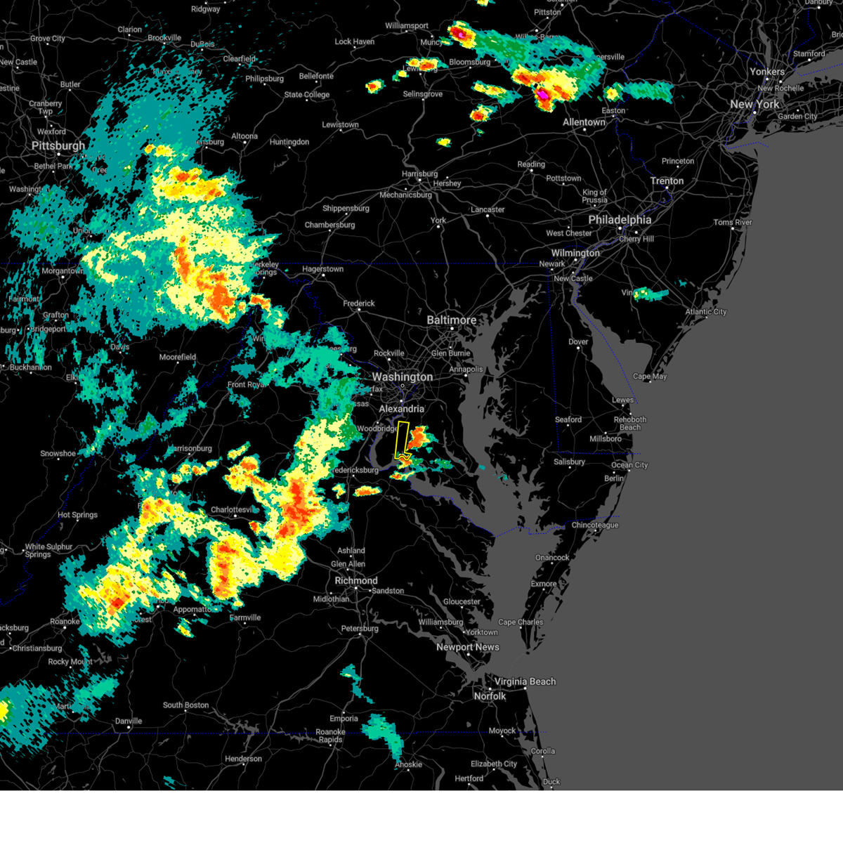 At 815 pm edt, a severe thunderstorm was located over port tobacco river, moving north at 20 mph (radar indicated). Hazards include 60 mph wind gusts and quarter size hail. Damaging winds will cause some trees and large branches to fall. this could injure those outdoors, as well as damage homes and vehicles. roadways may become blocked by downed trees. localized power outages are possible. Unsecured light objects may become projectiles. At 815 pm edt, a severe thunderstorm was located over port tobacco river, moving north at 20 mph (radar indicated). Hazards include 60 mph wind gusts and quarter size hail. Damaging winds will cause some trees and large branches to fall. this could injure those outdoors, as well as damage homes and vehicles. roadways may become blocked by downed trees. localized power outages are possible. Unsecured light objects may become projectiles.
|
| 7/15/2023 8:07 PM EDT |
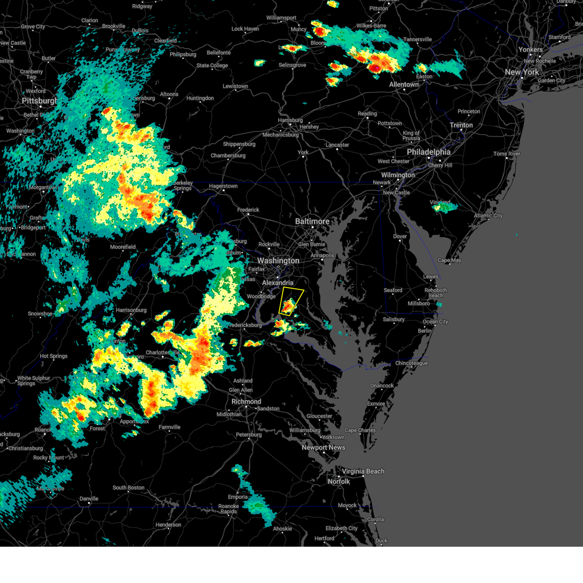 At 806 pm edt, a severe thunderstorm was located near la plata, moving north at 20 mph (radar indicated). Hazards include 60 mph wind gusts and quarter size hail. Damaging winds will cause some trees and large branches to fall. this could injure those outdoors, as well as damage homes and vehicles. roadways may become blocked by downed trees. localized power outages are possible. Unsecured light objects may become projectiles. At 806 pm edt, a severe thunderstorm was located near la plata, moving north at 20 mph (radar indicated). Hazards include 60 mph wind gusts and quarter size hail. Damaging winds will cause some trees and large branches to fall. this could injure those outdoors, as well as damage homes and vehicles. roadways may become blocked by downed trees. localized power outages are possible. Unsecured light objects may become projectiles.
|
| 7/7/2023 2:55 PM EDT |
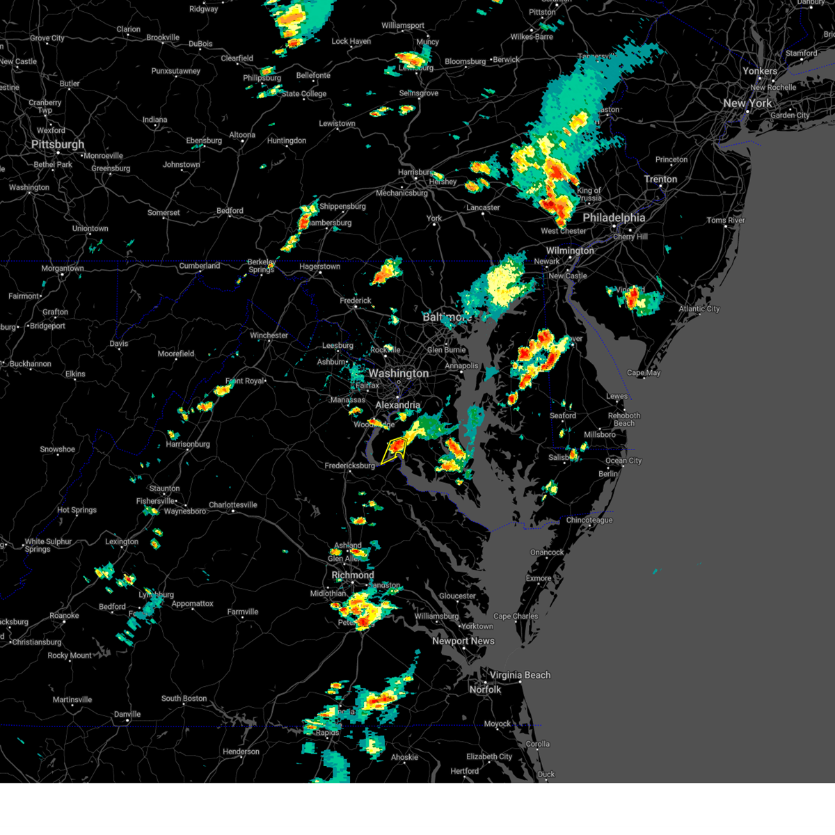 At 254 pm edt, a severe thunderstorm was located over port tobacco river, moving south at 10 mph (radar indicated). Hazards include 60 mph wind gusts and penny size hail. Damaging winds will cause some trees and large branches to fall. this could injure those outdoors, as well as damage homes and vehicles. roadways may become blocked by downed trees. localized power outages are possible. unsecured light objects may become projectiles. locations impacted include, la plata, nanjemoy creek, port tobacco river, port tobacco village, port tobacco, welcome and bel alton. hail threat, radar indicated max hail size, 0. 75 in wind threat, radar indicated max wind gust, 60 mph. At 254 pm edt, a severe thunderstorm was located over port tobacco river, moving south at 10 mph (radar indicated). Hazards include 60 mph wind gusts and penny size hail. Damaging winds will cause some trees and large branches to fall. this could injure those outdoors, as well as damage homes and vehicles. roadways may become blocked by downed trees. localized power outages are possible. unsecured light objects may become projectiles. locations impacted include, la plata, nanjemoy creek, port tobacco river, port tobacco village, port tobacco, welcome and bel alton. hail threat, radar indicated max hail size, 0. 75 in wind threat, radar indicated max wind gust, 60 mph.
|
| 7/7/2023 2:39 PM EDT |
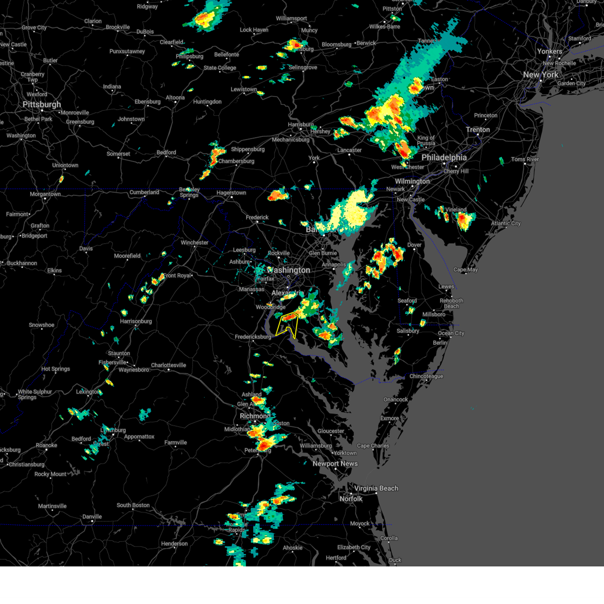 At 238 pm edt, a severe thunderstorm was located near port tobacco river, moving south at 10 mph (radar indicated). Hazards include 60 mph wind gusts and nickel size hail. Damaging winds will cause some trees and large branches to fall. this could injure those outdoors, as well as damage homes and vehicles. roadways may become blocked by downed trees. localized power outages are possible. unsecured light objects may become projectiles. locations impacted include, la plata, nanjemoy creek, port tobacco river, popes creek, pomfret, port tobacco village, newburg, port tobacco, welcome, faulkner and bel alton. hail threat, radar indicated max hail size, 0. 88 in wind threat, radar indicated max wind gust, 60 mph. At 238 pm edt, a severe thunderstorm was located near port tobacco river, moving south at 10 mph (radar indicated). Hazards include 60 mph wind gusts and nickel size hail. Damaging winds will cause some trees and large branches to fall. this could injure those outdoors, as well as damage homes and vehicles. roadways may become blocked by downed trees. localized power outages are possible. unsecured light objects may become projectiles. locations impacted include, la plata, nanjemoy creek, port tobacco river, popes creek, pomfret, port tobacco village, newburg, port tobacco, welcome, faulkner and bel alton. hail threat, radar indicated max hail size, 0. 88 in wind threat, radar indicated max wind gust, 60 mph.
|
| 7/7/2023 2:29 PM EDT |
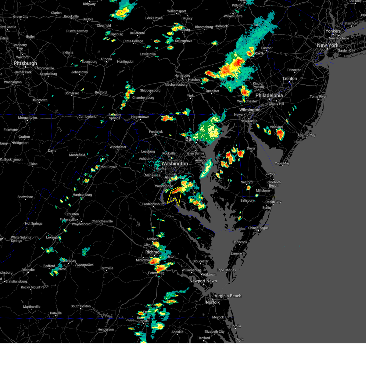 At 229 pm edt, a severe thunderstorm was located near la plata, moving south at 10 mph (radar indicated). Hazards include 60 mph wind gusts. Damaging winds will cause some trees and large branches to fall. this could injure those outdoors, as well as damage homes and vehicles. roadways may become blocked by downed trees. localized power outages are possible. Unsecured light objects may become projectiles. At 229 pm edt, a severe thunderstorm was located near la plata, moving south at 10 mph (radar indicated). Hazards include 60 mph wind gusts. Damaging winds will cause some trees and large branches to fall. this could injure those outdoors, as well as damage homes and vehicles. roadways may become blocked by downed trees. localized power outages are possible. Unsecured light objects may become projectiles.
|
| 6/27/2023 3:41 PM EDT |
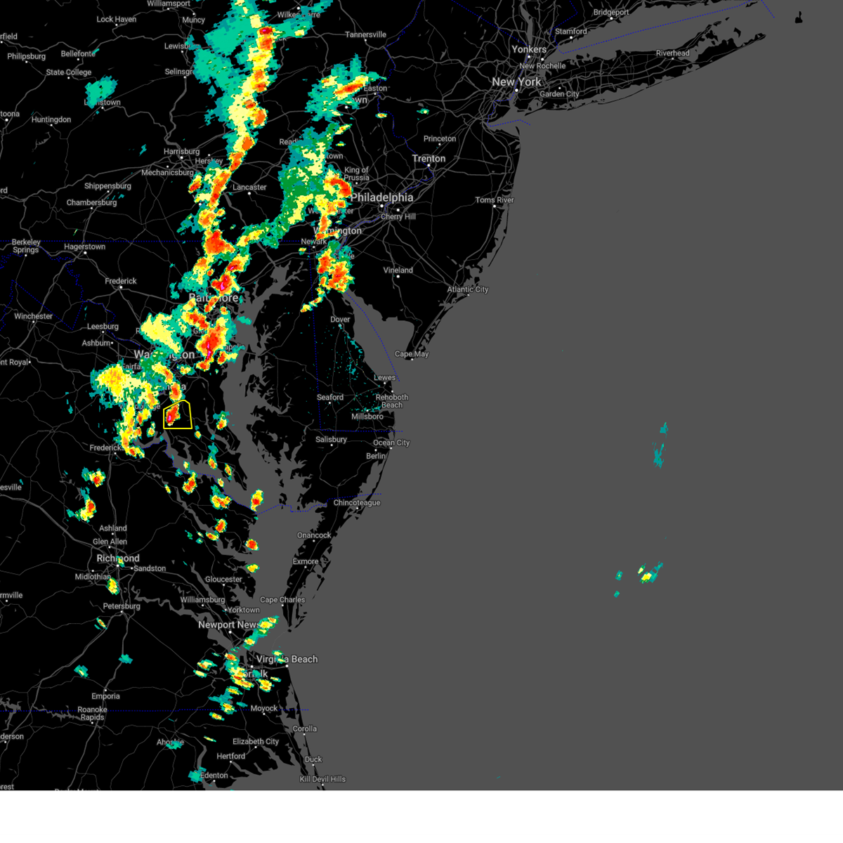 At 341 pm edt, a severe thunderstorm was located over la plata, moving east at 10 mph (radar indicated). Hazards include 60 mph wind gusts and quarter size hail. Damaging winds will cause some trees and large branches to fall. this could injure those outdoors, as well as damage homes and vehicles. roadways may become blocked by downed trees. localized power outages are possible. Unsecured light objects may become projectiles. At 341 pm edt, a severe thunderstorm was located over la plata, moving east at 10 mph (radar indicated). Hazards include 60 mph wind gusts and quarter size hail. Damaging winds will cause some trees and large branches to fall. this could injure those outdoors, as well as damage homes and vehicles. roadways may become blocked by downed trees. localized power outages are possible. Unsecured light objects may become projectiles.
|
| 6/16/2023 6:46 PM EDT |
 At 646 pm edt, a severe thunderstorm was located near la plata, moving southeast at 20 mph (radar indicated). Hazards include 60 mph wind gusts and half dollar size hail. Damaging winds will cause some trees and large branches to fall. this could injure those outdoors, as well as damage homes and vehicles. roadways may become blocked by downed trees. localized power outages are possible. unsecured light objects may become projectiles. locations impacted include, waldorf, la plata, port tobacco river, golden beach, wicomico, hughesville, mechanicsville, charlotte hall, bryantown, port tobacco village, dentsville, port tobacco, mount victoria, bel alton and faulkner. hail threat, radar indicated max hail size, 1. 25 in wind threat, radar indicated max wind gust, 60 mph. At 646 pm edt, a severe thunderstorm was located near la plata, moving southeast at 20 mph (radar indicated). Hazards include 60 mph wind gusts and half dollar size hail. Damaging winds will cause some trees and large branches to fall. this could injure those outdoors, as well as damage homes and vehicles. roadways may become blocked by downed trees. localized power outages are possible. unsecured light objects may become projectiles. locations impacted include, waldorf, la plata, port tobacco river, golden beach, wicomico, hughesville, mechanicsville, charlotte hall, bryantown, port tobacco village, dentsville, port tobacco, mount victoria, bel alton and faulkner. hail threat, radar indicated max hail size, 1. 25 in wind threat, radar indicated max wind gust, 60 mph.
|
| 6/16/2023 6:33 PM EDT | Half Dollar sized hail reported 0.8 miles SE of Port Tobacco Village, MD |
| 6/16/2023 6:29 PM EDT |
 At 628 pm edt, a severe thunderstorm was located over la plata, moving southeast at 25 mph (radar indicated). Hazards include 60 mph wind gusts and quarter size hail. Damaging winds will cause some trees and large branches to fall. this could injure those outdoors, as well as damage homes and vehicles. roadways may become blocked by downed trees. localized power outages are possible. Unsecured light objects may become projectiles. At 628 pm edt, a severe thunderstorm was located over la plata, moving southeast at 25 mph (radar indicated). Hazards include 60 mph wind gusts and quarter size hail. Damaging winds will cause some trees and large branches to fall. this could injure those outdoors, as well as damage homes and vehicles. roadways may become blocked by downed trees. localized power outages are possible. Unsecured light objects may become projectiles.
|
| 6/16/2023 6:16 PM EDT |
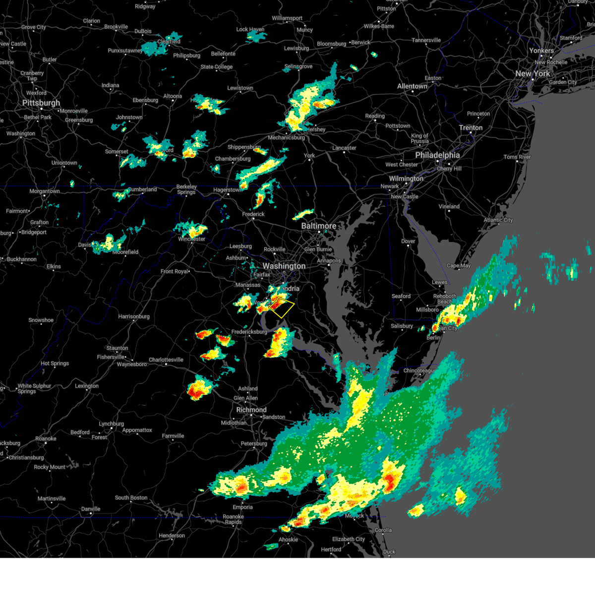 At 615 pm edt, a severe thunderstorm was located 7 miles southeast of woodbridge, moving southeast at 20 mph (radar indicated). Hazards include 60 mph wind gusts and quarter size hail. Damaging winds will cause some trees and large branches to fall. this could injure those outdoors, as well as damage homes and vehicles. roadways may become blocked by downed trees. localized power outages are possible. unsecured light objects may become projectiles. locations impacted include, waldorf, la plata, saint charles, accokeek, bryans road, potomac heights, pomfret, port tobacco village, marbury, white plains, ripley, rison, pisgah and port tobacco. hail threat, radar indicated max hail size, 1. 00 in wind threat, radar indicated max wind gust, 60 mph. At 615 pm edt, a severe thunderstorm was located 7 miles southeast of woodbridge, moving southeast at 20 mph (radar indicated). Hazards include 60 mph wind gusts and quarter size hail. Damaging winds will cause some trees and large branches to fall. this could injure those outdoors, as well as damage homes and vehicles. roadways may become blocked by downed trees. localized power outages are possible. unsecured light objects may become projectiles. locations impacted include, waldorf, la plata, saint charles, accokeek, bryans road, potomac heights, pomfret, port tobacco village, marbury, white plains, ripley, rison, pisgah and port tobacco. hail threat, radar indicated max hail size, 1. 00 in wind threat, radar indicated max wind gust, 60 mph.
|
| 6/16/2023 5:55 PM EDT |
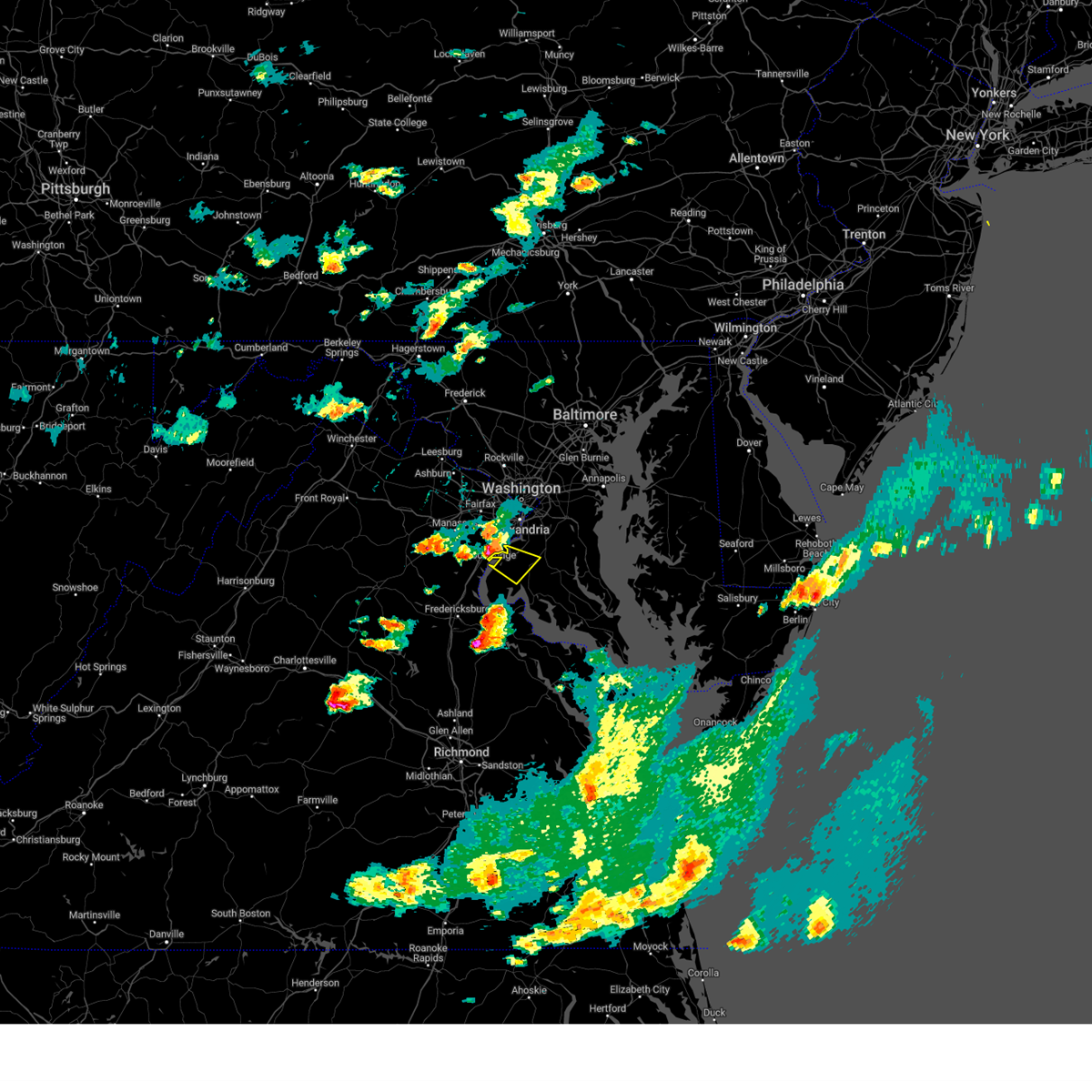 At 555 pm edt, a severe thunderstorm was located over woodbridge, moving southeast at 20 mph (radar indicated). Hazards include 60 mph wind gusts and quarter size hail. Damaging winds will cause some trees and large branches to fall. this could injure those outdoors, as well as damage homes and vehicles. roadways may become blocked by downed trees. localized power outages are possible. Unsecured light objects may become projectiles. At 555 pm edt, a severe thunderstorm was located over woodbridge, moving southeast at 20 mph (radar indicated). Hazards include 60 mph wind gusts and quarter size hail. Damaging winds will cause some trees and large branches to fall. this could injure those outdoors, as well as damage homes and vehicles. roadways may become blocked by downed trees. localized power outages are possible. Unsecured light objects may become projectiles.
|
| 4/22/2023 2:14 PM EDT |
 At 214 pm edt, a severe thunderstorm was located over saint charles, or over waldorf, moving northeast at 50 mph (radar indicated). Hazards include 60 mph wind gusts. Damaging winds will cause some trees and large branches to fall. this could injure those outdoors, as well as damage homes and vehicles. roadways may become blocked by downed trees. localized power outages are possible. Unsecured light objects may become projectiles. At 214 pm edt, a severe thunderstorm was located over saint charles, or over waldorf, moving northeast at 50 mph (radar indicated). Hazards include 60 mph wind gusts. Damaging winds will cause some trees and large branches to fall. this could injure those outdoors, as well as damage homes and vehicles. roadways may become blocked by downed trees. localized power outages are possible. Unsecured light objects may become projectiles.
|
| 8/10/2022 5:45 PM EDT |
 At 545 pm edt, severe thunderstorms were located along a line extending from 6 miles southeast of waldorf to near king george, moving southeast at 10 mph (radar indicated). Hazards include 60 mph wind gusts. Damaging winds will cause some trees and large branches to fall. this could injure those outdoors, as well as damage homes and vehicles. roadways may become blocked by downed trees. localized power outages are possible. Unsecured light objects may become projectiles. At 545 pm edt, severe thunderstorms were located along a line extending from 6 miles southeast of waldorf to near king george, moving southeast at 10 mph (radar indicated). Hazards include 60 mph wind gusts. Damaging winds will cause some trees and large branches to fall. this could injure those outdoors, as well as damage homes and vehicles. roadways may become blocked by downed trees. localized power outages are possible. Unsecured light objects may become projectiles.
|
| 7/25/2022 5:15 PM EDT |
 At 515 pm edt, a severe thunderstorm was located near popes creek, moving east at 25 mph (radar indicated). Hazards include 60 mph wind gusts and quarter size hail. Damaging winds will cause some trees and large branches to fall. this could injure those outdoors, as well as damage homes and vehicles. roadways may become blocked by downed trees. localized power outages are possible. Unsecured light objects may become projectiles. At 515 pm edt, a severe thunderstorm was located near popes creek, moving east at 25 mph (radar indicated). Hazards include 60 mph wind gusts and quarter size hail. Damaging winds will cause some trees and large branches to fall. this could injure those outdoors, as well as damage homes and vehicles. roadways may become blocked by downed trees. localized power outages are possible. Unsecured light objects may become projectiles.
|
| 7/17/2022 6:04 PM EDT |
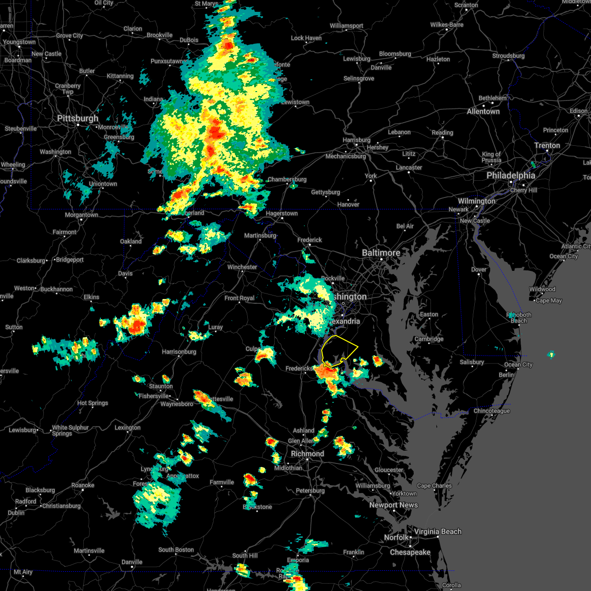 At 604 pm edt, a severe thunderstorm was located near nanjemoy creek, moving northeast at 25 mph (radar indicated). Hazards include 60 mph wind gusts. Damaging winds will cause some trees and large branches to fall. this could injure those outdoors, as well as damage homes and vehicles. roadways may become blocked by downed trees. localized power outages are possible. Unsecured light objects may become projectiles. At 604 pm edt, a severe thunderstorm was located near nanjemoy creek, moving northeast at 25 mph (radar indicated). Hazards include 60 mph wind gusts. Damaging winds will cause some trees and large branches to fall. this could injure those outdoors, as well as damage homes and vehicles. roadways may become blocked by downed trees. localized power outages are possible. Unsecured light objects may become projectiles.
|
| 7/16/2022 5:14 PM EDT |
 At 514 pm edt, a severe thunderstorm was located over popes creek, moving northeast at 20 mph (radar indicated). Hazards include 60 mph wind gusts. Damaging winds will cause some trees and large branches to fall. this could injure those outdoors, as well as damage homes and vehicles. roadways may become blocked by downed trees. localized power outages are possible. unsecured light objects may become projectiles. locations impacted include, waldorf, la plata, popes creek, hallowing point, port tobacco river, golden beach, saint charles, wicomico, hughesville, mechanicsville, charlotte hall, cobb island, bryantown, benedict, rock point, port tobacco village, issue, tompkinsville, chaptico and bel alton. hail threat, radar indicated max hail size, <. 75 in wind threat, radar indicated max wind gust, 60 mph. At 514 pm edt, a severe thunderstorm was located over popes creek, moving northeast at 20 mph (radar indicated). Hazards include 60 mph wind gusts. Damaging winds will cause some trees and large branches to fall. this could injure those outdoors, as well as damage homes and vehicles. roadways may become blocked by downed trees. localized power outages are possible. unsecured light objects may become projectiles. locations impacted include, waldorf, la plata, popes creek, hallowing point, port tobacco river, golden beach, saint charles, wicomico, hughesville, mechanicsville, charlotte hall, cobb island, bryantown, benedict, rock point, port tobacco village, issue, tompkinsville, chaptico and bel alton. hail threat, radar indicated max hail size, <. 75 in wind threat, radar indicated max wind gust, 60 mph.
|
| 7/16/2022 5:07 PM EDT |
 At 507 pm edt, a severe thunderstorm was located over popes creek, moving northeast at 20 mph (radar indicated). Hazards include 60 mph wind gusts. Damaging winds will cause some trees and large branches to fall. this could injure those outdoors, as well as damage homes and vehicles. roadways may become blocked by downed trees. localized power outages are possible. unsecured light objects may become projectiles. locations impacted include, waldorf, la plata, dahlgren, nanjemoy creek, popes creek, hallowing point, port tobacco river, golden beach, saint charles, wicomico, hughesville, mechanicsville, charlotte hall, cobb island, bryantown, benedict, rock point, port tobacco village, issue and tompkinsville. hail threat, radar indicated max hail size, <. 75 in wind threat, radar indicated max wind gust, 60 mph. At 507 pm edt, a severe thunderstorm was located over popes creek, moving northeast at 20 mph (radar indicated). Hazards include 60 mph wind gusts. Damaging winds will cause some trees and large branches to fall. this could injure those outdoors, as well as damage homes and vehicles. roadways may become blocked by downed trees. localized power outages are possible. unsecured light objects may become projectiles. locations impacted include, waldorf, la plata, dahlgren, nanjemoy creek, popes creek, hallowing point, port tobacco river, golden beach, saint charles, wicomico, hughesville, mechanicsville, charlotte hall, cobb island, bryantown, benedict, rock point, port tobacco village, issue and tompkinsville. hail threat, radar indicated max hail size, <. 75 in wind threat, radar indicated max wind gust, 60 mph.
|
| 7/16/2022 4:53 PM EDT |
 At 452 pm edt, a severe thunderstorm was located over dahlgren, moving northeast at 20 mph (radar indicated). Hazards include 60 mph wind gusts. Damaging winds will cause some trees and large branches to fall. this could injure those outdoors, as well as damage homes and vehicles. roadways may become blocked by downed trees. localized power outages are possible. Unsecured light objects may become projectiles. At 452 pm edt, a severe thunderstorm was located over dahlgren, moving northeast at 20 mph (radar indicated). Hazards include 60 mph wind gusts. Damaging winds will cause some trees and large branches to fall. this could injure those outdoors, as well as damage homes and vehicles. roadways may become blocked by downed trees. localized power outages are possible. Unsecured light objects may become projectiles.
|
| 7/14/2022 4:58 PM EDT |
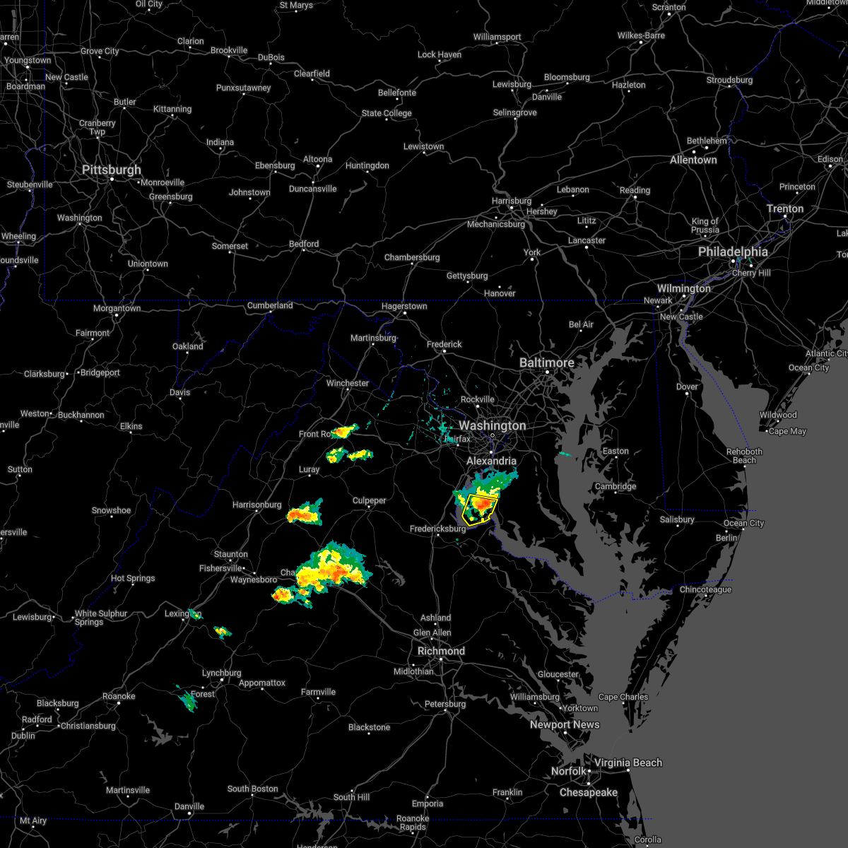 The severe thunderstorm warning for west central charles county will expire at 500 pm edt, the storm which prompted the warning has weakened below severe limits, and no longer poses an immediate threat to life or property. therefore, the warning will be allowed to expire. The severe thunderstorm warning for west central charles county will expire at 500 pm edt, the storm which prompted the warning has weakened below severe limits, and no longer poses an immediate threat to life or property. therefore, the warning will be allowed to expire.
|
| 7/14/2022 4:48 PM EDT |
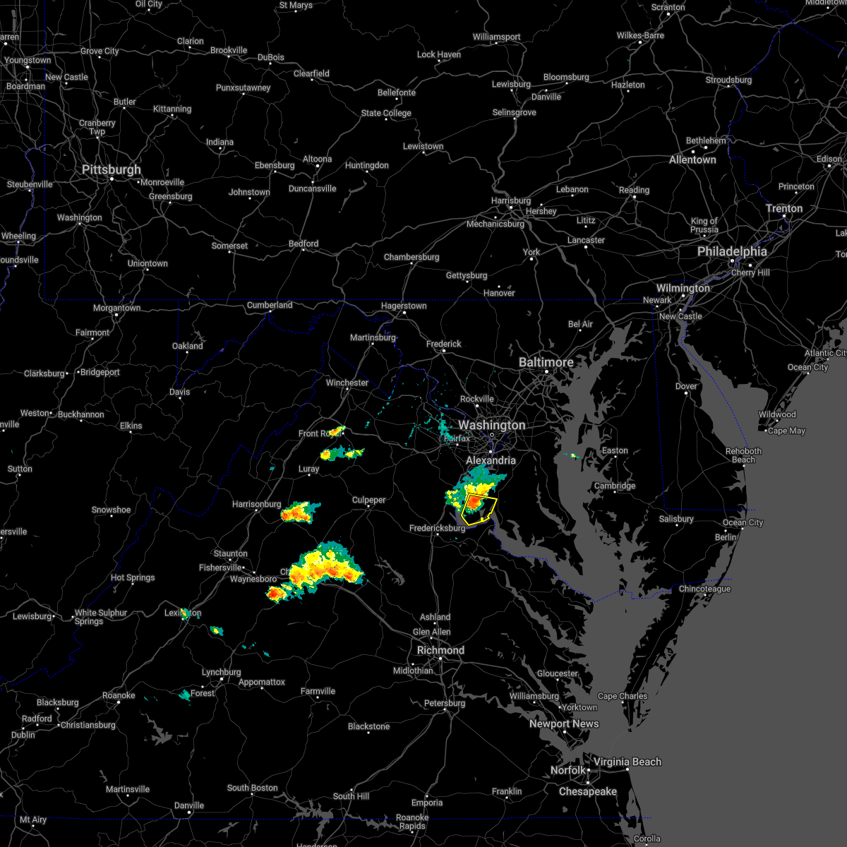 At 448 pm edt, a severe thunderstorm was located near quantico, moving east at 25 mph (radar indicated). Hazards include 60 mph wind gusts and penny size hail. Damaging winds will cause some trees and large branches to fall. this could injure those outdoors, as well as damage homes and vehicles. roadways may become blocked by downed trees. localized power outages are possible. unsecured light objects may become projectiles. locations impacted include, nanjemoy creek, port tobacco village, welcome, nanjemoy, ironsides and port tobacco. hail threat, radar indicated max hail size, 0. 75 in wind threat, radar indicated max wind gust, 60 mph. At 448 pm edt, a severe thunderstorm was located near quantico, moving east at 25 mph (radar indicated). Hazards include 60 mph wind gusts and penny size hail. Damaging winds will cause some trees and large branches to fall. this could injure those outdoors, as well as damage homes and vehicles. roadways may become blocked by downed trees. localized power outages are possible. unsecured light objects may become projectiles. locations impacted include, nanjemoy creek, port tobacco village, welcome, nanjemoy, ironsides and port tobacco. hail threat, radar indicated max hail size, 0. 75 in wind threat, radar indicated max wind gust, 60 mph.
|
| 7/14/2022 4:36 PM EDT |
 At 436 pm edt, a severe thunderstorm was located over quantico, moving east at 25 mph (radar indicated). Hazards include 60 mph wind gusts and penny size hail. Damaging winds will cause some trees and large branches to fall. this could injure those outdoors, as well as damage homes and vehicles. roadways may become blocked by downed trees. localized power outages are possible. unsecured light objects may become projectiles. locations impacted include, waldorf, la plata, nanjemoy creek, bryans road, potomac heights, pomfret, port tobacco village, marbury, port tobacco, ironsides, ripley, rison, nanjemoy, pisgah and welcome. hail threat, radar indicated max hail size, 0. 75 in wind threat, radar indicated max wind gust, 60 mph. At 436 pm edt, a severe thunderstorm was located over quantico, moving east at 25 mph (radar indicated). Hazards include 60 mph wind gusts and penny size hail. Damaging winds will cause some trees and large branches to fall. this could injure those outdoors, as well as damage homes and vehicles. roadways may become blocked by downed trees. localized power outages are possible. unsecured light objects may become projectiles. locations impacted include, waldorf, la plata, nanjemoy creek, bryans road, potomac heights, pomfret, port tobacco village, marbury, port tobacco, ironsides, ripley, rison, nanjemoy, pisgah and welcome. hail threat, radar indicated max hail size, 0. 75 in wind threat, radar indicated max wind gust, 60 mph.
|
| 7/14/2022 4:22 PM EDT |
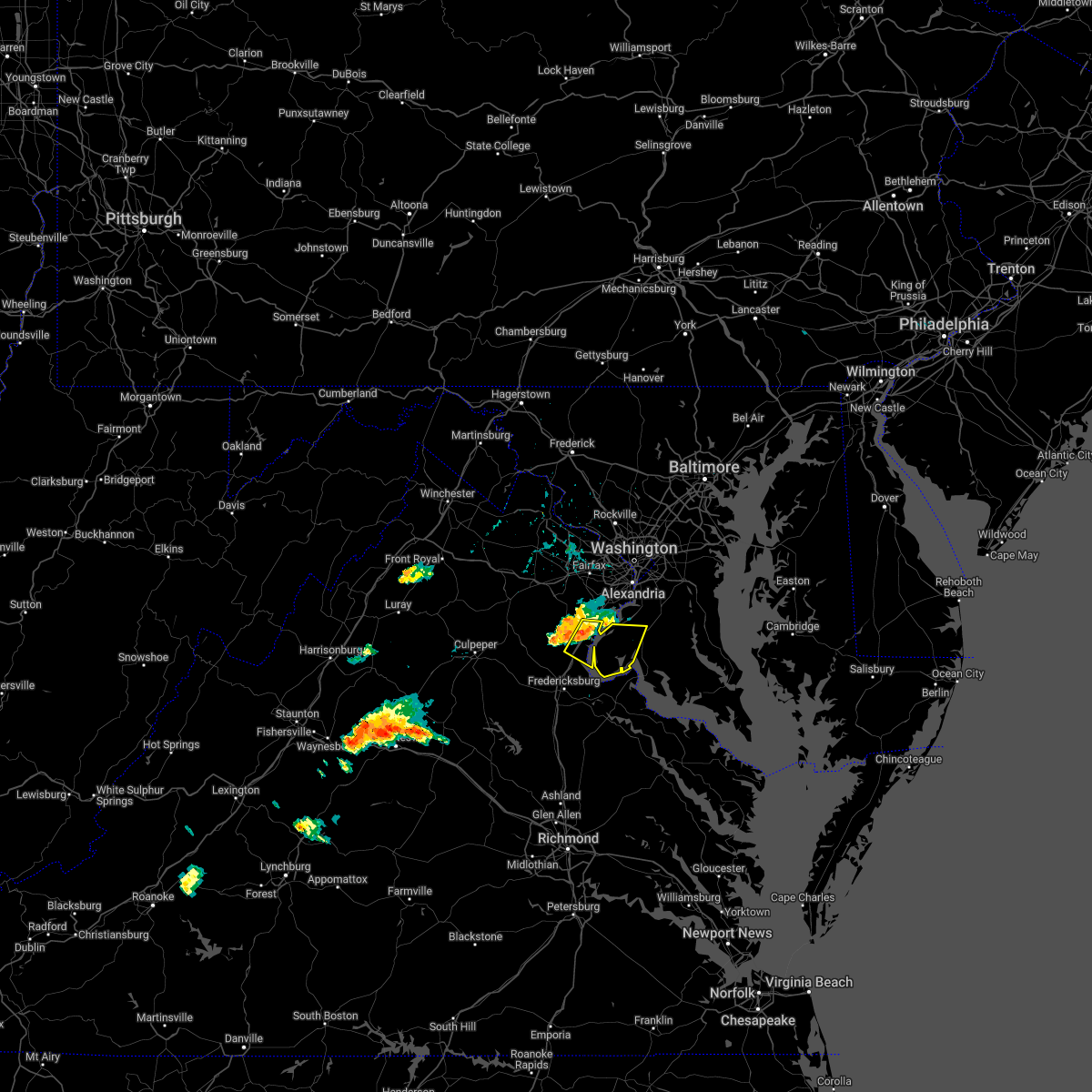 At 421 pm edt, a severe thunderstorm was located over dumfries, or near quantico, moving east at 25 mph (radar indicated). Hazards include 60 mph wind gusts. Damaging winds will cause some trees and large branches to fall. this could injure those outdoors, as well as damage homes and vehicles. roadways may become blocked by downed trees. localized power outages are possible. unsecured light objects may become projectiles. locations impacted include, waldorf, dale city, la plata, quantico, nanjemoy creek, montclair, triangle, dumfries, cherry hill, bryans road, potomac heights, pomfret, port tobacco village, garrisonville, ironsides, pisgah, marbury, widewater, port tobacco and ripley. hail threat, radar indicated max hail size, <. 75 in wind threat, radar indicated max wind gust, 60 mph. At 421 pm edt, a severe thunderstorm was located over dumfries, or near quantico, moving east at 25 mph (radar indicated). Hazards include 60 mph wind gusts. Damaging winds will cause some trees and large branches to fall. this could injure those outdoors, as well as damage homes and vehicles. roadways may become blocked by downed trees. localized power outages are possible. unsecured light objects may become projectiles. locations impacted include, waldorf, dale city, la plata, quantico, nanjemoy creek, montclair, triangle, dumfries, cherry hill, bryans road, potomac heights, pomfret, port tobacco village, garrisonville, ironsides, pisgah, marbury, widewater, port tobacco and ripley. hail threat, radar indicated max hail size, <. 75 in wind threat, radar indicated max wind gust, 60 mph.
|
| 7/14/2022 4:19 PM EDT |
 At 419 pm edt, a severe thunderstorm was located over dumfries, or near quantico, moving east at 25 mph (radar indicated). Hazards include 60 mph wind gusts. Damaging winds will cause some trees and large branches to fall. this could injure those outdoors, as well as damage homes and vehicles. roadways may become blocked by downed trees. localized power outages are possible. Unsecured light objects may become projectiles. At 419 pm edt, a severe thunderstorm was located over dumfries, or near quantico, moving east at 25 mph (radar indicated). Hazards include 60 mph wind gusts. Damaging winds will cause some trees and large branches to fall. this could injure those outdoors, as well as damage homes and vehicles. roadways may become blocked by downed trees. localized power outages are possible. Unsecured light objects may become projectiles.
|
| 7/12/2022 8:31 PM EDT |
 At 831 pm edt, a severe thunderstorm was located over port tobacco river, moving east at 35 mph (radar indicated). Hazards include 60 mph wind gusts and quarter size hail. Damaging winds will cause some trees and large branches to fall. this could injure those outdoors, as well as damage homes and vehicles. roadways may become blocked by downed trees. localized power outages are possible. unsecured light objects may become projectiles. locations impacted include, waldorf, la plata, port tobacco river, popes creek, saint charles, wicomico, bryans road, hughesville, bryantown, pomfret, port tobacco village, dentsville, port tobacco, ripley, bel alton, newburg, welcome, faulkner and white plains. hail threat, radar indicated max hail size, 1. 00 in wind threat, radar indicated max wind gust, 60 mph. At 831 pm edt, a severe thunderstorm was located over port tobacco river, moving east at 35 mph (radar indicated). Hazards include 60 mph wind gusts and quarter size hail. Damaging winds will cause some trees and large branches to fall. this could injure those outdoors, as well as damage homes and vehicles. roadways may become blocked by downed trees. localized power outages are possible. unsecured light objects may become projectiles. locations impacted include, waldorf, la plata, port tobacco river, popes creek, saint charles, wicomico, bryans road, hughesville, bryantown, pomfret, port tobacco village, dentsville, port tobacco, ripley, bel alton, newburg, welcome, faulkner and white plains. hail threat, radar indicated max hail size, 1. 00 in wind threat, radar indicated max wind gust, 60 mph.
|
| 7/12/2022 8:29 PM EDT |
 At 829 pm edt, a severe thunderstorm was located near la plata, moving east at 45 mph (radar indicated). Hazards include 60 mph wind gusts and quarter size hail. Damaging winds will cause some trees and large branches to fall. this could injure those outdoors, as well as damage homes and vehicles. roadways may become blocked by downed trees. localized power outages are possible. Unsecured light objects may become projectiles. At 829 pm edt, a severe thunderstorm was located near la plata, moving east at 45 mph (radar indicated). Hazards include 60 mph wind gusts and quarter size hail. Damaging winds will cause some trees and large branches to fall. this could injure those outdoors, as well as damage homes and vehicles. roadways may become blocked by downed trees. localized power outages are possible. Unsecured light objects may become projectiles.
|
| 7/12/2022 8:06 PM EDT |
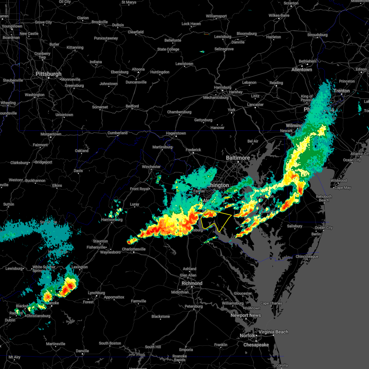 At 806 pm edt, a severe thunderstorm was located near quantico, moving southeast at 40 mph (radar indicated). Hazards include 60 mph wind gusts and quarter size hail. Damaging winds will cause some trees and large branches to fall. this could injure those outdoors, as well as damage homes and vehicles. roadways may become blocked by downed trees. localized power outages are possible. Unsecured light objects may become projectiles. At 806 pm edt, a severe thunderstorm was located near quantico, moving southeast at 40 mph (radar indicated). Hazards include 60 mph wind gusts and quarter size hail. Damaging winds will cause some trees and large branches to fall. this could injure those outdoors, as well as damage homes and vehicles. roadways may become blocked by downed trees. localized power outages are possible. Unsecured light objects may become projectiles.
|
| 7/7/2022 12:58 AM EDT |
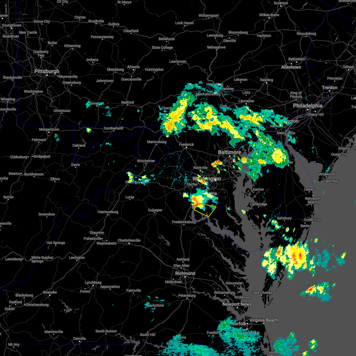 At 1258 am edt, a severe thunderstorm was located near quantico, moving southeast at 20 mph (radar indicated). Hazards include 60 mph wind gusts. Damaging winds will cause some trees and large branches to fall. this could injure those outdoors, as well as damage homes and vehicles. roadways may become blocked by downed trees. localized power outages are possible. unsecured light objects may become projectiles. locations impacted include, waldorf, la plata, port tobacco river, bryans road, potomac heights, pomfret, port tobacco village, marbury, port tobacco, ironsides, ripley, rison, bel alton, pisgah and welcome. hail threat, radar indicated max hail size, <. 75 in wind threat, radar indicated max wind gust, 60 mph. At 1258 am edt, a severe thunderstorm was located near quantico, moving southeast at 20 mph (radar indicated). Hazards include 60 mph wind gusts. Damaging winds will cause some trees and large branches to fall. this could injure those outdoors, as well as damage homes and vehicles. roadways may become blocked by downed trees. localized power outages are possible. unsecured light objects may become projectiles. locations impacted include, waldorf, la plata, port tobacco river, bryans road, potomac heights, pomfret, port tobacco village, marbury, port tobacco, ironsides, ripley, rison, bel alton, pisgah and welcome. hail threat, radar indicated max hail size, <. 75 in wind threat, radar indicated max wind gust, 60 mph.
|
| 7/7/2022 12:50 AM EDT |
 At 1250 am edt, a severe thunderstorm was located near quantico, moving southeast at 20 mph (radar indicated). Hazards include 60 mph wind gusts. Damaging winds will cause some trees and large branches to fall. this could injure those outdoors, as well as damage homes and vehicles. roadways may become blocked by downed trees. localized power outages are possible. unsecured light objects may become projectiles. locations impacted include, waldorf, dale city, la plata, woodbridge, quantico, port tobacco river, lake ridge, montclair, triangle, dumfries, saint charles, cherry hill, bryans road, potomac heights, pomfret, port tobacco village, marbury, port tobacco, ironsides and ripley. hail threat, radar indicated max hail size, <. 75 in wind threat, radar indicated max wind gust, 60 mph. At 1250 am edt, a severe thunderstorm was located near quantico, moving southeast at 20 mph (radar indicated). Hazards include 60 mph wind gusts. Damaging winds will cause some trees and large branches to fall. this could injure those outdoors, as well as damage homes and vehicles. roadways may become blocked by downed trees. localized power outages are possible. unsecured light objects may become projectiles. locations impacted include, waldorf, dale city, la plata, woodbridge, quantico, port tobacco river, lake ridge, montclair, triangle, dumfries, saint charles, cherry hill, bryans road, potomac heights, pomfret, port tobacco village, marbury, port tobacco, ironsides and ripley. hail threat, radar indicated max hail size, <. 75 in wind threat, radar indicated max wind gust, 60 mph.
|
| 7/7/2022 12:43 AM EDT |
 At 1242 am edt, a severe thunderstorm was located near dumfries, or near woodbridge, moving southeast at 20 mph (radar indicated). Hazards include 60 mph wind gusts. Damaging winds will cause some trees and large branches to fall. this could injure those outdoors, as well as damage homes and vehicles. roadways may become blocked by downed trees. localized power outages are possible. unsecured light objects may become projectiles. locations impacted include, waldorf, dale city, la plata, woodbridge, quantico, port tobacco river, nanjemoy creek, lake ridge, montclair, triangle, dumfries, saint charles, cherry hill, independent hill, bryans road, mason neck, potomac heights, pomfret, port tobacco village and ironsides. hail threat, radar indicated max hail size, <. 75 in wind threat, radar indicated max wind gust, 60 mph. At 1242 am edt, a severe thunderstorm was located near dumfries, or near woodbridge, moving southeast at 20 mph (radar indicated). Hazards include 60 mph wind gusts. Damaging winds will cause some trees and large branches to fall. this could injure those outdoors, as well as damage homes and vehicles. roadways may become blocked by downed trees. localized power outages are possible. unsecured light objects may become projectiles. locations impacted include, waldorf, dale city, la plata, woodbridge, quantico, port tobacco river, nanjemoy creek, lake ridge, montclair, triangle, dumfries, saint charles, cherry hill, independent hill, bryans road, mason neck, potomac heights, pomfret, port tobacco village and ironsides. hail threat, radar indicated max hail size, <. 75 in wind threat, radar indicated max wind gust, 60 mph.
|
| 7/7/2022 12:43 AM EDT |
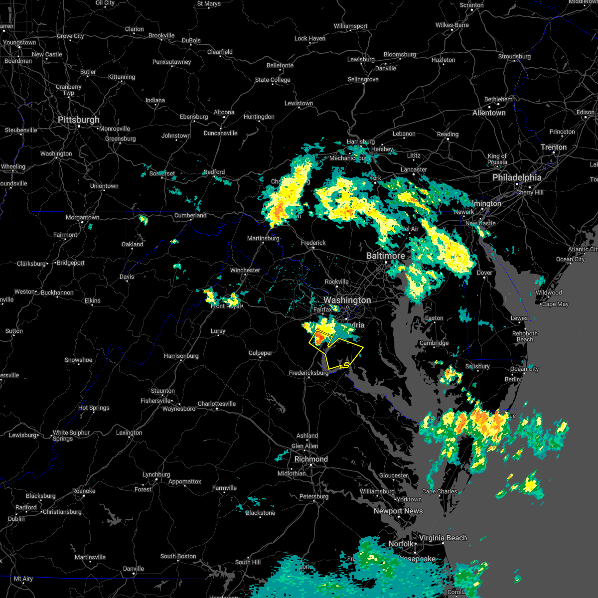 At 1242 am edt, a severe thunderstorm was located near dumfries, or near woodbridge, moving southeast at 20 mph (radar indicated). Hazards include 60 mph wind gusts. Damaging winds will cause some trees and large branches to fall. this could injure those outdoors, as well as damage homes and vehicles. roadways may become blocked by downed trees. localized power outages are possible. unsecured light objects may become projectiles. locations impacted include, waldorf, dale city, la plata, woodbridge, quantico, port tobacco river, nanjemoy creek, lake ridge, montclair, triangle, dumfries, saint charles, cherry hill, independent hill, bryans road, mason neck, potomac heights, pomfret, port tobacco village and ironsides. hail threat, radar indicated max hail size, <. 75 in wind threat, radar indicated max wind gust, 60 mph. At 1242 am edt, a severe thunderstorm was located near dumfries, or near woodbridge, moving southeast at 20 mph (radar indicated). Hazards include 60 mph wind gusts. Damaging winds will cause some trees and large branches to fall. this could injure those outdoors, as well as damage homes and vehicles. roadways may become blocked by downed trees. localized power outages are possible. unsecured light objects may become projectiles. locations impacted include, waldorf, dale city, la plata, woodbridge, quantico, port tobacco river, nanjemoy creek, lake ridge, montclair, triangle, dumfries, saint charles, cherry hill, independent hill, bryans road, mason neck, potomac heights, pomfret, port tobacco village and ironsides. hail threat, radar indicated max hail size, <. 75 in wind threat, radar indicated max wind gust, 60 mph.
|
| 7/7/2022 12:25 AM EDT |
 At 1225 am edt, a severe thunderstorm was located over dale city, moving southeast at 20 mph (radar indicated). Hazards include 60 mph wind gusts. Damaging winds will cause some trees and large branches to fall. this could injure those outdoors, as well as damage homes and vehicles. roadways may become blocked by downed trees. localized power outages are possible. Unsecured light objects may become projectiles. At 1225 am edt, a severe thunderstorm was located over dale city, moving southeast at 20 mph (radar indicated). Hazards include 60 mph wind gusts. Damaging winds will cause some trees and large branches to fall. this could injure those outdoors, as well as damage homes and vehicles. roadways may become blocked by downed trees. localized power outages are possible. Unsecured light objects may become projectiles.
|
| 7/7/2022 12:25 AM EDT |
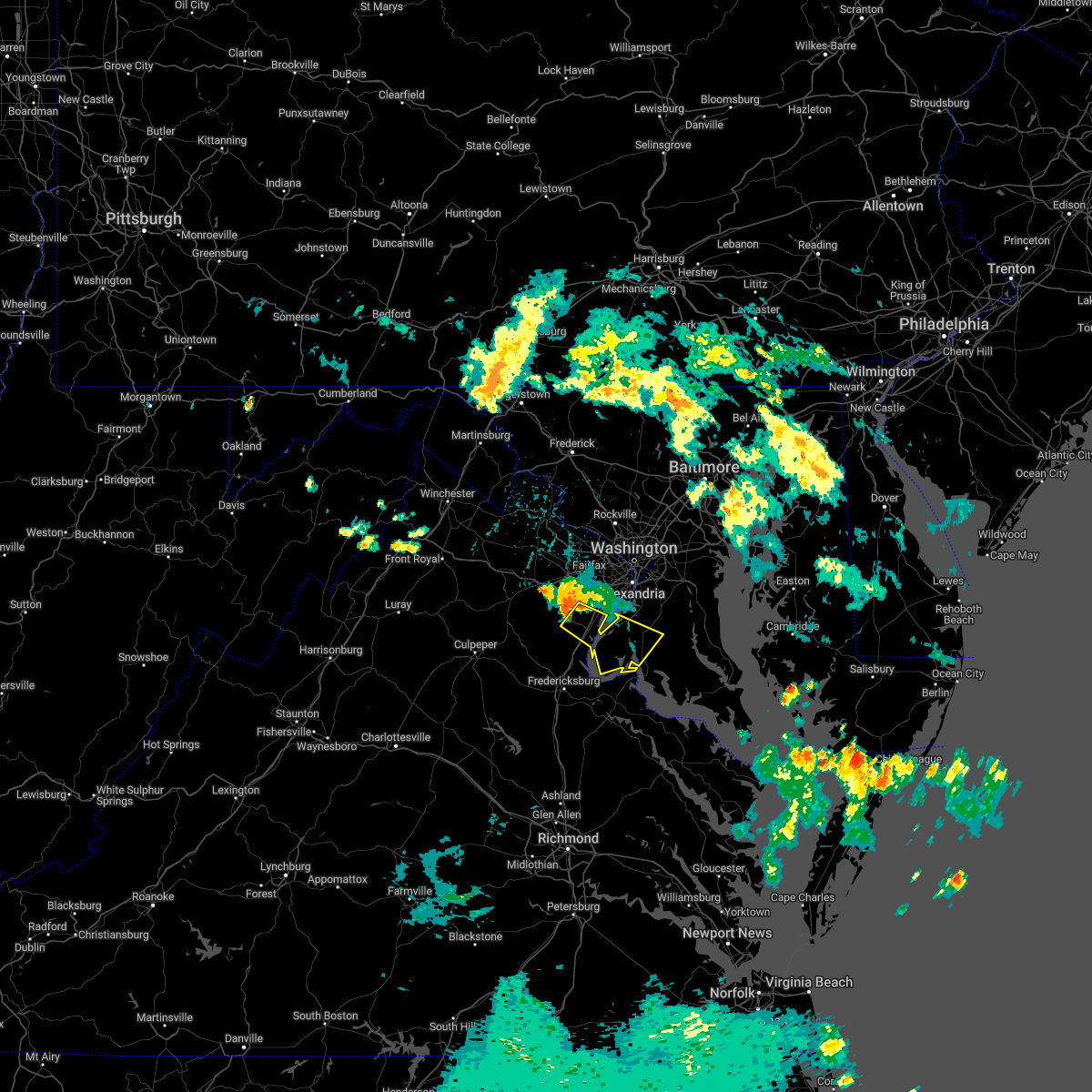 At 1225 am edt, a severe thunderstorm was located over dale city, moving southeast at 20 mph (radar indicated). Hazards include 60 mph wind gusts. Damaging winds will cause some trees and large branches to fall. this could injure those outdoors, as well as damage homes and vehicles. roadways may become blocked by downed trees. localized power outages are possible. Unsecured light objects may become projectiles. At 1225 am edt, a severe thunderstorm was located over dale city, moving southeast at 20 mph (radar indicated). Hazards include 60 mph wind gusts. Damaging winds will cause some trees and large branches to fall. this could injure those outdoors, as well as damage homes and vehicles. roadways may become blocked by downed trees. localized power outages are possible. Unsecured light objects may become projectiles.
|
| 6/8/2022 7:18 PM EDT |
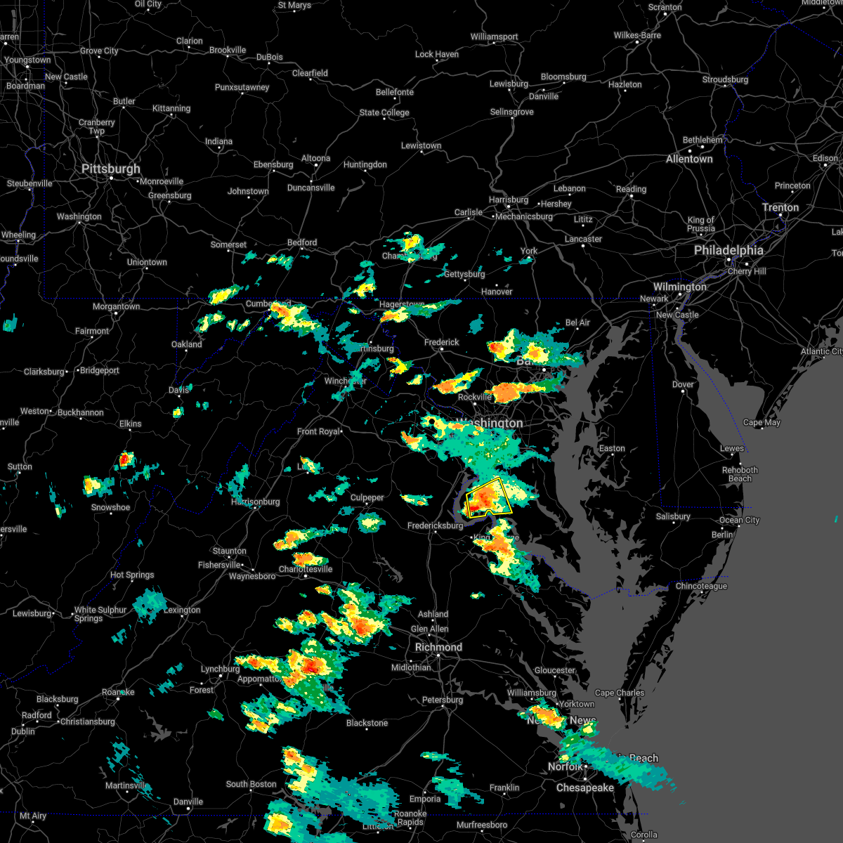 At 718 pm edt, a severe thunderstorm was located near port tobacco river, moving east at 25 mph (radar indicated). Hazards include 60 mph wind gusts and quarter size hail. Damaging winds will cause some trees and large branches to fall. this could injure those outdoors, as well as damage homes and vehicles. roadways may become blocked by downed trees. localized power outages are possible. unsecured light objects may become projectiles. locations impacted include, waldorf, la plata, port tobacco river, saint charles, bryans road, pomfret, port tobacco village, dentsville, port tobacco, ironsides, ripley, bel alton, pisgah, welcome, faulkner, marbury, white plains and rison. hail threat, radar indicated max hail size, 1. 00 in wind threat, radar indicated max wind gust, 60 mph. At 718 pm edt, a severe thunderstorm was located near port tobacco river, moving east at 25 mph (radar indicated). Hazards include 60 mph wind gusts and quarter size hail. Damaging winds will cause some trees and large branches to fall. this could injure those outdoors, as well as damage homes and vehicles. roadways may become blocked by downed trees. localized power outages are possible. unsecured light objects may become projectiles. locations impacted include, waldorf, la plata, port tobacco river, saint charles, bryans road, pomfret, port tobacco village, dentsville, port tobacco, ironsides, ripley, bel alton, pisgah, welcome, faulkner, marbury, white plains and rison. hail threat, radar indicated max hail size, 1. 00 in wind threat, radar indicated max wind gust, 60 mph.
|
| 6/8/2022 6:50 PM EDT |
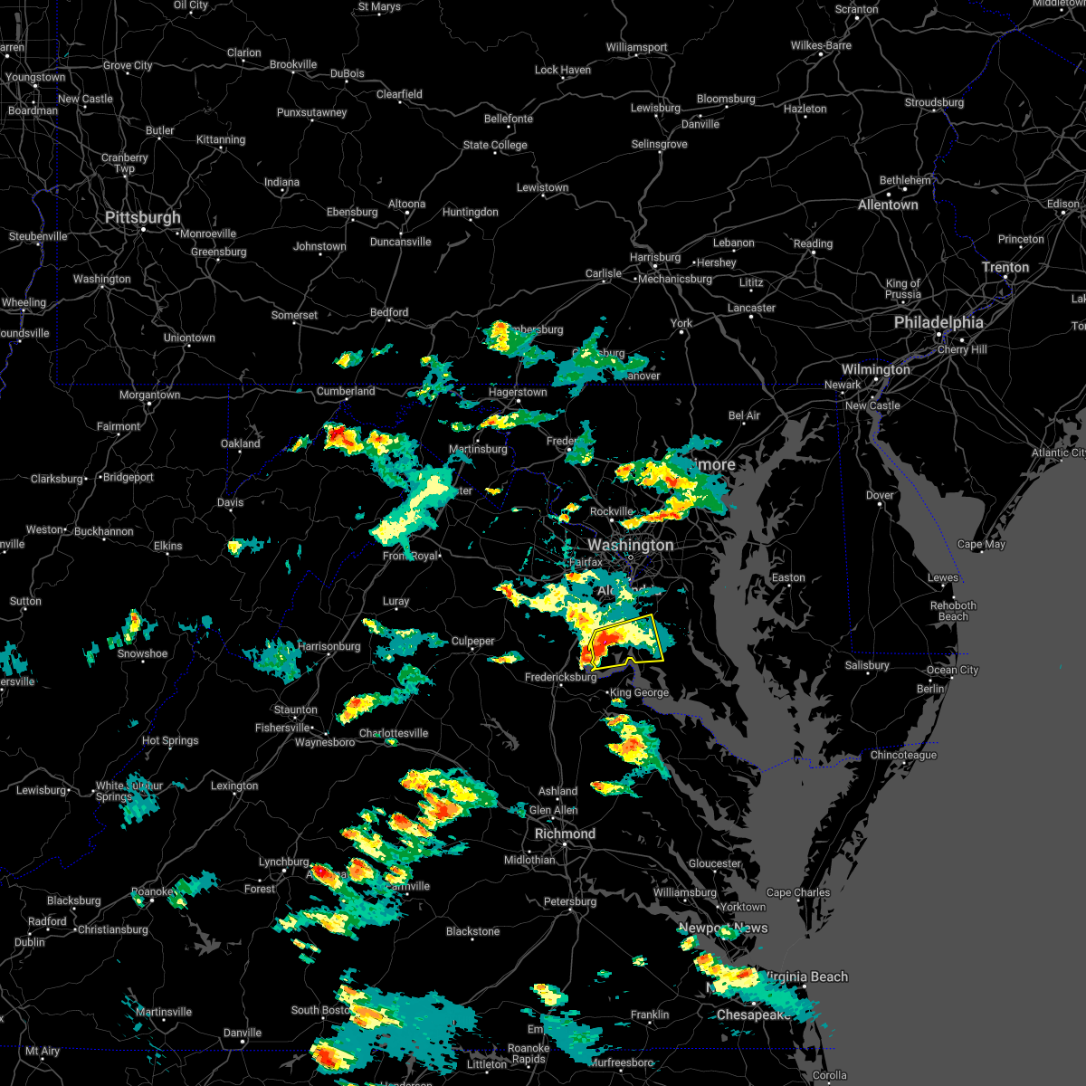 At 650 pm edt, a severe thunderstorm was located 7 miles east of quantico, moving east at 15 mph (radar indicated). Hazards include 60 mph wind gusts and quarter size hail. Damaging winds will cause some trees and large branches to fall. this could injure those outdoors, as well as damage homes and vehicles. roadways may become blocked by downed trees. localized power outages are possible. Unsecured light objects may become projectiles. At 650 pm edt, a severe thunderstorm was located 7 miles east of quantico, moving east at 15 mph (radar indicated). Hazards include 60 mph wind gusts and quarter size hail. Damaging winds will cause some trees and large branches to fall. this could injure those outdoors, as well as damage homes and vehicles. roadways may become blocked by downed trees. localized power outages are possible. Unsecured light objects may become projectiles.
|
| 6/8/2022 6:34 PM EDT |
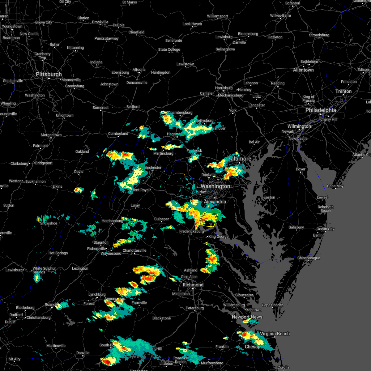 At 633 pm edt, a severe thunderstorm was located near quantico, moving east at 15 mph (radar indicated). Hazards include 60 mph wind gusts and quarter size hail. Damaging winds will cause some trees and large branches to fall. this could injure those outdoors, as well as damage homes and vehicles. roadways may become blocked by downed trees. localized power outages are possible. unsecured light objects may become projectiles. locations impacted include, quantico, cherry hill, bryans road, potomac heights, pomfret, marbury, nanjemoy, pisgah, welcome, ironsides, ripley and rison. hail threat, radar indicated max hail size, 1. 00 in wind threat, radar indicated max wind gust, 60 mph. At 633 pm edt, a severe thunderstorm was located near quantico, moving east at 15 mph (radar indicated). Hazards include 60 mph wind gusts and quarter size hail. Damaging winds will cause some trees and large branches to fall. this could injure those outdoors, as well as damage homes and vehicles. roadways may become blocked by downed trees. localized power outages are possible. unsecured light objects may become projectiles. locations impacted include, quantico, cherry hill, bryans road, potomac heights, pomfret, marbury, nanjemoy, pisgah, welcome, ironsides, ripley and rison. hail threat, radar indicated max hail size, 1. 00 in wind threat, radar indicated max wind gust, 60 mph.
|
| 6/8/2022 6:13 PM EDT |
 At 612 pm edt, a severe thunderstorm was located over quantico, moving east at 15 mph (radar indicated). Hazards include 60 mph wind gusts and quarter size hail. Damaging winds will cause some trees and large branches to fall. this could injure those outdoors, as well as damage homes and vehicles. roadways may become blocked by downed trees. localized power outages are possible. Unsecured light objects may become projectiles. At 612 pm edt, a severe thunderstorm was located over quantico, moving east at 15 mph (radar indicated). Hazards include 60 mph wind gusts and quarter size hail. Damaging winds will cause some trees and large branches to fall. this could injure those outdoors, as well as damage homes and vehicles. roadways may become blocked by downed trees. localized power outages are possible. Unsecured light objects may become projectiles.
|
| 6/2/2022 5:43 PM EDT |
 At 543 pm edt, severe thunderstorms were located along a line extending from near la plata to fairview beach, moving east at 40 mph (radar indicated). Hazards include 60 mph wind gusts. Damaging winds will cause some trees and large branches to fall. this could injure those outdoors, as well as damage homes and vehicles. roadways may become blocked by downed trees. localized power outages are possible. Unsecured light objects may become projectiles. At 543 pm edt, severe thunderstorms were located along a line extending from near la plata to fairview beach, moving east at 40 mph (radar indicated). Hazards include 60 mph wind gusts. Damaging winds will cause some trees and large branches to fall. this could injure those outdoors, as well as damage homes and vehicles. roadways may become blocked by downed trees. localized power outages are possible. Unsecured light objects may become projectiles.
|
| 5/27/2022 7:51 PM EDT |
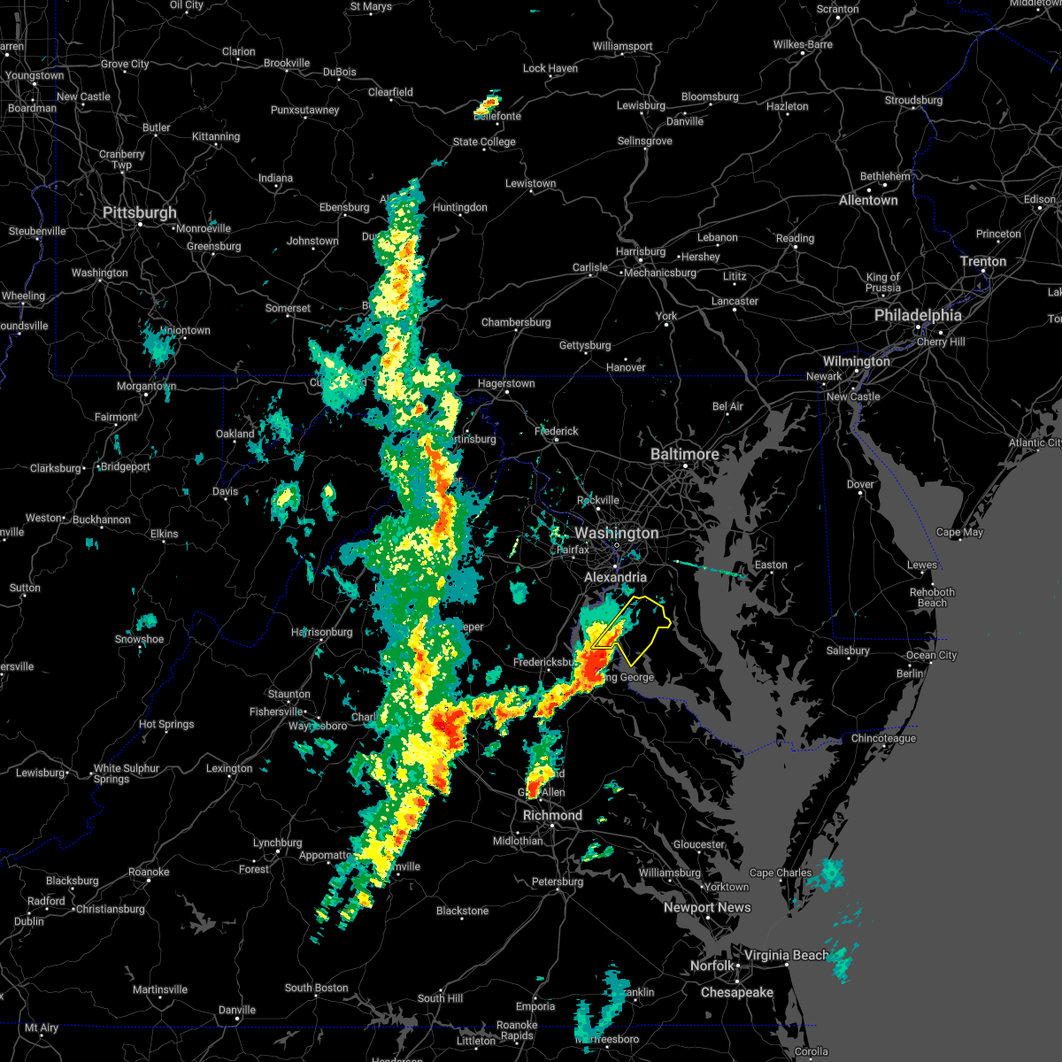 At 751 pm edt, a severe thunderstorm was located over nanjemoy creek, moving northeast at 35 mph (radar indicated). Hazards include 60 mph wind gusts and quarter size hail. Damaging winds will cause some trees and large branches to fall. this could injure those outdoors, as well as damage homes and vehicles. roadways may become blocked by downed trees. localized power outages are possible. Unsecured light objects may become projectiles. At 751 pm edt, a severe thunderstorm was located over nanjemoy creek, moving northeast at 35 mph (radar indicated). Hazards include 60 mph wind gusts and quarter size hail. Damaging winds will cause some trees and large branches to fall. this could injure those outdoors, as well as damage homes and vehicles. roadways may become blocked by downed trees. localized power outages are possible. Unsecured light objects may become projectiles.
|
| 5/27/2022 12:05 PM EDT |
 At 1205 pm edt, severe thunderstorms were located along a line extending from near woodbridge to near quantico to near nanjemoy creek, moving northeast at 40 mph (radar indicated). Hazards include 60 mph wind gusts. Damaging winds will cause some trees and large branches to fall. this could injure those outdoors, as well as damage homes and vehicles. roadways may become blocked by downed trees. localized power outages are possible. unsecured light objects may become projectiles. locations impacted include, waldorf, dale city, clinton, fort washington, fort hunt, la plata, fort belvoir, woodbridge, port tobacco river, lake ridge, montclair, lorton, hybla valley, newington, friendly, dumfries, saint charles, cherry hill, mount vernon and accokeek. hail threat, radar indicated max hail size, <. 75 in wind threat, radar indicated max wind gust, 60 mph. At 1205 pm edt, severe thunderstorms were located along a line extending from near woodbridge to near quantico to near nanjemoy creek, moving northeast at 40 mph (radar indicated). Hazards include 60 mph wind gusts. Damaging winds will cause some trees and large branches to fall. this could injure those outdoors, as well as damage homes and vehicles. roadways may become blocked by downed trees. localized power outages are possible. unsecured light objects may become projectiles. locations impacted include, waldorf, dale city, clinton, fort washington, fort hunt, la plata, fort belvoir, woodbridge, port tobacco river, lake ridge, montclair, lorton, hybla valley, newington, friendly, dumfries, saint charles, cherry hill, mount vernon and accokeek. hail threat, radar indicated max hail size, <. 75 in wind threat, radar indicated max wind gust, 60 mph.
|
| 5/27/2022 11:43 AM EDT |
 At 1142 am edt, severe thunderstorms were located along a line extending from near montclair to near stafford to near fredericksburg, moving east at 35 mph (radar indicated). Hazards include 60 mph wind gusts. Damaging winds will cause some trees and large branches to fall. this could injure those outdoors, as well as damage homes and vehicles. roadways may become blocked by downed trees. localized power outages are possible. Unsecured light objects may become projectiles. At 1142 am edt, severe thunderstorms were located along a line extending from near montclair to near stafford to near fredericksburg, moving east at 35 mph (radar indicated). Hazards include 60 mph wind gusts. Damaging winds will cause some trees and large branches to fall. this could injure those outdoors, as well as damage homes and vehicles. roadways may become blocked by downed trees. localized power outages are possible. Unsecured light objects may become projectiles.
|
| 5/22/2022 7:26 PM EDT |
 At 725 pm edt, severe thunderstorms were located along a line extending from near milford mill to 7 miles east of massaponax, moving east at 40 mph (radar indicated). Hazards include 60 mph wind gusts. Damaging winds will cause some trees and large branches to fall. this could injure those outdoors, as well as damage homes and vehicles. roadways may become blocked by downed trees. localized power outages are possible. Unsecured light objects may become projectiles. At 725 pm edt, severe thunderstorms were located along a line extending from near milford mill to 7 miles east of massaponax, moving east at 40 mph (radar indicated). Hazards include 60 mph wind gusts. Damaging winds will cause some trees and large branches to fall. this could injure those outdoors, as well as damage homes and vehicles. roadways may become blocked by downed trees. localized power outages are possible. Unsecured light objects may become projectiles.
|
| 9/22/2021 4:42 PM EDT |
 At 442 pm edt, a severe thunderstorm was located over la plata, moving north at 45 mph (radar indicated). Hazards include 60 mph wind gusts. Damaging winds will cause some trees and large branches to fall. this could injure those outdoors, as well as damage homes and vehicles. roadways may become blocked by downed trees. localized power outages are possible. unsecured light objects may become projectiles. locations impacted include, waldorf, clinton, springfield, fort washington, fort hunt, groveton, huntington, la plata, fort belvoir, woodbridge, national harbor, nanjemoy creek, popes creek, port tobacco river, burke, lincolnia, camp springs, lorton, franconia and oxon hill. hail threat, radar indicated max hail size, <. 75 in wind threat, radar indicated max wind gust, 60 mph. At 442 pm edt, a severe thunderstorm was located over la plata, moving north at 45 mph (radar indicated). Hazards include 60 mph wind gusts. Damaging winds will cause some trees and large branches to fall. this could injure those outdoors, as well as damage homes and vehicles. roadways may become blocked by downed trees. localized power outages are possible. unsecured light objects may become projectiles. locations impacted include, waldorf, clinton, springfield, fort washington, fort hunt, groveton, huntington, la plata, fort belvoir, woodbridge, national harbor, nanjemoy creek, popes creek, port tobacco river, burke, lincolnia, camp springs, lorton, franconia and oxon hill. hail threat, radar indicated max hail size, <. 75 in wind threat, radar indicated max wind gust, 60 mph.
|
| 9/22/2021 4:22 PM EDT |
 At 421 pm edt, a severe thunderstorm was located near dahlgren, moving north at 40 mph (radar indicated). Hazards include 60 mph wind gusts. Damaging winds will cause some trees and large branches to fall. this could injure those outdoors, as well as damage homes and vehicles. roadways may become blocked by downed trees. localized power outages are possible. Unsecured light objects may become projectiles. At 421 pm edt, a severe thunderstorm was located near dahlgren, moving north at 40 mph (radar indicated). Hazards include 60 mph wind gusts. Damaging winds will cause some trees and large branches to fall. this could injure those outdoors, as well as damage homes and vehicles. roadways may become blocked by downed trees. localized power outages are possible. Unsecured light objects may become projectiles.
|
| 8/27/2021 10:08 PM EDT |
 At 1008 pm edt, severe thunderstorms were located along a line extending from near dunkirk to near quantico, moving southeast at 20 mph (radar indicated). Hazards include 60 mph wind gusts and quarter size hail. Damaging winds will cause some trees and large branches to fall. this could injure those outdoors, as well as damage homes and vehicles. roadways may become blocked by downed trees. localized power outages are possible. Unsecured light objects may become projectiles. At 1008 pm edt, severe thunderstorms were located along a line extending from near dunkirk to near quantico, moving southeast at 20 mph (radar indicated). Hazards include 60 mph wind gusts and quarter size hail. Damaging winds will cause some trees and large branches to fall. this could injure those outdoors, as well as damage homes and vehicles. roadways may become blocked by downed trees. localized power outages are possible. Unsecured light objects may become projectiles.
|
| 8/27/2021 9:35 PM EDT |
 At 935 pm edt, severe thunderstorms were located along a line extending from near woodbridge to 8 miles west of montclair, moving east at 20 mph (radar indicated). Hazards include 60 mph wind gusts and quarter size hail. Damaging winds will cause some trees and large branches to fall. this could injure those outdoors, as well as damage homes and vehicles. roadways may become blocked by downed trees. localized power outages are possible. Unsecured light objects may become projectiles. At 935 pm edt, severe thunderstorms were located along a line extending from near woodbridge to 8 miles west of montclair, moving east at 20 mph (radar indicated). Hazards include 60 mph wind gusts and quarter size hail. Damaging winds will cause some trees and large branches to fall. this could injure those outdoors, as well as damage homes and vehicles. roadways may become blocked by downed trees. localized power outages are possible. Unsecured light objects may become projectiles.
|
| 8/13/2021 6:35 PM EDT |
 The severe thunderstorm warning for southwestern prince georges, northwestern charles, east central stafford, southeastern fairfax and southeastern prince william counties will expire at 645 pm edt, the storms which prompted the warning have weakened below severe limits, and have exited the warned area. therefore, the warning will be allowed to expire. a severe thunderstorm watch remains in effect until 800 pm edt for southern and central maryland, and northern virginia. The severe thunderstorm warning for southwestern prince georges, northwestern charles, east central stafford, southeastern fairfax and southeastern prince william counties will expire at 645 pm edt, the storms which prompted the warning have weakened below severe limits, and have exited the warned area. therefore, the warning will be allowed to expire. a severe thunderstorm watch remains in effect until 800 pm edt for southern and central maryland, and northern virginia.
|
| 8/13/2021 6:33 PM EDT |
 At 633 pm edt, severe thunderstorms were located along a line extending from near quantico to port royal, moving east at 20 mph (radar indicated). Hazards include 60 mph wind gusts and half dollar size hail. Damaging winds will cause some trees and large branches to fall. this could injure those outdoors, as well as damage homes and vehicles. roadways may become blocked by downed trees. localized power outages are possible. Unsecured light objects may become projectiles. At 633 pm edt, severe thunderstorms were located along a line extending from near quantico to port royal, moving east at 20 mph (radar indicated). Hazards include 60 mph wind gusts and half dollar size hail. Damaging winds will cause some trees and large branches to fall. this could injure those outdoors, as well as damage homes and vehicles. roadways may become blocked by downed trees. localized power outages are possible. Unsecured light objects may become projectiles.
|
| 8/13/2021 6:33 PM EDT |
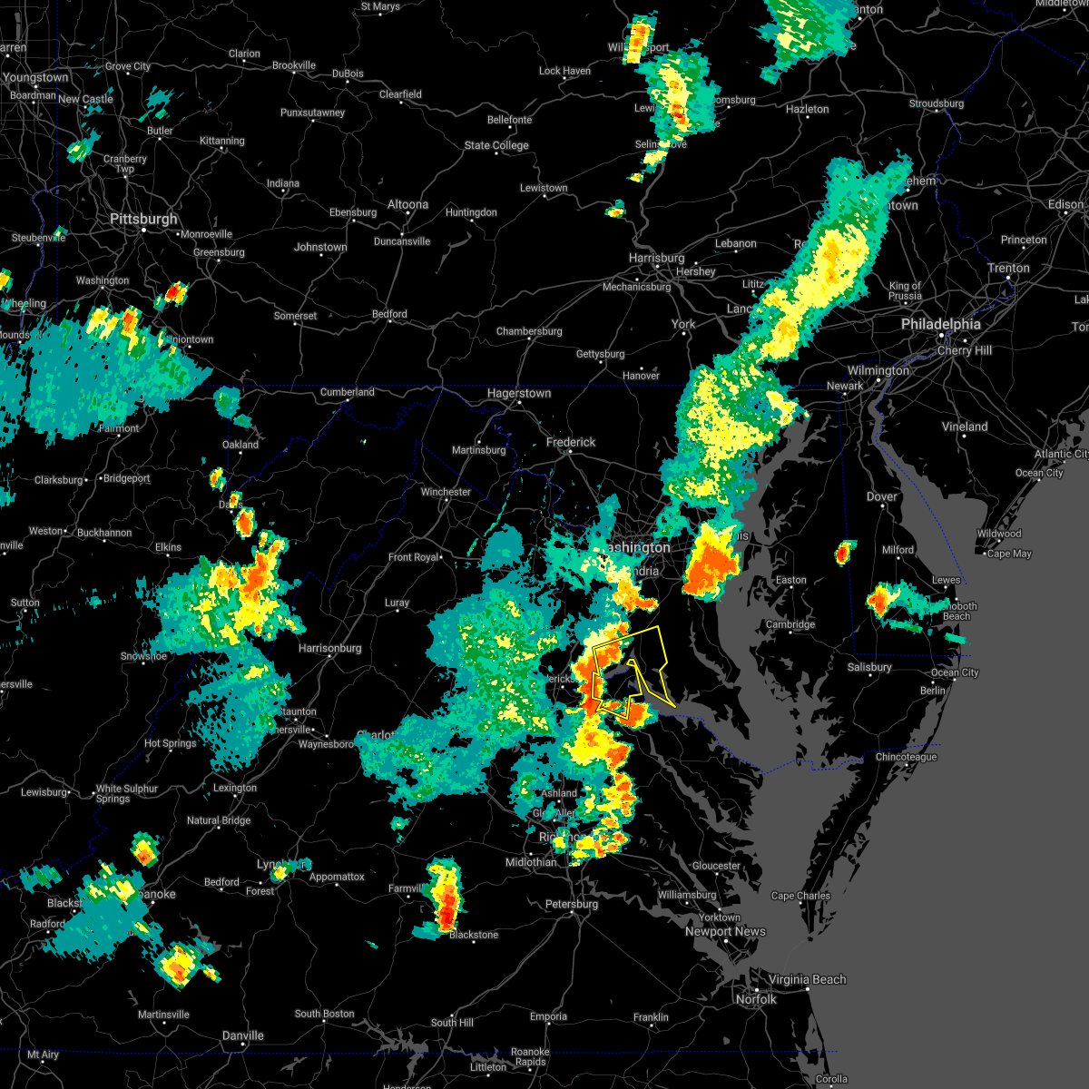 At 633 pm edt, severe thunderstorms were located along a line extending from near quantico to port royal, moving east at 20 mph (radar indicated). Hazards include 60 mph wind gusts and half dollar size hail. Damaging winds will cause some trees and large branches to fall. this could injure those outdoors, as well as damage homes and vehicles. roadways may become blocked by downed trees. localized power outages are possible. Unsecured light objects may become projectiles. At 633 pm edt, severe thunderstorms were located along a line extending from near quantico to port royal, moving east at 20 mph (radar indicated). Hazards include 60 mph wind gusts and half dollar size hail. Damaging winds will cause some trees and large branches to fall. this could injure those outdoors, as well as damage homes and vehicles. roadways may become blocked by downed trees. localized power outages are possible. Unsecured light objects may become projectiles.
|
| 8/13/2021 6:19 PM EDT |
 At 619 pm edt, severe thunderstorms were located along a line extending from huntington to near fort hunt to near nanjemoy creek, moving east at 20 mph (radar indicated). Hazards include 60 mph wind gusts. Damaging winds will cause some trees and large branches to fall. this could injure those outdoors, as well as damage homes and vehicles. roadways may become blocked by downed trees. localized power outages are possible. unsecured light objects may become projectiles. locations impacted include, waldorf, clinton, springfield, fort washington, fort hunt, groveton, forestville, la plata, fort belvoir, woodbridge, national harbor, quantico, aquia creek, port tobacco river, andrews air force base, camp springs, lorton, franconia, oxon hill and hybla valley. hail threat, radar indicated max hail size, <. 75 in wind threat, radar indicated max wind gust, 60 mph. At 619 pm edt, severe thunderstorms were located along a line extending from huntington to near fort hunt to near nanjemoy creek, moving east at 20 mph (radar indicated). Hazards include 60 mph wind gusts. Damaging winds will cause some trees and large branches to fall. this could injure those outdoors, as well as damage homes and vehicles. roadways may become blocked by downed trees. localized power outages are possible. unsecured light objects may become projectiles. locations impacted include, waldorf, clinton, springfield, fort washington, fort hunt, groveton, forestville, la plata, fort belvoir, woodbridge, national harbor, quantico, aquia creek, port tobacco river, andrews air force base, camp springs, lorton, franconia, oxon hill and hybla valley. hail threat, radar indicated max hail size, <. 75 in wind threat, radar indicated max wind gust, 60 mph.
|
| 8/13/2021 5:56 PM EDT |
 At 554 pm edt, severe thunderstorms were located along a line extending from near american university to lincolnia to aquia creek, moving east at 20 mph (radar indicated). Hazards include 60 mph wind gusts and quarter size hail. Damaging winds will cause some trees and large branches to fall. this could injure those outdoors, as well as damage homes and vehicles. roadways may become blocked by downed trees. localized power outages are possible. Unsecured light objects may become projectiles. At 554 pm edt, severe thunderstorms were located along a line extending from near american university to lincolnia to aquia creek, moving east at 20 mph (radar indicated). Hazards include 60 mph wind gusts and quarter size hail. Damaging winds will cause some trees and large branches to fall. this could injure those outdoors, as well as damage homes and vehicles. roadways may become blocked by downed trees. localized power outages are possible. Unsecured light objects may become projectiles.
|
| 7/26/2021 9:18 PM EDT |
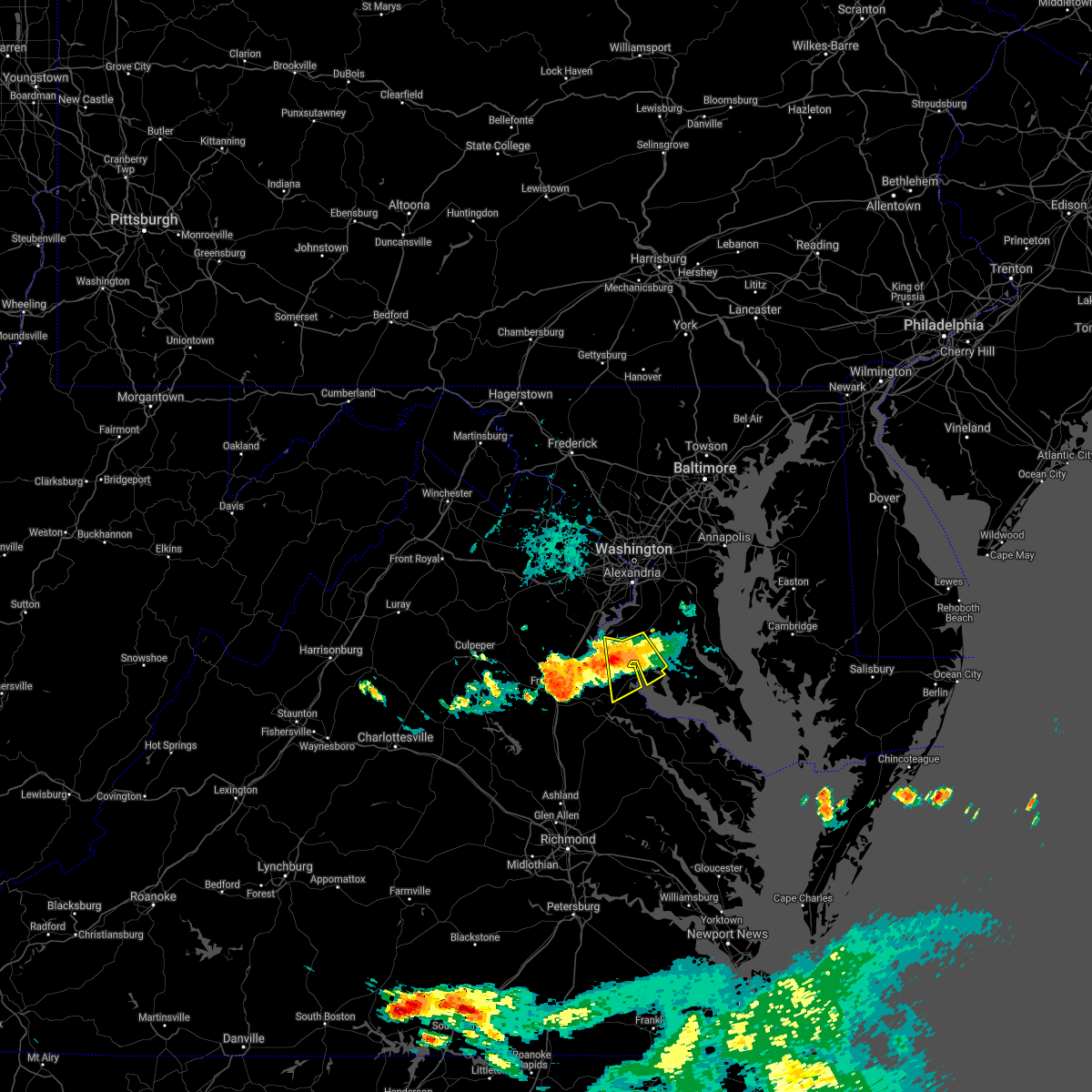 At 918 pm edt, a severe thunderstorm was located over port tobacco river, moving southeast at 15 mph (radar indicated). Hazards include 60 mph wind gusts. Damaging winds will cause some trees and large branches to fall. this could injure those outdoors, as well as damage homes and vehicles. roadways may become blocked by downed trees. localized power outages are possible. unsecured light objects may become projectiles. Locations impacted include, la plata, king george, dahlgren, nanjemoy creek, port tobacco river, popes creek, wicomico, port tobacco village, weedonville, port tobacco, ironsides, mount victoria, bel alton, newburg, welcome, faulkner and berthaville. At 918 pm edt, a severe thunderstorm was located over port tobacco river, moving southeast at 15 mph (radar indicated). Hazards include 60 mph wind gusts. Damaging winds will cause some trees and large branches to fall. this could injure those outdoors, as well as damage homes and vehicles. roadways may become blocked by downed trees. localized power outages are possible. unsecured light objects may become projectiles. Locations impacted include, la plata, king george, dahlgren, nanjemoy creek, port tobacco river, popes creek, wicomico, port tobacco village, weedonville, port tobacco, ironsides, mount victoria, bel alton, newburg, welcome, faulkner and berthaville.
|
| 7/26/2021 8:46 PM EDT |
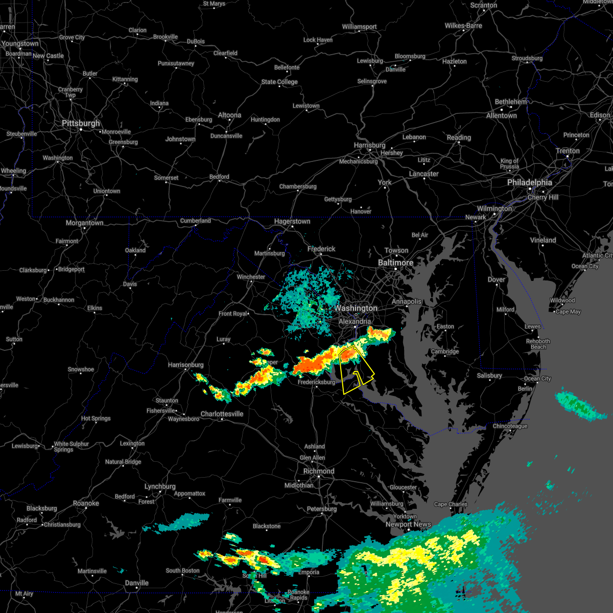 At 846 pm edt, a severe thunderstorm was located 8 miles southeast of woodbridge, moving southeast at 15 mph (radar indicated). Hazards include 60 mph wind gusts. Damaging winds will cause some trees and large branches to fall. this could injure those outdoors, as well as damage homes and vehicles. roadways may become blocked by downed trees. localized power outages are possible. Unsecured light objects may become projectiles. At 846 pm edt, a severe thunderstorm was located 8 miles southeast of woodbridge, moving southeast at 15 mph (radar indicated). Hazards include 60 mph wind gusts. Damaging winds will cause some trees and large branches to fall. this could injure those outdoors, as well as damage homes and vehicles. roadways may become blocked by downed trees. localized power outages are possible. Unsecured light objects may become projectiles.
|
| 7/26/2021 8:46 PM EDT |
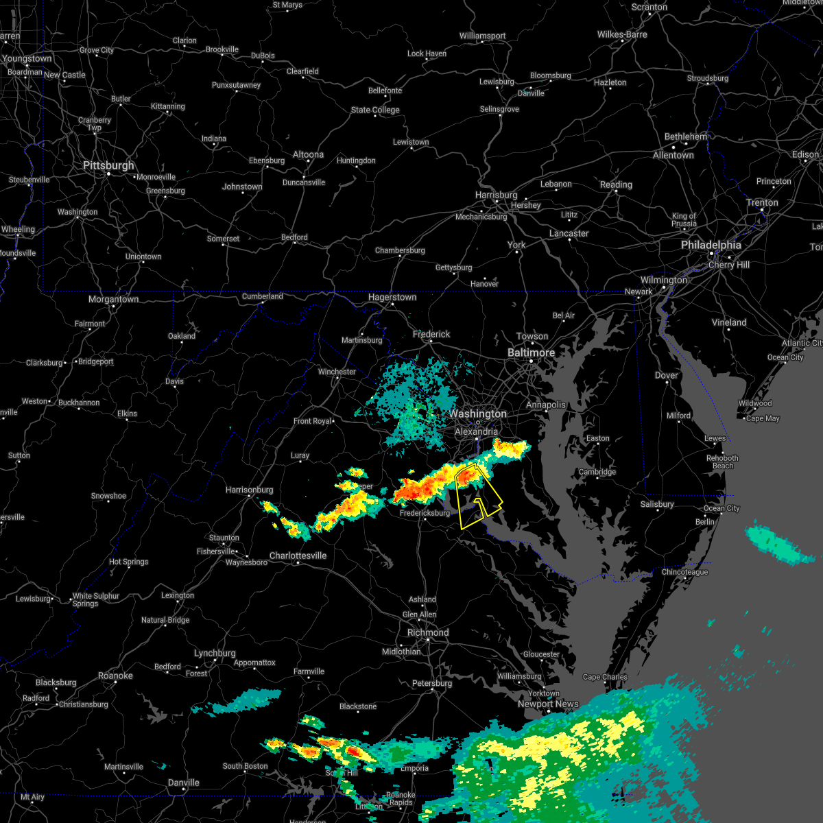 At 846 pm edt, a severe thunderstorm was located 8 miles southeast of woodbridge, moving southeast at 15 mph (radar indicated). Hazards include 60 mph wind gusts. Damaging winds will cause some trees and large branches to fall. this could injure those outdoors, as well as damage homes and vehicles. roadways may become blocked by downed trees. localized power outages are possible. Unsecured light objects may become projectiles. At 846 pm edt, a severe thunderstorm was located 8 miles southeast of woodbridge, moving southeast at 15 mph (radar indicated). Hazards include 60 mph wind gusts. Damaging winds will cause some trees and large branches to fall. this could injure those outdoors, as well as damage homes and vehicles. roadways may become blocked by downed trees. localized power outages are possible. Unsecured light objects may become projectiles.
|
| 7/26/2021 8:01 PM EDT |
 At 801 pm edt, severe thunderstorms were located along a line extending from lake ridge to 8 miles south of linton hall, moving southeast at 25 mph (radar indicated). Hazards include 60 mph wind gusts. Damaging winds will cause some trees and large branches to fall. this could injure those outdoors, as well as damage homes and vehicles. roadways may become blocked by downed trees. localized power outages are possible. Unsecured light objects may become projectiles. At 801 pm edt, severe thunderstorms were located along a line extending from lake ridge to 8 miles south of linton hall, moving southeast at 25 mph (radar indicated). Hazards include 60 mph wind gusts. Damaging winds will cause some trees and large branches to fall. this could injure those outdoors, as well as damage homes and vehicles. roadways may become blocked by downed trees. localized power outages are possible. Unsecured light objects may become projectiles.
|
| 7/21/2021 5:05 PM EDT |
 At 505 pm edt, a severe thunderstorm was located over port tobacco river, moving southeast at 30 mph (radar indicated). Hazards include 60 mph wind gusts and quarter size hail. Damaging winds will cause some trees and large branches to fall. this could injure those outdoors, as well as damage homes and vehicles. roadways may become blocked by downed trees. localized power outages are possible. Unsecured light objects may become projectiles. At 505 pm edt, a severe thunderstorm was located over port tobacco river, moving southeast at 30 mph (radar indicated). Hazards include 60 mph wind gusts and quarter size hail. Damaging winds will cause some trees and large branches to fall. this could injure those outdoors, as well as damage homes and vehicles. roadways may become blocked by downed trees. localized power outages are possible. Unsecured light objects may become projectiles.
|
| 7/14/2021 5:04 PM EDT | Tree down onto wires near port tobacco road and mill swamp roa in charles county MD, 3.9 miles NE of Port Tobacco Village, MD |
| 7/14/2021 5:04 PM EDT |
 At 503 pm edt, a severe thunderstorm was located near la plata, moving east at 20 mph (radar indicated). Hazards include 60 mph wind gusts and half dollar size hail. Damaging winds will cause some trees and large branches to fall. this could injure those outdoors, as well as damage homes and vehicles. roadways may become blocked by downed trees. localized power outages are possible. unsecured light objects may become projectiles. Locations impacted include, waldorf, la plata, port tobacco river, saint charles, wicomico, bryans road, bryantown, pomfret, port tobacco village, dentsville, port tobacco, white plains, ironsides, ripley, bel alton, welcome and faulkner. At 503 pm edt, a severe thunderstorm was located near la plata, moving east at 20 mph (radar indicated). Hazards include 60 mph wind gusts and half dollar size hail. Damaging winds will cause some trees and large branches to fall. this could injure those outdoors, as well as damage homes and vehicles. roadways may become blocked by downed trees. localized power outages are possible. unsecured light objects may become projectiles. Locations impacted include, waldorf, la plata, port tobacco river, saint charles, wicomico, bryans road, bryantown, pomfret, port tobacco village, dentsville, port tobacco, white plains, ironsides, ripley, bel alton, welcome and faulkner.
|
| 7/14/2021 4:53 PM EDT |
 At 453 pm edt, a severe thunderstorm was located 7 miles west of la plata, moving east at 20 mph (radar indicated). Hazards include 60 mph wind gusts and half dollar size hail. Damaging winds will cause some trees and large branches to fall. this could injure those outdoors, as well as damage homes and vehicles. roadways may become blocked by downed trees. localized power outages are possible. unsecured light objects may become projectiles. Locations impacted include, waldorf, la plata, port tobacco river, saint charles, wicomico, bryans road, potomac heights, bryantown, pomfret, port tobacco village, marbury, dentsville, port tobacco, white plains, ironsides, ripley, rison, bel alton, nanjemoy and pisgah. At 453 pm edt, a severe thunderstorm was located 7 miles west of la plata, moving east at 20 mph (radar indicated). Hazards include 60 mph wind gusts and half dollar size hail. Damaging winds will cause some trees and large branches to fall. this could injure those outdoors, as well as damage homes and vehicles. roadways may become blocked by downed trees. localized power outages are possible. unsecured light objects may become projectiles. Locations impacted include, waldorf, la plata, port tobacco river, saint charles, wicomico, bryans road, potomac heights, bryantown, pomfret, port tobacco village, marbury, dentsville, port tobacco, white plains, ironsides, ripley, rison, bel alton, nanjemoy and pisgah.
|
| 7/14/2021 4:41 PM EDT |
 At 441 pm edt, a severe thunderstorm was located near quantico, moving east at 20 mph (radar indicated). Hazards include 60 mph wind gusts and quarter size hail. Damaging winds will cause some trees and large branches to fall. this could injure those outdoors, as well as damage homes and vehicles. roadways may become blocked by downed trees. localized power outages are possible. Unsecured light objects may become projectiles. At 441 pm edt, a severe thunderstorm was located near quantico, moving east at 20 mph (radar indicated). Hazards include 60 mph wind gusts and quarter size hail. Damaging winds will cause some trees and large branches to fall. this could injure those outdoors, as well as damage homes and vehicles. roadways may become blocked by downed trees. localized power outages are possible. Unsecured light objects may become projectiles.
|
| 7/9/2021 6:17 PM EDT |
 At 616 pm edt, a severe thunderstorm was located near woodbridge, moving east at 25 mph (radar indicated). Hazards include 60 mph wind gusts. Damaging winds will cause some trees and large branches to fall. this could injure those outdoors, as well as damage homes and vehicles. roadways may become blocked by downed trees. localized power outages are possible. Unsecured light objects may become projectiles. At 616 pm edt, a severe thunderstorm was located near woodbridge, moving east at 25 mph (radar indicated). Hazards include 60 mph wind gusts. Damaging winds will cause some trees and large branches to fall. this could injure those outdoors, as well as damage homes and vehicles. roadways may become blocked by downed trees. localized power outages are possible. Unsecured light objects may become projectiles.
|
| 6/4/2021 1:19 PM EDT |
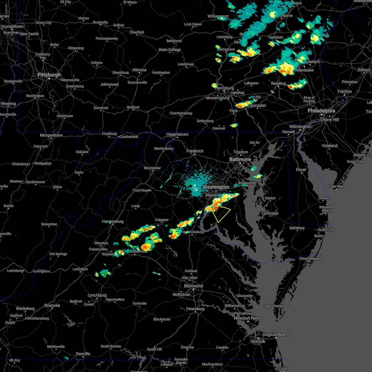 At 119 pm edt, severe thunderstorms were located along a line extending from friendly to near lorton, moving east at 20 mph (radar indicated). Hazards include 70 mph wind gusts and quarter size hail. Damaging winds will cause some trees and large branches to fall. this could injure those outdoors, as well as damage homes and vehicles. roadways may become blocked by downed trees. localized power outages are possible. unsecured light objects may become projectiles. Locations impacted include, waldorf, fort washington, la plata, saint charles, accokeek, bryans road, brandywine, pomfret, port tobacco village, northwood, port tobacco and white plains. At 119 pm edt, severe thunderstorms were located along a line extending from friendly to near lorton, moving east at 20 mph (radar indicated). Hazards include 70 mph wind gusts and quarter size hail. Damaging winds will cause some trees and large branches to fall. this could injure those outdoors, as well as damage homes and vehicles. roadways may become blocked by downed trees. localized power outages are possible. unsecured light objects may become projectiles. Locations impacted include, waldorf, fort washington, la plata, saint charles, accokeek, bryans road, brandywine, pomfret, port tobacco village, northwood, port tobacco and white plains.
|
| 6/4/2021 1:14 PM EDT |
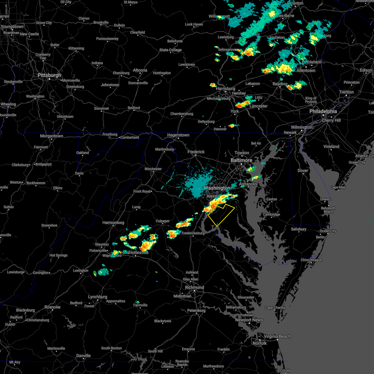 At 113 pm edt, severe thunderstorms were located along a line extending from national harbor to lorton, moving east at 20 mph (radar indicated). Hazards include 70 mph wind gusts and ping pong ball size hail. the highest wind and hail potential is between accokeek and indian head. Damaging winds will cause some trees and large branches to fall. this could injure those outdoors, as well as damage homes and vehicles. roadways may become blocked by downed trees. localized power outages are possible. unsecured light objects may become projectiles. Locations impacted include, waldorf, clinton, fort washington, la plata, port tobacco river, saint charles, accokeek, bryans road, brandywine, baden, mason neck, potomac heights, pomfret, port tobacco village, marbury, port tobacco, white plains, ripley, northwood and pisgah. At 113 pm edt, severe thunderstorms were located along a line extending from national harbor to lorton, moving east at 20 mph (radar indicated). Hazards include 70 mph wind gusts and ping pong ball size hail. the highest wind and hail potential is between accokeek and indian head. Damaging winds will cause some trees and large branches to fall. this could injure those outdoors, as well as damage homes and vehicles. roadways may become blocked by downed trees. localized power outages are possible. unsecured light objects may become projectiles. Locations impacted include, waldorf, clinton, fort washington, la plata, port tobacco river, saint charles, accokeek, bryans road, brandywine, baden, mason neck, potomac heights, pomfret, port tobacco village, marbury, port tobacco, white plains, ripley, northwood and pisgah.
|
| 6/4/2021 1:06 PM EDT |
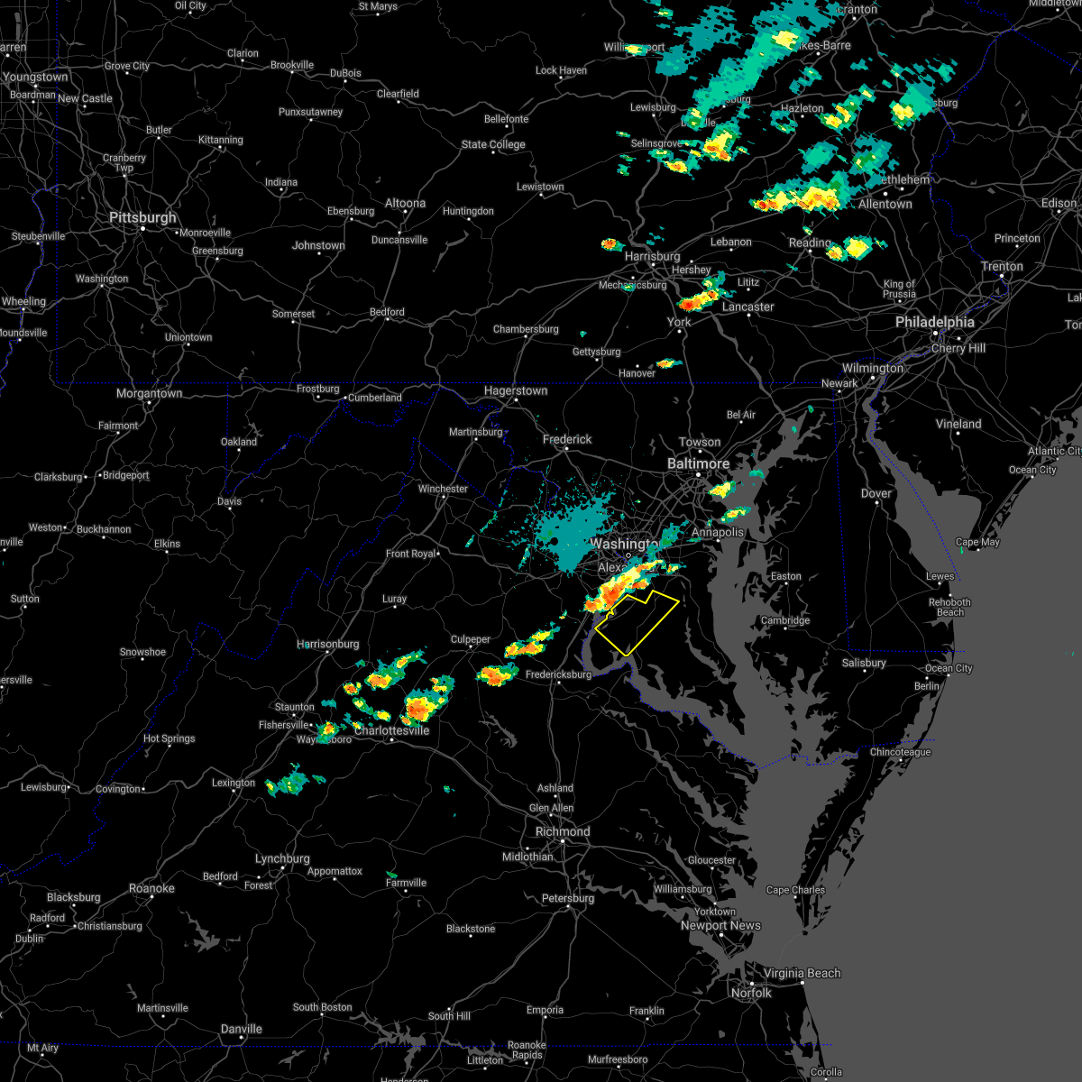 At 105 pm edt, severe thunderstorms were located along a line extending from huntington to woodbridge, moving east at 20 mph (radar indicated). Hazards include 65 mph wind gusts and quarter size hail. Damaging winds will cause some trees and large branches to fall. this could injure those outdoors, as well as damage homes and vehicles. roadways may become blocked by downed trees. localized power outages are possible. unsecured light objects may become projectiles. Locations impacted include, waldorf, clinton, fort washington, la plata, port tobacco river, saint charles, accokeek, bryans road, brandywine, baden, mason neck, potomac heights, pomfret, port tobacco village, marbury, port tobacco, white plains, ripley, rison and northwood. At 105 pm edt, severe thunderstorms were located along a line extending from huntington to woodbridge, moving east at 20 mph (radar indicated). Hazards include 65 mph wind gusts and quarter size hail. Damaging winds will cause some trees and large branches to fall. this could injure those outdoors, as well as damage homes and vehicles. roadways may become blocked by downed trees. localized power outages are possible. unsecured light objects may become projectiles. Locations impacted include, waldorf, clinton, fort washington, la plata, port tobacco river, saint charles, accokeek, bryans road, brandywine, baden, mason neck, potomac heights, pomfret, port tobacco village, marbury, port tobacco, white plains, ripley, rison and northwood.
|
| 6/4/2021 12:50 PM EDT |
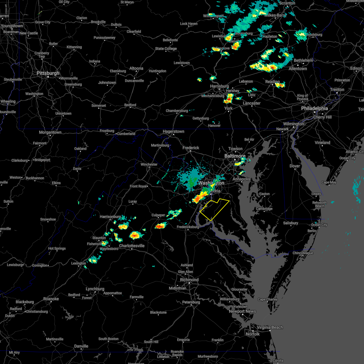 At 1250 pm edt, severe thunderstorms were located along a line extending from lincolnia to lake ridge, moving east at 20 mph (radar indicated). Hazards include 65 mph wind gusts and quarter size hail. Damaging winds will cause some trees and large branches to fall. this could injure those outdoors, as well as damage homes and vehicles. roadways may become blocked by downed trees. localized power outages are possible. Unsecured light objects may become projectiles. At 1250 pm edt, severe thunderstorms were located along a line extending from lincolnia to lake ridge, moving east at 20 mph (radar indicated). Hazards include 65 mph wind gusts and quarter size hail. Damaging winds will cause some trees and large branches to fall. this could injure those outdoors, as well as damage homes and vehicles. roadways may become blocked by downed trees. localized power outages are possible. Unsecured light objects may become projectiles.
|
| 5/28/2021 6:26 PM EDT |
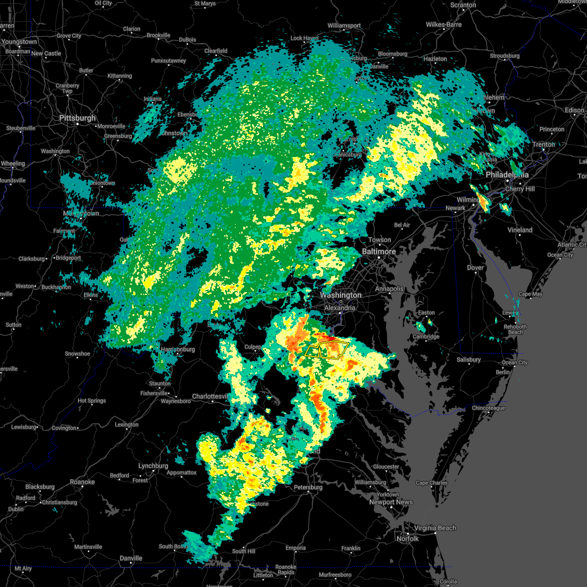 The severe thunderstorm warning for west central charles and northeastern stafford counties will expire at 630 pm edt, the storms which prompted the warning have moved out of the area. therefore, the warning will be allowed to expire. to report severe weather, contact your nearest law enforcement agency. they will relay your report to the national weather service sterling virginia. remember, a severe thunderstorm warning still remains in effect for northwestern charles county. The severe thunderstorm warning for west central charles and northeastern stafford counties will expire at 630 pm edt, the storms which prompted the warning have moved out of the area. therefore, the warning will be allowed to expire. to report severe weather, contact your nearest law enforcement agency. they will relay your report to the national weather service sterling virginia. remember, a severe thunderstorm warning still remains in effect for northwestern charles county.
|
| 5/28/2021 6:13 PM EDT |
 At 613 pm edt, severe thunderstorms were located along a line extending from near stafford to near port tobacco river, moving northeast at 30 mph (radar indicated). Hazards include 60 mph wind gusts. Damaging winds will cause some trees and large branches to fall. this could injure those outdoors, as well as damage homes and vehicles. roadways may become blocked by downed trees. localized power outages are possible. unsecured light objects may become projectiles. Locations impacted include, la plata, quantico, port tobacco river, port tobacco village, widewater, port tobacco, ironsides, ripley, arkendale, rison, nanjemoy, aquia, pisgah, welcome and marbury. At 613 pm edt, severe thunderstorms were located along a line extending from near stafford to near port tobacco river, moving northeast at 30 mph (radar indicated). Hazards include 60 mph wind gusts. Damaging winds will cause some trees and large branches to fall. this could injure those outdoors, as well as damage homes and vehicles. roadways may become blocked by downed trees. localized power outages are possible. unsecured light objects may become projectiles. Locations impacted include, la plata, quantico, port tobacco river, port tobacco village, widewater, port tobacco, ironsides, ripley, arkendale, rison, nanjemoy, aquia, pisgah, welcome and marbury.
|
| 5/28/2021 6:13 PM EDT |
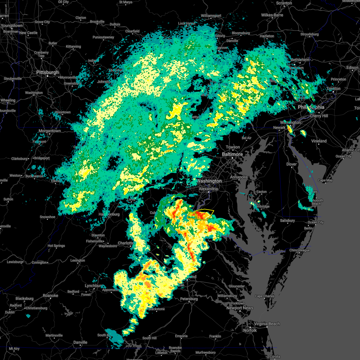 At 613 pm edt, severe thunderstorms were located along a line extending from near stafford to near port tobacco river, moving northeast at 30 mph (radar indicated). Hazards include 60 mph wind gusts. Damaging winds will cause some trees and large branches to fall. this could injure those outdoors, as well as damage homes and vehicles. roadways may become blocked by downed trees. localized power outages are possible. unsecured light objects may become projectiles. Locations impacted include, la plata, quantico, port tobacco river, port tobacco village, widewater, port tobacco, ironsides, ripley, arkendale, rison, nanjemoy, aquia, pisgah, welcome and marbury. At 613 pm edt, severe thunderstorms were located along a line extending from near stafford to near port tobacco river, moving northeast at 30 mph (radar indicated). Hazards include 60 mph wind gusts. Damaging winds will cause some trees and large branches to fall. this could injure those outdoors, as well as damage homes and vehicles. roadways may become blocked by downed trees. localized power outages are possible. unsecured light objects may become projectiles. Locations impacted include, la plata, quantico, port tobacco river, port tobacco village, widewater, port tobacco, ironsides, ripley, arkendale, rison, nanjemoy, aquia, pisgah, welcome and marbury.
|
| 5/28/2021 6:02 PM EDT |
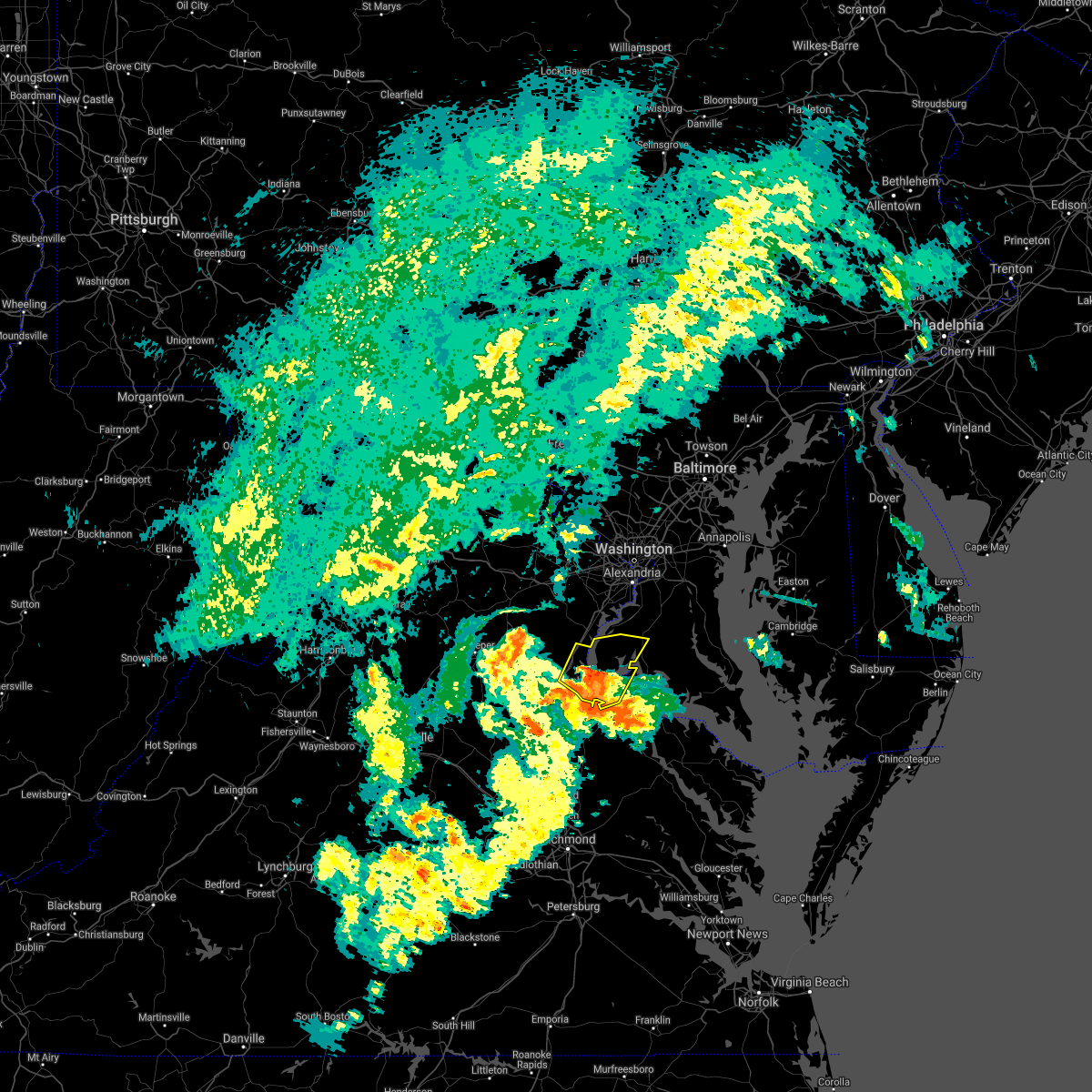 At 601 pm edt, severe thunderstorms were located along a line extending from near fredericksburg to near aquia creek to nanjemoy creek, moving northeast at 30 mph (radar indicated). Hazards include 60 mph wind gusts. Damaging winds will cause some trees and large branches to fall. this could injure those outdoors, as well as damage homes and vehicles. roadways may become blocked by downed trees. localized power outages are possible. unsecured light objects may become projectiles. Locations impacted include, stafford, la plata, king george, dahlgren, quantico, fairview beach, potomac creek, nanjemoy creek, aquia creek, port tobacco river, falmouth, passapatanzy, port tobacco village, stones corner, weedonville, ironsides, pisgah, white oak, sealston and berthaville. At 601 pm edt, severe thunderstorms were located along a line extending from near fredericksburg to near aquia creek to nanjemoy creek, moving northeast at 30 mph (radar indicated). Hazards include 60 mph wind gusts. Damaging winds will cause some trees and large branches to fall. this could injure those outdoors, as well as damage homes and vehicles. roadways may become blocked by downed trees. localized power outages are possible. unsecured light objects may become projectiles. Locations impacted include, stafford, la plata, king george, dahlgren, quantico, fairview beach, potomac creek, nanjemoy creek, aquia creek, port tobacco river, falmouth, passapatanzy, port tobacco village, stones corner, weedonville, ironsides, pisgah, white oak, sealston and berthaville.
|
| 5/28/2021 5:46 PM EDT |
 At 545 pm edt, severe thunderstorms were located along a line extending from near massaponax to near potomac creek to king george, moving northeast at 30 mph (radar indicated). Hazards include 60 mph wind gusts. Damaging winds will cause some trees and large branches to fall. this could injure those outdoors, as well as damage homes and vehicles. roadways may become blocked by downed trees. localized power outages are possible. Unsecured light objects may become projectiles. At 545 pm edt, severe thunderstorms were located along a line extending from near massaponax to near potomac creek to king george, moving northeast at 30 mph (radar indicated). Hazards include 60 mph wind gusts. Damaging winds will cause some trees and large branches to fall. this could injure those outdoors, as well as damage homes and vehicles. roadways may become blocked by downed trees. localized power outages are possible. Unsecured light objects may become projectiles.
|
| 5/26/2021 9:26 PM EDT |
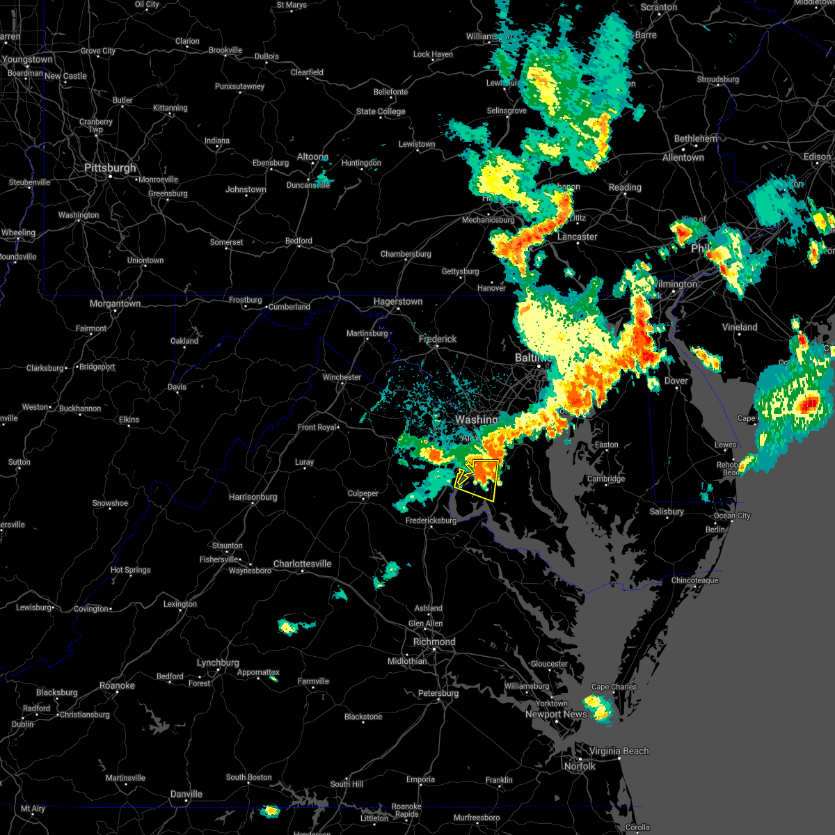 At 926 pm edt, a severe thunderstorm located near fort hunt, moving east at 35 mph (observed wind). Hazards include 70 mph wind gusts. Damaging winds will cause some trees and large branches to fall. this could injure those outdoors, as well as damage homes and vehicles. roadways may become blocked by downed trees. localized power outages are possible. unsecured light objects may become projectiles. Locations impacted include, waldorf, clinton, fort washington, la plata, fort belvoir, woodbridge, saint charles, cherry hill, mount vernon, accokeek, bryans road, mason neck, potomac heights, pomfret, port tobacco village, marbury, port tobacco, ripley, rison and bel alton. At 926 pm edt, a severe thunderstorm located near fort hunt, moving east at 35 mph (observed wind). Hazards include 70 mph wind gusts. Damaging winds will cause some trees and large branches to fall. this could injure those outdoors, as well as damage homes and vehicles. roadways may become blocked by downed trees. localized power outages are possible. unsecured light objects may become projectiles. Locations impacted include, waldorf, clinton, fort washington, la plata, fort belvoir, woodbridge, saint charles, cherry hill, mount vernon, accokeek, bryans road, mason neck, potomac heights, pomfret, port tobacco village, marbury, port tobacco, ripley, rison and bel alton.
|
| 5/26/2021 9:21 PM EDT |
 At 921 pm edt, a severe thunderstorm was located near fort belvoir, moving east at 35 mph. this is a very dangerous storm (observed wind). Hazards include 80 mph wind gusts. Expect considerable damage to trees and power lines. your life is at significant risk if outdoors. in addition to some trees falling into homes, wind damage is possible to roofs, sheds, open garages, and mobile homes. Locations impacted include, waldorf, clinton, fort washington, la plata, fort belvoir, woodbridge, saint charles, cherry hill, mount vernon, accokeek, bryans road, mason neck, potomac heights, pomfret, port tobacco village, marbury, port tobacco, ripley, rison and bel alton. At 921 pm edt, a severe thunderstorm was located near fort belvoir, moving east at 35 mph. this is a very dangerous storm (observed wind). Hazards include 80 mph wind gusts. Expect considerable damage to trees and power lines. your life is at significant risk if outdoors. in addition to some trees falling into homes, wind damage is possible to roofs, sheds, open garages, and mobile homes. Locations impacted include, waldorf, clinton, fort washington, la plata, fort belvoir, woodbridge, saint charles, cherry hill, mount vernon, accokeek, bryans road, mason neck, potomac heights, pomfret, port tobacco village, marbury, port tobacco, ripley, rison and bel alton.
|
| 5/26/2021 9:09 PM EDT |
 At 909 pm edt, a severe thunderstorm was located over woodbridge, moving east at 35 mph (radar indicated). Hazards include 70 mph wind gusts. Damaging winds will cause some trees and large branches to fall. this could injure those outdoors, as well as damage homes and vehicles. roadways may become blocked by downed trees. localized power outages are possible. unsecured light objects may become projectiles. Locations impacted include, waldorf, dale city, clinton, fort washington, fort hunt, la plata, fort belvoir, woodbridge, lake ridge, montclair, lorton, newington, triangle, dumfries, saint charles, cherry hill, mount vernon, accokeek, independent hill and bryans road. At 909 pm edt, a severe thunderstorm was located over woodbridge, moving east at 35 mph (radar indicated). Hazards include 70 mph wind gusts. Damaging winds will cause some trees and large branches to fall. this could injure those outdoors, as well as damage homes and vehicles. roadways may become blocked by downed trees. localized power outages are possible. unsecured light objects may become projectiles. Locations impacted include, waldorf, dale city, clinton, fort washington, fort hunt, la plata, fort belvoir, woodbridge, lake ridge, montclair, lorton, newington, triangle, dumfries, saint charles, cherry hill, mount vernon, accokeek, independent hill and bryans road.
|
| 5/26/2021 9:02 PM EDT |
 At 902 pm edt, a severe thunderstorm was located over dale city, moving east at 35 mph (radar indicated). Hazards include 70 mph wind gusts. Damaging winds will cause some trees and large branches to fall. this could injure those outdoors, as well as damage homes and vehicles. roadways may become blocked by downed trees. localized power outages are possible. unsecured light objects may become projectiles. Locations impacted include, waldorf, dale city, clinton, fort washington, fort hunt, la plata, fort belvoir, woodbridge, lake ridge, montclair, lorton, newington, triangle, dumfries, saint charles, cherry hill, mount vernon, accokeek, independent hill and bryans road. At 902 pm edt, a severe thunderstorm was located over dale city, moving east at 35 mph (radar indicated). Hazards include 70 mph wind gusts. Damaging winds will cause some trees and large branches to fall. this could injure those outdoors, as well as damage homes and vehicles. roadways may become blocked by downed trees. localized power outages are possible. unsecured light objects may become projectiles. Locations impacted include, waldorf, dale city, clinton, fort washington, fort hunt, la plata, fort belvoir, woodbridge, lake ridge, montclair, lorton, newington, triangle, dumfries, saint charles, cherry hill, mount vernon, accokeek, independent hill and bryans road.
|
| 5/26/2021 8:53 PM EDT |
 At 853 pm edt, a severe thunderstorm was located near dale city, moving east at 35 mph (radar indicated). Hazards include 60 mph wind gusts. Damaging winds will cause some trees and large branches to fall. this could injure those outdoors, as well as damage homes and vehicles. roadways may become blocked by downed trees. localized power outages are possible. Unsecured light objects may become projectiles. At 853 pm edt, a severe thunderstorm was located near dale city, moving east at 35 mph (radar indicated). Hazards include 60 mph wind gusts. Damaging winds will cause some trees and large branches to fall. this could injure those outdoors, as well as damage homes and vehicles. roadways may become blocked by downed trees. localized power outages are possible. Unsecured light objects may become projectiles.
|
| 5/5/2021 3:20 PM EDT |
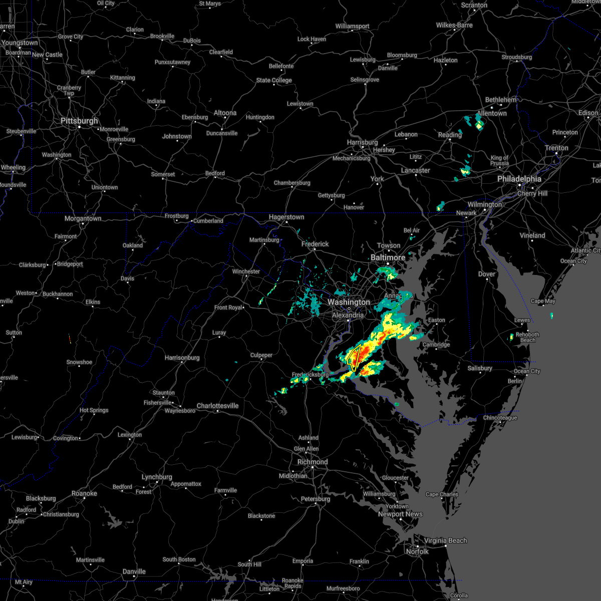 At 320 pm edt, a severe thunderstorm was located over port tobacco river, moving east at 25 mph (radar indicated). Hazards include 60 mph wind gusts and quarter size hail. Damaging winds will cause some trees and large branches to fall. this could injure those outdoors, as well as damage homes and vehicles. roadways may become blocked by downed trees. localized power outages are possible. unsecured light objects may become projectiles. Locations impacted include, waldorf, la plata, port tobacco river, popes creek, saint charles, port tobacco village, faulkner, bel alton and port tobacco. At 320 pm edt, a severe thunderstorm was located over port tobacco river, moving east at 25 mph (radar indicated). Hazards include 60 mph wind gusts and quarter size hail. Damaging winds will cause some trees and large branches to fall. this could injure those outdoors, as well as damage homes and vehicles. roadways may become blocked by downed trees. localized power outages are possible. unsecured light objects may become projectiles. Locations impacted include, waldorf, la plata, port tobacco river, popes creek, saint charles, port tobacco village, faulkner, bel alton and port tobacco.
|
| 5/5/2021 3:01 PM EDT |
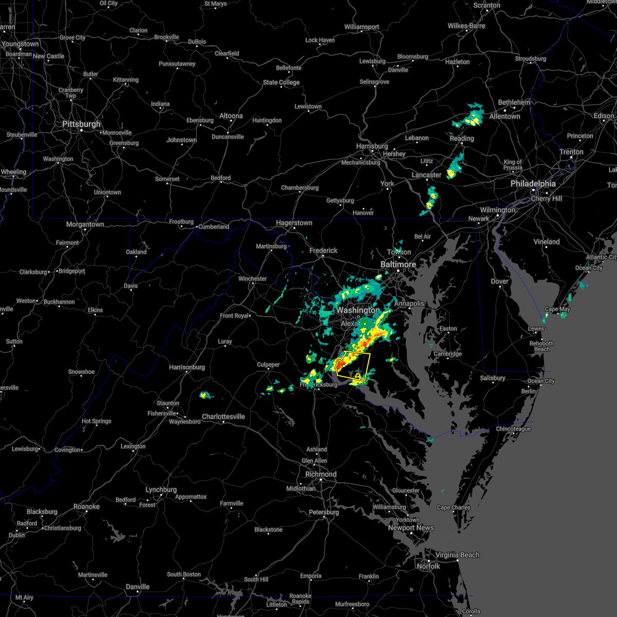 At 301 pm edt, a severe thunderstorm was located near quantico, moving east at 30 mph (radar indicated). Hazards include 60 mph wind gusts and quarter size hail. Damaging winds will cause some trees and large branches to fall. this could injure those outdoors, as well as damage homes and vehicles. roadways may become blocked by downed trees. localized power outages are possible. unsecured light objects may become projectiles. Locations impacted include, waldorf, la plata, port tobacco river, popes creek, saint charles, bryans road, potomac heights, pomfret, port tobacco village, marbury, port tobacco, white plains, ironsides, ripley, rison, bel alton, nanjemoy, pisgah, welcome and faulkner. At 301 pm edt, a severe thunderstorm was located near quantico, moving east at 30 mph (radar indicated). Hazards include 60 mph wind gusts and quarter size hail. Damaging winds will cause some trees and large branches to fall. this could injure those outdoors, as well as damage homes and vehicles. roadways may become blocked by downed trees. localized power outages are possible. unsecured light objects may become projectiles. Locations impacted include, waldorf, la plata, port tobacco river, popes creek, saint charles, bryans road, potomac heights, pomfret, port tobacco village, marbury, port tobacco, white plains, ironsides, ripley, rison, bel alton, nanjemoy, pisgah, welcome and faulkner.
|
| 5/5/2021 2:40 PM EDT |
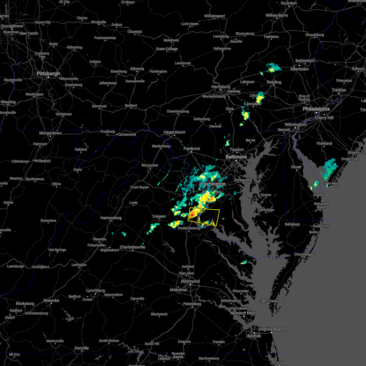 At 240 pm edt, a severe thunderstorm was located near triangle, or near quantico, moving east at 25 mph (radar indicated). Hazards include 60 mph wind gusts and quarter size hail. Damaging winds will cause some trees and large branches to fall. this could injure those outdoors, as well as damage homes and vehicles. roadways may become blocked by downed trees. localized power outages are possible. Unsecured light objects may become projectiles. At 240 pm edt, a severe thunderstorm was located near triangle, or near quantico, moving east at 25 mph (radar indicated). Hazards include 60 mph wind gusts and quarter size hail. Damaging winds will cause some trees and large branches to fall. this could injure those outdoors, as well as damage homes and vehicles. roadways may become blocked by downed trees. localized power outages are possible. Unsecured light objects may become projectiles.
|
| 5/4/2021 6:02 PM EDT |
 At 600 pm edt, severe thunderstorms were located along a line extending from near la plata to near wicomico river, moving east at 50 mph (radar indicated. a wind gust was recorded to 70 mph at monroe creek near the potomac river). Hazards include 70 mph wind gusts. Damaging winds will cause some trees and large branches to fall. this could injure those outdoors, as well as damage homes and vehicles. roadways may become blocked by downed trees. localized power outages are possible. unsecured light objects may become projectiles. Locations impacted include, lexington park, chesapeake ranch estates, la plata, leonardtown, prince frederick, piney point, tall timbers, saint inigoes creek, saint marys city, popes creek, greenwell state park, hallowing point, saint leonard creek, town creek, saint marys river, white point beach, cuckold creek, saint george island, sheridan point and calvert cliffs. At 600 pm edt, severe thunderstorms were located along a line extending from near la plata to near wicomico river, moving east at 50 mph (radar indicated. a wind gust was recorded to 70 mph at monroe creek near the potomac river). Hazards include 70 mph wind gusts. Damaging winds will cause some trees and large branches to fall. this could injure those outdoors, as well as damage homes and vehicles. roadways may become blocked by downed trees. localized power outages are possible. unsecured light objects may become projectiles. Locations impacted include, lexington park, chesapeake ranch estates, la plata, leonardtown, prince frederick, piney point, tall timbers, saint inigoes creek, saint marys city, popes creek, greenwell state park, hallowing point, saint leonard creek, town creek, saint marys river, white point beach, cuckold creek, saint george island, sheridan point and calvert cliffs.
|
| 5/4/2021 5:49 PM EDT |
 At 548 pm edt, severe thunderstorms were located along a line extending from 6 miles southeast of quantico to near leedstown, moving east at 50 mph (radar indicated). Hazards include 60 mph wind gusts. Damaging winds will cause some trees and large branches to fall. this could injure those outdoors, as well as damage homes and vehicles. roadways may become blocked by downed trees. localized power outages are possible. Unsecured light objects may become projectiles. At 548 pm edt, severe thunderstorms were located along a line extending from 6 miles southeast of quantico to near leedstown, moving east at 50 mph (radar indicated). Hazards include 60 mph wind gusts. Damaging winds will cause some trees and large branches to fall. this could injure those outdoors, as well as damage homes and vehicles. roadways may become blocked by downed trees. localized power outages are possible. Unsecured light objects may become projectiles.
|
| 11/15/2020 8:16 PM EST |
 At 816 pm est, severe thunderstorms were located along a line extending from 6 miles southwest of dunkirk to near port tobacco river to 6 miles northwest of fort a.p. hill, moving east at 30 mph (radar indicated). Hazards include 60 mph wind gusts. Damaging winds will cause some trees and large branches to fall. this could injure those outdoors, as well as damage homes and vehicles. roadways may become blocked by downed trees. localized power outages are possible. Unsecured light objects may become projectiles. At 816 pm est, severe thunderstorms were located along a line extending from 6 miles southwest of dunkirk to near port tobacco river to 6 miles northwest of fort a.p. hill, moving east at 30 mph (radar indicated). Hazards include 60 mph wind gusts. Damaging winds will cause some trees and large branches to fall. this could injure those outdoors, as well as damage homes and vehicles. roadways may become blocked by downed trees. localized power outages are possible. Unsecured light objects may become projectiles.
|
| 8/25/2020 8:03 PM EDT |
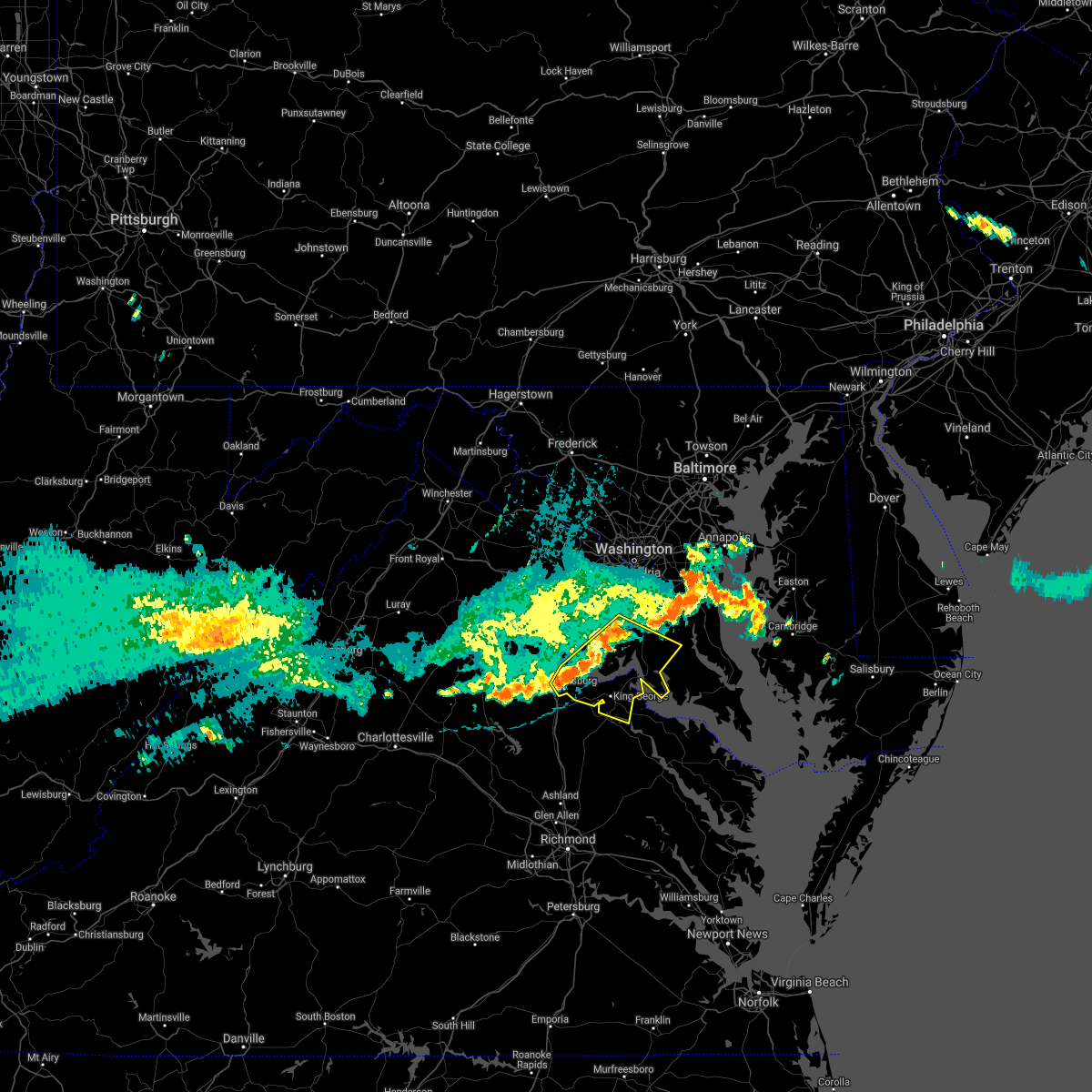 At 803 pm edt, severe thunderstorms were located along a line extending from 8 miles east of quantico to near aquia creek to near stafford, moving southeast at 30 mph (radar indicated). Hazards include 60 mph wind gusts. Damaging winds will cause some trees and large branches to fall. this could injure those outdoors, as well as damage homes and vehicles. roadways may become blocked by downed trees. localized power outages are possible. unsecured light objects may become projectiles. Locations impacted include, stafford, waldorf, fredericksburg, la plata, king george, dahlgren, quantico, fairview beach, nanjemoy creek, popes creek, aquia creek, potomac creek, port tobacco river, wicomico, cherry hill, bryans road, falmouth, hughesville, mason neck and charlotte hall. At 803 pm edt, severe thunderstorms were located along a line extending from 8 miles east of quantico to near aquia creek to near stafford, moving southeast at 30 mph (radar indicated). Hazards include 60 mph wind gusts. Damaging winds will cause some trees and large branches to fall. this could injure those outdoors, as well as damage homes and vehicles. roadways may become blocked by downed trees. localized power outages are possible. unsecured light objects may become projectiles. Locations impacted include, stafford, waldorf, fredericksburg, la plata, king george, dahlgren, quantico, fairview beach, nanjemoy creek, popes creek, aquia creek, potomac creek, port tobacco river, wicomico, cherry hill, bryans road, falmouth, hughesville, mason neck and charlotte hall.
|
| 8/25/2020 7:36 PM EDT |
 At 735 pm edt, severe thunderstorms were located along a line extending from near lake ridge to near dumfries to 8 miles west of stafford, moving east at 45 mph (radar indicated). Hazards include 60 mph wind gusts. Damaging winds will cause some trees and large branches to fall. this could injure those outdoors, as well as damage homes and vehicles. roadways may become blocked by downed trees. localized power outages are possible. Unsecured light objects may become projectiles. At 735 pm edt, severe thunderstorms were located along a line extending from near lake ridge to near dumfries to 8 miles west of stafford, moving east at 45 mph (radar indicated). Hazards include 60 mph wind gusts. Damaging winds will cause some trees and large branches to fall. this could injure those outdoors, as well as damage homes and vehicles. roadways may become blocked by downed trees. localized power outages are possible. Unsecured light objects may become projectiles.
|
| 8/25/2020 7:36 PM EDT |
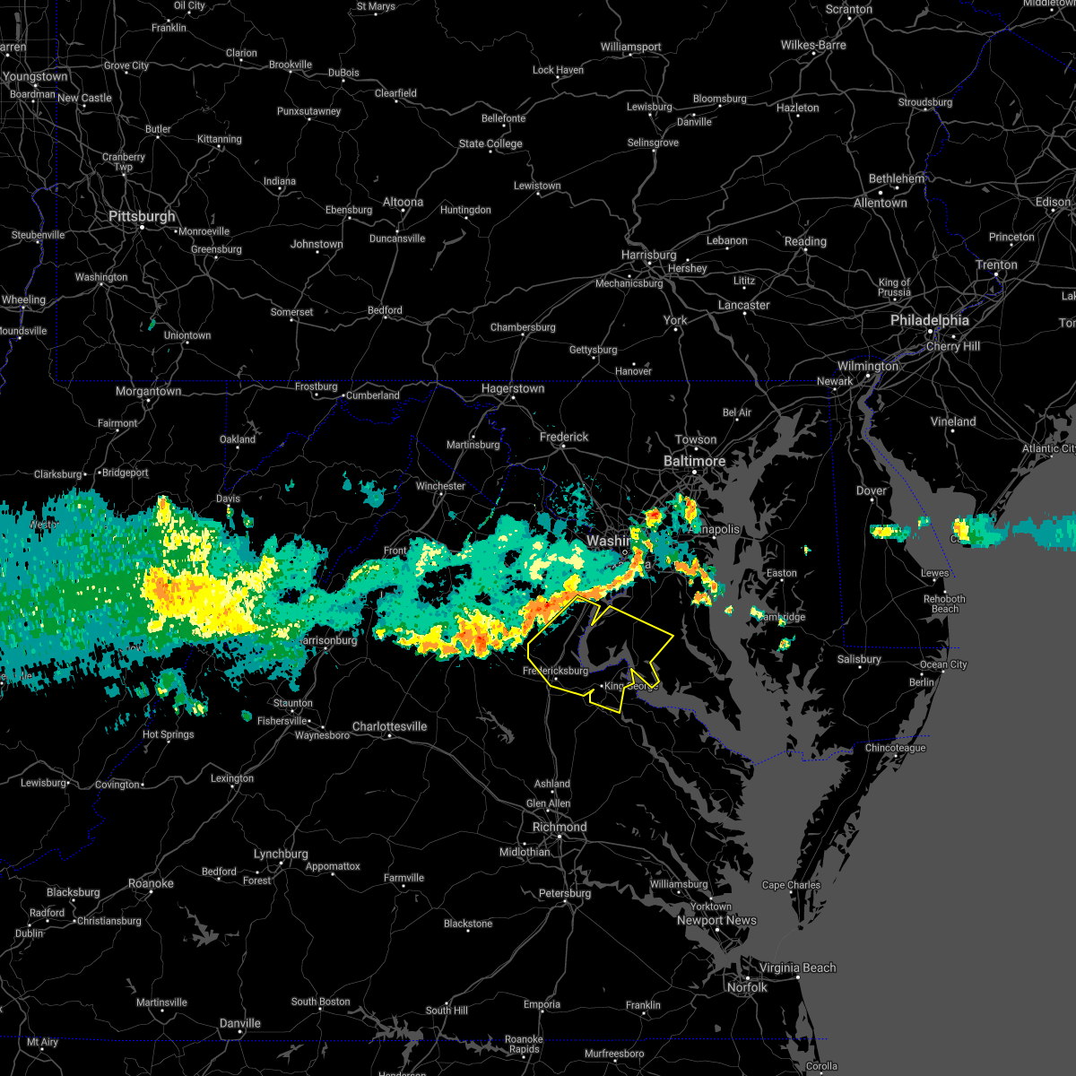 At 735 pm edt, severe thunderstorms were located along a line extending from near lake ridge to near dumfries to 8 miles west of stafford, moving east at 45 mph (radar indicated). Hazards include 60 mph wind gusts. Damaging winds will cause some trees and large branches to fall. this could injure those outdoors, as well as damage homes and vehicles. roadways may become blocked by downed trees. localized power outages are possible. Unsecured light objects may become projectiles. At 735 pm edt, severe thunderstorms were located along a line extending from near lake ridge to near dumfries to 8 miles west of stafford, moving east at 45 mph (radar indicated). Hazards include 60 mph wind gusts. Damaging winds will cause some trees and large branches to fall. this could injure those outdoors, as well as damage homes and vehicles. roadways may become blocked by downed trees. localized power outages are possible. Unsecured light objects may become projectiles.
|
| 8/6/2020 7:49 PM EDT |
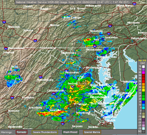 At 749 pm edt, a severe thunderstorm was located near popes creek, and is nearly stationary (radar indicated). Hazards include 60 mph wind gusts. Damaging winds will cause some trees and large branches to fall. this could injure those outdoors, as well as damage homes and vehicles. roadways may become blocked by downed trees. localized power outages are possible. unsecured light objects may become projectiles. Locations impacted include, dahlgren, nanjemoy creek, port tobacco river, popes creek, wicomico, port tobacco village, potomac beach, tompkinsville, mount victoria, bel alton, newburg, swan point, welcome, faulkner and berthaville. At 749 pm edt, a severe thunderstorm was located near popes creek, and is nearly stationary (radar indicated). Hazards include 60 mph wind gusts. Damaging winds will cause some trees and large branches to fall. this could injure those outdoors, as well as damage homes and vehicles. roadways may become blocked by downed trees. localized power outages are possible. unsecured light objects may become projectiles. Locations impacted include, dahlgren, nanjemoy creek, port tobacco river, popes creek, wicomico, port tobacco village, potomac beach, tompkinsville, mount victoria, bel alton, newburg, swan point, welcome, faulkner and berthaville.
|
| 8/6/2020 7:31 PM EDT |
 At 731 pm edt, a severe thunderstorm was located over dahlgren, and is nearly stationary (radar indicated). Hazards include 60 mph wind gusts and quarter size hail. Damaging winds will cause some trees and large branches to fall. this could injure those outdoors, as well as damage homes and vehicles. roadways may become blocked by downed trees. localized power outages are possible. Unsecured light objects may become projectiles. At 731 pm edt, a severe thunderstorm was located over dahlgren, and is nearly stationary (radar indicated). Hazards include 60 mph wind gusts and quarter size hail. Damaging winds will cause some trees and large branches to fall. this could injure those outdoors, as well as damage homes and vehicles. roadways may become blocked by downed trees. localized power outages are possible. Unsecured light objects may become projectiles.
|
| 8/6/2020 7:31 PM EDT |
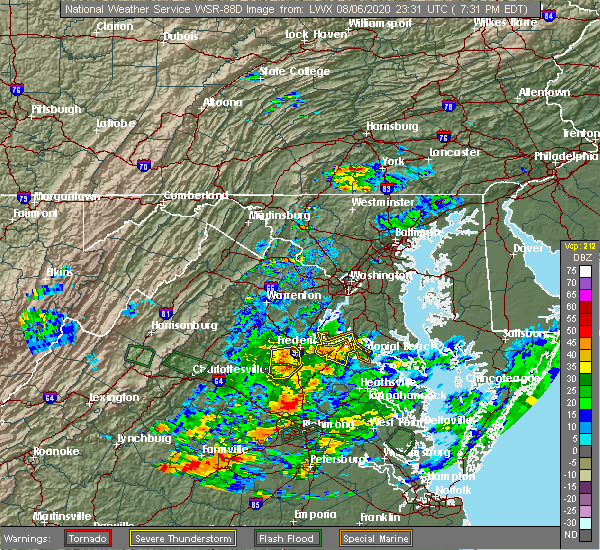 At 731 pm edt, a severe thunderstorm was located over dahlgren, and is nearly stationary (radar indicated). Hazards include 60 mph wind gusts and quarter size hail. Damaging winds will cause some trees and large branches to fall. this could injure those outdoors, as well as damage homes and vehicles. roadways may become blocked by downed trees. localized power outages are possible. Unsecured light objects may become projectiles. At 731 pm edt, a severe thunderstorm was located over dahlgren, and is nearly stationary (radar indicated). Hazards include 60 mph wind gusts and quarter size hail. Damaging winds will cause some trees and large branches to fall. this could injure those outdoors, as well as damage homes and vehicles. roadways may become blocked by downed trees. localized power outages are possible. Unsecured light objects may become projectiles.
|
| 8/3/2020 4:03 PM EDT |
 At 403 pm edt, severe thunderstorms were located along a line extending from 10 miles northwest of fredericksburg to near triangle to near la plata, moving north at 25 mph (radar indicated). Hazards include 60 mph wind gusts. Damaging winds will cause some trees and large branches to fall. this could injure those outdoors, as well as damage homes and vehicles. roadways may become blocked by downed trees. localized power outages are possible. unsecured light objects may become projectiles. Locations impacted include, stafford, waldorf, dale city, clinton, springfield, fort washington, fort hunt, groveton, la plata, fort belvoir, woodbridge, national harbor, upper marlboro, quantico, andrews air force base, lake ridge, montclair, camp springs, lorton and franconia. At 403 pm edt, severe thunderstorms were located along a line extending from 10 miles northwest of fredericksburg to near triangle to near la plata, moving north at 25 mph (radar indicated). Hazards include 60 mph wind gusts. Damaging winds will cause some trees and large branches to fall. this could injure those outdoors, as well as damage homes and vehicles. roadways may become blocked by downed trees. localized power outages are possible. unsecured light objects may become projectiles. Locations impacted include, stafford, waldorf, dale city, clinton, springfield, fort washington, fort hunt, groveton, la plata, fort belvoir, woodbridge, national harbor, upper marlboro, quantico, andrews air force base, lake ridge, montclair, camp springs, lorton and franconia.
|
| 8/3/2020 3:39 PM EDT |
 At 337 pm edt, severe thunderstorms were located along a line extending from near spotsylvania to near aquia creek to near popes creek, moving north at 25 mph (radar indicated). Hazards include scattered damagin wind gusts up to 60 mph. Damaging winds will cause some trees and large branches to fall. this could injure those outdoors, as well as damage homes and vehicles. roadways may become blocked by downed trees. localized power outages are possible. Unsecured light objects may become projectiles. At 337 pm edt, severe thunderstorms were located along a line extending from near spotsylvania to near aquia creek to near popes creek, moving north at 25 mph (radar indicated). Hazards include scattered damagin wind gusts up to 60 mph. Damaging winds will cause some trees and large branches to fall. this could injure those outdoors, as well as damage homes and vehicles. roadways may become blocked by downed trees. localized power outages are possible. Unsecured light objects may become projectiles.
|
| 8/3/2020 3:22 PM EDT |
 At 321 pm edt, severe thunderstorms were located along a line extending from near mineral to 6 miles southeast of massaponax to near leonardtown, moving east at 25 mph (radar indicated. a wind gust of 55 mph was measured at cobb point). Hazards include scattered damaging wind gusts of up to 65 mph. the highest winds on radar are currently focused from near cobb point maryland to king george virginia. Damaging winds will cause some trees and large branches to fall. this could injure those outdoors, as well as damage homes and vehicles. roadways may become blocked by downed trees. localized power outages are possible. unsecured light objects may become projectiles. Locations impacted include, stafford, waldorf, fredericksburg, la plata, king george, leonardtown, dahlgren, fairview beach, popes creek, hallowing point, aquia creek, potomac creek, sheridan point, saint clements bay, nanjemoy creek, wicomico river, white point beach, port tobacco river, golden beach and massaponax. At 321 pm edt, severe thunderstorms were located along a line extending from near mineral to 6 miles southeast of massaponax to near leonardtown, moving east at 25 mph (radar indicated. a wind gust of 55 mph was measured at cobb point). Hazards include scattered damaging wind gusts of up to 65 mph. the highest winds on radar are currently focused from near cobb point maryland to king george virginia. Damaging winds will cause some trees and large branches to fall. this could injure those outdoors, as well as damage homes and vehicles. roadways may become blocked by downed trees. localized power outages are possible. unsecured light objects may become projectiles. Locations impacted include, stafford, waldorf, fredericksburg, la plata, king george, leonardtown, dahlgren, fairview beach, popes creek, hallowing point, aquia creek, potomac creek, sheridan point, saint clements bay, nanjemoy creek, wicomico river, white point beach, port tobacco river, golden beach and massaponax.
|
| 8/3/2020 3:13 PM EDT |
 At 313 pm edt, severe thunderstorms were located along a line extending from near mineral to 6 miles north of bowling green to leonardtown, moving northwest at 25 mph (radar indicated). Hazards include scattered damaging wind gusts up to 60 mph. Damaging winds will cause some trees and large branches to fall. this could injure those outdoors, as well as damage homes and vehicles. roadways may become blocked by downed trees. localized power outages are possible. unsecured light objects may become projectiles. Locations impacted include, stafford, waldorf, fredericksburg, la plata, king george, leonardtown, dahlgren, fairview beach, popes creek, hallowing point, aquia creek, potomac creek, sheridan point, saint clements bay, nanjemoy creek, wicomico river, white point beach, port tobacco river, golden beach and massaponax. At 313 pm edt, severe thunderstorms were located along a line extending from near mineral to 6 miles north of bowling green to leonardtown, moving northwest at 25 mph (radar indicated). Hazards include scattered damaging wind gusts up to 60 mph. Damaging winds will cause some trees and large branches to fall. this could injure those outdoors, as well as damage homes and vehicles. roadways may become blocked by downed trees. localized power outages are possible. unsecured light objects may become projectiles. Locations impacted include, stafford, waldorf, fredericksburg, la plata, king george, leonardtown, dahlgren, fairview beach, popes creek, hallowing point, aquia creek, potomac creek, sheridan point, saint clements bay, nanjemoy creek, wicomico river, white point beach, port tobacco river, golden beach and massaponax.
|
| 8/3/2020 2:55 PM EDT |
 At 255 pm edt, severe thunderstorms were located along a line extending from 6 miles northeast of gum spring to bowling green to near white point beach, moving northwest at 25 mph (radar indicated). Hazards include 60 mph wind gusts. Damaging winds will cause some trees and large branches to fall. this could injure those outdoors, as well as damage homes and vehicles. roadways may become blocked by downed trees. localized power outages are possible. Unsecured light objects may become projectiles. At 255 pm edt, severe thunderstorms were located along a line extending from 6 miles northeast of gum spring to bowling green to near white point beach, moving northwest at 25 mph (radar indicated). Hazards include 60 mph wind gusts. Damaging winds will cause some trees and large branches to fall. this could injure those outdoors, as well as damage homes and vehicles. roadways may become blocked by downed trees. localized power outages are possible. Unsecured light objects may become projectiles.
|
| 7/30/2020 7:47 PM EDT |
 At 746 pm edt, severe thunderstorms were located along a line extending from groveton to near saint charles to near golden beach, moving east at 25 mph (radar indicated). Hazards include 60 mph wind gusts. Damaging winds will cause some trees and large branches to fall. this could injure those outdoors, as well as damage homes and vehicles. roadways may become blocked by downed trees. localized power outages are possible. unsecured light objects may become projectiles. Locations impacted include, alexandria, waldorf, clinton, fort washington, fort hunt, huntington, la plata, fort belvoir, woodbridge, national harbor, nationals park, andrews air force base, camp springs, oxon hill, rosaryville, friendly, marlton, temple hills, marlow heights and anacostia. At 746 pm edt, severe thunderstorms were located along a line extending from groveton to near saint charles to near golden beach, moving east at 25 mph (radar indicated). Hazards include 60 mph wind gusts. Damaging winds will cause some trees and large branches to fall. this could injure those outdoors, as well as damage homes and vehicles. roadways may become blocked by downed trees. localized power outages are possible. unsecured light objects may become projectiles. Locations impacted include, alexandria, waldorf, clinton, fort washington, fort hunt, huntington, la plata, fort belvoir, woodbridge, national harbor, nationals park, andrews air force base, camp springs, oxon hill, rosaryville, friendly, marlton, temple hills, marlow heights and anacostia.
|
| 7/30/2020 7:26 PM EDT |
 At 724 pm edt, severe thunderstorms were located along a line extending from near burke to 6 miles southeast of woodbridge to 6 miles east of popes creek, moving northeast at 35 mph. this storm has a history of knocking down numerous trees in king george county (radar indicated). Hazards include 60 mph wind gusts. Damaging winds will cause some trees and large branches to fall. this could injure those outdoors, as well as damage homes and vehicles. roadways may become blocked by downed trees. localized power outages are possible. unsecured light objects may become projectiles. Locations impacted include, arlington, alexandria, waldorf, dale city, annandale, clinton, springfield, fort washington, fairfax, fort hunt, groveton, falls church, huntington, la plata, mantua, fort belvoir, pimmit hills, woodbridge, national harbor and quantico. At 724 pm edt, severe thunderstorms were located along a line extending from near burke to 6 miles southeast of woodbridge to 6 miles east of popes creek, moving northeast at 35 mph. this storm has a history of knocking down numerous trees in king george county (radar indicated). Hazards include 60 mph wind gusts. Damaging winds will cause some trees and large branches to fall. this could injure those outdoors, as well as damage homes and vehicles. roadways may become blocked by downed trees. localized power outages are possible. unsecured light objects may become projectiles. Locations impacted include, arlington, alexandria, waldorf, dale city, annandale, clinton, springfield, fort washington, fairfax, fort hunt, groveton, falls church, huntington, la plata, mantua, fort belvoir, pimmit hills, woodbridge, national harbor and quantico.
|
| 7/30/2020 7:17 PM EDT |
 At 717 pm edt, severe thunderstorms were located along a line extending from triangle to near port tobacco river to near colonial beach, moving northeast at 35 mph (radar indicated). Hazards include 60 mph wind gusts. Damaging winds will cause some trees and large branches to fall. this could injure those outdoors, as well as damage homes and vehicles. roadways may become blocked by downed trees. localized power outages are possible. unsecured light objects may become projectiles. Locations impacted include, la plata, dahlgren, quantico, nanjemoy creek, popes creek, port tobacco river, cherry hill, port tobacco village, issue, tompkinsville, ironsides, bel alton, swan point, pisgah, faulkner, berthaville, marbury, widewater, port tobacco and ripley. At 717 pm edt, severe thunderstorms were located along a line extending from triangle to near port tobacco river to near colonial beach, moving northeast at 35 mph (radar indicated). Hazards include 60 mph wind gusts. Damaging winds will cause some trees and large branches to fall. this could injure those outdoors, as well as damage homes and vehicles. roadways may become blocked by downed trees. localized power outages are possible. unsecured light objects may become projectiles. Locations impacted include, la plata, dahlgren, quantico, nanjemoy creek, popes creek, port tobacco river, cherry hill, port tobacco village, issue, tompkinsville, ironsides, bel alton, swan point, pisgah, faulkner, berthaville, marbury, widewater, port tobacco and ripley.
|
| 7/30/2020 7:17 PM EDT |
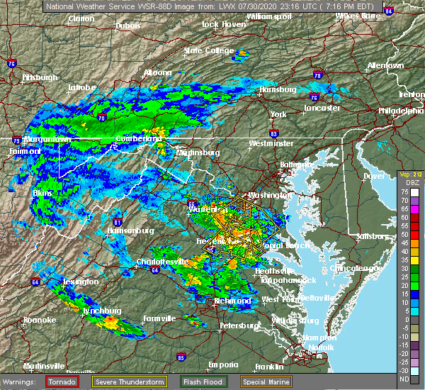 At 717 pm edt, severe thunderstorms were located along a line extending from triangle to near port tobacco river to near colonial beach, moving northeast at 35 mph (radar indicated). Hazards include 60 mph wind gusts. Damaging winds will cause some trees and large branches to fall. this could injure those outdoors, as well as damage homes and vehicles. roadways may become blocked by downed trees. localized power outages are possible. unsecured light objects may become projectiles. Locations impacted include, la plata, dahlgren, quantico, nanjemoy creek, popes creek, port tobacco river, cherry hill, port tobacco village, issue, tompkinsville, ironsides, bel alton, swan point, pisgah, faulkner, berthaville, marbury, widewater, port tobacco and ripley. At 717 pm edt, severe thunderstorms were located along a line extending from triangle to near port tobacco river to near colonial beach, moving northeast at 35 mph (radar indicated). Hazards include 60 mph wind gusts. Damaging winds will cause some trees and large branches to fall. this could injure those outdoors, as well as damage homes and vehicles. roadways may become blocked by downed trees. localized power outages are possible. unsecured light objects may become projectiles. Locations impacted include, la plata, dahlgren, quantico, nanjemoy creek, popes creek, port tobacco river, cherry hill, port tobacco village, issue, tompkinsville, ironsides, bel alton, swan point, pisgah, faulkner, berthaville, marbury, widewater, port tobacco and ripley.
|
| 7/30/2020 7:14 PM EDT |
 At 714 pm edt, severe thunderstorms were located along a line extending from 6 miles northwest of lake ridge to quantico to near dahlgren, moving northeast at 35 mph (radar indicated). Hazards include 60 mph wind gusts. Damaging winds will cause some trees and large branches to fall. this could injure those outdoors, as well as damage homes and vehicles. roadways may become blocked by downed trees. localized power outages are possible. Unsecured light objects may become projectiles. At 714 pm edt, severe thunderstorms were located along a line extending from 6 miles northwest of lake ridge to quantico to near dahlgren, moving northeast at 35 mph (radar indicated). Hazards include 60 mph wind gusts. Damaging winds will cause some trees and large branches to fall. this could injure those outdoors, as well as damage homes and vehicles. roadways may become blocked by downed trees. localized power outages are possible. Unsecured light objects may become projectiles.
|
| 7/30/2020 6:43 PM EDT |
 The national weather service in sterling virginia has issued a * severe thunderstorm warning for. southwestern charles county in southern maryland. southeastern stafford county in northern virginia. king george county in central virginia. The city of fredericksburg in central virginia. The national weather service in sterling virginia has issued a * severe thunderstorm warning for. southwestern charles county in southern maryland. southeastern stafford county in northern virginia. king george county in central virginia. The city of fredericksburg in central virginia.
|
| 7/30/2020 6:43 PM EDT |
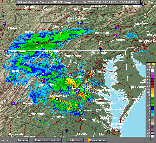 The national weather service in sterling virginia has issued a * severe thunderstorm warning for. southwestern charles county in southern maryland. southeastern stafford county in northern virginia. king george county in central virginia. The city of fredericksburg in central virginia. The national weather service in sterling virginia has issued a * severe thunderstorm warning for. southwestern charles county in southern maryland. southeastern stafford county in northern virginia. king george county in central virginia. The city of fredericksburg in central virginia.
|
| 7/30/2020 5:37 PM EDT |
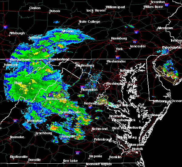 At 536 pm edt, a severe thunderstorm was located near port tobacco river, moving north at 15 mph (radar indicated). Hazards include 60 mph wind gusts. Damaging winds will cause some trees and large branches to fall. this could injure those outdoors, as well as damage homes and vehicles. roadways may become blocked by downed trees. localized power outages are possible. unsecured light objects may become projectiles. Locations impacted include, la plata, bryans road, pomfret, port tobacco village, port tobacco, welcome and ripley. At 536 pm edt, a severe thunderstorm was located near port tobacco river, moving north at 15 mph (radar indicated). Hazards include 60 mph wind gusts. Damaging winds will cause some trees and large branches to fall. this could injure those outdoors, as well as damage homes and vehicles. roadways may become blocked by downed trees. localized power outages are possible. unsecured light objects may become projectiles. Locations impacted include, la plata, bryans road, pomfret, port tobacco village, port tobacco, welcome and ripley.
|
| 7/30/2020 5:26 PM EDT |
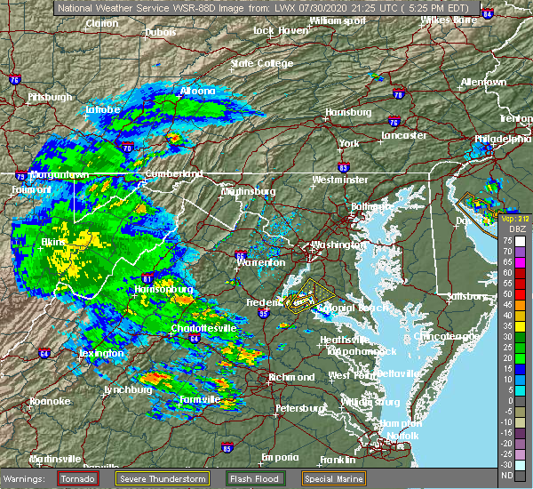 At 526 pm edt, a severe thunderstorm was located near port tobacco river, moving northeast at 25 mph (radar indicated). Hazards include 60 mph wind gusts. Damaging winds will cause some trees and large branches to fall. this could injure those outdoors, as well as damage homes and vehicles. roadways may become blocked by downed trees. localized power outages are possible. unsecured light objects may become projectiles. Locations impacted include, waldorf, la plata, nanjemoy creek, port tobacco river, popes creek, bryans road, charlotte hall, pomfret, port tobacco village, dentsville, port tobacco, ripley, bel alton, welcome and faulkner. At 526 pm edt, a severe thunderstorm was located near port tobacco river, moving northeast at 25 mph (radar indicated). Hazards include 60 mph wind gusts. Damaging winds will cause some trees and large branches to fall. this could injure those outdoors, as well as damage homes and vehicles. roadways may become blocked by downed trees. localized power outages are possible. unsecured light objects may become projectiles. Locations impacted include, waldorf, la plata, nanjemoy creek, port tobacco river, popes creek, bryans road, charlotte hall, pomfret, port tobacco village, dentsville, port tobacco, ripley, bel alton, welcome and faulkner.
|
| 7/30/2020 5:08 PM EDT |
 At 508 pm edt, a severe thunderstorm was located near fairview beach, moving northeast at 25 mph (radar indicated). Hazards include 60 mph wind gusts. Damaging winds will cause some trees and large branches to fall. this could injure those outdoors, as well as damage homes and vehicles. roadways may become blocked by downed trees. localized power outages are possible. Unsecured light objects may become projectiles. At 508 pm edt, a severe thunderstorm was located near fairview beach, moving northeast at 25 mph (radar indicated). Hazards include 60 mph wind gusts. Damaging winds will cause some trees and large branches to fall. this could injure those outdoors, as well as damage homes and vehicles. roadways may become blocked by downed trees. localized power outages are possible. Unsecured light objects may become projectiles.
|
| 7/30/2020 5:08 PM EDT |
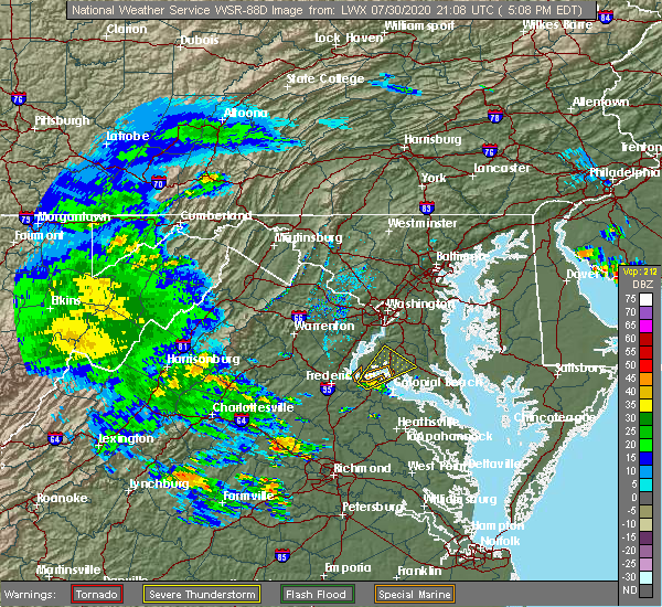 At 508 pm edt, a severe thunderstorm was located near fairview beach, moving northeast at 25 mph (radar indicated). Hazards include 60 mph wind gusts. Damaging winds will cause some trees and large branches to fall. this could injure those outdoors, as well as damage homes and vehicles. roadways may become blocked by downed trees. localized power outages are possible. Unsecured light objects may become projectiles. At 508 pm edt, a severe thunderstorm was located near fairview beach, moving northeast at 25 mph (radar indicated). Hazards include 60 mph wind gusts. Damaging winds will cause some trees and large branches to fall. this could injure those outdoors, as well as damage homes and vehicles. roadways may become blocked by downed trees. localized power outages are possible. Unsecured light objects may become projectiles.
|
| 7/22/2020 4:26 PM EDT |
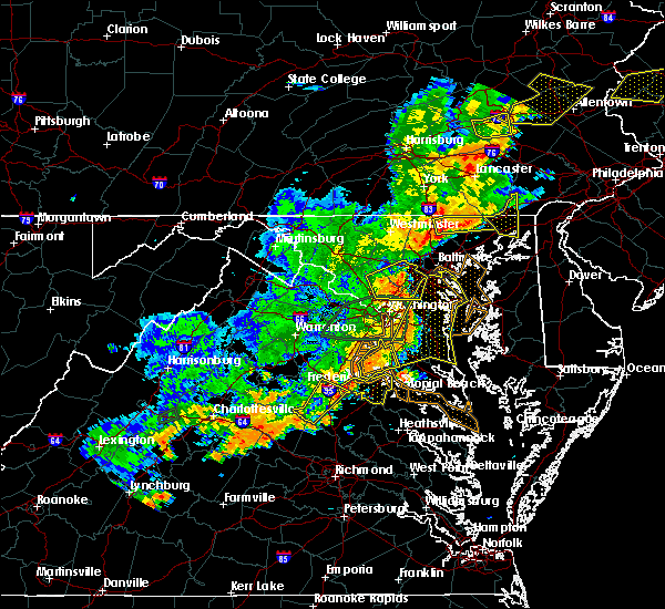 The severe thunderstorm warning for northwestern charles county will expire at 430 pm edt, the storms which prompted the warning have moved out of the area. therefore, the warning will be allowed to expire. however gusty winds and heavy rain are still possible with these thunderstorms. a severe thunderstorm watch remains in effect until 700 pm edt for southern and central maryland. The severe thunderstorm warning for northwestern charles county will expire at 430 pm edt, the storms which prompted the warning have moved out of the area. therefore, the warning will be allowed to expire. however gusty winds and heavy rain are still possible with these thunderstorms. a severe thunderstorm watch remains in effect until 700 pm edt for southern and central maryland.
|
| 7/22/2020 3:40 PM EDT |
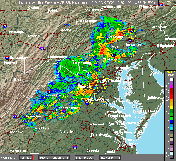 At 340 pm edt, severe thunderstorms were located along a line extending from lorton to near aquia creek, moving east at 45 mph (radar indicated). Hazards include 60 mph wind gusts and quarter size hail. Damaging winds will cause some trees and large branches to fall. this could injure those outdoors, as well as damage homes and vehicles. roadways may become blocked by downed trees. localized power outages are possible. Unsecured light objects may become projectiles. At 340 pm edt, severe thunderstorms were located along a line extending from lorton to near aquia creek, moving east at 45 mph (radar indicated). Hazards include 60 mph wind gusts and quarter size hail. Damaging winds will cause some trees and large branches to fall. this could injure those outdoors, as well as damage homes and vehicles. roadways may become blocked by downed trees. localized power outages are possible. Unsecured light objects may become projectiles.
|
| 7/21/2020 7:44 PM EDT |
 At 744 pm edt, severe thunderstorms were located along a line extending from near waldorf to nanjemoy creek, moving east at 20 mph (radar indicated). Hazards include 70 mph wind gusts and half dollar size hail. Damaging winds will cause some trees and large branches to fall. this could injure those outdoors, as well as damage homes and vehicles. roadways may become blocked by downed trees. localized power outages are possible. Unsecured light objects may become projectiles. At 744 pm edt, severe thunderstorms were located along a line extending from near waldorf to nanjemoy creek, moving east at 20 mph (radar indicated). Hazards include 70 mph wind gusts and half dollar size hail. Damaging winds will cause some trees and large branches to fall. this could injure those outdoors, as well as damage homes and vehicles. roadways may become blocked by downed trees. localized power outages are possible. Unsecured light objects may become projectiles.
|
| 7/21/2020 7:32 PM EDT |
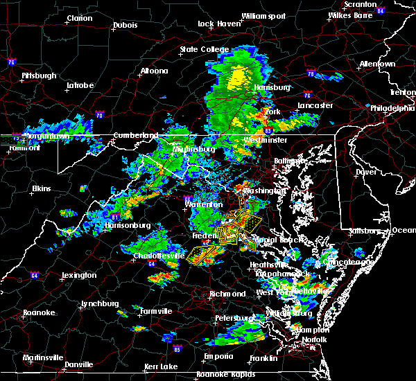 At 713 pm edt, a severe thunderstorm was located near la plata, moving east at 15 mph (radar indicated). Hazards include 60 mph wind gusts. Damaging winds will cause some trees and large branches to fall. this could injure those outdoors, as well as damage homes and vehicles. roadways may become blocked by downed trees. localized power outages are possible. Unsecured light objects may become projectiles. At 713 pm edt, a severe thunderstorm was located near la plata, moving east at 15 mph (radar indicated). Hazards include 60 mph wind gusts. Damaging winds will cause some trees and large branches to fall. this could injure those outdoors, as well as damage homes and vehicles. roadways may become blocked by downed trees. localized power outages are possible. Unsecured light objects may become projectiles.
|
| 7/21/2020 7:13 PM EDT |
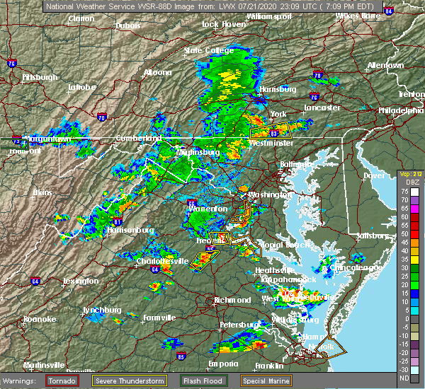 At 713 pm edt, a severe thunderstorm was located near la plata, moving east at 15 mph (radar indicated). Hazards include 60 mph wind gusts. Damaging winds will cause some trees and large branches to fall. this could injure those outdoors, as well as damage homes and vehicles. roadways may become blocked by downed trees. localized power outages are possible. Unsecured light objects may become projectiles. At 713 pm edt, a severe thunderstorm was located near la plata, moving east at 15 mph (radar indicated). Hazards include 60 mph wind gusts. Damaging winds will cause some trees and large branches to fall. this could injure those outdoors, as well as damage homes and vehicles. roadways may become blocked by downed trees. localized power outages are possible. Unsecured light objects may become projectiles.
|
| 6/25/2020 9:22 PM EDT |
 The severe thunderstorm warning for central charles county will expire at 930 pm edt, the storm which prompted the warning has weakened below severe limits, and no longer poses an immediate threat to life or property. therefore, the warning will be allowed to expire. The severe thunderstorm warning for central charles county will expire at 930 pm edt, the storm which prompted the warning has weakened below severe limits, and no longer poses an immediate threat to life or property. therefore, the warning will be allowed to expire.
|
| 6/25/2020 9:08 PM EDT |
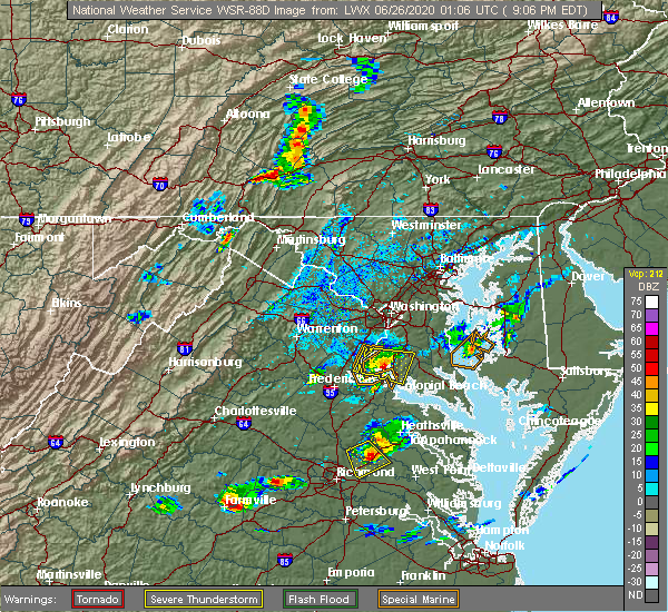 At 908 pm edt, a severe thunderstorm was located near port tobacco river, moving east at 30 mph (radar indicated). Hazards include 60 mph wind gusts and quarter size hail. Damaging winds will cause some trees and large branches to fall. this could injure those outdoors, as well as damage homes and vehicles. roadways may become blocked by downed trees. localized power outages are possible. unsecured light objects may become projectiles. Locations impacted include, waldorf, la plata, nanjemoy creek, port tobacco river, popes creek, bryantown, pomfret, port tobacco village, dentsville, port tobacco, ripley, bel alton, newburg, welcome and faulkner. At 908 pm edt, a severe thunderstorm was located near port tobacco river, moving east at 30 mph (radar indicated). Hazards include 60 mph wind gusts and quarter size hail. Damaging winds will cause some trees and large branches to fall. this could injure those outdoors, as well as damage homes and vehicles. roadways may become blocked by downed trees. localized power outages are possible. unsecured light objects may become projectiles. Locations impacted include, waldorf, la plata, nanjemoy creek, port tobacco river, popes creek, bryantown, pomfret, port tobacco village, dentsville, port tobacco, ripley, bel alton, newburg, welcome and faulkner.
|
| 6/25/2020 8:40 PM EDT |
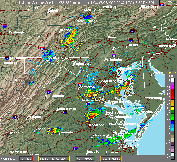 At 839 pm edt, a severe thunderstorm was located over triangle, or over quantico, moving east at 30 mph (radar indicated). Hazards include 60 mph wind gusts and quarter size hail. Damaging winds will cause some trees and large branches to fall. this could injure those outdoors, as well as damage homes and vehicles. roadways may become blocked by downed trees. localized power outages are possible. Unsecured light objects may become projectiles. At 839 pm edt, a severe thunderstorm was located over triangle, or over quantico, moving east at 30 mph (radar indicated). Hazards include 60 mph wind gusts and quarter size hail. Damaging winds will cause some trees and large branches to fall. this could injure those outdoors, as well as damage homes and vehicles. roadways may become blocked by downed trees. localized power outages are possible. Unsecured light objects may become projectiles.
|
| 6/22/2020 4:21 PM EDT |
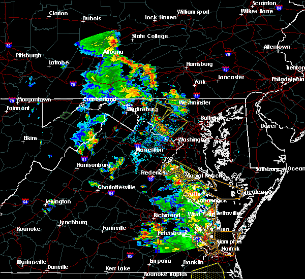 At 420 pm edt, severe thunderstorms were located along a line extending from near nanjemoy creek to near colonial beach, moving east at 15 mph (radar indicated). Hazards include 60 mph wind gusts. Damaging winds will cause some trees and large branches to fall. this could injure those outdoors, as well as damage homes and vehicles. roadways may become blocked by downed trees. localized power outages are possible. unsecured light objects may become projectiles. Locations impacted include, la plata, nanjemoy creek, popes creek, port tobacco river, wicomico river, wicomico, bryans road, mechanicsville, charlotte hall, cobb island, potomac heights, pomfret, rock point, port tobacco village, bushwood, clements, issue, tompkinsville, chaptico and ironsides. At 420 pm edt, severe thunderstorms were located along a line extending from near nanjemoy creek to near colonial beach, moving east at 15 mph (radar indicated). Hazards include 60 mph wind gusts. Damaging winds will cause some trees and large branches to fall. this could injure those outdoors, as well as damage homes and vehicles. roadways may become blocked by downed trees. localized power outages are possible. unsecured light objects may become projectiles. Locations impacted include, la plata, nanjemoy creek, popes creek, port tobacco river, wicomico river, wicomico, bryans road, mechanicsville, charlotte hall, cobb island, potomac heights, pomfret, rock point, port tobacco village, bushwood, clements, issue, tompkinsville, chaptico and ironsides.
|
| 6/22/2020 3:44 PM EDT |
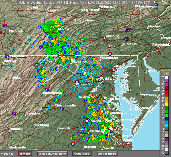 At 343 pm edt, severe thunderstorms were located along a line extending from fairview beach to near colonial beach, moving northeast at 15 mph (radar indicated). Hazards include 60 mph wind gusts. Damaging winds will cause some trees and large branches to fall. this could injure those outdoors, as well as damage homes and vehicles. roadways may become blocked by downed trees. localized power outages are possible. Unsecured light objects may become projectiles. At 343 pm edt, severe thunderstorms were located along a line extending from fairview beach to near colonial beach, moving northeast at 15 mph (radar indicated). Hazards include 60 mph wind gusts. Damaging winds will cause some trees and large branches to fall. this could injure those outdoors, as well as damage homes and vehicles. roadways may become blocked by downed trees. localized power outages are possible. Unsecured light objects may become projectiles.
|
| 4/13/2020 7:50 AM EDT |
 At 750 am edt, severe thunderstorms were located along a line extending from 7 miles east of quantico to near nanjemoy creek, moving northeast at 40 mph (radar indicated). Hazards include 60 mph wind gusts. Damaging winds will cause some trees and large branches to fall. this could injure those outdoors, as well as damage homes and vehicles. roadways may become blocked by downed trees. localized power outages are possible. unsecured light objects may become projectiles. Locations impacted include, waldorf, la plata, king george, dahlgren, fairview beach, nanjemoy creek, popes creek, wicomico river, port tobacco river, saint charles, wicomico, bryans road, hughesville, mechanicsville, charlotte hall, passapatanzy, cobb island, bryantown, pomfret and rock point. At 750 am edt, severe thunderstorms were located along a line extending from 7 miles east of quantico to near nanjemoy creek, moving northeast at 40 mph (radar indicated). Hazards include 60 mph wind gusts. Damaging winds will cause some trees and large branches to fall. this could injure those outdoors, as well as damage homes and vehicles. roadways may become blocked by downed trees. localized power outages are possible. unsecured light objects may become projectiles. Locations impacted include, waldorf, la plata, king george, dahlgren, fairview beach, nanjemoy creek, popes creek, wicomico river, port tobacco river, saint charles, wicomico, bryans road, hughesville, mechanicsville, charlotte hall, passapatanzy, cobb island, bryantown, pomfret and rock point.
|
| 4/13/2020 7:50 AM EDT |
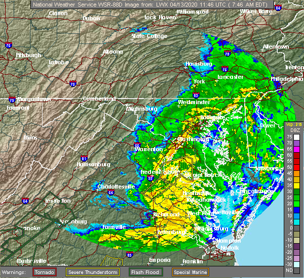 At 750 am edt, severe thunderstorms were located along a line extending from 7 miles east of quantico to near nanjemoy creek, moving northeast at 40 mph (radar indicated). Hazards include 60 mph wind gusts. Damaging winds will cause some trees and large branches to fall. this could injure those outdoors, as well as damage homes and vehicles. roadways may become blocked by downed trees. localized power outages are possible. unsecured light objects may become projectiles. Locations impacted include, waldorf, la plata, king george, dahlgren, fairview beach, nanjemoy creek, popes creek, wicomico river, port tobacco river, saint charles, wicomico, bryans road, hughesville, mechanicsville, charlotte hall, passapatanzy, cobb island, bryantown, pomfret and rock point. At 750 am edt, severe thunderstorms were located along a line extending from 7 miles east of quantico to near nanjemoy creek, moving northeast at 40 mph (radar indicated). Hazards include 60 mph wind gusts. Damaging winds will cause some trees and large branches to fall. this could injure those outdoors, as well as damage homes and vehicles. roadways may become blocked by downed trees. localized power outages are possible. unsecured light objects may become projectiles. Locations impacted include, waldorf, la plata, king george, dahlgren, fairview beach, nanjemoy creek, popes creek, wicomico river, port tobacco river, saint charles, wicomico, bryans road, hughesville, mechanicsville, charlotte hall, passapatanzy, cobb island, bryantown, pomfret and rock point.
|
| 4/13/2020 7:37 AM EDT |
 At 737 am edt, severe thunderstorms were located along a line extending from near quantico to near fairview beach, moving east at 45 mph (radar indicated). Hazards include 60 mph wind gusts. Damaging winds will cause some trees and large branches to fall. this could injure those outdoors, as well as damage homes and vehicles. roadways may become blocked by downed trees. localized power outages are possible. Unsecured light objects may become projectiles. At 737 am edt, severe thunderstorms were located along a line extending from near quantico to near fairview beach, moving east at 45 mph (radar indicated). Hazards include 60 mph wind gusts. Damaging winds will cause some trees and large branches to fall. this could injure those outdoors, as well as damage homes and vehicles. roadways may become blocked by downed trees. localized power outages are possible. Unsecured light objects may become projectiles.
|
| 1/12/2020 12:57 AM EST |
 At 1257 am est, severe thunderstorms were located along a line extending from clinton to near saint charles to near quantico, moving east at 50 mph (radar indicated). Hazards include 60 mph wind gusts. Damaging winds will cause some trees and large branches to fall. this could injure those outdoors, as well as damage homes and vehicles. roadways may become blocked by downed trees. localized power outages are possible. Unsecured light objects may become projectiles. At 1257 am est, severe thunderstorms were located along a line extending from clinton to near saint charles to near quantico, moving east at 50 mph (radar indicated). Hazards include 60 mph wind gusts. Damaging winds will cause some trees and large branches to fall. this could injure those outdoors, as well as damage homes and vehicles. roadways may become blocked by downed trees. localized power outages are possible. Unsecured light objects may become projectiles.
|
| 9/2/2019 6:45 PM EDT |
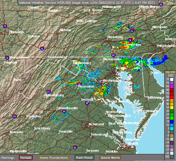 At 645 pm edt, a severe thunderstorm was located near quantico, moving southeast at 15 mph (radar indicated). Hazards include 60 mph wind gusts and quarter size hail. Damaging winds will cause some trees and large branches to fall. this could injure those outdoors, as well as damage homes and vehicles. roadways may become blocked by downed trees. localized power outages are possible. unsecured light objects may become projectiles. Locations impacted include, port tobacco river, accokeek, bryans road, potomac heights, pomfret, port tobacco village, marbury, port tobacco, ironsides, ripley, rison, nanjemoy, pisgah and welcome. At 645 pm edt, a severe thunderstorm was located near quantico, moving southeast at 15 mph (radar indicated). Hazards include 60 mph wind gusts and quarter size hail. Damaging winds will cause some trees and large branches to fall. this could injure those outdoors, as well as damage homes and vehicles. roadways may become blocked by downed trees. localized power outages are possible. unsecured light objects may become projectiles. Locations impacted include, port tobacco river, accokeek, bryans road, potomac heights, pomfret, port tobacco village, marbury, port tobacco, ironsides, ripley, rison, nanjemoy, pisgah and welcome.
|
| 9/2/2019 6:26 PM EDT |
 At 626 pm edt, a severe thunderstorm was located over dumfries, or near quantico, moving southeast at 15 mph (radar indicated). Hazards include 60 mph wind gusts and quarter size hail. Damaging winds will cause some trees and large branches to fall. this could injure those outdoors, as well as damage homes and vehicles. roadways may become blocked by downed trees. localized power outages are possible. Unsecured light objects may become projectiles. At 626 pm edt, a severe thunderstorm was located over dumfries, or near quantico, moving southeast at 15 mph (radar indicated). Hazards include 60 mph wind gusts and quarter size hail. Damaging winds will cause some trees and large branches to fall. this could injure those outdoors, as well as damage homes and vehicles. roadways may become blocked by downed trees. localized power outages are possible. Unsecured light objects may become projectiles.
|
| 7/22/2019 7:57 PM EDT |
 At 756 pm edt, severe thunderstorms were located along a line extending from 7 miles south of linton hall to quantico to near nanjemoy creek, moving northeast at 45 mph (radar indicated. this storm has a history of producing wind damage with numerous downed trees reported in spotsylvania, orange, albemarle, and nelson counties). Hazards include 60 mph wind gusts. Damaging winds will cause some trees and large branches to fall. this could injure those outdoors, as well as damage homes and vehicles. roadways may become blocked by downed trees. localized power outages are possible. unsecured light objects may become projectiles. Locations impacted include, centreville, waldorf, dale city, springfield, fairfax, fort hunt, groveton, la plata, fort belvoir, woodbridge, quantico, nanjemoy creek, port tobacco river, lake ridge, burke, montclair, lorton, franconia, newington and triangle. At 756 pm edt, severe thunderstorms were located along a line extending from 7 miles south of linton hall to quantico to near nanjemoy creek, moving northeast at 45 mph (radar indicated. this storm has a history of producing wind damage with numerous downed trees reported in spotsylvania, orange, albemarle, and nelson counties). Hazards include 60 mph wind gusts. Damaging winds will cause some trees and large branches to fall. this could injure those outdoors, as well as damage homes and vehicles. roadways may become blocked by downed trees. localized power outages are possible. unsecured light objects may become projectiles. Locations impacted include, centreville, waldorf, dale city, springfield, fairfax, fort hunt, groveton, la plata, fort belvoir, woodbridge, quantico, nanjemoy creek, port tobacco river, lake ridge, burke, montclair, lorton, franconia, newington and triangle.
|
| 7/22/2019 7:43 PM EDT |
 At 743 pm edt, severe thunderstorms were located along a line extending from 6 miles east of bealeton to near stafford to near potomac creek, moving northeast at 45 mph (radar indicated. this storm has a history of producing wind damage with numerous downed trees reported in orange, albemarle, and nelson counties). Hazards include 60 mph wind gusts. Damaging winds will cause some trees and large branches to fall. this could injure those outdoors, as well as damage homes and vehicles. roadways may become blocked by downed trees. localized power outages are possible. Unsecured light objects may become projectiles. At 743 pm edt, severe thunderstorms were located along a line extending from 6 miles east of bealeton to near stafford to near potomac creek, moving northeast at 45 mph (radar indicated. this storm has a history of producing wind damage with numerous downed trees reported in orange, albemarle, and nelson counties). Hazards include 60 mph wind gusts. Damaging winds will cause some trees and large branches to fall. this could injure those outdoors, as well as damage homes and vehicles. roadways may become blocked by downed trees. localized power outages are possible. Unsecured light objects may become projectiles.
|
| 7/17/2019 5:38 PM EDT |
 At 538 pm edt, severe thunderstorms were located along a line extending from national harbor to near port tobacco river, moving east at 35 mph (radar indicated). Hazards include 60 mph wind gusts. Damaging winds will cause some trees and large branches to fall. this could injure those outdoors, as well as damage homes and vehicles. roadways may become blocked by downed trees. localized power outages are possible. unsecured light objects may become projectiles. Locations impacted include, arlington, alexandria, annandale, springfield, fort hunt, groveton, huntington, la plata, fort belvoir, lincolnia, lorton, franconia, hybla valley, newington, lake barcroft, i395 and i495 interchange, mount vernon, accokeek, seven corners and north springfield. At 538 pm edt, severe thunderstorms were located along a line extending from national harbor to near port tobacco river, moving east at 35 mph (radar indicated). Hazards include 60 mph wind gusts. Damaging winds will cause some trees and large branches to fall. this could injure those outdoors, as well as damage homes and vehicles. roadways may become blocked by downed trees. localized power outages are possible. unsecured light objects may become projectiles. Locations impacted include, arlington, alexandria, annandale, springfield, fort hunt, groveton, huntington, la plata, fort belvoir, lincolnia, lorton, franconia, hybla valley, newington, lake barcroft, i395 and i495 interchange, mount vernon, accokeek, seven corners and north springfield.
|
| 7/17/2019 5:35 PM EDT |
 At 534 pm edt, severe thunderstorms were located along a line extending from huntington to 6 miles east of quantico, moving northeast at 40 mph (radar indicated). Hazards include 60 mph wind gusts. Damaging winds will cause some trees and large branches to fall. this could injure those outdoors, as well as damage homes and vehicles. roadways may become blocked by downed trees. localized power outages are possible. Unsecured light objects may become projectiles. At 534 pm edt, severe thunderstorms were located along a line extending from huntington to 6 miles east of quantico, moving northeast at 40 mph (radar indicated). Hazards include 60 mph wind gusts. Damaging winds will cause some trees and large branches to fall. this could injure those outdoors, as well as damage homes and vehicles. roadways may become blocked by downed trees. localized power outages are possible. Unsecured light objects may become projectiles.
|
| 7/17/2019 5:08 PM EDT |
 At 508 pm edt, severe thunderstorms were located along a line extending from near lake ridge to near stafford, moving northeast at 35 mph (radar indicated). Hazards include 60 mph wind gusts. Damaging winds will cause some trees and large branches to fall. this could injure those outdoors, as well as damage homes and vehicles. roadways may become blocked by downed trees. localized power outages are possible. Unsecured light objects may become projectiles. At 508 pm edt, severe thunderstorms were located along a line extending from near lake ridge to near stafford, moving northeast at 35 mph (radar indicated). Hazards include 60 mph wind gusts. Damaging winds will cause some trees and large branches to fall. this could injure those outdoors, as well as damage homes and vehicles. roadways may become blocked by downed trees. localized power outages are possible. Unsecured light objects may become projectiles.
|
| 6/29/2019 5:11 PM EDT |
 At 510 pm edt, a severe thunderstorm was located near quantico, moving southeast at 20 mph (radar indicated). Hazards include 60 mph wind gusts and quarter size hail. Damaging winds will cause some trees and large branches to fall. this could injure those outdoors, as well as damage homes and vehicles. roadways may become blocked by downed trees. localized power outages are possible. Unsecured light objects may become projectiles. At 510 pm edt, a severe thunderstorm was located near quantico, moving southeast at 20 mph (radar indicated). Hazards include 60 mph wind gusts and quarter size hail. Damaging winds will cause some trees and large branches to fall. this could injure those outdoors, as well as damage homes and vehicles. roadways may become blocked by downed trees. localized power outages are possible. Unsecured light objects may become projectiles.
|
| 6/29/2019 3:25 PM EDT | Tree down near the intersection of chapel point road and old warehouse road. tree down in the 9700 block of poorhouse roa in charles county MD, 0.8 miles N of Port Tobacco Village, MD |
| 6/13/2019 5:47 PM EDT |
 At 547 pm edt, a severe thunderstorm was located over port tobacco river, moving east at 40 mph (radar indicated). Hazards include 60 mph wind gusts. Damaging winds will cause some trees and large branches to fall. this could injure those outdoors, as well as damage homes and vehicles. roadways may become blocked by downed trees. localized power outages are possible. unsecured light objects may become projectiles. Locations impacted include, waldorf, la plata, port tobacco river, saint charles, wicomico, pomfret, port tobacco village, dentsville, port tobacco, white plains, ironsides, ripley, bel alton, welcome and faulkner. At 547 pm edt, a severe thunderstorm was located over port tobacco river, moving east at 40 mph (radar indicated). Hazards include 60 mph wind gusts. Damaging winds will cause some trees and large branches to fall. this could injure those outdoors, as well as damage homes and vehicles. roadways may become blocked by downed trees. localized power outages are possible. unsecured light objects may become projectiles. Locations impacted include, waldorf, la plata, port tobacco river, saint charles, wicomico, pomfret, port tobacco village, dentsville, port tobacco, white plains, ironsides, ripley, bel alton, welcome and faulkner.
|
| 6/13/2019 5:22 PM EDT |
 At 521 pm edt, a severe thunderstorm was located over aquia creek, moving east at 45 mph (radar indicated). Hazards include 60 mph wind gusts and quarter size hail. Damaging winds will cause some trees and large branches to fall. this could injure those outdoors, as well as damage homes and vehicles. roadways may become blocked by downed trees. localized power outages are possible. Unsecured light objects may become projectiles. At 521 pm edt, a severe thunderstorm was located over aquia creek, moving east at 45 mph (radar indicated). Hazards include 60 mph wind gusts and quarter size hail. Damaging winds will cause some trees and large branches to fall. this could injure those outdoors, as well as damage homes and vehicles. roadways may become blocked by downed trees. localized power outages are possible. Unsecured light objects may become projectiles.
|
| 5/30/2019 4:14 PM EDT |
 At 414 pm edt, a severe thunderstorm was located near nanjemoy creek, moving east at 40 mph (radar indicated). Hazards include 60 mph wind gusts. Damaging winds will cause some trees and large branches to fall. this could injure those outdoors, as well as damage homes and vehicles. roadways may become blocked by downed trees. localized power outages are possible. unsecured light objects may become projectiles. Locations impacted include, waldorf, la plata, king george, dahlgren, fairview beach, port tobacco river, popes creek, wicomico, bryans road, mason neck, potomac heights, pomfret, port tobacco village, tompkinsville, ironsides, bel alton, swan point, pisgah, faulkner and berthaville. At 414 pm edt, a severe thunderstorm was located near nanjemoy creek, moving east at 40 mph (radar indicated). Hazards include 60 mph wind gusts. Damaging winds will cause some trees and large branches to fall. this could injure those outdoors, as well as damage homes and vehicles. roadways may become blocked by downed trees. localized power outages are possible. unsecured light objects may become projectiles. Locations impacted include, waldorf, la plata, king george, dahlgren, fairview beach, port tobacco river, popes creek, wicomico, bryans road, mason neck, potomac heights, pomfret, port tobacco village, tompkinsville, ironsides, bel alton, swan point, pisgah, faulkner and berthaville.
|
| 5/30/2019 4:14 PM EDT |
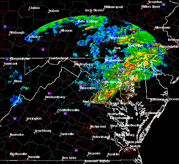 At 414 pm edt, a severe thunderstorm was located near nanjemoy creek, moving east at 40 mph (radar indicated). Hazards include 60 mph wind gusts. Damaging winds will cause some trees and large branches to fall. this could injure those outdoors, as well as damage homes and vehicles. roadways may become blocked by downed trees. localized power outages are possible. unsecured light objects may become projectiles. Locations impacted include, waldorf, la plata, king george, dahlgren, fairview beach, port tobacco river, popes creek, wicomico, bryans road, mason neck, potomac heights, pomfret, port tobacco village, tompkinsville, ironsides, bel alton, swan point, pisgah, faulkner and berthaville. At 414 pm edt, a severe thunderstorm was located near nanjemoy creek, moving east at 40 mph (radar indicated). Hazards include 60 mph wind gusts. Damaging winds will cause some trees and large branches to fall. this could injure those outdoors, as well as damage homes and vehicles. roadways may become blocked by downed trees. localized power outages are possible. unsecured light objects may become projectiles. Locations impacted include, waldorf, la plata, king george, dahlgren, fairview beach, port tobacco river, popes creek, wicomico, bryans road, mason neck, potomac heights, pomfret, port tobacco village, tompkinsville, ironsides, bel alton, swan point, pisgah, faulkner and berthaville.
|
| 5/30/2019 4:03 PM EDT |
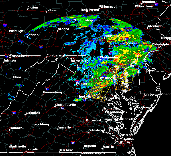 At 403 pm edt, a severe thunderstorm was located over aquia creek, moving east at 40 mph (radar indicated). Hazards include 60 mph wind gusts. Damaging winds will cause some trees and large branches to fall. this could injure those outdoors, as well as damage homes and vehicles. roadways may become blocked by downed trees. localized power outages are possible. Unsecured light objects may become projectiles. At 403 pm edt, a severe thunderstorm was located over aquia creek, moving east at 40 mph (radar indicated). Hazards include 60 mph wind gusts. Damaging winds will cause some trees and large branches to fall. this could injure those outdoors, as well as damage homes and vehicles. roadways may become blocked by downed trees. localized power outages are possible. Unsecured light objects may become projectiles.
|
| 5/23/2019 4:37 PM EDT |
 At 436 pm edt, severe thunderstorms were located along a line extending from near golden beach to near ladysmith, moving east at 45 mph (radar indicated). Hazards include two inch hail and 70 mph wind gusts. Expect wind damage to trees and power lines. hail is large enough to dent and damage vehicles. some hail damage to roofs, siding, and windows is possible. Locations impacted include, waldorf, chesapeake ranch estates, la plata, king george, leonardtown, dahlgren, fairview beach, greenwell state park, hallowing point, saint leonard creek, cuckold creek, sheridan point, calvert cliffs, saint clements bay, port tobacco river, flag harbor, popes creek, california, golden beach and lusby. At 436 pm edt, severe thunderstorms were located along a line extending from near golden beach to near ladysmith, moving east at 45 mph (radar indicated). Hazards include two inch hail and 70 mph wind gusts. Expect wind damage to trees and power lines. hail is large enough to dent and damage vehicles. some hail damage to roofs, siding, and windows is possible. Locations impacted include, waldorf, chesapeake ranch estates, la plata, king george, leonardtown, dahlgren, fairview beach, greenwell state park, hallowing point, saint leonard creek, cuckold creek, sheridan point, calvert cliffs, saint clements bay, port tobacco river, flag harbor, popes creek, california, golden beach and lusby.
|
| 5/23/2019 4:32 PM EDT |
 At 432 pm edt, severe thunderstorms were located along a line extending from near golden beach to near ladysmith, moving east at 50 mph (radar indicated). Hazards include 70 mph wind gusts and quarter size hail. Damaging winds will cause some trees and large branches to fall. this could injure those outdoors, as well as damage homes and vehicles. roadways may become blocked by downed trees. localized power outages are possible. unsecured light objects may become projectiles. Locations impacted include, waldorf, chesapeake ranch estates, la plata, king george, leonardtown, dahlgren, fairview beach, greenwell state park, hallowing point, saint leonard creek, cuckold creek, sheridan point, calvert cliffs, saint clements bay, port tobacco river, flag harbor, popes creek, california, golden beach and lusby. At 432 pm edt, severe thunderstorms were located along a line extending from near golden beach to near ladysmith, moving east at 50 mph (radar indicated). Hazards include 70 mph wind gusts and quarter size hail. Damaging winds will cause some trees and large branches to fall. this could injure those outdoors, as well as damage homes and vehicles. roadways may become blocked by downed trees. localized power outages are possible. unsecured light objects may become projectiles. Locations impacted include, waldorf, chesapeake ranch estates, la plata, king george, leonardtown, dahlgren, fairview beach, greenwell state park, hallowing point, saint leonard creek, cuckold creek, sheridan point, calvert cliffs, saint clements bay, port tobacco river, flag harbor, popes creek, california, golden beach and lusby.
|
| 5/23/2019 4:11 PM EDT |
 At 411 pm edt, severe thunderstorms were located along a line extending from 7 miles east of quantico to 9 miles north of mineral, moving east at 45 mph (radar indicated). Hazards include 70 mph wind gusts and quarter size hail. Damaging winds will cause some trees and large branches to fall. this could injure those outdoors, as well as damage homes and vehicles. roadways may become blocked by downed trees. localized power outages are possible. unsecured light objects may become projectiles. Locations impacted include, stafford, waldorf, fredericksburg, chesapeake ranch estates, la plata, king george, leonardtown, dahlgren, quantico, fairview beach, hallowing point, aquia creek, saint leonard creek, potomac creek, sheridan point, saint clements bay, greenwell state park, cuckold creek, calvert cliffs and port tobacco river. At 411 pm edt, severe thunderstorms were located along a line extending from 7 miles east of quantico to 9 miles north of mineral, moving east at 45 mph (radar indicated). Hazards include 70 mph wind gusts and quarter size hail. Damaging winds will cause some trees and large branches to fall. this could injure those outdoors, as well as damage homes and vehicles. roadways may become blocked by downed trees. localized power outages are possible. unsecured light objects may become projectiles. Locations impacted include, stafford, waldorf, fredericksburg, chesapeake ranch estates, la plata, king george, leonardtown, dahlgren, quantico, fairview beach, hallowing point, aquia creek, saint leonard creek, potomac creek, sheridan point, saint clements bay, greenwell state park, cuckold creek, calvert cliffs and port tobacco river.
|
| 5/23/2019 3:55 PM EDT |
 At 354 pm edt, severe thunderstorms were located along a line extending from near montclair to near orange, moving east at 45 mph (radar indicated). Hazards include 70 mph wind gusts and quarter size hail. Damaging winds will cause some trees and large branches to fall. this could injure those outdoors, as well as damage homes and vehicles. roadways may become blocked by downed trees. localized power outages are possible. Unsecured light objects may become projectiles. At 354 pm edt, severe thunderstorms were located along a line extending from near montclair to near orange, moving east at 45 mph (radar indicated). Hazards include 70 mph wind gusts and quarter size hail. Damaging winds will cause some trees and large branches to fall. this could injure those outdoors, as well as damage homes and vehicles. roadways may become blocked by downed trees. localized power outages are possible. Unsecured light objects may become projectiles.
|
| 4/15/2019 2:20 AM EDT |
 The severe thunderstorm warning for southern prince georges and charles counties will expire at 230 am edt, the storm which prompted the warning has moved out of the area. therefore, the warning will be allowed to expire. a tornado watch remains in effect until 400 am edt for southern and central maryland. to report severe weather, contact your nearest law enforcement agency. they will relay your report to the national weather service sterling virginia. The severe thunderstorm warning for southern prince georges and charles counties will expire at 230 am edt, the storm which prompted the warning has moved out of the area. therefore, the warning will be allowed to expire. a tornado watch remains in effect until 400 am edt for southern and central maryland. to report severe weather, contact your nearest law enforcement agency. they will relay your report to the national weather service sterling virginia.
|
| 4/15/2019 1:47 AM EDT |
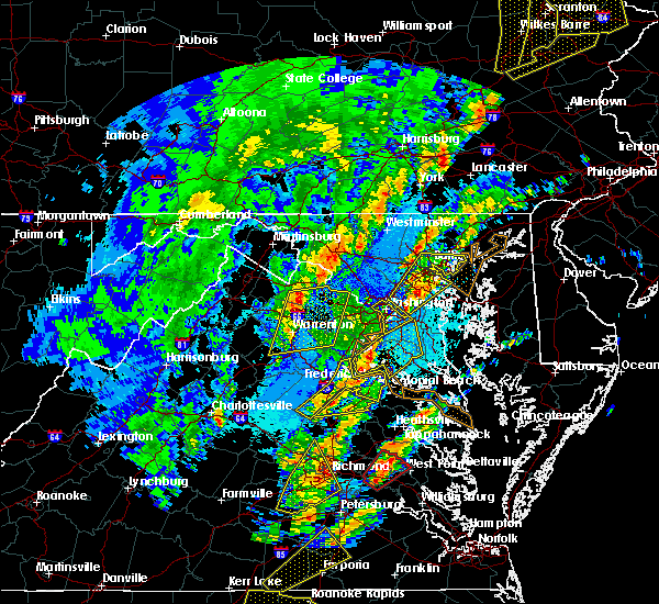 At 146 am edt, a severe thunderstorm was located 8 miles northwest of la plata, moving northeast at 60 mph (radar indicated. at 1:35 am, 63 mph wind gust was recorded at fredericksburg, va). Hazards include 70 mph wind gusts. Damaging winds will cause some trees and large branches to fall. this could injure those outdoors, as well as damage homes and vehicles. roadways may become blocked by downed trees. localized power outages are possible. Unsecured light objects may become projectiles. At 146 am edt, a severe thunderstorm was located 8 miles northwest of la plata, moving northeast at 60 mph (radar indicated. at 1:35 am, 63 mph wind gust was recorded at fredericksburg, va). Hazards include 70 mph wind gusts. Damaging winds will cause some trees and large branches to fall. this could injure those outdoors, as well as damage homes and vehicles. roadways may become blocked by downed trees. localized power outages are possible. Unsecured light objects may become projectiles.
|
| 4/8/2019 5:53 PM EDT |
 At 552 pm edt, severe thunderstorms were located along a line extending from near clinton to near waldorf, moving east at 50 mph. the buoy at cobb point gusted to 59 mph at 5:47 pm (measured gusts). Hazards include 60 mph wind gusts. Damaging winds will cause some trees and large branches to fall. this could injure those outdoors, as well as damage homes and vehicles. roadways may become blocked by downed trees. localized power outages are possible. unsecured light objects may become projectiles. Locations impacted include, waldorf, clinton, fort washington, lexington park, chesapeake ranch estates, la plata, chesapeake beach, deale, king george, leonardtown, dahlgren, prince frederick, piney point, tall timbers, saint inigoes creek, popes creek, hallowing point, saint leonard creek, town creek and sheridan point. At 552 pm edt, severe thunderstorms were located along a line extending from near clinton to near waldorf, moving east at 50 mph. the buoy at cobb point gusted to 59 mph at 5:47 pm (measured gusts). Hazards include 60 mph wind gusts. Damaging winds will cause some trees and large branches to fall. this could injure those outdoors, as well as damage homes and vehicles. roadways may become blocked by downed trees. localized power outages are possible. unsecured light objects may become projectiles. Locations impacted include, waldorf, clinton, fort washington, lexington park, chesapeake ranch estates, la plata, chesapeake beach, deale, king george, leonardtown, dahlgren, prince frederick, piney point, tall timbers, saint inigoes creek, popes creek, hallowing point, saint leonard creek, town creek and sheridan point.
|
| 4/8/2019 5:46 PM EDT |
 At 546 pm edt, severe thunderstorms were located along a line extending from near saint charles to near waldorf, moving east at 50 mph (radar indicated). Hazards include 60 mph wind gusts. Damaging winds will cause some trees and large branches to fall. this could injure those outdoors, as well as damage homes and vehicles. roadways may become blocked by downed trees. localized power outages are possible. Unsecured light objects may become projectiles. At 546 pm edt, severe thunderstorms were located along a line extending from near saint charles to near waldorf, moving east at 50 mph (radar indicated). Hazards include 60 mph wind gusts. Damaging winds will cause some trees and large branches to fall. this could injure those outdoors, as well as damage homes and vehicles. roadways may become blocked by downed trees. localized power outages are possible. Unsecured light objects may become projectiles.
|
| 3/22/2019 4:46 PM EDT |
 At 445 pm edt, a severe thunderstorm with a history of producing 60 mph wind gusts and wind damage was located near dunkirk, or 9 miles west of chesapeake beach, moving east at 40 mph (trained weather spotters, emergency management and measured wind gusts). Hazards include 60 mph wind gusts. Damaging winds will cause some trees and large branches to fall. this could injure those outdoors, as well as damage homes and vehicles. roadways may become blocked by downed trees. localized power outages are possible. unsecured light objects may become projectiles. Locations impacted include, waldorf, dale city, lexington park, chesapeake ranch estates, la plata, mayo, shady side, chesapeake beach, deale, leonardtown, prince frederick, piney point, quantico, tall timbers, saint inigoes creek, hallowing point, saint leonard creek, town creek, sheridan point and saint clements bay. At 445 pm edt, a severe thunderstorm with a history of producing 60 mph wind gusts and wind damage was located near dunkirk, or 9 miles west of chesapeake beach, moving east at 40 mph (trained weather spotters, emergency management and measured wind gusts). Hazards include 60 mph wind gusts. Damaging winds will cause some trees and large branches to fall. this could injure those outdoors, as well as damage homes and vehicles. roadways may become blocked by downed trees. localized power outages are possible. unsecured light objects may become projectiles. Locations impacted include, waldorf, dale city, lexington park, chesapeake ranch estates, la plata, mayo, shady side, chesapeake beach, deale, leonardtown, prince frederick, piney point, quantico, tall timbers, saint inigoes creek, hallowing point, saint leonard creek, town creek, sheridan point and saint clements bay.
|
| 3/22/2019 4:21 PM EDT |
 At 421 pm edt, a severe thunderstorm was located over fort washington, moving southeast at 40 mph (emergency management, spotters and measured wind gusts). Hazards include 60 mph wind gusts. Damaging winds will cause some trees and large branches to fall. this could injure those outdoors, as well as damage homes and vehicles. roadways may become blocked by downed trees. localized power outages are possible. Unsecured light objects may become projectiles. At 421 pm edt, a severe thunderstorm was located over fort washington, moving southeast at 40 mph (emergency management, spotters and measured wind gusts). Hazards include 60 mph wind gusts. Damaging winds will cause some trees and large branches to fall. this could injure those outdoors, as well as damage homes and vehicles. roadways may become blocked by downed trees. localized power outages are possible. Unsecured light objects may become projectiles.
|
| 11/2/2018 10:06 PM EDT |
 At 1006 pm edt, severe thunderstorms were located along a line extending from near nanjemoy creek to near king george to near fort a.p. hill, moving northeast at 40 mph (radar indicated). Hazards include 60 mph wind gusts. Damaging winds will cause some trees and large branches to fall. this could injure those outdoors, as well as damage homes and vehicles. roadways may become blocked by downed trees. localized power outages are possible. Unsecured light objects may become projectiles. At 1006 pm edt, severe thunderstorms were located along a line extending from near nanjemoy creek to near king george to near fort a.p. hill, moving northeast at 40 mph (radar indicated). Hazards include 60 mph wind gusts. Damaging winds will cause some trees and large branches to fall. this could injure those outdoors, as well as damage homes and vehicles. roadways may become blocked by downed trees. localized power outages are possible. Unsecured light objects may become projectiles.
|
| 9/4/2018 4:52 PM EDT |
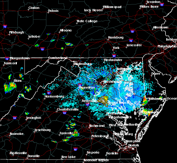 The severe thunderstorm warning for central charles and northeastern king george counties will expire at 500 pm edt, the storm which prompted the warning has weakened below severe limits, and no longer pose an immediate threat to life or property. therefore the warning will be allowed to expire. however gusty winds and heavy rain are still possible with this thunderstorm. to report severe weather, contact your nearest law enforcement agency. they will relay your report to the national weather service sterling virginia. The severe thunderstorm warning for central charles and northeastern king george counties will expire at 500 pm edt, the storm which prompted the warning has weakened below severe limits, and no longer pose an immediate threat to life or property. therefore the warning will be allowed to expire. however gusty winds and heavy rain are still possible with this thunderstorm. to report severe weather, contact your nearest law enforcement agency. they will relay your report to the national weather service sterling virginia.
|
| 9/4/2018 4:34 PM EDT |
 At 433 pm edt, a severe thunderstorm was located over port tobacco river, moving southwest at 10 mph (radar indicated). Hazards include 60 mph wind gusts. Damaging winds will cause some trees and large branches to fall. this could injure those outdoors, as well as damage homes and vehicles. roadways may become blocked by downed trees. localized power outages are possible. unsecured light objects may become projectiles. Locations impacted include, la plata, dahlgren, nanjemoy creek, port tobacco river, popes creek, port tobacco village, newburg, dentsville, port tobacco, faulkner and bel alton. At 433 pm edt, a severe thunderstorm was located over port tobacco river, moving southwest at 10 mph (radar indicated). Hazards include 60 mph wind gusts. Damaging winds will cause some trees and large branches to fall. this could injure those outdoors, as well as damage homes and vehicles. roadways may become blocked by downed trees. localized power outages are possible. unsecured light objects may become projectiles. Locations impacted include, la plata, dahlgren, nanjemoy creek, port tobacco river, popes creek, port tobacco village, newburg, dentsville, port tobacco, faulkner and bel alton.
|
| 9/4/2018 4:34 PM EDT |
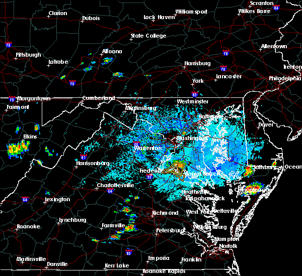 At 433 pm edt, a severe thunderstorm was located over port tobacco river, moving southwest at 10 mph (radar indicated). Hazards include 60 mph wind gusts. Damaging winds will cause some trees and large branches to fall. this could injure those outdoors, as well as damage homes and vehicles. roadways may become blocked by downed trees. localized power outages are possible. unsecured light objects may become projectiles. Locations impacted include, la plata, dahlgren, nanjemoy creek, port tobacco river, popes creek, port tobacco village, newburg, dentsville, port tobacco, faulkner and bel alton. At 433 pm edt, a severe thunderstorm was located over port tobacco river, moving southwest at 10 mph (radar indicated). Hazards include 60 mph wind gusts. Damaging winds will cause some trees and large branches to fall. this could injure those outdoors, as well as damage homes and vehicles. roadways may become blocked by downed trees. localized power outages are possible. unsecured light objects may become projectiles. Locations impacted include, la plata, dahlgren, nanjemoy creek, port tobacco river, popes creek, port tobacco village, newburg, dentsville, port tobacco, faulkner and bel alton.
|
| 9/4/2018 4:11 PM EDT |
 At 411 pm edt, a severe thunderstorm was located near la plata, moving southwest at 15 mph (radar indicated). Hazards include 60 mph wind gusts. Damaging winds will cause some trees and large branches to fall. this could injure those outdoors, as well as damage homes and vehicles. roadways may become blocked by downed trees. localized power outages are possible. Unsecured light objects may become projectiles. At 411 pm edt, a severe thunderstorm was located near la plata, moving southwest at 15 mph (radar indicated). Hazards include 60 mph wind gusts. Damaging winds will cause some trees and large branches to fall. this could injure those outdoors, as well as damage homes and vehicles. roadways may become blocked by downed trees. localized power outages are possible. Unsecured light objects may become projectiles.
|
| 9/4/2018 4:04 PM EDT |
 At 403 pm edt, a severe thunderstorm was located over la plata, moving south at 10 mph (radar indicated). Hazards include 60 mph wind gusts. Damaging winds will cause some trees and large branches to fall. this could injure those outdoors, as well as damage homes and vehicles. roadways may become blocked by downed trees. localized power outages are possible. unsecured light objects may become projectiles. Locations impacted include, waldorf, la plata, saint charles, pomfret, port tobacco village, port tobacco and white plains. At 403 pm edt, a severe thunderstorm was located over la plata, moving south at 10 mph (radar indicated). Hazards include 60 mph wind gusts. Damaging winds will cause some trees and large branches to fall. this could injure those outdoors, as well as damage homes and vehicles. roadways may become blocked by downed trees. localized power outages are possible. unsecured light objects may become projectiles. Locations impacted include, waldorf, la plata, saint charles, pomfret, port tobacco village, port tobacco and white plains.
|
| 9/4/2018 3:49 PM EDT |
 At 349 pm edt, a severe thunderstorm was located over la plata, moving southwest at 10 mph (radar indicated). Hazards include 60 mph wind gusts and quarter size hail. Damaging winds will cause some trees and large branches to fall. this could injure those outdoors, as well as damage homes and vehicles. roadways may become blocked by downed trees. localized power outages are possible. Unsecured light objects may become projectiles. At 349 pm edt, a severe thunderstorm was located over la plata, moving southwest at 10 mph (radar indicated). Hazards include 60 mph wind gusts and quarter size hail. Damaging winds will cause some trees and large branches to fall. this could injure those outdoors, as well as damage homes and vehicles. roadways may become blocked by downed trees. localized power outages are possible. Unsecured light objects may become projectiles.
|
| 8/12/2018 5:09 PM EDT |
 The national weather service in sterling virginia has issued a * severe thunderstorm warning for. northwestern st. marys county in southern maryland. calvert county in southern maryland. southeastern prince georges county in central maryland. Charles county in southern maryland. The national weather service in sterling virginia has issued a * severe thunderstorm warning for. northwestern st. marys county in southern maryland. calvert county in southern maryland. southeastern prince georges county in central maryland. Charles county in southern maryland.
|
| 8/12/2018 4:56 PM EDT |
 At 456 pm edt, a severe thunderstorm was located near nanjemoy creek, moving east at 15 mph (radar indicated). Hazards include 60 mph wind gusts and quarter size hail. Damaging winds will cause some trees and large branches to fall. this could injure those outdoors, as well as damage homes and vehicles. roadways may become blocked by downed trees. localized power outages are possible. unsecured light objects may become projectiles. Locations impacted include, waldorf, la plata, port tobacco river, popes creek, saint charles, wicomico, bryans road, hughesville, cobb island, bryantown, pomfret, rock point, port tobacco village, issue, tompkinsville, ironsides, bel alton, swan point, pisgah and faulkner. At 456 pm edt, a severe thunderstorm was located near nanjemoy creek, moving east at 15 mph (radar indicated). Hazards include 60 mph wind gusts and quarter size hail. Damaging winds will cause some trees and large branches to fall. this could injure those outdoors, as well as damage homes and vehicles. roadways may become blocked by downed trees. localized power outages are possible. unsecured light objects may become projectiles. Locations impacted include, waldorf, la plata, port tobacco river, popes creek, saint charles, wicomico, bryans road, hughesville, cobb island, bryantown, pomfret, rock point, port tobacco village, issue, tompkinsville, ironsides, bel alton, swan point, pisgah and faulkner.
|
| 8/12/2018 4:27 PM EDT |
 At 427 pm edt, a severe thunderstorm was located over aquia creek, moving east at 15 mph (radar indicated). Hazards include 60 mph wind gusts and quarter size hail. Damaging winds will cause some trees and large branches to fall. this could injure those outdoors, as well as damage homes and vehicles. roadways may become blocked by downed trees. localized power outages are possible. Unsecured light objects may become projectiles. At 427 pm edt, a severe thunderstorm was located over aquia creek, moving east at 15 mph (radar indicated). Hazards include 60 mph wind gusts and quarter size hail. Damaging winds will cause some trees and large branches to fall. this could injure those outdoors, as well as damage homes and vehicles. roadways may become blocked by downed trees. localized power outages are possible. Unsecured light objects may become projectiles.
|
| 8/7/2018 6:13 PM EDT |
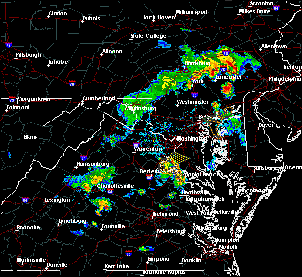 At 613 pm edt, a severe thunderstorm was located 7 miles west of la plata, moving northeast at 15 mph (radar indicated). Hazards include 60 mph wind gusts and quarter size hail. Damaging winds will cause some trees and large branches to fall. this could injure those outdoors, as well as damage homes and vehicles. roadways may become blocked by downed trees. localized power outages are possible. Unsecured light objects may become projectiles. At 613 pm edt, a severe thunderstorm was located 7 miles west of la plata, moving northeast at 15 mph (radar indicated). Hazards include 60 mph wind gusts and quarter size hail. Damaging winds will cause some trees and large branches to fall. this could injure those outdoors, as well as damage homes and vehicles. roadways may become blocked by downed trees. localized power outages are possible. Unsecured light objects may become projectiles.
|
| 5/22/2018 5:08 PM EDT |
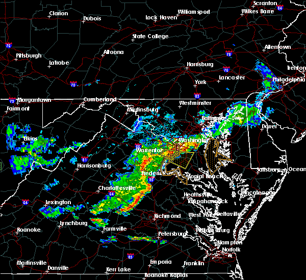 At 508 pm edt, a severe thunderstorm was located over fort belvoir, moving southeast at 25 mph (radar indicated). Hazards include 70 mph wind gusts. Damaging winds will cause some trees and large branches to fall. this could injure those outdoors, as well as damage homes and vehicles. roadways may become blocked by downed trees. localized power outages are possible. Unsecured light objects may become projectiles. At 508 pm edt, a severe thunderstorm was located over fort belvoir, moving southeast at 25 mph (radar indicated). Hazards include 70 mph wind gusts. Damaging winds will cause some trees and large branches to fall. this could injure those outdoors, as well as damage homes and vehicles. roadways may become blocked by downed trees. localized power outages are possible. Unsecured light objects may become projectiles.
|
| 5/14/2018 7:24 PM EDT |
 The severe thunderstorm warning for central prince georges, charles and king george counties will expire at 730 pm edt, the storms which prompted the warning were moving out of the area. therefore the warning will be allowed to expire. however gusty winds and heavy rain are still possible with thunderstorms as they move east toward the chesapeake bay. a severe thunderstorm watch remains in effect until 900 pm edt for southern and central maryland, and northern and central virginia. The severe thunderstorm warning for central prince georges, charles and king george counties will expire at 730 pm edt, the storms which prompted the warning were moving out of the area. therefore the warning will be allowed to expire. however gusty winds and heavy rain are still possible with thunderstorms as they move east toward the chesapeake bay. a severe thunderstorm watch remains in effect until 900 pm edt for southern and central maryland, and northern and central virginia.
|
| 5/14/2018 7:04 PM EDT |
 At 704 pm edt, severe thunderstorms with a history of producing damaging winds and hail were located along a line extending from near clinton to near la plata to fairview beach, moving southeast at 45 mph (radar indicated). Hazards include 70 mph wind gusts and quarter size hail. Damaging winds will cause some trees and large branches to fall. this could injure those outdoors, as well as damage homes and vehicles. roadways may become blocked by downed trees. localized power outages are possible. unsecured light objects may become projectiles. Locations impacted include, waldorf, bowie, clinton, fort washington, forestville, largo, coral hills, la plata, king george, national harbor, dahlgren, upper marlboro, fairview beach, nanjemoy creek, popes creek, fedex field, port tobacco river, andrews air force base, landover and camp springs. At 704 pm edt, severe thunderstorms with a history of producing damaging winds and hail were located along a line extending from near clinton to near la plata to fairview beach, moving southeast at 45 mph (radar indicated). Hazards include 70 mph wind gusts and quarter size hail. Damaging winds will cause some trees and large branches to fall. this could injure those outdoors, as well as damage homes and vehicles. roadways may become blocked by downed trees. localized power outages are possible. unsecured light objects may become projectiles. Locations impacted include, waldorf, bowie, clinton, fort washington, forestville, largo, coral hills, la plata, king george, national harbor, dahlgren, upper marlboro, fairview beach, nanjemoy creek, popes creek, fedex field, port tobacco river, andrews air force base, landover and camp springs.
|
| 5/14/2018 6:33 PM EDT |
 At 633 pm edt, severe thunderstorms were located along a line extending from tysons corner to near woodbridge to 10 miles southeast of bealeton, moving southeast at 45 mph (radar indicated). Hazards include 70 mph wind gusts and half dollar size hail. Damaging winds will cause some trees and large branches to fall. this could injure those outdoors, as well as damage homes and vehicles. roadways may become blocked by downed trees. localized power outages are possible. Unsecured light objects may become projectiles. At 633 pm edt, severe thunderstorms were located along a line extending from tysons corner to near woodbridge to 10 miles southeast of bealeton, moving southeast at 45 mph (radar indicated). Hazards include 70 mph wind gusts and half dollar size hail. Damaging winds will cause some trees and large branches to fall. this could injure those outdoors, as well as damage homes and vehicles. roadways may become blocked by downed trees. localized power outages are possible. Unsecured light objects may become projectiles.
|
| 5/12/2018 9:55 PM EDT |
 At 954 pm edt, severe thunderstorms were located near la plata, moving southeast at 35 mph (radar indicated). Hazards include 60 mph wind gusts and quarter to golf ball size hail. Damaging winds will cause some trees and large branches to fall. this could injure those outdoors, as well as damage homes and vehicles. roadways may become blocked by downed trees. localized power outages are possible. unsecured light objects may become projectiles. Locations impacted include, waldorf, lexington park, chesapeake ranch estates, la plata, leonardtown, prince frederick, piney point, tall timbers, saint inigoes creek, saint marys city, greenwell state park, hallowing point, saint leonard creek, town creek, wicomico river, saint marys river, white point beach, cuckold creek, saint george island and sheridan point. At 954 pm edt, severe thunderstorms were located near la plata, moving southeast at 35 mph (radar indicated). Hazards include 60 mph wind gusts and quarter to golf ball size hail. Damaging winds will cause some trees and large branches to fall. this could injure those outdoors, as well as damage homes and vehicles. roadways may become blocked by downed trees. localized power outages are possible. unsecured light objects may become projectiles. Locations impacted include, waldorf, lexington park, chesapeake ranch estates, la plata, leonardtown, prince frederick, piney point, tall timbers, saint inigoes creek, saint marys city, greenwell state park, hallowing point, saint leonard creek, town creek, wicomico river, saint marys river, white point beach, cuckold creek, saint george island and sheridan point.
|
| 5/12/2018 9:37 PM EDT |
 At 936 pm edt, severe thunderstorms were located along a line extending from near leonardtown to near colonial beach, moving south at 35 mph (radar indicated). Hazards include 60 mph wind gusts and quarter size hail. Damaging winds will cause some trees and large branches to fall. this could injure those outdoors, as well as damage homes and vehicles. roadways may become blocked by downed trees. localized power outages are possible. unsecured light objects may become projectiles. Locations impacted include, waldorf, lexington park, chesapeake ranch estates, la plata, leonardtown, prince frederick, piney point, tall timbers, saint inigoes creek, hallowing point, saint leonard creek, town creek, sheridan point, saint clements bay, saint marys city, greenwell state park, wicomico river, saint marys river, white point beach and cuckold creek. At 936 pm edt, severe thunderstorms were located along a line extending from near leonardtown to near colonial beach, moving south at 35 mph (radar indicated). Hazards include 60 mph wind gusts and quarter size hail. Damaging winds will cause some trees and large branches to fall. this could injure those outdoors, as well as damage homes and vehicles. roadways may become blocked by downed trees. localized power outages are possible. unsecured light objects may become projectiles. Locations impacted include, waldorf, lexington park, chesapeake ranch estates, la plata, leonardtown, prince frederick, piney point, tall timbers, saint inigoes creek, hallowing point, saint leonard creek, town creek, sheridan point, saint clements bay, saint marys city, greenwell state park, wicomico river, saint marys river, white point beach and cuckold creek.
|
| 5/12/2018 8:47 PM EDT |
 At 847 pm edt, severe thunderstorms were located along a line extending from near rosaryville to 8 miles west of la plata, moving south at 35 mph (radar indicated). Hazards include 60 mph wind gusts and quarter to golf ball size hail. Damaging winds will cause some trees and large branches to fall. this could injure those outdoors, as well as damage homes and vehicles. roadways may become blocked by downed trees. localized power outages are possible. Unsecured light objects may become projectiles. At 847 pm edt, severe thunderstorms were located along a line extending from near rosaryville to 8 miles west of la plata, moving south at 35 mph (radar indicated). Hazards include 60 mph wind gusts and quarter to golf ball size hail. Damaging winds will cause some trees and large branches to fall. this could injure those outdoors, as well as damage homes and vehicles. roadways may become blocked by downed trees. localized power outages are possible. Unsecured light objects may become projectiles.
|
| 4/16/2018 2:12 AM EDT |
 At 212 am edt, a severe thunderstorm was located over popes creek, moving north at 50 mph (radar indicated). Hazards include 60 mph wind gusts. Damaging winds will cause some trees and large branches to fall. this could injure those outdoors, as well as damage homes and vehicles. roadways may become blocked by downed trees. localized power outages are possible. Unsecured light objects may become projectiles. At 212 am edt, a severe thunderstorm was located over popes creek, moving north at 50 mph (radar indicated). Hazards include 60 mph wind gusts. Damaging winds will cause some trees and large branches to fall. this could injure those outdoors, as well as damage homes and vehicles. roadways may become blocked by downed trees. localized power outages are possible. Unsecured light objects may become projectiles.
|
| 4/16/2018 2:12 AM EDT |
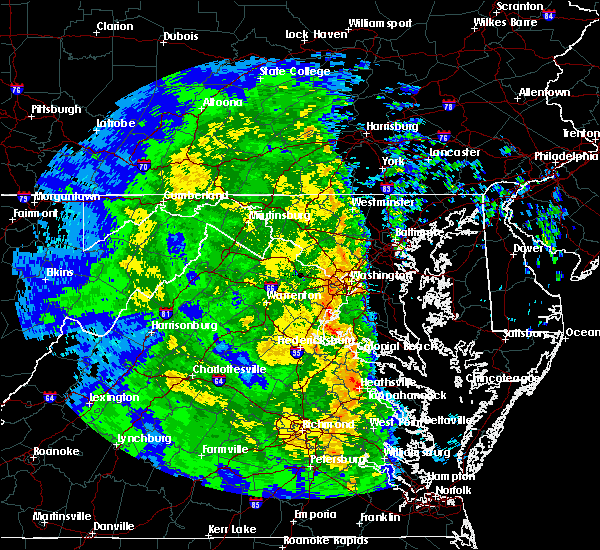 At 212 am edt, a severe thunderstorm was located over popes creek, moving north at 50 mph (radar indicated). Hazards include 60 mph wind gusts. Damaging winds will cause some trees and large branches to fall. this could injure those outdoors, as well as damage homes and vehicles. roadways may become blocked by downed trees. localized power outages are possible. Unsecured light objects may become projectiles. At 212 am edt, a severe thunderstorm was located over popes creek, moving north at 50 mph (radar indicated). Hazards include 60 mph wind gusts. Damaging winds will cause some trees and large branches to fall. this could injure those outdoors, as well as damage homes and vehicles. roadways may become blocked by downed trees. localized power outages are possible. Unsecured light objects may become projectiles.
|
| 8/21/2017 4:24 PM EDT |
 The severe thunderstorm warning for north central charles county will expire at 430 pm edt, the severe thunderstorm which prompted the warning has weakened somewhat. ea. therefore, the warning will be allowed to expire. however small hail, gusty winds and heavy rain are still possible with this thunderstorm. The severe thunderstorm warning for north central charles county will expire at 430 pm edt, the severe thunderstorm which prompted the warning has weakened somewhat. ea. therefore, the warning will be allowed to expire. however small hail, gusty winds and heavy rain are still possible with this thunderstorm.
|
| 8/21/2017 4:14 PM EDT |
 At 414 pm edt, a severe thunderstorm was located near la plata, moving east at 15 mph (radar indicated). Hazards include 60 mph wind gusts and quarter size hail. Damaging winds will cause some trees and large branches to fall. this could injure those outdoors, as well as damage homes and vehicles. roadways may become blocked by downed trees. localized power outages are possible. unsecured light objects may become projectiles. Locations impacted include, waldorf, la plata, saint charles, pomfret, port tobacco village, port tobacco, ripley and bel alton. At 414 pm edt, a severe thunderstorm was located near la plata, moving east at 15 mph (radar indicated). Hazards include 60 mph wind gusts and quarter size hail. Damaging winds will cause some trees and large branches to fall. this could injure those outdoors, as well as damage homes and vehicles. roadways may become blocked by downed trees. localized power outages are possible. unsecured light objects may become projectiles. Locations impacted include, waldorf, la plata, saint charles, pomfret, port tobacco village, port tobacco, ripley and bel alton.
|
| 8/21/2017 4:05 PM EDT |
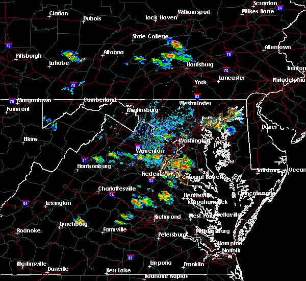 At 404 pm edt, a severe thunderstorm was located 7 miles east of quantico, moving east at 5 mph (radar indicated). Hazards include 60 mph wind gusts and quarter size hail. Damaging winds will cause some trees and large branches to fall. this could injure those outdoors, as well as damage homes and vehicles. roadways may become blocked by downed trees. localized power outages are possible. unsecured light objects may become projectiles. Locations impacted include, waldorf, la plata, saint charles, accokeek, bryans road, mason neck, potomac heights, pomfret, port tobacco village, marbury, port tobacco, ripley, rison, pisgah and bel alton. At 404 pm edt, a severe thunderstorm was located 7 miles east of quantico, moving east at 5 mph (radar indicated). Hazards include 60 mph wind gusts and quarter size hail. Damaging winds will cause some trees and large branches to fall. this could injure those outdoors, as well as damage homes and vehicles. roadways may become blocked by downed trees. localized power outages are possible. unsecured light objects may become projectiles. Locations impacted include, waldorf, la plata, saint charles, accokeek, bryans road, mason neck, potomac heights, pomfret, port tobacco village, marbury, port tobacco, ripley, rison, pisgah and bel alton.
|
| 8/21/2017 3:44 PM EDT |
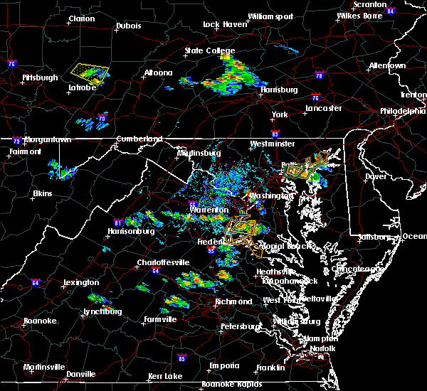 At 344 pm edt, a severe thunderstorm was located near quantico, moving east at 5 mph (radar indicated). Hazards include 60 mph wind gusts and quarter size hail. Damaging winds will cause some trees and large branches to fall. this could injure those outdoors, as well as damage homes and vehicles. roadways may become blocked by downed trees. localized power outages are possible. Unsecured light objects may become projectiles. At 344 pm edt, a severe thunderstorm was located near quantico, moving east at 5 mph (radar indicated). Hazards include 60 mph wind gusts and quarter size hail. Damaging winds will cause some trees and large branches to fall. this could injure those outdoors, as well as damage homes and vehicles. roadways may become blocked by downed trees. localized power outages are possible. Unsecured light objects may become projectiles.
|
| 8/18/2017 6:02 PM EDT |
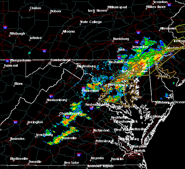 At 602 pm edt, a severe thunderstorm was located near port tobacco river, moving east at 15 mph (radar indicated). Hazards include 60 mph wind gusts. Damaging winds will cause some trees and large branches to fall. this could injure those outdoors, as well as damage homes and vehicles. roadways may become blocked by downed trees. localized power outages are possible. unsecured light objects may become projectiles. Locations impacted include, waldorf, la plata, saint charles, bryantown, pomfret, port tobacco village, dentsville, port tobacco, white plains and bel alton. At 602 pm edt, a severe thunderstorm was located near port tobacco river, moving east at 15 mph (radar indicated). Hazards include 60 mph wind gusts. Damaging winds will cause some trees and large branches to fall. this could injure those outdoors, as well as damage homes and vehicles. roadways may become blocked by downed trees. localized power outages are possible. unsecured light objects may become projectiles. Locations impacted include, waldorf, la plata, saint charles, bryantown, pomfret, port tobacco village, dentsville, port tobacco, white plains and bel alton.
|
| 8/18/2017 5:49 PM EDT |
 At 548 pm edt, a severe thunderstorm was located near port tobacco river, moving east at 20 mph (radar indicated). Hazards include 60 mph wind gusts and quarter size hail. Damaging winds will cause some trees and large branches to fall. this could injure those outdoors, as well as damage homes and vehicles. roadways may become blocked by downed trees. localized power outages are possible. unsecured light objects may become projectiles. Locations impacted include, waldorf, la plata, port tobacco river, saint charles, bryantown, pomfret, port tobacco village, dentsville, port tobacco, white plains, ironsides, bel alton and welcome. At 548 pm edt, a severe thunderstorm was located near port tobacco river, moving east at 20 mph (radar indicated). Hazards include 60 mph wind gusts and quarter size hail. Damaging winds will cause some trees and large branches to fall. this could injure those outdoors, as well as damage homes and vehicles. roadways may become blocked by downed trees. localized power outages are possible. unsecured light objects may become projectiles. Locations impacted include, waldorf, la plata, port tobacco river, saint charles, bryantown, pomfret, port tobacco village, dentsville, port tobacco, white plains, ironsides, bel alton and welcome.
|
| 8/18/2017 5:29 PM EDT |
 At 529 pm edt, a severe thunderstorm was located near port tobacco river, moving east at 25 mph (radar indicated). Hazards include 60 mph wind gusts. Damaging winds will cause some trees and large branches to fall. this could injure those outdoors, as well as damage homes and vehicles. roadways may become blocked by downed trees. localized power outages are possible. Unsecured light objects may become projectiles. At 529 pm edt, a severe thunderstorm was located near port tobacco river, moving east at 25 mph (radar indicated). Hazards include 60 mph wind gusts. Damaging winds will cause some trees and large branches to fall. this could injure those outdoors, as well as damage homes and vehicles. roadways may become blocked by downed trees. localized power outages are possible. Unsecured light objects may become projectiles.
|
| 5/25/2017 5:18 PM EDT |
 At 517 pm edt, severe thunderstorms were located along a line extending from near la plata to near sheridan point, moving northeast at 30 mph (radar indicated). Hazards include 60 mph wind gusts and quarter size hail. Damaging winds will cause some trees and large branches to fall. this could injure those outdoors, as well as damage homes and vehicles. roadways may become blocked by downed trees. localized power outages are possible. unsecured light objects may become projectiles. Locations impacted include, waldorf, clinton, fort washington, forestville, largo, coral hills, la plata, chesapeake beach, deale, prince frederick, upper marlboro, greenwell state park, hallowing point, saint leonard creek, breezy point, sheridan point, calvert cliffs, flag harbor, andrews air force base and camp springs. At 517 pm edt, severe thunderstorms were located along a line extending from near la plata to near sheridan point, moving northeast at 30 mph (radar indicated). Hazards include 60 mph wind gusts and quarter size hail. Damaging winds will cause some trees and large branches to fall. this could injure those outdoors, as well as damage homes and vehicles. roadways may become blocked by downed trees. localized power outages are possible. unsecured light objects may become projectiles. Locations impacted include, waldorf, clinton, fort washington, forestville, largo, coral hills, la plata, chesapeake beach, deale, prince frederick, upper marlboro, greenwell state park, hallowing point, saint leonard creek, breezy point, sheridan point, calvert cliffs, flag harbor, andrews air force base and camp springs.
|
| 5/25/2017 5:08 PM EDT |
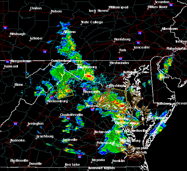 The severe thunderstorm warning for west central st. marys, southwestern charles, stafford and northern king george counties will expire at 515 pm edt, the severe thunderstorm which prompted the warning has moved out of the warned area. therefore, the warning will be allowed to expire. The severe thunderstorm warning for west central st. marys, southwestern charles, stafford and northern king george counties will expire at 515 pm edt, the severe thunderstorm which prompted the warning has moved out of the warned area. therefore, the warning will be allowed to expire.
|
| 5/25/2017 5:04 PM EDT |
 At 504 pm edt, severe thunderstorms were located along a line extending from 6 miles west of port tobacco river to near leonardtown, moving northeast at 35 mph (radar indicated). Hazards include 60 mph wind gusts and quarter size hail. Damaging winds will cause some trees and large branches to fall. this could injure those outdoors, as well as damage homes and vehicles. roadways may become blocked by downed trees. localized power outages are possible. Unsecured light objects may become projectiles. At 504 pm edt, severe thunderstorms were located along a line extending from 6 miles west of port tobacco river to near leonardtown, moving northeast at 35 mph (radar indicated). Hazards include 60 mph wind gusts and quarter size hail. Damaging winds will cause some trees and large branches to fall. this could injure those outdoors, as well as damage homes and vehicles. roadways may become blocked by downed trees. localized power outages are possible. Unsecured light objects may become projectiles.
|
| 5/25/2017 4:47 PM EDT |
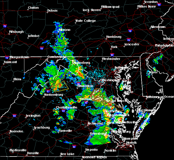 At 447 pm edt, a severe thunderstorm was located near colonial beach, moving northeast at 20 mph (radar indicated). Hazards include 60 mph wind gusts and quarter size hail. Damaging winds will cause some trees and large branches to fall. this could injure those outdoors, as well as damage homes and vehicles. roadways may become blocked by downed trees. localized power outages are possible. unsecured light objects may become projectiles. Locations impacted include, la plata, king george, dahlgren, fairview beach, nanjemoy creek, popes creek, port tobacco river, wicomico river, wicomico, cobb island, rock point, port tobacco village, bushwood, clements, issue, potomac beach, tompkinsville, weedonville, chaptico and ninde. At 447 pm edt, a severe thunderstorm was located near colonial beach, moving northeast at 20 mph (radar indicated). Hazards include 60 mph wind gusts and quarter size hail. Damaging winds will cause some trees and large branches to fall. this could injure those outdoors, as well as damage homes and vehicles. roadways may become blocked by downed trees. localized power outages are possible. unsecured light objects may become projectiles. Locations impacted include, la plata, king george, dahlgren, fairview beach, nanjemoy creek, popes creek, port tobacco river, wicomico river, wicomico, cobb island, rock point, port tobacco village, bushwood, clements, issue, potomac beach, tompkinsville, weedonville, chaptico and ninde.
|
| 5/25/2017 4:26 PM EDT |
 At 426 pm edt, a severe thunderstorm was located near port royal, or near king george, moving northeast at 20 mph (radar indicated). Hazards include 60 mph wind gusts and quarter size hail. Damaging winds will cause some trees and large branches to fall. this could injure those outdoors, as well as damage homes and vehicles. roadways may become blocked by downed trees. localized power outages are possible. Unsecured light objects may become projectiles. At 426 pm edt, a severe thunderstorm was located near port royal, or near king george, moving northeast at 20 mph (radar indicated). Hazards include 60 mph wind gusts and quarter size hail. Damaging winds will cause some trees and large branches to fall. this could injure those outdoors, as well as damage homes and vehicles. roadways may become blocked by downed trees. localized power outages are possible. Unsecured light objects may become projectiles.
|
| 5/5/2017 8:38 AM EDT |
 At 837 am edt, severe thunderstorms were located along a line extending from tysons corner to golden beach, moving north at 60 mph (radar indicated). Hazards include 70 mph wind gusts. Damaging winds will cause some trees and large branches to fall. this could injure those outdoors, as well as damage homes and vehicles. roadways may become blocked by downed trees. localized power outages are possible. unsecured light objects may become projectiles. Locations impacted include, waldorf, dale city, annandale, clinton, springfield, fort washington, fort hunt, groveton, la plata, fort belvoir, woodbridge, popes creek, port tobacco river, lake ridge, burke, lincolnia, montclair, lorton, franconia and hybla valley. At 837 am edt, severe thunderstorms were located along a line extending from tysons corner to golden beach, moving north at 60 mph (radar indicated). Hazards include 70 mph wind gusts. Damaging winds will cause some trees and large branches to fall. this could injure those outdoors, as well as damage homes and vehicles. roadways may become blocked by downed trees. localized power outages are possible. unsecured light objects may become projectiles. Locations impacted include, waldorf, dale city, annandale, clinton, springfield, fort washington, fort hunt, groveton, la plata, fort belvoir, woodbridge, popes creek, port tobacco river, lake ridge, burke, lincolnia, montclair, lorton, franconia and hybla valley.
|
| 5/5/2017 8:22 AM EDT |
 At 821 am edt, severe thunderstorms were located along a line extending from near lake ridge to near wicomico river, moving northeast at 50 mph (observed wind of 70 mph at dahlgren at 8:20am). Hazards include 70 mph wind gusts. Damaging winds will cause some trees and large branches to fall. this could injure those outdoors, as well as damage homes and vehicles. roadways may become blocked by downed trees. localized power outages are possible. unsecured light objects may become projectiles. Locations impacted include, waldorf, dale city, annandale, clinton, springfield, fort washington, fort hunt, groveton, la plata, fort belvoir, woodbridge, popes creek, port tobacco river, lake ridge, burke, lincolnia, montclair, lorton, franconia and hybla valley. At 821 am edt, severe thunderstorms were located along a line extending from near lake ridge to near wicomico river, moving northeast at 50 mph (observed wind of 70 mph at dahlgren at 8:20am). Hazards include 70 mph wind gusts. Damaging winds will cause some trees and large branches to fall. this could injure those outdoors, as well as damage homes and vehicles. roadways may become blocked by downed trees. localized power outages are possible. unsecured light objects may become projectiles. Locations impacted include, waldorf, dale city, annandale, clinton, springfield, fort washington, fort hunt, groveton, la plata, fort belvoir, woodbridge, popes creek, port tobacco river, lake ridge, burke, lincolnia, montclair, lorton, franconia and hybla valley.
|
| 5/5/2017 8:10 AM EDT |
 At 809 am edt, severe thunderstorms were located along a line extending from lake ridge to near colonial beach, moving northeast at 60 mph (radar indicated). Hazards include 60 mph wind gusts. Damaging winds will cause some trees and large branches to fall. this could injure those outdoors, as well as damage homes and vehicles. roadways may become blocked by downed trees. localized power outages are possible. unsecured light objects may become projectiles. Locations impacted include, waldorf, dale city, annandale, clinton, springfield, fort washington, fort hunt, groveton, la plata, fort belvoir, woodbridge, dahlgren, quantico, nanjemoy creek, popes creek, port tobacco river, lake ridge, burke, lincolnia and montclair. At 809 am edt, severe thunderstorms were located along a line extending from lake ridge to near colonial beach, moving northeast at 60 mph (radar indicated). Hazards include 60 mph wind gusts. Damaging winds will cause some trees and large branches to fall. this could injure those outdoors, as well as damage homes and vehicles. roadways may become blocked by downed trees. localized power outages are possible. unsecured light objects may become projectiles. Locations impacted include, waldorf, dale city, annandale, clinton, springfield, fort washington, fort hunt, groveton, la plata, fort belvoir, woodbridge, dahlgren, quantico, nanjemoy creek, popes creek, port tobacco river, lake ridge, burke, lincolnia and montclair.
|
| 5/5/2017 7:49 AM EDT |
 At 749 am edt, severe thunderstorms were located along a line extending from near stafford to 6 miles southeast of fort a.p. hill, moving north at 60 mph (radar indicated). Hazards include 60 mph wind gusts. Damaging winds will cause some trees and large branches to fall. this could injure those outdoors, as well as damage homes and vehicles. roadways may become blocked by downed trees. localized power outages are possible. Unsecured light objects may become projectiles. At 749 am edt, severe thunderstorms were located along a line extending from near stafford to 6 miles southeast of fort a.p. hill, moving north at 60 mph (radar indicated). Hazards include 60 mph wind gusts. Damaging winds will cause some trees and large branches to fall. this could injure those outdoors, as well as damage homes and vehicles. roadways may become blocked by downed trees. localized power outages are possible. Unsecured light objects may become projectiles.
|
| 4/6/2017 12:09 PM EDT |
 At 1208 pm edt, a severe thunderstorm was located near port tobacco river, moving northeast at 40 mph (radar indicated). Hazards include 60 mph wind gusts and quarter size hail. Damaging winds will cause some trees and large branches to fall. this could injure those outdoors, as well as damage homes and vehicles. roadways may become blocked by downed trees. localized power outages are possible. unsecured light objects may become projectiles. Locations impacted include, waldorf, la plata, port tobacco river, popes creek, saint charles, hughesville, bryantown, pomfret, port tobacco village, dentsville, port tobacco, white plains, bel alton, newburg, welcome and faulkner. At 1208 pm edt, a severe thunderstorm was located near port tobacco river, moving northeast at 40 mph (radar indicated). Hazards include 60 mph wind gusts and quarter size hail. Damaging winds will cause some trees and large branches to fall. this could injure those outdoors, as well as damage homes and vehicles. roadways may become blocked by downed trees. localized power outages are possible. unsecured light objects may become projectiles. Locations impacted include, waldorf, la plata, port tobacco river, popes creek, saint charles, hughesville, bryantown, pomfret, port tobacco village, dentsville, port tobacco, white plains, bel alton, newburg, welcome and faulkner.
|
| 4/6/2017 11:46 AM EDT |
 At 1145 am edt, a severe thunderstorm was located over king george, moving northeast at 45 mph (radar indicated). Hazards include 60 mph wind gusts and quarter size hail. Damaging winds will cause some trees and large branches to fall. this could injure those outdoors, as well as damage homes and vehicles. roadways may become blocked by downed trees. localized power outages are possible. unsecured light objects may become projectiles. Locations impacted include, waldorf, la plata, king george, dahlgren, fairview beach, nanjemoy creek, popes creek, port tobacco river, saint charles, bryans road, hughesville, passapatanzy, bryantown, pomfret, port tobacco village, weedonville, ironsides, bel alton, faulkner and berthaville. At 1145 am edt, a severe thunderstorm was located over king george, moving northeast at 45 mph (radar indicated). Hazards include 60 mph wind gusts and quarter size hail. Damaging winds will cause some trees and large branches to fall. this could injure those outdoors, as well as damage homes and vehicles. roadways may become blocked by downed trees. localized power outages are possible. unsecured light objects may become projectiles. Locations impacted include, waldorf, la plata, king george, dahlgren, fairview beach, nanjemoy creek, popes creek, port tobacco river, saint charles, bryans road, hughesville, passapatanzy, bryantown, pomfret, port tobacco village, weedonville, ironsides, bel alton, faulkner and berthaville.
|
| 4/6/2017 11:46 AM EDT |
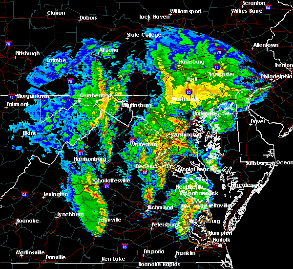 At 1145 am edt, a severe thunderstorm was located over king george, moving northeast at 45 mph (radar indicated). Hazards include 60 mph wind gusts and quarter size hail. Damaging winds will cause some trees and large branches to fall. this could injure those outdoors, as well as damage homes and vehicles. roadways may become blocked by downed trees. localized power outages are possible. unsecured light objects may become projectiles. Locations impacted include, waldorf, la plata, king george, dahlgren, fairview beach, nanjemoy creek, popes creek, port tobacco river, saint charles, bryans road, hughesville, passapatanzy, bryantown, pomfret, port tobacco village, weedonville, ironsides, bel alton, faulkner and berthaville. At 1145 am edt, a severe thunderstorm was located over king george, moving northeast at 45 mph (radar indicated). Hazards include 60 mph wind gusts and quarter size hail. Damaging winds will cause some trees and large branches to fall. this could injure those outdoors, as well as damage homes and vehicles. roadways may become blocked by downed trees. localized power outages are possible. unsecured light objects may become projectiles. Locations impacted include, waldorf, la plata, king george, dahlgren, fairview beach, nanjemoy creek, popes creek, port tobacco river, saint charles, bryans road, hughesville, passapatanzy, bryantown, pomfret, port tobacco village, weedonville, ironsides, bel alton, faulkner and berthaville.
|
| 4/6/2017 11:41 AM EDT |
 At 1141 am edt, a severe thunderstorm was located over king george, moving northeast at 40 mph (radar indicated). Hazards include 60 mph wind gusts and quarter size hail. Damaging winds will cause some trees and large branches to fall. this could injure those outdoors, as well as damage homes and vehicles. roadways may become blocked by downed trees. localized power outages are possible. Unsecured light objects may become projectiles. At 1141 am edt, a severe thunderstorm was located over king george, moving northeast at 40 mph (radar indicated). Hazards include 60 mph wind gusts and quarter size hail. Damaging winds will cause some trees and large branches to fall. this could injure those outdoors, as well as damage homes and vehicles. roadways may become blocked by downed trees. localized power outages are possible. Unsecured light objects may become projectiles.
|
| 3/1/2017 1:56 PM EST |
 At 156 pm est, severe thunderstorms were located along a line extending from 6 miles southeast of fort belvoir to popes creek to near port royal, moving east at 65 mph (radar indicated). Hazards include 70 mph wind gusts. Damaging winds will cause some trees and large branches to fall. this could injure those outdoors, as well as damage homes and vehicles. roadways may become blocked by downed trees. localized power outages are possible. unsecured light objects may become projectiles. Locations impacted include, waldorf, lexington park, chesapeake ranch estates, la plata, chesapeake beach, king george, leonardtown, dahlgren, prince frederick, piney point, tall timbers, fairview beach, saint inigoes creek, popes creek, hallowing point, saint leonard creek, town creek, sheridan point, saint clements bay and nanjemoy creek. At 156 pm est, severe thunderstorms were located along a line extending from 6 miles southeast of fort belvoir to popes creek to near port royal, moving east at 65 mph (radar indicated). Hazards include 70 mph wind gusts. Damaging winds will cause some trees and large branches to fall. this could injure those outdoors, as well as damage homes and vehicles. roadways may become blocked by downed trees. localized power outages are possible. unsecured light objects may become projectiles. Locations impacted include, waldorf, lexington park, chesapeake ranch estates, la plata, chesapeake beach, king george, leonardtown, dahlgren, prince frederick, piney point, tall timbers, fairview beach, saint inigoes creek, popes creek, hallowing point, saint leonard creek, town creek, sheridan point, saint clements bay and nanjemoy creek.
|
| 3/1/2017 1:36 PM EST |
 At 135 pm est, severe thunderstorms were located along a line extending from near montclair to near aquia creek to 6 miles northwest of ladysmith, moving east at 70 mph (radar indicated). Hazards include 70 mph wind gusts. Damaging winds will cause some trees and large branches to fall. this could injure those outdoors, as well as damage homes and vehicles. roadways may become blocked by downed trees. localized power outages are possible. Unsecured light objects may become projectiles. At 135 pm est, severe thunderstorms were located along a line extending from near montclair to near aquia creek to 6 miles northwest of ladysmith, moving east at 70 mph (radar indicated). Hazards include 70 mph wind gusts. Damaging winds will cause some trees and large branches to fall. this could injure those outdoors, as well as damage homes and vehicles. roadways may become blocked by downed trees. localized power outages are possible. Unsecured light objects may become projectiles.
|
| 3/1/2017 1:28 PM EST |
 At 128 pm est, severe thunderstorms were located along a line extending from north potomac to near lake ridge to 11 miles west of spotsylvania, moving east at 55 mph (radar indicated). Hazards include 60 mph wind gusts. Damaging winds will cause some trees and large branches to fall. this could injure those outdoors, as well as damage homes and vehicles. roadways may become blocked by downed trees. localized power outages are possible. unsecured light objects may become projectiles. Locations impacted include, arlington, alexandria, stafford, centreville, waldorf, dale city, rockville, bethesda, reston, bowie, annandale, clinton, springfield, college park, fredericksburg, fort washington, herndon, greenbelt, fairfax and langley park. At 128 pm est, severe thunderstorms were located along a line extending from north potomac to near lake ridge to 11 miles west of spotsylvania, moving east at 55 mph (radar indicated). Hazards include 60 mph wind gusts. Damaging winds will cause some trees and large branches to fall. this could injure those outdoors, as well as damage homes and vehicles. roadways may become blocked by downed trees. localized power outages are possible. unsecured light objects may become projectiles. Locations impacted include, arlington, alexandria, stafford, centreville, waldorf, dale city, rockville, bethesda, reston, bowie, annandale, clinton, springfield, college park, fredericksburg, fort washington, herndon, greenbelt, fairfax and langley park.
|
| 3/1/2017 1:05 PM EST |
 At 104 pm est, severe thunderstorms were located along a line extending from broadlands to near haymarket to 9 miles east of orange, moving east at 50 mph (radar indicated). Hazards include 60 mph wind gusts. Damaging winds will cause some trees and large branches to fall. this could injure those outdoors, as well as damage homes and vehicles. roadways may become blocked by downed trees. localized power outages are possible. Unsecured light objects may become projectiles. At 104 pm est, severe thunderstorms were located along a line extending from broadlands to near haymarket to 9 miles east of orange, moving east at 50 mph (radar indicated). Hazards include 60 mph wind gusts. Damaging winds will cause some trees and large branches to fall. this could injure those outdoors, as well as damage homes and vehicles. roadways may become blocked by downed trees. localized power outages are possible. Unsecured light objects may become projectiles.
|
| 2/25/2017 3:03 PM EST |
 At 303 pm est, a severe thunderstorm capable of producing a tornado was located over la plata, moving northeast at 50 mph (radar indicated rotation). Hazards include tornado. For those in the direct path of a tornado touchdown, flying debris will be dangerous to those caught without shelter. damage to roofs, siding, and windows may occur. mobile homes may be damaged or destroyed. tree damage is likely. this dangerous storm will be near, waldorf around 310 pm est. chesapeake beach, breezy point and dunkirk around 330 pm est. Other locations impacted by this tornadic thunderstorm include lower marlboro, baden, aquasco, pomfret, port tobacco, sunderland, white plains, bryantown, port tobacco village and friendship. At 303 pm est, a severe thunderstorm capable of producing a tornado was located over la plata, moving northeast at 50 mph (radar indicated rotation). Hazards include tornado. For those in the direct path of a tornado touchdown, flying debris will be dangerous to those caught without shelter. damage to roofs, siding, and windows may occur. mobile homes may be damaged or destroyed. tree damage is likely. this dangerous storm will be near, waldorf around 310 pm est. chesapeake beach, breezy point and dunkirk around 330 pm est. Other locations impacted by this tornadic thunderstorm include lower marlboro, baden, aquasco, pomfret, port tobacco, sunderland, white plains, bryantown, port tobacco village and friendship.
|
| 2/25/2017 2:58 PM EST |
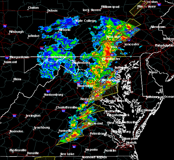 At 257 pm est, a severe thunderstorm was located near port tobacco river, moving northeast at 55 mph (radar indicated). Hazards include 70 mph wind gusts and ping pong ball size hail. Damaging winds will cause some trees and large branches to fall. this could injure those outdoors, as well as damage homes and vehicles. roadways may become blocked by downed trees. localized power outages are possible. unsecured light objects may become projectiles. Locations impacted include, waldorf, la plata, shady side, chesapeake beach, deale, prince frederick, breezy point, port tobacco river, dunkirk, saint charles, accokeek, bryans road, brandywine, huntingtown, hughesville, owings, baden, charlotte hall, potomac heights and aquasco. At 257 pm est, a severe thunderstorm was located near port tobacco river, moving northeast at 55 mph (radar indicated). Hazards include 70 mph wind gusts and ping pong ball size hail. Damaging winds will cause some trees and large branches to fall. this could injure those outdoors, as well as damage homes and vehicles. roadways may become blocked by downed trees. localized power outages are possible. unsecured light objects may become projectiles. Locations impacted include, waldorf, la plata, shady side, chesapeake beach, deale, prince frederick, breezy point, port tobacco river, dunkirk, saint charles, accokeek, bryans road, brandywine, huntingtown, hughesville, owings, baden, charlotte hall, potomac heights and aquasco.
|
| 2/25/2017 2:52 PM EST |
 At 252 pm est, a severe thunderstorm was located near quantico, moving northeast at 55 mph (radar indicated). Hazards include 70 mph wind gusts and ping pong ball size hail. Damaging winds will cause some trees and large branches to fall. this could injure those outdoors, as well as damage homes and vehicles. roadways may become blocked by downed trees. localized power outages are possible. Unsecured light objects may become projectiles. At 252 pm est, a severe thunderstorm was located near quantico, moving northeast at 55 mph (radar indicated). Hazards include 70 mph wind gusts and ping pong ball size hail. Damaging winds will cause some trees and large branches to fall. this could injure those outdoors, as well as damage homes and vehicles. roadways may become blocked by downed trees. localized power outages are possible. Unsecured light objects may become projectiles.
|
| 9/28/2016 5:50 AM EDT |
 At 550 am edt, a severe thunderstorm was located over la plata, moving east at 25 mph (radar indicated). Hazards include 60 mph wind gusts and quarter size hail. Damaging winds will cause some trees and large branches to fall. this could injure those outdoors, as well as damage homes and vehicles. roadways may become blocked by downed trees. localized power outages are possible. Unsecured light objects may become projectiles. At 550 am edt, a severe thunderstorm was located over la plata, moving east at 25 mph (radar indicated). Hazards include 60 mph wind gusts and quarter size hail. Damaging winds will cause some trees and large branches to fall. this could injure those outdoors, as well as damage homes and vehicles. roadways may become blocked by downed trees. localized power outages are possible. Unsecured light objects may become projectiles.
|
| 8/17/2016 9:50 PM EDT |
 The severe thunderstorm warning for charles, southern prince georges, northwestern st. marys and southern fairfax counties will expire at 1000 pm edt, the storm which prompted the warning has weakened below severe limits, and have exited the warned area. therefore the warning will be allowed to expire. The severe thunderstorm warning for charles, southern prince georges, northwestern st. marys and southern fairfax counties will expire at 1000 pm edt, the storm which prompted the warning has weakened below severe limits, and have exited the warned area. therefore the warning will be allowed to expire.
|
| 8/17/2016 9:36 PM EDT |
 At 936 pm edt, a severe thunderstorm was located near quantico, moving east at 25 mph (radar indicated). Hazards include 60 mph wind gusts. Damaging winds will cause some trees and large branches to fall. this could injure those outdoors, as well as damage homes and vehicles. roadways may become blocked by downed trees. localized power outages are possible. unsecured light objects may become projectiles. Locations impacted include, waldorf, la plata, port tobacco river, golden beach, saint charles, accokeek, bryans road, brandywine, hughesville, baden, mason neck, mechanicsville, charlotte hall, potomac heights, bryantown, pomfret, port tobacco village, port tobacco, pisgah and welcome. At 936 pm edt, a severe thunderstorm was located near quantico, moving east at 25 mph (radar indicated). Hazards include 60 mph wind gusts. Damaging winds will cause some trees and large branches to fall. this could injure those outdoors, as well as damage homes and vehicles. roadways may become blocked by downed trees. localized power outages are possible. unsecured light objects may become projectiles. Locations impacted include, waldorf, la plata, port tobacco river, golden beach, saint charles, accokeek, bryans road, brandywine, hughesville, baden, mason neck, mechanicsville, charlotte hall, potomac heights, bryantown, pomfret, port tobacco village, port tobacco, pisgah and welcome.
|
| 8/17/2016 9:17 PM EDT |
 At 917 pm edt, a severe thunderstorm was located over quantico, moving east at 25 mph (radar indicated). Hazards include 60 mph wind gusts. Damaging winds will cause some trees and large branches to fall. this could injure those outdoors, as well as damage homes and vehicles. roadways may become blocked by downed trees. localized power outages are possible. Unsecured light objects may become projectiles. At 917 pm edt, a severe thunderstorm was located over quantico, moving east at 25 mph (radar indicated). Hazards include 60 mph wind gusts. Damaging winds will cause some trees and large branches to fall. this could injure those outdoors, as well as damage homes and vehicles. roadways may become blocked by downed trees. localized power outages are possible. Unsecured light objects may become projectiles.
|
| 7/18/2016 4:35 PM EDT |
 At 434 pm edt, severe thunderstorms were located along a line extending from 7 miles south of fort hunt to near dahlgren, moving east at 40 mph (radar indicated). Hazards include 60 mph wind gusts...particularly in a gust front ahead of the rain. Damaging winds will cause some trees and large branches to fall. this could injure those outdoors, as well as damage homes and vehicles. roadways may become blocked by downed trees. localized power outages are possible. unsecured light objects may become projectiles. Locations impacted include, waldorf, la plata, dahlgren, fairview beach, port tobacco river, popes creek, saint charles, wicomico, accokeek, bryans road, brandywine, hughesville, mason neck, potomac heights, bryantown, pomfret, port tobacco village, port tobacco, pisgah and welcome. At 434 pm edt, severe thunderstorms were located along a line extending from 7 miles south of fort hunt to near dahlgren, moving east at 40 mph (radar indicated). Hazards include 60 mph wind gusts...particularly in a gust front ahead of the rain. Damaging winds will cause some trees and large branches to fall. this could injure those outdoors, as well as damage homes and vehicles. roadways may become blocked by downed trees. localized power outages are possible. unsecured light objects may become projectiles. Locations impacted include, waldorf, la plata, dahlgren, fairview beach, port tobacco river, popes creek, saint charles, wicomico, accokeek, bryans road, brandywine, hughesville, mason neck, potomac heights, bryantown, pomfret, port tobacco village, port tobacco, pisgah and welcome.
|
| 7/18/2016 4:35 PM EDT |
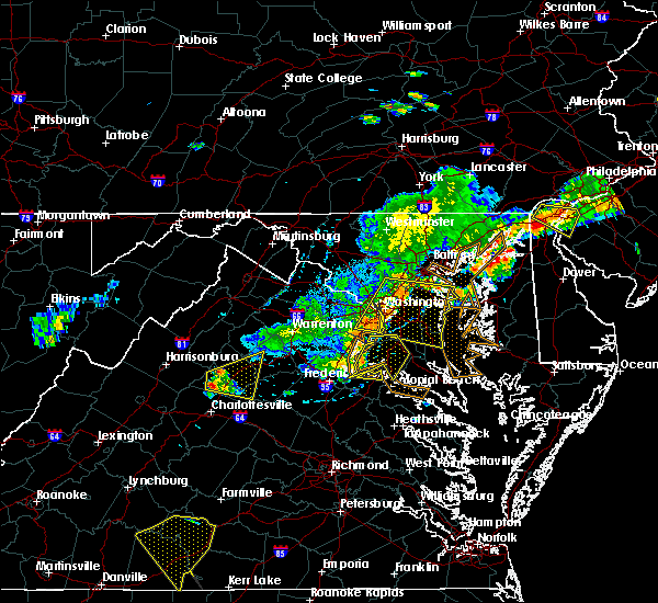 At 434 pm edt, severe thunderstorms were located along a line extending from 7 miles south of fort hunt to near dahlgren, moving east at 40 mph (radar indicated). Hazards include 60 mph wind gusts...particularly in a gust front ahead of the rain. Damaging winds will cause some trees and large branches to fall. this could injure those outdoors, as well as damage homes and vehicles. roadways may become blocked by downed trees. localized power outages are possible. unsecured light objects may become projectiles. Locations impacted include, waldorf, la plata, dahlgren, fairview beach, port tobacco river, popes creek, saint charles, wicomico, accokeek, bryans road, brandywine, hughesville, mason neck, potomac heights, bryantown, pomfret, port tobacco village, port tobacco, pisgah and welcome. At 434 pm edt, severe thunderstorms were located along a line extending from 7 miles south of fort hunt to near dahlgren, moving east at 40 mph (radar indicated). Hazards include 60 mph wind gusts...particularly in a gust front ahead of the rain. Damaging winds will cause some trees and large branches to fall. this could injure those outdoors, as well as damage homes and vehicles. roadways may become blocked by downed trees. localized power outages are possible. unsecured light objects may become projectiles. Locations impacted include, waldorf, la plata, dahlgren, fairview beach, port tobacco river, popes creek, saint charles, wicomico, accokeek, bryans road, brandywine, hughesville, mason neck, potomac heights, bryantown, pomfret, port tobacco village, port tobacco, pisgah and welcome.
|
| 7/18/2016 4:05 PM EDT |
 At 404 pm edt, severe thunderstorms were located along a line extending from 7 miles southeast of linton hall to 6 miles west of montclair to 7 miles west of stafford, moving east at 45 mph (radar indicated). Hazards include 60 mph wind gusts. Damaging winds will cause some trees and large branches to fall. this could injure those outdoors, as well as damage homes and vehicles. roadways may become blocked by downed trees. localized power outages are possible. Unsecured light objects may become projectiles. At 404 pm edt, severe thunderstorms were located along a line extending from 7 miles southeast of linton hall to 6 miles west of montclair to 7 miles west of stafford, moving east at 45 mph (radar indicated). Hazards include 60 mph wind gusts. Damaging winds will cause some trees and large branches to fall. this could injure those outdoors, as well as damage homes and vehicles. roadways may become blocked by downed trees. localized power outages are possible. Unsecured light objects may become projectiles.
|
| 7/18/2016 4:05 PM EDT |
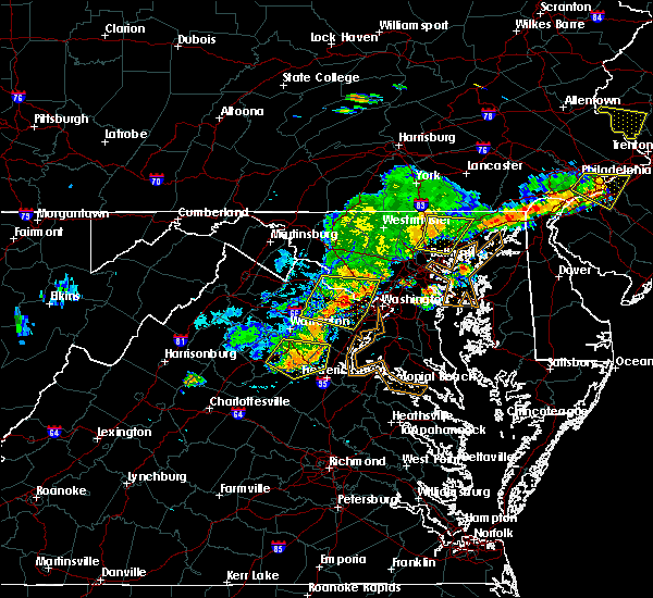 At 404 pm edt, severe thunderstorms were located along a line extending from 7 miles southeast of linton hall to 6 miles west of montclair to 7 miles west of stafford, moving east at 45 mph (radar indicated). Hazards include 60 mph wind gusts. Damaging winds will cause some trees and large branches to fall. this could injure those outdoors, as well as damage homes and vehicles. roadways may become blocked by downed trees. localized power outages are possible. Unsecured light objects may become projectiles. At 404 pm edt, severe thunderstorms were located along a line extending from 7 miles southeast of linton hall to 6 miles west of montclair to 7 miles west of stafford, moving east at 45 mph (radar indicated). Hazards include 60 mph wind gusts. Damaging winds will cause some trees and large branches to fall. this could injure those outdoors, as well as damage homes and vehicles. roadways may become blocked by downed trees. localized power outages are possible. Unsecured light objects may become projectiles.
|
| 7/16/2016 6:25 PM EDT |
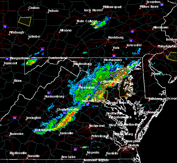 At 625 pm edt, a severe thunderstorm was located near la plata, moving east at 25 mph (radar indicated). Hazards include 60 mph wind gusts. Damaging winds will cause some trees and large branches to fall. this could injure those outdoors, as well as damage homes and vehicles. roadways may become blocked by downed trees. localized power outages are possible. unsecured light objects may become projectiles. Locations impacted include, waldorf, la plata, port tobacco river, saint charles, accokeek, bryans road, brandywine, potomac heights, pomfret, port tobacco village, bel alton, port tobacco, faulkner, pisgah, northwood, welcome, white plains, ironsides, ripley and marbury. At 625 pm edt, a severe thunderstorm was located near la plata, moving east at 25 mph (radar indicated). Hazards include 60 mph wind gusts. Damaging winds will cause some trees and large branches to fall. this could injure those outdoors, as well as damage homes and vehicles. roadways may become blocked by downed trees. localized power outages are possible. unsecured light objects may become projectiles. Locations impacted include, waldorf, la plata, port tobacco river, saint charles, accokeek, bryans road, brandywine, potomac heights, pomfret, port tobacco village, bel alton, port tobacco, faulkner, pisgah, northwood, welcome, white plains, ironsides, ripley and marbury.
|
| 7/16/2016 6:07 PM EDT |
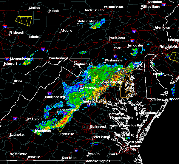 At 606 pm edt, a severe thunderstorm was located near woodbridge, moving east at 25 mph (radar indicated). Hazards include 60 mph wind gusts. Damaging winds will cause some trees and large branches to fall. this could injure those outdoors, as well as damage homes and vehicles. roadways may become blocked by downed trees. localized power outages are possible. Unsecured light objects may become projectiles. At 606 pm edt, a severe thunderstorm was located near woodbridge, moving east at 25 mph (radar indicated). Hazards include 60 mph wind gusts. Damaging winds will cause some trees and large branches to fall. this could injure those outdoors, as well as damage homes and vehicles. roadways may become blocked by downed trees. localized power outages are possible. Unsecured light objects may become projectiles.
|
| 6/28/2016 7:30 PM EDT |
 At 730 pm edt, a severe thunderstorm was located near quantico, moving southeast at 15 mph (radar indicated). Hazards include 60 mph wind gusts and quarter size hail. Damaging winds will cause some trees and large branches to fall. this could injure those outdoors, as well as damage homes and vehicles. roadways may become blocked by downed trees. localized power outages are possible. Unsecured light objects may become projectiles. At 730 pm edt, a severe thunderstorm was located near quantico, moving southeast at 15 mph (radar indicated). Hazards include 60 mph wind gusts and quarter size hail. Damaging winds will cause some trees and large branches to fall. this could injure those outdoors, as well as damage homes and vehicles. roadways may become blocked by downed trees. localized power outages are possible. Unsecured light objects may become projectiles.
|
| 6/28/2016 7:13 PM EDT |
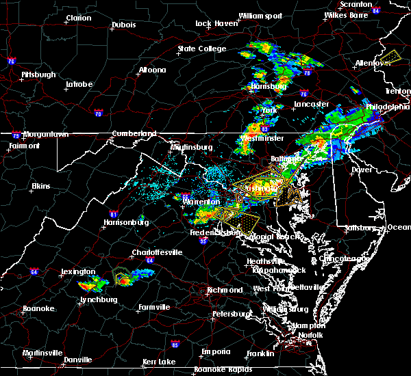 At 713 pm edt, a severe thunderstorm was located near quantico, moving southeast at 20 mph (radar indicated). Hazards include 60 mph wind gusts and quarter size hail. Damaging winds will cause some trees and large branches to fall. this could injure those outdoors, as well as damage homes and vehicles. roadways may become blocked by downed trees. localized power outages are possible. unsecured light objects may become projectiles. Locations impacted include, la plata, woodbridge, port tobacco river, cherry hill, bryans road, potomac heights, pomfret, port tobacco village, bel alton, port tobacco, pisgah, welcome, ironsides, ripley, marbury and rison. At 713 pm edt, a severe thunderstorm was located near quantico, moving southeast at 20 mph (radar indicated). Hazards include 60 mph wind gusts and quarter size hail. Damaging winds will cause some trees and large branches to fall. this could injure those outdoors, as well as damage homes and vehicles. roadways may become blocked by downed trees. localized power outages are possible. unsecured light objects may become projectiles. Locations impacted include, la plata, woodbridge, port tobacco river, cherry hill, bryans road, potomac heights, pomfret, port tobacco village, bel alton, port tobacco, pisgah, welcome, ironsides, ripley, marbury and rison.
|
| 6/28/2016 6:52 PM EDT |
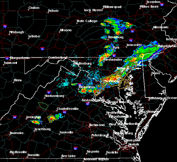 At 652 pm edt, a severe thunderstorm was located over woodbridge, moving southeast at 25 mph (radar indicated). Hazards include 60 mph wind gusts and quarter size hail. Damaging winds will cause some trees and large branches to fall. this could injure those outdoors, as well as damage homes and vehicles. roadways may become blocked by downed trees. localized power outages are possible. Unsecured light objects may become projectiles. At 652 pm edt, a severe thunderstorm was located over woodbridge, moving southeast at 25 mph (radar indicated). Hazards include 60 mph wind gusts and quarter size hail. Damaging winds will cause some trees and large branches to fall. this could injure those outdoors, as well as damage homes and vehicles. roadways may become blocked by downed trees. localized power outages are possible. Unsecured light objects may become projectiles.
|
| 6/21/2016 3:45 PM EDT |
 At 344 pm edt, a severe thunderstorm was located over saint charles, or over waldorf, moving east at 20 mph (radar indicated). Hazards include 60 mph wind gusts and half dollar size hail. Damaging winds will cause some trees and large branches to fall. this could injure those outdoors, as well as damage homes and vehicles. roadways may become blocked by downed trees. localized power outages are possible. Unsecured light objects may become projectiles. At 344 pm edt, a severe thunderstorm was located over saint charles, or over waldorf, moving east at 20 mph (radar indicated). Hazards include 60 mph wind gusts and half dollar size hail. Damaging winds will cause some trees and large branches to fall. this could injure those outdoors, as well as damage homes and vehicles. roadways may become blocked by downed trees. localized power outages are possible. Unsecured light objects may become projectiles.
|
| 6/21/2016 3:29 PM EDT |
 At 329 pm edt, a severe thunderstorm was located near la plata, moving southeast at 30 mph (radar indicated). Hazards include 60 mph wind gusts and half dollar size hail. Damaging winds will cause some trees and large branches to fall. this could injure those outdoors, as well as damage homes and vehicles. roadways may become blocked by downed trees. localized power outages are possible. Unsecured light objects may become projectiles. At 329 pm edt, a severe thunderstorm was located near la plata, moving southeast at 30 mph (radar indicated). Hazards include 60 mph wind gusts and half dollar size hail. Damaging winds will cause some trees and large branches to fall. this could injure those outdoors, as well as damage homes and vehicles. roadways may become blocked by downed trees. localized power outages are possible. Unsecured light objects may become projectiles.
|
| 6/16/2016 9:50 PM EDT |
 At 950 pm edt, severe thunderstorms were located along a line extending from near port tobacco river to near popes creek to near wicomico river to near colonial beach, moving southeast at 35 mph (radar indicated). Hazards include 60 mph wind gusts. Damaging winds will cause some trees and large branches to fall. this could injure those outdoors, as well as damage homes and vehicles. roadways may become blocked by downed trees. localized power outages are possible. Locations impacted include, waldorf, lexington park, la plata, leonardtown, saint inigoes creek, saint marys city, saint marys river, california, golden beach, patuxent river naval air station, hollywood, wicomico, bryans road, hughesville, mechanicsville, charlotte hall, bryantown, pomfret, port tobacco village and morganza. At 950 pm edt, severe thunderstorms were located along a line extending from near port tobacco river to near popes creek to near wicomico river to near colonial beach, moving southeast at 35 mph (radar indicated). Hazards include 60 mph wind gusts. Damaging winds will cause some trees and large branches to fall. this could injure those outdoors, as well as damage homes and vehicles. roadways may become blocked by downed trees. localized power outages are possible. Locations impacted include, waldorf, lexington park, la plata, leonardtown, saint inigoes creek, saint marys city, saint marys river, california, golden beach, patuxent river naval air station, hollywood, wicomico, bryans road, hughesville, mechanicsville, charlotte hall, bryantown, pomfret, port tobacco village and morganza.
|
| 6/16/2016 9:09 PM EDT |
 At 909 pm edt, severe thunderstorms were located along a line extending from alexandria to near quantico to near fredericksburg, moving east at 35 mph (radar indicated). Hazards include 60 mph wind gusts. Damaging winds will cause some trees and large branches to fall. this could injure those outdoors, as well as damage homes and vehicles. roadways may become blocked by downed trees. localized power outages are possible. unsecured light objects may become projectiles. Locations impacted include, waldorf, lexington park, la plata, leonardtown, saint inigoes creek, saint marys city, saint marys river, california, golden beach, patuxent river naval air station, hollywood, saint charles, wicomico, bryans road, hughesville, mechanicsville, charlotte hall, potomac heights, bryantown and pomfret. At 909 pm edt, severe thunderstorms were located along a line extending from alexandria to near quantico to near fredericksburg, moving east at 35 mph (radar indicated). Hazards include 60 mph wind gusts. Damaging winds will cause some trees and large branches to fall. this could injure those outdoors, as well as damage homes and vehicles. roadways may become blocked by downed trees. localized power outages are possible. unsecured light objects may become projectiles. Locations impacted include, waldorf, lexington park, la plata, leonardtown, saint inigoes creek, saint marys city, saint marys river, california, golden beach, patuxent river naval air station, hollywood, saint charles, wicomico, bryans road, hughesville, mechanicsville, charlotte hall, potomac heights, bryantown and pomfret.
|
| 6/16/2016 8:51 PM EDT |
 At 851 pm edt, severe thunderstorms were located along a line extending from near poolesville to near lake ridge to near stafford to 11 miles west of spotsylvania, moving east at 35 mph (radar indicated). Hazards include 60 mph wind gusts. Damaging winds will cause some trees and large branches to fall. this could injure those outdoors, as well as damage homes and vehicles. roadways may become blocked by downed trees. localized power outages are possible. Unsecured light objects may become projectiles. At 851 pm edt, severe thunderstorms were located along a line extending from near poolesville to near lake ridge to near stafford to 11 miles west of spotsylvania, moving east at 35 mph (radar indicated). Hazards include 60 mph wind gusts. Damaging winds will cause some trees and large branches to fall. this could injure those outdoors, as well as damage homes and vehicles. roadways may become blocked by downed trees. localized power outages are possible. Unsecured light objects may become projectiles.
|
| 6/7/2016 5:27 PM EDT | The severe thunderstorm warning for west central charles, southern prince william, southeastern stafford, southwestern king george and east central spotsylvania counties and the eastern city of fredericksburg will expire at 530 pm edt, the storm which prompted the warning has weakened and exited the warned area. therefore the warning will be allowed to expire. however small hail and gusty winds are still possible with this thunderstorm. |
| 6/7/2016 5:27 PM EDT | The severe thunderstorm warning for west central charles, southern prince william, southeastern stafford, southwestern king george and east central spotsylvania counties and the eastern city of fredericksburg will expire at 530 pm edt, the storm which prompted the warning has weakened and exited the warned area. therefore the warning will be allowed to expire. however small hail and gusty winds are still possible with this thunderstorm. |
| 6/7/2016 5:14 PM EDT |
 At 513 pm edt, a severe thunderstorm was located near potomac creek, moving east at 40 mph (radar indicated. tree damage was reported near glendie with this storm). Hazards include 60 mph wind gusts and quarter size hail. Damaging winds may cause some trees and large branches to fall. this could injure those outdoors, as well as damage homes and vehicles. roadways may become blocked by downed trees. localized power outages are possible. unsecured light objects may become projectiles. Locations impacted include, stafford, fredericksburg, la plata, king george, dahlgren, quantico, fairview beach, potomac creek, aquia creek, port tobacco river, triangle, cherry hill, falmouth, passapatanzy, port tobacco village, port tobacco, white oak, spring valley, lambs creek and welcome. At 513 pm edt, a severe thunderstorm was located near potomac creek, moving east at 40 mph (radar indicated. tree damage was reported near glendie with this storm). Hazards include 60 mph wind gusts and quarter size hail. Damaging winds may cause some trees and large branches to fall. this could injure those outdoors, as well as damage homes and vehicles. roadways may become blocked by downed trees. localized power outages are possible. unsecured light objects may become projectiles. Locations impacted include, stafford, fredericksburg, la plata, king george, dahlgren, quantico, fairview beach, potomac creek, aquia creek, port tobacco river, triangle, cherry hill, falmouth, passapatanzy, port tobacco village, port tobacco, white oak, spring valley, lambs creek and welcome.
|
| 6/7/2016 5:00 PM EDT |
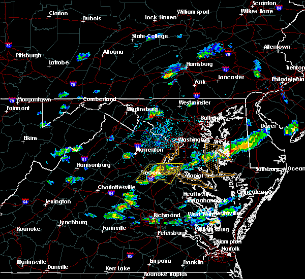 At 459 pm edt, a severe thunderstorm was located over stafford, moving east at 40 mph (radar indicated). Hazards include 60 mph wind gusts and quarter size hail. Damaging winds may cause some trees and large branches to fall. this could injure those outdoors, as well as damage homes and vehicles. roadways may become blocked by downed trees. localized power outages are possible. unsecured light objects may become projectiles. Locations impacted include, stafford, fredericksburg, la plata, king george, dahlgren, quantico, fairview beach, potomac creek, aquia creek, port tobacco river, triangle, spotsylvania, cherry hill, falmouth, passapatanzy, port tobacco village, storck, port tobacco, white oak and spring valley. At 459 pm edt, a severe thunderstorm was located over stafford, moving east at 40 mph (radar indicated). Hazards include 60 mph wind gusts and quarter size hail. Damaging winds may cause some trees and large branches to fall. this could injure those outdoors, as well as damage homes and vehicles. roadways may become blocked by downed trees. localized power outages are possible. unsecured light objects may become projectiles. Locations impacted include, stafford, fredericksburg, la plata, king george, dahlgren, quantico, fairview beach, potomac creek, aquia creek, port tobacco river, triangle, spotsylvania, cherry hill, falmouth, passapatanzy, port tobacco village, storck, port tobacco, white oak and spring valley.
|
| 6/7/2016 4:49 PM EDT |
 At 448 pm edt, a severe thunderstorm was located 8 miles west of stafford, moving east at 40 mph (radar indicated). Hazards include 60 mph wind gusts and quarter size hail. Damaging winds could cause some trees and large branches to fall. this could injure those outdoors, as well as damage homes and vehicles. roadways may become blocked by downed trees. localized power outages are possible. Unsecured light objects may become projectiles. At 448 pm edt, a severe thunderstorm was located 8 miles west of stafford, moving east at 40 mph (radar indicated). Hazards include 60 mph wind gusts and quarter size hail. Damaging winds could cause some trees and large branches to fall. this could injure those outdoors, as well as damage homes and vehicles. roadways may become blocked by downed trees. localized power outages are possible. Unsecured light objects may become projectiles.
|
| 5/14/2016 8:24 PM EDT |
 The severe thunderstorm warning for central charles, west central st. marys and western king george counties will expire at 830 pm edt, the storm which prompted the warning has weakened and exited the warned area. therefore the warning will be allowed to expire. The severe thunderstorm warning for central charles, west central st. marys and western king george counties will expire at 830 pm edt, the storm which prompted the warning has weakened and exited the warned area. therefore the warning will be allowed to expire.
|
| 5/14/2016 7:59 PM EDT |
 At 759 pm edt, a severe thunderstorm was located over popes creek, moving east at 40 mph (radar indicated). Hazards include 60 mph wind gusts and quarter size hail. Damaging winds will cause some trees and large branches to fall. this could injure those outdoors, as well as damage homes and vehicles. roadways may become blocked by downed trees. localized power outages are possible. unsecured light objects may become projectiles. Locations impacted include, la plata, dahlgren, port tobacco river, popes creek, golden beach, wicomico, hughesville, mechanicsville, charlotte hall, bryantown, pomfret, benedict, port tobacco village, port tobacco, welcome, clements, newburg, mount victoria, dentsville and ripley. At 759 pm edt, a severe thunderstorm was located over popes creek, moving east at 40 mph (radar indicated). Hazards include 60 mph wind gusts and quarter size hail. Damaging winds will cause some trees and large branches to fall. this could injure those outdoors, as well as damage homes and vehicles. roadways may become blocked by downed trees. localized power outages are possible. unsecured light objects may become projectiles. Locations impacted include, la plata, dahlgren, port tobacco river, popes creek, golden beach, wicomico, hughesville, mechanicsville, charlotte hall, bryantown, pomfret, benedict, port tobacco village, port tobacco, welcome, clements, newburg, mount victoria, dentsville and ripley.
|
| 5/14/2016 7:42 PM EDT |
 At 741 pm edt, a severe thunderstorm was located near aquia creek, moving east at 40 mph (radar indicated). Hazards include 60 mph wind gusts and quarter size hail. Damaging winds will cause some trees and large branches to fall. this could injure those outdoors, as well as damage homes and vehicles. roadways may become blocked by downed trees. localized power outages are possible. Unsecured light objects may become projectiles. At 741 pm edt, a severe thunderstorm was located near aquia creek, moving east at 40 mph (radar indicated). Hazards include 60 mph wind gusts and quarter size hail. Damaging winds will cause some trees and large branches to fall. this could injure those outdoors, as well as damage homes and vehicles. roadways may become blocked by downed trees. localized power outages are possible. Unsecured light objects may become projectiles.
|
| 5/2/2016 6:57 PM EDT |
 At 656 pm edt, a severe thunderstorm capable of producing a tornado was located near la plata, moving southeast at 20 mph (radar indicated rotation). Hazards include tornado and ping pong ball size hail. Flying debris will be dangerous to those caught without shelter. mobile homes will be damaged or destroyed. damage to roofs, windows, and vehicles will occur. tree damage is likely. this dangerous storm will be near, saint charles around 705 pm edt. waldorf around 710 pm edt. la plata around 715 pm edt. Other locations impacted by this tornadic thunderstorm include port tobacco village, bel alton, port tobacco, white plains, pomfret and bryans road. At 656 pm edt, a severe thunderstorm capable of producing a tornado was located near la plata, moving southeast at 20 mph (radar indicated rotation). Hazards include tornado and ping pong ball size hail. Flying debris will be dangerous to those caught without shelter. mobile homes will be damaged or destroyed. damage to roofs, windows, and vehicles will occur. tree damage is likely. this dangerous storm will be near, saint charles around 705 pm edt. waldorf around 710 pm edt. la plata around 715 pm edt. Other locations impacted by this tornadic thunderstorm include port tobacco village, bel alton, port tobacco, white plains, pomfret and bryans road.
|
| 4/7/2016 5:00 PM EDT |
 At 500 pm edt, doppler radar indicated a line of severe thunderstorms capable of producing damaging winds in excess of 60 mph. these storms were located along a line extending from near fort belvoir to 7 miles east of popes creek, and moving northeast at 50 mph. At 500 pm edt, doppler radar indicated a line of severe thunderstorms capable of producing damaging winds in excess of 60 mph. these storms were located along a line extending from near fort belvoir to 7 miles east of popes creek, and moving northeast at 50 mph.
|
| 4/7/2016 4:53 PM EDT | Tree down near port tobacco rd and simms landding rd in charles county MD, 1.6 miles E of Port Tobacco Village, MD |
| 2/24/2016 6:49 PM EST |
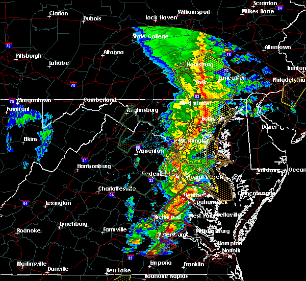 At 648 pm est, doppler radar indicated a severe thunderstorm capable of producing damaging winds in excess of 60 mph. this storm was located near popes creek, moving northeast at 50 mph. locations impacted include, la plata, port tobacco river, saint charles, wicomico, port tobacco village, morganza, port tobacco, shiloh, ninde, welcome, swan point, issue, newburg, mount victoria, white plains, dentsville, charlotte hall, bel alton, faulkner and rollins fork. a tornado watch remains in effect until 1100 pm est for southern maryland and central virginia. At 648 pm est, doppler radar indicated a severe thunderstorm capable of producing damaging winds in excess of 60 mph. this storm was located near popes creek, moving northeast at 50 mph. locations impacted include, la plata, port tobacco river, saint charles, wicomico, port tobacco village, morganza, port tobacco, shiloh, ninde, welcome, swan point, issue, newburg, mount victoria, white plains, dentsville, charlotte hall, bel alton, faulkner and rollins fork. a tornado watch remains in effect until 1100 pm est for southern maryland and central virginia.
|
| 2/24/2016 6:49 PM EST |
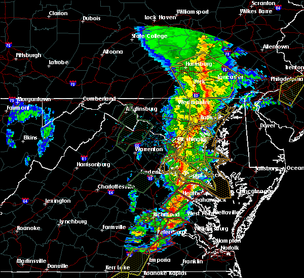 At 648 pm est, doppler radar indicated a severe thunderstorm capable of producing damaging winds in excess of 60 mph. this storm was located near popes creek, moving northeast at 50 mph. locations impacted include, la plata, port tobacco river, saint charles, wicomico, port tobacco village, morganza, port tobacco, shiloh, ninde, welcome, swan point, issue, newburg, mount victoria, white plains, dentsville, charlotte hall, bel alton, faulkner and rollins fork. a tornado watch remains in effect until 1100 pm est for southern maryland and central virginia. At 648 pm est, doppler radar indicated a severe thunderstorm capable of producing damaging winds in excess of 60 mph. this storm was located near popes creek, moving northeast at 50 mph. locations impacted include, la plata, port tobacco river, saint charles, wicomico, port tobacco village, morganza, port tobacco, shiloh, ninde, welcome, swan point, issue, newburg, mount victoria, white plains, dentsville, charlotte hall, bel alton, faulkner and rollins fork. a tornado watch remains in effect until 1100 pm est for southern maryland and central virginia.
|
| 2/24/2016 6:18 PM EST |
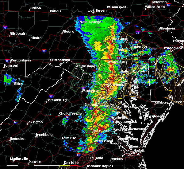 At 617 pm est, doppler radar indicated a severe thunderstorm capable of producing damaging winds in excess of 60 mph. this storm was located over bowling green, and moving northeast at 50 mph. At 617 pm est, doppler radar indicated a severe thunderstorm capable of producing damaging winds in excess of 60 mph. this storm was located over bowling green, and moving northeast at 50 mph.
|
| 9/9/2015 7:49 PM EDT |
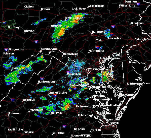 At 748 pm edt, doppler radar indicated a severe thunderstorm capable of producing quarter size hail and damaging winds in excess of 60 mph. this storm was located 8 miles northwest of port tobacco river, and moving northeast at 15 mph. At 748 pm edt, doppler radar indicated a severe thunderstorm capable of producing quarter size hail and damaging winds in excess of 60 mph. this storm was located 8 miles northwest of port tobacco river, and moving northeast at 15 mph.
|
| 6/23/2015 9:03 PM EDT |
 At 903 pm edt, doppler radar indicated a line of severe thunderstorms capable of producing quarter size hail and damaging winds in excess of 60 mph. these storms were located along a line extending from 12 miles southeast of taylors island to near wicomico river, moving southeast at 45 mph. locations impacted include, la plata, leonardtown, saint inigoes creek, flag harbor, hallowing point, saint marys city, prince frederick, saint leonard creek, wicomico river, sheridan point, saint clements bay, lexington park, saint marys river, port tobacco river, chesapeake ranch estates, calvert cliffs, golden beach, california, patuxent river naval air station and lusby. At 903 pm edt, doppler radar indicated a line of severe thunderstorms capable of producing quarter size hail and damaging winds in excess of 60 mph. these storms were located along a line extending from 12 miles southeast of taylors island to near wicomico river, moving southeast at 45 mph. locations impacted include, la plata, leonardtown, saint inigoes creek, flag harbor, hallowing point, saint marys city, prince frederick, saint leonard creek, wicomico river, sheridan point, saint clements bay, lexington park, saint marys river, port tobacco river, chesapeake ranch estates, calvert cliffs, golden beach, california, patuxent river naval air station and lusby.
|
| 6/23/2015 8:30 PM EDT |
 At 830 pm edt, doppler radar indicated a line of severe thunderstorms capable of producing quarter size hail and damaging winds in excess of 60 mph. these storms were located along a line extending from near saint leonard to nanjemoy creek, and moving southeast at 40 mph. At 830 pm edt, doppler radar indicated a line of severe thunderstorms capable of producing quarter size hail and damaging winds in excess of 60 mph. these storms were located along a line extending from near saint leonard to nanjemoy creek, and moving southeast at 40 mph.
|
| 6/23/2015 8:00 PM EDT |
 At 800 pm edt, doppler radar indicated a line of severe thunderstorms capable of producing quarter size hail and damaging winds in excess of 60 mph. these storms were located along a line extending from 6 miles south of tilghman island to 8 miles west of stafford, and moving southeast at 30 mph. At 800 pm edt, doppler radar indicated a line of severe thunderstorms capable of producing quarter size hail and damaging winds in excess of 60 mph. these storms were located along a line extending from 6 miles south of tilghman island to 8 miles west of stafford, and moving southeast at 30 mph.
|
| 6/23/2015 7:41 PM EDT |
 At 740 pm edt, doppler radar indicated a line of severe thunderstorms capable of producing quarter size hail and damaging winds in excess of 60 mph. these storms were located along a line extending from near rhode river to 10 miles east of bealeton, moving southeast at 40 mph. locations impacted include, arlington, stafford, bowie, fairfax, falls church, bladensburg, la plata, chesapeake beach, upper marlboro, springfield, mantua, gallaudet university, nationals park, clinton, coral hills, woodbridge, largo, fedex field, rhode river and forestville. At 740 pm edt, doppler radar indicated a line of severe thunderstorms capable of producing quarter size hail and damaging winds in excess of 60 mph. these storms were located along a line extending from near rhode river to 10 miles east of bealeton, moving southeast at 40 mph. locations impacted include, arlington, stafford, bowie, fairfax, falls church, bladensburg, la plata, chesapeake beach, upper marlboro, springfield, mantua, gallaudet university, nationals park, clinton, coral hills, woodbridge, largo, fedex field, rhode river and forestville.
|
| 6/23/2015 7:14 PM EDT |
 At 714 pm edt, doppler radar indicated a line of severe thunderstorms capable of producing quarter size hail and damaging winds in excess of 60 mph. these storms were located along a line extending from near grasonville to 9 miles south of linton hall, and moving southeast at 35 mph. At 714 pm edt, doppler radar indicated a line of severe thunderstorms capable of producing quarter size hail and damaging winds in excess of 60 mph. these storms were located along a line extending from near grasonville to 9 miles south of linton hall, and moving southeast at 35 mph.
|
| 6/20/2015 8:10 PM EDT |
 At 810 pm edt, trained weather spotters reported a line of severe thunderstorms producing damaging winds in excess of 60 mph. these storms were located along a line extending from damascus to rosslyn to near nanjemoy creek, and moving east at 45 mph. At 810 pm edt, trained weather spotters reported a line of severe thunderstorms producing damaging winds in excess of 60 mph. these storms were located along a line extending from damascus to rosslyn to near nanjemoy creek, and moving east at 45 mph.
|
| 4/20/2015 8:35 PM EDT | At 835 pm edt, doppler radar indicated a line of severe thunderstorms capable of producing damaging winds in excess of 60 mph. these storms were located along a line extending from near fort washington to aquia creek, and moving northeast at 40 mph. |
| 4/20/2015 8:35 PM EDT | At 835 pm edt, doppler radar indicated a line of severe thunderstorms capable of producing damaging winds in excess of 60 mph. these storms were located along a line extending from near fort washington to aquia creek, and moving northeast at 40 mph. |
| 5/21/2014 6:29 PM EDT | A tree was reported down on shirley boulevard at route in charles county MD, 0.5 miles E of Port Tobacco Village, MD |
| 5/12/2014 6:11 PM EDT | Tree onto wires near port tobacco road and plenty highlands place in charles county MD, 0.6 miles S of Port Tobacco Village, MD |
| 5/12/2014 6:10 PM EDT | Tree knocked down onto a house at the 7800 block of ann harbor drive in charles county MD, 0.5 miles E of Port Tobacco Village, MD |
| 1/1/0001 12:00 AM | Tree down along ironsides road in charles county MD, 2.1 miles E of Port Tobacco Village, MD |
| 1/1/0001 12:00 AM | Trees down near intersection of burch road and poorhouse road in charles county MD, 2.1 miles E of Port Tobacco Village, MD |
Hail Maps for Port Tobacco Village, MD


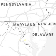


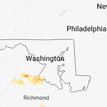


Connect with Interactive Hail Maps