

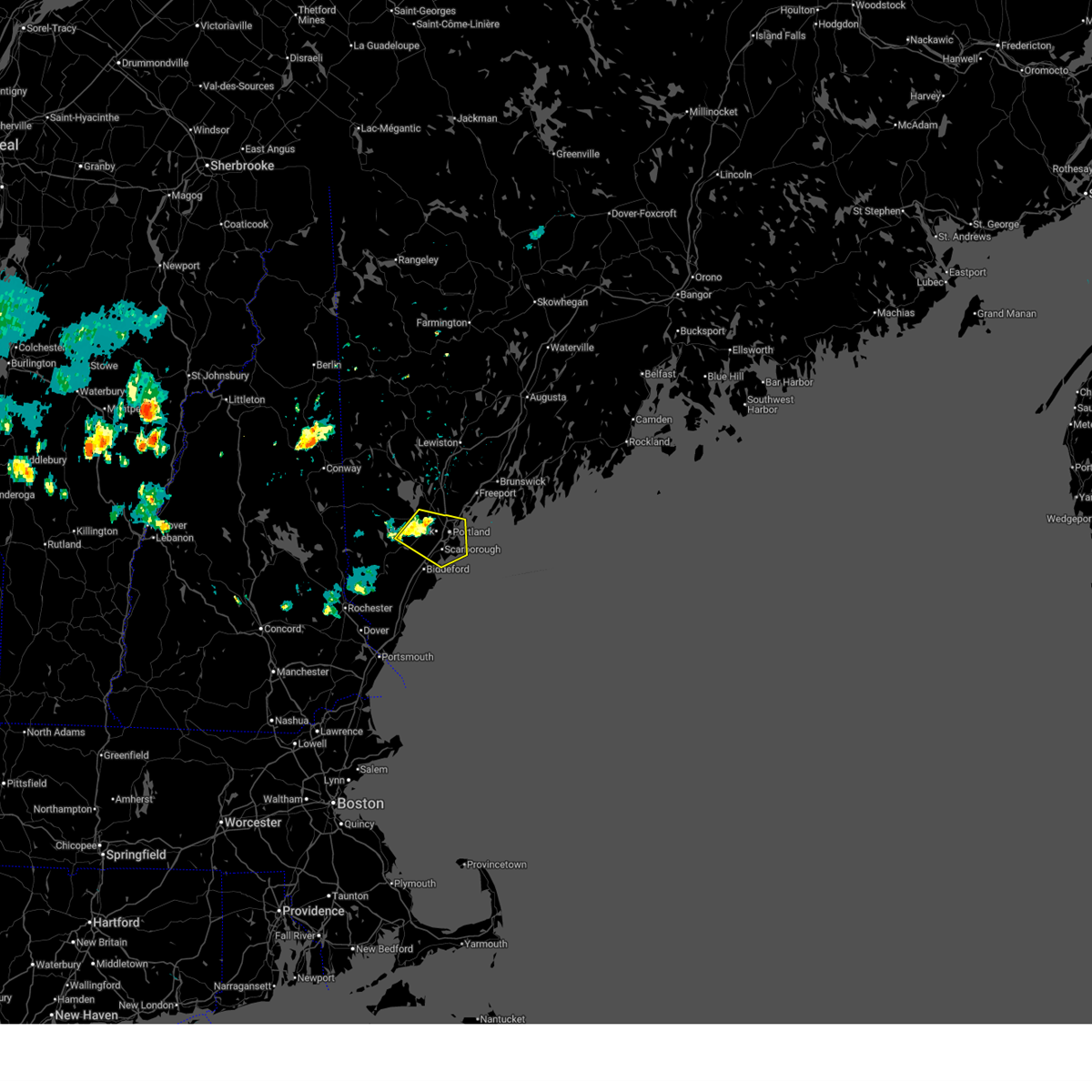
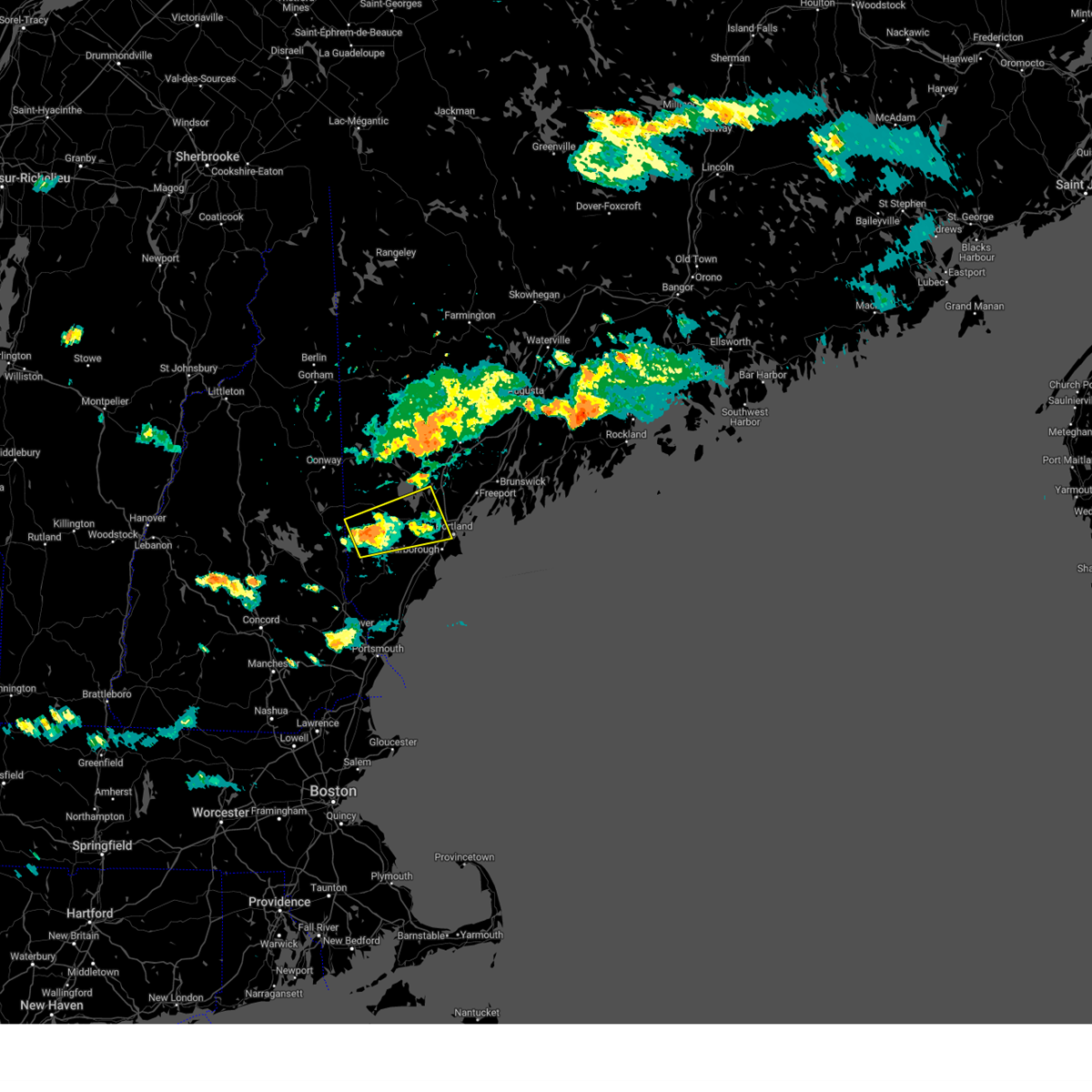
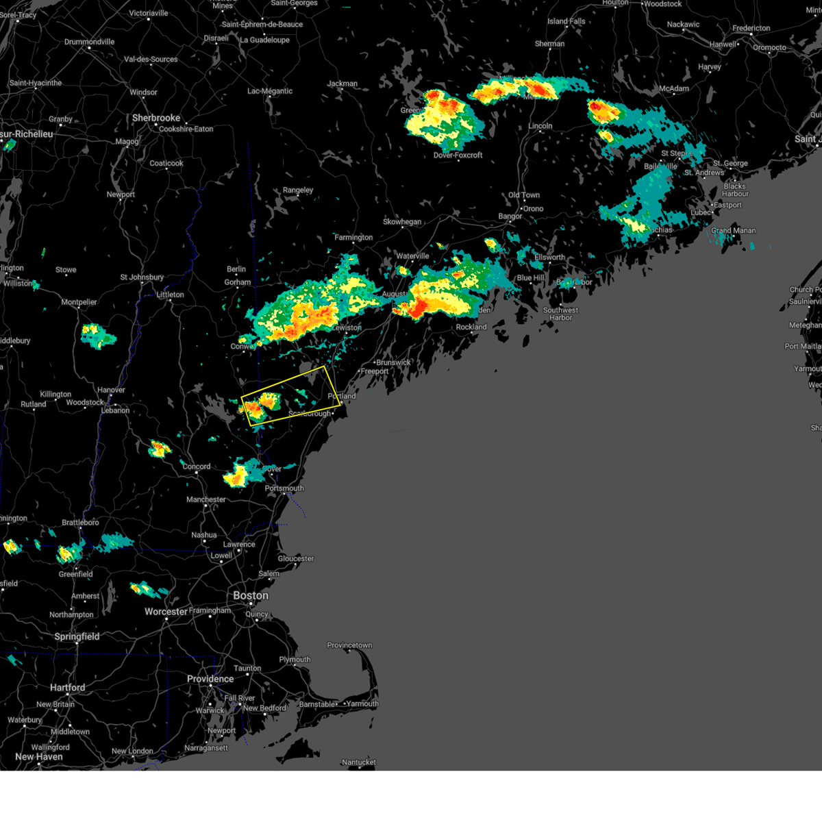
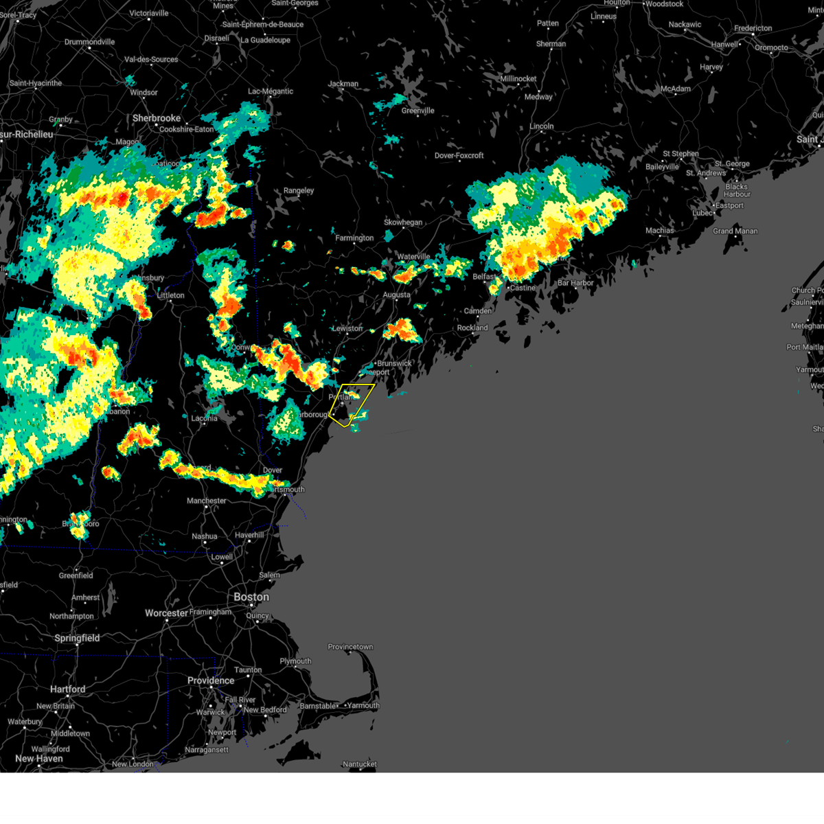
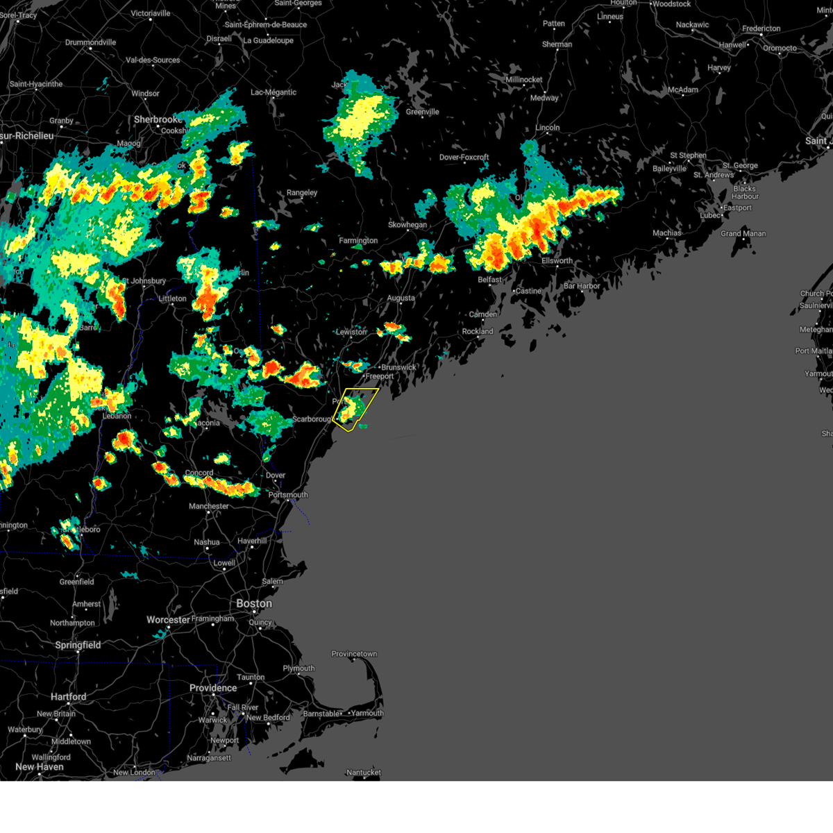
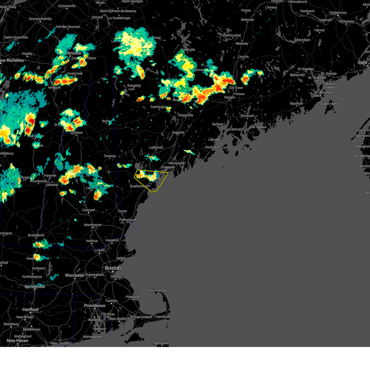
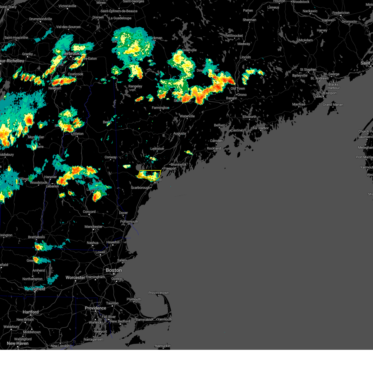
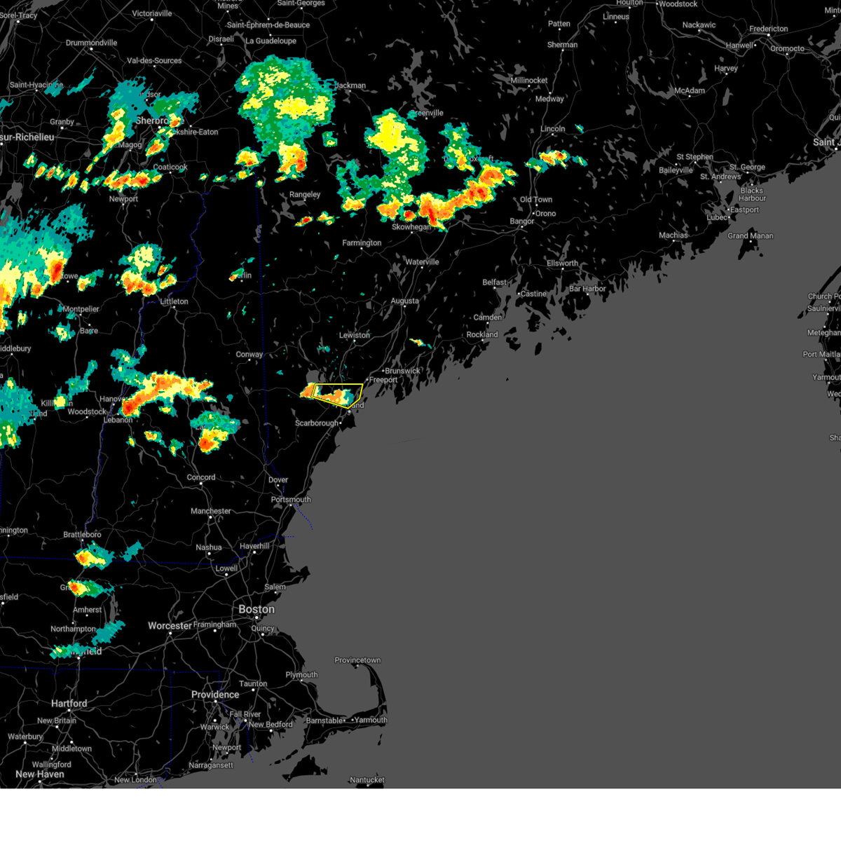
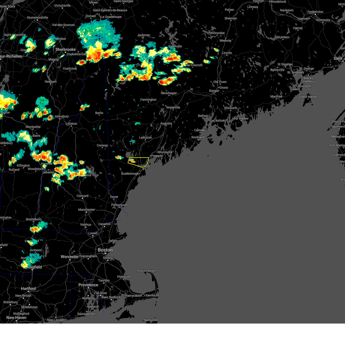
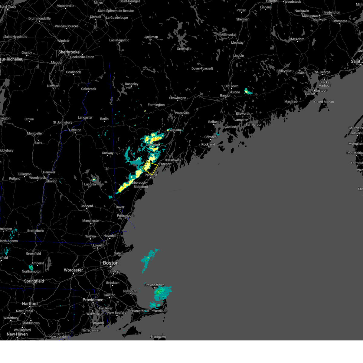
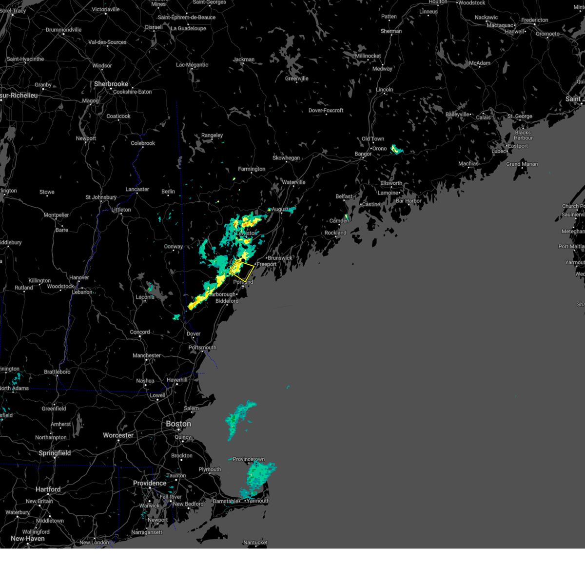
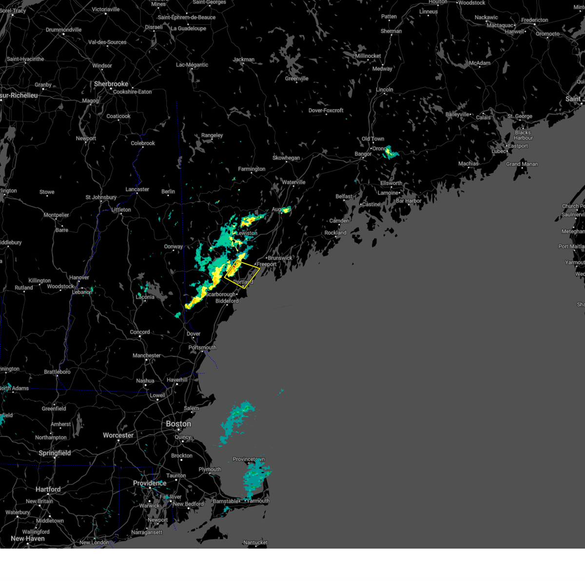
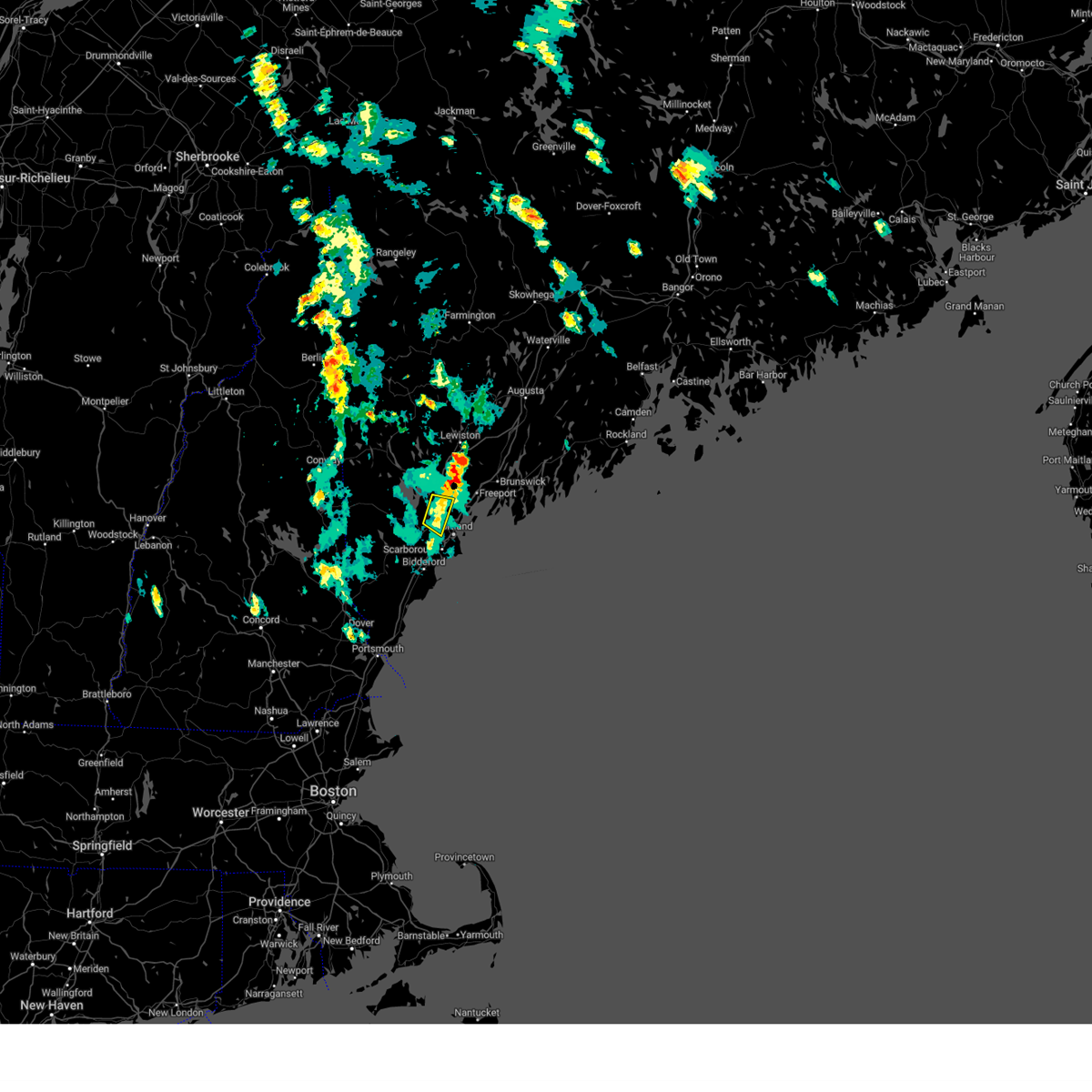
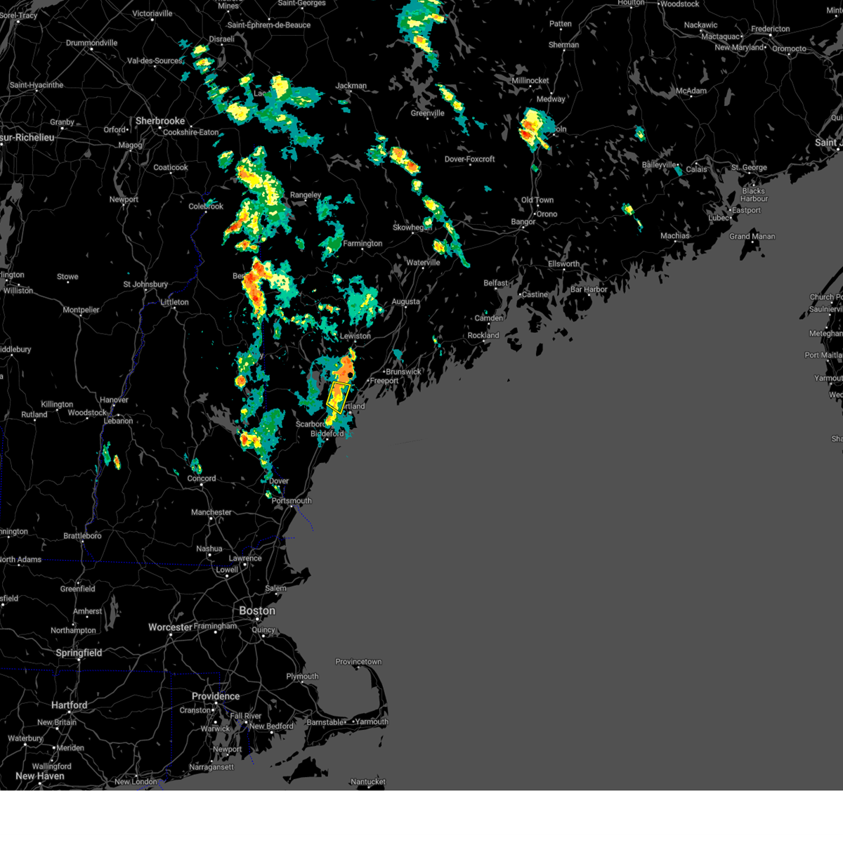
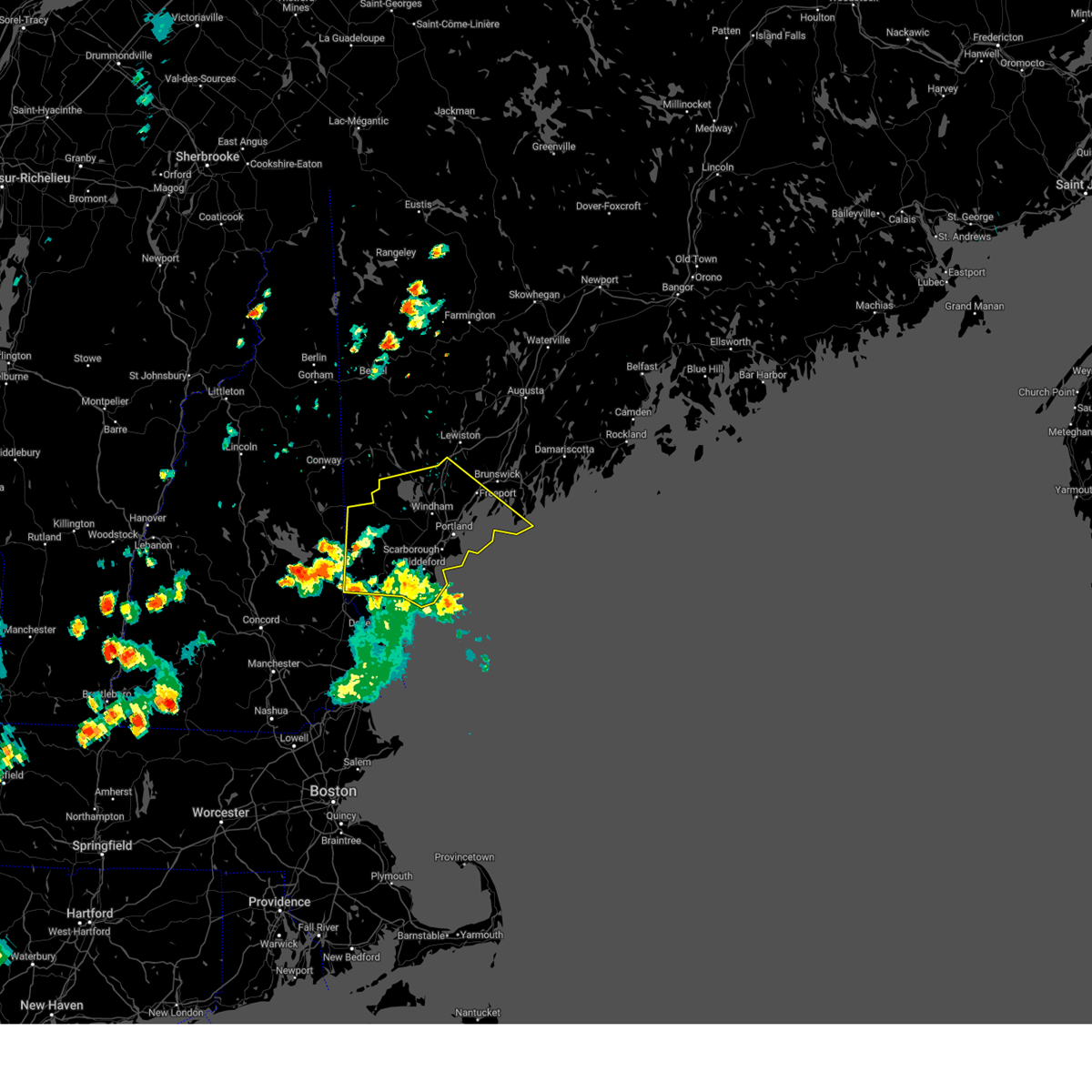
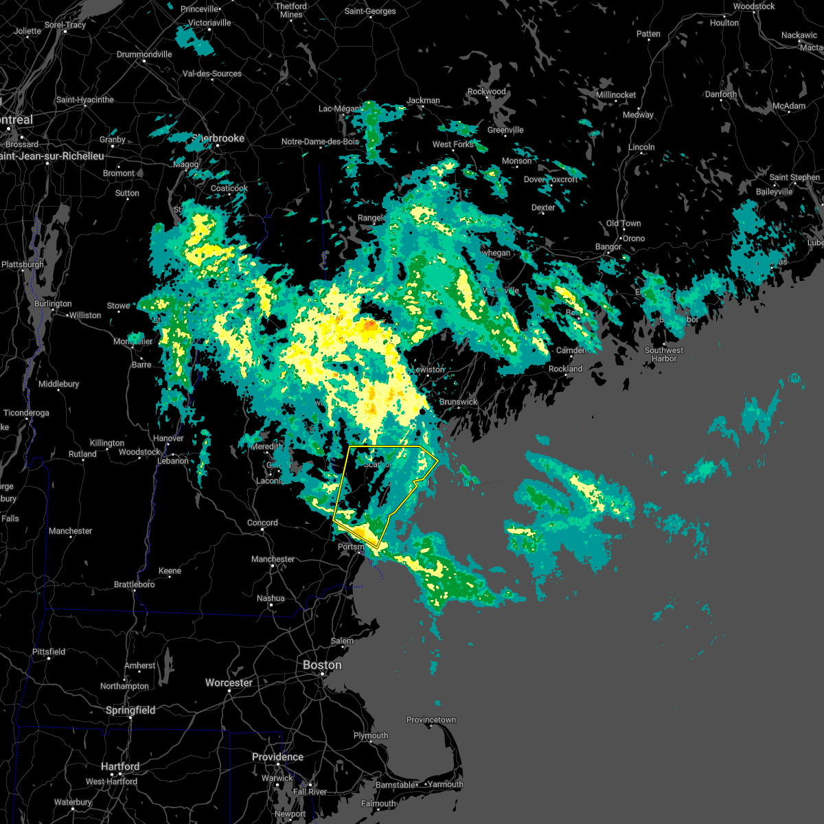
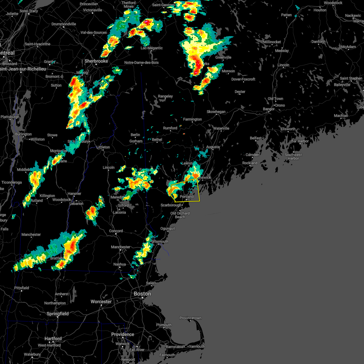
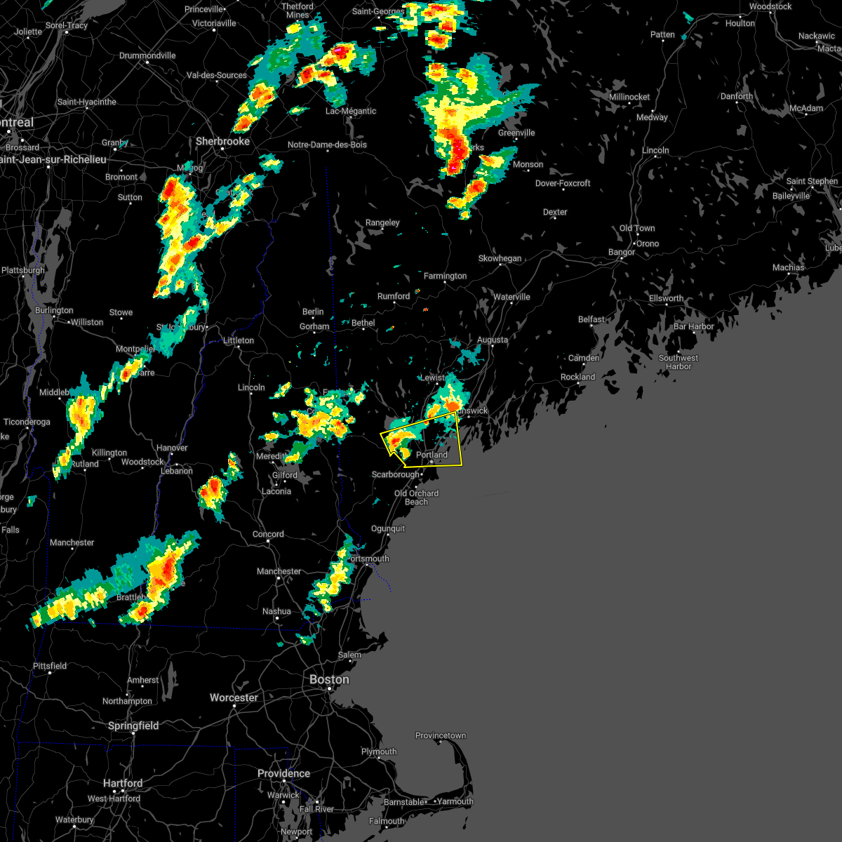
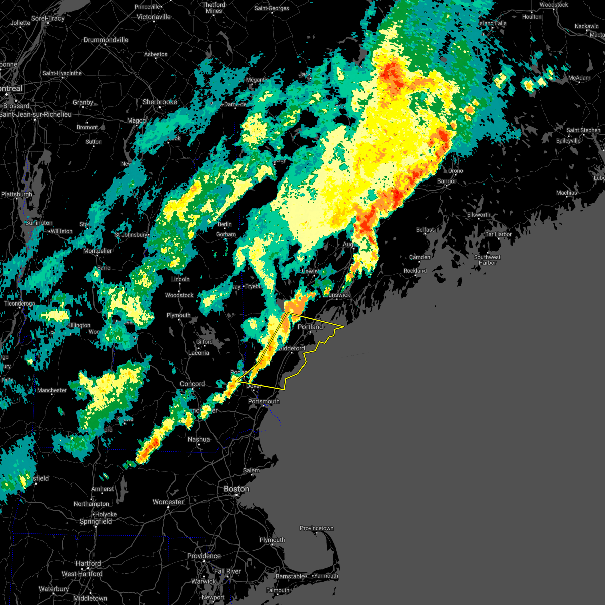
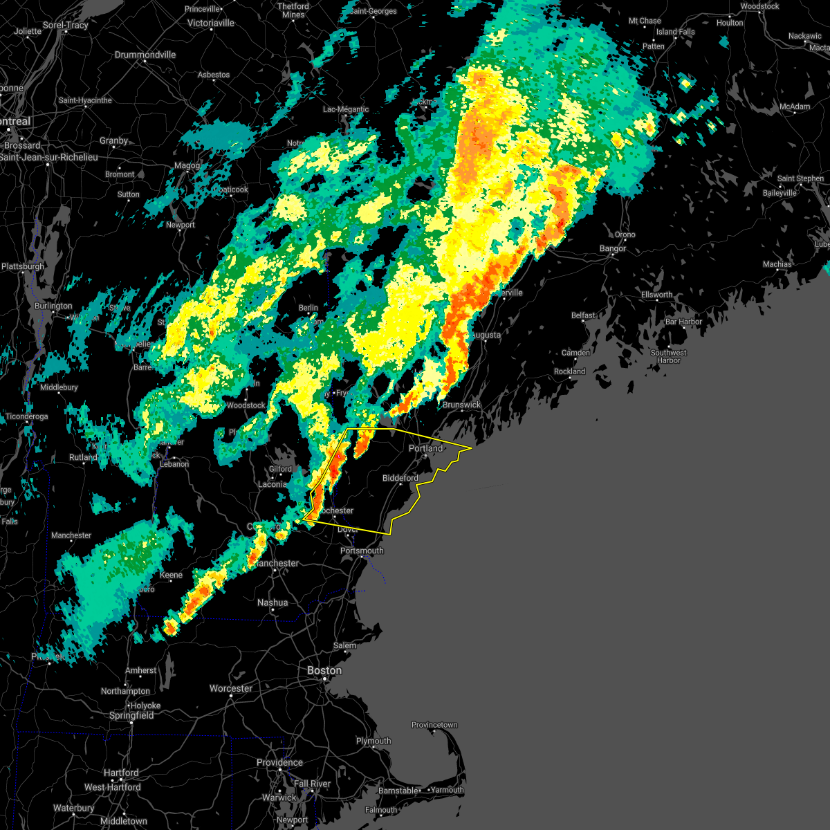
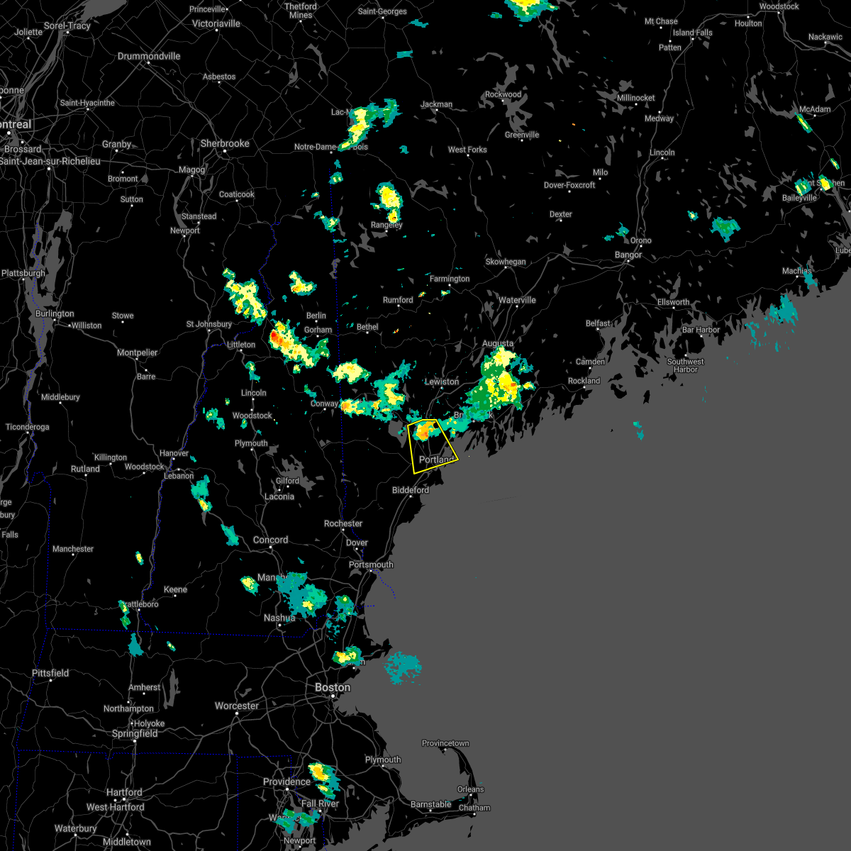
Hail Map for Portland, ME
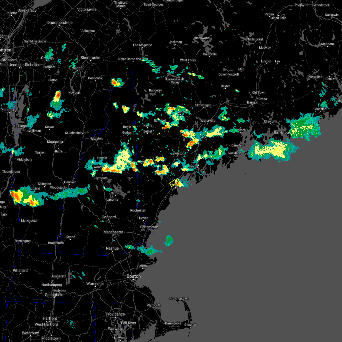
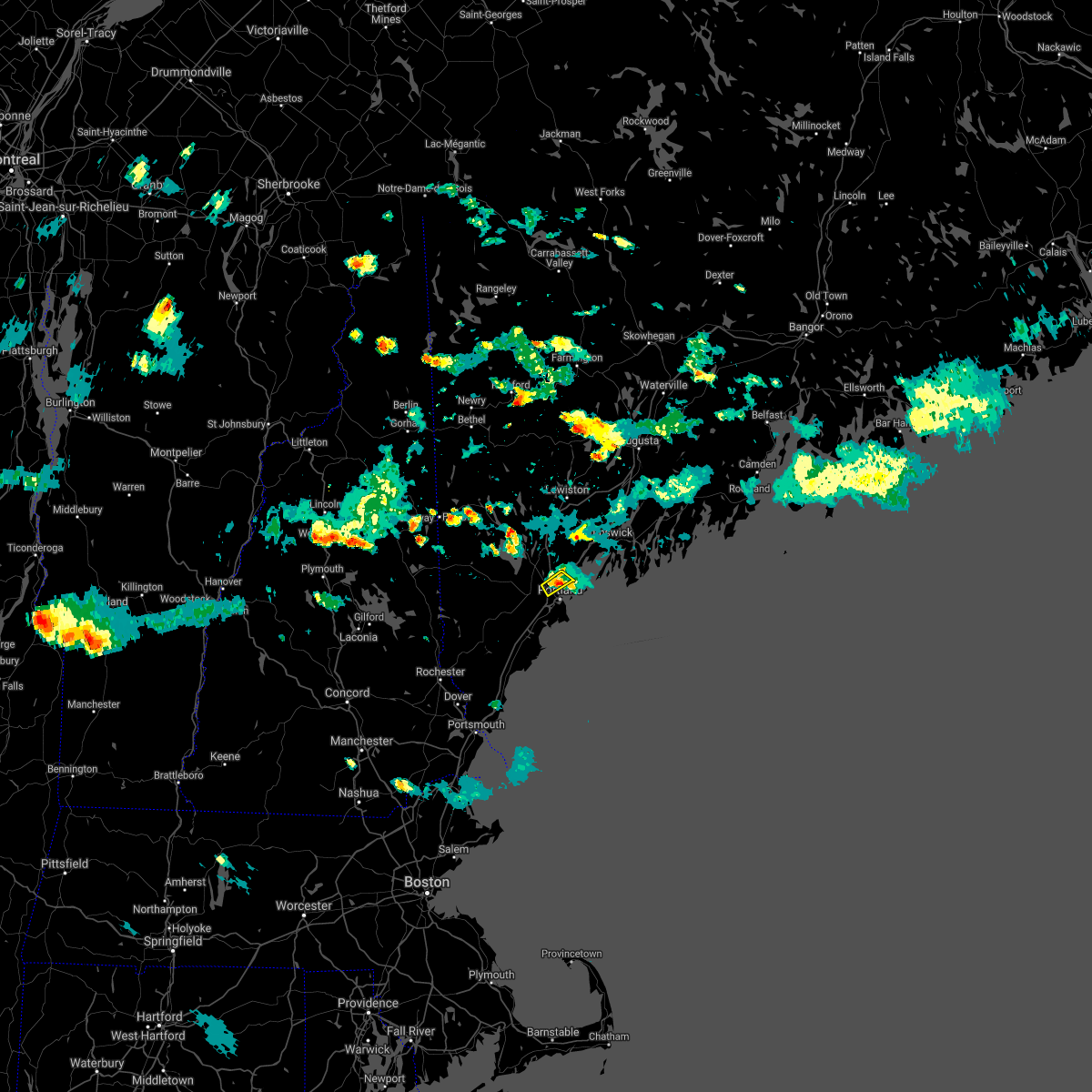
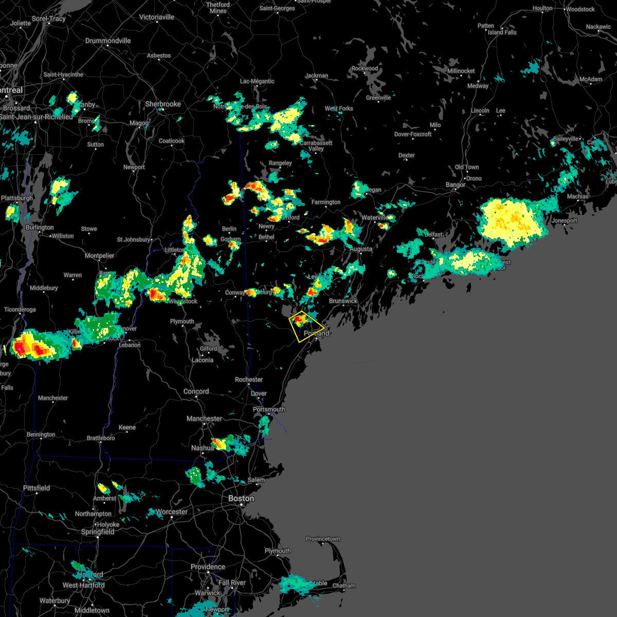
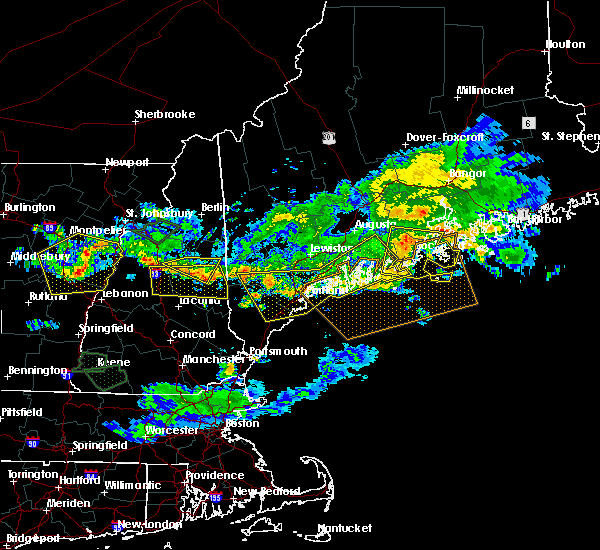
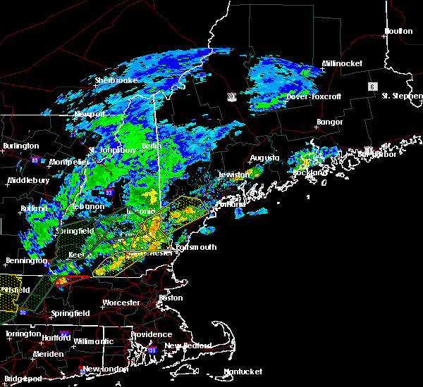
The Portland, ME area has had 6 reports of on-the-ground hail by trained spotters, and has been under severe weather warnings 1 time during the past 12 months. Doppler radar has detected hail at or near Portland, ME on 15 occasions.
| Name: | Portland, ME |
| Where Located: | 1 miles N of Portland, ME |
| Map: | Google Map for Portland, ME |
| Population: | 66194 |
| Housing Units: | 33836 |
| More Info: | Search Google for Portland, ME |
0
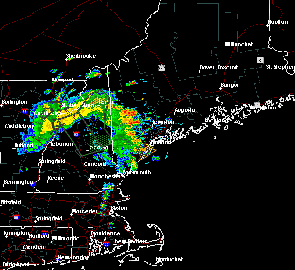
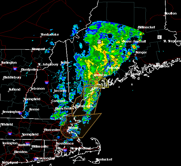
The Top Recent Hail Date for Portland, ME is Wednesday, June 5, 2024 (15th out of 15)

Hail and Wind Damage Spotted near Portland, ME
| Date / Time | Report Details |
|---|---|
| 6/24/2025 6:50 PM EDT |
 Svrgyx the national weather service in gray maine has issued a * severe thunderstorm warning for, northeastern york county in southwestern maine, south central cumberland county in southwestern maine, * until 715 pm edt. * at 650 pm edt, a severe thunderstorm was located over gorham, or near westbrook, moving east at 30 mph (radar indicated). Hazards include 50 to 60 mph wind gusts. expect damage to roofs, siding, and trees Svrgyx the national weather service in gray maine has issued a * severe thunderstorm warning for, northeastern york county in southwestern maine, south central cumberland county in southwestern maine, * until 715 pm edt. * at 650 pm edt, a severe thunderstorm was located over gorham, or near westbrook, moving east at 30 mph (radar indicated). Hazards include 50 to 60 mph wind gusts. expect damage to roofs, siding, and trees
|
| 8/5/2024 8:49 PM EDT | Peak wind portland lighted buoy. delayed reporte in anz154 county ME, 12.1 miles NNW of Portland, ME |
| 7/16/2024 8:52 PM EDT |
 Svrgyx the national weather service in gray maine has issued a * severe thunderstorm warning for, central york county in southwestern maine, southern cumberland county in southwestern maine, * until 945 pm edt. * at 852 pm edt, severe thunderstorms were located along a line extending from near standish to near biddeford to near wells, moving east at 50 mph (radar indicated). Hazards include 60 mph wind gusts. expect damage to roofs, siding, and trees Svrgyx the national weather service in gray maine has issued a * severe thunderstorm warning for, central york county in southwestern maine, southern cumberland county in southwestern maine, * until 945 pm edt. * at 852 pm edt, severe thunderstorms were located along a line extending from near standish to near biddeford to near wells, moving east at 50 mph (radar indicated). Hazards include 60 mph wind gusts. expect damage to roofs, siding, and trees
|
| 7/9/2024 6:29 PM EDT |
 The storm which prompted the warning has weakened below severe limits, and no longer poses an immediate threat to life or property. therefore, the warning will be allowed to expire. remember, a severe thunderstorm warning still remains in effect for cumberland county. The storm which prompted the warning has weakened below severe limits, and no longer poses an immediate threat to life or property. therefore, the warning will be allowed to expire. remember, a severe thunderstorm warning still remains in effect for cumberland county.
|
| 7/9/2024 6:14 PM EDT |
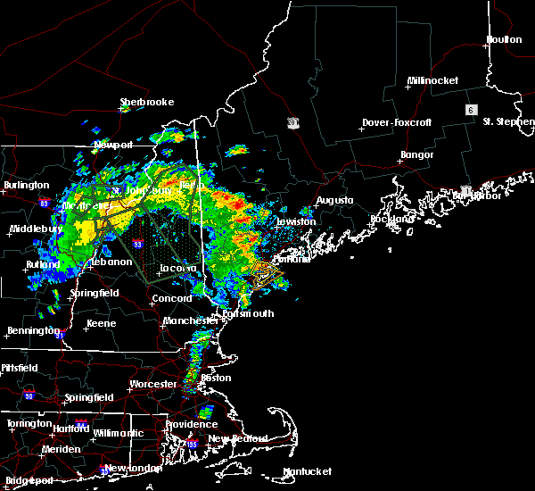
 At 614 pm edt, a severe thunderstorm was located near standish, or 9 miles northwest of westbrook, moving east at 45 mph (radar indicated). Hazards include 60 mph wind gusts and quarter size hail. Hail damage to vehicles is expected. expect wind damage to roofs, siding, and trees. locations impacted include, portland, south portland, westbrook, gorham, falmouth, buxton, gray, hollis, standish, scarborough, raymond, limington, frye island, windham, and baldwin. this includes the following highways, interstate 295 between mile markers 3 and 4. Interstate 95 between mile markers 45 and 50. At 614 pm edt, a severe thunderstorm was located near standish, or 9 miles northwest of westbrook, moving east at 45 mph (radar indicated). Hazards include 60 mph wind gusts and quarter size hail. Hail damage to vehicles is expected. expect wind damage to roofs, siding, and trees. locations impacted include, portland, south portland, westbrook, gorham, falmouth, buxton, gray, hollis, standish, scarborough, raymond, limington, frye island, windham, and baldwin. this includes the following highways, interstate 295 between mile markers 3 and 4. Interstate 95 between mile markers 45 and 50.
|
| 7/9/2024 5:58 PM EDT |
 the severe thunderstorm warning has been cancelled and is no longer in effect the severe thunderstorm warning has been cancelled and is no longer in effect
|
| 7/9/2024 5:58 PM EDT |
 At 557 pm edt, a severe thunderstorm was located near cornish, or 14 miles north of alfred, moving east at 45 mph (radar indicated). Hazards include 60 mph wind gusts and quarter size hail. Hail damage to vehicles is expected. expect wind damage to roofs, siding, and trees. locations impacted include, portland, south portland, westbrook, alfred, gorham, falmouth, buxton, gray, hollis, cornish, waterboro, standish, scarborough, raymond, limington, limerick, frye island, parsonsfield, windham, and newfield. this includes the following highways, interstate 295 between mile markers 3 and 4. Interstate 95 between mile markers 45 and 50. At 557 pm edt, a severe thunderstorm was located near cornish, or 14 miles north of alfred, moving east at 45 mph (radar indicated). Hazards include 60 mph wind gusts and quarter size hail. Hail damage to vehicles is expected. expect wind damage to roofs, siding, and trees. locations impacted include, portland, south portland, westbrook, alfred, gorham, falmouth, buxton, gray, hollis, cornish, waterboro, standish, scarborough, raymond, limington, limerick, frye island, parsonsfield, windham, and newfield. this includes the following highways, interstate 295 between mile markers 3 and 4. Interstate 95 between mile markers 45 and 50.
|
| 7/9/2024 5:42 PM EDT |
 Svrgyx the national weather service in gray maine has issued a * severe thunderstorm warning for, northern york county in southwestern maine, southwestern cumberland county in southwestern maine, north central strafford county in central new hampshire, southeastern carroll county in northern new hampshire, * until 630 pm edt. * at 542 pm edt, a severe thunderstorm was located 8 miles south of effingham, or 10 miles southeast of ossipee, moving east at 45 mph (radar indicated). Hazards include 60 mph wind gusts and quarter size hail. Hail damage to vehicles is expected. Expect wind damage to roofs, siding, and trees. Svrgyx the national weather service in gray maine has issued a * severe thunderstorm warning for, northern york county in southwestern maine, southwestern cumberland county in southwestern maine, north central strafford county in central new hampshire, southeastern carroll county in northern new hampshire, * until 630 pm edt. * at 542 pm edt, a severe thunderstorm was located 8 miles south of effingham, or 10 miles southeast of ossipee, moving east at 45 mph (radar indicated). Hazards include 60 mph wind gusts and quarter size hail. Hail damage to vehicles is expected. Expect wind damage to roofs, siding, and trees.
|
| 6/20/2024 4:57 PM EDT |
 The storm which prompted the warning has weakened below severe limits, and has exited the warned area. therefore, the warning will be allowed to expire. a severe thunderstorm watch remains in effect until 800 pm edt for southwestern maine. The storm which prompted the warning has weakened below severe limits, and has exited the warned area. therefore, the warning will be allowed to expire. a severe thunderstorm watch remains in effect until 800 pm edt for southwestern maine.
|
| 6/20/2024 4:38 PM EDT |
 At 438 pm edt, a severe thunderstorm was located 10 miles east of cape elizabeth, or 12 miles southeast of portland, moving southeast at 20 mph (radar indicated). Hazards include 60 mph wind gusts and quarter size hail. Hail damage to vehicles is expected. expect wind damage to roofs, siding, and trees. locations impacted include, portland, south portland, cumberland, falmouth, cape elizabeth, scarborough, yarmouth, harpswell, and chebeague island. this also includes, higgins beach and crescent beach state park. peaks island, long island, cushing island, cousins island, and great diamond island. this includes the following highways, interstate 295 between mile markers 1 and 14. Interstate 95 between mile markers 45 and 47. At 438 pm edt, a severe thunderstorm was located 10 miles east of cape elizabeth, or 12 miles southeast of portland, moving southeast at 20 mph (radar indicated). Hazards include 60 mph wind gusts and quarter size hail. Hail damage to vehicles is expected. expect wind damage to roofs, siding, and trees. locations impacted include, portland, south portland, cumberland, falmouth, cape elizabeth, scarborough, yarmouth, harpswell, and chebeague island. this also includes, higgins beach and crescent beach state park. peaks island, long island, cushing island, cousins island, and great diamond island. this includes the following highways, interstate 295 between mile markers 1 and 14. Interstate 95 between mile markers 45 and 47.
|
| 6/20/2024 4:38 PM EDT |
 the severe thunderstorm warning has been cancelled and is no longer in effect the severe thunderstorm warning has been cancelled and is no longer in effect
|
| 6/20/2024 4:25 PM EDT | Photo on social media showing a large tree down blocking ocean ave near the intersection with washington ave in portlan in cumberland county ME, 1.3 miles SSE of Portland, ME |
| 6/20/2024 3:55 PM EDT |
 Svrgyx the national weather service in gray maine has issued a * severe thunderstorm warning for, northeastern york county in southwestern maine, southern cumberland county in southwestern maine, * until 500 pm edt. * at 354 pm edt, a severe thunderstorm was located over portland, moving southeast at 20 mph (radar indicated). Hazards include 60 mph wind gusts and quarter size hail. Hail damage to vehicles is expected. Expect wind damage to roofs, siding, and trees. Svrgyx the national weather service in gray maine has issued a * severe thunderstorm warning for, northeastern york county in southwestern maine, southern cumberland county in southwestern maine, * until 500 pm edt. * at 354 pm edt, a severe thunderstorm was located over portland, moving southeast at 20 mph (radar indicated). Hazards include 60 mph wind gusts and quarter size hail. Hail damage to vehicles is expected. Expect wind damage to roofs, siding, and trees.
|
| 6/20/2024 3:46 PM EDT |
 The storm which prompted the warning has weakened below severe limits, and no longer poses an immediate threat to life or property. therefore, the warning has been allowed to expire. however, gusty winds and heavy rain are still possible with this thunderstorm. a severe thunderstorm watch remains in effect until 800 pm edt for southwestern maine. The storm which prompted the warning has weakened below severe limits, and no longer poses an immediate threat to life or property. therefore, the warning has been allowed to expire. however, gusty winds and heavy rain are still possible with this thunderstorm. a severe thunderstorm watch remains in effect until 800 pm edt for southwestern maine.
|
| 6/20/2024 3:33 PM EDT |
 At 333 pm edt, a severe thunderstorm was located over falmouth, or near westbrook, moving east at 15 mph (law enforcement. there have been multiple reports of trees down with this storm). Hazards include 60 mph wind gusts and quarter size hail. Hail damage to vehicles is expected. expect wind damage to roofs, siding, and trees. locations impacted include, portland, westbrook, cumberland, gorham, falmouth, freeport, gray, yarmouth, standish, frye island, windham, and north yarmouth. this includes the following highways, interstate 295 between mile markers 8 and 18. Interstate 95 between mile markers 50 and 59. At 333 pm edt, a severe thunderstorm was located over falmouth, or near westbrook, moving east at 15 mph (law enforcement. there have been multiple reports of trees down with this storm). Hazards include 60 mph wind gusts and quarter size hail. Hail damage to vehicles is expected. expect wind damage to roofs, siding, and trees. locations impacted include, portland, westbrook, cumberland, gorham, falmouth, freeport, gray, yarmouth, standish, frye island, windham, and north yarmouth. this includes the following highways, interstate 295 between mile markers 8 and 18. Interstate 95 between mile markers 50 and 59.
|
| 6/20/2024 3:04 PM EDT |
 Svrgyx the national weather service in gray maine has issued a * severe thunderstorm warning for, central cumberland county in southwestern maine, * until 345 pm edt. * at 304 pm edt, a severe thunderstorm was located near gorham, or near westbrook, moving east at 25 mph (radar indicated). Hazards include 60 mph wind gusts and quarter size hail. Hail damage to vehicles is expected. Expect wind damage to roofs, siding, and trees. Svrgyx the national weather service in gray maine has issued a * severe thunderstorm warning for, central cumberland county in southwestern maine, * until 345 pm edt. * at 304 pm edt, a severe thunderstorm was located near gorham, or near westbrook, moving east at 25 mph (radar indicated). Hazards include 60 mph wind gusts and quarter size hail. Hail damage to vehicles is expected. Expect wind damage to roofs, siding, and trees.
|
| 6/14/2024 8:54 PM EDT |
 The storm which prompted the warning has weakened below severe limits, and no longer poses an immediate threat to life or property. therefore, the warning will be allowed to expire. The storm which prompted the warning has weakened below severe limits, and no longer poses an immediate threat to life or property. therefore, the warning will be allowed to expire.
|
| 6/14/2024 8:44 PM EDT |
 At 842 pm edt, a severe thunderstorm was located 5 miles west of cumberland, moving east at 10 mph (radar indicated). Hazards include 60 mph wind gusts and nickel size hail. Expect damage to roofs, siding, and trees. locations impacted include, cumberland, falmouth, freeport, gray, yarmouth, windham, north yarmouth, and pownal. this includes the following highways, interstate 295 between mile markers 10 and 20. Interstate 95 between mile markers 53 and 63. At 842 pm edt, a severe thunderstorm was located 5 miles west of cumberland, moving east at 10 mph (radar indicated). Hazards include 60 mph wind gusts and nickel size hail. Expect damage to roofs, siding, and trees. locations impacted include, cumberland, falmouth, freeport, gray, yarmouth, windham, north yarmouth, and pownal. this includes the following highways, interstate 295 between mile markers 10 and 20. Interstate 95 between mile markers 53 and 63.
|
| 6/14/2024 8:37 PM EDT |
 Svrgyx the national weather service in gray maine has issued a * severe thunderstorm warning for, central cumberland county in southwestern maine, * until 900 pm edt. * at 836 pm edt, a severe thunderstorm was located near falmouth, or near westbrook, moving southeast at 15 mph (radar indicated). Hazards include 60 mph wind gusts and nickel size hail. expect damage to roofs, siding, and trees Svrgyx the national weather service in gray maine has issued a * severe thunderstorm warning for, central cumberland county in southwestern maine, * until 900 pm edt. * at 836 pm edt, a severe thunderstorm was located near falmouth, or near westbrook, moving southeast at 15 mph (radar indicated). Hazards include 60 mph wind gusts and nickel size hail. expect damage to roofs, siding, and trees
|
| 6/5/2024 3:30 PM EDT |
 The severe thunderstorm which prompted the warning has weakened. therefore, the warning has been allowed to expire. The severe thunderstorm which prompted the warning has weakened. therefore, the warning has been allowed to expire.
|
| 6/5/2024 3:21 PM EDT |
 At 321 pm edt, a severe thunderstorm was located near falmouth, or near westbrook, moving east at 15 mph (radar indicated). Hazards include 60 mph wind gusts and quarter size hail. Hail damage to vehicles is expected. expect wind damage to roofs, siding, and trees. locations impacted include, portland, westbrook, cumberland, gorham, falmouth, gray, and windham. This includes interstate 95 between mile markers 53 and 60. At 321 pm edt, a severe thunderstorm was located near falmouth, or near westbrook, moving east at 15 mph (radar indicated). Hazards include 60 mph wind gusts and quarter size hail. Hail damage to vehicles is expected. expect wind damage to roofs, siding, and trees. locations impacted include, portland, westbrook, cumberland, gorham, falmouth, gray, and windham. This includes interstate 95 between mile markers 53 and 60.
|
| 6/5/2024 2:45 PM EDT |
 Svrgyx the national weather service in gray maine has issued a * severe thunderstorm warning for, central cumberland county in southwestern maine, * until 330 pm edt. * at 245 pm edt, a severe thunderstorm was located near standish, or 9 miles northwest of westbrook, moving east at 10 mph (radar indicated). Hazards include 60 mph wind gusts and quarter size hail. Hail damage to vehicles is expected. Expect wind damage to roofs, siding, and trees. Svrgyx the national weather service in gray maine has issued a * severe thunderstorm warning for, central cumberland county in southwestern maine, * until 330 pm edt. * at 245 pm edt, a severe thunderstorm was located near standish, or 9 miles northwest of westbrook, moving east at 10 mph (radar indicated). Hazards include 60 mph wind gusts and quarter size hail. Hail damage to vehicles is expected. Expect wind damage to roofs, siding, and trees.
|
| 9/8/2023 5:21 PM EDT |
 The severe thunderstorm warning for northern york, cumberland and southern sagadahoc counties will expire at 530 pm edt, the storms which prompted the warning have weakened below severe limits, and no longer pose an immediate threat to life or property. therefore, the warning will be allowed to expire. however, gusty winds are still possible with these thunderstorms. a severe thunderstorm watch remains in effect until 1100 pm edt for western, south central and southwestern maine. The severe thunderstorm warning for northern york, cumberland and southern sagadahoc counties will expire at 530 pm edt, the storms which prompted the warning have weakened below severe limits, and no longer pose an immediate threat to life or property. therefore, the warning will be allowed to expire. however, gusty winds are still possible with these thunderstorms. a severe thunderstorm watch remains in effect until 1100 pm edt for western, south central and southwestern maine.
|
| 9/8/2023 5:08 PM EDT |
 At 508 pm edt, severe thunderstorms were located along a line extending from near standish to near cumberland to 11 miles southeast of yarmouth, moving northeast at 50 mph (radar indicated). Hazards include 60 mph wind gusts and quarter size hail. Hail damage to vehicles is expected. expect wind damage to roofs, siding, and trees. locations impacted include, portland, south portland, brunswick, westbrook, naples, cumberland, saco, gorham, falmouth, cape elizabeth, buxton, freeport, gray, hollis, hiram, cornish, scarborough, raymond, standish, and waterboro. this also includes, sebago lake and douglas mountain. peaks island, long island, cushing island, cousins island, and bailey island. this includes the following highways, interstate 295 between mile markers 1 and 25. interstate 95 between mile markers 40 and 73. hail threat, radar indicated max hail size, 1. 00 in wind threat, radar indicated max wind gust, 60 mph. At 508 pm edt, severe thunderstorms were located along a line extending from near standish to near cumberland to 11 miles southeast of yarmouth, moving northeast at 50 mph (radar indicated). Hazards include 60 mph wind gusts and quarter size hail. Hail damage to vehicles is expected. expect wind damage to roofs, siding, and trees. locations impacted include, portland, south portland, brunswick, westbrook, naples, cumberland, saco, gorham, falmouth, cape elizabeth, buxton, freeport, gray, hollis, hiram, cornish, scarborough, raymond, standish, and waterboro. this also includes, sebago lake and douglas mountain. peaks island, long island, cushing island, cousins island, and bailey island. this includes the following highways, interstate 295 between mile markers 1 and 25. interstate 95 between mile markers 40 and 73. hail threat, radar indicated max hail size, 1. 00 in wind threat, radar indicated max wind gust, 60 mph.
|
| 9/8/2023 4:26 PM EDT |
 At 425 pm edt, severe thunderstorms were located along a line extending from near lebanon to kennebunk to 10 miles southeast of kennebunkport, moving north at 40 mph (radar indicated). Hazards include 60 mph wind gusts and quarter size hail. Hail damage to vehicles is expected. Expect wind damage to roofs, siding, and trees. At 425 pm edt, severe thunderstorms were located along a line extending from near lebanon to kennebunk to 10 miles southeast of kennebunkport, moving north at 40 mph (radar indicated). Hazards include 60 mph wind gusts and quarter size hail. Hail damage to vehicles is expected. Expect wind damage to roofs, siding, and trees.
|
| 7/12/2023 5:35 PM EDT | Delayed report: broadcast meteorologists reported a large tree down on allen road. time estimated by rada in cumberland county ME, 2.5 miles SE of Portland, ME |
| 11/30/2022 7:36 PM EST |
 At 735 pm est, a severe thunderstorm was located near raymond, or near naples, moving northeast at 50 mph (radar indicated). Hazards include 60 mph wind gusts. Expect damage to roofs, siding, and trees. locations impacted include, portland, lewiston, south portland, brunswick, westbrook, bridgton, mechanic falls, alfred, naples, topsham, turner, cumberland, gorham, falmouth, buxton, freeport, gray, hollis, hiram and cornish. this includes the following highways, interstate 295 between mile markers 4 and 29. Interstate 95 between mile markers 45 and 88. At 735 pm est, a severe thunderstorm was located near raymond, or near naples, moving northeast at 50 mph (radar indicated). Hazards include 60 mph wind gusts. Expect damage to roofs, siding, and trees. locations impacted include, portland, lewiston, south portland, brunswick, westbrook, bridgton, mechanic falls, alfred, naples, topsham, turner, cumberland, gorham, falmouth, buxton, freeport, gray, hollis, hiram and cornish. this includes the following highways, interstate 295 between mile markers 4 and 29. Interstate 95 between mile markers 45 and 88.
|
| 11/30/2022 7:07 PM EST |
 At 706 pm est, a line of severe storms was located near effingham, or 7 miles east of ossipee, moving northeast at 50 mph (radar indicated). Hazards include 60 mph wind gusts. expect damage to roofs, siding, and trees At 706 pm est, a line of severe storms was located near effingham, or 7 miles east of ossipee, moving northeast at 50 mph (radar indicated). Hazards include 60 mph wind gusts. expect damage to roofs, siding, and trees
|
| 10/14/2022 11:12 AM EDT |
 At 1112 am edt, severe thunderstorms were located along a line extending from near lebanon to 6 miles south of wells, moving north at 35 mph (radar indicated). Hazards include 60 mph wind gusts. Expect damage to roofs, siding, and trees. locations impacted include, portland, south portland, biddeford, westbrook, alfred, sanford, saco, gorham, somersworth, kennebunk, cape elizabeth, buxton, berwick, lebanon, hollis, kennebunkport, south berwick, scarborough, york and old orchard beach. this includes the following highways, interstate 295 between mile markers 1 and 6. interstate 95 between mile markers 5 and 49. hail threat, radar indicated max hail size, <. 75 in wind threat, radar indicated max wind gust, 60 mph. At 1112 am edt, severe thunderstorms were located along a line extending from near lebanon to 6 miles south of wells, moving north at 35 mph (radar indicated). Hazards include 60 mph wind gusts. Expect damage to roofs, siding, and trees. locations impacted include, portland, south portland, biddeford, westbrook, alfred, sanford, saco, gorham, somersworth, kennebunk, cape elizabeth, buxton, berwick, lebanon, hollis, kennebunkport, south berwick, scarborough, york and old orchard beach. this includes the following highways, interstate 295 between mile markers 1 and 6. interstate 95 between mile markers 5 and 49. hail threat, radar indicated max hail size, <. 75 in wind threat, radar indicated max wind gust, 60 mph.
|
| 10/14/2022 11:00 AM EDT |
 At 1100 am edt, severe thunderstorms were located along a line extending from near rochester to near york, moving north at 35 mph (radar indicated). Hazards include 60 mph wind gusts. expect damage to roofs, siding, and trees At 1100 am edt, severe thunderstorms were located along a line extending from near rochester to near york, moving north at 35 mph (radar indicated). Hazards include 60 mph wind gusts. expect damage to roofs, siding, and trees
|
| 8/26/2022 3:55 PM EDT | At 355 pm edt, a severe thunderstorm was located near hollis, or 12 miles west of westbrook, moving east at 30 mph (radar indicated). Hazards include 60 mph wind gusts and half dollar size hail. Hail damage to vehicles is expected. Expect wind damage to roofs, siding, and trees. |
| 7/21/2022 5:49 PM EDT |
 At 548 pm edt, a severe thunderstorm was located over freeport, or 9 miles southwest of brunswick, moving northeast at 25 mph (radar indicated). Hazards include 60 mph wind gusts and quarter size hail. Hail damage to vehicles is expected. expect wind damage to roofs, siding, and trees. locations impacted include, portland, brunswick, cumberland, falmouth, freeport, gray, yarmouth, harpswell, durham, chebeague island, pownal, north yarmouth and new gloucester. this includes interstate 295 between mile markers 10 and 25. hail threat, radar indicated max hail size, 1. 00 in wind threat, radar indicated max wind gust, 60 mph. At 548 pm edt, a severe thunderstorm was located over freeport, or 9 miles southwest of brunswick, moving northeast at 25 mph (radar indicated). Hazards include 60 mph wind gusts and quarter size hail. Hail damage to vehicles is expected. expect wind damage to roofs, siding, and trees. locations impacted include, portland, brunswick, cumberland, falmouth, freeport, gray, yarmouth, harpswell, durham, chebeague island, pownal, north yarmouth and new gloucester. this includes interstate 295 between mile markers 10 and 25. hail threat, radar indicated max hail size, 1. 00 in wind threat, radar indicated max wind gust, 60 mph.
|
| 7/21/2022 5:32 PM EDT |
 At 532 pm edt, a severe thunderstorm was located over cumberland, or 8 miles north of portland, moving east at 30 mph (radar indicated). Hazards include 60 mph wind gusts and quarter size hail. Hail damage to vehicles is expected. expect wind damage to roofs, siding, and trees. locations impacted include, portland, south portland, brunswick, westbrook, cumberland, gorham, falmouth, freeport, gray, yarmouth, standish, raymond, scarborough, harpswell, durham, chebeague island, frye island, windham, pownal and north yarmouth. this includes the following highways, interstate 295 between mile markers 3 and 25. interstate 95 between mile markers 46 and 63. hail threat, radar indicated max hail size, 1. 00 in wind threat, radar indicated max wind gust, 60 mph. At 532 pm edt, a severe thunderstorm was located over cumberland, or 8 miles north of portland, moving east at 30 mph (radar indicated). Hazards include 60 mph wind gusts and quarter size hail. Hail damage to vehicles is expected. expect wind damage to roofs, siding, and trees. locations impacted include, portland, south portland, brunswick, westbrook, cumberland, gorham, falmouth, freeport, gray, yarmouth, standish, raymond, scarborough, harpswell, durham, chebeague island, frye island, windham, pownal and north yarmouth. this includes the following highways, interstate 295 between mile markers 3 and 25. interstate 95 between mile markers 46 and 63. hail threat, radar indicated max hail size, 1. 00 in wind threat, radar indicated max wind gust, 60 mph.
|
| 7/21/2022 5:08 PM EDT |
 At 507 pm edt, a severe thunderstorm was located over standish, or 9 miles northwest of westbrook, moving east at 25 mph (radar indicated). Hazards include 60 mph wind gusts and quarter size hail. Hail damage to vehicles is expected. Expect wind damage to roofs, siding, and trees. At 507 pm edt, a severe thunderstorm was located over standish, or 9 miles northwest of westbrook, moving east at 25 mph (radar indicated). Hazards include 60 mph wind gusts and quarter size hail. Hail damage to vehicles is expected. Expect wind damage to roofs, siding, and trees.
|
| 9/15/2021 6:03 PM EDT |
 At 603 pm edt, severe thunderstorms were located along a line extending from near westbrook to near kennebunk to south berwick, moving east at 35 mph (radar indicated). Hazards include 60 mph wind gusts and penny size hail. Expect damage to roofs, siding, and trees. locations impacted include, portland, rochester, south portland, biddeford, westbrook, alfred, sanford, cumberland, saco, gorham, somersworth, falmouth, kennebunk, cape elizabeth, barrington, buxton, berwick, lebanon, hollis and kennebunkport. hail threat, radar indicated max hail size, 0. 75 in wind threat, radar indicated max wind gust, 60 mph. At 603 pm edt, severe thunderstorms were located along a line extending from near westbrook to near kennebunk to south berwick, moving east at 35 mph (radar indicated). Hazards include 60 mph wind gusts and penny size hail. Expect damage to roofs, siding, and trees. locations impacted include, portland, rochester, south portland, biddeford, westbrook, alfred, sanford, cumberland, saco, gorham, somersworth, falmouth, kennebunk, cape elizabeth, barrington, buxton, berwick, lebanon, hollis and kennebunkport. hail threat, radar indicated max hail size, 0. 75 in wind threat, radar indicated max wind gust, 60 mph.
|
| 9/15/2021 5:29 PM EDT |
 At 529 pm edt, severe thunderstorms were located along a line extending from near cornish to 8 miles northwest of lebanon to near barnstead, moving east at 35 mph (radar indicated). Hazards include 60 mph wind gusts and quarter size hail. Hail damage to vehicles is expected. Expect wind damage to roofs, siding, and trees. At 529 pm edt, severe thunderstorms were located along a line extending from near cornish to 8 miles northwest of lebanon to near barnstead, moving east at 35 mph (radar indicated). Hazards include 60 mph wind gusts and quarter size hail. Hail damage to vehicles is expected. Expect wind damage to roofs, siding, and trees.
|
| 7/23/2021 6:32 PM EDT |
 At 632 pm edt, a severe thunderstorm was located over downtown portland, moving southeast at 20 mph (radar indicated). Hazards include 60 mph wind gusts and quarter size hail. Hail damage to vehicles is expected. expect wind damage to roofs, siding, and trees. locations impacted include, portland, south portland, westbrook, cumberland, falmouth, cape elizabeth, scarborough, yarmouth and chebeague island. this also includes, higgins beach and crescent beach state park. peaks island, long island, cushing island, cousins island, and great diamond island. this includes the following highways, interstate 295 between mile markers 1 and 14. Interstate 95 between mile markers 44 and 51. At 632 pm edt, a severe thunderstorm was located over downtown portland, moving southeast at 20 mph (radar indicated). Hazards include 60 mph wind gusts and quarter size hail. Hail damage to vehicles is expected. expect wind damage to roofs, siding, and trees. locations impacted include, portland, south portland, westbrook, cumberland, falmouth, cape elizabeth, scarborough, yarmouth and chebeague island. this also includes, higgins beach and crescent beach state park. peaks island, long island, cushing island, cousins island, and great diamond island. this includes the following highways, interstate 295 between mile markers 1 and 14. Interstate 95 between mile markers 44 and 51.
|
| 7/23/2021 6:17 PM EDT |
 At 616 pm edt, a severe thunderstorm was located near the north side of portland, moving southeast at 20 mph. this storm will likely affect the city of portland and nearby areas (radar indicated). Hazards include 60 mph wind gusts and quarter size hail. Hail damage to vehicles is expected. Expect wind damage to roofs, siding, and trees. At 616 pm edt, a severe thunderstorm was located near the north side of portland, moving southeast at 20 mph. this storm will likely affect the city of portland and nearby areas (radar indicated). Hazards include 60 mph wind gusts and quarter size hail. Hail damage to vehicles is expected. Expect wind damage to roofs, siding, and trees.
|
| 7/23/2021 6:09 PM EDT |
 At 609 pm edt, a severe thunderstorm was located near cumberland, or 7 miles north of portland along interstate 95, moving southeast at 20 mph (radar indicated). Hazards include 60 mph wind gusts and quarter size hail. Hail damage to vehicles is expected. expect wind damage to roofs, siding, and trees. locations impacted include, portland, south portland, westbrook, cumberland, falmouth, gray, yarmouth, chebeague island, north yarmouth and windham. this also includes, long island, cousins island, great diamond island, mackworth island, and little diamond island. this includes the following highways, interstate 295 between mile markers 4 and 16. Interstate 95 between mile markers 46 and 59. At 609 pm edt, a severe thunderstorm was located near cumberland, or 7 miles north of portland along interstate 95, moving southeast at 20 mph (radar indicated). Hazards include 60 mph wind gusts and quarter size hail. Hail damage to vehicles is expected. expect wind damage to roofs, siding, and trees. locations impacted include, portland, south portland, westbrook, cumberland, falmouth, gray, yarmouth, chebeague island, north yarmouth and windham. this also includes, long island, cousins island, great diamond island, mackworth island, and little diamond island. this includes the following highways, interstate 295 between mile markers 4 and 16. Interstate 95 between mile markers 46 and 59.
|
| 7/23/2021 5:53 PM EDT |
 At 553 pm edt, a severe thunderstorm was located near gray, or 11 miles north of westbrook, moving south at 25 mph (radar indicated). Hazards include 60 mph wind gusts and quarter size hail. Hail damage to vehicles is expected. Expect wind damage to roofs, siding, and trees. At 553 pm edt, a severe thunderstorm was located near gray, or 11 miles north of westbrook, moving south at 25 mph (radar indicated). Hazards include 60 mph wind gusts and quarter size hail. Hail damage to vehicles is expected. Expect wind damage to roofs, siding, and trees.
|
| 7/20/2021 3:14 PM EDT |
 At 312 pm edt, a severe thunderstorm was located near falmouth foreside, moving east at 10 mph into casco bay. damaging winds and torrential rainfall are likely (radar indicated). Hazards include 60 mph wind gusts and quarter size hail. Hail damage to vehicles is expected. expect wind damage to roofs, siding, and trees. locations impacted include, portland, south portland, cumberland, falmouth, harpswell and chebeague island. this also includes, peaks island, long island, cushing island, great diamond island, and mackworth island. This includes interstate 295 between mile markers 6 and 12. At 312 pm edt, a severe thunderstorm was located near falmouth foreside, moving east at 10 mph into casco bay. damaging winds and torrential rainfall are likely (radar indicated). Hazards include 60 mph wind gusts and quarter size hail. Hail damage to vehicles is expected. expect wind damage to roofs, siding, and trees. locations impacted include, portland, south portland, cumberland, falmouth, harpswell and chebeague island. this also includes, peaks island, long island, cushing island, great diamond island, and mackworth island. This includes interstate 295 between mile markers 6 and 12.
|
| 7/20/2021 2:55 PM EDT | Tree limbs down near washington and allen ave in portlan in cumberland county ME, 1.6 miles SE of Portland, ME |
| 7/20/2021 2:46 PM EDT |
 At 245 pm edt, a severe thunderstorm was located over falmouth, or just north of portland, moving east at 15 mph (radar indicated). Hazards include 60 mph wind gusts and quarter size hail. Hail damage to vehicles is expected. Expect wind damage to roofs, siding, and trees. At 245 pm edt, a severe thunderstorm was located over falmouth, or just north of portland, moving east at 15 mph (radar indicated). Hazards include 60 mph wind gusts and quarter size hail. Hail damage to vehicles is expected. Expect wind damage to roofs, siding, and trees.
|
| 5/26/2021 7:52 PM EDT |
 The severe thunderstorm warning for southeastern york, southeastern rockingham and southeastern strafford counties will expire at 800 pm edt, the storms which prompted the warning have moved out of the area. therefore, the warning will be allowed to expire. a severe thunderstorm watch remains in effect until 1100 pm edt for southwestern maine, and southern and central new hampshire. The severe thunderstorm warning for southeastern york, southeastern rockingham and southeastern strafford counties will expire at 800 pm edt, the storms which prompted the warning have moved out of the area. therefore, the warning will be allowed to expire. a severe thunderstorm watch remains in effect until 1100 pm edt for southwestern maine, and southern and central new hampshire.
|
| 5/26/2021 7:41 PM EDT |
 At 740 pm edt, severe thunderstorms were located along a line extending from 8 miles south of cape elizabeth to 9 miles southeast of york to 18 miles south of hampton, moving east at 45 mph (radar indicated). Hazards include 60 mph wind gusts. Expect damage to roofs, siding, and trees. locations impacted include, biddeford, portsmouth, hampton, durham, exeter, kittery, dover, saco, kennebunk, greenland, kennebunkport, york, newington, seabrook, rye, old orchard beach, stratham, wells, newmarket and south berwick. this also includes, hampton beach, york beach, ogunquit beach, wells beach, and fortunes rock beach. this includes the following highways, interstate 95 between mile markers 1 and 39. Interstate 95 in new hampshire between mile markers 0 and 16. At 740 pm edt, severe thunderstorms were located along a line extending from 8 miles south of cape elizabeth to 9 miles southeast of york to 18 miles south of hampton, moving east at 45 mph (radar indicated). Hazards include 60 mph wind gusts. Expect damage to roofs, siding, and trees. locations impacted include, biddeford, portsmouth, hampton, durham, exeter, kittery, dover, saco, kennebunk, greenland, kennebunkport, york, newington, seabrook, rye, old orchard beach, stratham, wells, newmarket and south berwick. this also includes, hampton beach, york beach, ogunquit beach, wells beach, and fortunes rock beach. this includes the following highways, interstate 95 between mile markers 1 and 39. Interstate 95 in new hampshire between mile markers 0 and 16.
|
| 5/26/2021 7:24 PM EDT |
 At 723 pm edt, severe thunderstorms were located along a line extending from near biddeford to newington to 13 miles southeast of salem, moving east at 45 mph. these storms have a history of producing wind damage (radar indicated). Hazards include 60 mph wind gusts. Expect damage to roofs, siding, and trees. locations impacted include, derry, rochester, biddeford, portsmouth, hampton, durham, exeter, kittery, alfred, sanford, salem, dover, saco, somersworth, kennebunk, barrington, buxton, berwick, epping and lebanon. this also includes, hampton beach, york beach, ogunquit beach, wells beach, and fortunes rock beach. this includes the following highways, interstate 93 between mile markers 0 and 4. interstate 95 between mile markers 1 and 39. Interstate 95 in new hampshire between mile markers 0 and 16. At 723 pm edt, severe thunderstorms were located along a line extending from near biddeford to newington to 13 miles southeast of salem, moving east at 45 mph. these storms have a history of producing wind damage (radar indicated). Hazards include 60 mph wind gusts. Expect damage to roofs, siding, and trees. locations impacted include, derry, rochester, biddeford, portsmouth, hampton, durham, exeter, kittery, alfred, sanford, salem, dover, saco, somersworth, kennebunk, barrington, buxton, berwick, epping and lebanon. this also includes, hampton beach, york beach, ogunquit beach, wells beach, and fortunes rock beach. this includes the following highways, interstate 93 between mile markers 0 and 4. interstate 95 between mile markers 1 and 39. Interstate 95 in new hampshire between mile markers 0 and 16.
|
| 5/26/2021 7:16 PM EDT |
 At 716 pm edt, a severe thunderstorm was located over portland, moving northeast at 50 mph (radar indicated). Hazards include 60 mph wind gusts. expect damage to roofs, siding, and trees At 716 pm edt, a severe thunderstorm was located over portland, moving northeast at 50 mph (radar indicated). Hazards include 60 mph wind gusts. expect damage to roofs, siding, and trees
|
| 5/26/2021 6:59 PM EDT |
 The national weather service in gray maine has issued a * severe thunderstorm warning for. york county in southwestern maine. rockingham county in southern new hampshire. strafford county in central new hampshire. Southeastern hillsborough county in southern new hampshire. The national weather service in gray maine has issued a * severe thunderstorm warning for. york county in southwestern maine. rockingham county in southern new hampshire. strafford county in central new hampshire. Southeastern hillsborough county in southern new hampshire.
|
| 5/26/2021 6:59 PM EDT |
 At 658 pm edt, severe thunderstorms were located along a line extending from 8 miles northeast of farmington to 6 miles northwest of raymond to near nashua, moving east at 45 mph. this storm has a history of producing wind damage (radar indicated). Hazards include 60 mph wind gusts. expect damage to roofs, siding, and trees At 658 pm edt, severe thunderstorms were located along a line extending from 8 miles northeast of farmington to 6 miles northwest of raymond to near nashua, moving east at 45 mph. this storm has a history of producing wind damage (radar indicated). Hazards include 60 mph wind gusts. expect damage to roofs, siding, and trees
|
| 8/24/2020 5:40 PM EDT |
 The severe thunderstorm warning for south central cumberland county will expire at 545 pm edt, the storm which prompted the warning has weakened below severe limits, and no longer poses an immediate threat to life or property. therefore, the warning will be allowed to expire. however heavy rain is still possible with this thunderstorm. The severe thunderstorm warning for south central cumberland county will expire at 545 pm edt, the storm which prompted the warning has weakened below severe limits, and no longer poses an immediate threat to life or property. therefore, the warning will be allowed to expire. however heavy rain is still possible with this thunderstorm.
|
| 8/24/2020 5:31 PM EDT |
 At 531 pm edt, a severe thunderstorm was located over falmouth, or near portland, moving southeast at 15 mph (radar indicated). Hazards include 60 mph wind gusts and quarter size hail. Hail damage to vehicles is expected. expect wind damage to roofs, siding, and trees. locations impacted include, portland, westbrook, cumberland and falmouth. this includes the following highways, interstate 295 between mile markers 9 and 13. Interstate 95 between mile markers 48 and 53. At 531 pm edt, a severe thunderstorm was located over falmouth, or near portland, moving southeast at 15 mph (radar indicated). Hazards include 60 mph wind gusts and quarter size hail. Hail damage to vehicles is expected. expect wind damage to roofs, siding, and trees. locations impacted include, portland, westbrook, cumberland and falmouth. this includes the following highways, interstate 295 between mile markers 9 and 13. Interstate 95 between mile markers 48 and 53.
|
| 8/24/2020 4:57 PM EDT |
 At 457 pm edt, a severe thunderstorm was located near standish, or 8 miles northwest of westbrook, moving southeast at 15 mph (radar indicated). Hazards include 60 mph wind gusts and quarter size hail. Hail damage to vehicles is expected. Expect wind damage to roofs, siding, and trees. At 457 pm edt, a severe thunderstorm was located near standish, or 8 miles northwest of westbrook, moving southeast at 15 mph (radar indicated). Hazards include 60 mph wind gusts and quarter size hail. Hail damage to vehicles is expected. Expect wind damage to roofs, siding, and trees.
|
| 7/14/2020 10:39 AM EDT |
 The severe thunderstorm warning for south central cumberland county will expire at 1045 am edt, the storm which prompted the warning has weakened below severe limits, and no longer poses an immediate threat to life or property. therefore, the warning will be allowed to expire. however heavy rain is still possible with this thunderstorm. The severe thunderstorm warning for south central cumberland county will expire at 1045 am edt, the storm which prompted the warning has weakened below severe limits, and no longer poses an immediate threat to life or property. therefore, the warning will be allowed to expire. however heavy rain is still possible with this thunderstorm.
|
| 7/14/2020 10:26 AM EDT |
 At 1026 am edt, a severe thunderstorm was located over scarborough, or near biddeford, moving northeast at 15 mph (radar indicated). Hazards include 60 mph wind gusts and quarter size hail. Hail damage to vehicles is expected. expect wind damage to roofs, siding, and trees. locations impacted include, portland, south portland, westbrook, saco, gorham, cape elizabeth, scarborough, old orchard beach and windham. this also includes, higgins beach, crescent beach state park, and scarborough beach state park. cushing island. this includes the following highways, interstate 295 between mile markers 1 and 8. Interstate 95 between mile markers 39 and 50. At 1026 am edt, a severe thunderstorm was located over scarborough, or near biddeford, moving northeast at 15 mph (radar indicated). Hazards include 60 mph wind gusts and quarter size hail. Hail damage to vehicles is expected. expect wind damage to roofs, siding, and trees. locations impacted include, portland, south portland, westbrook, saco, gorham, cape elizabeth, scarborough, old orchard beach and windham. this also includes, higgins beach, crescent beach state park, and scarborough beach state park. cushing island. this includes the following highways, interstate 295 between mile markers 1 and 8. Interstate 95 between mile markers 39 and 50.
|
| 7/14/2020 10:03 AM EDT |
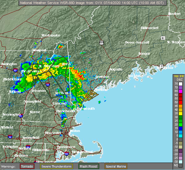 At 1002 am edt, a severe thunderstorm was located over saco, or over biddeford, moving northeast at 15 mph (radar indicated). Hazards include 60 mph wind gusts and quarter size hail. Hail damage to vehicles is expected. Expect wind damage to roofs, siding, and trees. At 1002 am edt, a severe thunderstorm was located over saco, or over biddeford, moving northeast at 15 mph (radar indicated). Hazards include 60 mph wind gusts and quarter size hail. Hail damage to vehicles is expected. Expect wind damage to roofs, siding, and trees.
|
| 7/13/2020 3:08 PM EDT |
 The severe thunderstorm warning for northeastern york and south central cumberland counties will expire at 315 pm edt, the storm which prompted the warning has weakened below severe limits, and no longer poses an immediate threat to life or property. therefore, the warning will be allowed to expire. however gusty winds and heavy rain are still possible with this thunderstorm. to report severe weather, contact your nearest law enforcement agency. they will relay your report to the national weather service gray maine. The severe thunderstorm warning for northeastern york and south central cumberland counties will expire at 315 pm edt, the storm which prompted the warning has weakened below severe limits, and no longer poses an immediate threat to life or property. therefore, the warning will be allowed to expire. however gusty winds and heavy rain are still possible with this thunderstorm. to report severe weather, contact your nearest law enforcement agency. they will relay your report to the national weather service gray maine.
|
| 7/13/2020 2:40 PM EDT |
 At 240 pm edt, a severe thunderstorm was located near waterboro, or near alfred, moving east at 5 mph (radar indicated). Hazards include 60 mph wind gusts and penny size hail. Expect damage to roofs, siding, and trees. locations impacted include, south portland, biddeford, westbrook, alfred, saco, gorham, kennebunk, buxton, hollis, kennebunkport, old orchard beach, waterboro, scarborough, lyman, arundel and dayton. this also includes, fortunes rock beach. This includes interstate 95 between mile markers 28 and 44. At 240 pm edt, a severe thunderstorm was located near waterboro, or near alfred, moving east at 5 mph (radar indicated). Hazards include 60 mph wind gusts and penny size hail. Expect damage to roofs, siding, and trees. locations impacted include, south portland, biddeford, westbrook, alfred, saco, gorham, kennebunk, buxton, hollis, kennebunkport, old orchard beach, waterboro, scarborough, lyman, arundel and dayton. this also includes, fortunes rock beach. This includes interstate 95 between mile markers 28 and 44.
|
| 7/13/2020 2:17 PM EDT |
 At 217 pm edt, a severe thunderstorm was located over waterboro, or near alfred, moving east at 5 mph (radar indicated). Hazards include 60 mph wind gusts and dime size hail. expect damage to roofs, siding, and trees At 217 pm edt, a severe thunderstorm was located over waterboro, or near alfred, moving east at 5 mph (radar indicated). Hazards include 60 mph wind gusts and dime size hail. expect damage to roofs, siding, and trees
|
| 7/8/2020 7:11 PM EDT |
 At 711 pm edt, severe thunderstorms were located along a line extending from near scarborough to 11 miles west of waterboro, moving east at 20 mph (radar indicated). Hazards include 60 mph wind gusts and quarter size hail. Hail damage to vehicles is expected. Expect wind damage to roofs, siding, and trees. At 711 pm edt, severe thunderstorms were located along a line extending from near scarborough to 11 miles west of waterboro, moving east at 20 mph (radar indicated). Hazards include 60 mph wind gusts and quarter size hail. Hail damage to vehicles is expected. Expect wind damage to roofs, siding, and trees.
|
| 7/8/2020 6:39 PM EDT |
 At 639 pm edt, severe thunderstorms were located along a line extending from near bristol to falmouth to 6 miles southeast of cornish, moving south at 30 mph (radar indicated). Hazards include 60 mph wind gusts and quarter size hail. Hail damage to vehicles is expected. expect wind damage to roofs, siding, and trees. locations impacted include, portland, south portland, biddeford, brunswick, westbrook, bath, damariscotta, wiscasset, topsham, naples, cumberland, saco, gorham, falmouth, kennebunk, cape elizabeth, buxton, freeport, gray and hollis. this also includes, sebago lake, higgins beach, crescent beach state park, scarborough beach state park, and reid state park. peaks island, long island, cushing island, cousins island, and bailey island. this includes the following highways, interstate 295 between mile markers 1 and 24. Interstate 95 between mile markers 29 and 62. At 639 pm edt, severe thunderstorms were located along a line extending from near bristol to falmouth to 6 miles southeast of cornish, moving south at 30 mph (radar indicated). Hazards include 60 mph wind gusts and quarter size hail. Hail damage to vehicles is expected. expect wind damage to roofs, siding, and trees. locations impacted include, portland, south portland, biddeford, brunswick, westbrook, bath, damariscotta, wiscasset, topsham, naples, cumberland, saco, gorham, falmouth, kennebunk, cape elizabeth, buxton, freeport, gray and hollis. this also includes, sebago lake, higgins beach, crescent beach state park, scarborough beach state park, and reid state park. peaks island, long island, cushing island, cousins island, and bailey island. this includes the following highways, interstate 295 between mile markers 1 and 24. Interstate 95 between mile markers 29 and 62.
|
| 7/8/2020 6:14 PM EDT |
 At 612 pm edt, severe thunderstorms were located along a line extending from 9 miles northeast of damariscotta to near brunswick to hiram, moving southeast at 50 mph. this line of storms has a history of damaging wind gusts. winds may arrive well before the rain arrives (radar indicated and spotter confirmed). Hazards include 60 mph wind gusts and quarter size hail. Hail damage to vehicles is expected. expect wind damage to roofs, siding, and trees. locations impacted include, portland, south portland, biddeford, brunswick, westbrook, bath, damariscotta, topsham, wiscasset, naples, cumberland, saco, gorham, falmouth, kennebunk, cape elizabeth, buxton, freeport, gray and hollis. this also includes, sebago lake, higgins beach, crescent beach state park, scarborough beach state park, and reid state park. peaks island, long island, cushing island, cousins island, and bailey island. this includes the following highways, interstate 295 between mile markers 1 and 41. Interstate 95 between mile markers 29 and 67. At 612 pm edt, severe thunderstorms were located along a line extending from 9 miles northeast of damariscotta to near brunswick to hiram, moving southeast at 50 mph. this line of storms has a history of damaging wind gusts. winds may arrive well before the rain arrives (radar indicated and spotter confirmed). Hazards include 60 mph wind gusts and quarter size hail. Hail damage to vehicles is expected. expect wind damage to roofs, siding, and trees. locations impacted include, portland, south portland, biddeford, brunswick, westbrook, bath, damariscotta, topsham, wiscasset, naples, cumberland, saco, gorham, falmouth, kennebunk, cape elizabeth, buxton, freeport, gray and hollis. this also includes, sebago lake, higgins beach, crescent beach state park, scarborough beach state park, and reid state park. peaks island, long island, cushing island, cousins island, and bailey island. this includes the following highways, interstate 295 between mile markers 1 and 41. Interstate 95 between mile markers 29 and 67.
|
| 7/8/2020 6:02 PM EDT |
 At 601 pm edt, severe thunderstorms were located along a line extending from 11 miles east of farmingdale to near topsham to near hiram, moving southeast at 45 mph (radar indicated). Hazards include 60 mph wind gusts and quarter size hail. Hail damage to vehicles is expected. Expect wind damage to roofs, siding, and trees. At 601 pm edt, severe thunderstorms were located along a line extending from 11 miles east of farmingdale to near topsham to near hiram, moving southeast at 45 mph (radar indicated). Hazards include 60 mph wind gusts and quarter size hail. Hail damage to vehicles is expected. Expect wind damage to roofs, siding, and trees.
|
| 7/2/2020 8:11 PM EDT |
 At 811 pm edt, a severe thunderstorm was located over scarborough, or near south portland, moving south at 20 mph (radar indicated). Hazards include 60 mph wind gusts and penny size hail. Expect damage to roofs, siding, and trees. locations impacted include, portland, south portland, westbrook, cumberland, saco, gorham, falmouth, cape elizabeth, buxton, old orchard beach, scarborough and chebeague island. this also includes, higgins beach and scarborough beach state park. peaks island, long island, cushing island, great diamond island, and mackworth island. this includes the following highways, interstate 295 between mile markers 1 and 13. Interstate 95 between mile markers 36 and 52. At 811 pm edt, a severe thunderstorm was located over scarborough, or near south portland, moving south at 20 mph (radar indicated). Hazards include 60 mph wind gusts and penny size hail. Expect damage to roofs, siding, and trees. locations impacted include, portland, south portland, westbrook, cumberland, saco, gorham, falmouth, cape elizabeth, buxton, old orchard beach, scarborough and chebeague island. this also includes, higgins beach and scarborough beach state park. peaks island, long island, cushing island, great diamond island, and mackworth island. this includes the following highways, interstate 295 between mile markers 1 and 13. Interstate 95 between mile markers 36 and 52.
|
| 7/2/2020 7:58 PM EDT |
 At 757 pm edt, a severe thunderstorm was located over westbrook, moving south at 20 mph (radar indicated). Hazards include 60 mph wind gusts and penny size hail. expect damage to roofs, siding, and trees At 757 pm edt, a severe thunderstorm was located over westbrook, moving south at 20 mph (radar indicated). Hazards include 60 mph wind gusts and penny size hail. expect damage to roofs, siding, and trees
|
| 7/2/2020 7:28 PM EDT |
 At 728 pm edt, a severe thunderstorm was located over westbrook, moving south at 15 mph (radar indicated). Hazards include 60 mph wind gusts and nickel size hail. Expect damage to roofs, siding, and trees. locations impacted include, portland, westbrook, gorham, falmouth, buxton, scarborough and windham. This includes interstate 95 between mile markers 47 and 51. At 728 pm edt, a severe thunderstorm was located over westbrook, moving south at 15 mph (radar indicated). Hazards include 60 mph wind gusts and nickel size hail. Expect damage to roofs, siding, and trees. locations impacted include, portland, westbrook, gorham, falmouth, buxton, scarborough and windham. This includes interstate 95 between mile markers 47 and 51.
|
| 7/2/2020 7:10 PM EDT |
 At 710 pm edt, a severe thunderstorm was located near gorham, or near westbrook, moving south at 15 mph (radar indicated). Hazards include 60 mph wind gusts and nickel size hail. expect damage to roofs, siding, and trees At 710 pm edt, a severe thunderstorm was located near gorham, or near westbrook, moving south at 15 mph (radar indicated). Hazards include 60 mph wind gusts and nickel size hail. expect damage to roofs, siding, and trees
|
| 9/6/2018 12:12 PM EDT |
 At 1211 pm edt, a severe thunderstorm was located near freeport, or 10 miles southwest of brunswick, moving east at 40 mph (radar indicated). Hazards include 60 mph wind gusts and quarter size hail. Hail damage to vehicles is expected. expect wind damage to roofs, siding, and trees. locations impacted include, portland, cumberland, falmouth, freeport, gray, yarmouth, standish, harpswell, chebeague island, windham, pownal, north yarmouth, phippsburg and new gloucester. this also includes, cousins island, bailey island, orrs island, hope island, and cliff island. this includes the following highways, interstate 295 between mile markers 11 and 22. Interstate 95 between mile markers 54 and 63. At 1211 pm edt, a severe thunderstorm was located near freeport, or 10 miles southwest of brunswick, moving east at 40 mph (radar indicated). Hazards include 60 mph wind gusts and quarter size hail. Hail damage to vehicles is expected. expect wind damage to roofs, siding, and trees. locations impacted include, portland, cumberland, falmouth, freeport, gray, yarmouth, standish, harpswell, chebeague island, windham, pownal, north yarmouth, phippsburg and new gloucester. this also includes, cousins island, bailey island, orrs island, hope island, and cliff island. this includes the following highways, interstate 295 between mile markers 11 and 22. Interstate 95 between mile markers 54 and 63.
|
| 9/6/2018 11:40 AM EDT |
 The national weather service in gray maine has issued a * severe thunderstorm warning for. south central oxford county in western maine. cumberland county in southwestern maine. southern sagadahoc county in south central maine. Until 1245 pm edt. The national weather service in gray maine has issued a * severe thunderstorm warning for. south central oxford county in western maine. cumberland county in southwestern maine. southern sagadahoc county in south central maine. Until 1245 pm edt.
|
| 8/7/2018 5:01 PM EDT |
 The national weather service in gray maine has issued a * severe thunderstorm warning for. north central york county in southwestern maine. southern androscoggin county in southwestern maine. central cumberland county in southwestern maine. Northwestern sagadahoc county in south central maine. The national weather service in gray maine has issued a * severe thunderstorm warning for. north central york county in southwestern maine. southern androscoggin county in southwestern maine. central cumberland county in southwestern maine. Northwestern sagadahoc county in south central maine.
|
| 8/3/2018 6:27 PM EDT |
 The severe thunderstorm warning for northern york and southwestern cumberland counties will expire at 630 pm edt, the severe thunderstorm which prompted the warning has weakened. therefore, the warning will be allowed to expire. The severe thunderstorm warning for northern york and southwestern cumberland counties will expire at 630 pm edt, the severe thunderstorm which prompted the warning has weakened. therefore, the warning will be allowed to expire.
|
| 8/3/2018 6:11 PM EDT |
 At 524 pm edt, severe thunderstorms were located along a line extending from near buxton to near farmington, moving northeast at 30 mph (radar indicated). Hazards include 60 mph wind gusts and quarter size hail. Hail damage to vehicles is expected. Expect wind damage to roofs, siding, and trees. At 524 pm edt, severe thunderstorms were located along a line extending from near buxton to near farmington, moving northeast at 30 mph (radar indicated). Hazards include 60 mph wind gusts and quarter size hail. Hail damage to vehicles is expected. Expect wind damage to roofs, siding, and trees.
|
| 8/3/2018 5:24 PM EDT |
 The national weather service in gray maine has issued a * severe thunderstorm warning for. northern york county in southwestern maine. southwestern cumberland county in southwestern maine. central strafford county in central new hampshire. East central belknap county in central new hampshire. The national weather service in gray maine has issued a * severe thunderstorm warning for. northern york county in southwestern maine. southwestern cumberland county in southwestern maine. central strafford county in central new hampshire. East central belknap county in central new hampshire.
|
| 8/3/2018 5:24 PM EDT |
 At 524 pm edt, severe thunderstorms were located along a line extending from near buxton to near farmington, moving northeast at 30 mph (radar indicated). Hazards include 60 mph wind gusts and quarter size hail. Hail damage to vehicles is expected. Expect wind damage to roofs, siding, and trees. At 524 pm edt, severe thunderstorms were located along a line extending from near buxton to near farmington, moving northeast at 30 mph (radar indicated). Hazards include 60 mph wind gusts and quarter size hail. Hail damage to vehicles is expected. Expect wind damage to roofs, siding, and trees.
|
| 7/10/2018 5:39 PM EDT | Trees down in libbytown area of portland in cumberland county ME, 1.5 miles NE of Portland, ME |
| 7/10/2018 5:38 PM EDT | Tree limbs and wires down on glecker rd in back cove area of portland in cumberland county ME, 1.2 miles ESE of Portland, ME |
| 7/10/2018 5:38 PM EDT | Trees down on woodford steet blocking the road in cumberland county ME, 1.7 miles E of Portland, ME |
| 7/10/2018 5:34 PM EDT |
 At 533 pm edt, a severe thunderstorm was located over westbrook, moving southeast at 25 mph (radar indicated with damage confirmed by law enforcement). Hazards include 60 mph wind gusts. Expect damage to roofs, siding, and trees. locations impacted include, portland, south portland, westbrook, cumberland, gorham, falmouth, cape elizabeth, freeport, yarmouth, scarborough, harpswell, chebeague island, windham and north yarmouth. this also includes, peaks island, long island, cushing island, cousins island, and great diamond island. this includes the following highways, interstate 295 between mile markers 1 and 17. Interstate 95 between mile markers 45 and 59. At 533 pm edt, a severe thunderstorm was located over westbrook, moving southeast at 25 mph (radar indicated with damage confirmed by law enforcement). Hazards include 60 mph wind gusts. Expect damage to roofs, siding, and trees. locations impacted include, portland, south portland, westbrook, cumberland, gorham, falmouth, cape elizabeth, freeport, yarmouth, scarborough, harpswell, chebeague island, windham and north yarmouth. this also includes, peaks island, long island, cushing island, cousins island, and great diamond island. this includes the following highways, interstate 295 between mile markers 1 and 17. Interstate 95 between mile markers 45 and 59.
|
| 7/10/2018 5:17 PM EDT |
 At 517 pm edt, a severe thunderstorm was located near gorham, or near westbrook, moving east at 30 mph (radar indicated). Hazards include 60 mph wind gusts and quarter size hail. Hail damage to vehicles is expected. Expect wind damage to roofs, siding, and trees. At 517 pm edt, a severe thunderstorm was located near gorham, or near westbrook, moving east at 30 mph (radar indicated). Hazards include 60 mph wind gusts and quarter size hail. Hail damage to vehicles is expected. Expect wind damage to roofs, siding, and trees.
|
| 6/18/2018 5:35 PM EDT |
 At 534 pm edt, severe thunderstorms were located along a line extending from near raymond to near effingham, moving east at 40 mph (radar indicated). Hazards include 60 mph wind gusts and quarter size hail. Hail damage to vehicles is expected. Expect wind damage to roofs, siding, and trees. At 534 pm edt, severe thunderstorms were located along a line extending from near raymond to near effingham, moving east at 40 mph (radar indicated). Hazards include 60 mph wind gusts and quarter size hail. Hail damage to vehicles is expected. Expect wind damage to roofs, siding, and trees.
|
| 7/8/2017 2:04 PM EDT |
 At 203 pm edt, severe thunderstorms were located along a line extending from 6 miles south of raymond to near hudson, moving east at 35 mph (radar indicated). Hazards include 60 mph wind gusts and penny size hail. Expect damage to trees, and power lines. locations impacted include, manchester, nashua, portland, derry, rochester, south portland, biddeford, portsmouth, brunswick, westbrook, hampton, durham, exeter, kittery, alfred, sanford, salem, northwood, topsham and merrimack. this also includes, hampton beach, york beach, ogunquit beach, wells beach, and fortunes rock beach. peaks island, long island, cushing island, cousins island, and great diamond island. this includes the following highways, interstate 295 between mile markers 1 and 30. interstate 93 between mile markers 0 and 17. interstate 95 between mile markers 1 and 63. Interstate 95 in new hampshire between mile markers 1 and 16. At 203 pm edt, severe thunderstorms were located along a line extending from 6 miles south of raymond to near hudson, moving east at 35 mph (radar indicated). Hazards include 60 mph wind gusts and penny size hail. Expect damage to trees, and power lines. locations impacted include, manchester, nashua, portland, derry, rochester, south portland, biddeford, portsmouth, brunswick, westbrook, hampton, durham, exeter, kittery, alfred, sanford, salem, northwood, topsham and merrimack. this also includes, hampton beach, york beach, ogunquit beach, wells beach, and fortunes rock beach. peaks island, long island, cushing island, cousins island, and great diamond island. this includes the following highways, interstate 295 between mile markers 1 and 30. interstate 93 between mile markers 0 and 17. interstate 95 between mile markers 1 and 63. Interstate 95 in new hampshire between mile markers 1 and 16.
|
| 7/8/2017 1:42 PM EDT |
 At 141 pm edt, severe thunderstorms were located along a line extending from near cornish to near brookline, moving east at 35 mph (radar indicated). Hazards include 60 mph wind gusts and penny size hail. expect damage to trees, and power lines At 141 pm edt, severe thunderstorms were located along a line extending from near cornish to near brookline, moving east at 35 mph (radar indicated). Hazards include 60 mph wind gusts and penny size hail. expect damage to trees, and power lines
|
| 9/11/2016 11:05 AM EDT |
 The severe thunderstorm warning for east central york and southeastern cumberland counties will expire at 1115 am edt, the storms which prompted the warning have moved out of the area. therefore, the warning will be allowed to expire. however gusty winds and heavy rain are still possible with these thunderstorms. The severe thunderstorm warning for east central york and southeastern cumberland counties will expire at 1115 am edt, the storms which prompted the warning have moved out of the area. therefore, the warning will be allowed to expire. however gusty winds and heavy rain are still possible with these thunderstorms.
|
| 9/11/2016 10:36 AM EDT |
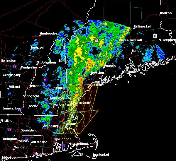 At 1036 am edt, severe thunderstorms were located along a line extending from near standish to kennebunkport, moving east at 50 mph (radar indicated). Hazards include 60 mph wind gusts. Expect damage to roofs. siding. And trees. At 1036 am edt, severe thunderstorms were located along a line extending from near standish to kennebunkport, moving east at 50 mph (radar indicated). Hazards include 60 mph wind gusts. Expect damage to roofs. siding. And trees.
|
| 8/12/2016 3:05 PM EDT | Boats blown off the dock at orrs bailey yacht club. time estimated from radar. delayed repor in anz153 county ME, 13.9 miles WSW of Portland, ME |
| 8/12/2016 3:05 PM EDT |
 At 305 pm edt, severe thunderstorms were located along a line extending from near woolwich to 7 miles south of brunswick to 7 miles southeast of yarmouth, moving southeast at 40 mph (radar indicated). Hazards include 70 mph wind gusts. Expect considerable tree damage. damage is likely to mobile homes, roofs, and outbuildings. Locations impacted include, portland, bath, georgetown, harpswell, arowsic, chebeague island, phippsburg, west bath and southport. At 305 pm edt, severe thunderstorms were located along a line extending from near woolwich to 7 miles south of brunswick to 7 miles southeast of yarmouth, moving southeast at 40 mph (radar indicated). Hazards include 70 mph wind gusts. Expect considerable tree damage. damage is likely to mobile homes, roofs, and outbuildings. Locations impacted include, portland, bath, georgetown, harpswell, arowsic, chebeague island, phippsburg, west bath and southport.
|
| 8/12/2016 3:04 PM EDT |
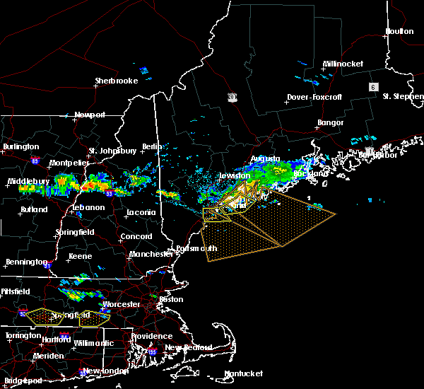 At 304 pm edt, a severe thunderstorm was located over south portland, moving south at 45 mph (radar indicated). Hazards include 60 mph wind gusts. Expect damage to roofs. siding. and trees. Locations impacted include, portland, south portland, westbrook, gorham, falmouth, cape elizabeth, scarborough and old orchard beach. At 304 pm edt, a severe thunderstorm was located over south portland, moving south at 45 mph (radar indicated). Hazards include 60 mph wind gusts. Expect damage to roofs. siding. and trees. Locations impacted include, portland, south portland, westbrook, gorham, falmouth, cape elizabeth, scarborough and old orchard beach.
|
| 8/12/2016 2:54 PM EDT |
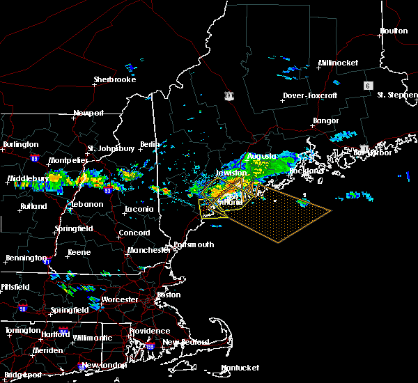 At 253 pm edt, severe thunderstorms were located along a line extending from near topsham to near freeport to yarmouth, moving southeast at 40 mph. these storms have produced wind damage within the last 10 minutes (radar indicated). Hazards include 60 mph wind gusts. Expect damage to roofs. siding. and trees. Locations impacted include, portland, brunswick, bath, topsham, cumberland, freeport, georgetown, yarmouth, harpswell, arowsic, chebeague island, phippsburg, west bath, north yarmouth and southport. At 253 pm edt, severe thunderstorms were located along a line extending from near topsham to near freeport to yarmouth, moving southeast at 40 mph. these storms have produced wind damage within the last 10 minutes (radar indicated). Hazards include 60 mph wind gusts. Expect damage to roofs. siding. and trees. Locations impacted include, portland, brunswick, bath, topsham, cumberland, freeport, georgetown, yarmouth, harpswell, arowsic, chebeague island, phippsburg, west bath, north yarmouth and southport.
|
| 8/12/2016 2:49 PM EDT |
 At 249 pm edt, a severe thunderstorm was located over cumberland, or 7 miles north of portland, moving south at 45 mph (radar indicated). Hazards include 60 mph wind gusts. Expect damage to roofs. siding. And trees. At 249 pm edt, a severe thunderstorm was located over cumberland, or 7 miles north of portland, moving south at 45 mph (radar indicated). Hazards include 60 mph wind gusts. Expect damage to roofs. siding. And trees.
|
| 8/12/2016 2:37 PM EDT |
 At 236 pm edt, severe thunderstorms were located along a line extending from near lewiston to 9 miles northwest of freeport to near gray, moving southeast at 40 mph (radar indicated). Hazards include 60 mph wind gusts. Expect damage to roofs. siding. And trees. At 236 pm edt, severe thunderstorms were located along a line extending from near lewiston to 9 miles northwest of freeport to near gray, moving southeast at 40 mph (radar indicated). Hazards include 60 mph wind gusts. Expect damage to roofs. siding. And trees.
|
| 7/23/2016 4:29 PM EDT |
 At 428 pm edt, a severe thunderstorm was located over falmouth, or near portland, moving southeast at 30 mph (radar indicated). Hazards include golf ball size hail and 60 mph wind gusts. People and animals outdoors will be injured. expect hail damage to roofs, siding, windows, and vehicles. expect wind damage to roofs, siding, and trees. Locations impacted include, portland, south portland, westbrook, cumberland, falmouth, cape elizabeth, yarmouth, scarborough and chebeague island. At 428 pm edt, a severe thunderstorm was located over falmouth, or near portland, moving southeast at 30 mph (radar indicated). Hazards include golf ball size hail and 60 mph wind gusts. People and animals outdoors will be injured. expect hail damage to roofs, siding, windows, and vehicles. expect wind damage to roofs, siding, and trees. Locations impacted include, portland, south portland, westbrook, cumberland, falmouth, cape elizabeth, yarmouth, scarborough and chebeague island.
|
| 7/23/2016 4:20 PM EDT | Trees and power lines down on brook street. tree on buildin in cumberland county ME, 3.5 miles WNW of Portland, ME |
| 7/23/2016 4:19 PM EDT |
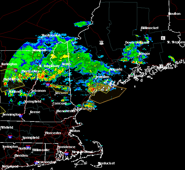 At 419 pm edt, a severe thunderstorm was located near cumberland, or near westbrook, moving east at 30 mph (radar indicated). Hazards include 60 mph wind gusts and quarter size hail. Hail damage to vehicles is expected. expect wind damage to roofs, siding, and trees. Locations impacted include, portland, south portland, westbrook, cumberland, gorham, falmouth, cape elizabeth, gray, yarmouth, scarborough, chebeague island, windham and north yarmouth. At 419 pm edt, a severe thunderstorm was located near cumberland, or near westbrook, moving east at 30 mph (radar indicated). Hazards include 60 mph wind gusts and quarter size hail. Hail damage to vehicles is expected. expect wind damage to roofs, siding, and trees. Locations impacted include, portland, south portland, westbrook, cumberland, gorham, falmouth, cape elizabeth, gray, yarmouth, scarborough, chebeague island, windham and north yarmouth.
|
| 7/23/2016 4:15 PM EDT | Power lines down on meridian in cumberland county ME, 0.9 miles N of Portland, ME |
| 7/23/2016 3:58 PM EDT |
 At 357 pm edt, a severe thunderstorm was located near standish, or 11 miles northwest of westbrook, moving east at 30 mph (radar indicated). Hazards include 60 mph wind gusts and quarter size hail. Hail damage to vehicles is expected. Expect wind damage to roofs, siding, and trees. At 357 pm edt, a severe thunderstorm was located near standish, or 11 miles northwest of westbrook, moving east at 30 mph (radar indicated). Hazards include 60 mph wind gusts and quarter size hail. Hail damage to vehicles is expected. Expect wind damage to roofs, siding, and trees.
|
| 7/22/2016 10:07 PM EDT |
 At 1007 pm edt, a severe thunderstorm was located 10 miles southeast of freeport, or 12 miles south of brunswick, moving east at 30 mph (radar indicated). Hazards include 60 mph wind gusts. Expect damage to roofs. siding. and trees. Locations impacted include, portland, brunswick, bath, topsham, wiscasset, cumberland, freeport, georgetown, yarmouth, woolwich, harpswell, durham, bowdoinham, arowsic, chebeague island, phippsburg, new gloucester, west bath, north yarmouth and pownal. At 1007 pm edt, a severe thunderstorm was located 10 miles southeast of freeport, or 12 miles south of brunswick, moving east at 30 mph (radar indicated). Hazards include 60 mph wind gusts. Expect damage to roofs. siding. and trees. Locations impacted include, portland, brunswick, bath, topsham, wiscasset, cumberland, freeport, georgetown, yarmouth, woolwich, harpswell, durham, bowdoinham, arowsic, chebeague island, phippsburg, new gloucester, west bath, north yarmouth and pownal.
|
| 7/22/2016 9:50 PM EDT |
 At 949 pm edt, a severe thunderstorm was located near falmouth, or near portland, moving east at 30 mph (radar indicated). Hazards include 60 mph wind gusts. Expect damage to roofs. siding. and trees. Locations impacted include, portland, south portland, brunswick, westbrook, bath, topsham, wiscasset, cumberland, gorham, falmouth, cape elizabeth, freeport, gray, georgetown, raymond, yarmouth, woolwich, scarborough, standish and harpswell. At 949 pm edt, a severe thunderstorm was located near falmouth, or near portland, moving east at 30 mph (radar indicated). Hazards include 60 mph wind gusts. Expect damage to roofs. siding. and trees. Locations impacted include, portland, south portland, brunswick, westbrook, bath, topsham, wiscasset, cumberland, gorham, falmouth, cape elizabeth, freeport, gray, georgetown, raymond, yarmouth, woolwich, scarborough, standish and harpswell.
|
| 7/22/2016 9:42 PM EDT | Trees on wires on wayne av in cumberland county ME, 0.9 miles N of Portland, ME |
| 7/22/2016 9:40 PM EDT |
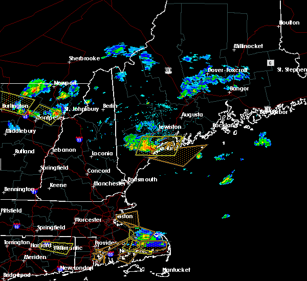 At 940 pm edt, a severe thunderstorm was located over falmouth, or near portland, moving east at 30 mph (radar indicated). Hazards include 60 mph wind gusts. Expect damage to roofs. siding. And trees. At 940 pm edt, a severe thunderstorm was located over falmouth, or near portland, moving east at 30 mph (radar indicated). Hazards include 60 mph wind gusts. Expect damage to roofs. siding. And trees.
|
| 6/29/2016 2:51 PM EDT |
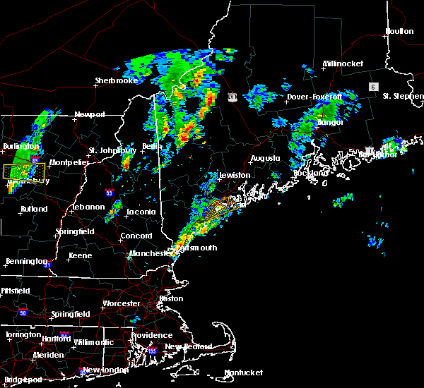 The severe thunderstorm warning for south central cumberland county will expire at 300 pm edt, the storm which prompted the warning has moved out of the area. therefore, the warning will be allowed to expire. however heavy rain is still possible with this thunderstorm. The severe thunderstorm warning for south central cumberland county will expire at 300 pm edt, the storm which prompted the warning has moved out of the area. therefore, the warning will be allowed to expire. however heavy rain is still possible with this thunderstorm.
|
| 6/29/2016 2:37 PM EDT |
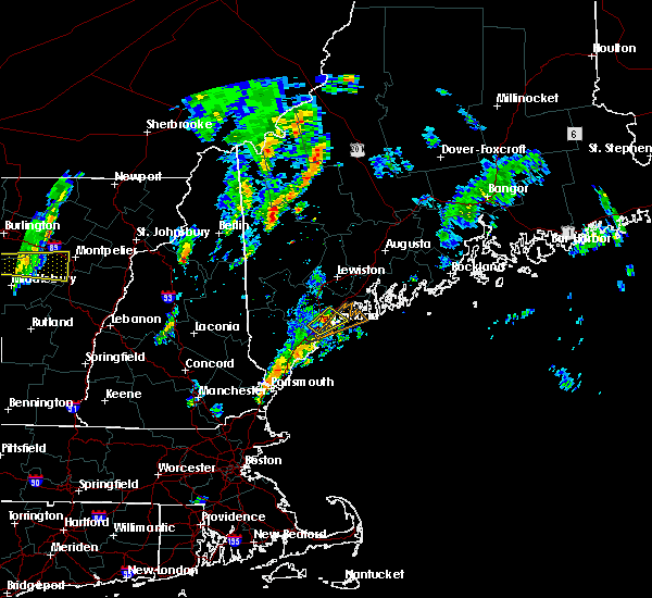 At 237 pm edt, a severe thunderstorm was located over falmouth, or over portland, moving northeast at 20 mph (radar indicated). Hazards include 60 mph wind gusts and quarter size hail. Hail damage to vehicles is expected. expect wind damage to roofs, siding, and trees. Locations impacted include, portland, south portland, westbrook, cumberland, falmouth, cape elizabeth, yarmouth and chebeague island. At 237 pm edt, a severe thunderstorm was located over falmouth, or over portland, moving northeast at 20 mph (radar indicated). Hazards include 60 mph wind gusts and quarter size hail. Hail damage to vehicles is expected. expect wind damage to roofs, siding, and trees. Locations impacted include, portland, south portland, westbrook, cumberland, falmouth, cape elizabeth, yarmouth and chebeague island.
|
| 6/29/2016 2:35 PM EDT | Tree uprooted on ocean avenue. delayed report. time estimated from rada in cumberland county ME, 1.3 miles SSE of Portland, ME |
| 6/29/2016 2:19 PM EDT |
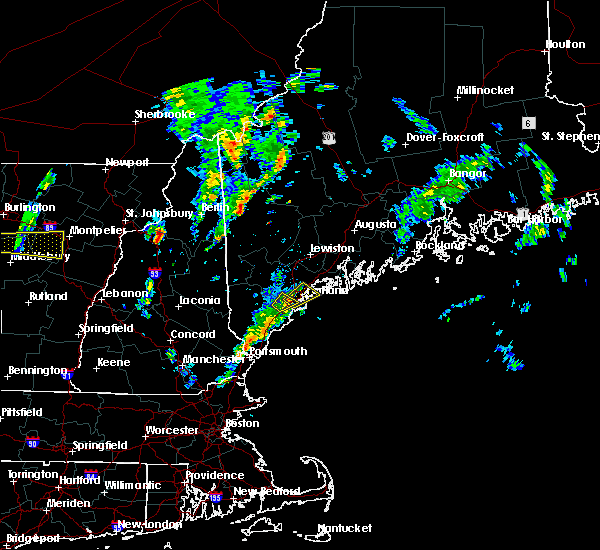 At 219 pm edt, a severe thunderstorm was located over westbrook, moving northeast at 25 mph (radar indicated). Hazards include 60 mph wind gusts and quarter size hail. Hail damage to vehicles is expected. Expect wind damage to roofs, siding, and trees. At 219 pm edt, a severe thunderstorm was located over westbrook, moving northeast at 25 mph (radar indicated). Hazards include 60 mph wind gusts and quarter size hail. Hail damage to vehicles is expected. Expect wind damage to roofs, siding, and trees.
|
| 6/29/2016 2:03 PM EDT |
 At 202 pm edt, a severe thunderstorm was located near buxton, or near biddeford, moving northeast at 15 mph (radar indicated). Hazards include ping pong ball size hail and 60 mph wind gusts. People and animals outdoors will be injured. expect hail damage to roofs, siding, windows, and vehicles. expect wind damage to roofs, siding, and trees. Locations impacted include, portland, south portland, westbrook, saco, gorham, buxton and scarborough. At 202 pm edt, a severe thunderstorm was located near buxton, or near biddeford, moving northeast at 15 mph (radar indicated). Hazards include ping pong ball size hail and 60 mph wind gusts. People and animals outdoors will be injured. expect hail damage to roofs, siding, windows, and vehicles. expect wind damage to roofs, siding, and trees. Locations impacted include, portland, south portland, westbrook, saco, gorham, buxton and scarborough.
|
| 6/29/2016 1:47 PM EDT |
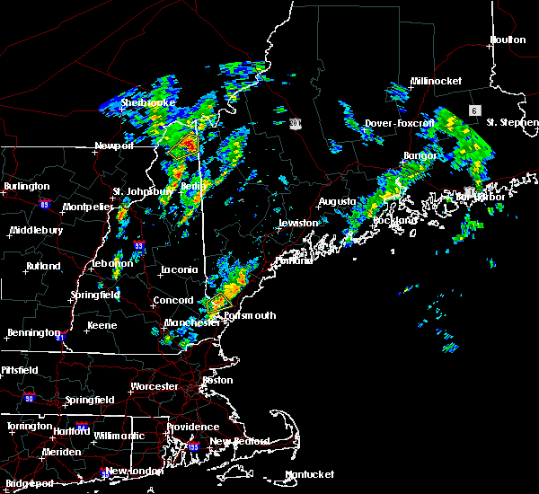 At 147 pm edt, a severe thunderstorm was located near hollis, or near biddeford, moving northeast at 25 mph (radar indicated). Hazards include 60 mph wind gusts and quarter size hail. Hail damage to vehicles is expected. Expect wind damage to roofs, siding, and trees. At 147 pm edt, a severe thunderstorm was located near hollis, or near biddeford, moving northeast at 25 mph (radar indicated). Hazards include 60 mph wind gusts and quarter size hail. Hail damage to vehicles is expected. Expect wind damage to roofs, siding, and trees.
|
| 6/7/2016 4:35 PM EDT |
 At 434 pm edt, severe thunderstorms were located along a line extending from 6 miles northeast of standish to near south portland, moving east at 30 mph (radar indicated). Hazards include 60 mph wind gusts and quarter size hail. Hail damage to vehicles is expected. expect wind damage to roofs, siding, and trees. Locations impacted include, portland, south portland, westbrook, gorham, falmouth, cape elizabeth and scarborough. At 434 pm edt, severe thunderstorms were located along a line extending from 6 miles northeast of standish to near south portland, moving east at 30 mph (radar indicated). Hazards include 60 mph wind gusts and quarter size hail. Hail damage to vehicles is expected. expect wind damage to roofs, siding, and trees. Locations impacted include, portland, south portland, westbrook, gorham, falmouth, cape elizabeth and scarborough.
|
| 6/7/2016 4:08 PM EDT |
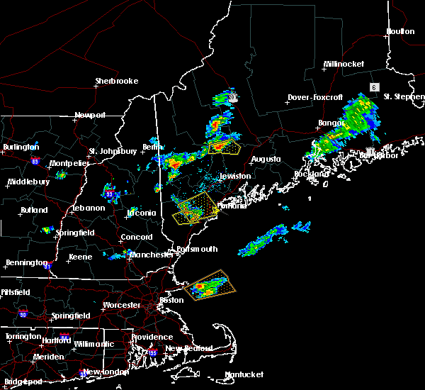 At 408 pm edt, severe thunderstorms were located along a line extending from 6 miles southeast of cornish to near buxton, moving east at 30 mph (radar indicated). Hazards include 60 mph wind gusts and quarter size hail. Hail damage to vehicles is expected. Expect wind damage to roofs, siding, and trees. At 408 pm edt, severe thunderstorms were located along a line extending from 6 miles southeast of cornish to near buxton, moving east at 30 mph (radar indicated). Hazards include 60 mph wind gusts and quarter size hail. Hail damage to vehicles is expected. Expect wind damage to roofs, siding, and trees.
|
| 4/1/2016 4:38 PM EDT |
 The severe thunderstorm warning for northeastern york and central cumberland counties will expire at 445 pm edt, the storm which prompted the warning has moved out of the area. therefore the warning will be allowed to expire. The severe thunderstorm warning for northeastern york and central cumberland counties will expire at 445 pm edt, the storm which prompted the warning has moved out of the area. therefore the warning will be allowed to expire.
|
| 4/1/2016 4:30 PM EDT |
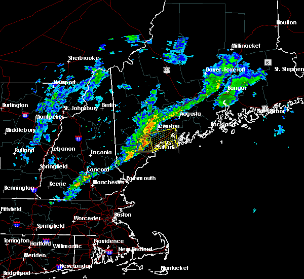 At 430 pm edt, doppler radar indicated a line of severe thunderstorms capable of producing damaging winds in excess of 60 mph. these storms were located along a line extending from near gray to westbrook, and moving east at 55 mph. At 430 pm edt, doppler radar indicated a line of severe thunderstorms capable of producing damaging winds in excess of 60 mph. these storms were located along a line extending from near gray to westbrook, and moving east at 55 mph.
|
| 4/1/2016 4:25 PM EDT |
 At 425 pm edt, doppler radar indicated a severe thunderstorm capable of producing damaging winds in excess of 60 mph. this storm was located near raymond, or 11 miles north of westbrook, moving east at 50 mph. locations impacted include, portland, westbrook, cumberland, gorham, falmouth, buxton, gray, raymond, standish, casco, frye island, windham, new gloucester and north yarmouth. At 425 pm edt, doppler radar indicated a severe thunderstorm capable of producing damaging winds in excess of 60 mph. this storm was located near raymond, or 11 miles north of westbrook, moving east at 50 mph. locations impacted include, portland, westbrook, cumberland, gorham, falmouth, buxton, gray, raymond, standish, casco, frye island, windham, new gloucester and north yarmouth.
|
| 4/1/2016 4:17 PM EDT |
 At 416 pm edt, doppler radar indicated severe thunderstorms capable of producing damaging winds in excess of 60 mph. these storms were located along a line extending from near cornish to near hollis, moving east at 45 mph. locations impacted include, portland, westbrook, cumberland, gorham, falmouth, buxton, gray, hollis, raymond, standish, waterboro, scarborough, casco, limington, frye island, windham, baldwin, sebago, new gloucester and north yarmouth. At 416 pm edt, doppler radar indicated severe thunderstorms capable of producing damaging winds in excess of 60 mph. these storms were located along a line extending from near cornish to near hollis, moving east at 45 mph. locations impacted include, portland, westbrook, cumberland, gorham, falmouth, buxton, gray, hollis, raymond, standish, waterboro, scarborough, casco, limington, frye island, windham, baldwin, sebago, new gloucester and north yarmouth.
|
| 4/1/2016 4:01 PM EDT |
 At 401 pm edt, doppler radar indicated a line of severe thunderstorms capable of producing damaging winds in excess of 60 mph. these storms were located along a line extending from near cornish to 9 miles northwest of waterboro, and moving east at 45 mph. At 401 pm edt, doppler radar indicated a line of severe thunderstorms capable of producing damaging winds in excess of 60 mph. these storms were located along a line extending from near cornish to 9 miles northwest of waterboro, and moving east at 45 mph.
|
| 2/25/2016 3:20 AM EST |
 At 318 am est, doppler radar indicated a line of severe thunderstorms capable of producing damaging winds in excess of 60 mph. these storms were located along a line extending from 7 miles east of fryeburg to near newmarket to lowell, racing quickly to the east. At 318 am est, doppler radar indicated a line of severe thunderstorms capable of producing damaging winds in excess of 60 mph. these storms were located along a line extending from 7 miles east of fryeburg to near newmarket to lowell, racing quickly to the east.
|
| 8/4/2015 5:59 PM EDT |
 At 558 pm edt, doppler radar indicated a severe thunderstorm capable of producing quarter size hail and damaging winds in excess of 60 mph. this storm was located over southwestern westbrook. this storm was nearly stationary. locations impacted include, portland, south portland, westbrook, cumberland, gorham, falmouth, cape elizabeth, freeport, yarmouth, scarborough, chebeague island, north yarmouth and windham. At 558 pm edt, doppler radar indicated a severe thunderstorm capable of producing quarter size hail and damaging winds in excess of 60 mph. this storm was located over southwestern westbrook. this storm was nearly stationary. locations impacted include, portland, south portland, westbrook, cumberland, gorham, falmouth, cape elizabeth, freeport, yarmouth, scarborough, chebeague island, north yarmouth and windham.
|
| 8/4/2015 5:48 PM EDT | Quarter sized hail reported 2.2 miles E of Portland, ME |
| 8/4/2015 5:44 PM EDT |
 At 544 pm edt, doppler radar indicated a severe thunderstorm capable of producing quarter size hail and damaging winds in excess of 60 mph. this storm was located over buxton, or near westbrook, and moving east at 20 mph. At 544 pm edt, doppler radar indicated a severe thunderstorm capable of producing quarter size hail and damaging winds in excess of 60 mph. this storm was located over buxton, or near westbrook, and moving east at 20 mph.
|
| 8/4/2015 5:40 PM EDT | Half Dollar sized hail reported 1.2 miles S of Portland, ME |
| 8/4/2015 5:38 PM EDT | Quarter sized hail reported 0.9 miles N of Portland, ME |
| 8/4/2015 5:31 PM EDT |
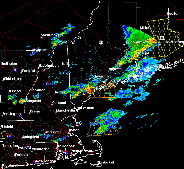 At 531 pm edt, doppler radar indicated a severe thunderstorm capable of producing large hail up to ping pong ball size and damaging winds in excess of 60 mph. this storm was located over falmouth, or near portland, and moving east at 35 mph. At 531 pm edt, doppler radar indicated a severe thunderstorm capable of producing large hail up to ping pong ball size and damaging winds in excess of 60 mph. this storm was located over falmouth, or near portland, and moving east at 35 mph.
|
| 8/4/2015 5:23 PM EDT |
 At 522 pm edt, doppler radar indicated a severe thunderstorm capable of producing large damaging hail up to golf ball size and damaging winds in excess of 60 mph. this storm was located over southern westbrook, moving east at 40 mph. another potential severe thunderstorm was just west of hollis and also moving northeast at 40 mph. locations impacted include, portland, south portland, westbrook, cumberland, saco, gorham, falmouth, cape elizabeth, buxton, southern gray, hollis, yarmouth, southern standish, scarborough, waterboro, lyman, southeastern limington, windham, north yarmouth and dayton. At 522 pm edt, doppler radar indicated a severe thunderstorm capable of producing large damaging hail up to golf ball size and damaging winds in excess of 60 mph. this storm was located over southern westbrook, moving east at 40 mph. another potential severe thunderstorm was just west of hollis and also moving northeast at 40 mph. locations impacted include, portland, south portland, westbrook, cumberland, saco, gorham, falmouth, cape elizabeth, buxton, southern gray, hollis, yarmouth, southern standish, scarborough, waterboro, lyman, southeastern limington, windham, north yarmouth and dayton.
|
| 8/4/2015 4:58 PM EDT |
 At 458 pm edt, doppler radar indicated a severe thunderstorm capable of producing large damaging hail up to golf ball size and damaging winds in excess of 60 mph. this storm was located over northwestern hollis, or 13 miles west of westbrook, and moving northeast at 35 mph. At 458 pm edt, doppler radar indicated a severe thunderstorm capable of producing large damaging hail up to golf ball size and damaging winds in excess of 60 mph. this storm was located over northwestern hollis, or 13 miles west of westbrook, and moving northeast at 35 mph.
|
| 8/4/2015 4:17 PM EDT |
 At 417 pm edt, doppler radar indicated a line of severe thunderstorms capable of producing quarter size hail and damaging winds in excess of 60 mph. these storms were located along a line extending from gray to near westbrook, moving east at 25 mph. locations impacted include, portland, south portland, brunswick, westbrook, cumberland, falmouth, freeport, southeastern gray, yarmouth, harpswell, north yarmouth, wolfes neck woods state park and pownal. At 417 pm edt, doppler radar indicated a line of severe thunderstorms capable of producing quarter size hail and damaging winds in excess of 60 mph. these storms were located along a line extending from gray to near westbrook, moving east at 25 mph. locations impacted include, portland, south portland, brunswick, westbrook, cumberland, falmouth, freeport, southeastern gray, yarmouth, harpswell, north yarmouth, wolfes neck woods state park and pownal.
|
| 8/4/2015 4:05 PM EDT |
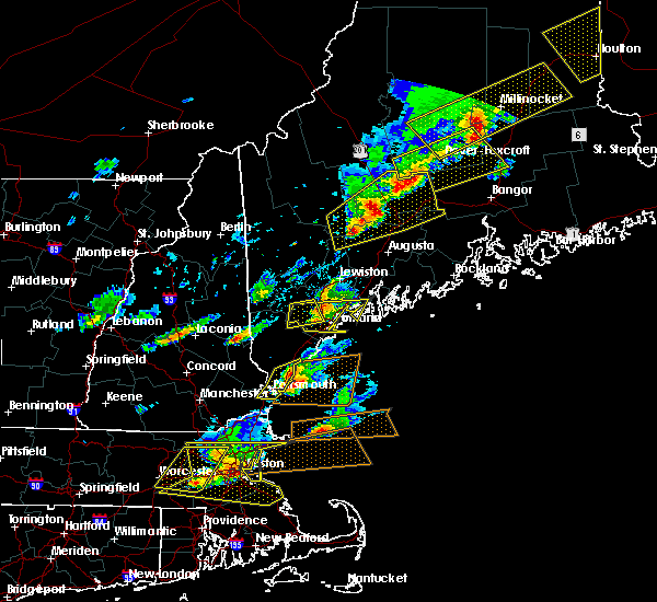 The severe thunderstorm warning for northeastern york and central cumberland counties will expire at 415 pm edt, the storm which prompted the warning has moved out of the area. therefore the warning will be allowed to expire. The severe thunderstorm warning for northeastern york and central cumberland counties will expire at 415 pm edt, the storm which prompted the warning has moved out of the area. therefore the warning will be allowed to expire.
|
| 8/4/2015 3:46 PM EDT |
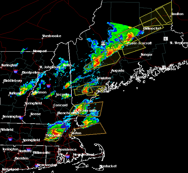 At 346 pm edt, doppler radar indicated a severe thunderstorm capable of producing half dollar size hail and damaging winds in excess of 60 mph. this storm was located near standish, or 9 miles northwest of westbrook, moving east at 30 mph. locations impacted include, portland, northern westbrook, gorham, northwestern falmouth, buxton, southwestern gray, northern hollis, standish, raymond, frye island, windham and town of sebago. At 346 pm edt, doppler radar indicated a severe thunderstorm capable of producing half dollar size hail and damaging winds in excess of 60 mph. this storm was located near standish, or 9 miles northwest of westbrook, moving east at 30 mph. locations impacted include, portland, northern westbrook, gorham, northwestern falmouth, buxton, southwestern gray, northern hollis, standish, raymond, frye island, windham and town of sebago.
|
| 8/4/2015 3:45 PM EDT |
 At 345 pm edt, doppler radar indicated a line of severe thunderstorms capable of producing large hail up to ping pong ball size and damaging winds in excess of 60 mph. these storms were located along a line extending from standish to near buxton, and moving east at 45 mph. At 345 pm edt, doppler radar indicated a line of severe thunderstorms capable of producing large hail up to ping pong ball size and damaging winds in excess of 60 mph. these storms were located along a line extending from standish to near buxton, and moving east at 45 mph.
|
| 8/4/2015 3:18 PM EDT |
 At 318 pm edt, doppler radar indicated a severe thunderstorm capable of producing quarter size hail and damaging winds in excess of 60 mph. this storm was located near cornish, or 15 miles south of naples, and moving east at 30 mph. At 318 pm edt, doppler radar indicated a severe thunderstorm capable of producing quarter size hail and damaging winds in excess of 60 mph. this storm was located near cornish, or 15 miles south of naples, and moving east at 30 mph.
|
| 7/19/2015 9:15 PM EDT |
 At 915 pm edt, doppler radar indicated a line of severe thunderstorms capable of producing damaging winds in excess of 60 mph. these storms were located along a line extending from 8 miles northwest of waterboro to near lebanon, and moving east at 40 mph. At 915 pm edt, doppler radar indicated a line of severe thunderstorms capable of producing damaging winds in excess of 60 mph. these storms were located along a line extending from 8 miles northwest of waterboro to near lebanon, and moving east at 40 mph.
|
| 7/19/2015 5:05 PM EDT |
 At 504 pm edt, doppler radar indicated a severe thunderstorm capable of producing half dollar size hail and damaging winds in excess of 60 mph. this storm was located over southwestern naples, and moving southeast at 15 mph. At 504 pm edt, doppler radar indicated a severe thunderstorm capable of producing half dollar size hail and damaging winds in excess of 60 mph. this storm was located over southwestern naples, and moving southeast at 15 mph.
|
| 6/23/2015 7:14 PM EDT |
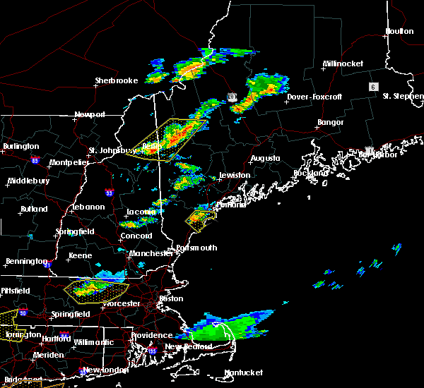 At 713 pm edt, doppler radar indicated a severe thunderstorm capable of producing damaging winds in excess of 60 mph. this storm was located over saco, or over biddeford, moving east at 35 mph. locations impacted include, portland, south portland, biddeford, southwestern westbrook, saco, gorham, cape elizabeth, buxton, kennebunkport, old orchard beach, scarborough, lyman, arundel, dayton and ferry beach state park. a tornado watch remains in effect until 1100 pm edt for southwestern maine. At 713 pm edt, doppler radar indicated a severe thunderstorm capable of producing damaging winds in excess of 60 mph. this storm was located over saco, or over biddeford, moving east at 35 mph. locations impacted include, portland, south portland, biddeford, southwestern westbrook, saco, gorham, cape elizabeth, buxton, kennebunkport, old orchard beach, scarborough, lyman, arundel, dayton and ferry beach state park. a tornado watch remains in effect until 1100 pm edt for southwestern maine.
|
| 6/23/2015 6:58 PM EDT |
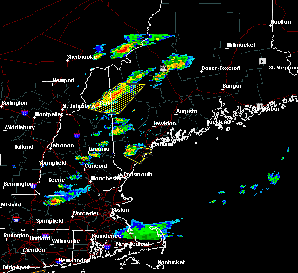 At 658 pm edt, doppler radar indicated a severe thunderstorm capable of producing damaging winds in excess of 60 mph. this storm was located near hollis, or 7 miles northwest of biddeford, moving east at 35 mph. locations impacted include, portland, south portland, biddeford, southwestern westbrook, alfred, saco, gorham, kennebunk, cape elizabeth, buxton, hollis, kennebunkport, old orchard beach, scarborough, waterboro, southwestern standish, lyman, arundel, southeastern limington and dayton. a tornado watch remains in effect until 1100 pm edt for southwestern maine. At 658 pm edt, doppler radar indicated a severe thunderstorm capable of producing damaging winds in excess of 60 mph. this storm was located near hollis, or 7 miles northwest of biddeford, moving east at 35 mph. locations impacted include, portland, south portland, biddeford, southwestern westbrook, alfred, saco, gorham, kennebunk, cape elizabeth, buxton, hollis, kennebunkport, old orchard beach, scarborough, waterboro, southwestern standish, lyman, arundel, southeastern limington and dayton. a tornado watch remains in effect until 1100 pm edt for southwestern maine.
|
| 6/23/2015 6:45 PM EDT |
 At 645 pm edt, doppler radar indicated a severe thunderstorm capable of producing damaging winds in excess of 60 mph. this storm was located near waterboro, or 7 miles north of alfred, and moving east at 35 mph. At 645 pm edt, doppler radar indicated a severe thunderstorm capable of producing damaging winds in excess of 60 mph. this storm was located near waterboro, or 7 miles north of alfred, and moving east at 35 mph.
|
| 5/28/2015 5:08 PM EDT | The severe thunderstorm warning for northeastern york and south central cumberland counties will expire at 515 pm edt, the storm which prompted the warning has weakened below severe limits and exited the warned area. therefore the warning will be allowed to expire. |
| 5/28/2015 4:48 PM EDT | At 448 pm edt, doppler radar indicated a severe thunderstorm capable of producing quarter size hail and damaging winds in excess of 60 mph. this storm was located near gorham, or near westbrook, moving east at 35 mph. locations impacted include, portland, south portland, westbrook, cumberland, gorham, falmouth, cape elizabeth, buxton, yarmouth, scarborough and windham. |
| 5/28/2015 4:27 PM EDT | At 426 pm edt, doppler radar indicated a severe thunderstorm capable of producing quarter size hail and damaging winds in excess of 60 mph. this storm was located over westbrook, and moving east at 20 mph. |
| 7/15/2014 5:20 PM EDT | Half Dollar sized hail reported 3.3 miles ENE of Portland, ME, time estimated from radar. delayed report from wcsh facebook page. |
| 9/11/2013 10:41 PM EDT | Measured at peabbles cove in cumberland county ME, 8.3 miles NNW of Portland, ME |
| 9/11/2013 10:41 PM EDT | Measured at peabbles cove. fence blown ove in cumberland county ME, 7.5 miles NNW of Portland, ME |
| 9/11/2013 10:41 PM EDT | Measured at peabbles cove in cumberland county ME, 7.5 miles NNW of Portland, ME |
| 9/11/2013 10:41 PM EDT | Measured at peabbles cove in cumberland county ME, 8 miles NNW of Portland, ME |
| 9/11/2013 10:41 PM EDT | Fence blown over in backyard at peabbles cov in cumberland county ME, 8.3 miles NNW of Portland, ME |
| 9/11/2013 10:41 PM EDT | Fence blown over in backyard at peabbles cove. measured gust 62 mp in cumberland county ME, 7.5 miles NNW of Portland, ME |
| 9/11/2013 10:41 PM EDT | Fence blown over in backyard at peabbles cove. measured gust 62 mp in cumberland county ME, 8 miles NNW of Portland, ME |
| 9/11/2013 10:35 PM EDT | Trees down on island av in cumberland county ME, 3.4 miles W of Portland, ME |
| 9/11/2013 10:35 PM EDT | Wind downed wires on lambert street in portlan in cumberland county ME, 3.9 miles SSE of Portland, ME |
| 9/11/2013 10:30 PM EDT | Quarter sized hail reported 0.9 miles N of Portland, ME |
| 6/23/2013 6:15 PM EDT | Estimated from the southern end of yarmout in cumberland county ME, 8.7 miles SW of Portland, ME |
| 7/24/2012 1:05 PM EDT | Quarter sized hail reported 8.3 miles NNW of Portland, ME |
| 7/24/2012 12:55 PM EDT | Nws employee estimates 50-60mph winds on commercial street in downtown portlan in cumberland county ME, 0.9 miles N of Portland, ME |
| 7/24/2012 12:55 PM EDT | Top of flagpole blown off in cumberland county ME, 8.3 miles NNW of Portland, ME |
| 7/24/2012 12:48 PM EDT | 1-2 diameter branches down and blown awa in cumberland county ME, 0.9 miles N of Portland, ME |
| 7/24/2012 12:46 PM EDT | Porland public works... tree down at the corner of hobard and congress in cumberland county ME, 0.9 miles N of Portland, ME |
Hail Maps for Portland, ME


Connect with Interactive Hail Maps