

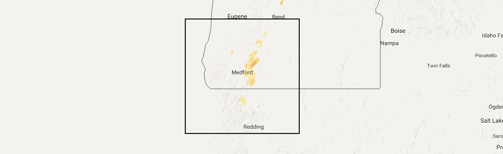
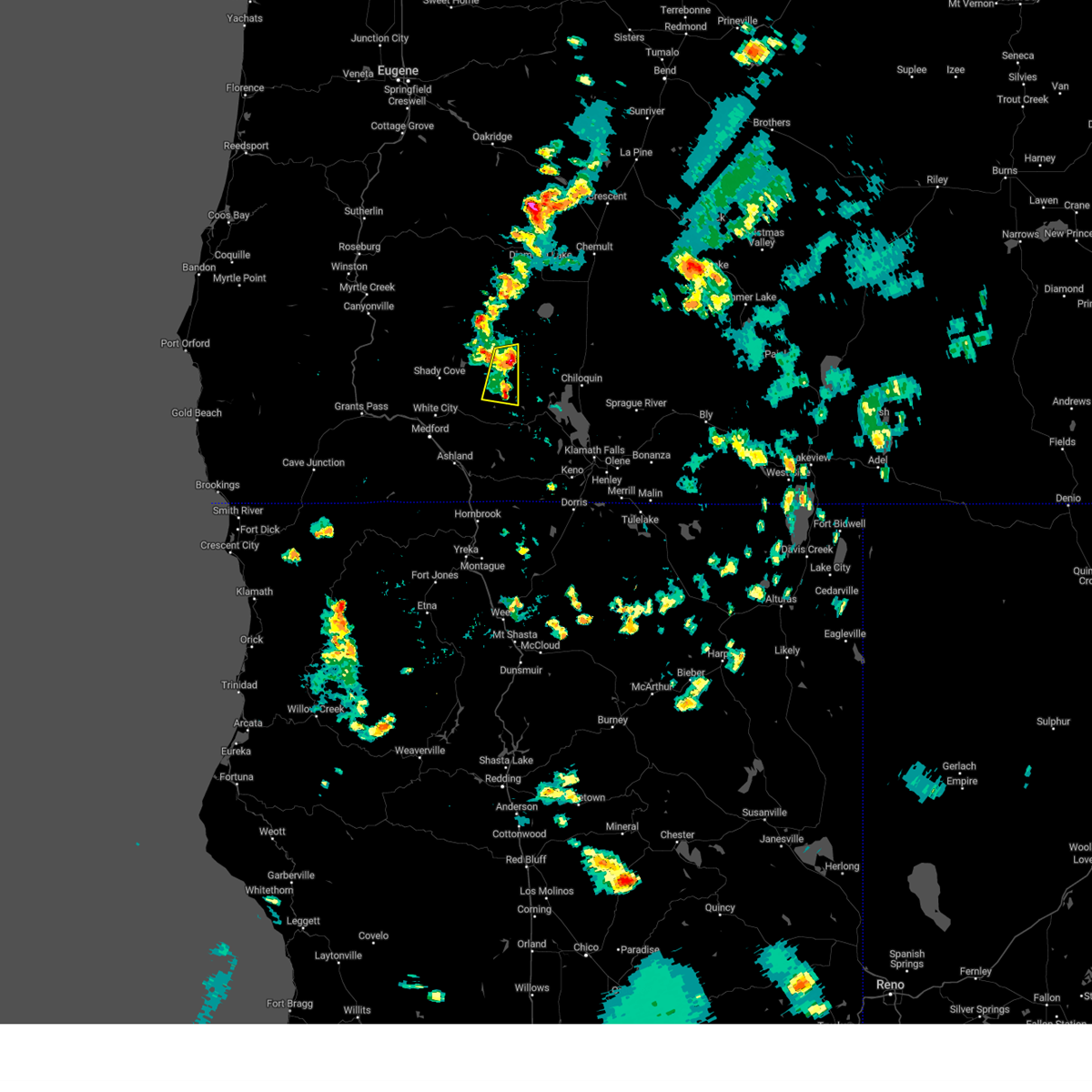
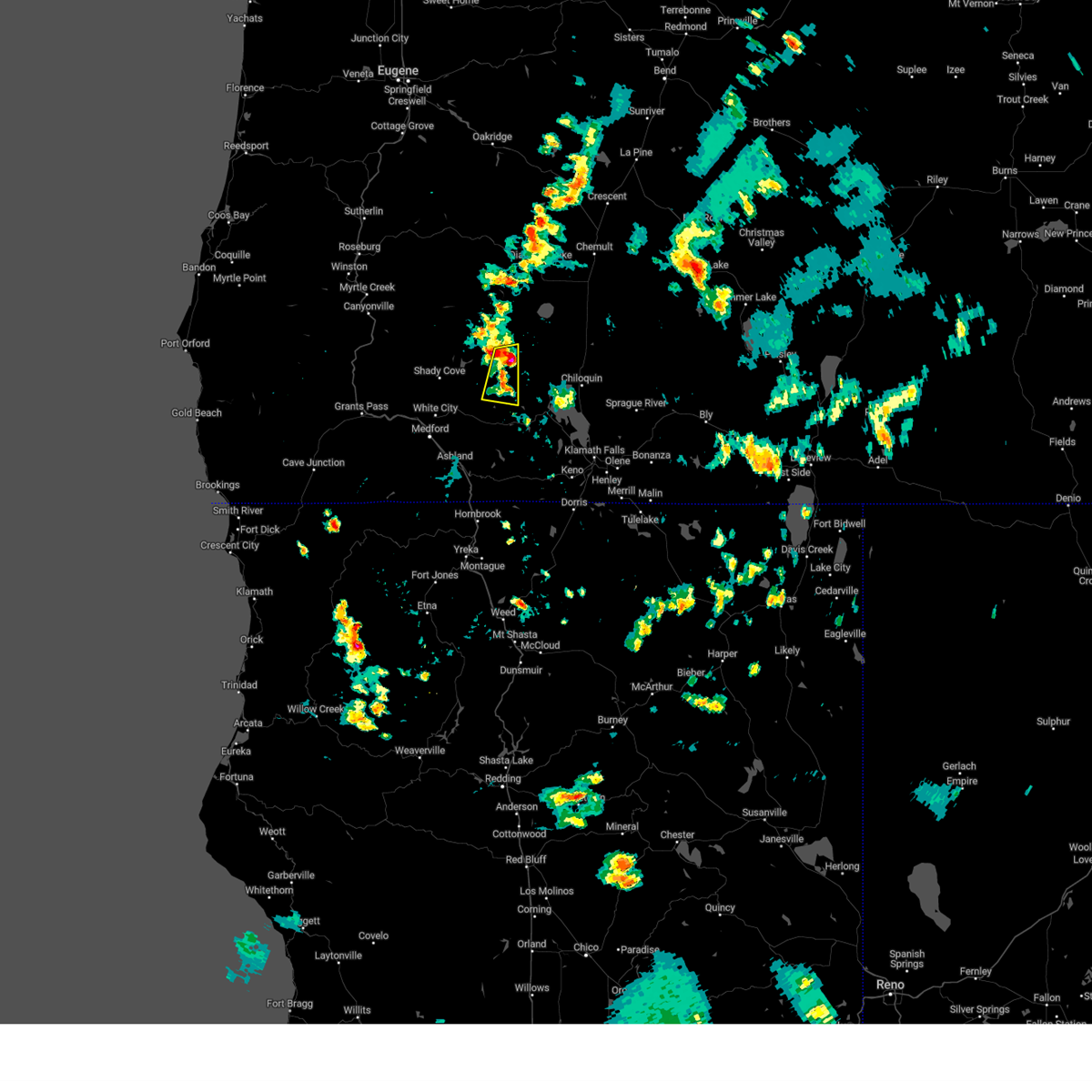
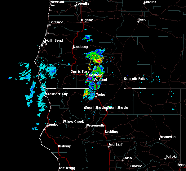
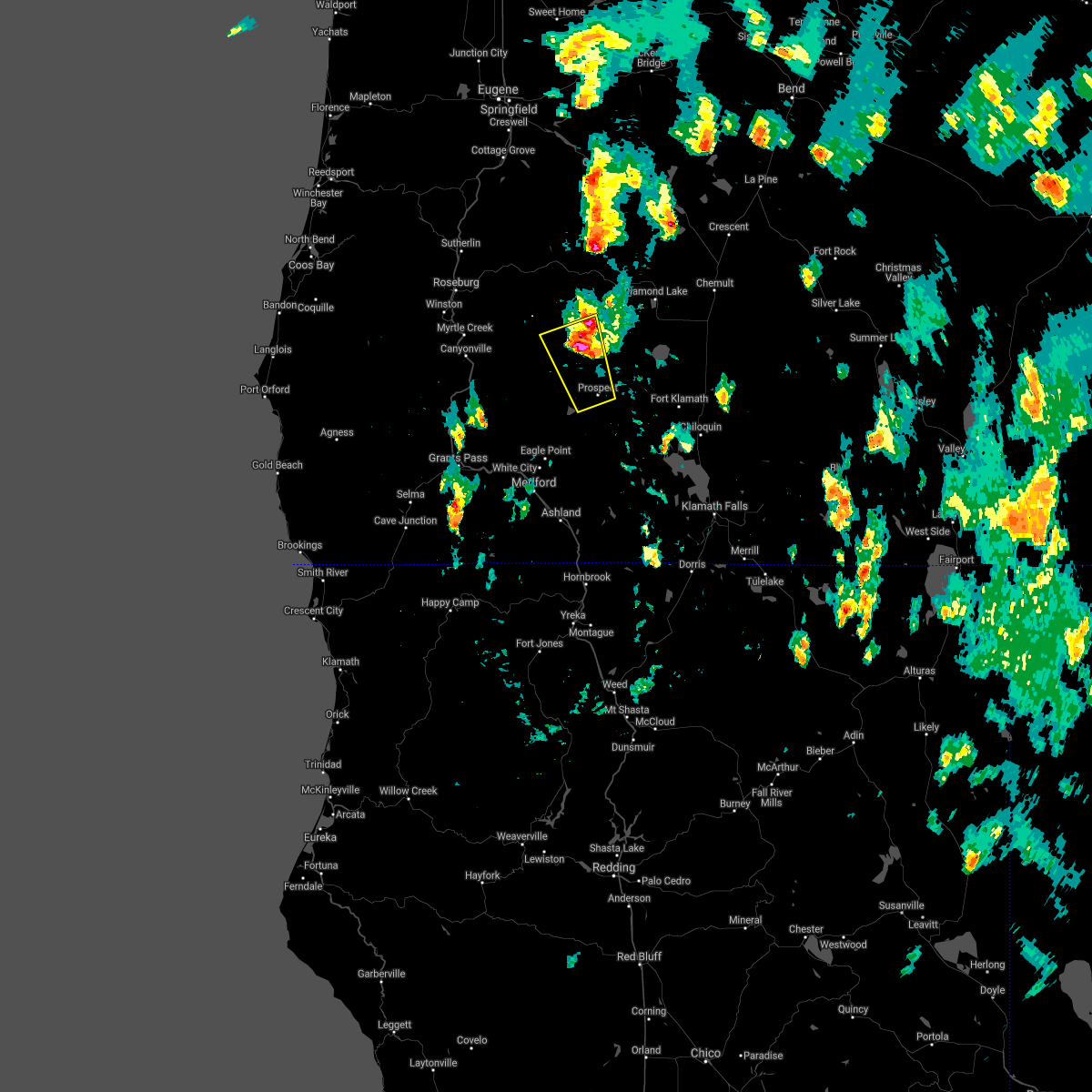
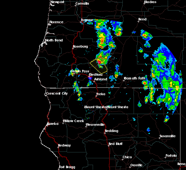
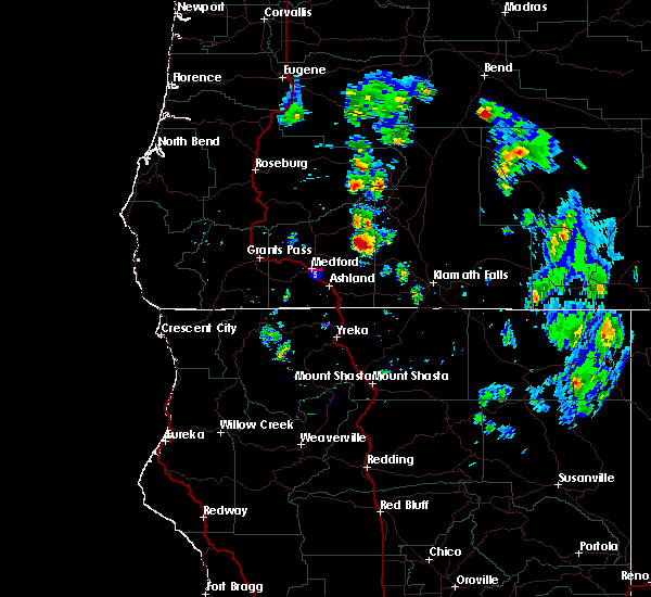
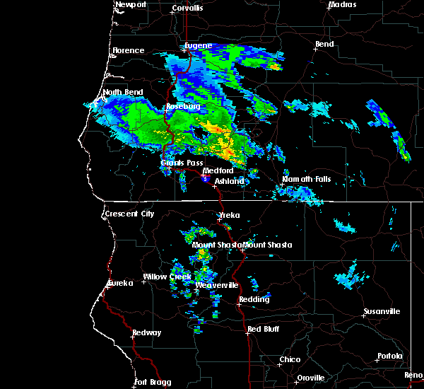
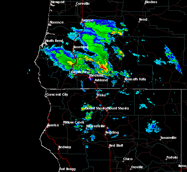
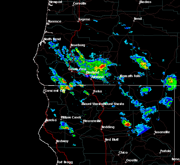
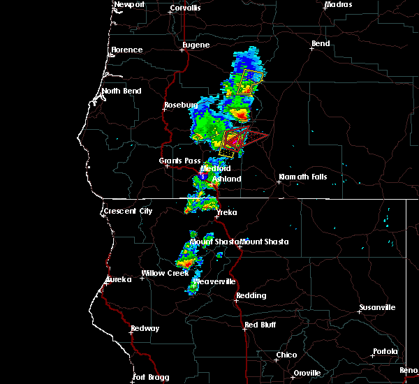
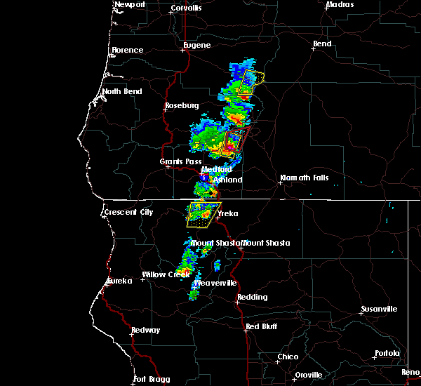
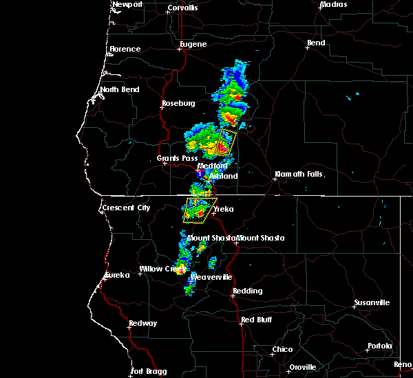
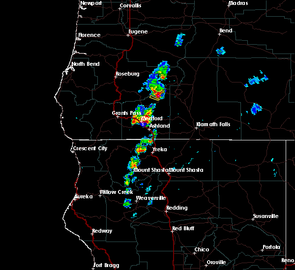
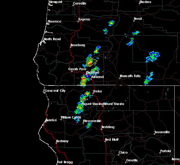
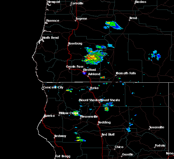
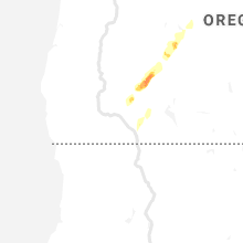
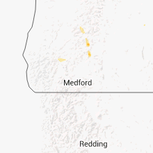
Hail Map for Prospect, OR
The Prospect, OR area has had 3 reports of on-the-ground hail by trained spotters, and has been under severe weather warnings 0 times during the past 12 months. Doppler radar has detected hail at or near Prospect, OR on 8 occasions.
| Name: | Prospect, OR |
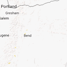
| Where Located: | 36 miles NE of Medford, OR |
| Map: | Google Map for Prospect, OR |
| Population: | 455 |
| Housing Units: | 247 |
| More Info: | Search Google for Prospect, OR |
5
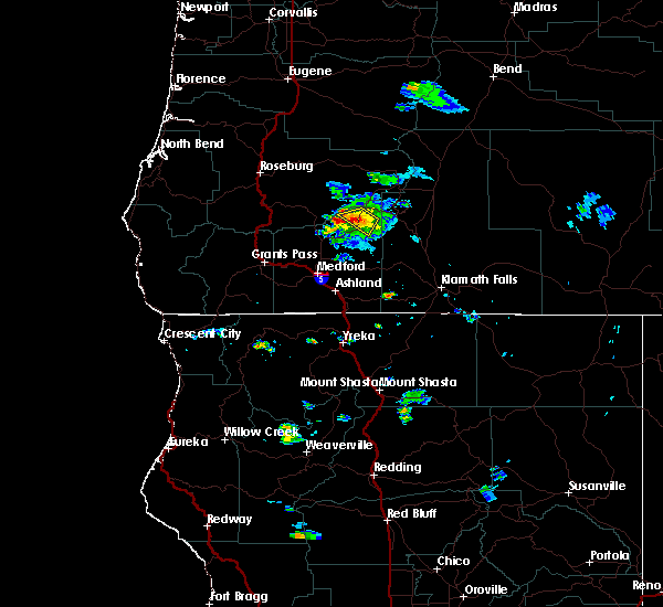
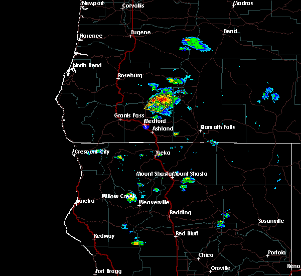
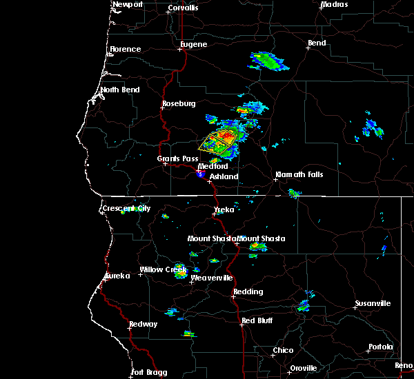
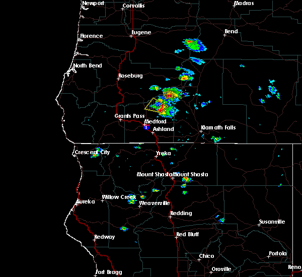
The Top Recent Hail Date for Prospect, OR is Thursday, May 4, 2017 (1st out of 8)
Hail and Wind Damage Spotted near Prospect, OR
| Date / Time | Report Details |
|---|---|
| 6/5/2023 4:18 PM PDT |
 At 418 pm pdt, a severe thunderstorm was located 9 miles southeast of prospect state scenic viewpoint, or 22 miles southwest of crater lake, moving south at 10 mph (radar indicated). Hazards include 60 mph wind gusts and quarter size hail. Hail damage to vehicles is expected. expect wind damage to roofs, siding, and trees. this severe thunderstorm will remain over mainly rural areas of east central jackson county. hail threat, radar indicated max hail size, 1. 25 in wind threat, radar indicated max wind gust, 60 mph. At 418 pm pdt, a severe thunderstorm was located 9 miles southeast of prospect state scenic viewpoint, or 22 miles southwest of crater lake, moving south at 10 mph (radar indicated). Hazards include 60 mph wind gusts and quarter size hail. Hail damage to vehicles is expected. expect wind damage to roofs, siding, and trees. this severe thunderstorm will remain over mainly rural areas of east central jackson county. hail threat, radar indicated max hail size, 1. 25 in wind threat, radar indicated max wind gust, 60 mph.
|
| 6/5/2023 4:00 PM PDT |
 At 359 pm pdt, a severe thunderstorm was located 8 miles east of prospect state scenic viewpoint, or 18 miles southwest of crater lake, moving south at 10 mph (radar indicated). Hazards include 60 mph wind gusts and half dollar size hail. Hail damage to vehicles is expected. expect wind damage to roofs, siding, and trees. this severe thunderstorm will remain over mainly rural areas of east central jackson county. hail threat, radar indicated max hail size, 1. 25 in wind threat, radar indicated max wind gust, 60 mph. At 359 pm pdt, a severe thunderstorm was located 8 miles east of prospect state scenic viewpoint, or 18 miles southwest of crater lake, moving south at 10 mph (radar indicated). Hazards include 60 mph wind gusts and half dollar size hail. Hail damage to vehicles is expected. expect wind damage to roofs, siding, and trees. this severe thunderstorm will remain over mainly rural areas of east central jackson county. hail threat, radar indicated max hail size, 1. 25 in wind threat, radar indicated max wind gust, 60 mph.
|
| 6/11/2020 6:49 PM PDT |
 At 649 pm pdt, a severe thunderstorm was located 8 miles west of natural bridge campground, or 25 miles west of crater lake, moving northeast at 35 mph (radar indicated). Hazards include 60 mph wind gusts and quarter size hail. Hail damage to vehicles is expected. expect wind damage to roofs, siding, and trees. locations impacted include, union creek, rogue gorge and natural bridge campground. this includes the following highways, highway 230 in oregon between mile markers 1 and 2. Highway 62 in oregon near mile marker 41, and between mile markers 49 and 59. At 649 pm pdt, a severe thunderstorm was located 8 miles west of natural bridge campground, or 25 miles west of crater lake, moving northeast at 35 mph (radar indicated). Hazards include 60 mph wind gusts and quarter size hail. Hail damage to vehicles is expected. expect wind damage to roofs, siding, and trees. locations impacted include, union creek, rogue gorge and natural bridge campground. this includes the following highways, highway 230 in oregon between mile markers 1 and 2. Highway 62 in oregon near mile marker 41, and between mile markers 49 and 59.
|
| 9/5/2019 3:57 PM PDT |
 The severe thunderstorm warning for southeastern douglas and northeastern jackson counties will expire at 400 pm pdt, the storm which prompted the warning has moved out of the area. therefore, the warning will be allowed to expire. to report severe weather, contact your nearest law enforcement agency. they will relay your report to the national weather service medford. The severe thunderstorm warning for southeastern douglas and northeastern jackson counties will expire at 400 pm pdt, the storm which prompted the warning has moved out of the area. therefore, the warning will be allowed to expire. to report severe weather, contact your nearest law enforcement agency. they will relay your report to the national weather service medford.
|
| 9/5/2019 3:30 PM PDT |
 At 330 pm pdt, a severe thunderstorm was located near prospect, or 22 miles west of crater lake, moving north at 30 mph (radar indicated). Hazards include 60 mph wind gusts and quarter size hail. Hail damage to vehicles is expected. Expect wind damage to roofs, siding, and trees. At 330 pm pdt, a severe thunderstorm was located near prospect, or 22 miles west of crater lake, moving north at 30 mph (radar indicated). Hazards include 60 mph wind gusts and quarter size hail. Hail damage to vehicles is expected. Expect wind damage to roofs, siding, and trees.
|
| 9/5/2019 3:20 PM PDT | Quarter sized hail reported 0.9 miles ESE of Prospect, OR, reported at prospect... or at odot station. trees down as well. estimated 320pm. |
| 9/5/2019 2:53 PM PDT |
 At 253 pm pdt, a severe thunderstorm was located near willow lake, or 27 miles northeast of medford, moving northwest at 35 mph (radar indicated). Hazards include 60 mph wind gusts and quarter size hail. Hail damage to vehicles is expected. Expect wind damage to roofs, siding, and trees. At 253 pm pdt, a severe thunderstorm was located near willow lake, or 27 miles northeast of medford, moving northwest at 35 mph (radar indicated). Hazards include 60 mph wind gusts and quarter size hail. Hail damage to vehicles is expected. Expect wind damage to roofs, siding, and trees.
|
| 8/9/2019 4:07 PM PDT |
 The severe thunderstorm warning for southeastern douglas, northeastern jackson and west central klamath counties will expire at 415 pm pdt, the storm which prompted the warning has weakened below severe limits, and no longer poses an immediate threat to life or property. therefore, the warning will be allowed to expire. however gusty winds and heavy rain are still possible with this thunderstorm. a severe thunderstorm watch remains in effect until 1000 pm pdt for south central and southwestern oregon. The severe thunderstorm warning for southeastern douglas, northeastern jackson and west central klamath counties will expire at 415 pm pdt, the storm which prompted the warning has weakened below severe limits, and no longer poses an immediate threat to life or property. therefore, the warning will be allowed to expire. however gusty winds and heavy rain are still possible with this thunderstorm. a severe thunderstorm watch remains in effect until 1000 pm pdt for south central and southwestern oregon.
|
| 8/9/2019 3:42 PM PDT |
 The national weather service in medford has issued a * severe thunderstorm warning for. southeastern douglas county in southwestern oregon. northeastern jackson county in southwestern oregon. west central klamath county in south central oregon. Until 415 pm pdt. The national weather service in medford has issued a * severe thunderstorm warning for. southeastern douglas county in southwestern oregon. northeastern jackson county in southwestern oregon. west central klamath county in south central oregon. Until 415 pm pdt.
|
| 9/6/2017 4:33 PM PDT |
 At 432 pm pdt, a severe thunderstorm was located 11 miles southeast of prospect state scenic viewpoint, or 21 miles southwest of crater lake, moving north at 40 mph (radar indicated). Hazards include 60 mph wind gusts and penny size hail. expect damage to roofs, siding, and trees At 432 pm pdt, a severe thunderstorm was located 11 miles southeast of prospect state scenic viewpoint, or 21 miles southwest of crater lake, moving north at 40 mph (radar indicated). Hazards include 60 mph wind gusts and penny size hail. expect damage to roofs, siding, and trees
|
| 5/4/2017 8:00 PM PDT | Golf Ball sized hail reported 11 miles S of Prospect, OR, time estimated. |
| 5/4/2017 7:44 PM PDT |
 At 744 pm pdt, a severe thunderstorm was located near thousand springs sno-park, or 12 miles west of crater lake, moving north at 40 mph (radar indicated). Hazards include 60 mph wind gusts and quarter size hail. Hail damage to vehicles is expected. expect wind damage to roofs, siding, and trees. Locations impacted include, prospect, union creek, prospect state scenic viewpoint, natural bridge campground and rogue gorge. At 744 pm pdt, a severe thunderstorm was located near thousand springs sno-park, or 12 miles west of crater lake, moving north at 40 mph (radar indicated). Hazards include 60 mph wind gusts and quarter size hail. Hail damage to vehicles is expected. expect wind damage to roofs, siding, and trees. Locations impacted include, prospect, union creek, prospect state scenic viewpoint, natural bridge campground and rogue gorge.
|
| 5/4/2017 7:40 PM PDT |
 The national weather service in medford has issued a * tornado warning for. eastern jackson county in southwestern oregon. west central klamath county in south central oregon. Until 815 pm pdt * at 739 pm pdt, a severe thunderstorm capable of producing a tornado. The national weather service in medford has issued a * tornado warning for. eastern jackson county in southwestern oregon. west central klamath county in south central oregon. Until 815 pm pdt * at 739 pm pdt, a severe thunderstorm capable of producing a tornado.
|
| 5/4/2017 7:31 PM PDT |
 At 731 pm pdt, a severe thunderstorm capable of producing a tornado was located near prospect, or 17 miles southwest of crater lake, moving north at 55 mph (radar indicated rotation). Hazards include tornado and golf ball size hail. Flying debris will be dangerous to those caught without shelter. mobile homes will be damaged or destroyed. damage to roofs, windows, and vehicles will occur. tree damage is likely. this dangerous storm will be near, natural bridge campground around 740 pm pdt. thousand springs sno-park, rogue gorge and union creek around 745 pm pdt. this includes the following highways, highway 230 in oregon near mile marker 1. Highway 62 in oregon between mile markers 44 and 69. At 731 pm pdt, a severe thunderstorm capable of producing a tornado was located near prospect, or 17 miles southwest of crater lake, moving north at 55 mph (radar indicated rotation). Hazards include tornado and golf ball size hail. Flying debris will be dangerous to those caught without shelter. mobile homes will be damaged or destroyed. damage to roofs, windows, and vehicles will occur. tree damage is likely. this dangerous storm will be near, natural bridge campground around 740 pm pdt. thousand springs sno-park, rogue gorge and union creek around 745 pm pdt. this includes the following highways, highway 230 in oregon near mile marker 1. Highway 62 in oregon between mile markers 44 and 69.
|
| 5/4/2017 7:23 PM PDT |
 At 723 pm pdt, a severe thunderstorm was located near prospect state scenic viewpoint, or 23 miles southwest of crater lake, moving north at 40 mph (radar indicated). Hazards include 60 mph wind gusts and quarter size hail, heavy rain. Hail damage to vehicles is expected. Expect wind damage to roofs, siding, and trees. At 723 pm pdt, a severe thunderstorm was located near prospect state scenic viewpoint, or 23 miles southwest of crater lake, moving north at 40 mph (radar indicated). Hazards include 60 mph wind gusts and quarter size hail, heavy rain. Hail damage to vehicles is expected. Expect wind damage to roofs, siding, and trees.
|
| 5/4/2017 6:55 PM PDT | Golf Ball sized hail reported 9.5 miles S of Prospect, OR, public sent in picture of hail about the size of a golf ball at mile post 55 on highway 62 near the natural bridge viewpoint. |
| 5/4/2017 6:48 PM PDT |
 At 647 pm pdt, a severe thunderstorm was located near natural bridge campground, or 20 miles west of crater lake, moving northeast at 40 mph (radar indicated). Hazards include 60 mph wind gusts and quarter size hail. Hail damage to vehicles is expected. expect wind damage to roofs, siding, and trees. This severe thunderstorm will remain over mainly rural areas of northeastern jackson county. At 647 pm pdt, a severe thunderstorm was located near natural bridge campground, or 20 miles west of crater lake, moving northeast at 40 mph (radar indicated). Hazards include 60 mph wind gusts and quarter size hail. Hail damage to vehicles is expected. expect wind damage to roofs, siding, and trees. This severe thunderstorm will remain over mainly rural areas of northeastern jackson county.
|
| 5/4/2017 6:15 PM PDT |
 At 614 pm pdt, a severe thunderstorm was located over rogue elk park near trail, or 22 miles north of medford, moving northeast at 20 mph (radar indicated). Hazards include 60 mph wind gusts and quarter size hail. Hail damage to vehicles is possible. Wind damage to roofs, siding, and trees is possible. At 614 pm pdt, a severe thunderstorm was located over rogue elk park near trail, or 22 miles north of medford, moving northeast at 20 mph (radar indicated). Hazards include 60 mph wind gusts and quarter size hail. Hail damage to vehicles is possible. Wind damage to roofs, siding, and trees is possible.
|
| 6/6/2016 5:41 PM PDT |
 The severe thunderstorm warning for northeastern jackson county will expire at 545 pm pdt, the storm which prompted the warning has weakened below severe limits and exited the warned area. therefore the warning will be allowed to expire. The severe thunderstorm warning for northeastern jackson county will expire at 545 pm pdt, the storm which prompted the warning has weakened below severe limits and exited the warned area. therefore the warning will be allowed to expire.
|
| 6/6/2016 5:36 PM PDT |
 At 535 pm pdt, doppler radar indicated a severe thunderstorm capable of producing quarter size hail and damaging winds in excess of 60 mph. this storm was located over thousand springs sno-park, or 11 miles west of crater lake. this storm was moving to the southwest at 10 mph. locations impacted include, prospect, natural bridge campground and rogue gorge. At 535 pm pdt, doppler radar indicated a severe thunderstorm capable of producing quarter size hail and damaging winds in excess of 60 mph. this storm was located over thousand springs sno-park, or 11 miles west of crater lake. this storm was moving to the southwest at 10 mph. locations impacted include, prospect, natural bridge campground and rogue gorge.
|
| 6/6/2016 5:24 PM PDT |
 The severe thunderstorm warning for northeastern jackson county will expire at 530 pm pdt, the storm which prompted the warning has weakened below severe limits, and no longer poses an immediate threat to life or property. therefore the warning will be allowed to expire. however heavy rain and lightning is still occurring with this thunderstorm. remember, a severe thunderstorm warning still remains in effect for the area between prospect and union creek in northeastern jackson county until 545 pm pdt. The severe thunderstorm warning for northeastern jackson county will expire at 530 pm pdt, the storm which prompted the warning has weakened below severe limits, and no longer poses an immediate threat to life or property. therefore the warning will be allowed to expire. however heavy rain and lightning is still occurring with this thunderstorm. remember, a severe thunderstorm warning still remains in effect for the area between prospect and union creek in northeastern jackson county until 545 pm pdt.
|
| 6/6/2016 5:16 PM PDT |
 At 516 pm pdt, doppler radar indicated a severe thunderstorm capable of producing quarter size hail and damaging winds in excess of 60 mph. this storm was located near natural bridge campground, or 15 miles west of crater lake. this storm was moving southwest at 10 mph. At 516 pm pdt, doppler radar indicated a severe thunderstorm capable of producing quarter size hail and damaging winds in excess of 60 mph. this storm was located near natural bridge campground, or 15 miles west of crater lake. this storm was moving southwest at 10 mph.
|
| 6/6/2016 4:55 PM PDT |
 At 454 pm pdt, doppler radar indicated a severe thunderstorm capable of producing quarter size hail and damaging winds in excess of 60 mph. this storm was located near joseph stewart state park, or 26 miles southwest of crater lake, and moving west at 15 mph. At 454 pm pdt, doppler radar indicated a severe thunderstorm capable of producing quarter size hail and damaging winds in excess of 60 mph. this storm was located near joseph stewart state park, or 26 miles southwest of crater lake, and moving west at 15 mph.
|
Hail Maps for Prospect, OR


Connect with Interactive Hail Maps