

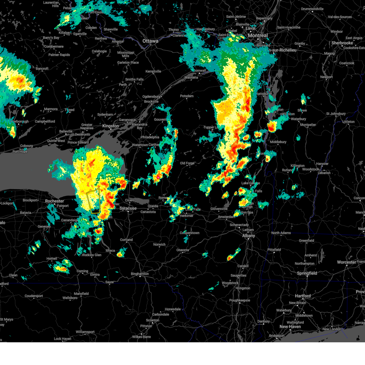
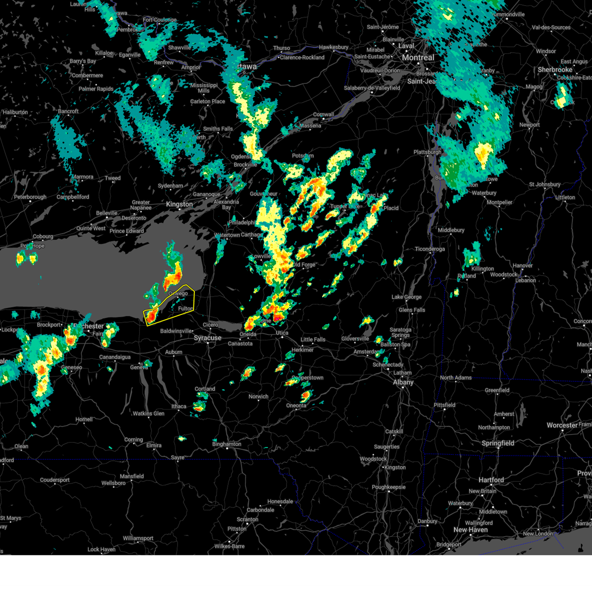
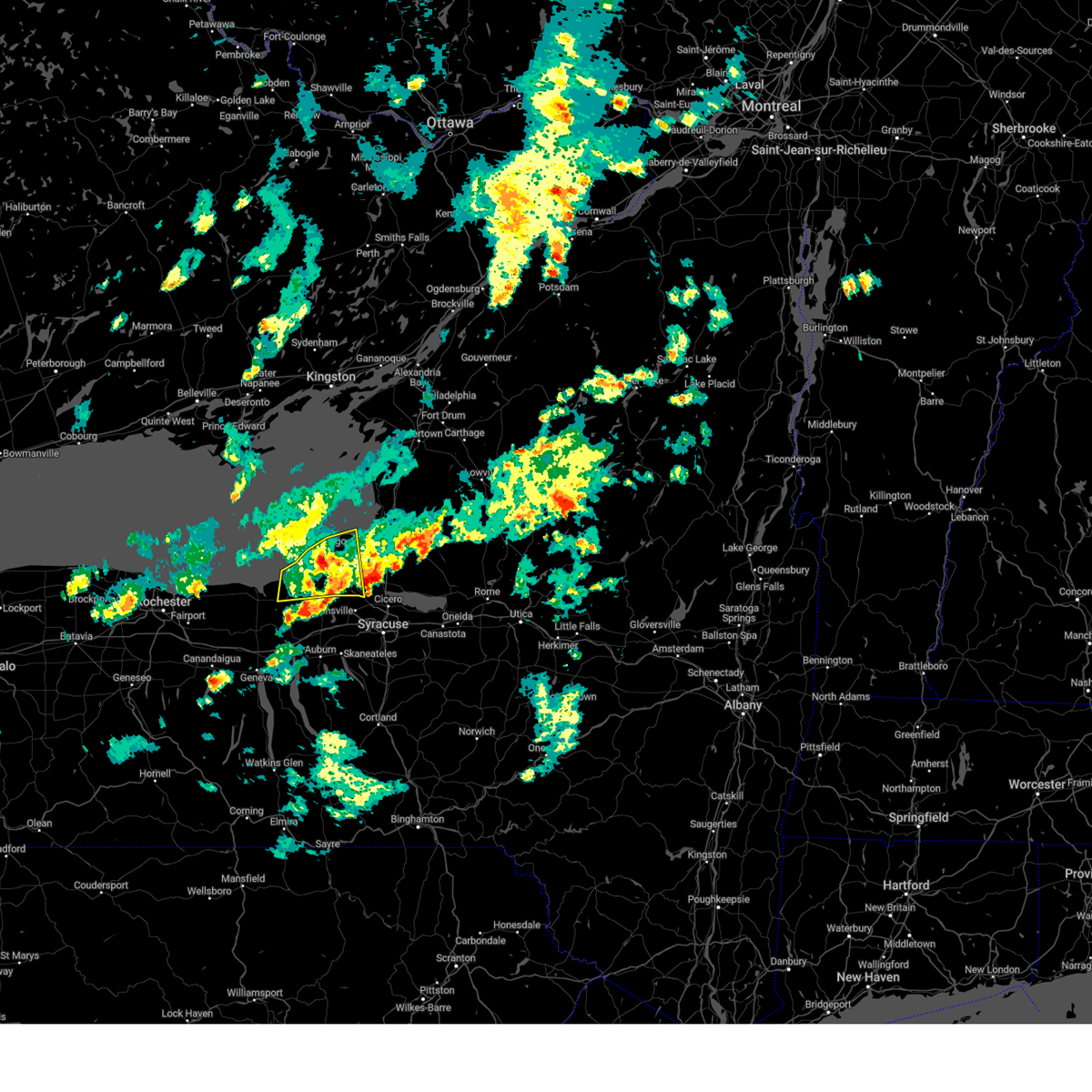
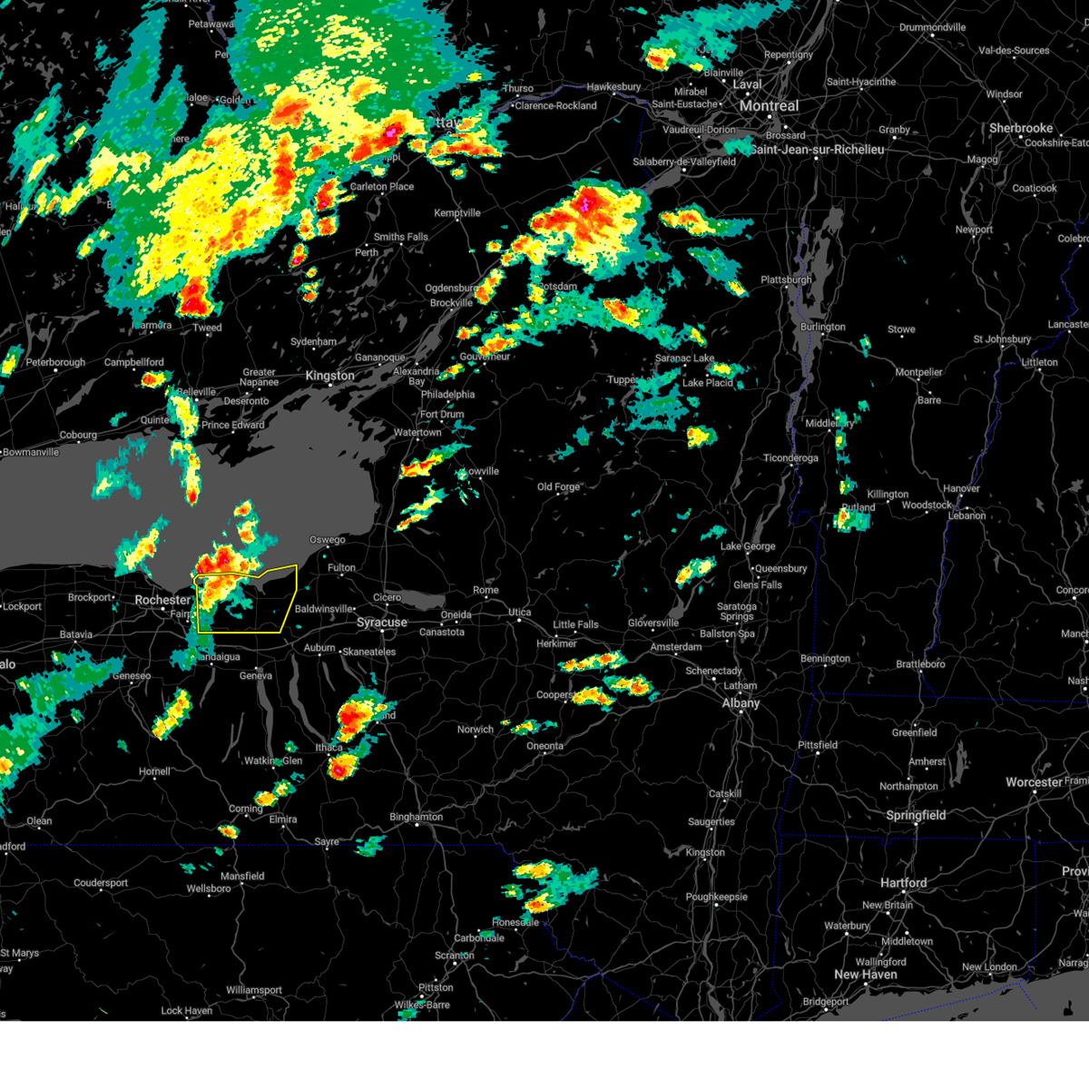
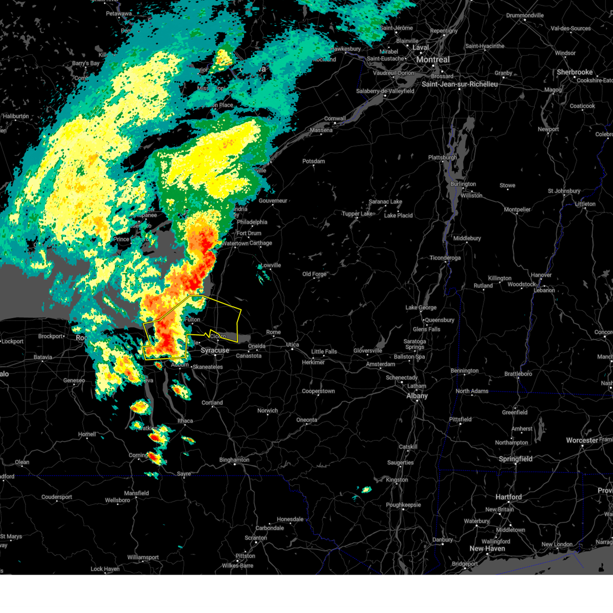
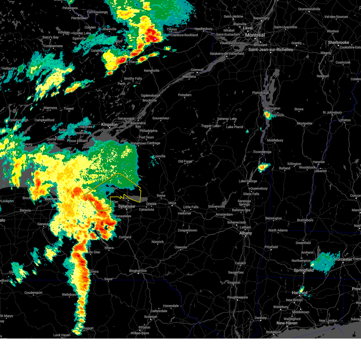
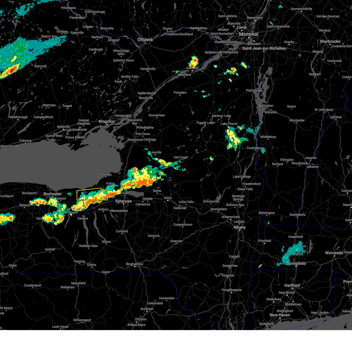
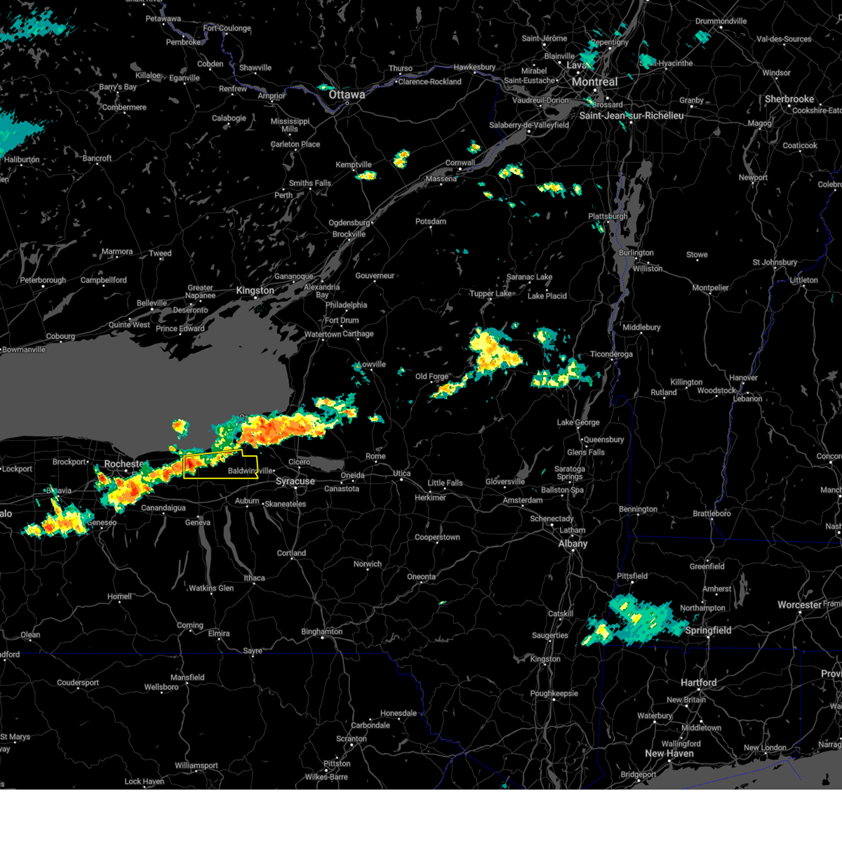
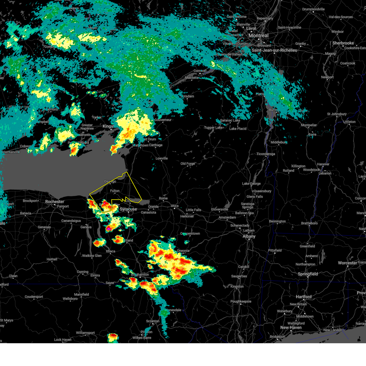
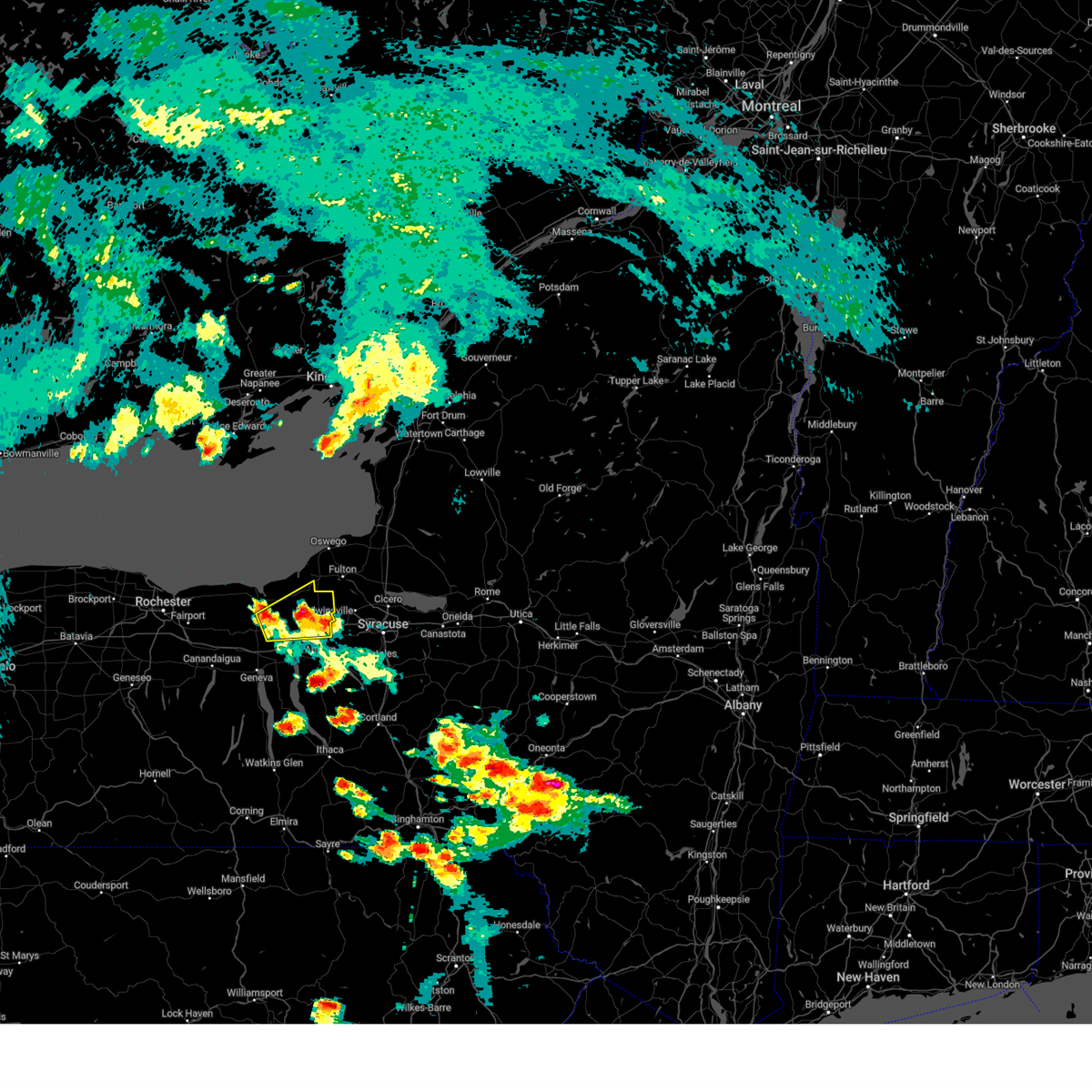
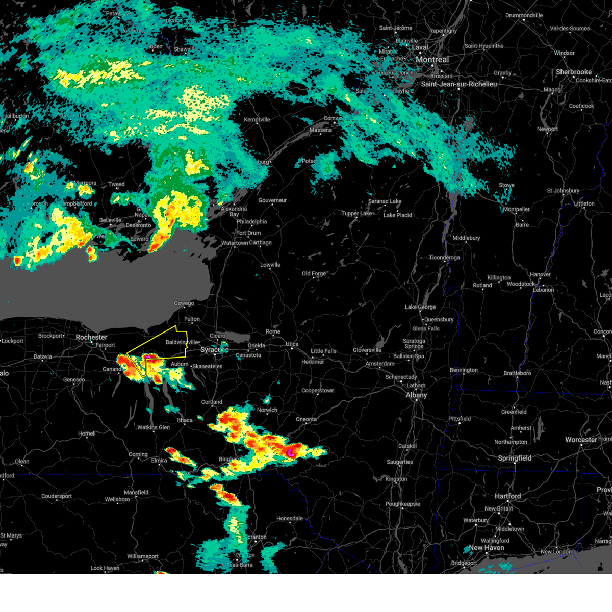
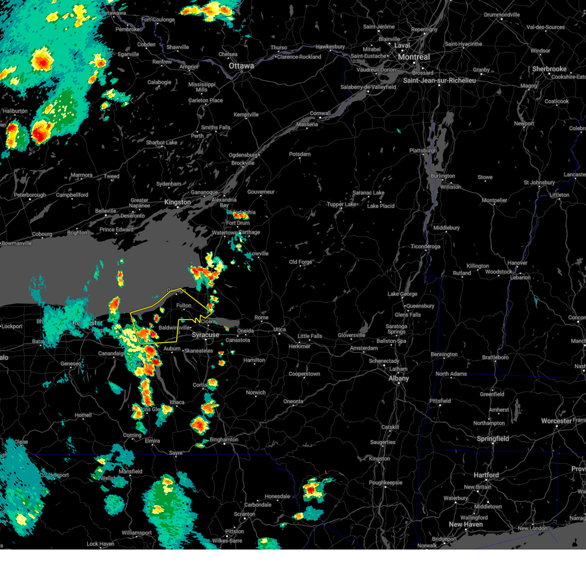
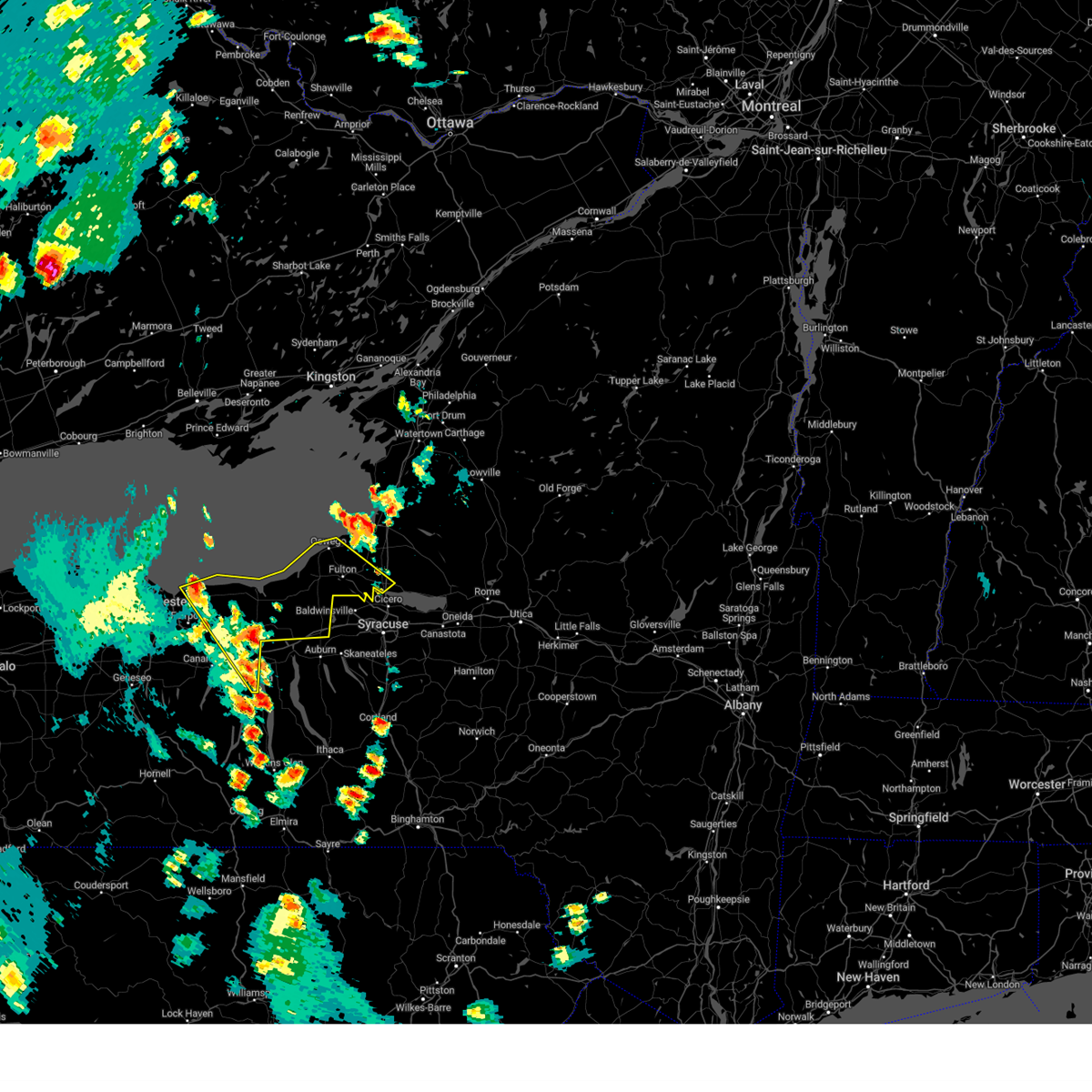
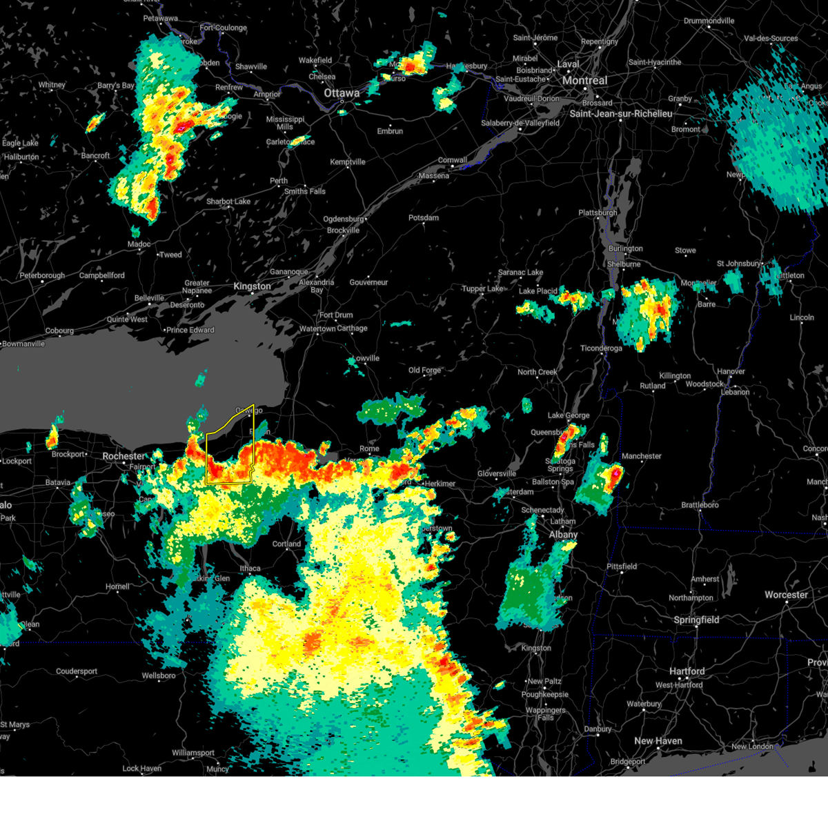
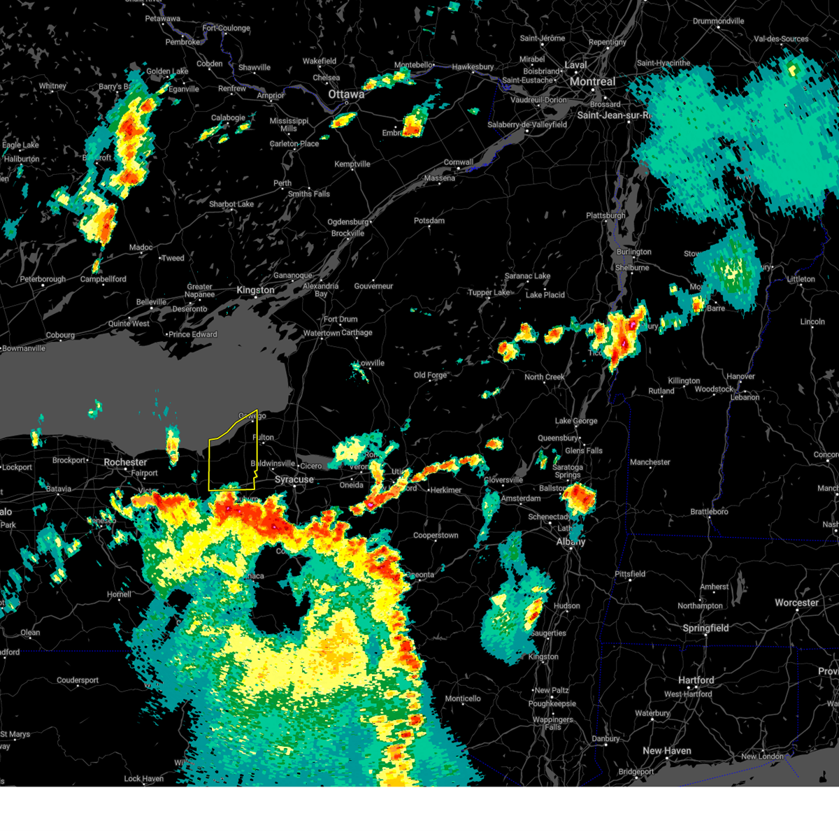
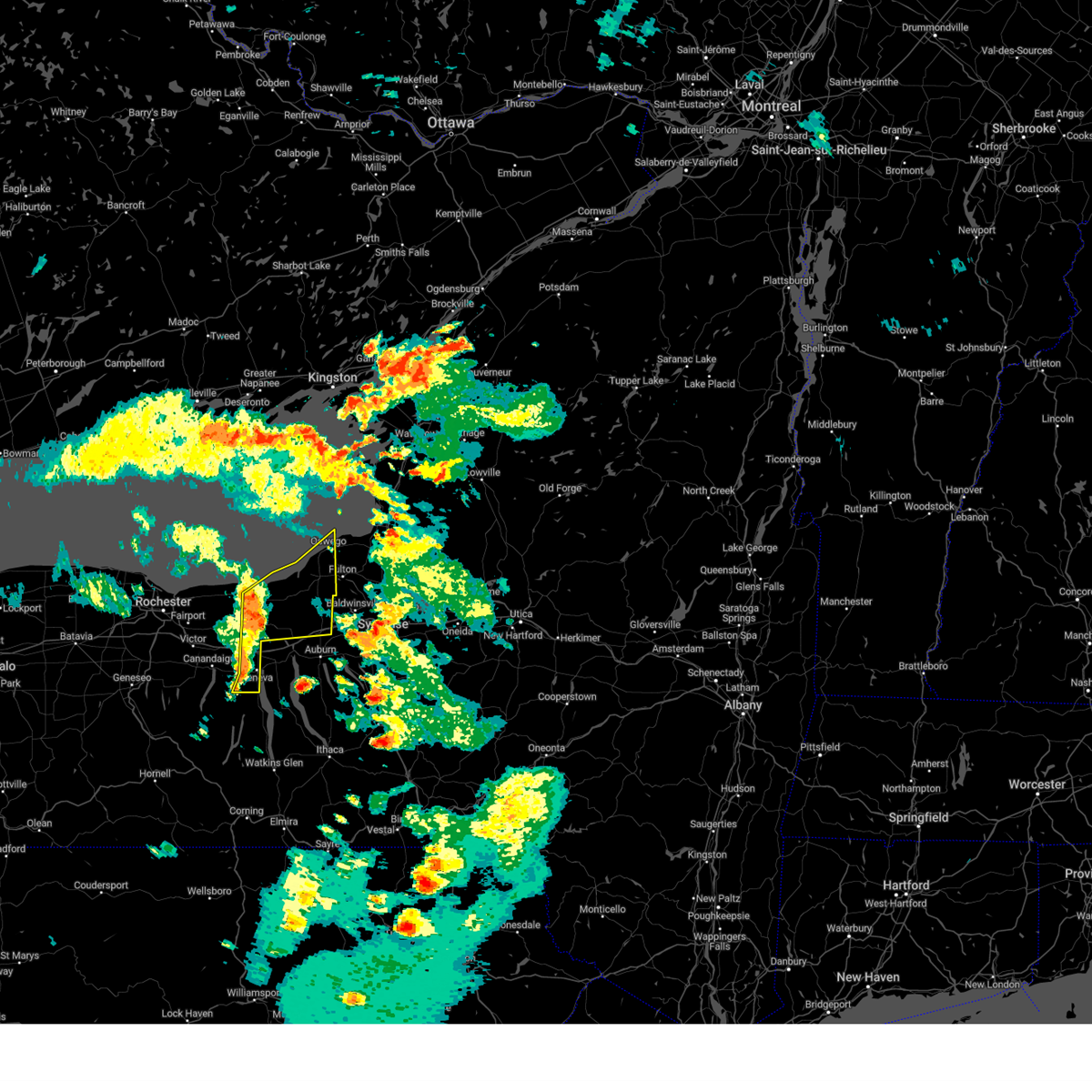
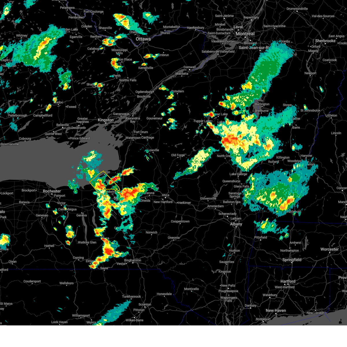
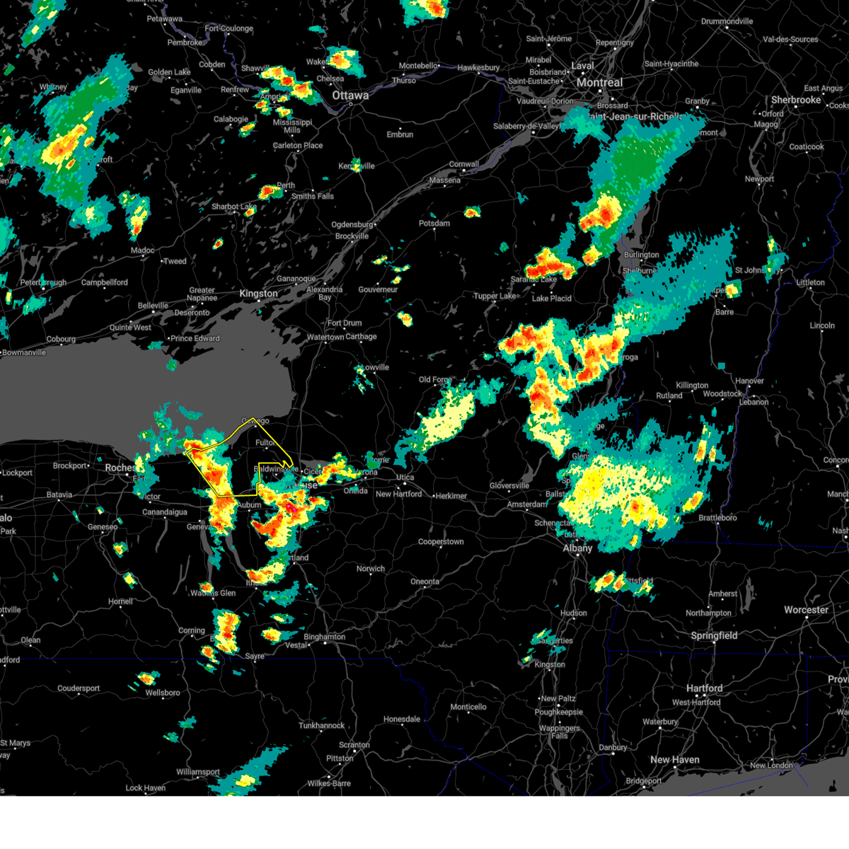
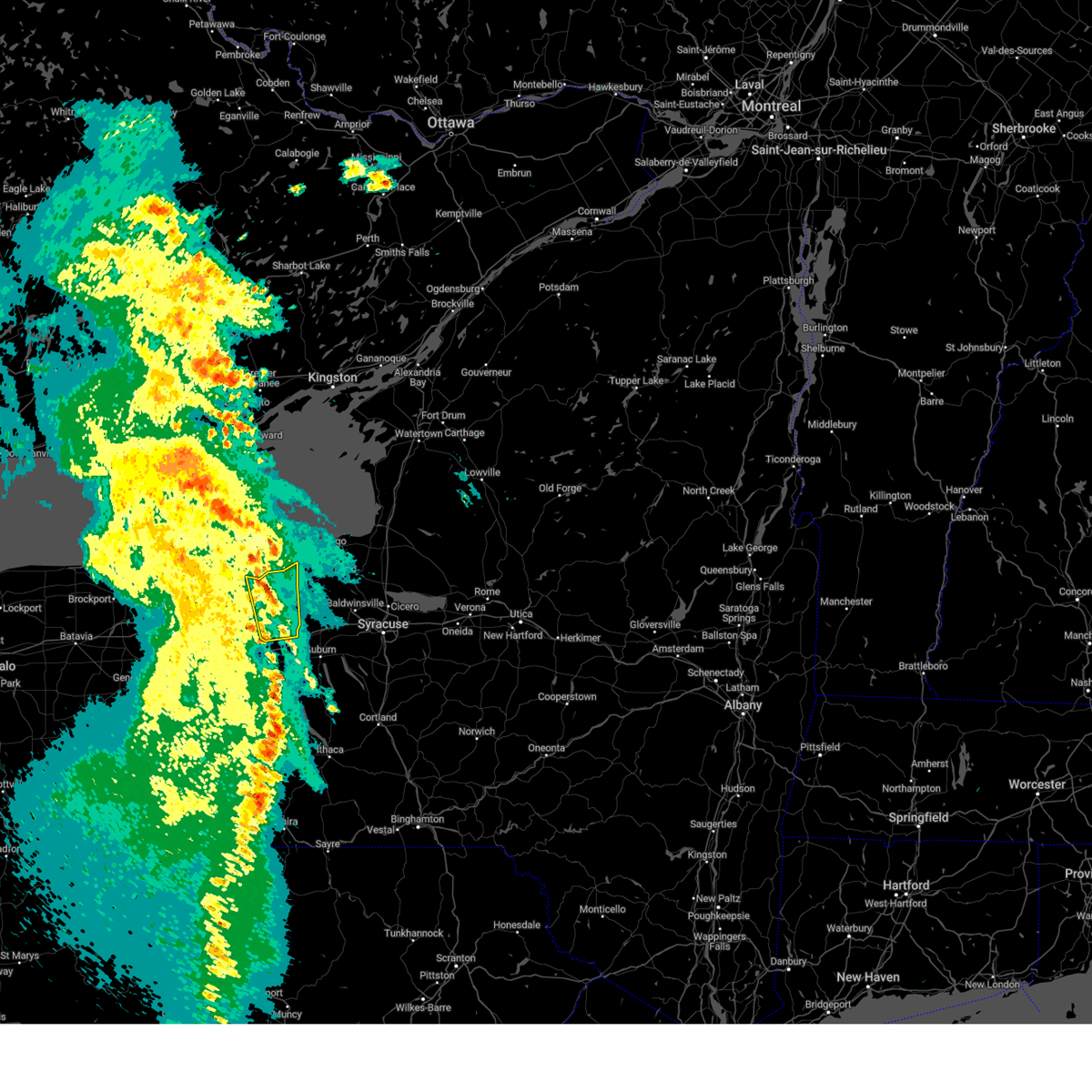
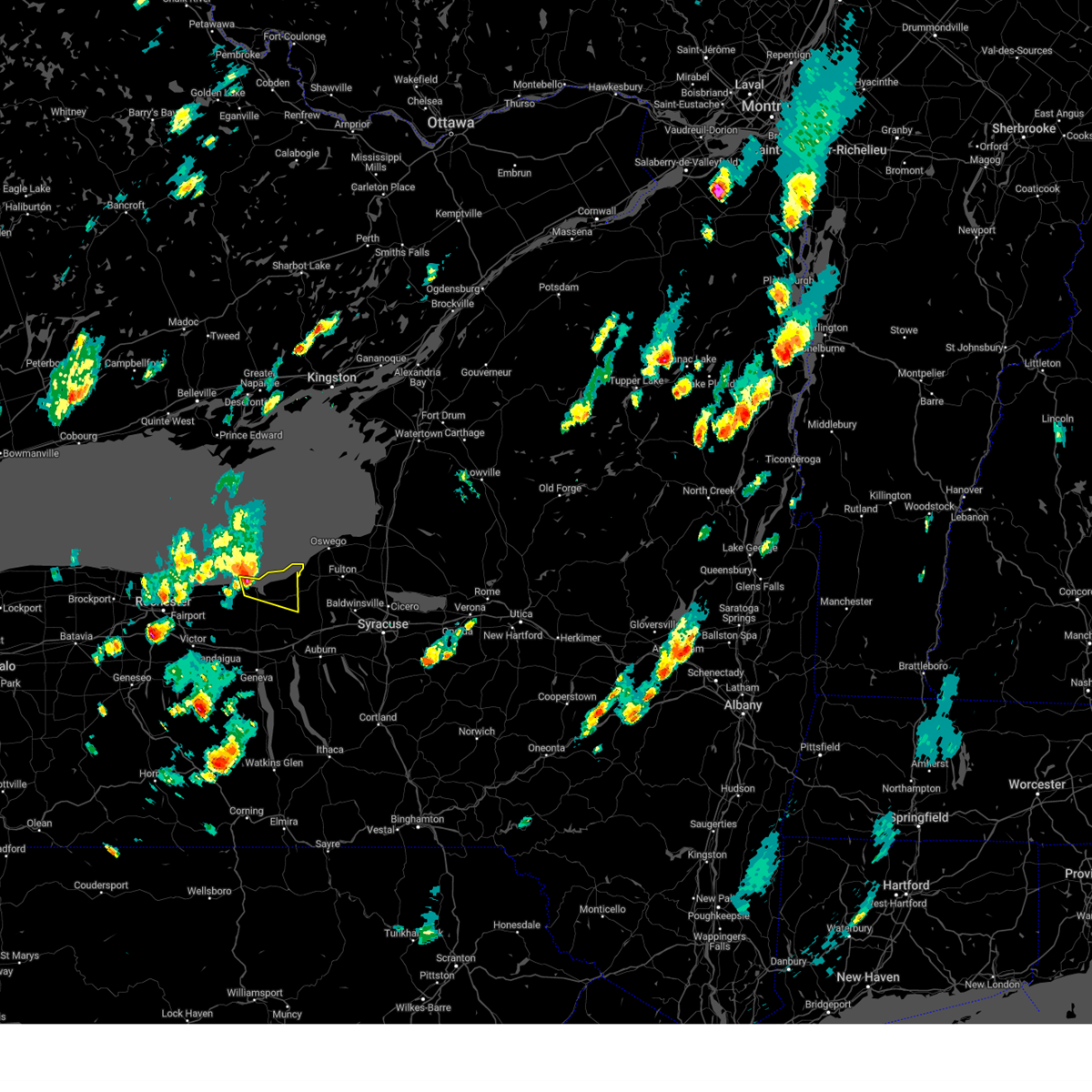
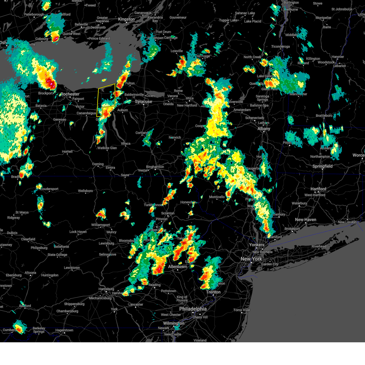
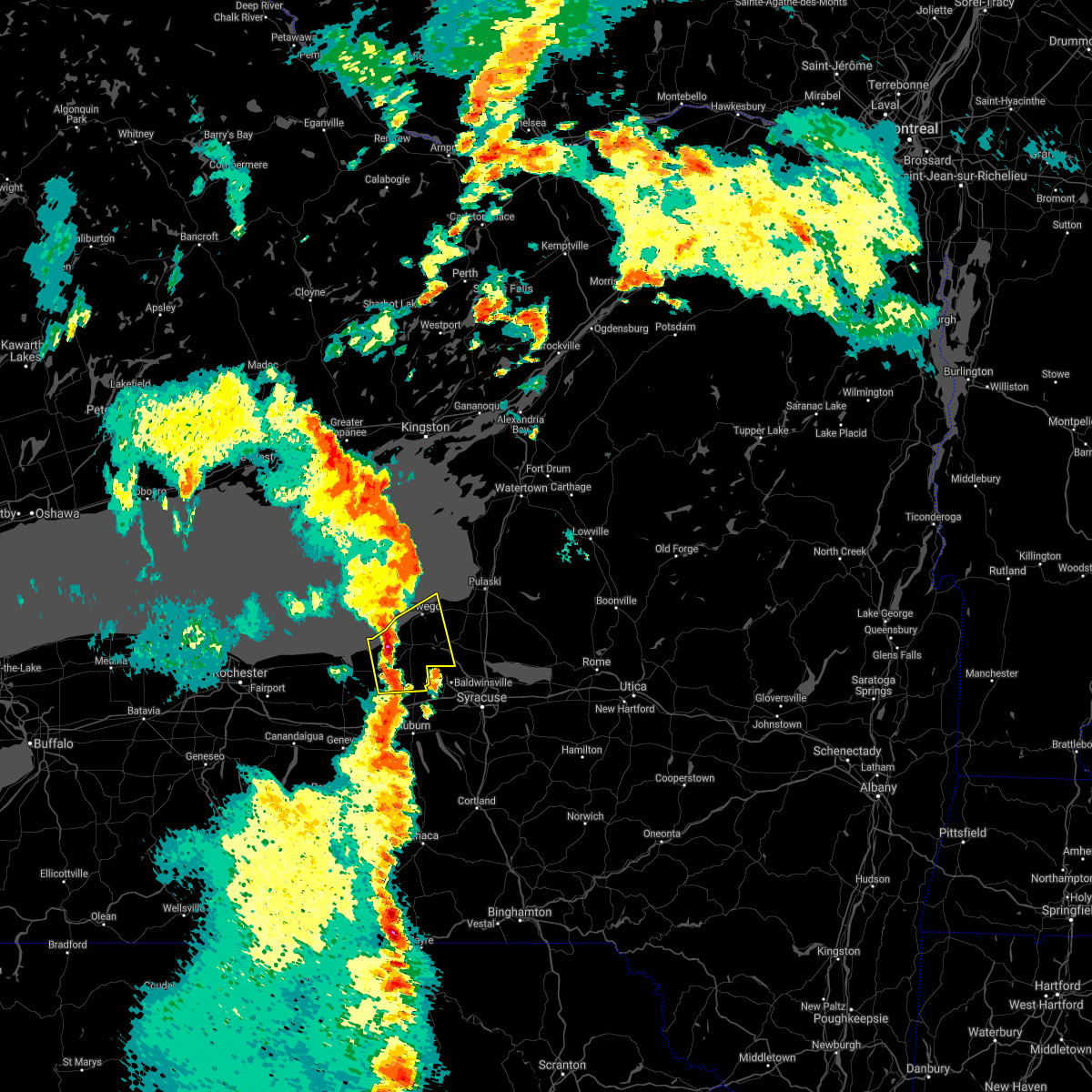
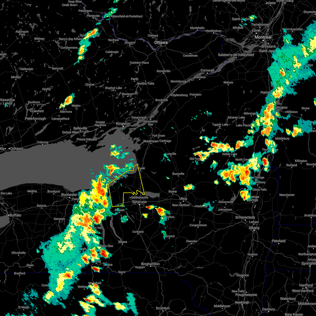
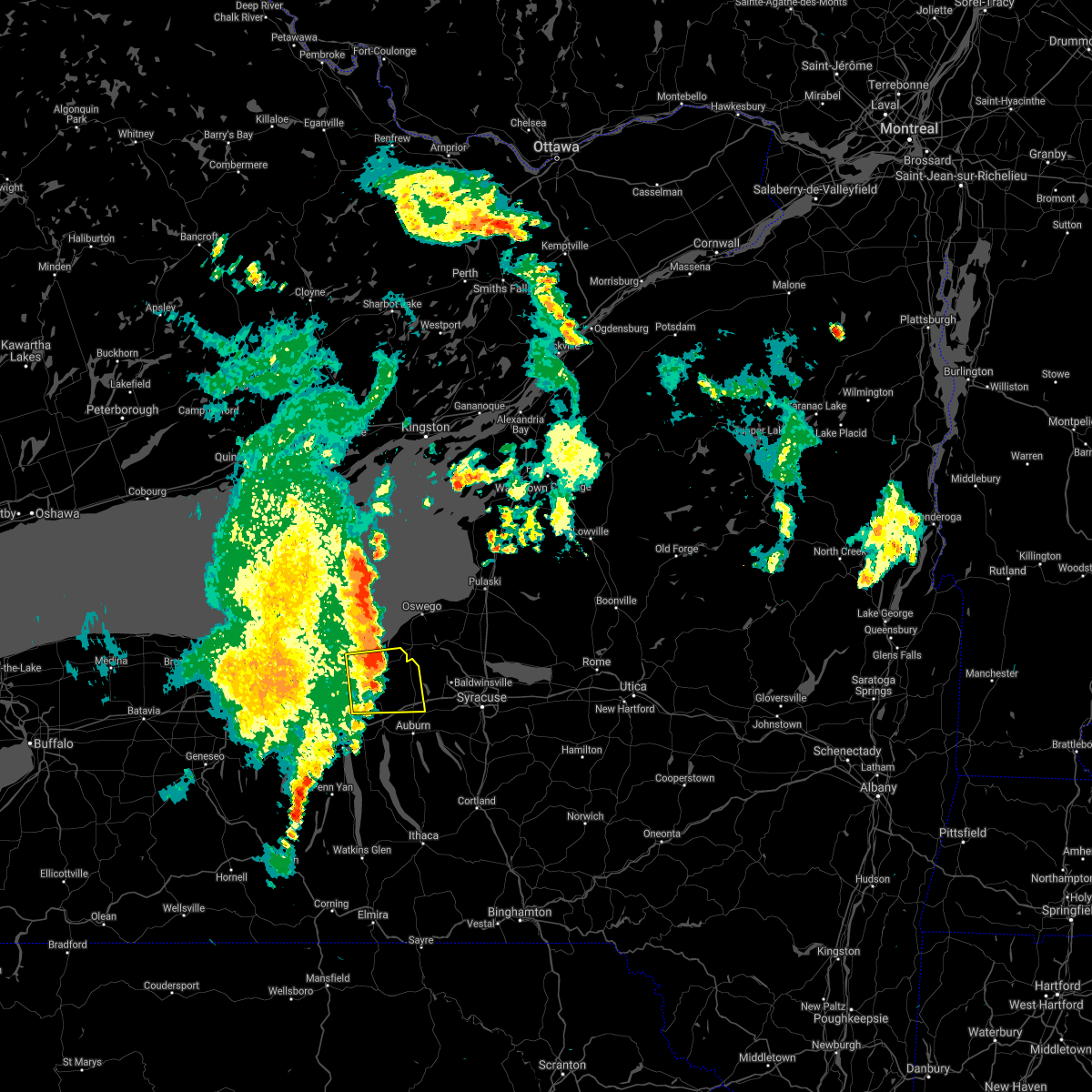
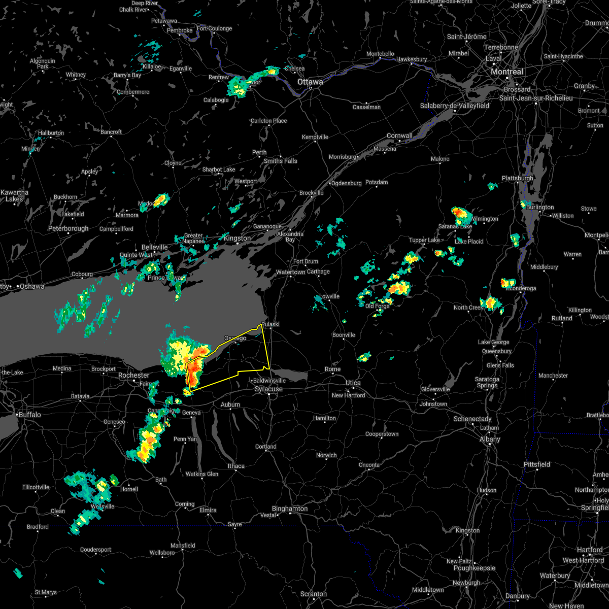
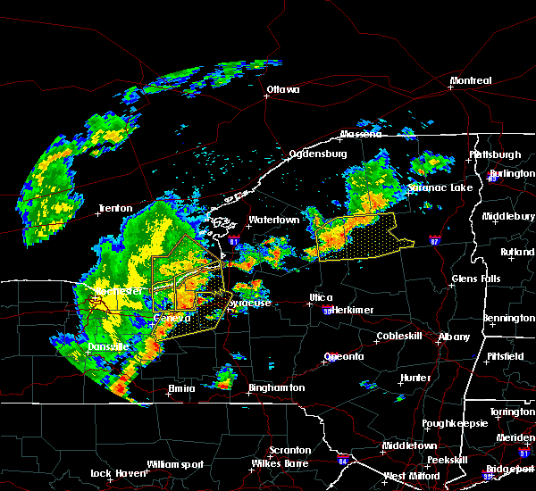
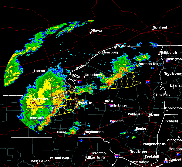
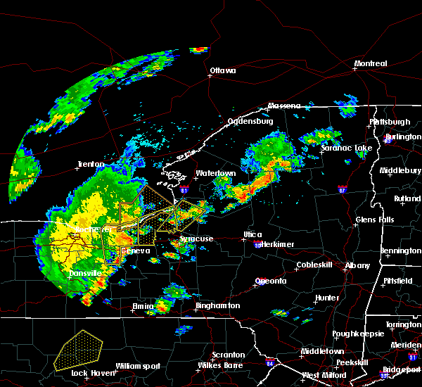
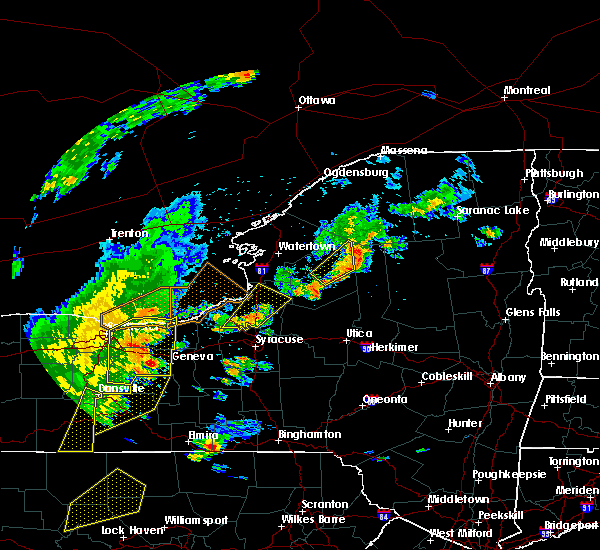
Hail Map for Red Creek, NY
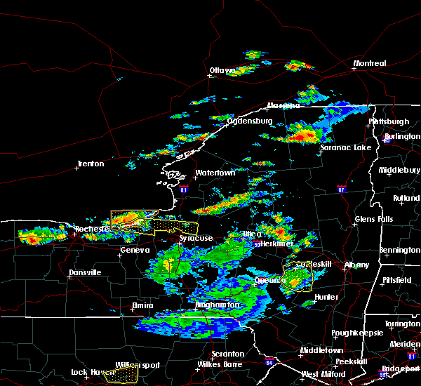
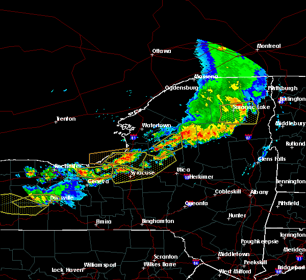
The Red Creek, NY area has had 5 reports of on-the-ground hail by trained spotters, and has been under severe weather warnings 23 times during the past 12 months. Doppler radar has detected hail at or near Red Creek, NY on 17 occasions.
| Name: | Red Creek, NY |
| Where Located: | 32.2 miles WNW of Syracuse, NY |
| Map: | Google Map for Red Creek, NY |
| Population: | 532 |
| Housing Units: | 237 |
| More Info: | Search Google for Red Creek, NY |
0
The Top Recent Hail Date for Red Creek, NY is Saturday, June 22, 2024 (11th out of 17)

Hail and Wind Damage Spotted near Red Creek, NY
| Date / Time | Report Details |
|---|---|
| 5/17/2025 2:31 PM EDT |
 The storms which prompted the warning have moved out of the area. therefore, the warning has been allowed to expire. The storms which prompted the warning have moved out of the area. therefore, the warning has been allowed to expire.
|
| 5/17/2025 2:09 PM EDT |
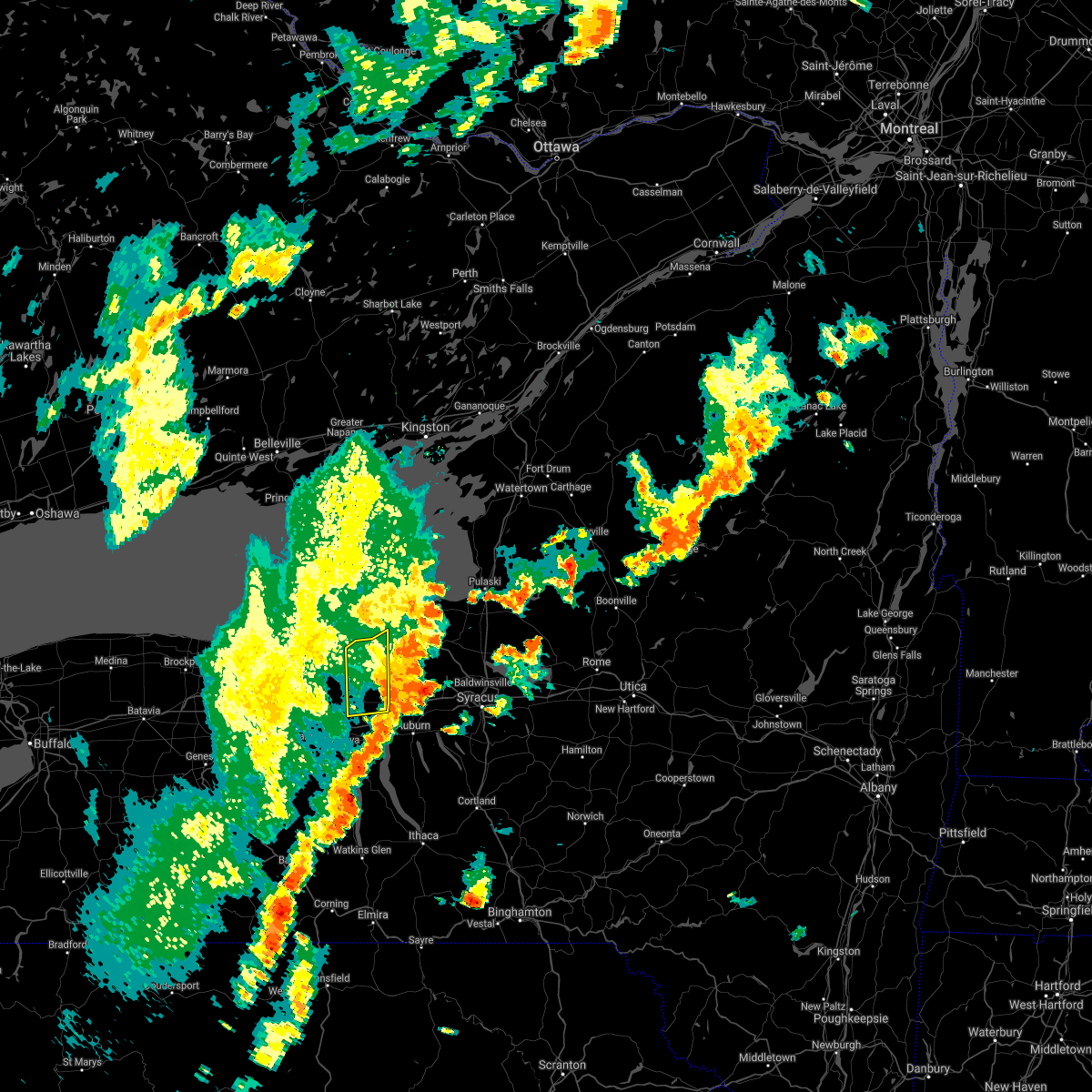
 At 209 pm edt, severe thunderstorms were located along a line extending from near chimney bluffs state park to near montezuma, moving east at 35 mph (radar indicated). Hazards include 60 mph wind gusts and quarter size hail. Hail damage to vehicles is expected. expect wind damage to roofs, siding, and trees. Locations impacted include, clyde, savannah, south butler, port bay, wolcott, chimney bluffs state park, huron, rose, red creek, and north rose. At 209 pm edt, severe thunderstorms were located along a line extending from near chimney bluffs state park to near montezuma, moving east at 35 mph (radar indicated). Hazards include 60 mph wind gusts and quarter size hail. Hail damage to vehicles is expected. expect wind damage to roofs, siding, and trees. Locations impacted include, clyde, savannah, south butler, port bay, wolcott, chimney bluffs state park, huron, rose, red creek, and north rose.
|
| 5/17/2025 2:09 PM EDT |
 the severe thunderstorm warning has been cancelled and is no longer in effect the severe thunderstorm warning has been cancelled and is no longer in effect
|
| 5/17/2025 2:02 PM EDT |
 Svrbuf the national weather service in buffalo has issued a * severe thunderstorm warning for, cayuga county in central new york, southwestern oswego county in central new york, * until 300 pm edt. * at 202 pm edt, severe thunderstorms were located along a line extending from near oswego to near clyde, moving northeast at 35 mph (radar indicated). Hazards include 60 mph wind gusts and nickel size hail. expect damage to roofs, siding, and trees Svrbuf the national weather service in buffalo has issued a * severe thunderstorm warning for, cayuga county in central new york, southwestern oswego county in central new york, * until 300 pm edt. * at 202 pm edt, severe thunderstorms were located along a line extending from near oswego to near clyde, moving northeast at 35 mph (radar indicated). Hazards include 60 mph wind gusts and nickel size hail. expect damage to roofs, siding, and trees
|
| 5/17/2025 1:34 PM EDT |
 Svrbuf the national weather service in buffalo has issued a * severe thunderstorm warning for, wayne county in western new york, northeastern ontario county in western new york, * until 230 pm edt. * at 133 pm edt, severe thunderstorms were located along a line extending from near williamson to near clifton springs, moving northeast at 30 mph (radar indicated). Hazards include 60 mph wind gusts and quarter size hail. Hail damage to vehicles is expected. Expect wind damage to roofs, siding, and trees. Svrbuf the national weather service in buffalo has issued a * severe thunderstorm warning for, wayne county in western new york, northeastern ontario county in western new york, * until 230 pm edt. * at 133 pm edt, severe thunderstorms were located along a line extending from near williamson to near clifton springs, moving northeast at 30 mph (radar indicated). Hazards include 60 mph wind gusts and quarter size hail. Hail damage to vehicles is expected. Expect wind damage to roofs, siding, and trees.
|
| 5/17/2025 12:34 PM EDT |
 Svrbuf the national weather service in buffalo has issued a * severe thunderstorm warning for, northeastern wayne county in western new york, cayuga county in central new york, west central oswego county in central new york, * until 130 pm edt. * at 1233 pm edt, a severe thunderstorm was located near chimney bluffs state park, or near fair haven beach state park, moving northeast at 25 mph (radar indicated). Hazards include 60 mph wind gusts and quarter size hail. Hail damage to vehicles is expected. Expect wind damage to roofs, siding, and trees. Svrbuf the national weather service in buffalo has issued a * severe thunderstorm warning for, northeastern wayne county in western new york, cayuga county in central new york, west central oswego county in central new york, * until 130 pm edt. * at 1233 pm edt, a severe thunderstorm was located near chimney bluffs state park, or near fair haven beach state park, moving northeast at 25 mph (radar indicated). Hazards include 60 mph wind gusts and quarter size hail. Hail damage to vehicles is expected. Expect wind damage to roofs, siding, and trees.
|
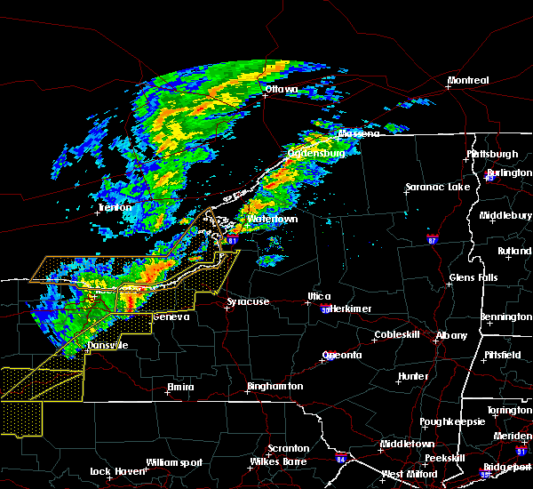
| 4/29/2025 4:31 PM EDT | Svrbuf the national weather service in buffalo has issued a * severe thunderstorm warning for, southeastern wayne county in western new york, cayuga county in central new york, southwestern oswego county in central new york, northeastern ontario county in western new york, * until 530 pm edt. * at 431 pm edt, a severe thunderstorm was located near clifton springs, or near canandaigua, moving east at 55 mph (radar indicated). Hazards include 60 mph wind gusts and quarter size hail. Hail damage to vehicles is expected. Expect wind damage to roofs, siding, and trees. |
| 3/16/2025 5:18 PM EDT |
 the severe thunderstorm warning has been cancelled and is no longer in effect the severe thunderstorm warning has been cancelled and is no longer in effect
|
| 3/16/2025 4:47 PM EDT |
 At 446 pm edt, a severe thunderstorm was located near fair haven beach state park, moving east at 45 mph (radar indicated). Hazards include 60 mph wind gusts. Expect damage to roofs, siding, and trees. locations impacted include, volney, fulton, sterling, south hannibal, pennellville, central square, fruit valley, fair haven beach state park, granby center, and palermo. this includes the following highways, interstate 90 near exit 40. Interstate 81 near exit 32. At 446 pm edt, a severe thunderstorm was located near fair haven beach state park, moving east at 45 mph (radar indicated). Hazards include 60 mph wind gusts. Expect damage to roofs, siding, and trees. locations impacted include, volney, fulton, sterling, south hannibal, pennellville, central square, fruit valley, fair haven beach state park, granby center, and palermo. this includes the following highways, interstate 90 near exit 40. Interstate 81 near exit 32.
|
| 3/16/2025 4:24 PM EDT |
 Svrbuf the national weather service in buffalo has issued a * severe thunderstorm warning for, eastern wayne county in western new york, cayuga county in central new york, southwestern oswego county in central new york, * until 530 pm edt. * at 424 pm edt, a severe thunderstorm was located near chimney bluffs state park, or 16 miles southwest of fair haven beach state park, moving east at 45 mph (radar indicated). Hazards include 60 mph wind gusts. expect damage to roofs, siding, and trees Svrbuf the national weather service in buffalo has issued a * severe thunderstorm warning for, eastern wayne county in western new york, cayuga county in central new york, southwestern oswego county in central new york, * until 530 pm edt. * at 424 pm edt, a severe thunderstorm was located near chimney bluffs state park, or 16 miles southwest of fair haven beach state park, moving east at 45 mph (radar indicated). Hazards include 60 mph wind gusts. expect damage to roofs, siding, and trees
|
| 8/11/2024 4:29 PM EDT |
 The severe thunderstorm which prompted the warning has weakened. moved out of the therefore, the warning will be allowed to expire. however, small hail and gusty winds are still possible with this thunderstorm. remember, a severe thunderstorm warning still remains in effect for northern cayuga and southern oswego counties until 515 pm. The severe thunderstorm which prompted the warning has weakened. moved out of the therefore, the warning will be allowed to expire. however, small hail and gusty winds are still possible with this thunderstorm. remember, a severe thunderstorm warning still remains in effect for northern cayuga and southern oswego counties until 515 pm.
|
| 8/11/2024 4:22 PM EDT | Trees and wires down in red creek. time estimated by rada in wayne county NY, 0.1 miles W of Red Creek, NY |
| 8/11/2024 4:14 PM EDT |
 At 414 pm edt, a severe thunderstorm was located over fair haven beach state park, moving east at 45 mph (radar indicated). Hazards include 60 mph wind gusts and quarter size hail. Hail damage to vehicles is expected. expect wind damage to roofs, siding, and trees. Locations impacted include, oswego, fulton, fair haven beach state park, nine mile point, battle island state park, scriba, volney, sterling, phoenix, and wolcott. At 414 pm edt, a severe thunderstorm was located over fair haven beach state park, moving east at 45 mph (radar indicated). Hazards include 60 mph wind gusts and quarter size hail. Hail damage to vehicles is expected. expect wind damage to roofs, siding, and trees. Locations impacted include, oswego, fulton, fair haven beach state park, nine mile point, battle island state park, scriba, volney, sterling, phoenix, and wolcott.
|
| 8/11/2024 3:44 PM EDT |
 Svrbuf the national weather service in buffalo has issued a * severe thunderstorm warning for, northern wayne county in western new york, cayuga county in central new york, southwestern oswego county in central new york, * until 430 pm edt. * at 343 pm edt, a severe thunderstorm was located near sodus, or 15 miles east of webster, moving east at 50 mph (radar indicated). Hazards include 60 mph wind gusts and quarter size hail. Hail damage to vehicles is expected. Expect wind damage to roofs, siding, and trees. Svrbuf the national weather service in buffalo has issued a * severe thunderstorm warning for, northern wayne county in western new york, cayuga county in central new york, southwestern oswego county in central new york, * until 430 pm edt. * at 343 pm edt, a severe thunderstorm was located near sodus, or 15 miles east of webster, moving east at 50 mph (radar indicated). Hazards include 60 mph wind gusts and quarter size hail. Hail damage to vehicles is expected. Expect wind damage to roofs, siding, and trees.
|
| 7/24/2024 2:51 PM EDT |
 the severe thunderstorm warning has been cancelled and is no longer in effect the severe thunderstorm warning has been cancelled and is no longer in effect
|
| 7/24/2024 2:44 PM EDT |
 the severe thunderstorm warning has been cancelled and is no longer in effect the severe thunderstorm warning has been cancelled and is no longer in effect
|
| 7/24/2024 2:44 PM EDT |
 At 243 pm edt, severe thunderstorms were located along a line extending from 12 miles north of williamson to near ontario, moving northeast at 25 mph (radar indicated). Hazards include 60 mph wind gusts. Expect damage to roofs, siding, and trees. Locations impacted include, ontario, newark, williamson, marion, lyons, palmyra, clyde, sodus, chimney bluffs state park, and walworth. At 243 pm edt, severe thunderstorms were located along a line extending from 12 miles north of williamson to near ontario, moving northeast at 25 mph (radar indicated). Hazards include 60 mph wind gusts. Expect damage to roofs, siding, and trees. Locations impacted include, ontario, newark, williamson, marion, lyons, palmyra, clyde, sodus, chimney bluffs state park, and walworth.
|
| 7/24/2024 2:30 PM EDT |
 Svrbuf the national weather service in buffalo has issued a * severe thunderstorm warning for, wayne county in western new york, east central monroe county in western new york, * until 330 pm edt. * at 230 pm edt, severe thunderstorms were located along a line extending from 8 miles north of ontario to fairport, moving east at 20 mph (radar indicated). Hazards include 60 mph wind gusts and penny size hail. expect damage to roofs, siding, and trees Svrbuf the national weather service in buffalo has issued a * severe thunderstorm warning for, wayne county in western new york, east central monroe county in western new york, * until 330 pm edt. * at 230 pm edt, severe thunderstorms were located along a line extending from 8 miles north of ontario to fairport, moving east at 20 mph (radar indicated). Hazards include 60 mph wind gusts and penny size hail. expect damage to roofs, siding, and trees
|
| 7/16/2024 1:56 PM EDT |
 At 155 pm edt, severe thunderstorms were located along a line extending from 6 miles northwest of fair haven beach state park to clyde, moving northeast at 25 mph (radar indicated). Hazards include 70 mph wind gusts and ping pong ball size hail. People and animals outdoors will be injured. expect hail damage to roofs, siding, windows, and vehicles. expect considerable tree damage. wind damage is also likely to mobile homes, roofs, and outbuildings. locations impacted include, oswego, fulton, fair haven beach state park, lyons, clyde, central square, weedsport, cato, chimney bluffs state park, and mexico point state park. this includes the following highways, interstate 90 near exit 40. Interstate 81 between exits 32 and 35. At 155 pm edt, severe thunderstorms were located along a line extending from 6 miles northwest of fair haven beach state park to clyde, moving northeast at 25 mph (radar indicated). Hazards include 70 mph wind gusts and ping pong ball size hail. People and animals outdoors will be injured. expect hail damage to roofs, siding, windows, and vehicles. expect considerable tree damage. wind damage is also likely to mobile homes, roofs, and outbuildings. locations impacted include, oswego, fulton, fair haven beach state park, lyons, clyde, central square, weedsport, cato, chimney bluffs state park, and mexico point state park. this includes the following highways, interstate 90 near exit 40. Interstate 81 between exits 32 and 35.
|
| 7/16/2024 1:56 PM EDT |
 the severe thunderstorm warning has been cancelled and is no longer in effect the severe thunderstorm warning has been cancelled and is no longer in effect
|
| 7/16/2024 1:19 PM EDT |
 Svrbuf the national weather service in buffalo has issued a * severe thunderstorm warning for, southeastern wayne county in western new york, cayuga county in central new york, oswego county in central new york, northeastern ontario county in western new york, * until 230 pm edt. * at 118 pm edt, severe thunderstorms were located along a line extending from 8 miles northwest of chimney bluffs state park to near newark, moving northeast at 30 mph (radar indicated). Hazards include 60 mph wind gusts. expect damage to roofs, siding, and trees Svrbuf the national weather service in buffalo has issued a * severe thunderstorm warning for, southeastern wayne county in western new york, cayuga county in central new york, oswego county in central new york, northeastern ontario county in western new york, * until 230 pm edt. * at 118 pm edt, severe thunderstorms were located along a line extending from 8 miles northwest of chimney bluffs state park to near newark, moving northeast at 30 mph (radar indicated). Hazards include 60 mph wind gusts. expect damage to roofs, siding, and trees
|
| 7/15/2024 5:42 PM EDT |
 Svrbuf the national weather service in buffalo has issued a * severe thunderstorm warning for, northeastern wayne county in western new york, cayuga county in central new york, oswego county in central new york, * until 645 pm edt. * at 542 pm edt, severe thunderstorms were located along a line extending from 6 miles southeast of chimney bluffs state park to near montezuma, moving northeast at 45 mph (radar indicated). Hazards include 60 mph wind gusts. expect damage to roofs, siding, and trees Svrbuf the national weather service in buffalo has issued a * severe thunderstorm warning for, northeastern wayne county in western new york, cayuga county in central new york, oswego county in central new york, * until 645 pm edt. * at 542 pm edt, severe thunderstorms were located along a line extending from 6 miles southeast of chimney bluffs state park to near montezuma, moving northeast at 45 mph (radar indicated). Hazards include 60 mph wind gusts. expect damage to roofs, siding, and trees
|
| 7/15/2024 5:20 PM EDT | At 520 pm edt, a severe thunderstorm was located near lyons, or 8 miles northwest of waterloo, moving northeast at 40 mph (radar indicated). Hazards include 70 mph wind gusts and nickel size hail. Expect considerable tree damage. damage is likely to mobile homes, roofs, and outbuildings. locations impacted include, geneva, newark, lyons, clifton springs, clyde, phelps, weedsport, cato, sterling, and rose. This includes interstate 90 between exits 40 and 42. |
| 7/15/2024 4:51 PM EDT |
 Svrbuf the national weather service in buffalo has issued a * severe thunderstorm warning for, southeastern wayne county in western new york, cayuga county in central new york, southwestern oswego county in central new york, northeastern ontario county in western new york, * until 545 pm edt. * at 450 pm edt, a severe thunderstorm was located over canandaigua, moving east at 45 mph (radar indicated). Hazards include 70 mph wind gusts and nickel size hail. Expect considerable tree damage. Damage is likely to mobile homes, roofs, and outbuildings. Svrbuf the national weather service in buffalo has issued a * severe thunderstorm warning for, southeastern wayne county in western new york, cayuga county in central new york, southwestern oswego county in central new york, northeastern ontario county in western new york, * until 545 pm edt. * at 450 pm edt, a severe thunderstorm was located over canandaigua, moving east at 45 mph (radar indicated). Hazards include 70 mph wind gusts and nickel size hail. Expect considerable tree damage. Damage is likely to mobile homes, roofs, and outbuildings.
|
| 6/30/2024 1:58 AM EDT |
 The storms which prompted the warning has weakened below severe limits, and has exited the warned area. therefore, the warning will be allowed to expire. however, heavy rain is still possible with these thunderstorms. The storms which prompted the warning has weakened below severe limits, and has exited the warned area. therefore, the warning will be allowed to expire. however, heavy rain is still possible with these thunderstorms.
|
| 6/30/2024 1:17 AM EDT | Delayed report... time estimated based on radar. trees down at the intersection of sterling station road and fintches corners r in cayuga county NY, 2.6 miles SW of Red Creek, NY |
| 6/30/2024 1:16 AM EDT |
 Svrbuf the national weather service in buffalo has issued a * severe thunderstorm warning for, northeastern wayne county in western new york, cayuga county in central new york, * until 200 am edt. * at 115 am edt, a severe thunderstorm was located near sodus, or 17 miles southwest of fair haven beach state park, moving east at 45 mph (radar indicated). Hazards include 60 mph wind gusts. expect damage to roofs, siding, and trees Svrbuf the national weather service in buffalo has issued a * severe thunderstorm warning for, northeastern wayne county in western new york, cayuga county in central new york, * until 200 am edt. * at 115 am edt, a severe thunderstorm was located near sodus, or 17 miles southwest of fair haven beach state park, moving east at 45 mph (radar indicated). Hazards include 60 mph wind gusts. expect damage to roofs, siding, and trees
|
| 6/22/2024 8:29 PM EDT |
 Svrbuf the national weather service in buffalo has issued a * severe thunderstorm warning for, northeastern wayne county in western new york, cayuga county in central new york, oswego county in central new york, * until 930 pm edt. * at 829 pm edt, a severe thunderstorm was located near cato, or 11 miles south of fair haven beach state park, moving northeast at 30 mph (law enforcement). Hazards include 60 mph wind gusts and half dollar size hail. Hail damage to vehicles is expected. Expect wind damage to roofs, siding, and trees. Svrbuf the national weather service in buffalo has issued a * severe thunderstorm warning for, northeastern wayne county in western new york, cayuga county in central new york, oswego county in central new york, * until 930 pm edt. * at 829 pm edt, a severe thunderstorm was located near cato, or 11 miles south of fair haven beach state park, moving northeast at 30 mph (law enforcement). Hazards include 60 mph wind gusts and half dollar size hail. Hail damage to vehicles is expected. Expect wind damage to roofs, siding, and trees.
|
| 6/22/2024 8:26 PM EDT |
 At 825 pm edt, a severe thunderstorm was located near cato, or 12 miles north of auburn, moving northeast at 30 mph (law enforcement). Hazards include 60 mph wind gusts and half dollar size hail. Hail damage to vehicles is expected. expect wind damage to roofs, siding, and trees. locations impacted include, clyde, weedsport, cato, rose, ira, conquest, savannah, wolcott, port byron, and red creek. This includes interstate 90 near exit 40. At 825 pm edt, a severe thunderstorm was located near cato, or 12 miles north of auburn, moving northeast at 30 mph (law enforcement). Hazards include 60 mph wind gusts and half dollar size hail. Hail damage to vehicles is expected. expect wind damage to roofs, siding, and trees. locations impacted include, clyde, weedsport, cato, rose, ira, conquest, savannah, wolcott, port byron, and red creek. This includes interstate 90 near exit 40.
|
| 6/22/2024 8:26 PM EDT |
 the severe thunderstorm warning has been cancelled and is no longer in effect the severe thunderstorm warning has been cancelled and is no longer in effect
|
| 6/22/2024 8:03 PM EDT |
 At 802 pm edt, a severe thunderstorm was located near clyde, or 8 miles north of seneca falls, moving northeast at 30 mph (law enforcement). Hazards include two inch hail and 70 mph wind gusts. People and animals outdoors will be injured. expect hail damage to roofs, siding, windows, and vehicles. expect considerable tree damage. wind damage is also likely to mobile homes, roofs, and outbuildings. locations impacted include, geneva, newark, lyons, clyde, phelps, weedsport, cato, rose, ira, and conquest. This includes interstate 90 between exits 40 and 42. At 802 pm edt, a severe thunderstorm was located near clyde, or 8 miles north of seneca falls, moving northeast at 30 mph (law enforcement). Hazards include two inch hail and 70 mph wind gusts. People and animals outdoors will be injured. expect hail damage to roofs, siding, windows, and vehicles. expect considerable tree damage. wind damage is also likely to mobile homes, roofs, and outbuildings. locations impacted include, geneva, newark, lyons, clyde, phelps, weedsport, cato, rose, ira, and conquest. This includes interstate 90 between exits 40 and 42.
|
| 6/22/2024 7:52 PM EDT |
 At 751 pm edt, a severe thunderstorm was located near lyons, or near waterloo, moving northeast at 30 mph (radar indicated). Hazards include golf ball size hail and 70 mph wind gusts. People and animals outdoors will be injured. expect hail damage to roofs, siding, windows, and vehicles. expect considerable tree damage. wind damage is also likely to mobile homes, roofs, and outbuildings. locations impacted include, geneva, newark, lyons, clyde, phelps, weedsport, cato, rose, ira, and conquest. This includes interstate 90 between exits 40 and 42. At 751 pm edt, a severe thunderstorm was located near lyons, or near waterloo, moving northeast at 30 mph (radar indicated). Hazards include golf ball size hail and 70 mph wind gusts. People and animals outdoors will be injured. expect hail damage to roofs, siding, windows, and vehicles. expect considerable tree damage. wind damage is also likely to mobile homes, roofs, and outbuildings. locations impacted include, geneva, newark, lyons, clyde, phelps, weedsport, cato, rose, ira, and conquest. This includes interstate 90 between exits 40 and 42.
|
| 6/22/2024 7:45 PM EDT |
 Svrbuf the national weather service in buffalo has issued a * severe thunderstorm warning for, southeastern wayne county in western new york, cayuga county in central new york, northeastern ontario county in western new york, * until 845 pm edt. * at 745 pm edt, a severe thunderstorm was located near phelps, or 7 miles northwest of waterloo, moving northeast at 30 mph (radar indicated). Hazards include 60 mph wind gusts and quarter size hail. Hail damage to vehicles is expected. Expect wind damage to roofs, siding, and trees. Svrbuf the national weather service in buffalo has issued a * severe thunderstorm warning for, southeastern wayne county in western new york, cayuga county in central new york, northeastern ontario county in western new york, * until 845 pm edt. * at 745 pm edt, a severe thunderstorm was located near phelps, or 7 miles northwest of waterloo, moving northeast at 30 mph (radar indicated). Hazards include 60 mph wind gusts and quarter size hail. Hail damage to vehicles is expected. Expect wind damage to roofs, siding, and trees.
|
| 6/22/2024 6:38 PM EDT |
 Svrbuf the national weather service in buffalo has issued a * severe thunderstorm warning for, southeastern wayne county in western new york, cayuga county in central new york, * until 730 pm edt. * at 637 pm edt, a severe thunderstorm was located near lehigh valley junction, or near seneca falls, moving northeast at 25 mph (radar indicated). Hazards include 60 mph wind gusts and quarter size hail. Hail damage to vehicles is expected. Expect wind damage to roofs, siding, and trees. Svrbuf the national weather service in buffalo has issued a * severe thunderstorm warning for, southeastern wayne county in western new york, cayuga county in central new york, * until 730 pm edt. * at 637 pm edt, a severe thunderstorm was located near lehigh valley junction, or near seneca falls, moving northeast at 25 mph (radar indicated). Hazards include 60 mph wind gusts and quarter size hail. Hail damage to vehicles is expected. Expect wind damage to roofs, siding, and trees.
|
| 5/22/2024 4:18 PM EDT |
 At 417 pm edt, a cluster of severe thunderstorms was located near clyde, or 14 miles north of seneca falls, moving northeast at 15 mph (radar indicated). Hazards include 60 mph wind gusts and penny size hail. Expect damage to roofs, siding, and trees. locations impacted include, oswego, fulton, fair haven beach state park, lyons, clyde, central square, sodus, weedsport, cato, and chimney bluffs state park. this includes the following highways, interstate 90 near exit 40. Interstate 81 near exit 32. At 417 pm edt, a cluster of severe thunderstorms was located near clyde, or 14 miles north of seneca falls, moving northeast at 15 mph (radar indicated). Hazards include 60 mph wind gusts and penny size hail. Expect damage to roofs, siding, and trees. locations impacted include, oswego, fulton, fair haven beach state park, lyons, clyde, central square, sodus, weedsport, cato, and chimney bluffs state park. this includes the following highways, interstate 90 near exit 40. Interstate 81 near exit 32.
|
| 5/22/2024 4:18 PM EDT |
 the severe thunderstorm warning has been cancelled and is no longer in effect the severe thunderstorm warning has been cancelled and is no longer in effect
|
| 5/22/2024 3:56 PM EDT |
 Svrbuf the national weather service in buffalo has issued a * severe thunderstorm warning for, wayne county in western new york, cayuga county in central new york, southwestern oswego county in central new york, east central monroe county in western new york, northeastern ontario county in western new york, * until 500 pm edt. * at 356 pm edt, a severe thunderstorm was located over lyons, or 11 miles northwest of waterloo, moving northeast at 45 mph (radar indicated). Hazards include 60 mph wind gusts and penny size hail. expect damage to roofs, siding, and trees Svrbuf the national weather service in buffalo has issued a * severe thunderstorm warning for, wayne county in western new york, cayuga county in central new york, southwestern oswego county in central new york, east central monroe county in western new york, northeastern ontario county in western new york, * until 500 pm edt. * at 356 pm edt, a severe thunderstorm was located over lyons, or 11 miles northwest of waterloo, moving northeast at 45 mph (radar indicated). Hazards include 60 mph wind gusts and penny size hail. expect damage to roofs, siding, and trees
|
| 9/7/2023 6:56 PM EDT |
 At 655 pm edt, a severe thunderstorm was located near clyde, or 14 miles north of seneca falls, moving northeast at 20 mph (radar indicated). Hazards include 60 mph wind gusts and quarter size hail. Hail damage to vehicles is expected. expect wind damage to roofs, siding, and trees. locations impacted include, oswego, fair haven beach state park, clyde, weedsport, cato, sterling, rose, ira, huron, and conquest. this includes interstate 90 near exit 40. hail threat, radar indicated max hail size, 1. 00 in wind threat, radar indicated max wind gust, 60 mph. At 655 pm edt, a severe thunderstorm was located near clyde, or 14 miles north of seneca falls, moving northeast at 20 mph (radar indicated). Hazards include 60 mph wind gusts and quarter size hail. Hail damage to vehicles is expected. expect wind damage to roofs, siding, and trees. locations impacted include, oswego, fair haven beach state park, clyde, weedsport, cato, sterling, rose, ira, huron, and conquest. this includes interstate 90 near exit 40. hail threat, radar indicated max hail size, 1. 00 in wind threat, radar indicated max wind gust, 60 mph.
|
| 9/7/2023 6:14 PM EDT |
 At 613 pm edt, a severe thunderstorm was located over throopsville, or near auburn, moving north at 30 mph (radar indicated). Hazards include 60 mph wind gusts and penny size hail. expect damage to roofs, siding, and trees At 613 pm edt, a severe thunderstorm was located over throopsville, or near auburn, moving north at 30 mph (radar indicated). Hazards include 60 mph wind gusts and penny size hail. expect damage to roofs, siding, and trees
|
| 8/7/2023 5:31 PM EDT |
 At 530 pm edt, severe thunderstorms were located along a line extending from 6 miles south of chimney bluffs state park to just west of geneva, moving northeast at 30 mph (radar indicated). Hazards include 60 mph wind gusts. Expect damage to roofs, siding, and trees. locations impacted include, oswego, geneva, fair haven beach state park, newark, lyons, clyde, phelps, sodus, weedsport, and cato. this includes interstate 90 between exits 40 and 42. hail threat, radar indicated max hail size, <. 75 in wind threat, radar indicated max wind gust, 60 mph. At 530 pm edt, severe thunderstorms were located along a line extending from 6 miles south of chimney bluffs state park to just west of geneva, moving northeast at 30 mph (radar indicated). Hazards include 60 mph wind gusts. Expect damage to roofs, siding, and trees. locations impacted include, oswego, geneva, fair haven beach state park, newark, lyons, clyde, phelps, sodus, weedsport, and cato. this includes interstate 90 between exits 40 and 42. hail threat, radar indicated max hail size, <. 75 in wind threat, radar indicated max wind gust, 60 mph.
|
| 8/7/2023 4:58 PM EDT |
 At 458 pm edt, severe thunderstorms were located along a line extending from near marion to near canandaigua to near naples, moving northeast at 30 mph (radar indicated). Hazards include 60 mph wind gusts. expect damage to roofs, siding, and trees At 458 pm edt, severe thunderstorms were located along a line extending from near marion to near canandaigua to near naples, moving northeast at 30 mph (radar indicated). Hazards include 60 mph wind gusts. expect damage to roofs, siding, and trees
|
| 7/24/2023 3:56 PM EDT |
 At 355 pm edt, a severe thunderstorm was located over fair haven beach state park, moving northeast at 20 mph (radar indicated). Hazards include 60 mph wind gusts and quarter size hail. Hail damage to vehicles is expected. expect wind damage to roofs, siding, and trees. locations impacted include, oswego, fulton, fair haven beach state park, cato, battle island state park, volney, sterling, phoenix, ira, and minetto. hail threat, radar indicated max hail size, 1. 00 in wind threat, radar indicated max wind gust, 60 mph. At 355 pm edt, a severe thunderstorm was located over fair haven beach state park, moving northeast at 20 mph (radar indicated). Hazards include 60 mph wind gusts and quarter size hail. Hail damage to vehicles is expected. expect wind damage to roofs, siding, and trees. locations impacted include, oswego, fulton, fair haven beach state park, cato, battle island state park, volney, sterling, phoenix, ira, and minetto. hail threat, radar indicated max hail size, 1. 00 in wind threat, radar indicated max wind gust, 60 mph.
|
| 7/24/2023 3:38 PM EDT | Trees and wires down at duck lake road and state route 370 near victor in cayuga county NY, 3.2 miles NNW of Red Creek, NY |
| 7/24/2023 3:19 PM EDT |
 At 318 pm edt, a severe thunderstorm was located near clyde, or 14 miles southwest of fair haven beach state park, moving northeast at 20 mph (radar indicated). Hazards include 60 mph wind gusts and quarter size hail. Hail damage to vehicles is expected. Expect wind damage to roofs, siding, and trees. At 318 pm edt, a severe thunderstorm was located near clyde, or 14 miles southwest of fair haven beach state park, moving northeast at 20 mph (radar indicated). Hazards include 60 mph wind gusts and quarter size hail. Hail damage to vehicles is expected. Expect wind damage to roofs, siding, and trees.
|
| 7/20/2023 10:32 PM EDT |
 At 1031 pm edt, severe thunderstorms were located along a line extending from near chimney bluffs state park to montezuma, moving northeast at 30 mph (radar indicated). Hazards include 60 mph wind gusts. Expect damage to trees and power lines. locations impacted include, lyons, clyde, chimney bluffs state park, rose, huron, savannah, wolcott, sodus point, red creek, and north rose. hail threat, radar indicated max hail size, <. 75 in wind threat, radar indicated max wind gust, 60 mph. At 1031 pm edt, severe thunderstorms were located along a line extending from near chimney bluffs state park to montezuma, moving northeast at 30 mph (radar indicated). Hazards include 60 mph wind gusts. Expect damage to trees and power lines. locations impacted include, lyons, clyde, chimney bluffs state park, rose, huron, savannah, wolcott, sodus point, red creek, and north rose. hail threat, radar indicated max hail size, <. 75 in wind threat, radar indicated max wind gust, 60 mph.
|
| 7/20/2023 10:12 PM EDT |
 At 1011 pm edt, severe thunderstorms were located along a line extending from near ontario to clifton springs, moving northeast at 30 mph (radar indicated). Hazards include 60 mph wind gusts. Expect damage to trees and power lines. locations impacted include, geneva, ontario, newark, williamson, marion, lyons, palmyra, clifton springs, clyde, and phelps. this includes interstate 90 between exits 42 and 43. hail threat, radar indicated max hail size, <. 75 in wind threat, radar indicated max wind gust, 60 mph. At 1011 pm edt, severe thunderstorms were located along a line extending from near ontario to clifton springs, moving northeast at 30 mph (radar indicated). Hazards include 60 mph wind gusts. Expect damage to trees and power lines. locations impacted include, geneva, ontario, newark, williamson, marion, lyons, palmyra, clifton springs, clyde, and phelps. this includes interstate 90 between exits 42 and 43. hail threat, radar indicated max hail size, <. 75 in wind threat, radar indicated max wind gust, 60 mph.
|
| 7/20/2023 9:39 PM EDT |
 At 937 pm edt, severe thunderstorms were located along a line extending from rochester to naples, moving east at 45 mph (radar indicated). Hazards include 60 mph wind gusts. Expect damage to trees and power lines. This line of storms has a history of producing wind damage across western new york. At 937 pm edt, severe thunderstorms were located along a line extending from rochester to naples, moving east at 45 mph (radar indicated). Hazards include 60 mph wind gusts. Expect damage to trees and power lines. This line of storms has a history of producing wind damage across western new york.
|
| 7/18/2023 2:17 PM EDT |
 At 215 pm edt, a severe thunderstorm was located near chimney bluffs state park, or 16 miles west of fair haven beach state park, moving east at 25 mph (public). Hazards include 60 mph wind gusts and quarter size hail. Minor damage to vehicles is possible. expect wind damage to trees and power lines. locations impacted include, fair haven beach state park, sodus, chimney bluffs state park, huron, wolcott, sodus point, red creek, port bay, and alton. hail threat, radar indicated max hail size, 1. 00 in wind threat, radar indicated max wind gust, 60 mph. At 215 pm edt, a severe thunderstorm was located near chimney bluffs state park, or 16 miles west of fair haven beach state park, moving east at 25 mph (public). Hazards include 60 mph wind gusts and quarter size hail. Minor damage to vehicles is possible. expect wind damage to trees and power lines. locations impacted include, fair haven beach state park, sodus, chimney bluffs state park, huron, wolcott, sodus point, red creek, port bay, and alton. hail threat, radar indicated max hail size, 1. 00 in wind threat, radar indicated max wind gust, 60 mph.
|
| 7/18/2023 1:38 PM EDT |
 At 137 pm edt, a severe thunderstorm was located near ontario, or near webster, moving east at 25 mph (radar indicated). Hazards include 60 mph wind gusts and quarter size hail. Minor damage to vehicles is possible. Expect wind damage to trees and power lines. At 137 pm edt, a severe thunderstorm was located near ontario, or near webster, moving east at 25 mph (radar indicated). Hazards include 60 mph wind gusts and quarter size hail. Minor damage to vehicles is possible. Expect wind damage to trees and power lines.
|
| 7/13/2023 1:46 PM EDT |
 At 145 pm edt, a severe thunderstorm was located near cato, or 11 miles south of fair haven beach state park, moving east at 30 mph (radar indicated). Hazards include 60 mph wind gusts and quarter size hail. Minor damage to vehicles is possible. expect wind damage to trees and power lines. locations impacted include, oswego, fulton, fair haven beach state park, clyde, weedsport, cato, nine mile point, battle island state park, scriba, and volney. this includes interstate 90 near exit 40. hail threat, radar indicated max hail size, 1. 00 in wind threat, radar indicated max wind gust, 60 mph. At 145 pm edt, a severe thunderstorm was located near cato, or 11 miles south of fair haven beach state park, moving east at 30 mph (radar indicated). Hazards include 60 mph wind gusts and quarter size hail. Minor damage to vehicles is possible. expect wind damage to trees and power lines. locations impacted include, oswego, fulton, fair haven beach state park, clyde, weedsport, cato, nine mile point, battle island state park, scriba, and volney. this includes interstate 90 near exit 40. hail threat, radar indicated max hail size, 1. 00 in wind threat, radar indicated max wind gust, 60 mph.
|
| 7/13/2023 1:38 PM EDT | Tree down over roadwa in wayne county NY, 0.1 miles W of Red Creek, NY |
| 7/13/2023 1:20 PM EDT |
 At 119 pm edt, a severe thunderstorm was located near lyons, or 16 miles north of waterloo, moving east at 30 mph (radar indicated). Hazards include 60 mph wind gusts and quarter size hail. Minor damage to vehicles is possible. Expect wind damage to trees and power lines. At 119 pm edt, a severe thunderstorm was located near lyons, or 16 miles north of waterloo, moving east at 30 mph (radar indicated). Hazards include 60 mph wind gusts and quarter size hail. Minor damage to vehicles is possible. Expect wind damage to trees and power lines.
|
| 6/26/2023 2:55 PM EDT |
 The severe thunderstorm warning for eastern wayne and northeastern ontario counties will expire at 300 pm edt, the storm which prompted the warning has weakened below severe limits, and no longer poses an immediate threat to life or property. therefore, the warning will be allowed to expire. however gusty winds and heavy rain are still possible with this thunderstorm. a severe thunderstorm watch remains in effect until 900 pm edt for central and western new york. The severe thunderstorm warning for eastern wayne and northeastern ontario counties will expire at 300 pm edt, the storm which prompted the warning has weakened below severe limits, and no longer poses an immediate threat to life or property. therefore, the warning will be allowed to expire. however gusty winds and heavy rain are still possible with this thunderstorm. a severe thunderstorm watch remains in effect until 900 pm edt for central and western new york.
|
| 6/26/2023 2:43 PM EDT |
 At 242 pm edt, a severe thunderstorm was located near waterloo, moving north at 15 mph (radar indicated). Hazards include 60 mph wind gusts and penny size hail. Expect damage to trees and power lines. locations impacted include, newark, lyons, clyde, phelps, chimney bluffs state park, rose, huron, savannah, wolcott, and sodus point. this includes interstate 90 near exit 42. hail threat, radar indicated max hail size, 0. 75 in wind threat, radar indicated max wind gust, 60 mph. At 242 pm edt, a severe thunderstorm was located near waterloo, moving north at 15 mph (radar indicated). Hazards include 60 mph wind gusts and penny size hail. Expect damage to trees and power lines. locations impacted include, newark, lyons, clyde, phelps, chimney bluffs state park, rose, huron, savannah, wolcott, and sodus point. this includes interstate 90 near exit 42. hail threat, radar indicated max hail size, 0. 75 in wind threat, radar indicated max wind gust, 60 mph.
|
| 6/26/2023 2:19 PM EDT |
 At 218 pm edt, a severe thunderstorm was located over geneva, moving north at 25 mph (radar indicated). Hazards include 60 mph wind gusts and quarter size hail. Minor damage to vehicles is possible. Expect wind damage to trees and power lines. At 218 pm edt, a severe thunderstorm was located over geneva, moving north at 25 mph (radar indicated). Hazards include 60 mph wind gusts and quarter size hail. Minor damage to vehicles is possible. Expect wind damage to trees and power lines.
|
| 8/29/2022 5:42 PM EDT |
 At 542 pm edt, severe thunderstorms were located along a line extending from near sodus to near lyons, moving northeast at 50 mph (radar indicated). Hazards include 60 mph wind gusts. expect damage to trees and power lines At 542 pm edt, severe thunderstorms were located along a line extending from near sodus to near lyons, moving northeast at 50 mph (radar indicated). Hazards include 60 mph wind gusts. expect damage to trees and power lines
|
| 6/16/2022 5:58 PM EDT |
 At 556 pm edt, a severe thunderstorm was located near fair haven beach state park, moving northeast at 40 mph (radar indicated). Hazards include ping pong ball size hail and 60 mph wind gusts. People and animals outdoors will be injured. expect hail damage to roofs, siding, windows, and vehicles. Expect wind damage to trees and power lines. At 556 pm edt, a severe thunderstorm was located near fair haven beach state park, moving northeast at 40 mph (radar indicated). Hazards include ping pong ball size hail and 60 mph wind gusts. People and animals outdoors will be injured. expect hail damage to roofs, siding, windows, and vehicles. Expect wind damage to trees and power lines.
|
| 6/16/2022 5:48 PM EDT |
 At 547 pm edt, severe thunderstorms were located along a line extending from 6 miles northwest of central square to 6 miles north of cato, moving northeast at 35 mph (radar indicated). Hazards include 60 mph wind gusts and quarter size hail. Minor damage to vehicles is possible. expect wind damage to trees and power lines. locations impacted include, fulton, central square, cato, battle island state park, brewerton, hastings, volney, constantia, west monroe and palermo. This includes interstate 81 between exits 32 and 34. At 547 pm edt, severe thunderstorms were located along a line extending from 6 miles northwest of central square to 6 miles north of cato, moving northeast at 35 mph (radar indicated). Hazards include 60 mph wind gusts and quarter size hail. Minor damage to vehicles is possible. expect wind damage to trees and power lines. locations impacted include, fulton, central square, cato, battle island state park, brewerton, hastings, volney, constantia, west monroe and palermo. This includes interstate 81 between exits 32 and 34.
|
| 6/16/2022 5:04 PM EDT |
 At 504 pm edt, severe thunderstorms were located along a line extending from plainville to near clifton springs, moving east at 40 mph (radar indicated). Hazards include 60 mph wind gusts and quarter size hail. Minor damage to vehicles is possible. Expect wind damage to trees and power lines. At 504 pm edt, severe thunderstorms were located along a line extending from plainville to near clifton springs, moving east at 40 mph (radar indicated). Hazards include 60 mph wind gusts and quarter size hail. Minor damage to vehicles is possible. Expect wind damage to trees and power lines.
|
| 6/16/2022 4:20 PM EDT |
 At 420 pm edt, a severe thunderstorm was located near cato, or 11 miles south of fair haven beach state park, moving east at 60 mph (radar indicated). Hazards include 60 mph wind gusts and half dollar size hail. Minor damage to vehicles is possible. Expect wind damage to trees and power lines. At 420 pm edt, a severe thunderstorm was located near cato, or 11 miles south of fair haven beach state park, moving east at 60 mph (radar indicated). Hazards include 60 mph wind gusts and half dollar size hail. Minor damage to vehicles is possible. Expect wind damage to trees and power lines.
|
| 6/16/2022 4:00 PM EDT | Quarter sized hail reported 4.2 miles NNE of Red Creek, NY |
| 6/16/2022 3:51 PM EDT |
 At 351 pm edt, a severe thunderstorm was located near fair haven beach state park, moving northeast at 30 mph (radar indicated). Hazards include ping pong ball size hail and 60 mph wind gusts. People and animals outdoors will be injured. expect hail damage to roofs, siding, windows, and vehicles. expect wind damage to trees and power lines. Locations impacted include, oswego, fulton, fair haven beach state park, nine mile point, battle island state park, scriba, volney, palermo, sterling and ira. At 351 pm edt, a severe thunderstorm was located near fair haven beach state park, moving northeast at 30 mph (radar indicated). Hazards include ping pong ball size hail and 60 mph wind gusts. People and animals outdoors will be injured. expect hail damage to roofs, siding, windows, and vehicles. expect wind damage to trees and power lines. Locations impacted include, oswego, fulton, fair haven beach state park, nine mile point, battle island state park, scriba, volney, palermo, sterling and ira.
|
| 6/16/2022 3:20 PM EDT |
 At 319 pm edt, a severe thunderstorm was located near sodus, or 18 miles southwest of fair haven beach state park, moving northeast at 30 mph (radar indicated). Hazards include 60 mph wind gusts and quarter size hail. Minor damage to vehicles is possible. Expect wind damage to trees and power lines. At 319 pm edt, a severe thunderstorm was located near sodus, or 18 miles southwest of fair haven beach state park, moving northeast at 30 mph (radar indicated). Hazards include 60 mph wind gusts and quarter size hail. Minor damage to vehicles is possible. Expect wind damage to trees and power lines.
|
| 4/25/2022 7:50 PM EDT |
 At 749 pm edt, severe thunderstorms were located along a line extending from near ontario to near bristol, moving east at 50 mph (radar indicated). Hazards include 60 mph wind gusts. expect damage to trees and power lines At 749 pm edt, severe thunderstorms were located along a line extending from near ontario to near bristol, moving east at 50 mph (radar indicated). Hazards include 60 mph wind gusts. expect damage to trees and power lines
|
| 7/13/2021 9:10 PM EDT |
 At 909 pm edt, a severe thunderstorm was located near fair haven beach state park, moving east at 25 mph (radar indicated). Hazards include 60 mph wind gusts and penny size hail. Expect damage to roofs, siding, and trees. Locations impacted include, oswego, fulton, fair haven beach state park, cato, battle island state park, scriba, volney, sterling, ira and conquest. At 909 pm edt, a severe thunderstorm was located near fair haven beach state park, moving east at 25 mph (radar indicated). Hazards include 60 mph wind gusts and penny size hail. Expect damage to roofs, siding, and trees. Locations impacted include, oswego, fulton, fair haven beach state park, cato, battle island state park, scriba, volney, sterling, ira and conquest.
|
| 7/13/2021 8:35 PM EDT |
 At 834 pm edt, a severe thunderstorm was located near chimney bluffs state park, or 16 miles southwest of fair haven beach state park, moving east at 35 mph (radar indicated). Hazards include 60 mph wind gusts and penny size hail. expect damage to roofs, siding, and trees At 834 pm edt, a severe thunderstorm was located near chimney bluffs state park, or 16 miles southwest of fair haven beach state park, moving east at 35 mph (radar indicated). Hazards include 60 mph wind gusts and penny size hail. expect damage to roofs, siding, and trees
|
| 6/21/2021 4:35 PM EDT |
 At 433 pm edt, severe thunderstorms were located along a line extending from near chimney bluffs state park to near lehigh valley junction, moving east at 50 mph (radar indicated). Hazards include 60 mph wind gusts and quarter size hail. Minor damage to vehicles is possible. Expect wind damage to roofs, siding, and trees. At 433 pm edt, severe thunderstorms were located along a line extending from near chimney bluffs state park to near lehigh valley junction, moving east at 50 mph (radar indicated). Hazards include 60 mph wind gusts and quarter size hail. Minor damage to vehicles is possible. Expect wind damage to roofs, siding, and trees.
|
| 6/21/2021 7:11 AM EDT |
 The severe thunderstorm warning for eastern wayne and cayuga counties will expire at 715 am edt, the storm which prompted the warning has moved out of the area. therefore, the warning will be allowed to expire. The severe thunderstorm warning for eastern wayne and cayuga counties will expire at 715 am edt, the storm which prompted the warning has moved out of the area. therefore, the warning will be allowed to expire.
|
| 6/21/2021 6:52 AM EDT |
 At 652 am edt, a severe thunderstorm was located near clyde, or 15 miles south of fair haven beach state park, moving northeast at 55 mph (trained weather spotters). Hazards include 60 mph wind gusts. Expect damage to roofs, siding, and trees. locations impacted include, clyde, weedsport, cato, chimney bluffs state park, rose, ira, huron, conquest, savannah and wolcott. This includes interstate 90 near exit 40. At 652 am edt, a severe thunderstorm was located near clyde, or 15 miles south of fair haven beach state park, moving northeast at 55 mph (trained weather spotters). Hazards include 60 mph wind gusts. Expect damage to roofs, siding, and trees. locations impacted include, clyde, weedsport, cato, chimney bluffs state park, rose, ira, huron, conquest, savannah and wolcott. This includes interstate 90 near exit 40.
|
| 6/21/2021 6:25 AM EDT |
 At 624 am edt, a severe thunderstorm was located near clifton springs, or near canandaigua, moving northeast at 55 mph (radar indicated). Hazards include 60 mph wind gusts. expect damage to roofs, siding, and trees At 624 am edt, a severe thunderstorm was located near clifton springs, or near canandaigua, moving northeast at 55 mph (radar indicated). Hazards include 60 mph wind gusts. expect damage to roofs, siding, and trees
|
| 5/26/2021 11:59 AM EDT |
 At 1159 am edt, a severe thunderstorm was located near chimney bluffs state park, or 14 miles southwest of fair haven beach state park, moving east at 50 mph (radar indicated). Hazards include 60 mph wind gusts and penny size hail. expect damage to roofs, siding, and trees At 1159 am edt, a severe thunderstorm was located near chimney bluffs state park, or 14 miles southwest of fair haven beach state park, moving east at 50 mph (radar indicated). Hazards include 60 mph wind gusts and penny size hail. expect damage to roofs, siding, and trees
|
| 11/15/2020 5:33 PM EST |
 At 532 pm est, severe thunderstorms were located along a line extending from near fair haven beach state park to near geneva, moving east at 60 mph (radar indicated). Hazards include 70 mph wind gusts. Expect considerable tree damage. damage is likely to mobile homes, roofs, and outbuildings. locations impacted include, oswego, fair haven beach state park, clyde, weedsport, cato, sterling, rose, ira, conquest and savannah. This includes interstate 90 near exit 40. At 532 pm est, severe thunderstorms were located along a line extending from near fair haven beach state park to near geneva, moving east at 60 mph (radar indicated). Hazards include 70 mph wind gusts. Expect considerable tree damage. damage is likely to mobile homes, roofs, and outbuildings. locations impacted include, oswego, fair haven beach state park, clyde, weedsport, cato, sterling, rose, ira, conquest and savannah. This includes interstate 90 near exit 40.
|
| 11/15/2020 5:31 PM EST | Trees and power lines dow in wayne county NY, 0.1 miles W of Red Creek, NY |
| 11/15/2020 5:12 PM EST |
 At 512 pm est, severe thunderstorms were located along a line extending from near chimney bluffs state park to rushville, moving east at 60 mph (radar indicated). Hazards include 60 mph wind gusts. Expect damage to roofs, siding, and trees. locations impacted include, oswego, geneva, canandaigua, fair haven beach state park, newark, lyons, clifton springs, clyde, phelps and sodus. This includes interstate 90 between exits 42 and 40. At 512 pm est, severe thunderstorms were located along a line extending from near chimney bluffs state park to rushville, moving east at 60 mph (radar indicated). Hazards include 60 mph wind gusts. Expect damage to roofs, siding, and trees. locations impacted include, oswego, geneva, canandaigua, fair haven beach state park, newark, lyons, clifton springs, clyde, phelps and sodus. This includes interstate 90 between exits 42 and 40.
|
| 11/15/2020 4:51 PM EST |
 At 450 pm est, severe thunderstorms were located along a line extending from near webster to near bristol, moving east at 60 mph (radar indicated). Hazards include 60 mph wind gusts. expect damage to roofs, siding, and trees At 450 pm est, severe thunderstorms were located along a line extending from near webster to near bristol, moving east at 60 mph (radar indicated). Hazards include 60 mph wind gusts. expect damage to roofs, siding, and trees
|
| 7/29/2020 4:41 PM EDT |
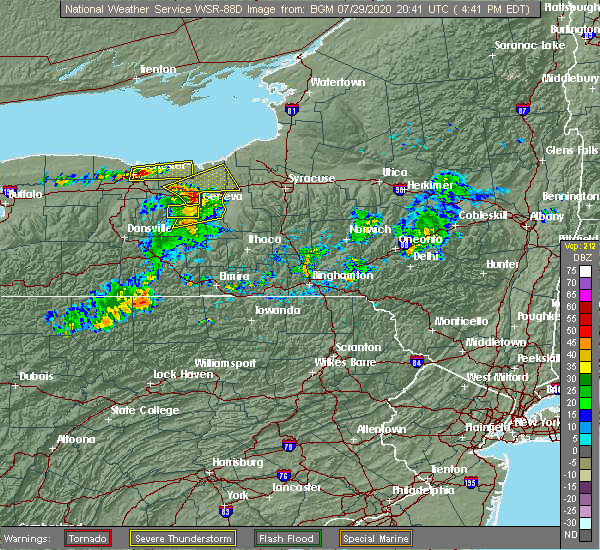 At 420 pm edt, a severe thunderstorm was located near victor, or near canandaigua, moving northeast at 40 mph (radar indicated). Hazards include 60 mph wind gusts. expect damage to roofs, siding, and trees At 420 pm edt, a severe thunderstorm was located near victor, or near canandaigua, moving northeast at 40 mph (radar indicated). Hazards include 60 mph wind gusts. expect damage to roofs, siding, and trees
|
| 7/29/2020 4:20 PM EDT |
 At 420 pm edt, a severe thunderstorm was located near victor, or near canandaigua, moving northeast at 40 mph (radar indicated). Hazards include 60 mph wind gusts. expect damage to roofs, siding, and trees At 420 pm edt, a severe thunderstorm was located near victor, or near canandaigua, moving northeast at 40 mph (radar indicated). Hazards include 60 mph wind gusts. expect damage to roofs, siding, and trees
|
| 5/29/2020 3:07 PM EDT |
 At 307 pm edt, a severe thunderstorm was located near lyons, or 16 miles northwest of waterloo, moving northeast at 35 mph (radar indicated). Hazards include 60 mph wind gusts and nickel size hail. expect damage to roofs, siding, and trees At 307 pm edt, a severe thunderstorm was located near lyons, or 16 miles northwest of waterloo, moving northeast at 35 mph (radar indicated). Hazards include 60 mph wind gusts and nickel size hail. expect damage to roofs, siding, and trees
|
| 5/29/2020 12:55 PM EDT |
 At 1255 pm edt, a severe thunderstorm was located near clyde, or 14 miles southwest of fair haven beach state park, moving northeast at 35 mph (radar indicated). Hazards include 60 mph wind gusts and penny size hail. expect damage to roofs, siding, and trees At 1255 pm edt, a severe thunderstorm was located near clyde, or 14 miles southwest of fair haven beach state park, moving northeast at 35 mph (radar indicated). Hazards include 60 mph wind gusts and penny size hail. expect damage to roofs, siding, and trees
|
| 8/8/2019 1:29 PM EDT |
 At 128 pm edt, severe thunderstorms were located along a line extending from chimney bluffs state park to near geneva, moving east at 30 mph (radar indicated). Hazards include 60 mph wind gusts and penny size hail. Expect damage to roofs, siding, and trees. locations impacted include, oswego, fulton, fair haven beach state park, newark, lyons, clyde, phelps, sodus, weedsport and cato. This includes interstate 90 between exits 42 and 40. At 128 pm edt, severe thunderstorms were located along a line extending from chimney bluffs state park to near geneva, moving east at 30 mph (radar indicated). Hazards include 60 mph wind gusts and penny size hail. Expect damage to roofs, siding, and trees. locations impacted include, oswego, fulton, fair haven beach state park, newark, lyons, clyde, phelps, sodus, weedsport and cato. This includes interstate 90 between exits 42 and 40.
|
| 8/8/2019 1:06 PM EDT |
 At 105 pm edt, severe thunderstorms were located along a line extending from near sodus to near canandaigua, moving east at 35 mph (radar indicated). Hazards include 60 mph wind gusts and penny size hail. expect damage to roofs, siding, and trees At 105 pm edt, severe thunderstorms were located along a line extending from near sodus to near canandaigua, moving east at 35 mph (radar indicated). Hazards include 60 mph wind gusts and penny size hail. expect damage to roofs, siding, and trees
|
| 5/25/2019 8:23 PM EDT |
 At 822 pm edt, severe thunderstorms were located along a line extending from near fair haven beach state park to near clyde, moving northeast at 55 mph (radar indicated). Hazards include 70 mph wind gusts and penny size hail. Expect considerable tree damage. damage is likely to mobile homes, roofs, and outbuildings. locations impacted include, oswego, fair haven beach state park, clyde, weedsport, cato, sterling, ira, conquest, savannah and wolcott. This includes interstate 90 near exit 40. At 822 pm edt, severe thunderstorms were located along a line extending from near fair haven beach state park to near clyde, moving northeast at 55 mph (radar indicated). Hazards include 70 mph wind gusts and penny size hail. Expect considerable tree damage. damage is likely to mobile homes, roofs, and outbuildings. locations impacted include, oswego, fair haven beach state park, clyde, weedsport, cato, sterling, ira, conquest, savannah and wolcott. This includes interstate 90 near exit 40.
|
| 5/25/2019 7:57 PM EDT |
 At 757 pm edt, a severe thunderstorm was located over palmyra, or 12 miles east of fairport, moving east at 55 mph (radar indicated). Hazards include 60 mph wind gusts and penny size hail. expect damage to roofs, siding, and trees At 757 pm edt, a severe thunderstorm was located over palmyra, or 12 miles east of fairport, moving east at 55 mph (radar indicated). Hazards include 60 mph wind gusts and penny size hail. expect damage to roofs, siding, and trees
|
| 5/23/2019 7:19 PM EDT |
 The national weather service in buffalo has issued a * severe thunderstorm warning for. northeastern wayne county in western new york. cayuga county in central new york. southern oswego county in central new york. Until 800 pm edt. The national weather service in buffalo has issued a * severe thunderstorm warning for. northeastern wayne county in western new york. cayuga county in central new york. southern oswego county in central new york. Until 800 pm edt.
|
| 5/19/2019 1:20 PM EDT |
 At 119 pm edt, a severe thunderstorm was located 7 miles northwest of cato, or 9 miles south of fair haven beach state park, moving northeast at 35 mph (radar indicated). Hazards include 60 mph wind gusts and quarter size hail. Minor damage to vehicles is possible. Expect wind damage to roofs, siding, and trees. At 119 pm edt, a severe thunderstorm was located 7 miles northwest of cato, or 9 miles south of fair haven beach state park, moving northeast at 35 mph (radar indicated). Hazards include 60 mph wind gusts and quarter size hail. Minor damage to vehicles is possible. Expect wind damage to roofs, siding, and trees.
|
| 7/16/2018 5:56 PM EDT |
 At 555 pm edt, severe thunderstorms were located along a line extending from near chimney bluffs state park to near clyde to lehigh vallley junction, moving northeast at 15 mph (radar indicated). Hazards include 60 mph wind gusts and penny size hail. expect damage to roofs, siding, and trees At 555 pm edt, severe thunderstorms were located along a line extending from near chimney bluffs state park to near clyde to lehigh vallley junction, moving northeast at 15 mph (radar indicated). Hazards include 60 mph wind gusts and penny size hail. expect damage to roofs, siding, and trees
|
| 10/15/2017 5:42 PM EDT |
 At 541 pm edt, severe thunderstorms were located along a line extending from near nine mile point to near fair haven beach state park to near clyde, moving east at 55 mph (radar indicated). Hazards include 70 mph wind gusts. Expect considerable tree damage. damage is likely to mobile homes, roofs, and outbuildings. locations impacted include, oswego, fulton, fair haven beach state park, sandy island beach state park, pulaski, clyde, weedsport and cato. this includes the following highways, interstate 90 near exit 40. Interstate 81 between exits 34 and 37. At 541 pm edt, severe thunderstorms were located along a line extending from near nine mile point to near fair haven beach state park to near clyde, moving east at 55 mph (radar indicated). Hazards include 70 mph wind gusts. Expect considerable tree damage. damage is likely to mobile homes, roofs, and outbuildings. locations impacted include, oswego, fulton, fair haven beach state park, sandy island beach state park, pulaski, clyde, weedsport and cato. this includes the following highways, interstate 90 near exit 40. Interstate 81 between exits 34 and 37.
|
| 10/15/2017 5:16 PM EDT |
 At 515 pm edt, severe thunderstorms were located along a line extending from 16 miles northwest of fair haven beach state park to near williamson to near palmyra, moving east at 55 mph (radar indicated). Hazards include 70 mph wind gusts. Expect considerable tree damage. Damage is likely to mobile homes, roofs, and outbuildings. At 515 pm edt, severe thunderstorms were located along a line extending from 16 miles northwest of fair haven beach state park to near williamson to near palmyra, moving east at 55 mph (radar indicated). Hazards include 70 mph wind gusts. Expect considerable tree damage. Damage is likely to mobile homes, roofs, and outbuildings.
|
| 9/4/2017 11:57 PM EDT |
 At 1157 pm edt, a severe thunderstorm was located over newark, or 14 miles north of geneva, moving east at 55 mph (radar indicated). Hazards include 60 mph wind gusts. expect wind damage to trees and power lines At 1157 pm edt, a severe thunderstorm was located over newark, or 14 miles north of geneva, moving east at 55 mph (radar indicated). Hazards include 60 mph wind gusts. expect wind damage to trees and power lines
|
| 8/22/2017 2:03 PM EDT |
 At 202 pm edt, severe thunderstorms were located along a line extending from near sodus to near clifton springs, moving east at 40 mph (radar indicated). Hazards include 60 mph wind gusts. Expect wind damage to trees and power lines. locations impacted include, geneva, canandaigua, fair haven beach state park, newark, williamson, marion, lyons and palmyra. this includes interstate 90 between exits 45 and 42. A tornado watch remains in effect until 900 pm edt for central and western new york. At 202 pm edt, severe thunderstorms were located along a line extending from near sodus to near clifton springs, moving east at 40 mph (radar indicated). Hazards include 60 mph wind gusts. Expect wind damage to trees and power lines. locations impacted include, geneva, canandaigua, fair haven beach state park, newark, williamson, marion, lyons and palmyra. this includes interstate 90 between exits 45 and 42. A tornado watch remains in effect until 900 pm edt for central and western new york.
|
| 8/22/2017 1:23 PM EDT |
 At 123 pm edt, severe thunderstorms were located along a line extending from near penfield to near hemlock, moving east at 40 mph (radar indicated). Hazards include 60 mph wind gusts. expect wind damage to trees and power lines At 123 pm edt, severe thunderstorms were located along a line extending from near penfield to near hemlock, moving east at 40 mph (radar indicated). Hazards include 60 mph wind gusts. expect wind damage to trees and power lines
|
| 8/12/2017 1:45 PM EDT |
 At 145 pm edt, severe thunderstorms were located along a line extending from near oswego to near fair haven beach state park, moving east at 25 mph (radar indicated). Hazards include 60 mph wind gusts and quarter size hail. Minor damage to vehicles is possible. Expect wind damage to trees and power lines. At 145 pm edt, severe thunderstorms were located along a line extending from near oswego to near fair haven beach state park, moving east at 25 mph (radar indicated). Hazards include 60 mph wind gusts and quarter size hail. Minor damage to vehicles is possible. Expect wind damage to trees and power lines.
|
| 8/4/2017 7:47 PM EDT |
 At 746 pm edt, a severe thunderstorm was located near cato, or 12 miles south of fair haven beach state park, moving northeast at 55 mph (radar indicated). Hazards include 60 mph wind gusts and quarter size hail. Minor damage to vehicles is possible. expect wind damage to trees and power lines. locations impacted include, oswego, fulton, fair haven beach state park, clyde, weedsport, cato, battle island state park and volney. This includes interstate 90 near exit 40. At 746 pm edt, a severe thunderstorm was located near cato, or 12 miles south of fair haven beach state park, moving northeast at 55 mph (radar indicated). Hazards include 60 mph wind gusts and quarter size hail. Minor damage to vehicles is possible. expect wind damage to trees and power lines. locations impacted include, oswego, fulton, fair haven beach state park, clyde, weedsport, cato, battle island state park and volney. This includes interstate 90 near exit 40.
|
| 8/4/2017 7:15 PM EDT |
 At 714 pm edt, a severe thunderstorm was located near geneva, moving northeast at 40 mph (radar indicated). Hazards include 60 mph wind gusts and quarter size hail. Minor damage to vehicles is possible. Expect wind damage to trees and power lines. At 714 pm edt, a severe thunderstorm was located near geneva, moving northeast at 40 mph (radar indicated). Hazards include 60 mph wind gusts and quarter size hail. Minor damage to vehicles is possible. Expect wind damage to trees and power lines.
|
| 6/26/2017 6:34 PM EDT |
 At 633 pm edt, a severe thunderstorm was located near fair haven beach state park, moving east at 25 mph (radar indicated). Hazards include 60 mph wind gusts and quarter size hail. Minor damage to vehicles is possible. Expect wind damage to trees and power lines. At 633 pm edt, a severe thunderstorm was located near fair haven beach state park, moving east at 25 mph (radar indicated). Hazards include 60 mph wind gusts and quarter size hail. Minor damage to vehicles is possible. Expect wind damage to trees and power lines.
|
| 6/18/2017 6:55 PM EDT |
 The severe thunderstorm warning for eastern wayne county will expire at 700 pm edt, the storms which prompted the warning have moved to the east out of this warned area. therefore, the warning will be allowed to expire. a severe thunderstorm watch remains in effect until 900 pm edt for central and western new york. The severe thunderstorm warning for eastern wayne county will expire at 700 pm edt, the storms which prompted the warning have moved to the east out of this warned area. therefore, the warning will be allowed to expire. a severe thunderstorm watch remains in effect until 900 pm edt for central and western new york.
|
| 6/18/2017 6:54 PM EDT |
 At 630 pm edt, severe thunderstorms were located along a line extending from chimney bluffs state park to near clyde, moving northeast at 60 mph (radar indicated). Hazards include 70 mph wind gusts. Expect considerable tree damage. Damage is likely to mobile homes, roofs, and outbuildings. At 630 pm edt, severe thunderstorms were located along a line extending from chimney bluffs state park to near clyde, moving northeast at 60 mph (radar indicated). Hazards include 70 mph wind gusts. Expect considerable tree damage. Damage is likely to mobile homes, roofs, and outbuildings.
|
| 6/18/2017 6:54 PM EDT |
 A severe thunderstorm warning remains in effect until 715 pm edt for cayuga and southwestern oswego counties. at 654 pm edt, severe thunderstorms were located along a line extending from near oswego to plainville, moving east at 60 mph. hazard. 70 mph wind gusts. source. Radar indicated. A severe thunderstorm warning remains in effect until 715 pm edt for cayuga and southwestern oswego counties. at 654 pm edt, severe thunderstorms were located along a line extending from near oswego to plainville, moving east at 60 mph. hazard. 70 mph wind gusts. source. Radar indicated.
|
| 6/18/2017 6:43 PM EDT |
 At 642 pm edt, severe thunderstorms were located along a line extending from 7 miles north of fair haven beach state park to near weedsport, moving northeast at 55 mph (radar indicated). Hazards include 70 mph wind gusts. Expect considerable tree damage. damage is likely to mobile homes, roofs, and outbuildings. Locations impacted include, clyde, chimney bluffs state park, rose, huron, savannah, wolcott, red creek and south butler. At 642 pm edt, severe thunderstorms were located along a line extending from 7 miles north of fair haven beach state park to near weedsport, moving northeast at 55 mph (radar indicated). Hazards include 70 mph wind gusts. Expect considerable tree damage. damage is likely to mobile homes, roofs, and outbuildings. Locations impacted include, clyde, chimney bluffs state park, rose, huron, savannah, wolcott, red creek and south butler.
|
| 6/18/2017 6:30 PM EDT |
 At 630 pm edt, severe thunderstorms were located along a line extending from chimney bluffs state park to near clyde, moving northeast at 60 mph (radar indicated). Hazards include 70 mph wind gusts. Expect considerable tree damage. Damage is likely to mobile homes, roofs, and outbuildings. At 630 pm edt, severe thunderstorms were located along a line extending from chimney bluffs state park to near clyde, moving northeast at 60 mph (radar indicated). Hazards include 70 mph wind gusts. Expect considerable tree damage. Damage is likely to mobile homes, roofs, and outbuildings.
|
| 6/18/2017 6:11 PM EDT |
 At 610 pm edt, severe thunderstorms were located along a line extending from williamson to near ferguson corners, moving northeast at 55 mph (radar indicated). Hazards include 70 mph wind gusts. Expect considerable tree damage. Damage is likely to mobile homes, roofs, and outbuildings. At 610 pm edt, severe thunderstorms were located along a line extending from williamson to near ferguson corners, moving northeast at 55 mph (radar indicated). Hazards include 70 mph wind gusts. Expect considerable tree damage. Damage is likely to mobile homes, roofs, and outbuildings.
|
| 5/30/2017 2:10 PM EDT |
 At 209 pm edt, a severe thunderstorm was located near chimney bluffs state park, or 11 miles southwest of fair haven beach state park, moving northeast at 45 mph (radar indicated). Hazards include 60 mph wind gusts and quarter size hail. Minor damage to vehicles is possible. Expect wind damage to trees and power lines. At 209 pm edt, a severe thunderstorm was located near chimney bluffs state park, or 11 miles southwest of fair haven beach state park, moving northeast at 45 mph (radar indicated). Hazards include 60 mph wind gusts and quarter size hail. Minor damage to vehicles is possible. Expect wind damage to trees and power lines.
|
| 5/18/2017 11:14 PM EDT |
 At 1114 pm edt, a severe thunderstorm was located near marion, or 15 miles east of webster, moving east at 60 mph (radar indicated). Hazards include 60 mph wind gusts and quarter size hail. Minor damage to vehicles is possible. Expect wind damage to trees and power lines. At 1114 pm edt, a severe thunderstorm was located near marion, or 15 miles east of webster, moving east at 60 mph (radar indicated). Hazards include 60 mph wind gusts and quarter size hail. Minor damage to vehicles is possible. Expect wind damage to trees and power lines.
|
| 8/13/2016 4:40 PM EDT |
 At 439 pm edt, a severe thunderstorm was located over marion, or 15 miles east of fairport, moving east at 40 mph (radar indicated). Hazards include 60 mph wind gusts and quarter size hail. Hail damage to vehicles is expected. Expect wind damage to roofs, siding, and trees. At 439 pm edt, a severe thunderstorm was located over marion, or 15 miles east of fairport, moving east at 40 mph (radar indicated). Hazards include 60 mph wind gusts and quarter size hail. Hail damage to vehicles is expected. Expect wind damage to roofs, siding, and trees.
|
| 8/13/2016 2:48 PM EDT |
 At 247 pm edt, a severe thunderstorm was located over chimney bluffs state park, or 10 miles southwest of fair haven beach state park, moving east at 40 mph (radar indicated). Hazards include 60 mph wind gusts. Expect damage to roofs. siding. And trees. At 247 pm edt, a severe thunderstorm was located over chimney bluffs state park, or 10 miles southwest of fair haven beach state park, moving east at 40 mph (radar indicated). Hazards include 60 mph wind gusts. Expect damage to roofs. siding. And trees.
|
| 7/18/2016 12:24 PM EDT | Wires dow in wayne county NY, 0.1 miles W of Red Creek, NY |
| 7/18/2016 12:12 PM EDT |
 At 1210 pm edt, a severe thunderstorm was located near chimney bluffs state park, or 7 miles west of fair haven beach state park, moving east at 45 mph (radar indicated). Hazards include 60 mph wind gusts and quarter size hail. Hail damage to vehicles is expected. Expect wind damage to roofs, siding, and trees. At 1210 pm edt, a severe thunderstorm was located near chimney bluffs state park, or 7 miles west of fair haven beach state park, moving east at 45 mph (radar indicated). Hazards include 60 mph wind gusts and quarter size hail. Hail damage to vehicles is expected. Expect wind damage to roofs, siding, and trees.
|
| 6/20/2016 11:31 PM EDT |
 At 1131 pm edt, a severe thunderstorm was located near cato, or 14 miles south of fair haven beach state park, moving east at 50 mph (radar indicated). Hazards include 60 mph wind gusts and quarter size hail. Hail damage to vehicles is expected. expect wind damage to roofs, siding, and trees. Locations impacted include, clyde, weedsport, cato, ira, conquest, savannah, wolcott and port byron. At 1131 pm edt, a severe thunderstorm was located near cato, or 14 miles south of fair haven beach state park, moving east at 50 mph (radar indicated). Hazards include 60 mph wind gusts and quarter size hail. Hail damage to vehicles is expected. expect wind damage to roofs, siding, and trees. Locations impacted include, clyde, weedsport, cato, ira, conquest, savannah, wolcott and port byron.
|
| 6/20/2016 11:13 PM EDT |
 At 1113 pm edt, a severe thunderstorm was located near lyons, or 16 miles northwest of waterloo, moving east at 50 mph (radar indicated). Hazards include 60 mph wind gusts and quarter size hail. Hail damage to vehicles is expected. Expect wind damage to roofs, siding, and trees. At 1113 pm edt, a severe thunderstorm was located near lyons, or 16 miles northwest of waterloo, moving east at 50 mph (radar indicated). Hazards include 60 mph wind gusts and quarter size hail. Hail damage to vehicles is expected. Expect wind damage to roofs, siding, and trees.
|
| 6/10/2015 9:44 PM EDT |
 At 943 pm edt, doppler radar indicated a line of severe thunderstorms capable of producing quarter size hail and damaging winds in excess of 60 mph. these storms were located along a line extending from sandy island beach state park to near fair haven beach state park, and moving east at 55 mph. At 943 pm edt, doppler radar indicated a line of severe thunderstorms capable of producing quarter size hail and damaging winds in excess of 60 mph. these storms were located along a line extending from sandy island beach state park to near fair haven beach state park, and moving east at 55 mph.
|
| 6/10/2015 9:42 PM EDT |
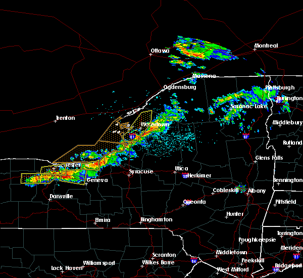 At 941 pm edt, doppler radar indicated a severe thunderstorm capable of producing quarter size hail and damaging winds in excess of 60 mph. this storm was located near fair haven beach state park, moving east at 75 mph. locations impacted include, sodus, chimney bluffs state park, rose, huron, wolcott, sodus point, red creek and north rose. At 941 pm edt, doppler radar indicated a severe thunderstorm capable of producing quarter size hail and damaging winds in excess of 60 mph. this storm was located near fair haven beach state park, moving east at 75 mph. locations impacted include, sodus, chimney bluffs state park, rose, huron, wolcott, sodus point, red creek and north rose.
|
| 6/10/2015 9:16 PM EDT |
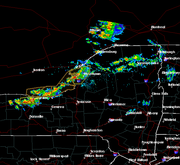 The national weather service in buffalo has issued a * severe thunderstorm warning for. wayne county in western new york. until 1015 pm edt * at 915 pm edt. Doppler radar indicated a severe thunderstorm capable of producing quarter size hail and damaging winds in excess. The national weather service in buffalo has issued a * severe thunderstorm warning for. wayne county in western new york. until 1015 pm edt * at 915 pm edt. Doppler radar indicated a severe thunderstorm capable of producing quarter size hail and damaging winds in excess.
|
| 9/2/2013 4:12 PM EDT | Half Dollar sized hail reported 0.1 miles W of Red Creek, NY |
| 9/2/2013 4:00 PM EDT | Half Dollar sized hail reported 1.4 miles NNE of Red Creek, NY |
| 5/22/2013 3:46 PM EDT | Quarter sized hail reported 3.7 miles W of Red Creek, NY, driveway completely covered by hail. |
| 5/22/2013 3:46 PM EDT | Broken tree limbs and flipped heavy wooden furniture upside dow in cayuga county NY, 3.7 miles W of Red Creek, NY |
| 5/22/2013 3:36 PM EDT | Golf Ball sized hail reported 0.1 miles W of Red Creek, NY |
| 9/8/2012 12:20 PM EDT | Multiple reports of trees and wires dow in wayne county NY, 0.1 miles W of Red Creek, NY |
Hail Maps for Red Creek, NY


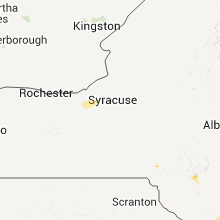
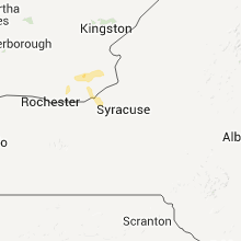
Connect with Interactive Hail Maps