

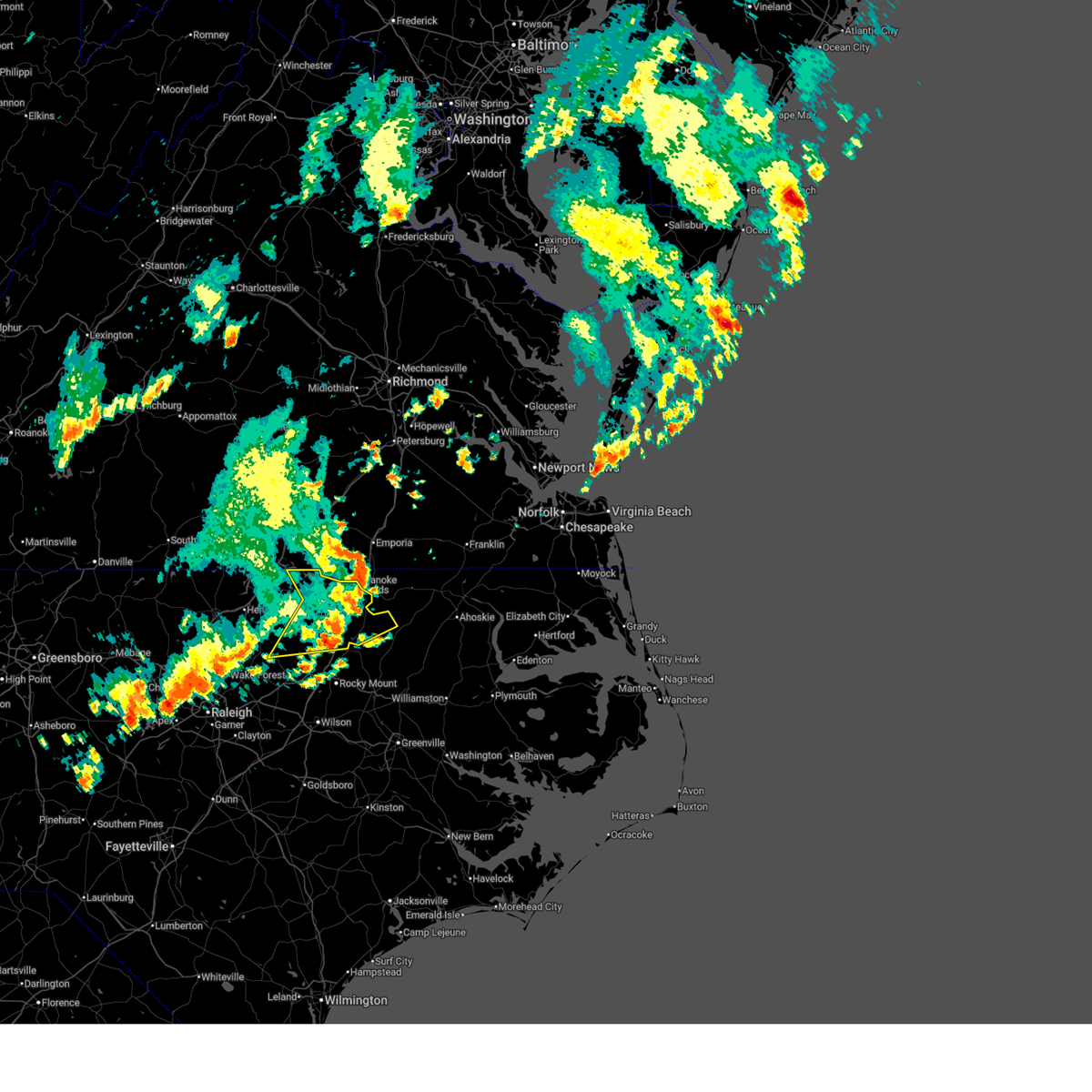
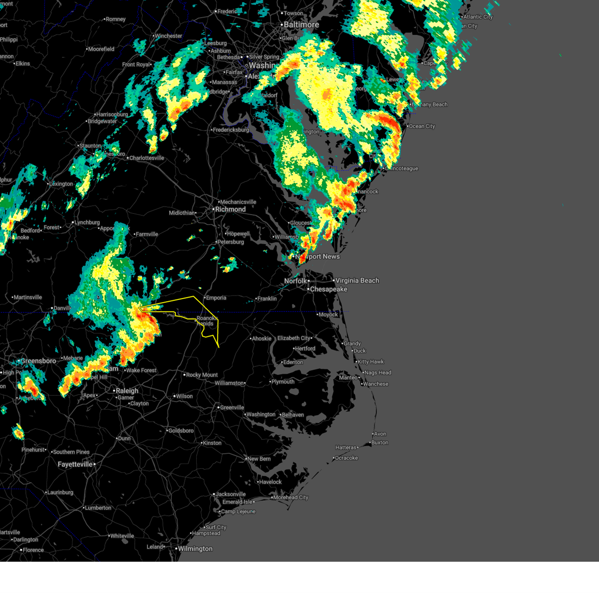
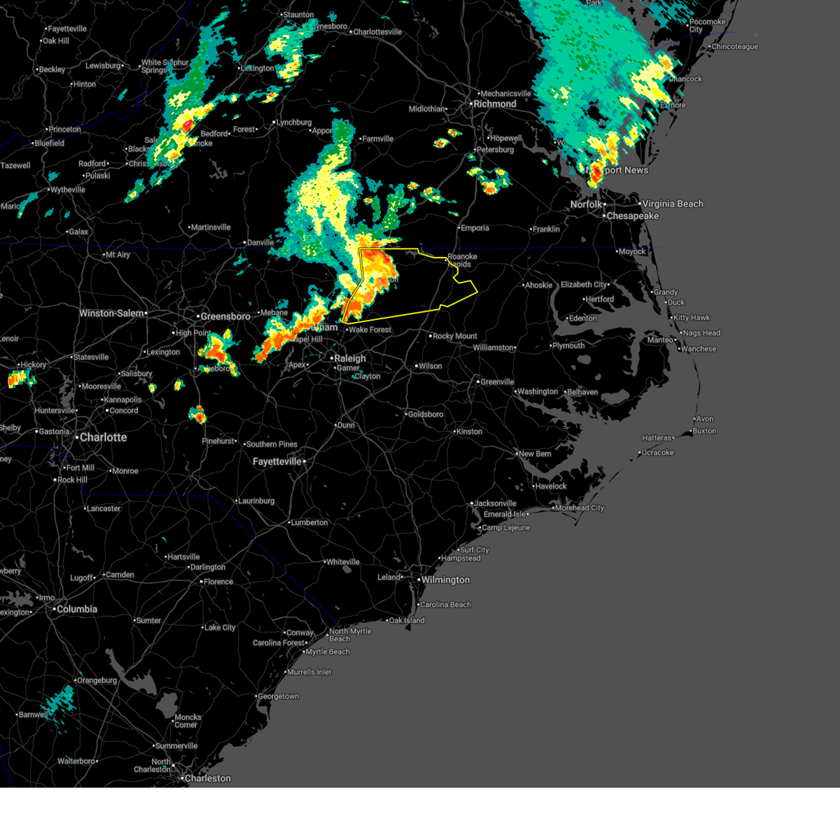
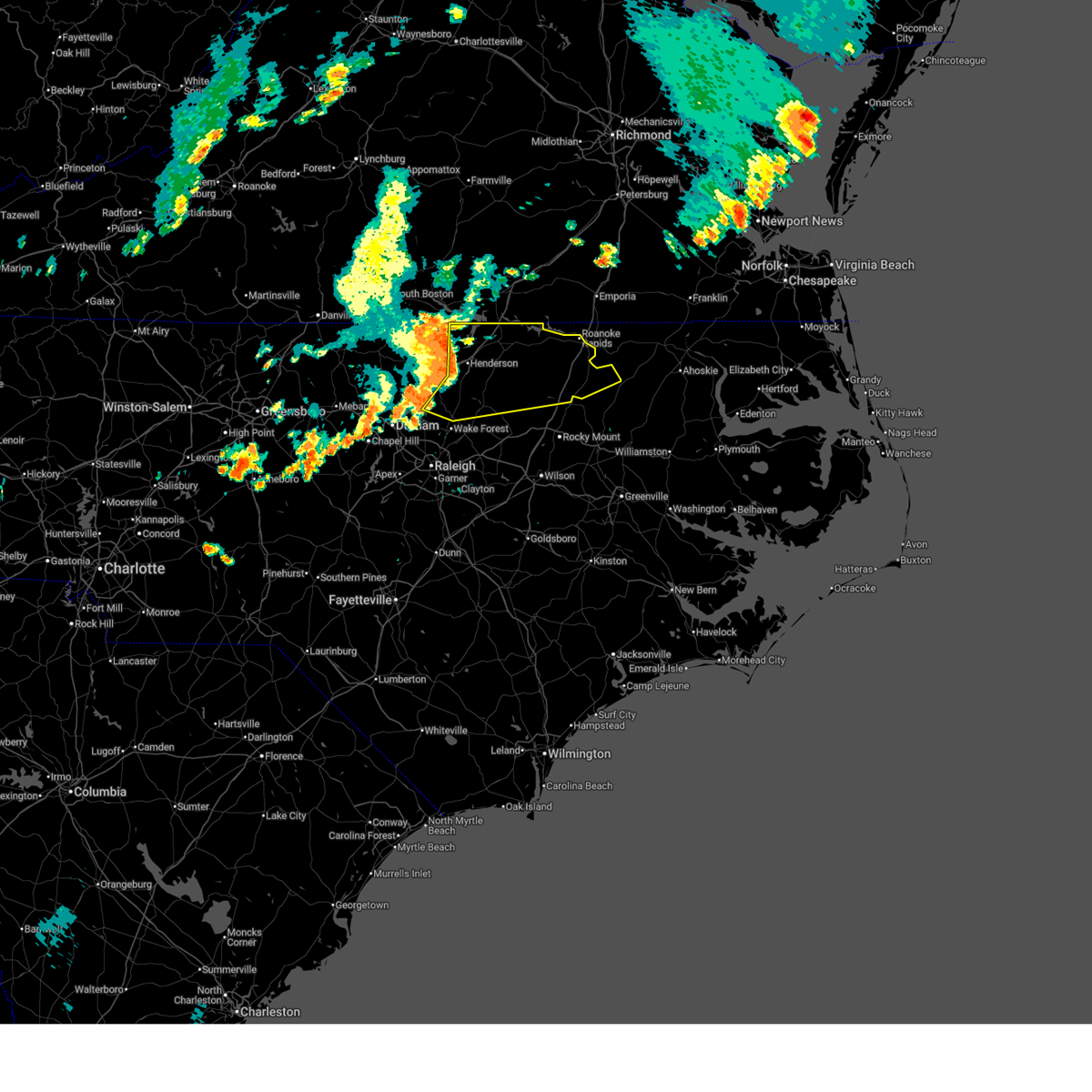
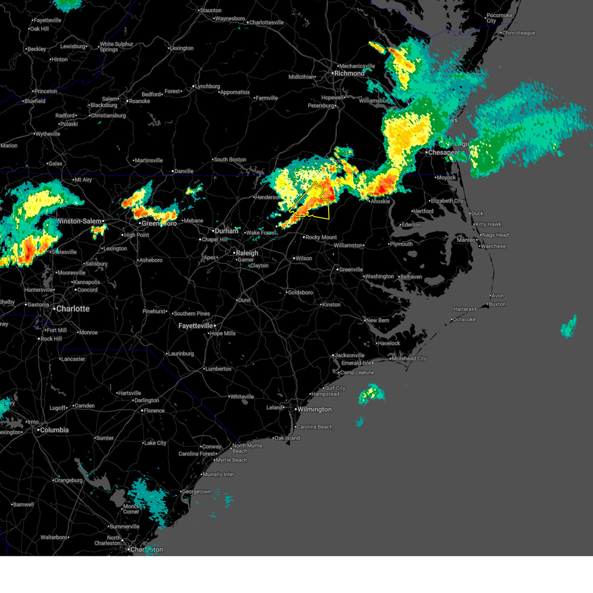
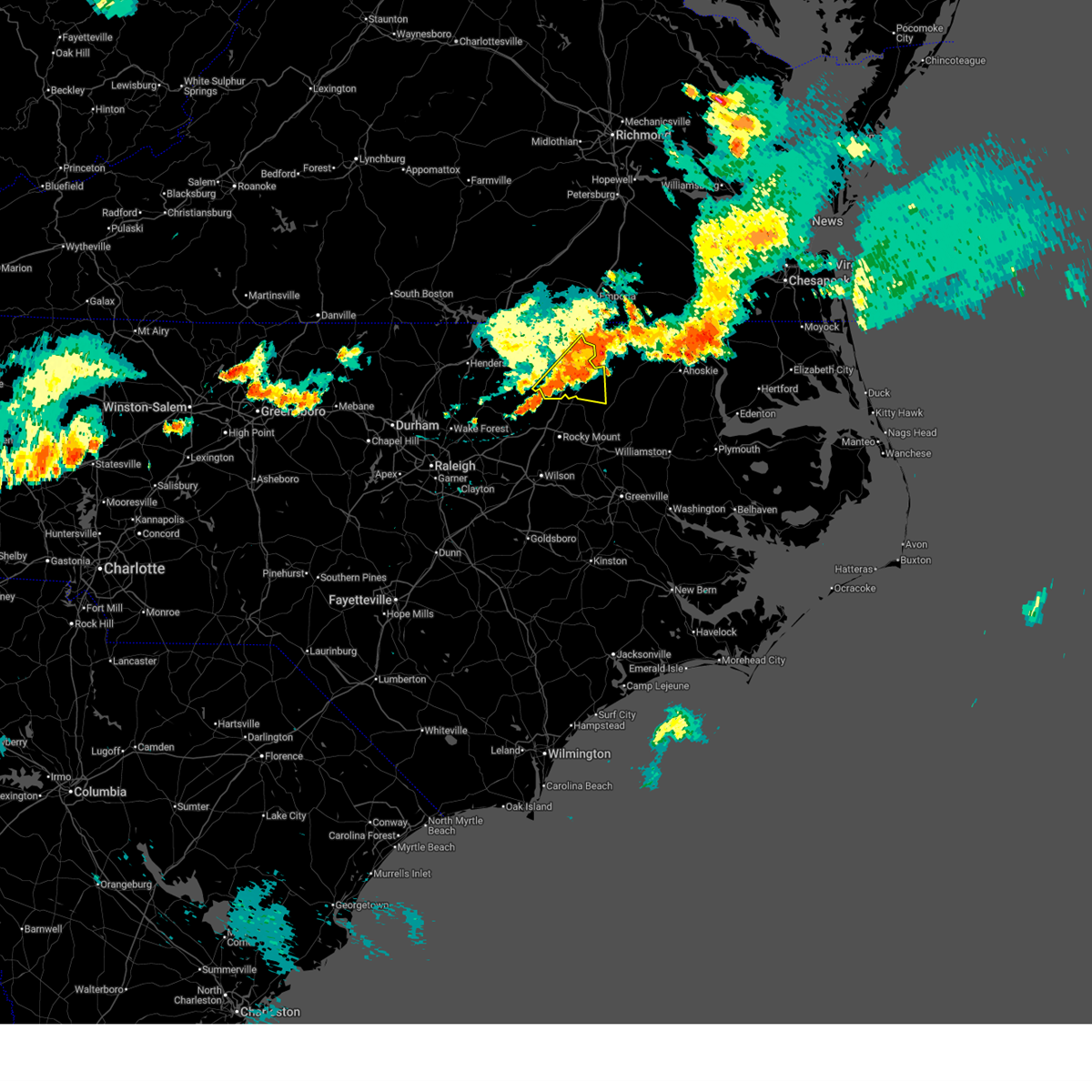
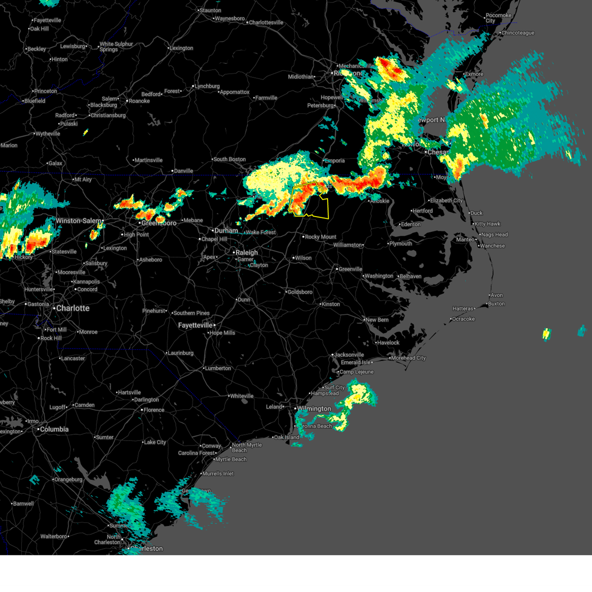
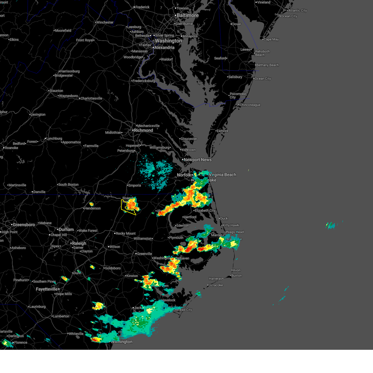
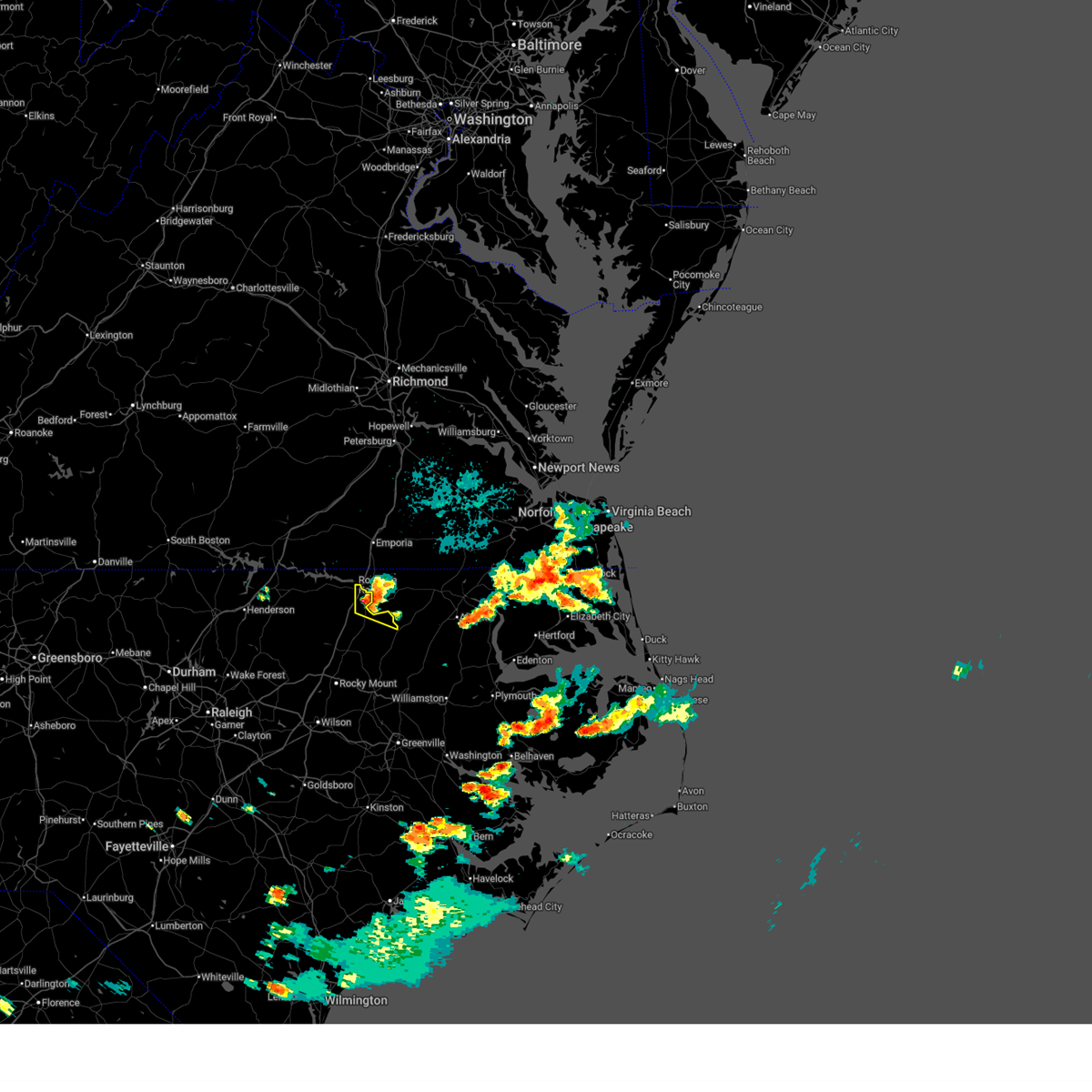
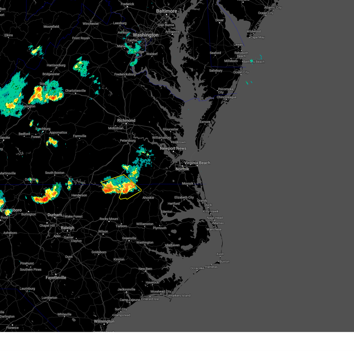
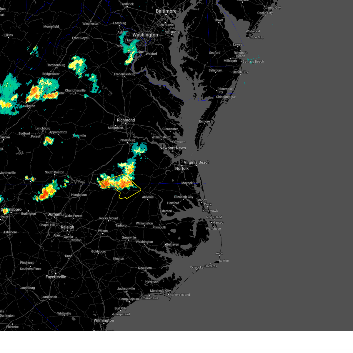
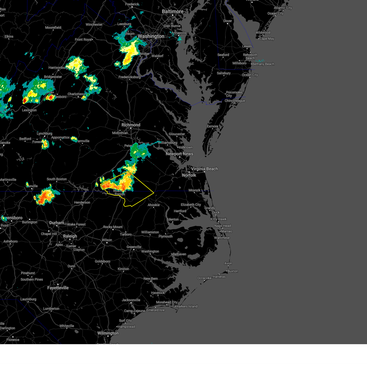
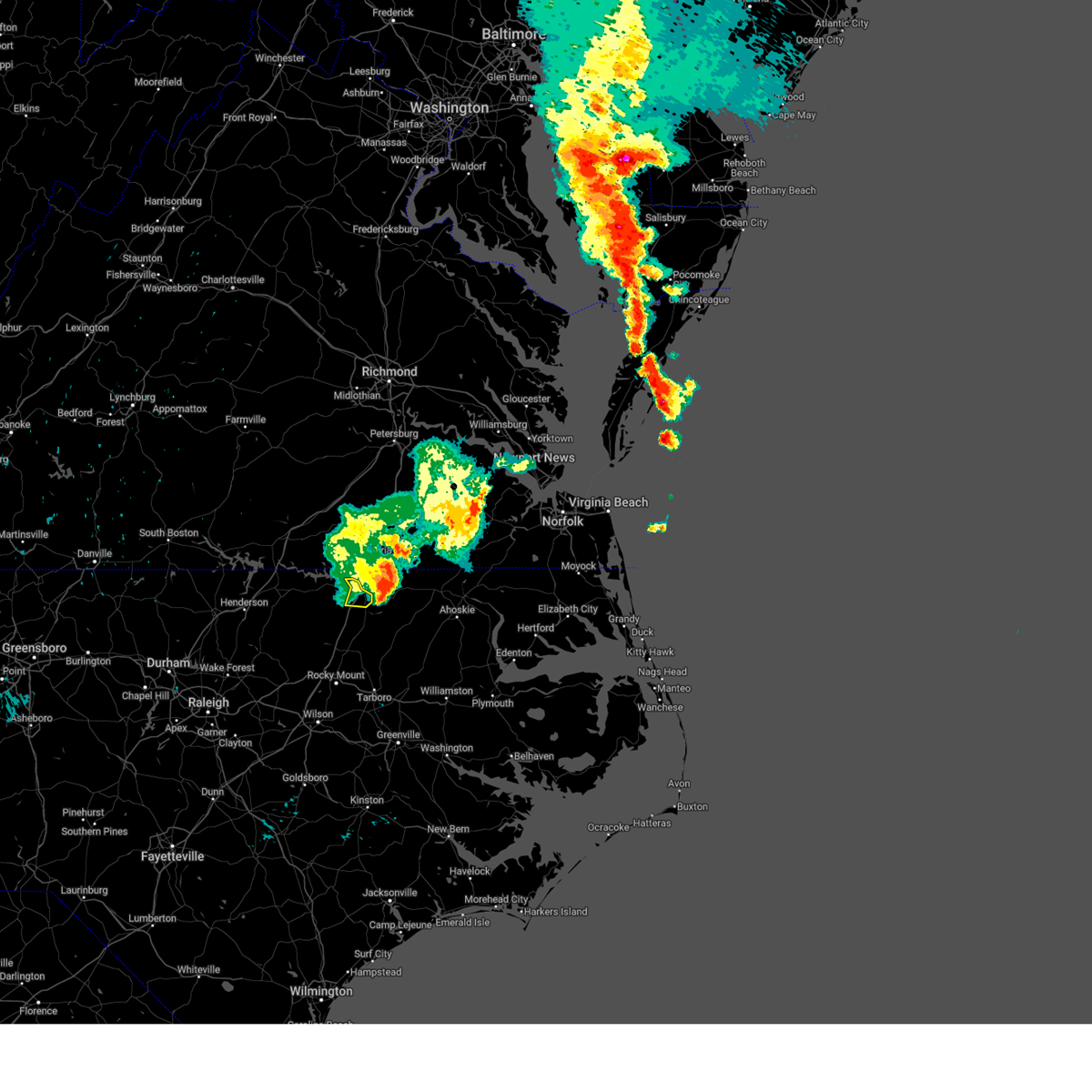
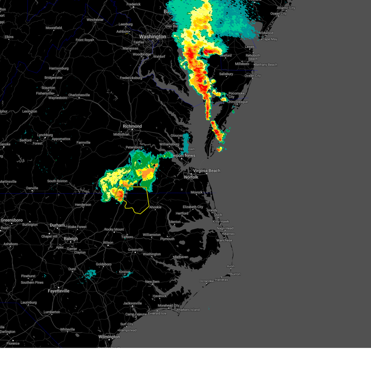
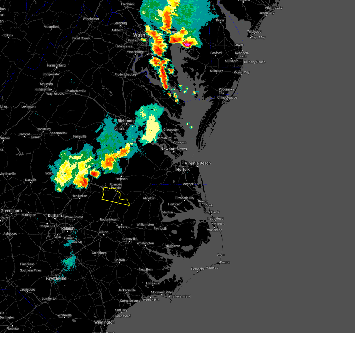
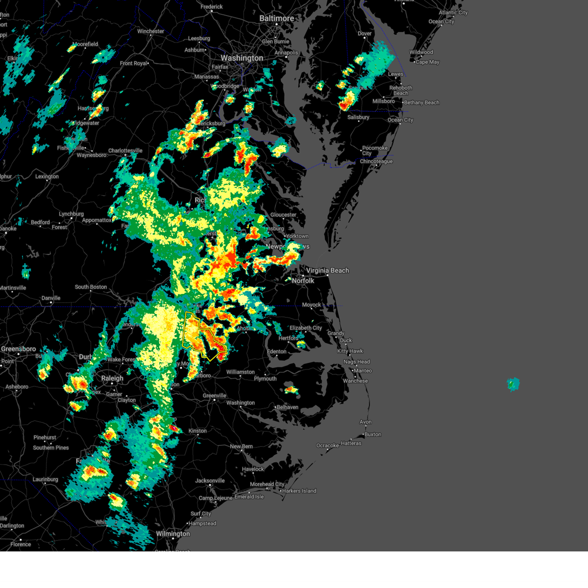
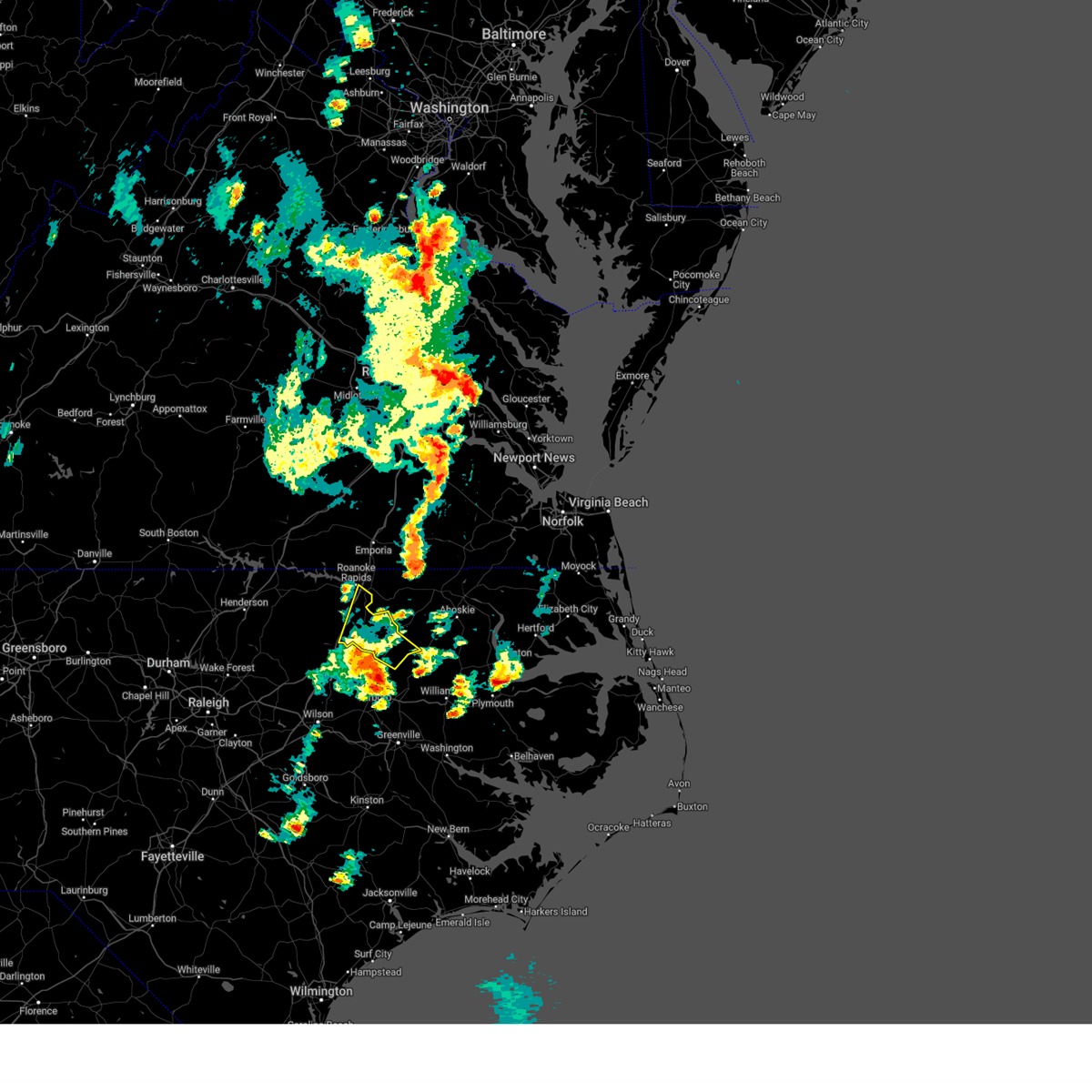
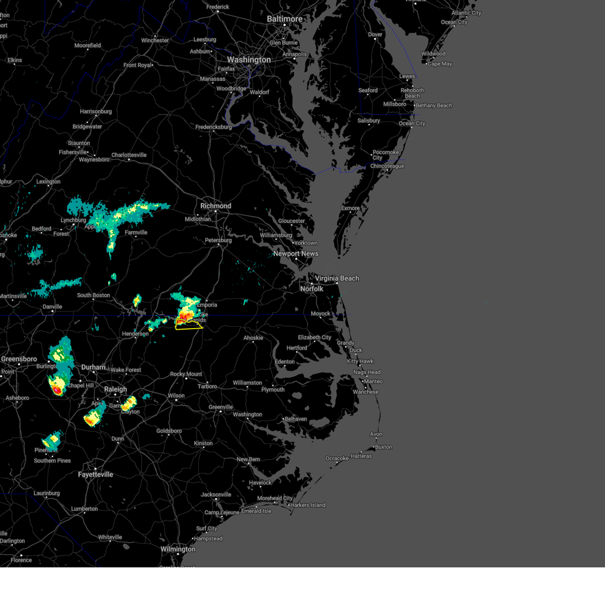
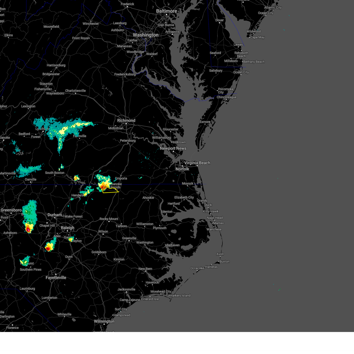
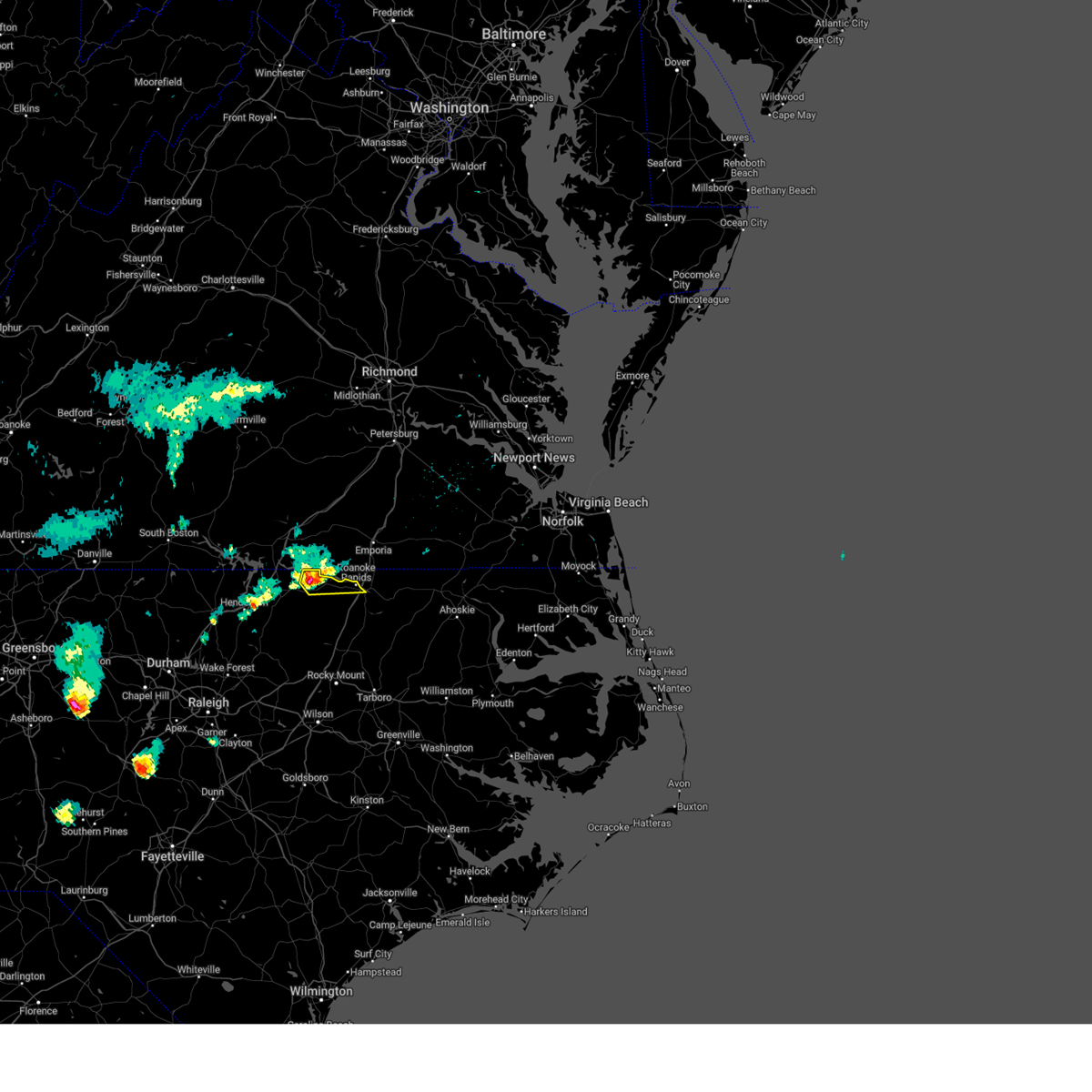
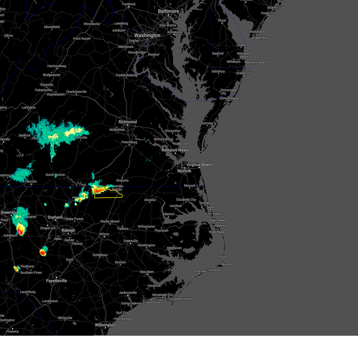
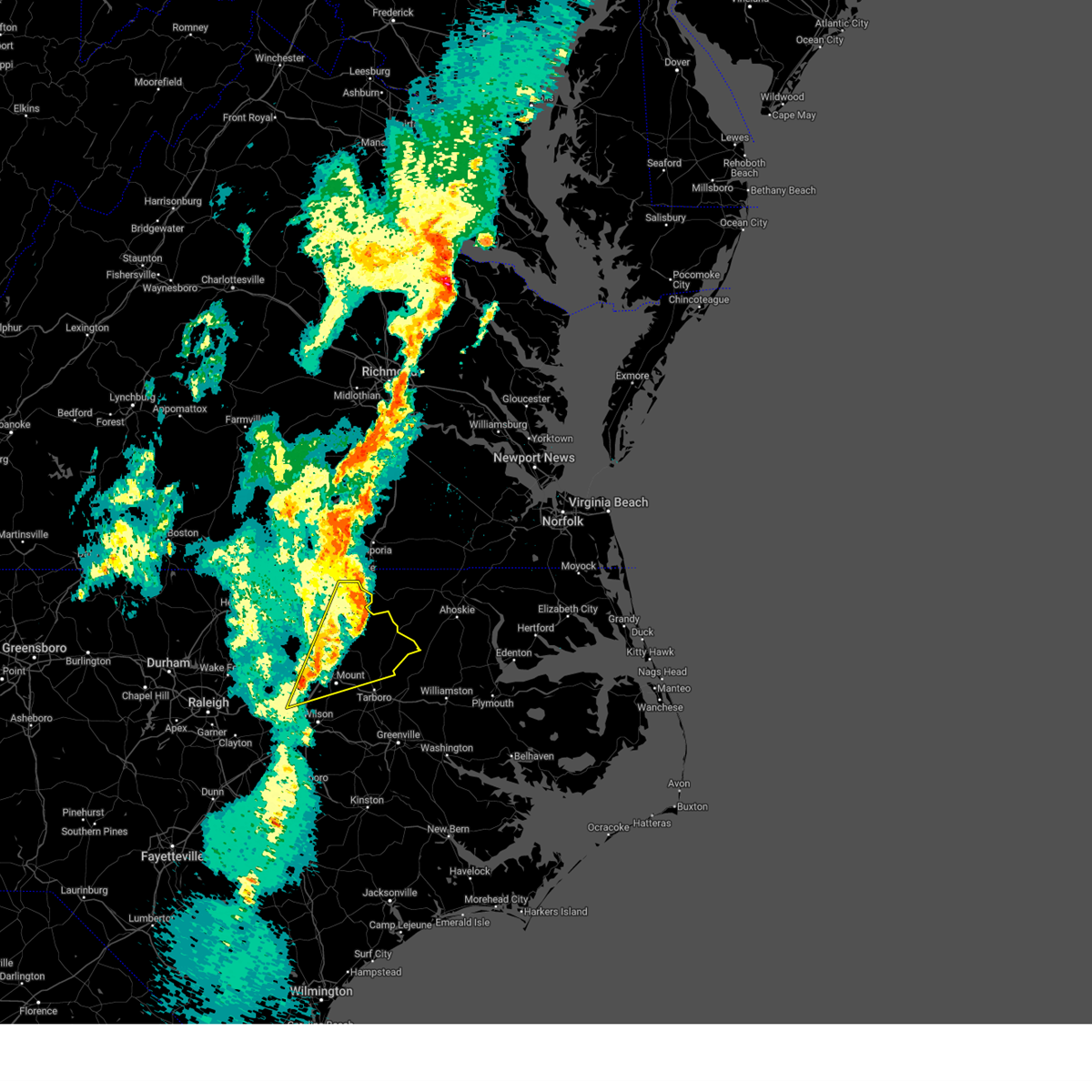
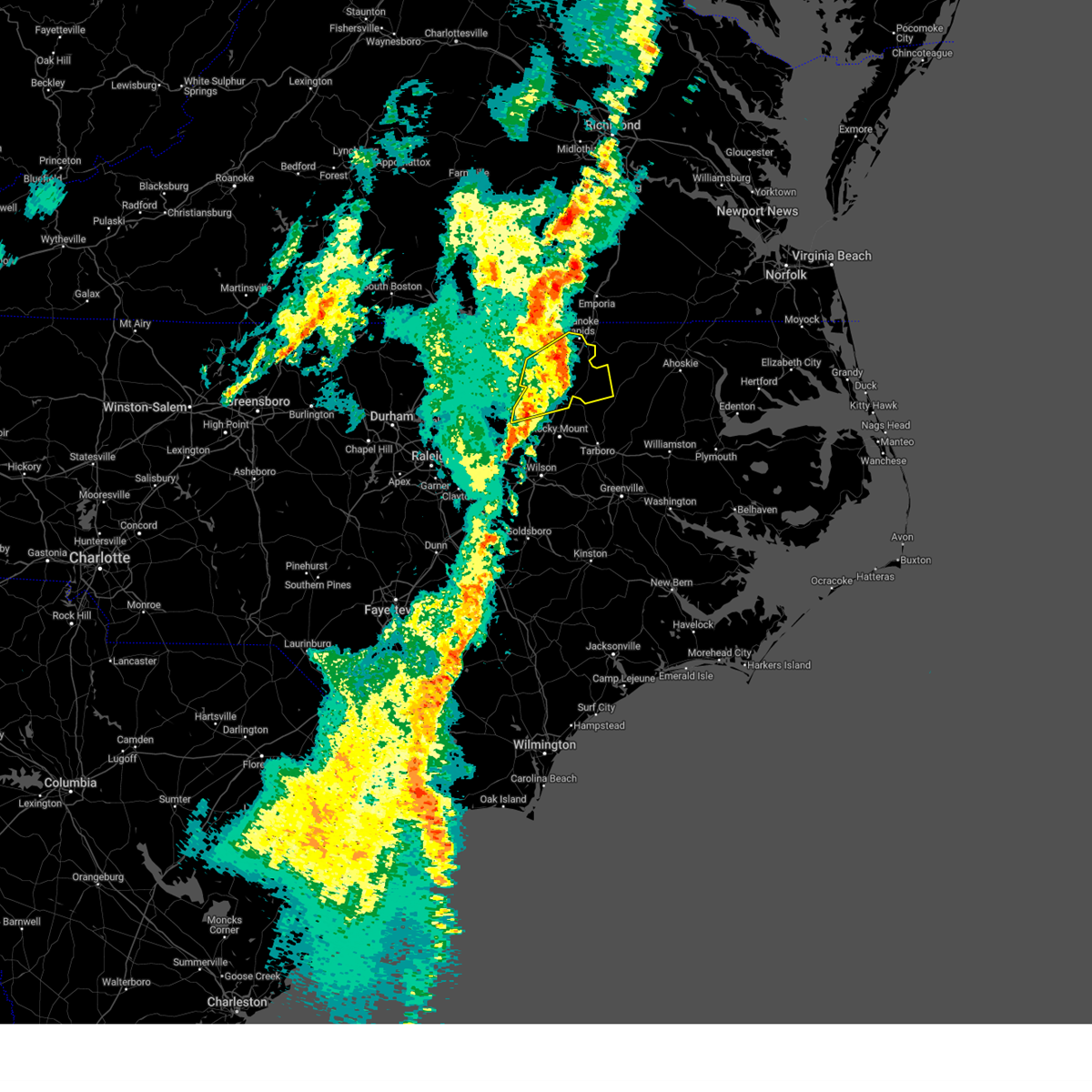
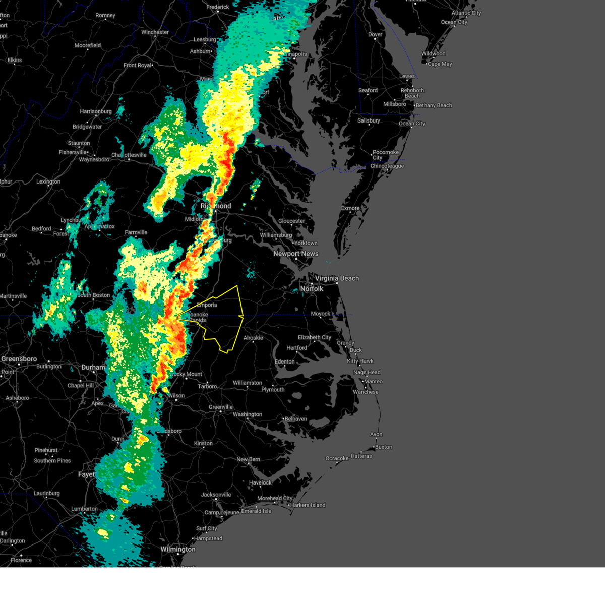
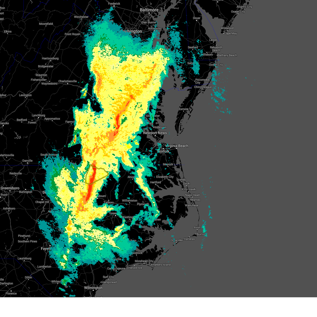
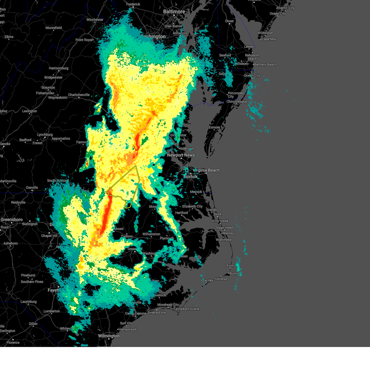
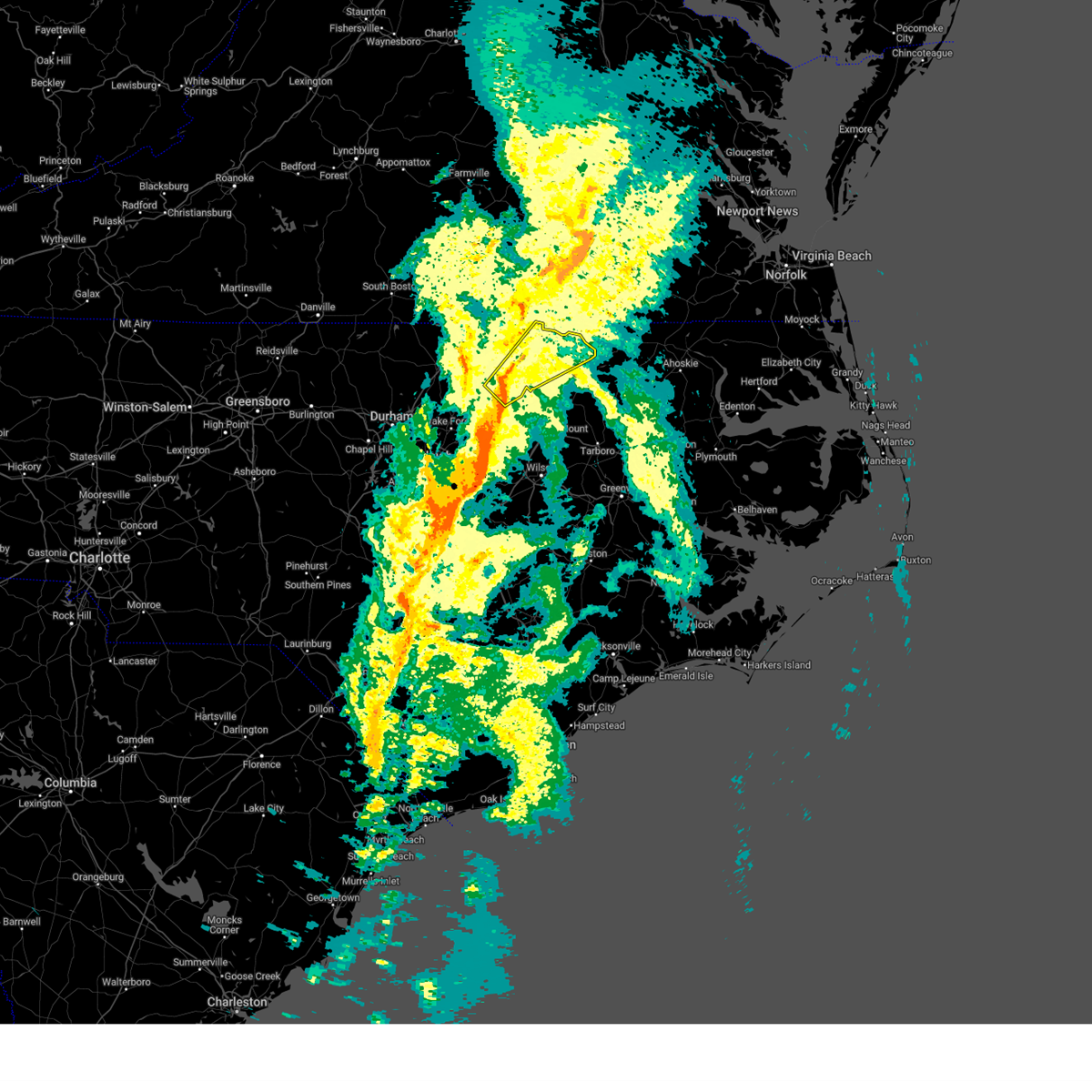
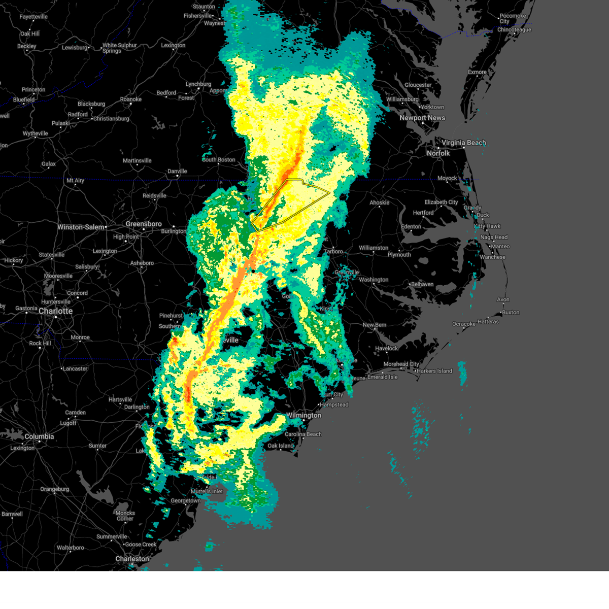
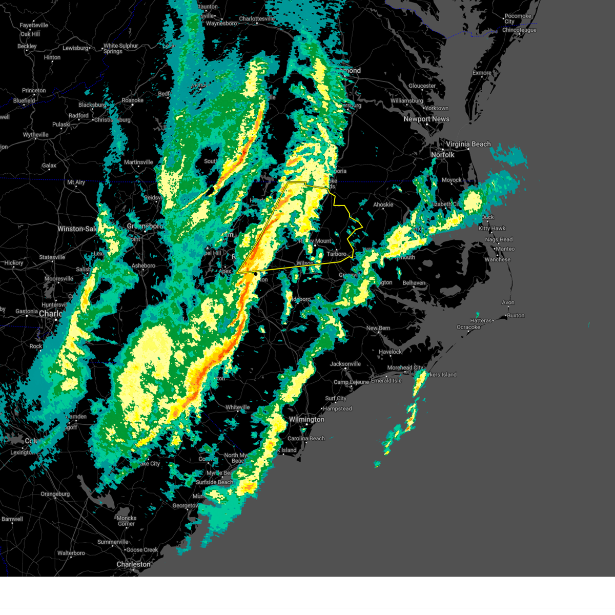
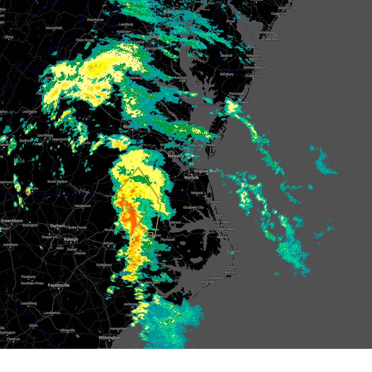
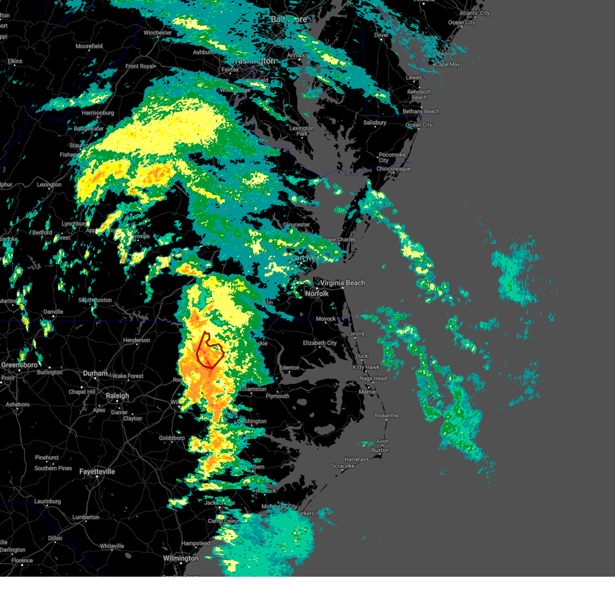
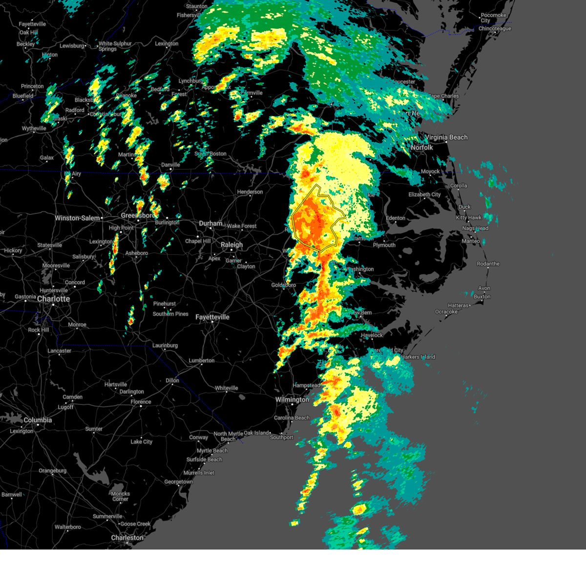
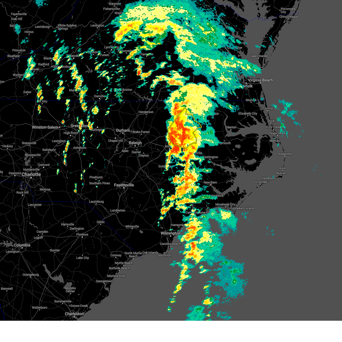
Hail Map for Roanoke Rapids, NC
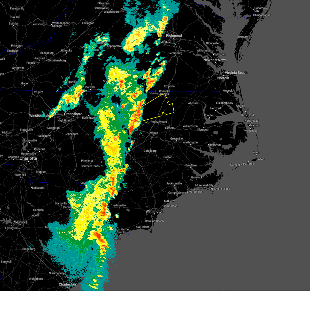
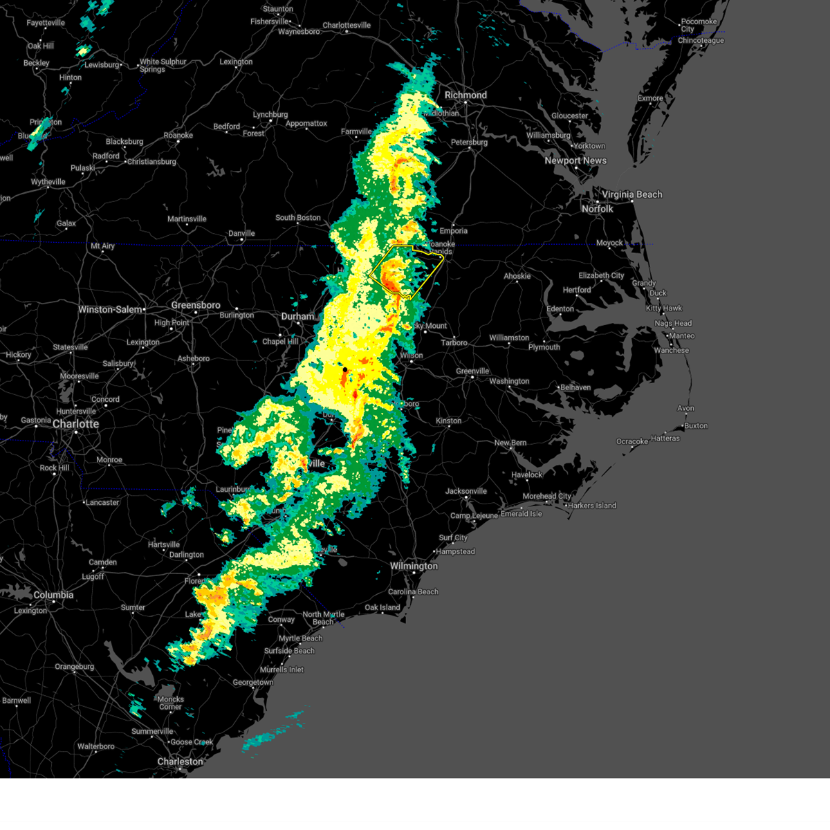
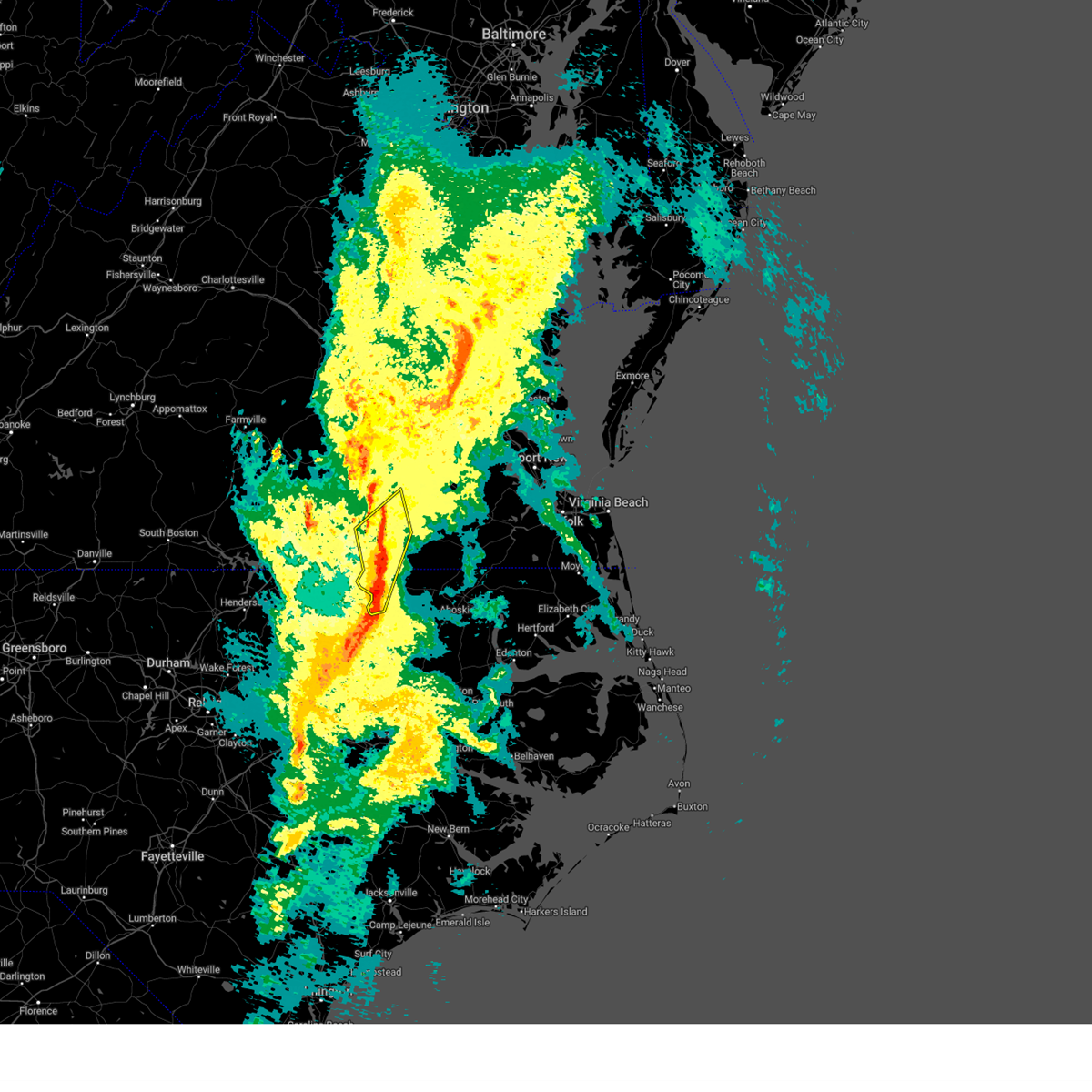
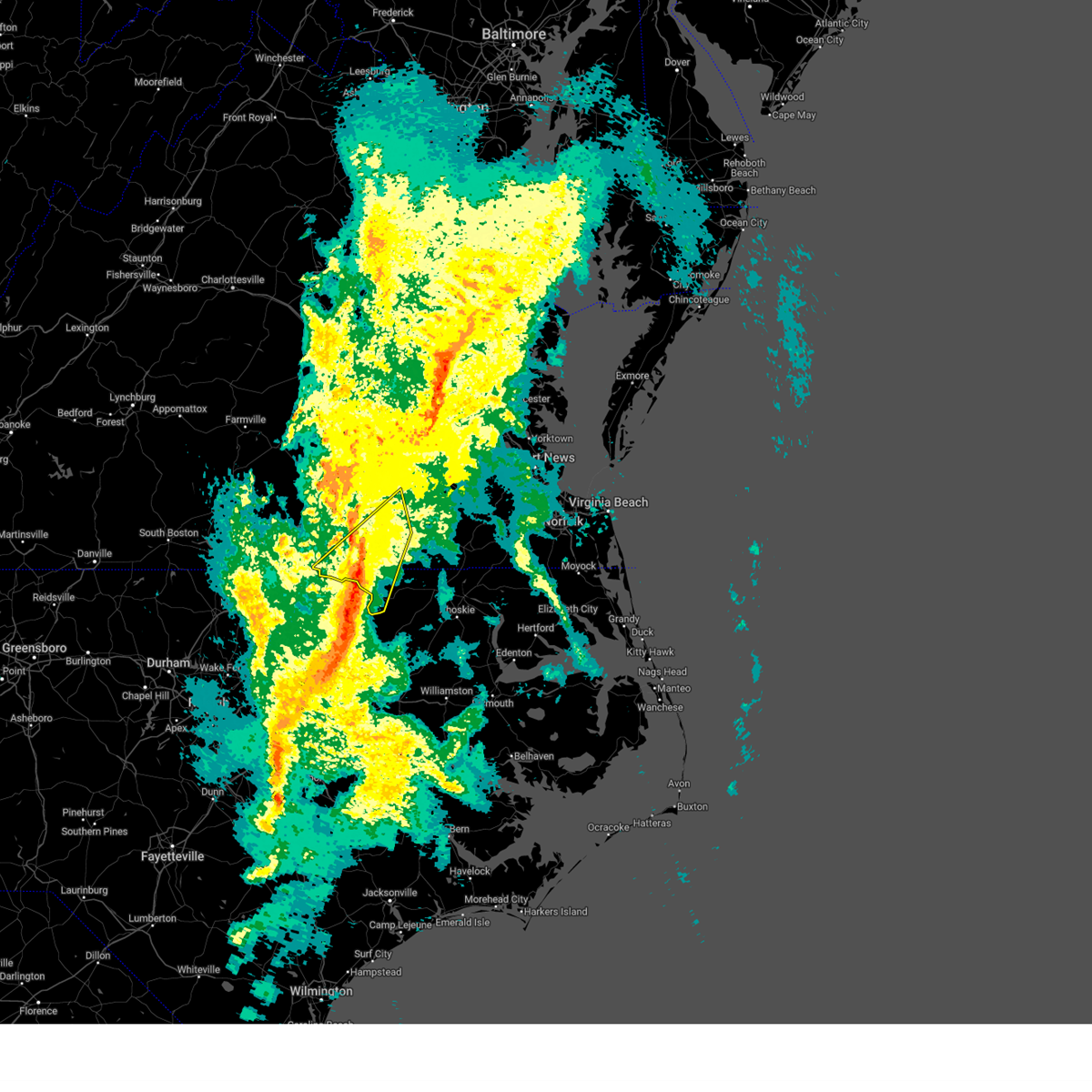
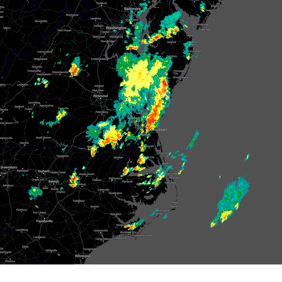
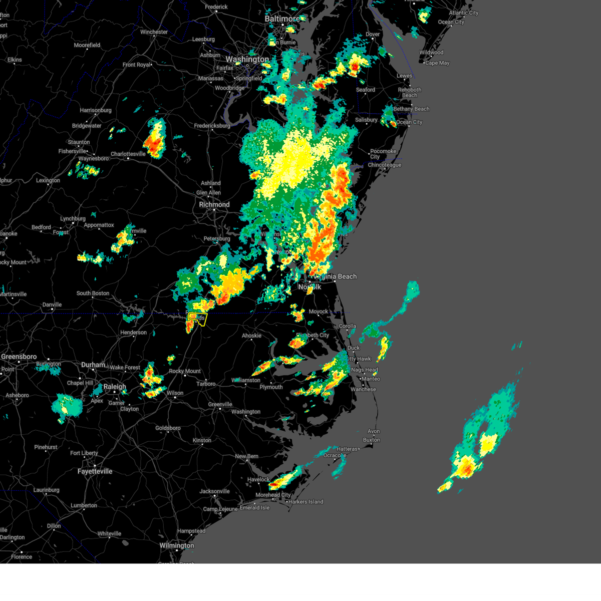
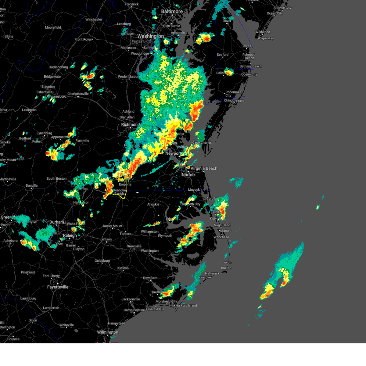
The Roanoke Rapids, NC area has had 3 reports of on-the-ground hail by trained spotters, and has been under severe weather warnings 69 times during the past 12 months. Doppler radar has detected hail at or near Roanoke Rapids, NC on 55 occasions, including 3 occasions during the past year.
| Name: | Roanoke Rapids, NC |
| Where Located: | 71.6 miles NE of Raleigh, NC |
| Map: | Google Map for Roanoke Rapids, NC |
| Population: | 15754 |
| Housing Units: | 7085 |
| More Info: | Search Google for Roanoke Rapids, NC |
2
The Top Recent Hail Date for Roanoke Rapids, NC is Wednesday, May 14, 2025 (7th out of 55)

Hail and Wind Damage Spotted near Roanoke Rapids, NC
| Date / Time | Report Details |
|---|---|
| 6/19/2025 8:10 PM EDT |
 The storms which prompted the warning have weakened below severe limits, and have exited the warned area. therefore, the warning will be allowed to expire. however, gusty winds are still possible with these thunderstorms. a severe thunderstorm watch remains in effect until 1100 pm edt for central north carolina. The storms which prompted the warning have weakened below severe limits, and have exited the warned area. therefore, the warning will be allowed to expire. however, gusty winds are still possible with these thunderstorms. a severe thunderstorm watch remains in effect until 1100 pm edt for central north carolina.
|
| 6/19/2025 8:04 PM EDT | Svrakq the national weather service in wakefield has issued a * severe thunderstorm warning for, northwestern northampton county in northeastern north carolina, greensville county in southeastern virginia, the city of emporia in southeastern virginia, southampton county in southeastern virginia, southeastern sussex county in southeastern virginia, southeastern brunswick county in south central virginia, * until 845 pm edt. * at 803 pm edt, a severe thunderstorm was located near ebony, or 12 miles northeast of warrenton, moving east at 55 mph (radar indicated). Hazards include 60 mph wind gusts. Expect damage to trees and powerlines. this severe thunderstorm will be near, barley around 815 pm edt. dahlia around 825 pm edt. claresville around 830 pm edt. Other locations impacted by this severe thunderstorm include adams grove, grizzard, gum forks, lanes corner, yale, lumberton, bryants corner, slates corner, emporia reservoir, and worrell. |
| 6/19/2025 8:02 PM EDT | At 802 pm edt, severe thunderstorms were located along a line extending from 7 miles southeast of littleton to 6 miles southwest of halifax to near dortches, moving east at 55 mph (radar indicated). Hazards include 60 mph wind gusts. Expect damage to roofs, siding, and trees. Locations impacted include, roanoke rapids, halifax, littleton, enfield, weldon, castalia, centerville, glenview, medoc mountain state park and aventon. |
| 6/19/2025 8:02 PM EDT | the severe thunderstorm warning has been cancelled and is no longer in effect |
| 6/19/2025 7:46 PM EDT | At 746 pm edt, severe thunderstorms were located along a line extending from 8 miles west of ebony to near warrenton to 12 miles northeast of louisburg, moving east at 55 mph (radar indicated). Hazards include 60 mph wind gusts. Expect damage to roofs, siding, and trees. Locations impacted include, roanoke rapids, louisburg, warrenton, halifax, franklinton, norlina, littleton, enfield, weldon and youngsville. |
| 6/19/2025 7:36 PM EDT |
 Svrakq the national weather service in wakefield has issued a * severe thunderstorm warning for, western northampton county in northeastern north carolina, southwestern greensville county in southeastern virginia, southeastern mecklenburg county in south central virginia, southern brunswick county in south central virginia, * until 815 pm edt. * at 736 pm edt, severe thunderstorms were located along a line extending from 7 miles northwest of norlina to near warrenton to louisburg, moving east at 55 mph (radar indicated). Hazards include 60 mph wind gusts. Expect damage to trees and powerlines. severe thunderstorms will be near, ebony around 750 pm edt. gasburg around 755 pm edt. roanoke rapids, garysburg, gaston, and barley around 805 pm edt. Other locations impacted by these severe thunderstorms include mud castle, ante, brink, gum forks, bowens corner, triplet, henrico, white plains, vultare, and valentines. Svrakq the national weather service in wakefield has issued a * severe thunderstorm warning for, western northampton county in northeastern north carolina, southwestern greensville county in southeastern virginia, southeastern mecklenburg county in south central virginia, southern brunswick county in south central virginia, * until 815 pm edt. * at 736 pm edt, severe thunderstorms were located along a line extending from 7 miles northwest of norlina to near warrenton to louisburg, moving east at 55 mph (radar indicated). Hazards include 60 mph wind gusts. Expect damage to trees and powerlines. severe thunderstorms will be near, ebony around 750 pm edt. gasburg around 755 pm edt. roanoke rapids, garysburg, gaston, and barley around 805 pm edt. Other locations impacted by these severe thunderstorms include mud castle, ante, brink, gum forks, bowens corner, triplet, henrico, white plains, vultare, and valentines.
|
| 6/19/2025 7:35 PM EDT |
 the severe thunderstorm warning has been cancelled and is no longer in effect the severe thunderstorm warning has been cancelled and is no longer in effect
|
| 6/19/2025 7:35 PM EDT |
 At 735 pm edt, severe thunderstorms were located along a line extending from 7 miles northwest of norlina to near warrenton to 6 miles east of kittrell, moving east at 55 mph (radar indicated). Hazards include 60 mph wind gusts. Expect damage to roofs, siding, and trees. Locations impacted include, roanoke rapids, henderson, louisburg, warrenton, halifax, franklinton, norlina, littleton, kittrell and enfield. At 735 pm edt, severe thunderstorms were located along a line extending from 7 miles northwest of norlina to near warrenton to 6 miles east of kittrell, moving east at 55 mph (radar indicated). Hazards include 60 mph wind gusts. Expect damage to roofs, siding, and trees. Locations impacted include, roanoke rapids, henderson, louisburg, warrenton, halifax, franklinton, norlina, littleton, kittrell and enfield.
|
| 6/19/2025 7:10 PM EDT |
 Svrrah the national weather service in raleigh has issued a * severe thunderstorm warning for, vance county in central north carolina, warren county in central north carolina, northeastern nash county in central north carolina, eastern granville county in central north carolina, halifax county in central north carolina, franklin county in central north carolina, * until 815 pm edt. * at 710 pm edt, severe thunderstorms were located along a line extending from near clarksville to near oxford to creedmoor, moving east at 55 mph (radar indicated). Hazards include 60 mph wind gusts. expect damage to roofs, siding, and trees Svrrah the national weather service in raleigh has issued a * severe thunderstorm warning for, vance county in central north carolina, warren county in central north carolina, northeastern nash county in central north carolina, eastern granville county in central north carolina, halifax county in central north carolina, franklin county in central north carolina, * until 815 pm edt. * at 710 pm edt, severe thunderstorms were located along a line extending from near clarksville to near oxford to creedmoor, moving east at 55 mph (radar indicated). Hazards include 60 mph wind gusts. expect damage to roofs, siding, and trees
|
| 6/14/2025 8:26 PM EDT |
 The storm which prompted the warning has weakened below severe limits, and no longer poses an immediate threat to life or property. therefore, the warning will be allowed to expire. however, gusty winds and heavy rain are still possible with this thunderstorm. The storm which prompted the warning has weakened below severe limits, and no longer poses an immediate threat to life or property. therefore, the warning will be allowed to expire. however, gusty winds and heavy rain are still possible with this thunderstorm.
|
| 6/14/2025 8:12 PM EDT |
 At 811 pm edt, a severe thunderstorm was located 7 miles west of halifax, moving east at 20 mph (radar indicated). Hazards include 60 mph wind gusts. Expect damage to roofs, siding, and trees. Locations impacted include, roanoke rapids, halifax, enfield, weldon, glenview, medoc mountain state park, and south weldon. At 811 pm edt, a severe thunderstorm was located 7 miles west of halifax, moving east at 20 mph (radar indicated). Hazards include 60 mph wind gusts. Expect damage to roofs, siding, and trees. Locations impacted include, roanoke rapids, halifax, enfield, weldon, glenview, medoc mountain state park, and south weldon.
|
| 6/14/2025 7:49 PM EDT |
 Svrrah the national weather service in raleigh has issued a * severe thunderstorm warning for, halifax county in central north carolina, * until 830 pm edt. * at 748 pm edt, a severe thunderstorm was located 11 miles south of littleton, or 15 miles west of halifax, moving east at 20 mph (radar indicated). Hazards include 60 mph wind gusts and penny size hail. expect damage to roofs, siding, and trees Svrrah the national weather service in raleigh has issued a * severe thunderstorm warning for, halifax county in central north carolina, * until 830 pm edt. * at 748 pm edt, a severe thunderstorm was located 11 miles south of littleton, or 15 miles west of halifax, moving east at 20 mph (radar indicated). Hazards include 60 mph wind gusts and penny size hail. expect damage to roofs, siding, and trees
|
| 6/11/2025 3:06 PM EDT |
 The storm which prompted the warning has exited the warned area. therefore, the warning will be allowed to expire at 315 pm. to report severe weather, contact your nearest law enforcement agency. they will relay your report to the national weather service raleigh. The storm which prompted the warning has exited the warned area. therefore, the warning will be allowed to expire at 315 pm. to report severe weather, contact your nearest law enforcement agency. they will relay your report to the national weather service raleigh.
|
| 6/11/2025 2:51 PM EDT |
 Svrrah the national weather service in raleigh has issued a * severe thunderstorm warning for, northeastern halifax county in central north carolina, * until 315 pm edt. * at 250 pm edt, a severe thunderstorm was located near garysburg, moving east at 10 mph (radar indicated). Hazards include 60 mph wind gusts and quarter size hail. Hail damage to vehicles is expected. Expect wind damage to roofs, siding, and trees. Svrrah the national weather service in raleigh has issued a * severe thunderstorm warning for, northeastern halifax county in central north carolina, * until 315 pm edt. * at 250 pm edt, a severe thunderstorm was located near garysburg, moving east at 10 mph (radar indicated). Hazards include 60 mph wind gusts and quarter size hail. Hail damage to vehicles is expected. Expect wind damage to roofs, siding, and trees.
|
| 6/6/2025 8:22 PM EDT |
 the severe thunderstorm warning has been cancelled and is no longer in effect the severe thunderstorm warning has been cancelled and is no longer in effect
|
| 6/6/2025 8:12 PM EDT |
 At 811 pm edt, severe thunderstorms were located along a line extending from 6 miles south of sussex to near seaboard to gasburg, moving southeast at 20 mph (radar indicated). Hazards include 60 mph wind gusts and penny size hail. Expect damage to trees and powerlines. these severe storms will be near, roanoke rapids, garysburg, gaston, and seaboard around 815 pm edt. conway around 840 pm edt. Other locations impacted by these severe thunderstorms include milwaukee, gum forks, lanes corner, henrico, bryants corner, jackson, slates corner, boones crossroads, pleasant grove, and creeksville. At 811 pm edt, severe thunderstorms were located along a line extending from 6 miles south of sussex to near seaboard to gasburg, moving southeast at 20 mph (radar indicated). Hazards include 60 mph wind gusts and penny size hail. Expect damage to trees and powerlines. these severe storms will be near, roanoke rapids, garysburg, gaston, and seaboard around 815 pm edt. conway around 840 pm edt. Other locations impacted by these severe thunderstorms include milwaukee, gum forks, lanes corner, henrico, bryants corner, jackson, slates corner, boones crossroads, pleasant grove, and creeksville.
|
| 6/6/2025 8:12 PM EDT |
 the severe thunderstorm warning has been cancelled and is no longer in effect the severe thunderstorm warning has been cancelled and is no longer in effect
|
| 6/6/2025 7:57 PM EDT |
 Svrakq the national weather service in wakefield has issued a * severe thunderstorm warning for, northampton county in northeastern north carolina, northwestern hertford county in northeastern north carolina, greensville county in southeastern virginia, the city of emporia in southeastern virginia, southwestern southampton county in southeastern virginia, southwestern sussex county in southeastern virginia, southern brunswick county in south central virginia, * until 845 pm edt. * at 756 pm edt, severe thunderstorms were located along a line extending from near sussex to dahlia to near gasburg, moving southeast at 20 mph (radar indicated). Hazards include 60 mph wind gusts and penny size hail. Expect damage to trees and powerlines. severe thunderstorms will be near, dahlia, gaston, claresville, green plain, barley, and gasburg around 800 pm edt. roanoke rapids and seaboard around 805 pm edt. garysburg around 810 pm edt. Other locations impacted by these severe thunderstorms include milwaukee, adams grove, grizzard, gum forks, bufford crossroads, lanes corner, bowens corner, pleasant shade, henrico, and bryants corner. Svrakq the national weather service in wakefield has issued a * severe thunderstorm warning for, northampton county in northeastern north carolina, northwestern hertford county in northeastern north carolina, greensville county in southeastern virginia, the city of emporia in southeastern virginia, southwestern southampton county in southeastern virginia, southwestern sussex county in southeastern virginia, southern brunswick county in south central virginia, * until 845 pm edt. * at 756 pm edt, severe thunderstorms were located along a line extending from near sussex to dahlia to near gasburg, moving southeast at 20 mph (radar indicated). Hazards include 60 mph wind gusts and penny size hail. Expect damage to trees and powerlines. severe thunderstorms will be near, dahlia, gaston, claresville, green plain, barley, and gasburg around 800 pm edt. roanoke rapids and seaboard around 805 pm edt. garysburg around 810 pm edt. Other locations impacted by these severe thunderstorms include milwaukee, adams grove, grizzard, gum forks, bufford crossroads, lanes corner, bowens corner, pleasant shade, henrico, and bryants corner.
|
| 5/16/2025 6:46 PM EDT |
 the severe thunderstorm warning has been cancelled and is no longer in effect the severe thunderstorm warning has been cancelled and is no longer in effect
|
| 5/16/2025 6:37 PM EDT |
 At 636 pm edt, a severe thunderstorm was located over g roanoke rapids moving east at 65 mph (radar indicated). Hazards include 60 mph wind gusts and quarter size hail. Hail damage to vehicles is expected. expect wind damage to roofs, siding, and trees. Locations impacted include, roanoke rapids, weldon, south weldon, and roanoke rapids lake. At 636 pm edt, a severe thunderstorm was located over g roanoke rapids moving east at 65 mph (radar indicated). Hazards include 60 mph wind gusts and quarter size hail. Hail damage to vehicles is expected. expect wind damage to roofs, siding, and trees. Locations impacted include, roanoke rapids, weldon, south weldon, and roanoke rapids lake.
|
| 5/16/2025 6:33 PM EDT |
 At 632 pm edt, severe thunderstorms were located along a line extending from near barley to roanoke rapids to 9 miles southwest of gaston, moving east at 65 mph (radar indicated). Hazards include 60 mph wind gusts and penny size hail. Expect damage to trees and powerlines. these severe storms will be near, garysburg, dahlia, and seaboard around 640 pm edt. conway around 650 pm edt. rich square and woodland around 655 pm edt. Other locations impacted by these severe thunderstorms include eagletown, milwaukee, gum forks, menola, bryants corner, jackson, slates corner, bryantown, boones crossroads, and pleasant grove. At 632 pm edt, severe thunderstorms were located along a line extending from near barley to roanoke rapids to 9 miles southwest of gaston, moving east at 65 mph (radar indicated). Hazards include 60 mph wind gusts and penny size hail. Expect damage to trees and powerlines. these severe storms will be near, garysburg, dahlia, and seaboard around 640 pm edt. conway around 650 pm edt. rich square and woodland around 655 pm edt. Other locations impacted by these severe thunderstorms include eagletown, milwaukee, gum forks, menola, bryants corner, jackson, slates corner, bryantown, boones crossroads, and pleasant grove.
|
| 5/16/2025 6:33 PM EDT |
 the severe thunderstorm warning has been cancelled and is no longer in effect the severe thunderstorm warning has been cancelled and is no longer in effect
|
| 5/16/2025 6:30 PM EDT | Trees down along gaston r in halifax county NC, 3.1 miles S of Roanoke Rapids, NC |
| 5/16/2025 6:21 PM EDT | At 621 pm edt, a severe thunderstorm was located near littleton, or 7 miles west of roanoke rapids, moving east at 55 mph (radar indicated). Hazards include 60 mph wind gusts and quarter size hail. Hail damage to vehicles is expected. expect wind damage to roofs, siding, and trees. Locations impacted include, roanoke rapids, littleton, weldon, south weldon, rosemary, roanoke rapids lake, and lake gaston. |
| 5/16/2025 6:13 PM EDT | Svrakq the national weather service in wakefield has issued a * severe thunderstorm warning for, northampton county in northeastern north carolina, northwestern hertford county in northeastern north carolina, southern greensville county in southeastern virginia, southeastern mecklenburg county in south central virginia, southwestern southampton county in southeastern virginia, southern brunswick county in south central virginia, * until 700 pm edt. * at 612 pm edt, severe thunderstorms were located along a line extending from near ebony to near gasburg to near warrenton, moving east to southeast at 60 mph (radar indicated). Hazards include 60 mph wind gusts and half dollar size hail. Minor damage to vehicles is possible. expect wind damage to trees and powerlines. severe thunderstorms will be near, brunswick and gasburg around 615 pm edt. roanoke rapids, gaston, and barley around 625 pm edt. garysburg around 630 pm edt. dahlia and seaboard around 635 pm edt. rich square, conway, and woodland around 650 pm edt. Other locations impacted by these severe thunderstorms include eagletown, milwaukee, gum forks, menola, bowens corner, henrico, bryants corner, jackson, slates corner, and bryantown. |
| 5/16/2025 6:08 PM EDT |
 Svrrah the national weather service in raleigh has issued a * severe thunderstorm warning for, northern halifax county in central north carolina, * until 700 pm edt. * at 607 pm edt, a severe thunderstorm was located near littleton, or 10 miles northeast of warrenton, moving east at 65 mph (radar indicated). Hazards include 60 mph wind gusts. expect damage to roofs, siding, and trees Svrrah the national weather service in raleigh has issued a * severe thunderstorm warning for, northern halifax county in central north carolina, * until 700 pm edt. * at 607 pm edt, a severe thunderstorm was located near littleton, or 10 miles northeast of warrenton, moving east at 65 mph (radar indicated). Hazards include 60 mph wind gusts. expect damage to roofs, siding, and trees
|
| 5/14/2025 5:13 PM EDT |
 Svrrah the national weather service in raleigh has issued a * severe thunderstorm warning for, halifax county in central north carolina, * until 615 pm edt. * at 512 pm edt, severe thunderstorms were located across halifax county, moving east at 20 mph (radar indicated). Hazards include 60 mph wind gusts and quarter size hail. Hail damage to vehicles is expected. Expect wind damage to roofs, siding, and trees. Svrrah the national weather service in raleigh has issued a * severe thunderstorm warning for, halifax county in central north carolina, * until 615 pm edt. * at 512 pm edt, severe thunderstorms were located across halifax county, moving east at 20 mph (radar indicated). Hazards include 60 mph wind gusts and quarter size hail. Hail damage to vehicles is expected. Expect wind damage to roofs, siding, and trees.
|
| 5/5/2025 6:11 PM EDT |
 Svrrah the national weather service in raleigh has issued a * severe thunderstorm warning for, central halifax county in central north carolina, * until 645 pm edt. * at 611 pm edt, a severe thunderstorm was located near scotland neck, or 12 miles north of tarboro, moving northeast at 45 mph (radar indicated). Hazards include 60 mph wind gusts and quarter size hail. Hail damage to vehicles is expected. Expect wind damage to roofs, siding, and trees. Svrrah the national weather service in raleigh has issued a * severe thunderstorm warning for, central halifax county in central north carolina, * until 645 pm edt. * at 611 pm edt, a severe thunderstorm was located near scotland neck, or 12 miles north of tarboro, moving northeast at 45 mph (radar indicated). Hazards include 60 mph wind gusts and quarter size hail. Hail damage to vehicles is expected. Expect wind damage to roofs, siding, and trees.
|
| 4/22/2025 4:14 PM EDT |
 the severe thunderstorm warning has been cancelled and is no longer in effect the severe thunderstorm warning has been cancelled and is no longer in effect
|
| 4/22/2025 4:08 PM EDT |
 the severe thunderstorm warning has been cancelled and is no longer in effect the severe thunderstorm warning has been cancelled and is no longer in effect
|
| 4/22/2025 4:08 PM EDT |
 At 408 pm edt, severe thunderstorms were located along a line extending from near barley to 7 miles southeast of gasburg to near littleton, moving east at 25 mph (radar indicated). Hazards include 60 mph wind gusts and quarter size hail. Hail damage to vehicles is expected. expect wind damage to roofs, siding, and trees. Locations impacted include, roanoke rapids, rosemary, littleton, roanoke rapids lake, weldon, and lake gaston. At 408 pm edt, severe thunderstorms were located along a line extending from near barley to 7 miles southeast of gasburg to near littleton, moving east at 25 mph (radar indicated). Hazards include 60 mph wind gusts and quarter size hail. Hail damage to vehicles is expected. expect wind damage to roofs, siding, and trees. Locations impacted include, roanoke rapids, rosemary, littleton, roanoke rapids lake, weldon, and lake gaston.
|
| 4/22/2025 3:56 PM EDT |
 At 355 pm edt, severe thunderstorms were located along a line extending from near gasburg to near littleton to 9 miles south of ebony, moving east at 35 mph (radar indicated). Hazards include 60 mph wind gusts and quarter size hail. Hail damage to vehicles is expected. expect wind damage to roofs, siding, and trees. Locations impacted include, roanoke rapids, rosemary, lake gaston, southpointe and morningstar marinas, littleton, roanoke rapids lake, and weldon. At 355 pm edt, severe thunderstorms were located along a line extending from near gasburg to near littleton to 9 miles south of ebony, moving east at 35 mph (radar indicated). Hazards include 60 mph wind gusts and quarter size hail. Hail damage to vehicles is expected. expect wind damage to roofs, siding, and trees. Locations impacted include, roanoke rapids, rosemary, lake gaston, southpointe and morningstar marinas, littleton, roanoke rapids lake, and weldon.
|
| 4/22/2025 3:46 PM EDT |
 Svrrah the national weather service in raleigh has issued a * severe thunderstorm warning for, northeastern warren county in central north carolina, northwestern halifax county in central north carolina, * until 430 pm edt. * at 345 pm edt, severe thunderstorms were located along a line extending from near gasburg to near littleton to 6 miles east of warrenton, moving east at 45 mph (radar indicated). Hazards include 60 mph wind gusts and quarter size hail. Hail damage to vehicles is expected. Expect wind damage to roofs, siding, and trees. Svrrah the national weather service in raleigh has issued a * severe thunderstorm warning for, northeastern warren county in central north carolina, northwestern halifax county in central north carolina, * until 430 pm edt. * at 345 pm edt, severe thunderstorms were located along a line extending from near gasburg to near littleton to 6 miles east of warrenton, moving east at 45 mph (radar indicated). Hazards include 60 mph wind gusts and quarter size hail. Hail damage to vehicles is expected. Expect wind damage to roofs, siding, and trees.
|
| 3/31/2025 8:25 PM EDT |
 Svrrah the national weather service in raleigh has issued a * severe thunderstorm warning for, central nash county in central north carolina, northern edgecombe county in central north carolina, halifax county in central north carolina, * until 915 pm edt. * at 825 pm edt, severe thunderstorms were located along a line extending from near dahlia to near halifax to near nashville, moving northeast at 45 mph (radar indicated). Hazards include 60 mph wind gusts and quarter size hail. Hail damage to vehicles is expected. Expect wind damage to roofs, siding, and trees. Svrrah the national weather service in raleigh has issued a * severe thunderstorm warning for, central nash county in central north carolina, northern edgecombe county in central north carolina, halifax county in central north carolina, * until 915 pm edt. * at 825 pm edt, severe thunderstorms were located along a line extending from near dahlia to near halifax to near nashville, moving northeast at 45 mph (radar indicated). Hazards include 60 mph wind gusts and quarter size hail. Hail damage to vehicles is expected. Expect wind damage to roofs, siding, and trees.
|
| 3/31/2025 8:15 PM EDT |
 the severe thunderstorm warning has been cancelled and is no longer in effect the severe thunderstorm warning has been cancelled and is no longer in effect
|
| 3/31/2025 8:15 PM EDT |
 At 815 pm edt, a severe thunderstorm was located near halifax, moving east at 50 mph (radar indicated). Hazards include 60 mph wind gusts and quarter size hail. Hail damage to vehicles is expected. expect wind damage to roofs, siding, and trees. Locations impacted include, roanoke rapids, enfield, glenview, medoc mountain state park, aventon, tillery, halifax, weldon, arcola, and south weldon. At 815 pm edt, a severe thunderstorm was located near halifax, moving east at 50 mph (radar indicated). Hazards include 60 mph wind gusts and quarter size hail. Hail damage to vehicles is expected. expect wind damage to roofs, siding, and trees. Locations impacted include, roanoke rapids, enfield, glenview, medoc mountain state park, aventon, tillery, halifax, weldon, arcola, and south weldon.
|
| 3/31/2025 8:11 PM EDT |
 Svrakq the national weather service in wakefield has issued a * severe thunderstorm warning for, northampton county in northeastern north carolina, southern greensville county in southeastern virginia, the city of emporia in southeastern virginia, southwestern southampton county in southeastern virginia, south central brunswick county in south central virginia, * until 900 pm edt. * at 811 pm edt, severe thunderstorms were located along a line extending from 6 miles east of littleton to 9 miles west of halifax to 9 miles north of dortches, moving east at 50 mph (radar indicated). Hazards include 60 mph wind gusts. Expect damage to trees and powerlines. severe thunderstorms will be near, gaston and roanoke rapids around 815 pm edt. garysburg around 820 pm edt. dahlia around 825 pm edt. seaboard around 830 pm edt. claresville around 835 pm edt. woodland, conway, boykins, and rich square around 845 pm edt. newsoms around 855 pm edt. Other locations impacted by these severe thunderstorms include eagletown, milwaukee, adams grove, gum forks, lanes corner, henrico, bryants corner, jackson, slates corner, and worrell. Svrakq the national weather service in wakefield has issued a * severe thunderstorm warning for, northampton county in northeastern north carolina, southern greensville county in southeastern virginia, the city of emporia in southeastern virginia, southwestern southampton county in southeastern virginia, south central brunswick county in south central virginia, * until 900 pm edt. * at 811 pm edt, severe thunderstorms were located along a line extending from 6 miles east of littleton to 9 miles west of halifax to 9 miles north of dortches, moving east at 50 mph (radar indicated). Hazards include 60 mph wind gusts. Expect damage to trees and powerlines. severe thunderstorms will be near, gaston and roanoke rapids around 815 pm edt. garysburg around 820 pm edt. dahlia around 825 pm edt. seaboard around 830 pm edt. claresville around 835 pm edt. woodland, conway, boykins, and rich square around 845 pm edt. newsoms around 855 pm edt. Other locations impacted by these severe thunderstorms include eagletown, milwaukee, adams grove, gum forks, lanes corner, henrico, bryants corner, jackson, slates corner, and worrell.
|
| 3/31/2025 7:38 PM EDT |
 Svrrah the national weather service in raleigh has issued a * severe thunderstorm warning for, southeastern warren county in central north carolina, northern nash county in central north carolina, halifax county in central north carolina, northeastern franklin county in central north carolina, * until 830 pm edt. * at 738 pm edt, a severe thunderstorm was located 7 miles northeast of louisburg, moving east at 50 mph (radar indicated). Hazards include 60 mph wind gusts and quarter size hail. Hail damage to vehicles is expected. Expect wind damage to roofs, siding, and trees. Svrrah the national weather service in raleigh has issued a * severe thunderstorm warning for, southeastern warren county in central north carolina, northern nash county in central north carolina, halifax county in central north carolina, northeastern franklin county in central north carolina, * until 830 pm edt. * at 738 pm edt, a severe thunderstorm was located 7 miles northeast of louisburg, moving east at 50 mph (radar indicated). Hazards include 60 mph wind gusts and quarter size hail. Hail damage to vehicles is expected. Expect wind damage to roofs, siding, and trees.
|
| 3/16/2025 12:51 PM EDT |
 Svrrah the national weather service in raleigh has issued a * severe thunderstorm warning for, warren county in central north carolina, northwestern halifax county in central north carolina, * until 115 pm edt. * at 1251 pm edt, a severe thunderstorm was located 9 miles southeast of warrenton, moving northeast at 60 mph (radar indicated). Hazards include 60 mph wind gusts. expect damage to roofs, siding, and trees Svrrah the national weather service in raleigh has issued a * severe thunderstorm warning for, warren county in central north carolina, northwestern halifax county in central north carolina, * until 115 pm edt. * at 1251 pm edt, a severe thunderstorm was located 9 miles southeast of warrenton, moving northeast at 60 mph (radar indicated). Hazards include 60 mph wind gusts. expect damage to roofs, siding, and trees
|
| 3/5/2025 2:34 PM EST |
 the severe thunderstorm warning has been cancelled and is no longer in effect the severe thunderstorm warning has been cancelled and is no longer in effect
|
| 3/5/2025 2:34 PM EST |
 At 233 pm est, severe thunderstorms were located along a line extending from near jarratt to near green plain to seaboard, moving northeast at 50 mph (radar indicated). Hazards include 60 mph wind gusts. Expect damage to trees and powerlines. These severe thunderstorms will remain over mainly rural areas of north central northampton, greensville, southwestern southampton and southwestern sussex counties and the city of emporia, including the following locations, mud castle, adams grove, gray, grizzard, bufford crossroads, lanes corner, pleasant shade, fields crossroads, bryants corner, and emporia reservoir. At 233 pm est, severe thunderstorms were located along a line extending from near jarratt to near green plain to seaboard, moving northeast at 50 mph (radar indicated). Hazards include 60 mph wind gusts. Expect damage to trees and powerlines. These severe thunderstorms will remain over mainly rural areas of north central northampton, greensville, southwestern southampton and southwestern sussex counties and the city of emporia, including the following locations, mud castle, adams grove, gray, grizzard, bufford crossroads, lanes corner, pleasant shade, fields crossroads, bryants corner, and emporia reservoir.
|
| 3/5/2025 2:21 PM EST |
 At 221 pm est, severe thunderstorms were located along a line extending from near purdy to near dahlia to near garysburg, moving east at 40 mph (radar indicated). Hazards include 60 mph wind gusts. Expect damage to trees and powerlines. these severe storms will be near, jarratt, claresville, green plain, seaboard, emporia, and garysburg around 225 pm est. Other locations impacted by these severe thunderstorms include adams grove, grizzard, gum forks, bufford crossroads, lanes corner, pleasant shade, henrico, bryants corner, slates corner, and emporia reservoir. At 221 pm est, severe thunderstorms were located along a line extending from near purdy to near dahlia to near garysburg, moving east at 40 mph (radar indicated). Hazards include 60 mph wind gusts. Expect damage to trees and powerlines. these severe storms will be near, jarratt, claresville, green plain, seaboard, emporia, and garysburg around 225 pm est. Other locations impacted by these severe thunderstorms include adams grove, grizzard, gum forks, bufford crossroads, lanes corner, pleasant shade, henrico, bryants corner, slates corner, and emporia reservoir.
|
| 3/5/2025 1:56 PM EST |
 the severe thunderstorm warning has been cancelled and is no longer in effect the severe thunderstorm warning has been cancelled and is no longer in effect
|
| 3/5/2025 1:56 PM EST |
 At 155 pm est, a severe thunderstorm was located near littleton, or 13 miles southwest of roanoke rapids, moving northeast at 40 mph (radar indicated). Hazards include 60 mph wind gusts. Expect damage to roofs, siding, and trees. Locations impacted include, roanoke rapids, weldon, arcola, medoc mountain state park, south weldon, airlie, rosemary, southpointe and morningstar marinas, littleton, and roanoke rapids lake. At 155 pm est, a severe thunderstorm was located near littleton, or 13 miles southwest of roanoke rapids, moving northeast at 40 mph (radar indicated). Hazards include 60 mph wind gusts. Expect damage to roofs, siding, and trees. Locations impacted include, roanoke rapids, weldon, arcola, medoc mountain state park, south weldon, airlie, rosemary, southpointe and morningstar marinas, littleton, and roanoke rapids lake.
|
| 3/5/2025 1:55 PM EST |
 Svrakq the national weather service in wakefield has issued a * severe thunderstorm warning for, northwestern northampton county in northeastern north carolina, greensville county in southeastern virginia, the city of emporia in southeastern virginia, southwestern southampton county in southeastern virginia, southwestern sussex county in southeastern virginia, southeastern brunswick county in south central virginia, * until 245 pm est. * at 154 pm est, severe thunderstorms were located along a line extending from near gasburg to near littleton to 12 miles north of dortches, moving northeast at 50 mph (radar indicated). Hazards include 60 mph wind gusts. Expect damage to trees and powerlines. severe thunderstorms will be near, barley around 200 pm est. gaston and roanoke rapids around 205 pm est. dahlia, radium, emporia, and garysburg around 215 pm est. jarratt, claresville, and green plain around 225 pm est. seaboard around 230 pm est. Other locations impacted by these severe thunderstorms include adams grove, grizzard, gum forks, bufford crossroads, lanes corner, pleasant shade, henrico, bryants corner, slates corner, and emporia reservoir. Svrakq the national weather service in wakefield has issued a * severe thunderstorm warning for, northwestern northampton county in northeastern north carolina, greensville county in southeastern virginia, the city of emporia in southeastern virginia, southwestern southampton county in southeastern virginia, southwestern sussex county in southeastern virginia, southeastern brunswick county in south central virginia, * until 245 pm est. * at 154 pm est, severe thunderstorms were located along a line extending from near gasburg to near littleton to 12 miles north of dortches, moving northeast at 50 mph (radar indicated). Hazards include 60 mph wind gusts. Expect damage to trees and powerlines. severe thunderstorms will be near, barley around 200 pm est. gaston and roanoke rapids around 205 pm est. dahlia, radium, emporia, and garysburg around 215 pm est. jarratt, claresville, and green plain around 225 pm est. seaboard around 230 pm est. Other locations impacted by these severe thunderstorms include adams grove, grizzard, gum forks, bufford crossroads, lanes corner, pleasant shade, henrico, bryants corner, slates corner, and emporia reservoir.
|
| 3/5/2025 1:26 PM EST |
 Svrrah the national weather service in raleigh has issued a * severe thunderstorm warning for, eastern warren county in central north carolina, northwestern halifax county in central north carolina, northeastern franklin county in central north carolina, * until 230 pm est. * at 126 pm est, a severe thunderstorm was located 9 miles northeast of louisburg, moving northeast at 40 mph (radar indicated). Hazards include 60 mph wind gusts. expect damage to roofs, siding, and trees Svrrah the national weather service in raleigh has issued a * severe thunderstorm warning for, eastern warren county in central north carolina, northwestern halifax county in central north carolina, northeastern franklin county in central north carolina, * until 230 pm est. * at 126 pm est, a severe thunderstorm was located 9 miles northeast of louisburg, moving northeast at 40 mph (radar indicated). Hazards include 60 mph wind gusts. expect damage to roofs, siding, and trees
|
| 3/5/2025 12:51 PM EST |
 Svrrah the national weather service in raleigh has issued a * severe thunderstorm warning for, southeastern vance county in central north carolina, warren county in central north carolina, northwestern halifax county in central north carolina, northern franklin county in central north carolina, * until 130 pm est. * at 1251 pm est, a severe thunderstorm was located near louisburg, moving northeast at 40 mph (radar indicated). Hazards include 60 mph wind gusts. expect damage to roofs, siding, and trees Svrrah the national weather service in raleigh has issued a * severe thunderstorm warning for, southeastern vance county in central north carolina, warren county in central north carolina, northwestern halifax county in central north carolina, northern franklin county in central north carolina, * until 130 pm est. * at 1251 pm est, a severe thunderstorm was located near louisburg, moving northeast at 40 mph (radar indicated). Hazards include 60 mph wind gusts. expect damage to roofs, siding, and trees
|
| 2/16/2025 9:32 AM EST |
 Svrrah the national weather service in raleigh has issued a * severe thunderstorm warning for, warren county in central north carolina, nash county in central north carolina, edgecombe county in central north carolina, halifax county in central north carolina, northeastern wake county in central north carolina, northern wilson county in central north carolina, northeastern johnston county in central north carolina, franklin county in central north carolina, * until 1015 am est. * at 932 am est, severe thunderstorms were located along a line extending from 7 miles southwest of ebony to 7 miles southeast of franklinton to near garner, moving east at 45 mph (radar indicated). Hazards include 60 mph wind gusts. expect damage to roofs, siding, and trees Svrrah the national weather service in raleigh has issued a * severe thunderstorm warning for, warren county in central north carolina, nash county in central north carolina, edgecombe county in central north carolina, halifax county in central north carolina, northeastern wake county in central north carolina, northern wilson county in central north carolina, northeastern johnston county in central north carolina, franklin county in central north carolina, * until 1015 am est. * at 932 am est, severe thunderstorms were located along a line extending from 7 miles southwest of ebony to 7 miles southeast of franklinton to near garner, moving east at 45 mph (radar indicated). Hazards include 60 mph wind gusts. expect damage to roofs, siding, and trees
|
| 9/27/2024 2:21 PM EDT |
 Svrakq the national weather service in wakefield has issued a * severe thunderstorm warning for, western bertie county in northeastern north carolina, northampton county in northeastern north carolina, hertford county in northeastern north carolina, greensville county in southeastern virginia, the city of emporia in southeastern virginia, southwestern southampton county in southeastern virginia, southwestern sussex county in southeastern virginia, * until 300 pm edt. * at 220 pm edt, severe thunderstorms were located along a line extending from near dahlia to near scotland neck to near bethel, moving northeast at 35 mph (radar indicated). Hazards include 60 mph wind gusts. Expect damage to trees and powerlines. severe thunderstorms will be near, rich square, dahlia, seaboard, and roxobel around 225 pm edt. woodland and claresville around 230 pm edt. conway and lewiston woodville around 235 pm edt. aulander and green plain around 240 pm edt. murfreesboro and boykins around 245 pm edt. ahoskie and chowan university around 250 pm edt. Other locations impacted by these severe thunderstorms include eagletown, milwaukee, tunis, kelford, grizzard, earleys, gum forks, menola, chowan beach, and yale. Svrakq the national weather service in wakefield has issued a * severe thunderstorm warning for, western bertie county in northeastern north carolina, northampton county in northeastern north carolina, hertford county in northeastern north carolina, greensville county in southeastern virginia, the city of emporia in southeastern virginia, southwestern southampton county in southeastern virginia, southwestern sussex county in southeastern virginia, * until 300 pm edt. * at 220 pm edt, severe thunderstorms were located along a line extending from near dahlia to near scotland neck to near bethel, moving northeast at 35 mph (radar indicated). Hazards include 60 mph wind gusts. Expect damage to trees and powerlines. severe thunderstorms will be near, rich square, dahlia, seaboard, and roxobel around 225 pm edt. woodland and claresville around 230 pm edt. conway and lewiston woodville around 235 pm edt. aulander and green plain around 240 pm edt. murfreesboro and boykins around 245 pm edt. ahoskie and chowan university around 250 pm edt. Other locations impacted by these severe thunderstorms include eagletown, milwaukee, tunis, kelford, grizzard, earleys, gum forks, menola, chowan beach, and yale.
|
| 9/27/2024 2:07 PM EDT |
 the severe thunderstorm warning has been cancelled and is no longer in effect the severe thunderstorm warning has been cancelled and is no longer in effect
|
| 9/27/2024 2:07 PM EDT |
 At 207 pm edt, severe thunderstorms were located along a line extending from near halifax to near scotland neck to 8 miles north of tarboro, moving northeast at 25 mph. a tornado warning remains in effect for halifax county (radar indicated). Hazards include 60 mph wind gusts. Expect damage to roofs, siding, and trees. Locations impacted include, tarboro, halifax, scotland neck, enfield, weldon, hobgood, speed, and tillery. At 207 pm edt, severe thunderstorms were located along a line extending from near halifax to near scotland neck to 8 miles north of tarboro, moving northeast at 25 mph. a tornado warning remains in effect for halifax county (radar indicated). Hazards include 60 mph wind gusts. Expect damage to roofs, siding, and trees. Locations impacted include, tarboro, halifax, scotland neck, enfield, weldon, hobgood, speed, and tillery.
|
| 9/27/2024 2:06 PM EDT |
 the tornado warning has been cancelled and is no longer in effect the tornado warning has been cancelled and is no longer in effect
|
| 9/27/2024 2:06 PM EDT |
 At 205 pm edt, a severe thunderstorm capable of producing a tornado was located 7 miles south of halifax, moving north at 30 mph (radar indicated rotation). Hazards include tornado. Flying debris will be dangerous to those caught without shelter. mobile homes will be damaged or destroyed. damage to roofs, windows, and vehicles will occur. tree damage is likely. this dangerous storm will be near, halifax around 210 pm edt. Other locations impacted by this tornadic thunderstorm include enfield, weldon, tillery, and south weldon. At 205 pm edt, a severe thunderstorm capable of producing a tornado was located 7 miles south of halifax, moving north at 30 mph (radar indicated rotation). Hazards include tornado. Flying debris will be dangerous to those caught without shelter. mobile homes will be damaged or destroyed. damage to roofs, windows, and vehicles will occur. tree damage is likely. this dangerous storm will be near, halifax around 210 pm edt. Other locations impacted by this tornadic thunderstorm include enfield, weldon, tillery, and south weldon.
|
| 9/27/2024 2:00 PM EDT |
 the severe thunderstorm warning has been cancelled and is no longer in effect the severe thunderstorm warning has been cancelled and is no longer in effect
|
| 9/27/2024 2:00 PM EDT |
 At 200 pm edt, severe thunderstorms were located along a line extending from near halifax to near scotland neck to near tarboro, moving northeast at 30 mph. a tornado warning also remains in effect for halifax county (radar indicated). Hazards include 60 mph wind gusts. Expect damage to roofs, siding, and trees. Locations impacted include, rocky mount, tarboro, halifax, scotland neck, dortches, enfield, princeville, weldon, whitakers, and hobgood. At 200 pm edt, severe thunderstorms were located along a line extending from near halifax to near scotland neck to near tarboro, moving northeast at 30 mph. a tornado warning also remains in effect for halifax county (radar indicated). Hazards include 60 mph wind gusts. Expect damage to roofs, siding, and trees. Locations impacted include, rocky mount, tarboro, halifax, scotland neck, dortches, enfield, princeville, weldon, whitakers, and hobgood.
|
| 9/27/2024 1:58 PM EDT |
 At 157 pm edt, a severe thunderstorm capable of producing a tornado was located 1 mile east of enfield, or about 10 miles south of halifax, moving north at 35 mph (radar indicated rotation). Hazards include tornado. Flying debris will be dangerous to those caught without shelter. mobile homes will be damaged or destroyed. damage to roofs, windows, and vehicles will occur. tree damage is likely. this dangerous storm will be near, halifax around 205 pm edt. Other locations impacted by this tornadic thunderstorm include enfield, weldon, tillery, whitakers, and south weldon. At 157 pm edt, a severe thunderstorm capable of producing a tornado was located 1 mile east of enfield, or about 10 miles south of halifax, moving north at 35 mph (radar indicated rotation). Hazards include tornado. Flying debris will be dangerous to those caught without shelter. mobile homes will be damaged or destroyed. damage to roofs, windows, and vehicles will occur. tree damage is likely. this dangerous storm will be near, halifax around 205 pm edt. Other locations impacted by this tornadic thunderstorm include enfield, weldon, tillery, whitakers, and south weldon.
|
| 9/27/2024 1:46 PM EDT |
 At 145 pm edt, severe thunderstorms were located along a line extending from 11 miles southwest of halifax to 9 miles southwest of scotland neck to 6 miles east of tarboro, moving northeast at 50 mph (radar indicated). Hazards include 60 mph wind gusts. Expect damage to roofs, siding, and trees. Locations impacted include, rocky mount, tarboro, halifax, scotland neck, dortches, red oak, enfield, princeville, sharpsburg, and weldon. At 145 pm edt, severe thunderstorms were located along a line extending from 11 miles southwest of halifax to 9 miles southwest of scotland neck to 6 miles east of tarboro, moving northeast at 50 mph (radar indicated). Hazards include 60 mph wind gusts. Expect damage to roofs, siding, and trees. Locations impacted include, rocky mount, tarboro, halifax, scotland neck, dortches, red oak, enfield, princeville, sharpsburg, and weldon.
|
| 9/27/2024 1:46 PM EDT |
 the severe thunderstorm warning has been cancelled and is no longer in effect the severe thunderstorm warning has been cancelled and is no longer in effect
|
| 9/27/2024 1:44 PM EDT |
 Torrah the national weather service in raleigh has issued a * tornado warning for, northwestern edgecombe county in central north carolina, central halifax county in central north carolina, * until 230 pm edt. * at 144 pm edt, a severe thunderstorm capable of producing a tornado was located 12 miles northeast of rocky mount, moving northeast at 35 mph (radar indicated rotation). Hazards include tornado. Flying debris will be dangerous to those caught without shelter. mobile homes will be damaged or destroyed. damage to roofs, windows, and vehicles will occur. tree damage is likely. this dangerous storm will be near, halifax around 200 pm edt. Other locations impacted by this tornadic thunderstorm include enfield, weldon, leggett, tillery, and whitakers. Torrah the national weather service in raleigh has issued a * tornado warning for, northwestern edgecombe county in central north carolina, central halifax county in central north carolina, * until 230 pm edt. * at 144 pm edt, a severe thunderstorm capable of producing a tornado was located 12 miles northeast of rocky mount, moving northeast at 35 mph (radar indicated rotation). Hazards include tornado. Flying debris will be dangerous to those caught without shelter. mobile homes will be damaged or destroyed. damage to roofs, windows, and vehicles will occur. tree damage is likely. this dangerous storm will be near, halifax around 200 pm edt. Other locations impacted by this tornadic thunderstorm include enfield, weldon, leggett, tillery, and whitakers.
|
| 9/27/2024 1:27 PM EDT |
 At 126 pm edt, severe thunderstorms were located along a line extending from near dortches to 7 miles southeast of rocky mount to 9 miles northwest of farmville, moving northeast at 40 mph (radar indicated). Hazards include 60 mph wind gusts. Expect damage to roofs, siding, and trees. Locations impacted include, rocky mount, tarboro, nashville, halifax, wilson, scotland neck, elm city, dortches, red oak, and enfield. At 126 pm edt, severe thunderstorms were located along a line extending from near dortches to 7 miles southeast of rocky mount to 9 miles northwest of farmville, moving northeast at 40 mph (radar indicated). Hazards include 60 mph wind gusts. Expect damage to roofs, siding, and trees. Locations impacted include, rocky mount, tarboro, nashville, halifax, wilson, scotland neck, elm city, dortches, red oak, and enfield.
|
| 9/27/2024 1:07 PM EDT |
 Svrrah the national weather service in raleigh has issued a * severe thunderstorm warning for, northeastern wayne county in central north carolina, eastern nash county in central north carolina, edgecombe county in central north carolina, southeastern halifax county in central north carolina, wilson county in central north carolina, * until 215 pm edt. * at 107 pm edt, severe thunderstorms were located along a line extending from 6 miles south of nashville to near wilson to 7 miles northeast of fremont, moving northeast at 45 mph (radar indicated). Hazards include 60 mph wind gusts. expect damage to roofs, siding, and trees Svrrah the national weather service in raleigh has issued a * severe thunderstorm warning for, northeastern wayne county in central north carolina, eastern nash county in central north carolina, edgecombe county in central north carolina, southeastern halifax county in central north carolina, wilson county in central north carolina, * until 215 pm edt. * at 107 pm edt, severe thunderstorms were located along a line extending from 6 miles south of nashville to near wilson to 7 miles northeast of fremont, moving northeast at 45 mph (radar indicated). Hazards include 60 mph wind gusts. expect damage to roofs, siding, and trees
|
| 8/19/2024 6:30 PM EDT |
 The storm which prompted the warning has weakened below severe limits, and no longer poses an immediate threat to life or property. therefore, the warning will be allowed to expire. The storm which prompted the warning has weakened below severe limits, and no longer poses an immediate threat to life or property. therefore, the warning will be allowed to expire.
|
| 8/19/2024 6:11 PM EDT |
 At 610 pm edt, a severe thunderstorm was located over gaston, or near roanoke rapids, moving east at 15 mph (radar indicated). Hazards include 60 mph wind gusts. Expect damage to trees and powerlines. this severe storm will be near, gaston around 615 pm edt. garysburg around 630 pm edt. Other locations impacted by this severe thunderstorm include roanoke rapids lake, pleasant hill, gum forks, and weldon. At 610 pm edt, a severe thunderstorm was located over gaston, or near roanoke rapids, moving east at 15 mph (radar indicated). Hazards include 60 mph wind gusts. Expect damage to trees and powerlines. this severe storm will be near, gaston around 615 pm edt. garysburg around 630 pm edt. Other locations impacted by this severe thunderstorm include roanoke rapids lake, pleasant hill, gum forks, and weldon.
|
| 8/19/2024 6:11 PM EDT |
 the severe thunderstorm warning has been cancelled and is no longer in effect the severe thunderstorm warning has been cancelled and is no longer in effect
|
| 8/19/2024 5:39 PM EDT |
 Svrakq the national weather service in wakefield has issued a * severe thunderstorm warning for, northwestern northampton county in northeastern north carolina, southwestern greensville county in southeastern virginia, the city of emporia in southeastern virginia, southeastern brunswick county in south central virginia, * until 630 pm edt. * at 539 pm edt, severe thunderstorms were located along a line extending from near brunswick to near gasburg to near littleton, moving east at 15 mph (radar indicated). Hazards include 60 mph wind gusts. Expect damage to trees and powerlines. severe thunderstorms will be near, barley around 545 pm edt. gaston around 605 pm edt. Other locations impacted by these severe thunderstorms include ante, brink, gum forks, triplet, lanes corner, henrico, vultare, valentines, slates corner, and emporia reservoir. Svrakq the national weather service in wakefield has issued a * severe thunderstorm warning for, northwestern northampton county in northeastern north carolina, southwestern greensville county in southeastern virginia, the city of emporia in southeastern virginia, southeastern brunswick county in south central virginia, * until 630 pm edt. * at 539 pm edt, severe thunderstorms were located along a line extending from near brunswick to near gasburg to near littleton, moving east at 15 mph (radar indicated). Hazards include 60 mph wind gusts. Expect damage to trees and powerlines. severe thunderstorms will be near, barley around 545 pm edt. gaston around 605 pm edt. Other locations impacted by these severe thunderstorms include ante, brink, gum forks, triplet, lanes corner, henrico, vultare, valentines, slates corner, and emporia reservoir.
|
| 7/18/2024 4:25 PM EDT |
 The storm which prompted the warning has weakened below severe limits, and no longer poses an immediate threat to life or property. therefore, the warning will be allowed to expire. however, gusty winds are still possible with this thunderstorm. a severe thunderstorm watch remains in effect until 900 pm edt for central north carolina. The storm which prompted the warning has weakened below severe limits, and no longer poses an immediate threat to life or property. therefore, the warning will be allowed to expire. however, gusty winds are still possible with this thunderstorm. a severe thunderstorm watch remains in effect until 900 pm edt for central north carolina.
|
| 7/18/2024 4:00 PM EDT |
 At 400 pm edt, a severe thunderstorm was located near nashville, moving east at 25 mph (radar indicated). Hazards include 60 mph wind gusts and penny size hail. Expect damage to roofs, siding, and trees. Locations impacted include, rocky mount, roanoke rapids, tarboro, nashville, halifax, wilson, elm city, dortches, bailey, and red oak. At 400 pm edt, a severe thunderstorm was located near nashville, moving east at 25 mph (radar indicated). Hazards include 60 mph wind gusts and penny size hail. Expect damage to roofs, siding, and trees. Locations impacted include, rocky mount, roanoke rapids, tarboro, nashville, halifax, wilson, elm city, dortches, bailey, and red oak.
|
| 7/18/2024 3:55 PM EDT | At 354 pm edt, severe thunderstorms were located along a line extending from near sedley to 6 miles northwest of boykins to near gaston, moving east at 30 mph (radar indicated). Hazards include 60 mph wind gusts and quarter size hail. Minor damage to vehicles is possible. expect wind damage to trees and powerlines. these severe storms will be near, franklin, courtland, garysburg, boykins, seaboard, newsoms, hunterdale, and sedley around 400 pm edt. windsor around 405 pm edt. suffolk and carrsville around 410 pm edt. holland and kings fork around 420 pm edt. conway around 430 pm edt. Other locations impacted by these severe thunderstorms include vicksville, milwaukee, gum forks, jackson, worrell, dory, pleasant grove, sunbeam, lees mill, and creeksville. |
| 7/18/2024 3:44 PM EDT |
 Svrrah the national weather service in raleigh has issued a * severe thunderstorm warning for, nash county in central north carolina, edgecombe county in central north carolina, halifax county in central north carolina, wilson county in central north carolina, * until 430 pm edt. * at 344 pm edt, a severe thunderstorm was located 7 miles southwest of nashville, moving east at 25 mph (radar indicated). Hazards include 60 mph wind gusts and penny size hail. expect damage to roofs, siding, and trees Svrrah the national weather service in raleigh has issued a * severe thunderstorm warning for, nash county in central north carolina, edgecombe county in central north carolina, halifax county in central north carolina, wilson county in central north carolina, * until 430 pm edt. * at 344 pm edt, a severe thunderstorm was located 7 miles southwest of nashville, moving east at 25 mph (radar indicated). Hazards include 60 mph wind gusts and penny size hail. expect damage to roofs, siding, and trees
|
| 7/18/2024 3:37 PM EDT |
 Svrakq the national weather service in wakefield has issued a * severe thunderstorm warning for, northampton county in northeastern north carolina, northwestern hertford county in northeastern north carolina, southeastern greensville county in southeastern virginia, the city of franklin in southeastern virginia, southwestern isle of wight county in southeastern virginia, southampton county in southeastern virginia, the southwestern city of suffolk in southeastern virginia, * until 430 pm edt. * at 337 pm edt, severe thunderstorms were located along a line extending from 7 miles south of sussex to claresville to near barley, moving east at 30 mph (radar indicated). Hazards include 60 mph wind gusts and quarter size hail. Minor damage to vehicles is possible. expect wind damage to trees and powerlines. severe thunderstorms will be near, roanoke rapids and gaston around 340 pm edt. garysburg and seaboard around 350 pm edt. courtland and boykins around 355 pm edt. newsoms and sedley around 400 pm edt. franklin and hunterdale around 410 pm edt. Other locations impacted by these severe thunderstorms include vicksville, milwaukee, gum forks, jackson, worrell, dory, pleasant grove, sunbeam, lees mill, and creeksville. Svrakq the national weather service in wakefield has issued a * severe thunderstorm warning for, northampton county in northeastern north carolina, northwestern hertford county in northeastern north carolina, southeastern greensville county in southeastern virginia, the city of franklin in southeastern virginia, southwestern isle of wight county in southeastern virginia, southampton county in southeastern virginia, the southwestern city of suffolk in southeastern virginia, * until 430 pm edt. * at 337 pm edt, severe thunderstorms were located along a line extending from 7 miles south of sussex to claresville to near barley, moving east at 30 mph (radar indicated). Hazards include 60 mph wind gusts and quarter size hail. Minor damage to vehicles is possible. expect wind damage to trees and powerlines. severe thunderstorms will be near, roanoke rapids and gaston around 340 pm edt. garysburg and seaboard around 350 pm edt. courtland and boykins around 355 pm edt. newsoms and sedley around 400 pm edt. franklin and hunterdale around 410 pm edt. Other locations impacted by these severe thunderstorms include vicksville, milwaukee, gum forks, jackson, worrell, dory, pleasant grove, sunbeam, lees mill, and creeksville.
|
| 6/6/2024 6:29 PM EDT |
 The storms which prompted the warning have weakened below severe limits, and no longer pose an immediate threat to life or property. therefore, the warning will be allowed to expire. however, gusty winds are still possible with these thunderstorms. a severe thunderstorm watch remains in effect until 900 pm edt for south central and southeastern virginia. The storms which prompted the warning have weakened below severe limits, and no longer pose an immediate threat to life or property. therefore, the warning will be allowed to expire. however, gusty winds are still possible with these thunderstorms. a severe thunderstorm watch remains in effect until 900 pm edt for south central and southeastern virginia.
|
| 6/6/2024 6:05 PM EDT |
 the severe thunderstorm warning has been cancelled and is no longer in effect the severe thunderstorm warning has been cancelled and is no longer in effect
|
| 6/6/2024 6:05 PM EDT |
 At 605 pm edt, severe thunderstorms were located along a line extending from near lawrenceville to near brunswick to near ebony, moving east at 40 mph (radar indicated). Hazards include 60 mph wind gusts. Expect damage to trees and powerlines. these severe storms will be near, gasburg around 610 pm edt. purdy, barley, and radium around 615 pm edt. emporia around 620 pm edt. jarratt around 625 pm edt. dahlia, gaston, green plain, and claresville around 630 pm edt. Other locations impacted by these severe thunderstorms include cochran, adams grove, grizzard, gum forks, bufford crossroads, lanes corner, dolphin, bowens corner, yale, and pleasant shade. At 605 pm edt, severe thunderstorms were located along a line extending from near lawrenceville to near brunswick to near ebony, moving east at 40 mph (radar indicated). Hazards include 60 mph wind gusts. Expect damage to trees and powerlines. these severe storms will be near, gasburg around 610 pm edt. purdy, barley, and radium around 615 pm edt. emporia around 620 pm edt. jarratt around 625 pm edt. dahlia, gaston, green plain, and claresville around 630 pm edt. Other locations impacted by these severe thunderstorms include cochran, adams grove, grizzard, gum forks, bufford crossroads, lanes corner, dolphin, bowens corner, yale, and pleasant shade.
|
| 6/6/2024 5:42 PM EDT |
 Svrakq the national weather service in wakefield has issued a * severe thunderstorm warning for, northwestern northampton county in northeastern north carolina, greensville county in southeastern virginia, southeastern mecklenburg county in south central virginia, southeastern lunenburg county in south central virginia, the city of emporia in southeastern virginia, west central southampton county in southeastern virginia, southwestern sussex county in southeastern virginia, brunswick county in south central virginia, * until 630 pm edt. * at 542 pm edt, severe thunderstorms were located along a line extending from 7 miles northeast of south hill to brodnax to 6 miles north of norlina, moving east at 40 mph (radar indicated). Hazards include 60 mph wind gusts. Expect damage to trees and powerlines. severe thunderstorms will be near, brodnax and ebony around 545 pm edt. lawrenceville and brunswick around 550 pm edt. gasburg around 555 pm edt. barley and radium around 610 pm edt. emporia and purdy around 615 pm edt. roanoke rapids, dahlia, gaston, jarratt, and green plain around 620 pm edt. claresville around 625 pm edt. Other locations impacted by these severe thunderstorms include cochran, adams grove, grizzard, gum forks, beechwood, bufford crossroads, lanes corner, dolphin, bowens corner, and yale. Svrakq the national weather service in wakefield has issued a * severe thunderstorm warning for, northwestern northampton county in northeastern north carolina, greensville county in southeastern virginia, southeastern mecklenburg county in south central virginia, southeastern lunenburg county in south central virginia, the city of emporia in southeastern virginia, west central southampton county in southeastern virginia, southwestern sussex county in southeastern virginia, brunswick county in south central virginia, * until 630 pm edt. * at 542 pm edt, severe thunderstorms were located along a line extending from 7 miles northeast of south hill to brodnax to 6 miles north of norlina, moving east at 40 mph (radar indicated). Hazards include 60 mph wind gusts. Expect damage to trees and powerlines. severe thunderstorms will be near, brodnax and ebony around 545 pm edt. lawrenceville and brunswick around 550 pm edt. gasburg around 555 pm edt. barley and radium around 610 pm edt. emporia and purdy around 615 pm edt. roanoke rapids, dahlia, gaston, jarratt, and green plain around 620 pm edt. claresville around 625 pm edt. Other locations impacted by these severe thunderstorms include cochran, adams grove, grizzard, gum forks, beechwood, bufford crossroads, lanes corner, dolphin, bowens corner, and yale.
|
| 5/27/2024 3:51 PM EDT |
 At 351 pm edt, a severe thunderstorm was located 8 miles southwest of halifax, moving northeast at 15 mph (radar indicated). Hazards include 60 mph wind gusts and quarter size hail. Hail damage to vehicles is expected. expect wind damage to roofs, siding, and trees. Locations impacted include, roanoke rapids, halifax, enfield, weldon, glenview, south weldon, and tillery. At 351 pm edt, a severe thunderstorm was located 8 miles southwest of halifax, moving northeast at 15 mph (radar indicated). Hazards include 60 mph wind gusts and quarter size hail. Hail damage to vehicles is expected. expect wind damage to roofs, siding, and trees. Locations impacted include, roanoke rapids, halifax, enfield, weldon, glenview, south weldon, and tillery.
|
| 5/27/2024 3:32 PM EDT |
 Svrrah the national weather service in raleigh has issued a * severe thunderstorm warning for, central halifax county in central north carolina, * until 430 pm edt. * at 332 pm edt, a severe thunderstorm was located 11 miles southwest of halifax, moving northeast at 15 mph (radar indicated). Hazards include 60 mph wind gusts and quarter size hail. Hail damage to vehicles is expected. Expect wind damage to roofs, siding, and trees. Svrrah the national weather service in raleigh has issued a * severe thunderstorm warning for, central halifax county in central north carolina, * until 430 pm edt. * at 332 pm edt, a severe thunderstorm was located 11 miles southwest of halifax, moving northeast at 15 mph (radar indicated). Hazards include 60 mph wind gusts and quarter size hail. Hail damage to vehicles is expected. Expect wind damage to roofs, siding, and trees.
|
| 4/3/2024 4:12 PM EDT |
 The storm which prompted the warning has weakened below severe limits, and has exited the warned area. therefore, the warning will be allowed to expire. a tornado watch remains in effect until 700 pm edt for central north carolina. The storm which prompted the warning has weakened below severe limits, and has exited the warned area. therefore, the warning will be allowed to expire. a tornado watch remains in effect until 700 pm edt for central north carolina.
|
| 4/3/2024 3:48 PM EDT |
 the severe thunderstorm warning has been cancelled and is no longer in effect the severe thunderstorm warning has been cancelled and is no longer in effect
|
| 4/3/2024 3:48 PM EDT |
 At 348 pm edt, a severe thunderstorm was located 12 miles southwest of halifax, moving northeast at 45 mph (radar indicated). Hazards include 60 mph wind gusts and quarter size hail. Hail damage to vehicles is expected. expect wind damage to roofs, siding, and trees. Locations impacted include, roanoke rapids, halifax, enfield, weldon, glenview, south weldon, tillery, and medoc mountain state park. At 348 pm edt, a severe thunderstorm was located 12 miles southwest of halifax, moving northeast at 45 mph (radar indicated). Hazards include 60 mph wind gusts and quarter size hail. Hail damage to vehicles is expected. expect wind damage to roofs, siding, and trees. Locations impacted include, roanoke rapids, halifax, enfield, weldon, glenview, south weldon, tillery, and medoc mountain state park.
|
| 4/3/2024 3:37 PM EDT |
 At 337 pm edt, a severe thunderstorm was located 12 miles north of dortches, or 16 miles north of nashville, moving northeast at 50 mph (radar indicated). Hazards include 60 mph wind gusts and quarter size hail. Hail damage to vehicles is expected. expect wind damage to roofs, siding, and trees. Locations impacted include, roanoke rapids, halifax, enfield, weldon, whitakers, glenview, medoc mountain state park, south weldon, aventon, and tillery. At 337 pm edt, a severe thunderstorm was located 12 miles north of dortches, or 16 miles north of nashville, moving northeast at 50 mph (radar indicated). Hazards include 60 mph wind gusts and quarter size hail. Hail damage to vehicles is expected. expect wind damage to roofs, siding, and trees. Locations impacted include, roanoke rapids, halifax, enfield, weldon, whitakers, glenview, medoc mountain state park, south weldon, aventon, and tillery.
|
| 4/3/2024 3:37 PM EDT |
 the severe thunderstorm warning has been cancelled and is no longer in effect the severe thunderstorm warning has been cancelled and is no longer in effect
|
| 4/3/2024 3:26 PM EDT |
 Svrrah the national weather service in raleigh has issued a * severe thunderstorm warning for, southeastern warren county in central north carolina, northeastern nash county in central north carolina, northwestern edgecombe county in central north carolina, halifax county in central north carolina, northeastern franklin county in central north carolina, * until 415 pm edt. * at 325 pm edt, a severe thunderstorm was located 11 miles north of nashville, moving northeast at 50 mph (radar indicated). Hazards include 60 mph wind gusts and quarter size hail. Hail damage to vehicles is expected. Expect wind damage to roofs, siding, and trees. Svrrah the national weather service in raleigh has issued a * severe thunderstorm warning for, southeastern warren county in central north carolina, northeastern nash county in central north carolina, northwestern edgecombe county in central north carolina, halifax county in central north carolina, northeastern franklin county in central north carolina, * until 415 pm edt. * at 325 pm edt, a severe thunderstorm was located 11 miles north of nashville, moving northeast at 50 mph (radar indicated). Hazards include 60 mph wind gusts and quarter size hail. Hail damage to vehicles is expected. Expect wind damage to roofs, siding, and trees.
|
| 1/9/2024 8:02 PM EST |
 At 802 pm est, severe thunderstorms were located along a line extending from 9 miles northwest of courtland to near boykins to near rich square, moving northeast at 60 mph (radar indicated). Hazards include 60 mph wind gusts. Expect damage to trees and powerlines. these severe storms will be near, rich square, boykins, conway, woodland, and newsoms around 805 pm est. murfreesboro, courtland, and chowan university around 810 pm est. franklin, como, and sedley around 815 pm est. other locations impacted by these severe thunderstorms include eagletown, vicksville, milwaukee, menola, bryants corner, jackson, worrell, bryantown, boones crossroads, and dory. hail threat, radar indicated max hail size, <. 75 in wind threat, radar indicated max wind gust, 60 mph. At 802 pm est, severe thunderstorms were located along a line extending from 9 miles northwest of courtland to near boykins to near rich square, moving northeast at 60 mph (radar indicated). Hazards include 60 mph wind gusts. Expect damage to trees and powerlines. these severe storms will be near, rich square, boykins, conway, woodland, and newsoms around 805 pm est. murfreesboro, courtland, and chowan university around 810 pm est. franklin, como, and sedley around 815 pm est. other locations impacted by these severe thunderstorms include eagletown, vicksville, milwaukee, menola, bryants corner, jackson, worrell, bryantown, boones crossroads, and dory. hail threat, radar indicated max hail size, <. 75 in wind threat, radar indicated max wind gust, 60 mph.
|
| 1/9/2024 7:42 PM EST |
 The severe thunderstorm warning for eastern warren, nash, northwestern edgecombe and halifax counties will expire at 745 pm est, the storms which prompted the warning have moved out of the area. therefore, the warning will be allowed to expire. however, gusty winds are still possible with these thunderstorms. a tornado watch remains in effect until 900 pm est for central north carolina. remember, a severe thunderstorm warning still remains in effect for eastern halifax county and a majority of edgecombe county until 815 pm. The severe thunderstorm warning for eastern warren, nash, northwestern edgecombe and halifax counties will expire at 745 pm est, the storms which prompted the warning have moved out of the area. therefore, the warning will be allowed to expire. however, gusty winds are still possible with these thunderstorms. a tornado watch remains in effect until 900 pm est for central north carolina. remember, a severe thunderstorm warning still remains in effect for eastern halifax county and a majority of edgecombe county until 815 pm.
|
| 1/9/2024 7:36 PM EST |
 At 735 pm est, severe thunderstorms were located along a line extending from near dahlia to near halifax to 10 miles northeast of rocky mount, moving northeast at 60 mph (radar indicated). Hazards include 60 mph wind gusts. Expect damage to trees and powerlines. severe thunderstorms will be near, garysburg, dahlia, seaboard, and claresville around 740 pm est. rich square and conway around 755 pm est. boykins and woodland around 800 pm est. courtland and newsoms around 805 pm est. murfreesboro around 810 pm est. other locations impacted by these severe thunderstorms include eagletown, vicksville, milwaukee, menola, bryants corner, jackson, worrell, bryantown, boones crossroads, and dory. hail threat, radar indicated max hail size, <. 75 in wind threat, radar indicated max wind gust, 60 mph. At 735 pm est, severe thunderstorms were located along a line extending from near dahlia to near halifax to 10 miles northeast of rocky mount, moving northeast at 60 mph (radar indicated). Hazards include 60 mph wind gusts. Expect damage to trees and powerlines. severe thunderstorms will be near, garysburg, dahlia, seaboard, and claresville around 740 pm est. rich square and conway around 755 pm est. boykins and woodland around 800 pm est. courtland and newsoms around 805 pm est. murfreesboro around 810 pm est. other locations impacted by these severe thunderstorms include eagletown, vicksville, milwaukee, menola, bryants corner, jackson, worrell, bryantown, boones crossroads, and dory. hail threat, radar indicated max hail size, <. 75 in wind threat, radar indicated max wind gust, 60 mph.
|
| 1/9/2024 7:30 PM EST | Multiple reports of downed trees and power outages across the county including in roanoke rapid in halifax county NC, 1.7 miles S of Roanoke Rapids, NC |
| 1/9/2024 7:24 PM EST |
 At 723 pm est, severe thunderstorms were located along a line extending from near littleton to 9 miles southwest of roanoke rapids to near rocky mount to near fremont, moving northeast at 70 mph (radar indicated). Hazards include 60 mph wind gusts. expect damage to roofs, siding, and trees At 723 pm est, severe thunderstorms were located along a line extending from near littleton to 9 miles southwest of roanoke rapids to near rocky mount to near fremont, moving northeast at 70 mph (radar indicated). Hazards include 60 mph wind gusts. expect damage to roofs, siding, and trees
|
| 1/9/2024 7:17 PM EST |
 At 717 pm est, severe thunderstorms were located along a line extending from near brunswick to 7 miles south of littleton to 7 miles north of dortches to near rocky mount, moving northeast at 75 mph (radar indicated). Hazards include 70 mph wind gusts. Expect considerable tree damage. damage is likely to mobile homes, roofs, and outbuildings. Locations impacted include, rocky mount, roanoke rapids, nashville, halifax, dortches, littleton, red oak, enfield, sharpsburg, and weldon. At 717 pm est, severe thunderstorms were located along a line extending from near brunswick to 7 miles south of littleton to 7 miles north of dortches to near rocky mount, moving northeast at 75 mph (radar indicated). Hazards include 70 mph wind gusts. Expect considerable tree damage. damage is likely to mobile homes, roofs, and outbuildings. Locations impacted include, rocky mount, roanoke rapids, nashville, halifax, dortches, littleton, red oak, enfield, sharpsburg, and weldon.
|
| 1/9/2024 6:51 PM EST |
 At 651 pm est, severe thunderstorms were located along a line extending from near louisburg to 9 miles south of zebulon to 6 miles northeast of smithfield to 12 miles east of benson, moving northeast at 85 mph (radar indicated). Hazards include 60 mph wind gusts. expect damage to roofs, siding, and trees At 651 pm est, severe thunderstorms were located along a line extending from near louisburg to 9 miles south of zebulon to 6 miles northeast of smithfield to 12 miles east of benson, moving northeast at 85 mph (radar indicated). Hazards include 60 mph wind gusts. expect damage to roofs, siding, and trees
|
| 12/10/2023 4:07 PM EST |
 At 407 pm est, a severe thunderstorm capable of producing a tornado was located near littleton, or 9 miles northeast of warrenton, moving northeast at 35 mph (radar indicated rotation). Hazards include tornado. Flying debris will be dangerous to those caught without shelter. mobile homes will be damaged or destroyed. damage to roofs, windows, and vehicles will occur. tree damage is likely. this dangerous storm will be near, littleton around 410 pm est. Other locations impacted by this tornadic thunderstorm include rosemary, macon, lake gaston, southpointe and morningstar marinas, and roanoke rapids lake. At 407 pm est, a severe thunderstorm capable of producing a tornado was located near littleton, or 9 miles northeast of warrenton, moving northeast at 35 mph (radar indicated rotation). Hazards include tornado. Flying debris will be dangerous to those caught without shelter. mobile homes will be damaged or destroyed. damage to roofs, windows, and vehicles will occur. tree damage is likely. this dangerous storm will be near, littleton around 410 pm est. Other locations impacted by this tornadic thunderstorm include rosemary, macon, lake gaston, southpointe and morningstar marinas, and roanoke rapids lake.
|
| 12/10/2023 3:57 PM EST |
 At 356 pm est, a severe thunderstorm capable of producing a tornado was located over warrenton, moving northeast at 35 mph (radar indicated rotation). Hazards include tornado. Flying debris will be dangerous to those caught without shelter. mobile homes will be damaged or destroyed. damage to roofs, windows, and vehicles will occur. tree damage is likely. this dangerous storm will be near, littleton around 405 pm est. Other locations impacted by this tornadic thunderstorm include rosemary, macon, lake gaston, southpointe and morningstar marinas, and roanoke rapids lake. At 356 pm est, a severe thunderstorm capable of producing a tornado was located over warrenton, moving northeast at 35 mph (radar indicated rotation). Hazards include tornado. Flying debris will be dangerous to those caught without shelter. mobile homes will be damaged or destroyed. damage to roofs, windows, and vehicles will occur. tree damage is likely. this dangerous storm will be near, littleton around 405 pm est. Other locations impacted by this tornadic thunderstorm include rosemary, macon, lake gaston, southpointe and morningstar marinas, and roanoke rapids lake.
|
| 9/9/2023 2:55 PM EDT |
 At 255 pm edt, a severe thunderstorm was located over conway, or 7 miles west of chowan university, moving north at 35 mph (radar indicated). Hazards include 60 mph wind gusts. Expect damage to trees and powerlines. this severe storm will be near, boykins around 300 pm edt. other locations impacted by this severe thunderstorm include milwaukee, menola, mapleton, bryants corner, jackson, bryantown, boones crossroads, pleasant grove, sunbeam, and creeksville. hail threat, radar indicated max hail size, <. 75 in wind threat, radar indicated max wind gust, 60 mph. At 255 pm edt, a severe thunderstorm was located over conway, or 7 miles west of chowan university, moving north at 35 mph (radar indicated). Hazards include 60 mph wind gusts. Expect damage to trees and powerlines. this severe storm will be near, boykins around 300 pm edt. other locations impacted by this severe thunderstorm include milwaukee, menola, mapleton, bryants corner, jackson, bryantown, boones crossroads, pleasant grove, sunbeam, and creeksville. hail threat, radar indicated max hail size, <. 75 in wind threat, radar indicated max wind gust, 60 mph.
|
| 9/9/2023 2:31 PM EDT |
 At 231 pm edt, a severe thunderstorm was located near woodland, or near aulander, moving north at 30 mph (radar indicated). Hazards include 60 mph wind gusts. Expect damage to trees and powerlines. this severe thunderstorm will be near, woodland around 235 pm edt. murfreesboro and conway around 245 pm edt. boykins around 300 pm edt. other locations impacted by this severe thunderstorm include eagletown, milwaukee, kelford, menola, mapleton, bryants corner, jackson, burden, bryantown, and boones crossroads. hail threat, radar indicated max hail size, <. 75 in wind threat, radar indicated max wind gust, 60 mph. At 231 pm edt, a severe thunderstorm was located near woodland, or near aulander, moving north at 30 mph (radar indicated). Hazards include 60 mph wind gusts. Expect damage to trees and powerlines. this severe thunderstorm will be near, woodland around 235 pm edt. murfreesboro and conway around 245 pm edt. boykins around 300 pm edt. other locations impacted by this severe thunderstorm include eagletown, milwaukee, kelford, menola, mapleton, bryants corner, jackson, burden, bryantown, and boones crossroads. hail threat, radar indicated max hail size, <. 75 in wind threat, radar indicated max wind gust, 60 mph.
|
| 9/8/2023 5:56 PM EDT | Trees down along old halifax rd near rosemary. time estimated by rada in halifax county NC, 5.3 miles ENE of Roanoke Rapids, NC |
| 9/8/2023 5:56 PM EDT |
 At 556 pm edt, severe thunderstorms were located along a line extending from 8 miles south of littleton to 7 miles west of halifax to 7 miles northwest of scotland neck, moving north at 30 mph (radar indicated). Hazards include 60 mph wind gusts and quarter size hail. Hail damage to vehicles is expected. expect wind damage to roofs, siding, and trees. locations impacted include, halifax, weldon, tillery and airlie. hail threat, radar indicated max hail size, 1. 00 in wind threat, radar indicated max wind gust, 60 mph. At 556 pm edt, severe thunderstorms were located along a line extending from 8 miles south of littleton to 7 miles west of halifax to 7 miles northwest of scotland neck, moving north at 30 mph (radar indicated). Hazards include 60 mph wind gusts and quarter size hail. Hail damage to vehicles is expected. expect wind damage to roofs, siding, and trees. locations impacted include, halifax, weldon, tillery and airlie. hail threat, radar indicated max hail size, 1. 00 in wind threat, radar indicated max wind gust, 60 mph.
|
| 9/8/2023 5:50 PM EDT |
 At 550 pm edt, severe thunderstorms were located along a line extending from 11 miles south of littleton to 8 miles west of halifax to 6 miles northwest of scotland neck, moving north at 15 mph (radar indicated). Hazards include 60 mph wind gusts and quarter size hail. Hail damage to vehicles is expected. expect wind damage to roofs, siding, and trees. locations impacted include, halifax, littleton, enfield, weldon, macon, arcola, medoc mountain state park, airlie and tillery. hail threat, radar indicated max hail size, 1. 00 in wind threat, radar indicated max wind gust, 60 mph. At 550 pm edt, severe thunderstorms were located along a line extending from 11 miles south of littleton to 8 miles west of halifax to 6 miles northwest of scotland neck, moving north at 15 mph (radar indicated). Hazards include 60 mph wind gusts and quarter size hail. Hail damage to vehicles is expected. expect wind damage to roofs, siding, and trees. locations impacted include, halifax, littleton, enfield, weldon, macon, arcola, medoc mountain state park, airlie and tillery. hail threat, radar indicated max hail size, 1. 00 in wind threat, radar indicated max wind gust, 60 mph.
|
| 9/8/2023 5:45 PM EDT |
 At 545 pm edt, severe thunderstorms were located along a line extending from 13 miles south of littleton to 10 miles southwest of halifax to 6 miles west of scotland neck, moving north at 15 mph (radar indicated). Hazards include 60 mph wind gusts and quarter size hail. Hail damage to vehicles is expected. expect wind damage to roofs, siding, and trees. locations impacted include, warrenton, halifax, littleton, enfield, weldon, macon, glenview, arcola, medoc mountain state park and airlie. hail threat, radar indicated max hail size, 1. 00 in wind threat, radar indicated max wind gust, 60 mph. At 545 pm edt, severe thunderstorms were located along a line extending from 13 miles south of littleton to 10 miles southwest of halifax to 6 miles west of scotland neck, moving north at 15 mph (radar indicated). Hazards include 60 mph wind gusts and quarter size hail. Hail damage to vehicles is expected. expect wind damage to roofs, siding, and trees. locations impacted include, warrenton, halifax, littleton, enfield, weldon, macon, glenview, arcola, medoc mountain state park and airlie. hail threat, radar indicated max hail size, 1. 00 in wind threat, radar indicated max wind gust, 60 mph.
|
| 9/8/2023 5:40 PM EDT |
 At 540 pm edt, severe thunderstorms were located along a line extending from 13 miles southeast of warrenton to 8 miles west of scotland neck, moving north at 15 mph (radar indicated). Hazards include 60 mph wind gusts and quarter size hail. Hail damage to vehicles is expected. expect wind damage to roofs, siding, and trees. locations impacted include, warrenton, halifax, scotland neck, littleton, enfield, weldon, whitakers, macon, centerville and glenview. hail threat, radar indicated max hail size, 1. 00 in wind threat, radar indicated max wind gust, 60 mph. At 540 pm edt, severe thunderstorms were located along a line extending from 13 miles southeast of warrenton to 8 miles west of scotland neck, moving north at 15 mph (radar indicated). Hazards include 60 mph wind gusts and quarter size hail. Hail damage to vehicles is expected. expect wind damage to roofs, siding, and trees. locations impacted include, warrenton, halifax, scotland neck, littleton, enfield, weldon, whitakers, macon, centerville and glenview. hail threat, radar indicated max hail size, 1. 00 in wind threat, radar indicated max wind gust, 60 mph.
|
| 9/8/2023 5:34 PM EDT |
 At 534 pm edt, severe thunderstorms were located along a line extending from 14 miles southeast of warrenton to 6 miles southwest of scotland neck, moving northeast at 30 mph (radar indicated). Hazards include 60 mph wind gusts and quarter size hail. Hail damage to vehicles is expected. expect wind damage to roofs, siding, and trees. locations impacted include, warrenton, halifax, scotland neck, littleton, red oak, enfield, weldon, whitakers, hobgood and castalia. hail threat, radar indicated max hail size, 1. 00 in wind threat, radar indicated max wind gust, 60 mph. At 534 pm edt, severe thunderstorms were located along a line extending from 14 miles southeast of warrenton to 6 miles southwest of scotland neck, moving northeast at 30 mph (radar indicated). Hazards include 60 mph wind gusts and quarter size hail. Hail damage to vehicles is expected. expect wind damage to roofs, siding, and trees. locations impacted include, warrenton, halifax, scotland neck, littleton, red oak, enfield, weldon, whitakers, hobgood and castalia. hail threat, radar indicated max hail size, 1. 00 in wind threat, radar indicated max wind gust, 60 mph.
|
| 9/8/2023 5:23 PM EDT |
 At 523 pm edt, severe thunderstorms were located along a line extending from 12 miles northwest of nashville to near tarboro, moving north at 30 mph (radar indicated). Hazards include 60 mph wind gusts and quarter size hail. Hail damage to vehicles is expected. Expect wind damage to roofs, siding, and trees. At 523 pm edt, severe thunderstorms were located along a line extending from 12 miles northwest of nashville to near tarboro, moving north at 30 mph (radar indicated). Hazards include 60 mph wind gusts and quarter size hail. Hail damage to vehicles is expected. Expect wind damage to roofs, siding, and trees.
|
| 8/15/2023 5:46 PM EDT |
 At 545 pm edt, severe thunderstorms were located along a line extending from 7 miles west of halifax to 6 miles southwest of scotland neck to 8 miles southwest of tarboro, moving east at 50 mph (emergency management). Hazards include 70 mph wind gusts. Expect considerable tree damage. damage is likely to mobile homes, roofs, and outbuildings. locations impacted include, rocky mount, tarboro, halifax, scotland neck, elm city, enfield, princeville, sharpsburg, weldon and pinetops. thunderstorm damage threat, considerable hail threat, radar indicated max hail size, <. 75 in wind threat, observed max wind gust, 70 mph. At 545 pm edt, severe thunderstorms were located along a line extending from 7 miles west of halifax to 6 miles southwest of scotland neck to 8 miles southwest of tarboro, moving east at 50 mph (emergency management). Hazards include 70 mph wind gusts. Expect considerable tree damage. damage is likely to mobile homes, roofs, and outbuildings. locations impacted include, rocky mount, tarboro, halifax, scotland neck, elm city, enfield, princeville, sharpsburg, weldon and pinetops. thunderstorm damage threat, considerable hail threat, radar indicated max hail size, <. 75 in wind threat, observed max wind gust, 70 mph.
|
| 8/15/2023 5:25 PM EDT |
 At 523 pm edt, severe thunderstorms were located along a line extending from 7 miles southeast of warrenton to 8 miles northeast of dortches to nashville to near bailey, moving east at 45 mph (radar indicated). Hazards include 70 mph wind gusts. Expect considerable tree damage. Damage is likely to mobile homes, roofs, and outbuildings. At 523 pm edt, severe thunderstorms were located along a line extending from 7 miles southeast of warrenton to 8 miles northeast of dortches to nashville to near bailey, moving east at 45 mph (radar indicated). Hazards include 70 mph wind gusts. Expect considerable tree damage. Damage is likely to mobile homes, roofs, and outbuildings.
|
| 8/15/2023 4:02 PM EDT |
 At 402 pm edt, severe thunderstorms were located along a line extending from near seaboard to 8 miles northwest of rich square to 10 miles northeast of rocky mount, moving east at 30 mph (radar indicated). Hazards include 60 mph wind gusts and quarter size hail. Hail damage to vehicles is expected. expect wind damage to roofs, siding, and trees. locations impacted include, halifax, scotland neck, dortches, red oak, enfield, weldon, whitakers, battleboro, south weldon and tillery. hail threat, radar indicated max hail size, 1. 00 in wind threat, radar indicated max wind gust, 60 mph. At 402 pm edt, severe thunderstorms were located along a line extending from near seaboard to 8 miles northwest of rich square to 10 miles northeast of rocky mount, moving east at 30 mph (radar indicated). Hazards include 60 mph wind gusts and quarter size hail. Hail damage to vehicles is expected. expect wind damage to roofs, siding, and trees. locations impacted include, halifax, scotland neck, dortches, red oak, enfield, weldon, whitakers, battleboro, south weldon and tillery. hail threat, radar indicated max hail size, 1. 00 in wind threat, radar indicated max wind gust, 60 mph.
|
| 8/15/2023 3:38 PM EDT |
 At 338 pm edt, severe thunderstorms were located along a line extending from green plain to near halifax to 13 miles north of dortches, moving east at 30 mph (radar indicated). Hazards include 60 mph wind gusts and nickel size hail. Expect damage to trees and powerlines. these severe storms will be near, garysburg, seaboard, and claresville around 345 pm edt. boykins around 405 pm edt. conway around 410 pm edt. courtland and newsoms around 415 pm edt. other locations impacted by these severe thunderstorms include eagletown, milwaukee, adams grove, grizzard, gum forks, lanes corner, bryants corner, jackson, slates corner, and emporia reservoir. hail threat, radar indicated max hail size, 0. 88 in wind threat, radar indicated max wind gust, 60 mph. At 338 pm edt, severe thunderstorms were located along a line extending from green plain to near halifax to 13 miles north of dortches, moving east at 30 mph (radar indicated). Hazards include 60 mph wind gusts and nickel size hail. Expect damage to trees and powerlines. these severe storms will be near, garysburg, seaboard, and claresville around 345 pm edt. boykins around 405 pm edt. conway around 410 pm edt. courtland and newsoms around 415 pm edt. other locations impacted by these severe thunderstorms include eagletown, milwaukee, adams grove, grizzard, gum forks, lanes corner, bryants corner, jackson, slates corner, and emporia reservoir. hail threat, radar indicated max hail size, 0. 88 in wind threat, radar indicated max wind gust, 60 mph.
|
| 8/15/2023 3:30 PM EDT |
 At 330 pm edt, severe thunderstorms were located along a line extending from gaston to 7 miles west of halifax to 6 miles northwest of dortches, moving east at 35 mph (radar indicated). Hazards include 60 mph wind gusts and nickel size hail. expect damage to roofs, siding, and trees At 330 pm edt, severe thunderstorms were located along a line extending from gaston to 7 miles west of halifax to 6 miles northwest of dortches, moving east at 35 mph (radar indicated). Hazards include 60 mph wind gusts and nickel size hail. expect damage to roofs, siding, and trees
|
| 8/15/2023 3:27 PM EDT |
 At 327 pm edt, severe thunderstorms were located along a line extending from 6 miles northwest of dahlia to 6 miles south of roanoke rapids to 11 miles north of dortches, moving east at 35 mph (radar indicated). Hazards include 60 mph wind gusts. Expect damage to trees and powerlines. severe thunderstorms will be near, roanoke rapids, emporia, garysburg, dahlia, and gaston around 330 pm edt. claresville around 335 pm edt. seaboard and green plain around 340 pm edt. boykins and conway around 405 pm edt. other locations impacted by these severe thunderstorms include eagletown, milwaukee, adams grove, grizzard, gum forks, lanes corner, henrico, bryants corner, jackson, and slates corner. hail threat, radar indicated max hail size, <. 75 in wind threat, radar indicated max wind gust, 60 mph. At 327 pm edt, severe thunderstorms were located along a line extending from 6 miles northwest of dahlia to 6 miles south of roanoke rapids to 11 miles north of dortches, moving east at 35 mph (radar indicated). Hazards include 60 mph wind gusts. Expect damage to trees and powerlines. severe thunderstorms will be near, roanoke rapids, emporia, garysburg, dahlia, and gaston around 330 pm edt. claresville around 335 pm edt. seaboard and green plain around 340 pm edt. boykins and conway around 405 pm edt. other locations impacted by these severe thunderstorms include eagletown, milwaukee, adams grove, grizzard, gum forks, lanes corner, henrico, bryants corner, jackson, and slates corner. hail threat, radar indicated max hail size, <. 75 in wind threat, radar indicated max wind gust, 60 mph.
|
| 8/15/2023 3:19 PM EDT |
 At 319 pm edt, a severe thunderstorm was located near roanoke rapids, moving east at 40 mph (radar indicated). Hazards include 60 mph wind gusts and quarter size hail. Hail damage to vehicles is expected. expect wind damage to roofs, siding, and trees. locations impacted include, roanoke rapids, littleton, arcola, medoc mountain state park, airlie, rosemary, roanoke rapids lake and lake gaston. hail threat, radar indicated max hail size, 1. 00 in wind threat, radar indicated max wind gust, 60 mph. At 319 pm edt, a severe thunderstorm was located near roanoke rapids, moving east at 40 mph (radar indicated). Hazards include 60 mph wind gusts and quarter size hail. Hail damage to vehicles is expected. expect wind damage to roofs, siding, and trees. locations impacted include, roanoke rapids, littleton, arcola, medoc mountain state park, airlie, rosemary, roanoke rapids lake and lake gaston. hail threat, radar indicated max hail size, 1. 00 in wind threat, radar indicated max wind gust, 60 mph.
|
| 8/15/2023 2:51 PM EDT |
 At 251 pm edt, a severe thunderstorm was located near warrenton, moving east at 35 mph (radar indicated). Hazards include 60 mph wind gusts and half dollar size hail. Hail damage to vehicles is expected. Expect wind damage to roofs, siding, and trees. At 251 pm edt, a severe thunderstorm was located near warrenton, moving east at 35 mph (radar indicated). Hazards include 60 mph wind gusts and half dollar size hail. Hail damage to vehicles is expected. Expect wind damage to roofs, siding, and trees.
|
| 8/7/2023 9:14 PM EDT |
 The severe thunderstorm warning for edgecombe and eastern halifax counties will expire at 915 pm edt, the storms which prompted the warning have weakened below severe limits, and no longer pose an immediate threat to life or property. therefore, the warning will be allowed to expire. however gusty winds to near 50 mph are still possible with these thunderstorms. a severe thunderstorm watch remains in effect until midnight edt for central north carolina. The severe thunderstorm warning for edgecombe and eastern halifax counties will expire at 915 pm edt, the storms which prompted the warning have weakened below severe limits, and no longer pose an immediate threat to life or property. therefore, the warning will be allowed to expire. however gusty winds to near 50 mph are still possible with these thunderstorms. a severe thunderstorm watch remains in effect until midnight edt for central north carolina.
|
| 8/7/2023 8:57 PM EDT |
 At 857 pm edt, severe thunderstorms were located along a line extending from 8 miles south of halifax to 6 miles south of scotland neck to near bruce, moving northeast at 45 mph (radar indicated). Hazards include 60 mph wind gusts. expect damage to roofs, siding, and trees At 857 pm edt, severe thunderstorms were located along a line extending from 8 miles south of halifax to 6 miles south of scotland neck to near bruce, moving northeast at 45 mph (radar indicated). Hazards include 60 mph wind gusts. expect damage to roofs, siding, and trees
|
| 8/7/2023 8:47 PM EDT |
 At 847 pm edt, severe thunderstorms were located along a line extending from 9 miles southeast of littleton to near halifax to near tarboro, moving northeast at 55 mph (radar indicated). Hazards include 60 mph wind gusts. Expect damage to trees and powerlines. these severe storms will be near, garysburg, rich square, woodland, and roxobel around 900 pm edt. conway, seaboard, and lewiston woodville around 905 pm edt. murfreesboro, aulander, and chowan university around 910 pm edt. ahoskie around 915 pm edt. windsor, boykins, winton, powellsville, and como around 920 pm edt. suffolk and cofield around 925 pm edt. newsoms, harrellsville, and roduco around 930 pm edt. gatesville, gates, and colerain around 935 pm edt. other locations impacted by these severe thunderstorms include goose pond, eagletown, milwaukee, whites crossroads, tunis, kelford, earleys, gum forks, menola, and newsome store. hail threat, radar indicated max hail size, <. 75 in wind threat, radar indicated max wind gust, 60 mph. At 847 pm edt, severe thunderstorms were located along a line extending from 9 miles southeast of littleton to near halifax to near tarboro, moving northeast at 55 mph (radar indicated). Hazards include 60 mph wind gusts. Expect damage to trees and powerlines. these severe storms will be near, garysburg, rich square, woodland, and roxobel around 900 pm edt. conway, seaboard, and lewiston woodville around 905 pm edt. murfreesboro, aulander, and chowan university around 910 pm edt. ahoskie around 915 pm edt. windsor, boykins, winton, powellsville, and como around 920 pm edt. suffolk and cofield around 925 pm edt. newsoms, harrellsville, and roduco around 930 pm edt. gatesville, gates, and colerain around 935 pm edt. other locations impacted by these severe thunderstorms include goose pond, eagletown, milwaukee, whites crossroads, tunis, kelford, earleys, gum forks, menola, and newsome store. hail threat, radar indicated max hail size, <. 75 in wind threat, radar indicated max wind gust, 60 mph.
|
| 8/7/2023 8:41 PM EDT |
 At 841 pm edt, a severe thunderstorm was located over halifax, moving northeast at 55 mph (radar indicated). Hazards include 60 mph wind gusts. Expect damage to roofs, siding, and trees. Locations impacted include, roanoke rapids, halifax, weldon, medoc mountain state park, south weldon, rosemary, tillery and roanoke rapids lake. At 841 pm edt, a severe thunderstorm was located over halifax, moving northeast at 55 mph (radar indicated). Hazards include 60 mph wind gusts. Expect damage to roofs, siding, and trees. Locations impacted include, roanoke rapids, halifax, weldon, medoc mountain state park, south weldon, rosemary, tillery and roanoke rapids lake.
|
| 8/7/2023 8:29 PM EDT |
 At 829 pm edt, severe thunderstorms were located along a line extending from 12 miles southeast of warrenton to 13 miles southwest of halifax to near elm city, moving northeast at 55 mph (radar indicated). Hazards include 60 mph wind gusts. Expect damage to trees and powerlines. severe thunderstorms will be near, garysburg and rich square around 855 pm edt. conway, woodland, and roxobel around 900 pm edt. aulander, seaboard, and lewiston woodville around 905 pm edt. murfreesboro and chowan university around 910 pm edt. ahoskie and como around 915 pm edt. windsor, boykins, winton, cofield, and powellsville around 920 pm edt. other locations impacted by these severe thunderstorms include goose pond, eagletown, milwaukee, whites crossroads, tunis, kelford, earleys, gum forks, menola, and newsome store. hail threat, radar indicated max hail size, <. 75 in wind threat, radar indicated max wind gust, 60 mph. At 829 pm edt, severe thunderstorms were located along a line extending from 12 miles southeast of warrenton to 13 miles southwest of halifax to near elm city, moving northeast at 55 mph (radar indicated). Hazards include 60 mph wind gusts. Expect damage to trees and powerlines. severe thunderstorms will be near, garysburg and rich square around 855 pm edt. conway, woodland, and roxobel around 900 pm edt. aulander, seaboard, and lewiston woodville around 905 pm edt. murfreesboro and chowan university around 910 pm edt. ahoskie and como around 915 pm edt. windsor, boykins, winton, cofield, and powellsville around 920 pm edt. other locations impacted by these severe thunderstorms include goose pond, eagletown, milwaukee, whites crossroads, tunis, kelford, earleys, gum forks, menola, and newsome store. hail threat, radar indicated max hail size, <. 75 in wind threat, radar indicated max wind gust, 60 mph.
|
| 8/7/2023 8:18 PM EDT |
 At 818 pm edt, a severe thunderstorm was located 13 miles northeast of louisburg, moving northeast at 50 mph (radar indicated). Hazards include 60 mph wind gusts. expect damage to roofs, siding, and trees At 818 pm edt, a severe thunderstorm was located 13 miles northeast of louisburg, moving northeast at 50 mph (radar indicated). Hazards include 60 mph wind gusts. expect damage to roofs, siding, and trees
|
| 7/9/2023 3:25 PM EDT |
 At 323 pm edt, severe thunderstorms were located along a line extending from 13 miles southwest of halifax to 8 miles northwest of farmville to 11 miles south of clinton, moving east at 50 mph (radar indicated. goldsboro recently measured a wind gust of 52 mph. the line also has a history of producing extensive wind damage). Hazards include 60 mph wind gusts and penny size hail. Expect damage to roofs, siding, and trees. locations impacted include, rocky mount, goldsboro, roanoke rapids, tarboro, clinton, halifax, wilson, mount olive, scotland neck and elm city. hail threat, radar indicated max hail size, 0. 75 in wind threat, observed max wind gust, 60 mph. At 323 pm edt, severe thunderstorms were located along a line extending from 13 miles southwest of halifax to 8 miles northwest of farmville to 11 miles south of clinton, moving east at 50 mph (radar indicated. goldsboro recently measured a wind gust of 52 mph. the line also has a history of producing extensive wind damage). Hazards include 60 mph wind gusts and penny size hail. Expect damage to roofs, siding, and trees. locations impacted include, rocky mount, goldsboro, roanoke rapids, tarboro, clinton, halifax, wilson, mount olive, scotland neck and elm city. hail threat, radar indicated max hail size, 0. 75 in wind threat, observed max wind gust, 60 mph.
|
| 7/9/2023 3:00 PM EDT |
 At 258 pm edt, severe thunderstorms were located along a line extending from 8 miles south of warrenton to near wilson to near jerome, moving east at 50 mph (radar indicated. the line also has a history of producing extensive wind damage). Hazards include 60 mph wind gusts and penny size hail. expect damage to roofs, siding, and trees At 258 pm edt, severe thunderstorms were located along a line extending from 8 miles south of warrenton to near wilson to near jerome, moving east at 50 mph (radar indicated. the line also has a history of producing extensive wind damage). Hazards include 60 mph wind gusts and penny size hail. expect damage to roofs, siding, and trees
|
| 7/3/2023 2:45 PM EDT |
 At 244 pm edt, a severe thunderstorm was located near woodland, or 7 miles north of rich square, moving northeast at 40 mph (radar indicated). Hazards include 60 mph wind gusts. Expect damage to trees and powerlines. this severe storm will be near, woodland around 250 pm edt. conway around 255 pm edt. murfreesboro and chowan university around 305 pm edt. other locations impacted by this severe thunderstorm include eagletown, milwaukee, kelford, earleys, menola, bryants corner, jackson, burden, union and bryantown. hail threat, radar indicated max hail size, <. 75 in wind threat, radar indicated max wind gust, 60 mph. At 244 pm edt, a severe thunderstorm was located near woodland, or 7 miles north of rich square, moving northeast at 40 mph (radar indicated). Hazards include 60 mph wind gusts. Expect damage to trees and powerlines. this severe storm will be near, woodland around 250 pm edt. conway around 255 pm edt. murfreesboro and chowan university around 305 pm edt. other locations impacted by this severe thunderstorm include eagletown, milwaukee, kelford, earleys, menola, bryants corner, jackson, burden, union and bryantown. hail threat, radar indicated max hail size, <. 75 in wind threat, radar indicated max wind gust, 60 mph.
|
| 7/3/2023 2:34 PM EDT |
 At 234 pm edt, a severe thunderstorm was located near halifax, moving east at 35 mph (radar indicated). Hazards include 60 mph wind gusts and nickel size hail. Expect damage to roofs, siding, and trees. locations impacted include, roanoke rapids, halifax, scotland neck, enfield, weldon, south weldon and tillery. hail threat, radar indicated max hail size, 0. 88 in wind threat, radar indicated max wind gust, 60 mph. At 234 pm edt, a severe thunderstorm was located near halifax, moving east at 35 mph (radar indicated). Hazards include 60 mph wind gusts and nickel size hail. Expect damage to roofs, siding, and trees. locations impacted include, roanoke rapids, halifax, scotland neck, enfield, weldon, south weldon and tillery. hail threat, radar indicated max hail size, 0. 88 in wind threat, radar indicated max wind gust, 60 mph.
|
| 7/3/2023 2:33 PM EDT | Emergency manager reported straight-line wind damage resulting in numerous downed trees and damage to homes and roofs. location of damage was along wallace fork rd and in halifax county NC, 2.5 miles N of Roanoke Rapids, NC |
| 7/3/2023 2:19 PM EDT |
 At 219 pm edt, a severe thunderstorm was located near halifax, moving northeast at 40 mph (radar indicated). Hazards include 60 mph wind gusts. Expect damage to trees and powerlines. this severe thunderstorm will be near, rich square around 245 pm edt. woodland around 250 pm edt. conway around 255 pm edt. murfreesboro and chowan university around 300 pm edt. other locations impacted by this severe thunderstorm include eagletown, milwaukee, kelford, earleys, menola, bryants corner, jackson, burden, union and bryantown. hail threat, radar indicated max hail size, <. 75 in wind threat, radar indicated max wind gust, 60 mph. At 219 pm edt, a severe thunderstorm was located near halifax, moving northeast at 40 mph (radar indicated). Hazards include 60 mph wind gusts. Expect damage to trees and powerlines. this severe thunderstorm will be near, rich square around 245 pm edt. woodland around 250 pm edt. conway around 255 pm edt. murfreesboro and chowan university around 300 pm edt. other locations impacted by this severe thunderstorm include eagletown, milwaukee, kelford, earleys, menola, bryants corner, jackson, burden, union and bryantown. hail threat, radar indicated max hail size, <. 75 in wind threat, radar indicated max wind gust, 60 mph.
|
| 7/3/2023 2:18 PM EDT |
 At 218 pm edt, a severe thunderstorm was located 8 miles southwest of halifax, moving northeast at 45 mph (radar indicated). Hazards include 60 mph wind gusts and nickel size hail. Expect damage to roofs, siding, and trees. locations impacted include, roanoke rapids, halifax, scotland neck, enfield, weldon, glenview, medoc mountain state park, south weldon, airlie and tillery. hail threat, radar indicated max hail size, 0. 88 in wind threat, radar indicated max wind gust, 60 mph. At 218 pm edt, a severe thunderstorm was located 8 miles southwest of halifax, moving northeast at 45 mph (radar indicated). Hazards include 60 mph wind gusts and nickel size hail. Expect damage to roofs, siding, and trees. locations impacted include, roanoke rapids, halifax, scotland neck, enfield, weldon, glenview, medoc mountain state park, south weldon, airlie and tillery. hail threat, radar indicated max hail size, 0. 88 in wind threat, radar indicated max wind gust, 60 mph.
|
| 7/3/2023 1:59 PM EDT |
 At 158 pm edt, a severe thunderstorm was located 12 miles north of dortches, or 14 miles north of nashville, moving northeast at 25 mph (radar indicated). Hazards include 60 mph wind gusts and nickel size hail. Expect damage to roofs, siding, and trees. locations impacted include, roanoke rapids, halifax, scotland neck, enfield, weldon, whitakers, glenview, medoc mountain state park, aventon and tillery. hail threat, radar indicated max hail size, 0. 88 in wind threat, radar indicated max wind gust, 60 mph. At 158 pm edt, a severe thunderstorm was located 12 miles north of dortches, or 14 miles north of nashville, moving northeast at 25 mph (radar indicated). Hazards include 60 mph wind gusts and nickel size hail. Expect damage to roofs, siding, and trees. locations impacted include, roanoke rapids, halifax, scotland neck, enfield, weldon, whitakers, glenview, medoc mountain state park, aventon and tillery. hail threat, radar indicated max hail size, 0. 88 in wind threat, radar indicated max wind gust, 60 mph.
|
| 7/3/2023 1:45 PM EDT |
 At 144 pm edt, a severe thunderstorm was located 12 miles north of nashville, moving northeast at 25 mph (radar indicated). Hazards include 60 mph wind gusts and nickel size hail. expect damage to roofs, siding, and trees At 144 pm edt, a severe thunderstorm was located 12 miles north of nashville, moving northeast at 25 mph (radar indicated). Hazards include 60 mph wind gusts and nickel size hail. expect damage to roofs, siding, and trees
|
| 5/16/2023 10:34 PM EDT |
 At 1033 pm edt, severe thunderstorms were located along a line extending from gaston to near halifax to 14 miles south of littleton, moving east at 55 mph (radar indicated). Hazards include 60 mph wind gusts and penny size hail. Expect damage to trees and powerlines. severe thunderstorms will be near, garysburg around 1040 pm edt. seaboard around 1045 pm edt. rich square around 1055 pm edt. conway and woodland around 1100 pm edt. murfreesboro, chowan university and roxobel around 1110 pm edt. ahoskie, aulander, winton, cofield, powellsville and como around 1115 pm edt. other locations impacted by these severe thunderstorms include eagletown, milwaukee, tunis, kelford, earleys, gum forks, menola, chowan beach, topsy and mapleton. hail threat, radar indicated max hail size, 0. 75 in wind threat, radar indicated max wind gust, 60 mph. At 1033 pm edt, severe thunderstorms were located along a line extending from gaston to near halifax to 14 miles south of littleton, moving east at 55 mph (radar indicated). Hazards include 60 mph wind gusts and penny size hail. Expect damage to trees and powerlines. severe thunderstorms will be near, garysburg around 1040 pm edt. seaboard around 1045 pm edt. rich square around 1055 pm edt. conway and woodland around 1100 pm edt. murfreesboro, chowan university and roxobel around 1110 pm edt. ahoskie, aulander, winton, cofield, powellsville and como around 1115 pm edt. other locations impacted by these severe thunderstorms include eagletown, milwaukee, tunis, kelford, earleys, gum forks, menola, chowan beach, topsy and mapleton. hail threat, radar indicated max hail size, 0. 75 in wind threat, radar indicated max wind gust, 60 mph.
|
| 5/9/2023 7:07 PM EDT |
 At 706 pm edt, a severe thunderstorm was located near tarboro, moving southeast at 35 mph. this storm has a history of producing large hail and wind damage. seek shelter immediately if you are in the path of this storm (law enforcement). Hazards include 60 mph wind gusts and quarter size hail. Hail damage to vehicles is expected. expect wind damage to roofs, siding, and trees. locations impacted include, rocky mount, roanoke rapids, tarboro, halifax, scotland neck, elm city, dortches, littleton, red oak and enfield. hail threat, radar indicated max hail size, 1. 00 in wind threat, radar indicated max wind gust, 60 mph. At 706 pm edt, a severe thunderstorm was located near tarboro, moving southeast at 35 mph. this storm has a history of producing large hail and wind damage. seek shelter immediately if you are in the path of this storm (law enforcement). Hazards include 60 mph wind gusts and quarter size hail. Hail damage to vehicles is expected. expect wind damage to roofs, siding, and trees. locations impacted include, rocky mount, roanoke rapids, tarboro, halifax, scotland neck, elm city, dortches, littleton, red oak and enfield. hail threat, radar indicated max hail size, 1. 00 in wind threat, radar indicated max wind gust, 60 mph.
|
| 5/9/2023 6:40 PM EDT |
 At 639 pm edt, a severe thunderstorm was located 9 miles north of dortches, or 13 miles north of rocky mount, moving southeast at 40 mph (law enforcement). Hazards include 60 mph wind gusts and quarter size hail. Hail damage to vehicles is expected. expect wind damage to roofs, siding, and trees. locations impacted include, rocky mount, roanoke rapids, tarboro, nashville, halifax, wilson, scotland neck, elm city, dortches and littleton. hail threat, radar indicated max hail size, 1. 00 in wind threat, radar indicated max wind gust, 60 mph. At 639 pm edt, a severe thunderstorm was located 9 miles north of dortches, or 13 miles north of rocky mount, moving southeast at 40 mph (law enforcement). Hazards include 60 mph wind gusts and quarter size hail. Hail damage to vehicles is expected. expect wind damage to roofs, siding, and trees. locations impacted include, rocky mount, roanoke rapids, tarboro, nashville, halifax, wilson, scotland neck, elm city, dortches and littleton. hail threat, radar indicated max hail size, 1. 00 in wind threat, radar indicated max wind gust, 60 mph.
|
| 5/9/2023 6:37 PM EDT |
 At 637 pm edt, severe thunderstorms were located along a line extending from 6 miles east of woodland to 7 miles south of warrenton to 6 miles north of henderson, moving southeast at 20 mph (law enforcement). Hazards include 60 mph wind gusts and quarter size hail. Hail damage to vehicles is expected. expect wind damage to roofs, siding, and trees. locations impacted include, roanoke rapids, halifax, littleton, weldon, arcola, medoc mountain state park, south weldon, airlie, rosemary and tillery. hail threat, radar indicated max hail size, 1. 00 in wind threat, radar indicated max wind gust, 60 mph. At 637 pm edt, severe thunderstorms were located along a line extending from 6 miles east of woodland to 7 miles south of warrenton to 6 miles north of henderson, moving southeast at 20 mph (law enforcement). Hazards include 60 mph wind gusts and quarter size hail. Hail damage to vehicles is expected. expect wind damage to roofs, siding, and trees. locations impacted include, roanoke rapids, halifax, littleton, weldon, arcola, medoc mountain state park, south weldon, airlie, rosemary and tillery. hail threat, radar indicated max hail size, 1. 00 in wind threat, radar indicated max wind gust, 60 mph.
|
| 5/9/2023 6:30 PM EDT |
 At 629 pm edt, a severe thunderstorm was located 14 miles north of dortches, or 17 miles north of nashville, moving southeast at 40 mph (radar indicated). Hazards include 60 mph wind gusts and quarter size hail. Hail damage to vehicles is expected. Expect wind damage to roofs, siding, and trees. At 629 pm edt, a severe thunderstorm was located 14 miles north of dortches, or 17 miles north of nashville, moving southeast at 40 mph (radar indicated). Hazards include 60 mph wind gusts and quarter size hail. Hail damage to vehicles is expected. Expect wind damage to roofs, siding, and trees.
|
| 5/9/2023 6:06 PM EDT |
 At 605 pm edt, severe thunderstorms were located along a line extending from conway to near norlina to 7 miles south of clarksville, moving southeast at 50 mph (radar indicated). Hazards include 60 mph wind gusts and quarter size hail. Hail damage to vehicles is expected. expect wind damage to roofs, siding, and trees. locations impacted include, roanoke rapids, warrenton, halifax, norlina, littleton, weldon, macon, medoc mountain state park, afton and tillery. hail threat, radar indicated max hail size, 1. 00 in wind threat, radar indicated max wind gust, 60 mph. At 605 pm edt, severe thunderstorms were located along a line extending from conway to near norlina to 7 miles south of clarksville, moving southeast at 50 mph (radar indicated). Hazards include 60 mph wind gusts and quarter size hail. Hail damage to vehicles is expected. expect wind damage to roofs, siding, and trees. locations impacted include, roanoke rapids, warrenton, halifax, norlina, littleton, weldon, macon, medoc mountain state park, afton and tillery. hail threat, radar indicated max hail size, 1. 00 in wind threat, radar indicated max wind gust, 60 mph.
|
| 5/9/2023 5:43 PM EDT |
 At 543 pm edt, severe thunderstorms were located along a line extending from near claresville to 6 miles southwest of boydton to near dryburg, moving southeast at 20 mph (radar indicated). Hazards include 60 mph wind gusts and quarter size hail. Hail damage to vehicles is expected. Expect wind damage to roofs, siding, and trees. At 543 pm edt, severe thunderstorms were located along a line extending from near claresville to 6 miles southwest of boydton to near dryburg, moving southeast at 20 mph (radar indicated). Hazards include 60 mph wind gusts and quarter size hail. Hail damage to vehicles is expected. Expect wind damage to roofs, siding, and trees.
|
| 4/14/2023 7:25 PM EDT |
 The severe thunderstorm warning for eastern warren and northwestern halifax counties will expire at 730 pm edt, the storm which prompted the warning has weakened below severe limits, and no longer poses an immediate threat to life or property. therefore, the warning will be allowed to expire. however small hail, gusty winds and heavy rain are still possible with this thunderstorm. to report severe weather, contact your nearest law enforcement agency. they will relay your report to the national weather service raleigh. The severe thunderstorm warning for eastern warren and northwestern halifax counties will expire at 730 pm edt, the storm which prompted the warning has weakened below severe limits, and no longer poses an immediate threat to life or property. therefore, the warning will be allowed to expire. however small hail, gusty winds and heavy rain are still possible with this thunderstorm. to report severe weather, contact your nearest law enforcement agency. they will relay your report to the national weather service raleigh.
|
| 4/14/2023 7:20 PM EDT |
 At 719 pm edt, a severe thunderstorm was located 7 miles south of littleton, or 14 miles east of warrenton, moving northeast at 65 mph (radar indicated). Hazards include 60 mph wind gusts and half dollar size hail. Hail damage to vehicles is expected. expect wind damage to roofs, siding, and trees. locations impacted include, roanoke rapids, littleton, arcola, medoc mountain state park, airlie, rosemary, lake gaston, southpointe and morningstar marinas and roanoke rapids lake. hail threat, radar indicated max hail size, 1. 25 in wind threat, radar indicated max wind gust, 60 mph. At 719 pm edt, a severe thunderstorm was located 7 miles south of littleton, or 14 miles east of warrenton, moving northeast at 65 mph (radar indicated). Hazards include 60 mph wind gusts and half dollar size hail. Hail damage to vehicles is expected. expect wind damage to roofs, siding, and trees. locations impacted include, roanoke rapids, littleton, arcola, medoc mountain state park, airlie, rosemary, lake gaston, southpointe and morningstar marinas and roanoke rapids lake. hail threat, radar indicated max hail size, 1. 25 in wind threat, radar indicated max wind gust, 60 mph.
|
| 4/14/2023 6:43 PM EDT |
 At 643 pm edt, a severe thunderstorm was located 15 miles southeast of warrenton, moving north at 30 mph (radar indicated). Hazards include 60 mph wind gusts and half dollar size hail. Hail damage to vehicles is expected. Expect wind damage to roofs, siding, and trees. At 643 pm edt, a severe thunderstorm was located 15 miles southeast of warrenton, moving north at 30 mph (radar indicated). Hazards include 60 mph wind gusts and half dollar size hail. Hail damage to vehicles is expected. Expect wind damage to roofs, siding, and trees.
|
| 1/12/2023 10:05 PM EST |
 At 1005 pm est, severe thunderstorms were located along a line extending from near barley to 6 miles northwest of nashville to near smithfield, moving northeast at 45 mph (radar indicated). Hazards include 60 mph wind gusts. Expect damage to roofs, siding, and trees. locations impacted include, rocky mount, roanoke rapids, smithfield, nashville, halifax, wilson, benson, dortches, bailey and micro. hail threat, radar indicated max hail size, <. 75 in wind threat, radar indicated max wind gust, 60 mph. At 1005 pm est, severe thunderstorms were located along a line extending from near barley to 6 miles northwest of nashville to near smithfield, moving northeast at 45 mph (radar indicated). Hazards include 60 mph wind gusts. Expect damage to roofs, siding, and trees. locations impacted include, rocky mount, roanoke rapids, smithfield, nashville, halifax, wilson, benson, dortches, bailey and micro. hail threat, radar indicated max hail size, <. 75 in wind threat, radar indicated max wind gust, 60 mph.
|
| 1/12/2023 9:26 PM EST |
 At 926 pm est, severe thunderstorms were located along a line extending from near warrenton to near wake forest to 6 miles south of lillington, moving northeast at 45 mph (radar indicated). Hazards include 60 mph wind gusts. expect damage to roofs, siding, and trees At 926 pm est, severe thunderstorms were located along a line extending from near warrenton to near wake forest to 6 miles south of lillington, moving northeast at 45 mph (radar indicated). Hazards include 60 mph wind gusts. expect damage to roofs, siding, and trees
|
| 1/4/2023 2:14 PM EST |
 At 214 pm est, a severe thunderstorm was located over garysburg, moving northeast at 50 mph (radar indicated). Hazards include 60 mph wind gusts. Expect damage to trees and powerlines. this severe thunderstorm will be near, seaboard and claresville around 225 pm est. boykins around 240 pm est. newsoms around 245 pm est. courtland around 250 pm est. franklin around 255 pm est. sedley around 300 pm est. other locations impacted by this severe thunderstorm include pendleton, gum forks, handsom, bryants corner, worrell, pleasant grove, pleasant hill, sunbeam, severn and margarettsville. hail threat, radar indicated max hail size, <. 75 in wind threat, radar indicated max wind gust, 60 mph. At 214 pm est, a severe thunderstorm was located over garysburg, moving northeast at 50 mph (radar indicated). Hazards include 60 mph wind gusts. Expect damage to trees and powerlines. this severe thunderstorm will be near, seaboard and claresville around 225 pm est. boykins around 240 pm est. newsoms around 245 pm est. courtland around 250 pm est. franklin around 255 pm est. sedley around 300 pm est. other locations impacted by this severe thunderstorm include pendleton, gum forks, handsom, bryants corner, worrell, pleasant grove, pleasant hill, sunbeam, severn and margarettsville. hail threat, radar indicated max hail size, <. 75 in wind threat, radar indicated max wind gust, 60 mph.
|
| 11/11/2022 12:35 PM EST |
 At 1234 pm est, a severe thunderstorm capable of producing a tornado was located 9 miles south of littleton, or 14 miles southeast of warrenton, moving north at 30 mph (radar indicated rotation). Hazards include tornado. Flying debris will be dangerous to those caught without shelter. mobile homes will be damaged or destroyed. damage to roofs, windows, and vehicles will occur. tree damage is likely. this dangerous storm will be near, littleton around 1250 pm est. Other locations impacted by this tornadic thunderstorm include rosemary, lake gaston, airlie, southpointe and morningstar marinas and roanoke rapids lake. At 1234 pm est, a severe thunderstorm capable of producing a tornado was located 9 miles south of littleton, or 14 miles southeast of warrenton, moving north at 30 mph (radar indicated rotation). Hazards include tornado. Flying debris will be dangerous to those caught without shelter. mobile homes will be damaged or destroyed. damage to roofs, windows, and vehicles will occur. tree damage is likely. this dangerous storm will be near, littleton around 1250 pm est. Other locations impacted by this tornadic thunderstorm include rosemary, lake gaston, airlie, southpointe and morningstar marinas and roanoke rapids lake.
|
| 11/11/2022 12:25 PM EST |
 At 1225 pm est, a severe thunderstorm capable of producing a tornado was located 15 miles south of littleton, or 16 miles southeast of warrenton, moving north at 30 mph (radar indicated rotation). Hazards include tornado. Flying debris will be dangerous to those caught without shelter. mobile homes will be damaged or destroyed. damage to roofs, windows, and vehicles will occur. tree damage is likely. this dangerous storm will be near, littleton around 1250 pm est. Other locations impacted by this tornadic thunderstorm include arcola, medoc mountain state park, airlie, rosemary and lake gaston. At 1225 pm est, a severe thunderstorm capable of producing a tornado was located 15 miles south of littleton, or 16 miles southeast of warrenton, moving north at 30 mph (radar indicated rotation). Hazards include tornado. Flying debris will be dangerous to those caught without shelter. mobile homes will be damaged or destroyed. damage to roofs, windows, and vehicles will occur. tree damage is likely. this dangerous storm will be near, littleton around 1250 pm est. Other locations impacted by this tornadic thunderstorm include arcola, medoc mountain state park, airlie, rosemary and lake gaston.
|
| 8/10/2022 7:13 PM EDT |
 At 712 pm edt, a severe thunderstorm was located over halifax, moving northeast at 20 mph (radar indicated. at 706 pm, 53 mph winds were reported at halifax regional airport). Hazards include 60 mph wind gusts. Expect damage to roofs, siding, and trees. locations impacted include, roanoke rapids, halifax, weldon and south weldon. hail threat, radar indicated max hail size, <. 75 in wind threat, radar indicated max wind gust, 60 mph. At 712 pm edt, a severe thunderstorm was located over halifax, moving northeast at 20 mph (radar indicated. at 706 pm, 53 mph winds were reported at halifax regional airport). Hazards include 60 mph wind gusts. Expect damage to roofs, siding, and trees. locations impacted include, roanoke rapids, halifax, weldon and south weldon. hail threat, radar indicated max hail size, <. 75 in wind threat, radar indicated max wind gust, 60 mph.
|
| 8/10/2022 6:58 PM EDT |
 At 657 pm edt, a severe thunderstorm was located near halifax, moving northeast at 20 mph (radar indicated). Hazards include 60 mph wind gusts. expect damage to roofs, siding, and trees At 657 pm edt, a severe thunderstorm was located near halifax, moving northeast at 20 mph (radar indicated). Hazards include 60 mph wind gusts. expect damage to roofs, siding, and trees
|
| 7/31/2022 3:52 PM EDT |
 The severe thunderstorm warning for north central edgecombe and halifax counties will expire at 400 pm edt, the storms which prompted the warning have weakened below severe limits, and no longer pose an immediate threat to life or property. therefore, the warning will be allowed to expire. however heavy rain is still possible with these thunderstorms. to report severe weather, contact your nearest law enforcement agency. they will relay your report to the national weather service raleigh. The severe thunderstorm warning for north central edgecombe and halifax counties will expire at 400 pm edt, the storms which prompted the warning have weakened below severe limits, and no longer pose an immediate threat to life or property. therefore, the warning will be allowed to expire. however heavy rain is still possible with these thunderstorms. to report severe weather, contact your nearest law enforcement agency. they will relay your report to the national weather service raleigh.
|
| 7/31/2022 3:44 PM EDT |
 At 343 pm edt, severe thunderstorms were located along a line extending from near roanoke rapids to near scotland neck, moving northeast at 25 mph (radar indicated). Hazards include 60 mph wind gusts and quarter size hail. Hail damage to vehicles is expected. expect wind damage to roofs, siding, and trees. locations impacted include, roanoke rapids, halifax, scotland neck, enfield, weldon, whitakers, leggett, south weldon and tillery. hail threat, radar indicated max hail size, 1. 00 in wind threat, radar indicated max wind gust, 60 mph. At 343 pm edt, severe thunderstorms were located along a line extending from near roanoke rapids to near scotland neck, moving northeast at 25 mph (radar indicated). Hazards include 60 mph wind gusts and quarter size hail. Hail damage to vehicles is expected. expect wind damage to roofs, siding, and trees. locations impacted include, roanoke rapids, halifax, scotland neck, enfield, weldon, whitakers, leggett, south weldon and tillery. hail threat, radar indicated max hail size, 1. 00 in wind threat, radar indicated max wind gust, 60 mph.
|
| 7/31/2022 3:31 PM EDT |
 At 331 pm edt, severe thunderstorms were located along a line extending from near roanoke rapids to 9 miles southwest of scotland neck, moving east at 25 mph (radar indicated). Hazards include 60 mph wind gusts and quarter size hail. Hail damage to vehicles is expected. expect wind damage to roofs, siding, and trees. locations impacted include, rocky mount, roanoke rapids, halifax, scotland neck, enfield, weldon, whitakers, leggett, glenview and battleboro. hail threat, radar indicated max hail size, 1. 00 in wind threat, radar indicated max wind gust, 60 mph. At 331 pm edt, severe thunderstorms were located along a line extending from near roanoke rapids to 9 miles southwest of scotland neck, moving east at 25 mph (radar indicated). Hazards include 60 mph wind gusts and quarter size hail. Hail damage to vehicles is expected. expect wind damage to roofs, siding, and trees. locations impacted include, rocky mount, roanoke rapids, halifax, scotland neck, enfield, weldon, whitakers, leggett, glenview and battleboro. hail threat, radar indicated max hail size, 1. 00 in wind threat, radar indicated max wind gust, 60 mph.
|
| 7/31/2022 3:00 PM EDT |
 At 300 pm edt, severe thunderstorms were located along a line extending from near ebony to near rocky mount, moving northeast at 25 mph (radar indicated). Hazards include 60 mph wind gusts and quarter size hail. Hail damage to vehicles is expected. Expect wind damage to roofs, siding, and trees. At 300 pm edt, severe thunderstorms were located along a line extending from near ebony to near rocky mount, moving northeast at 25 mph (radar indicated). Hazards include 60 mph wind gusts and quarter size hail. Hail damage to vehicles is expected. Expect wind damage to roofs, siding, and trees.
|
| 7/21/2022 5:21 PM EDT |
 At 521 pm edt, a severe thunderstorm was located 9 miles south of halifax, moving northeast at 40 mph (radar indicated). Hazards include 60 mph wind gusts. Expect damage to roofs, siding, and trees. locations impacted include, roanoke rapids, halifax, scotland neck, enfield, weldon, south weldon and tillery. hail threat, radar indicated max hail size, <. 75 in wind threat, radar indicated max wind gust, 60 mph. At 521 pm edt, a severe thunderstorm was located 9 miles south of halifax, moving northeast at 40 mph (radar indicated). Hazards include 60 mph wind gusts. Expect damage to roofs, siding, and trees. locations impacted include, roanoke rapids, halifax, scotland neck, enfield, weldon, south weldon and tillery. hail threat, radar indicated max hail size, <. 75 in wind threat, radar indicated max wind gust, 60 mph.
|
| 7/21/2022 5:10 PM EDT |
 At 510 pm edt, a severe thunderstorm was located near halifax, moving east at 45 mph (radar indicated). Hazards include 60 mph wind gusts. Expect damage to roofs, siding, and trees. locations impacted include, roanoke rapids, halifax, scotland neck, enfield, weldon, south weldon and tillery. hail threat, radar indicated max hail size, <. 75 in wind threat, radar indicated max wind gust, 60 mph. At 510 pm edt, a severe thunderstorm was located near halifax, moving east at 45 mph (radar indicated). Hazards include 60 mph wind gusts. Expect damage to roofs, siding, and trees. locations impacted include, roanoke rapids, halifax, scotland neck, enfield, weldon, south weldon and tillery. hail threat, radar indicated max hail size, <. 75 in wind threat, radar indicated max wind gust, 60 mph.
|
| 7/21/2022 4:53 PM EDT |
 At 453 pm edt, a severe thunderstorm was located 14 miles north of dortches, or 16 miles southwest of halifax, moving east at 40 mph (radar indicated). Hazards include 60 mph wind gusts. expect damage to roofs, siding, and trees At 453 pm edt, a severe thunderstorm was located 14 miles north of dortches, or 16 miles southwest of halifax, moving east at 40 mph (radar indicated). Hazards include 60 mph wind gusts. expect damage to roofs, siding, and trees
|
| 7/16/2022 6:30 PM EDT |
 At 629 pm edt, a severe thunderstorm was located 8 miles southwest of roanoke rapids, moving northeast at 30 mph (radar indicated). Hazards include 60 mph wind gusts. Expect damage to roofs, siding, and trees. locations impacted include, roanoke rapids, halifax, enfield, weldon, glenview, south weldon, rosemary and roanoke rapids lake. hail threat, radar indicated max hail size, <. 75 in wind threat, radar indicated max wind gust, 60 mph. At 629 pm edt, a severe thunderstorm was located 8 miles southwest of roanoke rapids, moving northeast at 30 mph (radar indicated). Hazards include 60 mph wind gusts. Expect damage to roofs, siding, and trees. locations impacted include, roanoke rapids, halifax, enfield, weldon, glenview, south weldon, rosemary and roanoke rapids lake. hail threat, radar indicated max hail size, <. 75 in wind threat, radar indicated max wind gust, 60 mph.
|
| 7/16/2022 6:23 PM EDT | A tree was reported down along i-95 northbound... between exit 168 and 171. time estimated by rada in halifax county NC, 2.5 miles N of Roanoke Rapids, NC |
| 7/16/2022 6:14 PM EDT |
 At 614 pm edt, a severe thunderstorm was located 7 miles southwest of littleton, or 11 miles east of warrenton, moving northeast at 30 mph (radar indicated). Hazards include 60 mph wind gusts. Expect damage to roofs, siding, and trees. locations impacted include, roanoke rapids, halifax, littleton, enfield, weldon, centerville, glenview, medoc mountain state park, aventon and arcola. hail threat, radar indicated max hail size, <. 75 in wind threat, radar indicated max wind gust, 60 mph. At 614 pm edt, a severe thunderstorm was located 7 miles southwest of littleton, or 11 miles east of warrenton, moving northeast at 30 mph (radar indicated). Hazards include 60 mph wind gusts. Expect damage to roofs, siding, and trees. locations impacted include, roanoke rapids, halifax, littleton, enfield, weldon, centerville, glenview, medoc mountain state park, aventon and arcola. hail threat, radar indicated max hail size, <. 75 in wind threat, radar indicated max wind gust, 60 mph.
|
| 7/16/2022 5:49 PM EDT |
 At 548 pm edt, a severe thunderstorm was located 11 miles northeast of louisburg, moving northeast at 30 mph (radar indicated). Hazards include 60 mph wind gusts. expect damage to roofs, siding, and trees At 548 pm edt, a severe thunderstorm was located 11 miles northeast of louisburg, moving northeast at 30 mph (radar indicated). Hazards include 60 mph wind gusts. expect damage to roofs, siding, and trees
|
| 7/6/2022 9:53 PM EDT |
 At 953 pm edt, a severe thunderstorm was located near roanoke rapids, moving east at 25 mph (radar indicated). Hazards include 60 mph wind gusts. Expect damage to roofs, siding, and trees. locations impacted include, roanoke rapids, halifax, littleton, weldon, south weldon, airlie, rosemary, roanoke rapids lake, medoc mountain state park and lake gaston. hail threat, radar indicated max hail size, <. 75 in wind threat, radar indicated max wind gust, 60 mph. At 953 pm edt, a severe thunderstorm was located near roanoke rapids, moving east at 25 mph (radar indicated). Hazards include 60 mph wind gusts. Expect damage to roofs, siding, and trees. locations impacted include, roanoke rapids, halifax, littleton, weldon, south weldon, airlie, rosemary, roanoke rapids lake, medoc mountain state park and lake gaston. hail threat, radar indicated max hail size, <. 75 in wind threat, radar indicated max wind gust, 60 mph.
|
| 7/6/2022 9:39 PM EDT |
 At 938 pm edt, a severe thunderstorm was located over roanoke rapids, moving east at 55 mph (radar indicated). Hazards include 60 mph wind gusts. Expect damage to roofs, siding, and trees. locations impacted include, roanoke rapids, halifax, littleton, weldon, macon, lake gaston, southpointe and morningstar marinas, arcola, south weldon and airlie. hail threat, radar indicated max hail size, <. 75 in wind threat, radar indicated max wind gust, 60 mph. At 938 pm edt, a severe thunderstorm was located over roanoke rapids, moving east at 55 mph (radar indicated). Hazards include 60 mph wind gusts. Expect damage to roofs, siding, and trees. locations impacted include, roanoke rapids, halifax, littleton, weldon, macon, lake gaston, southpointe and morningstar marinas, arcola, south weldon and airlie. hail threat, radar indicated max hail size, <. 75 in wind threat, radar indicated max wind gust, 60 mph.
|
| 7/6/2022 9:17 PM EDT |
 At 916 pm edt, a severe thunderstorm was located near warrenton, moving east at 55 mph (radar indicated). Hazards include 60 mph wind gusts. expect damage to roofs, siding, and trees At 916 pm edt, a severe thunderstorm was located near warrenton, moving east at 55 mph (radar indicated). Hazards include 60 mph wind gusts. expect damage to roofs, siding, and trees
|
| 6/17/2022 7:21 PM EDT |
 At 721 pm edt, severe thunderstorms were located along a line extending from garysburg to 9 miles west of scotland neck to 9 miles east of elm city, moving east at 30 mph (radar indicated). Hazards include 70 mph wind gusts. Expect considerable tree damage. damage is likely to mobile homes, roofs, and outbuildings. locations impacted include, rocky mount, roanoke rapids, tarboro, nashville, halifax, scotland neck, elm city, dortches, red oak and enfield. thunderstorm damage threat, considerable hail threat, radar indicated max hail size, <. 75 in wind threat, radar indicated max wind gust, 70 mph. At 721 pm edt, severe thunderstorms were located along a line extending from garysburg to 9 miles west of scotland neck to 9 miles east of elm city, moving east at 30 mph (radar indicated). Hazards include 70 mph wind gusts. Expect considerable tree damage. damage is likely to mobile homes, roofs, and outbuildings. locations impacted include, rocky mount, roanoke rapids, tarboro, nashville, halifax, scotland neck, elm city, dortches, red oak and enfield. thunderstorm damage threat, considerable hail threat, radar indicated max hail size, <. 75 in wind threat, radar indicated max wind gust, 70 mph.
|
| 6/17/2022 7:05 PM EDT |
 At 704 pm edt, severe thunderstorms were located along a line extending from 9 miles south of warrenton to 9 miles northwest of dortches to near nashville, moving east at 40 mph (radar indicated). Hazards include 70 mph wind gusts. Expect considerable tree damage. damage is likely to mobile homes, roofs, and outbuildings. locations impacted include, rocky mount, roanoke rapids, tarboro, nashville, louisburg, warrenton, halifax, scotland neck, elm city and dortches. thunderstorm damage threat, considerable hail threat, radar indicated max hail size, <. 75 in wind threat, radar indicated max wind gust, 70 mph. At 704 pm edt, severe thunderstorms were located along a line extending from 9 miles south of warrenton to 9 miles northwest of dortches to near nashville, moving east at 40 mph (radar indicated). Hazards include 70 mph wind gusts. Expect considerable tree damage. damage is likely to mobile homes, roofs, and outbuildings. locations impacted include, rocky mount, roanoke rapids, tarboro, nashville, louisburg, warrenton, halifax, scotland neck, elm city and dortches. thunderstorm damage threat, considerable hail threat, radar indicated max hail size, <. 75 in wind threat, radar indicated max wind gust, 70 mph.
|
| 6/17/2022 6:48 PM EDT |
 At 647 pm edt, severe thunderstorms were located along a line extending from near henderson to 14 miles north of bunn to 6 miles east of louisburg, moving east at 70 mph (radar indicated). Hazards include 70 mph wind gusts. Expect considerable tree damage. Damage is likely to mobile homes, roofs, and outbuildings. At 647 pm edt, severe thunderstorms were located along a line extending from near henderson to 14 miles north of bunn to 6 miles east of louisburg, moving east at 70 mph (radar indicated). Hazards include 70 mph wind gusts. Expect considerable tree damage. Damage is likely to mobile homes, roofs, and outbuildings.
|
| 5/27/2022 12:09 PM EDT |
 At 1208 pm edt, a severe thunderstorm was located near halifax, moving northeast at 45 mph (radar indicated. at noon multiple trees were reported down from this storm near weldon). Hazards include 60 mph wind gusts. expect damage to roofs, siding, and trees At 1208 pm edt, a severe thunderstorm was located near halifax, moving northeast at 45 mph (radar indicated. at noon multiple trees were reported down from this storm near weldon). Hazards include 60 mph wind gusts. expect damage to roofs, siding, and trees
|
| 5/23/2022 6:06 PM EDT |
 The severe thunderstorm warning for northwestern edgecombe and central halifax counties will expire at 615 pm edt, the storms which prompted the warning have weakened below severe limits, and no longer pose an immediate threat to life or property. therefore, the warning will be allowed to expire. however gusty winds are still possible with these thunderstorms. The severe thunderstorm warning for northwestern edgecombe and central halifax counties will expire at 615 pm edt, the storms which prompted the warning have weakened below severe limits, and no longer pose an immediate threat to life or property. therefore, the warning will be allowed to expire. however gusty winds are still possible with these thunderstorms.
|
| 5/23/2022 6:05 PM EDT |
 The severe thunderstorm warning for north central halifax county will expire at 615 pm edt, the storm which prompted the warning has moved out of the area. therefore, the warning will be allowed to expire. however gusty winds are still possible with this thunderstorm. The severe thunderstorm warning for north central halifax county will expire at 615 pm edt, the storm which prompted the warning has moved out of the area. therefore, the warning will be allowed to expire. however gusty winds are still possible with this thunderstorm.
|
| 5/23/2022 5:58 PM EDT |
 At 558 pm edt, severe thunderstorms were located along a line extending from near roanoke rapids to 11 miles west of scotland neck, moving northeast at 30 mph (radar indicated). Hazards include 60 mph wind gusts. Expect damage to roofs, siding, and trees. locations impacted include, roanoke rapids, halifax, enfield, weldon, whitakers, south weldon, rosemary and tillery. hail threat, radar indicated max hail size, <. 75 in wind threat, radar indicated max wind gust, 60 mph. At 558 pm edt, severe thunderstorms were located along a line extending from near roanoke rapids to 11 miles west of scotland neck, moving northeast at 30 mph (radar indicated). Hazards include 60 mph wind gusts. Expect damage to roofs, siding, and trees. locations impacted include, roanoke rapids, halifax, enfield, weldon, whitakers, south weldon, rosemary and tillery. hail threat, radar indicated max hail size, <. 75 in wind threat, radar indicated max wind gust, 60 mph.
|
| 5/23/2022 5:57 PM EDT |
 At 557 pm edt, a severe thunderstorm was located near littleton, or 7 miles west of roanoke rapids, moving northeast at 20 mph (radar indicated). Hazards include 60 mph wind gusts. Expect damage to roofs, siding, and trees. locations impacted include, roanoke rapids, roanoke rapids lake and lake gaston. hail threat, radar indicated max hail size, <. 75 in wind threat, radar indicated max wind gust, 60 mph. At 557 pm edt, a severe thunderstorm was located near littleton, or 7 miles west of roanoke rapids, moving northeast at 20 mph (radar indicated). Hazards include 60 mph wind gusts. Expect damage to roofs, siding, and trees. locations impacted include, roanoke rapids, roanoke rapids lake and lake gaston. hail threat, radar indicated max hail size, <. 75 in wind threat, radar indicated max wind gust, 60 mph.
|
| 5/23/2022 5:32 PM EDT |
 At 532 pm edt, a severe thunderstorm was located near littleton, or 11 miles east of warrenton, moving northeast at 35 mph (radar indicated). Hazards include 70 mph wind gusts. Expect considerable tree damage. damage is likely to mobile homes, roofs, and outbuildings. Locations impacted include, roanoke rapids, warrenton, norlina, littleton, macon, arcola, lake gaston, wise, southpointe and morningstar marinas and roanoke rapids lake. At 532 pm edt, a severe thunderstorm was located near littleton, or 11 miles east of warrenton, moving northeast at 35 mph (radar indicated). Hazards include 70 mph wind gusts. Expect considerable tree damage. damage is likely to mobile homes, roofs, and outbuildings. Locations impacted include, roanoke rapids, warrenton, norlina, littleton, macon, arcola, lake gaston, wise, southpointe and morningstar marinas and roanoke rapids lake.
|
| 5/23/2022 5:30 PM EDT |
 At 530 pm edt, severe thunderstorms were located along a line extending from 12 miles south of littleton to dortches, moving northeast at 40 mph (radar indicated). Hazards include 60 mph wind gusts. Expect damage to roofs, siding, and trees. locations impacted include, rocky mount, roanoke rapids, nashville, halifax, dortches, red oak, enfield, weldon, whitakers and glenview. hail threat, radar indicated max hail size, <. 75 in wind threat, radar indicated max wind gust, 60 mph. At 530 pm edt, severe thunderstorms were located along a line extending from 12 miles south of littleton to dortches, moving northeast at 40 mph (radar indicated). Hazards include 60 mph wind gusts. Expect damage to roofs, siding, and trees. locations impacted include, rocky mount, roanoke rapids, nashville, halifax, dortches, red oak, enfield, weldon, whitakers and glenview. hail threat, radar indicated max hail size, <. 75 in wind threat, radar indicated max wind gust, 60 mph.
|
| 5/23/2022 5:14 PM EDT |
 At 513 pm edt, a severe thunderstorm was located 7 miles south of warrenton, moving northeast at 40 mph (radar indicated). Hazards include 70 mph wind gusts. Expect considerable tree damage. Damage is likely to mobile homes, roofs, and outbuildings. At 513 pm edt, a severe thunderstorm was located 7 miles south of warrenton, moving northeast at 40 mph (radar indicated). Hazards include 70 mph wind gusts. Expect considerable tree damage. Damage is likely to mobile homes, roofs, and outbuildings.
|
| 5/23/2022 5:05 PM EDT |
 At 505 pm edt, severe thunderstorms were located along a line extending from 9 miles east of louisburg to 8 miles southwest of nashville, moving northeast at 35 mph (radar indicated). Hazards include 60 mph wind gusts. expect damage to roofs, siding, and trees At 505 pm edt, severe thunderstorms were located along a line extending from 9 miles east of louisburg to 8 miles southwest of nashville, moving northeast at 35 mph (radar indicated). Hazards include 60 mph wind gusts. expect damage to roofs, siding, and trees
|
| 5/19/2022 9:44 PM EDT |
 At 944 pm edt, a severe thunderstorm was located near garysburg, moving east at 25 mph (radar indicated). Hazards include 60 mph wind gusts and quarter size hail. Hail damage to vehicles is expected. Expect wind damage to roofs, siding, and trees. At 944 pm edt, a severe thunderstorm was located near garysburg, moving east at 25 mph (radar indicated). Hazards include 60 mph wind gusts and quarter size hail. Hail damage to vehicles is expected. Expect wind damage to roofs, siding, and trees.
|
| 5/6/2022 9:56 PM EDT |
 The severe thunderstorm warning for vance, southern warren, northern edgecombe and halifax counties will expire at 1000 pm edt, the storm which prompted the warning has moved out of the area. therefore, the warning will be allowed to expire. however gusty winds are still possible with this thunderstorm. a tornado watch remains in effect until midnight edt for central north carolina. The severe thunderstorm warning for vance, southern warren, northern edgecombe and halifax counties will expire at 1000 pm edt, the storm which prompted the warning has moved out of the area. therefore, the warning will be allowed to expire. however gusty winds are still possible with this thunderstorm. a tornado watch remains in effect until midnight edt for central north carolina.
|
| 5/6/2022 9:50 PM EDT |
 At 950 pm edt, a severe thunderstorm was located near scotland neck, or 9 miles southwest of rich square, moving northeast at 50 mph (radar indicated). Hazards include 60 mph wind gusts. Expect damage to roofs, siding, and trees. locations impacted include, rocky mount, roanoke rapids, henderson, tarboro, halifax, scotland neck, littleton, enfield, princeville and weldon. hail threat, radar indicated max hail size, <. 75 in wind threat, radar indicated max wind gust, 60 mph. At 950 pm edt, a severe thunderstorm was located near scotland neck, or 9 miles southwest of rich square, moving northeast at 50 mph (radar indicated). Hazards include 60 mph wind gusts. Expect damage to roofs, siding, and trees. locations impacted include, rocky mount, roanoke rapids, henderson, tarboro, halifax, scotland neck, littleton, enfield, princeville and weldon. hail threat, radar indicated max hail size, <. 75 in wind threat, radar indicated max wind gust, 60 mph.
|
| 5/6/2022 9:39 PM EDT |
 At 938 pm edt, a severe thunderstorm was located near scotland neck, or 12 miles north of tarboro, moving east at 60 mph (radar indicated). Hazards include 60 mph wind gusts. Expect damage to roofs, siding, and trees. locations impacted include, rocky mount, roanoke rapids, tarboro, warrenton, halifax, scotland neck, norlina, littleton, enfield and princeville. hail threat, radar indicated max hail size, <. 75 in wind threat, radar indicated max wind gust, 60 mph. At 938 pm edt, a severe thunderstorm was located near scotland neck, or 12 miles north of tarboro, moving east at 60 mph (radar indicated). Hazards include 60 mph wind gusts. Expect damage to roofs, siding, and trees. locations impacted include, rocky mount, roanoke rapids, tarboro, warrenton, halifax, scotland neck, norlina, littleton, enfield and princeville. hail threat, radar indicated max hail size, <. 75 in wind threat, radar indicated max wind gust, 60 mph.
|
| 5/6/2022 9:14 PM EDT |
 At 913 pm edt, a severe thunderstorm was located 8 miles northeast of dortches, or 11 miles north of rocky mount, moving northeast at 55 mph (radar indicated). Hazards include 60 mph wind gusts. expect damage to roofs, siding, and trees At 913 pm edt, a severe thunderstorm was located 8 miles northeast of dortches, or 11 miles north of rocky mount, moving northeast at 55 mph (radar indicated). Hazards include 60 mph wind gusts. expect damage to roofs, siding, and trees
|
| 5/6/2022 5:34 PM EDT |
 At 534 pm edt, a severe thunderstorm was located near roanoke rapids, moving northeast at 35 mph (radar indicated). Hazards include 60 mph wind gusts and quarter size hail. Hail damage to vehicles is expected. expect wind damage to roofs, siding, and trees. Locations impacted include, roanoke rapids, weldon, rosemary, south weldon and roanoke rapids lake. At 534 pm edt, a severe thunderstorm was located near roanoke rapids, moving northeast at 35 mph (radar indicated). Hazards include 60 mph wind gusts and quarter size hail. Hail damage to vehicles is expected. expect wind damage to roofs, siding, and trees. Locations impacted include, roanoke rapids, weldon, rosemary, south weldon and roanoke rapids lake.
|
| 5/6/2022 5:13 PM EDT |
 At 513 pm edt, a severe thunderstorm was located 10 miles south of littleton, or 16 miles southeast of warrenton, moving northeast at 50 mph (radar indicated). Hazards include 60 mph wind gusts and quarter size hail. Hail damage to vehicles is expected. Expect wind damage to roofs, siding, and trees. At 513 pm edt, a severe thunderstorm was located 10 miles south of littleton, or 16 miles southeast of warrenton, moving northeast at 50 mph (radar indicated). Hazards include 60 mph wind gusts and quarter size hail. Hail damage to vehicles is expected. Expect wind damage to roofs, siding, and trees.
|
| 4/26/2022 5:27 PM EDT |
 At 526 pm edt, severe thunderstorms were located along a line extending from near seaboard to 6 miles east of fremont to near ammon, moving east at 35 mph (radar indicated). Hazards include 60 mph wind gusts and quarter size hail. Hail damage to vehicles is expected. expect wind damage to roofs, siding, and trees. these severe thunderstorms will remain over wayne, eastern nash, sampson, edgecombe, southeastern cumberland, central halifax, wilson and southeastern johnston counties, including the following locations, enfield, mar-mac, leggett, salemburg and fountain. hail threat, radar indicated max hail size, 1. 00 in wind threat, radar indicated max wind gust, 60 mph. At 526 pm edt, severe thunderstorms were located along a line extending from near seaboard to 6 miles east of fremont to near ammon, moving east at 35 mph (radar indicated). Hazards include 60 mph wind gusts and quarter size hail. Hail damage to vehicles is expected. expect wind damage to roofs, siding, and trees. these severe thunderstorms will remain over wayne, eastern nash, sampson, edgecombe, southeastern cumberland, central halifax, wilson and southeastern johnston counties, including the following locations, enfield, mar-mac, leggett, salemburg and fountain. hail threat, radar indicated max hail size, 1. 00 in wind threat, radar indicated max wind gust, 60 mph.
|
| 4/26/2022 5:05 PM EDT |
 At 505 pm edt, severe thunderstorms were located along a line extending from near gaston to near fremont to near jerome, moving east at 35 mph (radar indicated). Hazards include 60 mph wind gusts and quarter size hail. Hail damage to vehicles is expected. expect wind damage to roofs, siding, and trees. these severe storms will be near, roanoke rapids around 510 pm edt. fremont around 515 pm edt. other locations impacted by these severe thunderstorms include mar-mac, salemburg, whitakers, medoc mountain state park and pinetops. hail threat, radar indicated max hail size, 1. 00 in wind threat, radar indicated max wind gust, 60 mph. At 505 pm edt, severe thunderstorms were located along a line extending from near gaston to near fremont to near jerome, moving east at 35 mph (radar indicated). Hazards include 60 mph wind gusts and quarter size hail. Hail damage to vehicles is expected. expect wind damage to roofs, siding, and trees. these severe storms will be near, roanoke rapids around 510 pm edt. fremont around 515 pm edt. other locations impacted by these severe thunderstorms include mar-mac, salemburg, whitakers, medoc mountain state park and pinetops. hail threat, radar indicated max hail size, 1. 00 in wind threat, radar indicated max wind gust, 60 mph.
|
| 4/26/2022 4:44 PM EDT |
 At 442 pm edt, severe thunderstorms were located along a line extending from near gasburg to near smithfield to near rex, moving east at 35 mph (radar indicated). Hazards include 60 mph wind gusts and quarter size hail. Hail damage is expected. expect wind damage to trees and subsequent damage to homes and businesses from falling trees. severe thunderstorms will be near, littleton around 450 pm edt. jerome around 505 pm edt. roanoke rapids and fremont around 510 pm edt. other locations impacted by these severe thunderstorms include pilot, mar-mac, salemburg, whitakers and medoc mountain state park. hail threat, radar indicated max hail size, 1. 00 in wind threat, radar indicated max wind gust, 60 mph. At 442 pm edt, severe thunderstorms were located along a line extending from near gasburg to near smithfield to near rex, moving east at 35 mph (radar indicated). Hazards include 60 mph wind gusts and quarter size hail. Hail damage is expected. expect wind damage to trees and subsequent damage to homes and businesses from falling trees. severe thunderstorms will be near, littleton around 450 pm edt. jerome around 505 pm edt. roanoke rapids and fremont around 510 pm edt. other locations impacted by these severe thunderstorms include pilot, mar-mac, salemburg, whitakers and medoc mountain state park. hail threat, radar indicated max hail size, 1. 00 in wind threat, radar indicated max wind gust, 60 mph.
|
| 4/7/2022 4:47 PM EDT |
 At 446 pm edt, a severe thunderstorm was located 11 miles north of dortches, or 14 miles north of nashville, moving northeast at 50 mph (radar indicated). Hazards include 60 mph wind gusts and quarter size hail. Hail damage to vehicles is expected. expect wind damage to roofs, siding, and trees. locations impacted include, rocky mount, roanoke rapids, nashville, halifax, scotland neck, dortches, littleton, red oak, enfield and weldon. hail threat, radar indicated max hail size, 1. 00 in wind threat, radar indicated max wind gust, 60 mph. At 446 pm edt, a severe thunderstorm was located 11 miles north of dortches, or 14 miles north of nashville, moving northeast at 50 mph (radar indicated). Hazards include 60 mph wind gusts and quarter size hail. Hail damage to vehicles is expected. expect wind damage to roofs, siding, and trees. locations impacted include, rocky mount, roanoke rapids, nashville, halifax, scotland neck, dortches, littleton, red oak, enfield and weldon. hail threat, radar indicated max hail size, 1. 00 in wind threat, radar indicated max wind gust, 60 mph.
|
| 4/7/2022 4:27 PM EDT |
 At 426 pm edt, a severe thunderstorm was located 8 miles east of louisburg, moving northeast at 50 mph (radar indicated). Hazards include 60 mph wind gusts and quarter size hail. Hail damage to vehicles is expected. Expect wind damage to roofs, siding, and trees. At 426 pm edt, a severe thunderstorm was located 8 miles east of louisburg, moving northeast at 50 mph (radar indicated). Hazards include 60 mph wind gusts and quarter size hail. Hail damage to vehicles is expected. Expect wind damage to roofs, siding, and trees.
|
| 3/31/2022 5:54 PM EDT |
 The tornado warning for central halifax county will expire at 600 pm edt, the tornado threat has diminished and the tornado warning has been cancelled. however, large hail and damaging winds remain likely and a severe thunderstorm warning remains in effect for the area. a tornado watch remains in effect until 800 pm edt for central north carolina. The tornado warning for central halifax county will expire at 600 pm edt, the tornado threat has diminished and the tornado warning has been cancelled. however, large hail and damaging winds remain likely and a severe thunderstorm warning remains in effect for the area. a tornado watch remains in effect until 800 pm edt for central north carolina.
|
| 3/31/2022 5:49 PM EDT |
 At 548 pm edt, a severe thunderstorm capable of producing a tornado was located 14 miles south of littleton, or 15 miles southwest of halifax, moving northeast at 45 mph (radar indicated rotation). Hazards include tornado. Flying debris will be dangerous to those caught without shelter. mobile homes will be damaged or destroyed. damage to roofs, windows, and vehicles will occur. tree damage is likely. Locations impacted include, roanoke rapids, halifax, weldon, rosemary and roanoke rapids lake. At 548 pm edt, a severe thunderstorm capable of producing a tornado was located 14 miles south of littleton, or 15 miles southwest of halifax, moving northeast at 45 mph (radar indicated rotation). Hazards include tornado. Flying debris will be dangerous to those caught without shelter. mobile homes will be damaged or destroyed. damage to roofs, windows, and vehicles will occur. tree damage is likely. Locations impacted include, roanoke rapids, halifax, weldon, rosemary and roanoke rapids lake.
|
| 3/31/2022 5:43 PM EDT |
 At 542 pm edt, a severe thunderstorm capable of producing a tornado was located 11 miles north of dortches, or 14 miles north of nashville, moving northeast at 45 mph (radar indicated rotation). Hazards include tornado. Flying debris will be dangerous to those caught without shelter. mobile homes will be damaged or destroyed. damage to roofs, windows, and vehicles will occur. tree damage is likely. Locations impacted include, roanoke rapids, halifax, weldon, glenview, rosemary, medoc mountain state park and roanoke rapids lake. At 542 pm edt, a severe thunderstorm capable of producing a tornado was located 11 miles north of dortches, or 14 miles north of nashville, moving northeast at 45 mph (radar indicated rotation). Hazards include tornado. Flying debris will be dangerous to those caught without shelter. mobile homes will be damaged or destroyed. damage to roofs, windows, and vehicles will occur. tree damage is likely. Locations impacted include, roanoke rapids, halifax, weldon, glenview, rosemary, medoc mountain state park and roanoke rapids lake.
|
| 3/31/2022 5:35 PM EDT |
 At 535 pm edt, a severe thunderstorm capable of producing a tornado was located 9 miles northwest of dortches, or 10 miles north of nashville, moving northeast at 45 mph (radar indicated rotation). Hazards include tornado. Flying debris will be dangerous to those caught without shelter. mobile homes will be damaged or destroyed. damage to roofs, windows, and vehicles will occur. tree damage is likely. This tornadic thunderstorm will remain over mainly rural areas of north central nash and northwestern halifax counties, including the following locations, glenview, rosemary, medoc mountain state park, aventon and roanoke rapids lake. At 535 pm edt, a severe thunderstorm capable of producing a tornado was located 9 miles northwest of dortches, or 10 miles north of nashville, moving northeast at 45 mph (radar indicated rotation). Hazards include tornado. Flying debris will be dangerous to those caught without shelter. mobile homes will be damaged or destroyed. damage to roofs, windows, and vehicles will occur. tree damage is likely. This tornadic thunderstorm will remain over mainly rural areas of north central nash and northwestern halifax counties, including the following locations, glenview, rosemary, medoc mountain state park, aventon and roanoke rapids lake.
|
| 3/31/2022 2:21 PM EDT |
 At 221 pm edt, a severe thunderstorm was located near roanoke rapids, moving northeast at 60 mph (radar indicated). Hazards include 60 mph wind gusts. Expect damage to trees and powerlines. this severe thunderstorm will be near, dahlia and seaboard around 230 pm edt. claresville and green plain around 240 pm edt. sussex and homeville around 300 pm edt. Other locations impacted by this severe thunderstorm include vicksville, adams grove, grizzard, lanes corner, yale, lumberton, bryants corner, worrell, hilda and dory. At 221 pm edt, a severe thunderstorm was located near roanoke rapids, moving northeast at 60 mph (radar indicated). Hazards include 60 mph wind gusts. Expect damage to trees and powerlines. this severe thunderstorm will be near, dahlia and seaboard around 230 pm edt. claresville and green plain around 240 pm edt. sussex and homeville around 300 pm edt. Other locations impacted by this severe thunderstorm include vicksville, adams grove, grizzard, lanes corner, yale, lumberton, bryants corner, worrell, hilda and dory.
|
| 3/24/2022 8:18 AM EDT |
 At 817 am edt, a severe thunderstorm was located west-northwest of halifax, moving northeast at 40 mph toward roanoke rapids and weldon (radar indicated). Hazards include 60 mph wind gusts. Expect damage to roofs, siding, and trees. Locations impacted include, roanoke rapids, halifax, weldon, medoc mountain state park, south weldon, airlie, rosemary and roanoke rapids lake. At 817 am edt, a severe thunderstorm was located west-northwest of halifax, moving northeast at 40 mph toward roanoke rapids and weldon (radar indicated). Hazards include 60 mph wind gusts. Expect damage to roofs, siding, and trees. Locations impacted include, roanoke rapids, halifax, weldon, medoc mountain state park, south weldon, airlie, rosemary and roanoke rapids lake.
|
| 3/24/2022 8:06 AM EDT |
 At 805 am edt, a severe thunderstorm was located 10 miles west of halifax, moving northeast at 40 mph. another storm was located just southwest of roanoke rapids moving northeast at 40 mph (radar indicated). Hazards include 60 mph wind gusts. expect damage to roofs, siding, and trees At 805 am edt, a severe thunderstorm was located 10 miles west of halifax, moving northeast at 40 mph. another storm was located just southwest of roanoke rapids moving northeast at 40 mph (radar indicated). Hazards include 60 mph wind gusts. expect damage to roofs, siding, and trees
|
| 9/8/2021 6:07 PM EDT |
 At 607 pm edt, a severe thunderstorm was located 9 miles northeast of louisburg, moving northeast at 25 mph (radar indicated). Hazards include 60 mph wind gusts and quarter size hail. Hail damage to vehicles is expected. expect wind damage to roofs, siding, and trees. locations impacted include, roanoke rapids, warrenton, littleton, weldon, macon, centerville, ingleside, medoc mountain state park, afton and lake gaston. hail threat, radar indicated max hail size, 1. 00 in wind threat, radar indicated max wind gust, 60 mph. At 607 pm edt, a severe thunderstorm was located 9 miles northeast of louisburg, moving northeast at 25 mph (radar indicated). Hazards include 60 mph wind gusts and quarter size hail. Hail damage to vehicles is expected. expect wind damage to roofs, siding, and trees. locations impacted include, roanoke rapids, warrenton, littleton, weldon, macon, centerville, ingleside, medoc mountain state park, afton and lake gaston. hail threat, radar indicated max hail size, 1. 00 in wind threat, radar indicated max wind gust, 60 mph.
|
| 9/8/2021 5:50 PM EDT |
 At 549 pm edt, a severe thunderstorm was located 9 miles northeast of louisburg, moving northeast at 20 mph (radar indicated). Hazards include 60 mph wind gusts and quarter size hail. Hail damage to vehicles is expected. Expect wind damage to roofs, siding, and trees. At 549 pm edt, a severe thunderstorm was located 9 miles northeast of louisburg, moving northeast at 20 mph (radar indicated). Hazards include 60 mph wind gusts and quarter size hail. Hail damage to vehicles is expected. Expect wind damage to roofs, siding, and trees.
|
| 5/28/2021 8:35 PM EDT |
 At 835 pm edt, a severe thunderstorm was located over gaston, or near garysburg, moving east at 40 mph (radar indicated). Hazards include 60 mph wind gusts. Expect damage to trees and powerlines. this severe thunderstorm will be near, dahlia around 840 pm edt. seaboard and claresville around 850 pm edt. boykins around 910 pm edt. newsoms around 915 pm edt. Other locations impacted by this severe thunderstorm include adams grove, gum forks, lanes corner, mapleton, bryants corner, slates corner, worrell, pleasant grove, sunbeam and gumberry. At 835 pm edt, a severe thunderstorm was located over gaston, or near garysburg, moving east at 40 mph (radar indicated). Hazards include 60 mph wind gusts. Expect damage to trees and powerlines. this severe thunderstorm will be near, dahlia around 840 pm edt. seaboard and claresville around 850 pm edt. boykins around 910 pm edt. newsoms around 915 pm edt. Other locations impacted by this severe thunderstorm include adams grove, gum forks, lanes corner, mapleton, bryants corner, slates corner, worrell, pleasant grove, sunbeam and gumberry.
|
| 4/14/2021 8:36 PM EDT |
 The severe thunderstorm warning for eastern northampton county will expire at 845 pm edt, the storms which prompted the warning have moved out of the area. therefore, the warning will be allowed to expire. to report severe weather, contact your nearest law enforcement agency. they will relay your report to the national weather service wakefield. The severe thunderstorm warning for eastern northampton county will expire at 845 pm edt, the storms which prompted the warning have moved out of the area. therefore, the warning will be allowed to expire. to report severe weather, contact your nearest law enforcement agency. they will relay your report to the national weather service wakefield.
|
| 4/14/2021 8:03 PM EDT |
 At 802 pm edt, a severe thunderstorm was located over halifax, moving southeast at 30 mph (radar indicated). Hazards include golf ball size hail and 60 mph wind gusts. People and animals outdoors will be injured. expect hail damage to roofs, siding, windows, and vehicles. expect wind damage to roofs, siding, and trees. Locations impacted include, halifax, scotland neck, weldon, tillery and south weldon. At 802 pm edt, a severe thunderstorm was located over halifax, moving southeast at 30 mph (radar indicated). Hazards include golf ball size hail and 60 mph wind gusts. People and animals outdoors will be injured. expect hail damage to roofs, siding, windows, and vehicles. expect wind damage to roofs, siding, and trees. Locations impacted include, halifax, scotland neck, weldon, tillery and south weldon.
|
| 4/14/2021 8:02 PM EDT |
 At 801 pm edt, severe thunderstorms were located along a line extending from near seaboard to near halifax, moving east at 40 mph (radar indicated). Hazards include 60 mph wind gusts and half dollar size hail. Minor damage to vehicles is possible. expect wind damage to trees and powerlines. These severe thunderstorms will remain over mainly rural areas of eastern northampton county, including the following locations, mud castle, jackson, bryantown, boones crossroads, pleasant grove, pleasant hill, margarettsville, creeksville, gumberry and galatia. At 801 pm edt, severe thunderstorms were located along a line extending from near seaboard to near halifax, moving east at 40 mph (radar indicated). Hazards include 60 mph wind gusts and half dollar size hail. Minor damage to vehicles is possible. expect wind damage to trees and powerlines. These severe thunderstorms will remain over mainly rural areas of eastern northampton county, including the following locations, mud castle, jackson, bryantown, boones crossroads, pleasant grove, pleasant hill, margarettsville, creeksville, gumberry and galatia.
|
| 4/14/2021 7:54 PM EDT |
 At 753 pm edt, severe thunderstorms were located along a line extending from near seaboard to halifax, moving east at 40 mph (radar indicated). Hazards include 60 mph wind gusts and quarter size hail. Minor damage to vehicles is possible. expect wind damage to trees and powerlines. severe thunderstorms will be near, seaboard around 800 pm edt. Other locations impacted by these severe thunderstorms include mud castle, jackson, bryantown, boones crossroads, pleasant grove, pleasant hill, margarettsville, creeksville, gumberry and galatia. At 753 pm edt, severe thunderstorms were located along a line extending from near seaboard to halifax, moving east at 40 mph (radar indicated). Hazards include 60 mph wind gusts and quarter size hail. Minor damage to vehicles is possible. expect wind damage to trees and powerlines. severe thunderstorms will be near, seaboard around 800 pm edt. Other locations impacted by these severe thunderstorms include mud castle, jackson, bryantown, boones crossroads, pleasant grove, pleasant hill, margarettsville, creeksville, gumberry and galatia.
|
| 4/14/2021 7:54 PM EDT |
 At 753 pm edt, a severe thunderstorm was located near halifax, moving southeast at 35 mph (radar indicated). Hazards include 60 mph wind gusts and half dollar size hail. Hail damage to vehicles is expected. expect wind damage to roofs, siding, and trees. Locations impacted include, roanoke rapids, halifax, scotland neck, enfield, weldon, south weldon, rosemary and tillery. At 753 pm edt, a severe thunderstorm was located near halifax, moving southeast at 35 mph (radar indicated). Hazards include 60 mph wind gusts and half dollar size hail. Hail damage to vehicles is expected. expect wind damage to roofs, siding, and trees. Locations impacted include, roanoke rapids, halifax, scotland neck, enfield, weldon, south weldon, rosemary and tillery.
|
| 4/14/2021 7:46 PM EDT |
 At 746 pm edt, a severe thunderstorm was located near roanoke rapids, moving southeast at 35 mph (radar indicated). Hazards include 60 mph wind gusts and quarter size hail. Hail damage to vehicles is expected. expect wind damage to roofs, siding, and trees. Locations impacted include, roanoke rapids, halifax, scotland neck, enfield, weldon, south weldon, airlie, rosemary, tillery and roanoke rapids lake. At 746 pm edt, a severe thunderstorm was located near roanoke rapids, moving southeast at 35 mph (radar indicated). Hazards include 60 mph wind gusts and quarter size hail. Hail damage to vehicles is expected. expect wind damage to roofs, siding, and trees. Locations impacted include, roanoke rapids, halifax, scotland neck, enfield, weldon, south weldon, airlie, rosemary, tillery and roanoke rapids lake.
|
| 4/14/2021 7:42 PM EDT |
 At 740 pm edt, severe thunderstorms were located along a line extending from 7 miles south of barley to near roanoke rapids to 6 miles southeast of littleton, moving east at 40 mph (radar indicated). Hazards include 60 mph wind gusts and quarter size hail. Hail damage to vehicles is expected. expect wind damage to roofs, siding, and trees. Locations impacted include, roanoke rapids, halifax, scotland neck, littleton, enfield, weldon, tillery, south weldon, airlie and rosemary. At 740 pm edt, severe thunderstorms were located along a line extending from 7 miles south of barley to near roanoke rapids to 6 miles southeast of littleton, moving east at 40 mph (radar indicated). Hazards include 60 mph wind gusts and quarter size hail. Hail damage to vehicles is expected. expect wind damage to roofs, siding, and trees. Locations impacted include, roanoke rapids, halifax, scotland neck, littleton, enfield, weldon, tillery, south weldon, airlie and rosemary.
|
| 4/14/2021 7:26 PM EDT |
 At 725 pm edt, severe thunderstorms were located along a line extending from near gasburg to near littleton to 8 miles east of warrenton, moving east at 40 mph (radar indicated). Hazards include 60 mph wind gusts and quarter size hail. Hail damage to vehicles is expected. expect wind damage to roofs, siding, and trees. Locations impacted include, roanoke rapids, halifax, scotland neck, littleton, enfield, weldon, tillery, lake gaston, southpointe and morningstar marinas and south weldon. At 725 pm edt, severe thunderstorms were located along a line extending from near gasburg to near littleton to 8 miles east of warrenton, moving east at 40 mph (radar indicated). Hazards include 60 mph wind gusts and quarter size hail. Hail damage to vehicles is expected. expect wind damage to roofs, siding, and trees. Locations impacted include, roanoke rapids, halifax, scotland neck, littleton, enfield, weldon, tillery, lake gaston, southpointe and morningstar marinas and south weldon.
|
| 4/14/2021 7:14 PM EDT |
 At 713 pm edt, severe thunderstorms were located along a line extending from near ebony to 9 miles northeast of warrenton to near norlina, moving east at 35 mph (radar indicated). Hazards include 60 mph wind gusts and quarter size hail. Hail damage to vehicles is expected. Expect wind damage to roofs, siding, and trees. At 713 pm edt, severe thunderstorms were located along a line extending from near ebony to 9 miles northeast of warrenton to near norlina, moving east at 35 mph (radar indicated). Hazards include 60 mph wind gusts and quarter size hail. Hail damage to vehicles is expected. Expect wind damage to roofs, siding, and trees.
|
| 4/9/2021 7:13 PM EDT |
 The severe thunderstorm warning for northwestern halifax county will expire at 715 pm edt, the storm which prompted the warning has moved out of the area. therefore, the warning will be allowed to expire. however gusty winds are still possible with this thunderstorm, and additional thunderstorms remain in the area. a severe thunderstorm watch remains in effect until midnight edt for central north carolina. to report severe weather, contact your nearest law enforcement agency. they will relay your report to the national weather service raleigh. The severe thunderstorm warning for northwestern halifax county will expire at 715 pm edt, the storm which prompted the warning has moved out of the area. therefore, the warning will be allowed to expire. however gusty winds are still possible with this thunderstorm, and additional thunderstorms remain in the area. a severe thunderstorm watch remains in effect until midnight edt for central north carolina. to report severe weather, contact your nearest law enforcement agency. they will relay your report to the national weather service raleigh.
|
| 4/9/2021 7:04 PM EDT |
 At 704 pm edt, a severe thunderstorm was located near gaston, or near garysburg, moving east at 15 mph (radar indicated). Hazards include 60 mph wind gusts and quarter size hail. Minor damage to vehicles is possible. expect wind damage to trees and powerlines. this severe storm will be near, garysburg around 710 pm edt. Other locations impacted by this severe thunderstorm include roanoke rapids lake, pleasant hill, gum forks, turners crossroads and weldon. At 704 pm edt, a severe thunderstorm was located near gaston, or near garysburg, moving east at 15 mph (radar indicated). Hazards include 60 mph wind gusts and quarter size hail. Minor damage to vehicles is possible. expect wind damage to trees and powerlines. this severe storm will be near, garysburg around 710 pm edt. Other locations impacted by this severe thunderstorm include roanoke rapids lake, pleasant hill, gum forks, turners crossroads and weldon.
|
| 4/9/2021 6:58 PM EDT |
 At 657 pm edt, a severe thunderstorm was located over roanoke rapids, moving southeast at 20 mph (radar indicated). Hazards include ping pong ball size hail and 60 mph wind gusts. People and animals outdoors will be injured. expect hail damage to roofs, siding, windows, and vehicles. expect wind damage to roofs, siding, and trees. Locations impacted include, roanoke rapids, weldon, rosemary, south weldon, roanoke rapids lake and lake gaston. At 657 pm edt, a severe thunderstorm was located over roanoke rapids, moving southeast at 20 mph (radar indicated). Hazards include ping pong ball size hail and 60 mph wind gusts. People and animals outdoors will be injured. expect hail damage to roofs, siding, windows, and vehicles. expect wind damage to roofs, siding, and trees. Locations impacted include, roanoke rapids, weldon, rosemary, south weldon, roanoke rapids lake and lake gaston.
|
| 4/9/2021 6:53 PM EDT |
 At 653 pm edt, a severe thunderstorm was located over gaston, or near roanoke rapids, moving east at 15 mph (radar indicated). Hazards include 60 mph wind gusts and half dollar size hail. Minor damage to vehicles is possible. expect wind damage to trees and powerlines. this severe storm will be near, garysburg and dahlia around 710 pm edt. Other locations impacted by this severe thunderstorm include brink, pleasant hill, gum forks, roanoke rapids lake, turners crossroads, slates corner and weldon. At 653 pm edt, a severe thunderstorm was located over gaston, or near roanoke rapids, moving east at 15 mph (radar indicated). Hazards include 60 mph wind gusts and half dollar size hail. Minor damage to vehicles is possible. expect wind damage to trees and powerlines. this severe storm will be near, garysburg and dahlia around 710 pm edt. Other locations impacted by this severe thunderstorm include brink, pleasant hill, gum forks, roanoke rapids lake, turners crossroads, slates corner and weldon.
|
| 4/9/2021 6:45 PM EDT | Tree down at the 600 block of roanoke ave in roanoke rapid in halifax county NC, 1.7 miles S of Roanoke Rapids, NC |
| 4/9/2021 6:45 PM EDT | Tree down at the 100 block of love st in roanoke rapid in halifax county NC, 0.9 miles ESE of Roanoke Rapids, NC |
| 4/9/2021 6:35 PM EDT |
 At 634 pm edt, a severe thunderstorm was located near roanoke rapids, moving southeast at 20 mph (radar indicated). Hazards include golf ball size hail and 60 mph wind gusts. People and animals outdoors will be injured. expect hail damage to roofs, siding, windows, and vehicles. Expect wind damage to roofs, siding, and trees. At 634 pm edt, a severe thunderstorm was located near roanoke rapids, moving southeast at 20 mph (radar indicated). Hazards include golf ball size hail and 60 mph wind gusts. People and animals outdoors will be injured. expect hail damage to roofs, siding, windows, and vehicles. Expect wind damage to roofs, siding, and trees.
|
| 4/9/2021 6:31 PM EDT |
 At 631 pm edt, a severe thunderstorm was located near barley, or near roanoke rapids, moving east at 15 mph (radar indicated). Hazards include golf ball size hail and 60 mph wind gusts. People and animals outdoors will be injured. expect hail damage to roofs, siding, windows, and vehicles. expect wind damage to trees and powerlines. this severe storm will be near, roanoke rapids and gaston around 650 pm edt. garysburg and dahlia around 710 pm edt. Other locations impacted by this severe thunderstorm include brink, pleasant hill, gum forks, triplet, roanoke rapids lake, turners crossroads, vultare, slates corner and weldon. At 631 pm edt, a severe thunderstorm was located near barley, or near roanoke rapids, moving east at 15 mph (radar indicated). Hazards include golf ball size hail and 60 mph wind gusts. People and animals outdoors will be injured. expect hail damage to roofs, siding, windows, and vehicles. expect wind damage to trees and powerlines. this severe storm will be near, roanoke rapids and gaston around 650 pm edt. garysburg and dahlia around 710 pm edt. Other locations impacted by this severe thunderstorm include brink, pleasant hill, gum forks, triplet, roanoke rapids lake, turners crossroads, vultare, slates corner and weldon.
|
| 4/9/2021 6:29 PM EDT |
 At 629 pm edt, a severe thunderstorm was located near barley, or near roanoke rapids, moving east at 15 mph (radar indicated). Hazards include 60 mph wind gusts and half dollar size hail. Minor damage to vehicles is possible. expect wind damage to trees and powerlines. this severe thunderstorm will be near, roanoke rapids and gaston around 650 pm edt. garysburg and dahlia around 710 pm edt. Other locations impacted by this severe thunderstorm include brink, pleasant hill, gum forks, triplet, roanoke rapids lake, turners crossroads, vultare, slates corner and weldon. At 629 pm edt, a severe thunderstorm was located near barley, or near roanoke rapids, moving east at 15 mph (radar indicated). Hazards include 60 mph wind gusts and half dollar size hail. Minor damage to vehicles is possible. expect wind damage to trees and powerlines. this severe thunderstorm will be near, roanoke rapids and gaston around 650 pm edt. garysburg and dahlia around 710 pm edt. Other locations impacted by this severe thunderstorm include brink, pleasant hill, gum forks, triplet, roanoke rapids lake, turners crossroads, vultare, slates corner and weldon.
|
| 3/18/2021 8:42 PM EDT |
 The severe thunderstorm warning for northwestern northampton county will expire at 845 pm edt, the storm which prompted the warning has moved out of the area. therefore, the warning will be allowed to expire. a tornado watch remains in effect until 1100 pm edt for northeastern north carolina, and southeastern virginia. to report severe weather, contact your nearest law enforcement agency. they will relay your report to the national weather service wakefield. The severe thunderstorm warning for northwestern northampton county will expire at 845 pm edt, the storm which prompted the warning has moved out of the area. therefore, the warning will be allowed to expire. a tornado watch remains in effect until 1100 pm edt for northeastern north carolina, and southeastern virginia. to report severe weather, contact your nearest law enforcement agency. they will relay your report to the national weather service wakefield.
|
| 3/18/2021 8:15 PM EDT |
 At 814 pm edt, a severe thunderstorm was located near gasburg, or 9 miles west of roanoke rapids, moving east at 50 mph (radar indicated). Hazards include 60 mph wind gusts and quarter size hail. Minor damage to vehicles is possible. expect wind damage to trees and powerlines. this severe thunderstorm will be near, roanoke rapids and gaston around 825 pm edt. garysburg around 830 pm edt. other locations impacted by this severe thunderstorm include pleasant hill, gum forks, gumberry, roanoke rapids lake, henrico, vultare, turners crossroads, weldon and lake gaston. A tornado watch remains in effect until 900 pm edt for northeastern north carolina, and southeastern virginia. At 814 pm edt, a severe thunderstorm was located near gasburg, or 9 miles west of roanoke rapids, moving east at 50 mph (radar indicated). Hazards include 60 mph wind gusts and quarter size hail. Minor damage to vehicles is possible. expect wind damage to trees and powerlines. this severe thunderstorm will be near, roanoke rapids and gaston around 825 pm edt. garysburg around 830 pm edt. other locations impacted by this severe thunderstorm include pleasant hill, gum forks, gumberry, roanoke rapids lake, henrico, vultare, turners crossroads, weldon and lake gaston. A tornado watch remains in effect until 900 pm edt for northeastern north carolina, and southeastern virginia.
|
| 3/18/2021 5:22 PM EDT |
 The severe thunderstorm warning for northwestern halifax county will expire at 530 pm edt, the storm which prompted the warning has moved out of the area. therefore, the warning will be allowed to expire. a tornado watch remains in effect until 900 pm edt for central north carolina. to report severe weather, contact your nearest law enforcement agency. they will relay your report to the national weather service raleigh. The severe thunderstorm warning for northwestern halifax county will expire at 530 pm edt, the storm which prompted the warning has moved out of the area. therefore, the warning will be allowed to expire. a tornado watch remains in effect until 900 pm edt for central north carolina. to report severe weather, contact your nearest law enforcement agency. they will relay your report to the national weather service raleigh.
|
| 3/18/2021 5:18 PM EDT |
 At 517 pm edt, a severe thunderstorm capable of producing a tornado was located over dahlia, moving northeast at 35 mph (radar indicated rotation). Hazards include tornado. Flying debris will be dangerous to those caught without shelter. mobile homes will be damaged or destroyed. damage to roofs, windows, and vehicles will occur. tree damage is likely. this dangerous storm will be near, claresville around 530 pm edt. Other locations impacted by this tornadic thunderstorm include pleasant hill, gum forks, lanes corner, turners crossroads, bryants corner, slates corner and roanoke rapids lake. At 517 pm edt, a severe thunderstorm capable of producing a tornado was located over dahlia, moving northeast at 35 mph (radar indicated rotation). Hazards include tornado. Flying debris will be dangerous to those caught without shelter. mobile homes will be damaged or destroyed. damage to roofs, windows, and vehicles will occur. tree damage is likely. this dangerous storm will be near, claresville around 530 pm edt. Other locations impacted by this tornadic thunderstorm include pleasant hill, gum forks, lanes corner, turners crossroads, bryants corner, slates corner and roanoke rapids lake.
|
| 3/18/2021 5:07 PM EDT |
 At 506 pm edt, a severe thunderstorm was located near roanoke rapids, moving northeast at 35 mph (radar indicated). Hazards include 60 mph wind gusts and quarter size hail. Hail damage to vehicles is expected. Expect wind damage to roofs, siding, and trees. At 506 pm edt, a severe thunderstorm was located near roanoke rapids, moving northeast at 35 mph (radar indicated). Hazards include 60 mph wind gusts and quarter size hail. Hail damage to vehicles is expected. Expect wind damage to roofs, siding, and trees.
|
| 2/22/2021 1:57 PM EST |
 The national weather service in wakefield has issued a * severe thunderstorm warning for. northampton county in northeastern north carolina. northwestern gates county in northeastern north carolina. hertford county in northeastern north carolina. The city of poquoson in southeastern virginia. The national weather service in wakefield has issued a * severe thunderstorm warning for. northampton county in northeastern north carolina. northwestern gates county in northeastern north carolina. hertford county in northeastern north carolina. The city of poquoson in southeastern virginia.
|
| 12/24/2020 10:51 PM EST |
 The severe thunderstorm warning for edgecombe, halifax and northeastern wilson counties will expire at 1100 pm est, the storms which prompted the warning have moved out of the area. therefore, the warning will be allowed to expire. a tornado watch remains in effect until 1100 pm est for central north carolina. to report severe weather, contact your nearest law enforcement agency. they will relay your report to the national weather service raleigh. The severe thunderstorm warning for edgecombe, halifax and northeastern wilson counties will expire at 1100 pm est, the storms which prompted the warning have moved out of the area. therefore, the warning will be allowed to expire. a tornado watch remains in effect until 1100 pm est for central north carolina. to report severe weather, contact your nearest law enforcement agency. they will relay your report to the national weather service raleigh.
|
| 12/24/2020 10:24 PM EST |
 At 1023 pm est, severe thunderstorms were located along a line extending from near dahlia to 7 miles west of scotland neck to near farmville, moving northeast at 60 mph (radar indicated). Hazards include 60 mph wind gusts. Expect damage to roofs, siding, and trees. Locations impacted include, roanoke rapids, tarboro, halifax, scotland neck, enfield, princeville, weldon, pinetops, whitakers and macclesfield. At 1023 pm est, severe thunderstorms were located along a line extending from near dahlia to 7 miles west of scotland neck to near farmville, moving northeast at 60 mph (radar indicated). Hazards include 60 mph wind gusts. Expect damage to roofs, siding, and trees. Locations impacted include, roanoke rapids, tarboro, halifax, scotland neck, enfield, princeville, weldon, pinetops, whitakers and macclesfield.
|
| 12/24/2020 9:46 PM EST |
 At 945 pm est, severe thunderstorms were located along a line extending from near gasburg to near bailey to near bowdens, moving east at 35 mph (radar indicated). Hazards include 60 mph wind gusts. expect damage to roofs, siding, and trees At 945 pm est, severe thunderstorms were located along a line extending from near gasburg to near bailey to near bowdens, moving east at 35 mph (radar indicated). Hazards include 60 mph wind gusts. expect damage to roofs, siding, and trees
|
| 12/24/2020 5:15 PM EST |
 At 514 pm est, a severe thunderstorm was located over halifax, moving northeast at 50 mph (radar indicated). Hazards include 60 mph wind gusts. Expect damage to roofs, siding, and trees. Locations impacted include, roanoke rapids, halifax, weldon and south weldon. At 514 pm est, a severe thunderstorm was located over halifax, moving northeast at 50 mph (radar indicated). Hazards include 60 mph wind gusts. Expect damage to roofs, siding, and trees. Locations impacted include, roanoke rapids, halifax, weldon and south weldon.
|
| 12/24/2020 4:46 PM EST |
 At 446 pm est, a severe thunderstorm was located over dortches, or near rocky mount, moving northeast at 45 mph (radar indicated). Hazards include 60 mph wind gusts. Expect damage to roofs, siding, and trees. Locations impacted include, rocky mount, roanoke rapids, halifax, dortches, red oak, enfield, weldon, whitakers, glenview and battleboro. At 446 pm est, a severe thunderstorm was located over dortches, or near rocky mount, moving northeast at 45 mph (radar indicated). Hazards include 60 mph wind gusts. Expect damage to roofs, siding, and trees. Locations impacted include, rocky mount, roanoke rapids, halifax, dortches, red oak, enfield, weldon, whitakers, glenview and battleboro.
|
| 12/24/2020 4:27 PM EST |
 At 427 pm est, a severe thunderstorm was located near elm city, or 10 miles south of nashville, moving northeast at 50 mph (radar indicated). Hazards include 60 mph wind gusts. expect damage to roofs, siding, and trees At 427 pm est, a severe thunderstorm was located near elm city, or 10 miles south of nashville, moving northeast at 50 mph (radar indicated). Hazards include 60 mph wind gusts. expect damage to roofs, siding, and trees
|
| 4/13/2020 8:24 AM EDT |
 At 823 am edt, severe thunderstorms were located along a line extending from 9 miles northeast of dortches through 7 miles west of nashville to 9 miles south of zebulon, moving northeast at 50 mph (radar indicated). Hazards include 60 mph wind gusts and penny size hail. expect damage to roofs, siding, and trees At 823 am edt, severe thunderstorms were located along a line extending from 9 miles northeast of dortches through 7 miles west of nashville to 9 miles south of zebulon, moving northeast at 50 mph (radar indicated). Hazards include 60 mph wind gusts and penny size hail. expect damage to roofs, siding, and trees
|
| 4/7/2020 3:04 PM EDT |
 At 303 pm edt, a severe thunderstorm was located near lake gaston, or 13 miles northeast of warrenton, moving east at 30 mph (radar indicated). Hazards include 60 mph wind gusts and quarter size hail. Hail damage to vehicles is expected. expect wind damage to roofs, siding, and trees. Locations impacted include, roanoke rapids, halifax, littleton, weldon, south weldon, roanoke rapids lake, rosemary, lake gaston and southpointe and morningstar marinas. At 303 pm edt, a severe thunderstorm was located near lake gaston, or 13 miles northeast of warrenton, moving east at 30 mph (radar indicated). Hazards include 60 mph wind gusts and quarter size hail. Hail damage to vehicles is expected. expect wind damage to roofs, siding, and trees. Locations impacted include, roanoke rapids, halifax, littleton, weldon, south weldon, roanoke rapids lake, rosemary, lake gaston and southpointe and morningstar marinas.
|
| 4/7/2020 2:53 PM EDT |
 At 252 pm edt, a severe thunderstorm was located near ebony, or 10 miles northeast of warrenton, moving east at 30 mph (radar indicated). Hazards include 60 mph wind gusts and quarter size hail. Hail damage to vehicles is expected. Expect wind damage to roofs, siding, and trees. At 252 pm edt, a severe thunderstorm was located near ebony, or 10 miles northeast of warrenton, moving east at 30 mph (radar indicated). Hazards include 60 mph wind gusts and quarter size hail. Hail damage to vehicles is expected. Expect wind damage to roofs, siding, and trees.
|
| 2/6/2020 2:50 PM EST |
 At 249 pm est, severe thunderstorms were located along a line extending from 6 miles southeast of littleton to 11 miles southwest of halifax to near dortches to near bailey, moving northeast at 75 mph (radar indicated). Hazards include 70 mph wind gusts and penny size hail. Expect considerable tree damage. damage is likely to mobile homes, roofs, and outbuildings. Locations impacted include, rocky mount, roanoke rapids, nashville, garner, zebulon, dortches, littleton, bailey, bunn and knightdale. At 249 pm est, severe thunderstorms were located along a line extending from 6 miles southeast of littleton to 11 miles southwest of halifax to near dortches to near bailey, moving northeast at 75 mph (radar indicated). Hazards include 70 mph wind gusts and penny size hail. Expect considerable tree damage. damage is likely to mobile homes, roofs, and outbuildings. Locations impacted include, rocky mount, roanoke rapids, nashville, garner, zebulon, dortches, littleton, bailey, bunn and knightdale.
|
| 2/6/2020 2:48 PM EST |
 At 247 pm est, severe thunderstorms were located along a line extending from 6 miles west of roanoke rapids to 6 miles west of halifax to 9 miles northeast of dortches to 7 miles southwest of nashville, moving northeast at 100 mph (radar indicated). Hazards include 60 mph wind gusts and penny size hail. expect damage to roofs, siding, and trees At 247 pm est, severe thunderstorms were located along a line extending from 6 miles west of roanoke rapids to 6 miles west of halifax to 9 miles northeast of dortches to 7 miles southwest of nashville, moving northeast at 100 mph (radar indicated). Hazards include 60 mph wind gusts and penny size hail. expect damage to roofs, siding, and trees
|
| 2/6/2020 2:37 PM EST |
 At 236 pm est, severe thunderstorms were located along a line extending from 9 miles southeast of warrenton to 12 miles northwest of dortches to near nashville to 6 miles southwest of zebulon, moving northeast at 80 mph (radar indicated). Hazards include 70 mph wind gusts and penny size hail. Expect considerable tree damage. damage is likely to mobile homes, roofs, and outbuildings. Locations impacted include, raleigh, rocky mount, roanoke rapids, henderson, nashville, louisburg, warrenton, garner, zebulon and dortches. At 236 pm est, severe thunderstorms were located along a line extending from 9 miles southeast of warrenton to 12 miles northwest of dortches to near nashville to 6 miles southwest of zebulon, moving northeast at 80 mph (radar indicated). Hazards include 70 mph wind gusts and penny size hail. Expect considerable tree damage. damage is likely to mobile homes, roofs, and outbuildings. Locations impacted include, raleigh, rocky mount, roanoke rapids, henderson, nashville, louisburg, warrenton, garner, zebulon and dortches.
|
| 2/6/2020 2:17 PM EST |
 At 217 pm est, severe thunderstorms were located along a line extending from near franklinton to near wake forest to 8 miles west of zebulon to near fuquay-varina, moving east at 75 mph (radar indicated). Hazards include 70 mph wind gusts and penny size hail. Expect considerable tree damage. Damage is likely to mobile homes, roofs, and outbuildings. At 217 pm est, severe thunderstorms were located along a line extending from near franklinton to near wake forest to 8 miles west of zebulon to near fuquay-varina, moving east at 75 mph (radar indicated). Hazards include 70 mph wind gusts and penny size hail. Expect considerable tree damage. Damage is likely to mobile homes, roofs, and outbuildings.
|
| 2/6/2020 1:49 PM EST |
 At 148 pm est, severe thunderstorms were located along a line extending from 7 miles southwest of ebony to 9 miles east of kittrell to franklinton, moving east at 55 mph (radar indicated). Hazards include 60 mph wind gusts. Expect damage to roofs, siding, and trees. Locations impacted include, roanoke rapids, henderson, louisburg, warrenton, franklinton, norlina, littleton, kittrell, youngsville and castalia. At 148 pm est, severe thunderstorms were located along a line extending from 7 miles southwest of ebony to 9 miles east of kittrell to franklinton, moving east at 55 mph (radar indicated). Hazards include 60 mph wind gusts. Expect damage to roofs, siding, and trees. Locations impacted include, roanoke rapids, henderson, louisburg, warrenton, franklinton, norlina, littleton, kittrell, youngsville and castalia.
|
| 2/6/2020 1:28 PM EST |
 At 127 pm est, severe thunderstorms were located along a line extending from 10 miles southeast of clarksville to near creedmoor to near pittsboro, moving east at 50 mph (radar indicated). Hazards include 60 mph wind gusts. expect damage to roofs, siding, and trees At 127 pm est, severe thunderstorms were located along a line extending from 10 miles southeast of clarksville to near creedmoor to near pittsboro, moving east at 50 mph (radar indicated). Hazards include 60 mph wind gusts. expect damage to roofs, siding, and trees
|
| 1/12/2020 12:57 AM EST |
 At 1256 am est, severe thunderstorms were located along a line extending from 7 miles southeast of littleton to 11 miles north of clinton to near st. pauls, moving northeast at 60 mph (radar indicated). Hazards include 60 mph wind gusts. expect damage to roofs, siding, and trees At 1256 am est, severe thunderstorms were located along a line extending from 7 miles southeast of littleton to 11 miles north of clinton to near st. pauls, moving northeast at 60 mph (radar indicated). Hazards include 60 mph wind gusts. expect damage to roofs, siding, and trees
|
| 10/31/2019 9:33 PM EDT |
 At 932 pm edt, severe thunderstorms were located along a line extending from near brunswick to 7 miles southwest of warrenton, moving northeast at 40 mph (radar indicated). Hazards include 60 mph wind gusts. Expect damage to roofs, siding, and trees. locations impacted include, roanoke rapids, warrenton, norlina, littleton, macon, centerville, medoc mountain state park, afton, lake gaston and southpointe and morningstar marinas. A tornado watch remains in effect until 1100 pm edt for central north carolina. At 932 pm edt, severe thunderstorms were located along a line extending from near brunswick to 7 miles southwest of warrenton, moving northeast at 40 mph (radar indicated). Hazards include 60 mph wind gusts. Expect damage to roofs, siding, and trees. locations impacted include, roanoke rapids, warrenton, norlina, littleton, macon, centerville, medoc mountain state park, afton, lake gaston and southpointe and morningstar marinas. A tornado watch remains in effect until 1100 pm edt for central north carolina.
|
| 10/31/2019 9:14 PM EDT |
 At 914 pm edt, severe thunderstorms were located along a line extending from 6 miles west of ebony to near kittrell, moving northeast at 40 mph (radar indicated). Hazards include 60 mph wind gusts. expect damage to roofs, siding, and trees At 914 pm edt, severe thunderstorms were located along a line extending from 6 miles west of ebony to near kittrell, moving northeast at 40 mph (radar indicated). Hazards include 60 mph wind gusts. expect damage to roofs, siding, and trees
|
| 8/22/2019 4:54 PM EDT |
 At 454 pm edt, severe thunderstorms were located along a line extending from near halifax to near nashville, moving east at 20 mph (radar indicated). Hazards include 60 mph wind gusts and penny size hail. expect damage to roofs, siding, and trees At 454 pm edt, severe thunderstorms were located along a line extending from near halifax to near nashville, moving east at 20 mph (radar indicated). Hazards include 60 mph wind gusts and penny size hail. expect damage to roofs, siding, and trees
|
| 8/15/2019 8:36 PM EDT |
 At 835 pm edt, severe thunderstorms were located along a line extending from halifax to 10 miles northwest of scotland neck to 13 miles northeast of dortches, moving southeast at 15 mph (radar indicated). Hazards include 60 mph wind gusts and quarter size hail. Hail damage to vehicles is expected. expect wind damage to roofs, siding, and trees. Locations impacted include, roanoke rapids, halifax, scotland neck, enfield, weldon, south weldon and tillery. At 835 pm edt, severe thunderstorms were located along a line extending from halifax to 10 miles northwest of scotland neck to 13 miles northeast of dortches, moving southeast at 15 mph (radar indicated). Hazards include 60 mph wind gusts and quarter size hail. Hail damage to vehicles is expected. expect wind damage to roofs, siding, and trees. Locations impacted include, roanoke rapids, halifax, scotland neck, enfield, weldon, south weldon and tillery.
|
| 8/15/2019 8:15 PM EDT |
 At 814 pm edt, severe thunderstorms were located along a line extending from near roanoke rapids to near halifax to 12 miles northeast of dortches, moving southeast at 25 mph (radar indicated). Hazards include 60 mph wind gusts and penny size hail. Expect damage to roofs, siding, and trees. Locations impacted include, roanoke rapids, halifax, scotland neck, enfield, weldon, glenview, medoc mountain state park, south weldon, rosemary and tillery. At 814 pm edt, severe thunderstorms were located along a line extending from near roanoke rapids to near halifax to 12 miles northeast of dortches, moving southeast at 25 mph (radar indicated). Hazards include 60 mph wind gusts and penny size hail. Expect damage to roofs, siding, and trees. Locations impacted include, roanoke rapids, halifax, scotland neck, enfield, weldon, glenview, medoc mountain state park, south weldon, rosemary and tillery.
|
| 8/15/2019 7:56 PM EDT | Powerline down on oakwood av in halifax county NC, 2.7 miles SSE of Roanoke Rapids, NC |
| 8/15/2019 7:53 PM EDT |
 At 753 pm edt, severe thunderstorms were located along a line extending from near barley to 6 miles south of littleton, moving southeast at 20 mph (radar indicated). Hazards include 60 mph wind gusts and penny size hail. expect damage to roofs, siding, and trees At 753 pm edt, severe thunderstorms were located along a line extending from near barley to 6 miles south of littleton, moving southeast at 20 mph (radar indicated). Hazards include 60 mph wind gusts and penny size hail. expect damage to roofs, siding, and trees
|
| 8/13/2019 4:54 PM EDT |
 The severe thunderstorm warning for central warren and northwestern halifax counties will expire at 500 pm edt, the storms which prompted the warning have weakened below severe limits, and no longer pose an immediate threat to life or property. therefore, the warning will be allowed to expire. however, gusty winds up to 45 mph and heavy rain are still possible with these thunderstorms, particularly along state highway 561 from near halifax to hollister and arcola. a severe thunderstorm watch remains in effect until 900 pm edt for central north carolina. to report severe weather, contact your nearest law enforcement agency. they will relay your report to the national weather service raleigh. The severe thunderstorm warning for central warren and northwestern halifax counties will expire at 500 pm edt, the storms which prompted the warning have weakened below severe limits, and no longer pose an immediate threat to life or property. therefore, the warning will be allowed to expire. however, gusty winds up to 45 mph and heavy rain are still possible with these thunderstorms, particularly along state highway 561 from near halifax to hollister and arcola. a severe thunderstorm watch remains in effect until 900 pm edt for central north carolina. to report severe weather, contact your nearest law enforcement agency. they will relay your report to the national weather service raleigh.
|
| 8/13/2019 4:37 PM EDT |
 At 437 pm edt, severe thunderstorms were located along a line extending from 6 miles south of littleton to 11 miles southwest of gaston to near roanoke rapids, moving east at 25 mph (radar indicated). Hazards include 60 mph wind gusts. Expect damage to roofs, siding, and trees. Locations impacted include, roanoke rapids, warrenton, halifax, littleton, weldon, macon, medoc mountain state park, afton, arcola and south weldon. At 437 pm edt, severe thunderstorms were located along a line extending from 6 miles south of littleton to 11 miles southwest of gaston to near roanoke rapids, moving east at 25 mph (radar indicated). Hazards include 60 mph wind gusts. Expect damage to roofs, siding, and trees. Locations impacted include, roanoke rapids, warrenton, halifax, littleton, weldon, macon, medoc mountain state park, afton, arcola and south weldon.
|
| 8/13/2019 4:32 PM EDT | Trees across hwy 903... partially blocking the roa in halifax county NC, 6.9 miles E of Roanoke Rapids, NC |
| 8/13/2019 4:01 PM EDT |
 At 400 pm edt, severe thunderstorms were located along a line extending from warrenton to 7 miles west of littleton to near ebony, moving east at 25 mph (radar indicated). Hazards include 60 mph wind gusts. expect damage to roofs, siding, and trees At 400 pm edt, severe thunderstorms were located along a line extending from warrenton to 7 miles west of littleton to near ebony, moving east at 25 mph (radar indicated). Hazards include 60 mph wind gusts. expect damage to roofs, siding, and trees
|
| 8/7/2019 3:24 PM EDT |
 At 324 pm edt, severe thunderstorms were located along a line extending from 13 miles south of littleton to 8 miles northwest of dortches to near nashville, moving east at 30 mph (radar indicated). Hazards include 60 mph wind gusts. Expect damage to roofs, siding, and trees. Locations impacted include, rocky mount, roanoke rapids, halifax, dortches, red oak, enfield, weldon, whitakers, castalia and glenview. At 324 pm edt, severe thunderstorms were located along a line extending from 13 miles south of littleton to 8 miles northwest of dortches to near nashville, moving east at 30 mph (radar indicated). Hazards include 60 mph wind gusts. Expect damage to roofs, siding, and trees. Locations impacted include, rocky mount, roanoke rapids, halifax, dortches, red oak, enfield, weldon, whitakers, castalia and glenview.
|
| 8/7/2019 3:04 PM EDT |
 At 303 pm edt, severe thunderstorms were located along a line extending from 7 miles west of roanoke rapids to 11 miles south of littleton to near louisburg, moving east at 25 mph (radar indicated). Hazards include 60 mph wind gusts. Expect damage to roofs, siding, and trees. Locations impacted include, rocky mount, roanoke rapids, louisburg, warrenton, halifax, dortches, littleton, red oak, enfield and weldon. At 303 pm edt, severe thunderstorms were located along a line extending from 7 miles west of roanoke rapids to 11 miles south of littleton to near louisburg, moving east at 25 mph (radar indicated). Hazards include 60 mph wind gusts. Expect damage to roofs, siding, and trees. Locations impacted include, rocky mount, roanoke rapids, louisburg, warrenton, halifax, dortches, littleton, red oak, enfield and weldon.
|
| 8/7/2019 2:40 PM EDT |
 At 239 pm edt, severe thunderstorms were located along a line extending from littleton to 12 miles south of warrenton to franklinton, moving east at 25 mph (radar indicated). Hazards include 60 mph wind gusts. expect damage to roofs, siding, and trees At 239 pm edt, severe thunderstorms were located along a line extending from littleton to 12 miles south of warrenton to franklinton, moving east at 25 mph (radar indicated). Hazards include 60 mph wind gusts. expect damage to roofs, siding, and trees
|
| 7/23/2019 12:38 AM EDT |
 At 1238 am edt, severe thunderstorms were located along a line extending from 7 miles south of halifax to 15 miles west of scotland neck to 9 miles northeast of dortches, moving east at 25 mph (radar indicated). Hazards include 60 mph wind gusts. Expect damage to roofs, siding, and trees. Locations impacted include, halifax, scotland neck, enfield, weldon, whitakers, glenview, south weldon and tillery. At 1238 am edt, severe thunderstorms were located along a line extending from 7 miles south of halifax to 15 miles west of scotland neck to 9 miles northeast of dortches, moving east at 25 mph (radar indicated). Hazards include 60 mph wind gusts. Expect damage to roofs, siding, and trees. Locations impacted include, halifax, scotland neck, enfield, weldon, whitakers, glenview, south weldon and tillery.
|
| 7/23/2019 12:23 AM EDT |
 At 1223 am edt, severe thunderstorms were located along a line extending from 8 miles south of seaboard to 7 miles southeast of halifax to 6 miles northwest of dortches, moving east at 35 mph (radar indicated). Hazards include 60 mph wind gusts. Expect damage to roofs, siding, and trees. Locations impacted include, halifax, scotland neck, dortches, red oak, enfield, weldon, whitakers, glenview, battleboro and medoc mountain state park. At 1223 am edt, severe thunderstorms were located along a line extending from 8 miles south of seaboard to 7 miles southeast of halifax to 6 miles northwest of dortches, moving east at 35 mph (radar indicated). Hazards include 60 mph wind gusts. Expect damage to roofs, siding, and trees. Locations impacted include, halifax, scotland neck, dortches, red oak, enfield, weldon, whitakers, glenview, battleboro and medoc mountain state park.
|
| 7/22/2019 11:56 PM EDT |
 At 1156 pm edt, severe thunderstorms were located along a line extending from near halifax to 11 miles northeast of dortches to 6 miles northeast of bunn, moving east at 40 mph (radar indicated). Hazards include 60 mph wind gusts. Expect damage to roofs, siding, and trees. Locations impacted include, nashville, halifax, scotland neck, dortches, red oak, enfield, weldon, whitakers, castalia and glenview. At 1156 pm edt, severe thunderstorms were located along a line extending from near halifax to 11 miles northeast of dortches to 6 miles northeast of bunn, moving east at 40 mph (radar indicated). Hazards include 60 mph wind gusts. Expect damage to roofs, siding, and trees. Locations impacted include, nashville, halifax, scotland neck, dortches, red oak, enfield, weldon, whitakers, castalia and glenview.
|
| 7/22/2019 11:37 PM EDT |
 At 1137 pm edt, a severe thunderstorm was located 7 miles northwest of dortches, or 9 miles north of nashville, moving northeast at 35 mph (radar indicated). Hazards include 60 mph wind gusts. expect damage to roofs, siding, and trees At 1137 pm edt, a severe thunderstorm was located 7 miles northwest of dortches, or 9 miles north of nashville, moving northeast at 35 mph (radar indicated). Hazards include 60 mph wind gusts. expect damage to roofs, siding, and trees
|
| 7/22/2019 9:48 PM EDT |
 At 947 pm edt, a severe thunderstorm was located near littleton, or 10 miles west of roanoke rapids, moving northeast at 40 mph (radar indicated). Hazards include 60 mph wind gusts. Expect damage to roofs, siding, and trees. Locations impacted include, roanoke rapids, littleton, weldon, roanoke rapids lake, rosemary and lake gaston. At 947 pm edt, a severe thunderstorm was located near littleton, or 10 miles west of roanoke rapids, moving northeast at 40 mph (radar indicated). Hazards include 60 mph wind gusts. Expect damage to roofs, siding, and trees. Locations impacted include, roanoke rapids, littleton, weldon, roanoke rapids lake, rosemary and lake gaston.
|
| 7/22/2019 9:25 PM EDT |
 At 924 pm edt, severe thunderstorms were located along a line extending from near ebony to near littleton to 8 miles south of warrenton, moving northeast at 40 mph (radar indicated). Hazards include 60 mph wind gusts. Expect damage to roofs, siding, and trees. Locations impacted include, roanoke rapids, warrenton, norlina, littleton, weldon, macon, afton, lake gaston, wise and southpointe and morningstar marinas. At 924 pm edt, severe thunderstorms were located along a line extending from near ebony to near littleton to 8 miles south of warrenton, moving northeast at 40 mph (radar indicated). Hazards include 60 mph wind gusts. Expect damage to roofs, siding, and trees. Locations impacted include, roanoke rapids, warrenton, norlina, littleton, weldon, macon, afton, lake gaston, wise and southpointe and morningstar marinas.
|
| 7/22/2019 8:58 PM EDT |
 At 858 pm edt, severe thunderstorms were located along a line extending from near henderson to 6 miles northeast of kittrell to near franklinton, moving northeast at 40 mph (radar indicated). Hazards include 60 mph wind gusts. expect damage to roofs, siding, and trees At 858 pm edt, severe thunderstorms were located along a line extending from near henderson to 6 miles northeast of kittrell to near franklinton, moving northeast at 40 mph (radar indicated). Hazards include 60 mph wind gusts. expect damage to roofs, siding, and trees
|
| 7/18/2019 6:56 PM EDT |
 The severe thunderstorm warning for northwestern halifax county will expire at 700 pm edt, the storm which prompted the warning has moved out of the area. therefore the warning will be allowed to expire. to report severe weather, contact your nearest law enforcement agency. they will relay your report to the national weather service raleigh. The severe thunderstorm warning for northwestern halifax county will expire at 700 pm edt, the storm which prompted the warning has moved out of the area. therefore the warning will be allowed to expire. to report severe weather, contact your nearest law enforcement agency. they will relay your report to the national weather service raleigh.
|
| 7/18/2019 6:40 PM EDT |
 At 639 pm edt, a severe thunderstorm was located 7 miles northeast of littleton, or 8 miles west of roanoke rapids, moving northeast at 20 mph (radar indicated). Hazards include 60 mph wind gusts. Expect damage to roofs, siding, and trees. Locations impacted include, roanoke rapids, halifax, littleton, weldon, south weldon, roanoke rapids lake, rosemary and lake gaston. At 639 pm edt, a severe thunderstorm was located 7 miles northeast of littleton, or 8 miles west of roanoke rapids, moving northeast at 20 mph (radar indicated). Hazards include 60 mph wind gusts. Expect damage to roofs, siding, and trees. Locations impacted include, roanoke rapids, halifax, littleton, weldon, south weldon, roanoke rapids lake, rosemary and lake gaston.
|
| 7/18/2019 6:13 PM EDT |
 At 613 pm edt, a severe thunderstorm was located over littleton, or 13 miles east of warrenton, moving northeast at 20 mph (radar indicated). Hazards include 60 mph wind gusts. expect damage to roofs, siding, and trees At 613 pm edt, a severe thunderstorm was located over littleton, or 13 miles east of warrenton, moving northeast at 20 mph (radar indicated). Hazards include 60 mph wind gusts. expect damage to roofs, siding, and trees
|
| 7/4/2019 6:25 PM EDT |
 At 624 pm edt, a severe thunderstorm was located 14 miles south of littleton, or 15 miles southeast of warrenton, moving northeast at 15 mph (radar indicated). Hazards include 60 mph wind gusts and penny size hail. Expect damage to roofs, siding, and trees. Locations impacted include, roanoke rapids, louisburg, halifax, littleton, weldon, castalia, macon, centerville, glenview and medoc mountain state park. At 624 pm edt, a severe thunderstorm was located 14 miles south of littleton, or 15 miles southeast of warrenton, moving northeast at 15 mph (radar indicated). Hazards include 60 mph wind gusts and penny size hail. Expect damage to roofs, siding, and trees. Locations impacted include, roanoke rapids, louisburg, halifax, littleton, weldon, castalia, macon, centerville, glenview and medoc mountain state park.
|
| 7/4/2019 5:56 PM EDT |
 At 555 pm edt, a cluster of severe thunderstorms were located near louisburg, moving north at 15 mph (radar indicated). Hazards include 60 mph wind gusts and penny size hail. expect damage to roofs, siding, and trees At 555 pm edt, a cluster of severe thunderstorms were located near louisburg, moving north at 15 mph (radar indicated). Hazards include 60 mph wind gusts and penny size hail. expect damage to roofs, siding, and trees
|
| 6/20/2019 4:41 PM EDT |
 The severe thunderstorm warning for northeastern nash and central halifax counties will expire at 445 pm edt, the storm which prompted the warning has moved out of the area. therefore the warning will be allowed to expire. however gusty winds and heavy rain are still possible with this thunderstorm. a severe thunderstorm watch remains in effect until 1000 pm edt for central north carolina. remember, a severe thunderstorm warning still remains in effect for far eastern portions of halifax county. The severe thunderstorm warning for northeastern nash and central halifax counties will expire at 445 pm edt, the storm which prompted the warning has moved out of the area. therefore the warning will be allowed to expire. however gusty winds and heavy rain are still possible with this thunderstorm. a severe thunderstorm watch remains in effect until 1000 pm edt for central north carolina. remember, a severe thunderstorm warning still remains in effect for far eastern portions of halifax county.
|
| 6/20/2019 4:31 PM EDT |
 At 431 pm edt, a severe thunderstorm was located 11 miles northeast of dortches, or 13 miles north of rocky mount, moving northeast at 55 mph (emergency management). Hazards include 60 mph wind gusts and nickel size hail. Expect damage to roofs, siding, and trees. Locations impacted include, rocky mount, roanoke rapids, nashville, halifax, dortches, red oak, enfield, weldon, whitakers and glenview. At 431 pm edt, a severe thunderstorm was located 11 miles northeast of dortches, or 13 miles north of rocky mount, moving northeast at 55 mph (emergency management). Hazards include 60 mph wind gusts and nickel size hail. Expect damage to roofs, siding, and trees. Locations impacted include, rocky mount, roanoke rapids, nashville, halifax, dortches, red oak, enfield, weldon, whitakers and glenview.
|
| 6/20/2019 4:06 PM EDT |
 A severe thunderstorm warning remains in effect until 445 pm edt for northern nash and halifax counties. at 405 pm edt, severe thunderstorms were located along a line extending from barley to near roanoke rapids to 12 miles southeast of littleton, moving east at 60 mph. hazard. 70 mph wind gusts and nickel size hail. A severe thunderstorm warning remains in effect until 445 pm edt for northern nash and halifax counties. at 405 pm edt, severe thunderstorms were located along a line extending from barley to near roanoke rapids to 12 miles southeast of littleton, moving east at 60 mph. hazard. 70 mph wind gusts and nickel size hail.
|
| 6/20/2019 4:04 PM EDT |
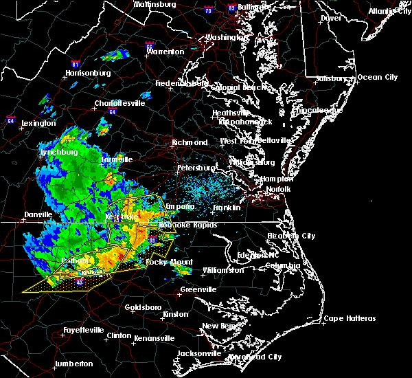 At 403 pm edt, severe thunderstorms were located along a line extending from near lawrenceville to near barley, moving east at 45 mph (radar indicated). Hazards include 70 mph wind gusts. Expect considerable tree damage. damage is likely to mobile homes, roofs, and outbuildings. these severe storms will be near, roanoke rapids and gaston around 410 pm edt. garysburg around 415 pm edt. dahlia and radium around 420 pm edt. purdy and seaboard around 425 pm edt. Other locations impacted by these severe thunderstorms include cochran, gum forks, bufford crossroads, lanes corner, dolphin, bowens corner, pleasant shade, henrico, slates corner and emporia reservoir. At 403 pm edt, severe thunderstorms were located along a line extending from near lawrenceville to near barley, moving east at 45 mph (radar indicated). Hazards include 70 mph wind gusts. Expect considerable tree damage. damage is likely to mobile homes, roofs, and outbuildings. these severe storms will be near, roanoke rapids and gaston around 410 pm edt. garysburg around 415 pm edt. dahlia and radium around 420 pm edt. purdy and seaboard around 425 pm edt. Other locations impacted by these severe thunderstorms include cochran, gum forks, bufford crossroads, lanes corner, dolphin, bowens corner, pleasant shade, henrico, slates corner and emporia reservoir.
|
| 6/20/2019 3:41 PM EDT |
 At 341 pm edt, severe thunderstorms were located along a line extending from 7 miles northeast of norlina to near warrenton to 10 miles east of henderson, moving east at 60 mph (emergency management reports numerous trees and powerlines down across north central north carolina). Hazards include 70 mph wind gusts and nickel size hail. Expect considerable tree damage. Damage is likely to mobile homes, roofs, and outbuildings. At 341 pm edt, severe thunderstorms were located along a line extending from 7 miles northeast of norlina to near warrenton to 10 miles east of henderson, moving east at 60 mph (emergency management reports numerous trees and powerlines down across north central north carolina). Hazards include 70 mph wind gusts and nickel size hail. Expect considerable tree damage. Damage is likely to mobile homes, roofs, and outbuildings.
|
| 6/20/2019 3:40 PM EDT |
 At 339 pm edt, severe thunderstorms were located along a line extending from near south hill to 7 miles northeast of warrenton, moving east at 45 mph (radar indicated). Hazards include 70 mph wind gusts. Expect considerable tree damage. damage is likely to mobile homes, roofs, and outbuildings. severe thunderstorms will be near, ebony around 345 pm edt. brodnax around 350 pm edt. gasburg around 355 pm edt. lawrenceville, alberta and barley around 405 pm edt. roanoke rapids and gaston around 410 pm edt. garysburg around 415 pm edt. dahlia and radium around 420 pm edt. purdy and seaboard around 425 pm edt. Other locations impacted by these severe thunderstorms include bacons fork, cochran, gum forks, bufford crossroads, lanes corner, dolphin, bowens corner, pleasant shade, henrico and slates corner. At 339 pm edt, severe thunderstorms were located along a line extending from near south hill to 7 miles northeast of warrenton, moving east at 45 mph (radar indicated). Hazards include 70 mph wind gusts. Expect considerable tree damage. damage is likely to mobile homes, roofs, and outbuildings. severe thunderstorms will be near, ebony around 345 pm edt. brodnax around 350 pm edt. gasburg around 355 pm edt. lawrenceville, alberta and barley around 405 pm edt. roanoke rapids and gaston around 410 pm edt. garysburg around 415 pm edt. dahlia and radium around 420 pm edt. purdy and seaboard around 425 pm edt. Other locations impacted by these severe thunderstorms include bacons fork, cochran, gum forks, bufford crossroads, lanes corner, dolphin, bowens corner, pleasant shade, henrico and slates corner.
|
| 6/5/2019 5:34 PM EDT |
 At 534 pm edt, severe thunderstorms were located along a line extending from near halifax to near elm city, moving east at 35 mph (radar indicated). Hazards include 60 mph wind gusts and quarter size hail. Hail damage to vehicles is expected. expect wind damage to roofs, siding, and trees. Locations impacted include, rocky mount, roanoke rapids, tarboro, halifax, scotland neck, dortches, enfield, sharpsburg, weldon and whitakers. At 534 pm edt, severe thunderstorms were located along a line extending from near halifax to near elm city, moving east at 35 mph (radar indicated). Hazards include 60 mph wind gusts and quarter size hail. Hail damage to vehicles is expected. expect wind damage to roofs, siding, and trees. Locations impacted include, rocky mount, roanoke rapids, tarboro, halifax, scotland neck, dortches, enfield, sharpsburg, weldon and whitakers.
|
| 6/5/2019 5:20 PM EDT |
 At 520 pm edt, severe thunderstorms were located along a line extending from 10 miles southeast of littleton to near rocky mount, moving northeast at 30 mph (radar indicated). Hazards include 60 mph wind gusts and quarter size hail. Hail damage to vehicles is expected. Expect wind damage to roofs, siding, and trees. At 520 pm edt, severe thunderstorms were located along a line extending from 10 miles southeast of littleton to near rocky mount, moving northeast at 30 mph (radar indicated). Hazards include 60 mph wind gusts and quarter size hail. Hail damage to vehicles is expected. Expect wind damage to roofs, siding, and trees.
|
| 6/5/2019 4:54 PM EDT |
 The national weather service in wakefield has issued a * severe thunderstorm warning for. northern northampton county in northeastern north carolina. greensville county in southeastern virginia. the city of emporia in southeastern virginia. Southampton county in southeastern virginia. The national weather service in wakefield has issued a * severe thunderstorm warning for. northern northampton county in northeastern north carolina. greensville county in southeastern virginia. the city of emporia in southeastern virginia. Southampton county in southeastern virginia.
|
| 5/31/2019 9:44 PM EDT |
 A severe thunderstorm warning remains in effect until 1000 pm edt for northampton. eastern greensville. western southampton. southwestern prince george. sussex and west central surry counties. At 943 pm edt, severe thunderstorms were located along a line extending from near homeville to 9 miles northwest of newsoms to near. A severe thunderstorm warning remains in effect until 1000 pm edt for northampton. eastern greensville. western southampton. southwestern prince george. sussex and west central surry counties. At 943 pm edt, severe thunderstorms were located along a line extending from near homeville to 9 miles northwest of newsoms to near.
|
| 5/31/2019 9:44 PM EDT |
 At 943 pm edt, severe thunderstorms were located along a line extending from near homeville to 9 miles northwest of newsoms to near seaboard, moving east at 20 mph (radar indicated). Hazards include 60 mph wind gusts and penny size hail. Expect damage to trees and powerlines. these severe storms will be near, waverly, conway and newsoms around 1000 pm edt. Other locations impacted by these severe thunderstorms include adams grove, grizzard, booker, yale, lumberton, bryants corner, jackson, worrell, bryantown and hilda. At 943 pm edt, severe thunderstorms were located along a line extending from near homeville to 9 miles northwest of newsoms to near seaboard, moving east at 20 mph (radar indicated). Hazards include 60 mph wind gusts and penny size hail. Expect damage to trees and powerlines. these severe storms will be near, waverly, conway and newsoms around 1000 pm edt. Other locations impacted by these severe thunderstorms include adams grove, grizzard, booker, yale, lumberton, bryants corner, jackson, worrell, bryantown and hilda.
|
| 5/31/2019 9:17 PM EDT |
 At 917 pm edt, severe thunderstorms were located along a line extending from near carson to near green plain to garysburg, moving east at 20 mph (radar indicated). Hazards include 60 mph wind gusts and quarter size hail. Minor damage to vehicles is possible. expect wind damage to trees and powerlines. severe thunderstorms will be near, disputanta, sussex and seaboard around 935 pm edt. homeville around 950 pm edt. waverly, boykins, conway and newsoms around 1000 pm edt. Other locations impacted by these severe thunderstorms include grizzard, gum forks, booker, yale, pleasant shade, lumberton, jackson, wharfs store, bryantown and hilda. At 917 pm edt, severe thunderstorms were located along a line extending from near carson to near green plain to garysburg, moving east at 20 mph (radar indicated). Hazards include 60 mph wind gusts and quarter size hail. Minor damage to vehicles is possible. expect wind damage to trees and powerlines. severe thunderstorms will be near, disputanta, sussex and seaboard around 935 pm edt. homeville around 950 pm edt. waverly, boykins, conway and newsoms around 1000 pm edt. Other locations impacted by these severe thunderstorms include grizzard, gum forks, booker, yale, pleasant shade, lumberton, jackson, wharfs store, bryantown and hilda.
|
| 4/19/2019 7:13 PM EDT |
 The severe thunderstorm warning for nash, warren, edgecombe, halifax and northeastern franklin counties will expire at 715 pm edt, the storms which prompted the warning have moved out of the area. therefore the warning will be allowed to expire. a tornado watch remains in effect until 800 pm edt for central north carolina. a tornado watch also remains in effect until midnight edt for central north carolina. The severe thunderstorm warning for nash, warren, edgecombe, halifax and northeastern franklin counties will expire at 715 pm edt, the storms which prompted the warning have moved out of the area. therefore the warning will be allowed to expire. a tornado watch remains in effect until 800 pm edt for central north carolina. a tornado watch also remains in effect until midnight edt for central north carolina.
|
| 4/19/2019 7:06 PM EDT |
 The tornado warning for northwestern northampton, greensville and southeastern brunswick counties and the city of emporia will expire at 715 pm edt, the storm which prompted the warning has moved out of the area. therefore, the warning will be allowed to expire. another tornado warning remains in effect for far northeast greensville county. a tornado watch remains in effect until midnight edt for northeastern north carolina, and south central and southeastern virginia. The tornado warning for northwestern northampton, greensville and southeastern brunswick counties and the city of emporia will expire at 715 pm edt, the storm which prompted the warning has moved out of the area. therefore, the warning will be allowed to expire. another tornado warning remains in effect for far northeast greensville county. a tornado watch remains in effect until midnight edt for northeastern north carolina, and south central and southeastern virginia.
|
| 4/19/2019 6:52 PM EDT |
 At 652 pm edt, a severe squall line capable of producing both tornadoes and extensive straight line wind damage was located near emporia, moving northeast at 50 mph (radar indicated rotation). Hazards include tornado. Flying debris will be dangerous to those caught without shelter. mobile homes will be damaged or destroyed. damage to roofs, windows, and vehicles will occur. tree damage is likely. these dangerous storms will be near, claresville around 655 pm edt. emporia and green plain around 700 pm edt. Other locations impacted by this tornadic thunderstorm include ante, brink, gum forks, bufford crossroads, triplet, lanes corner, pleasant shade, henrico, vultare and valentines. At 652 pm edt, a severe squall line capable of producing both tornadoes and extensive straight line wind damage was located near emporia, moving northeast at 50 mph (radar indicated rotation). Hazards include tornado. Flying debris will be dangerous to those caught without shelter. mobile homes will be damaged or destroyed. damage to roofs, windows, and vehicles will occur. tree damage is likely. these dangerous storms will be near, claresville around 655 pm edt. emporia and green plain around 700 pm edt. Other locations impacted by this tornadic thunderstorm include ante, brink, gum forks, bufford crossroads, triplet, lanes corner, pleasant shade, henrico, vultare and valentines.
|
| 4/19/2019 6:43 PM EDT |
 At 643 pm edt, tornado producing storms were located along a line extending from near garysburg to near rich square, moving northeast at 40 mph (radar confirmed tornado. a radar confirmed tornado signature was located near weldon). Hazards include damaging tornado. Flying debris will be dangerous to those caught without shelter. mobile homes will be damaged or destroyed. damage to roofs, windows, and vehicles will occur. tree damage is likely. these tornadic storms will be near, woodland and seaboard around 655 pm edt. conway around 700 pm edt. Other locations impacted by these tornadic storms include eagletown, mud castle, milwaukee, potecasi, lasker, jackson, bryantown, boones crossroads, pleasant grove and pleasant hill. At 643 pm edt, tornado producing storms were located along a line extending from near garysburg to near rich square, moving northeast at 40 mph (radar confirmed tornado. a radar confirmed tornado signature was located near weldon). Hazards include damaging tornado. Flying debris will be dangerous to those caught without shelter. mobile homes will be damaged or destroyed. damage to roofs, windows, and vehicles will occur. tree damage is likely. these tornadic storms will be near, woodland and seaboard around 655 pm edt. conway around 700 pm edt. Other locations impacted by these tornadic storms include eagletown, mud castle, milwaukee, potecasi, lasker, jackson, bryantown, boones crossroads, pleasant grove and pleasant hill.
|
| 4/19/2019 6:41 PM EDT |
 At 640 pm edt, severe thunderstorms capable of producing both tornadoes and extensive straight line wind damage were located over barley, or 7 miles northwest of roanoke rapids, moving northeast at 65 mph (radar indicated rotation). Hazards include tornado. Flying debris will be dangerous to those caught without shelter. mobile homes will be damaged or destroyed. damage to roofs, windows, and vehicles will occur. tree damage is likely. these dangerous storms will be near, dahlia and radium around 650 pm edt. emporia, green plain and claresville around 655 pm edt. purdy around 700 pm edt. Other locations impacted by this tornadic thunderstorm include ante, brink, gum forks, bufford crossroads, triplet, lanes corner, pleasant shade, henrico, vultare and valentines. At 640 pm edt, severe thunderstorms capable of producing both tornadoes and extensive straight line wind damage were located over barley, or 7 miles northwest of roanoke rapids, moving northeast at 65 mph (radar indicated rotation). Hazards include tornado. Flying debris will be dangerous to those caught without shelter. mobile homes will be damaged or destroyed. damage to roofs, windows, and vehicles will occur. tree damage is likely. these dangerous storms will be near, dahlia and radium around 650 pm edt. emporia, green plain and claresville around 655 pm edt. purdy around 700 pm edt. Other locations impacted by this tornadic thunderstorm include ante, brink, gum forks, bufford crossroads, triplet, lanes corner, pleasant shade, henrico, vultare and valentines.
|
| 4/19/2019 6:40 PM EDT |
 The tornado warning for northwestern halifax county will expire at 645 pm edt, the storm which prompted the warning has moved out of the area. therefore the warning will be allowed to expire. a tornado watch remains in effect until midnight edt for central north carolina. The tornado warning for northwestern halifax county will expire at 645 pm edt, the storm which prompted the warning has moved out of the area. therefore the warning will be allowed to expire. a tornado watch remains in effect until midnight edt for central north carolina.
|
| 4/19/2019 6:39 PM EDT |
 The tornado warning for central halifax county will expire at 645 pm edt, the storm which prompted the warning has moved out of the area. therefore the warning will be allowed to expire. a tornado watch remains in effect until midnight edt for central north carolina. The tornado warning for central halifax county will expire at 645 pm edt, the storm which prompted the warning has moved out of the area. therefore the warning will be allowed to expire. a tornado watch remains in effect until midnight edt for central north carolina.
|
| 4/19/2019 6:32 PM EDT |
 At 632 pm edt, a severe thunderstorm capable of producing a tornado was located near roanoke rapids, moving northeast at 65 mph (radar indicated rotation). Hazards include tornado. Flying debris will be dangerous to those caught without shelter. mobile homes will be damaged or destroyed. damage to roofs, windows, and vehicles will occur. tree damage is likely. Locations impacted include, roanoke rapids, littleton, roanoke rapids lake, rosemary and lake gaston. At 632 pm edt, a severe thunderstorm capable of producing a tornado was located near roanoke rapids, moving northeast at 65 mph (radar indicated rotation). Hazards include tornado. Flying debris will be dangerous to those caught without shelter. mobile homes will be damaged or destroyed. damage to roofs, windows, and vehicles will occur. tree damage is likely. Locations impacted include, roanoke rapids, littleton, roanoke rapids lake, rosemary and lake gaston.
|
| 4/19/2019 6:31 PM EDT |
 At 630 pm edt, severe thunderstorms capable of producing both tornadoes and extensive straight line wind damage were located along a line extending from near roanoke rapids to near scotland neck, moving northeast at 60 mph (radar indicated rotation). Hazards include tornado. Flying debris will be dangerous to those caught without shelter. mobile homes will be damaged or destroyed. damage to roofs, windows, and vehicles will occur. tree damage is likely. these dangerous storms will be near, rich square around 640 pm edt. woodland and seaboard around 645 pm edt. Other locations impacted by these tornadic storms include eagletown, mud castle, milwaukee, potecasi, lasker, jackson, bryantown, boones crossroads, pleasant grove and pleasant hill. At 630 pm edt, severe thunderstorms capable of producing both tornadoes and extensive straight line wind damage were located along a line extending from near roanoke rapids to near scotland neck, moving northeast at 60 mph (radar indicated rotation). Hazards include tornado. Flying debris will be dangerous to those caught without shelter. mobile homes will be damaged or destroyed. damage to roofs, windows, and vehicles will occur. tree damage is likely. these dangerous storms will be near, rich square around 640 pm edt. woodland and seaboard around 645 pm edt. Other locations impacted by these tornadic storms include eagletown, mud castle, milwaukee, potecasi, lasker, jackson, bryantown, boones crossroads, pleasant grove and pleasant hill.
|
| 4/19/2019 6:31 PM EDT |
 At 631 pm edt, a severe thunderstorm capable of producing a tornado was located near roanoke rapids, moving north at 70 mph (radar indicated rotation). Hazards include tornado. Flying debris will be dangerous to those caught without shelter. mobile homes will be damaged or destroyed. damage to roofs, windows, and vehicles will occur. tree damage is likely. Locations impacted include, roanoke rapids, halifax, weldon, south weldon, rosemary, tillery and roanoke rapids lake. At 631 pm edt, a severe thunderstorm capable of producing a tornado was located near roanoke rapids, moving north at 70 mph (radar indicated rotation). Hazards include tornado. Flying debris will be dangerous to those caught without shelter. mobile homes will be damaged or destroyed. damage to roofs, windows, and vehicles will occur. tree damage is likely. Locations impacted include, roanoke rapids, halifax, weldon, south weldon, rosemary, tillery and roanoke rapids lake.
|
| 4/19/2019 6:26 PM EDT |
 At 626 pm edt, a severe thunderstorm capable of producing a tornado was located near halifax, moving north at 70 mph (radar indicated rotation). Hazards include tornado. Flying debris will be dangerous to those caught without shelter. mobile homes will be damaged or destroyed. damage to roofs, windows, and vehicles will occur. tree damage is likely. Locations impacted include, roanoke rapids, halifax, enfield, weldon, south weldon, rosemary, tillery and roanoke rapids lake. At 626 pm edt, a severe thunderstorm capable of producing a tornado was located near halifax, moving north at 70 mph (radar indicated rotation). Hazards include tornado. Flying debris will be dangerous to those caught without shelter. mobile homes will be damaged or destroyed. damage to roofs, windows, and vehicles will occur. tree damage is likely. Locations impacted include, roanoke rapids, halifax, enfield, weldon, south weldon, rosemary, tillery and roanoke rapids lake.
|
| 4/19/2019 6:25 PM EDT |
 At 625 pm edt, severe thunderstorms were located along a line extending from gasburg to near scotland neck, moving northeast at 60 mph (radar indicated). Hazards include 60 mph wind gusts and penny size hail. Expect damage to trees and powerlines. severe thunderstorms will be near, barley around 630 pm edt. roxobel around 635 pm edt. rich square around 640 pm edt. woodland and radium around 645 pm edt. purdy and conway around 650 pm edt. murfreesboro and chowan university around 655 pm edt. other locations impacted by these severe thunderstorms include eagletown, milwaukee, adams grove, kelford, grizzard, gum forks, bufford crossroads, lanes corner, menola and chowan beach. A tornado watch remains in effect until midnight edt for northeastern north carolina, and south central and southeastern virginia. At 625 pm edt, severe thunderstorms were located along a line extending from gasburg to near scotland neck, moving northeast at 60 mph (radar indicated). Hazards include 60 mph wind gusts and penny size hail. Expect damage to trees and powerlines. severe thunderstorms will be near, barley around 630 pm edt. roxobel around 635 pm edt. rich square around 640 pm edt. woodland and radium around 645 pm edt. purdy and conway around 650 pm edt. murfreesboro and chowan university around 655 pm edt. other locations impacted by these severe thunderstorms include eagletown, milwaukee, adams grove, kelford, grizzard, gum forks, bufford crossroads, lanes corner, menola and chowan beach. A tornado watch remains in effect until midnight edt for northeastern north carolina, and south central and southeastern virginia.
|
| 4/19/2019 6:24 PM EDT |
 At 624 pm edt, a severe thunderstorm capable of producing a tornado was located near littleton, or 14 miles east of warrenton, moving northeast at 50 mph (radar indicated rotation). Hazards include tornado. Flying debris will be dangerous to those caught without shelter. mobile homes will be damaged or destroyed. damage to roofs, windows, and vehicles will occur. tree damage is likely. Locations impacted include, roanoke rapids, littleton, medoc mountain state park, airlie, roanoke rapids lake, rosemary and lake gaston. At 624 pm edt, a severe thunderstorm capable of producing a tornado was located near littleton, or 14 miles east of warrenton, moving northeast at 50 mph (radar indicated rotation). Hazards include tornado. Flying debris will be dangerous to those caught without shelter. mobile homes will be damaged or destroyed. damage to roofs, windows, and vehicles will occur. tree damage is likely. Locations impacted include, roanoke rapids, littleton, medoc mountain state park, airlie, roanoke rapids lake, rosemary and lake gaston.
|
| 4/19/2019 6:17 PM EDT |
 At 617 pm edt, a severe thunderstorm capable of producing a tornado was located 11 miles northeast of dortches, or 14 miles north of rocky mount, moving north at 70 mph (radar indicated rotation). Hazards include tornado. Flying debris will be dangerous to those caught without shelter. mobile homes will be damaged or destroyed. damage to roofs, windows, and vehicles will occur. tree damage is likely. Locations impacted include, roanoke rapids, halifax, enfield, weldon, whitakers, battleboro, south weldon, rosemary, tillery and roanoke rapids lake. At 617 pm edt, a severe thunderstorm capable of producing a tornado was located 11 miles northeast of dortches, or 14 miles north of rocky mount, moving north at 70 mph (radar indicated rotation). Hazards include tornado. Flying debris will be dangerous to those caught without shelter. mobile homes will be damaged or destroyed. damage to roofs, windows, and vehicles will occur. tree damage is likely. Locations impacted include, roanoke rapids, halifax, enfield, weldon, whitakers, battleboro, south weldon, rosemary, tillery and roanoke rapids lake.
|
| 4/19/2019 6:16 PM EDT |
 At 615 pm edt, a severe thunderstorm capable of producing a tornado was located 13 miles south of littleton, or 14 miles southeast of warrenton, moving northeast at 50 mph (radar indicated rotation). Hazards include tornado. Flying debris will be dangerous to those caught without shelter. mobile homes will be damaged or destroyed. damage to roofs, windows, and vehicles will occur. tree damage is likely. Locations impacted include, roanoke rapids, littleton, arcola, medoc mountain state park, airlie, roanoke rapids lake, rosemary and lake gaston. At 615 pm edt, a severe thunderstorm capable of producing a tornado was located 13 miles south of littleton, or 14 miles southeast of warrenton, moving northeast at 50 mph (radar indicated rotation). Hazards include tornado. Flying debris will be dangerous to those caught without shelter. mobile homes will be damaged or destroyed. damage to roofs, windows, and vehicles will occur. tree damage is likely. Locations impacted include, roanoke rapids, littleton, arcola, medoc mountain state park, airlie, roanoke rapids lake, rosemary and lake gaston.
|
| 4/19/2019 6:10 PM EDT |
 At 610 pm edt, a severe thunderstorm capable of producing a tornado was located near dortches, or near rocky mount, moving north at 70 mph (radar indicated rotation). Hazards include tornado. Flying debris will be dangerous to those caught without shelter. mobile homes will be damaged or destroyed. damage to roofs, windows, and vehicles will occur. Tree damage is likely. At 610 pm edt, a severe thunderstorm capable of producing a tornado was located near dortches, or near rocky mount, moving north at 70 mph (radar indicated rotation). Hazards include tornado. Flying debris will be dangerous to those caught without shelter. mobile homes will be damaged or destroyed. damage to roofs, windows, and vehicles will occur. Tree damage is likely.
|
| 4/19/2019 6:05 PM EDT |
 At 605 pm edt, a severe thunderstorm capable of producing a tornado was located 13 miles east of louisburg, moving northeast at 50 mph (radar indicated rotation). Hazards include tornado. Flying debris will be dangerous to those caught without shelter. mobile homes will be damaged or destroyed. damage to roofs, windows, and vehicles will occur. Tree damage is likely. At 605 pm edt, a severe thunderstorm capable of producing a tornado was located 13 miles east of louisburg, moving northeast at 50 mph (radar indicated rotation). Hazards include tornado. Flying debris will be dangerous to those caught without shelter. mobile homes will be damaged or destroyed. damage to roofs, windows, and vehicles will occur. Tree damage is likely.
|
| 4/19/2019 6:00 PM EDT |
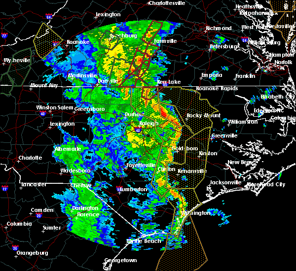 At 559 pm edt, a line of severe thunderstorms was moving through the area, located from henderson to louisburg to rocky mount, moving northeast at 50 mph (radar indicated). Hazards include 70 mph wind gusts. Expect considerable tree damage. Damage is likely to mobile homes, roofs, and outbuildings. At 559 pm edt, a line of severe thunderstorms was moving through the area, located from henderson to louisburg to rocky mount, moving northeast at 50 mph (radar indicated). Hazards include 70 mph wind gusts. Expect considerable tree damage. Damage is likely to mobile homes, roofs, and outbuildings.
|
| 4/19/2019 4:08 PM EDT |
 At 407 pm edt, a severe thunderstorm capable of producing a tornado was located 10 miles northeast of dortches, or 13 miles north of rocky mount, moving northeast at 45 mph (radar indicated rotation). Hazards include tornado. Flying debris will be dangerous to those caught without shelter. mobile homes will be damaged or destroyed. damage to roofs, windows, and vehicles will occur. Tree damage is likely. At 407 pm edt, a severe thunderstorm capable of producing a tornado was located 10 miles northeast of dortches, or 13 miles north of rocky mount, moving northeast at 45 mph (radar indicated rotation). Hazards include tornado. Flying debris will be dangerous to those caught without shelter. mobile homes will be damaged or destroyed. damage to roofs, windows, and vehicles will occur. Tree damage is likely.
|
| 4/15/2019 2:51 AM EDT |
 At 251 am edt, severe thunderstorms were located along a line extending from near sussex to near courtland to near como, moving northeast at 75 mph (radar indicated). Hazards include 60 mph wind gusts. Expect damage to trees and powerlines. these severe storms will be near, franklin, hunterdale and carrsville around 300 am edt. other locations impacted by these severe thunderstorms include milwaukee, mapleton, bryants corner, jackson, bryantown, boones crossroads, pleasant grove, sunbeam, george and lees mill. A tornado watch remains in effect until 700 am edt for northeastern north carolina, and southeastern virginia. At 251 am edt, severe thunderstorms were located along a line extending from near sussex to near courtland to near como, moving northeast at 75 mph (radar indicated). Hazards include 60 mph wind gusts. Expect damage to trees and powerlines. these severe storms will be near, franklin, hunterdale and carrsville around 300 am edt. other locations impacted by these severe thunderstorms include milwaukee, mapleton, bryants corner, jackson, bryantown, boones crossroads, pleasant grove, sunbeam, george and lees mill. A tornado watch remains in effect until 700 am edt for northeastern north carolina, and southeastern virginia.
|
| 4/15/2019 2:40 AM EDT |
 The severe thunderstorm warning for north central halifax county will expire at 245 am edt, the storm which prompted the warning has moved out of the area. therefore the warning will be allowed to expire. a tornado watch remains in effect until 700 am edt for central north carolina. The severe thunderstorm warning for north central halifax county will expire at 245 am edt, the storm which prompted the warning has moved out of the area. therefore the warning will be allowed to expire. a tornado watch remains in effect until 700 am edt for central north carolina.
|
| 4/15/2019 2:32 AM EDT |
 At 232 am edt, severe thunderstorms were located along a line extending from near dahlia to near seaboard to near rich square, moving northeast at 75 mph (radar indicated). Hazards include 60 mph wind gusts and penny size hail. Expect damage to trees and powerlines. severe thunderstorms will be near, claresville around 235 am edt. boykins and conway around 240 am edt. murfreesboro, chowan university and newsoms around 245 am edt. courtland and como around 250 am edt. franklin around 255 am edt. hunterdale and carrsville around 300 am edt. other locations impacted by these severe thunderstorms include milwaukee, gum forks, mapleton, slates corner, bryants corner, jackson, bryantown, boones crossroads, pleasant grove and sunbeam. A tornado watch remains in effect until 700 am edt for northeastern north carolina, and south central and southeastern virginia. At 232 am edt, severe thunderstorms were located along a line extending from near dahlia to near seaboard to near rich square, moving northeast at 75 mph (radar indicated). Hazards include 60 mph wind gusts and penny size hail. Expect damage to trees and powerlines. severe thunderstorms will be near, claresville around 235 am edt. boykins and conway around 240 am edt. murfreesboro, chowan university and newsoms around 245 am edt. courtland and como around 250 am edt. franklin around 255 am edt. hunterdale and carrsville around 300 am edt. other locations impacted by these severe thunderstorms include milwaukee, gum forks, mapleton, slates corner, bryants corner, jackson, bryantown, boones crossroads, pleasant grove and sunbeam. A tornado watch remains in effect until 700 am edt for northeastern north carolina, and south central and southeastern virginia.
|
| 4/15/2019 2:28 AM EDT |
 At 228 am edt, a severe thunderstorm was located near roanoke rapids, moving northeast at 55 mph (radar indicated). Hazards include 60 mph wind gusts. expect damage to roofs, siding, and trees At 228 am edt, a severe thunderstorm was located near roanoke rapids, moving northeast at 55 mph (radar indicated). Hazards include 60 mph wind gusts. expect damage to roofs, siding, and trees
|
| 4/15/2019 2:21 AM EDT |
 At 221 am edt, a severe thunderstorm was located near roanoke rapids, moving northeast at 40 mph (radar indicated). Hazards include 60 mph wind gusts. Expect damage to roofs, siding, and trees. locations impacted include, roanoke rapids, halifax, littleton, weldon, arcola, medoc mountain state park, south weldon, airlie, rosemary and tillery. A tornado watch remains in effect until 700 am edt for central north carolina. At 221 am edt, a severe thunderstorm was located near roanoke rapids, moving northeast at 40 mph (radar indicated). Hazards include 60 mph wind gusts. Expect damage to roofs, siding, and trees. locations impacted include, roanoke rapids, halifax, littleton, weldon, arcola, medoc mountain state park, south weldon, airlie, rosemary and tillery. A tornado watch remains in effect until 700 am edt for central north carolina.
|
| 4/15/2019 1:43 AM EDT |
 At 143 am edt, a severe thunderstorm was located 11 miles south of warrenton, moving northeast at 40 mph (radar indicated). Hazards include 60 mph wind gusts. expect damage to roofs, siding, and trees At 143 am edt, a severe thunderstorm was located 11 miles south of warrenton, moving northeast at 40 mph (radar indicated). Hazards include 60 mph wind gusts. expect damage to roofs, siding, and trees
|
| 4/15/2019 1:39 AM EDT |
 At 139 am edt, a severe thunderstorm was located near littleton, or 9 miles west of roanoke rapids, moving northeast at 45 mph (radar indicated). Hazards include 60 mph wind gusts and quarter size hail. Hail damage to vehicles is expected. expect wind damage to roofs, siding, and trees. locations impacted include, roanoke rapids, warrenton, halifax, norlina, littleton, weldon, middleburg, macon, medoc mountain state park and afton. a tornado watch remains in effect until 500 am edt for central north carolina. A tornado watch also remains in effect until 700 am edt for central north carolina. At 139 am edt, a severe thunderstorm was located near littleton, or 9 miles west of roanoke rapids, moving northeast at 45 mph (radar indicated). Hazards include 60 mph wind gusts and quarter size hail. Hail damage to vehicles is expected. expect wind damage to roofs, siding, and trees. locations impacted include, roanoke rapids, warrenton, halifax, norlina, littleton, weldon, middleburg, macon, medoc mountain state park and afton. a tornado watch remains in effect until 500 am edt for central north carolina. A tornado watch also remains in effect until 700 am edt for central north carolina.
|
| 4/15/2019 1:10 AM EDT |
 At 109 am edt, a severe thunderstorm was located near warrenton, moving northeast at 45 mph (radar indicated). Hazards include 60 mph wind gusts and quarter size hail. Hail damage to vehicles is expected. Expect wind damage to roofs, siding, and trees. At 109 am edt, a severe thunderstorm was located near warrenton, moving northeast at 45 mph (radar indicated). Hazards include 60 mph wind gusts and quarter size hail. Hail damage to vehicles is expected. Expect wind damage to roofs, siding, and trees.
|
| 10/11/2018 6:41 PM EDT |
 The severe thunderstorm warning for warren, nash, edgecombe, halifax and central franklin counties will expire at 645 pm edt, the gusty winds which prompted the warning have begun to subside. therefore the warning will be allowed to expire. however, gusty winds are still going to cause an issue across the area as tropical storm michael pushes northeast into virginia. The severe thunderstorm warning for warren, nash, edgecombe, halifax and central franklin counties will expire at 645 pm edt, the gusty winds which prompted the warning have begun to subside. therefore the warning will be allowed to expire. however, gusty winds are still going to cause an issue across the area as tropical storm michael pushes northeast into virginia.
|
| 10/11/2018 5:22 PM EDT |
 At 520 pm edt, a line of damaging winds mixing south along the western side of michael were located along a line extending from 6 miles southeast of hitesburg through creedmoor to near fuquay- varina, moving east at 25 mph. this line of wind gusts have produced extensive wind damage, and the high wind gusts could last for up to 30 minutes. an isolated spin up tornado is also not out of the question (radar indicated). Hazards include 60 mph wind gusts. expect damage to roofs, siding, and trees At 520 pm edt, a line of damaging winds mixing south along the western side of michael were located along a line extending from 6 miles southeast of hitesburg through creedmoor to near fuquay- varina, moving east at 25 mph. this line of wind gusts have produced extensive wind damage, and the high wind gusts could last for up to 30 minutes. an isolated spin up tornado is also not out of the question (radar indicated). Hazards include 60 mph wind gusts. expect damage to roofs, siding, and trees
|
| 8/14/2018 3:09 PM EDT |
 At 309 pm edt, a severe thunderstorm was located 10 miles west of scotland neck, or 11 miles south of halifax, moving northeast at 30 mph (radar indicated). Hazards include 60 mph wind gusts and quarter size hail. Hail damage to vehicles is expected. expect wind damage to roofs, siding, and trees. Locations impacted include, roanoke rapids, halifax, scotland neck, enfield, weldon, glenview, medoc mountain state park, south weldon, rosemary and tillery. At 309 pm edt, a severe thunderstorm was located 10 miles west of scotland neck, or 11 miles south of halifax, moving northeast at 30 mph (radar indicated). Hazards include 60 mph wind gusts and quarter size hail. Hail damage to vehicles is expected. expect wind damage to roofs, siding, and trees. Locations impacted include, roanoke rapids, halifax, scotland neck, enfield, weldon, glenview, medoc mountain state park, south weldon, rosemary and tillery.
|
| 8/14/2018 2:45 PM EDT |
 At 245 pm edt, a severe thunderstorm was located near dortches, or 8 miles north of rocky mount, moving northeast at 30 mph (radar indicated). Hazards include 60 mph wind gusts and quarter size hail. Hail damage to vehicles is expected. Expect wind damage to roofs, siding, and trees. At 245 pm edt, a severe thunderstorm was located near dortches, or 8 miles north of rocky mount, moving northeast at 30 mph (radar indicated). Hazards include 60 mph wind gusts and quarter size hail. Hail damage to vehicles is expected. Expect wind damage to roofs, siding, and trees.
|
| 7/23/2018 3:05 AM EDT |
 The severe thunderstorm warning for northampton, greensville and southwestern southampton counties and the city of emporia will expire at 315 am edt, the storms which prompted the warning have weakened below severe limits, and no longer pose an immediate threat to life or property. therefore, the warning will be allowed to expire. The severe thunderstorm warning for northampton, greensville and southwestern southampton counties and the city of emporia will expire at 315 am edt, the storms which prompted the warning have weakened below severe limits, and no longer pose an immediate threat to life or property. therefore, the warning will be allowed to expire.
|
| 7/23/2018 2:40 AM EDT |
 At 239 am edt, a severe thunderstorm was located near halifax, moving north at 35 mph (radar indicated). Hazards include 60 mph wind gusts. Expect damage to roofs, siding, and trees. Locations impacted include, roanoke rapids, halifax, scotland neck, weldon, hobgood, south weldon, rosemary, tillery and roanoke rapids lake. At 239 am edt, a severe thunderstorm was located near halifax, moving north at 35 mph (radar indicated). Hazards include 60 mph wind gusts. Expect damage to roofs, siding, and trees. Locations impacted include, roanoke rapids, halifax, scotland neck, weldon, hobgood, south weldon, rosemary, tillery and roanoke rapids lake.
|
| 7/23/2018 2:32 AM EDT |
 At 232 am edt, severe thunderstorms were located along a line extending from 7 miles west of scotland neck to 10 miles southwest of lewiston woodville, moving north at 55 mph (radar indicated). Hazards include 60 mph wind gusts. Expect damage to roofs, siding, and trees. Locations impacted include, roanoke rapids, halifax, scotland neck, enfield, weldon, hobgood, south weldon, rosemary, tillery and roanoke rapids lake. At 232 am edt, severe thunderstorms were located along a line extending from 7 miles west of scotland neck to 10 miles southwest of lewiston woodville, moving north at 55 mph (radar indicated). Hazards include 60 mph wind gusts. Expect damage to roofs, siding, and trees. Locations impacted include, roanoke rapids, halifax, scotland neck, enfield, weldon, hobgood, south weldon, rosemary, tillery and roanoke rapids lake.
|
| 7/23/2018 2:29 AM EDT |
 At 229 am edt, severe thunderstorms were located along a line extending from 8 miles southeast of halifax to 10 miles southwest of rich square to near scotland neck, moving north at 45 mph (radar indicated). Hazards include 60 mph wind gusts. Expect damage to trees and powerlines. severe thunderstorms will be near, rich square around 240 am edt. woodland around 245 am edt. garysburg around 250 am edt. roanoke rapids, gaston, conway and seaboard around 255 am edt. dahlia around 300 am edt. claresville around 305 am edt. emporia and green plain around 315 am edt. Other locations impacted by these severe thunderstorms include milwaukee, adams grove, gum forks, lanes corner, slates corner, bryants corner, jackson, emporia reservoir, bryantown and boones crossroads. At 229 am edt, severe thunderstorms were located along a line extending from 8 miles southeast of halifax to 10 miles southwest of rich square to near scotland neck, moving north at 45 mph (radar indicated). Hazards include 60 mph wind gusts. Expect damage to trees and powerlines. severe thunderstorms will be near, rich square around 240 am edt. woodland around 245 am edt. garysburg around 250 am edt. roanoke rapids, gaston, conway and seaboard around 255 am edt. dahlia around 300 am edt. claresville around 305 am edt. emporia and green plain around 315 am edt. Other locations impacted by these severe thunderstorms include milwaukee, adams grove, gum forks, lanes corner, slates corner, bryants corner, jackson, emporia reservoir, bryantown and boones crossroads.
|
| 7/23/2018 2:10 AM EDT |
 At 209 am edt, severe thunderstorms were located along a line extending from near tarboro to house to 8 miles southeast of scotland neck, moving north at 30 mph (radar indicated). Hazards include 60 mph wind gusts. Expect damage to roofs, siding, and trees. Locations impacted include, roanoke rapids, tarboro, halifax, scotland neck, enfield, princeville, weldon, whitakers, hobgood and conetoe. At 209 am edt, severe thunderstorms were located along a line extending from near tarboro to house to 8 miles southeast of scotland neck, moving north at 30 mph (radar indicated). Hazards include 60 mph wind gusts. Expect damage to roofs, siding, and trees. Locations impacted include, roanoke rapids, tarboro, halifax, scotland neck, enfield, princeville, weldon, whitakers, hobgood and conetoe.
|
| 7/23/2018 1:55 AM EDT |
 At 155 am edt, severe thunderstorms were located along a line extending from near tarboro to near bruce to 10 miles north of robersonville, moving north at 35 mph (radar indicated). Hazards include 60 mph wind gusts. Expect damage to roofs, siding, and trees. Locations impacted include, rocky mount, roanoke rapids, tarboro, halifax, scotland neck, dortches, red oak, enfield, princeville and sharpsburg. At 155 am edt, severe thunderstorms were located along a line extending from near tarboro to near bruce to 10 miles north of robersonville, moving north at 35 mph (radar indicated). Hazards include 60 mph wind gusts. Expect damage to roofs, siding, and trees. Locations impacted include, rocky mount, roanoke rapids, tarboro, halifax, scotland neck, dortches, red oak, enfield, princeville and sharpsburg.
|
| 7/23/2018 1:39 AM EDT |
 At 139 am edt, severe thunderstorms were located along a line extending from 7 miles west of farmville to 6 miles northwest of bruce to near shelmerdine, moving north at 50 mph (radar indicated). Hazards include 60 mph wind gusts. expect damage to roofs, siding, and trees At 139 am edt, severe thunderstorms were located along a line extending from 7 miles west of farmville to 6 miles northwest of bruce to near shelmerdine, moving north at 50 mph (radar indicated). Hazards include 60 mph wind gusts. expect damage to roofs, siding, and trees
|
| 5/22/2018 4:14 PM EDT |
 At 413 pm edt, a severe thunderstorm was located near littleton, or 11 miles southwest of roanoke rapids, moving northeast at 30 mph (radar indicated). Hazards include 60 mph wind gusts and quarter size hail. Hail damage to vehicles is expected. expect wind damage to roofs, siding, and trees. Locations impacted include, roanoke rapids, halifax, littleton, weldon, medoc mountain state park, south weldon, airlie, roanoke rapids lake, rosemary and lake gaston. At 413 pm edt, a severe thunderstorm was located near littleton, or 11 miles southwest of roanoke rapids, moving northeast at 30 mph (radar indicated). Hazards include 60 mph wind gusts and quarter size hail. Hail damage to vehicles is expected. expect wind damage to roofs, siding, and trees. Locations impacted include, roanoke rapids, halifax, littleton, weldon, medoc mountain state park, south weldon, airlie, roanoke rapids lake, rosemary and lake gaston.
|
| 5/22/2018 3:52 PM EDT |
 At 350 pm edt, a severe thunderstorm was located 10 miles southeast of warrenton, moving east at 30 mph (radar indicated). Hazards include 60 mph wind gusts and quarter size hail. Hail damage to vehicles is expected. expect wind damage to roofs, siding, and trees. Locations impacted include, roanoke rapids, halifax, littleton, weldon, arcola, medoc mountain state park, south weldon, airlie, roanoke rapids lake and rosemary. At 350 pm edt, a severe thunderstorm was located 10 miles southeast of warrenton, moving east at 30 mph (radar indicated). Hazards include 60 mph wind gusts and quarter size hail. Hail damage to vehicles is expected. expect wind damage to roofs, siding, and trees. Locations impacted include, roanoke rapids, halifax, littleton, weldon, arcola, medoc mountain state park, south weldon, airlie, roanoke rapids lake and rosemary.
|
| 5/22/2018 3:42 PM EDT |
 At 342 pm edt, a severe thunderstorm was located 8 miles southeast of warrenton, moving northeast at 30 mph (radar indicated). Hazards include 60 mph wind gusts and quarter size hail. Hail damage to vehicles is expected. Expect wind damage to roofs, siding, and trees. At 342 pm edt, a severe thunderstorm was located 8 miles southeast of warrenton, moving northeast at 30 mph (radar indicated). Hazards include 60 mph wind gusts and quarter size hail. Hail damage to vehicles is expected. Expect wind damage to roofs, siding, and trees.
|
| 5/6/2018 4:46 PM EDT |
 At 445 pm edt, severe thunderstorms were located along a line extending from 6 miles southwest of roanoke rapids to near halifax to near dortches, moving east at 35 mph (radar indicated). Hazards include 60 mph wind gusts. Expect damage to roofs, siding, and trees. Locations impacted include, halifax, scotland neck, dortches, red oak, enfield, weldon, whitakers, hobgood, castalia and speed. At 445 pm edt, severe thunderstorms were located along a line extending from 6 miles southwest of roanoke rapids to near halifax to near dortches, moving east at 35 mph (radar indicated). Hazards include 60 mph wind gusts. Expect damage to roofs, siding, and trees. Locations impacted include, halifax, scotland neck, dortches, red oak, enfield, weldon, whitakers, hobgood, castalia and speed.
|
| 5/6/2018 4:34 PM EDT |
 At 431 pm edt, severe thunderstorms were located along a line extending from 6 miles west of roanoke rapids to 11 miles west of halifax to 9 miles northwest of nashville, moving east at 35 mph (radar indicated). Hazards include 60 mph wind gusts and quarter size hail. Hail damage to vehicles is expected. expect wind damage to roofs, siding, and trees. Locations impacted include, roanoke rapids, halifax, scotland neck, dortches, red oak, enfield, weldon, whitakers, hobgood and castalia. At 431 pm edt, severe thunderstorms were located along a line extending from 6 miles west of roanoke rapids to 11 miles west of halifax to 9 miles northwest of nashville, moving east at 35 mph (radar indicated). Hazards include 60 mph wind gusts and quarter size hail. Hail damage to vehicles is expected. expect wind damage to roofs, siding, and trees. Locations impacted include, roanoke rapids, halifax, scotland neck, dortches, red oak, enfield, weldon, whitakers, hobgood and castalia.
|
| 5/6/2018 4:24 PM EDT |
 At 424 pm edt, severe thunderstorms were located along a line extending from near littleton to 14 miles west of halifax to 10 miles east of louisburg, moving east at 35 mph (radar indicated). Hazards include 60 mph wind gusts and quarter size hail. Hail damage to vehicles is expected. Expect wind damage to roofs, siding, and trees. At 424 pm edt, severe thunderstorms were located along a line extending from near littleton to 14 miles west of halifax to 10 miles east of louisburg, moving east at 35 mph (radar indicated). Hazards include 60 mph wind gusts and quarter size hail. Hail damage to vehicles is expected. Expect wind damage to roofs, siding, and trees.
|
| 4/15/2018 11:46 PM EDT |
 At 1145 pm edt, a severe thunderstorm was located 9 miles south of littleton, or 14 miles west of halifax, moving north at 60 mph (radar indicated). Hazards include 60 mph wind gusts. Expect damage to roofs, siding, and trees. locations impacted include, rocky mount, roanoke rapids, nashville, halifax, dortches, littleton, red oak, enfield, weldon and whitakers. A tornado watch remains in effect until 300 am edt for central north carolina. At 1145 pm edt, a severe thunderstorm was located 9 miles south of littleton, or 14 miles west of halifax, moving north at 60 mph (radar indicated). Hazards include 60 mph wind gusts. Expect damage to roofs, siding, and trees. locations impacted include, rocky mount, roanoke rapids, nashville, halifax, dortches, littleton, red oak, enfield, weldon and whitakers. A tornado watch remains in effect until 300 am edt for central north carolina.
|
| 4/15/2018 11:23 PM EDT |
 The national weather service in raleigh has issued a * severe thunderstorm warning for. northeastern nash county in central north carolina. warren county in central north carolina. northwestern edgecombe county in central north carolina. Halifax county in central north carolina. The national weather service in raleigh has issued a * severe thunderstorm warning for. northeastern nash county in central north carolina. warren county in central north carolina. northwestern edgecombe county in central north carolina. Halifax county in central north carolina.
|
| 1/23/2018 6:00 AM EST |
 At 557 am est, severe thunderstorms were located along a line extending from 6 miles southwest of norlina to near kittrell, moving east at 40 mph. the most intense portion of the line, which has exhibited rotation, will approach and cross lake gaston in the next ten minutes (radar indicated). Hazards include 60 mph wind gusts. Expect damage to roofs, siding, and trees. Locations impacted include, roanoke rapids, warrenton, littleton, macon, roanoke rapids lake, rosemary, afton, lake gaston and southpointe and morningstar marinas. At 557 am est, severe thunderstorms were located along a line extending from 6 miles southwest of norlina to near kittrell, moving east at 40 mph. the most intense portion of the line, which has exhibited rotation, will approach and cross lake gaston in the next ten minutes (radar indicated). Hazards include 60 mph wind gusts. Expect damage to roofs, siding, and trees. Locations impacted include, roanoke rapids, warrenton, littleton, macon, roanoke rapids lake, rosemary, afton, lake gaston and southpointe and morningstar marinas.
|
| 1/23/2018 5:41 AM EST |
 At 539 am est, a severe thunderstorm was located near warrenton, moving east at 45 mph (radar indicated). Hazards include 60 mph wind gusts. expect damage to roofs, siding, and trees At 539 am est, a severe thunderstorm was located near warrenton, moving east at 45 mph (radar indicated). Hazards include 60 mph wind gusts. expect damage to roofs, siding, and trees
|
| 7/23/2017 6:38 PM EDT |
 At 638 pm edt, severe thunderstorms were located along a line extending from 7 miles east of wake forest to dortches to 6 miles north of scotland neck, moving east at 20 mph (radar indicated). Hazards include 60 mph wind gusts and penny size hail. Expect damage to roofs, siding, and trees. Locations impacted include, raleigh, rocky mount, roanoke rapids, nashville, louisburg, halifax, wake forest, zebulon, scotland neck and franklinton. At 638 pm edt, severe thunderstorms were located along a line extending from 7 miles east of wake forest to dortches to 6 miles north of scotland neck, moving east at 20 mph (radar indicated). Hazards include 60 mph wind gusts and penny size hail. Expect damage to roofs, siding, and trees. Locations impacted include, raleigh, rocky mount, roanoke rapids, nashville, louisburg, halifax, wake forest, zebulon, scotland neck and franklinton.
|
| 7/23/2017 6:11 PM EDT |
 At 610 pm edt, severe thunderstorms were located along a line extending from near bunn to 9 miles southeast of louisburg, moving northeast at 15 mph (radar indicated). Hazards include 60 mph wind gusts and quarter size hail. Hail damage to vehicles is expected. Expect wind damage to roofs, siding, and trees. At 610 pm edt, severe thunderstorms were located along a line extending from near bunn to 9 miles southeast of louisburg, moving northeast at 15 mph (radar indicated). Hazards include 60 mph wind gusts and quarter size hail. Hail damage to vehicles is expected. Expect wind damage to roofs, siding, and trees.
|
| 7/5/2017 4:44 PM EDT |
 At 443 pm edt, a severe thunderstorm was located 9 miles southwest of halifax, moving east at 10 mph (radar indicated). Hazards include 60 mph wind gusts and penny size hail. expect damage to roofs, siding, and trees At 443 pm edt, a severe thunderstorm was located 9 miles southwest of halifax, moving east at 10 mph (radar indicated). Hazards include 60 mph wind gusts and penny size hail. expect damage to roofs, siding, and trees
|
| 5/24/2017 8:23 PM EDT |
 The severe thunderstorm warning for northeastern northampton and south central greensville counties will expire at 830 pm edt, the storm which prompted the warning has weakened below severe limits, and no longer poses an immediate threat to life or property. therefore the warning will be allowed to expire. however gusty winds and heavy rain are still possible with this thunderstorm. The severe thunderstorm warning for northeastern northampton and south central greensville counties will expire at 830 pm edt, the storm which prompted the warning has weakened below severe limits, and no longer poses an immediate threat to life or property. therefore the warning will be allowed to expire. however gusty winds and heavy rain are still possible with this thunderstorm.
|
| 5/24/2017 8:20 PM EDT |
 The severe thunderstorm warning for north central halifax county will expire at 830 pm edt, the storm which prompted the warning has moved out of the area. therefore the warning will be allowed to expire. a tornado watch remains in effect until midnight edt for central north carolina. The severe thunderstorm warning for north central halifax county will expire at 830 pm edt, the storm which prompted the warning has moved out of the area. therefore the warning will be allowed to expire. a tornado watch remains in effect until midnight edt for central north carolina.
|
| 5/24/2017 8:14 PM EDT |
 At 813 pm edt, a severe thunderstorm was located over halifax, moving northeast at 20 mph (radar indicated). Hazards include 60 mph wind gusts. Expect damage to roofs, siding, and trees. locations impacted include, roanoke rapids, halifax, weldon, south weldon and roanoke rapids lake. A tornado watch remains in effect until midnight edt for central north carolina. At 813 pm edt, a severe thunderstorm was located over halifax, moving northeast at 20 mph (radar indicated). Hazards include 60 mph wind gusts. Expect damage to roofs, siding, and trees. locations impacted include, roanoke rapids, halifax, weldon, south weldon and roanoke rapids lake. A tornado watch remains in effect until midnight edt for central north carolina.
|
| 5/24/2017 7:55 PM EDT |
 At 754 pm edt, a severe thunderstorm was located near halifax, moving northeast at 25 mph (radar indicated). Hazards include 60 mph wind gusts. Expect damage to roofs, siding, and trees. locations impacted include, roanoke rapids, halifax, enfield, weldon, south weldon, rosemary, tillery and roanoke rapids lake. A tornado watch remains in effect until midnight edt for central north carolina. At 754 pm edt, a severe thunderstorm was located near halifax, moving northeast at 25 mph (radar indicated). Hazards include 60 mph wind gusts. Expect damage to roofs, siding, and trees. locations impacted include, roanoke rapids, halifax, enfield, weldon, south weldon, rosemary, tillery and roanoke rapids lake. A tornado watch remains in effect until midnight edt for central north carolina.
|
| 5/24/2017 7:53 PM EDT |
 At 753 pm edt, a severe thunderstorm was located near halifax, moving northeast at 35 mph (radar indicated). Hazards include 60 mph wind gusts and penny size hail. Expect damage to trees and powerlines. this severe thunderstorm will be near, garysburg around 815 pm edt. seaboard around 825 pm edt. Other locations impacted by this severe thunderstorm include mud castle, brink, gum forks, slates corner, jackson, boones crossroads, pleasant grove, pleasant hill, gumberry and turners crossroads. At 753 pm edt, a severe thunderstorm was located near halifax, moving northeast at 35 mph (radar indicated). Hazards include 60 mph wind gusts and penny size hail. Expect damage to trees and powerlines. this severe thunderstorm will be near, garysburg around 815 pm edt. seaboard around 825 pm edt. Other locations impacted by this severe thunderstorm include mud castle, brink, gum forks, slates corner, jackson, boones crossroads, pleasant grove, pleasant hill, gumberry and turners crossroads.
|
| 5/24/2017 7:45 PM EDT |
 At 744 pm edt, a severe thunderstorm was located 10 miles southwest of halifax, moving northeast at 30 mph (radar indicated). Hazards include 60 mph wind gusts. Expect damage to roofs, siding, and trees. locations impacted include, roanoke rapids, halifax, enfield, weldon, glenview, south weldon, rosemary, tillery and roanoke rapids lake. A tornado watch remains in effect until midnight edt for central north carolina. At 744 pm edt, a severe thunderstorm was located 10 miles southwest of halifax, moving northeast at 30 mph (radar indicated). Hazards include 60 mph wind gusts. Expect damage to roofs, siding, and trees. locations impacted include, roanoke rapids, halifax, enfield, weldon, glenview, south weldon, rosemary, tillery and roanoke rapids lake. A tornado watch remains in effect until midnight edt for central north carolina.
|
| 5/24/2017 7:35 PM EDT |
 At 735 pm edt, a severe thunderstorm was located 10 miles northeast of dortches, or 13 miles north of rocky mount, moving northeast at 20 mph (radar indicated). Hazards include 60 mph wind gusts. expect damage to roofs, siding, and trees At 735 pm edt, a severe thunderstorm was located 10 miles northeast of dortches, or 13 miles north of rocky mount, moving northeast at 20 mph (radar indicated). Hazards include 60 mph wind gusts. expect damage to roofs, siding, and trees
|
| 5/5/2017 6:56 AM EDT |
 The severe thunderstorm warning for central halifax county will expire at 700 am edt, the storms which prompted the warning have moved out of the warned area. therefore the warning will be allowed to expire. a tornado watch remains in effect until 900 am edt for central north carolina. The severe thunderstorm warning for central halifax county will expire at 700 am edt, the storms which prompted the warning have moved out of the warned area. therefore the warning will be allowed to expire. a tornado watch remains in effect until 900 am edt for central north carolina.
|
| 5/5/2017 6:38 AM EDT |
 At 638 am edt, severe thunderstorms were located along a line extending from 7 miles south of ebony to littleton to 10 miles northeast of dortches, moving north at 60 mph (radar indicated). Hazards include 60 mph wind gusts. Expect damage to roofs, siding, and trees. locations impacted include, roanoke rapids, halifax, littleton, enfield, weldon, south weldon, airlie, roanoke rapids lake, rosemary and lake gaston. A tornado watch remains in effect until 900 am edt for central north carolina. At 638 am edt, severe thunderstorms were located along a line extending from 7 miles south of ebony to littleton to 10 miles northeast of dortches, moving north at 60 mph (radar indicated). Hazards include 60 mph wind gusts. Expect damage to roofs, siding, and trees. locations impacted include, roanoke rapids, halifax, littleton, enfield, weldon, south weldon, airlie, roanoke rapids lake, rosemary and lake gaston. A tornado watch remains in effect until 900 am edt for central north carolina.
|
| 5/5/2017 6:38 AM EDT |
 At 638 am edt, severe thunderstorms were located along a line extending from 6 miles northeast of dundas to alberta to near lawrenceville to near gasburg, moving northeast at 40 mph (radar indicated). Hazards include 60 mph wind gusts. Expect damage to roofs, siding, and trees. severe thunderstorms will be near, alberta around 645 am edt. mckenney and barley around 700 am edt. dewitt around 710 am edt. dinwiddie and radium around 720 am edt. emporia, purdy, jarratt and stony creek around 730 am edt. other locations impacted by these severe thunderstorms include cochran, gum forks, bufford crossroads, lanes corner, addison, dolphin, bowens corner, pleasant shade, henrico and slates corner. A tornado watch remains in effect until 100 pm edt for northeastern north carolina, and southeastern virginia. At 638 am edt, severe thunderstorms were located along a line extending from 6 miles northeast of dundas to alberta to near lawrenceville to near gasburg, moving northeast at 40 mph (radar indicated). Hazards include 60 mph wind gusts. Expect damage to roofs, siding, and trees. severe thunderstorms will be near, alberta around 645 am edt. mckenney and barley around 700 am edt. dewitt around 710 am edt. dinwiddie and radium around 720 am edt. emporia, purdy, jarratt and stony creek around 730 am edt. other locations impacted by these severe thunderstorms include cochran, gum forks, bufford crossroads, lanes corner, addison, dolphin, bowens corner, pleasant shade, henrico and slates corner. A tornado watch remains in effect until 100 pm edt for northeastern north carolina, and southeastern virginia.
|
| 5/5/2017 6:17 AM EDT |
 At 616 am edt, severe thunderstorms were located along a line extending from 12 miles northeast of louisburg to 12 miles north of nashville to near elm city, moving north at 60 mph (radar indicated). Hazards include 60 mph wind gusts. expect damage to roofs, siding, and trees At 616 am edt, severe thunderstorms were located along a line extending from 12 miles northeast of louisburg to 12 miles north of nashville to near elm city, moving north at 60 mph (radar indicated). Hazards include 60 mph wind gusts. expect damage to roofs, siding, and trees
|
| 3/31/2017 6:12 PM EDT |
 At 612 pm edt, severe thunderstorms were located along a line extending from near carson to near jarratt to dahlia, moving east at 40 mph (radar indicated). Hazards include 60 mph wind gusts and quarter size hail. Hail damage to vehicles is expected. expect wind damage to roofs, siding, and trees. locations impacted include, emporia, dahlia, sussex, gaston, jarratt, seaboard, stony creek, claresville, green plain, adams grove, grizzard, lanes corner, booker, yale, lumberton, bryants corner, hilda, drewryville, gray and huske. precautionary/preparedness actions, a tornado watch remains in effect for the warned area. tornadoes can develop quickly from severe thunderstorms. although a tornado is not immediately likely, if one is spotted act quickly and move to a place of safety inside a sturdy structure, such as a basement or small interior room. for your protection move to an interior room on the lowest floor of a building. please send your reports of hail and or wind damage, including trees or large limbs downed, by calling noaa`s national weather service in wakefield at , 7 5 7, 8 9 9, 2 4 1 5. A tornado watch remains in effect until 1000 pm edt for northeastern north carolina, and south central and southeastern virginia. At 612 pm edt, severe thunderstorms were located along a line extending from near carson to near jarratt to dahlia, moving east at 40 mph (radar indicated). Hazards include 60 mph wind gusts and quarter size hail. Hail damage to vehicles is expected. expect wind damage to roofs, siding, and trees. locations impacted include, emporia, dahlia, sussex, gaston, jarratt, seaboard, stony creek, claresville, green plain, adams grove, grizzard, lanes corner, booker, yale, lumberton, bryants corner, hilda, drewryville, gray and huske. precautionary/preparedness actions, a tornado watch remains in effect for the warned area. tornadoes can develop quickly from severe thunderstorms. although a tornado is not immediately likely, if one is spotted act quickly and move to a place of safety inside a sturdy structure, such as a basement or small interior room. for your protection move to an interior room on the lowest floor of a building. please send your reports of hail and or wind damage, including trees or large limbs downed, by calling noaa`s national weather service in wakefield at , 7 5 7, 8 9 9, 2 4 1 5. A tornado watch remains in effect until 1000 pm edt for northeastern north carolina, and south central and southeastern virginia.
|
| 3/31/2017 6:00 PM EDT |
 At 600 pm edt, severe thunderstorms were located along a line extending from dinwiddie to near purdy to near gaston, moving east at 40 mph (radar indicated). Hazards include 60 mph wind gusts and quarter size hail. Hail damage to vehicles is expected. expect wind damage to roofs, siding, and trees. locations impacted include, emporia, mckenney, dahlia, purdy, sussex, gaston, jarratt, seaboard, stony creek, green plain, carson, radium, barley, claresville, grizzard, gum forks, booker, yale, pleasant shade and lumberton. precautionary/preparedness actions, a tornado watch remains in effect for the warned area. tornadoes can develop quickly from severe thunderstorms. although a tornado is not immediately likely, if one is spotted act quickly and move to a place of safety inside a sturdy structure, such as a basement or small interior room. for your protection move to an interior room on the lowest floor of a building. please send your reports of hail and or wind damage, including trees or large limbs downed, by calling noaa`s national weather service in wakefield at , 7 5 7, 8 9 9, 2 4 1 5. A tornado watch remains in effect until 1000 pm edt for northeastern north carolina, and south central and southeastern virginia. At 600 pm edt, severe thunderstorms were located along a line extending from dinwiddie to near purdy to near gaston, moving east at 40 mph (radar indicated). Hazards include 60 mph wind gusts and quarter size hail. Hail damage to vehicles is expected. expect wind damage to roofs, siding, and trees. locations impacted include, emporia, mckenney, dahlia, purdy, sussex, gaston, jarratt, seaboard, stony creek, green plain, carson, radium, barley, claresville, grizzard, gum forks, booker, yale, pleasant shade and lumberton. precautionary/preparedness actions, a tornado watch remains in effect for the warned area. tornadoes can develop quickly from severe thunderstorms. although a tornado is not immediately likely, if one is spotted act quickly and move to a place of safety inside a sturdy structure, such as a basement or small interior room. for your protection move to an interior room on the lowest floor of a building. please send your reports of hail and or wind damage, including trees or large limbs downed, by calling noaa`s national weather service in wakefield at , 7 5 7, 8 9 9, 2 4 1 5. A tornado watch remains in effect until 1000 pm edt for northeastern north carolina, and south central and southeastern virginia.
|
| 3/31/2017 5:45 PM EDT |
 At 545 pm edt, severe thunderstorms were located along a line extending from near dewitt to 6 miles west of purdy to near gasburg, moving east at 40 mph (radar indicated). Hazards include 60 mph wind gusts and quarter size hail. Hail damage to vehicles is expected. Expect wind damage to roofs, siding, and trees. At 545 pm edt, severe thunderstorms were located along a line extending from near dewitt to 6 miles west of purdy to near gasburg, moving east at 40 mph (radar indicated). Hazards include 60 mph wind gusts and quarter size hail. Hail damage to vehicles is expected. Expect wind damage to roofs, siding, and trees.
|
| 7/19/2016 8:09 PM EDT |
 The severe thunderstorm warning for central halifax county will expire at 815 pm edt, the storm which prompted the warning has weakened below severe limits, and no longer poses an immediate threat to life or property. therefore the warning will be allowed to expire. to report severe weather, contact your nearest law enforcement agency. they will relay your report to the national weather service raleigh. The severe thunderstorm warning for central halifax county will expire at 815 pm edt, the storm which prompted the warning has weakened below severe limits, and no longer poses an immediate threat to life or property. therefore the warning will be allowed to expire. to report severe weather, contact your nearest law enforcement agency. they will relay your report to the national weather service raleigh.
|
| 7/19/2016 7:28 PM EDT |
 At 727 pm edt, a severe thunderstorm was located over halifax, moving south at 25 mph (radar indicated). Hazards include 60 mph wind gusts. Expect damage to roofs. siding. and trees. Locations impacted include, halifax, scotland neck, enfield, weldon, tillery and south weldon. At 727 pm edt, a severe thunderstorm was located over halifax, moving south at 25 mph (radar indicated). Hazards include 60 mph wind gusts. Expect damage to roofs. siding. and trees. Locations impacted include, halifax, scotland neck, enfield, weldon, tillery and south weldon.
|
| 7/19/2016 7:10 PM EDT |
 At 710 pm edt, a severe thunderstorm was located over garysburg, moving southeast at 25 mph (radar indicated). Hazards include 60 mph wind gusts and quarter size hail. Hail damage to vehicles is expected. expect wind damage to roofs, siding, and trees. this severe thunderstorm will be near, seaboard around 715 pm edt. rich square and woodland around 755 pm edt. Other locations impacted by this severe thunderstorm include galatia, creeksville, falsons old tavern, pleasant hill, milwaukee, boones crossroads, potecasi, lasker, jackson and bryantown. At 710 pm edt, a severe thunderstorm was located over garysburg, moving southeast at 25 mph (radar indicated). Hazards include 60 mph wind gusts and quarter size hail. Hail damage to vehicles is expected. expect wind damage to roofs, siding, and trees. this severe thunderstorm will be near, seaboard around 715 pm edt. rich square and woodland around 755 pm edt. Other locations impacted by this severe thunderstorm include galatia, creeksville, falsons old tavern, pleasant hill, milwaukee, boones crossroads, potecasi, lasker, jackson and bryantown.
|
| 7/19/2016 7:09 PM EDT |
 At 709 pm edt, a severe thunderstorm was located over garysburg, moving southeast at 20 mph (radar indicated). Hazards include 60 mph wind gusts and quarter size hail. Hail damage to vehicles is expected. Expect wind damage to roofs, siding, and trees. At 709 pm edt, a severe thunderstorm was located over garysburg, moving southeast at 20 mph (radar indicated). Hazards include 60 mph wind gusts and quarter size hail. Hail damage to vehicles is expected. Expect wind damage to roofs, siding, and trees.
|
| 7/8/2016 8:03 PM EDT |
 At 803 pm edt, severe thunderstorms were located along a line extending from 6 miles northwest of rich square to near nashville to near durham, moving southeast at 60 mph (radar indicated). Hazards include 60 mph wind gusts. Expect damage to roofs. siding. And trees. At 803 pm edt, severe thunderstorms were located along a line extending from 6 miles northwest of rich square to near nashville to near durham, moving southeast at 60 mph (radar indicated). Hazards include 60 mph wind gusts. Expect damage to roofs. siding. And trees.
|
| 7/8/2016 7:52 PM EDT |
 At 751 pm edt, severe thunderstorms were located along a line extending from near littleton to 8 miles northeast of bunn to near durham, moving southeast at 50 mph (radar indicated). Hazards include 60 mph wind gusts and penny size hail. Expect damage to roofs. siding. and trees. locations impacted include, raleigh, durham, cary, rocky mount, chapel hill, roanoke rapids, nashville, creedmoor, louisburg and warrenton. A severe thunderstorm watch remains in effect until midnight edt for central north carolina. At 751 pm edt, severe thunderstorms were located along a line extending from near littleton to 8 miles northeast of bunn to near durham, moving southeast at 50 mph (radar indicated). Hazards include 60 mph wind gusts and penny size hail. Expect damage to roofs. siding. and trees. locations impacted include, raleigh, durham, cary, rocky mount, chapel hill, roanoke rapids, nashville, creedmoor, louisburg and warrenton. A severe thunderstorm watch remains in effect until midnight edt for central north carolina.
|
| 7/8/2016 7:31 PM EDT |
 At 730 pm edt, severe thunderstorms were located along a line extending from near norlina to near kittrell to 6 miles south of rougemont, moving southeast at 50 mph (radar indicated). Hazards include 60 mph wind gusts and penny size hail. Expect damage to roofs. siding. and trees. locations impacted include, raleigh, durham, cary, rocky mount, chapel hill, roanoke rapids, henderson, nashville, creedmoor and louisburg. A severe thunderstorm watch remains in effect until midnight edt for central north carolina. At 730 pm edt, severe thunderstorms were located along a line extending from near norlina to near kittrell to 6 miles south of rougemont, moving southeast at 50 mph (radar indicated). Hazards include 60 mph wind gusts and penny size hail. Expect damage to roofs. siding. and trees. locations impacted include, raleigh, durham, cary, rocky mount, chapel hill, roanoke rapids, henderson, nashville, creedmoor and louisburg. A severe thunderstorm watch remains in effect until midnight edt for central north carolina.
|
| 7/8/2016 7:05 PM EDT |
 At 704 pm edt, severe thunderstorms were located along a line extending from near boydton to 6 miles north of oxford to near rougemont, moving southeast at 50 mph (radar indicated). Hazards include 60 mph wind gusts and penny size hail. Expect damage to roofs. siding. And trees. At 704 pm edt, severe thunderstorms were located along a line extending from near boydton to 6 miles north of oxford to near rougemont, moving southeast at 50 mph (radar indicated). Hazards include 60 mph wind gusts and penny size hail. Expect damage to roofs. siding. And trees.
|
| 6/23/2016 5:04 AM EDT |
 At 504 am edt, a severe thunderstorm was located 8 miles south of littleton, or 16 miles southwest of roanoke rapids, moving east at 40 mph (radar indicated). Hazards include 60 mph wind gusts and quarter size hail. Hail damage to vehicles is expected. expect wind damage to roofs, siding, and trees. Locations impacted include, roanoke rapids, airlie, medoc mountain state park and arcola. At 504 am edt, a severe thunderstorm was located 8 miles south of littleton, or 16 miles southwest of roanoke rapids, moving east at 40 mph (radar indicated). Hazards include 60 mph wind gusts and quarter size hail. Hail damage to vehicles is expected. expect wind damage to roofs, siding, and trees. Locations impacted include, roanoke rapids, airlie, medoc mountain state park and arcola.
|
| 6/23/2016 4:51 AM EDT |
 At 451 am edt, a severe thunderstorm was located 8 miles southeast of warrenton, moving east at 40 mph (radar indicated). Hazards include 60 mph wind gusts and quarter size hail. Hail damage to vehicles is expected. Expect wind damage to roofs, siding, and trees. At 451 am edt, a severe thunderstorm was located 8 miles southeast of warrenton, moving east at 40 mph (radar indicated). Hazards include 60 mph wind gusts and quarter size hail. Hail damage to vehicles is expected. Expect wind damage to roofs, siding, and trees.
|
| 6/16/2016 11:29 PM EDT |
 At 1128 pm edt, severe thunderstorms were located along a line extending from near south hill to 8 miles south of boydton to near virgilina, moving east at 45 mph (radar indicated). Hazards include 60 mph wind gusts. Expect damage to roofs. siding. and trees. Locations impacted include, roanoke rapids, henderson, oxford, roxboro, warrenton, halifax, norlina, littleton, enfield and weldon. At 1128 pm edt, severe thunderstorms were located along a line extending from near south hill to 8 miles south of boydton to near virgilina, moving east at 45 mph (radar indicated). Hazards include 60 mph wind gusts. Expect damage to roofs. siding. and trees. Locations impacted include, roanoke rapids, henderson, oxford, roxboro, warrenton, halifax, norlina, littleton, enfield and weldon.
|
| 6/16/2016 11:02 PM EDT |
 At 1102 pm edt, severe thunderstorms were located along a line extending from near kells corner to near clarksville to near cluster springs, moving southeast at 70 mph (radar indicated). Hazards include 60 mph wind gusts. Expect damage to roofs. siding. And trees. At 1102 pm edt, severe thunderstorms were located along a line extending from near kells corner to near clarksville to near cluster springs, moving southeast at 70 mph (radar indicated). Hazards include 60 mph wind gusts. Expect damage to roofs. siding. And trees.
|
| 6/5/2016 8:34 PM EDT |
 At 834 pm edt, severe thunderstorms were located along a line extending from near littleton to 6 miles west of roanoke rapids, moving northeast at 45 mph (radar indicated). Hazards include 60 mph wind gusts. Expect damage to roofs. siding. and trees. Locations impacted include, roanoke rapids, littleton, southpointe and morningstar marinas, lake gaston, roanoke rapids lake and rosemary. At 834 pm edt, severe thunderstorms were located along a line extending from near littleton to 6 miles west of roanoke rapids, moving northeast at 45 mph (radar indicated). Hazards include 60 mph wind gusts. Expect damage to roofs. siding. and trees. Locations impacted include, roanoke rapids, littleton, southpointe and morningstar marinas, lake gaston, roanoke rapids lake and rosemary.
|
| 6/5/2016 8:28 PM EDT |
 At 827 pm edt, severe thunderstorms were located along a line extending from near warrenton to 6 miles southeast of littleton, moving northeast at 50 mph (radar indicated). Hazards include 60 mph wind gusts. Expect damage to roofs. siding. and trees. Locations impacted include, roanoke rapids, warrenton, norlina, littleton, macon, lake gaston, roanoke rapids lake, rosemary, southpointe and morningstar marinas and airlie. At 827 pm edt, severe thunderstorms were located along a line extending from near warrenton to 6 miles southeast of littleton, moving northeast at 50 mph (radar indicated). Hazards include 60 mph wind gusts. Expect damage to roofs. siding. and trees. Locations impacted include, roanoke rapids, warrenton, norlina, littleton, macon, lake gaston, roanoke rapids lake, rosemary, southpointe and morningstar marinas and airlie.
|
| 6/5/2016 8:23 PM EDT |
 At 822 pm edt, severe thunderstorms were located along a line extending from near warrenton to near littleton, moving northeast at 50 mph (radar indicated). Hazards include 60 mph wind gusts. Expect damage to roofs. siding. and trees. Locations impacted include, roanoke rapids, warrenton, norlina, littleton, macon, roanoke rapids lake, southpointe and morningstar marinas, drewry, afton and lake gaston. At 822 pm edt, severe thunderstorms were located along a line extending from near warrenton to near littleton, moving northeast at 50 mph (radar indicated). Hazards include 60 mph wind gusts. Expect damage to roofs. siding. and trees. Locations impacted include, roanoke rapids, warrenton, norlina, littleton, macon, roanoke rapids lake, southpointe and morningstar marinas, drewry, afton and lake gaston.
|
| 6/5/2016 8:12 PM EDT |
 At 810 pm edt, severe thunderstorms were located along a line extending from 8 miles southeast of henderson to 12 miles southeast of warrenton, moving northeast at 45 mph (radar indicated). Hazards include 60 mph wind gusts. Expect damage to roofs. siding. and trees. Locations impacted include, roanoke rapids, henderson, warrenton, norlina, littleton, middleburg, macon, south henderson, roanoke rapids lake and gillburg. At 810 pm edt, severe thunderstorms were located along a line extending from 8 miles southeast of henderson to 12 miles southeast of warrenton, moving northeast at 45 mph (radar indicated). Hazards include 60 mph wind gusts. Expect damage to roofs. siding. and trees. Locations impacted include, roanoke rapids, henderson, warrenton, norlina, littleton, middleburg, macon, south henderson, roanoke rapids lake and gillburg.
|
| 6/5/2016 7:59 PM EDT |
 At 759 pm edt, severe thunderstorms were located along a line extending from near kittrell to 12 miles south of warrenton, moving northeast at 50 mph (radar indicated). Hazards include 60 mph wind gusts. Expect damage to roofs. siding. And trees. At 759 pm edt, severe thunderstorms were located along a line extending from near kittrell to 12 miles south of warrenton, moving northeast at 50 mph (radar indicated). Hazards include 60 mph wind gusts. Expect damage to roofs. siding. And trees.
|
| 5/3/2016 8:59 PM EDT |
 At 859 pm edt, a severe thunderstorm was located near roanoke rapids, moving east at 35 mph (radar indicated). Hazards include half dollar size hail. damage to vehicles is expected At 859 pm edt, a severe thunderstorm was located near roanoke rapids, moving east at 35 mph (radar indicated). Hazards include half dollar size hail. damage to vehicles is expected
|
| 5/3/2016 7:30 PM EDT |
 At 729 pm edt, a severe thunderstorm was located over gaston, or over roanoke rapids, moving east at 30 mph (radar indicated). Hazards include 60 mph wind gusts and quarter size hail. Hail damage to vehicles is expected. expect wind damage to roofs, siding, and trees. this severe storm will be near, garysburg around 740 pm edt. seaboard around 750 pm edt. other locations impacted by this severe thunderstorm include pleasant hill, gumberry, mud castle, pleasant grove, gum forks, jackson and roanoke rapids lake. precautionary/preparedness actions, for your protection move to an interior room on the lowest floor of a building. please send your reports of hail and or wind damage, including trees or large limbs downed, by calling noaa`s national weather service in wakefield at , 7 5 7, 8 9 9, 2 4 1 5. At 729 pm edt, a severe thunderstorm was located over gaston, or over roanoke rapids, moving east at 30 mph (radar indicated). Hazards include 60 mph wind gusts and quarter size hail. Hail damage to vehicles is expected. expect wind damage to roofs, siding, and trees. this severe storm will be near, garysburg around 740 pm edt. seaboard around 750 pm edt. other locations impacted by this severe thunderstorm include pleasant hill, gumberry, mud castle, pleasant grove, gum forks, jackson and roanoke rapids lake. precautionary/preparedness actions, for your protection move to an interior room on the lowest floor of a building. please send your reports of hail and or wind damage, including trees or large limbs downed, by calling noaa`s national weather service in wakefield at , 7 5 7, 8 9 9, 2 4 1 5.
|
| 5/3/2016 7:14 PM EDT |
 At 714 pm edt, a severe thunderstorm was located near barley, or 8 miles northwest of roanoke rapids, moving east at 30 mph (radar indicated). Hazards include 60 mph wind gusts and quarter size hail. Hail damage to vehicles is expected. expect wind damage to roofs, siding, and trees. this severe thunderstorm will be near, roanoke rapids and gaston around 730 pm edt. garysburg around 740 pm edt. seaboard around 750 pm edt. Other locations impacted by this severe thunderstorm include turners crossroads, valentines, pleasant hill, slates corner, jackson, triplet, gumberry, mud castle, vultare and pleasant grove. At 714 pm edt, a severe thunderstorm was located near barley, or 8 miles northwest of roanoke rapids, moving east at 30 mph (radar indicated). Hazards include 60 mph wind gusts and quarter size hail. Hail damage to vehicles is expected. expect wind damage to roofs, siding, and trees. this severe thunderstorm will be near, roanoke rapids and gaston around 730 pm edt. garysburg around 740 pm edt. seaboard around 750 pm edt. Other locations impacted by this severe thunderstorm include turners crossroads, valentines, pleasant hill, slates corner, jackson, triplet, gumberry, mud castle, vultare and pleasant grove.
|
| 8/6/2015 6:24 PM EDT |
 At 617 pm edt, doppler radar indicated a line of severe thunderstorms capable of producing damaging wind gusts as high as 60 mph. this line of storms was oriented northwest to southeast from northern warren county into central halifax county, moving northward at 20 to 30 mph. locations impacted include, areas near the virginia border in warren county, and much of central and northwest halifax county. this includes interstate 95 from mile marker 150 to mile marker 180, near the virginia border. At 617 pm edt, doppler radar indicated a line of severe thunderstorms capable of producing damaging wind gusts as high as 60 mph. this line of storms was oriented northwest to southeast from northern warren county into central halifax county, moving northward at 20 to 30 mph. locations impacted include, areas near the virginia border in warren county, and much of central and northwest halifax county. this includes interstate 95 from mile marker 150 to mile marker 180, near the virginia border.
|
| 8/6/2015 6:09 PM EDT |
 At 604 pm edt, doppler radar indicated a severe thunderstorm capable of producing damaging wind gusts of 55 to 65 mph. this storm was located near halifax, moving northwest at 20 mph. locations impacted include, enfield, halifax, and other locations along or near highway 301 in central halifax county. seek shelter immediately. damaging straight line winds as strong as 65 mph will be possible for a brief period of time through 610 to 615 pm as the core of this particular storm collapses along or just east of highway 301. At 604 pm edt, doppler radar indicated a severe thunderstorm capable of producing damaging wind gusts of 55 to 65 mph. this storm was located near halifax, moving northwest at 20 mph. locations impacted include, enfield, halifax, and other locations along or near highway 301 in central halifax county. seek shelter immediately. damaging straight line winds as strong as 65 mph will be possible for a brief period of time through 610 to 615 pm as the core of this particular storm collapses along or just east of highway 301.
|
| 8/6/2015 6:06 PM EDT |
 At 604 pm edt, a severe thunderstorm continued to be located near kerr lake, or 11 miles northeast of warrenton, moving northeast at 25 mph. locations impacted include, roanoke rapids, warrenton, norlina, littleton, macon, medoc mountain state park, southpointe and morningstar marinas, john h kerr reservoir, tungsten and lake gaston. At 604 pm edt, a severe thunderstorm continued to be located near kerr lake, or 11 miles northeast of warrenton, moving northeast at 25 mph. locations impacted include, roanoke rapids, warrenton, norlina, littleton, macon, medoc mountain state park, southpointe and morningstar marinas, john h kerr reservoir, tungsten and lake gaston.
|
| 8/6/2015 5:45 PM EDT |
 At 545 pm edt, doppler radar continued to indicate a severe thunderstorm capable of producing damaging winds in excess of 58 mph. this storm was located near littleton, or 7 miles east of warrenton, moving northeast at 40 mph. locations impacted include, roanoke rapids, warrenton, norlina, littleton, stovall, middleburg, macon, medoc mountain state park, southpointe and morningstar marinas and drewry. At 545 pm edt, doppler radar continued to indicate a severe thunderstorm capable of producing damaging winds in excess of 58 mph. this storm was located near littleton, or 7 miles east of warrenton, moving northeast at 40 mph. locations impacted include, roanoke rapids, warrenton, norlina, littleton, stovall, middleburg, macon, medoc mountain state park, southpointe and morningstar marinas and drewry.
|
| 8/6/2015 5:40 PM EDT |
 At 538 pm edt, doppler radar indicated a severe thunderstorm capable of producing damaging wind gusts as high as 60 mph. this storm was located near scotland neck, or 13 miles north of tarboro, and moving northeast at 10 mph. At 538 pm edt, doppler radar indicated a severe thunderstorm capable of producing damaging wind gusts as high as 60 mph. this storm was located near scotland neck, or 13 miles north of tarboro, and moving northeast at 10 mph.
|
| 8/6/2015 5:27 PM EDT |
 At 524 pm edt, doppler radar indicated a line of severe thunderstorms capable of producing damaging winds to near 60 mph. the line extended from 10 miles southwest of kerr lake to henderson to 10 miles southwest of warrenton, moving northeast at 35 mph. At 524 pm edt, doppler radar indicated a line of severe thunderstorms capable of producing damaging winds to near 60 mph. the line extended from 10 miles southwest of kerr lake to henderson to 10 miles southwest of warrenton, moving northeast at 35 mph.
|
| 7/18/2015 3:36 PM EDT |
 At 336 pm edt, doppler radar indicated a severe thunderstorm capable of producing damaging winds in excess of 58 mph. this storm was located 10 miles southwest of halifax, and moving east at 30 mph. At 336 pm edt, doppler radar indicated a severe thunderstorm capable of producing damaging winds in excess of 58 mph. this storm was located 10 miles southwest of halifax, and moving east at 30 mph.
|
| 7/18/2015 3:04 PM EDT |
 At 304 pm edt, doppler radar indicated a severe thunderstorm capable of producing quarter size hail and damaging winds in excess of 58 mph. this storm was located near littleton, or 13 miles west of roanoke rapids, and moving east at 20 mph. At 304 pm edt, doppler radar indicated a severe thunderstorm capable of producing quarter size hail and damaging winds in excess of 58 mph. this storm was located near littleton, or 13 miles west of roanoke rapids, and moving east at 20 mph.
|
| 6/30/2015 9:54 PM EDT |
 At 954 pm edt, doppler radar indicated a line of severe thunderstorms capable of producing damaging winds in excess of 60 mph. these storms were located along a line extending from near barley to near roanoke rapids to 9 miles south of halifax, and moving northeast at 15 mph. * severe thunderstorms will be near, gaston around 1005 pm edt. garysburg around 1020 pm edt. emporia, dahlia, seaboard and green plain around 1030 pm edt. other locations impacted by these severe thunderstorms include turners crossroads, lanes corner, grizzard, roanoke rapids lake, durand, pleasant hill, emporia reservoir, ante, boones crossroads and slates corner. At 954 pm edt, doppler radar indicated a line of severe thunderstorms capable of producing damaging winds in excess of 60 mph. these storms were located along a line extending from near barley to near roanoke rapids to 9 miles south of halifax, and moving northeast at 15 mph. * severe thunderstorms will be near, gaston around 1005 pm edt. garysburg around 1020 pm edt. emporia, dahlia, seaboard and green plain around 1030 pm edt. other locations impacted by these severe thunderstorms include turners crossroads, lanes corner, grizzard, roanoke rapids lake, durand, pleasant hill, emporia reservoir, ante, boones crossroads and slates corner.
|
| 6/30/2015 9:34 PM EDT |
 At 933 pm edt, doppler radar continued to indicate a line of severe thunderstorms capable of producing damaging winds in excess of 58 mph. these storms were located along a line extending from garysburg to 6 miles northeast of dortches, moving northeast at 40 mph. locations impacted include, rocky mount, roanoke rapids, nashville, halifax, scotland neck, dortches, red oak, enfield, weldon and whitakers and locations along i-95 near the nash halifax county line. At 933 pm edt, doppler radar continued to indicate a line of severe thunderstorms capable of producing damaging winds in excess of 58 mph. these storms were located along a line extending from garysburg to 6 miles northeast of dortches, moving northeast at 40 mph. locations impacted include, rocky mount, roanoke rapids, nashville, halifax, scotland neck, dortches, red oak, enfield, weldon and whitakers and locations along i-95 near the nash halifax county line.
|
| 6/30/2015 9:25 PM EDT |
 At 925 pm edt, doppler radar indicated a line of severe thunderstorms capable of producing damaging winds in excess of 58 mph. these storms were located along a line extending from near garysburg to near dortches, and moving northeast at 40 mph. At 925 pm edt, doppler radar indicated a line of severe thunderstorms capable of producing damaging winds in excess of 58 mph. these storms were located along a line extending from near garysburg to near dortches, and moving northeast at 40 mph.
|
| 6/26/2015 2:09 AM EDT |
 At 208 am edt, doppler radar continued to indicate a pair of severe thunderstorms capable of producing damaging winds in excess of 58 mph. these storms were located along a line extending from 11 miles southeast of littleton to near halifax, moving southeast at 25 mph. locations impacted include, roanoke rapids, halifax, scotland neck, littleton, enfield, weldon, south weldon, medoc mountain state park, rosemary and airlie. At 208 am edt, doppler radar continued to indicate a pair of severe thunderstorms capable of producing damaging winds in excess of 58 mph. these storms were located along a line extending from 11 miles southeast of littleton to near halifax, moving southeast at 25 mph. locations impacted include, roanoke rapids, halifax, scotland neck, littleton, enfield, weldon, south weldon, medoc mountain state park, rosemary and airlie.
|
| 6/26/2015 1:59 AM EDT |
 At 157 am edt, doppler radar continued to indicate a severe thunderstorm capable of producing damaging winds in excess of 58 mph. this storm was located near warrenton, moving southeast at 25 mph. locations impacted include, roanoke rapids, halifax, scotland neck, littleton, enfield, weldon, south weldon, medoc mountain state park, rosemary and arcola. At 157 am edt, doppler radar continued to indicate a severe thunderstorm capable of producing damaging winds in excess of 58 mph. this storm was located near warrenton, moving southeast at 25 mph. locations impacted include, roanoke rapids, halifax, scotland neck, littleton, enfield, weldon, south weldon, medoc mountain state park, rosemary and arcola.
|
| 6/26/2015 1:44 AM EDT |
 At 143 am edt, doppler radar continued to indicate a pair of severe thunderstorms capable of producing quarter size hail and damaging winds in excess of 58 mph. these storms were located along a line extending from near littleton to halifax, moving east at 30 mph. locations impacted include, roanoke rapids, warrenton, halifax, scotland neck, littleton, enfield, weldon, macon, medoc mountain state park and tillery. At 143 am edt, doppler radar continued to indicate a pair of severe thunderstorms capable of producing quarter size hail and damaging winds in excess of 58 mph. these storms were located along a line extending from near littleton to halifax, moving east at 30 mph. locations impacted include, roanoke rapids, warrenton, halifax, scotland neck, littleton, enfield, weldon, macon, medoc mountain state park and tillery.
|
| 6/26/2015 1:31 AM EDT |
 At 130 am edt, doppler radar indicated a pair of severe thunderstorms capable of producing damaging winds in excess of 58 mph. these storms were located along a line extending from 6 miles east of warrenton to near halifax, and moving southeast at 35 mph. At 130 am edt, doppler radar indicated a pair of severe thunderstorms capable of producing damaging winds in excess of 58 mph. these storms were located along a line extending from 6 miles east of warrenton to near halifax, and moving southeast at 35 mph.
|
| 6/20/2015 10:54 PM EDT |
 At 1053 pm edt, doppler radar continued to indicate a severe thunderstorm capable of producing damaging winds in excess of 58 mph. this storm was located near garysburg, moving northeast at 25 mph. locations impacted include, roanoke rapids, halifax, scotland neck, enfield, weldon, hobgood, south weldon and tillery. At 1053 pm edt, doppler radar continued to indicate a severe thunderstorm capable of producing damaging winds in excess of 58 mph. this storm was located near garysburg, moving northeast at 25 mph. locations impacted include, roanoke rapids, halifax, scotland neck, enfield, weldon, hobgood, south weldon and tillery.
|
| 6/20/2015 10:20 PM EDT |
 At 1019 pm edt, doppler radar indicated a severe thunderstorm capable of producing damaging winds in excess of 58 mph. this storm was located near enfield, and moving northeast at 25 mph. At 1019 pm edt, doppler radar indicated a severe thunderstorm capable of producing damaging winds in excess of 58 mph. this storm was located near enfield, and moving northeast at 25 mph.
|
| 6/20/2015 9:44 PM EDT |
 At 943 pm edt, doppler radar indicated a line of severe thunderstorms capable of producing quarter size hail and damaging winds in excess of 60 mph. these storms were located along a line extending from 6 miles southeast of fort pickett to 6 miles west of radium to near littleton, and moving northeast at 100 mph. * severe thunderstorms will be near, mckenney, purdy and dewitt around 950 pm edt. dinwiddie and dahlia around 955 pm edt. emporia, stony creek, carson, green plain and claresville around 1000 pm edt. jarratt around 1005 pm edt. sussex around 1010 pm edt. other locations impacted by these severe thunderstorms include galatia, edgerton, warfield, pleasant hill, branchville, ante, shiloh, richard bland college, slates corner and jackson. At 943 pm edt, doppler radar indicated a line of severe thunderstorms capable of producing quarter size hail and damaging winds in excess of 60 mph. these storms were located along a line extending from 6 miles southeast of fort pickett to 6 miles west of radium to near littleton, and moving northeast at 100 mph. * severe thunderstorms will be near, mckenney, purdy and dewitt around 950 pm edt. dinwiddie and dahlia around 955 pm edt. emporia, stony creek, carson, green plain and claresville around 1000 pm edt. jarratt around 1005 pm edt. sussex around 1010 pm edt. other locations impacted by these severe thunderstorms include galatia, edgerton, warfield, pleasant hill, branchville, ante, shiloh, richard bland college, slates corner and jackson.
|
| 6/20/2015 9:34 PM EDT |
 At 934 pm edt, doppler radar indicated a severe thunderstorm capable of producing damaging winds in excess of 58 mph. this storm was located 9 miles south of littleton, or 14 miles southeast of warrenton, and moving east at 50 mph. At 934 pm edt, doppler radar indicated a severe thunderstorm capable of producing damaging winds in excess of 58 mph. this storm was located 9 miles south of littleton, or 14 miles southeast of warrenton, and moving east at 50 mph.
|
| 5/12/2015 5:25 PM EDT | The severe thunderstorm warning for northwestern halifax county will expire at 530 pm edt, the storm which prompted the warning has moved out of the area. therefore the warning will be allowed to expire. |
| 5/12/2015 5:15 PM EDT | Trees down on hamilton st and henry st. radar estimated time in halifax county NC, 1 miles SSE of Roanoke Rapids, NC |
| 5/12/2015 5:09 PM EDT | At 509 pm edt, doppler radar indicated a severe thunderstorm capable of producing quarter size hail and damaging winds in excess of 58 mph. this storm was located over gaston, or over roanoke rapids, moving east at 40 mph. locations impacted include, roanoke rapids, littleton, weldon, south weldon, roanoke rapids lake, rosemary and lake gaston. |
| 5/12/2015 5:05 PM EDT | At 505 pm edt, doppler radar indicated a severe thunderstorm capable of producing quarter size hail and damaging winds in excess of 60 mph. this storm was located near gaston, or near roanoke rapids, and moving east at 30 mph. * this severe thunderstorm will be near, roanoke rapids and gaston around 510 pm edt. garysburg around 520 pm edt. dahlia around 525 pm edt. seaboard and claresville around 535 pm edt. other locations impacted by this severe thunderstorm include turners crossroads, little texas, galatia, creeksville, falsons old tavern, lanes corner, margarettsville, drewryville, durand and pleasant hill. |
| 5/12/2015 5:05 PM EDT | At 505 pm edt, doppler radar indicated a severe thunderstorm capable of producing quarter size hail and damaging winds in excess of 60 mph. this storm was located near gaston, or near roanoke rapids, and moving east at 30 mph. * this severe thunderstorm will be near, roanoke rapids and gaston around 510 pm edt. garysburg around 520 pm edt. dahlia around 525 pm edt. seaboard and claresville around 535 pm edt. other locations impacted by this severe thunderstorm include turners crossroads, little texas, galatia, creeksville, falsons old tavern, lanes corner, margarettsville, drewryville, durand and pleasant hill. |
| 5/12/2015 4:54 PM EDT | At 454 pm edt, doppler radar indicated a severe thunderstorm capable of producing quarter size hail and damaging winds in excess of 58 mph. this storm was located near barley, or 8 miles west of roanoke rapids, and moving east at 40 mph. |
| 4/20/2015 6:17 PM EDT | At 617 pm edt, doppler radar indicated a severe thunderstorm capable of producing quarter size hail and destructive winds in excess of 60 mph. this storm was located near seaboard, or near dahlia, moving northeast at 35 mph. locations impacted include, roanoke rapids, emporia, garysburg, boykins, dahlia, gaston, conway, seaboard, green plain, claresville, jackson, severn, branchville, galatia, lanes corner, margarettsville, pleasant hill, milwaukee, pendleton and shiloh. |
| 4/20/2015 6:17 PM EDT | At 617 pm edt, doppler radar indicated a severe thunderstorm capable of producing quarter size hail and destructive winds in excess of 60 mph. this storm was located near seaboard, or near dahlia, moving northeast at 35 mph. locations impacted include, roanoke rapids, emporia, garysburg, boykins, dahlia, gaston, conway, seaboard, green plain, claresville, jackson, severn, branchville, galatia, lanes corner, margarettsville, pleasant hill, milwaukee, pendleton and shiloh. |
| 4/20/2015 6:12 PM EDT | The severe thunderstorm warning for north central halifax county will expire at 615 pm edt. the storm which prompted the warning has moved out of the area. therefore the warning will be allowed to expire. to report severe weather. contact your nearest law enforcement agency. They will relay your report to the national weather service. |
| 4/20/2015 6:02 PM EDT | At 602 pm edt, doppler radar indicated a severe thunderstorm capable of producing quarter size hail and destructive winds of 60 to 70 mph. this storm was located over roanoke rapids, and moving northeast at 35 mph. |
| 4/20/2015 6:02 PM EDT | At 602 pm edt, doppler radar indicated a severe thunderstorm capable of producing quarter size hail and damaging winds in excess of 58 mph. this storm was located near roanoke rapids, moving northeast at 25 mph. locations impacted include, roanoke rapids, rosemary and roanoke rapids lake. |
| 4/20/2015 6:02 PM EDT | At 602 pm edt, doppler radar indicated a severe thunderstorm capable of producing quarter size hail and destructive winds of 60 to 70 mph. this storm was located over roanoke rapids, and moving northeast at 35 mph. |
| 4/20/2015 5:46 PM EDT | At 545 pm edt, doppler radar indicated a severe thunderstorm capable of producing quarter size hail and damaging winds in excess of 58 mph. this storm was located near littleton, or 11 miles southwest of roanoke rapids, moving northeast at 35 mph. locations impacted include, roanoke rapids, littleton, airlie, rosemary, roanoke rapids lake and lake gaston. |
| 4/20/2015 5:22 PM EDT | At 522 pm edt, doppler radar indicated a severe thunderstorm capable of producing quarter size hail and damaging winds in excess of 58 mph. this storm was located 8 miles south of warrenton, and moving northeast at 20 mph. |
| 6/10/2013 1:30 PM EDT | Single tree down in halifax county NC, 2.5 miles SSE of Roanoke Rapids, NC |
| 1/1/0001 12:00 AM | One tree down near 8th and williams street in roanoke rapids in halifax county NC, 1 miles SSE of Roanoke Rapids, NC |
| 1/1/0001 12:00 AM | Facade of a sav-a-lot was heavily damage in halifax county NC, 0.4 miles SW of Roanoke Rapids, NC |
| 1/1/0001 12:00 AM | Tree down on car and power lines on chaloner dr in halifax county NC, 0.9 miles ESE of Roanoke Rapids, NC |
| 1/1/0001 12:00 AM | Tree down near 8th and hamilton st in halifax county NC, 1 miles SSE of Roanoke Rapids, NC |
| 1/1/0001 12:00 AM | Tree down near hamilton st in halifax county NC, 1 miles SSE of Roanoke Rapids, NC |
| 1/1/0001 12:00 AM | Tree down on a shed on woodland road in roanoke rapid in halifax county NC, 1.7 miles S of Roanoke Rapids, NC |
| 1/1/0001 12:00 AM | Tree down near hamilton st in halifax county NC, 1 miles SSE of Roanoke Rapids, NC |
| 1/1/0001 12:00 AM | Tree limbs down ... blocking the road near 10th and oakley in halifax county NC, 2.2 miles SE of Roanoke Rapids, NC |
| 1/1/0001 12:00 AM | Numerous trees down in roanoke rapids in halifax county NC, 1 miles SSE of Roanoke Rapids, NC |
| 1/1/0001 12:00 AM | Quarter sized hail reported 1 miles SSE of Roanoke Rapids, NC, quarter sized hail in roanoke rapids |
| 1/1/0001 12:00 AM | Quarter sized hail reported 0.5 miles NW of Roanoke Rapids, NC, newspaper reported quarter sized hail at the chockeyotte ball fields |
| 1/1/0001 12:00 AM | Power lines down in roanoke rapids on jewell st in halifax county NC, 2.7 miles SSE of Roanoke Rapids, NC |
| 1/1/0001 12:00 AM | Power lines down in roanoke rapids on jewell st in halifax county NC, 2.7 miles SSE of Roanoke Rapids, NC |
| 1/1/0001 12:00 AM | Golf Ball sized hail reported 1 miles SSE of Roanoke Rapids, NC, law enforcement reported golf ball size hail |
| 1/1/0001 12:00 AM | 1 tree down near old farm rd and julian allsbrook hw in halifax county NC, 0.5 miles NW of Roanoke Rapids, NC |
Hail Maps for Roanoke Rapids, NC
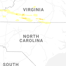

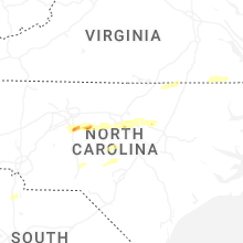


Connect with Interactive Hail Maps