

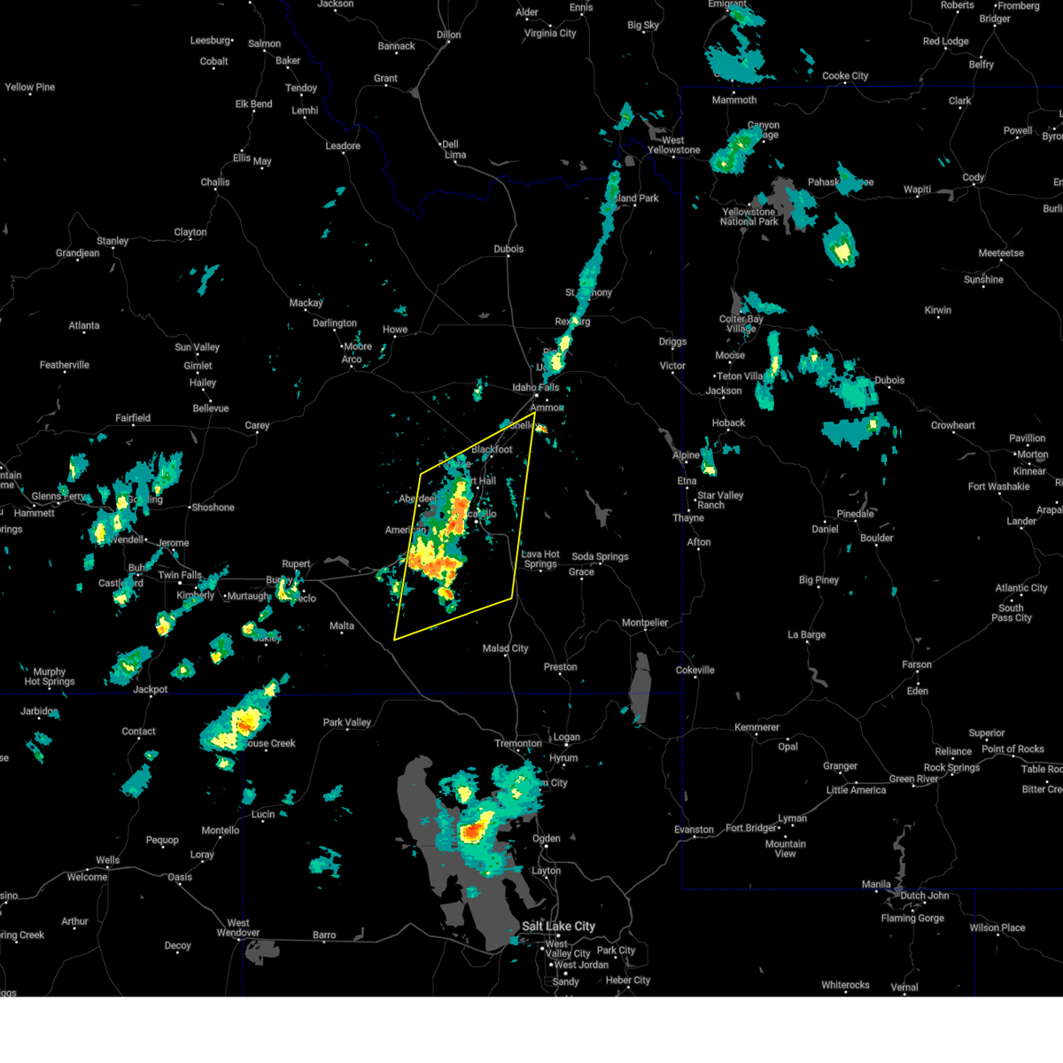
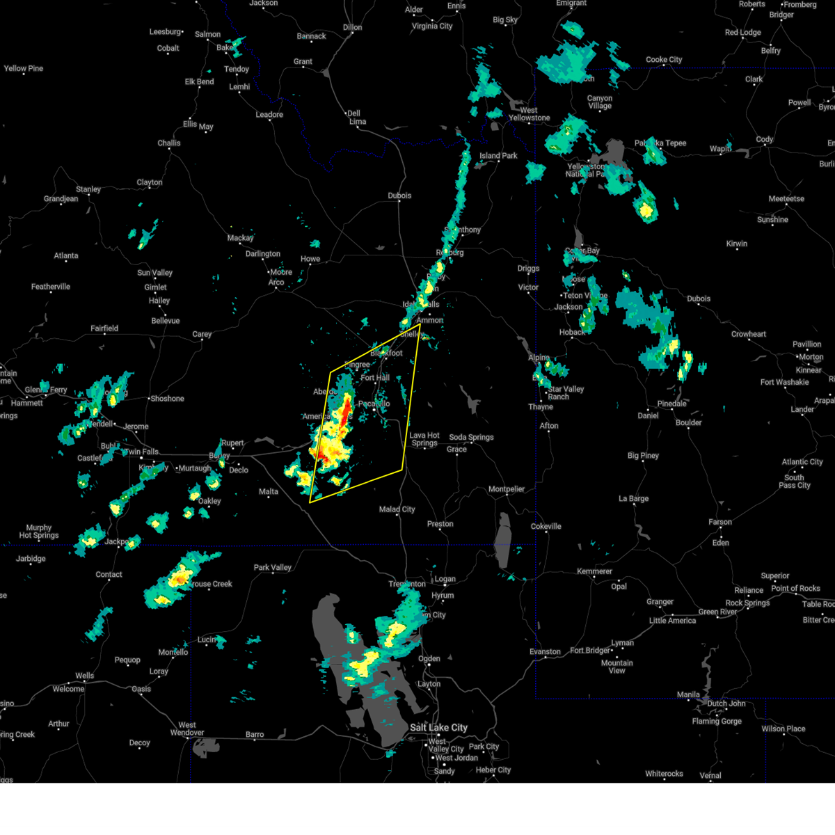
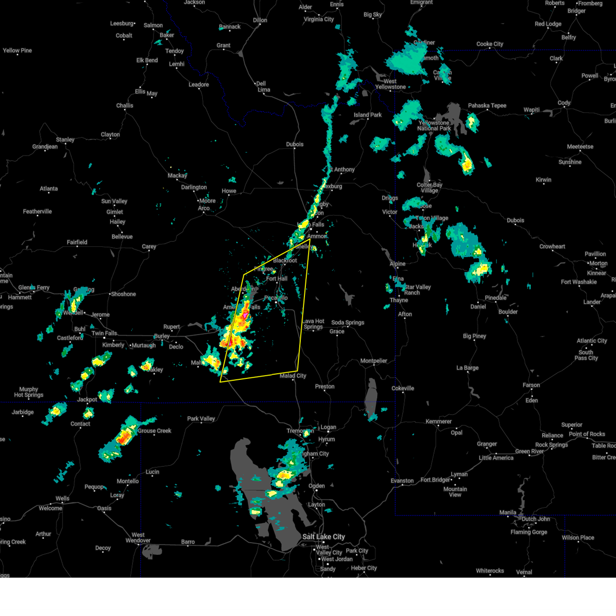
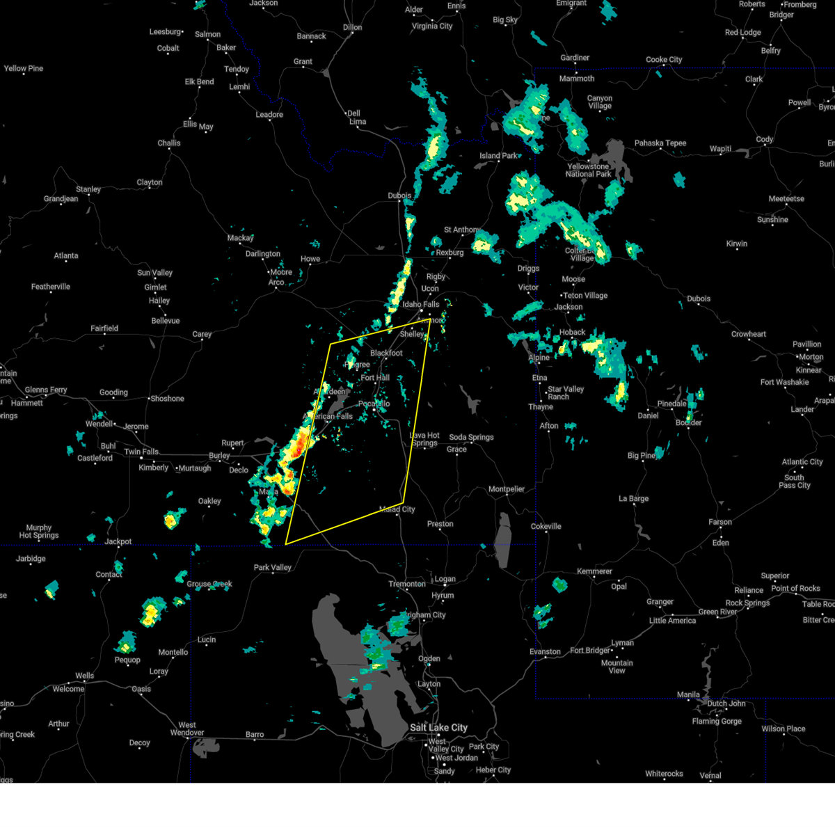
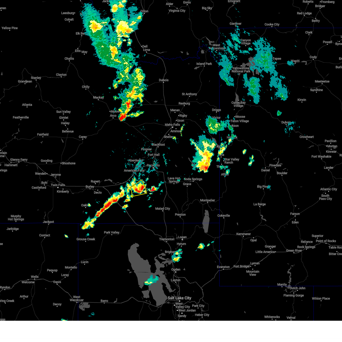
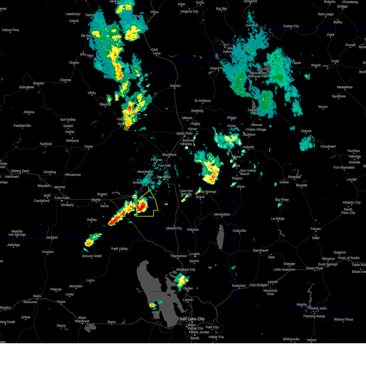
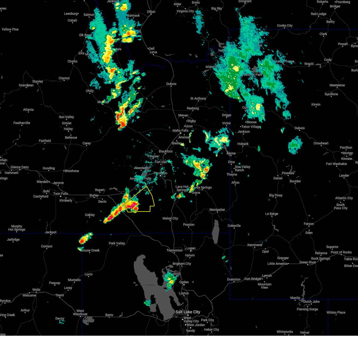
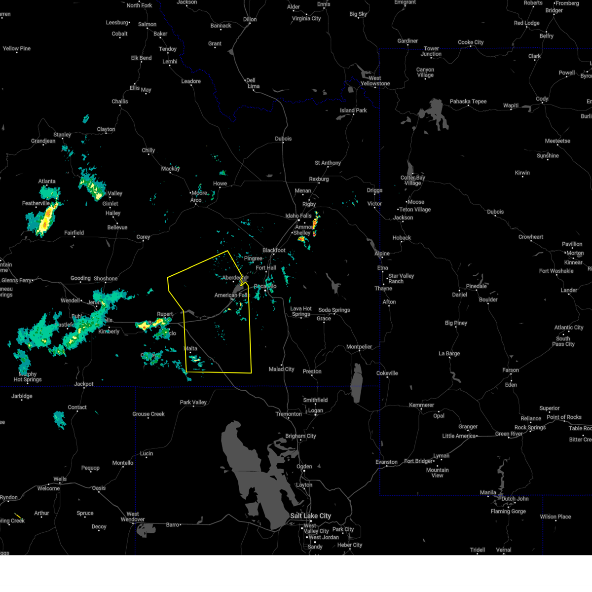
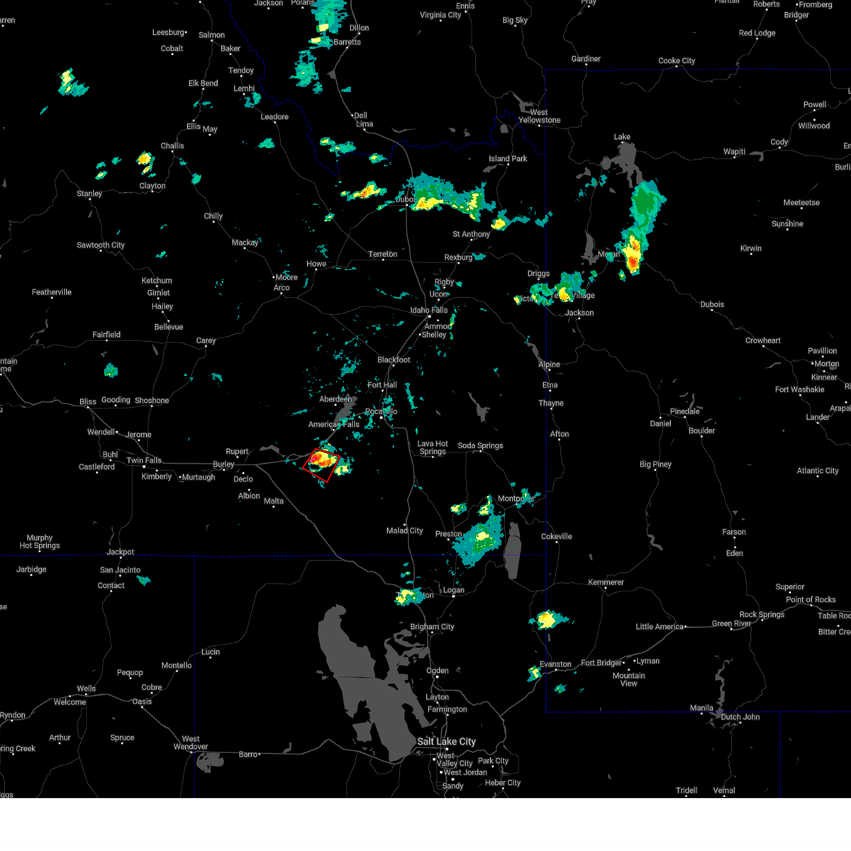
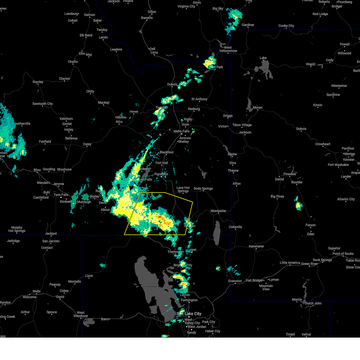
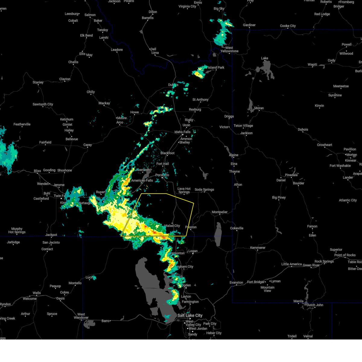
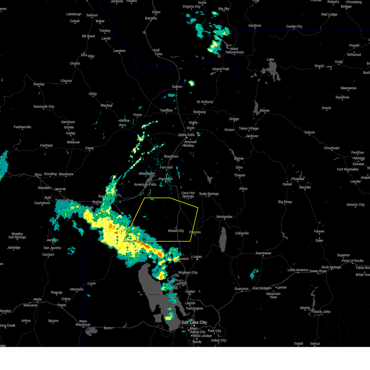
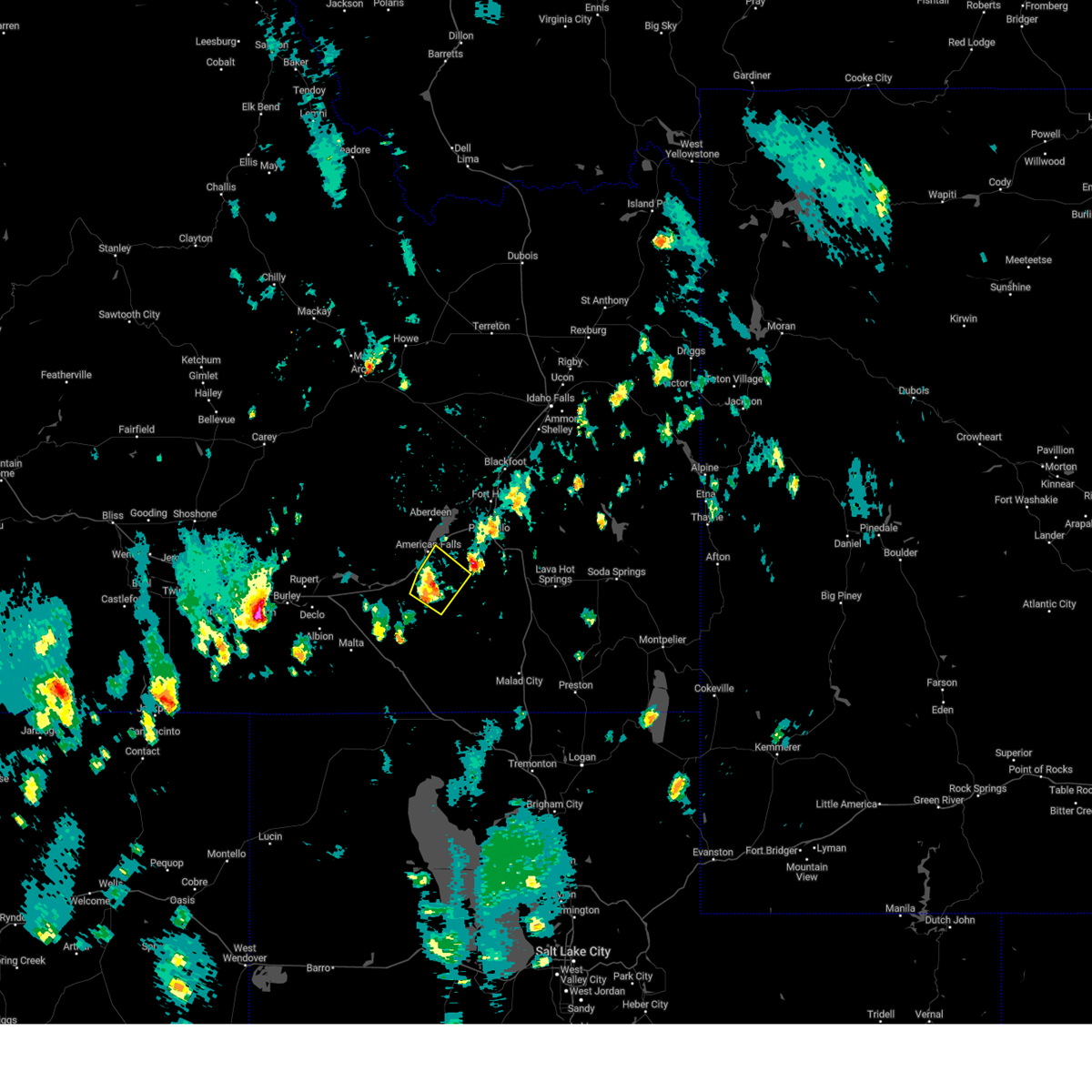
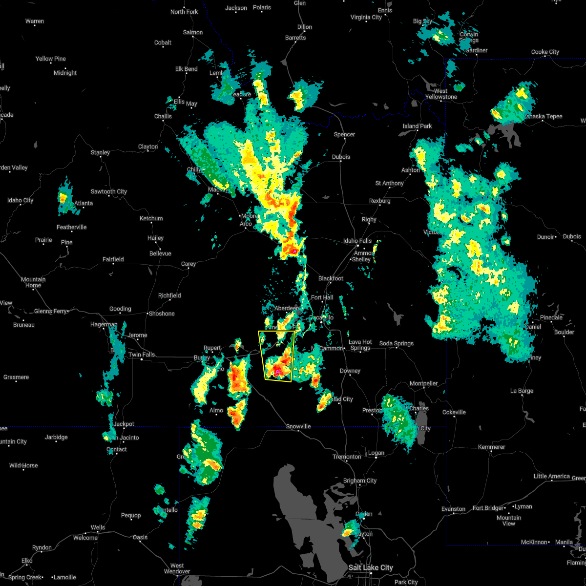
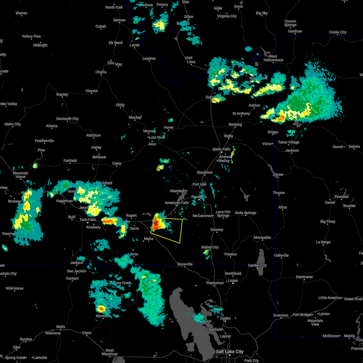
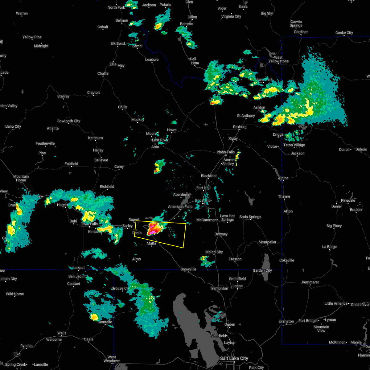
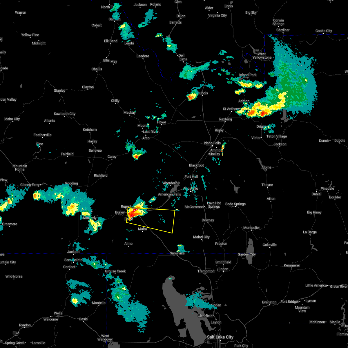
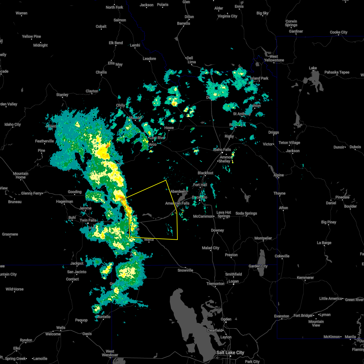
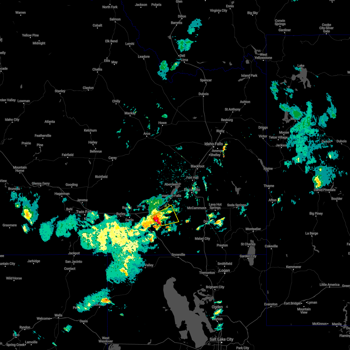
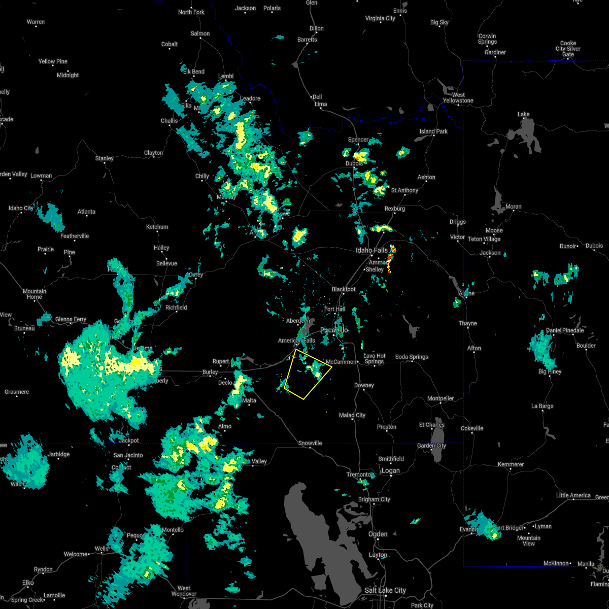
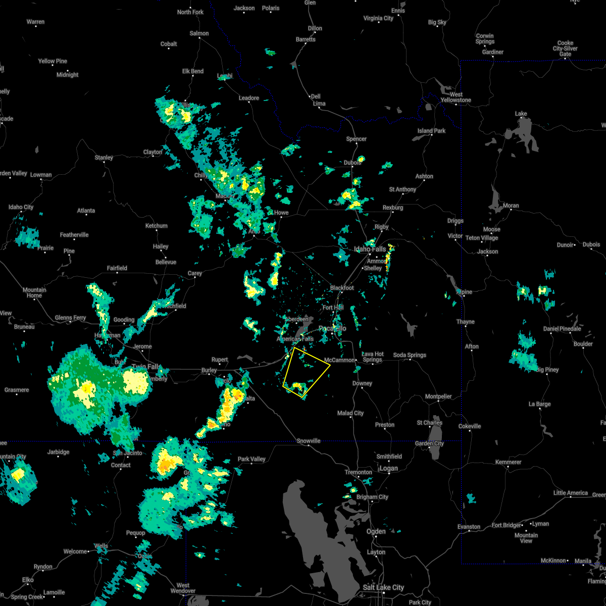
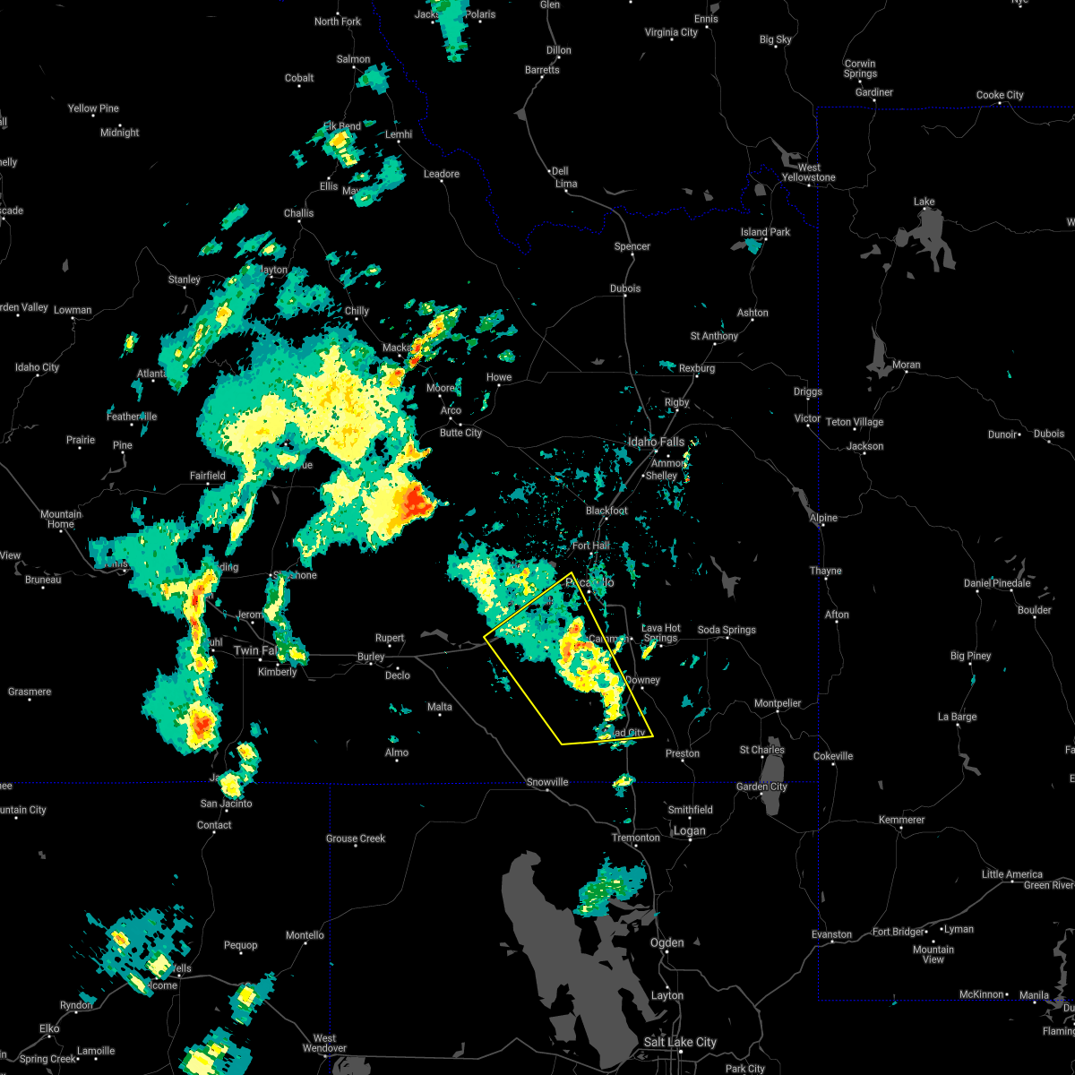
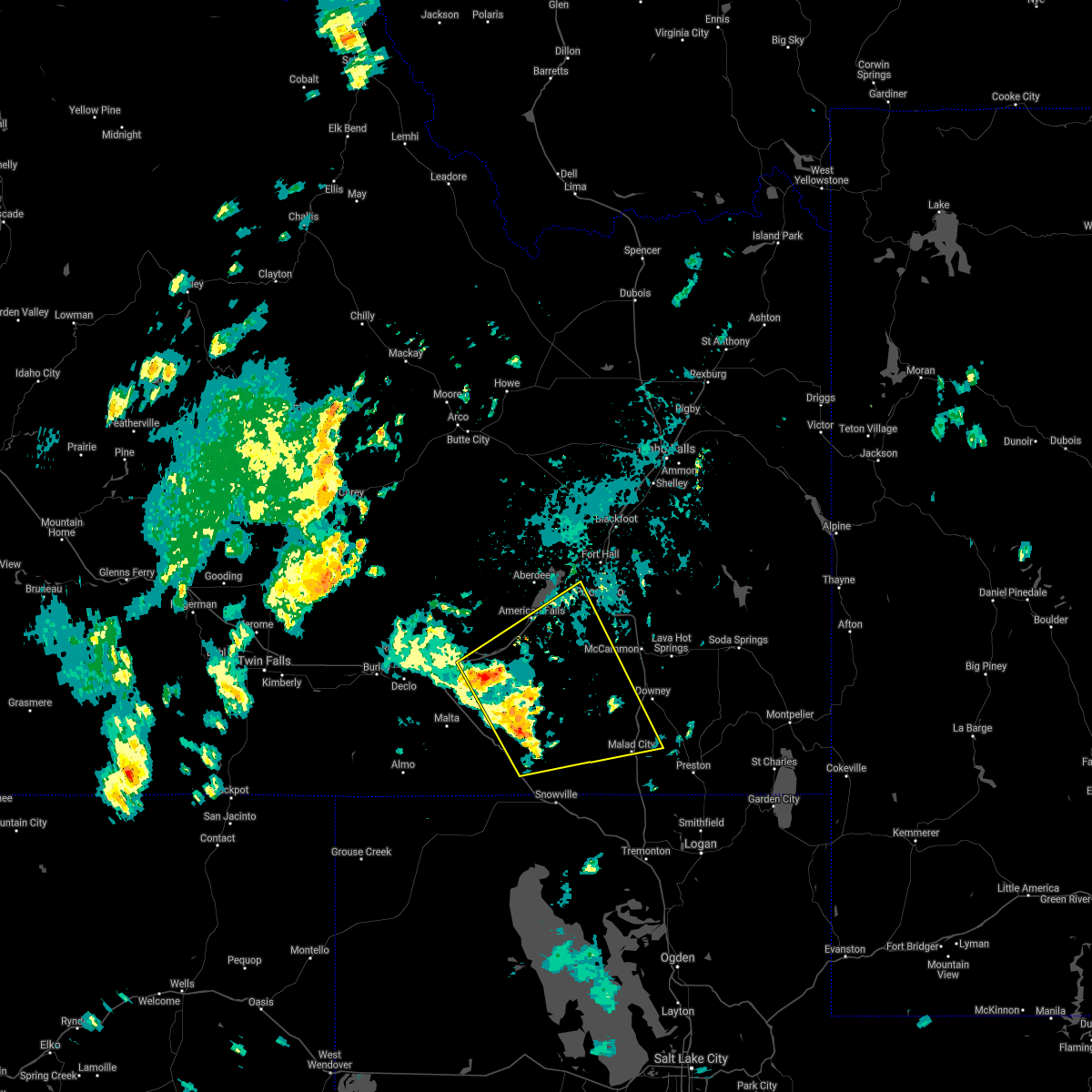
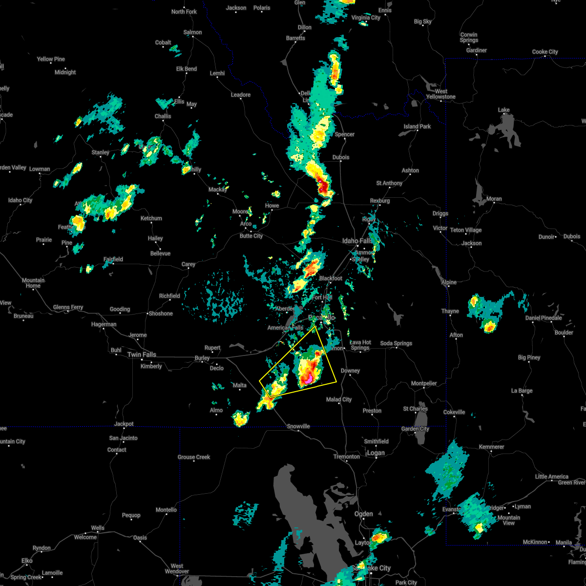
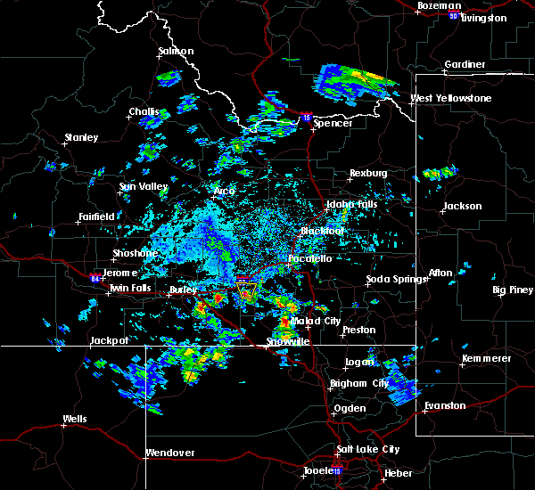
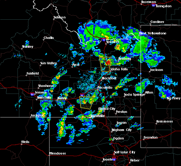
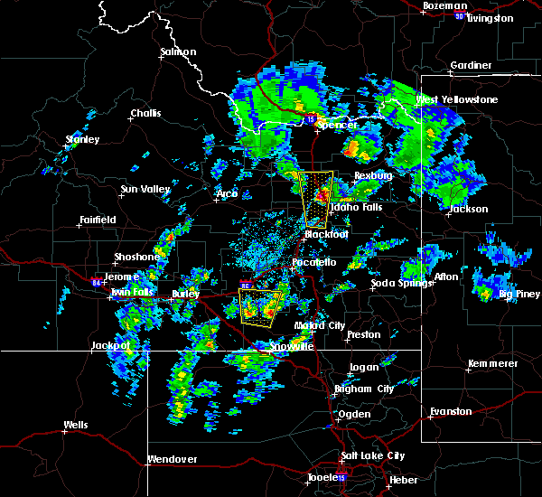
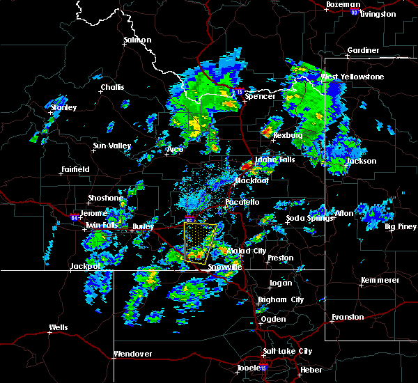
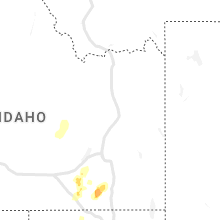
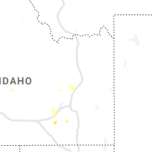
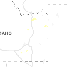
Hail Map for Rockland, ID
The Rockland, ID area has had 1 report of on-the-ground hail by trained spotters, and has been under severe weather warnings 11 times during the past 12 months. Doppler radar has detected hail at or near Rockland, ID on 12 occasions, including 3 occasions during the past year.
| Name: | Rockland, ID |
| Where Located: | 76.2 miles SSW of Idaho Falls, ID |
| Map: | Google Map for Rockland, ID |
| Population: | 295 |
| Housing Units: | 114 |
| More Info: | Search Google for Rockland, ID |
1
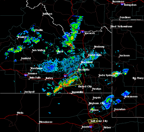
The Top Recent Hail Date for Rockland, ID is Thursday, August 15, 2024 (4th out of 12)

Hail and Wind Damage Spotted near Rockland, ID
| Date / Time | Report Details |
|---|---|
| 5/11/2025 1:14 PM MDT |
 The storm which prompted the warning has weakened below severe limits, and no longer poses an immediate threat to life or property. therefore, the warning will be allowed to expire. however, gusty winds and heavy rain are still possible with these thunderstorms. a severe thunderstorm watch remains in effect until 800 pm mdt for southeastern idaho. The storm which prompted the warning has weakened below severe limits, and no longer poses an immediate threat to life or property. therefore, the warning will be allowed to expire. however, gusty winds and heavy rain are still possible with these thunderstorms. a severe thunderstorm watch remains in effect until 800 pm mdt for southeastern idaho.
|
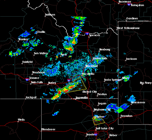
| 5/11/2025 1:04 PM MDT |
 At 102 pm mdt, a line of severe thunderstorms was located from near springfield to roy moving northeast at 35 mph (trained weather spotters. a gust to 59 mph was reported at connor summit). Hazards include 60 mph wind gusts. Expect damage to roofs, siding, and trees. Locations impacted include, sterling, aberdeen, rose, rockland, mink creek pass, hawkins reservoir, mccammon, american falls, basalt, arbon, shelley, inkom, fort hall bannock creek lodge, pingree, american falls reservoir, pocatello airport, fort hall putnam lodge, fort hall buffalo lodge, pauline, and pocatello. At 102 pm mdt, a line of severe thunderstorms was located from near springfield to roy moving northeast at 35 mph (trained weather spotters. a gust to 59 mph was reported at connor summit). Hazards include 60 mph wind gusts. Expect damage to roofs, siding, and trees. Locations impacted include, sterling, aberdeen, rose, rockland, mink creek pass, hawkins reservoir, mccammon, american falls, basalt, arbon, shelley, inkom, fort hall bannock creek lodge, pingree, american falls reservoir, pocatello airport, fort hall putnam lodge, fort hall buffalo lodge, pauline, and pocatello.
|
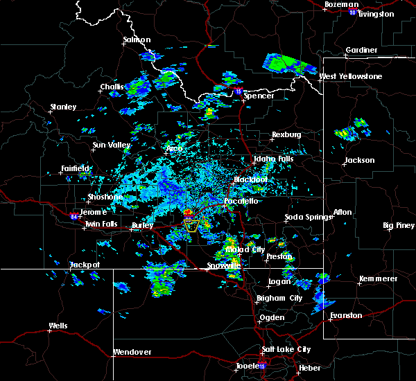
| 5/11/2025 12:51 PM MDT |
 At 1249 pm mdt, a line of severe thunderstorms extended from aberdeen to near sweetzer summit, moving northeast at 35 mph (radar indicated and mesonet observations. this storm has a history of producing gusts to near 60 mph). Hazards include 60 mph wind gusts and penny size hail. Expect damage to roofs, siding, and trees. Locations impacted include, sterling, aberdeen, rose, rockland, mink creek pass, sweetzer summit, hawkins reservoir, mccammon, arimo, american falls, basalt, arbon, sublett reservoir, shelley, malad pass, inkom, fort hall bannock creek lodge, pingree, american falls reservoir, and pocatello airport. At 1249 pm mdt, a line of severe thunderstorms extended from aberdeen to near sweetzer summit, moving northeast at 35 mph (radar indicated and mesonet observations. this storm has a history of producing gusts to near 60 mph). Hazards include 60 mph wind gusts and penny size hail. Expect damage to roofs, siding, and trees. Locations impacted include, sterling, aberdeen, rose, rockland, mink creek pass, sweetzer summit, hawkins reservoir, mccammon, arimo, american falls, basalt, arbon, sublett reservoir, shelley, malad pass, inkom, fort hall bannock creek lodge, pingree, american falls reservoir, and pocatello airport.
|
| 5/11/2025 12:51 PM MDT |
 the severe thunderstorm warning has been cancelled and is no longer in effect the severe thunderstorm warning has been cancelled and is no longer in effect
|
| 5/11/2025 12:27 PM MDT |
 Svrpih the national weather service in pocatello has issued a * severe thunderstorm warning for, northwestern caribou county in southeastern idaho, central oneida county in southeastern idaho, bannock county in southeastern idaho, power county in southeastern idaho, central bonneville county in southeastern idaho, central bingham county in southeastern idaho, southeastern cassia county in southeastern idaho, * until 115 pm mdt. * at 1225 pm mdt, a line of severe thunderstorms extended from near city of rocks to near aberdeen, moving northeast at 45 mph (radar indicated and mesonet observations. a gust to 59 mph was reported at connor summit). Hazards include 60 mph wind gusts. expect damage to roofs, siding, and trees Svrpih the national weather service in pocatello has issued a * severe thunderstorm warning for, northwestern caribou county in southeastern idaho, central oneida county in southeastern idaho, bannock county in southeastern idaho, power county in southeastern idaho, central bonneville county in southeastern idaho, central bingham county in southeastern idaho, southeastern cassia county in southeastern idaho, * until 115 pm mdt. * at 1225 pm mdt, a line of severe thunderstorms extended from near city of rocks to near aberdeen, moving northeast at 45 mph (radar indicated and mesonet observations. a gust to 59 mph was reported at connor summit). Hazards include 60 mph wind gusts. expect damage to roofs, siding, and trees
|
| 8/15/2024 5:13 PM MDT |
 The storms which prompted the warning have weakened below severe limits, and no longer pose an immediate threat to life or property. therefore, the warning will be allowed to expire. however, small hail and gusty winds are still possible with these thunderstorms. The storms which prompted the warning have weakened below severe limits, and no longer pose an immediate threat to life or property. therefore, the warning will be allowed to expire. however, small hail and gusty winds are still possible with these thunderstorms.
|
| 8/15/2024 4:25 PM MDT |
 Svrpih the national weather service in pocatello has issued a * severe thunderstorm warning for, southeastern blaine county in central idaho, northwestern caribou county in southeastern idaho, north central oneida county in southeastern idaho, bannock county in southeastern idaho, southeastern butte county in southeastern idaho, power county in southeastern idaho, west central bonneville county in southeastern idaho, bingham county in southeastern idaho, northeastern cassia county in southeastern idaho, * until 515 pm mdt. * at 423 pm mdt, severe thunderstorms were located along a line extending from 6 miles northwest of springfield to near fort hall mount putnam, moving northeast at 45 mph (radar indicated). Hazards include 60 mph wind gusts and penny size hail. expect damage to roofs, siding, and trees Svrpih the national weather service in pocatello has issued a * severe thunderstorm warning for, southeastern blaine county in central idaho, northwestern caribou county in southeastern idaho, north central oneida county in southeastern idaho, bannock county in southeastern idaho, southeastern butte county in southeastern idaho, power county in southeastern idaho, west central bonneville county in southeastern idaho, bingham county in southeastern idaho, northeastern cassia county in southeastern idaho, * until 515 pm mdt. * at 423 pm mdt, severe thunderstorms were located along a line extending from 6 miles northwest of springfield to near fort hall mount putnam, moving northeast at 45 mph (radar indicated). Hazards include 60 mph wind gusts and penny size hail. expect damage to roofs, siding, and trees
|
| 8/13/2024 1:30 PM MDT |
 At 130 pm mdt, a severe thunderstorm was located 7 miles southeast of rockland, or 18 miles south of neeley, moving northeast at 25 mph (radar indicated). Hazards include 60 mph wind gusts and quarter size hail. Hail damage to vehicles is expected. expect wind damage to roofs, siding, and trees. Locations impacted include, rockland and fort hall bannock peak. At 130 pm mdt, a severe thunderstorm was located 7 miles southeast of rockland, or 18 miles south of neeley, moving northeast at 25 mph (radar indicated). Hazards include 60 mph wind gusts and quarter size hail. Hail damage to vehicles is expected. expect wind damage to roofs, siding, and trees. Locations impacted include, rockland and fort hall bannock peak.
|
| 8/13/2024 1:13 PM MDT |
 At 111 pm mdt, a severe thunderstorm was located 10 miles south of rockland, or 21 miles south of neeley, moving northeast at 25 mph (radar indicated). Hazards include 60 mph wind gusts and quarter size hail. Hail damage to vehicles is expected. expect wind damage to roofs, siding, and trees. Locations impacted include, rockland, fort hall bannock peak, and roy. At 111 pm mdt, a severe thunderstorm was located 10 miles south of rockland, or 21 miles south of neeley, moving northeast at 25 mph (radar indicated). Hazards include 60 mph wind gusts and quarter size hail. Hail damage to vehicles is expected. expect wind damage to roofs, siding, and trees. Locations impacted include, rockland, fort hall bannock peak, and roy.
|
| 8/13/2024 1:13 PM MDT |
 the severe thunderstorm warning has been cancelled and is no longer in effect the severe thunderstorm warning has been cancelled and is no longer in effect
|
| 8/13/2024 12:55 PM MDT |
 Svrpih the national weather service in pocatello has issued a * severe thunderstorm warning for, south central power county in southeastern idaho, east central cassia county in southeastern idaho, * until 145 pm mdt. * at 1255 pm mdt, a severe thunderstorm was located 15 miles southwest of rockland, or 17 miles east of malta, moving northeast at 25 mph (radar indicated). Hazards include 60 mph wind gusts and half dollar size hail. Hail damage to vehicles is expected. Expect wind damage to roofs, siding, and trees. Svrpih the national weather service in pocatello has issued a * severe thunderstorm warning for, south central power county in southeastern idaho, east central cassia county in southeastern idaho, * until 145 pm mdt. * at 1255 pm mdt, a severe thunderstorm was located 15 miles southwest of rockland, or 17 miles east of malta, moving northeast at 25 mph (radar indicated). Hazards include 60 mph wind gusts and half dollar size hail. Hail damage to vehicles is expected. Expect wind damage to roofs, siding, and trees.
|
| 5/13/2024 5:59 PM MDT |
 At 558 pm mdt, severe thunderstorms were located along a line extending from rockford to chubbuck to 14 miles west of virginia, moving east at 45 mph (radar indicated). Hazards include 60 mph wind gusts. Expect damage to roofs, siding, and trees. Locations impacted include, pocatello, blackfoot, american falls, mccammon, american falls reservoir, chubbuck, aberdeen, inkom, downey, arimo, rockland, rose, fort hall bannock creek lodge, pingree, pocatello airport, fort hall putnam lodge, fort hall buffalo lodge, fort hall eagle lodge, fort hall lincoln creek lodge, and taber. At 558 pm mdt, severe thunderstorms were located along a line extending from rockford to chubbuck to 14 miles west of virginia, moving east at 45 mph (radar indicated). Hazards include 60 mph wind gusts. Expect damage to roofs, siding, and trees. Locations impacted include, pocatello, blackfoot, american falls, mccammon, american falls reservoir, chubbuck, aberdeen, inkom, downey, arimo, rockland, rose, fort hall bannock creek lodge, pingree, pocatello airport, fort hall putnam lodge, fort hall buffalo lodge, fort hall eagle lodge, fort hall lincoln creek lodge, and taber.
|
| 5/13/2024 5:59 PM MDT |
 the severe thunderstorm warning has been cancelled and is no longer in effect the severe thunderstorm warning has been cancelled and is no longer in effect
|
| 5/13/2024 5:19 PM MDT |
 Svrpih the national weather service in pocatello has issued a * severe thunderstorm warning for, southeastern blaine county in central idaho, central oneida county in southeastern idaho, bannock county in southeastern idaho, power county in southeastern idaho, southwestern bingham county in southeastern idaho, * until 615 pm mdt. * at 518 pm mdt, severe thunderstorms were located along a line extending from 13 miles northwest of aberdeen to near neeley to 13 miles south of rockland, moving east at 45 mph (radar indicated). Hazards include 60 mph wind gusts. expect damage to roofs, siding, and trees Svrpih the national weather service in pocatello has issued a * severe thunderstorm warning for, southeastern blaine county in central idaho, central oneida county in southeastern idaho, bannock county in southeastern idaho, power county in southeastern idaho, southwestern bingham county in southeastern idaho, * until 615 pm mdt. * at 518 pm mdt, severe thunderstorms were located along a line extending from 13 miles northwest of aberdeen to near neeley to 13 miles south of rockland, moving east at 45 mph (radar indicated). Hazards include 60 mph wind gusts. expect damage to roofs, siding, and trees
|
| 5/13/2024 5:01 PM MDT |
 At 501 pm mdt, severe thunderstorms were located along a line extending from 20 miles northeast of minidoka to 8 miles north of cold water rest area to 12 miles east of malta, moving east at 45 mph (radar indicated). Hazards include 60 mph wind gusts. Expect damage to roofs, siding, and trees. Locations impacted include, american falls, malta, neeley, lake walcott, american falls reservoir, aberdeen, rockland, minidoka, cold water rest area, juniper, fort hall bannock peak, yale rest area, massacre rocks, bear trap airport, sweetzer summit, pilar butte, idahome, holbrook, sublett reservoir, and roy. At 501 pm mdt, severe thunderstorms were located along a line extending from 20 miles northeast of minidoka to 8 miles north of cold water rest area to 12 miles east of malta, moving east at 45 mph (radar indicated). Hazards include 60 mph wind gusts. Expect damage to roofs, siding, and trees. Locations impacted include, american falls, malta, neeley, lake walcott, american falls reservoir, aberdeen, rockland, minidoka, cold water rest area, juniper, fort hall bannock peak, yale rest area, massacre rocks, bear trap airport, sweetzer summit, pilar butte, idahome, holbrook, sublett reservoir, and roy.
|
| 5/13/2024 4:34 PM MDT |
 Svrpih the national weather service in pocatello has issued a * severe thunderstorm warning for, southeastern blaine county in central idaho, northwestern oneida county in southeastern idaho, power county in southeastern idaho, southwestern bingham county in southeastern idaho, eastern cassia county in southeastern idaho, southeastern minidoka county in south central idaho, * until 530 pm mdt. * at 433 pm mdt, severe thunderstorms were located along a line extending from 13 miles northwest of minidoka to 6 miles east of rupert to near elba, moving east at 45 mph (radar indicated). Hazards include 60 mph wind gusts. expect damage to roofs, siding, and trees Svrpih the national weather service in pocatello has issued a * severe thunderstorm warning for, southeastern blaine county in central idaho, northwestern oneida county in southeastern idaho, power county in southeastern idaho, southwestern bingham county in southeastern idaho, eastern cassia county in southeastern idaho, southeastern minidoka county in south central idaho, * until 530 pm mdt. * at 433 pm mdt, severe thunderstorms were located along a line extending from 13 miles northwest of minidoka to 6 miles east of rupert to near elba, moving east at 45 mph (radar indicated). Hazards include 60 mph wind gusts. expect damage to roofs, siding, and trees
|
| 8/27/2023 7:21 PM MDT |
 The tornado warning for south central power and eastern cassia counties will expire at 730 pm mdt, the storm which prompted the warning has weakened below severe limits, and no longer appears capable of producing a tornado. therefore, the warning will be allowed to expire. if you observed a funnel cloud, tornado, or damage, report your observations to the national weather service in pocatello via phone, email, or social media, as soon as it is safe to do so. The tornado warning for south central power and eastern cassia counties will expire at 730 pm mdt, the storm which prompted the warning has weakened below severe limits, and no longer appears capable of producing a tornado. therefore, the warning will be allowed to expire. if you observed a funnel cloud, tornado, or damage, report your observations to the national weather service in pocatello via phone, email, or social media, as soon as it is safe to do so.
|
| 8/27/2023 7:12 PM MDT |
 At 711 pm mdt, a severe thunderstorm capable of producing a tornado was located near rockland, or 13 miles south of neeley, moving southeast at 15 mph. this storm has a history of producing funnel clouds (radar indicated rotation and public reports of funnel clouds). Hazards include tornado. Flying debris will be dangerous to those caught without shelter. mobile homes will be damaged or destroyed. damage to roofs, windows, and vehicles will occur. tree damage is likely. Locations impacted include, rockland. At 711 pm mdt, a severe thunderstorm capable of producing a tornado was located near rockland, or 13 miles south of neeley, moving southeast at 15 mph. this storm has a history of producing funnel clouds (radar indicated rotation and public reports of funnel clouds). Hazards include tornado. Flying debris will be dangerous to those caught without shelter. mobile homes will be damaged or destroyed. damage to roofs, windows, and vehicles will occur. tree damage is likely. Locations impacted include, rockland.
|
| 8/27/2023 6:54 PM MDT |
 At 652 pm mdt, a severe thunderstorm capable of producing a tornado was located just northwest of rockland, or 13 miles southwest of neeley, moving southeast at 10 mph. this storm has a history of producing funnel clouds (radar indicated rotation and public reports of funnel clouds). Hazards include tornado. Flying debris will be dangerous to those caught without shelter. mobile homes will be damaged or destroyed. damage to roofs, windows, and vehicles will occur. Tree damage is likely. At 652 pm mdt, a severe thunderstorm capable of producing a tornado was located just northwest of rockland, or 13 miles southwest of neeley, moving southeast at 10 mph. this storm has a history of producing funnel clouds (radar indicated rotation and public reports of funnel clouds). Hazards include tornado. Flying debris will be dangerous to those caught without shelter. mobile homes will be damaged or destroyed. damage to roofs, windows, and vehicles will occur. Tree damage is likely.
|
| 7/24/2023 7:39 PM MDT |
 At 739 pm mdt, severe thunderstorms were located along a line extending from 15 miles northeast of juniper to 11 miles northeast of holbrook summit to 8 miles east of malad, moving northeast at 40 mph (radar indicated). Hazards include 60 mph wind gusts. Expect damage to roofs, siding, and trees. locations impacted include, malad, swanlake, downey, arimo, rockland, juniper, holbrook summit, pleasantview, fort hall bannock peak, cherry creek rest area, virginia, dayton, weston, clifton, oxford, stone, sweetzer summit, hawkins reservoir, samaria, and arbon. hail threat, radar indicated max hail size, <. 75 in wind threat, radar indicated max wind gust, 60 mph. At 739 pm mdt, severe thunderstorms were located along a line extending from 15 miles northeast of juniper to 11 miles northeast of holbrook summit to 8 miles east of malad, moving northeast at 40 mph (radar indicated). Hazards include 60 mph wind gusts. Expect damage to roofs, siding, and trees. locations impacted include, malad, swanlake, downey, arimo, rockland, juniper, holbrook summit, pleasantview, fort hall bannock peak, cherry creek rest area, virginia, dayton, weston, clifton, oxford, stone, sweetzer summit, hawkins reservoir, samaria, and arbon. hail threat, radar indicated max hail size, <. 75 in wind threat, radar indicated max wind gust, 60 mph.
|
| 7/24/2023 7:17 PM MDT |
 At 716 pm mdt, severe thunderstorms were located along a line extending from 8 miles west of juniper to 7 miles west of holbrook summit to 8 miles southwest of cherry creek rest area, moving northeast at 40 mph (radar indicated). Hazards include 60 mph wind gusts. Expect damage to roofs, siding, and trees. locations impacted include, malad, swanlake, downey, arimo, rockland, juniper, holbrook summit, pleasantview, fort hall bannock peak, cherry creek rest area, virginia, dayton, weston, clifton, oxford, stone, sweetzer summit, hawkins reservoir, samaria, and arbon. hail threat, radar indicated max hail size, <. 75 in wind threat, radar indicated max wind gust, 60 mph. At 716 pm mdt, severe thunderstorms were located along a line extending from 8 miles west of juniper to 7 miles west of holbrook summit to 8 miles southwest of cherry creek rest area, moving northeast at 40 mph (radar indicated). Hazards include 60 mph wind gusts. Expect damage to roofs, siding, and trees. locations impacted include, malad, swanlake, downey, arimo, rockland, juniper, holbrook summit, pleasantview, fort hall bannock peak, cherry creek rest area, virginia, dayton, weston, clifton, oxford, stone, sweetzer summit, hawkins reservoir, samaria, and arbon. hail threat, radar indicated max hail size, <. 75 in wind threat, radar indicated max wind gust, 60 mph.
|
| 7/24/2023 7:00 PM MDT |
 At 659 pm mdt, severe thunderstorms were located along a line extending from 10 miles west of juniper to 6 miles northwest of snowville to 10 miles north of howell, moving northeast at 45 mph (radar indicated). Hazards include 60 mph wind gusts. expect damage to roofs, siding, and trees At 659 pm mdt, severe thunderstorms were located along a line extending from 10 miles west of juniper to 6 miles northwest of snowville to 10 miles north of howell, moving northeast at 45 mph (radar indicated). Hazards include 60 mph wind gusts. expect damage to roofs, siding, and trees
|
| 5/24/2023 3:11 PM MDT |
 At 311 pm mdt, a severe thunderstorm was located near rockland, or 8 miles southeast of neeley, moving northeast at 20 mph (radar indicated). Hazards include 60 mph wind gusts and quarter size hail. Hail damage to vehicles is expected. expect wind damage to roofs, siding, and trees. locations impacted include, rockland and fort hall bannock peak. hail threat, radar indicated max hail size, 1. 00 in wind threat, radar indicated max wind gust, 60 mph. At 311 pm mdt, a severe thunderstorm was located near rockland, or 8 miles southeast of neeley, moving northeast at 20 mph (radar indicated). Hazards include 60 mph wind gusts and quarter size hail. Hail damage to vehicles is expected. expect wind damage to roofs, siding, and trees. locations impacted include, rockland and fort hall bannock peak. hail threat, radar indicated max hail size, 1. 00 in wind threat, radar indicated max wind gust, 60 mph.
|
| 5/24/2023 2:50 PM MDT |
 At 249 pm mdt, a severe thunderstorm was located over rockland, or 14 miles south of neeley, moving northeast at 20 mph (radar indicated). Hazards include 60 mph wind gusts and quarter size hail. Hail damage to vehicles is expected. Expect wind damage to roofs, siding, and trees. At 249 pm mdt, a severe thunderstorm was located over rockland, or 14 miles south of neeley, moving northeast at 20 mph (radar indicated). Hazards include 60 mph wind gusts and quarter size hail. Hail damage to vehicles is expected. Expect wind damage to roofs, siding, and trees.
|
| 9/21/2022 6:32 PM MDT |
 At 632 pm mdt, a severe thunderstorm was located near rockland, or 17 miles south of neeley, moving northeast at 35 mph (radar indicated). Hazards include 60 mph wind gusts and nickel size hail. expect damage to roofs, siding, and trees At 632 pm mdt, a severe thunderstorm was located near rockland, or 17 miles south of neeley, moving northeast at 35 mph (radar indicated). Hazards include 60 mph wind gusts and nickel size hail. expect damage to roofs, siding, and trees
|
| 9/21/2022 4:57 PM MDT |
 The severe thunderstorm warning for southwestern power and east central cassia counties will expire at 500 pm mdt, the storm which prompted the warning has weakened below severe limits, and no longer poses an immediate threat to life or property. therefore, the warning will be allowed to expire. however gusty winds are still possible with this thunderstorm. a severe thunderstorm watch remains in effect until 800 pm mdt for southeastern idaho. The severe thunderstorm warning for southwestern power and east central cassia counties will expire at 500 pm mdt, the storm which prompted the warning has weakened below severe limits, and no longer poses an immediate threat to life or property. therefore, the warning will be allowed to expire. however gusty winds are still possible with this thunderstorm. a severe thunderstorm watch remains in effect until 800 pm mdt for southeastern idaho.
|
| 9/21/2022 4:48 PM MDT |
 At 448 pm mdt, a severe thunderstorm was located near rockland, or 16 miles south of neeley, moving north at 50 mph (radar indicated). Hazards include 60 mph wind gusts and quarter size hail. Hail damage to vehicles is expected. expect wind damage to roofs, siding, and trees. locations impacted include, american falls, neeley, rockland and massacre rocks. hail threat, radar indicated max hail size, 1. 00 in wind threat, radar indicated max wind gust, 60 mph. At 448 pm mdt, a severe thunderstorm was located near rockland, or 16 miles south of neeley, moving north at 50 mph (radar indicated). Hazards include 60 mph wind gusts and quarter size hail. Hail damage to vehicles is expected. expect wind damage to roofs, siding, and trees. locations impacted include, american falls, neeley, rockland and massacre rocks. hail threat, radar indicated max hail size, 1. 00 in wind threat, radar indicated max wind gust, 60 mph.
|
| 9/21/2022 4:34 PM MDT |
 At 434 pm mdt, a severe thunderstorm was located 12 miles north of juniper, or 22 miles east of malta, moving north at 50 mph (radar indicated). Hazards include 60 mph wind gusts and quarter size hail. Hail damage to vehicles is expected. Expect wind damage to roofs, siding, and trees. At 434 pm mdt, a severe thunderstorm was located 12 miles north of juniper, or 22 miles east of malta, moving north at 50 mph (radar indicated). Hazards include 60 mph wind gusts and quarter size hail. Hail damage to vehicles is expected. Expect wind damage to roofs, siding, and trees.
|
| 8/21/2022 7:08 PM MDT | At 708 pm mdt, a severe thunderstorm was located near rockland, or 16 miles south of neeley, moving southeast at 10 mph (radar indicated). Hazards include 60 mph wind gusts and quarter size hail. Hail damage to vehicles is expected. Expect wind damage to roofs, siding, and trees. |
| 7/13/2022 3:05 PM MDT |
 At 305 pm mdt, severe thunderstorms were located along a line extending from 17 miles northeast of minidoka to near lake walcott to 6 miles southeast of almo, moving east at 30 mph (radar indicated). Hazards include 60 mph wind gusts. expect damage to roofs, siding, and trees At 305 pm mdt, severe thunderstorms were located along a line extending from 17 miles northeast of minidoka to near lake walcott to 6 miles southeast of almo, moving east at 30 mph (radar indicated). Hazards include 60 mph wind gusts. expect damage to roofs, siding, and trees
|
| 6/5/2022 8:43 PM MDT |
 At 842 pm mdt, a severe thunderstorm was located 10 miles south of cold water rest area, or 15 miles northeast of malta, moving east at 30 mph (radar indicated. nickel size hail has been reported in declo). Hazards include 60 mph wind gusts and nickel size hail. Expect damage to roofs, siding, and trees. locations impacted include, rockland, cold water rest area and roy. hail threat, observed max hail size, 0. 88 in wind threat, radar indicated max wind gust, 60 mph. At 842 pm mdt, a severe thunderstorm was located 10 miles south of cold water rest area, or 15 miles northeast of malta, moving east at 30 mph (radar indicated. nickel size hail has been reported in declo). Hazards include 60 mph wind gusts and nickel size hail. Expect damage to roofs, siding, and trees. locations impacted include, rockland, cold water rest area and roy. hail threat, observed max hail size, 0. 88 in wind threat, radar indicated max wind gust, 60 mph.
|
| 6/5/2022 8:31 PM MDT |
 At 831 pm mdt, a severe thunderstorm was located 8 miles southwest of cold water rest area, or 14 miles southeast of lake walcott, moving east at 45 mph (radar indicated. nickel size hail has been reported in declo). Hazards include 60 mph wind gusts and penny size hail. Expect damage to roofs, siding, and trees. locations impacted include, declo, rockland, albion, cold water rest area, yale rest area, idahome, sublett reservoir, interstate 84 and 86 junction and roy. hail threat, observed max hail size, 0. 75 in wind threat, radar indicated max wind gust, 60 mph. At 831 pm mdt, a severe thunderstorm was located 8 miles southwest of cold water rest area, or 14 miles southeast of lake walcott, moving east at 45 mph (radar indicated. nickel size hail has been reported in declo). Hazards include 60 mph wind gusts and penny size hail. Expect damage to roofs, siding, and trees. locations impacted include, declo, rockland, albion, cold water rest area, yale rest area, idahome, sublett reservoir, interstate 84 and 86 junction and roy. hail threat, observed max hail size, 0. 75 in wind threat, radar indicated max wind gust, 60 mph.
|
| 6/5/2022 8:09 PM MDT |
 At 808 pm mdt, a severe thunderstorm was located near declo, or 10 miles southeast of rupert, moving east at 45 mph (radar indicated). Hazards include 60 mph wind gusts and penny size hail. expect damage to roofs, siding, and trees At 808 pm mdt, a severe thunderstorm was located near declo, or 10 miles southeast of rupert, moving east at 45 mph (radar indicated). Hazards include 60 mph wind gusts and penny size hail. expect damage to roofs, siding, and trees
|
| 5/2/2022 5:59 PM MDT |
 At 559 pm mdt, severe thunderstorms were located along a line extending from 12 miles southwest of northwest inl to near pingree to near fort hall bannock peak, moving east at 40 mph (radar indicated). Hazards include 70 mph wind gusts and penny size hail. Expect considerable tree damage. Damage is likely to mobile homes, roofs, and outbuildings. At 559 pm mdt, severe thunderstorms were located along a line extending from 12 miles southwest of northwest inl to near pingree to near fort hall bannock peak, moving east at 40 mph (radar indicated). Hazards include 70 mph wind gusts and penny size hail. Expect considerable tree damage. Damage is likely to mobile homes, roofs, and outbuildings.
|
| 5/2/2022 5:48 PM MDT |
 At 547 pm mdt, severe thunderstorms were located along a line extending from near darlington to 7 miles northwest of central inl to 9 miles northwest of springfield to rockland, moving east at 40 mph (radar indicated). Hazards include 70 mph wind gusts and penny size hail. Expect considerable tree damage. damage is likely to mobile homes, roofs, and outbuildings. locations impacted include, pocatello, american falls, arco, mackay, lake walcott, american falls reservoir, grouse, neeley, chubbuck, aberdeen, rockland, minidoka, atomic city, darlington, southeast inl, southwest inl, fort hall bannock creek lodge, pingree, pocatello airport and cold water rest area. thunderstorm damage threat, considerable hail threat, radar indicated max hail size, 0. 75 in wind threat, observed max wind gust, 70 mph. At 547 pm mdt, severe thunderstorms were located along a line extending from near darlington to 7 miles northwest of central inl to 9 miles northwest of springfield to rockland, moving east at 40 mph (radar indicated). Hazards include 70 mph wind gusts and penny size hail. Expect considerable tree damage. damage is likely to mobile homes, roofs, and outbuildings. locations impacted include, pocatello, american falls, arco, mackay, lake walcott, american falls reservoir, grouse, neeley, chubbuck, aberdeen, rockland, minidoka, atomic city, darlington, southeast inl, southwest inl, fort hall bannock creek lodge, pingree, pocatello airport and cold water rest area. thunderstorm damage threat, considerable hail threat, radar indicated max hail size, 0. 75 in wind threat, observed max wind gust, 70 mph.
|
| 5/2/2022 5:33 PM MDT |
 At 533 pm mdt, severe thunderstorms were located along a line extending from near darlington to 7 miles northwest of southwest inl to 13 miles west of springfield to near rockland, moving east at 40 mph (radar indicated). Hazards include 70 mph wind gusts and penny size hail. Expect considerable tree damage. Damage is likely to mobile homes, roofs, and outbuildings. At 533 pm mdt, severe thunderstorms were located along a line extending from near darlington to 7 miles northwest of southwest inl to 13 miles west of springfield to near rockland, moving east at 40 mph (radar indicated). Hazards include 70 mph wind gusts and penny size hail. Expect considerable tree damage. Damage is likely to mobile homes, roofs, and outbuildings.
|
| 5/2/2022 4:31 PM MDT |
 At 431 pm mdt, severe thunderstorms were located along a line extending from 19 miles southeast of richfield to near rupert to 7 miles southwest of declo, moving east at 60 mph (radar indicated). Hazards include 60 mph wind gusts and penny size hail. expect damage to roofs, siding, and trees At 431 pm mdt, severe thunderstorms were located along a line extending from 19 miles southeast of richfield to near rupert to 7 miles southwest of declo, moving east at 60 mph (radar indicated). Hazards include 60 mph wind gusts and penny size hail. expect damage to roofs, siding, and trees
|
| 10/7/2021 5:14 PM MDT |
 At 514 pm mdt, a severe thunderstorm was located 10 miles south of cold water rest area, or 18 miles northeast of malta, moving east at 25 mph (radar indicated). Hazards include quarter size hail. damage to vehicles is expected At 514 pm mdt, a severe thunderstorm was located 10 miles south of cold water rest area, or 18 miles northeast of malta, moving east at 25 mph (radar indicated). Hazards include quarter size hail. damage to vehicles is expected
|
| 9/10/2021 4:39 PM MDT |
 At 439 pm mdt, a severe thunderstorm was located over fort hall bannock peak, or 12 miles southeast of neeley, moving northeast at 35 mph (radar indicated). Hazards include 60 mph wind gusts. Expect damage to roofs, siding, and trees. locations impacted include, rockland, fort hall bannock peak and pauline. hail threat, radar indicated max hail size, <. 75 in wind threat, radar indicated max wind gust, 60 mph. At 439 pm mdt, a severe thunderstorm was located over fort hall bannock peak, or 12 miles southeast of neeley, moving northeast at 35 mph (radar indicated). Hazards include 60 mph wind gusts. Expect damage to roofs, siding, and trees. locations impacted include, rockland, fort hall bannock peak and pauline. hail threat, radar indicated max hail size, <. 75 in wind threat, radar indicated max wind gust, 60 mph.
|
| 9/10/2021 4:23 PM MDT |
 At 423 pm mdt, a severe thunderstorm was located 7 miles south of rockland, or 18 miles south of neeley, moving northeast at 35 mph (radar indicated). Hazards include 60 mph wind gusts. expect damage to roofs, siding, and trees At 423 pm mdt, a severe thunderstorm was located 7 miles south of rockland, or 18 miles south of neeley, moving northeast at 35 mph (radar indicated). Hazards include 60 mph wind gusts. expect damage to roofs, siding, and trees
|
| 8/25/2020 4:42 PM MDT |
 The severe thunderstorm warning for central oneida, central bannock, southeastern power, northwestern franklin and northeastern cassia counties will expire at 445 pm mdt, the storms which prompted the warning have weakened below severe limits, and no longer pose an immediate threat to life or property. therefore, the warning will be allowed to expire. however gusty winds are still possible with these thunderstorms. the storms in this line may still re-strengthen and bear watching. The severe thunderstorm warning for central oneida, central bannock, southeastern power, northwestern franklin and northeastern cassia counties will expire at 445 pm mdt, the storms which prompted the warning have weakened below severe limits, and no longer pose an immediate threat to life or property. therefore, the warning will be allowed to expire. however gusty winds are still possible with these thunderstorms. the storms in this line may still re-strengthen and bear watching.
|
| 8/25/2020 4:20 PM MDT |
 At 418 pm mdt, severe thunderstorms were located along a line extending from fort hall bannock peak to near pleasantview, moving east at 40 mph (radar indicated). Hazards include 60 mph wind gusts and penny size hail. Expect damage to roofs, siding, and trees. Locations impacted include, american falls, malad, neeley, rockland, fort hall bannock peak, fort hall bannock creek lodge, pocatello airport, pauline, massacre rocks, mink creek pass, daniels reservoir, arbon, malad pass and hawkins reservoir. At 418 pm mdt, severe thunderstorms were located along a line extending from fort hall bannock peak to near pleasantview, moving east at 40 mph (radar indicated). Hazards include 60 mph wind gusts and penny size hail. Expect damage to roofs, siding, and trees. Locations impacted include, american falls, malad, neeley, rockland, fort hall bannock peak, fort hall bannock creek lodge, pocatello airport, pauline, massacre rocks, mink creek pass, daniels reservoir, arbon, malad pass and hawkins reservoir.
|
| 8/25/2020 3:56 PM MDT |
 The severe thunderstorm warning for southeastern blaine, northwestern oneida, southwestern power and northeastern cassia counties will expire at 400 pm mdt, the storms which prompted the warning have moved out of the area and are progressing to the northeast. a new warning has been issued. therefore, this warning will be allowed to expire. The severe thunderstorm warning for southeastern blaine, northwestern oneida, southwestern power and northeastern cassia counties will expire at 400 pm mdt, the storms which prompted the warning have moved out of the area and are progressing to the northeast. a new warning has been issued. therefore, this warning will be allowed to expire.
|
| 8/25/2020 3:55 PM MDT |
 At 354 pm mdt, severe thunderstorms were located along a line extending from 7 miles southwest of cold water rest area to 10 miles north of juniper, moving east at 50 mph (radar indicated). Hazards include 60 mph wind gusts and penny size hail. expect damage to roofs, siding, and trees At 354 pm mdt, severe thunderstorms were located along a line extending from 7 miles southwest of cold water rest area to 10 miles north of juniper, moving east at 50 mph (radar indicated). Hazards include 60 mph wind gusts and penny size hail. expect damage to roofs, siding, and trees
|
| 8/25/2020 3:38 PM MDT |
 At 338 pm mdt, severe thunderstorms were located along a line extending from 7 miles northeast of albion to near juniper, moving east at 50 mph (radar indicated). Hazards include 60 mph wind gusts and nickel size hail. Expect damage to roofs, siding, and trees. Locations impacted include, malta, lake walcott, declo, rockland, albion, cold water rest area, juniper, yale rest area, massacre rocks, sweetzer summit, idahome, sublett reservoir, interstate 84 and 86 junction and roy. At 338 pm mdt, severe thunderstorms were located along a line extending from 7 miles northeast of albion to near juniper, moving east at 50 mph (radar indicated). Hazards include 60 mph wind gusts and nickel size hail. Expect damage to roofs, siding, and trees. Locations impacted include, malta, lake walcott, declo, rockland, albion, cold water rest area, juniper, yale rest area, massacre rocks, sweetzer summit, idahome, sublett reservoir, interstate 84 and 86 junction and roy.
|
| 8/25/2020 3:20 PM MDT |
 At 319 pm mdt, severe thunderstorms were located along a line extending from near albion to 11 miles west of juniper, moving east at 50 mph (radar indicated). Hazards include 60 mph wind gusts and nickel size hail. expect damage to roofs, siding, and trees At 319 pm mdt, severe thunderstorms were located along a line extending from near albion to 11 miles west of juniper, moving east at 50 mph (radar indicated). Hazards include 60 mph wind gusts and nickel size hail. expect damage to roofs, siding, and trees
|
| 5/29/2020 4:31 PM MDT | Quarter sized hail reported 12.2 miles N of Rockland, ID, off duty nws employee reported hail covering the road across highway 37 2 miles north of roy. most hailstones ranged from penny to nickel size with the largest stones r |
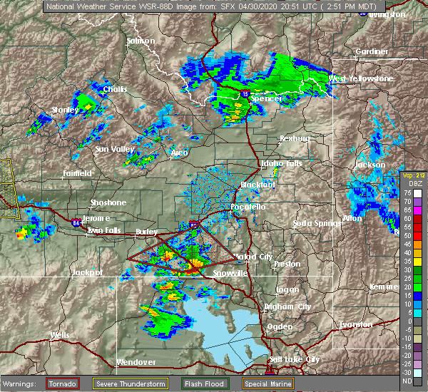
| 4/30/2020 6:25 PM MDT |
 At 624 pm mdt, severe thunderstorms were located along a line extending from near aberdeen to near rockland to 18 miles southeast of cold water rest area, moving east at 40 mph (radar indicated). Hazards include 60 mph wind gusts and up to nickel size hail. Expect damage to roofs, siding, and trees. Locations impacted include, pocatello, american falls, mccammon, american falls reservoir, neeley, chubbuck, aberdeen, inkom, rockland, fort hall bannock creek lodge, pocatello airport, fort hall putnam lodge, cold water rest area, fort hall buffalo lodge, fort hall bannock peak, portneuf gap, fort hall townsite, massacre rocks, mink creek pass and hawkins reservoir. At 624 pm mdt, severe thunderstorms were located along a line extending from near aberdeen to near rockland to 18 miles southeast of cold water rest area, moving east at 40 mph (radar indicated). Hazards include 60 mph wind gusts and up to nickel size hail. Expect damage to roofs, siding, and trees. Locations impacted include, pocatello, american falls, mccammon, american falls reservoir, neeley, chubbuck, aberdeen, inkom, rockland, fort hall bannock creek lodge, pocatello airport, fort hall putnam lodge, cold water rest area, fort hall buffalo lodge, fort hall bannock peak, portneuf gap, fort hall townsite, massacre rocks, mink creek pass and hawkins reservoir.
|
| 4/30/2020 5:59 PM MDT |
 At 558 pm mdt, severe thunderstorms were located along a line extending from 10 miles northeast of minidoka to near lake walcott to near malta, moving east at 45 mph (radar indicated). Hazards include 60 mph wind gusts and nickel size hail. expect damage to roofs, siding, and trees At 558 pm mdt, severe thunderstorms were located along a line extending from 10 miles northeast of minidoka to near lake walcott to near malta, moving east at 45 mph (radar indicated). Hazards include 60 mph wind gusts and nickel size hail. expect damage to roofs, siding, and trees
|
| 4/30/2020 3:11 PM MDT |
 The tornado warning for northwestern oneida, southwestern power and southeastern cassia counties will expire at 315 pm mdt, the tornadic thunderstorm which prompted the warning has weakened. therefore, the warning will be allowed to expire. however hail and gusty winds are still possible with this thunderstorm. The tornado warning for northwestern oneida, southwestern power and southeastern cassia counties will expire at 315 pm mdt, the tornadic thunderstorm which prompted the warning has weakened. therefore, the warning will be allowed to expire. however hail and gusty winds are still possible with this thunderstorm.
|
| 4/30/2020 2:52 PM MDT |
 At 252 pm mdt, a severe thunderstorm capable of producing a tornado was located 11 miles north of holbrook summit, or 19 miles northwest of malad, moving east at 40 mph (radar indicated rotation). Hazards include tornado and two inch hail. Flying debris will be dangerous to those caught without shelter. mobile homes will be damaged or destroyed. damage to roofs, windows, and vehicles will occur. tree damage is likely. Locations impacted include, malta, oakley, rockland, elba, juniper, idahome, sublett reservoir, mt harrison, roy, sweetzer summit, bridge and massacre rocks. At 252 pm mdt, a severe thunderstorm capable of producing a tornado was located 11 miles north of holbrook summit, or 19 miles northwest of malad, moving east at 40 mph (radar indicated rotation). Hazards include tornado and two inch hail. Flying debris will be dangerous to those caught without shelter. mobile homes will be damaged or destroyed. damage to roofs, windows, and vehicles will occur. tree damage is likely. Locations impacted include, malta, oakley, rockland, elba, juniper, idahome, sublett reservoir, mt harrison, roy, sweetzer summit, bridge and massacre rocks.
|
| 4/30/2020 2:27 PM MDT |
 At 226 pm mdt, a severe thunderstorm capable of producing a tornado was located 14 miles east of malta, moving east at 40 mph (radar indicated rotation). Hazards include tornado and hail up to two inches in diameter. wind gusts up to 50 mph. Flying debris will be dangerous to those caught without shelter. mobile homes will be damaged or destroyed. damage to roofs, windows, and vehicles will occur. tree damage is likely. This tornadic thunderstorm will remain over mainly rural areas of northwestern oneida, southwestern power and southeastern cassia counties, including the following locations, idahome, sublett reservoir, mt harrison, roy, sweetzer summit, bridge and massacre rocks. At 226 pm mdt, a severe thunderstorm capable of producing a tornado was located 14 miles east of malta, moving east at 40 mph (radar indicated rotation). Hazards include tornado and hail up to two inches in diameter. wind gusts up to 50 mph. Flying debris will be dangerous to those caught without shelter. mobile homes will be damaged or destroyed. damage to roofs, windows, and vehicles will occur. tree damage is likely. This tornadic thunderstorm will remain over mainly rural areas of northwestern oneida, southwestern power and southeastern cassia counties, including the following locations, idahome, sublett reservoir, mt harrison, roy, sweetzer summit, bridge and massacre rocks.
|
| 10/19/2019 4:04 PM MDT | Mesonet station tr256 sawtooth portable no. in cassia county ID, 13.5 miles NNE of Rockland, ID |
| 6/6/2019 7:23 PM MDT |
 The severe thunderstorm warning for west central bannock, central power, east central cassia and southwestern bingham counties will expire at 730 pm mdt, the storm which prompted the warning is moving out of the area. therefore, the warning will be allowed to expire. a severe thunderstorm watch remains in effect until 1100 pm mdt for southeastern idaho. remember, a new severe thunderstorm warning has been issued as these storms move off to the northeast. The severe thunderstorm warning for west central bannock, central power, east central cassia and southwestern bingham counties will expire at 730 pm mdt, the storm which prompted the warning is moving out of the area. therefore, the warning will be allowed to expire. a severe thunderstorm watch remains in effect until 1100 pm mdt for southeastern idaho. remember, a new severe thunderstorm warning has been issued as these storms move off to the northeast.
|
| 6/6/2019 7:10 PM MDT |
 At 708 pm mdt, a severe thunderstorm was located over neeley to near rockland, moving northeast at 40 mph (radar indicated). Hazards include 60 mph wind gusts. Expect damage to roofs, siding, and trees. Locations impacted include, american falls, neeley, american falls reservoir, aberdeen, rockland, fort hall bannock peak, fort hall bannock creek lodge and massacre rocks. At 708 pm mdt, a severe thunderstorm was located over neeley to near rockland, moving northeast at 40 mph (radar indicated). Hazards include 60 mph wind gusts. Expect damage to roofs, siding, and trees. Locations impacted include, american falls, neeley, american falls reservoir, aberdeen, rockland, fort hall bannock peak, fort hall bannock creek lodge and massacre rocks.
|
| 6/6/2019 6:56 PM MDT |
 At 655 pm mdt, a severe thunderstorm was located over the cold water rest area or 10 miles southwest of neeley, moving northeast at 35 mph (radar indicated). Hazards include 60 mph wind gusts. Expect damage to roofs, siding, and trees. Locations impacted include, american falls, neeley, american falls reservoir, aberdeen, rockland, fort hall bannock peak, cold water rest area, fort hall bannock creek lodge and massacre rocks. At 655 pm mdt, a severe thunderstorm was located over the cold water rest area or 10 miles southwest of neeley, moving northeast at 35 mph (radar indicated). Hazards include 60 mph wind gusts. Expect damage to roofs, siding, and trees. Locations impacted include, american falls, neeley, american falls reservoir, aberdeen, rockland, fort hall bannock peak, cold water rest area, fort hall bannock creek lodge and massacre rocks.
|
| 6/6/2019 6:45 PM MDT |
 At 645 pm mdt, a severe thunderstorm was located near cold water rest area or 16 miles southwest of neeley, moving northeast at 40 mph (radar indicated). Hazards include 60 mph wind gusts. expect damage to roofs, siding, and trees At 645 pm mdt, a severe thunderstorm was located near cold water rest area or 16 miles southwest of neeley, moving northeast at 40 mph (radar indicated). Hazards include 60 mph wind gusts. expect damage to roofs, siding, and trees
|
| 6/6/2019 3:25 PM MDT |
 The severe thunderstorm warning for southwestern power and northeastern cassia counties will expire at 330 pm mdt, the storm which prompted the warning is moving out of the area. a new warning has been issued to replace it as the storm moves north of i 86. a severe thunderstorm watch remains in effect until 1100 pm mdt for southeastern idaho. to report severe weather, contact your nearest law enforcement agency. they will relay your report to the national weather service pocatello. The severe thunderstorm warning for southwestern power and northeastern cassia counties will expire at 330 pm mdt, the storm which prompted the warning is moving out of the area. a new warning has been issued to replace it as the storm moves north of i 86. a severe thunderstorm watch remains in effect until 1100 pm mdt for southeastern idaho. to report severe weather, contact your nearest law enforcement agency. they will relay your report to the national weather service pocatello.
|
| 6/6/2019 3:07 PM MDT |
 At 306 pm mdt, a severe thunderstorm was located near cold water rest area or 14 miles southeast of lake walcott, moving northeast at 55 mph. another potentially severe thunderstorm was located just north of the cold water rest area (radar indicated). Hazards include 60 mph wind gusts and half dollar size hail. Hail damage to vehicles is expected. expect wind damage to roofs, siding, and trees. Locations impacted include, rockland, cold water rest area and massacre rocks. At 306 pm mdt, a severe thunderstorm was located near cold water rest area or 14 miles southeast of lake walcott, moving northeast at 55 mph. another potentially severe thunderstorm was located just north of the cold water rest area (radar indicated). Hazards include 60 mph wind gusts and half dollar size hail. Hail damage to vehicles is expected. expect wind damage to roofs, siding, and trees. Locations impacted include, rockland, cold water rest area and massacre rocks.
|
| 6/6/2019 2:55 PM MDT |
 At 254 pm mdt, a severe thunderstorm was located 10 miles northeast of malta, moving northeast at 55 mph (radar indicated). Hazards include 60 mph wind gusts and quarter size hail. Hail damage to vehicles is expected. expect wind damage to roofs, siding, and trees. Locations impacted include, malta, rockland, cold water rest area, massacre rocks, sublett reservoir and idahome. At 254 pm mdt, a severe thunderstorm was located 10 miles northeast of malta, moving northeast at 55 mph (radar indicated). Hazards include 60 mph wind gusts and quarter size hail. Hail damage to vehicles is expected. expect wind damage to roofs, siding, and trees. Locations impacted include, malta, rockland, cold water rest area, massacre rocks, sublett reservoir and idahome.
|
| 6/6/2019 2:42 PM MDT |
 At 242 pm mdt, a severe thunderstorm was located over malta, moving northeast at 55 mph (radar indicated). Hazards include quarter size hail. damage to vehicles is expected At 242 pm mdt, a severe thunderstorm was located over malta, moving northeast at 55 mph (radar indicated). Hazards include quarter size hail. damage to vehicles is expected
|
| 8/22/2018 3:56 PM MDT |
 The severe thunderstorm warning for northwestern oneida, south central bannock, southeastern power and east central cassia counties will expire at 400 pm mdt, the storm which prompted the warning has weakened below severe limits, and no longer poses an immediate threat to life or property. therefore, the warning will be allowed to expire. however small hail, gusty winds and heavy rain are still possible with this thunderstorm. a severe thunderstorm watch remains in effect until 900 pm mdt for southeastern idaho. remember, a severe thunderstorm warning still remains in effect for oneida, bannock, power, and cassia counties. The severe thunderstorm warning for northwestern oneida, south central bannock, southeastern power and east central cassia counties will expire at 400 pm mdt, the storm which prompted the warning has weakened below severe limits, and no longer poses an immediate threat to life or property. therefore, the warning will be allowed to expire. however small hail, gusty winds and heavy rain are still possible with this thunderstorm. a severe thunderstorm watch remains in effect until 900 pm mdt for southeastern idaho. remember, a severe thunderstorm warning still remains in effect for oneida, bannock, power, and cassia counties.
|
| 8/22/2018 3:43 PM MDT | Time estimated from rada in power county ID, 16.4 miles NNW of Rockland, ID |
| 8/22/2018 3:30 PM MDT |
 At 330 pm mdt, a severe thunderstorm was located 9 miles south of rockland or 20 miles south of neeley, moving northeast at 35 mph (radar indicated). Hazards include 60 mph wind gusts and quarter size hail. Hail damage to vehicles is expected. expect wind damage to roofs, siding, and trees. Locations impacted include, rockland, fort hall bannock peak, pauline, arbon, sublett reservoir, roy, mink creek pass and daniels reservoir. At 330 pm mdt, a severe thunderstorm was located 9 miles south of rockland or 20 miles south of neeley, moving northeast at 35 mph (radar indicated). Hazards include 60 mph wind gusts and quarter size hail. Hail damage to vehicles is expected. expect wind damage to roofs, siding, and trees. Locations impacted include, rockland, fort hall bannock peak, pauline, arbon, sublett reservoir, roy, mink creek pass and daniels reservoir.
|
| 8/22/2018 3:12 PM MDT |
 The national weather service in pocatello has issued a * severe thunderstorm warning for. northwestern oneida county in southeastern idaho. south central bannock county in southeastern idaho. southeastern power county in southeastern idaho. East central cassia county in southeastern idaho. The national weather service in pocatello has issued a * severe thunderstorm warning for. northwestern oneida county in southeastern idaho. south central bannock county in southeastern idaho. southeastern power county in southeastern idaho. East central cassia county in southeastern idaho.
|
| 5/31/2018 5:56 PM MDT |
 The severe thunderstorm warning for southeastern blaine, southwestern power and northeastern cassia counties will expire at 600 pm mdt, the storm which prompted the warning has weakened below severe limits, and no longer poses an immediate threat to life or property. therefore the warning will be allowed to expire. a severe thunderstorm watch remains in effect until 800 pm mdt for central and southeastern idaho. The severe thunderstorm warning for southeastern blaine, southwestern power and northeastern cassia counties will expire at 600 pm mdt, the storm which prompted the warning has weakened below severe limits, and no longer poses an immediate threat to life or property. therefore the warning will be allowed to expire. a severe thunderstorm watch remains in effect until 800 pm mdt for central and southeastern idaho.
|
| 5/31/2018 5:47 PM MDT |
 At 546 pm mdt, a severe thunderstorm was located over cold water rest area or 13 miles east of lake walcott, moving northeast at 45 mph. this storm previously produced gusts to 73 mph (radar indicated). Hazards include 60 mph wind gusts and quarter size hail. Hail damage to vehicles is expected. expect wind damage to roofs, siding, and trees. Locations impacted include, malta, southern lake walcott, rockland, cold water rest area, yale rest area, idahome and massacre rocks. At 546 pm mdt, a severe thunderstorm was located over cold water rest area or 13 miles east of lake walcott, moving northeast at 45 mph. this storm previously produced gusts to 73 mph (radar indicated). Hazards include 60 mph wind gusts and quarter size hail. Hail damage to vehicles is expected. expect wind damage to roofs, siding, and trees. Locations impacted include, malta, southern lake walcott, rockland, cold water rest area, yale rest area, idahome and massacre rocks.
|
| 5/31/2018 5:22 PM MDT |
 At 521 pm mdt, a severe thunderstorm was located near malta, moving northeast at 45 mph (radar indicated). Hazards include 60 mph wind gusts and quarter size hail. Hail damage to vehicles is expected. Expect wind damage to roofs, siding, and trees. At 521 pm mdt, a severe thunderstorm was located near malta, moving northeast at 45 mph (radar indicated). Hazards include 60 mph wind gusts and quarter size hail. Hail damage to vehicles is expected. Expect wind damage to roofs, siding, and trees.
|
| 8/11/2017 8:04 PM MDT | Raws mesonet station tr256. thunderstorm outflow wind in power county ID, 15.8 miles NNE of Rockland, ID |
| 7/8/2017 4:36 PM MDT |
 The severe thunderstorm warning for central power county will expire at 445 pm mdt, the storm which prompted the warning has weakened below severe limits, and no longer poses an immediate threat to life or property. therefore the warning will be allowed to expire. The severe thunderstorm warning for central power county will expire at 445 pm mdt, the storm which prompted the warning has weakened below severe limits, and no longer poses an immediate threat to life or property. therefore the warning will be allowed to expire.
|
| 7/8/2017 3:56 PM MDT |
 At 356 pm mdt, a severe thunderstorm was located over rockland or 12 miles south of neeley, moving north at 15 mph (radar indicated). Hazards include 60 mph wind gusts and quarter size hail. Hail damage to vehicles is expected. Expect wind damage to roofs, siding, and trees. At 356 pm mdt, a severe thunderstorm was located over rockland or 12 miles south of neeley, moving north at 15 mph (radar indicated). Hazards include 60 mph wind gusts and quarter size hail. Hail damage to vehicles is expected. Expect wind damage to roofs, siding, and trees.
|
| 10/2/2016 5:07 PM MDT |
 The severe thunderstorm warning for northwestern oneida, south central power and east central cassia counties will expire at 515 pm mdt, the storm which prompted the warning has weakened below severe limits, and no longer poses an immediate threat to life or property. therefore the warning will be allowed to expire. The severe thunderstorm warning for northwestern oneida, south central power and east central cassia counties will expire at 515 pm mdt, the storm which prompted the warning has weakened below severe limits, and no longer poses an immediate threat to life or property. therefore the warning will be allowed to expire.
|
| 10/2/2016 4:53 PM MDT |
 At 453 pm mdt, doppler radar indicated a severe thunderstorm capable of producing quarter size hail and damaging winds in excess of 60 mph. this storm was located 16 miles south of rockland, or 24 miles east of malta, moving north at 35 mph. locations impacted include, rockland, fort hall bannock peak and roy. At 453 pm mdt, doppler radar indicated a severe thunderstorm capable of producing quarter size hail and damaging winds in excess of 60 mph. this storm was located 16 miles south of rockland, or 24 miles east of malta, moving north at 35 mph. locations impacted include, rockland, fort hall bannock peak and roy.
|
| 10/2/2016 4:37 PM MDT |
 At 437 pm mdt, doppler radar indicated a severe thunderstorm capable of producing quarter size hail and damaging winds in excess of 60 mph. this storm was located 13 miles north of juniper, or 18 miles northwest of snowville, and moving north at 35 mph. At 437 pm mdt, doppler radar indicated a severe thunderstorm capable of producing quarter size hail and damaging winds in excess of 60 mph. this storm was located 13 miles north of juniper, or 18 miles northwest of snowville, and moving north at 35 mph.
|
| 8/29/2015 7:11 PM MDT |
 At 710 pm mdt, doppler radar indicated a severe thunderstorm capable of producing damaging winds in excess of 60 mph. this storm was located near cold water rest area, or 15 miles southwest of neeley, and moving northeast at 25 mph. At 710 pm mdt, doppler radar indicated a severe thunderstorm capable of producing damaging winds in excess of 60 mph. this storm was located near cold water rest area, or 15 miles southwest of neeley, and moving northeast at 25 mph.
|
| 8/5/2015 1:44 PM MDT |
 A severe thunderstorm warning remains in effect until 200 pm mdt for bingham. southwestern jefferson. northwestern bannock. southeastern blaine. northeastern cassia. southeastern butte. western bonneville. power and eastern minidoka counties. at 143 pm mdt. Doppler radar indicated a line of severe thunderstorms capable of producing destructive winds in excess of 70. A severe thunderstorm warning remains in effect until 200 pm mdt for bingham. southwestern jefferson. northwestern bannock. southeastern blaine. northeastern cassia. southeastern butte. western bonneville. power and eastern minidoka counties. at 143 pm mdt. Doppler radar indicated a line of severe thunderstorms capable of producing destructive winds in excess of 70.
|
| 8/5/2015 1:44 PM MDT |
 At 143 pm mdt, doppler radar indicated a line of severe thunderstorms capable of producing destructive winds in excess of 70 mph. these storms were located along a line extending from 18 miles south of southwest inl to 9 miles west of springfield to 10 miles north of cold water rest area, moving east at 50 mph. locations impacted include, pocatello, blackfoot, american falls, lake walcott, american falls reservoir, neeley, chubbuck, aberdeen, rockland, minidoka, atomic city, fort hall buffalo lodge, springfield, fort hall bannock peak, rockford, pingree, fort hall bannock creek lodge and rose. At 143 pm mdt, doppler radar indicated a line of severe thunderstorms capable of producing destructive winds in excess of 70 mph. these storms were located along a line extending from 18 miles south of southwest inl to 9 miles west of springfield to 10 miles north of cold water rest area, moving east at 50 mph. locations impacted include, pocatello, blackfoot, american falls, lake walcott, american falls reservoir, neeley, chubbuck, aberdeen, rockland, minidoka, atomic city, fort hall buffalo lodge, springfield, fort hall bannock peak, rockford, pingree, fort hall bannock creek lodge and rose.
|
| 8/5/2015 1:30 PM MDT |
 At 129 pm mdt, doppler radar indicated a line of severe thunderstorms capable of producing winds in excess of 70 mph. these storms were located along a line extending from 19 miles southeast of craters of the moon to 14 miles northwest of aberdeen to near lake walcott, moving northeast at 45 mph. locations impacted include, pocatello, blackfoot, rupert, american falls, lake walcott, american falls reservoir, neeley, chubbuck, aberdeen, rockland, minidoka, atomic city, fort hall buffalo lodge, springfield, fort hall bannock peak, taber, rockford, pingree, fort hall bannock creek lodge and rose. At 129 pm mdt, doppler radar indicated a line of severe thunderstorms capable of producing winds in excess of 70 mph. these storms were located along a line extending from 19 miles southeast of craters of the moon to 14 miles northwest of aberdeen to near lake walcott, moving northeast at 45 mph. locations impacted include, pocatello, blackfoot, rupert, american falls, lake walcott, american falls reservoir, neeley, chubbuck, aberdeen, rockland, minidoka, atomic city, fort hall buffalo lodge, springfield, fort hall bannock peak, taber, rockford, pingree, fort hall bannock creek lodge and rose.
|
| 8/5/2015 1:16 PM MDT |
 At 115 pm mdt, doppler radar indicated a line of severe thunderstorms capable of producing damaging winds in excess of 60 mph. these storms were located along a line extending from 20 miles south of craters of the moon to 18 miles northeast of minidoka to 6 miles west of lake walcott, and moving northeast at 45 mph. At 115 pm mdt, doppler radar indicated a line of severe thunderstorms capable of producing damaging winds in excess of 60 mph. these storms were located along a line extending from 20 miles south of craters of the moon to 18 miles northeast of minidoka to 6 miles west of lake walcott, and moving northeast at 45 mph.
|
| 6/15/2015 6:13 PM MDT |
 At 612 pm mdt, doppler radar indicated a severe thunderstorm capable of producing quarter size hail. this storm was located over fort hall bannock peak, or 9 miles southeast of neeley, moving northeast at 45 mph. a second severe storm is located just southeast of the cold water rest area. locations impacted include, american falls, neeley, rockland, cold water rest area, fort hall bannock peak, massacre rocks and pauline. At 612 pm mdt, doppler radar indicated a severe thunderstorm capable of producing quarter size hail. this storm was located over fort hall bannock peak, or 9 miles southeast of neeley, moving northeast at 45 mph. a second severe storm is located just southeast of the cold water rest area. locations impacted include, american falls, neeley, rockland, cold water rest area, fort hall bannock peak, massacre rocks and pauline.
|
| 6/15/2015 5:58 PM MDT |
 The national weather service in pocatello has issued a * severe thunderstorm warning for. southwestern bingham county in southeastern idaho. northeastern cassia county in southeastern idaho. southern power county in southeastern idaho. Until 645 pm mdt. The national weather service in pocatello has issued a * severe thunderstorm warning for. southwestern bingham county in southeastern idaho. northeastern cassia county in southeastern idaho. southern power county in southeastern idaho. Until 645 pm mdt.
|
| 6/15/2015 5:24 PM MDT |
 At 500 pm mdt, doppler radar indicated a severe thunderstorm capable of producing half dollar size hail and damaging winds in excess of 60 mph. this storm was located near cold water rest area, or 12 miles east of lake walcott. this storm was moving northeast at 20 mph. At 500 pm mdt, doppler radar indicated a severe thunderstorm capable of producing half dollar size hail and damaging winds in excess of 60 mph. this storm was located near cold water rest area, or 12 miles east of lake walcott. this storm was moving northeast at 20 mph.
|
| 6/15/2015 5:01 PM MDT |
 The national weather service in pocatello has issued a * severe thunderstorm warning for. southwestern bingham county in southeastern idaho. west central bannock county in southeastern idaho. southeastern blaine county in central idaho. Northeastern cassia county in southeastern idaho. The national weather service in pocatello has issued a * severe thunderstorm warning for. southwestern bingham county in southeastern idaho. west central bannock county in southeastern idaho. southeastern blaine county in central idaho. Northeastern cassia county in southeastern idaho.
|
| 6/1/2015 2:37 PM MDT | The severe thunderstorm warning for southeastern blaine, northeastern cassia and southwestern power counties will expire at 245 pm mdt, the storm which prompted the warning has weakened below severe limits and exited the warned area. therefore the warning will be allowed to expire. |
| 6/1/2015 2:17 PM MDT | At 217 pm mdt, doppler radar indicated a severe thunderstorm capable of producing quarter size hail and damaging winds in excess of 60 mph. this storm was located near malta, moving northeast at 15 mph. locations impacted include, malta, lake walcott, rockland, cold water rest area, yale rest area, massacre rocks and idahome. |
| 6/1/2015 1:56 PM MDT | At 155 pm mdt, doppler radar indicated a severe thunderstorm capable of producing quarter size hail and damaging winds in excess of 60 mph. this storm was located 8 miles southeast of elba, or 9 miles south of malta, and moving northeast at 15 mph. |
Hail Maps for Rockland, ID


Connect with Interactive Hail Maps