

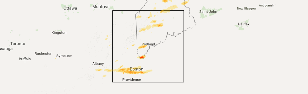
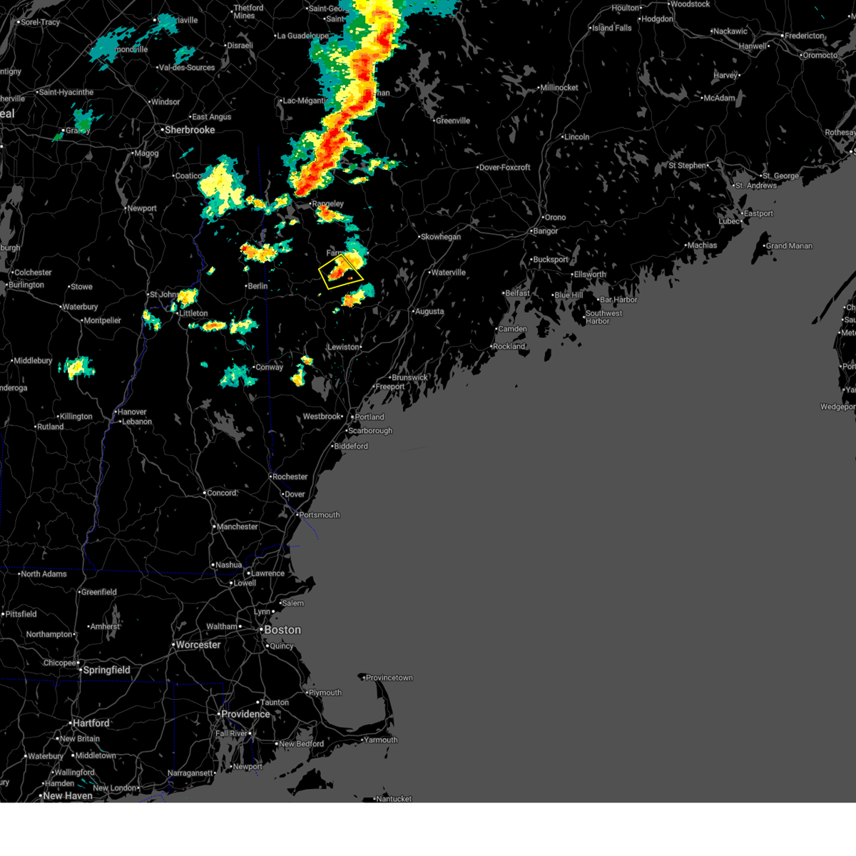
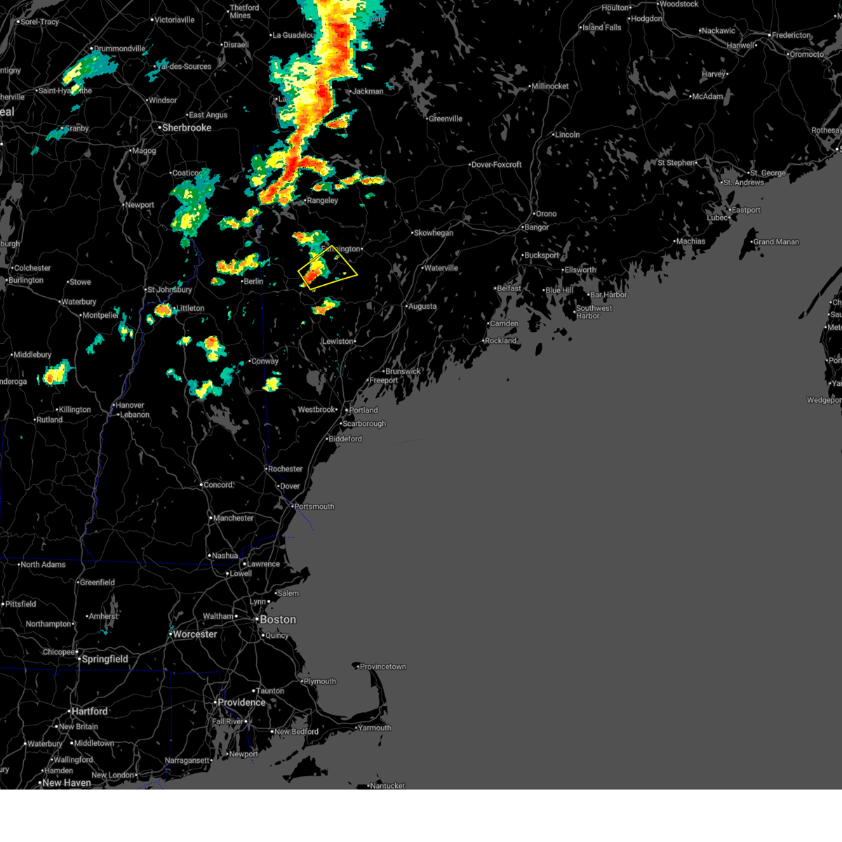
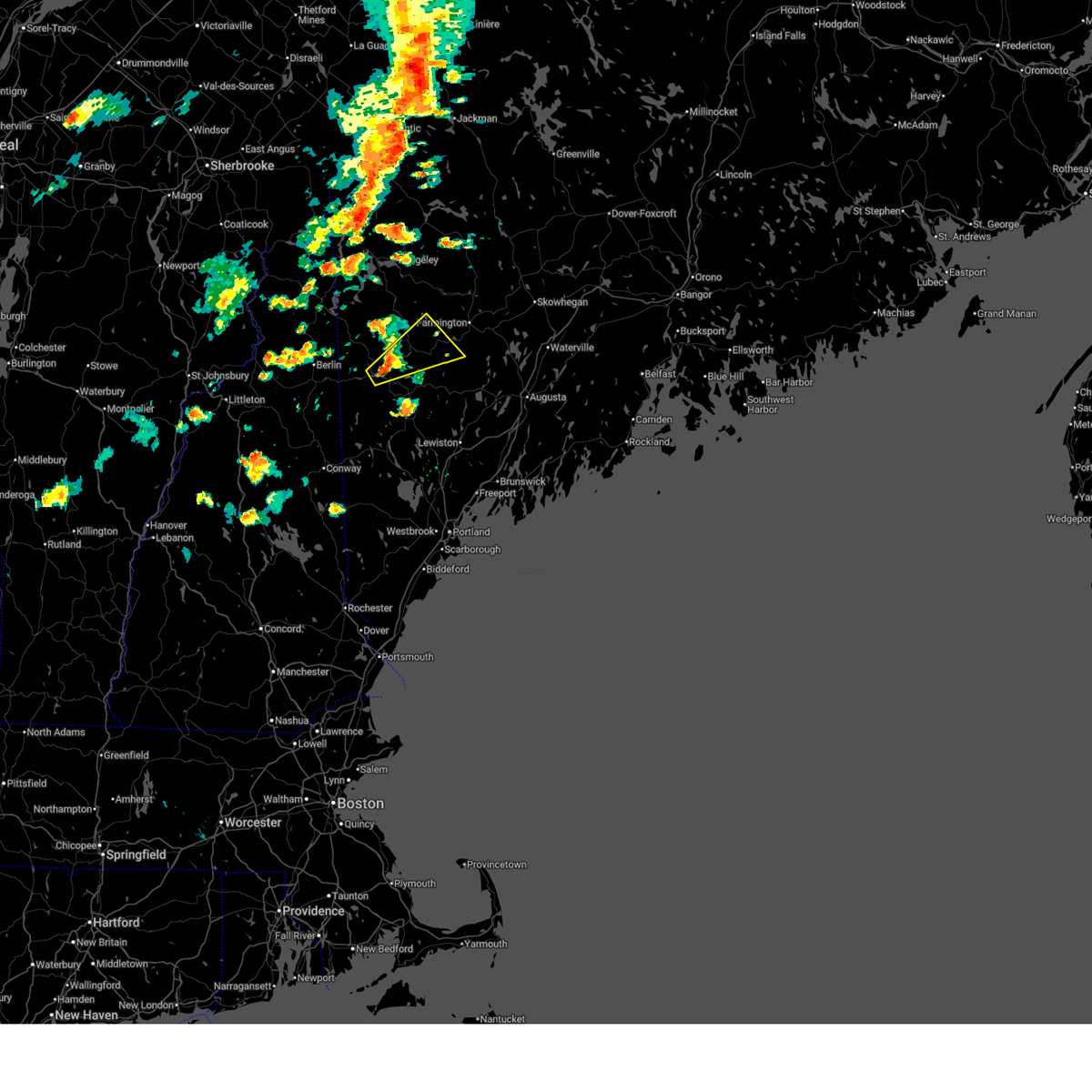
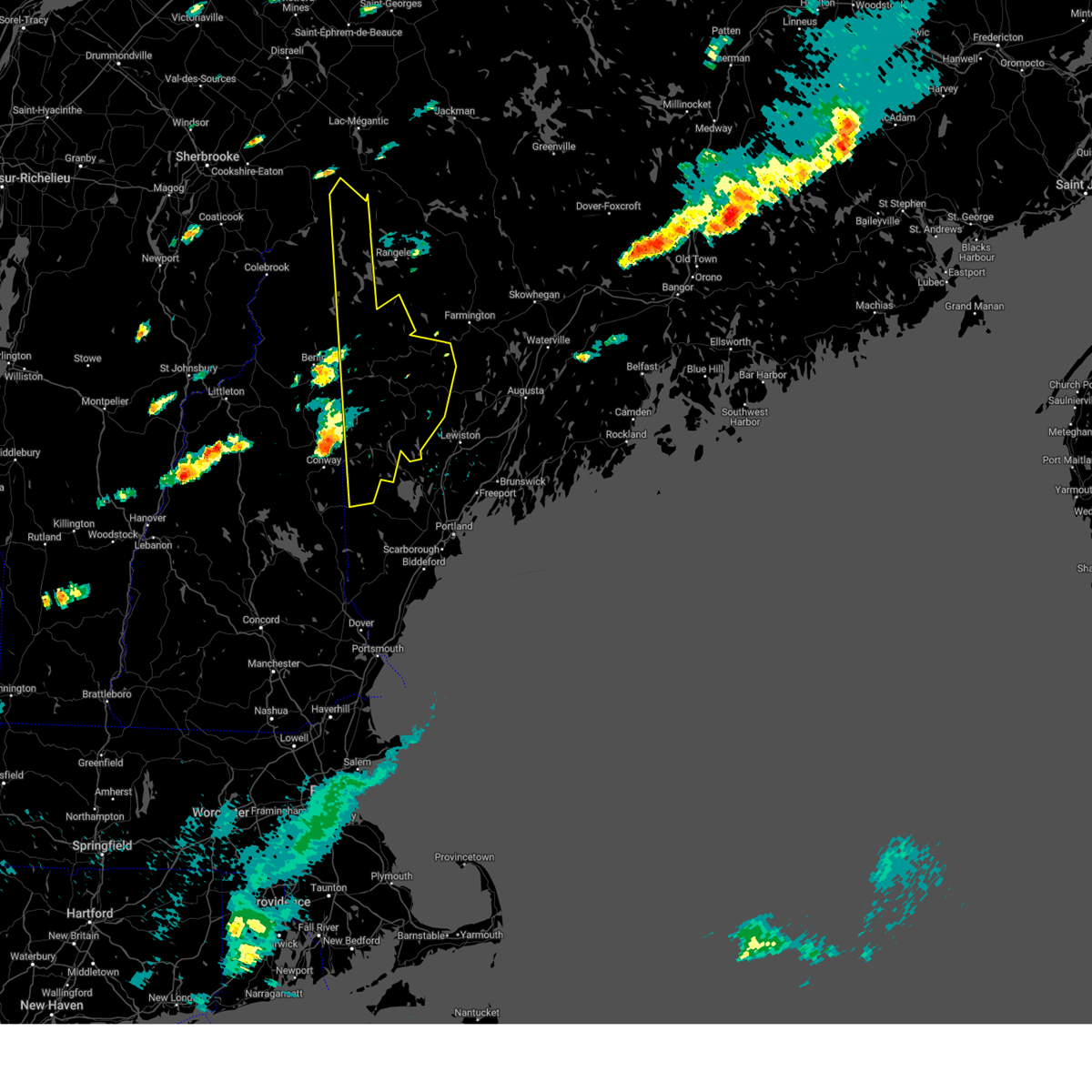
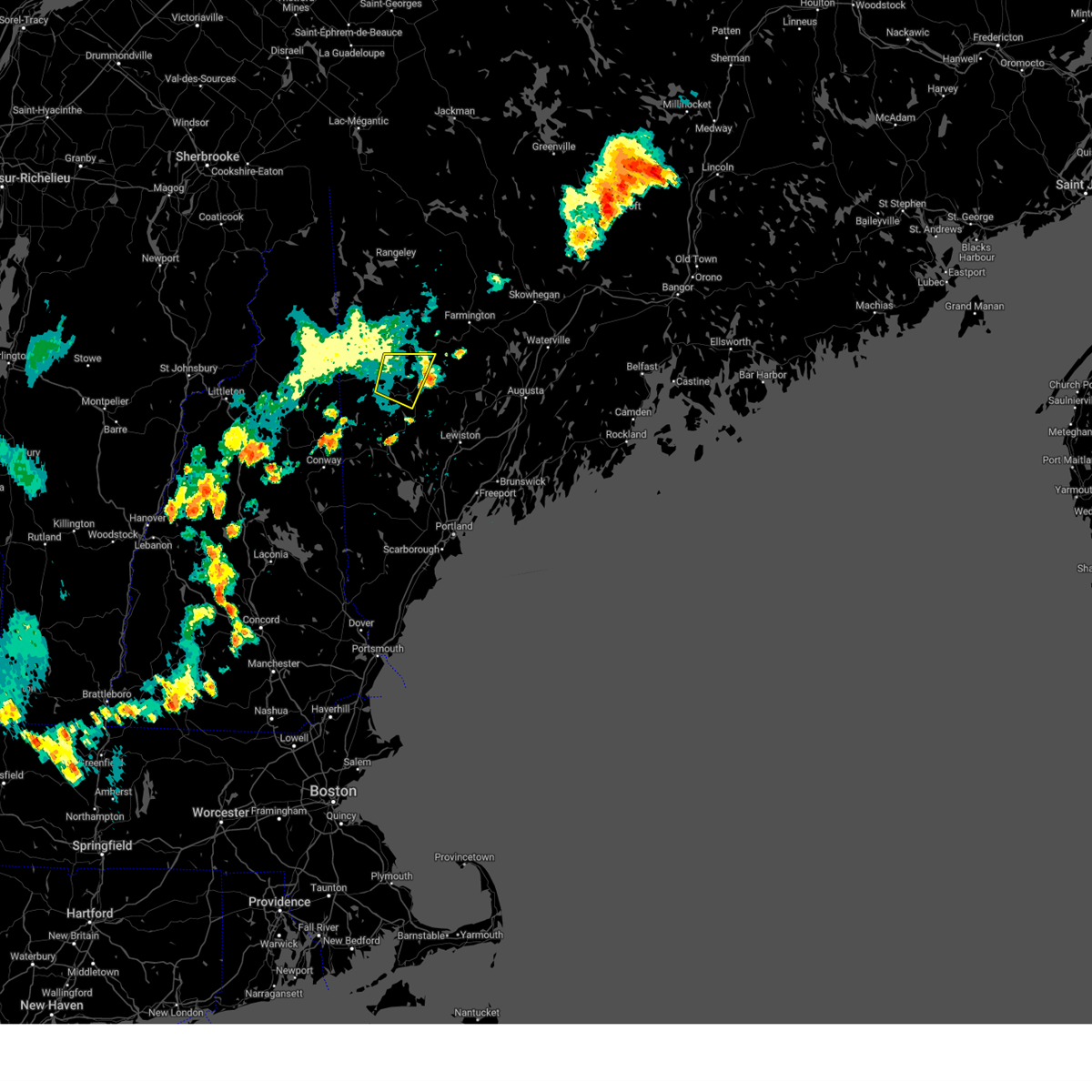
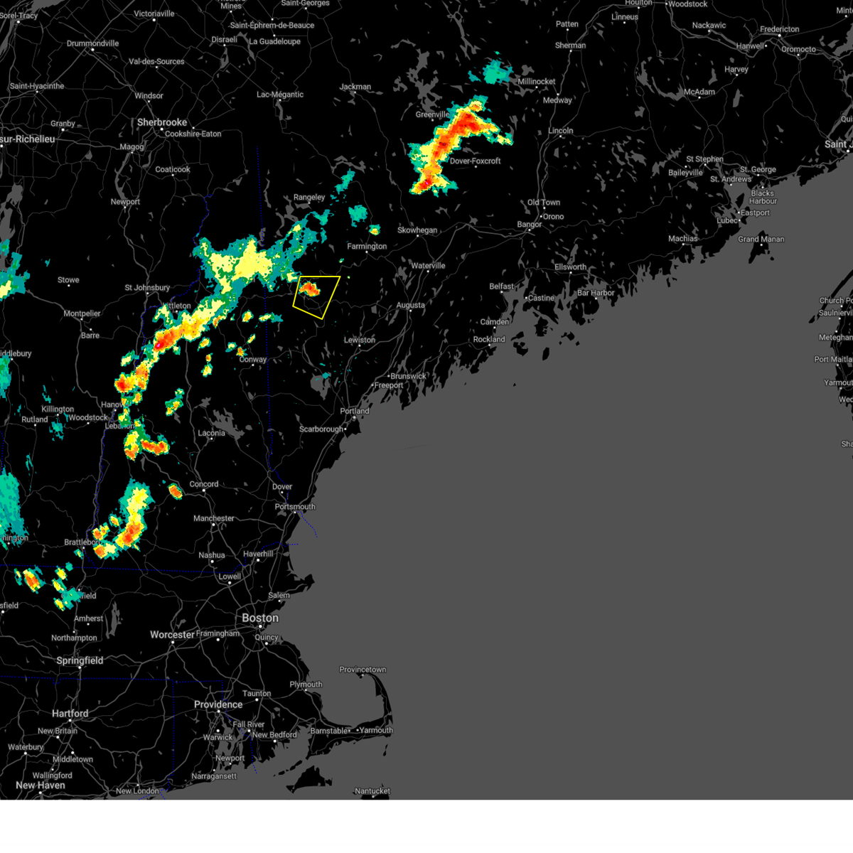
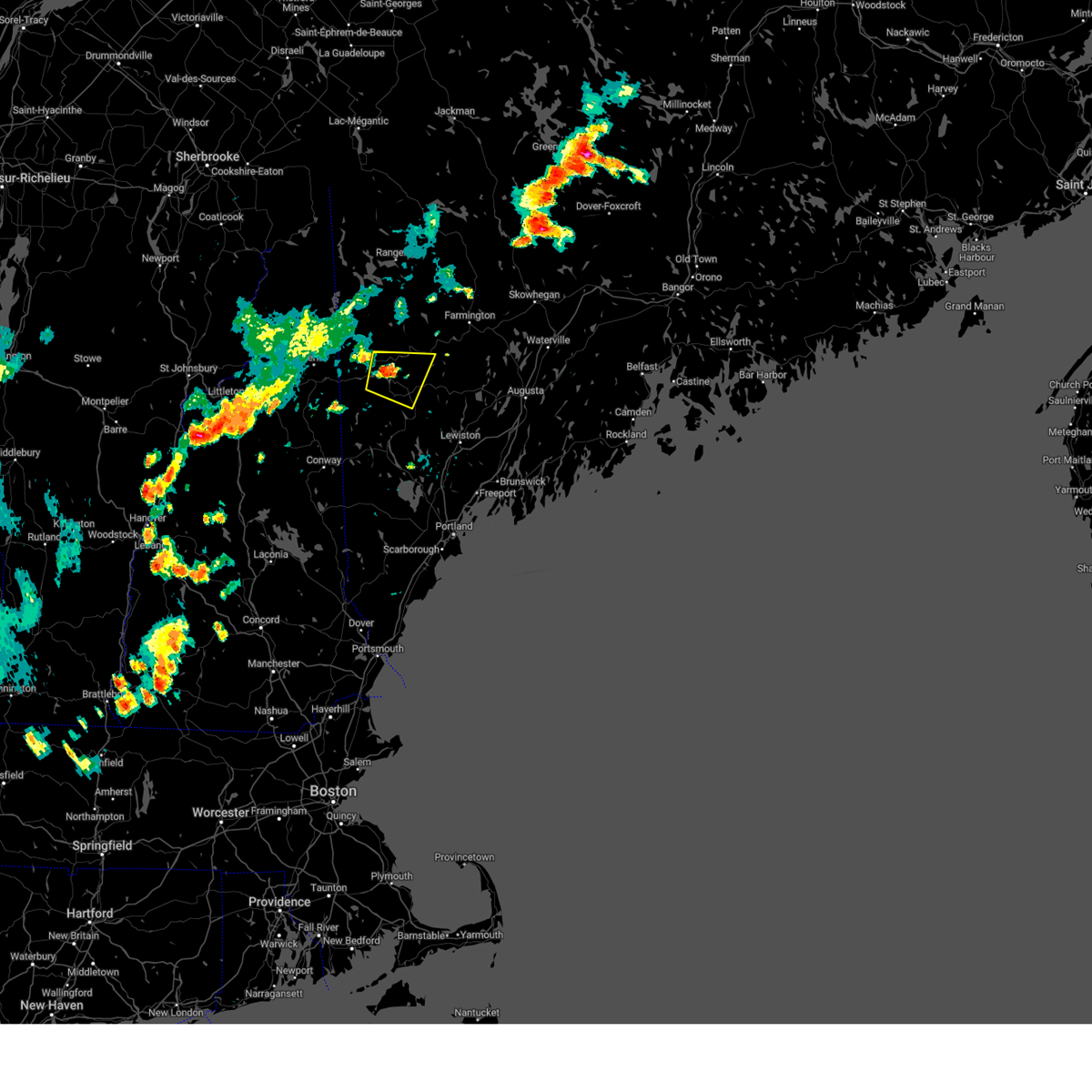
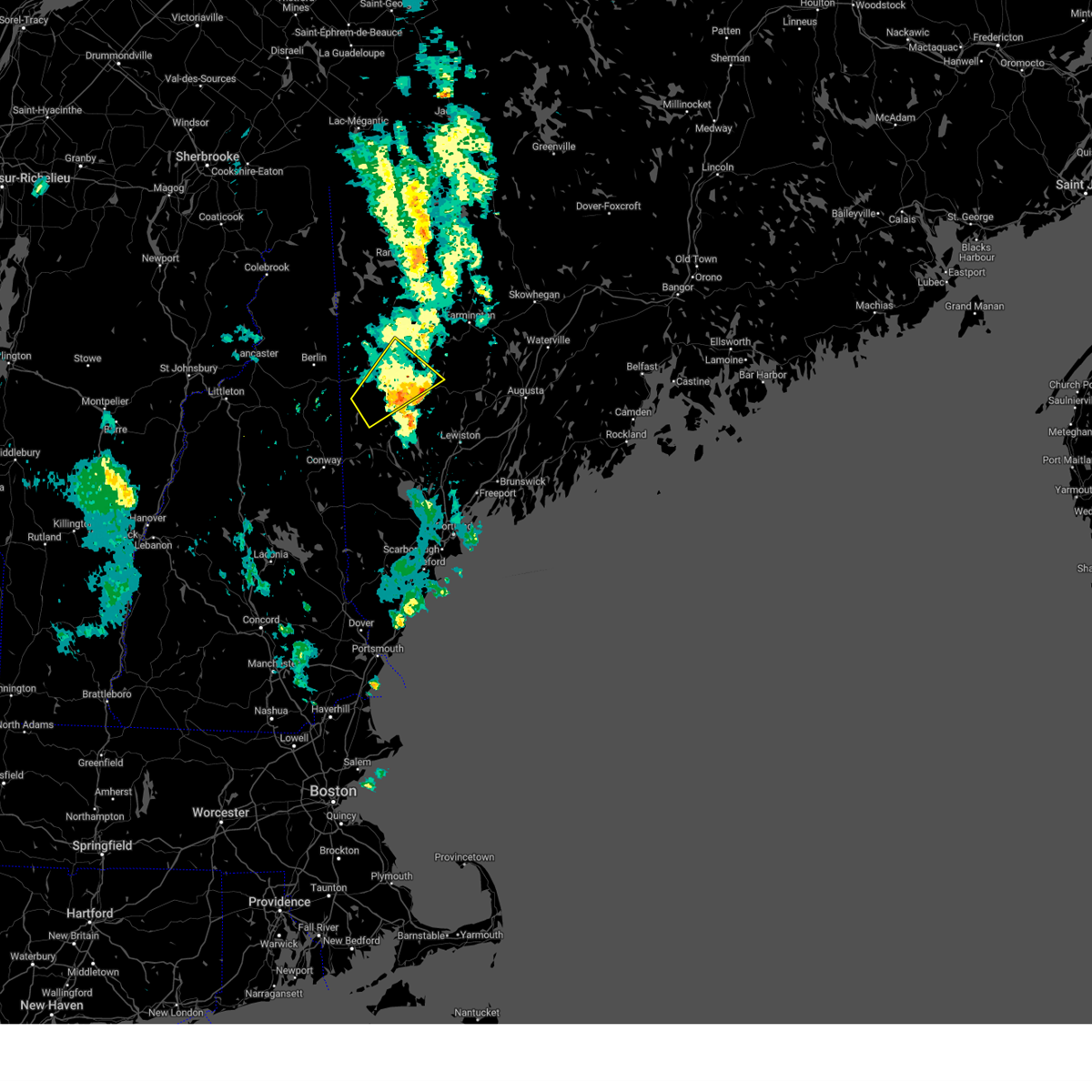
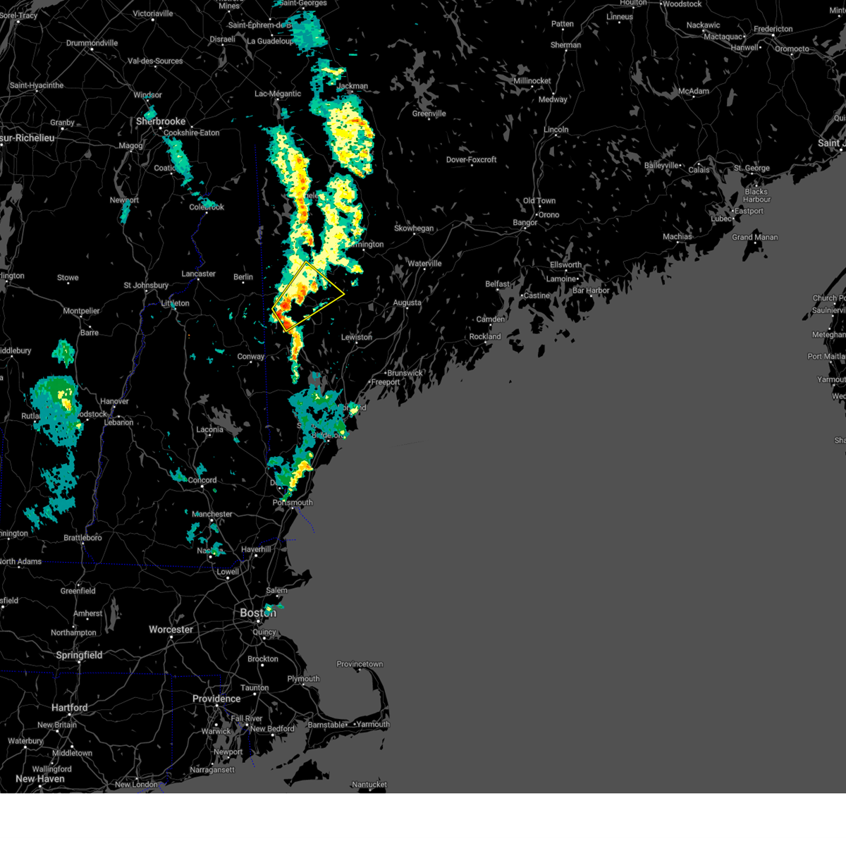
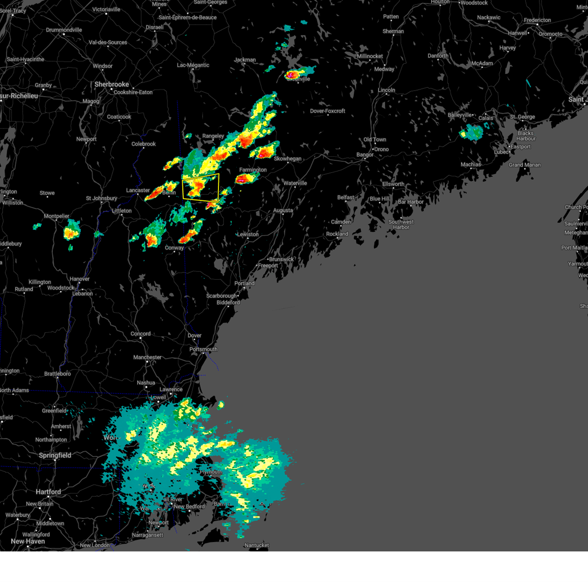
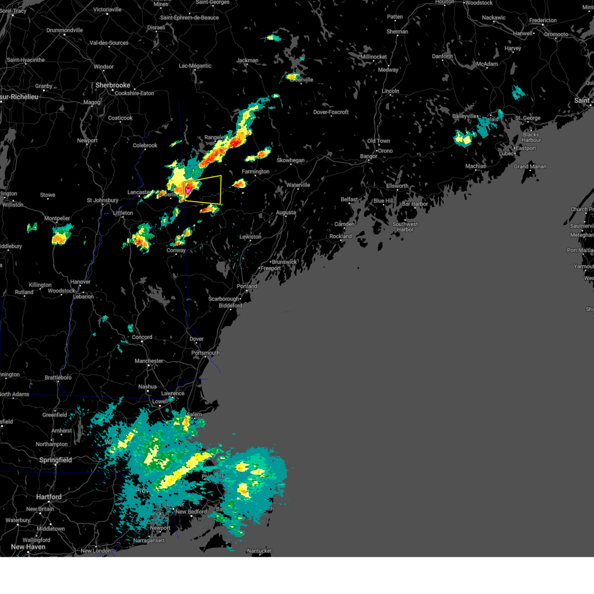
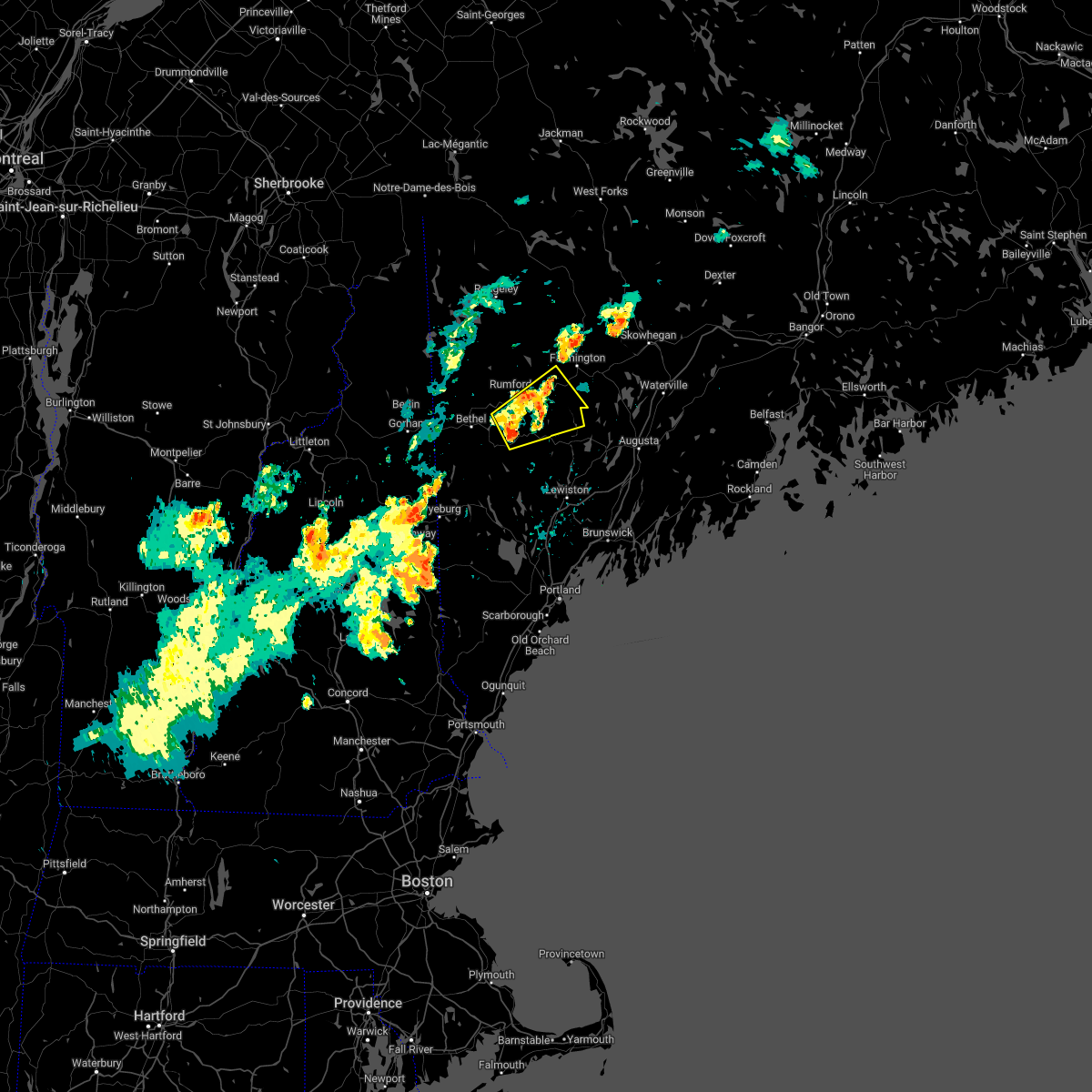
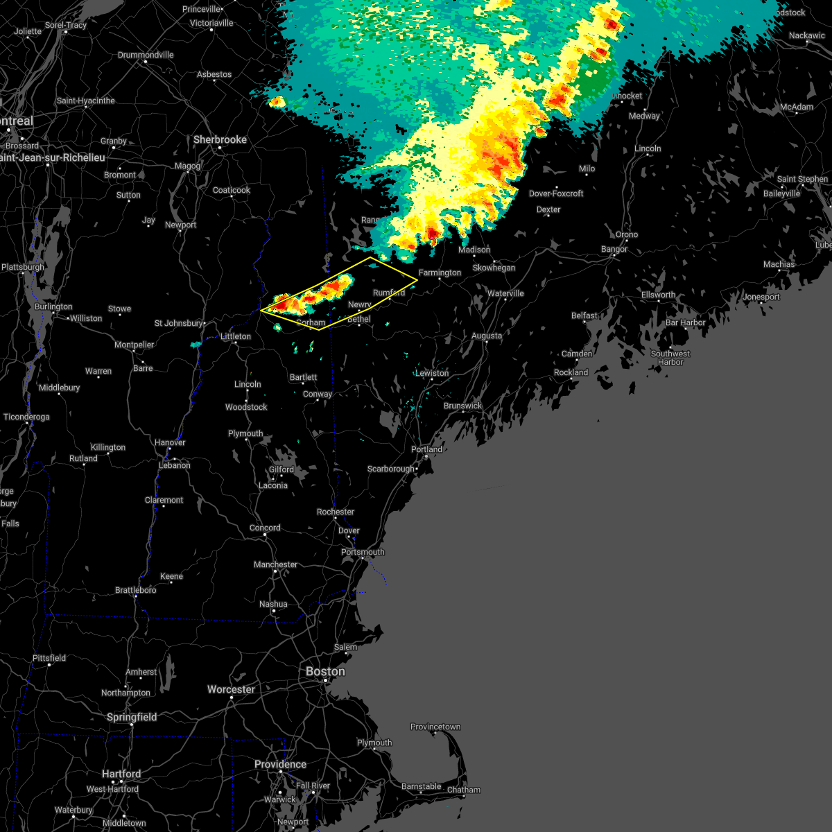
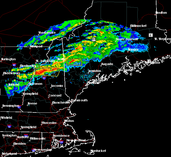
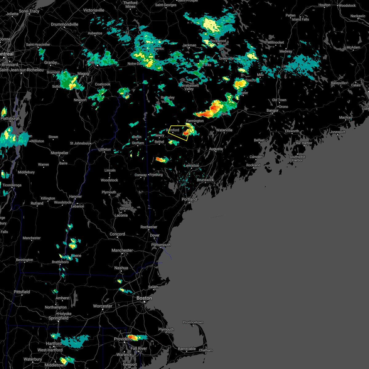
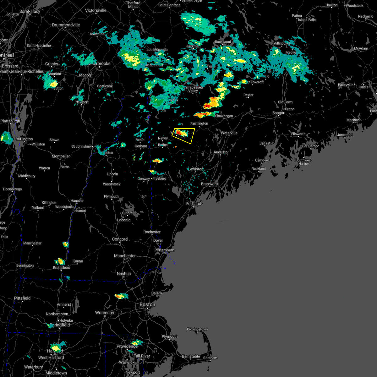
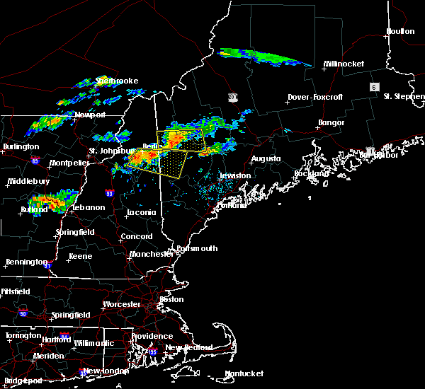
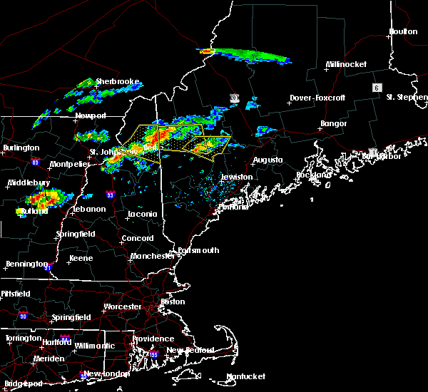
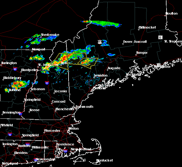
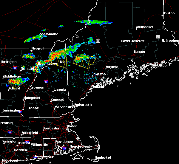
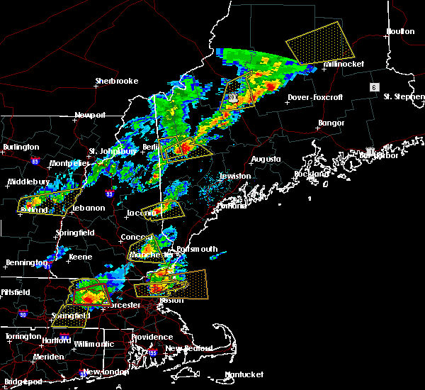
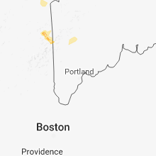
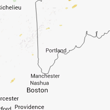
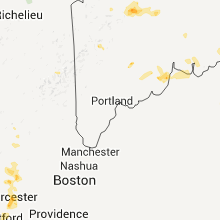
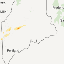
Hail Map for Rumford, ME
The Rumford, ME area has had 12 reports of on-the-ground hail by trained spotters, and has been under severe weather warnings 7 times during the past 12 months. Doppler radar has detected hail at or near Rumford, ME on 13 occasions.
| Name: | Rumford, ME |
| Where Located: | 62.9 miles NNW of Portland, ME |
| Map: | Google Map for Rumford, ME |
| Population: | 4218 |
| Housing Units: | 2461 |
| More Info: | Search Google for Rumford, ME |
5
The Top Recent Hail Date for Rumford, ME is Tuesday, August 4, 2015 (1st out of 13)
Hail and Wind Damage Spotted near Rumford, ME
| Date / Time | Report Details |
|---|---|
| 7/3/2025 12:19 PM EDT |
 the severe thunderstorm warning has been cancelled and is no longer in effect the severe thunderstorm warning has been cancelled and is no longer in effect
|
| 7/3/2025 12:19 PM EDT |
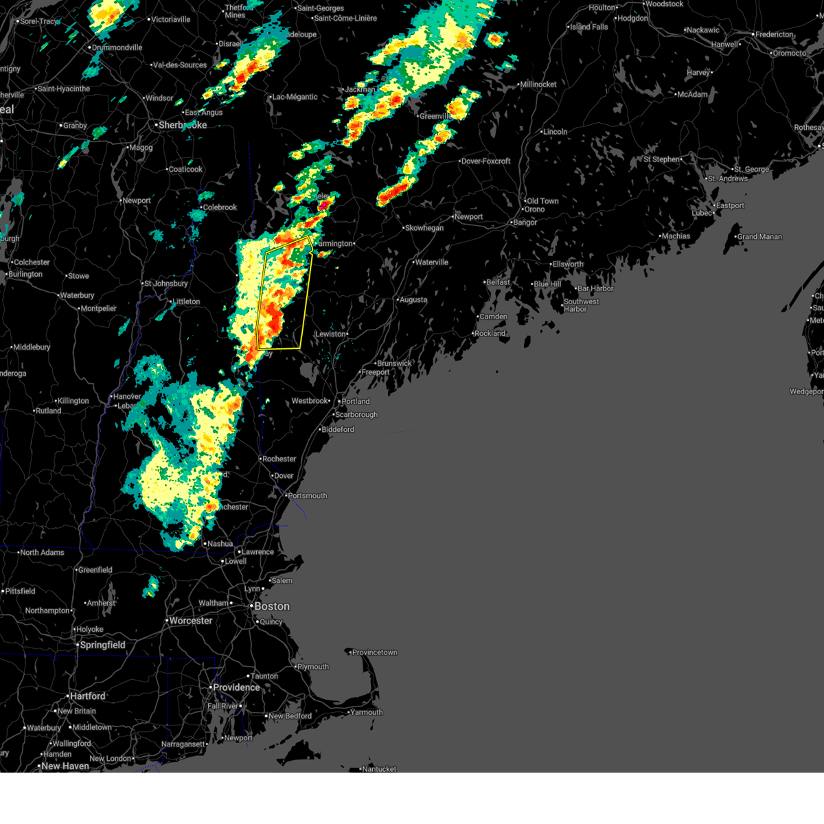
 At 1218 pm edt, severe thunderstorms were located along a line extending from 6 miles north of bethel to fryeburg, moving east at 25 mph (radar indicated). Hazards include 60 mph wind gusts and quarter size hail. Hail damage to vehicles is expected. expect wind damage to roofs, siding, and trees. locations impacted include, hanover, waterford, woodstock, stow, fryeburg, lovell, sweden, andover, stoneham, bethel, albany, greenwood, bridgton, roxbury, rumford, harrison, mason, norway, milton, and gilead. This also includes, speckled mountain, pleasant mountain, long lake, caribou mountain, and screw auger falls. At 1218 pm edt, severe thunderstorms were located along a line extending from 6 miles north of bethel to fryeburg, moving east at 25 mph (radar indicated). Hazards include 60 mph wind gusts and quarter size hail. Hail damage to vehicles is expected. expect wind damage to roofs, siding, and trees. locations impacted include, hanover, waterford, woodstock, stow, fryeburg, lovell, sweden, andover, stoneham, bethel, albany, greenwood, bridgton, roxbury, rumford, harrison, mason, norway, milton, and gilead. This also includes, speckled mountain, pleasant mountain, long lake, caribou mountain, and screw auger falls.
|
| 7/3/2025 11:44 AM EDT |
 Svrgyx the national weather service in gray maine has issued a * severe thunderstorm warning for, southwestern oxford county in western maine, northwestern cumberland county in southwestern maine, southeastern coos county in northern new hampshire, northeastern carroll county in northern new hampshire, * until 1245 pm edt. * at 1144 am edt, severe thunderstorms were located along a line extending from 8 miles southwest of grafton to near conway, moving east at 25 mph (radar indicated). Hazards include 60 mph wind gusts and penny size hail. expect damage to roofs, siding, and trees Svrgyx the national weather service in gray maine has issued a * severe thunderstorm warning for, southwestern oxford county in western maine, northwestern cumberland county in southwestern maine, southeastern coos county in northern new hampshire, northeastern carroll county in northern new hampshire, * until 1245 pm edt. * at 1144 am edt, severe thunderstorms were located along a line extending from 8 miles southwest of grafton to near conway, moving east at 25 mph (radar indicated). Hazards include 60 mph wind gusts and penny size hail. expect damage to roofs, siding, and trees
|
| 6/19/2025 6:55 PM EDT |
 The storm which prompted the warning has weakened below severe limits, and no longer poses an immediate threat to life or property. therefore, the warning will be allowed to expire. however, heavy rain is still possible with this thunderstorm. a severe thunderstorm watch remains in effect until 1100 pm edt for western maine. The storm which prompted the warning has weakened below severe limits, and no longer poses an immediate threat to life or property. therefore, the warning will be allowed to expire. however, heavy rain is still possible with this thunderstorm. a severe thunderstorm watch remains in effect until 1100 pm edt for western maine.
|
| 6/19/2025 6:40 PM EDT |
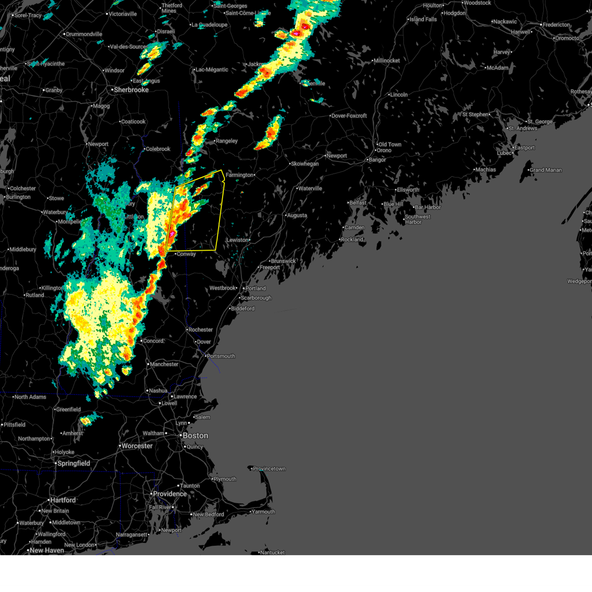
 At 640 pm edt, a severe thunderstorm was located over dixfield, or 9 miles east of rumford, moving east at 30 mph (radar indicated). Hazards include 60 mph wind gusts and quarter size hail. Hail damage to vehicles is expected. expect wind damage to roofs, siding, and trees. Locations impacted include, carthage, dixfield, mexico, peru, jay, perkins, town of washington, canton, wilton, and rumford. At 640 pm edt, a severe thunderstorm was located over dixfield, or 9 miles east of rumford, moving east at 30 mph (radar indicated). Hazards include 60 mph wind gusts and quarter size hail. Hail damage to vehicles is expected. expect wind damage to roofs, siding, and trees. Locations impacted include, carthage, dixfield, mexico, peru, jay, perkins, town of washington, canton, wilton, and rumford.
|
| 6/19/2025 6:25 PM EDT |
 At 625 pm edt, a severe thunderstorm was located near rumford, moving northeast at 35 mph (radar indicated). Hazards include 60 mph wind gusts and quarter size hail. Hail damage to vehicles is expected. expect wind damage to roofs, siding, and trees. locations impacted include, carthage, rumford, dixfield, mexico, milton, peru, jay, perkins, town of washington, canton, woodstock, wilton, roxbury, and weld. This also includes, mount zircon. At 625 pm edt, a severe thunderstorm was located near rumford, moving northeast at 35 mph (radar indicated). Hazards include 60 mph wind gusts and quarter size hail. Hail damage to vehicles is expected. expect wind damage to roofs, siding, and trees. locations impacted include, carthage, rumford, dixfield, mexico, milton, peru, jay, perkins, town of washington, canton, woodstock, wilton, roxbury, and weld. This also includes, mount zircon.
|
| 6/19/2025 6:11 PM EDT |
 Svrgyx the national weather service in gray maine has issued a * severe thunderstorm warning for, central oxford county in western maine, south central franklin county in western maine, * until 700 pm edt. * at 611 pm edt, a severe thunderstorm was located near bethel, moving northeast at 35 mph (radar indicated). Hazards include 60 mph wind gusts and quarter size hail. Hail damage to vehicles is expected. Expect wind damage to roofs, siding, and trees. Svrgyx the national weather service in gray maine has issued a * severe thunderstorm warning for, central oxford county in western maine, south central franklin county in western maine, * until 700 pm edt. * at 611 pm edt, a severe thunderstorm was located near bethel, moving northeast at 35 mph (radar indicated). Hazards include 60 mph wind gusts and quarter size hail. Hail damage to vehicles is expected. Expect wind damage to roofs, siding, and trees.
|
| 6/30/2024 3:19 PM EDT |
 Svrgyx the national weather service in gray maine has issued a * severe thunderstorm warning for, oxford county in western maine, northwestern cumberland county in southwestern maine, * until 345 pm edt. * at 318 pm edt, a severe thunderstorm was located near fryeburg, moving east at 45 mph (radar indicated). Hazards include 60 mph wind gusts and penny size hail. expect damage to roofs, siding, and trees Svrgyx the national weather service in gray maine has issued a * severe thunderstorm warning for, oxford county in western maine, northwestern cumberland county in southwestern maine, * until 345 pm edt. * at 318 pm edt, a severe thunderstorm was located near fryeburg, moving east at 45 mph (radar indicated). Hazards include 60 mph wind gusts and penny size hail. expect damage to roofs, siding, and trees
|
| 6/19/2024 4:29 PM EDT |
 The severe thunderstorm which prompted the warning has weakened. therefore, the warning will be allowed to expire. The severe thunderstorm which prompted the warning has weakened. therefore, the warning will be allowed to expire.
|
| 6/19/2024 4:03 PM EDT |
 At 403 pm edt, a severe thunderstorm was located 8 miles south of rumford, moving east at 15 mph (radar indicated). Hazards include 60 mph wind gusts and quarter size hail. Hail damage to vehicles is expected. expect wind damage to roofs, siding, and trees. locations impacted include, bethel, rumford, dixfield, greenwood, hanover, west paris, woodstock, milton, peru, sumner, albany, paris, and norway. This also includes, mount zircon. At 403 pm edt, a severe thunderstorm was located 8 miles south of rumford, moving east at 15 mph (radar indicated). Hazards include 60 mph wind gusts and quarter size hail. Hail damage to vehicles is expected. expect wind damage to roofs, siding, and trees. locations impacted include, bethel, rumford, dixfield, greenwood, hanover, west paris, woodstock, milton, peru, sumner, albany, paris, and norway. This also includes, mount zircon.
|
| 6/19/2024 3:48 PM EDT |
 Svrgyx the national weather service in gray maine has issued a * severe thunderstorm warning for, central oxford county in western maine, * until 430 pm edt. * at 347 pm edt, a severe thunderstorm was located near bethel, moving east at 20 mph (radar indicated). Hazards include 70 mph wind gusts and quarter size hail. Hail damage to vehicles is expected. expect considerable tree damage. Wind damage is also likely to mobile homes, roofs, and outbuildings. Svrgyx the national weather service in gray maine has issued a * severe thunderstorm warning for, central oxford county in western maine, * until 430 pm edt. * at 347 pm edt, a severe thunderstorm was located near bethel, moving east at 20 mph (radar indicated). Hazards include 70 mph wind gusts and quarter size hail. Hail damage to vehicles is expected. expect considerable tree damage. Wind damage is also likely to mobile homes, roofs, and outbuildings.
|
| 6/7/2024 7:13 PM EDT |
 the severe thunderstorm warning has been cancelled and is no longer in effect the severe thunderstorm warning has been cancelled and is no longer in effect
|
| 6/7/2024 6:44 PM EDT |
 Svrgyx the national weather service in gray maine has issued a * severe thunderstorm warning for, central oxford county in western maine, * until 730 pm edt. * at 644 pm edt, a severe thunderstorm was located 7 miles south of bethel, moving northeast at 35 mph (radar indicated). Hazards include 60 mph wind gusts and quarter size hail. Hail damage to vehicles is expected. Expect wind damage to roofs, siding, and trees. Svrgyx the national weather service in gray maine has issued a * severe thunderstorm warning for, central oxford county in western maine, * until 730 pm edt. * at 644 pm edt, a severe thunderstorm was located 7 miles south of bethel, moving northeast at 35 mph (radar indicated). Hazards include 60 mph wind gusts and quarter size hail. Hail damage to vehicles is expected. Expect wind damage to roofs, siding, and trees.
|
| 5/23/2024 1:07 PM EDT |
 The storm which prompted the warning has weakened below severe limits, and no longer poses an immediate threat to life or property. therefore, the warning will be allowed to expire. however, gusty winds and heavy rain are still possible with this thunderstorm. a severe thunderstorm watch remains in effect until 700 pm edt for western maine. The storm which prompted the warning has weakened below severe limits, and no longer poses an immediate threat to life or property. therefore, the warning will be allowed to expire. however, gusty winds and heavy rain are still possible with this thunderstorm. a severe thunderstorm watch remains in effect until 700 pm edt for western maine.
|
| 5/23/2024 12:42 PM EDT |
 Svrgyx the national weather service in gray maine has issued a * severe thunderstorm warning for, west central oxford county in western maine, * until 115 pm edt. * at 1242 pm edt, a severe thunderstorm was located near grafton, or 11 miles northwest of bethel, moving east at 30 mph (radar indicated). Hazards include 60 mph wind gusts and quarter size hail. Hail damage to vehicles is expected. Expect wind damage to roofs, siding, and trees. Svrgyx the national weather service in gray maine has issued a * severe thunderstorm warning for, west central oxford county in western maine, * until 115 pm edt. * at 1242 pm edt, a severe thunderstorm was located near grafton, or 11 miles northwest of bethel, moving east at 30 mph (radar indicated). Hazards include 60 mph wind gusts and quarter size hail. Hail damage to vehicles is expected. Expect wind damage to roofs, siding, and trees.
|
| 12/23/2022 5:54 PM EST | Tree and wires down... us 2 closed in bethel... by sunday river road. time estimated by rada in oxford county ME, 13.5 miles ENE of Rumford, ME |
| 8/4/2022 8:47 PM EDT |
 At 847 pm edt, a severe thunderstorm was located 9 miles south of dixfield, or 10 miles south of rumford, moving northeast at 25 mph (radar indicated). Hazards include 60 mph wind gusts and quarter size hail. Hail damage to vehicles is expected. Expect wind damage to roofs, siding, and trees. At 847 pm edt, a severe thunderstorm was located 9 miles south of dixfield, or 10 miles south of rumford, moving northeast at 25 mph (radar indicated). Hazards include 60 mph wind gusts and quarter size hail. Hail damage to vehicles is expected. Expect wind damage to roofs, siding, and trees.
|
| 5/21/2022 8:16 PM EDT |
 At 816 pm edt, severe thunderstorms were located along a line extending from grafton to near berlin to near lancaster, moving east at 25 mph (radar indicated). Hazards include 60 mph wind gusts and half dollar size hail. Hail damage to vehicles is expected. Expect wind damage to roofs, siding, and trees. At 816 pm edt, severe thunderstorms were located along a line extending from grafton to near berlin to near lancaster, moving east at 25 mph (radar indicated). Hazards include 60 mph wind gusts and half dollar size hail. Hail damage to vehicles is expected. Expect wind damage to roofs, siding, and trees.
|
| 9/15/2021 3:42 PM EDT | Tree down across east andover road in andover me. time estimated based on rada in oxford county ME, 10.8 miles SE of Rumford, ME |
| 10/10/2020 7:55 PM EDT | Quarter sized hail reported 14.2 miles NE of Rumford, ME |
| 10/10/2020 7:48 PM EDT |
 At 748 pm edt, a severe thunderstorm was located near bethel, moving east at 60 mph (radar indicated). Hazards include 60 mph wind gusts and quarter size hail. Hail damage to vehicles is expected. expect wind damage to roofs, siding, and trees. locations impacted include, bethel, rumford, dixfield, andover, mexico, hartford, greenwood, hanover, gilead, woodstock, sumner, milton, newry, peru, riley, mason, west paris and albany. This also includes, mount zircon. At 748 pm edt, a severe thunderstorm was located near bethel, moving east at 60 mph (radar indicated). Hazards include 60 mph wind gusts and quarter size hail. Hail damage to vehicles is expected. expect wind damage to roofs, siding, and trees. locations impacted include, bethel, rumford, dixfield, andover, mexico, hartford, greenwood, hanover, gilead, woodstock, sumner, milton, newry, peru, riley, mason, west paris and albany. This also includes, mount zircon.
|
| 10/10/2020 7:27 PM EDT |
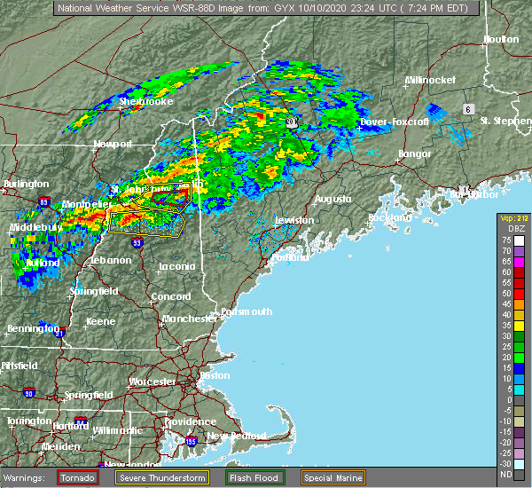 At 727 pm edt, a severe thunderstorm was located over berlin, moving east at 55 mph (radar indicated). Hazards include 60 mph wind gusts and quarter size hail. Hail damage to vehicles is expected. Expect wind damage to roofs, siding, and trees. At 727 pm edt, a severe thunderstorm was located over berlin, moving east at 55 mph (radar indicated). Hazards include 60 mph wind gusts and quarter size hail. Hail damage to vehicles is expected. Expect wind damage to roofs, siding, and trees.
|
| 8/24/2020 1:41 PM EDT |
 The severe thunderstorm warning for east central oxford and south central franklin counties will expire at 145 pm edt, the storm which prompted the warning has moved out of the area. therefore, the warning will be allowed to expire. remember, a severe thunderstorm warning still remains in effect for portions of oxford and franklin counties until 230 pm edt. The severe thunderstorm warning for east central oxford and south central franklin counties will expire at 145 pm edt, the storm which prompted the warning has moved out of the area. therefore, the warning will be allowed to expire. remember, a severe thunderstorm warning still remains in effect for portions of oxford and franklin counties until 230 pm edt.
|
| 8/24/2020 1:06 PM EDT |
 At 106 pm edt, a severe thunderstorm was located over mexico, or over rumford, moving east at 20 mph (radar indicated). Hazards include 60 mph wind gusts and quarter size hail. Hail damage to vehicles is expected. Expect wind damage to roofs, siding, and trees. At 106 pm edt, a severe thunderstorm was located over mexico, or over rumford, moving east at 20 mph (radar indicated). Hazards include 60 mph wind gusts and quarter size hail. Hail damage to vehicles is expected. Expect wind damage to roofs, siding, and trees.
|
| 7/27/2020 6:39 PM EDT |
 At 638 pm edt, a severe thunderstorm was located near rumford, moving east at 30 mph (radar indicated). Hazards include 60 mph wind gusts. expect damage to roofs, siding, and trees At 638 pm edt, a severe thunderstorm was located near rumford, moving east at 30 mph (radar indicated). Hazards include 60 mph wind gusts. expect damage to roofs, siding, and trees
|
| 7/8/2020 4:54 PM EDT |
 At 454 pm edt, severe thunderstorms were located along a line extending from 10 miles east of bingham to 7 miles east of kingfield to 8 miles west of madison to near farmington to near wilton to dixfield to 6 miles southeast of andover, moving east at 55 mph (radar indicated). Hazards include 60 mph wind gusts and quarter size hail. Hail damage to vehicles is expected. Expect wind damage to roofs, siding, and trees. At 454 pm edt, severe thunderstorms were located along a line extending from 10 miles east of bingham to 7 miles east of kingfield to 8 miles west of madison to near farmington to near wilton to dixfield to 6 miles southeast of andover, moving east at 55 mph (radar indicated). Hazards include 60 mph wind gusts and quarter size hail. Hail damage to vehicles is expected. Expect wind damage to roofs, siding, and trees.
|
| 7/8/2020 4:45 PM EDT | Multiple reports of many trees down across town. reported by sheriffs office. time estimated from rada in oxford county ME, 1.1 miles WSW of Rumford, ME |
| 7/8/2020 4:42 PM EDT |
 At 442 pm edt, severe thunderstorms were located along a line extending from 17 miles east of bingham to kingfield to near phillips to near weld to 8 miles east of stratford, moving southeast at 40 mph (radar indicated). Hazards include 60 mph wind gusts and quarter size hail. Hail damage to vehicles is expected. expect wind damage to roofs, siding, and trees. locations impacted include, farmington, rumford, madison, dixfield, kingfield, bingham, andover, carrabassett valley, errol, grafton, phillips, weld, stratford, mexico, wilton, anson, hartland, cornville, athens and harmony. This also includes, umbagog lake state park, kilkenny ridge trail, old speck mountain, sugarloaf mountain, and mount abraham. At 442 pm edt, severe thunderstorms were located along a line extending from 17 miles east of bingham to kingfield to near phillips to near weld to 8 miles east of stratford, moving southeast at 40 mph (radar indicated). Hazards include 60 mph wind gusts and quarter size hail. Hail damage to vehicles is expected. expect wind damage to roofs, siding, and trees. locations impacted include, farmington, rumford, madison, dixfield, kingfield, bingham, andover, carrabassett valley, errol, grafton, phillips, weld, stratford, mexico, wilton, anson, hartland, cornville, athens and harmony. This also includes, umbagog lake state park, kilkenny ridge trail, old speck mountain, sugarloaf mountain, and mount abraham.
|
| 7/8/2020 4:10 PM EDT |
 At 409 pm edt, severe thunderstorms were located along a line extending from 15 miles north of bingham to 8 miles west of carrabassett valley to 6 miles southeast of rangeley to 12 miles east of errol to colebrook, moving southeast at 40 mph (radar indicated). Hazards include 60 mph wind gusts and quarter size hail. Hail damage to vehicles is expected. Expect wind damage to roofs, siding, and trees. At 409 pm edt, severe thunderstorms were located along a line extending from 15 miles north of bingham to 8 miles west of carrabassett valley to 6 miles southeast of rangeley to 12 miles east of errol to colebrook, moving southeast at 40 mph (radar indicated). Hazards include 60 mph wind gusts and quarter size hail. Hail damage to vehicles is expected. Expect wind damage to roofs, siding, and trees.
|
| 7/30/2019 9:21 PM EDT |
 At 920 pm edt, a severe thunderstorm was located 8 miles northwest of waterford, or 10 miles south of bethel, moving northeast at 35 mph (radar indicated). Hazards include 60 mph wind gusts. expect damage to roofs, siding, and trees At 920 pm edt, a severe thunderstorm was located 8 miles northwest of waterford, or 10 miles south of bethel, moving northeast at 35 mph (radar indicated). Hazards include 60 mph wind gusts. expect damage to roofs, siding, and trees
|
| 7/6/2019 2:39 PM EDT |
 At 238 pm edt, severe thunderstorms were located along a line extending from near andover to 7 miles southwest of berlin, moving east at 40 mph (radar indicated). Hazards include 60 mph wind gusts. Expect damage to roofs, siding, and trees. locations impacted include, berlin, lancaster, bethel, rumford, andover, errol, grafton, mexico, gorham, dalton, greenwood, dummer, hanover, gilead, byron, upton, riley, randolph, albany and roxbury. This also includes, umbagog lake state park, speckled mountain, old speck mountain, grafton notch, and evans notch. At 238 pm edt, severe thunderstorms were located along a line extending from near andover to 7 miles southwest of berlin, moving east at 40 mph (radar indicated). Hazards include 60 mph wind gusts. Expect damage to roofs, siding, and trees. locations impacted include, berlin, lancaster, bethel, rumford, andover, errol, grafton, mexico, gorham, dalton, greenwood, dummer, hanover, gilead, byron, upton, riley, randolph, albany and roxbury. This also includes, umbagog lake state park, speckled mountain, old speck mountain, grafton notch, and evans notch.
|
| 7/6/2019 2:39 PM EDT |
 At 215 pm edt, severe thunderstorms were located along a line extending from 7 miles northwest of grafton to 6 miles south of lancaster, moving east at 40 mph (radar indicated). Hazards include 60 mph wind gusts. expect damage to roofs, siding, and trees At 215 pm edt, severe thunderstorms were located along a line extending from 7 miles northwest of grafton to 6 miles south of lancaster, moving east at 40 mph (radar indicated). Hazards include 60 mph wind gusts. expect damage to roofs, siding, and trees
|
| 7/6/2019 2:15 PM EDT |
 At 215 pm edt, severe thunderstorms were located along a line extending from 7 miles northwest of grafton to 6 miles south of lancaster, moving east at 40 mph (radar indicated). Hazards include 60 mph wind gusts. expect damage to roofs, siding, and trees At 215 pm edt, severe thunderstorms were located along a line extending from 7 miles northwest of grafton to 6 miles south of lancaster, moving east at 40 mph (radar indicated). Hazards include 60 mph wind gusts. expect damage to roofs, siding, and trees
|
| 9/3/2018 6:25 PM EDT | Tree limbs and power lines down on me 232. time estimated by rada in oxford county ME, 9.8 miles NNE of Rumford, ME |
| 9/3/2018 5:49 PM EDT |
 At 548 pm edt, a severe thunderstorm was located over andover, or 10 miles northwest of rumford, moving east at 40 mph (radar indicated). Hazards include 60 mph wind gusts and nickel size hail. Expect damage to roofs, siding, and trees. locations impacted include, rumford, dixfield, canton, andover, grafton, weld, mexico, phillips, carthage, hanover, byron, roxbury, south arm, upton, peru, perkins, newry, riley and magalloway plantation. This also includes, old speck mountain, grafton notch, screw auger falls, speck pond, and table rock. At 548 pm edt, a severe thunderstorm was located over andover, or 10 miles northwest of rumford, moving east at 40 mph (radar indicated). Hazards include 60 mph wind gusts and nickel size hail. Expect damage to roofs, siding, and trees. locations impacted include, rumford, dixfield, canton, andover, grafton, weld, mexico, phillips, carthage, hanover, byron, roxbury, south arm, upton, peru, perkins, newry, riley and magalloway plantation. This also includes, old speck mountain, grafton notch, screw auger falls, speck pond, and table rock.
|
| 9/3/2018 5:48 PM EDT | Tree down on s arm rd. time estimated by rada in oxford county ME, 11.9 miles SE of Rumford, ME |
| 9/3/2018 5:48 PM EDT | Tree down on east b hill rd. time estimated by rada in oxford county ME, 13.7 miles ESE of Rumford, ME |
| 9/3/2018 5:24 PM EDT |
 At 524 pm edt, a severe thunderstorm was located 7 miles northwest of grafton, or 16 miles northeast of berlin, moving east at 45 mph (radar indicated). Hazards include 60 mph wind gusts and nickel size hail. expect damage to roofs, siding, and trees At 524 pm edt, a severe thunderstorm was located 7 miles northwest of grafton, or 16 miles northeast of berlin, moving east at 45 mph (radar indicated). Hazards include 60 mph wind gusts and nickel size hail. expect damage to roofs, siding, and trees
|
| 9/3/2018 5:22 PM EDT |
 At 522 pm edt, a severe thunderstorm was located over rumford, moving southeast at 25 mph (radar indicated). Hazards include 60 mph wind gusts and penny size hail. Expect damage to roofs, siding, and trees. Locations impacted include, farmington, rumford, jay, livermore falls, dixfield, canton, wilton, mexico, weld, livermore, chesterville, hartford, carthage, perkins, town of washington, temple, peru, roxbury, new sharon and industry. At 522 pm edt, a severe thunderstorm was located over rumford, moving southeast at 25 mph (radar indicated). Hazards include 60 mph wind gusts and penny size hail. Expect damage to roofs, siding, and trees. Locations impacted include, farmington, rumford, jay, livermore falls, dixfield, canton, wilton, mexico, weld, livermore, chesterville, hartford, carthage, perkins, town of washington, temple, peru, roxbury, new sharon and industry.
|
| 9/3/2018 5:00 PM EDT |
 At 459 pm edt, a severe thunderstorm was located near weld, or 7 miles northwest of rumford, moving southeast at 35 mph (radar indicated). Hazards include 60 mph wind gusts and penny size hail. expect damage to roofs, siding, and trees At 459 pm edt, a severe thunderstorm was located near weld, or 7 miles northwest of rumford, moving southeast at 35 mph (radar indicated). Hazards include 60 mph wind gusts and penny size hail. expect damage to roofs, siding, and trees
|
| 7/1/2018 3:02 AM EDT |
 At 301 am edt, severe thunderstorms were located along a line extending from near jay to 6 miles south of rumford, moving south at 35 mph (radar indicated). Hazards include 60 mph wind gusts and penny size hail. expect damage to roofs, siding, and trees At 301 am edt, severe thunderstorms were located along a line extending from near jay to 6 miles south of rumford, moving south at 35 mph (radar indicated). Hazards include 60 mph wind gusts and penny size hail. expect damage to roofs, siding, and trees
|
| 8/22/2017 10:04 PM EDT |
 At 1003 pm edt, a severe thunderstorm was located near rumford, moving northeast at 35 mph (radar indicated). Hazards include 60 mph wind gusts. expect damage to trees, and power lines At 1003 pm edt, a severe thunderstorm was located near rumford, moving northeast at 35 mph (radar indicated). Hazards include 60 mph wind gusts. expect damage to trees, and power lines
|
| 8/22/2017 7:05 PM EDT |
 At 705 pm edt, a severe thunderstorm was located near bethel, moving northeast at 30 mph (radar indicated). Hazards include 60 mph wind gusts and penny size hail. Expect damage to trees, and power lines. locations impacted include, bethel, rumford, dixfield, mexico, hartford, greenwood, sumner, milton, woodstock, peru, west paris and albany. This also includes, mount zircon. At 705 pm edt, a severe thunderstorm was located near bethel, moving northeast at 30 mph (radar indicated). Hazards include 60 mph wind gusts and penny size hail. Expect damage to trees, and power lines. locations impacted include, bethel, rumford, dixfield, mexico, hartford, greenwood, sumner, milton, woodstock, peru, west paris and albany. This also includes, mount zircon.
|
| 8/22/2017 6:46 PM EDT |
 At 646 pm edt, a severe thunderstorm was located 7 miles southwest of bethel, moving northeast at 30 mph (radar indicated). Hazards include 60 mph wind gusts and penny size hail. expect damage to trees, and power lines At 646 pm edt, a severe thunderstorm was located 7 miles southwest of bethel, moving northeast at 30 mph (radar indicated). Hazards include 60 mph wind gusts and penny size hail. expect damage to trees, and power lines
|
| 7/1/2017 6:04 PM EDT |
 At 604 pm edt, a severe thunderstorm was located 11 miles east of bethel, moving northeast at 25 mph (radar indicated). Hazards include 60 mph wind gusts and quarter size hail. Minor hail damage to vehicles is possible. expect wind damage to roofs, siding, and trees. locations impacted include, bethel, rumford, dixfield, canton, andover, mexico, livermore, buckfield, hartford, greenwood, hanover, byron, west paris, roxbury, woodstock, sumner, milton, peru, paris and albany. This also includes, mount zircon. At 604 pm edt, a severe thunderstorm was located 11 miles east of bethel, moving northeast at 25 mph (radar indicated). Hazards include 60 mph wind gusts and quarter size hail. Minor hail damage to vehicles is possible. expect wind damage to roofs, siding, and trees. locations impacted include, bethel, rumford, dixfield, canton, andover, mexico, livermore, buckfield, hartford, greenwood, hanover, byron, west paris, roxbury, woodstock, sumner, milton, peru, paris and albany. This also includes, mount zircon.
|
| 7/1/2017 5:45 PM EDT | Trees down on wyman hill rd in oxford county ME, 13.2 miles SE of Rumford, ME |
| 7/1/2017 5:26 PM EDT |
 At 525 pm edt, a severe thunderstorm was located 7 miles northwest of waterford, or 9 miles south of bethel, moving northeast at 25 mph (radar indicated). Hazards include 60 mph wind gusts and quarter size hail. Minor hail damage to vehicles is possible. Expect wind damage to roofs, siding, and trees. At 525 pm edt, a severe thunderstorm was located 7 miles northwest of waterford, or 9 miles south of bethel, moving northeast at 25 mph (radar indicated). Hazards include 60 mph wind gusts and quarter size hail. Minor hail damage to vehicles is possible. Expect wind damage to roofs, siding, and trees.
|
| 7/14/2016 6:26 PM EDT |
 At 625 pm edt, severe thunderstorms were located along a line extending from 11 miles northeast of errol to 10 miles southwest of rangeley to 6 miles north of andover to 8 miles north of bethel to 9 miles east of pinkham notch, moving east at 45 mph (trained weather spotters). Hazards include 60 mph wind gusts and nickel size hail. Expect damage to roofs. siding. and trees. Locations impacted include, bethel, rumford, rangeley, andover, mexico, grafton, weld, carthage, hanover, gilead, byron, adamstown, riley, lincoln plantation, south arm, roxbury, newry, magalloway plantation, rangeley plantation and richardsontown. At 625 pm edt, severe thunderstorms were located along a line extending from 11 miles northeast of errol to 10 miles southwest of rangeley to 6 miles north of andover to 8 miles north of bethel to 9 miles east of pinkham notch, moving east at 45 mph (trained weather spotters). Hazards include 60 mph wind gusts and nickel size hail. Expect damage to roofs. siding. and trees. Locations impacted include, bethel, rumford, rangeley, andover, mexico, grafton, weld, carthage, hanover, gilead, byron, adamstown, riley, lincoln plantation, south arm, roxbury, newry, magalloway plantation, rangeley plantation and richardsontown.
|
| 7/14/2016 6:10 PM EDT |
 At 609 pm edt, severe thunderstorms were located along a line extending from near dixville to 6 miles northeast of errol to near grafton to 9 miles east of berlin to pinkham notch, moving northeast at 50 mph (trained weather spotters). Hazards include 60 mph wind gusts and nickel size hail. Expect damage to roofs. siding. and trees. Locations impacted include, bethel, rumford, rangeley, andover, errol, mexico, grafton, weld, carthage, hanover, gilead, byron, adamstown, riley, lincoln plantation, south arm, roxbury, newry, magalloway plantation and rangeley plantation. At 609 pm edt, severe thunderstorms were located along a line extending from near dixville to 6 miles northeast of errol to near grafton to 9 miles east of berlin to pinkham notch, moving northeast at 50 mph (trained weather spotters). Hazards include 60 mph wind gusts and nickel size hail. Expect damage to roofs. siding. and trees. Locations impacted include, bethel, rumford, rangeley, andover, errol, mexico, grafton, weld, carthage, hanover, gilead, byron, adamstown, riley, lincoln plantation, south arm, roxbury, newry, magalloway plantation and rangeley plantation.
|
| 7/14/2016 5:48 PM EDT |
 At 547 pm edt, severe thunderstorms were located along a line extending from near stratford to 11 miles southwest of errol to near berlin to near mount washington to 7 miles northeast of lincoln, moving east at 45 mph. these storms have a history of wind damage (trained weather spotters and radar). Hazards include 60 mph wind gusts and nickel size hail. Expect damage to roofs. siding. And trees. At 547 pm edt, severe thunderstorms were located along a line extending from near stratford to 11 miles southwest of errol to near berlin to near mount washington to 7 miles northeast of lincoln, moving east at 45 mph. these storms have a history of wind damage (trained weather spotters and radar). Hazards include 60 mph wind gusts and nickel size hail. Expect damage to roofs. siding. And trees.
|
| 6/7/2016 9:19 PM EDT |
 At 919 pm edt, severe thunderstorms were located along a line extending from 6 miles west of kingfield to near rumford, moving east at 25 mph (radar indicated). Hazards include 60 mph wind gusts and quarter size hail. Hail damage to vehicles is expected. Expect wind damage to roofs, siding, and trees. At 919 pm edt, severe thunderstorms were located along a line extending from 6 miles west of kingfield to near rumford, moving east at 25 mph (radar indicated). Hazards include 60 mph wind gusts and quarter size hail. Hail damage to vehicles is expected. Expect wind damage to roofs, siding, and trees.
|
| 6/7/2016 3:13 PM EDT |
 At 312 pm edt, a severe thunderstorm was located over rumford, moving east at 20 mph (radar indicated). Hazards include 60 mph wind gusts and quarter size hail. Hail damage to vehicles is expected. Expect wind damage to roofs, siding, and trees. At 312 pm edt, a severe thunderstorm was located over rumford, moving east at 20 mph (radar indicated). Hazards include 60 mph wind gusts and quarter size hail. Hail damage to vehicles is expected. Expect wind damage to roofs, siding, and trees.
|
| 8/4/2015 3:25 PM EDT |
 The severe thunderstorm warning for central oxford county will expire at 330 pm edt, the storm which prompted the warning has moved out of the area. therefore the warning will be allowed to expire. The severe thunderstorm warning for central oxford county will expire at 330 pm edt, the storm which prompted the warning has moved out of the area. therefore the warning will be allowed to expire.
|
| 8/4/2015 3:16 PM EDT |
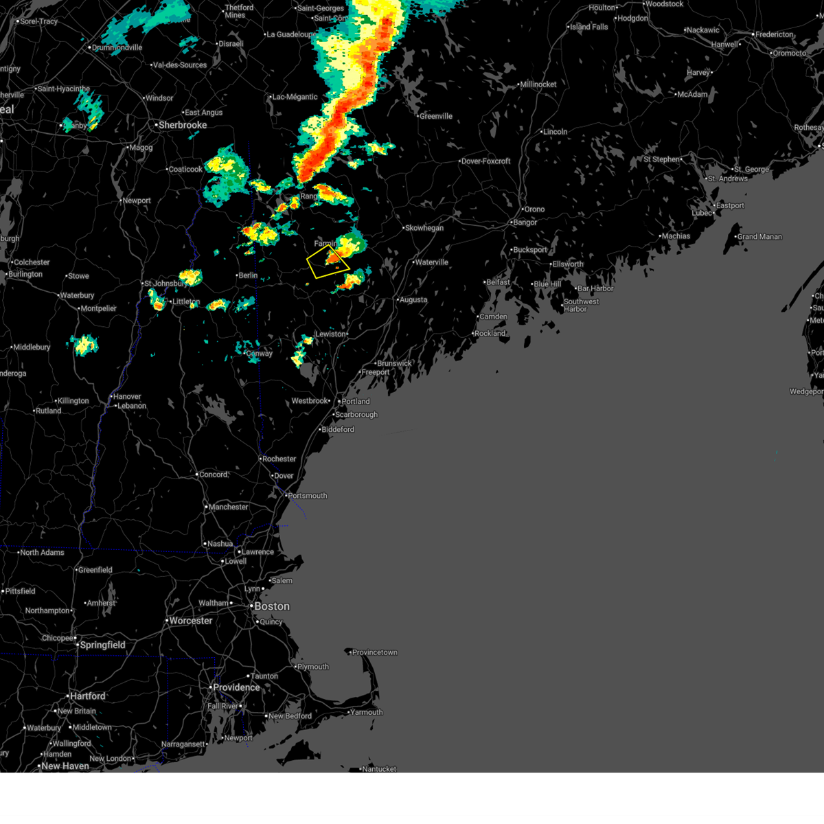
 At 316 pm edt, doppler radar indicated a line of severe thunderstorms capable of producing quarter size hail and damaging winds in excess of 60 mph. these storms were located along a line extending from near kingfield to rumford, and moving east at 40 mph. At 316 pm edt, doppler radar indicated a line of severe thunderstorms capable of producing quarter size hail and damaging winds in excess of 60 mph. these storms were located along a line extending from near kingfield to rumford, and moving east at 40 mph.
|
| 8/4/2015 3:15 PM EDT | Quarter sized hail reported 1.1 miles WSW of Rumford, ME |
| 8/4/2015 3:06 PM EDT |
 At 306 pm edt, doppler radar indicated a severe thunderstorm capable of producing large hail up to ping pong ball size and damaging winds in excess of 60 mph. this storm was located over southeastern rumford, moving northeast at 40 mph. locations impacted include, bethel, rumford, dixfield, canton, andover, mexico, hanover, milton, peru, roxbury, newry and woodstock. At 306 pm edt, doppler radar indicated a severe thunderstorm capable of producing large hail up to ping pong ball size and damaging winds in excess of 60 mph. this storm was located over southeastern rumford, moving northeast at 40 mph. locations impacted include, bethel, rumford, dixfield, canton, andover, mexico, hanover, milton, peru, roxbury, newry and woodstock.
|
| 8/4/2015 2:51 PM EDT | Quarter sized hail reported 13.4 miles NE of Rumford, ME |
| 8/4/2015 2:50 PM EDT |
 At 250 pm edt, doppler radar indicated a severe thunderstorm capable of producing quarter size hail and damaging winds in excess of 60 mph. this storm was located over bethel, and moving east at 35 mph. At 250 pm edt, doppler radar indicated a severe thunderstorm capable of producing quarter size hail and damaging winds in excess of 60 mph. this storm was located over bethel, and moving east at 35 mph.
|
| 8/3/2015 7:40 PM EDT |
 At 740 pm edt, doppler radar indicated a line of severe thunderstorms capable of producing damaging winds in excess of 60 mph. these storms were located along a line extending from near phillips to rumford to 6 miles west of mechanic falls, and moving northeast at 55 mph. At 740 pm edt, doppler radar indicated a line of severe thunderstorms capable of producing damaging winds in excess of 60 mph. these storms were located along a line extending from near phillips to rumford to 6 miles west of mechanic falls, and moving northeast at 55 mph.
|
| 8/3/2015 5:50 PM EDT | Canoes blown off rack in 60 mph winds. corrected time in oxford county ME, 20.5 miles SE of Rumford, ME |
| 8/3/2015 5:15 PM EDT | Canoes blown off rack in 60 mph winds. corrected time in oxford county ME, 20.5 miles SE of Rumford, ME |
| 8/3/2015 5:00 PM EDT | Canoes blown off rack in 60 mph winds in oxford county ME, 20.5 miles SE of Rumford, ME |
| 5/28/2015 12:31 PM EDT | At 1231 pm edt, doppler radar indicated a severe thunderstorm capable of producing penny size hail and damaging winds in excess of 60 mph. this storm was located near canton, or 10 miles east of rumford, and moving east at 45 mph. |
| 5/27/2015 6:29 PM EDT | At 629 pm edt, doppler radar indicated a line of severe thunderstorms capable of producing damaging winds in excess of 60 mph. these storms were located along a line extending from near bethel to 8 miles west of waterford to 8 miles southeast of conway, moving east at 35 mph. locations impacted include, conway, bridgton, fryeburg, bethel, rumford, northwestern naples, dixfield, hiram, andover, waterford, mexico, tamworth, harrison, madison, buckfield, brownfield, freedom, hartford, denmark and lovell. |
| 5/27/2015 6:29 PM EDT | At 629 pm edt, doppler radar indicated a line of severe thunderstorms capable of producing damaging winds in excess of 60 mph. these storms were located along a line extending from near bethel to 8 miles west of waterford to 8 miles southeast of conway, moving east at 35 mph. locations impacted include, conway, bridgton, fryeburg, bethel, rumford, northwestern naples, dixfield, hiram, andover, waterford, mexico, tamworth, harrison, madison, buckfield, brownfield, freedom, hartford, denmark and lovell. |
| 5/27/2015 6:09 PM EDT | At 608 pm edt, doppler radar indicated a line of severe thunderstorms capable of producing damaging winds in excess of 60 mph. these storms were located along a line extending from 6 miles southeast of berlin to 8 miles north of echo lake state park to white lake state park, and moving east at 35 mph. |
| 5/27/2015 6:09 PM EDT | At 608 pm edt, doppler radar indicated a line of severe thunderstorms capable of producing damaging winds in excess of 60 mph. these storms were located along a line extending from 6 miles southeast of berlin to 8 miles north of echo lake state park to white lake state park, and moving east at 35 mph. |
| 7/2/2014 4:42 PM EDT | Many trees down in oxford county ME, 1.1 miles WSW of Rumford, ME |
| 7/2/2014 4:27 PM EDT | Trees blocking road in oxford county ME, 5.7 miles NE of Rumford, ME |
| 7/2/2014 4:00 PM EDT | Trees down in dixffield and rumfor in oxford county ME, 1.1 miles WSW of Rumford, ME |
| 7/2/2014 3:55 PM EDT | Quarter sized hail reported 1.1 miles WSW of Rumford, ME |
| 7/2/2014 3:48 PM EDT | Tree down in oxford county ME, 1.1 miles WSW of Rumford, ME |
| 10/7/2013 7:00 PM EDT | East andover road blocked by downed trees in oxford county ME, 11.2 miles SE of Rumford, ME |
| 7/19/2013 9:12 PM EDT | Multiple reports of trees down in oxford county ME, 14.7 miles NE of Rumford, ME |
| 7/19/2013 9:12 PM EDT | Oxford county sheriff reportes trees and wires down in bethel and woodstoc in oxford county ME, 1.1 miles WSW of Rumford, ME |
| 7/19/2013 9:12 PM EDT | Oxford county sheriff reportes trees and wires down in bethel... rumford... norway and woodstock. dispatch receiving more calls while we weere talkin in oxford county ME, 1.1 miles WSW of Rumford, ME |
| 6/29/2013 5:00 PM EDT | Trees down in franklin county ME, 9.9 miles SSW of Rumford, ME |
| 6/29/2013 4:30 PM EDT | Half Dollar sized hail reported 6.4 miles ESE of Rumford, ME, hail size of silver dollar with wind gusts estimated to 45 mph... time estimated based on radar |
| 6/29/2013 4:30 PM EDT | Hen Egg sized hail reported 6.4 miles ESE of Rumford, ME, pictures of hail verified 2 inch size... wind gusts estimated to 45 mph... time estimated based on radar |
| 6/2/2013 4:36 PM EDT | Trees down in bethel in oxford county ME, 14.7 miles NE of Rumford, ME |
| 6/2/2013 4:35 PM EDT | Trees on wires on chandler hill road in oxford county ME, 14.7 miles NE of Rumford, ME |
| 8/9/2012 3:00 PM EDT | Large branches and vineyard rows blown down at prospect hill winery. time is estimated based on rada in oxford county ME, 9.6 miles NNE of Rumford, ME |
| 7/4/2012 6:16 PM EDT | Trees dow in oxford county ME, 15 miles ENE of Rumford, ME |
| 6/8/2012 3:10 PM EDT | Quarter sized hail reported 7.9 miles SSE of Rumford, ME, very strong winds and hail |
| 1/1/0001 12:00 AM | 70ft trees uprooted... snapped off in oxford county ME, 12.7 miles SSE of Rumford, ME |
| 1/1/0001 12:00 AM | Tree down across drivewa in oxford county ME, 14.4 miles SE of Rumford, ME |
| 1/1/0001 12:00 AM | 70ft trees uprooted... snapped off in oxford county ME, 12.7 miles SSE of Rumford, ME |
| 8/19/2011 8:20 PM EDT | Quarter sized hail reported 14.2 miles NE of Rumford, ME, hail fell on mason st. |
| 8/19/2011 8:15 PM EDT | Quarter sized hail reported 14.6 miles NE of Rumford, ME |
| 1/1/0001 12:00 AM | Trees down across gully oven road. time estimated from radar. delayed repor in oxford county ME, 7 miles NNE of Rumford, ME |
| 1/1/0001 12:00 AM | Top hat rd trees down in oxford county ME, 1.1 miles WSW of Rumford, ME |
| 1/1/0001 12:00 AM | Numerous reports of trees down in oxford county ME, 14.7 miles NE of Rumford, ME |
| 1/1/0001 12:00 AM | Significant tree damage in and around hanover. numerous 80 to 90 year old pine trees snapped or uprooted. delayed repor in oxford county ME, 6.6 miles ENE of Rumford, ME |
| 1/1/0001 12:00 AM | Numerous trees down in rumford corner...one on a house. time estimated from radar. delayed repor in oxford county ME, 5.8 miles ENE of Rumford, ME |
| 1/1/0001 12:00 AM | Estimated 50 to 60 mph winds at this tim in oxford county ME, 0.6 miles S of Rumford, ME |
| 1/1/0001 12:00 AM | Numerous trees down on route 2 in hanover. time estimated from rada in oxford county ME, 6.6 miles ENE of Rumford, ME |
| 1/1/0001 12:00 AM | Numerous trees down throughout rumford in oxford county ME, 1.1 miles WSW of Rumford, ME |
| 1/1/0001 12:00 AM | Two large trees down on bird hill road in locke mills in oxford county ME, 10.6 miles NE of Rumford, ME |
| 1/1/0001 12:00 AM | Quarter sized hail reported 16.2 miles NE of Rumford, ME, few hailstones and funnel cloud to north |
| 1/1/0001 12:00 AM | Golf Ball sized hail reported 14.7 miles NE of Rumford, ME |
| 1/1/0001 12:00 AM | Estimated wind gusts of 50 to 60 mph. gusts broke boats free from the dock. time estimated from radar. delayed repor in oxford county ME, 20.5 miles SE of Rumford, ME |
| 1/1/0001 12:00 AM | Quarter sized hail reported 11.2 miles SE of Rumford, ME |
Hail Maps for Rumford, ME


Connect with Interactive Hail Maps