

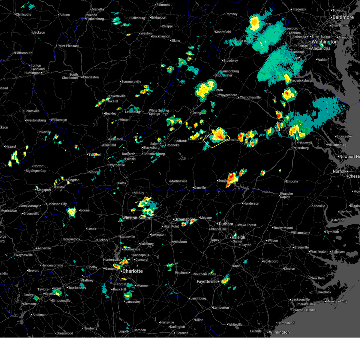
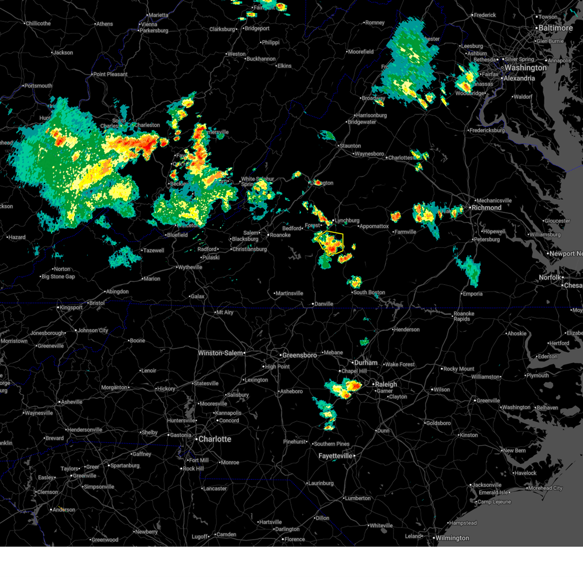
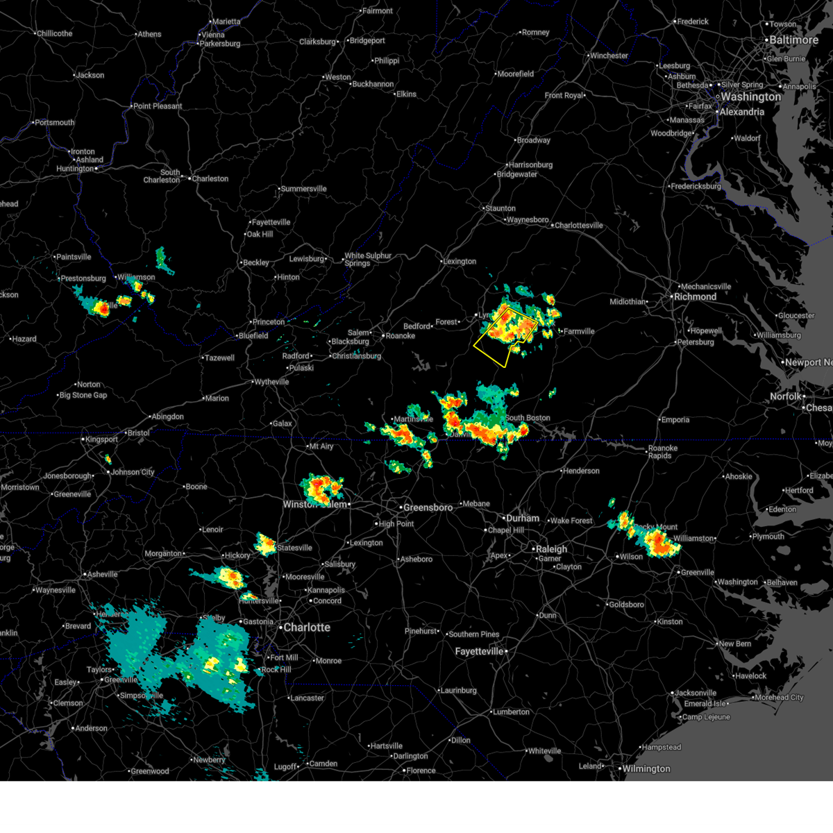
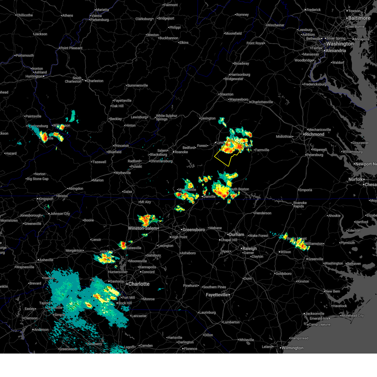
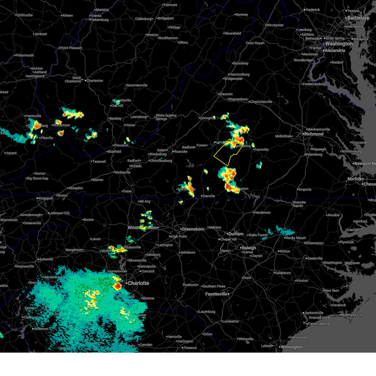
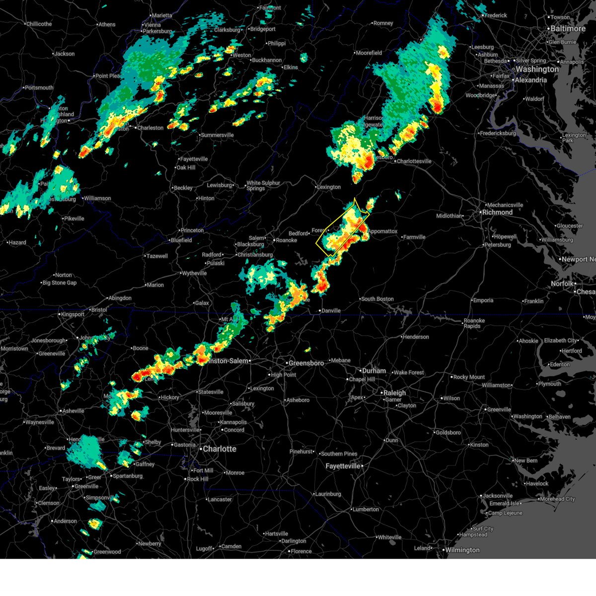
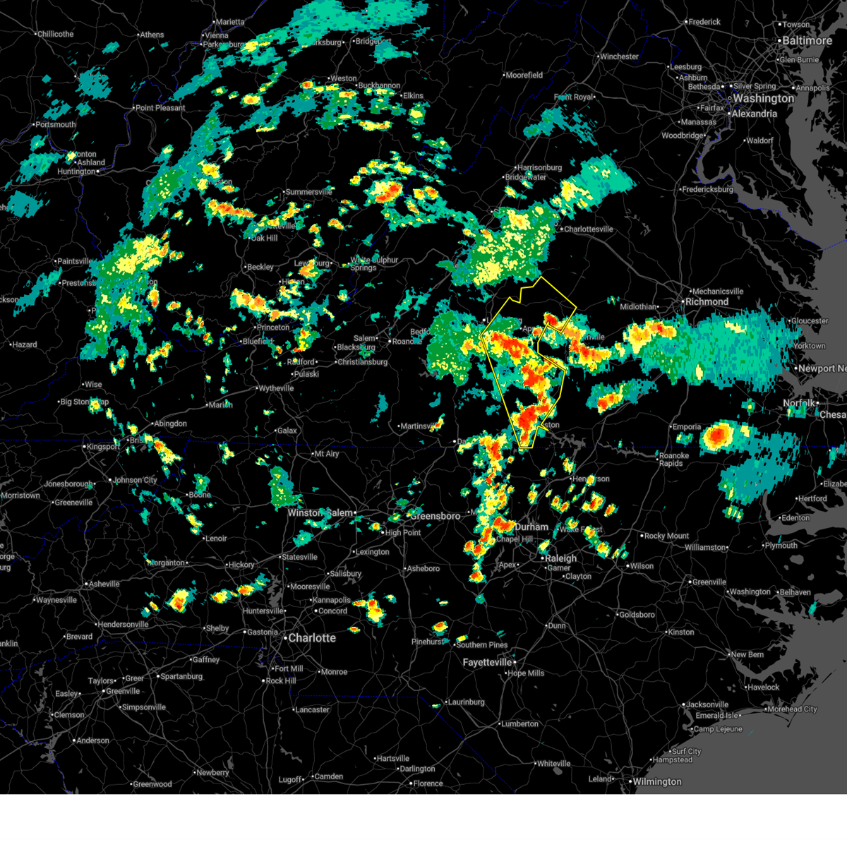
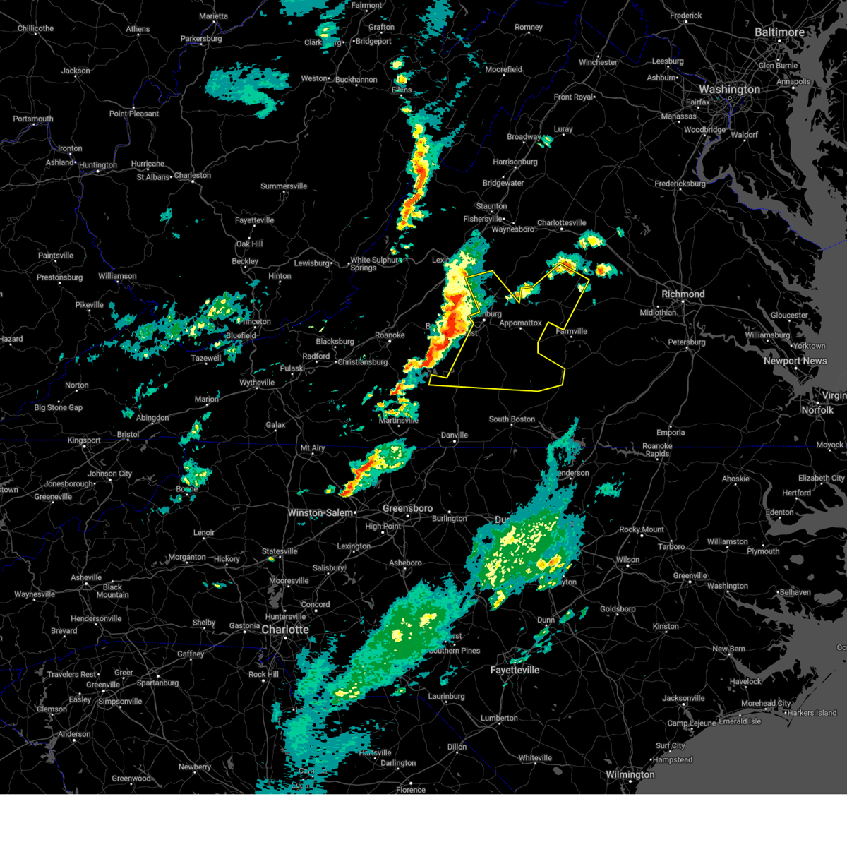
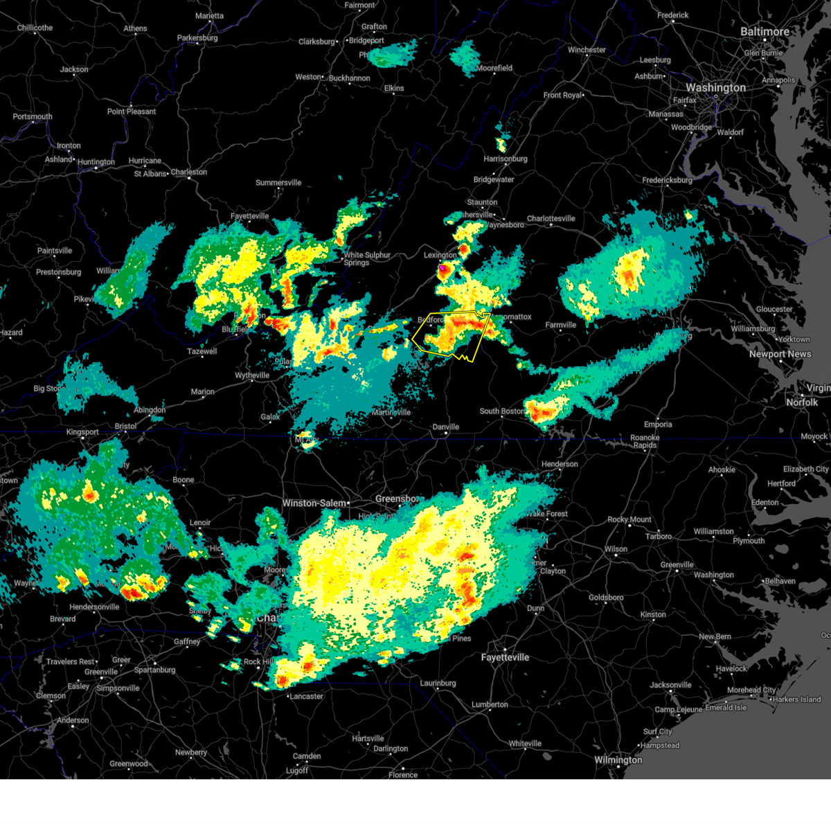
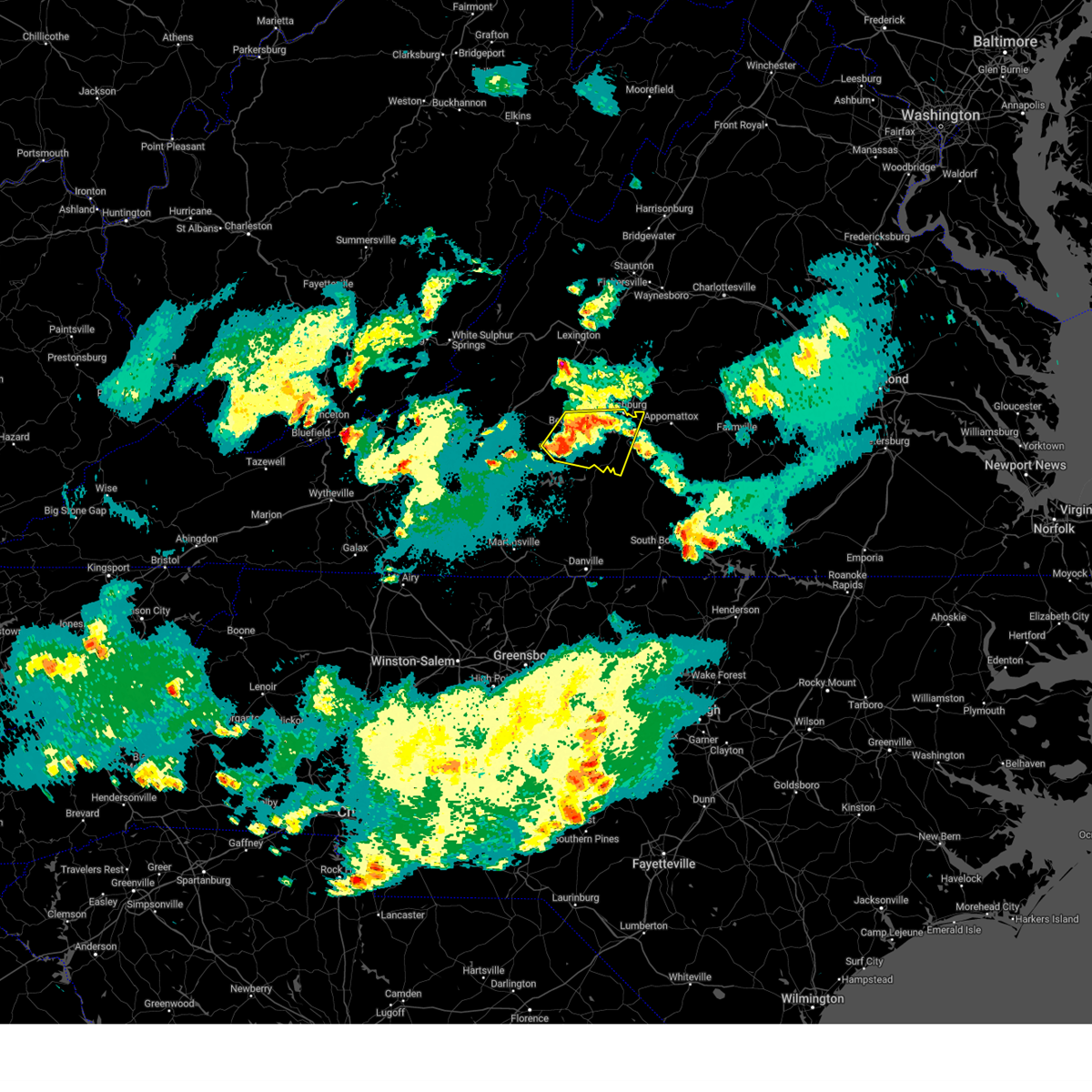
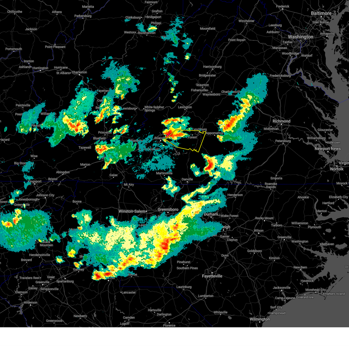
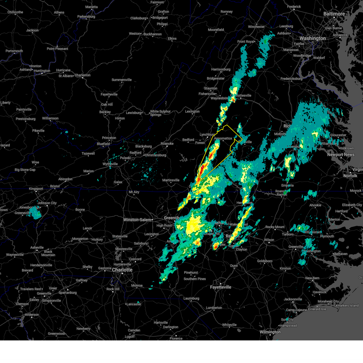
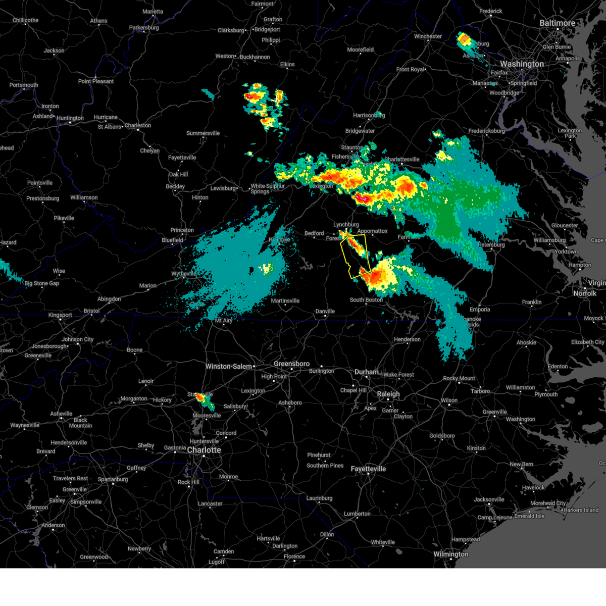
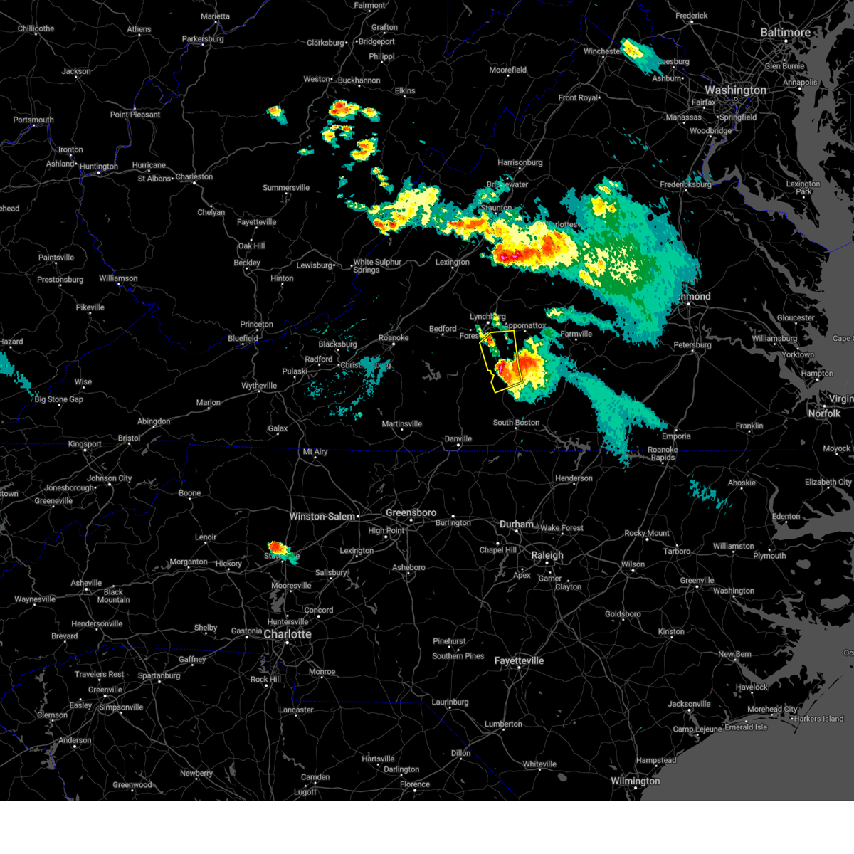
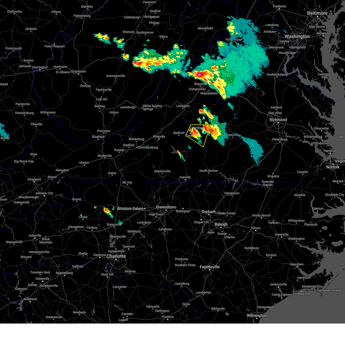
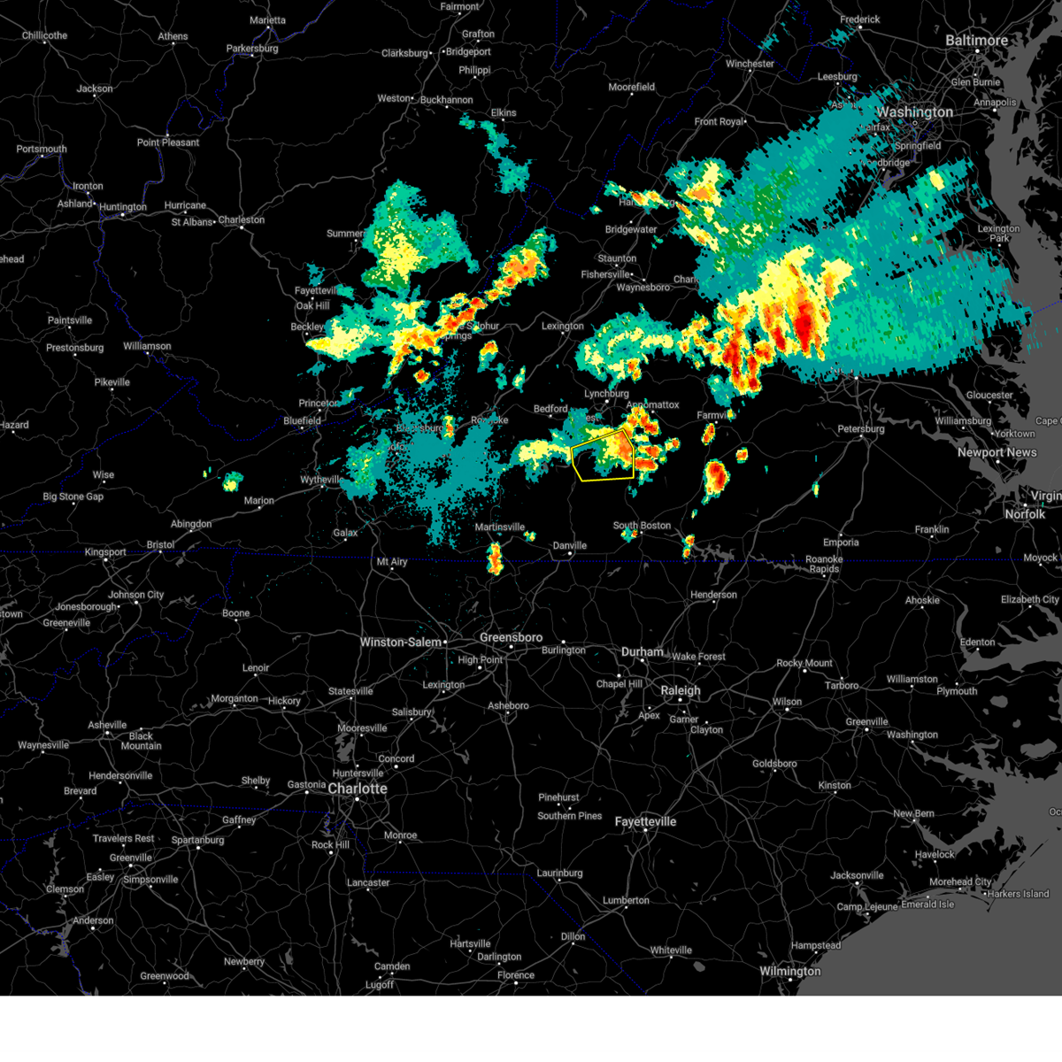
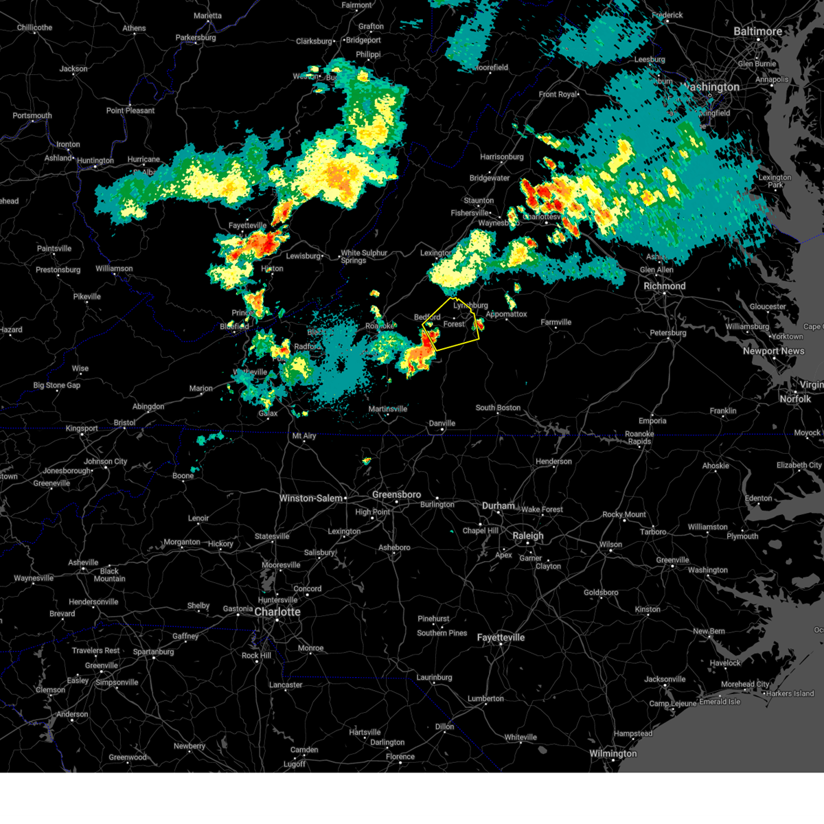
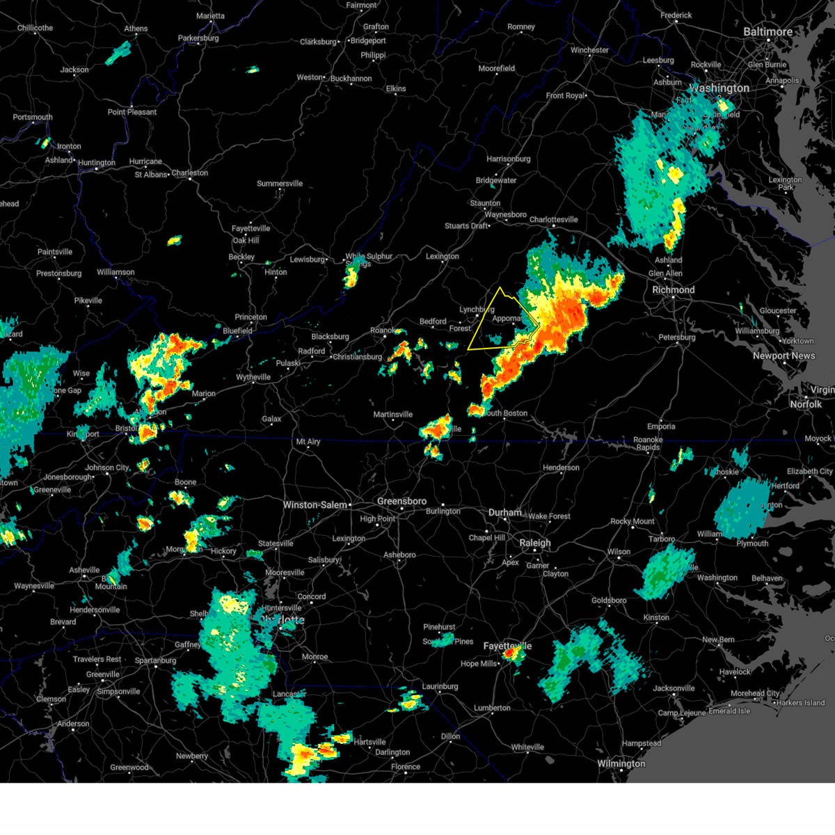
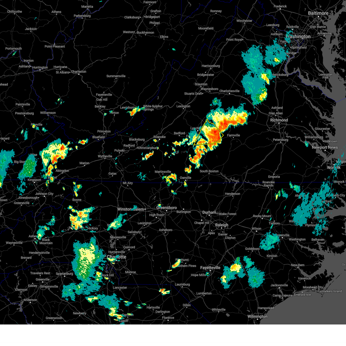
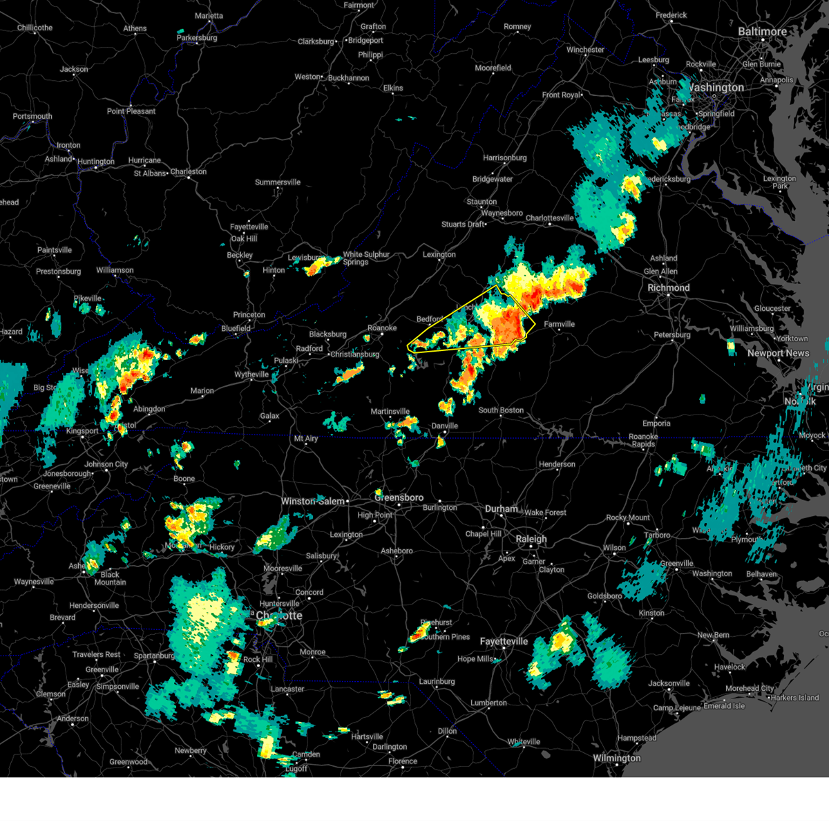
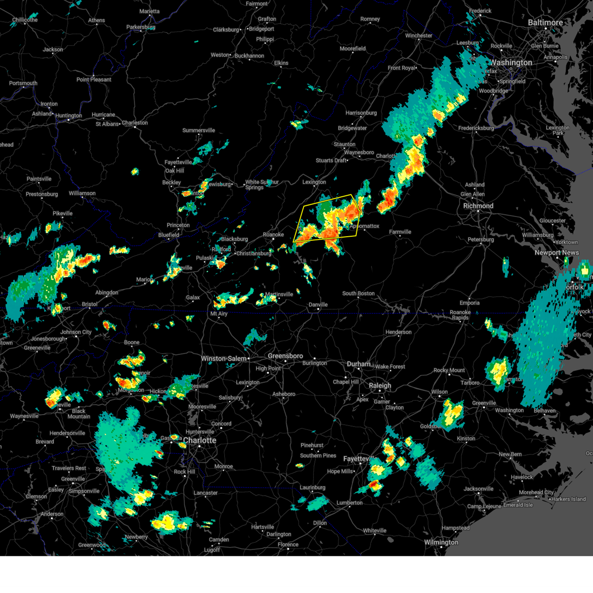
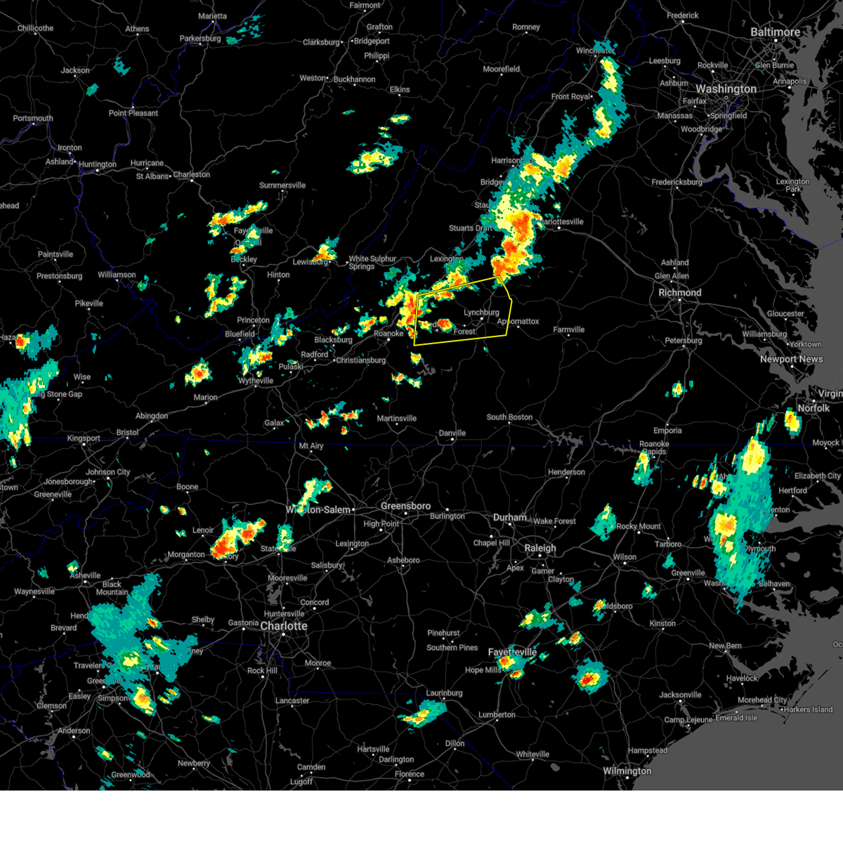
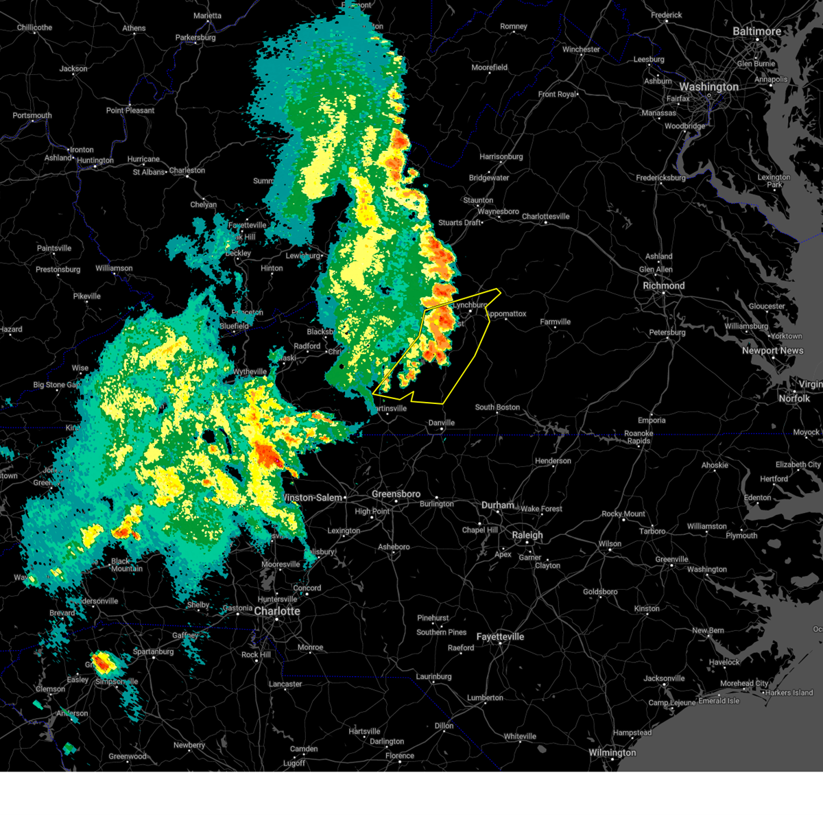
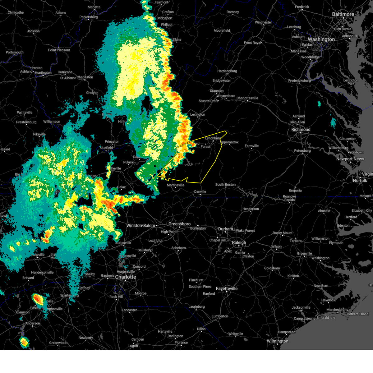
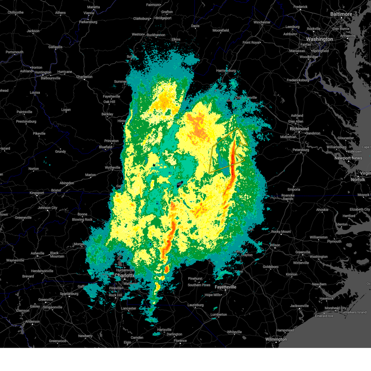
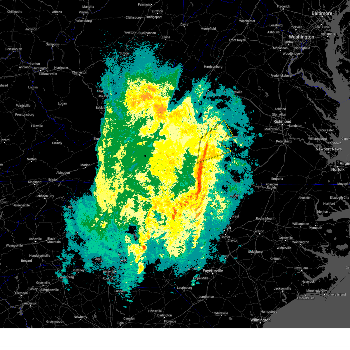
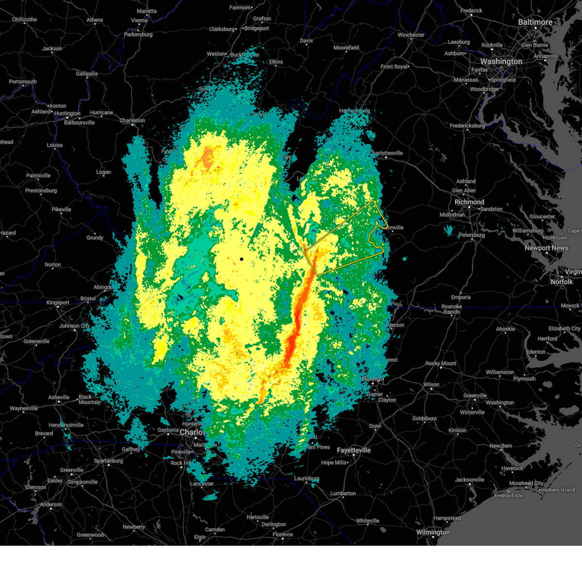
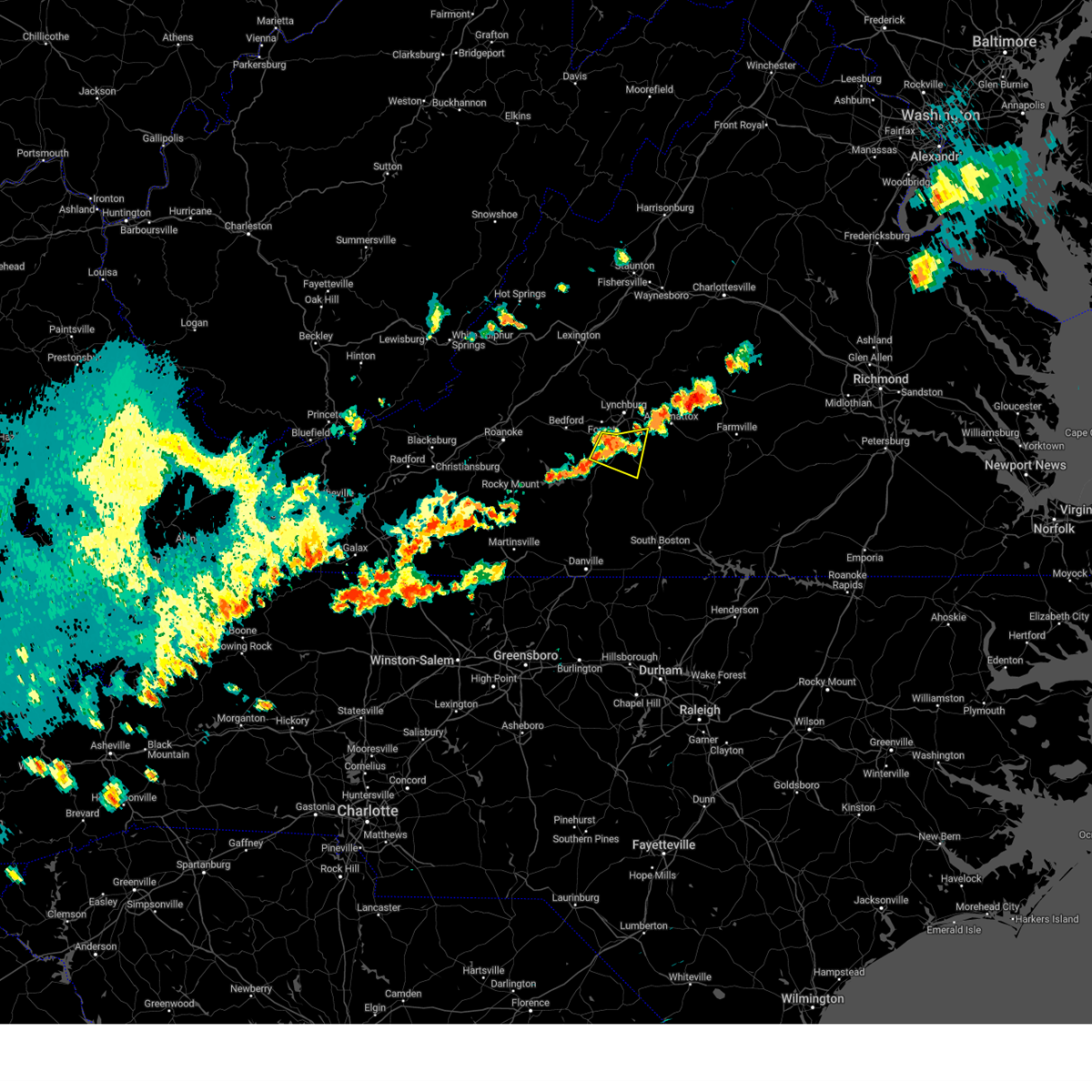
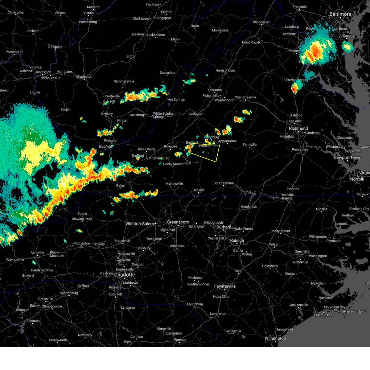
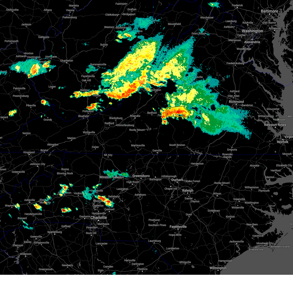
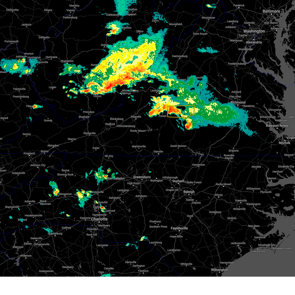
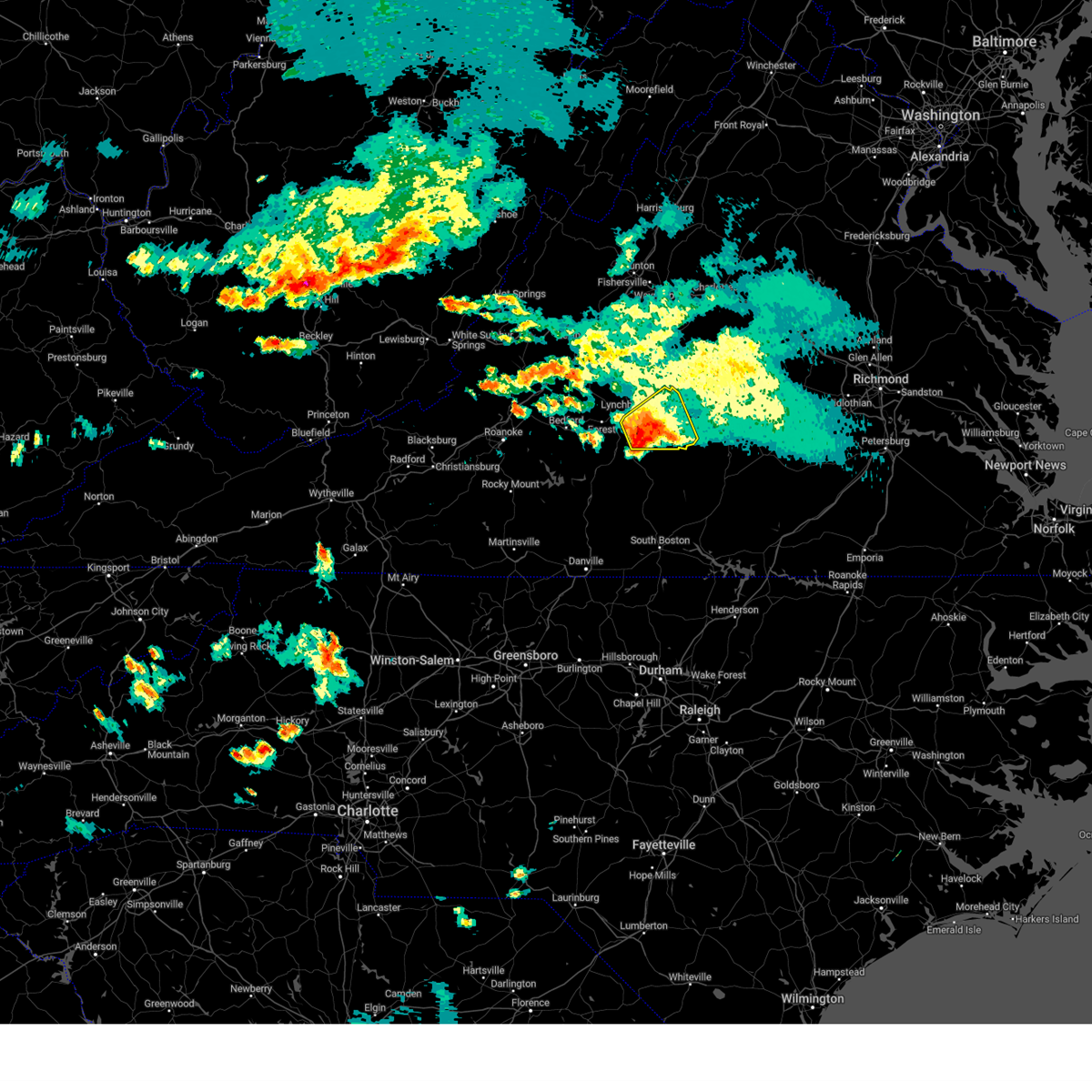
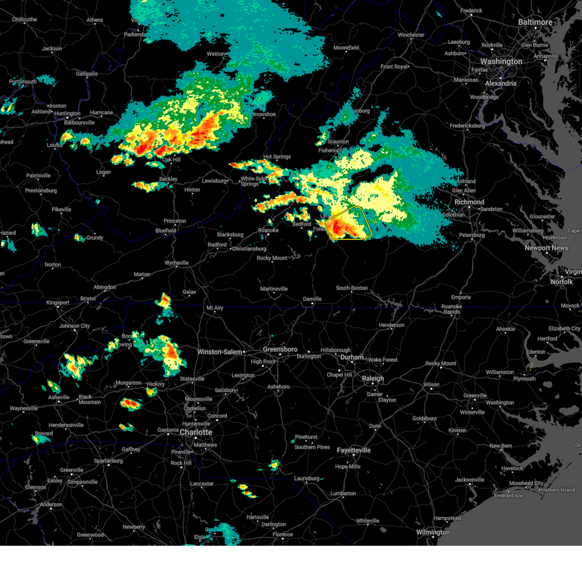
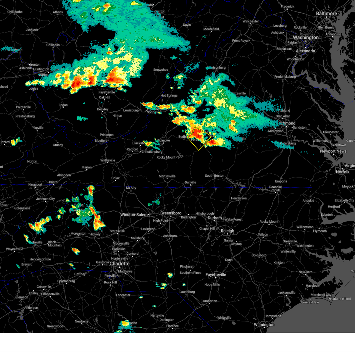
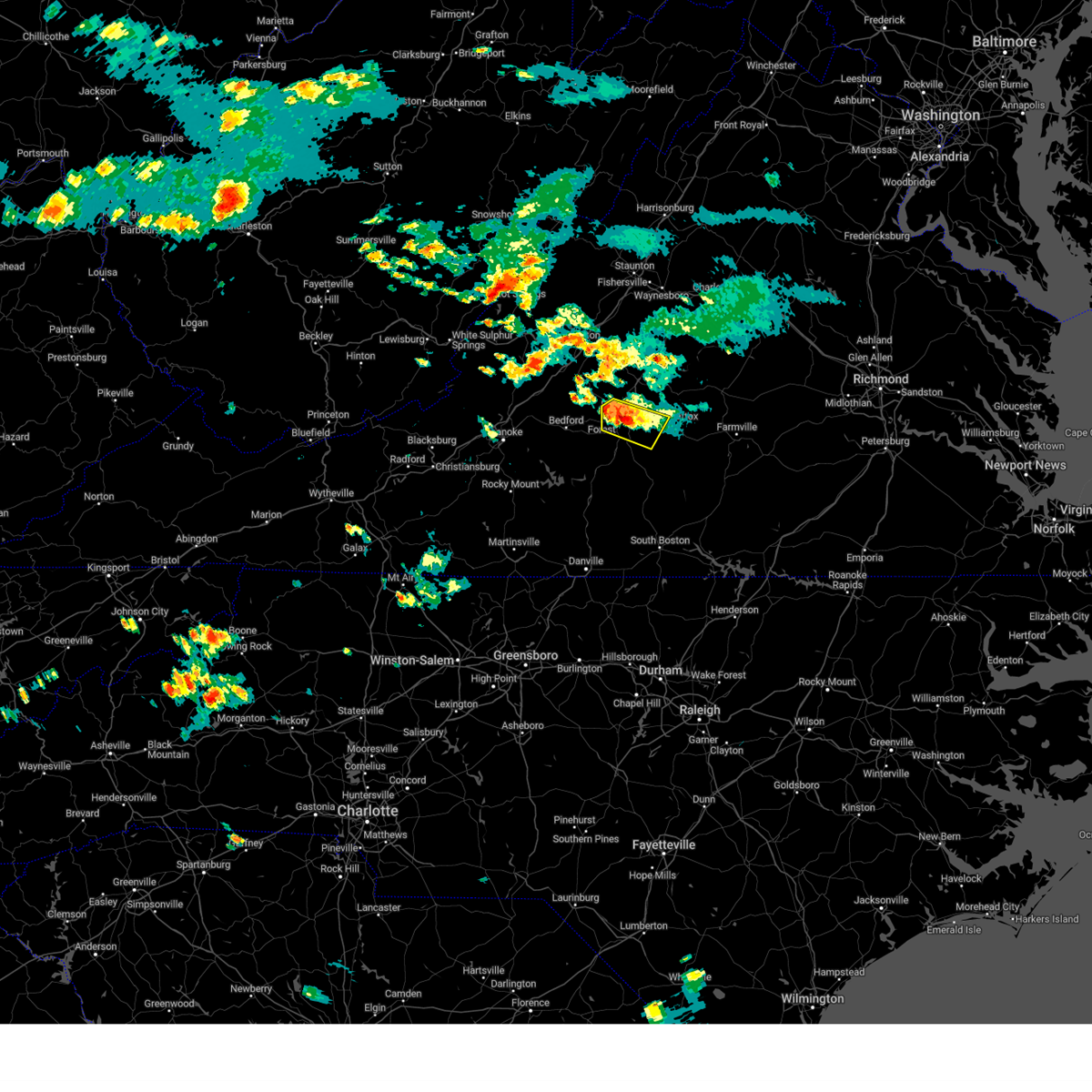
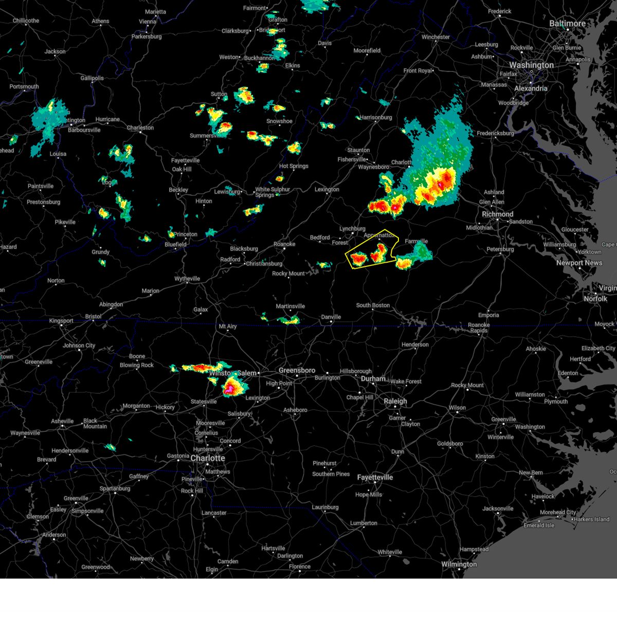
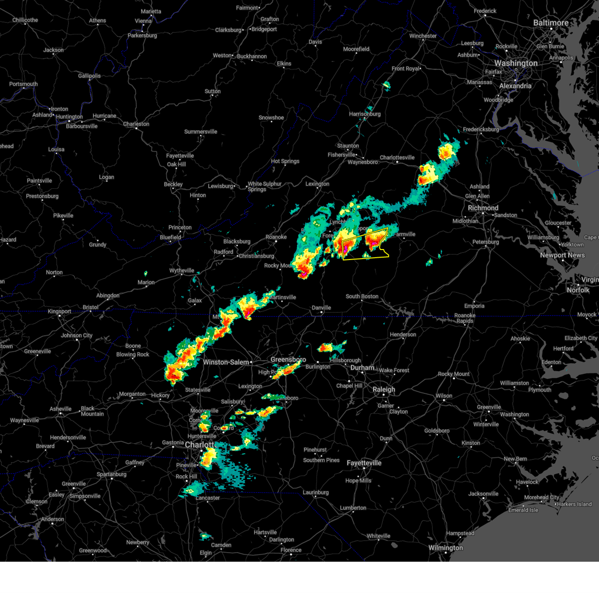
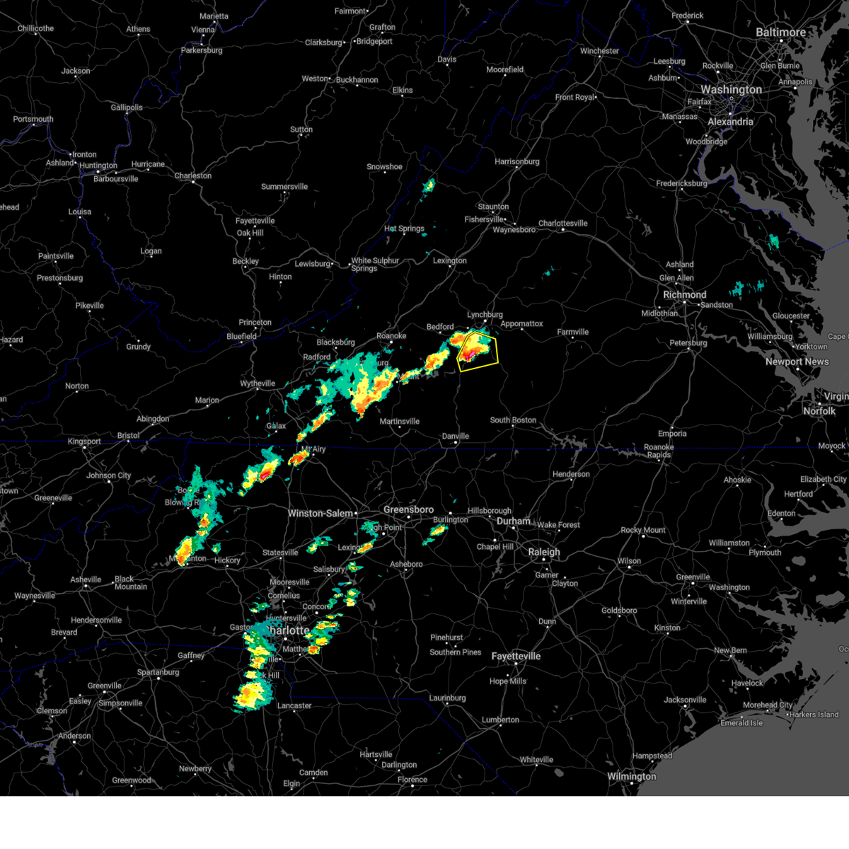
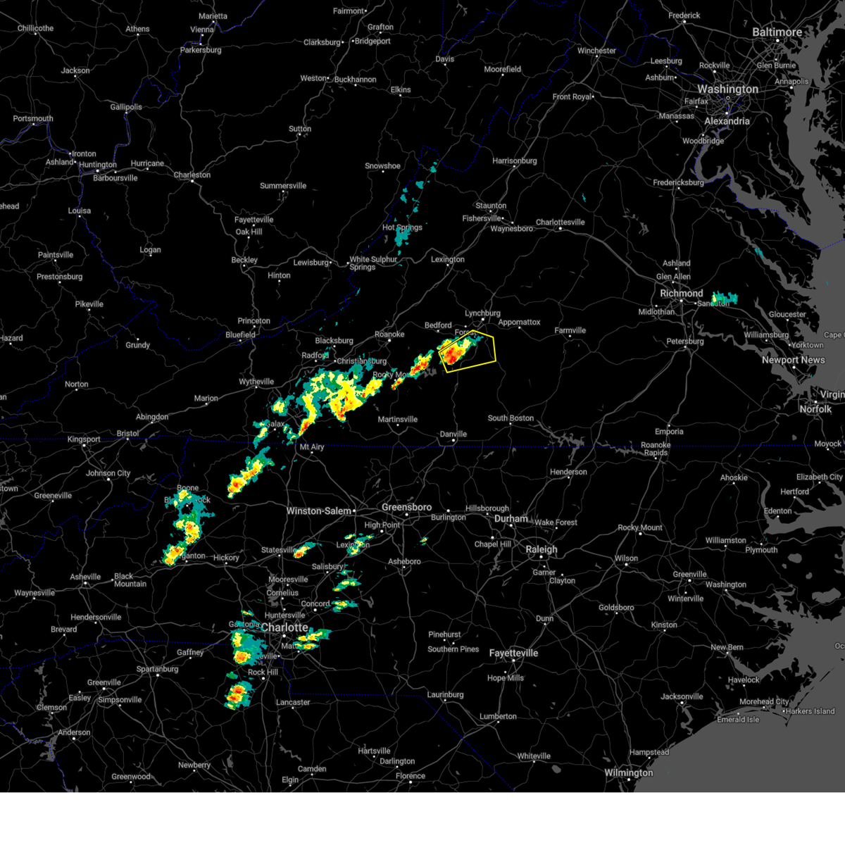
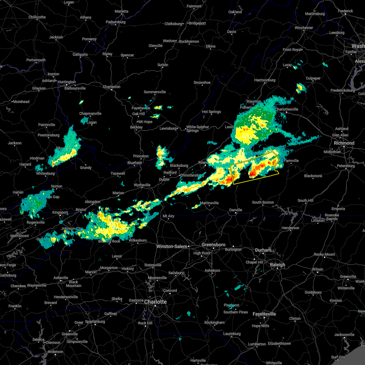
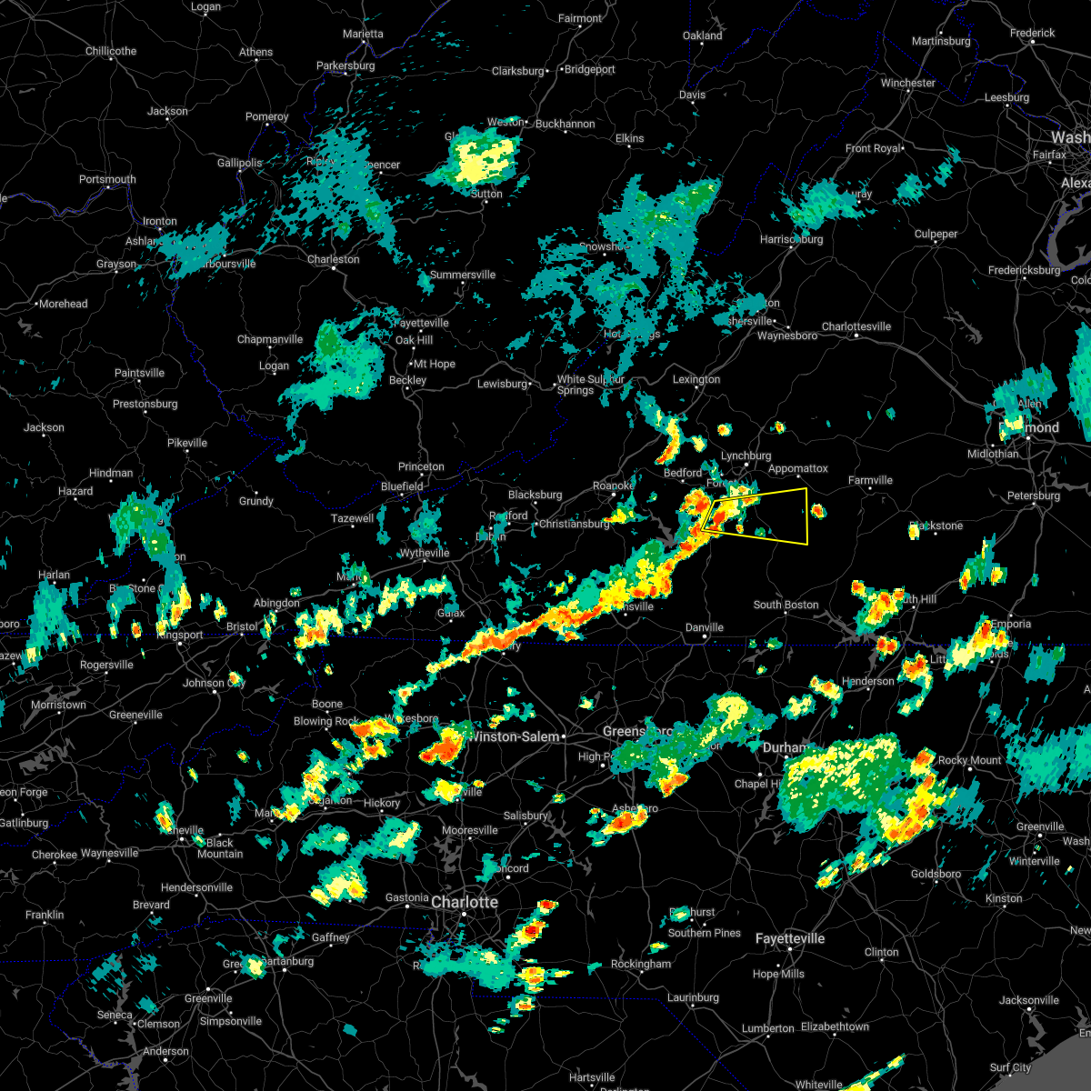
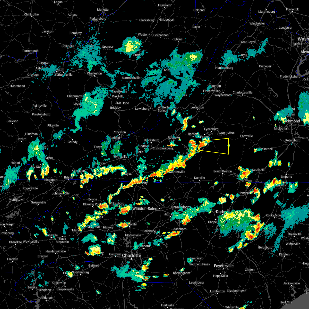
Hail Map for Rustburg, VA
The Rustburg, VA area has had 11 reports of on-the-ground hail by trained spotters, and has been under severe weather warnings 49 times during the past 12 months. Doppler radar has detected hail at or near Rustburg, VA on 54 occasions, including 4 occasions during the past year.
| Name: | Rustburg, VA |
| Where Located: | 46.4 miles E of Roanoke, VA |
| Map: | Google Map for Rustburg, VA |
| Population: | 1431 |
| Housing Units: | 584 |
| More Info: | Search Google for Rustburg, VA |
2
The Top Recent Hail Date for Rustburg, VA is Saturday, September 21, 2024 (4th out of 54)

Hail and Wind Damage Spotted near Rustburg, VA
| Date / Time | Report Details |
|---|---|
| 6/29/2025 6:46 PM EDT |
 the severe thunderstorm warning has been cancelled and is no longer in effect the severe thunderstorm warning has been cancelled and is no longer in effect
|
| 6/29/2025 6:27 PM EDT |
 At 627 pm edt, a severe thunderstorm was located over oakville, or near appomattox, moving northeast at 15 mph (radar indicated). Hazards include 60 mph wind gusts and quarter size hail. Hail damage to vehicles is expected. expect wind damage to roofs, siding, and trees. Locations impacted include, lynchburg, appomattox, bent creek, concord, rustburg, appomattox national historic park, and riverville. At 627 pm edt, a severe thunderstorm was located over oakville, or near appomattox, moving northeast at 15 mph (radar indicated). Hazards include 60 mph wind gusts and quarter size hail. Hail damage to vehicles is expected. expect wind damage to roofs, siding, and trees. Locations impacted include, lynchburg, appomattox, bent creek, concord, rustburg, appomattox national historic park, and riverville.
|
| 6/29/2025 5:58 PM EDT |
 Svrrnk the national weather service in blacksburg has issued a * severe thunderstorm warning for, appomattox county in central virginia, northeastern campbell county in central virginia, southeastern amherst county in central virginia, the southeastern city of lynchburg in central virginia, * until 700 pm edt. * at 557 pm edt, a severe thunderstorm was located over concord, moving northeast at 15 mph (radar indicated). Hazards include 60 mph wind gusts and half dollar size hail. Hail damage to vehicles is expected. Expect wind damage to roofs, siding, and trees. Svrrnk the national weather service in blacksburg has issued a * severe thunderstorm warning for, appomattox county in central virginia, northeastern campbell county in central virginia, southeastern amherst county in central virginia, the southeastern city of lynchburg in central virginia, * until 700 pm edt. * at 557 pm edt, a severe thunderstorm was located over concord, moving northeast at 15 mph (radar indicated). Hazards include 60 mph wind gusts and half dollar size hail. Hail damage to vehicles is expected. Expect wind damage to roofs, siding, and trees.
|
| 6/26/2025 9:20 PM EDT |
 The storm which prompted the warning has weakened below severe limits, and no longer poses an immediate threat to life or property. therefore, the warning will be allowed to expire. however, gusty winds are still possible with this thunderstorm. The storm which prompted the warning has weakened below severe limits, and no longer poses an immediate threat to life or property. therefore, the warning will be allowed to expire. however, gusty winds are still possible with this thunderstorm.
|
| 6/26/2025 8:45 PM EDT |
 the severe thunderstorm warning has been cancelled and is no longer in effect the severe thunderstorm warning has been cancelled and is no longer in effect
|
| 6/26/2025 8:45 PM EDT |
 At 844 pm edt, a severe thunderstorm was located over hodges, or 7 miles east of altavista, moving north at 15 mph (radar indicated). Hazards include 60 mph wind gusts. Expect damage to roofs, siding, and trees. Locations impacted include, altavista, evington, rustburg, hodges, gladys, long island, and timberlake. At 844 pm edt, a severe thunderstorm was located over hodges, or 7 miles east of altavista, moving north at 15 mph (radar indicated). Hazards include 60 mph wind gusts. Expect damage to roofs, siding, and trees. Locations impacted include, altavista, evington, rustburg, hodges, gladys, long island, and timberlake.
|
| 6/26/2025 8:26 PM EDT | Svrrnk the national weather service in blacksburg has issued a * severe thunderstorm warning for, central campbell county in central virginia, northeastern pittsylvania county in south central virginia, * until 930 pm edt. * at 825 pm edt, a severe thunderstorm was located over long island, or 9 miles east of altavista, moving north at 15 mph (radar indicated). Hazards include 60 mph wind gusts. expect damage to roofs, siding, and trees |
| 6/25/2025 11:41 PM EDT |
 The storm which prompted the warning has weakened below severe limits, and no longer poses an immediate threat to life or property. therefore, the warning will be allowed to expire. however, gusty winds and heavy rain are still possible with this thunderstorm. The storm which prompted the warning has weakened below severe limits, and no longer poses an immediate threat to life or property. therefore, the warning will be allowed to expire. however, gusty winds and heavy rain are still possible with this thunderstorm.
|
| 6/25/2025 11:19 PM EDT |
 At 1119 pm edt, a severe thunderstorm was located near spring mills, or near concord, moving southwest at 10 mph (radar indicated). Hazards include 60 mph wind gusts. Expect damage to roofs, siding, and trees. Locations impacted include, appomattox, concord, rustburg, pamplin city, appomattox national historic park, gladys, and hixburg. At 1119 pm edt, a severe thunderstorm was located near spring mills, or near concord, moving southwest at 10 mph (radar indicated). Hazards include 60 mph wind gusts. Expect damage to roofs, siding, and trees. Locations impacted include, appomattox, concord, rustburg, pamplin city, appomattox national historic park, gladys, and hixburg.
|
| 6/25/2025 10:57 PM EDT |
 Svrrnk the national weather service in blacksburg has issued a * severe thunderstorm warning for, appomattox county in central virginia, eastern campbell county in central virginia, * until 1145 pm edt. * at 1057 pm edt, a severe thunderstorm was located near spring mills, or near appomattox, moving southwest at 10 mph (radar indicated). Hazards include 60 mph wind gusts. expect damage to roofs, siding, and trees Svrrnk the national weather service in blacksburg has issued a * severe thunderstorm warning for, appomattox county in central virginia, eastern campbell county in central virginia, * until 1145 pm edt. * at 1057 pm edt, a severe thunderstorm was located near spring mills, or near appomattox, moving southwest at 10 mph (radar indicated). Hazards include 60 mph wind gusts. expect damage to roofs, siding, and trees
|
| 6/19/2025 3:24 PM EDT |
 The storms which prompted the warning have moved out of the area. therefore, the warning will be allowed to expire. a severe thunderstorm watch remains in effect until 900 pm edt for central, south central and west central virginia. The storms which prompted the warning have moved out of the area. therefore, the warning will be allowed to expire. a severe thunderstorm watch remains in effect until 900 pm edt for central, south central and west central virginia.
|
| 6/19/2025 3:14 PM EDT |
 Svrrnk the national weather service in blacksburg has issued a * severe thunderstorm warning for, appomattox county in central virginia, northern charlotte county in south central virginia, eastern campbell county in central virginia, buckingham county in central virginia, east central amherst county in central virginia, * until 415 pm edt. * at 314 pm edt, severe thunderstorms were located along a line extending from near wingina to near stonewall to hodges, moving east at 50 mph (radar indicated). Hazards include 60 mph wind gusts. expect damage to roofs, siding, and trees Svrrnk the national weather service in blacksburg has issued a * severe thunderstorm warning for, appomattox county in central virginia, northern charlotte county in south central virginia, eastern campbell county in central virginia, buckingham county in central virginia, east central amherst county in central virginia, * until 415 pm edt. * at 314 pm edt, severe thunderstorms were located along a line extending from near wingina to near stonewall to hodges, moving east at 50 mph (radar indicated). Hazards include 60 mph wind gusts. expect damage to roofs, siding, and trees
|
| 6/19/2025 3:06 PM EDT |
 At 306 pm edt, severe thunderstorms were located along a line extending from riverville to near bocock to near altavista, moving east at 30 mph (radar indicated). Hazards include 60 mph wind gusts. Expect damage to roofs, siding, and trees. Locations impacted include, lynchburg, altavista, bent creek, concord, rustburg, forest, and evington. At 306 pm edt, severe thunderstorms were located along a line extending from riverville to near bocock to near altavista, moving east at 30 mph (radar indicated). Hazards include 60 mph wind gusts. Expect damage to roofs, siding, and trees. Locations impacted include, lynchburg, altavista, bent creek, concord, rustburg, forest, and evington.
|
| 6/19/2025 2:35 PM EDT |
 Svrrnk the national weather service in blacksburg has issued a * severe thunderstorm warning for, northwestern appomattox county in central virginia, central campbell county in central virginia, east central bedford county in south central virginia, southeastern amherst county in central virginia, the city of lynchburg in central virginia, * until 330 pm edt. * at 235 pm edt, severe thunderstorms were located along a line extending from forest to near huddleston, moving northeast at 40 mph (radar indicated). Hazards include 60 mph wind gusts. expect damage to roofs, siding, and trees Svrrnk the national weather service in blacksburg has issued a * severe thunderstorm warning for, northwestern appomattox county in central virginia, central campbell county in central virginia, east central bedford county in south central virginia, southeastern amherst county in central virginia, the city of lynchburg in central virginia, * until 330 pm edt. * at 235 pm edt, severe thunderstorms were located along a line extending from forest to near huddleston, moving northeast at 40 mph (radar indicated). Hazards include 60 mph wind gusts. expect damage to roofs, siding, and trees
|
| 6/15/2025 4:25 PM EDT | Tree across powerline. power is ou in campbell county VA, 4.4 miles W of Rustburg, VA |
| 6/15/2025 4:21 PM EDT |
 Svrrnk the national weather service in blacksburg has issued a * severe thunderstorm warning for, appomattox county in central virginia, charlotte county in south central virginia, eastern campbell county in central virginia, central halifax county in south central virginia, buckingham county in central virginia, southeastern amherst county in central virginia, * until 530 pm edt. * at 420 pm edt, severe thunderstorms were located along a line extending from near concord to near dryburg, moving northeast at 30 mph (radar indicated). Hazards include 60 mph wind gusts and quarter size hail. Hail damage to vehicles is expected. Expect wind damage to roofs, siding, and trees. Svrrnk the national weather service in blacksburg has issued a * severe thunderstorm warning for, appomattox county in central virginia, charlotte county in south central virginia, eastern campbell county in central virginia, central halifax county in south central virginia, buckingham county in central virginia, southeastern amherst county in central virginia, * until 530 pm edt. * at 420 pm edt, severe thunderstorms were located along a line extending from near concord to near dryburg, moving northeast at 30 mph (radar indicated). Hazards include 60 mph wind gusts and quarter size hail. Hail damage to vehicles is expected. Expect wind damage to roofs, siding, and trees.
|
| 6/8/2025 11:06 PM EDT | The storm which prompted the warning has weakened below severe limits, and no longer poses an immediate threat to life or property. therefore, the warning will be allowed to expire. however, gusty winds and heavy rain are still possible with this thunderstorm. |
| 6/8/2025 10:51 PM EDT | At 1049 pm edt, a severe thunderstorm was located near evington, moving east at 20 mph (radar indicated). Hazards include 60 mph wind gusts and quarter size hail. Hail damage to vehicles is expected. expect wind damage to roofs, siding, and trees. Locations impacted include, altavista, evington, rustburg, hodges, gladys, long island, and timberlake. |
| 6/8/2025 10:51 PM EDT | the severe thunderstorm warning has been cancelled and is no longer in effect |
| 6/8/2025 10:20 PM EDT |
 Svrrnk the national weather service in blacksburg has issued a * severe thunderstorm warning for, central campbell county in central virginia, northeastern pittsylvania county in south central virginia, southeastern bedford county in south central virginia, * until 1115 pm edt. * at 1020 pm edt, a severe thunderstorm was located near huddleston, moving east at 15 mph (radar indicated). Hazards include 60 mph wind gusts and quarter size hail. Hail damage to vehicles is expected. Expect wind damage to roofs, siding, and trees. Svrrnk the national weather service in blacksburg has issued a * severe thunderstorm warning for, central campbell county in central virginia, northeastern pittsylvania county in south central virginia, southeastern bedford county in south central virginia, * until 1115 pm edt. * at 1020 pm edt, a severe thunderstorm was located near huddleston, moving east at 15 mph (radar indicated). Hazards include 60 mph wind gusts and quarter size hail. Hail damage to vehicles is expected. Expect wind damage to roofs, siding, and trees.
|
| 6/8/2025 4:55 PM EDT | Tree down... blocking entire roa in campbell county VA, 4.3 miles NW of Rustburg, VA |
| 6/8/2025 4:44 PM EDT |
 At 444 pm edt, a severe thunderstorm was located over long island, or 8 miles southeast of altavista, moving east at 30 mph (radar indicated). Hazards include 60 mph wind gusts. Expect damage to roofs, siding, and trees. Locations impacted include, altavista, hurt, gretna, brookneal, hodges, cody, and mike. At 444 pm edt, a severe thunderstorm was located over long island, or 8 miles southeast of altavista, moving east at 30 mph (radar indicated). Hazards include 60 mph wind gusts. Expect damage to roofs, siding, and trees. Locations impacted include, altavista, hurt, gretna, brookneal, hodges, cody, and mike.
|
| 5/30/2025 5:08 PM EDT |
 At 507 pm edt, severe thunderstorms were located along a line extending from near wingina to 6 miles north of hixburg to near evergreen to near hat creek, moving east at 50 mph (radar indicated). Hazards include 60 mph wind gusts. Expect damage to roofs, siding, and trees. Locations impacted include, lynchburg, buckingham, altavista, appomattox, hurt, gretna, and brookneal. At 507 pm edt, severe thunderstorms were located along a line extending from near wingina to 6 miles north of hixburg to near evergreen to near hat creek, moving east at 50 mph (radar indicated). Hazards include 60 mph wind gusts. Expect damage to roofs, siding, and trees. Locations impacted include, lynchburg, buckingham, altavista, appomattox, hurt, gretna, and brookneal.
|
| 5/30/2025 5:08 PM EDT |
 the severe thunderstorm warning has been cancelled and is no longer in effect the severe thunderstorm warning has been cancelled and is no longer in effect
|
| 5/30/2025 4:22 PM EDT |
 Svrrnk the national weather service in blacksburg has issued a * severe thunderstorm warning for, appomattox county in central virginia, charlotte county in south central virginia, campbell county in central virginia, northern pittsylvania county in south central virginia, northwestern halifax county in south central virginia, buckingham county in central virginia, amherst county in central virginia, the city of lynchburg in central virginia, * until 545 pm edt. * at 421 pm edt, severe thunderstorms were located along a line extending from near pleasant view to near goode to near huddleston to smith mountain lake state park, moving east at 50 mph (radar indicated). Hazards include 60 mph wind gusts. expect damage to roofs, siding, and trees Svrrnk the national weather service in blacksburg has issued a * severe thunderstorm warning for, appomattox county in central virginia, charlotte county in south central virginia, campbell county in central virginia, northern pittsylvania county in south central virginia, northwestern halifax county in south central virginia, buckingham county in central virginia, amherst county in central virginia, the city of lynchburg in central virginia, * until 545 pm edt. * at 421 pm edt, severe thunderstorms were located along a line extending from near pleasant view to near goode to near huddleston to smith mountain lake state park, moving east at 50 mph (radar indicated). Hazards include 60 mph wind gusts. expect damage to roofs, siding, and trees
|
| 5/8/2025 9:56 PM EDT |
 The storm which prompted the warning has weakened below severe limits, and no longer poses an immediate threat to life or property. therefore, the warning will be allowed to expire. however, gusty winds and heavy rain are still possible with this thunderstorm. a severe thunderstorm watch remains in effect until midnight edt for south central and west central virginia. The storm which prompted the warning has weakened below severe limits, and no longer poses an immediate threat to life or property. therefore, the warning will be allowed to expire. however, gusty winds and heavy rain are still possible with this thunderstorm. a severe thunderstorm watch remains in effect until midnight edt for south central and west central virginia.
|
| 5/8/2025 9:30 PM EDT |
 At 930 pm edt, a severe thunderstorm was located near bedford, moving east at 30 mph (radar indicated). Hazards include 60 mph wind gusts. Expect damage to roofs, siding, and trees. locations impacted include, lynchburg, bedford, altavista, huddleston, rustburg, forest, and evington. This includes the following locations liberty university, the national d-day memorial, and lynchburg airport. At 930 pm edt, a severe thunderstorm was located near bedford, moving east at 30 mph (radar indicated). Hazards include 60 mph wind gusts. Expect damage to roofs, siding, and trees. locations impacted include, lynchburg, bedford, altavista, huddleston, rustburg, forest, and evington. This includes the following locations liberty university, the national d-day memorial, and lynchburg airport.
|
| 5/8/2025 8:53 PM EDT |
 Svrrnk the national weather service in blacksburg has issued a * severe thunderstorm warning for, central campbell county in central virginia, bedford county in south central virginia, the city of lynchburg in central virginia, * until 1000 pm edt. * at 853 pm edt, a severe thunderstorm was located over thaxton, or near montvale, moving east at 30 mph (radar indicated). Hazards include 60 mph wind gusts and quarter size hail. Hail damage to vehicles is expected. Expect wind damage to roofs, siding, and trees. Svrrnk the national weather service in blacksburg has issued a * severe thunderstorm warning for, central campbell county in central virginia, bedford county in south central virginia, the city of lynchburg in central virginia, * until 1000 pm edt. * at 853 pm edt, a severe thunderstorm was located over thaxton, or near montvale, moving east at 30 mph (radar indicated). Hazards include 60 mph wind gusts and quarter size hail. Hail damage to vehicles is expected. Expect wind damage to roofs, siding, and trees.
|
| 3/16/2025 10:04 PM EDT |
 Svrrnk the national weather service in blacksburg has issued a * severe thunderstorm warning for, appomattox county in central virginia, northwestern charlotte county in south central virginia, campbell county in central virginia, northeastern pittsylvania county in south central virginia, northwestern halifax county in south central virginia, southwestern buckingham county in central virginia, * until 1100 pm edt. * at 1003 pm edt, a severe thunderstorm was located over straightstone, or near mt airy, moving northeast at 55 mph (radar indicated). Hazards include 60 mph wind gusts and quarter size hail. Hail damage to vehicles is expected. Expect wind damage to roofs, siding, and trees. Svrrnk the national weather service in blacksburg has issued a * severe thunderstorm warning for, appomattox county in central virginia, northwestern charlotte county in south central virginia, campbell county in central virginia, northeastern pittsylvania county in south central virginia, northwestern halifax county in south central virginia, southwestern buckingham county in central virginia, * until 1100 pm edt. * at 1003 pm edt, a severe thunderstorm was located over straightstone, or near mt airy, moving northeast at 55 mph (radar indicated). Hazards include 60 mph wind gusts and quarter size hail. Hail damage to vehicles is expected. Expect wind damage to roofs, siding, and trees.
|
| 9/21/2024 9:25 PM EDT | Tree down blocking most of the roadway at the intersection of candler mountain road and sunnymeade road in rustburg virgini in campbell county VA, 4.4 miles SE of Rustburg, VA |
| 9/21/2024 8:12 PM EDT |
 The storm which prompted the warning has weakened below severe limits, and no longer poses an immediate threat to life or property. therefore, the warning will be allowed to expire. however, heavy rain is still possible with this thunderstorm. The storm which prompted the warning has weakened below severe limits, and no longer poses an immediate threat to life or property. therefore, the warning will be allowed to expire. however, heavy rain is still possible with this thunderstorm.
|
| 9/21/2024 7:45 PM EDT |
 the severe thunderstorm warning has been cancelled and is no longer in effect the severe thunderstorm warning has been cancelled and is no longer in effect
|
| 9/21/2024 7:45 PM EDT |
 At 744 pm edt, a severe thunderstorm was located near brookneal, moving southeast at 20 mph (radar indicated). Hazards include 60 mph wind gusts and quarter size hail. Hail damage to vehicles is expected. expect wind damage to roofs, siding, and trees. Locations impacted include, brookneal, concord, rustburg, cody, mike, hat creek, and gladys. At 744 pm edt, a severe thunderstorm was located near brookneal, moving southeast at 20 mph (radar indicated). Hazards include 60 mph wind gusts and quarter size hail. Hail damage to vehicles is expected. expect wind damage to roofs, siding, and trees. Locations impacted include, brookneal, concord, rustburg, cody, mike, hat creek, and gladys.
|
| 9/21/2024 7:14 PM EDT | Tree down across the entire roadway on gold dust trail and village highway in rustburg virgini in campbell county VA, 0.1 miles ENE of Rustburg, VA |
| 9/21/2024 7:12 PM EDT | Svrrnk the national weather service in blacksburg has issued a * severe thunderstorm warning for, southwestern appomattox county in central virginia, western charlotte county in south central virginia, campbell county in central virginia, northeastern pittsylvania county in south central virginia, northwestern halifax county in south central virginia, * until 815 pm edt. * at 712 pm edt, a severe thunderstorm was located over rustburg, moving southeast at 20 mph (radar indicated). Hazards include 60 mph wind gusts and quarter size hail. Hail damage to vehicles is expected. Expect wind damage to roofs, siding, and trees. |
| 9/21/2024 6:25 PM EDT |
 Svrrnk the national weather service in blacksburg has issued a * severe thunderstorm warning for, northwestern appomattox county in central virginia, central campbell county in central virginia, east central bedford county in south central virginia, southeastern amherst county in central virginia, the city of lynchburg in central virginia, * until 715 pm edt. * at 624 pm edt, a severe thunderstorm was located over lynchburg, moving east at 25 mph (radar indicated). Hazards include ping pong ball size hail and 60 mph wind gusts. People and animals outdoors will be injured. expect hail damage to roofs, siding, windows, and vehicles. Expect wind damage to roofs, siding, and trees. Svrrnk the national weather service in blacksburg has issued a * severe thunderstorm warning for, northwestern appomattox county in central virginia, central campbell county in central virginia, east central bedford county in south central virginia, southeastern amherst county in central virginia, the city of lynchburg in central virginia, * until 715 pm edt. * at 624 pm edt, a severe thunderstorm was located over lynchburg, moving east at 25 mph (radar indicated). Hazards include ping pong ball size hail and 60 mph wind gusts. People and animals outdoors will be injured. expect hail damage to roofs, siding, windows, and vehicles. Expect wind damage to roofs, siding, and trees.
|
| 8/29/2024 10:20 PM EDT |
 The storm which prompted the warning has weakened below severe limits, and no longer poses an immediate threat to life or property. therefore, the warning will be allowed to expire. The storm which prompted the warning has weakened below severe limits, and no longer poses an immediate threat to life or property. therefore, the warning will be allowed to expire.
|
| 8/29/2024 9:55 PM EDT |
 The storm which prompted the warning has weakened below severe limits, and no longer poses an immediate threat to life or property. therefore, the warning will be allowed to expire. The storm which prompted the warning has weakened below severe limits, and no longer poses an immediate threat to life or property. therefore, the warning will be allowed to expire.
|
| 8/29/2024 9:54 PM EDT | Tree downed by thunderstorm winds on mitchell road... blocking both lanes of trave in campbell county VA, 8.4 miles N of Rustburg, VA |
| 8/29/2024 9:50 PM EDT | 911 call center reported a large oak tree was down across the road blocking both lanes near the intersection of long island road and covered bridge road in campbell cou in campbell county VA, 11.1 miles N of Rustburg, VA |
| 8/29/2024 9:42 PM EDT |
 the severe thunderstorm warning has been cancelled and is no longer in effect the severe thunderstorm warning has been cancelled and is no longer in effect
|
| 8/29/2024 9:42 PM EDT |
 At 941 pm edt, a severe thunderstorm was located over hodges, or near altavista, moving east at 5 mph (radar indicated). Hazards include 60 mph wind gusts. Expect damage to roofs, siding, and trees. Locations impacted include, altavista, hurt, brookneal, hodges, gladys, long island, and straightstone. At 941 pm edt, a severe thunderstorm was located over hodges, or near altavista, moving east at 5 mph (radar indicated). Hazards include 60 mph wind gusts. Expect damage to roofs, siding, and trees. Locations impacted include, altavista, hurt, brookneal, hodges, gladys, long island, and straightstone.
|
| 8/29/2024 9:41 PM EDT |
 At 941 pm edt, a severe thunderstorm was located near timberlake, or near forest, moving east at 10 mph (radar indicated). Hazards include 60 mph wind gusts. Expect damage to roofs, siding, and trees. locations impacted include, lynchburg, forest, evington, rustburg, timberlake, and bocock. This includes the following locations liberty university and lynchburg airport. At 941 pm edt, a severe thunderstorm was located near timberlake, or near forest, moving east at 10 mph (radar indicated). Hazards include 60 mph wind gusts. Expect damage to roofs, siding, and trees. locations impacted include, lynchburg, forest, evington, rustburg, timberlake, and bocock. This includes the following locations liberty university and lynchburg airport.
|
| 8/29/2024 9:26 PM EDT |
 Svrrnk the national weather service in blacksburg has issued a * severe thunderstorm warning for, southern campbell county in central virginia, northeastern pittsylvania county in south central virginia, north central halifax county in south central virginia, south central bedford county in south central virginia, * until 1030 pm edt. * at 926 pm edt, a severe thunderstorm was located over hurt, moving east at 5 mph (radar indicated). Hazards include 60 mph wind gusts. expect damage to roofs, siding, and trees Svrrnk the national weather service in blacksburg has issued a * severe thunderstorm warning for, southern campbell county in central virginia, northeastern pittsylvania county in south central virginia, north central halifax county in south central virginia, south central bedford county in south central virginia, * until 1030 pm edt. * at 926 pm edt, a severe thunderstorm was located over hurt, moving east at 5 mph (radar indicated). Hazards include 60 mph wind gusts. expect damage to roofs, siding, and trees
|
| 8/29/2024 8:56 PM EDT |
 Svrrnk the national weather service in blacksburg has issued a * severe thunderstorm warning for, central campbell county in central virginia, eastern bedford county in south central virginia, the city of lynchburg in central virginia, * until 1000 pm edt. * at 855 pm edt, a severe thunderstorm was located near bedford, moving east at 10 mph (radar indicated). Hazards include 60 mph wind gusts and quarter size hail. Hail damage to vehicles is expected. Expect wind damage to roofs, siding, and trees. Svrrnk the national weather service in blacksburg has issued a * severe thunderstorm warning for, central campbell county in central virginia, eastern bedford county in south central virginia, the city of lynchburg in central virginia, * until 1000 pm edt. * at 855 pm edt, a severe thunderstorm was located near bedford, moving east at 10 mph (radar indicated). Hazards include 60 mph wind gusts and quarter size hail. Hail damage to vehicles is expected. Expect wind damage to roofs, siding, and trees.
|
| 7/17/2024 6:24 PM EDT |
 The storm which prompted the warning has moved out of the area. therefore, the warning has been allowed to expire. a severe thunderstorm watch remains in effect until 1000 pm edt for central and south central virginia. The storm which prompted the warning has moved out of the area. therefore, the warning has been allowed to expire. a severe thunderstorm watch remains in effect until 1000 pm edt for central and south central virginia.
|
| 7/17/2024 6:03 PM EDT |
 At 602 pm edt, a severe thunderstorm was located over hixburg, or near appomattox, moving east at 20 mph (radar indicated). Hazards include 60 mph wind gusts. Expect damage to roofs, siding, and trees. Locations impacted include, appomattox, bent creek, concord, rustburg, pamplin city, appomattox national historic park, and stonewall. At 602 pm edt, a severe thunderstorm was located over hixburg, or near appomattox, moving east at 20 mph (radar indicated). Hazards include 60 mph wind gusts. Expect damage to roofs, siding, and trees. Locations impacted include, appomattox, bent creek, concord, rustburg, pamplin city, appomattox national historic park, and stonewall.
|
| 7/17/2024 6:03 PM EDT |
 the severe thunderstorm warning has been cancelled and is no longer in effect the severe thunderstorm warning has been cancelled and is no longer in effect
|
| 7/17/2024 6:00 PM EDT | Trees and lines dow in campbell county VA, 7.9 miles NNW of Rustburg, VA |
| 7/17/2024 5:52 PM EDT |
 the severe thunderstorm warning has been cancelled and is no longer in effect the severe thunderstorm warning has been cancelled and is no longer in effect
|
| 7/17/2024 5:52 PM EDT |
 At 551 pm edt, a severe thunderstorm was located over appomattox national historic park, or near appomattox, moving east at 25 mph (radar indicated). Hazards include 60 mph wind gusts. Expect damage to roofs, siding, and trees. locations impacted include, lynchburg, bedford, appomattox, huddleston, moneta, bent creek, and concord. This includes the following locations liberty university and lynchburg airport. At 551 pm edt, a severe thunderstorm was located over appomattox national historic park, or near appomattox, moving east at 25 mph (radar indicated). Hazards include 60 mph wind gusts. Expect damage to roofs, siding, and trees. locations impacted include, lynchburg, bedford, appomattox, huddleston, moneta, bent creek, and concord. This includes the following locations liberty university and lynchburg airport.
|
| 7/17/2024 5:35 PM EDT | At 533 pm edt, a severe thunderstorm was located over concord, moving east at 40 mph (radar indicated. at 507 pm downed trees were reported 3 miles north of the lynchburg airport). Hazards include 60 mph wind gusts. Expect damage to roofs, siding, and trees. locations impacted include, lynchburg, bedford, amherst, appomattox, huddleston, moneta, and bent creek. This includes the following locations liberty university, the national d-day memorial, and lynchburg airport. |
| 7/17/2024 5:13 PM EDT |
 The severe thunderstorm which prompted the warning has been replaced by a new warning. a severe thunderstorm watch remains in effect until 1000 pm edt for central, south central and west central virginia. remember, a severe thunderstorm warning still remains in effect for lynchburg and surrounding counties until 6:15 pm. The severe thunderstorm which prompted the warning has been replaced by a new warning. a severe thunderstorm watch remains in effect until 1000 pm edt for central, south central and west central virginia. remember, a severe thunderstorm warning still remains in effect for lynchburg and surrounding counties until 6:15 pm.
|
| 7/17/2024 5:09 PM EDT | Svrrnk the national weather service in blacksburg has issued a * severe thunderstorm warning for, appomattox county in central virginia, central campbell county in central virginia, bedford county in south central virginia, southern amherst county in central virginia, the city of lynchburg in central virginia, northeastern franklin county in west central virginia, * until 615 pm edt. * at 509 pm edt, a severe thunderstorm was located over bedford, moving east at 20 mph (radar indicated). Hazards include 60 mph wind gusts. expect damage to roofs, siding, and trees |
| 7/17/2024 4:40 PM EDT | At 439 pm edt, a severe thunderstorm was located over sedalia, or near big island, moving east at 40 mph (radar indicated). Hazards include 60 mph wind gusts. Expect damage to roofs, siding, and trees. locations impacted include, lynchburg, bedford, amherst, big island, concord, clifford, and forest. This includes the following locations liberty university, the national d-day memorial, and lynchburg airport. |
| 7/17/2024 4:17 PM EDT |
 Svrrnk the national weather service in blacksburg has issued a * severe thunderstorm warning for, northwestern appomattox county in central virginia, south central rockbridge county in west central virginia, northern campbell county in central virginia, central bedford county in south central virginia, east central botetourt county in west central virginia, amherst county in central virginia, the city of lynchburg in central virginia, * until 515 pm edt. * at 416 pm edt, a severe thunderstorm was located near peaks of otter recreation area, or near montvale, moving east at 40 mph (radar indicated). Hazards include 60 mph wind gusts. expect damage to roofs, siding, and trees Svrrnk the national weather service in blacksburg has issued a * severe thunderstorm warning for, northwestern appomattox county in central virginia, south central rockbridge county in west central virginia, northern campbell county in central virginia, central bedford county in south central virginia, east central botetourt county in west central virginia, amherst county in central virginia, the city of lynchburg in central virginia, * until 515 pm edt. * at 416 pm edt, a severe thunderstorm was located near peaks of otter recreation area, or near montvale, moving east at 40 mph (radar indicated). Hazards include 60 mph wind gusts. expect damage to roofs, siding, and trees
|
| 5/26/2024 7:54 PM EDT |
 the severe thunderstorm warning has been cancelled and is no longer in effect the severe thunderstorm warning has been cancelled and is no longer in effect
|
| 5/26/2024 7:54 PM EDT |
 At 753 pm edt, severe thunderstorms were located along a line extending from amherst to oakville to near brookneal, moving east at 40 mph (radar indicated). Hazards include 60 mph wind gusts. Expect damage to roofs, siding, and trees. Locations impacted include, lynchburg, buckingham, altavista, amherst, appomattox, hurt, and brookneal. At 753 pm edt, severe thunderstorms were located along a line extending from amherst to oakville to near brookneal, moving east at 40 mph (radar indicated). Hazards include 60 mph wind gusts. Expect damage to roofs, siding, and trees. Locations impacted include, lynchburg, buckingham, altavista, amherst, appomattox, hurt, and brookneal.
|
| 5/26/2024 7:50 PM EDT | Tree fell on powerline in campbell county VA, 8.3 miles N of Rustburg, VA |
| 5/26/2024 7:44 PM EDT | Tree down blocking both lanes of village highwa in campbell county VA, 1 miles W of Rustburg, VA |
| 5/26/2024 7:24 PM EDT |
 Svrrnk the national weather service in blacksburg has issued a * severe thunderstorm warning for, appomattox county in central virginia, northern charlotte county in south central virginia, northeastern rockbridge county in west central virginia, campbell county in central virginia, northeastern pittsylvania county in south central virginia, north central halifax county in south central virginia, buckingham county in central virginia, amherst county in central virginia, the city of lynchburg in central virginia, * until 900 pm edt. * at 723 pm edt, severe thunderstorms were located along a line extending from rockbridge baths to lynchburg to near hurt, moving east at 40 mph (radar indicated). Hazards include 60 mph wind gusts. expect damage to roofs, siding, and trees Svrrnk the national weather service in blacksburg has issued a * severe thunderstorm warning for, appomattox county in central virginia, northern charlotte county in south central virginia, northeastern rockbridge county in west central virginia, campbell county in central virginia, northeastern pittsylvania county in south central virginia, north central halifax county in south central virginia, buckingham county in central virginia, amherst county in central virginia, the city of lynchburg in central virginia, * until 900 pm edt. * at 723 pm edt, severe thunderstorms were located along a line extending from rockbridge baths to lynchburg to near hurt, moving east at 40 mph (radar indicated). Hazards include 60 mph wind gusts. expect damage to roofs, siding, and trees
|
| 5/26/2024 7:19 PM EDT |
 At 718 pm edt, severe thunderstorms were located along a line extending from timberlake to near leesville to near sago, moving east at 45 mph (radar indicated). Hazards include 60 mph wind gusts. Expect damage to roofs, siding, and trees. locations impacted include, lynchburg, bedford, altavista, hurt, chatham, gretna, and huddleston. This includes the following locations liberty university, the national d-day memorial, and lynchburg airport. At 718 pm edt, severe thunderstorms were located along a line extending from timberlake to near leesville to near sago, moving east at 45 mph (radar indicated). Hazards include 60 mph wind gusts. Expect damage to roofs, siding, and trees. locations impacted include, lynchburg, bedford, altavista, hurt, chatham, gretna, and huddleston. This includes the following locations liberty university, the national d-day memorial, and lynchburg airport.
|
| 5/26/2024 7:02 PM EDT |
 the severe thunderstorm warning has been cancelled and is no longer in effect the severe thunderstorm warning has been cancelled and is no longer in effect
|
| 5/26/2024 7:02 PM EDT |
 At 701 pm edt, severe thunderstorms were located along a line extending from bedford to near moneta to near ferrum, moving east at 35 mph (radar indicated). Hazards include 60 mph wind gusts. Expect damage to roofs, siding, and trees. locations impacted include, lynchburg, bedford, rocky mount, altavista, hurt, chatham, and gretna. This includes the following locations liberty university, the national d-day memorial, and lynchburg airport. At 701 pm edt, severe thunderstorms were located along a line extending from bedford to near moneta to near ferrum, moving east at 35 mph (radar indicated). Hazards include 60 mph wind gusts. Expect damage to roofs, siding, and trees. locations impacted include, lynchburg, bedford, rocky mount, altavista, hurt, chatham, and gretna. This includes the following locations liberty university, the national d-day memorial, and lynchburg airport.
|
| 5/26/2024 6:24 PM EDT |
 Svrrnk the national weather service in blacksburg has issued a * severe thunderstorm warning for, eastern roanoke county in west central virginia, campbell county in central virginia, the southeastern city of salem in west central virginia, northern pittsylvania county in south central virginia, the city of roanoke in west central virginia, bedford county in south central virginia, southeastern amherst county in central virginia, the city of lynchburg in central virginia, franklin county in west central virginia, * until 730 pm edt. * at 624 pm edt, severe thunderstorms were located along a line extending from hollins to near boones mill to endicott, moving east at 45 mph (radar indicated). Hazards include 60 mph wind gusts. expect damage to roofs, siding, and trees Svrrnk the national weather service in blacksburg has issued a * severe thunderstorm warning for, eastern roanoke county in west central virginia, campbell county in central virginia, the southeastern city of salem in west central virginia, northern pittsylvania county in south central virginia, the city of roanoke in west central virginia, bedford county in south central virginia, southeastern amherst county in central virginia, the city of lynchburg in central virginia, franklin county in west central virginia, * until 730 pm edt. * at 624 pm edt, severe thunderstorms were located along a line extending from hollins to near boones mill to endicott, moving east at 45 mph (radar indicated). Hazards include 60 mph wind gusts. expect damage to roofs, siding, and trees
|
| 4/11/2024 10:28 PM EDT |
 The storms which prompted the warning are moving east and out of the area. therefore, the warning will be allowed to expire. however, gusty winds are still possible in the wake of these thunderstorms. a tornado watch remains in effect until 1100 pm edt for north central north carolina, and central and south central virginia. remember, a severe thunderstorm warning still remains in effect for eastern halifax and into charlotte, appomattox, and buckingham counties until 1115 pm. The storms which prompted the warning are moving east and out of the area. therefore, the warning will be allowed to expire. however, gusty winds are still possible in the wake of these thunderstorms. a tornado watch remains in effect until 1100 pm edt for north central north carolina, and central and south central virginia. remember, a severe thunderstorm warning still remains in effect for eastern halifax and into charlotte, appomattox, and buckingham counties until 1115 pm.
|
| 4/11/2024 9:34 PM EDT |
 Svrrnk the national weather service in blacksburg has issued a * severe thunderstorm warning for, northeastern rockingham county in north central north carolina, northern caswell county in north central north carolina, the city of danville in south central virginia, northwestern charlotte county in south central virginia, campbell county in central virginia, pittsylvania county in south central virginia, halifax county in south central virginia, bedford county in south central virginia, southwestern amherst county in central virginia, the city of lynchburg in central virginia, * until 1030 pm edt. * at 934 pm edt, severe thunderstorms were located along a line extending from near chamblissburg to near huddleston to near blairs to near lawsonville, moving northeast at 50 mph (radar indicated). Hazards include 60 mph wind gusts. expect damage to roofs, siding, and trees Svrrnk the national weather service in blacksburg has issued a * severe thunderstorm warning for, northeastern rockingham county in north central north carolina, northern caswell county in north central north carolina, the city of danville in south central virginia, northwestern charlotte county in south central virginia, campbell county in central virginia, pittsylvania county in south central virginia, halifax county in south central virginia, bedford county in south central virginia, southwestern amherst county in central virginia, the city of lynchburg in central virginia, * until 1030 pm edt. * at 934 pm edt, severe thunderstorms were located along a line extending from near chamblissburg to near huddleston to near blairs to near lawsonville, moving northeast at 50 mph (radar indicated). Hazards include 60 mph wind gusts. expect damage to roofs, siding, and trees
|
| 1/9/2024 3:52 PM EST |
 The severe thunderstorm warning for appomattox, northern charlotte, eastern campbell, east central pittsylvania, northwestern halifax and southwestern buckingham counties will expire at 400 pm est, the storm which prompted the warning has moved out of the area. therefore, the warning will be allowed to expire. however, heavy rain is still possible with this thunderstorm. a tornado watch remains in effect until 900 pm est for north central north carolina, and central and south central virginia. The severe thunderstorm warning for appomattox, northern charlotte, eastern campbell, east central pittsylvania, northwestern halifax and southwestern buckingham counties will expire at 400 pm est, the storm which prompted the warning has moved out of the area. therefore, the warning will be allowed to expire. however, heavy rain is still possible with this thunderstorm. a tornado watch remains in effect until 900 pm est for north central north carolina, and central and south central virginia.
|
| 1/9/2024 3:25 PM EST |
 At 324 pm est, a severe thunderstorm was located near mike, or 8 miles north of brookneal, moving northeast at 45 mph (radar indicated). Hazards include 60 mph wind gusts. Expect damage to roofs, siding, and trees. locations impacted include, appomattox, brookneal, charlotte court house, phenix, red house, concord, and rustburg. hail threat, radar indicated max hail size, <. 75 in wind threat, radar indicated max wind gust, 60 mph. At 324 pm est, a severe thunderstorm was located near mike, or 8 miles north of brookneal, moving northeast at 45 mph (radar indicated). Hazards include 60 mph wind gusts. Expect damage to roofs, siding, and trees. locations impacted include, appomattox, brookneal, charlotte court house, phenix, red house, concord, and rustburg. hail threat, radar indicated max hail size, <. 75 in wind threat, radar indicated max wind gust, 60 mph.
|
| 1/9/2024 3:17 PM EST | Thunderstorm winds blew down on tree on mitchell mill roa in campbell county VA, 7.8 miles NNE of Rustburg, VA |
| 1/9/2024 2:56 PM EST |
 At 255 pm est, a severe thunderstorm was located near gretna, moving northeast at 50 mph (radar indicated). Hazards include 60 mph wind gusts. expect damage to roofs, siding, and trees At 255 pm est, a severe thunderstorm was located near gretna, moving northeast at 50 mph (radar indicated). Hazards include 60 mph wind gusts. expect damage to roofs, siding, and trees
|
| 9/8/2023 8:12 PM EDT | Tree downed by thunderstorm winds near the intersection of candlers mountain road and sunnymeade roa in campbell county VA, 4.4 miles SE of Rustburg, VA |
| 7/29/2023 6:34 PM EDT | Tree downed and blocking one lane of long island road near gladys road. time estimated from rada in campbell county VA, 10.4 miles N of Rustburg, VA |
| 7/29/2023 6:11 PM EDT |
 At 610 pm edt, a severe thunderstorm was located over gladys, or near rustburg, moving east at 40 mph (radar indicated). Hazards include 60 mph wind gusts. Expect damage to roofs, siding, and trees. locations impacted include, altavista, evington, rustburg, hodges, gladys, long island, and timberlake. hail threat, radar indicated max hail size, <. 75 in wind threat, radar indicated max wind gust, 60 mph. At 610 pm edt, a severe thunderstorm was located over gladys, or near rustburg, moving east at 40 mph (radar indicated). Hazards include 60 mph wind gusts. Expect damage to roofs, siding, and trees. locations impacted include, altavista, evington, rustburg, hodges, gladys, long island, and timberlake. hail threat, radar indicated max hail size, <. 75 in wind threat, radar indicated max wind gust, 60 mph.
|
| 7/29/2023 5:36 PM EDT |
 At 536 pm edt, a severe thunderstorm was located over bedford, moving east at 25 mph (radar indicated). Hazards include 60 mph wind gusts. expect damage to roofs, siding, and trees At 536 pm edt, a severe thunderstorm was located over bedford, moving east at 25 mph (radar indicated). Hazards include 60 mph wind gusts. expect damage to roofs, siding, and trees
|
| 7/28/2023 7:35 PM EDT |
 The severe thunderstorm warning for western appomattox, campbell, northern pittsylvania, southeastern bedford, southeastern amherst and east central franklin counties and the city of lynchburg will expire at 745 pm edt, the storms which prompted the warning have moved out of the area. therefore, the warning will be allowed to expire. The severe thunderstorm warning for western appomattox, campbell, northern pittsylvania, southeastern bedford, southeastern amherst and east central franklin counties and the city of lynchburg will expire at 745 pm edt, the storms which prompted the warning have moved out of the area. therefore, the warning will be allowed to expire.
|
| 7/28/2023 7:16 PM EDT |
 At 716 pm edt, severe thunderstorms were located along a line extending from near schuyler to near riverville to near pittsville, moving east at 30 mph (radar indicated). Hazards include 60 mph wind gusts. Expect damage to roofs, siding, and trees. locations impacted include, lynchburg, altavista, amherst, hurt, chatham, gretna, and huddleston. this includes the following locations liberty university and lynchburg airport. hail threat, radar indicated max hail size, <. 75 in wind threat, radar indicated max wind gust, 60 mph. At 716 pm edt, severe thunderstorms were located along a line extending from near schuyler to near riverville to near pittsville, moving east at 30 mph (radar indicated). Hazards include 60 mph wind gusts. Expect damage to roofs, siding, and trees. locations impacted include, lynchburg, altavista, amherst, hurt, chatham, gretna, and huddleston. this includes the following locations liberty university and lynchburg airport. hail threat, radar indicated max hail size, <. 75 in wind threat, radar indicated max wind gust, 60 mph.
|
| 7/28/2023 6:29 PM EDT |
 At 629 pm edt, severe thunderstorms were located along a line extending from vesuvius to near pleasant view to rocky mount, moving east at 30 mph (radar indicated). Hazards include 60 mph wind gusts. expect damage to roofs, siding, and trees At 629 pm edt, severe thunderstorms were located along a line extending from vesuvius to near pleasant view to rocky mount, moving east at 30 mph (radar indicated). Hazards include 60 mph wind gusts. expect damage to roofs, siding, and trees
|
| 7/13/2023 8:16 PM EDT |
 At 815 pm edt, severe thunderstorms were located along a line extending from bocock to near hixburg, moving southeast at 15 mph (radar indicated). Hazards include 60 mph wind gusts and quarter size hail. Hail damage to vehicles is expected. expect wind damage to roofs, siding, and trees. locations impacted include, lynchburg, appomattox, concord, madison heights, appomattox national historic park, stonewall, and hixburg. hail threat, radar indicated max hail size, 1. 00 in wind threat, radar indicated max wind gust, 60 mph. At 815 pm edt, severe thunderstorms were located along a line extending from bocock to near hixburg, moving southeast at 15 mph (radar indicated). Hazards include 60 mph wind gusts and quarter size hail. Hail damage to vehicles is expected. expect wind damage to roofs, siding, and trees. locations impacted include, lynchburg, appomattox, concord, madison heights, appomattox national historic park, stonewall, and hixburg. hail threat, radar indicated max hail size, 1. 00 in wind threat, radar indicated max wind gust, 60 mph.
|
| 7/13/2023 7:41 PM EDT |
 At 741 pm edt, a severe thunderstorm was located near madison heights, or near lynchburg, moving east at 30 mph (radar indicated). Hazards include 60 mph wind gusts and quarter size hail. Hail damage to vehicles is expected. Expect wind damage to roofs, siding, and trees. At 741 pm edt, a severe thunderstorm was located near madison heights, or near lynchburg, moving east at 30 mph (radar indicated). Hazards include 60 mph wind gusts and quarter size hail. Hail damage to vehicles is expected. Expect wind damage to roofs, siding, and trees.
|
| 1/1/0001 12:00 AM | Power lines down across the road in the 40 blokc of cheatham road near glady in campbell county VA, 7.8 miles NW of Rustburg, VA |
| 1/1/0001 12:00 AM | Tree and power lines down in the 8000 block of red house road near glady in campbell county VA, 7.3 miles NW of Rustburg, VA |
| 1/1/0001 12:00 AM | Power pole down on a private residence near the intersection of bear creek road and chetham road near glady in campbell county VA, 7.8 miles NW of Rustburg, VA |
| 7/13/2023 6:38 PM EDT |
 At 638 pm edt, a severe thunderstorm was located over concord, moving east at 25 mph (radar indicated). Hazards include 60 mph wind gusts and quarter size hail. Hail damage to vehicles is expected. expect wind damage to roofs, siding, and trees. Locations impacted include, lynchburg, appomattox, bent creek, concord, rustburg, pamplin city, and appomattox national historic park. At 638 pm edt, a severe thunderstorm was located over concord, moving east at 25 mph (radar indicated). Hazards include 60 mph wind gusts and quarter size hail. Hail damage to vehicles is expected. expect wind damage to roofs, siding, and trees. Locations impacted include, lynchburg, appomattox, bent creek, concord, rustburg, pamplin city, and appomattox national historic park.
|
| 1/1/0001 12:00 AM | Trees and power lines down. time estimated from rada in campbell county VA, 0.1 miles ENE of Rustburg, VA |
| 1/1/0001 12:00 AM | Tree down. time estimated from rada in campbell county VA, 7.7 miles N of Rustburg, VA |
| 7/13/2023 6:26 PM EDT |
 At 625 pm edt, a severe thunderstorm was located over bocock, or near concord, moving east at 30 mph (radar indicated). Hazards include 60 mph wind gusts and quarter size hail. Hail damage to vehicles is expected. Expect wind damage to roofs, siding, and trees. At 625 pm edt, a severe thunderstorm was located over bocock, or near concord, moving east at 30 mph (radar indicated). Hazards include 60 mph wind gusts and quarter size hail. Hail damage to vehicles is expected. Expect wind damage to roofs, siding, and trees.
|
| 7/13/2023 6:02 PM EDT |
 At 602 pm edt, a severe thunderstorm was located over forest, moving southeast at 25 mph (radar indicated). Hazards include 60 mph wind gusts and quarter size hail. Hail damage to vehicles is expected. expect wind damage to roofs, siding, and trees. locations impacted include, lynchburg, forest, evington, rustburg, concord, boonsboro, and goode. this includes the following locations liberty university and lynchburg airport. hail threat, radar indicated max hail size, 1. 00 in wind threat, radar indicated max wind gust, 60 mph. At 602 pm edt, a severe thunderstorm was located over forest, moving southeast at 25 mph (radar indicated). Hazards include 60 mph wind gusts and quarter size hail. Hail damage to vehicles is expected. expect wind damage to roofs, siding, and trees. locations impacted include, lynchburg, forest, evington, rustburg, concord, boonsboro, and goode. this includes the following locations liberty university and lynchburg airport. hail threat, radar indicated max hail size, 1. 00 in wind threat, radar indicated max wind gust, 60 mph.
|
| 7/13/2023 5:47 PM EDT |
 At 546 pm edt, a severe thunderstorm was located near coleman falls, or near big island, moving southeast at 25 mph (radar indicated). Hazards include 60 mph wind gusts and quarter size hail. Hail damage to vehicles is expected. Expect wind damage to roofs, siding, and trees. At 546 pm edt, a severe thunderstorm was located near coleman falls, or near big island, moving southeast at 25 mph (radar indicated). Hazards include 60 mph wind gusts and quarter size hail. Hail damage to vehicles is expected. Expect wind damage to roofs, siding, and trees.
|
| 7/13/2023 5:43 PM EDT |
 At 543 pm edt, a severe thunderstorm was located over spring mills, or 7 miles southeast of concord, moving southeast at 20 mph (radar indicated). Hazards include 60 mph wind gusts and quarter size hail. Hail damage to vehicles is expected. expect wind damage to roofs, siding, and trees. locations impacted include, rustburg, mike, spring mills, evergreen, and spout spring. hail threat, radar indicated max hail size, 1. 00 in wind threat, radar indicated max wind gust, 60 mph. At 543 pm edt, a severe thunderstorm was located over spring mills, or 7 miles southeast of concord, moving southeast at 20 mph (radar indicated). Hazards include 60 mph wind gusts and quarter size hail. Hail damage to vehicles is expected. expect wind damage to roofs, siding, and trees. locations impacted include, rustburg, mike, spring mills, evergreen, and spout spring. hail threat, radar indicated max hail size, 1. 00 in wind threat, radar indicated max wind gust, 60 mph.
|
| 1/1/0001 12:00 AM | Tree down. time estimated from rada in campbell county VA, 0.6 miles S of Rustburg, VA |
| 7/13/2023 5:14 PM EDT |
 At 514 pm edt, a severe thunderstorm was located near rustburg, moving southeast at 20 mph (radar indicated). Hazards include 60 mph wind gusts and quarter size hail. Hail damage to vehicles is expected. Expect wind damage to roofs, siding, and trees. At 514 pm edt, a severe thunderstorm was located near rustburg, moving southeast at 20 mph (radar indicated). Hazards include 60 mph wind gusts and quarter size hail. Hail damage to vehicles is expected. Expect wind damage to roofs, siding, and trees.
|
| 7/13/2023 4:36 PM EDT |
 At 436 pm edt, a severe thunderstorm was located over lynchburg, moving east at 20 mph (radar indicated). Hazards include 60 mph wind gusts and quarter size hail. Hail damage to vehicles is expected. Expect wind damage to roofs, siding, and trees. At 436 pm edt, a severe thunderstorm was located over lynchburg, moving east at 20 mph (radar indicated). Hazards include 60 mph wind gusts and quarter size hail. Hail damage to vehicles is expected. Expect wind damage to roofs, siding, and trees.
|
| 7/3/2023 8:55 PM EDT |
 The severe thunderstorm warning for appomattox, northeastern campbell and southwestern buckingham counties will expire at 900 pm edt, the storms which prompted the warning have moved out of the area. therefore, the warning will be allowed to expire. a severe thunderstorm watch remains in effect until 1000 pm edt for central and south central virginia. The severe thunderstorm warning for appomattox, northeastern campbell and southwestern buckingham counties will expire at 900 pm edt, the storms which prompted the warning have moved out of the area. therefore, the warning will be allowed to expire. a severe thunderstorm watch remains in effect until 1000 pm edt for central and south central virginia.
|
| 7/3/2023 8:30 PM EDT |
 At 830 pm edt, severe thunderstorms were located along a line extending from near new glasgow to near bent creek to concord, moving east at 25 mph (radar indicated). Hazards include 60 mph wind gusts and quarter size hail. Hail damage to vehicles is expected. expect wind damage to roofs, siding, and trees. locations impacted include, appomattox, bent creek, concord, rustburg, appomattox national historic park, stonewall, and bocock. this includes the following location lynchburg airport. hail threat, radar indicated max hail size, 1. 00 in wind threat, radar indicated max wind gust, 60 mph. At 830 pm edt, severe thunderstorms were located along a line extending from near new glasgow to near bent creek to concord, moving east at 25 mph (radar indicated). Hazards include 60 mph wind gusts and quarter size hail. Hail damage to vehicles is expected. expect wind damage to roofs, siding, and trees. locations impacted include, appomattox, bent creek, concord, rustburg, appomattox national historic park, stonewall, and bocock. this includes the following location lynchburg airport. hail threat, radar indicated max hail size, 1. 00 in wind threat, radar indicated max wind gust, 60 mph.
|
| 7/3/2023 8:03 PM EDT |
 At 803 pm edt, severe thunderstorms were located along a line extending from near forks of buffalo to near falconerville to near timberlake, moving east at 25 mph (radar indicated). Hazards include 60 mph wind gusts and quarter size hail. Hail damage to vehicles is expected. Expect wind damage to roofs, siding, and trees. At 803 pm edt, severe thunderstorms were located along a line extending from near forks of buffalo to near falconerville to near timberlake, moving east at 25 mph (radar indicated). Hazards include 60 mph wind gusts and quarter size hail. Hail damage to vehicles is expected. Expect wind damage to roofs, siding, and trees.
|
| 6/26/2023 6:29 PM EDT | Large tree down across bear creek roa in campbell county VA, 4 miles WNW of Rustburg, VA |
| 6/26/2023 6:23 PM EDT |
 At 622 pm edt, a severe thunderstorm was located over mike, or near red house, moving northeast at 20 mph (radar indicated). Hazards include 60 mph wind gusts and quarter size hail. Hail damage to vehicles is expected. Expect wind damage to roofs, siding, and trees. At 622 pm edt, a severe thunderstorm was located over mike, or near red house, moving northeast at 20 mph (radar indicated). Hazards include 60 mph wind gusts and quarter size hail. Hail damage to vehicles is expected. Expect wind damage to roofs, siding, and trees.
|
| 6/19/2023 2:45 PM EDT |
 At 244 pm edt, a severe thunderstorm was located over rustburg, moving north at 20 mph (radar indicated). Hazards include 60 mph wind gusts and quarter size hail. Hail damage to vehicles is expected. expect wind damage to roofs, siding, and trees. locations impacted include, altavista, concord, rustburg, mike, hat creek, gladys, and spring mills. hail threat, radar indicated max hail size, 1. 00 in wind threat, radar indicated max wind gust, 60 mph. At 244 pm edt, a severe thunderstorm was located over rustburg, moving north at 20 mph (radar indicated). Hazards include 60 mph wind gusts and quarter size hail. Hail damage to vehicles is expected. expect wind damage to roofs, siding, and trees. locations impacted include, altavista, concord, rustburg, mike, hat creek, gladys, and spring mills. hail threat, radar indicated max hail size, 1. 00 in wind threat, radar indicated max wind gust, 60 mph.
|
| 6/19/2023 2:08 PM EDT |
 At 208 pm edt, a severe thunderstorm was located over long island, or 8 miles east of hurt, moving north at 20 mph (radar indicated). Hazards include 60 mph wind gusts and quarter size hail. Hail damage to vehicles is expected. Expect wind damage to roofs, siding, and trees. At 208 pm edt, a severe thunderstorm was located over long island, or 8 miles east of hurt, moving north at 20 mph (radar indicated). Hazards include 60 mph wind gusts and quarter size hail. Hail damage to vehicles is expected. Expect wind damage to roofs, siding, and trees.
|
| 4/6/2023 4:54 PM EDT |
 The severe thunderstorm warning for central campbell county will expire at 500 pm edt, the storm which prompted the warning has moved out of the area. therefore, the warning will be allowed to expire. a severe thunderstorm watch remains in effect until 1000 pm edt for central and south central virginia. The severe thunderstorm warning for central campbell county will expire at 500 pm edt, the storm which prompted the warning has moved out of the area. therefore, the warning will be allowed to expire. a severe thunderstorm watch remains in effect until 1000 pm edt for central and south central virginia.
|
| 4/6/2023 4:44 PM EDT | Tennis Ball sized hail reported 6.5 miles NW of Rustburg, VA |
| 4/6/2023 4:41 PM EDT | Hen Egg sized hail reported 5.3 miles NNW of Rustburg, VA |
| 4/6/2023 4:41 PM EDT |
 At 440 pm edt, a severe thunderstorm was located over gladys, or near rustburg, moving east at 25 mph (radar indicated). Hazards include golf ball size hail and 60 mph wind gusts. People and animals outdoors will be injured. expect hail damage to roofs, siding, windows, and vehicles. Expect wind damage to roofs, siding, and trees. At 440 pm edt, a severe thunderstorm was located over gladys, or near rustburg, moving east at 25 mph (radar indicated). Hazards include golf ball size hail and 60 mph wind gusts. People and animals outdoors will be injured. expect hail damage to roofs, siding, windows, and vehicles. Expect wind damage to roofs, siding, and trees.
|
| 4/6/2023 4:38 PM EDT |
 At 437 pm edt, a severe thunderstorm was located over gladys, or near rustburg, moving east at 30 mph (radar indicated). Hazards include golf ball size hail and 60 mph wind gusts. People and animals outdoors will be injured. expect hail damage to roofs, siding, windows, and vehicles. expect wind damage to roofs, siding, and trees. locations impacted include, rustburg, hodges, gladys, and long island. thunderstorm damage threat, considerable hail threat, radar indicated max hail size, 1. 75 in wind threat, radar indicated max wind gust, 60 mph. At 437 pm edt, a severe thunderstorm was located over gladys, or near rustburg, moving east at 30 mph (radar indicated). Hazards include golf ball size hail and 60 mph wind gusts. People and animals outdoors will be injured. expect hail damage to roofs, siding, windows, and vehicles. expect wind damage to roofs, siding, and trees. locations impacted include, rustburg, hodges, gladys, and long island. thunderstorm damage threat, considerable hail threat, radar indicated max hail size, 1. 75 in wind threat, radar indicated max wind gust, 60 mph.
|
| 4/6/2023 4:24 PM EDT |
 At 423 pm edt, a severe thunderstorm was located near altavista, moving east at 25 mph (radar indicated). Hazards include ping pong ball size hail and 60 mph wind gusts. People and animals outdoors will be injured. expect hail damage to roofs, siding, windows, and vehicles. expect wind damage to roofs, siding, and trees. locations impacted include, altavista, hurt, evington, rustburg, hodges, gladys, and long island. hail threat, radar indicated max hail size, 1. 50 in wind threat, radar indicated max wind gust, 60 mph. At 423 pm edt, a severe thunderstorm was located near altavista, moving east at 25 mph (radar indicated). Hazards include ping pong ball size hail and 60 mph wind gusts. People and animals outdoors will be injured. expect hail damage to roofs, siding, windows, and vehicles. expect wind damage to roofs, siding, and trees. locations impacted include, altavista, hurt, evington, rustburg, hodges, gladys, and long island. hail threat, radar indicated max hail size, 1. 50 in wind threat, radar indicated max wind gust, 60 mph.
|
| 4/6/2023 4:18 PM EDT |
 At 418 pm edt, a severe thunderstorm was located over spring mills, or near rustburg, moving northeast at 25 mph (radar indicated). Hazards include golf ball size hail and 60 mph wind gusts. People and animals outdoors will be injured. expect hail damage to roofs, siding, windows, and vehicles. expect wind damage to roofs, siding, and trees. locations impacted include, appomattox, red house, concord, rustburg, mike, appomattox national historic park, and spout spring. thunderstorm damage threat, considerable hail threat, radar indicated max hail size, 1. 75 in wind threat, radar indicated max wind gust, 60 mph. At 418 pm edt, a severe thunderstorm was located over spring mills, or near rustburg, moving northeast at 25 mph (radar indicated). Hazards include golf ball size hail and 60 mph wind gusts. People and animals outdoors will be injured. expect hail damage to roofs, siding, windows, and vehicles. expect wind damage to roofs, siding, and trees. locations impacted include, appomattox, red house, concord, rustburg, mike, appomattox national historic park, and spout spring. thunderstorm damage threat, considerable hail threat, radar indicated max hail size, 1. 75 in wind threat, radar indicated max wind gust, 60 mph.
|
| 4/6/2023 4:17 PM EDT | Half Dollar sized hail reported 5 miles NNW of Rustburg, VA, reported by trained spotter. |
| 4/6/2023 4:09 PM EDT | Ping Pong Ball sized hail reported 5 miles NNW of Rustburg, VA, reported by trained spotter. |
| 4/6/2023 4:06 PM EDT |
 At 406 pm edt, a severe thunderstorm was located over leesville, or near huddleston, moving northeast at 25 mph (radar indicated). Hazards include 60 mph wind gusts and half dollar size hail. Hail damage to vehicles is expected. Expect wind damage to roofs, siding, and trees. At 406 pm edt, a severe thunderstorm was located over leesville, or near huddleston, moving northeast at 25 mph (radar indicated). Hazards include 60 mph wind gusts and half dollar size hail. Hail damage to vehicles is expected. Expect wind damage to roofs, siding, and trees.
|
| 4/6/2023 4:04 PM EDT |
 At 403 pm edt, a severe thunderstorm was located near rustburg, moving northeast at 25 mph (radar indicated). Hazards include golf ball size hail and 60 mph wind gusts. People and animals outdoors will be injured. expect hail damage to roofs, siding, windows, and vehicles. expect wind damage to roofs, siding, and trees. locations impacted include, rustburg, and gladys. thunderstorm damage threat, considerable hail threat, radar indicated max hail size, 1. 75 in wind threat, radar indicated max wind gust, 60 mph. At 403 pm edt, a severe thunderstorm was located near rustburg, moving northeast at 25 mph (radar indicated). Hazards include golf ball size hail and 60 mph wind gusts. People and animals outdoors will be injured. expect hail damage to roofs, siding, windows, and vehicles. expect wind damage to roofs, siding, and trees. locations impacted include, rustburg, and gladys. thunderstorm damage threat, considerable hail threat, radar indicated max hail size, 1. 75 in wind threat, radar indicated max wind gust, 60 mph.
|
| 4/6/2023 4:01 PM EDT |
 At 401 pm edt, a severe thunderstorm was located over gladys, or near rustburg, moving northeast at 25 mph (radar indicated). Hazards include golf ball size hail and 60 mph wind gusts. People and animals outdoors will be injured. expect hail damage to roofs, siding, windows, and vehicles. Expect wind damage to roofs, siding, and trees. At 401 pm edt, a severe thunderstorm was located over gladys, or near rustburg, moving northeast at 25 mph (radar indicated). Hazards include golf ball size hail and 60 mph wind gusts. People and animals outdoors will be injured. expect hail damage to roofs, siding, windows, and vehicles. Expect wind damage to roofs, siding, and trees.
|
| 4/6/2023 3:44 PM EDT |
 At 344 pm edt, a severe thunderstorm was located near evington, moving east at 25 mph (radar indicated). Hazards include 60 mph wind gusts and quarter size hail. Hail damage to vehicles is expected. expect wind damage to roofs, siding, and trees. locations impacted include, altavista, hurt, evington, rustburg, hodges, gladys, and timberlake. hail threat, radar indicated max hail size, 1. 00 in wind threat, radar indicated max wind gust, 60 mph. At 344 pm edt, a severe thunderstorm was located near evington, moving east at 25 mph (radar indicated). Hazards include 60 mph wind gusts and quarter size hail. Hail damage to vehicles is expected. expect wind damage to roofs, siding, and trees. locations impacted include, altavista, hurt, evington, rustburg, hodges, gladys, and timberlake. hail threat, radar indicated max hail size, 1. 00 in wind threat, radar indicated max wind gust, 60 mph.
|
| 4/6/2023 3:26 PM EDT |
 At 325 pm edt, a severe thunderstorm was located over leesville, or near huddleston, moving northeast at 25 mph (radar indicated). Hazards include 60 mph wind gusts and quarter size hail. Hail damage to vehicles is expected. Expect wind damage to roofs, siding, and trees. At 325 pm edt, a severe thunderstorm was located over leesville, or near huddleston, moving northeast at 25 mph (radar indicated). Hazards include 60 mph wind gusts and quarter size hail. Hail damage to vehicles is expected. Expect wind damage to roofs, siding, and trees.
|
| 9/25/2022 3:14 PM EDT | Tree downed on mollies creek road. time estimated from rada in campbell county VA, 5.8 miles NNW of Rustburg, VA |
| 9/25/2022 3:11 PM EDT |
 At 311 pm edt, a severe thunderstorm was located near gladys, or 8 miles southeast of rustburg, moving northeast at 45 mph (radar indicated). Hazards include 60 mph wind gusts and quarter size hail. Hail damage to vehicles is expected. expect wind damage to roofs, siding, and trees. locations impacted include, altavista, appomattox, hurt, red house, concord, rustburg, and evington. this includes the following location lynchburg airport. hail threat, radar indicated max hail size, 1. 00 in wind threat, radar indicated max wind gust, 60 mph. At 311 pm edt, a severe thunderstorm was located near gladys, or 8 miles southeast of rustburg, moving northeast at 45 mph (radar indicated). Hazards include 60 mph wind gusts and quarter size hail. Hail damage to vehicles is expected. expect wind damage to roofs, siding, and trees. locations impacted include, altavista, appomattox, hurt, red house, concord, rustburg, and evington. this includes the following location lynchburg airport. hail threat, radar indicated max hail size, 1. 00 in wind threat, radar indicated max wind gust, 60 mph.
|
| 9/25/2022 2:57 PM EDT |
 At 257 pm edt, a severe thunderstorm was located near rustburg, moving east at 65 mph (radar indicated). Hazards include 60 mph wind gusts and quarter size hail. Hail damage to vehicles is expected. Expect wind damage to roofs, siding, and trees. At 257 pm edt, a severe thunderstorm was located near rustburg, moving east at 65 mph (radar indicated). Hazards include 60 mph wind gusts and quarter size hail. Hail damage to vehicles is expected. Expect wind damage to roofs, siding, and trees.
|
| 7/26/2022 4:28 PM EDT |
 The severe thunderstorm warning for south central appomattox, northwestern charlotte and southeastern campbell counties will expire at 430 pm edt, the storm which prompted the warning has moved out of the area and been replaced with another severe thunderstorm warning for eastern campbell. therefore, the warning will be allowed to expire. however gusty winds are still possible with this thunderstorm. remember, a severe thunderstorm warning still remains in effect for south central appomattox county, northwestern charlotte county and southeastern campbell county in central virginia until 515 pm,. The severe thunderstorm warning for south central appomattox, northwestern charlotte and southeastern campbell counties will expire at 430 pm edt, the storm which prompted the warning has moved out of the area and been replaced with another severe thunderstorm warning for eastern campbell. therefore, the warning will be allowed to expire. however gusty winds are still possible with this thunderstorm. remember, a severe thunderstorm warning still remains in effect for south central appomattox county, northwestern charlotte county and southeastern campbell county in central virginia until 515 pm,.
|
| 7/26/2022 4:15 PM EDT |
 At 414 pm edt, a severe thunderstorm was located over gladys, or 8 miles northwest of brookneal, moving east at 20 mph (radar indicated). Hazards include 60 mph wind gusts. Expect damage to roofs, siding, and trees. locations impacted include, altavista, brookneal, red house, rustburg, gladys, long island, and wren. hail threat, radar indicated max hail size, <. 75 in wind threat, radar indicated max wind gust, 60 mph. At 414 pm edt, a severe thunderstorm was located over gladys, or 8 miles northwest of brookneal, moving east at 20 mph (radar indicated). Hazards include 60 mph wind gusts. Expect damage to roofs, siding, and trees. locations impacted include, altavista, brookneal, red house, rustburg, gladys, long island, and wren. hail threat, radar indicated max hail size, <. 75 in wind threat, radar indicated max wind gust, 60 mph.
|
| 7/26/2022 3:58 PM EDT |
 At 358 pm edt, a severe thunderstorm was located near hodges, or near altavista, moving east at 30 mph (radar indicated). Hazards include 60 mph wind gusts. Expect damage to roofs, siding, and trees. Locations impacted include, altavista, hurt, brookneal, red house, evington, rustburg, and leesville. At 358 pm edt, a severe thunderstorm was located near hodges, or near altavista, moving east at 30 mph (radar indicated). Hazards include 60 mph wind gusts. Expect damage to roofs, siding, and trees. Locations impacted include, altavista, hurt, brookneal, red house, evington, rustburg, and leesville.
|
| 7/26/2022 3:47 PM EDT |
 At 346 pm edt, a severe thunderstorm was located over altavista, moving east at 30 mph (radar indicated). Hazards include 60 mph wind gusts. expect damage to roofs, siding, and trees At 346 pm edt, a severe thunderstorm was located over altavista, moving east at 30 mph (radar indicated). Hazards include 60 mph wind gusts. expect damage to roofs, siding, and trees
|
| 7/25/2022 3:12 PM EDT |
 The severe thunderstorm warning for western appomattox, central campbell, east central bedford, and southeastern amherst counties and the city of lynchburg will expire at 315 pm edt, the storms which prompted the warning have moved out of the area. therefore, the warning will be allowed to expire. a severe thunderstorm watch remains in effect until 1000 pm edt for central, south central and west central virginia. The severe thunderstorm warning for western appomattox, central campbell, east central bedford, and southeastern amherst counties and the city of lynchburg will expire at 315 pm edt, the storms which prompted the warning have moved out of the area. therefore, the warning will be allowed to expire. a severe thunderstorm watch remains in effect until 1000 pm edt for central, south central and west central virginia.
|
| 7/25/2022 3:11 PM EDT |
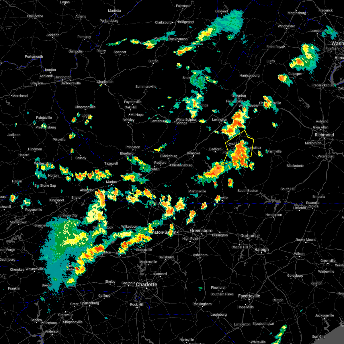 The severe thunderstorm warning for western appomattox, central campbell, east central bedford, and southeastern amherst counties and the city of lynchburg will expire at 315 pm edt, the storms which prompted the warning have moved out of the area. therefore, the warning will be allowed to expire. a severe thunderstorm watch remains in effect until 1000 pm edt for central, south central and west central virginia. The severe thunderstorm warning for western appomattox, central campbell, east central bedford, and southeastern amherst counties and the city of lynchburg will expire at 315 pm edt, the storms which prompted the warning have moved out of the area. therefore, the warning will be allowed to expire. a severe thunderstorm watch remains in effect until 1000 pm edt for central, south central and west central virginia.
|
| 7/25/2022 2:43 PM EDT |
 At 242 pm edt, severe thunderstorms were located along a line extending from near madison heights to bocock to near evington, moving northeast at 40 mph (radar indicated). Hazards include 60 mph wind gusts and quarter size hail. Hail damage to vehicles is expected. Expect wind damage to roofs, siding, and trees. At 242 pm edt, severe thunderstorms were located along a line extending from near madison heights to bocock to near evington, moving northeast at 40 mph (radar indicated). Hazards include 60 mph wind gusts and quarter size hail. Hail damage to vehicles is expected. Expect wind damage to roofs, siding, and trees.
|
| 7/12/2022 9:10 PM EDT |
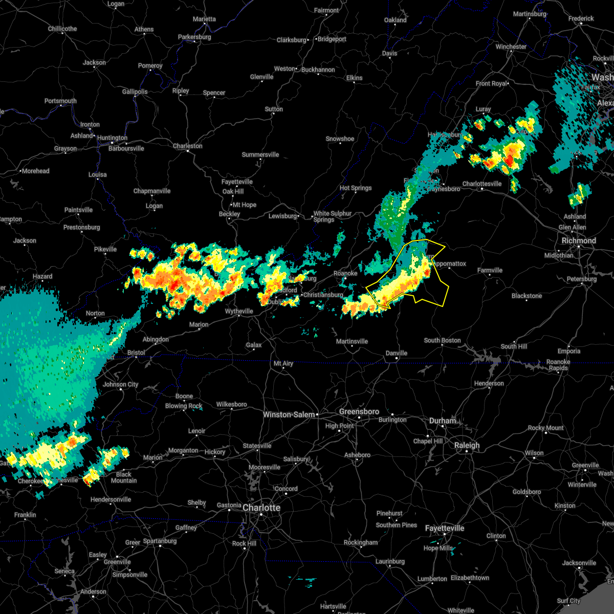 The severe thunderstorm warning for campbell, central bedford, and southern amherst counties and the city of lynchburg will expire at 915 pm edt, the storms which prompted the warning have weakened below severe limits, and no longer pose an immediate threat to life or property. therefore, the warning will be allowed to expire. however gusty winds and heavy rain are still possible with these thunderstorms. a severe thunderstorm watch remains in effect until 1000 pm edt for central, south central and west central virginia. The severe thunderstorm warning for campbell, central bedford, and southern amherst counties and the city of lynchburg will expire at 915 pm edt, the storms which prompted the warning have weakened below severe limits, and no longer pose an immediate threat to life or property. therefore, the warning will be allowed to expire. however gusty winds and heavy rain are still possible with these thunderstorms. a severe thunderstorm watch remains in effect until 1000 pm edt for central, south central and west central virginia.
|
| 7/12/2022 8:59 PM EDT |
 At 859 pm edt, severe thunderstorms were located along a line extending from near bocock to smith mountain lake state park, moving southeast at 25 mph (radar indicated). Hazards include 60 mph wind gusts and quarter size hail. Hail damage to vehicles is expected. expect wind damage to roofs, siding, and trees. locations impacted include, lynchburg, altavista, amherst, brookneal, huddleston, moneta, and concord. hail threat, radar indicated max hail size, 1. 00 in wind threat, radar indicated max wind gust, 60 mph. At 859 pm edt, severe thunderstorms were located along a line extending from near bocock to smith mountain lake state park, moving southeast at 25 mph (radar indicated). Hazards include 60 mph wind gusts and quarter size hail. Hail damage to vehicles is expected. expect wind damage to roofs, siding, and trees. locations impacted include, lynchburg, altavista, amherst, brookneal, huddleston, moneta, and concord. hail threat, radar indicated max hail size, 1. 00 in wind threat, radar indicated max wind gust, 60 mph.
|
| 7/12/2022 8:35 PM EDT |
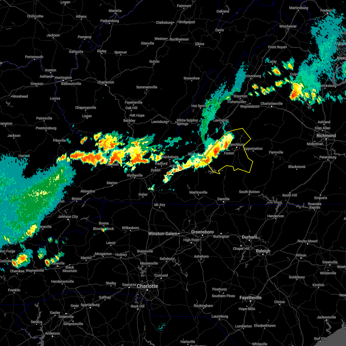 At 835 pm edt, severe thunderstorms were located along a line extending from near boonsboro to goodview, moving southeast at 20 mph (radar indicated). Hazards include ping pong ball size hail and 60 mph wind gusts. People and animals outdoors will be injured. expect hail damage to roofs, siding, windows, and vehicles. expect wind damage to roofs, siding, and trees. locations impacted include, lynchburg, bedford, altavista, amherst, brookneal, huddleston, and big island. hail threat, radar indicated max hail size, 1. 50 in wind threat, radar indicated max wind gust, 60 mph. At 835 pm edt, severe thunderstorms were located along a line extending from near boonsboro to goodview, moving southeast at 20 mph (radar indicated). Hazards include ping pong ball size hail and 60 mph wind gusts. People and animals outdoors will be injured. expect hail damage to roofs, siding, windows, and vehicles. expect wind damage to roofs, siding, and trees. locations impacted include, lynchburg, bedford, altavista, amherst, brookneal, huddleston, and big island. hail threat, radar indicated max hail size, 1. 50 in wind threat, radar indicated max wind gust, 60 mph.
|
| 7/12/2022 7:58 PM EDT |
 At 756 pm edt, severe thunderstorms were located along a line extending from natural bridge to near lithia, moving east at 25 mph (radar indicated. at 7:54pm power lines were reported down near buchanan). Hazards include ping pong ball size hail and 60 mph wind gusts. People and animals outdoors will be injured. expect hail damage to roofs, siding, windows, and vehicles. Expect wind damage to roofs, siding, and trees. At 756 pm edt, severe thunderstorms were located along a line extending from natural bridge to near lithia, moving east at 25 mph (radar indicated. at 7:54pm power lines were reported down near buchanan). Hazards include ping pong ball size hail and 60 mph wind gusts. People and animals outdoors will be injured. expect hail damage to roofs, siding, windows, and vehicles. Expect wind damage to roofs, siding, and trees.
|
| 7/6/2022 5:40 PM EDT |
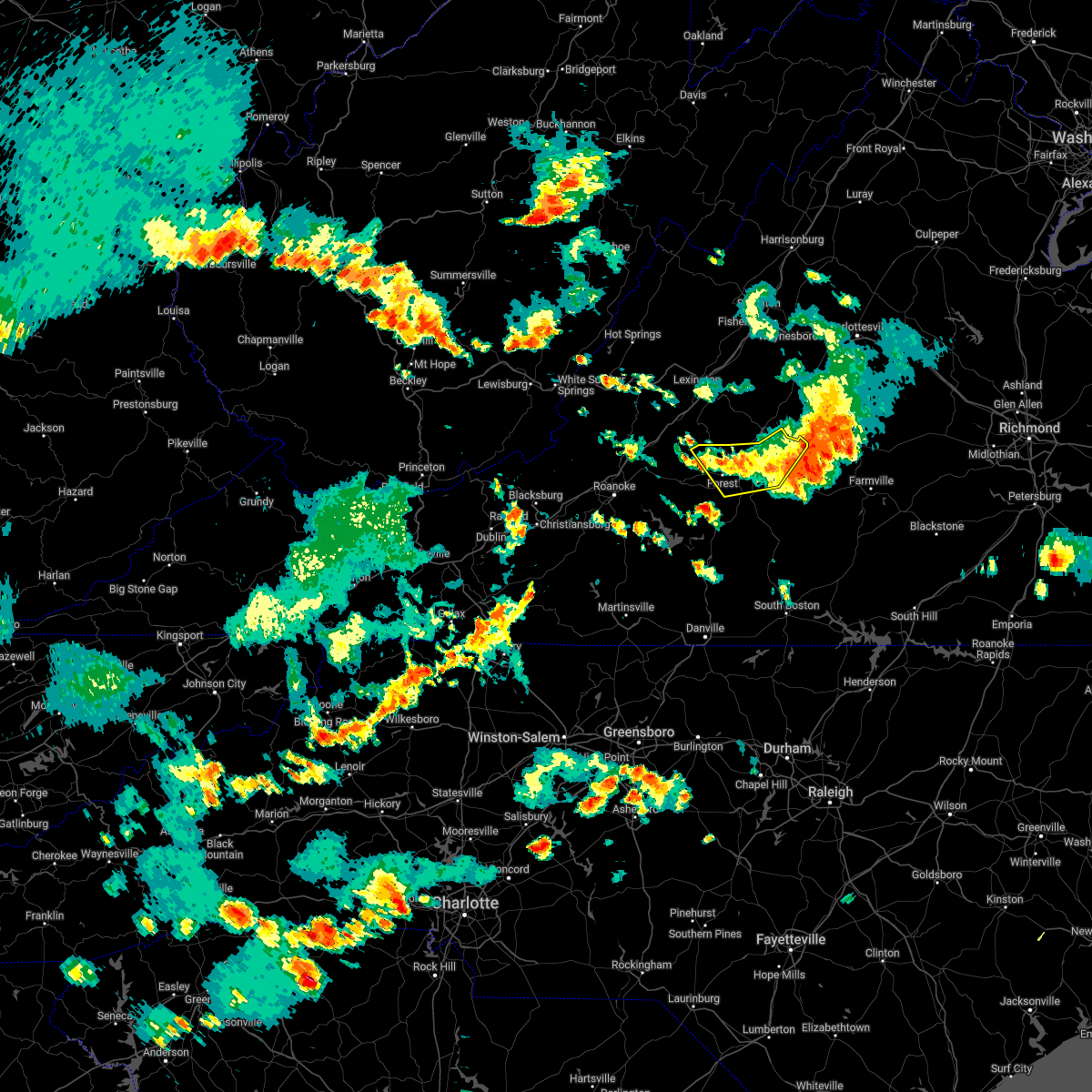 The severe thunderstorm warning for northwestern appomattox, northeastern campbell, northeastern bedford, and southern amherst counties and the city of lynchburg will expire at 545 pm edt, the storms which prompted the warning have weakened below severe limits, and have exited the warned area. therefore, the warning will be allowed to expire. The severe thunderstorm warning for northwestern appomattox, northeastern campbell, northeastern bedford, and southern amherst counties and the city of lynchburg will expire at 545 pm edt, the storms which prompted the warning have weakened below severe limits, and have exited the warned area. therefore, the warning will be allowed to expire.
|
| 7/6/2022 5:31 PM EDT |
 At 531 pm edt, severe thunderstorms were located along a line extending from near bent creek to near concord to near boonsboro, moving southeast at 15 mph (radar indicated). Hazards include 60 mph wind gusts and penny size hail. Expect damage to roofs, siding, and trees. locations impacted include, lynchburg, bent creek, concord, forest, rustburg, coleman falls, and madison heights. this includes the following locations liberty university and lynchburg airport. hail threat, radar indicated max hail size, 0. 75 in wind threat, radar indicated max wind gust, 60 mph. At 531 pm edt, severe thunderstorms were located along a line extending from near bent creek to near concord to near boonsboro, moving southeast at 15 mph (radar indicated). Hazards include 60 mph wind gusts and penny size hail. Expect damage to roofs, siding, and trees. locations impacted include, lynchburg, bent creek, concord, forest, rustburg, coleman falls, and madison heights. this includes the following locations liberty university and lynchburg airport. hail threat, radar indicated max hail size, 0. 75 in wind threat, radar indicated max wind gust, 60 mph.
|
| 7/6/2022 5:16 PM EDT |
 At 516 pm edt, severe thunderstorms were located along a line extending from near new glasgow to near madison heights to near coleman falls, moving southeast at 30 mph (radar indicated). Hazards include 60 mph wind gusts and nickel size hail. Expect damage to roofs, siding, and trees. locations impacted include, lynchburg, amherst, bent creek, concord, big island, forest, and rustburg. this includes the following locations liberty university and lynchburg airport. hail threat, radar indicated max hail size, 0. 88 in wind threat, radar indicated max wind gust, 60 mph. At 516 pm edt, severe thunderstorms were located along a line extending from near new glasgow to near madison heights to near coleman falls, moving southeast at 30 mph (radar indicated). Hazards include 60 mph wind gusts and nickel size hail. Expect damage to roofs, siding, and trees. locations impacted include, lynchburg, amherst, bent creek, concord, big island, forest, and rustburg. this includes the following locations liberty university and lynchburg airport. hail threat, radar indicated max hail size, 0. 88 in wind threat, radar indicated max wind gust, 60 mph.
|
| 7/6/2022 5:11 PM EDT |
 At 511 pm edt, severe thunderstorms were located along a line extending from near schuyler to near wingina to near riverville to bocock, moving east at 35 mph (radar indicated). Hazards include 60 mph wind gusts and quarter size hail. Hail damage to vehicles is expected. Expect wind damage to roofs, siding, and trees. At 511 pm edt, severe thunderstorms were located along a line extending from near schuyler to near wingina to near riverville to bocock, moving east at 35 mph (radar indicated). Hazards include 60 mph wind gusts and quarter size hail. Hail damage to vehicles is expected. Expect wind damage to roofs, siding, and trees.
|
| 7/6/2022 4:49 PM EDT |
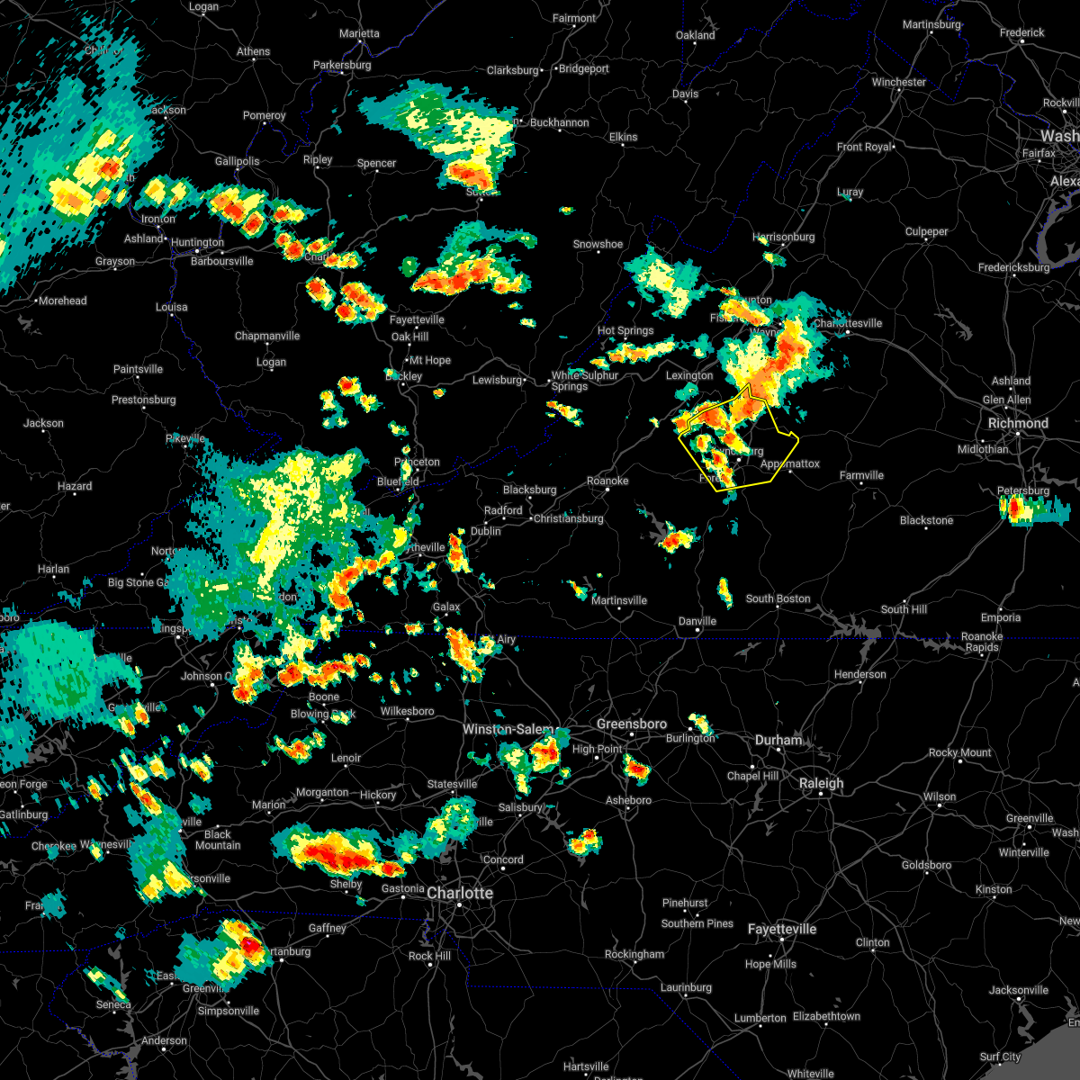 At 449 pm edt, severe thunderstorms were located along a line extending from near lowesville to near naola to near coleman falls, moving southeast at 15 mph (radar indicated). Hazards include 60 mph wind gusts and quarter size hail. Hail damage to vehicles is expected. Expect wind damage to roofs, siding, and trees. At 449 pm edt, severe thunderstorms were located along a line extending from near lowesville to near naola to near coleman falls, moving southeast at 15 mph (radar indicated). Hazards include 60 mph wind gusts and quarter size hail. Hail damage to vehicles is expected. Expect wind damage to roofs, siding, and trees.
|
| 7/5/2022 4:06 PM EDT |
 The severe thunderstorm warning for northwestern appomattox, central campbell, west central buckingham, and southeastern amherst counties and the city of lynchburg will expire at 415 pm edt, the storms which prompted the warning have weakened below severe limits, and have exited the warned area. therefore, the warning will be allowed to expire. The severe thunderstorm warning for northwestern appomattox, central campbell, west central buckingham, and southeastern amherst counties and the city of lynchburg will expire at 415 pm edt, the storms which prompted the warning have weakened below severe limits, and have exited the warned area. therefore, the warning will be allowed to expire.
|
| 7/5/2022 3:53 PM EDT |
 At 353 pm edt, severe thunderstorms were located along a line extending from near amherst to near hodges, moving east at 15 mph (radar indicated). Hazards include 60 mph wind gusts and quarter size hail. Hail damage to vehicles is expected. expect wind damage to roofs, siding, and trees. locations impacted include, lynchburg, amherst, bent creek, concord, rustburg, clifford, and evington. this includes the following locations liberty university and lynchburg airport. hail threat, radar indicated max hail size, 1. 00 in wind threat, radar indicated max wind gust, 60 mph. At 353 pm edt, severe thunderstorms were located along a line extending from near amherst to near hodges, moving east at 15 mph (radar indicated). Hazards include 60 mph wind gusts and quarter size hail. Hail damage to vehicles is expected. expect wind damage to roofs, siding, and trees. locations impacted include, lynchburg, amherst, bent creek, concord, rustburg, clifford, and evington. this includes the following locations liberty university and lynchburg airport. hail threat, radar indicated max hail size, 1. 00 in wind threat, radar indicated max wind gust, 60 mph.
|
| 7/5/2022 3:38 PM EDT |
 At 338 pm edt, severe thunderstorms were located along a line extending from near forks of buffalo to near evington, moving east at 15 mph (radar indicated). Hazards include 60 mph wind gusts and quarter size hail. Hail damage to vehicles is expected. expect wind damage to roofs, siding, and trees. locations impacted include, lynchburg, amherst, bent creek, concord, rustburg, clifford, and forest. this includes the following locations liberty university and lynchburg airport. hail threat, radar indicated max hail size, 1. 00 in wind threat, radar indicated max wind gust, 60 mph. At 338 pm edt, severe thunderstorms were located along a line extending from near forks of buffalo to near evington, moving east at 15 mph (radar indicated). Hazards include 60 mph wind gusts and quarter size hail. Hail damage to vehicles is expected. expect wind damage to roofs, siding, and trees. locations impacted include, lynchburg, amherst, bent creek, concord, rustburg, clifford, and forest. this includes the following locations liberty university and lynchburg airport. hail threat, radar indicated max hail size, 1. 00 in wind threat, radar indicated max wind gust, 60 mph.
|
| 7/5/2022 3:12 PM EDT |
 At 312 pm edt, severe thunderstorms were located along a line extending from near pleasant view to near goode, moving east at 15 mph (radar indicated). Hazards include 60 mph wind gusts and quarter size hail. Hail damage to vehicles is expected. Expect wind damage to roofs, siding, and trees. At 312 pm edt, severe thunderstorms were located along a line extending from near pleasant view to near goode, moving east at 15 mph (radar indicated). Hazards include 60 mph wind gusts and quarter size hail. Hail damage to vehicles is expected. Expect wind damage to roofs, siding, and trees.
|
| 7/2/2022 4:16 PM EDT |
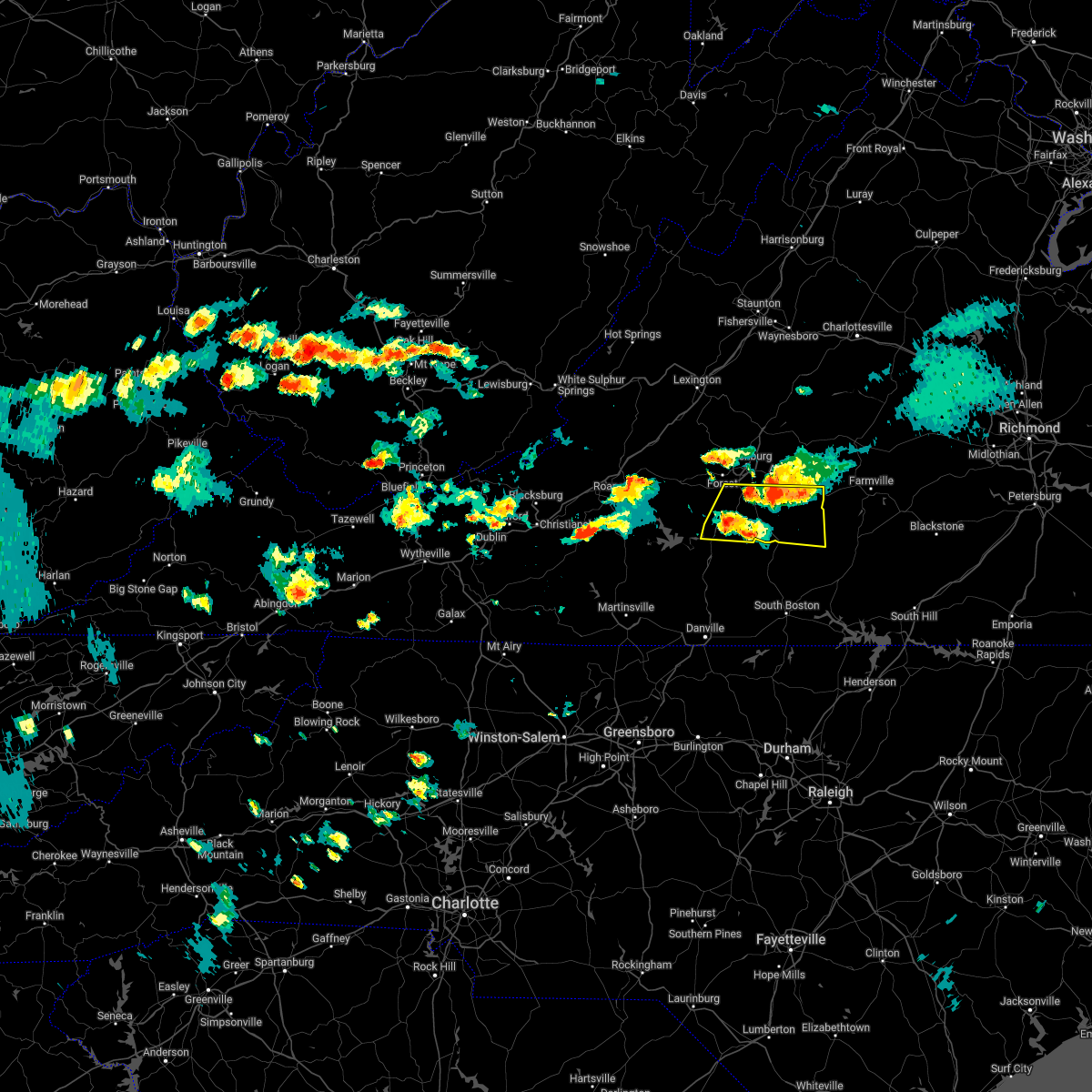 At 415 pm edt, severe thunderstorms were located along a line extending from near evergreen to evington, moving south at 10 mph (radar indicated). Hazards include 60 mph wind gusts and quarter size hail. Hail damage to vehicles is expected. Expect wind damage to roofs, siding, and trees. At 415 pm edt, severe thunderstorms were located along a line extending from near evergreen to evington, moving south at 10 mph (radar indicated). Hazards include 60 mph wind gusts and quarter size hail. Hail damage to vehicles is expected. Expect wind damage to roofs, siding, and trees.
|
| 7/2/2022 4:07 PM EDT |
 At 407 pm edt, severe thunderstorms were located along a line extending from near andersonville to spring mills to near timberlake, moving south at 15 mph (law enforcement). Hazards include 60 mph wind gusts and quarter size hail. Hail damage to vehicles is expected. expect wind damage to roofs, siding, and trees. locations impacted include, appomattox, concord, rustburg, pamplin city, appomattox national historic park, hixburg, and bocock. hail threat, radar indicated max hail size, 1. 00 in wind threat, radar indicated max wind gust, 60 mph. At 407 pm edt, severe thunderstorms were located along a line extending from near andersonville to spring mills to near timberlake, moving south at 15 mph (law enforcement). Hazards include 60 mph wind gusts and quarter size hail. Hail damage to vehicles is expected. expect wind damage to roofs, siding, and trees. locations impacted include, appomattox, concord, rustburg, pamplin city, appomattox national historic park, hixburg, and bocock. hail threat, radar indicated max hail size, 1. 00 in wind threat, radar indicated max wind gust, 60 mph.
|
| 7/2/2022 3:57 PM EDT |
 At 356 pm edt, severe thunderstorms were located along a line extending from dillwyn to appomattox national historic park to lynchburg, moving east at 20 mph (law enforcement). Hazards include 60 mph wind gusts and quarter size hail. Hail damage to vehicles is expected. expect wind damage to roofs, siding, and trees. locations impacted include, appomattox, concord, rustburg, pamplin city, appomattox national historic park, sheppards, and stonewall. hail threat, radar indicated max hail size, 1. 00 in wind threat, radar indicated max wind gust, 60 mph. At 356 pm edt, severe thunderstorms were located along a line extending from dillwyn to appomattox national historic park to lynchburg, moving east at 20 mph (law enforcement). Hazards include 60 mph wind gusts and quarter size hail. Hail damage to vehicles is expected. expect wind damage to roofs, siding, and trees. locations impacted include, appomattox, concord, rustburg, pamplin city, appomattox national historic park, sheppards, and stonewall. hail threat, radar indicated max hail size, 1. 00 in wind threat, radar indicated max wind gust, 60 mph.
|
| 7/2/2022 3:45 PM EDT |
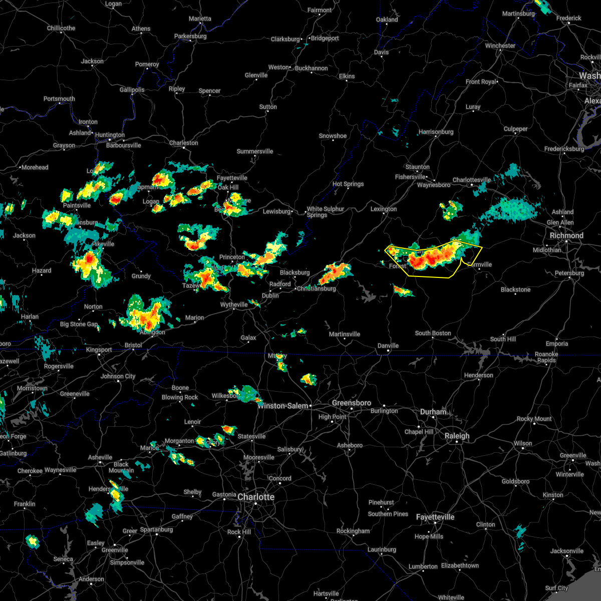 At 345 pm edt, severe thunderstorms were located along a line extending from dillwyn to appomattox to boonsboro, moving east at 20 mph (law enforcement reported tree down in the concord area). Hazards include 60 mph wind gusts and quarter size hail. Hail damage to vehicles is expected. expect wind damage to roofs, siding, and trees. locations impacted include, lynchburg, appomattox, concord, rustburg, forest, pamplin city, and madison heights. this includes the following locations liberty university and lynchburg airport. hail threat, radar indicated max hail size, 1. 00 in wind threat, radar indicated max wind gust, 60 mph. At 345 pm edt, severe thunderstorms were located along a line extending from dillwyn to appomattox to boonsboro, moving east at 20 mph (law enforcement reported tree down in the concord area). Hazards include 60 mph wind gusts and quarter size hail. Hail damage to vehicles is expected. expect wind damage to roofs, siding, and trees. locations impacted include, lynchburg, appomattox, concord, rustburg, forest, pamplin city, and madison heights. this includes the following locations liberty university and lynchburg airport. hail threat, radar indicated max hail size, 1. 00 in wind threat, radar indicated max wind gust, 60 mph.
|
| 7/2/2022 3:21 PM EDT |
 At 320 pm edt, severe thunderstorms were located along a line extending from near buckingham to stonewall to near coleman falls, moving east at 20 mph (radar indicated). Hazards include 60 mph wind gusts and quarter size hail. Hail damage to vehicles is expected. Expect wind damage to roofs, siding, and trees. At 320 pm edt, severe thunderstorms were located along a line extending from near buckingham to stonewall to near coleman falls, moving east at 20 mph (radar indicated). Hazards include 60 mph wind gusts and quarter size hail. Hail damage to vehicles is expected. Expect wind damage to roofs, siding, and trees.
|
| 6/22/2022 7:51 PM EDT | Large tree branches dow in campbell county VA, 5 miles NNW of Rustburg, VA |
| 6/17/2022 5:17 PM EDT | Power lines and trees down in road on bear creek r in campbell county VA, 2.2 miles WSW of Rustburg, VA |
| 6/17/2022 5:11 PM EDT |
 At 510 pm edt, severe thunderstorms were located along a line extending from near appomattox to long island, moving east at 75 mph (radar indicated). Hazards include 60 mph wind gusts. expect damage to roofs, siding, and trees At 510 pm edt, severe thunderstorms were located along a line extending from near appomattox to long island, moving east at 75 mph (radar indicated). Hazards include 60 mph wind gusts. expect damage to roofs, siding, and trees
|
| 6/14/2022 1:42 PM EDT |
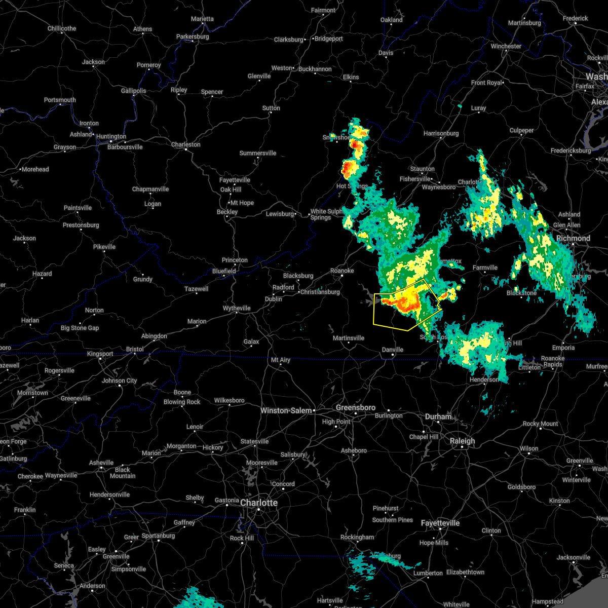 At 142 pm edt, severe thunderstorms were located along a line extending from long island to near mt airy to near smith mountain lake state park, moving south at 45 mph (radar indicated). Hazards include 60 mph wind gusts. Expect damage to roofs, siding, and trees. locations impacted include, altavista, hurt, chatham, gretna, brookneal, mt airy, and nathalie. hail threat, radar indicated max hail size, <. 75 in wind threat, radar indicated max wind gust, 60 mph. At 142 pm edt, severe thunderstorms were located along a line extending from long island to near mt airy to near smith mountain lake state park, moving south at 45 mph (radar indicated). Hazards include 60 mph wind gusts. Expect damage to roofs, siding, and trees. locations impacted include, altavista, hurt, chatham, gretna, brookneal, mt airy, and nathalie. hail threat, radar indicated max hail size, <. 75 in wind threat, radar indicated max wind gust, 60 mph.
|
| 6/14/2022 1:26 PM EDT |
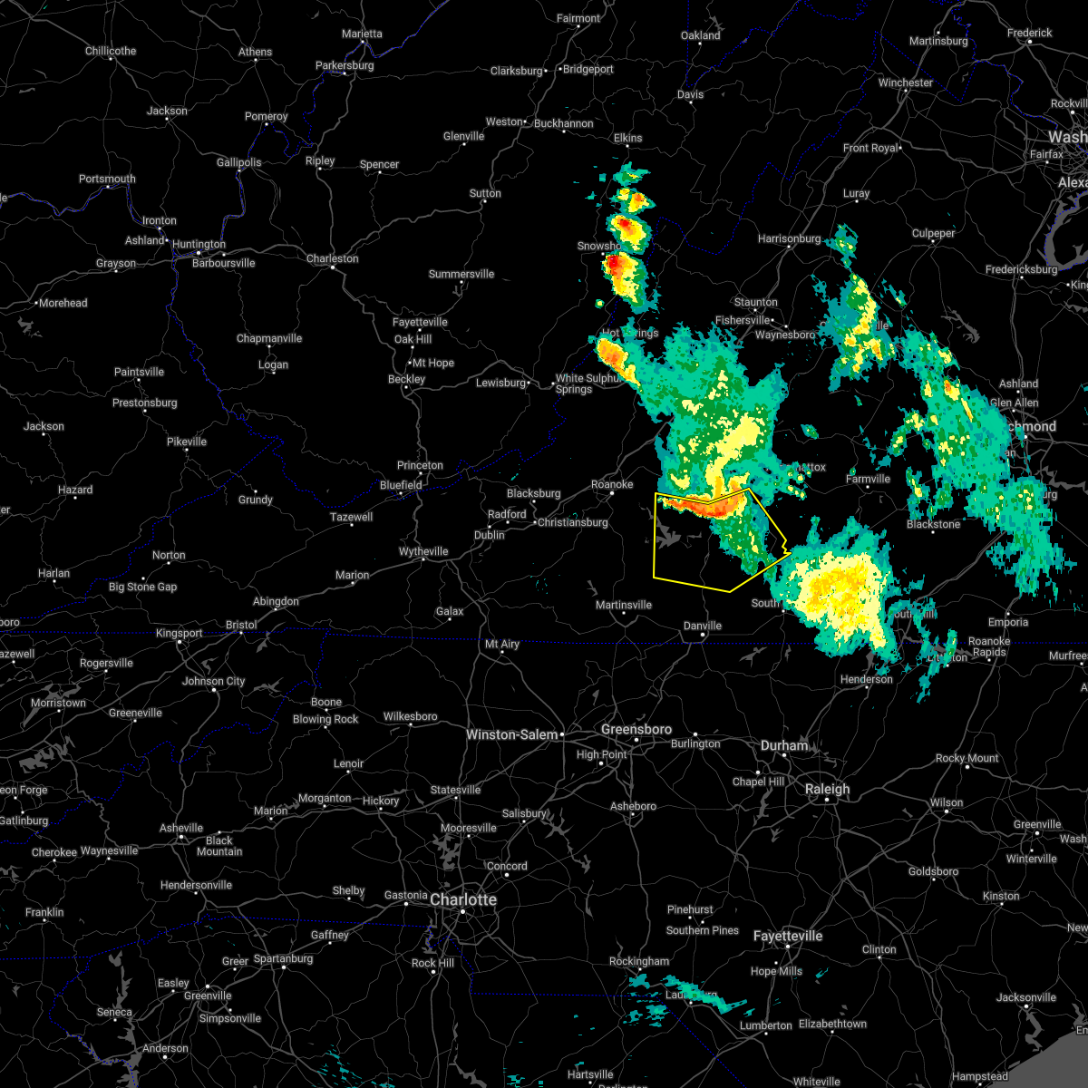 At 126 pm edt, severe thunderstorms were located along a line extending from near rustburg to near altavista to near moneta, moving south at 40 mph (radar indicated). Hazards include 60 mph wind gusts. expect damage to roofs, siding, and trees At 126 pm edt, severe thunderstorms were located along a line extending from near rustburg to near altavista to near moneta, moving south at 40 mph (radar indicated). Hazards include 60 mph wind gusts. expect damage to roofs, siding, and trees
|
| 6/14/2022 1:20 PM EDT |
 At 119 pm edt, severe thunderstorms were located along a line extending from near thaxton to near evington to near timberlake, moving south at 50 mph (radar indicated). Hazards include 60 mph wind gusts. Expect damage to roofs, siding, and trees. locations impacted include, bedford, altavista, moneta, huddleston, evington, rustburg, and forest. this includes the following locations the national d-day memorial and lynchburg airport. hail threat, radar indicated max hail size, <. 75 in wind threat, radar indicated max wind gust, 60 mph. At 119 pm edt, severe thunderstorms were located along a line extending from near thaxton to near evington to near timberlake, moving south at 50 mph (radar indicated). Hazards include 60 mph wind gusts. Expect damage to roofs, siding, and trees. locations impacted include, bedford, altavista, moneta, huddleston, evington, rustburg, and forest. this includes the following locations the national d-day memorial and lynchburg airport. hail threat, radar indicated max hail size, <. 75 in wind threat, radar indicated max wind gust, 60 mph.
|
| 6/14/2022 1:02 PM EDT |
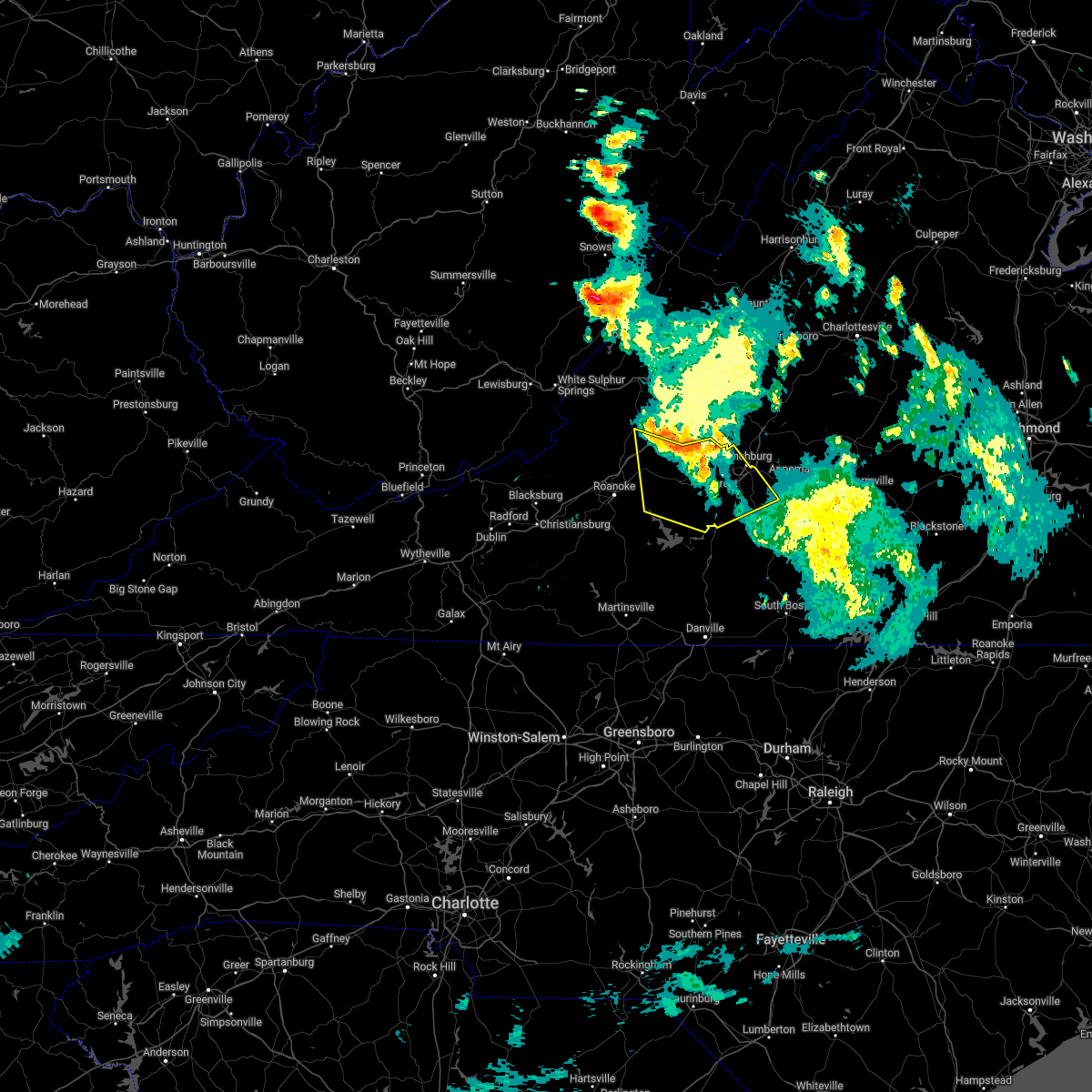 At 102 pm edt, severe thunderstorms were located along a line extending from buchanan to near peaks of otter summit to near naola, moving south at 45 mph (radar indicated). Hazards include 60 mph wind gusts. expect damage to roofs, siding, and trees At 102 pm edt, severe thunderstorms were located along a line extending from buchanan to near peaks of otter summit to near naola, moving south at 45 mph (radar indicated). Hazards include 60 mph wind gusts. expect damage to roofs, siding, and trees
|
| 6/2/2022 4:48 PM EDT |
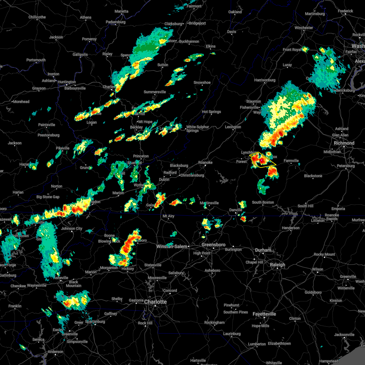 At 447 pm edt, severe thunderstorms were clustered near concord, moving northeast at 35 mph (radar indicated). Hazards include 60 mph wind gusts and half dollar size hail. Hail damage to vehicles is expected. expect wind damage to roofs, siding, and trees. locations impacted include, appomattox, concord, stonewall, spout spring, evergreen, bocock, and madison heights. hail threat, radar indicated max hail size, 1. 25 in wind threat, radar indicated max wind gust, 60 mph. At 447 pm edt, severe thunderstorms were clustered near concord, moving northeast at 35 mph (radar indicated). Hazards include 60 mph wind gusts and half dollar size hail. Hail damage to vehicles is expected. expect wind damage to roofs, siding, and trees. locations impacted include, appomattox, concord, stonewall, spout spring, evergreen, bocock, and madison heights. hail threat, radar indicated max hail size, 1. 25 in wind threat, radar indicated max wind gust, 60 mph.
|
| 6/2/2022 4:40 PM EDT |
 At 438 pm edt, severe thunderstorms were located between bocock, concord, and spout spring, moving northeast at 35 mph (radar indicated). Hazards include 60 mph wind gusts and quarter size hail. Hail damage to vehicles is expected. Expect wind damage to roofs, siding, and trees. At 438 pm edt, severe thunderstorms were located between bocock, concord, and spout spring, moving northeast at 35 mph (radar indicated). Hazards include 60 mph wind gusts and quarter size hail. Hail damage to vehicles is expected. Expect wind damage to roofs, siding, and trees.
|
| 5/27/2022 5:57 PM EDT |
 At 556 pm edt, a severe thunderstorm capable of producing a tornado was located over bocock, or near rustburg, moving northeast at 30 mph (radar indicated rotation). Hazards include tornado and quarter size hail. Flying debris will be dangerous to those caught without shelter. mobile homes will be damaged or destroyed. damage to roofs, windows, and vehicles will occur. tree damage is likely. Locations impacted include, appomattox, concord, rustburg, appomattox national historic park, stonewall, oakville, and bocock. At 556 pm edt, a severe thunderstorm capable of producing a tornado was located over bocock, or near rustburg, moving northeast at 30 mph (radar indicated rotation). Hazards include tornado and quarter size hail. Flying debris will be dangerous to those caught without shelter. mobile homes will be damaged or destroyed. damage to roofs, windows, and vehicles will occur. tree damage is likely. Locations impacted include, appomattox, concord, rustburg, appomattox national historic park, stonewall, oakville, and bocock.
|
| 5/27/2022 5:51 PM EDT |
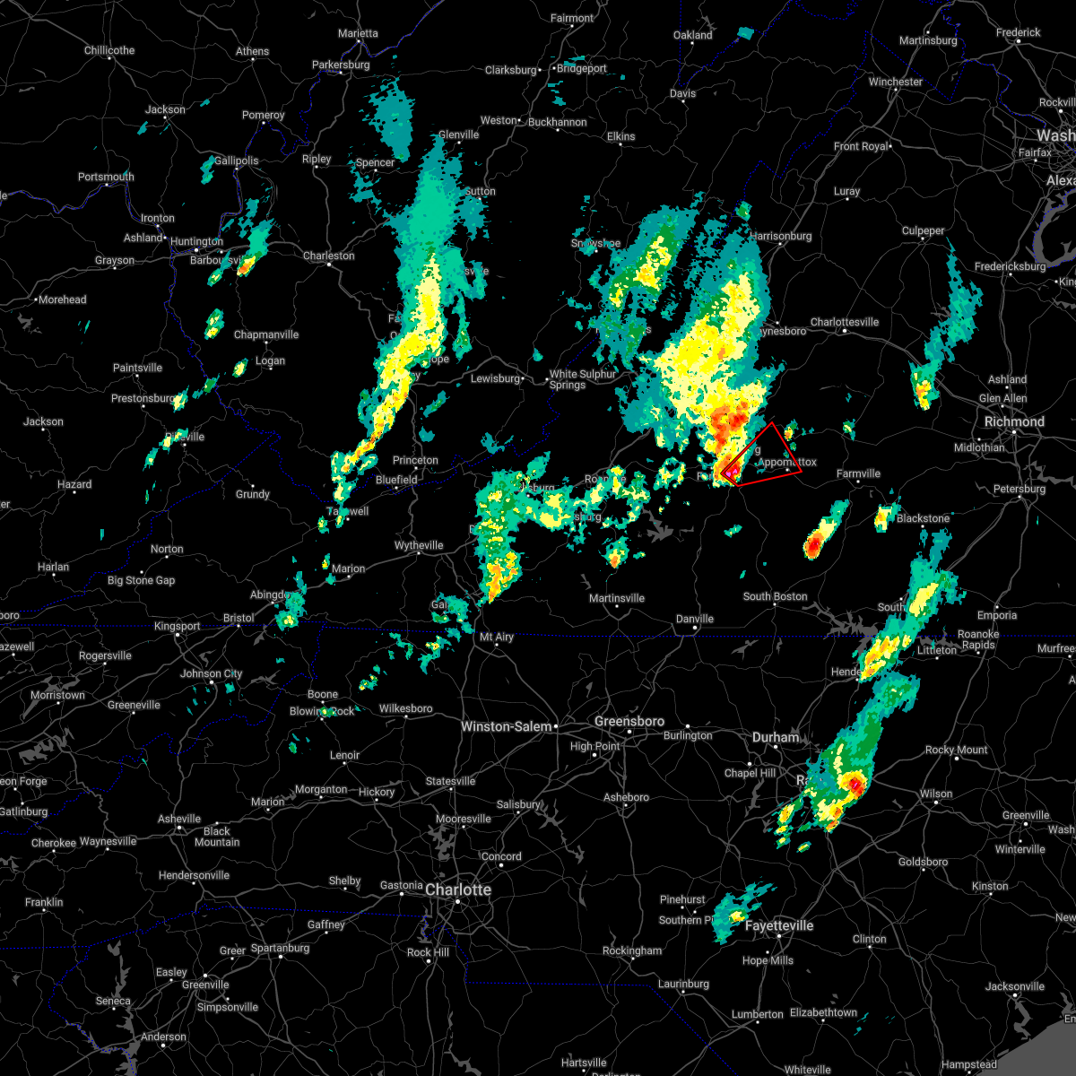 At 550 pm edt, a severe thunderstorm capable of producing a tornado was located near bocock, or near rustburg, moving northeast at 25 mph (radar indicated rotation). Hazards include tornado and quarter size hail. Flying debris will be dangerous to those caught without shelter. mobile homes will be damaged or destroyed. damage to roofs, windows, and vehicles will occur. Tree damage is likely. At 550 pm edt, a severe thunderstorm capable of producing a tornado was located near bocock, or near rustburg, moving northeast at 25 mph (radar indicated rotation). Hazards include tornado and quarter size hail. Flying debris will be dangerous to those caught without shelter. mobile homes will be damaged or destroyed. damage to roofs, windows, and vehicles will occur. Tree damage is likely.
|
| 5/27/2022 9:00 AM EDT |
 At 900 am edt, a severe thunderstorm was located over mike, or 7 miles west of red house, moving northeast at 50 mph (radar indicated). Hazards include 60 mph wind gusts. expect damage to roofs, siding, and trees At 900 am edt, a severe thunderstorm was located over mike, or 7 miles west of red house, moving northeast at 50 mph (radar indicated). Hazards include 60 mph wind gusts. expect damage to roofs, siding, and trees
|
| 5/27/2022 8:51 AM EDT |
 At 851 am edt, a severe thunderstorm was located near hat creek, or near brookneal, moving northeast at 65 mph (radar indicated). Hazards include 60 mph wind gusts. Expect damage to roofs, siding, and trees. Locations impacted include, altavista, hurt, brookneal, charlotte court house, phenix, red house, and concord. At 851 am edt, a severe thunderstorm was located near hat creek, or near brookneal, moving northeast at 65 mph (radar indicated). Hazards include 60 mph wind gusts. Expect damage to roofs, siding, and trees. Locations impacted include, altavista, hurt, brookneal, charlotte court house, phenix, red house, and concord.
|
| 5/27/2022 8:36 AM EDT |
 At 836 am edt, a severe thunderstorm was located over brookneal, moving northeast at 50 mph (radar indicated). Hazards include 60 mph wind gusts. Expect damage to roofs, siding, and trees. Locations impacted include, lynchburg, south boston, altavista, halifax, hurt, brookneal, and keysville. At 836 am edt, a severe thunderstorm was located over brookneal, moving northeast at 50 mph (radar indicated). Hazards include 60 mph wind gusts. Expect damage to roofs, siding, and trees. Locations impacted include, lynchburg, south boston, altavista, halifax, hurt, brookneal, and keysville.
|
| 5/27/2022 8:13 AM EDT |
 At 813 am edt, a severe thunderstorm was located near java, or near mt airy, moving northeast at 50 mph (radar indicated). Hazards include 60 mph wind gusts. expect damage to roofs, siding, and trees At 813 am edt, a severe thunderstorm was located near java, or near mt airy, moving northeast at 50 mph (radar indicated). Hazards include 60 mph wind gusts. expect damage to roofs, siding, and trees
|
| 5/26/2022 11:49 PM EDT |
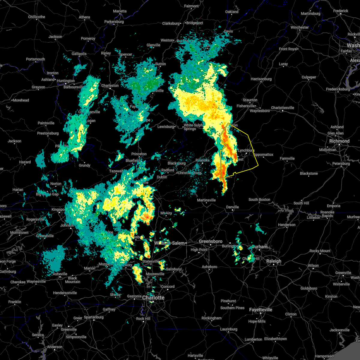 At 1149 pm edt, severe thunderstorms were located along a line extending from near lexington to big island to near goode, moving northeast at 50 mph (radar indicated). Hazards include 60 mph wind gusts. Expect damage to roofs, siding, and trees. locations impacted include, lynchburg, lexington, buena vista, bedford, altavista, amherst, and glasgow. this includes the following locations vmi, liberty university, the national d-day memorial, and lynchburg airport. hail threat, radar indicated max hail size, <. 75 in wind threat, radar indicated max wind gust, 60 mph. At 1149 pm edt, severe thunderstorms were located along a line extending from near lexington to big island to near goode, moving northeast at 50 mph (radar indicated). Hazards include 60 mph wind gusts. Expect damage to roofs, siding, and trees. locations impacted include, lynchburg, lexington, buena vista, bedford, altavista, amherst, and glasgow. this includes the following locations vmi, liberty university, the national d-day memorial, and lynchburg airport. hail threat, radar indicated max hail size, <. 75 in wind threat, radar indicated max wind gust, 60 mph.
|
| 5/26/2022 11:07 PM EDT |
 At 1106 pm edt, severe thunderstorms were located along a line extending from montvale to moneta to near sago, moving northeast at 45 mph (radar indicated). Hazards include 60 mph wind gusts. expect damage to roofs, siding, and trees At 1106 pm edt, severe thunderstorms were located along a line extending from montvale to moneta to near sago, moving northeast at 45 mph (radar indicated). Hazards include 60 mph wind gusts. expect damage to roofs, siding, and trees
|
| 5/22/2022 5:25 PM EDT |
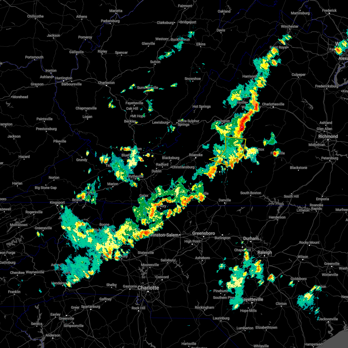 The severe thunderstorm warning for central campbell, northeastern bedford, and southern amherst counties and the city of lynchburg will expire at 530 pm edt, the storms which prompted the warning have weakened below severe limits, and no longer pose an immediate threat to life or property. therefore, the warning will be allowed to expire. however gusty winds and heavy rain are still possible with these thunderstorms. The severe thunderstorm warning for central campbell, northeastern bedford, and southern amherst counties and the city of lynchburg will expire at 530 pm edt, the storms which prompted the warning have weakened below severe limits, and no longer pose an immediate threat to life or property. therefore, the warning will be allowed to expire. however gusty winds and heavy rain are still possible with these thunderstorms.
|
| 5/22/2022 5:21 PM EDT | Tree down on road. time estimated from rada in campbell county VA, 5.3 miles ENE of Rustburg, VA |
| 5/22/2022 5:04 PM EDT |
 At 503 pm edt, severe thunderstorms were located along a line extending from near naola to timberlake to near evington to near moneta, moving east at 25 mph (radar indicated). Hazards include 60 mph wind gusts. Expect damage to roofs, siding, and trees. locations impacted include, lynchburg, big island, forest, evington, rustburg, coleman falls, and madison heights. this includes the following locations liberty university and lynchburg airport. hail threat, radar indicated max hail size, <. 75 in wind threat, radar indicated max wind gust, 60 mph. At 503 pm edt, severe thunderstorms were located along a line extending from near naola to timberlake to near evington to near moneta, moving east at 25 mph (radar indicated). Hazards include 60 mph wind gusts. Expect damage to roofs, siding, and trees. locations impacted include, lynchburg, big island, forest, evington, rustburg, coleman falls, and madison heights. this includes the following locations liberty university and lynchburg airport. hail threat, radar indicated max hail size, <. 75 in wind threat, radar indicated max wind gust, 60 mph.
|
| 5/22/2022 4:46 PM EDT |
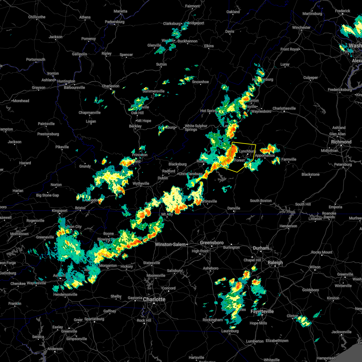 At 446 pm edt, severe thunderstorms were located along a line extending from big island to goode to near moneta, moving east at 25 mph (radar indicated). Hazards include 60 mph wind gusts. expect damage to roofs, siding, and trees At 446 pm edt, severe thunderstorms were located along a line extending from big island to goode to near moneta, moving east at 25 mph (radar indicated). Hazards include 60 mph wind gusts. expect damage to roofs, siding, and trees
|
| 5/6/2022 9:14 PM EDT |
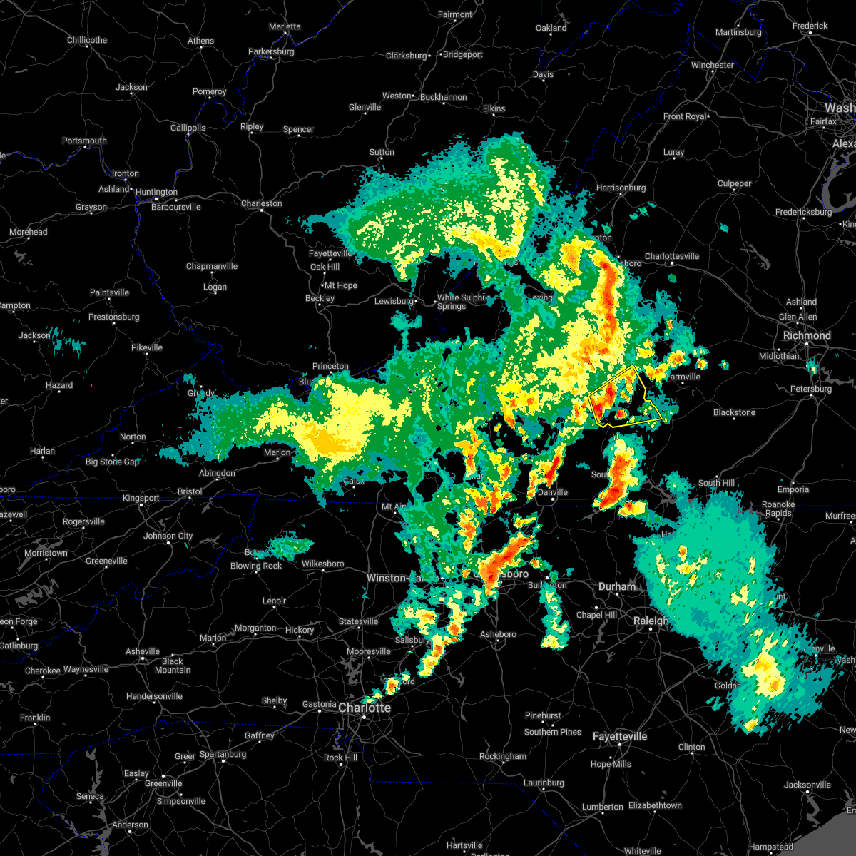 At 914 pm edt, a severe thunderstorm was located near hat creek, or 7 miles north of brookneal, moving northeast at 30 mph (radar indicated). Hazards include 60 mph wind gusts and quarter size hail. Hail damage to vehicles is expected. expect wind damage to roofs, siding, and trees. locations impacted include, appomattox, brookneal, charlotte court house, phenix, red house, pamplin city, and madisonville. hail threat, radar indicated max hail size, 1. 00 in wind threat, radar indicated max wind gust, 60 mph. At 914 pm edt, a severe thunderstorm was located near hat creek, or 7 miles north of brookneal, moving northeast at 30 mph (radar indicated). Hazards include 60 mph wind gusts and quarter size hail. Hail damage to vehicles is expected. expect wind damage to roofs, siding, and trees. locations impacted include, appomattox, brookneal, charlotte court house, phenix, red house, pamplin city, and madisonville. hail threat, radar indicated max hail size, 1. 00 in wind threat, radar indicated max wind gust, 60 mph.
|
| 5/6/2022 8:58 PM EDT |
 At 858 pm edt, a severe thunderstorm was located over long island, or 8 miles west of brookneal, moving east at 30 mph (radar indicated). Hazards include 60 mph wind gusts and quarter size hail. Hail damage to vehicles is expected. Expect wind damage to roofs, siding, and trees. At 858 pm edt, a severe thunderstorm was located over long island, or 8 miles west of brookneal, moving east at 30 mph (radar indicated). Hazards include 60 mph wind gusts and quarter size hail. Hail damage to vehicles is expected. Expect wind damage to roofs, siding, and trees.
|
| 5/6/2022 8:34 PM EDT |
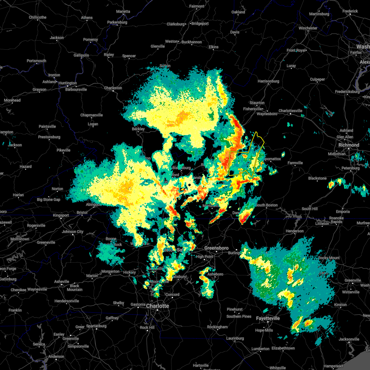 At 833 pm edt, severe thunderstorms were located along a line extending from near sedalia to near bedford to near moneta, moving east at 25 mph (radar indicated). Hazards include 60 mph wind gusts and quarter size hail. Hail damage to vehicles is expected. Expect wind damage to roofs, siding, and trees. At 833 pm edt, severe thunderstorms were located along a line extending from near sedalia to near bedford to near moneta, moving east at 25 mph (radar indicated). Hazards include 60 mph wind gusts and quarter size hail. Hail damage to vehicles is expected. Expect wind damage to roofs, siding, and trees.
|
| 5/3/2022 5:42 PM EDT |
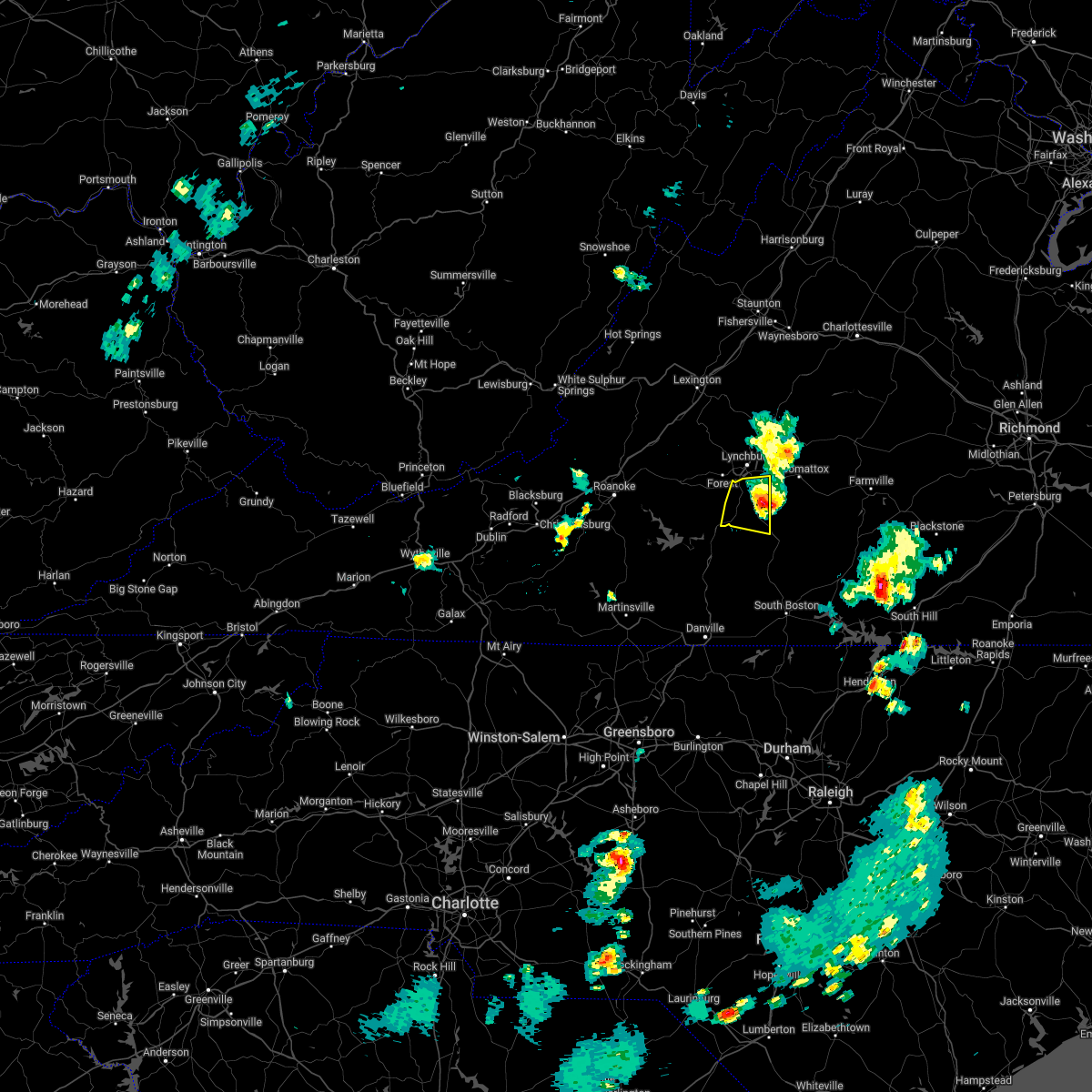 The severe thunderstorm warning for central campbell county will expire at 545 pm edt, the storm which prompted the warning has moved out of the area. therefore, the warning will be allowed to expire. a new severe thunderstorm warning still remains in effect for eastern campbell county until 630 pm edt. The severe thunderstorm warning for central campbell county will expire at 545 pm edt, the storm which prompted the warning has moved out of the area. therefore, the warning will be allowed to expire. a new severe thunderstorm warning still remains in effect for eastern campbell county until 630 pm edt.
|
| 5/3/2022 5:34 PM EDT |
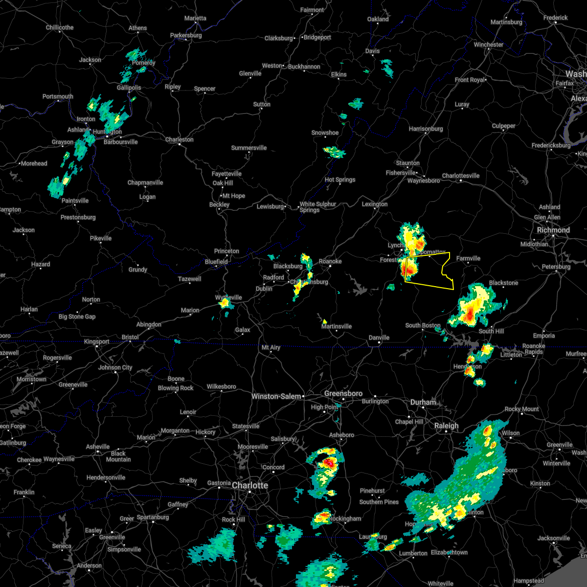 At 533 pm edt, a severe thunderstorm was located near spring mills, or near rustburg, moving east at 25 mph (radar indicated). Hazards include 60 mph wind gusts and quarter size hail. Hail damage to vehicles is expected. Expect wind damage to roofs, siding, and trees. At 533 pm edt, a severe thunderstorm was located near spring mills, or near rustburg, moving east at 25 mph (radar indicated). Hazards include 60 mph wind gusts and quarter size hail. Hail damage to vehicles is expected. Expect wind damage to roofs, siding, and trees.
|
| 5/3/2022 5:17 PM EDT |
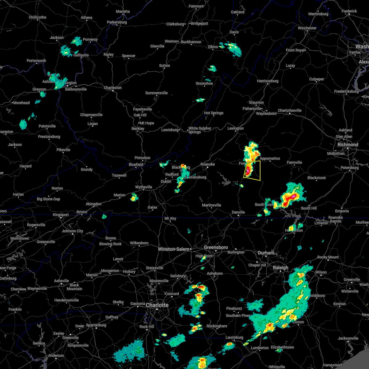 At 517 pm edt, a severe thunderstorm was located near evington, moving east at 20 mph (radar indicated). Hazards include 60 mph wind gusts and quarter size hail. Hail damage to vehicles is expected. expect wind damage to roofs, siding, and trees. locations impacted include, altavista, rustburg, hodges, gladys, and timberlake. this includes the following location lynchburg airport. hail threat, radar indicated max hail size, 1. 00 in wind threat, radar indicated max wind gust, 60 mph. At 517 pm edt, a severe thunderstorm was located near evington, moving east at 20 mph (radar indicated). Hazards include 60 mph wind gusts and quarter size hail. Hail damage to vehicles is expected. expect wind damage to roofs, siding, and trees. locations impacted include, altavista, rustburg, hodges, gladys, and timberlake. this includes the following location lynchburg airport. hail threat, radar indicated max hail size, 1. 00 in wind threat, radar indicated max wind gust, 60 mph.
|
| 5/3/2022 5:05 PM EDT |
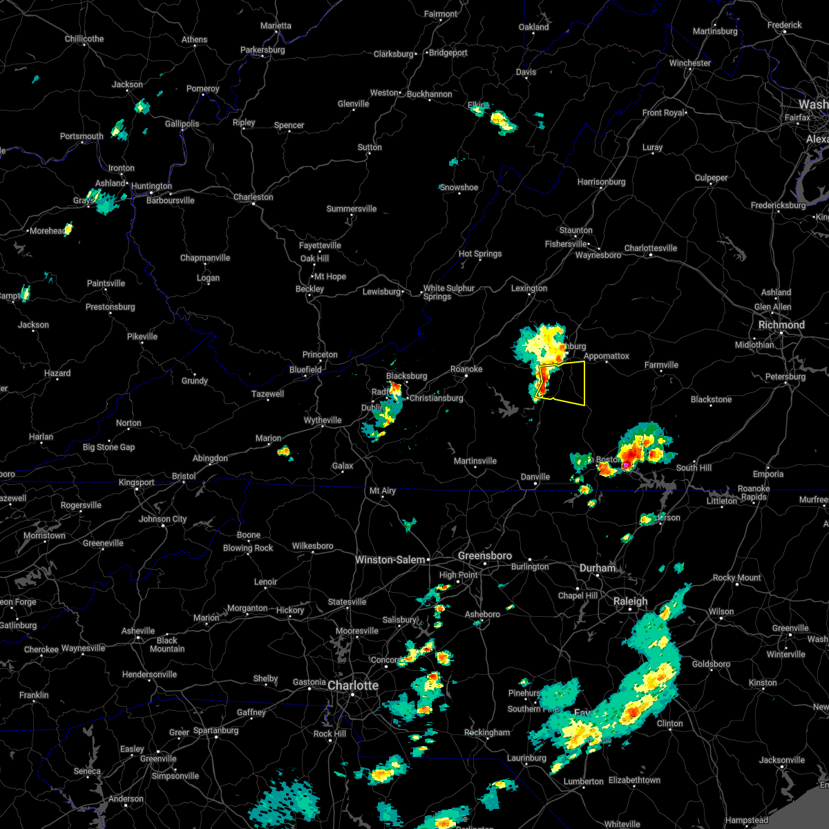 At 505 pm edt, a severe thunderstorm was located over evington, moving east at 20 mph (radar indicated). Hazards include 60 mph wind gusts and quarter size hail. Hail damage to vehicles is expected. expect wind damage to roofs, siding, and trees. locations impacted include, altavista, evington, rustburg, forest, hodges, gladys, and timberlake. this includes the following location lynchburg airport. hail threat, radar indicated max hail size, 1. 00 in wind threat, radar indicated max wind gust, 60 mph. At 505 pm edt, a severe thunderstorm was located over evington, moving east at 20 mph (radar indicated). Hazards include 60 mph wind gusts and quarter size hail. Hail damage to vehicles is expected. expect wind damage to roofs, siding, and trees. locations impacted include, altavista, evington, rustburg, forest, hodges, gladys, and timberlake. this includes the following location lynchburg airport. hail threat, radar indicated max hail size, 1. 00 in wind threat, radar indicated max wind gust, 60 mph.
|
| 5/3/2022 4:52 PM EDT |
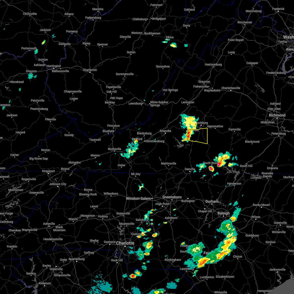 At 452 pm edt, a severe thunderstorm was located near evington, moving east at 20 mph (radar indicated). Hazards include 60 mph wind gusts and quarter size hail. Hail damage to vehicles is expected. Expect wind damage to roofs, siding, and trees. At 452 pm edt, a severe thunderstorm was located near evington, moving east at 20 mph (radar indicated). Hazards include 60 mph wind gusts and quarter size hail. Hail damage to vehicles is expected. Expect wind damage to roofs, siding, and trees.
|
| 8/22/2021 9:22 PM EDT |
 At 922 pm edt, a severe thunderstorm was located near spring mills, or near appomattox, moving south at 30 mph (radar indicated). Hazards include 60 mph wind gusts and quarter size hail. Hail damage to vehicles is expected. Expect wind damage to roofs, siding, and trees. At 922 pm edt, a severe thunderstorm was located near spring mills, or near appomattox, moving south at 30 mph (radar indicated). Hazards include 60 mph wind gusts and quarter size hail. Hail damage to vehicles is expected. Expect wind damage to roofs, siding, and trees.
|
| 8/17/2021 5:45 PM EDT |
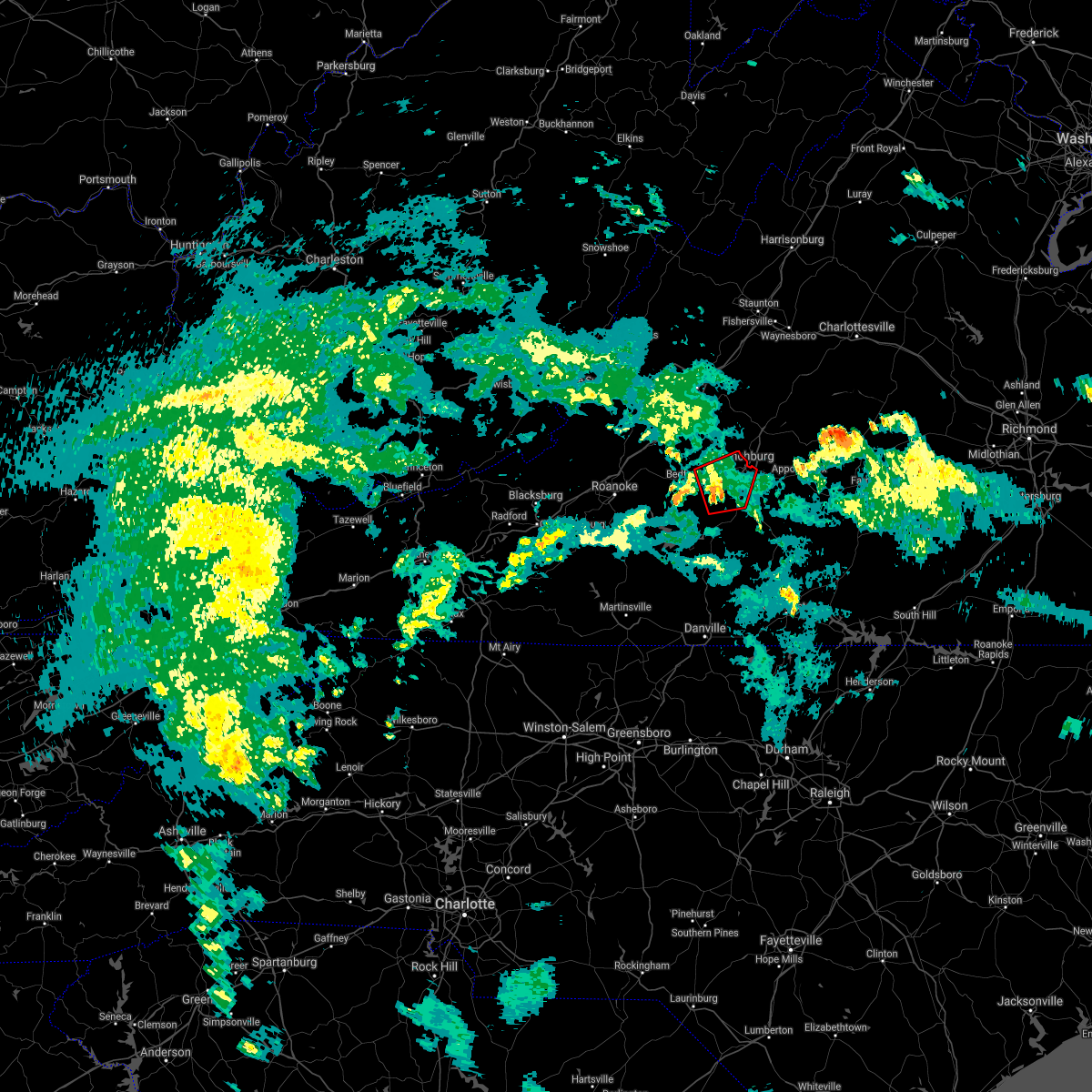 At 544 pm edt, a severe thunderstorm capable of producing a tornado was located over evington, moving north at 20 mph (radar indicated rotation). Hazards include tornado. Flying debris will be dangerous to those caught without shelter. mobile homes will be damaged or destroyed. damage to roofs, windows, and vehicles will occur. tree damage is likely. locations impacted include, lynchburg, forest, evington, boonsboro, goode, timberlake, and bocock. This includes the following locations liberty university and lynchburg airport. At 544 pm edt, a severe thunderstorm capable of producing a tornado was located over evington, moving north at 20 mph (radar indicated rotation). Hazards include tornado. Flying debris will be dangerous to those caught without shelter. mobile homes will be damaged or destroyed. damage to roofs, windows, and vehicles will occur. tree damage is likely. locations impacted include, lynchburg, forest, evington, boonsboro, goode, timberlake, and bocock. This includes the following locations liberty university and lynchburg airport.
|
| 8/17/2021 5:34 PM EDT |
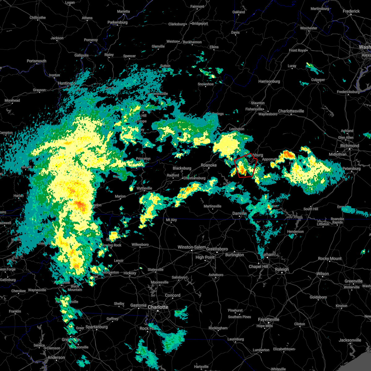 At 534 pm edt, a severe thunderstorm capable of producing a tornado was located near evington, moving north at 15 mph (radar indicated rotation). Hazards include tornado. Flying debris will be dangerous to those caught without shelter. mobile homes will be damaged or destroyed. damage to roofs, windows, and vehicles will occur. Tree damage is likely. At 534 pm edt, a severe thunderstorm capable of producing a tornado was located near evington, moving north at 15 mph (radar indicated rotation). Hazards include tornado. Flying debris will be dangerous to those caught without shelter. mobile homes will be damaged or destroyed. damage to roofs, windows, and vehicles will occur. Tree damage is likely.
|
| 8/10/2021 4:37 PM EDT |
 At 436 pm edt, severe thunderstorms were located along a line extending from spout spring to hodges, moving east at 15 mph (radar indicated). Hazards include 60 mph wind gusts and quarter size hail. Hail damage to vehicles is expected. expect wind damage to roofs, siding, and trees. locations impacted include, appomattox, brookneal, red house, concord, rustburg, pamplin city, and madisonville. hail threat, radar indicated max hail size, 1. 00 in wind threat, radar indicated max wind gust, 60 mph. At 436 pm edt, severe thunderstorms were located along a line extending from spout spring to hodges, moving east at 15 mph (radar indicated). Hazards include 60 mph wind gusts and quarter size hail. Hail damage to vehicles is expected. expect wind damage to roofs, siding, and trees. locations impacted include, appomattox, brookneal, red house, concord, rustburg, pamplin city, and madisonville. hail threat, radar indicated max hail size, 1. 00 in wind threat, radar indicated max wind gust, 60 mph.
|
| 8/10/2021 4:30 PM EDT | About 10 trees down throughout the gladys and yellow branch areas. time estimated from rada in campbell county VA, 7.7 miles N of Rustburg, VA |
| 8/10/2021 4:14 PM EDT |
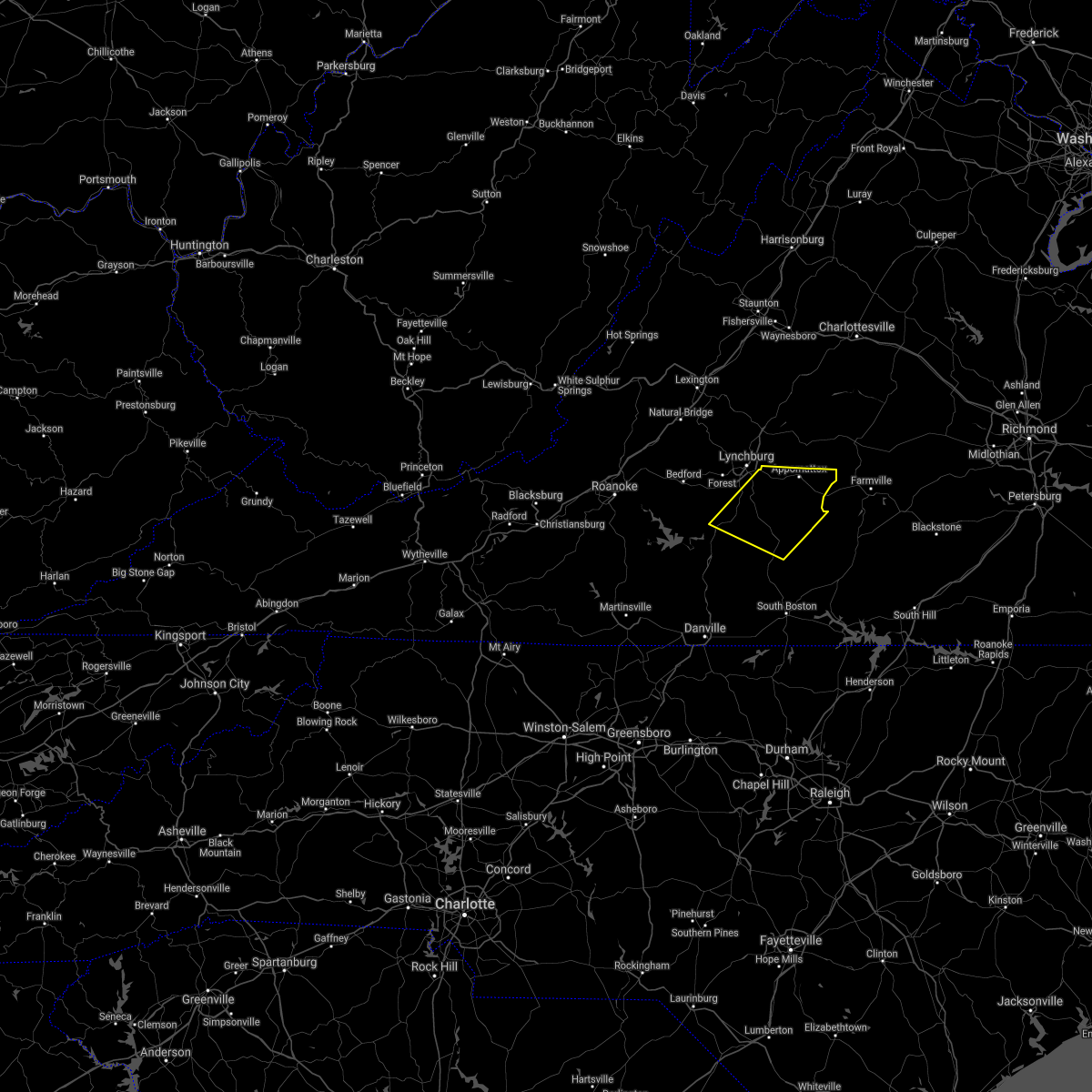 At 414 pm edt, severe thunderstorms were located along a line extending from near concord to altavista, moving east at 20 mph (radar indicated). Hazards include 60 mph wind gusts and quarter size hail. Hail damage to vehicles is expected. Expect wind damage to roofs, siding, and trees. At 414 pm edt, severe thunderstorms were located along a line extending from near concord to altavista, moving east at 20 mph (radar indicated). Hazards include 60 mph wind gusts and quarter size hail. Hail damage to vehicles is expected. Expect wind damage to roofs, siding, and trees.
|
| 7/25/2021 7:57 PM EDT |
 At 757 pm edt, a severe thunderstorm was located near madison heights, or near lynchburg, moving southeast at 10 mph (radar indicated). Hazards include 60 mph wind gusts and quarter size hail. Hail damage to vehicles is expected. Expect wind damage to roofs, siding, and trees. At 757 pm edt, a severe thunderstorm was located near madison heights, or near lynchburg, moving southeast at 10 mph (radar indicated). Hazards include 60 mph wind gusts and quarter size hail. Hail damage to vehicles is expected. Expect wind damage to roofs, siding, and trees.
|
| 7/17/2021 7:30 PM EDT |
 At 729 pm edt, severe thunderstorms were located along a line extending from near coleman falls to stewartsville, moving east at 30 mph (radar indicated). Hazards include 60 mph wind gusts. expect damage to roofs, siding, and trees At 729 pm edt, severe thunderstorms were located along a line extending from near coleman falls to stewartsville, moving east at 30 mph (radar indicated). Hazards include 60 mph wind gusts. expect damage to roofs, siding, and trees
|
| 7/17/2021 2:50 PM EDT |
 The severe thunderstorm warning for southwestern appomattox and eastern campbell counties will expire at 300 pm edt, the storm which prompted the warning has moved out of the area. therefore, the warning will be allowed to expire. when it is safe to do so, please send your reports of hail of any size, as well as reports of any wind damage, including downed trees or large limbs, to the national weather service by calling toll free at 1, 8 6 6, 2 1 5, 4 3 2 4. reports and pictures can also be shared on the national weather service blacksburg facebook page and on twitter. The severe thunderstorm warning for southwestern appomattox and eastern campbell counties will expire at 300 pm edt, the storm which prompted the warning has moved out of the area. therefore, the warning will be allowed to expire. when it is safe to do so, please send your reports of hail of any size, as well as reports of any wind damage, including downed trees or large limbs, to the national weather service by calling toll free at 1, 8 6 6, 2 1 5, 4 3 2 4. reports and pictures can also be shared on the national weather service blacksburg facebook page and on twitter.
|
| 7/17/2021 2:31 PM EDT |
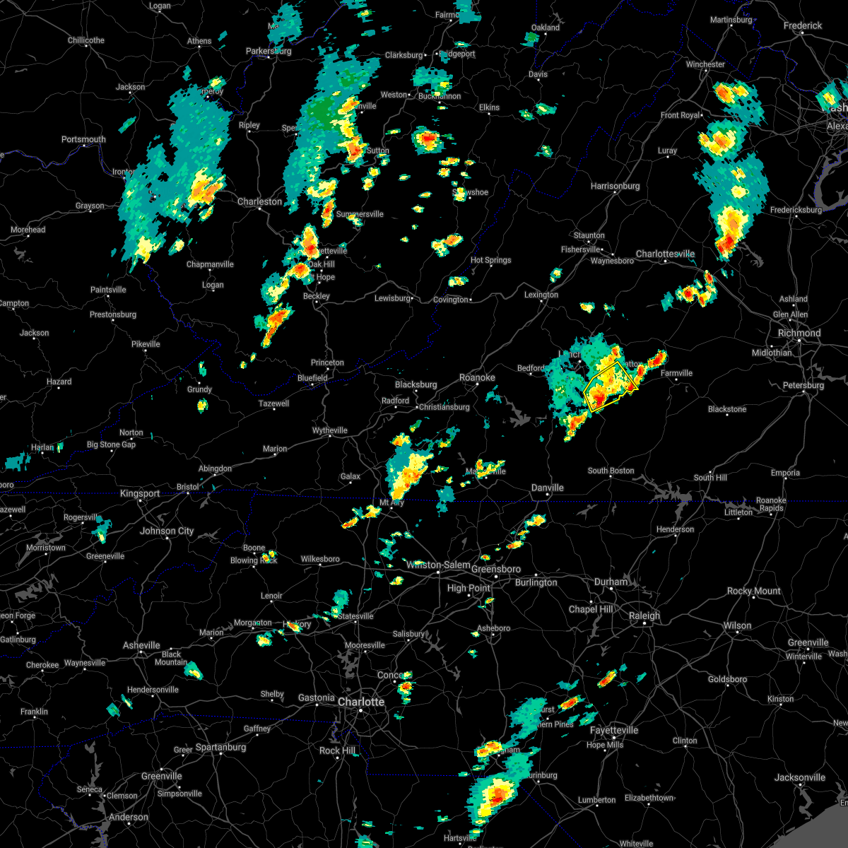 At 230 pm edt, a severe thunderstorm was located near mike, or 8 miles north of brookneal, moving east at 10 mph (radar indicated). Hazards include 60 mph wind gusts and quarter size hail. Hail damage to vehicles is expected. expect wind damage to roofs, siding, and trees. Locations impacted include, appomattox, rustburg, mike, gladys, spout spring, spring mills, and evergreen. At 230 pm edt, a severe thunderstorm was located near mike, or 8 miles north of brookneal, moving east at 10 mph (radar indicated). Hazards include 60 mph wind gusts and quarter size hail. Hail damage to vehicles is expected. expect wind damage to roofs, siding, and trees. Locations impacted include, appomattox, rustburg, mike, gladys, spout spring, spring mills, and evergreen.
|
| 7/17/2021 2:19 PM EDT |
 At 219 pm edt, a severe thunderstorm was located near concord, moving northeast at 15 mph (radar indicated). Hazards include 60 mph wind gusts. Expect damage to roofs, siding, and trees. Locations impacted include, appomattox, concord, rustburg, mike, gladys, long island, and stonewall. At 219 pm edt, a severe thunderstorm was located near concord, moving northeast at 15 mph (radar indicated). Hazards include 60 mph wind gusts. Expect damage to roofs, siding, and trees. Locations impacted include, appomattox, concord, rustburg, mike, gladys, long island, and stonewall.
|
| 7/17/2021 2:15 PM EDT | Tree down on village highwa in campbell county VA, 0.4 miles W of Rustburg, VA |
| 7/17/2021 1:56 PM EDT |
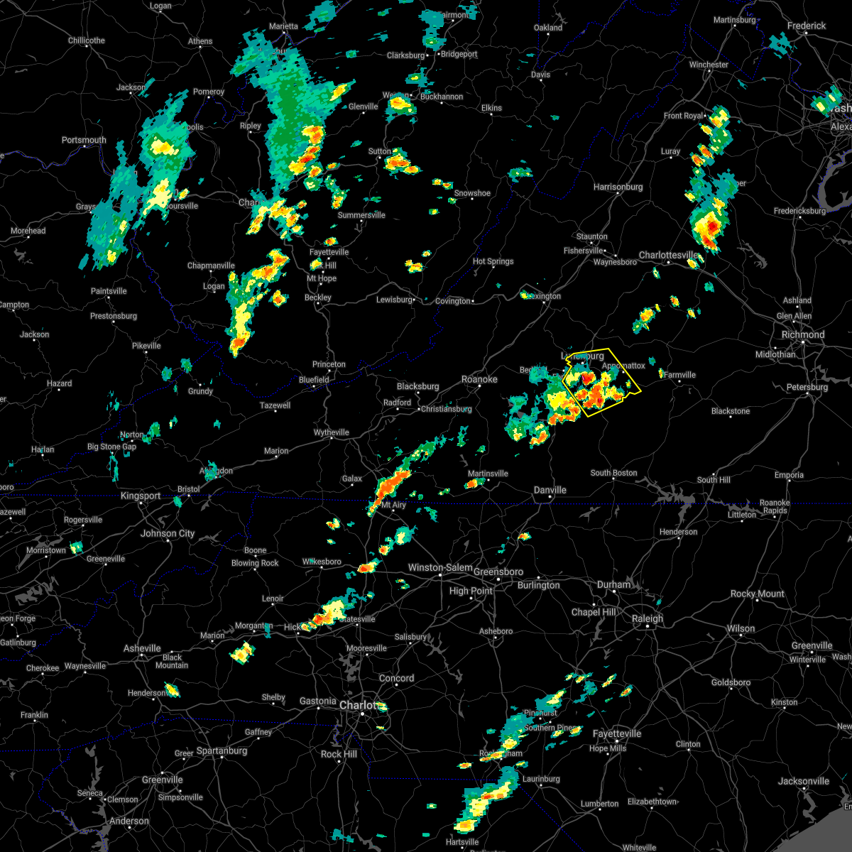 At 156 pm edt, a severe thunderstorm was located near gladys, or 7 miles southwest of rustburg, moving northeast at 15 mph (radar indicated). Hazards include 60 mph wind gusts and quarter size hail. Hail damage to vehicles is expected. Expect wind damage to roofs, siding, and trees. At 156 pm edt, a severe thunderstorm was located near gladys, or 7 miles southwest of rustburg, moving northeast at 15 mph (radar indicated). Hazards include 60 mph wind gusts and quarter size hail. Hail damage to vehicles is expected. Expect wind damage to roofs, siding, and trees.
|
| 7/11/2021 2:42 PM EDT |
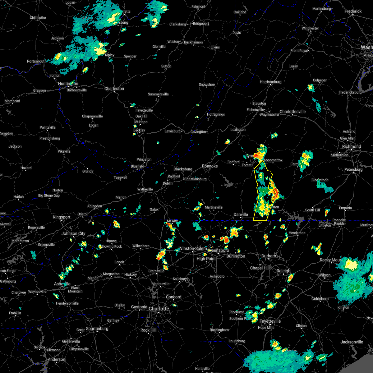 The severe thunderstorm warning for eastern campbell and western halifax counties will expire at 245 pm edt, the storms which prompted the warning have weakened below severe limits, and have exited the warned area. therefore, the warning will be allowed to expire. when it is safe to do so, please send your reports of hail of any size, as well as reports of any wind damage, including downed trees or large limbs, to the national weather service by calling toll free at 1, 8 6 6, 2 1 5, 4 3 2 4. reports and pictures can also be shared on the national weather service blacksburg facebook page and on twitter. The severe thunderstorm warning for eastern campbell and western halifax counties will expire at 245 pm edt, the storms which prompted the warning have weakened below severe limits, and have exited the warned area. therefore, the warning will be allowed to expire. when it is safe to do so, please send your reports of hail of any size, as well as reports of any wind damage, including downed trees or large limbs, to the national weather service by calling toll free at 1, 8 6 6, 2 1 5, 4 3 2 4. reports and pictures can also be shared on the national weather service blacksburg facebook page and on twitter.
|
| 7/11/2021 2:26 PM EDT |
 At 225 pm edt, severe thunderstorms were located along a line extending from near rustburg to near nathalie to semora, moving northeast at 25 mph (radar indicated). Hazards include 60 mph wind gusts. Expect damage to roofs, siding, and trees. Locations impacted include, south boston, halifax, brookneal, concord, rustburg, turbeville, and nathalie. At 225 pm edt, severe thunderstorms were located along a line extending from near rustburg to near nathalie to semora, moving northeast at 25 mph (radar indicated). Hazards include 60 mph wind gusts. Expect damage to roofs, siding, and trees. Locations impacted include, south boston, halifax, brookneal, concord, rustburg, turbeville, and nathalie.
|
| 7/11/2021 2:02 PM EDT |
 At 202 pm edt, severe thunderstorms were located along a line extending from near gladys to near ridgeway to near hamer, moving northeast at 25 mph (radar indicated). Hazards include 60 mph wind gusts. Expect damage to roofs, siding, and trees. Locations impacted include, south boston, altavista, yanceyville, halifax, hurt, brookneal, and turbeville. At 202 pm edt, severe thunderstorms were located along a line extending from near gladys to near ridgeway to near hamer, moving northeast at 25 mph (radar indicated). Hazards include 60 mph wind gusts. Expect damage to roofs, siding, and trees. Locations impacted include, south boston, altavista, yanceyville, halifax, hurt, brookneal, and turbeville.
|
| 7/11/2021 1:38 PM EDT |
 At 137 pm edt, severe thunderstorms were located along a line extending from altavista to near java to near jericho, moving northeast at 20 mph (radar indicated). Hazards include 60 mph wind gusts. expect damage to roofs, siding, and trees At 137 pm edt, severe thunderstorms were located along a line extending from altavista to near java to near jericho, moving northeast at 20 mph (radar indicated). Hazards include 60 mph wind gusts. expect damage to roofs, siding, and trees
|
| 6/13/2021 7:13 PM EDT |
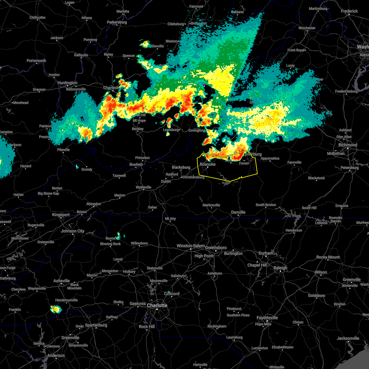 At 712 pm edt, severe thunderstorms were located along a line extending from near boonsboro to thaxton to near catawba, moving south at 35 mph (radar indicated). Hazards include 60 mph wind gusts and quarter size hail. Hail damage to vehicles is expected. Expect wind damage to roofs, siding, and trees. At 712 pm edt, severe thunderstorms were located along a line extending from near boonsboro to thaxton to near catawba, moving south at 35 mph (radar indicated). Hazards include 60 mph wind gusts and quarter size hail. Hail damage to vehicles is expected. Expect wind damage to roofs, siding, and trees.
|
| 5/26/2021 4:16 PM EDT | Wset lynchburg relayed a report from a viewer of several large trees down along pauls road approximately 3 miles southeast of rustburg. time of report estimated by rada in campbell county VA, 3 miles NW of Rustburg, VA |
| 5/26/2021 4:14 PM EDT |
 At 413 pm edt, a severe thunderstorm was located near rustburg, moving east at 25 mph. while the storm was weakening, and large hail is now less likely, damaging winds are still possible as the storm collapses (radar indicated). Hazards include 60 mph wind gusts. Expect damage to roofs, siding, and trees. Locations impacted include, rustburg, mike, spring mills, and gladys. At 413 pm edt, a severe thunderstorm was located near rustburg, moving east at 25 mph. while the storm was weakening, and large hail is now less likely, damaging winds are still possible as the storm collapses (radar indicated). Hazards include 60 mph wind gusts. Expect damage to roofs, siding, and trees. Locations impacted include, rustburg, mike, spring mills, and gladys.
|
| 5/26/2021 4:01 PM EDT |
 At 400 pm edt, a severe thunderstorm was located near hodges, or near evington, moving east at 20 mph (radar indicated). Hazards include 60 mph wind gusts and quarter size hail. Hail damage to vehicles is expected. Expect wind damage to roofs, siding, and trees. At 400 pm edt, a severe thunderstorm was located near hodges, or near evington, moving east at 20 mph (radar indicated). Hazards include 60 mph wind gusts and quarter size hail. Hail damage to vehicles is expected. Expect wind damage to roofs, siding, and trees.
|
| 5/4/2021 4:00 PM EDT |
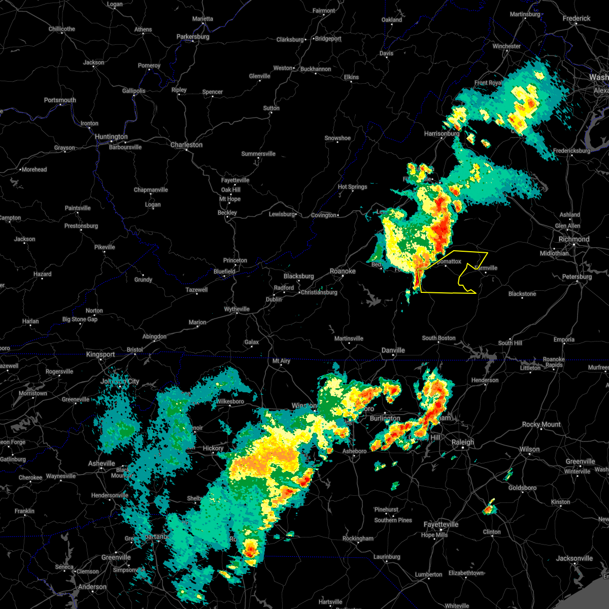 At 359 pm edt, a severe thunderstorm was located near rustburg, moving east at 40 mph (radar indicated). Hazards include 60 mph wind gusts. Expect damage to roofs, siding, and trees. Locations impacted include, appomattox, red house, concord, rustburg, pamplin city, madisonville, and appomattox national historic park. At 359 pm edt, a severe thunderstorm was located near rustburg, moving east at 40 mph (radar indicated). Hazards include 60 mph wind gusts. Expect damage to roofs, siding, and trees. Locations impacted include, appomattox, red house, concord, rustburg, pamplin city, madisonville, and appomattox national historic park.
|
| 5/4/2021 3:52 PM EDT |
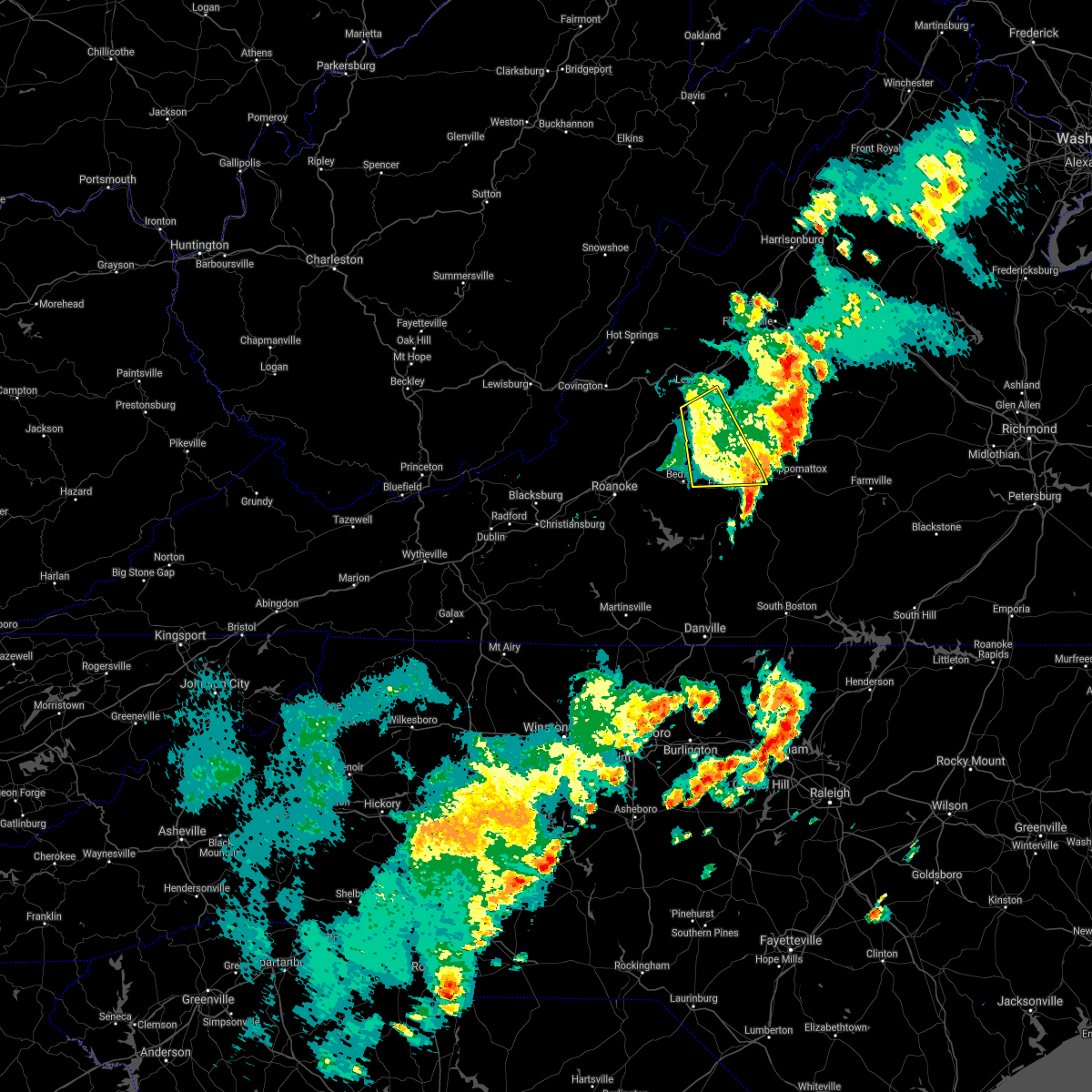 The severe thunderstorm warning for south central rockbridge, north central campbell, northeastern bedford, and western amherst counties, the city of buena vista and the city of lynchburg will expire at 400 pm edt, the storm which prompted the warning has moved out of the area. therefore, the warning will be allowed to expire. a severe thunderstorm watch remains in effect until 800 pm edt for central, south central and west central virginia. when it is safe to do so, please send your reports of hail of any size, as well as reports of any wind damage, including downed trees or large limbs, to the national weather service by calling toll free at 1, 8 6 6, 2 1 5, 4 3 2 4. reports and pictures can also be shared on the national weather service blacksburg facebook page and on twitter. The severe thunderstorm warning for south central rockbridge, north central campbell, northeastern bedford, and western amherst counties, the city of buena vista and the city of lynchburg will expire at 400 pm edt, the storm which prompted the warning has moved out of the area. therefore, the warning will be allowed to expire. a severe thunderstorm watch remains in effect until 800 pm edt for central, south central and west central virginia. when it is safe to do so, please send your reports of hail of any size, as well as reports of any wind damage, including downed trees or large limbs, to the national weather service by calling toll free at 1, 8 6 6, 2 1 5, 4 3 2 4. reports and pictures can also be shared on the national weather service blacksburg facebook page and on twitter.
|
| 5/4/2021 3:50 PM EDT |
 At 349 pm edt, a severe thunderstorm was located near rustburg, moving east at 40 mph (radar indicated). Hazards include 60 mph wind gusts. expect damage to roofs, siding, and trees At 349 pm edt, a severe thunderstorm was located near rustburg, moving east at 40 mph (radar indicated). Hazards include 60 mph wind gusts. expect damage to roofs, siding, and trees
|
| 5/4/2021 3:32 PM EDT |
 At 331 pm edt, a severe thunderstorm was located over big island, moving northeast at 30 mph (radar indicated). Hazards include 60 mph wind gusts and quarter size hail. Hail damage to vehicles is expected. expect wind damage to roofs, siding, and trees. locations impacted include, lynchburg, buena vista, glasgow, big island, forest, coleman falls, and madison heights. This includes the following locations liberty university and lynchburg airport. At 331 pm edt, a severe thunderstorm was located over big island, moving northeast at 30 mph (radar indicated). Hazards include 60 mph wind gusts and quarter size hail. Hail damage to vehicles is expected. expect wind damage to roofs, siding, and trees. locations impacted include, lynchburg, buena vista, glasgow, big island, forest, coleman falls, and madison heights. This includes the following locations liberty university and lynchburg airport.
|
| 5/4/2021 3:18 PM EDT |
 At 317 pm edt, a severe thunderstorm was located over sedalia, or near big island, moving east at 50 mph (radar indicated). Hazards include 60 mph wind gusts and half dollar size hail. Hail damage to vehicles is expected. expect wind damage to roofs, siding, and trees. locations impacted include, lynchburg, buena vista, bedford, glasgow, big island, forest, and coleman falls. This includes the following locations liberty university, the national d-day memorial, and lynchburg airport. At 317 pm edt, a severe thunderstorm was located over sedalia, or near big island, moving east at 50 mph (radar indicated). Hazards include 60 mph wind gusts and half dollar size hail. Hail damage to vehicles is expected. expect wind damage to roofs, siding, and trees. locations impacted include, lynchburg, buena vista, bedford, glasgow, big island, forest, and coleman falls. This includes the following locations liberty university, the national d-day memorial, and lynchburg airport.
|
| 5/4/2021 2:53 PM EDT |
 At 253 pm edt, a severe thunderstorm was located over montvale, moving northeast at 30 mph (radar indicated). Hazards include 60 mph wind gusts. expect damage to roofs, siding, and trees At 253 pm edt, a severe thunderstorm was located over montvale, moving northeast at 30 mph (radar indicated). Hazards include 60 mph wind gusts. expect damage to roofs, siding, and trees
|
| 4/8/2021 9:44 PM EDT |
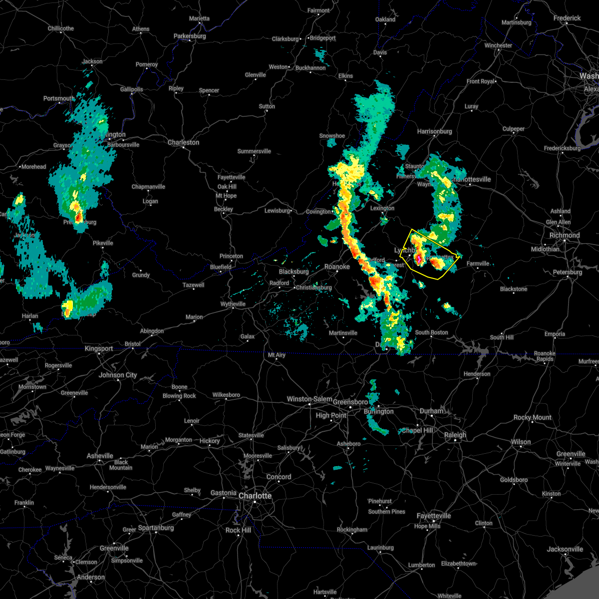 At 944 pm edt, a severe thunderstorm was located near madison heights, or near lynchburg, moving north at 15 mph (radar indicated). Hazards include quarter size hail. Damage to vehicles is expected. locations impacted include, lynchburg, amherst, appomattox, concord, rustburg, madison heights, and appomattox national historic park. This includes the following location liberty university. At 944 pm edt, a severe thunderstorm was located near madison heights, or near lynchburg, moving north at 15 mph (radar indicated). Hazards include quarter size hail. Damage to vehicles is expected. locations impacted include, lynchburg, amherst, appomattox, concord, rustburg, madison heights, and appomattox national historic park. This includes the following location liberty university.
|
| 4/8/2021 9:21 PM EDT |
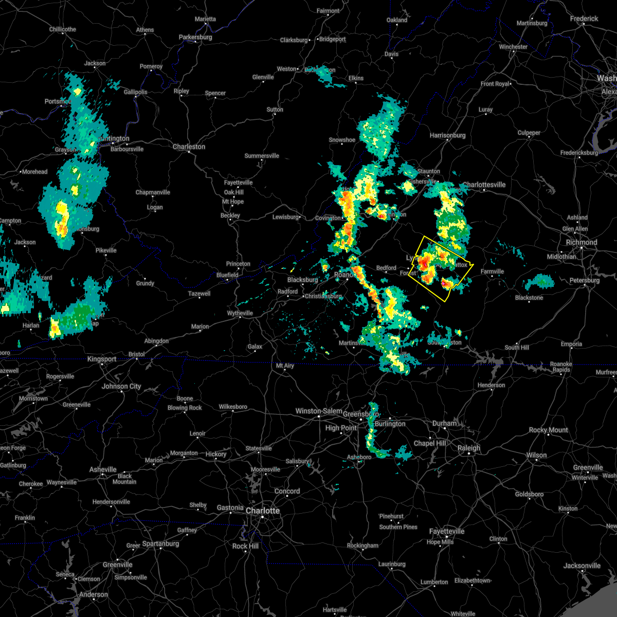 At 919 pm edt, a cluster of severe thunderstorms was located between lynchburg, hat creek, evergreen and stonewall, moving north at 15 mph (radar indicated). Hazards include quarter size hail. damage to vehicles is expected At 919 pm edt, a cluster of severe thunderstorms was located between lynchburg, hat creek, evergreen and stonewall, moving north at 15 mph (radar indicated). Hazards include quarter size hail. damage to vehicles is expected
|
| 8/24/2020 8:08 PM EDT |
 The severe thunderstorm warning for west central appomattox and northeastern campbell counties will expire at 815 pm edt, the storm which prompted the warning has weakened below severe limits, and no longer poses an immediate threat to life or property. therefore, the warning will be allowed to expire. however gusty winds and heavy rain are still possible with this thunderstorm. when it is safe to do so, please send your reports of hail of any size, as well as reports of any wind damage, including downed trees or large limbs, to the national weather service by calling toll free at 1, 8 6 6, 2 1 5, 4 3 2 4. reports and pictures can also be shared on the national weather service blacksburg facebook page and on twitter. The severe thunderstorm warning for west central appomattox and northeastern campbell counties will expire at 815 pm edt, the storm which prompted the warning has weakened below severe limits, and no longer poses an immediate threat to life or property. therefore, the warning will be allowed to expire. however gusty winds and heavy rain are still possible with this thunderstorm. when it is safe to do so, please send your reports of hail of any size, as well as reports of any wind damage, including downed trees or large limbs, to the national weather service by calling toll free at 1, 8 6 6, 2 1 5, 4 3 2 4. reports and pictures can also be shared on the national weather service blacksburg facebook page and on twitter.
|
| 8/24/2020 7:51 PM EDT |
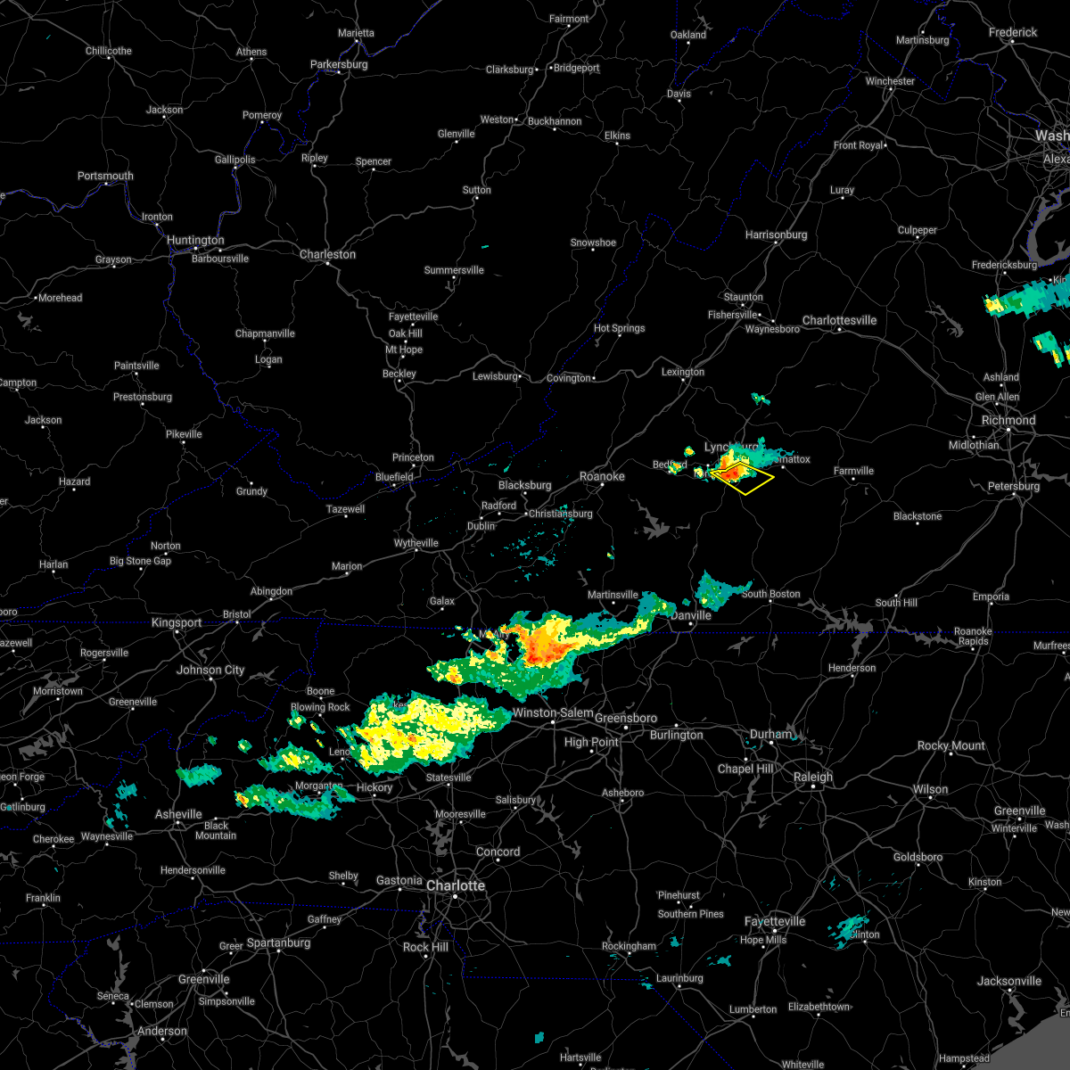 At 750 pm edt, a severe thunderstorm was located over bocock, or near rustburg, moving east at 15 mph (radar indicated). Hazards include 60 mph wind gusts. Expect damage to roofs, siding, and trees. locations impacted include, rustburg, concord, timberlake, and bocock. This includes the following location lynchburg airport. At 750 pm edt, a severe thunderstorm was located over bocock, or near rustburg, moving east at 15 mph (radar indicated). Hazards include 60 mph wind gusts. Expect damage to roofs, siding, and trees. locations impacted include, rustburg, concord, timberlake, and bocock. This includes the following location lynchburg airport.
|
| 8/24/2020 7:36 PM EDT |
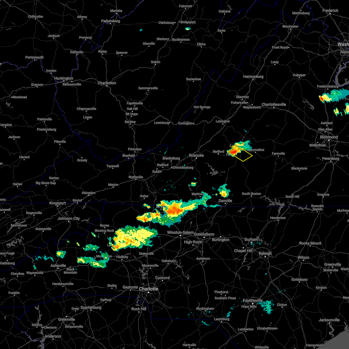 At 735 pm edt, a severe thunderstorm was located near lynchburg, moving southeast at 15 mph (radar indicated). Hazards include 60 mph wind gusts. Expect damage to roofs, siding, and trees. locations impacted include, lynchburg, concord, forest, rustburg, timberlake, and bocock. This includes the following locations liberty university and lynchburg airport. At 735 pm edt, a severe thunderstorm was located near lynchburg, moving southeast at 15 mph (radar indicated). Hazards include 60 mph wind gusts. Expect damage to roofs, siding, and trees. locations impacted include, lynchburg, concord, forest, rustburg, timberlake, and bocock. This includes the following locations liberty university and lynchburg airport.
|
| 8/24/2020 7:14 PM EDT |
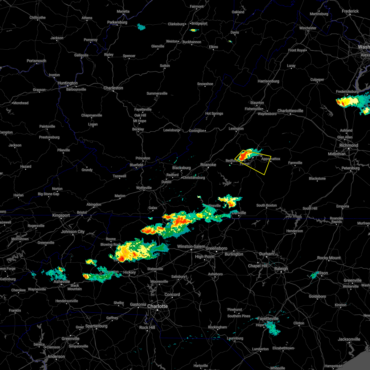 At 713 pm edt, a severe thunderstorm was located over boonsboro, or near forest, moving east at 15 mph (radar indicated). Hazards include 60 mph wind gusts. expect damage to roofs, siding, and trees At 713 pm edt, a severe thunderstorm was located over boonsboro, or near forest, moving east at 15 mph (radar indicated). Hazards include 60 mph wind gusts. expect damage to roofs, siding, and trees
|
| 8/6/2020 9:39 PM EDT |
 The severe thunderstorm warning for central campbell, southeastern bedford and east central franklin counties will expire at 945 pm edt, the storm which prompted the warning has weakened below severe limits, and no longer poses an immediate threat to life or property. therefore, the warning will be allowed to expire. when it is safe to do so, please send your reports of hail of any size, as well as reports of any wind damage, including downed trees or large limbs, to the national weather service by calling toll free at 1, 8 6 6, 2 1 5, 4 3 2 4. reports and pictures can also be shared on the national weather service blacksburg facebook page and on twitter. The severe thunderstorm warning for central campbell, southeastern bedford and east central franklin counties will expire at 945 pm edt, the storm which prompted the warning has weakened below severe limits, and no longer poses an immediate threat to life or property. therefore, the warning will be allowed to expire. when it is safe to do so, please send your reports of hail of any size, as well as reports of any wind damage, including downed trees or large limbs, to the national weather service by calling toll free at 1, 8 6 6, 2 1 5, 4 3 2 4. reports and pictures can also be shared on the national weather service blacksburg facebook page and on twitter.
|
| 8/6/2020 9:35 PM EDT |
 At 934 pm edt, a severe thunderstorm was located over rustburg, moving northeast at 30 mph (radar indicated). Hazards include 60 mph wind gusts. Expect damage to roofs, siding, and trees. Locations impacted include, altavista, huddleston, concord, rustburg, evington, penhook, and leesville. At 934 pm edt, a severe thunderstorm was located over rustburg, moving northeast at 30 mph (radar indicated). Hazards include 60 mph wind gusts. Expect damage to roofs, siding, and trees. Locations impacted include, altavista, huddleston, concord, rustburg, evington, penhook, and leesville.
|
| 8/6/2020 9:15 PM EDT |
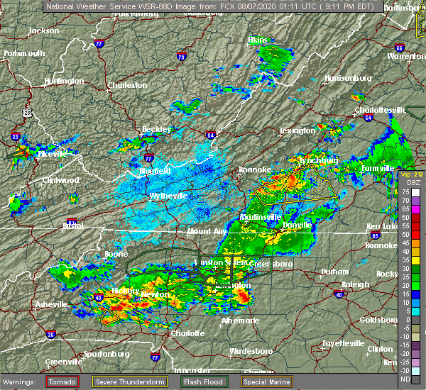 At 915 pm edt, a severe thunderstorm was located near altavista, moving northeast at 20 mph (radar indicated). Hazards include 60 mph wind gusts. Expect damage to roofs, siding, and trees. Locations impacted include, altavista, hurt, brookneal, huddleston, concord, rustburg, and penhook. At 915 pm edt, a severe thunderstorm was located near altavista, moving northeast at 20 mph (radar indicated). Hazards include 60 mph wind gusts. Expect damage to roofs, siding, and trees. Locations impacted include, altavista, hurt, brookneal, huddleston, concord, rustburg, and penhook.
|
| 8/6/2020 9:00 PM EDT |
 At 859 pm edt, a severe thunderstorm was located over leesville, or over altavista, moving northeast at 20 mph (radar indicated). Hazards include 60 mph wind gusts. Expect damage to roofs, siding, and trees. Locations impacted include, altavista, hurt, gretna, brookneal, phenix, huddleston, and penhook. At 859 pm edt, a severe thunderstorm was located over leesville, or over altavista, moving northeast at 20 mph (radar indicated). Hazards include 60 mph wind gusts. Expect damage to roofs, siding, and trees. Locations impacted include, altavista, hurt, gretna, brookneal, phenix, huddleston, and penhook.
|
| 8/6/2020 8:47 PM EDT |
 At 847 pm edt, a severe thunderstorm was located over leesville, or near huddleston, moving northeast at 20 mph (radar indicated). Hazards include 60 mph wind gusts and quarter size hail. Hail damage to vehicles is expected. Expect wind damage to roofs, siding, and trees. At 847 pm edt, a severe thunderstorm was located over leesville, or near huddleston, moving northeast at 20 mph (radar indicated). Hazards include 60 mph wind gusts and quarter size hail. Hail damage to vehicles is expected. Expect wind damage to roofs, siding, and trees.
|
| 7/28/2020 3:56 PM EDT |
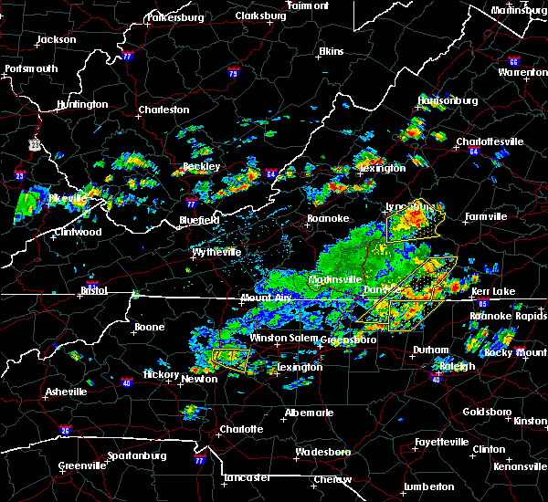 At 356 pm edt, a severe thunderstorm was located over spout spring, or near appomattox, moving northeast at 25 mph (radar indicated). Hazards include 60 mph wind gusts and quarter size hail. Hail damage to vehicles is expected. expect wind damage to roofs, siding, and trees. Locations impacted include, appomattox, bent creek, concord, rustburg, pamplin city, appomattox national historic park, and stonewall. At 356 pm edt, a severe thunderstorm was located over spout spring, or near appomattox, moving northeast at 25 mph (radar indicated). Hazards include 60 mph wind gusts and quarter size hail. Hail damage to vehicles is expected. expect wind damage to roofs, siding, and trees. Locations impacted include, appomattox, bent creek, concord, rustburg, pamplin city, appomattox national historic park, and stonewall.
|
| 7/28/2020 3:34 PM EDT |
 At 333 pm edt, a severe thunderstorm was located near rustburg, moving east at 25 mph (radar indicated). Hazards include 60 mph wind gusts and quarter size hail. Hail damage to vehicles is expected. Expect wind damage to roofs, siding, and trees. At 333 pm edt, a severe thunderstorm was located near rustburg, moving east at 25 mph (radar indicated). Hazards include 60 mph wind gusts and quarter size hail. Hail damage to vehicles is expected. Expect wind damage to roofs, siding, and trees.
|
| 7/24/2020 8:25 PM EDT |
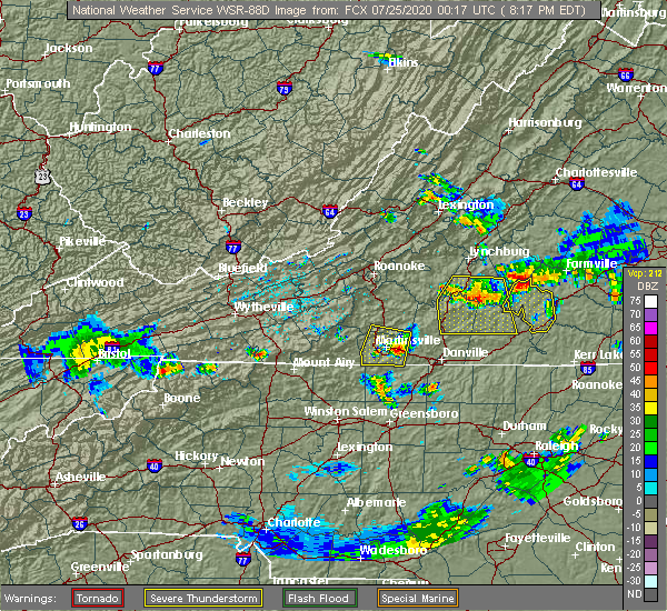 The severe thunderstorm warning for campbell, northeastern pittsylvania and northwestern halifax counties will expire at 830 pm edt, the storms which prompted the warning have weakened below severe limits, and no longer pose an immediate threat to life or property. therefore, the warning will be allowed to expire. however gusty winds and heavy rain are still possible with these thunderstorms. when it is safe to do so, please send your reports of hail of any size, as well as reports of any wind damage, including downed trees or large limbs, to the national weather service by calling toll free at 1, 8 6 6, 2 1 5, 4 3 2 4. reports and pictures can also be shared on the national weather service blacksburg facebook page and on twitter. The severe thunderstorm warning for campbell, northeastern pittsylvania and northwestern halifax counties will expire at 830 pm edt, the storms which prompted the warning have weakened below severe limits, and no longer pose an immediate threat to life or property. therefore, the warning will be allowed to expire. however gusty winds and heavy rain are still possible with these thunderstorms. when it is safe to do so, please send your reports of hail of any size, as well as reports of any wind damage, including downed trees or large limbs, to the national weather service by calling toll free at 1, 8 6 6, 2 1 5, 4 3 2 4. reports and pictures can also be shared on the national weather service blacksburg facebook page and on twitter.
|
| 7/24/2020 7:25 PM EDT |
 At 724 pm edt, severe thunderstorms were located along a line extending from evington to gladys to hat creek, moving southeast at 20 mph (radar indicated). Hazards include 60 mph wind gusts and quarter size hail. Hail damage to vehicles is expected. Expect wind damage to roofs, siding, and trees. At 724 pm edt, severe thunderstorms were located along a line extending from evington to gladys to hat creek, moving southeast at 20 mph (radar indicated). Hazards include 60 mph wind gusts and quarter size hail. Hail damage to vehicles is expected. Expect wind damage to roofs, siding, and trees.
|
| 7/24/2020 6:45 PM EDT |
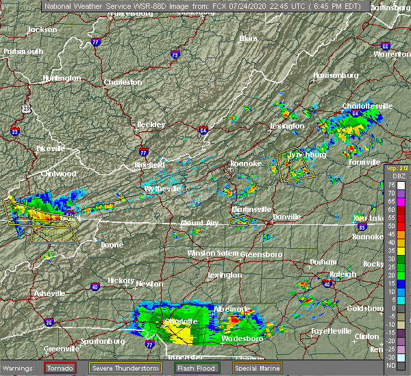 At 644 pm edt, a severe thunderstorm was located over timberlake, or near forest, moving south at 25 mph (radar indicated). Hazards include 60 mph wind gusts and quarter size hail. Hail damage to vehicles is expected. expect wind damage to roofs, siding, and trees. locations impacted include, lynchburg, altavista, concord, evington, rustburg, mike, and gladys. This includes the following locations liberty university and lynchburg airport. At 644 pm edt, a severe thunderstorm was located over timberlake, or near forest, moving south at 25 mph (radar indicated). Hazards include 60 mph wind gusts and quarter size hail. Hail damage to vehicles is expected. expect wind damage to roofs, siding, and trees. locations impacted include, lynchburg, altavista, concord, evington, rustburg, mike, and gladys. This includes the following locations liberty university and lynchburg airport.
|
| 7/24/2020 6:29 PM EDT |
 At 628 pm edt, a severe thunderstorm was located just north of lynchburg or near boonsboro, moving southeast at 15 mph (radar indicated). Hazards include 60 mph wind gusts and quarter size hail. Hail damage to vehicles is expected. Expect wind damage to roofs, siding, and trees. At 628 pm edt, a severe thunderstorm was located just north of lynchburg or near boonsboro, moving southeast at 15 mph (radar indicated). Hazards include 60 mph wind gusts and quarter size hail. Hail damage to vehicles is expected. Expect wind damage to roofs, siding, and trees.
|
| 7/22/2020 4:56 PM EDT |
 At 454 pm edt, severe thunderstorms were located along a line extending from near appomattox national historic park to near brookneal, moving east at 15 mph. numerous trees have been reported down near the city of appomattox (public). Hazards include 60 mph wind gusts and quarter size hail. Hail damage to vehicles is expected. expect wind damage to roofs, siding, and trees. Locations impacted include, appomattox, brookneal, red house, pamplin city, appomattox national historic park, gladys, and long island. At 454 pm edt, severe thunderstorms were located along a line extending from near appomattox national historic park to near brookneal, moving east at 15 mph. numerous trees have been reported down near the city of appomattox (public). Hazards include 60 mph wind gusts and quarter size hail. Hail damage to vehicles is expected. expect wind damage to roofs, siding, and trees. Locations impacted include, appomattox, brookneal, red house, pamplin city, appomattox national historic park, gladys, and long island.
|
| 7/22/2020 4:29 PM EDT |
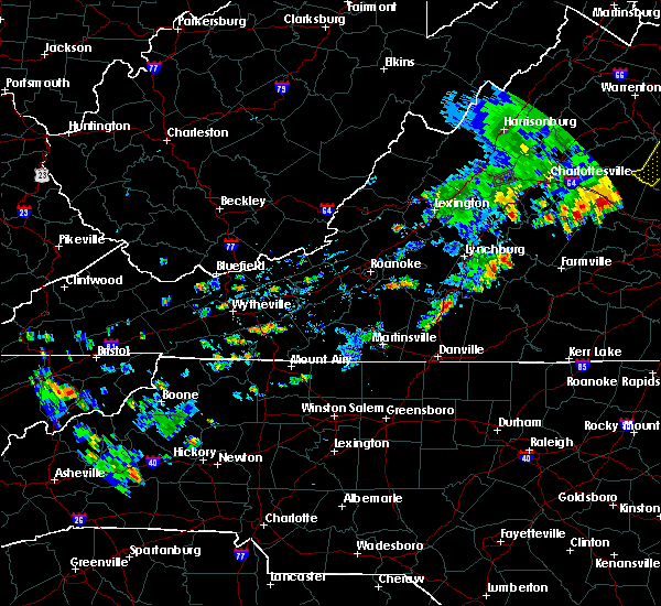 At 429 pm edt, severe thunderstorms were located along a line extending from oakville to near long island, moving east at 15 mph (radar indicated). Hazards include 60 mph wind gusts and quarter size hail. Hail damage to vehicles is expected. Expect wind damage to roofs, siding, and trees. At 429 pm edt, severe thunderstorms were located along a line extending from oakville to near long island, moving east at 15 mph (radar indicated). Hazards include 60 mph wind gusts and quarter size hail. Hail damage to vehicles is expected. Expect wind damage to roofs, siding, and trees.
|
| 7/17/2020 2:51 PM EDT |
 The severe thunderstorm warning for west central appomattox and northeastern campbell counties will expire at 300 pm edt, the storm which prompted the warning has moved out of the area. therefore, the warning will be allowed to expire. when it is safe to do so, please send your reports of hail of any size, as well as reports of any wind damage, including downed trees or large limbs, to the national weather service by calling toll free at 1, 8 6 6, 2 1 5, 4 3 2 4. reports and pictures can also be shared on the national weather service blacksburg facebook page and on twitter. The severe thunderstorm warning for west central appomattox and northeastern campbell counties will expire at 300 pm edt, the storm which prompted the warning has moved out of the area. therefore, the warning will be allowed to expire. when it is safe to do so, please send your reports of hail of any size, as well as reports of any wind damage, including downed trees or large limbs, to the national weather service by calling toll free at 1, 8 6 6, 2 1 5, 4 3 2 4. reports and pictures can also be shared on the national weather service blacksburg facebook page and on twitter.
|
| 7/17/2020 2:43 PM EDT |
 At 242 pm edt, a severe thunderstorm was located near rustburg, moving southeast at 15 mph (radar indicated). Hazards include 60 mph wind gusts and quarter size hail. Hail damage to vehicles is expected. Expect wind damage to roofs, siding, and trees. At 242 pm edt, a severe thunderstorm was located near rustburg, moving southeast at 15 mph (radar indicated). Hazards include 60 mph wind gusts and quarter size hail. Hail damage to vehicles is expected. Expect wind damage to roofs, siding, and trees.
|
| 7/17/2020 2:33 PM EDT |
 At 232 pm edt, a severe thunderstorm was located over bocock, or near rustburg, moving southeast at 15 mph (radar indicated). Hazards include 60 mph wind gusts. Expect damage to roofs, siding, and trees. Locations impacted include, concord, rustburg, stonewall, and bocock. At 232 pm edt, a severe thunderstorm was located over bocock, or near rustburg, moving southeast at 15 mph (radar indicated). Hazards include 60 mph wind gusts. Expect damage to roofs, siding, and trees. Locations impacted include, concord, rustburg, stonewall, and bocock.
|
| 7/17/2020 2:27 PM EDT | Tree down on power lin in campbell county VA, 2.1 miles SSE of Rustburg, VA |
| 7/17/2020 2:15 PM EDT |
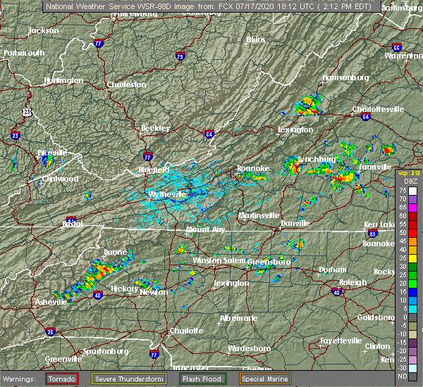 At 214 pm edt, a severe thunderstorm was located over lynchburg, moving east at 15 mph (radar indicated). Hazards include 60 mph wind gusts and quarter size hail. Hail damage to vehicles is expected. Expect wind damage to roofs, siding, and trees. At 214 pm edt, a severe thunderstorm was located over lynchburg, moving east at 15 mph (radar indicated). Hazards include 60 mph wind gusts and quarter size hail. Hail damage to vehicles is expected. Expect wind damage to roofs, siding, and trees.
|
| 7/1/2020 8:46 PM EDT |
 At 845 pm edt, a severe thunderstorm was located near gladys, or near rustburg, moving south at 20 mph (radar indicated). Hazards include ping pong ball size hail and 60 mph wind gusts. People and animals outdoors will be injured. expect hail damage to roofs, siding, windows, and vehicles. expect wind damage to roofs, siding, and trees. Locations impacted include, rustburg, and gladys. At 845 pm edt, a severe thunderstorm was located near gladys, or near rustburg, moving south at 20 mph (radar indicated). Hazards include ping pong ball size hail and 60 mph wind gusts. People and animals outdoors will be injured. expect hail damage to roofs, siding, windows, and vehicles. expect wind damage to roofs, siding, and trees. Locations impacted include, rustburg, and gladys.
|
| 7/1/2020 8:34 PM EDT |
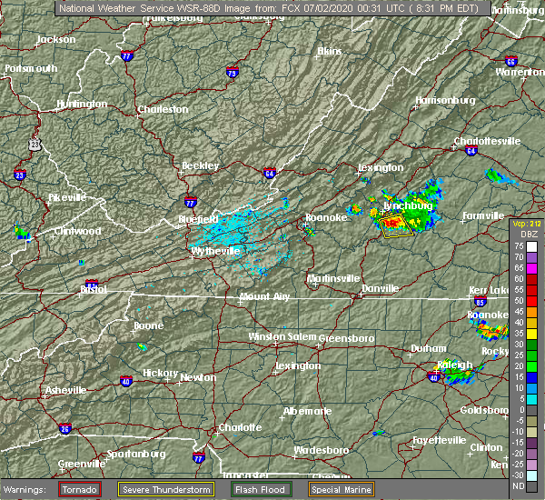 At 833 pm edt, a severe thunderstorm was located over rustburg, moving south at 20 mph (radar indicated). Hazards include ping pong ball size hail and 60 mph wind gusts. People and animals outdoors will be injured. expect hail damage to roofs, siding, windows, and vehicles. expect wind damage to roofs, siding, and trees. locations impacted include, rustburg, concord, mike, spring mills, gladys, and bocock. This includes the following location lynchburg airport. At 833 pm edt, a severe thunderstorm was located over rustburg, moving south at 20 mph (radar indicated). Hazards include ping pong ball size hail and 60 mph wind gusts. People and animals outdoors will be injured. expect hail damage to roofs, siding, windows, and vehicles. expect wind damage to roofs, siding, and trees. locations impacted include, rustburg, concord, mike, spring mills, gladys, and bocock. This includes the following location lynchburg airport.
|
| 7/1/2020 8:26 PM EDT | Radar estimated time. trees reproted down at the intersection of campbell hwy and poor house rd. rustburg... v in campbell county VA, 2 miles S of Rustburg, VA |
| 7/1/2020 8:13 PM EDT |
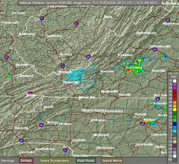 At 812 pm edt, a severe thunderstorm was located over bocock, or near rustburg, moving south at 20 mph (radar indicated). Hazards include 60 mph wind gusts and quarter size hail. Hail damage to vehicles is expected. Expect wind damage to roofs, siding, and trees. At 812 pm edt, a severe thunderstorm was located over bocock, or near rustburg, moving south at 20 mph (radar indicated). Hazards include 60 mph wind gusts and quarter size hail. Hail damage to vehicles is expected. Expect wind damage to roofs, siding, and trees.
|
| 6/20/2020 7:51 PM EDT | Large pine tree down completely blocking mollies creek rd near pigeon run rd. time estimated from rada in campbell county VA, 8.1 miles NNW of Rustburg, VA |
| 4/13/2020 6:00 AM EDT |
 At 600 am edt, severe thunderstorms were located along a line extending from near stonewall to bethel, moving northeast at 50 mph (radar indicated). Hazards include 60 mph wind gusts. Expect damage to roofs, siding, and trees. locations impacted include, danville, reidsville, south boston, yanceyville, appomattox, bethel, and halifax. this includes the following location danville airport. A tornado watch remains in effect until noon edt for north central north carolina, and central and south central virginia. At 600 am edt, severe thunderstorms were located along a line extending from near stonewall to bethel, moving northeast at 50 mph (radar indicated). Hazards include 60 mph wind gusts. Expect damage to roofs, siding, and trees. locations impacted include, danville, reidsville, south boston, yanceyville, appomattox, bethel, and halifax. this includes the following location danville airport. A tornado watch remains in effect until noon edt for north central north carolina, and central and south central virginia.
|
| 4/13/2020 5:51 AM EDT |
 At 551 am edt, severe thunderstorms were located along a line extending from near concord to near lawsonville, moving northeast at 50 mph (radar indicated). Hazards include 60 mph wind gusts. Expect damage to roofs, siding, and trees. locations impacted include, danville, eden, reidsville, south boston, altavista, wentworth, and yanceyville. this includes the following location danville airport. A tornado watch remains in effect until noon edt for north central north carolina, and central and south central virginia. At 551 am edt, severe thunderstorms were located along a line extending from near concord to near lawsonville, moving northeast at 50 mph (radar indicated). Hazards include 60 mph wind gusts. Expect damage to roofs, siding, and trees. locations impacted include, danville, eden, reidsville, south boston, altavista, wentworth, and yanceyville. this includes the following location danville airport. A tornado watch remains in effect until noon edt for north central north carolina, and central and south central virginia.
|
| 4/13/2020 5:30 AM EDT |
 At 530 am edt, severe thunderstorms were located along a line extending from evington to near monroeton, moving northeast at 50 mph (radar indicated). Hazards include 60 mph wind gusts. expect damage to roofs, siding, and trees At 530 am edt, severe thunderstorms were located along a line extending from evington to near monroeton, moving northeast at 50 mph (radar indicated). Hazards include 60 mph wind gusts. expect damage to roofs, siding, and trees
|
| 4/8/2020 7:23 AM EDT |
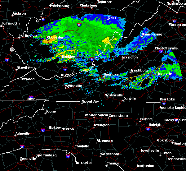 The severe thunderstorm warning for southern appomattox, southern campbell and southeastern buckingham counties will expire at 730 am edt, the storms which prompted the warning have weakened below severe limits, and have exited the warned area. therefore, the warning will be allowed to expire. when it is safe to do so, please send your reports of hail of any size, as well as reports of any wind damage, including downed trees or large limbs, to the national weather service by calling toll free at 1, 8 6 6, 2 1 5, 4 3 2 4. reports and pictures can also be shared on the national weather service blacksburg facebook page and on twitter. The severe thunderstorm warning for southern appomattox, southern campbell and southeastern buckingham counties will expire at 730 am edt, the storms which prompted the warning have weakened below severe limits, and have exited the warned area. therefore, the warning will be allowed to expire. when it is safe to do so, please send your reports of hail of any size, as well as reports of any wind damage, including downed trees or large limbs, to the national weather service by calling toll free at 1, 8 6 6, 2 1 5, 4 3 2 4. reports and pictures can also be shared on the national weather service blacksburg facebook page and on twitter.
|
| 4/8/2020 7:16 AM EDT |
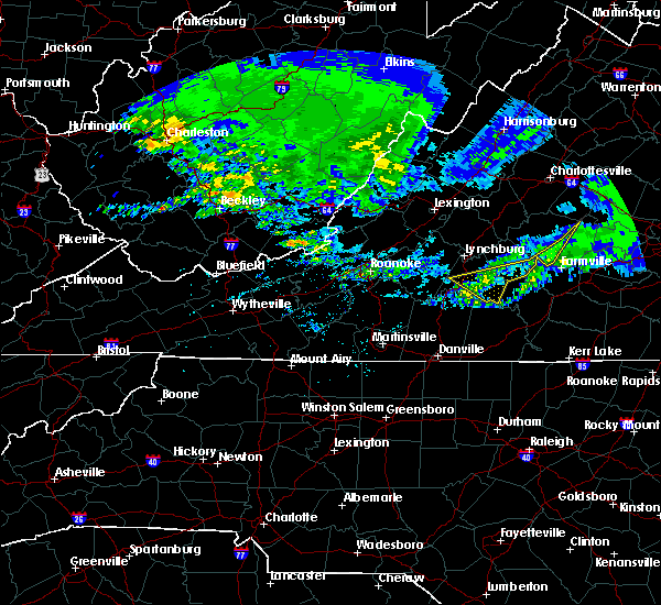 At 715 am edt, severe thunderstorms were located along a line extending from near dillwyn to near hodges, moving east at 50 mph (radar indicated). Hazards include 60 mph wind gusts. Expect damage to roofs, siding, and trees. Locations impacted include, brookneal, evington, rustburg, pamplin city, mike, hat creek, and gladys. At 715 am edt, severe thunderstorms were located along a line extending from near dillwyn to near hodges, moving east at 50 mph (radar indicated). Hazards include 60 mph wind gusts. Expect damage to roofs, siding, and trees. Locations impacted include, brookneal, evington, rustburg, pamplin city, mike, hat creek, and gladys.
|
| 4/8/2020 6:36 AM EDT |
 At 635 am edt, severe thunderstorms were located along a line extending from 6 miles north of centenary to near peaks of otter summit, moving east at 60 mph (radar indicated). Hazards include 60 mph wind gusts. expect damage to roofs, siding, and trees At 635 am edt, severe thunderstorms were located along a line extending from 6 miles north of centenary to near peaks of otter summit, moving east at 60 mph (radar indicated). Hazards include 60 mph wind gusts. expect damage to roofs, siding, and trees
|
| 1/11/2020 11:53 PM EST |
 At 1152 pm est, severe thunderstorms were located along a line extending from near palmyra to near roxboro, moving northeast at 70 mph (radar indicated). Hazards include 70 mph wind gusts. Expect considerable tree damage. damage is likely to mobile homes, roofs, and outbuildings. a power pole was snapped near the lynchburg airport from these storms. Locations impacted include, buckingham, south boston, appomattox, halifax, brookneal, keysville, and charlotte court house. At 1152 pm est, severe thunderstorms were located along a line extending from near palmyra to near roxboro, moving northeast at 70 mph (radar indicated). Hazards include 70 mph wind gusts. Expect considerable tree damage. damage is likely to mobile homes, roofs, and outbuildings. a power pole was snapped near the lynchburg airport from these storms. Locations impacted include, buckingham, south boston, appomattox, halifax, brookneal, keysville, and charlotte court house.
|
| 1/11/2020 11:27 PM EST |
 At 1127 pm est, severe thunderstorms were located along a line extending from near crozet to near turbeville, moving east at 60 mph (radar indicated). Hazards include 70 mph wind gusts. Expect considerable tree damage. Damage is likely to mobile homes, roofs, and outbuildings. At 1127 pm est, severe thunderstorms were located along a line extending from near crozet to near turbeville, moving east at 60 mph (radar indicated). Hazards include 70 mph wind gusts. Expect considerable tree damage. Damage is likely to mobile homes, roofs, and outbuildings.
|
| 1/11/2020 11:07 PM EST |
 At 1106 pm est, severe thunderstorms were located along a line extending from 7 miles southwest of wintergreen to near jericho, moving east at 50 mph (radar indicated). Hazards include 60 mph wind gusts. Expect damage to roofs, siding, and trees. locations impacted include, lynchburg, danville, bedford, altavista, amherst, yanceyville, and bethel. This includes the following locations liberty university, danville airport, and lynchburg airport. At 1106 pm est, severe thunderstorms were located along a line extending from 7 miles southwest of wintergreen to near jericho, moving east at 50 mph (radar indicated). Hazards include 60 mph wind gusts. Expect damage to roofs, siding, and trees. locations impacted include, lynchburg, danville, bedford, altavista, amherst, yanceyville, and bethel. This includes the following locations liberty university, danville airport, and lynchburg airport.
|
| 1/11/2020 10:33 PM EST |
 At 1032 pm est, severe thunderstorms were located along a line extending from near buena vista to 6 miles northwest of greensboro, moving northeast at 75 mph (radar indicated. numerous trees were reported down by this line of storms in giles county and in galax). Hazards include 60 mph wind gusts. expect damage to roofs, siding, and trees At 1032 pm est, severe thunderstorms were located along a line extending from near buena vista to 6 miles northwest of greensboro, moving northeast at 75 mph (radar indicated. numerous trees were reported down by this line of storms in giles county and in galax). Hazards include 60 mph wind gusts. expect damage to roofs, siding, and trees
|
| 9/29/2019 7:59 PM EDT |
 At 758 pm edt, severe thunderstorms were located along a line extending from near leesville to gladys to near spring mills to near hixburg, moving southeast at 15 mph (radar indicated). Hazards include 60 mph wind gusts. Expect damage to roofs, siding, and trees. Locations impacted include, altavista, appomattox, brookneal, rustburg, and pamplin city. At 758 pm edt, severe thunderstorms were located along a line extending from near leesville to gladys to near spring mills to near hixburg, moving southeast at 15 mph (radar indicated). Hazards include 60 mph wind gusts. Expect damage to roofs, siding, and trees. Locations impacted include, altavista, appomattox, brookneal, rustburg, and pamplin city.
|
| 9/29/2019 7:21 PM EDT |
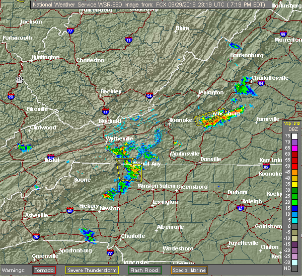 At 721 pm edt, severe thunderstorms were located along a line extending from 6 miles northeast of huddleston to near rustburg to concord to near tower hill, moving southeast at 15 mph (radar indicated). Hazards include 60 mph wind gusts. expect damage to roofs, siding, and trees At 721 pm edt, severe thunderstorms were located along a line extending from 6 miles northeast of huddleston to near rustburg to concord to near tower hill, moving southeast at 15 mph (radar indicated). Hazards include 60 mph wind gusts. expect damage to roofs, siding, and trees
|
| 9/11/2019 7:39 PM EDT | Corrects previous tstm wnd dmg report from 3 nw gladys. tree down on east ferry road northwest of glady in campbell county VA, 6.5 miles NNE of Rustburg, VA |
| 9/11/2019 7:11 PM EDT |
 At 710 pm edt, severe thunderstorms were located along a line extending from huddleston to near mike, moving southeast at 10 mph (radar indicated). Hazards include 60 mph wind gusts and quarter size hail. Hail damage to vehicles is expected. Expect wind damage to roofs, siding, and trees. At 710 pm edt, severe thunderstorms were located along a line extending from huddleston to near mike, moving southeast at 10 mph (radar indicated). Hazards include 60 mph wind gusts and quarter size hail. Hail damage to vehicles is expected. Expect wind damage to roofs, siding, and trees.
|
| 9/11/2019 6:40 PM EDT | Tree down on east ferry road northwest of gladys. time estimated by radar. reported to the 911 center at 739 pm ed in campbell county VA, 6.5 miles NNE of Rustburg, VA |
| 9/9/2019 6:53 PM EDT | One tree down on brookneal highway near rustburg. time estimated from rada in campbell county VA, 2.4 miles NNE of Rustburg, VA |
| 9/9/2019 6:53 PM EDT | One large tree down in the 4000 block of brookneal highwa in campbell county VA, 0.1 miles ENE of Rustburg, VA |
| 9/9/2019 6:53 PM EDT | Corrects previous tstm wnd dmg report from rustburg. one large tree down in the 4000 block of brookneal highwa in campbell county VA, 3.5 miles N of Rustburg, VA |
| 9/9/2019 6:42 PM EDT |
 At 642 pm edt, severe thunderstorms were located along a line extending from near spring mills to near red house to pamplin city, moving south at 25 mph (radar indicated). Hazards include 60 mph wind gusts. expect damage to roofs, siding, and trees At 642 pm edt, severe thunderstorms were located along a line extending from near spring mills to near red house to pamplin city, moving south at 25 mph (radar indicated). Hazards include 60 mph wind gusts. expect damage to roofs, siding, and trees
|
| 8/23/2019 4:08 PM EDT |
 At 407 pm edt, severe thunderstorms were located along a line extending from near appomattox national historic park to near spout spring, moving southeast at 20 mph (radar indicated). Hazards include 60 mph wind gusts. Expect damage to roofs, siding, and trees. locations impacted include, lynchburg, appomattox, bent creek, concord, and rustburg. This includes the following location liberty university. At 407 pm edt, severe thunderstorms were located along a line extending from near appomattox national historic park to near spout spring, moving southeast at 20 mph (radar indicated). Hazards include 60 mph wind gusts. Expect damage to roofs, siding, and trees. locations impacted include, lynchburg, appomattox, bent creek, concord, and rustburg. This includes the following location liberty university.
|
| 8/23/2019 3:37 PM EDT |
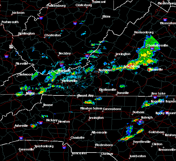 At 337 pm edt, severe thunderstorms were located along a line extending from riverville to near madison heights, moving southeast at 20 mph (radar indicated). Hazards include 60 mph wind gusts. expect damage to roofs, siding, and trees At 337 pm edt, severe thunderstorms were located along a line extending from riverville to near madison heights, moving southeast at 20 mph (radar indicated). Hazards include 60 mph wind gusts. expect damage to roofs, siding, and trees
|
| 8/22/2019 4:16 PM EDT |
 At 414 pm edt, severe thunderstorms were located along a line extending from near montpelier to near darlington heights, moving east at 75 mph (radar indicated). Hazards include 60 mph wind gusts. Expect damage to roofs, siding, and trees. locations impacted include, lynchburg, danville, buckingham, altavista, and appomattox. This includes the following locations liberty university, danville airport, and lynchburg airport. At 414 pm edt, severe thunderstorms were located along a line extending from near montpelier to near darlington heights, moving east at 75 mph (radar indicated). Hazards include 60 mph wind gusts. Expect damage to roofs, siding, and trees. locations impacted include, lynchburg, danville, buckingham, altavista, and appomattox. This includes the following locations liberty university, danville airport, and lynchburg airport.
|
| 8/22/2019 3:58 PM EDT | Tree down blocking rocky roa in campbell county VA, 3.5 miles N of Rustburg, VA |
| 8/22/2019 3:31 PM EDT |
 At 331 pm edt, severe thunderstorms were located along a line extending from near centenary to near leesville, moving east at 75 mph (radar indicated). Hazards include 60 mph wind gusts. expect damage to roofs, siding, and trees At 331 pm edt, severe thunderstorms were located along a line extending from near centenary to near leesville, moving east at 75 mph (radar indicated). Hazards include 60 mph wind gusts. expect damage to roofs, siding, and trees
|
| 8/15/2019 4:20 PM EDT |
 The severe thunderstorm warning for southwestern appomattox and central campbell counties will expire at 430 pm edt, the storm which prompted the warning has weakened below severe limits, and no longer poses an immediate threat to life or property. therefore, the warning will be allowed to expire. when it is safe to do so, please send your reports of hail of any size, as well as reports of any wind damage, including downed trees or large limbs, to the national weather service by calling toll free at 1, 8 6 6, 2 1 5, 4 3 2 4. reports and pictures can also be shared on the national weather service blacksburg facebook page and on twitter. The severe thunderstorm warning for southwestern appomattox and central campbell counties will expire at 430 pm edt, the storm which prompted the warning has weakened below severe limits, and no longer poses an immediate threat to life or property. therefore, the warning will be allowed to expire. when it is safe to do so, please send your reports of hail of any size, as well as reports of any wind damage, including downed trees or large limbs, to the national weather service by calling toll free at 1, 8 6 6, 2 1 5, 4 3 2 4. reports and pictures can also be shared on the national weather service blacksburg facebook page and on twitter.
|
| 8/15/2019 3:59 PM EDT |
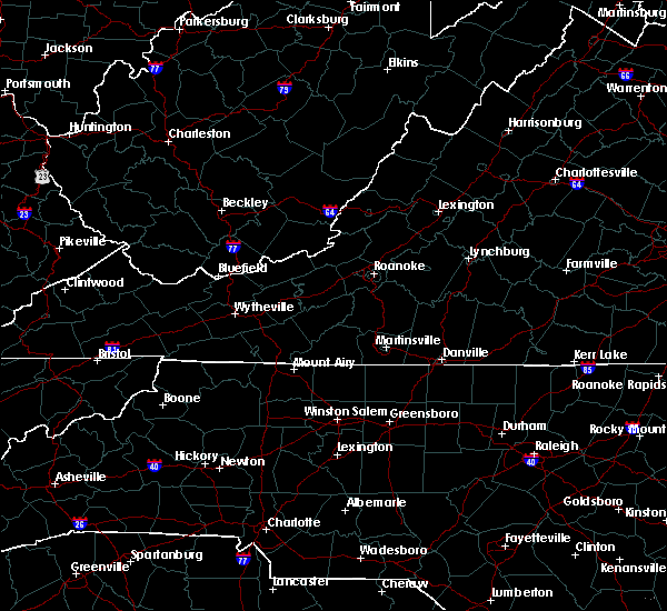 At 345 pm edt, a severe thunderstorm was located near evington, moving northeast at 20 mph (radar indicated). Hazards include 60 mph wind gusts and quarter size hail. Hail damage to vehicles is expected. Expect wind damage to roofs, siding, and trees. At 345 pm edt, a severe thunderstorm was located near evington, moving northeast at 20 mph (radar indicated). Hazards include 60 mph wind gusts and quarter size hail. Hail damage to vehicles is expected. Expect wind damage to roofs, siding, and trees.
|
| 8/15/2019 3:45 PM EDT |
 At 345 pm edt, a severe thunderstorm was located near evington, moving northeast at 20 mph (radar indicated). Hazards include 60 mph wind gusts and quarter size hail. Hail damage to vehicles is expected. Expect wind damage to roofs, siding, and trees. At 345 pm edt, a severe thunderstorm was located near evington, moving northeast at 20 mph (radar indicated). Hazards include 60 mph wind gusts and quarter size hail. Hail damage to vehicles is expected. Expect wind damage to roofs, siding, and trees.
|
| 8/1/2019 10:06 PM EDT |
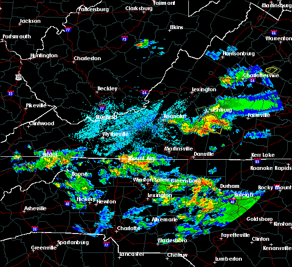 The severe thunderstorm warning for campbell county will expire at 1015 pm edt, the storm which prompted the warning has weakened below severe limits, and no longer poses an immediate threat to life or property. therefore, the warning will be allowed to expire. however gusty winds and heavy rain are still possible with this thunderstorm. when it is safe to do so, please send your reports of hail of any size, as well as reports of any wind damage, including downed trees or large limbs, to the national weather service by calling toll free at 1, 8 6 6, 2 1 5, 4 3 2 4. reports and pictures can also be shared on the national weather service blacksburg facebook page and on twitter. The severe thunderstorm warning for campbell county will expire at 1015 pm edt, the storm which prompted the warning has weakened below severe limits, and no longer poses an immediate threat to life or property. therefore, the warning will be allowed to expire. however gusty winds and heavy rain are still possible with this thunderstorm. when it is safe to do so, please send your reports of hail of any size, as well as reports of any wind damage, including downed trees or large limbs, to the national weather service by calling toll free at 1, 8 6 6, 2 1 5, 4 3 2 4. reports and pictures can also be shared on the national weather service blacksburg facebook page and on twitter.
|
| 8/1/2019 9:14 PM EDT |
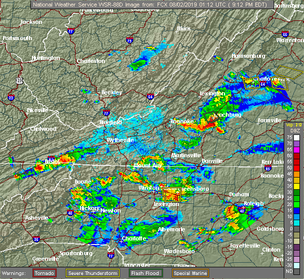 At 914 pm edt, a severe thunderstorm was located near timberlake, moving southeast at 10 mph (radar indicated). Hazards include 60 mph wind gusts and quarter size hail. Hail damage to vehicles is expected. Expect wind damage to roofs, siding, and trees. At 914 pm edt, a severe thunderstorm was located near timberlake, moving southeast at 10 mph (radar indicated). Hazards include 60 mph wind gusts and quarter size hail. Hail damage to vehicles is expected. Expect wind damage to roofs, siding, and trees.
|
| 7/21/2019 2:59 PM EDT |
 At 257 pm edt, severe thunderstorms were located along a line extending from near big island to near appomattox national historic park, moving northeast at 20 mph (the public reported quarter sized hail along with multiple trees and power lines down in the city of lynchburg). Hazards include 60 mph wind gusts and quarter size hail. Hail damage to vehicles is expected. expect wind damage to roofs, siding, and trees. locations impacted include, lynchburg, buckingham, amherst, appomattox, and forks of buffalo. This includes the following location liberty university. At 257 pm edt, severe thunderstorms were located along a line extending from near big island to near appomattox national historic park, moving northeast at 20 mph (the public reported quarter sized hail along with multiple trees and power lines down in the city of lynchburg). Hazards include 60 mph wind gusts and quarter size hail. Hail damage to vehicles is expected. expect wind damage to roofs, siding, and trees. locations impacted include, lynchburg, buckingham, amherst, appomattox, and forks of buffalo. This includes the following location liberty university.
|
| 7/21/2019 2:35 PM EDT |
 At 234 pm edt, severe thunderstorms were located along a line extending from sedalia to near appomattox, moving northeast at 30 mph (radar indicated). Hazards include 60 mph wind gusts and quarter size hail. Hail damage to vehicles is expected. Expect wind damage to roofs, siding, and trees. At 234 pm edt, severe thunderstorms were located along a line extending from sedalia to near appomattox, moving northeast at 30 mph (radar indicated). Hazards include 60 mph wind gusts and quarter size hail. Hail damage to vehicles is expected. Expect wind damage to roofs, siding, and trees.
|
| 7/18/2019 5:54 PM EDT |
 The severe thunderstorm warning for northeastern pittsylvania counties will expire at 600 pm edt, , the severe thunderstorm warning for western campbell county will also expire at 600 pm edt, , however, another severe thunderstorm warning remains in effect for eastern campbell county until 645 pm edt, the storm which prompted the warning for western campbell and northeastern pittsylvania counties has weakened below severe limits, and has exited the warned area. therefore, the warning will be allowed to expire. however heavy rain is still possible with this thunderstorm. a new severe thunderstorm is now located in eastern campbell county and a warning remains in effect for that area until 645 pm edt. The severe thunderstorm warning for northeastern pittsylvania counties will expire at 600 pm edt, , the severe thunderstorm warning for western campbell county will also expire at 600 pm edt, , however, another severe thunderstorm warning remains in effect for eastern campbell county until 645 pm edt, the storm which prompted the warning for western campbell and northeastern pittsylvania counties has weakened below severe limits, and has exited the warned area. therefore, the warning will be allowed to expire. however heavy rain is still possible with this thunderstorm. a new severe thunderstorm is now located in eastern campbell county and a warning remains in effect for that area until 645 pm edt.
|
| 7/18/2019 5:42 PM EDT | Tree down on mollies creek rd blocking part of road... near diamond hill churc in campbell county VA, 6.2 miles NNW of Rustburg, VA |
| 7/18/2019 5:29 PM EDT |
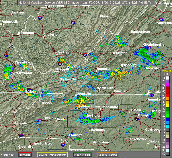 A severe thunderstorm warning remains in effect until 600 pm edt for southwestern campbell and northeastern pittsylvania counties. at 527 pm edt, a severe thunderstorm was located near evington, moving east at 35 mph. hazard. 60 mph wind gusts. source. Radar indicated. A severe thunderstorm warning remains in effect until 600 pm edt for southwestern campbell and northeastern pittsylvania counties. at 527 pm edt, a severe thunderstorm was located near evington, moving east at 35 mph. hazard. 60 mph wind gusts. source. Radar indicated.
|
| 7/18/2019 5:03 PM EDT |
 At 502 pm edt, a severe thunderstorm was located over huddleston, moving southeast at 10 mph (radar indicated). Hazards include 60 mph wind gusts. expect damage to roofs, siding, and trees At 502 pm edt, a severe thunderstorm was located over huddleston, moving southeast at 10 mph (radar indicated). Hazards include 60 mph wind gusts. expect damage to roofs, siding, and trees
|
| 6/29/2019 4:42 PM EDT | Tree down on red house road near intersection with mollies creek road. time estimated by rada in campbell county VA, 5.3 miles NW of Rustburg, VA |
| 5/31/2019 6:19 PM EDT |
 At 618 pm edt, severe thunderstorms were located along a line extending from near spring mills to near brookneal to mt airy va, moving east at 40 mph (radar indicated). Hazards include 70 mph wind gusts and half dollar size hail. Hail damage to vehicles is expected. expect considerable tree damage. Wind damage is also likely to mobile homes, roofs, and outbuildings. At 618 pm edt, severe thunderstorms were located along a line extending from near spring mills to near brookneal to mt airy va, moving east at 40 mph (radar indicated). Hazards include 70 mph wind gusts and half dollar size hail. Hail damage to vehicles is expected. expect considerable tree damage. Wind damage is also likely to mobile homes, roofs, and outbuildings.
|
| 5/31/2019 6:04 PM EDT |
 At 602 pm edt, severe thunderstorms were located along a line extending from timberlake to near hodges to near pittsville, moving east at 50 mph (radar indicated). Hazards include 70 mph wind gusts and half dollar size hail. Hail damage to vehicles is expected. expect considerable tree damage. wind damage is also likely to mobile homes, roofs, and outbuildings. locations impacted include, lynchburg, altavista, hurt, gretna, and rustburg. This includes the following locations liberty university and lynchburg airport. At 602 pm edt, severe thunderstorms were located along a line extending from timberlake to near hodges to near pittsville, moving east at 50 mph (radar indicated). Hazards include 70 mph wind gusts and half dollar size hail. Hail damage to vehicles is expected. expect considerable tree damage. wind damage is also likely to mobile homes, roofs, and outbuildings. locations impacted include, lynchburg, altavista, hurt, gretna, and rustburg. This includes the following locations liberty university and lynchburg airport.
|
| 5/31/2019 5:42 PM EDT |
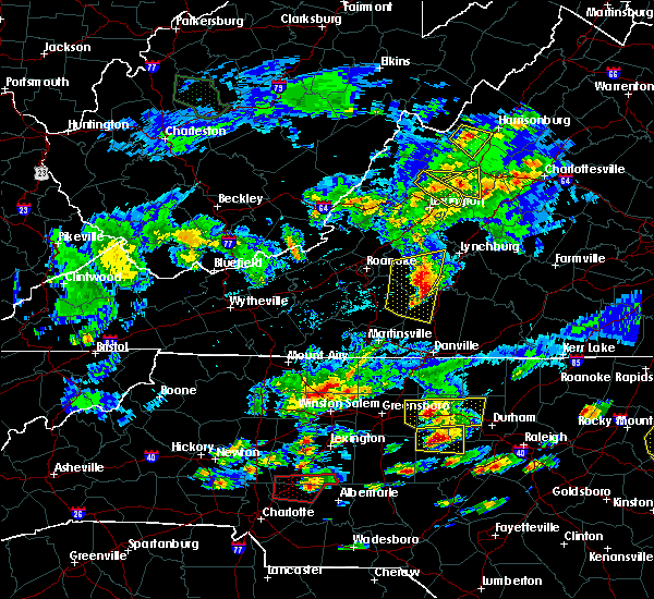 At 542 pm edt, severe thunderstorms were located along a line extending from bedford to near leesville to near sago, moving east at 35 mph (radar indicated). Hazards include 70 mph wind gusts and half dollar size hail. Hail damage to vehicles is expected. expect considerable tree damage. Wind damage is also likely to mobile homes, roofs, and outbuildings. At 542 pm edt, severe thunderstorms were located along a line extending from bedford to near leesville to near sago, moving east at 35 mph (radar indicated). Hazards include 70 mph wind gusts and half dollar size hail. Hail damage to vehicles is expected. expect considerable tree damage. Wind damage is also likely to mobile homes, roofs, and outbuildings.
|
| 5/29/2019 6:10 PM EDT |
 At 609 pm edt, severe thunderstorms were located along a line extending from near evington to hurt to near pittsville, moving east at 30 mph (radar indicated). Hazards include 60 mph wind gusts and quarter size hail. Hail damage to vehicles is expected. Expect wind damage to roofs, siding, and trees. At 609 pm edt, severe thunderstorms were located along a line extending from near evington to hurt to near pittsville, moving east at 30 mph (radar indicated). Hazards include 60 mph wind gusts and quarter size hail. Hail damage to vehicles is expected. Expect wind damage to roofs, siding, and trees.
|
| 5/11/2019 6:20 PM EDT |
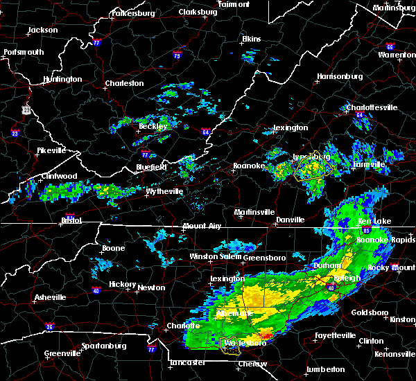 The severe thunderstorm warning for appomattox and northeastern campbell counties will expire at 630 pm edt, the storm which prompted the warning has weakened below severe limits, and no longer poses an immediate threat to life or property. therefore, the warning will be allowed to expire. however heavy rain is still possible with this thunderstorm. when it is safe to do so, please send your reports of hail of any size, as well as reports of any wind damage, including downed trees or large limbs, to the national weather service by calling toll free at 1, 8 6 6, 2 1 5, 4 3 2 4. reports and pictures can also be shared on the national weather service blacksburg facebook page and on twitter. The severe thunderstorm warning for appomattox and northeastern campbell counties will expire at 630 pm edt, the storm which prompted the warning has weakened below severe limits, and no longer poses an immediate threat to life or property. therefore, the warning will be allowed to expire. however heavy rain is still possible with this thunderstorm. when it is safe to do so, please send your reports of hail of any size, as well as reports of any wind damage, including downed trees or large limbs, to the national weather service by calling toll free at 1, 8 6 6, 2 1 5, 4 3 2 4. reports and pictures can also be shared on the national weather service blacksburg facebook page and on twitter.
|
| 5/11/2019 5:58 PM EDT |
 At 558 pm edt, a severe thunderstorm was located over spring mills, moving east at 35 mph (radar indicated). Hazards include 60 mph wind gusts and quarter size hail. Hail damage to vehicles is expected. expect wind damage to roofs, siding, and trees. Locations impacted include, appomattox, concord, rustburg, pamplin city, and mike. At 558 pm edt, a severe thunderstorm was located over spring mills, moving east at 35 mph (radar indicated). Hazards include 60 mph wind gusts and quarter size hail. Hail damage to vehicles is expected. expect wind damage to roofs, siding, and trees. Locations impacted include, appomattox, concord, rustburg, pamplin city, and mike.
|
| 5/11/2019 5:29 PM EDT |
 At 529 pm edt, a severe thunderstorm was located near gladys, moving northeast at 20 mph (radar indicated). Hazards include 60 mph wind gusts and quarter size hail. Hail damage to vehicles is expected. Expect wind damage to roofs, siding, and trees. At 529 pm edt, a severe thunderstorm was located near gladys, moving northeast at 20 mph (radar indicated). Hazards include 60 mph wind gusts and quarter size hail. Hail damage to vehicles is expected. Expect wind damage to roofs, siding, and trees.
|
| 5/2/2019 5:14 PM EDT |
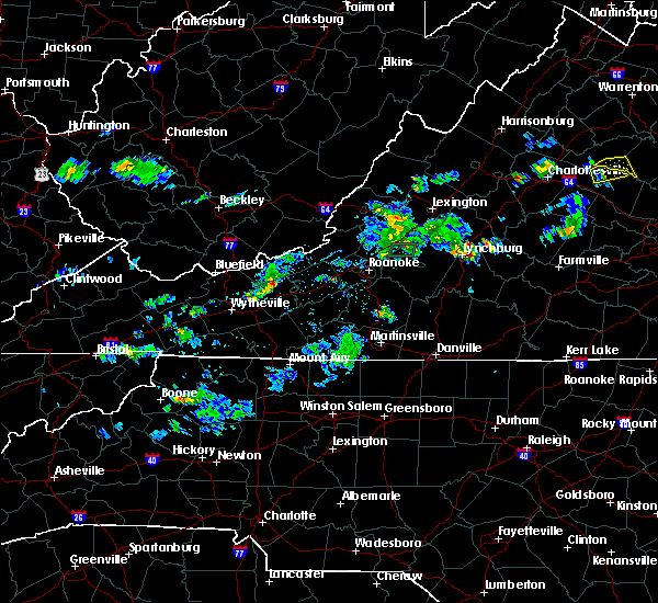 At 513 pm edt, a severe thunderstorm was located over madison heights, moving northeast at 15 mph (radar indicated). Hazards include 60 mph wind gusts and quarter size hail. Hail damage to vehicles is expected. Expect wind damage to roofs, siding, and trees. At 513 pm edt, a severe thunderstorm was located over madison heights, moving northeast at 15 mph (radar indicated). Hazards include 60 mph wind gusts and quarter size hail. Hail damage to vehicles is expected. Expect wind damage to roofs, siding, and trees.
|
| 4/15/2019 1:39 AM EDT |
 At 138 am edt, severe thunderstorms were located along a line extending from stonewall to near brookneal, moving northeast at 45 mph (radar indicated). Hazards include 60 mph wind gusts. Expect damage to roofs, siding, and trees. locations impacted include, appomattox, brookneal, phenix, red house, and concord. A tornado watch remains in effect until 500 am edt for north central north carolina, and central and south central virginia. At 138 am edt, severe thunderstorms were located along a line extending from stonewall to near brookneal, moving northeast at 45 mph (radar indicated). Hazards include 60 mph wind gusts. Expect damage to roofs, siding, and trees. locations impacted include, appomattox, brookneal, phenix, red house, and concord. A tornado watch remains in effect until 500 am edt for north central north carolina, and central and south central virginia.
|
| 4/15/2019 1:27 AM EDT |
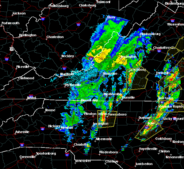 At 126 am edt, severe thunderstorms were located along a line extending from bocock to near mt airy, moving northeast at 40 mph (radar indicated). Hazards include 60 mph wind gusts and quarter size hail. Hail damage to vehicles is expected. expect wind damage to roofs, siding, and trees. locations impacted include, lynchburg, appomattox, brookneal, phenix, and mt airy. this includes the following locations liberty university and lynchburg airport. A tornado watch remains in effect until 500 am edt for north central north carolina, and central, south central and west central virginia. At 126 am edt, severe thunderstorms were located along a line extending from bocock to near mt airy, moving northeast at 40 mph (radar indicated). Hazards include 60 mph wind gusts and quarter size hail. Hail damage to vehicles is expected. expect wind damage to roofs, siding, and trees. locations impacted include, lynchburg, appomattox, brookneal, phenix, and mt airy. this includes the following locations liberty university and lynchburg airport. A tornado watch remains in effect until 500 am edt for north central north carolina, and central, south central and west central virginia.
|
| 4/15/2019 1:08 AM EDT |
 At 108 am edt, severe thunderstorms were located along a line extending from near goode to near chatham, moving northeast at 40 mph (radar indicated). Hazards include 70 mph wind gusts. Expect considerable tree damage. Damage is likely to mobile homes, roofs, and outbuildings. At 108 am edt, severe thunderstorms were located along a line extending from near goode to near chatham, moving northeast at 40 mph (radar indicated). Hazards include 70 mph wind gusts. Expect considerable tree damage. Damage is likely to mobile homes, roofs, and outbuildings.
|
| 4/14/2019 11:41 PM EDT |
 At 1141 pm edt, a severe thunderstorm was located over spring mills, moving northeast at 55 mph (radar indicated). Hazards include 60 mph wind gusts. expect damage to roofs, siding, and trees At 1141 pm edt, a severe thunderstorm was located over spring mills, moving northeast at 55 mph (radar indicated). Hazards include 60 mph wind gusts. expect damage to roofs, siding, and trees
|
| 4/8/2019 5:08 PM EDT |
 At 508 pm edt, severe thunderstorms were located along a line extending from near wingina to near bocock to near leesville, moving east at 30 mph (radar indicated). Hazards include 60 mph wind gusts and quarter size hail. Hail damage to vehicles is expected. expect wind damage to roofs, siding, and trees. Locations impacted include, buckingham, appomattox, dillwyn, concord, and rustburg. At 508 pm edt, severe thunderstorms were located along a line extending from near wingina to near bocock to near leesville, moving east at 30 mph (radar indicated). Hazards include 60 mph wind gusts and quarter size hail. Hail damage to vehicles is expected. expect wind damage to roofs, siding, and trees. Locations impacted include, buckingham, appomattox, dillwyn, concord, and rustburg.
|
| 4/8/2019 4:41 PM EDT |
 At 439 pm edt, severe thunderstorms were located along a line extending from near amherst to near goode to north shore, moving east at 30 mph (radar indicated). Hazards include 60 mph wind gusts and quarter size hail. Hail damage to vehicles is expected. Expect wind damage to roofs, siding, and trees. At 439 pm edt, severe thunderstorms were located along a line extending from near amherst to near goode to north shore, moving east at 30 mph (radar indicated). Hazards include 60 mph wind gusts and quarter size hail. Hail damage to vehicles is expected. Expect wind damage to roofs, siding, and trees.
|
| 8/13/2018 6:09 PM EDT |
 The severe thunderstorm warning for northwestern appomattox, central campbell, central bedford, southeastern amherst, and southwestern buckingham counties and the city of lynchburg will expire at 615 pm edt, the storms which prompted the warning have moved out of the area. therefore, the warning will be allowed to expire. however heavy rain is still possible with these thunderstorms. when it is safe to do so, please send your reports of hail of any size, as well as reports of any wind damage, including downed trees or large limbs, to the national weather service by calling toll free at 1, 8 6 6, 2 1 5, 4 3 2 4. reports and pictures can also be shared on the national weather service blacksburg facebook page and on twitter. The severe thunderstorm warning for northwestern appomattox, central campbell, central bedford, southeastern amherst, and southwestern buckingham counties and the city of lynchburg will expire at 615 pm edt, the storms which prompted the warning have moved out of the area. therefore, the warning will be allowed to expire. however heavy rain is still possible with these thunderstorms. when it is safe to do so, please send your reports of hail of any size, as well as reports of any wind damage, including downed trees or large limbs, to the national weather service by calling toll free at 1, 8 6 6, 2 1 5, 4 3 2 4. reports and pictures can also be shared on the national weather service blacksburg facebook page and on twitter.
|
| 8/13/2018 5:52 PM EDT |
 At 551 pm edt, severe thunderstorms were located along a line extending from near stonewall to near timberlake to near bedford, moving southeast at 25 mph (radar indicated). Hazards include 60 mph wind gusts and quarter size hail. Hail damage to vehicles is expected. expect wind damage to roofs, siding, and trees. locations impacted include, lynchburg, bedford, amherst, appomattox, and huddleston. This includes the following locations liberty university, the national d-day memorial, and lynchburg airport. At 551 pm edt, severe thunderstorms were located along a line extending from near stonewall to near timberlake to near bedford, moving southeast at 25 mph (radar indicated). Hazards include 60 mph wind gusts and quarter size hail. Hail damage to vehicles is expected. expect wind damage to roofs, siding, and trees. locations impacted include, lynchburg, bedford, amherst, appomattox, and huddleston. This includes the following locations liberty university, the national d-day memorial, and lynchburg airport.
|
| 8/13/2018 5:11 PM EDT |
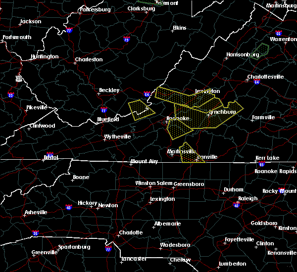 At 511 pm edt, severe thunderstorms were located along a line extending from near clifford to coleman falls to buchanan, moving southeast at 25 mph (radar indicated). Hazards include 60 mph wind gusts and quarter size hail. Hail damage to vehicles is expected. Expect wind damage to roofs, siding, and trees. At 511 pm edt, severe thunderstorms were located along a line extending from near clifford to coleman falls to buchanan, moving southeast at 25 mph (radar indicated). Hazards include 60 mph wind gusts and quarter size hail. Hail damage to vehicles is expected. Expect wind damage to roofs, siding, and trees.
|
| 8/12/2018 2:12 PM EDT |
 At 212 pm edt, a severe thunderstorm was located over madison heights, moving northeast at 30 mph (radar indicated). Hazards include 60 mph wind gusts and quarter size hail. Hail damage to vehicles is expected. Expect wind damage to roofs, siding, and trees. At 212 pm edt, a severe thunderstorm was located over madison heights, moving northeast at 30 mph (radar indicated). Hazards include 60 mph wind gusts and quarter size hail. Hail damage to vehicles is expected. Expect wind damage to roofs, siding, and trees.
|
| 8/3/2018 5:10 PM EDT |
 At 510 pm edt, severe thunderstorms were located along a line extending from near forest to near evington to chalk level to near quick, moving northeast at 25 mph (radar indicated). Hazards include 60 mph wind gusts. Expect damage to roofs, siding, and trees. locations impacted include, lynchburg, danville, altavista, yanceyville, and bethel. This includes the following locations liberty university, danville airport, and lynchburg airport. At 510 pm edt, severe thunderstorms were located along a line extending from near forest to near evington to chalk level to near quick, moving northeast at 25 mph (radar indicated). Hazards include 60 mph wind gusts. Expect damage to roofs, siding, and trees. locations impacted include, lynchburg, danville, altavista, yanceyville, and bethel. This includes the following locations liberty university, danville airport, and lynchburg airport.
|
| 8/3/2018 5:10 PM EDT |
 At 442 pm edt, severe thunderstorms were located along a line extending from near bedford to leesville to near climax to near reidsville, moving northeast at 25 mph (radar indicated). Hazards include 60 mph wind gusts. Expect damage to roofs, siding, and trees. locations impacted include, lynchburg, danville, eden, reidsville, and bedford. This includes the following locations liberty university, the national d-day memorial, danville airport, and lynchburg airport. At 442 pm edt, severe thunderstorms were located along a line extending from near bedford to leesville to near climax to near reidsville, moving northeast at 25 mph (radar indicated). Hazards include 60 mph wind gusts. Expect damage to roofs, siding, and trees. locations impacted include, lynchburg, danville, eden, reidsville, and bedford. This includes the following locations liberty university, the national d-day memorial, danville airport, and lynchburg airport.
|
| 8/3/2018 4:42 PM EDT |
 At 442 pm edt, severe thunderstorms were located along a line extending from near bedford to leesville to near climax to near reidsville, moving northeast at 25 mph (radar indicated). Hazards include 60 mph wind gusts. Expect damage to roofs, siding, and trees. locations impacted include, lynchburg, danville, eden, reidsville, and bedford. This includes the following locations liberty university, the national d-day memorial, danville airport, and lynchburg airport. At 442 pm edt, severe thunderstorms were located along a line extending from near bedford to leesville to near climax to near reidsville, moving northeast at 25 mph (radar indicated). Hazards include 60 mph wind gusts. Expect damage to roofs, siding, and trees. locations impacted include, lynchburg, danville, eden, reidsville, and bedford. This includes the following locations liberty university, the national d-day memorial, danville airport, and lynchburg airport.
|
| 8/3/2018 4:27 PM EDT |
 At 426 pm edt, severe thunderstorms were located along a line extending from near moneta to near smith mountain lake state park to callands to near monroeton, moving northeast at 25 mph (radar indicated). Hazards include 60 mph wind gusts. expect damage to roofs, siding, and trees At 426 pm edt, severe thunderstorms were located along a line extending from near moneta to near smith mountain lake state park to callands to near monroeton, moving northeast at 25 mph (radar indicated). Hazards include 60 mph wind gusts. expect damage to roofs, siding, and trees
|
| 8/2/2018 5:16 PM EDT |
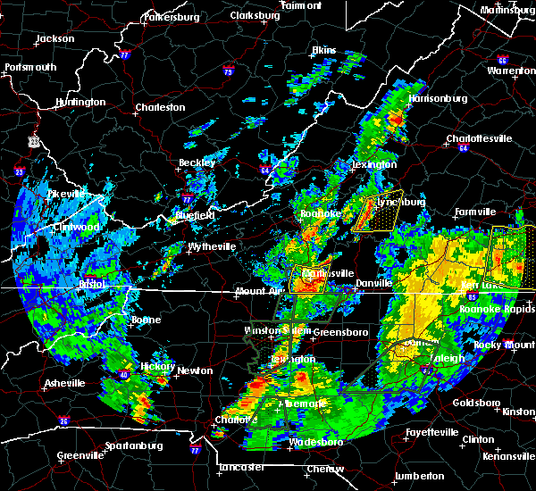 At 516 pm edt, severe thunderstorms were located along a line extending from near boonsboro to near evington, moving east at 15 mph (radar indicated). Hazards include 60 mph wind gusts. expect damage to roofs, siding, and trees At 516 pm edt, severe thunderstorms were located along a line extending from near boonsboro to near evington, moving east at 15 mph (radar indicated). Hazards include 60 mph wind gusts. expect damage to roofs, siding, and trees
|
| 8/1/2018 8:16 PM EDT |
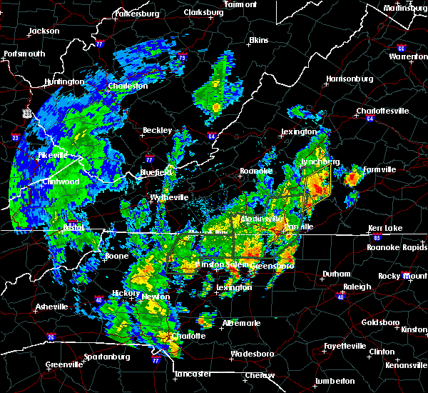 At 816 pm edt, severe thunderstorms were located along a line extending from concord to near nathalie, moving northeast at 30 mph (radar indicated). Hazards include 60 mph wind gusts. Expect damage to roofs, siding, and trees. Locations impacted include, appomattox, brookneal, concord, red house, and rustburg. At 816 pm edt, severe thunderstorms were located along a line extending from concord to near nathalie, moving northeast at 30 mph (radar indicated). Hazards include 60 mph wind gusts. Expect damage to roofs, siding, and trees. Locations impacted include, appomattox, brookneal, concord, red house, and rustburg.
|
| 8/1/2018 7:45 PM EDT |
 At 745 pm edt, severe thunderstorms were located along a line extending from near gladys to near ridgeway, moving northeast at 30 mph (radar indicated). Hazards include 60 mph wind gusts. expect damage to roofs, siding, and trees At 745 pm edt, severe thunderstorms were located along a line extending from near gladys to near ridgeway, moving northeast at 30 mph (radar indicated). Hazards include 60 mph wind gusts. expect damage to roofs, siding, and trees
|
| 8/1/2018 7:34 PM EDT |
 At 734 pm edt, severe thunderstorms were located along a line extending from near altavista to java, moving northeast at 30 mph (radar indicated). Hazards include 60 mph wind gusts. Expect damage to roofs, siding, and trees. locations impacted include, altavista, hurt, gretna, rustburg, and evington. This includes the following location lynchburg airport. At 734 pm edt, severe thunderstorms were located along a line extending from near altavista to java, moving northeast at 30 mph (radar indicated). Hazards include 60 mph wind gusts. Expect damage to roofs, siding, and trees. locations impacted include, altavista, hurt, gretna, rustburg, and evington. This includes the following location lynchburg airport.
|
| 8/1/2018 7:04 PM EDT |
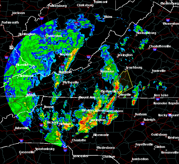 At 704 pm edt, severe thunderstorms were located along a line extending from pittsville to blairs, moving northeast at 30 mph (radar indicated). Hazards include 60 mph wind gusts. expect damage to roofs, siding, and trees At 704 pm edt, severe thunderstorms were located along a line extending from pittsville to blairs, moving northeast at 30 mph (radar indicated). Hazards include 60 mph wind gusts. expect damage to roofs, siding, and trees
|
| 6/22/2018 4:25 PM EDT |
 The national weather service in blacksburg has issued a * tornado warning for. southwestern appomattox county in central virginia. northeastern campbell county in central virginia. Until 500 pm edt * at 424 pm edt, a severe thunderstorm capable of producing a tornado. The national weather service in blacksburg has issued a * tornado warning for. southwestern appomattox county in central virginia. northeastern campbell county in central virginia. Until 500 pm edt * at 424 pm edt, a severe thunderstorm capable of producing a tornado.
|
| 6/22/2018 3:38 PM EDT |
 At 338 pm edt, a severe thunderstorm was located near goode, moving northeast at 15 mph (radar indicated). Hazards include 60 mph wind gusts and quarter size hail. Hail damage to vehicles is expected. Expect wind damage to roofs, siding, and trees. At 338 pm edt, a severe thunderstorm was located near goode, moving northeast at 15 mph (radar indicated). Hazards include 60 mph wind gusts and quarter size hail. Hail damage to vehicles is expected. Expect wind damage to roofs, siding, and trees.
|
| 6/9/2018 7:06 PM EDT |
 The severe thunderstorm warning for southwestern appomattox, northeastern campbell, and southeastern amherst counties and the city of lynchburg will expire at 715 pm edt, the storm which prompted the warning has weakened below severe limits, and no longer poses an immediate threat to life or property. therefore, the warning will be allowed to expire. however heavy rain is still possible with this thunderstorm. when it is safe to do so, please send your reports of hail of any size, as well as reports of any wind damage, including downed trees or large limbs, to the national weather service by calling toll free at 1, 8 6 6, 2 1 5, 4 3 2 4. reports and pictures can also be shared on the national weather service blacksburg facebook page and on twitter. The severe thunderstorm warning for southwestern appomattox, northeastern campbell, and southeastern amherst counties and the city of lynchburg will expire at 715 pm edt, the storm which prompted the warning has weakened below severe limits, and no longer poses an immediate threat to life or property. therefore, the warning will be allowed to expire. however heavy rain is still possible with this thunderstorm. when it is safe to do so, please send your reports of hail of any size, as well as reports of any wind damage, including downed trees or large limbs, to the national weather service by calling toll free at 1, 8 6 6, 2 1 5, 4 3 2 4. reports and pictures can also be shared on the national weather service blacksburg facebook page and on twitter.
|
| 6/9/2018 6:26 PM EDT |
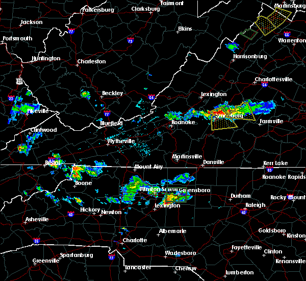 At 626 pm edt, a severe thunderstorm was located near madison heights, moving southeast at 15 mph (radar indicated). Hazards include 60 mph wind gusts and quarter size hail. Hail damage to vehicles is expected. expect wind damage to roofs, siding, and trees. locations impacted include, lynchburg, amherst, concord, rustburg, and madison heights. This includes the following locations liberty university and lynchburg airport. At 626 pm edt, a severe thunderstorm was located near madison heights, moving southeast at 15 mph (radar indicated). Hazards include 60 mph wind gusts and quarter size hail. Hail damage to vehicles is expected. expect wind damage to roofs, siding, and trees. locations impacted include, lynchburg, amherst, concord, rustburg, and madison heights. This includes the following locations liberty university and lynchburg airport.
|
| 6/9/2018 6:12 PM EDT |
 The national weather service in blacksburg has issued a * severe thunderstorm warning for. southwestern appomattox county in central virginia. northeastern campbell county in central virginia. southeastern amherst county in central virginia. The city of lynchburg in central virginia. The national weather service in blacksburg has issued a * severe thunderstorm warning for. southwestern appomattox county in central virginia. northeastern campbell county in central virginia. southeastern amherst county in central virginia. The city of lynchburg in central virginia.
|
| 5/22/2018 8:16 PM EDT |
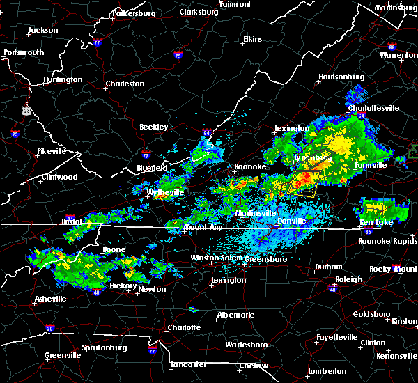 At 815 pm edt, severe thunderstorms were located along a line extending from near rustburg to near straightstone, moving east at 20 mph (radar indicated. multiple trees were downed and fence damage was reported in moneta as these storms moved through). Hazards include 60 mph wind gusts. Expect damage to roofs, siding, and trees. with wet ground from recent rain, trees are more vulnerable to being downed. Locations impacted include, brookneal, rustburg, hodges, cody, and mike. At 815 pm edt, severe thunderstorms were located along a line extending from near rustburg to near straightstone, moving east at 20 mph (radar indicated. multiple trees were downed and fence damage was reported in moneta as these storms moved through). Hazards include 60 mph wind gusts. Expect damage to roofs, siding, and trees. with wet ground from recent rain, trees are more vulnerable to being downed. Locations impacted include, brookneal, rustburg, hodges, cody, and mike.
|
| 5/22/2018 7:54 PM EDT |
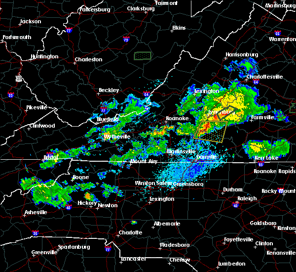 At 752 pm edt, severe thunderstorms were located along a line extending from near timberlake to near gretna, moving east at 15 mph (radar indicated. at 735 pm, broadcast media reported multiple trees were downed and fences mangled in moneta). Hazards include 60 mph wind gusts. expect damage to roofs, siding, and trees At 752 pm edt, severe thunderstorms were located along a line extending from near timberlake to near gretna, moving east at 15 mph (radar indicated. at 735 pm, broadcast media reported multiple trees were downed and fences mangled in moneta). Hazards include 60 mph wind gusts. expect damage to roofs, siding, and trees
|
| 5/10/2018 3:42 PM EDT |
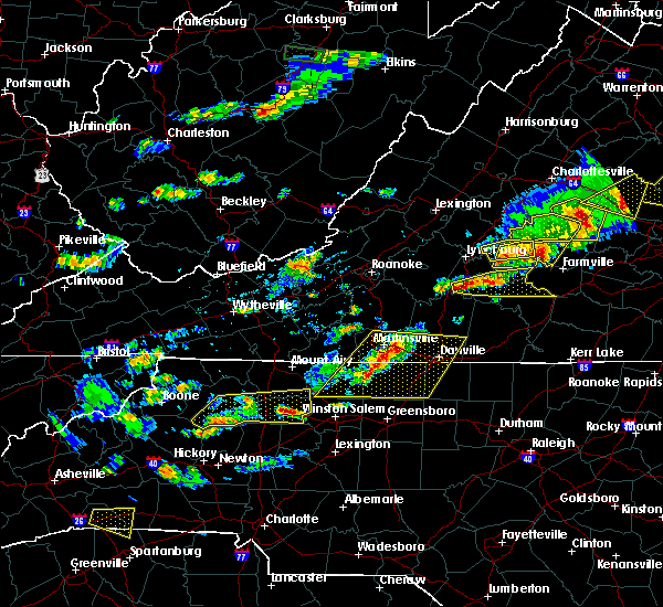 At 342 pm edt, a severe thunderstorm was located over gladys, moving east at 35 mph (radar indicated). Hazards include 60 mph wind gusts and quarter size hail. Hail damage to vehicles is expected. Expect wind damage to roofs, siding, and trees. At 342 pm edt, a severe thunderstorm was located over gladys, moving east at 35 mph (radar indicated). Hazards include 60 mph wind gusts and quarter size hail. Hail damage to vehicles is expected. Expect wind damage to roofs, siding, and trees.
|
| 5/10/2018 3:34 PM EDT | 1 tree down on east ferry road in campbell county VA, 7.2 miles NNE of Rustburg, VA |
| 5/10/2018 2:18 PM EDT |
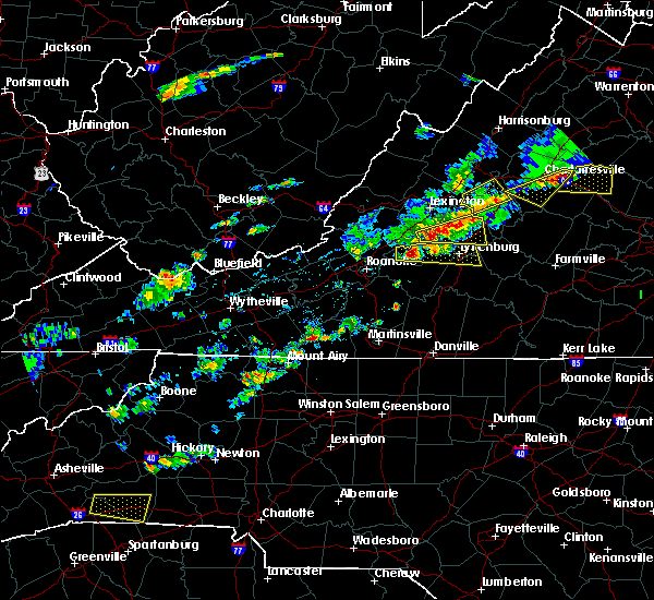 At 218 pm edt, a severe thunderstorm was located near peaks of otter recreation area, moving east at 35 mph (radar indicated). Hazards include 60 mph wind gusts and half dollar size hail. Hail damage to vehicles is expected. Expect wind damage to roofs, siding, and trees. At 218 pm edt, a severe thunderstorm was located near peaks of otter recreation area, moving east at 35 mph (radar indicated). Hazards include 60 mph wind gusts and half dollar size hail. Hail damage to vehicles is expected. Expect wind damage to roofs, siding, and trees.
|
| 4/15/2018 7:02 PM EDT |
 At 702 pm edt, severe thunderstorms were located along a line extending from near stonewall to near mt laurel, moving northeast at 55 mph (radar indicated). Hazards include 60 mph wind gusts and quarter size hail. Hail damage to vehicles is expected. expect wind damage to roofs, siding, and trees. locations impacted include, lynchburg, buckingham, amherst, appomattox, and brookneal. this includes the following locations liberty university and lynchburg airport. A tornado watch remains in effect until 1100 pm edt for central, south central and west central virginia. At 702 pm edt, severe thunderstorms were located along a line extending from near stonewall to near mt laurel, moving northeast at 55 mph (radar indicated). Hazards include 60 mph wind gusts and quarter size hail. Hail damage to vehicles is expected. expect wind damage to roofs, siding, and trees. locations impacted include, lynchburg, buckingham, amherst, appomattox, and brookneal. this includes the following locations liberty university and lynchburg airport. A tornado watch remains in effect until 1100 pm edt for central, south central and west central virginia.
|
| 4/15/2018 6:47 PM EDT |
 At 647 pm edt, severe thunderstorms were located along a line extending from near timberlake to mt laurel, moving northeast at 70 mph (radar indicated). Hazards include 60 mph wind gusts and quarter size hail. Hail damage to vehicles is expected. Expect wind damage to roofs, siding, and trees. At 647 pm edt, severe thunderstorms were located along a line extending from near timberlake to mt laurel, moving northeast at 70 mph (radar indicated). Hazards include 60 mph wind gusts and quarter size hail. Hail damage to vehicles is expected. Expect wind damage to roofs, siding, and trees.
|
| 4/15/2018 6:41 PM EDT |
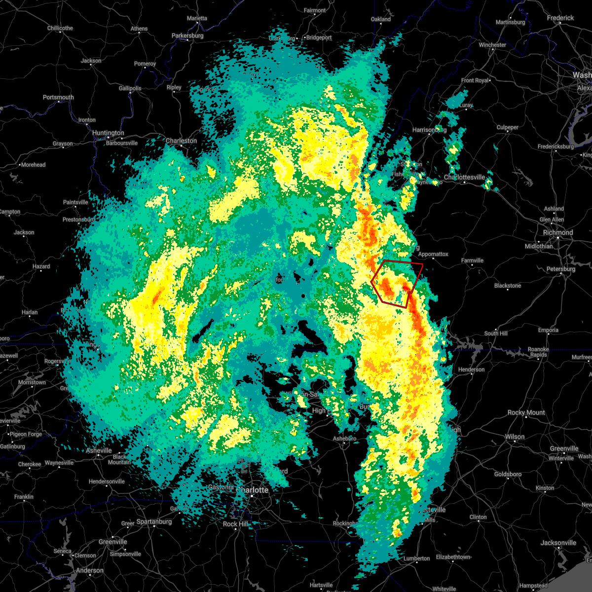 At 640 pm edt, a severe thunderstorm capable of producing a tornado was located over hurt, moving north at 60 mph (radar indicated rotation). Hazards include tornado and quarter size hail. Flying debris will be dangerous to those caught without shelter. mobile homes will be damaged or destroyed. damage to roofs, windows, and vehicles will occur. tree damage is likely. Locations impacted include, altavista, hurt, huddleston, rustburg, and evington. At 640 pm edt, a severe thunderstorm capable of producing a tornado was located over hurt, moving north at 60 mph (radar indicated rotation). Hazards include tornado and quarter size hail. Flying debris will be dangerous to those caught without shelter. mobile homes will be damaged or destroyed. damage to roofs, windows, and vehicles will occur. tree damage is likely. Locations impacted include, altavista, hurt, huddleston, rustburg, and evington.
|
| 4/15/2018 6:23 PM EDT |
 At 623 pm edt, a severe thunderstorm capable of producing a tornado was located near chatham, moving north at 45 mph (radar indicated rotation). Hazards include tornado and quarter size hail. Flying debris will be dangerous to those caught without shelter. mobile homes will be damaged or destroyed. damage to roofs, windows, and vehicles will occur. Tree damage is likely. At 623 pm edt, a severe thunderstorm capable of producing a tornado was located near chatham, moving north at 45 mph (radar indicated rotation). Hazards include tornado and quarter size hail. Flying debris will be dangerous to those caught without shelter. mobile homes will be damaged or destroyed. damage to roofs, windows, and vehicles will occur. Tree damage is likely.
|
| 1/12/2018 3:47 PM EST |
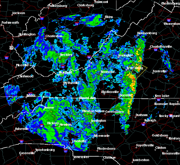 At 346 pm est, a severe thunderstorm was located near appomattox national historic park, moving northeast at 45 mph (radar indicated). Hazards include 60 mph wind gusts. Expect damage to roofs, siding, and trees. Locations impacted include, appomattox, bent creek, concord, rustburg, and appomattox national historic park. At 346 pm est, a severe thunderstorm was located near appomattox national historic park, moving northeast at 45 mph (radar indicated). Hazards include 60 mph wind gusts. Expect damage to roofs, siding, and trees. Locations impacted include, appomattox, bent creek, concord, rustburg, and appomattox national historic park.
|
| 1/12/2018 3:29 PM EST |
 At 322 pm est, a severe thunderstorm was located near spring mills, moving northeast at 45 mph (radar indicated). Hazards include 60 mph wind gusts. expect damage to roofs, siding, and trees At 322 pm est, a severe thunderstorm was located near spring mills, moving northeast at 45 mph (radar indicated). Hazards include 60 mph wind gusts. expect damage to roofs, siding, and trees
|
| 7/22/2017 11:37 PM EDT |
 The severe thunderstorm warning for central campbell and the southern city of lynchburg will expire at 1145 pm edt, the storm which prompted the warning has weakened below severe limits, and has exited the warned area. therefore, the warning will be allowed to expire. when it is safe to do so, please send your reports of hail of any size, as well as reports of any wind damage, including downed trees or large limbs, to the national weather service by calling toll free at 1, 8 6 6, 2 1 5, 4 3 2 4. reports and pictures can also be shared on the national weather service blacksburg facebook page and on twitter. The severe thunderstorm warning for central campbell and the southern city of lynchburg will expire at 1145 pm edt, the storm which prompted the warning has weakened below severe limits, and has exited the warned area. therefore, the warning will be allowed to expire. when it is safe to do so, please send your reports of hail of any size, as well as reports of any wind damage, including downed trees or large limbs, to the national weather service by calling toll free at 1, 8 6 6, 2 1 5, 4 3 2 4. reports and pictures can also be shared on the national weather service blacksburg facebook page and on twitter.
|
| 7/22/2017 11:14 PM EDT |
 At 1113 pm edt, a severe thunderstorm was located over timberlake, moving east at 35 mph (radar indicated). Hazards include 60 mph wind gusts. Expect damage to roofs, siding, and trees. Locations impacted include, lynchburg, concord, evington, rustburg, and gladys. At 1113 pm edt, a severe thunderstorm was located over timberlake, moving east at 35 mph (radar indicated). Hazards include 60 mph wind gusts. Expect damage to roofs, siding, and trees. Locations impacted include, lynchburg, concord, evington, rustburg, and gladys.
|
| 7/22/2017 10:53 PM EDT |
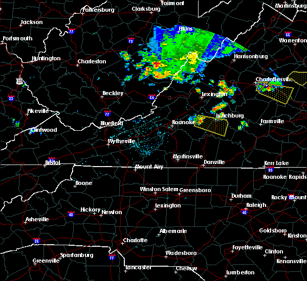 At 1052 pm edt, a severe thunderstorm was located near goode, moving east at 35 mph (radar indicated). Hazards include 60 mph wind gusts. expect damage to roofs, siding, and trees At 1052 pm edt, a severe thunderstorm was located near goode, moving east at 35 mph (radar indicated). Hazards include 60 mph wind gusts. expect damage to roofs, siding, and trees
|
| 7/6/2017 6:21 PM EDT |
 At 621 pm edt, severe thunderstorms were located along a line extending from near spout spring to spring mills to gladys, moving east at 30 mph (radar indicated). Hazards include 60 mph wind gusts. Expect damage to roofs, siding, and trees. Locations impacted include, appomattox, brookneal, phenix, red house, and concord. At 621 pm edt, severe thunderstorms were located along a line extending from near spout spring to spring mills to gladys, moving east at 30 mph (radar indicated). Hazards include 60 mph wind gusts. Expect damage to roofs, siding, and trees. Locations impacted include, appomattox, brookneal, phenix, red house, and concord.
|
| 7/6/2017 5:53 PM EDT |
 At 552 pm edt, severe thunderstorms were located along a line extending from near timberlake to evington to leesville, moving southeast at 25 mph (radar indicated). Hazards include 60 mph wind gusts. expect damage to roofs, siding, and trees At 552 pm edt, severe thunderstorms were located along a line extending from near timberlake to evington to leesville, moving southeast at 25 mph (radar indicated). Hazards include 60 mph wind gusts. expect damage to roofs, siding, and trees
|
| 7/4/2017 7:22 PM EDT |
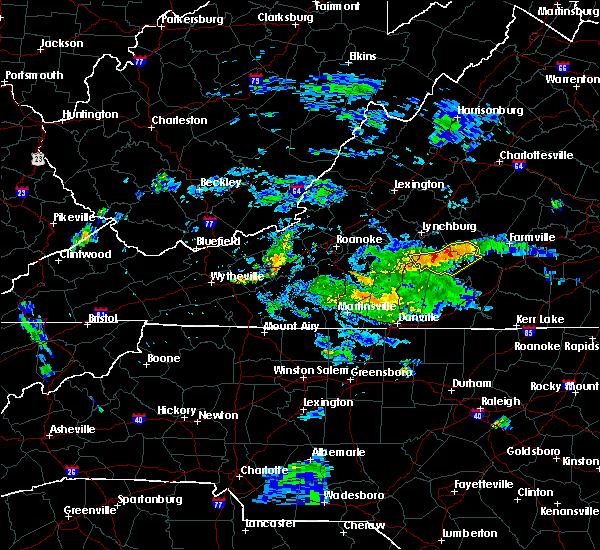 At 721 pm edt, severe thunderstorms were located along a line extending from pamplin city to hodges, moving east at 25 mph (radar indicated). Hazards include 60 mph wind gusts. expect damage to roofs, siding, and trees At 721 pm edt, severe thunderstorms were located along a line extending from pamplin city to hodges, moving east at 25 mph (radar indicated). Hazards include 60 mph wind gusts. expect damage to roofs, siding, and trees
|
| 6/4/2017 5:23 PM EDT |
 At 523 pm edt, a severe thunderstorm was located over smith mountain lake state park, moving east at 20 mph (radar indicated). Hazards include 60 mph wind gusts and quarter size hail. Hail damage to vehicles is expected. Expect wind damage to roofs, siding, and trees. At 523 pm edt, a severe thunderstorm was located over smith mountain lake state park, moving east at 20 mph (radar indicated). Hazards include 60 mph wind gusts and quarter size hail. Hail damage to vehicles is expected. Expect wind damage to roofs, siding, and trees.
|
| 5/19/2017 1:46 PM EDT |
 At 146 pm edt, severe thunderstorms were located along a line extending from timberlake to near rustburg to near mike to near brookneal, moving east at 30 mph (radar indicated). Hazards include 60 mph wind gusts and quarter size hail. Minor damage to vehicles is possible. expect wind damage to trees and power lines. Locations impacted include, appomattox, brookneal, phenix, red house, and concord. At 146 pm edt, severe thunderstorms were located along a line extending from timberlake to near rustburg to near mike to near brookneal, moving east at 30 mph (radar indicated). Hazards include 60 mph wind gusts and quarter size hail. Minor damage to vehicles is possible. expect wind damage to trees and power lines. Locations impacted include, appomattox, brookneal, phenix, red house, and concord.
|
| 5/19/2017 1:35 PM EDT |
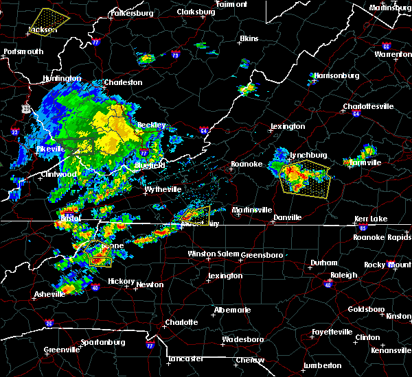 At 134 pm edt, severe thunderstorms were located along a line extending from near goode to rustburg to near gladys to cody, moving east at 25 mph (radar indicated). Hazards include 60 mph wind gusts and quarter size hail. Minor damage to vehicles is possible. expect wind damage to trees and power lines. Locations impacted include, altavista, appomattox, brookneal, phenix, and red house. At 134 pm edt, severe thunderstorms were located along a line extending from near goode to rustburg to near gladys to cody, moving east at 25 mph (radar indicated). Hazards include 60 mph wind gusts and quarter size hail. Minor damage to vehicles is possible. expect wind damage to trees and power lines. Locations impacted include, altavista, appomattox, brookneal, phenix, and red house.
|
| 5/19/2017 1:25 PM EDT |
 At 125 pm edt, severe thunderstorms were located along a line extending from goode to near rustburg to near gladys to near mt airy, moving east at 25 mph (radar indicated). Hazards include 60 mph wind gusts and quarter size hail. Minor damage to vehicles is possible. Expect wind damage to trees and power lines. At 125 pm edt, severe thunderstorms were located along a line extending from goode to near rustburg to near gladys to near mt airy, moving east at 25 mph (radar indicated). Hazards include 60 mph wind gusts and quarter size hail. Minor damage to vehicles is possible. Expect wind damage to trees and power lines.
|
| 5/10/2017 10:21 PM EDT |
 At 1020 pm edt, a severe thunderstorm was located near spring mills, moving southeast at 30 mph (radar indicated). Hazards include 60 mph wind gusts and quarter size hail. Minor damage to vehicles is possible. expect wind damage to trees and power lines. Locations impacted include, appomattox, red house, concord, rustburg, and pamplin city. At 1020 pm edt, a severe thunderstorm was located near spring mills, moving southeast at 30 mph (radar indicated). Hazards include 60 mph wind gusts and quarter size hail. Minor damage to vehicles is possible. expect wind damage to trees and power lines. Locations impacted include, appomattox, red house, concord, rustburg, and pamplin city.
|
| 5/10/2017 10:07 PM EDT |
 At 1006 pm edt, a severe thunderstorm was located over concord, moving southeast at 25 mph (radar indicated). Hazards include 60 mph wind gusts and quarter size hail. Minor damage to vehicles is possible. expect wind damage to trees and power lines. Locations impacted include, appomattox, red house, concord, rustburg, and pamplin city. At 1006 pm edt, a severe thunderstorm was located over concord, moving southeast at 25 mph (radar indicated). Hazards include 60 mph wind gusts and quarter size hail. Minor damage to vehicles is possible. expect wind damage to trees and power lines. Locations impacted include, appomattox, red house, concord, rustburg, and pamplin city.
|
| 5/10/2017 9:45 PM EDT |
 At 945 pm edt, a severe thunderstorm was located over madison heights, moving southeast at 25 mph (radar indicated). Hazards include 60 mph wind gusts and quarter size hail. Minor damage to vehicles is possible. Expect wind damage to trees and power lines. At 945 pm edt, a severe thunderstorm was located over madison heights, moving southeast at 25 mph (radar indicated). Hazards include 60 mph wind gusts and quarter size hail. Minor damage to vehicles is possible. Expect wind damage to trees and power lines.
|
| 5/10/2017 8:18 PM EDT |
 At 817 pm edt, a severe thunderstorm capable of producing a tornado was located near spring mills, moving south at 20 mph (radar indicated rotation). Hazards include tornado and quarter size hail. Flying debris will be dangerous to those caught without shelter. mobile homes will be damaged or destroyed. damage to roofs, windows, and vehicles will occur. tree damage is likely. This tornadic thunderstorm will remain over mainly rural areas of southeastern campbell county. At 817 pm edt, a severe thunderstorm capable of producing a tornado was located near spring mills, moving south at 20 mph (radar indicated rotation). Hazards include tornado and quarter size hail. Flying debris will be dangerous to those caught without shelter. mobile homes will be damaged or destroyed. damage to roofs, windows, and vehicles will occur. tree damage is likely. This tornadic thunderstorm will remain over mainly rural areas of southeastern campbell county.
|
| 5/10/2017 8:13 PM EDT |
 At 812 pm edt, a severe thunderstorm was located over spring mills, moving southeast at 35 mph (radar indicated). Hazards include 60 mph wind gusts and quarter size hail. Minor damage to vehicles is possible. expect wind damage to trees and power lines. Locations impacted include, phenix, red house, concord, pamplin city, and madisonville. At 812 pm edt, a severe thunderstorm was located over spring mills, moving southeast at 35 mph (radar indicated). Hazards include 60 mph wind gusts and quarter size hail. Minor damage to vehicles is possible. expect wind damage to trees and power lines. Locations impacted include, phenix, red house, concord, pamplin city, and madisonville.
|
| 5/10/2017 8:06 PM EDT |
 At 806 pm edt, a severe thunderstorm capable of producing a tornado was located near rustburg, moving south at 20 mph (radar indicated rotation). Hazards include tornado. Flying debris will be dangerous to those caught without shelter. mobile homes will be damaged or destroyed. damage to roofs, windows, and vehicles will occur. tree damage is likely. this dangerous storm will be near, spring mills around 820 pm edt. mike around 825 pm edt. Gladys around 830 pm edt. At 806 pm edt, a severe thunderstorm capable of producing a tornado was located near rustburg, moving south at 20 mph (radar indicated rotation). Hazards include tornado. Flying debris will be dangerous to those caught without shelter. mobile homes will be damaged or destroyed. damage to roofs, windows, and vehicles will occur. tree damage is likely. this dangerous storm will be near, spring mills around 820 pm edt. mike around 825 pm edt. Gladys around 830 pm edt.
|
| 5/10/2017 8:02 PM EDT |
 At 801 pm edt, a severe thunderstorm was located over concord, moving southeast at 20 mph (radar indicated). Hazards include 60 mph wind gusts and quarter size hail. Minor damage to vehicles is possible. expect wind damage to trees and power lines. Locations impacted include, appomattox, phenix, red house, concord, and rustburg. At 801 pm edt, a severe thunderstorm was located over concord, moving southeast at 20 mph (radar indicated). Hazards include 60 mph wind gusts and quarter size hail. Minor damage to vehicles is possible. expect wind damage to trees and power lines. Locations impacted include, appomattox, phenix, red house, concord, and rustburg.
|
| 5/10/2017 7:39 PM EDT |
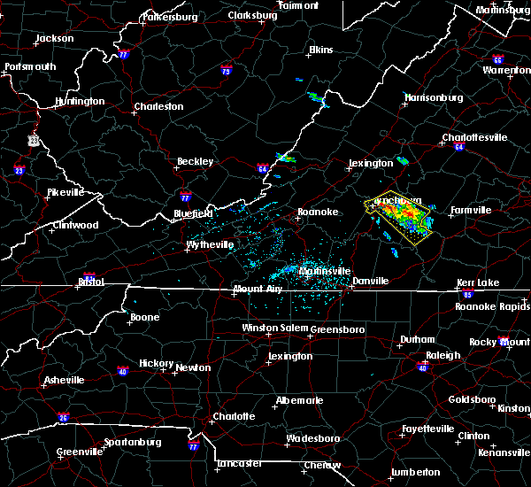 At 738 pm edt, a severe thunderstorm was located near stonewall, moving southeast at 35 mph (radar indicated). Hazards include 60 mph wind gusts and quarter size hail. Minor damage to vehicles is possible. Expect wind damage to trees and power lines. At 738 pm edt, a severe thunderstorm was located near stonewall, moving southeast at 35 mph (radar indicated). Hazards include 60 mph wind gusts and quarter size hail. Minor damage to vehicles is possible. Expect wind damage to trees and power lines.
|
| 5/1/2017 7:27 PM EDT |
 The severe thunderstorm warning for eastern rockingham, caswell, campbell, pittsylvania, southern bedford, south central amherst, and eastern henry counties, the city of danville and the city of lynchburg will expire at 730 pm edt, the storms which prompted the warning have moved out of the area. therefore the warning will be allowed to expire. however, a severe thunderstorm warning has been re-issued for eastern campbell, eastern pittsylvania, southeastern amherst and halifax counties in virginia and extreme southeastern caswell county in north carolina until 815 pm. a severe thunderstorm watch remains in effect until 1100 pm edt for north central north carolina, and central, south central and west central virginia. when it is safe to do so, please send your reports of hail of any size, as well as reports of any wind damage, including downed trees or large limbs, to the national weather service by calling toll free at 1, 8 6 6, 2 1 5, 4 3 2 4. reports and pictures can also be shared on the national weather service blacksburg facebook page and on twitter. The severe thunderstorm warning for eastern rockingham, caswell, campbell, pittsylvania, southern bedford, south central amherst, and eastern henry counties, the city of danville and the city of lynchburg will expire at 730 pm edt, the storms which prompted the warning have moved out of the area. therefore the warning will be allowed to expire. however, a severe thunderstorm warning has been re-issued for eastern campbell, eastern pittsylvania, southeastern amherst and halifax counties in virginia and extreme southeastern caswell county in north carolina until 815 pm. a severe thunderstorm watch remains in effect until 1100 pm edt for north central north carolina, and central, south central and west central virginia. when it is safe to do so, please send your reports of hail of any size, as well as reports of any wind damage, including downed trees or large limbs, to the national weather service by calling toll free at 1, 8 6 6, 2 1 5, 4 3 2 4. reports and pictures can also be shared on the national weather service blacksburg facebook page and on twitter.
|
| 5/1/2017 7:09 PM EDT | One tree down on bethany road in campbell county VA, 3.7 miles W of Rustburg, VA |
| 5/1/2017 6:58 PM EDT |
 At 658 pm edt, severe thunderstorms were located along a line extending from lynchburg to near hamer, moving east at 35 mph (radar indicated). Hazards include 60 mph wind gusts and quarter size hail. Minor damage to vehicles is possible. Expect wind damage to trees and power lines. At 658 pm edt, severe thunderstorms were located along a line extending from lynchburg to near hamer, moving east at 35 mph (radar indicated). Hazards include 60 mph wind gusts and quarter size hail. Minor damage to vehicles is possible. Expect wind damage to trees and power lines.
|
| 5/1/2017 6:53 PM EDT |
 At 652 pm edt, severe thunderstorms were located along a line extending from near evington to near chatham to near camp springs, moving northeast at 45 mph (law enforcement). Hazards include 60 mph wind gusts and quarter size hail. Minor damage to vehicles is possible. expect wind damage to trees and power lines. Locations impacted include, lynchburg, danville, eden, reidsville, and bedford. At 652 pm edt, severe thunderstorms were located along a line extending from near evington to near chatham to near camp springs, moving northeast at 45 mph (law enforcement). Hazards include 60 mph wind gusts and quarter size hail. Minor damage to vehicles is possible. expect wind damage to trees and power lines. Locations impacted include, lynchburg, danville, eden, reidsville, and bedford.
|
| 5/1/2017 6:25 PM EDT |
 At 625 pm edt, severe thunderstorms were located along a line extending from near north shore to near sandy river to 7 miles north of greensboro, moving northeast at 45 mph (law enforcement). Hazards include 60 mph wind gusts and quarter size hail. Minor damage to vehicles is possible. Expect wind damage to trees and power lines. At 625 pm edt, severe thunderstorms were located along a line extending from near north shore to near sandy river to 7 miles north of greensboro, moving northeast at 45 mph (law enforcement). Hazards include 60 mph wind gusts and quarter size hail. Minor damage to vehicles is possible. Expect wind damage to trees and power lines.
|
| 5/1/2017 5:49 PM EDT |
 At 548 pm edt, a severe thunderstorm was located over hat creek, moving northeast at 35 mph (radar indicated). Hazards include 60 mph wind gusts and quarter size hail. Minor damage to vehicles is possible. Expect wind damage to trees and power lines. At 548 pm edt, a severe thunderstorm was located over hat creek, moving northeast at 35 mph (radar indicated). Hazards include 60 mph wind gusts and quarter size hail. Minor damage to vehicles is possible. Expect wind damage to trees and power lines.
|
| 4/22/2017 3:28 PM EDT |
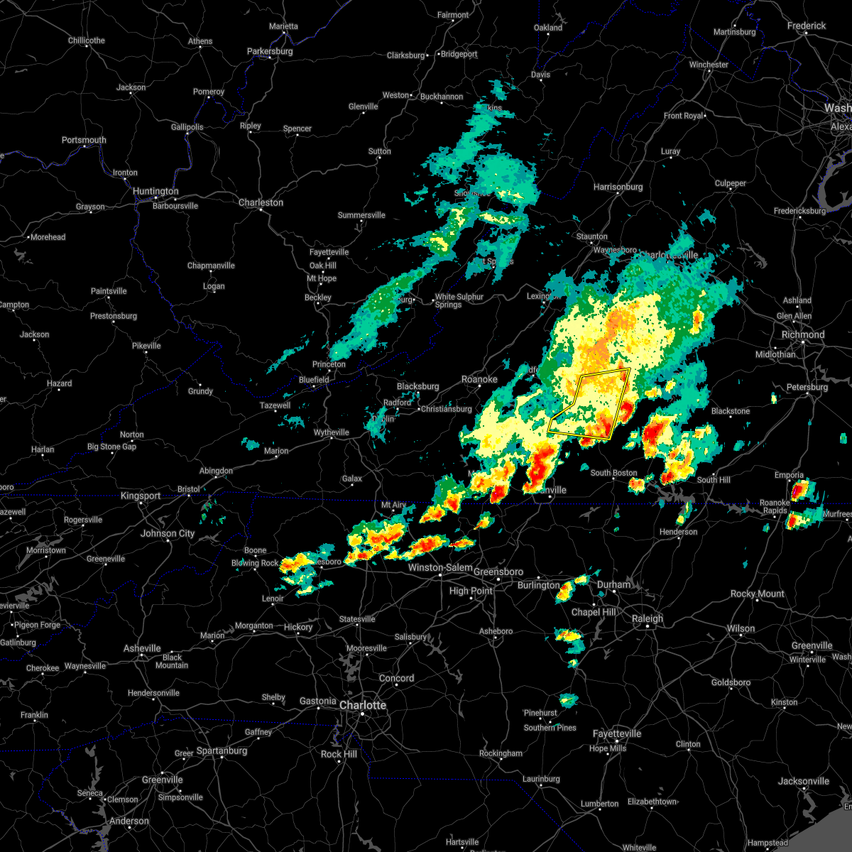 The severe thunderstorm warning for southwestern appomattox, campbell, northeastern pittsylvania and northwestern halifax counties will expire at 330 pm edt, the storms which prompted the warning have weakened below severe limits, and no longer pose an immediate threat to life or property. therefore the warning will be allowed to expire. however small hail and heavy rain are still possible with these thunderstorms. a severe thunderstorm watch remains in effect until 900 pm edt for central and south central virginia. when it is safe to do so, please send your reports of hail of any size, as well as reports of any wind damage, including downed trees or large limbs, to the national weather service by calling toll free at 1, 8 6 6, 2 1 5, 4 3 2 4. reports and pictures can also be shared on the national weather service blacksburg facebook page and on twitter. The severe thunderstorm warning for southwestern appomattox, campbell, northeastern pittsylvania and northwestern halifax counties will expire at 330 pm edt, the storms which prompted the warning have weakened below severe limits, and no longer pose an immediate threat to life or property. therefore the warning will be allowed to expire. however small hail and heavy rain are still possible with these thunderstorms. a severe thunderstorm watch remains in effect until 900 pm edt for central and south central virginia. when it is safe to do so, please send your reports of hail of any size, as well as reports of any wind damage, including downed trees or large limbs, to the national weather service by calling toll free at 1, 8 6 6, 2 1 5, 4 3 2 4. reports and pictures can also be shared on the national weather service blacksburg facebook page and on twitter.
|
| 4/22/2017 2:59 PM EDT | Quarter sized hail reported 7.7 miles N of Rustburg, VA, quarter sized hail...report relayed via facebook |
| 4/22/2017 2:58 PM EDT |
 At 257 pm edt, severe thunderstorms were located along a line extending from rustburg to near straightstone, moving east at 45 mph (radar indicated). Hazards include 60 mph wind gusts and quarter size hail. Hail damage to vehicles is expected. expect wind damage to roofs, siding, and trees. Locations impacted include, altavista, appomattox, hurt, brookneal, and concord. At 257 pm edt, severe thunderstorms were located along a line extending from rustburg to near straightstone, moving east at 45 mph (radar indicated). Hazards include 60 mph wind gusts and quarter size hail. Hail damage to vehicles is expected. expect wind damage to roofs, siding, and trees. Locations impacted include, altavista, appomattox, hurt, brookneal, and concord.
|
| 4/22/2017 2:37 PM EDT |
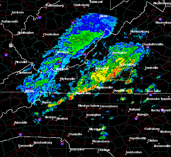 At 236 pm edt, severe thunderstorms were located along a line extending from near evington to near leesville, moving east at 30 mph (radar indicated). Hazards include 60 mph wind gusts and quarter size hail. Hail damage to vehicles is expected. Expect wind damage to roofs, siding, and trees. At 236 pm edt, severe thunderstorms were located along a line extending from near evington to near leesville, moving east at 30 mph (radar indicated). Hazards include 60 mph wind gusts and quarter size hail. Hail damage to vehicles is expected. Expect wind damage to roofs, siding, and trees.
|
| 3/1/2017 1:17 PM EST |
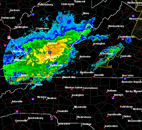 At 117 pm est, severe thunderstorms were located along a line extending from buckingham to appomattox national historic park to near hat creek, moving east at 75 mph (radar indicated). Hazards include 60 mph wind gusts. Expect damage to roofs, siding, and trees. Locations impacted include, altavista, hurt, brookneal, nathalie, and rustburg. At 117 pm est, severe thunderstorms were located along a line extending from buckingham to appomattox national historic park to near hat creek, moving east at 75 mph (radar indicated). Hazards include 60 mph wind gusts. Expect damage to roofs, siding, and trees. Locations impacted include, altavista, hurt, brookneal, nathalie, and rustburg.
|
| 3/1/2017 1:10 PM EST | Four trees and several power lines reported down in various parts of campbell county. damage occurred between about 1255 pm to 105 p in campbell county VA, 0.1 miles ENE of Rustburg, VA |
| 3/1/2017 12:43 PM EST |
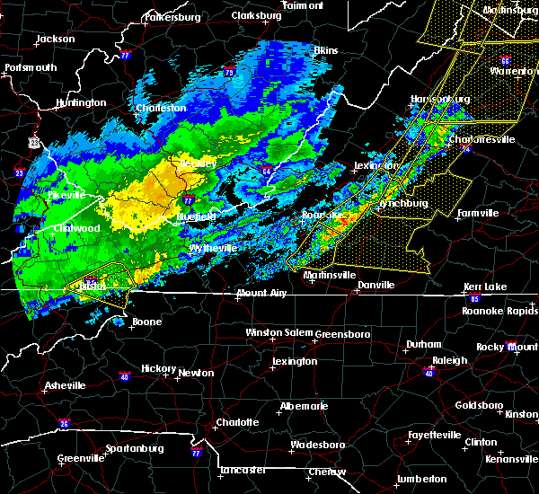 At 1241 pm est, severe thunderstorms were located along a line extending from near goode to near bedford to western smith mountain lake, moving east at 75 mph (radar indicated). Hazards include 60 mph wind gusts. expect damage to roofs, siding, and trees At 1241 pm est, severe thunderstorms were located along a line extending from near goode to near bedford to western smith mountain lake, moving east at 75 mph (radar indicated). Hazards include 60 mph wind gusts. expect damage to roofs, siding, and trees
|
| 9/29/2016 7:24 PM EDT |
 The severe thunderstorm warning for northwestern pittsylvania, southeastern franklin, western campbell and southeastern bedford counties will expire at 730 pm edt, the storm which prompted the warning has weakened below severe limits, and has exited the warned area. therefore, the warning will be allowed to expire. heavy rain remains possible with thunderstorm in this area. when it is safe to do so, please send your reports of hail of any size, as well as reports of any wind damage, including downed trees or large limbs, to the national weather service by calling toll free at 1, 8 6 6, 2 1 5, 4 3 2 4. reports and pictures can also be shared on the national weather service blacksburg facebook page and on twitter. The severe thunderstorm warning for northwestern pittsylvania, southeastern franklin, western campbell and southeastern bedford counties will expire at 730 pm edt, the storm which prompted the warning has weakened below severe limits, and has exited the warned area. therefore, the warning will be allowed to expire. heavy rain remains possible with thunderstorm in this area. when it is safe to do so, please send your reports of hail of any size, as well as reports of any wind damage, including downed trees or large limbs, to the national weather service by calling toll free at 1, 8 6 6, 2 1 5, 4 3 2 4. reports and pictures can also be shared on the national weather service blacksburg facebook page and on twitter.
|
| 9/29/2016 6:57 PM EDT |
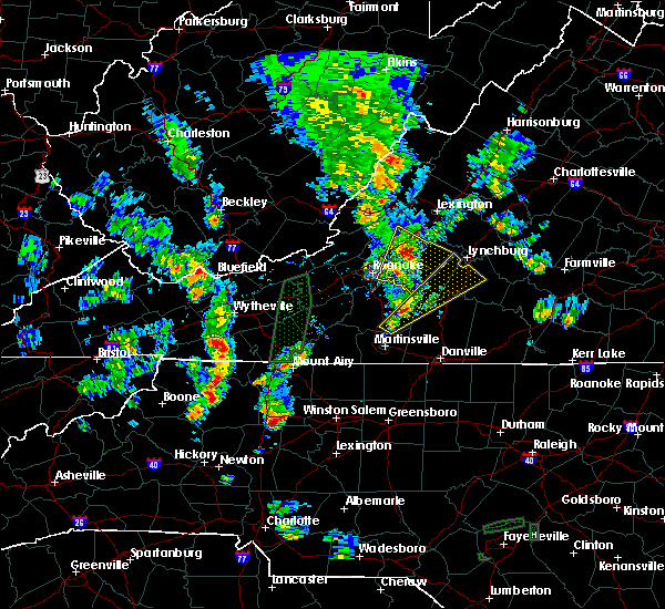 At 656 pm edt, a severe thunderstorm was located near union hall, moving north-northeast at 15 mph (radar indicated). Hazards include 60 mph wind gusts and quarter size hail. Hail damage to vehicles is expected. expect wind damage to roofs, siding, and trees. locations impacted include, altavista, hurt, rustburg, penhook, and huddleston. This includes the following location lynchburg airport. At 656 pm edt, a severe thunderstorm was located near union hall, moving north-northeast at 15 mph (radar indicated). Hazards include 60 mph wind gusts and quarter size hail. Hail damage to vehicles is expected. expect wind damage to roofs, siding, and trees. locations impacted include, altavista, hurt, rustburg, penhook, and huddleston. This includes the following location lynchburg airport.
|
| 9/29/2016 6:26 PM EDT |
 At 625 pm edt, a severe thunderstorm was located over snow creek, moving north at 10 mph (radar indicated). Hazards include 60 mph wind gusts and quarter size hail. Hail damage to vehicles is expected. Expect wind damage to roofs, siding, and trees. At 625 pm edt, a severe thunderstorm was located over snow creek, moving north at 10 mph (radar indicated). Hazards include 60 mph wind gusts and quarter size hail. Hail damage to vehicles is expected. Expect wind damage to roofs, siding, and trees.
|
| 9/28/2016 8:53 PM EDT |
 At 852 pm edt, a severe thunderstorm was located over chalk level, moving northeast at 40 mph (radar indicated). Hazards include 60 mph wind gusts and quarter size hail. Hail damage to vehicles is expected. Expect wind damage to roofs, siding, and trees. At 852 pm edt, a severe thunderstorm was located over chalk level, moving northeast at 40 mph (radar indicated). Hazards include 60 mph wind gusts and quarter size hail. Hail damage to vehicles is expected. Expect wind damage to roofs, siding, and trees.
|
| 9/28/2016 6:07 PM EDT |
 At 606 pm edt, severe thunderstorms were located along a line extending from near pleasant view to near boonsboro to near forest, moving east at 40 mph (radar indicated). Hazards include golf ball size hail and 60 mph wind gusts. People and animals outdoors will be injured. expect hail damage to roofs, siding, windows, and vehicles. expect wind damage to roofs, siding, and trees. locations impacted include, lynchburg, bedford, amherst, appomattox, and rustburg. This includes the following locations liberty university and lynchburg airport. At 606 pm edt, severe thunderstorms were located along a line extending from near pleasant view to near boonsboro to near forest, moving east at 40 mph (radar indicated). Hazards include golf ball size hail and 60 mph wind gusts. People and animals outdoors will be injured. expect hail damage to roofs, siding, windows, and vehicles. expect wind damage to roofs, siding, and trees. locations impacted include, lynchburg, bedford, amherst, appomattox, and rustburg. This includes the following locations liberty university and lynchburg airport.
|
| 9/28/2016 5:44 PM EDT |
 At 544 pm edt, severe thunderstorms were located along a line extending from big island to near coleman falls to near goode, moving east at 35 mph (radar indicated). Hazards include 60 mph wind gusts and quarter size hail. Hail damage to vehicles is expected. Expect wind damage to roofs, siding, and trees. At 544 pm edt, severe thunderstorms were located along a line extending from big island to near coleman falls to near goode, moving east at 35 mph (radar indicated). Hazards include 60 mph wind gusts and quarter size hail. Hail damage to vehicles is expected. Expect wind damage to roofs, siding, and trees.
|
| 9/28/2016 12:07 AM EDT |
 The severe thunderstorm warning for northeastern campbell county will expire at 1215 am edt, the storm which prompted the warning has moved out of the area. therefore the warning will be allowed to expire. heavy rain remains possible in the far northeast portion of the county. when it is safe to do so, please send your reports of hail of any size, as well as reports of any wind damage, including downed trees or large limbs, to the national weather service by calling toll free at 1, 8 6 6, 2 1 5, 4 3 2 4. reports and pictures can also be shared on the national weather service blacksburg facebook page and on twitter. The severe thunderstorm warning for northeastern campbell county will expire at 1215 am edt, the storm which prompted the warning has moved out of the area. therefore the warning will be allowed to expire. heavy rain remains possible in the far northeast portion of the county. when it is safe to do so, please send your reports of hail of any size, as well as reports of any wind damage, including downed trees or large limbs, to the national weather service by calling toll free at 1, 8 6 6, 2 1 5, 4 3 2 4. reports and pictures can also be shared on the national weather service blacksburg facebook page and on twitter.
|
| 9/27/2016 11:55 PM EDT |
 At 1154 pm edt, a severe thunderstorm was located over bocock, moving northeast at 25 mph (radar indicated). Hazards include 60 mph wind gusts and quarter size hail. Hail damage to vehicles is expected. expect wind damage to roofs, siding, and trees. Locations impacted include, concord, and rustburg. At 1154 pm edt, a severe thunderstorm was located over bocock, moving northeast at 25 mph (radar indicated). Hazards include 60 mph wind gusts and quarter size hail. Hail damage to vehicles is expected. expect wind damage to roofs, siding, and trees. Locations impacted include, concord, and rustburg.
|
| 9/27/2016 11:35 PM EDT | Quarter sized hail reported 0.1 miles ENE of Rustburg, VA, broadcast media relays report of quarter size hail falling within the city of rustburg... virginia. |
| 9/27/2016 11:22 PM EDT |
 At 1121 pm edt, a severe thunderstorm was located near hodges, moving northeast at 25 mph (radar indicated). Hazards include 60 mph wind gusts. Expect damage to roofs. siding. And trees. At 1121 pm edt, a severe thunderstorm was located near hodges, moving northeast at 25 mph (radar indicated). Hazards include 60 mph wind gusts. Expect damage to roofs. siding. And trees.
|
| 8/17/2016 4:56 PM EDT |
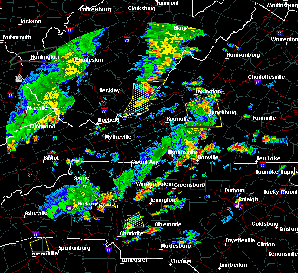 At 455 pm edt, severe thunderstorms were located along a line extending from forks of buffalo to near falconerville to near timberlake, moving east at 30 mph (radar indicated). Hazards include 60 mph wind gusts and quarter size hail. Hail damage to vehicles is expected. expect wind damage to roofs, siding, and trees. locations impacted include, lynchburg, amherst, rustburg, big island, and forks of buffalo. This includes the following locations liberty university and lynchburg airport. At 455 pm edt, severe thunderstorms were located along a line extending from forks of buffalo to near falconerville to near timberlake, moving east at 30 mph (radar indicated). Hazards include 60 mph wind gusts and quarter size hail. Hail damage to vehicles is expected. expect wind damage to roofs, siding, and trees. locations impacted include, lynchburg, amherst, rustburg, big island, and forks of buffalo. This includes the following locations liberty university and lynchburg airport.
|
| 8/17/2016 4:15 PM EDT |
 At 414 pm edt, severe thunderstorms were located along a line extending from natural bridge to near bedford to near huddleston, moving east at 30 mph (radar indicated). Hazards include 60 mph wind gusts and quarter size hail. Hail damage to vehicles is expected. Expect wind damage to roofs, siding, and trees. At 414 pm edt, severe thunderstorms were located along a line extending from natural bridge to near bedford to near huddleston, moving east at 30 mph (radar indicated). Hazards include 60 mph wind gusts and quarter size hail. Hail damage to vehicles is expected. Expect wind damage to roofs, siding, and trees.
|
| 8/6/2016 8:12 PM EDT |
 At 810 pm edt, severe thunderstorms were located along a line extending from near spring mills to gladys to near altavista, moving east at 25 mph (radar indicated). Hazards include 60 mph wind gusts. Expect damage to roofs. siding. and trees. Locations impacted include, altavista, hurt, evington, rustburg, and hodges. At 810 pm edt, severe thunderstorms were located along a line extending from near spring mills to gladys to near altavista, moving east at 25 mph (radar indicated). Hazards include 60 mph wind gusts. Expect damage to roofs. siding. and trees. Locations impacted include, altavista, hurt, evington, rustburg, and hodges.
|
| 8/6/2016 7:53 PM EDT |
 At 752 pm edt, severe thunderstorms were located along a line extending from rustburg to near evington to near huddleston, moving east at 30 mph (radar indicated). Hazards include 60 mph wind gusts. Expect damage to roofs. siding. and trees. Locations impacted include, altavista, hurt, evington, rustburg, and forest. At 752 pm edt, severe thunderstorms were located along a line extending from rustburg to near evington to near huddleston, moving east at 30 mph (radar indicated). Hazards include 60 mph wind gusts. Expect damage to roofs. siding. and trees. Locations impacted include, altavista, hurt, evington, rustburg, and forest.
|
| 8/6/2016 7:33 PM EDT |
 At 733 pm edt, a severe thunderstorm was located over evington, moving east at 25 mph (radar indicated). Hazards include 60 mph wind gusts. Expect damage to roofs. siding. And trees. At 733 pm edt, a severe thunderstorm was located over evington, moving east at 25 mph (radar indicated). Hazards include 60 mph wind gusts. Expect damage to roofs. siding. And trees.
|
| 7/28/2016 11:26 PM EDT |
 At 1126 pm edt, a severe thunderstorm was located near rustburg, moving east at 20 mph (radar indicated). Hazards include 60 mph wind gusts. Expect damage to roofs. siding. and trees. Locations impacted include, altavista, appomattox, hurt, brookneal, and rustburg. At 1126 pm edt, a severe thunderstorm was located near rustburg, moving east at 20 mph (radar indicated). Hazards include 60 mph wind gusts. Expect damage to roofs. siding. and trees. Locations impacted include, altavista, appomattox, hurt, brookneal, and rustburg.
|
| 7/28/2016 10:55 PM EDT |
 At 1054 pm edt, a severe thunderstorm was located near evington, moving east at 40 mph (radar indicated). Hazards include 60 mph wind gusts. Expect damage to roofs. siding. And trees. At 1054 pm edt, a severe thunderstorm was located near evington, moving east at 40 mph (radar indicated). Hazards include 60 mph wind gusts. Expect damage to roofs. siding. And trees.
|
| 7/28/2016 6:17 PM EDT |
 At 616 pm edt, a severe thunderstorm was located over lynchburg, moving east at 35 mph (radar indicated). Hazards include 70 mph wind gusts and quarter size hail. Hail damage to vehicles is expected. expect considerable tree damage. Wind damage is also likely to mobile homes, roofs, and outbuildings. At 616 pm edt, a severe thunderstorm was located over lynchburg, moving east at 35 mph (radar indicated). Hazards include 70 mph wind gusts and quarter size hail. Hail damage to vehicles is expected. expect considerable tree damage. Wind damage is also likely to mobile homes, roofs, and outbuildings.
|
| 7/26/2016 10:25 PM EDT |
 At 1024 pm edt, severe thunderstorms were located along a line extending from near hixburg to near madisonville to near gladys, moving southeast at 25 mph (radar indicated). Hazards include 60 mph wind gusts. Expect damage to roofs. siding. and trees. Locations impacted include, brookneal, charlotte court house, phenix, red house, and rustburg. At 1024 pm edt, severe thunderstorms were located along a line extending from near hixburg to near madisonville to near gladys, moving southeast at 25 mph (radar indicated). Hazards include 60 mph wind gusts. Expect damage to roofs. siding. and trees. Locations impacted include, brookneal, charlotte court house, phenix, red house, and rustburg.
|
| 7/26/2016 9:58 PM EDT |
 The severe thunderstorm warning for western appomattox. southeastern amherst. and northeastern campbell counties and the city of lynchburg will expire at 1000 pm edt. the storms which prompted the warning have moved out of the area. therefore the warning will be allowed to expire. However heavy rain and frequent lightning are still possible with these thunderstorms. The severe thunderstorm warning for western appomattox. southeastern amherst. and northeastern campbell counties and the city of lynchburg will expire at 1000 pm edt. the storms which prompted the warning have moved out of the area. therefore the warning will be allowed to expire. However heavy rain and frequent lightning are still possible with these thunderstorms.
|
| 7/26/2016 9:46 PM EDT |
 At 945 pm edt, severe thunderstorms were located along a line extending from near riverville to near concord to evington, moving southeast at 25 mph (radar indicated). Hazards include 60 mph wind gusts. Expect damage to roofs. siding. And trees. At 945 pm edt, severe thunderstorms were located along a line extending from near riverville to near concord to evington, moving southeast at 25 mph (radar indicated). Hazards include 60 mph wind gusts. Expect damage to roofs. siding. And trees.
|
| 7/26/2016 9:32 PM EDT |
 At 931 pm edt, severe thunderstorms were located along a line extending from near amherst to near rustburg, moving east at 20 mph (radar indicated). Hazards include 60 mph wind gusts. Expect damage to roofs. siding. and trees. locations impacted include, lynchburg, amherst, rustburg, concord, and bent creek. This includes the following locations liberty university and lynchburg airport. At 931 pm edt, severe thunderstorms were located along a line extending from near amherst to near rustburg, moving east at 20 mph (radar indicated). Hazards include 60 mph wind gusts. Expect damage to roofs. siding. and trees. locations impacted include, lynchburg, amherst, rustburg, concord, and bent creek. This includes the following locations liberty university and lynchburg airport.
|
| 7/26/2016 9:20 PM EDT |
 At 920 pm edt, severe thunderstorms were located along a line extending from near falconerville to near timberlake, moving east at 15 mph (radar indicated). Hazards include 60 mph wind gusts. Expect damage to roofs. siding. and trees. locations impacted include, lynchburg, amherst, rustburg, concord, and forest. This includes the following locations liberty university and lynchburg airport. At 920 pm edt, severe thunderstorms were located along a line extending from near falconerville to near timberlake, moving east at 15 mph (radar indicated). Hazards include 60 mph wind gusts. Expect damage to roofs. siding. and trees. locations impacted include, lynchburg, amherst, rustburg, concord, and forest. This includes the following locations liberty university and lynchburg airport.
|
| 7/26/2016 9:01 PM EDT |
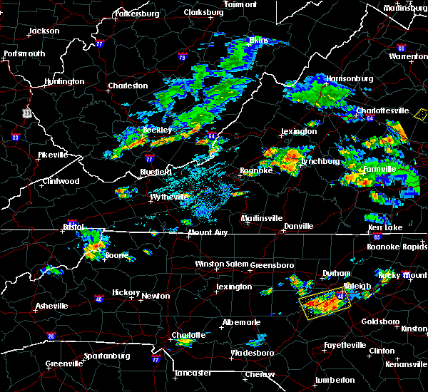 At 900 pm edt, severe thunderstorms were located along a line extending from near pleasant view to near forest, moving east at 15 mph (radar indicated). Hazards include 60 mph wind gusts. Expect damage to roofs. siding. And trees. At 900 pm edt, severe thunderstorms were located along a line extending from near pleasant view to near forest, moving east at 15 mph (radar indicated). Hazards include 60 mph wind gusts. Expect damage to roofs. siding. And trees.
|
| 7/19/2016 11:08 PM EDT |
 At 1107 pm edt, severe thunderstorms were located along a line extending from near evington to gladys to spring mills, moving southeast at 15 mph (radar indicated). Hazards include 60 mph wind gusts and quarter size hail. Hail damage to vehicles is expected. Expect wind damage to roofs, siding, and trees. At 1107 pm edt, severe thunderstorms were located along a line extending from near evington to gladys to spring mills, moving southeast at 15 mph (radar indicated). Hazards include 60 mph wind gusts and quarter size hail. Hail damage to vehicles is expected. Expect wind damage to roofs, siding, and trees.
|
| 7/14/2016 4:01 PM EDT |
 At 400 pm edt, a severe thunderstorm was located over spring mills, moving east at 35 mph (radar indicated). Hazards include 60 mph wind gusts and quarter size hail. Hail damage to vehicles is expected. expect wind damage to roofs, siding, and trees. Locations impacted include, appomattox, rustburg, concord, pamplin city, and evergreen. At 400 pm edt, a severe thunderstorm was located over spring mills, moving east at 35 mph (radar indicated). Hazards include 60 mph wind gusts and quarter size hail. Hail damage to vehicles is expected. expect wind damage to roofs, siding, and trees. Locations impacted include, appomattox, rustburg, concord, pamplin city, and evergreen.
|
| 7/14/2016 3:51 PM EDT | 2 trees down in campbell county VA, 0.1 miles ENE of Rustburg, VA |
| 7/14/2016 3:46 PM EDT |
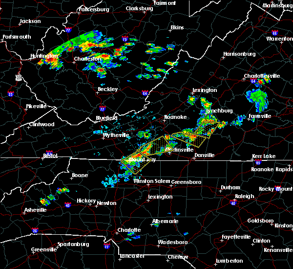 At 346 pm edt, a severe thunderstorm was located over rustburg, moving east at 35 mph (radar indicated). Hazards include 60 mph wind gusts and quarter size hail. Hail damage to vehicles is expected. Expect wind damage to roofs, siding, and trees. At 346 pm edt, a severe thunderstorm was located over rustburg, moving east at 35 mph (radar indicated). Hazards include 60 mph wind gusts and quarter size hail. Hail damage to vehicles is expected. Expect wind damage to roofs, siding, and trees.
|
| 7/14/2016 3:43 PM EDT |
 At 342 pm edt, a severe thunderstorm was located over long island, moving east at 30 mph (radar indicated). Hazards include 60 mph wind gusts and quarter size hail. Hail damage to vehicles is expected. expect wind damage to roofs, siding, and trees. Locations impacted include, altavista, hurt, rustburg, hodges, and straightstone. At 342 pm edt, a severe thunderstorm was located over long island, moving east at 30 mph (radar indicated). Hazards include 60 mph wind gusts and quarter size hail. Hail damage to vehicles is expected. expect wind damage to roofs, siding, and trees. Locations impacted include, altavista, hurt, rustburg, hodges, and straightstone.
|
| 7/14/2016 3:29 PM EDT |
 At 328 pm edt, a severe thunderstorm was located over altavista, moving east at 30 mph (radar indicated). Hazards include 60 mph wind gusts and quarter size hail. Hail damage to vehicles is expected. expect wind damage to roofs, siding, and trees. Locations impacted include, altavista, hurt, evington, rustburg, and hodges. At 328 pm edt, a severe thunderstorm was located over altavista, moving east at 30 mph (radar indicated). Hazards include 60 mph wind gusts and quarter size hail. Hail damage to vehicles is expected. expect wind damage to roofs, siding, and trees. Locations impacted include, altavista, hurt, evington, rustburg, and hodges.
|
| 7/14/2016 3:16 PM EDT |
 At 315 pm edt, a severe thunderstorm was located near leesville, moving east at 30 mph (radar indicated). Hazards include 60 mph wind gusts. Expect damage to roofs. siding. And trees. At 315 pm edt, a severe thunderstorm was located near leesville, moving east at 30 mph (radar indicated). Hazards include 60 mph wind gusts. Expect damage to roofs. siding. And trees.
|
| 7/13/2016 4:08 PM EDT |
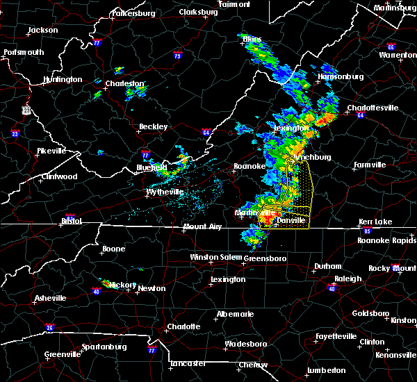 The severe thunderstorm warning for northeastern pittsylvania, campbell, northwestern halifax counties and the city of lynchburg will expire at 415 pm edt, the storms which prompted the warning have weakened below severe limits, and have exited the warned area. therefore the warning will be allowed to expire. when it is safe to do so, please send your reports of hail of any size, as well as any reports of wind damage, including downed trees or large limbs, to the national weather service by calling toll free at 1, 8 6 6, 2 1 5, 4 3 2 4. reports and pictures can also be shared on the national weather service blacksburg facebook page and on twitter. be advised that, while this warning has ended, a severe thunderstorm warning is in effect for southern portions of pittsylvania and halifax counties until 5pm edt. The severe thunderstorm warning for northeastern pittsylvania, campbell, northwestern halifax counties and the city of lynchburg will expire at 415 pm edt, the storms which prompted the warning have weakened below severe limits, and have exited the warned area. therefore the warning will be allowed to expire. when it is safe to do so, please send your reports of hail of any size, as well as any reports of wind damage, including downed trees or large limbs, to the national weather service by calling toll free at 1, 8 6 6, 2 1 5, 4 3 2 4. reports and pictures can also be shared on the national weather service blacksburg facebook page and on twitter. be advised that, while this warning has ended, a severe thunderstorm warning is in effect for southern portions of pittsylvania and halifax counties until 5pm edt.
|
| 7/13/2016 4:04 PM EDT |
 At 404 pm edt, severe thunderstorms were located along a line extending from near goode through altavista to chalk level, moving east at 25 mph (radar indicated). Hazards include 60 mph wind gusts. Expect damage to roofs. siding. and trees. locations impacted include, lynchburg, chatham, brookneal, mt airy, and rustburg. This includes liberty university and lynchburg airport. At 404 pm edt, severe thunderstorms were located along a line extending from near goode through altavista to chalk level, moving east at 25 mph (radar indicated). Hazards include 60 mph wind gusts. Expect damage to roofs. siding. and trees. locations impacted include, lynchburg, chatham, brookneal, mt airy, and rustburg. This includes liberty university and lynchburg airport.
|
| 7/13/2016 3:58 PM EDT |
 At 358 pm edt, severe thunderstorms were located along a line extending from goode to altavista to near chalk level, moving east at 25 mph (radar indicated). Hazards include 60 mph wind gusts. Expect damage to roofs. siding. and trees. locations impacted include, lynchburg, altavista, hurt, chatham, and gretna. This includes liberty university and lynchburg airport. At 358 pm edt, severe thunderstorms were located along a line extending from goode to altavista to near chalk level, moving east at 25 mph (radar indicated). Hazards include 60 mph wind gusts. Expect damage to roofs. siding. and trees. locations impacted include, lynchburg, altavista, hurt, chatham, and gretna. This includes liberty university and lynchburg airport.
|
| 7/13/2016 3:49 PM EDT |
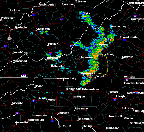 At 349 pm edt, severe thunderstorms were located along a line extending from near goode to leesville to near gretna, moving east at 25 mph (radar indicated). Hazards include 60 mph wind gusts. Expect damage to roofs. siding. and trees. locations impacted include, lynchburg, altavista, hurt, chatham, and gretna. This includes liberty university and lynchburg airport. At 349 pm edt, severe thunderstorms were located along a line extending from near goode to leesville to near gretna, moving east at 25 mph (radar indicated). Hazards include 60 mph wind gusts. Expect damage to roofs. siding. and trees. locations impacted include, lynchburg, altavista, hurt, chatham, and gretna. This includes liberty university and lynchburg airport.
|
| 7/13/2016 3:42 PM EDT |
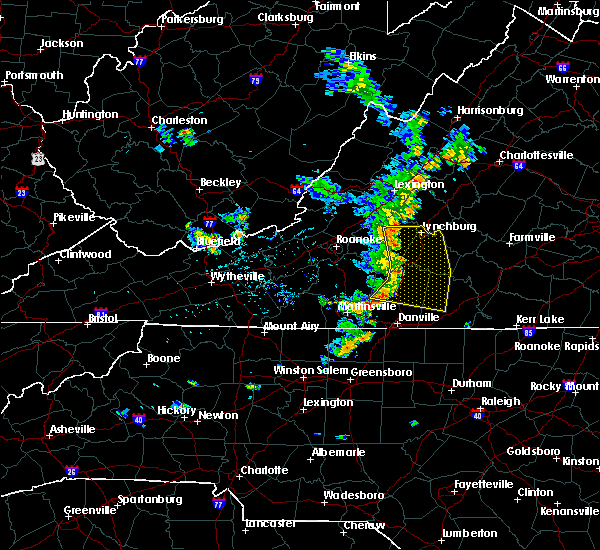 At 342 pm edt, severe thunderstorms were located along a line extending from near goode to leesville to near climax, moving east at 25 mph (radar indicated). Hazards include 60 mph wind gusts. Expect damage to roofs. siding. and trees. locations impacted include, lynchburg, bedford, altavista, hurt, and chatham. This includes liberty university and lynchburg airport. At 342 pm edt, severe thunderstorms were located along a line extending from near goode to leesville to near climax, moving east at 25 mph (radar indicated). Hazards include 60 mph wind gusts. Expect damage to roofs. siding. and trees. locations impacted include, lynchburg, bedford, altavista, hurt, and chatham. This includes liberty university and lynchburg airport.
|
| 7/13/2016 3:29 PM EDT |
 At 328 pm edt, severe thunderstorms were located along a line extending from near peaks of otter summit through huddleston to near ajax, moving east at 25 mph (radar indicated). Hazards include 60 mph wind gusts. Expect damage to roofs. siding. and trees. locations impacted include, lynchburg, bedford, altavista, hurt, and chatham. This includes portions of leesville lake, and the following locations liberty university, the national d day memorial, and lynchburg airport. At 328 pm edt, severe thunderstorms were located along a line extending from near peaks of otter summit through huddleston to near ajax, moving east at 25 mph (radar indicated). Hazards include 60 mph wind gusts. Expect damage to roofs. siding. and trees. locations impacted include, lynchburg, bedford, altavista, hurt, and chatham. This includes portions of leesville lake, and the following locations liberty university, the national d day memorial, and lynchburg airport.
|
| 7/13/2016 3:20 PM EDT |
 At 319 pm edt, severe thunderstorms were located along a line extending from near peaks of otter recreation area to near moneta to near ajax, moving east at 25 mph (radar indicated). Hazards include 60 mph wind gusts. Expect damage to roofs. siding. And trees. At 319 pm edt, severe thunderstorms were located along a line extending from near peaks of otter recreation area to near moneta to near ajax, moving east at 25 mph (radar indicated). Hazards include 60 mph wind gusts. Expect damage to roofs. siding. And trees.
|
| 7/4/2016 11:41 PM EDT |
 The severe thunderstorm warning for northern pittsylvania, campbell and southeastern bedford counties and the city of lynchburg will expire at 1145 pm edt, the storms which prompted the warning have moved out of the area. a new severe thunderstorm warning has been issued to the east. therefore this warning will be allowed to expire. however heavy rain is still possible with these thunderstorms. when it is safe to do so, please send your reports of hail of any size, as well as any reports of wind damage, including downed trees or large limbs, to the national weather service by calling toll free at 1, 8 6 6, 2 1 5, 4 3 2 4. reports and pictures can also be shared on the national weather service blacksburg facebook page and on twitter. The severe thunderstorm warning for northern pittsylvania, campbell and southeastern bedford counties and the city of lynchburg will expire at 1145 pm edt, the storms which prompted the warning have moved out of the area. a new severe thunderstorm warning has been issued to the east. therefore this warning will be allowed to expire. however heavy rain is still possible with these thunderstorms. when it is safe to do so, please send your reports of hail of any size, as well as any reports of wind damage, including downed trees or large limbs, to the national weather service by calling toll free at 1, 8 6 6, 2 1 5, 4 3 2 4. reports and pictures can also be shared on the national weather service blacksburg facebook page and on twitter.
|
| 7/4/2016 11:39 PM EDT |
 At 1138 pm edt, severe thunderstorms were located along a line extending from rustburg to near hodges to near gretna, moving east at 50 mph (radar indicated). Hazards include 60 mph wind gusts. Expect damage to roofs. siding. And trees. At 1138 pm edt, severe thunderstorms were located along a line extending from rustburg to near hodges to near gretna, moving east at 50 mph (radar indicated). Hazards include 60 mph wind gusts. Expect damage to roofs. siding. And trees.
|
| 7/4/2016 11:24 PM EDT |
 At 1122 pm edt, severe thunderstorms were located along a line extending from near madison heights to near rustburg to near hodges, moving east at 40 mph (radar indicated). Hazards include 60 mph wind gusts and penny size hail. Expect damage to roofs. siding. and trees. locations impacted include, lynchburg, altavista, hurt, rustburg, and huddleston. This includes liberty university and lynchburg airport. At 1122 pm edt, severe thunderstorms were located along a line extending from near madison heights to near rustburg to near hodges, moving east at 40 mph (radar indicated). Hazards include 60 mph wind gusts and penny size hail. Expect damage to roofs. siding. and trees. locations impacted include, lynchburg, altavista, hurt, rustburg, and huddleston. This includes liberty university and lynchburg airport.
|
| 7/4/2016 11:00 PM EDT |
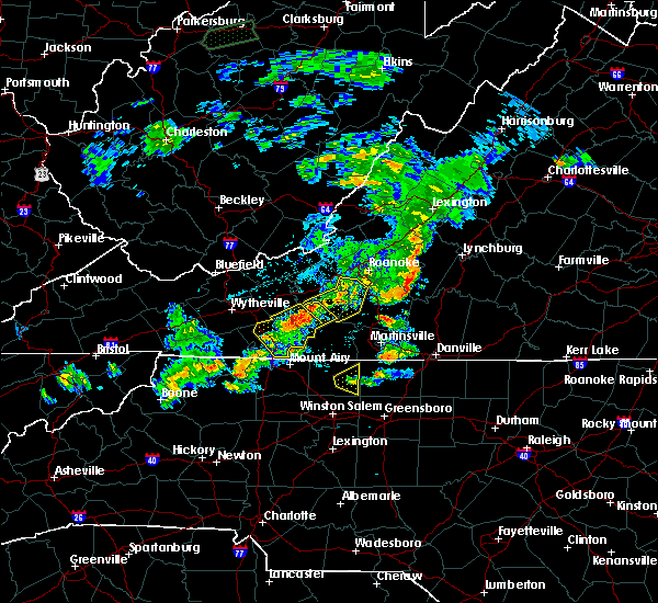 At 1059 pm edt, severe thunderstorms were located along a line extending from near bedford to moneta to north shore, moving east at 40 mph (radar indicated). Hazards include 60 mph wind gusts. Expect damage to roofs. siding. And trees. At 1059 pm edt, severe thunderstorms were located along a line extending from near bedford to moneta to north shore, moving east at 40 mph (radar indicated). Hazards include 60 mph wind gusts. Expect damage to roofs. siding. And trees.
|
| 6/27/2016 8:23 PM EDT |
 The severe thunderstorm warning for appomattox, southeastern amherst, northeastern campbell counties and the city of lynchburg will expire at 830 pm edt, the storms which prompted the warning have weakened. therefore the warning will be allowed to expire. moderate to heavy rainfall and gusty winds will continue across the area for another 30 minutes to an hour. when it is safe to do so, please send your reports of hail of any size, as well as any reports of wind damage, including downed trees or large limbs, to the national weather service by calling toll free at 1, 8 6 6, 2 1 5, 4 3 2 4. reports and pictures can also be shared on the national weather service blacksburg facebook page and on twitter. The severe thunderstorm warning for appomattox, southeastern amherst, northeastern campbell counties and the city of lynchburg will expire at 830 pm edt, the storms which prompted the warning have weakened. therefore the warning will be allowed to expire. moderate to heavy rainfall and gusty winds will continue across the area for another 30 minutes to an hour. when it is safe to do so, please send your reports of hail of any size, as well as any reports of wind damage, including downed trees or large limbs, to the national weather service by calling toll free at 1, 8 6 6, 2 1 5, 4 3 2 4. reports and pictures can also be shared on the national weather service blacksburg facebook page and on twitter.
|
| 6/27/2016 7:58 PM EDT |
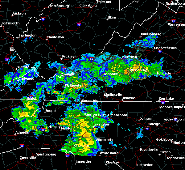 At 756 pm edt, severe thunderstorms were located along a line extending from near gold hill to andersonville to near tower hill, moving east at 45 mph (radar indicated). Hazards include 60 mph wind gusts. Expect damage to roofs. siding. and trees. locations impacted include, lynchburg, appomattox, rustburg, concord, and bent creek. This includes liberty university and lynchburg airport. At 756 pm edt, severe thunderstorms were located along a line extending from near gold hill to andersonville to near tower hill, moving east at 45 mph (radar indicated). Hazards include 60 mph wind gusts. Expect damage to roofs. siding. and trees. locations impacted include, lynchburg, appomattox, rustburg, concord, and bent creek. This includes liberty university and lynchburg airport.
|
| 6/27/2016 7:28 PM EDT |
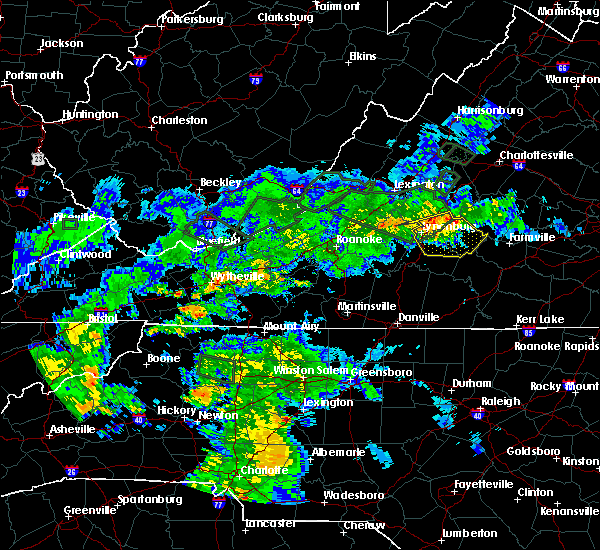 At 727 pm edt, severe thunderstorms were located along a line extending from near tower hill to near oakville to madison heights, moving east at 45 mph (radar indicated). Hazards include 60 mph wind gusts. Expect damage to roofs. siding. And trees. At 727 pm edt, severe thunderstorms were located along a line extending from near tower hill to near oakville to madison heights, moving east at 45 mph (radar indicated). Hazards include 60 mph wind gusts. Expect damage to roofs. siding. And trees.
|
| 6/23/2016 6:56 PM EDT |
 The severe thunderstorm warning for campbell and east central bedford counties and the city of lynchburg will expire at 700 pm edt, the storm which prompted the warning has weakened below severe limits, and no longer poses an immediate threat to life or property. therefore the warning will be allowed to expire. however gusty winds and heavy rain are still possible with this thunderstorm. a severe thunderstorm watch remains in effect until 1100 pm edt for virginia. The severe thunderstorm warning for campbell and east central bedford counties and the city of lynchburg will expire at 700 pm edt, the storm which prompted the warning has weakened below severe limits, and no longer poses an immediate threat to life or property. therefore the warning will be allowed to expire. however gusty winds and heavy rain are still possible with this thunderstorm. a severe thunderstorm watch remains in effect until 1100 pm edt for virginia.
|
| 6/23/2016 6:27 PM EDT |
 At 627 pm edt, a severe thunderstorm was located near evington, moving southeast at 40 mph (radar indicated). Hazards include golf ball size hail and 60 mph wind gusts. People and animals outdoors will be injured. expect hail damage to roofs, siding, windows, and vehicles. expect wind damage to roofs, siding, and trees. locations impacted include, lynchburg, altavista, evington, rustburg, and forest. This includes liberty university and lynchburg airport. At 627 pm edt, a severe thunderstorm was located near evington, moving southeast at 40 mph (radar indicated). Hazards include golf ball size hail and 60 mph wind gusts. People and animals outdoors will be injured. expect hail damage to roofs, siding, windows, and vehicles. expect wind damage to roofs, siding, and trees. locations impacted include, lynchburg, altavista, evington, rustburg, and forest. This includes liberty university and lynchburg airport.
|
| 6/23/2016 5:58 PM EDT |
 At 558 pm edt, a severe thunderstorm was located over thaxton, moving east at 35 mph (radar indicated). Hazards include golf ball size hail and 60 mph wind gusts. People and animals outdoors will be injured. expect hail damage to roofs, siding, windows, and vehicles. Expect wind damage to roofs, siding, and trees. At 558 pm edt, a severe thunderstorm was located over thaxton, moving east at 35 mph (radar indicated). Hazards include golf ball size hail and 60 mph wind gusts. People and animals outdoors will be injured. expect hail damage to roofs, siding, windows, and vehicles. Expect wind damage to roofs, siding, and trees.
|
| 6/23/2016 4:54 PM EDT |
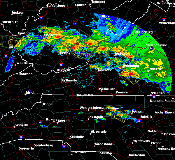 At 454 pm edt, a severe thunderstorm was located near mike, moving southeast at 35 mph (radar indicated). Hazards include golf ball size hail and 70 mph wind gusts. People and animals outdoors will be injured. expect hail damage to roofs, siding, windows, and vehicles. expect considerable tree damage. wind damage is also likely to mobile homes, roofs, and outbuildings. Locations impacted include, brookneal, charlotte court house, phenix, red house, and rustburg. At 454 pm edt, a severe thunderstorm was located near mike, moving southeast at 35 mph (radar indicated). Hazards include golf ball size hail and 70 mph wind gusts. People and animals outdoors will be injured. expect hail damage to roofs, siding, windows, and vehicles. expect considerable tree damage. wind damage is also likely to mobile homes, roofs, and outbuildings. Locations impacted include, brookneal, charlotte court house, phenix, red house, and rustburg.
|
| 6/23/2016 4:34 PM EDT | Quarter sized hail reported 2.1 miles NW of Rustburg, VA, thunderstorm produced hail the size of quarters near rustburg. |
| 6/23/2016 4:32 PM EDT | Ping Pong Ball sized hail reported 0.1 miles ENE of Rustburg, VA |
| 6/23/2016 4:30 PM EDT | Tree down charles road in campbell county VA, 5.7 miles E of Rustburg, VA |
| 6/23/2016 4:30 PM EDT |
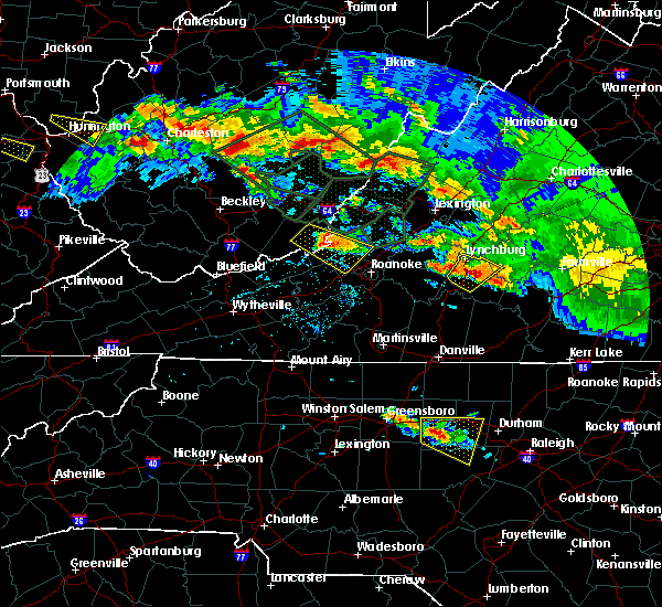 At 430 pm edt, a severe thunderstorm was located over rustburg, moving southeast at 35 mph (radar indicated). Hazards include 60 mph wind gusts and half dollar size hail. Hail damage to vehicles is expected. Expect wind damage to roofs, siding, and trees. At 430 pm edt, a severe thunderstorm was located over rustburg, moving southeast at 35 mph (radar indicated). Hazards include 60 mph wind gusts and half dollar size hail. Hail damage to vehicles is expected. Expect wind damage to roofs, siding, and trees.
|
| 6/23/2016 4:20 PM EDT |
 At 418 pm edt, a severe thunderstorm was located near timberlake, moving southeast at 30 mph (radar indicated. at 417 pm edt...golf ball size hail was reported one mile south of forest). Hazards include golf ball size hail and 60 mph wind gusts. People and animals outdoors will be injured. expect hail damage to roofs, siding, windows, and vehicles. expect wind damage to roofs, siding, and trees. locations impacted include, lynchburg, concord, evington, rustburg, and bocock. This includes liberty university and lynchburg airport. At 418 pm edt, a severe thunderstorm was located near timberlake, moving southeast at 30 mph (radar indicated. at 417 pm edt...golf ball size hail was reported one mile south of forest). Hazards include golf ball size hail and 60 mph wind gusts. People and animals outdoors will be injured. expect hail damage to roofs, siding, windows, and vehicles. expect wind damage to roofs, siding, and trees. locations impacted include, lynchburg, concord, evington, rustburg, and bocock. This includes liberty university and lynchburg airport.
|
| 6/23/2016 3:56 PM EDT |
 At 355 pm edt, a severe thunderstorm was located near goode, moving southeast at 45 mph (radar indicated). Hazards include ping pong ball size hail and 60 mph wind gusts. People and animals outdoors will be injured. expect hail damage to roofs, siding, windows, and vehicles. expect wind damage to roofs, siding, and trees. locations impacted include, lynchburg, bedford, altavista, rustburg, and big island. This includes the following locations liberty university, the national d day memorial, and lynchburg airport. At 355 pm edt, a severe thunderstorm was located near goode, moving southeast at 45 mph (radar indicated). Hazards include ping pong ball size hail and 60 mph wind gusts. People and animals outdoors will be injured. expect hail damage to roofs, siding, windows, and vehicles. expect wind damage to roofs, siding, and trees. locations impacted include, lynchburg, bedford, altavista, rustburg, and big island. This includes the following locations liberty university, the national d day memorial, and lynchburg airport.
|
| 6/23/2016 3:43 PM EDT |
 At 343 pm edt, a severe thunderstorm was located near peaks of otter summit, moving southeast at 45 mph (radar indicated). Hazards include 60 mph wind gusts and quarter size hail. Hail damage to vehicles is expected. Expect wind damage to roofs, siding, and trees. At 343 pm edt, a severe thunderstorm was located near peaks of otter summit, moving southeast at 45 mph (radar indicated). Hazards include 60 mph wind gusts and quarter size hail. Hail damage to vehicles is expected. Expect wind damage to roofs, siding, and trees.
|
| 6/23/2016 3:22 PM EDT | Public reports large trees down by yellow branch elementary school near evington virgini in campbell county VA, 5 miles ENE of Rustburg, VA |
| 6/23/2016 3:21 PM EDT |
 At 321 pm edt, a severe thunderstorm was located near rustburg, moving southeast at 30 mph (radar indicated). Hazards include golf ball size hail and 70 mph wind gusts. People and animals outdoors will be injured. expect hail damage to roofs, siding, windows, and vehicles. expect considerable tree damage. Wind damage is also likely to mobile homes, roofs, and outbuildings. At 321 pm edt, a severe thunderstorm was located near rustburg, moving southeast at 30 mph (radar indicated). Hazards include golf ball size hail and 70 mph wind gusts. People and animals outdoors will be injured. expect hail damage to roofs, siding, windows, and vehicles. expect considerable tree damage. Wind damage is also likely to mobile homes, roofs, and outbuildings.
|
| 6/23/2016 3:19 PM EDT |
 At 318 pm edt, a severe thunderstorm was located near rustburg, moving southeast at 30 mph (radar indicated). Hazards include 70 mph wind gusts and half dollar size hail. Hail damage to vehicles is expected. expect considerable tree damage. wind damage is also likely to mobile homes, roofs, and outbuildings. Locations impacted include, rustburg, and timberlake. At 318 pm edt, a severe thunderstorm was located near rustburg, moving southeast at 30 mph (radar indicated). Hazards include 70 mph wind gusts and half dollar size hail. Hail damage to vehicles is expected. expect considerable tree damage. wind damage is also likely to mobile homes, roofs, and outbuildings. Locations impacted include, rustburg, and timberlake.
|
| 6/23/2016 3:00 PM EDT |
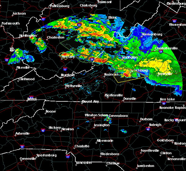 At 259 pm edt, a severe thunderstorm was located near forest, moving southeast at 45 mph (radar indicated). Hazards include 70 mph wind gusts and half dollar size hail. Hail damage to vehicles is expected. expect considerable tree damage. wind damage is also likely to mobile homes, roofs, and outbuildings. locations impacted include, lynchburg, bedford, concord, forest, and evington. This includes liberty university and lynchburg airport. At 259 pm edt, a severe thunderstorm was located near forest, moving southeast at 45 mph (radar indicated). Hazards include 70 mph wind gusts and half dollar size hail. Hail damage to vehicles is expected. expect considerable tree damage. wind damage is also likely to mobile homes, roofs, and outbuildings. locations impacted include, lynchburg, bedford, concord, forest, and evington. This includes liberty university and lynchburg airport.
|
| 6/23/2016 2:49 PM EDT |
 At 249 pm edt, severe thunderstorms were located along a line extending from coleman falls to bedford, moving southeast at 35 mph (radar indicated). Hazards include 60 mph wind gusts and half dollar size hail. Hail damage to vehicles is expected. expect wind damage to roofs, siding, and trees. locations impacted include, lynchburg, bedford, appomattox, rustburg, and huddleston. This includes the following locations liberty university, the national d day memorial, and lynchburg airport. At 249 pm edt, severe thunderstorms were located along a line extending from coleman falls to bedford, moving southeast at 35 mph (radar indicated). Hazards include 60 mph wind gusts and half dollar size hail. Hail damage to vehicles is expected. expect wind damage to roofs, siding, and trees. locations impacted include, lynchburg, bedford, appomattox, rustburg, and huddleston. This includes the following locations liberty university, the national d day memorial, and lynchburg airport.
|
| 6/23/2016 2:31 PM EDT |
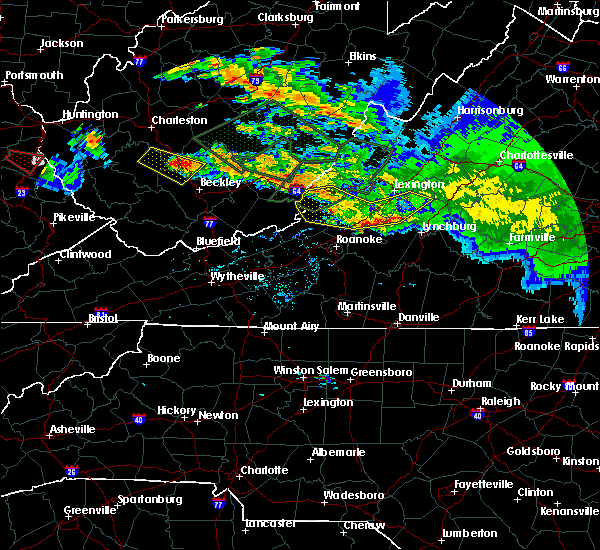 At 231 pm edt, severe thunderstorms were located along a line extending from big island to near lithia, moving southeast at 40 mph (radar indicated). Hazards include 60 mph wind gusts. Expect damage to roofs. siding. And trees. At 231 pm edt, severe thunderstorms were located along a line extending from big island to near lithia, moving southeast at 40 mph (radar indicated). Hazards include 60 mph wind gusts. Expect damage to roofs. siding. And trees.
|
| 6/16/2016 10:10 PM EDT |
 The severe thunderstorm warning for southwestern appomattox, campbell and southern bedford counties will expire at 1015 pm edt, the storms which prompted the warning have moved out of the area. therefore the warning will be allowed to expire. however gusty winds and heavy rain are still possible with these thunderstorms. when it is safe to do so, please send your reports of hail of any size, as well as any reports of wind damage, including downed trees or large limbs, to the national weather service by calling toll free at 1, 8 6 6, 2 1 5, 4 3 2 4. reports and pictures can also be shared on the national weather service blacksburg facebook page and on twitter. The severe thunderstorm warning for southwestern appomattox, campbell and southern bedford counties will expire at 1015 pm edt, the storms which prompted the warning have moved out of the area. therefore the warning will be allowed to expire. however gusty winds and heavy rain are still possible with these thunderstorms. when it is safe to do so, please send your reports of hail of any size, as well as any reports of wind damage, including downed trees or large limbs, to the national weather service by calling toll free at 1, 8 6 6, 2 1 5, 4 3 2 4. reports and pictures can also be shared on the national weather service blacksburg facebook page and on twitter.
|
| 6/16/2016 10:02 PM EDT |
 At 1001 pm edt, severe thunderstorms were located along a line extending from evergreen to near gladys to near huddleston, moving southeast at 30 mph (radar indicated). Hazards include 60 mph wind gusts and quarter size hail. Hail damage to vehicles is expected. expect wind damage to roofs, siding, and trees. Locations impacted include, altavista, hurt, brookneal, rustburg, and stewartsville. At 1001 pm edt, severe thunderstorms were located along a line extending from evergreen to near gladys to near huddleston, moving southeast at 30 mph (radar indicated). Hazards include 60 mph wind gusts and quarter size hail. Hail damage to vehicles is expected. expect wind damage to roofs, siding, and trees. Locations impacted include, altavista, hurt, brookneal, rustburg, and stewartsville.
|
| 6/16/2016 9:51 PM EDT |
 At 950 pm edt, severe thunderstorms were located along a line extending from appomattox to near rustburg to near moneta, moving southeast at 30 mph (radar indicated). Hazards include 60 mph wind gusts and quarter size hail. Hail damage to vehicles is expected. expect wind damage to roofs, siding, and trees. locations impacted include, lynchburg, bedford, altavista, appomattox, and hurt. This includes the following locations liberty university, the national d day memorial, and lynchburg airport. At 950 pm edt, severe thunderstorms were located along a line extending from appomattox to near rustburg to near moneta, moving southeast at 30 mph (radar indicated). Hazards include 60 mph wind gusts and quarter size hail. Hail damage to vehicles is expected. expect wind damage to roofs, siding, and trees. locations impacted include, lynchburg, bedford, altavista, appomattox, and hurt. This includes the following locations liberty university, the national d day memorial, and lynchburg airport.
|
| 6/16/2016 9:14 PM EDT |
 At 913 pm edt, severe thunderstorms were located along a line extending from new glasgow to coleman falls to near lithia, moving southeast at 30 mph (radar indicated). Hazards include 60 mph wind gusts and quarter size hail. Hail damage to vehicles is expected. Expect wind damage to roofs, siding, and trees. At 913 pm edt, severe thunderstorms were located along a line extending from new glasgow to coleman falls to near lithia, moving southeast at 30 mph (radar indicated). Hazards include 60 mph wind gusts and quarter size hail. Hail damage to vehicles is expected. Expect wind damage to roofs, siding, and trees.
|
| 5/2/2016 6:27 PM EDT |
 At 626 pm edt, a severe thunderstorm was located over gladys, moving northeast at 40 mph (radar indicated). Hazards include 60 mph wind gusts and half dollar size hail. Hail damage to vehicles is expected. expect wind damage to roofs, siding, and trees. Locations impacted include, altavista, rustburg, hodges, gladys, and spring mills. At 626 pm edt, a severe thunderstorm was located over gladys, moving northeast at 40 mph (radar indicated). Hazards include 60 mph wind gusts and half dollar size hail. Hail damage to vehicles is expected. expect wind damage to roofs, siding, and trees. Locations impacted include, altavista, rustburg, hodges, gladys, and spring mills.
|
| 5/2/2016 5:41 PM EDT |
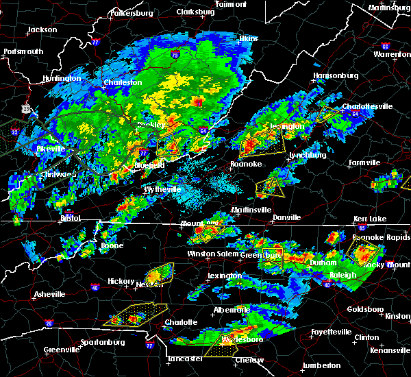 At 541 pm edt, a severe thunderstorm was located over leesville, moving northeast at 35 mph (radar indicated). Hazards include 60 mph wind gusts and half dollar size hail. Hail damage to vehicles is expected. Expect wind damage to roofs, siding, and trees. At 541 pm edt, a severe thunderstorm was located over leesville, moving northeast at 35 mph (radar indicated). Hazards include 60 mph wind gusts and half dollar size hail. Hail damage to vehicles is expected. Expect wind damage to roofs, siding, and trees.
|
| 5/1/2016 11:12 PM EDT | The severe thunderstorm warning for western appomattox, southeastern amherst, northeastern campbell counties and the city of lynchburg will expire at 1115 pm edt, the storm which prompted the warning has weakened below severe limits, and no longer poses an immediate threat to life or property. therefore the warning will be allowed to expire. when it is safe to do so, please send your reports of hail of any size, as well as any reports of wind damage, including downed trees or large limbs, to the national weather service by calling toll free at 1, 8 6 6, 2 1 5, 4 3 2 4. reports and pictures can also be shared on the national weather service blacksburg facebook page and on twitter. |
| 5/1/2016 10:54 PM EDT |
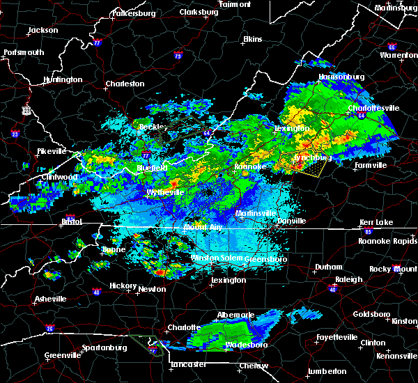 At 1054 pm edt, a severe thunderstorm was located near bocock, moving east at 30 mph (radar indicated). Hazards include 60 mph wind gusts and quarter size hail. Hail damage to vehicles is expected. expect wind damage to roofs, siding, and trees. Locations impacted include, lynchburg, appomattox, concord, bent creek, and rustburg. At 1054 pm edt, a severe thunderstorm was located near bocock, moving east at 30 mph (radar indicated). Hazards include 60 mph wind gusts and quarter size hail. Hail damage to vehicles is expected. expect wind damage to roofs, siding, and trees. Locations impacted include, lynchburg, appomattox, concord, bent creek, and rustburg.
|
| 5/1/2016 10:36 PM EDT |
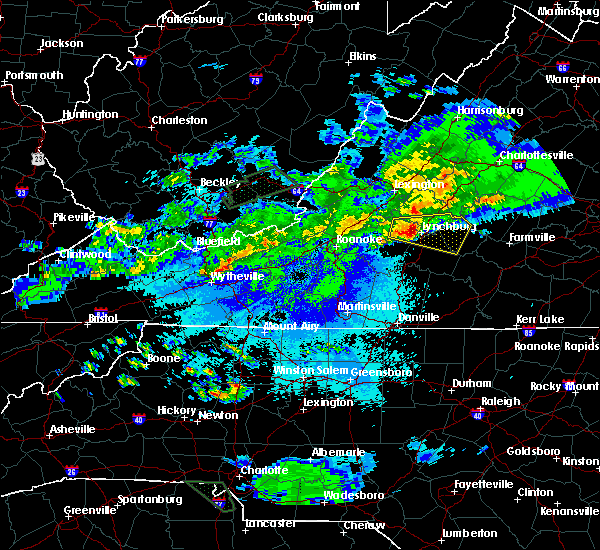 At 1035 pm edt, a severe thunderstorm was entering the city of lynchburg, and moving east at 30 mph (radar indicated). Hazards include 60 mph wind gusts and quarter size hail. Hail damage to vehicles is expected. expect wind damage to roofs, siding, and trees. locations impacted include, lynchburg, appomattox, rustburg, concord, and forest. This includes liberty university and lynchburg airport. At 1035 pm edt, a severe thunderstorm was entering the city of lynchburg, and moving east at 30 mph (radar indicated). Hazards include 60 mph wind gusts and quarter size hail. Hail damage to vehicles is expected. expect wind damage to roofs, siding, and trees. locations impacted include, lynchburg, appomattox, rustburg, concord, and forest. This includes liberty university and lynchburg airport.
|
| 5/1/2016 10:21 PM EDT |
 At 1021 pm edt, a severe thunderstorm was located near boonsboro, moving east at 35 mph (radar indicated). Hazards include 60 mph wind gusts and quarter size hail. Hail damage to vehicles is expected. Expect wind damage to roofs, siding, and trees. At 1021 pm edt, a severe thunderstorm was located near boonsboro, moving east at 35 mph (radar indicated). Hazards include 60 mph wind gusts and quarter size hail. Hail damage to vehicles is expected. Expect wind damage to roofs, siding, and trees.
|
| 2/24/2016 3:08 PM EST |
 At 308 pm est, severe thunderstorms were located along a line extending from near bocock to near ingram, moving northeast at 30 mph (radar indicated). Hazards include 60 mph wind gusts and quarter size hail. Hail damage to vehicles is expected. Expect wind damage to roofs, siding, and trees. At 308 pm est, severe thunderstorms were located along a line extending from near bocock to near ingram, moving northeast at 30 mph (radar indicated). Hazards include 60 mph wind gusts and quarter size hail. Hail damage to vehicles is expected. Expect wind damage to roofs, siding, and trees.
|
| 9/4/2015 4:08 PM EDT |
 The severe thunderstorm warning for northeastern pittsylvania, southeastern campbell and northwestern halifax counties will expire at 415 pm edt, the severe thunderstorm which prompted the warning has weakened and moved out of the warned area. therefore the warning will be allowed to expire. when it is safe to do so, please send your reports of hail of any size, as well as any reports of wind damage, including downed trees or large limbs, to the national weather service by calling toll free at 1, 8 6 6, 2 1 5, 4 3 2 4. reports and pictures can also be shared on the national weather service blacksburg facebook page and on twitter. The severe thunderstorm warning for northeastern pittsylvania, southeastern campbell and northwestern halifax counties will expire at 415 pm edt, the severe thunderstorm which prompted the warning has weakened and moved out of the warned area. therefore the warning will be allowed to expire. when it is safe to do so, please send your reports of hail of any size, as well as any reports of wind damage, including downed trees or large limbs, to the national weather service by calling toll free at 1, 8 6 6, 2 1 5, 4 3 2 4. reports and pictures can also be shared on the national weather service blacksburg facebook page and on twitter.
|
| 9/4/2015 3:36 PM EDT |
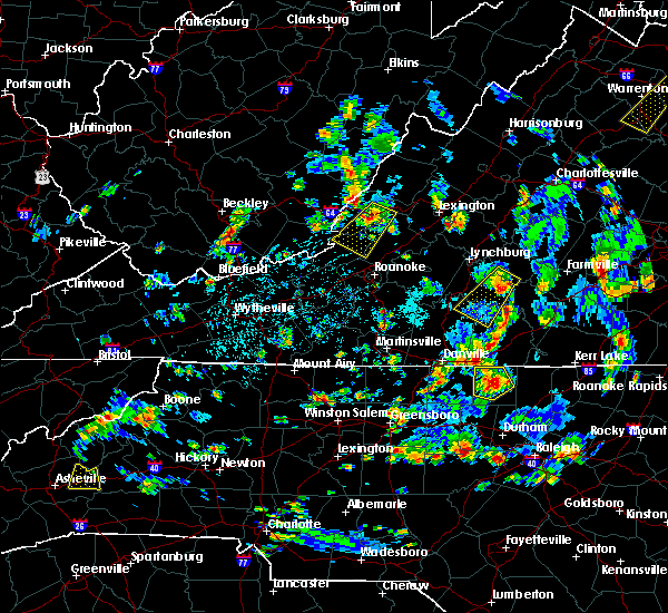 At 335 pm edt, a severe thunderstorm was located near hat creek, moving southwest at 20 mph (radar indicated). Hazards include 60 mph wind gusts and quarter size hail. Hail damage to vehicles is expected. expect wind damage to roofs, siding and trees. Locations impacted include, brookneal, hodges, cody, straightstone, and gladys. At 335 pm edt, a severe thunderstorm was located near hat creek, moving southwest at 20 mph (radar indicated). Hazards include 60 mph wind gusts and quarter size hail. Hail damage to vehicles is expected. expect wind damage to roofs, siding and trees. Locations impacted include, brookneal, hodges, cody, straightstone, and gladys.
|
| 9/4/2015 3:12 PM EDT |
 At 312 pm edt, a severe thunderstorm was located over spring mills, moving southwest at 20 mph (radar indicated). Hazards include 60 mph wind gusts and quarter size hail. Hail damage to vehicles is expected. Expect wind damage to roofs, siding and trees. At 312 pm edt, a severe thunderstorm was located over spring mills, moving southwest at 20 mph (radar indicated). Hazards include 60 mph wind gusts and quarter size hail. Hail damage to vehicles is expected. Expect wind damage to roofs, siding and trees.
|
| 8/11/2015 3:42 PM EDT | The severe thunderstorm warning for western appomattox, southeastern amherst, northwestern charlotte, northeastern pittsylvania, campbell counties and the city of lynchburg will expire at 345 pm edt, the storm which prompted the warning has weakened below severe limits, and has exited the warned area. therefore the warning will be allowed to expire. however heavy rain is still possible with this thunderstorm. when it is safe to do so, please send your reports of hail of any size, as well as any reports of wind damage, including downed trees or large limbs, to the national weather service by calling toll free at 1, 8 6 6, 2 1 5, 4 3 2 4. reports and pictures can also be shared on the national weather service blacksburg facebook page and on twitter. |
| 8/11/2015 3:26 PM EDT |
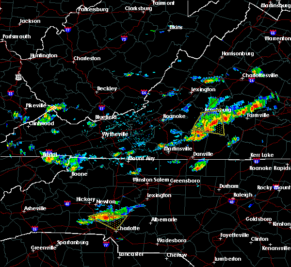 At 324 pm edt, a severe thunderstorm was located over gladys, moving east at 35 mph (radar indicated). Hazards include 60 mph wind gusts and quarter size hail. Hail damage to vehicles is expected. expect wind damage to roofs, siding and trees. locations impacted include, lynchburg, altavista, hurt, brookneal, and rustburg. This includes liberty university and lynchburg airport. At 324 pm edt, a severe thunderstorm was located over gladys, moving east at 35 mph (radar indicated). Hazards include 60 mph wind gusts and quarter size hail. Hail damage to vehicles is expected. expect wind damage to roofs, siding and trees. locations impacted include, lynchburg, altavista, hurt, brookneal, and rustburg. This includes liberty university and lynchburg airport.
|
| 8/11/2015 3:24 PM EDT | One tree down blocking both lanes of red house road near the intersection with rhonda road in campbell county VA, 6.2 miles NW of Rustburg, VA |
| 8/11/2015 3:06 PM EDT |
 At 306 pm edt, a severe thunderstorm was located over evington, moving east at 35 mph (radar indicated). Hazards include 60 mph wind gusts and quarter size hail. Hail damage to vehicles is expected. expect wind damage to roofs, siding and trees. locations impacted include, lynchburg, altavista, hurt, brookneal, and rustburg. This includes liberty university and lynchburg airport. At 306 pm edt, a severe thunderstorm was located over evington, moving east at 35 mph (radar indicated). Hazards include 60 mph wind gusts and quarter size hail. Hail damage to vehicles is expected. expect wind damage to roofs, siding and trees. locations impacted include, lynchburg, altavista, hurt, brookneal, and rustburg. This includes liberty university and lynchburg airport.
|
| 8/11/2015 2:52 PM EDT |
 At 252 pm edt, a severe thunderstorm was located 7 miles southeast of bedford city, moving east at 35 mph (radar indicated). Hazards include 60 mph wind gusts and quarter size hail. Hail damage to vehicles is expected. Expect wind damage to roofs, siding and trees. At 252 pm edt, a severe thunderstorm was located 7 miles southeast of bedford city, moving east at 35 mph (radar indicated). Hazards include 60 mph wind gusts and quarter size hail. Hail damage to vehicles is expected. Expect wind damage to roofs, siding and trees.
|
| 7/13/2015 9:30 PM EDT |
 At 929 pm edt, severe thunderstorms were located along a line extending from 6 miles east of montebello to milton, moving southeast at 35 mph (radar indicated). Hazards include 60 mph wind gusts and quarter size hail. Hail damage to vehicles is expected. expect wind damage to roofs, siding and trees. Locations impacted include, south boston, appomattox, halifax, brookneal, and charlotte court house. At 929 pm edt, severe thunderstorms were located along a line extending from 6 miles east of montebello to milton, moving southeast at 35 mph (radar indicated). Hazards include 60 mph wind gusts and quarter size hail. Hail damage to vehicles is expected. expect wind damage to roofs, siding and trees. Locations impacted include, south boston, appomattox, halifax, brookneal, and charlotte court house.
|
| 7/13/2015 9:21 PM EDT |
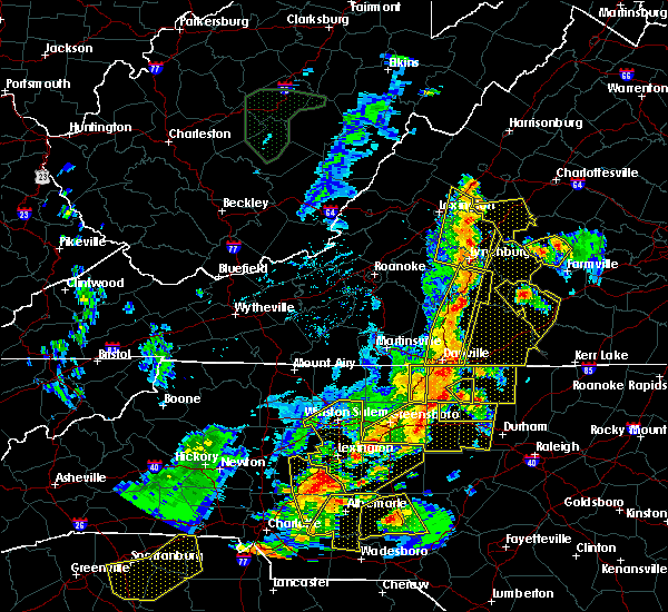 At 920 pm edt, severe thunderstorms were located along a line extending from near bocock to providence, moving east at 30 mph (radar indicated). Hazards include 60 mph wind gusts and quarter size hail. Hail damage to vehicles is expected. expect wind damage to roofs, siding and trees. locations impacted include, danville, altavista, hurt, chatham, and gretna. This includes danville airport and lynchburg airport. At 920 pm edt, severe thunderstorms were located along a line extending from near bocock to providence, moving east at 30 mph (radar indicated). Hazards include 60 mph wind gusts and quarter size hail. Hail damage to vehicles is expected. expect wind damage to roofs, siding and trees. locations impacted include, danville, altavista, hurt, chatham, and gretna. This includes danville airport and lynchburg airport.
|
| 7/13/2015 9:20 PM EDT | 911 call center reports 2 trees down along route 501 south in gladys... v in campbell county VA, 7.8 miles NNW of Rustburg, VA |
| 7/13/2015 9:18 PM EDT | 911 call center reports two trees down along sunnymade road near rustburg... v in campbell county VA, 3.2 miles SSE of Rustburg, VA |
| 7/13/2015 9:15 PM EDT |
 At 914 pm edt, severe thunderstorms were located along a line extending from near vesuvius, to lynchburg, to danville, moving southeast at 45 mph (radar indicated). Hazards include 60 mph wind gusts and quarter size hail. Hail damage to vehicles is expected. Expect wind damage to roofs, siding and trees. At 914 pm edt, severe thunderstorms were located along a line extending from near vesuvius, to lynchburg, to danville, moving southeast at 45 mph (radar indicated). Hazards include 60 mph wind gusts and quarter size hail. Hail damage to vehicles is expected. Expect wind damage to roofs, siding and trees.
|
| 7/13/2015 9:09 PM EDT |
 At 907 pm edt, severe thunderstorms were located along a line extending from vesuvius to near forest, moving southeast at 50 mph (radar indicated). Hazards include 60 mph wind gusts and quarter size hail. Hail damage to vehicles is expected. expect wind damage to roofs, siding and trees. locations impacted include, lynchburg, buena vista, amherst, buena vista city, and clifford. This includes liberty university and lynchburg airport. At 907 pm edt, severe thunderstorms were located along a line extending from vesuvius to near forest, moving southeast at 50 mph (radar indicated). Hazards include 60 mph wind gusts and quarter size hail. Hail damage to vehicles is expected. expect wind damage to roofs, siding and trees. locations impacted include, lynchburg, buena vista, amherst, buena vista city, and clifford. This includes liberty university and lynchburg airport.
|
| 7/13/2015 9:05 PM EDT | 911 call center reports two trees down along sunnymade road near rustburg... v in campbell county VA, 3.2 miles SSE of Rustburg, VA |
| 7/13/2015 8:45 PM EDT |
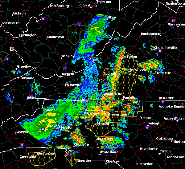 At 844 pm edt, severe thunderstorms were located along a line extending from near bedford city to aiken summit, moving east at 30 mph (radar indicated). Hazards include 60 mph wind gusts and quarter size hail. Hail damage to vehicles is expected. Expect wind damage to roofs, siding and trees. At 844 pm edt, severe thunderstorms were located along a line extending from near bedford city to aiken summit, moving east at 30 mph (radar indicated). Hazards include 60 mph wind gusts and quarter size hail. Hail damage to vehicles is expected. Expect wind damage to roofs, siding and trees.
|
| 7/13/2015 8:41 PM EDT |
 At 840 pm edt, severe thunderstorms were located along a line extending from 6 miles east of bells valley to near bedford city, moving east at 35 mph (radar indicated). Hazards include 60 mph wind gusts. Expect damage to roofs. Siding and trees. At 840 pm edt, severe thunderstorms were located along a line extending from 6 miles east of bells valley to near bedford city, moving east at 35 mph (radar indicated). Hazards include 60 mph wind gusts. Expect damage to roofs. Siding and trees.
|
| 7/13/2015 7:54 PM EDT |
 At 753 pm edt, a severe thunderstorm was located over concord, moving southeast at 25 mph (radar indicated). Hazards include quarter size hail. damage to vehicles is expected At 753 pm edt, a severe thunderstorm was located over concord, moving southeast at 25 mph (radar indicated). Hazards include quarter size hail. damage to vehicles is expected
|
| 7/1/2015 12:12 AM EDT |
 At 1211 am edt, severe thunderstorms were located along a line extending from near lowesville to near falconerville to rustburg to near leesville, moving northeast at 45 mph (radar indicated). Hazards include 60 mph wind gusts and penny size hail. Expect damage to roofs. siding and trees. locations impacted include, lynchburg, amherst, appomattox, rustburg, and clifford. This includes liberty university and lynchburg airport. At 1211 am edt, severe thunderstorms were located along a line extending from near lowesville to near falconerville to rustburg to near leesville, moving northeast at 45 mph (radar indicated). Hazards include 60 mph wind gusts and penny size hail. Expect damage to roofs. siding and trees. locations impacted include, lynchburg, amherst, appomattox, rustburg, and clifford. This includes liberty university and lynchburg airport.
|
| 6/30/2015 11:49 PM EDT |
 At 1148 pm edt, severe thunderstorms were located along a line extending from near glasgow to goode to near smith mountain lake state park, moving northeast at 40 mph (radar indicated). Hazards include 60 mph wind gusts and quarter size hail. Hail damage to vehicles is expected. Expect wind damage to roofs, siding and trees. At 1148 pm edt, severe thunderstorms were located along a line extending from near glasgow to goode to near smith mountain lake state park, moving northeast at 40 mph (radar indicated). Hazards include 60 mph wind gusts and quarter size hail. Hail damage to vehicles is expected. Expect wind damage to roofs, siding and trees.
|
| 6/20/2015 4:40 PM EDT | 2 trees down on long island rd in campbell county VA, 9.1 miles N of Rustburg, VA |
| 6/20/2015 4:40 PM EDT | Tree down on gladys road in campbell county VA, 9.7 miles N of Rustburg, VA |
| 6/18/2015 5:00 PM EDT | Reported on fb. tree down on greenhouse rd near us29-calohan rd intersectio in campbell county VA, 4 miles E of Rustburg, VA |
| 6/13/2015 6:12 PM EDT | The severe thunderstorm warning for appomattox. northeastern campbell counties and the city of lynchburg will expire at 615 pm edt. the storm which prompted the warning has weakened below severe limits. and no longer poses an immediate threat to life or property. therefore the warning will be allowed to expire. However gusty winds. |
| 6/13/2015 6:00 PM EDT | Tree fell on a car and broke the car windshield on depot road. time estimated by rada in campbell county VA, 0.7 miles E of Rustburg, VA |
| 6/13/2015 5:50 PM EDT |
 At 550 pm edt, a severe thunderstorm was located near concord, moving southeast at 10 mph (radar indicated). Hazards include 60 mph wind gusts. Expect damage to roofs. siding and trees. locations impacted include, lynchburg, appomattox, rustburg, concord, and evergreen. This includes liberty university and lynchburg airport. At 550 pm edt, a severe thunderstorm was located near concord, moving southeast at 10 mph (radar indicated). Hazards include 60 mph wind gusts. Expect damage to roofs. siding and trees. locations impacted include, lynchburg, appomattox, rustburg, concord, and evergreen. This includes liberty university and lynchburg airport.
|
| 6/13/2015 5:39 PM EDT |
 At 537 pm edt, a severe thunderstorm was located over bocock, moving southeast at 10 mph (radar indicated). Hazards include 60 mph wind gusts. Expect damage to roofs. siding and trees. locations impacted include, lynchburg, appomattox, rustburg, concord, and madison heights. This includes liberty university and lynchburg airport. At 537 pm edt, a severe thunderstorm was located over bocock, moving southeast at 10 mph (radar indicated). Hazards include 60 mph wind gusts. Expect damage to roofs. siding and trees. locations impacted include, lynchburg, appomattox, rustburg, concord, and madison heights. This includes liberty university and lynchburg airport.
|
| 6/13/2015 5:30 PM EDT |
 At 530 pm edt, a severe thunderstorm was located near concord, moving southeast at 30 mph (radar indicated). Hazards include 60 mph wind gusts. Expect damage to roofs. Siding and trees. At 530 pm edt, a severe thunderstorm was located near concord, moving southeast at 30 mph (radar indicated). Hazards include 60 mph wind gusts. Expect damage to roofs. Siding and trees.
|
| 5/11/2015 10:39 PM EDT | The severe thunderstorm warning for south central amherst, north central campbell counties and the city of lynchburg will expire at 1045 pm edt, the storms which prompted the warning have moved out of the area. therefore the warning will be allowed to expire. when it is safe to do so, please send your reports of hail of any size, as well as any reports of wind damage, including downed trees or large limbs, to the national weather service by calling toll free at 1, 8 6 6, 2 1 5, 4 3 2 4. reports and pictures can also be shared on the national weather service blacksburg facebook page and on twitter. |
| 5/11/2015 10:23 PM EDT | At 1023 pm edt, severe thunderstorms were located along a line extending from near stonewall to spout spring to near rustburg, moving east at 50 mph (radar indicated). Hazards include 60 mph wind gusts and quarter size hail. Hail damage to vehicles is expected. expect wind damage to roofs, siding and trees. locations impacted include, lynchburg, rustburg, lynchburg city, lynchburg airport, and madison heights. this includes liberty university. 1. 00in. |
| 5/11/2015 10:00 PM EDT | At 1000 pm edt, severe thunderstorms were located along a line extending from near boonsboro to near bocock to near evington, moving east at 60 mph (radar indicated). Hazards include 60 mph wind gusts and quarter size hail. Hail damage to vehicles is expected. Expect wind damage to roofs, siding and trees. |
| 8/21/2014 6:40 PM EDT | One tree down blocking bethany roa in campbell county VA, 1 miles W of Rustburg, VA |
| 7/9/2014 2:42 PM EDT | Multiple trees down on gough road near the intersection of route 24 in campbell county VA, 4.5 miles ENE of Rustburg, VA |
| 7/9/2014 2:42 PM EDT | One tree down on wards road in campbell county VA, 6.2 miles NE of Rustburg, VA |
| 6/11/2014 5:08 PM EDT | Trees down in campbell county VA, 7.7 miles N of Rustburg, VA |
| 7/3/2012 5:40 PM EDT | Power lines down on pigeon run road in campbell county VA, 8.3 miles NNW of Rustburg, VA |
| 7/3/2012 5:24 PM EDT | Tree fell across powerlines...mollies creek roa in campbell county VA, 8.1 miles NNW of Rustburg, VA |
| 6/30/2012 7:10 PM EDT | Quarter sized hail reported 5.7 miles E of Rustburg, VA, clarks road |
| 6/29/2012 9:32 PM EDT | In campbell county hundreds of trees were blown down. the greatest concentration of damage was in the northern portion of the county. no significant structural damage w in campbell county VA, 0.1 miles ENE of Rustburg, VA |
| 6/12/2012 8:21 PM EDT | Tree down on bear creek road in campbell county VA, 4 miles WNW of Rustburg, VA |
| 6/1/2012 2:29 PM EDT | Tree down on sunnymead roa in campbell county VA, 3.5 miles S of Rustburg, VA |
| 3/24/2012 6:25 PM EDT | Quarter sized hail reported 6.2 miles E of Rustburg, VA |
| 1/1/0001 12:00 AM | Tree down on route 29 south near moorman mill roa in campbell county VA, 4.7 miles ENE of Rustburg, VA |
| 1/1/0001 12:00 AM | Trees down on wisecarver roa in campbell county VA, 2.8 miles NE of Rustburg, VA |
| 1/1/0001 12:00 AM | Tree down in campbell county VA, 9.1 miles N of Rustburg, VA |
| 1/1/0001 12:00 AM | Tree down on gladys rd in campbell county VA, 9 miles N of Rustburg, VA |
| 1/1/0001 12:00 AM | Trees down countywid in campbell county VA, 0.1 miles ENE of Rustburg, VA |
| 1/1/0001 12:00 AM | Many trees dow in campbell county VA, 0.1 miles ENE of Rustburg, VA |
| 1/1/0001 12:00 AM | Two trees dow in campbell county VA, 7.7 miles N of Rustburg, VA |
| 1/1/0001 12:00 AM | Tree down in campbell county VA, 2.1 miles NW of Rustburg, VA |
| 1/1/0001 12:00 AM | Trees down on power line in campbell county VA, 0.1 miles ENE of Rustburg, VA |
| 1/1/0001 12:00 AM | Tree down on county road 61 in campbell county VA, 8.6 miles NW of Rustburg, VA |
| 1/1/0001 12:00 AM | One tree down on county road 65 in campbell county VA, 8.2 miles NNW of Rustburg, VA |
| 1/1/0001 12:00 AM | One tree down on county road 65 in campbell county VA, 6.8 miles NNW of Rustburg, VA |
| 1/1/0001 12:00 AM | Trees dow in campbell county VA, 6.3 miles N of Rustburg, VA |
| 1/1/0001 12:00 AM | Trees dow in campbell county VA, 2.1 miles N of Rustburg, VA |
| 1/1/0001 12:00 AM | Three trees blown down along the 800 to 1000 block of poor house roa in campbell county VA, 1.3 miles S of Rustburg, VA |
| 1/1/0001 12:00 AM | Three trees blown along the 1000 to 2000 block of marshall mill roa in campbell county VA, 6.4 miles NNW of Rustburg, VA |
| 1/1/0001 12:00 AM | Quarter sized hail reported 9.1 miles N of Rustburg, VA, cocorahs observer. hail lasted 3 minutes. |
Hail Maps for Rustburg, VA
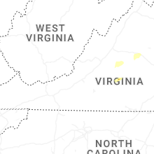


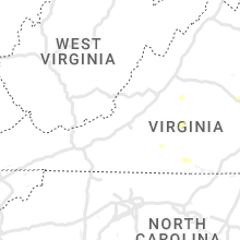


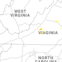


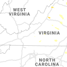


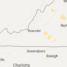
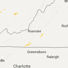


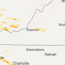


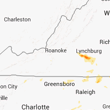


Connect with Interactive Hail Maps