

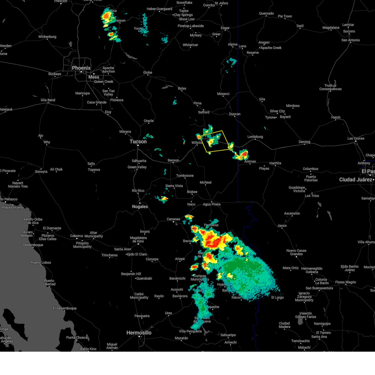
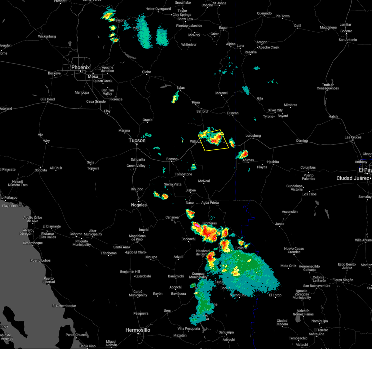
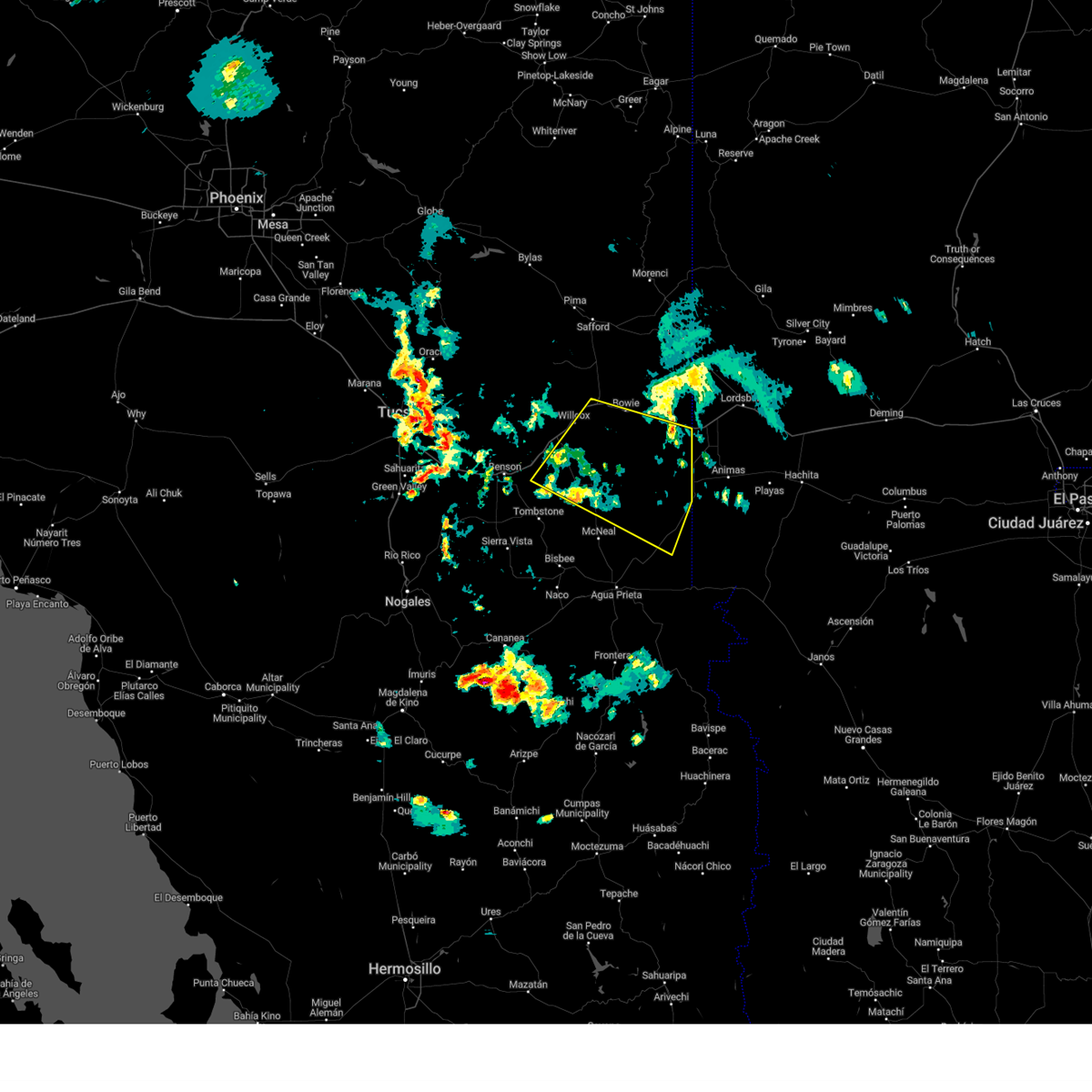
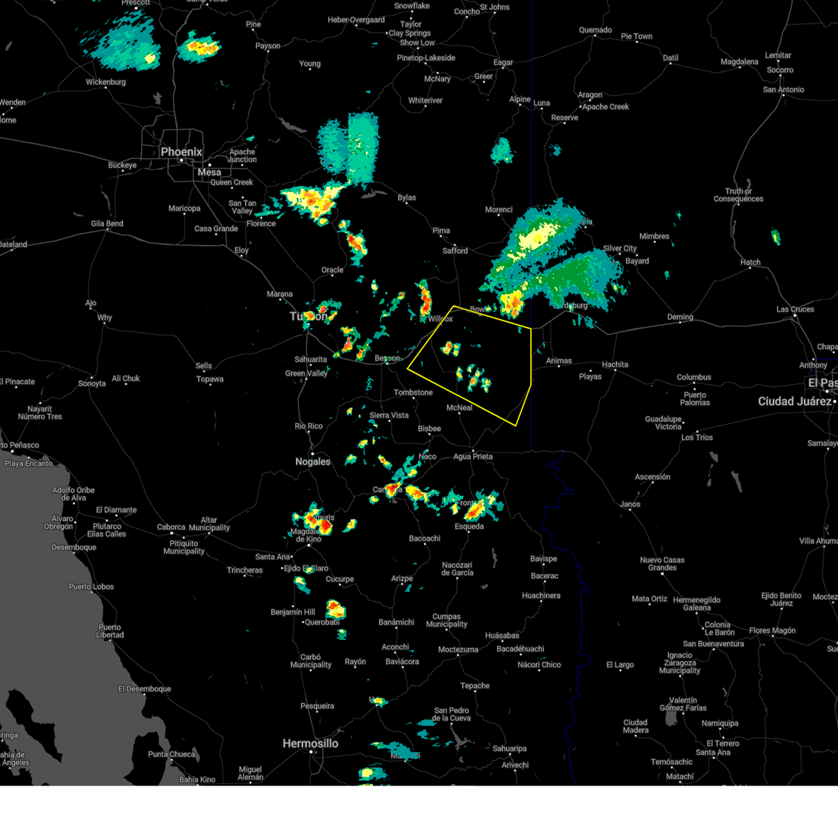
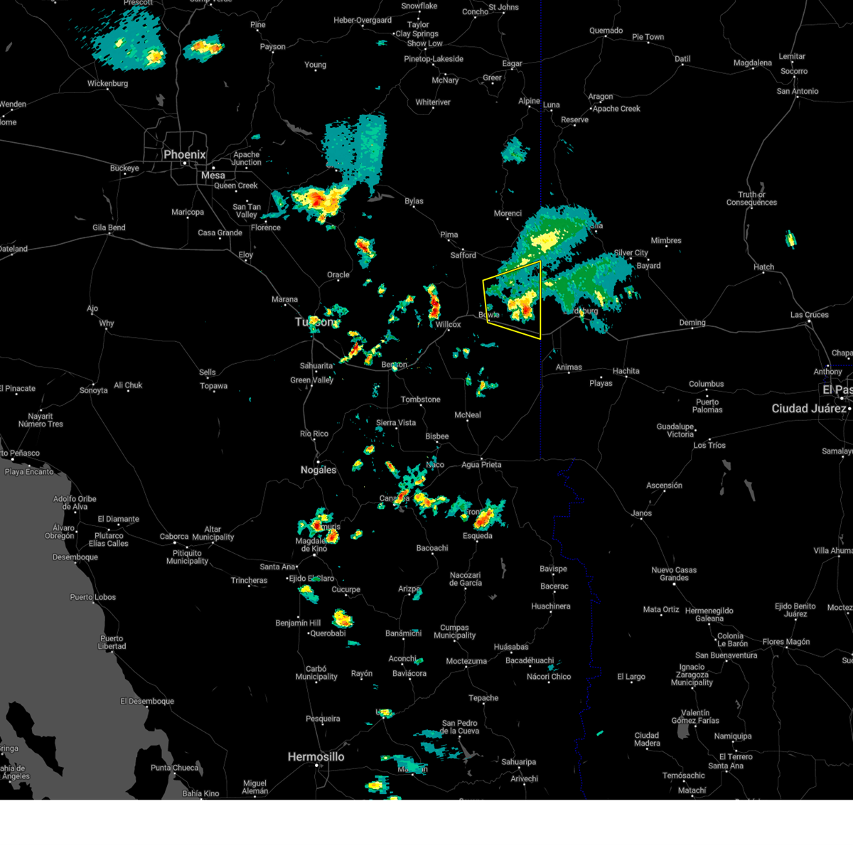
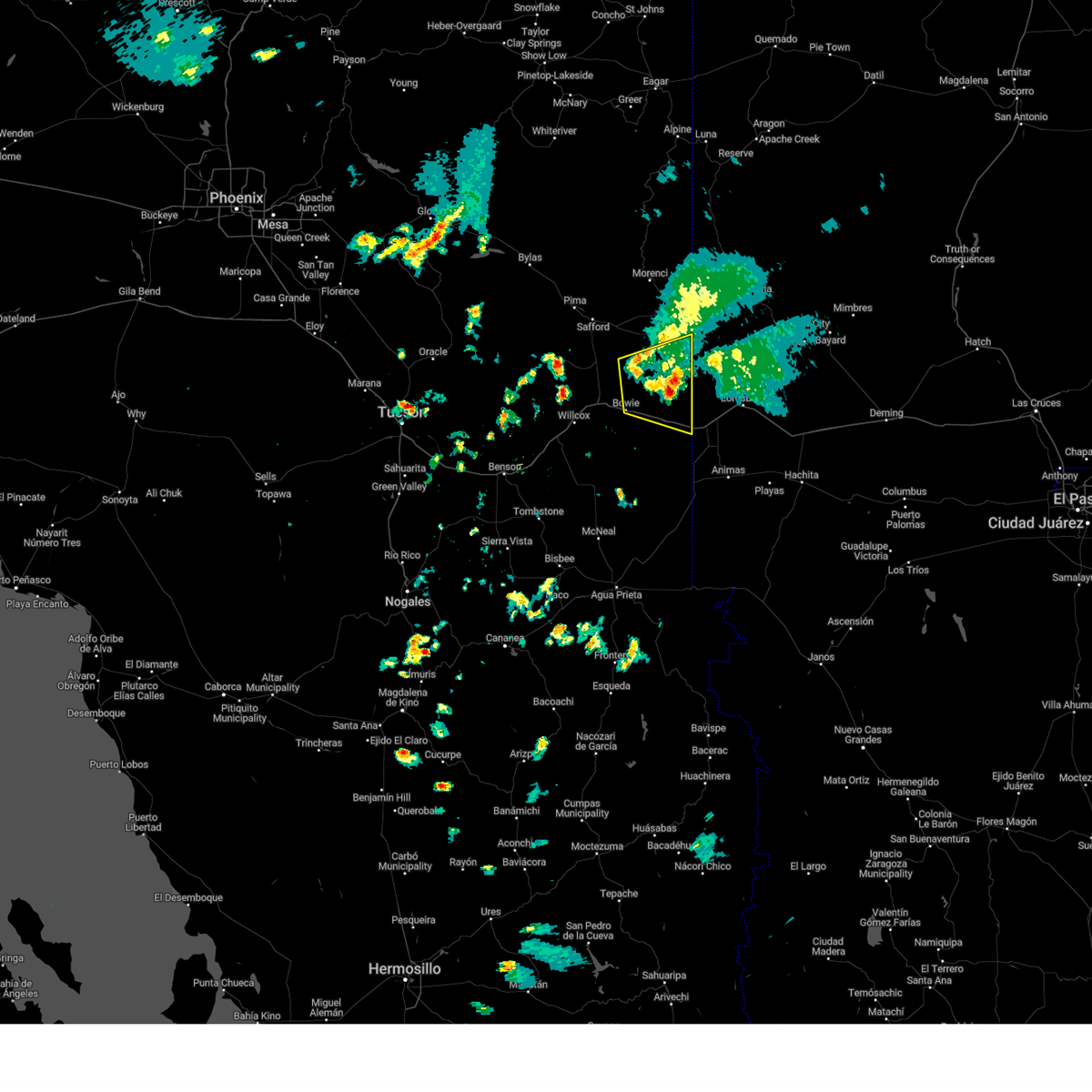
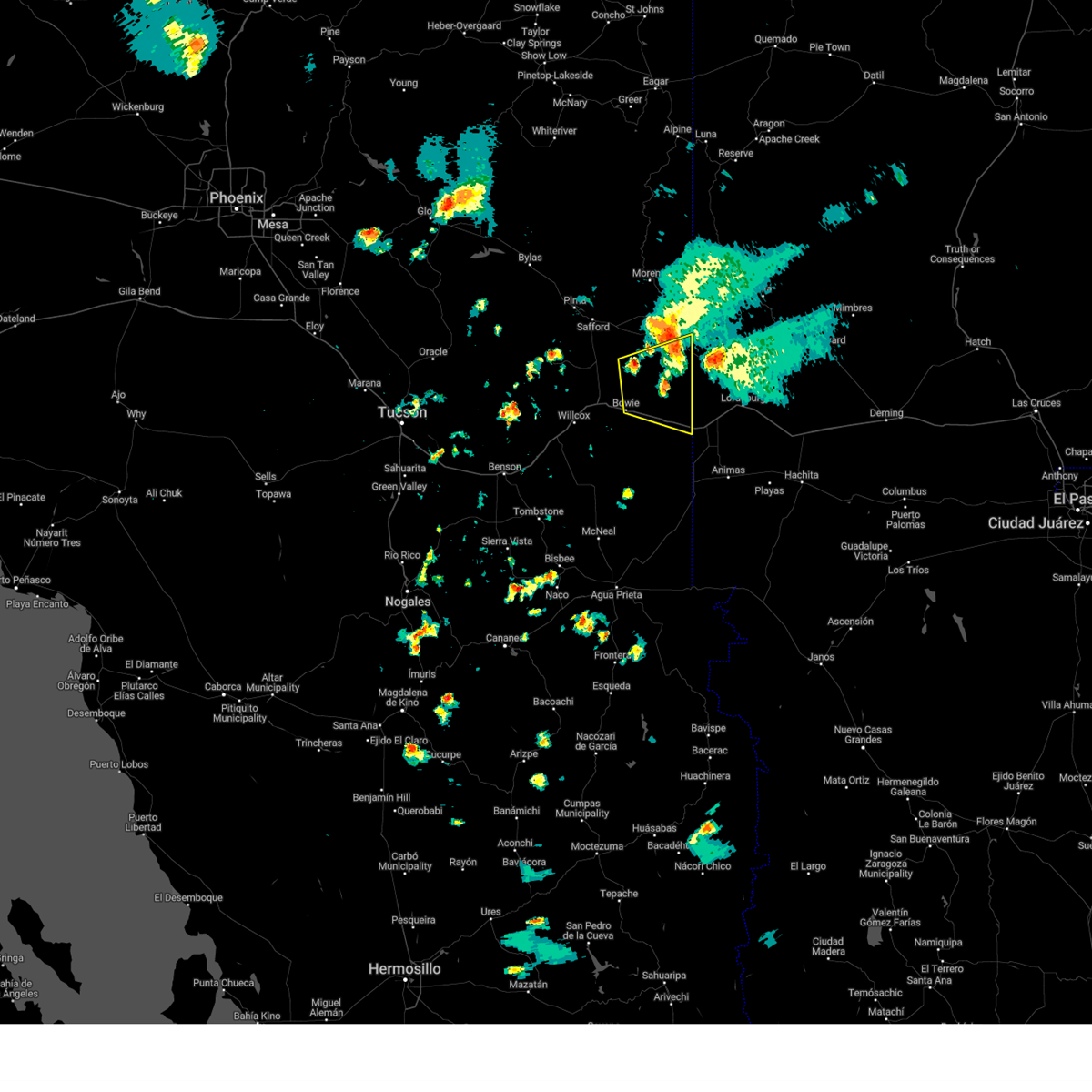
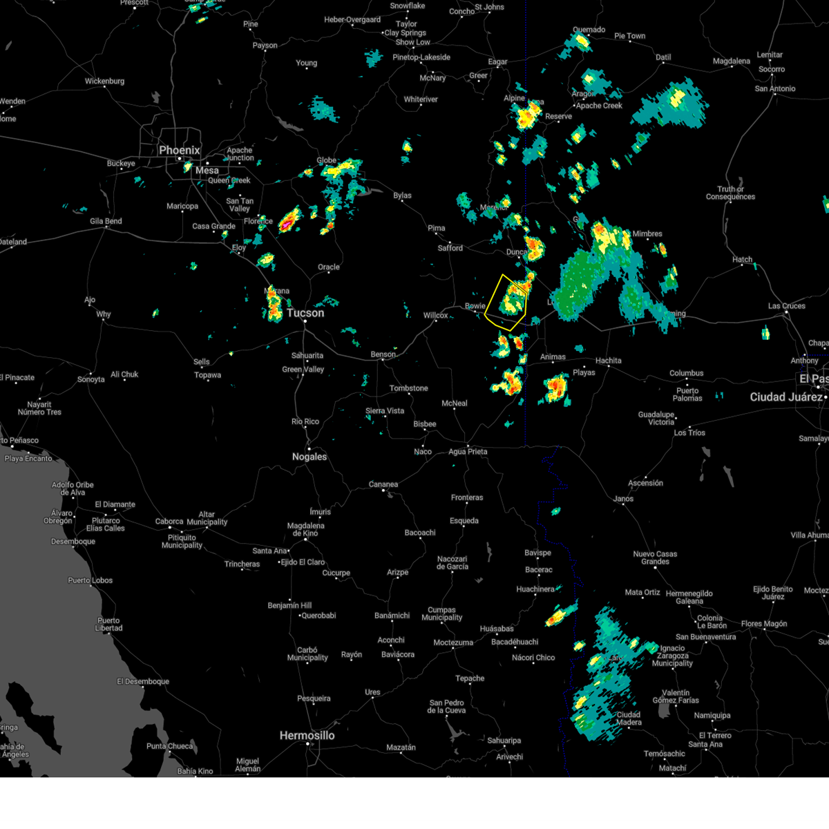
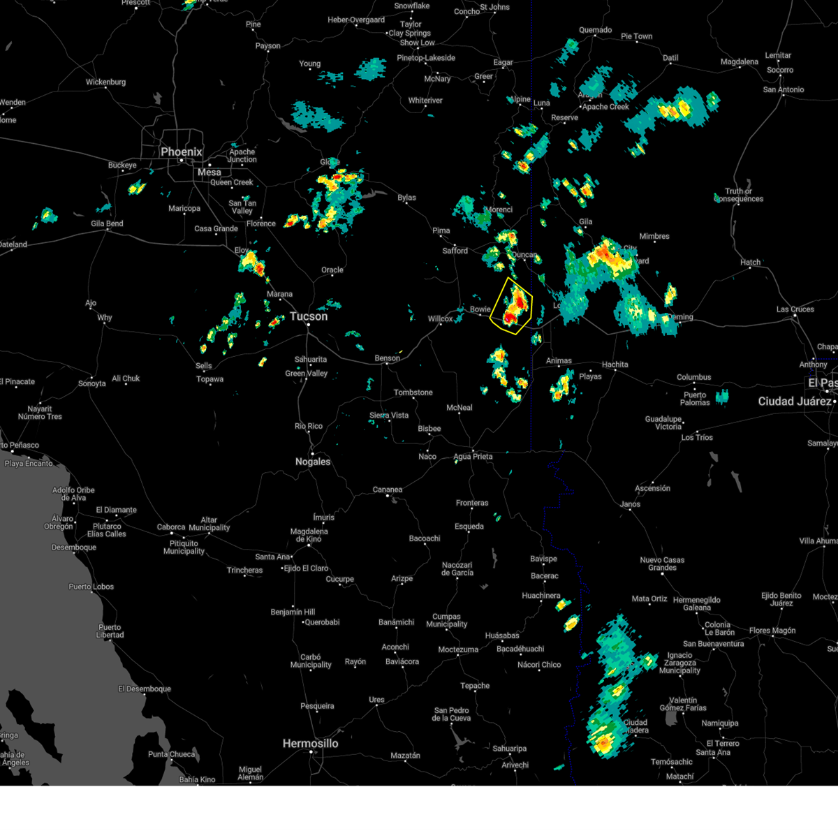
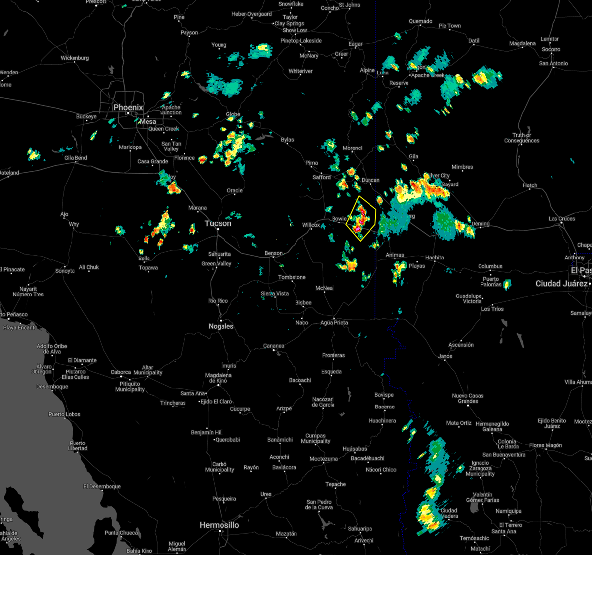
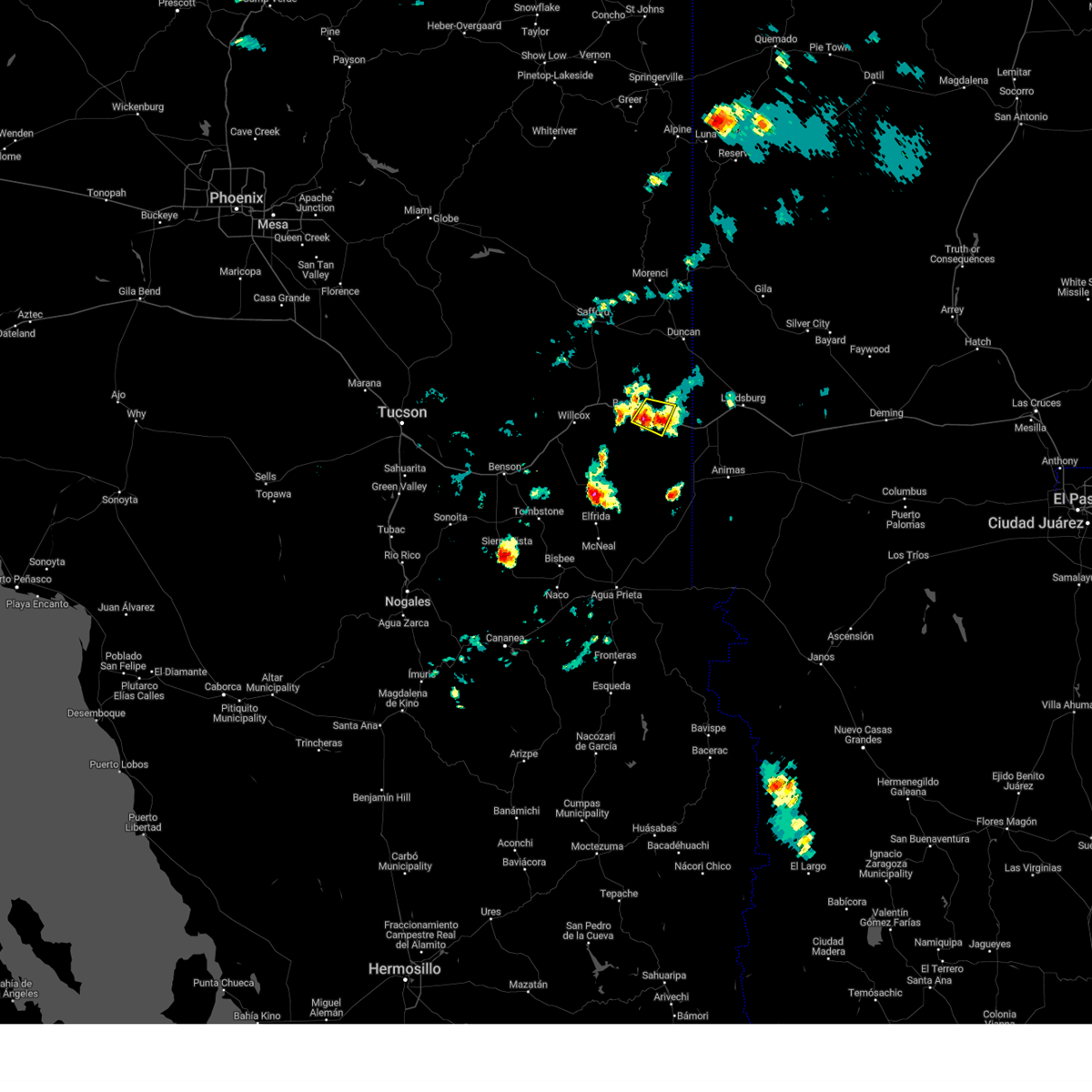
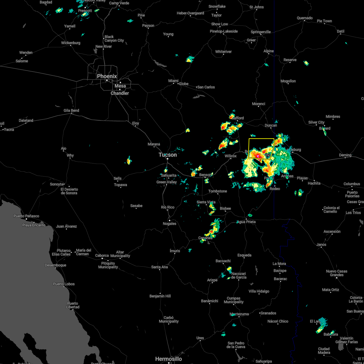
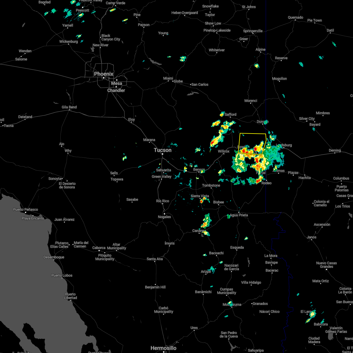
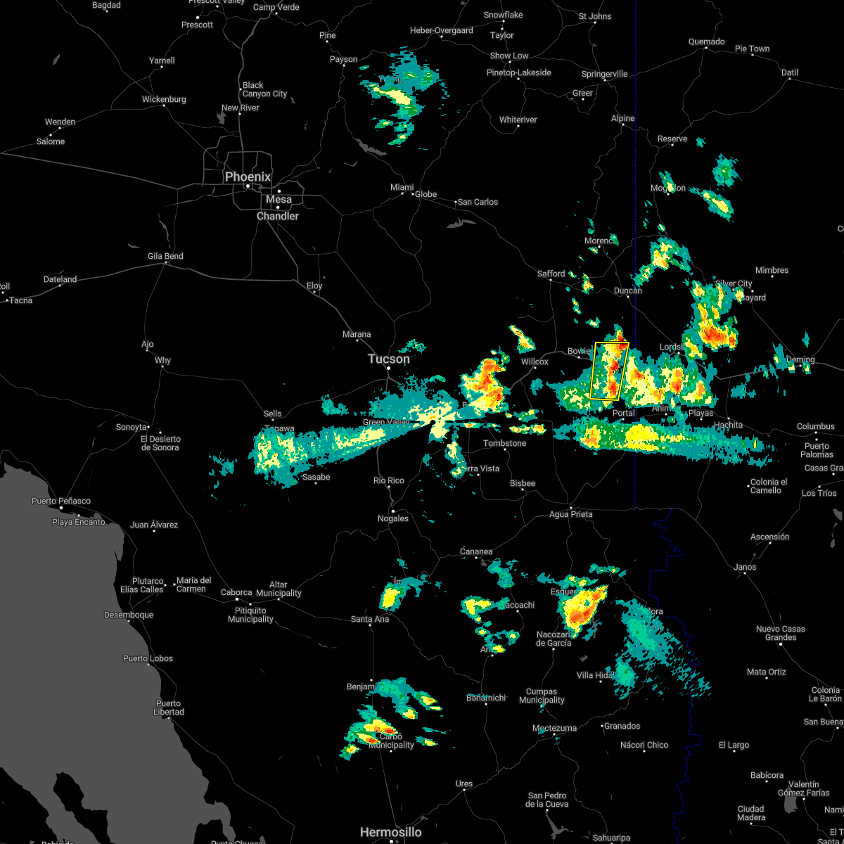
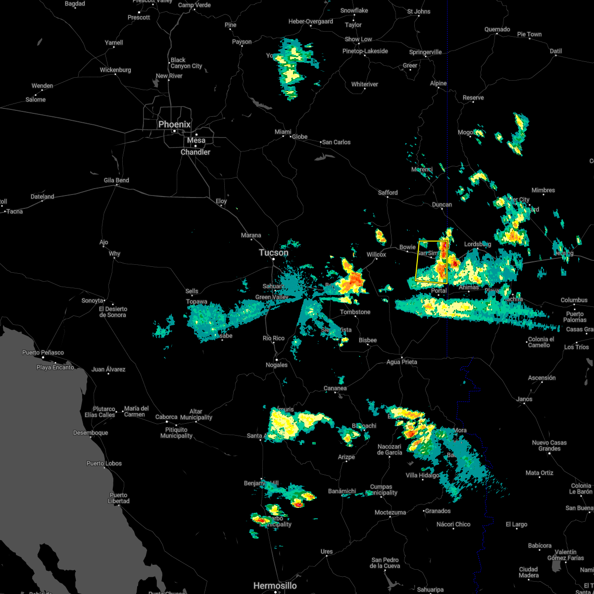
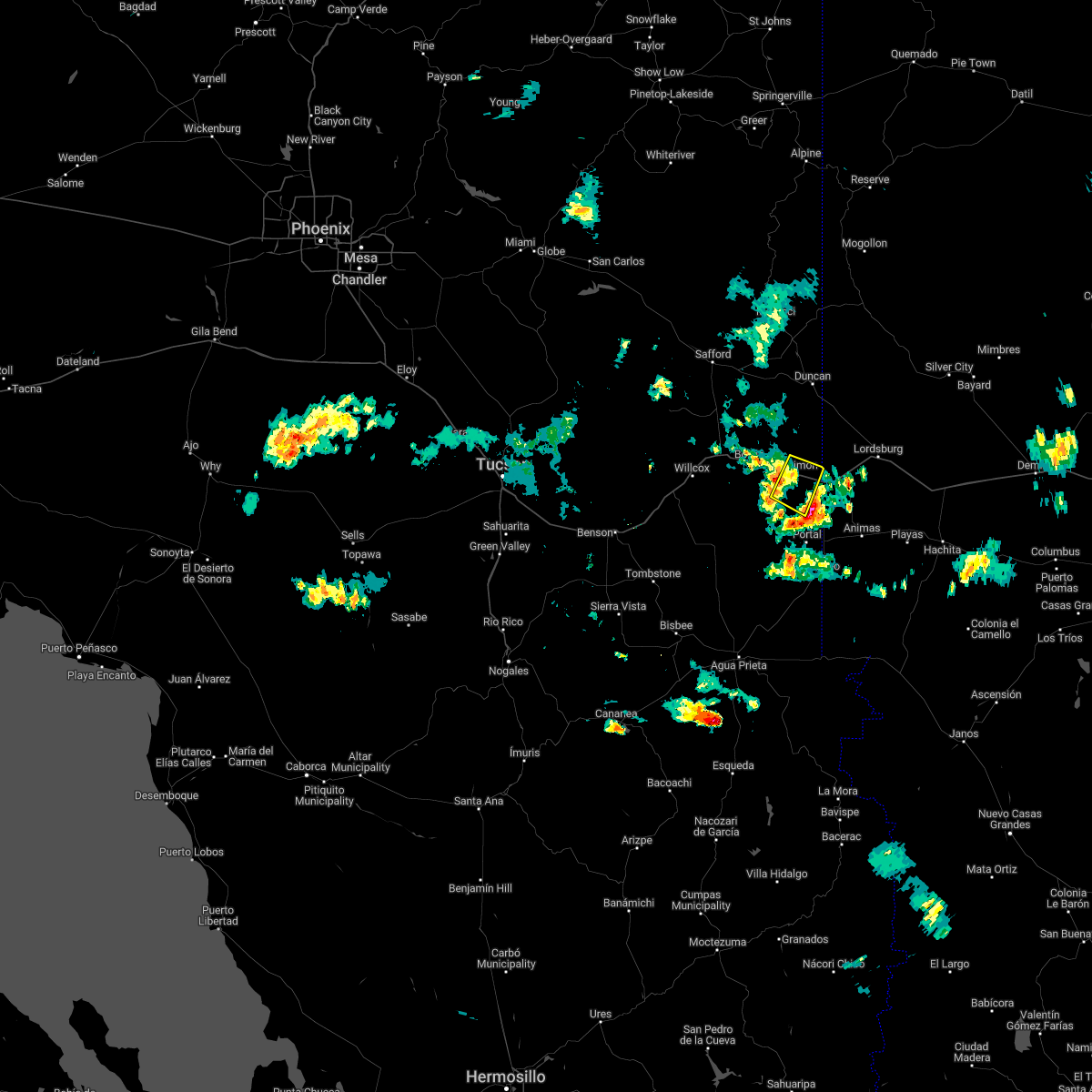
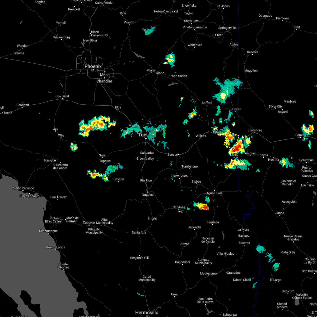
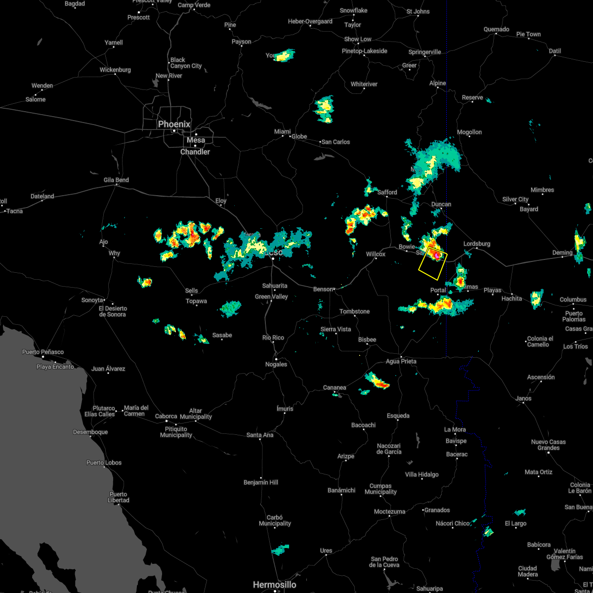
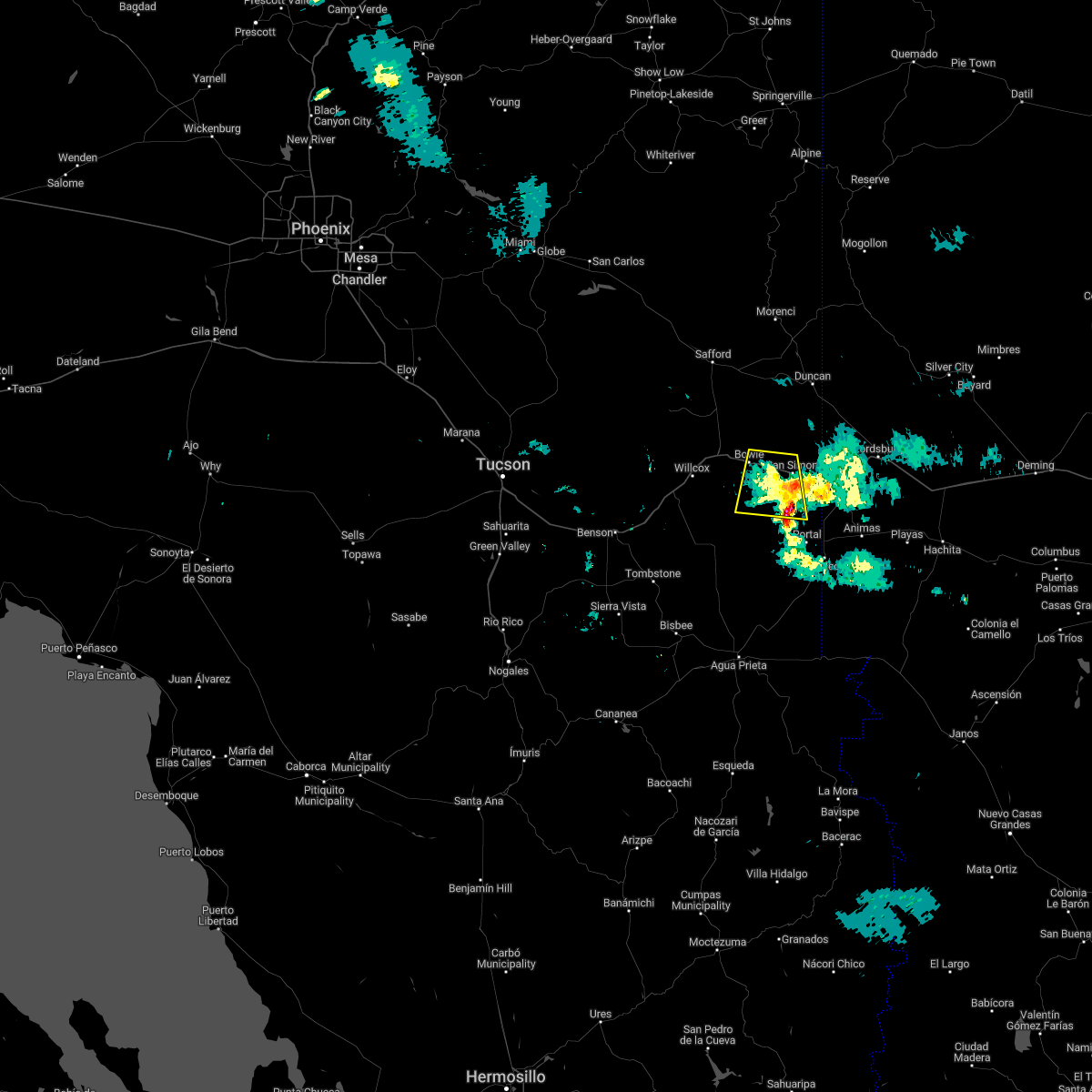
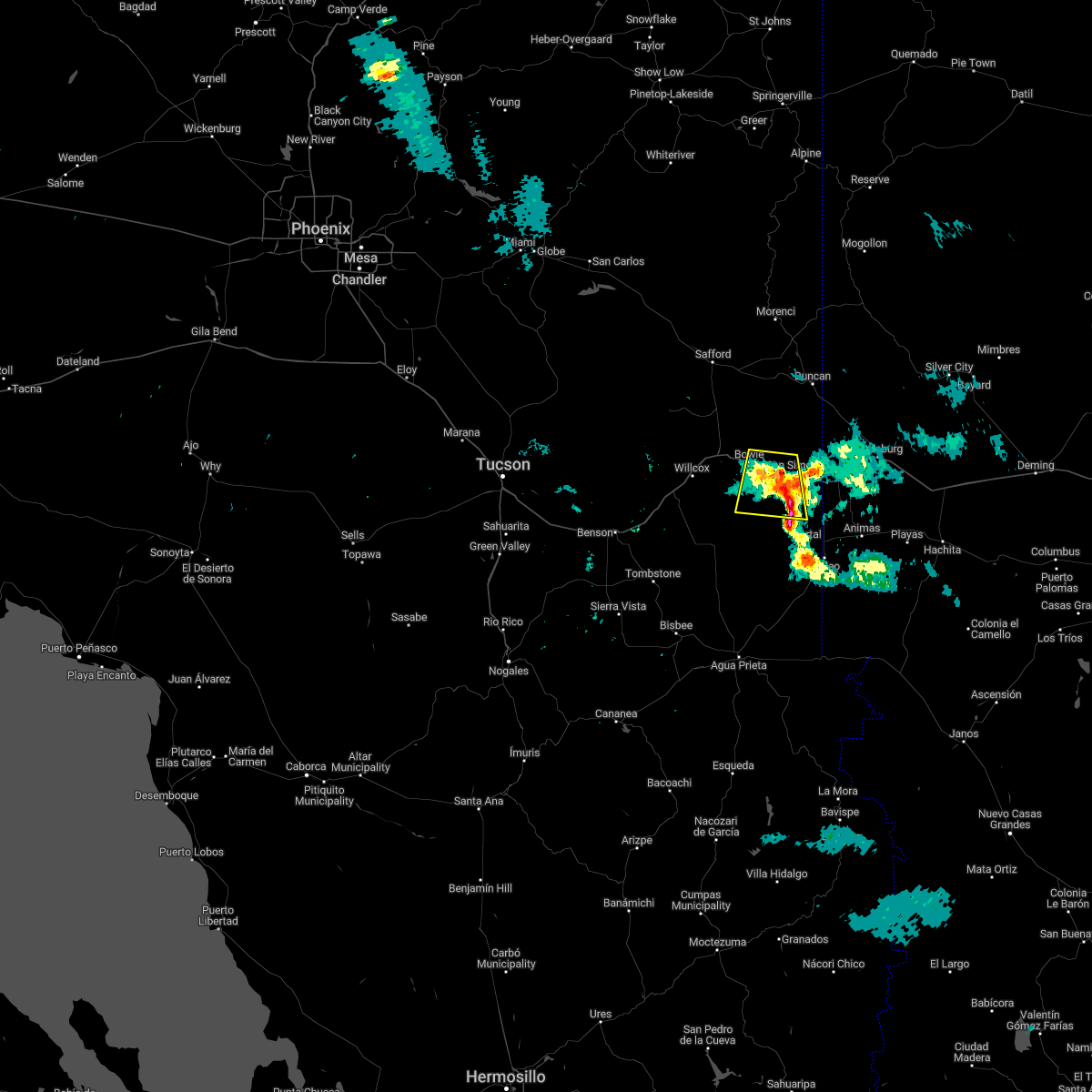
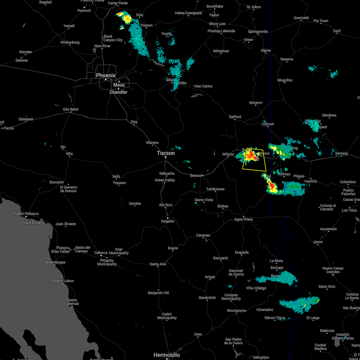
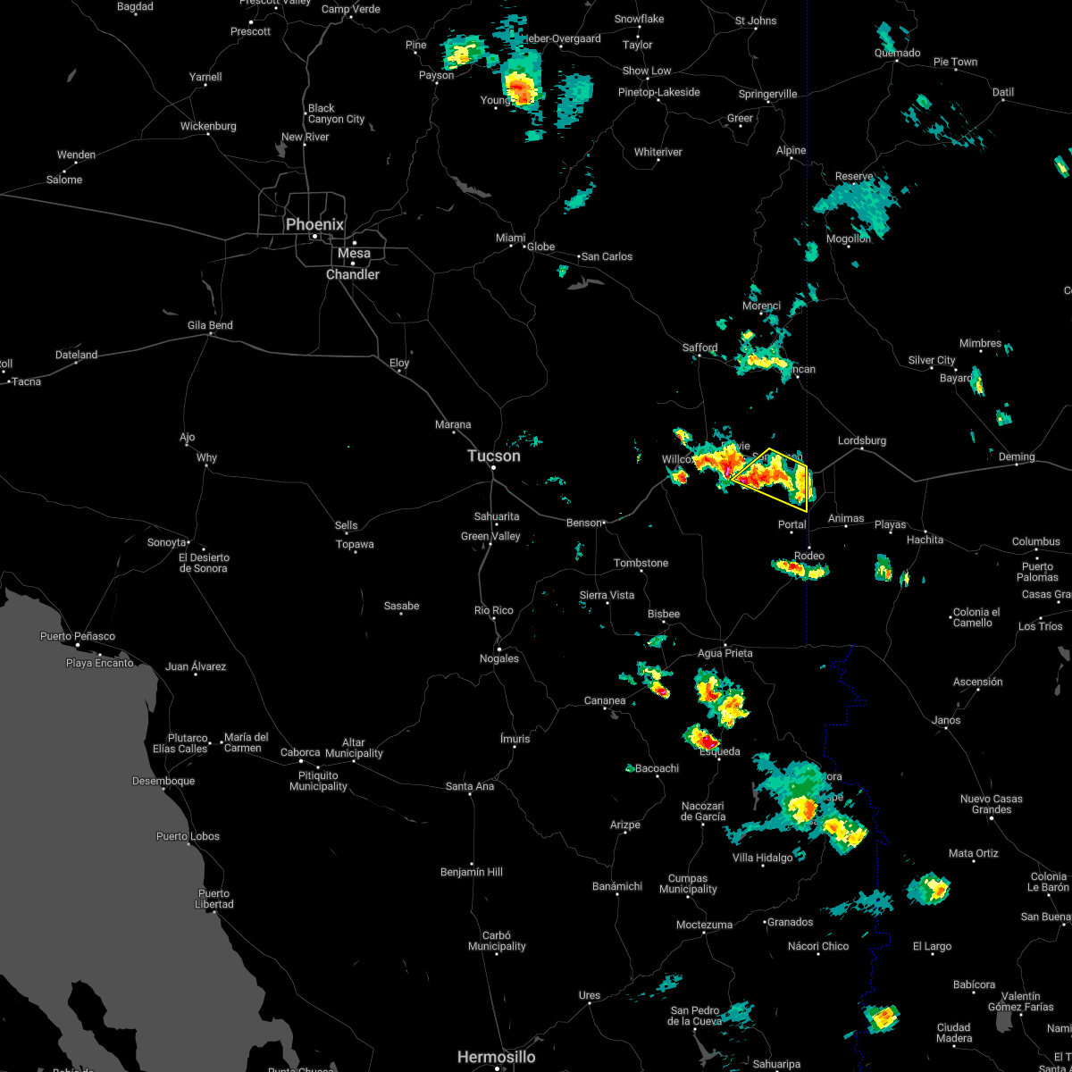
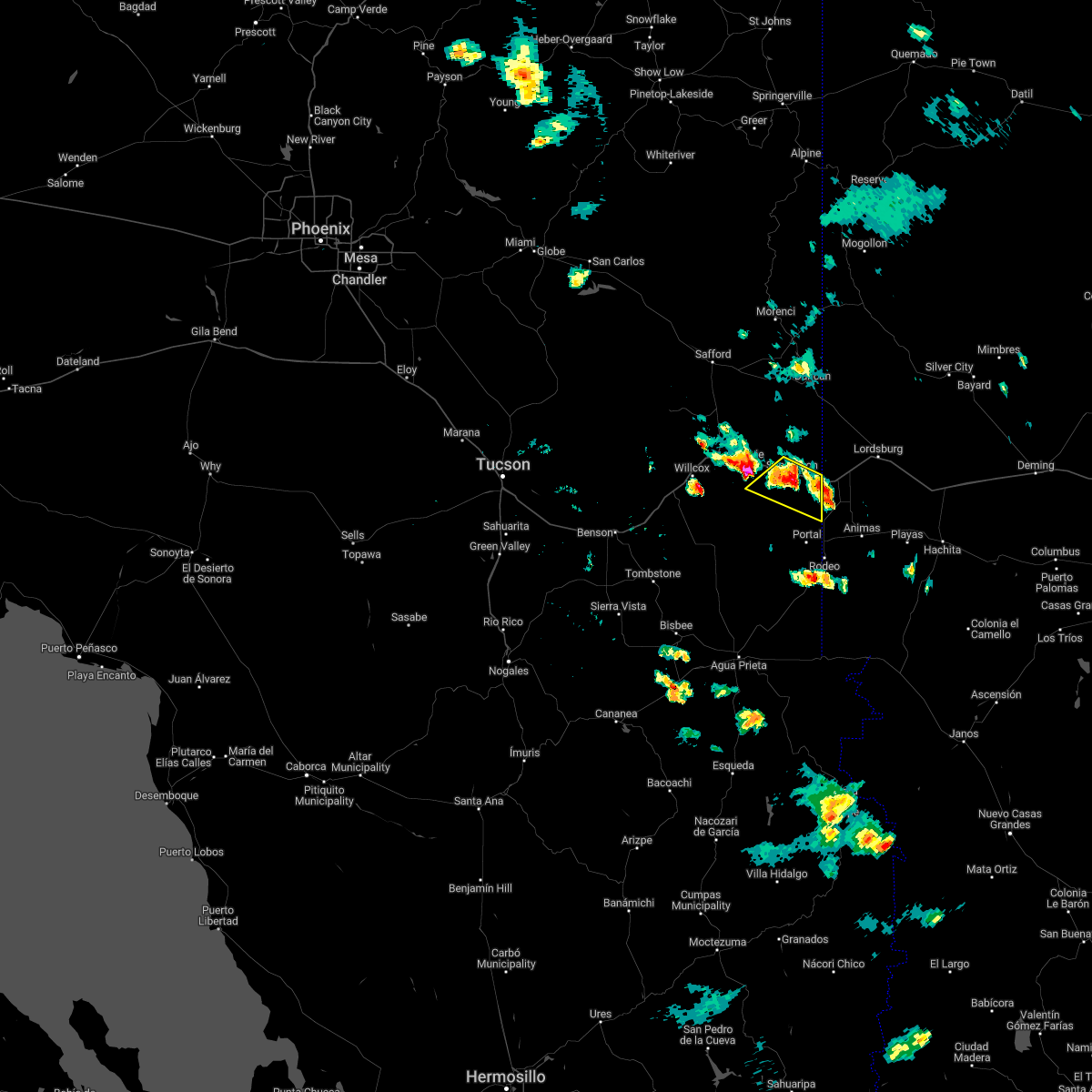
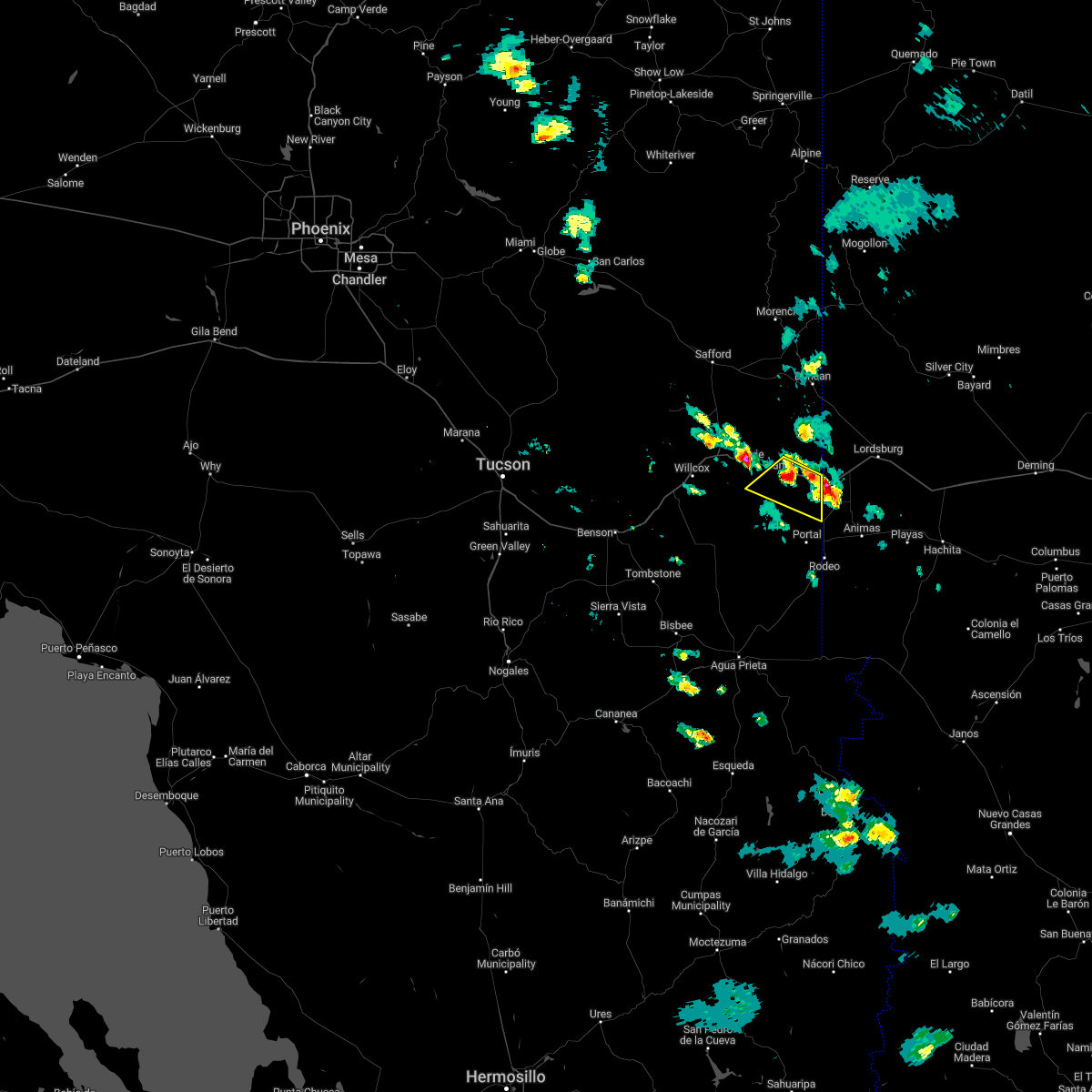
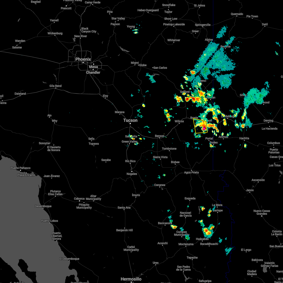
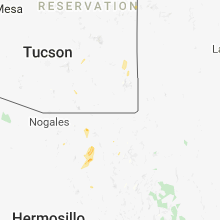
Hail Map for San Simon, AZ
The San Simon, AZ area has had 0 reports of on-the-ground hail by trained spotters, and has been under severe weather warnings 7 times during the past 12 months. Doppler radar has detected hail at or near San Simon, AZ on 11 occasions, including 1 occasion during the past year.
| Name: | San Simon, AZ |
| Where Located: | 65.8 miles WSW of Silver City, NM |
| Map: | Google Map for San Simon, AZ |
| Population: | 165 |
| Housing Units: | 127 |
| More Info: | Search Google for San Simon, AZ |
0
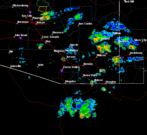
The Top Recent Hail Date for San Simon, AZ is Wednesday, August 7, 2024 (9th out of 11)

Hail and Wind Damage Spotted near San Simon, AZ
| Date / Time | Report Details |
|---|---|
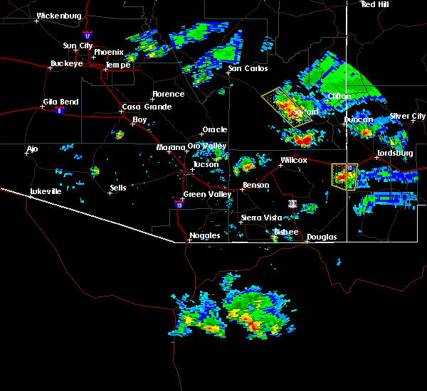
| 7/16/2024 7:21 PM MST |
 the severe thunderstorm warning has been cancelled and is no longer in effect the severe thunderstorm warning has been cancelled and is no longer in effect
|
| 7/16/2024 6:55 PM MST |
 Svrtwc the national weather service in tucson has issued a * severe thunderstorm warning for, south central graham county in southeastern arizona, northeastern cochise county in southeastern arizona, * until 745 pm mst. * at 654 pm mst, a severe thunderstorm was located over bowie, or 19 miles east of willcox, moving west at 10 mph (radar indicated). Hazards include 60 mph wind gusts and nickel size hail. expect damage to roofs, siding, and trees Svrtwc the national weather service in tucson has issued a * severe thunderstorm warning for, south central graham county in southeastern arizona, northeastern cochise county in southeastern arizona, * until 745 pm mst. * at 654 pm mst, a severe thunderstorm was located over bowie, or 19 miles east of willcox, moving west at 10 mph (radar indicated). Hazards include 60 mph wind gusts and nickel size hail. expect damage to roofs, siding, and trees
|
| 7/11/2024 5:04 PM MST |
 the severe thunderstorm warning has been cancelled and is no longer in effect the severe thunderstorm warning has been cancelled and is no longer in effect
|
| 7/11/2024 4:12 PM MST |
 Svrtwc the national weather service in tucson has issued a * severe thunderstorm warning for, northeastern cochise county in southeastern arizona, * until 515 pm mst. * at 411 pm mst, severe thunderstorms were located along a line extending from 9 miles east of willcox to 7 miles north of portal, moving southwest at 15 mph (radar indicated). Hazards include 60 mph wind gusts and areas of blowing dust. expect damage to roofs, siding, and trees Svrtwc the national weather service in tucson has issued a * severe thunderstorm warning for, northeastern cochise county in southeastern arizona, * until 515 pm mst. * at 411 pm mst, severe thunderstorms were located along a line extending from 9 miles east of willcox to 7 miles north of portal, moving southwest at 15 mph (radar indicated). Hazards include 60 mph wind gusts and areas of blowing dust. expect damage to roofs, siding, and trees
|
| 7/11/2024 4:07 PM MST |
 The storm which prompted the warning has weakened below severe limits, and no longer poses an immediate threat to life or property. therefore, the warning will be allowed to expire. remember, a severe thunderstorm warning still remains in effect for greenlee, graham, and cochise counties until 4:40 pm mst. The storm which prompted the warning has weakened below severe limits, and no longer poses an immediate threat to life or property. therefore, the warning will be allowed to expire. remember, a severe thunderstorm warning still remains in effect for greenlee, graham, and cochise counties until 4:40 pm mst.
|
| 7/11/2024 4:03 PM MST | Mesonet station azt16 san simo in cochise county AZ, 0.7 miles NNW of San Simon, AZ |
| 7/11/2024 3:45 PM MST |
 At 344 pm mst, a severe thunderstorm was located 17 miles northeast of bowie, or 20 miles northwest of steins, and is nearly stationary (radar indicated). Hazards include 60 mph wind gusts and quarter size hail. Hail damage to vehicles is expected. expect wind damage to roofs, siding, and trees. locations impacted include, bowie, duncan, franklin, and san simon. this includes the following highways, interstate 10 between mile markers 364 and 391. route 70 between mile markers 378 and 385. Route 75 between mile markers 379 and 380. At 344 pm mst, a severe thunderstorm was located 17 miles northeast of bowie, or 20 miles northwest of steins, and is nearly stationary (radar indicated). Hazards include 60 mph wind gusts and quarter size hail. Hail damage to vehicles is expected. expect wind damage to roofs, siding, and trees. locations impacted include, bowie, duncan, franklin, and san simon. this includes the following highways, interstate 10 between mile markers 364 and 391. route 70 between mile markers 378 and 385. Route 75 between mile markers 379 and 380.
|
| 7/11/2024 3:26 PM MST |
 Svrtwc the national weather service in tucson has issued a * severe thunderstorm warning for, southeastern graham county in southeastern arizona, northeastern cochise county in southeastern arizona, southeastern greenlee county in southeastern arizona, * until 415 pm mst. * at 326 pm mst, a severe thunderstorm was located 18 miles northeast of bowie, or 19 miles southwest of virden, and is nearly stationary (radar indicated). Hazards include 60 mph wind gusts and quarter size hail. Hail damage to vehicles is expected. Expect wind damage to roofs, siding, and trees. Svrtwc the national weather service in tucson has issued a * severe thunderstorm warning for, southeastern graham county in southeastern arizona, northeastern cochise county in southeastern arizona, southeastern greenlee county in southeastern arizona, * until 415 pm mst. * at 326 pm mst, a severe thunderstorm was located 18 miles northeast of bowie, or 19 miles southwest of virden, and is nearly stationary (radar indicated). Hazards include 60 mph wind gusts and quarter size hail. Hail damage to vehicles is expected. Expect wind damage to roofs, siding, and trees.
|
| 7/1/2024 4:21 PM MST |
 The storm which prompted the warning has weakened below severe limits, and no longer poses an immediate threat to life or property. therefore, the warning will be allowed to expire. The storm which prompted the warning has weakened below severe limits, and no longer poses an immediate threat to life or property. therefore, the warning will be allowed to expire.
|
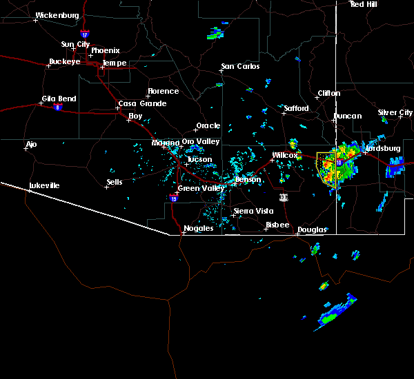
| 7/1/2024 3:57 PM MST |
 At 356 pm mst, a severe thunderstorm was located over san simon on interstate 10, or 14 miles east of bowie, moving northeast at 15 mph (radar indicated). Hazards include 60 mph wind gusts and quarter size hail. Hail damage to vehicles is expected. expect wind damage to roofs, siding, and trees. locations impacted include, san simon. This includes interstate 10 between mile markers 370 and 387. At 356 pm mst, a severe thunderstorm was located over san simon on interstate 10, or 14 miles east of bowie, moving northeast at 15 mph (radar indicated). Hazards include 60 mph wind gusts and quarter size hail. Hail damage to vehicles is expected. expect wind damage to roofs, siding, and trees. locations impacted include, san simon. This includes interstate 10 between mile markers 370 and 387.
|
| 7/1/2024 3:43 PM MST | Storm damage reported in cochise county AZ, 0.7 miles NNW of San Simon, AZ |
| 7/1/2024 3:40 PM MST | Trained spotter reported a thunderstorm wind gust of 62 mph from weather station in san simon. heavy rain is also reporte in cochise county AZ, 1.1 miles NW of San Simon, AZ |
| 7/1/2024 3:38 PM MST |
 Svrtwc the national weather service in tucson has issued a * severe thunderstorm warning for, southeastern graham county in southeastern arizona, northeastern cochise county in southeastern arizona, southeastern greenlee county in southeastern arizona, * until 430 pm mst. * at 337 pm mst, a severe thunderstorm was located 12 miles southeast of bowie, or 19 miles west of steins, moving northeast at 15 mph (radar indicated). Hazards include 60 mph wind gusts and quarter size hail. Hail damage to vehicles is expected. Expect wind damage to roofs, siding, and trees. Svrtwc the national weather service in tucson has issued a * severe thunderstorm warning for, southeastern graham county in southeastern arizona, northeastern cochise county in southeastern arizona, southeastern greenlee county in southeastern arizona, * until 430 pm mst. * at 337 pm mst, a severe thunderstorm was located 12 miles southeast of bowie, or 19 miles west of steins, moving northeast at 15 mph (radar indicated). Hazards include 60 mph wind gusts and quarter size hail. Hail damage to vehicles is expected. Expect wind damage to roofs, siding, and trees.
|
| 8/7/2023 12:55 PM MST |
 At 1255 pm mst, a severe thunderstorm was located 11 miles east of bowie, or 18 miles west of steins, moving northeast at 10 mph (radar indicated). Hazards include 60 mph wind gusts and quarter size hail. Hail damage to vehicles is expected. Expect wind damage to roofs, siding, and trees. At 1255 pm mst, a severe thunderstorm was located 11 miles east of bowie, or 18 miles west of steins, moving northeast at 10 mph (radar indicated). Hazards include 60 mph wind gusts and quarter size hail. Hail damage to vehicles is expected. Expect wind damage to roofs, siding, and trees.
|
| 9/13/2022 2:19 PM MST |
 At 219 pm mst, a severe thunderstorm was located 14 miles east of bowie, or 17 miles northwest of steins, moving north at 15 mph (radar indicated). Hazards include 60 mph wind gusts and quarter size hail. Hail damage to vehicles is expected. expect wind damage to roofs, siding, and trees. locations impacted include, bowie and san simon. hail threat, radar indicated max hail size, 1. 00 in wind threat, radar indicated max wind gust, 60 mph. At 219 pm mst, a severe thunderstorm was located 14 miles east of bowie, or 17 miles northwest of steins, moving north at 15 mph (radar indicated). Hazards include 60 mph wind gusts and quarter size hail. Hail damage to vehicles is expected. expect wind damage to roofs, siding, and trees. locations impacted include, bowie and san simon. hail threat, radar indicated max hail size, 1. 00 in wind threat, radar indicated max wind gust, 60 mph.
|
| 9/13/2022 2:07 PM MST |
 At 207 pm mst, a severe thunderstorm was located 13 miles east of bowie, or 16 miles northwest of steins, moving north at 15 mph (radar indicated). Hazards include 60 mph wind gusts and quarter size hail. Hail damage to vehicles is expected. Expect wind damage to roofs, siding, and trees. At 207 pm mst, a severe thunderstorm was located 13 miles east of bowie, or 16 miles northwest of steins, moving north at 15 mph (radar indicated). Hazards include 60 mph wind gusts and quarter size hail. Hail damage to vehicles is expected. Expect wind damage to roofs, siding, and trees.
|
| 8/3/2022 11:08 PM MST |
 At 1107 pm mst, severe thunderstorms were located along a line extending from 16 miles north of steins to 11 miles northeast of chiricahua national monument, moving east at 15 mph (radar indicated). Hazards include 60 mph wind gusts and quarter size hail. Hail damage to vehicles is expected. expect wind damage to roofs, siding, and trees. locations impacted include, san simon. hail threat, radar indicated max hail size, 1. 00 in wind threat, radar indicated max wind gust, 60 mph. At 1107 pm mst, severe thunderstorms were located along a line extending from 16 miles north of steins to 11 miles northeast of chiricahua national monument, moving east at 15 mph (radar indicated). Hazards include 60 mph wind gusts and quarter size hail. Hail damage to vehicles is expected. expect wind damage to roofs, siding, and trees. locations impacted include, san simon. hail threat, radar indicated max hail size, 1. 00 in wind threat, radar indicated max wind gust, 60 mph.
|
| 8/3/2022 10:41 PM MST |
 At 1040 pm mst, severe thunderstorms were located along a line extending from 13 miles north of steins to 9 miles west of cotton city, moving west at 15 mph (radar indicated). Hazards include 60 mph wind gusts and quarter size hail. Hail damage to vehicles is expected. Expect wind damage to roofs, siding, and trees. At 1040 pm mst, severe thunderstorms were located along a line extending from 13 miles north of steins to 9 miles west of cotton city, moving west at 15 mph (radar indicated). Hazards include 60 mph wind gusts and quarter size hail. Hail damage to vehicles is expected. Expect wind damage to roofs, siding, and trees.
|
| 7/22/2022 7:11 PM MST |
 The severe thunderstorm warning for northeastern cochise county will expire at 715 pm mst, the storm which prompted the warning has weakened below severe limits, and has exited the warned area. therefore, the warning will be allowed to expire. The severe thunderstorm warning for northeastern cochise county will expire at 715 pm mst, the storm which prompted the warning has weakened below severe limits, and has exited the warned area. therefore, the warning will be allowed to expire.
|
| 7/22/2022 6:58 PM MST |
 At 658 pm mst, a severe thunderstorm was located 12 miles northeast of chiricahua national monument, or 13 miles west of steins, moving south at 20 mph (radar indicated). Hazards include 60 mph wind gusts and quarter size hail. Hail damage to vehicles is expected. expect wind damage to roofs, siding, and trees. locations impacted include, san simon. hail threat, radar indicated max hail size, 1. 00 in wind threat, radar indicated max wind gust, 60 mph. At 658 pm mst, a severe thunderstorm was located 12 miles northeast of chiricahua national monument, or 13 miles west of steins, moving south at 20 mph (radar indicated). Hazards include 60 mph wind gusts and quarter size hail. Hail damage to vehicles is expected. expect wind damage to roofs, siding, and trees. locations impacted include, san simon. hail threat, radar indicated max hail size, 1. 00 in wind threat, radar indicated max wind gust, 60 mph.
|
| 7/22/2022 6:33 PM MST |
 At 633 pm mst, a severe thunderstorm was located 10 miles west of steins, moving south at 20 mph (radar indicated). Hazards include 60 mph wind gusts and quarter size hail. Hail damage to vehicles is expected. Expect wind damage to roofs, siding, and trees. At 633 pm mst, a severe thunderstorm was located 10 miles west of steins, moving south at 20 mph (radar indicated). Hazards include 60 mph wind gusts and quarter size hail. Hail damage to vehicles is expected. Expect wind damage to roofs, siding, and trees.
|
| 7/21/2022 7:42 PM MST |
 The severe thunderstorm warning for northeastern cochise county will expire at 745 pm mst, the storm which prompted the warning has weakened below severe limits, and no longer poses an immediate threat to life or property. therefore, the warning will be allowed to expire. however gusty winds are still possible with this thunderstorm. The severe thunderstorm warning for northeastern cochise county will expire at 745 pm mst, the storm which prompted the warning has weakened below severe limits, and no longer poses an immediate threat to life or property. therefore, the warning will be allowed to expire. however gusty winds are still possible with this thunderstorm.
|
| 7/21/2022 7:27 PM MST |
 At 726 pm mst, a severe thunderstorm was located 10 miles north of chiricahua national monument, or 20 miles west of steins, moving south at 10 mph (radar indicated). Hazards include 60 mph wind gusts and quarter size hail. Hail damage to vehicles is expected. expect wind damage to roofs, siding, and trees. locations impacted include, bowie and san simon. hail threat, radar indicated max hail size, 1. 00 in wind threat, observed max wind gust, 60 mph. At 726 pm mst, a severe thunderstorm was located 10 miles north of chiricahua national monument, or 20 miles west of steins, moving south at 10 mph (radar indicated). Hazards include 60 mph wind gusts and quarter size hail. Hail damage to vehicles is expected. expect wind damage to roofs, siding, and trees. locations impacted include, bowie and san simon. hail threat, radar indicated max hail size, 1. 00 in wind threat, observed max wind gust, 60 mph.
|
| 7/21/2022 7:02 PM MST |
 At 702 pm mst, a severe thunderstorm was located 11 miles southeast of bowie, or 20 miles west of steins, moving south at 10 mph (radar indicated). Hazards include 60 mph wind gusts and quarter size hail. Hail damage to vehicles is expected. Expect wind damage to roofs, siding, and trees. At 702 pm mst, a severe thunderstorm was located 11 miles southeast of bowie, or 20 miles west of steins, moving south at 10 mph (radar indicated). Hazards include 60 mph wind gusts and quarter size hail. Hail damage to vehicles is expected. Expect wind damage to roofs, siding, and trees.
|
| 7/19/2022 5:12 PM MST |
 The severe thunderstorm warning for northeastern cochise county will expire at 515 pm mst, the storm which prompted the warning has weakened below severe limits, and no longer poses an immediate threat to life or property. therefore, the warning will be allowed to expire. The severe thunderstorm warning for northeastern cochise county will expire at 515 pm mst, the storm which prompted the warning has weakened below severe limits, and no longer poses an immediate threat to life or property. therefore, the warning will be allowed to expire.
|
| 7/19/2022 4:53 PM MST |
 At 453 pm mst, a severe thunderstorm was located 13 miles north of chiricahua national monument, or 17 miles west of steins, moving southwest at 10 mph (radar indicated). Hazards include 60 mph wind gusts and quarter size hail. Hail damage to vehicles is expected. expect wind damage to roofs, siding, and trees. locations impacted include, san simon. hail threat, radar indicated max hail size, 1. 00 in wind threat, radar indicated max wind gust, 60 mph. At 453 pm mst, a severe thunderstorm was located 13 miles north of chiricahua national monument, or 17 miles west of steins, moving southwest at 10 mph (radar indicated). Hazards include 60 mph wind gusts and quarter size hail. Hail damage to vehicles is expected. expect wind damage to roofs, siding, and trees. locations impacted include, san simon. hail threat, radar indicated max hail size, 1. 00 in wind threat, radar indicated max wind gust, 60 mph.
|
| 7/19/2022 4:34 PM MST |
 At 433 pm mst, a severe thunderstorm was located 14 miles southeast of bowie, or 15 miles west of steins, moving southwest at 10 mph (radar indicated). Hazards include 60 mph wind gusts and quarter size hail. Hail damage to vehicles is expected. Expect wind damage to roofs, siding, and trees. At 433 pm mst, a severe thunderstorm was located 14 miles southeast of bowie, or 15 miles west of steins, moving southwest at 10 mph (radar indicated). Hazards include 60 mph wind gusts and quarter size hail. Hail damage to vehicles is expected. Expect wind damage to roofs, siding, and trees.
|
| 7/9/2022 3:49 PM MST |
 At 346 pm mst, a severe thunderstorm was located 3 miles south of san simon, or 13 miles north of chiricahua national monument, moving west at 15 mph (radar indicated). Hazards include 60 mph wind gusts and quarter size hail. Hail damage to vehicles is expected. Expect wind damage to roofs, siding, and trees. At 346 pm mst, a severe thunderstorm was located 3 miles south of san simon, or 13 miles north of chiricahua national monument, moving west at 15 mph (radar indicated). Hazards include 60 mph wind gusts and quarter size hail. Hail damage to vehicles is expected. Expect wind damage to roofs, siding, and trees.
|
| 8/14/2018 7:09 PM MST |
 The severe thunderstorm warning for east central cochise county will expire at 715 pm mst, the storm which prompted the warning has weakened below severe limits, and no longer poses an immediate threat to life or property. therefore, the warning will be allowed to expire. however small hail, gusty winds and heavy rain are still possible with this thunderstorm. The severe thunderstorm warning for east central cochise county will expire at 715 pm mst, the storm which prompted the warning has weakened below severe limits, and no longer poses an immediate threat to life or property. therefore, the warning will be allowed to expire. however small hail, gusty winds and heavy rain are still possible with this thunderstorm.
|
| 8/14/2018 6:35 PM MST |
 At 635 pm mst, a severe thunderstorm was located 7 miles southwest of steins, or 21 miles northwest of animas along the arizona and new mexico state line, moving west at 5 mph (radar indicated). Hazards include 60 mph wind gusts and quarter size hail. Hail damage to vehicles is expected. Expect wind damage to roofs, siding, and trees. At 635 pm mst, a severe thunderstorm was located 7 miles southwest of steins, or 21 miles northwest of animas along the arizona and new mexico state line, moving west at 5 mph (radar indicated). Hazards include 60 mph wind gusts and quarter size hail. Hail damage to vehicles is expected. Expect wind damage to roofs, siding, and trees.
|
| 8/5/2018 6:13 PM MST | Mesonet station azt16... san simon i-10 ado in cochise county AZ, 0.7 miles NNW of San Simon, AZ |
| 7/11/2015 4:14 PM MST |
 At 413 pm mst, doppler radar indicated a severe thunderstorm capable of producing half dollar size hail and damaging winds in excess of 60 mph. this storm was located south of san simon, and moving northeast at 10 mph. At 413 pm mst, doppler radar indicated a severe thunderstorm capable of producing half dollar size hail and damaging winds in excess of 60 mph. this storm was located south of san simon, and moving northeast at 10 mph.
|
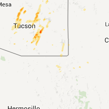
Hail Maps for San Simon, AZ


Connect with Interactive Hail Maps