

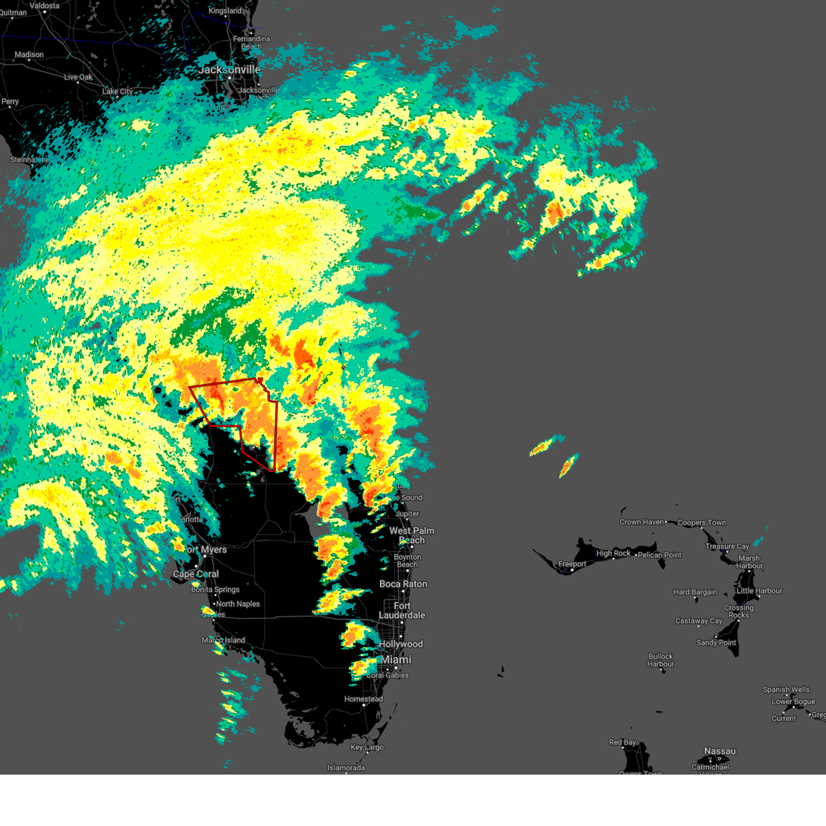
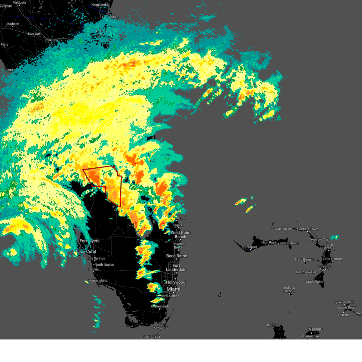
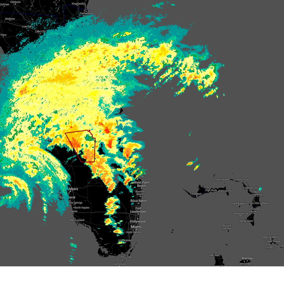
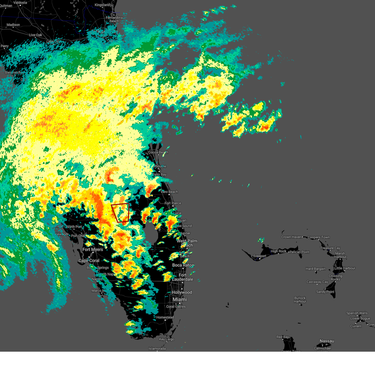
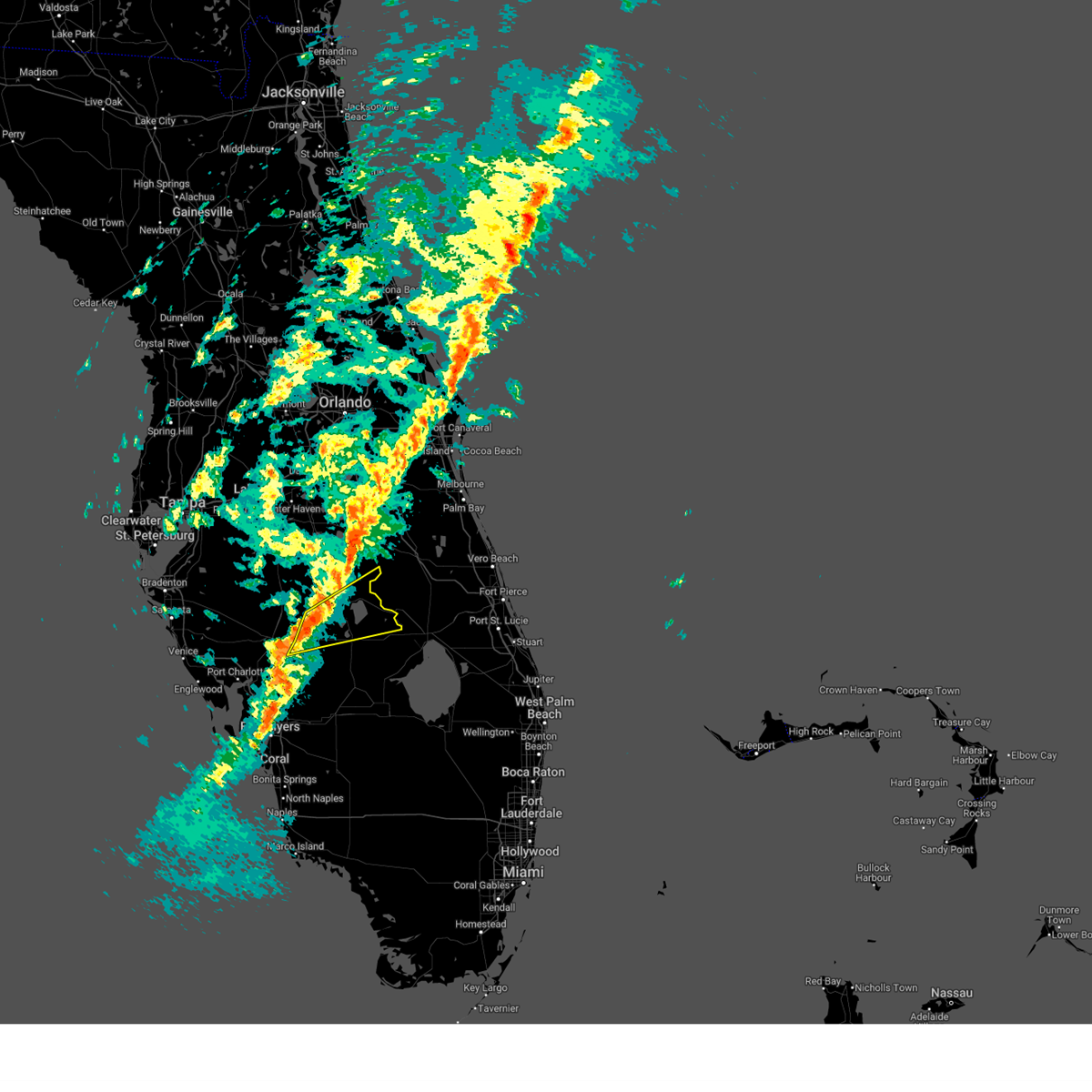
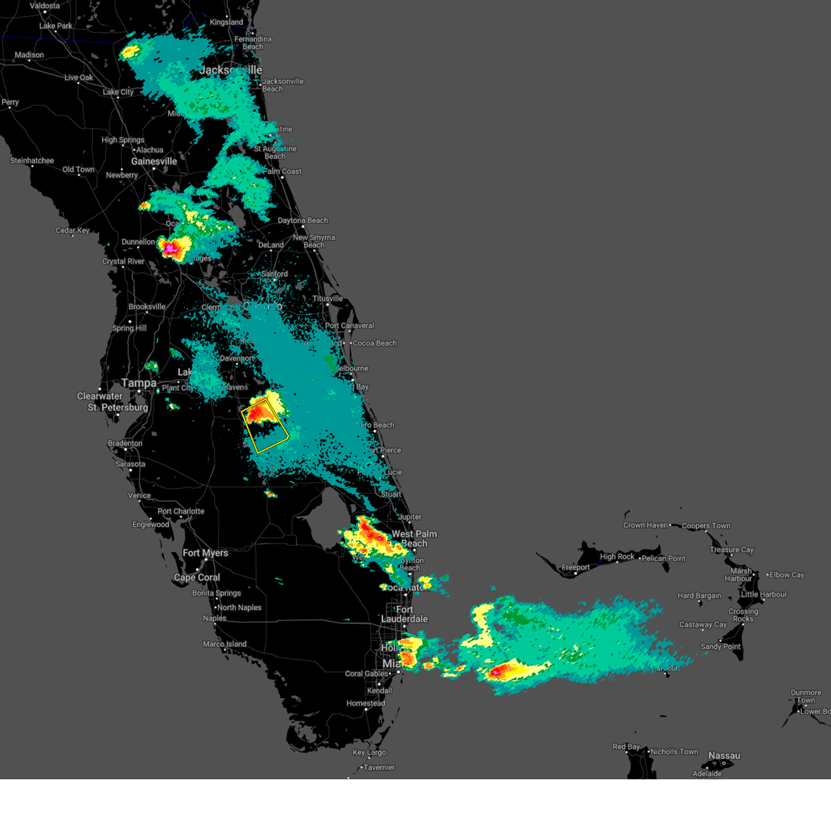
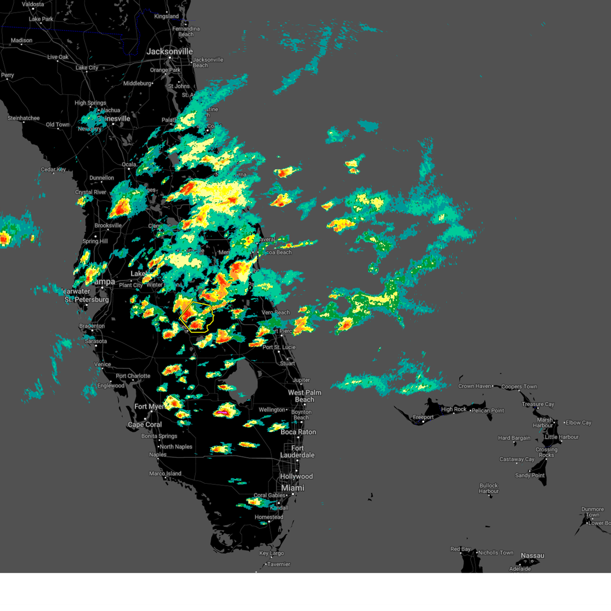
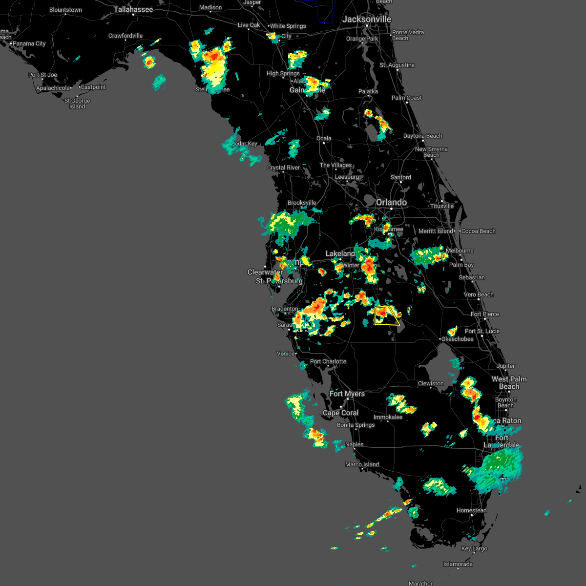
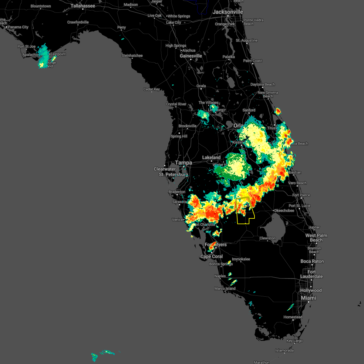
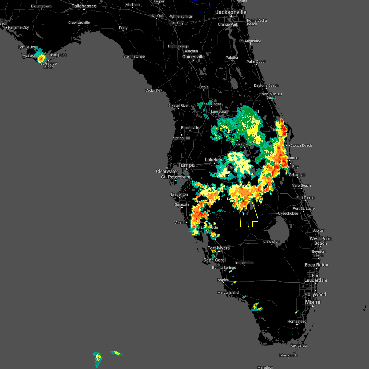
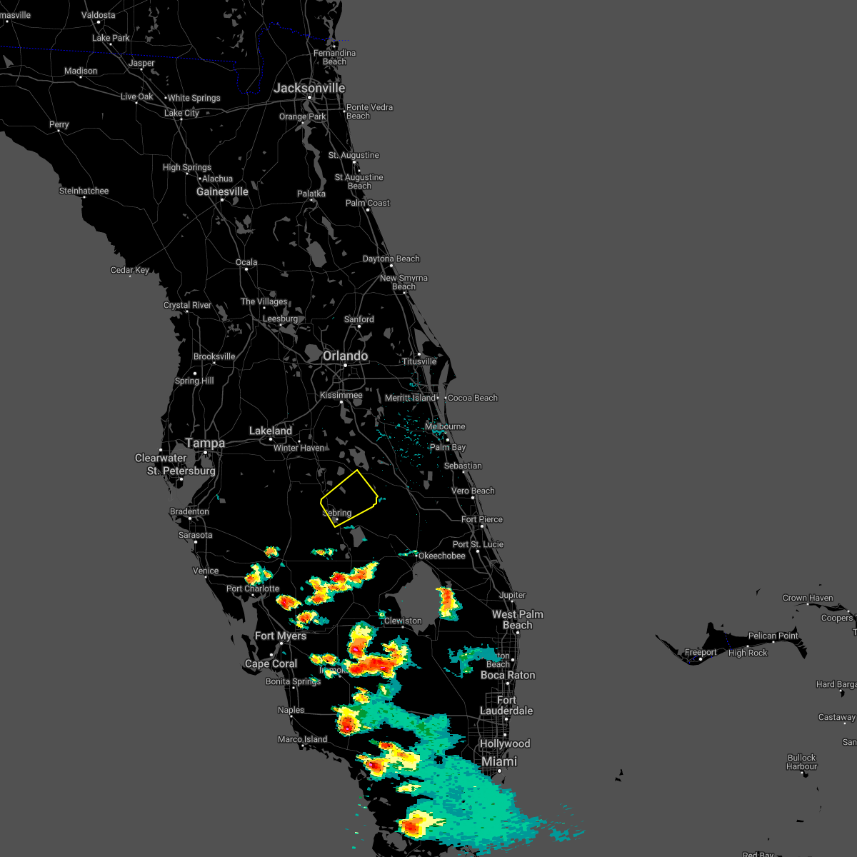
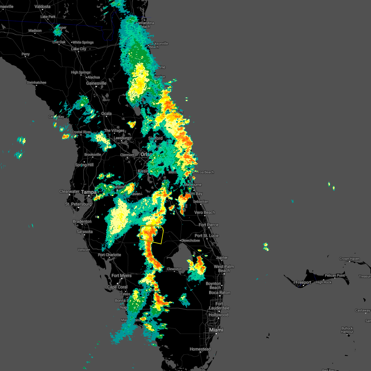
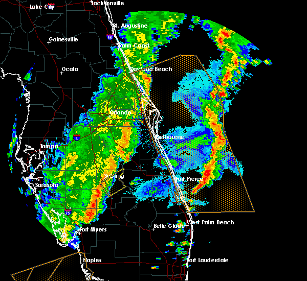
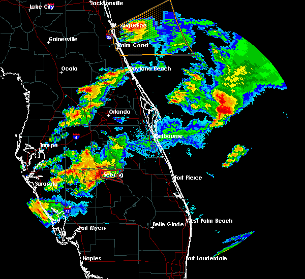
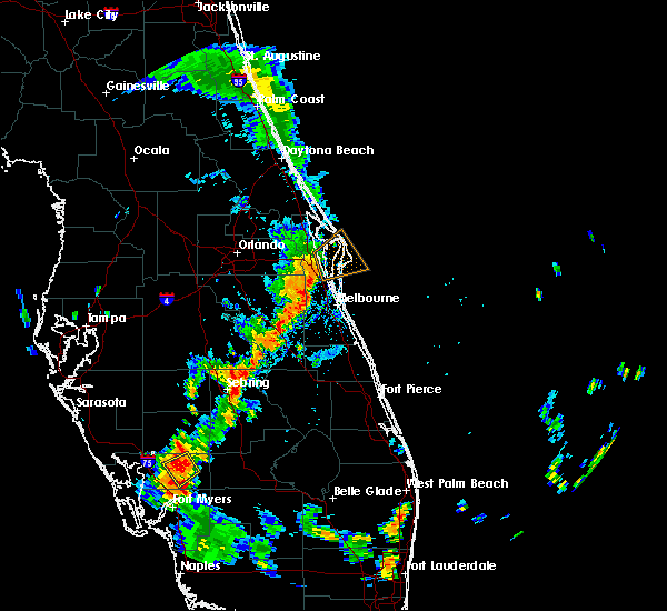
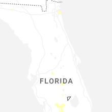
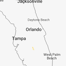
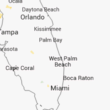
Hail Map for Sebring, FL
The Sebring, FL area has had 4 reports of on-the-ground hail by trained spotters, and has been under severe weather warnings 9 times during the past 12 months. Doppler radar has detected hail at or near Sebring, FL on 62 occasions, including 6 occasions during the past year.
| Name: | Sebring, FL |
| Where Located: | 68.5 miles WNW of Port Saint Lucie, FL |
| Map: | Google Map for Sebring, FL |
| Population: | 10491 |
| Housing Units: | 5623 |
| More Info: | Search Google for Sebring, FL |
2
The Top Recent Hail Date for Sebring, FL is Thursday, August 1, 2024 (7th out of 62)

Hail and Wind Damage Spotted near Sebring, FL
| Date / Time | Report Details |
|---|---|
| 5/6/2025 8:45 PM EDT | *** 1 inj *** highlands co em relayed pictures of damage to 3 mobile homes in the francis one mobile estates community... with one minor injury reported. damage mainly in highlands county FL, 1 miles WNW of Sebring, FL |
| 10/9/2024 3:27 PM EDT |
 The storm which prompted the warning has weakened below severe limits, and no longer appears capable of producing a tornado. therefore, the warning will be allowed to expire. a tornado watch remains in effect until 900 pm edt for south central and central florida. The storm which prompted the warning has weakened below severe limits, and no longer appears capable of producing a tornado. therefore, the warning will be allowed to expire. a tornado watch remains in effect until 900 pm edt for south central and central florida.
|
| 10/9/2024 3:17 PM EDT |
 the tornado warning has been cancelled and is no longer in effect the tornado warning has been cancelled and is no longer in effect
|
| 10/9/2024 3:17 PM EDT |
 At 317 pm edt, a severe thunderstorm capable of producing a tornado was located near avon park, moving north at 55 mph (radar indicated rotation). Hazards include tornado. Flying debris will be dangerous to those caught without shelter. mobile homes will be damaged or destroyed. damage to roofs, windows, and vehicles will occur. tree damage is likely. this dangerous storm will be near, lake wales around 325 pm edt. winter haven around 340 pm edt. Other locations impacted by this tornadic thunderstorm include homeland, alturas, highland park, mulberry, indian lake estates, crooked lake park, highland city, lake wales municipal airport, sebring shores, and babson park. At 317 pm edt, a severe thunderstorm capable of producing a tornado was located near avon park, moving north at 55 mph (radar indicated rotation). Hazards include tornado. Flying debris will be dangerous to those caught without shelter. mobile homes will be damaged or destroyed. damage to roofs, windows, and vehicles will occur. tree damage is likely. this dangerous storm will be near, lake wales around 325 pm edt. winter haven around 340 pm edt. Other locations impacted by this tornadic thunderstorm include homeland, alturas, highland park, mulberry, indian lake estates, crooked lake park, highland city, lake wales municipal airport, sebring shores, and babson park.
|
| 10/9/2024 2:58 PM EDT |
 Tortbw the national weather service in ruskin has issued a * tornado warning for, northwestern highlands county in south central florida, eastern hardee county in central florida, southern polk county in central florida, northeastern desoto county in south central florida, * until 330 pm edt. * at 258 pm edt, a severe thunderstorm capable of producing a tornado was located near sebring, moving north at 55 mph (radar indicated rotation). Hazards include tornado. Flying debris will be dangerous to those caught without shelter. mobile homes will be damaged or destroyed. damage to roofs, windows, and vehicles will occur. tree damage is likely. this dangerous storm will be near, sebring and avon park around 305 pm edt. Other locations impacted by this tornadic thunderstorm include homeland, alturas, indian lake estates, crooked lake park, frostproof, lake josephine, wahneta, fort meade, lorida, and hillcrest heights. Tortbw the national weather service in ruskin has issued a * tornado warning for, northwestern highlands county in south central florida, eastern hardee county in central florida, southern polk county in central florida, northeastern desoto county in south central florida, * until 330 pm edt. * at 258 pm edt, a severe thunderstorm capable of producing a tornado was located near sebring, moving north at 55 mph (radar indicated rotation). Hazards include tornado. Flying debris will be dangerous to those caught without shelter. mobile homes will be damaged or destroyed. damage to roofs, windows, and vehicles will occur. tree damage is likely. this dangerous storm will be near, sebring and avon park around 305 pm edt. Other locations impacted by this tornadic thunderstorm include homeland, alturas, indian lake estates, crooked lake park, frostproof, lake josephine, wahneta, fort meade, lorida, and hillcrest heights.
|
| 10/9/2024 2:22 PM EDT | Tortbw the national weather service in ruskin has issued a * tornado warning for, northwestern highlands county in south central florida, eastern hardee county in central florida, southeastern polk county in central florida, northeastern desoto county in south central florida, * until 300 pm edt. * at 222 pm edt, a severe thunderstorm capable of producing a tornado was located near sylvan shores, or near lake placid, moving north at 30 mph (radar indicated rotation). Hazards include tornado. Flying debris will be dangerous to those caught without shelter. mobile homes will be damaged or destroyed. damage to roofs, windows, and vehicles will occur. tree damage is likely. this dangerous storm will be near, sebring and sebring regional airport around 225 pm edt. avon park around 235 pm edt. Other locations impacted by this tornadic thunderstorm include lake josephine, lorida, avon park executive airport, avon park air force range, crewsville, sebring shores, and placid lakes. |
| 10/9/2024 2:05 PM EDT |
 Tortbw the national weather service in ruskin has issued a * tornado warning for, central highlands county in south central florida, * until 230 pm edt. * at 205 pm edt, a confirmed large and extremely dangerous tornado was located near lake placid, moving north at 20 mph. this is a particularly dangerous situation. take cover now! (weather spotters confirmed tornado). Hazards include damaging tornado. You are in a life-threatening situation. flying debris may be deadly to those caught without shelter. mobile homes will be destroyed. considerable damage to homes, businesses, and vehicles is likely and complete destruction is possible. the tornado will be near, lake placid, sylvan shores, and lake istokpoga around 210 pm edt. Other locations impacted by this tornadic thunderstorm include lake josephine, archbold, placid lakes, and lorida. Tortbw the national weather service in ruskin has issued a * tornado warning for, central highlands county in south central florida, * until 230 pm edt. * at 205 pm edt, a confirmed large and extremely dangerous tornado was located near lake placid, moving north at 20 mph. this is a particularly dangerous situation. take cover now! (weather spotters confirmed tornado). Hazards include damaging tornado. You are in a life-threatening situation. flying debris may be deadly to those caught without shelter. mobile homes will be destroyed. considerable damage to homes, businesses, and vehicles is likely and complete destruction is possible. the tornado will be near, lake placid, sylvan shores, and lake istokpoga around 210 pm edt. Other locations impacted by this tornadic thunderstorm include lake josephine, archbold, placid lakes, and lorida.
|
| 10/9/2024 1:25 PM EDT |
 The storm which prompted the warning has weakened below severe limits, and no longer appears capable of producing a tornado. therefore, the warning will be allowed to expire. a tornado watch remains in effect until 900 pm edt for south central and central florida. The storm which prompted the warning has weakened below severe limits, and no longer appears capable of producing a tornado. therefore, the warning will be allowed to expire. a tornado watch remains in effect until 900 pm edt for south central and central florida.
|
| 10/9/2024 1:19 PM EDT | Tortbw the national weather service in ruskin has issued a * tornado warning for, northwestern highlands county in south central florida, northeastern hardee county in central florida, south central polk county in central florida, * until 145 pm edt. * at 118 pm edt, a severe thunderstorm capable of producing a tornado was located near sebring, moving northwest at 25 mph (radar indicated rotation). Hazards include tornado. Flying debris will be dangerous to those caught without shelter. mobile homes will be damaged or destroyed. damage to roofs, windows, and vehicles will occur. tree damage is likely. this dangerous storm will be near, sebring and avon park around 125 pm edt. Other locations impacted by this tornadic thunderstorm include lake josephine, crewsville, sebring shores, and avon park executive airport. |
| 10/9/2024 12:56 PM EDT |
 Tortbw the national weather service in ruskin has issued a * tornado warning for, northwestern highlands county in south central florida, south central polk county in central florida, * until 130 pm edt. * at 1256 pm edt, a severe thunderstorm capable of producing a tornado was located over lake placid, moving north at 40 mph (radar indicated rotation). Hazards include tornado. Flying debris will be dangerous to those caught without shelter. mobile homes will be damaged or destroyed. damage to roofs, windows, and vehicles will occur. tree damage is likely. this dangerous storm will be near, sebring around 100 pm edt. avon park around 110 pm edt. Other locations impacted by this tornadic thunderstorm include lake josephine, sebring shores, avon park executive airport, and placid lakes. Tortbw the national weather service in ruskin has issued a * tornado warning for, northwestern highlands county in south central florida, south central polk county in central florida, * until 130 pm edt. * at 1256 pm edt, a severe thunderstorm capable of producing a tornado was located over lake placid, moving north at 40 mph (radar indicated rotation). Hazards include tornado. Flying debris will be dangerous to those caught without shelter. mobile homes will be damaged or destroyed. damage to roofs, windows, and vehicles will occur. tree damage is likely. this dangerous storm will be near, sebring around 100 pm edt. avon park around 110 pm edt. Other locations impacted by this tornadic thunderstorm include lake josephine, sebring shores, avon park executive airport, and placid lakes.
|
| 1/9/2024 7:14 PM EST |
 At 714 pm est, severe thunderstorms were located along a line extending from sebring regional airport to 6 miles northwest of sylvan shores to 6 miles west of lake placid, moving northeast at 55 mph (radar indicated). Hazards include 60 mph wind gusts. Expect damage to roofs, siding, and trees. locations impacted include, sebring, lake placid, sebring regional airport, lake josephine, placid lakes, lorida, cornwell, sylvan shores, and lake istokpoga. hail threat, radar indicated max hail size, <. 75 in wind threat, radar indicated max wind gust, 60 mph. At 714 pm est, severe thunderstorms were located along a line extending from sebring regional airport to 6 miles northwest of sylvan shores to 6 miles west of lake placid, moving northeast at 55 mph (radar indicated). Hazards include 60 mph wind gusts. Expect damage to roofs, siding, and trees. locations impacted include, sebring, lake placid, sebring regional airport, lake josephine, placid lakes, lorida, cornwell, sylvan shores, and lake istokpoga. hail threat, radar indicated max hail size, <. 75 in wind threat, radar indicated max wind gust, 60 mph.
|
| 1/9/2024 7:06 PM EST |
 At 705 pm est, a severe thunderstorm capable of producing a tornado was located 7 miles west of lake placid, moving northeast at 55 mph (radar indicated rotation). Hazards include tornado. Flying debris will be dangerous to those caught without shelter. mobile homes will be damaged or destroyed. damage to roofs, windows, and vehicles will occur. tree damage is likely. this dangerous storm will be near, lake placid, sebring regional airport, and sylvan shores around 710 pm est. lake istokpoga around 715 pm est. Other locations impacted by this tornadic thunderstorm include lake josephine and lorida. At 705 pm est, a severe thunderstorm capable of producing a tornado was located 7 miles west of lake placid, moving northeast at 55 mph (radar indicated rotation). Hazards include tornado. Flying debris will be dangerous to those caught without shelter. mobile homes will be damaged or destroyed. damage to roofs, windows, and vehicles will occur. tree damage is likely. this dangerous storm will be near, lake placid, sebring regional airport, and sylvan shores around 710 pm est. lake istokpoga around 715 pm est. Other locations impacted by this tornadic thunderstorm include lake josephine and lorida.
|
| 1/9/2024 6:52 PM EST |
 The national weather service in ruskin has issued a * severe thunderstorm warning for. central highlands county in south central florida. southeastern hardee county in central florida. northeastern desoto county in south central florida. Until 730 pm est. The national weather service in ruskin has issued a * severe thunderstorm warning for. central highlands county in south central florida. southeastern hardee county in central florida. northeastern desoto county in south central florida. Until 730 pm est.
|
| 1/9/2024 6:15 PM EST |
 At 615 pm est, severe thunderstorms were located along a line extending from near lake wales to 9 miles northwest of avon park to 12 miles northeast of wauchula to 8 miles southeast of ona, moving northeast at 55 mph (radar indicated). Hazards include 60 mph wind gusts. expect damage to roofs, siding, and trees At 615 pm est, severe thunderstorms were located along a line extending from near lake wales to 9 miles northwest of avon park to 12 miles northeast of wauchula to 8 miles southeast of ona, moving northeast at 55 mph (radar indicated). Hazards include 60 mph wind gusts. expect damage to roofs, siding, and trees
|
| 8/30/2023 6:53 AM EDT |
 At 652 am edt, a severe thunderstorm capable of producing a tornado was located 10 miles west of sebring, moving northeast at 45 mph (radar indicated rotation). Hazards include tornado. Flying debris will be dangerous to those caught without shelter. mobile homes will be damaged or destroyed. damage to roofs, windows, and vehicles will occur. tree damage is likely. this dangerous storm will be near, avon park around 700 am edt. Other locations impacted by this tornadic thunderstorm include frostproof, crewsville, and avon park executive airport. At 652 am edt, a severe thunderstorm capable of producing a tornado was located 10 miles west of sebring, moving northeast at 45 mph (radar indicated rotation). Hazards include tornado. Flying debris will be dangerous to those caught without shelter. mobile homes will be damaged or destroyed. damage to roofs, windows, and vehicles will occur. tree damage is likely. this dangerous storm will be near, avon park around 700 am edt. Other locations impacted by this tornadic thunderstorm include frostproof, crewsville, and avon park executive airport.
|
| 8/30/2023 6:20 AM EDT |
 The national weather service in ruskin has issued a * tornado warning for. northwestern highlands county in south central florida. eastern hardee county in central florida. south central polk county in central florida. Until 645 am edt. The national weather service in ruskin has issued a * tornado warning for. northwestern highlands county in south central florida. eastern hardee county in central florida. south central polk county in central florida. Until 645 am edt.
|
| 4/26/2023 9:45 PM EDT |
 At 945 pm edt, a severe thunderstorm was located 12 miles north of avon park, moving southeast at 25 mph (radar indicated). Hazards include 60 mph wind gusts and quarter size hail. Hail damage to vehicles is expected. Expect wind damage to roofs, siding, and trees. At 945 pm edt, a severe thunderstorm was located 12 miles north of avon park, moving southeast at 25 mph (radar indicated). Hazards include 60 mph wind gusts and quarter size hail. Hail damage to vehicles is expected. Expect wind damage to roofs, siding, and trees.
|
| 4/24/2023 4:35 PM EDT |
 At 434 pm edt, severe thunderstorms were located along a line extending from near avon park to near sebring regional airport, moving northeast at 10 mph (radar indicated). Hazards include 60 mph wind gusts and quarter size hail. Hail damage to vehicles is expected. Expect wind damage to roofs, siding, and trees. At 434 pm edt, severe thunderstorms were located along a line extending from near avon park to near sebring regional airport, moving northeast at 10 mph (radar indicated). Hazards include 60 mph wind gusts and quarter size hail. Hail damage to vehicles is expected. Expect wind damage to roofs, siding, and trees.
|
| 6/19/2022 5:13 PM EDT |
 At 513 pm edt, a severe thunderstorm was located over sebring, moving south at 10 mph (radar indicated). Hazards include 60 mph wind gusts and quarter size hail. Hail damage to vehicles is expected. Expect wind damage to roofs, siding, and trees. At 513 pm edt, a severe thunderstorm was located over sebring, moving south at 10 mph (radar indicated). Hazards include 60 mph wind gusts and quarter size hail. Hail damage to vehicles is expected. Expect wind damage to roofs, siding, and trees.
|
| 6/18/2022 4:54 PM EDT |
 The severe thunderstorm warning for southwestern highlands county will expire at 500 pm edt, the storm which prompted the warning has weakened below severe limits, and no longer poses an immediate threat to life or property. therefore, the warning will be allowed to expire. however gusty winds and heavy rain are still possible with this thunderstorm. a severe thunderstorm watch remains in effect until 800 pm edt for south central florida. The severe thunderstorm warning for southwestern highlands county will expire at 500 pm edt, the storm which prompted the warning has weakened below severe limits, and no longer poses an immediate threat to life or property. therefore, the warning will be allowed to expire. however gusty winds and heavy rain are still possible with this thunderstorm. a severe thunderstorm watch remains in effect until 800 pm edt for south central florida.
|
| 6/18/2022 4:46 PM EDT | Mesonet station lwef1 lake wales in highlands c in highlands county FL, 4.7 miles WNW of Sebring, FL |
| 6/18/2022 4:22 PM EDT |
 At 422 pm edt, a severe thunderstorm was located near sylvan shores, or near lake placid, moving south at 35 mph (radar indicated). Hazards include 60 mph wind gusts and penny size hail. expect damage to roofs, siding, and trees At 422 pm edt, a severe thunderstorm was located near sylvan shores, or near lake placid, moving south at 35 mph (radar indicated). Hazards include 60 mph wind gusts and penny size hail. expect damage to roofs, siding, and trees
|
| 6/18/2022 3:38 PM EDT |
 The severe thunderstorm warning for northwestern highlands and east central hardee counties will expire at 345 pm edt, the storm which prompted the warning has weakened below severe limits, and no longer poses an immediate threat to life or property. therefore, the warning will be allowed to expire. however small hail and gusty winds are still possible with this thunderstorm. a severe thunderstorm watch remains in effect until 800 pm edt for central and south central florida. The severe thunderstorm warning for northwestern highlands and east central hardee counties will expire at 345 pm edt, the storm which prompted the warning has weakened below severe limits, and no longer poses an immediate threat to life or property. therefore, the warning will be allowed to expire. however small hail and gusty winds are still possible with this thunderstorm. a severe thunderstorm watch remains in effect until 800 pm edt for central and south central florida.
|
| 6/18/2022 3:27 PM EDT |
 At 327 pm edt, a severe thunderstorm was located over avon park, and is nearly stationary (radar indicated). Hazards include 60 mph wind gusts and quarter size hail. Hail damage to vehicles is expected. expect wind damage to roofs, siding, and trees. locations impacted include, sebring, avon park, sebring shores and avon park executive airport. hail threat, radar indicated max hail size, 1. 00 in wind threat, radar indicated max wind gust, 60 mph. At 327 pm edt, a severe thunderstorm was located over avon park, and is nearly stationary (radar indicated). Hazards include 60 mph wind gusts and quarter size hail. Hail damage to vehicles is expected. expect wind damage to roofs, siding, and trees. locations impacted include, sebring, avon park, sebring shores and avon park executive airport. hail threat, radar indicated max hail size, 1. 00 in wind threat, radar indicated max wind gust, 60 mph.
|
| 6/18/2022 3:19 PM EDT |
 At 319 pm edt, a severe thunderstorm was located over avon park, and is nearly stationary (radar indicated). Hazards include 60 mph wind gusts and quarter size hail. Hail damage to vehicles is expected. Expect wind damage to roofs, siding, and trees. At 319 pm edt, a severe thunderstorm was located over avon park, and is nearly stationary (radar indicated). Hazards include 60 mph wind gusts and quarter size hail. Hail damage to vehicles is expected. Expect wind damage to roofs, siding, and trees.
|
| 5/20/2022 6:04 PM EDT |
 At 604 pm edt, a severe thunderstorm was located 13 miles southwest of sebring, moving northeast at 45 mph (radar indicated). Hazards include 60 mph wind gusts and quarter size hail. Hail damage to vehicles is expected. Expect wind damage to roofs, siding, and trees. At 604 pm edt, a severe thunderstorm was located 13 miles southwest of sebring, moving northeast at 45 mph (radar indicated). Hazards include 60 mph wind gusts and quarter size hail. Hail damage to vehicles is expected. Expect wind damage to roofs, siding, and trees.
|
| 5/1/2022 2:45 PM EDT | Highlands county sheriffs office reports roof damage to one structure and that a tree fell on a separate structure as a thunderstorm occurred. time estimated by rada in highlands county FL, 2.2 miles S of Sebring, FL |
| 4/4/2022 6:44 PM EDT |
 At 644 pm edt, a severe thunderstorm was located near sebring, moving northeast at 25 mph (radar indicated). Hazards include 60 mph wind gusts and half dollar size hail. Hail damage to vehicles is expected. Expect wind damage to roofs, siding, and trees. At 644 pm edt, a severe thunderstorm was located near sebring, moving northeast at 25 mph (radar indicated). Hazards include 60 mph wind gusts and half dollar size hail. Hail damage to vehicles is expected. Expect wind damage to roofs, siding, and trees.
|
| 4/4/2022 6:35 PM EDT | Golf Ball sized hail reported 2.7 miles SE of Sebring, FL, multiple golf ball size hail reports near sebring... fl from nws employee and trained spotters. |
| 4/4/2022 6:21 PM EDT |
 At 620 pm edt, a severe thunderstorm was located 9 miles west of sebring, moving northeast at 25 mph (radar indicated). Hazards include 60 mph wind gusts and half dollar size hail. Hail damage to vehicles is expected. Expect wind damage to roofs, siding, and trees. At 620 pm edt, a severe thunderstorm was located 9 miles west of sebring, moving northeast at 25 mph (radar indicated). Hazards include 60 mph wind gusts and half dollar size hail. Hail damage to vehicles is expected. Expect wind damage to roofs, siding, and trees.
|
| 3/12/2022 11:32 AM EST | Em reported multiple homes with roof... carport... and/or window damage at leisure acres mobile home par in highlands county FL, 1 miles WNW of Sebring, FL |
| 4/11/2021 1:47 PM EDT |
 At 146 pm edt, severe thunderstorms were located along a line extending from 5 miles west of kissimmee prarie preserve to 10 miles southwest of sebring, moving east at 40 mph (trained weather spotters). Hazards include 60 mph wind gusts and quarter size hail. Hail damage to vehicles is expected. Expect wind damage to roofs, siding, and trees. At 146 pm edt, severe thunderstorms were located along a line extending from 5 miles west of kissimmee prarie preserve to 10 miles southwest of sebring, moving east at 40 mph (trained weather spotters). Hazards include 60 mph wind gusts and quarter size hail. Hail damage to vehicles is expected. Expect wind damage to roofs, siding, and trees.
|
| 9/12/2020 5:32 PM EDT |
 At 532 pm edt, a severe thunderstorm capable of producing a tornado was located near avon park, moving west at 35 mph (radar indicated rotation). Hazards include tornado. Flying debris will be dangerous to those caught without shelter. mobile homes will be damaged or destroyed. damage to roofs, windows, and vehicles will occur. tree damage is likely. this dangerous storm will be near, wauchula around 555 pm edt. Other locations impacted by this tornadic thunderstorm include fort meade, fort green, bowling green and avon park executive airport. At 532 pm edt, a severe thunderstorm capable of producing a tornado was located near avon park, moving west at 35 mph (radar indicated rotation). Hazards include tornado. Flying debris will be dangerous to those caught without shelter. mobile homes will be damaged or destroyed. damage to roofs, windows, and vehicles will occur. tree damage is likely. this dangerous storm will be near, wauchula around 555 pm edt. Other locations impacted by this tornadic thunderstorm include fort meade, fort green, bowling green and avon park executive airport.
|
| 7/27/2020 6:12 PM EDT |
 The severe thunderstorm warning for west central highlands county will expire at 615 pm edt, the storm which prompted the warning has weakened below severe limits, and no longer poses an immediate threat to life or property. therefore, the warning will be allowed to expire. however gusty winds and heavy rain are still possible with this thunderstorm. The severe thunderstorm warning for west central highlands county will expire at 615 pm edt, the storm which prompted the warning has weakened below severe limits, and no longer poses an immediate threat to life or property. therefore, the warning will be allowed to expire. however gusty winds and heavy rain are still possible with this thunderstorm.
|
| 7/27/2020 5:47 PM EDT |
 At 547 pm edt, a severe thunderstorm was located near sylvan shores, or near lake placid, moving east at 15 mph (radar indicated). Hazards include 60 mph wind gusts and penny size hail. expect damage to roofs, siding, and trees At 547 pm edt, a severe thunderstorm was located near sylvan shores, or near lake placid, moving east at 15 mph (radar indicated). Hazards include 60 mph wind gusts and penny size hail. expect damage to roofs, siding, and trees
|
| 2/7/2020 12:20 AM EST |
 At 1219 am est, severe thunderstorms were located along a line extending from hunters creek to 6 miles west of north port, moving east at 50 mph (radar indicated). Hazards include 60 mph wind gusts. Expect damage to roofs, siding, and trees. Locations impacted include, winter haven, haines city, bartow, lake wales, sebring, avon park, arcadia, wauchula, ona, southeast arcadia, myakka city, jan phyl village, poinciana, sweetwater, fort meade, lake alfred, crooked lake park, dundee, frostproof and bowling green. At 1219 am est, severe thunderstorms were located along a line extending from hunters creek to 6 miles west of north port, moving east at 50 mph (radar indicated). Hazards include 60 mph wind gusts. Expect damage to roofs, siding, and trees. Locations impacted include, winter haven, haines city, bartow, lake wales, sebring, avon park, arcadia, wauchula, ona, southeast arcadia, myakka city, jan phyl village, poinciana, sweetwater, fort meade, lake alfred, crooked lake park, dundee, frostproof and bowling green.
|
| 2/6/2020 11:44 PM EST |
 At 1144 pm est, severe thunderstorms were located along a line extending from 9 miles west of four corners to 18 miles southwest of gulf gate estates, moving east at 50 mph (radar indicated). Hazards include 60 mph wind gusts. expect damage to roofs, siding, and trees At 1144 pm est, severe thunderstorms were located along a line extending from 9 miles west of four corners to 18 miles southwest of gulf gate estates, moving east at 50 mph (radar indicated). Hazards include 60 mph wind gusts. expect damage to roofs, siding, and trees
|
| 6/9/2019 1:38 PM EDT |
 At 137 pm edt, severe thunderstorms were located along a line extending from near avon park to near sebring regional airport to 5 miles north of venus, moving northeast at 35 mph (radar indicated). Hazards include 60 mph wind gusts and penny size hail. expect damage to roofs, siding, and trees At 137 pm edt, severe thunderstorms were located along a line extending from near avon park to near sebring regional airport to 5 miles north of venus, moving northeast at 35 mph (radar indicated). Hazards include 60 mph wind gusts and penny size hail. expect damage to roofs, siding, and trees
|
| 4/19/2019 4:47 PM EDT |
 At 447 pm edt, a severe thunderstorm was located near sebring regional airport, or near lake placid, moving northeast at 55 mph (radar indicated). Hazards include 60 mph wind gusts. expect damage to roofs, siding, and trees At 447 pm edt, a severe thunderstorm was located near sebring regional airport, or near lake placid, moving northeast at 55 mph (radar indicated). Hazards include 60 mph wind gusts. expect damage to roofs, siding, and trees
|
| 4/19/2019 4:02 PM EDT |
 At 401 pm edt, severe thunderstorms were located along a line extending from near west lake toho to 10 miles northeast of arcadia to 13 miles west of pineland, moving northeast at 50 mph (radar indicated). Hazards include 60 mph wind gusts. Expect damage to roofs, siding, and trees. Locations impacted include, punta gorda, lake wales, sebring, avon park, arcadia, port charlotte, southeast arcadia, charlotte county airport, poinciana, sweetwater, crooked lake park, frostproof, zolfo springs, hillcrest heights, highland park, indian lake estates, nocatee, brownville, harbour heights and cleveland. At 401 pm edt, severe thunderstorms were located along a line extending from near west lake toho to 10 miles northeast of arcadia to 13 miles west of pineland, moving northeast at 50 mph (radar indicated). Hazards include 60 mph wind gusts. Expect damage to roofs, siding, and trees. Locations impacted include, punta gorda, lake wales, sebring, avon park, arcadia, port charlotte, southeast arcadia, charlotte county airport, poinciana, sweetwater, crooked lake park, frostproof, zolfo springs, hillcrest heights, highland park, indian lake estates, nocatee, brownville, harbour heights and cleveland.
|
| 4/19/2019 3:29 PM EDT |
 At 329 pm edt, severe thunderstorms were located along a line extending from near intercession city to 9 miles northwest of arcadia to 34 miles west of pine island, moving northeast at 60 mph (radar indicated). Hazards include 60 mph wind gusts. expect damage to roofs, siding, and trees At 329 pm edt, severe thunderstorms were located along a line extending from near intercession city to 9 miles northwest of arcadia to 34 miles west of pine island, moving northeast at 60 mph (radar indicated). Hazards include 60 mph wind gusts. expect damage to roofs, siding, and trees
|
| 4/10/2018 12:53 PM EDT |
 The severe thunderstorm warning for northwestern highlands county will expire at 100 pm edt, the storm which prompted the warning has weakened below severe limits. therefore, the warning will be allowed to expire. however heavy rain and dangerous lightning will still be possible. The severe thunderstorm warning for northwestern highlands county will expire at 100 pm edt, the storm which prompted the warning has weakened below severe limits. therefore, the warning will be allowed to expire. however heavy rain and dangerous lightning will still be possible.
|
| 4/10/2018 12:36 PM EDT |
 At 1235 pm edt, a severe thunderstorm was located over avon park, moving east at 30 mph (radar indicated). Hazards include 60 mph wind gusts and nickel size hail. Expect damage to roofs, siding, and trees. Locations impacted include, sebring, avon park, sebring shores and avon park executive airport. At 1235 pm edt, a severe thunderstorm was located over avon park, moving east at 30 mph (radar indicated). Hazards include 60 mph wind gusts and nickel size hail. Expect damage to roofs, siding, and trees. Locations impacted include, sebring, avon park, sebring shores and avon park executive airport.
|
| 4/10/2018 12:18 PM EDT |
 At 1217 pm edt, a severe thunderstorm was located 10 miles east of wauchula, moving east at 25 mph (radar indicated). Hazards include 60 mph wind gusts and quarter size hail. Hail damage to vehicles is expected. Expect wind damage to roofs, siding, and trees. At 1217 pm edt, a severe thunderstorm was located 10 miles east of wauchula, moving east at 25 mph (radar indicated). Hazards include 60 mph wind gusts and quarter size hail. Hail damage to vehicles is expected. Expect wind damage to roofs, siding, and trees.
|
| 3/20/2018 5:35 PM EDT | Awos at sebring regional airport reported a wind gust of 62 mp in highlands county FL, 0.9 miles SSW of Sebring, FL |
| 3/20/2018 5:30 PM EDT | Widespread trees and power lines down throughout highlands count in highlands county FL, 0.9 miles SSW of Sebring, FL |
| 3/20/2018 5:15 PM EDT | Highlands county em reported a downed tree on lakeview dr. in sebrin in highlands county FL, 0.9 miles SSW of Sebring, FL |
| 3/20/2018 5:13 PM EDT |
 At 512 pm edt, a severe thunderstorm capable of producing a tornado was located near sebring, moving east at 45 mph (radar indicated rotation). Hazards include tornado and quarter size hail. Flying debris will be dangerous to those caught without shelter. mobile homes will be damaged or destroyed. damage to roofs, windows, and vehicles will occur. tree damage is likely. This tornadic thunderstorm will remain over mainly rural areas of northwestern highlands county, including the following locations: avon park air force range. At 512 pm edt, a severe thunderstorm capable of producing a tornado was located near sebring, moving east at 45 mph (radar indicated rotation). Hazards include tornado and quarter size hail. Flying debris will be dangerous to those caught without shelter. mobile homes will be damaged or destroyed. damage to roofs, windows, and vehicles will occur. tree damage is likely. This tornadic thunderstorm will remain over mainly rural areas of northwestern highlands county, including the following locations: avon park air force range.
|
| 3/20/2018 4:56 PM EDT |
 At 455 pm edt, a severe thunderstorm was located 8 miles east of wauchula, moving east at 40 mph (radar indicated). Hazards include 60 mph wind gusts and quarter size hail. Hail damage to vehicles is expected. Expect wind damage to roofs, siding, and trees. At 455 pm edt, a severe thunderstorm was located 8 miles east of wauchula, moving east at 40 mph (radar indicated). Hazards include 60 mph wind gusts and quarter size hail. Hail damage to vehicles is expected. Expect wind damage to roofs, siding, and trees.
|
| 3/20/2018 4:37 PM EDT |
 At 436 pm edt, a severe thunderstorm was located near ona, or near wauchula, moving east at 75 mph (radar indicated). Hazards include 60 mph wind gusts and quarter size hail. Hail damage to vehicles is expected. Expect wind damage to roofs, siding, and trees. At 436 pm edt, a severe thunderstorm was located near ona, or near wauchula, moving east at 75 mph (radar indicated). Hazards include 60 mph wind gusts and quarter size hail. Hail damage to vehicles is expected. Expect wind damage to roofs, siding, and trees.
|
| 7/8/2017 4:34 PM EDT |
 At 434 pm edt, a severe thunderstorm was located 12 miles north of sebring regional airport, or 12 miles east of avon park, moving north at 15 mph (radar indicated). Hazards include 60 mph wind gusts and quarter size hail. Hail damage to vehicles is expected. Expect wind damage to roofs, siding, and trees. At 434 pm edt, a severe thunderstorm was located 12 miles north of sebring regional airport, or 12 miles east of avon park, moving north at 15 mph (radar indicated). Hazards include 60 mph wind gusts and quarter size hail. Hail damage to vehicles is expected. Expect wind damage to roofs, siding, and trees.
|
| 5/31/2017 6:12 PM EDT |
 The severe thunderstorm warning for northwestern highlands, southeastern hardee and northeastern desoto counties will expire at 615 pm edt, the storms which prompted the warning have weakened below severe limits, and no longer pose an immediate threat to life or property. therefore the warning will be allowed to expire. however small hail and heavy rain are still possible with these thunderstorms. The severe thunderstorm warning for northwestern highlands, southeastern hardee and northeastern desoto counties will expire at 615 pm edt, the storms which prompted the warning have weakened below severe limits, and no longer pose an immediate threat to life or property. therefore the warning will be allowed to expire. however small hail and heavy rain are still possible with these thunderstorms.
|
| 5/31/2017 5:54 PM EDT |
 At 553 pm edt, severe thunderstorms were located along a line extending from near avon park to near arcadia, moving northeast at 10 mph (radar indicated). Hazards include quarter size hail. Damage to vehicles is expected. Locations impacted include, sebring, lake josephine, crewsville and sebring shores. At 553 pm edt, severe thunderstorms were located along a line extending from near avon park to near arcadia, moving northeast at 10 mph (radar indicated). Hazards include quarter size hail. Damage to vehicles is expected. Locations impacted include, sebring, lake josephine, crewsville and sebring shores.
|
| 5/31/2017 5:40 PM EDT |
 At 539 pm edt, severe thunderstorms were located along a line extending from near avon park to near arcadia, moving northeast at 10 mph. expect torrential rains and near zero visibility (radar indicated). Hazards include quarter size hail. damage to vehicles is expected At 539 pm edt, severe thunderstorms were located along a line extending from near avon park to near arcadia, moving northeast at 10 mph. expect torrential rains and near zero visibility (radar indicated). Hazards include quarter size hail. damage to vehicles is expected
|
| 7/19/2016 3:03 PM EDT |
 At 303 pm edt, a severe thunderstorm was located near sebring regional airport, or near sebring, moving west at 15 mph (radar indicated). Hazards include 60 mph wind gusts and penny size hail. Expect damage to roofs. siding. and trees. Locations impacted include, sebring, avon park, sebring regional airport, lorida, avon park executive airport, avon park air force range, lake josephine and sebring shores. At 303 pm edt, a severe thunderstorm was located near sebring regional airport, or near sebring, moving west at 15 mph (radar indicated). Hazards include 60 mph wind gusts and penny size hail. Expect damage to roofs. siding. and trees. Locations impacted include, sebring, avon park, sebring regional airport, lorida, avon park executive airport, avon park air force range, lake josephine and sebring shores.
|
| 7/19/2016 2:45 PM EDT |
 At 245 pm edt, a severe thunderstorm was located near sebring regional airport, or 11 miles east of sebring, moving west at 15 mph (radar indicated). Hazards include 60 mph wind gusts and nickel size hail. Expect damage to roofs. siding. And trees. At 245 pm edt, a severe thunderstorm was located near sebring regional airport, or 11 miles east of sebring, moving west at 15 mph (radar indicated). Hazards include 60 mph wind gusts and nickel size hail. Expect damage to roofs. siding. And trees.
|
| 7/12/2016 5:35 PM EDT |
 The severe thunderstorm warning for northwestern highlands county will expire at 545 pm edt, the storm which prompted the warning has weakened below severe limits, and no longer pose an immediate threat to life or property. therefore the warning will be allowed to expire. however gusty winds and heavy rain are still possible with this thunderstorm. The severe thunderstorm warning for northwestern highlands county will expire at 545 pm edt, the storm which prompted the warning has weakened below severe limits, and no longer pose an immediate threat to life or property. therefore the warning will be allowed to expire. however gusty winds and heavy rain are still possible with this thunderstorm.
|
| 7/12/2016 5:02 PM EDT |
 At 502 pm edt, a severe thunderstorm was located near sebring regional airport, or near sebring, moving west at 10 mph (radar indicated). Hazards include 60 mph wind gusts and quarter size hail. Hail damage to vehicles is expected. Expect wind damage to roofs, siding, and trees. At 502 pm edt, a severe thunderstorm was located near sebring regional airport, or near sebring, moving west at 10 mph (radar indicated). Hazards include 60 mph wind gusts and quarter size hail. Hail damage to vehicles is expected. Expect wind damage to roofs, siding, and trees.
|
| 1/17/2016 5:24 AM EST |
 At 523 am est, a severe thunderstorm was located near lake placid, moving east at 45 mph (radar indicated). Hazards include 60 mph wind gusts. Expect damage to roofs. siding and trees. locations impacted include, sebring, lake placid, lake istokpoga, sebring regional airport, venus, sylvan shores, lorida, brighton, placid lakes, lake josephine, cornwell and archbold. A tornado watch remains in effect until 800 am est for south central florida. At 523 am est, a severe thunderstorm was located near lake placid, moving east at 45 mph (radar indicated). Hazards include 60 mph wind gusts. Expect damage to roofs. siding and trees. locations impacted include, sebring, lake placid, lake istokpoga, sebring regional airport, venus, sylvan shores, lorida, brighton, placid lakes, lake josephine, cornwell and archbold. A tornado watch remains in effect until 800 am est for south central florida.
|
| 1/17/2016 5:22 AM EST |
 At 521 am est, a severe thunderstorm was located 12 miles west of kissimmee prarie preserve, or 15 miles northeast of sebring, moving east at 50 mph (radar indicated). Hazards include 60 mph wind gusts. Expect damage to roofs. siding and trees. locations impacted include, sebring, avon park, crooked lake park, frostproof, hillcrest heights, highland park, avon park executive airport, avon park air force range, river ranch, indian lake estates, babson park and sebring shores. A tornado watch remains in effect until 800 am est for south central florida. At 521 am est, a severe thunderstorm was located 12 miles west of kissimmee prarie preserve, or 15 miles northeast of sebring, moving east at 50 mph (radar indicated). Hazards include 60 mph wind gusts. Expect damage to roofs. siding and trees. locations impacted include, sebring, avon park, crooked lake park, frostproof, hillcrest heights, highland park, avon park executive airport, avon park air force range, river ranch, indian lake estates, babson park and sebring shores. A tornado watch remains in effect until 800 am est for south central florida.
|
| 1/17/2016 5:13 AM EST |
 At 512 am est, a line of severe thunderstorms was located 10 miles southwest of sebring extending southward, moving east at 60 mph (radar indicated). Hazards include 60 mph wind gusts. Expect damage to roofs. Siding and trees. At 512 am est, a line of severe thunderstorms was located 10 miles southwest of sebring extending southward, moving east at 60 mph (radar indicated). Hazards include 60 mph wind gusts. Expect damage to roofs. Siding and trees.
|
| 1/17/2016 4:50 AM EST |
 At 449 am est, a severe thunderstorm was located near wauchula, moving east at 50 mph (radar indicated). Hazards include 60 mph wind gusts. Expect damage to roofs. Siding and trees. At 449 am est, a severe thunderstorm was located near wauchula, moving east at 50 mph (radar indicated). Hazards include 60 mph wind gusts. Expect damage to roofs. Siding and trees.
|
| 1/17/2016 4:36 AM EST |
 At 435 am est, severe thunderstorms were located along a line extending from 5 miles southeast of ona to near port charlotte, moving east at 55 mph. these storms have a history of producing damaging winds up to 60 mph (public). Hazards include 60 mph wind gusts. Expect damage to roofs. Siding and trees. At 435 am est, severe thunderstorms were located along a line extending from 5 miles southeast of ona to near port charlotte, moving east at 55 mph. these storms have a history of producing damaging winds up to 60 mph (public). Hazards include 60 mph wind gusts. Expect damage to roofs. Siding and trees.
|
| 4/27/2015 5:17 PM EDT | At 513 pm edt, doppler radar indicated a severe thunderstorm capable of producing large damaging hail up to golf ball size and damaging winds in excess of 60 mph. this storm is approaching lake istokpoga, or 4 miles east of lake placid, moving east at 35 mph. locations impacted include, lake placid, lake istokpoga, sylvan shores, lorida, brighton, cornwell and placid lakes. |
| 4/27/2015 5:00 PM EDT | At 459 pm edt, doppler radar indicated a severe thunderstorm capable of producing quarter size hail and damaging winds in excess of 60 mph. this storm was located near lake placid, and moving east at 30 mph. |
| 9/14/2013 6:25 PM EDT | Golf Ball sized hail reported 0.9 miles SSW of Sebring, FL, highlands county 911 relayed a report of hail between the size of dimes and golf balls from fire fighters in sebring around 625 pm edt. |
| 9/1/2013 4:45 PM EDT | Several trees down and minor damage to a couple docks along lakeview drive. time estimated by rada in highlands county FL, 0.9 miles SSW of Sebring, FL |
| 8/9/2013 3:30 PM EDT | Highlands emergenecy manager reported roof damage to 6 or 7 homes in lake josephine. one home on leona dr. is missing the majority of its roof. trees...powerlines...and in highlands county FL, 3.3 miles N of Sebring, FL |
| 1/1/0001 12:00 AM | Quarter sized hail reported 0.9 miles SSW of Sebring, FL, reported dime to quarter size hail by sheriffs office. |
| 1/1/0001 12:00 AM | Quarter sized hail reported 2.4 miles ESE of Sebring, FL, the public reported quarter to golf ball sized hail at the lakeshore mall. |
| 1/1/0001 12:00 AM | The public reported up to 6 trees down in the lakeshore mall are in highlands county FL, 2.4 miles ESE of Sebring, FL |
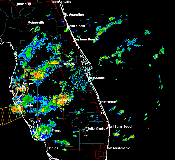
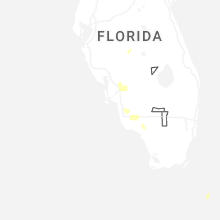
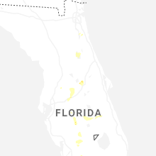
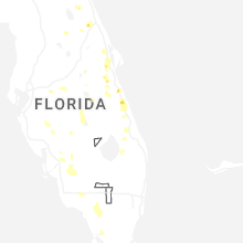
Hail Maps for Sebring, FL


Connect with Interactive Hail Maps