

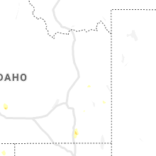
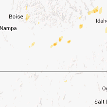
Hail Map for Shoshone, ID
The Shoshone, ID area has had 1 report of on-the-ground hail by trained spotters, and has been under severe weather warnings 0 times during the past 12 months. Doppler radar has detected hail at or near Shoshone, ID on 3 occasions.
| Name: | Shoshone, ID |
| Where Located: | 26.7 miles N of Twin Falls, ID |
| Map: | Google Map for Shoshone, ID |
| Population: | 1461 |
| Housing Units: | 647 |
| More Info: | Search Google for Shoshone, ID |
0
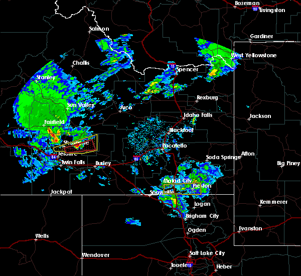
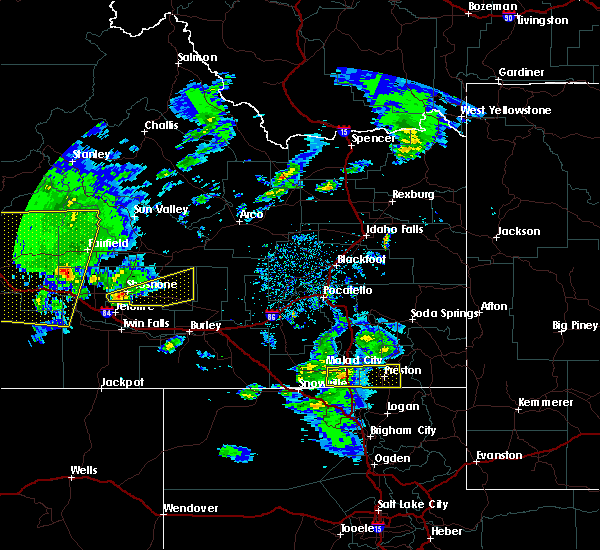
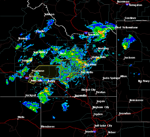
The Top Recent Hail Date for Shoshone, ID is Friday, May 26, 2023 (3rd out of 3)
Hail and Wind Damage Spotted near Shoshone, ID
| Date / Time | Report Details |
|---|---|
| 6/26/2024 5:00 PM MDT |
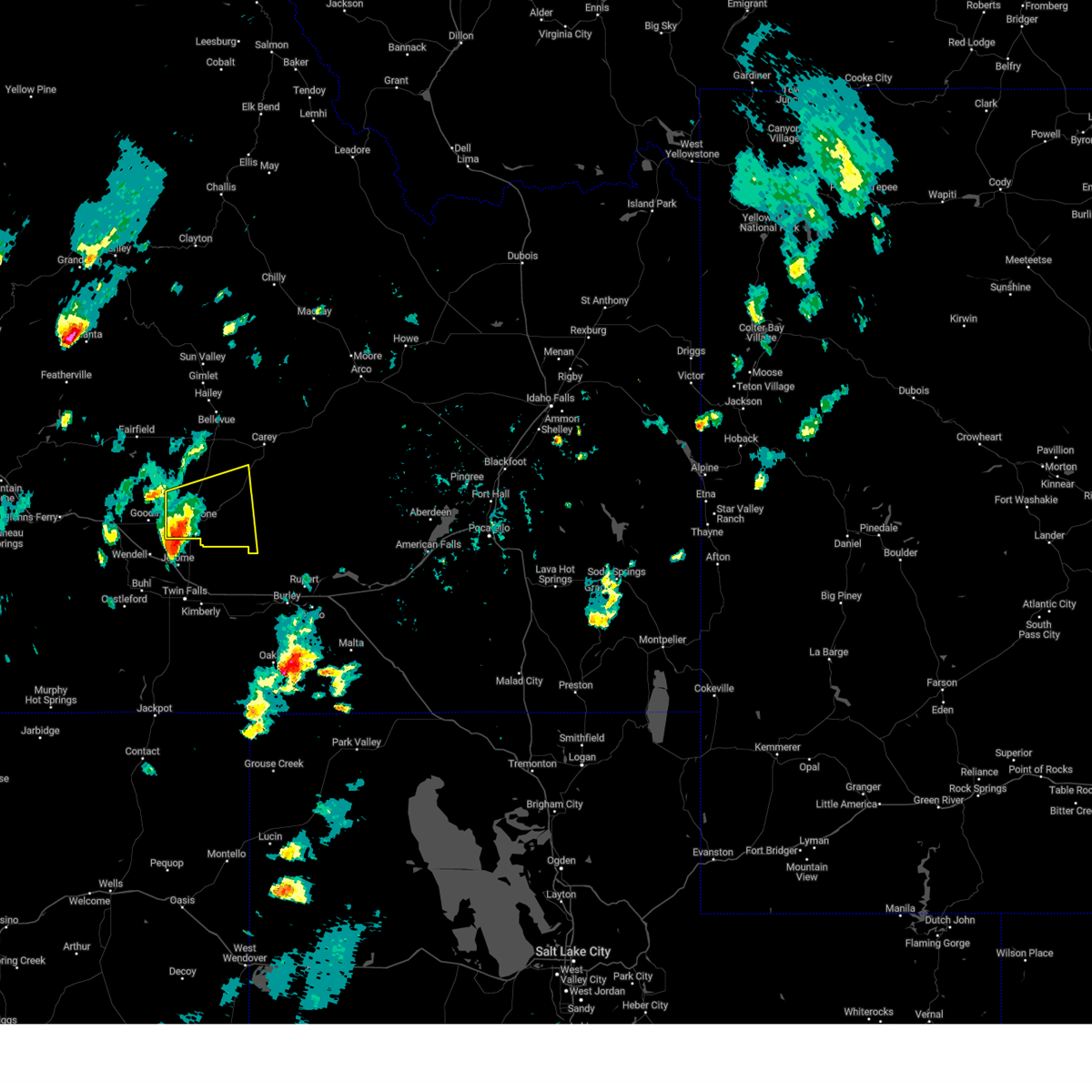 At 500 pm mdt, a severe thunderstorm was located over shoshone, moving east at 25 mph (radar indicated). Hazards include 60 mph wind gusts and quarter size hail. Hail damage to vehicles is expected. expect wind damage to roofs, siding, and trees. Locations impacted include, shoshone, richfield, and dietrich. At 500 pm mdt, a severe thunderstorm was located over shoshone, moving east at 25 mph (radar indicated). Hazards include 60 mph wind gusts and quarter size hail. Hail damage to vehicles is expected. expect wind damage to roofs, siding, and trees. Locations impacted include, shoshone, richfield, and dietrich.
|
| 6/26/2024 4:35 PM MDT |
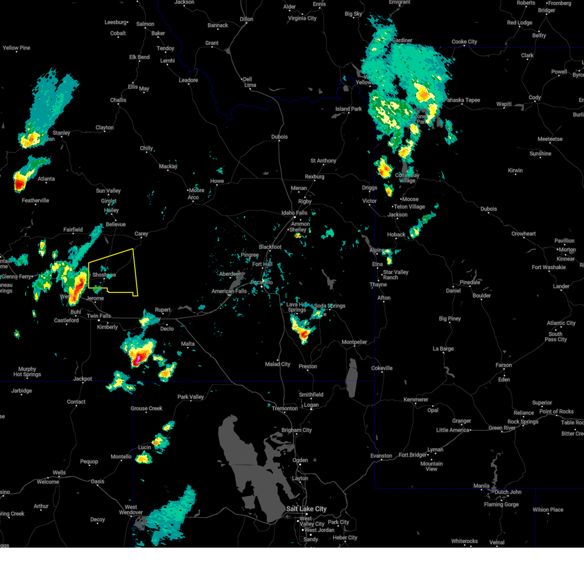 Svrpih the national weather service in pocatello has issued a * severe thunderstorm warning for, southwestern blaine county in central idaho, western lincoln county in south central idaho, * until 530 pm mdt. * at 434 pm mdt, a severe thunderstorm was located near gooding, moving east at 25 mph (radar indicated). Hazards include 60 mph wind gusts and quarter size hail. Hail damage to vehicles is expected. Expect wind damage to roofs, siding, and trees. Svrpih the national weather service in pocatello has issued a * severe thunderstorm warning for, southwestern blaine county in central idaho, western lincoln county in south central idaho, * until 530 pm mdt. * at 434 pm mdt, a severe thunderstorm was located near gooding, moving east at 25 mph (radar indicated). Hazards include 60 mph wind gusts and quarter size hail. Hail damage to vehicles is expected. Expect wind damage to roofs, siding, and trees.
|
| 8/5/2020 6:50 PM MDT | Media report of downed pine tree and broken branches in shoshone. nearby mesonet sites gusted 38-41 mph during even in lincoln county ID, 0.4 miles W of Shoshone, ID |
| 7/23/2020 6:30 PM MDT | Tree downed by strong winds from outflows. shingle damage also noted. time estimated based on nearby observation in lincoln county ID, 5.5 miles S of Shoshone, ID |
| 4/30/2020 4:40 PM MDT |
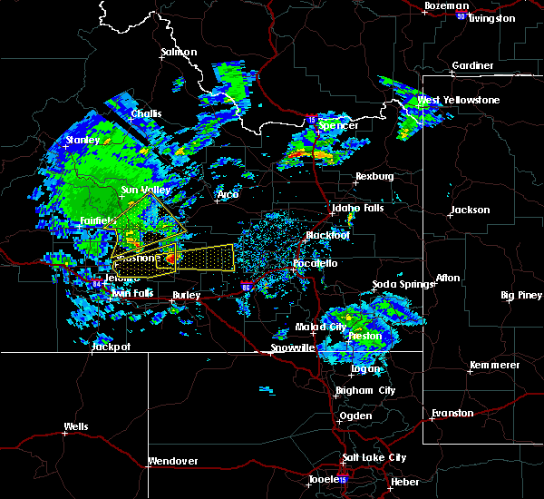 The severe thunderstorm warning for central lincoln county will expire at 445 pm mdt, the storm which prompted the warning has moved out of the area. therefore, the warning will be allowed to expire. The severe thunderstorm warning for central lincoln county will expire at 445 pm mdt, the storm which prompted the warning has moved out of the area. therefore, the warning will be allowed to expire.
|
| 4/30/2020 4:21 PM MDT |
 At 421 pm mdt, a severe thunderstorm was located near richfield, or 17 miles east of shoshone, moving northeast at 60 mph (radar indicated). Hazards include 60 mph wind gusts and quarter size hail. Hail damage to vehicles is expected. expect wind damage to roofs, siding, and trees. Locations impacted include, shoshone, richfield and dietrich. At 421 pm mdt, a severe thunderstorm was located near richfield, or 17 miles east of shoshone, moving northeast at 60 mph (radar indicated). Hazards include 60 mph wind gusts and quarter size hail. Hail damage to vehicles is expected. expect wind damage to roofs, siding, and trees. Locations impacted include, shoshone, richfield and dietrich.
|
| 4/30/2020 3:57 PM MDT |
 At 357 pm mdt, a severe thunderstorm was located near shoshone, moving east at 55 mph (radar indicated). Hazards include 60 mph wind gusts and quarter size hail. Hail damage to vehicles is expected. Expect wind damage to roofs, siding, and trees. At 357 pm mdt, a severe thunderstorm was located near shoshone, moving east at 55 mph (radar indicated). Hazards include 60 mph wind gusts and quarter size hail. Hail damage to vehicles is expected. Expect wind damage to roofs, siding, and trees.
|
| 10/19/2019 2:15 PM MDT | Multiple reports of trees down in town reported via kmvt facebook page. time estimated from rada in lincoln county ID, 0.4 miles W of Shoshone, ID |
| 8/14/2015 6:27 PM MDT |
 At 626 pm mdt, doppler radar indicated a severe thunderstorm capable of producing damaging winds in excess of 60 mph. this storm was located 12 miles north of hazelton, or 20 miles northwest of burley, and moving northeast at 30 mph. At 626 pm mdt, doppler radar indicated a severe thunderstorm capable of producing damaging winds in excess of 60 mph. this storm was located 12 miles north of hazelton, or 20 miles northwest of burley, and moving northeast at 30 mph.
|
| 8/24/2013 3:51 PM MDT | Quarter sized hail reported 0.4 miles W of Shoshone, ID |
| 7/5/2013 5:44 PM MDT | Storm damage reported in lincoln county ID, 0.4 miles W of Shoshone, ID |
| 7/4/2013 8:13 PM MDT | 2 willow trees 1 1/2 foot in diameter were downed by wind gust and est. 500 dollors in damag in lincoln county ID, 0.4 miles W of Shoshone, ID |
Hail Maps for Shoshone, ID

Connect with Interactive Hail Maps