

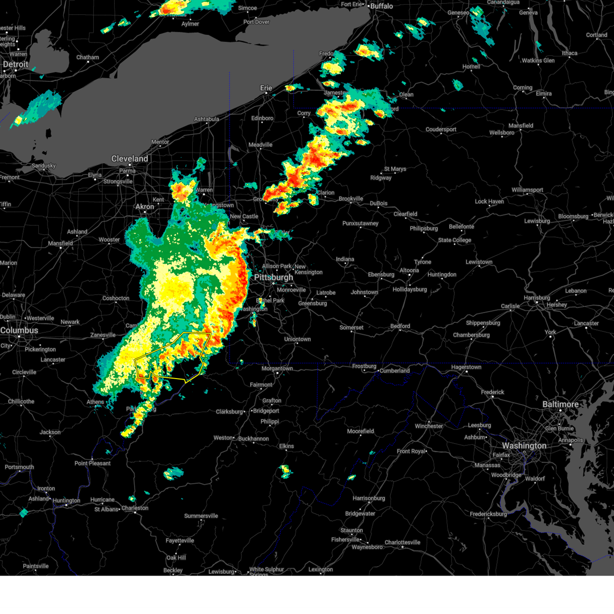
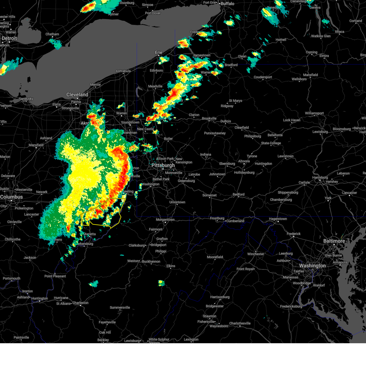
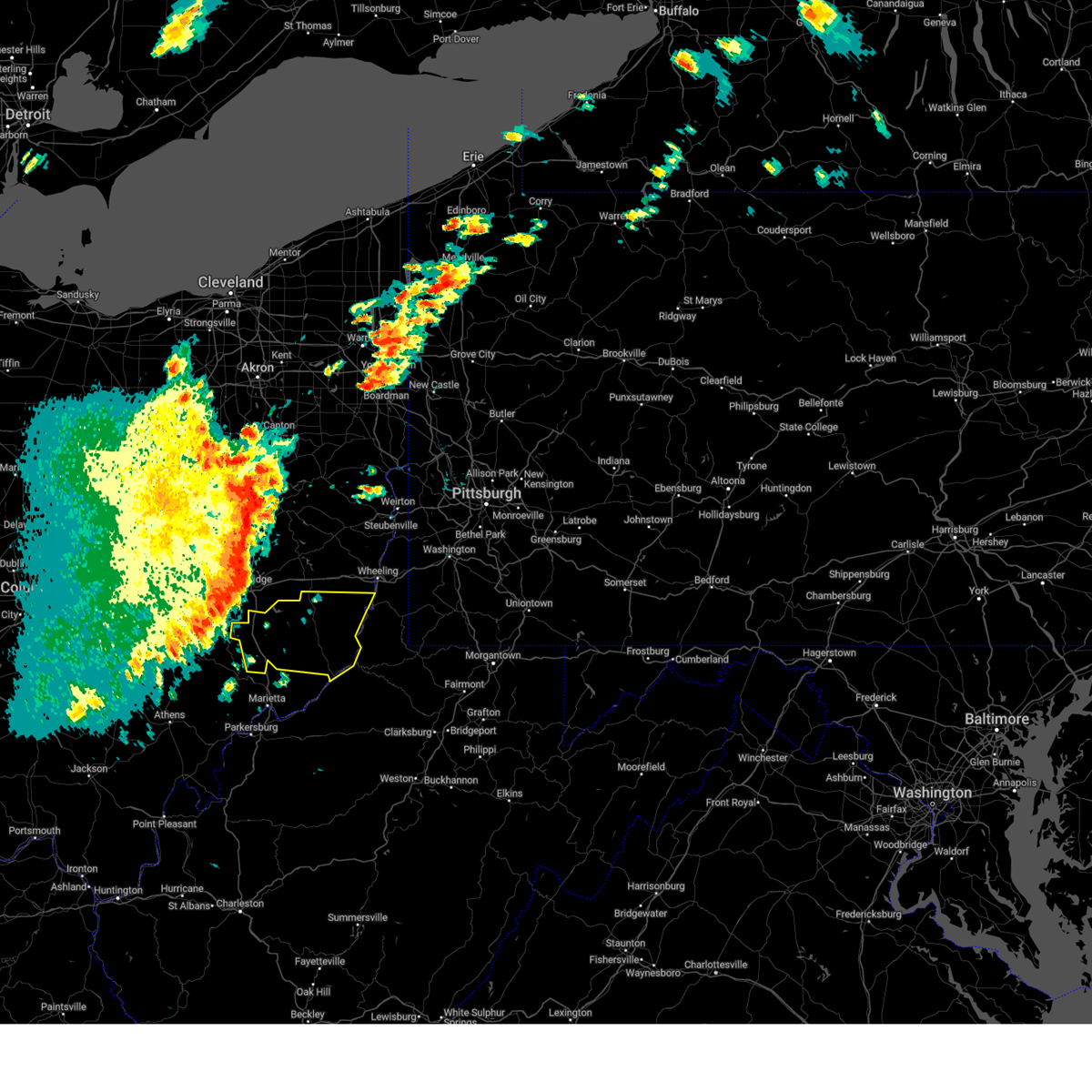
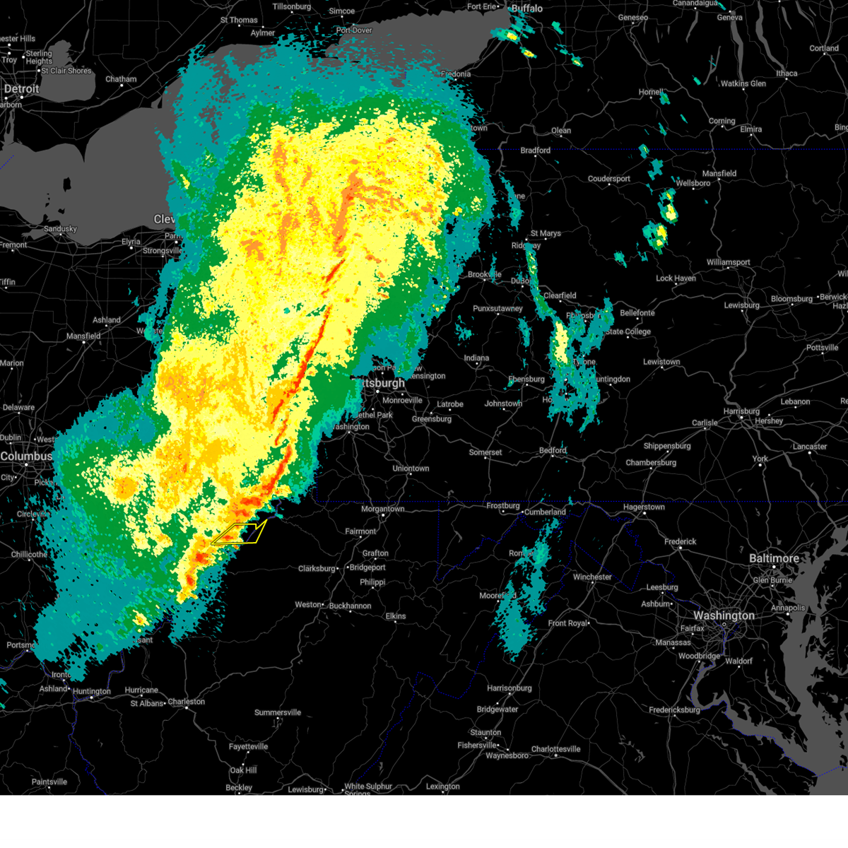
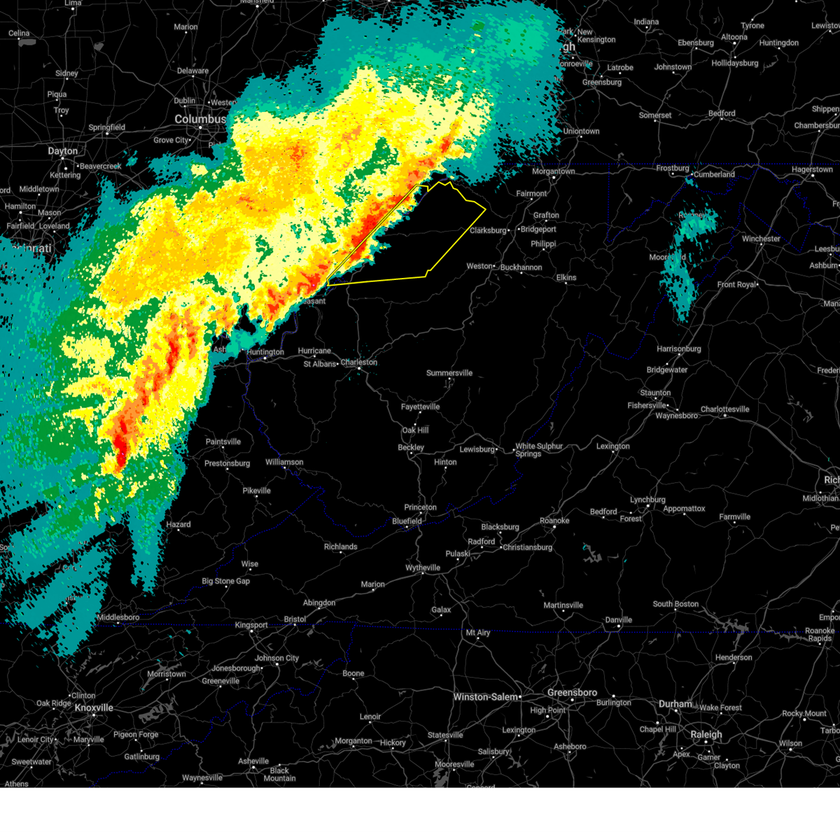
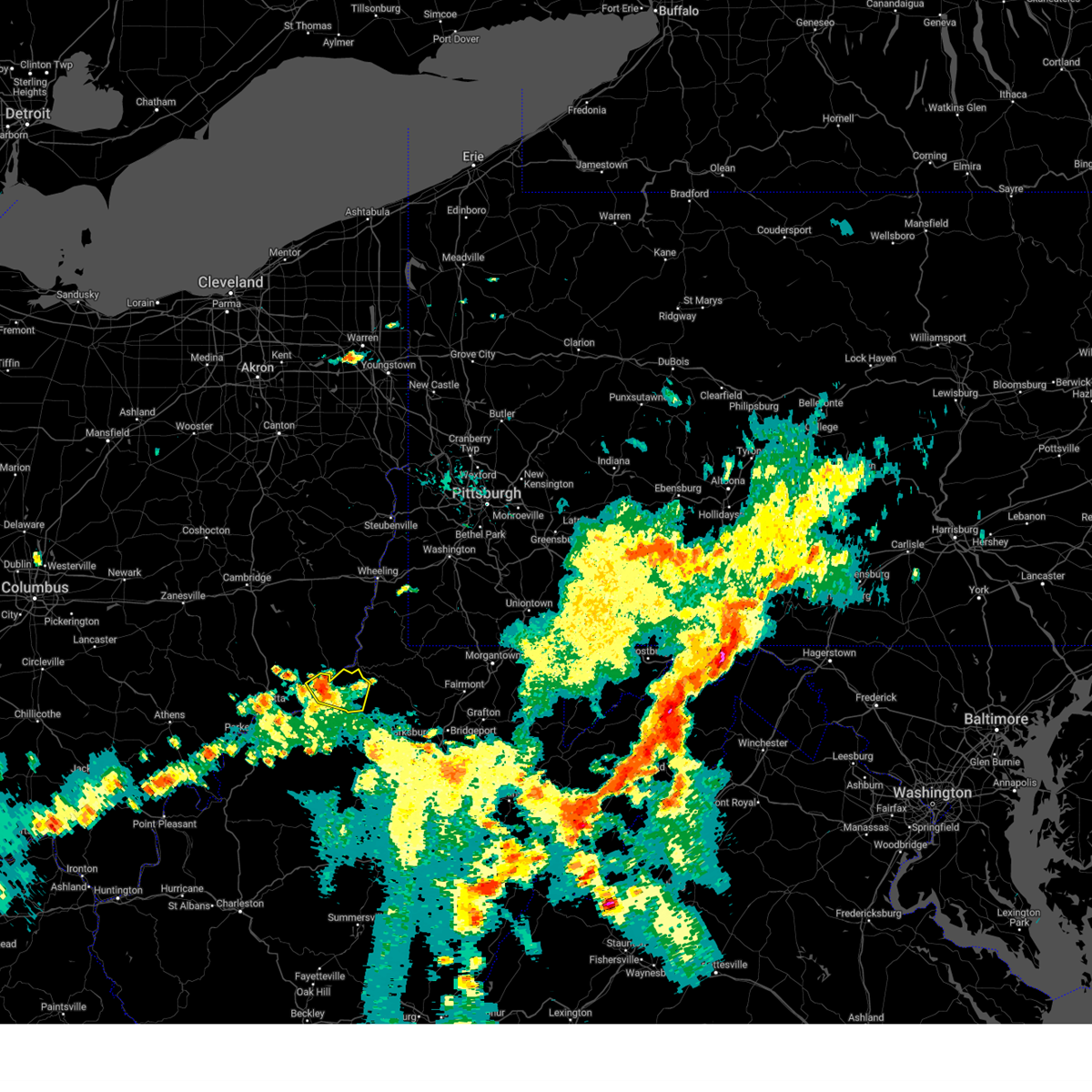
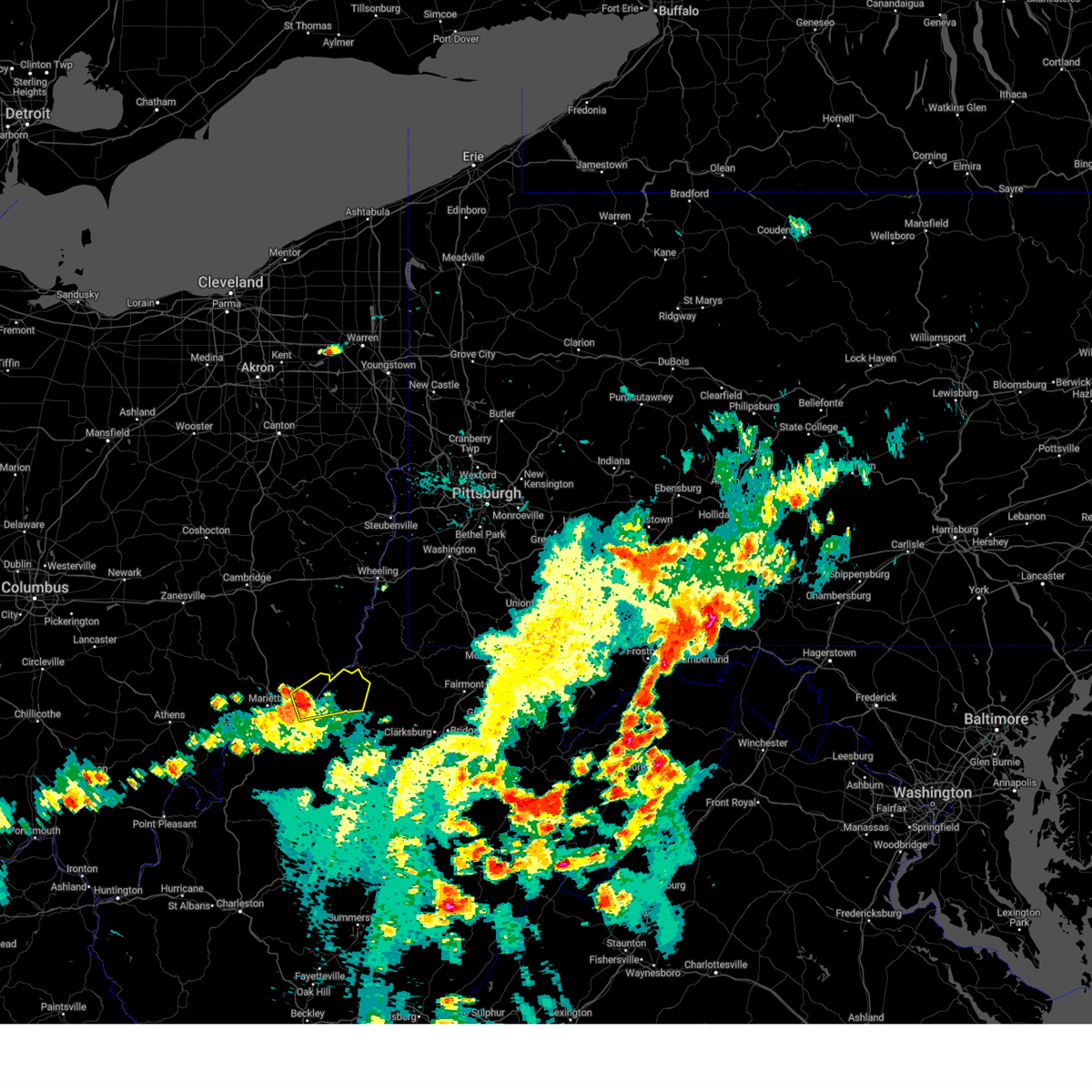
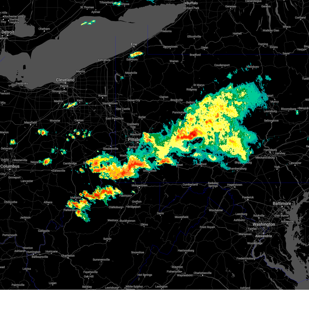
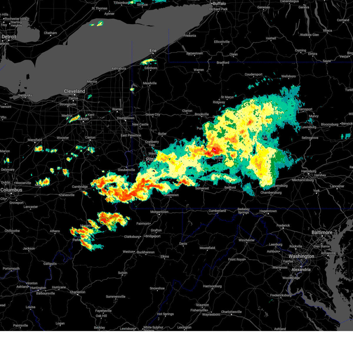
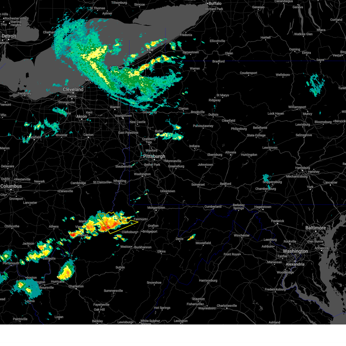
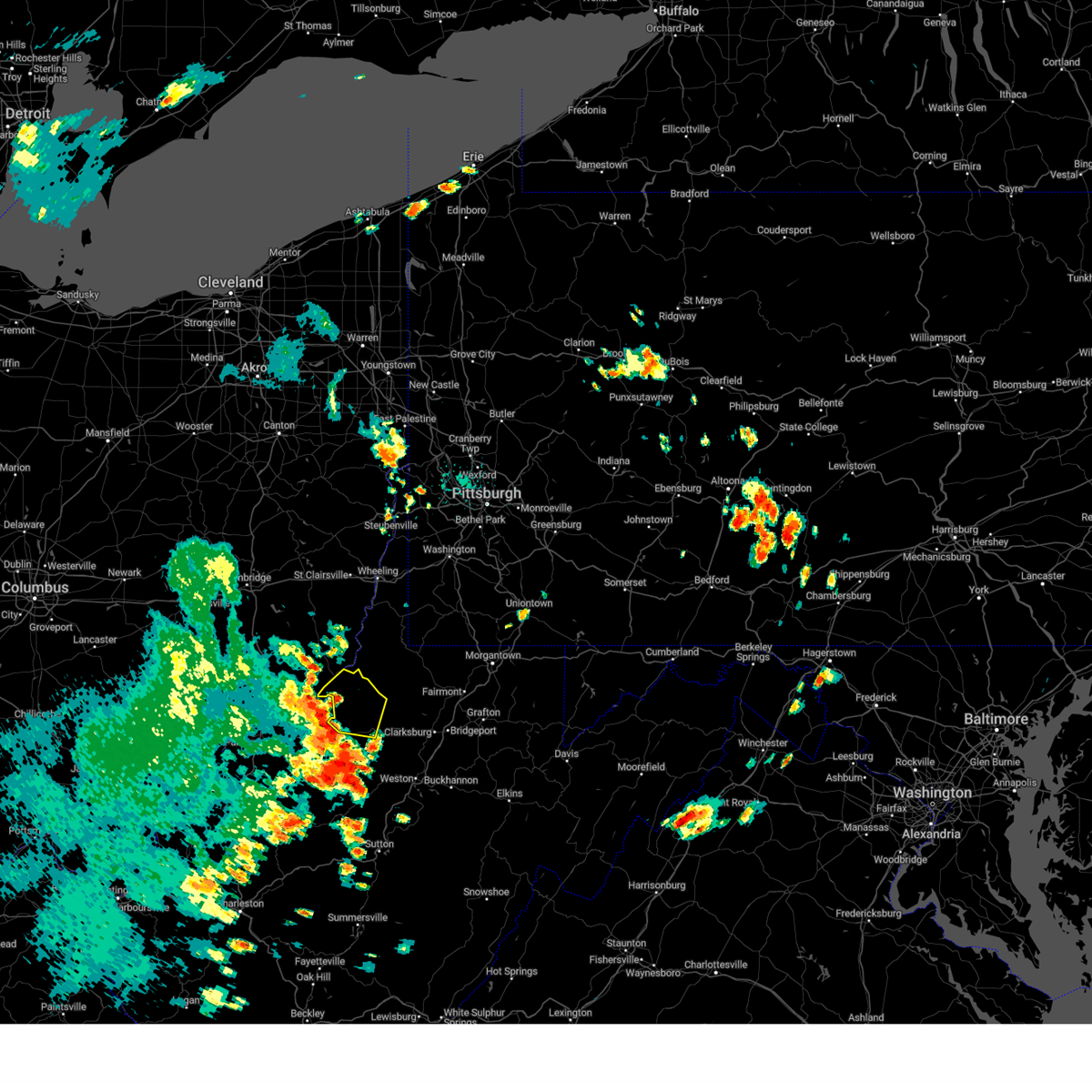
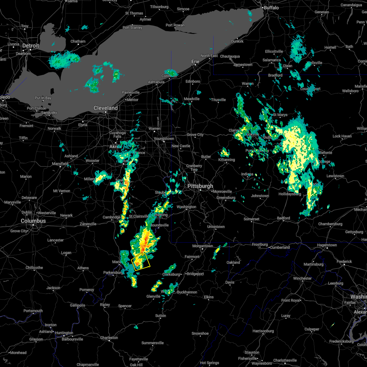
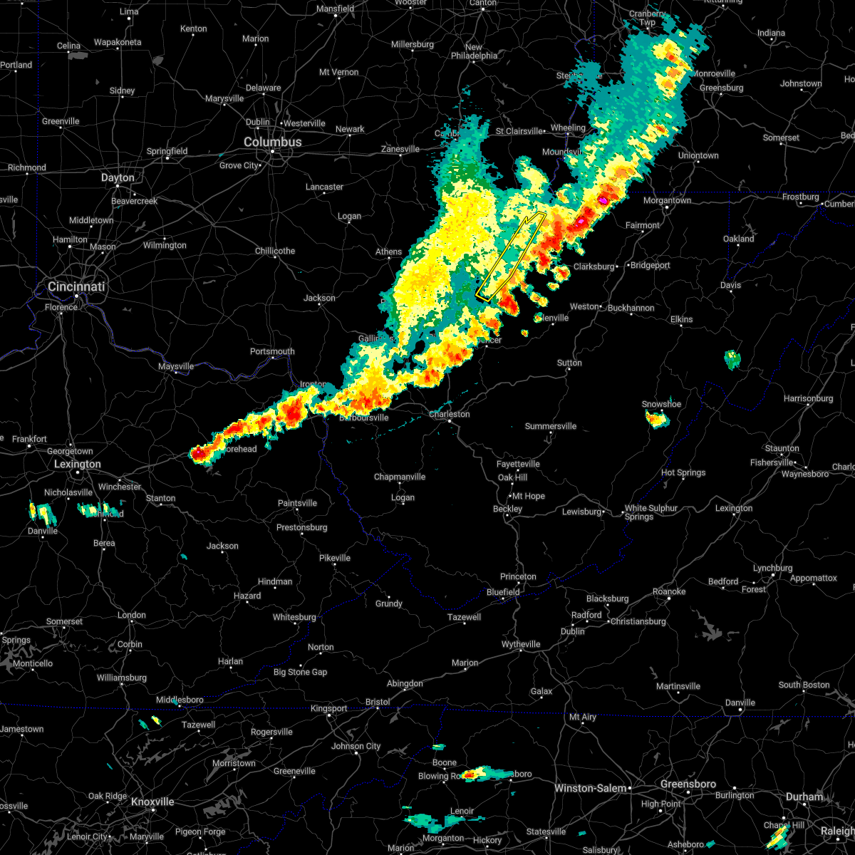
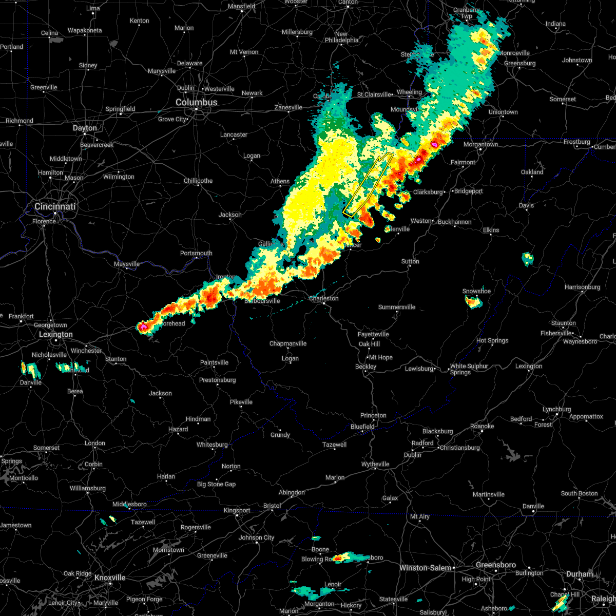
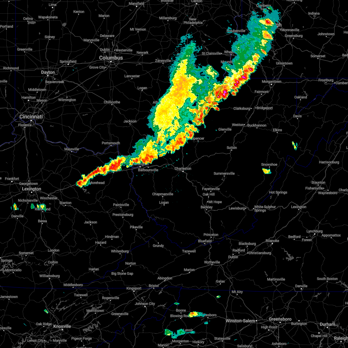
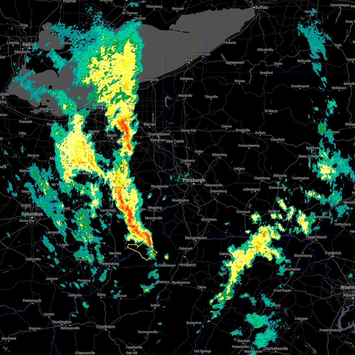
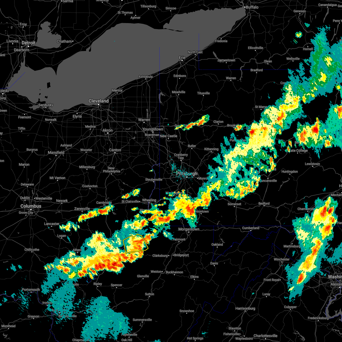
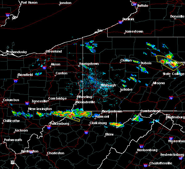
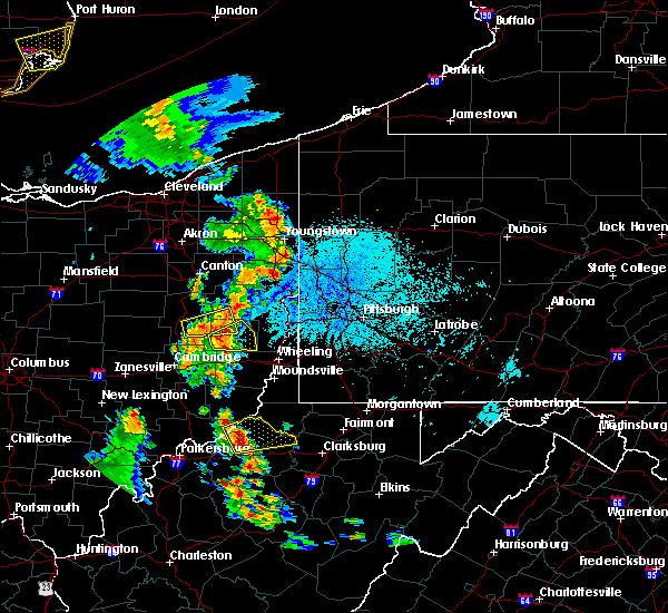
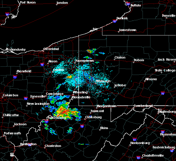
Hail Map for Sistersville, WV
The Sistersville, WV area has had 1 report of on-the-ground hail by trained spotters, and has been under severe weather warnings 14 times during the past 12 months. Doppler radar has detected hail at or near Sistersville, WV on 31 occasions, including 2 occasions during the past year.
| Name: | Sistersville, WV |
| Where Located: | 75.9 miles NW of Elkins, WV |
| Map: | Google Map for Sistersville, WV |
| Population: | 1396 |
| Housing Units: | 726 |
| More Info: | Search Google for Sistersville, WV |
2
The Top Recent Hail Date for Sistersville, WV is Saturday, September 21, 2024 (7th out of 31)

Hail and Wind Damage Spotted near Sistersville, WV
| Date / Time | Report Details |
|---|---|
| 4/29/2025 4:51 PM EDT |
 The storms which prompted the warning have weakened below severe limits, and have exited the warned area. therefore, the warning will be allowed to expire. however, gusty winds are still possible with these thunderstorms. a severe thunderstorm watch remains in effect until 700 pm edt for east central ohio, and northern west virginia. The storms which prompted the warning have weakened below severe limits, and have exited the warned area. therefore, the warning will be allowed to expire. however, gusty winds are still possible with these thunderstorms. a severe thunderstorm watch remains in effect until 700 pm edt for east central ohio, and northern west virginia.
|
| 4/29/2025 4:39 PM EDT |
 At 439 pm edt, severe thunderstorms were located along a line extending from 9 miles southeast of barnesville to 7 miles southwest of woodsfield, moving east at 50 mph (radar indicated). Hazards include 60 mph wind gusts. Expect damage to trees and power lines, resulting in some power outages. Locations impacted include, new martinsville, woodsfield, caldwell, shadyside, paden city, powhatan point, glen dale, sistersville, dudley, sardis, beallsville, clarington, summerfield, macksburg, lewisville, sarahsville, jerusalem, dexter city, wilson, and cameron. At 439 pm edt, severe thunderstorms were located along a line extending from 9 miles southeast of barnesville to 7 miles southwest of woodsfield, moving east at 50 mph (radar indicated). Hazards include 60 mph wind gusts. Expect damage to trees and power lines, resulting in some power outages. Locations impacted include, new martinsville, woodsfield, caldwell, shadyside, paden city, powhatan point, glen dale, sistersville, dudley, sardis, beallsville, clarington, summerfield, macksburg, lewisville, sarahsville, jerusalem, dexter city, wilson, and cameron.
|
| 4/29/2025 4:02 PM EDT |
 Svrpbz the national weather service in pittsburgh has issued a * severe thunderstorm warning for, monroe county in east central ohio, southern belmont county in east central ohio, noble county in east central ohio, * until 500 pm edt. * at 401 pm edt, severe thunderstorms were located along a line extending from near byesville to near mcconnelsville, moving east at 50 mph (radar indicated). Hazards include 60 mph wind gusts. expect damage to trees and power lines, resulting in some power outages Svrpbz the national weather service in pittsburgh has issued a * severe thunderstorm warning for, monroe county in east central ohio, southern belmont county in east central ohio, noble county in east central ohio, * until 500 pm edt. * at 401 pm edt, severe thunderstorms were located along a line extending from near byesville to near mcconnelsville, moving east at 50 mph (radar indicated). Hazards include 60 mph wind gusts. expect damage to trees and power lines, resulting in some power outages
|
| 4/3/2025 4:04 AM EDT |
 At 404 am edt, severe thunderstorms were located along a line extending from near paden city to 6 miles west of sistersville, moving east at 60 mph (radar indicated). Hazards include 60 mph wind gusts and penny size hail. Expect damage to roofs, siding, and trees. Locations impacted include, point lookout, new matamoras, sistersville, friendly, and matamoras. At 404 am edt, severe thunderstorms were located along a line extending from near paden city to 6 miles west of sistersville, moving east at 60 mph (radar indicated). Hazards include 60 mph wind gusts and penny size hail. Expect damage to roofs, siding, and trees. Locations impacted include, point lookout, new matamoras, sistersville, friendly, and matamoras.
|
| 4/3/2025 4:02 AM EDT |
 Svrrlx the national weather service in charleston west virginia has issued a * severe thunderstorm warning for, southeastern meigs county in southeastern ohio, east central washington county in southeastern ohio, pleasants county in northwestern west virginia, northwestern calhoun county in north central west virginia, ritchie county in northwestern west virginia, central doddridge county in northern west virginia, wirt county in northwestern west virginia, tyler county in northern west virginia, northern jackson county in northwestern west virginia, wood county in northwestern west virginia, * until 445 am edt. * at 401 am edt, severe thunderstorms were located along a line extending from near sistersville to near ravenswood, moving east at 110 mph (radar indicated). Hazards include 60 mph wind gusts. expect damage to roofs, siding, and trees Svrrlx the national weather service in charleston west virginia has issued a * severe thunderstorm warning for, southeastern meigs county in southeastern ohio, east central washington county in southeastern ohio, pleasants county in northwestern west virginia, northwestern calhoun county in north central west virginia, ritchie county in northwestern west virginia, central doddridge county in northern west virginia, wirt county in northwestern west virginia, tyler county in northern west virginia, northern jackson county in northwestern west virginia, wood county in northwestern west virginia, * until 445 am edt. * at 401 am edt, severe thunderstorms were located along a line extending from near sistersville to near ravenswood, moving east at 110 mph (radar indicated). Hazards include 60 mph wind gusts. expect damage to roofs, siding, and trees
|
| 4/3/2025 3:56 AM EDT |
 Svrrlx the national weather service in charleston west virginia has issued a * severe thunderstorm warning for, northeastern washington county in southeastern ohio, northeastern pleasants county in northwestern west virginia, northern tyler county in northern west virginia, * until 415 am edt. * at 356 am edt, a severe thunderstorm was located 8 miles northwest of st. marys, moving east at 65 mph (radar indicated). Hazards include 60 mph wind gusts and penny size hail. expect damage to roofs, siding, and trees Svrrlx the national weather service in charleston west virginia has issued a * severe thunderstorm warning for, northeastern washington county in southeastern ohio, northeastern pleasants county in northwestern west virginia, northern tyler county in northern west virginia, * until 415 am edt. * at 356 am edt, a severe thunderstorm was located 8 miles northwest of st. marys, moving east at 65 mph (radar indicated). Hazards include 60 mph wind gusts and penny size hail. expect damage to roofs, siding, and trees
|
| 4/3/2025 3:49 AM EDT | At 349 am edt, severe thunderstorms were located along a line extending from 13 miles north of st. marys to near marietta, moving east at 80 mph (radar indicated). Hazards include 60 mph wind gusts and penny size hail. Expect damage to roofs, siding, and trees. Locations impacted include, point lookout, new matamoras, sistersville, lower salem, friendly, matamoras, lowell, devola, and marietta. |
| 4/3/2025 3:49 AM EDT | the severe thunderstorm warning has been cancelled and is no longer in effect |
| 4/3/2025 3:28 AM EDT | Svrrlx the national weather service in charleston west virginia has issued a * severe thunderstorm warning for, northern washington county in southeastern ohio, southeastern morgan county in southeastern ohio, northeastern pleasants county in northwestern west virginia, northwestern tyler county in northern west virginia, * until 415 am edt. * at 328 am edt, severe thunderstorms were located along a line extending from near caldwell to near beverly, moving east at 60 mph (radar indicated). Hazards include 60 mph wind gusts and penny size hail. expect damage to roofs, siding, and trees |
| 3/16/2025 11:44 AM EDT |
 The storm which prompted the warning has moved out of the area. therefore, the warning will be allowed to expire. however, gusty winds and heavy rain are still possible with this thunderstorm. a tornado watch remains in effect until 400 pm edt for northern west virginia. The storm which prompted the warning has moved out of the area. therefore, the warning will be allowed to expire. however, gusty winds and heavy rain are still possible with this thunderstorm. a tornado watch remains in effect until 400 pm edt for northern west virginia.
|
| 3/16/2025 11:21 AM EDT |
 Svrrlx the national weather service in charleston west virginia has issued a * severe thunderstorm warning for, northwestern tyler county in northern west virginia, * until 1145 am edt. * at 1121 am edt, a severe thunderstorm was located over middlebourne, moving northeast at 30 mph (radar indicated). Hazards include 60 mph wind gusts and nickel size hail. expect damage to roofs, siding, and trees Svrrlx the national weather service in charleston west virginia has issued a * severe thunderstorm warning for, northwestern tyler county in northern west virginia, * until 1145 am edt. * at 1121 am edt, a severe thunderstorm was located over middlebourne, moving northeast at 30 mph (radar indicated). Hazards include 60 mph wind gusts and nickel size hail. expect damage to roofs, siding, and trees
|
| 9/21/2024 2:46 PM EDT | Significant roof and tree damage along riverside dr. time estimated from rada in tyler county WV, 0.8 miles S of Sistersville, WV |
| 8/31/2024 4:45 PM EDT |
 The storm which prompted the warning has moved out of the area. therefore, the warning has been allowed to expire. a severe thunderstorm watch remains in effect until 700 pm edt for northern and northwestern west virginia. The storm which prompted the warning has moved out of the area. therefore, the warning has been allowed to expire. a severe thunderstorm watch remains in effect until 700 pm edt for northern and northwestern west virginia.
|
| 8/31/2024 4:24 PM EDT |
 At 423 pm edt, a severe thunderstorm was located 7 miles west of middlebourne, moving east at 20 mph (radar indicated). Hazards include 60 mph wind gusts and penny size hail. Expect damage to roofs, siding, and trees. Locations impacted include, middlebourne, sistersville, matamoras, friendly, arvilla, alma, point lookout, new matamoras, and wick. At 423 pm edt, a severe thunderstorm was located 7 miles west of middlebourne, moving east at 20 mph (radar indicated). Hazards include 60 mph wind gusts and penny size hail. Expect damage to roofs, siding, and trees. Locations impacted include, middlebourne, sistersville, matamoras, friendly, arvilla, alma, point lookout, new matamoras, and wick.
|
| 8/31/2024 4:02 PM EDT |
 Svrrlx the national weather service in charleston west virginia has issued a * severe thunderstorm warning for, east central washington county in southeastern ohio, northeastern pleasants county in northwestern west virginia, tyler county in northern west virginia, * until 445 pm edt. * at 401 pm edt, a severe thunderstorm was located over st. marys, moving east at 20 mph (radar indicated). Hazards include 60 mph wind gusts and penny size hail. expect damage to roofs, siding, and trees Svrrlx the national weather service in charleston west virginia has issued a * severe thunderstorm warning for, east central washington county in southeastern ohio, northeastern pleasants county in northwestern west virginia, tyler county in northern west virginia, * until 445 pm edt. * at 401 pm edt, a severe thunderstorm was located over st. marys, moving east at 20 mph (radar indicated). Hazards include 60 mph wind gusts and penny size hail. expect damage to roofs, siding, and trees
|
| 8/25/2023 3:45 AM EDT |
 At 345 am edt, severe thunderstorms were located along a line extending from near winfield to 7 miles north of belmont, moving southeast at 45 mph (radar indicated). Hazards include 60 mph wind gusts and penny size hail. Expect damage to roofs, siding, and trees. locations impacted include, clarksburg, grafton, st. marys, middlebourne, bridgeport, shinnston, stonewood, nutter fort, salem, sistersville, lumberport, west union, anmoore, enterprise, matamoras, flemington, friendly, alma, knottsville, and wolf summit. hail threat, radar indicated max hail size, 0. 75 in wind threat, radar indicated max wind gust, 60 mph. At 345 am edt, severe thunderstorms were located along a line extending from near winfield to 7 miles north of belmont, moving southeast at 45 mph (radar indicated). Hazards include 60 mph wind gusts and penny size hail. Expect damage to roofs, siding, and trees. locations impacted include, clarksburg, grafton, st. marys, middlebourne, bridgeport, shinnston, stonewood, nutter fort, salem, sistersville, lumberport, west union, anmoore, enterprise, matamoras, flemington, friendly, alma, knottsville, and wolf summit. hail threat, radar indicated max hail size, 0. 75 in wind threat, radar indicated max wind gust, 60 mph.
|
| 8/25/2023 3:23 AM EDT |
 At 323 am edt, severe thunderstorms were located along a line extending from near mannington to near beverly, moving southeast at 60 mph (radar indicated). Hazards include 60 mph wind gusts and penny size hail. expect damage to roofs, siding, and trees At 323 am edt, severe thunderstorms were located along a line extending from near mannington to near beverly, moving southeast at 60 mph (radar indicated). Hazards include 60 mph wind gusts and penny size hail. expect damage to roofs, siding, and trees
|
| 8/12/2023 9:02 PM EDT |
 At 901 pm edt, a severe thunderstorm was located near middlebourne, moving east at 30 mph (radar indicated). Hazards include 60 mph wind gusts and quarter size hail. Hail damage to vehicles is expected. expect wind damage to roofs, siding, and trees. Locations impacted include, middlebourne and sistersville. At 901 pm edt, a severe thunderstorm was located near middlebourne, moving east at 30 mph (radar indicated). Hazards include 60 mph wind gusts and quarter size hail. Hail damage to vehicles is expected. expect wind damage to roofs, siding, and trees. Locations impacted include, middlebourne and sistersville.
|
| 8/12/2023 8:45 PM EDT |
 At 845 pm edt, a severe thunderstorm was located near sistersville, or 9 miles west of middlebourne, moving east at 30 mph (radar indicated). Hazards include 60 mph wind gusts and quarter size hail. Hail damage to vehicles is expected. Expect wind damage to roofs, siding, and trees. At 845 pm edt, a severe thunderstorm was located near sistersville, or 9 miles west of middlebourne, moving east at 30 mph (radar indicated). Hazards include 60 mph wind gusts and quarter size hail. Hail damage to vehicles is expected. Expect wind damage to roofs, siding, and trees.
|
| 8/7/2023 1:18 PM EDT |
 At 118 pm edt, a severe thunderstorm was located near st. marys, moving northeast at 30 mph (radar indicated). Hazards include 60 mph wind gusts and quarter size hail. Hail damage to vehicles is expected. Expect wind damage to roofs, siding, and trees. At 118 pm edt, a severe thunderstorm was located near st. marys, moving northeast at 30 mph (radar indicated). Hazards include 60 mph wind gusts and quarter size hail. Hail damage to vehicles is expected. Expect wind damage to roofs, siding, and trees.
|
| 8/7/2023 11:53 AM EDT |
 At 1153 am edt, a severe thunderstorm was located 7 miles southwest of middlebourne, moving east at 25 mph (radar indicated). Hazards include 60 mph wind gusts and quarter size hail. Hail damage to vehicles is expected. Expect wind damage to roofs, siding, and trees. At 1153 am edt, a severe thunderstorm was located 7 miles southwest of middlebourne, moving east at 25 mph (radar indicated). Hazards include 60 mph wind gusts and quarter size hail. Hail damage to vehicles is expected. Expect wind damage to roofs, siding, and trees.
|
| 7/28/2023 3:40 PM EDT |
 At 340 pm edt, a severe thunderstorm was located 7 miles southeast of middlebourne, moving east at 40 mph (radar indicated). Hazards include 60 mph wind gusts and quarter size hail. Hail damage to vehicles is expected. expect wind damage to roofs, siding, and trees. locations impacted include, middlebourne, sistersville, pennsboro, west union, matamoras, friendly, alma, smithburg, wick, mountain, lima, and canton. hail threat, radar indicated max hail size, 1. 00 in wind threat, radar indicated max wind gust, 60 mph. At 340 pm edt, a severe thunderstorm was located 7 miles southeast of middlebourne, moving east at 40 mph (radar indicated). Hazards include 60 mph wind gusts and quarter size hail. Hail damage to vehicles is expected. expect wind damage to roofs, siding, and trees. locations impacted include, middlebourne, sistersville, pennsboro, west union, matamoras, friendly, alma, smithburg, wick, mountain, lima, and canton. hail threat, radar indicated max hail size, 1. 00 in wind threat, radar indicated max wind gust, 60 mph.
|
| 7/28/2023 3:13 PM EDT |
 At 312 pm edt, a severe thunderstorm was located over st. marys, moving east at 40 mph (radar indicated). Hazards include 60 mph wind gusts and quarter size hail. Hail damage to vehicles is expected. Expect wind damage to roofs, siding, and trees. At 312 pm edt, a severe thunderstorm was located over st. marys, moving east at 40 mph (radar indicated). Hazards include 60 mph wind gusts and quarter size hail. Hail damage to vehicles is expected. Expect wind damage to roofs, siding, and trees.
|
| 6/3/2023 6:34 PM EDT |
 At 633 pm edt, a severe thunderstorm was located over middlebourne, moving southwest at 20 mph (radar indicated). Hazards include 60 mph wind gusts and quarter size hail. Hail damage to vehicles is expected. Expect wind damage to roofs, siding, and trees. At 633 pm edt, a severe thunderstorm was located over middlebourne, moving southwest at 20 mph (radar indicated). Hazards include 60 mph wind gusts and quarter size hail. Hail damage to vehicles is expected. Expect wind damage to roofs, siding, and trees.
|
| 11/27/2022 1:31 PM EST |
 At 131 pm est, a severe thunderstorm was located near st. marys, moving northeast at 45 mph (radar indicated). Hazards include 60 mph wind gusts. Expect damage to roofs, siding, and trees. locations impacted include, st. marys, sistersville, matamoras, friendly, arvilla, point lookout, new matamoras, wick and maxwell. hail threat, radar indicated max hail size, <. 75 in wind threat, radar indicated max wind gust, 60 mph. At 131 pm est, a severe thunderstorm was located near st. marys, moving northeast at 45 mph (radar indicated). Hazards include 60 mph wind gusts. Expect damage to roofs, siding, and trees. locations impacted include, st. marys, sistersville, matamoras, friendly, arvilla, point lookout, new matamoras, wick and maxwell. hail threat, radar indicated max hail size, <. 75 in wind threat, radar indicated max wind gust, 60 mph.
|
| 11/27/2022 1:16 PM EST |
 At 116 pm est, a severe thunderstorm was located near belmont, or 7 miles southwest of st. marys, moving northeast at 45 mph (radar indicated). Hazards include 60 mph wind gusts. expect damage to roofs, siding, and trees At 116 pm est, a severe thunderstorm was located near belmont, or 7 miles southwest of st. marys, moving northeast at 45 mph (radar indicated). Hazards include 60 mph wind gusts. expect damage to roofs, siding, and trees
|
| 7/23/2022 3:10 PM EDT |
 The severe thunderstorm warning for east central washington, pleasants, northwestern ritchie, north central wirt, northwestern tyler and east central wood counties will expire at 315 pm edt, the storm which prompted the warning has moved out of the area. therefore, the warning will be allowed to expire. a severe thunderstorm watch remains in effect until 600 pm edt for southeastern ohio, and northern and northwestern west virginia. The severe thunderstorm warning for east central washington, pleasants, northwestern ritchie, north central wirt, northwestern tyler and east central wood counties will expire at 315 pm edt, the storm which prompted the warning has moved out of the area. therefore, the warning will be allowed to expire. a severe thunderstorm watch remains in effect until 600 pm edt for southeastern ohio, and northern and northwestern west virginia.
|
| 7/23/2022 3:00 PM EDT |
 At 300 pm edt, a severe thunderstorm was located near north bend state park, or 10 miles west of harrisville, moving southeast at 30 mph (radar indicated). Hazards include 60 mph wind gusts and quarter size hail. Hail damage to vehicles is expected. expect wind damage to roofs, siding, and trees. locations impacted include, sistersville, matamoras, friendly, schultz, arvilla, point lookout, new matamoras, freeport, nutter farm, greencastle, maxwell and petroleum. hail threat, radar indicated max hail size, 1. 00 in wind threat, radar indicated max wind gust, 60 mph. At 300 pm edt, a severe thunderstorm was located near north bend state park, or 10 miles west of harrisville, moving southeast at 30 mph (radar indicated). Hazards include 60 mph wind gusts and quarter size hail. Hail damage to vehicles is expected. expect wind damage to roofs, siding, and trees. locations impacted include, sistersville, matamoras, friendly, schultz, arvilla, point lookout, new matamoras, freeport, nutter farm, greencastle, maxwell and petroleum. hail threat, radar indicated max hail size, 1. 00 in wind threat, radar indicated max wind gust, 60 mph.
|
| 7/23/2022 2:57 PM EDT | Multiple trees down on roadwa in tyler county WV, 5.6 miles WSW of Sistersville, WV |
| 7/23/2022 2:29 PM EDT |
 At 228 pm edt, a severe thunderstorm was located over williamstown, or over marietta, moving southeast at 30 mph (radar indicated). Hazards include 60 mph wind gusts and quarter size hail. Hail damage to vehicles is expected. Expect wind damage to roofs, siding, and trees. At 228 pm edt, a severe thunderstorm was located over williamstown, or over marietta, moving southeast at 30 mph (radar indicated). Hazards include 60 mph wind gusts and quarter size hail. Hail damage to vehicles is expected. Expect wind damage to roofs, siding, and trees.
|
| 6/16/2022 9:29 PM EDT |
 At 928 pm edt, a severe thunderstorm was located 8 miles northwest of st. marys, moving southeast at 35 mph (radar indicated). Hazards include 60 mph wind gusts and quarter size hail. Hail damage to vehicles is expected. Expect wind damage to roofs, siding, and trees. At 928 pm edt, a severe thunderstorm was located 8 miles northwest of st. marys, moving southeast at 35 mph (radar indicated). Hazards include 60 mph wind gusts and quarter size hail. Hail damage to vehicles is expected. Expect wind damage to roofs, siding, and trees.
|
| 6/16/2022 8:00 PM EDT | Reports of multiple trees dow in tyler county WV, 4.1 miles NE of Sistersville, WV |
| 6/16/2022 8:00 PM EDT | Quarter sized hail reported 0.1 miles SSW of Sistersville, WV, quarter size hail reported. photo included with social media report. |
| 6/16/2022 7:46 PM EDT |
 At 746 pm edt, a severe thunderstorm was located near caldwell, and is nearly stationary (radar indicated). Hazards include 60 mph wind gusts and half dollar size hail. Hail damage to vehicles is expected. expect wind damage to roofs, siding, and trees. locations impacted include, middlebourne, sistersville, matamoras, friendly, arvilla, alma, point lookout, new matamoras, wick and hebron. hail threat, radar indicated max hail size, 1. 25 in wind threat, radar indicated max wind gust, 60 mph. At 746 pm edt, a severe thunderstorm was located near caldwell, and is nearly stationary (radar indicated). Hazards include 60 mph wind gusts and half dollar size hail. Hail damage to vehicles is expected. expect wind damage to roofs, siding, and trees. locations impacted include, middlebourne, sistersville, matamoras, friendly, arvilla, alma, point lookout, new matamoras, wick and hebron. hail threat, radar indicated max hail size, 1. 25 in wind threat, radar indicated max wind gust, 60 mph.
|
| 6/16/2022 7:45 PM EDT | Reports of multiple trees dow in tyler county WV, 1 miles SW of Sistersville, WV |
| 6/16/2022 7:33 PM EDT |
 At 733 pm edt, a severe thunderstorm was located 8 miles northwest of sistersville, or 10 miles south of woodsfield, moving southeast at 30 mph (radar indicated). Hazards include 60 mph wind gusts and half dollar size hail. Hail damage to vehicles is expected. Expect wind damage to roofs, siding, and trees. At 733 pm edt, a severe thunderstorm was located 8 miles northwest of sistersville, or 10 miles south of woodsfield, moving southeast at 30 mph (radar indicated). Hazards include 60 mph wind gusts and half dollar size hail. Hail damage to vehicles is expected. Expect wind damage to roofs, siding, and trees.
|
| 9/22/2021 3:13 PM EDT |
 The severe thunderstorm warning for northeastern washington and tyler counties will expire at 315 pm edt, the storms which prompted the warning have moved out of the area. therefore, the warning will be allowed to expire. The severe thunderstorm warning for northeastern washington and tyler counties will expire at 315 pm edt, the storms which prompted the warning have moved out of the area. therefore, the warning will be allowed to expire.
|
| 9/22/2021 3:00 PM EDT | Tree down along smith ridge roa in tyler county WV, 2 miles NNW of Sistersville, WV |
| 9/22/2021 2:58 PM EDT |
 At 257 pm edt, severe thunderstorms were located along a line extending from 7 miles west of paden city to near sistersville to 6 miles south of middlebourne, moving northeast at 40 mph (radar indicated). Hazards include 60 mph wind gusts. Expect damage to roofs, siding, and trees. locations impacted include, middlebourne, sistersville, matamoras, friendly, alma, new matamoras and lima. hail threat, radar indicated max hail size, <. 75 in wind threat, radar indicated max wind gust, 60 mph. At 257 pm edt, severe thunderstorms were located along a line extending from 7 miles west of paden city to near sistersville to 6 miles south of middlebourne, moving northeast at 40 mph (radar indicated). Hazards include 60 mph wind gusts. Expect damage to roofs, siding, and trees. locations impacted include, middlebourne, sistersville, matamoras, friendly, alma, new matamoras and lima. hail threat, radar indicated max hail size, <. 75 in wind threat, radar indicated max wind gust, 60 mph.
|
| 9/22/2021 2:42 PM EDT |
 At 242 pm edt, severe thunderstorms were located along a line extending from near st. marys to pennsboro, moving northeast at 35 mph (radar indicated). Hazards include 60 mph wind gusts. expect damage to roofs, siding, and trees At 242 pm edt, severe thunderstorms were located along a line extending from near st. marys to pennsboro, moving northeast at 35 mph (radar indicated). Hazards include 60 mph wind gusts. expect damage to roofs, siding, and trees
|
| 6/21/2021 5:08 PM EDT |
 At 506 pm edt, a severe thunderstorm was located near sistersville, or near middlebourne, moving east at 20 mph (radar indicated). Hazards include 60 mph wind gusts and penny size hail. Expect damage to roofs, siding, and trees. locations impacted include, st. Marys, middlebourne, sistersville, matamoras, friendly, alma, maxwell, arvilla, point lookout, new matamoras, wick, mountain and hebron. At 506 pm edt, a severe thunderstorm was located near sistersville, or near middlebourne, moving east at 20 mph (radar indicated). Hazards include 60 mph wind gusts and penny size hail. Expect damage to roofs, siding, and trees. locations impacted include, st. Marys, middlebourne, sistersville, matamoras, friendly, alma, maxwell, arvilla, point lookout, new matamoras, wick, mountain and hebron.
|
| 6/21/2021 4:41 PM EDT |
 At 440 pm edt, a severe thunderstorm was located near st. marys, moving east at 20 mph (radar indicated). Hazards include 60 mph wind gusts and penny size hail. expect damage to roofs, siding, and trees At 440 pm edt, a severe thunderstorm was located near st. marys, moving east at 20 mph (radar indicated). Hazards include 60 mph wind gusts and penny size hail. expect damage to roofs, siding, and trees
|
| 7/27/2020 8:11 PM EDT |
 The severe thunderstorm warning for east central washington, pleasants, northern ritchie, western tyler and east central wood counties will expire at 815 pm edt, the storm which prompted the warning has moved out of the area. therefore, the warning will be allowed to expire. The severe thunderstorm warning for east central washington, pleasants, northern ritchie, western tyler and east central wood counties will expire at 815 pm edt, the storm which prompted the warning has moved out of the area. therefore, the warning will be allowed to expire.
|
| 7/27/2020 7:51 PM EDT |
 At 750 pm edt, a severe thunderstorm was located near st. marys, moving east at 30 mph (radar indicated). Hazards include 60 mph wind gusts. Expect damage to roofs, siding, and trees. locations impacted include, st. Marys, sistersville, belmont, newport, matamoras, friendly, willow island, maxwell, schultz, arvilla, point lookout, new matamoras, wick, mountain, hebron and highland. At 750 pm edt, a severe thunderstorm was located near st. marys, moving east at 30 mph (radar indicated). Hazards include 60 mph wind gusts. Expect damage to roofs, siding, and trees. locations impacted include, st. Marys, sistersville, belmont, newport, matamoras, friendly, willow island, maxwell, schultz, arvilla, point lookout, new matamoras, wick, mountain, hebron and highland.
|
| 7/27/2020 7:30 PM EDT |
 At 730 pm edt, a severe thunderstorm was located near williamstown, or near marietta, moving east at 30 mph (radar indicated). Hazards include 60 mph wind gusts. expect damage to roofs, siding, and trees At 730 pm edt, a severe thunderstorm was located near williamstown, or near marietta, moving east at 30 mph (radar indicated). Hazards include 60 mph wind gusts. expect damage to roofs, siding, and trees
|
| 6/3/2020 4:01 PM EDT |
 At 400 pm edt, a severe thunderstorm was located over paden city, or near middlebourne, moving east at 25 mph (radar indicated). Hazards include 60 mph wind gusts and quarter size hail. Hail damage to vehicles is expected. Expect wind damage to roofs, siding, and trees. At 400 pm edt, a severe thunderstorm was located over paden city, or near middlebourne, moving east at 25 mph (radar indicated). Hazards include 60 mph wind gusts and quarter size hail. Hail damage to vehicles is expected. Expect wind damage to roofs, siding, and trees.
|
| 4/7/2020 6:23 PM EDT |
 The severe thunderstorm warning for northeastern washington, northeastern pleasants and northwestern tyler counties will expire at 630 pm edt, the storm which prompted the warning has moved out of the area. therefore, the warning will be allowed to expire. The severe thunderstorm warning for northeastern washington, northeastern pleasants and northwestern tyler counties will expire at 630 pm edt, the storm which prompted the warning has moved out of the area. therefore, the warning will be allowed to expire.
|
| 4/7/2020 5:46 PM EDT |
 At 546 pm edt, a severe thunderstorm was located 12 miles northeast of marietta, moving southeast at 35 mph (radar indicated). Hazards include 60 mph wind gusts and quarter size hail. Hail damage to vehicles is expected. Expect wind damage to roofs, siding, and trees. At 546 pm edt, a severe thunderstorm was located 12 miles northeast of marietta, moving southeast at 35 mph (radar indicated). Hazards include 60 mph wind gusts and quarter size hail. Hail damage to vehicles is expected. Expect wind damage to roofs, siding, and trees.
|
| 1/11/2020 5:00 PM EST |
 At 500 pm est, severe thunderstorms were located along a line extending from near paden city to 7 miles southeast of middlebourne to 8 miles southeast of harrisville to 6 miles northwest of glenville to near grantsville, moving east at 55 mph (radar indicated). Hazards include 70 mph wind gusts. Expect considerable tree damage. Damage is likely to mobile homes, roofs, and outbuildings. At 500 pm est, severe thunderstorms were located along a line extending from near paden city to 7 miles southeast of middlebourne to 8 miles southeast of harrisville to 6 miles northwest of glenville to near grantsville, moving east at 55 mph (radar indicated). Hazards include 70 mph wind gusts. Expect considerable tree damage. Damage is likely to mobile homes, roofs, and outbuildings.
|
| 1/11/2020 4:52 PM EST |
 At 452 pm est, severe thunderstorms were located along a line extending from near woodsfield to near pennsboro to 10 miles east of elizabeth, moving northeast at 55 mph (radar indicated). Hazards include 60 mph wind gusts. Expect damage to roofs, siding, and trees. Locations impacted include, harrisville, middlebourne, sistersville, pennsboro, west union, north bend state park, matamoras, ellenboro, pullman, friendly, alma, greenwood, arvilla, point lookout, new matamoras, smithburg, wick, mountain, lima and hebron. At 452 pm est, severe thunderstorms were located along a line extending from near woodsfield to near pennsboro to 10 miles east of elizabeth, moving northeast at 55 mph (radar indicated). Hazards include 60 mph wind gusts. Expect damage to roofs, siding, and trees. Locations impacted include, harrisville, middlebourne, sistersville, pennsboro, west union, north bend state park, matamoras, ellenboro, pullman, friendly, alma, greenwood, arvilla, point lookout, new matamoras, smithburg, wick, mountain, lima and hebron.
|
| 1/11/2020 4:39 PM EST |
 At 438 pm est, severe thunderstorms were located along a line extending from 13 miles southeast of caldwell to near north bend state park to near elizabeth, moving northeast at 55 mph (radar indicated. a wind gust of 57 mph was reported with this line near parkersburg). Hazards include 60 mph wind gusts. expect damage to roofs, siding, and trees At 438 pm est, severe thunderstorms were located along a line extending from 13 miles southeast of caldwell to near north bend state park to near elizabeth, moving northeast at 55 mph (radar indicated. a wind gust of 57 mph was reported with this line near parkersburg). Hazards include 60 mph wind gusts. expect damage to roofs, siding, and trees
|
| 8/20/2019 9:18 PM EDT |
 At 918 pm edt, a severe thunderstorm was located over middlebourne, moving east at 25 mph (radar indicated). Hazards include 60 mph wind gusts and quarter size hail. Hail damage to vehicles is expected. expect wind damage to roofs, siding, and trees. Locations impacted include, middlebourne, sistersville, matamoras, friendly, alma, wick, mountain, lima, center point, sedalia, canton and new matamoras. At 918 pm edt, a severe thunderstorm was located over middlebourne, moving east at 25 mph (radar indicated). Hazards include 60 mph wind gusts and quarter size hail. Hail damage to vehicles is expected. expect wind damage to roofs, siding, and trees. Locations impacted include, middlebourne, sistersville, matamoras, friendly, alma, wick, mountain, lima, center point, sedalia, canton and new matamoras.
|
| 8/20/2019 8:59 PM EDT |
 At 859 pm edt, a severe thunderstorm was located 7 miles southwest of middlebourne, moving east at 30 mph (radar indicated). Hazards include 60 mph wind gusts and quarter size hail. Hail damage to vehicles is expected. Expect wind damage to roofs, siding, and trees. At 859 pm edt, a severe thunderstorm was located 7 miles southwest of middlebourne, moving east at 30 mph (radar indicated). Hazards include 60 mph wind gusts and quarter size hail. Hail damage to vehicles is expected. Expect wind damage to roofs, siding, and trees.
|
| 8/20/2019 8:59 PM EDT |
 The national weather service in charleston west virginia has issued a * severe thunderstorm warning for. east central washington county in southeastern ohio. northeastern pleasants county in northwestern west virginia. northeastern ritchie county in northwestern west virginia. Northern doddridge county in northern west virginia. The national weather service in charleston west virginia has issued a * severe thunderstorm warning for. east central washington county in southeastern ohio. northeastern pleasants county in northwestern west virginia. northeastern ritchie county in northwestern west virginia. Northern doddridge county in northern west virginia.
|
| 7/6/2019 9:04 PM EDT |
 At 900 pm edt, a severe thunderstorm was located over st. marys, moving east at 30 mph (radar indicated). Hazards include 60 mph wind gusts and quarter size hail. Hail damage to vehicles is expected. expect wind damage to roofs, siding, and trees. locations impacted include, st. Marys, sistersville, pennsboro, belmont, newport, matamoras, ellenboro, friendly, willow island, maxwell, schultz, arvilla, point lookout, new matamoras, wick, hebron, pike and highland. At 900 pm edt, a severe thunderstorm was located over st. marys, moving east at 30 mph (radar indicated). Hazards include 60 mph wind gusts and quarter size hail. Hail damage to vehicles is expected. expect wind damage to roofs, siding, and trees. locations impacted include, st. Marys, sistersville, pennsboro, belmont, newport, matamoras, ellenboro, friendly, willow island, maxwell, schultz, arvilla, point lookout, new matamoras, wick, hebron, pike and highland.
|
| 7/6/2019 8:38 PM EDT |
 At 838 pm edt, a severe thunderstorm was located near marietta, moving east at 35 mph (radar indicated). Hazards include 60 mph wind gusts and quarter size hail. Hail damage to vehicles is expected. Expect wind damage to roofs, siding, and trees. At 838 pm edt, a severe thunderstorm was located near marietta, moving east at 35 mph (radar indicated). Hazards include 60 mph wind gusts and quarter size hail. Hail damage to vehicles is expected. Expect wind damage to roofs, siding, and trees.
|
| 6/24/2019 5:41 PM EDT |
 At 541 pm edt, severe thunderstorms were located along a line extending from 6 miles northwest of sistersville to near new martinsville, moving north at 25 mph (radar). Hazards include wind gusts to 60 mph. damage to trees and power lines At 541 pm edt, severe thunderstorms were located along a line extending from 6 miles northwest of sistersville to near new martinsville, moving north at 25 mph (radar). Hazards include wind gusts to 60 mph. damage to trees and power lines
|
| 5/25/2019 6:05 PM EDT |
 At 605 pm edt, a severe thunderstorm was located near middlebourne, moving east at 35 mph (radar indicated). Hazards include 60 mph wind gusts and quarter size hail. Hail damage to vehicles is expected. Expect wind damage to roofs, siding, and trees. At 605 pm edt, a severe thunderstorm was located near middlebourne, moving east at 35 mph (radar indicated). Hazards include 60 mph wind gusts and quarter size hail. Hail damage to vehicles is expected. Expect wind damage to roofs, siding, and trees.
|
| 5/25/2019 12:51 PM EDT |
 At 1250 pm edt, a severe thunderstorm was located 7 miles southwest of sistersville, or 7 miles northeast of st. marys, moving northeast at 25 mph (radar indicated). Hazards include 60 mph wind gusts and quarter size hail. Hail damage to vehicles is expected. expect wind damage to roofs, siding, and trees. Locations impacted include, paden city, sistersville, friendly and point lookout. At 1250 pm edt, a severe thunderstorm was located 7 miles southwest of sistersville, or 7 miles northeast of st. marys, moving northeast at 25 mph (radar indicated). Hazards include 60 mph wind gusts and quarter size hail. Hail damage to vehicles is expected. expect wind damage to roofs, siding, and trees. Locations impacted include, paden city, sistersville, friendly and point lookout.
|
| 5/25/2019 12:24 PM EDT |
 At 1224 pm edt, a severe thunderstorm was located near belmont, or near st. marys, moving northeast at 25 mph (radar indicated). Hazards include 60 mph wind gusts and quarter size hail. Hail damage to vehicles is expected. Expect wind damage to roofs, siding, and trees. At 1224 pm edt, a severe thunderstorm was located near belmont, or near st. marys, moving northeast at 25 mph (radar indicated). Hazards include 60 mph wind gusts and quarter size hail. Hail damage to vehicles is expected. Expect wind damage to roofs, siding, and trees.
|
| 5/22/2018 7:08 PM EDT |
 The severe thunderstorm warning for northeastern washington and northwestern tyler counties will expire at 715 pm edt, the storm which prompted the warning has weakened below severe limits, and no longer poses an immediate threat to life or property. therefore the warning will be allowed to expire. The severe thunderstorm warning for northeastern washington and northwestern tyler counties will expire at 715 pm edt, the storm which prompted the warning has weakened below severe limits, and no longer poses an immediate threat to life or property. therefore the warning will be allowed to expire.
|
| 5/22/2018 6:53 PM EDT |
 At 653 pm edt, a severe thunderstorm was located over sistersville, or 8 miles northwest of middlebourne, moving east at 15 mph (radar indicated). Hazards include 60 mph wind gusts and quarter size hail. Hail damage to vehicles is expected. expect wind damage to roofs, siding, and trees. locations impacted include, sistersville, matamoras, friendly, fly and new matamoras. At 653 pm edt, a severe thunderstorm was located over sistersville, or 8 miles northwest of middlebourne, moving east at 15 mph (radar indicated). Hazards include 60 mph wind gusts and quarter size hail. Hail damage to vehicles is expected. expect wind damage to roofs, siding, and trees. locations impacted include, sistersville, matamoras, friendly, fly and new matamoras.
|
| 5/22/2018 6:35 PM EDT |
 At 635 pm edt, a severe thunderstorm was located near sistersville, or 12 miles south of woodsfield, moving east at 15 mph (radar indicated). Hazards include 60 mph wind gusts and quarter size hail. Hail damage to vehicles is expected. Expect wind damage to roofs, siding, and trees. At 635 pm edt, a severe thunderstorm was located near sistersville, or 12 miles south of woodsfield, moving east at 15 mph (radar indicated). Hazards include 60 mph wind gusts and quarter size hail. Hail damage to vehicles is expected. Expect wind damage to roofs, siding, and trees.
|
| 5/15/2018 7:03 PM EDT | Down trees reported in the are in tyler county WV, 0.1 miles SSW of Sistersville, WV |
| 5/15/2018 6:57 PM EDT | Trees and power lines down with a section of route 2 closed and pea sized hai in tyler county WV, 4.1 miles NE of Sistersville, WV |
| 5/15/2018 6:47 PM EDT |
 At 646 pm edt, severe thunderstorms were located along a line extending from 11 miles west of paden city to 7 miles west of sistersville to near st. marys, moving east at 25 mph (radar indicated). Hazards include 60 mph wind gusts and quarter size hail. Hail damage to vehicles is expected. Expect wind damage to roofs, siding, and trees. At 646 pm edt, severe thunderstorms were located along a line extending from 11 miles west of paden city to 7 miles west of sistersville to near st. marys, moving east at 25 mph (radar indicated). Hazards include 60 mph wind gusts and quarter size hail. Hail damage to vehicles is expected. Expect wind damage to roofs, siding, and trees.
|
| 11/5/2017 9:01 PM EST |
 At 900 pm est, severe thunderstorms were located along a line extending from 9 miles southeast of byesville to near caldwell to 10 miles northeast of beverly, moving east at 40 mph (radar). Hazards include 60 mph wind gusts. Expect damage to trees and power lines, resulting in some power outages. Locations impacted include, new martinsville, woodsfield, caldwell, paden city, powhatan point, sistersville, quaker city, sardis, beallsville, clarington, summerfield, belle valley, this includes interstate 77 in ohio between mile markers 25 and 30. At 900 pm est, severe thunderstorms were located along a line extending from 9 miles southeast of byesville to near caldwell to 10 miles northeast of beverly, moving east at 40 mph (radar). Hazards include 60 mph wind gusts. Expect damage to trees and power lines, resulting in some power outages. Locations impacted include, new martinsville, woodsfield, caldwell, paden city, powhatan point, sistersville, quaker city, sardis, beallsville, clarington, summerfield, belle valley, this includes interstate 77 in ohio between mile markers 25 and 30.
|
| 11/5/2017 8:30 PM EST |
 At 829 pm est, severe thunderstorms were located along a line extending from near new concord to 14 miles west of caldwell to mcconnelsville, moving east at 40 mph (radar). Hazards include 60 mph wind gusts. expect damage to trees and power lines, resulting in some power outages At 829 pm est, severe thunderstorms were located along a line extending from near new concord to 14 miles west of caldwell to mcconnelsville, moving east at 40 mph (radar). Hazards include 60 mph wind gusts. expect damage to trees and power lines, resulting in some power outages
|
| 7/7/2017 4:08 PM EDT |
 The severe thunderstorm warning for northeastern meigs, southeastern washington, southeastern athens, pleasants, northwestern ritchie, northwestern tyler and central wood counties will expire at 415 pm edt, the storms which prompted the warning have weakened below severe limits, and no longer pose an immediate threat to life or property. therefore the warning will be allowed to expire. however gusty winds and heavy rain are still possible with these thunderstorms. a severe thunderstorm watch remains in effect until 900 pm edt for southeastern ohio, and northern and northwestern west virginia. The severe thunderstorm warning for northeastern meigs, southeastern washington, southeastern athens, pleasants, northwestern ritchie, northwestern tyler and central wood counties will expire at 415 pm edt, the storms which prompted the warning have weakened below severe limits, and no longer pose an immediate threat to life or property. therefore the warning will be allowed to expire. however gusty winds and heavy rain are still possible with these thunderstorms. a severe thunderstorm watch remains in effect until 900 pm edt for southeastern ohio, and northern and northwestern west virginia.
|
| 7/7/2017 4:00 PM EDT | Trees down county wide. tree impacted structure in sistersvill in tyler county WV, 1.3 miles WNW of Sistersville, WV |
| 7/7/2017 3:58 PM EDT |
 At 358 pm edt, severe thunderstorms were located along a line extending from near sistersville to near north bend state park to near forked run state park, moving east at 30 mph (radar indicated). Hazards include 60 mph wind gusts. Expect damage to roofs, siding, and trees. locations impacted include, parkersburg, st. Marys, coolville, sistersville, belmont, mineralwells, tuppers plains, lubeck, washington, newport, matamoras, friendly, fly, willow island, walker, nutter farm, maxwell, petroleum, schultz and arvilla. At 358 pm edt, severe thunderstorms were located along a line extending from near sistersville to near north bend state park to near forked run state park, moving east at 30 mph (radar indicated). Hazards include 60 mph wind gusts. Expect damage to roofs, siding, and trees. locations impacted include, parkersburg, st. Marys, coolville, sistersville, belmont, mineralwells, tuppers plains, lubeck, washington, newport, matamoras, friendly, fly, willow island, walker, nutter farm, maxwell, petroleum, schultz and arvilla.
|
| 7/7/2017 3:36 PM EDT |
 At 335 pm edt, severe thunderstorms were located along a line extending from 14 miles northeast of marietta to parkersburg to albany, moving east at 50 mph (radar indicated). Hazards include 60 mph wind gusts. expect damage to roofs, siding, and trees At 335 pm edt, severe thunderstorms were located along a line extending from 14 miles northeast of marietta to parkersburg to albany, moving east at 50 mph (radar indicated). Hazards include 60 mph wind gusts. expect damage to roofs, siding, and trees
|
| 12/18/2016 1:37 AM EST |
 The severe thunderstorm warning for southeastern athens, washington, south central morgan, northwestern wood, northern pleasants and northwestern tyler counties will expire at 145 am est, the storm which prompted the warning has weakened below severe limits, and no longer pose an immediate threat to life or property. therefore the warning will be allowed to expire. however heavy rain is still possible with this thunderstorm. The severe thunderstorm warning for southeastern athens, washington, south central morgan, northwestern wood, northern pleasants and northwestern tyler counties will expire at 145 am est, the storm which prompted the warning has weakened below severe limits, and no longer pose an immediate threat to life or property. therefore the warning will be allowed to expire. however heavy rain is still possible with this thunderstorm.
|
| 12/18/2016 12:58 AM EST |
 At 1258 am est, a severe thunderstorm was located 9 miles north of washington, or 9 miles northwest of belpre, moving northeast at 55 mph (radar indicated). Hazards include 60 mph wind gusts. expect damage to roofs, siding, and trees At 1258 am est, a severe thunderstorm was located 9 miles north of washington, or 9 miles northwest of belpre, moving northeast at 55 mph (radar indicated). Hazards include 60 mph wind gusts. expect damage to roofs, siding, and trees
|
| 10/20/2016 4:38 PM EDT |
 At 437 pm edt, a severe thunderstorm was located near paden city, or near new martinsville, moving east northeast at 45 mph (trained weather spotters reported tree damage and quarter size hail earlier!). Hazards include 60 mph wind gusts and quarter size hail. Hail damage to vehicles is expected. expect wind damage to roofs, siding, and trees. Locations impacted include, paden city, sistersville, matamoras, friendly, fly and new matamoras. At 437 pm edt, a severe thunderstorm was located near paden city, or near new martinsville, moving east northeast at 45 mph (trained weather spotters reported tree damage and quarter size hail earlier!). Hazards include 60 mph wind gusts and quarter size hail. Hail damage to vehicles is expected. expect wind damage to roofs, siding, and trees. Locations impacted include, paden city, sistersville, matamoras, friendly, fly and new matamoras.
|
| 10/20/2016 4:34 PM EDT | Numerous trees down across roads and power outages in tyler county WV, 1.3 miles WNW of Sistersville, WV |
| 10/20/2016 4:28 PM EDT |
 At 426 pm edt, a severe thunderstorm was located near sistersville, or 10 miles south of woodsfield, moving east northeast at 45 mph (trained weather spotters have reported wind damage and quarter size hail with this storm! seek shelter immediately!). Hazards include 60 mph wind gusts and quarter size hail. Hail damage to vehicles is expected. Expect wind damage to roofs, siding, and trees. At 426 pm edt, a severe thunderstorm was located near sistersville, or 10 miles south of woodsfield, moving east northeast at 45 mph (trained weather spotters have reported wind damage and quarter size hail with this storm! seek shelter immediately!). Hazards include 60 mph wind gusts and quarter size hail. Hail damage to vehicles is expected. Expect wind damage to roofs, siding, and trees.
|
| 10/20/2016 4:18 PM EDT |
 At 417 pm edt, a severe thunderstorm was located 9 miles west of sistersville, or 12 miles south of woodsfield, moving northeast at 40 mph (trained weather spotters reported tree damage and quarter sized hail in devola. seek shelter immediately!). Hazards include 60 mph wind gusts and quarter size hail. Hail damage to vehicles is expected. expect wind damage to roofs, siding, and trees. locations impacted include, st. Marys, sistersville, matamoras, friendly, fly, new matamoras, arvilla and point lookout. At 417 pm edt, a severe thunderstorm was located 9 miles west of sistersville, or 12 miles south of woodsfield, moving northeast at 40 mph (trained weather spotters reported tree damage and quarter sized hail in devola. seek shelter immediately!). Hazards include 60 mph wind gusts and quarter size hail. Hail damage to vehicles is expected. expect wind damage to roofs, siding, and trees. locations impacted include, st. Marys, sistersville, matamoras, friendly, fly, new matamoras, arvilla and point lookout.
|
| 10/20/2016 4:06 PM EDT |
 At 405 pm edt, a severe thunderstorm was located 10 miles northeast of marietta, moving northeast at 40 mph (trained weather spotters). Hazards include quarter size hail was reported earlier with this storm. Damage to vehicles is expected. locations impacted include, marietta, st. Marys, sistersville, newport, matamoras, friendly, fly, lower salem, new matamoras, arvilla, devola and point lookout. At 405 pm edt, a severe thunderstorm was located 10 miles northeast of marietta, moving northeast at 40 mph (trained weather spotters). Hazards include quarter size hail was reported earlier with this storm. Damage to vehicles is expected. locations impacted include, marietta, st. Marys, sistersville, newport, matamoras, friendly, fly, lower salem, new matamoras, arvilla, devola and point lookout.
|
| 10/20/2016 3:58 PM EDT |
 At 357 pm edt, a severe thunderstorm was located near marietta, moving northeast at 40 mph (trained weather spotters). Hazards include up to quarter size hail was reported near fleming. Damage to vehicles is expected. locations impacted include, marietta, st. Marys, williamstown, sistersville, belmont, boaz, newport, matamoras, lowell, friendly, fly, lower salem, arvilla, devola, point lookout and new matamoras. At 357 pm edt, a severe thunderstorm was located near marietta, moving northeast at 40 mph (trained weather spotters). Hazards include up to quarter size hail was reported near fleming. Damage to vehicles is expected. locations impacted include, marietta, st. Marys, williamstown, sistersville, belmont, boaz, newport, matamoras, lowell, friendly, fly, lower salem, arvilla, devola, point lookout and new matamoras.
|
| 10/20/2016 3:46 PM EDT |
 At 345 pm edt, a severe thunderstorm was located near marietta, moving northeast at 40 mph (radar indicated). Hazards include quarter size hail. damage to vehicles is expected At 345 pm edt, a severe thunderstorm was located near marietta, moving northeast at 40 mph (radar indicated). Hazards include quarter size hail. damage to vehicles is expected
|
| 7/4/2016 6:20 PM EDT |
 At 619 pm edt, severe thunderstorms were located along a line extending from near st. marys to near belmont to near mineralwells, moving east at 35 mph (radar indicated). Hazards include 60 mph wind gusts. Expect damage to roofs. siding. And trees. At 619 pm edt, severe thunderstorms were located along a line extending from near st. marys to near belmont to near mineralwells, moving east at 35 mph (radar indicated). Hazards include 60 mph wind gusts. Expect damage to roofs. siding. And trees.
|
| 6/23/2016 2:33 AM EDT |
 At 233 am edt, a severe thunderstorm was located 7 miles north of belmont, or 7 miles northwest of st. marys, moving east at 40 mph (radar indicated). Hazards include 70 mph wind gusts and quarter size hail. Hail damage to vehicles is expected. expect considerable tree damage. Wind damage is also likely to mobile homes, roofs, and outbuildings. At 233 am edt, a severe thunderstorm was located 7 miles north of belmont, or 7 miles northwest of st. marys, moving east at 40 mph (radar indicated). Hazards include 70 mph wind gusts and quarter size hail. Hail damage to vehicles is expected. expect considerable tree damage. Wind damage is also likely to mobile homes, roofs, and outbuildings.
|
| 6/23/2016 2:33 AM EDT |
 The national weather service in charleston west virginia has issued a * severe thunderstorm warning for. northeastern washington county in southeastern ohio. northern ritchie county in northwestern west virginia. northeastern wood county in northwestern west virginia. Pleasants county in northwestern west virginia. The national weather service in charleston west virginia has issued a * severe thunderstorm warning for. northeastern washington county in southeastern ohio. northern ritchie county in northwestern west virginia. northeastern wood county in northwestern west virginia. Pleasants county in northwestern west virginia.
|
| 6/30/2015 5:15 PM EDT |
 At 514 pm edt, doppler radar indicated a severe thunderstorm capable of producing quarter size hail and damaging winds in excess of 60 mph. this storm was located near sistersville, or 7 miles west of middlebourne, moving northeast at 35 mph. locations impacted include, middlebourne, paden city, sistersville and friendly. At 514 pm edt, doppler radar indicated a severe thunderstorm capable of producing quarter size hail and damaging winds in excess of 60 mph. this storm was located near sistersville, or 7 miles west of middlebourne, moving northeast at 35 mph. locations impacted include, middlebourne, paden city, sistersville and friendly.
|
| 6/30/2015 4:50 PM EDT |
 At 449 pm edt, doppler radar indicated a severe thunderstorm capable of producing quarter size hail and damaging winds in excess of 60 mph. this storm was located over belmont, or near st. marys, and moving northeast, near the ohio river, at 35 mph. At 449 pm edt, doppler radar indicated a severe thunderstorm capable of producing quarter size hail and damaging winds in excess of 60 mph. this storm was located over belmont, or near st. marys, and moving northeast, near the ohio river, at 35 mph.
|
| 4/9/2015 4:41 PM EDT | The severe thunderstorm warning for northeastern washington. tyler and pleasants counties will expire at 445 pm edt. the storm which prompted the warning has moved out of the warned area. A severe thunderstorm watch remains in effect until 1000 pm edt thursday evening for central kentucky and southeast ohio and central. |
| 4/9/2015 4:41 PM EDT | The severe thunderstorm warning for northeastern washington. tyler and pleasants counties will expire at 445 pm edt. the storm which prompted the warning has moved out of the warned area. A severe thunderstorm watch remains in effect until 1000 pm edt thursday evening for central kentucky and southeast ohio and central. |
| 4/9/2015 4:10 PM EDT | A severe thunderstorm warning remains in effect until 445 pm edt for northeastern washington. tyler and pleasants counties. at 405 pm edt. doppler radar indicated a severe thunderstorm capable of producing quarter size hail. and damaging winds in excess of 60 mph. this storm was located near st. marys. Moving northeast at 45 mph. |
| 4/9/2015 4:10 PM EDT | A severe thunderstorm warning remains in effect until 445 pm edt for northeastern washington. tyler and pleasants counties. at 405 pm edt. doppler radar indicated a severe thunderstorm capable of producing quarter size hail. and damaging winds in excess of 60 mph. this storm was located near st. marys. Moving northeast at 45 mph. |
| 4/9/2015 3:42 PM EDT | The national weather service in charleston has issued a * severe thunderstorm warning for. pleasants county in west virginia. this includes the city of st. marys. tyler county in west virginia. This includes the city of middlebourne. |
| 4/9/2015 3:42 PM EDT | The national weather service in charleston has issued a * severe thunderstorm warning for. pleasants county in west virginia. this includes the city of st. marys. tyler county in west virginia. This includes the city of middlebourne. |
| 1/1/0001 12:00 AM | Trees dow in tyler county WV, 2.8 miles WNW of Sistersville, WV |
Hail Maps for Sistersville, WV


Connect with Interactive Hail Maps