

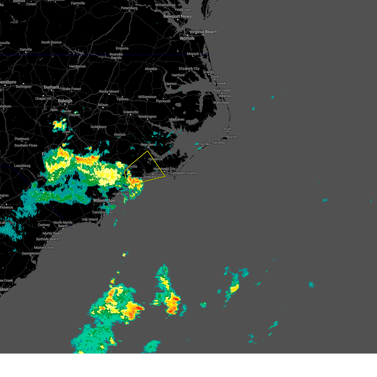
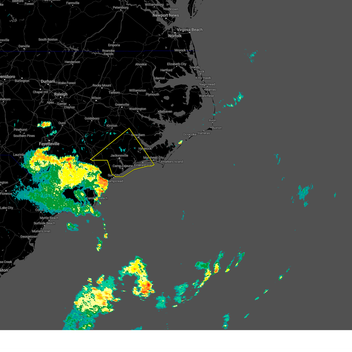
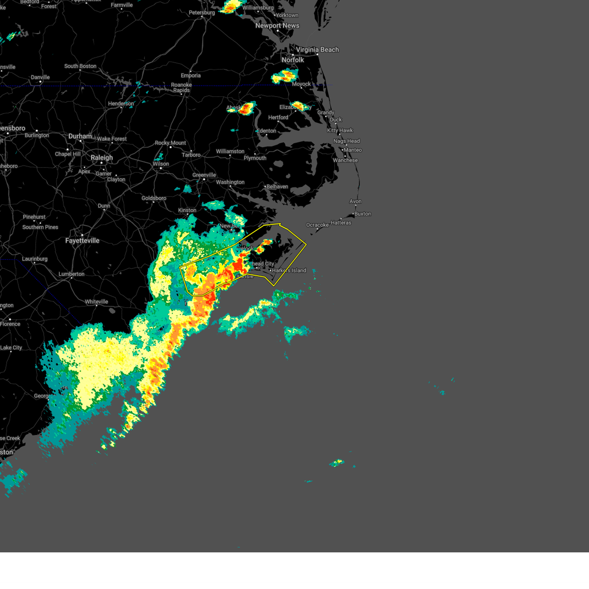
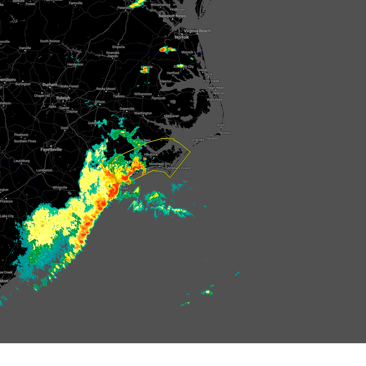
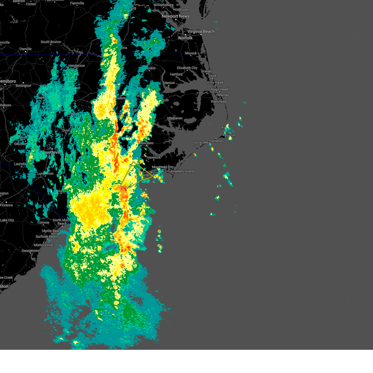
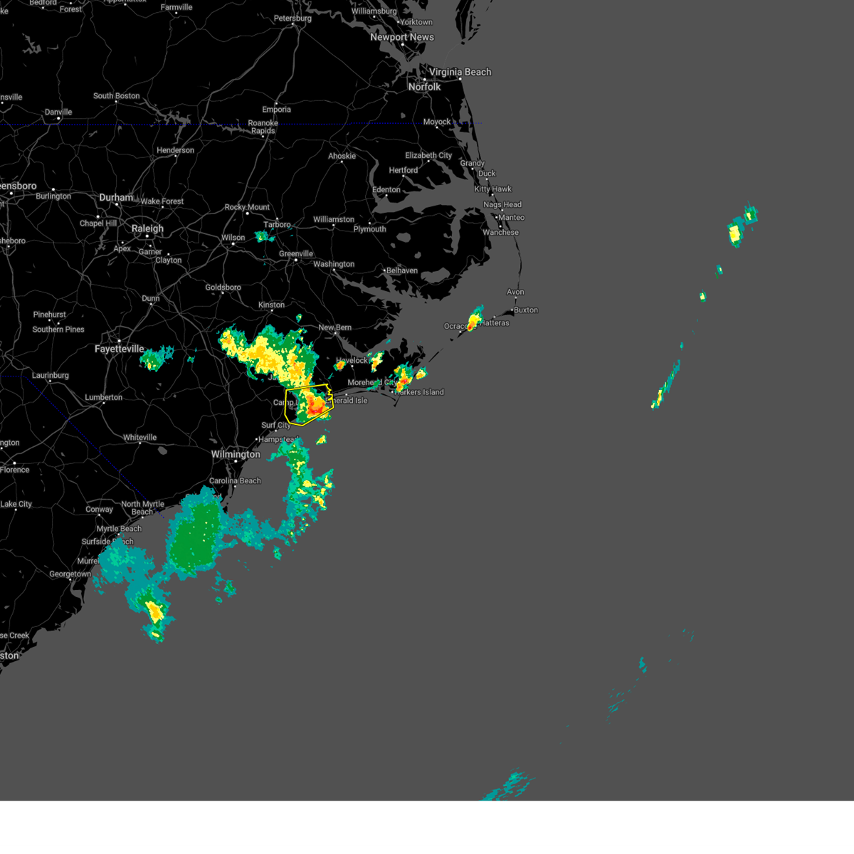
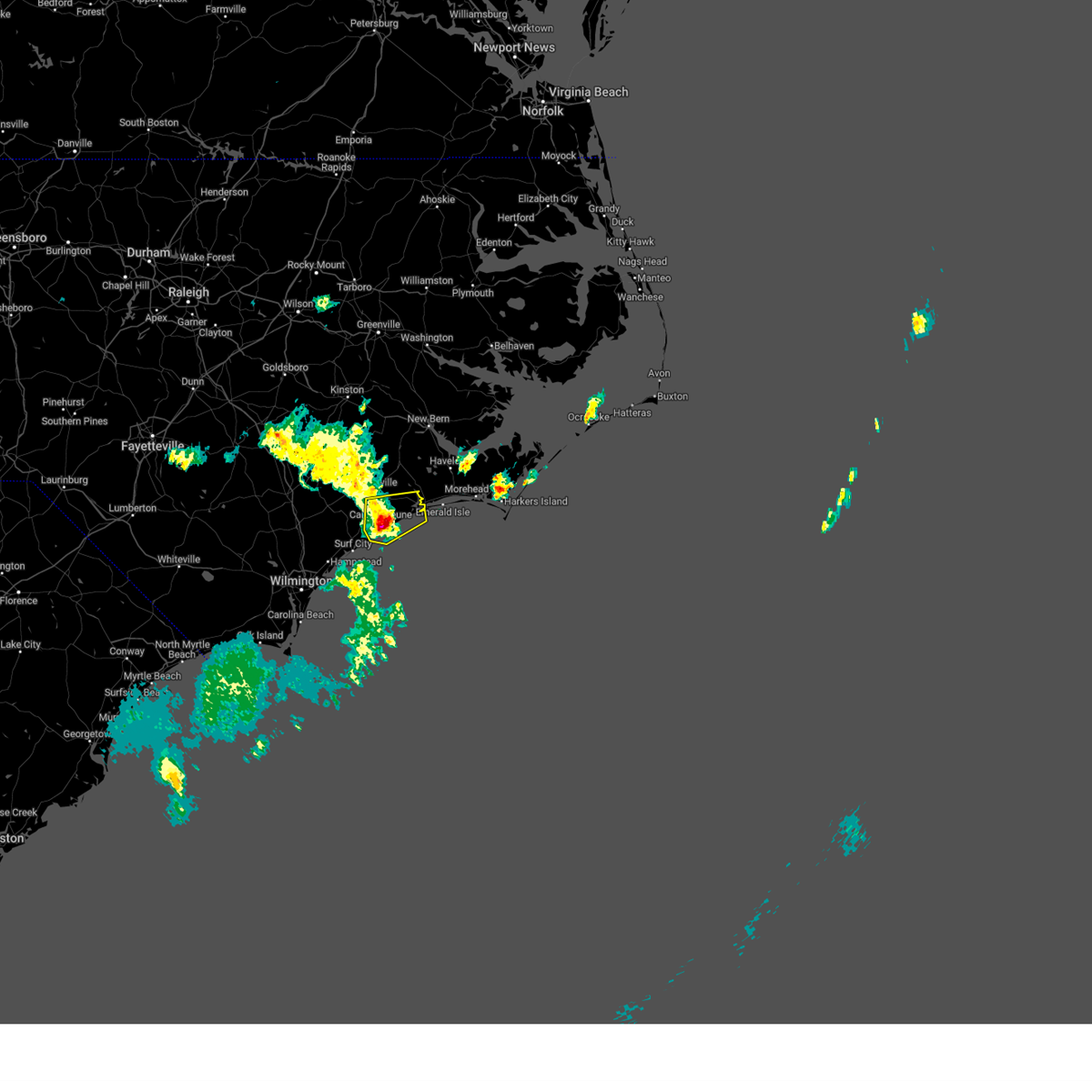
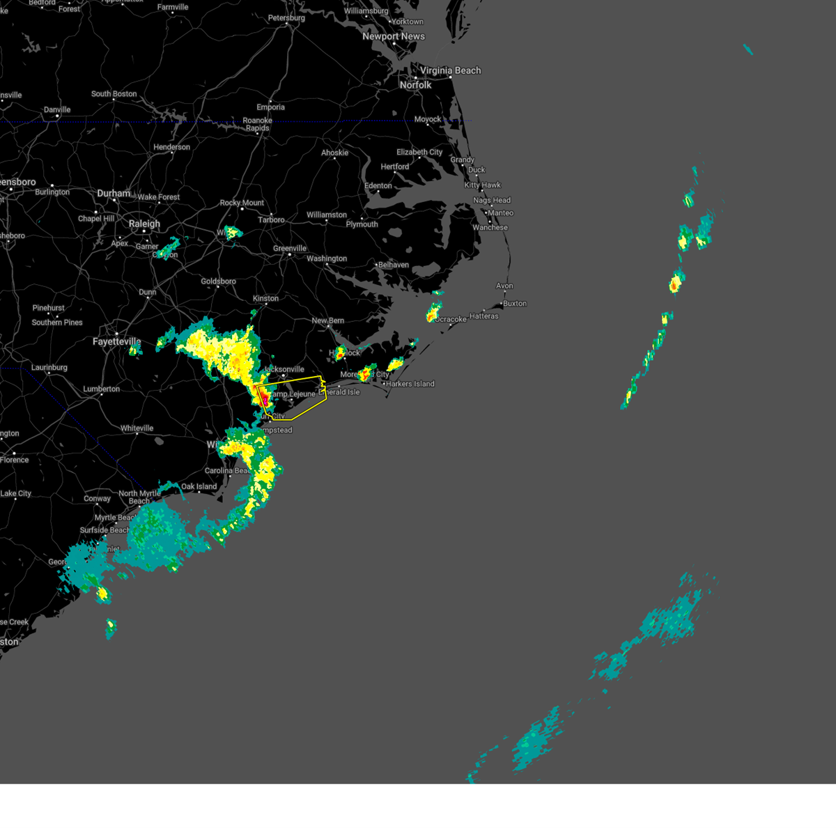
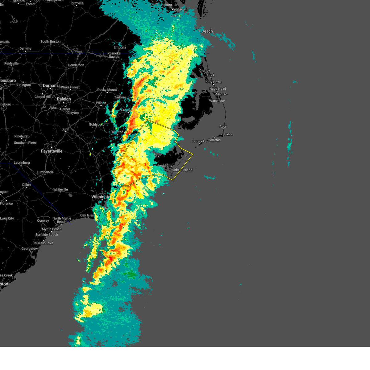
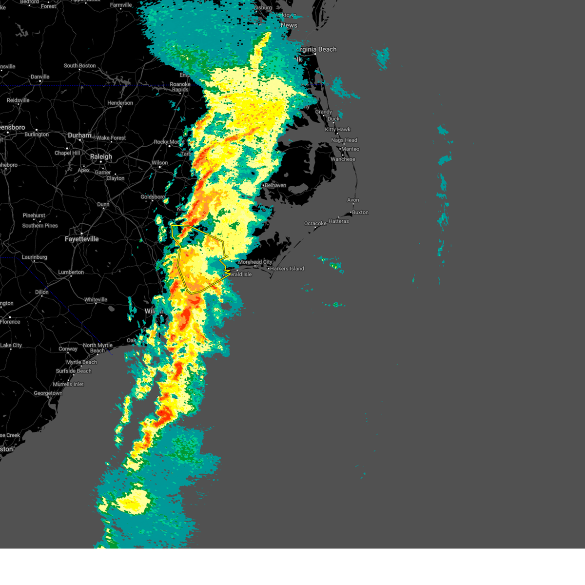
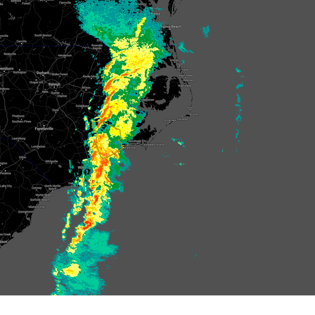
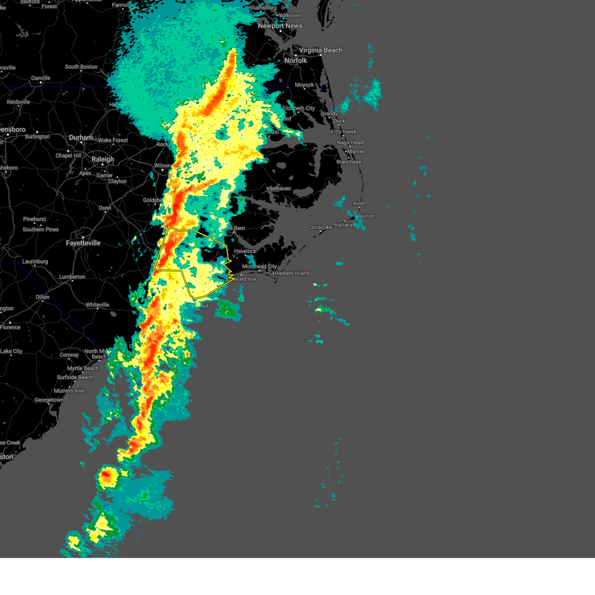
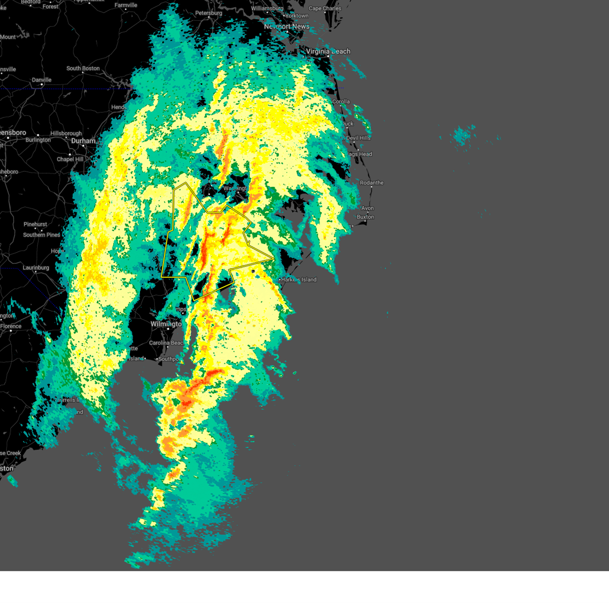
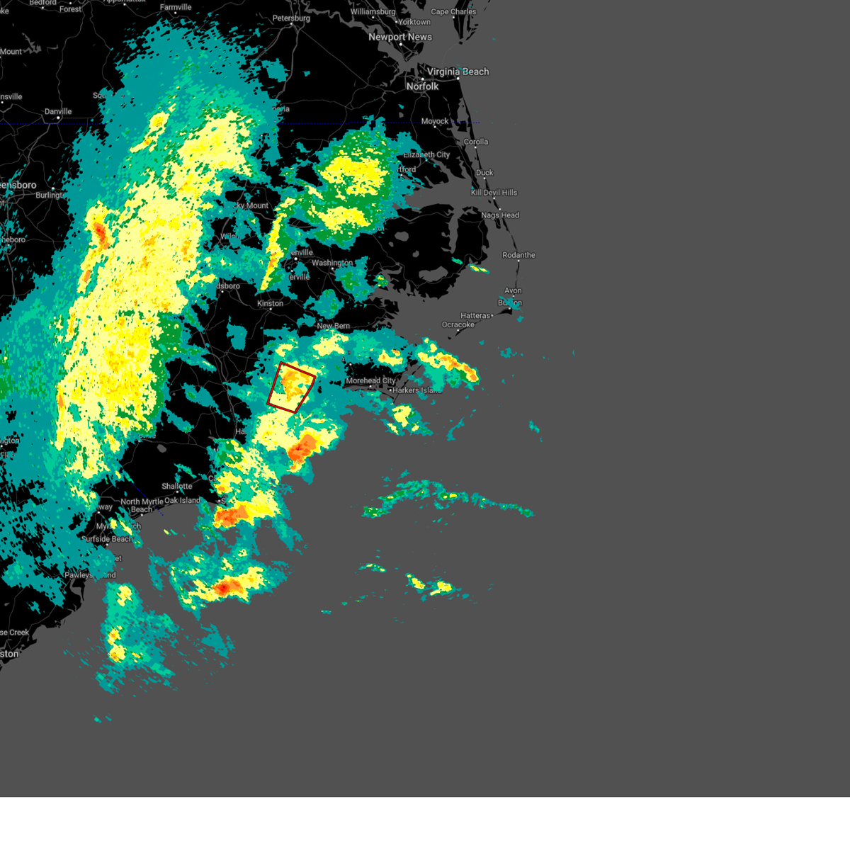
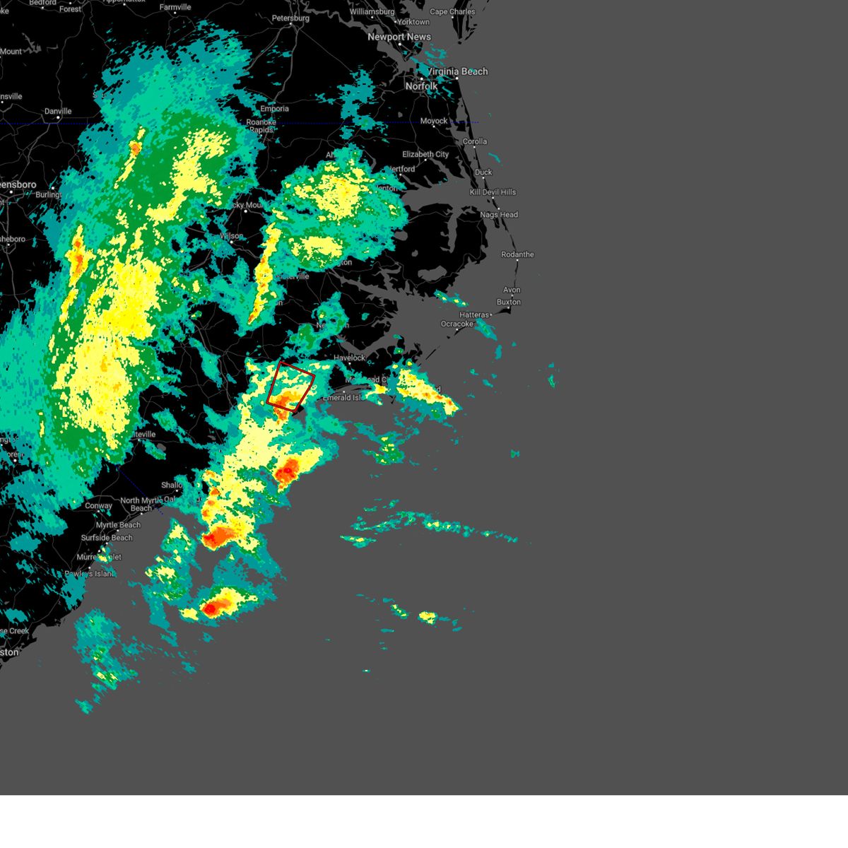
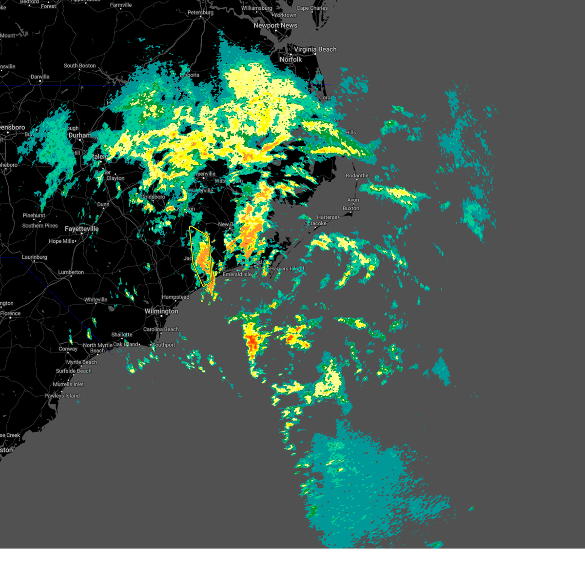
Hail Map for Sneads Ferry, NC
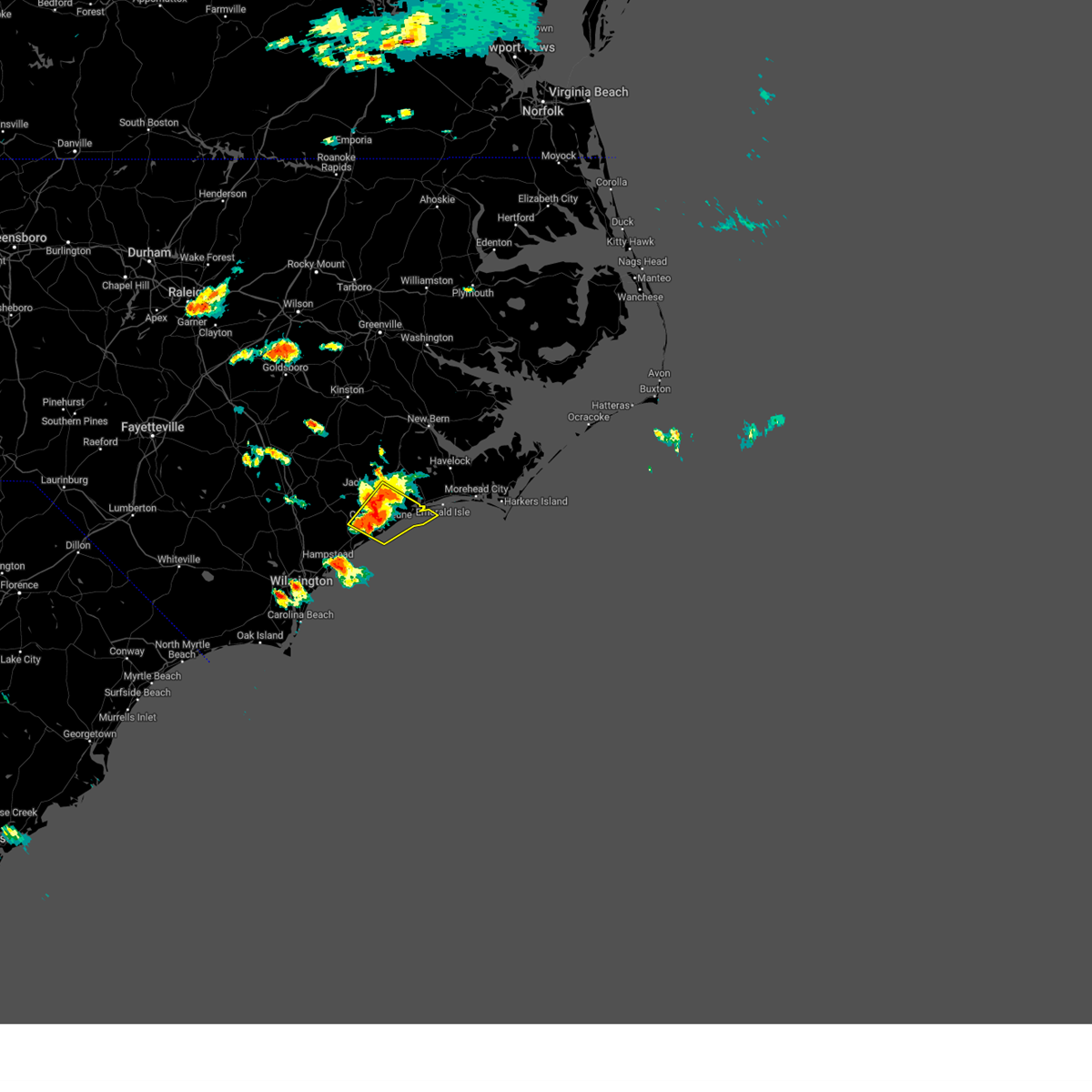
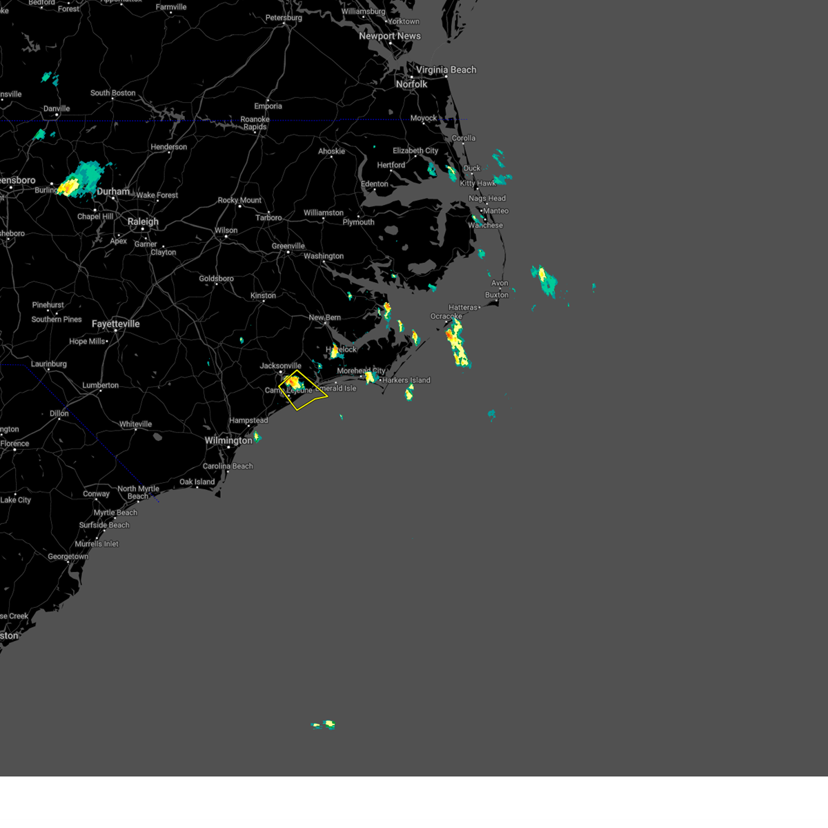
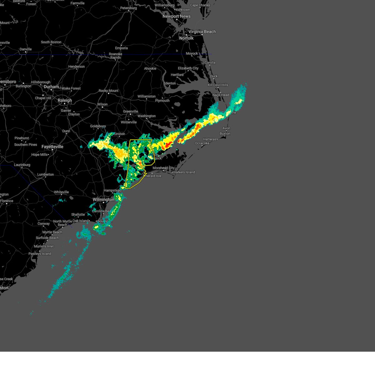
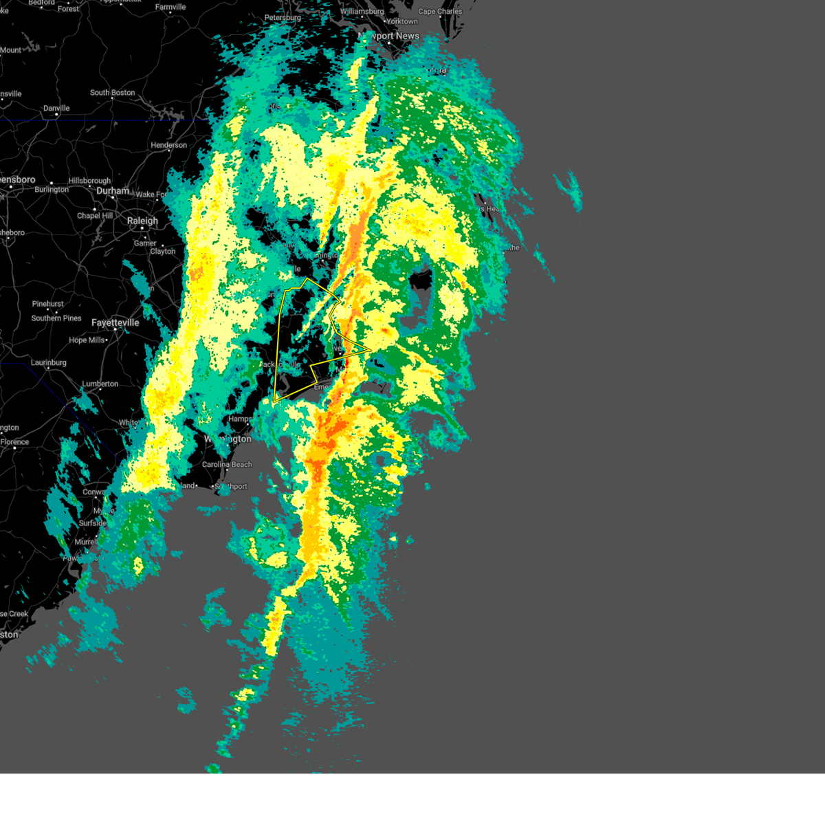
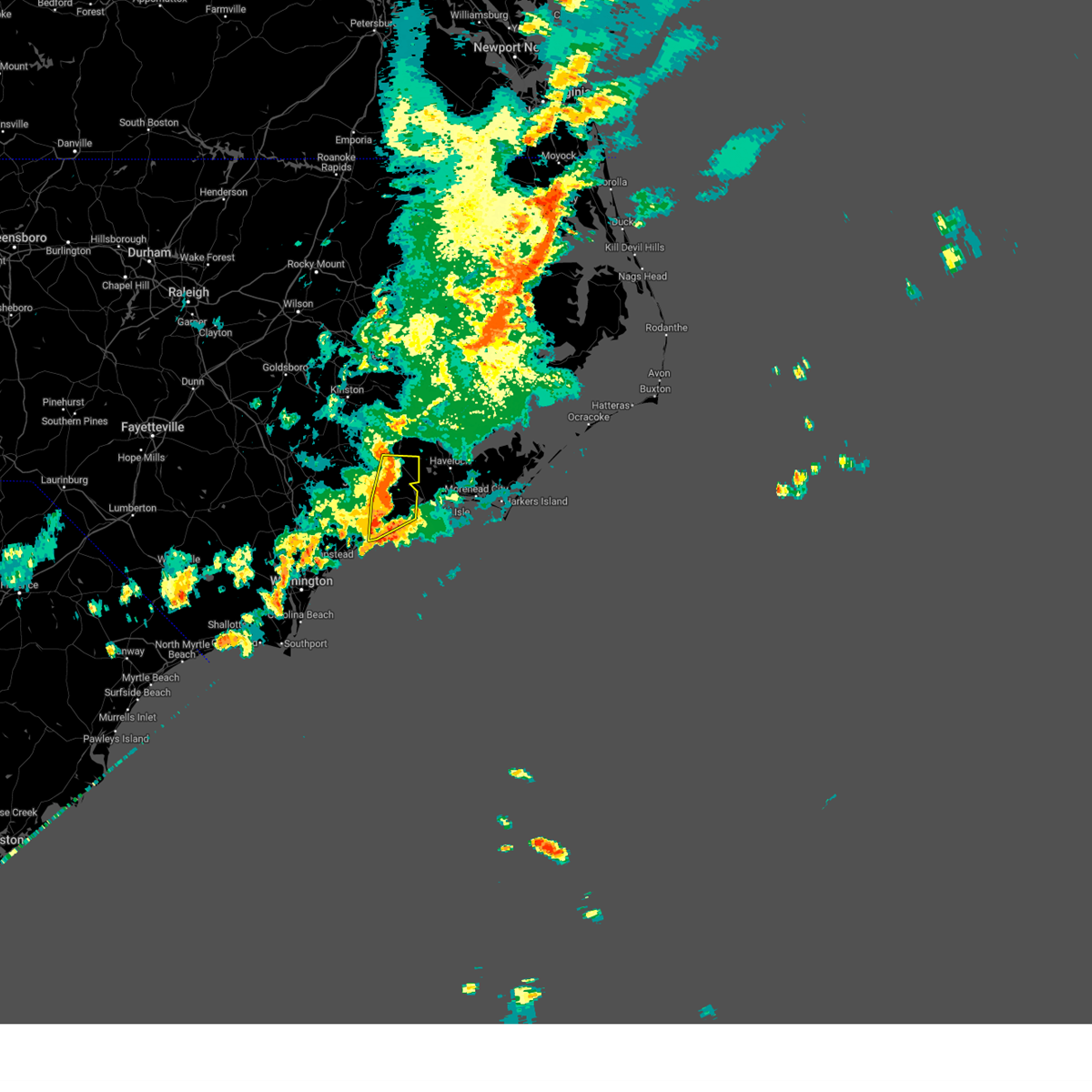
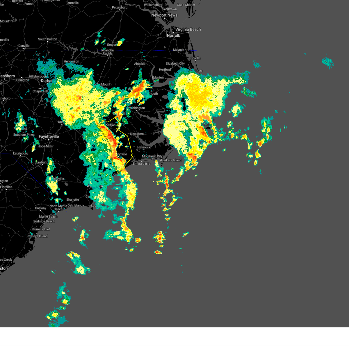
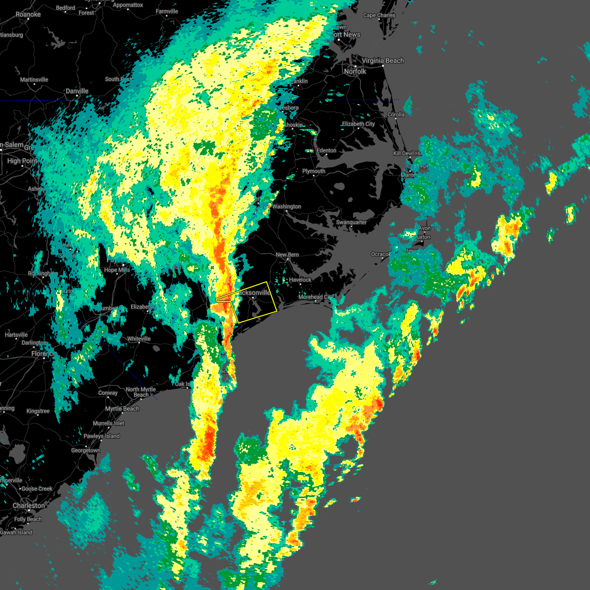
The Sneads Ferry, NC area has had 3 reports of on-the-ground hail by trained spotters, and has been under severe weather warnings 20 times during the past 12 months. Doppler radar has detected hail at or near Sneads Ferry, NC on 31 occasions, including 2 occasions during the past year.
| Name: | Sneads Ferry, NC |
| Where Located: | 38.4 miles NE of Wilmington, NC |
| Map: | Google Map for Sneads Ferry, NC |
| Population: | 2646 |
| Housing Units: | 1552 |
| More Info: | Search Google for Sneads Ferry, NC |
0
The Top Recent Hail Date for Sneads Ferry, NC is Sunday, June 8, 2025 (25th out of 31)

Hail and Wind Damage Spotted near Sneads Ferry, NC
| Date / Time | Report Details |
|---|---|
| 6/10/2025 2:34 PM EDT |
 At 233 pm edt, a severe thunderstorm was located over hammocks beach, or 13 miles southeast of piney green, moving northeast at 60 mph (radar indicated). Hazards include 60 mph wind gusts. Expect damage to roofs, siding, and trees. Locations impacted include, jacksonville, havelock, morehead city, newport, new river station, pumpkin center, piney green, camp lejeune center, stella, swansboro, hubert, cape carteret, pine knoll shores, maysville, silverdale, kellum, midway park, verona, belgrade, and broad creek. At 233 pm edt, a severe thunderstorm was located over hammocks beach, or 13 miles southeast of piney green, moving northeast at 60 mph (radar indicated). Hazards include 60 mph wind gusts. Expect damage to roofs, siding, and trees. Locations impacted include, jacksonville, havelock, morehead city, newport, new river station, pumpkin center, piney green, camp lejeune center, stella, swansboro, hubert, cape carteret, pine knoll shores, maysville, silverdale, kellum, midway park, verona, belgrade, and broad creek.
|
| 6/10/2025 2:34 PM EDT |
 the severe thunderstorm warning has been cancelled and is no longer in effect the severe thunderstorm warning has been cancelled and is no longer in effect
|
| 6/10/2025 2:02 PM EDT |
 Svrmhx the national weather service in newport has issued a * severe thunderstorm warning for, jones county in eastern north carolina, southwestern craven county in eastern north carolina, onslow county in eastern north carolina, southeastern duplin county in eastern north carolina, southwestern carteret county in eastern north carolina, * until 245 pm edt. * at 201 pm edt, a severe thunderstorm was located over topsail beach, or near surf city, moving northeast at 55 mph (radar indicated). Hazards include 60 mph wind gusts. expect damage to roofs, siding, and trees Svrmhx the national weather service in newport has issued a * severe thunderstorm warning for, jones county in eastern north carolina, southwestern craven county in eastern north carolina, onslow county in eastern north carolina, southeastern duplin county in eastern north carolina, southwestern carteret county in eastern north carolina, * until 245 pm edt. * at 201 pm edt, a severe thunderstorm was located over topsail beach, or near surf city, moving northeast at 55 mph (radar indicated). Hazards include 60 mph wind gusts. expect damage to roofs, siding, and trees
|
| 6/8/2025 3:10 PM EDT |
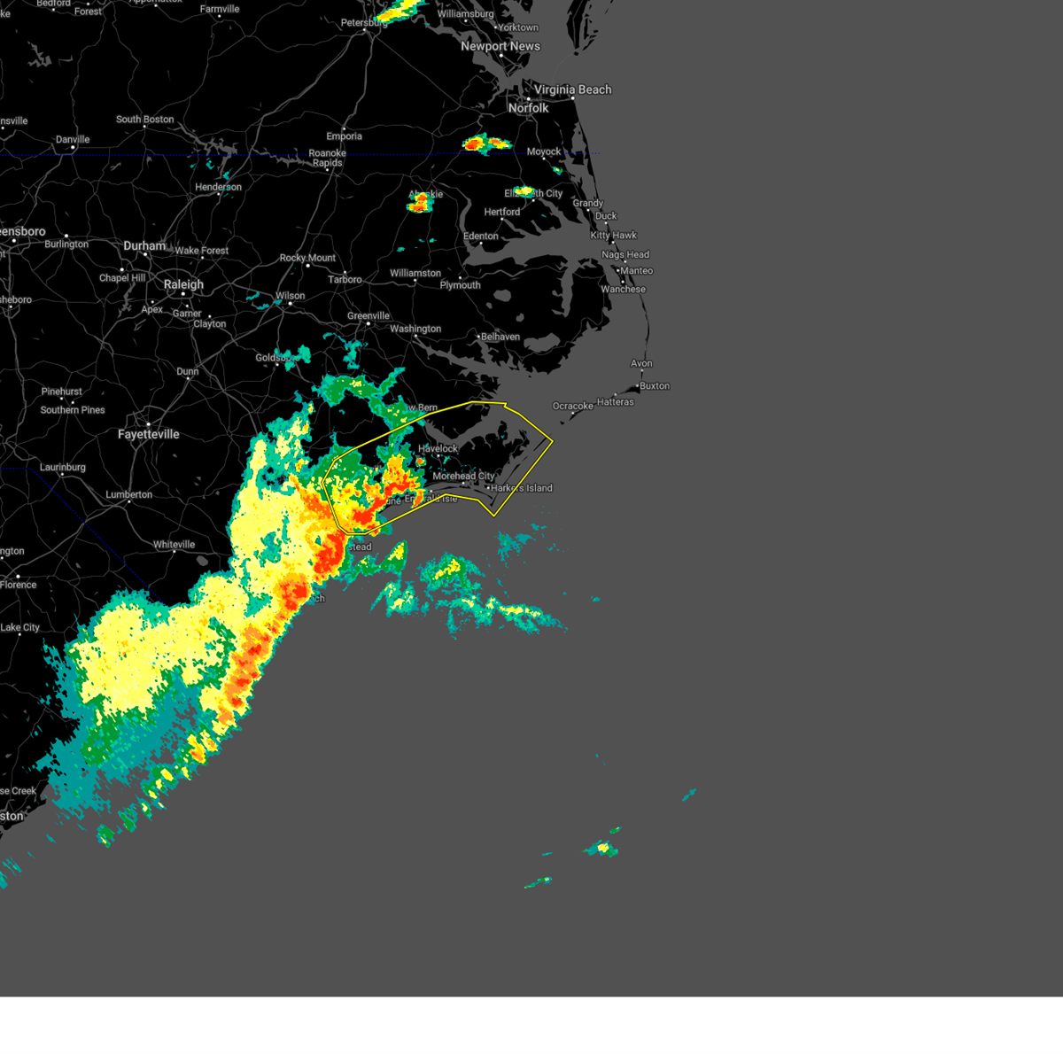
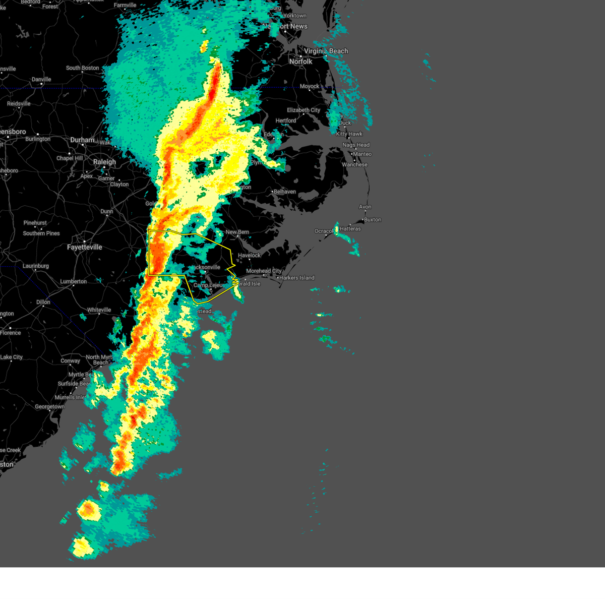
 At 309 pm edt, severe thunderstorms were located along a line extending from havelock to near hammocks beach state park, moving east at 55 mph (radar indicated). Hazards include 70 mph wind gusts and ping pong ball size hail. People and animals outdoors will be injured. expect hail damage to roofs, siding, windows, and vehicles. expect considerable tree damage. wind damage is also likely to mobile homes, roofs, and outbuildings. Locations impacted include, jacksonville, new bern, havelock, morehead city, north topsail beach, newport, cedar island, harkers island, pumpkin center, piney green, new river station, camp lejeune center, stella, swansboro, hubert, south river, cape carteret, north river, davis, and straits. At 309 pm edt, severe thunderstorms were located along a line extending from havelock to near hammocks beach state park, moving east at 55 mph (radar indicated). Hazards include 70 mph wind gusts and ping pong ball size hail. People and animals outdoors will be injured. expect hail damage to roofs, siding, windows, and vehicles. expect considerable tree damage. wind damage is also likely to mobile homes, roofs, and outbuildings. Locations impacted include, jacksonville, new bern, havelock, morehead city, north topsail beach, newport, cedar island, harkers island, pumpkin center, piney green, new river station, camp lejeune center, stella, swansboro, hubert, south river, cape carteret, north river, davis, and straits.
|
| 6/8/2025 2:51 PM EDT |
 the severe thunderstorm warning has been cancelled and is no longer in effect the severe thunderstorm warning has been cancelled and is no longer in effect
|
| 6/8/2025 2:51 PM EDT |
 At 251 pm edt, severe thunderstorms were located along a line extending from near kuhns to sea view pier, moving northeast at 50 mph (radar indicated). Hazards include 70 mph wind gusts and ping pong ball size hail. People and animals outdoors will be injured. expect hail damage to roofs, siding, windows, and vehicles. expect considerable tree damage. wind damage is also likely to mobile homes, roofs, and outbuildings. Locations impacted include, jacksonville, new bern, havelock, morehead city, north topsail beach, newport, cedar island, harkers island, pumpkin center, piney green, new river station, half moon, camp lejeune center, james city, stella, swansboro, hubert, south river, cape carteret, and north river. At 251 pm edt, severe thunderstorms were located along a line extending from near kuhns to sea view pier, moving northeast at 50 mph (radar indicated). Hazards include 70 mph wind gusts and ping pong ball size hail. People and animals outdoors will be injured. expect hail damage to roofs, siding, windows, and vehicles. expect considerable tree damage. wind damage is also likely to mobile homes, roofs, and outbuildings. Locations impacted include, jacksonville, new bern, havelock, morehead city, north topsail beach, newport, cedar island, harkers island, pumpkin center, piney green, new river station, half moon, camp lejeune center, james city, stella, swansboro, hubert, south river, cape carteret, and north river.
|
| 6/8/2025 2:10 PM EDT |
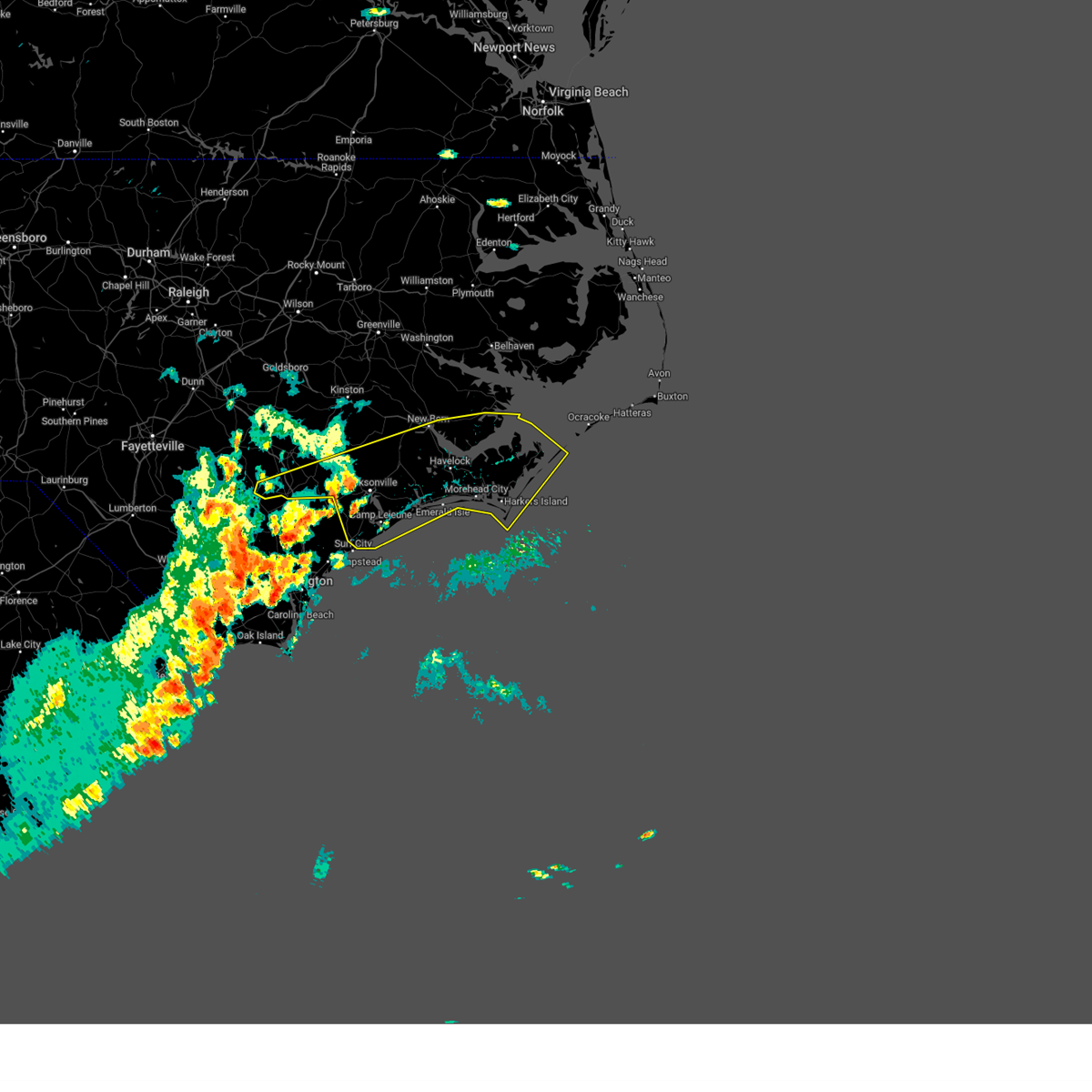 Svrmhx the national weather service in newport has issued a * severe thunderstorm warning for, southeastern jones county in eastern north carolina, southeastern craven county in eastern north carolina, onslow county in eastern north carolina, southern duplin county in eastern north carolina, carteret county in eastern north carolina, southern pamlico county in eastern north carolina, * until 330 pm edt. * at 209 pm edt, severe thunderstorms were located along a line extending from near maple hill to ogden, moving east at 55 mph (radar indicated). Hazards include 60 mph wind gusts and quarter size hail. Hail damage to vehicles is expected. Expect wind damage to roofs, siding, and trees. Svrmhx the national weather service in newport has issued a * severe thunderstorm warning for, southeastern jones county in eastern north carolina, southeastern craven county in eastern north carolina, onslow county in eastern north carolina, southern duplin county in eastern north carolina, carteret county in eastern north carolina, southern pamlico county in eastern north carolina, * until 330 pm edt. * at 209 pm edt, severe thunderstorms were located along a line extending from near maple hill to ogden, moving east at 55 mph (radar indicated). Hazards include 60 mph wind gusts and quarter size hail. Hail damage to vehicles is expected. Expect wind damage to roofs, siding, and trees.
|
| 6/7/2025 6:31 PM EDT |
 At 631 pm edt, severe thunderstorms were located along a line extending from near swansboro to 7 miles northwest of edgecomb, moving east at 20 mph (radar indicated). Hazards include 60 mph wind gusts and quarter size hail. Hail damage to vehicles is expected. expect wind damage to roofs, siding, and trees. Locations impacted include, jacksonville, north topsail beach, new river station, camp lejeune center, piney green, swansboro, hubert, folkstone, midway park, verona, dixon, hammocks beach, onslow beach, sneads ferry, hammocks beach state park, sea view pier, bogue inlet pier, holly ridge, and haws run. At 631 pm edt, severe thunderstorms were located along a line extending from near swansboro to 7 miles northwest of edgecomb, moving east at 20 mph (radar indicated). Hazards include 60 mph wind gusts and quarter size hail. Hail damage to vehicles is expected. expect wind damage to roofs, siding, and trees. Locations impacted include, jacksonville, north topsail beach, new river station, camp lejeune center, piney green, swansboro, hubert, folkstone, midway park, verona, dixon, hammocks beach, onslow beach, sneads ferry, hammocks beach state park, sea view pier, bogue inlet pier, holly ridge, and haws run.
|
| 6/7/2025 5:47 PM EDT |
 Svrmhx the national weather service in newport has issued a * severe thunderstorm warning for, onslow county in eastern north carolina, * until 645 pm edt. * at 547 pm edt, severe thunderstorms were located along a line extending from 6 miles south of catherine lake to near white stocking, moving east at 35 mph (radar indicated). Hazards include 60 mph wind gusts and quarter size hail. Hail damage to vehicles is expected. Expect wind damage to roofs, siding, and trees. Svrmhx the national weather service in newport has issued a * severe thunderstorm warning for, onslow county in eastern north carolina, * until 645 pm edt. * at 547 pm edt, severe thunderstorms were located along a line extending from 6 miles south of catherine lake to near white stocking, moving east at 35 mph (radar indicated). Hazards include 60 mph wind gusts and quarter size hail. Hail damage to vehicles is expected. Expect wind damage to roofs, siding, and trees.
|
| 5/4/2025 6:49 AM EDT |
 Svrmhx the national weather service in newport has issued a * severe thunderstorm warning for, southeastern onslow county in eastern north carolina, western carteret county in eastern north carolina, * until 715 am edt. * at 649 am edt, a severe thunderstorm was located over north topsail beach, moving northeast at 50 mph (radar indicated). Hazards include 60 mph wind gusts. expect damage to roofs, siding, and trees Svrmhx the national weather service in newport has issued a * severe thunderstorm warning for, southeastern onslow county in eastern north carolina, western carteret county in eastern north carolina, * until 715 am edt. * at 649 am edt, a severe thunderstorm was located over north topsail beach, moving northeast at 50 mph (radar indicated). Hazards include 60 mph wind gusts. expect damage to roofs, siding, and trees
|
| 4/11/2025 8:47 PM EDT |
 The storm which prompted the warning has weakened below severe limits, and has exited the warned area. therefore, the warning has been allowed to expire. The storm which prompted the warning has weakened below severe limits, and has exited the warned area. therefore, the warning has been allowed to expire.
|
| 4/11/2025 8:39 PM EDT | Quarter sized hail reported 7.2 miles W of Sneads Ferry, NC, mping report of quarter size hail in onslow beach. |
| 4/11/2025 8:30 PM EDT |
 At 830 pm edt, a severe thunderstorm was located over onslow beach, or 9 miles south of camp lejeune center, moving east at 40 mph (radar indicated). Hazards include 60 mph wind gusts and quarter size hail. Hail damage to vehicles is expected. expect wind damage to roofs, siding, and trees. Locations impacted include, new river station, hammocks beach, hubert, hammocks beach state park, onslow beach, camp lejeune center, swansboro, sneads ferry, sea view pier, and jacksonville. At 830 pm edt, a severe thunderstorm was located over onslow beach, or 9 miles south of camp lejeune center, moving east at 40 mph (radar indicated). Hazards include 60 mph wind gusts and quarter size hail. Hail damage to vehicles is expected. expect wind damage to roofs, siding, and trees. Locations impacted include, new river station, hammocks beach, hubert, hammocks beach state park, onslow beach, camp lejeune center, swansboro, sneads ferry, sea view pier, and jacksonville.
|
| 4/11/2025 8:25 PM EDT | Quarter sized hail reported 0.6 miles SE of Sneads Ferry, NC, multiple reports of hail covering the ground to a depth of a couple of inches in and around sneads ferry. hail size ranged from dime size to quarter size. reports relay |
| 4/11/2025 8:08 PM EDT |
 Svrmhx the national weather service in newport has issued a * severe thunderstorm warning for, southern onslow county in eastern north carolina, * until 845 pm edt. * at 808 pm edt, a severe thunderstorm was located over folkstone, or 7 miles northwest of north topsail beach, moving east at 40 mph (radar indicated). Hazards include 60 mph wind gusts and quarter size hail. Hail damage to vehicles is expected. Expect wind damage to roofs, siding, and trees. Svrmhx the national weather service in newport has issued a * severe thunderstorm warning for, southern onslow county in eastern north carolina, * until 845 pm edt. * at 808 pm edt, a severe thunderstorm was located over folkstone, or 7 miles northwest of north topsail beach, moving east at 40 mph (radar indicated). Hazards include 60 mph wind gusts and quarter size hail. Hail damage to vehicles is expected. Expect wind damage to roofs, siding, and trees.
|
| 3/5/2025 3:45 PM EST |
 Svrmhx the national weather service in newport has issued a * severe thunderstorm warning for, eastern jones county in eastern north carolina, craven county in eastern north carolina, onslow county in eastern north carolina, southern beaufort county in eastern north carolina, carteret county in eastern north carolina, pamlico county in eastern north carolina, * until 500 pm est. * at 345 pm est, severe thunderstorms were located along a line extending from near belgrade to 14 miles southeast of topsail beach, moving northeast at 60 mph (radar indicated). Hazards include 70 mph wind gusts. Expect considerable tree damage. Damage is likely to mobile homes, roofs, and outbuildings. Svrmhx the national weather service in newport has issued a * severe thunderstorm warning for, eastern jones county in eastern north carolina, craven county in eastern north carolina, onslow county in eastern north carolina, southern beaufort county in eastern north carolina, carteret county in eastern north carolina, pamlico county in eastern north carolina, * until 500 pm est. * at 345 pm est, severe thunderstorms were located along a line extending from near belgrade to 14 miles southeast of topsail beach, moving northeast at 60 mph (radar indicated). Hazards include 70 mph wind gusts. Expect considerable tree damage. Damage is likely to mobile homes, roofs, and outbuildings.
|
| 3/5/2025 3:32 PM EST |
 the severe thunderstorm warning has been cancelled and is no longer in effect the severe thunderstorm warning has been cancelled and is no longer in effect
|
| 3/5/2025 3:32 PM EST |
 At 332 pm est, severe thunderstorms were located along a line extending from near old ford to near hubert, moving northeast at 80 mph (radar indicated). Hazards include 70 mph wind gusts. Expect considerable tree damage. damage is likely to mobile homes, roofs, and outbuildings. Locations impacted include, belgrade, new river station, albert j ellis airport, hargetts crossroads, haws run, hubert, deppe, pumpkin center, richlands, loco vfd, piney green, pink hill, sneads ferry, petersburg, hammocks beach, phillips crossroads, hammocks beach state park, catherine lake, jacksonville, and sea view pier. At 332 pm est, severe thunderstorms were located along a line extending from near old ford to near hubert, moving northeast at 80 mph (radar indicated). Hazards include 70 mph wind gusts. Expect considerable tree damage. damage is likely to mobile homes, roofs, and outbuildings. Locations impacted include, belgrade, new river station, albert j ellis airport, hargetts crossroads, haws run, hubert, deppe, pumpkin center, richlands, loco vfd, piney green, pink hill, sneads ferry, petersburg, hammocks beach, phillips crossroads, hammocks beach state park, catherine lake, jacksonville, and sea view pier.
|
| 3/5/2025 3:04 PM EST |
 At 304 pm est, severe thunderstorms were located along a line extending from near wyse fork to topsail, moving northeast at 80 mph (radar indicated). Hazards include 70 mph wind gusts. Expect considerable tree damage. damage is likely to mobile homes, roofs, and outbuildings. Locations impacted include, belgrade, new river station, albert j ellis airport, hargetts crossroads, haws run, hubert, deppe, pumpkin center, richlands, loco vfd, kornegay, piney green, pink hill, sneads ferry, potters hill, petersburg, hammocks beach, phillips crossroads, albertson, and hammocks beach state park. At 304 pm est, severe thunderstorms were located along a line extending from near wyse fork to topsail, moving northeast at 80 mph (radar indicated). Hazards include 70 mph wind gusts. Expect considerable tree damage. damage is likely to mobile homes, roofs, and outbuildings. Locations impacted include, belgrade, new river station, albert j ellis airport, hargetts crossroads, haws run, hubert, deppe, pumpkin center, richlands, loco vfd, kornegay, piney green, pink hill, sneads ferry, potters hill, petersburg, hammocks beach, phillips crossroads, albertson, and hammocks beach state park.
|
| 3/5/2025 2:42 PM EST |
 Svrmhx the national weather service in newport has issued a * severe thunderstorm warning for, jones county in eastern north carolina, southwestern lenoir county in eastern north carolina, onslow county in eastern north carolina, duplin county in eastern north carolina, * until 345 pm est. * at 242 pm est, severe thunderstorms were located along a line extending from near kenansville to near mill creek, moving northeast at 80 mph (radar indicated). Hazards include 70 mph wind gusts. Expect considerable tree damage. Damage is likely to mobile homes, roofs, and outbuildings. Svrmhx the national weather service in newport has issued a * severe thunderstorm warning for, jones county in eastern north carolina, southwestern lenoir county in eastern north carolina, onslow county in eastern north carolina, duplin county in eastern north carolina, * until 345 pm est. * at 242 pm est, severe thunderstorms were located along a line extending from near kenansville to near mill creek, moving northeast at 80 mph (radar indicated). Hazards include 70 mph wind gusts. Expect considerable tree damage. Damage is likely to mobile homes, roofs, and outbuildings.
|
| 8/2/2024 9:20 AM EDT |
 At 919 am edt, a severe thunderstorm was located over sea view pier, or near north topsail beach, moving east at 20 mph (mesonet observation. at 915 am, a 58 mph wind gust was measured in holly ridge). Hazards include 60 mph wind gusts. Expect damage to roofs, siding, and trees. Locations impacted include, jacksonville, north topsail beach, folkstone, dixon, onslow beach, sneads ferry, sea view pier, and holly ridge. At 919 am edt, a severe thunderstorm was located over sea view pier, or near north topsail beach, moving east at 20 mph (mesonet observation. at 915 am, a 58 mph wind gust was measured in holly ridge). Hazards include 60 mph wind gusts. Expect damage to roofs, siding, and trees. Locations impacted include, jacksonville, north topsail beach, folkstone, dixon, onslow beach, sneads ferry, sea view pier, and holly ridge.
|
| 8/2/2024 8:57 AM EDT |
 Svrmhx the national weather service in newport has issued a * severe thunderstorm warning for, southwestern onslow county in eastern north carolina, * until 945 am edt. * at 857 am edt, a severe thunderstorm was located near folkstone, or near surf city, moving east at 20 mph (radar indicated). Hazards include 60 mph wind gusts. expect damage to roofs, siding, and trees Svrmhx the national weather service in newport has issued a * severe thunderstorm warning for, southwestern onslow county in eastern north carolina, * until 945 am edt. * at 857 am edt, a severe thunderstorm was located near folkstone, or near surf city, moving east at 20 mph (radar indicated). Hazards include 60 mph wind gusts. expect damage to roofs, siding, and trees
|
| 6/6/2024 6:50 PM EDT |
 the severe thunderstorm warning has been cancelled and is no longer in effect the severe thunderstorm warning has been cancelled and is no longer in effect
|
| 6/6/2024 6:34 PM EDT |
 At 634 pm edt, a severe thunderstorm was located over folkstone, or near north topsail beach, moving northeast at 40 mph (radar indicated). Hazards include 60 mph wind gusts. Expect damage to roofs, siding, and trees. Locations impacted include, jacksonville, north topsail beach, swansboro, hubert, folkstone, silverdale, dixon, hammocks beach, onslow beach, sneads ferry, hammocks beach state park, sea view pier, and holly ridge. At 634 pm edt, a severe thunderstorm was located over folkstone, or near north topsail beach, moving northeast at 40 mph (radar indicated). Hazards include 60 mph wind gusts. Expect damage to roofs, siding, and trees. Locations impacted include, jacksonville, north topsail beach, swansboro, hubert, folkstone, silverdale, dixon, hammocks beach, onslow beach, sneads ferry, hammocks beach state park, sea view pier, and holly ridge.
|
| 6/6/2024 6:21 PM EDT |
 Svrmhx the national weather service in newport has issued a * severe thunderstorm warning for, onslow county in eastern north carolina, * until 700 pm edt. * at 619 pm edt, a severe thunderstorm was located near edgecomb, or 8 miles northwest of surf city, moving northeast at 40 mph (radar indicated). Hazards include 60 mph wind gusts and penny size hail. expect damage to roofs, siding, and trees Svrmhx the national weather service in newport has issued a * severe thunderstorm warning for, onslow county in eastern north carolina, * until 700 pm edt. * at 619 pm edt, a severe thunderstorm was located near edgecomb, or 8 miles northwest of surf city, moving northeast at 40 mph (radar indicated). Hazards include 60 mph wind gusts and penny size hail. expect damage to roofs, siding, and trees
|
| 5/24/2024 5:50 PM EDT |
 The storm which prompted the warning has moved out of the area. therefore, the warning will be allowed to expire. to report severe weather, contact your nearest law enforcement agency. they will relay your report to the national weather service newport. The storm which prompted the warning has moved out of the area. therefore, the warning will be allowed to expire. to report severe weather, contact your nearest law enforcement agency. they will relay your report to the national weather service newport.
|
| 5/24/2024 5:38 PM EDT |
 At 538 pm edt, a severe thunderstorm was located over onslow beach, or 8 miles southeast of camp lejeune center, moving southeast at 25 mph (radar indicated). Hazards include 60 mph wind gusts and quarter size hail. Hail damage to vehicles is expected. expect wind damage to roofs, siding, and trees. Locations impacted include, jacksonville, pumpkin center, camp lejeune center, piney green, swansboro, hubert, folkstone, midway park, verona, dixon, hammocks beach, onslow beach, sneads ferry, hammocks beach state park, and sea view pier. At 538 pm edt, a severe thunderstorm was located over onslow beach, or 8 miles southeast of camp lejeune center, moving southeast at 25 mph (radar indicated). Hazards include 60 mph wind gusts and quarter size hail. Hail damage to vehicles is expected. expect wind damage to roofs, siding, and trees. Locations impacted include, jacksonville, pumpkin center, camp lejeune center, piney green, swansboro, hubert, folkstone, midway park, verona, dixon, hammocks beach, onslow beach, sneads ferry, hammocks beach state park, and sea view pier.
|
| 5/24/2024 5:31 PM EDT | Delayed report. large camper was shifted by 8 feet from original location. tree damage noted as well. time estimated based on rada in onslow county NC, 3.9 miles ENE of Sneads Ferry, NC |
| 5/24/2024 5:21 PM EDT |
 Svrmhx the national weather service in newport has issued a * severe thunderstorm warning for, southern onslow county in eastern north carolina, * until 600 pm edt. * at 520 pm edt, severe thunderstorms were located along a line extending from near silverdale to 7 miles north of edgecomb, moving east at 20 mph (radar indicated). Hazards include 60 mph wind gusts and quarter size hail. Hail damage to vehicles is expected. Expect wind damage to roofs, siding, and trees. Svrmhx the national weather service in newport has issued a * severe thunderstorm warning for, southern onslow county in eastern north carolina, * until 600 pm edt. * at 520 pm edt, severe thunderstorms were located along a line extending from near silverdale to 7 miles north of edgecomb, moving east at 20 mph (radar indicated). Hazards include 60 mph wind gusts and quarter size hail. Hail damage to vehicles is expected. Expect wind damage to roofs, siding, and trees.
|
| 5/15/2024 9:12 PM EDT |
 Svrmhx the national weather service in newport has issued a * severe thunderstorm warning for, south central onslow county in eastern north carolina, * until 930 pm edt. * at 912 pm edt, a severe thunderstorm was located over surf city, moving east at 35 mph (radar indicated). Hazards include 70 mph wind gusts. Expect considerable tree damage. Damage is likely to mobile homes, roofs, and outbuildings. Svrmhx the national weather service in newport has issued a * severe thunderstorm warning for, south central onslow county in eastern north carolina, * until 930 pm edt. * at 912 pm edt, a severe thunderstorm was located over surf city, moving east at 35 mph (radar indicated). Hazards include 70 mph wind gusts. Expect considerable tree damage. Damage is likely to mobile homes, roofs, and outbuildings.
|
| 5/15/2024 7:13 PM EDT |
 Svrmhx the national weather service in newport has issued a * severe thunderstorm warning for, central onslow county in eastern north carolina, southwestern carteret county in eastern north carolina, * until 815 pm edt. * at 713 pm edt, a severe thunderstorm was located near camp lejeune center, moving east at 25 mph (radar indicated). Hazards include 60 mph wind gusts and half dollar size hail. Hail damage to vehicles is expected. Expect wind damage to roofs, siding, and trees. Svrmhx the national weather service in newport has issued a * severe thunderstorm warning for, central onslow county in eastern north carolina, southwestern carteret county in eastern north carolina, * until 815 pm edt. * at 713 pm edt, a severe thunderstorm was located near camp lejeune center, moving east at 25 mph (radar indicated). Hazards include 60 mph wind gusts and half dollar size hail. Hail damage to vehicles is expected. Expect wind damage to roofs, siding, and trees.
|
| 5/15/2024 5:36 PM EDT |
 At 536 pm edt, a severe thunderstorm was located near cypress creek, or 11 miles west of new river station, moving northeast at 30 mph (radar indicated). Hazards include golf ball size hail and 60 mph wind gusts. People and animals outdoors will be injured. expect hail damage to roofs, siding, windows, and vehicles. expect wind damage to roofs, siding, and trees. Locations impacted include, jacksonville, north topsail beach, new river station, pumpkin center, piney green, half moon, camp lejeune center, swansboro, hubert, richlands, catherine lake, folkstone, silverdale, kellum, cypress creek, midway park, verona, dixon, belgrade, and petersburg. At 536 pm edt, a severe thunderstorm was located near cypress creek, or 11 miles west of new river station, moving northeast at 30 mph (radar indicated). Hazards include golf ball size hail and 60 mph wind gusts. People and animals outdoors will be injured. expect hail damage to roofs, siding, windows, and vehicles. expect wind damage to roofs, siding, and trees. Locations impacted include, jacksonville, north topsail beach, new river station, pumpkin center, piney green, half moon, camp lejeune center, swansboro, hubert, richlands, catherine lake, folkstone, silverdale, kellum, cypress creek, midway park, verona, dixon, belgrade, and petersburg.
|
| 5/15/2024 5:06 PM EDT |
 Svrmhx the national weather service in newport has issued a * severe thunderstorm warning for, onslow county in eastern north carolina, southeastern duplin county in eastern north carolina, * until 600 pm edt. * at 506 pm edt, a severe thunderstorm was located near white stocking, or 8 miles east of burgaw, moving northeast at 35 mph (radar indicated). Hazards include 60 mph wind gusts and quarter size hail. Hail damage to vehicles is expected. Expect wind damage to roofs, siding, and trees. Svrmhx the national weather service in newport has issued a * severe thunderstorm warning for, onslow county in eastern north carolina, southeastern duplin county in eastern north carolina, * until 600 pm edt. * at 506 pm edt, a severe thunderstorm was located near white stocking, or 8 miles east of burgaw, moving northeast at 35 mph (radar indicated). Hazards include 60 mph wind gusts and quarter size hail. Hail damage to vehicles is expected. Expect wind damage to roofs, siding, and trees.
|
| 5/10/2024 5:05 PM EDT |
 Svrmhx the national weather service in newport has issued a * severe thunderstorm warning for, southeastern jones county in eastern north carolina, south central craven county in eastern north carolina, onslow county in eastern north carolina, southeastern duplin county in eastern north carolina, southwestern carteret county in eastern north carolina, * until 615 pm edt. * at 504 pm edt, a severe thunderstorm was located near chinquapin, or 9 miles east of wallace, moving east at 40 mph (radar indicated. at 4:20 pm, 1.75in hail was reported in garland, sampson county). Hazards include 60 mph wind gusts and quarter size hail. Hail damage to vehicles is expected. Expect wind damage to roofs, siding, and trees. Svrmhx the national weather service in newport has issued a * severe thunderstorm warning for, southeastern jones county in eastern north carolina, south central craven county in eastern north carolina, onslow county in eastern north carolina, southeastern duplin county in eastern north carolina, southwestern carteret county in eastern north carolina, * until 615 pm edt. * at 504 pm edt, a severe thunderstorm was located near chinquapin, or 9 miles east of wallace, moving east at 40 mph (radar indicated. at 4:20 pm, 1.75in hail was reported in garland, sampson county). Hazards include 60 mph wind gusts and quarter size hail. Hail damage to vehicles is expected. Expect wind damage to roofs, siding, and trees.
|
| 5/7/2024 6:13 PM EDT |
 Svrmhx the national weather service in newport has issued a * severe thunderstorm warning for, southeastern onslow county in eastern north carolina, * until 645 pm edt. * at 613 pm edt, a severe thunderstorm was located near camp lejeune center, moving southeast at 30 mph (radar indicated). Hazards include 60 mph wind gusts and nickel size hail. expect damage to roofs, siding, and trees Svrmhx the national weather service in newport has issued a * severe thunderstorm warning for, southeastern onslow county in eastern north carolina, * until 645 pm edt. * at 613 pm edt, a severe thunderstorm was located near camp lejeune center, moving southeast at 30 mph (radar indicated). Hazards include 60 mph wind gusts and nickel size hail. expect damage to roofs, siding, and trees
|
| 4/12/2024 8:27 PM EDT |
 At 826 pm edt, severe thunderstorms were located along a line extending from near tuscarora to near belgrade to onslow beach, moving east at 55 mph (law enforcement. these thunderstorms have a history of producing wind gusts of 60 to 65 mph, and wind damage). Hazards include 60 mph wind gusts. Expect damage to roofs, siding, and trees. Locations impacted include, jacksonville, new bern, havelock, morehead city, pumpkin center, piney green, camp lejeune center, james city, trent woods, river bend, swansboro, hubert, maysville, silverdale, kellum, midway park, jasper, tuscarora, belgrade, and rhems. At 826 pm edt, severe thunderstorms were located along a line extending from near tuscarora to near belgrade to onslow beach, moving east at 55 mph (law enforcement. these thunderstorms have a history of producing wind gusts of 60 to 65 mph, and wind damage). Hazards include 60 mph wind gusts. Expect damage to roofs, siding, and trees. Locations impacted include, jacksonville, new bern, havelock, morehead city, pumpkin center, piney green, camp lejeune center, james city, trent woods, river bend, swansboro, hubert, maysville, silverdale, kellum, midway park, jasper, tuscarora, belgrade, and rhems.
|
| 4/12/2024 7:44 PM EDT |
 Svrmhx the national weather service in newport has issued a * severe thunderstorm warning for, jones county in eastern north carolina, central craven county in eastern north carolina, onslow county in eastern north carolina, * until 900 pm edt. * at 743 pm edt, severe thunderstorms were located along a line extending from near albertson to 6 miles southeast of kenansville to near burgaw, moving east at 45 mph (law enforcement. these thunderstorms have a history of producing tree damage and wind gusts to 60 mph). Hazards include 60 mph wind gusts. expect damage to roofs, siding, and trees Svrmhx the national weather service in newport has issued a * severe thunderstorm warning for, jones county in eastern north carolina, central craven county in eastern north carolina, onslow county in eastern north carolina, * until 900 pm edt. * at 743 pm edt, severe thunderstorms were located along a line extending from near albertson to 6 miles southeast of kenansville to near burgaw, moving east at 45 mph (law enforcement. these thunderstorms have a history of producing tree damage and wind gusts to 60 mph). Hazards include 60 mph wind gusts. expect damage to roofs, siding, and trees
|
| 1/9/2024 8:40 PM EST |
 The severe thunderstorm warning for jones, craven and central onslow counties will expire at 845 pm est, the storms which prompted the warning have moved out of the area. therefore, the warning will be allowed to expire. however, gusty winds are still possible with these thunderstorms and a severe thunderstorm warning still exists for craven county. a tornado watch remains in effect until 1100 pm est for eastern north carolina. to report severe weather, contact your nearest law enforcement agency. they will relay your report to the national weather service newport. remember, a severe thunderstorm warning still remains in effect for craven county until 915 pm. The severe thunderstorm warning for jones, craven and central onslow counties will expire at 845 pm est, the storms which prompted the warning have moved out of the area. therefore, the warning will be allowed to expire. however, gusty winds are still possible with these thunderstorms and a severe thunderstorm warning still exists for craven county. a tornado watch remains in effect until 1100 pm est for eastern north carolina. to report severe weather, contact your nearest law enforcement agency. they will relay your report to the national weather service newport. remember, a severe thunderstorm warning still remains in effect for craven county until 915 pm.
|
| 1/9/2024 8:17 PM EST |
 At 814 pm est, severe thunderstorms were located along a line extending from near shelmerdine to near catfish lake to 6 miles east of onslow beach, moving east at 80 mph (radar indicated). Hazards include 70 mph wind gusts. Expect considerable tree damage. damage is likely to mobile homes, roofs, and outbuildings. locations impacted include, jacksonville, new bern, havelock, new river station, pumpkin center, piney green, camp lejeune center, james city, trent woods, river bend, swansboro, hubert, maysville, vanceboro, askins, cayton, silverdale, kellum, midway park, and fort barnwell. thunderstorm damage threat, considerable hail threat, radar indicated max hail size, <. 75 in wind threat, radar indicated max wind gust, 70 mph. At 814 pm est, severe thunderstorms were located along a line extending from near shelmerdine to near catfish lake to 6 miles east of onslow beach, moving east at 80 mph (radar indicated). Hazards include 70 mph wind gusts. Expect considerable tree damage. damage is likely to mobile homes, roofs, and outbuildings. locations impacted include, jacksonville, new bern, havelock, new river station, pumpkin center, piney green, camp lejeune center, james city, trent woods, river bend, swansboro, hubert, maysville, vanceboro, askins, cayton, silverdale, kellum, midway park, and fort barnwell. thunderstorm damage threat, considerable hail threat, radar indicated max hail size, <. 75 in wind threat, radar indicated max wind gust, 70 mph.
|
| 1/9/2024 7:55 PM EST |
 At 755 pm est, severe thunderstorms were located along a line extending from snow hill to near petersburg to near edgecomb, moving east at 80 mph (radar indicated). Hazards include 70 mph wind gusts. Expect considerable tree damage. damage is likely to mobile homes, roofs, and outbuildings. locations impacted include, jacksonville, new bern, kinston, havelock, wallace, la grange, pumpkin center, piney green, new river station, half moon, camp lejeune center, james city, trent woods, river bend, swansboro, grifton, phillips crossroads, hubert, kornegay, and snow hill. thunderstorm damage threat, considerable hail threat, radar indicated max hail size, <. 75 in wind threat, radar indicated max wind gust, 70 mph. At 755 pm est, severe thunderstorms were located along a line extending from snow hill to near petersburg to near edgecomb, moving east at 80 mph (radar indicated). Hazards include 70 mph wind gusts. Expect considerable tree damage. damage is likely to mobile homes, roofs, and outbuildings. locations impacted include, jacksonville, new bern, kinston, havelock, wallace, la grange, pumpkin center, piney green, new river station, half moon, camp lejeune center, james city, trent woods, river bend, swansboro, grifton, phillips crossroads, hubert, kornegay, and snow hill. thunderstorm damage threat, considerable hail threat, radar indicated max hail size, <. 75 in wind threat, radar indicated max wind gust, 70 mph.
|
| 1/9/2024 7:51 PM EST |
 At 751 pm est, severe thunderstorms were located along a line extending from near snow hill to near pleasant hill to near edgecomb, moving east at 80 mph (radar indicated). Hazards include 70 mph wind gusts. Expect considerable tree damage. Damage is likely to mobile homes, roofs, and outbuildings. At 751 pm est, severe thunderstorms were located along a line extending from near snow hill to near pleasant hill to near edgecomb, moving east at 80 mph (radar indicated). Hazards include 70 mph wind gusts. Expect considerable tree damage. Damage is likely to mobile homes, roofs, and outbuildings.
|
| 1/9/2024 6:53 PM EST |
 At 653 pm est, a severe thunderstorm was located over north topsail beach, moving north at 70 mph (radar indicated). Hazards include 70 mph wind gusts. Expect considerable tree damage. Damage is likely to mobile homes, roofs, and outbuildings. At 653 pm est, a severe thunderstorm was located over north topsail beach, moving north at 70 mph (radar indicated). Hazards include 70 mph wind gusts. Expect considerable tree damage. Damage is likely to mobile homes, roofs, and outbuildings.
|
| 1/9/2024 5:38 PM EST |
 The tornado warning for central onslow county will expire at 545 pm est, the tornado threat has diminished and the tornado warning has been cancelled. however damaging winds remain likely and a severe thunderstorm warning remains in effect for the area. a tornado watch remains in effect until 900 pm est for eastern north carolina. to report severe weather, contact your nearest law enforcement agency. they will relay your report to the national weather service newport. remember, a severe thunderstorm warning still remains in effect for onslow county until 5:45 pm. The tornado warning for central onslow county will expire at 545 pm est, the tornado threat has diminished and the tornado warning has been cancelled. however damaging winds remain likely and a severe thunderstorm warning remains in effect for the area. a tornado watch remains in effect until 900 pm est for eastern north carolina. to report severe weather, contact your nearest law enforcement agency. they will relay your report to the national weather service newport. remember, a severe thunderstorm warning still remains in effect for onslow county until 5:45 pm.
|
| 1/9/2024 5:26 PM EST |
 At 526 pm est, a severe thunderstorm capable of producing a tornado was located over verona, or near new river station, moving north at 75 mph (radar indicated rotation). Hazards include tornado. Flying debris will be dangerous to those caught without shelter. mobile homes will be damaged or destroyed. damage to roofs, windows, and vehicles will occur. tree damage is likely. this dangerous storm will be near, jacksonville, pumpkin center, and new river station around 530 pm est. half moon and kellum around 535 pm est. Other locations impacted by this tornadic thunderstorm include haws run. At 526 pm est, a severe thunderstorm capable of producing a tornado was located over verona, or near new river station, moving north at 75 mph (radar indicated rotation). Hazards include tornado. Flying debris will be dangerous to those caught without shelter. mobile homes will be damaged or destroyed. damage to roofs, windows, and vehicles will occur. tree damage is likely. this dangerous storm will be near, jacksonville, pumpkin center, and new river station around 530 pm est. half moon and kellum around 535 pm est. Other locations impacted by this tornadic thunderstorm include haws run.
|
| 1/9/2024 5:09 PM EST |
 At 509 pm est, a severe thunderstorm capable of producing a tornado was located over surf city, moving north at 75 mph (radar indicated rotation). Hazards include tornado. Flying debris will be dangerous to those caught without shelter. mobile homes will be damaged or destroyed. damage to roofs, windows, and vehicles will occur. tree damage is likely. this dangerous storm will be near, north topsail beach and folkstone around 515 pm est. jacksonville, dixon, and verona around 520 pm est. camp lejeune center and new river station around 525 pm est. pumpkin center and kellum around 530 pm est. Other locations impacted by this tornadic thunderstorm include holly ridge and haws run. At 509 pm est, a severe thunderstorm capable of producing a tornado was located over surf city, moving north at 75 mph (radar indicated rotation). Hazards include tornado. Flying debris will be dangerous to those caught without shelter. mobile homes will be damaged or destroyed. damage to roofs, windows, and vehicles will occur. tree damage is likely. this dangerous storm will be near, north topsail beach and folkstone around 515 pm est. jacksonville, dixon, and verona around 520 pm est. camp lejeune center and new river station around 525 pm est. pumpkin center and kellum around 530 pm est. Other locations impacted by this tornadic thunderstorm include holly ridge and haws run.
|
| 1/9/2024 5:01 PM EST |
 At 501 pm est, a severe thunderstorm was located near rich inlet, moving north at 60 mph (radar indicated). Hazards include 70 mph wind gusts. Expect considerable tree damage. Damage is likely to mobile homes, roofs, and outbuildings. At 501 pm est, a severe thunderstorm was located near rich inlet, moving north at 60 mph (radar indicated). Hazards include 70 mph wind gusts. Expect considerable tree damage. Damage is likely to mobile homes, roofs, and outbuildings.
|
| 12/17/2023 8:52 PM EST |
 At 852 pm est, severe thunderstorms were located along a line extending from deep run to near petersburg to near jacksonville, moving east at 60 mph (radar indicated). Hazards include 60 mph wind gusts. Expect damage to roofs, siding, and trees. Locations impacted include, jacksonville, new river station, half moon, pumpkin center, camp lejeune center, piney green, phillips crossroads, kellum, midway park, comfort, onslow beach, sneads ferry, richlands south, and loco vfd. At 852 pm est, severe thunderstorms were located along a line extending from deep run to near petersburg to near jacksonville, moving east at 60 mph (radar indicated). Hazards include 60 mph wind gusts. Expect damage to roofs, siding, and trees. Locations impacted include, jacksonville, new river station, half moon, pumpkin center, camp lejeune center, piney green, phillips crossroads, kellum, midway park, comfort, onslow beach, sneads ferry, richlands south, and loco vfd.
|
| 12/17/2023 8:27 PM EST |
 At 826 pm est, severe thunderstorms were located along a line extending from near cypress creek to near dixon to near sea view pier, moving north at 60 mph (radar indicated). Hazards include 60 mph wind gusts. expect damage to roofs, siding, and trees At 826 pm est, severe thunderstorms were located along a line extending from near cypress creek to near dixon to near sea view pier, moving north at 60 mph (radar indicated). Hazards include 60 mph wind gusts. expect damage to roofs, siding, and trees
|
| 12/17/2023 7:46 PM EST |
 At 746 pm est, severe thunderstorms were located along a line extending from woodside to 27 miles east of kure beach, moving north at 45 mph (radar indicated). Hazards include 60 mph wind gusts. expect damage to roofs, siding, and trees At 746 pm est, severe thunderstorms were located along a line extending from woodside to 27 miles east of kure beach, moving north at 45 mph (radar indicated). Hazards include 60 mph wind gusts. expect damage to roofs, siding, and trees
|
| 8/10/2023 6:35 PM EDT |
 At 634 pm edt, a severe thunderstorm was located over midway park, or over piney green, moving east at 35 mph (radar indicated). Hazards include 60 mph wind gusts. Expect damage to roofs, siding, and trees. locations impacted include, jacksonville, havelock, morehead city, north topsail beach, newport, piney green, camp lejeune center, stella, swansboro, hubert, cape carteret, pine knoll shores, silverdale, midway park, broad creek, wildwood, kuhns, peletier, bogue and hammocks beach. hail threat, radar indicated max hail size, <. 75 in wind threat, radar indicated max wind gust, 60 mph. At 634 pm edt, a severe thunderstorm was located over midway park, or over piney green, moving east at 35 mph (radar indicated). Hazards include 60 mph wind gusts. Expect damage to roofs, siding, and trees. locations impacted include, jacksonville, havelock, morehead city, north topsail beach, newport, piney green, camp lejeune center, stella, swansboro, hubert, cape carteret, pine knoll shores, silverdale, midway park, broad creek, wildwood, kuhns, peletier, bogue and hammocks beach. hail threat, radar indicated max hail size, <. 75 in wind threat, radar indicated max wind gust, 60 mph.
|
| 8/10/2023 6:17 PM EDT |
 At 617 pm edt, a severe thunderstorm was located over verona, or near new river station, moving east at 35 mph (radar indicated). Hazards include 60 mph wind gusts. expect damage to roofs, siding, and trees At 617 pm edt, a severe thunderstorm was located over verona, or near new river station, moving east at 35 mph (radar indicated). Hazards include 60 mph wind gusts. expect damage to roofs, siding, and trees
|
| 8/10/2023 1:41 PM EDT |
 At 141 pm edt, a severe thunderstorm was located over edgecomb, or over surf city, moving east at 50 mph (radar indicated). Hazards include 60 mph wind gusts. expect damage to roofs, siding, and trees At 141 pm edt, a severe thunderstorm was located over edgecomb, or over surf city, moving east at 50 mph (radar indicated). Hazards include 60 mph wind gusts. expect damage to roofs, siding, and trees
|
| 8/7/2023 9:49 PM EDT |
 At 949 pm edt, severe thunderstorms were located along a line extending from near edward to hubert to sneads ferry, moving east at 45 mph (radar indicated). Hazards include 60 mph wind gusts. Expect damage to roofs, siding, and trees. locations impacted include, jacksonville, new bern, havelock, morehead city, north topsail beach, newport, pumpkin center, new river station, half moon, camp lejeune center, piney green, james city, trent woods, river bend, stella, swansboro, hubert, south river, cape carteret and merrimon. hail threat, radar indicated max hail size, <. 75 in wind threat, radar indicated max wind gust, 60 mph. At 949 pm edt, severe thunderstorms were located along a line extending from near edward to hubert to sneads ferry, moving east at 45 mph (radar indicated). Hazards include 60 mph wind gusts. Expect damage to roofs, siding, and trees. locations impacted include, jacksonville, new bern, havelock, morehead city, north topsail beach, newport, pumpkin center, new river station, half moon, camp lejeune center, piney green, james city, trent woods, river bend, stella, swansboro, hubert, south river, cape carteret and merrimon. hail threat, radar indicated max hail size, <. 75 in wind threat, radar indicated max wind gust, 60 mph.
|
| 8/7/2023 9:35 PM EDT |
 At 934 pm edt, severe thunderstorms were located along a line extending from near wilmar to jacksonville to near folkstone, moving east at 35 mph (radar indicated). Hazards include 60 mph wind gusts. expect damage to roofs, siding, and trees At 934 pm edt, severe thunderstorms were located along a line extending from near wilmar to jacksonville to near folkstone, moving east at 35 mph (radar indicated). Hazards include 60 mph wind gusts. expect damage to roofs, siding, and trees
|
| 8/7/2023 8:50 PM EDT |
 At 849 pm edt, severe thunderstorms were located along a line extending from near lizzie to 6 miles northwest of deep run to willard, moving east at 55 mph (radar indicated). Hazards include 60 mph wind gusts. expect damage to roofs, siding, and trees At 849 pm edt, severe thunderstorms were located along a line extending from near lizzie to 6 miles northwest of deep run to willard, moving east at 55 mph (radar indicated). Hazards include 60 mph wind gusts. expect damage to roofs, siding, and trees
|
| 7/9/2023 4:55 PM EDT |
 At 455 pm edt, a severe thunderstorm was located near hubert, or near camp lejeune center, moving east at 40 mph (public). Hazards include 70 mph wind gusts. Expect considerable tree damage. damage is likely to mobile homes, roofs, and outbuildings. locations impacted include, jacksonville, pumpkin center, piney green, camp lejeune center, swansboro, hubert, maysville, silverdale, kellum, midway park, belgrade, hammocks beach, onslow beach, sneads ferry, hammocks beach state park, sea view pier, deppe and loco vfd. thunderstorm damage threat, considerable hail threat, radar indicated max hail size, <. 75 in wind threat, observed max wind gust, 70 mph. At 455 pm edt, a severe thunderstorm was located near hubert, or near camp lejeune center, moving east at 40 mph (public). Hazards include 70 mph wind gusts. Expect considerable tree damage. damage is likely to mobile homes, roofs, and outbuildings. locations impacted include, jacksonville, pumpkin center, piney green, camp lejeune center, swansboro, hubert, maysville, silverdale, kellum, midway park, belgrade, hammocks beach, onslow beach, sneads ferry, hammocks beach state park, sea view pier, deppe and loco vfd. thunderstorm damage threat, considerable hail threat, radar indicated max hail size, <. 75 in wind threat, observed max wind gust, 70 mph.
|
| 7/9/2023 4:47 PM EDT |
 At 445 pm edt, a severe thunderstorm was located over jacksonville, moving east at 40 mph (public. at 445 pm, shingles were reported blown off a roof, with multiple trees snapped in jacksonville). Hazards include 60 mph wind gusts. Expect damage to roofs, siding, and trees. locations impacted include, jacksonville, north topsail beach, new river station, pumpkin center, piney green, half moon, camp lejeune center, swansboro, hubert, maysville, folkstone, silverdale, kellum, midway park, verona, dixon, belgrade, hammocks beach, onslow beach and sneads ferry. hail threat, radar indicated max hail size, <. 75 in wind threat, observed max wind gust, 60 mph. At 445 pm edt, a severe thunderstorm was located over jacksonville, moving east at 40 mph (public. at 445 pm, shingles were reported blown off a roof, with multiple trees snapped in jacksonville). Hazards include 60 mph wind gusts. Expect damage to roofs, siding, and trees. locations impacted include, jacksonville, north topsail beach, new river station, pumpkin center, piney green, half moon, camp lejeune center, swansboro, hubert, maysville, folkstone, silverdale, kellum, midway park, verona, dixon, belgrade, hammocks beach, onslow beach and sneads ferry. hail threat, radar indicated max hail size, <. 75 in wind threat, observed max wind gust, 60 mph.
|
| 7/9/2023 4:33 PM EDT |
 At 431 pm edt, trained weather spotters reported a rotating wall cloud over sea view pier, or near north topsail beach, moving northeast at 15 mph (weather spotters confirmed wall cloud). Hazards include tornado. Flying debris will be dangerous to those caught without shelter. mobile homes will be damaged or destroyed. damage to roofs, windows, and vehicles will occur. tree damage is likely. Locations impacted include, jacksonville, north topsail beach, folkstone, onslow beach, sneads ferry, sea view pier and holly ridge. At 431 pm edt, trained weather spotters reported a rotating wall cloud over sea view pier, or near north topsail beach, moving northeast at 15 mph (weather spotters confirmed wall cloud). Hazards include tornado. Flying debris will be dangerous to those caught without shelter. mobile homes will be damaged or destroyed. damage to roofs, windows, and vehicles will occur. tree damage is likely. Locations impacted include, jacksonville, north topsail beach, folkstone, onslow beach, sneads ferry, sea view pier and holly ridge.
|
| 7/9/2023 4:30 PM EDT |
 At 429 pm edt, a severe thunderstorm was located over catherine lake, or near half moon, moving east at 30 mph (radar indicated). Hazards include 60 mph wind gusts and penny size hail. expect damage to roofs, siding, and trees At 429 pm edt, a severe thunderstorm was located over catherine lake, or near half moon, moving east at 30 mph (radar indicated). Hazards include 60 mph wind gusts and penny size hail. expect damage to roofs, siding, and trees
|
| 7/9/2023 4:18 PM EDT |
 At 418 pm edt, a severe thunderstorm capable of producing a tornado was located over north topsail beach, moving northeast at 10 mph (radar indicated rotation). Hazards include tornado. Flying debris will be dangerous to those caught without shelter. mobile homes will be damaged or destroyed. damage to roofs, windows, and vehicles will occur. tree damage is likely. this dangerous storm will be near, sea view pier around 435 pm edt. onslow beach and sneads ferry around 445 pm edt. Other locations impacted by this tornadic thunderstorm include holly ridge. At 418 pm edt, a severe thunderstorm capable of producing a tornado was located over north topsail beach, moving northeast at 10 mph (radar indicated rotation). Hazards include tornado. Flying debris will be dangerous to those caught without shelter. mobile homes will be damaged or destroyed. damage to roofs, windows, and vehicles will occur. tree damage is likely. this dangerous storm will be near, sea view pier around 435 pm edt. onslow beach and sneads ferry around 445 pm edt. Other locations impacted by this tornadic thunderstorm include holly ridge.
|
| 7/9/2023 4:08 PM EDT |
 At 408 pm edt, severe thunderstorms were located along a line extending from near wyse fork to near chinquapin to near burgaw, moving east at 40 mph (radar indicated). Hazards include 60 mph wind gusts and nickel size hail. Expect damage to roofs, siding, and trees. Locations impacted include, jacksonville, kinston, north topsail beach, wallace, new river station, pumpkin center, piney green, half moon, camp lejeune center, swansboro, phillips crossroads, hubert, kornegay, richlands, beulaville, deep run, maysville, catherine lake, folkstone and silverdale. At 408 pm edt, severe thunderstorms were located along a line extending from near wyse fork to near chinquapin to near burgaw, moving east at 40 mph (radar indicated). Hazards include 60 mph wind gusts and nickel size hail. Expect damage to roofs, siding, and trees. Locations impacted include, jacksonville, kinston, north topsail beach, wallace, new river station, pumpkin center, piney green, half moon, camp lejeune center, swansboro, phillips crossroads, hubert, kornegay, richlands, beulaville, deep run, maysville, catherine lake, folkstone and silverdale.
|
| 7/9/2023 3:47 PM EDT |
 At 347 pm edt, severe thunderstorms were located along a line extending from near la grange to near rose hill to near rowan, moving east at 45 mph (radar indicated). Hazards include 60 mph wind gusts and nickel size hail. expect damage to roofs, siding, and trees At 347 pm edt, severe thunderstorms were located along a line extending from near la grange to near rose hill to near rowan, moving east at 45 mph (radar indicated). Hazards include 60 mph wind gusts and nickel size hail. expect damage to roofs, siding, and trees
|
| 7/7/2023 9:09 PM EDT |
 At 909 pm edt, a severe thunderstorm was located over cypress creek, or 14 miles west of new river station, moving southeast at 30 mph (radar indicated). Hazards include 60 mph wind gusts. expect damage to roofs, siding, and trees At 909 pm edt, a severe thunderstorm was located over cypress creek, or 14 miles west of new river station, moving southeast at 30 mph (radar indicated). Hazards include 60 mph wind gusts. expect damage to roofs, siding, and trees
|
| 6/27/2023 2:25 AM EDT |
 At 224 am edt, severe thunderstorms were located along a line extending from 6 miles southeast of whortonsville to near open grounds farm, moving northeast at 55 mph (radar indicated). Hazards include 60 mph wind gusts and quarter size hail. Hail damage to vehicles is expected. expect wind damage to roofs, siding, and trees. locations impacted include, jacksonville, havelock, morehead city, newport, cedar island, harkers island, piney green, camp lejeune center, stella, swansboro, hubert, south river, cape carteret, north river, davis, straits, atlantic, sealevel, marshallberg and smyrna. hail threat, radar indicated max hail size, 1. 00 in wind threat, radar indicated max wind gust, 60 mph. At 224 am edt, severe thunderstorms were located along a line extending from 6 miles southeast of whortonsville to near open grounds farm, moving northeast at 55 mph (radar indicated). Hazards include 60 mph wind gusts and quarter size hail. Hail damage to vehicles is expected. expect wind damage to roofs, siding, and trees. locations impacted include, jacksonville, havelock, morehead city, newport, cedar island, harkers island, piney green, camp lejeune center, stella, swansboro, hubert, south river, cape carteret, north river, davis, straits, atlantic, sealevel, marshallberg and smyrna. hail threat, radar indicated max hail size, 1. 00 in wind threat, radar indicated max wind gust, 60 mph.
|
| 6/27/2023 1:36 AM EDT |
 At 136 am edt, severe thunderstorms were located along a line extending from near belgrade to near camp lejeune center, moving east at 50 mph (radar indicated). Hazards include 60 mph wind gusts and quarter size hail. Hail damage to vehicles is expected. Expect wind damage to roofs, siding, and trees. At 136 am edt, severe thunderstorms were located along a line extending from near belgrade to near camp lejeune center, moving east at 50 mph (radar indicated). Hazards include 60 mph wind gusts and quarter size hail. Hail damage to vehicles is expected. Expect wind damage to roofs, siding, and trees.
|
| 6/22/2023 1:00 PM EDT |
 At 100 pm edt, severe thunderstorms were located along a line extending from near institute to phillips crossroads to piney green, moving northeast at 55 mph (radar indicated). Hazards include 60 mph wind gusts. Expect damage to roofs, siding, and trees. Locations impacted include, jacksonville, kinston, la grange, new river station, pumpkin center, piney green, half moon, camp lejeune center, swansboro, grifton, phillips crossroads, hubert, richlands, deep run, maysville, catherine lake, silverdale, kellum, midway park and verona. At 100 pm edt, severe thunderstorms were located along a line extending from near institute to phillips crossroads to piney green, moving northeast at 55 mph (radar indicated). Hazards include 60 mph wind gusts. Expect damage to roofs, siding, and trees. Locations impacted include, jacksonville, kinston, la grange, new river station, pumpkin center, piney green, half moon, camp lejeune center, swansboro, grifton, phillips crossroads, hubert, richlands, deep run, maysville, catherine lake, silverdale, kellum, midway park and verona.
|
| 6/22/2023 12:20 PM EDT |
 At 1220 pm edt, severe thunderstorms were located along a line extending from near kenansville to cypress creek to topsail beach, moving northeast at 45 mph (radar indicated). Hazards include 60 mph wind gusts. expect damage to roofs, siding, and trees At 1220 pm edt, severe thunderstorms were located along a line extending from near kenansville to cypress creek to topsail beach, moving northeast at 45 mph (radar indicated). Hazards include 60 mph wind gusts. expect damage to roofs, siding, and trees
|
| 4/30/2023 4:20 PM EDT |
 The severe thunderstorm warning for eastern jones and onslow counties will expire at 430 pm edt, the storms which prompted the warning have moved out of the area. therefore, the warning will be allowed to expire. The severe thunderstorm warning for eastern jones and onslow counties will expire at 430 pm edt, the storms which prompted the warning have moved out of the area. therefore, the warning will be allowed to expire.
|
| 4/30/2023 4:07 PM EDT |
 At 407 pm edt, severe thunderstorms were located along a line extending from trent woods to near topsail beach, moving east at 45 mph (radar indicated). Hazards include 60 mph wind gusts and nickel size hail. expect damage to roofs, siding, and trees At 407 pm edt, severe thunderstorms were located along a line extending from trent woods to near topsail beach, moving east at 45 mph (radar indicated). Hazards include 60 mph wind gusts and nickel size hail. expect damage to roofs, siding, and trees
|
| 4/30/2023 4:00 PM EDT |
 At 400 pm edt, severe thunderstorms were located along a line extending from 6 miles north of maysville to rich inlet, moving east at 50 mph (radar indicated). Hazards include 60 mph wind gusts and quarter size hail. Hail damage to vehicles is expected. expect wind damage to roofs, siding, and trees. locations impacted include, jacksonville, north topsail beach, new river station, half moon, pumpkin center, piney green, camp lejeune center, maysville, folkstone, kellum, midway park, verona, catherine lake, dixon, belgrade, sneads ferry, richlands south, deppe, holly ridge and haws run. hail threat, radar indicated max hail size, 1. 00 in wind threat, radar indicated max wind gust, 60 mph. At 400 pm edt, severe thunderstorms were located along a line extending from 6 miles north of maysville to rich inlet, moving east at 50 mph (radar indicated). Hazards include 60 mph wind gusts and quarter size hail. Hail damage to vehicles is expected. expect wind damage to roofs, siding, and trees. locations impacted include, jacksonville, north topsail beach, new river station, half moon, pumpkin center, piney green, camp lejeune center, maysville, folkstone, kellum, midway park, verona, catherine lake, dixon, belgrade, sneads ferry, richlands south, deppe, holly ridge and haws run. hail threat, radar indicated max hail size, 1. 00 in wind threat, radar indicated max wind gust, 60 mph.
|
| 4/30/2023 3:45 PM EDT |
 At 344 pm edt, severe thunderstorms were located along a line extending from near askins to north topsail beach, moving northeast at 35 mph (radar indicated). Hazards include 60 mph wind gusts and quarter size hail. Hail damage to vehicles is expected. expect wind damage to roofs, siding, and trees. locations impacted include, jacksonville, north topsail beach, new river station, pumpkin center, piney green, half moon, camp lejeune center, phillips crossroads, richlands, maysville, catherine lake, folkstone, kellum, midway park, verona, dixon, comfort, belgrade, petersburg and pleasant hill. hail threat, radar indicated max hail size, 1. 00 in wind threat, radar indicated max wind gust, 60 mph. At 344 pm edt, severe thunderstorms were located along a line extending from near askins to north topsail beach, moving northeast at 35 mph (radar indicated). Hazards include 60 mph wind gusts and quarter size hail. Hail damage to vehicles is expected. expect wind damage to roofs, siding, and trees. locations impacted include, jacksonville, north topsail beach, new river station, pumpkin center, piney green, half moon, camp lejeune center, phillips crossroads, richlands, maysville, catherine lake, folkstone, kellum, midway park, verona, dixon, comfort, belgrade, petersburg and pleasant hill. hail threat, radar indicated max hail size, 1. 00 in wind threat, radar indicated max wind gust, 60 mph.
|
| 4/30/2023 3:23 PM EDT |
 At 323 pm edt, severe thunderstorms were located along a line extending from potters hill to batarora, moving northeast at 35 mph (radar indicated). Hazards include 60 mph wind gusts and quarter size hail. Hail damage to vehicles is expected. Expect wind damage to roofs, siding, and trees. At 323 pm edt, severe thunderstorms were located along a line extending from potters hill to batarora, moving northeast at 35 mph (radar indicated). Hazards include 60 mph wind gusts and quarter size hail. Hail damage to vehicles is expected. Expect wind damage to roofs, siding, and trees.
|
| 1/13/2023 1:23 AM EST |
 At 123 am est, severe thunderstorms were located along a line extending from near james city to onslow beach, moving northeast at 35 mph (radar indicated). Hazards include 60 mph wind gusts. expect damage to roofs, siding, and trees At 123 am est, severe thunderstorms were located along a line extending from near james city to onslow beach, moving northeast at 35 mph (radar indicated). Hazards include 60 mph wind gusts. expect damage to roofs, siding, and trees
|
| 7/31/2022 5:41 PM EDT |
 At 541 pm edt, severe thunderstorms were located along a line extending from near belgrade to near onslow beach, moving east at 30 mph (radar indicated). Hazards include 70 mph wind gusts and quarter size hail. Hail damage to vehicles is expected. expect considerable tree damage. wind damage is also likely to mobile homes, roofs, and outbuildings. locations impacted include, jacksonville, morehead city, new river station, half moon, pumpkin center, piney green, camp lejeune center, swansboro, hubert, silverdale, kellum, midway park, verona, dixon, belgrade, hammocks beach, onslow beach, sneads ferry, hammocks beach state park and richlands south. thunderstorm damage threat, considerable hail threat, radar indicated max hail size, 1. 00 in wind threat, radar indicated max wind gust, 70 mph. At 541 pm edt, severe thunderstorms were located along a line extending from near belgrade to near onslow beach, moving east at 30 mph (radar indicated). Hazards include 70 mph wind gusts and quarter size hail. Hail damage to vehicles is expected. expect considerable tree damage. wind damage is also likely to mobile homes, roofs, and outbuildings. locations impacted include, jacksonville, morehead city, new river station, half moon, pumpkin center, piney green, camp lejeune center, swansboro, hubert, silverdale, kellum, midway park, verona, dixon, belgrade, hammocks beach, onslow beach, sneads ferry, hammocks beach state park and richlands south. thunderstorm damage threat, considerable hail threat, radar indicated max hail size, 1. 00 in wind threat, radar indicated max wind gust, 70 mph.
|
| 7/31/2022 5:21 PM EDT |
 At 521 pm edt, severe thunderstorms were located along a line extending from near maysville to peletier, moving northeast at 25 mph (radar indicated). Hazards include 60 mph wind gusts and quarter size hail. Hail damage to vehicles is expected. expect wind damage to roofs, siding, and trees. locations impacted include, jacksonville, morehead city, north topsail beach, new river station, pumpkin center, piney green, half moon, camp lejeune center, swansboro, hubert, richlands, catherine lake, folkstone, silverdale, kellum, midway park, verona, dixon, comfort and belgrade. hail threat, radar indicated max hail size, 1. 00 in wind threat, radar indicated max wind gust, 60 mph. At 521 pm edt, severe thunderstorms were located along a line extending from near maysville to peletier, moving northeast at 25 mph (radar indicated). Hazards include 60 mph wind gusts and quarter size hail. Hail damage to vehicles is expected. expect wind damage to roofs, siding, and trees. locations impacted include, jacksonville, morehead city, north topsail beach, new river station, pumpkin center, piney green, half moon, camp lejeune center, swansboro, hubert, richlands, catherine lake, folkstone, silverdale, kellum, midway park, verona, dixon, comfort and belgrade. hail threat, radar indicated max hail size, 1. 00 in wind threat, radar indicated max wind gust, 60 mph.
|
| 7/31/2022 4:59 PM EDT |
 At 459 pm edt, severe thunderstorms were located along a line extending from 6 miles northeast of murray town to edgecomb, moving northeast at 25 mph (radar indicated). Hazards include 60 mph wind gusts and quarter size hail. Hail damage to vehicles is expected. Expect wind damage to roofs, siding, and trees. At 459 pm edt, severe thunderstorms were located along a line extending from 6 miles northeast of murray town to edgecomb, moving northeast at 25 mph (radar indicated). Hazards include 60 mph wind gusts and quarter size hail. Hail damage to vehicles is expected. Expect wind damage to roofs, siding, and trees.
|
| 6/17/2022 9:42 PM EDT |
 At 941 pm edt, severe thunderstorms were located along a line extending from near whortonsville to near bogue to near edgecomb, moving southeast at 25 mph (radar indicated). Hazards include 60 mph wind gusts and quarter size hail. Hail damage to vehicles is expected. Expect wind damage to roofs, siding, and trees. At 941 pm edt, severe thunderstorms were located along a line extending from near whortonsville to near bogue to near edgecomb, moving southeast at 25 mph (radar indicated). Hazards include 60 mph wind gusts and quarter size hail. Hail damage to vehicles is expected. Expect wind damage to roofs, siding, and trees.
|
| 6/17/2022 9:24 PM EDT |
 At 923 pm edt, severe thunderstorms were located along a line extending from near lowland to near minnesott beach ferry to near silverdale to near maple hill, moving southeast at 35 mph (radar indicated). Hazards include 60 mph wind gusts and quarter size hail. Hail damage to vehicles is expected. expect wind damage to roofs, siding, and trees. locations impacted include, jacksonville, new bern, havelock, morehead city, north topsail beach, newport, cedar island, harkers island, pumpkin center, new river station, half moon, camp lejeune center, piney green, james city, stella, swansboro, hubert, south river, cape carteret and north river. hail threat, radar indicated max hail size, 1. 00 in wind threat, radar indicated max wind gust, 60 mph. At 923 pm edt, severe thunderstorms were located along a line extending from near lowland to near minnesott beach ferry to near silverdale to near maple hill, moving southeast at 35 mph (radar indicated). Hazards include 60 mph wind gusts and quarter size hail. Hail damage to vehicles is expected. expect wind damage to roofs, siding, and trees. locations impacted include, jacksonville, new bern, havelock, morehead city, north topsail beach, newport, cedar island, harkers island, pumpkin center, new river station, half moon, camp lejeune center, piney green, james city, stella, swansboro, hubert, south river, cape carteret and north river. hail threat, radar indicated max hail size, 1. 00 in wind threat, radar indicated max wind gust, 60 mph.
|
| 6/17/2022 8:52 PM EDT |
 At 851 pm edt, severe thunderstorms were located along a line extending from near goose creek state park to near askins to near petersburg to near penderlea, moving southeast at 40 mph (radar indicated). Hazards include 60 mph wind gusts and quarter size hail. Hail damage to vehicles is expected. Expect wind damage to roofs, siding, and trees. At 851 pm edt, severe thunderstorms were located along a line extending from near goose creek state park to near askins to near petersburg to near penderlea, moving southeast at 40 mph (radar indicated). Hazards include 60 mph wind gusts and quarter size hail. Hail damage to vehicles is expected. Expect wind damage to roofs, siding, and trees.
|
| 4/26/2022 7:01 PM EDT |
 At 700 pm edt, severe thunderstorms were located along a line extending from near half moon to near white stocking, moving southeast at 35 mph (radar indicated). Hazards include 60 mph wind gusts. expect damage to roofs, siding, and trees At 700 pm edt, severe thunderstorms were located along a line extending from near half moon to near white stocking, moving southeast at 35 mph (radar indicated). Hazards include 60 mph wind gusts. expect damage to roofs, siding, and trees
|
| 3/12/2022 10:24 AM EST |
 At 1023 am est, severe thunderstorms were located along a line extending from near sladesville to near fairfield harbour to near verona, moving east at 20 mph (radar indicated). Hazards include 70 mph wind gusts. Expect considerable tree damage. damage is likely to mobile homes, roofs, and outbuildings. locations impacted include, jacksonville, new bern, havelock, morehead city, north topsail beach, newport, kill devil hills, stumpy point, cedar island, frisco, harkers island, camp lejeune center, piney green, stella, southern shores, swansboro, hubert, south river, cape carteret and north river. thunderstorm damage threat, considerable hail threat, radar indicated max hail size, <. 75 in wind threat, radar indicated max wind gust, 70 mph. At 1023 am est, severe thunderstorms were located along a line extending from near sladesville to near fairfield harbour to near verona, moving east at 20 mph (radar indicated). Hazards include 70 mph wind gusts. Expect considerable tree damage. damage is likely to mobile homes, roofs, and outbuildings. locations impacted include, jacksonville, new bern, havelock, morehead city, north topsail beach, newport, kill devil hills, stumpy point, cedar island, frisco, harkers island, camp lejeune center, piney green, stella, southern shores, swansboro, hubert, south river, cape carteret and north river. thunderstorm damage threat, considerable hail threat, radar indicated max hail size, <. 75 in wind threat, radar indicated max wind gust, 70 mph.
|
| 3/12/2022 9:40 AM EST |
 At 939 am est, severe thunderstorms were located along a line extending from sidney crossroads to near rhems to near cypress creek, moving east at 20 mph (radar indicated). Hazards include 70 mph wind gusts. Expect considerable tree damage. Damage is likely to mobile homes, roofs, and outbuildings. At 939 am est, severe thunderstorms were located along a line extending from sidney crossroads to near rhems to near cypress creek, moving east at 20 mph (radar indicated). Hazards include 70 mph wind gusts. Expect considerable tree damage. Damage is likely to mobile homes, roofs, and outbuildings.
|
| 1/3/2022 8:03 AM EST |
 At 801 am est, severe thunderstorms were located along a line extending from near belgrade to near onslow beach, moving northeast at 55 mph (radar indicated). Hazards include 60 mph wind gusts. expect damage to roofs, siding, and trees At 801 am est, severe thunderstorms were located along a line extending from near belgrade to near onslow beach, moving northeast at 55 mph (radar indicated). Hazards include 60 mph wind gusts. expect damage to roofs, siding, and trees
|
| 12/24/2020 11:03 PM EST |
 At 1102 pm est, severe thunderstorms were located along a line extending from near comfort to near sea view pier, moving northeast at 65 mph (radar indicated). Hazards include 60 mph wind gusts. Expect damage to roofs, siding, and trees. Locations impacted include, jacksonville, new bern, havelock, morehead city, newport, pumpkin center, piney green, new river station, half moon, camp lejeune center, james city, trent woods, river bend, stella, swansboro, hubert, cape carteret, pine knoll shores, maysville and silverdale. At 1102 pm est, severe thunderstorms were located along a line extending from near comfort to near sea view pier, moving northeast at 65 mph (radar indicated). Hazards include 60 mph wind gusts. Expect damage to roofs, siding, and trees. Locations impacted include, jacksonville, new bern, havelock, morehead city, newport, pumpkin center, piney green, new river station, half moon, camp lejeune center, james city, trent woods, river bend, stella, swansboro, hubert, cape carteret, pine knoll shores, maysville and silverdale.
|
| 12/24/2020 10:39 PM EST |
 At 1038 pm est, severe thunderstorms were located along a line extending from near cypress creek to 7 miles southeast of johnny mercer pier, moving northeast at 65 mph (radar indicated). Hazards include 60 mph wind gusts. expect damage to roofs, siding, and trees At 1038 pm est, severe thunderstorms were located along a line extending from near cypress creek to 7 miles southeast of johnny mercer pier, moving northeast at 65 mph (radar indicated). Hazards include 60 mph wind gusts. expect damage to roofs, siding, and trees
|
| 9/29/2020 9:51 PM EDT |
 At 950 pm edt, a severe thunderstorm was located over maple hill, or 13 miles east of burgaw, moving east at 40 mph (radar indicated). Hazards include 60 mph wind gusts. expect damage to roofs, siding, and trees At 950 pm edt, a severe thunderstorm was located over maple hill, or 13 miles east of burgaw, moving east at 40 mph (radar indicated). Hazards include 60 mph wind gusts. expect damage to roofs, siding, and trees
|
| 4/13/2020 10:12 AM EDT |
 At 1012 am edt, severe thunderstorms were located along a line extending from near royal to near broad creek to 7 miles south of north topsail beach, moving east at 60 mph (radar indicated). Hazards include 60 mph wind gusts. expect damage to roofs, siding, and trees At 1012 am edt, severe thunderstorms were located along a line extending from near royal to near broad creek to 7 miles south of north topsail beach, moving east at 60 mph (radar indicated). Hazards include 60 mph wind gusts. expect damage to roofs, siding, and trees
|
| 4/13/2020 9:45 AM EDT |
 At 944 am edt, a confirmed tornado was located over jacksonville, moving northeast at 80 mph (radar confirmed tornado). Hazards include damaging tornado and quarter size hail. Flying debris will be dangerous to those caught without shelter. mobile homes will be damaged or destroyed. damage to roofs, windows, and vehicles will occur. tree damage is likely. Locations impacted include, jacksonville, new river station, half moon, pumpkin center, piney green, camp lejeune center, swansboro, hubert, maysville, silverdale, kellum, midway park, verona, catherine lake, dixon, belgrade, catfish lake, sneads ferry, richlands south and deppe. At 944 am edt, a confirmed tornado was located over jacksonville, moving northeast at 80 mph (radar confirmed tornado). Hazards include damaging tornado and quarter size hail. Flying debris will be dangerous to those caught without shelter. mobile homes will be damaged or destroyed. damage to roofs, windows, and vehicles will occur. tree damage is likely. Locations impacted include, jacksonville, new river station, half moon, pumpkin center, piney green, camp lejeune center, swansboro, hubert, maysville, silverdale, kellum, midway park, verona, catherine lake, dixon, belgrade, catfish lake, sneads ferry, richlands south and deppe.
|
| 4/13/2020 9:30 AM EDT |
 At 930 am edt, a severe thunderstorm capable of producing a tornado was located near maple hill, or 11 miles east of burgaw, moving northeast at 65 mph (radar indicated rotation). Hazards include tornado and quarter size hail. Flying debris will be dangerous to those caught without shelter. mobile homes will be damaged or destroyed. damage to roofs, windows, and vehicles will occur. Tree damage is likely. At 930 am edt, a severe thunderstorm capable of producing a tornado was located near maple hill, or 11 miles east of burgaw, moving northeast at 65 mph (radar indicated rotation). Hazards include tornado and quarter size hail. Flying debris will be dangerous to those caught without shelter. mobile homes will be damaged or destroyed. damage to roofs, windows, and vehicles will occur. Tree damage is likely.
|
| 9/9/2019 5:18 PM EDT |
 The national weather service in newport has issued a * severe thunderstorm warning for. southern onslow county in eastern north carolina. until 545 pm edt. At 517 pm edt, a severe thunderstorm was located over verona, or over new river station, moving southeast at 10 mph. The national weather service in newport has issued a * severe thunderstorm warning for. southern onslow county in eastern north carolina. until 545 pm edt. At 517 pm edt, a severe thunderstorm was located over verona, or over new river station, moving southeast at 10 mph.
|
| 9/5/2019 9:11 AM EDT |
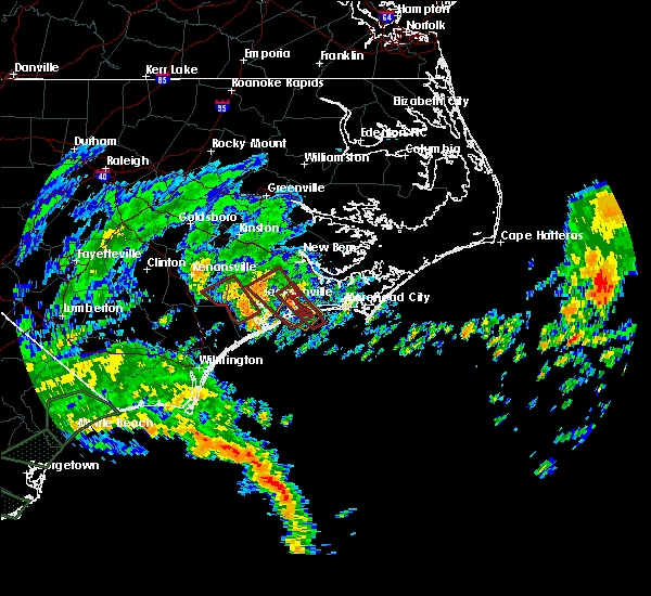 The national weather service in newport has issued a * tornado warning for. southwestern onslow county in eastern north carolina. until 1000 am edt. At 911 am edt, a severe thunderstorm capable of producing a tornado was located over sea view pier, or near north topsail beach, moving. The national weather service in newport has issued a * tornado warning for. southwestern onslow county in eastern north carolina. until 1000 am edt. At 911 am edt, a severe thunderstorm capable of producing a tornado was located over sea view pier, or near north topsail beach, moving.
|
| 9/5/2019 8:01 AM EDT |
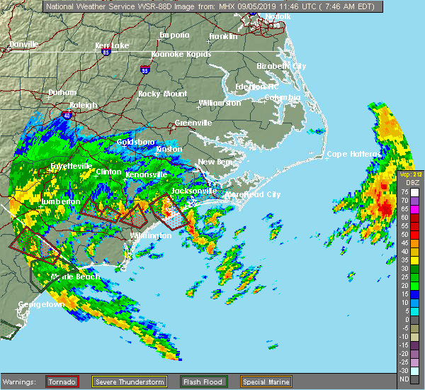 At 739 am edt, a severe thunderstorm capable of producing a tornado was located near sea view pier, or 8 miles east of north topsail beach, moving northwest at 25 mph (radar indicated rotation). Hazards include tornado. Flying debris will be dangerous to those caught without shelter. mobile homes will be damaged or destroyed. damage to roofs, windows, and vehicles will occur. Tree damage is likely. At 739 am edt, a severe thunderstorm capable of producing a tornado was located near sea view pier, or 8 miles east of north topsail beach, moving northwest at 25 mph (radar indicated rotation). Hazards include tornado. Flying debris will be dangerous to those caught without shelter. mobile homes will be damaged or destroyed. damage to roofs, windows, and vehicles will occur. Tree damage is likely.
|
| 9/5/2019 7:40 AM EDT |
 At 739 am edt, a severe thunderstorm capable of producing a tornado was located near sea view pier, or 8 miles east of north topsail beach, moving northwest at 25 mph (radar indicated rotation). Hazards include tornado. Flying debris will be dangerous to those caught without shelter. mobile homes will be damaged or destroyed. damage to roofs, windows, and vehicles will occur. Tree damage is likely. At 739 am edt, a severe thunderstorm capable of producing a tornado was located near sea view pier, or 8 miles east of north topsail beach, moving northwest at 25 mph (radar indicated rotation). Hazards include tornado. Flying debris will be dangerous to those caught without shelter. mobile homes will be damaged or destroyed. damage to roofs, windows, and vehicles will occur. Tree damage is likely.
|
| 9/5/2019 7:13 AM EDT |
 At 713 am edt, a severe thunderstorm capable of producing a tornado was located 10 miles southeast of north topsail beach, moving northwest at 40 mph (radar indicated rotation). Hazards include tornado. Flying debris will be dangerous to those caught without shelter. mobile homes will be damaged or destroyed. damage to roofs, windows, and vehicles will occur. Tree damage is likely. At 713 am edt, a severe thunderstorm capable of producing a tornado was located 10 miles southeast of north topsail beach, moving northwest at 40 mph (radar indicated rotation). Hazards include tornado. Flying debris will be dangerous to those caught without shelter. mobile homes will be damaged or destroyed. damage to roofs, windows, and vehicles will occur. Tree damage is likely.
|
| 8/10/2019 3:58 PM EDT |
 At 357 pm edt, severe thunderstorms were located along a line extending from hubert to near maple hill, moving southeast at 15 mph (radar indicated). Hazards include 60 mph wind gusts and quarter size hail. Hail damage to vehicles is expected. expect wind damage to roofs, siding, and trees. Locations impacted include, jacksonville, north topsail beach, new river station, pumpkin center, piney green, camp lejeune center, swansboro, hubert, folkstone, midway park, verona, dixon, kellum, hammocks beach, onslow beach, sneads ferry, hammocks beach state park, sea view pier, holly ridge and haws run. At 357 pm edt, severe thunderstorms were located along a line extending from hubert to near maple hill, moving southeast at 15 mph (radar indicated). Hazards include 60 mph wind gusts and quarter size hail. Hail damage to vehicles is expected. expect wind damage to roofs, siding, and trees. Locations impacted include, jacksonville, north topsail beach, new river station, pumpkin center, piney green, camp lejeune center, swansboro, hubert, folkstone, midway park, verona, dixon, kellum, hammocks beach, onslow beach, sneads ferry, hammocks beach state park, sea view pier, holly ridge and haws run.
|
| 8/10/2019 3:39 PM EDT |
 At 337 pm edt, severe thunderstorms were located along a line extending from hubert to 6 miles northwest of topsail, moving east at 25 mph (radar indicated). Hazards include 60 mph wind gusts and quarter size hail. Hail damage to vehicles is expected. Expect wind damage to roofs, siding, and trees. At 337 pm edt, severe thunderstorms were located along a line extending from hubert to 6 miles northwest of topsail, moving east at 25 mph (radar indicated). Hazards include 60 mph wind gusts and quarter size hail. Hail damage to vehicles is expected. Expect wind damage to roofs, siding, and trees.
|
| 7/3/2019 2:43 PM EDT |
 The severe thunderstorm warning for southeastern jones, south central craven, central onslow and southwestern carteret counties will expire at 245 pm edt, the storms which prompted the warning have weakened below severe limits, and no longer pose an immediate threat to life or property. therefore, the warning will be allowed to expire. however gusty winds are still possible with these thunderstorms. The severe thunderstorm warning for southeastern jones, south central craven, central onslow and southwestern carteret counties will expire at 245 pm edt, the storms which prompted the warning have weakened below severe limits, and no longer pose an immediate threat to life or property. therefore, the warning will be allowed to expire. however gusty winds are still possible with these thunderstorms.
|
| 7/3/2019 2:25 PM EDT |
 At 224 pm edt, severe thunderstorms were located along a line extending from peletier to near dixon, moving southeast at 15 mph (radar indicated). Hazards include 60 mph wind gusts and penny size hail. Expect damage to roofs, siding, and trees. Locations impacted include, jacksonville, morehead city, north topsail beach, new river station, piney green, camp lejeune center, pumpkin center, stella, swansboro, hubert, cape carteret, folkstone, silverdale, midway park, verona, dixon, broad creek, peletier, kuhns and bogue. At 224 pm edt, severe thunderstorms were located along a line extending from peletier to near dixon, moving southeast at 15 mph (radar indicated). Hazards include 60 mph wind gusts and penny size hail. Expect damage to roofs, siding, and trees. Locations impacted include, jacksonville, morehead city, north topsail beach, new river station, piney green, camp lejeune center, pumpkin center, stella, swansboro, hubert, cape carteret, folkstone, silverdale, midway park, verona, dixon, broad creek, peletier, kuhns and bogue.
|
| 7/3/2019 2:02 PM EDT |
 At 201 pm edt, severe thunderstorms were located along a line extending from kuhns to 6 miles west of verona, moving southeast at 10 mph (radar indicated). Hazards include 60 mph wind gusts and penny size hail. expect damage to roofs, siding, and trees At 201 pm edt, severe thunderstorms were located along a line extending from kuhns to 6 miles west of verona, moving southeast at 10 mph (radar indicated). Hazards include 60 mph wind gusts and penny size hail. expect damage to roofs, siding, and trees
|
| 5/31/2019 5:29 PM EDT |
 At 528 pm edt, a severe thunderstorm was located near onslow beach, or 7 miles southeast of camp lejeune center, moving east at 20 mph (radar indicated). Hazards include 60 mph wind gusts and quarter size hail. Hail damage to vehicles is expected. Expect wind damage to roofs, siding, and trees. At 528 pm edt, a severe thunderstorm was located near onslow beach, or 7 miles southeast of camp lejeune center, moving east at 20 mph (radar indicated). Hazards include 60 mph wind gusts and quarter size hail. Hail damage to vehicles is expected. Expect wind damage to roofs, siding, and trees.
|
| 5/12/2019 3:28 PM EDT |
 At 328 pm edt, severe thunderstorms were located along a line extending from near verona to woodside, moving northeast at 55 mph (radar indicated). Hazards include 60 mph wind gusts and quarter size hail. Hail damage to vehicles is expected. Expect wind damage to roofs, siding, and trees. At 328 pm edt, severe thunderstorms were located along a line extending from near verona to woodside, moving northeast at 55 mph (radar indicated). Hazards include 60 mph wind gusts and quarter size hail. Hail damage to vehicles is expected. Expect wind damage to roofs, siding, and trees.
|
| 4/19/2019 7:00 PM EDT |
 At 700 pm edt, severe thunderstorms were located along a line extending from 8 miles east of elm city to near calico, moving north at 65 mph (radar indicated). Hazards include 60 mph wind gusts. Expect damage to roofs, siding, and trees. locations impacted include, jacksonville, kinston, new river station, pumpkin center, piney green, half moon, camp lejeune center, swansboro, grifton, phillips crossroads, hubert, snow hill, maysville, silverdale, kellum, midway park, comfort, dawson, belgrade and graingers. A tornado watch remains in effect until midnight edt for eastern north carolina. At 700 pm edt, severe thunderstorms were located along a line extending from 8 miles east of elm city to near calico, moving north at 65 mph (radar indicated). Hazards include 60 mph wind gusts. Expect damage to roofs, siding, and trees. locations impacted include, jacksonville, kinston, new river station, pumpkin center, piney green, half moon, camp lejeune center, swansboro, grifton, phillips crossroads, hubert, snow hill, maysville, silverdale, kellum, midway park, comfort, dawson, belgrade and graingers. A tornado watch remains in effect until midnight edt for eastern north carolina.
|
| 4/19/2019 6:27 PM EDT |
 At 626 pm edt, severe thunderstorms were located along a line extending from near walnut creek to petersburg, moving north at 65 mph (radar indicated). Hazards include 60 mph wind gusts. expect damage to roofs, siding, and trees At 626 pm edt, severe thunderstorms were located along a line extending from near walnut creek to petersburg, moving north at 65 mph (radar indicated). Hazards include 60 mph wind gusts. expect damage to roofs, siding, and trees
|
| 4/15/2019 3:47 AM EDT |
 At 346 am edt, severe thunderstorms were located along a line extending from near vanceboro to near sea view pier, moving northeast at 35 mph (radar indicated). Hazards include 60 mph wind gusts. Expect damage to roofs, siding, and trees. Locations impacted include, jacksonville, new bern, havelock, pumpkin center, piney green, camp lejeune center, james city, trent woods, river bend, stella, swansboro, hubert, cape carteret, blounts creek, maysville, vanceboro, askins, silverdale, kellum and midway park. At 346 am edt, severe thunderstorms were located along a line extending from near vanceboro to near sea view pier, moving northeast at 35 mph (radar indicated). Hazards include 60 mph wind gusts. Expect damage to roofs, siding, and trees. Locations impacted include, jacksonville, new bern, havelock, pumpkin center, piney green, camp lejeune center, james city, trent woods, river bend, stella, swansboro, hubert, cape carteret, blounts creek, maysville, vanceboro, askins, silverdale, kellum and midway park.
|
| 4/15/2019 3:26 AM EDT |
 At 325 am edt, severe thunderstorms were located along a line extending from jasper to topsail beach, moving northeast at 30 mph (radar indicated). Hazards include 60 mph wind gusts. expect damage to roofs, siding, and trees At 325 am edt, severe thunderstorms were located along a line extending from jasper to topsail beach, moving northeast at 30 mph (radar indicated). Hazards include 60 mph wind gusts. expect damage to roofs, siding, and trees
|
| 9/15/2018 11:30 AM EDT |
 At 1129 am edt, a severe thunderstorm capable of producing a tornado was located near sea view pier, or 8 miles east of north topsail beach, moving northwest at 45 mph (radar indicated rotation). Hazards include tornado. Flying debris will be dangerous to those caught without shelter. mobile homes will be damaged or destroyed. damage to roofs, windows and vehicles will occur. tree damage is likely. this dangerous storm will be near, sea view pier around 1135 am edt. sneads ferry around 1140 am edt. jacksonville, dixon and folkstone around 1145 am edt. camp lejeune center and verona around 1150 am edt. new river station around 1155 am edt. half moon and catherine lake around 1205 pm edt. albert j ellis airport and richlands south around 1210 pm edt. richlands and petersburg around 1215 pm edt. Other locations impacted by this tornadic thunderstorm include haws run and lyman. At 1129 am edt, a severe thunderstorm capable of producing a tornado was located near sea view pier, or 8 miles east of north topsail beach, moving northwest at 45 mph (radar indicated rotation). Hazards include tornado. Flying debris will be dangerous to those caught without shelter. mobile homes will be damaged or destroyed. damage to roofs, windows and vehicles will occur. tree damage is likely. this dangerous storm will be near, sea view pier around 1135 am edt. sneads ferry around 1140 am edt. jacksonville, dixon and folkstone around 1145 am edt. camp lejeune center and verona around 1150 am edt. new river station around 1155 am edt. half moon and catherine lake around 1205 pm edt. albert j ellis airport and richlands south around 1210 pm edt. richlands and petersburg around 1215 pm edt. Other locations impacted by this tornadic thunderstorm include haws run and lyman.
|
| 6/24/2018 9:43 PM EDT |
 At 943 pm edt, a severe thunderstorm was located over catherine lake, or 7 miles southwest of half moon, moving east at 20 mph (radar indicated). Hazards include 60 mph wind gusts and quarter size hail. Hail damage to vehicles is expected. Expect wind damage to roofs, siding, and trees. At 943 pm edt, a severe thunderstorm was located over catherine lake, or 7 miles southwest of half moon, moving east at 20 mph (radar indicated). Hazards include 60 mph wind gusts and quarter size hail. Hail damage to vehicles is expected. Expect wind damage to roofs, siding, and trees.
|
| 6/24/2018 7:16 PM EDT |
 At 716 pm edt, severe thunderstorms were located along a line extending from near maribel to near janeiro to near wildwood to near bogue inlet pier to near maple hill, moving southeast at 35 mph (radar indicated). Hazards include 60 mph wind gusts. Expect damage to roofs, siding, and trees. Locations impacted include, jacksonville, havelock, morehead city, north topsail beach, newport, harkers island, piney green, new river station, camp lejeune center, stella, swansboro, hubert, south river, cape carteret, north river, straits, smyrna, merrimon, pine knoll shores and harlowe. At 716 pm edt, severe thunderstorms were located along a line extending from near maribel to near janeiro to near wildwood to near bogue inlet pier to near maple hill, moving southeast at 35 mph (radar indicated). Hazards include 60 mph wind gusts. Expect damage to roofs, siding, and trees. Locations impacted include, jacksonville, havelock, morehead city, north topsail beach, newport, harkers island, piney green, new river station, camp lejeune center, stella, swansboro, hubert, south river, cape carteret, north river, straits, smyrna, merrimon, pine knoll shores and harlowe.
|
| 6/24/2018 6:58 PM EDT |
 At 658 pm edt, severe thunderstorms were located along a line extending from ernul to james city to near kuhns to near cypress creek, moving southeast at 30 mph (radar indicated). Hazards include 60 mph wind gusts and penny size hail. expect damage to roofs, siding, and trees At 658 pm edt, severe thunderstorms were located along a line extending from ernul to james city to near kuhns to near cypress creek, moving southeast at 30 mph (radar indicated). Hazards include 60 mph wind gusts and penny size hail. expect damage to roofs, siding, and trees
|
| 6/14/2018 2:46 PM EDT |
 At 245 pm edt, a severe thunderstorm was located over sea view pier, or near north topsail beach, moving southeast at 20 mph (radar indicated). Hazards include 60 mph wind gusts and quarter size hail. Hail damage to vehicles is expected. expect wind damage to roofs, siding, and trees. Locations impacted include, north topsail beach, swansboro, folkstone, onslow beach, sneads ferry, sea view pier and holly ridge. At 245 pm edt, a severe thunderstorm was located over sea view pier, or near north topsail beach, moving southeast at 20 mph (radar indicated). Hazards include 60 mph wind gusts and quarter size hail. Hail damage to vehicles is expected. expect wind damage to roofs, siding, and trees. Locations impacted include, north topsail beach, swansboro, folkstone, onslow beach, sneads ferry, sea view pier and holly ridge.
|
| 6/14/2018 2:31 PM EDT | Quarter sized hail reported 2.1 miles ESE of Sneads Ferry, NC, quarter sized hail at everett yopp drive. |
| 6/14/2018 2:26 PM EDT |
 At 226 pm edt, a severe thunderstorm was located over sneads ferry, or 8 miles south of camp lejeune center, moving southeast at 20 mph (radar indicated). Hazards include 60 mph wind gusts and quarter size hail. Hail damage to vehicles is expected. Expect wind damage to roofs, siding, and trees. At 226 pm edt, a severe thunderstorm was located over sneads ferry, or 8 miles south of camp lejeune center, moving southeast at 20 mph (radar indicated). Hazards include 60 mph wind gusts and quarter size hail. Hail damage to vehicles is expected. Expect wind damage to roofs, siding, and trees.
|
| 9/21/2017 4:12 PM EDT |
 At 411 pm edt, severe thunderstorms were located along a line extending from near maple hill to near verona to dixon, moving west at 10 mph (radar indicated). Hazards include quarter size hail. Damage to vehicles is expected. Locations impacted include, north topsail beach, verona, dixon, folkstone, sneads ferry and holly ridge. At 411 pm edt, severe thunderstorms were located along a line extending from near maple hill to near verona to dixon, moving west at 10 mph (radar indicated). Hazards include quarter size hail. Damage to vehicles is expected. Locations impacted include, north topsail beach, verona, dixon, folkstone, sneads ferry and holly ridge.
|
| 9/21/2017 3:47 PM EDT |
 At 347 pm edt, severe thunderstorms were located along a line extending from 6 miles east of maple hill to near verona to near dixon, moving southwest at 5 mph (radar indicated). Hazards include quarter size hail. damage to vehicles is expected At 347 pm edt, severe thunderstorms were located along a line extending from 6 miles east of maple hill to near verona to near dixon, moving southwest at 5 mph (radar indicated). Hazards include quarter size hail. damage to vehicles is expected
|
| 5/30/2017 1:32 AM EDT |
 At 131 am edt, a severe thunderstorm was located near sneads ferry, or near camp lejeune center, moving east at 40 mph (radar indicated). Hazards include 60 mph wind gusts and quarter size hail. Hail damage to vehicles is expected. expect wind damage to roofs, siding, and trees. Locations impacted include, jacksonville, morehead city, newport, piney green, camp lejeune center, swansboro, cape carteret, sneads ferry, bogue inlet pier, hammocks beach state park, sea view pier, cedar point and holly ridge. At 131 am edt, a severe thunderstorm was located near sneads ferry, or near camp lejeune center, moving east at 40 mph (radar indicated). Hazards include 60 mph wind gusts and quarter size hail. Hail damage to vehicles is expected. expect wind damage to roofs, siding, and trees. Locations impacted include, jacksonville, morehead city, newport, piney green, camp lejeune center, swansboro, cape carteret, sneads ferry, bogue inlet pier, hammocks beach state park, sea view pier, cedar point and holly ridge.
|
| 5/30/2017 1:13 AM EDT |
 At 113 am edt, a severe thunderstorm was located near edgecomb, or 7 miles north of surf city, moving northeast at 55 mph (radar indicated). Hazards include 60 mph wind gusts and quarter size hail. Hail damage to vehicles is expected. Expect wind damage to roofs, siding, and trees. At 113 am edt, a severe thunderstorm was located near edgecomb, or 7 miles north of surf city, moving northeast at 55 mph (radar indicated). Hazards include 60 mph wind gusts and quarter size hail. Hail damage to vehicles is expected. Expect wind damage to roofs, siding, and trees.
|
| 10/8/2016 11:28 AM EDT |
 At 1127 am edt, a severe thunderstorm capable of producing a tornado was located near new river station, moving northwest at 65 mph (radar indicated rotation). Hazards include tornado. Flying debris will be dangerous to those caught without shelter. mobile homes will be damaged or destroyed. damage to roofs, windows, and vehicles will occur. tree damage is likely. this dangerous storm will be near, albert j ellis airport around 1140 am edt. Other locations impacted by this tornadic thunderstorm include holly ridge. At 1127 am edt, a severe thunderstorm capable of producing a tornado was located near new river station, moving northwest at 65 mph (radar indicated rotation). Hazards include tornado. Flying debris will be dangerous to those caught without shelter. mobile homes will be damaged or destroyed. damage to roofs, windows, and vehicles will occur. tree damage is likely. this dangerous storm will be near, albert j ellis airport around 1140 am edt. Other locations impacted by this tornadic thunderstorm include holly ridge.
|
| 10/8/2016 11:17 AM EDT |
 At 1117 am edt, a severe thunderstorm capable of producing a tornado was located over sneads ferry, or 11 miles south of camp lejeune center, moving northwest at 70 mph (radar indicated rotation). Hazards include tornado. Flying debris will be dangerous to those caught without shelter. mobile homes will be damaged or destroyed. damage to roofs, windows, and vehicles will occur. tree damage is likely. this dangerous storm will be near, new river station around 1125 am edt. albert j ellis airport around 1135 am edt. Other locations impacted by this tornadic thunderstorm include holly ridge. At 1117 am edt, a severe thunderstorm capable of producing a tornado was located over sneads ferry, or 11 miles south of camp lejeune center, moving northwest at 70 mph (radar indicated rotation). Hazards include tornado. Flying debris will be dangerous to those caught without shelter. mobile homes will be damaged or destroyed. damage to roofs, windows, and vehicles will occur. tree damage is likely. this dangerous storm will be near, new river station around 1125 am edt. albert j ellis airport around 1135 am edt. Other locations impacted by this tornadic thunderstorm include holly ridge.
|
| 7/30/2016 2:54 PM EDT |
 The severe thunderstorm warning for southeastern onslow county will expire at 300 pm edt, the storm which prompted the warning has weakened below severe limits, and has exited the warned area. therefore the warning will be allowed to expire. The severe thunderstorm warning for southeastern onslow county will expire at 300 pm edt, the storm which prompted the warning has weakened below severe limits, and has exited the warned area. therefore the warning will be allowed to expire.
|
| 7/30/2016 2:27 PM EDT |
 At 226 pm edt, a severe thunderstorm was located over camp lejeune center, moving east at 15 mph (radar indicated). Hazards include 60 mph wind gusts and quarter size hail. Hail damage to vehicles is expected. Expect wind damage to roofs, siding, and trees. At 226 pm edt, a severe thunderstorm was located over camp lejeune center, moving east at 15 mph (radar indicated). Hazards include 60 mph wind gusts and quarter size hail. Hail damage to vehicles is expected. Expect wind damage to roofs, siding, and trees.
|
| 7/19/2016 5:23 PM EDT |
 At 522 pm edt, a severe thunderstorm was located near swansboro, or 7 miles east of piney green, moving southeast at 15 mph (radar indicated). Hazards include 60 mph wind gusts and quarter size hail. Hail damage to vehicles is expected. expect wind damage to roofs, siding, and trees. Locations impacted include, jacksonville, morehead city, new river station, piney green, camp lejeune center, pumpkin center, swansboro, cape carteret, bogue inlet pier, hammocks beach state park, sneads ferry, sea view pier, cedar point and indian beach. At 522 pm edt, a severe thunderstorm was located near swansboro, or 7 miles east of piney green, moving southeast at 15 mph (radar indicated). Hazards include 60 mph wind gusts and quarter size hail. Hail damage to vehicles is expected. expect wind damage to roofs, siding, and trees. Locations impacted include, jacksonville, morehead city, new river station, piney green, camp lejeune center, pumpkin center, swansboro, cape carteret, bogue inlet pier, hammocks beach state park, sneads ferry, sea view pier, cedar point and indian beach.
|
| 7/19/2016 5:02 PM EDT |
 At 502 pm edt, a severe thunderstorm was located near piney green, moving southeast at 30 mph (radar indicated). Hazards include 60 mph wind gusts and quarter size hail. Hail damage to vehicles is expected. Expect wind damage to roofs, siding, and trees. At 502 pm edt, a severe thunderstorm was located near piney green, moving southeast at 30 mph (radar indicated). Hazards include 60 mph wind gusts and quarter size hail. Hail damage to vehicles is expected. Expect wind damage to roofs, siding, and trees.
|
| 7/8/2016 10:31 PM EDT |
 At 1030 pm edt, severe thunderstorms were located along a line extending from 7 miles northwest of ocracoke ferry terminal to 7 miles north of morehead city to near half moon, moving southeast at 45 mph (law enforcement indicated). Hazards include 60 mph wind gusts. Expect damage to roofs. siding. and trees. Locations impacted include, jacksonville, new bern, havelock, morehead city, newport, wallace, warsaw, camp lejeune center, pumpkin center, half moon, new river station, piney green, james city, mount olive, swansboro, cape carteret, rose hill, richlands, pine knoll shores and beulaville. At 1030 pm edt, severe thunderstorms were located along a line extending from 7 miles northwest of ocracoke ferry terminal to 7 miles north of morehead city to near half moon, moving southeast at 45 mph (law enforcement indicated). Hazards include 60 mph wind gusts. Expect damage to roofs. siding. and trees. Locations impacted include, jacksonville, new bern, havelock, morehead city, newport, wallace, warsaw, camp lejeune center, pumpkin center, half moon, new river station, piney green, james city, mount olive, swansboro, cape carteret, rose hill, richlands, pine knoll shores and beulaville.
|
| 7/8/2016 10:14 PM EDT |
 At 1012 pm edt, severe thunderstorms were located along a line extending from 7 miles east of swan quarter ferry terminal to near neuse forest to 8 miles north of richlands, moving southeast at 45 mph. a gust to 58 mph was recorded at the the coastal carolina regional airport in new bern (radar indicated). Hazards include 60 mph wind gusts. Expect damage to roofs. siding. and trees. Locations impacted include, jacksonville, new bern, havelock, morehead city, newport, wallace, warsaw, camp lejeune center, pumpkin center, half moon, new river station, piney green, james city, mount olive, trent woods, river bend, swansboro, cape carteret, rose hill and richlands. At 1012 pm edt, severe thunderstorms were located along a line extending from 7 miles east of swan quarter ferry terminal to near neuse forest to 8 miles north of richlands, moving southeast at 45 mph. a gust to 58 mph was recorded at the the coastal carolina regional airport in new bern (radar indicated). Hazards include 60 mph wind gusts. Expect damage to roofs. siding. and trees. Locations impacted include, jacksonville, new bern, havelock, morehead city, newport, wallace, warsaw, camp lejeune center, pumpkin center, half moon, new river station, piney green, james city, mount olive, trent woods, river bend, swansboro, cape carteret, rose hill and richlands.
|
| 7/8/2016 9:41 PM EDT |
 At 940 pm edt, severe thunderstorms were located along a line extending from 8 miles east of belhaven to 7 miles northwest of new bern to 6 miles south of walnut creek, moving southeast at 40 mph (radar indicated). Hazards include 60 mph wind gusts. Expect damage to roofs. siding. And trees. At 940 pm edt, severe thunderstorms were located along a line extending from 8 miles east of belhaven to 7 miles northwest of new bern to 6 miles south of walnut creek, moving southeast at 40 mph (radar indicated). Hazards include 60 mph wind gusts. Expect damage to roofs. siding. And trees.
|
| 4/7/2016 7:37 AM EDT |
 At 736 am edt, doppler radar indicated a severe thunderstorm capable of producing damaging winds in excess of 60 mph. this storm was located near penderlea, or 9 miles southwest of wallace, and moving northeast at 55 mph. At 736 am edt, doppler radar indicated a severe thunderstorm capable of producing damaging winds in excess of 60 mph. this storm was located near penderlea, or 9 miles southwest of wallace, and moving northeast at 55 mph.
|
| 7/21/2015 11:22 PM EDT |
 The severe thunderstorm warning for southern onslow county will expire at 1130 pm edt, the storm which prompted the warning has weakened below severe limits and exited the warned area. therefore the warning will be allowed to expire. however gusty winds are still possible with this thunderstorm. The severe thunderstorm warning for southern onslow county will expire at 1130 pm edt, the storm which prompted the warning has weakened below severe limits and exited the warned area. therefore the warning will be allowed to expire. however gusty winds are still possible with this thunderstorm.
|
| 7/21/2015 10:43 PM EDT |
 At 1043 pm edt, doppler radar indicated a severe thunderstorm capable of producing damaging winds in excess of 60 mph. this storm was located near maple hill, or 10 miles southwest of new river station, and moving east at 35 mph. At 1043 pm edt, doppler radar indicated a severe thunderstorm capable of producing damaging winds in excess of 60 mph. this storm was located near maple hill, or 10 miles southwest of new river station, and moving east at 35 mph.
|
| 6/26/2015 8:28 PM EDT | At 828 pm edt, doppler radar indicated a severe thunderstorm capable of producing quarter size hail and damaging winds in excess of 60 mph. this storm was located near sneads ferry, or near camp lejeune center, and moving southeast at 10 mph. |
| 5/21/2015 4:53 PM EDT | At 452 pm edt, doppler radar indicated a line of severe thunderstorms capable of producing quarter size hail and damaging winds in excess of 60 mph. these storms were located along a line extending from 13 miles south of kinston to near richlands to white stocking, moving east at 30 mph. locations impacted include, jacksonville, new bern, piney green, half moon, pumpkin center, camp lejeune center, new river station, trent woods, river bend, richlands, maysville, albert j ellis airport, richlands south, sneads ferry, holly ridge, pollocksville and trenton. |
| 5/21/2015 4:27 PM EDT | At 426 pm edt, doppler radar indicated a line of severe thunderstorms capable of producing quarter size hail and damaging winds in excess of 60 mph. these storms were located along a line extending from 14 miles southwest of kinston to beulaville to near wards corner, and moving east at 25 mph. |
Hail Maps for Sneads Ferry, NC
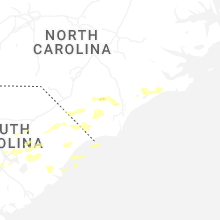
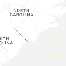


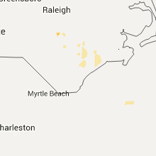


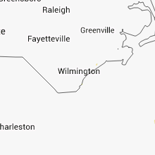


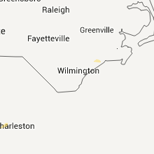

Connect with Interactive Hail Maps