

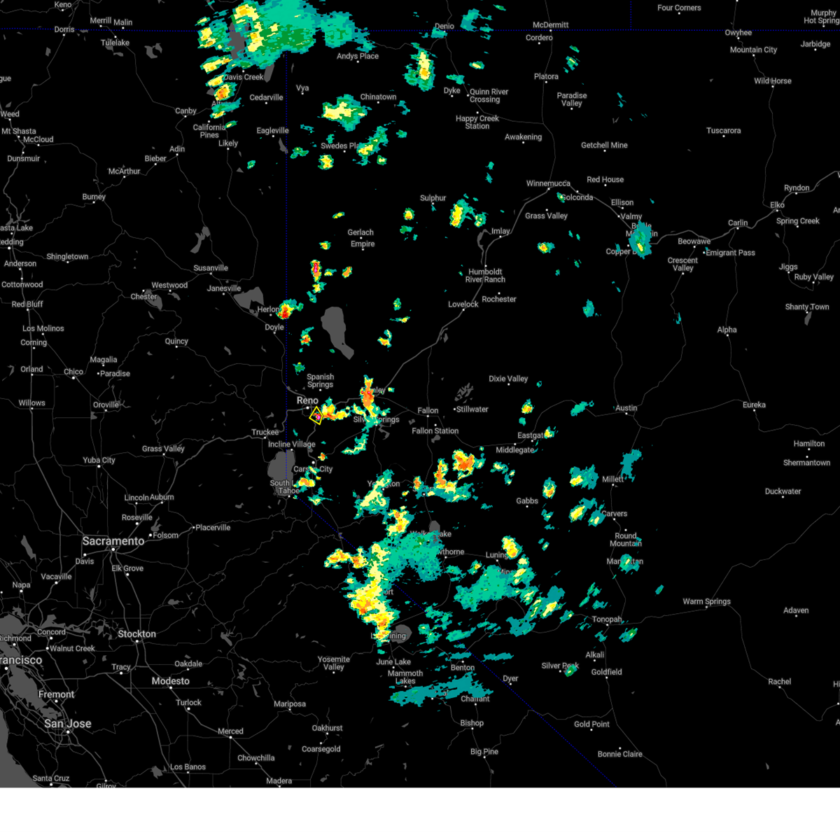
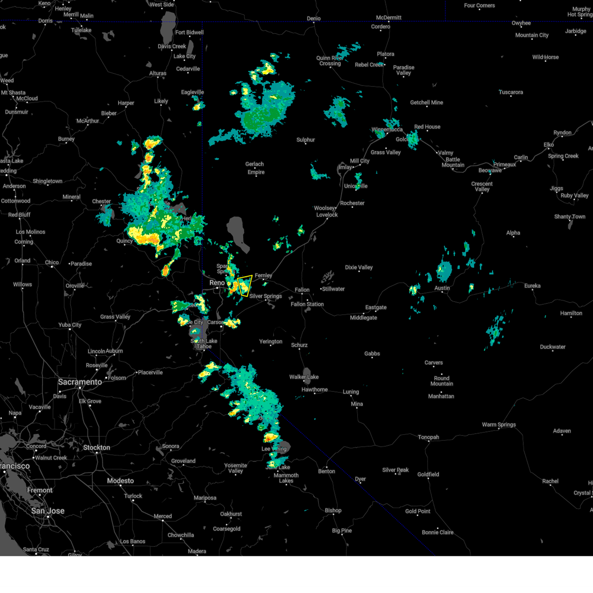
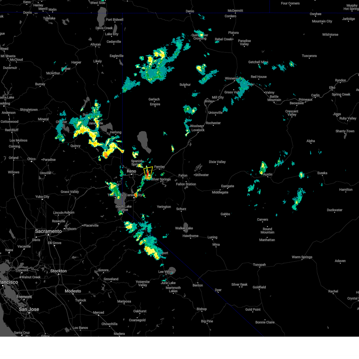
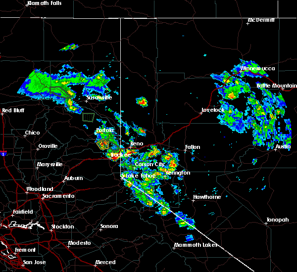
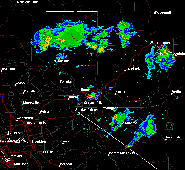
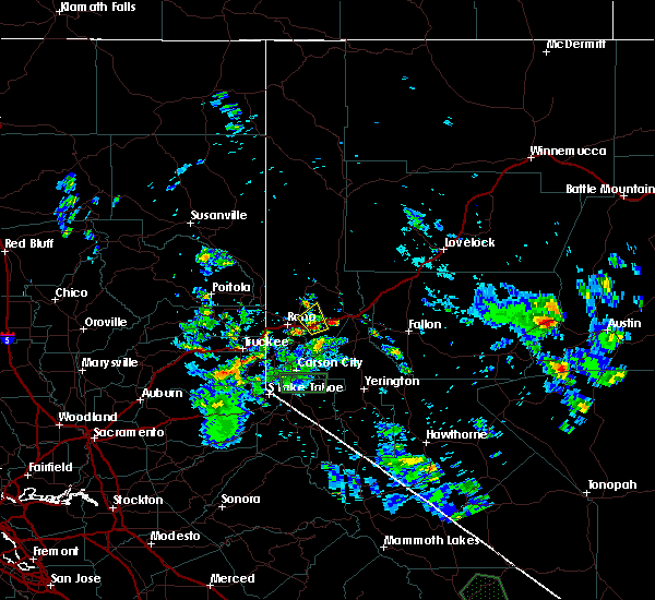
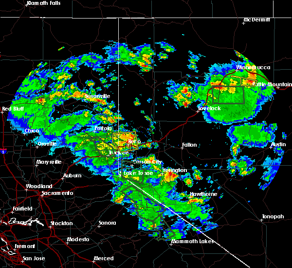
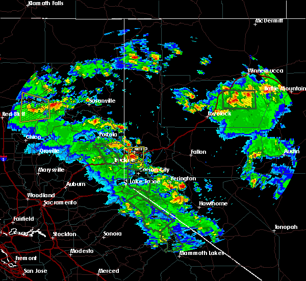
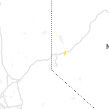
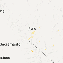
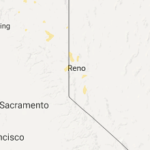
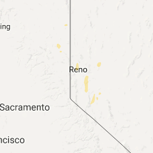
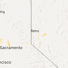
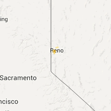
Hail Map for Sparks, NV
The Sparks, NV area has had 1 report of on-the-ground hail by trained spotters, and has been under severe weather warnings 1 time during the past 12 months. Doppler radar has detected hail at or near Sparks, NV on 20 occasions, including 1 occasion during the past year.
| Name: | Sparks, NV |
| Where Located: | 5.6 miles ENE of Reno, NV |
| Map: | Google Map for Sparks, NV |
| Population: | 90264 |
| Housing Units: | 36455 |
| More Info: | Search Google for Sparks, NV |
0
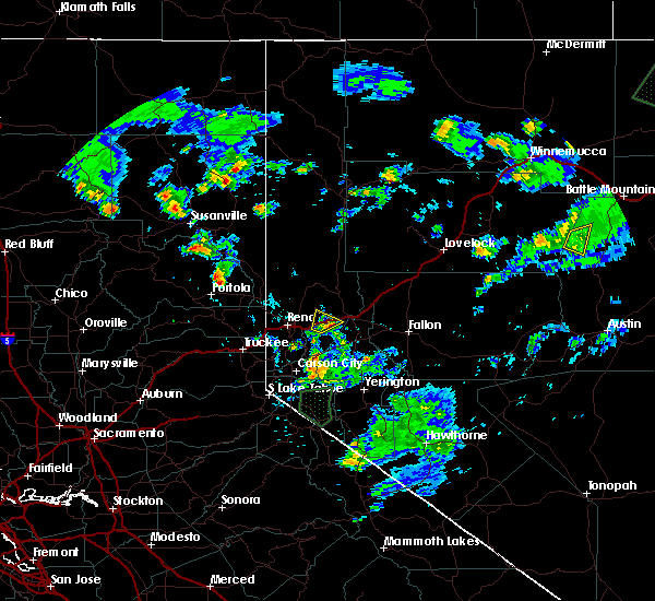
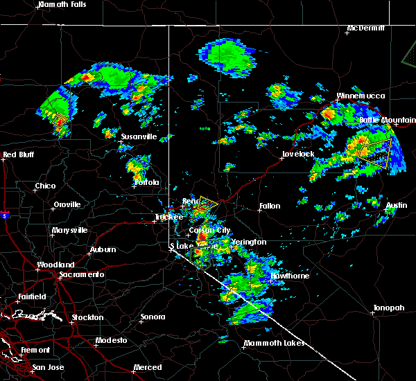
The Top Recent Hail Date for Sparks, NV is Sunday, July 21, 2024 (8th out of 20)

Hail and Wind Damage Spotted near Sparks, NV
| Date / Time | Report Details |
|---|---|
| 7/21/2024 5:30 PM PDT |
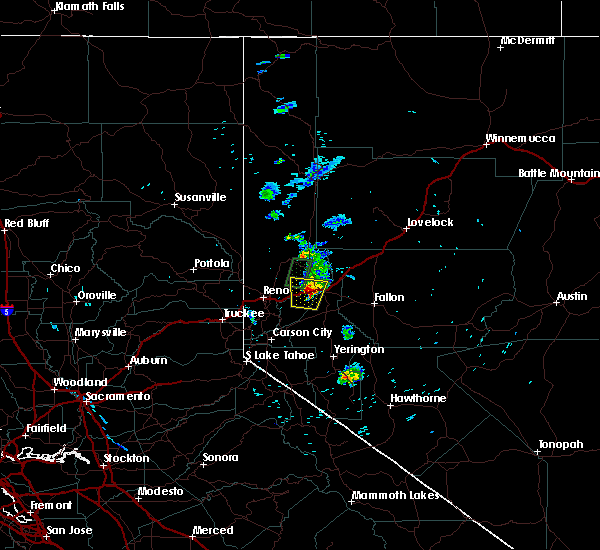
 Svrrev the national weather service in reno has issued a * severe thunderstorm warning for, southern washoe county in western nevada, * until 615 pm pdt. * at 530 pm pdt, a severe thunderstorm was located over hidden valley, or 7 miles southeast of reno, and is nearly stationary (radar indicated). Hazards include 60 mph wind gusts and quarter size hail. Hail damage to vehicles is expected. Expect wind damage to roofs, siding, fencing and trees. Svrrev the national weather service in reno has issued a * severe thunderstorm warning for, southern washoe county in western nevada, * until 615 pm pdt. * at 530 pm pdt, a severe thunderstorm was located over hidden valley, or 7 miles southeast of reno, and is nearly stationary (radar indicated). Hazards include 60 mph wind gusts and quarter size hail. Hail damage to vehicles is expected. Expect wind damage to roofs, siding, fencing and trees.
|
| 9/18/2023 4:54 PM PDT |
 The severe thunderstorm warning for storey and southern washoe counties will expire at 500 pm pdt, the storm which prompted the warning has weakened below severe limits, and no longer poses an immediate threat to life or property. therefore, the warning will be allowed to expire. The severe thunderstorm warning for storey and southern washoe counties will expire at 500 pm pdt, the storm which prompted the warning has weakened below severe limits, and no longer poses an immediate threat to life or property. therefore, the warning will be allowed to expire.
|
| 9/18/2023 4:09 PM PDT |
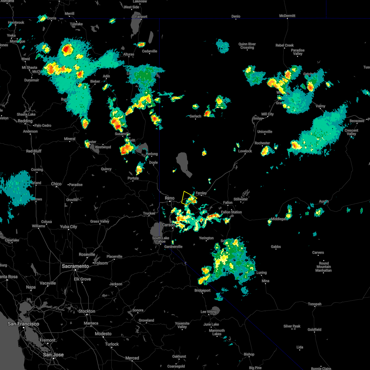
 At 407 pm pdt, a severe thunderstorm was located near derby dam along interstate 80 and is nearly stationary (radar indicated). Hazards include hail and torrential rain. Accumulation of hail and torrential rain is possible on interstate 80. Flash flooding is possible. At 407 pm pdt, a severe thunderstorm was located near derby dam along interstate 80 and is nearly stationary (radar indicated). Hazards include hail and torrential rain. Accumulation of hail and torrential rain is possible on interstate 80. Flash flooding is possible.
|
| 7/22/2020 4:26 PM PDT |
 The severe thunderstorm warning for sierra, storey and southern washoe counties will expire at 430 pm pdt, the storm which prompted the warning has weakened below severe limits, and no longer poses an immediate threat to life or property. therefore, the warning will be allowed to expire. however gusty winds and heavy rain are still possible in the reno area with this thunderstorm. The severe thunderstorm warning for sierra, storey and southern washoe counties will expire at 430 pm pdt, the storm which prompted the warning has weakened below severe limits, and no longer poses an immediate threat to life or property. therefore, the warning will be allowed to expire. however gusty winds and heavy rain are still possible in the reno area with this thunderstorm.
|
| 7/22/2020 4:15 PM PDT |
 At 413 pm pdt, a severe thunderstorm was located over reno, moving north at 10 mph (radar indicated). Hazards include 60 mph wind gusts and nickel size hail. Expect damage to roofs, siding, fencing and trees. heavy rain is also occuring with this storm. expectimg some ponding on roads and poorly drained areas around town. Locations impacted include, reno, sparks, wingfield springs, damonte ranch, northwest reno, spanish springs, lemmon valley, mogul, golden valley, verdi-mogul, caughlin ranch, reno-tahoe international airport, hidden valley, somersett, stead, lemmon valley-golden valley, nws reno and sun valley. At 413 pm pdt, a severe thunderstorm was located over reno, moving north at 10 mph (radar indicated). Hazards include 60 mph wind gusts and nickel size hail. Expect damage to roofs, siding, fencing and trees. heavy rain is also occuring with this storm. expectimg some ponding on roads and poorly drained areas around town. Locations impacted include, reno, sparks, wingfield springs, damonte ranch, northwest reno, spanish springs, lemmon valley, mogul, golden valley, verdi-mogul, caughlin ranch, reno-tahoe international airport, hidden valley, somersett, stead, lemmon valley-golden valley, nws reno and sun valley.
|
| 7/22/2020 4:01 PM PDT |
 At 400 pm pdt, a severe thunderstorm was located over caughlin ranch, or near reno, moving north at 10 mph (radar indicated). Hazards include 60 mph wind gusts. expect damage to roofs, siding, fencing and trees At 400 pm pdt, a severe thunderstorm was located over caughlin ranch, or near reno, moving north at 10 mph (radar indicated). Hazards include 60 mph wind gusts. expect damage to roofs, siding, fencing and trees
|
| 7/21/2019 6:16 PM PDT |
 At 616 pm pdt, a severe thunderstorm was located over derby dam, or 19 miles west of lahontan reservoir, moving north at 5 mph (radar indicated). Hazards include 60 mph wind gusts and quarter size hail. Hail damage to vehicles is expected. expect wind damage to roofs, siding, fencing and trees. Locations impacted include, fernley, tracy-clark, usa parkway, derby dam and wadsworth. At 616 pm pdt, a severe thunderstorm was located over derby dam, or 19 miles west of lahontan reservoir, moving north at 5 mph (radar indicated). Hazards include 60 mph wind gusts and quarter size hail. Hail damage to vehicles is expected. expect wind damage to roofs, siding, fencing and trees. Locations impacted include, fernley, tracy-clark, usa parkway, derby dam and wadsworth.
|
| 7/21/2019 5:50 PM PDT |
 At 548 pm pdt, a severe thunderstorm was located near derby dam, or 18 miles northeast of virginia city, moving north at 5 mph (radar indicated). Hazards include 60 mph wind gusts and quarter size hail. Hail damage to vehicles is expected. Expect wind damage to roofs, siding, fencing and trees. At 548 pm pdt, a severe thunderstorm was located near derby dam, or 18 miles northeast of virginia city, moving north at 5 mph (radar indicated). Hazards include 60 mph wind gusts and quarter size hail. Hail damage to vehicles is expected. Expect wind damage to roofs, siding, fencing and trees.
|
| 8/9/2017 5:10 PM PDT |
 The severe thunderstorm warning for storey and southern washoe counties will expire at 515 pm pdt, the storm which prompted the warning has weakened below severe limits, and no longer poses an immediate threat to life or property. therefore the warning will be allowed to expire. however heavy rain is still possible with this thunderstorm. The severe thunderstorm warning for storey and southern washoe counties will expire at 515 pm pdt, the storm which prompted the warning has weakened below severe limits, and no longer poses an immediate threat to life or property. therefore the warning will be allowed to expire. however heavy rain is still possible with this thunderstorm.
|
| 8/9/2017 4:51 PM PDT |
 At 448 pm pdt, a severe thunderstorm near the reno tahoe industrial center, moving northeast at 10 mph (radar indicated). Hazards include up to quarter size hail and heavy rainfall. Hail and heavy rainfall may result in damage to vehicles and create blinding downpours on roadways. Locations impacted include, reno tahoe industrial center. At 448 pm pdt, a severe thunderstorm near the reno tahoe industrial center, moving northeast at 10 mph (radar indicated). Hazards include up to quarter size hail and heavy rainfall. Hail and heavy rainfall may result in damage to vehicles and create blinding downpours on roadways. Locations impacted include, reno tahoe industrial center.
|
| 8/9/2017 4:10 PM PDT |
 At 409 pm pdt, a severe thunderstorm was located near lockwood, or just west of the reno tahoe industrial center, moving northeast at 10 mph (radar indicated). Hazards include 60 mph wind gusts and quarter size hail. Hail damage to vehicles is expected. expect wind damage to roofs, siding, fencing, and trees. Dust storms resulting in serious accidents. At 409 pm pdt, a severe thunderstorm was located near lockwood, or just west of the reno tahoe industrial center, moving northeast at 10 mph (radar indicated). Hazards include 60 mph wind gusts and quarter size hail. Hail damage to vehicles is expected. expect wind damage to roofs, siding, fencing, and trees. Dust storms resulting in serious accidents.
|
| 7/25/2017 6:11 PM PDT |
 At 608 pm pdt, a severe thunderstorm was located near derby dam, or 14 miles east of reno, moving north at 15 mph. this storm is weakening slightly, but is still considered to be strong (radar indicated). Hazards include 60 mph wind gusts and quarter size hail. Heavy rain will drastically limit visibility and may pond on interstate 80. hail damage to vehicles on interstate 80 is possible. expect wind damage to roofs, siding, fencing, and trees. Locations impacted include, interstate 80, mustang and patrick. At 608 pm pdt, a severe thunderstorm was located near derby dam, or 14 miles east of reno, moving north at 15 mph. this storm is weakening slightly, but is still considered to be strong (radar indicated). Hazards include 60 mph wind gusts and quarter size hail. Heavy rain will drastically limit visibility and may pond on interstate 80. hail damage to vehicles on interstate 80 is possible. expect wind damage to roofs, siding, fencing, and trees. Locations impacted include, interstate 80, mustang and patrick.
|
| 7/25/2017 5:53 PM PDT |
 At 550 pm pdt, a severe thunderstorm was located just south of lockwood, or 13 miles east of reno, moving north at 25 mph (radar indicated). Hazards include 60 mph wind gusts and quarter size hail. Heavy rain will drastically limit visibility and may pond on interstate 80. hail damage to vehicles on interstate 80 is likely. Expect wind damage to roofs, siding, fencing, and trees. At 550 pm pdt, a severe thunderstorm was located just south of lockwood, or 13 miles east of reno, moving north at 25 mph (radar indicated). Hazards include 60 mph wind gusts and quarter size hail. Heavy rain will drastically limit visibility and may pond on interstate 80. hail damage to vehicles on interstate 80 is likely. Expect wind damage to roofs, siding, fencing, and trees.
|
| 7/9/2015 12:22 PM PDT |
 At 1217 pm pdt, doppler radar indicated a severe thunderstorm capable of producing quarter size hail. this storm will produce blinding downpours, hail, and ponding of water on i-80 near patrick, or about 15 miles east of reno. this storm was nearly stationary. locations impacted include, patrick, mustang, and stretches of i-80 near these areas. At 1217 pm pdt, doppler radar indicated a severe thunderstorm capable of producing quarter size hail. this storm will produce blinding downpours, hail, and ponding of water on i-80 near patrick, or about 15 miles east of reno. this storm was nearly stationary. locations impacted include, patrick, mustang, and stretches of i-80 near these areas.
|
| 7/9/2015 12:00 PM PDT |
 At 1159 am pdt, doppler radar indicated a severe thunderstorm capable of producing quarter size hail and damaging winds in excess of 60 mph. this storm was located near lockwood, or 15 miles east of reno. this will impact interstate 80 near patrick. this storm was nearly stationary. At 1159 am pdt, doppler radar indicated a severe thunderstorm capable of producing quarter size hail and damaging winds in excess of 60 mph. this storm was located near lockwood, or 15 miles east of reno. this will impact interstate 80 near patrick. this storm was nearly stationary.
|
| 7/8/2015 3:40 PM PDT |
 The severe thunderstorm warning for sierra, southeastern lassen, southern washoe and storey counties will expire at 345 pm pdt, the storm which prompted the warning has weakened below severe limits, and no longer poses an immediate threat to life or property. therefore the warning will be allowed to expire. however heavy rain is still possible with this thunderstorm. please post any storm reports to nws social media or report to local law enforcement agency. The severe thunderstorm warning for sierra, southeastern lassen, southern washoe and storey counties will expire at 345 pm pdt, the storm which prompted the warning has weakened below severe limits, and no longer poses an immediate threat to life or property. therefore the warning will be allowed to expire. however heavy rain is still possible with this thunderstorm. please post any storm reports to nws social media or report to local law enforcement agency.
|
| 7/8/2015 3:28 PM PDT |
 At 327 pm pdt, the public reported a severe thunderstorm producing quarter size hail and damaging winds in excess of 60 mph. this storm was located near lemmon valley-golden valley, or 12 miles north of reno, moving north at 15 mph. locations impacted include, reno, sparks, caughlin ranch, spanish springs, northwest reno, hidden valley, lemmon valley-golden valley, verdi-mogul, stead, reno-tahoe international airport, wingfield springs, dog valley, mogul, lockwood, verdi, golden valley, somersett, lemmon valley, cold springs valley and stead airport. At 327 pm pdt, the public reported a severe thunderstorm producing quarter size hail and damaging winds in excess of 60 mph. this storm was located near lemmon valley-golden valley, or 12 miles north of reno, moving north at 15 mph. locations impacted include, reno, sparks, caughlin ranch, spanish springs, northwest reno, hidden valley, lemmon valley-golden valley, verdi-mogul, stead, reno-tahoe international airport, wingfield springs, dog valley, mogul, lockwood, verdi, golden valley, somersett, lemmon valley, cold springs valley and stead airport.
|
| 7/8/2015 3:06 PM PDT |
 At 303 pm pdt, a severe thunderstorm capable of producing quarter size hail and damaging winds in excess of 60 mph is continuing to move through reno. this storm was located over reno, and moving north at 20 mph. this storm has a history of producing large. At 303 pm pdt, a severe thunderstorm capable of producing quarter size hail and damaging winds in excess of 60 mph is continuing to move through reno. this storm was located over reno, and moving north at 20 mph. this storm has a history of producing large.
|
| 7/8/2015 2:52 PM PDT |
 At 251 pm pdt, the public reported a severe thunderstorm producing large damaging hail up to golf ball size and damaging winds in excess of 60 mph. this storm was located over galena when severe activity was reported. this storm is moving north towards reno-tahoe international airport, or near reno, at 15 mph. locations impacted include, reno, sparks, reno-tahoe international airport, wingfield springs, damonte ranch, caughlin ranch, pleasant valley, spanish springs, northwest reno, lockwood, hidden valley, galena, golden valley, verdi-mogul, lemmon valley-golden valley, sun valley and nws reno. At 251 pm pdt, the public reported a severe thunderstorm producing large damaging hail up to golf ball size and damaging winds in excess of 60 mph. this storm was located over galena when severe activity was reported. this storm is moving north towards reno-tahoe international airport, or near reno, at 15 mph. locations impacted include, reno, sparks, reno-tahoe international airport, wingfield springs, damonte ranch, caughlin ranch, pleasant valley, spanish springs, northwest reno, lockwood, hidden valley, galena, golden valley, verdi-mogul, lemmon valley-golden valley, sun valley and nws reno.
|
| 7/8/2015 2:32 PM PDT |
 At 231 pm pdt, doppler radar indicated a severe thunderstorm capable of producing quarter size hail and damaging winds in excess of 60 mph. this storm was located over damonte ranch, or 9 miles south of reno, and moving north at 15 mph. * very heavy will accompany this storm and localized urban flooding will be possible. At 231 pm pdt, doppler radar indicated a severe thunderstorm capable of producing quarter size hail and damaging winds in excess of 60 mph. this storm was located over damonte ranch, or 9 miles south of reno, and moving north at 15 mph. * very heavy will accompany this storm and localized urban flooding will be possible.
|
| 7/7/2015 5:57 PM PDT | A 70 foot tree fell onto a house in sparks on j stree in washoe county NV, 2.3 miles NNE of Sparks, NV |
| 7/21/2014 7:07 PM PDT | Half Dollar sized hail reported 9.7 miles SSW of Sparks, NV, trained weather spotter reported half dollar sized hail in the palomino valley. |
| 7/1/2014 6:08 PM PDT | Multiple reports of large tree limbs down along sparks blvd and at the sparks marina. several large limbs had downed a fence sectio in washoe county NV, 2.1 miles N of Sparks, NV |
| 8/20/2013 8:40 PM PDT | 30 feet of wood fence and 3 inch diameter apple tree blown over. estimated gust 50 mp in washoe county NV, 2.3 miles NNE of Sparks, NV |
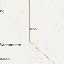
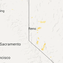
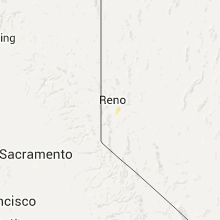
Hail Maps for Sparks, NV


Connect with Interactive Hail Maps