

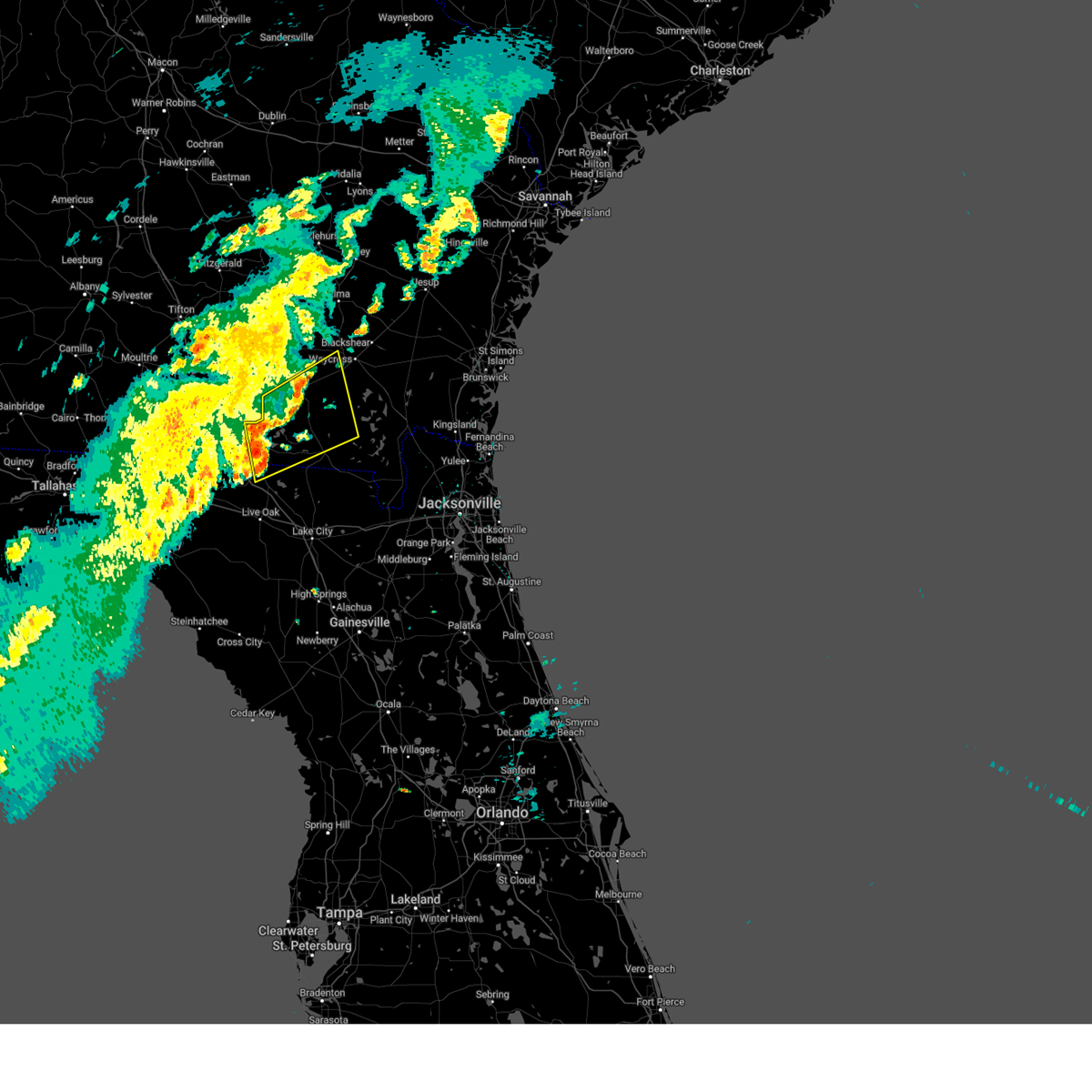
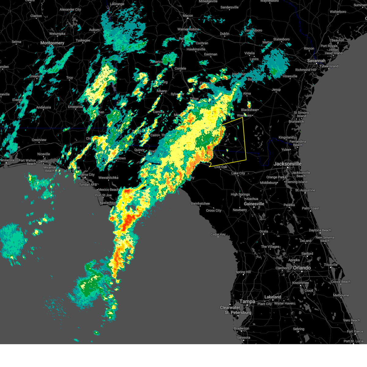
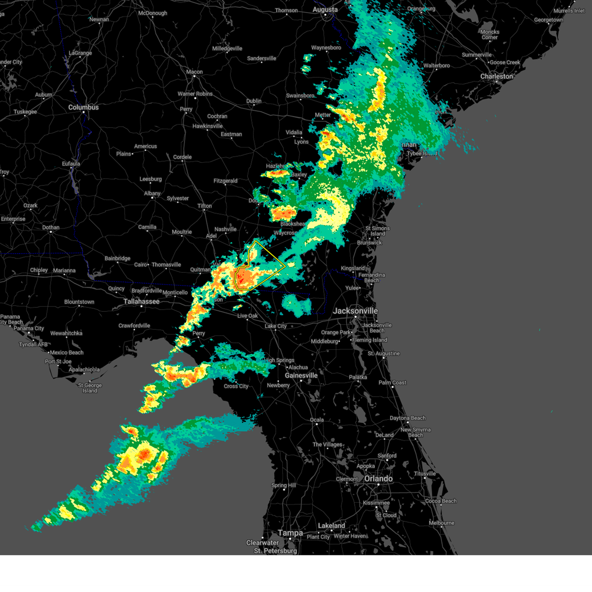
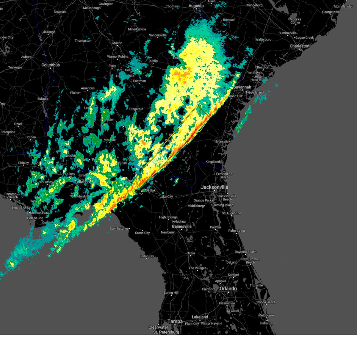
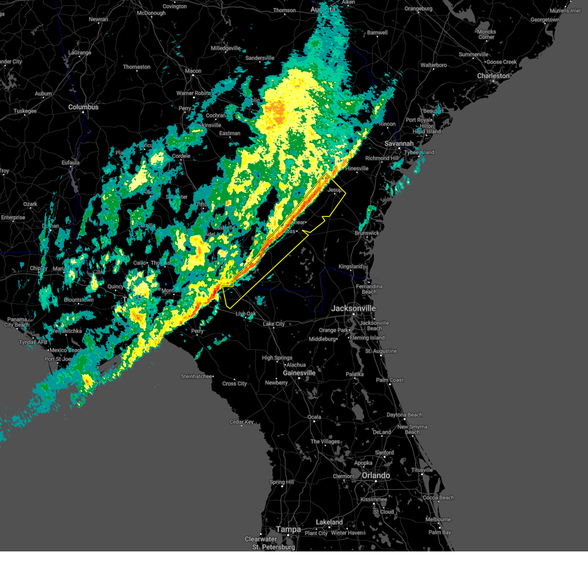
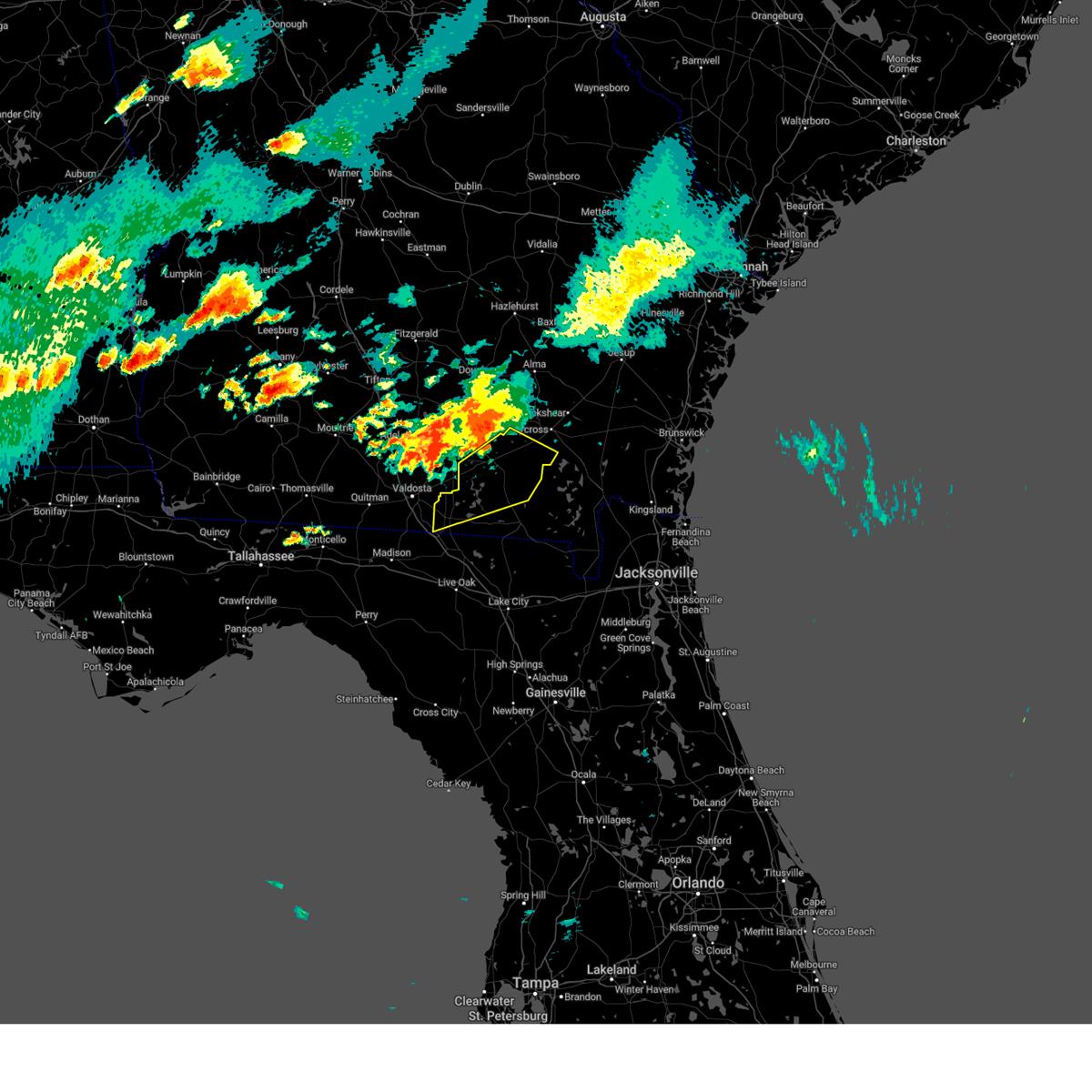
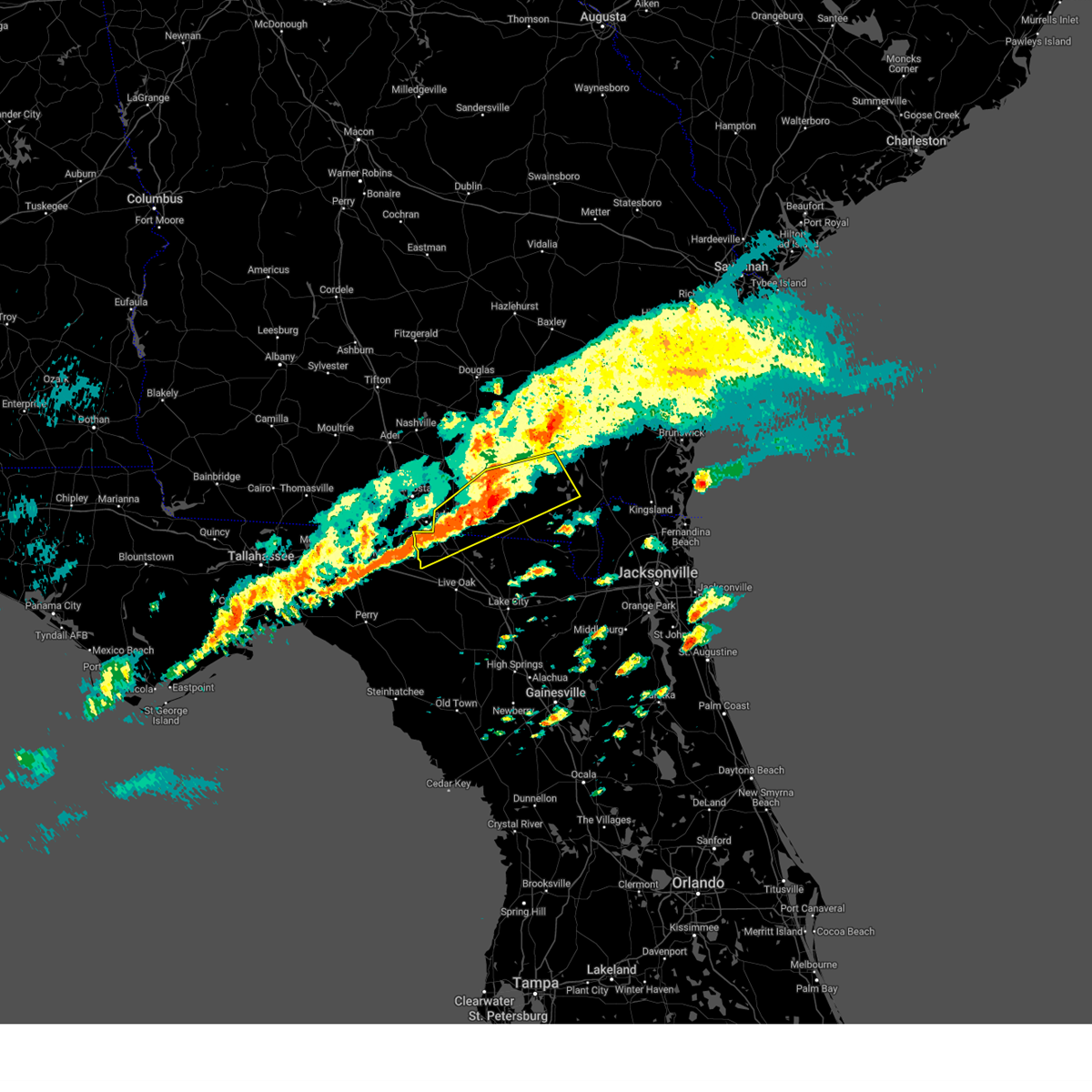
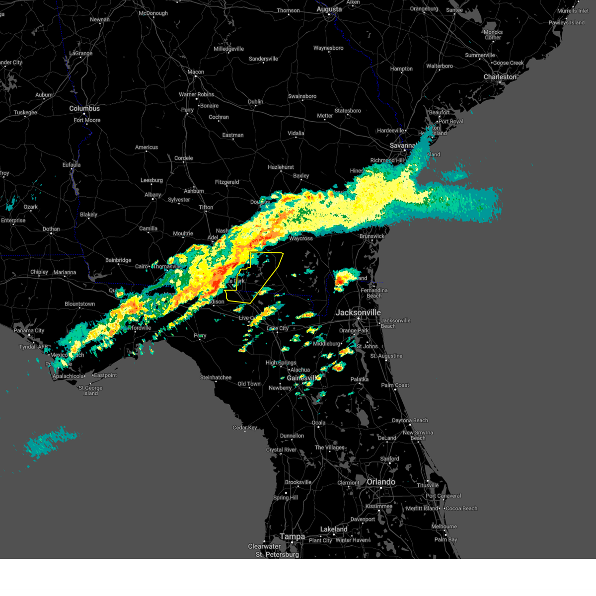
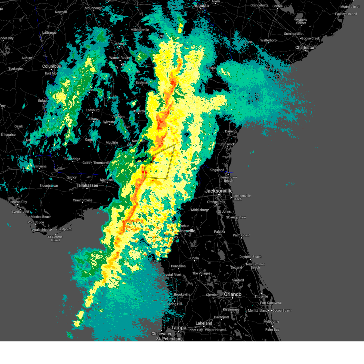
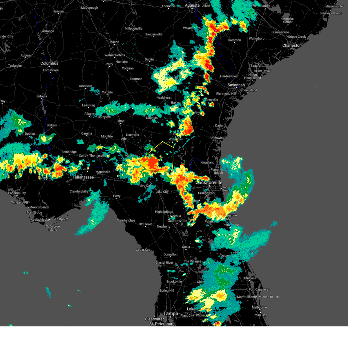
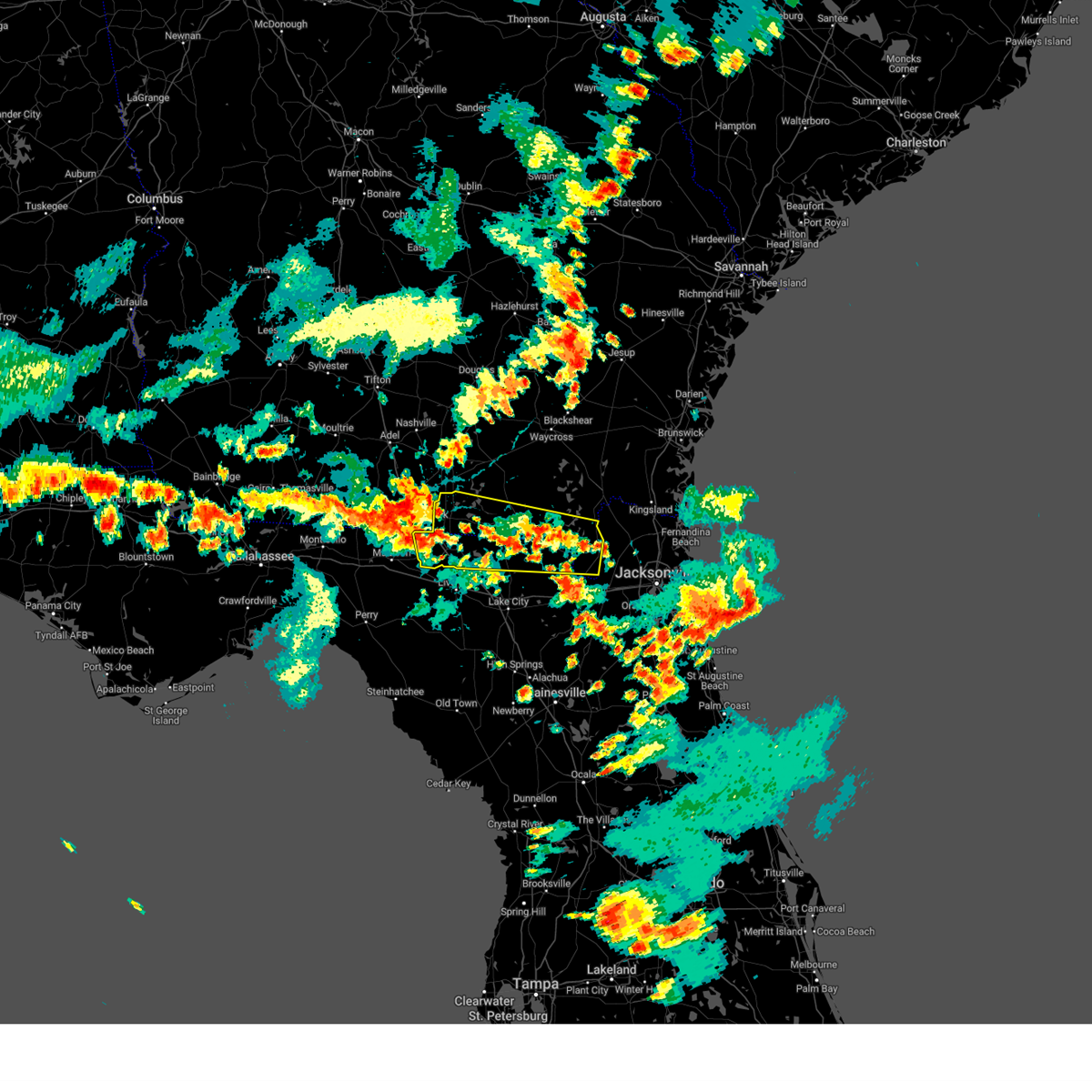
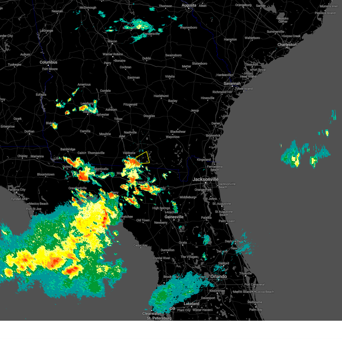
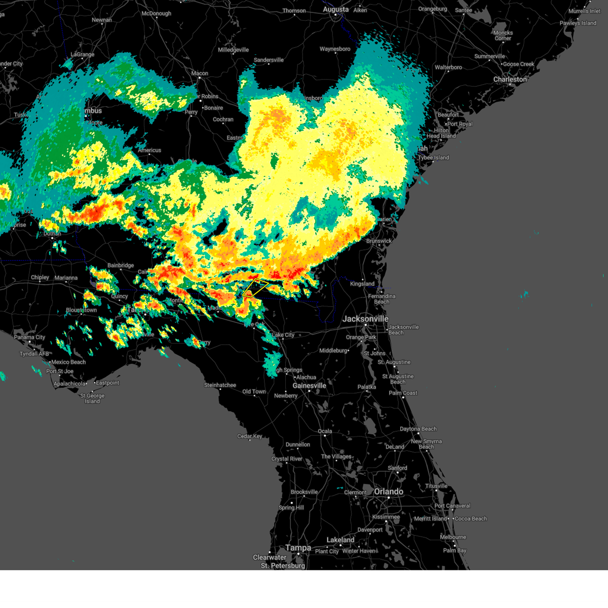
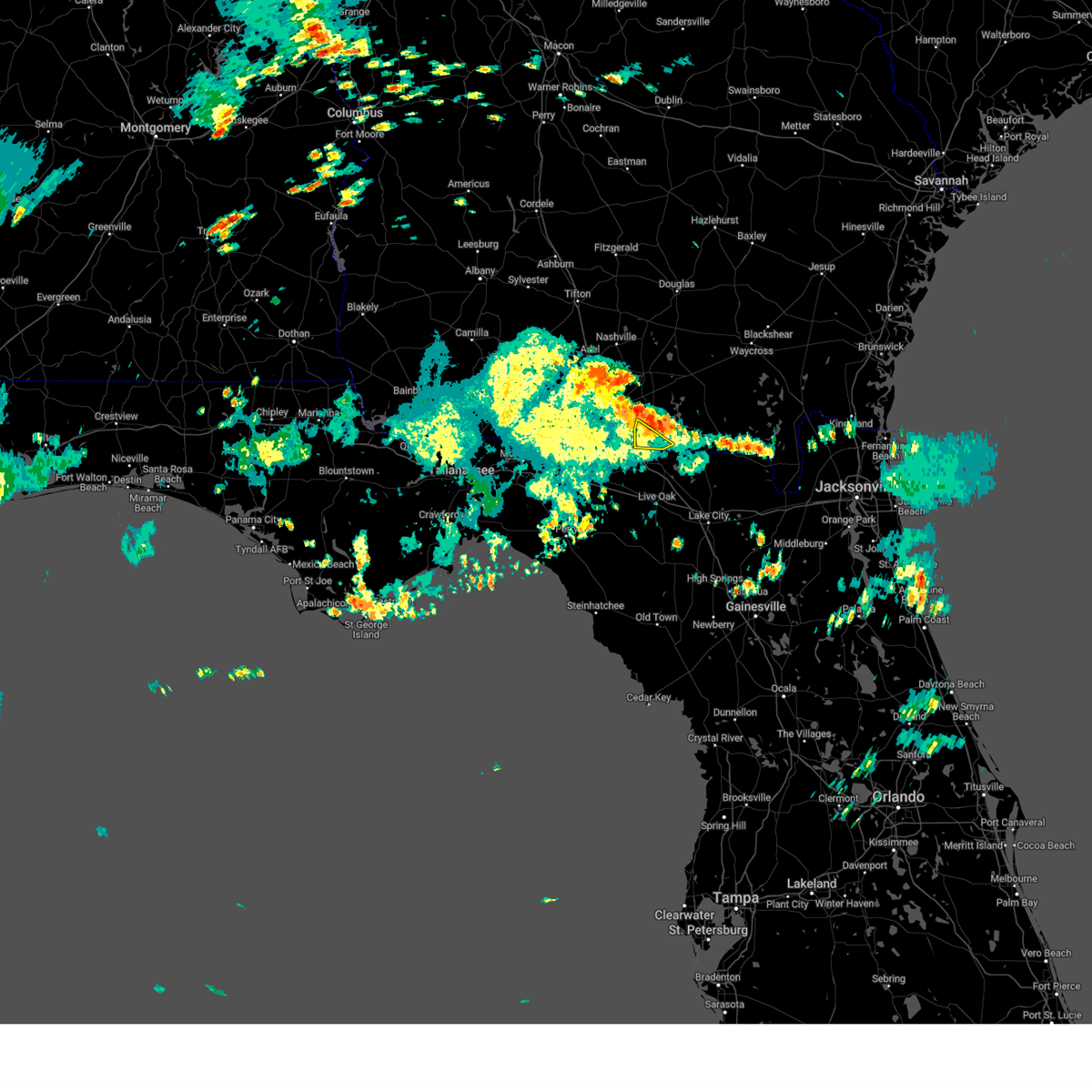
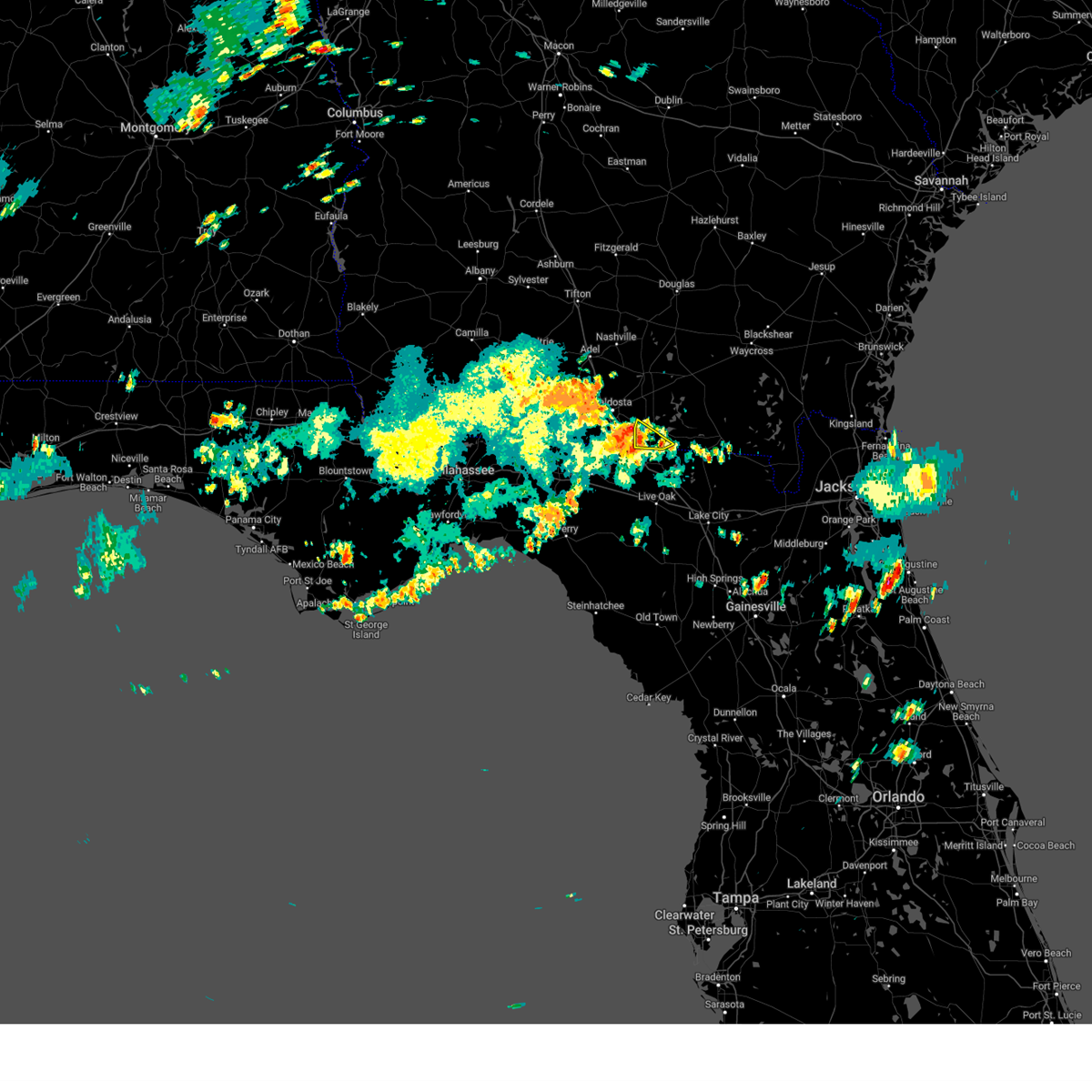
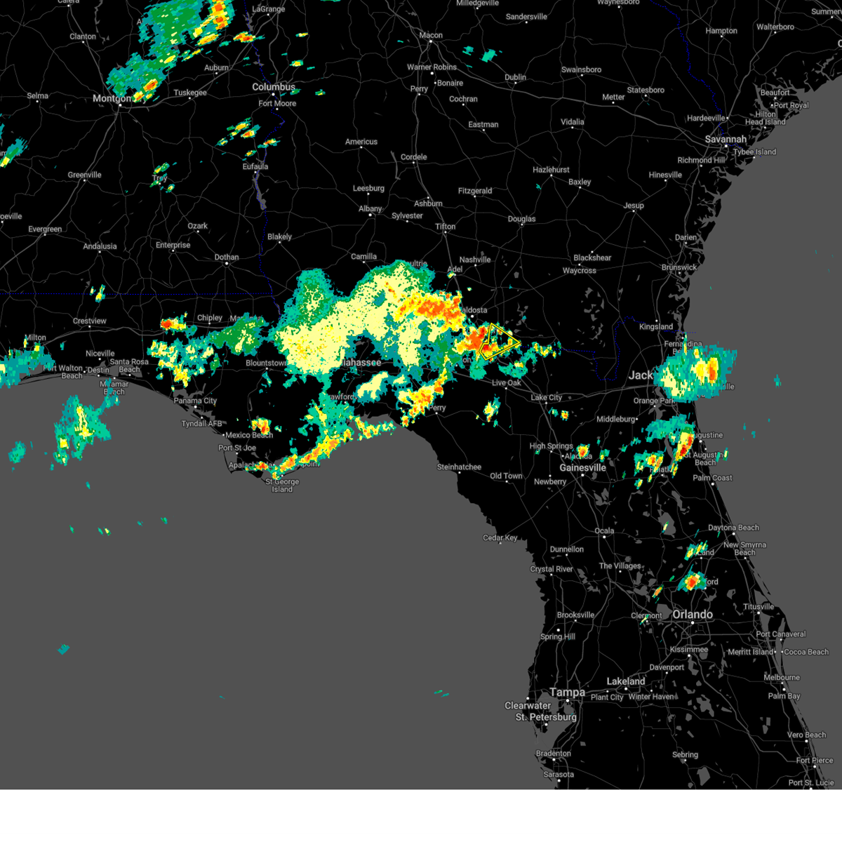
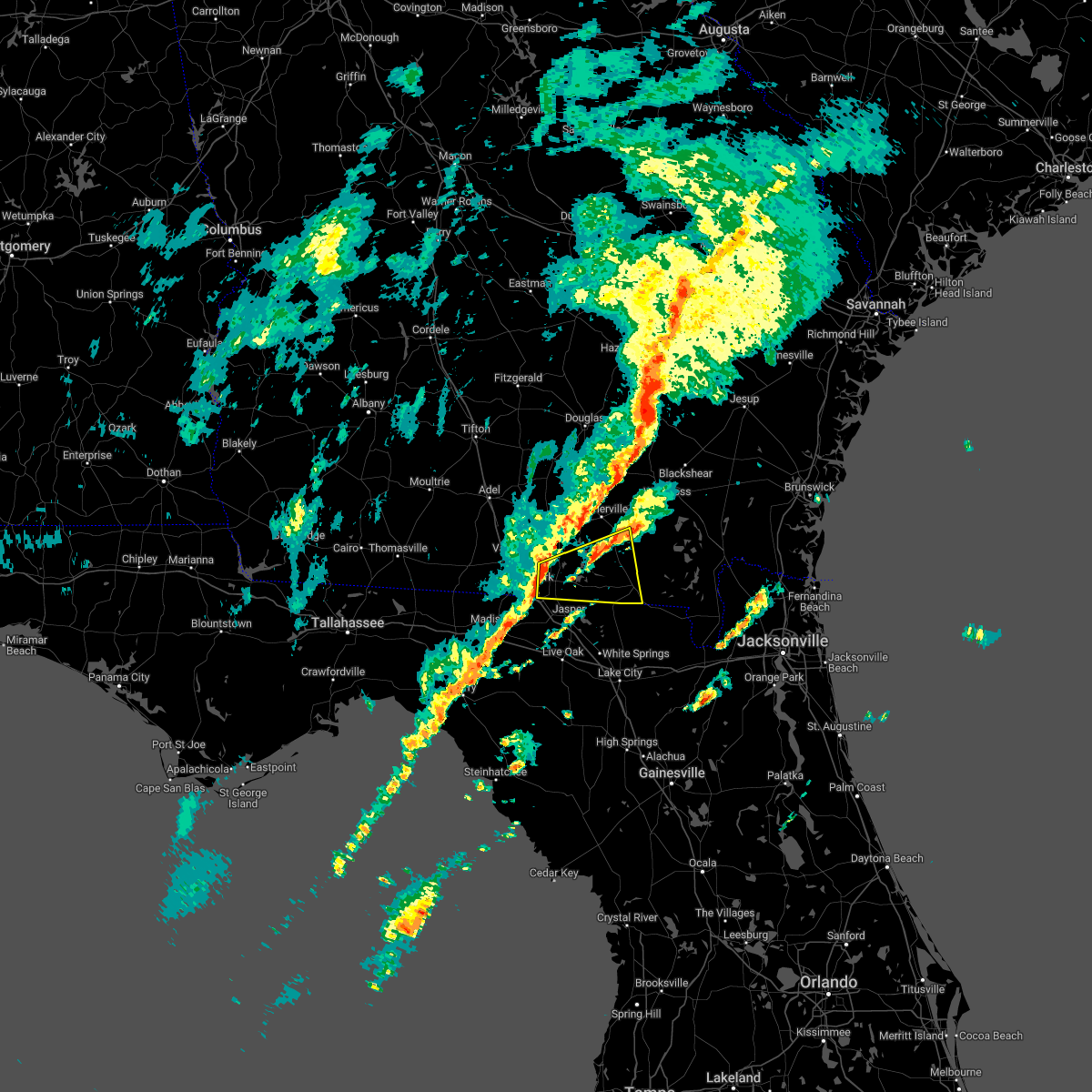
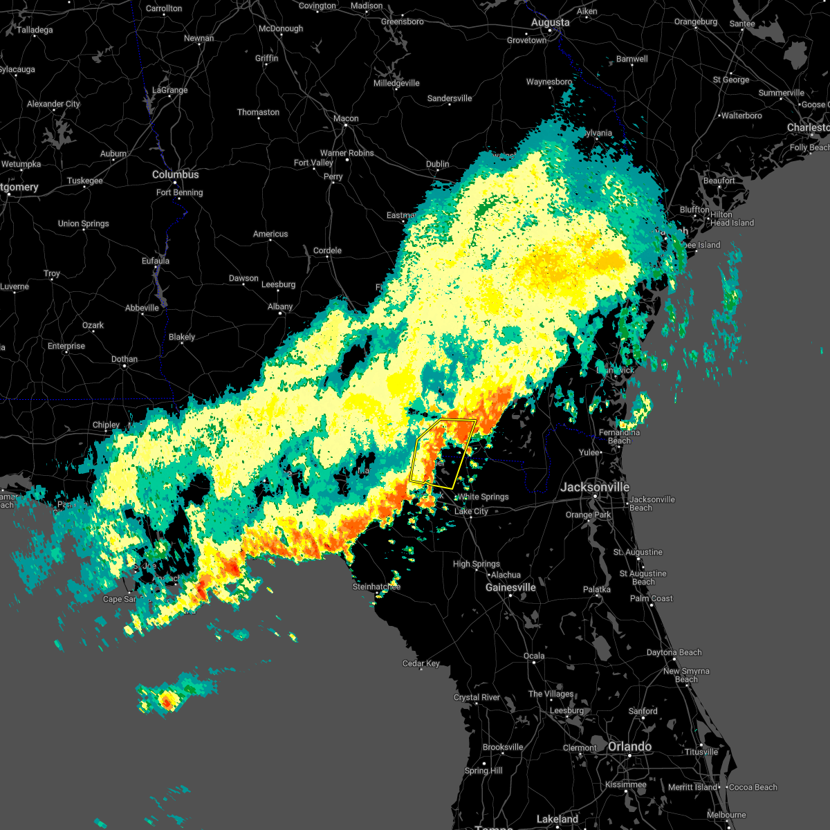
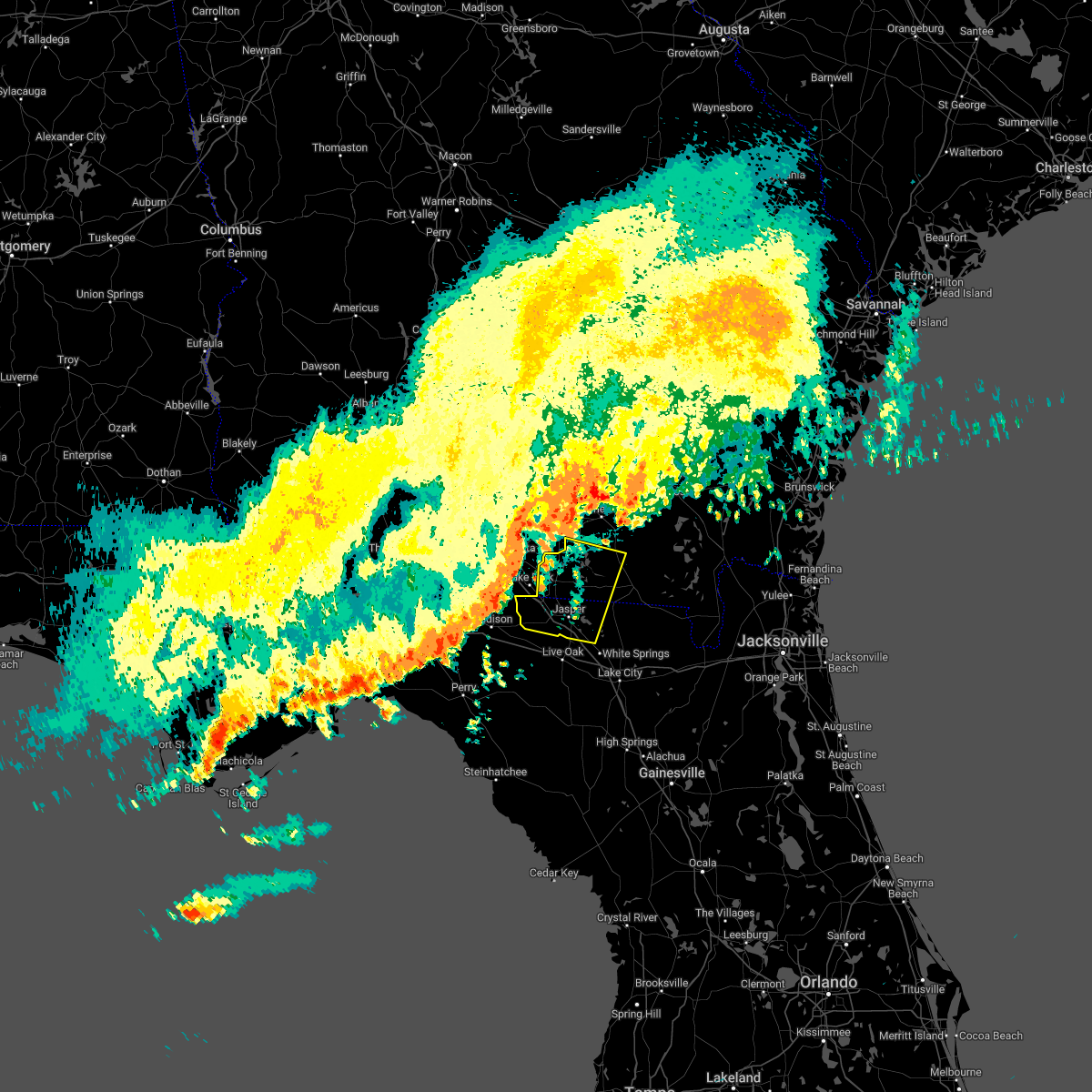
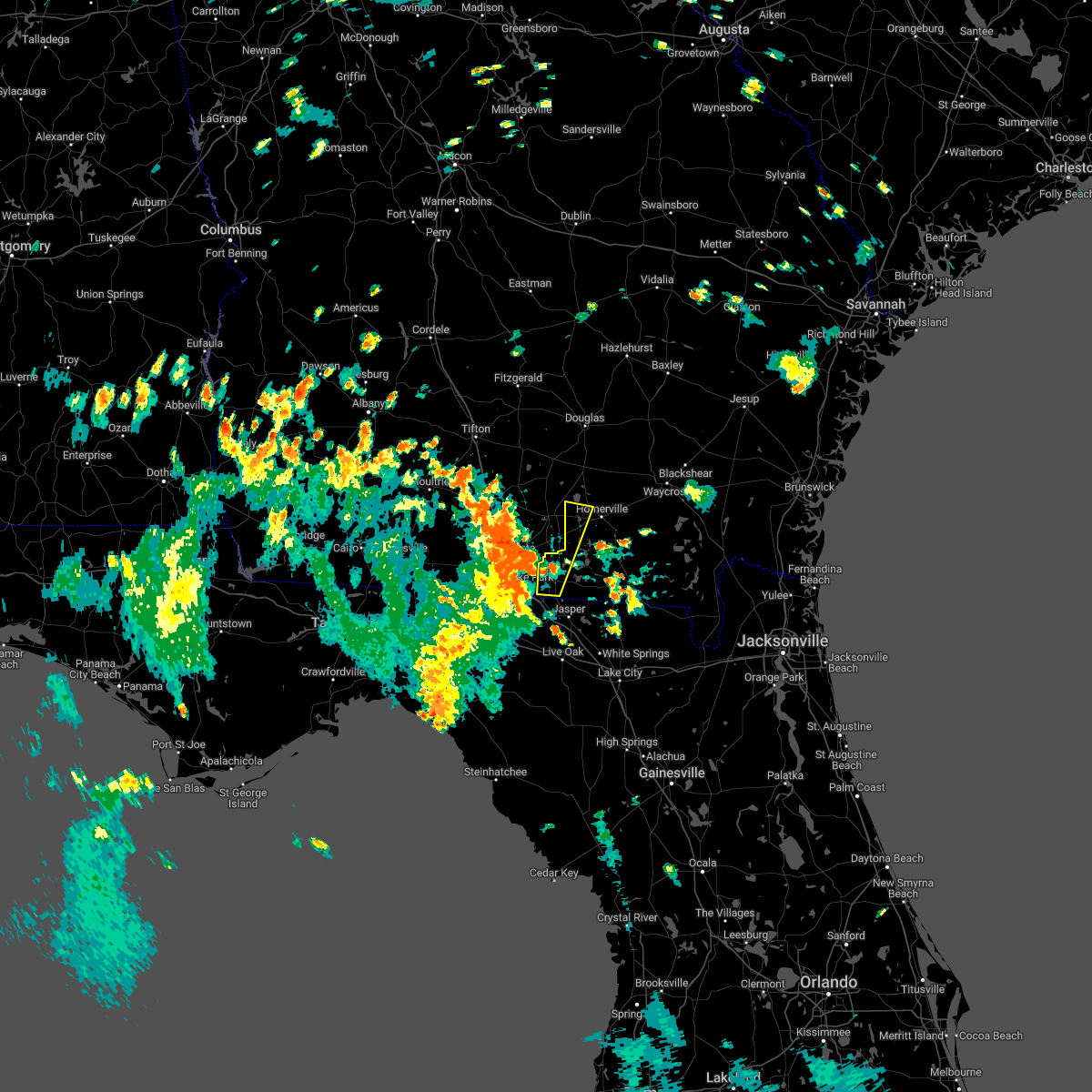
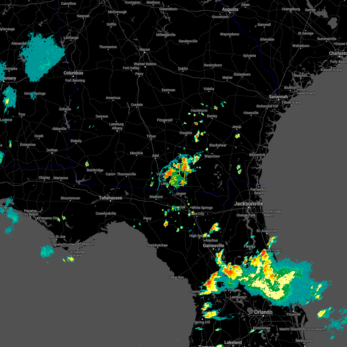
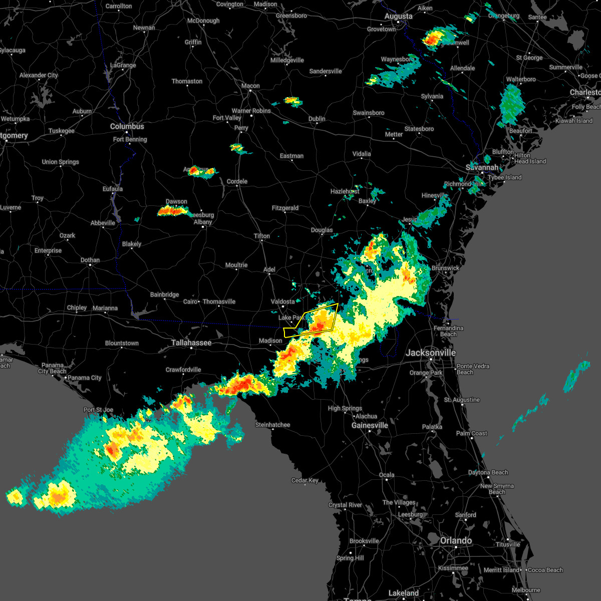
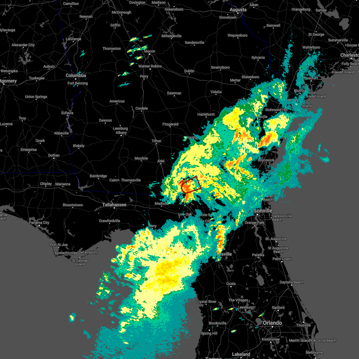
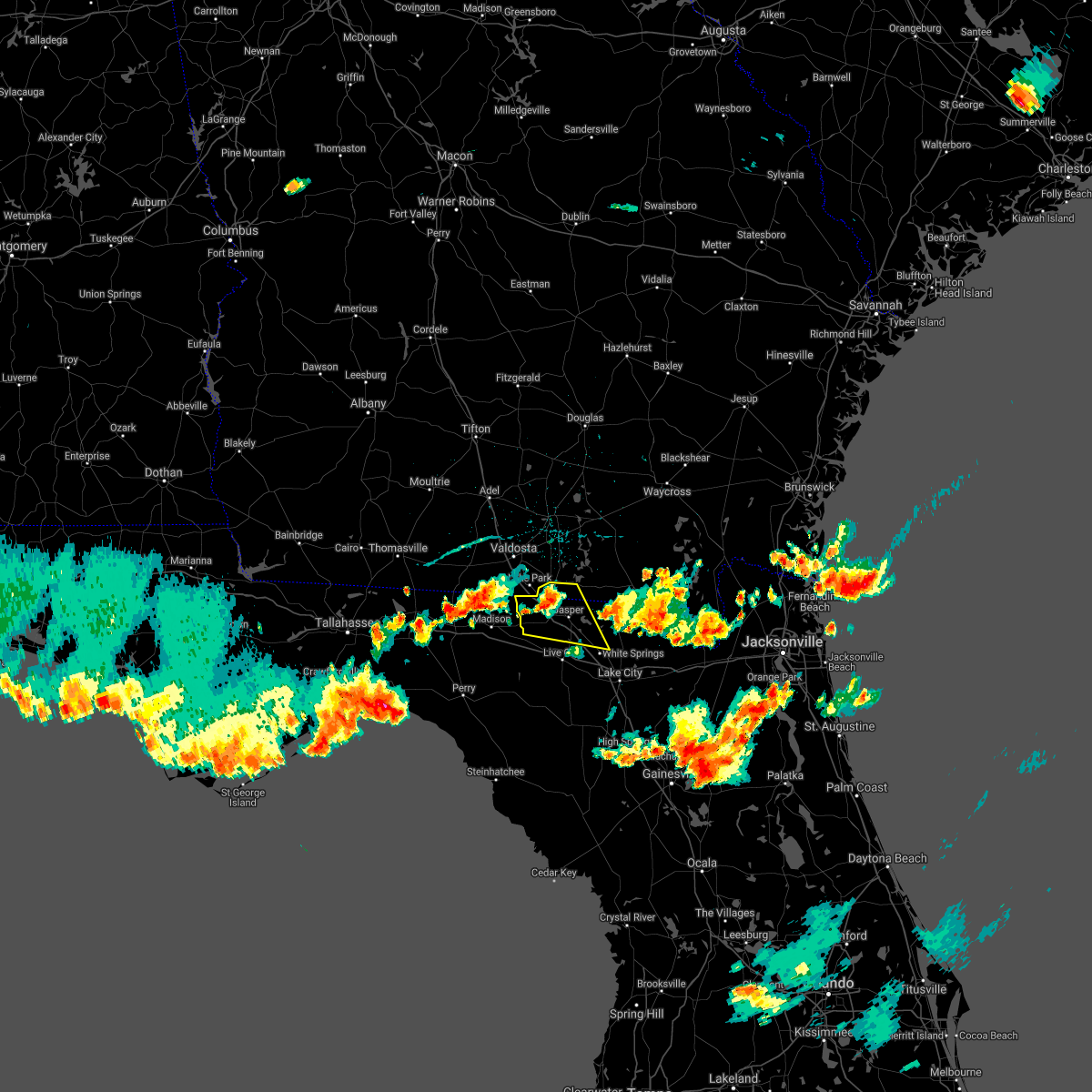
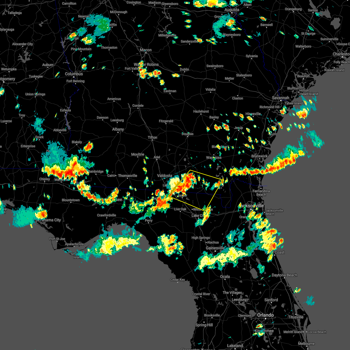
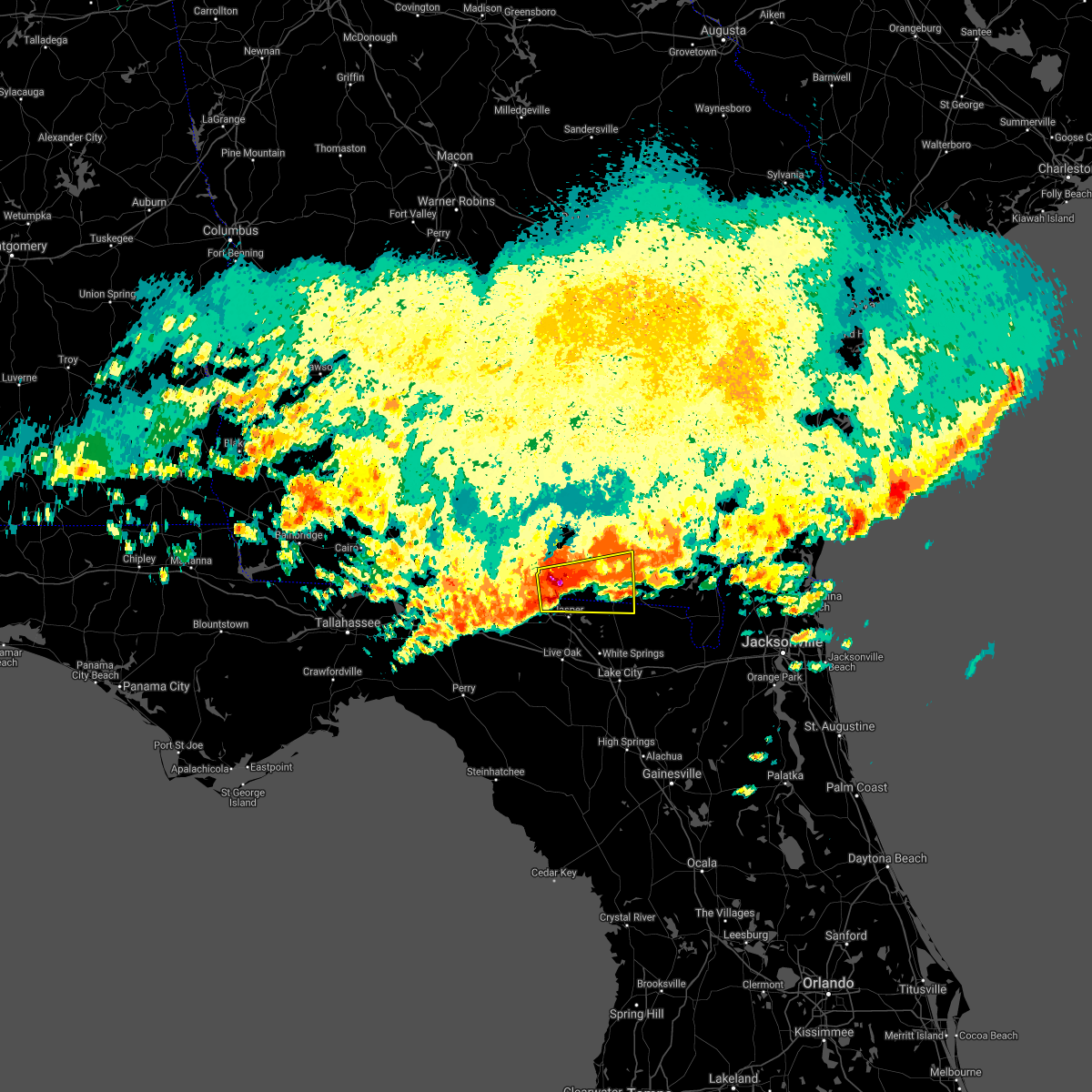
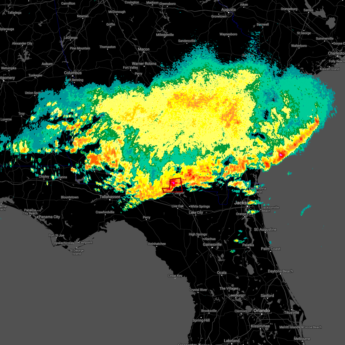
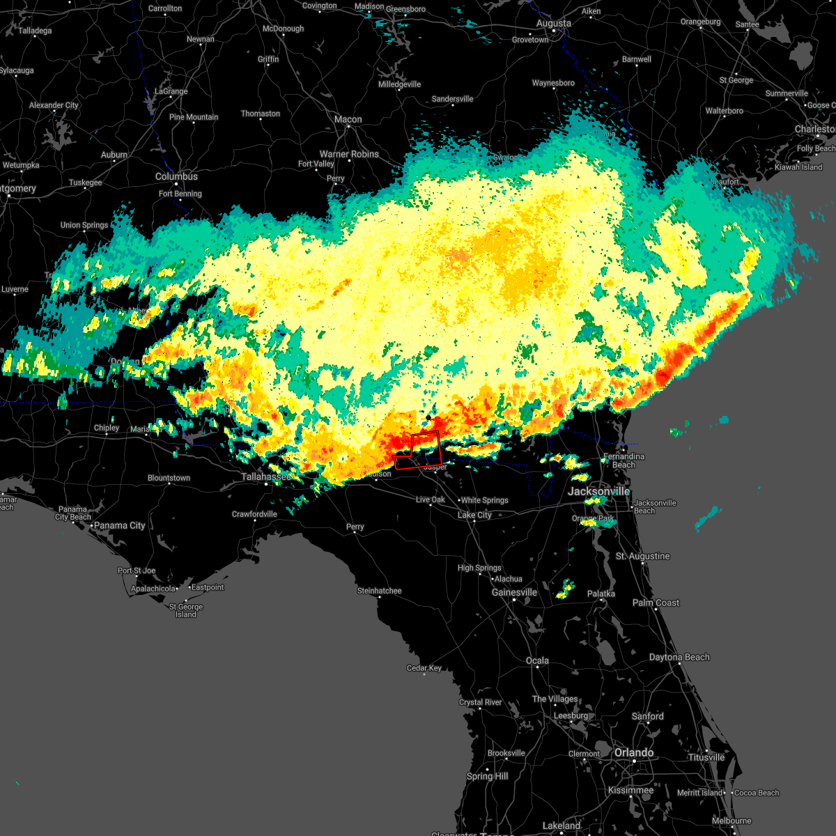
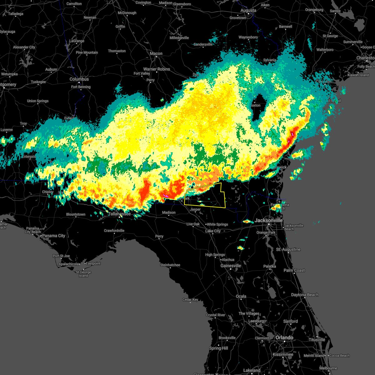
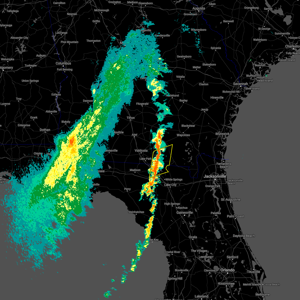
Hail Map for Statenville, GA
The Statenville, GA area has had 2 reports of on-the-ground hail by trained spotters, and has been under severe weather warnings 8 times during the past 12 months. Doppler radar has detected hail at or near Statenville, GA on 41 occasions, including 3 occasions during the past year.
| Name: | Statenville, GA |
| Where Located: | 55.6 miles S of Douglas, GA |
| Map: | Google Map for Statenville, GA |
| Population: | 1040 |
| Housing Units: | 388 |
| More Info: | Search Google for Statenville, GA |
1
The Top Recent Hail Date for Statenville, GA is Wednesday, May 21, 2025 (8th out of 41)

Hail and Wind Damage Spotted near Statenville, GA
| Date / Time | Report Details |
|---|---|
| 4/7/2025 2:56 PM EDT |
 Svrjax the national weather service in jacksonville has issued a * severe thunderstorm warning for, north central hamilton county in northern florida, echols county in southeastern georgia, southwestern ware county in southeastern georgia, clinch county in southeastern georgia, west central charlton county in southeastern georgia, * until 330 pm edt. * at 256 pm edt, a severe thunderstorm was located near statenville, moving northeast at 45 mph (radar indicated). Hazards include 60 mph wind gusts. expect damage to roofs, siding, and trees Svrjax the national weather service in jacksonville has issued a * severe thunderstorm warning for, north central hamilton county in northern florida, echols county in southeastern georgia, southwestern ware county in southeastern georgia, clinch county in southeastern georgia, west central charlton county in southeastern georgia, * until 330 pm edt. * at 256 pm edt, a severe thunderstorm was located near statenville, moving northeast at 45 mph (radar indicated). Hazards include 60 mph wind gusts. expect damage to roofs, siding, and trees
|
| 4/7/2025 2:31 PM EDT |
 Svrjax the national weather service in jacksonville has issued a * severe thunderstorm warning for, northwestern suwannee county in northern florida, northeastern columbia county in northern florida, hamilton county in northern florida, echols county in southeastern georgia, west central ware county in southeastern georgia, clinch county in southeastern georgia, * until 300 pm edt. * at 231 pm edt, a severe thunderstorm was located over crossroads, or near jennings, moving northeast at 45 mph (radar indicated). Hazards include 60 mph wind gusts. expect damage to roofs, siding, and trees Svrjax the national weather service in jacksonville has issued a * severe thunderstorm warning for, northwestern suwannee county in northern florida, northeastern columbia county in northern florida, hamilton county in northern florida, echols county in southeastern georgia, west central ware county in southeastern georgia, clinch county in southeastern georgia, * until 300 pm edt. * at 231 pm edt, a severe thunderstorm was located over crossroads, or near jennings, moving northeast at 45 mph (radar indicated). Hazards include 60 mph wind gusts. expect damage to roofs, siding, and trees
|
| 3/16/2025 9:28 AM EDT |
 Svrjax the national weather service in jacksonville has issued a * severe thunderstorm warning for, echols county in southeastern georgia, northern clinch county in southeastern georgia, * until 1015 am edt. * at 928 am edt, a severe thunderstorm was located near mayday, or near statenville, moving northeast at 40 mph (radar indicated). Hazards include 60 mph wind gusts. expect damage to roofs, siding, and trees Svrjax the national weather service in jacksonville has issued a * severe thunderstorm warning for, echols county in southeastern georgia, northern clinch county in southeastern georgia, * until 1015 am edt. * at 928 am edt, a severe thunderstorm was located near mayday, or near statenville, moving northeast at 40 mph (radar indicated). Hazards include 60 mph wind gusts. expect damage to roofs, siding, and trees
|
| 2/16/2025 9:37 AM EST |
 The storms which prompted the warning have weakened below severe limits, and no longer pose an immediate threat to life or property. therefore, the warning will be allowed to expire. however, gusty winds and heavy rain are still possible with these thunderstorms. a severe thunderstorm watch remains in effect until 100 pm est for northern florida, and southeastern georgia. The storms which prompted the warning have weakened below severe limits, and no longer pose an immediate threat to life or property. therefore, the warning will be allowed to expire. however, gusty winds and heavy rain are still possible with these thunderstorms. a severe thunderstorm watch remains in effect until 100 pm est for northern florida, and southeastern georgia.
|
| 2/16/2025 9:15 AM EST |
 At 914 am est, severe thunderstorms were located along a line extending from donald to near homerville to 11 miles northwest of perry, moving east at 50 mph (radar indicated). Hazards include 60 mph wind gusts. Expect damage to roofs, siding, and trees. Locations impacted include, waycross, jesup, blackshear, homerville, jennings, patterson, argyle, statenville, suwannee river state park, and screven. At 914 am est, severe thunderstorms were located along a line extending from donald to near homerville to 11 miles northwest of perry, moving east at 50 mph (radar indicated). Hazards include 60 mph wind gusts. Expect damage to roofs, siding, and trees. Locations impacted include, waycross, jesup, blackshear, homerville, jennings, patterson, argyle, statenville, suwannee river state park, and screven.
|
| 2/16/2025 8:58 AM EST |
 Svrjax the national weather service in jacksonville has issued a * severe thunderstorm warning for, northwestern hamilton county in northern florida, pierce county in southeastern georgia, echols county in southeastern georgia, northern ware county in southeastern georgia, southern bacon county in southeastern georgia, wayne county in southeastern georgia, clinch county in southeastern georgia, southeastern appling county in southeastern georgia, * until 945 am est. * at 858 am est, severe thunderstorms were located along a line extending from 11 miles northeast of surrency to 6 miles north of dixie union to 7 miles northeast of madison, moving east at 50 mph (radar indicated). Hazards include 60 mph wind gusts. expect damage to roofs, siding, and trees Svrjax the national weather service in jacksonville has issued a * severe thunderstorm warning for, northwestern hamilton county in northern florida, pierce county in southeastern georgia, echols county in southeastern georgia, northern ware county in southeastern georgia, southern bacon county in southeastern georgia, wayne county in southeastern georgia, clinch county in southeastern georgia, southeastern appling county in southeastern georgia, * until 945 am est. * at 858 am est, severe thunderstorms were located along a line extending from 11 miles northeast of surrency to 6 miles north of dixie union to 7 miles northeast of madison, moving east at 50 mph (radar indicated). Hazards include 60 mph wind gusts. expect damage to roofs, siding, and trees
|
| 7/18/2024 3:26 PM EDT |
 the severe thunderstorm warning has been cancelled and is no longer in effect the severe thunderstorm warning has been cancelled and is no longer in effect
|
| 7/18/2024 3:07 PM EDT |
 Svrjax the national weather service in jacksonville has issued a * severe thunderstorm warning for, western echols county in southeastern georgia, * until 400 pm edt. * at 307 pm edt, a severe thunderstorm was located over lake park, moving northeast at 20 mph (radar indicated). Hazards include 60 mph wind gusts. expect damage to roofs, siding, and trees Svrjax the national weather service in jacksonville has issued a * severe thunderstorm warning for, western echols county in southeastern georgia, * until 400 pm edt. * at 307 pm edt, a severe thunderstorm was located over lake park, moving northeast at 20 mph (radar indicated). Hazards include 60 mph wind gusts. expect damage to roofs, siding, and trees
|
| 5/27/2024 8:29 PM EDT |
 the severe thunderstorm warning has been cancelled and is no longer in effect the severe thunderstorm warning has been cancelled and is no longer in effect
|
| 5/27/2024 8:19 PM EDT |
 At 819 pm edt, severe thunderstorms were located along a line extending from 7 miles northeast of cogdell to near du pont to 7 miles south of moody air force base, moving southeast at 35 mph (radar indicated). Hazards include 60 mph wind gusts and quarter size hail. Hail damage to vehicles is expected. expect wind damage to roofs, siding, and trees. Locations impacted include, homerville, argyle, statenville, du pont, mayday, manor, and cogdell. At 819 pm edt, severe thunderstorms were located along a line extending from 7 miles northeast of cogdell to near du pont to 7 miles south of moody air force base, moving southeast at 35 mph (radar indicated). Hazards include 60 mph wind gusts and quarter size hail. Hail damage to vehicles is expected. expect wind damage to roofs, siding, and trees. Locations impacted include, homerville, argyle, statenville, du pont, mayday, manor, and cogdell.
|
| 5/27/2024 8:07 PM EDT |
 Svrjax the national weather service in jacksonville has issued a * severe thunderstorm warning for, northwestern echols county in southeastern georgia, west central ware county in southeastern georgia, clinch county in southeastern georgia, * until 845 pm edt. * at 806 pm edt, severe thunderstorms were located along a line extending from near pearson to 6 miles north of du pont to near moody air force base, moving south southeast at 30 mph (radar indicated). Hazards include 70 mph wind gusts and quarter size hail. Hail damage to vehicles is expected. expect considerable tree damage. Wind damage is also likely to mobile homes, roofs, and outbuildings. Svrjax the national weather service in jacksonville has issued a * severe thunderstorm warning for, northwestern echols county in southeastern georgia, west central ware county in southeastern georgia, clinch county in southeastern georgia, * until 845 pm edt. * at 806 pm edt, severe thunderstorms were located along a line extending from near pearson to 6 miles north of du pont to near moody air force base, moving south southeast at 30 mph (radar indicated). Hazards include 70 mph wind gusts and quarter size hail. Hail damage to vehicles is expected. expect considerable tree damage. Wind damage is also likely to mobile homes, roofs, and outbuildings.
|
| 5/14/2024 6:55 AM EDT |
 The storm which prompted the warning has weakened below severe limits, and no longer poses an immediate threat to life or property. therefore, the warning will be allowed to expire. however, gusty winds are still possible with this thunderstorm. a tornado watch remains in effect until 100 pm edt for northern florida, and southeastern georgia. The storm which prompted the warning has weakened below severe limits, and no longer poses an immediate threat to life or property. therefore, the warning will be allowed to expire. however, gusty winds are still possible with this thunderstorm. a tornado watch remains in effect until 100 pm edt for northern florida, and southeastern georgia.
|
| 5/14/2024 6:32 AM EDT |
 Svrjax the national weather service in jacksonville has issued a * severe thunderstorm warning for, north central suwannee county in northern florida, north central columbia county in northern florida, hamilton county in northern florida, echols county in southeastern georgia, central clinch county in southeastern georgia, * until 700 am edt. * at 632 am edt, a severe thunderstorm was located near jasper, moving northeast at 45 mph (radar indicated). Hazards include 60 mph wind gusts and penny size hail. expect damage to roofs, siding, and trees Svrjax the national weather service in jacksonville has issued a * severe thunderstorm warning for, north central suwannee county in northern florida, north central columbia county in northern florida, hamilton county in northern florida, echols county in southeastern georgia, central clinch county in southeastern georgia, * until 700 am edt. * at 632 am edt, a severe thunderstorm was located near jasper, moving northeast at 45 mph (radar indicated). Hazards include 60 mph wind gusts and penny size hail. expect damage to roofs, siding, and trees
|
| 5/10/2024 8:00 AM EDT |
 At 800 am edt, severe thunderstorms were located along a line extending from moody air force base to 7 miles southwest of dowling park to near steinhatchee, moving east at 45 mph (radar indicated). Hazards include 70 mph wind gusts and quarter size hail. possible tornadoes. Hail damage to vehicles is expected. expect considerable tree damage. wind damage is also likely to mobile homes, roofs, and outbuildings. Locations impacted include, lake city, live oak, jasper, homerville, trenton, jennings, white springs, bell, fargo, and statenville. At 800 am edt, severe thunderstorms were located along a line extending from moody air force base to 7 miles southwest of dowling park to near steinhatchee, moving east at 45 mph (radar indicated). Hazards include 70 mph wind gusts and quarter size hail. possible tornadoes. Hail damage to vehicles is expected. expect considerable tree damage. wind damage is also likely to mobile homes, roofs, and outbuildings. Locations impacted include, lake city, live oak, jasper, homerville, trenton, jennings, white springs, bell, fargo, and statenville.
|
| 5/10/2024 7:50 AM EDT |
 Svrjax the national weather service in jacksonville has issued a * severe thunderstorm warning for, gilchrist county in northern florida, suwannee county in northern florida, western columbia county in northern florida, hamilton county in northern florida, echols county in southeastern georgia, west central ware county in southeastern georgia, clinch county in southeastern georgia, * until 830 am edt. * at 750 am edt, severe thunderstorms were located along a line extending from near hahira to 7 miles west of dowling park to 18 miles northwest of steinhatchee, moving east at 55 mph (radar indicated). Hazards include 70 mph wind gusts and quarter size hail. Hail damage to vehicles is expected. expect considerable tree damage. Wind damage is also likely to mobile homes, roofs, and outbuildings. Svrjax the national weather service in jacksonville has issued a * severe thunderstorm warning for, gilchrist county in northern florida, suwannee county in northern florida, western columbia county in northern florida, hamilton county in northern florida, echols county in southeastern georgia, west central ware county in southeastern georgia, clinch county in southeastern georgia, * until 830 am edt. * at 750 am edt, severe thunderstorms were located along a line extending from near hahira to 7 miles west of dowling park to 18 miles northwest of steinhatchee, moving east at 55 mph (radar indicated). Hazards include 70 mph wind gusts and quarter size hail. Hail damage to vehicles is expected. expect considerable tree damage. Wind damage is also likely to mobile homes, roofs, and outbuildings.
|
| 4/11/2024 6:11 AM EDT |
 Svrjax the national weather service in jacksonville has issued a * severe thunderstorm warning for, northern hamilton county in northern florida, echols county in southeastern georgia, central ware county in southeastern georgia, clinch county in southeastern georgia, northwestern charlton county in southeastern georgia, * until 700 am edt. * at 611 am edt, severe thunderstorms were located along a line extending from near lake park to 6 miles southwest of needmore, moving northeast at 50 mph (radar indicated). Hazards include 60 mph wind gusts. expect damage to roofs, siding, and trees Svrjax the national weather service in jacksonville has issued a * severe thunderstorm warning for, northern hamilton county in northern florida, echols county in southeastern georgia, central ware county in southeastern georgia, clinch county in southeastern georgia, northwestern charlton county in southeastern georgia, * until 700 am edt. * at 611 am edt, severe thunderstorms were located along a line extending from near lake park to 6 miles southwest of needmore, moving northeast at 50 mph (radar indicated). Hazards include 60 mph wind gusts. expect damage to roofs, siding, and trees
|
| 3/9/2024 12:58 PM EST |
 Svrjax the national weather service in jacksonville has issued a * severe thunderstorm warning for, northwestern hamilton county in northern florida, echols county in southeastern georgia, central ware county in southeastern georgia, central clinch county in southeastern georgia, northwestern charlton county in southeastern georgia, * until 145 pm est. * at 1258 pm est, a severe thunderstorm was located 9 miles north of needmore, or 9 miles northwest of fargo, moving northeast at 45 mph (radar indicated). Hazards include 60 mph wind gusts and penny size hail. expect damage to roofs, siding, and trees Svrjax the national weather service in jacksonville has issued a * severe thunderstorm warning for, northwestern hamilton county in northern florida, echols county in southeastern georgia, central ware county in southeastern georgia, central clinch county in southeastern georgia, northwestern charlton county in southeastern georgia, * until 145 pm est. * at 1258 pm est, a severe thunderstorm was located 9 miles north of needmore, or 9 miles northwest of fargo, moving northeast at 45 mph (radar indicated). Hazards include 60 mph wind gusts and penny size hail. expect damage to roofs, siding, and trees
|
| 3/9/2024 12:08 PM EST |
 Svrjax the national weather service in jacksonville has issued a * severe thunderstorm warning for, northwestern hamilton county in northern florida, echols county in southeastern georgia, west central clinch county in southeastern georgia, * until 100 pm est. * at 1207 pm est, severe thunderstorms were located along a line extending from 6 miles north of mayday to 9 miles southwest of lake park, moving east at 35 mph (radar indicated). Hazards include 60 mph wind gusts and penny size hail. expect damage to roofs, siding, and trees Svrjax the national weather service in jacksonville has issued a * severe thunderstorm warning for, northwestern hamilton county in northern florida, echols county in southeastern georgia, west central clinch county in southeastern georgia, * until 100 pm est. * at 1207 pm est, severe thunderstorms were located along a line extending from 6 miles north of mayday to 9 miles southwest of lake park, moving east at 35 mph (radar indicated). Hazards include 60 mph wind gusts and penny size hail. expect damage to roofs, siding, and trees
|
| 1/9/2024 12:49 PM EST |
 At 1248 pm est, severe thunderstorms were located along a line extending from near du pont to near statenville to 7 miles southwest of suwannee river state park, moving northeast at 70 mph (radar indicated). Hazards include 70 mph wind gusts and penny size hail. Expect considerable tree damage. Damage is likely to mobile homes, roofs, and outbuildings. At 1248 pm est, severe thunderstorms were located along a line extending from near du pont to near statenville to 7 miles southwest of suwannee river state park, moving northeast at 70 mph (radar indicated). Hazards include 70 mph wind gusts and penny size hail. Expect considerable tree damage. Damage is likely to mobile homes, roofs, and outbuildings.
|
| 1/9/2024 12:24 PM EST |
 At 1223 pm est, severe thunderstorms were located along a line extending from mcrae to near ambrose to near i-75 at exit 16, moving east at 40 mph (radar indicated). Hazards include 70 mph wind gusts and penny size hail. Expect considerable tree damage. damage is likely to mobile homes, roofs, and outbuildings. Locations impacted include, douglas, pearson, willacoochee, broxton, ambrose, statenville, du pont, pridgen, mayday, and west green. At 1223 pm est, severe thunderstorms were located along a line extending from mcrae to near ambrose to near i-75 at exit 16, moving east at 40 mph (radar indicated). Hazards include 70 mph wind gusts and penny size hail. Expect considerable tree damage. damage is likely to mobile homes, roofs, and outbuildings. Locations impacted include, douglas, pearson, willacoochee, broxton, ambrose, statenville, du pont, pridgen, mayday, and west green.
|
| 1/9/2024 11:52 AM EST |
 At 1151 am est, severe thunderstorms were located along a line extending from 9 miles southeast of rochelle to near lenox to 7 miles southwest of quitman, moving northeast at 65 mph (radar indicated). Hazards include 70 mph wind gusts and penny size hail. Expect considerable tree damage. Damage is likely to mobile homes, roofs, and outbuildings. At 1151 am est, severe thunderstorms were located along a line extending from 9 miles southeast of rochelle to near lenox to 7 miles southwest of quitman, moving northeast at 65 mph (radar indicated). Hazards include 70 mph wind gusts and penny size hail. Expect considerable tree damage. Damage is likely to mobile homes, roofs, and outbuildings.
|
| 8/8/2023 7:47 PM EDT |
 At 746 pm edt, severe thunderstorms were located along a line extending from near glennville to near lake park, moving east at 15 mph (radar indicated). Hazards include 60 mph wind gusts and quarter size hail. Hail damage to vehicles is expected. expect wind damage to roofs, siding, and trees. locations impacted include, waycross, jesup, blackshear, homerville, patterson, fargo, argyle, statenville, screven, and odum. hail threat, radar indicated max hail size, 1. 00 in wind threat, radar indicated max wind gust, 60 mph. At 746 pm edt, severe thunderstorms were located along a line extending from near glennville to near lake park, moving east at 15 mph (radar indicated). Hazards include 60 mph wind gusts and quarter size hail. Hail damage to vehicles is expected. expect wind damage to roofs, siding, and trees. locations impacted include, waycross, jesup, blackshear, homerville, patterson, fargo, argyle, statenville, screven, and odum. hail threat, radar indicated max hail size, 1. 00 in wind threat, radar indicated max wind gust, 60 mph.
|
| 8/8/2023 7:21 PM EDT |
 At 720 pm edt, severe thunderstorms were located along a line extending from 10 miles southwest of glennville to near lake park, moving east at 15 mph (radar indicated). Hazards include 60 mph wind gusts and quarter size hail. Hail damage to vehicles is expected. expect wind damage to roofs, siding, and trees. locations impacted include, waycross, jesup, baxley, alma, blackshear, homerville, pearson, patterson, fargo, and argyle. hail threat, radar indicated max hail size, 1. 00 in wind threat, radar indicated max wind gust, 60 mph. At 720 pm edt, severe thunderstorms were located along a line extending from 10 miles southwest of glennville to near lake park, moving east at 15 mph (radar indicated). Hazards include 60 mph wind gusts and quarter size hail. Hail damage to vehicles is expected. expect wind damage to roofs, siding, and trees. locations impacted include, waycross, jesup, baxley, alma, blackshear, homerville, pearson, patterson, fargo, and argyle. hail threat, radar indicated max hail size, 1. 00 in wind threat, radar indicated max wind gust, 60 mph.
|
| 8/8/2023 7:08 PM EDT |
 At 708 pm edt, severe thunderstorms were located along a line extending from 10 miles northeast of surrency to 6 miles southwest of lake park, moving east at 15 mph (radar indicated). Hazards include 60 mph wind gusts and quarter size hail. Hail damage to vehicles is expected. Expect wind damage to roofs, siding, and trees. At 708 pm edt, severe thunderstorms were located along a line extending from 10 miles northeast of surrency to 6 miles southwest of lake park, moving east at 15 mph (radar indicated). Hazards include 60 mph wind gusts and quarter size hail. Hail damage to vehicles is expected. Expect wind damage to roofs, siding, and trees.
|
| 7/30/2023 7:38 PM EDT |
 At 737 pm edt, a severe thunderstorm was located 9 miles southeast of mayday, or 10 miles northeast of statenville, moving east at 20 mph (radar indicated). Hazards include 60 mph wind gusts and penny size hail. expect damage to roofs, siding, and trees At 737 pm edt, a severe thunderstorm was located 9 miles southeast of mayday, or 10 miles northeast of statenville, moving east at 20 mph (radar indicated). Hazards include 60 mph wind gusts and penny size hail. expect damage to roofs, siding, and trees
|
| 7/30/2023 7:04 PM EDT |
 At 704 pm edt, severe thunderstorms were located along a line extending from near jennings to near st. george, moving south at 15 mph (radar indicated). Hazards include 60 mph wind gusts and penny size hail. expect damage to roofs, siding, and trees At 704 pm edt, severe thunderstorms were located along a line extending from near jennings to near st. george, moving south at 15 mph (radar indicated). Hazards include 60 mph wind gusts and penny size hail. expect damage to roofs, siding, and trees
|
| 7/23/2023 12:24 PM EDT |
 The severe thunderstorm warning for north central hamilton and western echols counties will expire at 1230 pm edt, the storms which prompted the warning have weakened below severe limits, and no longer pose an immediate threat to life or property. therefore, the warning will be allowed to expire. however gusty winds are still possible with these thunderstorms. The severe thunderstorm warning for north central hamilton and western echols counties will expire at 1230 pm edt, the storms which prompted the warning have weakened below severe limits, and no longer pose an immediate threat to life or property. therefore, the warning will be allowed to expire. however gusty winds are still possible with these thunderstorms.
|
| 7/23/2023 12:15 PM EDT |
 At 1215 pm edt, severe thunderstorms were located along a line extending from near lake park to near jennings, moving northeast at 25 mph (radar indicated). Hazards include 60 mph wind gusts. Expect damage to roofs, siding, and trees. locations impacted include, jennings, statenville and mayday. hail threat, radar indicated max hail size, <. 75 in wind threat, radar indicated max wind gust, 60 mph. At 1215 pm edt, severe thunderstorms were located along a line extending from near lake park to near jennings, moving northeast at 25 mph (radar indicated). Hazards include 60 mph wind gusts. Expect damage to roofs, siding, and trees. locations impacted include, jennings, statenville and mayday. hail threat, radar indicated max hail size, <. 75 in wind threat, radar indicated max wind gust, 60 mph.
|
| 7/23/2023 11:44 AM EDT |
 At 1144 am edt, severe thunderstorms were located along a line extending from 10 miles southwest of lake park to suwannee river state park, moving northeast at 25 mph (radar indicated). Hazards include 60 mph wind gusts. expect damage to roofs, siding, and trees At 1144 am edt, severe thunderstorms were located along a line extending from 10 miles southwest of lake park to suwannee river state park, moving northeast at 25 mph (radar indicated). Hazards include 60 mph wind gusts. expect damage to roofs, siding, and trees
|
| 6/21/2023 10:16 AM EDT |
 At 1016 am edt, a severe thunderstorm was located near statenville, moving northeast at 30 mph (radar indicated). Hazards include 60 mph wind gusts and penny size hail. expect damage to roofs, siding, and trees At 1016 am edt, a severe thunderstorm was located near statenville, moving northeast at 30 mph (radar indicated). Hazards include 60 mph wind gusts and penny size hail. expect damage to roofs, siding, and trees
|
| 6/19/2023 10:57 AM EDT |
 The severe thunderstorm warning for echols and northwestern clinch counties will expire at 1100 am edt, the storms which prompted the warning have moved out of the area. therefore, the warning will be allowed to expire. a severe thunderstorm watch remains in effect until 200 pm edt for southeastern georgia. remember, a severe thunderstorm warning still remains in effect for clinch and echols counties. The severe thunderstorm warning for echols and northwestern clinch counties will expire at 1100 am edt, the storms which prompted the warning have moved out of the area. therefore, the warning will be allowed to expire. a severe thunderstorm watch remains in effect until 200 pm edt for southeastern georgia. remember, a severe thunderstorm warning still remains in effect for clinch and echols counties.
|
| 6/19/2023 10:42 AM EDT |
 At 1042 am edt, severe thunderstorms were located along a line extending from near du pont to near mayday to near jennings, moving east at 45 mph (radar indicated). Hazards include 60 mph wind gusts and penny size hail. Expect damage to roofs, siding, and trees. locations impacted include, homerville, statenville, du pont, cogdell and mayday. hail threat, radar indicated max hail size, 0. 75 in wind threat, radar indicated max wind gust, 60 mph. At 1042 am edt, severe thunderstorms were located along a line extending from near du pont to near mayday to near jennings, moving east at 45 mph (radar indicated). Hazards include 60 mph wind gusts and penny size hail. Expect damage to roofs, siding, and trees. locations impacted include, homerville, statenville, du pont, cogdell and mayday. hail threat, radar indicated max hail size, 0. 75 in wind threat, radar indicated max wind gust, 60 mph.
|
| 6/19/2023 10:09 AM EDT |
 At 1008 am edt, severe thunderstorms were located along a line extending from near nashville to near moody air force base to near i-75 at exit 16, moving east at 55 mph (radar indicated). Hazards include 60 mph wind gusts and quarter size hail. Hail damage to vehicles is expected. Expect wind damage to roofs, siding, and trees. At 1008 am edt, severe thunderstorms were located along a line extending from near nashville to near moody air force base to near i-75 at exit 16, moving east at 55 mph (radar indicated). Hazards include 60 mph wind gusts and quarter size hail. Hail damage to vehicles is expected. Expect wind damage to roofs, siding, and trees.
|
| 6/15/2023 12:04 PM EDT |
 At 1204 pm edt, a severe thunderstorm was located 7 miles east of statenville, moving northeast at 50 mph (radar indicated). Hazards include 60 mph wind gusts and quarter size hail. Hail damage to vehicles is expected. expect wind damage to roofs, siding, and trees. locations impacted include, statenville. hail threat, radar indicated max hail size, 1. 00 in wind threat, radar indicated max wind gust, 60 mph. At 1204 pm edt, a severe thunderstorm was located 7 miles east of statenville, moving northeast at 50 mph (radar indicated). Hazards include 60 mph wind gusts and quarter size hail. Hail damage to vehicles is expected. expect wind damage to roofs, siding, and trees. locations impacted include, statenville. hail threat, radar indicated max hail size, 1. 00 in wind threat, radar indicated max wind gust, 60 mph.
|
| 6/15/2023 11:39 AM EDT |
 At 1139 am edt, a severe thunderstorm was located near blue springs, or near jennings, moving northeast at 35 mph (radar indicated). Hazards include 60 mph wind gusts and quarter size hail. Hail damage to vehicles is expected. Expect wind damage to roofs, siding, and trees. At 1139 am edt, a severe thunderstorm was located near blue springs, or near jennings, moving northeast at 35 mph (radar indicated). Hazards include 60 mph wind gusts and quarter size hail. Hail damage to vehicles is expected. Expect wind damage to roofs, siding, and trees.
|
| 6/14/2023 8:13 PM EDT |
 At 813 pm edt, severe thunderstorms were located along a line extending from 13 miles north of needmore to near lake park, moving southeast at 35 mph (radar indicated). Hazards include 60 mph wind gusts and quarter size hail. Hail damage to vehicles is expected. Expect wind damage to roofs, siding, and trees. At 813 pm edt, severe thunderstorms were located along a line extending from 13 miles north of needmore to near lake park, moving southeast at 35 mph (radar indicated). Hazards include 60 mph wind gusts and quarter size hail. Hail damage to vehicles is expected. Expect wind damage to roofs, siding, and trees.
|
| 6/13/2023 6:19 PM EDT |
 At 619 pm edt, severe thunderstorms were located along a line extending from near boggy bay to 8 miles north of fargo to near jennings, moving east at 40 mph (radar indicated). Hazards include 60 mph wind gusts. expect damage to roofs, siding, and trees At 619 pm edt, severe thunderstorms were located along a line extending from near boggy bay to 8 miles north of fargo to near jennings, moving east at 40 mph (radar indicated). Hazards include 60 mph wind gusts. expect damage to roofs, siding, and trees
|
| 6/13/2023 5:48 PM EDT |
 At 548 pm edt, severe thunderstorms were located along a line extending from 8 miles northeast of lakeland to 6 miles west of mayday, moving southeast at 35 mph (radar indicated). Hazards include 60 mph wind gusts and penny size hail. expect damage to roofs, siding, and trees At 548 pm edt, severe thunderstorms were located along a line extending from 8 miles northeast of lakeland to 6 miles west of mayday, moving southeast at 35 mph (radar indicated). Hazards include 60 mph wind gusts and penny size hail. expect damage to roofs, siding, and trees
|
| 5/17/2023 3:26 PM EDT |
 The severe thunderstorm warning for southwestern echols county will expire at 330 pm edt, the storm which prompted the warning has weakened below severe limits, and has exited the warned area. therefore, the warning will be allowed to expire. to report severe weather, contact your nearest law enforcement agency. they will relay your report to the national weather service jacksonville. The severe thunderstorm warning for southwestern echols county will expire at 330 pm edt, the storm which prompted the warning has weakened below severe limits, and has exited the warned area. therefore, the warning will be allowed to expire. to report severe weather, contact your nearest law enforcement agency. they will relay your report to the national weather service jacksonville.
|
| 5/17/2023 3:04 PM EDT |
 At 304 pm edt, a severe thunderstorm was located over jennings, moving northeast at 10 mph (radar indicated). Hazards include 60 mph wind gusts and nickel size hail. Expect damage to roofs, siding, and trees. locations impacted include, statenville. hail threat, radar indicated max hail size, 0. 88 in wind threat, radar indicated max wind gust, 60 mph. At 304 pm edt, a severe thunderstorm was located over jennings, moving northeast at 10 mph (radar indicated). Hazards include 60 mph wind gusts and nickel size hail. Expect damage to roofs, siding, and trees. locations impacted include, statenville. hail threat, radar indicated max hail size, 0. 88 in wind threat, radar indicated max wind gust, 60 mph.
|
| 5/17/2023 2:49 PM EDT |
 At 249 pm edt, a severe thunderstorm was located over jennings, moving northeast at 10 mph (radar indicated). Hazards include 60 mph wind gusts and nickel size hail. expect damage to roofs, siding, and trees At 249 pm edt, a severe thunderstorm was located over jennings, moving northeast at 10 mph (radar indicated). Hazards include 60 mph wind gusts and nickel size hail. expect damage to roofs, siding, and trees
|
| 1/22/2023 6:34 PM EST |
 At 634 pm est, a severe thunderstorm was located near statenville, moving east at 60 mph (radar indicated). Hazards include 60 mph wind gusts. expect damage to roofs, siding, and trees At 634 pm est, a severe thunderstorm was located near statenville, moving east at 60 mph (radar indicated). Hazards include 60 mph wind gusts. expect damage to roofs, siding, and trees
|
| 1/4/2023 12:20 PM EST |
 At 1220 pm est, severe thunderstorms were located along a line extending from 7 miles northeast of cogdell to 10 miles northwest of needmore to near jasper to near suwannee river state park, moving east at 45 mph (radar indicated). Hazards include 60 mph wind gusts and quarter size hail. Hail damage to vehicles is expected. expect wind damage to roofs, siding, and trees. Locations impacted include, jasper, homerville, jennings, white springs, fargo, argyle, suwannee river state park, suwannee springs, du pont and suwannee valley. At 1220 pm est, severe thunderstorms were located along a line extending from 7 miles northeast of cogdell to 10 miles northwest of needmore to near jasper to near suwannee river state park, moving east at 45 mph (radar indicated). Hazards include 60 mph wind gusts and quarter size hail. Hail damage to vehicles is expected. expect wind damage to roofs, siding, and trees. Locations impacted include, jasper, homerville, jennings, white springs, fargo, argyle, suwannee river state park, suwannee springs, du pont and suwannee valley.
|
| 1/4/2023 12:14 PM EST |
 At 1214 pm est, severe thunderstorms were located along a line extending from 6 miles north of cogdell to 7 miles east of mayday to 6 miles east of jennings to near blue springs, moving northeast at 45 mph (radar indicated). Hazards include 60 mph wind gusts and quarter size hail. Hail damage to vehicles is expected. Expect wind damage to roofs, siding, and trees. At 1214 pm est, severe thunderstorms were located along a line extending from 6 miles north of cogdell to 7 miles east of mayday to 6 miles east of jennings to near blue springs, moving northeast at 45 mph (radar indicated). Hazards include 60 mph wind gusts and quarter size hail. Hail damage to vehicles is expected. Expect wind damage to roofs, siding, and trees.
|
| 1/4/2023 11:39 AM EST |
 At 1139 am est, severe thunderstorms were located along a line extending from 6 miles south of lakeland to 6 miles southwest of madison, moving east at 40 mph (radar indicated). Hazards include 60 mph wind gusts and quarter size hail. Hail damage to vehicles is expected. Expect wind damage to roofs, siding, and trees. At 1139 am est, severe thunderstorms were located along a line extending from 6 miles south of lakeland to 6 miles southwest of madison, moving east at 40 mph (radar indicated). Hazards include 60 mph wind gusts and quarter size hail. Hail damage to vehicles is expected. Expect wind damage to roofs, siding, and trees.
|
| 11/30/2022 11:24 AM EST |
 At 1124 am est, severe thunderstorms were located along a line extending from 8 miles east of mayday to near jasper, moving southeast at 45 mph (radar indicated). Hazards include 60 mph wind gusts. Expect damage to roofs, siding, and trees. Locations impacted include, jasper, statenville and needmore. At 1124 am est, severe thunderstorms were located along a line extending from 8 miles east of mayday to near jasper, moving southeast at 45 mph (radar indicated). Hazards include 60 mph wind gusts. Expect damage to roofs, siding, and trees. Locations impacted include, jasper, statenville and needmore.
|
| 11/30/2022 11:10 AM EST |
 At 1109 am est, severe thunderstorms were located along a line extending from near mayday to near blue springs, moving southeast at 40 mph (radar indicated). Hazards include 60 mph wind gusts. Expect damage to roofs, siding, and trees. Locations impacted include, jasper, jennings, statenville, mayday, needmore, blue springs and crossroads. At 1109 am est, severe thunderstorms were located along a line extending from near mayday to near blue springs, moving southeast at 40 mph (radar indicated). Hazards include 60 mph wind gusts. Expect damage to roofs, siding, and trees. Locations impacted include, jasper, jennings, statenville, mayday, needmore, blue springs and crossroads.
|
| 11/30/2022 10:52 AM EST |
 At 1051 am est, severe thunderstorms were located along a line extending from near moody air force base to 7 miles southwest of lake park, moving southeast at 40 mph (radar indicated). Hazards include 60 mph wind gusts. expect damage to roofs, siding, and trees At 1051 am est, severe thunderstorms were located along a line extending from near moody air force base to 7 miles southwest of lake park, moving southeast at 40 mph (radar indicated). Hazards include 60 mph wind gusts. expect damage to roofs, siding, and trees
|
| 8/9/2022 5:56 PM EDT |
 At 556 pm edt, a severe thunderstorm was located near statenville, moving north at 20 mph (radar indicated). Hazards include 60 mph wind gusts. expect damage to roofs, siding, and trees At 556 pm edt, a severe thunderstorm was located near statenville, moving north at 20 mph (radar indicated). Hazards include 60 mph wind gusts. expect damage to roofs, siding, and trees
|
| 6/24/2022 4:18 PM EDT |
 At 418 pm edt, severe thunderstorms were located along a line extending from near lakeland to near white springs to 7 miles south of obrien, moving east at 10 mph (radar indicated). Hazards include 60 mph wind gusts and quarter size hail. Hail damage to vehicles is expected. expect wind damage to roofs, siding, and trees. locations impacted include, lake city, live oak, jasper, homerville, white springs, ichetucknee spring, statenville, suwannee springs, columbia and du pont. hail threat, radar indicated max hail size, 1. 00 in wind threat, radar indicated max wind gust, 60 mph. At 418 pm edt, severe thunderstorms were located along a line extending from near lakeland to near white springs to 7 miles south of obrien, moving east at 10 mph (radar indicated). Hazards include 60 mph wind gusts and quarter size hail. Hail damage to vehicles is expected. expect wind damage to roofs, siding, and trees. locations impacted include, lake city, live oak, jasper, homerville, white springs, ichetucknee spring, statenville, suwannee springs, columbia and du pont. hail threat, radar indicated max hail size, 1. 00 in wind threat, radar indicated max wind gust, 60 mph.
|
| 6/24/2022 4:06 PM EDT |
 At 406 pm edt, severe thunderstorms were located along a line extending from 6 miles northeast of mayday to near obrien, moving east at 10 mph (radar indicated). Hazards include 60 mph wind gusts and quarter size hail. Hail damage to vehicles is expected. Expect wind damage to roofs, siding, and trees. At 406 pm edt, severe thunderstorms were located along a line extending from 6 miles northeast of mayday to near obrien, moving east at 10 mph (radar indicated). Hazards include 60 mph wind gusts and quarter size hail. Hail damage to vehicles is expected. Expect wind damage to roofs, siding, and trees.
|
| 5/20/2022 5:39 PM EDT |
 The severe thunderstorm warning for northwestern echols and west central clinch counties will expire at 545 pm edt, the storm which prompted the warning has moved out of the area. therefore, the warning will be allowed to expire. however gusty winds and heavy rain are still possible with this thunderstorm. The severe thunderstorm warning for northwestern echols and west central clinch counties will expire at 545 pm edt, the storm which prompted the warning has moved out of the area. therefore, the warning will be allowed to expire. however gusty winds and heavy rain are still possible with this thunderstorm.
|
| 5/20/2022 5:17 PM EDT |
 At 516 pm edt, a severe thunderstorm was located over mayday, or near statenville, moving north at 50 mph (radar indicated). Hazards include 60 mph wind gusts and penny size hail. expect damage to roofs, siding, and trees At 516 pm edt, a severe thunderstorm was located over mayday, or near statenville, moving north at 50 mph (radar indicated). Hazards include 60 mph wind gusts and penny size hail. expect damage to roofs, siding, and trees
|
| 5/6/2022 6:54 PM EDT |
 The severe thunderstorm warning for northwestern hamilton, western echols and central clinch counties will expire at 700 pm edt, the storm which prompted the warning has moved out of the area. therefore, the warning will be allowed to expire. however small hail and gusty winds are still possible with this thunderstorm. a tornado watch remains in effect until 800 pm edt for northern florida, and southeastern georgia. The severe thunderstorm warning for northwestern hamilton, western echols and central clinch counties will expire at 700 pm edt, the storm which prompted the warning has moved out of the area. therefore, the warning will be allowed to expire. however small hail and gusty winds are still possible with this thunderstorm. a tornado watch remains in effect until 800 pm edt for northern florida, and southeastern georgia.
|
| 5/6/2022 6:37 PM EDT |
 At 637 pm edt, severe thunderstorms were located along a line extending from near statenville to near jennings, moving east at 50 mph (radar indicated). Hazards include 60 mph wind gusts and penny size hail. Expect damage to roofs, siding, and trees. locations impacted include, jennings and statenville. hail threat, radar indicated max hail size, 0. 75 in wind threat, radar indicated max wind gust, 60 mph. At 637 pm edt, severe thunderstorms were located along a line extending from near statenville to near jennings, moving east at 50 mph (radar indicated). Hazards include 60 mph wind gusts and penny size hail. Expect damage to roofs, siding, and trees. locations impacted include, jennings and statenville. hail threat, radar indicated max hail size, 0. 75 in wind threat, radar indicated max wind gust, 60 mph.
|
| 5/6/2022 6:24 PM EDT |
 At 624 pm edt, severe thunderstorms were located along a line extending from near du pont to near jennings, moving east at 45 mph (radar indicated). Hazards include 60 mph wind gusts and penny size hail. Expect damage to roofs, siding, and trees. locations impacted include, homerville, jennings, statenville, du pont and mayday. hail threat, radar indicated max hail size, 0. 75 in wind threat, radar indicated max wind gust, 60 mph. At 624 pm edt, severe thunderstorms were located along a line extending from near du pont to near jennings, moving east at 45 mph (radar indicated). Hazards include 60 mph wind gusts and penny size hail. Expect damage to roofs, siding, and trees. locations impacted include, homerville, jennings, statenville, du pont and mayday. hail threat, radar indicated max hail size, 0. 75 in wind threat, radar indicated max wind gust, 60 mph.
|
| 5/6/2022 6:09 PM EDT |
 At 608 pm edt, severe thunderstorms were located along a line extending from 8 miles east of valdosta to 7 miles southwest of lake park, moving east at 50 mph (radar indicated). Hazards include 60 mph wind gusts and penny size hail. expect damage to roofs, siding, and trees At 608 pm edt, severe thunderstorms were located along a line extending from 8 miles east of valdosta to 7 miles southwest of lake park, moving east at 50 mph (radar indicated). Hazards include 60 mph wind gusts and penny size hail. expect damage to roofs, siding, and trees
|
| 3/23/2022 2:57 PM EDT |
 At 257 pm edt, a severe thunderstorm capable of producing a tornado was located near statenville, moving northeast at 35 mph (radar indicated rotation). Hazards include tornado. Flying debris will be dangerous to those caught without shelter. mobile homes will be damaged or destroyed. damage to roofs, windows, and vehicles will occur. tree damage is likely. This tornadic thunderstorm will remain over mainly rural areas of central echols and west central clinch counties. At 257 pm edt, a severe thunderstorm capable of producing a tornado was located near statenville, moving northeast at 35 mph (radar indicated rotation). Hazards include tornado. Flying debris will be dangerous to those caught without shelter. mobile homes will be damaged or destroyed. damage to roofs, windows, and vehicles will occur. tree damage is likely. This tornadic thunderstorm will remain over mainly rural areas of central echols and west central clinch counties.
|
| 3/23/2022 2:51 PM EDT |
 At 251 pm edt, a severe thunderstorm capable of producing a tornado was located over statenville, moving northeast at 30 mph (radar indicated rotation). Hazards include tornado. Flying debris will be dangerous to those caught without shelter. mobile homes will be damaged or destroyed. damage to roofs, windows, and vehicles will occur. tree damage is likely. This tornadic thunderstorm will remain over mainly rural areas of northwestern echols and west central clinch counties. At 251 pm edt, a severe thunderstorm capable of producing a tornado was located over statenville, moving northeast at 30 mph (radar indicated rotation). Hazards include tornado. Flying debris will be dangerous to those caught without shelter. mobile homes will be damaged or destroyed. damage to roofs, windows, and vehicles will occur. tree damage is likely. This tornadic thunderstorm will remain over mainly rural areas of northwestern echols and west central clinch counties.
|
| 3/23/2022 2:45 PM EDT |
 At 245 pm edt, a severe thunderstorm capable of producing a tornado was located near statenville, moving northeast at 35 mph (radar indicated rotation). Hazards include tornado. Flying debris will be dangerous to those caught without shelter. mobile homes will be damaged or destroyed. damage to roofs, windows, and vehicles will occur. tree damage is likely. This dangerous storm will be near, statenville around 255 pm edt. At 245 pm edt, a severe thunderstorm capable of producing a tornado was located near statenville, moving northeast at 35 mph (radar indicated rotation). Hazards include tornado. Flying debris will be dangerous to those caught without shelter. mobile homes will be damaged or destroyed. damage to roofs, windows, and vehicles will occur. tree damage is likely. This dangerous storm will be near, statenville around 255 pm edt.
|
| 6/15/2021 4:47 PM EDT |
 At 447 pm edt, a severe thunderstorm was located over jennings, moving southeast at 5 mph (radar indicated). Hazards include 60 mph wind gusts and quarter size hail. Hail damage to vehicles is expected. expect wind damage to roofs, siding, and trees. this severe thunderstorm will be near, crossroads around 505 pm edt. Jasper around 530 pm edt. At 447 pm edt, a severe thunderstorm was located over jennings, moving southeast at 5 mph (radar indicated). Hazards include 60 mph wind gusts and quarter size hail. Hail damage to vehicles is expected. expect wind damage to roofs, siding, and trees. this severe thunderstorm will be near, crossroads around 505 pm edt. Jasper around 530 pm edt.
|
| 6/12/2021 3:22 PM EDT |
 At 322 pm edt, severe thunderstorms were located along a line extending from 10 miles southeast of du pont to near jennings, moving east at 25 mph (radar indicated). Hazards include 60 mph wind gusts and penny size hail. expect damage to roofs, siding, and trees At 322 pm edt, severe thunderstorms were located along a line extending from 10 miles southeast of du pont to near jennings, moving east at 25 mph (radar indicated). Hazards include 60 mph wind gusts and penny size hail. expect damage to roofs, siding, and trees
|
| 4/24/2021 3:00 PM EDT | Tennis Ball sized hail reported 1.1 miles NW of Statenville, GA, tennis ball size hail estimated from public report. hail damaged vehicles with broken windows and dents on top of car. location about 2 miles east of statenville on hig |
| 4/24/2021 2:56 PM EDT |
 At 256 pm edt, a severe thunderstorm was located over statenville, moving east at 40 mph (radar indicated). Hazards include two inch hail and 60 mph wind gusts. People and animals outdoors will be injured. expect hail damage to roofs, siding, windows, and vehicles. Expect wind damage to roofs, siding, and trees. At 256 pm edt, a severe thunderstorm was located over statenville, moving east at 40 mph (radar indicated). Hazards include two inch hail and 60 mph wind gusts. People and animals outdoors will be injured. expect hail damage to roofs, siding, windows, and vehicles. Expect wind damage to roofs, siding, and trees.
|
| 4/24/2021 2:49 PM EDT |
 At 249 pm edt, a severe thunderstorm capable of producing a tornado was located near statenville, moving east at 40 mph (radar indicated rotation). Hazards include tornado and two inch hail. Flying debris will be dangerous to those caught without shelter. mobile homes will be damaged or destroyed. damage to roofs, windows, and vehicles will occur. tree damage is likely. This dangerous storm will be near, statenville around 255 pm edt. At 249 pm edt, a severe thunderstorm capable of producing a tornado was located near statenville, moving east at 40 mph (radar indicated rotation). Hazards include tornado and two inch hail. Flying debris will be dangerous to those caught without shelter. mobile homes will be damaged or destroyed. damage to roofs, windows, and vehicles will occur. tree damage is likely. This dangerous storm will be near, statenville around 255 pm edt.
|
| 4/24/2021 2:36 PM EDT |
 At 236 pm edt, a severe thunderstorm capable of producing a tornado was located over lake park, moving east at 40 mph (radar indicated rotation). Hazards include tornado and half dollar size hail. Flying debris will be dangerous to those caught without shelter. mobile homes will be damaged or destroyed. damage to roofs, windows, and vehicles will occur. tree damage is likely. this dangerous storm will be near, jennings around 245 pm edt. Statenville around 255 pm edt. At 236 pm edt, a severe thunderstorm capable of producing a tornado was located over lake park, moving east at 40 mph (radar indicated rotation). Hazards include tornado and half dollar size hail. Flying debris will be dangerous to those caught without shelter. mobile homes will be damaged or destroyed. damage to roofs, windows, and vehicles will occur. tree damage is likely. this dangerous storm will be near, jennings around 245 pm edt. Statenville around 255 pm edt.
|
| 4/24/2021 1:46 PM EDT |
 At 145 pm edt, a severe thunderstorm was located 7 miles southwest of i-75 at exit 16, or 9 miles west of lake park, moving east at 45 mph (radar indicated). Hazards include 70 mph wind gusts and quarter size hail. Hail damage to vehicles is expected. expect considerable tree damage. Wind damage is also likely to mobile homes, roofs, and outbuildings. At 145 pm edt, a severe thunderstorm was located 7 miles southwest of i-75 at exit 16, or 9 miles west of lake park, moving east at 45 mph (radar indicated). Hazards include 70 mph wind gusts and quarter size hail. Hail damage to vehicles is expected. expect considerable tree damage. Wind damage is also likely to mobile homes, roofs, and outbuildings.
|
| 4/10/2021 2:37 PM EDT |
 At 236 pm edt, severe thunderstorms were located along a line extending from near mayday to near live oak, moving east at 25 mph (radar indicated). Hazards include 60 mph wind gusts and penny size hail. Expect damage to roofs, siding, and trees. Locations impacted include, jasper, statenville, belmont, mayday and needmore. At 236 pm edt, severe thunderstorms were located along a line extending from near mayday to near live oak, moving east at 25 mph (radar indicated). Hazards include 60 mph wind gusts and penny size hail. Expect damage to roofs, siding, and trees. Locations impacted include, jasper, statenville, belmont, mayday and needmore.
|
| 4/10/2021 2:18 PM EDT |
 At 218 pm edt, severe thunderstorms were located along a line extending from near mayday to near dowling park, moving east at 25 mph (radar indicated). Hazards include 60 mph wind gusts and penny size hail. expect damage to roofs, siding, and trees At 218 pm edt, severe thunderstorms were located along a line extending from near mayday to near dowling park, moving east at 25 mph (radar indicated). Hazards include 60 mph wind gusts and penny size hail. expect damage to roofs, siding, and trees
|
| 12/24/2020 5:01 PM EST |
 At 501 pm est, severe thunderstorms were located along a line extending from 7 miles northeast of manor to 6 miles north of needmore to near mayo, moving east at 45 mph (radar indicated). Hazards include 60 mph wind gusts. Expect damage to roofs, siding, and trees. Locations impacted include, waycross, lake city, live oak, jasper, homerville, white springs, fargo, argyle, stephen foster state park and ichetucknee spring. At 501 pm est, severe thunderstorms were located along a line extending from 7 miles northeast of manor to 6 miles north of needmore to near mayo, moving east at 45 mph (radar indicated). Hazards include 60 mph wind gusts. Expect damage to roofs, siding, and trees. Locations impacted include, waycross, lake city, live oak, jasper, homerville, white springs, fargo, argyle, stephen foster state park and ichetucknee spring.
|
| 12/24/2020 4:39 PM EST |
 At 439 pm est, severe thunderstorms were located along a line extending from near homerville to 7 miles east of statenville to 13 miles southeast of perry, moving east at 45 mph (radar indicated). Hazards include 60 mph wind gusts. expect damage to roofs, siding, and trees At 439 pm est, severe thunderstorms were located along a line extending from near homerville to 7 miles east of statenville to 13 miles southeast of perry, moving east at 45 mph (radar indicated). Hazards include 60 mph wind gusts. expect damage to roofs, siding, and trees
|
| 12/24/2020 4:20 PM EST |
 At 420 pm est, severe thunderstorms were located along a line extending from 6 miles west of du pont to near blue springs, moving east at 35 mph (radar indicated). Hazards include 60 mph wind gusts. Expect damage to roofs, siding, and trees. Locations impacted include, jasper, homerville, jennings, argyle, statenville, suwannee river state park, du pont, mayday, manor and blue springs. At 420 pm est, severe thunderstorms were located along a line extending from 6 miles west of du pont to near blue springs, moving east at 35 mph (radar indicated). Hazards include 60 mph wind gusts. Expect damage to roofs, siding, and trees. Locations impacted include, jasper, homerville, jennings, argyle, statenville, suwannee river state park, du pont, mayday, manor and blue springs.
|
| 12/24/2020 4:20 PM EST |
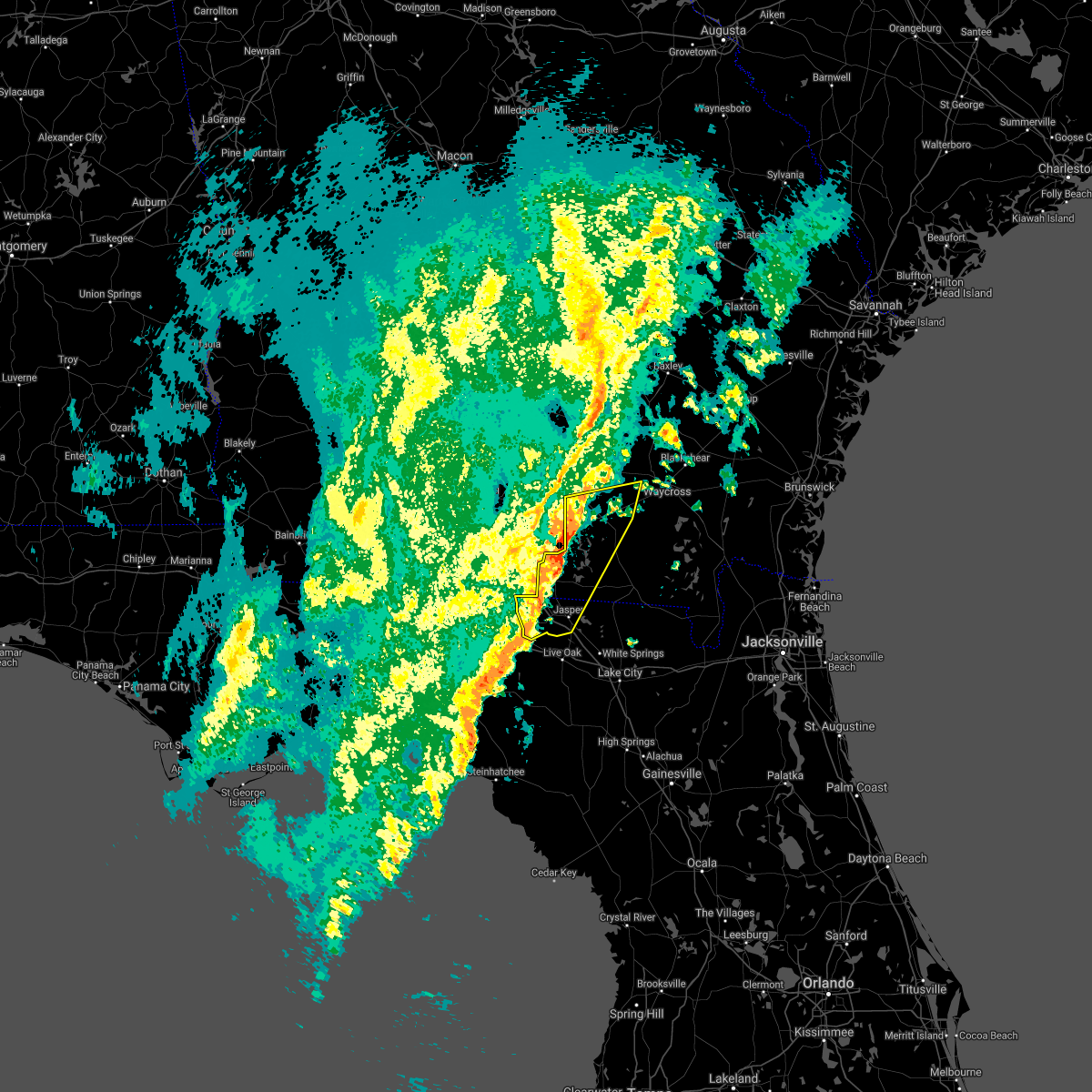 At 420 pm est, severe thunderstorms were located along a line extending from 6 miles west of du pont to near blue springs, moving east at 35 mph (radar indicated). Hazards include 60 mph wind gusts. Expect damage to roofs, siding, and trees. Locations impacted include, jasper, homerville, jennings, argyle, statenville, suwannee river state park, du pont, mayday, manor and blue springs. At 420 pm est, severe thunderstorms were located along a line extending from 6 miles west of du pont to near blue springs, moving east at 35 mph (radar indicated). Hazards include 60 mph wind gusts. Expect damage to roofs, siding, and trees. Locations impacted include, jasper, homerville, jennings, argyle, statenville, suwannee river state park, du pont, mayday, manor and blue springs.
|
| 12/24/2020 4:02 PM EST |
 At 401 pm est, severe thunderstorms were located along a line extending from valdosta to 14 miles southwest of madison, moving east at 30 mph (radar indicated). Hazards include 60 mph wind gusts. expect damage to roofs, siding, and trees At 401 pm est, severe thunderstorms were located along a line extending from valdosta to 14 miles southwest of madison, moving east at 30 mph (radar indicated). Hazards include 60 mph wind gusts. expect damage to roofs, siding, and trees
|
| 12/24/2020 4:02 PM EST |
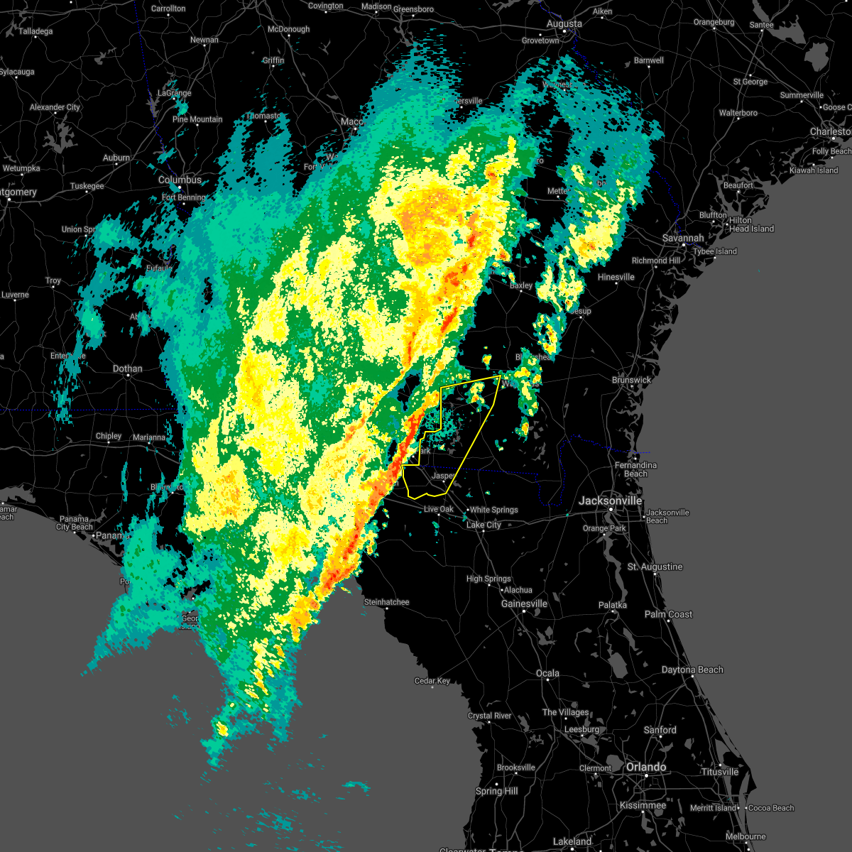 At 401 pm est, severe thunderstorms were located along a line extending from valdosta to 14 miles southwest of madison, moving east at 30 mph (radar indicated). Hazards include 60 mph wind gusts. expect damage to roofs, siding, and trees At 401 pm est, severe thunderstorms were located along a line extending from valdosta to 14 miles southwest of madison, moving east at 30 mph (radar indicated). Hazards include 60 mph wind gusts. expect damage to roofs, siding, and trees
|
| 11/30/2020 3:57 AM EST |
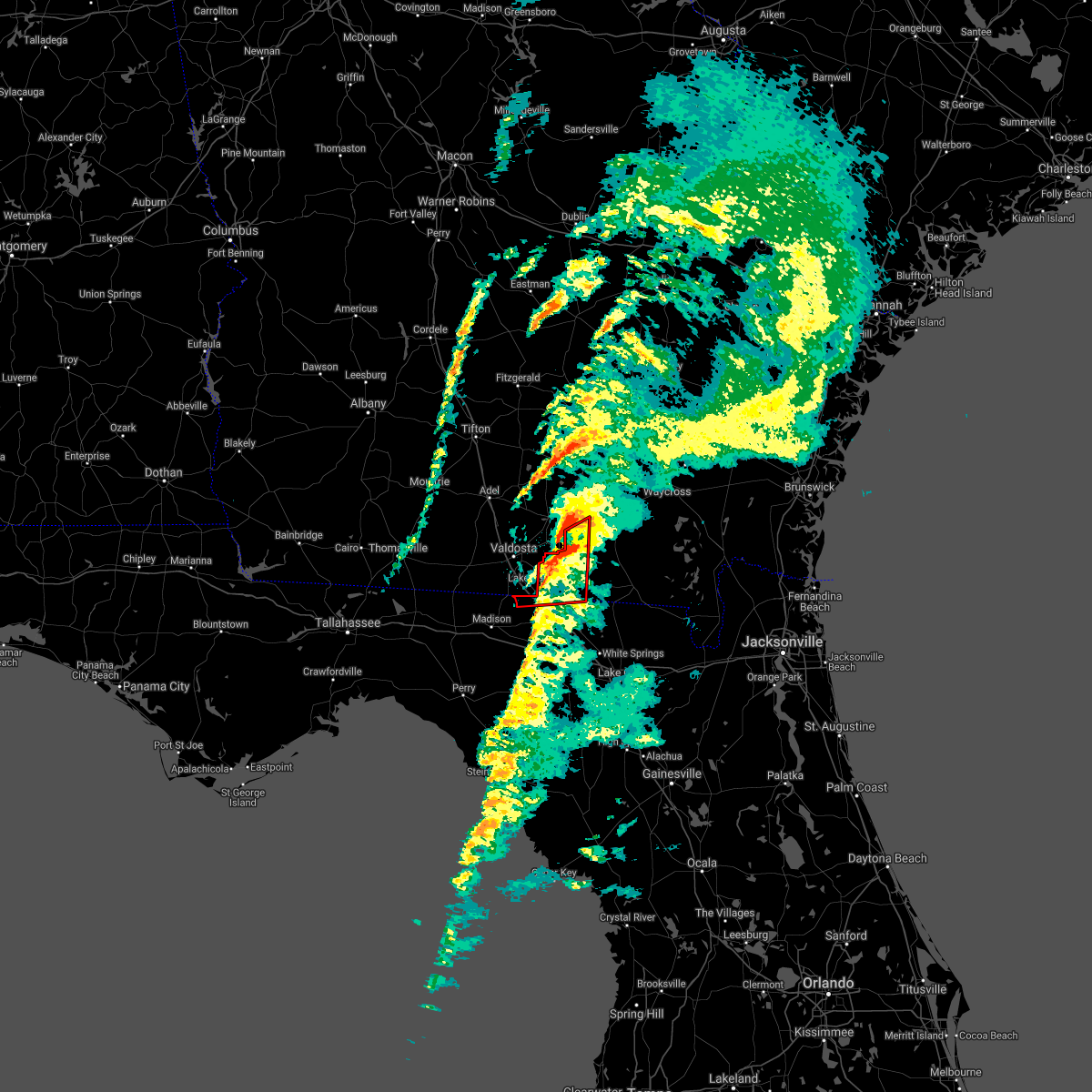 The tornado warning for northwestern hamilton, echols and west central clinch counties will expire at 400 am est, the storm which prompted the warning has moved out of the area. therefore, the warning will be allowed to expire. The tornado warning for northwestern hamilton, echols and west central clinch counties will expire at 400 am est, the storm which prompted the warning has moved out of the area. therefore, the warning will be allowed to expire.
|
| 11/30/2020 3:55 AM EST |
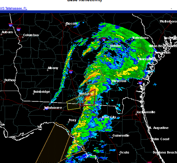 At 355 am est, a severe thunderstorm was located over statenville, moving northeast at 60 mph (radar indicated). Hazards include 60 mph wind gusts. expect damage to roofs, siding, and trees At 355 am est, a severe thunderstorm was located over statenville, moving northeast at 60 mph (radar indicated). Hazards include 60 mph wind gusts. expect damage to roofs, siding, and trees
|
| 11/30/2020 3:18 AM EST |
 At 318 am est, a tornado producing storm was located 12 miles north of madison, moving northeast at 45 mph (radar confirmed tornado). Hazards include damaging tornado. Flying debris will be dangerous to those caught without shelter. mobile homes will be damaged or destroyed. damage to roofs, windows, and vehicles will occur. tree damage is likely. this tornadic storm will be near, statenville around 350 am est. Mayday around 355 am est. At 318 am est, a tornado producing storm was located 12 miles north of madison, moving northeast at 45 mph (radar confirmed tornado). Hazards include damaging tornado. Flying debris will be dangerous to those caught without shelter. mobile homes will be damaged or destroyed. damage to roofs, windows, and vehicles will occur. tree damage is likely. this tornadic storm will be near, statenville around 350 am est. Mayday around 355 am est.
|
| 8/24/2020 7:26 PM EDT |
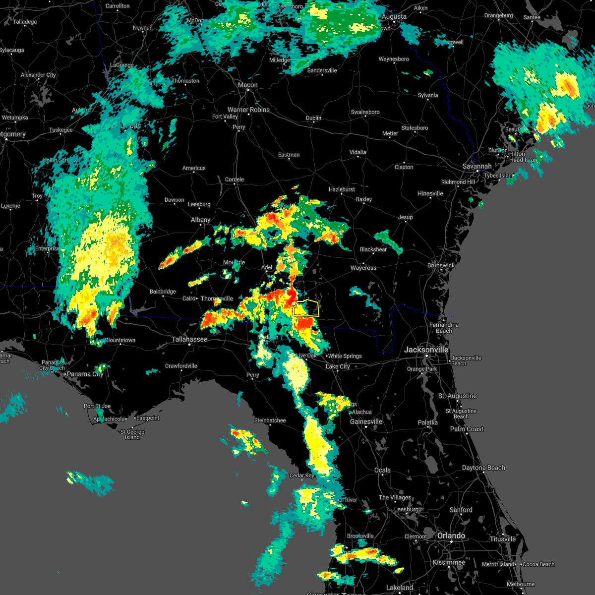 At 726 pm edt, a severe thunderstorm was located over statenville, moving north at 40 mph (radar indicated). Hazards include 60 mph wind gusts. expect damage to roofs, siding, and trees At 726 pm edt, a severe thunderstorm was located over statenville, moving north at 40 mph (radar indicated). Hazards include 60 mph wind gusts. expect damage to roofs, siding, and trees
|
| 8/24/2020 7:08 PM EDT |
 At 708 pm edt, a severe thunderstorm was located over jasper, moving north at 40 mph (radar indicated). Hazards include 60 mph wind gusts. expect damage to roofs, siding, and trees At 708 pm edt, a severe thunderstorm was located over jasper, moving north at 40 mph (radar indicated). Hazards include 60 mph wind gusts. expect damage to roofs, siding, and trees
|
| 8/24/2020 7:08 PM EDT |
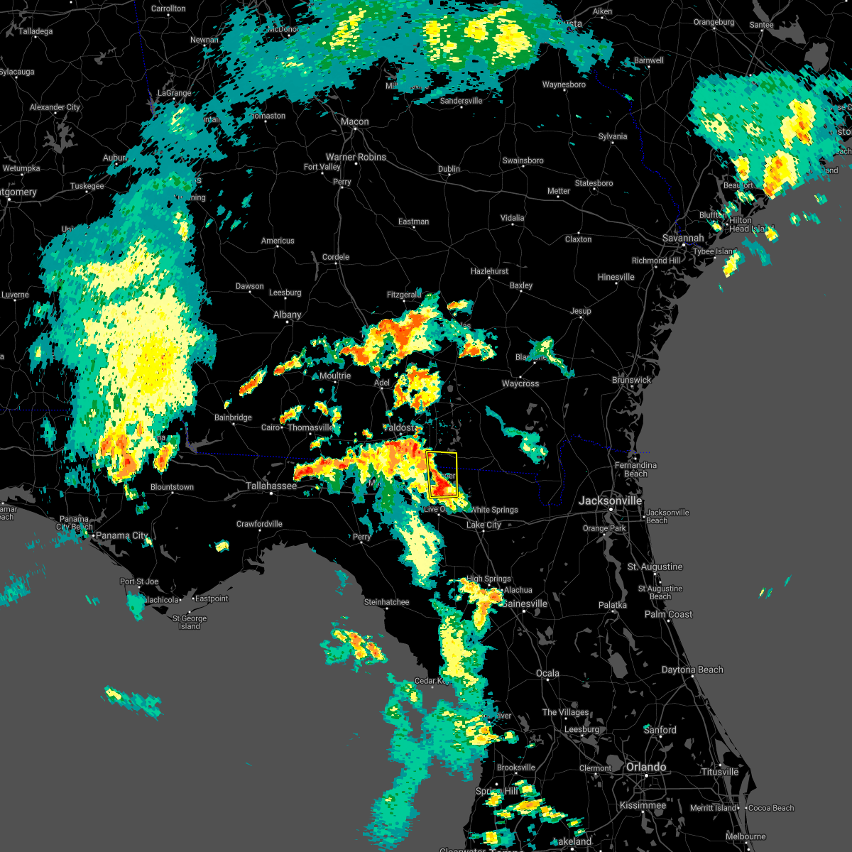 At 708 pm edt, a severe thunderstorm was located over jasper, moving north at 40 mph (radar indicated). Hazards include 60 mph wind gusts. expect damage to roofs, siding, and trees At 708 pm edt, a severe thunderstorm was located over jasper, moving north at 40 mph (radar indicated). Hazards include 60 mph wind gusts. expect damage to roofs, siding, and trees
|
| 7/1/2020 4:44 PM EDT |
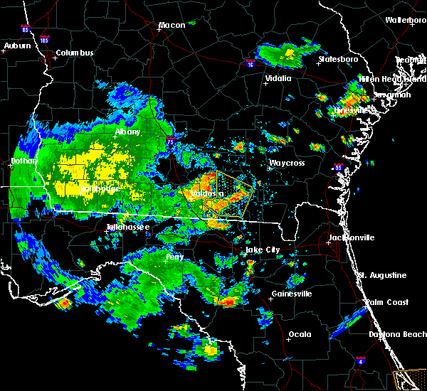 At 443 pm edt, severe thunderstorms were located along a line extending from 7 miles northeast of lakeland to near mayday, moving east at 30 mph. additional thunderstorms are over central clinch county moving east at 25 mph (radar indicated). Hazards include 60 mph wind gusts and small hail. Expect damage to roofs, siding, and trees. Locations impacted include, homerville, du pont, mayday and needmore. At 443 pm edt, severe thunderstorms were located along a line extending from 7 miles northeast of lakeland to near mayday, moving east at 30 mph. additional thunderstorms are over central clinch county moving east at 25 mph (radar indicated). Hazards include 60 mph wind gusts and small hail. Expect damage to roofs, siding, and trees. Locations impacted include, homerville, du pont, mayday and needmore.
|
| 7/1/2020 4:31 PM EDT |
 At 430 pm edt, severe thunderstorms were located along a line extending from near lakeland to 6 miles east of valdosta, moving southeast at 30 mph (radar indicated). Hazards include 60 mph wind gusts and penny size hail. expect damage to roofs, siding, and trees At 430 pm edt, severe thunderstorms were located along a line extending from near lakeland to 6 miles east of valdosta, moving southeast at 30 mph (radar indicated). Hazards include 60 mph wind gusts and penny size hail. expect damage to roofs, siding, and trees
|
| 6/30/2020 6:33 PM EDT |
 At 633 pm edt, a severe thunderstorm was located near lake park, moving southeast at 20 mph (radar indicated). Hazards include 60 mph wind gusts and nickel size hail. expect damage to roofs, siding, and trees At 633 pm edt, a severe thunderstorm was located near lake park, moving southeast at 20 mph (radar indicated). Hazards include 60 mph wind gusts and nickel size hail. expect damage to roofs, siding, and trees
|
| 4/23/2020 8:02 PM EDT |
 At 801 pm edt, severe thunderstorms were located along a line extending from near du pont to near jennings to near perry, moving east at 55 mph (radar indicated). Hazards include 60 mph wind gusts and quarter size hail. Hail damage to vehicles is expected. expect wind damage to roofs, siding, and trees. Locations impacted include, live oak, jasper, homerville, jennings, argyle, statenville, suwannee river state park, suwannee springs, du pont and mayday. At 801 pm edt, severe thunderstorms were located along a line extending from near du pont to near jennings to near perry, moving east at 55 mph (radar indicated). Hazards include 60 mph wind gusts and quarter size hail. Hail damage to vehicles is expected. expect wind damage to roofs, siding, and trees. Locations impacted include, live oak, jasper, homerville, jennings, argyle, statenville, suwannee river state park, suwannee springs, du pont and mayday.
|
| 4/23/2020 7:36 PM EDT |
 At 736 pm edt, severe thunderstorms were located along a line extending from near ray city to 16 miles west of perry, moving east at 45 mph (radar indicated). Hazards include 60 mph wind gusts and quarter size hail. Hail damage to vehicles is expected. Expect wind damage to roofs, siding, and trees. At 736 pm edt, severe thunderstorms were located along a line extending from near ray city to 16 miles west of perry, moving east at 45 mph (radar indicated). Hazards include 60 mph wind gusts and quarter size hail. Hail damage to vehicles is expected. Expect wind damage to roofs, siding, and trees.
|
| 4/13/2020 9:29 AM EDT |
 At 929 am edt, severe thunderstorms were located along a line extending from near jekyll island to 9 miles east of fargo, moving east at 60 mph (radar indicated). Hazards include 70 mph wind gusts and quarter size hail. Hail damage to vehicles is expected. expect considerable tree damage. wind damage is also likely to mobile homes, roofs, and outbuildings. locations impacted include, st. marys, kingsland, brunswick, st. Simons island, hilliard, folkston, woodbine, fargo, statenville and dock junction. At 929 am edt, severe thunderstorms were located along a line extending from near jekyll island to 9 miles east of fargo, moving east at 60 mph (radar indicated). Hazards include 70 mph wind gusts and quarter size hail. Hail damage to vehicles is expected. expect considerable tree damage. wind damage is also likely to mobile homes, roofs, and outbuildings. locations impacted include, st. marys, kingsland, brunswick, st. Simons island, hilliard, folkston, woodbine, fargo, statenville and dock junction.
|
| 4/13/2020 9:11 AM EDT |
 The severe thunderstorm warning for northern hamilton, echols, brantley, central ware, southern clinch and northern charlton counties will expire at 915 am edt, the storms which prompted the warning have moved out of the area. remember, a severe thunderstorm warning still remains in effect for echols, southern clinch, ware, charlton, and parts of brantley counties. The severe thunderstorm warning for northern hamilton, echols, brantley, central ware, southern clinch and northern charlton counties will expire at 915 am edt, the storms which prompted the warning have moved out of the area. remember, a severe thunderstorm warning still remains in effect for echols, southern clinch, ware, charlton, and parts of brantley counties.
|
| 4/13/2020 9:08 AM EDT |
 At 908 am edt, severe thunderstorms were located along a line extending from 6 miles west of woodbine to near needmore, moving east at 60 mph (radar indicated). Hazards include 70 mph wind gusts and quarter size hail. Hail damage to vehicles is expected. expect considerable tree damage. Wind damage is also likely to mobile homes, roofs, and outbuildings. At 908 am edt, severe thunderstorms were located along a line extending from 6 miles west of woodbine to near needmore, moving east at 60 mph (radar indicated). Hazards include 70 mph wind gusts and quarter size hail. Hail damage to vehicles is expected. expect considerable tree damage. Wind damage is also likely to mobile homes, roofs, and outbuildings.
|
| 4/13/2020 8:54 AM EDT |
 At 854 am edt, severe thunderstorms were located along a line extending from near gardi to near fort mudge to du pont, moving northeast at 40 mph (radar indicated). Hazards include 70 mph wind gusts and quarter size hail. Hail damage to vehicles is expected. expect considerable tree damage. wind damage is also likely to mobile homes, roofs, and outbuildings. Locations impacted include, folkston, nahunta, fargo, statenville, stephen foster state park, homeland, hickox, mayday, raybon and race pond. At 854 am edt, severe thunderstorms were located along a line extending from near gardi to near fort mudge to du pont, moving northeast at 40 mph (radar indicated). Hazards include 70 mph wind gusts and quarter size hail. Hail damage to vehicles is expected. expect considerable tree damage. wind damage is also likely to mobile homes, roofs, and outbuildings. Locations impacted include, folkston, nahunta, fargo, statenville, stephen foster state park, homeland, hickox, mayday, raybon and race pond.
|
| 4/13/2020 8:28 AM EDT |
 At 828 am edt, severe thunderstorms were located along a line extending from near patterson to 9 miles south of boggy bay to near mayday, moving northeast at 40 mph (radar indicated). Hazards include 70 mph wind gusts and quarter size hail. Hail damage to vehicles is expected. expect considerable tree damage. wind damage is also likely to mobile homes, roofs, and outbuildings. Locations impacted include, waycross, folkston, homerville, nahunta, fargo, argyle, statenville, stephen foster state park, homeland and du pont. At 828 am edt, severe thunderstorms were located along a line extending from near patterson to 9 miles south of boggy bay to near mayday, moving northeast at 40 mph (radar indicated). Hazards include 70 mph wind gusts and quarter size hail. Hail damage to vehicles is expected. expect considerable tree damage. wind damage is also likely to mobile homes, roofs, and outbuildings. Locations impacted include, waycross, folkston, homerville, nahunta, fargo, argyle, statenville, stephen foster state park, homeland and du pont.
|
| 4/13/2020 8:12 AM EDT |
 At 812 am edt, severe thunderstorms were located along a line extending from near blackshear to 9 miles south of manor to near lake park, moving northeast at 40 mph (radar indicated). Hazards include 60 mph wind gusts. expect damage to roofs, siding, and trees At 812 am edt, severe thunderstorms were located along a line extending from near blackshear to 9 miles south of manor to near lake park, moving northeast at 40 mph (radar indicated). Hazards include 60 mph wind gusts. expect damage to roofs, siding, and trees
|
| 4/13/2020 8:01 AM EDT |
 At 801 am edt, severe thunderstorms were located along a line extending from 6 miles northeast of fort mudge to 7 miles southwest of i-75 at exit 16, moving east at 30 mph (radar indicated). Hazards include 60 mph wind gusts. Expect damage to roofs, siding, and trees. Locations impacted include, waycross, blackshear, homerville, nahunta, jennings, argyle, statenville, du pont, boggy bay and mayday. At 801 am edt, severe thunderstorms were located along a line extending from 6 miles northeast of fort mudge to 7 miles southwest of i-75 at exit 16, moving east at 30 mph (radar indicated). Hazards include 60 mph wind gusts. Expect damage to roofs, siding, and trees. Locations impacted include, waycross, blackshear, homerville, nahunta, jennings, argyle, statenville, du pont, boggy bay and mayday.
|
| 4/13/2020 7:52 AM EDT |
 At 752 am edt, severe thunderstorms were located along a line extending from near blackshear to 8 miles southeast of quitman, moving east at 30 mph (radar indicated). Hazards include 60 mph wind gusts. Expect damage to roofs, siding, and trees. Locations impacted include, waycross, blackshear, homerville, nahunta, jennings, argyle, statenville, du pont, boggy bay and mayday. At 752 am edt, severe thunderstorms were located along a line extending from near blackshear to 8 miles southeast of quitman, moving east at 30 mph (radar indicated). Hazards include 60 mph wind gusts. Expect damage to roofs, siding, and trees. Locations impacted include, waycross, blackshear, homerville, nahunta, jennings, argyle, statenville, du pont, boggy bay and mayday.
|
| 4/13/2020 7:20 AM EDT |
 At 719 am edt, severe thunderstorms were located along a line extending from near pebble hill to near quitman, moving east at 25 mph (radar indicated). Hazards include 60 mph wind gusts. expect damage to roofs, siding, and trees At 719 am edt, severe thunderstorms were located along a line extending from near pebble hill to near quitman, moving east at 25 mph (radar indicated). Hazards include 60 mph wind gusts. expect damage to roofs, siding, and trees
|
| 4/8/2020 8:29 PM EDT |
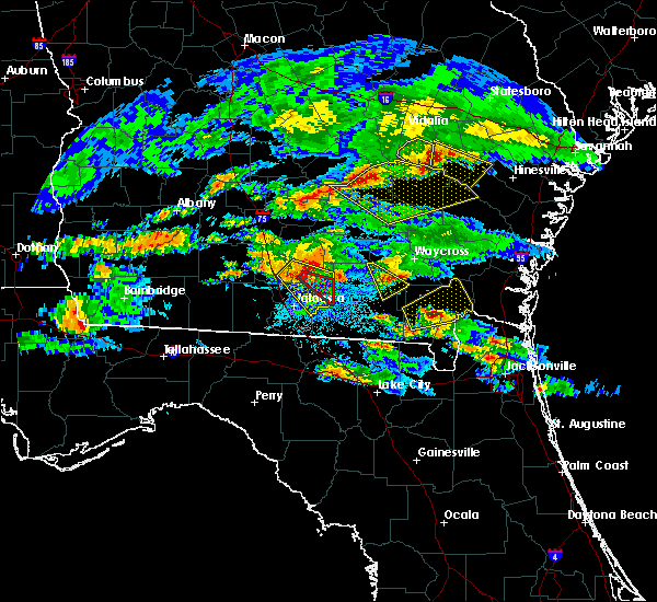 At 829 pm edt, a severe thunderstorm was located near lakeland, moving southeast at 35 mph (radar indicated). Hazards include 70 mph wind gusts and quarter size hail. Hail damage to vehicles is expected. expect considerable tree damage. Wind damage is also likely to mobile homes, roofs, and outbuildings. At 829 pm edt, a severe thunderstorm was located near lakeland, moving southeast at 35 mph (radar indicated). Hazards include 70 mph wind gusts and quarter size hail. Hail damage to vehicles is expected. expect considerable tree damage. Wind damage is also likely to mobile homes, roofs, and outbuildings.
|
| 2/6/2020 7:30 PM EST | Echols county 911/dispatch reports trees and powerlines down county-wid in echols county GA, 3.3 miles WNW of Statenville, GA |
| 2/6/2020 7:18 PM EST |
 At 718 pm est, a severe thunderstorm was located near lake park, moving northeast at 30 mph (radar indicated). Hazards include 70 mph wind gusts. Expect considerable tree damage. Damage is likely to mobile homes, roofs, and outbuildings. At 718 pm est, a severe thunderstorm was located near lake park, moving northeast at 30 mph (radar indicated). Hazards include 70 mph wind gusts. Expect considerable tree damage. Damage is likely to mobile homes, roofs, and outbuildings.
|
| 6/24/2019 8:13 PM EDT |
 The severe thunderstorm warning for northwestern hamilton, western echols and west central clinch counties will expire at 815 pm edt, the storm which prompted the warning has weakened below severe limits, and no longer poses an immediate threat to life or property. therefore, the warning will be allowed to expire. however gusty winds are still possible with this thunderstorm. The severe thunderstorm warning for northwestern hamilton, western echols and west central clinch counties will expire at 815 pm edt, the storm which prompted the warning has weakened below severe limits, and no longer poses an immediate threat to life or property. therefore, the warning will be allowed to expire. however gusty winds are still possible with this thunderstorm.
|
| 6/24/2019 8:13 PM EDT |
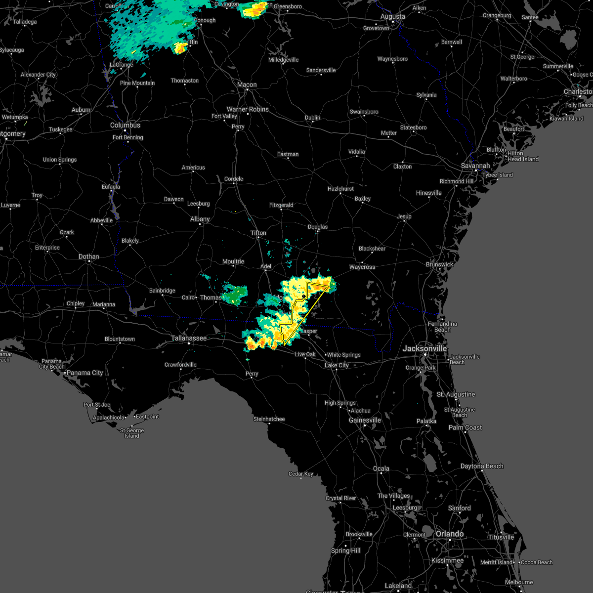 The severe thunderstorm warning for northwestern hamilton, western echols and west central clinch counties will expire at 815 pm edt, the storm which prompted the warning has weakened below severe limits, and no longer poses an immediate threat to life or property. therefore, the warning will be allowed to expire. however gusty winds are still possible with this thunderstorm. The severe thunderstorm warning for northwestern hamilton, western echols and west central clinch counties will expire at 815 pm edt, the storm which prompted the warning has weakened below severe limits, and no longer poses an immediate threat to life or property. therefore, the warning will be allowed to expire. however gusty winds are still possible with this thunderstorm.
|
| 6/24/2019 7:59 PM EDT |
 At 759 pm edt, a severe thunderstorm was located near mayday, or 11 miles south of lakeland, moving east at 30 mph (radar indicated). Hazards include 60 mph wind gusts. Expect damage to roofs, siding, and trees. Locations impacted include, jennings, statenville, du pont, blue springs and mayday. At 759 pm edt, a severe thunderstorm was located near mayday, or 11 miles south of lakeland, moving east at 30 mph (radar indicated). Hazards include 60 mph wind gusts. Expect damage to roofs, siding, and trees. Locations impacted include, jennings, statenville, du pont, blue springs and mayday.
|
| 6/24/2019 7:59 PM EDT |
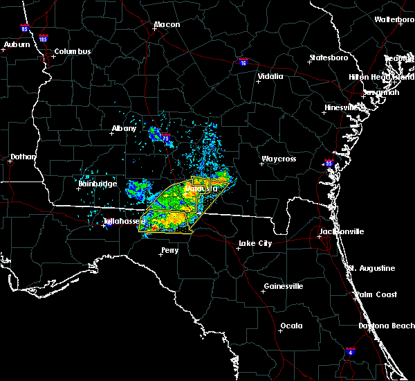 At 759 pm edt, a severe thunderstorm was located near mayday, or 11 miles south of lakeland, moving east at 30 mph (radar indicated). Hazards include 60 mph wind gusts. Expect damage to roofs, siding, and trees. Locations impacted include, jennings, statenville, du pont, blue springs and mayday. At 759 pm edt, a severe thunderstorm was located near mayday, or 11 miles south of lakeland, moving east at 30 mph (radar indicated). Hazards include 60 mph wind gusts. Expect damage to roofs, siding, and trees. Locations impacted include, jennings, statenville, du pont, blue springs and mayday.
|
| 6/24/2019 7:46 PM EDT |
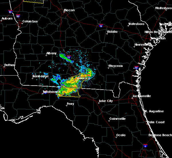 At 746 pm edt, a severe thunderstorm was located near valdosta, moving east at 30 mph (radar indicated). Hazards include 60 mph wind gusts. expect damage to roofs, siding, and trees At 746 pm edt, a severe thunderstorm was located near valdosta, moving east at 30 mph (radar indicated). Hazards include 60 mph wind gusts. expect damage to roofs, siding, and trees
|
| 6/20/2019 5:48 PM EDT |
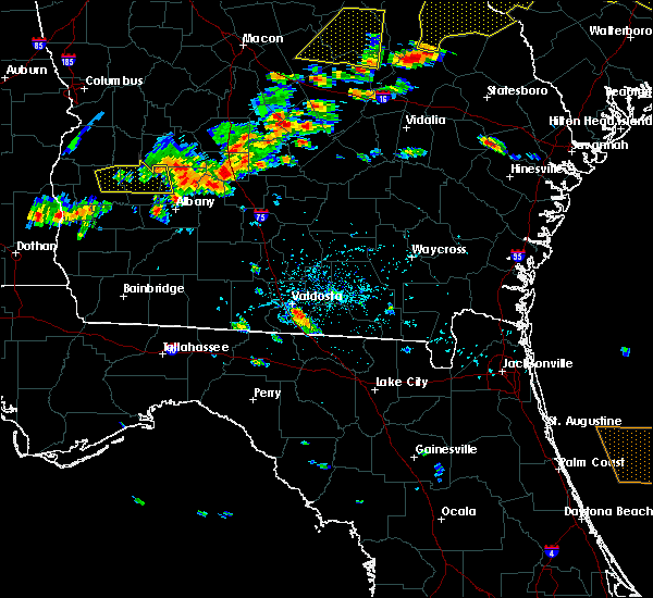 At 547 pm edt, a severe thunderstorm was located near mayday, or 8 miles northwest of statenville, moving east at 40 mph (radar indicated). Hazards include 60 mph wind gusts. expect damage to roofs, siding, and trees At 547 pm edt, a severe thunderstorm was located near mayday, or 8 miles northwest of statenville, moving east at 40 mph (radar indicated). Hazards include 60 mph wind gusts. expect damage to roofs, siding, and trees
|
| 4/19/2019 10:22 AM EDT |
 The severe thunderstorm warning for northwestern suwannee, central hamilton and western echols counties will expire at 1030 am edt, the storms which prompted the warning have moved out of the area. therefore, the warning will be allowed to expire. however gusty winds are still possible with these thunderstorms. a tornado watch remains in effect until 400 pm edt for northern florida, and southeastern georgia. The severe thunderstorm warning for northwestern suwannee, central hamilton and western echols counties will expire at 1030 am edt, the storms which prompted the warning have moved out of the area. therefore, the warning will be allowed to expire. however gusty winds are still possible with these thunderstorms. a tornado watch remains in effect until 400 pm edt for northern florida, and southeastern georgia.
|
| 4/19/2019 10:03 AM EDT |
 At 1002 am edt, severe thunderstorms were located along a line extending from near mayday to live oak, moving northeast at 50 mph (radar indicated). Hazards include 70 mph wind gusts. Expect considerable tree damage. damage is likely to mobile homes, roofs, and outbuildings. Locations impacted include, live oak, jasper, jennings, suwannee springs, statenville, mayday, crossroads and newburn. At 1002 am edt, severe thunderstorms were located along a line extending from near mayday to live oak, moving northeast at 50 mph (radar indicated). Hazards include 70 mph wind gusts. Expect considerable tree damage. damage is likely to mobile homes, roofs, and outbuildings. Locations impacted include, live oak, jasper, jennings, suwannee springs, statenville, mayday, crossroads and newburn.
|
| 4/19/2019 10:00 AM EDT | Echols county 911/dispatch reports numerous trees downed in the vicinity of statenville. time of damage based on radar dat in echols county GA, 1.2 miles NE of Statenville, GA |
| 4/19/2019 9:43 AM EDT |
 At 943 am edt, severe thunderstorms were located along a line extending from near lake park to near luraville, moving northeast at 45 mph (radar indicated). Hazards include 60 mph wind gusts. expect damage to roofs, siding, and trees At 943 am edt, severe thunderstorms were located along a line extending from near lake park to near luraville, moving northeast at 45 mph (radar indicated). Hazards include 60 mph wind gusts. expect damage to roofs, siding, and trees
|
| 3/1/2019 11:58 AM EST | Tree reported down along highway 129 near mile marker 13. time of event estimate in echols county GA, 1.3 miles SSE of Statenville, GA |
| 12/3/2018 4:08 AM EST |
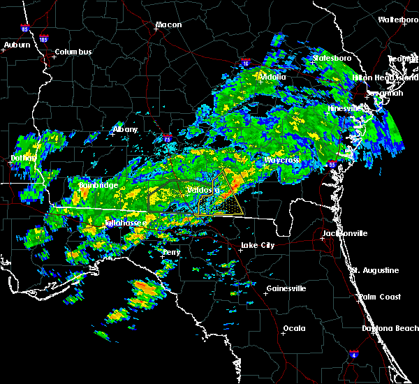 The severe thunderstorm warning for north central hamilton, echols and northwestern clinch counties will expire at 415 am est, the storm which prompted the warning has weakened below severe limits, and no longer poses an immediate threat to life or property. therefore, the warning will be allowed to expire. however gusty winds are still possible with this thunderstorm. to report severe weather, contact your nearest law enforcement agency. they will relay your report to the national weather service jacksonville. The severe thunderstorm warning for north central hamilton, echols and northwestern clinch counties will expire at 415 am est, the storm which prompted the warning has weakened below severe limits, and no longer poses an immediate threat to life or property. therefore, the warning will be allowed to expire. however gusty winds are still possible with this thunderstorm. to report severe weather, contact your nearest law enforcement agency. they will relay your report to the national weather service jacksonville.
|
| 12/3/2018 3:47 AM EST |
 At 347 am est, a severe thunderstorm was located near mayday, or 12 miles northeast of statenville, moving east at 30 mph (radar indicated). Hazards include 60 mph wind gusts. expect damage to roofs, siding, and trees At 347 am est, a severe thunderstorm was located near mayday, or 12 miles northeast of statenville, moving east at 30 mph (radar indicated). Hazards include 60 mph wind gusts. expect damage to roofs, siding, and trees
|
| 12/3/2018 3:47 AM EST |
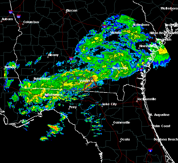 At 347 am est, a severe thunderstorm was located near mayday, or 12 miles northeast of statenville, moving east at 30 mph (radar indicated). Hazards include 60 mph wind gusts. expect damage to roofs, siding, and trees At 347 am est, a severe thunderstorm was located near mayday, or 12 miles northeast of statenville, moving east at 30 mph (radar indicated). Hazards include 60 mph wind gusts. expect damage to roofs, siding, and trees
|
| 12/3/2018 3:11 AM EST |
 At 311 am est, a severe thunderstorm capable of producing a tornado was located near lake park, moving northeast at 35 mph (radar indicated rotation). Hazards include tornado. Flying debris will be dangerous to those caught without shelter. mobile homes will be damaged or destroyed. damage to roofs, windows, and vehicles will occur. tree damage is likely. This dangerous storm will be near, mayday around 330 am est. At 311 am est, a severe thunderstorm capable of producing a tornado was located near lake park, moving northeast at 35 mph (radar indicated rotation). Hazards include tornado. Flying debris will be dangerous to those caught without shelter. mobile homes will be damaged or destroyed. damage to roofs, windows, and vehicles will occur. tree damage is likely. This dangerous storm will be near, mayday around 330 am est.
|
| 7/2/2018 9:06 PM EDT |
 The severe thunderstorm warning for west central echols county will expire at 915 pm edt, the storm which prompted the warning has weakened below severe limits, and no longer poses an immediate threat to life or property. therefore, the warning will be allowed to expire. however gusty winds and heavy rain are still possible with this thunderstorm. The severe thunderstorm warning for west central echols county will expire at 915 pm edt, the storm which prompted the warning has weakened below severe limits, and no longer poses an immediate threat to life or property. therefore, the warning will be allowed to expire. however gusty winds and heavy rain are still possible with this thunderstorm.
|
| 7/2/2018 8:55 PM EDT |
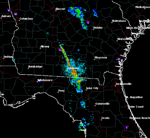 At 855 pm edt, a severe thunderstorm was located over statenville, moving west at 15 mph (radar indicated). Hazards include 60 mph wind gusts and quarter size hail. Hail damage to vehicles is expected. expect wind damage to roofs, siding, and trees. Locations impacted include, statenville. At 855 pm edt, a severe thunderstorm was located over statenville, moving west at 15 mph (radar indicated). Hazards include 60 mph wind gusts and quarter size hail. Hail damage to vehicles is expected. expect wind damage to roofs, siding, and trees. Locations impacted include, statenville.
|
| 7/2/2018 8:51 PM EDT | 911 call center reported a tree fell onto a powerline near the intersection of us highway 129 and ga state road 94 knocking out the power in the tow in echols county GA, 1.2 miles NE of Statenville, GA |
| 7/2/2018 8:38 PM EDT |
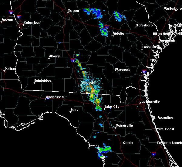 At 838 pm edt, a severe thunderstorm was located near statenville, moving west at 15 mph (radar indicated). Hazards include 60 mph wind gusts and quarter size hail. Hail damage to vehicles is expected. Expect wind damage to roofs, siding, and trees. At 838 pm edt, a severe thunderstorm was located near statenville, moving west at 15 mph (radar indicated). Hazards include 60 mph wind gusts and quarter size hail. Hail damage to vehicles is expected. Expect wind damage to roofs, siding, and trees.
|
| 6/2/2018 3:25 PM EDT |
 At 325 pm edt, severe thunderstorms were located along a line extending from 6 miles north of mayday to near i-75 at exit 16, moving east at 30 mph (radar indicated). Hazards include 70 mph wind gusts and quarter size hail. Hail damage to vehicles is expected. expect considerable tree damage. Wind damage is also likely to mobile homes, roofs, and outbuildings. At 325 pm edt, severe thunderstorms were located along a line extending from 6 miles north of mayday to near i-75 at exit 16, moving east at 30 mph (radar indicated). Hazards include 70 mph wind gusts and quarter size hail. Hail damage to vehicles is expected. expect considerable tree damage. Wind damage is also likely to mobile homes, roofs, and outbuildings.
|
| 4/15/2018 10:59 AM EDT |
 At 1033 am edt, severe thunderstorms were located along a line extending from near lakeland to mayday to 6 miles southwest of mayo, moving northeast at 55 mph (radar indicated). Hazards include 60 mph wind gusts. Expect damage to roofs, siding, and trees. locations impacted include, live oak, jasper, homerville, jennings, statenville, suwannee river state park, suwannee springs, du pont, mayday and crossroads. A tornado watch remains in effect until 600 pm edt for northern florida, and southeastern georgia. At 1033 am edt, severe thunderstorms were located along a line extending from near lakeland to mayday to 6 miles southwest of mayo, moving northeast at 55 mph (radar indicated). Hazards include 60 mph wind gusts. Expect damage to roofs, siding, and trees. locations impacted include, live oak, jasper, homerville, jennings, statenville, suwannee river state park, suwannee springs, du pont, mayday and crossroads. A tornado watch remains in effect until 600 pm edt for northern florida, and southeastern georgia.
|
| 4/15/2018 10:33 AM EDT |
 At 1033 am edt, severe thunderstorms were located along a line extending from near lakeland to mayday to 6 miles southwest of mayo, moving northeast at 55 mph (radar indicated). Hazards include 60 mph wind gusts. Expect damage to roofs, siding, and trees. locations impacted include, live oak, jasper, homerville, jennings, statenville, suwannee river state park, suwannee springs, du pont, mayday and crossroads. A tornado watch remains in effect until 600 pm edt for northern florida, and southeastern georgia. At 1033 am edt, severe thunderstorms were located along a line extending from near lakeland to mayday to 6 miles southwest of mayo, moving northeast at 55 mph (radar indicated). Hazards include 60 mph wind gusts. Expect damage to roofs, siding, and trees. locations impacted include, live oak, jasper, homerville, jennings, statenville, suwannee river state park, suwannee springs, du pont, mayday and crossroads. A tornado watch remains in effect until 600 pm edt for northern florida, and southeastern georgia.
|
| 4/15/2018 10:09 AM EDT |
 At 1009 am edt, severe thunderstorms were located along a line extending from near valdosta to 7 miles northwest of blue springs to 7 miles east of perry, moving northeast at 40 mph (radar indicated). Hazards include 60 mph wind gusts. expect damage to roofs, siding, and trees At 1009 am edt, severe thunderstorms were located along a line extending from near valdosta to 7 miles northwest of blue springs to 7 miles east of perry, moving northeast at 40 mph (radar indicated). Hazards include 60 mph wind gusts. expect damage to roofs, siding, and trees
|
| 7/13/2017 3:58 PM EDT |
 The national weather service in jacksonville has issued a * severe thunderstorm warning for. northwestern suwannee county in northern florida. northwestern hamilton county in northern florida. western echols county in southeastern georgia. West central clinch county in southeastern georgia. The national weather service in jacksonville has issued a * severe thunderstorm warning for. northwestern suwannee county in northern florida. northwestern hamilton county in northern florida. western echols county in southeastern georgia. West central clinch county in southeastern georgia.
|
| 6/17/2017 3:36 PM EDT |
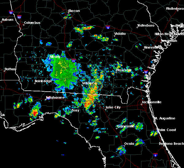 At 336 pm edt, a severe thunderstorm was located near mayday, or 8 miles northeast of statenville, moving northeast at 20 mph. another strong storm was over south central echols moving northeast (radar indicated). Hazards include 60 mph wind gusts. Expect damage to roofs, siding, and trees. Locations impacted include, statenville. At 336 pm edt, a severe thunderstorm was located near mayday, or 8 miles northeast of statenville, moving northeast at 20 mph. another strong storm was over south central echols moving northeast (radar indicated). Hazards include 60 mph wind gusts. Expect damage to roofs, siding, and trees. Locations impacted include, statenville.
|
| 6/17/2017 3:23 PM EDT |
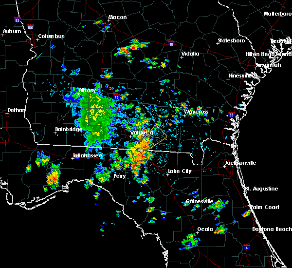 At 322 pm edt, a severe thunderstorm was located near statenville, moving northeast at 20 mph (radar indicated). Hazards include 60 mph wind gusts and penny size hail. expect damage to roofs, siding, and trees At 322 pm edt, a severe thunderstorm was located near statenville, moving northeast at 20 mph (radar indicated). Hazards include 60 mph wind gusts and penny size hail. expect damage to roofs, siding, and trees
|
| 5/24/2017 10:47 AM EDT |
 At 1047 am edt, severe thunderstorms were located along a line extending from near dowling park to near ichetucknee spring, moving northeast at 35 mph (radar indicated). Hazards include 60 mph wind gusts. expect damage to roofs, siding, and trees At 1047 am edt, severe thunderstorms were located along a line extending from near dowling park to near ichetucknee spring, moving northeast at 35 mph (radar indicated). Hazards include 60 mph wind gusts. expect damage to roofs, siding, and trees
|
| 5/23/2017 3:00 PM EDT |
 At 259 pm edt, a severe thunderstorm capable of producing a tornado was located over blue springs, or 7 miles northwest of suwannee river state park, moving northeast at 40 mph (radar indicated rotation). Hazards include tornado and quarter size hail. Flying debris will be dangerous to those caught without shelter. mobile homes will be damaged or destroyed. damage to roofs, windows, and vehicles will occur. tree damage is likely. this dangerous storm will be near, crossroads around 310 pm edt. jennings around 315 pm edt. Jasper and statenville around 325 pm edt. At 259 pm edt, a severe thunderstorm capable of producing a tornado was located over blue springs, or 7 miles northwest of suwannee river state park, moving northeast at 40 mph (radar indicated rotation). Hazards include tornado and quarter size hail. Flying debris will be dangerous to those caught without shelter. mobile homes will be damaged or destroyed. damage to roofs, windows, and vehicles will occur. tree damage is likely. this dangerous storm will be near, crossroads around 310 pm edt. jennings around 315 pm edt. Jasper and statenville around 325 pm edt.
|
| 5/23/2017 3:00 PM EDT |
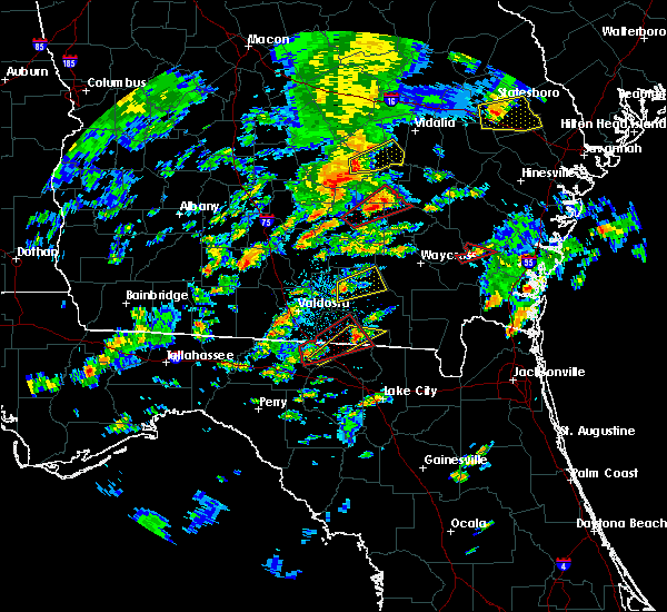 At 259 pm edt, a severe thunderstorm capable of producing a tornado was located over blue springs, or 7 miles northwest of suwannee river state park, moving northeast at 40 mph (radar indicated rotation). Hazards include tornado and quarter size hail. Flying debris will be dangerous to those caught without shelter. mobile homes will be damaged or destroyed. damage to roofs, windows, and vehicles will occur. tree damage is likely. this dangerous storm will be near, crossroads around 310 pm edt. jennings around 315 pm edt. Jasper and statenville around 325 pm edt. At 259 pm edt, a severe thunderstorm capable of producing a tornado was located over blue springs, or 7 miles northwest of suwannee river state park, moving northeast at 40 mph (radar indicated rotation). Hazards include tornado and quarter size hail. Flying debris will be dangerous to those caught without shelter. mobile homes will be damaged or destroyed. damage to roofs, windows, and vehicles will occur. tree damage is likely. this dangerous storm will be near, crossroads around 310 pm edt. jennings around 315 pm edt. Jasper and statenville around 325 pm edt.
|
| 4/3/2017 5:47 PM EDT |
 At 546 pm edt, severe thunderstorms were located along a line extending from near lakeland to near mayday to statenville, moving northeast at 50 mph (radar indicated). Hazards include 60 mph wind gusts and quarter size hail. Hail damage to vehicles is expected. expect wind damage to roofs, siding, and trees. locations impacted include, homerville, argyle, statenville, du pont and mayday. A tornado watch remains in effect until 900 pm edt for southeastern georgia. At 546 pm edt, severe thunderstorms were located along a line extending from near lakeland to near mayday to statenville, moving northeast at 50 mph (radar indicated). Hazards include 60 mph wind gusts and quarter size hail. Hail damage to vehicles is expected. expect wind damage to roofs, siding, and trees. locations impacted include, homerville, argyle, statenville, du pont and mayday. A tornado watch remains in effect until 900 pm edt for southeastern georgia.
|
| 4/3/2017 5:31 PM EDT |
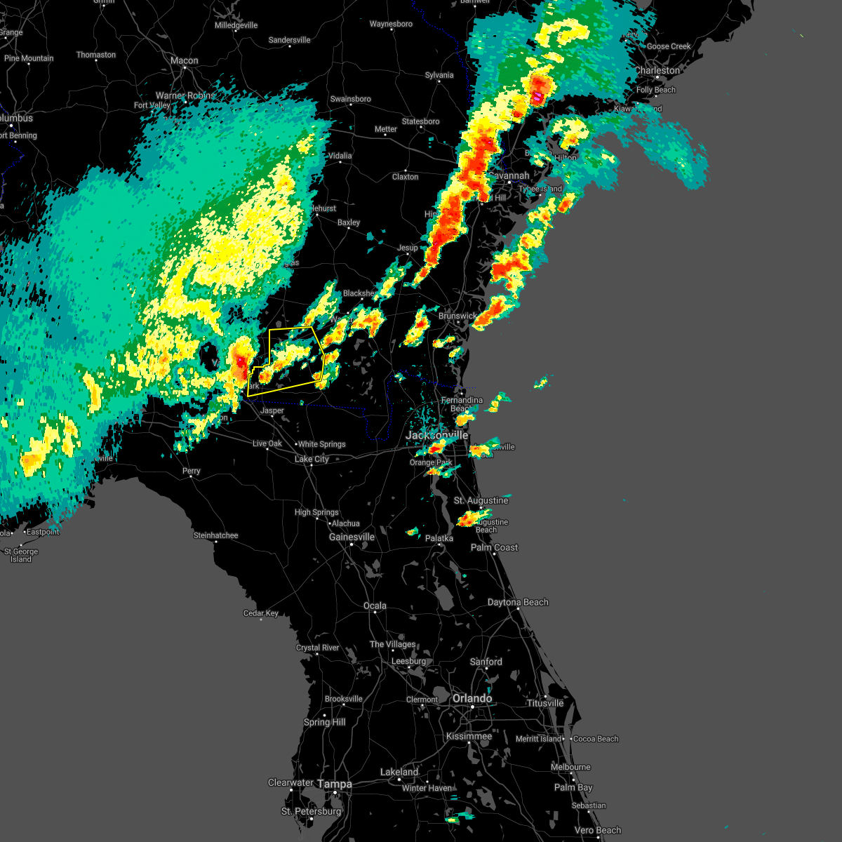 At 530 pm edt, a severe thunderstorm was located 8 miles west of mayday, or 8 miles east of valdosta, moving east at 55 mph (radar indicated). Hazards include 60 mph wind gusts and quarter size hail. Hail damage to vehicles is expected. Expect wind damage to roofs, siding, and trees. At 530 pm edt, a severe thunderstorm was located 8 miles west of mayday, or 8 miles east of valdosta, moving east at 55 mph (radar indicated). Hazards include 60 mph wind gusts and quarter size hail. Hail damage to vehicles is expected. Expect wind damage to roofs, siding, and trees.
|
| 2/15/2017 1:08 PM EST |
 At 107 pm est, a severe thunderstorm was located over mayday, or near statenville, moving east at 45 mph (radar indicated). Hazards include 60 mph wind gusts and quarter size hail. Hail damage to vehicles is expected. Expect wind damage to roofs, siding, and trees. At 107 pm est, a severe thunderstorm was located over mayday, or near statenville, moving east at 45 mph (radar indicated). Hazards include 60 mph wind gusts and quarter size hail. Hail damage to vehicles is expected. Expect wind damage to roofs, siding, and trees.
|
| 2/7/2017 8:43 PM EST |
 The severe thunderstorm warning for echols. clinch. coffee and atkinson counties will expire at 845 pm est. the storms which prompted the warning have weakened below severe limits, and no longer pose an immediate threat to life or property. therefore the warning will be allowed to expire. However gusty winds are still possible with these thunderstorms. The severe thunderstorm warning for echols. clinch. coffee and atkinson counties will expire at 845 pm est. the storms which prompted the warning have weakened below severe limits, and no longer pose an immediate threat to life or property. therefore the warning will be allowed to expire. However gusty winds are still possible with these thunderstorms.
|
| 2/7/2017 8:32 PM EST |
 At 832 pm est, severe thunderstorms were located along a line extending from 6 miles east of willacoochee to near du pont to near jennings, moving east at 50 mph (radar indicated). Hazards include 60 mph wind gusts. Expect damage to roofs, siding, and trees. Locations impacted include, douglas, homerville, pearson, broxton, ambrose, argyle, statenville, nicholls, du pont and mayday. At 832 pm est, severe thunderstorms were located along a line extending from 6 miles east of willacoochee to near du pont to near jennings, moving east at 50 mph (radar indicated). Hazards include 60 mph wind gusts. Expect damage to roofs, siding, and trees. Locations impacted include, douglas, homerville, pearson, broxton, ambrose, argyle, statenville, nicholls, du pont and mayday.
|
| 2/7/2017 8:04 PM EST |
 At 802 pm est, severe thunderstorms were located along a line extending from near alapaha to moody air force base to near madison, moving east at 45 mph (radar indicated). Hazards include 60 mph wind gusts. expect damage to roofs, siding, and trees At 802 pm est, severe thunderstorms were located along a line extending from near alapaha to moody air force base to near madison, moving east at 45 mph (radar indicated). Hazards include 60 mph wind gusts. expect damage to roofs, siding, and trees
|
| 1/22/2017 5:09 PM EST |
 At 509 pm est, severe thunderstorms were located along a line extending from near mayday to near suwannee springs to 6 miles west of mayo, moving northeast at 55 mph (radar indicated). Hazards include 60 mph wind gusts and quarter size hail. Hail damage to vehicles is expected. Expect wind damage to roofs, siding, and trees. At 509 pm est, severe thunderstorms were located along a line extending from near mayday to near suwannee springs to 6 miles west of mayo, moving northeast at 55 mph (radar indicated). Hazards include 60 mph wind gusts and quarter size hail. Hail damage to vehicles is expected. Expect wind damage to roofs, siding, and trees.
|
| 1/22/2017 10:43 AM EST |
 At 1043 am est, severe thunderstorms were located along a line extending from near boggy bay to statenville, moving east at 50 mph (radar indicated). Hazards include 60 mph wind gusts. expect damage to roofs, siding, and trees At 1043 am est, severe thunderstorms were located along a line extending from near boggy bay to statenville, moving east at 50 mph (radar indicated). Hazards include 60 mph wind gusts. expect damage to roofs, siding, and trees
|
| 1/22/2017 10:36 AM EST |
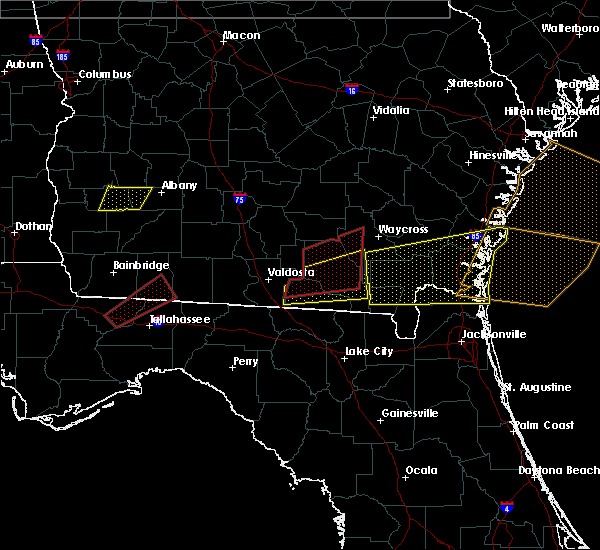 At 1036 am est, severe thunderstorms capable of producing a tornado were located along a line extending from near du pont to near statenville, moving northeast at 45 mph (radar indicated rotation). Hazards include tornado. Flying debris will be dangerous to those caught without shelter. mobile homes will be damaged or destroyed. damage to roofs, windows, and vehicles will occur. tree damage is likely. these dangerous storms will be near, du pont around 1040 am est. homerville around 1050 am est. argyle and cogdell around 1100 am est. Manor around 1105 am est. At 1036 am est, severe thunderstorms capable of producing a tornado were located along a line extending from near du pont to near statenville, moving northeast at 45 mph (radar indicated rotation). Hazards include tornado. Flying debris will be dangerous to those caught without shelter. mobile homes will be damaged or destroyed. damage to roofs, windows, and vehicles will occur. tree damage is likely. these dangerous storms will be near, du pont around 1040 am est. homerville around 1050 am est. argyle and cogdell around 1100 am est. Manor around 1105 am est.
|
| 1/22/2017 10:32 AM EST |
 At 1032 am est, a severe thunderstorm was located near mayday, or 7 miles northeast of statenville, moving northeast at 60 mph (radar indicated). Hazards include 60 mph wind gusts. Expect damage to roofs, siding, and trees. locations impacted include, fargo, statenville, needmore and mayday. A tornado watch remains in effect until 100 pm est for southeastern georgia. At 1032 am est, a severe thunderstorm was located near mayday, or 7 miles northeast of statenville, moving northeast at 60 mph (radar indicated). Hazards include 60 mph wind gusts. Expect damage to roofs, siding, and trees. locations impacted include, fargo, statenville, needmore and mayday. A tornado watch remains in effect until 100 pm est for southeastern georgia.
|
| 1/22/2017 9:59 AM EST |
 At 958 am est, severe thunderstorms were located along a line extending from near jennings to 8 miles north of needmore, moving northeast at 40 mph (radar indicated). Hazards include 60 mph wind gusts. expect damage to roofs, siding, and trees At 958 am est, severe thunderstorms were located along a line extending from near jennings to 8 miles north of needmore, moving northeast at 40 mph (radar indicated). Hazards include 60 mph wind gusts. expect damage to roofs, siding, and trees
|
| 1/22/2017 9:28 AM EST |
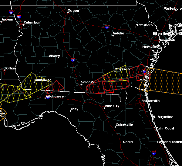 At 928 am est, a severe thunderstorm capable of producing a tornado was located over statenville, moving east at 45 mph (radar indicated rotation). Hazards include tornado. Flying debris will be dangerous to those caught without shelter. mobile homes will be damaged or destroyed. damage to roofs, windows, and vehicles will occur. tree damage is likely. This dangerous storm will be near, mayday around 935 am est. At 928 am est, a severe thunderstorm capable of producing a tornado was located over statenville, moving east at 45 mph (radar indicated rotation). Hazards include tornado. Flying debris will be dangerous to those caught without shelter. mobile homes will be damaged or destroyed. damage to roofs, windows, and vehicles will occur. tree damage is likely. This dangerous storm will be near, mayday around 935 am est.
|
| 1/22/2017 9:27 AM EST |
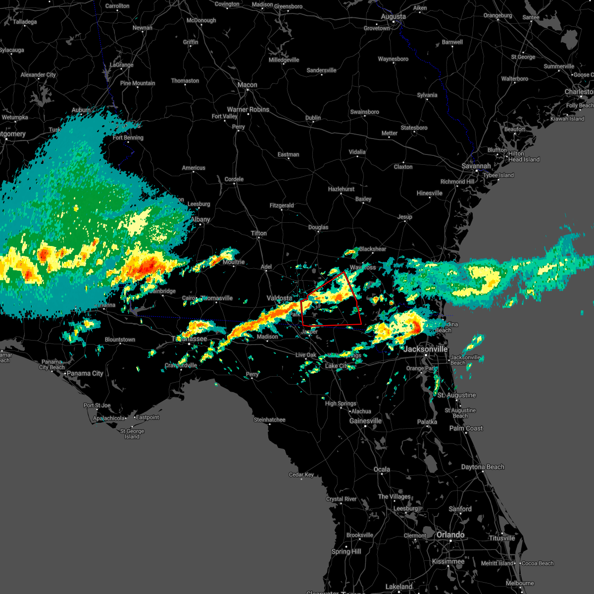 The tornado warning for echols, clinch and southwestern ware counties will expire at 930 am est, the storm which prompted the warning has moved out of the area. therefore the warning will be allowed to expire. however gusty winds are still possible with this thunderstorm. a tornado watch remains in effect until 1100 am est for northern florida, southeastern georgia, and until 1000 am est for southeastern georgia. The tornado warning for echols, clinch and southwestern ware counties will expire at 930 am est, the storm which prompted the warning has moved out of the area. therefore the warning will be allowed to expire. however gusty winds are still possible with this thunderstorm. a tornado watch remains in effect until 1100 am est for northern florida, southeastern georgia, and until 1000 am est for southeastern georgia.
|
| 1/22/2017 8:57 AM EST |
 At 857 am est, a severe thunderstorm capable of producing a tornado was located 7 miles east of statenville, moving east at 40 mph (radar indicated rotation). Hazards include tornado. Flying debris will be dangerous to those caught without shelter. mobile homes will be damaged or destroyed. damage to roofs, windows, and vehicles will occur. tree damage is likely. this dangerous storm will be near, needmore around 915 am est. Fargo around 925 am est. At 857 am est, a severe thunderstorm capable of producing a tornado was located 7 miles east of statenville, moving east at 40 mph (radar indicated rotation). Hazards include tornado. Flying debris will be dangerous to those caught without shelter. mobile homes will be damaged or destroyed. damage to roofs, windows, and vehicles will occur. tree damage is likely. this dangerous storm will be near, needmore around 915 am est. Fargo around 925 am est.
|
| 1/22/2017 8:27 AM EST |
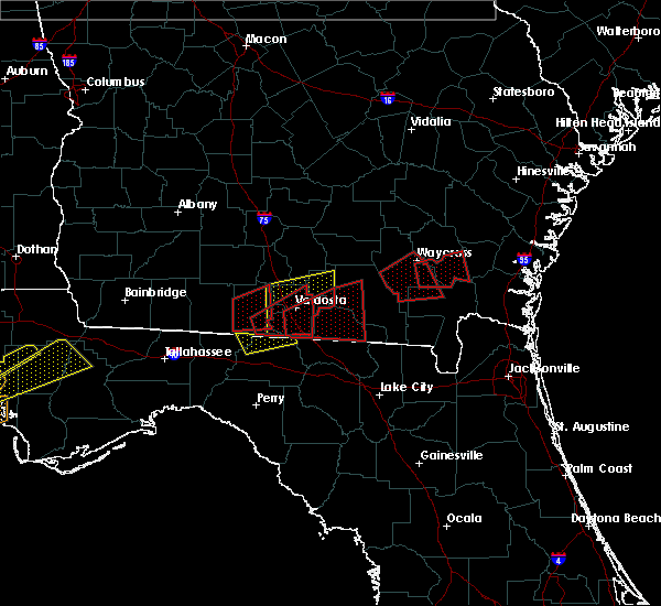 At 827 am est, a severe thunderstorm capable of producing a tornado was located 7 miles southeast of quitman, moving east at 55 mph (radar indicated rotation). Hazards include tornado. Flying debris will be dangerous to those caught without shelter. mobile homes will be damaged or destroyed. damage to roofs, windows, and vehicles will occur. tree damage is likely. This dangerous storm will be near, statenville and mayday around 855 am est. At 827 am est, a severe thunderstorm capable of producing a tornado was located 7 miles southeast of quitman, moving east at 55 mph (radar indicated rotation). Hazards include tornado. Flying debris will be dangerous to those caught without shelter. mobile homes will be damaged or destroyed. damage to roofs, windows, and vehicles will occur. tree damage is likely. This dangerous storm will be near, statenville and mayday around 855 am est.
|
| 8/14/2016 7:26 PM EDT |
 The severe thunderstorm warning for northwestern hamilton and southwestern echols counties will expire at 730 pm edt, the storm which prompted the warning has weakened below severe limits, and no longer pose an immediate threat to life or property. therefore, the warning will be allowed to expire. however heavy rain is still possible with this thunderstorm. The severe thunderstorm warning for northwestern hamilton and southwestern echols counties will expire at 730 pm edt, the storm which prompted the warning has weakened below severe limits, and no longer pose an immediate threat to life or property. therefore, the warning will be allowed to expire. however heavy rain is still possible with this thunderstorm.
|
| 8/14/2016 7:26 PM EDT |
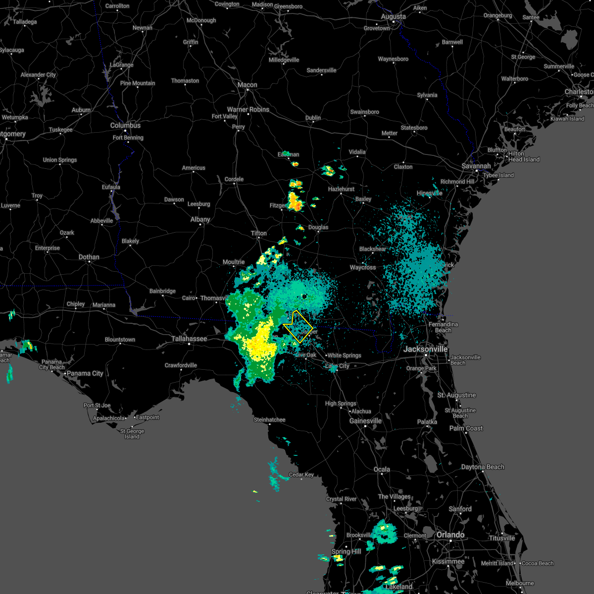 The severe thunderstorm warning for northwestern hamilton and southwestern echols counties will expire at 730 pm edt, the storm which prompted the warning has weakened below severe limits, and no longer pose an immediate threat to life or property. therefore, the warning will be allowed to expire. however heavy rain is still possible with this thunderstorm. The severe thunderstorm warning for northwestern hamilton and southwestern echols counties will expire at 730 pm edt, the storm which prompted the warning has weakened below severe limits, and no longer pose an immediate threat to life or property. therefore, the warning will be allowed to expire. however heavy rain is still possible with this thunderstorm.
|
| 8/14/2016 7:25 PM EDT |
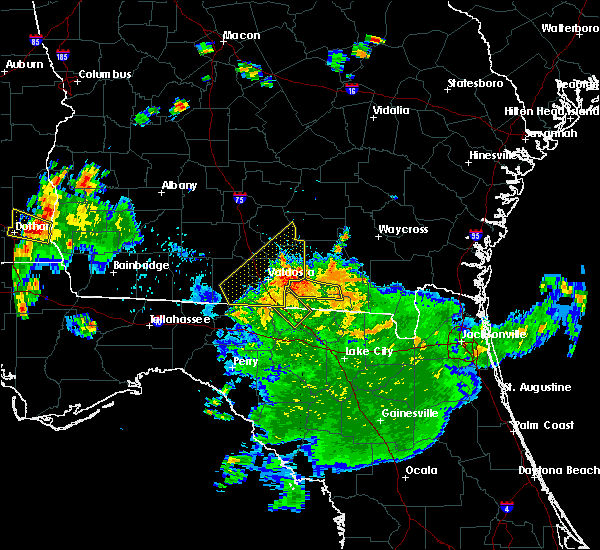 The severe thunderstorm warning for central echols and central clinch counties will expire at 730 pm edt, the storm which prompted the warning has weakened below severe limits, and no longer pose an immediate threat to life or property. therefore, the warning will be allowed to expire. however heavy rain is still possible with this thunderstorm. The severe thunderstorm warning for central echols and central clinch counties will expire at 730 pm edt, the storm which prompted the warning has weakened below severe limits, and no longer pose an immediate threat to life or property. therefore, the warning will be allowed to expire. however heavy rain is still possible with this thunderstorm.
|
| 8/14/2016 7:13 PM EDT |
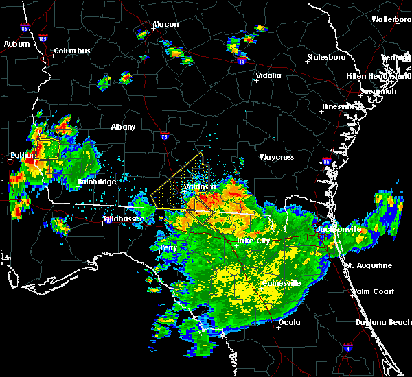 At 713 pm edt, a severe thunderstorm was located near mayday, or near statenville, moving northwest at 30 mph (radar indicated). Hazards include 60 mph wind gusts. Expect damage to roofs. siding. And trees. At 713 pm edt, a severe thunderstorm was located near mayday, or near statenville, moving northwest at 30 mph (radar indicated). Hazards include 60 mph wind gusts. Expect damage to roofs. siding. And trees.
|
| 8/14/2016 6:43 PM EDT |
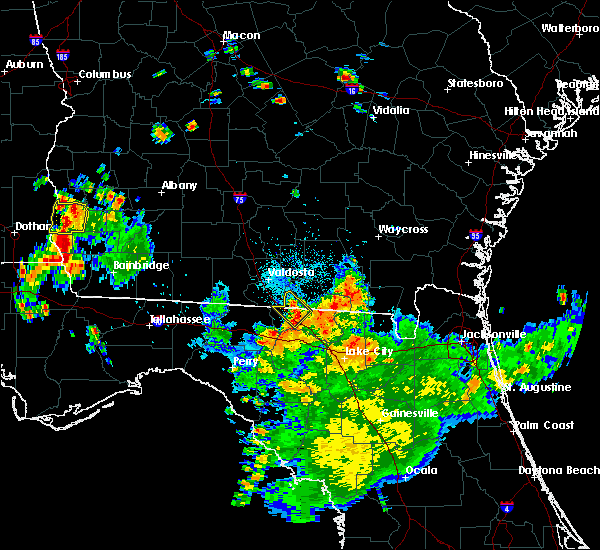 At 643 pm edt, a severe thunderstorm was located near jennings, moving northwest at 15 mph (radar indicated). Hazards include 60 mph wind gusts. Expect damage to roofs. siding. And trees. At 643 pm edt, a severe thunderstorm was located near jennings, moving northwest at 15 mph (radar indicated). Hazards include 60 mph wind gusts. Expect damage to roofs. siding. And trees.
|
| 5/31/2016 5:42 PM EDT |
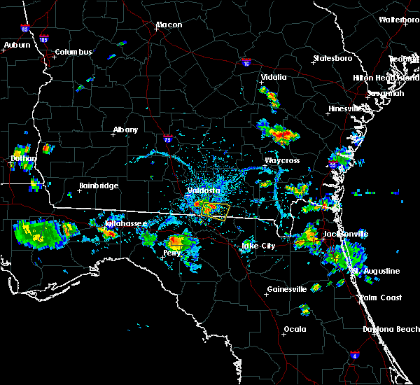 At 541 pm edt, a severe thunderstorm was located over statenville, moving east at 15 to 20 mph (radar indicated). Hazards include 60 mph wind gusts. Expect damage to roofs. siding. and trees. Locations impacted include, statenville. At 541 pm edt, a severe thunderstorm was located over statenville, moving east at 15 to 20 mph (radar indicated). Hazards include 60 mph wind gusts. Expect damage to roofs. siding. and trees. Locations impacted include, statenville.
|
| 5/31/2016 5:26 PM EDT |
 At 526 pm edt, a severe thunderstorm was located over statenville, moving east at 10 mph (radar indicated). Hazards include 60 mph wind gusts and penny size hail. Expect damage to roofs. siding. And trees. At 526 pm edt, a severe thunderstorm was located over statenville, moving east at 10 mph (radar indicated). Hazards include 60 mph wind gusts and penny size hail. Expect damage to roofs. siding. And trees.
|
| 5/31/2016 5:26 PM EDT |
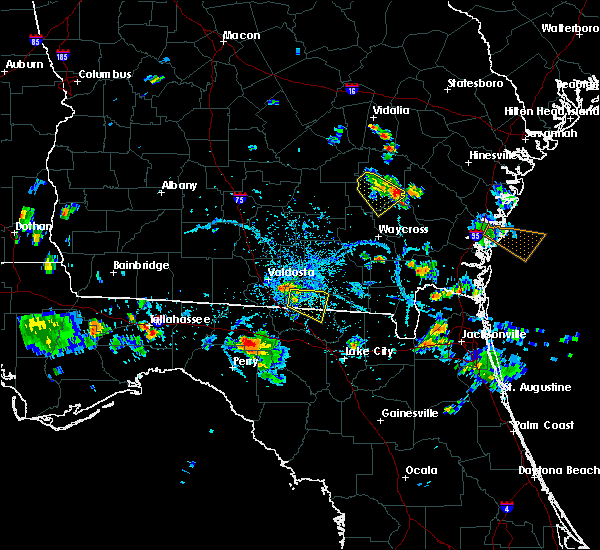 At 526 pm edt, a severe thunderstorm was located over statenville, moving east at 10 mph (radar indicated). Hazards include 60 mph wind gusts and penny size hail. Expect damage to roofs. siding. And trees. At 526 pm edt, a severe thunderstorm was located over statenville, moving east at 10 mph (radar indicated). Hazards include 60 mph wind gusts and penny size hail. Expect damage to roofs. siding. And trees.
|
| 4/1/2016 5:15 PM EDT | Tree down on river road in lanier county GA, 10.2 miles S of Statenville, GA |
| 2/24/2016 5:56 AM EST |
 The severe thunderstorm warning for southern ware, northwestern charlton, clinch and echols counties will expire at 600 am est, the storms which prompted the warning have weakened. therefore the warning will be allowed to expire. however gusty winds of 45 to 55 mph are still possible with these thunderstorms. a tornado watch remains in effect until 1000 am est for northeastern florida and southeastern georgia. The severe thunderstorm warning for southern ware, northwestern charlton, clinch and echols counties will expire at 600 am est, the storms which prompted the warning have weakened. therefore the warning will be allowed to expire. however gusty winds of 45 to 55 mph are still possible with these thunderstorms. a tornado watch remains in effect until 1000 am est for northeastern florida and southeastern georgia.
|
| 2/24/2016 5:44 AM EST |
 At 544 am est, severe thunderstorms were located along a line extending from near mayday to 6 miles southeast of needmore, moving northeast at 65 mph (radar indicated). Hazards include 60 mph wind gusts. Expect damage to roofs. siding and trees. locations impacted include, homerville, fargo, argyle, stephen foster state park, statenville, du pont, needmore and mayday. A tornado watch remains in effect until 1000 am est for northeastern florida and southeastern georgia. At 544 am est, severe thunderstorms were located along a line extending from near mayday to 6 miles southeast of needmore, moving northeast at 65 mph (radar indicated). Hazards include 60 mph wind gusts. Expect damage to roofs. siding and trees. locations impacted include, homerville, fargo, argyle, stephen foster state park, statenville, du pont, needmore and mayday. A tornado watch remains in effect until 1000 am est for northeastern florida and southeastern georgia.
|
| 2/24/2016 5:30 AM EST |
 At 530 am est, severe thunderstorms were located along a line extending from near mayday to near belmont, moving northeast at 85 mph (radar indicated). Hazards include 60 mph wind gusts. Expect damage to roofs. siding and trees. locations impacted include, jasper, homerville, white springs, fargo, argyle, stephen foster state park, statenville, du pont, belmont, needmore and mayday. A tornado watch remains in effect until 1000 am est for northeastern florida and southeastern georgia. At 530 am est, severe thunderstorms were located along a line extending from near mayday to near belmont, moving northeast at 85 mph (radar indicated). Hazards include 60 mph wind gusts. Expect damage to roofs. siding and trees. locations impacted include, jasper, homerville, white springs, fargo, argyle, stephen foster state park, statenville, du pont, belmont, needmore and mayday. A tornado watch remains in effect until 1000 am est for northeastern florida and southeastern georgia.
|
| 2/24/2016 5:30 AM EST |
 A severe thunderstorm warning remains in effect until 600 am est for eastern hamilton. northern columbia. southern ware. northwestern charlton. clinch and echols counties. at 530 am est. severe thunderstorms were located along a line extending from near mayday to near belmont. Moving northeast at 85 mph. A severe thunderstorm warning remains in effect until 600 am est for eastern hamilton. northern columbia. southern ware. northwestern charlton. clinch and echols counties. at 530 am est. severe thunderstorms were located along a line extending from near mayday to near belmont. Moving northeast at 85 mph.
|
| 2/24/2016 5:20 AM EST |
 At 520 am est, severe thunderstorms were located along a line extending from near statenville to white springs, moving northeast at 85 mph (radar indicated). Hazards include 60 mph wind gusts. Expect damage to roofs. Siding and trees. At 520 am est, severe thunderstorms were located along a line extending from near statenville to white springs, moving northeast at 85 mph (radar indicated). Hazards include 60 mph wind gusts. Expect damage to roofs. Siding and trees.
|
| 8/7/2015 4:16 PM EDT |
 At 416 pm edt, doppler radar indicated a line of severe thunderstorms capable of producing damaging winds in excess of 60 mph. these storms were located along a line extending from 9 miles east of mayday to 9 miles west of needmore to near jennings, moving east at 40 mph. locations impacted include, jasper, jennings, statenville, blue springs and needmore. At 416 pm edt, doppler radar indicated a line of severe thunderstorms capable of producing damaging winds in excess of 60 mph. these storms were located along a line extending from 9 miles east of mayday to 9 miles west of needmore to near jennings, moving east at 40 mph. locations impacted include, jasper, jennings, statenville, blue springs and needmore.
|
| 8/7/2015 3:39 PM EDT |
 At 339 pm edt, doppler radar indicated a line of severe thunderstorms capable of producing damaging winds in excess of 60 mph. these storms were located along a line extending from near valdosta to near i-75 at exit 16 to 6 miles east of quitman, and moving east at 40 mph. At 339 pm edt, doppler radar indicated a line of severe thunderstorms capable of producing damaging winds in excess of 60 mph. these storms were located along a line extending from near valdosta to near i-75 at exit 16 to 6 miles east of quitman, and moving east at 40 mph.
|
| 8/7/2015 3:39 PM EDT |
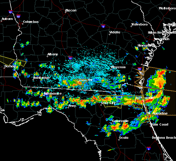 At 339 pm edt, doppler radar indicated a line of severe thunderstorms capable of producing damaging winds in excess of 60 mph. these storms were located along a line extending from near valdosta to near i-75 at exit 16 to 6 miles east of quitman, and moving east at 40 mph. At 339 pm edt, doppler radar indicated a line of severe thunderstorms capable of producing damaging winds in excess of 60 mph. these storms were located along a line extending from near valdosta to near i-75 at exit 16 to 6 miles east of quitman, and moving east at 40 mph.
|
| 8/6/2015 3:28 PM EDT | The severe thunderstorm warning for northwestern clinch and northern echols counties will expire at 330 pm edt, the storms which prompted the warning have weakened below severe limits, and no longer poses an immediate threat to life or property. therefore the warning will be allowed to expire. however gusty winds are still possible with these thunderstorms. |
| 8/6/2015 3:00 PM EDT |
 At 300 pm edt, doppler radar indicated a line of severe thunderstorms capable of producing damaging winds in excess of 60 mph. these storms were located along a line extending from i-75 at exit 16 to near lake park to 7 miles northwest of blue springs, and moving northeast at 35 mph. At 300 pm edt, doppler radar indicated a line of severe thunderstorms capable of producing damaging winds in excess of 60 mph. these storms were located along a line extending from i-75 at exit 16 to near lake park to 7 miles northwest of blue springs, and moving northeast at 35 mph.
|
| 7/22/2015 5:54 PM EDT |
 The severe thunderstorm warning for western echols county will expire at 600 pm edt, the storm which prompted the warning has weakened below severe limits, and no longer poses an immediate threat to life or property. therefore the warning will be allowed to expire. however gusty winds are still possible with this thunderstorm. The severe thunderstorm warning for western echols county will expire at 600 pm edt, the storm which prompted the warning has weakened below severe limits, and no longer poses an immediate threat to life or property. therefore the warning will be allowed to expire. however gusty winds are still possible with this thunderstorm.
|
| 7/22/2015 5:28 PM EDT |
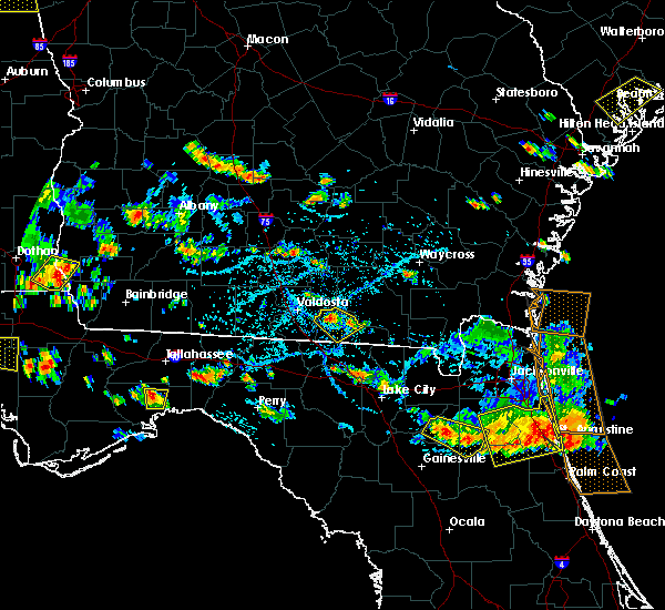 At 528 pm edt, doppler radar indicated a severe thunderstorm capable of producing damaging winds in excess of 60 mph. this storm was located over mayday, or 7 miles north of statenville, and moving east at 5 mph. penny size hail may also accompany the damaging winds. At 528 pm edt, doppler radar indicated a severe thunderstorm capable of producing damaging winds in excess of 60 mph. this storm was located over mayday, or 7 miles north of statenville, and moving east at 5 mph. penny size hail may also accompany the damaging winds.
|
| 7/5/2015 2:24 PM EDT | Large tree limb on power line on cypress lan in echols county GA, 1 miles E of Statenville, GA |
| 7/5/2015 2:22 PM EDT |
 At 221 pm edt, doppler radar indicated a severe thunderstorm capable of producing quarter size hail and damaging winds in excess of 60 mph. this storm was located near jasper, and moving northeast at 10 mph. At 221 pm edt, doppler radar indicated a severe thunderstorm capable of producing quarter size hail and damaging winds in excess of 60 mph. this storm was located near jasper, and moving northeast at 10 mph.
|
| 7/1/2015 7:23 PM EDT |
 At 723 pm edt, doppler radar indicated a severe thunderstorm capable of producing quarter size hail and destructive winds in excess of 70 mph. this storm was located 9 miles east of mayday, or 12 miles northeast of statenville near chauncy road, moving northeast at 25 mph. locations impacted include, needmore and mayday. At 723 pm edt, doppler radar indicated a severe thunderstorm capable of producing quarter size hail and destructive winds in excess of 70 mph. this storm was located 9 miles east of mayday, or 12 miles northeast of statenville near chauncy road, moving northeast at 25 mph. locations impacted include, needmore and mayday.
|
| 7/1/2015 7:12 PM EDT |
 At 711 pm edt, doppler radar indicated a severe thunderstorm capable of producing quarter size hail and destructive winds in excess of 70 mph. this storm was located near statenville along gaddis road and west boundary road, moving east at 25 mph. locations impacted include, statenville, needmore and mayday. At 711 pm edt, doppler radar indicated a severe thunderstorm capable of producing quarter size hail and destructive winds in excess of 70 mph. this storm was located near statenville along gaddis road and west boundary road, moving east at 25 mph. locations impacted include, statenville, needmore and mayday.
|
| 7/1/2015 7:04 PM EDT |
 At 703 pm edt, doppler radar indicated a severe thunderstorm capable of producing damaging winds in excess of 60 mph. this storm was located near statenville along u.s. highway 129 and state route 94, moving east at 30 mph. locations impacted include, statenville, needmore and mayday. At 703 pm edt, doppler radar indicated a severe thunderstorm capable of producing damaging winds in excess of 60 mph. this storm was located near statenville along u.s. highway 129 and state route 94, moving east at 30 mph. locations impacted include, statenville, needmore and mayday.
|
| 7/1/2015 6:55 PM EDT |
 At 654 pm edt, doppler radar indicated a severe thunderstorm capable of producing damaging winds in excess of 60 mph. this storm was located over statenville, and moving east at 25 mph. At 654 pm edt, doppler radar indicated a severe thunderstorm capable of producing damaging winds in excess of 60 mph. this storm was located over statenville, and moving east at 25 mph.
|
| 6/30/2015 1:59 PM EDT |
 At 159 pm edt, doppler radar indicated a line of severe thunderstorms capable of producing damaging winds in excess of 60 mph. these storms were located along a line extending from 11 miles north of needmore to 10 miles southwest of dowling park, and moving east at 35 mph. At 159 pm edt, doppler radar indicated a line of severe thunderstorms capable of producing damaging winds in excess of 60 mph. these storms were located along a line extending from 11 miles north of needmore to 10 miles southwest of dowling park, and moving east at 35 mph.
|
| 6/30/2015 1:12 PM EDT |
 At 112 pm edt, doppler radar indicated a line of severe thunderstorms capable of producing damaging winds in excess of 60 mph. these storms were located along a line extending from near lakeland to near monticello, and moving east at 35 mph. At 112 pm edt, doppler radar indicated a line of severe thunderstorms capable of producing damaging winds in excess of 60 mph. these storms were located along a line extending from near lakeland to near monticello, and moving east at 35 mph.
|
| 6/30/2015 1:12 PM EDT |
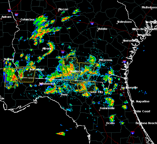 At 112 pm edt, doppler radar indicated a line of severe thunderstorms capable of producing damaging winds in excess of 60 mph. these storms were located along a line extending from near lakeland to near monticello, and moving east at 35 mph. At 112 pm edt, doppler radar indicated a line of severe thunderstorms capable of producing damaging winds in excess of 60 mph. these storms were located along a line extending from near lakeland to near monticello, and moving east at 35 mph.
|
| 6/28/2015 1:28 PM EDT |
 At 128 pm edt, doppler radar indicated a line of severe thunderstorms capable of producing damaging winds in excess of 60 mph. these storms were located along a line extending from 9 miles west of dixie union to near mayday, and moving east at 20 mph. At 128 pm edt, doppler radar indicated a line of severe thunderstorms capable of producing damaging winds in excess of 60 mph. these storms were located along a line extending from 9 miles west of dixie union to near mayday, and moving east at 20 mph.
|
| 6/22/2015 6:30 PM EDT | A tree was blown down along howell roa in echols county GA, 8.4 miles SSE of Statenville, GA |
| 6/13/2015 5:47 PM EDT |
 At 547 pm edt, doppler radar indicated a severe thunderstorm capable of producing damaging winds in excess of 60 mph. this storm was located near statenville. this storm was nearly stationary. * this severe thunderstorm will remain over mainly rural areas of southwestern echols county. At 547 pm edt, doppler radar indicated a severe thunderstorm capable of producing damaging winds in excess of 60 mph. this storm was located near statenville. this storm was nearly stationary. * this severe thunderstorm will remain over mainly rural areas of southwestern echols county.
|
| 6/3/2015 8:49 PM EDT | At 849 pm edt, doppler radar indicated a severe thunderstorm capable of producing large hail up to ping pong ball size and destructive winds in excess of 70 mph. this storm was located 7 miles east of mayday, or 12 miles northeast of statenville, moving southeast at 20 mph. locations impacted include, jennings, fargo, statenville, needmore and mayday. |
| 6/3/2015 8:45 PM EDT | Numerous trees down across area in echols county GA, 8.4 miles SSW of Statenville, GA |
| 6/3/2015 8:40 PM EDT | At 840 pm edt, doppler radar indicated a severe thunderstorm capable of producing half dollar size hail and damaging winds in excess of 60 mph. this storm was located near mayday, or 12 miles northeast of statenville, and moving southeast at 20 mph. |
| 5/26/2015 5:42 PM EDT | The severe thunderstorm warning for north central hamilton and southwestern echols counties will expire at 545 pm edt, the storm which prompted the warning has weakened below severe limits, and no longer poses an immediate threat to life or property. therefore the warning will be allowed to expire. however gusty winds are still possible with this thunderstorm. |
| 5/26/2015 5:42 PM EDT | The severe thunderstorm warning for north central hamilton and southwestern echols counties will expire at 545 pm edt, the storm which prompted the warning has weakened below severe limits, and no longer poses an immediate threat to life or property. therefore the warning will be allowed to expire. however gusty winds are still possible with this thunderstorm. |
| 5/26/2015 5:34 PM EDT | At 534 pm edt, doppler radar indicated a severe thunderstorm capable of producing quarter size hail and damaging winds in excess of 60 mph. this storm was located near statenville, moving north at 20 mph. locations impacted include, jasper, jennings and statenville. |
| 5/26/2015 5:34 PM EDT | At 534 pm edt, doppler radar indicated a severe thunderstorm capable of producing quarter size hail and damaging winds in excess of 60 mph. this storm was located near statenville, moving north at 20 mph. locations impacted include, jasper, jennings and statenville. |
| 5/26/2015 5:21 PM EDT | At 521 pm edt, doppler radar indicated a severe thunderstorm capable of producing quarter size hail and damaging winds in excess of 60 mph. this storm was located near jennings, moving northwest at 20 mph. locations impacted include, jasper, jennings and statenville. |
| 5/26/2015 5:21 PM EDT | At 521 pm edt, doppler radar indicated a severe thunderstorm capable of producing quarter size hail and damaging winds in excess of 60 mph. this storm was located near jennings, moving northwest at 20 mph. locations impacted include, jasper, jennings and statenville. |
| 5/26/2015 5:12 PM EDT | At 511 pm edt, doppler radar indicated a severe thunderstorm capable of producing quarter size hail. this storm was located near jasper, and moving northwest at 25 mph. |
| 5/26/2015 5:12 PM EDT | At 511 pm edt, doppler radar indicated a severe thunderstorm capable of producing quarter size hail. this storm was located near jasper, and moving northwest at 25 mph. |
| 5/19/2015 9:28 PM EDT | At 926 pm edt, doppler radar indicated a line of severe thunderstorms capable of producing damaging winds in excess of 60 mph. these storms were located along a line extending from mayday to near suwannee springs, and moving west at 5 mph. nickel size hail may also accompany the damaging winds. the hamilton county sheriffs office has reported hails with numerous trees down around the county. |
| 5/19/2015 9:28 PM EDT | At 926 pm edt, doppler radar indicated a line of severe thunderstorms capable of producing damaging winds in excess of 60 mph. these storms were located along a line extending from mayday to near suwannee springs, and moving west at 5 mph. nickel size hail may also accompany the damaging winds. the hamilton county sheriffs office has reported hails with numerous trees down around the county. |
| 3/16/2014 3:53 PM EDT | Central dispatch reported a few small trees down in echols county...mostly in the central and western portions of the count in echols county GA, 11.7 miles W of Statenville, GA |
| 2/21/2014 9:35 AM EST | Trees down in the western part of the count in echols county GA, 4 miles ENE of Statenville, GA |
| 1/30/2013 9:00 PM EST | The emergency management had sporadic reports of trees down county wide. the time given was based on rada in echols county GA, 1.6 miles SE of Statenville, GA |
| 1/1/0001 12:00 AM | Trees and power lines were damaged at the intersection of evelyn road and frank j. culpepper roa in echols county GA, 3.9 miles E of Statenville, GA |
| 1/1/0001 12:00 AM | Tree limbs down over western parts of echols county. power still out to a number of residents due to tree limbs falling on power lines. time estimated based on rada in echols county GA, 2.8 miles ENE of Statenville, GA |
| 1/1/0001 12:00 AM | Emergency manager reported a few trees and power lines down to the northeast of statenville. time is estimated and based on radar imager in echols county GA, 10.5 miles SW of Statenville, GA |
| 1/1/0001 12:00 AM | Quarter sized hail reported 1.2 miles NE of Statenville, GA, the sheriffs office reported quarter sized hail. |
| 1/1/0001 12:00 AM | The sheriffs office reported trees down along highways 129 and 135 sout in echols county GA, 1.2 miles NE of Statenville, GA |
Hail Maps for Statenville, GA
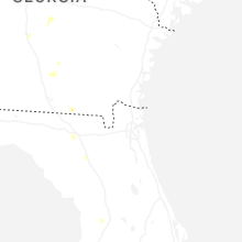
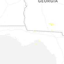


Connect with Interactive Hail Maps