

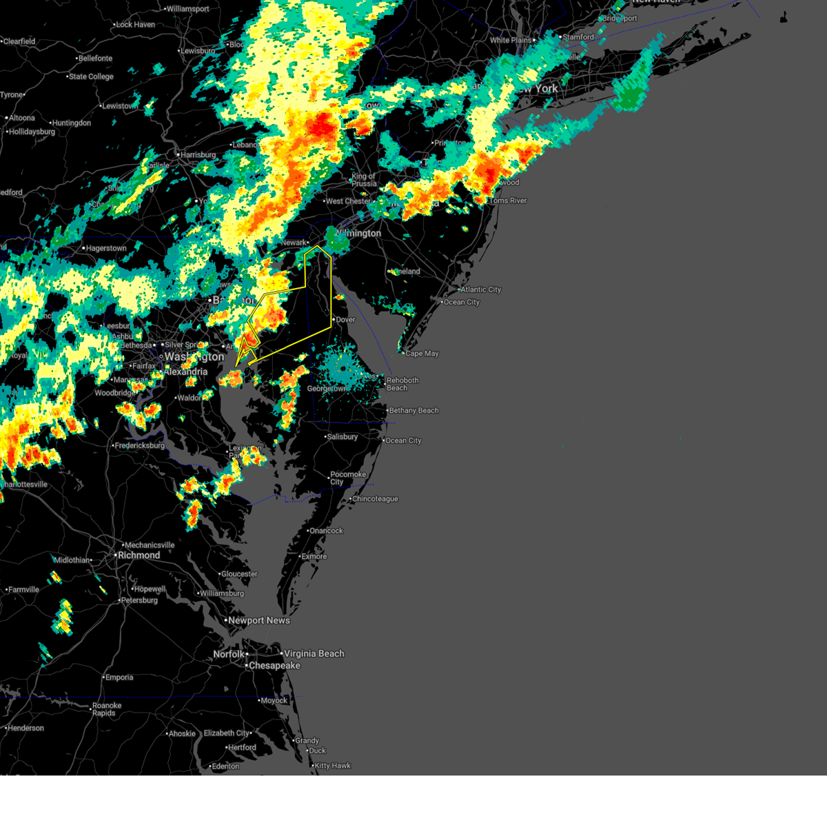
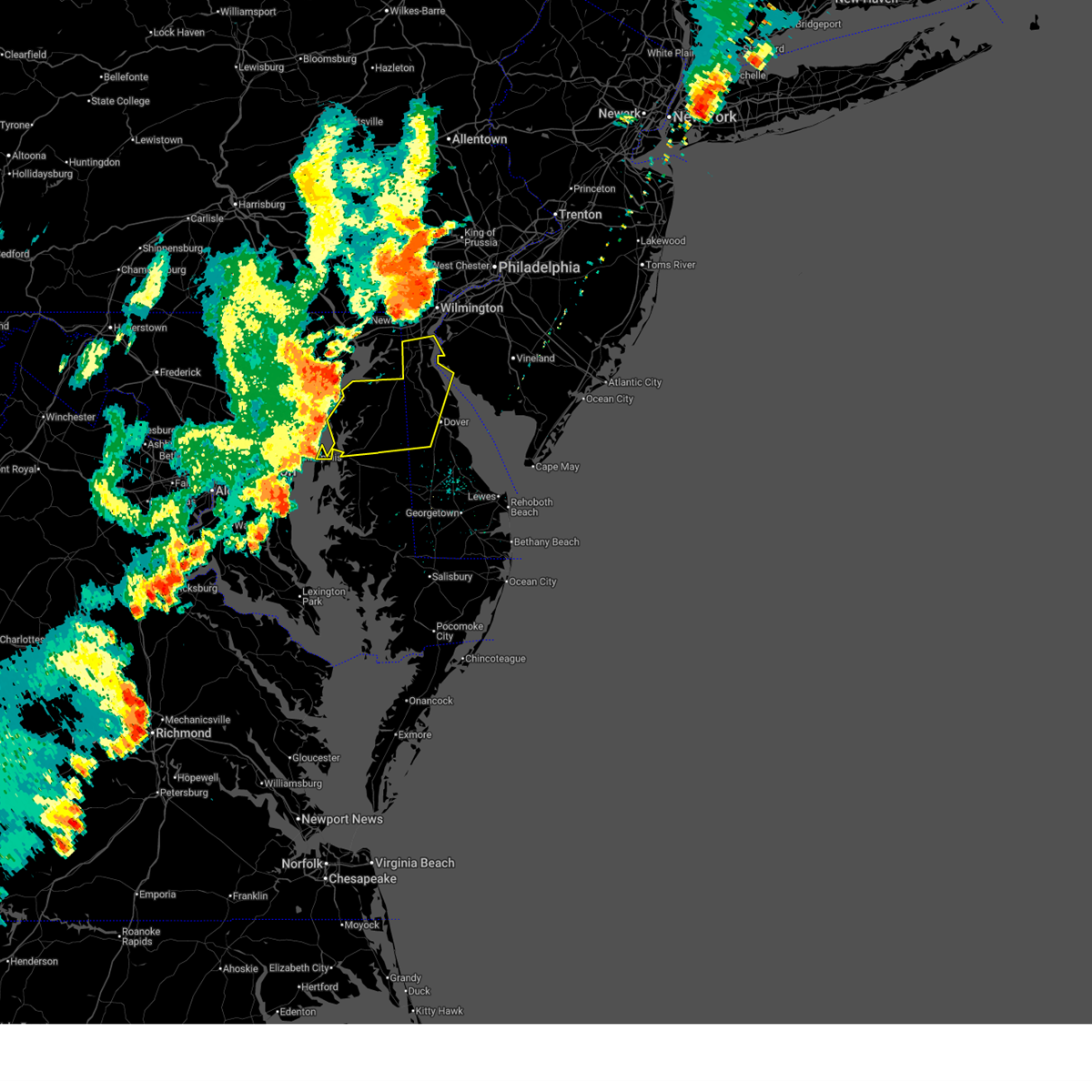
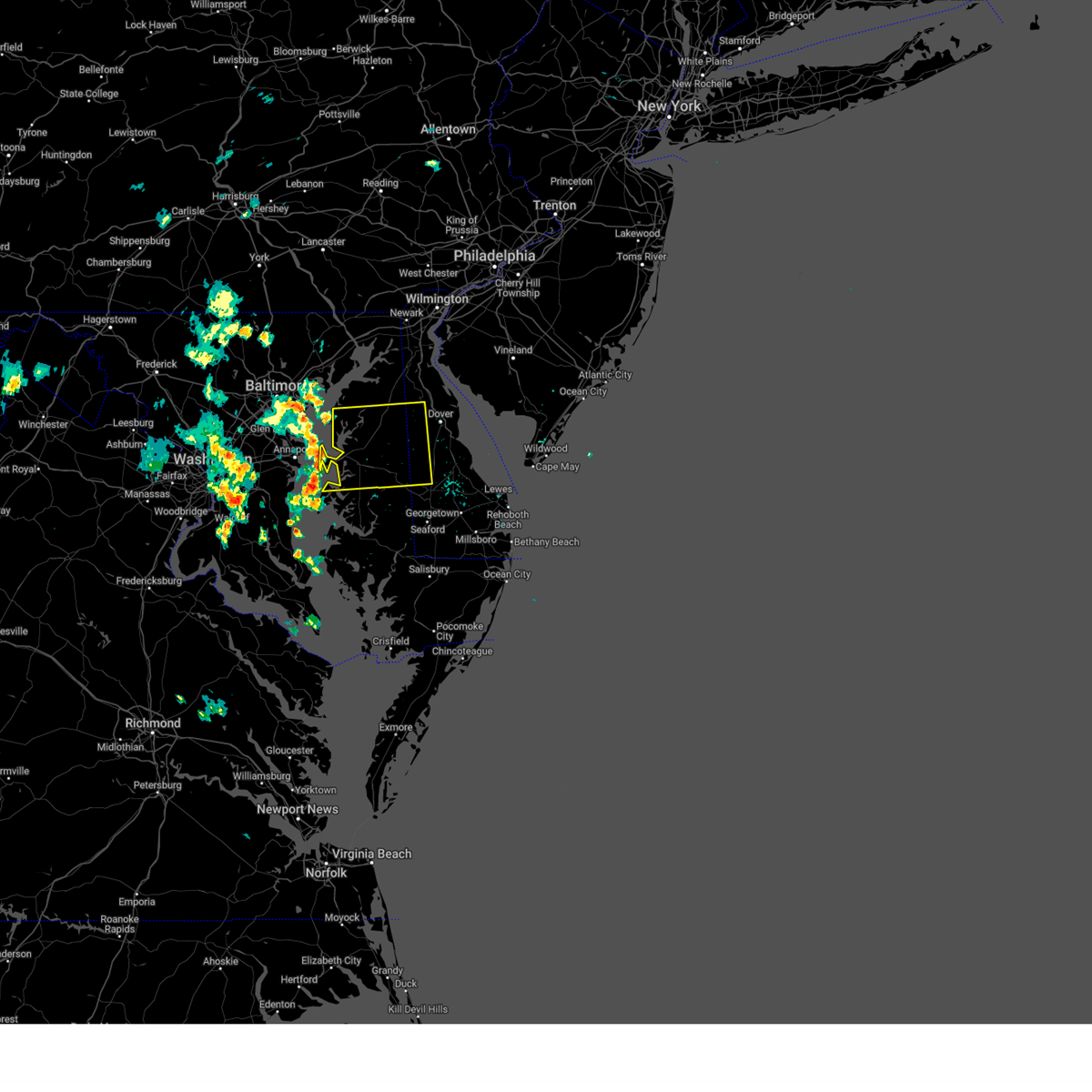
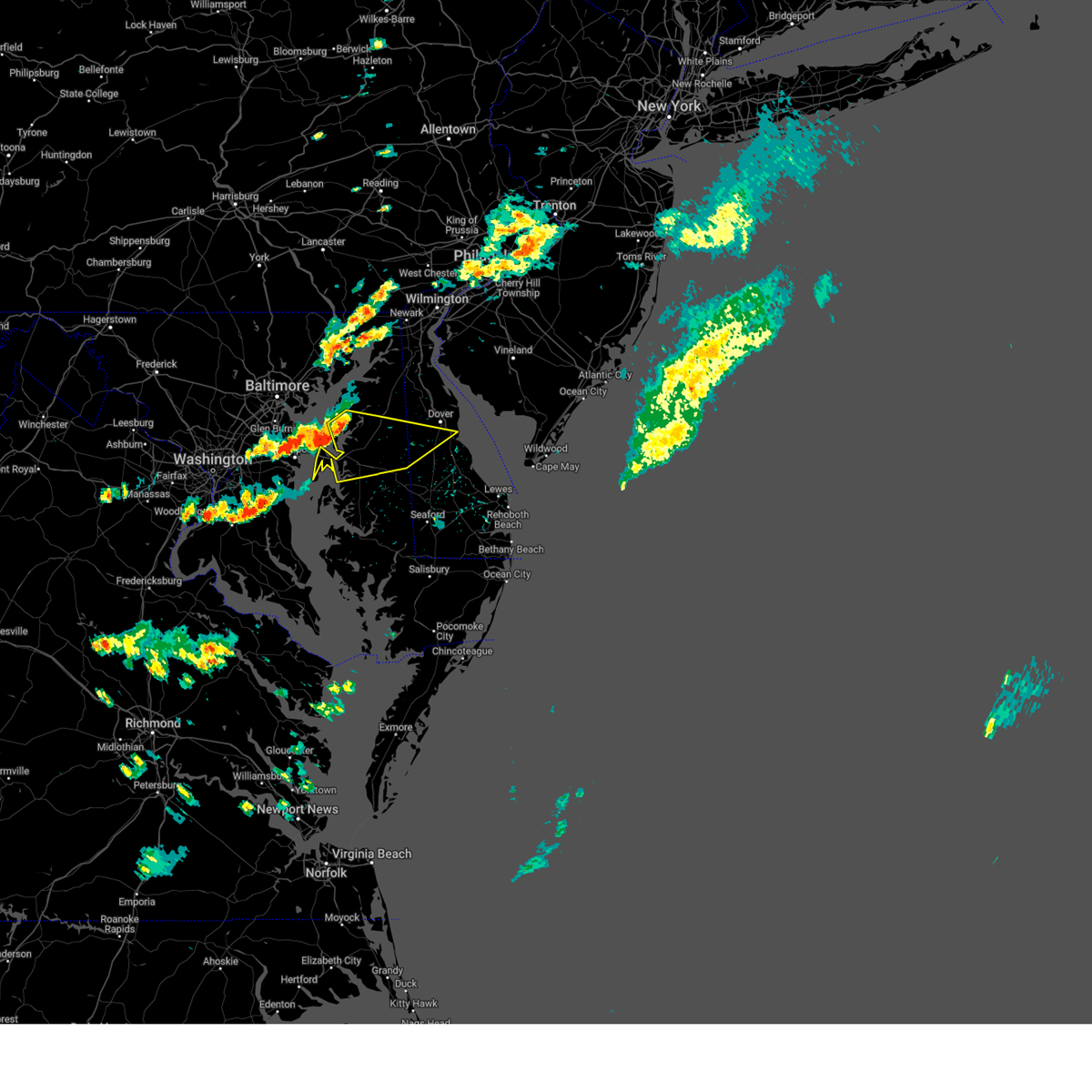
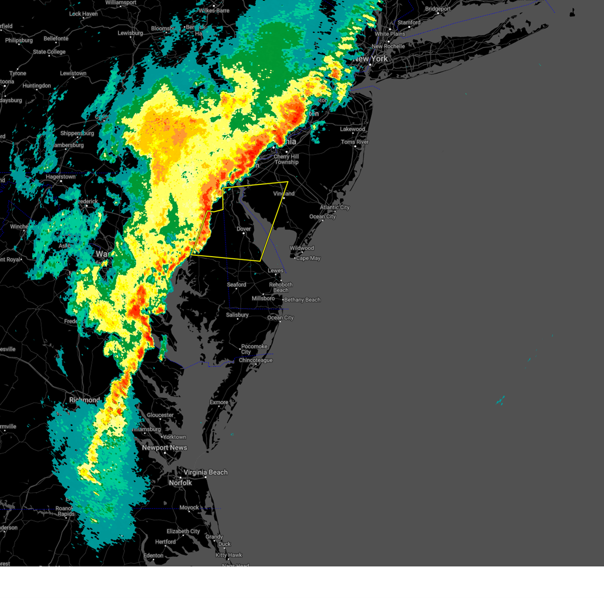
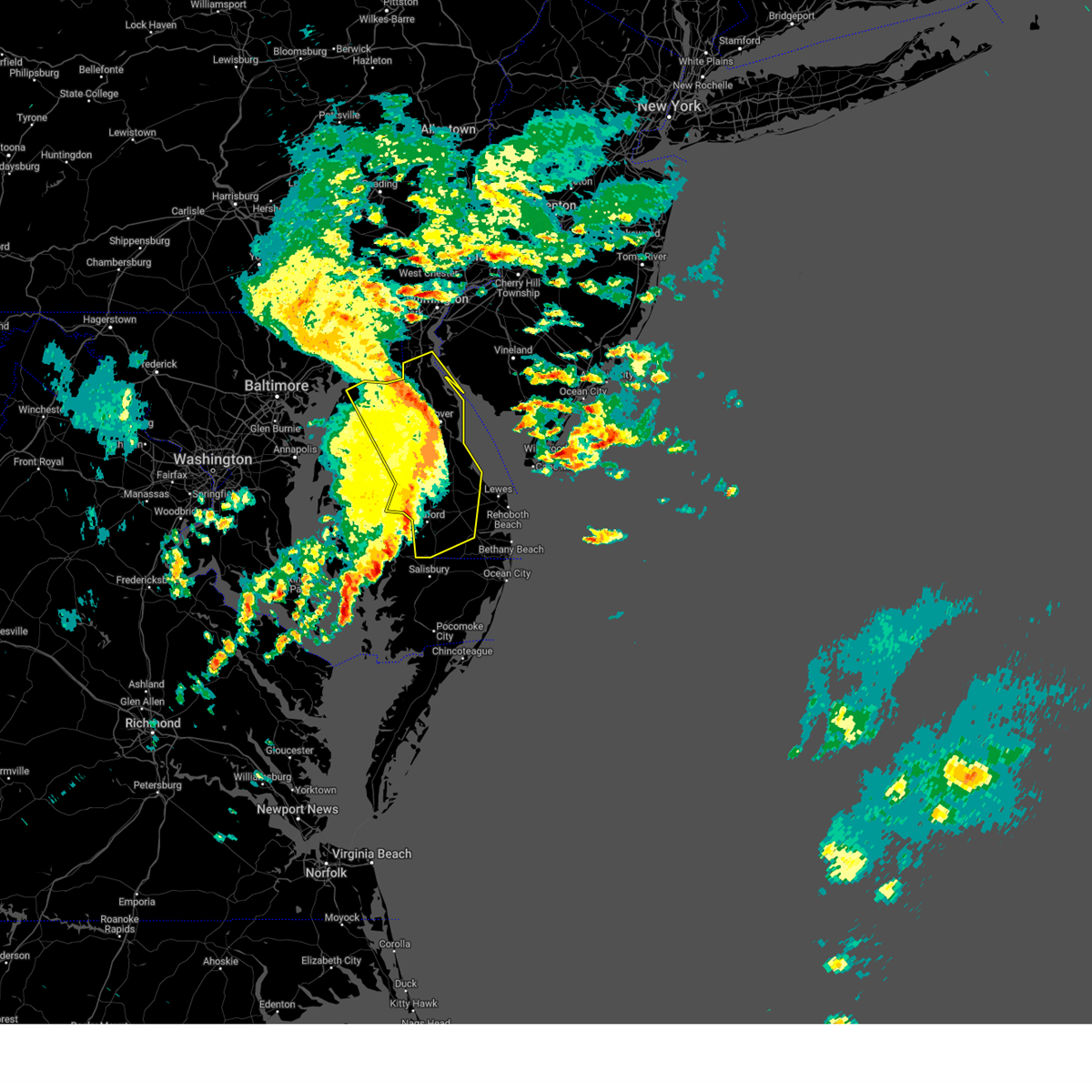
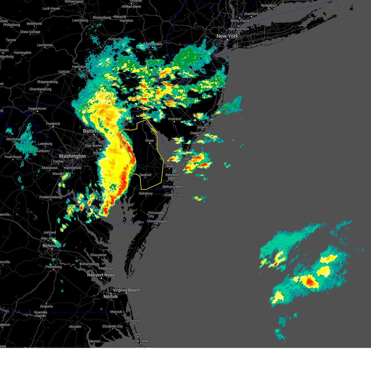
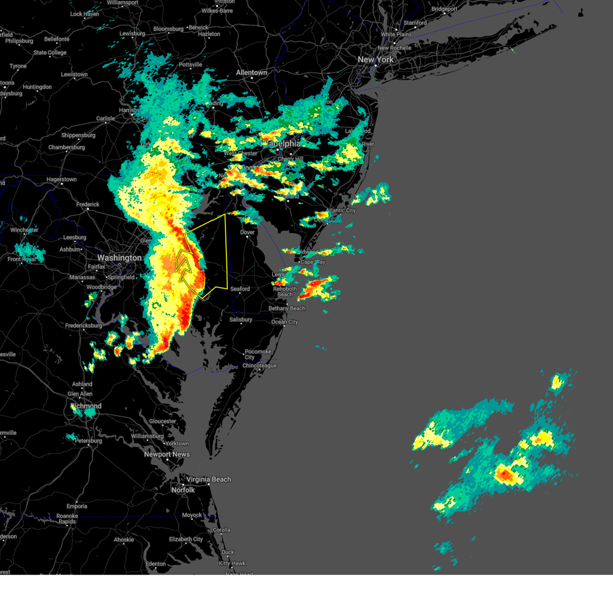
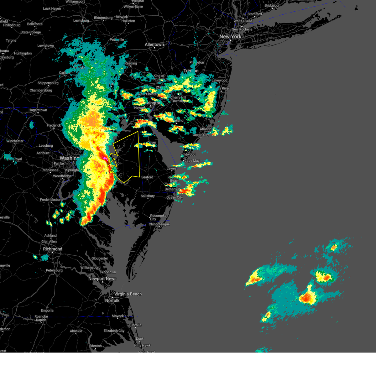
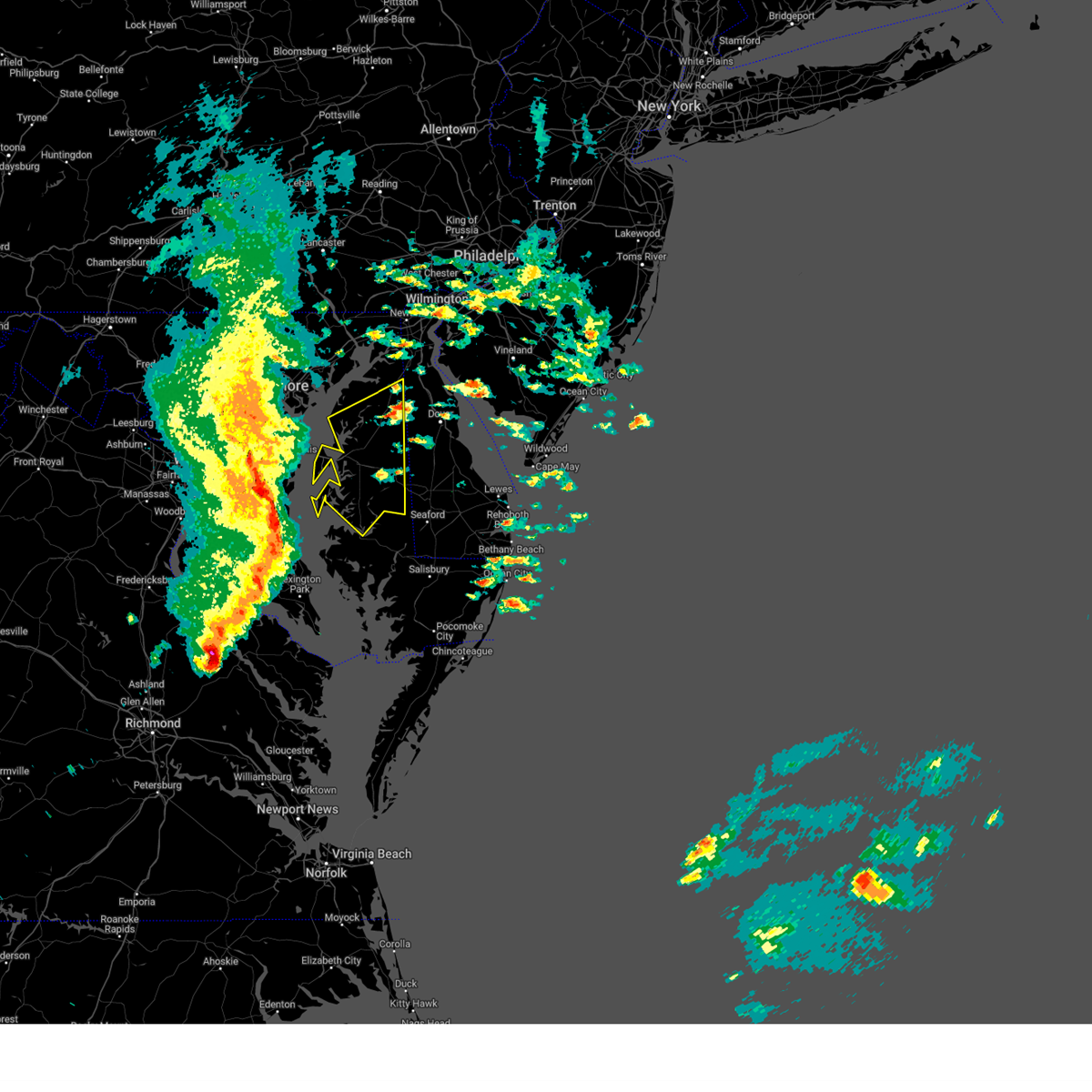
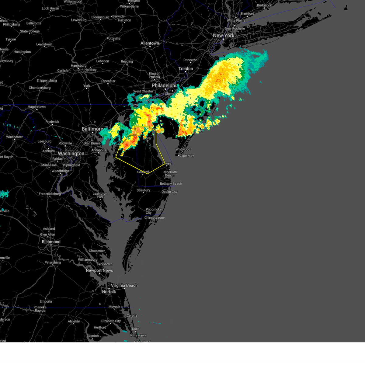
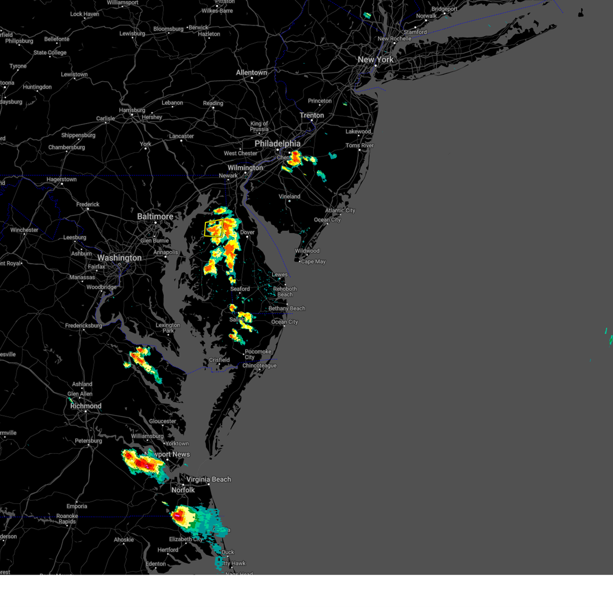
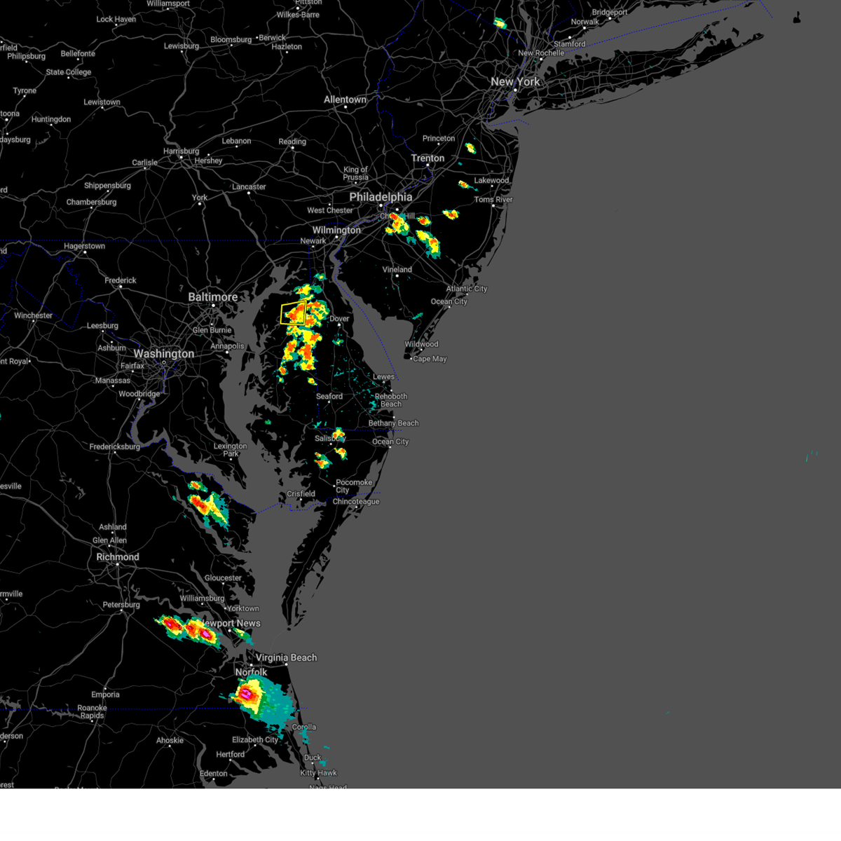
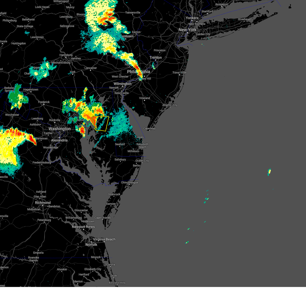
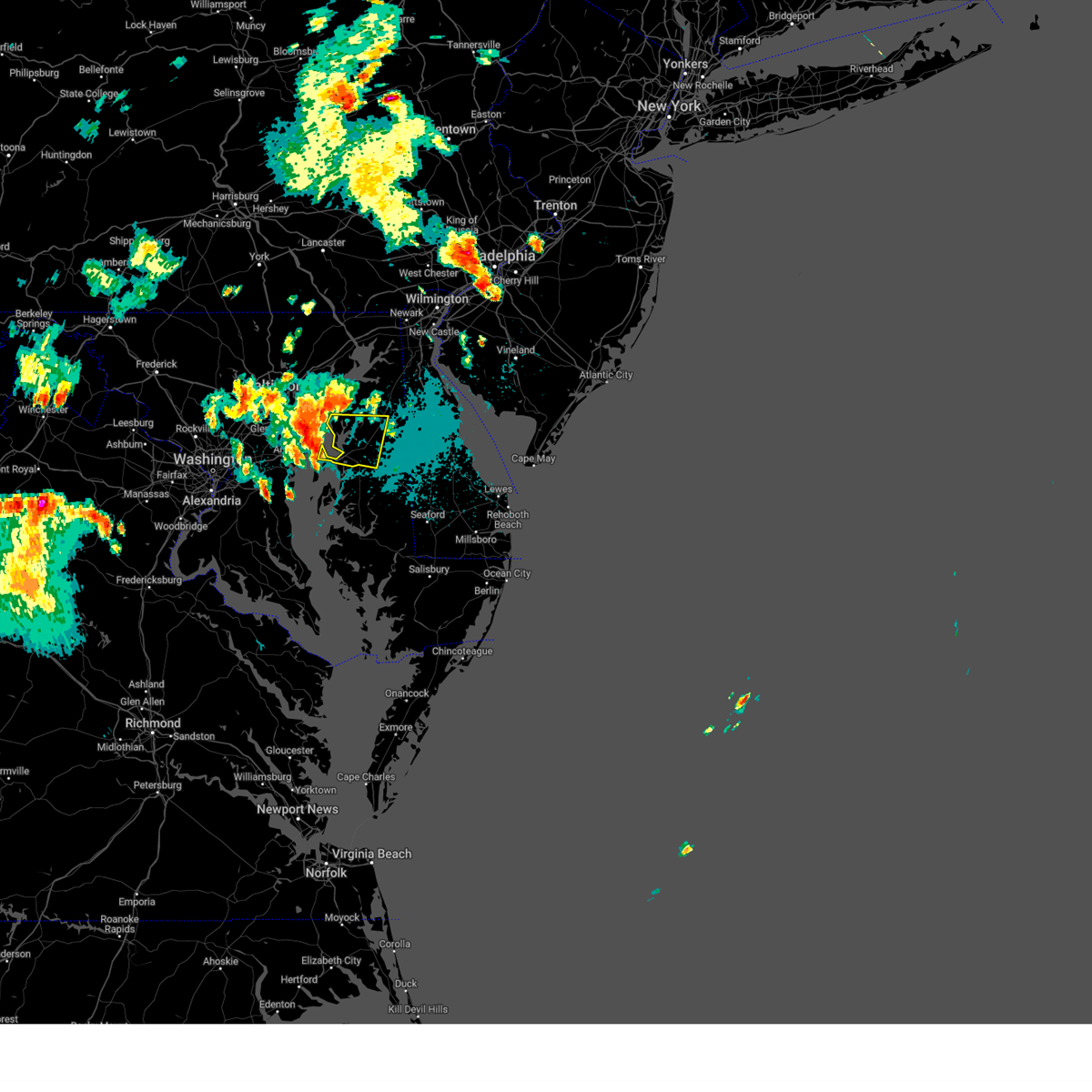
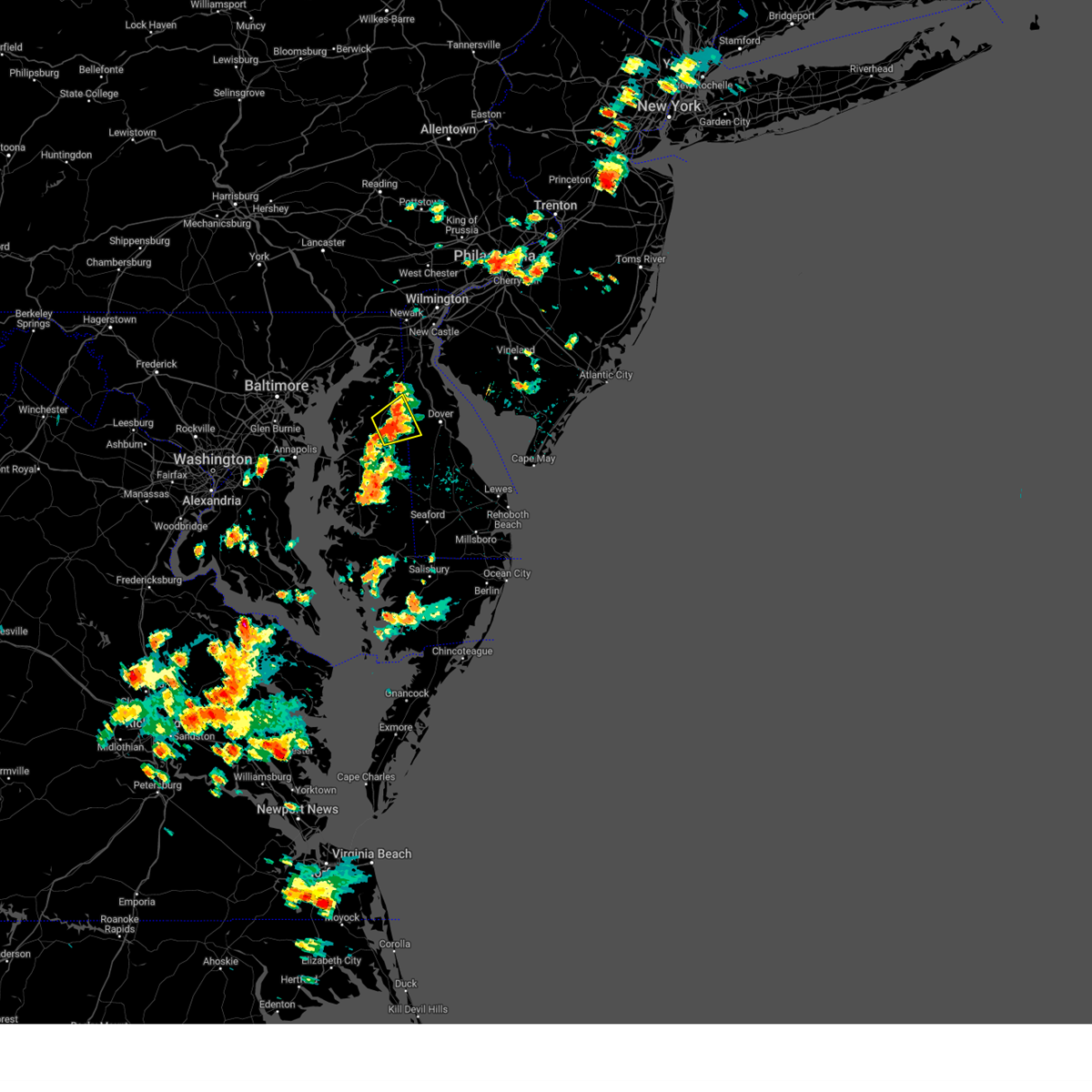
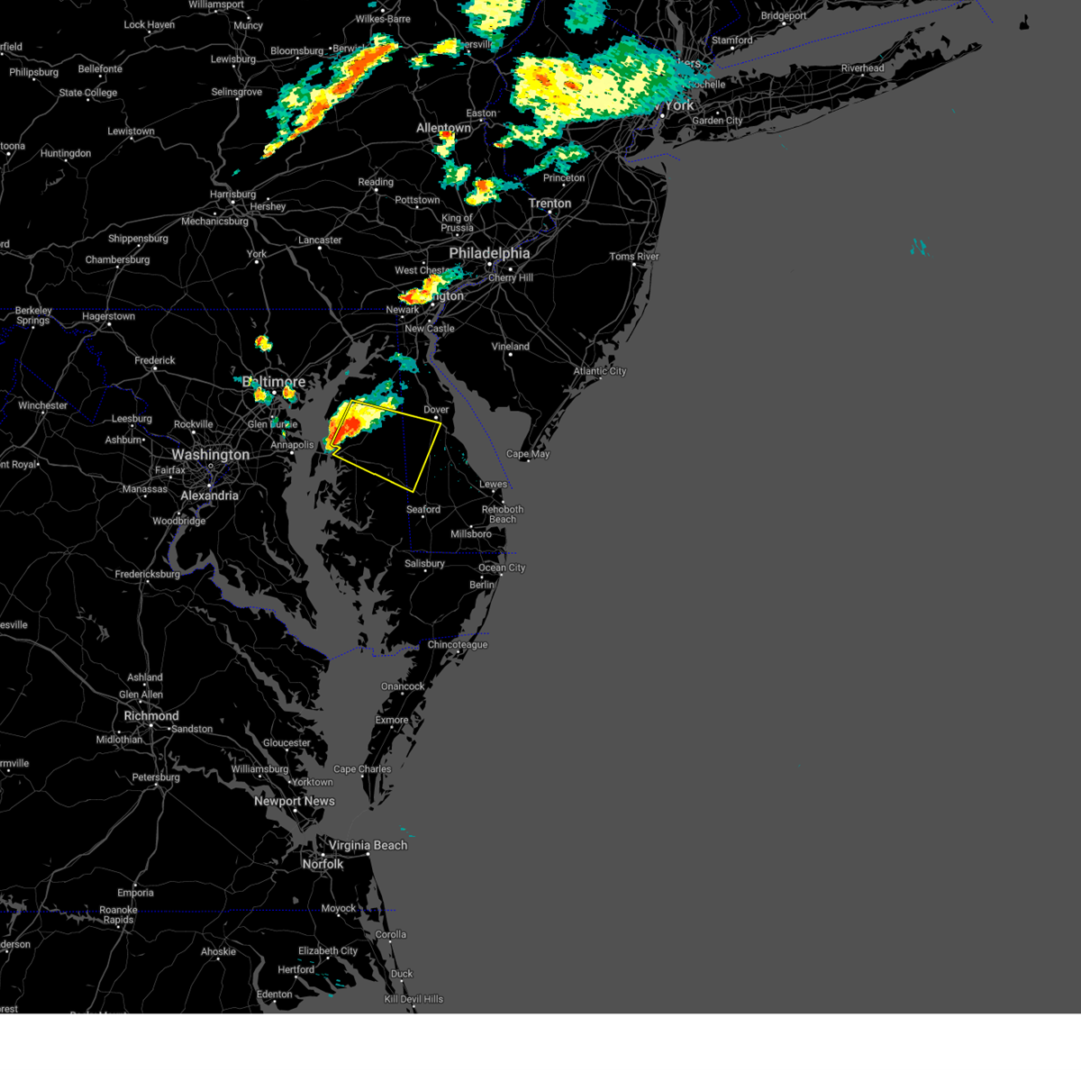
Hail Map for Sudlersville, MD
The Sudlersville, MD area has had 0 reports of on-the-ground hail by trained spotters, and has been under severe weather warnings 31 times during the past 12 months. Doppler radar has detected hail at or near Sudlersville, MD on 24 occasions.
| Name: | Sudlersville, MD |
| Where Located: | 40.9 miles E of Baltimore, MD |
| Map: | Google Map for Sudlersville, MD |
| Population: | 497 |
| Housing Units: | 244 |
| More Info: | Search Google for Sudlersville, MD |
1
The Top Recent Hail Date for Sudlersville, MD is Saturday, July 8, 2023 (8th out of 24)

Hail and Wind Damage Spotted near Sudlersville, MD
| Date / Time | Report Details |
|---|---|
| 7/1/2025 5:32 PM EDT | At 532 pm edt, severe thunderstorms were located along a line extending from near mount pleasant to near sudlersville to near grasonville, moving east at 25 mph (radar indicated). Hazards include 60 mph wind gusts. Damage to roofs, siding, trees, and power lines is possible. Locations impacted include, dover, middletown, centerville, smyrna, centreville, camden, clayton, delaware city, cheswold, church hill, millington, sudlersville, goldsboro, hartly, grasonville, starr, glasgow, bear, hazlettville, and port penn. |
| 7/1/2025 5:09 PM EDT |
 At 509 pm edt, severe thunderstorms were located along a line extending from near cecilton to church hill to chester, moving east at 30 mph (radar indicated). Hazards include 60 mph wind gusts. Damage to roofs, siding, trees, and power lines is possible. Locations impacted include, dover, middletown, centerville, smyrna, chestertown, centreville, camden, clayton, delaware city, cheswold, rock hall, church hill, millington, sudlersville, goldsboro, hartly, old town, starr, glasgow, and hazlettville. At 509 pm edt, severe thunderstorms were located along a line extending from near cecilton to church hill to chester, moving east at 30 mph (radar indicated). Hazards include 60 mph wind gusts. Damage to roofs, siding, trees, and power lines is possible. Locations impacted include, dover, middletown, centerville, smyrna, chestertown, centreville, camden, clayton, delaware city, cheswold, rock hall, church hill, millington, sudlersville, goldsboro, hartly, old town, starr, glasgow, and hazlettville.
|
| 7/1/2025 4:50 PM EDT | Svrphi the national weather service in mount holly nj has issued a * severe thunderstorm warning for, southwestern new castle county in northern delaware, northwestern kent county in central delaware, north central talbot county in eastern maryland, queen anne's county in northeastern maryland, northeastern caroline county in eastern maryland, kent county in northeastern maryland, * until 545 pm edt. * at 450 pm edt, severe thunderstorms were located along a line extending from near newtown to near romancoke, moving east at 25 mph (radar indicated). Hazards include 60 mph wind gusts. damage to roofs, siding, trees, and power lines is possible |
| 6/26/2025 9:12 PM EDT |
 The storm which prompted the warning has weakened below severe limits, and no longer poses an immediate threat to life or property. therefore, the warning will be allowed to expire. a severe thunderstorm watch remains in effect until 1000 pm edt for northeastern maryland. The storm which prompted the warning has weakened below severe limits, and no longer poses an immediate threat to life or property. therefore, the warning will be allowed to expire. a severe thunderstorm watch remains in effect until 1000 pm edt for northeastern maryland.
|
| 6/26/2025 8:59 PM EDT |
 At 859 pm edt, a severe thunderstorm was located over chestertown, or 11 miles north of centerville, moving southeast at 15 mph (radar indicated). Hazards include 60 mph wind gusts. Damage to roofs, siding, trees, and power lines is possible. Locations impacted include, chestertown, centreville, church hill, sudlersville, starkey corner, morgnec, old town, crumpton, kennedyville, langford, barclay, and kingstown. At 859 pm edt, a severe thunderstorm was located over chestertown, or 11 miles north of centerville, moving southeast at 15 mph (radar indicated). Hazards include 60 mph wind gusts. Damage to roofs, siding, trees, and power lines is possible. Locations impacted include, chestertown, centreville, church hill, sudlersville, starkey corner, morgnec, old town, crumpton, kennedyville, langford, barclay, and kingstown.
|
| 6/26/2025 8:30 PM EDT |
 Svrphi the national weather service in mount holly nj has issued a * severe thunderstorm warning for, northeastern queen anne's county in northeastern maryland, kent county in northeastern maryland, * until 915 pm edt. * at 829 pm edt, a severe thunderstorm was located over newtown, or 12 miles south of aberdeen proving ground, moving southeast at 25 mph (radar indicated). Hazards include 60 mph wind gusts. damage to roofs, siding, trees, and power lines is possible Svrphi the national weather service in mount holly nj has issued a * severe thunderstorm warning for, northeastern queen anne's county in northeastern maryland, kent county in northeastern maryland, * until 915 pm edt. * at 829 pm edt, a severe thunderstorm was located over newtown, or 12 miles south of aberdeen proving ground, moving southeast at 25 mph (radar indicated). Hazards include 60 mph wind gusts. damage to roofs, siding, trees, and power lines is possible
|
| 6/19/2025 6:00 PM EDT | The storms which prompted the warning are moving out of the area and the initial severe thunderstorm warning is expiring. a new severe thunderstorm warning has been issued. a severe thunderstorm watch remains in effect until 900 pm edt for central and northern delaware, and eastern and northeastern maryland. remember, a severe thunderstorm warning still remains in effect for southwestern new castle county and northern kent county in delaware and northeastern queen anne's county, northeastern caroline county and, east central kent county in maryland until 645 pm edt. |
| 6/19/2025 5:46 PM EDT | At 546 pm edt, severe thunderstorms were located along a line extending from near green spring to near goldsboro, moving east at 55 mph (radar indicated). Hazards include 60 mph wind gusts and penny size hail. Damage to roofs, siding, trees, and power lines is possible. Locations impacted include, dover, smyrna, camden, clayton, cheswold, millington, sudlersville, goldsboro, hartly, woodland beach, green spring, hazlettville, delaney corner, massey, sandtown, dover speedway, wyoming, kenton, leipsic, and henderson. |
| 6/19/2025 5:40 PM EDT | Multiple trees down at sudlersville cemetery road and higman mill road. time estimated from rada in queen anne's county MD, 0.2 miles N of Sudlersville, MD |
| 6/19/2025 5:08 PM EDT |
 Svrphi the national weather service in mount holly nj has issued a * severe thunderstorm warning for, southwestern new castle county in northern delaware, northwestern kent county in central delaware, queen anne's county in northeastern maryland, northeastern caroline county in eastern maryland, kent county in northeastern maryland, * until 600 pm edt. * at 508 pm edt, severe thunderstorms were located along a line extending from bel air south to near newtown to near stevensville, moving east at 55 mph (radar indicated). Hazards include 70 mph wind gusts and penny size hail. Expect considerable tree damage. Damage is likely to mobile homes, roofs, and outbuildings. Svrphi the national weather service in mount holly nj has issued a * severe thunderstorm warning for, southwestern new castle county in northern delaware, northwestern kent county in central delaware, queen anne's county in northeastern maryland, northeastern caroline county in eastern maryland, kent county in northeastern maryland, * until 600 pm edt. * at 508 pm edt, severe thunderstorms were located along a line extending from bel air south to near newtown to near stevensville, moving east at 55 mph (radar indicated). Hazards include 70 mph wind gusts and penny size hail. Expect considerable tree damage. Damage is likely to mobile homes, roofs, and outbuildings.
|
| 5/31/2025 1:17 PM EDT |
 Svrphi the national weather service in mount holly nj has issued a * severe thunderstorm warning for, western kent county in central delaware, northern talbot county in eastern maryland, queen anne's county in northeastern maryland, central caroline county in eastern maryland, southern kent county in northeastern maryland, * until 200 pm edt. * at 116 pm edt, severe thunderstorms were located along a line extending from near rock hall to st. michaels, moving east at 40 mph (radar indicated). Hazards include 60 mph wind gusts. damage to roofs, siding, trees, and power lines is possible Svrphi the national weather service in mount holly nj has issued a * severe thunderstorm warning for, western kent county in central delaware, northern talbot county in eastern maryland, queen anne's county in northeastern maryland, central caroline county in eastern maryland, southern kent county in northeastern maryland, * until 200 pm edt. * at 116 pm edt, severe thunderstorms were located along a line extending from near rock hall to st. michaels, moving east at 40 mph (radar indicated). Hazards include 60 mph wind gusts. damage to roofs, siding, trees, and power lines is possible
|
| 5/16/2025 6:51 PM EDT | At 651 pm edt, severe thunderstorms were located along a line extending from green spring to near hartly to oakland, moving east at 45 mph. these are destructive storms for portions of the eastern shore of maryland (trained weather spotters). Hazards include 80 mph wind gusts and ping pong ball size hail. Flying debris will be dangerous to those caught without shelter. mobile homes will be heavily damaged. expect considerable damage to roofs, windows, and vehicles. extensive tree damage and power outages are likely. Locations impacted include, centerville, chestertown, denton, centreville, greensboro, oakland, ridgely, church hill, millington, sudlersville, goldsboro, queen anne, old town, grasonville, starr, jumptown, morgnec, crumpton, sassafras, and overton. |
| 5/16/2025 6:38 PM EDT | At 637 pm edt, severe thunderstorms were located along a line extending from near massey to church hill to near centerville, moving east at 50 mph. this line of storms has a history of producing widespread damaging winds in the baltimore metro area. these are destructive storms for portions of kent and northern queen annes county (public). Hazards include 80 mph wind gusts and ping pong ball size hail. Flying debris will be dangerous to those caught without shelter. mobile homes will be heavily damaged. expect considerable damage to roofs, windows, and vehicles. extensive tree damage and power outages are likely. Locations impacted include, centerville, chestertown, denton, centreville, greensboro, oakland, ridgely, rock hall, church hill, millington, sudlersville, betterton, goldsboro, queen anne, old town, grasonville, starr, jumptown, newtown, and morgnec. |
| 5/16/2025 6:14 PM EDT | At 613 pm edt, severe thunderstorms were located along a line extending from back river to bodkin point to arnold, moving east at 45 mph. this storm has a history of producing widespread damaging winds in the baltimore metro area. these are destructive storms for portions of kent and northern queen annes counties (public). Hazards include 80 mph wind gusts and ping pong ball size hail. Flying debris will be dangerous to those caught without shelter. mobile homes will be heavily damaged. expect considerable damage to roofs, windows, and vehicles. extensive tree damage and power outages are likely. Locations impacted include, centerville, chestertown, denton, centreville, greensboro, oakland, ridgely, rock hall, church hill, millington, sudlersville, betterton, goldsboro, queen anne, old town, grasonville, starr, jumptown, newtown, and morgnec. |
| 5/16/2025 6:04 PM EDT | Svrphi the national weather service in mount holly nj has issued a * severe thunderstorm warning for, northeastern talbot county in eastern maryland, queen anne's county in northeastern maryland, northern caroline county in eastern maryland, kent county in northeastern maryland, * until 700 pm edt. * at 603 pm edt, severe thunderstorms were located along a line extending from dundalk to bodkin point to arnold, moving east at 45 mph (public and asos). Hazards include 70 mph wind gusts and ping pong ball size hail. People and animals outdoors will be injured. expect hail damage to roofs, siding, windows, and vehicles. expect considerable tree damage. Wind damage is also likely to mobile homes, roofs, and outbuildings. |
| 4/26/2025 3:48 PM EDT |
 Svrphi the national weather service in mount holly nj has issued a * severe thunderstorm warning for, central kent county in central delaware, northeastern talbot county in eastern maryland, queen anne's county in northeastern maryland, northern caroline county in eastern maryland, southwestern kent county in northeastern maryland, * until 430 pm edt. * at 348 pm edt, severe thunderstorms were located along a line extending from langford to near stevensville to near crofton, moving east at 30 mph (radar indicated). Hazards include 60 mph wind gusts. damage to roofs, siding, trees, and power lines is possible Svrphi the national weather service in mount holly nj has issued a * severe thunderstorm warning for, central kent county in central delaware, northeastern talbot county in eastern maryland, queen anne's county in northeastern maryland, northern caroline county in eastern maryland, southwestern kent county in northeastern maryland, * until 430 pm edt. * at 348 pm edt, severe thunderstorms were located along a line extending from langford to near stevensville to near crofton, moving east at 30 mph (radar indicated). Hazards include 60 mph wind gusts. damage to roofs, siding, trees, and power lines is possible
|
| 3/31/2025 8:56 PM EDT |
 Svrphi the national weather service in mount holly nj has issued a * severe thunderstorm warning for, north central sussex county in southern delaware, southwestern new castle county in northern delaware, kent county in central delaware, queen anne's county in northeastern maryland, northeastern caroline county in eastern maryland, northeastern kent county in northeastern maryland, western cumberland county in southern new jersey, salem county in southern new jersey, southeastern gloucester county in southern new jersey, * until 945 pm edt. * at 856 pm edt, severe thunderstorms were located along a line extending from hollywood beach to near centreville, moving east at 40 mph (radar indicated). Hazards include 60 mph wind gusts and penny size hail. damage to roofs, siding, trees, and power lines is possible Svrphi the national weather service in mount holly nj has issued a * severe thunderstorm warning for, north central sussex county in southern delaware, southwestern new castle county in northern delaware, kent county in central delaware, queen anne's county in northeastern maryland, northeastern caroline county in eastern maryland, northeastern kent county in northeastern maryland, western cumberland county in southern new jersey, salem county in southern new jersey, southeastern gloucester county in southern new jersey, * until 945 pm edt. * at 856 pm edt, severe thunderstorms were located along a line extending from hollywood beach to near centreville, moving east at 40 mph (radar indicated). Hazards include 60 mph wind gusts and penny size hail. damage to roofs, siding, trees, and power lines is possible
|
| 12/31/2024 7:37 PM EST |
 the severe thunderstorm warning has been cancelled and is no longer in effect the severe thunderstorm warning has been cancelled and is no longer in effect
|
| 12/31/2024 7:15 PM EST |
 Svrphi the national weather service in mount holly nj has issued a * severe thunderstorm warning for, sussex county in southern delaware, southwestern new castle county in northern delaware, kent county in central delaware, northeastern queen anne's county in northeastern maryland, caroline county in eastern maryland, northeastern kent county in northeastern maryland, * until 800 pm est. * at 715 pm est, severe thunderstorms were located along a line extending from near church hill to near denton to 13 miles south of cambridge, moving northeast at 50 mph (radar indicated). Hazards include 60 mph wind gusts and nickel size hail. damage to roofs, siding, trees, and power lines is possible Svrphi the national weather service in mount holly nj has issued a * severe thunderstorm warning for, sussex county in southern delaware, southwestern new castle county in northern delaware, kent county in central delaware, northeastern queen anne's county in northeastern maryland, caroline county in eastern maryland, northeastern kent county in northeastern maryland, * until 800 pm est. * at 715 pm est, severe thunderstorms were located along a line extending from near church hill to near denton to 13 miles south of cambridge, moving northeast at 50 mph (radar indicated). Hazards include 60 mph wind gusts and nickel size hail. damage to roofs, siding, trees, and power lines is possible
|
| 12/31/2024 6:57 PM EST |
 The storms which prompted the warning have weakened below severe limits, and no longer pose an immediate threat to life or property. therefore, the warning will be allowed to expire. The storms which prompted the warning have weakened below severe limits, and no longer pose an immediate threat to life or property. therefore, the warning will be allowed to expire.
|
| 12/31/2024 6:38 PM EST |
 At 637 pm est, severe thunderstorms were located along a line extending from near stevensville to near oxford to lexington park, moving northeast at 50 mph (radar indicated). Hazards include 60 mph wind gusts and nickel size hail. Damage to roofs, siding, trees, and power lines is possible. locations impacted include, easton, centerville, talbot, chestertown, denton, centreville, romancoke, federalsburg, greensboro, oakland, ridgely, rock hall, trappe, st. Michaels, church hill, preston, oxford, millington, sudlersville, and goldsboro. At 637 pm est, severe thunderstorms were located along a line extending from near stevensville to near oxford to lexington park, moving northeast at 50 mph (radar indicated). Hazards include 60 mph wind gusts and nickel size hail. Damage to roofs, siding, trees, and power lines is possible. locations impacted include, easton, centerville, talbot, chestertown, denton, centreville, romancoke, federalsburg, greensboro, oakland, ridgely, rock hall, trappe, st. Michaels, church hill, preston, oxford, millington, sudlersville, and goldsboro.
|
| 12/31/2024 6:16 PM EST |
 Svrphi the national weather service in mount holly nj has issued a * severe thunderstorm warning for, talbot county in eastern maryland, queen anne's county in northeastern maryland, caroline county in eastern maryland, central kent county in northeastern maryland, * until 700 pm est. * at 615 pm est, severe thunderstorms were located along a line extending from near bowie to near breezy point to near saint clements bay, moving east at 50 mph (radar indicated). Hazards include 60 mph wind gusts and nickel size hail. damage to roofs, siding, trees, and power lines is possible Svrphi the national weather service in mount holly nj has issued a * severe thunderstorm warning for, talbot county in eastern maryland, queen anne's county in northeastern maryland, caroline county in eastern maryland, central kent county in northeastern maryland, * until 700 pm est. * at 615 pm est, severe thunderstorms were located along a line extending from near bowie to near breezy point to near saint clements bay, moving east at 50 mph (radar indicated). Hazards include 60 mph wind gusts and nickel size hail. damage to roofs, siding, trees, and power lines is possible
|
| 7/17/2024 8:53 PM EDT |
 The storms which prompted the warning have weakened below severe limits, and have exited the warned area. therefore, the warning will be allowed to expire. however gusty winds and heavy rain are still possible with these thunderstorms. a severe thunderstorm watch remains in effect until 1000 pm edt for central and northern delaware, and eastern and northeastern maryland. to report severe weather, contact your nearest law enforcement agency. they will relay your report to the national weather service mount holly nj. The storms which prompted the warning have weakened below severe limits, and have exited the warned area. therefore, the warning will be allowed to expire. however gusty winds and heavy rain are still possible with these thunderstorms. a severe thunderstorm watch remains in effect until 1000 pm edt for central and northern delaware, and eastern and northeastern maryland. to report severe weather, contact your nearest law enforcement agency. they will relay your report to the national weather service mount holly nj.
|
| 7/17/2024 8:42 PM EDT |
 At 842 pm edt, severe thunderstorms were located along a line extending from millington to near goldsboro, moving east at 25 mph (radar indicated). Hazards include 60 mph wind gusts. Damage to roofs, siding, trees, and power lines is possible. Locations impacted include, millington, sudlersville, crumpton, henderson, marydel, templeville, and barclay. At 842 pm edt, severe thunderstorms were located along a line extending from millington to near goldsboro, moving east at 25 mph (radar indicated). Hazards include 60 mph wind gusts. Damage to roofs, siding, trees, and power lines is possible. Locations impacted include, millington, sudlersville, crumpton, henderson, marydel, templeville, and barclay.
|
| 7/17/2024 8:31 PM EDT |
 At 831 pm edt, severe thunderstorms were located along a line extending from crumpton to near hope, moving east at 25 mph (radar indicated). Hazards include 60 mph wind gusts. Damage to roofs, siding, trees, and power lines is possible. Locations impacted include, church hill, millington, sudlersville, starkey corner, morgnec, crumpton, carville, hope, henderson, marydel, templeville, and barclay. At 831 pm edt, severe thunderstorms were located along a line extending from crumpton to near hope, moving east at 25 mph (radar indicated). Hazards include 60 mph wind gusts. Damage to roofs, siding, trees, and power lines is possible. Locations impacted include, church hill, millington, sudlersville, starkey corner, morgnec, crumpton, carville, hope, henderson, marydel, templeville, and barclay.
|
| 7/17/2024 8:17 PM EDT |
 At 817 pm edt, a severe thunderstorm was located over starkey corner, or 7 miles north of centerville, moving east at 25 mph (radar indicated). Hazards include 60 mph wind gusts and quarter size hail. Minor damage to vehicles is possible. wind damage to roofs, siding, trees, and power lines is possible. Locations impacted include, centerville, chestertown, centreville, church hill, millington, sudlersville, old town, langford, starkey corner, morgnec, crumpton, carville, hope, henderson, marydel, templeville, barclay, and kingstown. At 817 pm edt, a severe thunderstorm was located over starkey corner, or 7 miles north of centerville, moving east at 25 mph (radar indicated). Hazards include 60 mph wind gusts and quarter size hail. Minor damage to vehicles is possible. wind damage to roofs, siding, trees, and power lines is possible. Locations impacted include, centerville, chestertown, centreville, church hill, millington, sudlersville, old town, langford, starkey corner, morgnec, crumpton, carville, hope, henderson, marydel, templeville, barclay, and kingstown.
|
| 7/17/2024 7:58 PM EDT |
 Svrphi the national weather service in mount holly nj has issued a * severe thunderstorm warning for, queen anne's county in northeastern maryland, northeastern caroline county in eastern maryland, kent county in northeastern maryland, * until 900 pm edt. * at 758 pm edt, a severe thunderstorm was located over rock hall, or 11 miles northwest of centerville, moving east at 25 mph (radar indicated). Hazards include 60 mph wind gusts and quarter size hail. Minor damage to vehicles is possible. Wind damage to roofs, siding, trees, and power lines is possible. Svrphi the national weather service in mount holly nj has issued a * severe thunderstorm warning for, queen anne's county in northeastern maryland, northeastern caroline county in eastern maryland, kent county in northeastern maryland, * until 900 pm edt. * at 758 pm edt, a severe thunderstorm was located over rock hall, or 11 miles northwest of centerville, moving east at 25 mph (radar indicated). Hazards include 60 mph wind gusts and quarter size hail. Minor damage to vehicles is possible. Wind damage to roofs, siding, trees, and power lines is possible.
|
| 7/16/2024 11:09 PM EDT |
 At 1109 pm edt, severe thunderstorms were located along a line extending from woodland beach to hazlettville to near starr, moving southeast at 35 mph (radar indicated). Hazards include 60 mph wind gusts. Damage to roofs, siding, trees, and power lines is possible. Locations impacted include, dover, easton, centerville, smyrna, centreville, clayton, oakland, ridgely, cheswold, church hill, millington, sudlersville, goldsboro, queen anne, hartly, starr, woodland beach, jumptown, delaney corner, and crumpton. At 1109 pm edt, severe thunderstorms were located along a line extending from woodland beach to hazlettville to near starr, moving southeast at 35 mph (radar indicated). Hazards include 60 mph wind gusts. Damage to roofs, siding, trees, and power lines is possible. Locations impacted include, dover, easton, centerville, smyrna, centreville, clayton, oakland, ridgely, cheswold, church hill, millington, sudlersville, goldsboro, queen anne, hartly, starr, woodland beach, jumptown, delaney corner, and crumpton.
|
| 7/16/2024 11:09 PM EDT |
 the severe thunderstorm warning has been cancelled and is no longer in effect the severe thunderstorm warning has been cancelled and is no longer in effect
|
| 7/16/2024 11:08 PM EDT |
 Svrphi the national weather service in mount holly nj has issued a * severe thunderstorm warning for, northern sussex county in southern delaware, southwestern new castle county in northern delaware, kent county in central delaware, northeastern talbot county in eastern maryland, eastern queen anne's county in northeastern maryland, caroline county in eastern maryland, * until 1215 am edt. * at 1108 pm edt, severe thunderstorms were located along a line extending from near smyrna to near sandtown to queen anne, moving east at 35 mph (radar indicated). Hazards include 60 mph wind gusts. damage to roofs, siding, trees, and power lines is possible Svrphi the national weather service in mount holly nj has issued a * severe thunderstorm warning for, northern sussex county in southern delaware, southwestern new castle county in northern delaware, kent county in central delaware, northeastern talbot county in eastern maryland, eastern queen anne's county in northeastern maryland, caroline county in eastern maryland, * until 1215 am edt. * at 1108 pm edt, severe thunderstorms were located along a line extending from near smyrna to near sandtown to queen anne, moving east at 35 mph (radar indicated). Hazards include 60 mph wind gusts. damage to roofs, siding, trees, and power lines is possible
|
| 7/16/2024 10:46 PM EDT |
 At 1045 pm edt, severe thunderstorms were located along a line extending from near port penn to near millington to overton, moving east at 30 mph (radar indicated). Hazards include 60 mph wind gusts. Damage to roofs, siding, trees, and power lines is possible. locations impacted include, dover, newark, middletown, easton, centerville, talbot, smyrna, chestertown, centreville, clayton, oakland, delaware city, ridgely, cheswold, rock hall, church hill, millington, sudlersville, goldsboro, and queen anne. This includes interstate 95 in delaware between mile markers 0 and 2. At 1045 pm edt, severe thunderstorms were located along a line extending from near port penn to near millington to overton, moving east at 30 mph (radar indicated). Hazards include 60 mph wind gusts. Damage to roofs, siding, trees, and power lines is possible. locations impacted include, dover, newark, middletown, easton, centerville, talbot, smyrna, chestertown, centreville, clayton, oakland, delaware city, ridgely, cheswold, rock hall, church hill, millington, sudlersville, goldsboro, and queen anne. This includes interstate 95 in delaware between mile markers 0 and 2.
|
| 7/16/2024 10:17 PM EDT |
 Svrphi the national weather service in mount holly nj has issued a * severe thunderstorm warning for, southwestern new castle county in northern delaware, northwestern kent county in central delaware, northern talbot county in eastern maryland, queen anne's county in northeastern maryland, northern caroline county in eastern maryland, kent county in northeastern maryland, * until 1115 pm edt. * at 1017 pm edt, severe thunderstorms were located along a line extending from brantwood to near betterton to dobbins island, moving east at 30 mph (radar indicated). Hazards include 60 mph wind gusts. damage to roofs, siding, trees, and power lines is possible Svrphi the national weather service in mount holly nj has issued a * severe thunderstorm warning for, southwestern new castle county in northern delaware, northwestern kent county in central delaware, northern talbot county in eastern maryland, queen anne's county in northeastern maryland, northern caroline county in eastern maryland, kent county in northeastern maryland, * until 1115 pm edt. * at 1017 pm edt, severe thunderstorms were located along a line extending from brantwood to near betterton to dobbins island, moving east at 30 mph (radar indicated). Hazards include 60 mph wind gusts. damage to roofs, siding, trees, and power lines is possible
|
| 5/26/2024 3:42 PM EDT |
 the severe thunderstorm warning has been cancelled and is no longer in effect the severe thunderstorm warning has been cancelled and is no longer in effect
|
| 5/26/2024 3:25 PM EDT |
 Svrphi the national weather service in mount holly nj has issued a * severe thunderstorm warning for, northeastern queen anne's county in northeastern maryland, northeastern kent county in northeastern maryland, * until 400 pm edt. * at 325 pm edt, a severe thunderstorm was located over crumpton, or 14 miles northeast of centerville, and is nearly stationary (radar indicated). Hazards include 60 mph wind gusts and penny size hail. damage to roofs, siding, trees, and power lines is possible Svrphi the national weather service in mount holly nj has issued a * severe thunderstorm warning for, northeastern queen anne's county in northeastern maryland, northeastern kent county in northeastern maryland, * until 400 pm edt. * at 325 pm edt, a severe thunderstorm was located over crumpton, or 14 miles northeast of centerville, and is nearly stationary (radar indicated). Hazards include 60 mph wind gusts and penny size hail. damage to roofs, siding, trees, and power lines is possible
|
| 9/13/2023 1:08 AM EDT |
 The severe thunderstorm warning for new castle, northwestern kent, northeastern queen anne`s and northeastern kent counties will expire at 115 am edt, the storms which prompted the warning have weakened below severe limits, and no longer pose an immediate threat to life or property. therefore, the warning will be allowed to expire. however, heavy rain is still possible with these thunderstorms. to report severe weather, contact your nearest law enforcement agency. they will relay your report to the national weather service mount holly nj. The severe thunderstorm warning for new castle, northwestern kent, northeastern queen anne`s and northeastern kent counties will expire at 115 am edt, the storms which prompted the warning have weakened below severe limits, and no longer pose an immediate threat to life or property. therefore, the warning will be allowed to expire. however, heavy rain is still possible with these thunderstorms. to report severe weather, contact your nearest law enforcement agency. they will relay your report to the national weather service mount holly nj.
|
| 9/13/2023 12:49 AM EDT |
 At 1249 am edt, severe thunderstorms were located along a line extending from near hollywood beach to cecilton to near millington, moving northeast at 45 mph (radar indicated). Hazards include 60 mph wind gusts and penny size hail. damage to roofs, siding, trees, and power lines is possible At 1249 am edt, severe thunderstorms were located along a line extending from near hollywood beach to cecilton to near millington, moving northeast at 45 mph (radar indicated). Hazards include 60 mph wind gusts and penny size hail. damage to roofs, siding, trees, and power lines is possible
|
| 9/9/2023 6:54 PM EDT |
 The severe thunderstorm warning for northeastern queen anne`s and northeastern kent counties will expire at 700 pm edt, the storm which prompted the warning has moved out of the area. therefore, the warning will be allowed to expire. to report severe weather, contact your nearest law enforcement agency. they will relay your report to the national weather service mount holly nj. The severe thunderstorm warning for northeastern queen anne`s and northeastern kent counties will expire at 700 pm edt, the storm which prompted the warning has moved out of the area. therefore, the warning will be allowed to expire. to report severe weather, contact your nearest law enforcement agency. they will relay your report to the national weather service mount holly nj.
|
| 9/9/2023 6:43 PM EDT |
 At 643 pm edt, a severe thunderstorm was located over kennedyville, or 13 miles southeast of aberdeen proving ground, moving north at 25 mph (radar indicated). Hazards include 60 mph wind gusts and penny size hail. Damage to roofs, siding, trees, and power lines is possible. locations impacted include, chestertown, millington, sudlersville, betterton, sassafras, morgnec, massey, crumpton, kennedyville, galena, barclay and kingstown. hail threat, radar indicated max hail size, 0. 75 in wind threat, radar indicated max wind gust, 60 mph. At 643 pm edt, a severe thunderstorm was located over kennedyville, or 13 miles southeast of aberdeen proving ground, moving north at 25 mph (radar indicated). Hazards include 60 mph wind gusts and penny size hail. Damage to roofs, siding, trees, and power lines is possible. locations impacted include, chestertown, millington, sudlersville, betterton, sassafras, morgnec, massey, crumpton, kennedyville, galena, barclay and kingstown. hail threat, radar indicated max hail size, 0. 75 in wind threat, radar indicated max wind gust, 60 mph.
|
| 9/9/2023 6:27 PM EDT |
 At 627 pm edt, a severe thunderstorm was located over church hill, or 8 miles north of centerville, moving north at 20 mph (radar indicated). Hazards include 60 mph wind gusts and nickel size hail. Damage to roofs, siding, trees, and power lines is possible. locations impacted include, chestertown, church hill, millington, sudlersville, betterton, sassafras, old town, starkey corner, morgnec, massey, crumpton, kennedyville, galena, barclay and kingstown. hail threat, radar indicated max hail size, 0. 88 in wind threat, radar indicated max wind gust, 60 mph. At 627 pm edt, a severe thunderstorm was located over church hill, or 8 miles north of centerville, moving north at 20 mph (radar indicated). Hazards include 60 mph wind gusts and nickel size hail. Damage to roofs, siding, trees, and power lines is possible. locations impacted include, chestertown, church hill, millington, sudlersville, betterton, sassafras, old town, starkey corner, morgnec, massey, crumpton, kennedyville, galena, barclay and kingstown. hail threat, radar indicated max hail size, 0. 88 in wind threat, radar indicated max wind gust, 60 mph.
|
| 9/9/2023 6:17 PM EDT |
 At 617 pm edt, a severe thunderstorm was located over starkey corner, or near centerville, moving north at 20 mph (radar indicated). Hazards include 60 mph wind gusts and quarter size hail. Minor damage to vehicles is possible. Wind damage to roofs, siding, trees, and power lines is possible. At 617 pm edt, a severe thunderstorm was located over starkey corner, or near centerville, moving north at 20 mph (radar indicated). Hazards include 60 mph wind gusts and quarter size hail. Minor damage to vehicles is possible. Wind damage to roofs, siding, trees, and power lines is possible.
|
| 9/8/2023 11:36 PM EDT |
 At 1136 pm edt, a severe thunderstorm was located near centreville, or near centerville, moving east at 30 mph (radar indicated). Hazards include 60 mph wind gusts and quarter size hail. Minor damage to vehicles is possible. wind damage to roofs, siding, trees, and power lines is possible. locations impacted include, centerville, centreville, rock hall, church hill, queen anne, old town, starr, langford, overton, starkey corner, wye mills, carville, hope, queenstown and kingstown. hail threat, radar indicated max hail size, 1. 00 in wind threat, radar indicated max wind gust, 60 mph. At 1136 pm edt, a severe thunderstorm was located near centreville, or near centerville, moving east at 30 mph (radar indicated). Hazards include 60 mph wind gusts and quarter size hail. Minor damage to vehicles is possible. wind damage to roofs, siding, trees, and power lines is possible. locations impacted include, centerville, centreville, rock hall, church hill, queen anne, old town, starr, langford, overton, starkey corner, wye mills, carville, hope, queenstown and kingstown. hail threat, radar indicated max hail size, 1. 00 in wind threat, radar indicated max wind gust, 60 mph.
|
| 9/8/2023 11:11 PM EDT |
 At 1111 pm edt, a severe thunderstorm was located near rock hall, or near gibson island, moving east at 35 mph (radar indicated). Hazards include 60 mph wind gusts and quarter size hail. Minor damage to vehicles is possible. Wind damage to roofs, siding, trees, and power lines is possible. At 1111 pm edt, a severe thunderstorm was located near rock hall, or near gibson island, moving east at 35 mph (radar indicated). Hazards include 60 mph wind gusts and quarter size hail. Minor damage to vehicles is possible. Wind damage to roofs, siding, trees, and power lines is possible.
|
| 8/15/2023 4:26 PM EDT |
 The severe thunderstorm warning for southwestern new castle, northwestern kent, queen anne`s, northeastern caroline and northeastern kent counties will expire at 430 pm edt, the storm which prompted the warning has weakened below severe limits, and no longer poses an immediate threat to life or property. therefore, the warning will be allowed to expire. however gusty winds are still possible with this thunderstorm. a severe thunderstorm watch remains in effect until 900 pm edt for central and northern delaware, and eastern and northeastern maryland. to report severe weather, contact your nearest law enforcement agency. they will relay your report to the national weather service mount holly nj. The severe thunderstorm warning for southwestern new castle, northwestern kent, queen anne`s, northeastern caroline and northeastern kent counties will expire at 430 pm edt, the storm which prompted the warning has weakened below severe limits, and no longer poses an immediate threat to life or property. therefore, the warning will be allowed to expire. however gusty winds are still possible with this thunderstorm. a severe thunderstorm watch remains in effect until 900 pm edt for central and northern delaware, and eastern and northeastern maryland. to report severe weather, contact your nearest law enforcement agency. they will relay your report to the national weather service mount holly nj.
|
| 8/15/2023 4:15 PM EDT |
 At 414 pm edt, a severe thunderstorm was located near hartly, or 10 miles northwest of dover, moving east at 45 mph (radar indicated). Hazards include 60 mph wind gusts. Damage to roofs, siding, trees, and power lines is possible. locations impacted include, centerville, smyrna, chestertown, centreville, camden, clayton, church hill, millington, sudlersville, goldsboro, woodside, viola, hartly, old town, hazlettville, morgnec, delaney corner, crumpton, sandtown and green spring. hail threat, radar indicated max hail size, <. 75 in wind threat, radar indicated max wind gust, 60 mph. At 414 pm edt, a severe thunderstorm was located near hartly, or 10 miles northwest of dover, moving east at 45 mph (radar indicated). Hazards include 60 mph wind gusts. Damage to roofs, siding, trees, and power lines is possible. locations impacted include, centerville, smyrna, chestertown, centreville, camden, clayton, church hill, millington, sudlersville, goldsboro, woodside, viola, hartly, old town, hazlettville, morgnec, delaney corner, crumpton, sandtown and green spring. hail threat, radar indicated max hail size, <. 75 in wind threat, radar indicated max wind gust, 60 mph.
|
| 8/15/2023 4:04 PM EDT |
 At 404 pm edt, a severe thunderstorm was located over sudlersville, or 15 miles northeast of centerville, moving east at 45 mph (radar indicated). Hazards include 60 mph wind gusts. Damage to roofs, siding, trees, and power lines is possible. locations impacted include, dover, centerville, smyrna, chestertown, centreville, camden, clayton, church hill, millington, sudlersville, goldsboro, woodside, viola, hartly, old town, hazlettville, morgnec, delaney corner, crumpton and sandtown. hail threat, radar indicated max hail size, <. 75 in wind threat, radar indicated max wind gust, 60 mph. At 404 pm edt, a severe thunderstorm was located over sudlersville, or 15 miles northeast of centerville, moving east at 45 mph (radar indicated). Hazards include 60 mph wind gusts. Damage to roofs, siding, trees, and power lines is possible. locations impacted include, dover, centerville, smyrna, chestertown, centreville, camden, clayton, church hill, millington, sudlersville, goldsboro, woodside, viola, hartly, old town, hazlettville, morgnec, delaney corner, crumpton and sandtown. hail threat, radar indicated max hail size, <. 75 in wind threat, radar indicated max wind gust, 60 mph.
|
| 8/15/2023 3:44 PM EDT |
 At 344 pm edt, a severe thunderstorm was located over old town, or near centerville, moving east at 45 mph (radar indicated). Hazards include 60 mph wind gusts. Damage to roofs, siding, trees, and power lines is possible. Locations impacted include, dover, centerville, smyrna, chestertown, centreville, camden, clayton, rock hall, church hill, millington, sudlersville, betterton, goldsboro, woodside, viola, hartly, old town, newtown, hazlettville and morgnec. At 344 pm edt, a severe thunderstorm was located over old town, or near centerville, moving east at 45 mph (radar indicated). Hazards include 60 mph wind gusts. Damage to roofs, siding, trees, and power lines is possible. Locations impacted include, dover, centerville, smyrna, chestertown, centreville, camden, clayton, rock hall, church hill, millington, sudlersville, betterton, goldsboro, woodside, viola, hartly, old town, newtown, hazlettville and morgnec.
|
| 8/15/2023 3:40 PM EDT |
 At 339 pm edt, a severe thunderstorm was located near rock hall, or 8 miles northwest of centerville, moving east at 50 mph (radar indicated). Hazards include 60 mph wind gusts. damage to roofs, siding, trees, and power lines is possible At 339 pm edt, a severe thunderstorm was located near rock hall, or 8 miles northwest of centerville, moving east at 50 mph (radar indicated). Hazards include 60 mph wind gusts. damage to roofs, siding, trees, and power lines is possible
|
| 8/14/2023 6:43 PM EDT |
 At 642 pm edt, severe thunderstorms were located along a line extending from near morgnec to near hope to near denton, moving northeast at 25 mph (radar indicated). Hazards include 60 mph wind gusts and penny size hail. Damage to roofs, siding, trees, and power lines is possible. Locations impacted include, denton, greensboro, oakland, ridgely, church hill, millington, sudlersville, goldsboro, morgnec, crumpton, sandtown, kennedyville, galena, henderson, marydel, templeville, barclay and kingstown. At 642 pm edt, severe thunderstorms were located along a line extending from near morgnec to near hope to near denton, moving northeast at 25 mph (radar indicated). Hazards include 60 mph wind gusts and penny size hail. Damage to roofs, siding, trees, and power lines is possible. Locations impacted include, denton, greensboro, oakland, ridgely, church hill, millington, sudlersville, goldsboro, morgnec, crumpton, sandtown, kennedyville, galena, henderson, marydel, templeville, barclay and kingstown.
|
| 8/14/2023 6:23 PM EDT |
 At 623 pm edt, severe thunderstorms were located along a line extending from near langford to starr to near harmony, moving northeast at 25 mph (radar indicated). Hazards include 60 mph wind gusts and penny size hail. damage to roofs, siding, trees, and power lines is possible At 623 pm edt, severe thunderstorms were located along a line extending from near langford to starr to near harmony, moving northeast at 25 mph (radar indicated). Hazards include 60 mph wind gusts and penny size hail. damage to roofs, siding, trees, and power lines is possible
|
| 8/7/2023 6:58 PM EDT |
 At 657 pm edt, severe thunderstorms were located along a line extending from near woodland beach to near sudlersville to near stevensville to romancoke to near golden beach, moving east at 45 mph (radar indicated). Hazards include 70 mph wind gusts and nickel size hail. Expect considerable tree damage. Damage is likely to mobile homes, roofs, and outbuildings. At 657 pm edt, severe thunderstorms were located along a line extending from near woodland beach to near sudlersville to near stevensville to romancoke to near golden beach, moving east at 45 mph (radar indicated). Hazards include 70 mph wind gusts and nickel size hail. Expect considerable tree damage. Damage is likely to mobile homes, roofs, and outbuildings.
|
| 8/7/2023 6:29 PM EDT |
 At 629 pm edt, severe thunderstorms were located along a line extending from near kennedyville to near severn river, moving east at 65 mph (radar indicated). Hazards include 60 mph wind gusts and nickel size hail. Damage to roofs, siding, trees, and power lines is possible. locations impacted include, dover, easton, centerville, talbot, smyrna, chestertown, centreville, romancoke, clayton, greensboro, oakland, ridgely, cheswold, rock hall, st. michaels, church hill, oxford, millington, sudlersville and goldsboro. hail threat, radar indicated max hail size, 0. 88 in wind threat, radar indicated max wind gust, 60 mph. At 629 pm edt, severe thunderstorms were located along a line extending from near kennedyville to near severn river, moving east at 65 mph (radar indicated). Hazards include 60 mph wind gusts and nickel size hail. Damage to roofs, siding, trees, and power lines is possible. locations impacted include, dover, easton, centerville, talbot, smyrna, chestertown, centreville, romancoke, clayton, greensboro, oakland, ridgely, cheswold, rock hall, st. michaels, church hill, oxford, millington, sudlersville and goldsboro. hail threat, radar indicated max hail size, 0. 88 in wind threat, radar indicated max wind gust, 60 mph.
|
| 8/7/2023 5:57 PM EDT |
 At 557 pm edt, severe thunderstorms were located along a line extending from near dundalk to nationals park, moving east at 65 mph (radar indicated). Hazards include 60 mph wind gusts and nickel size hail. damage to roofs, siding, trees, and power lines is possible At 557 pm edt, severe thunderstorms were located along a line extending from near dundalk to nationals park, moving east at 65 mph (radar indicated). Hazards include 60 mph wind gusts and nickel size hail. damage to roofs, siding, trees, and power lines is possible
|
| 7/29/2023 5:44 PM EDT |
 At 543 pm edt, severe thunderstorms were located along a line extending from near port penn to near hartly to near hope, moving east at 45 mph (radar indicated). Hazards include 70 mph wind gusts and nickel size hail. Expect considerable tree damage. Damage is likely to mobile homes, roofs, and outbuildings. At 543 pm edt, severe thunderstorms were located along a line extending from near port penn to near hartly to near hope, moving east at 45 mph (radar indicated). Hazards include 70 mph wind gusts and nickel size hail. Expect considerable tree damage. Damage is likely to mobile homes, roofs, and outbuildings.
|
| 7/29/2023 5:22 PM EDT |
 At 522 pm edt, severe thunderstorms were located along a line extending from near bohemias mills to near cecilton to langford, moving east at 45 mph (radar indicated). Hazards include 70 mph wind gusts and quarter size hail. Minor damage to vehicles is possible. expect considerable tree damage. wind damage is also likely to mobile homes, roofs, and outbuildings. locations impacted include, dover, middletown, smyrna, chestertown, clayton, delaware city, cheswold, millington, sudlersville, hartly, woodland beach, glasgow, newtown, port penn, morgnec, delaney corner, crumpton, dover speedway, saint georges and sassafras. thunderstorm damage threat, considerable hail threat, radar indicated max hail size, 1. 00 in wind threat, radar indicated max wind gust, 70 mph. At 522 pm edt, severe thunderstorms were located along a line extending from near bohemias mills to near cecilton to langford, moving east at 45 mph (radar indicated). Hazards include 70 mph wind gusts and quarter size hail. Minor damage to vehicles is possible. expect considerable tree damage. wind damage is also likely to mobile homes, roofs, and outbuildings. locations impacted include, dover, middletown, smyrna, chestertown, clayton, delaware city, cheswold, millington, sudlersville, hartly, woodland beach, glasgow, newtown, port penn, morgnec, delaney corner, crumpton, dover speedway, saint georges and sassafras. thunderstorm damage threat, considerable hail threat, radar indicated max hail size, 1. 00 in wind threat, radar indicated max wind gust, 70 mph.
|
| 7/29/2023 5:00 PM EDT |
 At 500 pm edt, severe thunderstorms were located along a line extending from near havre de grace to near betterton to north point state park, moving east at 40 mph (radar indicated). Hazards include 70 mph wind gusts and quarter size hail. Minor damage to vehicles is possible. expect considerable tree damage. Wind damage is also likely to mobile homes, roofs, and outbuildings. At 500 pm edt, severe thunderstorms were located along a line extending from near havre de grace to near betterton to north point state park, moving east at 40 mph (radar indicated). Hazards include 70 mph wind gusts and quarter size hail. Minor damage to vehicles is possible. expect considerable tree damage. Wind damage is also likely to mobile homes, roofs, and outbuildings.
|
| 7/28/2023 10:30 PM EDT |
 At 1030 pm edt, severe thunderstorms were located along a line extending from near delaney corner to hazlettville to near harrington, moving east at 40 mph (radar indicated). Hazards include 70 mph wind gusts. Expect considerable tree damage. damage is likely to mobile homes, roofs, and outbuildings. locations impacted include, dover, smyrna, denton, camden, clayton, greensboro, oakland, ridgely, cheswold, millington, sudlersville, bowers, goldsboro, woodside, viola, hartly, rising sun-lebanon, woodland beach, hazlettville and morgnec. thunderstorm damage threat, considerable hail threat, radar indicated max hail size, <. 75 in wind threat, radar indicated max wind gust, 70 mph. At 1030 pm edt, severe thunderstorms were located along a line extending from near delaney corner to hazlettville to near harrington, moving east at 40 mph (radar indicated). Hazards include 70 mph wind gusts. Expect considerable tree damage. damage is likely to mobile homes, roofs, and outbuildings. locations impacted include, dover, smyrna, denton, camden, clayton, greensboro, oakland, ridgely, cheswold, millington, sudlersville, bowers, goldsboro, woodside, viola, hartly, rising sun-lebanon, woodland beach, hazlettville and morgnec. thunderstorm damage threat, considerable hail threat, radar indicated max hail size, <. 75 in wind threat, radar indicated max wind gust, 70 mph.
|
| 7/28/2023 10:20 PM EDT |
 At 1019 pm edt, severe thunderstorms were located along a line extending from crumpton to near hartly to near harrington, moving east at 40 mph (radar indicated). Hazards include 70 mph wind gusts. Expect considerable tree damage. damage is likely to mobile homes, roofs, and outbuildings. locations impacted include, dover, smyrna, chestertown, denton, camden, clayton, greensboro, oakland, ridgely, cheswold, church hill, millington, sudlersville, bowers, goldsboro, woodside, viola, hartly, hazlettville and morgnec. thunderstorm damage threat, considerable hail threat, radar indicated max hail size, <. 75 in wind threat, radar indicated max wind gust, 70 mph. At 1019 pm edt, severe thunderstorms were located along a line extending from crumpton to near hartly to near harrington, moving east at 40 mph (radar indicated). Hazards include 70 mph wind gusts. Expect considerable tree damage. damage is likely to mobile homes, roofs, and outbuildings. locations impacted include, dover, smyrna, chestertown, denton, camden, clayton, greensboro, oakland, ridgely, cheswold, church hill, millington, sudlersville, bowers, goldsboro, woodside, viola, hartly, hazlettville and morgnec. thunderstorm damage threat, considerable hail threat, radar indicated max hail size, <. 75 in wind threat, radar indicated max wind gust, 70 mph.
|
| 7/28/2023 10:20 PM EDT |
 At 1006 pm edt, severe thunderstorms were located along a line extending from near chestertown to near hope to near denton, moving east at 40 mph (radar indicated). Hazards include 60 mph wind gusts. damage to roofs, siding, trees, and power lines is possible At 1006 pm edt, severe thunderstorms were located along a line extending from near chestertown to near hope to near denton, moving east at 40 mph (radar indicated). Hazards include 60 mph wind gusts. damage to roofs, siding, trees, and power lines is possible
|
| 7/28/2023 10:07 PM EDT |
 At 1006 pm edt, severe thunderstorms were located along a line extending from near chestertown to near hope to near denton, moving east at 40 mph (radar indicated). Hazards include 60 mph wind gusts. damage to roofs, siding, trees, and power lines is possible At 1006 pm edt, severe thunderstorms were located along a line extending from near chestertown to near hope to near denton, moving east at 40 mph (radar indicated). Hazards include 60 mph wind gusts. damage to roofs, siding, trees, and power lines is possible
|
| 7/8/2023 2:27 PM EDT |
 The severe thunderstorm warning for west central kent, northeastern queen anne`s, northeastern caroline and east central kent counties will expire at 230 pm edt, the storm which prompted the warning has weakened below severe limits, and no longer poses an immediate threat to life or property. therefore, the warning will be allowed to expire. to report severe weather, contact your nearest law enforcement agency. they will relay your report to the national weather service mount holly nj. The severe thunderstorm warning for west central kent, northeastern queen anne`s, northeastern caroline and east central kent counties will expire at 230 pm edt, the storm which prompted the warning has weakened below severe limits, and no longer poses an immediate threat to life or property. therefore, the warning will be allowed to expire. to report severe weather, contact your nearest law enforcement agency. they will relay your report to the national weather service mount holly nj.
|
| 7/8/2023 2:18 PM EDT |
 At 217 pm edt, a severe thunderstorm was located over sudlersville, or 14 miles northeast of centerville, moving northeast at 10 mph (radar indicated). Hazards include 60 mph wind gusts. Damage to roofs, siding, trees, and power lines is possible. locations impacted include, millington, sudlersville, hartly, henderson, marydel, templeville and barclay. hail threat, radar indicated max hail size, <. 75 in wind threat, radar indicated max wind gust, 60 mph. At 217 pm edt, a severe thunderstorm was located over sudlersville, or 14 miles northeast of centerville, moving northeast at 10 mph (radar indicated). Hazards include 60 mph wind gusts. Damage to roofs, siding, trees, and power lines is possible. locations impacted include, millington, sudlersville, hartly, henderson, marydel, templeville and barclay. hail threat, radar indicated max hail size, <. 75 in wind threat, radar indicated max wind gust, 60 mph.
|
| 7/8/2023 2:07 PM EDT |
 At 206 pm edt, a severe thunderstorm was located over sudlersville, or 12 miles northeast of centerville, moving northeast at 10 mph (radar indicated). Hazards include 60 mph wind gusts and penny size hail. damage to roofs, siding, trees, and power lines is possible At 206 pm edt, a severe thunderstorm was located over sudlersville, or 12 miles northeast of centerville, moving northeast at 10 mph (radar indicated). Hazards include 60 mph wind gusts and penny size hail. damage to roofs, siding, trees, and power lines is possible
|
| 7/2/2023 8:09 PM EDT |
 At 809 pm edt, a severe thunderstorm was located over carville, or over centerville, moving southeast at 25 mph (radar indicated). Hazards include 60 mph wind gusts. damage to roofs, siding, trees, and power lines is possible At 809 pm edt, a severe thunderstorm was located over carville, or over centerville, moving southeast at 25 mph (radar indicated). Hazards include 60 mph wind gusts. damage to roofs, siding, trees, and power lines is possible
|
| 7/2/2023 7:55 PM EDT |
 At 755 pm edt, a severe thunderstorm was located over old town, or 7 miles northwest of centerville, moving southeast at 20 mph (radar indicated). Hazards include 60 mph wind gusts. Damage to roofs, siding, trees, and power lines is possible. locations impacted include, centerville, chestertown, centreville, rock hall, church hill, sudlersville, old town, starr, langford, overton, starkey corner, carville, hope, queenstown and kingstown. hail threat, radar indicated max hail size, <. 75 in wind threat, radar indicated max wind gust, 60 mph. At 755 pm edt, a severe thunderstorm was located over old town, or 7 miles northwest of centerville, moving southeast at 20 mph (radar indicated). Hazards include 60 mph wind gusts. Damage to roofs, siding, trees, and power lines is possible. locations impacted include, centerville, chestertown, centreville, rock hall, church hill, sudlersville, old town, starr, langford, overton, starkey corner, carville, hope, queenstown and kingstown. hail threat, radar indicated max hail size, <. 75 in wind threat, radar indicated max wind gust, 60 mph.
|
| 7/2/2023 7:32 PM EDT |
 At 732 pm edt, a severe thunderstorm was located near rock hall, or 10 miles east of millers island, moving east at 20 mph (radar indicated). Hazards include 60 mph wind gusts. damage to roofs, siding, trees, and power lines is possible At 732 pm edt, a severe thunderstorm was located near rock hall, or 10 miles east of millers island, moving east at 20 mph (radar indicated). Hazards include 60 mph wind gusts. damage to roofs, siding, trees, and power lines is possible
|
| 6/27/2023 5:08 PM EDT |
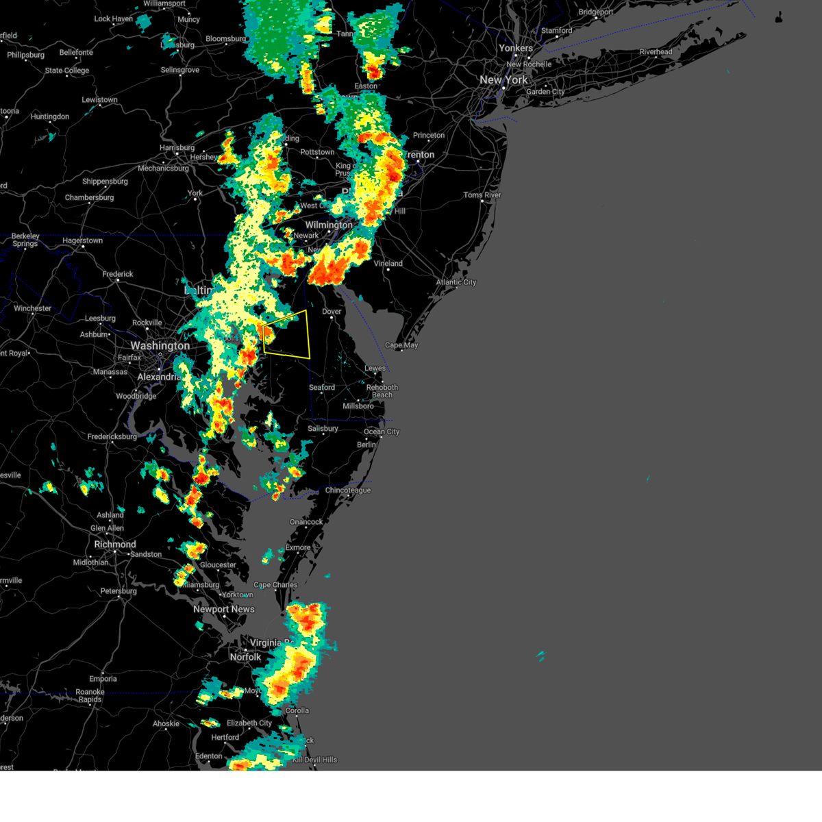 At 507 pm edt, a severe thunderstorm was located over centerville, moving east at 25 mph (radar indicated). Hazards include 60 mph wind gusts and quarter size hail. Minor damage to vehicles is possible. Wind damage to roofs, siding, trees, and power lines is possible. At 507 pm edt, a severe thunderstorm was located over centerville, moving east at 25 mph (radar indicated). Hazards include 60 mph wind gusts and quarter size hail. Minor damage to vehicles is possible. Wind damage to roofs, siding, trees, and power lines is possible.
|
| 6/27/2023 5:08 PM EDT |
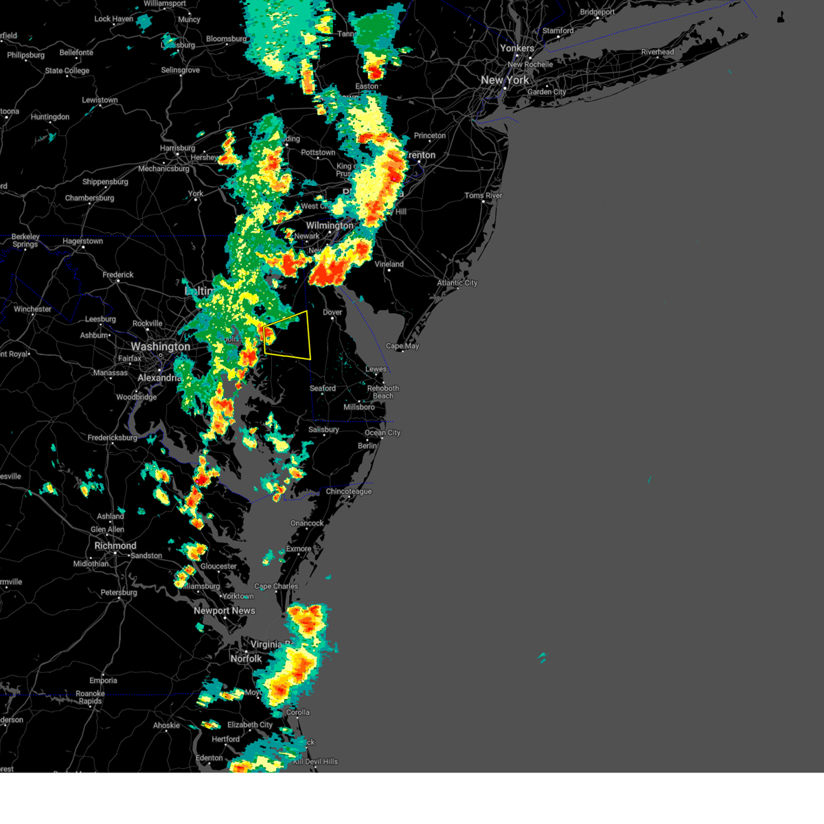 At 507 pm edt, a severe thunderstorm was located over centerville, moving east at 25 mph (radar indicated). Hazards include 60 mph wind gusts and quarter size hail. Minor damage to vehicles is possible. Wind damage to roofs, siding, trees, and power lines is possible. At 507 pm edt, a severe thunderstorm was located over centerville, moving east at 25 mph (radar indicated). Hazards include 60 mph wind gusts and quarter size hail. Minor damage to vehicles is possible. Wind damage to roofs, siding, trees, and power lines is possible.
|
| 4/6/2023 7:18 PM EDT |
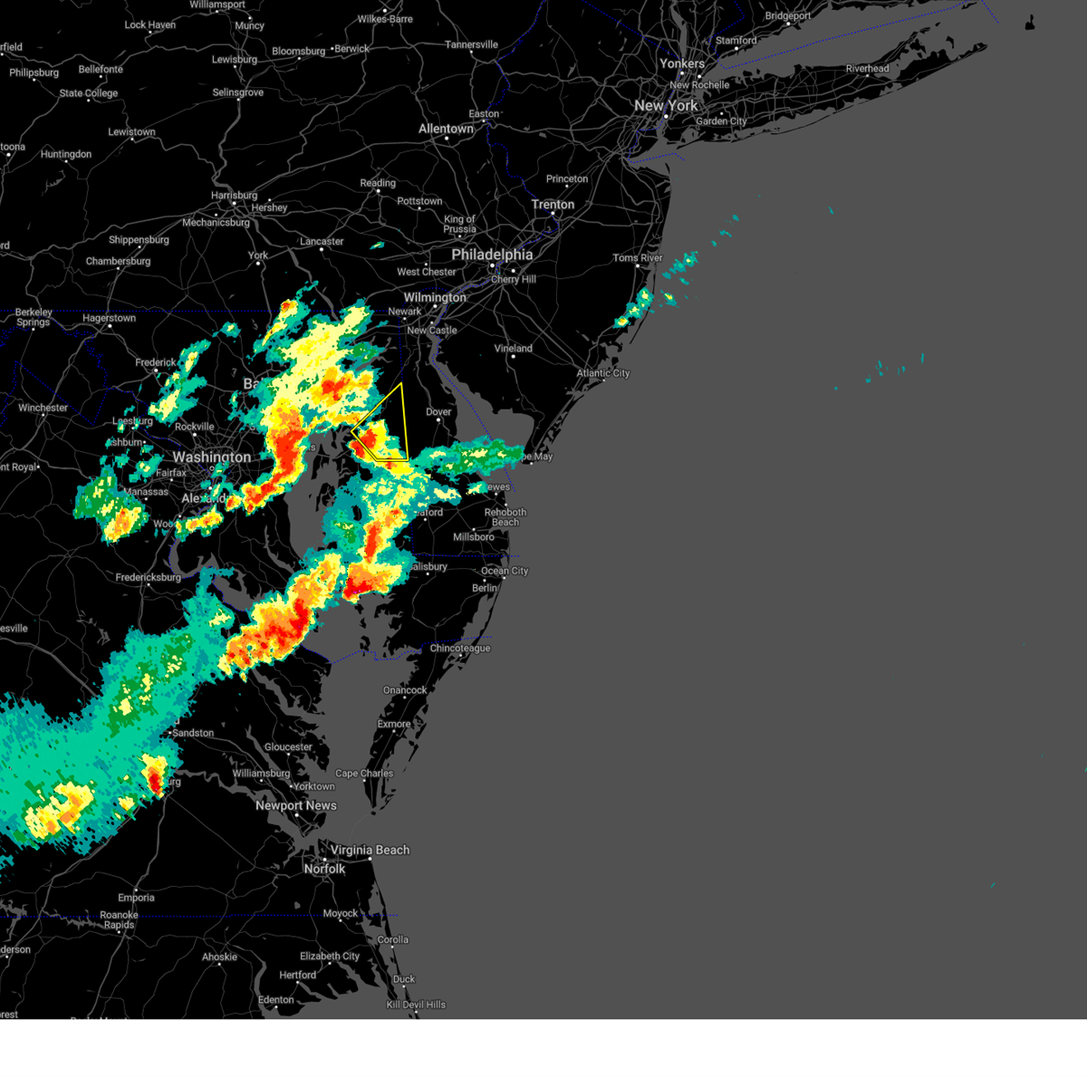 At 718 pm edt, a severe thunderstorm was located near hope, or 8 miles northeast of centerville, moving northeast at 35 mph (radar indicated). Hazards include 60 mph wind gusts and penny size hail. Damage to roofs, siding, trees, and power lines is possible. locations impacted include, centreville, greensboro, oakland, ridgely, church hill, millington, sudlersville, goldsboro, jumptown, starkey corner, carville, hope, massey, henderson, marydel, templeville and barclay. hail threat, radar indicated max hail size, 0. 75 in wind threat, radar indicated max wind gust, 60 mph. At 718 pm edt, a severe thunderstorm was located near hope, or 8 miles northeast of centerville, moving northeast at 35 mph (radar indicated). Hazards include 60 mph wind gusts and penny size hail. Damage to roofs, siding, trees, and power lines is possible. locations impacted include, centreville, greensboro, oakland, ridgely, church hill, millington, sudlersville, goldsboro, jumptown, starkey corner, carville, hope, massey, henderson, marydel, templeville and barclay. hail threat, radar indicated max hail size, 0. 75 in wind threat, radar indicated max wind gust, 60 mph.
|
| 4/6/2023 7:09 PM EDT |
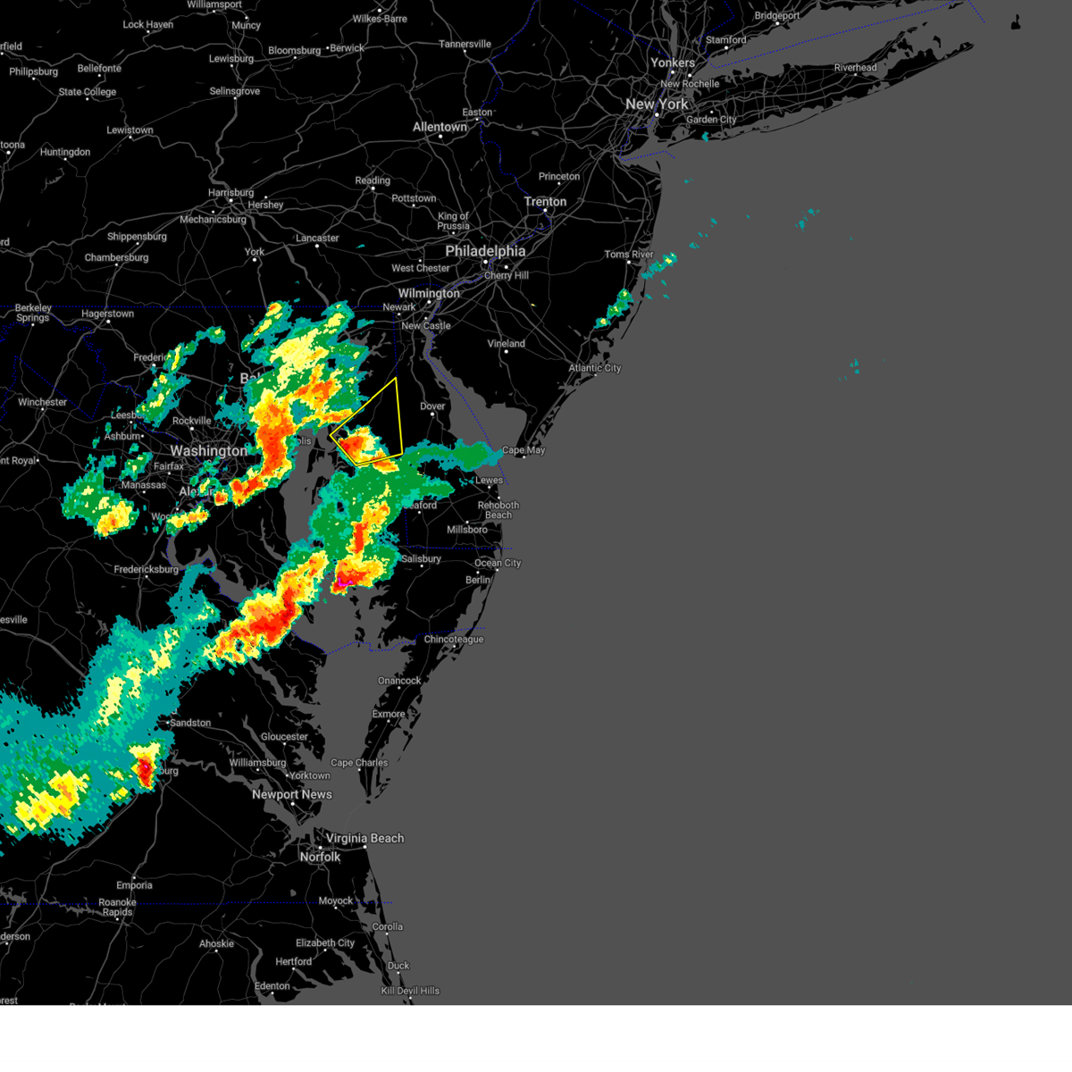 At 708 pm edt, a severe thunderstorm was located over hope, or near centerville, moving northeast at 45 mph (radar indicated). Hazards include 60 mph wind gusts and nickel size hail. damage to roofs, siding, trees, and power lines is possible At 708 pm edt, a severe thunderstorm was located over hope, or near centerville, moving northeast at 45 mph (radar indicated). Hazards include 60 mph wind gusts and nickel size hail. damage to roofs, siding, trees, and power lines is possible
|
| 4/1/2023 7:30 PM EDT |
 At 730 pm edt, severe thunderstorms were located along a line extending from near elmer to near woodland beach to near hazlettville, moving east at 70 mph (radar indicated). Hazards include 70 mph wind gusts and half dollar size hail. Minor damage to vehicles is possible. expect considerable tree damage. wind damage is also likely to mobile homes, roofs, and outbuildings. Locations impacted include, dover, middletown, smyrna, camden, clayton, cheswold, church hill, millington, sudlersville, hartly, old town, rising sun-lebanon, hazlettville, delaney corner, dover base housing, crumpton, dover speedway, sassafras, green spring and rising sun. At 730 pm edt, severe thunderstorms were located along a line extending from near elmer to near woodland beach to near hazlettville, moving east at 70 mph (radar indicated). Hazards include 70 mph wind gusts and half dollar size hail. Minor damage to vehicles is possible. expect considerable tree damage. wind damage is also likely to mobile homes, roofs, and outbuildings. Locations impacted include, dover, middletown, smyrna, camden, clayton, cheswold, church hill, millington, sudlersville, hartly, old town, rising sun-lebanon, hazlettville, delaney corner, dover base housing, crumpton, dover speedway, sassafras, green spring and rising sun.
|
| 4/1/2023 7:30 PM EDT |
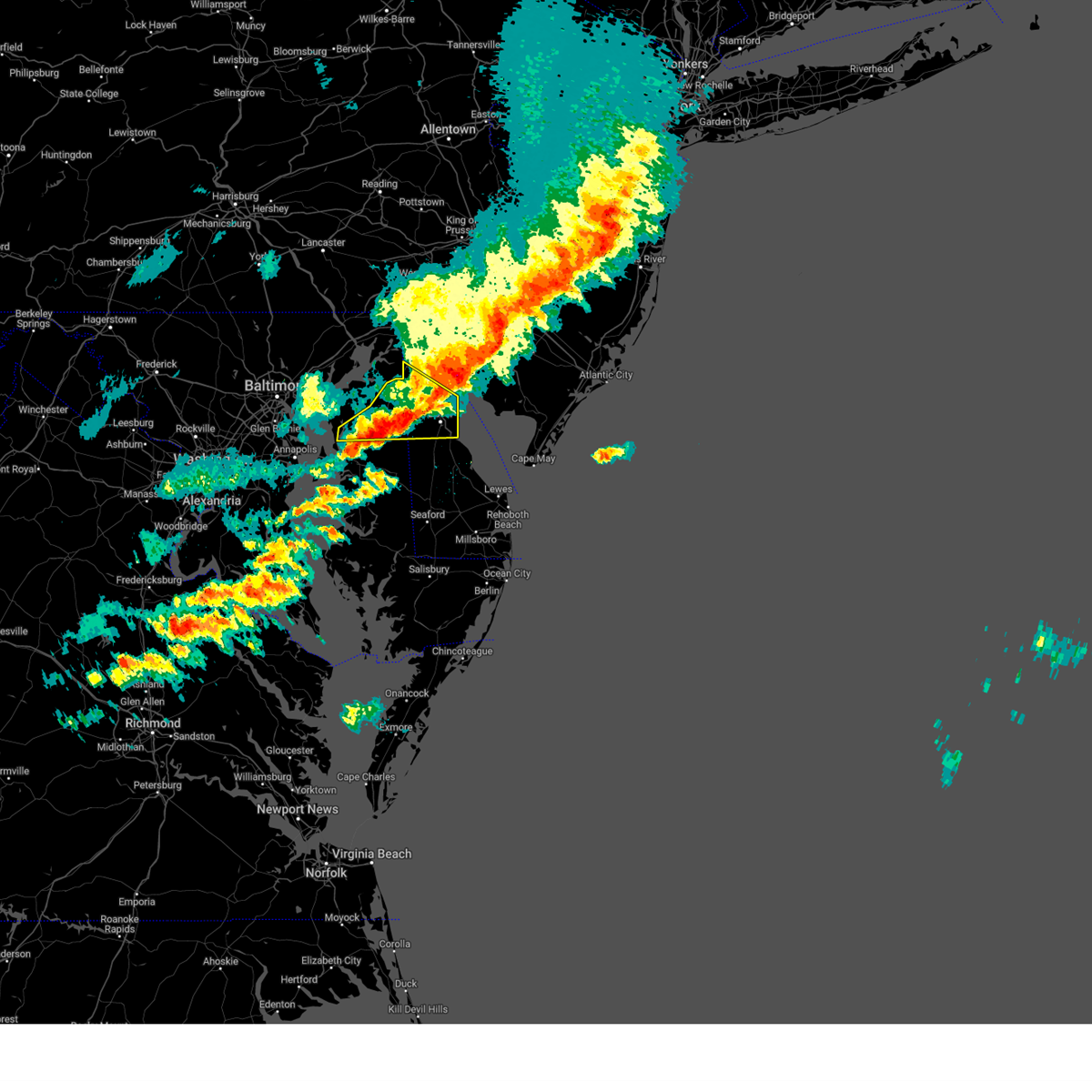 At 730 pm edt, severe thunderstorms were located along a line extending from near elmer to near woodland beach to near hazlettville, moving east at 70 mph (radar indicated). Hazards include 70 mph wind gusts and half dollar size hail. Minor damage to vehicles is possible. expect considerable tree damage. wind damage is also likely to mobile homes, roofs, and outbuildings. Locations impacted include, dover, middletown, smyrna, camden, clayton, cheswold, church hill, millington, sudlersville, hartly, old town, rising sun-lebanon, hazlettville, delaney corner, dover base housing, crumpton, dover speedway, sassafras, green spring and rising sun. At 730 pm edt, severe thunderstorms were located along a line extending from near elmer to near woodland beach to near hazlettville, moving east at 70 mph (radar indicated). Hazards include 70 mph wind gusts and half dollar size hail. Minor damage to vehicles is possible. expect considerable tree damage. wind damage is also likely to mobile homes, roofs, and outbuildings. Locations impacted include, dover, middletown, smyrna, camden, clayton, cheswold, church hill, millington, sudlersville, hartly, old town, rising sun-lebanon, hazlettville, delaney corner, dover base housing, crumpton, dover speedway, sassafras, green spring and rising sun.
|
| 4/1/2023 7:08 PM EDT |
 At 707 pm edt, severe thunderstorms were located along a line extending from port penn to millington to near old town, moving east at 70 mph (radar indicated). Hazards include 70 mph wind gusts and half dollar size hail. Minor damage to vehicles is possible. expect considerable tree damage. wind damage is also likely to mobile homes, roofs, and outbuildings. Locations impacted include, dover, middletown, smyrna, chestertown, centreville, camden, clayton, cheswold, church hill, millington, sudlersville, hartly, old town, rising sun-lebanon, hazlettville, morgnec, delaney corner, dover base housing, crumpton and dover speedway. At 707 pm edt, severe thunderstorms were located along a line extending from port penn to millington to near old town, moving east at 70 mph (radar indicated). Hazards include 70 mph wind gusts and half dollar size hail. Minor damage to vehicles is possible. expect considerable tree damage. wind damage is also likely to mobile homes, roofs, and outbuildings. Locations impacted include, dover, middletown, smyrna, chestertown, centreville, camden, clayton, cheswold, church hill, millington, sudlersville, hartly, old town, rising sun-lebanon, hazlettville, morgnec, delaney corner, dover base housing, crumpton and dover speedway.
|
| 4/1/2023 6:58 PM EDT |
 At 658 pm edt, severe thunderstorms were located along a line extending from mount pleasant to morgnec to near rock hall, moving east at 65 mph (radar indicated). Hazards include 60 mph wind gusts and quarter size hail. Minor damage to vehicles is possible. Wind damage to roofs, siding, trees, and power lines is possible. At 658 pm edt, severe thunderstorms were located along a line extending from mount pleasant to morgnec to near rock hall, moving east at 65 mph (radar indicated). Hazards include 60 mph wind gusts and quarter size hail. Minor damage to vehicles is possible. Wind damage to roofs, siding, trees, and power lines is possible.
|
| 9/12/2022 8:47 PM EDT |
 At 847 pm edt, a severe thunderstorm was located near crumpton, or 12 miles northeast of centerville, moving northeast at 30 mph (radar indicated). Hazards include 60 mph wind gusts. Damage to roofs, siding, trees, and power lines is possible. locations impacted include, chestertown, church hill, millington, sudlersville, starkey corner, morgnec, massey, crumpton, kennedyville, galena, barclay and kingstown. hail threat, radar indicated max hail size, <. 75 in wind threat, radar indicated max wind gust, 60 mph. At 847 pm edt, a severe thunderstorm was located near crumpton, or 12 miles northeast of centerville, moving northeast at 30 mph (radar indicated). Hazards include 60 mph wind gusts. Damage to roofs, siding, trees, and power lines is possible. locations impacted include, chestertown, church hill, millington, sudlersville, starkey corner, morgnec, massey, crumpton, kennedyville, galena, barclay and kingstown. hail threat, radar indicated max hail size, <. 75 in wind threat, radar indicated max wind gust, 60 mph.
|
| 9/12/2022 8:27 PM EDT |
 At 827 pm edt, a severe thunderstorm was located over centreville, or over centerville, moving northeast at 30 mph (radar indicated). Hazards include 60 mph wind gusts. damage to roofs, siding, trees, and power lines is possible At 827 pm edt, a severe thunderstorm was located over centreville, or over centerville, moving northeast at 30 mph (radar indicated). Hazards include 60 mph wind gusts. damage to roofs, siding, trees, and power lines is possible
|
| 8/4/2022 7:52 PM EDT |
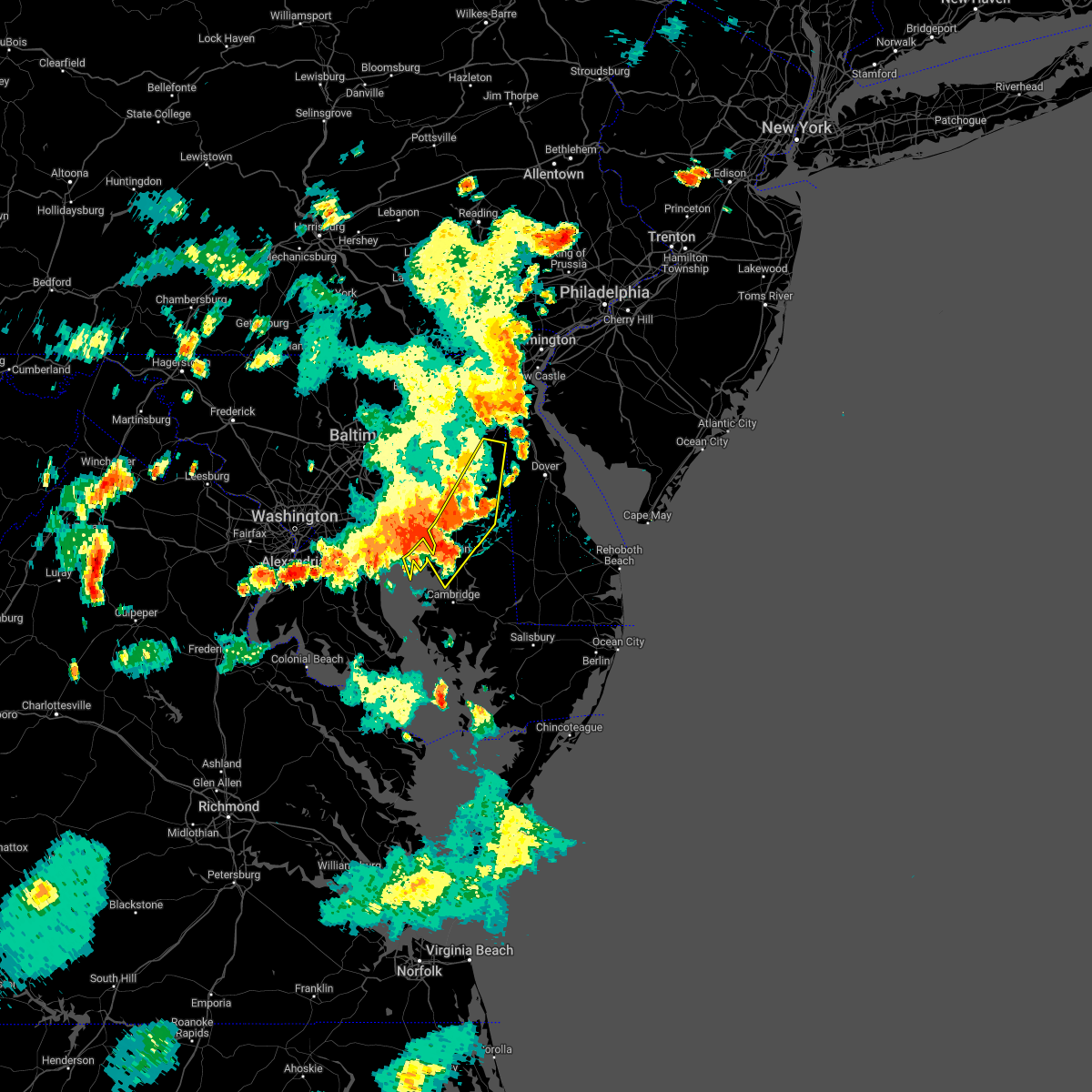 At 751 pm edt, severe thunderstorms were located along a line extending from massey to near wye mills to near breezy point, moving east at 35 mph (radar indicated). Hazards include 60 mph wind gusts and penny size hail. Damage to roofs, siding, trees, and power lines is possible. locations impacted include, easton, centerville, talbot, centreville, oakland, ridgely, st. Michaels, church hill, oxford, millington, sudlersville, queen anne, starr, copperville, jumptown, crumpton, tilghman island, skipton, matthews and starkey corner. At 751 pm edt, severe thunderstorms were located along a line extending from massey to near wye mills to near breezy point, moving east at 35 mph (radar indicated). Hazards include 60 mph wind gusts and penny size hail. Damage to roofs, siding, trees, and power lines is possible. locations impacted include, easton, centerville, talbot, centreville, oakland, ridgely, st. Michaels, church hill, oxford, millington, sudlersville, queen anne, starr, copperville, jumptown, crumpton, tilghman island, skipton, matthews and starkey corner.
|
| 8/4/2022 7:37 PM EDT |
 At 737 pm edt, severe thunderstorms were located along a line extending from kennedyville to grasonville to near chesapeake beach, moving east at 25 mph (radar indicated). Hazards include 60 mph wind gusts and penny size hail. damage to roofs, siding, trees, and power lines is possible At 737 pm edt, severe thunderstorms were located along a line extending from kennedyville to grasonville to near chesapeake beach, moving east at 25 mph (radar indicated). Hazards include 60 mph wind gusts and penny size hail. damage to roofs, siding, trees, and power lines is possible
|
| 8/2/2022 1:53 AM EDT |
 The severe thunderstorm warning for queen anne`s and northeastern caroline counties will expire at 200 am edt, the storm which prompted the warning has weakened below severe limits, and no longer poses an immediate threat to life or property. therefore, the warning will be allowed to expire. however gusty winds are still possible with this thunderstorm. The severe thunderstorm warning for queen anne`s and northeastern caroline counties will expire at 200 am edt, the storm which prompted the warning has weakened below severe limits, and no longer poses an immediate threat to life or property. therefore, the warning will be allowed to expire. however gusty winds are still possible with this thunderstorm.
|
| 8/2/2022 1:37 AM EDT |
 At 137 am edt, a severe thunderstorm was located over starkey corner, or near centerville, moving east at 35 mph (radar indicated). Hazards include 60 mph wind gusts. Damage to roofs, siding, trees, and power lines is possible. locations impacted include, centerville, centreville, oakland, church hill, sudlersville, goldsboro, starkey corner, carville, hope, henderson, marydel, templeville, barclay and kingstown. hail threat, radar indicated max hail size, <. 75 in wind threat, radar indicated max wind gust, 60 mph. At 137 am edt, a severe thunderstorm was located over starkey corner, or near centerville, moving east at 35 mph (radar indicated). Hazards include 60 mph wind gusts. Damage to roofs, siding, trees, and power lines is possible. locations impacted include, centerville, centreville, oakland, church hill, sudlersville, goldsboro, starkey corner, carville, hope, henderson, marydel, templeville, barclay and kingstown. hail threat, radar indicated max hail size, <. 75 in wind threat, radar indicated max wind gust, 60 mph.
|
| 8/2/2022 1:19 AM EDT |
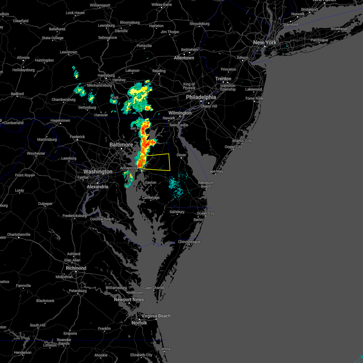 At 119 am edt, a severe thunderstorm was located near rock hall, or 7 miles northwest of centerville, moving east at 35 mph (radar indicated). Hazards include 60 mph wind gusts. damage to roofs, siding, trees, and power lines is possible At 119 am edt, a severe thunderstorm was located near rock hall, or 7 miles northwest of centerville, moving east at 35 mph (radar indicated). Hazards include 60 mph wind gusts. damage to roofs, siding, trees, and power lines is possible
|
| 7/18/2022 7:30 PM EDT |
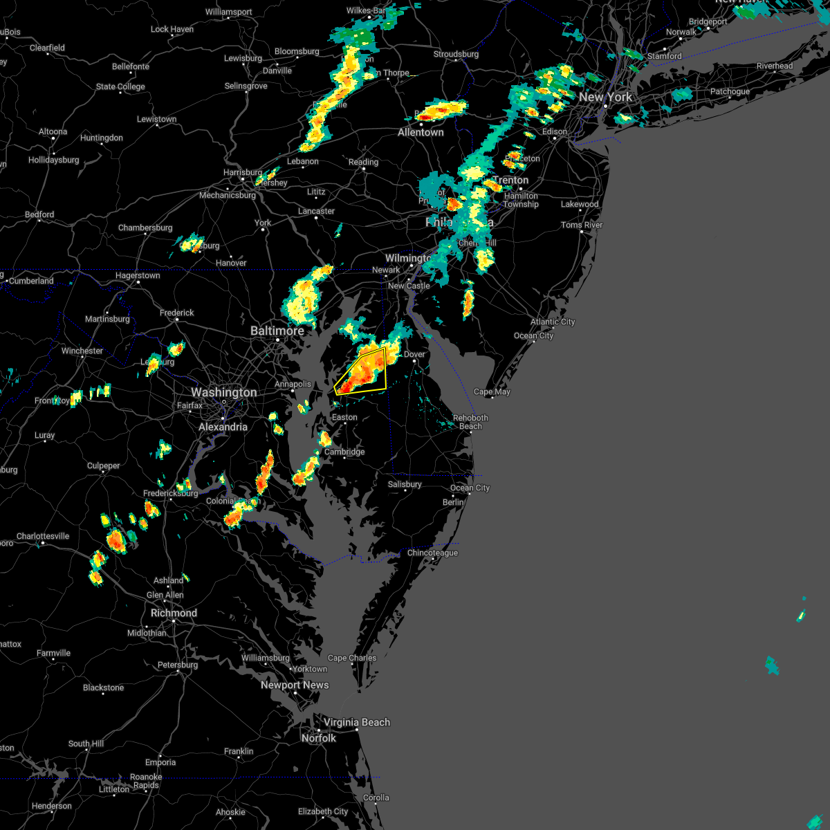 At 728 pm edt, a severe thunderstorm was located over starr, or near centerville, moving east at 30 mph (radar indicated. at 710 pm, 64 mph wind gusts were measured near queenstown). Hazards include 70 mph wind gusts. Expect considerable tree damage. damage is likely to mobile homes, roofs, and outbuildings. locations impacted include, centerville, centreville, oakland, church hill, sudlersville, goldsboro, starr, starkey corner, carville, hope, queenstown, henderson, templeville and barclay. thunderstorm damage threat, considerable hail threat, radar indicated max hail size, <. 75 in wind threat, observed max wind gust, 70 mph. At 728 pm edt, a severe thunderstorm was located over starr, or near centerville, moving east at 30 mph (radar indicated. at 710 pm, 64 mph wind gusts were measured near queenstown). Hazards include 70 mph wind gusts. Expect considerable tree damage. damage is likely to mobile homes, roofs, and outbuildings. locations impacted include, centerville, centreville, oakland, church hill, sudlersville, goldsboro, starr, starkey corner, carville, hope, queenstown, henderson, templeville and barclay. thunderstorm damage threat, considerable hail threat, radar indicated max hail size, <. 75 in wind threat, observed max wind gust, 70 mph.
|
| 7/18/2022 7:18 PM EDT |
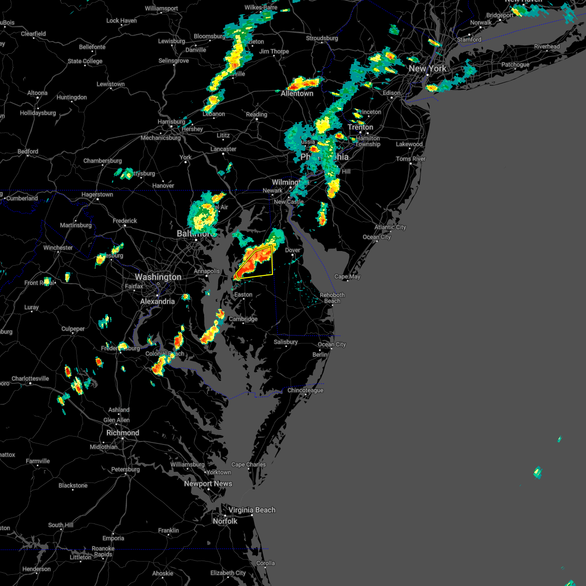 At 718 pm edt, severe thunderstorms were located along a line extending from near sudlersville to near centerville, moving east at 15 mph (radar indicated). Hazards include 60 mph wind gusts. Damage to roofs, siding, trees, and power lines is possible. locations impacted include, centerville, centreville, oakland, church hill, sudlersville, goldsboro, starr, starkey corner, carville, hope, queenstown, henderson, templeville and barclay. hail threat, radar indicated max hail size, <. 75 in wind threat, radar indicated max wind gust, 60 mph. At 718 pm edt, severe thunderstorms were located along a line extending from near sudlersville to near centerville, moving east at 15 mph (radar indicated). Hazards include 60 mph wind gusts. Damage to roofs, siding, trees, and power lines is possible. locations impacted include, centerville, centreville, oakland, church hill, sudlersville, goldsboro, starr, starkey corner, carville, hope, queenstown, henderson, templeville and barclay. hail threat, radar indicated max hail size, <. 75 in wind threat, radar indicated max wind gust, 60 mph.
|
| 7/18/2022 6:44 PM EDT |
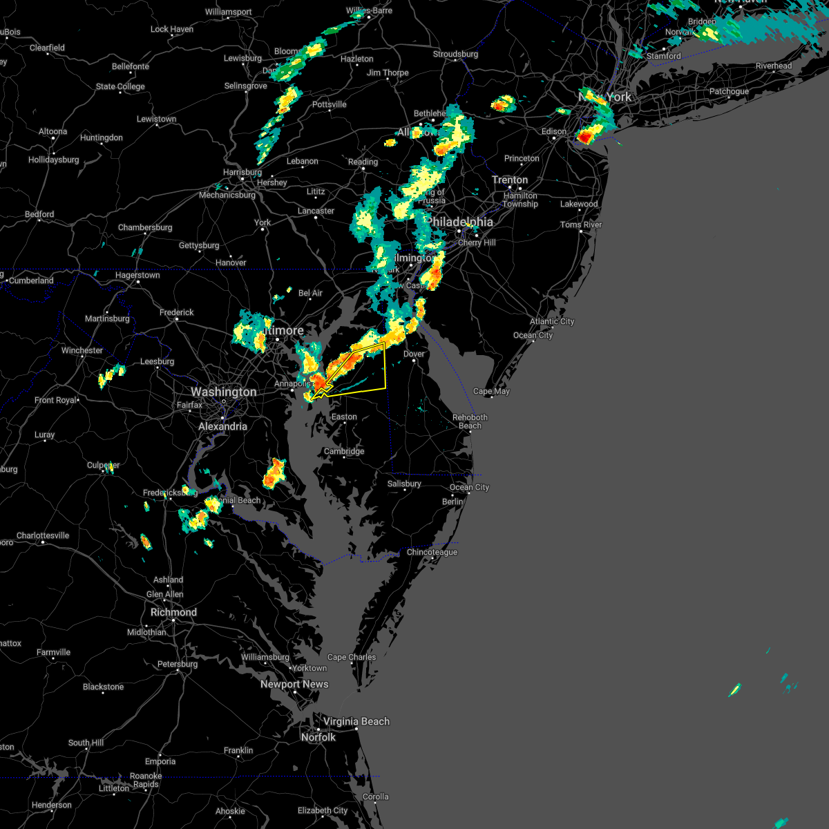 At 644 pm edt, severe thunderstorms were located along a line extending from near church hill to near chester, moving east at 20 mph (radar indicated). Hazards include 60 mph wind gusts. damage to roofs, siding, trees, and power lines is possible At 644 pm edt, severe thunderstorms were located along a line extending from near church hill to near chester, moving east at 20 mph (radar indicated). Hazards include 60 mph wind gusts. damage to roofs, siding, trees, and power lines is possible
|
| 7/18/2022 6:26 PM EDT |
 At 626 pm edt, severe thunderstorms were located along a line extending from massey to old town, moving east at 25 mph (radar indicated). Hazards include 60 mph wind gusts. Damage to roofs, siding, trees, and power lines is possible. locations impacted include, centerville, chestertown, centreville, oakland, church hill, millington, sudlersville, goldsboro, sassafras, old town, langford, overton, starkey corner, morgnec, massey, crumpton, carville, hope, galena and henderson. hail threat, radar indicated max hail size, <. 75 in wind threat, radar indicated max wind gust, 60 mph. At 626 pm edt, severe thunderstorms were located along a line extending from massey to old town, moving east at 25 mph (radar indicated). Hazards include 60 mph wind gusts. Damage to roofs, siding, trees, and power lines is possible. locations impacted include, centerville, chestertown, centreville, oakland, church hill, millington, sudlersville, goldsboro, sassafras, old town, langford, overton, starkey corner, morgnec, massey, crumpton, carville, hope, galena and henderson. hail threat, radar indicated max hail size, <. 75 in wind threat, radar indicated max wind gust, 60 mph.
|
| 7/18/2022 5:42 PM EDT |
 At 541 pm edt, severe thunderstorms were located along a line extending from near newtown to near rock hall, moving east at 30 mph (radar indicated). Hazards include 60 mph wind gusts. damage to roofs, siding, trees, and power lines is possible At 541 pm edt, severe thunderstorms were located along a line extending from near newtown to near rock hall, moving east at 30 mph (radar indicated). Hazards include 60 mph wind gusts. damage to roofs, siding, trees, and power lines is possible
|
| 7/12/2022 7:24 PM EDT |
 At 723 pm edt, severe thunderstorms were located along a line extending from near hope to near denton to near tanyard, moving east at 45 mph (radar indicated). Hazards include 60 mph wind gusts and quarter size hail. Minor damage to vehicles is possible. wind damage to roofs, siding, trees, and power lines is possible. locations impacted include, dover, easton, centerville, denton, centreville, harrington, camden, federalsburg, greensboro, oakland, ridgely, cheswold, church hill, preston, sudlersville, goldsboro, queen anne, woodside, viola and hartly. hail threat, radar indicated max hail size, 1. 00 in wind threat, radar indicated max wind gust, 60 mph. At 723 pm edt, severe thunderstorms were located along a line extending from near hope to near denton to near tanyard, moving east at 45 mph (radar indicated). Hazards include 60 mph wind gusts and quarter size hail. Minor damage to vehicles is possible. wind damage to roofs, siding, trees, and power lines is possible. locations impacted include, dover, easton, centerville, denton, centreville, harrington, camden, federalsburg, greensboro, oakland, ridgely, cheswold, church hill, preston, sudlersville, goldsboro, queen anne, woodside, viola and hartly. hail threat, radar indicated max hail size, 1. 00 in wind threat, radar indicated max wind gust, 60 mph.
|
| 7/12/2022 7:24 PM EDT |
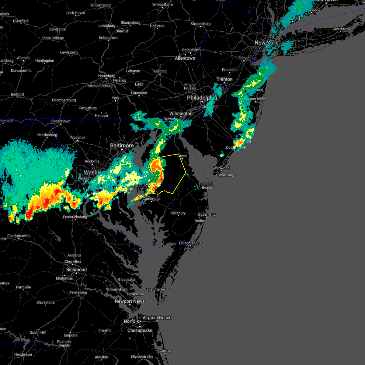 At 723 pm edt, severe thunderstorms were located along a line extending from near hope to near denton to near tanyard, moving east at 45 mph (radar indicated). Hazards include 60 mph wind gusts and quarter size hail. Minor damage to vehicles is possible. wind damage to roofs, siding, trees, and power lines is possible. locations impacted include, dover, easton, centerville, denton, centreville, harrington, camden, federalsburg, greensboro, oakland, ridgely, cheswold, church hill, preston, sudlersville, goldsboro, queen anne, woodside, viola and hartly. hail threat, radar indicated max hail size, 1. 00 in wind threat, radar indicated max wind gust, 60 mph. At 723 pm edt, severe thunderstorms were located along a line extending from near hope to near denton to near tanyard, moving east at 45 mph (radar indicated). Hazards include 60 mph wind gusts and quarter size hail. Minor damage to vehicles is possible. wind damage to roofs, siding, trees, and power lines is possible. locations impacted include, dover, easton, centerville, denton, centreville, harrington, camden, federalsburg, greensboro, oakland, ridgely, cheswold, church hill, preston, sudlersville, goldsboro, queen anne, woodside, viola and hartly. hail threat, radar indicated max hail size, 1. 00 in wind threat, radar indicated max wind gust, 60 mph.
|
| 7/12/2022 7:12 PM EDT |
 At 712 pm edt, severe thunderstorms were located along a line extending from near centreville to near starr to near easton, moving east at 45 mph (radar indicated). Hazards include 60 mph wind gusts and quarter size hail. Minor damage to vehicles is possible. Wind damage to roofs, siding, trees, and power lines is possible. At 712 pm edt, severe thunderstorms were located along a line extending from near centreville to near starr to near easton, moving east at 45 mph (radar indicated). Hazards include 60 mph wind gusts and quarter size hail. Minor damage to vehicles is possible. Wind damage to roofs, siding, trees, and power lines is possible.
|
| 7/12/2022 7:12 PM EDT |
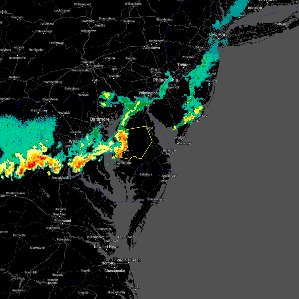 At 712 pm edt, severe thunderstorms were located along a line extending from near centreville to near starr to near easton, moving east at 45 mph (radar indicated). Hazards include 60 mph wind gusts and quarter size hail. Minor damage to vehicles is possible. Wind damage to roofs, siding, trees, and power lines is possible. At 712 pm edt, severe thunderstorms were located along a line extending from near centreville to near starr to near easton, moving east at 45 mph (radar indicated). Hazards include 60 mph wind gusts and quarter size hail. Minor damage to vehicles is possible. Wind damage to roofs, siding, trees, and power lines is possible.
|
| 7/2/2022 9:14 PM EDT |
 At 914 pm edt, severe thunderstorms were located along a line extending from near perryman to 6 miles east of millers island, moving east at 30 mph (radar indicated). Hazards include 60 mph wind gusts. damage to roofs, siding, trees, and power lines is possible At 914 pm edt, severe thunderstorms were located along a line extending from near perryman to 6 miles east of millers island, moving east at 30 mph (radar indicated). Hazards include 60 mph wind gusts. damage to roofs, siding, trees, and power lines is possible
|
| 6/2/2022 3:57 PM EDT |
 At 357 pm edt, a severe thunderstorm was located near rock hall, or near bodkin point, moving northeast at 25 mph (radar indicated). Hazards include 60 mph wind gusts and half dollar size hail. Minor damage to vehicles is possible. Wind damage to roofs, siding, trees, and power lines is possible. At 357 pm edt, a severe thunderstorm was located near rock hall, or near bodkin point, moving northeast at 25 mph (radar indicated). Hazards include 60 mph wind gusts and half dollar size hail. Minor damage to vehicles is possible. Wind damage to roofs, siding, trees, and power lines is possible.
|
| 9/23/2021 10:53 AM EDT |
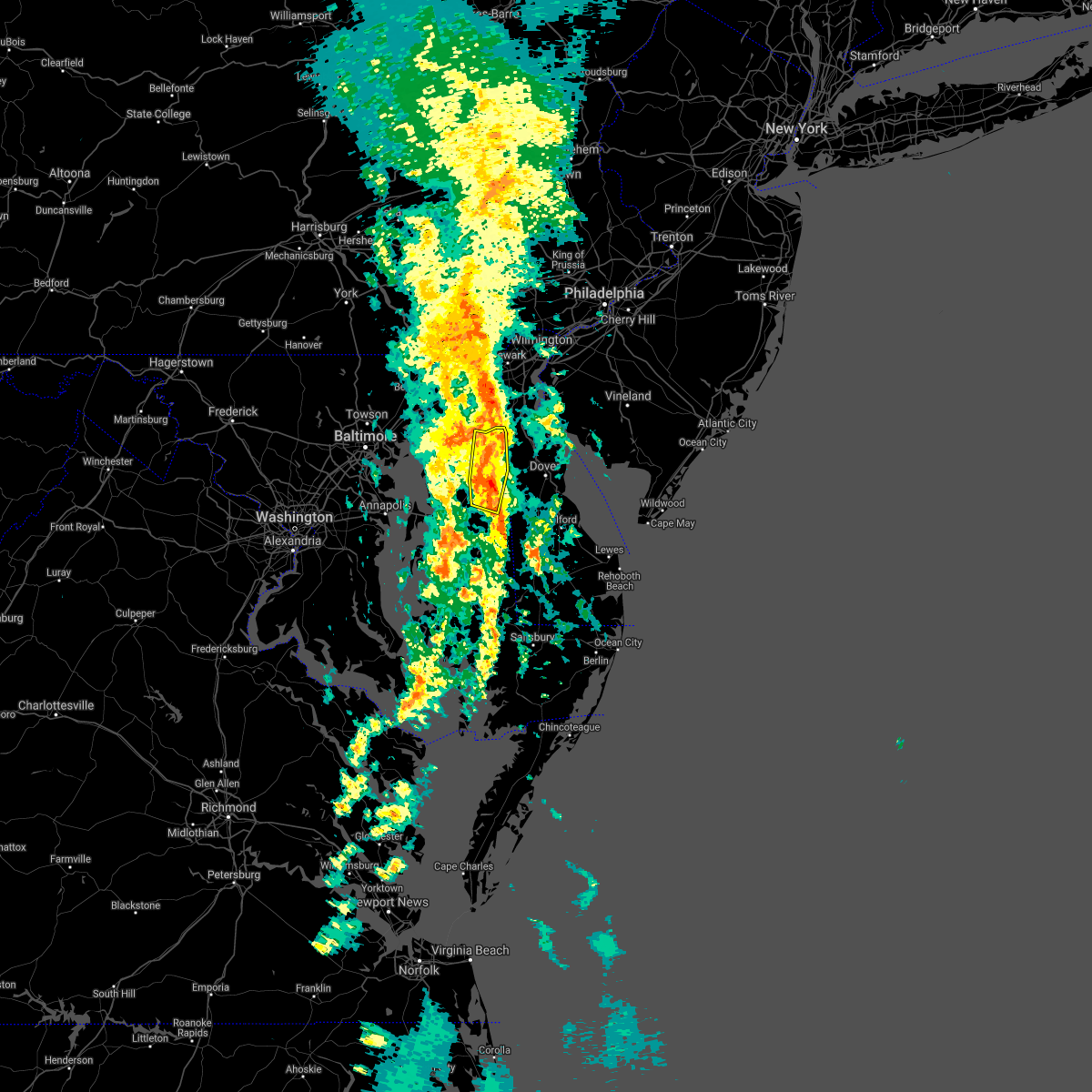 At 1052 am edt, a severe thunderstorm was located over sudlersville, or 16 miles northeast of centerville, moving northeast at 40 mph (radar indicated). Hazards include 60 mph wind gusts. Damage to roofs, siding, trees, and power lines is possible. Locations impacted include, greensboro, church hill, millington, sudlersville, sassafras, massey, crumpton, hope, galena, templeville and barclay. At 1052 am edt, a severe thunderstorm was located over sudlersville, or 16 miles northeast of centerville, moving northeast at 40 mph (radar indicated). Hazards include 60 mph wind gusts. Damage to roofs, siding, trees, and power lines is possible. Locations impacted include, greensboro, church hill, millington, sudlersville, sassafras, massey, crumpton, hope, galena, templeville and barclay.
|
| 9/23/2021 10:35 AM EDT |
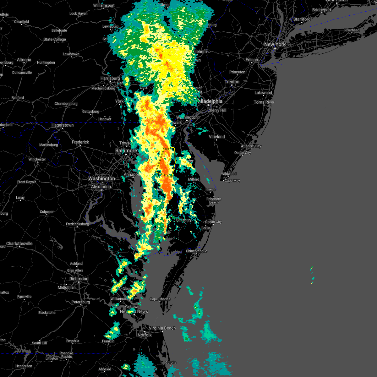 At 1035 am edt, a severe thunderstorm was located near church hill, or 7 miles northeast of centerville, moving north at 30 mph (radar indicated). Hazards include 60 mph wind gusts. damage to roofs, siding, trees, and power lines is possible At 1035 am edt, a severe thunderstorm was located near church hill, or 7 miles northeast of centerville, moving north at 30 mph (radar indicated). Hazards include 60 mph wind gusts. damage to roofs, siding, trees, and power lines is possible
|
| 9/23/2021 10:12 AM EDT |
 At 1012 am edt, severe thunderstorms were located along a line extending from calvert to near hambleton, moving north at 40 mph (radar indicated). Hazards include 60 mph wind gusts. Damage to roofs, siding, trees, and power lines is possible. Locations impacted include, easton, centerville, chestertown, denton, centreville, federalsburg, greensboro, oakland, ridgely, trappe, church hill, preston, millington, sudlersville, betterton, goldsboro, queen anne, smithville, old town and starr. At 1012 am edt, severe thunderstorms were located along a line extending from calvert to near hambleton, moving north at 40 mph (radar indicated). Hazards include 60 mph wind gusts. Damage to roofs, siding, trees, and power lines is possible. Locations impacted include, easton, centerville, chestertown, denton, centreville, federalsburg, greensboro, oakland, ridgely, trappe, church hill, preston, millington, sudlersville, betterton, goldsboro, queen anne, smithville, old town and starr.
|
| 9/23/2021 9:46 AM EDT |
 At 945 am edt, severe thunderstorms were located along a line extending from near aberdeen proving ground to 6 miles southwest of cambridge, moving northeast at 40 mph (radar indicated). Hazards include 60 mph wind gusts. damage to roofs, siding, trees, and power lines is possible At 945 am edt, severe thunderstorms were located along a line extending from near aberdeen proving ground to 6 miles southwest of cambridge, moving northeast at 40 mph (radar indicated). Hazards include 60 mph wind gusts. damage to roofs, siding, trees, and power lines is possible
|
| 9/1/2021 5:42 PM EDT |
 At 542 pm edt, severe thunderstorms were located along a line extending from near goldsboro to andrewsville to seaford, moving northeast at 50 mph (radar indicated). Hazards include 60 mph wind gusts. Damage to roofs, siding, trees, and power lines is possible. Locations impacted include, milford, seaford, laurel, harrington, camden, bridgeville, greensboro, oakland, sudlersville, ellendale, goldsboro, woodside, viola, smithville, hazlettville, sandtown, andrewsville, rising sun-lebanon, wyoming and felton. At 542 pm edt, severe thunderstorms were located along a line extending from near goldsboro to andrewsville to seaford, moving northeast at 50 mph (radar indicated). Hazards include 60 mph wind gusts. Damage to roofs, siding, trees, and power lines is possible. Locations impacted include, milford, seaford, laurel, harrington, camden, bridgeville, greensboro, oakland, sudlersville, ellendale, goldsboro, woodside, viola, smithville, hazlettville, sandtown, andrewsville, rising sun-lebanon, wyoming and felton.
|
| 9/1/2021 5:31 PM EDT |
 At 530 pm edt, severe thunderstorms were located along a line extending from near denton to smithville to near sharptown, moving northeast at 50 mph (radar indicated). Hazards include 60 mph wind gusts. Damage to roofs, siding, trees, and power lines is possible. Locations impacted include, milford, seaford, denton, laurel, harrington, camden, federalsburg, bridgeville, greensboro, oakland, ridgely, sudlersville, ellendale, goldsboro, queen anne, woodside, viola, smithville, jumptown and hazlettville. At 530 pm edt, severe thunderstorms were located along a line extending from near denton to smithville to near sharptown, moving northeast at 50 mph (radar indicated). Hazards include 60 mph wind gusts. Damage to roofs, siding, trees, and power lines is possible. Locations impacted include, milford, seaford, denton, laurel, harrington, camden, federalsburg, bridgeville, greensboro, oakland, ridgely, sudlersville, ellendale, goldsboro, queen anne, woodside, viola, smithville, jumptown and hazlettville.
|
| 9/1/2021 5:16 PM EDT |
 At 515 pm edt, severe thunderstorms were located along a line extending from windyhill to near hurlock to near hebron, moving northeast at 50 mph (radar indicated). Hazards include 60 mph wind gusts. damage to roofs, siding, trees, and power lines is possible At 515 pm edt, severe thunderstorms were located along a line extending from windyhill to near hurlock to near hebron, moving northeast at 50 mph (radar indicated). Hazards include 60 mph wind gusts. damage to roofs, siding, trees, and power lines is possible
|
| 9/1/2021 3:44 PM EDT |
 At 344 pm edt, severe thunderstorms were located along a line extending from near newtown to near centreville to near greensboro, moving east at 45 mph (radar indicated). Hazards include 60 mph wind gusts. Damage to roofs, siding, trees, and power lines is possible. Locations impacted include, centerville, chestertown, centreville, greensboro, oakland, ridgely, rock hall, church hill, millington, sudlersville, goldsboro, queen anne, old town, starr, jumptown, newtown, morgnec, crumpton, sassafras and langford. At 344 pm edt, severe thunderstorms were located along a line extending from near newtown to near centreville to near greensboro, moving east at 45 mph (radar indicated). Hazards include 60 mph wind gusts. Damage to roofs, siding, trees, and power lines is possible. Locations impacted include, centerville, chestertown, centreville, greensboro, oakland, ridgely, rock hall, church hill, millington, sudlersville, goldsboro, queen anne, old town, starr, jumptown, newtown, morgnec, crumpton, sassafras and langford.
|
| 9/1/2021 3:18 PM EDT |
 At 318 pm edt, severe thunderstorms were located along a line extending from near millers island to near stevensville to tilghman island, moving northeast at 40 mph (radar indicated). Hazards include 60 mph wind gusts. Damage to roofs, siding, trees, and power lines is possible. locations impacted include, easton, centerville, talbot, chestertown, denton, centreville, romancoke, federalsburg, greensboro, oakland, ridgely, rock hall, trappe, st. Michaels, church hill, preston, oxford, millington, sudlersville and goldsboro. At 318 pm edt, severe thunderstorms were located along a line extending from near millers island to near stevensville to tilghman island, moving northeast at 40 mph (radar indicated). Hazards include 60 mph wind gusts. Damage to roofs, siding, trees, and power lines is possible. locations impacted include, easton, centerville, talbot, chestertown, denton, centreville, romancoke, federalsburg, greensboro, oakland, ridgely, rock hall, trappe, st. Michaels, church hill, preston, oxford, millington, sudlersville and goldsboro.
|
| 9/1/2021 3:16 PM EDT |
 At 315 pm edt, severe thunderstorms were located along a line extending from near bodkin point to near romancoke to near oxford, moving east at 60 mph (radar indicated). Hazards include 60 mph wind gusts. damage to roofs, siding, trees, and power lines is possible At 315 pm edt, severe thunderstorms were located along a line extending from near bodkin point to near romancoke to near oxford, moving east at 60 mph (radar indicated). Hazards include 60 mph wind gusts. damage to roofs, siding, trees, and power lines is possible
|
| 8/30/2021 5:36 PM EDT |
 The severe thunderstorm warning for northeastern queen anne`s and central kent counties will expire at 545 pm edt, the storm which prompted the warning has weakened below severe limits, and no longer poses an immediate threat to life or property. therefore, the warning will be allowed to expire. however gusty winds and heavy rain are still possible with this thunderstorm. The severe thunderstorm warning for northeastern queen anne`s and central kent counties will expire at 545 pm edt, the storm which prompted the warning has weakened below severe limits, and no longer poses an immediate threat to life or property. therefore, the warning will be allowed to expire. however gusty winds and heavy rain are still possible with this thunderstorm.
|
| 8/30/2021 5:16 PM EDT |
 At 516 pm edt, a severe thunderstorm was located near church hill, or 11 miles north of centerville, and is nearly stationary (radar indicated). Hazards include 60 mph wind gusts and nickel size hail. Damage to roofs, siding, trees, and power lines is possible. locations impacted include, chestertown, church hill, millington, sudlersville, morgnec, crumpton, langford, templeville, barclay and kingstown. hail threat, radar indicated max hail size, 0. 88 in wind threat, radar indicated max wind gust, 60 mph. At 516 pm edt, a severe thunderstorm was located near church hill, or 11 miles north of centerville, and is nearly stationary (radar indicated). Hazards include 60 mph wind gusts and nickel size hail. Damage to roofs, siding, trees, and power lines is possible. locations impacted include, chestertown, church hill, millington, sudlersville, morgnec, crumpton, langford, templeville, barclay and kingstown. hail threat, radar indicated max hail size, 0. 88 in wind threat, radar indicated max wind gust, 60 mph.
|
| 8/30/2021 4:54 PM EDT |
 At 454 pm edt, a severe thunderstorm was located over morgnec, or 12 miles north of centerville, moving southeast at 5 mph (radar indicated). Hazards include 60 mph wind gusts and penny size hail. damage to roofs, siding, trees, and power lines is possible At 454 pm edt, a severe thunderstorm was located over morgnec, or 12 miles north of centerville, moving southeast at 5 mph (radar indicated). Hazards include 60 mph wind gusts and penny size hail. damage to roofs, siding, trees, and power lines is possible
|
| 7/26/2021 1:05 AM EDT |
 At 105 am edt, a severe thunderstorm was located over massey, or 11 miles southwest of middletown, moving southeast at 15 mph (radar indicated). Hazards include 60 mph wind gusts. damage to roofs, siding, trees, and power lines is possible At 105 am edt, a severe thunderstorm was located over massey, or 11 miles southwest of middletown, moving southeast at 15 mph (radar indicated). Hazards include 60 mph wind gusts. damage to roofs, siding, trees, and power lines is possible
|
| 7/26/2021 1:05 AM EDT |
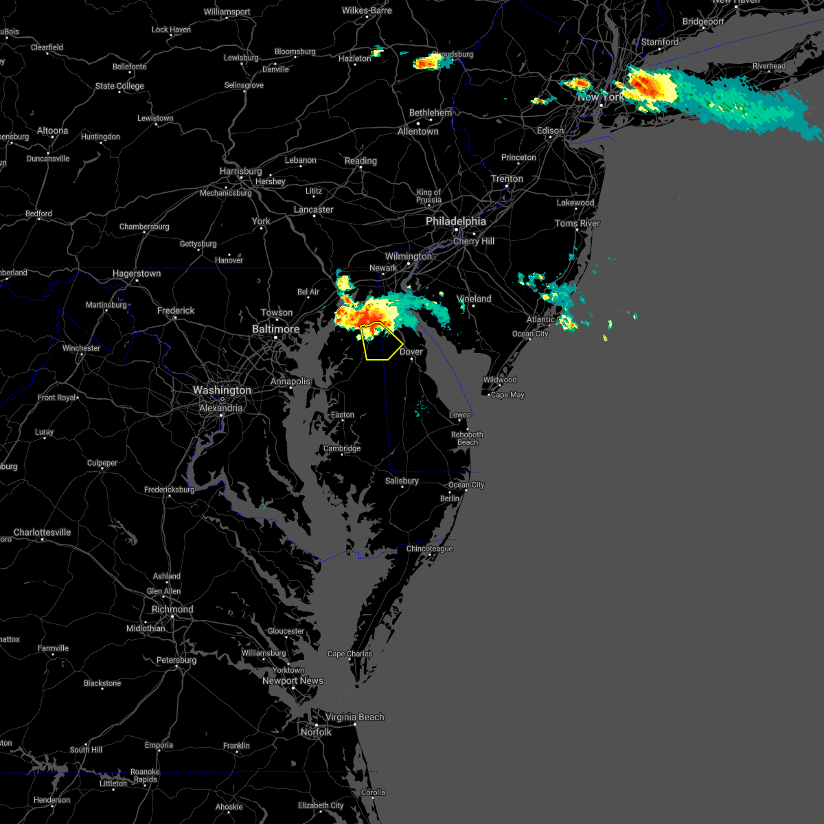 At 105 am edt, a severe thunderstorm was located over massey, or 11 miles southwest of middletown, moving southeast at 15 mph (radar indicated). Hazards include 60 mph wind gusts. damage to roofs, siding, trees, and power lines is possible At 105 am edt, a severe thunderstorm was located over massey, or 11 miles southwest of middletown, moving southeast at 15 mph (radar indicated). Hazards include 60 mph wind gusts. damage to roofs, siding, trees, and power lines is possible
|
| 7/1/2021 10:50 PM EDT | Multiple trees were reported down near sudlersville. time estimated from rada in queen anne's county MD, 1.2 miles ESE of Sudlersville, MD |
| 7/1/2021 10:46 PM EDT |
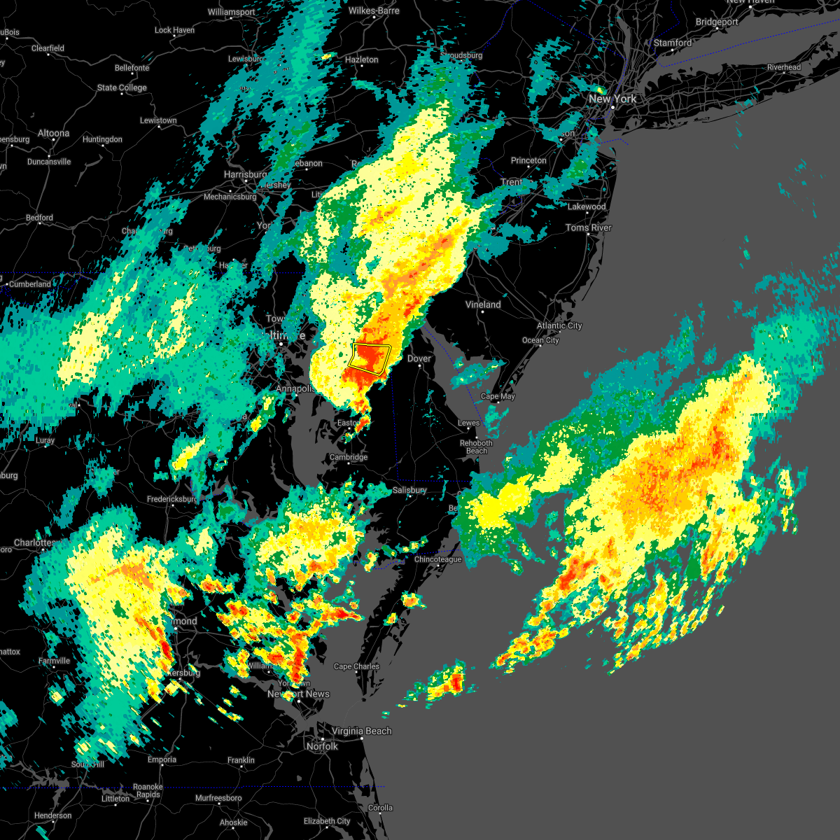 At 1046 pm edt, a severe thunderstorm was located near morgnec, or 11 miles north of centerville, moving east at 20 mph (radar indicated). Hazards include 60 mph wind gusts and penny size hail. Damage to roofs, siding, trees, and power lines is possible. Locations impacted include, church hill, millington, sudlersville, morgnec, crumpton, barclay and kingstown. At 1046 pm edt, a severe thunderstorm was located near morgnec, or 11 miles north of centerville, moving east at 20 mph (radar indicated). Hazards include 60 mph wind gusts and penny size hail. Damage to roofs, siding, trees, and power lines is possible. Locations impacted include, church hill, millington, sudlersville, morgnec, crumpton, barclay and kingstown.
|
| 7/1/2021 10:35 PM EDT |
 At 1035 pm edt, a severe thunderstorm was located over chestertown, or 12 miles north of centerville, moving southeast at 20 mph (radar indicated). Hazards include 60 mph wind gusts and penny size hail. damage to roofs, siding, trees, and power lines is possible At 1035 pm edt, a severe thunderstorm was located over chestertown, or 12 miles north of centerville, moving southeast at 20 mph (radar indicated). Hazards include 60 mph wind gusts and penny size hail. damage to roofs, siding, trees, and power lines is possible
|
| 7/1/2021 4:43 PM EDT |
 At 442 pm edt, a severe thunderstorm was located over dover, moving east at 35 mph (radar indicated. the public reported dime sized hail in dover. several reports of wind damage have been received from queen anne`s county). Hazards include 70 mph wind gusts and penny size hail. Expect considerable tree damage. damage is likely to mobile homes, roofs, and outbuildings. Locations impacted include, dover, smyrna, camden, clayton, cheswold, sudlersville, bowers, goldsboro, woodside, viola, hartly, rising sun-lebanon, woodland beach, hazlettville, dover base housing, dover speedway, sandtown, rising sun, wyoming and kenton. At 442 pm edt, a severe thunderstorm was located over dover, moving east at 35 mph (radar indicated. the public reported dime sized hail in dover. several reports of wind damage have been received from queen anne`s county). Hazards include 70 mph wind gusts and penny size hail. Expect considerable tree damage. damage is likely to mobile homes, roofs, and outbuildings. Locations impacted include, dover, smyrna, camden, clayton, cheswold, sudlersville, bowers, goldsboro, woodside, viola, hartly, rising sun-lebanon, woodland beach, hazlettville, dover base housing, dover speedway, sandtown, rising sun, wyoming and kenton.
|
| 7/1/2021 4:43 PM EDT |
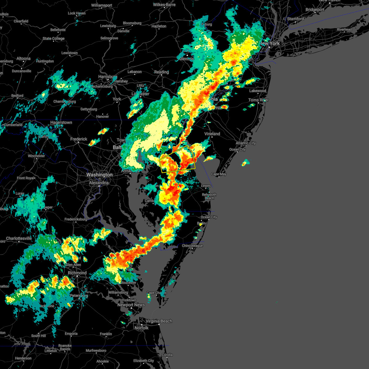 At 442 pm edt, a severe thunderstorm was located over dover, moving east at 35 mph (radar indicated. the public reported dime sized hail in dover. several reports of wind damage have been received from queen anne`s county). Hazards include 70 mph wind gusts and penny size hail. Expect considerable tree damage. damage is likely to mobile homes, roofs, and outbuildings. Locations impacted include, dover, smyrna, camden, clayton, cheswold, sudlersville, bowers, goldsboro, woodside, viola, hartly, rising sun-lebanon, woodland beach, hazlettville, dover base housing, dover speedway, sandtown, rising sun, wyoming and kenton. At 442 pm edt, a severe thunderstorm was located over dover, moving east at 35 mph (radar indicated. the public reported dime sized hail in dover. several reports of wind damage have been received from queen anne`s county). Hazards include 70 mph wind gusts and penny size hail. Expect considerable tree damage. damage is likely to mobile homes, roofs, and outbuildings. Locations impacted include, dover, smyrna, camden, clayton, cheswold, sudlersville, bowers, goldsboro, woodside, viola, hartly, rising sun-lebanon, woodland beach, hazlettville, dover base housing, dover speedway, sandtown, rising sun, wyoming and kenton.
|
| 7/1/2021 4:32 PM EDT |
 At 431 pm edt, severe thunderstorms were located along a line extending from near old town to greensboro to federalsburg to near sharptown, moving east at 45 mph (radar indicated). Hazards include 70 mph wind gusts and quarter size hail. Minor damage to vehicles is possible. expect considerable tree damage. Wind damage is also likely to mobile homes, roofs, and outbuildings. At 431 pm edt, severe thunderstorms were located along a line extending from near old town to greensboro to federalsburg to near sharptown, moving east at 45 mph (radar indicated). Hazards include 70 mph wind gusts and quarter size hail. Minor damage to vehicles is possible. expect considerable tree damage. Wind damage is also likely to mobile homes, roofs, and outbuildings.
|
| 7/1/2021 4:08 PM EDT |
 At 408 pm edt, a severe thunderstorm was located near goldsboro, or 11 miles east of centerville, moving east at 35 mph (radar indicated). Hazards include 60 mph wind gusts and penny size hail. damage to roofs, siding, trees, and power lines is possible At 408 pm edt, a severe thunderstorm was located near goldsboro, or 11 miles east of centerville, moving east at 35 mph (radar indicated). Hazards include 60 mph wind gusts and penny size hail. damage to roofs, siding, trees, and power lines is possible
|
| 7/1/2021 4:08 PM EDT |
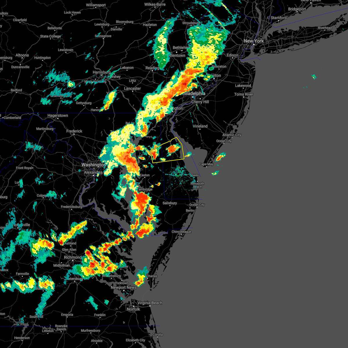 At 408 pm edt, a severe thunderstorm was located near goldsboro, or 11 miles east of centerville, moving east at 35 mph (radar indicated). Hazards include 60 mph wind gusts and penny size hail. damage to roofs, siding, trees, and power lines is possible At 408 pm edt, a severe thunderstorm was located near goldsboro, or 11 miles east of centerville, moving east at 35 mph (radar indicated). Hazards include 60 mph wind gusts and penny size hail. damage to roofs, siding, trees, and power lines is possible
|
| 6/21/2021 7:43 PM EDT |
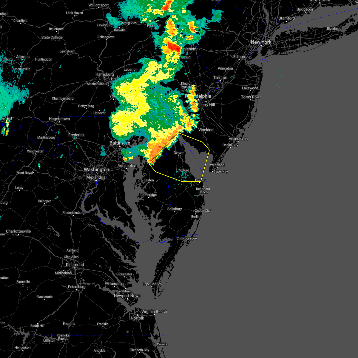 At 743 pm edt, a cluser of severe thunderstorms were located over sudlersville, or 16 miles west of dover, moving east at 40 mph (radar indicated). Hazards include 60 mph wind gusts. damage to roofs, siding, trees, and power lines is possible At 743 pm edt, a cluser of severe thunderstorms were located over sudlersville, or 16 miles west of dover, moving east at 40 mph (radar indicated). Hazards include 60 mph wind gusts. damage to roofs, siding, trees, and power lines is possible
|
| 6/21/2021 7:28 PM EDT |
 At 728 pm edt, severe thunderstorms were located along a line extending from glasgow to near talbot, moving east at 40 mph (radar indicated). Hazards include 60 mph wind gusts. Damage to roofs, siding, trees, and power lines is possible. locations impacted include, dover, newark, middletown, centerville, talbot, smyrna, new castle, chestertown, denton, centreville, harrington, camden, clayton, greensboro, oakland, delaware city, ridgely, cheswold, church hill and millington. This includes interstate 95 in delaware between mile markers 0 and 6. At 728 pm edt, severe thunderstorms were located along a line extending from glasgow to near talbot, moving east at 40 mph (radar indicated). Hazards include 60 mph wind gusts. Damage to roofs, siding, trees, and power lines is possible. locations impacted include, dover, newark, middletown, centerville, talbot, smyrna, new castle, chestertown, denton, centreville, harrington, camden, clayton, greensboro, oakland, delaware city, ridgely, cheswold, church hill and millington. This includes interstate 95 in delaware between mile markers 0 and 6.
|
| 6/21/2021 6:47 PM EDT |
 At 647 pm edt, severe thunderstorms were located along a line extending from near octoraro to kettering, moving east at 25 mph (radar indicated). Hazards include 60 mph wind gusts. damage to roofs, siding, trees, and power lines is possible At 647 pm edt, severe thunderstorms were located along a line extending from near octoraro to kettering, moving east at 25 mph (radar indicated). Hazards include 60 mph wind gusts. damage to roofs, siding, trees, and power lines is possible
|
| 6/14/2021 11:46 PM EDT |
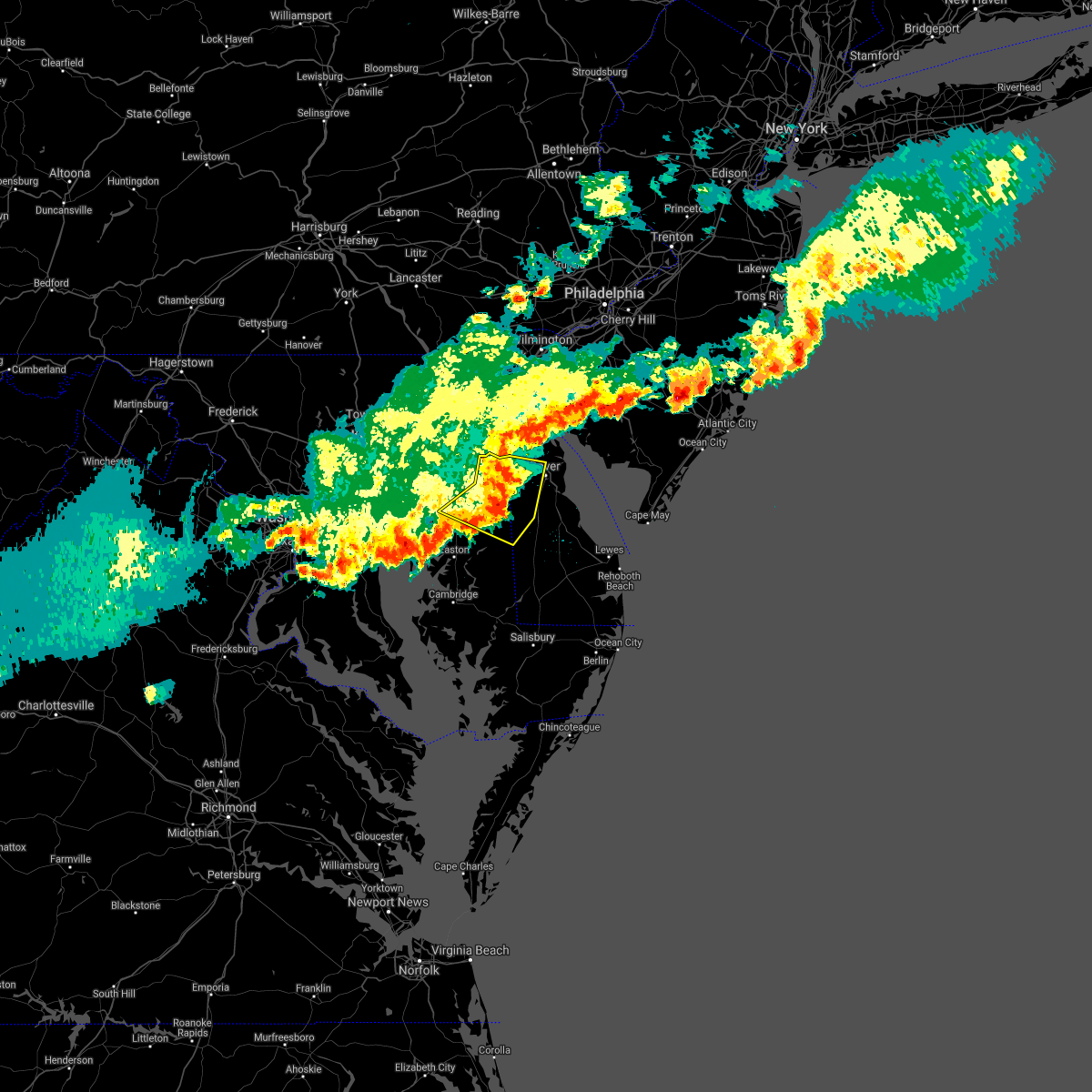 At 1146 pm edt, severe thunderstorms were located along a line extending from hartly to goldsboro to ridgely, moving east at 25 mph (radar indicated). Hazards include 70 mph wind gusts and quarter size hail. Minor damage to vehicles is possible. expect considerable tree damage. wind damage is also likely to mobile homes, roofs, and outbuildings. Locations impacted include, dover, centerville, denton, centreville, camden, greensboro, oakland, ridgely, cheswold, millington, sudlersville, goldsboro, queen anne, woodside, viola, hartly, starr, jumptown, hazlettville and crumpton. At 1146 pm edt, severe thunderstorms were located along a line extending from hartly to goldsboro to ridgely, moving east at 25 mph (radar indicated). Hazards include 70 mph wind gusts and quarter size hail. Minor damage to vehicles is possible. expect considerable tree damage. wind damage is also likely to mobile homes, roofs, and outbuildings. Locations impacted include, dover, centerville, denton, centreville, camden, greensboro, oakland, ridgely, cheswold, millington, sudlersville, goldsboro, queen anne, woodside, viola, hartly, starr, jumptown, hazlettville and crumpton.
|
| 6/14/2021 11:34 PM EDT |
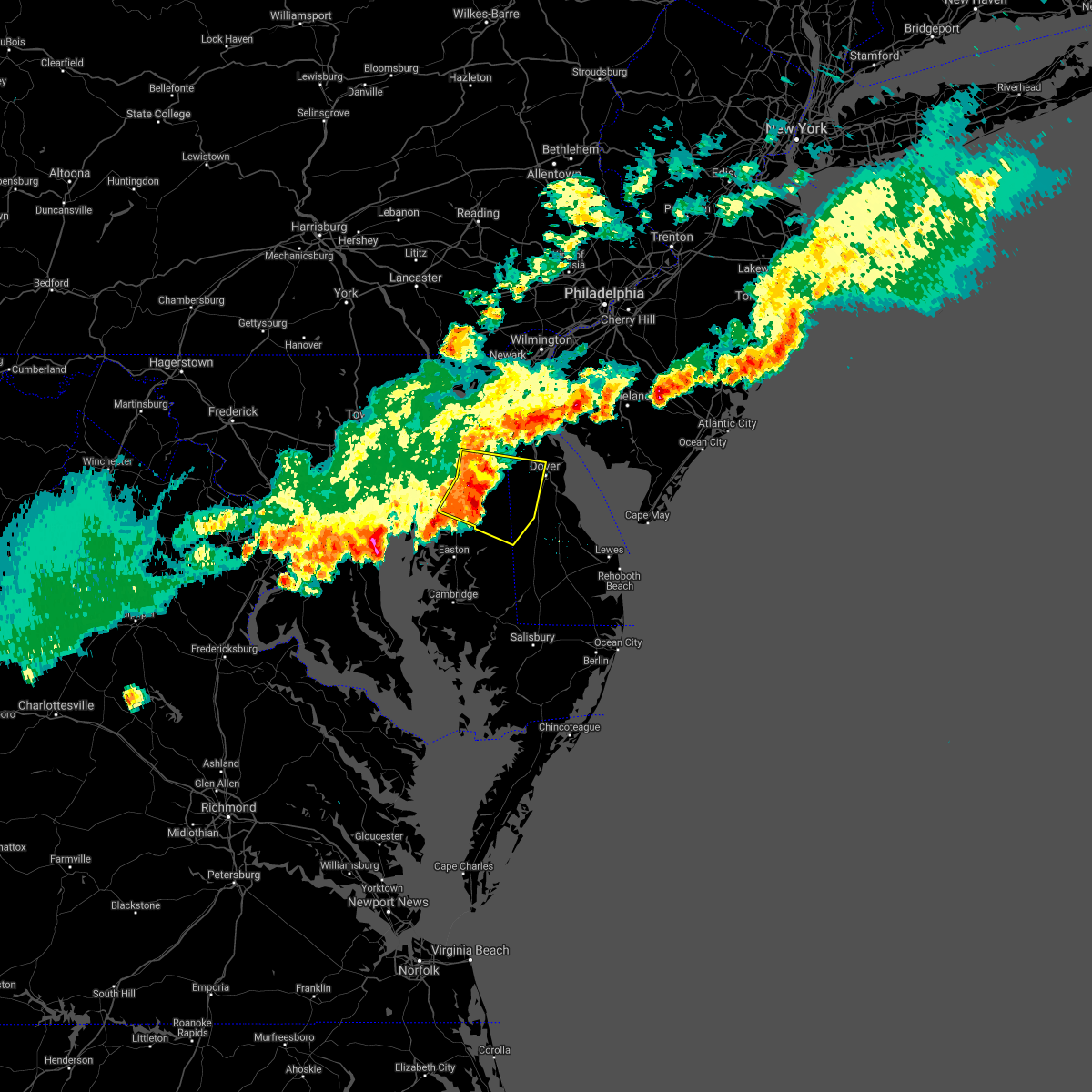 At 1134 pm edt, severe thunderstorms were located along a line extending from sudlersville to near hope to queen anne, moving east at 25 mph (radar indicated). Hazards include 70 mph wind gusts and quarter size hail. Minor damage to vehicles is possible. expect considerable tree damage. wind damage is also likely to mobile homes, roofs, and outbuildings. Locations impacted include, dover, centerville, denton, centreville, camden, greensboro, oakland, ridgely, cheswold, church hill, millington, sudlersville, goldsboro, queen anne, woodside, viola, hartly, starr, jumptown and hazlettville. At 1134 pm edt, severe thunderstorms were located along a line extending from sudlersville to near hope to queen anne, moving east at 25 mph (radar indicated). Hazards include 70 mph wind gusts and quarter size hail. Minor damage to vehicles is possible. expect considerable tree damage. wind damage is also likely to mobile homes, roofs, and outbuildings. Locations impacted include, dover, centerville, denton, centreville, camden, greensboro, oakland, ridgely, cheswold, church hill, millington, sudlersville, goldsboro, queen anne, woodside, viola, hartly, starr, jumptown and hazlettville.
|
| 6/14/2021 11:34 PM EDT |
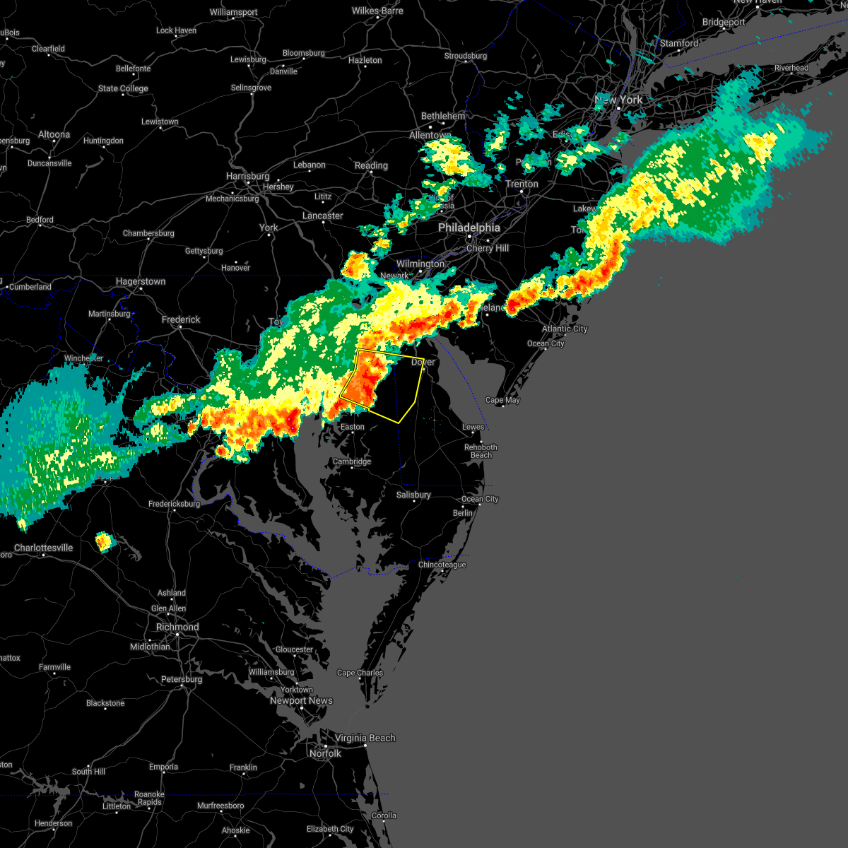 At 1134 pm edt, severe thunderstorms were located along a line extending from sudlersville to near hope to queen anne, moving east at 25 mph (radar indicated). Hazards include 70 mph wind gusts and quarter size hail. Minor damage to vehicles is possible. expect considerable tree damage. wind damage is also likely to mobile homes, roofs, and outbuildings. Locations impacted include, dover, centerville, denton, centreville, camden, greensboro, oakland, ridgely, cheswold, church hill, millington, sudlersville, goldsboro, queen anne, woodside, viola, hartly, starr, jumptown and hazlettville. At 1134 pm edt, severe thunderstorms were located along a line extending from sudlersville to near hope to queen anne, moving east at 25 mph (radar indicated). Hazards include 70 mph wind gusts and quarter size hail. Minor damage to vehicles is possible. expect considerable tree damage. wind damage is also likely to mobile homes, roofs, and outbuildings. Locations impacted include, dover, centerville, denton, centreville, camden, greensboro, oakland, ridgely, cheswold, church hill, millington, sudlersville, goldsboro, queen anne, woodside, viola, hartly, starr, jumptown and hazlettville.
|
| 6/14/2021 11:12 PM EDT |
 At 1112 pm edt, severe thunderstorms were located along a line extending from near chestertown to near old town to overton, moving east at 25 mph (radar indicated). Hazards include 70 mph wind gusts and quarter size hail. Minor damage to vehicles is possible. expect considerable tree damage. Wind damage is also likely to mobile homes, roofs, and outbuildings. At 1112 pm edt, severe thunderstorms were located along a line extending from near chestertown to near old town to overton, moving east at 25 mph (radar indicated). Hazards include 70 mph wind gusts and quarter size hail. Minor damage to vehicles is possible. expect considerable tree damage. Wind damage is also likely to mobile homes, roofs, and outbuildings.
|
| 4/21/2021 1:23 PM EDT |
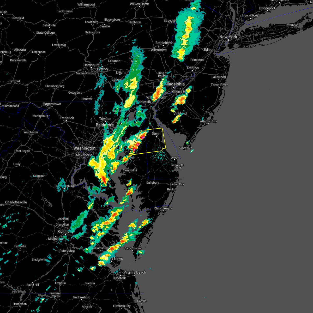 At 122 pm edt, severe thunderstorms were located along a line extending from near hartly to queen anne, moving east at 55 mph (trained weather spotters. quarter size hail was reported near sudlersville). Hazards include 60 mph wind gusts and quarter size hail. Minor damage to vehicles is possible. Wind damage to roofs, siding, trees, and power lines is possible. At 122 pm edt, severe thunderstorms were located along a line extending from near hartly to queen anne, moving east at 55 mph (trained weather spotters. quarter size hail was reported near sudlersville). Hazards include 60 mph wind gusts and quarter size hail. Minor damage to vehicles is possible. Wind damage to roofs, siding, trees, and power lines is possible.
|
| 4/21/2021 1:04 PM EDT |
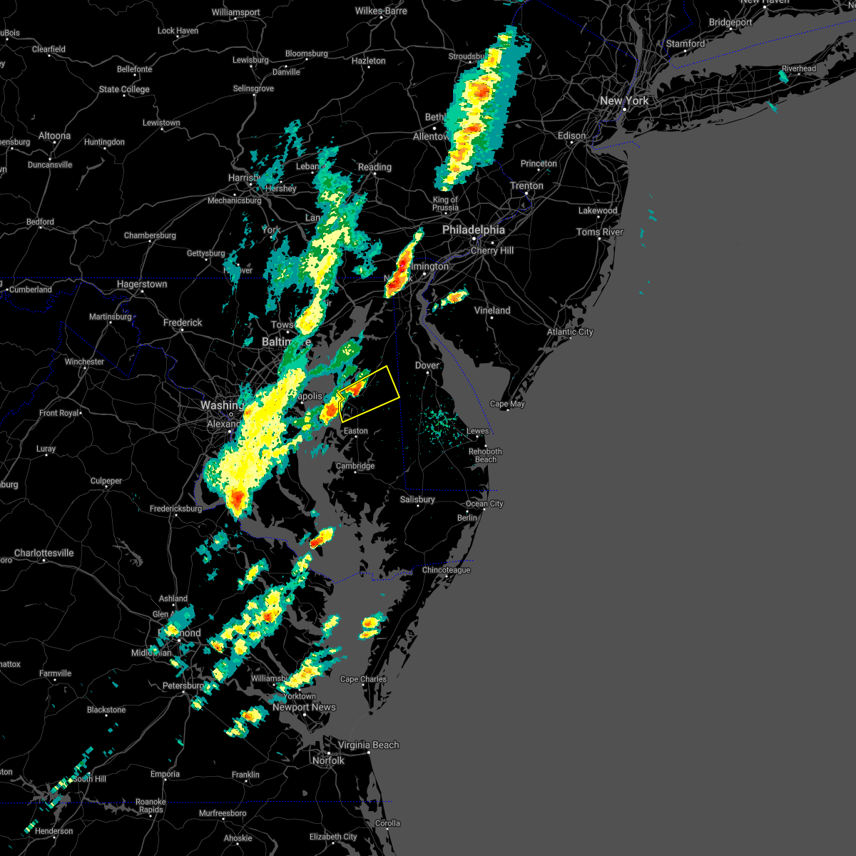 At 104 pm edt, a severe thunderstorm was located near wye mills, or near centerville, moving northeast at 50 mph (radar indicated). Hazards include 60 mph wind gusts and quarter size hail. Minor damage to vehicles is possible. wind damage to roofs, siding, trees, and power lines is possible. Locations impacted include, centerville, centreville, oakland, church hill, sudlersville, goldsboro, starr, jumptown, starkey corner, wye mills, carville, hope, queenstown and barclay. At 104 pm edt, a severe thunderstorm was located near wye mills, or near centerville, moving northeast at 50 mph (radar indicated). Hazards include 60 mph wind gusts and quarter size hail. Minor damage to vehicles is possible. wind damage to roofs, siding, trees, and power lines is possible. Locations impacted include, centerville, centreville, oakland, church hill, sudlersville, goldsboro, starr, jumptown, starkey corner, wye mills, carville, hope, queenstown and barclay.
|
| 4/21/2021 12:50 PM EDT |
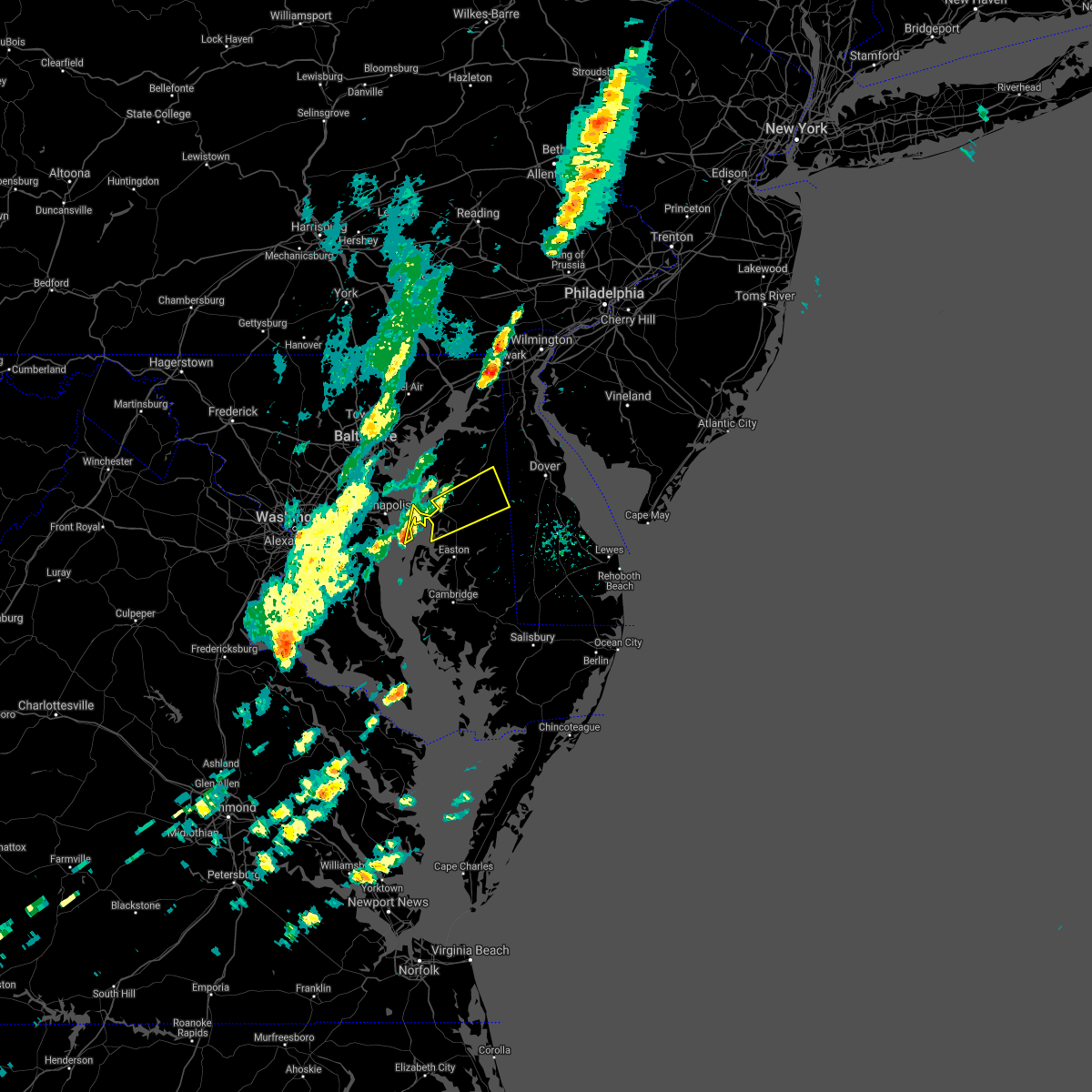 At 1250 pm edt, a severe thunderstorm was located over romancoke, or 9 miles east of south river, moving northeast at 50 mph (radar indicated). Hazards include 60 mph wind gusts and quarter size hail. Minor damage to vehicles is possible. Wind damage to roofs, siding, trees, and power lines is possible. At 1250 pm edt, a severe thunderstorm was located over romancoke, or 9 miles east of south river, moving northeast at 50 mph (radar indicated). Hazards include 60 mph wind gusts and quarter size hail. Minor damage to vehicles is possible. Wind damage to roofs, siding, trees, and power lines is possible.
|
| 12/25/2020 1:12 AM EST |
 The severe thunderstorm warning for northeastern talbot, queen anne`s, caroline and northeastern kent counties will expire at 115 am est, the line of showers which prompted the warning are moving out of the area. therefore, the warning will be allowed to expire. to report severe weather, contact your nearest law enforcement agency. they will relay your report to the national weather service mount holly nj. The severe thunderstorm warning for northeastern talbot, queen anne`s, caroline and northeastern kent counties will expire at 115 am est, the line of showers which prompted the warning are moving out of the area. therefore, the warning will be allowed to expire. to report severe weather, contact your nearest law enforcement agency. they will relay your report to the national weather service mount holly nj.
|
| 12/25/2020 12:53 AM EST |
 At 1252 am est, a line of showers were located along a line extending from betterton to near harmony, moving northeast at 45 mph (radar indicated). Hazards include 60 mph wind gusts. Damage to roofs, siding, trees, and power lines is possible. Locations impacted include, centerville, chestertown, denton, centreville, federalsburg, greensboro, oakland, ridgely, church hill, preston, millington, sudlersville, goldsboro, queen anne, smithville, starr, jumptown, agner, choptank and morgnec. At 1252 am est, a line of showers were located along a line extending from betterton to near harmony, moving northeast at 45 mph (radar indicated). Hazards include 60 mph wind gusts. Damage to roofs, siding, trees, and power lines is possible. Locations impacted include, centerville, chestertown, denton, centreville, federalsburg, greensboro, oakland, ridgely, church hill, preston, millington, sudlersville, goldsboro, queen anne, smithville, starr, jumptown, agner, choptank and morgnec.
|
| 12/25/2020 12:31 AM EST |
 At 1230 am est, severe thunderstorms were located along a line extending from near bowleys quarters to oxford, moving east at 45 mph (department of highways). Hazards include 70 mph wind gusts. Expect considerable tree damage. Damage is likely to mobile homes, roofs, and outbuildings. At 1230 am est, severe thunderstorms were located along a line extending from near bowleys quarters to oxford, moving east at 45 mph (department of highways). Hazards include 70 mph wind gusts. Expect considerable tree damage. Damage is likely to mobile homes, roofs, and outbuildings.
|
| 11/30/2020 3:04 PM EST |
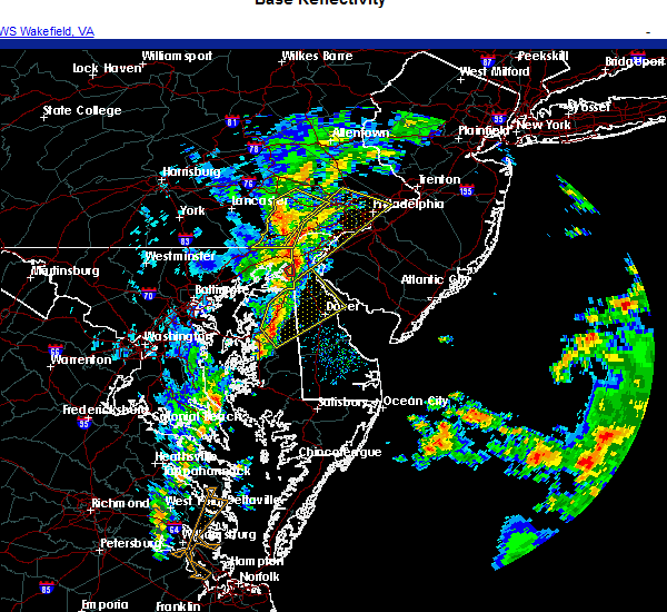 At 303 pm est, a severe thunderstorm was located over hope, or near centerville, moving northeast at 35 mph (radar indicated). Hazards include 60 mph wind gusts. damage to roofs, siding, trees, and power lines is possible At 303 pm est, a severe thunderstorm was located over hope, or near centerville, moving northeast at 35 mph (radar indicated). Hazards include 60 mph wind gusts. damage to roofs, siding, trees, and power lines is possible
|
| 11/30/2020 3:04 PM EST |
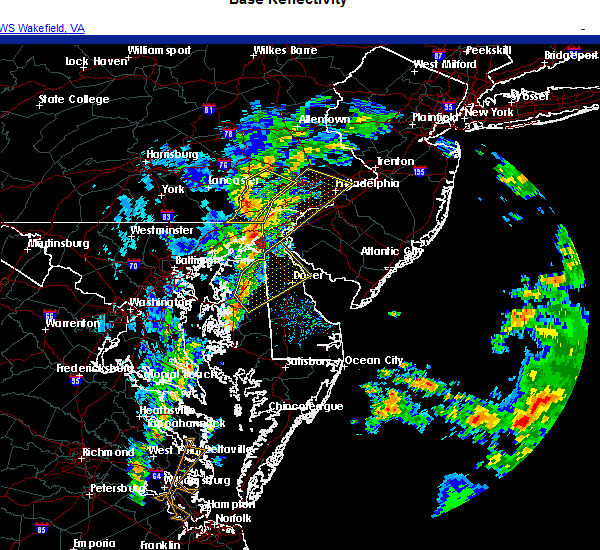 At 303 pm est, a severe thunderstorm was located over hope, or near centerville, moving northeast at 35 mph (radar indicated). Hazards include 60 mph wind gusts. damage to roofs, siding, trees, and power lines is possible At 303 pm est, a severe thunderstorm was located over hope, or near centerville, moving northeast at 35 mph (radar indicated). Hazards include 60 mph wind gusts. damage to roofs, siding, trees, and power lines is possible
|
| 11/15/2020 8:33 PM EST |
 At 832 pm est, severe thunderstorms were located along a line extending from 29 miles southeast of diamond beach to 10 miles south of tangier, moving southeast at 65 mph (radar indicated). Hazards include 60 mph wind gusts. Damage to roofs, siding, trees, and power lines is possible. Locations impacted include, dover, middletown, easton, georgetown, centerville, talbot, smyrna, milford, seaford, chestertown, denton, centreville, millsboro, laurel, harrington, camden, clayton, lewes, federalsburg and milton. At 832 pm est, severe thunderstorms were located along a line extending from 29 miles southeast of diamond beach to 10 miles south of tangier, moving southeast at 65 mph (radar indicated). Hazards include 60 mph wind gusts. Damage to roofs, siding, trees, and power lines is possible. Locations impacted include, dover, middletown, easton, georgetown, centerville, talbot, smyrna, milford, seaford, chestertown, denton, centreville, millsboro, laurel, harrington, camden, clayton, lewes, federalsburg and milton.
|
| 11/15/2020 7:40 PM EST |
 At 738 pm est, severe thunderstorms were located along a line extending from near salem to near la plata, moving southeast at 95 mph (radar indicated). Hazards include 60 mph wind gusts. damage to roofs, siding, trees, and power lines is possible At 738 pm est, severe thunderstorms were located along a line extending from near salem to near la plata, moving southeast at 95 mph (radar indicated). Hazards include 60 mph wind gusts. damage to roofs, siding, trees, and power lines is possible
|
| 9/2/2020 9:14 PM EDT |
 At 913 pm edt, severe thunderstorms were located along a line extending from newtown to romancoke, moving east at 30 mph (radar indicated). Hazards include 60 mph wind gusts. Damage to roofs, siding, trees, and power lines is possible. Locations impacted include, easton, centerville, talbot, chestertown, denton, centreville, romancoke, greensboro, oakland, ridgely, rock hall, church hill, cecilton, millington, sudlersville, betterton, goldsboro, queen anne, old town and grasonville. At 913 pm edt, severe thunderstorms were located along a line extending from newtown to romancoke, moving east at 30 mph (radar indicated). Hazards include 60 mph wind gusts. Damage to roofs, siding, trees, and power lines is possible. Locations impacted include, easton, centerville, talbot, chestertown, denton, centreville, romancoke, greensboro, oakland, ridgely, rock hall, church hill, cecilton, millington, sudlersville, betterton, goldsboro, queen anne, old town and grasonville.
|
| 9/2/2020 8:47 PM EDT |
 The national weather service in mount holly nj has issued a * severe thunderstorm warning for. northern talbot county in eastern maryland. queen anne`s county in northeastern maryland. central caroline county in eastern maryland. Kent county in northeastern maryland. The national weather service in mount holly nj has issued a * severe thunderstorm warning for. northern talbot county in eastern maryland. queen anne`s county in northeastern maryland. central caroline county in eastern maryland. Kent county in northeastern maryland.
|
| 8/27/2020 6:25 PM EDT |
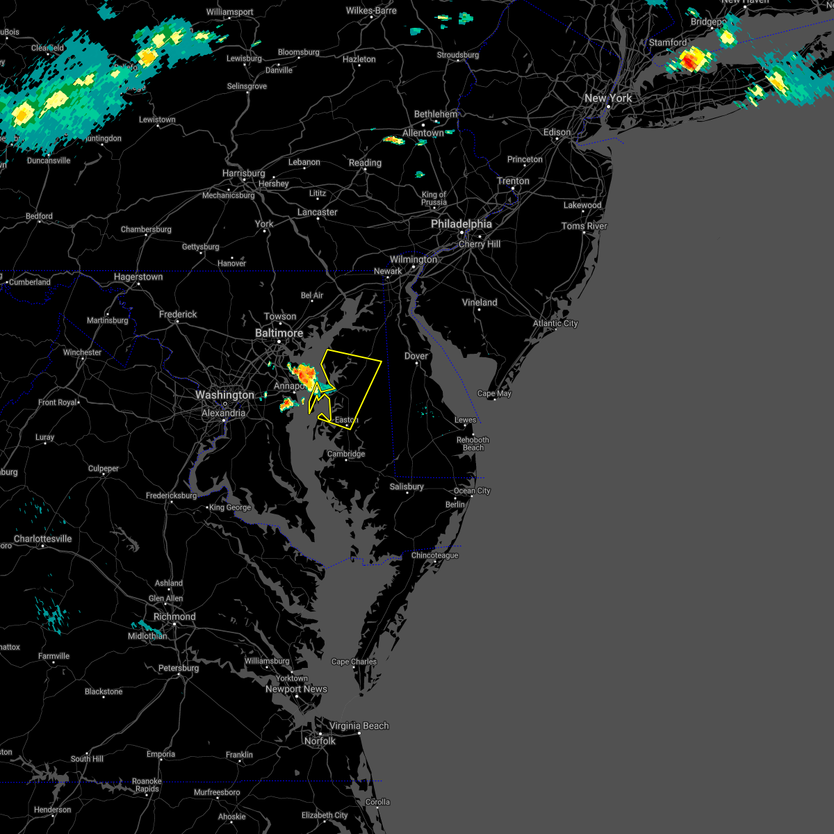 At 625 pm edt, a severe thunderstorm was located over magothy river, moving east at 35 mph (radar indicated). Hazards include 60 mph wind gusts. damage to roofs, siding, trees, and power lines is possible At 625 pm edt, a severe thunderstorm was located over magothy river, moving east at 35 mph (radar indicated). Hazards include 60 mph wind gusts. damage to roofs, siding, trees, and power lines is possible
|
| 8/7/2020 7:37 PM EDT |
 The severe thunderstorm warning for southwestern new castle, northern kent, northeastern queen anne`s and northeastern kent counties will expire at 745 pm edt, the storm which prompted the warning has weakened below severe limits, and no longer poses an immediate threat to life or property. therefore, the warning will be allowed to expire. The severe thunderstorm warning for southwestern new castle, northern kent, northeastern queen anne`s and northeastern kent counties will expire at 745 pm edt, the storm which prompted the warning has weakened below severe limits, and no longer poses an immediate threat to life or property. therefore, the warning will be allowed to expire.
|
| 8/7/2020 7:29 PM EDT |
 At 729 pm edt, a severe thunderstorm was located near dover speedway, or near dover, moving southeast at 30 mph (radar indicated). Hazards include 60 mph wind gusts. Damage to roofs, siding, trees, and power lines is possible. Locations impacted include, dover, smyrna, clayton, cheswold, millington, sudlersville, betterton, hartly, sassafras, woodland beach, green spring, delaney corner, massey, crumpton, kennedyville, townsend, galena, kenton, leipsic and chambersville. At 729 pm edt, a severe thunderstorm was located near dover speedway, or near dover, moving southeast at 30 mph (radar indicated). Hazards include 60 mph wind gusts. Damage to roofs, siding, trees, and power lines is possible. Locations impacted include, dover, smyrna, clayton, cheswold, millington, sudlersville, betterton, hartly, sassafras, woodland beach, green spring, delaney corner, massey, crumpton, kennedyville, townsend, galena, kenton, leipsic and chambersville.
|
| 8/7/2020 7:04 PM EDT |
 At 704 pm edt, a severe thunderstorm was located near warwick, or near middletown, moving east at 30 mph (radar indicated). Hazards include 60 mph wind gusts. damage to roofs, siding, trees, and power lines is possible At 704 pm edt, a severe thunderstorm was located near warwick, or near middletown, moving east at 30 mph (radar indicated). Hazards include 60 mph wind gusts. damage to roofs, siding, trees, and power lines is possible
|
| 8/6/2020 7:06 AM EDT |
 The severe thunderstorm warning for west central sussex, southwestern new castle, western kent, northeastern queen anne`s, caroline and northeastern kent counties will expire at 715 am edt, the storms which prompted the warning is moving out of the area. therefore, the warning will be allowed to expire. however, gusty winds and heavy rain are still possible with these thunderstorms. The severe thunderstorm warning for west central sussex, southwestern new castle, western kent, northeastern queen anne`s, caroline and northeastern kent counties will expire at 715 am edt, the storms which prompted the warning is moving out of the area. therefore, the warning will be allowed to expire. however, gusty winds and heavy rain are still possible with these thunderstorms.
|
| 8/6/2020 7:01 AM EDT |
 At 700 am edt, severe thunderstorms were located along a line extending from smyrna to near federalsburg, moving east at 25 mph (law enforcement. several reports of trees and wires down have been received in the millington, crumpton, chestertown, and church hill areas). Hazards include 70 mph wind gusts and quarter size hail. Minor damage to vehicles is possible. expect considerable tree damage. wind damage is also likely to mobile homes, roofs, and outbuildings. Locations impacted include, smyrna, denton, clayton, federalsburg, greensboro, preston, millington, sudlersville, goldsboro, hartly, smithville, hazlettville, agner, delaney corner, sandtown, andrewsville, sassafras, harmony, green spring and massey. At 700 am edt, severe thunderstorms were located along a line extending from smyrna to near federalsburg, moving east at 25 mph (law enforcement. several reports of trees and wires down have been received in the millington, crumpton, chestertown, and church hill areas). Hazards include 70 mph wind gusts and quarter size hail. Minor damage to vehicles is possible. expect considerable tree damage. wind damage is also likely to mobile homes, roofs, and outbuildings. Locations impacted include, smyrna, denton, clayton, federalsburg, greensboro, preston, millington, sudlersville, goldsboro, hartly, smithville, hazlettville, agner, delaney corner, sandtown, andrewsville, sassafras, harmony, green spring and massey.
|
| 8/6/2020 6:44 AM EDT |
 At 643 am edt, severe thunderstorms were located along a line extending from delaney corner to choptank, moving east at 25 mph (law enforcement. several reports of wind damage have been received from chestertown, millington, and crumpton with these storms). Hazards include 70 mph wind gusts and quarter size hail. Minor damage to vehicles is possible. expect considerable tree damage. wind damage is also likely to mobile homes, roofs, and outbuildings. Locations impacted include, smyrna, denton, clayton, federalsburg, greensboro, oakland, ridgely, church hill, preston, millington, sudlersville, goldsboro, queen anne, hartly, smithville, starr, jumptown, hazlettville, agner and choptank. At 643 am edt, severe thunderstorms were located along a line extending from delaney corner to choptank, moving east at 25 mph (law enforcement. several reports of wind damage have been received from chestertown, millington, and crumpton with these storms). Hazards include 70 mph wind gusts and quarter size hail. Minor damage to vehicles is possible. expect considerable tree damage. wind damage is also likely to mobile homes, roofs, and outbuildings. Locations impacted include, smyrna, denton, clayton, federalsburg, greensboro, oakland, ridgely, church hill, preston, millington, sudlersville, goldsboro, queen anne, hartly, smithville, starr, jumptown, hazlettville, agner and choptank.
|
| 8/6/2020 6:30 AM EDT |
 At 629 am edt, severe thunderstorms were located along a line extending from massey to near hambleton, moving east at 25 mph. the most dangerous portion of the storm is near massey and millington (law enforcement. trees and wires are reported down in the rock hall area). Hazards include 70 mph wind gusts and quarter size hail. Minor damage to vehicles is possible. expect considerable tree damage. wind damage is also likely to mobile homes, roofs, and outbuildings. Locations impacted include, easton, centerville, smyrna, chestertown, denton, centreville, clayton, federalsburg, greensboro, oakland, ridgely, trappe, church hill, preston, oxford, millington, sudlersville, goldsboro, queen anne and hartly. At 629 am edt, severe thunderstorms were located along a line extending from massey to near hambleton, moving east at 25 mph. the most dangerous portion of the storm is near massey and millington (law enforcement. trees and wires are reported down in the rock hall area). Hazards include 70 mph wind gusts and quarter size hail. Minor damage to vehicles is possible. expect considerable tree damage. wind damage is also likely to mobile homes, roofs, and outbuildings. Locations impacted include, easton, centerville, smyrna, chestertown, denton, centreville, clayton, federalsburg, greensboro, oakland, ridgely, trappe, church hill, preston, oxford, millington, sudlersville, goldsboro, queen anne and hartly.
|
| 8/6/2020 6:24 AM EDT |
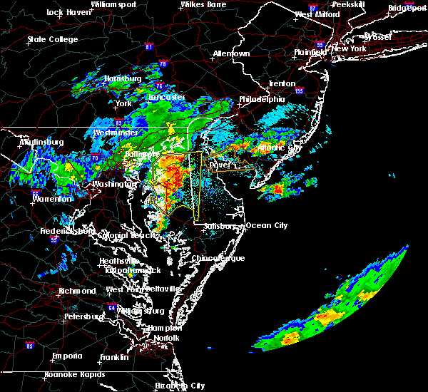 At 623 am edt, severe thunderstorms were located along a line extending from kennedyville to trappe, moving east at 25 mph (law enforcement. widespread power outages have been reported in rock hall with power lines down in the area). Hazards include 70 mph wind gusts and penny size hail. Expect considerable tree damage. damage is likely to mobile homes, roofs, and outbuildings. locations impacted include, easton, centerville, smyrna, chestertown, denton, centreville, clayton, federalsburg, greensboro, oakland, ridgely, trappe, st. Michaels, church hill, preston, oxford, millington, sudlersville, goldsboro and queen anne. At 623 am edt, severe thunderstorms were located along a line extending from kennedyville to trappe, moving east at 25 mph (law enforcement. widespread power outages have been reported in rock hall with power lines down in the area). Hazards include 70 mph wind gusts and penny size hail. Expect considerable tree damage. damage is likely to mobile homes, roofs, and outbuildings. locations impacted include, easton, centerville, smyrna, chestertown, denton, centreville, clayton, federalsburg, greensboro, oakland, ridgely, trappe, st. Michaels, church hill, preston, oxford, millington, sudlersville, goldsboro and queen anne.
|
| 8/6/2020 6:13 AM EDT |
 At 612 am edt, severe thunderstorms were located along a line extending from near kennedyville to near trappe, moving east at 25 mph (radar indicated). Hazards include 70 mph wind gusts and penny size hail. Expect considerable tree damage. Damage is likely to mobile homes, roofs, and outbuildings. At 612 am edt, severe thunderstorms were located along a line extending from near kennedyville to near trappe, moving east at 25 mph (radar indicated). Hazards include 70 mph wind gusts and penny size hail. Expect considerable tree damage. Damage is likely to mobile homes, roofs, and outbuildings.
|
| 8/6/2020 6:05 AM EDT |
 At 604 am edt, severe thunderstorms were located along a line extending from near chestertown to near oxford, moving east at 20 mph (radar indicated. there are indications of very strong winds in portions of kent county and southern talbot county in particular). Hazards include 70 mph wind gusts and penny size hail. Expect considerable tree damage. damage is likely to mobile homes, roofs, and outbuildings. locations impacted include, easton, centerville, talbot, chestertown, centreville, romancoke, oakland, ridgely, rock hall, trappe, st. Michaels, church hill, preston, millington, sudlersville, queen anne, old town, starr, copperville and morgnec. At 604 am edt, severe thunderstorms were located along a line extending from near chestertown to near oxford, moving east at 20 mph (radar indicated. there are indications of very strong winds in portions of kent county and southern talbot county in particular). Hazards include 70 mph wind gusts and penny size hail. Expect considerable tree damage. damage is likely to mobile homes, roofs, and outbuildings. locations impacted include, easton, centerville, talbot, chestertown, centreville, romancoke, oakland, ridgely, rock hall, trappe, st. Michaels, church hill, preston, millington, sudlersville, queen anne, old town, starr, copperville and morgnec.
|
| 8/6/2020 5:50 AM EDT |
 At 549 am edt, severe thunderstorms were located along a line extending from near newtown to 7 miles southwest of oxford, moving east at 25 mph (radar indicated. a 57 mph wind gust occurred at blackwalnut harbor in talbot county as this storm passed). Hazards include 70 mph wind gusts and penny size hail. Expect considerable tree damage. damage is likely to mobile homes, roofs, and outbuildings. locations impacted include, easton, centerville, talbot, chestertown, centreville, romancoke, oakland, ridgely, rock hall, trappe, st. Michaels, church hill, preston, millington, sudlersville, queen anne, old town, starr, copperville and morgnec. At 549 am edt, severe thunderstorms were located along a line extending from near newtown to 7 miles southwest of oxford, moving east at 25 mph (radar indicated. a 57 mph wind gust occurred at blackwalnut harbor in talbot county as this storm passed). Hazards include 70 mph wind gusts and penny size hail. Expect considerable tree damage. damage is likely to mobile homes, roofs, and outbuildings. locations impacted include, easton, centerville, talbot, chestertown, centreville, romancoke, oakland, ridgely, rock hall, trappe, st. Michaels, church hill, preston, millington, sudlersville, queen anne, old town, starr, copperville and morgnec.
|
| 8/6/2020 5:36 AM EDT |
 At 536 am edt, severe thunderstorms were located along a line extending from 6 miles southwest of newtown to 8 miles east of breezy point, moving east at 25 mph (radar indicated). Hazards include 70 mph wind gusts and penny size hail. Expect considerable tree damage. Damage is likely to mobile homes, roofs, and outbuildings. At 536 am edt, severe thunderstorms were located along a line extending from 6 miles southwest of newtown to 8 miles east of breezy point, moving east at 25 mph (radar indicated). Hazards include 70 mph wind gusts and penny size hail. Expect considerable tree damage. Damage is likely to mobile homes, roofs, and outbuildings.
|
| 8/4/2020 8:53 AM EDT |
 The tornado warning for west central kent, northeastern queen anne`s, northeastern caroline, northeastern kent and southern cecil counties will expire at 900 am edt, the storm which prompted the warning has weakened below severe limits, and no longer appears capable of producing a tornado. therefore, the warning will be allowed to expire. a tornado watch remains in effect until noon edt for central delaware, and eastern and northeastern maryland. The tornado warning for west central kent, northeastern queen anne`s, northeastern caroline, northeastern kent and southern cecil counties will expire at 900 am edt, the storm which prompted the warning has weakened below severe limits, and no longer appears capable of producing a tornado. therefore, the warning will be allowed to expire. a tornado watch remains in effect until noon edt for central delaware, and eastern and northeastern maryland.
|
| 8/4/2020 8:41 AM EDT |
 At 840 am edt, a confirmed tornado was located over sudlersville, or 15 miles northeast of centerville, moving northwest at 55 mph (law enforcement confirmed tornado). Hazards include damaging tornado. Flying debris will be dangerous to those caught without shelter. mobile homes will be damaged or destroyed. damage to roofs, windows, and vehicles will occur. tree damage is likely. Locations impacted include, millington, sudlersville, morgnec, massey, crumpton, kennedyville, galena, henderson, marydel, templeville and barclay. At 840 am edt, a confirmed tornado was located over sudlersville, or 15 miles northeast of centerville, moving northwest at 55 mph (law enforcement confirmed tornado). Hazards include damaging tornado. Flying debris will be dangerous to those caught without shelter. mobile homes will be damaged or destroyed. damage to roofs, windows, and vehicles will occur. tree damage is likely. Locations impacted include, millington, sudlersville, morgnec, massey, crumpton, kennedyville, galena, henderson, marydel, templeville and barclay.
|
| 8/4/2020 8:27 AM EDT |
 At 826 am edt, a severe thunderstorm capable of producing a tornado was located over sandtown, or 14 miles southwest of dover, moving northwest at 55 mph (radar indicated rotation). Hazards include tornado. Flying debris will be dangerous to those caught without shelter. mobile homes will be damaged or destroyed. damage to roofs, windows, and vehicles will occur. Tree damage is likely. At 826 am edt, a severe thunderstorm capable of producing a tornado was located over sandtown, or 14 miles southwest of dover, moving northwest at 55 mph (radar indicated rotation). Hazards include tornado. Flying debris will be dangerous to those caught without shelter. mobile homes will be damaged or destroyed. damage to roofs, windows, and vehicles will occur. Tree damage is likely.
|
| 8/4/2020 7:26 AM EDT |
 The tornado warning for northeastern queen anne`s and northeastern kent counties will expire at 730 am edt, the storm which prompted the warning has weakened below severe limits, and no longer appears capable of producing a tornado. therefore, the warning will be allowed to expire. a tornado watch remains in effect until noon edt for northeastern maryland. The tornado warning for northeastern queen anne`s and northeastern kent counties will expire at 730 am edt, the storm which prompted the warning has weakened below severe limits, and no longer appears capable of producing a tornado. therefore, the warning will be allowed to expire. a tornado watch remains in effect until noon edt for northeastern maryland.
|
| 8/4/2020 7:04 AM EDT |
 At 704 am edt, a severe thunderstorm capable of producing a tornado was located over sudlersville, or 16 miles west of dover, moving northwest at 35 mph (radar indicated rotation). Hazards include tornado. Flying debris will be dangerous to those caught without shelter. mobile homes will be damaged or destroyed. damage to roofs, windows, and vehicles will occur. tree damage is likely. Locations impacted include, millington, sudlersville, sassafras, massey, crumpton, kennedyville and galena. At 704 am edt, a severe thunderstorm capable of producing a tornado was located over sudlersville, or 16 miles west of dover, moving northwest at 35 mph (radar indicated rotation). Hazards include tornado. Flying debris will be dangerous to those caught without shelter. mobile homes will be damaged or destroyed. damage to roofs, windows, and vehicles will occur. tree damage is likely. Locations impacted include, millington, sudlersville, sassafras, massey, crumpton, kennedyville and galena.
|
| 8/4/2020 6:55 AM EDT |
 At 655 am edt, a severe thunderstorm capable of producing a tornado was located near hartly, or 13 miles west of dover, moving north at 40 mph (radar indicated rotation). Hazards include tornado. Flying debris will be dangerous to those caught without shelter. mobile homes will be damaged or destroyed. damage to roofs, windows, and vehicles will occur. Tree damage is likely. At 655 am edt, a severe thunderstorm capable of producing a tornado was located near hartly, or 13 miles west of dover, moving north at 40 mph (radar indicated rotation). Hazards include tornado. Flying debris will be dangerous to those caught without shelter. mobile homes will be damaged or destroyed. damage to roofs, windows, and vehicles will occur. Tree damage is likely.
|
| 7/22/2020 5:57 PM EDT |
 At 523 pm edt, severe thunderstorms were located along a line extending from near centreville to easton to near university of maryland center for environmental studies, moving east at 35 mph (radar indicated). Hazards include 60 mph wind gusts and penny size hail. damage to roofs, siding, trees, and power lines is possible At 523 pm edt, severe thunderstorms were located along a line extending from near centreville to easton to near university of maryland center for environmental studies, moving east at 35 mph (radar indicated). Hazards include 60 mph wind gusts and penny size hail. damage to roofs, siding, trees, and power lines is possible
|
| 7/22/2020 5:57 PM EDT |
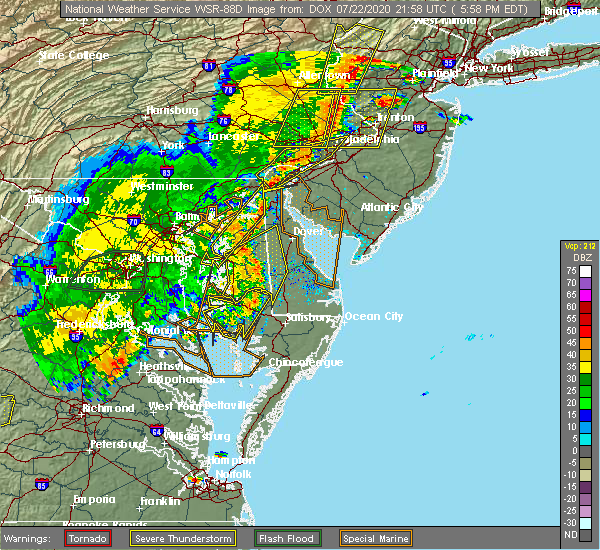 A severe thunderstorm warning remains in effect until 615 pm edt for west central sussex. western kent. east central queen anne`s and caroline counties. At 556 pm edt, severe thunderstorms were located along a line extending from near sudlersville to near denton to near hurlock, moving east at 25 mph. A severe thunderstorm warning remains in effect until 615 pm edt for west central sussex. western kent. east central queen anne`s and caroline counties. At 556 pm edt, severe thunderstorms were located along a line extending from near sudlersville to near denton to near hurlock, moving east at 25 mph.
|
| 7/22/2020 5:54 PM EDT |
 At 553 pm edt, severe thunderstorms were located along a line extending from near newark to massey to near centerville, moving east at 25 mph (radar indicated). Hazards include 60 mph wind gusts and penny size hail. damage to roofs, siding, trees, and power lines is possible At 553 pm edt, severe thunderstorms were located along a line extending from near newark to massey to near centerville, moving east at 25 mph (radar indicated). Hazards include 60 mph wind gusts and penny size hail. damage to roofs, siding, trees, and power lines is possible
|
| 7/22/2020 5:23 PM EDT |
 At 523 pm edt, severe thunderstorms were located along a line extending from near centreville to easton to near university of maryland center for environmental studies, moving east at 35 mph (radar indicated). Hazards include 60 mph wind gusts and penny size hail. damage to roofs, siding, trees, and power lines is possible At 523 pm edt, severe thunderstorms were located along a line extending from near centreville to easton to near university of maryland center for environmental studies, moving east at 35 mph (radar indicated). Hazards include 60 mph wind gusts and penny size hail. damage to roofs, siding, trees, and power lines is possible
|
| 7/21/2020 10:39 PM EDT |
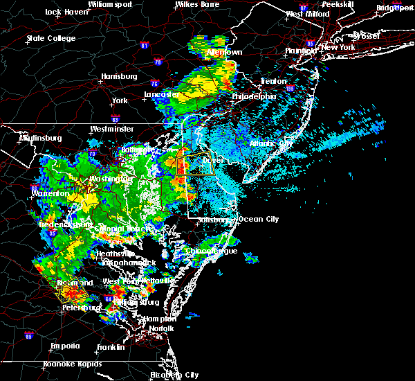 At 1021 pm edt, a severe thunderstorm was located over sudlersville, or 13 miles northeast of centerville, moving east at 20 mph (radar indicated). Hazards include 60 mph wind gusts and penny size hail. damage to roofs, siding, trees, and power lines is possible At 1021 pm edt, a severe thunderstorm was located over sudlersville, or 13 miles northeast of centerville, moving east at 20 mph (radar indicated). Hazards include 60 mph wind gusts and penny size hail. damage to roofs, siding, trees, and power lines is possible
|
| 7/21/2020 10:23 PM EDT | Two trees reported down between sudlersville and crumpton. time estimated from rada in queen anne's county MD, 1.3 miles SSE of Sudlersville, MD |
| 7/21/2020 10:21 PM EDT |
 The national weather service in mount holly nj has issued a * severe thunderstorm warning for. central kent county in central delaware. northeastern queen anne`s county in northeastern maryland. northeastern caroline county in eastern maryland. East central kent county in northeastern maryland. The national weather service in mount holly nj has issued a * severe thunderstorm warning for. central kent county in central delaware. northeastern queen anne`s county in northeastern maryland. northeastern caroline county in eastern maryland. East central kent county in northeastern maryland.
|
| 7/6/2020 7:41 PM EDT |
 At 739 pm edt, severe thunderstorms were located along a line extending from smyrna to hope to near chesapeake beach, moving southeast at 30 mph (radar indicated). Hazards include 60 mph wind gusts and penny size hail. damage to roofs, siding, trees, and power lines is possible At 739 pm edt, severe thunderstorms were located along a line extending from smyrna to hope to near chesapeake beach, moving southeast at 30 mph (radar indicated). Hazards include 60 mph wind gusts and penny size hail. damage to roofs, siding, trees, and power lines is possible
|
| 7/6/2020 7:31 PM EDT |
 At 730 pm edt, a severe thunderstorm was located over carville, or near centerville, moving southeast at 30 mph (radar indicated). Hazards include 60 mph wind gusts and quarter size hail. a tornado warning remains in effect as well. Minor damage to vehicles is possible. wind damage to roofs, siding, trees, and power lines is possible. Locations impacted include, centerville, chestertown, denton, centreville, greensboro, oakland, ridgely, rock hall, church hill, sudlersville, goldsboro, old town, starr, jumptown, morgnec, crumpton, langford, starkey corner, carville and hope. At 730 pm edt, a severe thunderstorm was located over carville, or near centerville, moving southeast at 30 mph (radar indicated). Hazards include 60 mph wind gusts and quarter size hail. a tornado warning remains in effect as well. Minor damage to vehicles is possible. wind damage to roofs, siding, trees, and power lines is possible. Locations impacted include, centerville, chestertown, denton, centreville, greensboro, oakland, ridgely, rock hall, church hill, sudlersville, goldsboro, old town, starr, jumptown, morgnec, crumpton, langford, starkey corner, carville and hope.
|
| 7/6/2020 7:03 PM EDT |
 At 703 pm edt, a severe thunderstorm was located near langford, or 11 miles east of millers island, moving southeast at 35 mph (radar indicated). Hazards include 60 mph wind gusts and quarter size hail. Minor damage to vehicles is possible. Wind damage to roofs, siding, trees, and power lines is possible. At 703 pm edt, a severe thunderstorm was located near langford, or 11 miles east of millers island, moving southeast at 35 mph (radar indicated). Hazards include 60 mph wind gusts and quarter size hail. Minor damage to vehicles is possible. Wind damage to roofs, siding, trees, and power lines is possible.
|
| 6/28/2020 7:41 PM EDT |
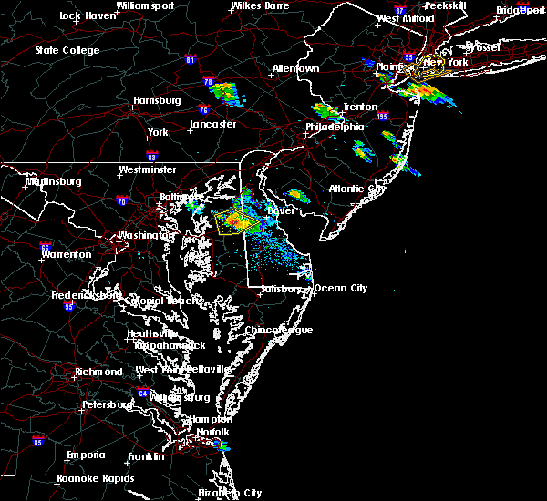 The severe thunderstorm warning for west central kent, northeastern queen anne`s and northeastern caroline counties will expire at 745 pm edt, the storm which prompted the warning has weakened below severe limits, and no longer poses an immediate threat to life or property. therefore, the warning will be allowed to expire. however gusty winds and heavy rain are still possible with this thunderstorm. The severe thunderstorm warning for west central kent, northeastern queen anne`s and northeastern caroline counties will expire at 745 pm edt, the storm which prompted the warning has weakened below severe limits, and no longer poses an immediate threat to life or property. therefore, the warning will be allowed to expire. however gusty winds and heavy rain are still possible with this thunderstorm.
|
| 6/28/2020 7:41 PM EDT |
 At 719 pm edt, a severe thunderstorm was located near sudlersville, or 11 miles northeast of centerville, moving southeast at 15 mph (radar indicated). Hazards include 70 mph wind gusts and quarter size hail. Minor damage to vehicles is possible. expect considerable tree damage. wind damage is also likely to mobile homes, roofs, and outbuildings. Locations impacted include, church hill, sudlersville, goldsboro, hartly, hazlettville, starkey corner, carville, hope, henderson, marydel, templeville and barclay. At 719 pm edt, a severe thunderstorm was located near sudlersville, or 11 miles northeast of centerville, moving southeast at 15 mph (radar indicated). Hazards include 70 mph wind gusts and quarter size hail. Minor damage to vehicles is possible. expect considerable tree damage. wind damage is also likely to mobile homes, roofs, and outbuildings. Locations impacted include, church hill, sudlersville, goldsboro, hartly, hazlettville, starkey corner, carville, hope, henderson, marydel, templeville and barclay.
|
| 6/28/2020 7:19 PM EDT |
 At 719 pm edt, a severe thunderstorm was located near sudlersville, or 11 miles northeast of centerville, moving southeast at 15 mph (radar indicated). Hazards include 70 mph wind gusts and quarter size hail. Minor damage to vehicles is possible. expect considerable tree damage. wind damage is also likely to mobile homes, roofs, and outbuildings. Locations impacted include, church hill, sudlersville, goldsboro, hartly, hazlettville, starkey corner, carville, hope, henderson, marydel, templeville and barclay. At 719 pm edt, a severe thunderstorm was located near sudlersville, or 11 miles northeast of centerville, moving southeast at 15 mph (radar indicated). Hazards include 70 mph wind gusts and quarter size hail. Minor damage to vehicles is possible. expect considerable tree damage. wind damage is also likely to mobile homes, roofs, and outbuildings. Locations impacted include, church hill, sudlersville, goldsboro, hartly, hazlettville, starkey corner, carville, hope, henderson, marydel, templeville and barclay.
|
| 6/28/2020 7:07 PM EDT |
 The severe thunderstorm warning for northwestern kent, northeastern queen anne`s, northeastern caroline and northeastern kent counties will expire at 715 pm edt, the storm which prompted the warning has partially moved out of the warned area. therefore, the warning will be allowed to expire. however, a new warning is in effect for eastern portions of the previously warned area. The severe thunderstorm warning for northwestern kent, northeastern queen anne`s, northeastern caroline and northeastern kent counties will expire at 715 pm edt, the storm which prompted the warning has partially moved out of the warned area. therefore, the warning will be allowed to expire. however, a new warning is in effect for eastern portions of the previously warned area.
|
| 6/28/2020 6:59 PM EDT |
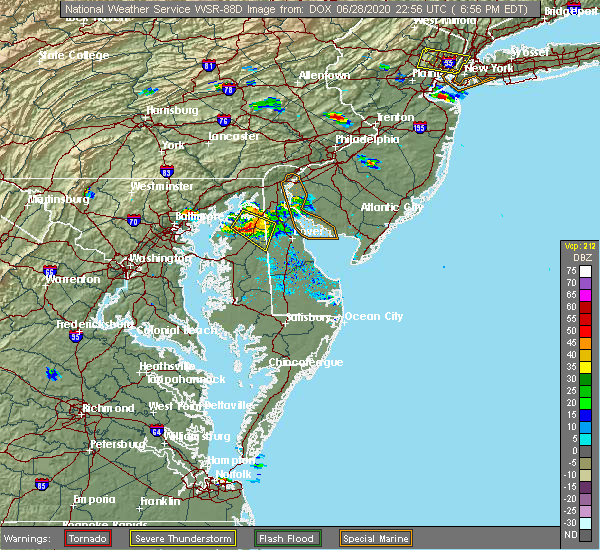 A severe thunderstorm warning remains in effect until 715 pm edt for northwestern kent. northeastern queen anne`s. northeastern caroline and northeastern kent counties. at 659 pm edt, a severe thunderstorm was located over crumpton, or 16 miles northeast of centerville, moving southeast at 25 mph. hazard. 70 mph wind gusts and quarter size hail. A severe thunderstorm warning remains in effect until 715 pm edt for northwestern kent. northeastern queen anne`s. northeastern caroline and northeastern kent counties. at 659 pm edt, a severe thunderstorm was located over crumpton, or 16 miles northeast of centerville, moving southeast at 25 mph. hazard. 70 mph wind gusts and quarter size hail.
|
| 6/28/2020 6:59 PM EDT |
 At 659 pm edt, a severe thunderstorm was located over crumpton, or 16 miles northeast of centerville, moving southeast at 25 mph (radar indicated). Hazards include 70 mph wind gusts and quarter size hail. Minor damage to vehicles is possible. expect considerable tree damage. wind damage is also likely to mobile homes, roofs, and outbuildings. Locations impacted include, millington, sudlersville, morgnec, massey, crumpton, henderson, marydel, templeville and barclay. At 659 pm edt, a severe thunderstorm was located over crumpton, or 16 miles northeast of centerville, moving southeast at 25 mph (radar indicated). Hazards include 70 mph wind gusts and quarter size hail. Minor damage to vehicles is possible. expect considerable tree damage. wind damage is also likely to mobile homes, roofs, and outbuildings. Locations impacted include, millington, sudlersville, morgnec, massey, crumpton, henderson, marydel, templeville and barclay.
|
| 6/28/2020 6:57 PM EDT |
 At 657 pm edt, a severe thunderstorm was located over morgnec, or 13 miles north of centerville, moving southeast at 15 mph (radar indicated). Hazards include 70 mph wind gusts and quarter size hail. Minor damage to vehicles is possible. expect considerable tree damage. Wind damage is also likely to mobile homes, roofs, and outbuildings. At 657 pm edt, a severe thunderstorm was located over morgnec, or 13 miles north of centerville, moving southeast at 15 mph (radar indicated). Hazards include 70 mph wind gusts and quarter size hail. Minor damage to vehicles is possible. expect considerable tree damage. Wind damage is also likely to mobile homes, roofs, and outbuildings.
|
| 6/28/2020 6:41 PM EDT |
 At 641 pm edt, a severe thunderstorm was located over kennedyville, or 14 miles southeast of aberdeen proving ground, moving southeast at 25 mph (radar indicated). Hazards include 60 mph wind gusts and quarter size hail. Minor damage to vehicles is possible. Wind damage to roofs, siding, trees, and power lines is possible. At 641 pm edt, a severe thunderstorm was located over kennedyville, or 14 miles southeast of aberdeen proving ground, moving southeast at 25 mph (radar indicated). Hazards include 60 mph wind gusts and quarter size hail. Minor damage to vehicles is possible. Wind damage to roofs, siding, trees, and power lines is possible.
|
| 6/27/2020 6:08 PM EDT |
 The severe thunderstorm warning for northwestern kent, northeastern queen anne`s, northern caroline and east central kent counties will expire at 615 pm edt, the storms which prompted the warning have weakened below severe limits, and no longer pose an immediate threat to life or property. therefore, the warning will be allowed to expire. The severe thunderstorm warning for northwestern kent, northeastern queen anne`s, northern caroline and east central kent counties will expire at 615 pm edt, the storms which prompted the warning have weakened below severe limits, and no longer pose an immediate threat to life or property. therefore, the warning will be allowed to expire.
|
| 6/27/2020 6:08 PM EDT |
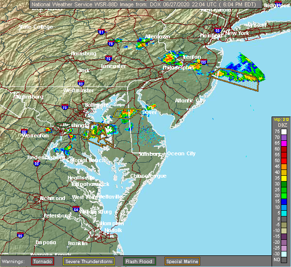 The severe thunderstorm warning for northwestern kent, northeastern queen anne`s, northern caroline and east central kent counties will expire at 615 pm edt, the storms which prompted the warning have weakened below severe limits, and no longer pose an immediate threat to life or property. therefore, the warning will be allowed to expire. The severe thunderstorm warning for northwestern kent, northeastern queen anne`s, northern caroline and east central kent counties will expire at 615 pm edt, the storms which prompted the warning have weakened below severe limits, and no longer pose an immediate threat to life or property. therefore, the warning will be allowed to expire.
|
| 6/27/2020 5:56 PM EDT |
 At 540 pm edt, severe thunderstorms were located along a line extending from near morgnec to langford, moving east at 40 mph (radar indicated). Hazards include 60 mph wind gusts and quarter size hail. Minor damage to vehicles is possible. Wind damage to roofs, siding, trees, and power lines is possible. At 540 pm edt, severe thunderstorms were located along a line extending from near morgnec to langford, moving east at 40 mph (radar indicated). Hazards include 60 mph wind gusts and quarter size hail. Minor damage to vehicles is possible. Wind damage to roofs, siding, trees, and power lines is possible.
|
| 6/27/2020 5:56 PM EDT |
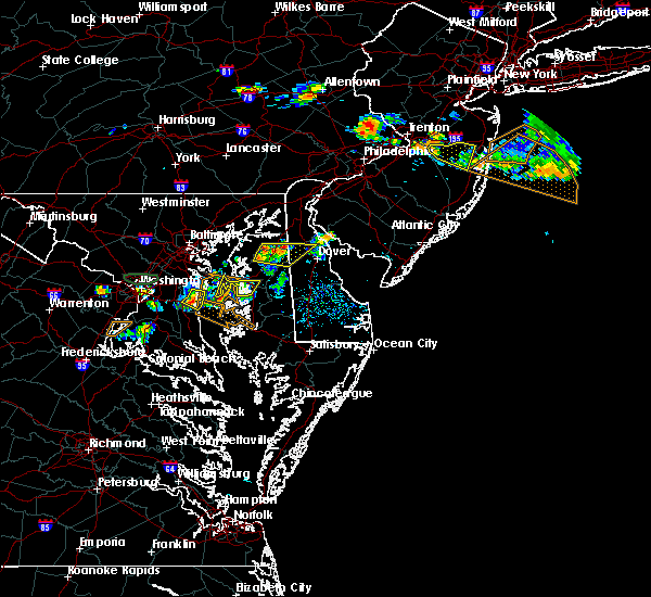 At 556 pm edt, severe thunderstorms were located along a line extending from delaney corner to near church hill, moving east at 40 mph (radar indicated). Hazards include 60 mph wind gusts and quarter size hail. Minor damage to vehicles is possible. wind damage to roofs, siding, trees, and power lines is possible. Locations impacted include, smyrna, clayton, church hill, millington, sudlersville, hartly, morgnec, crumpton, kenton, marydel, templeville, barclay and kingstown. At 556 pm edt, severe thunderstorms were located along a line extending from delaney corner to near church hill, moving east at 40 mph (radar indicated). Hazards include 60 mph wind gusts and quarter size hail. Minor damage to vehicles is possible. wind damage to roofs, siding, trees, and power lines is possible. Locations impacted include, smyrna, clayton, church hill, millington, sudlersville, hartly, morgnec, crumpton, kenton, marydel, templeville, barclay and kingstown.
|
| 6/27/2020 5:40 PM EDT |
 At 540 pm edt, severe thunderstorms were located along a line extending from near morgnec to langford, moving east at 40 mph (radar indicated). Hazards include 60 mph wind gusts and quarter size hail. Minor damage to vehicles is possible. Wind damage to roofs, siding, trees, and power lines is possible. At 540 pm edt, severe thunderstorms were located along a line extending from near morgnec to langford, moving east at 40 mph (radar indicated). Hazards include 60 mph wind gusts and quarter size hail. Minor damage to vehicles is possible. Wind damage to roofs, siding, trees, and power lines is possible.
|
| 6/4/2020 9:50 PM EDT |
 At 949 pm edt, a severe thunderstorm was located over crumpton, or 14 miles north of centerville, moving east at 40 mph (radar indicated). Hazards include 60 mph wind gusts and nickel size hail. Damage to roofs, siding, trees, and power lines is possible. Locations impacted include, church hill, millington, sudlersville, morgnec, massey, crumpton, kennedyville, galena and kingstown. At 949 pm edt, a severe thunderstorm was located over crumpton, or 14 miles north of centerville, moving east at 40 mph (radar indicated). Hazards include 60 mph wind gusts and nickel size hail. Damage to roofs, siding, trees, and power lines is possible. Locations impacted include, church hill, millington, sudlersville, morgnec, massey, crumpton, kennedyville, galena and kingstown.
|
| 6/4/2020 9:30 PM EDT |
 At 930 pm edt, a severe thunderstorm was located over rock hall, or 11 miles northwest of centerville, moving northeast at 40 mph (radar indicated). Hazards include 60 mph wind gusts and nickel size hail. damage to roofs, siding, trees, and power lines is possible At 930 pm edt, a severe thunderstorm was located over rock hall, or 11 miles northwest of centerville, moving northeast at 40 mph (radar indicated). Hazards include 60 mph wind gusts and nickel size hail. damage to roofs, siding, trees, and power lines is possible
|
| 4/21/2020 2:29 PM EDT |
 At 229 pm edt, severe thunderstorms were located along a line extending from saint georges to wye mills, moving east at 50 mph (radar indicated). Hazards include 60 mph wind gusts and penny size hail. Damage to roofs, siding, trees, and power lines is possible. locations impacted include, dover, middletown, easton, centerville, smyrna, milford, denton, centreville, harrington, camden, clayton, bridgeville, greensboro, oakland, ridgely, cheswold, church hill, cecilton, millington and sudlersville. People attending covid-19 drive through testing should seek safe shelter immediately!. At 229 pm edt, severe thunderstorms were located along a line extending from saint georges to wye mills, moving east at 50 mph (radar indicated). Hazards include 60 mph wind gusts and penny size hail. Damage to roofs, siding, trees, and power lines is possible. locations impacted include, dover, middletown, easton, centerville, smyrna, milford, denton, centreville, harrington, camden, clayton, bridgeville, greensboro, oakland, ridgely, cheswold, church hill, cecilton, millington and sudlersville. People attending covid-19 drive through testing should seek safe shelter immediately!.
|
| 4/21/2020 2:29 PM EDT |
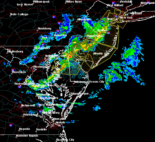 At 229 pm edt, severe thunderstorms were located along a line extending from saint georges to wye mills, moving east at 50 mph (radar indicated). Hazards include 60 mph wind gusts and penny size hail. Damage to roofs, siding, trees, and power lines is possible. locations impacted include, dover, middletown, easton, centerville, smyrna, milford, denton, centreville, harrington, camden, clayton, bridgeville, greensboro, oakland, ridgely, cheswold, church hill, cecilton, millington and sudlersville. People attending covid-19 drive through testing should seek safe shelter immediately!. At 229 pm edt, severe thunderstorms were located along a line extending from saint georges to wye mills, moving east at 50 mph (radar indicated). Hazards include 60 mph wind gusts and penny size hail. Damage to roofs, siding, trees, and power lines is possible. locations impacted include, dover, middletown, easton, centerville, smyrna, milford, denton, centreville, harrington, camden, clayton, bridgeville, greensboro, oakland, ridgely, cheswold, church hill, cecilton, millington and sudlersville. People attending covid-19 drive through testing should seek safe shelter immediately!.
|
| 4/21/2020 2:04 PM EDT |
 At 204 pm edt, severe thunderstorms were located along a line extending from near aberdeen proving ground to near kent point, moving east at 50 mph (radar indicated). Hazards include 60 mph wind gusts and penny size hail. damage to roofs, siding, trees, and power lines is possible At 204 pm edt, severe thunderstorms were located along a line extending from near aberdeen proving ground to near kent point, moving east at 50 mph (radar indicated). Hazards include 60 mph wind gusts and penny size hail. damage to roofs, siding, trees, and power lines is possible
|
| 4/13/2020 3:42 PM EDT |
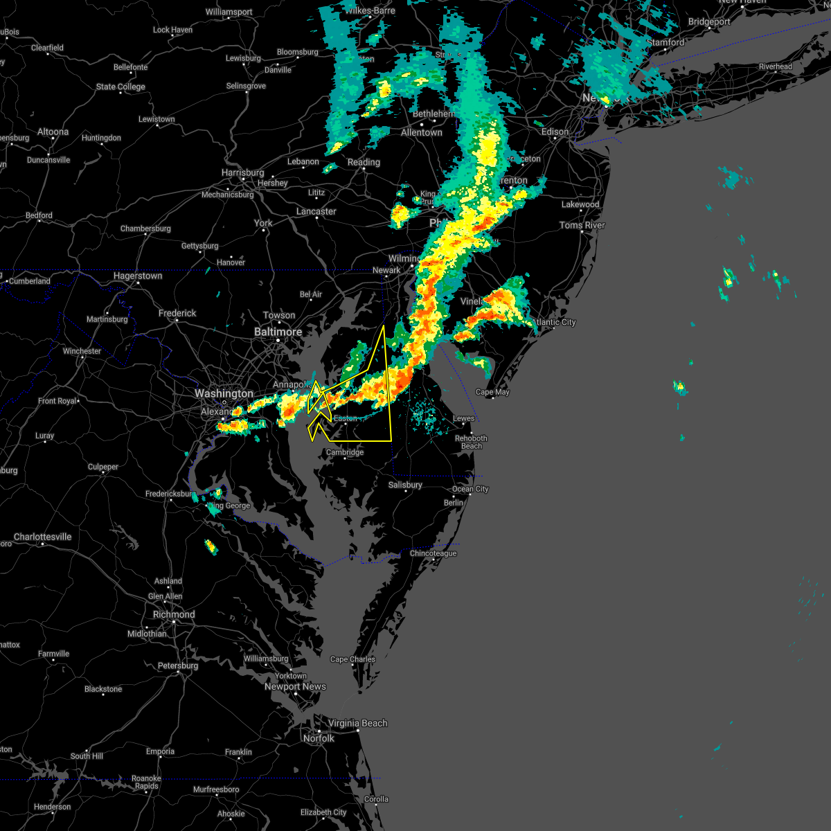 The severe thunderstorm warning for talbot, central queen anne`s, caroline and east central kent counties will expire at 345 pm edt, the storms which prompted the warning have moved out of the area. therefore, the warning will be allowed to expire. however gusty winds are still possible with these thunderstorms. a tornado watch remains in effect until 600 pm edt for southern delaware, and eastern and northeastern maryland. to report severe weather, contact your nearest law enforcement agency. they will relay your report to the national weather service mount holly nj. The severe thunderstorm warning for talbot, central queen anne`s, caroline and east central kent counties will expire at 345 pm edt, the storms which prompted the warning have moved out of the area. therefore, the warning will be allowed to expire. however gusty winds are still possible with these thunderstorms. a tornado watch remains in effect until 600 pm edt for southern delaware, and eastern and northeastern maryland. to report severe weather, contact your nearest law enforcement agency. they will relay your report to the national weather service mount holly nj.
|
| 4/13/2020 3:33 PM EDT |
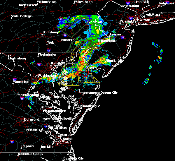 At 332 pm edt, severe thunderstorms were located along a line extending from port penn to near goldsboro to near skipton, moving east at 50 mph (radar and surface observations. several reports of 60 to 70 mph wind gusts have been received). Hazards include 70 mph wind gusts and penny size hail. Expect considerable tree damage. damage is likely to mobile homes, roofs, and outbuildings. locations impacted include, easton, centerville, talbot, denton, centreville, romancoke, federalsburg, greensboro, oakland, ridgely, trappe, st. Michaels, preston, oxford, sudlersville, goldsboro, queen anne, smithville, grasonville and starr. At 332 pm edt, severe thunderstorms were located along a line extending from port penn to near goldsboro to near skipton, moving east at 50 mph (radar and surface observations. several reports of 60 to 70 mph wind gusts have been received). Hazards include 70 mph wind gusts and penny size hail. Expect considerable tree damage. damage is likely to mobile homes, roofs, and outbuildings. locations impacted include, easton, centerville, talbot, denton, centreville, romancoke, federalsburg, greensboro, oakland, ridgely, trappe, st. Michaels, preston, oxford, sudlersville, goldsboro, queen anne, smithville, grasonville and starr.
|
| 4/13/2020 3:09 PM EDT |
 At 307 pm edt, severe thunderstorms were located along a line extending from near hollywood beach to near old town to near romancoke, moving east at 55 mph (radar and surface observations. a 70 mph gust was reported on the bay bridge at 303 pm). Hazards include 70 mph wind gusts and penny size hail. Expect considerable tree damage. damage is likely to mobile homes, roofs, and outbuildings. locations impacted include, easton, centerville, talbot, chestertown, denton, centreville, romancoke, federalsburg, greensboro, oakland, ridgely, rock hall, trappe, st. Michaels, church hill, preston, oxford, millington, sudlersville and betterton. At 307 pm edt, severe thunderstorms were located along a line extending from near hollywood beach to near old town to near romancoke, moving east at 55 mph (radar and surface observations. a 70 mph gust was reported on the bay bridge at 303 pm). Hazards include 70 mph wind gusts and penny size hail. Expect considerable tree damage. damage is likely to mobile homes, roofs, and outbuildings. locations impacted include, easton, centerville, talbot, chestertown, denton, centreville, romancoke, federalsburg, greensboro, oakland, ridgely, rock hall, trappe, st. Michaels, church hill, preston, oxford, millington, sudlersville and betterton.
|
| 4/13/2020 2:50 PM EDT |
 At 249 pm edt, severe thunderstorms were located along a line extending from near bel air south to lake shore to annapolis, moving east at 45 mph (radar indicated). Hazards include 70 mph wind gusts. Expect considerable tree damage. Damage is likely to mobile homes, roofs, and outbuildings. At 249 pm edt, severe thunderstorms were located along a line extending from near bel air south to lake shore to annapolis, moving east at 45 mph (radar indicated). Hazards include 70 mph wind gusts. Expect considerable tree damage. Damage is likely to mobile homes, roofs, and outbuildings.
|
| 2/7/2020 9:42 AM EST |
 The severe thunderstorm warning for talbot, queen anne`s, caroline and kent counties will expire at 945 am est, the storms which prompted the warning have moved out of the warned area. therefore, the warning will be allowed to expire, however gusty winds will still persist for a time after the storms pass. The severe thunderstorm warning for talbot, queen anne`s, caroline and kent counties will expire at 945 am est, the storms which prompted the warning have moved out of the warned area. therefore, the warning will be allowed to expire, however gusty winds will still persist for a time after the storms pass.
|
| 2/7/2020 8:49 AM EST |
 At 848 am est, severe thunderstorms were located along a line extending from odenton to near upper marlboro to near waldorf, moving northeast at 50 mph. this line of storms has a history of producing wind damage (radar indicated). Hazards include 70 mph wind gusts and penny size hail. Expect considerable tree damage. Damage is likely to mobile homes, roofs, and outbuildings. At 848 am est, severe thunderstorms were located along a line extending from odenton to near upper marlboro to near waldorf, moving northeast at 50 mph. this line of storms has a history of producing wind damage (radar indicated). Hazards include 70 mph wind gusts and penny size hail. Expect considerable tree damage. Damage is likely to mobile homes, roofs, and outbuildings.
|
| 10/31/2019 11:39 PM EDT |
 At 1138 pm edt, severe thunderstorms were located along a line extending from mount pleasant to near old town, moving east at 35 mph (radar indicated). Hazards include 60 mph wind gusts. Damage to roofs, siding, trees, and power lines is possible. locations impacted include, easton, centerville, talbot, denton, centreville, federalsburg, greensboro, oakland, ridgely, trappe, st. Michaels, church hill, preston, oxford, millington, sudlersville, goldsboro, queen anne, smithville and grasonville. At 1138 pm edt, severe thunderstorms were located along a line extending from mount pleasant to near old town, moving east at 35 mph (radar indicated). Hazards include 60 mph wind gusts. Damage to roofs, siding, trees, and power lines is possible. locations impacted include, easton, centerville, talbot, denton, centreville, federalsburg, greensboro, oakland, ridgely, trappe, st. Michaels, church hill, preston, oxford, millington, sudlersville, goldsboro, queen anne, smithville and grasonville.
|
| 10/31/2019 10:47 PM EDT |
 At 1047 pm edt, severe thunderstorms were located along a line extending from near aberdeen to near waldorf, moving northeast at 65 mph (radar indicated). Hazards include 60 mph wind gusts. damage to roofs, siding, trees, and power lines is possible At 1047 pm edt, severe thunderstorms were located along a line extending from near aberdeen to near waldorf, moving northeast at 65 mph (radar indicated). Hazards include 60 mph wind gusts. damage to roofs, siding, trees, and power lines is possible
|
| 8/22/2019 10:11 PM EDT |
 At 1011 pm edt, severe thunderstorms were located along a line extending from millington to near hartly to oakland, moving east at 35 mph (radar indicated). Hazards include 70 mph wind gusts and penny size hail. Expect considerable tree damage. Damage is likely to mobile homes, roofs, and outbuildings. At 1011 pm edt, severe thunderstorms were located along a line extending from millington to near hartly to oakland, moving east at 35 mph (radar indicated). Hazards include 70 mph wind gusts and penny size hail. Expect considerable tree damage. Damage is likely to mobile homes, roofs, and outbuildings.
|
| 8/22/2019 9:57 PM EDT |
 At 957 pm edt, severe thunderstorms were located along a line extending from crumpton to near church hill to near centerville, moving east at 35 mph (radar indicated). Hazards include 70 mph wind gusts and penny size hail. Expect considerable tree damage. damage is likely to mobile homes, roofs, and outbuildings. Locations impacted include, dover, easton, centerville, smyrna, chestertown, centreville, clayton, greensboro, oakland, ridgely, cheswold, rock hall, church hill, millington, sudlersville, goldsboro, queen anne, hartly, old town and grasonville. At 957 pm edt, severe thunderstorms were located along a line extending from crumpton to near church hill to near centerville, moving east at 35 mph (radar indicated). Hazards include 70 mph wind gusts and penny size hail. Expect considerable tree damage. damage is likely to mobile homes, roofs, and outbuildings. Locations impacted include, dover, easton, centerville, smyrna, chestertown, centreville, clayton, greensboro, oakland, ridgely, cheswold, rock hall, church hill, millington, sudlersville, goldsboro, queen anne, hartly, old town and grasonville.
|
| 8/22/2019 9:57 PM EDT |
 At 947 pm edt, severe thunderstorms were located along a line extending from chestertown to starkey corner to near overton, moving east at 35 mph (radar indicated). Hazards include 70 mph wind gusts and penny size hail. Expect considerable tree damage. damage is likely to mobile homes, roofs, and outbuildings. Locations impacted include, dover, easton, centerville, smyrna, chestertown, centreville, clayton, greensboro, oakland, ridgely, cheswold, rock hall, church hill, millington, sudlersville, goldsboro, queen anne, hartly, old town and starr. At 947 pm edt, severe thunderstorms were located along a line extending from chestertown to starkey corner to near overton, moving east at 35 mph (radar indicated). Hazards include 70 mph wind gusts and penny size hail. Expect considerable tree damage. damage is likely to mobile homes, roofs, and outbuildings. Locations impacted include, dover, easton, centerville, smyrna, chestertown, centreville, clayton, greensboro, oakland, ridgely, cheswold, rock hall, church hill, millington, sudlersville, goldsboro, queen anne, hartly, old town and starr.
|
| 8/22/2019 9:47 PM EDT |
 At 947 pm edt, severe thunderstorms were located along a line extending from chestertown to starkey corner to near overton, moving east at 35 mph (radar indicated). Hazards include 70 mph wind gusts and penny size hail. Expect considerable tree damage. damage is likely to mobile homes, roofs, and outbuildings. Locations impacted include, dover, easton, centerville, smyrna, chestertown, centreville, clayton, greensboro, oakland, ridgely, cheswold, rock hall, church hill, millington, sudlersville, goldsboro, queen anne, hartly, old town and starr. At 947 pm edt, severe thunderstorms were located along a line extending from chestertown to starkey corner to near overton, moving east at 35 mph (radar indicated). Hazards include 70 mph wind gusts and penny size hail. Expect considerable tree damage. damage is likely to mobile homes, roofs, and outbuildings. Locations impacted include, dover, easton, centerville, smyrna, chestertown, centreville, clayton, greensboro, oakland, ridgely, cheswold, rock hall, church hill, millington, sudlersville, goldsboro, queen anne, hartly, old town and starr.
|
| 8/22/2019 9:21 PM EDT |
 The national weather service in mount holly nj has issued a * severe thunderstorm warning for. northwestern kent county in central delaware. northeastern talbot county in eastern maryland. queen anne`s county in northeastern maryland. Northern caroline county in eastern maryland. The national weather service in mount holly nj has issued a * severe thunderstorm warning for. northwestern kent county in central delaware. northeastern talbot county in eastern maryland. queen anne`s county in northeastern maryland. Northern caroline county in eastern maryland.
|
| 8/22/2019 9:21 PM EDT |
 At 921 pm edt, severe thunderstorms were located along a line extending from 6 miles southwest of newtown to near bodkin point to arnold, moving east at 30 mph (radar indicated). Hazards include 60 mph wind gusts and penny size hail. damage to roofs, siding, trees, and power lines is possible At 921 pm edt, severe thunderstorms were located along a line extending from 6 miles southwest of newtown to near bodkin point to arnold, moving east at 30 mph (radar indicated). Hazards include 60 mph wind gusts and penny size hail. damage to roofs, siding, trees, and power lines is possible
|
| 8/7/2019 6:06 PM EDT |
 The severe thunderstorm warning for southwestern new castle, kent, northeastern talbot, eastern queen anne`s, northern caroline, northeastern kent and southeastern cecil counties will expire at 615 pm edt, the storms which prompted the warning have weakened below severe limits, and no longer pose an immediate threat to life or property. therefore, the warning will be allowed to expire. however gusty winds and heavy rain are still possible with these thunderstorms. a severe thunderstorm watch remains in effect until 900 pm edt for central, northern and southern delaware, and eastern and northeastern maryland. to report severe weather, contact your nearest law enforcement agency. they will relay your report to the national weather service mount holly nj. The severe thunderstorm warning for southwestern new castle, kent, northeastern talbot, eastern queen anne`s, northern caroline, northeastern kent and southeastern cecil counties will expire at 615 pm edt, the storms which prompted the warning have weakened below severe limits, and no longer pose an immediate threat to life or property. therefore, the warning will be allowed to expire. however gusty winds and heavy rain are still possible with these thunderstorms. a severe thunderstorm watch remains in effect until 900 pm edt for central, northern and southern delaware, and eastern and northeastern maryland. to report severe weather, contact your nearest law enforcement agency. they will relay your report to the national weather service mount holly nj.
|
| 8/7/2019 5:54 PM EDT |
 The severe thunderstorm warning for southwestern new castle, northwestern kent, talbot, eastern queen anne`s, northern caroline, northeastern kent and southeastern cecil counties will expire at 600 pm edt, the storms which prompted the warning have moved out of the area. therefore, the warning will be allowed to expire. however gusty winds and heavy rain are still possible with these thunderstorms. a severe thunderstorm watch remains in effect until 900 pm edt for central and northern delaware, and eastern and northeastern maryland. to report severe weather, contact your nearest law enforcement agency. they will relay your report to the national weather service mount holly nj. new severe thunderstorm warnings are in effect. The severe thunderstorm warning for southwestern new castle, northwestern kent, talbot, eastern queen anne`s, northern caroline, northeastern kent and southeastern cecil counties will expire at 600 pm edt, the storms which prompted the warning have moved out of the area. therefore, the warning will be allowed to expire. however gusty winds and heavy rain are still possible with these thunderstorms. a severe thunderstorm watch remains in effect until 900 pm edt for central and northern delaware, and eastern and northeastern maryland. to report severe weather, contact your nearest law enforcement agency. they will relay your report to the national weather service mount holly nj. new severe thunderstorm warnings are in effect.
|
| 8/7/2019 5:54 PM EDT |
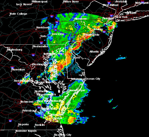 The severe thunderstorm warning for southwestern new castle, northwestern kent, talbot, eastern queen anne`s, northern caroline, northeastern kent and southeastern cecil counties will expire at 600 pm edt, the storms which prompted the warning have moved out of the area. therefore, the warning will be allowed to expire. however gusty winds and heavy rain are still possible with these thunderstorms. a severe thunderstorm watch remains in effect until 900 pm edt for central and northern delaware, and eastern and northeastern maryland. to report severe weather, contact your nearest law enforcement agency. they will relay your report to the national weather service mount holly nj. new severe thunderstorm warnings are in effect. The severe thunderstorm warning for southwestern new castle, northwestern kent, talbot, eastern queen anne`s, northern caroline, northeastern kent and southeastern cecil counties will expire at 600 pm edt, the storms which prompted the warning have moved out of the area. therefore, the warning will be allowed to expire. however gusty winds and heavy rain are still possible with these thunderstorms. a severe thunderstorm watch remains in effect until 900 pm edt for central and northern delaware, and eastern and northeastern maryland. to report severe weather, contact your nearest law enforcement agency. they will relay your report to the national weather service mount holly nj. new severe thunderstorm warnings are in effect.
|
| 8/7/2019 5:42 PM EDT |
 At 542 pm edt, severe thunderstorms were located along a line extending from cecilton to near goldsboro to wye mills to near st. michaels, moving east at 30 mph (radar indicated). Hazards include 60 mph wind gusts and penny size hail. Damage to roofs, siding, trees, and power lines is possible. locations impacted include, middletown, easton, greensboro, oakland, ridgely, trappe, st. Michaels, millington, sudlersville, goldsboro, queen anne, hartly, warwick, starr, copperville, bohemias mills, jumptown, delaney corner, sassafras and tanyard. At 542 pm edt, severe thunderstorms were located along a line extending from cecilton to near goldsboro to wye mills to near st. michaels, moving east at 30 mph (radar indicated). Hazards include 60 mph wind gusts and penny size hail. Damage to roofs, siding, trees, and power lines is possible. locations impacted include, middletown, easton, greensboro, oakland, ridgely, trappe, st. Michaels, millington, sudlersville, goldsboro, queen anne, hartly, warwick, starr, copperville, bohemias mills, jumptown, delaney corner, sassafras and tanyard.
|
| 8/7/2019 5:42 PM EDT |
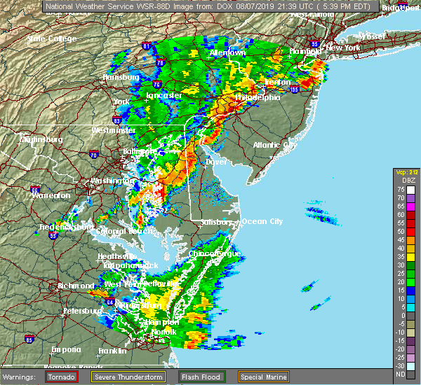 At 542 pm edt, severe thunderstorms were located along a line extending from cecilton to near goldsboro to wye mills to near st. michaels, moving east at 30 mph (radar indicated). Hazards include 60 mph wind gusts and penny size hail. Damage to roofs, siding, trees, and power lines is possible. locations impacted include, middletown, easton, greensboro, oakland, ridgely, trappe, st. Michaels, millington, sudlersville, goldsboro, queen anne, hartly, warwick, starr, copperville, bohemias mills, jumptown, delaney corner, sassafras and tanyard. At 542 pm edt, severe thunderstorms were located along a line extending from cecilton to near goldsboro to wye mills to near st. michaels, moving east at 30 mph (radar indicated). Hazards include 60 mph wind gusts and penny size hail. Damage to roofs, siding, trees, and power lines is possible. locations impacted include, middletown, easton, greensboro, oakland, ridgely, trappe, st. Michaels, millington, sudlersville, goldsboro, queen anne, hartly, warwick, starr, copperville, bohemias mills, jumptown, delaney corner, sassafras and tanyard.
|
| 8/7/2019 5:33 PM EDT |
 At 533 pm edt, severe thunderstorms were located along a line extending from near warwick to near goldsboro to near skipton, moving east at 40 mph (radar indicated). Hazards include 60 mph wind gusts and nickel size hail. damage to roofs, siding, trees, and power lines is possible At 533 pm edt, severe thunderstorms were located along a line extending from near warwick to near goldsboro to near skipton, moving east at 40 mph (radar indicated). Hazards include 60 mph wind gusts and nickel size hail. damage to roofs, siding, trees, and power lines is possible
|
| 8/7/2019 5:33 PM EDT |
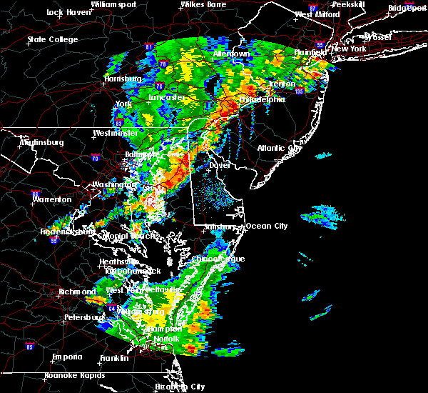 At 533 pm edt, severe thunderstorms were located along a line extending from near warwick to near goldsboro to near skipton, moving east at 40 mph (radar indicated). Hazards include 60 mph wind gusts and nickel size hail. damage to roofs, siding, trees, and power lines is possible At 533 pm edt, severe thunderstorms were located along a line extending from near warwick to near goldsboro to near skipton, moving east at 40 mph (radar indicated). Hazards include 60 mph wind gusts and nickel size hail. damage to roofs, siding, trees, and power lines is possible
|
| 8/7/2019 5:26 PM EDT |
 At 526 pm edt, severe thunderstorms were located along a line extending from near cecilton to near hope to near grasonville to tilghman island, moving east at 35 mph (radar indicated). Hazards include 60 mph wind gusts and nickel size hail. Damage to roofs, siding, trees, and power lines is possible. locations impacted include, middletown, easton, centerville, talbot, centreville, greensboro, oakland, ridgely, trappe, st. Michaels, church hill, cecilton, millington, sudlersville, goldsboro, queen anne, hartly, starr, copperville and bohemias mills. At 526 pm edt, severe thunderstorms were located along a line extending from near cecilton to near hope to near grasonville to tilghman island, moving east at 35 mph (radar indicated). Hazards include 60 mph wind gusts and nickel size hail. Damage to roofs, siding, trees, and power lines is possible. locations impacted include, middletown, easton, centerville, talbot, centreville, greensboro, oakland, ridgely, trappe, st. Michaels, church hill, cecilton, millington, sudlersville, goldsboro, queen anne, hartly, starr, copperville and bohemias mills.
|
| 8/7/2019 4:57 PM EDT |
 At 456 pm edt, severe thunderstorms were located along a line extending from near perryman to near overton to near deale, moving east at 25 mph (radar indicated). Hazards include 60 mph wind gusts and nickel size hail. damage to roofs, siding, trees, and power lines is possible At 456 pm edt, severe thunderstorms were located along a line extending from near perryman to near overton to near deale, moving east at 25 mph (radar indicated). Hazards include 60 mph wind gusts and nickel size hail. damage to roofs, siding, trees, and power lines is possible
|
| 8/1/2019 4:51 PM EDT |
 At 450 pm edt, a severe thunderstorm was located over sandtown, or 11 miles southwest of dover, moving south at 20 mph (radar indicated). Hazards include 60 mph wind gusts and quarter size hail. Minor damage to vehicles is possible. wind damage to roofs, siding, trees, and power lines is possible. Locations impacted include, dover, camden, cheswold, sudlersville, goldsboro, woodside, hartly, rising sun-lebanon, hazlettville, dover base housing, dover speedway, sandtown, rising sun, wyoming, kenton, little creek, leipsic, henderson, marydel and templeville. At 450 pm edt, a severe thunderstorm was located over sandtown, or 11 miles southwest of dover, moving south at 20 mph (radar indicated). Hazards include 60 mph wind gusts and quarter size hail. Minor damage to vehicles is possible. wind damage to roofs, siding, trees, and power lines is possible. Locations impacted include, dover, camden, cheswold, sudlersville, goldsboro, woodside, hartly, rising sun-lebanon, hazlettville, dover base housing, dover speedway, sandtown, rising sun, wyoming, kenton, little creek, leipsic, henderson, marydel and templeville.
|
| 8/1/2019 4:21 PM EDT |
 At 421 pm edt, severe thunderstorms were located along a line extending from near green spring to near cheswold to near sudlersville, moving southeast at 10 mph (radar indicated). Hazards include 60 mph wind gusts and quarter size hail. Minor damage to vehicles is possible. wind damage to roofs, siding, trees, and power lines is possible. Locations impacted include, dover, smyrna, camden, clayton, cheswold, millington, sudlersville, goldsboro, woodside, hartly, rising sun-lebanon, hazlettville, delaney corner, dover base housing, crumpton, dover speedway, sandtown, green spring, rising sun and massey. At 421 pm edt, severe thunderstorms were located along a line extending from near green spring to near cheswold to near sudlersville, moving southeast at 10 mph (radar indicated). Hazards include 60 mph wind gusts and quarter size hail. Minor damage to vehicles is possible. wind damage to roofs, siding, trees, and power lines is possible. Locations impacted include, dover, smyrna, camden, clayton, cheswold, millington, sudlersville, goldsboro, woodside, hartly, rising sun-lebanon, hazlettville, delaney corner, dover base housing, crumpton, dover speedway, sandtown, green spring, rising sun and massey.
|
| 8/1/2019 4:21 PM EDT |
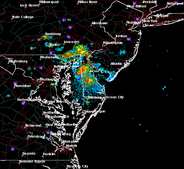 At 421 pm edt, severe thunderstorms were located along a line extending from near green spring to near cheswold to near sudlersville, moving southeast at 10 mph (radar indicated). Hazards include 60 mph wind gusts and quarter size hail. Minor damage to vehicles is possible. wind damage to roofs, siding, trees, and power lines is possible. Locations impacted include, dover, smyrna, camden, clayton, cheswold, millington, sudlersville, goldsboro, woodside, hartly, rising sun-lebanon, hazlettville, delaney corner, dover base housing, crumpton, dover speedway, sandtown, green spring, rising sun and massey. At 421 pm edt, severe thunderstorms were located along a line extending from near green spring to near cheswold to near sudlersville, moving southeast at 10 mph (radar indicated). Hazards include 60 mph wind gusts and quarter size hail. Minor damage to vehicles is possible. wind damage to roofs, siding, trees, and power lines is possible. Locations impacted include, dover, smyrna, camden, clayton, cheswold, millington, sudlersville, goldsboro, woodside, hartly, rising sun-lebanon, hazlettville, delaney corner, dover base housing, crumpton, dover speedway, sandtown, green spring, rising sun and massey.
|
| 8/1/2019 4:06 PM EDT |
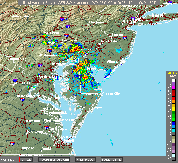 At 405 pm edt, severe thunderstorms were located along a line extending from near green spring to near delaney corner to sudlersville, moving southeast at 10 mph (radar indicated). Hazards include 60 mph wind gusts and quarter size hail. Minor damage to vehicles is possible. Wind damage to roofs, siding, trees, and power lines is possible. At 405 pm edt, severe thunderstorms were located along a line extending from near green spring to near delaney corner to sudlersville, moving southeast at 10 mph (radar indicated). Hazards include 60 mph wind gusts and quarter size hail. Minor damage to vehicles is possible. Wind damage to roofs, siding, trees, and power lines is possible.
|
| 7/17/2019 7:10 PM EDT |
 At 709 pm edt, severe thunderstorms were located along a line extending from near hollywood beach to near sudlersville, moving east at 40 mph (radar indicated). Hazards include 60 mph wind gusts. Damage to roofs, siding, trees, and power lines is possible. Locations impacted include, dover, middletown, centerville, smyrna, chestertown, centreville, clayton, delaware city, cheswold, church hill, cecilton, millington, sudlersville, betterton, hartly, warwick, old town, bohemias mills, newtown and port penn. At 709 pm edt, severe thunderstorms were located along a line extending from near hollywood beach to near sudlersville, moving east at 40 mph (radar indicated). Hazards include 60 mph wind gusts. Damage to roofs, siding, trees, and power lines is possible. Locations impacted include, dover, middletown, centerville, smyrna, chestertown, centreville, clayton, delaware city, cheswold, church hill, cecilton, millington, sudlersville, betterton, hartly, warwick, old town, bohemias mills, newtown and port penn.
|
| 7/17/2019 6:44 PM EDT |
 At 644 pm edt, severe thunderstorms were located along a line extending from near perryman to near centreville, moving east at 40 mph (radar indicated). Hazards include 60 mph wind gusts. damage to roofs, siding, trees, and power lines is possible At 644 pm edt, severe thunderstorms were located along a line extending from near perryman to near centreville, moving east at 40 mph (radar indicated). Hazards include 60 mph wind gusts. damage to roofs, siding, trees, and power lines is possible
|
| 7/11/2019 6:18 PM EDT |
 A severe thunderstorm warning remains in effect until 645 pm edt for southwestern new castle. western kent. northeastern talbot. queen anne`s. northern caroline. northeastern kent and southeastern cecil counties. At 617 pm edt, severe thunderstorms were located along a line extending from middletown to near goldsboro, moving east at 30 mph. A severe thunderstorm warning remains in effect until 645 pm edt for southwestern new castle. western kent. northeastern talbot. queen anne`s. northern caroline. northeastern kent and southeastern cecil counties. At 617 pm edt, severe thunderstorms were located along a line extending from middletown to near goldsboro, moving east at 30 mph.
|
| 7/11/2019 5:44 PM EDT |
 The national weather service in mount holly nj has issued a * severe thunderstorm warning for. southwestern new castle county in northern delaware. western kent county in central delaware. northeastern talbot county in eastern maryland. Queen anne`s county in northeastern maryland. The national weather service in mount holly nj has issued a * severe thunderstorm warning for. southwestern new castle county in northern delaware. western kent county in central delaware. northeastern talbot county in eastern maryland. Queen anne`s county in northeastern maryland.
|
| 7/6/2019 9:17 PM EDT |
 At 917 pm edt, a severe thunderstorm was located over church hill, or 10 miles northeast of centerville, moving southeast at 45 mph (radar indicated). Hazards include 60 mph wind gusts. damage to roofs, siding, trees, and power lines is possible At 917 pm edt, a severe thunderstorm was located over church hill, or 10 miles northeast of centerville, moving southeast at 45 mph (radar indicated). Hazards include 60 mph wind gusts. damage to roofs, siding, trees, and power lines is possible
|
| 7/6/2019 9:17 PM EDT |
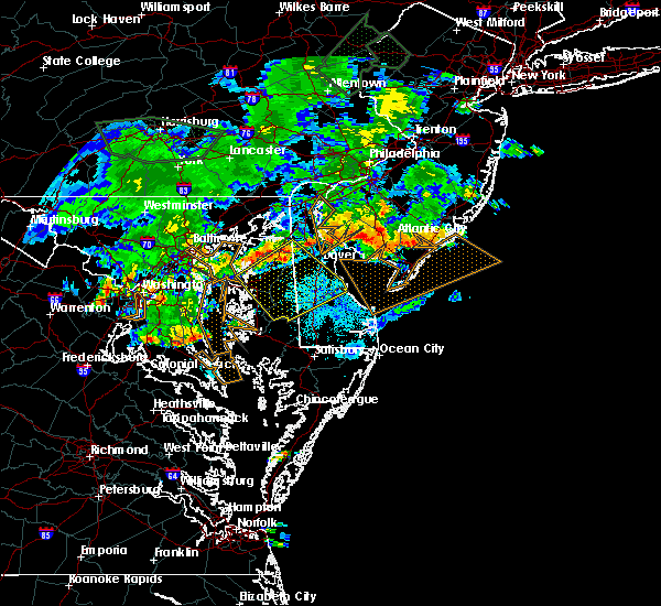 At 917 pm edt, a severe thunderstorm was located over church hill, or 10 miles northeast of centerville, moving southeast at 45 mph (radar indicated). Hazards include 60 mph wind gusts. damage to roofs, siding, trees, and power lines is possible At 917 pm edt, a severe thunderstorm was located over church hill, or 10 miles northeast of centerville, moving southeast at 45 mph (radar indicated). Hazards include 60 mph wind gusts. damage to roofs, siding, trees, and power lines is possible
|
| 6/29/2019 5:13 PM EDT |
 At 513 pm edt, a severe thunderstorm was located near hope, or 8 miles east of centerville, moving southeast at 25 mph (radar indicated). Hazards include 60 mph wind gusts and quarter size hail. Minor damage to vehicles is possible. wind damage to roofs, siding, trees, and power lines is possible. Locations impacted include, greensboro, goldsboro, henderson, marydel, templeville and barclay. At 513 pm edt, a severe thunderstorm was located near hope, or 8 miles east of centerville, moving southeast at 25 mph (radar indicated). Hazards include 60 mph wind gusts and quarter size hail. Minor damage to vehicles is possible. wind damage to roofs, siding, trees, and power lines is possible. Locations impacted include, greensboro, goldsboro, henderson, marydel, templeville and barclay.
|
| 6/29/2019 5:13 PM EDT |
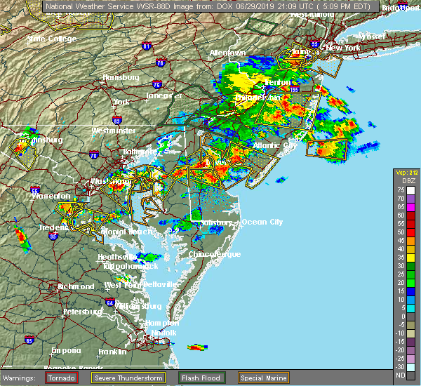 At 513 pm edt, a severe thunderstorm was located near hope, or 8 miles east of centerville, moving southeast at 25 mph (radar indicated). Hazards include 60 mph wind gusts and quarter size hail. Minor damage to vehicles is possible. wind damage to roofs, siding, trees, and power lines is possible. Locations impacted include, greensboro, goldsboro, henderson, marydel, templeville and barclay. At 513 pm edt, a severe thunderstorm was located near hope, or 8 miles east of centerville, moving southeast at 25 mph (radar indicated). Hazards include 60 mph wind gusts and quarter size hail. Minor damage to vehicles is possible. wind damage to roofs, siding, trees, and power lines is possible. Locations impacted include, greensboro, goldsboro, henderson, marydel, templeville and barclay.
|
| 6/29/2019 4:55 PM EDT |
 At 455 pm edt, a severe thunderstorm was located over church hill, or 9 miles northeast of centerville, moving southeast at 25 mph (radar indicated). Hazards include 60 mph wind gusts and quarter size hail. Minor damage to vehicles is possible. Wind damage to roofs, siding, trees, and power lines is possible. At 455 pm edt, a severe thunderstorm was located over church hill, or 9 miles northeast of centerville, moving southeast at 25 mph (radar indicated). Hazards include 60 mph wind gusts and quarter size hail. Minor damage to vehicles is possible. Wind damage to roofs, siding, trees, and power lines is possible.
|
| 6/29/2019 4:55 PM EDT |
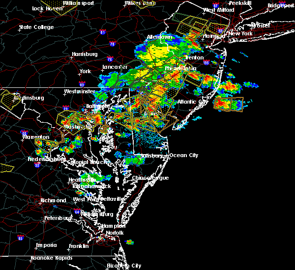 At 455 pm edt, a severe thunderstorm was located over church hill, or 9 miles northeast of centerville, moving southeast at 25 mph (radar indicated). Hazards include 60 mph wind gusts and quarter size hail. Minor damage to vehicles is possible. Wind damage to roofs, siding, trees, and power lines is possible. At 455 pm edt, a severe thunderstorm was located over church hill, or 9 miles northeast of centerville, moving southeast at 25 mph (radar indicated). Hazards include 60 mph wind gusts and quarter size hail. Minor damage to vehicles is possible. Wind damage to roofs, siding, trees, and power lines is possible.
|
| 6/29/2019 4:44 PM EDT |
 At 444 pm edt, a severe thunderstorm was located over chestertown, or 10 miles north of centerville, moving east at 20 mph (radar indicated). Hazards include 60 mph wind gusts and quarter size hail. Minor damage to vehicles is possible. wind damage to roofs, siding, trees, and power lines is possible. Locations impacted include, chestertown, church hill, sudlersville, starkey corner, old town, langford, templeville, barclay and kingstown. At 444 pm edt, a severe thunderstorm was located over chestertown, or 10 miles north of centerville, moving east at 20 mph (radar indicated). Hazards include 60 mph wind gusts and quarter size hail. Minor damage to vehicles is possible. wind damage to roofs, siding, trees, and power lines is possible. Locations impacted include, chestertown, church hill, sudlersville, starkey corner, old town, langford, templeville, barclay and kingstown.
|
| 6/29/2019 4:14 PM EDT |
 At 414 pm edt, a severe thunderstorm was located over chestertown, or 10 miles north of centerville, moving southeast at 25 mph (radar indicated). Hazards include 60 mph wind gusts and quarter size hail. Minor damage to vehicles is possible. Wind damage to roofs, siding, trees, and power lines is possible. At 414 pm edt, a severe thunderstorm was located over chestertown, or 10 miles north of centerville, moving southeast at 25 mph (radar indicated). Hazards include 60 mph wind gusts and quarter size hail. Minor damage to vehicles is possible. Wind damage to roofs, siding, trees, and power lines is possible.
|
| 6/2/2019 7:36 PM EDT |
 At 736 pm edt, a severe thunderstorm was located near church hill, or 11 miles northeast of centerville, moving east at 45 mph (radar indicated). Hazards include 60 mph wind gusts and quarter size hail. Minor damage to vehicles is possible. Wind damage to roofs, siding, trees, and power lines is possible. At 736 pm edt, a severe thunderstorm was located near church hill, or 11 miles northeast of centerville, moving east at 45 mph (radar indicated). Hazards include 60 mph wind gusts and quarter size hail. Minor damage to vehicles is possible. Wind damage to roofs, siding, trees, and power lines is possible.
|
| 5/30/2019 4:59 PM EDT |
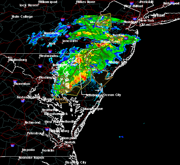 At 459 pm edt, a severe thunderstorm was located near milford, or 17 miles north of georgetown, moving east at 65 mph (radar indicated). Hazards include 60 mph wind gusts and quarter size hail. Minor damage to vehicles is possible. wind damage to roofs, siding, trees, and power lines is possible. locations impacted include, dover, easton, milford, denton, harrington, camden, federalsburg, bridgeville, greensboro, oakland, ridgely, cheswold, trappe, st. Michaels, preston, oxford, sudlersville, goldsboro, queen anne and woodside. At 459 pm edt, a severe thunderstorm was located near milford, or 17 miles north of georgetown, moving east at 65 mph (radar indicated). Hazards include 60 mph wind gusts and quarter size hail. Minor damage to vehicles is possible. wind damage to roofs, siding, trees, and power lines is possible. locations impacted include, dover, easton, milford, denton, harrington, camden, federalsburg, bridgeville, greensboro, oakland, ridgely, cheswold, trappe, st. Michaels, preston, oxford, sudlersville, goldsboro, queen anne and woodside.
|
| 5/30/2019 4:32 PM EDT |
 At 431 pm edt, a severe thunderstorm was located over jumptown, or 9 miles southeast of centerville, moving east at 65 mph (radar indicated). Hazards include 60 mph wind gusts and quarter size hail. Minor damage to vehicles is possible. Wind damage to roofs, siding, trees, and power lines is possible. At 431 pm edt, a severe thunderstorm was located over jumptown, or 9 miles southeast of centerville, moving east at 65 mph (radar indicated). Hazards include 60 mph wind gusts and quarter size hail. Minor damage to vehicles is possible. Wind damage to roofs, siding, trees, and power lines is possible.
|
| 5/30/2019 4:32 PM EDT |
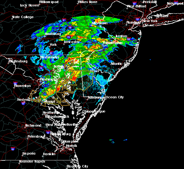 At 431 pm edt, a severe thunderstorm was located over jumptown, or 9 miles southeast of centerville, moving east at 65 mph (radar indicated). Hazards include 60 mph wind gusts and quarter size hail. Minor damage to vehicles is possible. Wind damage to roofs, siding, trees, and power lines is possible. At 431 pm edt, a severe thunderstorm was located over jumptown, or 9 miles southeast of centerville, moving east at 65 mph (radar indicated). Hazards include 60 mph wind gusts and quarter size hail. Minor damage to vehicles is possible. Wind damage to roofs, siding, trees, and power lines is possible.
|
| 5/30/2019 4:18 PM EDT |
 At 416 pm edt, a severe thunderstorm was located near grasonville, or near centerville, moving east at 35 mph (radar indicated). Hazards include 60 mph wind gusts and quarter size hail. Minor damage to vehicles is possible. wind damage to roofs, siding, trees, and power lines is possible. Locations impacted include, centerville, chestertown, centreville, rock hall, church hill, millington, sudlersville, queen anne, old town, grasonville, starr, morgnec, crumpton, skipton, langford, matthews, overton, starkey corner, wye mills and cordova. At 416 pm edt, a severe thunderstorm was located near grasonville, or near centerville, moving east at 35 mph (radar indicated). Hazards include 60 mph wind gusts and quarter size hail. Minor damage to vehicles is possible. wind damage to roofs, siding, trees, and power lines is possible. Locations impacted include, centerville, chestertown, centreville, rock hall, church hill, millington, sudlersville, queen anne, old town, grasonville, starr, morgnec, crumpton, skipton, langford, matthews, overton, starkey corner, wye mills and cordova.
|
| 5/30/2019 3:53 PM EDT |
 At 352 pm edt, a severe thunderstorm was located near gibson island, moving east at 35 mph (radar indicated). Hazards include 60 mph wind gusts and quarter size hail. Minor damage to vehicles is possible. Wind damage to roofs, siding, trees, and power lines is possible. At 352 pm edt, a severe thunderstorm was located near gibson island, moving east at 35 mph (radar indicated). Hazards include 60 mph wind gusts and quarter size hail. Minor damage to vehicles is possible. Wind damage to roofs, siding, trees, and power lines is possible.
|
| 5/26/2019 10:05 PM EDT |
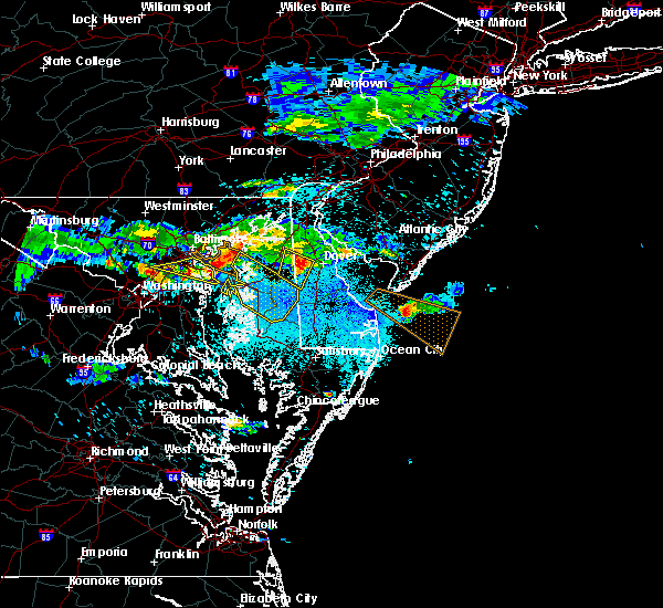 At 1005 pm edt, a severe thunderstorm was located over hartly, or 12 miles west of dover, moving southeast at 30 mph (radar indicated). Hazards include 60 mph wind gusts and quarter size hail. Minor damage to vehicles is possible. wind damage to roofs, siding, trees, and power lines is possible. Locations impacted include, millington, sudlersville, goldsboro, hartly, hazlettville, sandtown, henderson, marydel, templeville and barclay. At 1005 pm edt, a severe thunderstorm was located over hartly, or 12 miles west of dover, moving southeast at 30 mph (radar indicated). Hazards include 60 mph wind gusts and quarter size hail. Minor damage to vehicles is possible. wind damage to roofs, siding, trees, and power lines is possible. Locations impacted include, millington, sudlersville, goldsboro, hartly, hazlettville, sandtown, henderson, marydel, templeville and barclay.
|
| 5/26/2019 9:45 PM EDT |
 At 945 pm edt, a severe thunderstorm was located over crumpton, or 14 miles northeast of centerville, moving southeast at 30 mph (radar indicated). Hazards include 60 mph wind gusts and quarter size hail. Minor damage to vehicles is possible. Wind damage to roofs, siding, trees, and power lines is possible. At 945 pm edt, a severe thunderstorm was located over crumpton, or 14 miles northeast of centerville, moving southeast at 30 mph (radar indicated). Hazards include 60 mph wind gusts and quarter size hail. Minor damage to vehicles is possible. Wind damage to roofs, siding, trees, and power lines is possible.
|
| 5/23/2019 4:11 PM EDT |
 At 410 pm edt, severe thunderstorms were located along a line extending from near millers island to near gibson island to severn river to near bowie, moving east at 55 mph (radar indicated. damaging winds have occurred in the washington dc area). Hazards include 70 mph wind gusts and penny size hail. Expect considerable tree damage. damage is likely to mobile homes, roofs, and outbuildings. locations impacted include, centerville, talbot, chestertown, centreville, greensboro, oakland, ridgely, rock hall, st. Michaels, church hill, millington, sudlersville, goldsboro, queen anne, old town, grasonville, starr, copperville, jumptown and morgnec. At 410 pm edt, severe thunderstorms were located along a line extending from near millers island to near gibson island to severn river to near bowie, moving east at 55 mph (radar indicated. damaging winds have occurred in the washington dc area). Hazards include 70 mph wind gusts and penny size hail. Expect considerable tree damage. damage is likely to mobile homes, roofs, and outbuildings. locations impacted include, centerville, talbot, chestertown, centreville, greensboro, oakland, ridgely, rock hall, st. Michaels, church hill, millington, sudlersville, goldsboro, queen anne, old town, grasonville, starr, copperville, jumptown and morgnec.
|
| 5/23/2019 3:53 PM EDT |
 At 353 pm edt, severe thunderstorms were located along a line extending from near baltimore to severna park to new carrollton, moving east at 50 mph (radar indicated). Hazards include 70 mph wind gusts and penny size hail. Expect considerable tree damage. Damage is likely to mobile homes, roofs, and outbuildings. At 353 pm edt, severe thunderstorms were located along a line extending from near baltimore to severna park to new carrollton, moving east at 50 mph (radar indicated). Hazards include 70 mph wind gusts and penny size hail. Expect considerable tree damage. Damage is likely to mobile homes, roofs, and outbuildings.
|
| 4/26/2019 5:08 PM EDT |
 The severe thunderstorm warning for western sussex, new castle, kent, northeastern queen anne`s, caroline, northeastern kent, southeastern cecil, west central cumberland, western salem and west central gloucester counties will expire at 515 pm edt, the storms which prompted the warning have moved out of the area. therefore, the warning will be allowed to expire. however gusty winds and heavy rain are still possible with these thunderstorms. a tornado watch remains in effect until 900 pm edt for central, northern and southern delaware, eastern and northeastern maryland, southern new jersey, and southeastern pennsylvania. to report severe weather, contact your nearest law enforcement agency. they will relay your report to the national weather service in mount holly nj. a new severe thunderstorm warning is now in effect until 5:45 pm. The severe thunderstorm warning for western sussex, new castle, kent, northeastern queen anne`s, caroline, northeastern kent, southeastern cecil, west central cumberland, western salem and west central gloucester counties will expire at 515 pm edt, the storms which prompted the warning have moved out of the area. therefore, the warning will be allowed to expire. however gusty winds and heavy rain are still possible with these thunderstorms. a tornado watch remains in effect until 900 pm edt for central, northern and southern delaware, eastern and northeastern maryland, southern new jersey, and southeastern pennsylvania. to report severe weather, contact your nearest law enforcement agency. they will relay your report to the national weather service in mount holly nj. a new severe thunderstorm warning is now in effect until 5:45 pm.
|
| 4/26/2019 4:56 PM EDT |
 At 455 pm edt, severe thunderstorms were located along a line extending from stanton to near goldsboro to near hurlock, moving east at 40 mph (radar indicated). Hazards include 60 mph wind gusts and penny size hail. Damage to roofs, siding, trees, and power lines is possible. locations impacted include, wilmington, dover, newark, middletown, elkton, pennsville, smyrna, carneys point, seaford, elsmere, new castle, penns grove, salem, denton, laurel, harrington, woodstown, alloway, camden and clayton. A tornado watch remains in effect until 900 pm edt for central, northern and southern delaware, eastern and northeastern maryland, southern new jersey, and southeastern pennsylvania. At 455 pm edt, severe thunderstorms were located along a line extending from stanton to near goldsboro to near hurlock, moving east at 40 mph (radar indicated). Hazards include 60 mph wind gusts and penny size hail. Damage to roofs, siding, trees, and power lines is possible. locations impacted include, wilmington, dover, newark, middletown, elkton, pennsville, smyrna, carneys point, seaford, elsmere, new castle, penns grove, salem, denton, laurel, harrington, woodstown, alloway, camden and clayton. A tornado watch remains in effect until 900 pm edt for central, northern and southern delaware, eastern and northeastern maryland, southern new jersey, and southeastern pennsylvania.
|
| 4/26/2019 4:36 PM EDT | Emergency services reports trees down around the area. time estimated from rada in queen anne's county MD, 0.7 miles SW of Sudlersville, MD |
| 4/26/2019 4:32 PM EDT | Downed trees and blown debris closed u.s. highway 301 near dudley conners road. time estimated from rada in queen anne's county MD, 2.4 miles ESE of Sudlersville, MD |
| 4/26/2019 4:28 PM EDT |
 At 428 pm edt, severe thunderstorms were located along a line extending from lombard to near starkey corner to near university of maryland center for environmental studies, moving east at 40 mph (radar indicated). Hazards include 60 mph wind gusts and penny size hail. damage to roofs, siding, trees, and power lines is possible At 428 pm edt, severe thunderstorms were located along a line extending from lombard to near starkey corner to near university of maryland center for environmental studies, moving east at 40 mph (radar indicated). Hazards include 60 mph wind gusts and penny size hail. damage to roofs, siding, trees, and power lines is possible
|
| 4/26/2019 4:17 PM EDT |
 At 417 pm edt, severe thunderstorms were located along a line extending from near quarryville to betterton to near talbot, moving northeast at 40 mph (radar indicated). Hazards include 60 mph wind gusts and penny size hail. Damage to roofs, siding, trees, and power lines is possible. locations impacted include, easton, elkton, centerville, calvert, talbot, chestertown, centreville, north east, rising sun, oakland, ridgely, rock hall, charlestown, trappe, st. michaels, church hill, preston, cecilton, oxford and millington. A tornado watch remains in effect until 900 pm edt for eastern and northeastern maryland. At 417 pm edt, severe thunderstorms were located along a line extending from near quarryville to betterton to near talbot, moving northeast at 40 mph (radar indicated). Hazards include 60 mph wind gusts and penny size hail. Damage to roofs, siding, trees, and power lines is possible. locations impacted include, easton, elkton, centerville, calvert, talbot, chestertown, centreville, north east, rising sun, oakland, ridgely, rock hall, charlestown, trappe, st. michaels, church hill, preston, cecilton, oxford and millington. A tornado watch remains in effect until 900 pm edt for eastern and northeastern maryland.
|
| 4/26/2019 3:32 PM EDT |
 At 332 pm edt, severe thunderstorms were located along a line extending from near jarrettsville to fort smallwood state park to prince frederick, moving northeast at 40 mph (radar indicated). Hazards include 60 mph wind gusts and penny size hail. damage to roofs, siding, trees, and power lines is possible At 332 pm edt, severe thunderstorms were located along a line extending from near jarrettsville to fort smallwood state park to prince frederick, moving northeast at 40 mph (radar indicated). Hazards include 60 mph wind gusts and penny size hail. damage to roofs, siding, trees, and power lines is possible
|
| 4/15/2019 3:11 AM EDT |
 The severe thunderstorm warning for northeastern talbot, queen anne`s, northern caroline and northeastern kent counties will expire at 315 am edt, the storms which prompted the warning have moved out of the area. therefore, the warning will be allowed to expire. however gusty winds and heavy rain are still possible with these thunderstorms. a tornado watch remains in effect until 700 am edt for eastern and northeastern maryland. to report severe weather, contact your nearest law enforcement agency. they will relay your report to the national weather service in mount holly nj. remember, a severe thunderstorm warning still remains in effect for talbot, queen anne`s, caroline, and kent counties until 3:45 am. The severe thunderstorm warning for northeastern talbot, queen anne`s, northern caroline and northeastern kent counties will expire at 315 am edt, the storms which prompted the warning have moved out of the area. therefore, the warning will be allowed to expire. however gusty winds and heavy rain are still possible with these thunderstorms. a tornado watch remains in effect until 700 am edt for eastern and northeastern maryland. to report severe weather, contact your nearest law enforcement agency. they will relay your report to the national weather service in mount holly nj. remember, a severe thunderstorm warning still remains in effect for talbot, queen anne`s, caroline, and kent counties until 3:45 am.
|
| 4/15/2019 3:09 AM EDT |
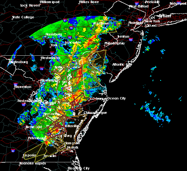 The tornado warning for northeastern queen anne`s, north central caroline and northeastern kent counties will expire at 315 am edt, the tornado threat has diminished and the tornado warning has been cancelled. however, large hail and damaging winds remain likely and a severe thunderstorm warning remains in effect for the area. however gusty winds and heavy rain are still possible with this thunderstorm. a tornado watch remains in effect until 700 am edt for eastern and northeastern maryland. to report severe weather, contact your nearest law enforcement agency. they will relay your report to the national weather service in mount holly nj. The tornado warning for northeastern queen anne`s, north central caroline and northeastern kent counties will expire at 315 am edt, the tornado threat has diminished and the tornado warning has been cancelled. however, large hail and damaging winds remain likely and a severe thunderstorm warning remains in effect for the area. however gusty winds and heavy rain are still possible with this thunderstorm. a tornado watch remains in effect until 700 am edt for eastern and northeastern maryland. to report severe weather, contact your nearest law enforcement agency. they will relay your report to the national weather service in mount holly nj.
|
| 4/15/2019 3:07 AM EDT |
 At 306 am edt, severe thunderstorms were located along a line extending from elkton to sudlersville to near windyhill, moving northeast at 60 mph (radar indicated). Hazards include 60 mph wind gusts. damage to roofs, siding, trees, and power lines is possible At 306 am edt, severe thunderstorms were located along a line extending from elkton to sudlersville to near windyhill, moving northeast at 60 mph (radar indicated). Hazards include 60 mph wind gusts. damage to roofs, siding, trees, and power lines is possible
|
| 4/15/2019 3:04 AM EDT |
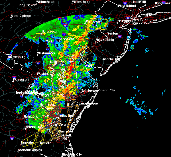 At 304 am edt, severe thunderstorms were located along a line extending from near crumpton to near goldsboro to near matthews, moving east at 75 mph (radar indicated). Hazards include 60 mph wind gusts. Damage to roofs, siding, trees, and power lines is possible. locations impacted include, easton, centerville, centreville, greensboro, oakland, ridgely, church hill, millington, sudlersville, goldsboro, queen anne, starr, jumptown, morgnec, crumpton, skipton, matthews, wye mills, starkey corner and griffin. A tornado watch remains in effect until 700 am edt for eastern and northeastern maryland. At 304 am edt, severe thunderstorms were located along a line extending from near crumpton to near goldsboro to near matthews, moving east at 75 mph (radar indicated). Hazards include 60 mph wind gusts. Damage to roofs, siding, trees, and power lines is possible. locations impacted include, easton, centerville, centreville, greensboro, oakland, ridgely, church hill, millington, sudlersville, goldsboro, queen anne, starr, jumptown, morgnec, crumpton, skipton, matthews, wye mills, starkey corner and griffin. A tornado watch remains in effect until 700 am edt for eastern and northeastern maryland.
|
| 4/15/2019 3:02 AM EDT |
 At 302 am edt, a severe thunderstorm capable of producing a tornado was located near church hill, or 11 miles northeast of centerville, moving northeast at 50 mph (radar indicated rotation). Hazards include tornado. Flying debris will be dangerous to those caught without shelter. mobile homes will be damaged or destroyed. damage to roofs, windows, and vehicles will occur. tree damage is likely. Locations impacted include, chestertown, centreville, church hill, millington, sudlersville, starkey corner, morgnec, crumpton, massey, barclay and kingstown. At 302 am edt, a severe thunderstorm capable of producing a tornado was located near church hill, or 11 miles northeast of centerville, moving northeast at 50 mph (radar indicated rotation). Hazards include tornado. Flying debris will be dangerous to those caught without shelter. mobile homes will be damaged or destroyed. damage to roofs, windows, and vehicles will occur. tree damage is likely. Locations impacted include, chestertown, centreville, church hill, millington, sudlersville, starkey corner, morgnec, crumpton, massey, barclay and kingstown.
|
| 4/15/2019 2:56 AM EDT |
 At 256 am edt, severe thunderstorms were located along a line extending from morgnec to carville to near easton, moving northeast at 95 mph (radar indicated). Hazards include 60 mph wind gusts. Damage to roofs, siding, trees, and power lines is possible. locations impacted include, easton, centerville, chestertown, denton, centreville, greensboro, oakland, ridgely, rock hall, st. michaels, church hill, preston, oxford, millington, sudlersville, goldsboro, queen anne, old town, starr and copperville. A tornado watch remains in effect until 700 am edt for eastern and northeastern maryland. At 256 am edt, severe thunderstorms were located along a line extending from morgnec to carville to near easton, moving northeast at 95 mph (radar indicated). Hazards include 60 mph wind gusts. Damage to roofs, siding, trees, and power lines is possible. locations impacted include, easton, centerville, chestertown, denton, centreville, greensboro, oakland, ridgely, rock hall, st. michaels, church hill, preston, oxford, millington, sudlersville, goldsboro, queen anne, old town, starr and copperville. A tornado watch remains in effect until 700 am edt for eastern and northeastern maryland.
|
| 4/15/2019 2:43 AM EDT |
 At 243 am edt, a severe thunderstorm capable of producing a tornado was located over rock hall, or 9 miles east of gibson island, moving northeast at 50 mph (radar indicated rotation). Hazards include tornado. Flying debris will be dangerous to those caught without shelter. mobile homes will be damaged or destroyed. damage to roofs, windows, and vehicles will occur. Tree damage is likely. At 243 am edt, a severe thunderstorm capable of producing a tornado was located over rock hall, or 9 miles east of gibson island, moving northeast at 50 mph (radar indicated rotation). Hazards include tornado. Flying debris will be dangerous to those caught without shelter. mobile homes will be damaged or destroyed. damage to roofs, windows, and vehicles will occur. Tree damage is likely.
|
| 4/15/2019 2:25 AM EDT |
 At 225 am edt, severe thunderstorms were located along a line extending from near parole to near chesapeake beach to hallowing point, moving northeast at 60 mph (radar indicated). Hazards include 60 mph wind gusts. damage to roofs, siding, trees, and power lines is possible At 225 am edt, severe thunderstorms were located along a line extending from near parole to near chesapeake beach to hallowing point, moving northeast at 60 mph (radar indicated). Hazards include 60 mph wind gusts. damage to roofs, siding, trees, and power lines is possible
|
| 9/26/2018 7:16 PM EDT |
 At 716 pm edt, severe thunderstorms were located along a line extending from white marsh to lake shore to marlton, moving southeast at 40 mph (radar indicated). Hazards include 60 mph wind gusts and penny size hail. damage to roofs, siding, trees, and power lines is possible At 716 pm edt, severe thunderstorms were located along a line extending from white marsh to lake shore to marlton, moving southeast at 40 mph (radar indicated). Hazards include 60 mph wind gusts and penny size hail. damage to roofs, siding, trees, and power lines is possible
|
| 8/11/2018 7:42 PM EDT |
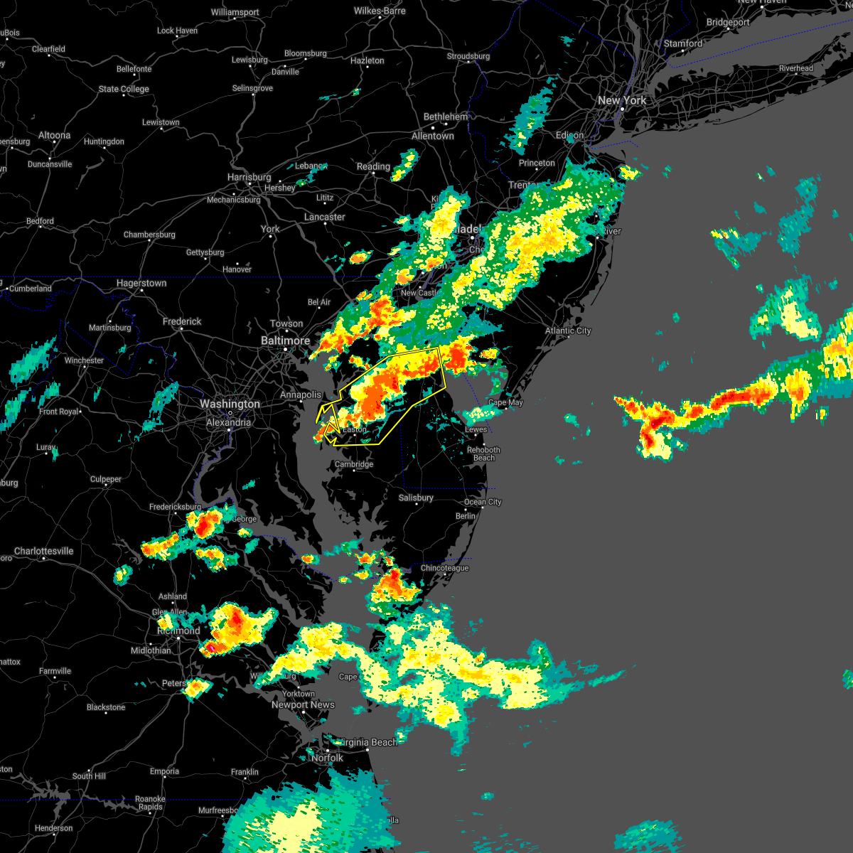 The severe thunderstorm warning for kent, talbot, queen anne`s and caroline counties will expire at 745 pm edt, the storms which prompted the warning have weakened below severe limits, and no longer pose an immediate threat to life or property. therefore, the warning will be allowed to expire. however gusty winds and heavy rain are still possible with these thunderstorms. to report severe weather, contact your nearest law enforcement agency or the national weather service in mount holly, nj. The severe thunderstorm warning for kent, talbot, queen anne`s and caroline counties will expire at 745 pm edt, the storms which prompted the warning have weakened below severe limits, and no longer pose an immediate threat to life or property. therefore, the warning will be allowed to expire. however gusty winds and heavy rain are still possible with these thunderstorms. to report severe weather, contact your nearest law enforcement agency or the national weather service in mount holly, nj.
|
| 8/11/2018 7:19 PM EDT |
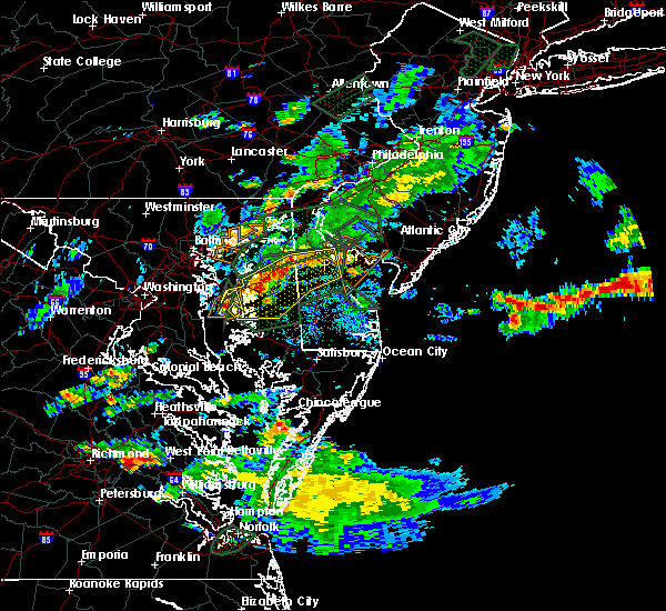 At 718 pm edt, severe thunderstorms were located along a line extending from 7 miles southeast of woodland beach to dover speedway to near hope to talbot, moving southeast at 15 mph (radar indicated). Hazards include 60 mph wind gusts. Damage to roofs, siding, trees, and power lines is possible. these severe storms will be near, dover, camden, cheswold, woodside, dover speedway and hazlettville around 725 pm edt. dover base housing, rising sun-lebanon and rising sun around 730 pm edt. easton, greensboro, bowers, goldsboro and sandtown around 745 pm edt. Other locations impacted by these severe thunderstorms include kenton, barclay, leipsic, rodney village, wyoming, kent acres, magnolia, riverview, templeville and highland acres. At 718 pm edt, severe thunderstorms were located along a line extending from 7 miles southeast of woodland beach to dover speedway to near hope to talbot, moving southeast at 15 mph (radar indicated). Hazards include 60 mph wind gusts. Damage to roofs, siding, trees, and power lines is possible. these severe storms will be near, dover, camden, cheswold, woodside, dover speedway and hazlettville around 725 pm edt. dover base housing, rising sun-lebanon and rising sun around 730 pm edt. easton, greensboro, bowers, goldsboro and sandtown around 745 pm edt. Other locations impacted by these severe thunderstorms include kenton, barclay, leipsic, rodney village, wyoming, kent acres, magnolia, riverview, templeville and highland acres.
|
| 8/11/2018 6:55 PM EDT |
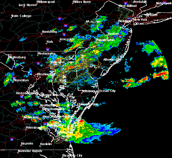 At 654 pm edt, severe thunderstorms were located along a line extending from near woodland beach to near cheswold to starkey corner to near romancoke, moving southeast at 20 mph (radar indicated). Hazards include 60 mph wind gusts and penny size hail. damage to roofs, siding, trees, and power lines is possible At 654 pm edt, severe thunderstorms were located along a line extending from near woodland beach to near cheswold to starkey corner to near romancoke, moving southeast at 20 mph (radar indicated). Hazards include 60 mph wind gusts and penny size hail. damage to roofs, siding, trees, and power lines is possible
|
| 8/11/2018 6:44 PM EDT |
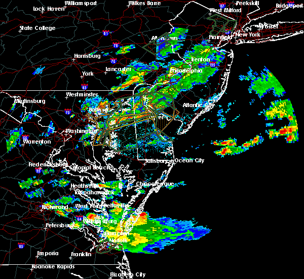 At 644 pm edt, severe thunderstorms were located along a line extending from near woodland beach to near hartly to near millington to old town, moving southeast at 10 mph (radar indicated). Hazards include 60 mph wind gusts and penny size hail. Damage to roofs, siding, trees, and power lines is possible. these severe storms will be near, smyrna, clayton, hartly and woodland beach around 650 pm edt. dover and cheswold around 700 pm edt. Other locations impacted by these severe thunderstorms include kenton, barclay, leipsic, kingstown and templeville. At 644 pm edt, severe thunderstorms were located along a line extending from near woodland beach to near hartly to near millington to old town, moving southeast at 10 mph (radar indicated). Hazards include 60 mph wind gusts and penny size hail. Damage to roofs, siding, trees, and power lines is possible. these severe storms will be near, smyrna, clayton, hartly and woodland beach around 650 pm edt. dover and cheswold around 700 pm edt. Other locations impacted by these severe thunderstorms include kenton, barclay, leipsic, kingstown and templeville.
|
| 8/11/2018 6:31 PM EDT |
 At 630 pm edt, severe thunderstorms were located along a line extending from 6 miles south of hope creek to near woodland beach to near clayton to langford, moving southeast at 10 mph (radar indicated). Hazards include 60 mph wind gusts and nickel size hail. Damage to roofs, siding, trees, and power lines is possible. these severe storms will be near, smyrna, clayton and green spring around 635 pm edt. woodland beach around 650 pm edt. dover, centreville, cheswold, church hill, hartly, starkey corner and overton around 700 pm edt. Other locations impacted by these severe thunderstorms include templeville, kenton, barclay, leipsic, chambersville and kingstown. At 630 pm edt, severe thunderstorms were located along a line extending from 6 miles south of hope creek to near woodland beach to near clayton to langford, moving southeast at 10 mph (radar indicated). Hazards include 60 mph wind gusts and nickel size hail. Damage to roofs, siding, trees, and power lines is possible. these severe storms will be near, smyrna, clayton and green spring around 635 pm edt. woodland beach around 650 pm edt. dover, centreville, cheswold, church hill, hartly, starkey corner and overton around 700 pm edt. Other locations impacted by these severe thunderstorms include templeville, kenton, barclay, leipsic, chambersville and kingstown.
|
| 8/11/2018 6:08 PM EDT |
 At 607 pm edt, severe thunderstorms were located along a line extending from near hope creek to green spring to near millington to near bodkin point, moving east at 15 mph (radar indicated). Hazards include 60 mph wind gusts and quarter size hail. Minor damage to vehicles is possible. wind damage to roofs, siding, trees, and power lines is possible. severe thunderstorms will be near, clayton, green spring, massey and crumpton around 615 pm edt. millington around 620 pm edt. smyrna and sudlersville around 625 pm edt. delaney corner around 635 pm edt. dover and woodland beach around 650 pm edt. langford around 655 pm edt. centreville, cheswold, hartly, overton and old town around 700 pm edt. Other locations impacted by these severe thunderstorms include templeville, kenton, townsend, barclay, leipsic, chambersville, kingstown and odessa. At 607 pm edt, severe thunderstorms were located along a line extending from near hope creek to green spring to near millington to near bodkin point, moving east at 15 mph (radar indicated). Hazards include 60 mph wind gusts and quarter size hail. Minor damage to vehicles is possible. wind damage to roofs, siding, trees, and power lines is possible. severe thunderstorms will be near, clayton, green spring, massey and crumpton around 615 pm edt. millington around 620 pm edt. smyrna and sudlersville around 625 pm edt. delaney corner around 635 pm edt. dover and woodland beach around 650 pm edt. langford around 655 pm edt. centreville, cheswold, hartly, overton and old town around 700 pm edt. Other locations impacted by these severe thunderstorms include templeville, kenton, townsend, barclay, leipsic, chambersville, kingstown and odessa.
|
| 7/22/2018 1:41 PM EDT |
 At 141 pm edt, a severe thunderstorm was located over morgnec, or 15 miles southeast of aberdeen proving ground, moving north at 25 mph (radar indicated). Hazards include 60 mph wind gusts and quarter size hail. Minor damage to vehicles is possible. Wind damage to roofs, siding, trees, and power lines is possible. At 141 pm edt, a severe thunderstorm was located over morgnec, or 15 miles southeast of aberdeen proving ground, moving north at 25 mph (radar indicated). Hazards include 60 mph wind gusts and quarter size hail. Minor damage to vehicles is possible. Wind damage to roofs, siding, trees, and power lines is possible.
|
| 6/9/2018 4:25 PM EDT |
 At 408 pm edt, a severe thunderstorm was located over cheswold, or near dover, moving southeast at 20 mph (radar indicated). Hazards include 60 mph wind gusts and penny size hail. Damage to roofs, siding, trees, and power lines is possible. Locations impacted include, dover, smyrna, camden, clayton, cheswold, millington, sudlersville, hartly, rising sun-lebanon, woodland beach, hazlettville, morgnec, delaney corner, dover base housing, crumpton, dover speedway, green spring, rising sun, massey and kennedyville. At 408 pm edt, a severe thunderstorm was located over cheswold, or near dover, moving southeast at 20 mph (radar indicated). Hazards include 60 mph wind gusts and penny size hail. Damage to roofs, siding, trees, and power lines is possible. Locations impacted include, dover, smyrna, camden, clayton, cheswold, millington, sudlersville, hartly, rising sun-lebanon, woodland beach, hazlettville, morgnec, delaney corner, dover base housing, crumpton, dover speedway, green spring, rising sun, massey and kennedyville.
|
| 6/9/2018 4:25 PM EDT |
 The severe thunderstorm warning for southwestern new castle, northern kent, northeastern queen anne`s and northeastern kent counties will expire at 430 pm edt, the storm which prompted the warning has weakened below severe limits, and no longer poses an immediate threat to life or property. therefore, the warning will be allowed to expire. however gusty winds and heavy rain are still possible with this thunderstorm. The severe thunderstorm warning for southwestern new castle, northern kent, northeastern queen anne`s and northeastern kent counties will expire at 430 pm edt, the storm which prompted the warning has weakened below severe limits, and no longer poses an immediate threat to life or property. therefore, the warning will be allowed to expire. however gusty winds and heavy rain are still possible with this thunderstorm.
|
| 6/9/2018 4:09 PM EDT |
 At 351 pm edt, a severe thunderstorm was located over green spring, or 10 miles southeast of middletown, moving southeast at 15 mph (radar indicated). Hazards include 60 mph wind gusts and penny size hail. damage to roofs, siding, trees, and power lines is possible At 351 pm edt, a severe thunderstorm was located over green spring, or 10 miles southeast of middletown, moving southeast at 15 mph (radar indicated). Hazards include 60 mph wind gusts and penny size hail. damage to roofs, siding, trees, and power lines is possible
|
| 6/9/2018 4:09 PM EDT |
 At 408 pm edt, a severe thunderstorm was located over cheswold, or near dover, moving southeast at 20 mph (radar indicated). Hazards include 60 mph wind gusts and penny size hail. Damage to roofs, siding, trees, and power lines is possible. Locations impacted include, dover, smyrna, camden, clayton, cheswold, millington, sudlersville, hartly, rising sun-lebanon, woodland beach, hazlettville, morgnec, delaney corner, dover base housing, crumpton, dover speedway, green spring, rising sun, massey and kennedyville. At 408 pm edt, a severe thunderstorm was located over cheswold, or near dover, moving southeast at 20 mph (radar indicated). Hazards include 60 mph wind gusts and penny size hail. Damage to roofs, siding, trees, and power lines is possible. Locations impacted include, dover, smyrna, camden, clayton, cheswold, millington, sudlersville, hartly, rising sun-lebanon, woodland beach, hazlettville, morgnec, delaney corner, dover base housing, crumpton, dover speedway, green spring, rising sun, massey and kennedyville.
|
| 6/9/2018 3:53 PM EDT |
 At 351 pm edt, a severe thunderstorm was located over green spring, or 10 miles southeast of middletown, moving southeast at 15 mph (radar indicated). Hazards include 60 mph wind gusts and penny size hail. damage to roofs, siding, trees, and power lines is possible At 351 pm edt, a severe thunderstorm was located over green spring, or 10 miles southeast of middletown, moving southeast at 15 mph (radar indicated). Hazards include 60 mph wind gusts and penny size hail. damage to roofs, siding, trees, and power lines is possible
|
| 6/5/2018 6:50 PM EDT |
 At 649 pm edt, a severe thunderstorm was located over sudlersville, or 15 miles northeast of centerville, moving east at 35 mph (radar indicated). Hazards include 60 mph wind gusts. Damage to roofs, siding, trees, and power lines is possible. this severe thunderstorm will be near, hartly around 700 pm edt. sandtown around 705 pm edt. dover, cheswold and hazlettville around 710 pm edt. camden, woodside, viola and dover speedway around 715 pm edt. rising sun, rising sun-lebanon and dover base housing around 720 pm edt. bowers around 730 pm edt. Other locations impacted by this severe thunderstorm include kenton, barclay, rodney village, wyoming, kent acres, magnolia, riverview, templeville, highland acres and felton. At 649 pm edt, a severe thunderstorm was located over sudlersville, or 15 miles northeast of centerville, moving east at 35 mph (radar indicated). Hazards include 60 mph wind gusts. Damage to roofs, siding, trees, and power lines is possible. this severe thunderstorm will be near, hartly around 700 pm edt. sandtown around 705 pm edt. dover, cheswold and hazlettville around 710 pm edt. camden, woodside, viola and dover speedway around 715 pm edt. rising sun, rising sun-lebanon and dover base housing around 720 pm edt. bowers around 730 pm edt. Other locations impacted by this severe thunderstorm include kenton, barclay, rodney village, wyoming, kent acres, magnolia, riverview, templeville, highland acres and felton.
|
| 6/5/2018 6:50 PM EDT |
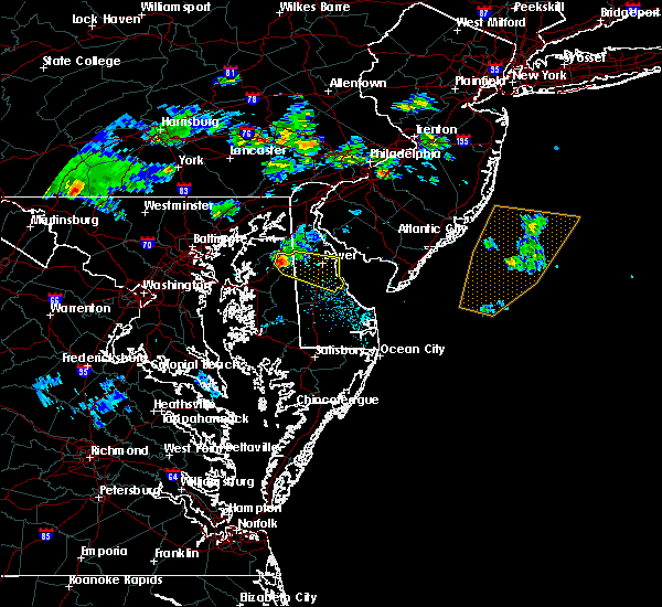 At 649 pm edt, a severe thunderstorm was located over sudlersville, or 15 miles northeast of centerville, moving east at 35 mph (radar indicated). Hazards include 60 mph wind gusts. Damage to roofs, siding, trees, and power lines is possible. this severe thunderstorm will be near, hartly around 700 pm edt. sandtown around 705 pm edt. dover, cheswold and hazlettville around 710 pm edt. camden, woodside, viola and dover speedway around 715 pm edt. rising sun, rising sun-lebanon and dover base housing around 720 pm edt. bowers around 730 pm edt. Other locations impacted by this severe thunderstorm include kenton, barclay, rodney village, wyoming, kent acres, magnolia, riverview, templeville, highland acres and felton. At 649 pm edt, a severe thunderstorm was located over sudlersville, or 15 miles northeast of centerville, moving east at 35 mph (radar indicated). Hazards include 60 mph wind gusts. Damage to roofs, siding, trees, and power lines is possible. this severe thunderstorm will be near, hartly around 700 pm edt. sandtown around 705 pm edt. dover, cheswold and hazlettville around 710 pm edt. camden, woodside, viola and dover speedway around 715 pm edt. rising sun, rising sun-lebanon and dover base housing around 720 pm edt. bowers around 730 pm edt. Other locations impacted by this severe thunderstorm include kenton, barclay, rodney village, wyoming, kent acres, magnolia, riverview, templeville, highland acres and felton.
|
| 5/12/2018 8:51 PM EDT |
 At 851 pm edt, severe thunderstorms were located along a line extending from dover base housing to centreville, moving east at 40 mph (radar indicated). Hazards include 60 mph wind gusts and quarter size hail. Minor damage to vehicles is possible. Wind damage to roofs, siding, trees, and power lines is possible. At 851 pm edt, severe thunderstorms were located along a line extending from dover base housing to centreville, moving east at 40 mph (radar indicated). Hazards include 60 mph wind gusts and quarter size hail. Minor damage to vehicles is possible. Wind damage to roofs, siding, trees, and power lines is possible.
|
| 5/12/2018 8:31 PM EDT |
 At 830 pm edt, severe thunderstorms were located along a line extending from near delaney corner to near bowleys quarters, moving east at 35 mph (radar indicated). Hazards include 60 mph wind gusts and half dollar size hail. Minor damage to vehicles is possible. wind damage to roofs, siding, trees, and power lines is possible. locations impacted include, dover, centerville, smyrna, chestertown, centreville, camden, clayton, cheswold, rock hall, church hill, millington, sudlersville, betterton, goldsboro, woodside, hartly, old town, hazlettville, morgnec and delaney corner. A tornado watch remains in effect until 100 am edt for central and northern delaware, and eastern and northeastern maryland. At 830 pm edt, severe thunderstorms were located along a line extending from near delaney corner to near bowleys quarters, moving east at 35 mph (radar indicated). Hazards include 60 mph wind gusts and half dollar size hail. Minor damage to vehicles is possible. wind damage to roofs, siding, trees, and power lines is possible. locations impacted include, dover, centerville, smyrna, chestertown, centreville, camden, clayton, cheswold, rock hall, church hill, millington, sudlersville, betterton, goldsboro, woodside, hartly, old town, hazlettville, morgnec and delaney corner. A tornado watch remains in effect until 100 am edt for central and northern delaware, and eastern and northeastern maryland.
|
| 5/12/2018 8:11 PM EDT |
 The national weather service in mount holly nj has issued a * severe thunderstorm warning for. southwestern new castle county in northern delaware. northern kent county in central delaware. queen anne`s county in northeastern maryland. Northeastern caroline county in eastern maryland. The national weather service in mount holly nj has issued a * severe thunderstorm warning for. southwestern new castle county in northern delaware. northern kent county in central delaware. queen anne`s county in northeastern maryland. Northeastern caroline county in eastern maryland.
|
| 5/12/2018 8:04 PM EDT |
 At 803 pm edt, a severe thunderstorm was located over crumpton, or 16 miles northeast of centerville, moving east at 40 mph (radar indicated). Hazards include golf ball size hail and 60 mph wind gusts. People and animals outdoors will be injured. expect hail damage to roofs, siding, windows, and vehicles. wind damage to roofs, siding, trees, and power lines is possible. locations impacted include, smyrna, chestertown, clayton, church hill, millington, sudlersville, betterton, hartly, green spring, newtown, morgnec, delaney corner, massey, crumpton, kennedyville, galena, kenton, marydel, templeville and barclay. A tornado watch remains in effect until 100 am edt for central and northern delaware, and eastern and northeastern maryland. At 803 pm edt, a severe thunderstorm was located over crumpton, or 16 miles northeast of centerville, moving east at 40 mph (radar indicated). Hazards include golf ball size hail and 60 mph wind gusts. People and animals outdoors will be injured. expect hail damage to roofs, siding, windows, and vehicles. wind damage to roofs, siding, trees, and power lines is possible. locations impacted include, smyrna, chestertown, clayton, church hill, millington, sudlersville, betterton, hartly, green spring, newtown, morgnec, delaney corner, massey, crumpton, kennedyville, galena, kenton, marydel, templeville and barclay. A tornado watch remains in effect until 100 am edt for central and northern delaware, and eastern and northeastern maryland.
|
| 5/12/2018 7:56 PM EDT |
 At 755 pm edt, a severe thunderstorm was located over morgnec, or 14 miles south of aberdeen proving ground, moving east at 30 mph (radar indicated). Hazards include 60 mph wind gusts and quarter size hail. Minor damage to vehicles is possible. wind damage to roofs, siding, trees, and power lines is possible. locations impacted include, smyrna, chestertown, clayton, church hill, millington, sudlersville, betterton, hartly, green spring, newtown, morgnec, delaney corner, massey, crumpton, kennedyville, galena, kenton, marydel, templeville and barclay. A tornado watch remains in effect until 100 am edt for central and northern delaware, and eastern and northeastern maryland. At 755 pm edt, a severe thunderstorm was located over morgnec, or 14 miles south of aberdeen proving ground, moving east at 30 mph (radar indicated). Hazards include 60 mph wind gusts and quarter size hail. Minor damage to vehicles is possible. wind damage to roofs, siding, trees, and power lines is possible. locations impacted include, smyrna, chestertown, clayton, church hill, millington, sudlersville, betterton, hartly, green spring, newtown, morgnec, delaney corner, massey, crumpton, kennedyville, galena, kenton, marydel, templeville and barclay. A tornado watch remains in effect until 100 am edt for central and northern delaware, and eastern and northeastern maryland.
|
| 5/12/2018 7:25 PM EDT |
 At 724 pm edt, a severe thunderstorm was located over newtown, or 11 miles south of aberdeen proving ground, moving east at 40 mph (radar indicated). Hazards include 60 mph wind gusts and quarter size hail. Minor damage to vehicles is possible. Wind damage to roofs, siding, trees, and power lines is possible. At 724 pm edt, a severe thunderstorm was located over newtown, or 11 miles south of aberdeen proving ground, moving east at 40 mph (radar indicated). Hazards include 60 mph wind gusts and quarter size hail. Minor damage to vehicles is possible. Wind damage to roofs, siding, trees, and power lines is possible.
|
| 4/16/2018 3:56 AM EDT |
 At 356 am edt, severe thunderstorms were located along a line extending from near severn river to kent point, moving northeast at 50 mph (radar indicated). Hazards include 60 mph wind gusts. expect damage to trees and power lines At 356 am edt, severe thunderstorms were located along a line extending from near severn river to kent point, moving northeast at 50 mph (radar indicated). Hazards include 60 mph wind gusts. expect damage to trees and power lines
|
| 8/18/2017 6:55 PM EDT |
 At 655 pm edt, severe thunderstorms were located along a line extending from church hill to near kent point, moving southeast at 25 mph (radar indicated). Hazards include 60 mph wind gusts and quarter size hail. Minor damage to vehicles is possible. expect damage to trees and power lines. locations impacted include, dover, easton, centerville, talbot, chestertown, centreville, camden, greensboro, oakland, ridgely, rock hall, st. Michaels, church hill, oxford, millington, sudlersville, goldsboro, queen anne, hartly and old town. At 655 pm edt, severe thunderstorms were located along a line extending from church hill to near kent point, moving southeast at 25 mph (radar indicated). Hazards include 60 mph wind gusts and quarter size hail. Minor damage to vehicles is possible. expect damage to trees and power lines. locations impacted include, dover, easton, centerville, talbot, chestertown, centreville, camden, greensboro, oakland, ridgely, rock hall, st. Michaels, church hill, oxford, millington, sudlersville, goldsboro, queen anne, hartly and old town.
|
| 8/18/2017 6:10 PM EDT |
 At 610 pm edt, severe thunderstorms were located along a line extending from near newtown to crofton, moving southeast at 25 mph (radar indicated). Hazards include 60 mph wind gusts and half dollar size hail. Minor damage to vehicles is possible. Expect damage to trees and power lines. At 610 pm edt, severe thunderstorms were located along a line extending from near newtown to crofton, moving southeast at 25 mph (radar indicated). Hazards include 60 mph wind gusts and half dollar size hail. Minor damage to vehicles is possible. Expect damage to trees and power lines.
|
| 8/2/2017 9:34 PM EDT |
 At 934 pm edt, a severe thunderstorm was located over starkey corner, or near centerville, moving east at 25 mph (radar indicated). Hazards include 60 mph wind gusts and nickel size hail. Expect damage to trees and power lines. Locations impacted include, chestertown, centreville, church hill, sudlersville, starkey corner, old town, carville, hope, barclay and kingstown. At 934 pm edt, a severe thunderstorm was located over starkey corner, or near centerville, moving east at 25 mph (radar indicated). Hazards include 60 mph wind gusts and nickel size hail. Expect damage to trees and power lines. Locations impacted include, chestertown, centreville, church hill, sudlersville, starkey corner, old town, carville, hope, barclay and kingstown.
|
| 8/2/2017 9:12 PM EDT |
 At 912 pm edt, a severe thunderstorm was located near old town, or 8 miles northwest of centerville, moving southeast at 25 mph (radar indicated). Hazards include 60 mph wind gusts and nickel size hail. expect damage to trees and power lines At 912 pm edt, a severe thunderstorm was located near old town, or 8 miles northwest of centerville, moving southeast at 25 mph (radar indicated). Hazards include 60 mph wind gusts and nickel size hail. expect damage to trees and power lines
|
| 7/24/2017 10:50 PM EDT |
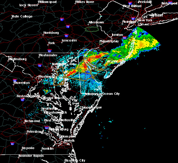 At 1049 pm edt, severe thunderstorms were located along a line extending from near sudlersville to near wye mills, moving east at 30 mph (radar indicated). Hazards include 60 mph wind gusts. Expect damage to trees and power lines. severe thunderstorms will be near, sudlersville around 1055 pm edt. queen anne around 1105 pm edt. hartly and jumptown around 1110 pm edt. oakland, ridgely and hazlettville around 1115 pm edt. denton and greensboro around 1120 pm edt. dover, camden, goldsboro, woodside, viola and dover speedway around 1125 pm edt. bowers, rising sun-lebanon, dover base housing, rising sun and sandtown around 1130 pm edt. Other locations impacted by these severe thunderstorms include barclay, rodney village, wyoming, kent acres, magnolia, riverview, templeville, highland acres, felton and queenstown. At 1049 pm edt, severe thunderstorms were located along a line extending from near sudlersville to near wye mills, moving east at 30 mph (radar indicated). Hazards include 60 mph wind gusts. Expect damage to trees and power lines. severe thunderstorms will be near, sudlersville around 1055 pm edt. queen anne around 1105 pm edt. hartly and jumptown around 1110 pm edt. oakland, ridgely and hazlettville around 1115 pm edt. denton and greensboro around 1120 pm edt. dover, camden, goldsboro, woodside, viola and dover speedway around 1125 pm edt. bowers, rising sun-lebanon, dover base housing, rising sun and sandtown around 1130 pm edt. Other locations impacted by these severe thunderstorms include barclay, rodney village, wyoming, kent acres, magnolia, riverview, templeville, highland acres, felton and queenstown.
|
| 7/24/2017 10:41 PM EDT |
 The severe thunderstorm warning for southwestern new castle, northwestern kent, northeastern queen anne`s, northeastern caroline, northeastern kent and south central cecil counties will expire at 1045 pm edt, the storms which prompted the warning have exited the warned area. therefore the warning will be allowed to expire. however gusty winds and heavy rain are still possible with these thunderstorms. remember, a severe thunderstorm warning still remains in effect for kent and new castle counties in delaware until 1130 pm. The severe thunderstorm warning for southwestern new castle, northwestern kent, northeastern queen anne`s, northeastern caroline, northeastern kent and south central cecil counties will expire at 1045 pm edt, the storms which prompted the warning have exited the warned area. therefore the warning will be allowed to expire. however gusty winds and heavy rain are still possible with these thunderstorms. remember, a severe thunderstorm warning still remains in effect for kent and new castle counties in delaware until 1130 pm.
|
| 7/24/2017 10:22 PM EDT |
 At 1022 pm edt, severe thunderstorms were located along a line extending from sassafras to near church hill, moving east at 35 mph (radar indicated). Hazards include 60 mph wind gusts. Expect damage to trees and power lines. Locations impacted include, dover, smyrna, chestertown, camden, clayton, cheswold, church hill, millington, sudlersville, woodside, hartly, hazlettville, morgnec, delaney corner, crumpton, dover speedway, sandtown, green spring, massey and kennedyville. At 1022 pm edt, severe thunderstorms were located along a line extending from sassafras to near church hill, moving east at 35 mph (radar indicated). Hazards include 60 mph wind gusts. Expect damage to trees and power lines. Locations impacted include, dover, smyrna, chestertown, camden, clayton, cheswold, church hill, millington, sudlersville, woodside, hartly, hazlettville, morgnec, delaney corner, crumpton, dover speedway, sandtown, green spring, massey and kennedyville.
|
| 7/24/2017 10:19 PM EDT |
 At 1019 pm edt, a severe thunderstorm was located over old town, or near centerville, moving southeast at 25 mph (radar indicated). Hazards include 60 mph wind gusts. Expect damage to trees and power lines. this severe storm will be near, centerville, centreville, church hill, starkey corner, carville and hope around 1030 pm edt. Other locations impacted by this severe thunderstorm include kingstown and barclay. At 1019 pm edt, a severe thunderstorm was located over old town, or near centerville, moving southeast at 25 mph (radar indicated). Hazards include 60 mph wind gusts. Expect damage to trees and power lines. this severe storm will be near, centerville, centreville, church hill, starkey corner, carville and hope around 1030 pm edt. Other locations impacted by this severe thunderstorm include kingstown and barclay.
|
| 7/24/2017 10:06 PM EDT |
 At 1005 pm edt, a severe thunderstorm was located over morgnec, or 14 miles southeast of aberdeen proving ground, moving east at 35 mph (radar indicated). Hazards include 60 mph wind gusts. expect damage to trees and power lines At 1005 pm edt, a severe thunderstorm was located over morgnec, or 14 miles southeast of aberdeen proving ground, moving east at 35 mph (radar indicated). Hazards include 60 mph wind gusts. expect damage to trees and power lines
|
| 7/24/2017 9:52 PM EDT |
 At 952 pm edt, a severe thunderstorm was located over rock hall, or 7 miles east of bodkin point, moving east at 40 mph (radar indicated). Hazards include 60 mph wind gusts. expect damage to trees and power lines At 952 pm edt, a severe thunderstorm was located over rock hall, or 7 miles east of bodkin point, moving east at 40 mph (radar indicated). Hazards include 60 mph wind gusts. expect damage to trees and power lines
|
| 7/24/2017 2:38 AM EDT |
 The severe thunderstorm warning for kent, east central queen anne`s and northeastern caroline counties will expire at 245 am edt, the storm which prompted the warning has weakened below severe limits and has exited the warned area. therefore, the warning will be allowed to expire. however gusty winds are still possible with this thunderstorm. The severe thunderstorm warning for kent, east central queen anne`s and northeastern caroline counties will expire at 245 am edt, the storm which prompted the warning has weakened below severe limits and has exited the warned area. therefore, the warning will be allowed to expire. however gusty winds are still possible with this thunderstorm.
|
| 7/24/2017 2:38 AM EDT |
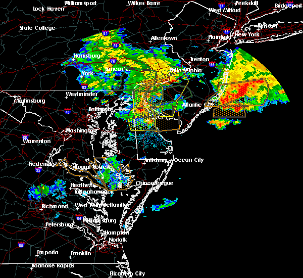 The severe thunderstorm warning for kent, east central queen anne`s and northeastern caroline counties will expire at 245 am edt, the storm which prompted the warning has weakened below severe limits and has exited the warned area. therefore, the warning will be allowed to expire. however gusty winds are still possible with this thunderstorm. The severe thunderstorm warning for kent, east central queen anne`s and northeastern caroline counties will expire at 245 am edt, the storm which prompted the warning has weakened below severe limits and has exited the warned area. therefore, the warning will be allowed to expire. however gusty winds are still possible with this thunderstorm.
|
| 7/24/2017 2:18 AM EDT |
 At 217 am edt, a severe thunderstorm was located over sandtown, or 13 miles southwest of dover, moving east at 35 mph (emergency management and doppler radar indicated). Hazards include 60 mph wind gusts. Expect damage to trees and power lines. Locations impacted include, dover, camden, greensboro, cheswold, sudlersville, bowers, goldsboro, woodside, viola, hartly, rising sun-lebanon, hazlettville, dover base housing, dover speedway, sandtown, rising sun, wyoming, felton, frederica and kenton. At 217 am edt, a severe thunderstorm was located over sandtown, or 13 miles southwest of dover, moving east at 35 mph (emergency management and doppler radar indicated). Hazards include 60 mph wind gusts. Expect damage to trees and power lines. Locations impacted include, dover, camden, greensboro, cheswold, sudlersville, bowers, goldsboro, woodside, viola, hartly, rising sun-lebanon, hazlettville, dover base housing, dover speedway, sandtown, rising sun, wyoming, felton, frederica and kenton.
|
| 7/24/2017 2:05 AM EDT |
 At 204 am edt, a severe thunderstorm was located over oakland, or 10 miles east of centerville, moving east at 35 mph (radar indicated). Hazards include 70 mph wind gusts. Expect considerable tree damage. damage is likely to mobile homes, roofs, and outbuildings. Locations impacted include, dover, camden, greensboro, oakland, ridgely, cheswold, sudlersville, bowers, goldsboro, woodside, viola, hartly, rising sun-lebanon, jumptown, hazlettville, dover base housing, dover speedway, sandtown, rising sun and carville. At 204 am edt, a severe thunderstorm was located over oakland, or 10 miles east of centerville, moving east at 35 mph (radar indicated). Hazards include 70 mph wind gusts. Expect considerable tree damage. damage is likely to mobile homes, roofs, and outbuildings. Locations impacted include, dover, camden, greensboro, oakland, ridgely, cheswold, sudlersville, bowers, goldsboro, woodside, viola, hartly, rising sun-lebanon, jumptown, hazlettville, dover base housing, dover speedway, sandtown, rising sun and carville.
|
| 7/24/2017 1:52 AM EDT |
 At 152 am edt, a severe thunderstorm was located over starr, or near centerville, moving east at 35 mph (radar indicated). Hazards include 60 mph wind gusts. expect damage to trees and power lines At 152 am edt, a severe thunderstorm was located over starr, or near centerville, moving east at 35 mph (radar indicated). Hazards include 60 mph wind gusts. expect damage to trees and power lines
|
| 7/13/2017 5:57 PM EDT |
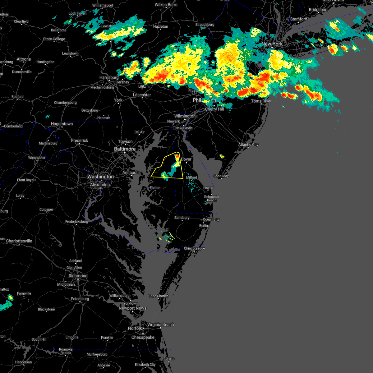 At 542 pm edt, severe thunderstorms were located along a line extending from sudlersville to near centerville, moving east at 35 mph (radar indicated). Hazards include 60 mph wind gusts. Expect damage to trees and power lines. Locations impacted include, centerville, centreville, greensboro, oakland, ridgely, millington, sudlersville, goldsboro, hartly, starr, jumptown, hazlettville, sandtown, carville, hope, kenton, henderson, marydel, templeville and barclay. At 542 pm edt, severe thunderstorms were located along a line extending from sudlersville to near centerville, moving east at 35 mph (radar indicated). Hazards include 60 mph wind gusts. Expect damage to trees and power lines. Locations impacted include, centerville, centreville, greensboro, oakland, ridgely, millington, sudlersville, goldsboro, hartly, starr, jumptown, hazlettville, sandtown, carville, hope, kenton, henderson, marydel, templeville and barclay.
|
| 7/13/2017 5:43 PM EDT |
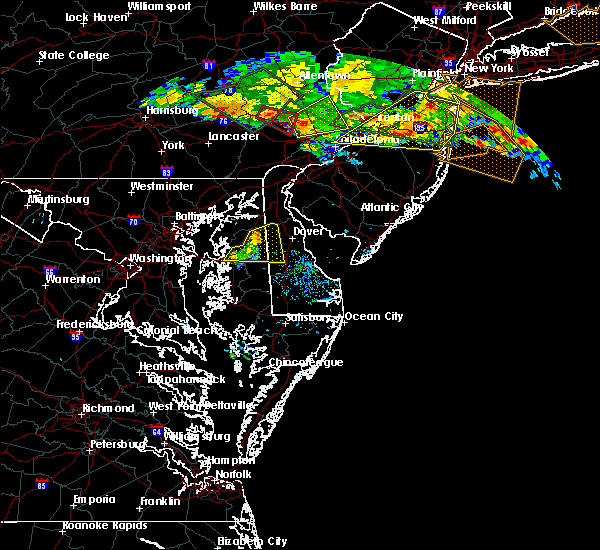 At 542 pm edt, severe thunderstorms were located along a line extending from sudlersville to near centerville, moving east at 35 mph (radar indicated). Hazards include 60 mph wind gusts. Expect damage to trees and power lines. Locations impacted include, centerville, centreville, greensboro, oakland, ridgely, millington, sudlersville, goldsboro, hartly, starr, jumptown, hazlettville, sandtown, carville, hope, kenton, henderson, marydel, templeville and barclay. At 542 pm edt, severe thunderstorms were located along a line extending from sudlersville to near centerville, moving east at 35 mph (radar indicated). Hazards include 60 mph wind gusts. Expect damage to trees and power lines. Locations impacted include, centerville, centreville, greensboro, oakland, ridgely, millington, sudlersville, goldsboro, hartly, starr, jumptown, hazlettville, sandtown, carville, hope, kenton, henderson, marydel, templeville and barclay.
|
| 7/13/2017 5:14 PM EDT |
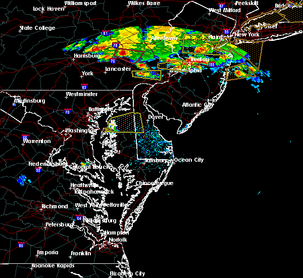 At 514 pm edt, a severe thunderstorm was located over old town, or near centerville, moving east at 35 mph (radar indicated). Hazards include 60 mph wind gusts. expect damage to trees and power lines At 514 pm edt, a severe thunderstorm was located over old town, or near centerville, moving east at 35 mph (radar indicated). Hazards include 60 mph wind gusts. expect damage to trees and power lines
|
| 7/1/2017 5:20 PM EDT |
 At 520 pm edt, severe thunderstorms were located along a line extending from north east to near hollywood beach to near starkey corner, moving east at 40 mph (radar indicated). Hazards include 60 mph wind gusts and penny size hail. Expect damage to trees and power lines. Locations impacted include, elkton, havre de grace, calvert, chestertown, centreville, north east, charlestown, church hill, cecilton, millington, sudlersville, betterton, zion, barksdale, old town, newtown, brantwood, morgnec, fair hill and crumpton. At 520 pm edt, severe thunderstorms were located along a line extending from north east to near hollywood beach to near starkey corner, moving east at 40 mph (radar indicated). Hazards include 60 mph wind gusts and penny size hail. Expect damage to trees and power lines. Locations impacted include, elkton, havre de grace, calvert, chestertown, centreville, north east, charlestown, church hill, cecilton, millington, sudlersville, betterton, zion, barksdale, old town, newtown, brantwood, morgnec, fair hill and crumpton.
|
| 7/1/2017 4:55 PM EDT |
 At 455 pm edt, severe thunderstorms were located along a line extending from near kingsville to bowleys quarters to 7 miles southwest of newtown to near rock hall, moving northeast at 20 mph (radar indicated). Hazards include 60 mph wind gusts and nickel size hail. Expect damage to trees and power lines. Locations impacted include, elkton, havre de grace, calvert, chestertown, centreville, north east, rising sun, rock hall, charlestown, church hill, cecilton, millington, sudlersville, betterton, zion, barksdale, old town, newtown, west nottingham and octoraro. At 455 pm edt, severe thunderstorms were located along a line extending from near kingsville to bowleys quarters to 7 miles southwest of newtown to near rock hall, moving northeast at 20 mph (radar indicated). Hazards include 60 mph wind gusts and nickel size hail. Expect damage to trees and power lines. Locations impacted include, elkton, havre de grace, calvert, chestertown, centreville, north east, rising sun, rock hall, charlestown, church hill, cecilton, millington, sudlersville, betterton, zion, barksdale, old town, newtown, west nottingham and octoraro.
|
| 7/1/2017 4:38 PM EDT |
 At 438 pm edt, severe thunderstorms were located along a line extending from white marsh to back river to near millers island to near gibson island, moving northeast at 20 mph (radar indicated). Hazards include 60 mph wind gusts and nickel size hail. expect damage to trees and power lines At 438 pm edt, severe thunderstorms were located along a line extending from white marsh to back river to near millers island to near gibson island, moving northeast at 20 mph (radar indicated). Hazards include 60 mph wind gusts and nickel size hail. expect damage to trees and power lines
|
| 6/21/2017 7:42 PM EDT |
 At 742 pm edt, severe thunderstorms were located along a line extending from church hill to dover speedway to near woodland beach, moving southeast at 35 mph (radar indicated). Hazards include 60 mph wind gusts. expect damage to trees and power lines At 742 pm edt, severe thunderstorms were located along a line extending from church hill to dover speedway to near woodland beach, moving southeast at 35 mph (radar indicated). Hazards include 60 mph wind gusts. expect damage to trees and power lines
|
| 6/21/2017 7:42 PM EDT |
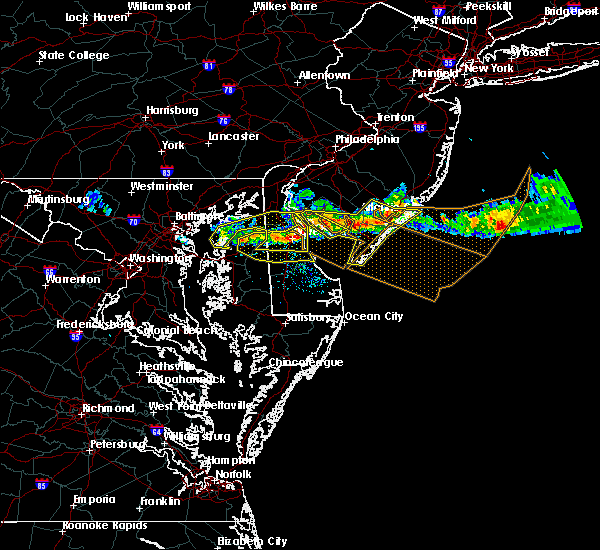 At 742 pm edt, severe thunderstorms were located along a line extending from church hill to dover speedway to near woodland beach, moving southeast at 35 mph (radar indicated). Hazards include 60 mph wind gusts. expect damage to trees and power lines At 742 pm edt, severe thunderstorms were located along a line extending from church hill to dover speedway to near woodland beach, moving southeast at 35 mph (radar indicated). Hazards include 60 mph wind gusts. expect damage to trees and power lines
|
| 6/21/2017 7:19 PM EDT |
 At 719 pm edt, severe thunderstorms were located along a line extending from near greenwich to near hartly to near rock hall, moving to the east-southeast at 40 mph (radar indicated). Hazards include 60 mph wind gusts. Expect damage to trees and power lines. Locations impacted include, dover, middletown, smyrna, chestertown, camden, clayton, cheswold, rock hall, greenwich, church hill, cecilton, millington, sudlersville, betterton, bowers, woodside, hartly, old town, bohemias mills and hazlettville. At 719 pm edt, severe thunderstorms were located along a line extending from near greenwich to near hartly to near rock hall, moving to the east-southeast at 40 mph (radar indicated). Hazards include 60 mph wind gusts. Expect damage to trees and power lines. Locations impacted include, dover, middletown, smyrna, chestertown, camden, clayton, cheswold, rock hall, greenwich, church hill, cecilton, millington, sudlersville, betterton, bowers, woodside, hartly, old town, bohemias mills and hazlettville.
|
| 6/21/2017 7:19 PM EDT |
 At 656 pm edt, severe thunderstorms were located along a line extending from near hope creek to near kennedyville to near millers island, moving southeast at 35 mph (radar indicated). Hazards include 60 mph wind gusts. expect damage to trees and power lines At 656 pm edt, severe thunderstorms were located along a line extending from near hope creek to near kennedyville to near millers island, moving southeast at 35 mph (radar indicated). Hazards include 60 mph wind gusts. expect damage to trees and power lines
|
| 6/21/2017 7:19 PM EDT |
 At 721 pm edt, severe thunderstorms were located along a line extending from near greenwich to near hartly to near langford, moving to the east-southeast at 45 mph (radar indicated). Hazards include 60 mph wind gusts. Expect damage to trees and power lines. Locations impacted include, dover, smyrna, chestertown, camden, clayton, cheswold, rock hall, greenwich, millington, bowers, woodside, hartly, newport, old town, rising sun-lebanon, woodland beach, hazlettville, morgnec, delaney corner and dover base housing. At 721 pm edt, severe thunderstorms were located along a line extending from near greenwich to near hartly to near langford, moving to the east-southeast at 45 mph (radar indicated). Hazards include 60 mph wind gusts. Expect damage to trees and power lines. Locations impacted include, dover, smyrna, chestertown, camden, clayton, cheswold, rock hall, greenwich, millington, bowers, woodside, hartly, newport, old town, rising sun-lebanon, woodland beach, hazlettville, morgnec, delaney corner and dover base housing.
|
| 6/21/2017 6:57 PM EDT |
 At 656 pm edt, severe thunderstorms were located along a line extending from near hope creek to near kennedyville to near millers island, moving southeast at 35 mph (radar indicated). Hazards include 60 mph wind gusts. expect damage to trees and power lines At 656 pm edt, severe thunderstorms were located along a line extending from near hope creek to near kennedyville to near millers island, moving southeast at 35 mph (radar indicated). Hazards include 60 mph wind gusts. expect damage to trees and power lines
|
| 6/21/2017 6:57 PM EDT |
 The national weather service in mount holly nj has issued a * severe thunderstorm warning for. southwestern new castle county in northern delaware. northern kent county in central delaware. northeastern queen anne`s county in northeastern maryland. Northeastern caroline county in eastern maryland. The national weather service in mount holly nj has issued a * severe thunderstorm warning for. southwestern new castle county in northern delaware. northern kent county in central delaware. northeastern queen anne`s county in northeastern maryland. Northeastern caroline county in eastern maryland.
|
| 6/19/2017 4:38 PM EDT |
 At 437 pm edt, severe thunderstorms were located along a line extending from near rock hall to romancoke, moving east at 45 mph (radar indicated). Hazards include 60 mph wind gusts. expect damage to trees and power lines At 437 pm edt, severe thunderstorms were located along a line extending from near rock hall to romancoke, moving east at 45 mph (radar indicated). Hazards include 60 mph wind gusts. expect damage to trees and power lines
|
| 5/25/2017 7:28 PM EDT |
 At 727 pm edt, a severe thunderstorm was located over sudlersville, or 14 miles northeast of centerville, moving north at 25 mph (radar indicated). Hazards include 60 mph wind gusts and penny size hail. Expect damage to trees and power lines. Locations impacted include, chestertown, church hill, cecilton, millington, sudlersville, betterton, sassafras, morgnec, massey, crumpton, kennedyville, galena and kingstown. At 727 pm edt, a severe thunderstorm was located over sudlersville, or 14 miles northeast of centerville, moving north at 25 mph (radar indicated). Hazards include 60 mph wind gusts and penny size hail. Expect damage to trees and power lines. Locations impacted include, chestertown, church hill, cecilton, millington, sudlersville, betterton, sassafras, morgnec, massey, crumpton, kennedyville, galena and kingstown.
|
| 5/25/2017 7:09 PM EDT |
 At 709 pm edt, a severe thunderstorm was located over starkey corner, or near centerville, moving northeast at 25 mph (radar indicated). Hazards include 60 mph wind gusts and nickel size hail. expect damage to trees and power lines At 709 pm edt, a severe thunderstorm was located over starkey corner, or near centerville, moving northeast at 25 mph (radar indicated). Hazards include 60 mph wind gusts and nickel size hail. expect damage to trees and power lines
|
| 5/19/2017 8:27 PM EDT |
 At 827 pm edt, a severe thunderstorm was located over starkey corner, or near centerville, moving east at 25 mph (radar indicated). Hazards include 60 mph wind gusts and quarter size hail. Minor damage to vehicles is possible. expect damage to trees and power lines. Locations impacted include, centerville, denton, centreville, greensboro, oakland, ridgely, church hill, sudlersville, goldsboro, queen anne, old town, starr, jumptown, starkey corner, wye mills, carville, hope, cordova, queenstown and hillsboro. At 827 pm edt, a severe thunderstorm was located over starkey corner, or near centerville, moving east at 25 mph (radar indicated). Hazards include 60 mph wind gusts and quarter size hail. Minor damage to vehicles is possible. expect damage to trees and power lines. Locations impacted include, centerville, denton, centreville, greensboro, oakland, ridgely, church hill, sudlersville, goldsboro, queen anne, old town, starr, jumptown, starkey corner, wye mills, carville, hope, cordova, queenstown and hillsboro.
|
| 5/19/2017 8:13 PM EDT |
 At 813 pm edt, a severe thunderstorm was located over old town, or near centerville, moving east at 35 mph (radar indicated). Hazards include 60 mph wind gusts and half dollar size hail. Minor damage to vehicles is possible. Expect damage to trees and power lines. At 813 pm edt, a severe thunderstorm was located over old town, or near centerville, moving east at 35 mph (radar indicated). Hazards include 60 mph wind gusts and half dollar size hail. Minor damage to vehicles is possible. Expect damage to trees and power lines.
|
| 5/5/2017 10:00 AM EDT |
 At 958 am edt, severe thunderstorms were located along a line extending from near betterton to oakland to near vienna, moving northeast at 55 mph (radar indicated). Hazards include 60 mph wind gusts. expect damage to roofs, siding, and trees At 958 am edt, severe thunderstorms were located along a line extending from near betterton to oakland to near vienna, moving northeast at 55 mph (radar indicated). Hazards include 60 mph wind gusts. expect damage to roofs, siding, and trees
|
| 5/5/2017 10:00 AM EDT |
 The national weather service in mount holly nj has issued a * severe thunderstorm warning for. western sussex county in southern delaware. new castle county in northern delaware. kent county in central delaware. Northeastern queen anne`s county in northeastern maryland. The national weather service in mount holly nj has issued a * severe thunderstorm warning for. western sussex county in southern delaware. new castle county in northern delaware. kent county in central delaware. Northeastern queen anne`s county in northeastern maryland.
|
| 5/5/2017 9:29 AM EDT |
 At 925 am edt, severe thunderstorms were located along a line extending from near chester to near university of maryland center for environmental studies, moving northeast at 45 mph (radar indicated). Hazards include 60 mph wind gusts. a brief tornado is also possible. Expect damage to roofs, siding, and trees. locations impacted include, easton, centerville, talbot, chestertown, denton, centreville, romancoke, greensboro, oakland, ridgely, rock hall, trappe, st. Michaels, church hill, preston, cecilton, millington, sudlersville, goldsboro and queen anne. At 925 am edt, severe thunderstorms were located along a line extending from near chester to near university of maryland center for environmental studies, moving northeast at 45 mph (radar indicated). Hazards include 60 mph wind gusts. a brief tornado is also possible. Expect damage to roofs, siding, and trees. locations impacted include, easton, centerville, talbot, chestertown, denton, centreville, romancoke, greensboro, oakland, ridgely, rock hall, trappe, st. Michaels, church hill, preston, cecilton, millington, sudlersville, goldsboro and queen anne.
|
| 5/5/2017 9:18 AM EDT |
 At 917 am edt, severe thunderstorms were located along a line extending from near romancoke to near taylors island, moving northeast at 45 mph (radar indicated). Hazards include 60 mph wind gusts. Expect damage to roofs, siding, and trees. locations impacted include, easton, centerville, talbot, chestertown, denton, centreville, romancoke, greensboro, oakland, ridgely, rock hall, trappe, st. Michaels, church hill, preston, cecilton, millington, sudlersville, goldsboro and queen anne. At 917 am edt, severe thunderstorms were located along a line extending from near romancoke to near taylors island, moving northeast at 45 mph (radar indicated). Hazards include 60 mph wind gusts. Expect damage to roofs, siding, and trees. locations impacted include, easton, centerville, talbot, chestertown, denton, centreville, romancoke, greensboro, oakland, ridgely, rock hall, trappe, st. Michaels, church hill, preston, cecilton, millington, sudlersville, goldsboro and queen anne.
|
| 5/5/2017 9:00 AM EDT |
 At 856 am edt, severe thunderstorms were located along a line on the western shore of chesapeake bay, moving northeast at 45 mph (radar indicated). Hazards include 60 mph wind gusts. expect damage to roofs, siding, and trees At 856 am edt, severe thunderstorms were located along a line on the western shore of chesapeake bay, moving northeast at 45 mph (radar indicated). Hazards include 60 mph wind gusts. expect damage to roofs, siding, and trees
|
| 3/1/2017 2:35 PM EST |
 At 234 pm est, severe thunderstorms were located along a line extending from near massey to wye mills to near oxford to 7 miles northwest of taylors island, moving east at 60 mph (radar and trained spotter indicated. this line of storms has a history of producing damaging winds in northern virginia and central and southern maryland). Hazards include 70 mph wind gusts. Expect considerable tree damage. damage is likely to mobile homes, roofs, and outbuildings. Locations impacted include, dover, easton, centerville, talbot, smyrna, seaford, chestertown, denton, centreville, laurel, harrington, camden, clayton, federalsburg, bridgeville, greensboro, oakland, ridgely, delmar and cheswold. At 234 pm est, severe thunderstorms were located along a line extending from near massey to wye mills to near oxford to 7 miles northwest of taylors island, moving east at 60 mph (radar and trained spotter indicated. this line of storms has a history of producing damaging winds in northern virginia and central and southern maryland). Hazards include 70 mph wind gusts. Expect considerable tree damage. damage is likely to mobile homes, roofs, and outbuildings. Locations impacted include, dover, easton, centerville, talbot, smyrna, seaford, chestertown, denton, centreville, laurel, harrington, camden, clayton, federalsburg, bridgeville, greensboro, oakland, ridgely, delmar and cheswold.
|
| 3/1/2017 2:09 PM EST |
 At 208 pm est, severe thunderstorms were located along a line extending from near millers island to near annapolis to near deale to near prince frederick to sheridan point to near saint clements bay, moving east at 65 mph (trained weather spotters). Hazards include 70 mph wind gusts and quarter size hail. Hail damage to vehicles is expected. expect considerable tree damage. Wind damage is also likely to mobile homes, roofs, and outbuildings. At 208 pm est, severe thunderstorms were located along a line extending from near millers island to near annapolis to near deale to near prince frederick to sheridan point to near saint clements bay, moving east at 65 mph (trained weather spotters). Hazards include 70 mph wind gusts and quarter size hail. Hail damage to vehicles is expected. expect considerable tree damage. Wind damage is also likely to mobile homes, roofs, and outbuildings.
|
| 2/25/2017 4:04 PM EST |
 At 403 pm est, severe thunderstorms were located along a line extending from calvert to near stevensville, moving east at 40 mph (radar indicated). Hazards include 60 mph wind gusts and quarter size hail. Hail damage to vehicles is expected. Expect wind damage to roofs, siding, and trees. At 403 pm est, severe thunderstorms were located along a line extending from calvert to near stevensville, moving east at 40 mph (radar indicated). Hazards include 60 mph wind gusts and quarter size hail. Hail damage to vehicles is expected. Expect wind damage to roofs, siding, and trees.
|
| 2/12/2017 11:57 PM EST |
 The severe thunderstorm warning for kent, talbot, queen anne`s, caroline and kent counties will expire at midnight est, the storms which prompted the warning have moved out most of the area. therefore the warning will be allowed to expire. however gusty winds are still possible with these showers. remember, a new severe thunderstorm warning was issued for portions of eastern maryland as well as for central and southern delaware. The severe thunderstorm warning for kent, talbot, queen anne`s, caroline and kent counties will expire at midnight est, the storms which prompted the warning have moved out most of the area. therefore the warning will be allowed to expire. however gusty winds are still possible with these showers. remember, a new severe thunderstorm warning was issued for portions of eastern maryland as well as for central and southern delaware.
|
| 2/12/2017 11:53 PM EST |
 At 1151 pm est, severe thunderstorms were located along a line extending from near shamong to near bridgeton to near hartly to talbot, moving east at 60 mph (radar indicated. this line also has a history of producing wind damage and gusts near 60 mph across southern pennsylvania and central and southern maryland). Hazards include 60 mph wind gusts. expect damage to roofs, siding, and trees At 1151 pm est, severe thunderstorms were located along a line extending from near shamong to near bridgeton to near hartly to talbot, moving east at 60 mph (radar indicated. this line also has a history of producing wind damage and gusts near 60 mph across southern pennsylvania and central and southern maryland). Hazards include 60 mph wind gusts. expect damage to roofs, siding, and trees
|
| 2/12/2017 11:41 PM EST |
 At 1139 pm est, severe thunderstorms were located along a line extending from warwick to old town to near romancoke, moving east at 65 mph (radar indicated. this line has also had a history of producing wind damage and gusts near 60 mph in northern virginia and in central and southern maryland). Hazards include 60 mph wind gusts. Expect damage to roofs, siding, and trees. locations impacted include, dover, easton, centerville, smyrna, chestertown, denton, centreville, harrington, camden, clayton, greensboro, oakland, ridgely, cheswold, rock hall, st. Michaels, church hill, millington, sudlersville and goldsboro. At 1139 pm est, severe thunderstorms were located along a line extending from warwick to old town to near romancoke, moving east at 65 mph (radar indicated. this line has also had a history of producing wind damage and gusts near 60 mph in northern virginia and in central and southern maryland). Hazards include 60 mph wind gusts. Expect damage to roofs, siding, and trees. locations impacted include, dover, easton, centerville, smyrna, chestertown, denton, centreville, harrington, camden, clayton, greensboro, oakland, ridgely, cheswold, rock hall, st. Michaels, church hill, millington, sudlersville and goldsboro.
|
| 8/21/2016 4:33 PM EDT |
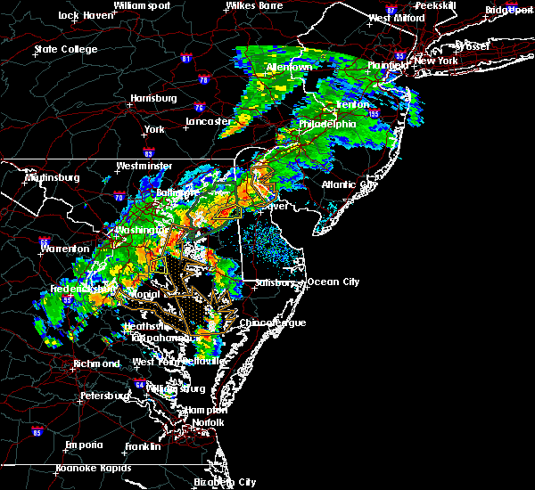 At 431 pm edt, severe thunderstorms were located along a line extending from near sudlersville to near church hill, moving east to southeast at 30 to 40 mph (radar indicated). Hazards include 60 mph wind gusts. Expect damage to roofs. siding. and trees. These severe thunderstorms will remain over mainly rural areas of northwestern kent, northeastern queen anne`s and northern caroline counties, including the following locations: marydel, barclay and templeville. At 431 pm edt, severe thunderstorms were located along a line extending from near sudlersville to near church hill, moving east to southeast at 30 to 40 mph (radar indicated). Hazards include 60 mph wind gusts. Expect damage to roofs. siding. and trees. These severe thunderstorms will remain over mainly rural areas of northwestern kent, northeastern queen anne`s and northern caroline counties, including the following locations: marydel, barclay and templeville.
|
| 8/21/2016 4:06 PM EDT |
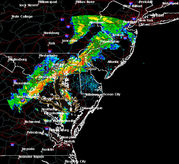 At 405 pm edt, severe thunderstorms were located along a line extending from church hill to starkey corner, moving east at 20 mph (radar indicated). Hazards include 60 mph wind gusts. Expect damage to roofs. siding. and trees. severe thunderstorms will be near, sudlersville around 425 pm edt. millington around 435 pm edt. delaney corner around 445 pm edt. Other locations impacted by these severe thunderstorms include marydel, barclay and templeville. At 405 pm edt, severe thunderstorms were located along a line extending from church hill to starkey corner, moving east at 20 mph (radar indicated). Hazards include 60 mph wind gusts. Expect damage to roofs. siding. and trees. severe thunderstorms will be near, sudlersville around 425 pm edt. millington around 435 pm edt. delaney corner around 445 pm edt. Other locations impacted by these severe thunderstorms include marydel, barclay and templeville.
|
| 8/17/2016 10:42 PM EDT |
 At 1040 pm edt, severe thunderstorms were located along a line extending from near kennedyville to near millington to near goldsboro to oakland, moving east at 45 mph (radar indicated). Hazards include 60 mph wind gusts. Expect damage to roofs. siding. and trees. the strongest winds should occur along the leading edge of the line. Locations impacted include, dover, middletown, smyrna, camden, clayton, greensboro, oakland, cheswold, church hill, cecilton, millington, sudlersville, betterton, bowers, goldsboro, woodside, viola, hartly, delaney corner and warwick. At 1040 pm edt, severe thunderstorms were located along a line extending from near kennedyville to near millington to near goldsboro to oakland, moving east at 45 mph (radar indicated). Hazards include 60 mph wind gusts. Expect damage to roofs. siding. and trees. the strongest winds should occur along the leading edge of the line. Locations impacted include, dover, middletown, smyrna, camden, clayton, greensboro, oakland, cheswold, church hill, cecilton, millington, sudlersville, betterton, bowers, goldsboro, woodside, viola, hartly, delaney corner and warwick.
|
| 8/17/2016 10:25 PM EDT |
 At 1023 pm edt, severe thunderstorms were located along a line extending from near newtown to starkey corner to starr to skipton, moving east at 45 mph (radar indicated. areas of damaging winds have occurred with this line). Hazards include 60 mph wind gusts. Expect damage to roofs. siding. And trees. At 1023 pm edt, severe thunderstorms were located along a line extending from near newtown to starkey corner to starr to skipton, moving east at 45 mph (radar indicated. areas of damaging winds have occurred with this line). Hazards include 60 mph wind gusts. Expect damage to roofs. siding. And trees.
|
| 8/14/2016 9:42 PM EDT |
 At 941 pm edt, severe thunderstorms were located along a line extending from millington to harmony, moving east at 45 mph. a gust front will extend well out ahead of the thunderstorms (wind gusts of 50-60 mph have been measured along this line of storms). Hazards include 60 mph wind gusts. Expect damage to roofs. siding. And trees. At 941 pm edt, severe thunderstorms were located along a line extending from millington to harmony, moving east at 45 mph. a gust front will extend well out ahead of the thunderstorms (wind gusts of 50-60 mph have been measured along this line of storms). Hazards include 60 mph wind gusts. Expect damage to roofs. siding. And trees.
|
| 8/14/2016 9:42 PM EDT |
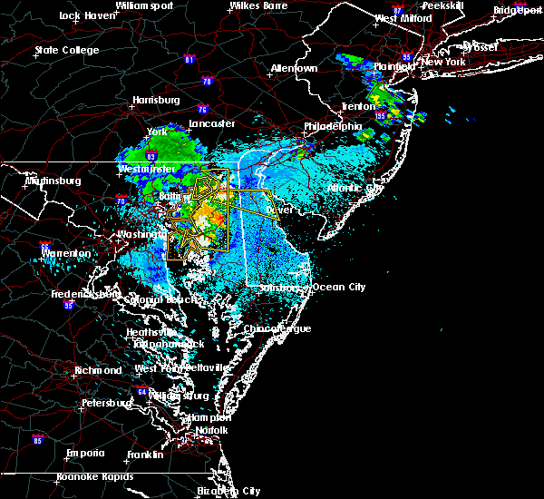 At 941 pm edt, severe thunderstorms were located along a line extending from millington to harmony, moving east at 45 mph. a gust front will extend well out ahead of the thunderstorms (wind gusts of 50-60 mph have been measured along this line of storms). Hazards include 60 mph wind gusts. Expect damage to roofs. siding. And trees. At 941 pm edt, severe thunderstorms were located along a line extending from millington to harmony, moving east at 45 mph. a gust front will extend well out ahead of the thunderstorms (wind gusts of 50-60 mph have been measured along this line of storms). Hazards include 60 mph wind gusts. Expect damage to roofs. siding. And trees.
|
| 7/28/2016 5:14 PM EDT |
 At 513 pm edt, a severe thunderstorm was located over overton, or 9 miles east of gibson island, moving east at 25 mph (radar indicated). Hazards include 60 mph wind gusts and quarter size hail. Hail damage to vehicles is expected. Expect wind damage to roofs, siding, and trees. At 513 pm edt, a severe thunderstorm was located over overton, or 9 miles east of gibson island, moving east at 25 mph (radar indicated). Hazards include 60 mph wind gusts and quarter size hail. Hail damage to vehicles is expected. Expect wind damage to roofs, siding, and trees.
|
| 7/28/2016 4:59 PM EDT |
 At 458 pm edt, a severe thunderstorm was located over starkey corner, or near centerville, moving east at 25 mph (radar indicated). Hazards include 60 mph wind gusts and quarter size hail. Hail damage to vehicles is expected. expect wind damage to roofs, siding, and trees. Locations impacted include, centerville, chestertown, centreville, oakland, rock hall, church hill, millington, sudlersville, old town, kennedyville, newtown, crumpton, carville, overton, langford, hope, starkey corner, morgnec, starr and barclay. At 458 pm edt, a severe thunderstorm was located over starkey corner, or near centerville, moving east at 25 mph (radar indicated). Hazards include 60 mph wind gusts and quarter size hail. Hail damage to vehicles is expected. expect wind damage to roofs, siding, and trees. Locations impacted include, centerville, chestertown, centreville, oakland, rock hall, church hill, millington, sudlersville, old town, kennedyville, newtown, crumpton, carville, overton, langford, hope, starkey corner, morgnec, starr and barclay.
|
| 7/28/2016 4:31 PM EDT |
 At 431 pm edt, a severe thunderstorm was located near langford, or 11 miles east of millers island, moving east at 20 mph (radar indicated). Hazards include 60 mph wind gusts and quarter size hail. Hail damage to vehicles is expected. Expect wind damage to roofs, siding, and trees. At 431 pm edt, a severe thunderstorm was located near langford, or 11 miles east of millers island, moving east at 20 mph (radar indicated). Hazards include 60 mph wind gusts and quarter size hail. Hail damage to vehicles is expected. Expect wind damage to roofs, siding, and trees.
|
| 7/18/2016 5:18 PM EDT |
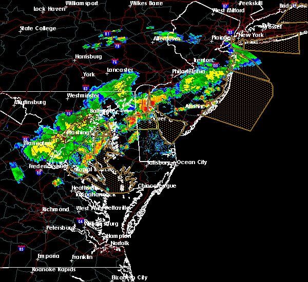 At 517 pm edt, a severe thunderstorm was located over sudlersville, or 15 miles northeast of centerville, moving east at 35 mph (radar indicated). Hazards include 60 mph wind gusts and penny size hail. Expect damage to roofs. siding. And trees. At 517 pm edt, a severe thunderstorm was located over sudlersville, or 15 miles northeast of centerville, moving east at 35 mph (radar indicated). Hazards include 60 mph wind gusts and penny size hail. Expect damage to roofs. siding. And trees.
|
| 7/18/2016 5:04 PM EDT |
 At 504 pm edt, a severe thunderstorm was located over bohemias mills, or near middletown, moving east at 30 mph (radar indicated). Hazards include 60 mph wind gusts and nickel size hail. Expect damage to roofs. siding. and trees. Locations impacted include, dover, middletown, smyrna, chestertown, camden, clayton, delaware city, cheswold, church hill, cecilton, millington, sudlersville, hartly, old town, cayots, kennedyville, bohemias mills, delaney corner, warwick and hollywood beach. At 504 pm edt, a severe thunderstorm was located over bohemias mills, or near middletown, moving east at 30 mph (radar indicated). Hazards include 60 mph wind gusts and nickel size hail. Expect damage to roofs. siding. and trees. Locations impacted include, dover, middletown, smyrna, chestertown, camden, clayton, delaware city, cheswold, church hill, cecilton, millington, sudlersville, hartly, old town, cayots, kennedyville, bohemias mills, delaney corner, warwick and hollywood beach.
|
| 7/18/2016 4:37 PM EDT |
 At 436 pm edt, a severe thunderstorm was located over chestertown, or 14 miles south of aberdeen proving ground, moving east at 40 mph (radar indicated). Hazards include 60 mph wind gusts and nickel size hail. Expect damage to roofs. siding. And trees. At 436 pm edt, a severe thunderstorm was located over chestertown, or 14 miles south of aberdeen proving ground, moving east at 40 mph (radar indicated). Hazards include 60 mph wind gusts and nickel size hail. Expect damage to roofs. siding. And trees.
|
| 6/21/2016 7:05 PM EDT |
 At 705 pm edt, severe thunderstorms were located along a line extending from langford to near starr to near seaford, moving east at 55 mph (radar indicated). Hazards include 60 mph wind gusts and quarter size hail. Hail damage to vehicles is expected. expect wind damage to roofs, siding, and trees. Locations impacted include, dover, easton, georgetown, centerville, milford, seaford, chestertown, denton, centreville, harrington, camden, federalsburg, bridgeville, greensboro, oakland, ridgely, church hill, preston, millington and sudlersville. At 705 pm edt, severe thunderstorms were located along a line extending from langford to near starr to near seaford, moving east at 55 mph (radar indicated). Hazards include 60 mph wind gusts and quarter size hail. Hail damage to vehicles is expected. expect wind damage to roofs, siding, and trees. Locations impacted include, dover, easton, georgetown, centerville, milford, seaford, chestertown, denton, centreville, harrington, camden, federalsburg, bridgeville, greensboro, oakland, ridgely, church hill, preston, millington and sudlersville.
|
| 6/21/2016 6:36 PM EDT |
 At 636 pm edt, severe thunderstorms were located along a line extending from south gate to south river to near tilghman island, moving east at 50 mph (radar indicated). Hazards include 60 mph wind gusts and quarter size hail. Hail damage to vehicles is expected. Expect wind damage to roofs, siding, and trees. At 636 pm edt, severe thunderstorms were located along a line extending from south gate to south river to near tilghman island, moving east at 50 mph (radar indicated). Hazards include 60 mph wind gusts and quarter size hail. Hail damage to vehicles is expected. Expect wind damage to roofs, siding, and trees.
|
| 6/21/2016 2:44 PM EDT |
 At 244 pm edt, severe thunderstorms were located along a line extending from greenwich to near cheswold to near hartly, moving east at 35 mph (radar indicated). Hazards include ping pong ball size hail and 60 mph wind gusts. People and animals outdoors will be injured. expect hail damage to roofs, siding, windows, and vehicles. expect wind damage to roofs, siding, and trees. these severe storms will be near, dover and greenwich around 250 pm edt. fairton and woodland beach around 255 pm edt. millville and cedarville around 300 pm edt. woodside, viola, newport and fortesque around 305 pm edt. rising sun, rising sun-lebanon and dover base housing around 310 pm edt. laurel lake around 315 pm edt. Other locations impacted by these severe thunderstorms include little creek, magnolia, townsend, kenton, henderson, chambersville, wy oming, kingstown, marydel and leipsic. At 244 pm edt, severe thunderstorms were located along a line extending from greenwich to near cheswold to near hartly, moving east at 35 mph (radar indicated). Hazards include ping pong ball size hail and 60 mph wind gusts. People and animals outdoors will be injured. expect hail damage to roofs, siding, windows, and vehicles. expect wind damage to roofs, siding, and trees. these severe storms will be near, dover and greenwich around 250 pm edt. fairton and woodland beach around 255 pm edt. millville and cedarville around 300 pm edt. woodside, viola, newport and fortesque around 305 pm edt. rising sun, rising sun-lebanon and dover base housing around 310 pm edt. laurel lake around 315 pm edt. Other locations impacted by these severe thunderstorms include little creek, magnolia, townsend, kenton, henderson, chambersville, wy oming, kingstown, marydel and leipsic.
|
| 6/21/2016 2:44 PM EDT |
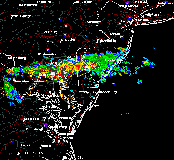 At 244 pm edt, severe thunderstorms were located along a line extending from greenwich to near cheswold to near hartly, moving east at 35 mph (radar indicated). Hazards include ping pong ball size hail and 60 mph wind gusts. People and animals outdoors will be injured. expect hail damage to roofs, siding, windows, and vehicles. expect wind damage to roofs, siding, and trees. these severe storms will be near, dover and greenwich around 250 pm edt. fairton and woodland beach around 255 pm edt. millville and cedarville around 300 pm edt. woodside, viola, newport and fortesque around 305 pm edt. rising sun, rising sun-lebanon and dover base housing around 310 pm edt. laurel lake around 315 pm edt. Other locations impacted by these severe thunderstorms include little creek, magnolia, townsend, kenton, henderson, chambersville, wy oming, kingstown, marydel and leipsic. At 244 pm edt, severe thunderstorms were located along a line extending from greenwich to near cheswold to near hartly, moving east at 35 mph (radar indicated). Hazards include ping pong ball size hail and 60 mph wind gusts. People and animals outdoors will be injured. expect hail damage to roofs, siding, windows, and vehicles. expect wind damage to roofs, siding, and trees. these severe storms will be near, dover and greenwich around 250 pm edt. fairton and woodland beach around 255 pm edt. millville and cedarville around 300 pm edt. woodside, viola, newport and fortesque around 305 pm edt. rising sun, rising sun-lebanon and dover base housing around 310 pm edt. laurel lake around 315 pm edt. Other locations impacted by these severe thunderstorms include little creek, magnolia, townsend, kenton, henderson, chambersville, wy oming, kingstown, marydel and leipsic.
|
| 6/21/2016 2:17 PM EDT |
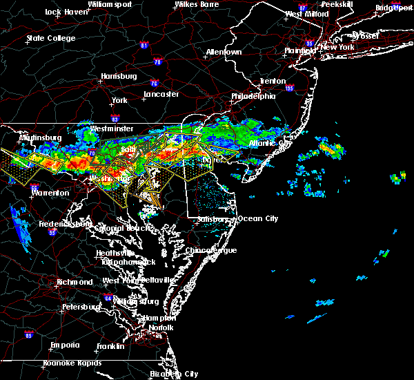 At 215 pm edt, severe thunderstorms were located along a line extending from near hope creek to near massey to chestertown, moving east at 35 mph (radar indicated and law enforcement reported large hail). Hazards include up to ping pong ball size hail and 60 mph wind gusts. People and animals outdoors will be injured. expect hail damage to roofs, siding, windows, and vehicles. expect wind damage to roofs, siding, and trees. severe thunderstorms will be near, middletown around 220 pm edt. delaney corner around 230 pm edt. green spring and woodland beach around 235 pm edt. smyrna and clayton around 240 pm edt. cheswold and greenwich around 245 pm edt. dover and hartly around 250 pm edt. hazlettville, fairton, dover speedway and sandtown around 255 pm edt. millville and cedarville around 300 pm edt. Other locations impacted by these severe thunderstorms include little creek, magnolia, townsend, kenton, henderson, chambersville, wyoming, kingstown, marydel and leipsic. At 215 pm edt, severe thunderstorms were located along a line extending from near hope creek to near massey to chestertown, moving east at 35 mph (radar indicated and law enforcement reported large hail). Hazards include up to ping pong ball size hail and 60 mph wind gusts. People and animals outdoors will be injured. expect hail damage to roofs, siding, windows, and vehicles. expect wind damage to roofs, siding, and trees. severe thunderstorms will be near, middletown around 220 pm edt. delaney corner around 230 pm edt. green spring and woodland beach around 235 pm edt. smyrna and clayton around 240 pm edt. cheswold and greenwich around 245 pm edt. dover and hartly around 250 pm edt. hazlettville, fairton, dover speedway and sandtown around 255 pm edt. millville and cedarville around 300 pm edt. Other locations impacted by these severe thunderstorms include little creek, magnolia, townsend, kenton, henderson, chambersville, wyoming, kingstown, marydel and leipsic.
|
| 2/24/2016 9:08 PM EST |
 At 907 pm est, doppler radar indicated a line of severe thunderstorms capable of producing damaging winds in excess of 60 mph. these storms were located along a line extending from new castle to andrewsville, moving east at 40 mph. locations impacted include, wilmington, dover, newark, middletown, west chester, elkton, pennsville, westtown, smyrna, carneys point, elsmere, kennett square, new castle, penns grove, salem, denton, north east, camden, clayton and west grove. a tornado watch remains in effect until 1100 pm est for northern delaware, northeastern maryland, southern new jersey and southeastern pennsylvania. At 907 pm est, doppler radar indicated a line of severe thunderstorms capable of producing damaging winds in excess of 60 mph. these storms were located along a line extending from new castle to andrewsville, moving east at 40 mph. locations impacted include, wilmington, dover, newark, middletown, west chester, elkton, pennsville, westtown, smyrna, carneys point, elsmere, kennett square, new castle, penns grove, salem, denton, north east, camden, clayton and west grove. a tornado watch remains in effect until 1100 pm est for northern delaware, northeastern maryland, southern new jersey and southeastern pennsylvania.
|
| 2/24/2016 8:47 PM EST |
 At 847 pm est, doppler radar indicated a line of severe thunderstorms capable of producing damaging winds in excess of 60 mph. these storms were located along a line extending from near elkton to near griffin, and moving east at 40 mph. At 847 pm est, doppler radar indicated a line of severe thunderstorms capable of producing damaging winds in excess of 60 mph. these storms were located along a line extending from near elkton to near griffin, and moving east at 40 mph.
|
| 8/11/2015 4:18 PM EDT |
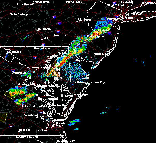 At 417 pm edt, doppler radar indicated a line of severe thunderstorms capable of producing damaging winds in excess of 60 mph. these storms were located along a line extending from millington to near sudlersville to near centreville, and moving southeast at 20 mph. At 417 pm edt, doppler radar indicated a line of severe thunderstorms capable of producing damaging winds in excess of 60 mph. these storms were located along a line extending from millington to near sudlersville to near centreville, and moving southeast at 20 mph.
|
| 8/4/2015 5:37 AM EDT |
 At 536 am edt, doppler radar indicated a severe thunderstorm capable of producing quarter size hail and damaging winds in excess of 60 mph. this storm was located over middle river, and moving east at 50 mph. At 536 am edt, doppler radar indicated a severe thunderstorm capable of producing quarter size hail and damaging winds in excess of 60 mph. this storm was located over middle river, and moving east at 50 mph.
|
| 7/9/2015 8:23 PM EDT |
 At 822 pm edt, doppler radar indicated a line of severe thunderstorms capable of producing destructive winds in excess of 70 mph. these storms were located along a line extending from 6 miles northeast of dover base housing to woodside to near griffin, and moving east at 50 mph. At 822 pm edt, doppler radar indicated a line of severe thunderstorms capable of producing destructive winds in excess of 70 mph. these storms were located along a line extending from 6 miles northeast of dover base housing to woodside to near griffin, and moving east at 50 mph.
|
| 7/9/2015 8:23 PM EDT |
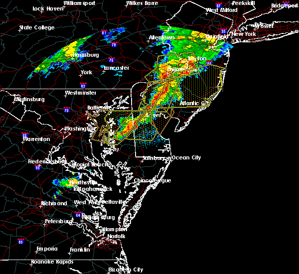 At 822 pm edt, doppler radar indicated a line of severe thunderstorms capable of producing destructive winds in excess of 70 mph. these storms were located along a line extending from 6 miles northeast of dover base housing to woodside to near griffin, and moving east at 50 mph. At 822 pm edt, doppler radar indicated a line of severe thunderstorms capable of producing destructive winds in excess of 70 mph. these storms were located along a line extending from 6 miles northeast of dover base housing to woodside to near griffin, and moving east at 50 mph.
|
| 7/9/2015 8:06 PM EDT |
 At 805 pm edt, doppler radar indicated a line of severe thunderstorms capable of producing destructive winds in excess of 70 mph. these storms were located along a line extending from near hazlettville to goldsboro to near copperville, moving east at 50 mph. locations impacted include, easton, centerville, smyrna, chestertown, denton, centreville, clayton, greensboro, oakland, ridgely, cheswold, rock hall, st. michaels, church hill, oxford, millington, sudlersville, goldsboro, queen anne and hartly. At 805 pm edt, doppler radar indicated a line of severe thunderstorms capable of producing destructive winds in excess of 70 mph. these storms were located along a line extending from near hazlettville to goldsboro to near copperville, moving east at 50 mph. locations impacted include, easton, centerville, smyrna, chestertown, denton, centreville, clayton, greensboro, oakland, ridgely, cheswold, rock hall, st. michaels, church hill, oxford, millington, sudlersville, goldsboro, queen anne and hartly.
|
| 7/9/2015 7:38 PM EDT |
 At 737 pm edt, doppler radar indicated a line of severe thunderstorms capable of producing damaging winds in excess of 60 mph. these storms were located along a line extending from near starkey corner to overton to near shady side, and moving east at 50 mph. At 737 pm edt, doppler radar indicated a line of severe thunderstorms capable of producing damaging winds in excess of 60 mph. these storms were located along a line extending from near starkey corner to overton to near shady side, and moving east at 50 mph.
|
| 7/1/2015 1:13 AM EDT |
 At 112 am edt, doppler radar indicated a severe thunderstorm capable of producing quarter size hail and damaging winds in excess of 60 mph. this storm was located over old town, or near centerville, and moving northeast at 40 mph. At 112 am edt, doppler radar indicated a severe thunderstorm capable of producing quarter size hail and damaging winds in excess of 60 mph. this storm was located over old town, or near centerville, and moving northeast at 40 mph.
|
| 6/27/2015 6:56 PM EDT |
 At 655 pm edt, doppler radar indicated a line of severe thunderstorms capable of producing damaging winds in excess of 60 mph. these storms were located along a line extending from near cecilton to millington to sudlersville, moving northeast at 25 mph. locations impacted include, dover, middletown, smyrna, clayton, cheswold, cecilton, millington, sudlersville, hartly, sassafras, bohemias mills, green spring, delaney corner, crumpton, warwick, massey, townsend, galena, odessa and kenton. a tornado watch remains in effect until 800 pm edt for central delaware and eastern maryland. At 655 pm edt, doppler radar indicated a line of severe thunderstorms capable of producing damaging winds in excess of 60 mph. these storms were located along a line extending from near cecilton to millington to sudlersville, moving northeast at 25 mph. locations impacted include, dover, middletown, smyrna, clayton, cheswold, cecilton, millington, sudlersville, hartly, sassafras, bohemias mills, green spring, delaney corner, crumpton, warwick, massey, townsend, galena, odessa and kenton. a tornado watch remains in effect until 800 pm edt for central delaware and eastern maryland.
|
| 6/27/2015 6:43 PM EDT |
 At 642 pm edt, doppler radar indicated a line of severe thunderstorms capable of producing damaging winds in excess of 60 mph. these storms were located along a line extending from near massey to near sudlersville to near hope, and moving northeast at 30 mph. At 642 pm edt, doppler radar indicated a line of severe thunderstorms capable of producing damaging winds in excess of 60 mph. these storms were located along a line extending from near massey to near sudlersville to near hope, and moving northeast at 30 mph.
|
| 6/27/2015 6:22 PM EDT |
 At 622 pm edt, doppler radar indicated a line of severe thunderstorms capable of producing damaging winds in excess of 60 mph. these storms were located along a line extending from near langford to near old town to near grasonville, moving northeast at 25 mph. locations impacted include, centerville, chestertown, centreville, rock hall, church hill, millington, sudlersville, betterton, old town, kennedyville, newtown, crumpton, carville, overton, langford, hope, massey, starkey corner, morgnec and queenstown. a tornado watch remains in effect until 800 pm edt for northeastern maryland. At 622 pm edt, doppler radar indicated a line of severe thunderstorms capable of producing damaging winds in excess of 60 mph. these storms were located along a line extending from near langford to near old town to near grasonville, moving northeast at 25 mph. locations impacted include, centerville, chestertown, centreville, rock hall, church hill, millington, sudlersville, betterton, old town, kennedyville, newtown, crumpton, carville, overton, langford, hope, massey, starkey corner, morgnec and queenstown. a tornado watch remains in effect until 800 pm edt for northeastern maryland.
|
| 6/27/2015 5:58 PM EDT |
 At 557 pm edt, doppler radar indicated a line of severe thunderstorms capable of producing damaging winds in excess of 60 mph. these storms were located along a line extending from 6 miles southeast of middle river to rock hall to chesapeake bay bridge, and moving northeast at 30 mph. At 557 pm edt, doppler radar indicated a line of severe thunderstorms capable of producing damaging winds in excess of 60 mph. these storms were located along a line extending from 6 miles southeast of middle river to rock hall to chesapeake bay bridge, and moving northeast at 30 mph.
|
| 6/23/2015 6:44 PM EDT |
 At 644 pm edt, doppler radar indicated a line of severe thunderstorms capable of producing damaging winds in excess of 60 mph. these storms were located along a line extending from near sassafras to fort smallwood state park to beltsville, and moving east at 60 mph. At 644 pm edt, doppler radar indicated a line of severe thunderstorms capable of producing damaging winds in excess of 60 mph. these storms were located along a line extending from near sassafras to fort smallwood state park to beltsville, and moving east at 60 mph.
|
| 6/20/2015 10:29 PM EDT |
 At 1029 pm edt, doppler radar indicated a severe thunderstorm capable of producing damaging winds in excess of 60 mph. this storm was located over church hill, or 7 miles northeast of centerville, moving northeast at 60 mph. locations impacted include, centerville, chestertown, centreville, greensboro, oakland, ridgely, rock hall, church hill, millington, sudlersville, betterton, goldsboro, old town, kennedyville, starr, hope, massey, grasonville, morgnec and jumptown. At 1029 pm edt, doppler radar indicated a severe thunderstorm capable of producing damaging winds in excess of 60 mph. this storm was located over church hill, or 7 miles northeast of centerville, moving northeast at 60 mph. locations impacted include, centerville, chestertown, centreville, greensboro, oakland, ridgely, rock hall, church hill, millington, sudlersville, betterton, goldsboro, old town, kennedyville, starr, hope, massey, grasonville, morgnec and jumptown.
|
| 6/20/2015 9:57 PM EDT |
 At 955 pm edt, doppler radar indicated a line of severe thunderstorms capable of producing damaging winds in excess of 60 mph. these storms were located over the central portion of chesapeake bay, and moving northeast at 40 mph. At 955 pm edt, doppler radar indicated a line of severe thunderstorms capable of producing damaging winds in excess of 60 mph. these storms were located over the central portion of chesapeake bay, and moving northeast at 40 mph.
|
| 6/1/2015 5:35 PM EDT | At 534 pm edt, doppler radar indicated a line of severe thunderstorms capable of producing quarter size hail and damaging winds in excess of 60 mph. these storms were located along a line extending from near betterton to near millers island to shady side, and moving northeast at 40 mph. |
| 4/19/2013 8:15 PM EDT | Tree tops snapped on east main street and in sudlersville cemetery in queen anne's county MD, 0.4 miles S of Sudlersville, MD |
Hail Maps for Sudlersville, MD


Connect with Interactive Hail Maps