

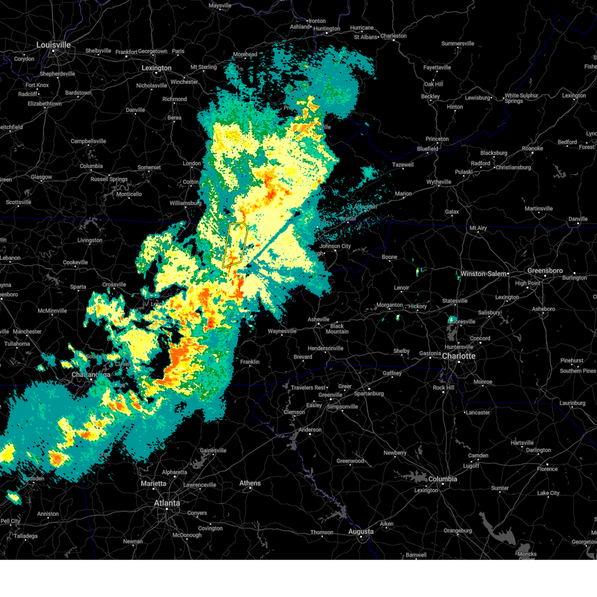
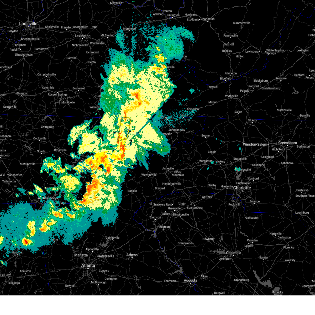
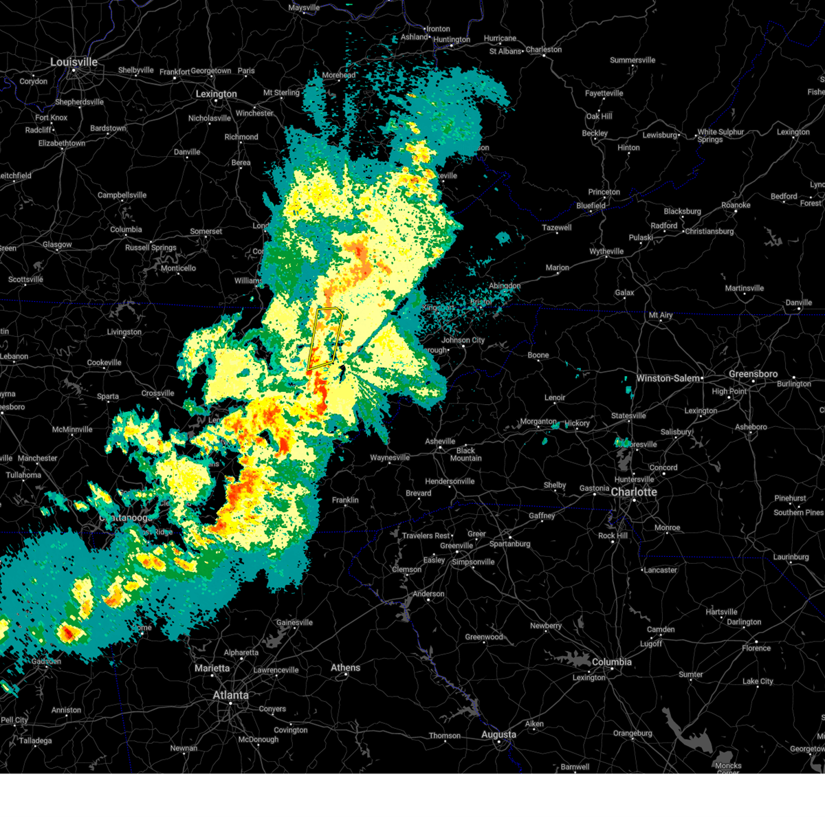
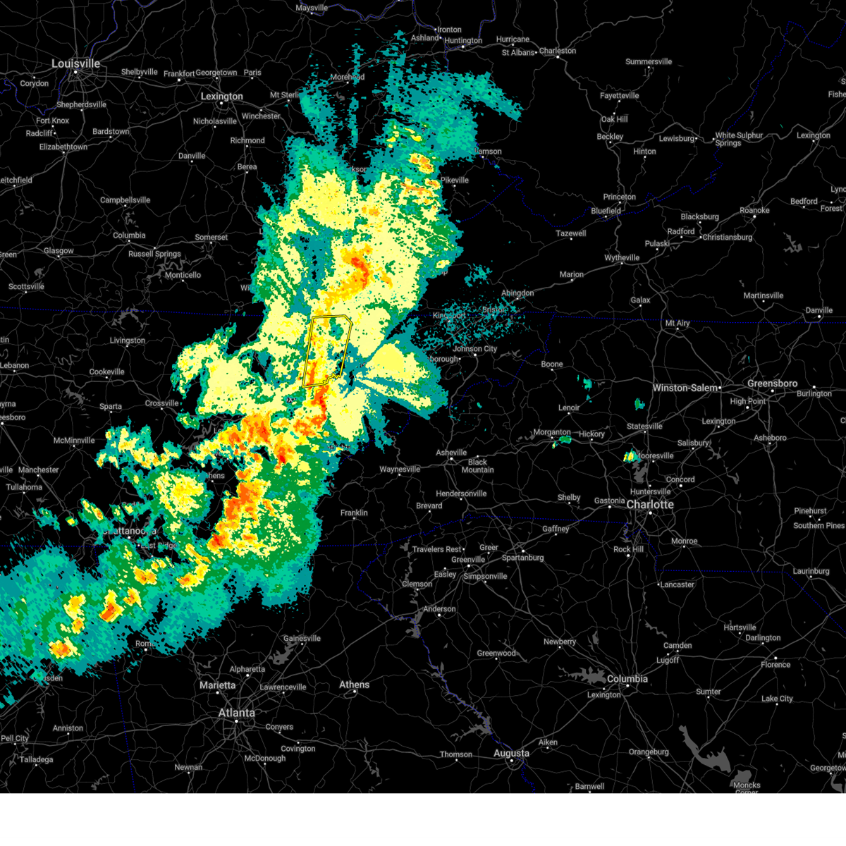
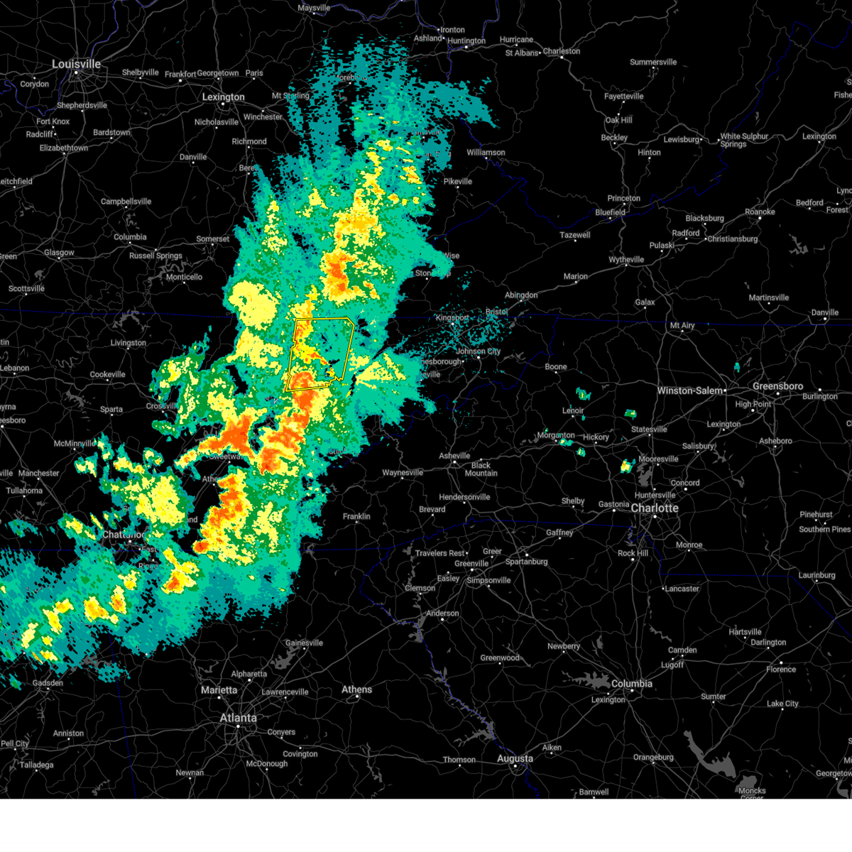
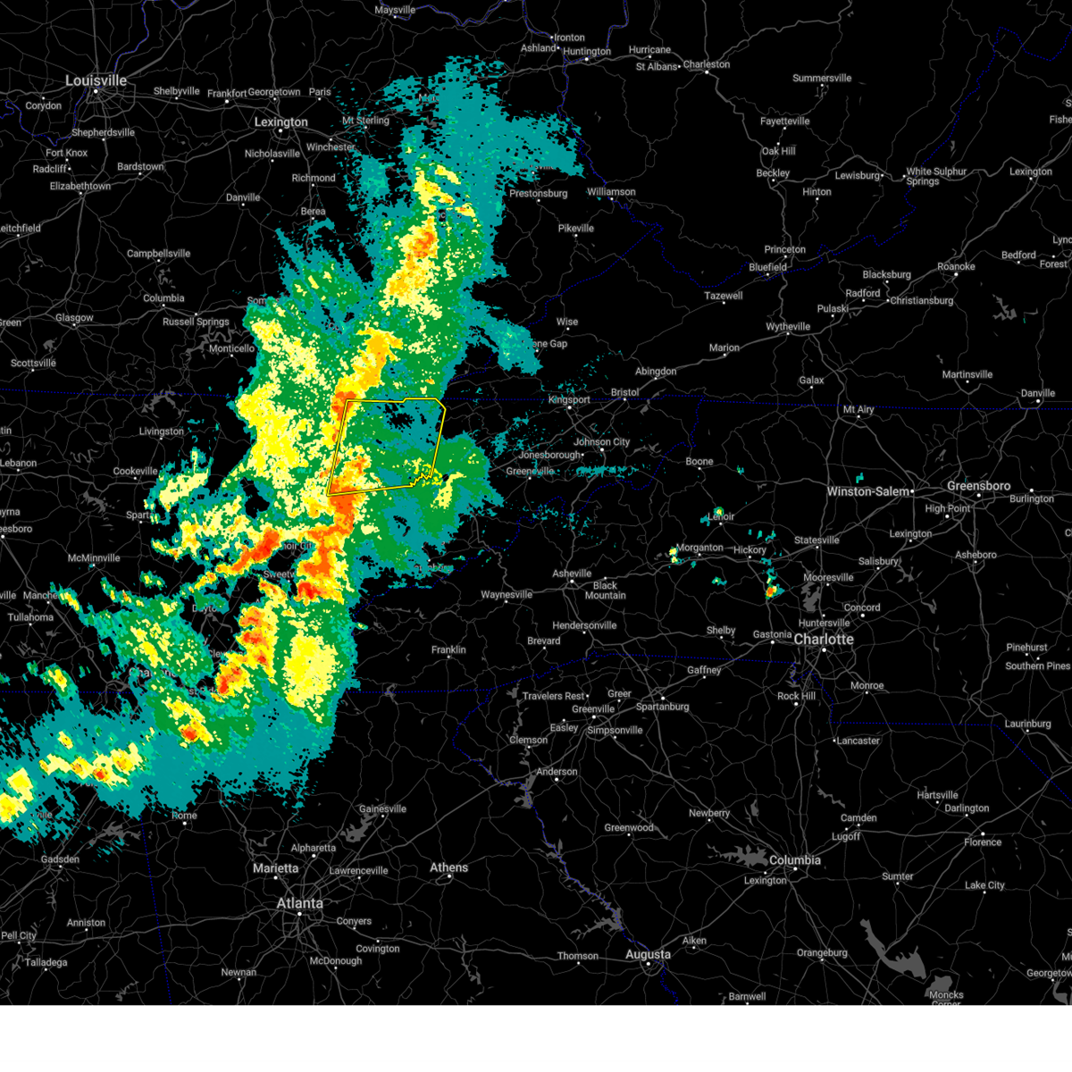
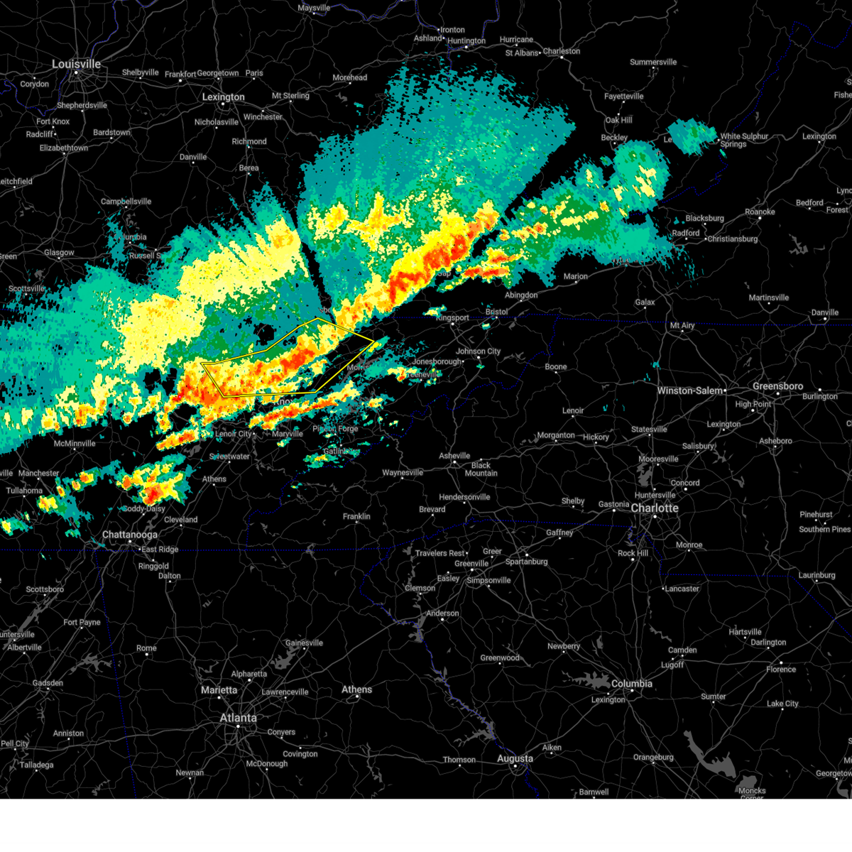
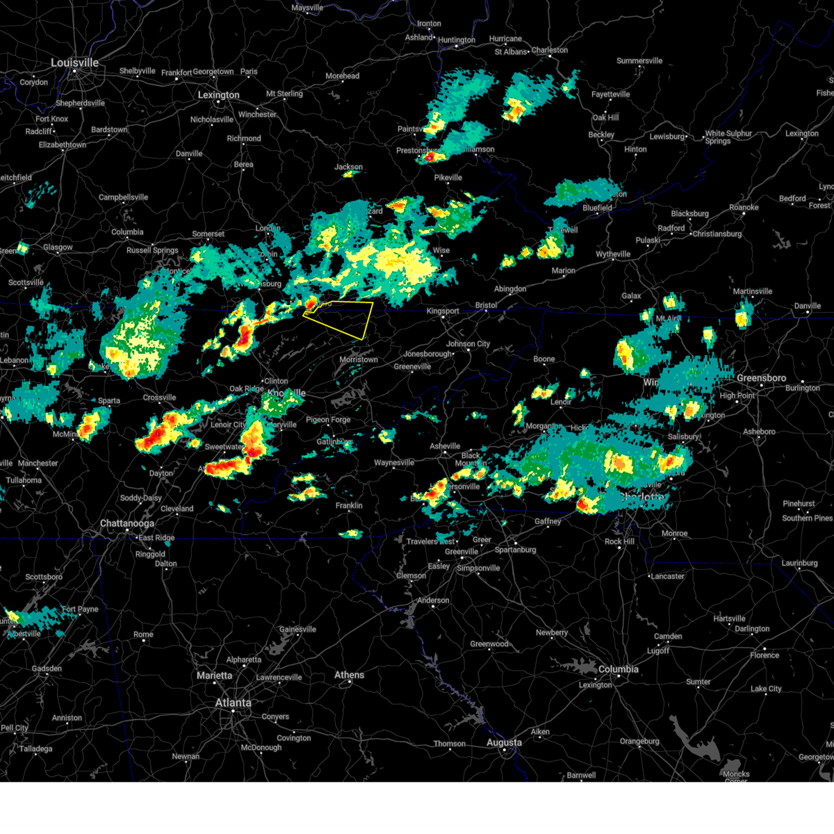
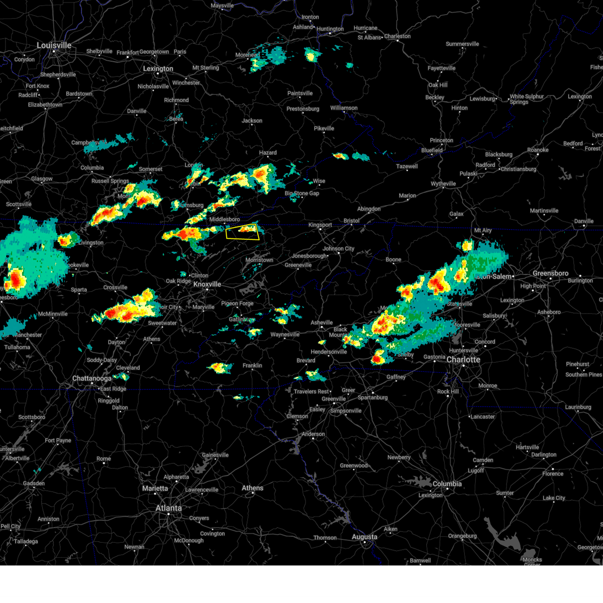
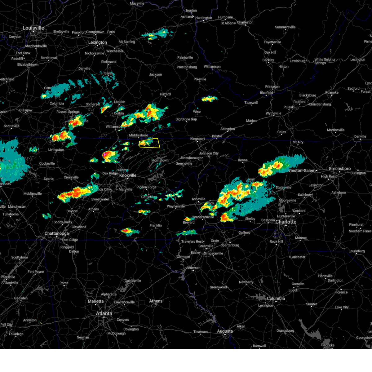
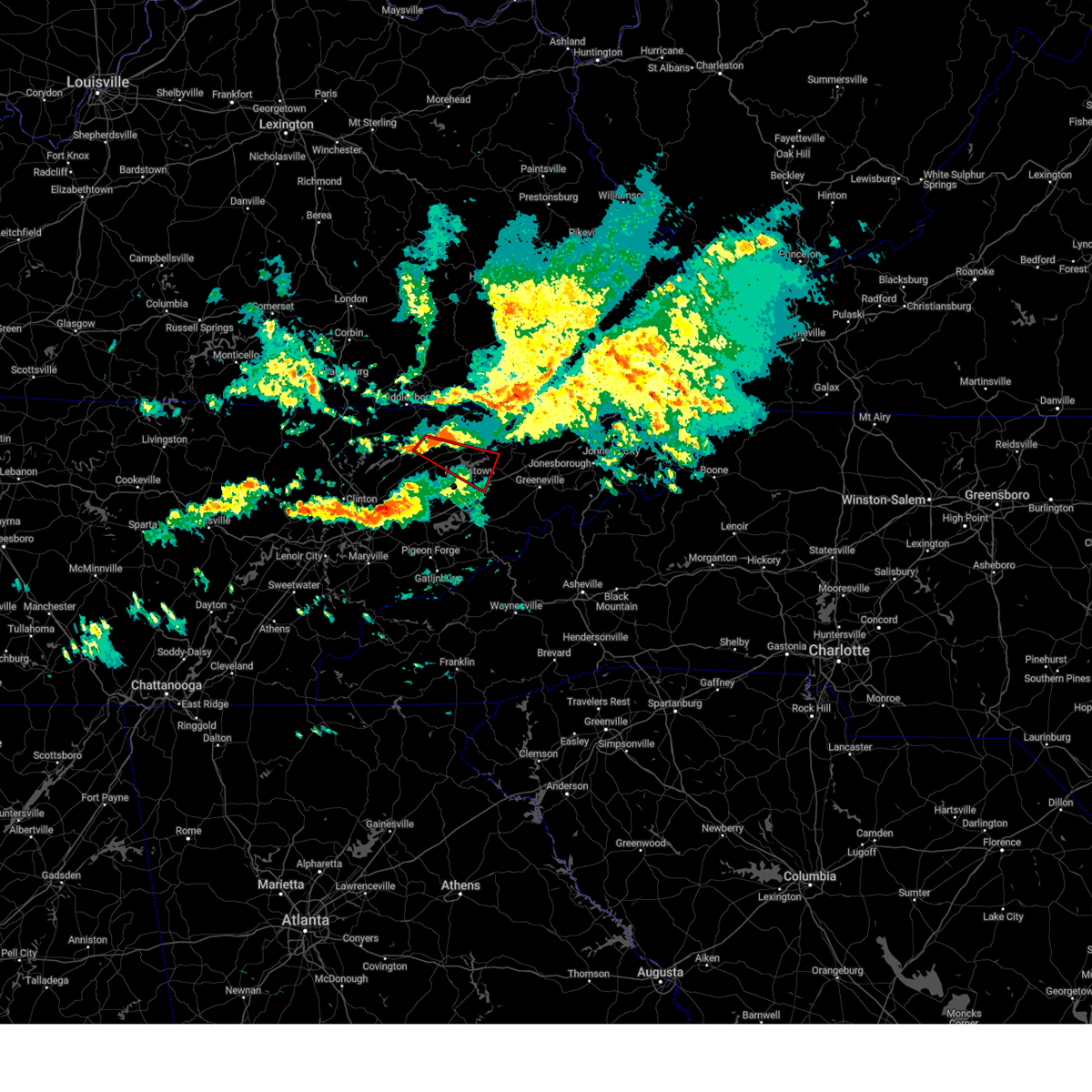
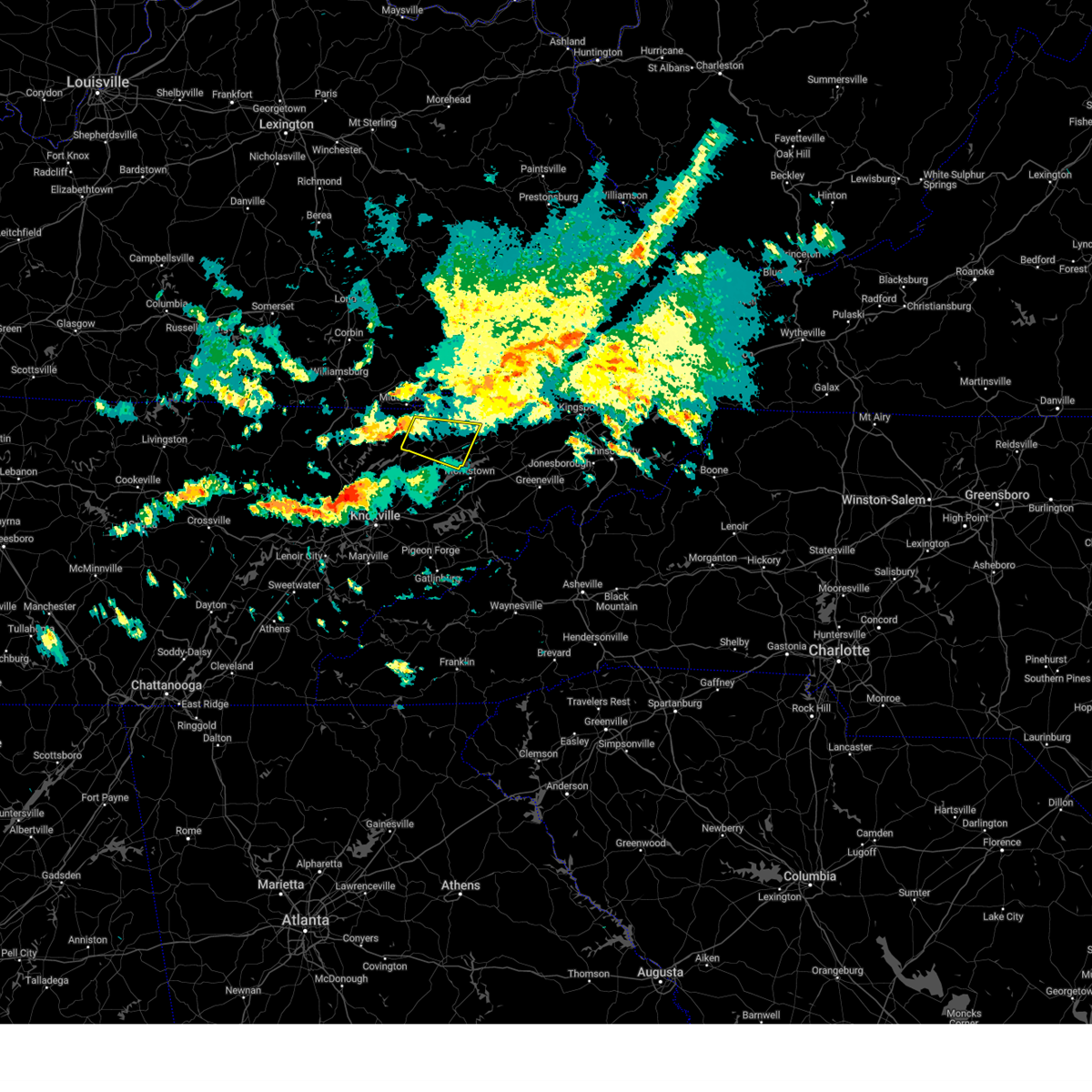
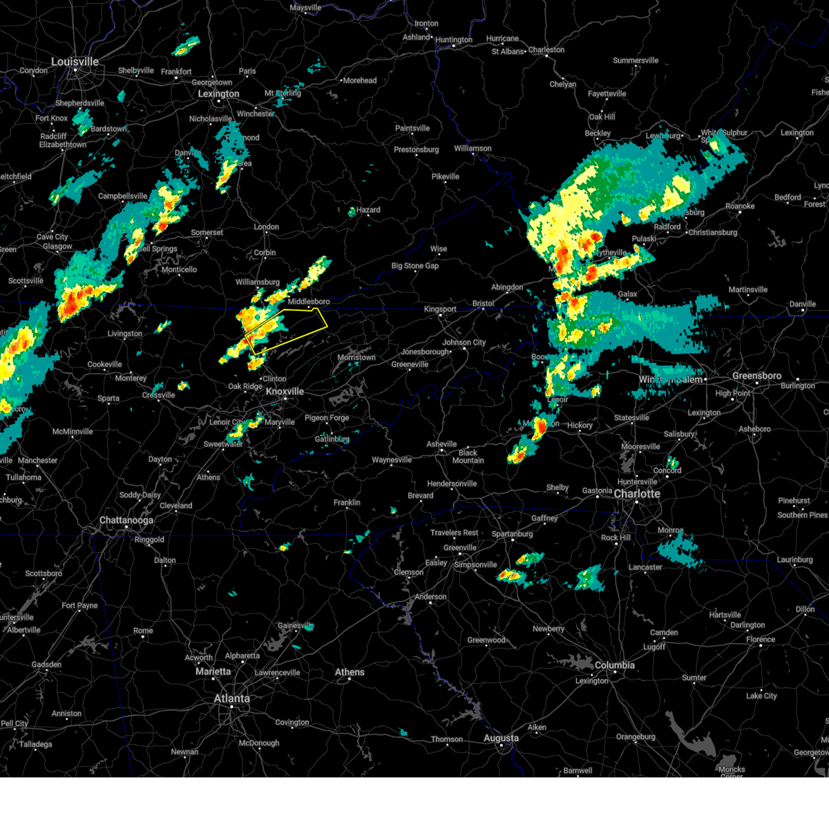
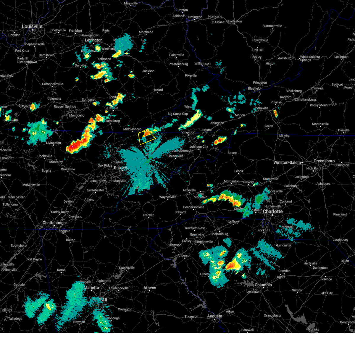
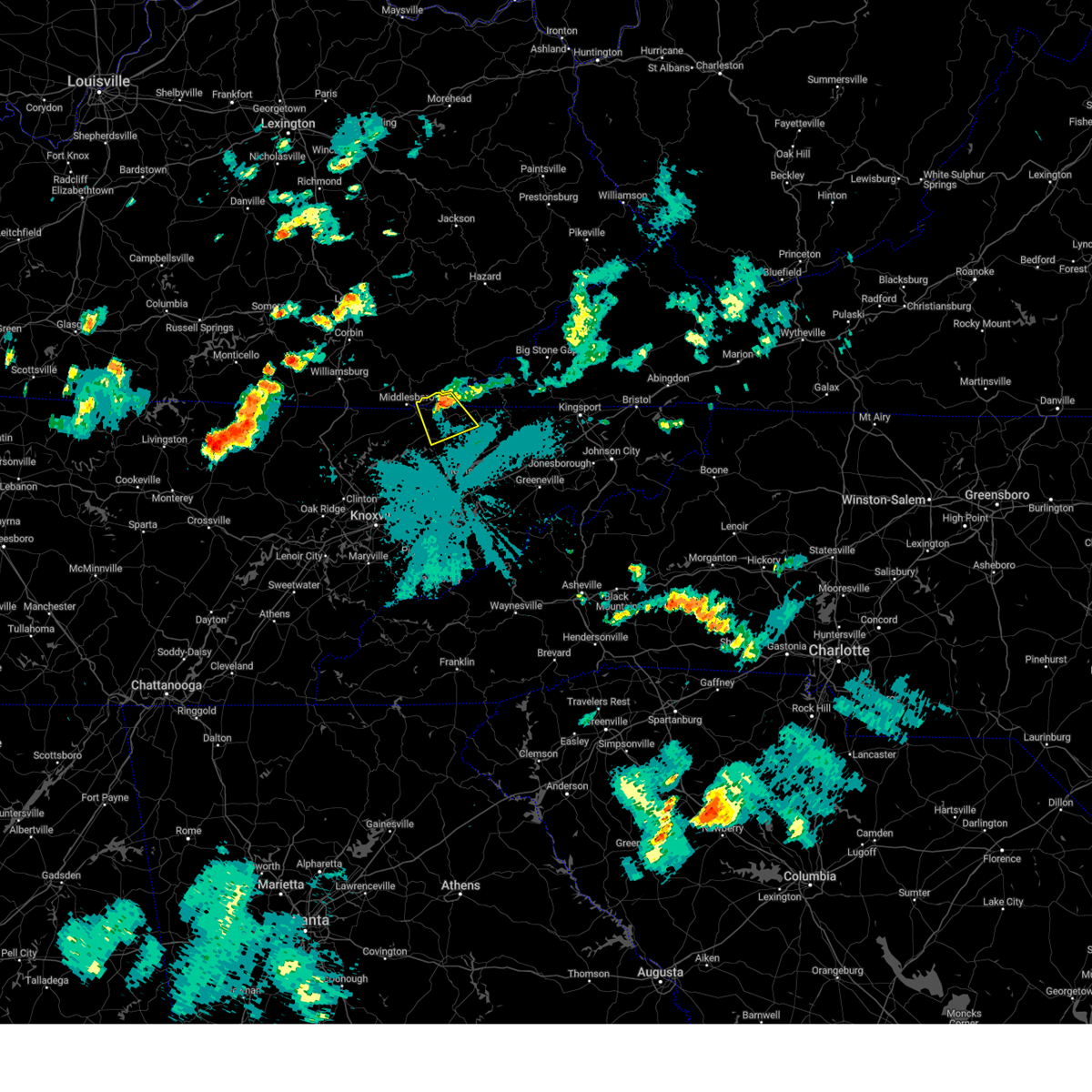
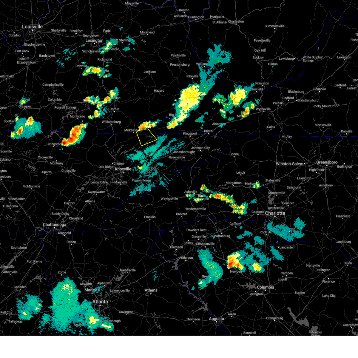
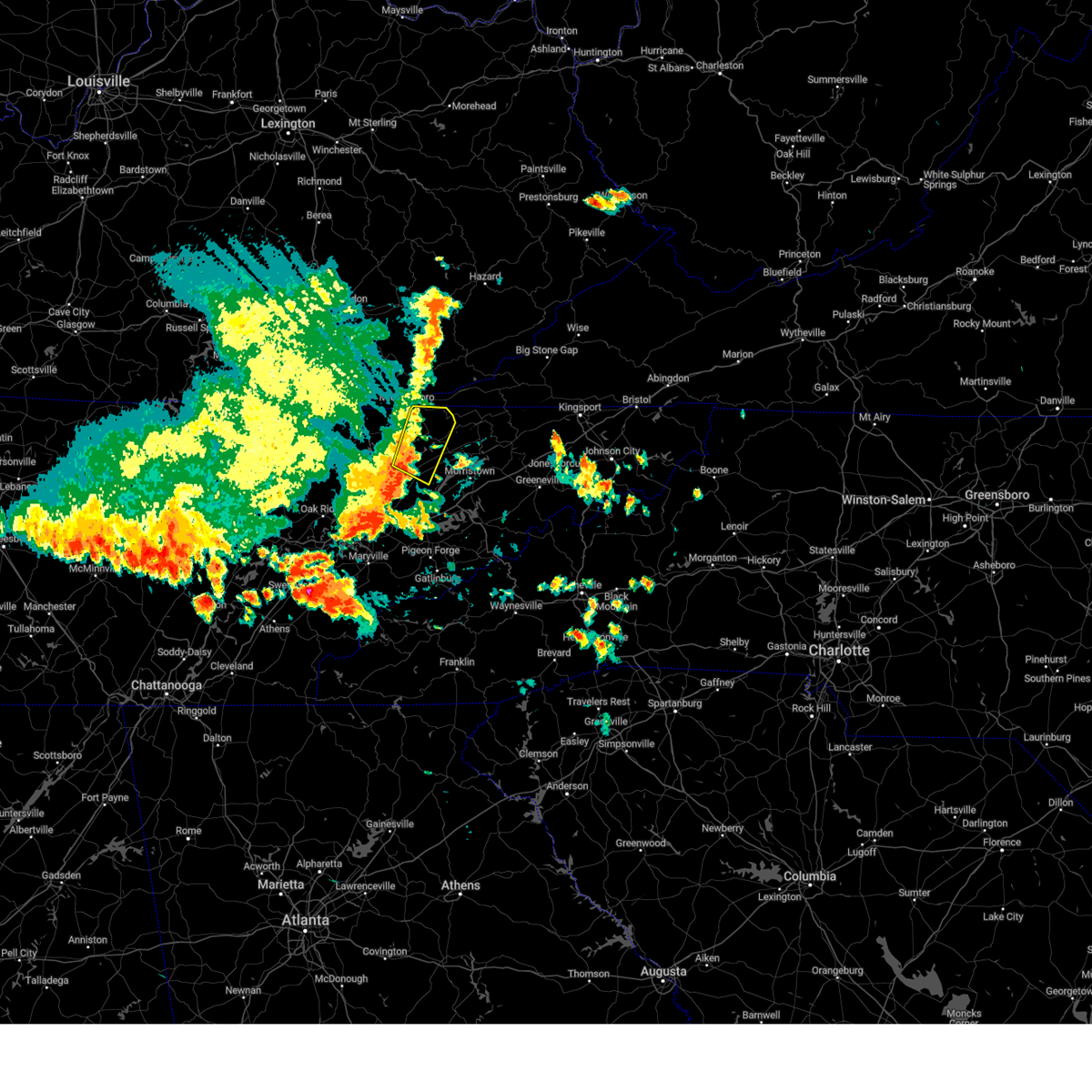
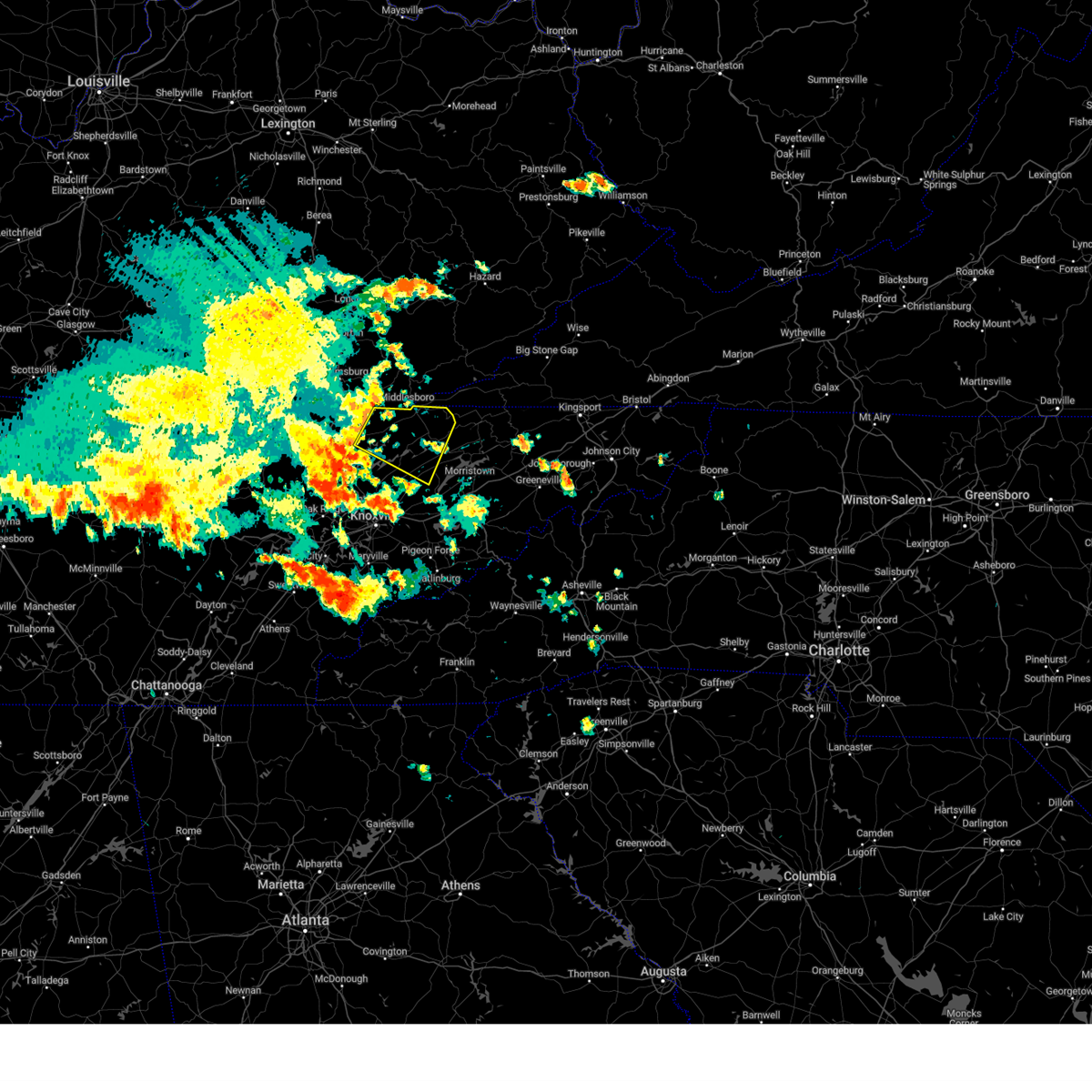
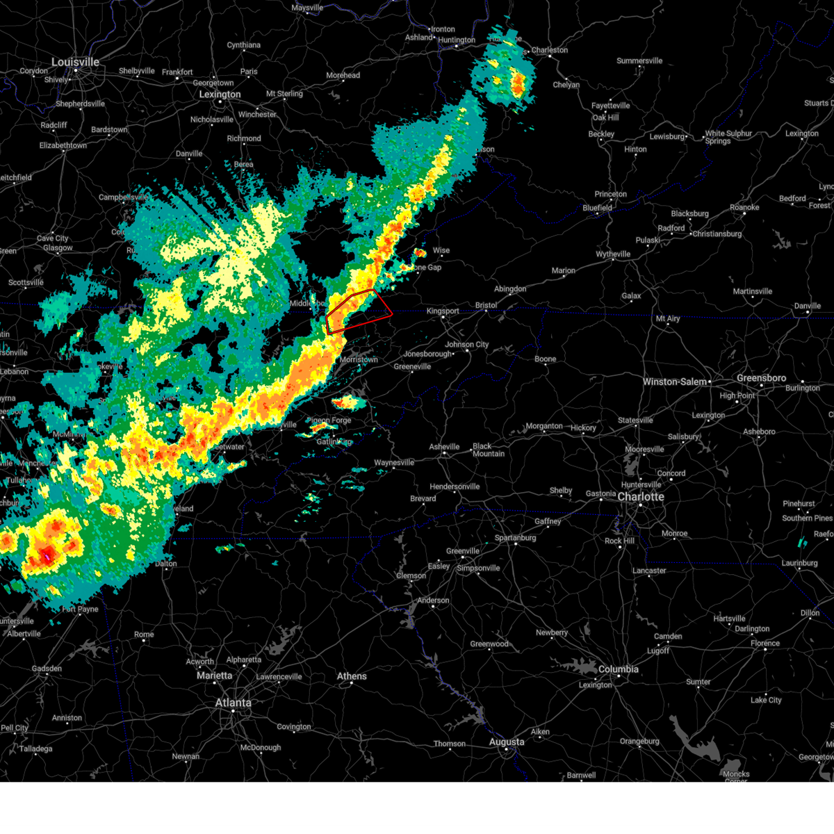
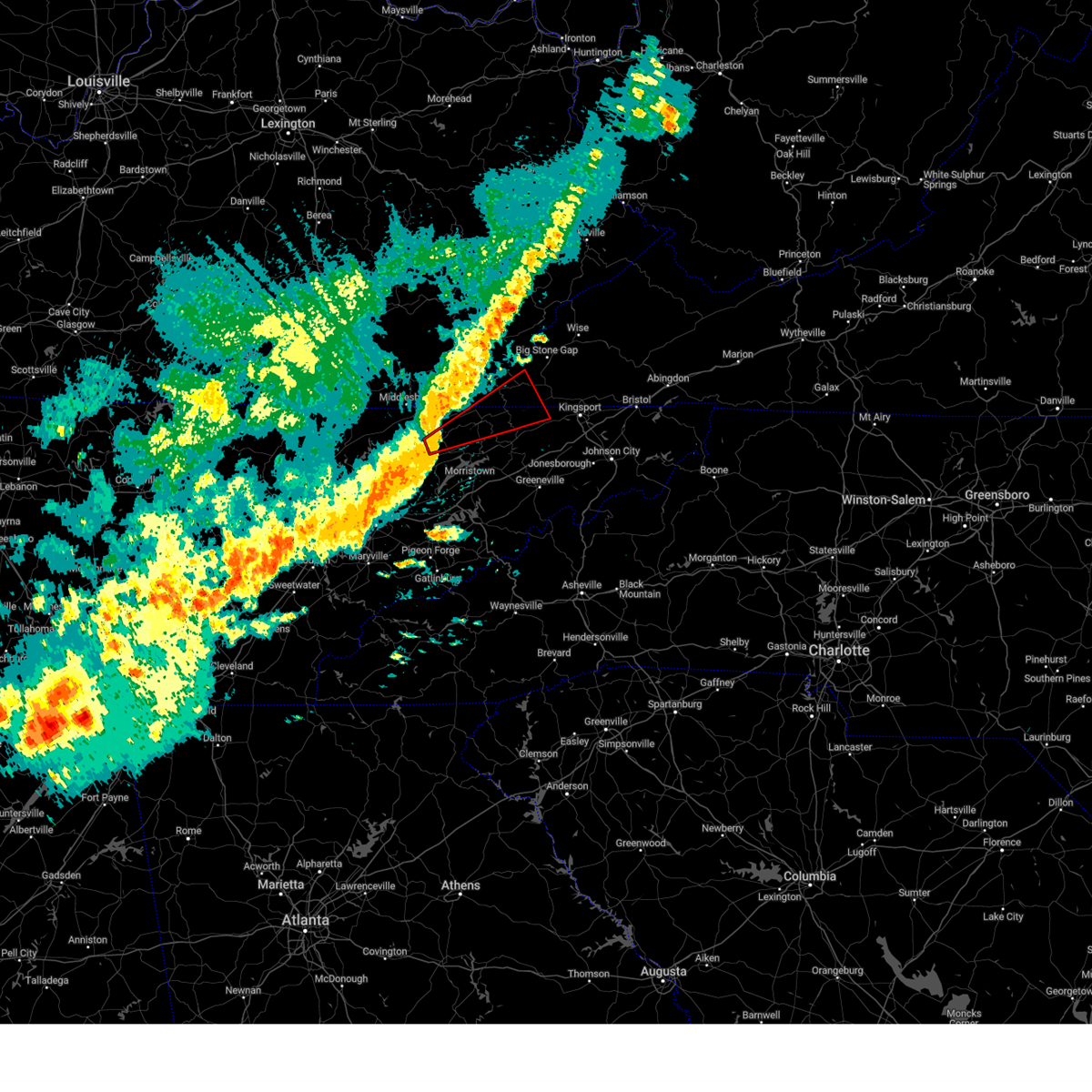
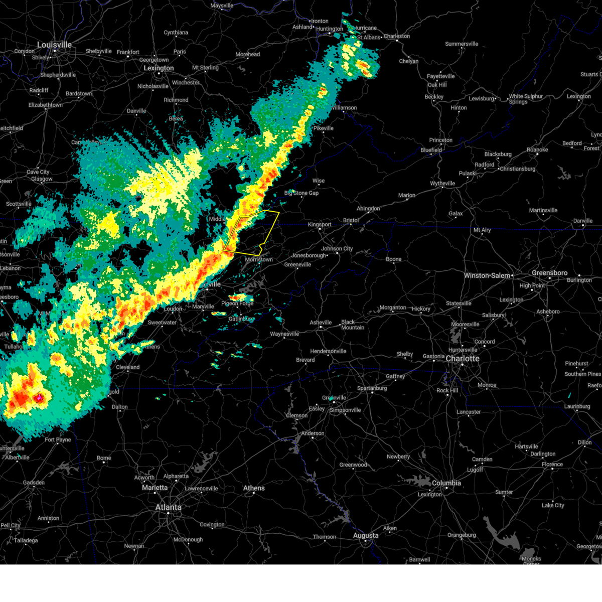
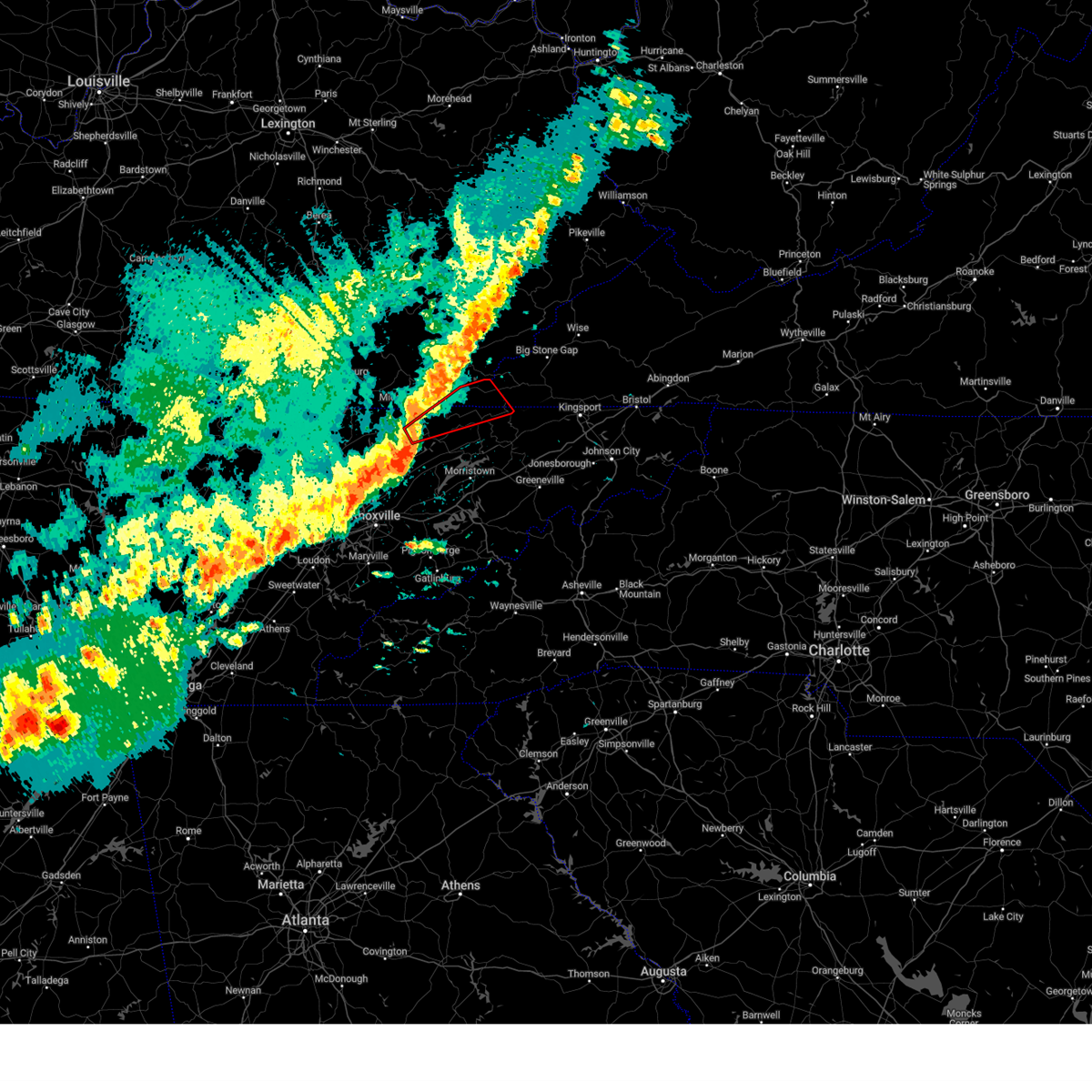
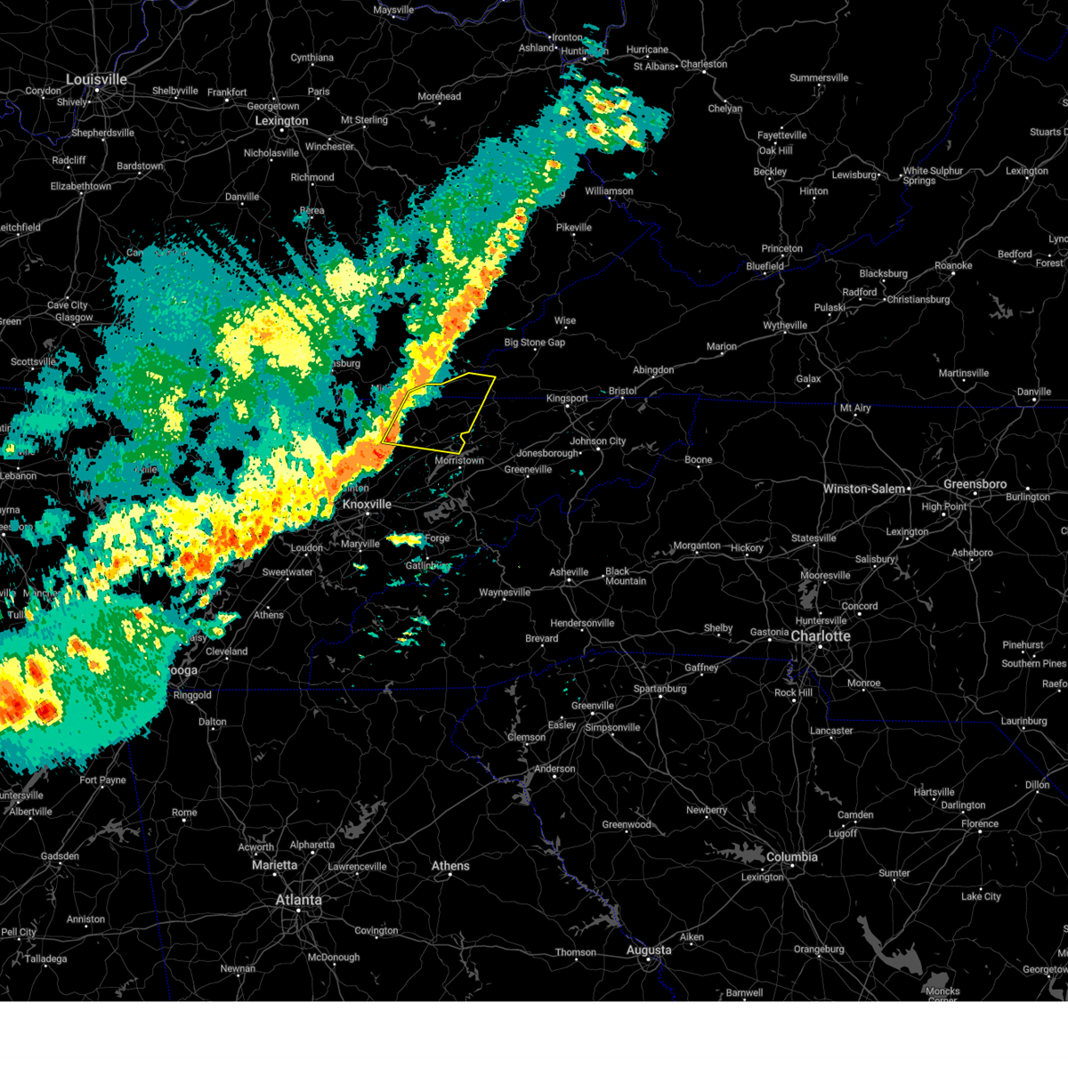
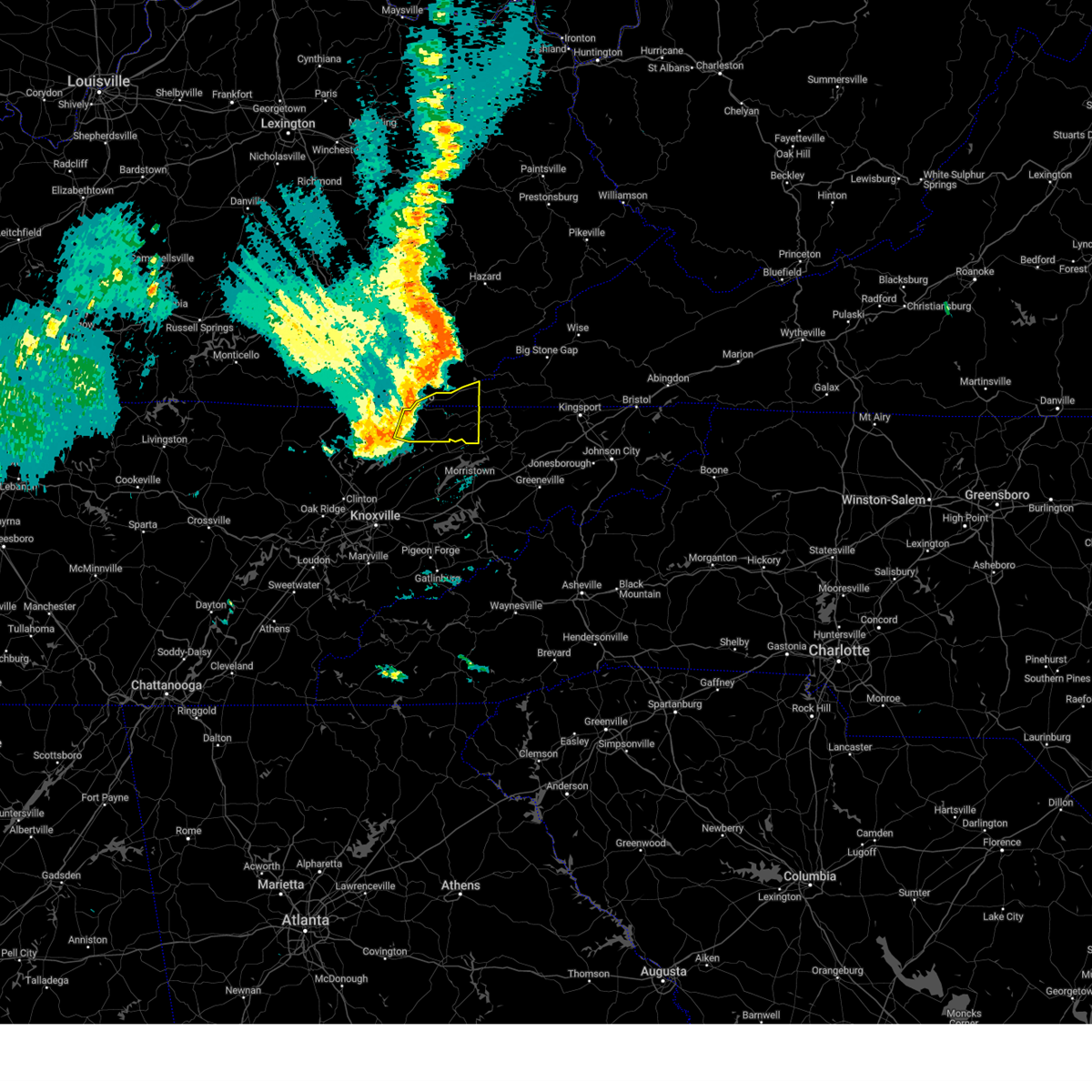
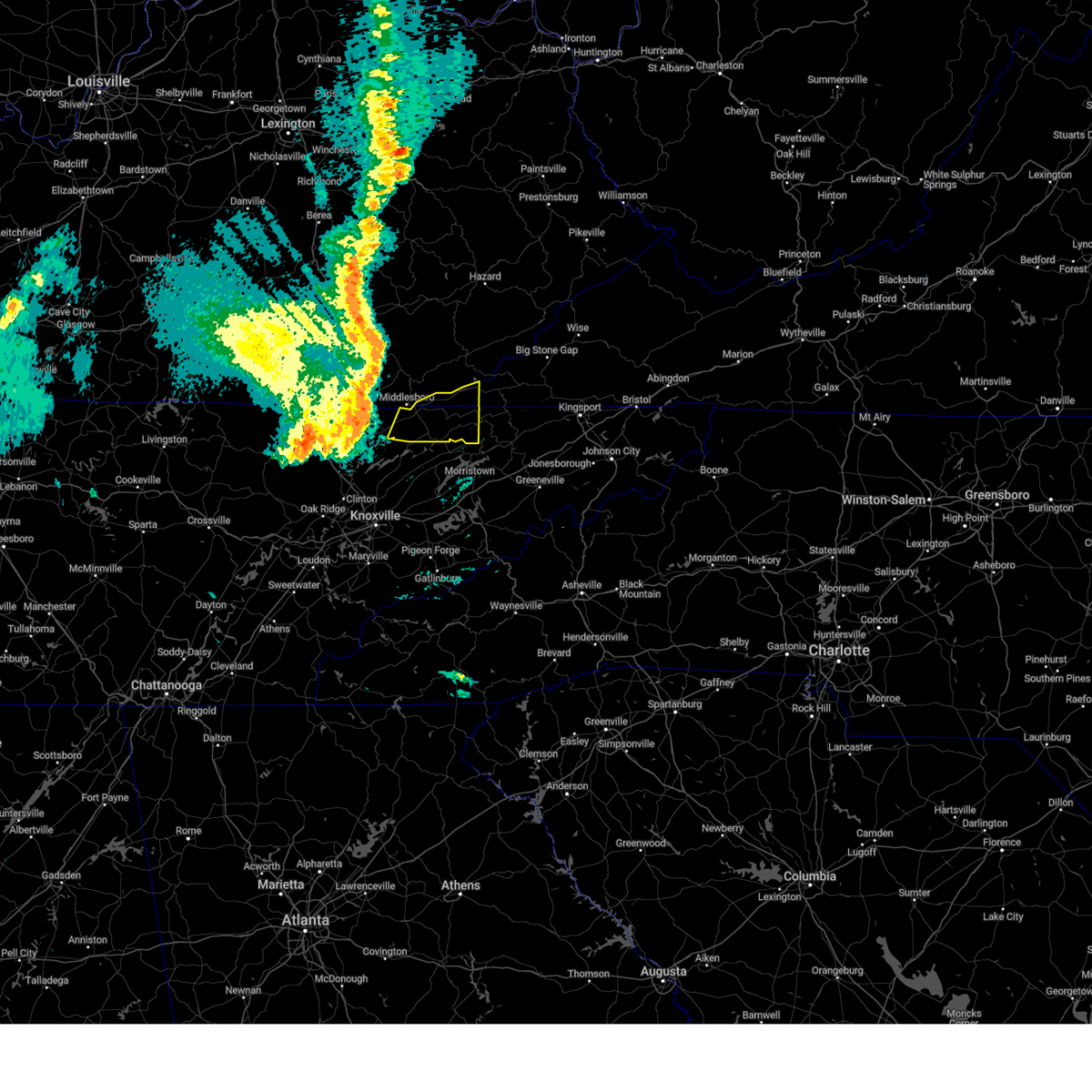
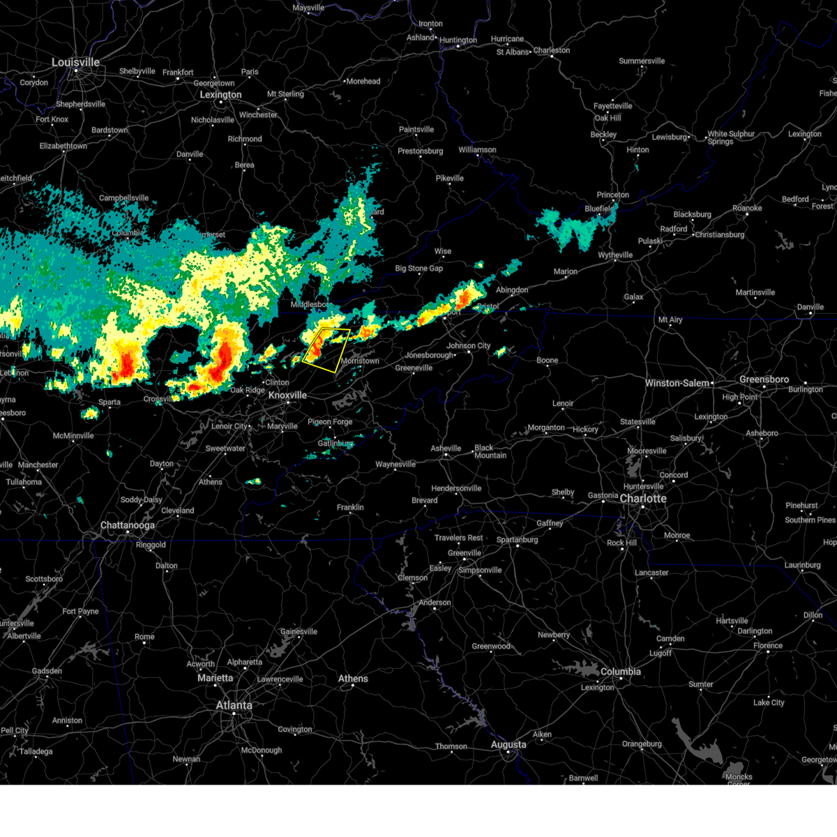
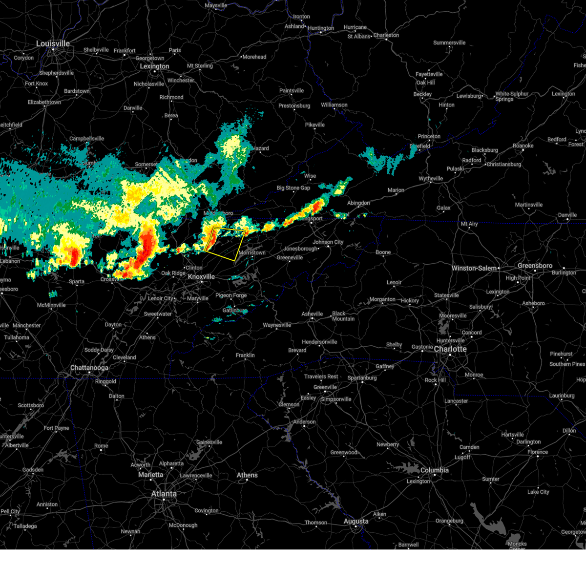
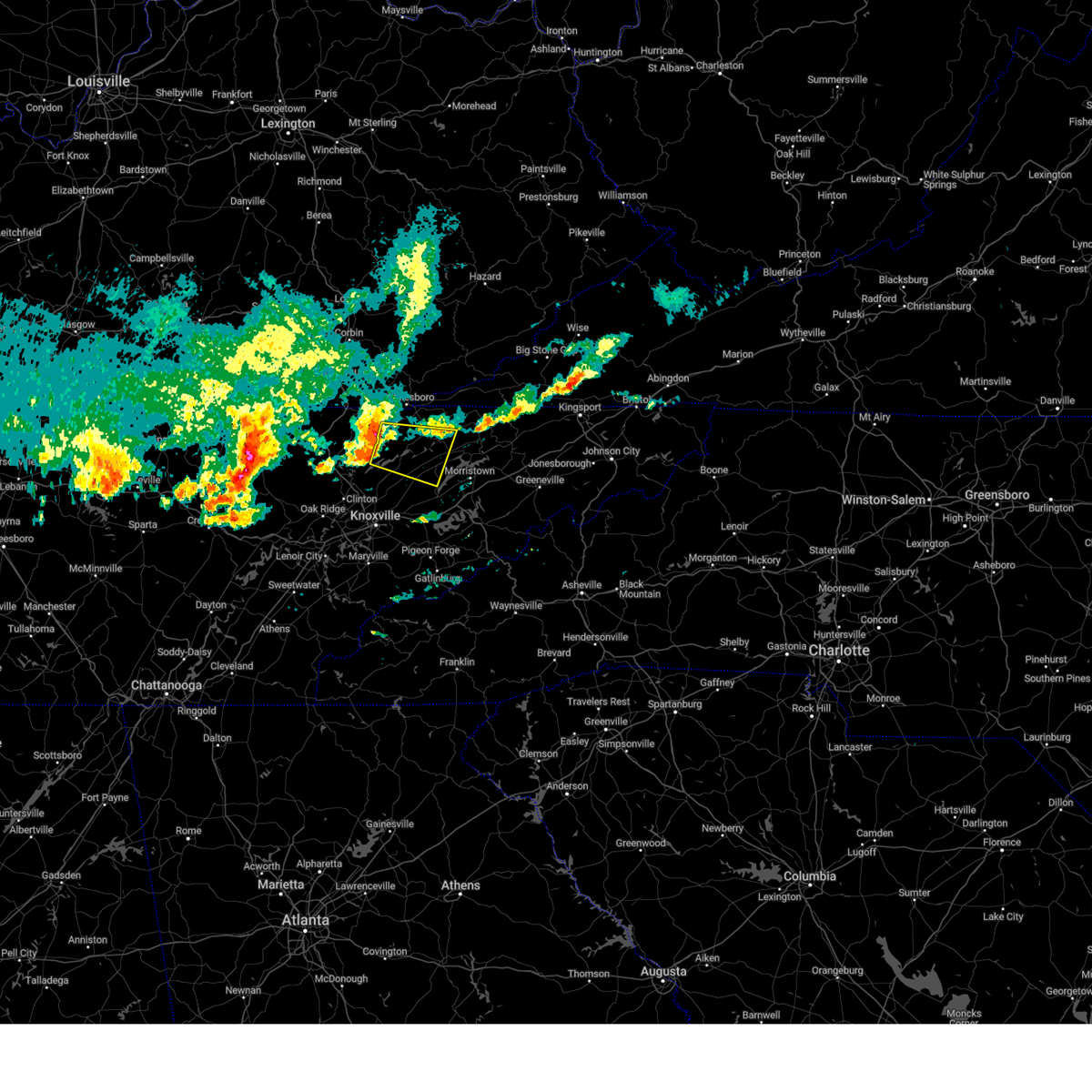
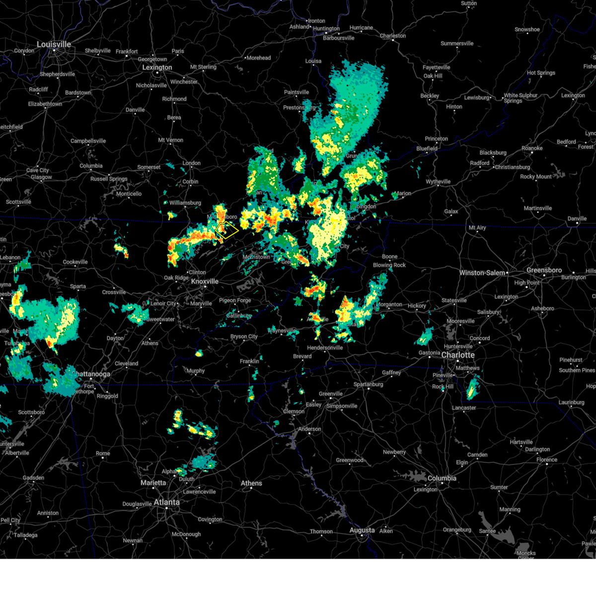
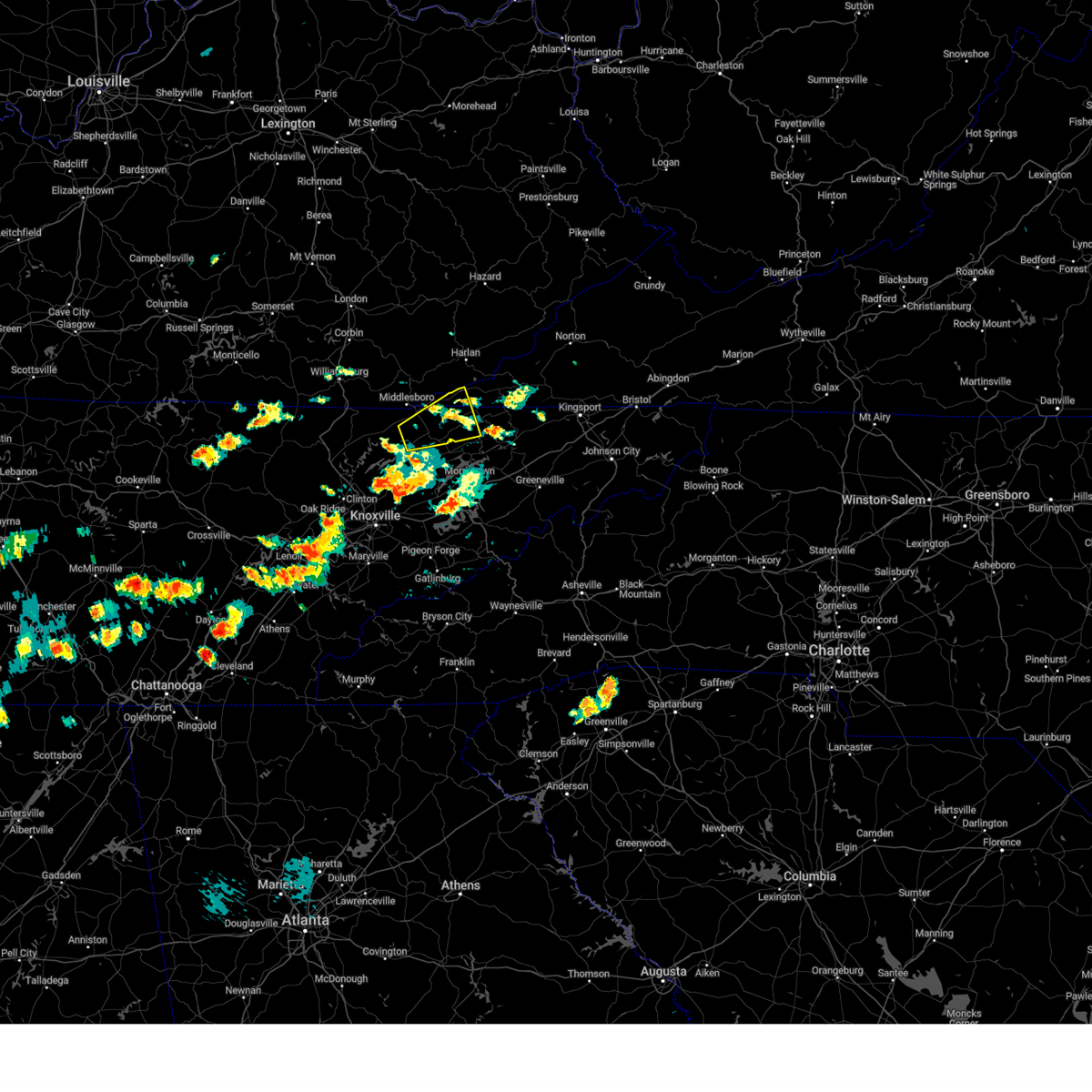
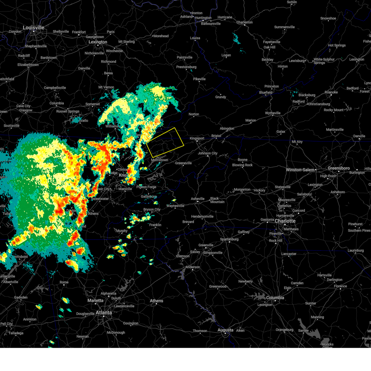
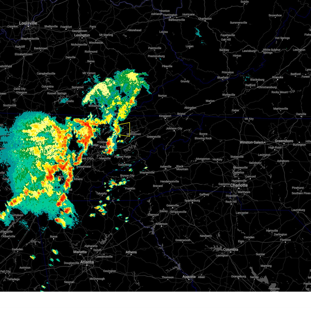
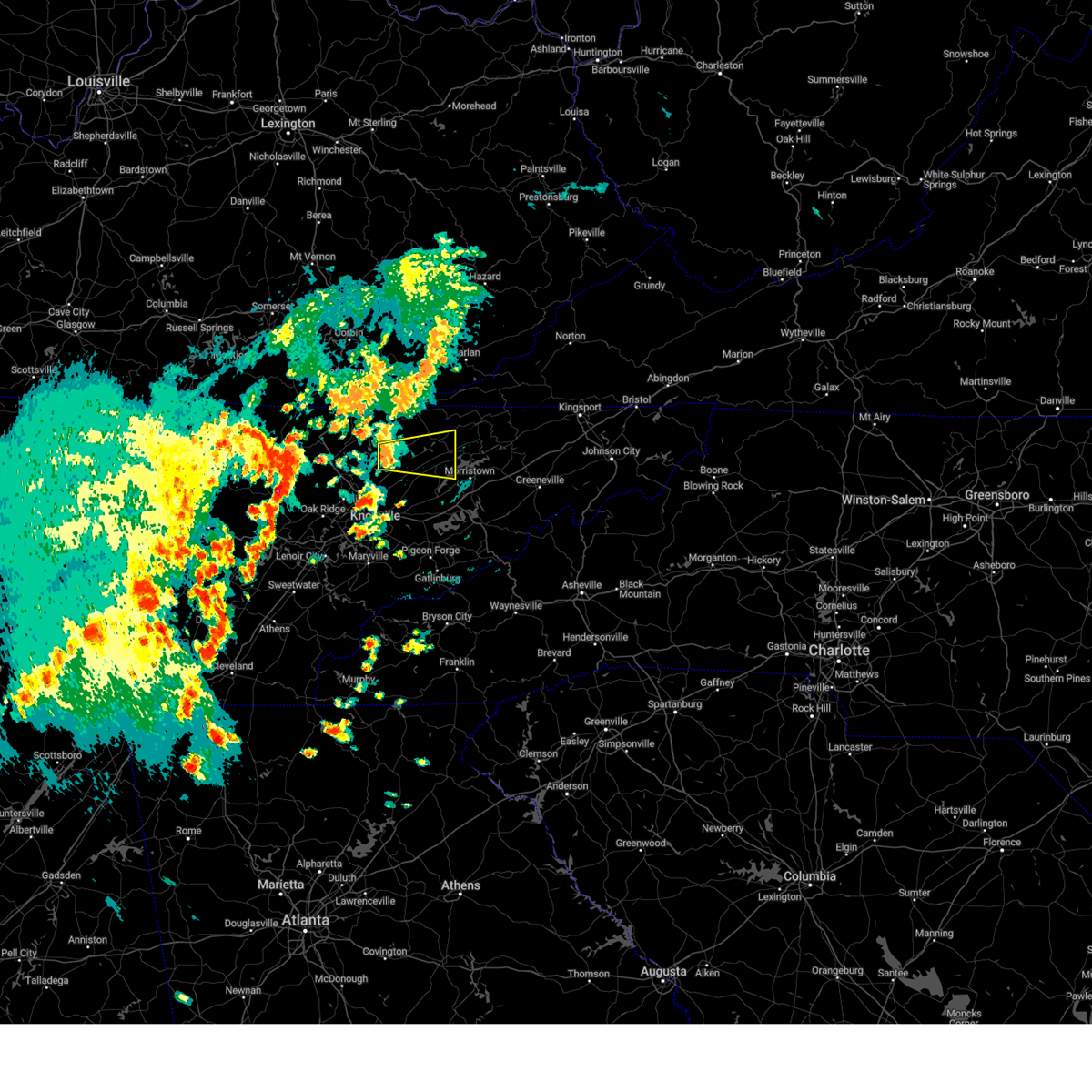
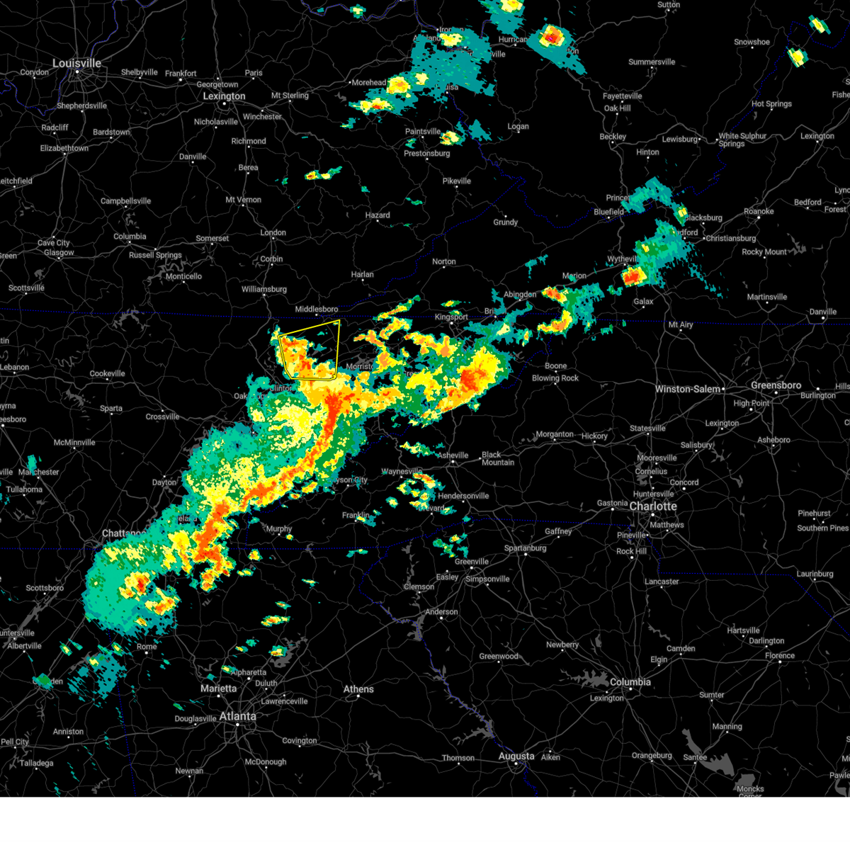
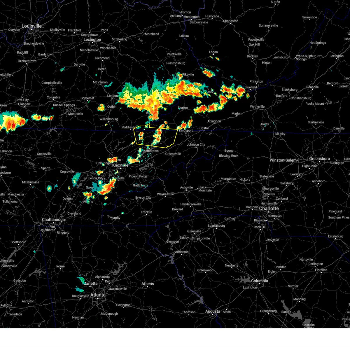
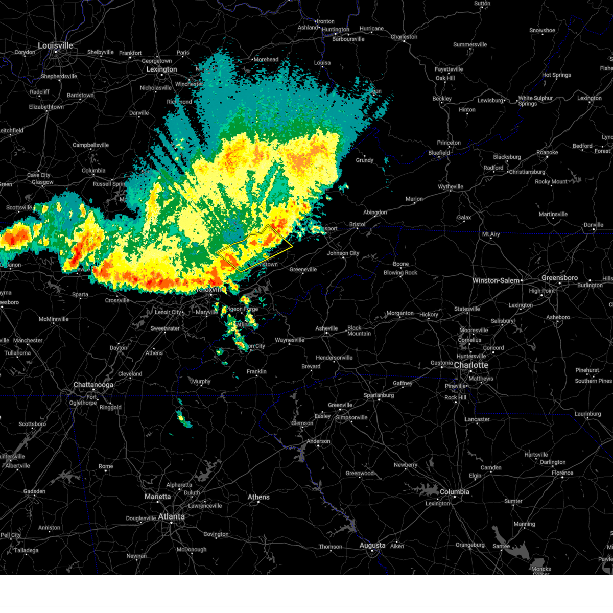
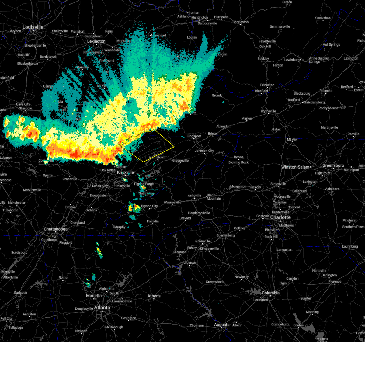
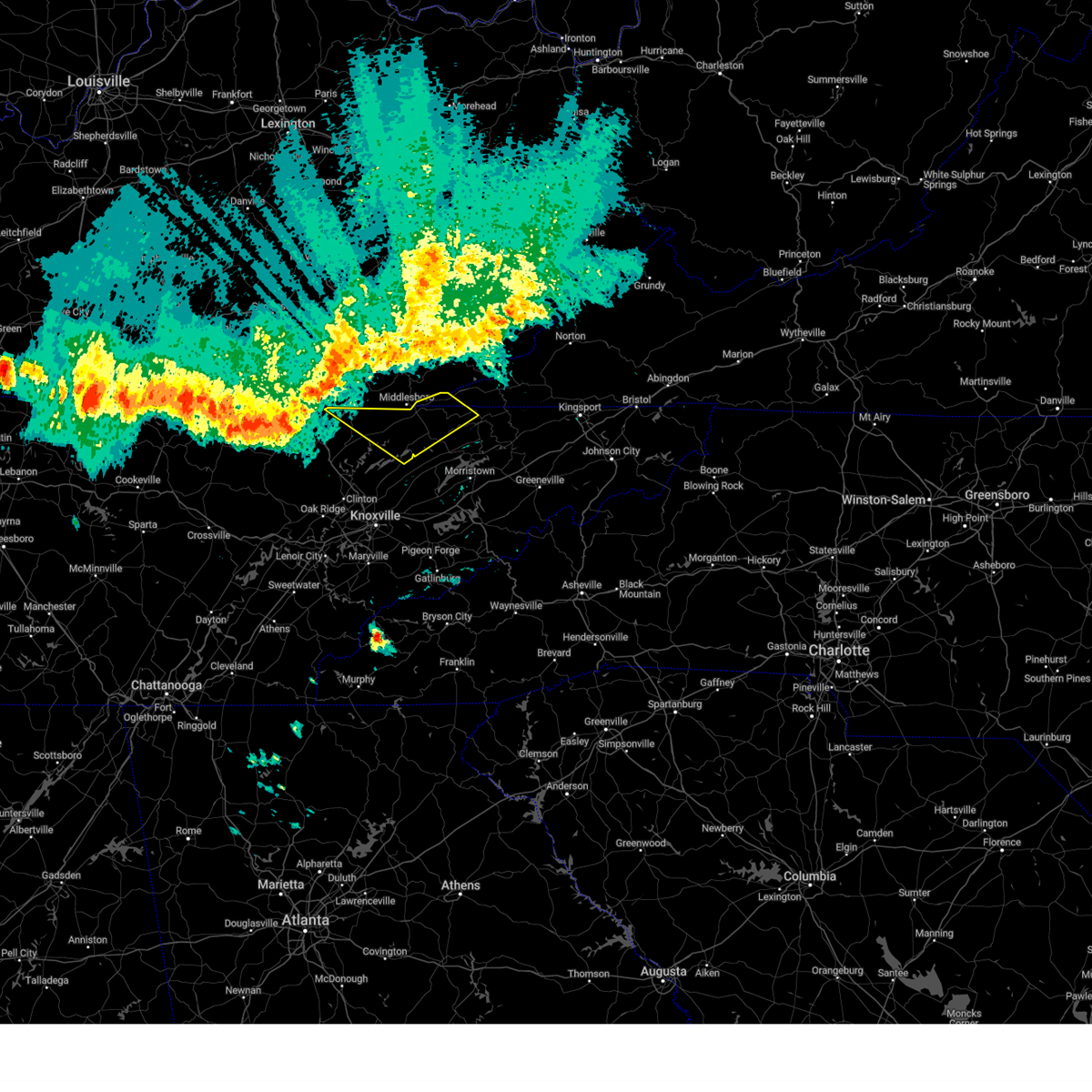
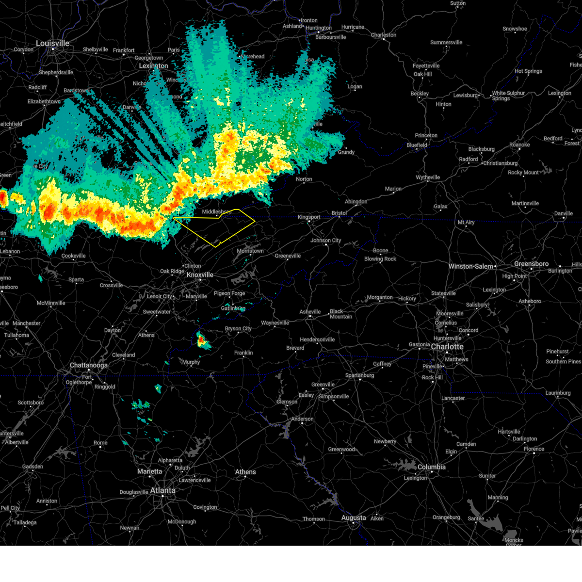
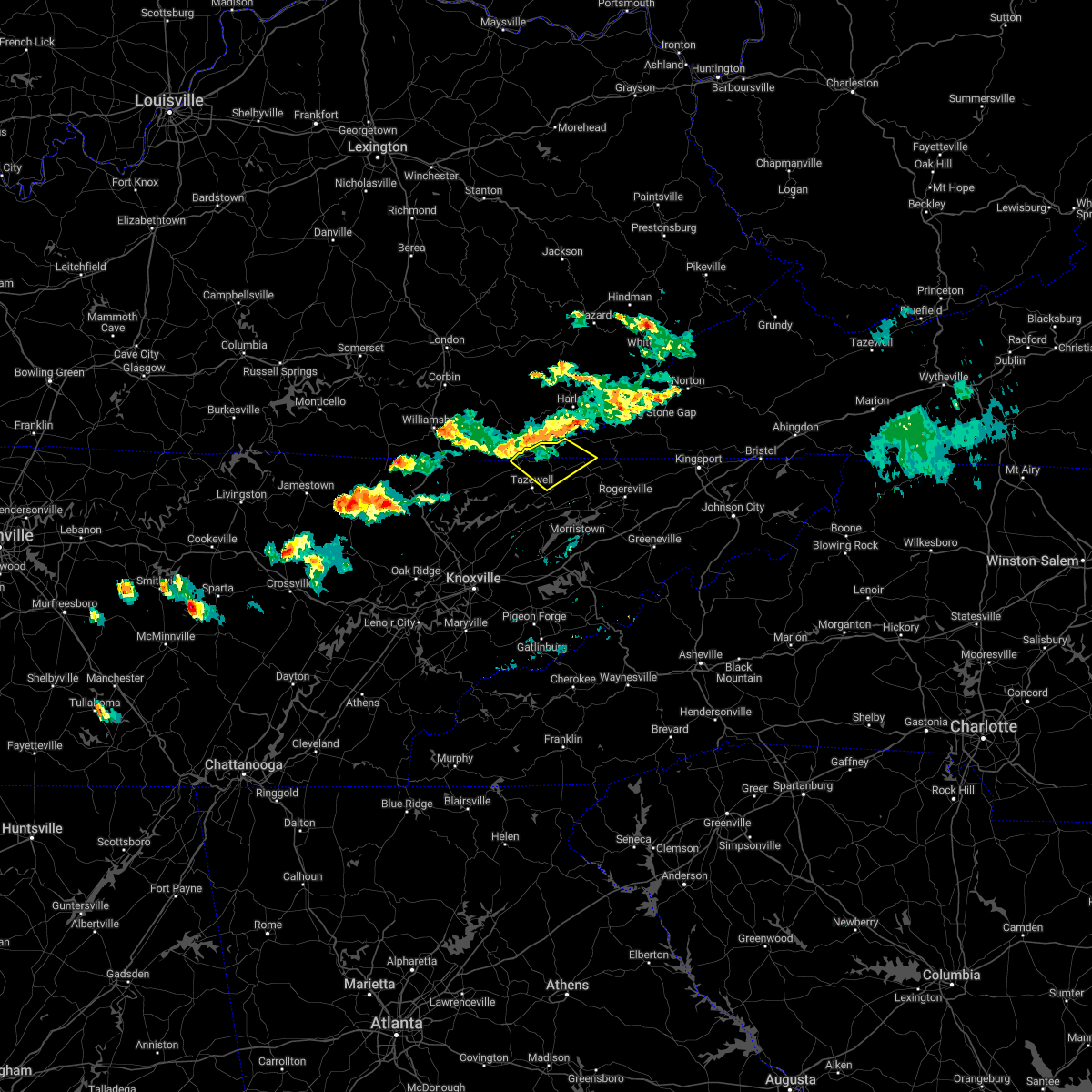
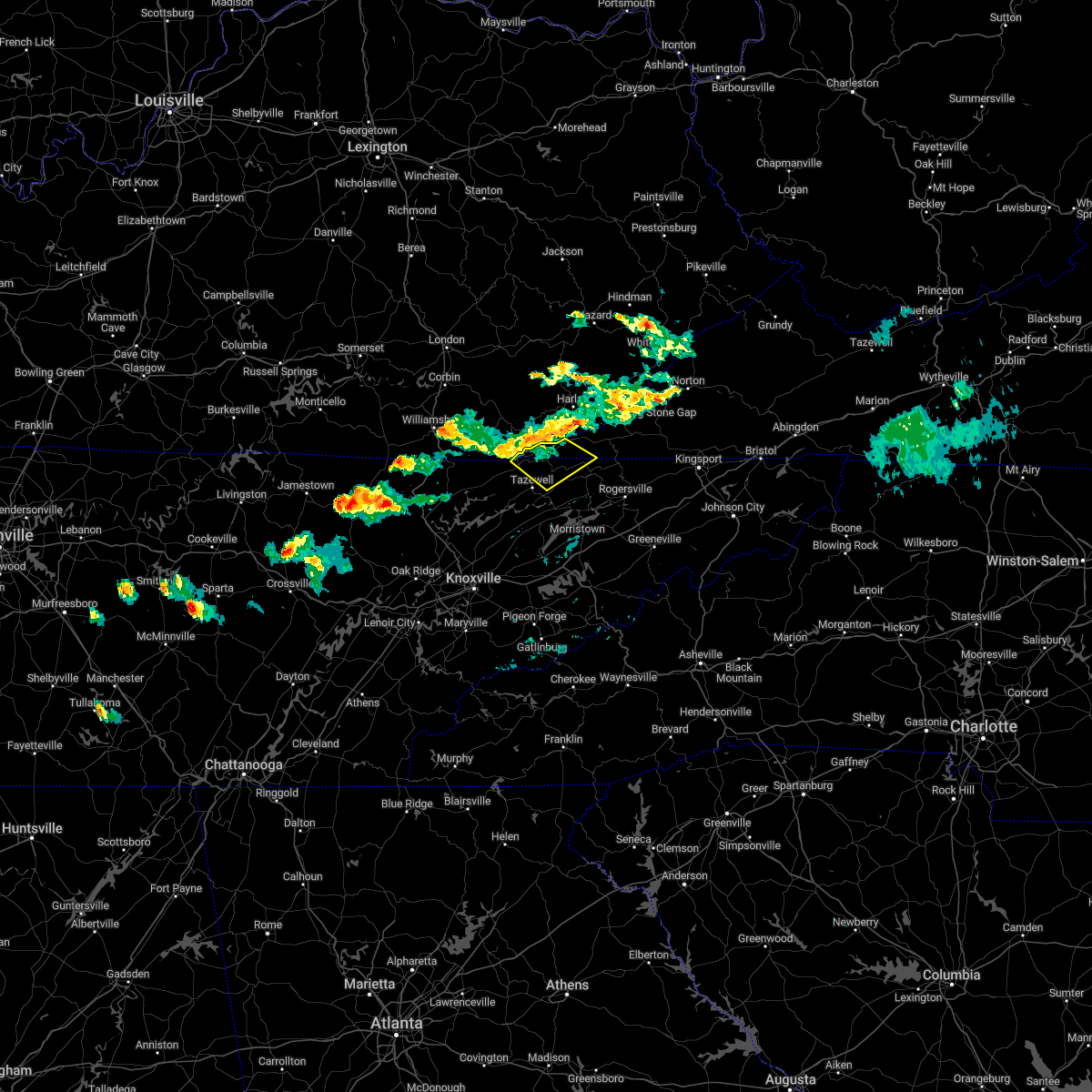
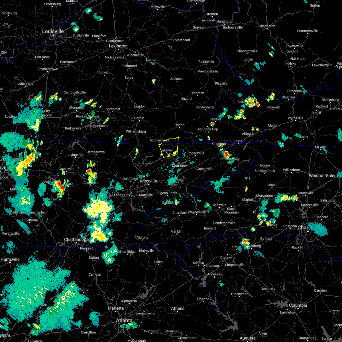
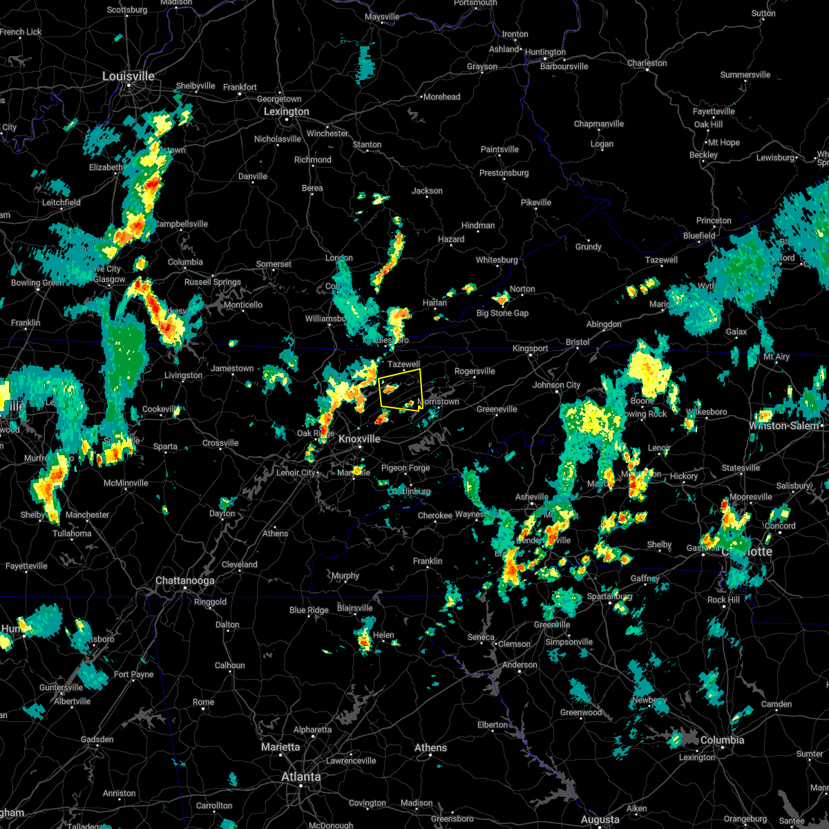
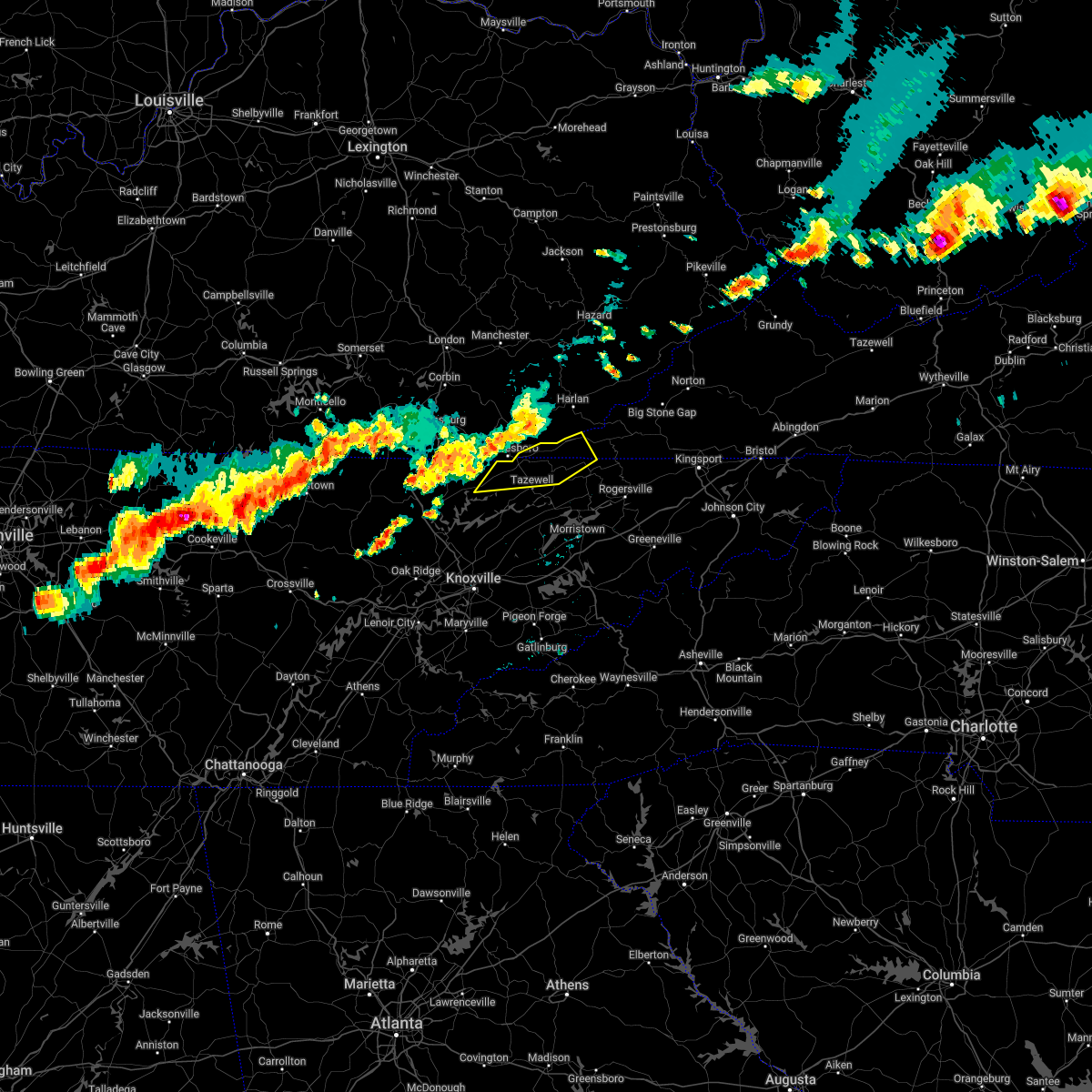
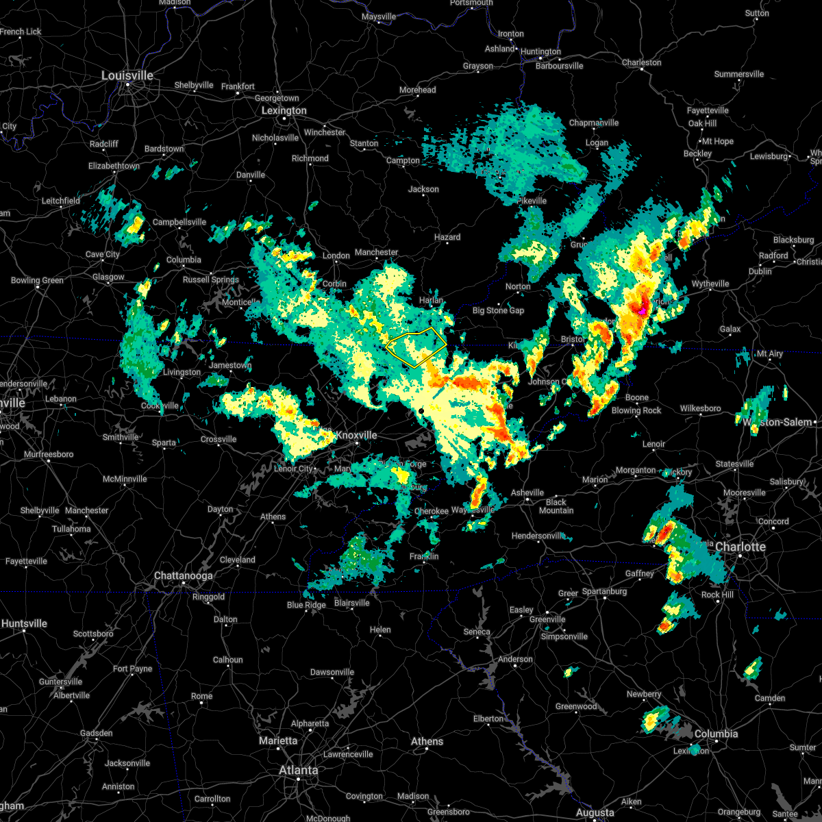
Hail Map for Tazewell, TN
The Tazewell, TN area has had 4 reports of on-the-ground hail by trained spotters, and has been under severe weather warnings 31 times during the past 12 months. Doppler radar has detected hail at or near Tazewell, TN on 30 occasions, including 3 occasions during the past year.
| Name: | Tazewell, TN |
| Where Located: | 39.8 miles NNE of Knoxville, TN |
| Map: | Google Map for Tazewell, TN |
| Population: | 2218 |
| Housing Units: | 1048 |
| More Info: | Search Google for Tazewell, TN |
3
The Top Recent Hail Date for Tazewell, TN is Thursday, February 6, 2025 (4th out of 30)

Hail and Wind Damage Spotted near Tazewell, TN
| Date / Time | Report Details |
|---|---|
| 5/20/2025 11:02 PM EDT |
 the severe thunderstorm warning has been cancelled and is no longer in effect the severe thunderstorm warning has been cancelled and is no longer in effect
|
| 5/20/2025 10:49 PM EDT |
 At 1049 pm edt, severe thunderstorms were located along a line extending from near cubage to 6 miles west of new market, moving east at 45 mph (radar indicated). Hazards include 60 mph wind gusts. Expect damage to roofs, siding, and trees. Locations impacted include, lone mountain, tazewell, rutledge, powell river preserve, new tazewell, joppa, buffalo springs, and blaine. At 1049 pm edt, severe thunderstorms were located along a line extending from near cubage to 6 miles west of new market, moving east at 45 mph (radar indicated). Hazards include 60 mph wind gusts. Expect damage to roofs, siding, and trees. Locations impacted include, lone mountain, tazewell, rutledge, powell river preserve, new tazewell, joppa, buffalo springs, and blaine.
|
| 5/20/2025 10:49 PM EDT |
 the severe thunderstorm warning has been cancelled and is no longer in effect the severe thunderstorm warning has been cancelled and is no longer in effect
|
| 5/20/2025 10:41 PM EDT |
 At 1040 pm edt, severe thunderstorms were located along a line extending from near hutch to near plainview, moving east at 45 mph (radar indicated). Hazards include 60 mph wind gusts. Expect damage to roofs, siding, and trees. Locations impacted include, springdale, luttrell, lone mountain, arthur, new tazewell, rose hill, buffalo springs, harrogate, sandlick, and house mountain state park. At 1040 pm edt, severe thunderstorms were located along a line extending from near hutch to near plainview, moving east at 45 mph (radar indicated). Hazards include 60 mph wind gusts. Expect damage to roofs, siding, and trees. Locations impacted include, springdale, luttrell, lone mountain, arthur, new tazewell, rose hill, buffalo springs, harrogate, sandlick, and house mountain state park.
|
| 5/20/2025 10:31 PM EDT |
 At 1030 pm edt, severe thunderstorms were located along a line extending from noetown to 7 miles southwest of plainview, moving east at 45 mph (radar indicated). Hazards include 60 mph wind gusts. Expect damage to roofs, siding, and trees. Locations impacted include, springdale, luttrell, lone mountain, arthur, new tazewell, maynardville, rose hill, buffalo springs, paulette, and harrogate. At 1030 pm edt, severe thunderstorms were located along a line extending from noetown to 7 miles southwest of plainview, moving east at 45 mph (radar indicated). Hazards include 60 mph wind gusts. Expect damage to roofs, siding, and trees. Locations impacted include, springdale, luttrell, lone mountain, arthur, new tazewell, maynardville, rose hill, buffalo springs, paulette, and harrogate.
|
| 5/20/2025 10:31 PM EDT |
 the severe thunderstorm warning has been cancelled and is no longer in effect the severe thunderstorm warning has been cancelled and is no longer in effect
|
| 5/20/2025 10:13 PM EDT |
 Svrmrx the national weather service in morristown has issued a * severe thunderstorm warning for, claiborne county in east tennessee, northeastern anderson county in east tennessee, northeastern knox county in east tennessee, eastern campbell county in east tennessee, western grainger county in east tennessee, union county in east tennessee, * until 1115 pm edt. * at 1012 pm edt, severe thunderstorms were located along a line extending from near wilkerson to clinton, moving east at 45 mph (radar indicated). Hazards include 60 mph wind gusts. expect damage to roofs, siding, and trees Svrmrx the national weather service in morristown has issued a * severe thunderstorm warning for, claiborne county in east tennessee, northeastern anderson county in east tennessee, northeastern knox county in east tennessee, eastern campbell county in east tennessee, western grainger county in east tennessee, union county in east tennessee, * until 1115 pm edt. * at 1012 pm edt, severe thunderstorms were located along a line extending from near wilkerson to clinton, moving east at 45 mph (radar indicated). Hazards include 60 mph wind gusts. expect damage to roofs, siding, and trees
|
| 5/17/2025 2:05 AM EDT |
 At 205 am edt, severe thunderstorms were located along a line extending from near tazewell to 8 miles west of maynardville to 7 miles north of oliver springs, moving east at 45 mph (radar indicated). Hazards include 70 mph wind gusts and nickel size hail. Expect considerable tree damage. damage is likely to mobile homes, roofs, and outbuildings. locations impacted include, norris dam state park, luttrell, lone mountain, caryville, howard quarter, arthur, smokey junction, new tazewell, maynardville, and rosedale. This includes interstate 75 in tennessee between mile markers 114 and 139. At 205 am edt, severe thunderstorms were located along a line extending from near tazewell to 8 miles west of maynardville to 7 miles north of oliver springs, moving east at 45 mph (radar indicated). Hazards include 70 mph wind gusts and nickel size hail. Expect considerable tree damage. damage is likely to mobile homes, roofs, and outbuildings. locations impacted include, norris dam state park, luttrell, lone mountain, caryville, howard quarter, arthur, smokey junction, new tazewell, maynardville, and rosedale. This includes interstate 75 in tennessee between mile markers 114 and 139.
|
| 5/17/2025 1:39 AM EDT | Svrmrx the national weather service in morristown has issued a * severe thunderstorm warning for, central morgan county in east tennessee, claiborne county in east tennessee, anderson county in east tennessee, northeastern knox county in east tennessee, southwestern hancock county in east tennessee, campbell county in east tennessee, grainger county in east tennessee, southern scott county in east tennessee, union county in east tennessee, * until 230 am edt. * at 139 am edt, severe thunderstorms were located along a line extending from near fonde to near jacksboro to 8 miles north of wartburg, moving east at 45 mph (radar indicated). Hazards include 60 mph wind gusts and quarter size hail. Hail damage to vehicles is expected. Expect wind damage to roofs, siding, and trees. |
| 5/8/2025 7:16 PM EDT |
 Svrmrx the national weather service in morristown has issued a * severe thunderstorm warning for, northeastern claiborne county in east tennessee, western hancock county in east tennessee, southwestern lee county in southwestern virginia, * until 800 pm edt. * at 716 pm edt, a severe thunderstorm was located over harrogate, or near middlesboro, moving east at 30 mph (radar indicated). Hazards include quarter size hail. damage to vehicles is expected Svrmrx the national weather service in morristown has issued a * severe thunderstorm warning for, northeastern claiborne county in east tennessee, western hancock county in east tennessee, southwestern lee county in southwestern virginia, * until 800 pm edt. * at 716 pm edt, a severe thunderstorm was located over harrogate, or near middlesboro, moving east at 30 mph (radar indicated). Hazards include quarter size hail. damage to vehicles is expected
|
| 5/8/2025 5:31 PM EDT |
 the severe thunderstorm warning has been cancelled and is no longer in effect the severe thunderstorm warning has been cancelled and is no longer in effect
|
| 5/8/2025 5:10 PM EDT |
 Svrmrx the national weather service in morristown has issued a * severe thunderstorm warning for, northeastern claiborne county in east tennessee, northwestern hancock county in east tennessee, * until 600 pm edt. * at 510 pm edt, a severe thunderstorm was located near tazewell, or 9 miles southeast of middlesboro, moving east at 20 mph (radar indicated). Hazards include 60 mph wind gusts and quarter size hail. Hail damage to vehicles is expected. Expect wind damage to roofs, siding, and trees. Svrmrx the national weather service in morristown has issued a * severe thunderstorm warning for, northeastern claiborne county in east tennessee, northwestern hancock county in east tennessee, * until 600 pm edt. * at 510 pm edt, a severe thunderstorm was located near tazewell, or 9 miles southeast of middlesboro, moving east at 20 mph (radar indicated). Hazards include 60 mph wind gusts and quarter size hail. Hail damage to vehicles is expected. Expect wind damage to roofs, siding, and trees.
|
| 2/6/2025 9:15 PM EST |
 Tormrx the national weather service in morristown has issued a * tornado warning for, southeastern claiborne county in east tennessee, southwestern hawkins county in east tennessee, northeastern grainger county in east tennessee, central hamblen county in east tennessee, * until 1000 pm est. * at 914 pm est, a severe thunderstorm capable of producing a tornado was located near new tazewell, or 8 miles northwest of rutledge, moving east at 45 mph (radar indicated rotation). Hazards include tornado and quarter size hail. Flying debris will be dangerous to those caught without shelter. mobile homes will be damaged or destroyed. damage to roofs, windows, and vehicles will occur. tree damage is likely. this dangerous storm will be near, rutledge around 920 pm est. bean station around 930 pm est. morristown around 935 pm est. russellville around 945 pm est. other locations impacted by this tornadic thunderstorm include lone mountain, thorn hill, mooresburg, and lowland. This includes interstate 81 in tennessee between mile markers 11 and 15. Tormrx the national weather service in morristown has issued a * tornado warning for, southeastern claiborne county in east tennessee, southwestern hawkins county in east tennessee, northeastern grainger county in east tennessee, central hamblen county in east tennessee, * until 1000 pm est. * at 914 pm est, a severe thunderstorm capable of producing a tornado was located near new tazewell, or 8 miles northwest of rutledge, moving east at 45 mph (radar indicated rotation). Hazards include tornado and quarter size hail. Flying debris will be dangerous to those caught without shelter. mobile homes will be damaged or destroyed. damage to roofs, windows, and vehicles will occur. tree damage is likely. this dangerous storm will be near, rutledge around 920 pm est. bean station around 930 pm est. morristown around 935 pm est. russellville around 945 pm est. other locations impacted by this tornadic thunderstorm include lone mountain, thorn hill, mooresburg, and lowland. This includes interstate 81 in tennessee between mile markers 11 and 15.
|
| 2/6/2025 9:02 PM EST |
 Svrmrx the national weather service in morristown has issued a * severe thunderstorm warning for, southeastern claiborne county in east tennessee, southwestern hancock county in east tennessee, northeastern grainger county in east tennessee, * until 945 pm est. * at 902 pm est, a severe thunderstorm was located near new tazewell, or 11 miles south of middlesboro, moving east at 40 mph (radar indicated). Hazards include 60 mph wind gusts and quarter size hail. Hail damage to vehicles is expected. Expect wind damage to roofs, siding, and trees. Svrmrx the national weather service in morristown has issued a * severe thunderstorm warning for, southeastern claiborne county in east tennessee, southwestern hancock county in east tennessee, northeastern grainger county in east tennessee, * until 945 pm est. * at 902 pm est, a severe thunderstorm was located near new tazewell, or 11 miles south of middlesboro, moving east at 40 mph (radar indicated). Hazards include 60 mph wind gusts and quarter size hail. Hail damage to vehicles is expected. Expect wind damage to roofs, siding, and trees.
|
| 9/24/2024 5:43 PM EDT |
 Svrmrx the national weather service in morristown has issued a * severe thunderstorm warning for, northeastern claiborne county in east tennessee, northwestern hancock county in east tennessee, lee county in southwestern virginia, southwestern scott county in southwestern virginia, * until 645 pm edt. * at 542 pm edt, a severe thunderstorm was located 8 miles northeast of tazewell, or 14 miles east of middlesboro, moving northeast at 45 mph (radar indicated). Hazards include 60 mph wind gusts and quarter size hail. Hail damage to vehicles is expected. Expect wind damage to roofs, siding, and trees. Svrmrx the national weather service in morristown has issued a * severe thunderstorm warning for, northeastern claiborne county in east tennessee, northwestern hancock county in east tennessee, lee county in southwestern virginia, southwestern scott county in southwestern virginia, * until 645 pm edt. * at 542 pm edt, a severe thunderstorm was located 8 miles northeast of tazewell, or 14 miles east of middlesboro, moving northeast at 45 mph (radar indicated). Hazards include 60 mph wind gusts and quarter size hail. Hail damage to vehicles is expected. Expect wind damage to roofs, siding, and trees.
|
| 9/24/2024 4:56 PM EDT | At 456 pm edt, a severe thunderstorm was located 8 miles south of pruden, or 13 miles northeast of la follette, moving northeast at 35 mph (radar indicated). Hazards include 60 mph wind gusts. Expect damage to roofs, siding, and trees. Locations impacted include, new tazewell, tazewell, harrogate, cumberland gap, arthur, clairfield, fincastle, and springdale. |
| 9/24/2024 4:33 PM EDT |
 Svrmrx the national weather service in morristown has issued a * severe thunderstorm warning for, northwestern claiborne county in east tennessee, central campbell county in east tennessee, northwestern union county in east tennessee, * until 515 pm edt. * at 432 pm edt, a severe thunderstorm was located over la follette, moving northeast at 35 mph (radar indicated). Hazards include 60 mph wind gusts. expect damage to roofs, siding, and trees Svrmrx the national weather service in morristown has issued a * severe thunderstorm warning for, northwestern claiborne county in east tennessee, central campbell county in east tennessee, northwestern union county in east tennessee, * until 515 pm edt. * at 432 pm edt, a severe thunderstorm was located over la follette, moving northeast at 35 mph (radar indicated). Hazards include 60 mph wind gusts. expect damage to roofs, siding, and trees
|
| 8/17/2024 10:37 PM EDT |
 the severe thunderstorm warning has been cancelled and is no longer in effect the severe thunderstorm warning has been cancelled and is no longer in effect
|
| 8/17/2024 10:28 PM EDT |
 Svrmrx the national weather service in morristown has issued a * severe thunderstorm warning for, southwestern claiborne county in east tennessee, east central campbell county in east tennessee, northern union county in east tennessee, northwestern grainger county in east tennessee, * until 1115 pm edt. * at 1027 pm edt, a severe thunderstorm was located 11 miles northwest of maynardville, moving east at 25 mph (radar indicated). Hazards include 60 mph wind gusts and penny size hail. expect damage to roofs, siding, and trees Svrmrx the national weather service in morristown has issued a * severe thunderstorm warning for, southwestern claiborne county in east tennessee, east central campbell county in east tennessee, northern union county in east tennessee, northwestern grainger county in east tennessee, * until 1115 pm edt. * at 1027 pm edt, a severe thunderstorm was located 11 miles northwest of maynardville, moving east at 25 mph (radar indicated). Hazards include 60 mph wind gusts and penny size hail. expect damage to roofs, siding, and trees
|
| 8/17/2024 9:25 PM EDT |
 The storm which prompted the warning has weakened below severe limits, and has exited the warned area. therefore, the warning will be allowed to expire. The storm which prompted the warning has weakened below severe limits, and has exited the warned area. therefore, the warning will be allowed to expire.
|
| 8/17/2024 9:10 PM EDT |
 At 910 pm edt, a severe thunderstorm was located 9 miles east of tazewell, or 11 miles southwest of sneedville, moving southeast at 25 mph (radar indicated). Hazards include 60 mph wind gusts and quarter size hail. Hail damage to vehicles is expected. expect wind damage to roofs, siding, and trees. Locations impacted include, tazewell, howard quarter, evanston, and ewing. At 910 pm edt, a severe thunderstorm was located 9 miles east of tazewell, or 11 miles southwest of sneedville, moving southeast at 25 mph (radar indicated). Hazards include 60 mph wind gusts and quarter size hail. Hail damage to vehicles is expected. expect wind damage to roofs, siding, and trees. Locations impacted include, tazewell, howard quarter, evanston, and ewing.
|
| 8/17/2024 8:58 PM EDT |
 At 857 pm edt, a severe thunderstorm was located 8 miles northeast of tazewell, or 12 miles west of sneedville, moving southeast at 25 mph (radar indicated). Hazards include 60 mph wind gusts and quarter size hail. Hail damage to vehicles is expected. expect wind damage to roofs, siding, and trees. Locations impacted include, tazewell, harrogate, howard quarter, ewing, evanston, and powell river preserve. At 857 pm edt, a severe thunderstorm was located 8 miles northeast of tazewell, or 12 miles west of sneedville, moving southeast at 25 mph (radar indicated). Hazards include 60 mph wind gusts and quarter size hail. Hail damage to vehicles is expected. expect wind damage to roofs, siding, and trees. Locations impacted include, tazewell, harrogate, howard quarter, ewing, evanston, and powell river preserve.
|
| 8/17/2024 8:42 PM EDT |
 Svrmrx the national weather service in morristown has issued a * severe thunderstorm warning for, eastern claiborne county in east tennessee, northwestern hancock county in east tennessee, southwestern lee county in southwestern virginia, * until 930 pm edt. * at 842 pm edt, a severe thunderstorm was located near cubage, or 12 miles east of middlesboro, moving southeast at 25 mph (radar indicated). Hazards include 60 mph wind gusts and penny size hail. expect damage to roofs, siding, and trees Svrmrx the national weather service in morristown has issued a * severe thunderstorm warning for, eastern claiborne county in east tennessee, northwestern hancock county in east tennessee, southwestern lee county in southwestern virginia, * until 930 pm edt. * at 842 pm edt, a severe thunderstorm was located near cubage, or 12 miles east of middlesboro, moving southeast at 25 mph (radar indicated). Hazards include 60 mph wind gusts and penny size hail. expect damage to roofs, siding, and trees
|
| 8/1/2024 9:08 PM EDT |
 Svrmrx the national weather service in morristown has issued a * severe thunderstorm warning for, eastern claiborne county in east tennessee, hancock county in east tennessee, north central jefferson county in east tennessee, southeastern union county in east tennessee, grainger county in east tennessee, lee county in southwestern virginia, southwestern wise county in southwestern virginia, * until 1000 pm edt. * at 908 pm edt, severe thunderstorms were located along a line extending from three point to maynardville, moving east at 25 mph (radar indicated). Hazards include 60 mph wind gusts. expect damage to roofs, siding, and trees Svrmrx the national weather service in morristown has issued a * severe thunderstorm warning for, eastern claiborne county in east tennessee, hancock county in east tennessee, north central jefferson county in east tennessee, southeastern union county in east tennessee, grainger county in east tennessee, lee county in southwestern virginia, southwestern wise county in southwestern virginia, * until 1000 pm edt. * at 908 pm edt, severe thunderstorms were located along a line extending from three point to maynardville, moving east at 25 mph (radar indicated). Hazards include 60 mph wind gusts. expect damage to roofs, siding, and trees
|
| 7/30/2024 5:17 PM EDT |
 At 516 pm edt, severe thunderstorms were located along a line extending from tazewell to 7 miles west of rutledge, moving southeast at 50 mph (radar indicated). Hazards include 60 mph wind gusts. Expect damage to roofs, siding, and trees. Locations impacted include, rutledge, new tazewell, tazewell, harrogate, springdale, lone mountain, howard quarter, cumberland gap, arthur, and rose hill. At 516 pm edt, severe thunderstorms were located along a line extending from tazewell to 7 miles west of rutledge, moving southeast at 50 mph (radar indicated). Hazards include 60 mph wind gusts. Expect damage to roofs, siding, and trees. Locations impacted include, rutledge, new tazewell, tazewell, harrogate, springdale, lone mountain, howard quarter, cumberland gap, arthur, and rose hill.
|
| 7/30/2024 5:17 PM EDT |
 the severe thunderstorm warning has been cancelled and is no longer in effect the severe thunderstorm warning has been cancelled and is no longer in effect
|
| 7/30/2024 4:44 PM EDT |
 Svrmrx the national weather service in morristown has issued a * severe thunderstorm warning for, claiborne county in east tennessee, east central campbell county in east tennessee, northern union county in east tennessee, northwestern grainger county in east tennessee, * until 530 pm edt. * at 444 pm edt, severe thunderstorms were located along a line extending from pruden to near la follette, moving east at 35 mph (radar indicated). Hazards include 60 mph wind gusts. expect damage to roofs, siding, and trees Svrmrx the national weather service in morristown has issued a * severe thunderstorm warning for, claiborne county in east tennessee, east central campbell county in east tennessee, northern union county in east tennessee, northwestern grainger county in east tennessee, * until 530 pm edt. * at 444 pm edt, severe thunderstorms were located along a line extending from pruden to near la follette, moving east at 35 mph (radar indicated). Hazards include 60 mph wind gusts. expect damage to roofs, siding, and trees
|
| 7/30/2024 7:37 AM EDT |
 The storms which prompted the warning have moved out of the area. therefore, the warning will be allowed to expire. however, gusty winds and heavy rain are still possible with these thunderstorms. remember, a severe thunderstorm warning still remains in effect for portions of claiborne, hawkins, and hancock counties. The storms which prompted the warning have moved out of the area. therefore, the warning will be allowed to expire. however, gusty winds and heavy rain are still possible with these thunderstorms. remember, a severe thunderstorm warning still remains in effect for portions of claiborne, hawkins, and hancock counties.
|
| 7/30/2024 7:20 AM EDT |
 At 720 am edt, severe thunderstorms were located along a line extending from 7 miles south of jonesville to sneedville to 10 miles northwest of bean station to near tazewell, moving southeast at 40 mph (radar indicated). Hazards include 60 mph wind gusts. Expect damage to roofs, siding, and trees. Locations impacted include, sneedville, new tazewell, tazewell, harrogate, howard quarter, evanston, arthur, treadway, clairfield, and powell river preserve. At 720 am edt, severe thunderstorms were located along a line extending from 7 miles south of jonesville to sneedville to 10 miles northwest of bean station to near tazewell, moving southeast at 40 mph (radar indicated). Hazards include 60 mph wind gusts. Expect damage to roofs, siding, and trees. Locations impacted include, sneedville, new tazewell, tazewell, harrogate, howard quarter, evanston, arthur, treadway, clairfield, and powell river preserve.
|
| 7/30/2024 7:19 AM EDT |
 Svrmrx the national weather service in morristown has issued a * severe thunderstorm warning for, sullivan county in east tennessee, claiborne county in east tennessee, hawkins county in east tennessee, northern washington county in east tennessee, central hancock county in east tennessee, northern greene county in east tennessee, northeastern union county in east tennessee, grainger county in east tennessee, hamblen county in east tennessee, * until 815 am edt. * at 719 am edt, severe thunderstorms were located along a line extending from 10 miles southeast of pennington gap to 8 miles east of sneedville to 8 miles northwest of bean station to wilkerson, moving southeast at 30 mph (radar indicated). Hazards include 60 mph wind gusts. expect damage to roofs, siding, and trees Svrmrx the national weather service in morristown has issued a * severe thunderstorm warning for, sullivan county in east tennessee, claiborne county in east tennessee, hawkins county in east tennessee, northern washington county in east tennessee, central hancock county in east tennessee, northern greene county in east tennessee, northeastern union county in east tennessee, grainger county in east tennessee, hamblen county in east tennessee, * until 815 am edt. * at 719 am edt, severe thunderstorms were located along a line extending from 10 miles southeast of pennington gap to 8 miles east of sneedville to 8 miles northwest of bean station to wilkerson, moving southeast at 30 mph (radar indicated). Hazards include 60 mph wind gusts. expect damage to roofs, siding, and trees
|
| 7/30/2024 6:42 AM EDT |
 Svrmrx the national weather service in morristown has issued a * severe thunderstorm warning for, claiborne county in east tennessee, hancock county in east tennessee, lee county in southwestern virginia, southwestern scott county in southwestern virginia, * until 745 am edt. * at 642 am edt, severe thunderstorms were located along a line extending from pathfork to calvin to near meldrum to goins, moving southeast at 40 mph (radar indicated). Hazards include 60 mph wind gusts. expect damage to roofs, siding, and trees Svrmrx the national weather service in morristown has issued a * severe thunderstorm warning for, claiborne county in east tennessee, hancock county in east tennessee, lee county in southwestern virginia, southwestern scott county in southwestern virginia, * until 745 am edt. * at 642 am edt, severe thunderstorms were located along a line extending from pathfork to calvin to near meldrum to goins, moving southeast at 40 mph (radar indicated). Hazards include 60 mph wind gusts. expect damage to roofs, siding, and trees
|
| 5/27/2024 3:27 AM EDT |
 At 327 am edt, a severe thunderstorm capable of producing a tornado was located 8 miles northeast of tazewell, or 12 miles west of sneedville, moving east at 40 mph (radar indicated rotation). Hazards include tornado and quarter size hail. Flying debris will be dangerous to those caught without shelter. mobile homes will be damaged or destroyed. damage to roofs, windows, and vehicles will occur. tree damage is likely. this dangerous storm will be near, sneedville around 340 am edt. Other locations impacted by this tornadic thunderstorm include howard quarter, rose hill, ewing, evanston, and kyles ford. At 327 am edt, a severe thunderstorm capable of producing a tornado was located 8 miles northeast of tazewell, or 12 miles west of sneedville, moving east at 40 mph (radar indicated rotation). Hazards include tornado and quarter size hail. Flying debris will be dangerous to those caught without shelter. mobile homes will be damaged or destroyed. damage to roofs, windows, and vehicles will occur. tree damage is likely. this dangerous storm will be near, sneedville around 340 am edt. Other locations impacted by this tornadic thunderstorm include howard quarter, rose hill, ewing, evanston, and kyles ford.
|
| 5/27/2024 3:25 AM EDT |
 Tormrx the national weather service in morristown has issued a * tornado warning for, southeastern claiborne county in east tennessee, northwestern hawkins county in east tennessee, hancock county in east tennessee, north central grainger county in east tennessee, southeastern lee county in southwestern virginia, southwestern scott county in southwestern virginia, * until 415 am edt. * at 324 am edt, a severe thunderstorm capable of producing a tornado was located near tazewell, or 10 miles north of rutledge, moving northeast at 45 mph (radar indicated rotation). Hazards include tornado and quarter size hail. Flying debris will be dangerous to those caught without shelter. mobile homes will be damaged or destroyed. damage to roofs, windows, and vehicles will occur. tree damage is likely. this dangerous storm will be near, sneedville around 340 am edt. Other locations impacted by this tornadic thunderstorm include howard quarter, dryden, evanston, kyles ford, and pattonsville. Tormrx the national weather service in morristown has issued a * tornado warning for, southeastern claiborne county in east tennessee, northwestern hawkins county in east tennessee, hancock county in east tennessee, north central grainger county in east tennessee, southeastern lee county in southwestern virginia, southwestern scott county in southwestern virginia, * until 415 am edt. * at 324 am edt, a severe thunderstorm capable of producing a tornado was located near tazewell, or 10 miles north of rutledge, moving northeast at 45 mph (radar indicated rotation). Hazards include tornado and quarter size hail. Flying debris will be dangerous to those caught without shelter. mobile homes will be damaged or destroyed. damage to roofs, windows, and vehicles will occur. tree damage is likely. this dangerous storm will be near, sneedville around 340 am edt. Other locations impacted by this tornadic thunderstorm include howard quarter, dryden, evanston, kyles ford, and pattonsville.
|
| 5/27/2024 3:23 AM EDT |
 At 323 am edt, severe thunderstorms were located along a line extending from cubage to 7 miles northeast of maynardville, moving east at 35 mph (radar indicated). Hazards include 60 mph wind gusts and quarter size hail. Hail damage to vehicles is expected. expect wind damage to roofs, siding, and trees. Locations impacted include, sneedville, jonesville, new tazewell, bean station, tazewell, lone mountain, howard quarter, thorn hill, evanston, and rose hill. At 323 am edt, severe thunderstorms were located along a line extending from cubage to 7 miles northeast of maynardville, moving east at 35 mph (radar indicated). Hazards include 60 mph wind gusts and quarter size hail. Hail damage to vehicles is expected. expect wind damage to roofs, siding, and trees. Locations impacted include, sneedville, jonesville, new tazewell, bean station, tazewell, lone mountain, howard quarter, thorn hill, evanston, and rose hill.
|
| 5/27/2024 3:14 AM EDT |
 Tormrx the national weather service in morristown has issued a * tornado warning for, northeastern claiborne county in east tennessee, northwestern hancock county in east tennessee, south central lee county in southwestern virginia, * until 400 am edt. * at 313 am edt, a severe thunderstorm capable of producing a tornado was located over new tazewell, or 12 miles southeast of middlesboro, moving northeast at 40 mph (radar indicated rotation). Hazards include tornado and quarter size hail. Flying debris will be dangerous to those caught without shelter. mobile homes will be damaged or destroyed. damage to roofs, windows, and vehicles will occur. tree damage is likely. this dangerous storm will be near, tazewell around 320 am edt. sneedville around 340 am edt. jonesville around 350 am edt. Other locations impacted by this tornadic thunderstorm include springdale, howard quarter, ewing, evanston, powell river preserve, rose hill, and kyles ford. Tormrx the national weather service in morristown has issued a * tornado warning for, northeastern claiborne county in east tennessee, northwestern hancock county in east tennessee, south central lee county in southwestern virginia, * until 400 am edt. * at 313 am edt, a severe thunderstorm capable of producing a tornado was located over new tazewell, or 12 miles southeast of middlesboro, moving northeast at 40 mph (radar indicated rotation). Hazards include tornado and quarter size hail. Flying debris will be dangerous to those caught without shelter. mobile homes will be damaged or destroyed. damage to roofs, windows, and vehicles will occur. tree damage is likely. this dangerous storm will be near, tazewell around 320 am edt. sneedville around 340 am edt. jonesville around 350 am edt. Other locations impacted by this tornadic thunderstorm include springdale, howard quarter, ewing, evanston, powell river preserve, rose hill, and kyles ford.
|
| 5/27/2024 3:07 AM EDT |
 Svrmrx the national weather service in morristown has issued a * severe thunderstorm warning for, claiborne county in east tennessee, hancock county in east tennessee, northeastern union county in east tennessee, northern grainger county in east tennessee, southwestern lee county in southwestern virginia, * until 400 am edt. * at 306 am edt, severe thunderstorms were located along a line extending from east pineville to 9 miles northwest of maynardville, moving east at 35 mph (radar indicated). Hazards include 60 mph wind gusts and quarter size hail. Hail damage to vehicles is expected. Expect wind damage to roofs, siding, and trees. Svrmrx the national weather service in morristown has issued a * severe thunderstorm warning for, claiborne county in east tennessee, hancock county in east tennessee, northeastern union county in east tennessee, northern grainger county in east tennessee, southwestern lee county in southwestern virginia, * until 400 am edt. * at 306 am edt, severe thunderstorms were located along a line extending from east pineville to 9 miles northwest of maynardville, moving east at 35 mph (radar indicated). Hazards include 60 mph wind gusts and quarter size hail. Hail damage to vehicles is expected. Expect wind damage to roofs, siding, and trees.
|
| 5/26/2024 4:56 PM EDT |
 The storm which prompted the warning has moved out of the area. therefore, the warning will be allowed to expire. a tornado watch remains in effect until 700 pm edt for east tennessee. a severe thunderstorm watch remains in effect until 900 pm edt for east tennessee. remember, a tornado warning still remains in effect for portions of grainger, hamblen, and jefferson counties. The storm which prompted the warning has moved out of the area. therefore, the warning will be allowed to expire. a tornado watch remains in effect until 700 pm edt for east tennessee. a severe thunderstorm watch remains in effect until 900 pm edt for east tennessee. remember, a tornado warning still remains in effect for portions of grainger, hamblen, and jefferson counties.
|
| 5/26/2024 4:18 PM EDT |
 Svrmrx the national weather service in morristown has issued a * severe thunderstorm warning for, southeastern claiborne county in east tennessee, western hawkins county in east tennessee, northeastern anderson county in east tennessee, northeastern knox county in east tennessee, southwestern hancock county in east tennessee, northwestern jefferson county in east tennessee, union county in east tennessee, grainger county in east tennessee, central hamblen county in east tennessee, * until 500 pm edt. * at 417 pm edt, a severe thunderstorm was located near plainview, or 7 miles southwest of maynardville, moving northeast at 45 mph (radar indicated). Hazards include 60 mph wind gusts and quarter size hail. Hail damage to vehicles is expected. Expect wind damage to roofs, siding, and trees. Svrmrx the national weather service in morristown has issued a * severe thunderstorm warning for, southeastern claiborne county in east tennessee, western hawkins county in east tennessee, northeastern anderson county in east tennessee, northeastern knox county in east tennessee, southwestern hancock county in east tennessee, northwestern jefferson county in east tennessee, union county in east tennessee, grainger county in east tennessee, central hamblen county in east tennessee, * until 500 pm edt. * at 417 pm edt, a severe thunderstorm was located near plainview, or 7 miles southwest of maynardville, moving northeast at 45 mph (radar indicated). Hazards include 60 mph wind gusts and quarter size hail. Hail damage to vehicles is expected. Expect wind damage to roofs, siding, and trees.
|
| 5/26/2024 2:22 PM EDT |
 At 222 pm edt, a severe thunderstorm was located near harrogate, or 7 miles southeast of middlesboro, moving east at 35 mph (radar indicated). Hazards include 60 mph wind gusts. Expect damage to roofs, siding, and trees. Locations impacted include, new tazewell, tazewell, harrogate, springdale, howard quarter, cumberland gap, ewing, evanston, arthur, and powell river preserve. At 222 pm edt, a severe thunderstorm was located near harrogate, or 7 miles southeast of middlesboro, moving east at 35 mph (radar indicated). Hazards include 60 mph wind gusts. Expect damage to roofs, siding, and trees. Locations impacted include, new tazewell, tazewell, harrogate, springdale, howard quarter, cumberland gap, ewing, evanston, arthur, and powell river preserve.
|
| 5/26/2024 2:02 PM EDT |
 Svrmrx the national weather service in morristown has issued a * severe thunderstorm warning for, claiborne county in east tennessee, western hancock county in east tennessee, southwestern lee county in southwestern virginia, * until 245 pm edt. * at 201 pm edt, a severe thunderstorm was located near pruden, or 9 miles southwest of middlesboro, moving east at 45 mph (radar indicated). Hazards include 60 mph wind gusts. expect damage to roofs, siding, and trees Svrmrx the national weather service in morristown has issued a * severe thunderstorm warning for, claiborne county in east tennessee, western hancock county in east tennessee, southwestern lee county in southwestern virginia, * until 245 pm edt. * at 201 pm edt, a severe thunderstorm was located near pruden, or 9 miles southwest of middlesboro, moving east at 45 mph (radar indicated). Hazards include 60 mph wind gusts. expect damage to roofs, siding, and trees
|
| 5/8/2024 10:16 AM EDT |
 At 1015 am edt, a severe thunderstorm was located near rutledge, moving east at 40 mph. this is a destructive storm for grainger county (radar indicated). Hazards include 80 mph wind gusts and golf ball size hail. Flying debris will be dangerous to those caught without shelter. mobile homes will be heavily damaged. expect considerable damage to roofs, windows, and vehicles. extensive tree damage and power outages are likely. Locations impacted include, maynardville, rutledge, new tazewell, tazewell, lone mountain, joppa, buffalo springs, and sandlick. At 1015 am edt, a severe thunderstorm was located near rutledge, moving east at 40 mph. this is a destructive storm for grainger county (radar indicated). Hazards include 80 mph wind gusts and golf ball size hail. Flying debris will be dangerous to those caught without shelter. mobile homes will be heavily damaged. expect considerable damage to roofs, windows, and vehicles. extensive tree damage and power outages are likely. Locations impacted include, maynardville, rutledge, new tazewell, tazewell, lone mountain, joppa, buffalo springs, and sandlick.
|
| 5/8/2024 10:10 AM EDT |
 At 1010 am edt, a severe thunderstorm was located near new tazewell, or 7 miles northwest of rutledge, moving east at 40 mph (radar indicated). Hazards include golf ball size hail and 60 mph wind gusts. People and animals outdoors will be injured. expect hail damage to roofs, siding, windows, and vehicles. expect wind damage to roofs, siding, and trees. Locations impacted include, maynardville, rutledge, new tazewell, tazewell, lone mountain, joppa, buffalo springs, and sandlick. At 1010 am edt, a severe thunderstorm was located near new tazewell, or 7 miles northwest of rutledge, moving east at 40 mph (radar indicated). Hazards include golf ball size hail and 60 mph wind gusts. People and animals outdoors will be injured. expect hail damage to roofs, siding, windows, and vehicles. expect wind damage to roofs, siding, and trees. Locations impacted include, maynardville, rutledge, new tazewell, tazewell, lone mountain, joppa, buffalo springs, and sandlick.
|
| 5/8/2024 10:00 AM EDT |
 At 1000 am edt, a severe thunderstorm was located near new tazewell, or 11 miles northeast of maynardville, moving east at 40 mph (radar indicated). Hazards include 60 mph wind gusts and quarter size hail. Hail damage to vehicles is expected. expect wind damage to roofs, siding, and trees. Locations impacted include, maynardville, rutledge, new tazewell, tazewell, springdale, lone mountain, howard quarter, joppa, rose hill, and buffalo springs. At 1000 am edt, a severe thunderstorm was located near new tazewell, or 11 miles northeast of maynardville, moving east at 40 mph (radar indicated). Hazards include 60 mph wind gusts and quarter size hail. Hail damage to vehicles is expected. expect wind damage to roofs, siding, and trees. Locations impacted include, maynardville, rutledge, new tazewell, tazewell, springdale, lone mountain, howard quarter, joppa, rose hill, and buffalo springs.
|
| 5/8/2024 9:55 AM EDT | *** 1 fatal *** trees down. home destroyed. tree fell on car killing the occupant at the intersection of lone mountain rd... and jennings lan in claiborne county TN, 5.1 miles N of Tazewell, TN |
| 5/8/2024 9:44 AM EDT |
 Svrmrx the national weather service in morristown has issued a * severe thunderstorm warning for, southern claiborne county in east tennessee, central union county in east tennessee, northwestern grainger county in east tennessee, * until 1030 am edt. * at 944 am edt, a severe thunderstorm was located 11 miles south of pruden, or 12 miles north of maynardville, moving east at 40 mph (radar indicated). Hazards include 60 mph wind gusts and quarter size hail. Hail damage to vehicles is expected. Expect wind damage to roofs, siding, and trees. Svrmrx the national weather service in morristown has issued a * severe thunderstorm warning for, southern claiborne county in east tennessee, central union county in east tennessee, northwestern grainger county in east tennessee, * until 1030 am edt. * at 944 am edt, a severe thunderstorm was located 11 miles south of pruden, or 12 miles north of maynardville, moving east at 40 mph (radar indicated). Hazards include 60 mph wind gusts and quarter size hail. Hail damage to vehicles is expected. Expect wind damage to roofs, siding, and trees.
|
| 9/9/2023 7:55 PM EDT |
 At 755 pm edt, a severe thunderstorm was located near harrogate, or 7 miles south of middlesboro, and is nearly stationary (radar indicated). Hazards include 60 mph wind gusts and quarter size hail. Hail damage to vehicles is expected. Expect wind damage to roofs, siding, and trees. At 755 pm edt, a severe thunderstorm was located near harrogate, or 7 miles south of middlesboro, and is nearly stationary (radar indicated). Hazards include 60 mph wind gusts and quarter size hail. Hail damage to vehicles is expected. Expect wind damage to roofs, siding, and trees.
|
| 8/14/2023 9:12 PM EDT |
 At 912 pm edt, a severe thunderstorm was located over new tazewell, or 10 miles southeast of middlesboro, moving northeast at 30 mph (radar indicated). Hazards include 60 mph wind gusts and quarter size hail. Hail damage to vehicles is expected. Expect wind damage to roofs, siding, and trees. At 912 pm edt, a severe thunderstorm was located over new tazewell, or 10 miles southeast of middlesboro, moving northeast at 30 mph (radar indicated). Hazards include 60 mph wind gusts and quarter size hail. Hail damage to vehicles is expected. Expect wind damage to roofs, siding, and trees.
|
| 8/12/2023 3:29 PM EDT |
 At 329 pm edt, severe thunderstorms were located along a line extending from 8 miles east of la follette to 6 miles northwest of maynardville to near clinton, moving east at 35 mph (radar indicated). Hazards include 60 mph wind gusts and penny size hail. expect damage to roofs, siding, and trees At 329 pm edt, severe thunderstorms were located along a line extending from 8 miles east of la follette to 6 miles northwest of maynardville to near clinton, moving east at 35 mph (radar indicated). Hazards include 60 mph wind gusts and penny size hail. expect damage to roofs, siding, and trees
|
| 8/12/2023 3:20 PM EDT |
 At 320 pm edt, a severe thunderstorm was located 9 miles northwest of bean station, or 12 miles southwest of sneedville, moving northeast at 30 mph (radar indicated). Hazards include 60 mph wind gusts. expect damage to roofs, siding, and trees At 320 pm edt, a severe thunderstorm was located 9 miles northwest of bean station, or 12 miles southwest of sneedville, moving northeast at 30 mph (radar indicated). Hazards include 60 mph wind gusts. expect damage to roofs, siding, and trees
|
| 8/12/2023 3:16 PM EDT |
 At 316 pm edt, a severe thunderstorm was located near rutledge, moving east at 30 mph (radar indicated). Hazards include 60 mph wind gusts and penny size hail. Expect damage to roofs, siding, and trees. locations impacted include, rutledge, new tazewell, tazewell, lone mountain, thorn hill, joppa, and panther creek state park. hail threat, radar indicated max hail size, 0. 75 in wind threat, radar indicated max wind gust, 60 mph. At 316 pm edt, a severe thunderstorm was located near rutledge, moving east at 30 mph (radar indicated). Hazards include 60 mph wind gusts and penny size hail. Expect damage to roofs, siding, and trees. locations impacted include, rutledge, new tazewell, tazewell, lone mountain, thorn hill, joppa, and panther creek state park. hail threat, radar indicated max hail size, 0. 75 in wind threat, radar indicated max wind gust, 60 mph.
|
| 8/12/2023 3:02 PM EDT |
 At 302 pm edt, a severe thunderstorm was located near rutledge, moving east at 30 mph (radar indicated). Hazards include 60 mph wind gusts and penny size hail. Expect damage to roofs, siding, and trees. locations impacted include, rutledge, new tazewell, tazewell, springdale, lone mountain, thorn hill, joppa, sandlick, and panther creek state park. hail threat, radar indicated max hail size, 0. 75 in wind threat, radar indicated max wind gust, 60 mph. At 302 pm edt, a severe thunderstorm was located near rutledge, moving east at 30 mph (radar indicated). Hazards include 60 mph wind gusts and penny size hail. Expect damage to roofs, siding, and trees. locations impacted include, rutledge, new tazewell, tazewell, springdale, lone mountain, thorn hill, joppa, sandlick, and panther creek state park. hail threat, radar indicated max hail size, 0. 75 in wind threat, radar indicated max wind gust, 60 mph.
|
| 8/12/2023 2:39 PM EDT |
 At 239 pm edt, a severe thunderstorm was located near maynardville, moving east at 30 mph (radar indicated). Hazards include 60 mph wind gusts and penny size hail. expect damage to roofs, siding, and trees At 239 pm edt, a severe thunderstorm was located near maynardville, moving east at 30 mph (radar indicated). Hazards include 60 mph wind gusts and penny size hail. expect damage to roofs, siding, and trees
|
| 8/7/2023 2:48 PM EDT |
 At 248 pm edt, a severe thunderstorm was located 8 miles northwest of maynardville, moving east at 45 mph (radar indicated). Hazards include 60 mph wind gusts and quarter size hail. Hail damage to vehicles is expected. expect wind damage to roofs, siding, and trees. locations impacted include, maynardville, rutledge, new tazewell, tazewell, plainview, harrogate, blaine, luttrell, springdale and lone mountain. hail threat, radar indicated max hail size, 1. 00 in wind threat, radar indicated max wind gust, 60 mph. At 248 pm edt, a severe thunderstorm was located 8 miles northwest of maynardville, moving east at 45 mph (radar indicated). Hazards include 60 mph wind gusts and quarter size hail. Hail damage to vehicles is expected. expect wind damage to roofs, siding, and trees. locations impacted include, maynardville, rutledge, new tazewell, tazewell, plainview, harrogate, blaine, luttrell, springdale and lone mountain. hail threat, radar indicated max hail size, 1. 00 in wind threat, radar indicated max wind gust, 60 mph.
|
| 8/7/2023 2:35 PM EDT |
 At 235 pm edt, a severe thunderstorm was located near la follette, moving east at 40 mph (radar indicated). Hazards include 60 mph wind gusts and quarter size hail. Hail damage to vehicles is expected. Expect wind damage to roofs, siding, and trees. At 235 pm edt, a severe thunderstorm was located near la follette, moving east at 40 mph (radar indicated). Hazards include 60 mph wind gusts and quarter size hail. Hail damage to vehicles is expected. Expect wind damage to roofs, siding, and trees.
|
| 7/29/2023 4:14 PM EDT |
 At 413 pm edt, a severe thunderstorm was located near tazewell, or 13 miles west of sneedville, moving southeast at 20 mph (radar indicated). Hazards include 60 mph wind gusts and half dollar size hail. Hail damage to vehicles is expected. Expect wind damage to roofs, siding, and trees. At 413 pm edt, a severe thunderstorm was located near tazewell, or 13 miles west of sneedville, moving southeast at 20 mph (radar indicated). Hazards include 60 mph wind gusts and half dollar size hail. Hail damage to vehicles is expected. Expect wind damage to roofs, siding, and trees.
|
| 6/26/2023 2:23 AM EDT |
 At 223 am edt, severe thunderstorms were located along a line extending from 6 miles east of sneedville to 7 miles west of rutledge, moving southeast at 40 mph (radar indicated). Hazards include 60 mph wind gusts. Expect damage to roofs, siding, and trees. locations impacted include, rogersville, sneedville, rutledge, new tazewell, bean station, tazewell, springdale, lone mountain, howard quarter and thorn hill. hail threat, radar indicated max hail size, <. 75 in wind threat, radar indicated max wind gust, 60 mph. At 223 am edt, severe thunderstorms were located along a line extending from 6 miles east of sneedville to 7 miles west of rutledge, moving southeast at 40 mph (radar indicated). Hazards include 60 mph wind gusts. Expect damage to roofs, siding, and trees. locations impacted include, rogersville, sneedville, rutledge, new tazewell, bean station, tazewell, springdale, lone mountain, howard quarter and thorn hill. hail threat, radar indicated max hail size, <. 75 in wind threat, radar indicated max wind gust, 60 mph.
|
| 6/26/2023 1:56 AM EDT |
 At 155 am edt, severe thunderstorms were located along a line extending from near hensley store to 12 miles north of maynardville, moving southeast at 35 mph (radar indicated). Hazards include 60 mph wind gusts. expect damage to roofs, siding, and trees At 155 am edt, severe thunderstorms were located along a line extending from near hensley store to 12 miles north of maynardville, moving southeast at 35 mph (radar indicated). Hazards include 60 mph wind gusts. expect damage to roofs, siding, and trees
|
| 6/26/2023 1:22 AM EDT |
 At 122 am edt, severe thunderstorms were located along a line extending from carpenter to near zion hill, moving southeast at 55 mph (radar indicated). Hazards include 60 mph wind gusts. expect damage to roofs, siding, and trees At 122 am edt, severe thunderstorms were located along a line extending from carpenter to near zion hill, moving southeast at 55 mph (radar indicated). Hazards include 60 mph wind gusts. expect damage to roofs, siding, and trees
|
| 6/11/2023 10:07 PM EDT |
 At 1006 pm edt, a severe thunderstorm was located near maynardville, moving northeast at 35 mph (radar indicated). Hazards include 60 mph wind gusts. expect damage to roofs, siding, and trees At 1006 pm edt, a severe thunderstorm was located near maynardville, moving northeast at 35 mph (radar indicated). Hazards include 60 mph wind gusts. expect damage to roofs, siding, and trees
|
| 6/11/2023 9:53 PM EDT |
 At 952 pm edt, a severe thunderstorm was located near maynardville, moving east at 55 mph (radar indicated). Hazards include 60 mph wind gusts. Expect damage to roofs, siding, and trees. locations impacted include, clinton, maynardville, new tazewell, tazewell, plainview, harrogate, blaine, rocky top, norris and luttrell. this includes interstate 75 in tennessee between mile markers 118 and 131. hail threat, radar indicated max hail size, <. 75 in wind threat, radar indicated max wind gust, 60 mph. At 952 pm edt, a severe thunderstorm was located near maynardville, moving east at 55 mph (radar indicated). Hazards include 60 mph wind gusts. Expect damage to roofs, siding, and trees. locations impacted include, clinton, maynardville, new tazewell, tazewell, plainview, harrogate, blaine, rocky top, norris and luttrell. this includes interstate 75 in tennessee between mile markers 118 and 131. hail threat, radar indicated max hail size, <. 75 in wind threat, radar indicated max wind gust, 60 mph.
|
| 6/11/2023 9:17 PM EDT |
 At 916 pm edt, a severe thunderstorm was located 10 miles west of jacksboro, or 14 miles west of la follette, moving east at 45 mph (radar indicated). Hazards include 60 mph wind gusts. expect damage to roofs, siding, and trees At 916 pm edt, a severe thunderstorm was located 10 miles west of jacksboro, or 14 miles west of la follette, moving east at 45 mph (radar indicated). Hazards include 60 mph wind gusts. expect damage to roofs, siding, and trees
|
| 9/25/2022 5:22 PM EDT |
 At 522 pm edt, a severe thunderstorm was located near hutch, or 9 miles east of middlesboro, moving southeast at 35 mph (radar indicated). Hazards include 60 mph wind gusts and penny size hail. expect damage to roofs, siding, and trees At 522 pm edt, a severe thunderstorm was located near hutch, or 9 miles east of middlesboro, moving southeast at 35 mph (radar indicated). Hazards include 60 mph wind gusts and penny size hail. expect damage to roofs, siding, and trees
|
| 8/9/2022 6:48 PM EDT | Trees and stop light dow in claiborne county TN, 1.2 miles WNW of Tazewell, TN |
| 8/9/2022 6:20 PM EDT |
 At 619 pm edt, a severe thunderstorm was located over tazewell, or 12 miles north of rutledge, moving north at 10 mph (radar indicated). Hazards include 60 mph wind gusts and penny size hail. expect damage to roofs, siding, and trees At 619 pm edt, a severe thunderstorm was located over tazewell, or 12 miles north of rutledge, moving north at 10 mph (radar indicated). Hazards include 60 mph wind gusts and penny size hail. expect damage to roofs, siding, and trees
|
| 8/6/2022 4:11 PM EDT |
 At 410 pm edt, a severe thunderstorm was located 8 miles northeast of maynardville, moving east at 10 mph (radar indicated). Hazards include 60 mph wind gusts and quarter size hail. Hail damage to vehicles is expected. Expect wind damage to roofs, siding, and trees. At 410 pm edt, a severe thunderstorm was located 8 miles northeast of maynardville, moving east at 10 mph (radar indicated). Hazards include 60 mph wind gusts and quarter size hail. Hail damage to vehicles is expected. Expect wind damage to roofs, siding, and trees.
|
| 7/21/2022 2:06 AM EDT |
 The severe thunderstorm warning for claiborne, northwestern hawkins, hancock, northeastern campbell and southern lee counties will expire at 215 am edt, the storms which prompted the warning have weakened below severe limits, and no longer pose an immediate threat to life or property. therefore, the warning will be allowed to expire. however gusty winds and heavy rain are still possible with these thunderstorms. The severe thunderstorm warning for claiborne, northwestern hawkins, hancock, northeastern campbell and southern lee counties will expire at 215 am edt, the storms which prompted the warning have weakened below severe limits, and no longer pose an immediate threat to life or property. therefore, the warning will be allowed to expire. however gusty winds and heavy rain are still possible with these thunderstorms.
|
| 7/21/2022 1:31 AM EDT |
 At 130 am edt, severe thunderstorms were located along a line extending from calvin to near binghamtown to near fonde to near wilkerson, moving east at 40 mph (radar indicated). Hazards include 60 mph wind gusts. expect damage to roofs, siding, and trees At 130 am edt, severe thunderstorms were located along a line extending from calvin to near binghamtown to near fonde to near wilkerson, moving east at 40 mph (radar indicated). Hazards include 60 mph wind gusts. expect damage to roofs, siding, and trees
|
| 7/12/2022 7:05 PM EDT | Several trees down on roadways with time estimated from rada in claiborne county TN, 0.6 miles ENE of Tazewell, TN |
| 7/12/2022 7:02 PM EDT |
 At 702 pm edt, a severe thunderstorm was located 11 miles south of pruden, or 12 miles north of maynardville, moving southeast at 25 mph (radar indicated). Hazards include 60 mph wind gusts and quarter size hail. Hail damage to vehicles is expected. Expect wind damage to roofs, siding, and trees. At 702 pm edt, a severe thunderstorm was located 11 miles south of pruden, or 12 miles north of maynardville, moving southeast at 25 mph (radar indicated). Hazards include 60 mph wind gusts and quarter size hail. Hail damage to vehicles is expected. Expect wind damage to roofs, siding, and trees.
|
| 7/12/2022 6:41 PM EDT |
 At 639 pm edt, a severe thunderstorm was located near harrogate, or 9 miles east of middlesboro, moving southeast at 25 mph (radar indicated). Hazards include 60 mph wind gusts and quarter size hail. Hail damage to vehicles is expected. Expect wind damage to roofs, siding, and trees. At 639 pm edt, a severe thunderstorm was located near harrogate, or 9 miles east of middlesboro, moving southeast at 25 mph (radar indicated). Hazards include 60 mph wind gusts and quarter size hail. Hail damage to vehicles is expected. Expect wind damage to roofs, siding, and trees.
|
| 7/6/2022 3:05 PM EDT | Several trees dow in claiborne county TN, 3.9 miles WSW of Tazewell, TN |
| 7/6/2022 2:50 PM EDT |
 At 250 pm edt, a severe thunderstorm was located near harrogate, or 8 miles southeast of middlesboro, moving east at 15 mph (radar indicated). Hazards include 60 mph wind gusts and nickel size hail. expect damage to roofs, siding, and trees At 250 pm edt, a severe thunderstorm was located near harrogate, or 8 miles southeast of middlesboro, moving east at 15 mph (radar indicated). Hazards include 60 mph wind gusts and nickel size hail. expect damage to roofs, siding, and trees
|
| 5/19/2022 5:12 PM EDT |
 At 512 pm edt, a severe thunderstorm was located over harrogate, or near middlesboro, moving northeast at 20 mph (radar indicated). Hazards include 60 mph wind gusts and half dollar size hail. Hail damage to vehicles is expected. Expect wind damage to roofs, siding, and trees. At 512 pm edt, a severe thunderstorm was located over harrogate, or near middlesboro, moving northeast at 20 mph (radar indicated). Hazards include 60 mph wind gusts and half dollar size hail. Hail damage to vehicles is expected. Expect wind damage to roofs, siding, and trees.
|
| 5/18/2022 10:53 PM EDT |
 The severe thunderstorm warning for eastern claiborne, western hancock and northeastern grainger counties will expire at 1100 pm edt, the storm which prompted the warning has weakened below severe limits, and no longer poses an immediate threat to life or property. therefore, the warning will be allowed to expire. however gusty winds and heavy rain are still possible with this thunderstorm. The severe thunderstorm warning for eastern claiborne, western hancock and northeastern grainger counties will expire at 1100 pm edt, the storm which prompted the warning has weakened below severe limits, and no longer poses an immediate threat to life or property. therefore, the warning will be allowed to expire. however gusty winds and heavy rain are still possible with this thunderstorm.
|
| 5/18/2022 10:35 PM EDT | A few trees dow in claiborne county TN, 5.7 miles SSE of Tazewell, TN |
| 5/18/2022 10:32 PM EDT |
 At 1030 pm edt, a severe thunderstorm was located near tazewell, or 11 miles southeast of middlesboro, moving southeast at 40 mph (radar indicated). Hazards include 60 mph wind gusts and quarter size hail. Hail damage to vehicles is expected. expect wind damage to roofs, siding, and trees. locations impacted include, new tazewell, bean station, tazewell, harrogate, howard quarter, thorn hill, evanston, arthur and powell river preserve. hail threat, radar indicated max hail size, 1. 00 in wind threat, radar indicated max wind gust, 60 mph. At 1030 pm edt, a severe thunderstorm was located near tazewell, or 11 miles southeast of middlesboro, moving southeast at 40 mph (radar indicated). Hazards include 60 mph wind gusts and quarter size hail. Hail damage to vehicles is expected. expect wind damage to roofs, siding, and trees. locations impacted include, new tazewell, bean station, tazewell, harrogate, howard quarter, thorn hill, evanston, arthur and powell river preserve. hail threat, radar indicated max hail size, 1. 00 in wind threat, radar indicated max wind gust, 60 mph.
|
| 5/18/2022 10:16 PM EDT |
 At 1016 pm edt, a severe thunderstorm was located over middlesboro, moving southeast at 40 mph (radar indicated). Hazards include 60 mph wind gusts and quarter size hail. Hail damage to vehicles is expected. Expect wind damage to roofs, siding, and trees. At 1016 pm edt, a severe thunderstorm was located over middlesboro, moving southeast at 40 mph (radar indicated). Hazards include 60 mph wind gusts and quarter size hail. Hail damage to vehicles is expected. Expect wind damage to roofs, siding, and trees.
|
| 5/6/2022 6:04 PM EDT | Several trees and power lines dow in claiborne county TN, 5.1 miles SSW of Tazewell, TN |
| 5/6/2022 5:44 PM EDT |
 At 544 pm edt, severe thunderstorms were located along a line extending from harrogate to 7 miles northeast of tazewell to 9 miles northwest of bean station, moving northeast at 40 mph (radar indicated). Hazards include 60 mph wind gusts. Expect damage to roofs, siding, and trees. locations impacted include, harrogate, cumberland gap, ewing and powell river preserve. hail threat, radar indicated max hail size, <. 75 in wind threat, radar indicated max wind gust, 60 mph. At 544 pm edt, severe thunderstorms were located along a line extending from harrogate to 7 miles northeast of tazewell to 9 miles northwest of bean station, moving northeast at 40 mph (radar indicated). Hazards include 60 mph wind gusts. Expect damage to roofs, siding, and trees. locations impacted include, harrogate, cumberland gap, ewing and powell river preserve. hail threat, radar indicated max hail size, <. 75 in wind threat, radar indicated max wind gust, 60 mph.
|
| 5/6/2022 5:27 PM EDT |
 At 526 pm edt, severe thunderstorms were located along a line extending from 8 miles south of noetown to near new tazewell to near rutledge, moving northeast at 40 mph (radar indicated). Hazards include 60 mph wind gusts. expect damage to roofs, siding, and trees At 526 pm edt, severe thunderstorms were located along a line extending from 8 miles south of noetown to near new tazewell to near rutledge, moving northeast at 40 mph (radar indicated). Hazards include 60 mph wind gusts. expect damage to roofs, siding, and trees
|
| 5/6/2022 5:15 PM EDT |
 At 515 pm edt, severe thunderstorms were located along a line extending from near wilkerson to 6 miles south of noetown to near new tazewell to near plainview, moving northeast at 40 mph (radar indicated). Hazards include 60 mph wind gusts and penny size hail. Expect damage to roofs, siding, and trees. locations impacted include, maynardville, new tazewell, tazewell, harrogate, jellico, springdale, lone mountain, cumberland gap, arthur and rose hill. this includes interstate 75 in tennessee between mile markers 157 and 161. hail threat, radar indicated max hail size, 0. 75 in wind threat, radar indicated max wind gust, 60 mph. At 515 pm edt, severe thunderstorms were located along a line extending from near wilkerson to 6 miles south of noetown to near new tazewell to near plainview, moving northeast at 40 mph (radar indicated). Hazards include 60 mph wind gusts and penny size hail. Expect damage to roofs, siding, and trees. locations impacted include, maynardville, new tazewell, tazewell, harrogate, jellico, springdale, lone mountain, cumberland gap, arthur and rose hill. this includes interstate 75 in tennessee between mile markers 157 and 161. hail threat, radar indicated max hail size, 0. 75 in wind threat, radar indicated max wind gust, 60 mph.
|
| 5/6/2022 4:58 PM EDT |
 At 458 pm edt, severe thunderstorms were located along a line extending from 7 miles south of lot to 8 miles south of pruden to 9 miles north of maynardville to near plainview, moving east at 45 mph (radar indicated). Hazards include 60 mph wind gusts and quarter size hail. Hail damage to vehicles is expected. expect wind damage to roofs, siding, and trees. locations impacted include, la follette, maynardville, new tazewell, tazewell, harrogate, jellico, norris, norris dam state park, springdale and lone mountain. this includes interstate 75 in tennessee between mile markers 151 and 161. hail threat, radar indicated max hail size, 1. 00 in wind threat, radar indicated max wind gust, 60 mph. At 458 pm edt, severe thunderstorms were located along a line extending from 7 miles south of lot to 8 miles south of pruden to 9 miles north of maynardville to near plainview, moving east at 45 mph (radar indicated). Hazards include 60 mph wind gusts and quarter size hail. Hail damage to vehicles is expected. expect wind damage to roofs, siding, and trees. locations impacted include, la follette, maynardville, new tazewell, tazewell, harrogate, jellico, norris, norris dam state park, springdale and lone mountain. this includes interstate 75 in tennessee between mile markers 151 and 161. hail threat, radar indicated max hail size, 1. 00 in wind threat, radar indicated max wind gust, 60 mph.
|
| 5/6/2022 4:40 PM EDT |
 At 439 pm edt, severe thunderstorms were located along a line extending from 8 miles east of huntsville to la follette to 8 miles east of jacksboro to near clinton, moving east at 45 mph (radar indicated). Hazards include 60 mph wind gusts and quarter size hail. Hail damage to vehicles is expected. Expect wind damage to roofs, siding, and trees. At 439 pm edt, severe thunderstorms were located along a line extending from 8 miles east of huntsville to la follette to 8 miles east of jacksboro to near clinton, moving east at 45 mph (radar indicated). Hazards include 60 mph wind gusts and quarter size hail. Hail damage to vehicles is expected. Expect wind damage to roofs, siding, and trees.
|
| 3/23/2022 2:16 PM EDT |
 At 215 pm edt, a severe thunderstorm was located over plainview, or near maynardville, moving northeast at 45 mph (radar indicated). Hazards include 60 mph wind gusts and quarter size hail. Hail damage to vehicles is expected. expect wind damage to roofs, siding, and trees. locations impacted include, rutledge, new tazewell, tazewell, plainview, blaine, luttrell, lone mountain, joppa, sandlick and buffalo springs. hail threat, radar indicated max hail size, 1. 00 in wind threat, radar indicated max wind gust, 60 mph. At 215 pm edt, a severe thunderstorm was located over plainview, or near maynardville, moving northeast at 45 mph (radar indicated). Hazards include 60 mph wind gusts and quarter size hail. Hail damage to vehicles is expected. expect wind damage to roofs, siding, and trees. locations impacted include, rutledge, new tazewell, tazewell, plainview, blaine, luttrell, lone mountain, joppa, sandlick and buffalo springs. hail threat, radar indicated max hail size, 1. 00 in wind threat, radar indicated max wind gust, 60 mph.
|
| 3/23/2022 1:56 PM EDT |
 At 155 pm edt, a severe thunderstorm was located over knoxville, moving northeast at 50 mph (radar indicated). Hazards include 60 mph wind gusts and quarter size hail. Hail damage to vehicles is expected. Expect wind damage to roofs, siding, and trees. At 155 pm edt, a severe thunderstorm was located over knoxville, moving northeast at 50 mph (radar indicated). Hazards include 60 mph wind gusts and quarter size hail. Hail damage to vehicles is expected. Expect wind damage to roofs, siding, and trees.
|
| 8/14/2021 7:14 PM EDT |
 At 713 pm edt, a severe thunderstorm was located near tazewell, or 12 miles southeast of middlesboro, and is nearly stationary (radar indicated). Hazards include 60 mph wind gusts and penny size hail. Expect damage to roofs, siding, and trees. locations impacted include, tazewell. hail threat, radar indicated max hail size, 0. 75 in wind threat, radar indicated max wind gust, 60 mph. At 713 pm edt, a severe thunderstorm was located near tazewell, or 12 miles southeast of middlesboro, and is nearly stationary (radar indicated). Hazards include 60 mph wind gusts and penny size hail. Expect damage to roofs, siding, and trees. locations impacted include, tazewell. hail threat, radar indicated max hail size, 0. 75 in wind threat, radar indicated max wind gust, 60 mph.
|
| 8/14/2021 6:53 PM EDT |
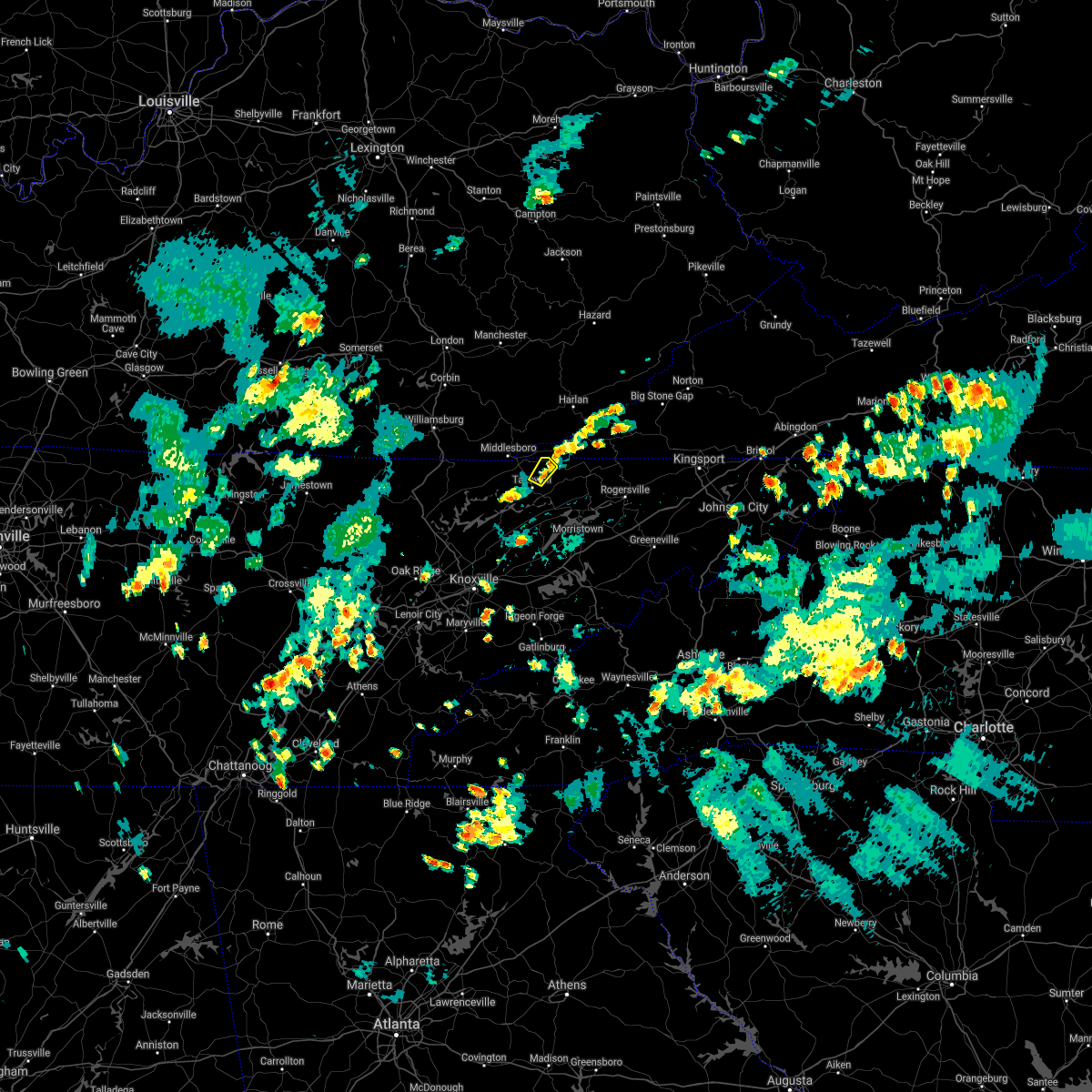 At 653 pm edt, a severe thunderstorm was located near tazewell, or 13 miles southeast of middlesboro, and is nearly stationary (radar indicated). Hazards include 60 mph wind gusts and penny size hail. expect damage to roofs, siding, and trees At 653 pm edt, a severe thunderstorm was located near tazewell, or 13 miles southeast of middlesboro, and is nearly stationary (radar indicated). Hazards include 60 mph wind gusts and penny size hail. expect damage to roofs, siding, and trees
|
| 8/7/2021 2:30 PM EDT |
 At 230 pm edt, a severe thunderstorm was located near tazewell, or 9 miles north of rutledge, moving east at 15 mph (radar indicated). Hazards include 60 mph wind gusts and quarter size hail. Hail damage to vehicles is expected. expect wind damage to roofs, siding, and trees. locations impacted include, new tazewell, tazewell and lone mountain. hail threat, radar indicated max hail size, 1. 00 in wind threat, radar indicated max wind gust, 60 mph. At 230 pm edt, a severe thunderstorm was located near tazewell, or 9 miles north of rutledge, moving east at 15 mph (radar indicated). Hazards include 60 mph wind gusts and quarter size hail. Hail damage to vehicles is expected. expect wind damage to roofs, siding, and trees. locations impacted include, new tazewell, tazewell and lone mountain. hail threat, radar indicated max hail size, 1. 00 in wind threat, radar indicated max wind gust, 60 mph.
|
| 8/7/2021 2:10 PM EDT |
 At 210 pm edt, a severe thunderstorm was located over new tazewell, or 12 miles north of rutledge, moving east at 10 mph (radar indicated). Hazards include 60 mph wind gusts and quarter size hail. Hail damage to vehicles is expected. Expect wind damage to roofs, siding, and trees. At 210 pm edt, a severe thunderstorm was located over new tazewell, or 12 miles north of rutledge, moving east at 10 mph (radar indicated). Hazards include 60 mph wind gusts and quarter size hail. Hail damage to vehicles is expected. Expect wind damage to roofs, siding, and trees.
|
| 6/28/2021 6:31 PM EDT |
 At 631 pm edt, a severe thunderstorm was located over new tazewell, or 12 miles southeast of middlesboro, moving west at 10 mph (radar indicated). Hazards include 60 mph wind gusts and penny size hail. Expect damage to roofs, siding, and trees. Locations impacted include, new tazewell, tazewell, harrogate, springdale, cumberland gap, arthur, powell river preserve, sharps chapel and sandlick. At 631 pm edt, a severe thunderstorm was located over new tazewell, or 12 miles southeast of middlesboro, moving west at 10 mph (radar indicated). Hazards include 60 mph wind gusts and penny size hail. Expect damage to roofs, siding, and trees. Locations impacted include, new tazewell, tazewell, harrogate, springdale, cumberland gap, arthur, powell river preserve, sharps chapel and sandlick.
|
| 6/28/2021 6:25 PM EDT | Several trees down near tazewel in claiborne county TN, 0.6 miles ENE of Tazewell, TN |
| 6/28/2021 6:11 PM EDT |
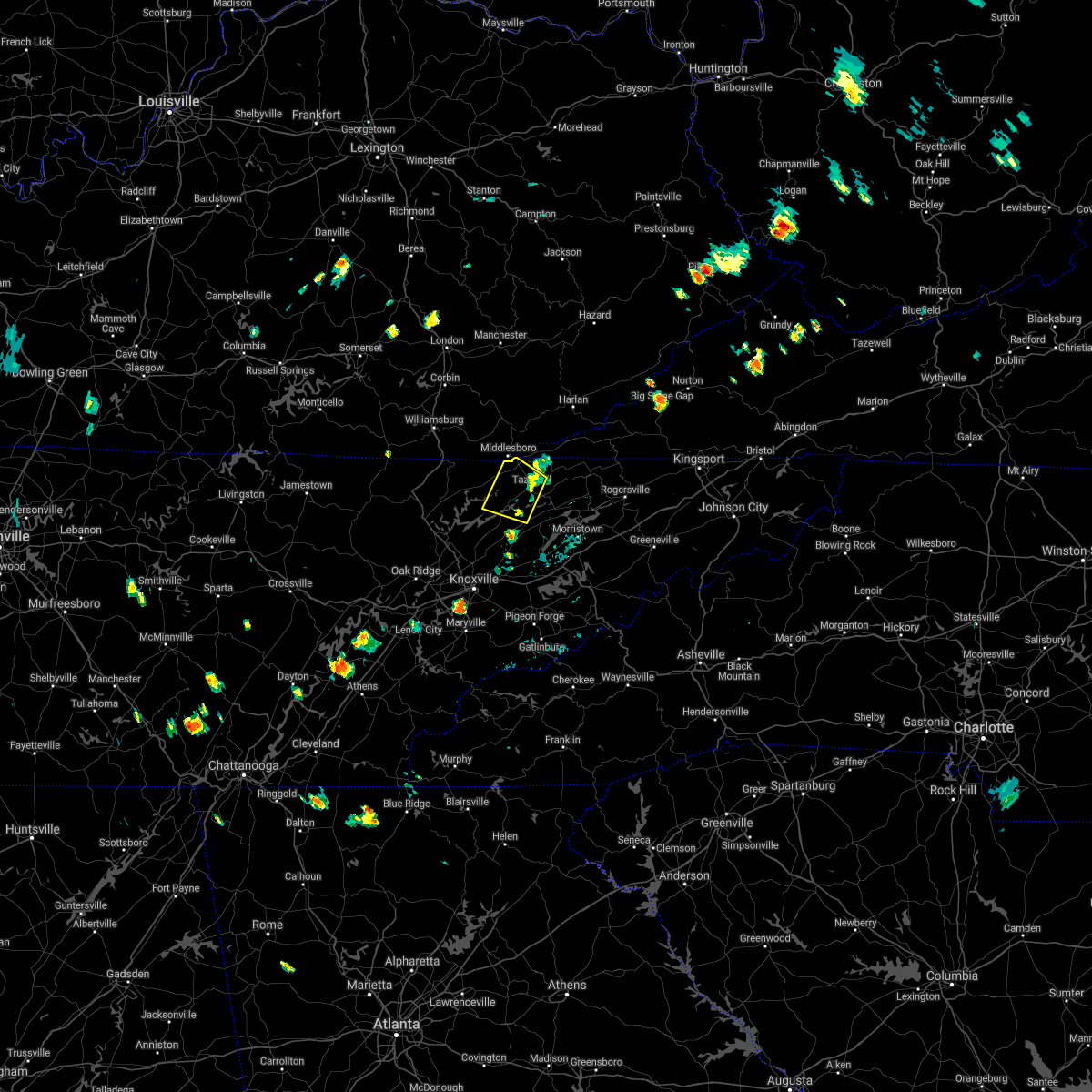 At 611 pm edt, a severe thunderstorm was located over new tazewell, or 11 miles north of rutledge, moving northwest at 10 mph (radar indicated). Hazards include 60 mph wind gusts and penny size hail. expect damage to roofs, siding, and trees At 611 pm edt, a severe thunderstorm was located over new tazewell, or 11 miles north of rutledge, moving northwest at 10 mph (radar indicated). Hazards include 60 mph wind gusts and penny size hail. expect damage to roofs, siding, and trees
|
| 6/21/2021 5:57 PM EDT |
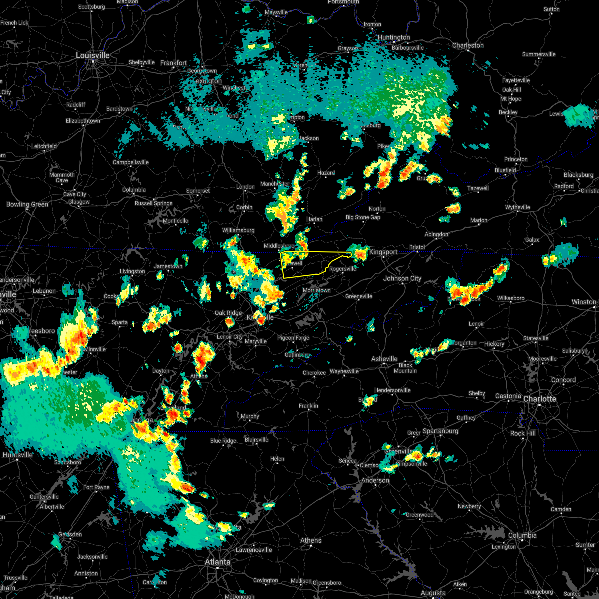 At 557 pm edt, a severe thunderstorm was located near tazewell, or 11 miles southeast of middlesboro, moving east at 40 mph (radar indicated). Hazards include 60 mph wind gusts and penny size hail. expect damage to roofs, siding, and trees At 557 pm edt, a severe thunderstorm was located near tazewell, or 11 miles southeast of middlesboro, moving east at 40 mph (radar indicated). Hazards include 60 mph wind gusts and penny size hail. expect damage to roofs, siding, and trees
|
| 6/21/2021 5:35 PM EDT |
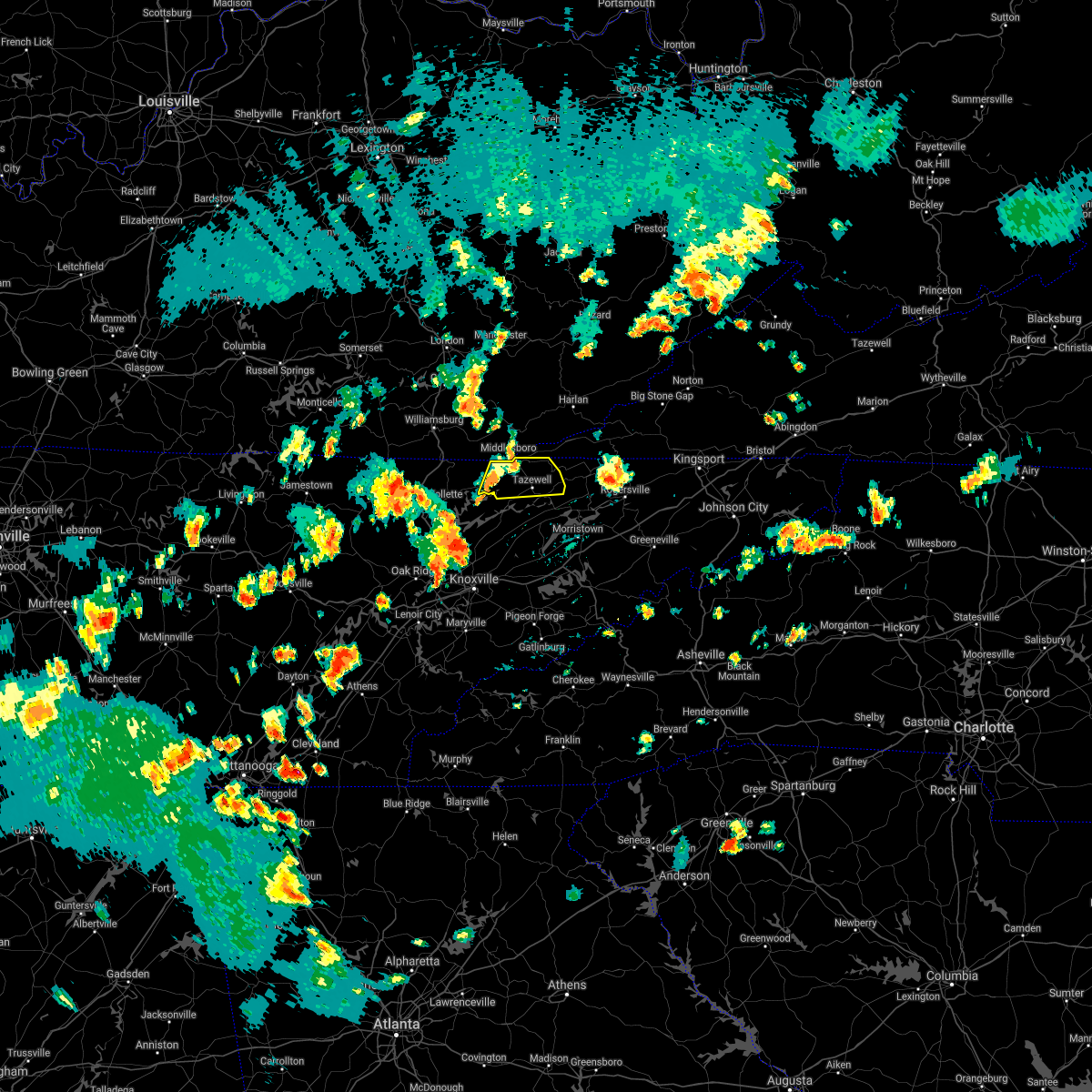 At 534 pm edt, a severe thunderstorm was located near harrogate, or 8 miles southeast of middlesboro, moving east at 45 mph (radar indicated). Hazards include 60 mph wind gusts and penny size hail. Expect damage to roofs, siding, and trees. Locations impacted include, new tazewell, tazewell, harrogate, springdale, howard quarter, cumberland gap, arthur and powell river preserve. At 534 pm edt, a severe thunderstorm was located near harrogate, or 8 miles southeast of middlesboro, moving east at 45 mph (radar indicated). Hazards include 60 mph wind gusts and penny size hail. Expect damage to roofs, siding, and trees. Locations impacted include, new tazewell, tazewell, harrogate, springdale, howard quarter, cumberland gap, arthur and powell river preserve.
|
| 6/21/2021 5:12 PM EDT |
 At 512 pm edt, a severe thunderstorm was located 8 miles south of pruden, or 13 miles northeast of la follette, moving east at 45 mph (radar indicated). Hazards include 60 mph wind gusts and penny size hail. expect damage to roofs, siding, and trees At 512 pm edt, a severe thunderstorm was located 8 miles south of pruden, or 13 miles northeast of la follette, moving east at 45 mph (radar indicated). Hazards include 60 mph wind gusts and penny size hail. expect damage to roofs, siding, and trees
|
| 3/28/2021 12:48 AM EDT |
 At 1247 am edt, a severe thunderstorm was located near new tazewell, or 12 miles south of middlesboro, moving northeast at 40 mph (radar indicated). Hazards include 60 mph wind gusts and quarter size hail. Hail damage to vehicles is expected. expect wind damage to roofs, siding, and trees. Locations impacted include, maynardville, new tazewell, tazewell, harrogate, springdale, lone mountain, howard quarter, thorn hill, arthur and rose hill. At 1247 am edt, a severe thunderstorm was located near new tazewell, or 12 miles south of middlesboro, moving northeast at 40 mph (radar indicated). Hazards include 60 mph wind gusts and quarter size hail. Hail damage to vehicles is expected. expect wind damage to roofs, siding, and trees. Locations impacted include, maynardville, new tazewell, tazewell, harrogate, springdale, lone mountain, howard quarter, thorn hill, arthur and rose hill.
|
| 3/28/2021 12:18 AM EDT |
 At 1218 am edt, a severe thunderstorm was located near la follette, moving northeast at 40 mph (radar indicated). Hazards include 60 mph wind gusts and quarter size hail. Hail damage to vehicles is expected. Expect wind damage to roofs, siding, and trees. At 1218 am edt, a severe thunderstorm was located near la follette, moving northeast at 40 mph (radar indicated). Hazards include 60 mph wind gusts and quarter size hail. Hail damage to vehicles is expected. Expect wind damage to roofs, siding, and trees.
|
| 3/27/2021 9:01 PM EDT | A couple trees dow in claiborne county TN, 6.6 miles WNW of Tazewell, TN |
| 3/27/2021 8:43 PM EDT |
 At 843 pm edt, a severe thunderstorm was located near tazewell, or 9 miles north of rutledge, moving east at 50 mph (radar indicated). Hazards include 60 mph wind gusts and quarter size hail. Hail damage to vehicles is expected. Expect wind damage to roofs, siding, and trees. At 843 pm edt, a severe thunderstorm was located near tazewell, or 9 miles north of rutledge, moving east at 50 mph (radar indicated). Hazards include 60 mph wind gusts and quarter size hail. Hail damage to vehicles is expected. Expect wind damage to roofs, siding, and trees.
|
| 3/27/2021 8:05 PM EDT |
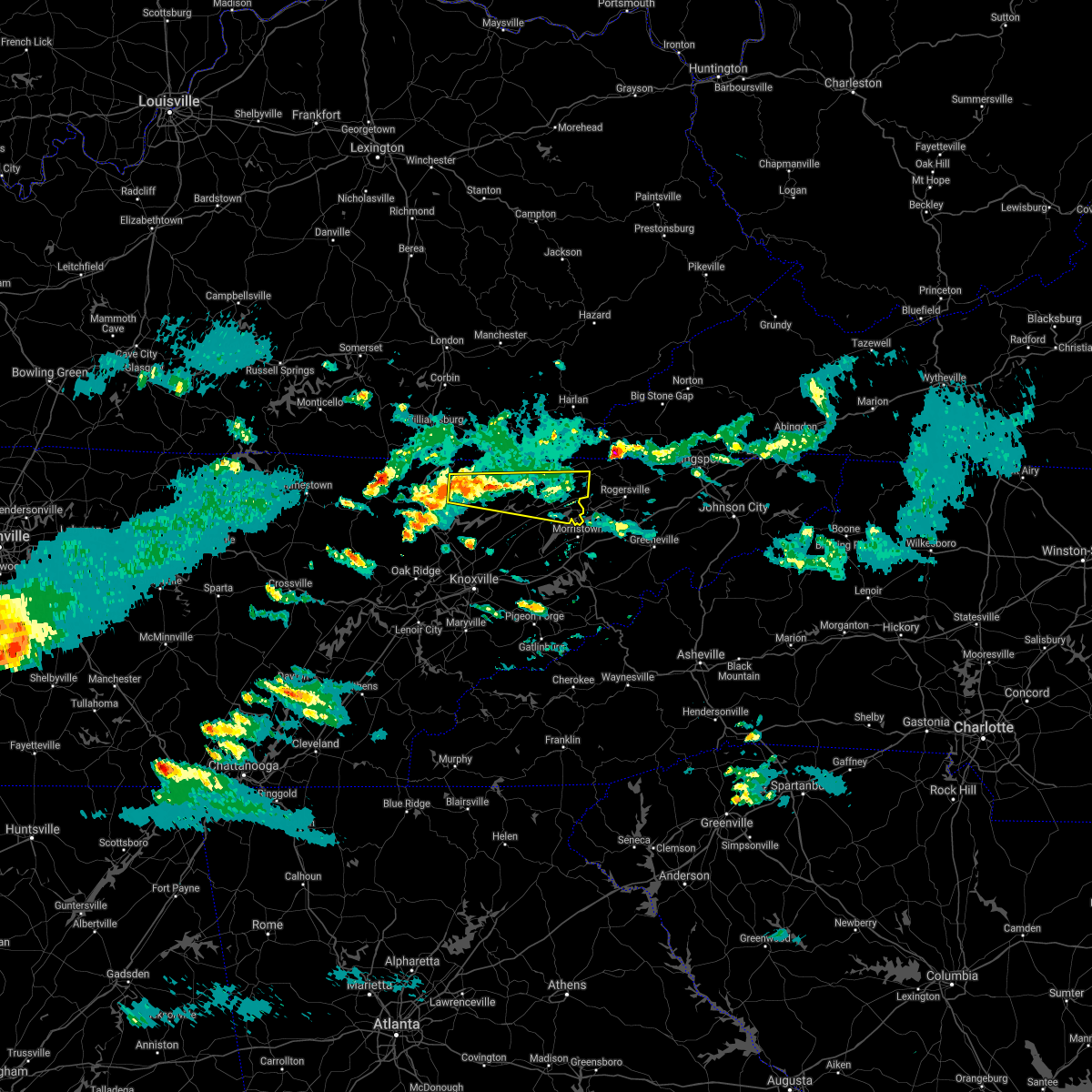 At 804 pm edt, a severe thunderstorm was located 10 miles south of pruden, or 11 miles northeast of la follette, moving east at 45 mph (radar indicated). Hazards include 60 mph wind gusts and quarter size hail. Hail damage to vehicles is expected. Expect wind damage to roofs, siding, and trees. At 804 pm edt, a severe thunderstorm was located 10 miles south of pruden, or 11 miles northeast of la follette, moving east at 45 mph (radar indicated). Hazards include 60 mph wind gusts and quarter size hail. Hail damage to vehicles is expected. Expect wind damage to roofs, siding, and trees.
|
| 3/27/2021 11:30 AM EDT | Quarter sized hail reported 2.9 miles W of Tazewell, TN |
| 3/27/2021 11:30 AM EDT |
 At 1130 am edt, a severe thunderstorm was located 8 miles northeast of tazewell, or 12 miles west of sneedville, moving northeast at 65 mph (radar indicated). Hazards include 60 mph wind gusts and quarter size hail. Hail damage to vehicles is expected. Expect wind damage to roofs, siding, and trees. At 1130 am edt, a severe thunderstorm was located 8 miles northeast of tazewell, or 12 miles west of sneedville, moving northeast at 65 mph (radar indicated). Hazards include 60 mph wind gusts and quarter size hail. Hail damage to vehicles is expected. Expect wind damage to roofs, siding, and trees.
|
| 3/18/2021 3:25 PM EDT | Quarter sized hail reported 10.6 miles WSW of Tazewell, TN, quarter sized hail near the claiborne/hancock county line. |
| 3/18/2021 3:05 PM EDT | Quarter sized hail reported 0.6 miles ENE of Tazewell, TN, estimates from pea to quarter size hail across tazewell. |
| 3/18/2021 2:55 PM EDT |
 At 253 pm edt, a severe thunderstorm was located near new tazewell, or 13 miles northwest of rutledge, moving northeast at 35 mph (public reported up to penny size hail earlier with this storm in anderson county). Hazards include 60 mph wind gusts and quarter size hail. Hail damage to vehicles is expected. expect wind damage to roofs, siding, and trees. Locations impacted include, new tazewell, tazewell, harrogate, springdale, lone mountain, howard quarter, ewing, evanston, powell river preserve and sandlick. At 253 pm edt, a severe thunderstorm was located near new tazewell, or 13 miles northwest of rutledge, moving northeast at 35 mph (public reported up to penny size hail earlier with this storm in anderson county). Hazards include 60 mph wind gusts and quarter size hail. Hail damage to vehicles is expected. expect wind damage to roofs, siding, and trees. Locations impacted include, new tazewell, tazewell, harrogate, springdale, lone mountain, howard quarter, ewing, evanston, powell river preserve and sandlick.
|
| 3/18/2021 2:55 PM EDT |
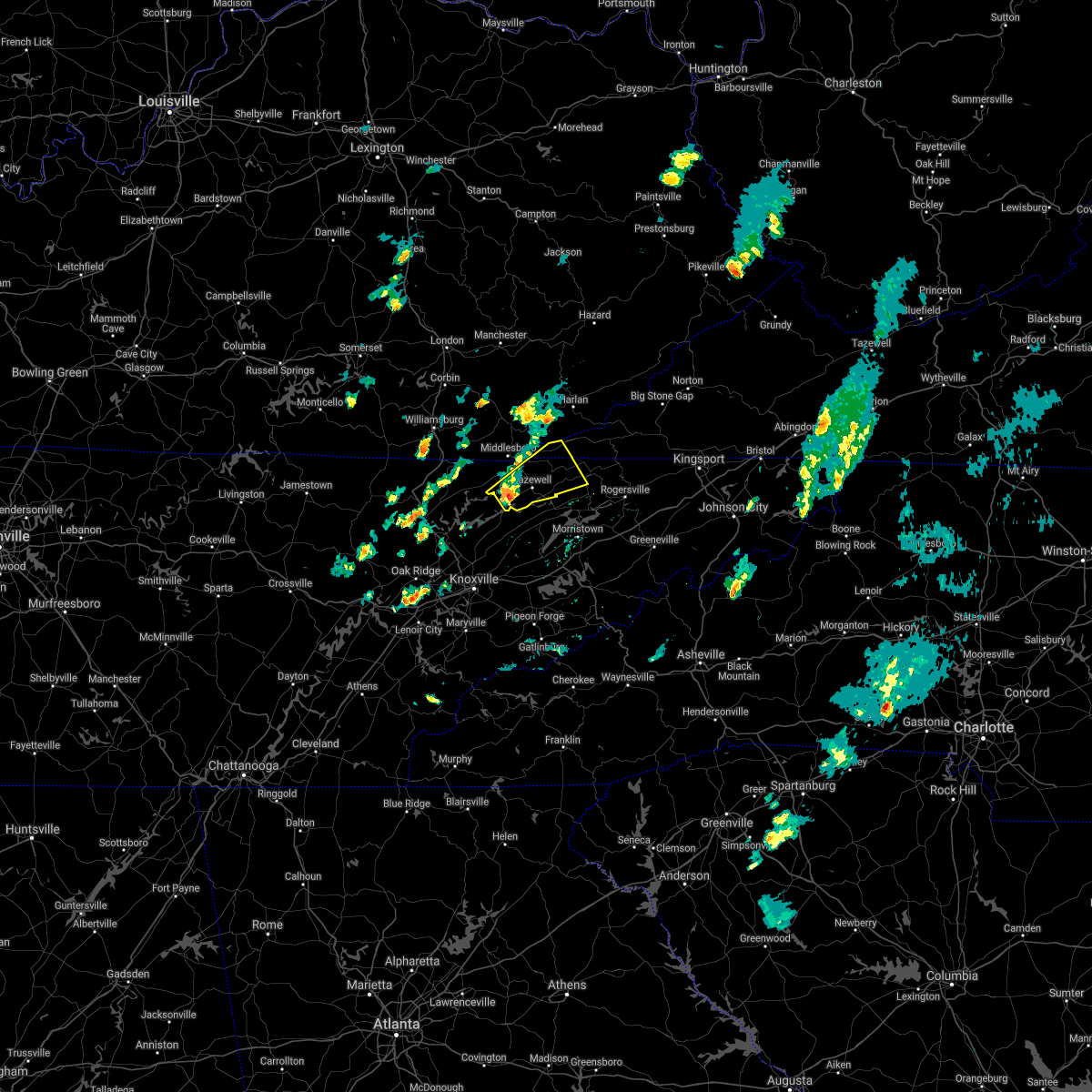 At 253 pm edt, a severe thunderstorm was located near new tazewell, or 13 miles northwest of rutledge, moving northeast at 35 mph (public reported up to penny size hail earlier with this storm in anderson county). Hazards include 60 mph wind gusts and quarter size hail. Hail damage to vehicles is expected. expect wind damage to roofs, siding, and trees. Locations impacted include, new tazewell, tazewell, harrogate, springdale, lone mountain, howard quarter, ewing, evanston, powell river preserve and sandlick. At 253 pm edt, a severe thunderstorm was located near new tazewell, or 13 miles northwest of rutledge, moving northeast at 35 mph (public reported up to penny size hail earlier with this storm in anderson county). Hazards include 60 mph wind gusts and quarter size hail. Hail damage to vehicles is expected. expect wind damage to roofs, siding, and trees. Locations impacted include, new tazewell, tazewell, harrogate, springdale, lone mountain, howard quarter, ewing, evanston, powell river preserve and sandlick.
|
| 3/18/2021 2:36 PM EDT |
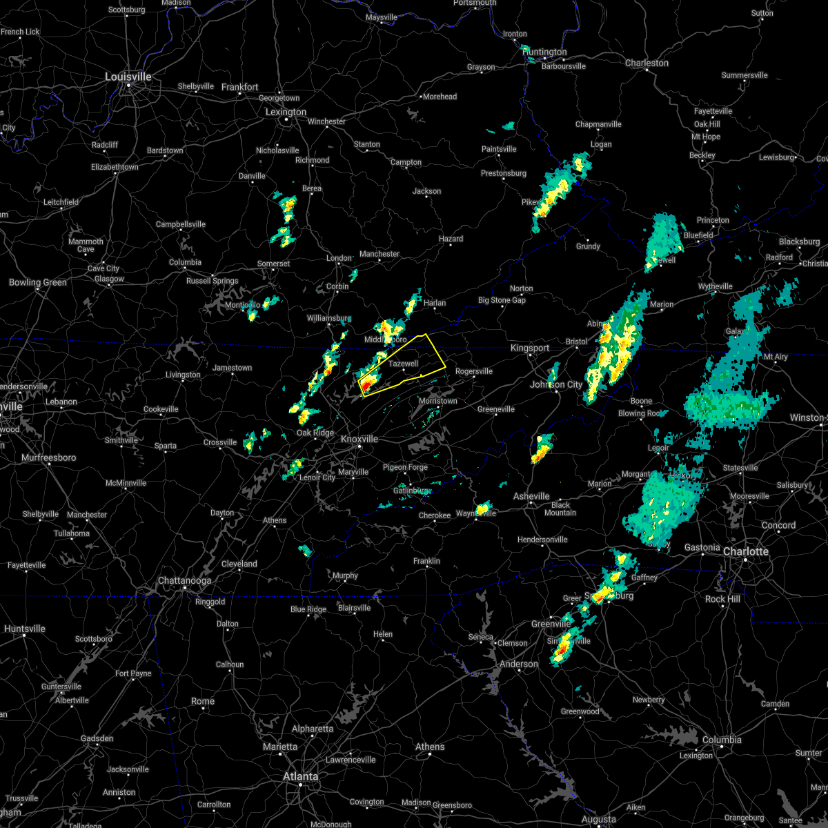 At 236 pm edt, a severe thunderstorm was located 7 miles north of maynardville, moving northeast at 35 mph (radar indicated). Hazards include 60 mph wind gusts and quarter size hail. Hail damage to vehicles is expected. Expect wind damage to roofs, siding, and trees. At 236 pm edt, a severe thunderstorm was located 7 miles north of maynardville, moving northeast at 35 mph (radar indicated). Hazards include 60 mph wind gusts and quarter size hail. Hail damage to vehicles is expected. Expect wind damage to roofs, siding, and trees.
|
| 7/31/2020 6:17 PM EDT |
 At 617 pm edt, severe thunderstorms were located along a line extending from 8 miles east of harrogate to 9 miles east of tazewell to 8 miles northwest of bean station to 6 miles northeast of rutledge, moving east at 55 mph (radar indicated). Hazards include 70 mph wind gusts. Expect considerable tree damage. damage is likely to mobile homes, roofs, and outbuildings. Locations impacted include, rutledge, new tazewell, bean station, tazewell, harrogate, howard quarter, thorn hill, evanston, powell river preserve and mooresburg. At 617 pm edt, severe thunderstorms were located along a line extending from 8 miles east of harrogate to 9 miles east of tazewell to 8 miles northwest of bean station to 6 miles northeast of rutledge, moving east at 55 mph (radar indicated). Hazards include 70 mph wind gusts. Expect considerable tree damage. damage is likely to mobile homes, roofs, and outbuildings. Locations impacted include, rutledge, new tazewell, bean station, tazewell, harrogate, howard quarter, thorn hill, evanston, powell river preserve and mooresburg.
|
| 7/31/2020 6:15 PM EDT | Lots of trees and power lines down in tazewell with power outages. one tree fell on a house near cane circle... and one house has siding blown of in claiborne county TN, 0.3 miles NNW of Tazewell, TN |
| 7/31/2020 5:55 PM EDT |
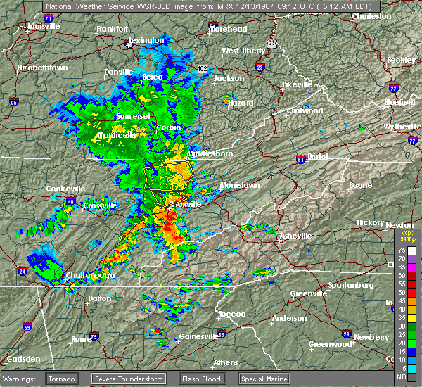 At 554 pm edt, severe thunderstorms were located along a line extending from 6 miles southeast of fonde to 6 miles west of new tazewell to 9 miles southwest of tazewell to near maynardville, moving east at 55 mph (radar indicated). Hazards include 70 mph wind gusts. Expect considerable tree damage. Damage is likely to mobile homes, roofs, and outbuildings. At 554 pm edt, severe thunderstorms were located along a line extending from 6 miles southeast of fonde to 6 miles west of new tazewell to 9 miles southwest of tazewell to near maynardville, moving east at 55 mph (radar indicated). Hazards include 70 mph wind gusts. Expect considerable tree damage. Damage is likely to mobile homes, roofs, and outbuildings.
|
| 7/24/2020 5:29 PM EDT | A few trees dow in claiborne county TN, 10 miles WNW of Tazewell, TN |
| 7/24/2020 4:12 PM EDT |
 At 412 pm edt, a severe thunderstorm was located near harrogate, or 9 miles southeast of middlesboro, moving southeast at 10 mph (radar indicated). Hazards include 60 mph wind gusts and penny size hail. expect damage to roofs, siding, and trees At 412 pm edt, a severe thunderstorm was located near harrogate, or 9 miles southeast of middlesboro, moving southeast at 10 mph (radar indicated). Hazards include 60 mph wind gusts and penny size hail. expect damage to roofs, siding, and trees
|
| 7/24/2020 4:12 PM EDT |
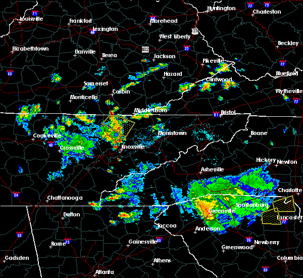 At 412 pm edt, a severe thunderstorm was located near harrogate, or 9 miles southeast of middlesboro, moving southeast at 10 mph (radar indicated). Hazards include 60 mph wind gusts and penny size hail. expect damage to roofs, siding, and trees At 412 pm edt, a severe thunderstorm was located near harrogate, or 9 miles southeast of middlesboro, moving southeast at 10 mph (radar indicated). Hazards include 60 mph wind gusts and penny size hail. expect damage to roofs, siding, and trees
|
| 3/29/2020 4:47 AM EDT |
 At 446 am edt, severe thunderstorms were located along a line extending from perkins to 7 miles east of la follette, moving northeast at 65 mph (radar indicated). Hazards include 60 mph wind gusts and penny size hail. Expect damage to roofs, siding, and trees. locations impacted include, new tazewell, tazewell, harrogate, jellico, springdale, lone mountain, cumberland gap, arthur, sharps chapel and sandlick. This includes interstate 75 in tennessee near mile marker 161. At 446 am edt, severe thunderstorms were located along a line extending from perkins to 7 miles east of la follette, moving northeast at 65 mph (radar indicated). Hazards include 60 mph wind gusts and penny size hail. Expect damage to roofs, siding, and trees. locations impacted include, new tazewell, tazewell, harrogate, jellico, springdale, lone mountain, cumberland gap, arthur, sharps chapel and sandlick. This includes interstate 75 in tennessee near mile marker 161.
|
| 3/29/2020 4:37 AM EDT |
 At 436 am edt, severe thunderstorms were located along a line extending from near duckrun to near jacksboro, moving northeast at 75 mph (radar indicated). Hazards include 60 mph wind gusts and penny size hail. Expect damage to roofs, siding, and trees. locations impacted include, la follette, new tazewell, tazewell, jacksboro, harrogate, jellico, caryville, rocky top, norris and norris dam state park. This includes interstate 75 in tennessee between mile markers 129 and 161. At 436 am edt, severe thunderstorms were located along a line extending from near duckrun to near jacksboro, moving northeast at 75 mph (radar indicated). Hazards include 60 mph wind gusts and penny size hail. Expect damage to roofs, siding, and trees. locations impacted include, la follette, new tazewell, tazewell, jacksboro, harrogate, jellico, caryville, rocky top, norris and norris dam state park. This includes interstate 75 in tennessee between mile markers 129 and 161.
|
| 3/29/2020 4:23 AM EDT |
 At 422 am edt, severe thunderstorms were located along a line extending from near strunk to 9 miles northeast of wartburg, moving northeast at 70 mph (radar indicated). Hazards include 70 mph wind gusts and penny size hail. Expect considerable tree damage. Damage is likely to mobile homes, roofs, and outbuildings. At 422 am edt, severe thunderstorms were located along a line extending from near strunk to 9 miles northeast of wartburg, moving northeast at 70 mph (radar indicated). Hazards include 70 mph wind gusts and penny size hail. Expect considerable tree damage. Damage is likely to mobile homes, roofs, and outbuildings.
|
| 3/12/2020 10:59 PM EDT |
 A severe thunderstorm warning remains in effect until 1130 pm edt for northern claiborne and western lee counties. at 1058 pm edt, a severe thunderstorm was located over pruden, or 10 miles west of middlesboro, moving east at 45 mph. hazard. 60 mph wind gusts and quarter size hail. source. Radar indicated. A severe thunderstorm warning remains in effect until 1130 pm edt for northern claiborne and western lee counties. at 1058 pm edt, a severe thunderstorm was located over pruden, or 10 miles west of middlesboro, moving east at 45 mph. hazard. 60 mph wind gusts and quarter size hail. source. Radar indicated.
|
| 3/12/2020 10:59 PM EDT |
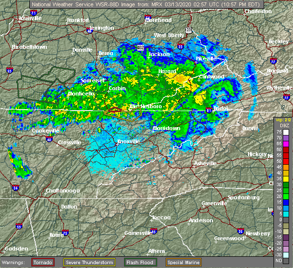 At 1043 pm edt, a severe thunderstorm was located over ayers, or 7 miles southwest of williamsburg, moving east at 45 mph (radar indicated). Hazards include 60 mph wind gusts and quarter size hail. Hail damage to vehicles is expected. Expect wind damage to roofs, siding, and trees. At 1043 pm edt, a severe thunderstorm was located over ayers, or 7 miles southwest of williamsburg, moving east at 45 mph (radar indicated). Hazards include 60 mph wind gusts and quarter size hail. Hail damage to vehicles is expected. Expect wind damage to roofs, siding, and trees.
|
| 3/12/2020 10:43 PM EDT |
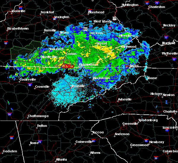 At 1043 pm edt, a severe thunderstorm was located over ayers, or 7 miles southwest of williamsburg, moving east at 45 mph (radar indicated). Hazards include 60 mph wind gusts and quarter size hail. Hail damage to vehicles is expected. Expect wind damage to roofs, siding, and trees. At 1043 pm edt, a severe thunderstorm was located over ayers, or 7 miles southwest of williamsburg, moving east at 45 mph (radar indicated). Hazards include 60 mph wind gusts and quarter size hail. Hail damage to vehicles is expected. Expect wind damage to roofs, siding, and trees.
|
| 2/12/2020 9:37 PM EST |
 At 936 pm est, severe thunderstorms were located along a line extending from hoskinston to 9 miles southeast of fonde to 9 miles north of clinton, moving east at 50 mph (radar indicated). Hazards include 60 mph wind gusts. Expect damage to roofs, siding, and trees. locations impacted include, la follette, maynardville, rutledge, new tazewell, tazewell, harrogate, st. Charles, lone mountain, howard quarter and cumberland gap. At 936 pm est, severe thunderstorms were located along a line extending from hoskinston to 9 miles southeast of fonde to 9 miles north of clinton, moving east at 50 mph (radar indicated). Hazards include 60 mph wind gusts. Expect damage to roofs, siding, and trees. locations impacted include, la follette, maynardville, rutledge, new tazewell, tazewell, harrogate, st. Charles, lone mountain, howard quarter and cumberland gap.
|
| 2/12/2020 9:37 PM EST |
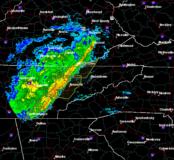 At 936 pm est, severe thunderstorms were located along a line extending from hoskinston to 9 miles southeast of fonde to 9 miles north of clinton, moving east at 50 mph (radar indicated). Hazards include 60 mph wind gusts. Expect damage to roofs, siding, and trees. locations impacted include, la follette, maynardville, rutledge, new tazewell, tazewell, harrogate, st. Charles, lone mountain, howard quarter and cumberland gap. At 936 pm est, severe thunderstorms were located along a line extending from hoskinston to 9 miles southeast of fonde to 9 miles north of clinton, moving east at 50 mph (radar indicated). Hazards include 60 mph wind gusts. Expect damage to roofs, siding, and trees. locations impacted include, la follette, maynardville, rutledge, new tazewell, tazewell, harrogate, st. Charles, lone mountain, howard quarter and cumberland gap.
|
| 2/12/2020 9:12 PM EST |
 At 911 pm est, severe thunderstorms were located along a line extending from park valley to 7 miles north of la follette to 11 miles northeast of wartburg, moving east at 50 mph (radar indicated). Hazards include 60 mph wind gusts. expect damage to roofs, siding, and trees At 911 pm est, severe thunderstorms were located along a line extending from park valley to 7 miles north of la follette to 11 miles northeast of wartburg, moving east at 50 mph (radar indicated). Hazards include 60 mph wind gusts. expect damage to roofs, siding, and trees
|
| 1/11/2020 6:04 PM EST |
 At 603 pm est, severe thunderstorms were located along a line extending from stony fork junction to 7 miles west of bean station, moving east at 60 mph (radar indicated). Hazards include 60 mph wind gusts. Expect damage to roofs, siding, and trees. Locations impacted include, rogersville, sneedville, rutledge, jonesville, new tazewell, bean station, tazewell, harrogate, lone mountain and howard quarter. At 603 pm est, severe thunderstorms were located along a line extending from stony fork junction to 7 miles west of bean station, moving east at 60 mph (radar indicated). Hazards include 60 mph wind gusts. Expect damage to roofs, siding, and trees. Locations impacted include, rogersville, sneedville, rutledge, jonesville, new tazewell, bean station, tazewell, harrogate, lone mountain and howard quarter.
|
| 1/11/2020 6:04 PM EST |
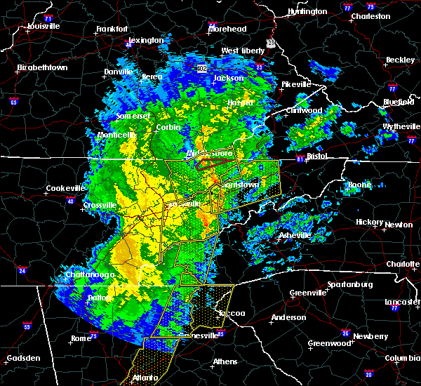 At 603 pm est, severe thunderstorms were located along a line extending from stony fork junction to 7 miles west of bean station, moving east at 60 mph (radar indicated). Hazards include 60 mph wind gusts. Expect damage to roofs, siding, and trees. Locations impacted include, rogersville, sneedville, rutledge, jonesville, new tazewell, bean station, tazewell, harrogate, lone mountain and howard quarter. At 603 pm est, severe thunderstorms were located along a line extending from stony fork junction to 7 miles west of bean station, moving east at 60 mph (radar indicated). Hazards include 60 mph wind gusts. Expect damage to roofs, siding, and trees. Locations impacted include, rogersville, sneedville, rutledge, jonesville, new tazewell, bean station, tazewell, harrogate, lone mountain and howard quarter.
|
| 1/11/2020 5:59 PM EST |
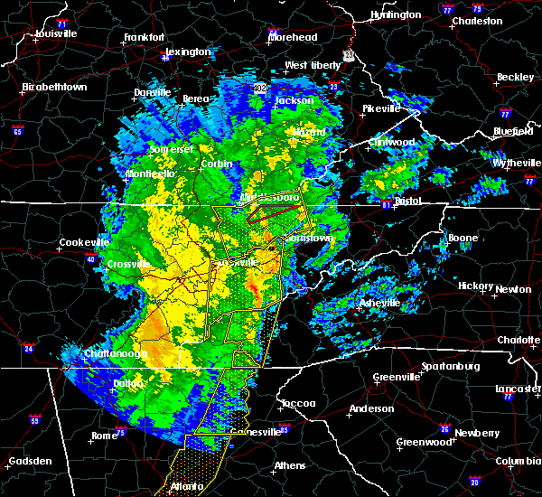 At 558 pm est, a severe thunderstorm capable of producing a tornado was located near tazewell, or 13 miles southeast of middlesboro, moving northeast at 50 mph (radar indicated rotation). Hazards include tornado. Flying debris will be dangerous to those caught without shelter. mobile homes will be damaged or destroyed. damage to roofs, windows, and vehicles will occur. tree damage is likely. Locations impacted include, tazewell. At 558 pm est, a severe thunderstorm capable of producing a tornado was located near tazewell, or 13 miles southeast of middlesboro, moving northeast at 50 mph (radar indicated rotation). Hazards include tornado. Flying debris will be dangerous to those caught without shelter. mobile homes will be damaged or destroyed. damage to roofs, windows, and vehicles will occur. tree damage is likely. Locations impacted include, tazewell.
|
| 1/11/2020 5:56 PM EST | Roofing damaged on building on richardson roa in claiborne county TN, 0.3 miles NNW of Tazewell, TN |
| 1/11/2020 5:55 PM EST | Damage to trees and at least one report of roofing peeled off. possible tornado damage which coincides with a velocity couplet on radar. time estimated by rada in claiborne county TN, 0.6 miles SE of Tazewell, TN |
| 1/11/2020 5:55 PM EST | Roofing material and shutters blown off of house. possible tornad in claiborne county TN, 0.6 miles ENE of Tazewell, TN |
| 1/11/2020 5:54 PM EST |
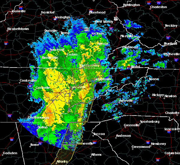 At 554 pm est, a severe thunderstorm capable of producing a tornado was located over tazewell, or 12 miles southeast of middlesboro, moving northeast at 50 mph (radar indicated rotation). Hazards include tornado. Flying debris will be dangerous to those caught without shelter. mobile homes will be damaged or destroyed. damage to roofs, windows, and vehicles will occur. tree damage is likely. This tornadic thunderstorm will remain over mainly rural areas of northeastern claiborne and northwestern hancock counties. At 554 pm est, a severe thunderstorm capable of producing a tornado was located over tazewell, or 12 miles southeast of middlesboro, moving northeast at 50 mph (radar indicated rotation). Hazards include tornado. Flying debris will be dangerous to those caught without shelter. mobile homes will be damaged or destroyed. damage to roofs, windows, and vehicles will occur. tree damage is likely. This tornadic thunderstorm will remain over mainly rural areas of northeastern claiborne and northwestern hancock counties.
|
| 1/11/2020 5:37 PM EST |
 At 536 pm est, severe thunderstorms were located along a line extending from fonde to near plainview, moving northeast at 60 mph (radar indicated). Hazards include 60 mph wind gusts. expect damage to roofs, siding, and trees At 536 pm est, severe thunderstorms were located along a line extending from fonde to near plainview, moving northeast at 60 mph (radar indicated). Hazards include 60 mph wind gusts. expect damage to roofs, siding, and trees
|
| 1/11/2020 5:28 PM EST |
 At 527 pm est, severe thunderstorms were located along a line extending from barbourville to near plainview, moving northeast at 60 mph (radar indicated). Hazards include 70 mph wind gusts. Expect considerable tree damage. damage is likely to mobile homes, roofs, and outbuildings. Locations impacted include, knoxville, morristown, clinton, la follette, maynardville, rutledge, new tazewell, tazewell, plainview and harrogate. At 527 pm est, severe thunderstorms were located along a line extending from barbourville to near plainview, moving northeast at 60 mph (radar indicated). Hazards include 70 mph wind gusts. Expect considerable tree damage. damage is likely to mobile homes, roofs, and outbuildings. Locations impacted include, knoxville, morristown, clinton, la follette, maynardville, rutledge, new tazewell, tazewell, plainview and harrogate.
|
| 1/11/2020 4:56 PM EST |
 At 456 pm est, severe thunderstorms were located along a line extending from near strunk to farragut, moving northeast at 60 mph (radar indicated). Hazards include 70 mph wind gusts. Expect considerable tree damage. Damage is likely to mobile homes, roofs, and outbuildings. At 456 pm est, severe thunderstorms were located along a line extending from near strunk to farragut, moving northeast at 60 mph (radar indicated). Hazards include 70 mph wind gusts. Expect considerable tree damage. Damage is likely to mobile homes, roofs, and outbuildings.
|
| 12/30/2019 1:42 AM EST |
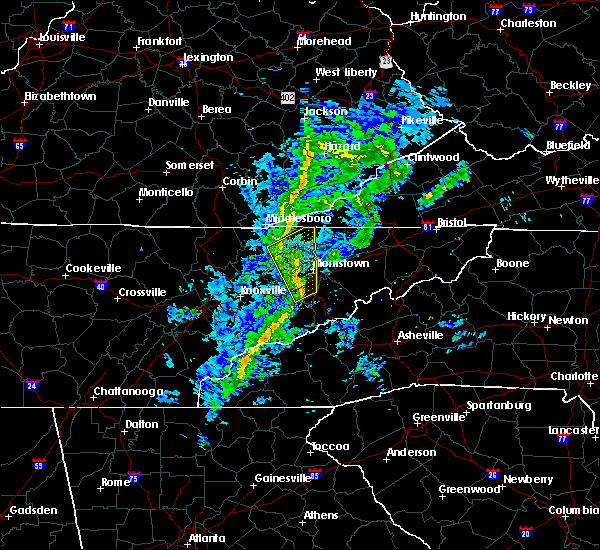 At 142 am est, severe thunderstorms were located along a line extending from tazewell to near dandridge, moving northeast at 55 mph (radar indicated). Hazards include 60 mph wind gusts. Expect damage to roofs, siding, and trees. Locations impacted include, morristown, jefferson city, dandridge, rutledge, new tazewell, bean station, tazewell, white pine, new market and baneberry. At 142 am est, severe thunderstorms were located along a line extending from tazewell to near dandridge, moving northeast at 55 mph (radar indicated). Hazards include 60 mph wind gusts. Expect damage to roofs, siding, and trees. Locations impacted include, morristown, jefferson city, dandridge, rutledge, new tazewell, bean station, tazewell, white pine, new market and baneberry.
|
| 12/30/2019 1:30 AM EST |
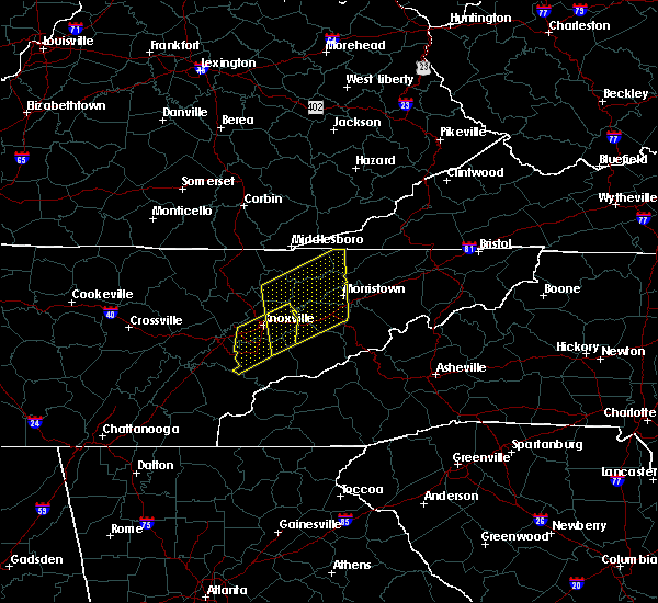 At 129 am est, severe thunderstorms were located along a line extending from 7 miles southwest of new tazewell to sevierville, moving northeast at 55 mph (radar indicated). Hazards include 60 mph wind gusts. Expect damage to roofs, siding, and trees. Locations impacted include, morristown, sevierville, jefferson city, dandridge, maynardville, rutledge, new tazewell, bean station, tazewell and white pine. At 129 am est, severe thunderstorms were located along a line extending from 7 miles southwest of new tazewell to sevierville, moving northeast at 55 mph (radar indicated). Hazards include 60 mph wind gusts. Expect damage to roofs, siding, and trees. Locations impacted include, morristown, sevierville, jefferson city, dandridge, maynardville, rutledge, new tazewell, bean station, tazewell and white pine.
|
| 12/30/2019 1:18 AM EST |
 At 118 am est, severe thunderstorms were located along a line extending from near maynardville to near eagleton village, moving northeast at 60 mph (radar indicated). Hazards include 60 mph wind gusts. expect damage to roofs, siding, and trees At 118 am est, severe thunderstorms were located along a line extending from near maynardville to near eagleton village, moving northeast at 60 mph (radar indicated). Hazards include 60 mph wind gusts. expect damage to roofs, siding, and trees
|
| 10/31/2019 11:53 AM EDT |
 At 1153 am edt, a severe thunderstorm was located 8 miles northeast of tazewell, or 14 miles west of sneedville, moving northeast at 55 mph (radar indicated). Hazards include 60 mph wind gusts. Expect damage to roofs, siding, and trees. Locations impacted include, sneedville, new tazewell, tazewell, harrogate, lone mountain, howard quarter, evanston, ewing, arthur and powell river preserve. At 1153 am edt, a severe thunderstorm was located 8 miles northeast of tazewell, or 14 miles west of sneedville, moving northeast at 55 mph (radar indicated). Hazards include 60 mph wind gusts. Expect damage to roofs, siding, and trees. Locations impacted include, sneedville, new tazewell, tazewell, harrogate, lone mountain, howard quarter, evanston, ewing, arthur and powell river preserve.
|
| 10/31/2019 11:50 AM EDT |
 At 1150 am edt, a severe thunderstorm capable of producing a tornado was located over tazewell, or 13 miles southeast of middlesboro, moving northeast at 65 mph (radar indicated rotation). Hazards include tornado. Flying debris will be dangerous to those caught without shelter. mobile homes will be damaged or destroyed. damage to roofs, windows, and vehicles will occur. tree damage is likely. this dangerous storm will be near, jonesville around 1220 pm edt. pennington gap around 1225 pm edt. other locations impacted by this tornadic thunderstorm include duffield, lone mountain, howard quarter, jasper, ewing, st. Charles, powell river preserve, dryden, rose hill and pattonsville. At 1150 am edt, a severe thunderstorm capable of producing a tornado was located over tazewell, or 13 miles southeast of middlesboro, moving northeast at 65 mph (radar indicated rotation). Hazards include tornado. Flying debris will be dangerous to those caught without shelter. mobile homes will be damaged or destroyed. damage to roofs, windows, and vehicles will occur. tree damage is likely. this dangerous storm will be near, jonesville around 1220 pm edt. pennington gap around 1225 pm edt. other locations impacted by this tornadic thunderstorm include duffield, lone mountain, howard quarter, jasper, ewing, st. Charles, powell river preserve, dryden, rose hill and pattonsville.
|
| 10/31/2019 11:40 AM EDT | Couple trees dow in claiborne county TN, 0.3 miles NNW of Tazewell, TN |
| 10/31/2019 11:33 AM EDT |
 At 1133 am edt, a severe thunderstorm was located 7 miles southwest of new tazewell, or 10 miles northeast of maynardville, moving northeast at 55 mph (radar indicated). Hazards include 60 mph wind gusts. expect damage to roofs, siding, and trees At 1133 am edt, a severe thunderstorm was located 7 miles southwest of new tazewell, or 10 miles northeast of maynardville, moving northeast at 55 mph (radar indicated). Hazards include 60 mph wind gusts. expect damage to roofs, siding, and trees
|
| 7/3/2019 10:23 PM EDT |
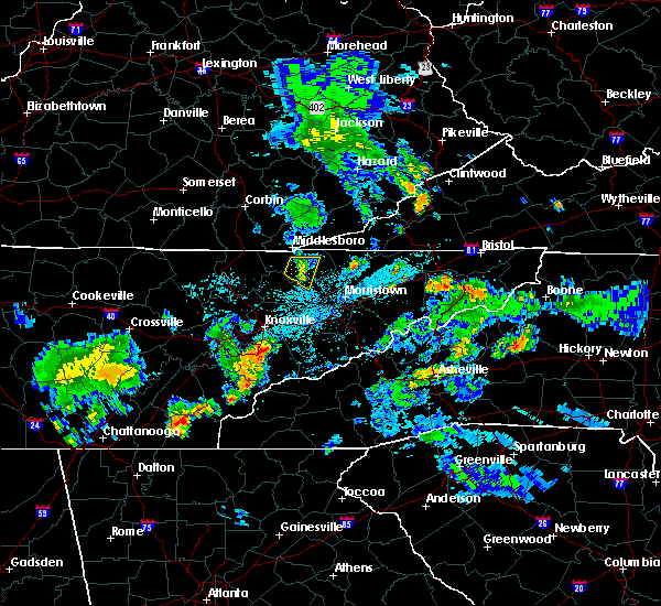 The severe thunderstorm warning for central claiborne and northwestern grainger counties will expire at 1030 pm edt, the storm which prompted the warning has weakened below severe limits, and no longer poses an immediate threat to life or property. therefore, the warning will be allowed to expire. however gusty winds and heavy rain are still possible with this thunderstorm. The severe thunderstorm warning for central claiborne and northwestern grainger counties will expire at 1030 pm edt, the storm which prompted the warning has weakened below severe limits, and no longer poses an immediate threat to life or property. therefore, the warning will be allowed to expire. however gusty winds and heavy rain are still possible with this thunderstorm.
|
| 7/3/2019 10:12 PM EDT |
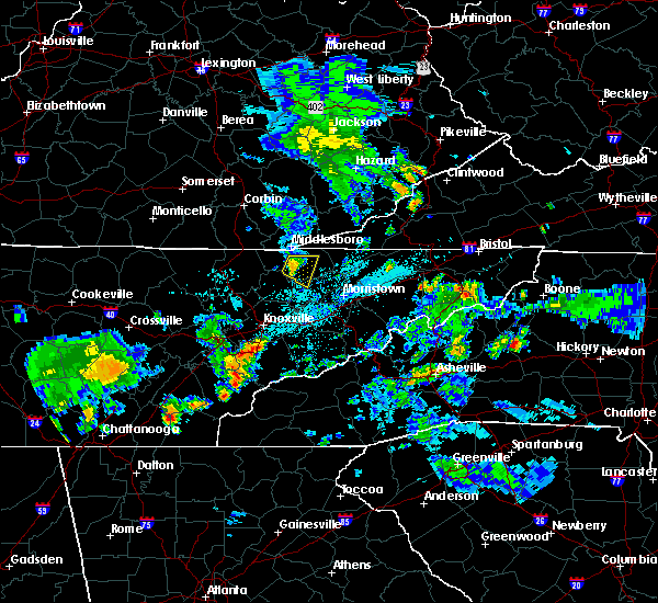 At 1011 pm edt, a severe thunderstorm was located near new tazewell, or 10 miles south of middlesboro, moving east at 15 mph (emergency dispatch reported trees down from wind damage along highway 63 near speedwell). Hazards include 60 mph wind gusts and penny size hail. Expect damage to roofs, siding, and trees. Locations impacted include, new tazewell, tazewell, springdale, lone mountain and sandlick. At 1011 pm edt, a severe thunderstorm was located near new tazewell, or 10 miles south of middlesboro, moving east at 15 mph (emergency dispatch reported trees down from wind damage along highway 63 near speedwell). Hazards include 60 mph wind gusts and penny size hail. Expect damage to roofs, siding, and trees. Locations impacted include, new tazewell, tazewell, springdale, lone mountain and sandlick.
|
| 7/3/2019 9:41 PM EDT |
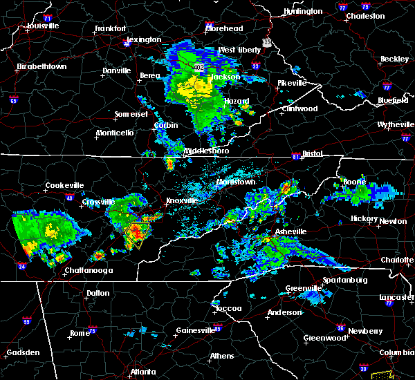 At 941 pm edt, a severe thunderstorm was located 7 miles south of pruden, or 11 miles southwest of middlesboro, moving east at 15 mph (radar indicated). Hazards include 60 mph wind gusts and quarter size hail. Hail damage to vehicles is expected. Expect wind damage to roofs, siding, and trees. At 941 pm edt, a severe thunderstorm was located 7 miles south of pruden, or 11 miles southwest of middlesboro, moving east at 15 mph (radar indicated). Hazards include 60 mph wind gusts and quarter size hail. Hail damage to vehicles is expected. Expect wind damage to roofs, siding, and trees.
|
| 6/24/2019 5:37 PM EDT |
 At 536 pm edt, a severe thunderstorm was located near rutledge, moving east at 45 mph (radar indicated). Hazards include 60 mph wind gusts and penny size hail. Expect damage to roofs, siding, and trees. Locations impacted include, new tazewell, bean station, tazewell, howard quarter, thorn hill and mooresburg. At 536 pm edt, a severe thunderstorm was located near rutledge, moving east at 45 mph (radar indicated). Hazards include 60 mph wind gusts and penny size hail. Expect damage to roofs, siding, and trees. Locations impacted include, new tazewell, bean station, tazewell, howard quarter, thorn hill and mooresburg.
|
| 6/24/2019 5:27 PM EDT | Few trees down along state highway 33. time estimated by rada in claiborne county TN, 5.9 miles NW of Tazewell, TN |
| 6/24/2019 5:12 PM EDT |
 At 512 pm edt, a severe thunderstorm was located near maynardville, moving east at 45 mph (radar indicated). Hazards include 60 mph wind gusts and penny size hail. expect damage to roofs, siding, and trees At 512 pm edt, a severe thunderstorm was located near maynardville, moving east at 45 mph (radar indicated). Hazards include 60 mph wind gusts and penny size hail. expect damage to roofs, siding, and trees
|
| 6/21/2019 11:51 PM EDT |
 At 1151 pm edt, severe thunderstorms were located along a line extending from 7 miles southeast of cubage to 8 miles west of pigeon forge, moving east at 50 mph (radar indicated). Hazards include 60 mph wind gusts. Expect damage to roofs, siding, and trees. Locations impacted include, sevierville, jefferson city, dandridge, rutledge, pigeon forge, new tazewell, bean station, tazewell, new market, strawberry plains, blaine, lone mountain, howard quarter, rose hill, buffalo springs, kimberlin heights, ewing, joppa, seymour and kodak. At 1151 pm edt, severe thunderstorms were located along a line extending from 7 miles southeast of cubage to 8 miles west of pigeon forge, moving east at 50 mph (radar indicated). Hazards include 60 mph wind gusts. Expect damage to roofs, siding, and trees. Locations impacted include, sevierville, jefferson city, dandridge, rutledge, pigeon forge, new tazewell, bean station, tazewell, new market, strawberry plains, blaine, lone mountain, howard quarter, rose hill, buffalo springs, kimberlin heights, ewing, joppa, seymour and kodak.
|
| 6/21/2019 11:37 PM EDT |
 At 1137 pm edt, severe thunderstorms were located along a line extending from hutch to eagleton village, moving east at 50 mph (radar indicated). Hazards include 60 mph wind gusts. expect damage to roofs, siding, and trees At 1137 pm edt, severe thunderstorms were located along a line extending from hutch to eagleton village, moving east at 50 mph (radar indicated). Hazards include 60 mph wind gusts. expect damage to roofs, siding, and trees
|
| 11/6/2018 5:12 AM EST |
 At 511 am est, severe thunderstorms were located along a line extending from 6 miles southwest of new tazewell to 7 miles southeast of plainview, moving northeast at 50 mph (radar indicated). Hazards include 60 mph wind gusts. Expect damage to roofs, siding, and trees. locations impacted include, maynardville, rutledge, new tazewell, tazewell, plainview, blaine, luttrell, springdale, lone mountain, howard quarter, thorn hill, rose hill, buffalo springs, sandlick and joppa. A tornado watch remains in effect until 900 am est for east tennessee. At 511 am est, severe thunderstorms were located along a line extending from 6 miles southwest of new tazewell to 7 miles southeast of plainview, moving northeast at 50 mph (radar indicated). Hazards include 60 mph wind gusts. Expect damage to roofs, siding, and trees. locations impacted include, maynardville, rutledge, new tazewell, tazewell, plainview, blaine, luttrell, springdale, lone mountain, howard quarter, thorn hill, rose hill, buffalo springs, sandlick and joppa. A tornado watch remains in effect until 900 am est for east tennessee.
|
| 11/6/2018 4:49 AM EST |
 At 449 am est, severe thunderstorms were located along a line extending from 10 miles southeast of la follette to near knoxville, moving northeast at 55 mph (radar indicated). Hazards include 60 mph wind gusts. expect damage to roofs, siding, and trees At 449 am est, severe thunderstorms were located along a line extending from 10 miles southeast of la follette to near knoxville, moving northeast at 55 mph (radar indicated). Hazards include 60 mph wind gusts. expect damage to roofs, siding, and trees
|
| 8/8/2018 3:23 PM EDT |
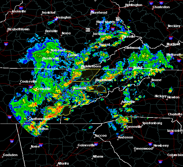 At 322 pm edt, severe thunderstorms were located along a line extending from near cubage to near plainview, moving east at 55 mph (radar indicated). Hazards include 60 mph wind gusts and penny size hail. Expect damage to roofs, siding, and trees. Locations impacted include, maynardville, sneedville, rutledge, new tazewell, tazewell, harrogate, luttrell, springdale, lone mountain, howard quarter, thorn hill, evanston, arthur, rose hill, big ridge state park, sharps chapel, sandlick, powell river preserve, joppa and norris lake. At 322 pm edt, severe thunderstorms were located along a line extending from near cubage to near plainview, moving east at 55 mph (radar indicated). Hazards include 60 mph wind gusts and penny size hail. Expect damage to roofs, siding, and trees. Locations impacted include, maynardville, sneedville, rutledge, new tazewell, tazewell, harrogate, luttrell, springdale, lone mountain, howard quarter, thorn hill, evanston, arthur, rose hill, big ridge state park, sharps chapel, sandlick, powell river preserve, joppa and norris lake.
|
| 8/8/2018 2:48 PM EDT |
 At 248 pm edt, severe thunderstorms were located along a line extending from pearl to near oliver springs, moving east at 55 mph (radar indicated). Hazards include 60 mph wind gusts and penny size hail. expect damage to roofs, siding, and trees At 248 pm edt, severe thunderstorms were located along a line extending from pearl to near oliver springs, moving east at 55 mph (radar indicated). Hazards include 60 mph wind gusts and penny size hail. expect damage to roofs, siding, and trees
|
| 7/21/2018 2:41 AM EDT |
 At 241 am edt, a severe thunderstorm was located over maynardville, moving southeast at 30 mph (radar indicated). Hazards include 60 mph wind gusts and penny size hail. Expect damage to roofs, siding, and trees. locations impacted include, knoxville, clinton, maynardville, rutledge, new tazewell, tazewell, plainview, halls, blaine, norris, luttrell, lone mountain, buffalo springs, rose hill, big ridge state park, maloneyville, mascot, joppa, springdale and thorn hill. A tornado watch remains in effect until 400 am edt for east tennessee. At 241 am edt, a severe thunderstorm was located over maynardville, moving southeast at 30 mph (radar indicated). Hazards include 60 mph wind gusts and penny size hail. Expect damage to roofs, siding, and trees. locations impacted include, knoxville, clinton, maynardville, rutledge, new tazewell, tazewell, plainview, halls, blaine, norris, luttrell, lone mountain, buffalo springs, rose hill, big ridge state park, maloneyville, mascot, joppa, springdale and thorn hill. A tornado watch remains in effect until 400 am edt for east tennessee.
|
| 7/21/2018 2:16 AM EDT |
 At 215 am edt, a severe thunderstorm was located 8 miles east of la follette, moving southeast at 30 mph (radar indicated). Hazards include 60 mph wind gusts and penny size hail. expect damage to roofs, siding, and trees At 215 am edt, a severe thunderstorm was located 8 miles east of la follette, moving southeast at 30 mph (radar indicated). Hazards include 60 mph wind gusts and penny size hail. expect damage to roofs, siding, and trees
|
| 7/20/2018 9:36 PM EDT |
 At 936 pm edt, severe thunderstorms were located along a line extending from near tazewell to 6 miles southwest of wilkerson to near oneida, moving southeast at 20 mph (radar indicated). Hazards include 60 mph wind gusts and penny size hail. Expect damage to roofs, siding, and trees. locations impacted include, la follette, oneida, new tazewell, tazewell, jacksboro, huntsville, helenwood, harrogate, jellico, caryville, lake city, winfield, norris dam state park, lone mountain, elk valley, cumberland gap, smokey junction, arthur, honey creek state park and robbins. A tornado watch remains in effect until 400 am edt for east tennessee, and southwestern virginia. At 936 pm edt, severe thunderstorms were located along a line extending from near tazewell to 6 miles southwest of wilkerson to near oneida, moving southeast at 20 mph (radar indicated). Hazards include 60 mph wind gusts and penny size hail. Expect damage to roofs, siding, and trees. locations impacted include, la follette, oneida, new tazewell, tazewell, jacksboro, huntsville, helenwood, harrogate, jellico, caryville, lake city, winfield, norris dam state park, lone mountain, elk valley, cumberland gap, smokey junction, arthur, honey creek state park and robbins. A tornado watch remains in effect until 400 am edt for east tennessee, and southwestern virginia.
|
| 7/20/2018 9:34 PM EDT |
 At 934 pm edt, a severe thunderstorm was located 9 miles west of sneedville, moving southeast at 20 mph (radar indicated). Hazards include 60 mph wind gusts and penny size hail. Expect damage to roofs, siding, and trees. locations impacted include, sneedville, jonesville, tazewell, howard quarter, evanston, ewing, powell river preserve, rose hill, kyles ford and treadway. A tornado watch remains in effect until 400 am edt for east tennessee, and southwestern virginia. At 934 pm edt, a severe thunderstorm was located 9 miles west of sneedville, moving southeast at 20 mph (radar indicated). Hazards include 60 mph wind gusts and penny size hail. Expect damage to roofs, siding, and trees. locations impacted include, sneedville, jonesville, tazewell, howard quarter, evanston, ewing, powell river preserve, rose hill, kyles ford and treadway. A tornado watch remains in effect until 400 am edt for east tennessee, and southwestern virginia.
|
| 7/20/2018 9:12 PM EDT |
 At 911 pm edt, severe thunderstorms were located along a line extending from near hutch to red ash to near great meadows campsites, moving southeast at 20 mph (radar indicated). Hazards include 60 mph wind gusts and penny size hail. expect damage to roofs, siding, and trees At 911 pm edt, severe thunderstorms were located along a line extending from near hutch to red ash to near great meadows campsites, moving southeast at 20 mph (radar indicated). Hazards include 60 mph wind gusts and penny size hail. expect damage to roofs, siding, and trees
|
| 7/20/2018 9:02 PM EDT |
 At 902 pm edt, a severe thunderstorm was located over pathfork, or 11 miles southwest of harlan, moving southeast at 40 mph (radar indicated). Hazards include 60 mph wind gusts and penny size hail. expect damage to roofs, siding, and trees At 902 pm edt, a severe thunderstorm was located over pathfork, or 11 miles southwest of harlan, moving southeast at 40 mph (radar indicated). Hazards include 60 mph wind gusts and penny size hail. expect damage to roofs, siding, and trees
|
| 7/20/2018 9:02 PM EDT |
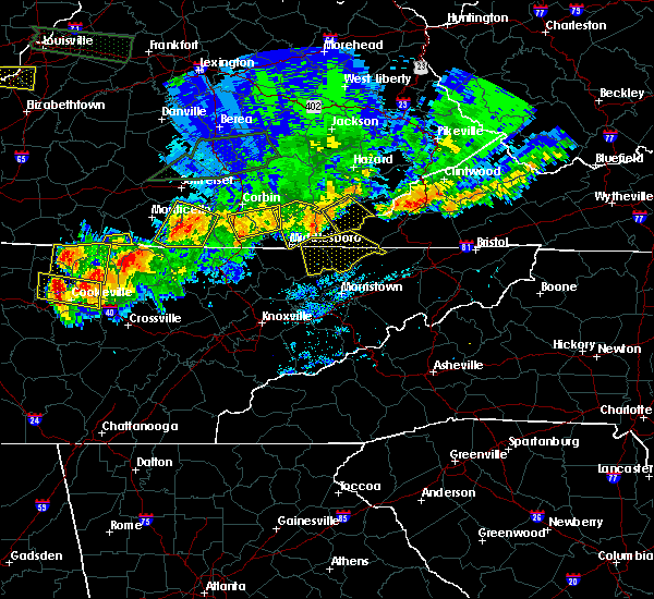 At 902 pm edt, a severe thunderstorm was located over pathfork, or 11 miles southwest of harlan, moving southeast at 40 mph (radar indicated). Hazards include 60 mph wind gusts and penny size hail. expect damage to roofs, siding, and trees At 902 pm edt, a severe thunderstorm was located over pathfork, or 11 miles southwest of harlan, moving southeast at 40 mph (radar indicated). Hazards include 60 mph wind gusts and penny size hail. expect damage to roofs, siding, and trees
|
| 6/26/2018 4:49 PM EDT |
 At 448 pm edt, severe thunderstorms were located along a line extending from near tazewell to near maynardville to 6 miles north of clinton, moving southeast at 45 mph (radar indicated). Hazards include 60 mph wind gusts and quarter size hail. Hail damage to vehicles is expected. Expect wind damage to roofs, siding, and trees. At 448 pm edt, severe thunderstorms were located along a line extending from near tazewell to near maynardville to 6 miles north of clinton, moving southeast at 45 mph (radar indicated). Hazards include 60 mph wind gusts and quarter size hail. Hail damage to vehicles is expected. Expect wind damage to roofs, siding, and trees.
|
| 6/25/2018 3:04 PM EDT |
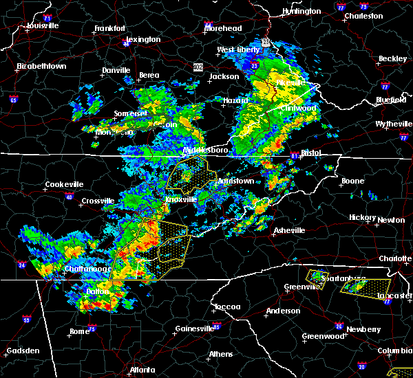 At 304 pm edt, a severe thunderstorm was located near rutledge, moving east at 40 mph (radar indicated). Hazards include 60 mph wind gusts and penny size hail. Expect damage to roofs, siding, and trees. Locations impacted include, maynardville, rutledge, new tazewell, bean station, tazewell, plainview, harrogate, blaine, luttrell, springdale, lone mountain, howard quarter, thorn hill, buffalo springs, paulette, rose hill, sharps chapel, sandlick, powell river preserve and joppa. At 304 pm edt, a severe thunderstorm was located near rutledge, moving east at 40 mph (radar indicated). Hazards include 60 mph wind gusts and penny size hail. Expect damage to roofs, siding, and trees. Locations impacted include, maynardville, rutledge, new tazewell, bean station, tazewell, plainview, harrogate, blaine, luttrell, springdale, lone mountain, howard quarter, thorn hill, buffalo springs, paulette, rose hill, sharps chapel, sandlick, powell river preserve and joppa.
|
| 6/25/2018 2:19 PM EDT |
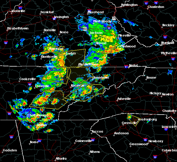 At 218 pm edt, severe thunderstorms were located along a line extending from red ash to near jacksboro, moving east at 40 mph (radar indicated). Hazards include 60 mph wind gusts and penny size hail. expect damage to roofs, siding, and trees At 218 pm edt, severe thunderstorms were located along a line extending from red ash to near jacksboro, moving east at 40 mph (radar indicated). Hazards include 60 mph wind gusts and penny size hail. expect damage to roofs, siding, and trees
|
| 6/24/2018 6:15 PM EDT | Multiple trees dow in claiborne county TN, 5.9 miles WNW of Tazewell, TN |
| 6/24/2018 6:00 PM EDT | Multiple trees dow in claiborne county TN, 5.9 miles WNW of Tazewell, TN |
| 6/24/2018 6:00 PM EDT |
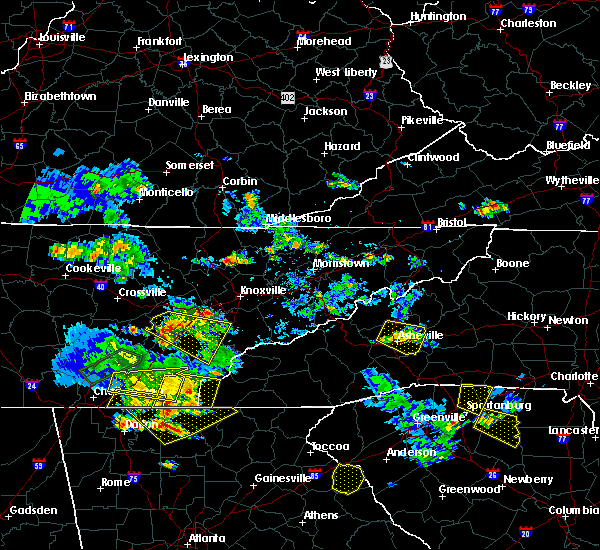 At 600 pm edt, a severe thunderstorm was located near tazewell, or 9 miles north of rutledge, moving east at 25 mph (radar indicated). Hazards include 60 mph wind gusts and quarter size hail. Hail damage to vehicles is expected. Expect wind damage to roofs, siding, and trees. At 600 pm edt, a severe thunderstorm was located near tazewell, or 9 miles north of rutledge, moving east at 25 mph (radar indicated). Hazards include 60 mph wind gusts and quarter size hail. Hail damage to vehicles is expected. Expect wind damage to roofs, siding, and trees.
|
| 5/15/2018 6:43 PM EDT |
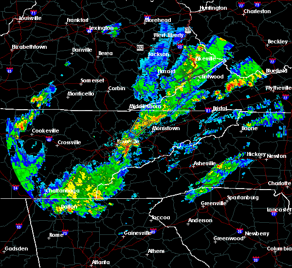 At 642 pm edt, a severe thunderstorm was located near rutledge, moving south at 15 mph (radar indicated). Hazards include 60 mph wind gusts and quarter size hail. Hail damage to vehicles is expected. expect wind damage to roofs, siding, and trees. Locations impacted include, rutledge, tazewell, lone mountain, joppa, buffalo springs and thorn hill. At 642 pm edt, a severe thunderstorm was located near rutledge, moving south at 15 mph (radar indicated). Hazards include 60 mph wind gusts and quarter size hail. Hail damage to vehicles is expected. expect wind damage to roofs, siding, and trees. Locations impacted include, rutledge, tazewell, lone mountain, joppa, buffalo springs and thorn hill.
|
| 5/15/2018 6:20 PM EDT |
 At 619 pm edt, a severe thunderstorm was located over rutledge, moving south at 15 mph (radar indicated). Hazards include 60 mph wind gusts and quarter size hail. Hail damage to vehicles is expected. Expect wind damage to roofs, siding, and trees. At 619 pm edt, a severe thunderstorm was located over rutledge, moving south at 15 mph (radar indicated). Hazards include 60 mph wind gusts and quarter size hail. Hail damage to vehicles is expected. Expect wind damage to roofs, siding, and trees.
|
| 4/4/2018 1:17 AM EDT |
 At 117 am edt, severe thunderstorms were located along a line extending from near hensley store to near new tazewell, moving east at 60 mph (radar indicated). Hazards include 60 mph wind gusts. expect damage to roofs, siding, and trees At 117 am edt, severe thunderstorms were located along a line extending from near hensley store to near new tazewell, moving east at 60 mph (radar indicated). Hazards include 60 mph wind gusts. expect damage to roofs, siding, and trees
|
| 3/17/2018 7:56 PM EDT |
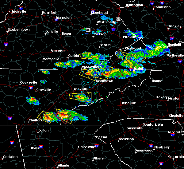 At 756 pm edt, a severe thunderstorm was located near tazewell, or 10 miles north of rutledge, moving east at 45 mph (radar indicated). Hazards include 60 mph wind gusts and quarter size hail. Hail damage to vehicles is expected. Expect wind damage to roofs, siding, and trees. At 756 pm edt, a severe thunderstorm was located near tazewell, or 10 miles north of rutledge, moving east at 45 mph (radar indicated). Hazards include 60 mph wind gusts and quarter size hail. Hail damage to vehicles is expected. Expect wind damage to roofs, siding, and trees.
|
| 3/17/2018 7:40 PM EDT |
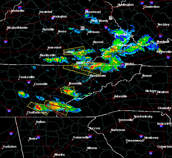 At 739 pm edt, a severe thunderstorm was located near tazewell, or 9 miles southeast of middlesboro, moving east at 45 mph (radar indicated). Hazards include 60 mph wind gusts and half dollar size hail. Hail damage to vehicles is expected. expect wind damage to roofs, siding, and trees. Locations impacted include, new tazewell, bean station, tazewell, harrogate, lone mountain, howard quarter, thorn hill, evanston, cumberland gap, arthur and powell river preserve. At 739 pm edt, a severe thunderstorm was located near tazewell, or 9 miles southeast of middlesboro, moving east at 45 mph (radar indicated). Hazards include 60 mph wind gusts and half dollar size hail. Hail damage to vehicles is expected. expect wind damage to roofs, siding, and trees. Locations impacted include, new tazewell, bean station, tazewell, harrogate, lone mountain, howard quarter, thorn hill, evanston, cumberland gap, arthur and powell river preserve.
|
| 3/17/2018 7:28 PM EDT |
 At 728 pm edt, a severe thunderstorm was located 10 miles northeast of tazewell, or 10 miles west of sneedville, moving east at 35 mph (radar indicated). Hazards include 60 mph wind gusts and half dollar size hail. Hail damage to vehicles is expected. Expect wind damage to roofs, siding, and trees. At 728 pm edt, a severe thunderstorm was located 10 miles northeast of tazewell, or 10 miles west of sneedville, moving east at 35 mph (radar indicated). Hazards include 60 mph wind gusts and half dollar size hail. Hail damage to vehicles is expected. Expect wind damage to roofs, siding, and trees.
|
| 3/17/2018 7:13 PM EDT |
 At 713 pm edt, a severe thunderstorm was located over wilkerson, or 14 miles west of middlesboro, moving east at 45 mph (radar indicated). Hazards include 60 mph wind gusts and quarter size hail. Hail damage to vehicles is expected. Expect wind damage to roofs, siding, and trees. At 713 pm edt, a severe thunderstorm was located over wilkerson, or 14 miles west of middlesboro, moving east at 45 mph (radar indicated). Hazards include 60 mph wind gusts and quarter size hail. Hail damage to vehicles is expected. Expect wind damage to roofs, siding, and trees.
|
| 7/6/2017 8:02 PM EDT |
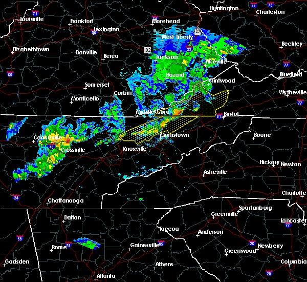 At 801 pm edt, severe thunderstorms were located along a line extending from 6 miles east of sneedville to near rutledge to 6 miles northeast of maynardville, moving northeast at 110 mph (radar indicated). Hazards include 60 mph wind gusts. Expect damage to roofs, siding, and trees. Locations impacted include, rogersville, maynardville, sneedville, rutledge, new tazewell, bean station, tazewell, plainview, surgoinsville, church hill, mount carmel, blaine, luttrell, lone mountain, howard quarter, buffalo springs, rose hill, treadway, big ridge state park and mooresburg. At 801 pm edt, severe thunderstorms were located along a line extending from 6 miles east of sneedville to near rutledge to 6 miles northeast of maynardville, moving northeast at 110 mph (radar indicated). Hazards include 60 mph wind gusts. Expect damage to roofs, siding, and trees. Locations impacted include, rogersville, maynardville, sneedville, rutledge, new tazewell, bean station, tazewell, plainview, surgoinsville, church hill, mount carmel, blaine, luttrell, lone mountain, howard quarter, buffalo springs, rose hill, treadway, big ridge state park and mooresburg.
|
| 7/6/2017 7:44 PM EDT |
 At 743 pm edt, severe thunderstorms were located along a line extending from near sneedville to near maynardville to 7 miles north of oliver springs, moving east at 35 mph (radar indicated). Hazards include 60 mph wind gusts. Expect damage to roofs, siding, and trees. Locations impacted include, knoxville, oak ridge, clinton, rogersville, maynardville, sneedville, rutledge, oliver springs, new tazewell, bean station, tazewell, plainview, surgoinsville, church hill, mount carmel, halls, blaine, lake city, norris and luttrell. At 743 pm edt, severe thunderstorms were located along a line extending from near sneedville to near maynardville to 7 miles north of oliver springs, moving east at 35 mph (radar indicated). Hazards include 60 mph wind gusts. Expect damage to roofs, siding, and trees. Locations impacted include, knoxville, oak ridge, clinton, rogersville, maynardville, sneedville, rutledge, oliver springs, new tazewell, bean station, tazewell, plainview, surgoinsville, church hill, mount carmel, halls, blaine, lake city, norris and luttrell.
|
| 7/6/2017 7:12 PM EDT |
 At 711 pm edt, severe thunderstorms were located along a line extending from near hutch to near la follette to 6 miles west of wartburg, moving east at 40 mph (radar indicated). Hazards include 60 mph wind gusts. expect damage to roofs, siding, and trees At 711 pm edt, severe thunderstorms were located along a line extending from near hutch to near la follette to 6 miles west of wartburg, moving east at 40 mph (radar indicated). Hazards include 60 mph wind gusts. expect damage to roofs, siding, and trees
|
| 7/6/2017 2:34 PM EDT |
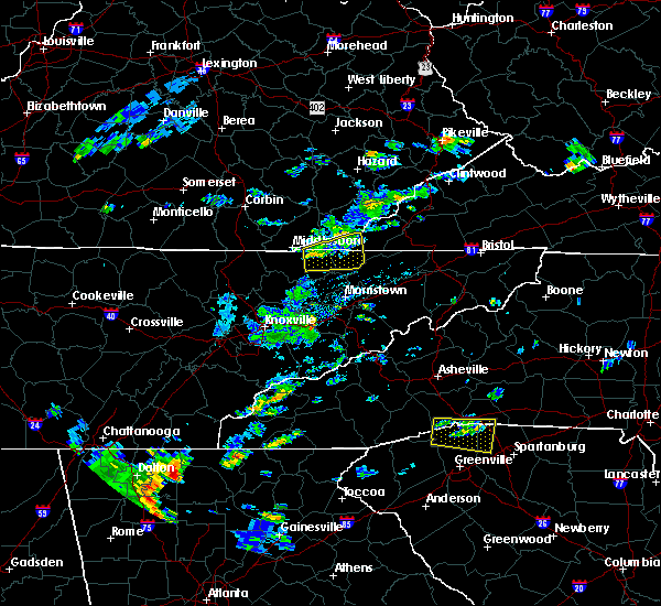 At 233 pm edt, a severe thunderstorm was located near tazewell, or 12 miles southeast of middlesboro, moving east at 25 mph (radar indicated). Hazards include 60 mph wind gusts and quarter size hail. Hail damage to vehicles is possible. Expect wind damage to roofs, siding, and trees. At 233 pm edt, a severe thunderstorm was located near tazewell, or 12 miles southeast of middlesboro, moving east at 25 mph (radar indicated). Hazards include 60 mph wind gusts and quarter size hail. Hail damage to vehicles is possible. Expect wind damage to roofs, siding, and trees.
|
| 5/27/2017 10:41 PM EDT |
 At 1040 pm edt, severe thunderstorms were located along a line extending from 6 miles north of maynardville to near knoxville to alcoa, moving east at 50 mph (multiple reports of trees down throughout east tennessee). Hazards include 70 mph wind gusts and quarter size hail. Hail damage to vehicles is expected. expect considerable tree damage. wind damage is also likely to mobile homes, roofs, and outbuildings. locations impacted include, knoxville, alcoa, maynardville, farragut, new tazewell, tazewell, plainview, harrogate, halls, blaine, luttrell, lone mountain, big ridge s. p. Arthur, rose hill, karns, kimberlin heights, clairfield, maloneyville and mascot. At 1040 pm edt, severe thunderstorms were located along a line extending from 6 miles north of maynardville to near knoxville to alcoa, moving east at 50 mph (multiple reports of trees down throughout east tennessee). Hazards include 70 mph wind gusts and quarter size hail. Hail damage to vehicles is expected. expect considerable tree damage. wind damage is also likely to mobile homes, roofs, and outbuildings. locations impacted include, knoxville, alcoa, maynardville, farragut, new tazewell, tazewell, plainview, harrogate, halls, blaine, luttrell, lone mountain, big ridge s. p. Arthur, rose hill, karns, kimberlin heights, clairfield, maloneyville and mascot.
|
| 5/27/2017 10:27 PM EDT |
 At 1026 pm edt, severe thunderstorms were located along a line extending from 8 miles east of la follette to 7 miles south of clinton to near farragut, moving east at 50 mph (radar indicated). Hazards include 70 mph wind gusts and quarter size hail. Hail damage to vehicles is expected. expect considerable tree damage. wind damage is also likely to mobile homes, roofs, and outbuildings. locations impacted include, knoxville, oak ridge, clinton, alcoa, la follette, maynardville, farragut, new tazewell, louisville, tazewell, plainview, harrogate, halls, blaine, lake city, norris, luttrell, lone mountain, howard quarter and big ridge s. P At 1026 pm edt, severe thunderstorms were located along a line extending from 8 miles east of la follette to 7 miles south of clinton to near farragut, moving east at 50 mph (radar indicated). Hazards include 70 mph wind gusts and quarter size hail. Hail damage to vehicles is expected. expect considerable tree damage. wind damage is also likely to mobile homes, roofs, and outbuildings. locations impacted include, knoxville, oak ridge, clinton, alcoa, la follette, maynardville, farragut, new tazewell, louisville, tazewell, plainview, harrogate, halls, blaine, lake city, norris, luttrell, lone mountain, howard quarter and big ridge s. P
|
| 5/27/2017 10:00 PM EDT |
 At 959 pm edt, severe thunderstorms were located along a line extending from 7 miles northeast of huntsville to 6 miles southeast of wartburg to midtown, moving east at 50 mph (radar indicated). Hazards include 70 mph wind gusts and quarter size hail. Hail damage to vehicles is expected. expect considerable tree damage. Wind damage is also likely to mobile homes, roofs, and outbuildings. At 959 pm edt, severe thunderstorms were located along a line extending from 7 miles northeast of huntsville to 6 miles southeast of wartburg to midtown, moving east at 50 mph (radar indicated). Hazards include 70 mph wind gusts and quarter size hail. Hail damage to vehicles is expected. expect considerable tree damage. Wind damage is also likely to mobile homes, roofs, and outbuildings.
|
| 5/4/2017 11:19 PM EDT |
 At 1118 pm edt, severe thunderstorms were located along a line extending from near tazewell to morristown, moving northeast at 55 mph (radar indicated). Hazards include 60 mph wind gusts and quarter size hail. Hail damage to vehicles is expected. expect wind damage to roofs, siding, and trees. locations impacted include, morristown, rutledge, new tazewell, bean station, tazewell, russellville, lone mountain, howard quarter, thorn hill, buffalo springs, sandlick, panther creek s. p. Alpha and lowland. At 1118 pm edt, severe thunderstorms were located along a line extending from near tazewell to morristown, moving northeast at 55 mph (radar indicated). Hazards include 60 mph wind gusts and quarter size hail. Hail damage to vehicles is expected. expect wind damage to roofs, siding, and trees. locations impacted include, morristown, rutledge, new tazewell, bean station, tazewell, russellville, lone mountain, howard quarter, thorn hill, buffalo springs, sandlick, panther creek s. p. Alpha and lowland.
|
| 5/4/2017 11:02 PM EDT |
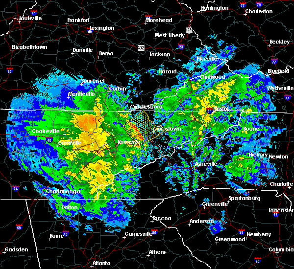 At 1102 pm edt, severe thunderstorms were located along a line extending from 8 miles west of rutledge to near new market, moving northeast at 45 mph (radar indicated). Hazards include 60 mph wind gusts and quarter size hail. Hail damage to vehicles is expected. Expect wind damage to roofs, siding, and trees. At 1102 pm edt, severe thunderstorms were located along a line extending from 8 miles west of rutledge to near new market, moving northeast at 45 mph (radar indicated). Hazards include 60 mph wind gusts and quarter size hail. Hail damage to vehicles is expected. Expect wind damage to roofs, siding, and trees.
|
| 3/1/2017 11:24 AM EST |
 At 1123 am est, a severe thunderstorm was located over harrogate, or near middlesboro, moving east at 50 mph (radar indicated). Hazards include 70 mph wind gusts and penny size hail. Expect considerable tree damage. damage is likely to mobile homes, roofs, and outbuildings. Locations impacted include, rogersville, sneedville, jonesville, new tazewell, tazewell, pennington gap, harrogate, springdale, howard quarter, cumberland gap, evanston, arthur, rose hill, treadway, ewing, clairfield, powell river preserve, kyles ford and klondike. At 1123 am est, a severe thunderstorm was located over harrogate, or near middlesboro, moving east at 50 mph (radar indicated). Hazards include 70 mph wind gusts and penny size hail. Expect considerable tree damage. damage is likely to mobile homes, roofs, and outbuildings. Locations impacted include, rogersville, sneedville, jonesville, new tazewell, tazewell, pennington gap, harrogate, springdale, howard quarter, cumberland gap, evanston, arthur, rose hill, treadway, ewing, clairfield, powell river preserve, kyles ford and klondike.
|
| 3/1/2017 11:08 AM EST |
 At 1106 am est, a severe thunderstorm was located near knoxville, moving east at 45 mph. 911 dispatch has reported that this storm has produced wind damage in the oak ridge area of anderson county (law enforcement). Hazards include 70 mph wind gusts and penny size hail. Expect considerable tree damage. damage is likely to mobile homes, roofs, and outbuildings. locations impacted include, knoxville, oak ridge, clinton, la follette, maynardville, rutledge, new tazewell, tazewell, plainview, harrogate, jellico, halls, blaine, norris, luttrell, lone mountain, howard quarter, big ridge s. p. Arthur and rose hill. At 1106 am est, a severe thunderstorm was located near knoxville, moving east at 45 mph. 911 dispatch has reported that this storm has produced wind damage in the oak ridge area of anderson county (law enforcement). Hazards include 70 mph wind gusts and penny size hail. Expect considerable tree damage. damage is likely to mobile homes, roofs, and outbuildings. locations impacted include, knoxville, oak ridge, clinton, la follette, maynardville, rutledge, new tazewell, tazewell, plainview, harrogate, jellico, halls, blaine, norris, luttrell, lone mountain, howard quarter, big ridge s. p. Arthur and rose hill.
|
| 3/1/2017 11:06 AM EST |
 At 1105 am est, a severe thunderstorm was located near pruden, or 12 miles southwest of middlesboro, moving east at 50 mph (radar indicated). Hazards include 70 mph wind gusts and penny size hail. Expect considerable tree damage. Damage is likely to mobile homes, roofs, and outbuildings. At 1105 am est, a severe thunderstorm was located near pruden, or 12 miles southwest of middlesboro, moving east at 50 mph (radar indicated). Hazards include 70 mph wind gusts and penny size hail. Expect considerable tree damage. Damage is likely to mobile homes, roofs, and outbuildings.
|
| 3/1/2017 10:55 AM EST |
 At 1054 am est, a severe thunderstorm was located near wilkerson, or 13 miles northeast of la follette, moving east at 60 mph (radar indicated). Hazards include 60 mph wind gusts and penny size hail. Expect damage to roofs, siding, and trees. locations impacted include, knoxville, oak ridge, clinton, la follette, maynardville, rutledge, oliver springs, new tazewell, tazewell, plainview, harrogate, jellico, halls, blaine, lake city, norris, luttrell, lone mountain, howard quarter and big ridge s. P At 1054 am est, a severe thunderstorm was located near wilkerson, or 13 miles northeast of la follette, moving east at 60 mph (radar indicated). Hazards include 60 mph wind gusts and penny size hail. Expect damage to roofs, siding, and trees. locations impacted include, knoxville, oak ridge, clinton, la follette, maynardville, rutledge, oliver springs, new tazewell, tazewell, plainview, harrogate, jellico, halls, blaine, lake city, norris, luttrell, lone mountain, howard quarter and big ridge s. P
|
| 3/1/2017 10:30 AM EST |
 At 1029 am est, severe thunderstorms were located along a line extending from mountain ash to near la follette to near kingston, moving east at 65 mph (radar indicated). Hazards include 60 mph wind gusts and penny size hail. expect damage to roofs, siding, and trees At 1029 am est, severe thunderstorms were located along a line extending from mountain ash to near la follette to near kingston, moving east at 65 mph (radar indicated). Hazards include 60 mph wind gusts and penny size hail. expect damage to roofs, siding, and trees
|
| 2/8/2017 7:02 PM EST |
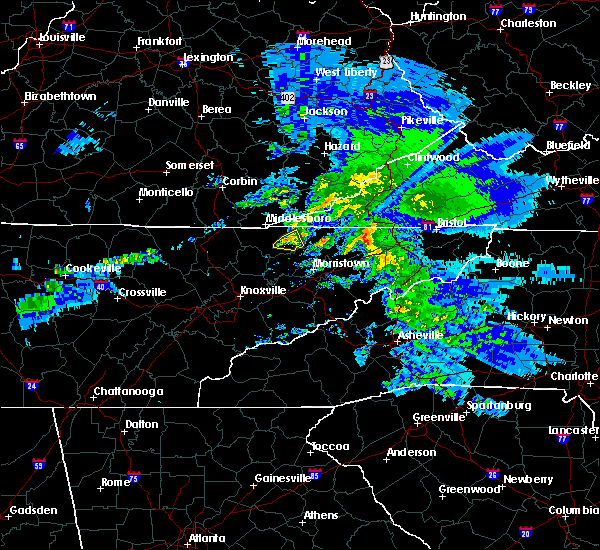 At 701 pm est, a severe thunderstorm was located near tazewell, or 12 miles north of rutledge, moving east at 45 mph (radar indicated). Hazards include 60 mph wind gusts and quarter size hail. Hail damage to vehicles is expected. expect wind damage to roofs, siding, and trees. Locations impacted include, new tazewell, tazewell and howard quarter. At 701 pm est, a severe thunderstorm was located near tazewell, or 12 miles north of rutledge, moving east at 45 mph (radar indicated). Hazards include 60 mph wind gusts and quarter size hail. Hail damage to vehicles is expected. expect wind damage to roofs, siding, and trees. Locations impacted include, new tazewell, tazewell and howard quarter.
|
| 2/8/2017 6:55 PM EST | Half Dollar sized hail reported 0.6 miles ENE of Tazewell, TN, reported by dispatch. |
| 2/8/2017 6:47 PM EST |
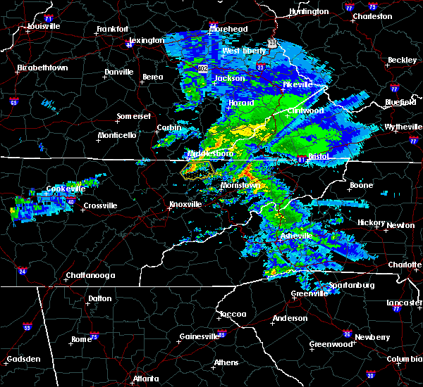 At 646 pm est, a severe thunderstorm was located near new tazewell, or 10 miles south of middlesboro, moving east at 45 mph (radar indicated). Hazards include 60 mph wind gusts and quarter size hail. Hail damage to vehicles is expected. expect wind damage to roofs, siding, and trees. Locations impacted include, new tazewell, tazewell, harrogate, springdale, lone mountain, howard quarter, arthur, powell river preserve and sandlick. At 646 pm est, a severe thunderstorm was located near new tazewell, or 10 miles south of middlesboro, moving east at 45 mph (radar indicated). Hazards include 60 mph wind gusts and quarter size hail. Hail damage to vehicles is expected. expect wind damage to roofs, siding, and trees. Locations impacted include, new tazewell, tazewell, harrogate, springdale, lone mountain, howard quarter, arthur, powell river preserve and sandlick.
|
| 2/8/2017 6:37 PM EST |
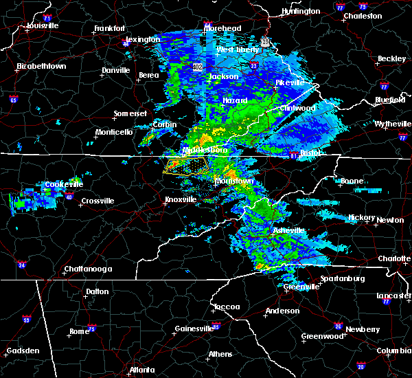 At 637 pm est, a severe thunderstorm was located 10 miles southeast of pruden, or 11 miles southwest of middlesboro, moving east at 45 mph (radar indicated). Hazards include 60 mph wind gusts and quarter size hail. Hail damage to vehicles is expected. expect wind damage to roofs, siding, and trees. Locations impacted include, new tazewell, tazewell, harrogate, springdale, lone mountain, howard quarter, arthur, powell river preserve and sandlick. At 637 pm est, a severe thunderstorm was located 10 miles southeast of pruden, or 11 miles southwest of middlesboro, moving east at 45 mph (radar indicated). Hazards include 60 mph wind gusts and quarter size hail. Hail damage to vehicles is expected. expect wind damage to roofs, siding, and trees. Locations impacted include, new tazewell, tazewell, harrogate, springdale, lone mountain, howard quarter, arthur, powell river preserve and sandlick.
|
| 2/8/2017 6:27 PM EST |
 At 626 pm est, a severe thunderstorm was located 9 miles south of wilkerson, or 11 miles northeast of la follette, moving east at 40 mph (radar indicated). Hazards include 60 mph wind gusts and quarter size hail. Hail damage to vehicles is expected. Expect wind damage to roofs, siding, and trees. At 626 pm est, a severe thunderstorm was located 9 miles south of wilkerson, or 11 miles northeast of la follette, moving east at 40 mph (radar indicated). Hazards include 60 mph wind gusts and quarter size hail. Hail damage to vehicles is expected. Expect wind damage to roofs, siding, and trees.
|
| 8/28/2016 4:46 PM EDT |
 At 445 pm edt, severe thunderstorms were located along a line extending from near new tazewell to near maynardville to 6 miles west of new market, moving west at 15 mph (radar indicated). Hazards include 60 mph wind gusts. Expect damage to roofs. siding. and trees. locations impacted include, knoxville, maynardville, new tazewell, tazewell, plainview, new market, strawberry plains, blaine, luttrell, sharps chapel, big ridge s. p,. paulette, norris lake, maloneyville, rose hill, springdale, joppa, house mountain s. p,. Mascot and sandlick. At 445 pm edt, severe thunderstorms were located along a line extending from near new tazewell to near maynardville to 6 miles west of new market, moving west at 15 mph (radar indicated). Hazards include 60 mph wind gusts. Expect damage to roofs. siding. and trees. locations impacted include, knoxville, maynardville, new tazewell, tazewell, plainview, new market, strawberry plains, blaine, luttrell, sharps chapel, big ridge s. p,. paulette, norris lake, maloneyville, rose hill, springdale, joppa, house mountain s. p,. Mascot and sandlick.
|
| 8/28/2016 4:21 PM EDT |
 At 420 pm edt, severe thunderstorms were located along a line extending from 8 miles south of new tazewell to 6 miles southwest of rutledge to near new market, moving west at 15 mph (radar indicated). Hazards include 60 mph wind gusts. Expect damage to roofs. siding. And trees. At 420 pm edt, severe thunderstorms were located along a line extending from 8 miles south of new tazewell to 6 miles southwest of rutledge to near new market, moving west at 15 mph (radar indicated). Hazards include 60 mph wind gusts. Expect damage to roofs. siding. And trees.
|
| 8/28/2016 4:06 PM EDT |
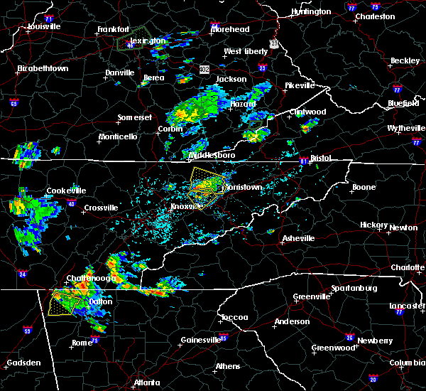 At 406 pm edt, a severe thunderstorm was located over rutledge, moving west at 20 mph (radar indicated). Hazards include 60 mph wind gusts and nickel size hail. Expect damage to roofs. siding. and trees. locations impacted include, rutledge, new tazewell, bean station, tazewell, lone mountain, joppa, thorn hill and panther creek s. P At 406 pm edt, a severe thunderstorm was located over rutledge, moving west at 20 mph (radar indicated). Hazards include 60 mph wind gusts and nickel size hail. Expect damage to roofs. siding. and trees. locations impacted include, rutledge, new tazewell, bean station, tazewell, lone mountain, joppa, thorn hill and panther creek s. P
|
| 8/28/2016 3:40 PM EDT |
 At 339 pm edt, a severe thunderstorm was located near bean station, or near morristown, moving west at 20 mph (radar indicated). Hazards include 60 mph wind gusts and nickel size hail. Expect damage to roofs. siding. And trees. At 339 pm edt, a severe thunderstorm was located near bean station, or near morristown, moving west at 20 mph (radar indicated). Hazards include 60 mph wind gusts and nickel size hail. Expect damage to roofs. siding. And trees.
|
| 7/27/2016 11:01 PM EDT |
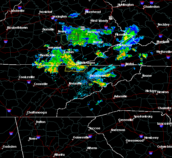 At 1100 pm edt, severe thunderstorms were located along a line extending from near pruden to near tazewell, moving northeast at 20 mph (radar indicated). Hazards include 60 mph wind gusts and quarter size hail. Hail damage to vehicles is expected. expect wind damage to roofs, siding, and trees. Locations impacted include, new tazewell, tazewell, harrogate, springdale, cumberland gap, powell river preserve, arthur, clairfield and fincastle. At 1100 pm edt, severe thunderstorms were located along a line extending from near pruden to near tazewell, moving northeast at 20 mph (radar indicated). Hazards include 60 mph wind gusts and quarter size hail. Hail damage to vehicles is expected. expect wind damage to roofs, siding, and trees. Locations impacted include, new tazewell, tazewell, harrogate, springdale, cumberland gap, powell river preserve, arthur, clairfield and fincastle.
|
| 7/27/2016 10:39 PM EDT |
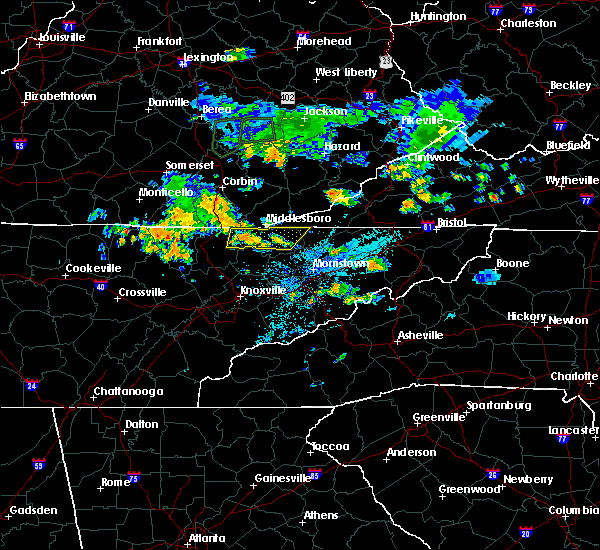 At 1039 pm edt, severe thunderstorms were located along a line extending from 7 miles south of wilkerson to tazewell, moving northeast at 20 mph (radar indicated). Hazards include 60 mph wind gusts and quarter size hail. Hail damage to vehicles is expected. Expect wind damage to roofs, siding, and trees. At 1039 pm edt, severe thunderstorms were located along a line extending from 7 miles south of wilkerson to tazewell, moving northeast at 20 mph (radar indicated). Hazards include 60 mph wind gusts and quarter size hail. Hail damage to vehicles is expected. Expect wind damage to roofs, siding, and trees.
|
| 7/8/2016 5:25 PM EDT | A few trees down fromstraight-line severe thunderstorm winds in hancock county TN, 12 miles SW of Tazewell, TN |
| 7/8/2016 5:20 PM EDT |
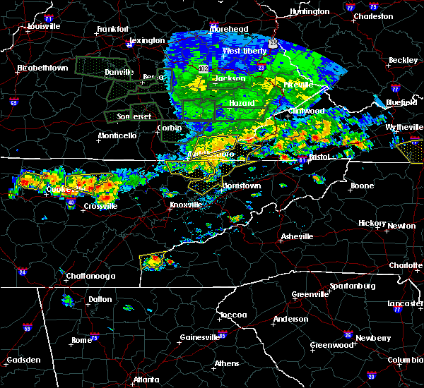 At 519 pm edt, severe thunderstorms were located along a line extending from near cubage to near tazewell to near new tazewell, moving east at 60 mph (radar indicated). Hazards include 70 mph wind gusts. Expect considerable tree damage. damage is likely to mobile homes, roofs, and outbuildings. Locations impacted include, new tazewell, tazewell, harrogate, lone mountain, springdale, powell river preserve, arthur, howard quarter, sandlick and cumberland gap. At 519 pm edt, severe thunderstorms were located along a line extending from near cubage to near tazewell to near new tazewell, moving east at 60 mph (radar indicated). Hazards include 70 mph wind gusts. Expect considerable tree damage. damage is likely to mobile homes, roofs, and outbuildings. Locations impacted include, new tazewell, tazewell, harrogate, lone mountain, springdale, powell river preserve, arthur, howard quarter, sandlick and cumberland gap.
|
| 7/8/2016 5:15 PM EDT | Trees downe in claiborne county TN, 0.6 miles ENE of Tazewell, TN |
| 7/8/2016 5:05 PM EDT |
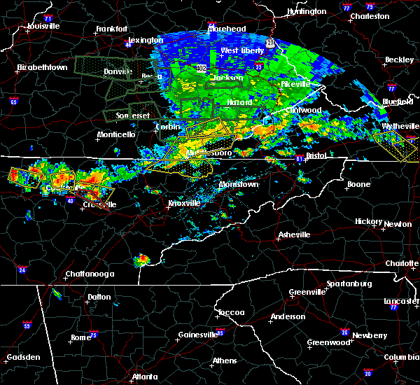 At 504 pm edt, severe thunderstorms were located along a line extending from meldrum to near noetown to 8 miles south of pruden, moving east at 50 mph (radar indicated). Hazards include 60 mph wind gusts. Expect damage to roofs. siding. and trees. Locations impacted include, new tazewell, tazewell, harrogate, lone mountain, springdale, powell river preserve, arthur, clairfield, howard quarter, sandlick and cumberland gap. At 504 pm edt, severe thunderstorms were located along a line extending from meldrum to near noetown to 8 miles south of pruden, moving east at 50 mph (radar indicated). Hazards include 60 mph wind gusts. Expect damage to roofs. siding. and trees. Locations impacted include, new tazewell, tazewell, harrogate, lone mountain, springdale, powell river preserve, arthur, clairfield, howard quarter, sandlick and cumberland gap.
|
| 7/8/2016 4:51 PM EDT |
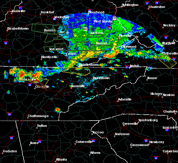 At 451 pm edt, severe thunderstorms were located along a line extending from ingram to pruden to 6 miles southeast of lot, moving east at 60 mph (radar indicated). Hazards include 60 mph wind gusts. Expect damage to roofs. siding. And trees. At 451 pm edt, severe thunderstorms were located along a line extending from ingram to pruden to 6 miles southeast of lot, moving east at 60 mph (radar indicated). Hazards include 60 mph wind gusts. Expect damage to roofs. siding. And trees.
|
| 7/7/2016 6:53 PM EDT |
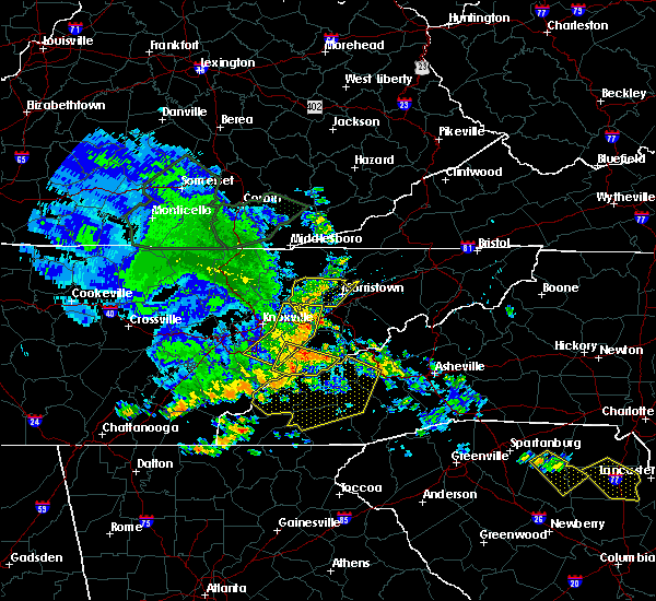 At 652 pm edt, severe thunderstorms were located along a line extending from near harrogate to 8 miles southwest of new tazewell to plainview, moving east at 45 mph (radar indicated). Hazards include 60 mph wind gusts. Expect damage to roofs. siding. And trees. At 652 pm edt, severe thunderstorms were located along a line extending from near harrogate to 8 miles southwest of new tazewell to plainview, moving east at 45 mph (radar indicated). Hazards include 60 mph wind gusts. Expect damage to roofs. siding. And trees.
|
| 7/6/2016 7:04 PM EDT |
 At 704 pm edt, a severe thunderstorm was located near rutledge, moving east at 35 mph (radar indicated). Hazards include 60 mph wind gusts. Expect damage to roofs. siding. And trees. At 704 pm edt, a severe thunderstorm was located near rutledge, moving east at 35 mph (radar indicated). Hazards include 60 mph wind gusts. Expect damage to roofs. siding. And trees.
|
| 7/6/2016 6:47 PM EDT |
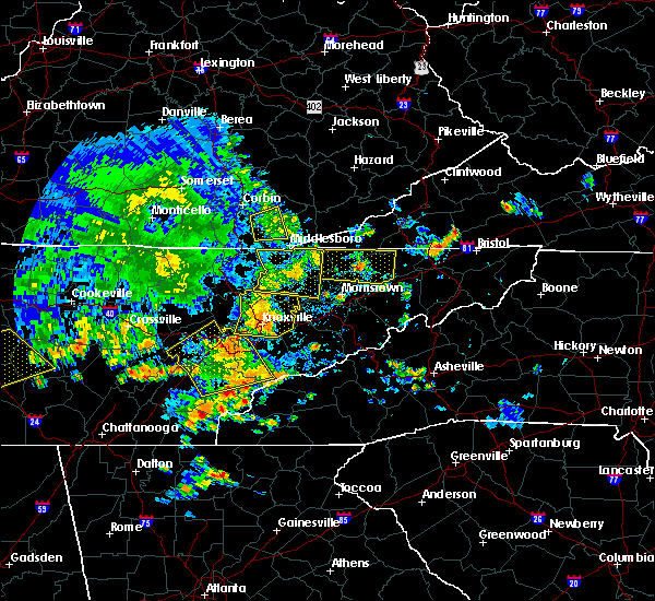 At 646 pm edt, a severe thunderstorm was located near new tazewell, or 11 miles northwest of rutledge, moving east at 45 mph (radar indicated). Hazards include 60 mph wind gusts. Expect damage to roofs. siding. and trees. locations impacted include, maynardville, rutledge, new tazewell, tazewell, harrogate, luttrell, sharps chapel, buffalo springs, big ridge s. p,. Lone mountain, norris lake, arthur, clairfield, rose hill, springdale, joppa, cumberland gap, powell river preserve and sandlick. At 646 pm edt, a severe thunderstorm was located near new tazewell, or 11 miles northwest of rutledge, moving east at 45 mph (radar indicated). Hazards include 60 mph wind gusts. Expect damage to roofs. siding. and trees. locations impacted include, maynardville, rutledge, new tazewell, tazewell, harrogate, luttrell, sharps chapel, buffalo springs, big ridge s. p,. Lone mountain, norris lake, arthur, clairfield, rose hill, springdale, joppa, cumberland gap, powell river preserve and sandlick.
|
| 7/6/2016 6:30 PM EDT |
 At 629 pm edt, a severe thunderstorm was located 12 miles east of la follette, moving east at 20 mph (radar indicated). Hazards include 60 mph wind gusts. Expect damage to roofs. siding. and trees. locations impacted include, la follette, maynardville, rutledge, new tazewell, tazewell, jacksboro, harrogate, jellico, caryville, luttrell, cove lake s. p,. Sharps chapel, white oak, norris lake, arthur, clairfield, rose hill, royal blue, springdale and cumberland gap. At 629 pm edt, a severe thunderstorm was located 12 miles east of la follette, moving east at 20 mph (radar indicated). Hazards include 60 mph wind gusts. Expect damage to roofs. siding. and trees. locations impacted include, la follette, maynardville, rutledge, new tazewell, tazewell, jacksboro, harrogate, jellico, caryville, luttrell, cove lake s. p,. Sharps chapel, white oak, norris lake, arthur, clairfield, rose hill, royal blue, springdale and cumberland gap.
|
| 7/6/2016 6:11 PM EDT |
 At 611 pm edt, a severe thunderstorm was located near la follette, moving east at 45 mph (radar indicated). Hazards include 60 mph wind gusts. Expect damage to roofs. siding. And trees. At 611 pm edt, a severe thunderstorm was located near la follette, moving east at 45 mph (radar indicated). Hazards include 60 mph wind gusts. Expect damage to roofs. siding. And trees.
|
| 6/23/2016 9:28 PM EDT |
 At 928 pm edt, severe thunderstorms were located along a line extending from near tazewell to 9 miles southeast of pennington gap, moving southeast at 40 mph (radar indicated). Hazards include 60 mph wind gusts. Expect damage to roofs. siding. And trees. At 928 pm edt, severe thunderstorms were located along a line extending from near tazewell to 9 miles southeast of pennington gap, moving southeast at 40 mph (radar indicated). Hazards include 60 mph wind gusts. Expect damage to roofs. siding. And trees.
|
| 6/23/2016 9:28 PM EDT |
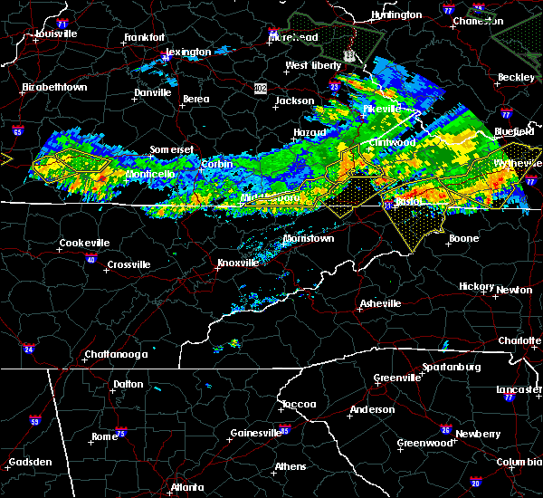 At 928 pm edt, severe thunderstorms were located along a line extending from near tazewell to 9 miles southeast of pennington gap, moving southeast at 40 mph (radar indicated). Hazards include 60 mph wind gusts. Expect damage to roofs. siding. And trees. At 928 pm edt, severe thunderstorms were located along a line extending from near tazewell to 9 miles southeast of pennington gap, moving southeast at 40 mph (radar indicated). Hazards include 60 mph wind gusts. Expect damage to roofs. siding. And trees.
|
| 6/21/2016 7:09 PM EDT |
 At 708 pm edt, a severe thunderstorm was located 9 miles south of pruden, or 12 miles southwest of middlesboro, moving southeast at 30 mph (radar indicated). Hazards include 60 mph wind gusts and quarter size hail. Hail damage to vehicles is expected. expect wind damage to roofs, siding, and trees. locations impacted include, new tazewell, tazewell, jellico, fincastle, springdale, white oak, clairfield and indian mountain s. P At 708 pm edt, a severe thunderstorm was located 9 miles south of pruden, or 12 miles southwest of middlesboro, moving southeast at 30 mph (radar indicated). Hazards include 60 mph wind gusts and quarter size hail. Hail damage to vehicles is expected. expect wind damage to roofs, siding, and trees. locations impacted include, new tazewell, tazewell, jellico, fincastle, springdale, white oak, clairfield and indian mountain s. P
|
| 6/21/2016 6:51 PM EDT |
 At 651 pm edt, a severe thunderstorm was located near pruden, or 12 miles southwest of middlesboro, moving southeast at 40 mph (radar indicated). Hazards include 60 mph wind gusts and quarter size hail. Hail damage to vehicles is expected. Expect wind damage to roofs, siding, and trees. At 651 pm edt, a severe thunderstorm was located near pruden, or 12 miles southwest of middlesboro, moving southeast at 40 mph (radar indicated). Hazards include 60 mph wind gusts and quarter size hail. Hail damage to vehicles is expected. Expect wind damage to roofs, siding, and trees.
|
| 6/21/2016 5:08 PM EDT |
 At 507 pm edt, a severe thunderstorm was located 10 miles southeast of cubage, or 11 miles west of sneedville, moving southeast at 25 mph (radar indicated). Hazards include 60 mph wind gusts and quarter size hail. Hail damage to vehicles is expected. expect wind damage to roofs, siding, and trees. Locations impacted include, sneedville, tazewell, harrogate, ewing, cumberland gap, powell river preserve, arthur, howard quarter, evanston and thorn hill. At 507 pm edt, a severe thunderstorm was located 10 miles southeast of cubage, or 11 miles west of sneedville, moving southeast at 25 mph (radar indicated). Hazards include 60 mph wind gusts and quarter size hail. Hail damage to vehicles is expected. expect wind damage to roofs, siding, and trees. Locations impacted include, sneedville, tazewell, harrogate, ewing, cumberland gap, powell river preserve, arthur, howard quarter, evanston and thorn hill.
|
| 6/21/2016 4:43 PM EDT |
 At 442 pm edt, a severe thunderstorm was located over hutch, or 8 miles east of middlesboro, moving southeast at 25 mph (radar indicated). Hazards include 60 mph wind gusts and quarter size hail. Hail damage to vehicles is expected. Expect wind damage to roofs, siding, and trees. At 442 pm edt, a severe thunderstorm was located over hutch, or 8 miles east of middlesboro, moving southeast at 25 mph (radar indicated). Hazards include 60 mph wind gusts and quarter size hail. Hail damage to vehicles is expected. Expect wind damage to roofs, siding, and trees.
|
| 5/7/2016 8:35 PM EDT |
 At 834 pm edt, severe thunderstorms were located along a line extending from 10 miles west of big stone gap to pennington gap to near jonesville to near sneedville to 9 miles east of tazewell, moving southeast at 60 mph (radar indicated). Hazards include 60 mph wind gusts. Expect damage to roofs. siding. and trees. locations impacted include, sneedville, jonesville, new tazewell, tazewell, pennington gap, harrogate-shawanee, st. Charles, dryden, kyles ford, evanston, springdale, pattonsville, howard quarter, ewing, lone mountain, rose hill, jasper, sandlick and arthur. At 834 pm edt, severe thunderstorms were located along a line extending from 10 miles west of big stone gap to pennington gap to near jonesville to near sneedville to 9 miles east of tazewell, moving southeast at 60 mph (radar indicated). Hazards include 60 mph wind gusts. Expect damage to roofs. siding. and trees. locations impacted include, sneedville, jonesville, new tazewell, tazewell, pennington gap, harrogate-shawanee, st. Charles, dryden, kyles ford, evanston, springdale, pattonsville, howard quarter, ewing, lone mountain, rose hill, jasper, sandlick and arthur.
|
| 5/7/2016 8:21 PM EDT |
 At 820 pm edt, severe thunderstorms were located along a line extending from 8 miles northwest of pennington gap to 21 miles west of big stone gap to near jonesville to 9 miles northwest of sneedville to near harrogate-shawanee, moving southeast at 55 mph (radar indicated). Hazards include 60 mph wind gusts. Expect damage to roofs. siding. and trees. locations impacted include, sneedville, jonesville, new tazewell, tazewell, pennington gap, harrogate-shawanee, st. Charles, dryden, kyles ford, evanston, springdale, pattonsville, howard quarter, ewing, lone mountain, rose hill, jasper, sandlick and arthur. At 820 pm edt, severe thunderstorms were located along a line extending from 8 miles northwest of pennington gap to 21 miles west of big stone gap to near jonesville to 9 miles northwest of sneedville to near harrogate-shawanee, moving southeast at 55 mph (radar indicated). Hazards include 60 mph wind gusts. Expect damage to roofs. siding. and trees. locations impacted include, sneedville, jonesville, new tazewell, tazewell, pennington gap, harrogate-shawanee, st. Charles, dryden, kyles ford, evanston, springdale, pattonsville, howard quarter, ewing, lone mountain, rose hill, jasper, sandlick and arthur.
|
| 5/7/2016 8:03 PM EDT |
 At 802 pm edt, severe thunderstorms were located along a line extending from 21 miles northwest of pennington gap to 18 miles northwest of jonesville to 18 miles north of tazewell to 8 miles northwest of harrogate-shawanee, moving southeast at 60 mph (radar indicated). Hazards include 60 mph wind gusts. Expect damage to roofs. siding. And trees. At 802 pm edt, severe thunderstorms were located along a line extending from 21 miles northwest of pennington gap to 18 miles northwest of jonesville to 18 miles north of tazewell to 8 miles northwest of harrogate-shawanee, moving southeast at 60 mph (radar indicated). Hazards include 60 mph wind gusts. Expect damage to roofs. siding. And trees.
|
| 3/1/2016 4:57 PM EST |
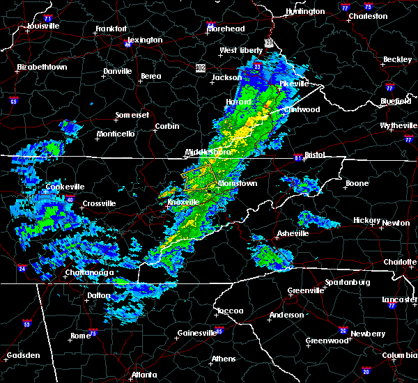 At 456 pm est, a severe thunderstorm was located near rutledge, moving east at 35 mph (radar indicated). Hazards include 60 mph wind gusts and penny size hail. Expect damage to roofs. siding. and trees. Locations impacted include, rutledge, new tazewell, tazewell, lone mountain, buffalo springs, howard quarter, joppa, sandlick and thorn hill. At 456 pm est, a severe thunderstorm was located near rutledge, moving east at 35 mph (radar indicated). Hazards include 60 mph wind gusts and penny size hail. Expect damage to roofs. siding. and trees. Locations impacted include, rutledge, new tazewell, tazewell, lone mountain, buffalo springs, howard quarter, joppa, sandlick and thorn hill.
|
| 3/1/2016 4:42 PM EST |
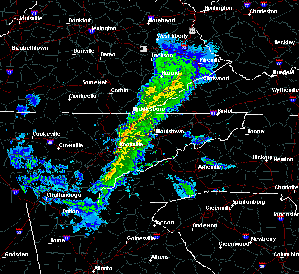 At 441 pm est, a severe thunderstorm was located near maynardville, moving east at 35 mph (radar indicated). Hazards include 60 mph wind gusts and penny size hail. Expect damage to roofs. siding. And trees. At 441 pm est, a severe thunderstorm was located near maynardville, moving east at 35 mph (radar indicated). Hazards include 60 mph wind gusts and penny size hail. Expect damage to roofs. siding. And trees.
|
| 2/24/2016 8:42 AM EST |
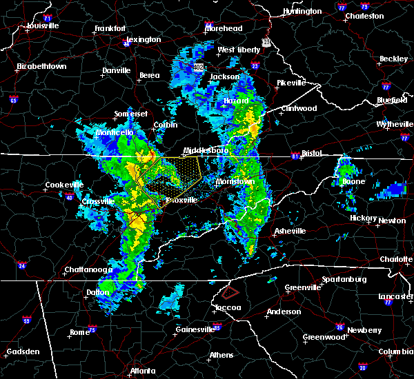 At 841 am est, severe thunderstorms were located along a line extending from 16 miles northeast of jacksboro to near la follette to 9 miles northwest of maynardville to near plainview, moving northeast at 60 mph (radar indicated). Hazards include 60 mph wind gusts. Expect damage to roofs. siding. and trees. Locations impacted include, la follette, maynardville, rutledge, new tazewell, tazewell, plainview, harrogate-shawanee, blaine, luttrell, fincastle, springdale, joppa, white oak, paulette, lone mountain, clairfield, rose hill, sandlick, arthur and sharps chapel. At 841 am est, severe thunderstorms were located along a line extending from 16 miles northeast of jacksboro to near la follette to 9 miles northwest of maynardville to near plainview, moving northeast at 60 mph (radar indicated). Hazards include 60 mph wind gusts. Expect damage to roofs. siding. and trees. Locations impacted include, la follette, maynardville, rutledge, new tazewell, tazewell, plainview, harrogate-shawanee, blaine, luttrell, fincastle, springdale, joppa, white oak, paulette, lone mountain, clairfield, rose hill, sandlick, arthur and sharps chapel.
|
| 2/24/2016 8:21 AM EST |
 At 820 am est, severe thunderstorms were located along a line extending from jacksboro to 11 miles south of la follette to near clinton to near knoxville, moving northeast at 60 mph (radar indicated). Hazards include 60 mph wind gusts and penny size hail. Expect damage to roofs. siding. and trees. Locations impacted include, knoxville, clinton, la follette, maynardville, rutledge, new tazewell, tazewell, plainview, jacksboro, harrogate-shawanee, caryville, halls, blaine, lake city, norris, luttrell, maloneyville, white oak, lone mountain and sandlick. At 820 am est, severe thunderstorms were located along a line extending from jacksboro to 11 miles south of la follette to near clinton to near knoxville, moving northeast at 60 mph (radar indicated). Hazards include 60 mph wind gusts and penny size hail. Expect damage to roofs. siding. and trees. Locations impacted include, knoxville, clinton, la follette, maynardville, rutledge, new tazewell, tazewell, plainview, jacksboro, harrogate-shawanee, caryville, halls, blaine, lake city, norris, luttrell, maloneyville, white oak, lone mountain and sandlick.
|
| 2/24/2016 8:11 AM EST |
 At 809 am est, severe thunderstorms were located along a line extending from 8 miles southwest of jacksboro to near oliver springs to near oak ridge to near louisville, moving northeast at 60 mph (radar indicated). Hazards include 60 mph wind gusts and penny size hail. Expect damage to roofs. siding. And trees. At 809 am est, severe thunderstorms were located along a line extending from 8 miles southwest of jacksboro to near oliver springs to near oak ridge to near louisville, moving northeast at 60 mph (radar indicated). Hazards include 60 mph wind gusts and penny size hail. Expect damage to roofs. siding. And trees.
|
| 7/14/2015 7:43 AM EDT |
 At 742 am edt, severe thunderstorms were located along a line extending from 9 miles northwest of jonesville to 11 miles west of sneedville to near harrogate-shawanee, moving southeast at 45 mph (radar indicated). Hazards include 60 mph wind gusts and nickel size hail. Expect damage to roofs. siding and trees. Locations impacted include, kingsport, morristown, rogersville, sneedville, jonesville, new tazewell, bean station, tazewell, surgoinsville, russellville, harrogate-shawanee, church hill, bulls gap, kyles ford, howard quarter, kepler, ewing, klondike, arthur and cumberland gap. At 742 am edt, severe thunderstorms were located along a line extending from 9 miles northwest of jonesville to 11 miles west of sneedville to near harrogate-shawanee, moving southeast at 45 mph (radar indicated). Hazards include 60 mph wind gusts and nickel size hail. Expect damage to roofs. siding and trees. Locations impacted include, kingsport, morristown, rogersville, sneedville, jonesville, new tazewell, bean station, tazewell, surgoinsville, russellville, harrogate-shawanee, church hill, bulls gap, kyles ford, howard quarter, kepler, ewing, klondike, arthur and cumberland gap.
|
| 7/14/2015 7:31 AM EDT |
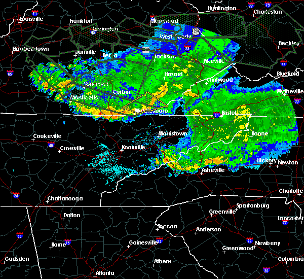 At 730 am edt, severe thunderstorms were located along a line extending from 19 miles northwest of jonesville to 9 miles northeast of harrogate-shawanee to 17 miles northwest of new tazewell, moving southeast at 55 mph (radar indicated). Hazards include 60 mph wind gusts and nickel size hail. Expect damage to roofs. Siding and trees. At 730 am edt, severe thunderstorms were located along a line extending from 19 miles northwest of jonesville to 9 miles northeast of harrogate-shawanee to 17 miles northwest of new tazewell, moving southeast at 55 mph (radar indicated). Hazards include 60 mph wind gusts and nickel size hail. Expect damage to roofs. Siding and trees.
|
| 7/13/2015 6:13 PM EDT |
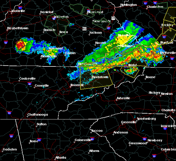 A severe thunderstorm warning remains in effect until 630 pm edt for grainger. greene. hamblen. north central sevier. eastern claiborne. hawkins. jefferson. northern cocke and hancock counties. at 611 pm edt. severe thunderstorms were located along a line extending from near surgoinsville to near tazewell. Moving south at. A severe thunderstorm warning remains in effect until 630 pm edt for grainger. greene. hamblen. north central sevier. eastern claiborne. hawkins. jefferson. northern cocke and hancock counties. at 611 pm edt. severe thunderstorms were located along a line extending from near surgoinsville to near tazewell. Moving south at.
|
| 7/13/2015 5:52 PM EDT |
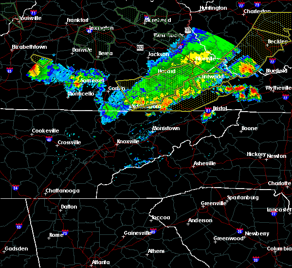 The national weather service in morristown has issued a * severe thunderstorm warning for. grainger county in east tennessee. greene county in east tennessee. hamblen county in east tennessee. North central sevier county in east tennessee. The national weather service in morristown has issued a * severe thunderstorm warning for. grainger county in east tennessee. greene county in east tennessee. hamblen county in east tennessee. North central sevier county in east tennessee.
|
| 6/29/2015 8:25 PM EDT |
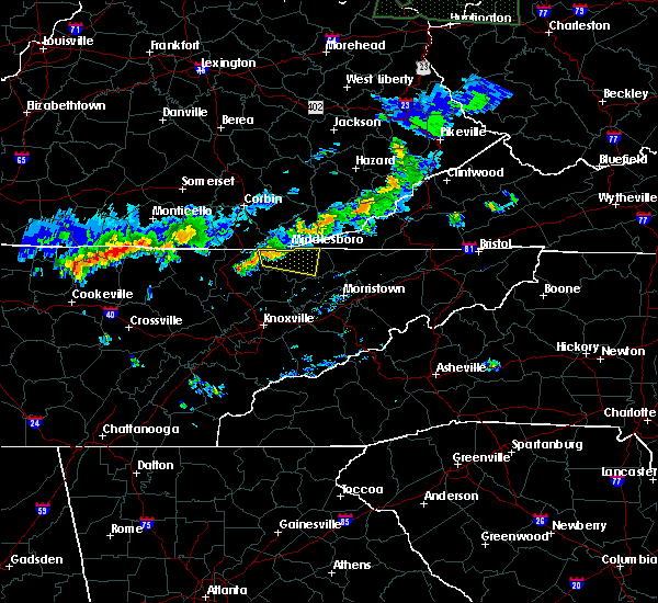 At 824 pm edt, a severe thunderstorm was located near fonde, or 7 miles southwest of middlesboro, moving east at 35 mph (radar indicated). Hazards include 60 mph wind gusts. Expect damage to roofs. siding and trees. Locations impacted include, new tazewell, tazewell, harrogate, springdale, cumberland gap, powell river preserve, arthur and clairfield. At 824 pm edt, a severe thunderstorm was located near fonde, or 7 miles southwest of middlesboro, moving east at 35 mph (radar indicated). Hazards include 60 mph wind gusts. Expect damage to roofs. siding and trees. Locations impacted include, new tazewell, tazewell, harrogate, springdale, cumberland gap, powell river preserve, arthur and clairfield.
|
| 6/29/2015 8:09 PM EDT |
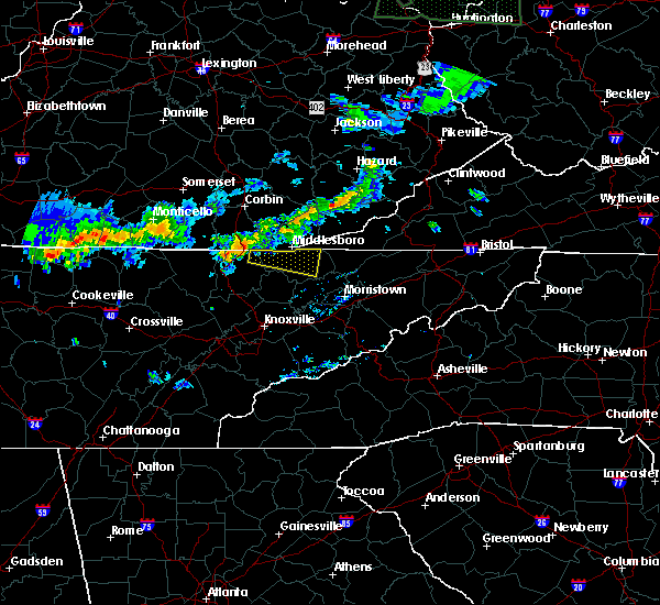 At 808 pm edt, a severe thunderstorm was nw of clairfield, or 13 miles west of middlesboro, moving east at 35 mph (radar indicated). Hazards include 60 mph wind gusts. Expect damage to roofs. Siding and trees. At 808 pm edt, a severe thunderstorm was nw of clairfield, or 13 miles west of middlesboro, moving east at 35 mph (radar indicated). Hazards include 60 mph wind gusts. Expect damage to roofs. Siding and trees.
|
| 6/26/2015 5:07 PM EDT | At 437 pm edt, a severe thunderstorm was located near tazewell, or 10 miles southeast of middlesboro, moving southeast at 15 mph (radar indicated). Hazards include 60 mph wind gusts and quarter size hail. Hail damage to vehicles is possible. Expect wind damage to roofs, siding and trees. |
| 6/26/2015 5:00 PM EDT | One tree down on hwy 33 between tazewell and sneedvill in claiborne county TN, 10.1 miles W of Tazewell, TN |
| 6/26/2015 4:38 PM EDT | At 437 pm edt, a severe thunderstorm was located near tazewell, or 10 miles southeast of middlesboro, moving southeast at 15 mph (radar indicated). Hazards include 60 mph wind gusts and quarter size hail. Hail damage to vehicles is possible. Expect wind damage to roofs, siding and trees. |
| 6/8/2015 5:39 PM EDT | At 538 pm edt, a severe thunderstorm was located near new market, or 8 miles northwest of jefferson city, moving northeast at 35 mph (radar indicated). Hazards include 60 mph wind gusts and nickel size hail. Expect damage to roofs. siding and trees. locations impacted include, morristown, jefferson city, maynardville, rutledge, new tazewell, bean station, tazewell, plainview, new market, strawberry plains, blaine, luttrell, buffalo springs, alpha, lone mountain, rose hill, joppa, house mountain s. p,. Mascot and thorn hill. |
| 6/8/2015 5:20 PM EDT | At 519 pm edt, a severe thunderstorm was located over plainview, or near maynardville, moving northeast at 40 mph (radar indicated). Hazards include 60 mph wind gusts and nickel size hail. Expect damage to roofs. Siding and trees. |
| 4/19/2015 9:49 PM EDT | At 949 pm edt, severe thunderstorms were located along a line extending from 12 miles northwest of sneedville to near bean station, moving east at 60 mph (radar indicated). Hazards include 60 mph wind gusts. Expect damage to roofs. siding and trees. locations impacted include, sneedville, rutledge, new tazewell, bean station, tazewell, harrogate-shawanee, cumberland gap, evanston, springdale, howard quarter, thorn hill, ewing, treadway, lone mountain, rose hill, mooresburg, sandlick and arthur. 75in. |
| 4/19/2015 9:49 PM EDT | At 949 pm edt, severe thunderstorms were located along a line extending from 12 miles northwest of sneedville to near bean station, moving east at 60 mph (radar indicated). Hazards include 60 mph wind gusts. Expect damage to roofs. siding and trees. locations impacted include, sneedville, rutledge, new tazewell, bean station, tazewell, harrogate-shawanee, cumberland gap, evanston, springdale, howard quarter, thorn hill, ewing, treadway, lone mountain, rose hill, mooresburg, sandlick and arthur. 75in. |
| 4/19/2015 9:29 PM EDT | The national weather service in morristown has issued a * severe thunderstorm warning for. west central hawkins county in eastern tennessee. hancock county in eastern tennessee. northern grainger county in eastern tennessee. North central hamblen county in eastern tennessee. |
| 4/19/2015 9:29 PM EDT | At 928 pm edt, severe thunderstorms were located along a line extending from near harrogate-shawanee to 7 miles east of maynardville, moving northeast at 45 mph (radar indicated). Hazards include 60 mph wind gusts. Expect damage to roofs. Siding and trees. |
| 5/27/2014 3:05 PM EDT | Several trees down along the claiborne and hancock county-lin in claiborne county TN, 3.6 miles WSW of Tazewell, TN |
| 6/27/2013 1:50 AM EDT | Several trees down across count in claiborne county TN, 0.6 miles ENE of Tazewell, TN |
| 6/27/2013 1:45 AM EDT | One tree down near cedar grove roa in claiborne county TN, 7.7 miles SW of Tazewell, TN |
| 7/31/2012 7:20 PM EDT | Dispatch reported a tree down in tazewel in claiborne county TN, 0.6 miles ENE of Tazewell, TN |
| 7/19/2012 8:50 PM EDT | Dispatch reported a few areas with trees and power lines dow in claiborne county TN, 0.7 miles WNW of Tazewell, TN |
| 7/5/2012 5:29 PM EDT | Several trees dow in claiborne county TN, 0.6 miles ENE of Tazewell, TN |
| 3/23/2012 5:15 PM EDT | Few trees dow in claiborne county TN, 3.9 miles S of Tazewell, TN |
| 1/1/0001 12:00 AM | Trees down near tazewell...reported by highway departmen in claiborne county TN, 0.6 miles ENE of Tazewell, TN |
| 1/1/0001 12:00 AM | Trees down on highway 25 in claiborne county TN, 5 miles NW of Tazewell, TN |
| 1/1/0001 12:00 AM | One tree dow in claiborne county TN, 0.6 miles ENE of Tazewell, TN |
| 1/1/0001 12:00 AM | Several trees and powerlines down across the eastern third of the county. reported by dispatc in claiborne county TN, 5.4 miles WSW of Tazewell, TN |
Hail Maps for Tazewell, TN


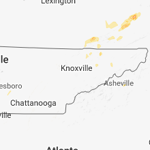


Connect with Interactive Hail Maps