

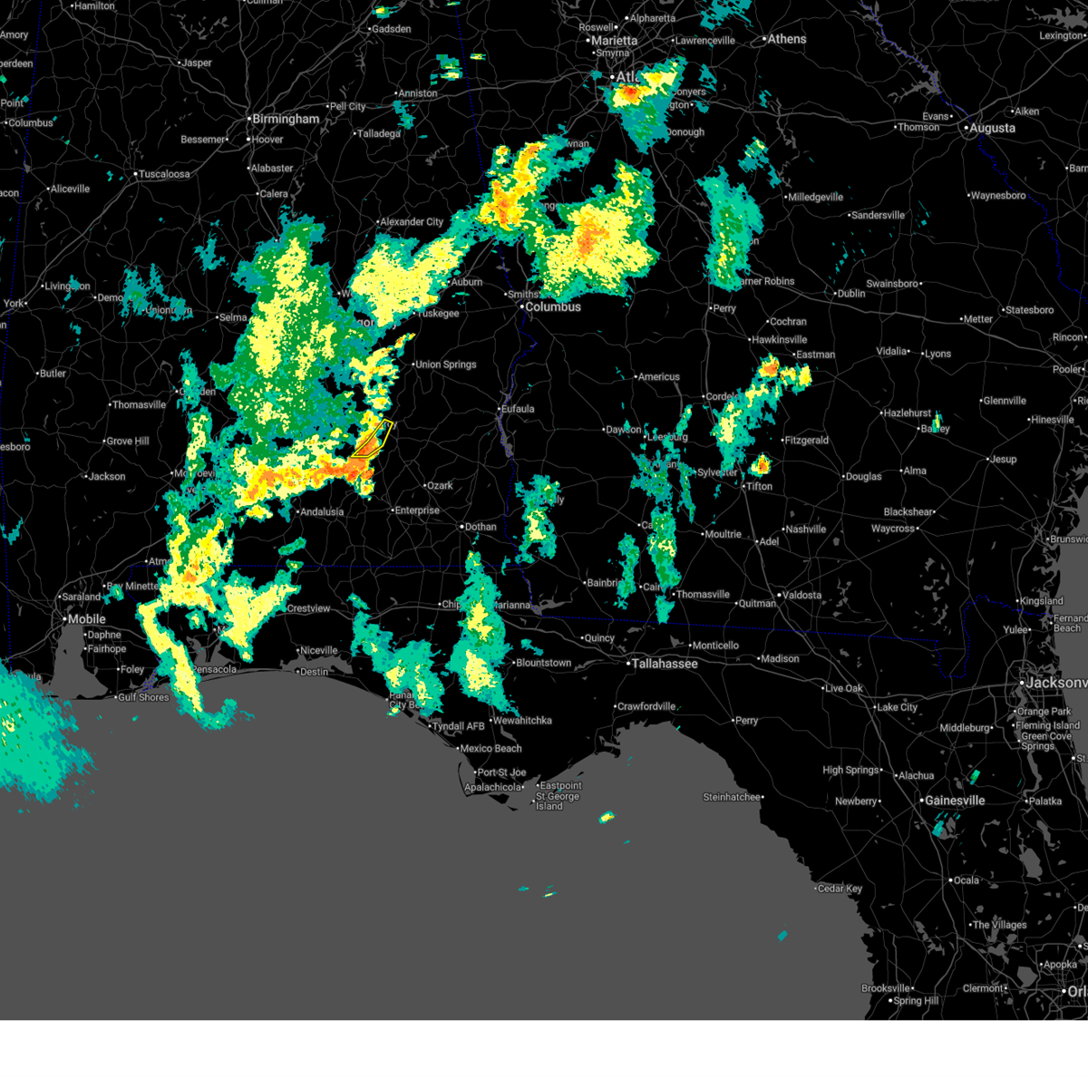
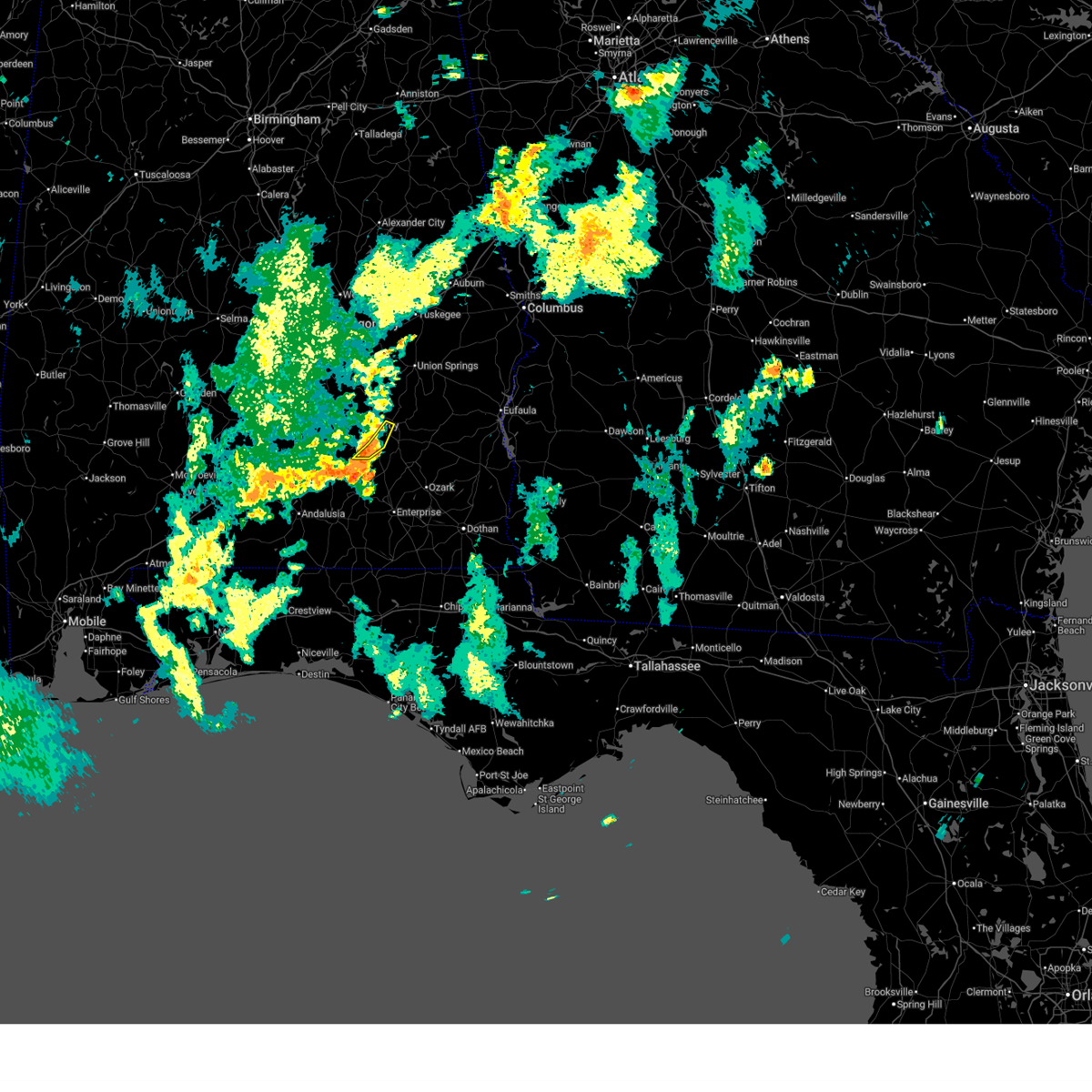
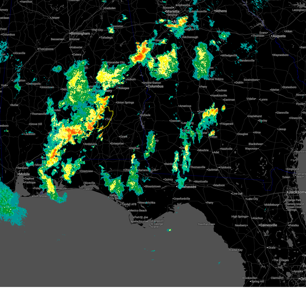
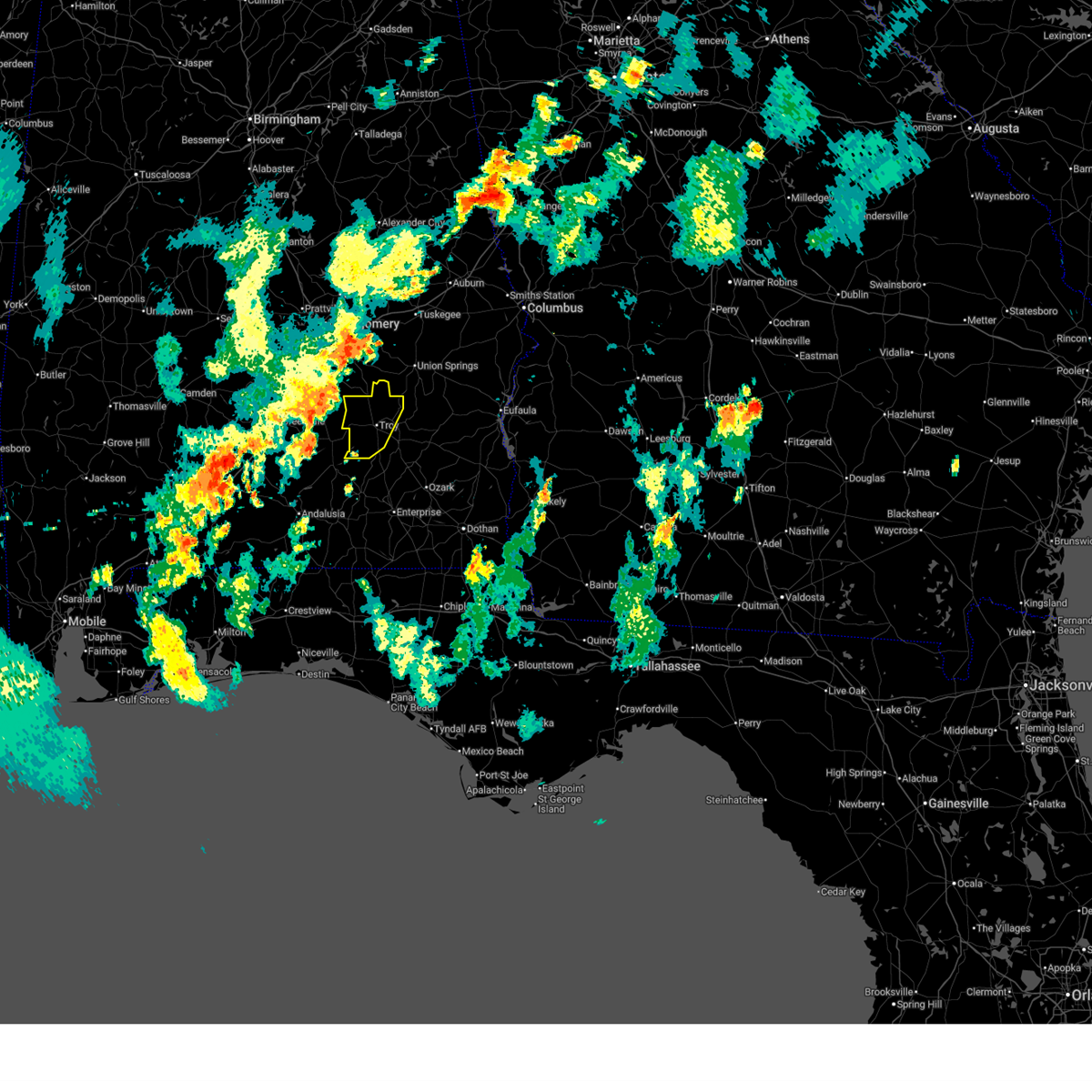
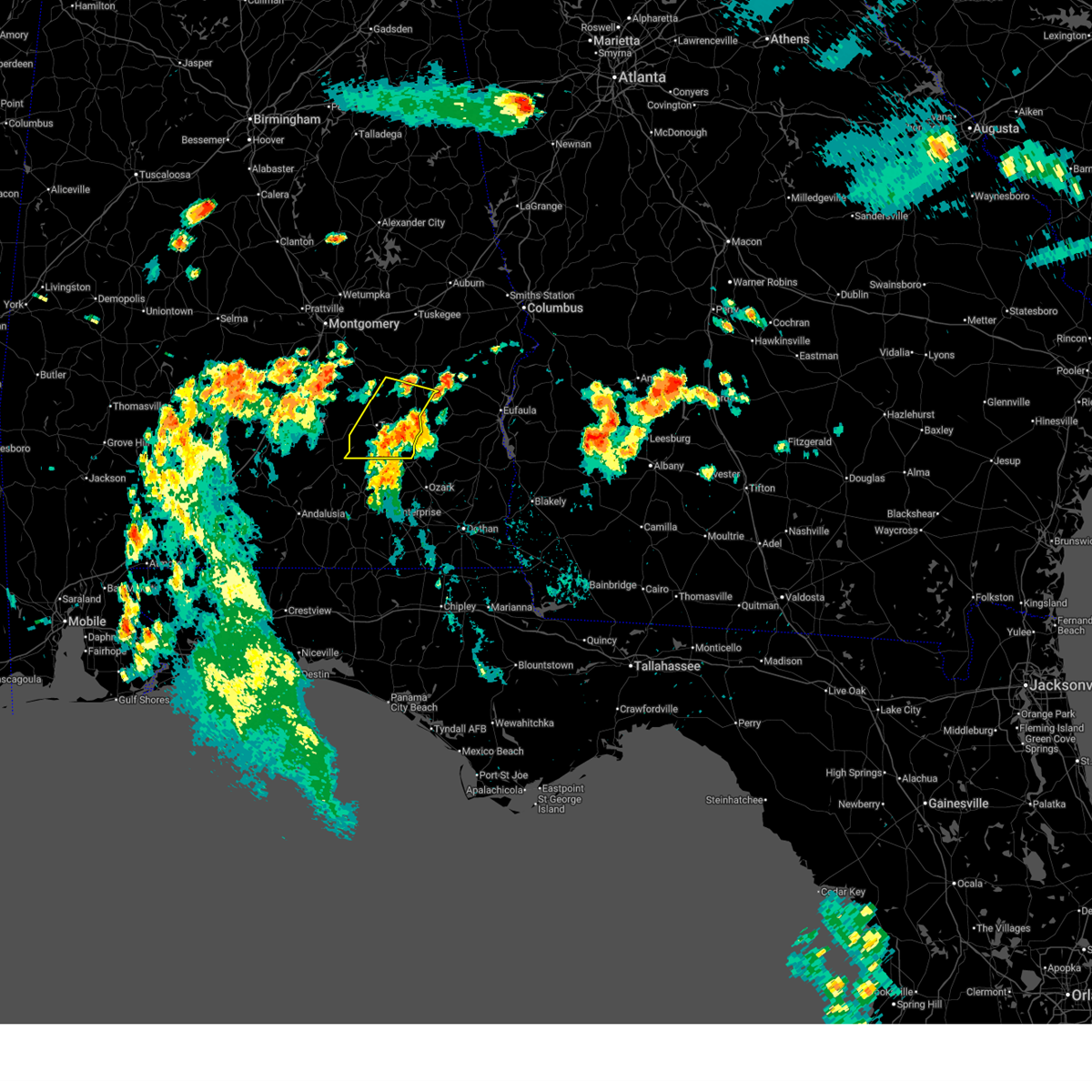
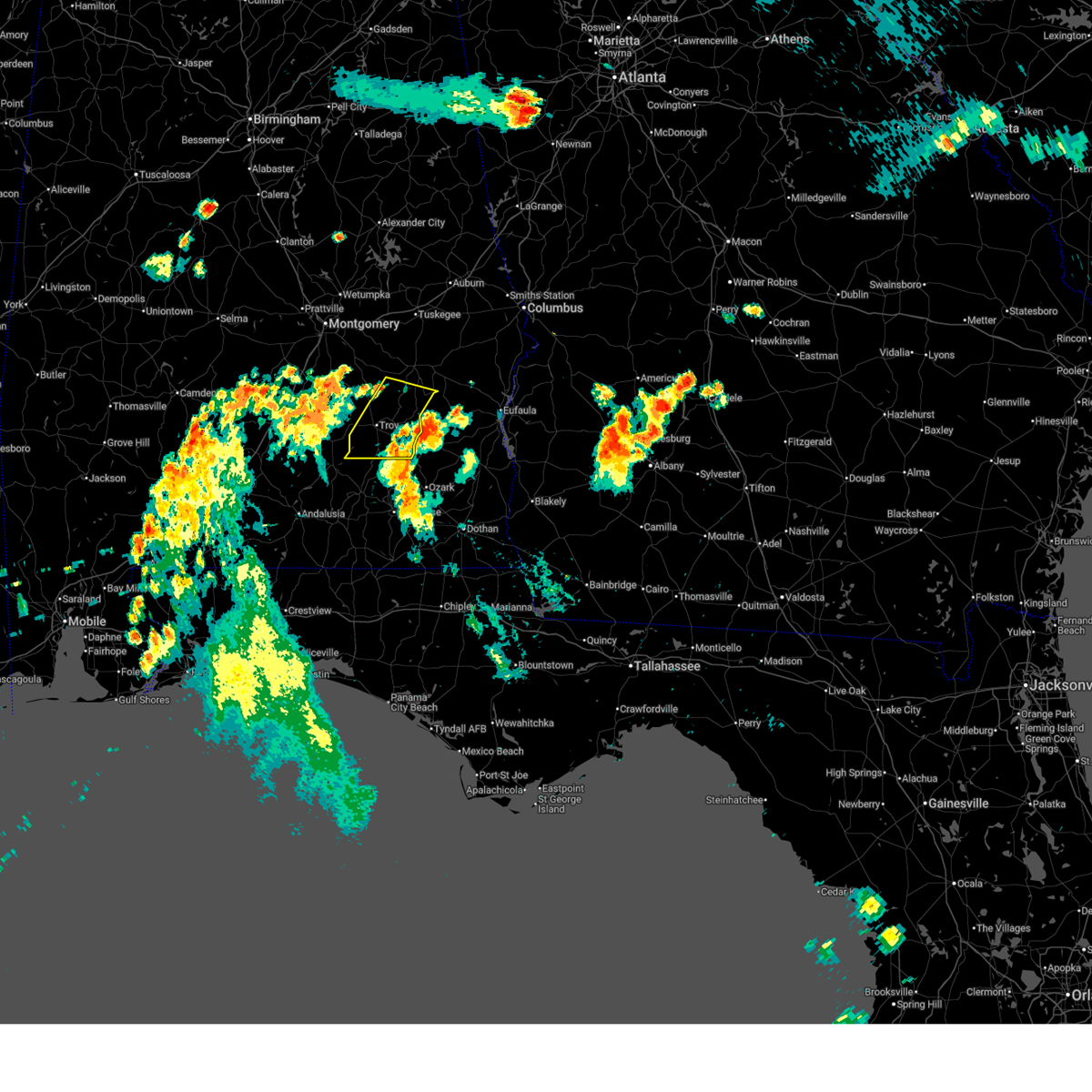
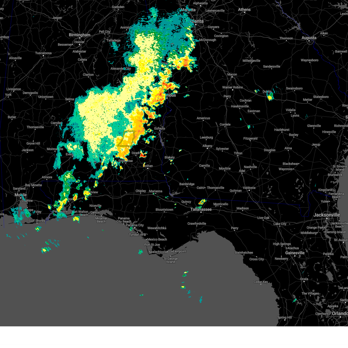
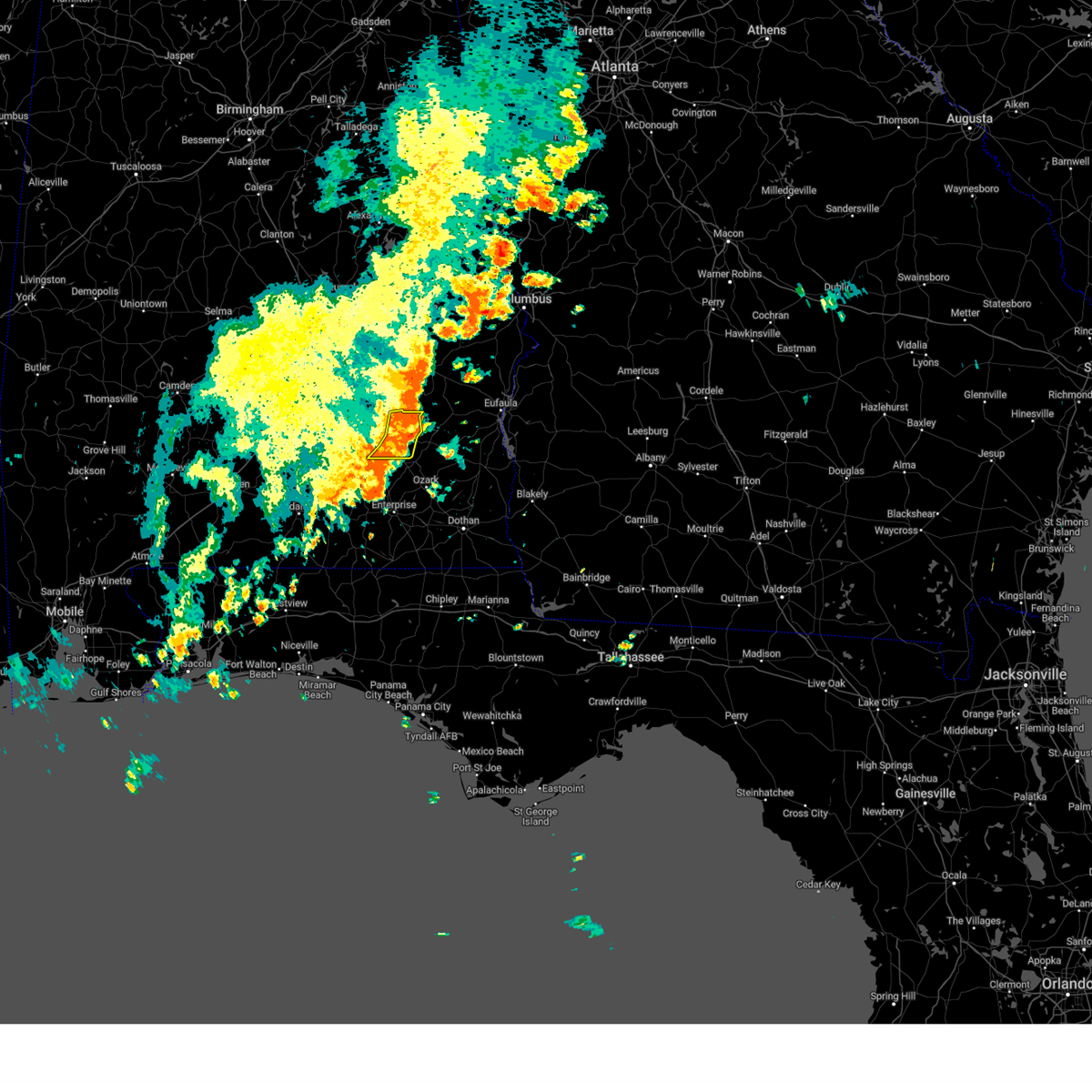
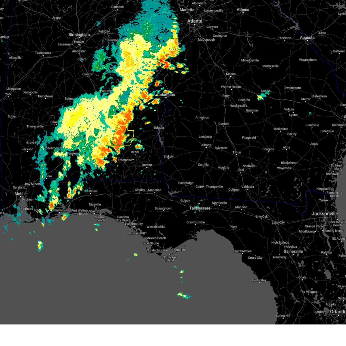
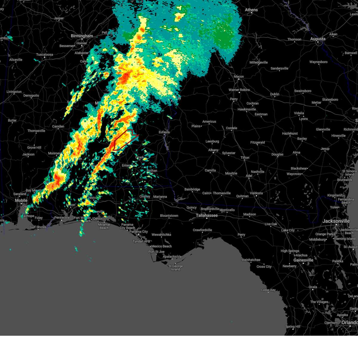
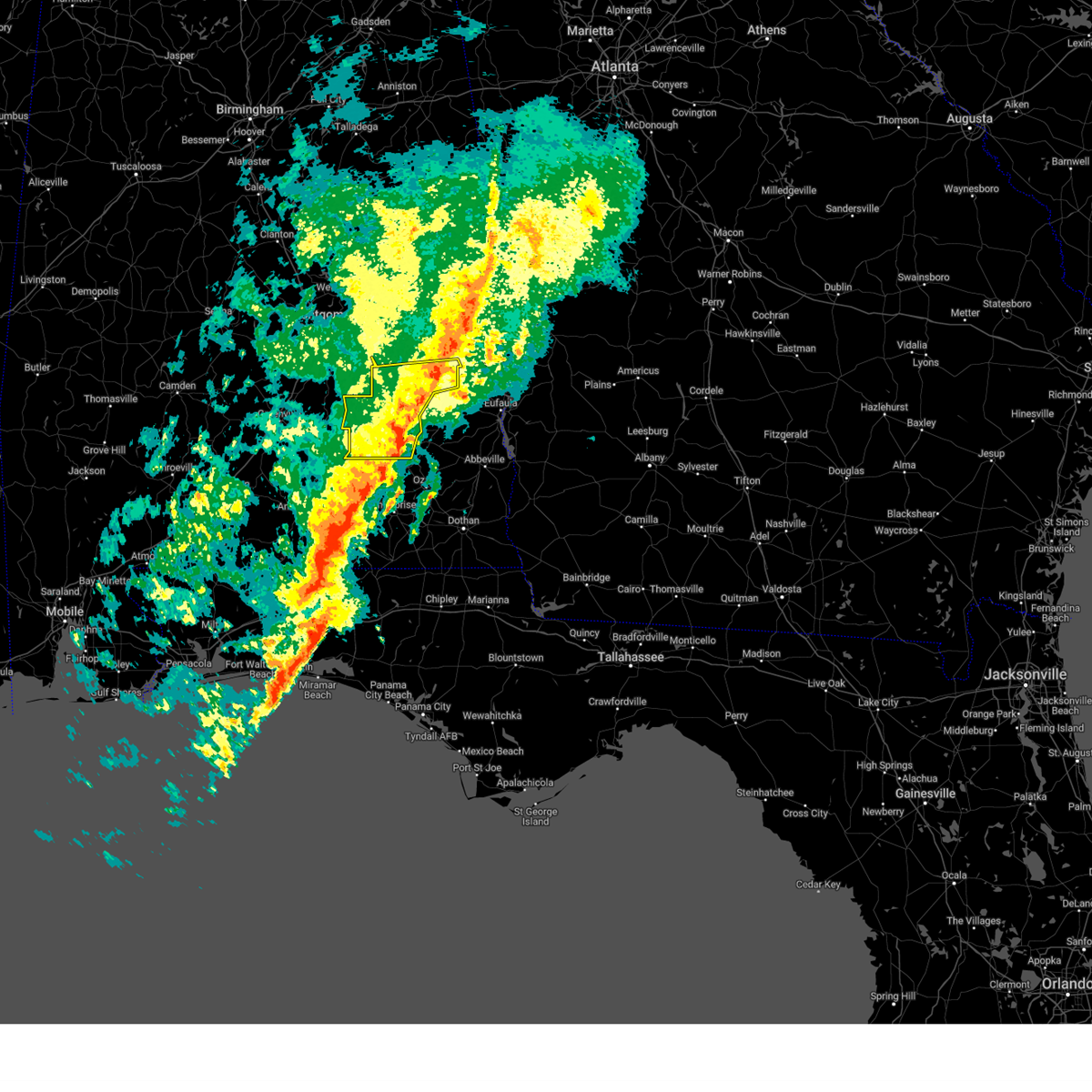
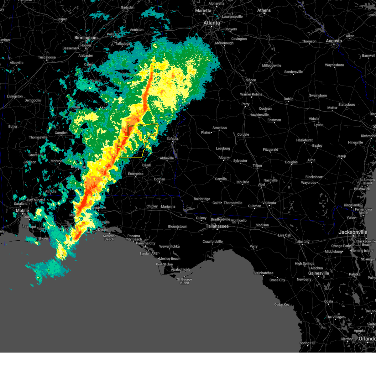
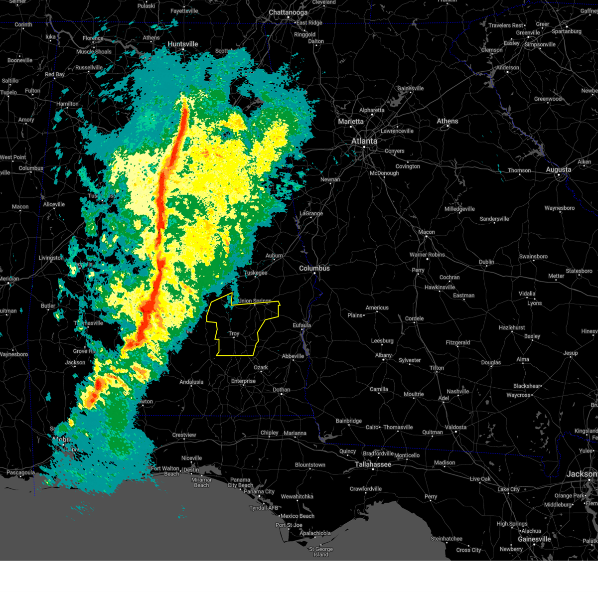
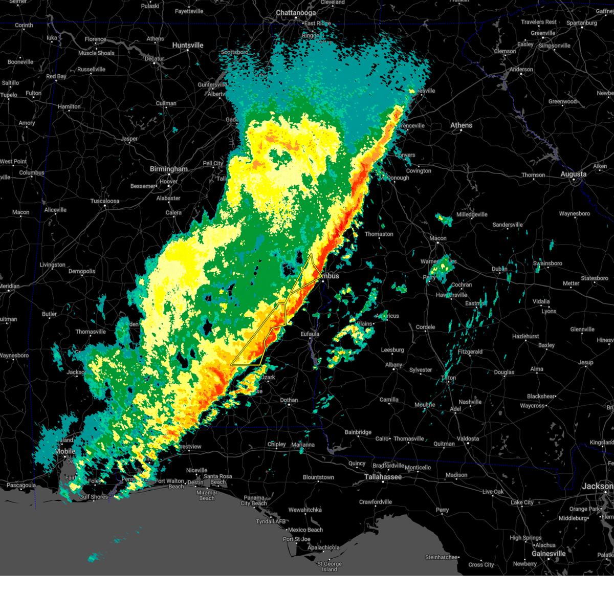
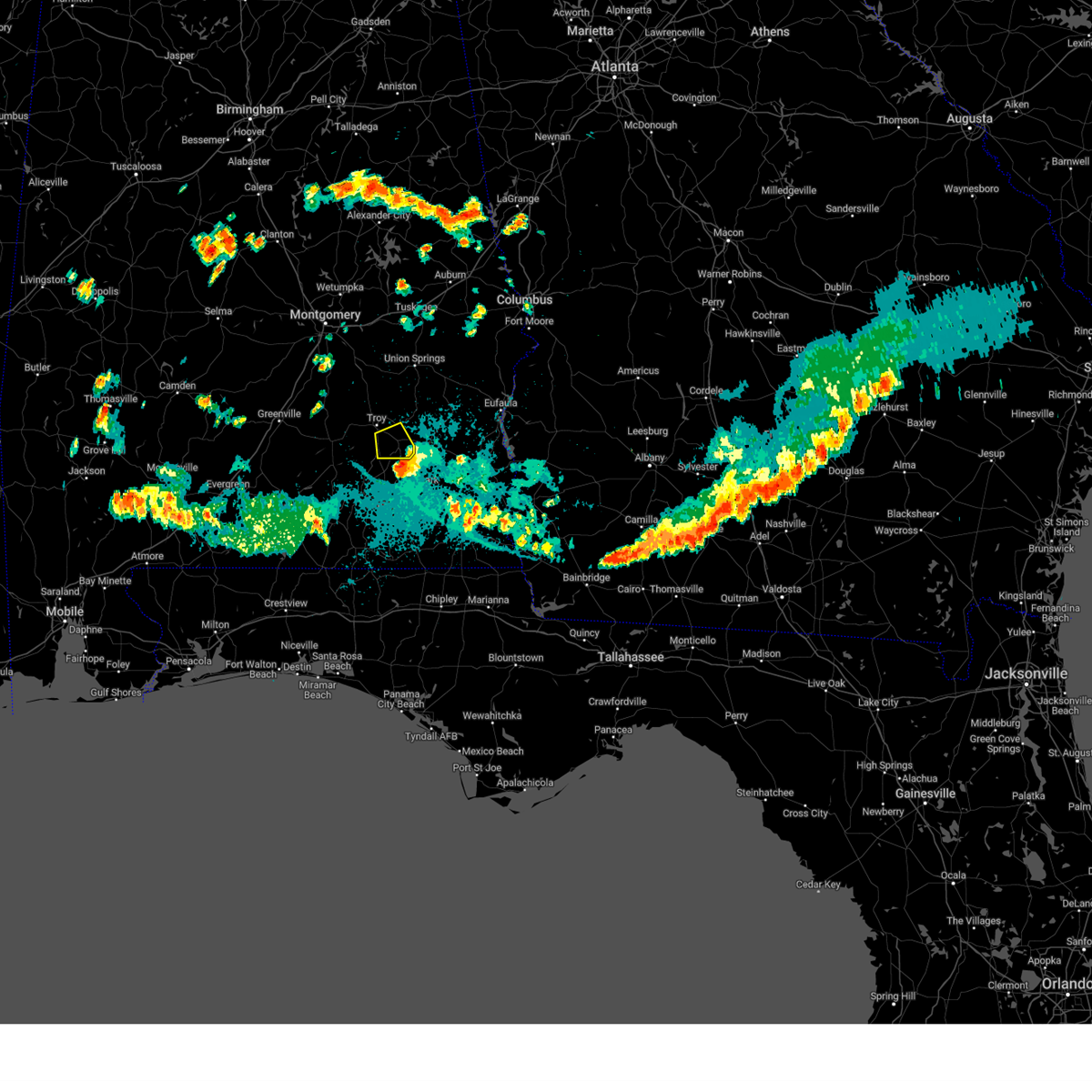
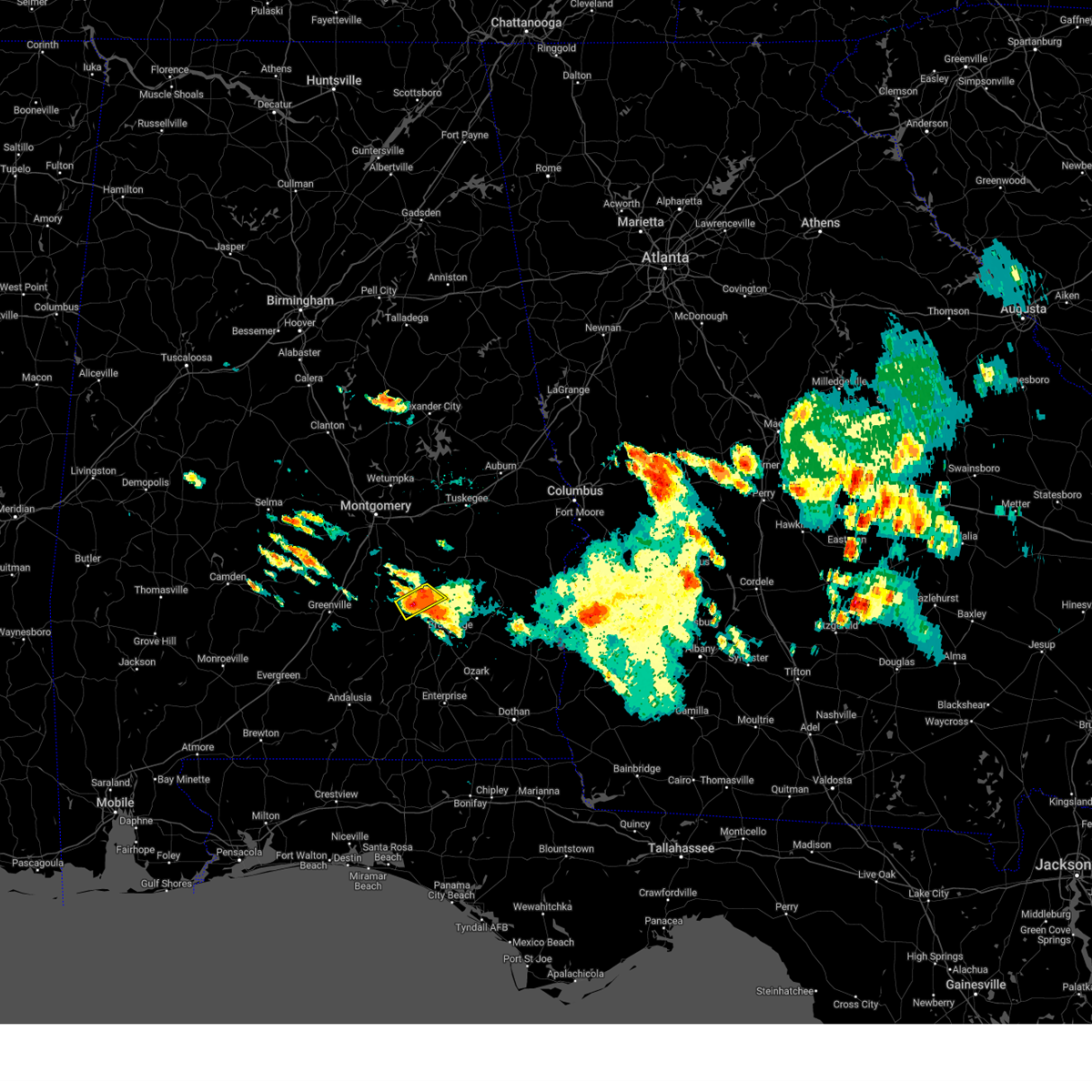
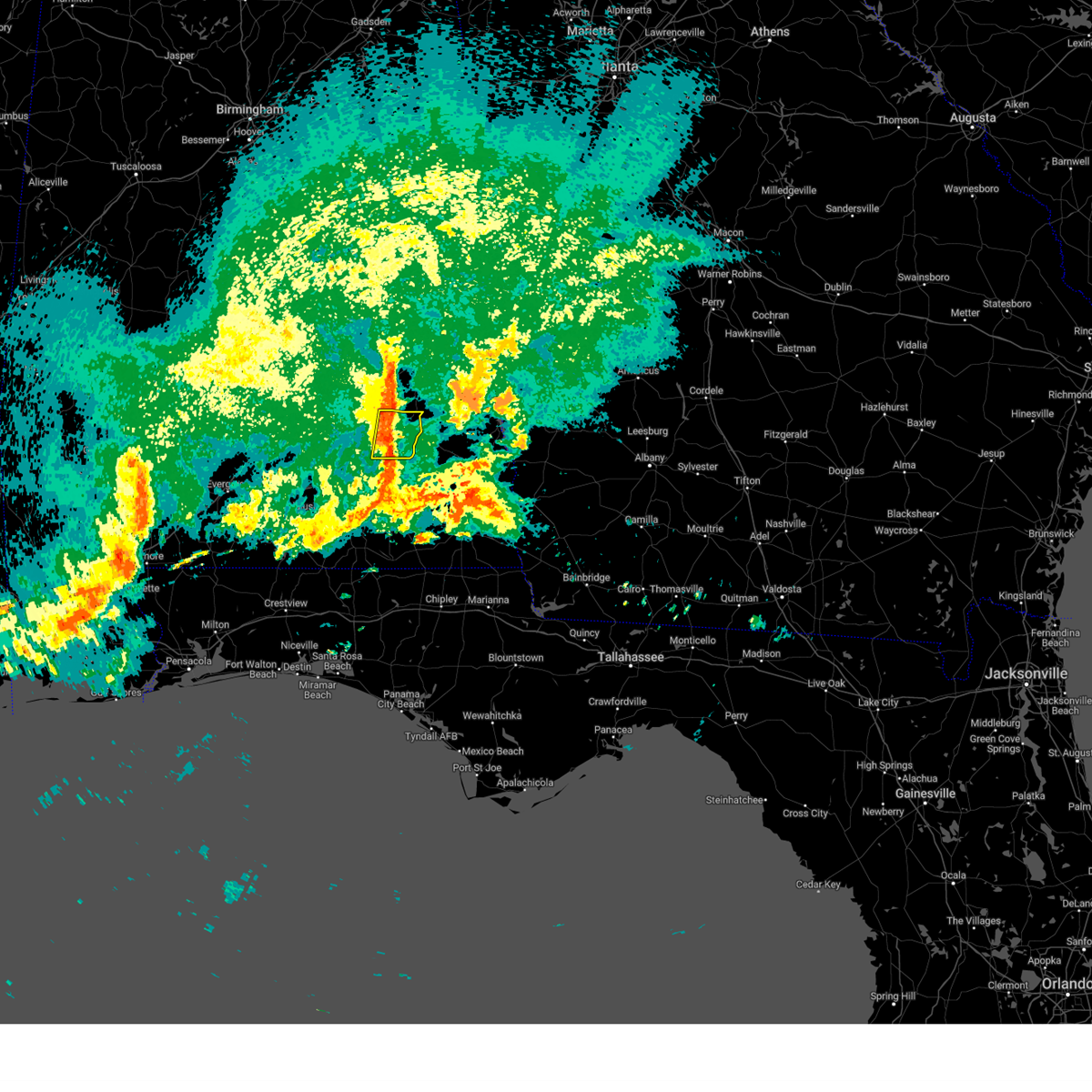
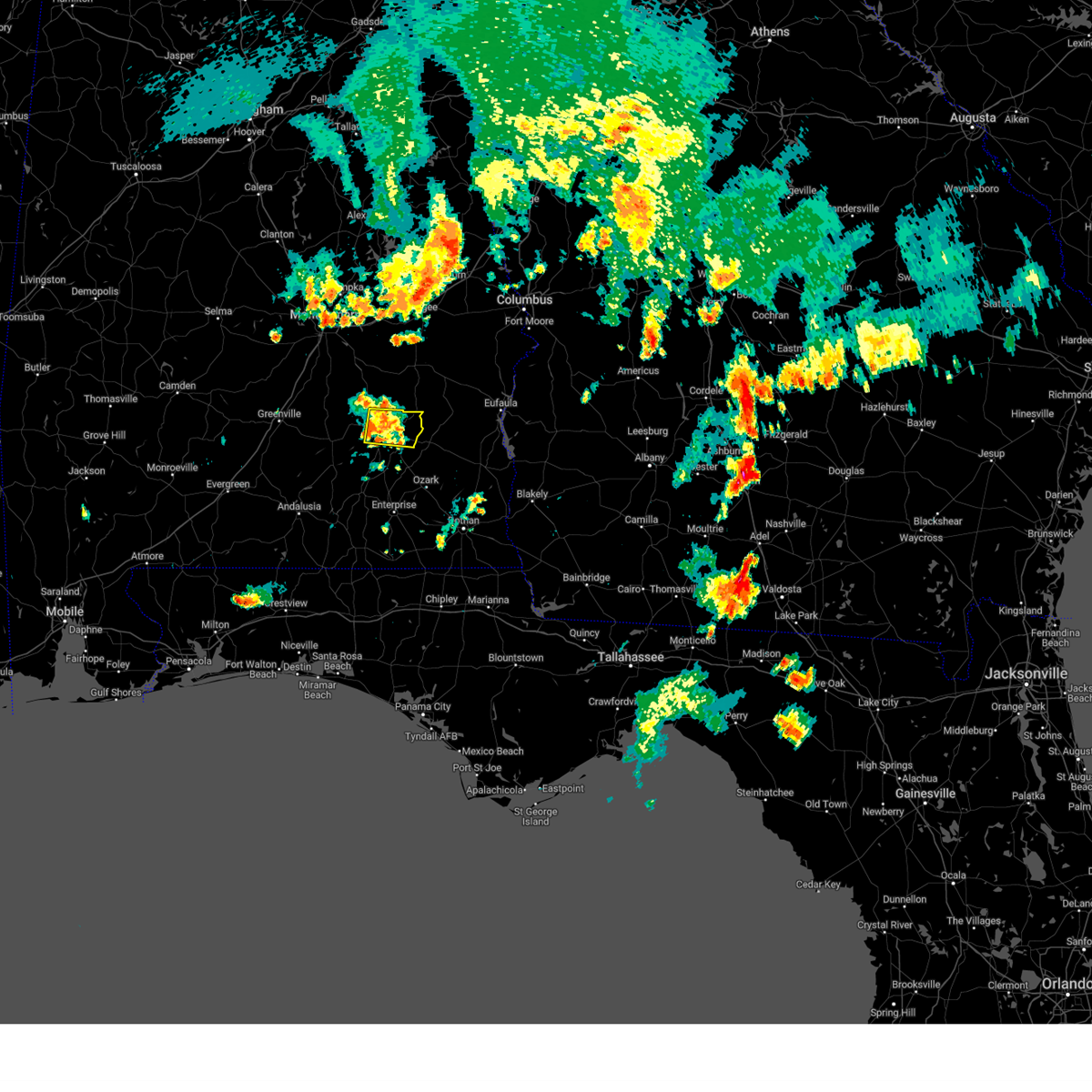
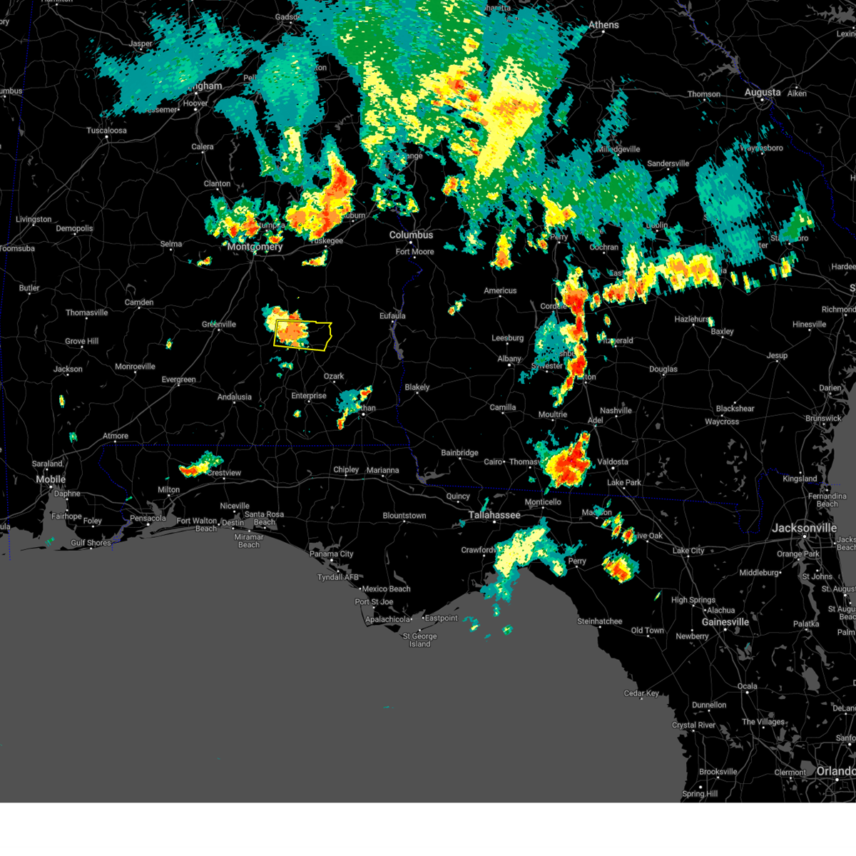
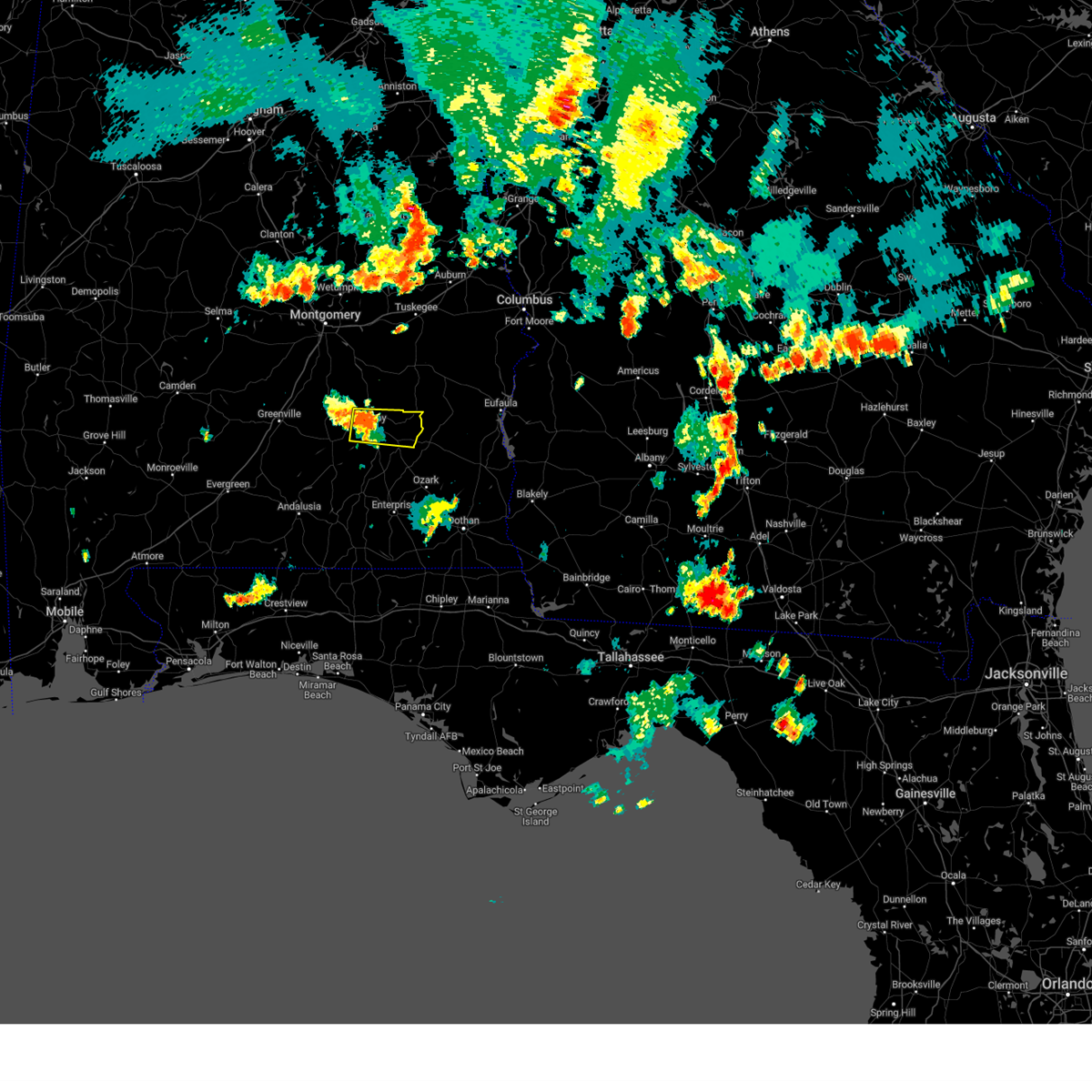
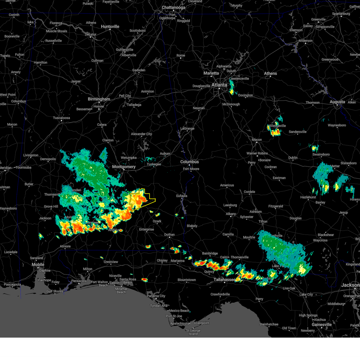
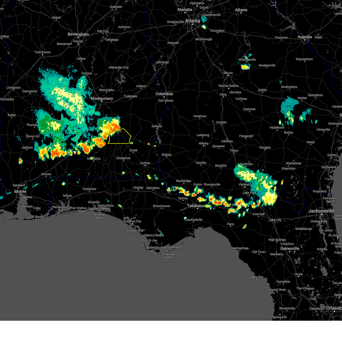
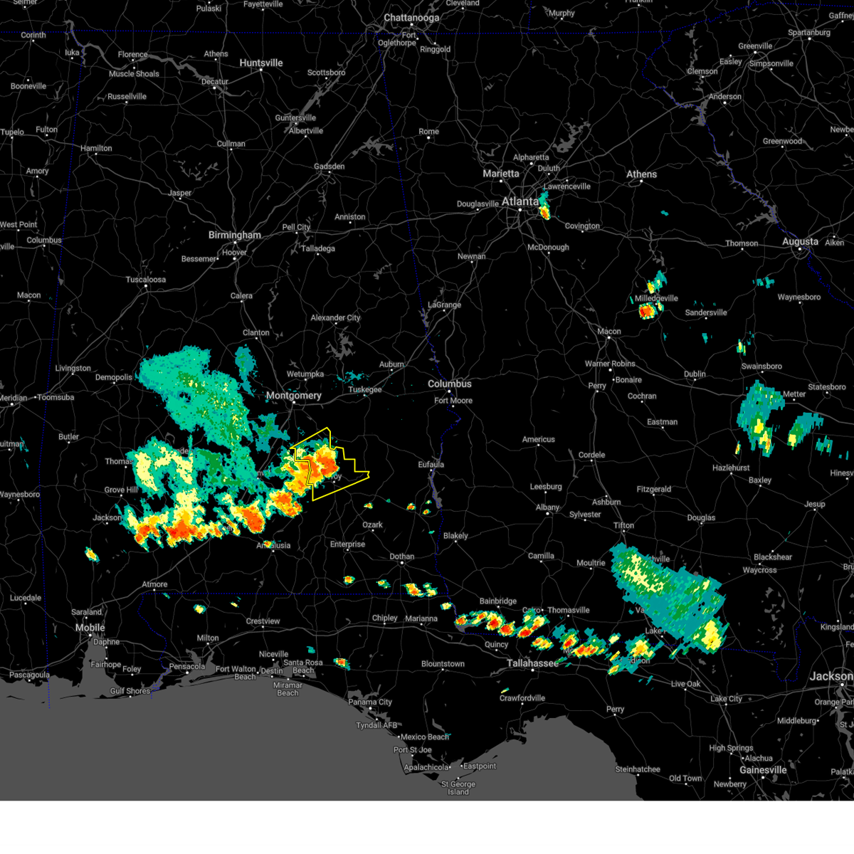
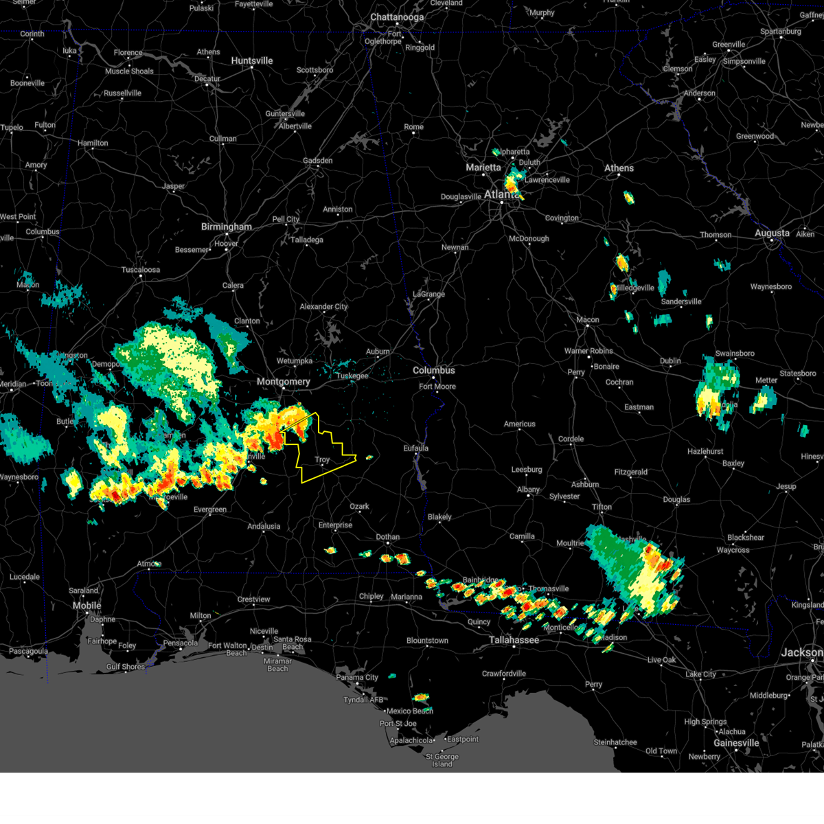
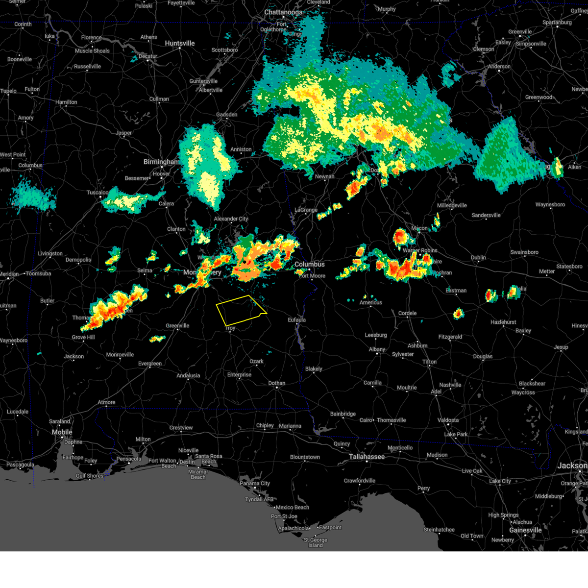
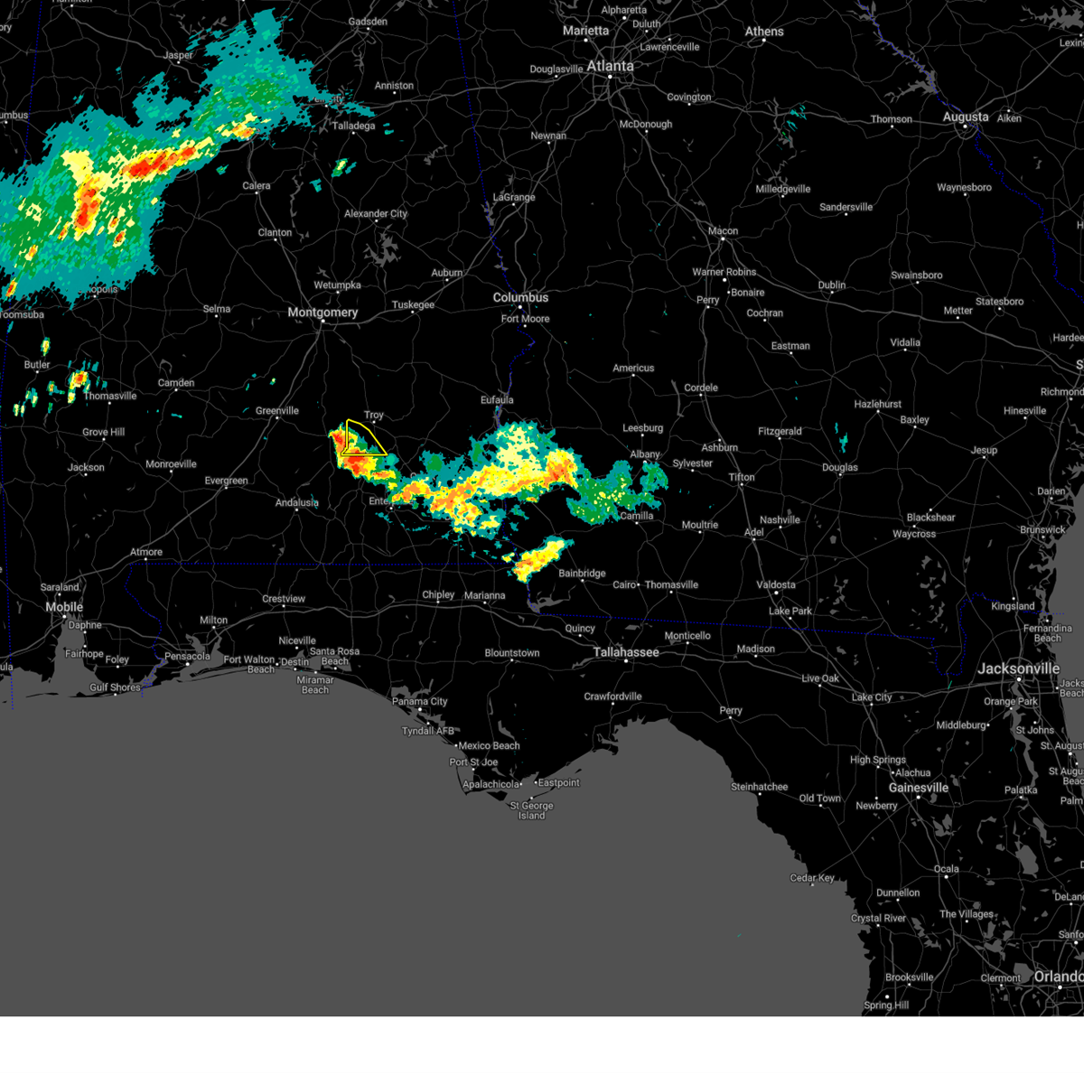
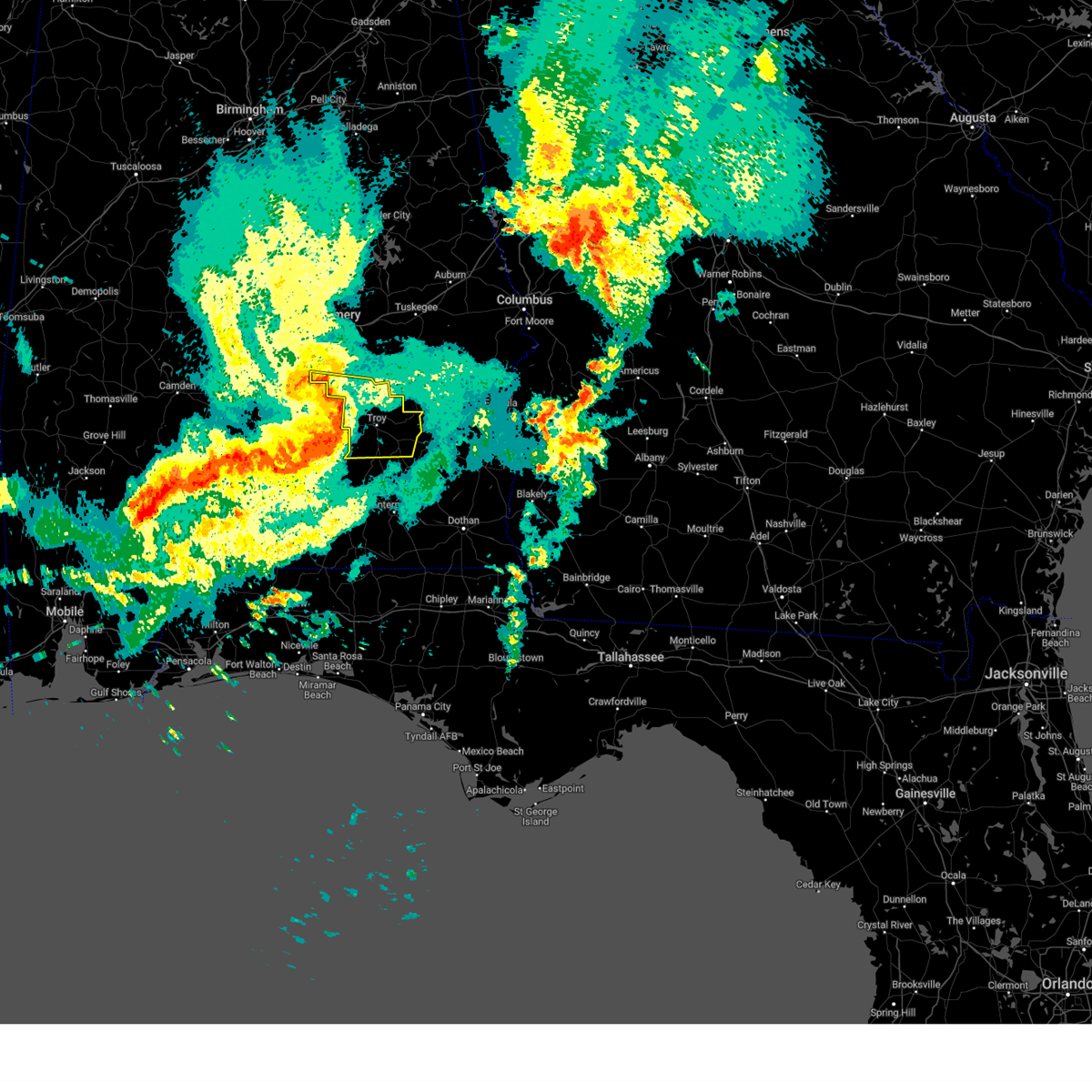
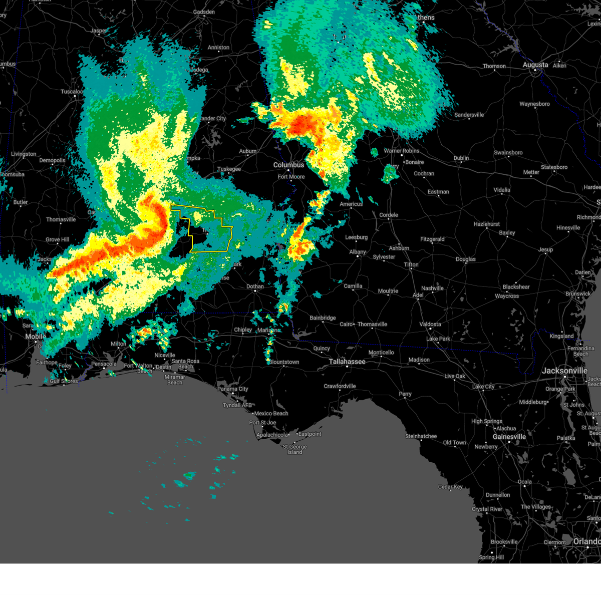
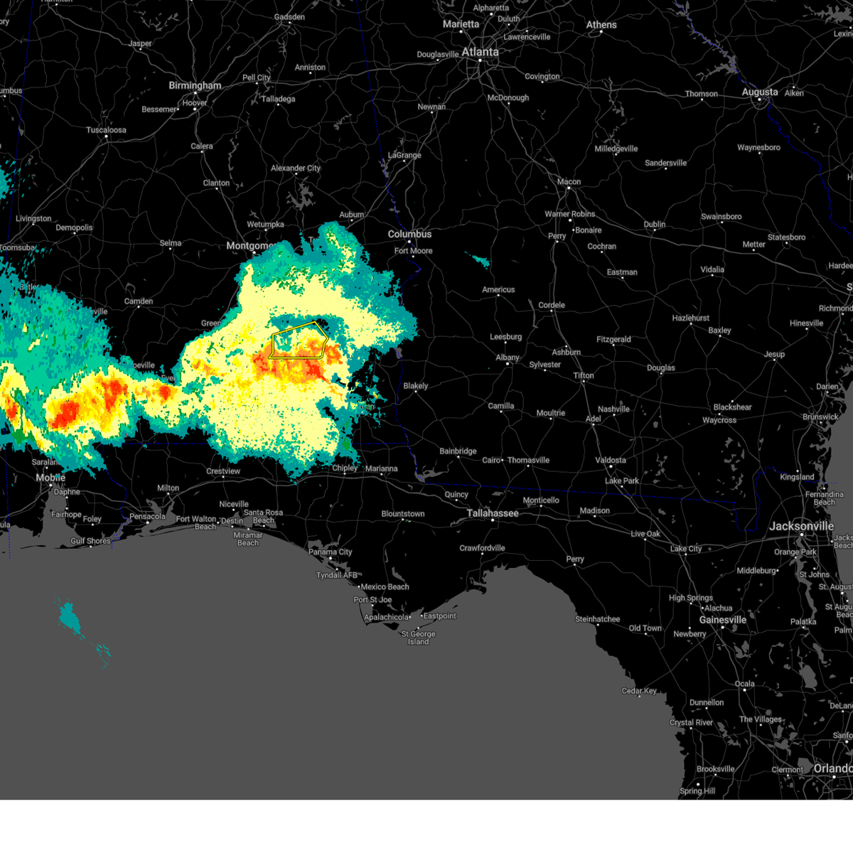
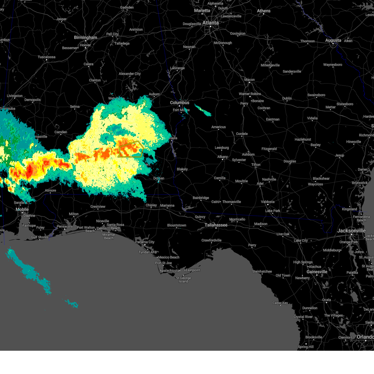
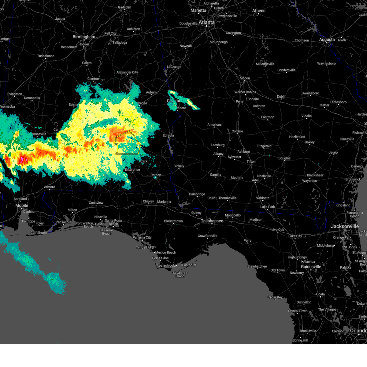
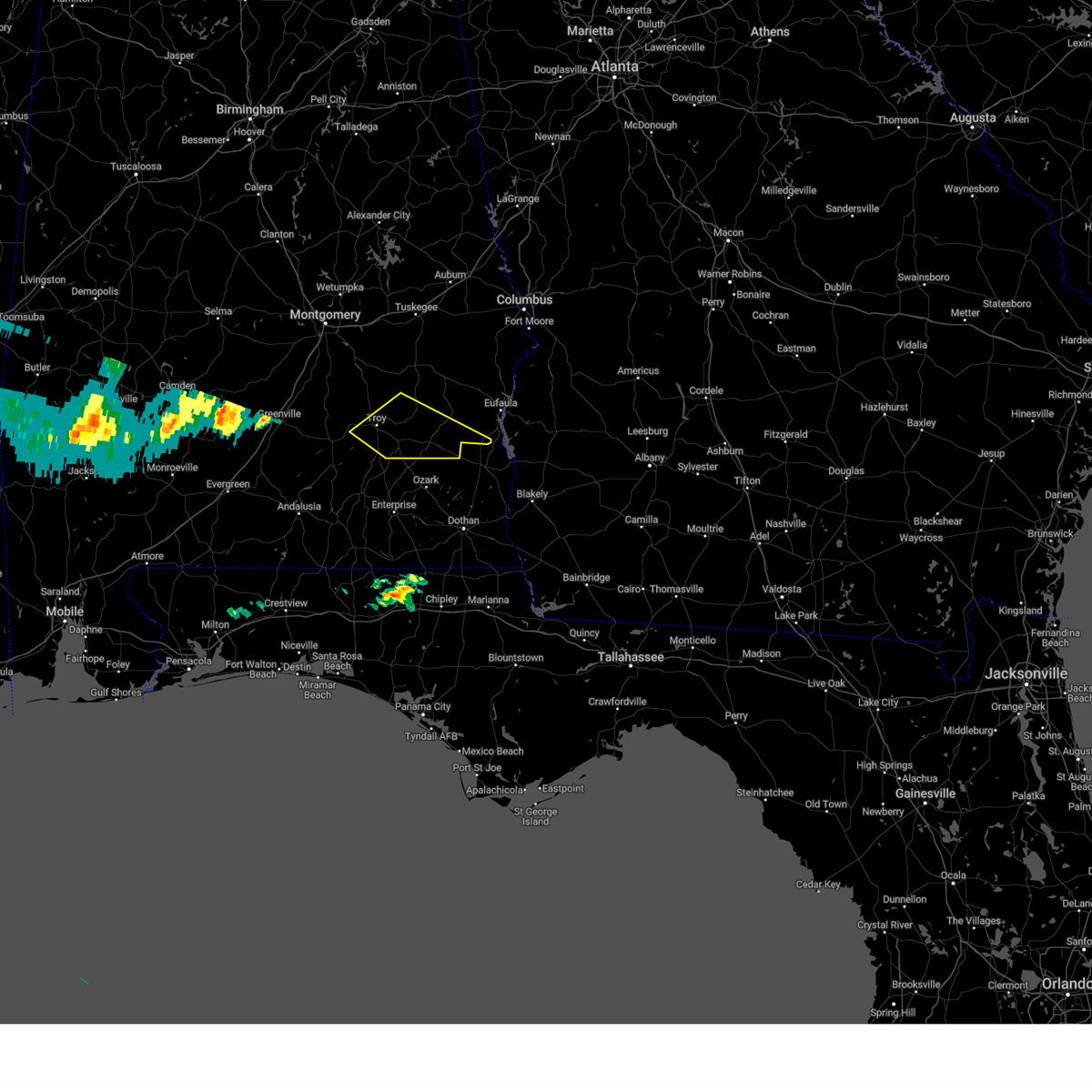
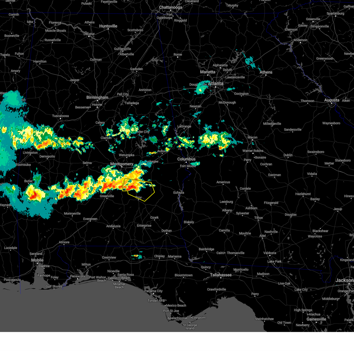
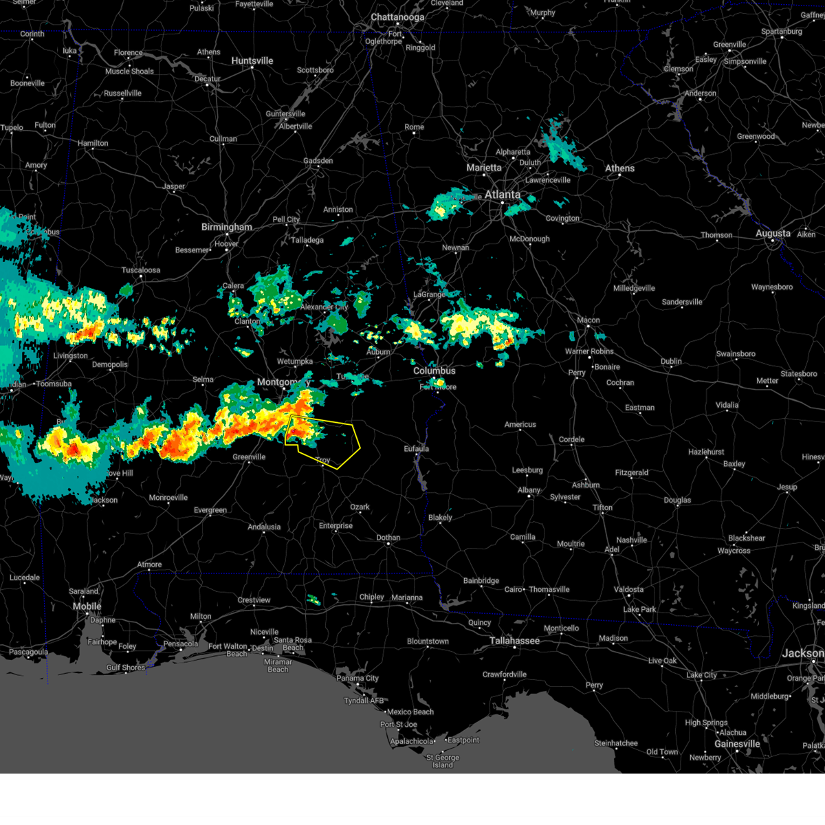
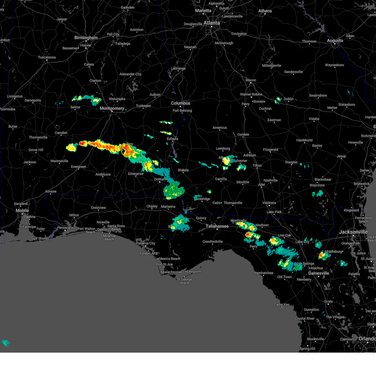
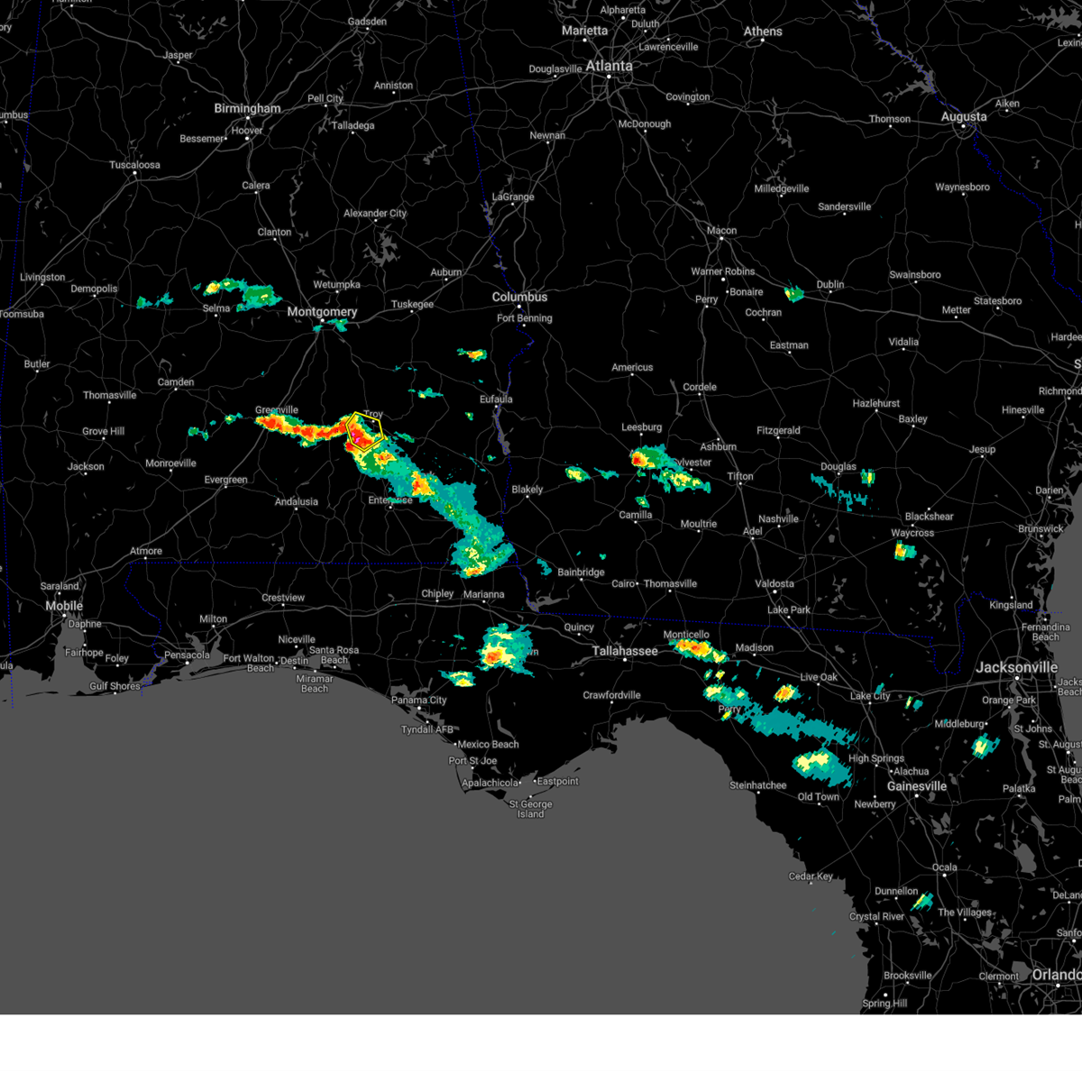
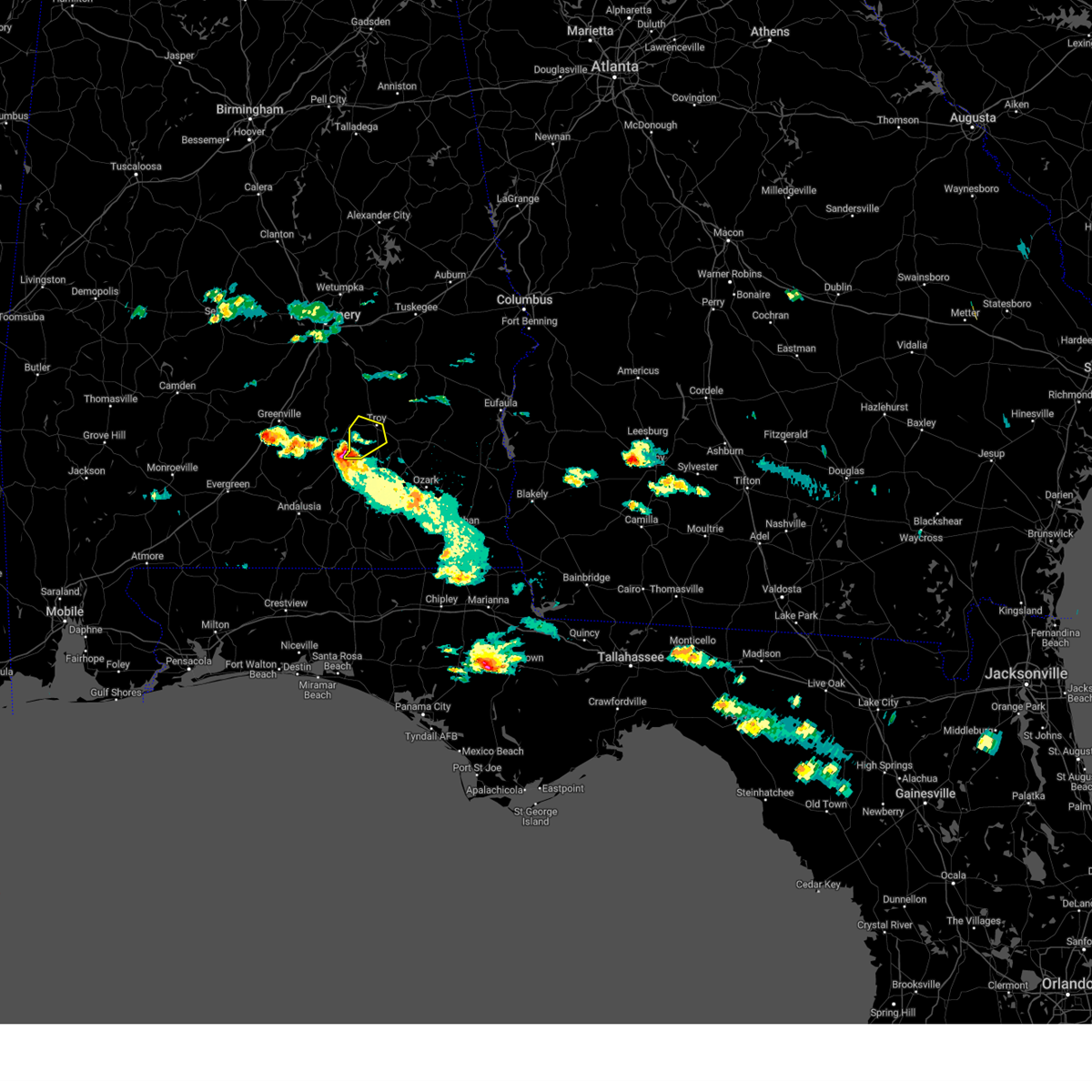
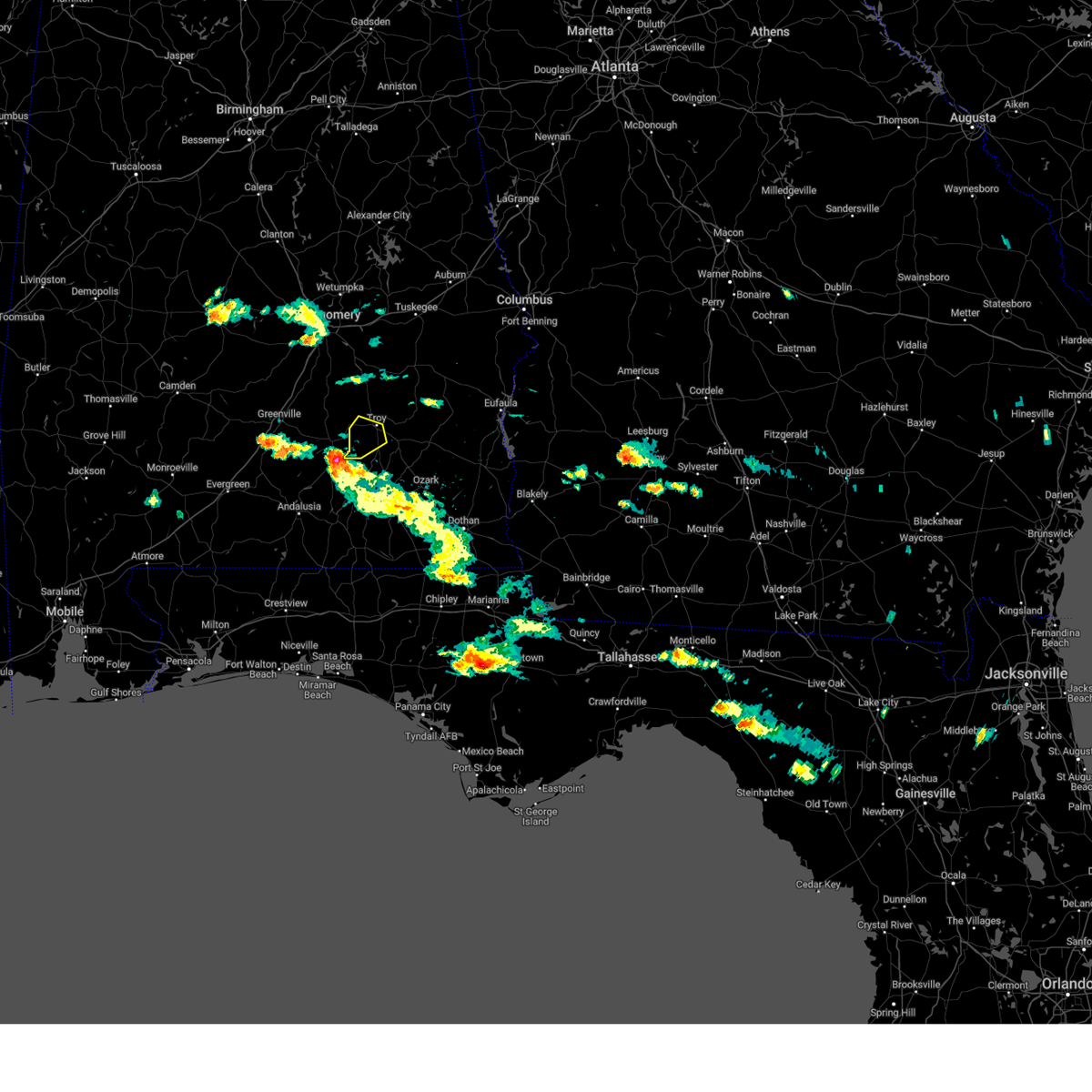
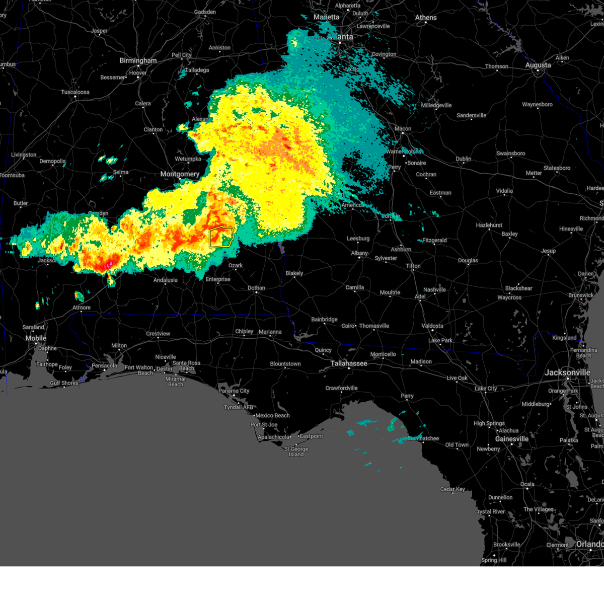
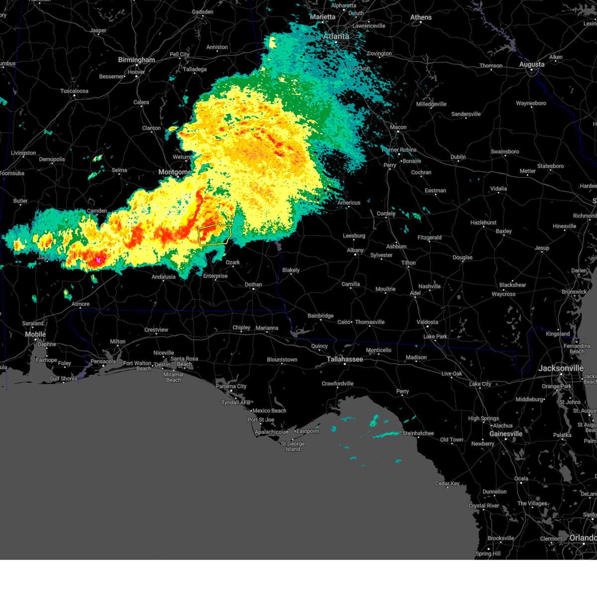
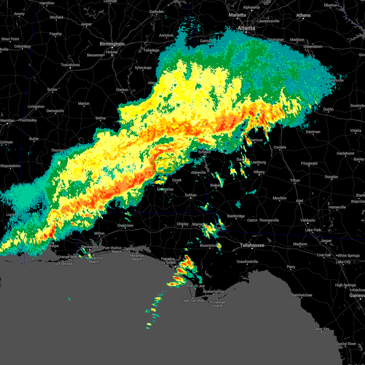
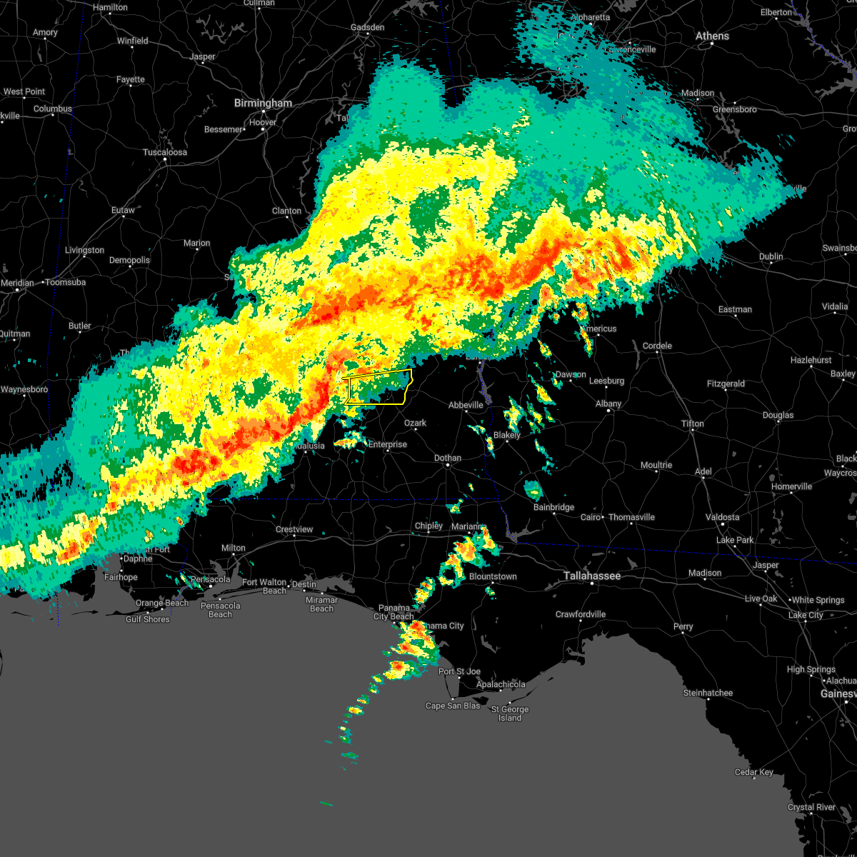
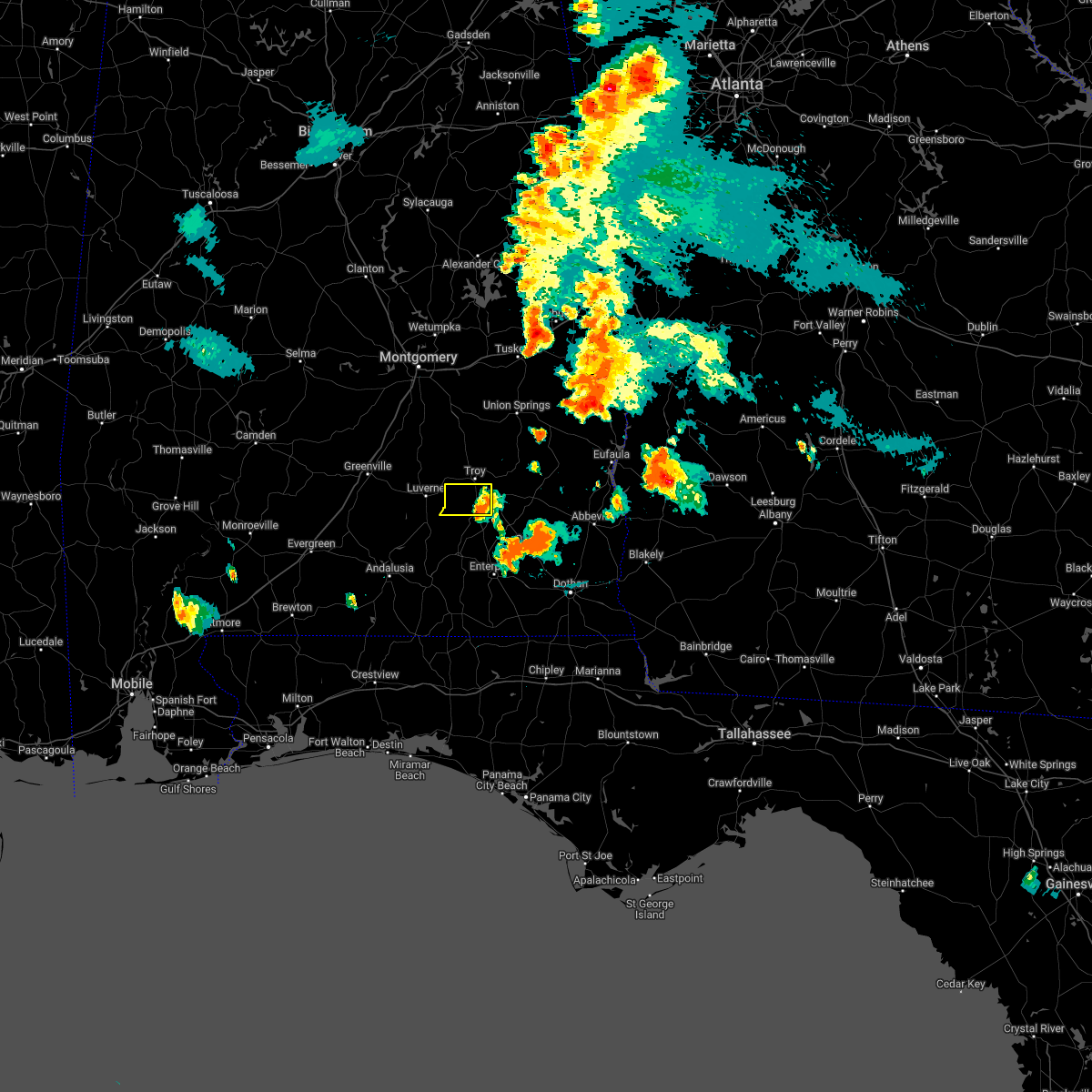
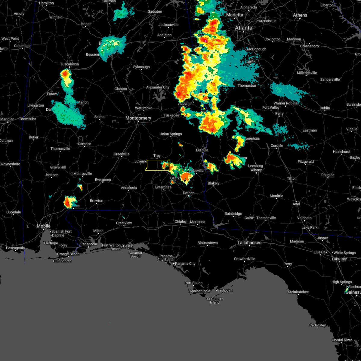
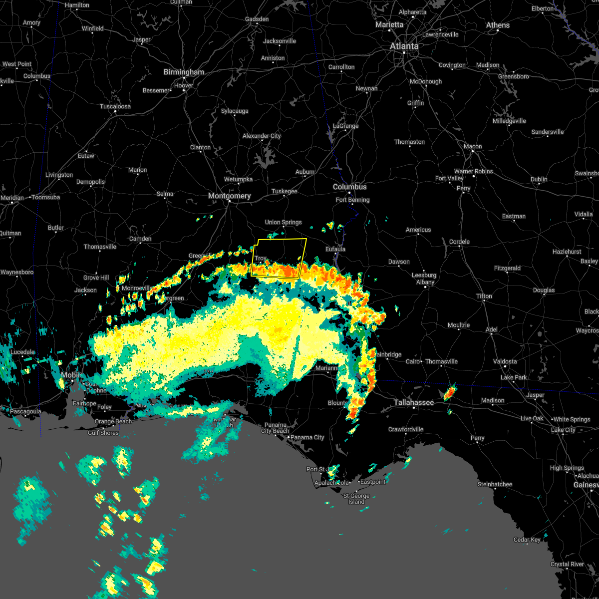
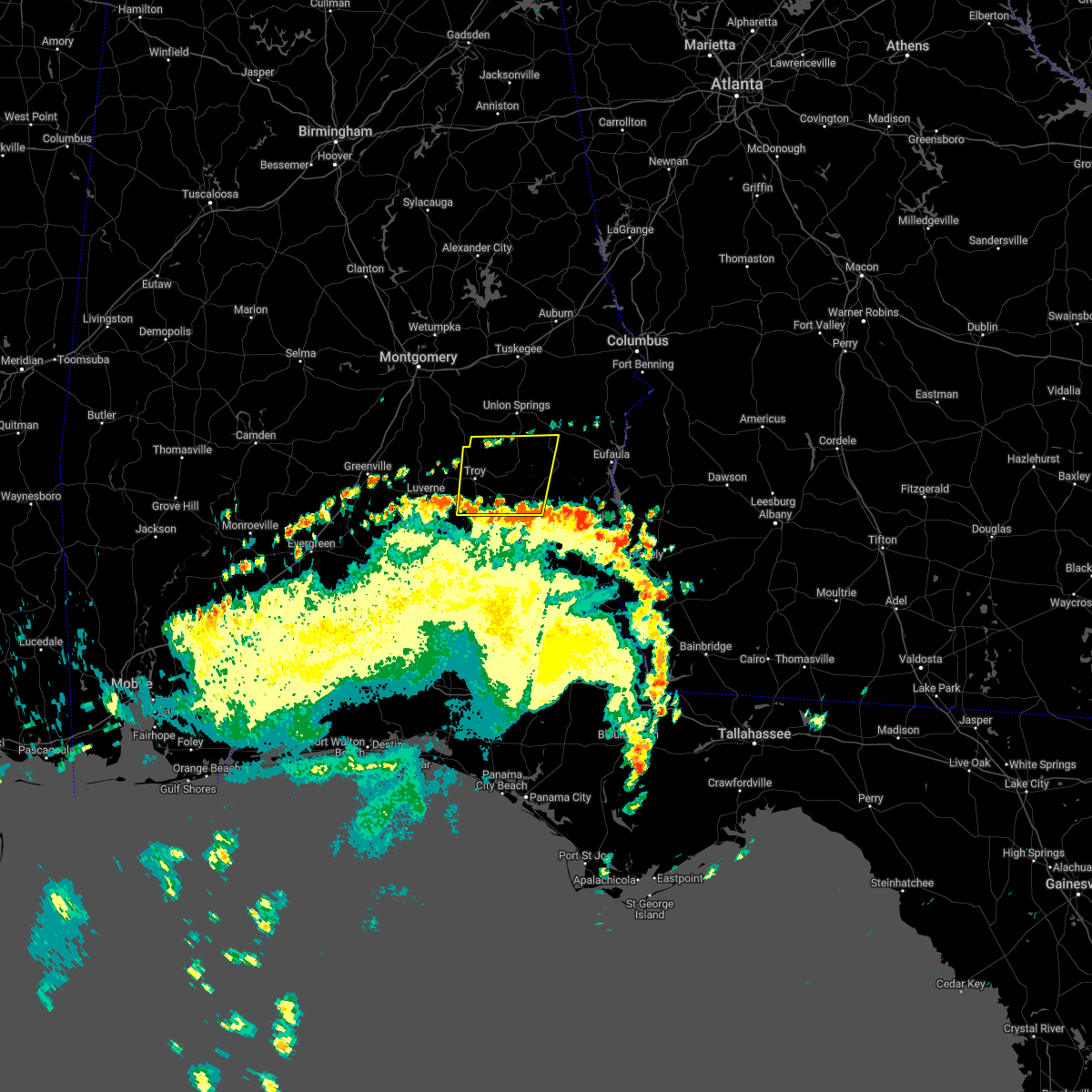
Hail Map for Troy, AL
The Troy, AL area has had 5 reports of on-the-ground hail by trained spotters, and has been under severe weather warnings 27 times during the past 12 months. Doppler radar has detected hail at or near Troy, AL on 79 occasions, including 3 occasions during the past year.
| Name: | Troy, AL |
| Where Located: | 62.3 miles SSW of Auburn, AL |
| Map: | Google Map for Troy, AL |
| Population: | 18033 |
| Housing Units: | 7844 |
| More Info: | Search Google for Troy, AL |
1
The Top Recent Hail Date for Troy, AL is Sunday, August 18, 2024 (12th out of 79)

Hail and Wind Damage Spotted near Troy, AL
| Date / Time | Report Details |
|---|---|
| 7/1/2025 7:35 PM CDT |
 The storms which prompted the warning have weakened below severe limits, and have exited the warned area. therefore, the warning will be allowed to expire. The storms which prompted the warning have weakened below severe limits, and have exited the warned area. therefore, the warning will be allowed to expire.
|
| 7/1/2025 7:29 PM CDT |
 At 729 pm cdt, severe thunderstorms were located along a line extending from antioch to 8 miles southwest of brundidge to 7 miles southeast of brantley, moving southeast at 30 mph (radar indicated). Hazards include 60 mph wind gusts. Expect damage to roofs, siding, and trees. Locations impacted include, troy, antioch, springhill, mossy grove, and henderson. At 729 pm cdt, severe thunderstorms were located along a line extending from antioch to 8 miles southwest of brundidge to 7 miles southeast of brantley, moving southeast at 30 mph (radar indicated). Hazards include 60 mph wind gusts. Expect damage to roofs, siding, and trees. Locations impacted include, troy, antioch, springhill, mossy grove, and henderson.
|
| 7/1/2025 7:12 PM CDT |
 At 712 pm cdt, severe thunderstorms were located along a line extending from near beans crossroads to near troy municipal airport to near glenwood, moving east at 30 mph (radar indicated). Hazards include 60 mph wind gusts. Expect damage to roofs, siding, and trees. Locations impacted include, troy, goshen, banks, antioch, linwood, ansley, troy municipal airport, troy university, orion, springhill, china grove, sandfield, mossy grove, and henderson. At 712 pm cdt, severe thunderstorms were located along a line extending from near beans crossroads to near troy municipal airport to near glenwood, moving east at 30 mph (radar indicated). Hazards include 60 mph wind gusts. Expect damage to roofs, siding, and trees. Locations impacted include, troy, goshen, banks, antioch, linwood, ansley, troy municipal airport, troy university, orion, springhill, china grove, sandfield, mossy grove, and henderson.
|
| 7/1/2025 6:44 PM CDT |
 Svrbmx the national weather service in birmingham has issued a * severe thunderstorm warning for, pike county in southeastern alabama, * until 745 pm cdt. * at 643 pm cdt, severe thunderstorms were located along a line extending from near ramer to near lapine to 9 miles east of greenville, moving southeast at 25 mph (radar indicated). Hazards include 60 mph wind gusts. expect damage to roofs, siding, and trees Svrbmx the national weather service in birmingham has issued a * severe thunderstorm warning for, pike county in southeastern alabama, * until 745 pm cdt. * at 643 pm cdt, severe thunderstorms were located along a line extending from near ramer to near lapine to 9 miles east of greenville, moving southeast at 25 mph (radar indicated). Hazards include 60 mph wind gusts. expect damage to roofs, siding, and trees
|
| 6/25/2025 9:22 PM CDT |
 At 922 pm cdt, severe thunderstorms were located along a line extending from near aberfoil to near goshen, moving northwest at 25 mph (radar indicated). Hazards include 60 mph wind gusts. Expect damage to roofs, siding, and trees. Locations impacted include, troy, brundidge, goshen, banks, pickett, antioch, beans crossroads, linwood, troy municipal airport, troy university, tennille, tanyard, high ridge, hamilton crossroads, monticello, springhill, perote, josie, china grove, and sandfield. At 922 pm cdt, severe thunderstorms were located along a line extending from near aberfoil to near goshen, moving northwest at 25 mph (radar indicated). Hazards include 60 mph wind gusts. Expect damage to roofs, siding, and trees. Locations impacted include, troy, brundidge, goshen, banks, pickett, antioch, beans crossroads, linwood, troy municipal airport, troy university, tennille, tanyard, high ridge, hamilton crossroads, monticello, springhill, perote, josie, china grove, and sandfield.
|
| 6/25/2025 9:08 PM CDT |
 Svrbmx the national weather service in birmingham has issued a * severe thunderstorm warning for, pike county in southeastern alabama, southwestern bullock county in southeastern alabama, * until 1000 pm cdt. * at 908 pm cdt, severe thunderstorms were located along a line extending from boot hill to 9 miles southwest of antioch, moving west at 25 mph (radar indicated). Hazards include 60 mph wind gusts. expect damage to roofs, siding, and trees Svrbmx the national weather service in birmingham has issued a * severe thunderstorm warning for, pike county in southeastern alabama, southwestern bullock county in southeastern alabama, * until 1000 pm cdt. * at 908 pm cdt, severe thunderstorms were located along a line extending from boot hill to 9 miles southwest of antioch, moving west at 25 mph (radar indicated). Hazards include 60 mph wind gusts. expect damage to roofs, siding, and trees
|
| 5/27/2025 2:44 PM CDT |
 the severe thunderstorm warning has been cancelled and is no longer in effect the severe thunderstorm warning has been cancelled and is no longer in effect
|
| 5/27/2025 2:31 PM CDT |
 At 230 pm cdt, severe thunderstorms were located along a line extending from near pickett to 8 miles southwest of ariton, moving east at 40 mph (radar indicated). Hazards include 60 mph wind gusts and penny size hail. Expect damage to roofs, siding, and trees. Locations impacted include, brundidge, banks, antioch, tennille, tarentum, brundidge municipal airport, hamilton crossroads, monticello, and josie. At 230 pm cdt, severe thunderstorms were located along a line extending from near pickett to 8 miles southwest of ariton, moving east at 40 mph (radar indicated). Hazards include 60 mph wind gusts and penny size hail. Expect damage to roofs, siding, and trees. Locations impacted include, brundidge, banks, antioch, tennille, tarentum, brundidge municipal airport, hamilton crossroads, monticello, and josie.
|
| 5/27/2025 2:08 PM CDT |
 At 208 pm cdt, severe thunderstorms were located along a line extending from linwood to 9 miles north of elba, moving east at 40 mph (radar indicated). Hazards include 60 mph wind gusts and penny size hail. Expect damage to roofs, siding, and trees. Locations impacted include, troy, brundidge, banks, antioch, linwood, troy municipal airport, troy university, tennille, hamilton crossroads, monticello, orion, springhill, josie, sandfield, tarentum, brundidge municipal airport, mossy grove, and henderson. At 208 pm cdt, severe thunderstorms were located along a line extending from linwood to 9 miles north of elba, moving east at 40 mph (radar indicated). Hazards include 60 mph wind gusts and penny size hail. Expect damage to roofs, siding, and trees. Locations impacted include, troy, brundidge, banks, antioch, linwood, troy municipal airport, troy university, tennille, hamilton crossroads, monticello, orion, springhill, josie, sandfield, tarentum, brundidge municipal airport, mossy grove, and henderson.
|
| 5/27/2025 1:52 PM CDT |
 Svrbmx the national weather service in birmingham has issued a * severe thunderstorm warning for, pike county in southeastern alabama, * until 300 pm cdt. * at 152 pm cdt, severe thunderstorms were located along a line extending from 6 miles north of troy municipal airport to near brantley, moving east at 40 mph (radar indicated). Hazards include 60 mph wind gusts and penny size hail. expect damage to roofs, siding, and trees Svrbmx the national weather service in birmingham has issued a * severe thunderstorm warning for, pike county in southeastern alabama, * until 300 pm cdt. * at 152 pm cdt, severe thunderstorms were located along a line extending from 6 miles north of troy municipal airport to near brantley, moving east at 40 mph (radar indicated). Hazards include 60 mph wind gusts and penny size hail. expect damage to roofs, siding, and trees
|
| 3/15/2025 11:10 PM CDT |
 At 1109 pm cdt, a confirmed large and extremely dangerous tornado was located near banks, or near troy, moving northeast at 60 mph. this is a particularly dangerous situation. take cover now! (radar confirmed tornado). Hazards include damaging tornado. You are in a life-threatening situation. flying debris may be deadly to those caught without shelter. mobile homes will be destroyed. considerable damage to homes, businesses, and vehicles is likely and complete destruction is possible. Locations impacted include, linwood, sandfield, banks, monticello, troy university, josie, and troy. At 1109 pm cdt, a confirmed large and extremely dangerous tornado was located near banks, or near troy, moving northeast at 60 mph. this is a particularly dangerous situation. take cover now! (radar confirmed tornado). Hazards include damaging tornado. You are in a life-threatening situation. flying debris may be deadly to those caught without shelter. mobile homes will be destroyed. considerable damage to homes, businesses, and vehicles is likely and complete destruction is possible. Locations impacted include, linwood, sandfield, banks, monticello, troy university, josie, and troy.
|
| 3/15/2025 11:07 PM CDT |
 At 1106 pm cdt, a large and extremely dangerous tornado was located over troy university, or over troy, moving northeast at 60 mph. this is a particularly dangerous situation. take cover now! (radar indicated rotation). Hazards include damaging tornado. You are in a life-threatening situation. flying debris may be deadly to those caught without shelter. mobile homes will be destroyed. considerable damage to homes, businesses, and vehicles is likely and complete destruction is possible. Locations impacted include, linwood, sandfield, banks, monticello, mossy grove, antioch, troy university, josie, and troy. At 1106 pm cdt, a large and extremely dangerous tornado was located over troy university, or over troy, moving northeast at 60 mph. this is a particularly dangerous situation. take cover now! (radar indicated rotation). Hazards include damaging tornado. You are in a life-threatening situation. flying debris may be deadly to those caught without shelter. mobile homes will be destroyed. considerable damage to homes, businesses, and vehicles is likely and complete destruction is possible. Locations impacted include, linwood, sandfield, banks, monticello, mossy grove, antioch, troy university, josie, and troy.
|
| 3/15/2025 11:02 PM CDT |
 At 1101 pm cdt, a severe thunderstorm capable of producing a tornado was located near troy, moving east at 40 mph (radar indicated rotation). Hazards include tornado. Flying debris will be dangerous to those caught without shelter. mobile homes will be damaged or destroyed. damage to roofs, windows, and vehicles will occur. tree damage is likely. Locations impacted include, linwood, sandfield, banks, troy municipal airport, monticello, mossy grove, antioch, troy university, josie, and troy. At 1101 pm cdt, a severe thunderstorm capable of producing a tornado was located near troy, moving east at 40 mph (radar indicated rotation). Hazards include tornado. Flying debris will be dangerous to those caught without shelter. mobile homes will be damaged or destroyed. damage to roofs, windows, and vehicles will occur. tree damage is likely. Locations impacted include, linwood, sandfield, banks, troy municipal airport, monticello, mossy grove, antioch, troy university, josie, and troy.
|
| 3/15/2025 10:47 PM CDT |
 Torbmx the national weather service in birmingham has issued a * tornado warning for, central pike county in southeastern alabama, * until 1145 pm cdt. * at 1047 pm cdt, a severe thunderstorm capable of producing a tornado was located over glenwood, or near goshen, moving northeast at 55 mph (radar indicated rotation). Hazards include tornado. Flying debris will be dangerous to those caught without shelter. mobile homes will be damaged or destroyed. damage to roofs, windows, and vehicles will occur. Tree damage is likely. Torbmx the national weather service in birmingham has issued a * tornado warning for, central pike county in southeastern alabama, * until 1145 pm cdt. * at 1047 pm cdt, a severe thunderstorm capable of producing a tornado was located over glenwood, or near goshen, moving northeast at 55 mph (radar indicated rotation). Hazards include tornado. Flying debris will be dangerous to those caught without shelter. mobile homes will be damaged or destroyed. damage to roofs, windows, and vehicles will occur. Tree damage is likely.
|
| 3/4/2025 11:51 PM CST |
 The storms which prompted the warning have weakened below severe limits, and no longer pose an immediate threat to life or property. therefore, the warning will be allowed to expire. however, gusty winds are still possible with these thunderstorms. a severe thunderstorm watch remains in effect until 300 am cst for southeastern alabama. The storms which prompted the warning have weakened below severe limits, and no longer pose an immediate threat to life or property. therefore, the warning will be allowed to expire. however, gusty winds are still possible with these thunderstorms. a severe thunderstorm watch remains in effect until 300 am cst for southeastern alabama.
|
| 3/4/2025 11:12 PM CST |
 At 1112 pm cst, severe thunderstorms were located along a line extending from franklin field to near glenwood, moving east at 40 mph (radar indicated). Hazards include 60 mph wind gusts. Expect damage to roofs, siding, and trees. Locations impacted include, pickett, tennille, aberfoil, high ridge, perote, josie, beans crossroads, linwood, shopton, three notch, banks, midway, kent, tanyard, hamilton crossroads, monticello, orion, springhill, antioch, and troy. At 1112 pm cst, severe thunderstorms were located along a line extending from franklin field to near glenwood, moving east at 40 mph (radar indicated). Hazards include 60 mph wind gusts. Expect damage to roofs, siding, and trees. Locations impacted include, pickett, tennille, aberfoil, high ridge, perote, josie, beans crossroads, linwood, shopton, three notch, banks, midway, kent, tanyard, hamilton crossroads, monticello, orion, springhill, antioch, and troy.
|
| 3/4/2025 11:12 PM CST |
 the severe thunderstorm warning has been cancelled and is no longer in effect the severe thunderstorm warning has been cancelled and is no longer in effect
|
| 3/4/2025 10:43 PM CST |
 Svrbmx the national weather service in birmingham has issued a * severe thunderstorm warning for, pike county in southeastern alabama, bullock county in southeastern alabama, southeastern montgomery county in south central alabama, * until midnight cst. * at 1043 pm cst, severe thunderstorms were located along a line extending from near meadville to 8 miles north of dozier, moving east at 40 mph (radar indicated). Hazards include 60 mph wind gusts. expect damage to roofs, siding, and trees Svrbmx the national weather service in birmingham has issued a * severe thunderstorm warning for, pike county in southeastern alabama, bullock county in southeastern alabama, southeastern montgomery county in south central alabama, * until midnight cst. * at 1043 pm cst, severe thunderstorms were located along a line extending from near meadville to 8 miles north of dozier, moving east at 40 mph (radar indicated). Hazards include 60 mph wind gusts. expect damage to roofs, siding, and trees
|
| 2/16/2025 3:36 AM CST |
 At 335 am cst, severe thunderstorms were located along a line extending from near pine mountain to 6 miles north of russell county sports complex to near brundidge, moving east at 50 mph (radar indicated). Hazards include 70 mph wind gusts. Expect considerable tree damage. damage is likely to mobile homes, roofs, and outbuildings. Locations impacted include, troy, brundidge, midway, smiths, smiths station, banks, pickett, uchee, antioch, guerryton, bleecker, ladonia, tennille, tanyard, hamilton crossroads, monticello, springhill, perote, josie, and monterey heights. At 335 am cst, severe thunderstorms were located along a line extending from near pine mountain to 6 miles north of russell county sports complex to near brundidge, moving east at 50 mph (radar indicated). Hazards include 70 mph wind gusts. Expect considerable tree damage. damage is likely to mobile homes, roofs, and outbuildings. Locations impacted include, troy, brundidge, midway, smiths, smiths station, banks, pickett, uchee, antioch, guerryton, bleecker, ladonia, tennille, tanyard, hamilton crossroads, monticello, springhill, perote, josie, and monterey heights.
|
| 2/16/2025 3:36 AM CST |
 the severe thunderstorm warning has been cancelled and is no longer in effect the severe thunderstorm warning has been cancelled and is no longer in effect
|
| 2/16/2025 3:26 AM CST |
 At 326 am cst, severe thunderstorms were located along a line extending from near west point to near uchee to 8 miles southeast of goshen, moving east at 60 mph (radar indicated). Hazards include 70 mph wind gusts. Expect considerable tree damage. damage is likely to mobile homes, roofs, and outbuildings. Locations impacted include, opelika, troy, valley, lanett, union springs, brundidge, midway, goshen, smiths, smiths station, west point, banks, lakeview, pickett, beulah, aberfoil, beans mill, beans crossroads, guerryton, and linwood. At 326 am cst, severe thunderstorms were located along a line extending from near west point to near uchee to 8 miles southeast of goshen, moving east at 60 mph (radar indicated). Hazards include 70 mph wind gusts. Expect considerable tree damage. damage is likely to mobile homes, roofs, and outbuildings. Locations impacted include, opelika, troy, valley, lanett, union springs, brundidge, midway, goshen, smiths, smiths station, west point, banks, lakeview, pickett, beulah, aberfoil, beans mill, beans crossroads, guerryton, and linwood.
|
| 2/16/2025 3:10 AM CST |
 At 309 am cst, severe thunderstorms were located along a line extending from fredonia to 6 miles north of troy municipal airport, moving east at 65 mph (radar indicated). Hazards include 70 mph wind gusts. Expect considerable tree damage. damage is likely to mobile homes, roofs, and outbuildings. Locations impacted include, auburn, opelika, troy, tuskegee, valley, lanett, union springs, brundidge, notasulga, midway, goshen, smiths, smiths station, west point, glenwood, banks, lakeview, cusseta, pickett, and beulah. At 309 am cst, severe thunderstorms were located along a line extending from fredonia to 6 miles north of troy municipal airport, moving east at 65 mph (radar indicated). Hazards include 70 mph wind gusts. Expect considerable tree damage. damage is likely to mobile homes, roofs, and outbuildings. Locations impacted include, auburn, opelika, troy, tuskegee, valley, lanett, union springs, brundidge, notasulga, midway, goshen, smiths, smiths station, west point, glenwood, banks, lakeview, cusseta, pickett, and beulah.
|
| 2/16/2025 2:35 AM CST |
 Svrbmx the national weather service in birmingham has issued a * severe thunderstorm warning for, pike county in southeastern alabama, lee county in east central alabama, bullock county in southeastern alabama, macon county in southeastern alabama, eastern chambers county in east central alabama, * until 400 am cst. * at 234 am cst, severe thunderstorms were located along a line extending from near new site to near logan, moving east at 65 mph (radar indicated). Hazards include 70 mph wind gusts. Expect considerable tree damage. Damage is likely to mobile homes, roofs, and outbuildings. Svrbmx the national weather service in birmingham has issued a * severe thunderstorm warning for, pike county in southeastern alabama, lee county in east central alabama, bullock county in southeastern alabama, macon county in southeastern alabama, eastern chambers county in east central alabama, * until 400 am cst. * at 234 am cst, severe thunderstorms were located along a line extending from near new site to near logan, moving east at 65 mph (radar indicated). Hazards include 70 mph wind gusts. Expect considerable tree damage. Damage is likely to mobile homes, roofs, and outbuildings.
|
| 8/18/2024 8:27 PM CDT |
 the severe thunderstorm warning has been cancelled and is no longer in effect the severe thunderstorm warning has been cancelled and is no longer in effect
|
| 8/18/2024 8:12 PM CDT | Multiple trees were blown down along us 2 in pike county AL, 3 miles SW of Troy, AL |
| 8/18/2024 8:08 PM CDT | At 808 pm cdt, a severe thunderstorm was located near brundidge, moving southeast at 40 mph (radar indicated). Hazards include ping pong ball size hail and 60 mph wind gusts. People and animals outdoors will be injured. expect hail damage to roofs, siding, windows, and vehicles. expect wind damage to roofs, siding, and trees. Locations impacted include, troy, brundidge, banks, antioch, tennille, tarentum, brundidge municipal airport, hamilton crossroads, springhill, and mossy grove. |
| 8/18/2024 7:56 PM CDT | Quarter sized hail reported 5.7 miles WNW of Troy, AL |
| 8/18/2024 7:51 PM CDT | Multiple trees were blown down along us 2 in pike county AL, 3 miles SW of Troy, AL |
| 8/18/2024 7:49 PM CDT |
 At 749 pm cdt, a severe thunderstorm was located near troy university, or near troy, moving southeast at 35 mph (radar indicated). Hazards include golf ball size hail and 60 mph wind gusts. People and animals outdoors will be injured. expect hail damage to roofs, siding, windows, and vehicles. expect wind damage to roofs, siding, and trees. Locations impacted include, troy, brundidge, banks, antioch, linwood, troy municipal airport, troy university, tennille, hamilton crossroads, monticello, springhill, tarentum, brundidge municipal airport, and mossy grove. At 749 pm cdt, a severe thunderstorm was located near troy university, or near troy, moving southeast at 35 mph (radar indicated). Hazards include golf ball size hail and 60 mph wind gusts. People and animals outdoors will be injured. expect hail damage to roofs, siding, windows, and vehicles. expect wind damage to roofs, siding, and trees. Locations impacted include, troy, brundidge, banks, antioch, linwood, troy municipal airport, troy university, tennille, hamilton crossroads, monticello, springhill, tarentum, brundidge municipal airport, and mossy grove.
|
| 8/18/2024 7:38 PM CDT |
 Svrbmx the national weather service in birmingham has issued a * severe thunderstorm warning for, pike county in southeastern alabama, * until 845 pm cdt. * at 738 pm cdt, a severe thunderstorm was located near troy municipal airport, or 9 miles north of troy, moving southeast at 35 mph (radar indicated). Hazards include 60 mph wind gusts and quarter size hail. Hail damage to vehicles is expected. Expect wind damage to roofs, siding, and trees. Svrbmx the national weather service in birmingham has issued a * severe thunderstorm warning for, pike county in southeastern alabama, * until 845 pm cdt. * at 738 pm cdt, a severe thunderstorm was located near troy municipal airport, or 9 miles north of troy, moving southeast at 35 mph (radar indicated). Hazards include 60 mph wind gusts and quarter size hail. Hail damage to vehicles is expected. Expect wind damage to roofs, siding, and trees.
|
| 5/25/2024 1:27 PM CDT |
 The storm which prompted the warning has weakened below severe limits, and no longer poses an immediate threat to life or property. therefore, the warning will be allowed to expire. however, gusty winds are still possible with this thunderstorm. a severe thunderstorm watch remains in effect until 700 pm cdt for southeastern alabama. The storm which prompted the warning has weakened below severe limits, and no longer poses an immediate threat to life or property. therefore, the warning will be allowed to expire. however, gusty winds are still possible with this thunderstorm. a severe thunderstorm watch remains in effect until 700 pm cdt for southeastern alabama.
|
| 5/25/2024 1:16 PM CDT |
 At 116 pm cdt, a severe thunderstorm was located over troy municipal airport, or near troy, moving southeast at 20 mph (radar indicated). Hazards include 60 mph wind gusts and quarter size hail. Hail damage to vehicles is expected. expect wind damage to roofs, siding, and trees. Locations impacted include, troy, troy municipal airport, ansley, and orion. At 116 pm cdt, a severe thunderstorm was located over troy municipal airport, or near troy, moving southeast at 20 mph (radar indicated). Hazards include 60 mph wind gusts and quarter size hail. Hail damage to vehicles is expected. expect wind damage to roofs, siding, and trees. Locations impacted include, troy, troy municipal airport, ansley, and orion.
|
| 5/25/2024 1:01 PM CDT |
 At 101 pm cdt, a severe thunderstorm was located near ansley, or 9 miles northwest of troy, moving southeast at 25 mph (radar indicated). Hazards include 60 mph wind gusts and quarter size hail. Hail damage to vehicles is expected. expect wind damage to roofs, siding, and trees. Locations impacted include, troy, troy municipal airport, linwood, kent, ansley, and orion. At 101 pm cdt, a severe thunderstorm was located near ansley, or 9 miles northwest of troy, moving southeast at 25 mph (radar indicated). Hazards include 60 mph wind gusts and quarter size hail. Hail damage to vehicles is expected. expect wind damage to roofs, siding, and trees. Locations impacted include, troy, troy municipal airport, linwood, kent, ansley, and orion.
|
| 5/25/2024 1:01 PM CDT |
 the severe thunderstorm warning has been cancelled and is no longer in effect the severe thunderstorm warning has been cancelled and is no longer in effect
|
| 5/25/2024 12:47 PM CDT |
 At 1246 pm cdt, a severe thunderstorm was located near dublin, or near meadville, moving southeast at 25 mph (radar indicated). Hazards include 60 mph wind gusts and quarter size hail. Hail damage to vehicles is expected. expect wind damage to roofs, siding, and trees. Locations impacted include, troy, linwood, kent, ansley, grady, dublin, troy municipal airport, currys, and orion. At 1246 pm cdt, a severe thunderstorm was located near dublin, or near meadville, moving southeast at 25 mph (radar indicated). Hazards include 60 mph wind gusts and quarter size hail. Hail damage to vehicles is expected. expect wind damage to roofs, siding, and trees. Locations impacted include, troy, linwood, kent, ansley, grady, dublin, troy municipal airport, currys, and orion.
|
| 5/25/2024 12:39 PM CDT |
 Svrbmx the national weather service in birmingham has issued a * severe thunderstorm warning for, northwestern pike county in southeastern alabama, southeastern montgomery county in south central alabama, * until 130 pm cdt. * at 1239 pm cdt, a severe thunderstorm was located over dublin, or over meadville, moving southeast at 20 mph (radar indicated). Hazards include 60 mph wind gusts and quarter size hail. Hail damage to vehicles is expected. Expect wind damage to roofs, siding, and trees. Svrbmx the national weather service in birmingham has issued a * severe thunderstorm warning for, northwestern pike county in southeastern alabama, southeastern montgomery county in south central alabama, * until 130 pm cdt. * at 1239 pm cdt, a severe thunderstorm was located over dublin, or over meadville, moving southeast at 20 mph (radar indicated). Hazards include 60 mph wind gusts and quarter size hail. Hail damage to vehicles is expected. Expect wind damage to roofs, siding, and trees.
|
| 5/10/2024 3:17 AM CDT |
 At 317 am cdt, severe thunderstorms were located along a line extending from banks to near ariton to 7 miles northwest of fort rucker, moving east at 65 mph (radar indicated). Hazards include 70 mph wind gusts and penny size hail. Expect considerable tree damage. damage is likely to mobile homes, roofs, and outbuildings. Locations impacted include, troy, brundidge, banks, antioch, troy university, tennille, hamilton crossroads, monticello, springhill, josie, tarentum, brundidge municipal airport, and mossy grove. At 317 am cdt, severe thunderstorms were located along a line extending from banks to near ariton to 7 miles northwest of fort rucker, moving east at 65 mph (radar indicated). Hazards include 70 mph wind gusts and penny size hail. Expect considerable tree damage. damage is likely to mobile homes, roofs, and outbuildings. Locations impacted include, troy, brundidge, banks, antioch, troy university, tennille, hamilton crossroads, monticello, springhill, josie, tarentum, brundidge municipal airport, and mossy grove.
|
| 5/10/2024 3:07 AM CDT | 54 kt (62 mph) peak gust at ktoi aso in pike county AL, 4.4 miles SSE of Troy, AL |
| 5/10/2024 2:46 AM CDT |
 Svrbmx the national weather service in birmingham has issued a * severe thunderstorm warning for, pike county in southeastern alabama, * until 330 am cdt. * at 246 am cdt, severe thunderstorms were located along a line extending from near rutledge to near brantley to near dozier, moving east at 65 mph (radar indicated). Hazards include 60 mph wind gusts and penny size hail. expect damage to roofs, siding, and trees Svrbmx the national weather service in birmingham has issued a * severe thunderstorm warning for, pike county in southeastern alabama, * until 330 am cdt. * at 246 am cdt, severe thunderstorms were located along a line extending from near rutledge to near brantley to near dozier, moving east at 65 mph (radar indicated). Hazards include 60 mph wind gusts and penny size hail. expect damage to roofs, siding, and trees
|
| 5/9/2024 10:37 PM CDT |
 Svrbmx the national weather service in birmingham has issued a * severe thunderstorm warning for, central pike county in southeastern alabama, barbour county in southeastern alabama, * until 1130 pm cdt. * at 1037 pm cdt, severe thunderstorms were located along a line extending from near guerryton to 6 miles southeast of linwood to near troy municipal airport, moving southeast at 50 mph (radar indicated). Hazards include 60 mph wind gusts. expect damage to roofs, siding, and trees Svrbmx the national weather service in birmingham has issued a * severe thunderstorm warning for, central pike county in southeastern alabama, barbour county in southeastern alabama, * until 1130 pm cdt. * at 1037 pm cdt, severe thunderstorms were located along a line extending from near guerryton to 6 miles southeast of linwood to near troy municipal airport, moving southeast at 50 mph (radar indicated). Hazards include 60 mph wind gusts. expect damage to roofs, siding, and trees
|
| 8/15/2023 3:57 PM CDT | Multiple reports of trees down in pike county near troy. location and time estimate in pike county AL, 2.1 miles WSW of Troy, AL |
| 8/8/2023 2:59 PM CDT |
 At 258 pm cdt, severe thunderstorms were located along a line extending from near spring hill to near brundidge, moving east at 40 mph (radar indicated). Hazards include 60 mph wind gusts. Expect damage to roofs, siding, and trees. locations impacted include, troy, eufaula, brundidge, clio, goshen, clayton, louisville, banks, blue springs, tyler crossroads, pickett, hawkinsville, spring hill, linwood, osco, richards crossroads, white oak, boot hill, gaino and comer. hail threat, radar indicated max hail size, <. 75 in wind threat, radar indicated max wind gust, 60 mph. At 258 pm cdt, severe thunderstorms were located along a line extending from near spring hill to near brundidge, moving east at 40 mph (radar indicated). Hazards include 60 mph wind gusts. Expect damage to roofs, siding, and trees. locations impacted include, troy, eufaula, brundidge, clio, goshen, clayton, louisville, banks, blue springs, tyler crossroads, pickett, hawkinsville, spring hill, linwood, osco, richards crossroads, white oak, boot hill, gaino and comer. hail threat, radar indicated max hail size, <. 75 in wind threat, radar indicated max wind gust, 60 mph.
|
| 8/8/2023 2:37 PM CDT |
 At 237 pm cdt, severe thunderstorms were located along a line extending from near aberfoil to 8 miles southeast of goshen, moving east at 40 mph (radar indicated). Hazards include 60 mph wind gusts. expect damage to roofs, siding, and trees At 237 pm cdt, severe thunderstorms were located along a line extending from near aberfoil to 8 miles southeast of goshen, moving east at 40 mph (radar indicated). Hazards include 60 mph wind gusts. expect damage to roofs, siding, and trees
|
| 8/8/2023 2:21 PM CDT | Multiple trees down along county road 7714 in northern pike county... a in pike county AL, 6.1 miles SSE of Troy, AL |
| 8/8/2023 2:21 PM CDT |
 At 220 pm cdt, severe thunderstorms were located along a line extending from ansley to near boot hill, moving east at 20 mph (radar indicated). Hazards include 60 mph wind gusts. Expect damage to roofs, siding, and trees. locations impacted include, troy, brundidge, louisville, banks, pickett, kent, antioch, linwood, ansley, troy municipal airport, troy university, boot hill, tanyard, monticello, orion, perote, josie, sandfield, mossy grove and mount andrew. hail threat, radar indicated max hail size, <. 75 in wind threat, radar indicated max wind gust, 60 mph. At 220 pm cdt, severe thunderstorms were located along a line extending from ansley to near boot hill, moving east at 20 mph (radar indicated). Hazards include 60 mph wind gusts. Expect damage to roofs, siding, and trees. locations impacted include, troy, brundidge, louisville, banks, pickett, kent, antioch, linwood, ansley, troy municipal airport, troy university, boot hill, tanyard, monticello, orion, perote, josie, sandfield, mossy grove and mount andrew. hail threat, radar indicated max hail size, <. 75 in wind threat, radar indicated max wind gust, 60 mph.
|
| 8/8/2023 2:01 PM CDT |
 At 201 pm cdt, a severe thunderstorm was located near banks, or near troy, moving east at 25 mph (radar indicated). Hazards include 60 mph wind gusts. expect damage to roofs, siding, and trees At 201 pm cdt, a severe thunderstorm was located near banks, or near troy, moving east at 25 mph (radar indicated). Hazards include 60 mph wind gusts. expect damage to roofs, siding, and trees
|
| 8/6/2023 6:55 PM CDT | Trees down on cr 7711. time estimated by radar and call log in pike county AL, 13.9 miles SSW of Troy, AL |
| 8/6/2023 6:08 PM CDT |
 At 608 pm cdt, a severe thunderstorm was located near brundidge, moving east at 35 mph (radar indicated). Hazards include 60 mph wind gusts. Expect damage to roofs, siding, and trees. locations impacted include, troy, brundidge, banks, troy municipal airport, antioch, troy university, brundidge municipal airport, monticello, mossy grove and josie. hail threat, radar indicated max hail size, <. 75 in wind threat, radar indicated max wind gust, 60 mph. At 608 pm cdt, a severe thunderstorm was located near brundidge, moving east at 35 mph (radar indicated). Hazards include 60 mph wind gusts. Expect damage to roofs, siding, and trees. locations impacted include, troy, brundidge, banks, troy municipal airport, antioch, troy university, brundidge municipal airport, monticello, mossy grove and josie. hail threat, radar indicated max hail size, <. 75 in wind threat, radar indicated max wind gust, 60 mph.
|
| 8/6/2023 5:55 PM CDT |
 At 554 pm cdt, a severe thunderstorm was located over troy university, or over troy, moving east at 25 mph (radar indicated). Hazards include 60 mph wind gusts. Expect damage to roofs, siding, and trees. locations impacted include, troy, brundidge, goshen, banks, ansley, troy municipal airport, antioch, troy university, brundidge municipal airport, monticello, mossy grove and josie. hail threat, radar indicated max hail size, <. 75 in wind threat, radar indicated max wind gust, 60 mph. At 554 pm cdt, a severe thunderstorm was located over troy university, or over troy, moving east at 25 mph (radar indicated). Hazards include 60 mph wind gusts. Expect damage to roofs, siding, and trees. locations impacted include, troy, brundidge, goshen, banks, ansley, troy municipal airport, antioch, troy university, brundidge municipal airport, monticello, mossy grove and josie. hail threat, radar indicated max hail size, <. 75 in wind threat, radar indicated max wind gust, 60 mph.
|
| 8/6/2023 5:45 PM CDT | Reports of trees down and power outages in troy. time estimated by rada in pike county AL, 1 miles S of Troy, AL |
| 8/6/2023 5:43 PM CDT |
 At 543 pm cdt, a severe thunderstorm was located over troy municipal airport, or near troy, moving east at 25 mph (radar indicated). Hazards include 60 mph wind gusts. expect damage to roofs, siding, and trees At 543 pm cdt, a severe thunderstorm was located over troy municipal airport, or near troy, moving east at 25 mph (radar indicated). Hazards include 60 mph wind gusts. expect damage to roofs, siding, and trees
|
| 8/4/2023 5:08 PM CDT |
 At 507 pm cdt, a severe thunderstorm was located over banks, or near troy, moving southeast at 30 mph (radar indicated). Hazards include 60 mph wind gusts and nickel size hail. Expect damage to roofs, siding, and trees. locations impacted include, troy, goshen, banks, kent, linwood, ansley, troy municipal airport, troy university, monticello, orion, josie, china grove, sandfield and mossy grove. hail threat, radar indicated max hail size, 0. 88 in wind threat, radar indicated max wind gust, 60 mph. At 507 pm cdt, a severe thunderstorm was located over banks, or near troy, moving southeast at 30 mph (radar indicated). Hazards include 60 mph wind gusts and nickel size hail. Expect damage to roofs, siding, and trees. locations impacted include, troy, goshen, banks, kent, linwood, ansley, troy municipal airport, troy university, monticello, orion, josie, china grove, sandfield and mossy grove. hail threat, radar indicated max hail size, 0. 88 in wind threat, radar indicated max wind gust, 60 mph.
|
| 8/4/2023 5:07 PM CDT |
 At 506 pm cdt, a severe thunderstorm was located near troy municipal airport, or 8 miles north of troy, moving southeast at 35 mph (radar indicated). Hazards include 60 mph wind gusts. expect damage to roofs, siding, and trees At 506 pm cdt, a severe thunderstorm was located near troy municipal airport, or 8 miles north of troy, moving southeast at 35 mph (radar indicated). Hazards include 60 mph wind gusts. expect damage to roofs, siding, and trees
|
| 8/4/2023 4:54 PM CDT |
 At 454 pm cdt, a severe thunderstorm was located near troy municipal airport, or 7 miles north of troy, moving southeast at 30 mph (radar indicated). Hazards include 60 mph wind gusts and nickel size hail. Expect damage to roofs, siding, and trees. locations impacted include, troy, goshen, meadville, banks, pine level, kent, strata, dublin, naftel, linwood, ansley, grady, sellers, troy municipal airport, ramer, troy university, lapine, monticello, orion and josie. hail threat, radar indicated max hail size, 0. 88 in wind threat, radar indicated max wind gust, 60 mph. At 454 pm cdt, a severe thunderstorm was located near troy municipal airport, or 7 miles north of troy, moving southeast at 30 mph (radar indicated). Hazards include 60 mph wind gusts and nickel size hail. Expect damage to roofs, siding, and trees. locations impacted include, troy, goshen, meadville, banks, pine level, kent, strata, dublin, naftel, linwood, ansley, grady, sellers, troy municipal airport, ramer, troy university, lapine, monticello, orion and josie. hail threat, radar indicated max hail size, 0. 88 in wind threat, radar indicated max wind gust, 60 mph.
|
| 8/4/2023 4:27 PM CDT |
 At 427 pm cdt, a severe thunderstorm was located over dublin, or over meadville, moving southeast at 30 mph (radar indicated). Hazards include 60 mph wind gusts and nickel size hail. expect damage to roofs, siding, and trees At 427 pm cdt, a severe thunderstorm was located over dublin, or over meadville, moving southeast at 30 mph (radar indicated). Hazards include 60 mph wind gusts and nickel size hail. expect damage to roofs, siding, and trees
|
| 7/21/2023 8:54 PM CDT |
 At 854 pm cdt, severe thunderstorms were located along a line extending from near aberfoil to 6 miles southeast of pine level, moving southeast at 45 mph (radar indicated). Hazards include 60 mph wind gusts and penny size hail. Expect damage to roofs, siding, and trees. locations impacted include, union springs, pickett, pine level, aberfoil, franklin field, beans crossroads, linwood, shopton, high ridge, orion, perote, china grove, currys and simsville. hail threat, radar indicated max hail size, 0. 75 in wind threat, radar indicated max wind gust, 60 mph. At 854 pm cdt, severe thunderstorms were located along a line extending from near aberfoil to 6 miles southeast of pine level, moving southeast at 45 mph (radar indicated). Hazards include 60 mph wind gusts and penny size hail. Expect damage to roofs, siding, and trees. locations impacted include, union springs, pickett, pine level, aberfoil, franklin field, beans crossroads, linwood, shopton, high ridge, orion, perote, china grove, currys and simsville. hail threat, radar indicated max hail size, 0. 75 in wind threat, radar indicated max wind gust, 60 mph.
|
| 7/21/2023 8:26 PM CDT |
 At 825 pm cdt, severe thunderstorms were located along a line extending from 6 miles southwest of hardaway to near pintlala, moving southeast at 20 mph (radar indicated). Hazards include 60 mph wind gusts and penny size hail. expect damage to roofs, siding, and trees At 825 pm cdt, severe thunderstorms were located along a line extending from 6 miles southwest of hardaway to near pintlala, moving southeast at 20 mph (radar indicated). Hazards include 60 mph wind gusts and penny size hail. expect damage to roofs, siding, and trees
|
| 6/25/2023 11:36 PM CDT |
 At 1135 pm cdt, a severe thunderstorm was located near glenwood, or 9 miles south of goshen, moving south at 15 mph (radar indicated). Hazards include 60 mph wind gusts and quarter size hail. Hail damage to vehicles is expected. expect wind damage to roofs, siding, and trees. locations impacted include, troy, goshen, springhill and henderson. hail threat, radar indicated max hail size, 1. 00 in wind threat, radar indicated max wind gust, 60 mph. At 1135 pm cdt, a severe thunderstorm was located near glenwood, or 9 miles south of goshen, moving south at 15 mph (radar indicated). Hazards include 60 mph wind gusts and quarter size hail. Hail damage to vehicles is expected. expect wind damage to roofs, siding, and trees. locations impacted include, troy, goshen, springhill and henderson. hail threat, radar indicated max hail size, 1. 00 in wind threat, radar indicated max wind gust, 60 mph.
|
| 6/25/2023 11:14 PM CDT |
 At 1114 pm cdt, a severe thunderstorm was located near glenwood, or near goshen, moving south at 15 mph (radar indicated). Hazards include 60 mph wind gusts and quarter size hail. Hail damage to vehicles is expected. Expect wind damage to roofs, siding, and trees. At 1114 pm cdt, a severe thunderstorm was located near glenwood, or near goshen, moving south at 15 mph (radar indicated). Hazards include 60 mph wind gusts and quarter size hail. Hail damage to vehicles is expected. Expect wind damage to roofs, siding, and trees.
|
| 6/19/2023 5:35 AM CDT |
 At 535 am cdt, severe thunderstorms were located along a line extending from near linwood to near clio to near ariton, moving east at 60 mph (radar indicated). Hazards include 70 mph wind gusts. Expect considerable tree damage. damage is likely to mobile homes, roofs, and outbuildings. locations impacted include, troy, brundidge, banks, antioch, tarentum, brundidge municipal airport, hamilton crossroads, monticello, springhill, mossy grove, josie and henderson. thunderstorm damage threat, considerable hail threat, radar indicated max hail size, <. 75 in wind threat, radar indicated max wind gust, 70 mph. At 535 am cdt, severe thunderstorms were located along a line extending from near linwood to near clio to near ariton, moving east at 60 mph (radar indicated). Hazards include 70 mph wind gusts. Expect considerable tree damage. damage is likely to mobile homes, roofs, and outbuildings. locations impacted include, troy, brundidge, banks, antioch, tarentum, brundidge municipal airport, hamilton crossroads, monticello, springhill, mossy grove, josie and henderson. thunderstorm damage threat, considerable hail threat, radar indicated max hail size, <. 75 in wind threat, radar indicated max wind gust, 70 mph.
|
| 6/19/2023 5:26 AM CDT |
 At 526 am cdt, severe thunderstorms were located along a line extending from near linwood to near brundidge to 11 miles south of antioch, moving east at 65 mph (radar indicated). Hazards include 70 mph wind gusts and penny size hail. Expect considerable tree damage. damage is likely to mobile homes, roofs, and outbuildings. locations impacted include, troy, brundidge, goshen, banks, kent, antioch, linwood, ansley, troy municipal airport, troy university, hamilton crossroads, monticello, orion, springhill, josie, sandfield, tarentum, brundidge municipal airport, mossy grove and henderson. thunderstorm damage threat, considerable hail threat, radar indicated max hail size, 0. 75 in wind threat, radar indicated max wind gust, 70 mph. At 526 am cdt, severe thunderstorms were located along a line extending from near linwood to near brundidge to 11 miles south of antioch, moving east at 65 mph (radar indicated). Hazards include 70 mph wind gusts and penny size hail. Expect considerable tree damage. damage is likely to mobile homes, roofs, and outbuildings. locations impacted include, troy, brundidge, goshen, banks, kent, antioch, linwood, ansley, troy municipal airport, troy university, hamilton crossroads, monticello, orion, springhill, josie, sandfield, tarentum, brundidge municipal airport, mossy grove and henderson. thunderstorm damage threat, considerable hail threat, radar indicated max hail size, 0. 75 in wind threat, radar indicated max wind gust, 70 mph.
|
| 6/19/2023 5:20 AM CDT | Trees down in spring hil in pike county AL, 8 miles N of Troy, AL |
| 6/19/2023 5:20 AM CDT | Trees down in tro in pike county AL, 0.3 miles S of Troy, AL |
| 6/19/2023 5:19 AM CDT | 53 kt (61 mph) gust measured at ktoi aso in pike county AL, 4.4 miles SSE of Troy, AL |
| 6/19/2023 5:11 AM CDT |
 At 511 am cdt, severe thunderstorms were located along a line extending from ramer to near ansley to near glenwood, moving east at 65 mph (radar indicated). Hazards include 70 mph wind gusts and penny size hail. Expect considerable tree damage. damage is likely to mobile homes, roofs, and outbuildings. locations impacted include, troy, brundidge, goshen, meadville, banks, pine level, dublin, linwood, grady, sellers, davenport, ramer, kent, strata, naftel, antioch, ansley, troy municipal airport, troy university and josie. thunderstorm damage threat, considerable hail threat, radar indicated max hail size, 0. 75 in wind threat, radar indicated max wind gust, 70 mph. At 511 am cdt, severe thunderstorms were located along a line extending from ramer to near ansley to near glenwood, moving east at 65 mph (radar indicated). Hazards include 70 mph wind gusts and penny size hail. Expect considerable tree damage. damage is likely to mobile homes, roofs, and outbuildings. locations impacted include, troy, brundidge, goshen, meadville, banks, pine level, dublin, linwood, grady, sellers, davenport, ramer, kent, strata, naftel, antioch, ansley, troy municipal airport, troy university and josie. thunderstorm damage threat, considerable hail threat, radar indicated max hail size, 0. 75 in wind threat, radar indicated max wind gust, 70 mph.
|
| 6/19/2023 4:58 AM CDT |
 At 458 am cdt, severe thunderstorms were located along a line extending from near davenport to near highland home to 7 miles west of rutledge, moving east at 60 mph (radar indicated). Hazards include 60 mph wind gusts and penny size hail. expect damage to roofs, siding, and trees At 458 am cdt, severe thunderstorms were located along a line extending from near davenport to near highland home to 7 miles west of rutledge, moving east at 60 mph (radar indicated). Hazards include 60 mph wind gusts and penny size hail. expect damage to roofs, siding, and trees
|
| 6/16/2023 10:42 PM CDT |
 The severe thunderstorm warning for southern pike county will expire at 1045 pm cdt, the storm which prompted the warning has moved out of the area. therefore, the warning will be allowed to expire. to report severe weather, contact your nearest law enforcement agency. they will relay your report to the national weather service birmingham. The severe thunderstorm warning for southern pike county will expire at 1045 pm cdt, the storm which prompted the warning has moved out of the area. therefore, the warning will be allowed to expire. to report severe weather, contact your nearest law enforcement agency. they will relay your report to the national weather service birmingham.
|
| 6/16/2023 10:20 PM CDT |
 At 1020 pm cdt, a severe thunderstorm was located near brundidge, moving southeast at 50 mph (radar indicated). Hazards include 60 mph wind gusts and penny size hail. Expect damage to roofs, siding, and trees. locations impacted include, troy, brundidge, goshen, banks, antioch, troy university, tennille, hamilton crossroads, monticello, springhill, tarentum, brundidge municipal airport, mossy grove and henderson. hail threat, radar indicated max hail size, 0. 75 in wind threat, radar indicated max wind gust, 60 mph. At 1020 pm cdt, a severe thunderstorm was located near brundidge, moving southeast at 50 mph (radar indicated). Hazards include 60 mph wind gusts and penny size hail. Expect damage to roofs, siding, and trees. locations impacted include, troy, brundidge, goshen, banks, antioch, troy university, tennille, hamilton crossroads, monticello, springhill, tarentum, brundidge municipal airport, mossy grove and henderson. hail threat, radar indicated max hail size, 0. 75 in wind threat, radar indicated max wind gust, 60 mph.
|
| 6/16/2023 10:06 PM CDT | Numerous reports of trees down and various wind damage across pike count in pike county AL, 0.3 miles S of Troy, AL |
| 6/16/2023 10:01 PM CDT |
 At 1000 pm cdt, a severe thunderstorm was located over troy municipal airport, or near troy, moving southeast at 40 mph (radar indicated). Hazards include 60 mph wind gusts and penny size hail. expect damage to roofs, siding, and trees At 1000 pm cdt, a severe thunderstorm was located over troy municipal airport, or near troy, moving southeast at 40 mph (radar indicated). Hazards include 60 mph wind gusts and penny size hail. expect damage to roofs, siding, and trees
|
| 6/14/2023 6:11 PM CDT |
 At 611 pm cdt, severe thunderstorms were located along a line extending from near hurtsboro to boot hill to 9 miles west of ariton, moving east at 75 mph. these are destructive storms for bullock county and pike county (radar indicated). Hazards include 80 mph wind gusts. Flying debris will be dangerous to those caught without shelter. mobile homes will be heavily damaged. expect considerable damage to roofs, windows, and vehicles. extensive tree damage and power outages are likely. locations impacted include, troy, brundidge, midway, banks, pickett, antioch, guerryton, tanyard, hamilton crossroads, monticello, springhill, perote, josie, tarentum, brundidge municipal airport and three notch. thunderstorm damage threat, destructive hail threat, radar indicated max hail size, <. 75 in wind threat, radar indicated max wind gust, 80 mph. At 611 pm cdt, severe thunderstorms were located along a line extending from near hurtsboro to boot hill to 9 miles west of ariton, moving east at 75 mph. these are destructive storms for bullock county and pike county (radar indicated). Hazards include 80 mph wind gusts. Flying debris will be dangerous to those caught without shelter. mobile homes will be heavily damaged. expect considerable damage to roofs, windows, and vehicles. extensive tree damage and power outages are likely. locations impacted include, troy, brundidge, midway, banks, pickett, antioch, guerryton, tanyard, hamilton crossroads, monticello, springhill, perote, josie, tarentum, brundidge municipal airport and three notch. thunderstorm damage threat, destructive hail threat, radar indicated max hail size, <. 75 in wind threat, radar indicated max wind gust, 80 mph.
|
| 6/14/2023 5:58 PM CDT |
 At 557 pm cdt, severe thunderstorms were located along a line extending from 6 miles north of union springs to linwood to near goshen, moving east at 60 mph. these are destructive storms for bullock county and pike county (radar indicated). Hazards include 80 mph wind gusts. Flying debris will be dangerous to those caught without shelter. mobile homes will be heavily damaged. expect considerable damage to roofs, windows, and vehicles. extensive tree damage and power outages are likely. locations impacted include, troy, union springs, brundidge, midway, goshen, banks, pickett, aberfoil, franklin field, beans crossroads, guerryton, linwood, antioch, ansley, troy municipal airport, troy university, high ridge, perote, josie and three notch. thunderstorm damage threat, destructive hail threat, radar indicated max hail size, <. 75 in wind threat, radar indicated max wind gust, 80 mph. At 557 pm cdt, severe thunderstorms were located along a line extending from 6 miles north of union springs to linwood to near goshen, moving east at 60 mph. these are destructive storms for bullock county and pike county (radar indicated). Hazards include 80 mph wind gusts. Flying debris will be dangerous to those caught without shelter. mobile homes will be heavily damaged. expect considerable damage to roofs, windows, and vehicles. extensive tree damage and power outages are likely. locations impacted include, troy, union springs, brundidge, midway, goshen, banks, pickett, aberfoil, franklin field, beans crossroads, guerryton, linwood, antioch, ansley, troy municipal airport, troy university, high ridge, perote, josie and three notch. thunderstorm damage threat, destructive hail threat, radar indicated max hail size, <. 75 in wind threat, radar indicated max wind gust, 80 mph.
|
| 6/14/2023 5:44 PM CDT |
 At 543 pm cdt, severe thunderstorms were located along a line extending from near shorter to near pine level to near rutledge, moving east at 70 mph. these are destructive storms for bullock countyn and pike county (radar indicated). Hazards include 80 mph wind gusts. Flying debris will be dangerous to those caught without shelter. mobile homes will be heavily damaged. expect considerable damage to roofs, windows, and vehicles. extensive tree damage and power outages are likely. locations impacted include, troy, tuskegee, union springs, brundidge, hurtsboro, midway, goshen, milstead, shorter, banks, franklin, pickett, lake tuskegee, beans crossroads, guerryton, shopton, liverpool, hardaway, ansley and troy municipal airport. thunderstorm damage threat, destructive hail threat, radar indicated max hail size, <. 75 in wind threat, radar indicated max wind gust, 80 mph. At 543 pm cdt, severe thunderstorms were located along a line extending from near shorter to near pine level to near rutledge, moving east at 70 mph. these are destructive storms for bullock countyn and pike county (radar indicated). Hazards include 80 mph wind gusts. Flying debris will be dangerous to those caught without shelter. mobile homes will be heavily damaged. expect considerable damage to roofs, windows, and vehicles. extensive tree damage and power outages are likely. locations impacted include, troy, tuskegee, union springs, brundidge, hurtsboro, midway, goshen, milstead, shorter, banks, franklin, pickett, lake tuskegee, beans crossroads, guerryton, shopton, liverpool, hardaway, ansley and troy municipal airport. thunderstorm damage threat, destructive hail threat, radar indicated max hail size, <. 75 in wind threat, radar indicated max wind gust, 80 mph.
|
| 6/14/2023 5:40 PM CDT |
 At 539 pm cdt, severe thunderstorms were located along a line extending from victoryland to near pine level to 8 miles west of rutledge, moving east at 65 mph (radar indicated). Hazards include 70 mph wind gusts. Expect considerable tree damage. damage is likely to mobile homes, roofs, and outbuildings. locations impacted include, troy, tuskegee, union springs, brundidge, hurtsboro, midway, goshen, milstead, shorter, banks, franklin, pickett, lake tuskegee, beans crossroads, guerryton, shopton, liverpool, hardaway, ansley and troy municipal airport. thunderstorm damage threat, considerable hail threat, radar indicated max hail size, <. 75 in wind threat, radar indicated max wind gust, 70 mph. At 539 pm cdt, severe thunderstorms were located along a line extending from victoryland to near pine level to 8 miles west of rutledge, moving east at 65 mph (radar indicated). Hazards include 70 mph wind gusts. Expect considerable tree damage. damage is likely to mobile homes, roofs, and outbuildings. locations impacted include, troy, tuskegee, union springs, brundidge, hurtsboro, midway, goshen, milstead, shorter, banks, franklin, pickett, lake tuskegee, beans crossroads, guerryton, shopton, liverpool, hardaway, ansley and troy municipal airport. thunderstorm damage threat, considerable hail threat, radar indicated max hail size, <. 75 in wind threat, radar indicated max wind gust, 70 mph.
|
| 6/14/2023 5:33 PM CDT |
 At 533 pm cdt, severe thunderstorms were located along a line extending from near emerald mountain to 9 miles southeast of greenville, moving east at 70 mph (radar indicated). Hazards include 70 mph wind gusts. Expect considerable tree damage. Damage is likely to mobile homes, roofs, and outbuildings. At 533 pm cdt, severe thunderstorms were located along a line extending from near emerald mountain to 9 miles southeast of greenville, moving east at 70 mph (radar indicated). Hazards include 70 mph wind gusts. Expect considerable tree damage. Damage is likely to mobile homes, roofs, and outbuildings.
|
| 6/14/2023 4:40 PM CDT | Numerous trees were blown down across north and northeast pike count in pike county AL, 6.3 miles SSW of Troy, AL |
| 6/14/2023 4:39 PM CDT |
 At 438 pm cdt, a severe thunderstorm was located near banks, or near troy, moving southeast at 60 mph (radar indicated). Hazards include 70 mph wind gusts and half dollar size hail. Hail damage to vehicles is expected. expect considerable tree damage. Wind damage is also likely to mobile homes, roofs, and outbuildings. At 438 pm cdt, a severe thunderstorm was located near banks, or near troy, moving southeast at 60 mph (radar indicated). Hazards include 70 mph wind gusts and half dollar size hail. Hail damage to vehicles is expected. expect considerable tree damage. Wind damage is also likely to mobile homes, roofs, and outbuildings.
|
| 6/13/2023 1:21 PM CDT |
 At 120 pm cdt, a severe thunderstorm was located over banks, or 7 miles east of troy, moving southeast at 25 mph (radar indicated). Hazards include 60 mph wind gusts and quarter size hail. Hail damage to vehicles is expected. Expect wind damage to roofs, siding, and trees. At 120 pm cdt, a severe thunderstorm was located over banks, or 7 miles east of troy, moving southeast at 25 mph (radar indicated). Hazards include 60 mph wind gusts and quarter size hail. Hail damage to vehicles is expected. Expect wind damage to roofs, siding, and trees.
|
| 6/13/2023 12:47 PM CDT | Ping Pong Ball sized hail reported 11.2 miles SSE of Troy, AL, ping ball size hail along us 231 in pike co. |
| 6/13/2023 12:38 PM CDT |
 At 1237 pm cdt, a severe thunderstorm was located near pine level, or near meadville, moving east at 30 mph (radar indicated). Hazards include golf ball size hail and 60 mph wind gusts. People and animals outdoors will be injured. expect hail damage to roofs, siding, windows, and vehicles. expect wind damage to roofs, siding, and trees. locations impacted include, troy, meadville, banks, pine level, kent, strata, dublin, naftel, beans crossroads, linwood, shopton, ansley, grady, troy municipal airport, ramer, lapine, tanyard, high ridge, orion and perote. thunderstorm damage threat, considerable hail threat, radar indicated max hail size, 1. 75 in wind threat, radar indicated max wind gust, 60 mph. At 1237 pm cdt, a severe thunderstorm was located near pine level, or near meadville, moving east at 30 mph (radar indicated). Hazards include golf ball size hail and 60 mph wind gusts. People and animals outdoors will be injured. expect hail damage to roofs, siding, windows, and vehicles. expect wind damage to roofs, siding, and trees. locations impacted include, troy, meadville, banks, pine level, kent, strata, dublin, naftel, beans crossroads, linwood, shopton, ansley, grady, troy municipal airport, ramer, lapine, tanyard, high ridge, orion and perote. thunderstorm damage threat, considerable hail threat, radar indicated max hail size, 1. 75 in wind threat, radar indicated max wind gust, 60 mph.
|
| 6/13/2023 12:25 PM CDT |
 At 1225 pm cdt, a severe thunderstorm was located over dublin, or over meadville, moving east at 30 mph (radar indicated). Hazards include 60 mph wind gusts and half dollar size hail. Hail damage to vehicles is expected. Expect wind damage to roofs, siding, and trees. At 1225 pm cdt, a severe thunderstorm was located over dublin, or over meadville, moving east at 30 mph (radar indicated). Hazards include 60 mph wind gusts and half dollar size hail. Hail damage to vehicles is expected. Expect wind damage to roofs, siding, and trees.
|
| 4/26/2023 5:38 PM CDT |
 The severe thunderstorm warning for southwestern pike county will expire at 545 pm cdt, the storm which prompted the warning has weakened below severe limits, and no longer poses an immediate threat to life or property. therefore, the warning will be allowed to expire. however gusty winds and heavy rain are still possible with this thunderstorm. The severe thunderstorm warning for southwestern pike county will expire at 545 pm cdt, the storm which prompted the warning has weakened below severe limits, and no longer poses an immediate threat to life or property. therefore, the warning will be allowed to expire. however gusty winds and heavy rain are still possible with this thunderstorm.
|
| 4/26/2023 5:35 PM CDT | A few trees blown down at various locations around tro in pike county AL, 1.2 miles NNE of Troy, AL |
| 4/26/2023 5:24 PM CDT |
 At 524 pm cdt, a severe thunderstorm was located near troy, moving northeast at 25 mph (radar indicated). Hazards include 60 mph wind gusts and quarter size hail. Hail damage to vehicles is expected. expect wind damage to roofs, siding, and trees. locations impacted include, troy, goshen, troy university, springhill, mossy grove and henderson. hail threat, radar indicated max hail size, 1. 00 in wind threat, radar indicated max wind gust, 60 mph. At 524 pm cdt, a severe thunderstorm was located near troy, moving northeast at 25 mph (radar indicated). Hazards include 60 mph wind gusts and quarter size hail. Hail damage to vehicles is expected. expect wind damage to roofs, siding, and trees. locations impacted include, troy, goshen, troy university, springhill, mossy grove and henderson. hail threat, radar indicated max hail size, 1. 00 in wind threat, radar indicated max wind gust, 60 mph.
|
| 4/26/2023 5:08 PM CDT | Multiple trees blown down in the goshen are in pike county AL, 10 miles NE of Troy, AL |
| 4/26/2023 5:05 PM CDT |
 At 504 pm cdt, a severe thunderstorm was located over goshen, moving northeast at 25 mph (radar indicated). Hazards include 60 mph wind gusts and quarter size hail. a couple trees were blown down in crenshaw county with this storm. Hail damage to vehicles is expected. expect wind damage to roofs, siding, and trees. locations impacted include, troy, goshen, troy university, springhill, mossy grove and henderson. hail threat, radar indicated max hail size, 1. 00 in wind threat, radar indicated max wind gust, 60 mph. At 504 pm cdt, a severe thunderstorm was located over goshen, moving northeast at 25 mph (radar indicated). Hazards include 60 mph wind gusts and quarter size hail. a couple trees were blown down in crenshaw county with this storm. Hail damage to vehicles is expected. expect wind damage to roofs, siding, and trees. locations impacted include, troy, goshen, troy university, springhill, mossy grove and henderson. hail threat, radar indicated max hail size, 1. 00 in wind threat, radar indicated max wind gust, 60 mph.
|
| 4/26/2023 4:52 PM CDT |
 At 452 pm cdt, a severe thunderstorm was located over glenwood, or near goshen, moving northeast at 25 mph (radar indicated). Hazards include 60 mph wind gusts and quarter size hail. Hail damage to vehicles is expected. Expect wind damage to roofs, siding, and trees. At 452 pm cdt, a severe thunderstorm was located over glenwood, or near goshen, moving northeast at 25 mph (radar indicated). Hazards include 60 mph wind gusts and quarter size hail. Hail damage to vehicles is expected. Expect wind damage to roofs, siding, and trees.
|
| 4/3/2023 8:41 AM CDT |
 At 841 am cdt, a severe thunderstorm was located over banks, or near brundidge, moving east at 35 mph (radar indicated). Hazards include 60 mph wind gusts. Expect damage to roofs, siding, and trees. Locations impacted include, troy, brundidge, banks, antioch, brundidge municipal airport, monticello and josie. At 841 am cdt, a severe thunderstorm was located over banks, or near brundidge, moving east at 35 mph (radar indicated). Hazards include 60 mph wind gusts. Expect damage to roofs, siding, and trees. Locations impacted include, troy, brundidge, banks, antioch, brundidge municipal airport, monticello and josie.
|
| 4/3/2023 8:30 AM CDT |
 At 830 am cdt, a severe thunderstorm was located over troy university, or over troy, moving east at 35 mph (radar indicated). Hazards include 60 mph wind gusts. expect damage to roofs, siding, and trees At 830 am cdt, a severe thunderstorm was located over troy university, or over troy, moving east at 35 mph (radar indicated). Hazards include 60 mph wind gusts. expect damage to roofs, siding, and trees
|
| 1/12/2023 3:01 PM CST | Numerous trees and powerlines down along sr-87 between jack post office and zion chapel school with road blocke in coffee county AL, 16.4 miles N of Troy, AL |
| 11/30/2022 5:25 AM CST |
 At 525 am cst, severe thunderstorms were located along a line extending from near troy municipal airport to 9 miles southeast of goshen, moving east at 55 mph (radar indicated). Hazards include 60 mph wind gusts. Expect damage to roofs, siding, and trees. locations impacted include, troy, brundidge, banks, antioch, troy university, tennille, tarentum, brundidge municipal airport, hamilton crossroads, monticello, springhill and mossy grove. hail threat, radar indicated max hail size, <. 75 in wind threat, radar indicated max wind gust, 60 mph. At 525 am cst, severe thunderstorms were located along a line extending from near troy municipal airport to 9 miles southeast of goshen, moving east at 55 mph (radar indicated). Hazards include 60 mph wind gusts. Expect damage to roofs, siding, and trees. locations impacted include, troy, brundidge, banks, antioch, troy university, tennille, tarentum, brundidge municipal airport, hamilton crossroads, monticello, springhill and mossy grove. hail threat, radar indicated max hail size, <. 75 in wind threat, radar indicated max wind gust, 60 mph.
|
| 11/30/2022 5:10 AM CST |
 At 510 am cst, severe thunderstorms were located along a line extending from near petrey to brantley, moving east at 55 mph (radar indicated). Hazards include 60 mph wind gusts. expect damage to roofs, siding, and trees At 510 am cst, severe thunderstorms were located along a line extending from near petrey to brantley, moving east at 55 mph (radar indicated). Hazards include 60 mph wind gusts. expect damage to roofs, siding, and trees
|
| 6/15/2022 9:48 PM CDT |
 At 947 pm cdt, severe thunderstorms were located along a line extending from near marbury to 6 miles northeast of lowndesboro to near kent, moving west at 35 mph (radar indicated). Hazards include 60 mph wind gusts. wind gusts to 51 mph have been measured with this line of storms with reports of downed trees. Expect damage to roofs, siding, and trees. locations impacted include, southwestern montgomery, prattville, troy, millbrook, fort deposit, mosses, hayneville, deatsville, autaugaville, white hall, gordonville, billingsley, lowndesboro, booth, vida junction, beechwood, dublin, autauga county airport, woodcrest and maxwell air force base. hail threat, radar indicated max hail size, <. 75 in wind threat, radar indicated max wind gust, 60 mph. At 947 pm cdt, severe thunderstorms were located along a line extending from near marbury to 6 miles northeast of lowndesboro to near kent, moving west at 35 mph (radar indicated). Hazards include 60 mph wind gusts. wind gusts to 51 mph have been measured with this line of storms with reports of downed trees. Expect damage to roofs, siding, and trees. locations impacted include, southwestern montgomery, prattville, troy, millbrook, fort deposit, mosses, hayneville, deatsville, autaugaville, white hall, gordonville, billingsley, lowndesboro, booth, vida junction, beechwood, dublin, autauga county airport, woodcrest and maxwell air force base. hail threat, radar indicated max hail size, <. 75 in wind threat, radar indicated max wind gust, 60 mph.
|
| 6/15/2022 9:40 PM CDT | Corrects previous tstm wnd dmg report from troy. a few trees blown down around tro in pike county AL, 0.3 miles S of Troy, AL |
| 6/15/2022 9:19 PM CDT |
 At 918 pm cdt, severe thunderstorms were located along a line extending from near speed to pike road to near linwood, moving west at 25 mph (emergency management). Hazards include 60 mph wind gusts. trees have been knoced down with this line of storms. expect damage to roofs, siding, and trees At 918 pm cdt, severe thunderstorms were located along a line extending from near speed to pike road to near linwood, moving west at 25 mph (emergency management). Hazards include 60 mph wind gusts. trees have been knoced down with this line of storms. expect damage to roofs, siding, and trees
|
| 6/15/2022 8:35 PM CDT | Multiple trees down along county road 30 in coffee county AL, 13.7 miles NNE of Troy, AL |
| 6/15/2022 8:17 PM CDT |
 At 817 pm cdt, a severe thunderstorm was located 7 miles southwest of antioch, or 7 miles south of troy, moving west at 15 mph (radar indicated). Hazards include 60 mph wind gusts. Expect damage to roofs, siding, and trees. locations impacted include, troy, goshen, antioch, tarentum, springhill, mossy grove and henderson. hail threat, radar indicated max hail size, <. 75 in wind threat, radar indicated max wind gust, 60 mph. At 817 pm cdt, a severe thunderstorm was located 7 miles southwest of antioch, or 7 miles south of troy, moving west at 15 mph (radar indicated). Hazards include 60 mph wind gusts. Expect damage to roofs, siding, and trees. locations impacted include, troy, goshen, antioch, tarentum, springhill, mossy grove and henderson. hail threat, radar indicated max hail size, <. 75 in wind threat, radar indicated max wind gust, 60 mph.
|
| 6/15/2022 7:51 PM CDT |
 At 750 pm cdt, a severe thunderstorm was located over brundidge, moving west at 15 mph (radar indicated). Hazards include 60 mph wind gusts and quarter size hail. Hail damage to vehicles is expected. Expect wind damage to roofs, siding, and trees. At 750 pm cdt, a severe thunderstorm was located over brundidge, moving west at 15 mph (radar indicated). Hazards include 60 mph wind gusts and quarter size hail. Hail damage to vehicles is expected. Expect wind damage to roofs, siding, and trees.
|
| 6/15/2022 9:40 AM CDT | A few trees blown down around tro in pike county AL, 0.3 miles S of Troy, AL |
| 5/22/2022 12:25 PM CDT | Multiple trees down in troy... including on franklin dr at lawson dr... and on cr 5511... and smart r in pike county AL, 1.6 miles NW of Troy, AL |
| 5/22/2022 12:20 PM CDT |
 At 1220 pm cdt, a severe thunderstorm was located near banks, or 10 miles north of brundidge, moving north at 45 mph (radar indicated). Hazards include 60 mph wind gusts and quarter size hail. Hail damage to vehicles is expected. expect wind damage to roofs, siding, and trees. locations impacted include, troy, brundidge, clio, louisville, banks, pickett, antioch, beans crossroads, linwood, troy municipal airport, troy university, boot hill, tanyard, monticello, orion, springhill, perote, josie, sandfield and brundidge municipal airport. hail threat, radar indicated max hail size, 1. 00 in wind threat, radar indicated max wind gust, 60 mph. At 1220 pm cdt, a severe thunderstorm was located near banks, or 10 miles north of brundidge, moving north at 45 mph (radar indicated). Hazards include 60 mph wind gusts and quarter size hail. Hail damage to vehicles is expected. expect wind damage to roofs, siding, and trees. locations impacted include, troy, brundidge, clio, louisville, banks, pickett, antioch, beans crossroads, linwood, troy municipal airport, troy university, boot hill, tanyard, monticello, orion, springhill, perote, josie, sandfield and brundidge municipal airport. hail threat, radar indicated max hail size, 1. 00 in wind threat, radar indicated max wind gust, 60 mph.
|
| 5/22/2022 12:05 PM CDT |
 At 1205 pm cdt, a severe thunderstorm was located over brundidge, moving north at 45 mph (radar indicated). Hazards include 60 mph wind gusts and quarter size hail. Hail damage to vehicles is expected. Expect wind damage to roofs, siding, and trees. At 1205 pm cdt, a severe thunderstorm was located over brundidge, moving north at 45 mph (radar indicated). Hazards include 60 mph wind gusts and quarter size hail. Hail damage to vehicles is expected. Expect wind damage to roofs, siding, and trees.
|
| 4/5/2022 12:09 PM CDT |
 At 1209 pm cdt, severe thunderstorms were located along a line extending from near uchee to near abbeville, moving east at 60 mph (radar indicated). Hazards include 60 mph wind gusts and penny size hail. Expect damage to roofs, siding, and trees. locations impacted include, columbus, phenix city, eufaula, brundidge, clio, hurtsboro, midway, georgetown, clayton, louisville, banks, tyler crossroads, pickett, guerryton, richards crossroads, white oak, doster, gaino, seale and comer. hail threat, radar indicated max hail size, 0. 75 in wind threat, radar indicated max wind gust, 60 mph. At 1209 pm cdt, severe thunderstorms were located along a line extending from near uchee to near abbeville, moving east at 60 mph (radar indicated). Hazards include 60 mph wind gusts and penny size hail. Expect damage to roofs, siding, and trees. locations impacted include, columbus, phenix city, eufaula, brundidge, clio, hurtsboro, midway, georgetown, clayton, louisville, banks, tyler crossroads, pickett, guerryton, richards crossroads, white oak, doster, gaino, seale and comer. hail threat, radar indicated max hail size, 0. 75 in wind threat, radar indicated max wind gust, 60 mph.
|
| 4/5/2022 11:52 AM CDT |
 At 1152 am cdt, severe thunderstorms were located along a line extending from 7 miles north of guerryton to near blue springs state park, moving east at 60 mph (radar indicated). Hazards include 60 mph wind gusts and penny size hail. Expect damage to roofs, siding, and trees. locations impacted include, columbus, phenix city, troy, eufaula, tuskegee, union springs, brundidge, clio, hurtsboro, midway, georgetown, clayton, louisville, banks, tyler crossroads, pickett, lake tuskegee, beans crossroads, guerryton and tuskegee national forest. hail threat, radar indicated max hail size, 0. 75 in wind threat, radar indicated max wind gust, 60 mph. At 1152 am cdt, severe thunderstorms were located along a line extending from 7 miles north of guerryton to near blue springs state park, moving east at 60 mph (radar indicated). Hazards include 60 mph wind gusts and penny size hail. Expect damage to roofs, siding, and trees. locations impacted include, columbus, phenix city, troy, eufaula, tuskegee, union springs, brundidge, clio, hurtsboro, midway, georgetown, clayton, louisville, banks, tyler crossroads, pickett, lake tuskegee, beans crossroads, guerryton and tuskegee national forest. hail threat, radar indicated max hail size, 0. 75 in wind threat, radar indicated max wind gust, 60 mph.
|
| 4/5/2022 11:22 AM CDT | The tornado warning for northwestern pike and southeastern montgomery counties will expire at 1130 am cdt, the storm which prompted the warning has moved out of the area. therefore, the warning will be allowed to expire. a tornado watch remains in effect until 200 pm cdt for south central and southeastern alabama. |
| 4/5/2022 11:21 AM CDT | At 1120 am cdt, severe thunderstorms were located along a line extending from near waugh to 8 miles southeast of glenwood, moving east at 60 mph (radar indicated). Hazards include 60 mph wind gusts and penny size hail. expect damage to roofs, siding, and trees |
| 4/5/2022 11:09 AM CDT |
 At 1109 am cdt, a confirmed tornado was located near ansley, or 9 miles northwest of troy, moving northeast at 50 mph (radar confirmed tornado). Hazards include damaging tornado. Flying debris will be dangerous to those caught without shelter. mobile homes will be damaged or destroyed. damage to roofs, windows, and vehicles will occur. tree damage is likely. Locations impacted include, troy, troy municipal airport, linwood, orion and china grove. At 1109 am cdt, a confirmed tornado was located near ansley, or 9 miles northwest of troy, moving northeast at 50 mph (radar confirmed tornado). Hazards include damaging tornado. Flying debris will be dangerous to those caught without shelter. mobile homes will be damaged or destroyed. damage to roofs, windows, and vehicles will occur. tree damage is likely. Locations impacted include, troy, troy municipal airport, linwood, orion and china grove.
|
| 4/5/2022 10:50 AM CDT |
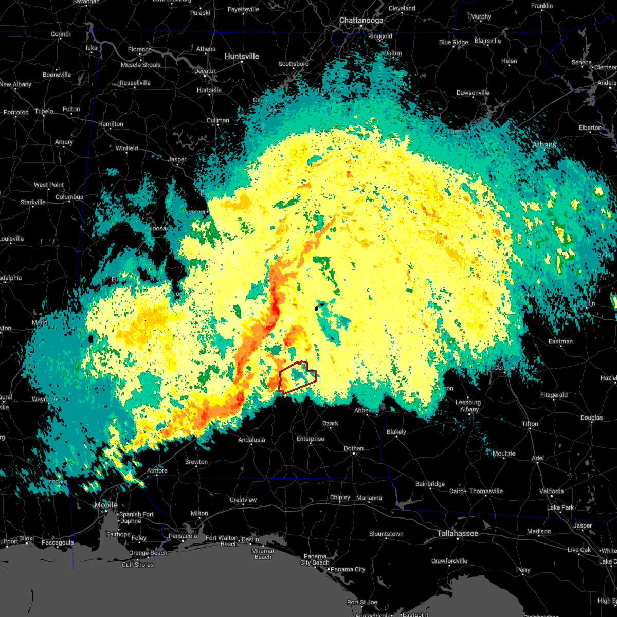 At 1049 am cdt, a severe thunderstorm capable of producing a tornado was located near rutledge, or near luverne, moving northeast at 50 mph (radar indicated rotation). Hazards include tornado. Flying debris will be dangerous to those caught without shelter. mobile homes will be damaged or destroyed. damage to roofs, windows, and vehicles will occur. Tree damage is likely. At 1049 am cdt, a severe thunderstorm capable of producing a tornado was located near rutledge, or near luverne, moving northeast at 50 mph (radar indicated rotation). Hazards include tornado. Flying debris will be dangerous to those caught without shelter. mobile homes will be damaged or destroyed. damage to roofs, windows, and vehicles will occur. Tree damage is likely.
|
| 4/5/2022 8:15 AM CDT | Quarter sized hail reported 1.2 miles NNE of Troy, AL |
| 4/5/2022 8:08 AM CDT |
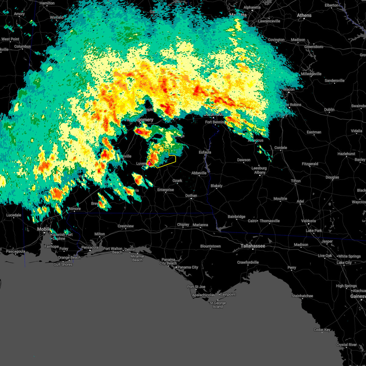 At 808 am cdt, a severe thunderstorm was located near troy, moving northeast at 40 mph (radar indicated). Hazards include 60 mph wind gusts and quarter size hail. Hail damage to vehicles is expected. expect wind damage to roofs, siding, and trees. locations impacted include, troy, banks, linwood, ansley, troy municipal airport, antioch, troy university, sandfield, monticello, orion, mossy grove and josie. hail threat, radar indicated max hail size, 1. 00 in wind threat, radar indicated max wind gust, 60 mph. At 808 am cdt, a severe thunderstorm was located near troy, moving northeast at 40 mph (radar indicated). Hazards include 60 mph wind gusts and quarter size hail. Hail damage to vehicles is expected. expect wind damage to roofs, siding, and trees. locations impacted include, troy, banks, linwood, ansley, troy municipal airport, antioch, troy university, sandfield, monticello, orion, mossy grove and josie. hail threat, radar indicated max hail size, 1. 00 in wind threat, radar indicated max wind gust, 60 mph.
|
| 4/5/2022 7:56 AM CDT |
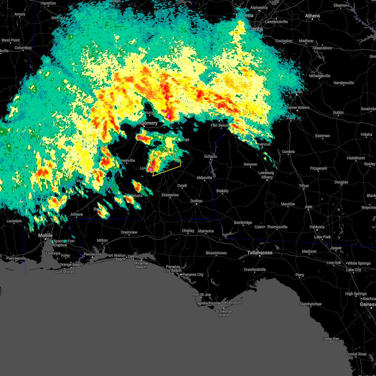 At 755 am cdt, a severe thunderstorm was located near goshen, moving northeast at 40 mph (radar indicated). Hazards include 60 mph wind gusts and quarter size hail. Hail damage to vehicles is expected. Expect wind damage to roofs, siding, and trees. At 755 am cdt, a severe thunderstorm was located near goshen, moving northeast at 40 mph (radar indicated). Hazards include 60 mph wind gusts and quarter size hail. Hail damage to vehicles is expected. Expect wind damage to roofs, siding, and trees.
|
| 3/9/2022 4:04 AM CST |
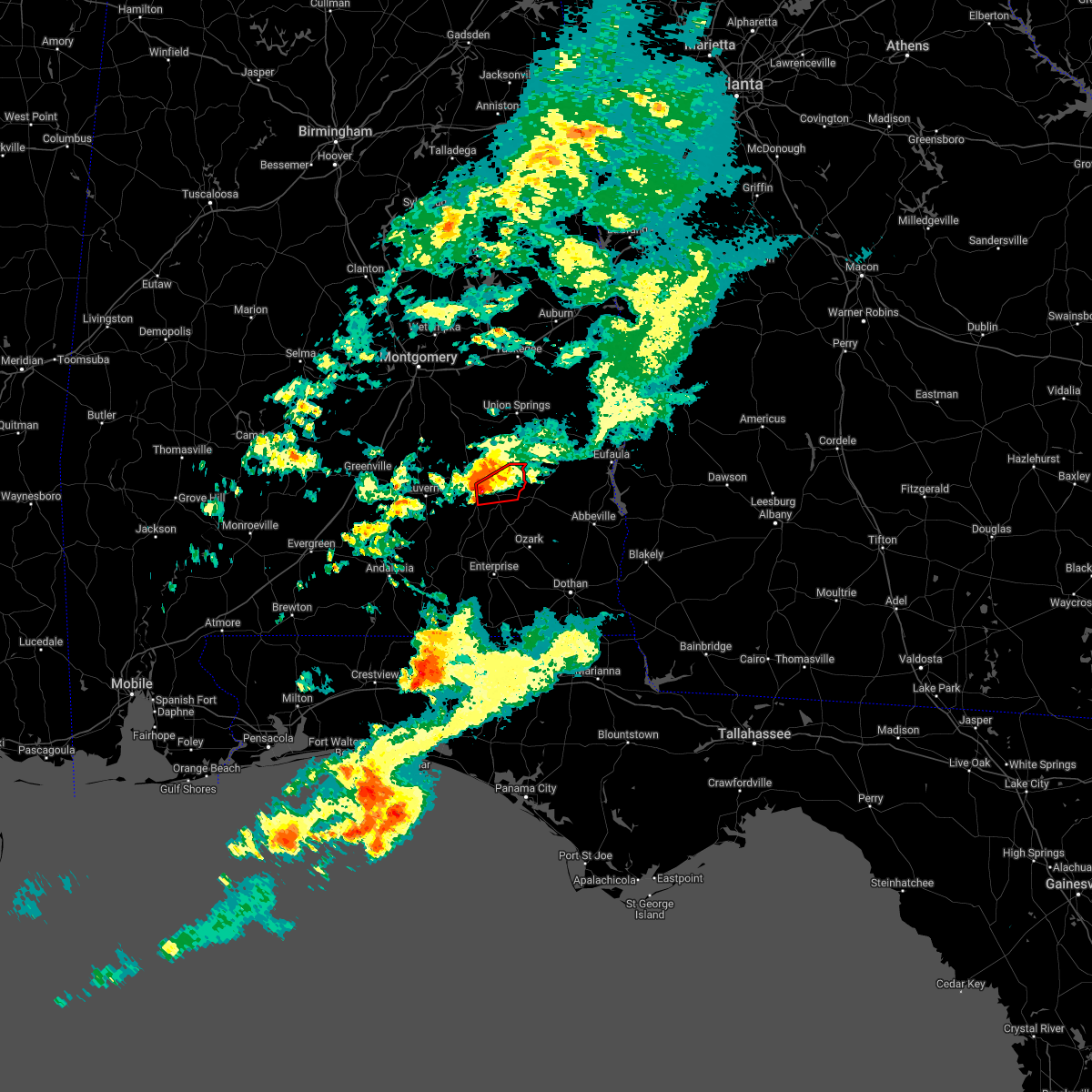 At 404 am cst, a severe thunderstorm capable of producing a tornado was located over antioch, or near brundidge, moving northeast at 40 mph (radar indicated rotation). Hazards include tornado. Flying debris will be dangerous to those caught without shelter. mobile homes will be damaged or destroyed. damage to roofs, windows, and vehicles will occur. tree damage is likely. Locations impacted include, troy, brundidge, banks, antioch, brundidge municipal airport, monticello and josie. At 404 am cst, a severe thunderstorm capable of producing a tornado was located over antioch, or near brundidge, moving northeast at 40 mph (radar indicated rotation). Hazards include tornado. Flying debris will be dangerous to those caught without shelter. mobile homes will be damaged or destroyed. damage to roofs, windows, and vehicles will occur. tree damage is likely. Locations impacted include, troy, brundidge, banks, antioch, brundidge municipal airport, monticello and josie.
|
| 3/9/2022 3:56 AM CST |
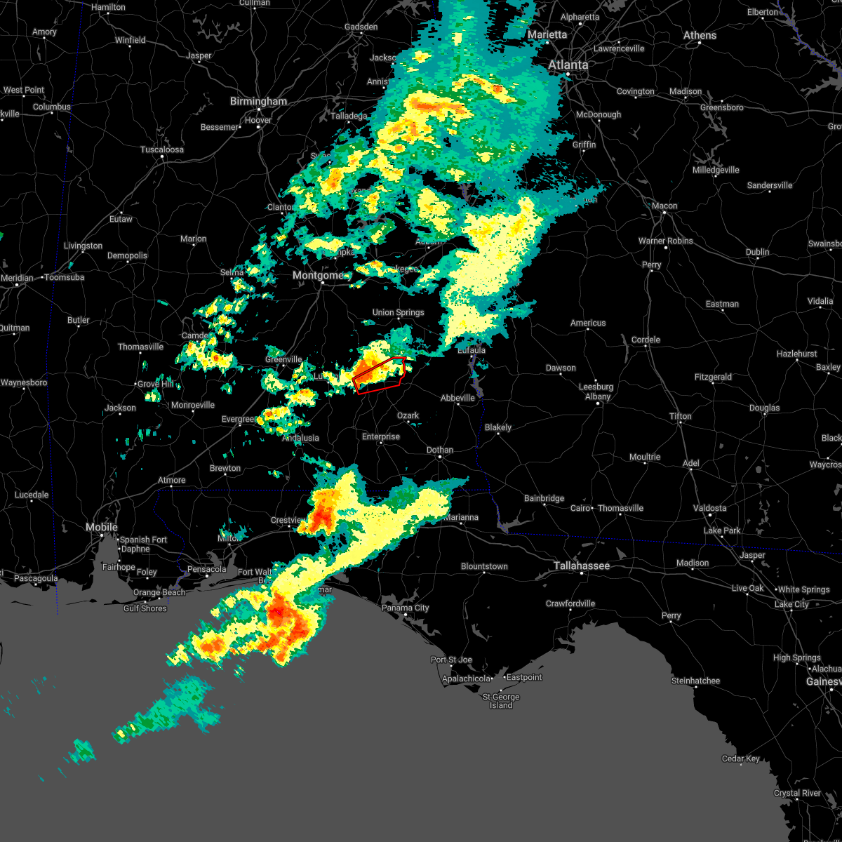 At 356 am cst, a severe thunderstorm capable of producing a tornado was located near antioch, or 7 miles south of troy, moving east at 40 mph (radar indicated rotation). Hazards include tornado. Flying debris will be dangerous to those caught without shelter. mobile homes will be damaged or destroyed. damage to roofs, windows, and vehicles will occur. Tree damage is likely. At 356 am cst, a severe thunderstorm capable of producing a tornado was located near antioch, or 7 miles south of troy, moving east at 40 mph (radar indicated rotation). Hazards include tornado. Flying debris will be dangerous to those caught without shelter. mobile homes will be damaged or destroyed. damage to roofs, windows, and vehicles will occur. Tree damage is likely.
|
| 1/9/2022 5:37 PM CST | Barn destroyed... trailer blown over... and minor structural damage to a home. possible tornad in pike county AL, 9.2 miles SE of Troy, AL |
| 1/9/2022 4:40 PM CST |
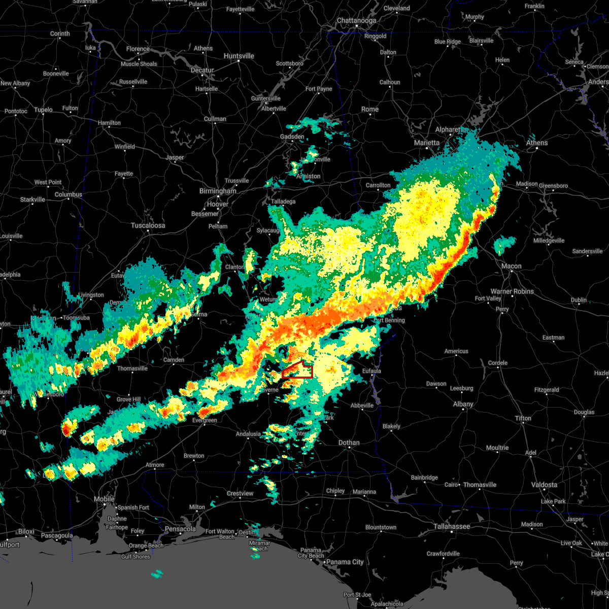 At 440 pm cst, a severe thunderstorm capable of producing a tornado was located near ansley, or 8 miles northwest of troy, moving east at 30 mph (radar indicated rotation). Hazards include tornado. Flying debris will be dangerous to those caught without shelter. mobile homes will be damaged or destroyed. damage to roofs, windows, and vehicles will occur. Tree damage is likely. At 440 pm cst, a severe thunderstorm capable of producing a tornado was located near ansley, or 8 miles northwest of troy, moving east at 30 mph (radar indicated rotation). Hazards include tornado. Flying debris will be dangerous to those caught without shelter. mobile homes will be damaged or destroyed. damage to roofs, windows, and vehicles will occur. Tree damage is likely.
|
| 1/9/2022 4:37 PM CST | Corrects previous tstm wnd dmg report from 2 ene ansley. barn destroyed... goose neck trailer blown over... and minor structural damage to a home. possible tornad in pike county AL, 9.2 miles SE of Troy, AL |
| 12/30/2021 2:10 PM CST | Tree down on county road 3310 and tree down on county road 3319. hail of unknown size in brundidg in pike county AL, 7.9 miles NW of Troy, AL |
| 12/30/2021 1:58 PM CST |
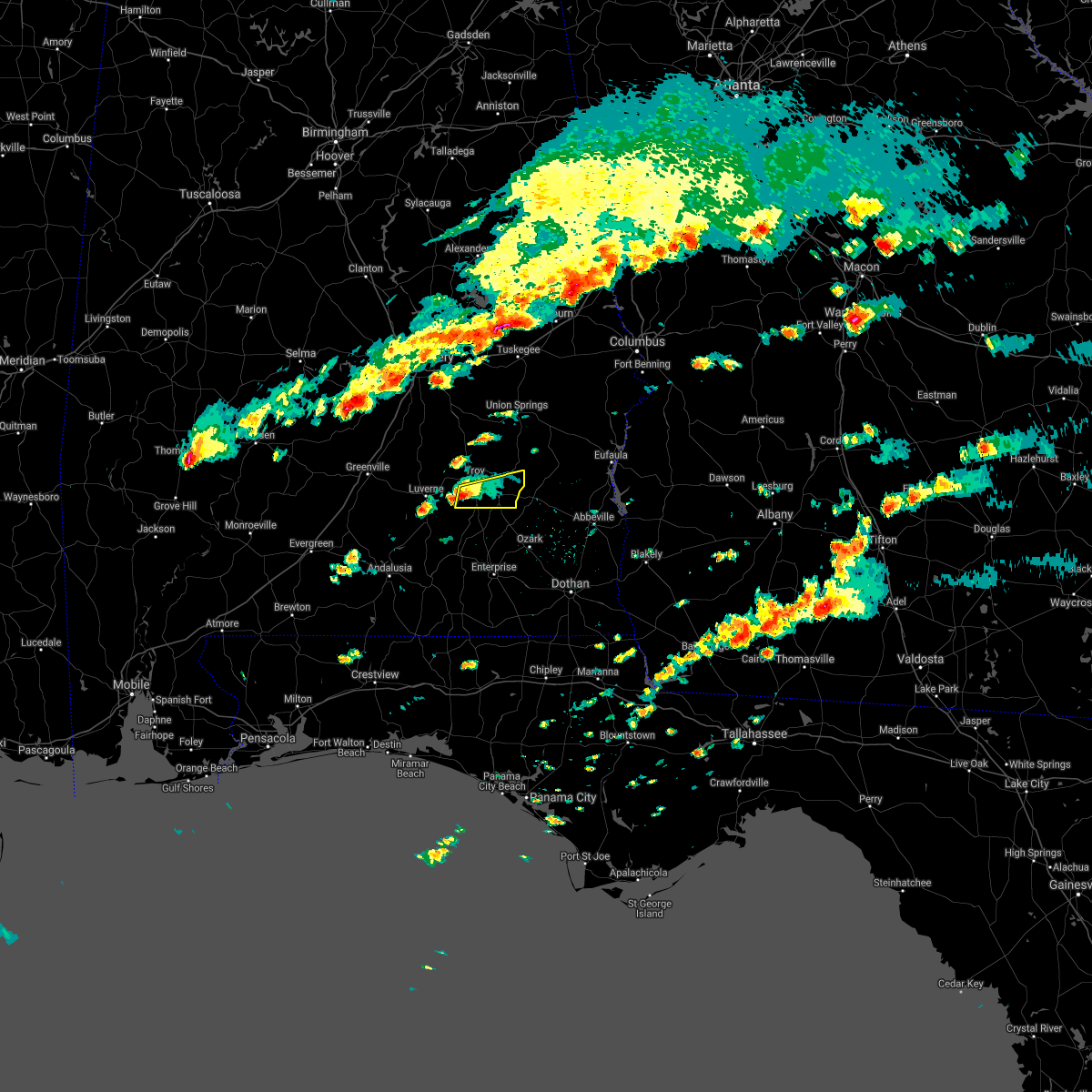 At 158 pm cst, a severe thunderstorm was located near troy university, or 7 miles south of troy, moving east at 40 mph (radar indicated). Hazards include golf ball size hail and 60 mph wind gusts. People and animals outdoors will be injured. expect hail damage to roofs, siding, windows, and vehicles. expect wind damage to roofs, siding, and trees. locations impacted include, troy, brundidge, banks, antioch, brundidge municipal airport, monticello, mossy grove and henderson. thunderstorm damage threat, considerable hail threat, radar indicated max hail size, 1. 75 in wind threat, radar indicated max wind gust, 60 mph. At 158 pm cst, a severe thunderstorm was located near troy university, or 7 miles south of troy, moving east at 40 mph (radar indicated). Hazards include golf ball size hail and 60 mph wind gusts. People and animals outdoors will be injured. expect hail damage to roofs, siding, windows, and vehicles. expect wind damage to roofs, siding, and trees. locations impacted include, troy, brundidge, banks, antioch, brundidge municipal airport, monticello, mossy grove and henderson. thunderstorm damage threat, considerable hail threat, radar indicated max hail size, 1. 75 in wind threat, radar indicated max wind gust, 60 mph.
|
| 12/30/2021 1:51 PM CST |
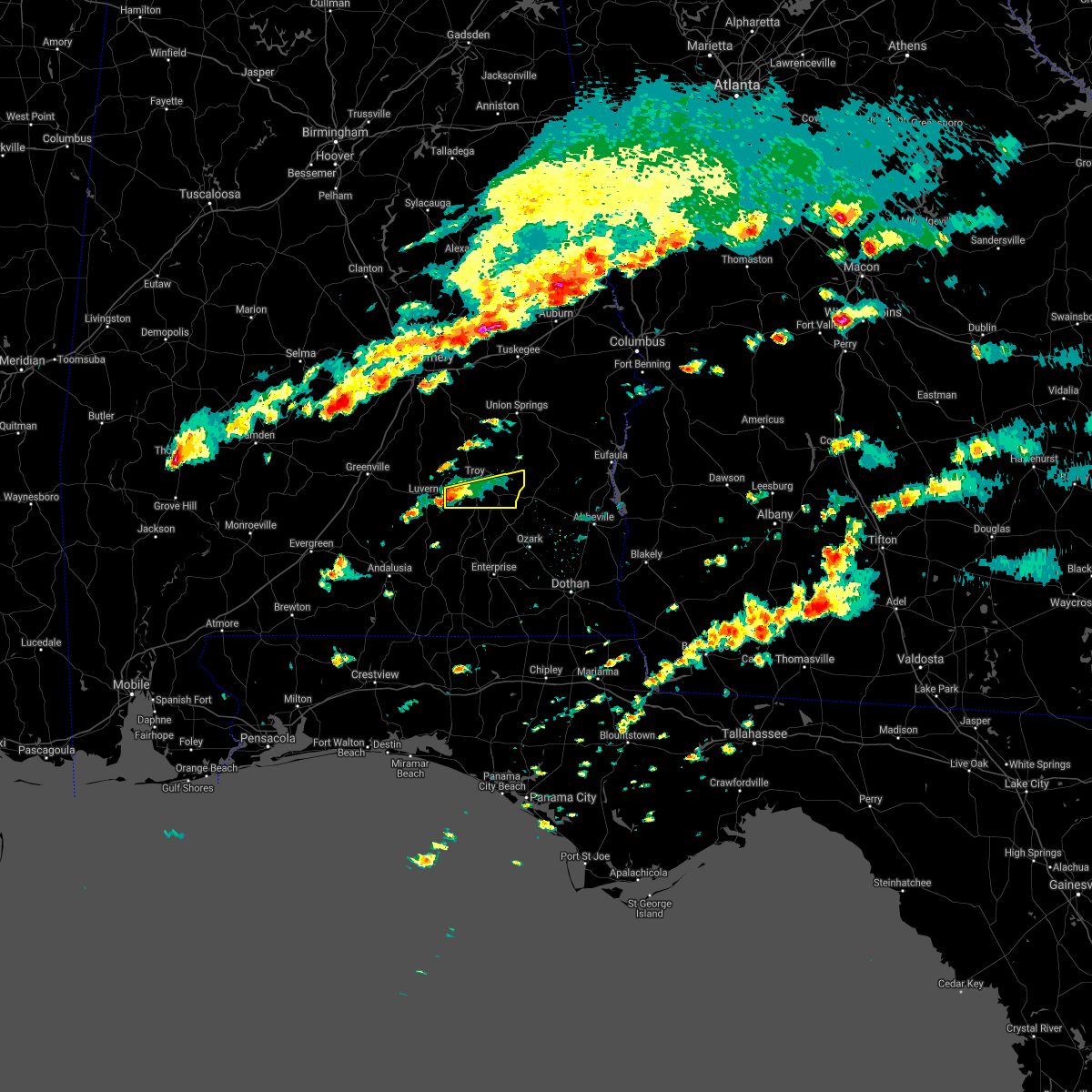 At 150 pm cst, a severe thunderstorm was located over goshen, moving east at 40 mph (radar indicated). Hazards include 60 mph wind gusts and quarter size hail. Hail damage to vehicles is expected. Expect wind damage to roofs, siding, and trees. At 150 pm cst, a severe thunderstorm was located over goshen, moving east at 40 mph (radar indicated). Hazards include 60 mph wind gusts and quarter size hail. Hail damage to vehicles is expected. Expect wind damage to roofs, siding, and trees.
|
| 8/30/2021 2:16 PM CDT |
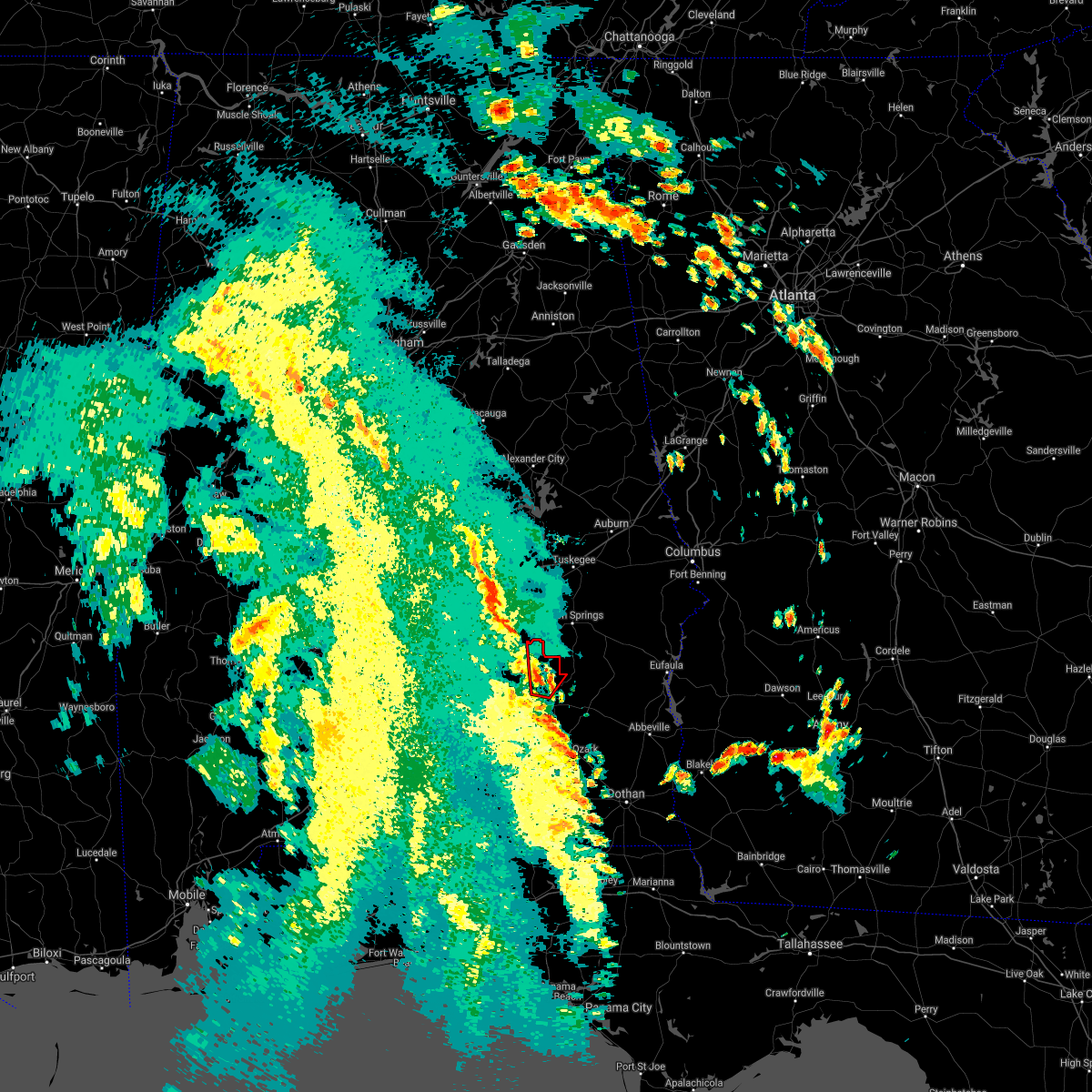 At 216 pm cdt, a confirmed tornado was located near banks, or near troy, moving north at 30 mph (law enforcement confirmed tornado). Hazards include damaging tornado. Flying debris will be dangerous to those caught without shelter. mobile homes will be damaged or destroyed. damage to roofs, windows, and vehicles will occur. tree damage is likely. Locations impacted include, troy, banks, linwood, troy university, china grove and sandfield. At 216 pm cdt, a confirmed tornado was located near banks, or near troy, moving north at 30 mph (law enforcement confirmed tornado). Hazards include damaging tornado. Flying debris will be dangerous to those caught without shelter. mobile homes will be damaged or destroyed. damage to roofs, windows, and vehicles will occur. tree damage is likely. Locations impacted include, troy, banks, linwood, troy university, china grove and sandfield.
|
| 8/30/2021 2:06 PM CDT |
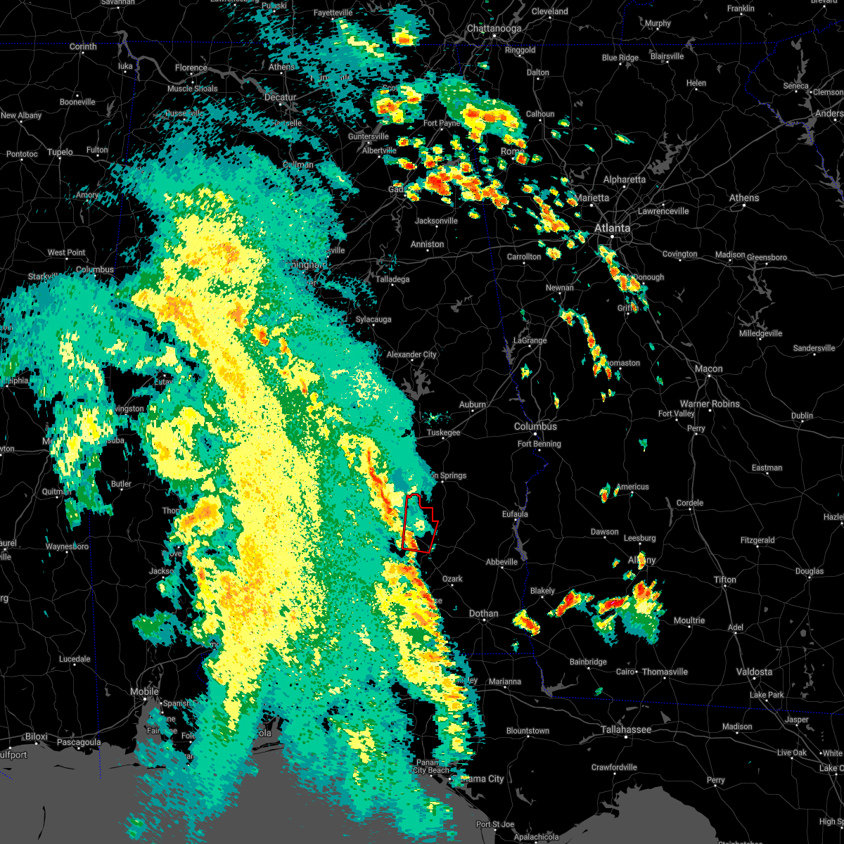 At 206 pm cdt, a severe thunderstorm capable of producing a tornado was located over antioch, or near troy, moving north at 30 mph (radar indicated rotation). Hazards include tornado. Flying debris will be dangerous to those caught without shelter. mobile homes will be damaged or destroyed. damage to roofs, windows, and vehicles will occur. Tree damage is likely. At 206 pm cdt, a severe thunderstorm capable of producing a tornado was located over antioch, or near troy, moving north at 30 mph (radar indicated rotation). Hazards include tornado. Flying debris will be dangerous to those caught without shelter. mobile homes will be damaged or destroyed. damage to roofs, windows, and vehicles will occur. Tree damage is likely.
|
| 8/11/2021 6:25 PM CDT |
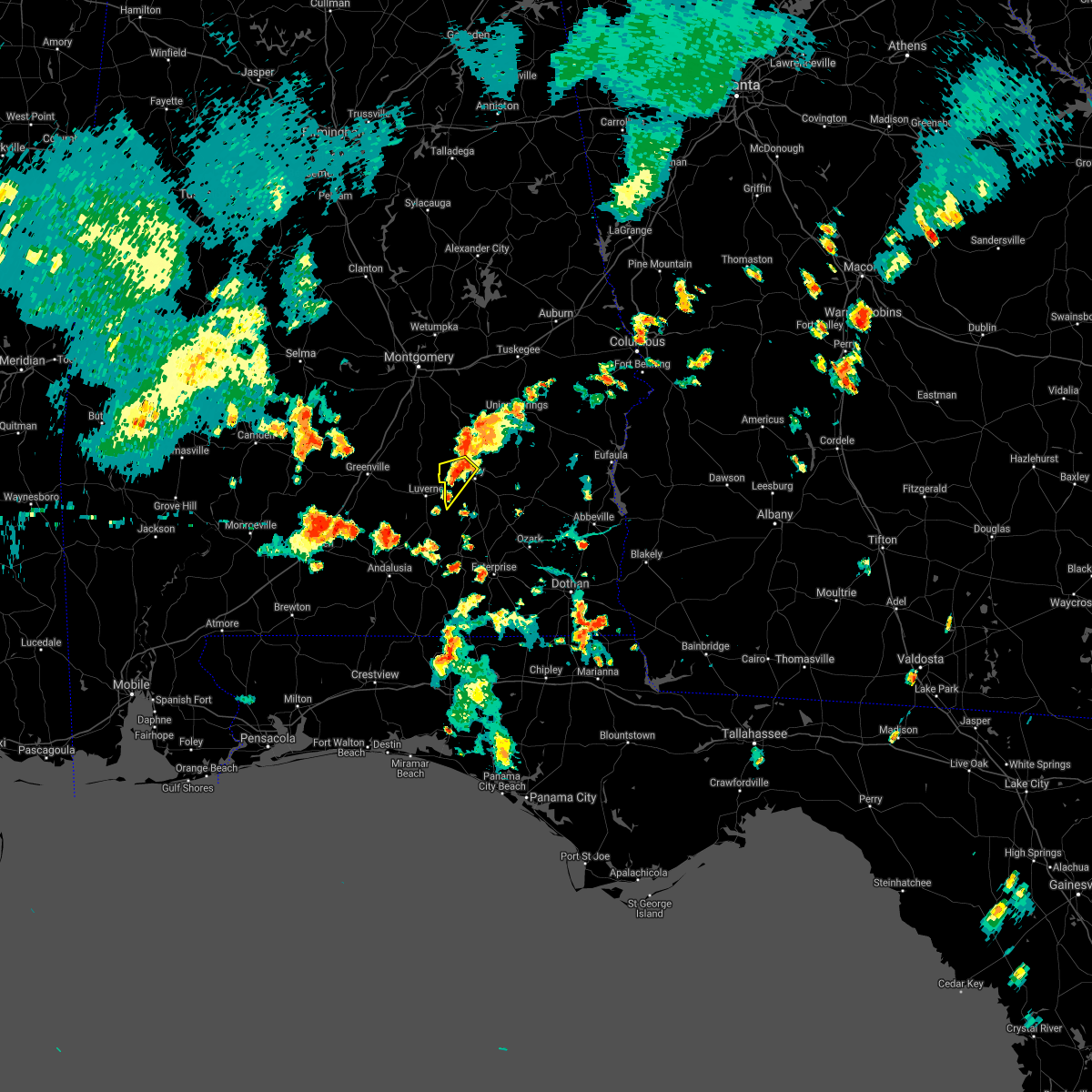 At 625 pm cdt, a severe thunderstorm was located near troy municipal airport, or near troy, moving southwest at 15 mph (radar indicated). Hazards include 60 mph wind gusts and penny size hail. expect damage to roofs, siding, and trees At 625 pm cdt, a severe thunderstorm was located near troy municipal airport, or near troy, moving southwest at 15 mph (radar indicated). Hazards include 60 mph wind gusts and penny size hail. expect damage to roofs, siding, and trees
|
| 5/4/2021 7:58 PM CDT |
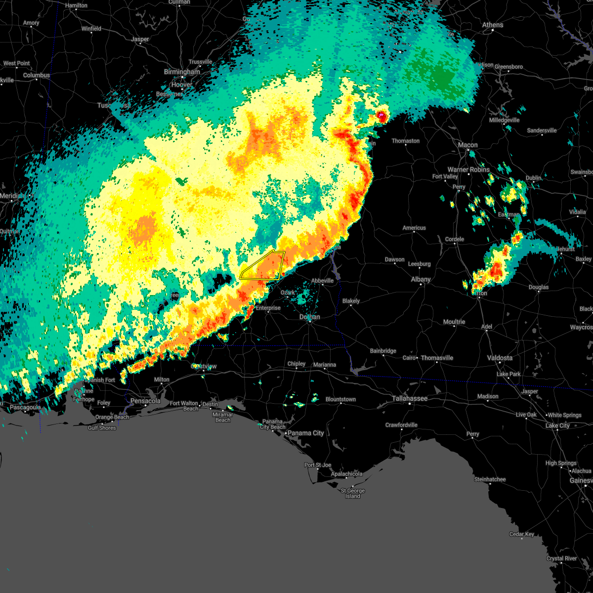 The severe thunderstorm warning for southern pike county will expire at 800 pm cdt, the storms which prompted the warning have moved out of the area. therefore, the warning will be allowed to expire. however gusty winds and heavy rain are still possible with these thunderstorms. a severe thunderstorm watch remains in effect until midnight cdt for southeastern alabama. to report severe weather, contact your nearest law enforcement agency. they will relay your report to the national weather service birmingham. The severe thunderstorm warning for southern pike county will expire at 800 pm cdt, the storms which prompted the warning have moved out of the area. therefore, the warning will be allowed to expire. however gusty winds and heavy rain are still possible with these thunderstorms. a severe thunderstorm watch remains in effect until midnight cdt for southeastern alabama. to report severe weather, contact your nearest law enforcement agency. they will relay your report to the national weather service birmingham.
|
| 5/4/2021 7:47 PM CDT | Trees and powerlines down in roadway. cr 304 and cr 308 in coffee county... a in coffee county AL, 13.9 miles NNE of Troy, AL |
| 5/4/2021 7:45 PM CDT |
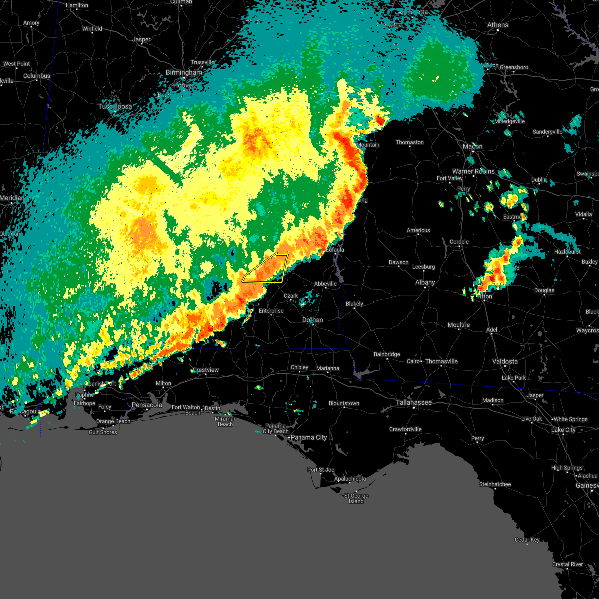 At 745 pm cdt, severe thunderstorms were located along a line extending from 11 miles southeast of goshen to near boot hill, moving southeast at 30 mph (radar indicated). Hazards include 60 mph wind gusts. Expect damage to roofs, siding, and trees. Locations impacted include, troy, brundidge, banks, antioch, troy university, tennille, hamilton crossroads, monticello, josie, tarentum, brundidge municipal airport, mossy grove and henderson. At 745 pm cdt, severe thunderstorms were located along a line extending from 11 miles southeast of goshen to near boot hill, moving southeast at 30 mph (radar indicated). Hazards include 60 mph wind gusts. Expect damage to roofs, siding, and trees. Locations impacted include, troy, brundidge, banks, antioch, troy university, tennille, hamilton crossroads, monticello, josie, tarentum, brundidge municipal airport, mossy grove and henderson.
|
| 5/4/2021 7:31 PM CDT |
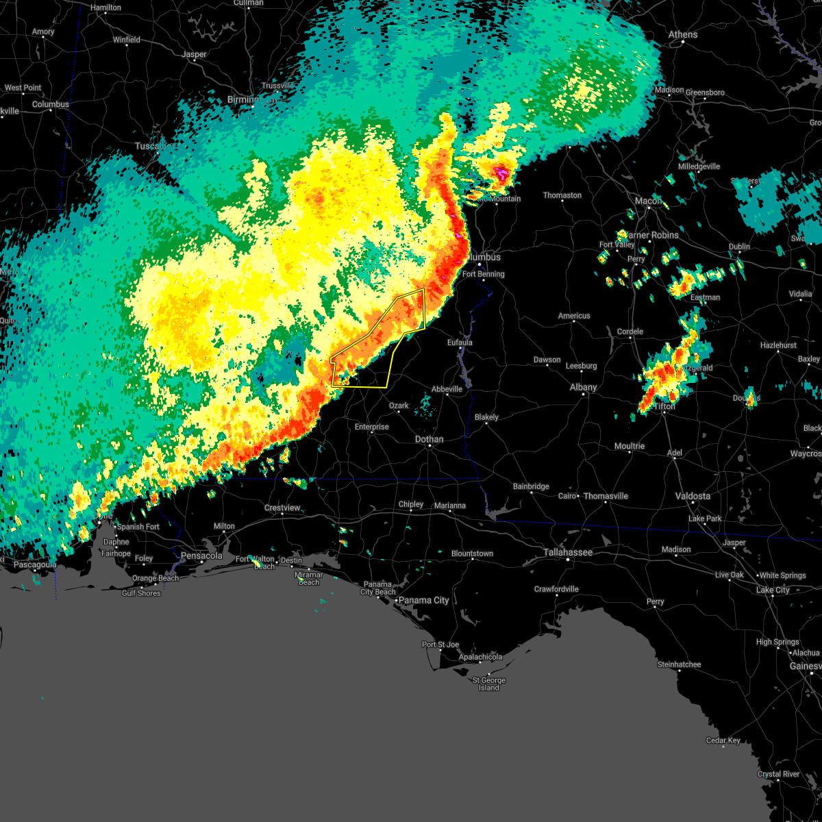 A severe thunderstorm warning remains in effect until 800 pm cdt for pike. bullock and southeastern macon counties. at 730 pm cdt, severe thunderstorms were located along a line extending from near griffen mill to near midway to 7 miles southwest of antioch, moving east at 55 mph. hazard. 60 mph wind gusts. A wind gust to 53 mph was recently. A severe thunderstorm warning remains in effect until 800 pm cdt for pike. bullock and southeastern macon counties. at 730 pm cdt, severe thunderstorms were located along a line extending from near griffen mill to near midway to 7 miles southwest of antioch, moving east at 55 mph. hazard. 60 mph wind gusts. A wind gust to 53 mph was recently.
|
| 5/4/2021 7:15 PM CDT |
 At 714 pm cdt, severe thunderstorms were located along a line extending from near society hill to aberfoil to near goshen, moving east at 50 mph (radar indicated). Hazards include 60 mph wind gusts. Expect damage to roofs, siding, and trees. Locations impacted include, troy, tuskegee, union springs, brundidge, midway, goshen, banks, pickett, aberfoil, franklin field, lake tuskegee, beans crossroads, guerryton, linwood, shopton, tuskegee national forest, davisville, antioch, ansley and troy municipal airport. At 714 pm cdt, severe thunderstorms were located along a line extending from near society hill to aberfoil to near goshen, moving east at 50 mph (radar indicated). Hazards include 60 mph wind gusts. Expect damage to roofs, siding, and trees. Locations impacted include, troy, tuskegee, union springs, brundidge, midway, goshen, banks, pickett, aberfoil, franklin field, lake tuskegee, beans crossroads, guerryton, linwood, shopton, tuskegee national forest, davisville, antioch, ansley and troy municipal airport.
|
| 5/4/2021 6:37 PM CDT |
 At 636 pm cdt, severe thunderstorms were located along a line extending from near southern lake martin to greenville, moving east at 40 mph (radar indicated). Hazards include 60 mph wind gusts. a wind gust to 58 mph was recently recorded at the montgomery airport. wind damage has also been reported with this line of storms. expect damage to roofs, siding, and trees At 636 pm cdt, severe thunderstorms were located along a line extending from near southern lake martin to greenville, moving east at 40 mph (radar indicated). Hazards include 60 mph wind gusts. a wind gust to 58 mph was recently recorded at the montgomery airport. wind damage has also been reported with this line of storms. expect damage to roofs, siding, and trees
|
| 4/24/2021 5:49 PM CDT |
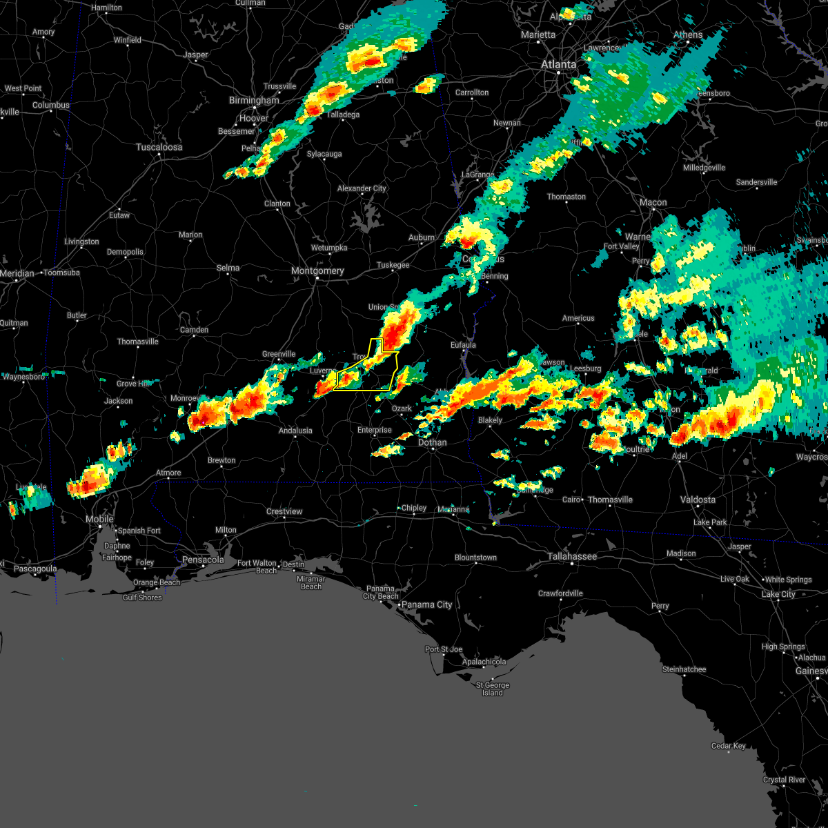 At 549 pm cdt, severe thunderstorms were located along a line extending from 7 miles east of goshen to near beans crossroads, moving east at 55 mph (radar indicated). Hazards include 60 mph wind gusts and nickel size hail. Expect damage to roofs, siding, and trees. Locations impacted include, troy, brundidge, goshen, banks, antioch, linwood, troy university, tennille, hamilton crossroads, monticello, josie, sandfield, tarentum, brundidge municipal airport, mossy grove and henderson. At 549 pm cdt, severe thunderstorms were located along a line extending from 7 miles east of goshen to near beans crossroads, moving east at 55 mph (radar indicated). Hazards include 60 mph wind gusts and nickel size hail. Expect damage to roofs, siding, and trees. Locations impacted include, troy, brundidge, goshen, banks, antioch, linwood, troy university, tennille, hamilton crossroads, monticello, josie, sandfield, tarentum, brundidge municipal airport, mossy grove and henderson.
|
| 4/24/2021 5:40 PM CDT | Sporadic trees down across pike county. troy asos measured gusts of 47mph. time estimated by rada in pike county AL, 4.6 miles SSE of Troy, AL |
| 4/24/2021 5:23 PM CDT |
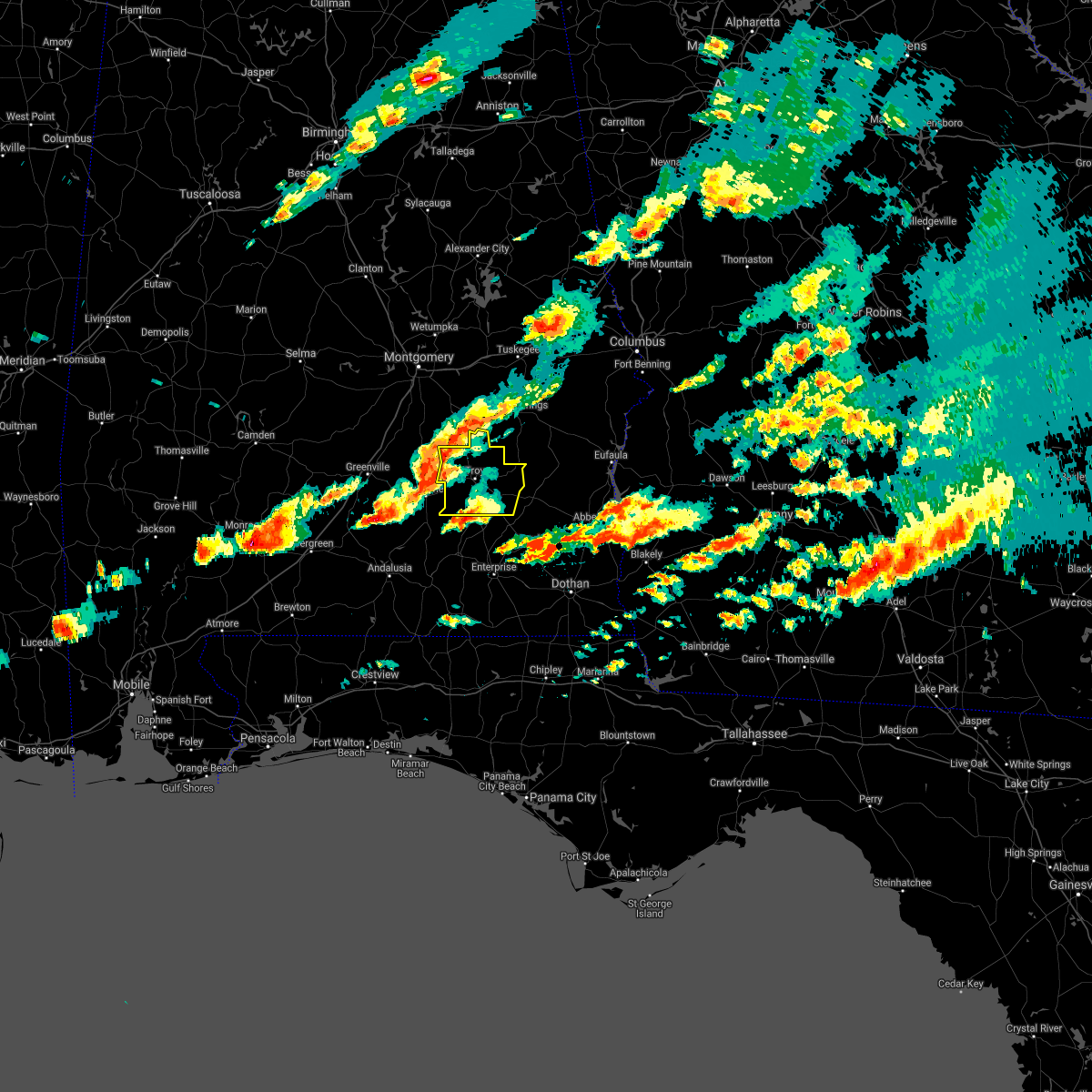 At 522 pm cdt, severe thunderstorms were located along a line extending from 7 miles southwest of rutledge to near grady, moving east at 55 mph (radar indicated). Hazards include 60 mph wind gusts and quarter size hail. Hail damage to vehicles is expected. Expect wind damage to roofs, siding, and trees. At 522 pm cdt, severe thunderstorms were located along a line extending from 7 miles southwest of rutledge to near grady, moving east at 55 mph (radar indicated). Hazards include 60 mph wind gusts and quarter size hail. Hail damage to vehicles is expected. Expect wind damage to roofs, siding, and trees.
|
| 3/16/2021 2:24 PM CDT |
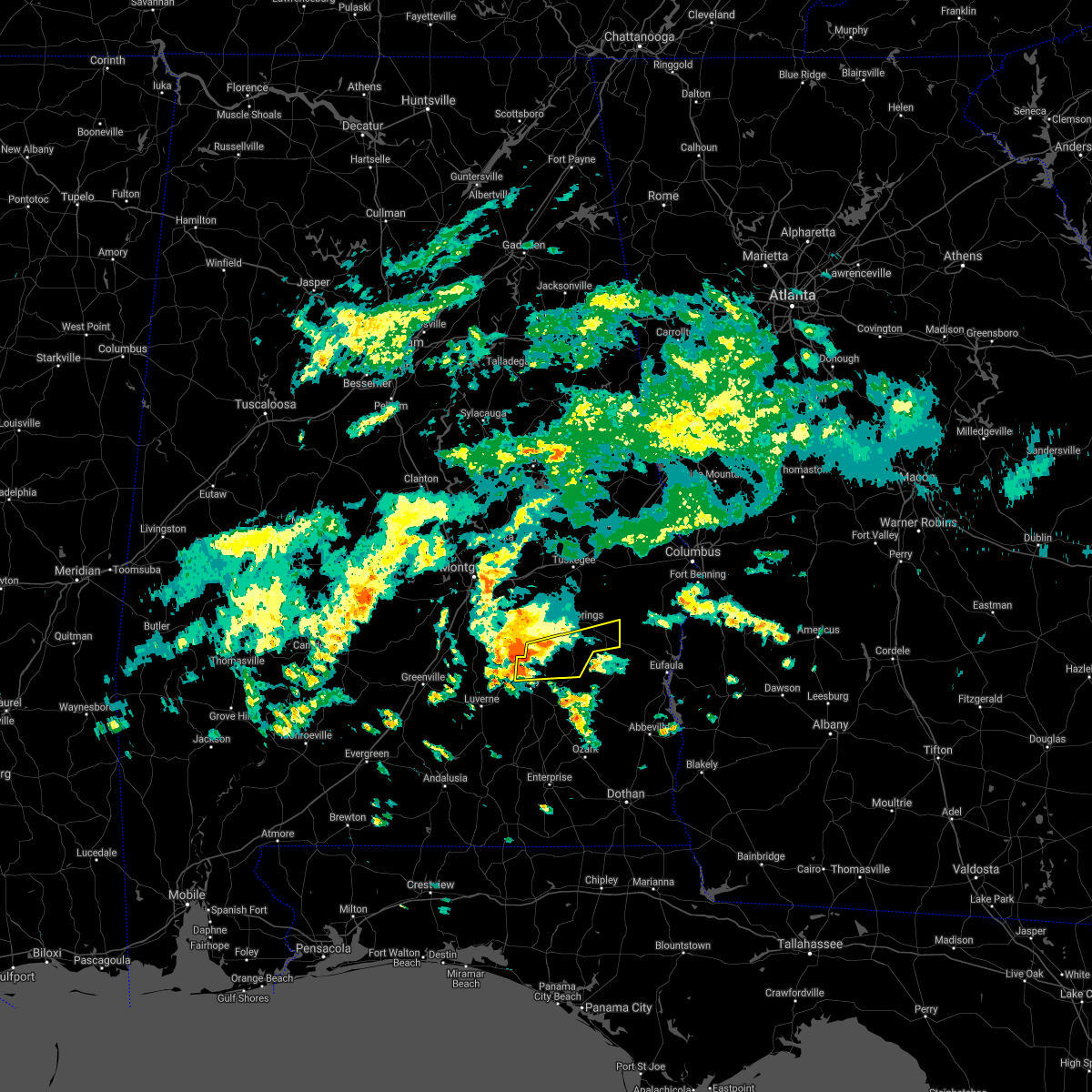 At 224 pm cdt, a severe thunderstorm was located near troy municipal airport, or 8 miles north of troy, moving east at 55 mph (radar indicated). Hazards include 60 mph wind gusts and penny size hail. expect damage to roofs, siding, and trees At 224 pm cdt, a severe thunderstorm was located near troy municipal airport, or 8 miles north of troy, moving east at 55 mph (radar indicated). Hazards include 60 mph wind gusts and penny size hail. expect damage to roofs, siding, and trees
|
| 9/16/2020 1:10 PM CDT | The severe thunderstorm warning for pike county will expire at 115 pm cdt, the cluster of storm which prompted the warning has weakened below severe limits, and no longer poses an immediate threat to life or property. therefore, the warning will be allowed to expire. however gusty winds are still possible across pike county through the next several hours. |
| 9/16/2020 12:26 PM CDT |
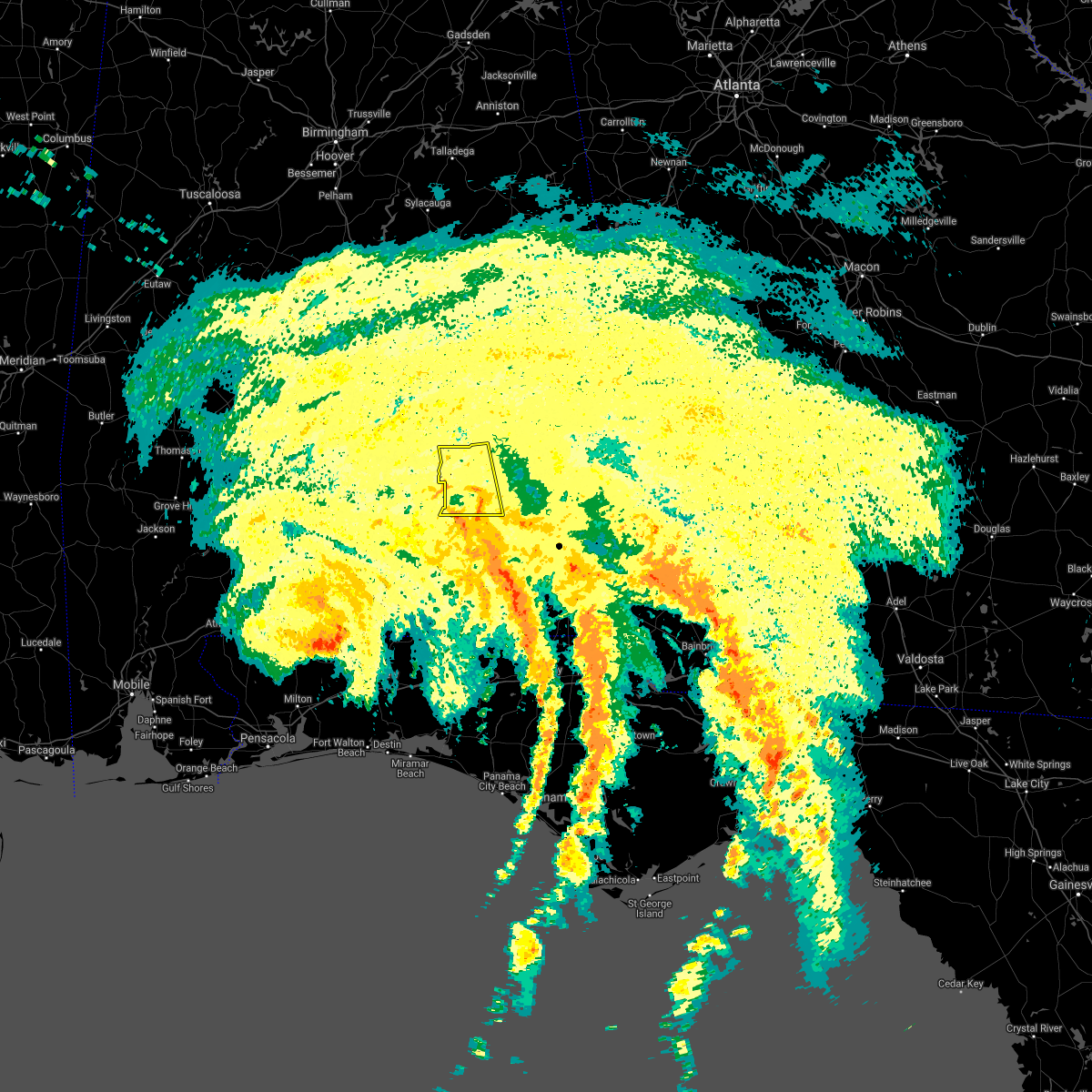 At 1225 pm cdt, a cluster of severe thunderstorms was located 9 miles southeast of goshen, moving north at 45 mph (radar indicated). Hazards include 60 mph wind gusts. expect damage to roofs, siding, and trees At 1225 pm cdt, a cluster of severe thunderstorms was located 9 miles southeast of goshen, moving north at 45 mph (radar indicated). Hazards include 60 mph wind gusts. expect damage to roofs, siding, and trees
|
| 8/11/2020 3:30 PM CDT | A few trees blown down near us highway 23 in pike county AL, 8.3 miles SSE of Troy, AL |
| 8/11/2020 3:24 PM CDT | A few trees were blown down on cr 7714 near the airpor in pike county AL, 6.1 miles SSE of Troy, AL |
| 8/11/2020 3:19 PM CDT |
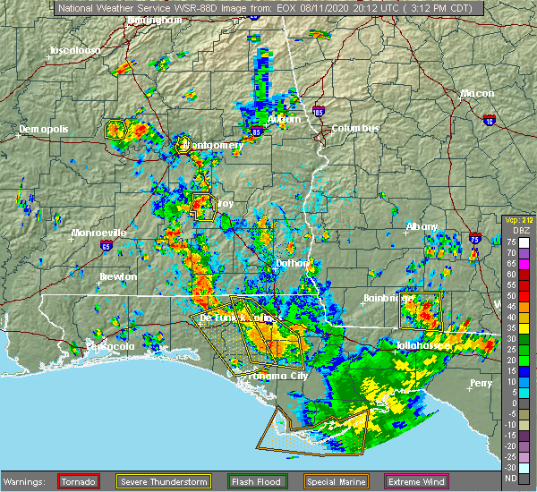 At 319 pm cdt, a severe thunderstorm was located over ansley, or 10 miles northwest of troy, and is nearly stationary (radar indicated). Hazards include 60 mph wind gusts and penny size hail. Expect damage to roofs, siding, and trees. Locations impacted include, troy, goshen, troy municipal airport and ansley. At 319 pm cdt, a severe thunderstorm was located over ansley, or 10 miles northwest of troy, and is nearly stationary (radar indicated). Hazards include 60 mph wind gusts and penny size hail. Expect damage to roofs, siding, and trees. Locations impacted include, troy, goshen, troy municipal airport and ansley.
|
| 8/11/2020 3:14 PM CDT |
 At 314 pm cdt, a severe thunderstorm was located over ansley, or 10 miles northwest of troy, and is nearly stationary (radar indicated). Hazards include 60 mph wind gusts and quarter size hail. Hail damage to vehicles is expected. expect wind damage to roofs, siding, and trees. Locations impacted include, troy, goshen, troy municipal airport and ansley. At 314 pm cdt, a severe thunderstorm was located over ansley, or 10 miles northwest of troy, and is nearly stationary (radar indicated). Hazards include 60 mph wind gusts and quarter size hail. Hail damage to vehicles is expected. expect wind damage to roofs, siding, and trees. Locations impacted include, troy, goshen, troy municipal airport and ansley.
|
| 8/11/2020 3:05 PM CDT |
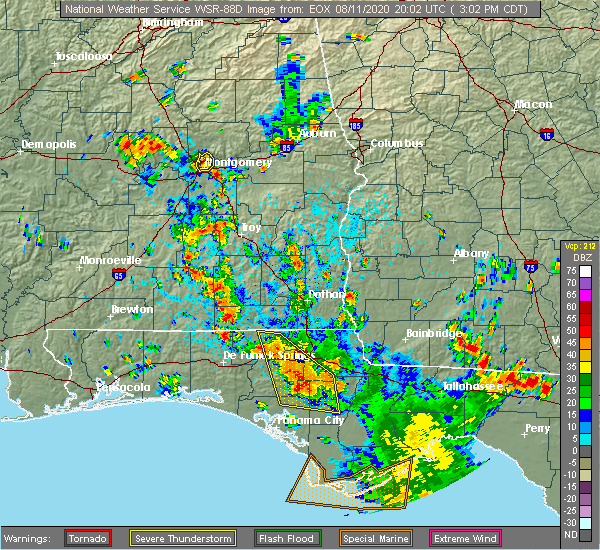 At 304 pm cdt, a severe thunderstorm was located over ansley, or 10 miles north of goshen, and is nearly stationary (radar indicated). Hazards include 60 mph wind gusts and quarter size hail. Hail damage to vehicles is expected. Expect wind damage to roofs, siding, and trees. At 304 pm cdt, a severe thunderstorm was located over ansley, or 10 miles north of goshen, and is nearly stationary (radar indicated). Hazards include 60 mph wind gusts and quarter size hail. Hail damage to vehicles is expected. Expect wind damage to roofs, siding, and trees.
|
| 4/19/2020 11:20 PM CDT |
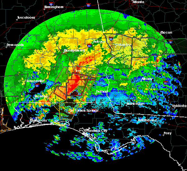 At 1120 pm cdt, severe thunderstorms were located along a line extending from near brundidge to near fort rucker, moving east at 80 mph. these are very dangerous storms (radar indicated). Hazards include 90 mph wind gusts. You are in a life-threatening situation. flying debris may be deadly to those caught without shelter. mobile homes will be heavily damaged or destroyed. homes and businesses will have substantial roof and window damage. expect extensive tree damage and power outages. Locations impacted include, troy, brundidge, tennille, tarentum, hamilton crossroads, mossy grove and brundidge municipal airport. At 1120 pm cdt, severe thunderstorms were located along a line extending from near brundidge to near fort rucker, moving east at 80 mph. these are very dangerous storms (radar indicated). Hazards include 90 mph wind gusts. You are in a life-threatening situation. flying debris may be deadly to those caught without shelter. mobile homes will be heavily damaged or destroyed. homes and businesses will have substantial roof and window damage. expect extensive tree damage and power outages. Locations impacted include, troy, brundidge, tennille, tarentum, hamilton crossroads, mossy grove and brundidge municipal airport.
|
| 4/19/2020 11:05 PM CDT | Roof blown off 1 building and few trees down in the downtown are in pike county AL, 0.3 miles S of Troy, AL |
| 4/19/2020 11:05 PM CDT | Trees down on troy university campu in pike county AL, 0.7 miles WNW of Troy, AL |
| 4/19/2020 11:02 PM CDT | Numerous trees & power lines down across the are in pike county AL, 8 miles N of Troy, AL |
| 4/19/2020 11:02 PM CDT |
 At 1102 pm cdt, severe thunderstorms were located along a line extending from near linwood to near troy, moving east at 45 mph (radar indicated). Hazards include 60 mph wind gusts. expect damage to roofs, siding, and trees At 1102 pm cdt, severe thunderstorms were located along a line extending from near linwood to near troy, moving east at 45 mph (radar indicated). Hazards include 60 mph wind gusts. expect damage to roofs, siding, and trees
|
| 4/19/2020 10:59 PM CDT |
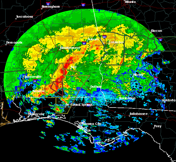 At 1059 pm cdt, a severe thunderstorm capable of producing a tornado was located near troy university, or near troy, moving east at 55 mph (radar indicated rotation). Hazards include tornado. Flying debris will be dangerous to those caught without shelter. mobile homes will be damaged or destroyed. damage to roofs, windows, and vehicles will occur. Tree damage is likely. At 1059 pm cdt, a severe thunderstorm capable of producing a tornado was located near troy university, or near troy, moving east at 55 mph (radar indicated rotation). Hazards include tornado. Flying debris will be dangerous to those caught without shelter. mobile homes will be damaged or destroyed. damage to roofs, windows, and vehicles will occur. Tree damage is likely.
|
| 4/19/2020 10:51 PM CDT |
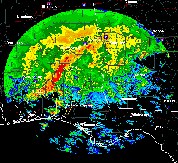 At 1051 pm cdt, severe thunderstorms were located along a line extending from near petrey to brantley, moving east at 55 mph. these are very dangerous storms (radar indicated). Hazards include 80 mph wind gusts. Flying debris will be dangerous to those caught without shelter. mobile homes will be heavily damaged. expect considerable damage to roofs, windows, and vehicles. extensive tree damage and power outages are likely. Locations impacted include, troy, brundidge, goshen, tennille, tarentum, brundidge municipal airport, hamilton crossroads, mossy grove and henderson. At 1051 pm cdt, severe thunderstorms were located along a line extending from near petrey to brantley, moving east at 55 mph. these are very dangerous storms (radar indicated). Hazards include 80 mph wind gusts. Flying debris will be dangerous to those caught without shelter. mobile homes will be heavily damaged. expect considerable damage to roofs, windows, and vehicles. extensive tree damage and power outages are likely. Locations impacted include, troy, brundidge, goshen, tennille, tarentum, brundidge municipal airport, hamilton crossroads, mossy grove and henderson.
|
| 4/19/2020 10:42 PM CDT |
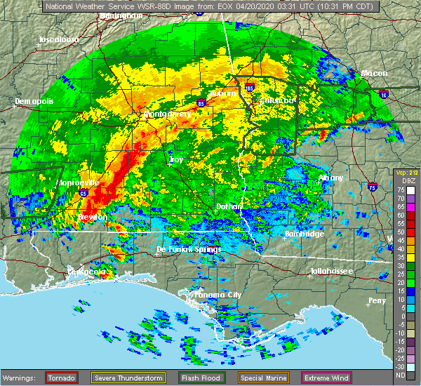 At 1042 pm cdt, severe thunderstorms were located along a line extending from near petrey to near brantley, moving east at 55 mph (radar indicated). Hazards include 70 mph wind gusts. Expect considerable tree damage. Damage is likely to mobile homes, roofs, and outbuildings. At 1042 pm cdt, severe thunderstorms were located along a line extending from near petrey to near brantley, moving east at 55 mph (radar indicated). Hazards include 70 mph wind gusts. Expect considerable tree damage. Damage is likely to mobile homes, roofs, and outbuildings.
|
| 4/13/2020 1:03 AM CDT |
 At 103 am cdt, severe thunderstorms were located along a line extending from near linwood to 9 miles southeast of glenwood, moving east at 70 mph (radar indicated). Hazards include 60 mph wind gusts. Expect damage to roofs, siding, and trees. Locations impacted include, troy, brundidge, banks, antioch, troy university, sandfield, brundidge municipal airport, monticello, mossy grove, josie and henderson. At 103 am cdt, severe thunderstorms were located along a line extending from near linwood to 9 miles southeast of glenwood, moving east at 70 mph (radar indicated). Hazards include 60 mph wind gusts. Expect damage to roofs, siding, and trees. Locations impacted include, troy, brundidge, banks, antioch, troy university, sandfield, brundidge municipal airport, monticello, mossy grove, josie and henderson.
|
| 4/13/2020 12:38 AM CDT |
 At 1238 am cdt, severe thunderstorms were located along a line extending from near beans crossroads to 6 miles east of goshen, moving east at 65 mph (radar indicated). Hazards include 60 mph wind gusts. Expect damage to roofs, siding, and trees. Locations impacted include, troy, brundidge, banks, antioch, troy university, sandfield, brundidge municipal airport, monticello, mossy grove, josie and henderson. At 1238 am cdt, severe thunderstorms were located along a line extending from near beans crossroads to 6 miles east of goshen, moving east at 65 mph (radar indicated). Hazards include 60 mph wind gusts. Expect damage to roofs, siding, and trees. Locations impacted include, troy, brundidge, banks, antioch, troy university, sandfield, brundidge municipal airport, monticello, mossy grove, josie and henderson.
|
| 4/13/2020 12:28 AM CDT |
 At 1228 am cdt, severe thunderstorms were located along a line extending from beans crossroads to glenwood, moving east at 60 mph (radar indicated). Hazards include 60 mph wind gusts. Expect damage to roofs, siding, and trees. Locations impacted include, troy, brundidge, goshen, banks, antioch, linwood, troy municipal airport, troy university, monticello, orion, josie, china grove, sandfield, brundidge municipal airport, mossy grove and henderson. At 1228 am cdt, severe thunderstorms were located along a line extending from beans crossroads to glenwood, moving east at 60 mph (radar indicated). Hazards include 60 mph wind gusts. Expect damage to roofs, siding, and trees. Locations impacted include, troy, brundidge, goshen, banks, antioch, linwood, troy municipal airport, troy university, monticello, orion, josie, china grove, sandfield, brundidge municipal airport, mossy grove and henderson.
|
| 4/13/2020 12:11 AM CDT |
 At 1211 am cdt, severe thunderstorms were located along a line extending from near ansley to 7 miles north of dozier, moving east at 60 mph (radar indicated). Hazards include 60 mph wind gusts. expect damage to roofs, siding, and trees At 1211 am cdt, severe thunderstorms were located along a line extending from near ansley to 7 miles north of dozier, moving east at 60 mph (radar indicated). Hazards include 60 mph wind gusts. expect damage to roofs, siding, and trees
|
| 3/31/2020 10:52 AM CDT | Tree down in the sandfield area. possible tornado damage. this was near a brief td in pike county AL, 12.4 miles SW of Troy, AL |
| 3/31/2020 10:40 AM CDT |
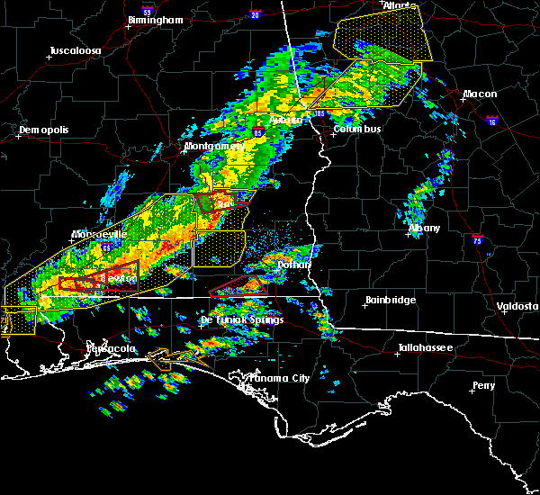 At 1039 am cdt, a confirmed tornado was located near troy municipal airport, or near troy, moving east at 55 mph (radar confirmed tornado). Hazards include damaging tornado. Flying debris will be dangerous to those caught without shelter. mobile homes will be damaged or destroyed. damage to roofs, windows, and vehicles will occur. tree damage is likely. Locations impacted include, troy, linwood, orion, sandfield and josie. At 1039 am cdt, a confirmed tornado was located near troy municipal airport, or near troy, moving east at 55 mph (radar confirmed tornado). Hazards include damaging tornado. Flying debris will be dangerous to those caught without shelter. mobile homes will be damaged or destroyed. damage to roofs, windows, and vehicles will occur. tree damage is likely. Locations impacted include, troy, linwood, orion, sandfield and josie.
|
| 3/31/2020 10:32 AM CDT |
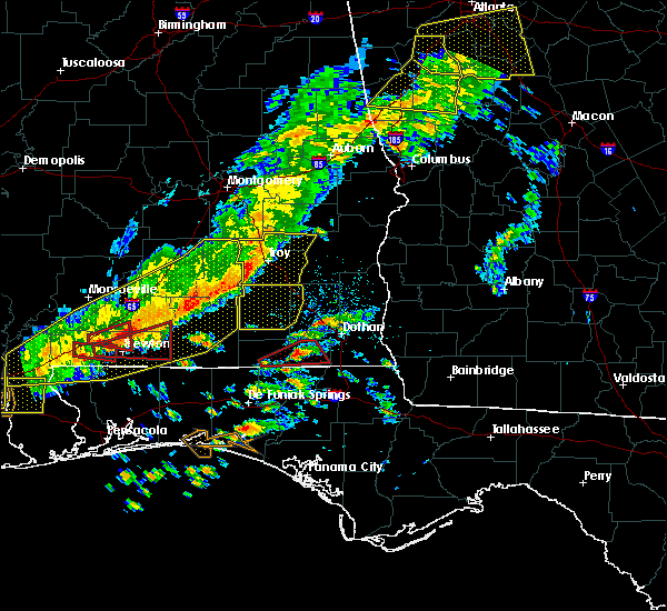 At 1032 am cdt, a severe thunderstorm capable of producing a tornado was located over troy municipal airport, or near troy, moving east at 55 mph (radar indicated rotation). Hazards include tornado. Flying debris will be dangerous to those caught without shelter. mobile homes will be damaged or destroyed. damage to roofs, windows, and vehicles will occur. Tree damage is likely. At 1032 am cdt, a severe thunderstorm capable of producing a tornado was located over troy municipal airport, or near troy, moving east at 55 mph (radar indicated rotation). Hazards include tornado. Flying debris will be dangerous to those caught without shelter. mobile homes will be damaged or destroyed. damage to roofs, windows, and vehicles will occur. Tree damage is likely.
|
| 3/31/2020 10:03 AM CDT |
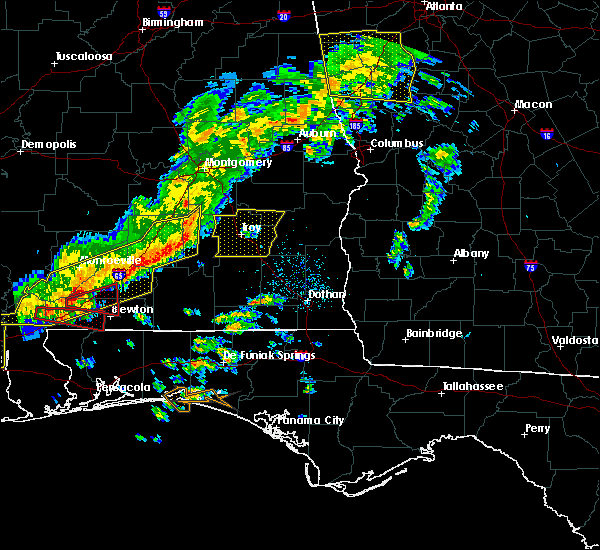 At 1003 am cdt, severe thunderstorms were located along a line extending from highland home to near rutledge to 10 miles east of mckenzie, moving east at 60 mph (radar indicated). Hazards include 60 mph wind gusts. expect damage to roofs, siding, and trees At 1003 am cdt, severe thunderstorms were located along a line extending from highland home to near rutledge to 10 miles east of mckenzie, moving east at 60 mph (radar indicated). Hazards include 60 mph wind gusts. expect damage to roofs, siding, and trees
|
| 3/4/2020 6:52 AM CST |
 At 652 am cst, a severe thunderstorm was located over banks, or 8 miles north of brundidge, moving east at 40 mph (radar indicated). Hazards include 60 mph wind gusts. expect damage to roofs, siding, and trees At 652 am cst, a severe thunderstorm was located over banks, or 8 miles north of brundidge, moving east at 40 mph (radar indicated). Hazards include 60 mph wind gusts. expect damage to roofs, siding, and trees
|
| 3/4/2020 6:45 AM CST | Per the city of troy... large tree and power pole down along pell ave... resulting in power outages around troy universit in pike county AL, 1.3 miles WNW of Troy, AL |
| 3/4/2020 6:41 AM CST | 59mph wind gust recorded by toi asos at 641am. multiple reports of trees on roadways near the city of troy and the airport. more details to com in pike county AL, 4.4 miles SSE of Troy, AL |
| 1/11/2020 3:46 PM CST |
 At 346 pm cst, severe thunderstorms were located along a line extending from huguley to near russell county sports complex to near brundidge, moving northeast at 70 mph (radar indicated). Hazards include 60 mph wind gusts. Expect damage to roofs, siding, and trees. Locations impacted include, troy, brundidge, midway, banks, pickett, aberfoil, antioch, guerryton, tanyard, hamilton crossroads, monticello, perote, josie, sandfield, tarentum, brundidge municipal airport and three notch. At 346 pm cst, severe thunderstorms were located along a line extending from huguley to near russell county sports complex to near brundidge, moving northeast at 70 mph (radar indicated). Hazards include 60 mph wind gusts. Expect damage to roofs, siding, and trees. Locations impacted include, troy, brundidge, midway, banks, pickett, aberfoil, antioch, guerryton, tanyard, hamilton crossroads, monticello, perote, josie, sandfield, tarentum, brundidge municipal airport and three notch.
|
| 1/11/2020 3:26 PM CST |
 At 326 pm cst, severe thunderstorms were located along a line extending from near auburn university to guerryton to 9 miles southwest of antioch, moving northeast at 55 mph (radar indicated). Hazards include 70 mph wind gusts. Expect considerable tree damage. damage is likely to mobile homes, roofs, and outbuildings. Locations impacted include, troy, tuskegee, union springs, brundidge, notasulga, midway, goshen, banks, pickett, aberfoil, lake tuskegee, beans crossroads, guerryton, linwood, tuskegee national forest, davisville, antioch, troy municipal airport, society hill and troy university. At 326 pm cst, severe thunderstorms were located along a line extending from near auburn university to guerryton to 9 miles southwest of antioch, moving northeast at 55 mph (radar indicated). Hazards include 70 mph wind gusts. Expect considerable tree damage. damage is likely to mobile homes, roofs, and outbuildings. Locations impacted include, troy, tuskegee, union springs, brundidge, notasulga, midway, goshen, banks, pickett, aberfoil, lake tuskegee, beans crossroads, guerryton, linwood, tuskegee national forest, davisville, antioch, troy municipal airport, society hill and troy university.
|
| 1/11/2020 3:10 PM CST |
 At 310 pm cst, severe thunderstorms were located along a line extending from near liberty city to union springs to near goshen, moving east at 55 mph (radar indicated). Hazards include 60 mph wind gusts. Expect damage to roofs, siding, and trees. Locations impacted include, troy, tuskegee, union springs, brundidge, notasulga, midway, goshen, milstead, shorter, banks, franklin, pickett, lake tuskegee, beans crossroads, guerryton, tuskegee national forest, liverpool, liberty city, hardaway and troy municipal airport. At 310 pm cst, severe thunderstorms were located along a line extending from near liberty city to union springs to near goshen, moving east at 55 mph (radar indicated). Hazards include 60 mph wind gusts. Expect damage to roofs, siding, and trees. Locations impacted include, troy, tuskegee, union springs, brundidge, notasulga, midway, goshen, milstead, shorter, banks, franklin, pickett, lake tuskegee, beans crossroads, guerryton, tuskegee national forest, liverpool, liberty city, hardaway and troy municipal airport.
|
| 1/11/2020 2:40 PM CST |
 At 240 pm cst, severe thunderstorms were located along a line extending from near mount meigs to brantley, moving northeast at 55 mph (radar indicated). Hazards include 60 mph wind gusts. expect damage to roofs, siding, and trees At 240 pm cst, severe thunderstorms were located along a line extending from near mount meigs to brantley, moving northeast at 55 mph (radar indicated). Hazards include 60 mph wind gusts. expect damage to roofs, siding, and trees
|
| 5/12/2019 6:43 AM CDT |
 At 643 am cdt, a severe thunderstorm was located near troy, moving northeast at 35 mph (radar indicated). Hazards include 60 mph wind gusts and quarter size hail. Hail damage to vehicles is expected. Expect wind damage to roofs, siding, and trees. At 643 am cdt, a severe thunderstorm was located near troy, moving northeast at 35 mph (radar indicated). Hazards include 60 mph wind gusts and quarter size hail. Hail damage to vehicles is expected. Expect wind damage to roofs, siding, and trees.
|
| 4/18/2019 9:20 PM CDT |
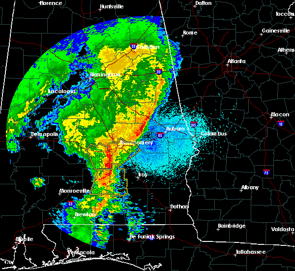 At 920 pm cdt, severe thunderstorms were located along a line extending from near pintlala to near sellers to near rutledge, moving northeast at 55 mph (radar indicated). Hazards include 60 mph wind gusts and penny size hail. expect damage to roofs, siding, and trees At 920 pm cdt, severe thunderstorms were located along a line extending from near pintlala to near sellers to near rutledge, moving northeast at 55 mph (radar indicated). Hazards include 60 mph wind gusts and penny size hail. expect damage to roofs, siding, and trees
|
| 4/14/2019 7:27 AM CDT |
 At 727 am cdt, a confirmed tornado was located over linwood, or 11 miles northeast of troy, moving northeast at 40 mph (radar confirmed tornado). Hazards include damaging tornado. Flying debris will be dangerous to those caught without shelter. mobile homes will be damaged or destroyed. damage to roofs, windows, and vehicles will occur. tree damage is likely. Locations impacted include, troy, union springs, midway, banks, pickett, aberfoil, franklin field, beans crossroads, linwood, tanyard, sedgefield, high ridge, monticello, perote, josie, sandfield and three notch. At 727 am cdt, a confirmed tornado was located over linwood, or 11 miles northeast of troy, moving northeast at 40 mph (radar confirmed tornado). Hazards include damaging tornado. Flying debris will be dangerous to those caught without shelter. mobile homes will be damaged or destroyed. damage to roofs, windows, and vehicles will occur. tree damage is likely. Locations impacted include, troy, union springs, midway, banks, pickett, aberfoil, franklin field, beans crossroads, linwood, tanyard, sedgefield, high ridge, monticello, perote, josie, sandfield and three notch.
|
| 4/14/2019 7:18 AM CDT |
 At 718 am cdt, a tornado producing storm was located near troy municipal airport, or near troy, moving northeast at 40 mph (radar confirmed tornado). Hazards include damaging tornado. Flying debris will be dangerous to those caught without shelter. mobile homes will be damaged or destroyed. damage to roofs, windows, and vehicles will occur. Tree damage is likely. At 718 am cdt, a tornado producing storm was located near troy municipal airport, or near troy, moving northeast at 40 mph (radar confirmed tornado). Hazards include damaging tornado. Flying debris will be dangerous to those caught without shelter. mobile homes will be damaged or destroyed. damage to roofs, windows, and vehicles will occur. Tree damage is likely.
|
| 4/14/2019 7:15 AM CDT |
 At 715 am cdt, a confirmed tornado was located over troy, moving northeast at 35 mph (radar confirmed tornado). Hazards include damaging tornado. Flying debris will be dangerous to those caught without shelter. mobile homes will be damaged or destroyed. damage to roofs, windows, and vehicles will occur. tree damage is likely. Locations impacted include, troy, banks, troy municipal airport, troy university and mossy grove. At 715 am cdt, a confirmed tornado was located over troy, moving northeast at 35 mph (radar confirmed tornado). Hazards include damaging tornado. Flying debris will be dangerous to those caught without shelter. mobile homes will be damaged or destroyed. damage to roofs, windows, and vehicles will occur. tree damage is likely. Locations impacted include, troy, banks, troy municipal airport, troy university and mossy grove.
|
| 4/14/2019 7:04 AM CDT |
 At 703 am cdt, a confirmed tornado was located near troy, moving northeast at 40 mph (radar confirmed tornado). Hazards include damaging tornado. Flying debris will be dangerous to those caught without shelter. mobile homes will be damaged or destroyed. damage to roofs, windows, and vehicles will occur. tree damage is likely. Locations impacted include, troy, banks, troy municipal airport, troy university and mossy grove. At 703 am cdt, a confirmed tornado was located near troy, moving northeast at 40 mph (radar confirmed tornado). Hazards include damaging tornado. Flying debris will be dangerous to those caught without shelter. mobile homes will be damaged or destroyed. damage to roofs, windows, and vehicles will occur. tree damage is likely. Locations impacted include, troy, banks, troy municipal airport, troy university and mossy grove.
|
| 4/14/2019 6:43 AM CDT |
 At 643 am cdt, a severe thunderstorm capable of producing a tornado was located over glenwood, or near luverne, moving northeast at 40 mph (radar indicated rotation). Hazards include tornado. Flying debris will be dangerous to those caught without shelter. mobile homes will be damaged or destroyed. damage to roofs, windows, and vehicles will occur. Tree damage is likely. At 643 am cdt, a severe thunderstorm capable of producing a tornado was located over glenwood, or near luverne, moving northeast at 40 mph (radar indicated rotation). Hazards include tornado. Flying debris will be dangerous to those caught without shelter. mobile homes will be damaged or destroyed. damage to roofs, windows, and vehicles will occur. Tree damage is likely.
|
| 3/3/2019 3:25 PM CST |
 At 325 pm cst, severe thunderstorms were located along a line extending from 6 miles southeast of hurtsboro to 7 miles southeast of brantley, moving east at 55 mph (radar indicated). Hazards include 60 mph wind gusts and nickel size hail. Expect damage to roofs, siding, and trees. locations impacted include, troy, eufaula, brundidge, clio, midway, goshen, clayton, louisville, banks, tyler crossroads, pickett, hawkinsville, aberfoil, spring hill, blue springs state park, guerryton, linwood, osco, richards crossroads and white oak. A tornado watch remains in effect until 600 pm cst for southeastern alabama. At 325 pm cst, severe thunderstorms were located along a line extending from 6 miles southeast of hurtsboro to 7 miles southeast of brantley, moving east at 55 mph (radar indicated). Hazards include 60 mph wind gusts and nickel size hail. Expect damage to roofs, siding, and trees. locations impacted include, troy, eufaula, brundidge, clio, midway, goshen, clayton, louisville, banks, tyler crossroads, pickett, hawkinsville, aberfoil, spring hill, blue springs state park, guerryton, linwood, osco, richards crossroads and white oak. A tornado watch remains in effect until 600 pm cst for southeastern alabama.
|
| 3/3/2019 3:12 PM CST |
 At 312 pm cst, severe thunderstorms were located along a line extending from near guerryton to near brantley, moving east at 40 mph (radar indicated). Hazards include 60 mph wind gusts and nickel size hail. expect damage to roofs, siding, and trees At 312 pm cst, severe thunderstorms were located along a line extending from near guerryton to near brantley, moving east at 40 mph (radar indicated). Hazards include 60 mph wind gusts and nickel size hail. expect damage to roofs, siding, and trees
|
| 2/24/2019 3:52 AM CST |
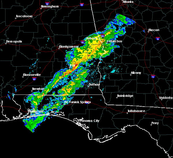 At 350 am cst, a severe thunderstorm was located near brundidge, moving east at 25 mph (radar indicated. winds to the north of the warning were measured at 36 mph at troy airport, with stronger winds indicated to the south). Hazards include 60 mph wind gusts. Expect damage to roofs, siding, and trees. Locations impacted include, troy, brundidge, tennille, tarentum, brundidge municipal airport, hamilton crossroads and mossy grove. At 350 am cst, a severe thunderstorm was located near brundidge, moving east at 25 mph (radar indicated. winds to the north of the warning were measured at 36 mph at troy airport, with stronger winds indicated to the south). Hazards include 60 mph wind gusts. Expect damage to roofs, siding, and trees. Locations impacted include, troy, brundidge, tennille, tarentum, brundidge municipal airport, hamilton crossroads and mossy grove.
|
| 2/24/2019 3:31 AM CST |
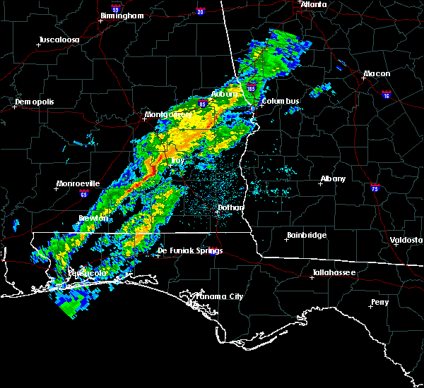 At 330 am cst, a severe thunderstorm was located over goshen, moving east at 50 mph (radar indicated). Hazards include 60 mph wind gusts. expect damage to roofs, siding, and trees At 330 am cst, a severe thunderstorm was located over goshen, moving east at 50 mph (radar indicated). Hazards include 60 mph wind gusts. expect damage to roofs, siding, and trees
|
| 1/23/2019 6:29 PM CST |
 At 628 pm cst, severe thunderstorms were located along a line extending from troy university to 9 miles southwest of antioch, moving east at 40 mph (radar indicated). Hazards include 60 mph wind gusts. expect damage to roofs, siding, and trees At 628 pm cst, severe thunderstorms were located along a line extending from troy university to 9 miles southwest of antioch, moving east at 40 mph (radar indicated). Hazards include 60 mph wind gusts. expect damage to roofs, siding, and trees
|
| 6/28/2018 5:40 PM CDT | Power lines dow in coffee county AL, 13.5 miles N of Troy, AL |
| 6/28/2018 5:22 PM CDT | Several trees down across roadways in the are in pike county AL, 8 miles S of Troy, AL |
| 6/28/2018 5:13 PM CDT |
 At 512 pm cdt, severe thunderstorms were located along a line extending from near lakepoint resort state park to near louisville to ansley, moving south at 30 mph (radar indicated). Hazards include 60 mph wind gusts. expect damage to roofs, siding, and trees At 512 pm cdt, severe thunderstorms were located along a line extending from near lakepoint resort state park to near louisville to ansley, moving south at 30 mph (radar indicated). Hazards include 60 mph wind gusts. expect damage to roofs, siding, and trees
|
| 6/28/2018 4:50 PM CDT |
 At 450 pm cdt, severe thunderstorms were located along a line extending from 8 miles southeast of seale to near lapine, moving southeast at 25 mph (radar indicated). Hazards include 60 mph wind gusts. expect damage to roofs, siding, and trees At 450 pm cdt, severe thunderstorms were located along a line extending from 8 miles southeast of seale to near lapine, moving southeast at 25 mph (radar indicated). Hazards include 60 mph wind gusts. expect damage to roofs, siding, and trees
|
| 5/1/2017 6:17 AM CDT |
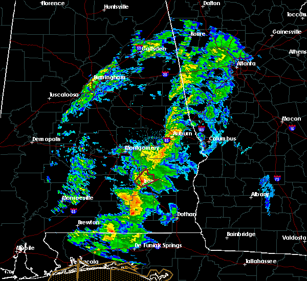 At 616 am cdt, a severe thunderstorm capable of producing a tornado was located over troy, moving northeast at 50 mph (radar indicated rotation). Hazards include tornado. Flying debris will be dangerous to those caught without shelter. mobile homes will be damaged or destroyed. damage to roofs, windows, and vehicles will occur. Tree damage is likely. At 616 am cdt, a severe thunderstorm capable of producing a tornado was located over troy, moving northeast at 50 mph (radar indicated rotation). Hazards include tornado. Flying debris will be dangerous to those caught without shelter. mobile homes will be damaged or destroyed. damage to roofs, windows, and vehicles will occur. Tree damage is likely.
|
| 4/27/2017 11:21 AM CDT |
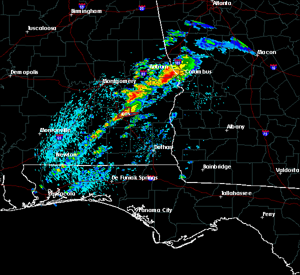 At 1121 am cdt, a severe thunderstorm capable of producing a tornado was located near troy university, or near troy, moving northeast at 30 mph (radar indicated rotation). Hazards include tornado and quarter size hail. Flying debris will be dangerous to those caught without shelter. mobile homes will be damaged or destroyed. damage to roofs, windows, and vehicles will occur. Tree damage is likely. At 1121 am cdt, a severe thunderstorm capable of producing a tornado was located near troy university, or near troy, moving northeast at 30 mph (radar indicated rotation). Hazards include tornado and quarter size hail. Flying debris will be dangerous to those caught without shelter. mobile homes will be damaged or destroyed. damage to roofs, windows, and vehicles will occur. Tree damage is likely.
|
| 4/5/2017 9:35 AM CDT |
 At 934 am cdt, a severe thunderstorm was located 9 miles south of antioch, or 9 miles southwest of brundidge, moving northeast at 40 mph (radar indicated). Hazards include 60 mph wind gusts and quarter size hail. Hail damage to vehicles is expected. Expect wind damage to roofs, siding, and trees. At 934 am cdt, a severe thunderstorm was located 9 miles south of antioch, or 9 miles southwest of brundidge, moving northeast at 40 mph (radar indicated). Hazards include 60 mph wind gusts and quarter size hail. Hail damage to vehicles is expected. Expect wind damage to roofs, siding, and trees.
|
| 4/3/2017 9:33 AM CDT |
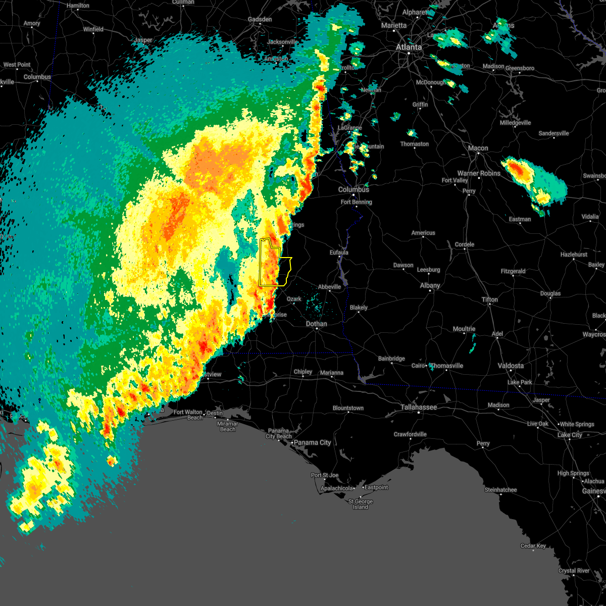 At 933 am cdt, severe thunderstorms were located along a line extending from near beans crossroads to near brundidge, moving east at 40 mph (radar indicated). Hazards include 70 mph wind gusts. Expect considerable tree damage. damage is likely to mobile homes, roofs, and outbuildings. Locations impacted include, troy, brundidge, banks, antioch, linwood, troy university, tennille, monticello, hamilton crossroads, josie, china grove, sandfield, tarentum, brundidge municipal airport and mossy grove. At 933 am cdt, severe thunderstorms were located along a line extending from near beans crossroads to near brundidge, moving east at 40 mph (radar indicated). Hazards include 70 mph wind gusts. Expect considerable tree damage. damage is likely to mobile homes, roofs, and outbuildings. Locations impacted include, troy, brundidge, banks, antioch, linwood, troy university, tennille, monticello, hamilton crossroads, josie, china grove, sandfield, tarentum, brundidge municipal airport and mossy grove.
|
| 4/3/2017 9:31 AM CDT | Trees down on power lines near the intersection of george wallace drive and elm street in tro in pike county AL, 1.3 miles WSW of Troy, AL |
| 4/3/2017 9:31 AM CDT | Multiple trees reported down along county roads 3316... 2290... 1101 and 2272. time estimated by rada in pike county AL, 9.2 miles NNW of Troy, AL |
| 4/3/2017 9:28 AM CDT | Trees down near the intersection of north three notch road and needmore road. time estimated by rada in pike county AL, 2.1 miles SW of Troy, AL |
| 4/3/2017 9:20 AM CDT | George wallace drive closed from ray avenue to dendron drive. city health dept building dealing with roof leaks. trees down near intersections of highway 29 and cr 2293 in pike county AL, 0.3 miles S of Troy, AL |
| 4/3/2017 9:20 AM CDT |
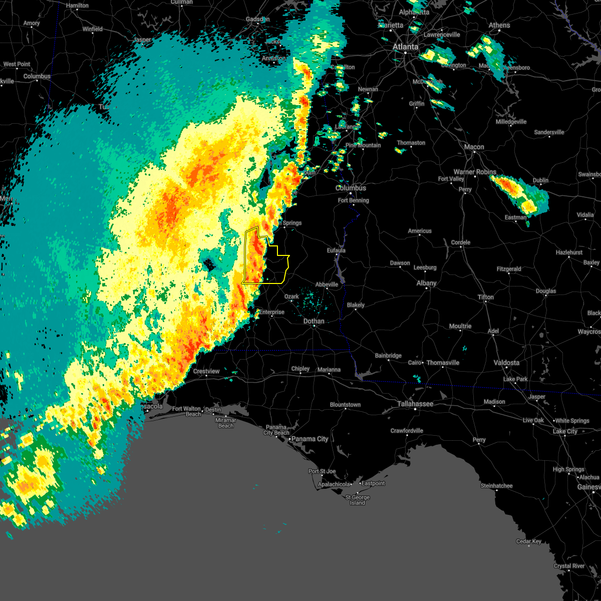 At 920 am cdt, severe thunderstorms were located along a line extending from pine level to near troy municipal airport to 9 miles southeast of goshen, moving northeast at 45 mph (radar indicated). Hazards include 70 mph wind gusts. Expect considerable tree damage. damage is likely to mobile homes, roofs, and outbuildings. Locations impacted include, troy, brundidge, goshen, banks, pine level, antioch, linwood, ansley, troy municipal airport, troy university, tennille, monticello, hamilton crossroads, orion, josie, china grove, sandfield, tarentum, brundidge municipal airport and currys. At 920 am cdt, severe thunderstorms were located along a line extending from pine level to near troy municipal airport to 9 miles southeast of goshen, moving northeast at 45 mph (radar indicated). Hazards include 70 mph wind gusts. Expect considerable tree damage. damage is likely to mobile homes, roofs, and outbuildings. Locations impacted include, troy, brundidge, goshen, banks, pine level, antioch, linwood, ansley, troy municipal airport, troy university, tennille, monticello, hamilton crossroads, orion, josie, china grove, sandfield, tarentum, brundidge municipal airport and currys.
|
| 4/3/2017 9:17 AM CDT | Large tree snapped in troy. time estimated by radar. report relayed via social medi in pike county AL, 0.3 miles S of Troy, AL |
| 4/3/2017 9:15 AM CDT | Tree down on power lines in troy. time estimated by rada in pike county AL, 1.8 miles NNW of Troy, AL |
| 4/3/2017 8:58 AM CDT |
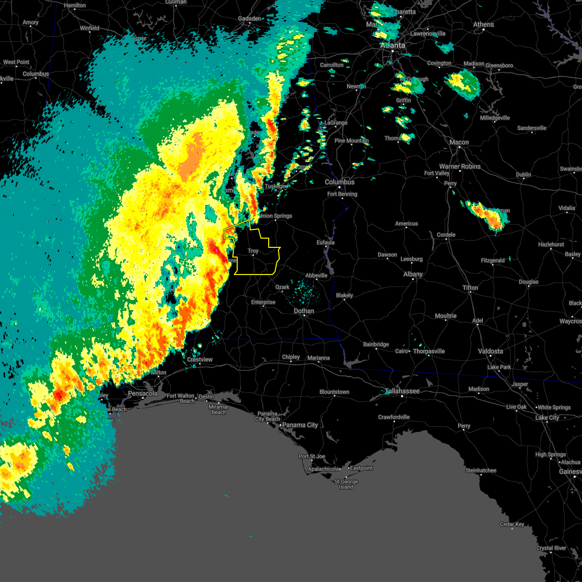 At 858 am cdt, severe thunderstorms were located along a line extending from near lapine to near petrey to glenwood, moving northeast at 45 mph (radar indicated). Hazards include 70 mph wind gusts and penny size hail. Expect considerable tree damage. Damage is likely to mobile homes, roofs, and outbuildings. At 858 am cdt, severe thunderstorms were located along a line extending from near lapine to near petrey to glenwood, moving northeast at 45 mph (radar indicated). Hazards include 70 mph wind gusts and penny size hail. Expect considerable tree damage. Damage is likely to mobile homes, roofs, and outbuildings.
|
| 2/7/2017 1:56 PM CST |
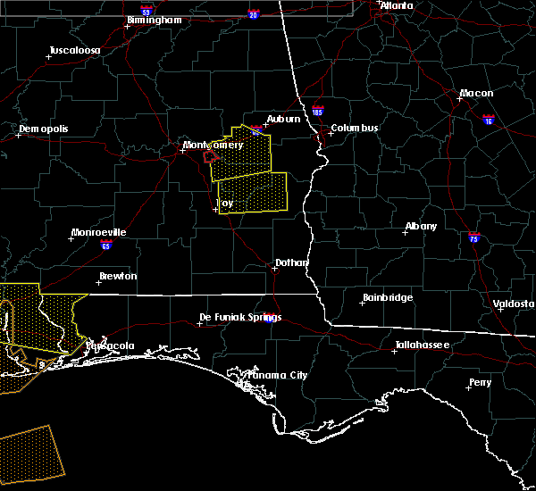 At 155 pm cst, severe thunderstorms were located along a line extending from near beans crossroads to banks, moving east at 45 mph (radar indicated). Hazards include 60 mph wind gusts. expect damage to roofs, siding, and trees At 155 pm cst, severe thunderstorms were located along a line extending from near beans crossroads to banks, moving east at 45 mph (radar indicated). Hazards include 60 mph wind gusts. expect damage to roofs, siding, and trees
|
| 1/22/2017 12:56 PM CST |
 At 1255 pm cst, severe thunderstorms were located along a line extending from emerald mountain to near pine level to near brantley, moving northeast at 70 mph (radar indicated). Hazards include 60 mph wind gusts. expect damage to roofs, siding, and trees At 1255 pm cst, severe thunderstorms were located along a line extending from emerald mountain to near pine level to near brantley, moving northeast at 70 mph (radar indicated). Hazards include 60 mph wind gusts. expect damage to roofs, siding, and trees
|
| 1/21/2017 9:21 AM CST |
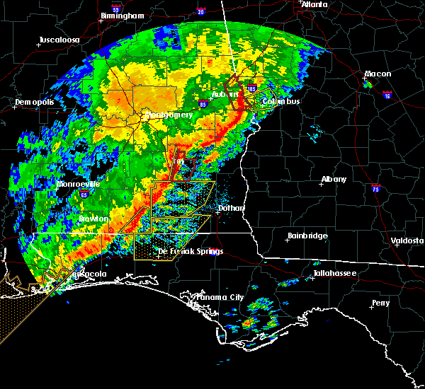 At 921 am cst, tornado producing storms were located along a line extending from near beans crossroads to 7 miles south of brundidge, moving east at 60 mph (radar confirmed tornado). Hazards include damaging tornado. Flying debris will be dangerous to those caught without shelter. mobile homes will be damaged or destroyed. damage to roofs, windows, and vehicles will occur. tree damage is likely. Locations impacted include, troy, brundidge, banks, linwood, antioch, brundidge municipal airport, josie, sandfield, tennille, tarentum, monticello and hamilton crossroads. At 921 am cst, tornado producing storms were located along a line extending from near beans crossroads to 7 miles south of brundidge, moving east at 60 mph (radar confirmed tornado). Hazards include damaging tornado. Flying debris will be dangerous to those caught without shelter. mobile homes will be damaged or destroyed. damage to roofs, windows, and vehicles will occur. tree damage is likely. Locations impacted include, troy, brundidge, banks, linwood, antioch, brundidge municipal airport, josie, sandfield, tennille, tarentum, monticello and hamilton crossroads.
|
| 1/21/2017 9:19 AM CST |
 At 919 am cst, severe thunderstorms were located along a line extending from near beans crossroads to 6 miles southwest of brundidge, moving east at 55 mph (radar indicated). Hazards include 60 mph wind gusts. Expect damage to roofs, siding, and trees. locations impacted include, troy, brundidge, banks, linwood, antioch, brundidge municipal airport, josie, sandfield, tennille, tarentum, monticello and hamilton crossroads. A tornado watch remains in effect until 1100 am cst for southeastern alabama. At 919 am cst, severe thunderstorms were located along a line extending from near beans crossroads to 6 miles southwest of brundidge, moving east at 55 mph (radar indicated). Hazards include 60 mph wind gusts. Expect damage to roofs, siding, and trees. locations impacted include, troy, brundidge, banks, linwood, antioch, brundidge municipal airport, josie, sandfield, tennille, tarentum, monticello and hamilton crossroads. A tornado watch remains in effect until 1100 am cst for southeastern alabama.
|
| 1/21/2017 9:11 AM CST |
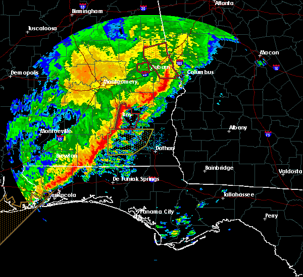 At 911 am cst, severe thunderstorms were located along a line extending from near beans crossroads to 9 miles southwest of antioch, moving east at 60 mph (radar indicated). Hazards include 60 mph wind gusts. Expect damage to roofs, siding, and trees. locations impacted include, troy, brundidge, banks, troy municipal airport, troy university, linwood, antioch, brundidge municipal airport, mossy grove, josie, tennille, china grove, henderson, tarentum, monticello, sandfield, orion and hamilton crossroads. A tornado watch remains in effect until 1100 am cst for south central and southeastern alabama. At 911 am cst, severe thunderstorms were located along a line extending from near beans crossroads to 9 miles southwest of antioch, moving east at 60 mph (radar indicated). Hazards include 60 mph wind gusts. Expect damage to roofs, siding, and trees. locations impacted include, troy, brundidge, banks, troy municipal airport, troy university, linwood, antioch, brundidge municipal airport, mossy grove, josie, tennille, china grove, henderson, tarentum, monticello, sandfield, orion and hamilton crossroads. A tornado watch remains in effect until 1100 am cst for south central and southeastern alabama.
|
| 1/21/2017 9:10 AM CST | Trees down across george wallace drive in troy. possible tornado. time estimated by rada in pike county AL, 1.3 miles WNW of Troy, AL |
| 1/21/2017 9:10 AM CST |
 At 909 am cst, a severe squall line capable of producing both tornadoes and extensive straight line wind damage was located along a line extending from near linwood to 9 miles southeast of goshen, moving east at 55 mph (radar indicated rotation). Hazards include tornado. Flying debris will be dangerous to those caught without shelter. mobile homes will be damaged or destroyed. damage to roofs, windows, and vehicles will occur. tree damage is likely. Locations impacted include, troy, brundidge, banks, troy university, linwood, antioch, troy municipal airport, brundidge municipal airport, mossy grove, josie, tennille, china grove, tarentum, monticello, sandfield and hamilton crossroads. At 909 am cst, a severe squall line capable of producing both tornadoes and extensive straight line wind damage was located along a line extending from near linwood to 9 miles southeast of goshen, moving east at 55 mph (radar indicated rotation). Hazards include tornado. Flying debris will be dangerous to those caught without shelter. mobile homes will be damaged or destroyed. damage to roofs, windows, and vehicles will occur. tree damage is likely. Locations impacted include, troy, brundidge, banks, troy university, linwood, antioch, troy municipal airport, brundidge municipal airport, mossy grove, josie, tennille, china grove, tarentum, monticello, sandfield and hamilton crossroads.
|
| 1/21/2017 8:58 AM CST |
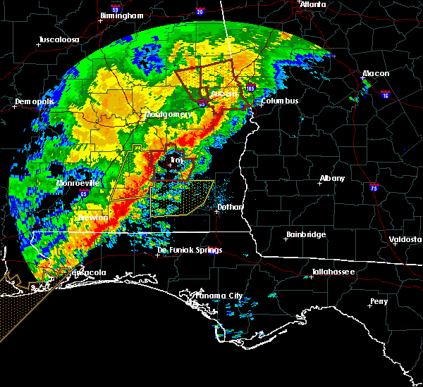 At 858 am cst, severe thunderstorms capable of producing both tornadoes and extensive straight line wind damage were located along a line extending from 6 miles northeast of ansley to near glenwood, moving east at 60 mph (radar indicated rotation). Hazards include tornado. Flying debris will be dangerous to those caught without shelter. mobile homes will be damaged or destroyed. damage to roofs, windows, and vehicles will occur. Tree damage is likely. At 858 am cst, severe thunderstorms capable of producing both tornadoes and extensive straight line wind damage were located along a line extending from 6 miles northeast of ansley to near glenwood, moving east at 60 mph (radar indicated rotation). Hazards include tornado. Flying debris will be dangerous to those caught without shelter. mobile homes will be damaged or destroyed. damage to roofs, windows, and vehicles will occur. Tree damage is likely.
|
| 1/21/2017 8:47 AM CST |
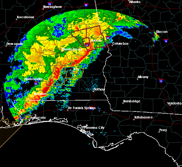 At 847 am cst, severe thunderstorms were located along a line extending from near grady to near brantley, moving east at 60 mph (radar indicated). Hazards include 60 mph wind gusts. expect damage to roofs, siding, and trees At 847 am cst, severe thunderstorms were located along a line extending from near grady to near brantley, moving east at 60 mph (radar indicated). Hazards include 60 mph wind gusts. expect damage to roofs, siding, and trees
|
| 1/2/2017 4:02 PM CST |
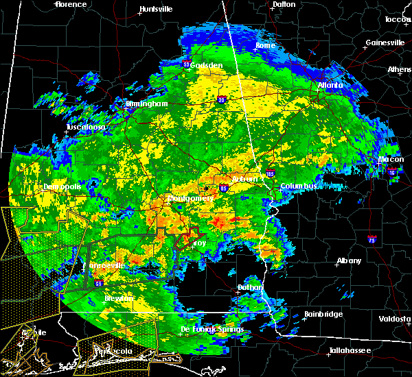 At 402 pm cst, a severe thunderstorm capable of producing a tornado was located over troy municipal airport, or near troy, moving northeast at 30 mph (radar indicated rotation). Hazards include tornado. Flying debris will be dangerous to those caught without shelter. mobile homes will be damaged or destroyed. damage to roofs, windows, and vehicles will occur. tree damage is likely. Locations impacted include, troy, troy municipal airport, orion and china grove. At 402 pm cst, a severe thunderstorm capable of producing a tornado was located over troy municipal airport, or near troy, moving northeast at 30 mph (radar indicated rotation). Hazards include tornado. Flying debris will be dangerous to those caught without shelter. mobile homes will be damaged or destroyed. damage to roofs, windows, and vehicles will occur. tree damage is likely. Locations impacted include, troy, troy municipal airport, orion and china grove.
|
| 1/2/2017 3:51 PM CST |
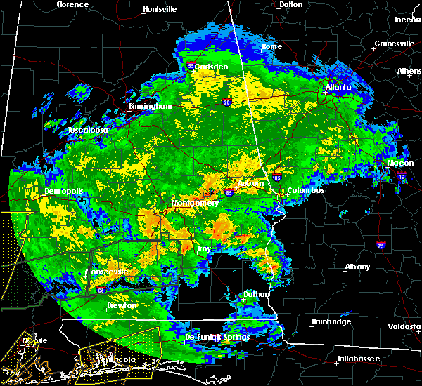 At 350 pm cst, a severe thunderstorm capable of producing a tornado was located near ansley, or near troy, moving northeast at 30 mph (radar indicated rotation). Hazards include tornado. Flying debris will be dangerous to those caught without shelter. mobile homes will be damaged or destroyed. damage to roofs, windows, and vehicles will occur. Tree damage is likely. At 350 pm cst, a severe thunderstorm capable of producing a tornado was located near ansley, or near troy, moving northeast at 30 mph (radar indicated rotation). Hazards include tornado. Flying debris will be dangerous to those caught without shelter. mobile homes will be damaged or destroyed. damage to roofs, windows, and vehicles will occur. Tree damage is likely.
|
| 7/6/2016 1:47 PM CDT |
 At 147 pm cdt, a severe thunderstorm was located near antioch, or 7 miles south of troy, moving east at 15 mph (radar indicated). Hazards include 60 mph wind gusts. Expect damage to roofs. siding. and trees. Locations impacted include, troy, brundidge, banks, troy university, antioch, brundidge municipal airport, mossy grove, tennille, tarentum, monticello and hamilton crossroads. At 147 pm cdt, a severe thunderstorm was located near antioch, or 7 miles south of troy, moving east at 15 mph (radar indicated). Hazards include 60 mph wind gusts. Expect damage to roofs. siding. and trees. Locations impacted include, troy, brundidge, banks, troy university, antioch, brundidge municipal airport, mossy grove, tennille, tarentum, monticello and hamilton crossroads.
|
| 7/6/2016 1:35 PM CDT |
 At 134 pm cdt, a severe thunderstorm was located near troy university, or 7 miles south of troy, moving east at 15 mph (radar indicated). Hazards include 60 mph wind gusts and quarter size hail. Hail damage to vehicles is expected. Expect wind damage to roofs, siding, and trees. At 134 pm cdt, a severe thunderstorm was located near troy university, or 7 miles south of troy, moving east at 15 mph (radar indicated). Hazards include 60 mph wind gusts and quarter size hail. Hail damage to vehicles is expected. Expect wind damage to roofs, siding, and trees.
|
| 6/18/2016 12:57 PM CDT | An oak tree was downed across both lanes of the highwa in pike county AL, 8.6 miles N of Troy, AL |
| 6/17/2016 6:37 PM CDT |
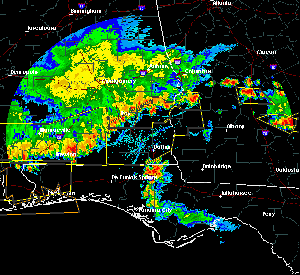 At 637 pm cdt, severe thunderstorms were located along a line extending from barbour county public lake dam to 6 miles southwest of antioch, moving southeast at 30 mph (radar indicated). Hazards include 60 mph wind gusts. Expect damage to roofs. siding. and trees. Locations impacted include, troy, brundidge, goshen, banks, pickett, troy university, antioch, brundidge municipal airport, mossy grove, josie, tennille, tanyard, henderson, tarentum, monticello and hamilton crossroads. At 637 pm cdt, severe thunderstorms were located along a line extending from barbour county public lake dam to 6 miles southwest of antioch, moving southeast at 30 mph (radar indicated). Hazards include 60 mph wind gusts. Expect damage to roofs. siding. and trees. Locations impacted include, troy, brundidge, goshen, banks, pickett, troy university, antioch, brundidge municipal airport, mossy grove, josie, tennille, tanyard, henderson, tarentum, monticello and hamilton crossroads.
|
| 6/17/2016 6:28 PM CDT |
 At 627 pm cdt, severe thunderstorms were located along a line extending from near midway to 6 miles southwest of troy, moving southeast at 35 mph (radar indicated). Hazards include 60 mph wind gusts. Expect damage to roofs. siding. and trees. Locations impacted include, troy, brundidge, midway, goshen, banks, pickett, troy municipal airport, aberfoil, troy university, linwood, antioch, beans crossroads, brundidge municipal airport, mossy grove, josie, tennille, three notch, tanyard, henderson and tarentum. At 627 pm cdt, severe thunderstorms were located along a line extending from near midway to 6 miles southwest of troy, moving southeast at 35 mph (radar indicated). Hazards include 60 mph wind gusts. Expect damage to roofs. siding. and trees. Locations impacted include, troy, brundidge, midway, goshen, banks, pickett, troy municipal airport, aberfoil, troy university, linwood, antioch, beans crossroads, brundidge municipal airport, mossy grove, josie, tennille, three notch, tanyard, henderson and tarentum.
|
| 6/17/2016 6:18 PM CDT |
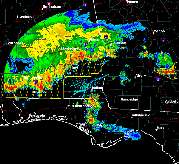 At 618 pm cdt, severe thunderstorms were located along a line extending from midway to near goshen, moving southeast at 40 mph (radar indicated). Hazards include 60 mph wind gusts. Expect damage to roofs. siding. and trees. Locations impacted include, troy, union springs, brundidge, midway, goshen, banks, beans crossroads, pickett, troy municipal airport, troy university, antioch, guerryton, ansley, aberfoil, linwood, josie, tennille, henderson, tarentum and monticello. At 618 pm cdt, severe thunderstorms were located along a line extending from midway to near goshen, moving southeast at 40 mph (radar indicated). Hazards include 60 mph wind gusts. Expect damage to roofs. siding. and trees. Locations impacted include, troy, union springs, brundidge, midway, goshen, banks, beans crossroads, pickett, troy municipal airport, troy university, antioch, guerryton, ansley, aberfoil, linwood, josie, tennille, henderson, tarentum and monticello.
|
| 6/17/2016 6:09 PM CDT |
 At 609 pm cdt, severe thunderstorms were located along a line extending from near davisville to near goshen, moving southeast at 40 mph (radar indicated). Hazards include 60 mph wind gusts. Expect damage to roofs. siding. and trees. Locations impacted include, troy, union springs, brundidge, midway, goshen, banks, beans crossroads, pickett, troy municipal airport, troy university, antioch, shopton, franklin field, guerryton, ansley, aberfoil, linwood, josie, tennille and simsville. At 609 pm cdt, severe thunderstorms were located along a line extending from near davisville to near goshen, moving southeast at 40 mph (radar indicated). Hazards include 60 mph wind gusts. Expect damage to roofs. siding. and trees. Locations impacted include, troy, union springs, brundidge, midway, goshen, banks, beans crossroads, pickett, troy municipal airport, troy university, antioch, shopton, franklin field, guerryton, ansley, aberfoil, linwood, josie, tennille and simsville.
|
| 6/17/2016 5:46 PM CDT |
 At 546 pm cdt, severe thunderstorms were located along a line extending from near shorter to 6 miles south of logan, moving southeast at 35 mph (radar indicated). Hazards include 60 mph wind gusts. Expect damage to roofs. siding. And trees. At 546 pm cdt, severe thunderstorms were located along a line extending from near shorter to 6 miles south of logan, moving southeast at 35 mph (radar indicated). Hazards include 60 mph wind gusts. Expect damage to roofs. siding. And trees.
|
| 3/24/2016 3:49 PM CDT |
 At 349 pm cdt, severe thunderstorms were located along a line extending from near banks to near doster to near ozark, moving northeast at 45 mph (radar indicated). Hazards include 60 mph wind gusts. Expect damage to roofs. siding. and trees. Locations impacted include, troy, brundidge, banks, antioch, brundidge municipal airport and monticello. At 349 pm cdt, severe thunderstorms were located along a line extending from near banks to near doster to near ozark, moving northeast at 45 mph (radar indicated). Hazards include 60 mph wind gusts. Expect damage to roofs. siding. and trees. Locations impacted include, troy, brundidge, banks, antioch, brundidge municipal airport and monticello.
|
| 3/24/2016 3:37 PM CDT |
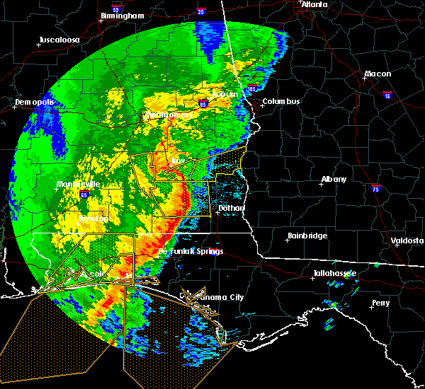 At 337 pm cdt, severe thunderstorms were located along a line extending from near antioch to near brundidge to near fort rucker, moving northeast at 45 mph (radar indicated). Hazards include 60 mph wind gusts. Expect damage to roofs. siding. and trees. Locations impacted include, troy, brundidge, banks, antioch, brundidge municipal airport, mossy grove, tennille, tarentum, monticello and hamilton crossroads. At 337 pm cdt, severe thunderstorms were located along a line extending from near antioch to near brundidge to near fort rucker, moving northeast at 45 mph (radar indicated). Hazards include 60 mph wind gusts. Expect damage to roofs. siding. and trees. Locations impacted include, troy, brundidge, banks, antioch, brundidge municipal airport, mossy grove, tennille, tarentum, monticello and hamilton crossroads.
|
| 3/24/2016 3:31 PM CDT |
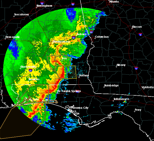 At 331 pm cdt, severe thunderstorms were located along a line extending from near troy to 6 miles south of brundidge to near new brockton, moving northeast at 50 mph (radar indicated). Hazards include 60 mph wind gusts. Expect damage to roofs. siding. and trees. Locations impacted include, troy, brundidge, banks, troy university, linwood, antioch, troy municipal airport, brundidge municipal airport, mossy grove, josie, tennille, tarentum, monticello, sandfield and hamilton crossroads. At 331 pm cdt, severe thunderstorms were located along a line extending from near troy to 6 miles south of brundidge to near new brockton, moving northeast at 50 mph (radar indicated). Hazards include 60 mph wind gusts. Expect damage to roofs. siding. and trees. Locations impacted include, troy, brundidge, banks, troy university, linwood, antioch, troy municipal airport, brundidge municipal airport, mossy grove, josie, tennille, tarentum, monticello, sandfield and hamilton crossroads.
|
| 3/24/2016 3:16 PM CDT |
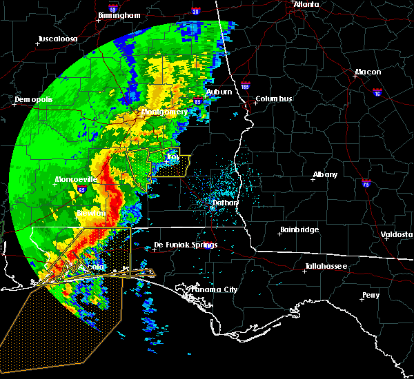 At 316 pm cdt, severe thunderstorms were located along a line extending from near petrey to 8 miles southeast of glenwood to near elba, moving northeast at 45 mph (radar indicated). Hazards include 70 mph wind gusts. Expect considerable tree damage. damage is likely to mobile homes, roofs, and outbuildings. Locations impacted include, troy, brundidge, goshen, banks, ansley, troy municipal airport, troy university, linwood, antioch, brundidge municipal airport, mossy grove, josie, tennille, henderson, tarentum, monticello, sandfield and hamilton crossroads. At 316 pm cdt, severe thunderstorms were located along a line extending from near petrey to 8 miles southeast of glenwood to near elba, moving northeast at 45 mph (radar indicated). Hazards include 70 mph wind gusts. Expect considerable tree damage. damage is likely to mobile homes, roofs, and outbuildings. Locations impacted include, troy, brundidge, goshen, banks, ansley, troy municipal airport, troy university, linwood, antioch, brundidge municipal airport, mossy grove, josie, tennille, henderson, tarentum, monticello, sandfield and hamilton crossroads.
|
| 3/24/2016 3:01 PM CDT |
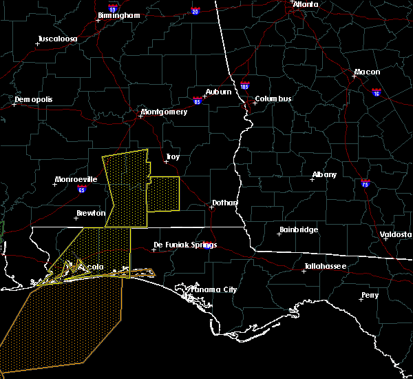 At 300 pm cdt, severe thunderstorms were located along a line extending from 9 miles west of rutledge to near brantley to opp, moving east at 45 mph (radar indicated). Hazards include 70 mph wind gusts. Expect considerable tree damage. Damage is likely to mobile homes, roofs, and outbuildings. At 300 pm cdt, severe thunderstorms were located along a line extending from 9 miles west of rutledge to near brantley to opp, moving east at 45 mph (radar indicated). Hazards include 70 mph wind gusts. Expect considerable tree damage. Damage is likely to mobile homes, roofs, and outbuildings.
|
| 3/3/2016 5:42 PM CST |
 At 541 pm cst, a severe thunderstorm was located over brundidge, moving east at 70 mph (radar indicated). Hazards include 60 mph wind gusts and quarter size hail. Hail damage to vehicles is expected. expect wind damage to roofs, siding and trees. Locations impacted include, troy, brundidge, banks, troy university, antioch, brundidge municipal airport, mossy grove, tennille, tarentum, monticello and hamilton crossroads. At 541 pm cst, a severe thunderstorm was located over brundidge, moving east at 70 mph (radar indicated). Hazards include 60 mph wind gusts and quarter size hail. Hail damage to vehicles is expected. expect wind damage to roofs, siding and trees. Locations impacted include, troy, brundidge, banks, troy university, antioch, brundidge municipal airport, mossy grove, tennille, tarentum, monticello and hamilton crossroads.
|
| 3/3/2016 5:25 PM CST |
 At 525 pm cst, a severe thunderstorm was located near luverne, moving east at 70 mph (radar indicated). Hazards include 60 mph wind gusts and quarter size hail. Hail damage to vehicles is expected. Expect wind damage to roofs, siding and trees. At 525 pm cst, a severe thunderstorm was located near luverne, moving east at 70 mph (radar indicated). Hazards include 60 mph wind gusts and quarter size hail. Hail damage to vehicles is expected. Expect wind damage to roofs, siding and trees.
|
| 2/15/2016 6:23 PM CST |
 At 623 pm cst, severe thunderstorms were located along a line extending from tuskegee national forest to near franklin field to 7 miles south of brundidge, moving northeast at 55 mph (radar indicated). Hazards include 60 mph wind gusts. Expect damage to roofs. siding and trees. locations impacted include, troy, tuskegee, union springs, brundidge, notasulga, midway, banks, beans crossroads, pickett, lake tuskegee, davisville, society hill, troy university, tuskegee national forest, liverpool, antioch, franklin field, guerryton, aberfoil and linwood. this includes interstate 85 between mile markers 38 and 42. A tornado watch remains in effect until 900 pm cst for southeastern alabama. At 623 pm cst, severe thunderstorms were located along a line extending from tuskegee national forest to near franklin field to 7 miles south of brundidge, moving northeast at 55 mph (radar indicated). Hazards include 60 mph wind gusts. Expect damage to roofs. siding and trees. locations impacted include, troy, tuskegee, union springs, brundidge, notasulga, midway, banks, beans crossroads, pickett, lake tuskegee, davisville, society hill, troy university, tuskegee national forest, liverpool, antioch, franklin field, guerryton, aberfoil and linwood. this includes interstate 85 between mile markers 38 and 42. A tornado watch remains in effect until 900 pm cst for southeastern alabama.
|
| 2/15/2016 6:14 PM CST | Power outages reported in troy. time estimated by rada in pike county AL, 0.3 miles S of Troy, AL |
| 2/15/2016 6:12 PM CST |
 At 612 pm cst, severe thunderstorms were located along a line extending from near tuskegee national forest to near shopton to 8 miles southeast of goshen, moving east at 50 mph (radar indicated). Hazards include 60 mph wind gusts. Expect damage to roofs. siding and trees. locations impacted include, troy, tuskegee, union springs, brundidge, notasulga, midway, banks, franklin, beans crossroads, pickett, lake tuskegee, davisville, troy municipal airport, society hill, troy university, tuskegee national forest, hardaway, liverpool, antioch and shopton. this includes interstate 85 between mile markers 32 and 42. A tornado watch remains in effect until 900 pm cst for southeastern alabama. At 612 pm cst, severe thunderstorms were located along a line extending from near tuskegee national forest to near shopton to 8 miles southeast of goshen, moving east at 50 mph (radar indicated). Hazards include 60 mph wind gusts. Expect damage to roofs. siding and trees. locations impacted include, troy, tuskegee, union springs, brundidge, notasulga, midway, banks, franklin, beans crossroads, pickett, lake tuskegee, davisville, troy municipal airport, society hill, troy university, tuskegee national forest, hardaway, liverpool, antioch and shopton. this includes interstate 85 between mile markers 32 and 42. A tornado watch remains in effect until 900 pm cst for southeastern alabama.
|
| 2/15/2016 5:59 PM CST |
 At 559 pm cst, severe thunderstorms were located along a line extending from tuskegee to near pine level to near brantley, moving east at 50 mph (radar indicated). Hazards include 60 mph wind gusts. Expect damage to roofs. siding and trees. locations impacted include, troy, tuskegee, union springs, brundidge, notasulga, midway, goshen, meadville, banks, franklin, troy university, liverpool, antioch, shopton, guerryton, linwood, pine level, beans crossroads, pickett and lake tuskegee. this includes interstate 85 between mile markers 32 and 42. A tornado watch remains in effect until 900 pm cst for southeastern alabama. At 559 pm cst, severe thunderstorms were located along a line extending from tuskegee to near pine level to near brantley, moving east at 50 mph (radar indicated). Hazards include 60 mph wind gusts. Expect damage to roofs. siding and trees. locations impacted include, troy, tuskegee, union springs, brundidge, notasulga, midway, goshen, meadville, banks, franklin, troy university, liverpool, antioch, shopton, guerryton, linwood, pine level, beans crossroads, pickett and lake tuskegee. this includes interstate 85 between mile markers 32 and 42. A tornado watch remains in effect until 900 pm cst for southeastern alabama.
|
| 2/15/2016 5:50 PM CST |
 At 550 pm cst, severe thunderstorms were located along a line extending from near pike road to near brantley, moving northeast at 60 mph (radar indicated). Hazards include 60 mph wind gusts. Expect damage to roofs. Siding and trees. At 550 pm cst, severe thunderstorms were located along a line extending from near pike road to near brantley, moving northeast at 60 mph (radar indicated). Hazards include 60 mph wind gusts. Expect damage to roofs. Siding and trees.
|
| 8/6/2015 10:39 PM CDT |
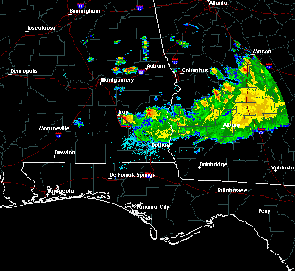 At 1039 pm cdt, a severe thunderstorm capable of producing a tornado was located over troy university, or near troy, moving southeast at 20 mph (radar indicated rotation). Hazards include tornado. Flying debris will be dangerous to those caught without shelter. mobile homes will be damaged or destroyed. damage to roofs, windows and vehicles will occur. tree damage is likely. this dangerous storm will be near, antioch around 1045 pm cdt. brundidge around 1055 pm cdt. Other locations impacted by this tornadic thunderstorm include tennille, mossy grove, tarentum and hamilton crossroads. At 1039 pm cdt, a severe thunderstorm capable of producing a tornado was located over troy university, or near troy, moving southeast at 20 mph (radar indicated rotation). Hazards include tornado. Flying debris will be dangerous to those caught without shelter. mobile homes will be damaged or destroyed. damage to roofs, windows and vehicles will occur. tree damage is likely. this dangerous storm will be near, antioch around 1045 pm cdt. brundidge around 1055 pm cdt. Other locations impacted by this tornadic thunderstorm include tennille, mossy grove, tarentum and hamilton crossroads.
|
| 8/6/2015 10:38 PM CDT | *** 4 inj *** damage to the walmart and hibbett sports buildings in troy. extent of damage unknown at this time. four minor injuries known at this time. updated for inj in pike county AL, 2.1 miles NW of Troy, AL |
| 4/25/2015 3:37 PM CDT | At 336 pm cdt, a severe thunderstorm was located near banks, or 10 miles north of brundidge, moving east at 40 mph (radar indicated). Hazards include golf ball size hail and 60 mph wind gusts. Hail damage to vehicles is expected. expect wind damage to roofs, siding and trees. locations impacted include, troy, midway, banks, pickett, linwood, antioch, josie, sandfield, tanyard, perote and monticello. 1. 75in. |
| 4/25/2015 3:28 PM CDT | At 328 pm cdt, a severe thunderstorm was located over banks, or 7 miles east of troy, moving east at 40 mph (radar indicated). Hazards include 60 mph wind gusts and quarter size hail. Hail damage to vehicles is expected. Expect wind damage to roofs, siding and trees. |
| 7/23/2013 4:40 PM CDT | County emergency management reported trees down near hephziba in pike county AL, 3.3 miles NE of Troy, AL |
| 7/23/2013 4:40 PM CDT | Em reported trees down near hephziba in pike county AL, 3.3 miles NE of Troy, AL |
| 1/30/2013 1:30 PM CST | Shingles off of the house of the county ema directo in pike county AL, 0.3 miles S of Troy, AL |
| 12/25/2012 10:38 PM CST | Mobile homes damaged near troy airport. possible entrapment. possible tornad in pike county AL, 3.5 miles SSE of Troy, AL |
| 12/24/2012 10:38 PM CST | Mobile homes damaged near troy airport. possible entrapment. possible tornad in pike county AL, 3.5 miles SSE of Troy, AL |
| 7/30/2012 7:29 PM CDT | Quarter sized hail reported 6.2 miles NE of Troy, AL, quarter size hail at donnas grocery along county rd 2290. |
| 1/1/0001 12:00 AM | A few trees were blown down in far southern montgomery county near highway 231. winds were estimated around 50 mp in montgomery county AL, 17 miles SSE of Troy, AL |
| 1/1/0001 12:00 AM | 1940 update. single 18-22 inch sweetgum down on cnty in pike county AL, 15.6 miles S of Troy, AL |
| 1/1/0001 12:00 AM | No known damage at this tim in pike county AL, 15.6 miles S of Troy, AL |
| 1/1/0001 12:00 AM | Quarter sized hail reported 0.3 miles S of Troy, AL |
| 1/1/0001 12:00 AM | Trees and power lines were blown down in tro in pike county AL, 0.3 miles S of Troy, AL |
| 1/1/0001 12:00 AM | Storm damage reported in pike county AL, 0.3 miles S of Troy, AL |
| 1/1/0001 12:00 AM | A few trees were blown down in the shellhorn communit in pike county AL, 7.1 miles SE of Troy, AL |
| 1/1/0001 12:00 AM | Sporadic wind damage from near spring hill to near hamilton crossroads. several trees were knocked in pike county AL, 9.3 miles N of Troy, AL |
| 1/1/0001 12:00 AM | Cable and telephone lines down near the intersetion of 231 and george wallace drive. asos estimated wind speed of 50 mp in pike county AL, 2.1 miles NW of Troy, AL |
Hail Maps for Troy, AL
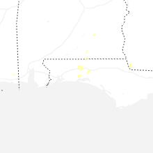
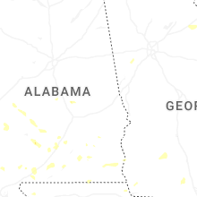


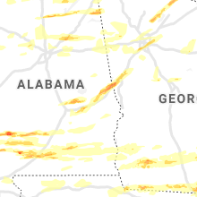


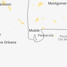
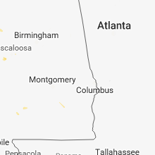


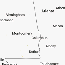


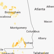


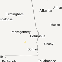


Connect with Interactive Hail Maps