

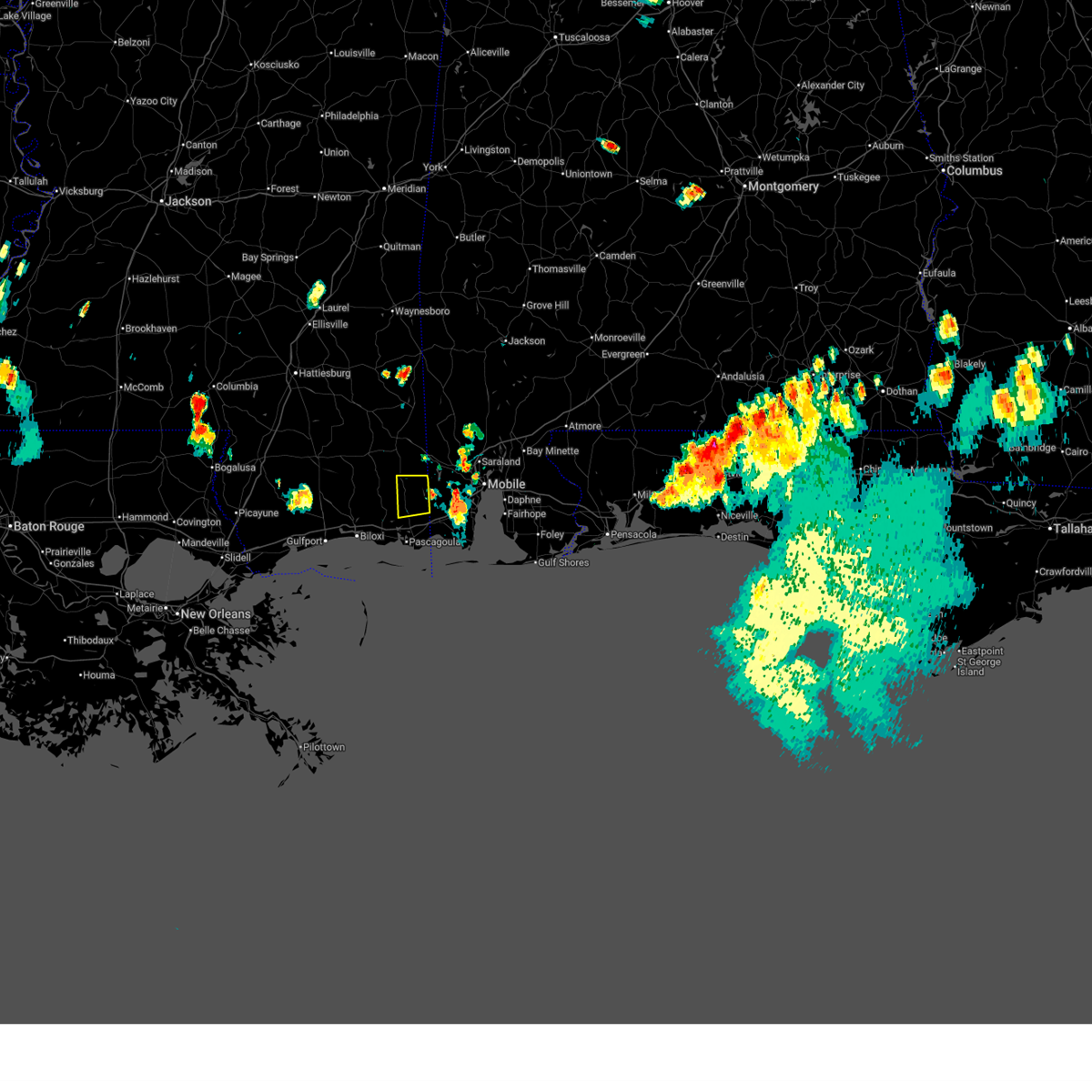
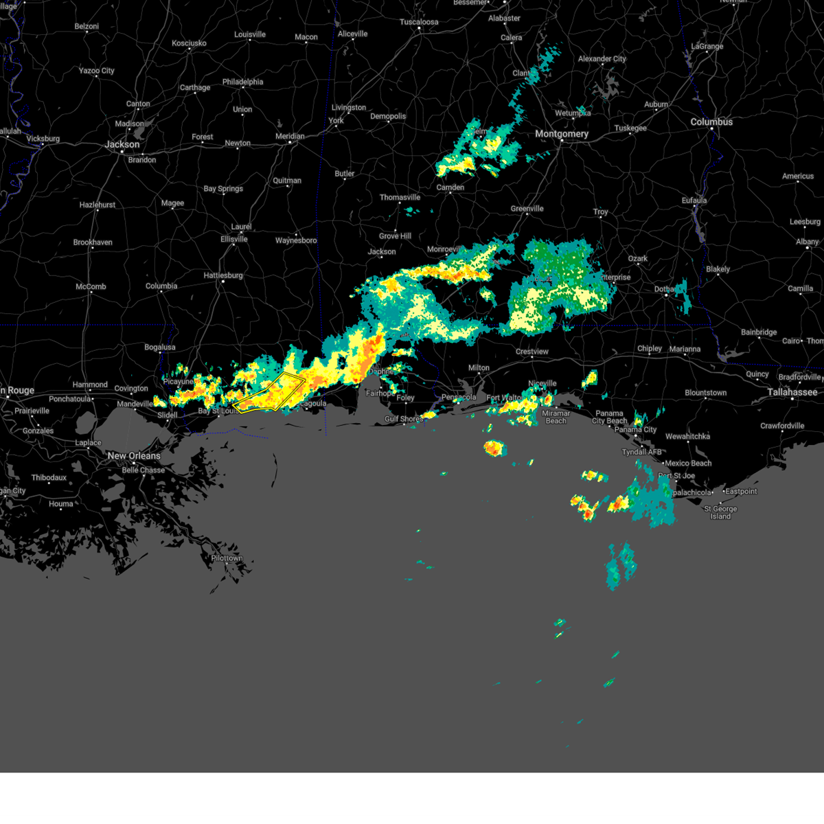
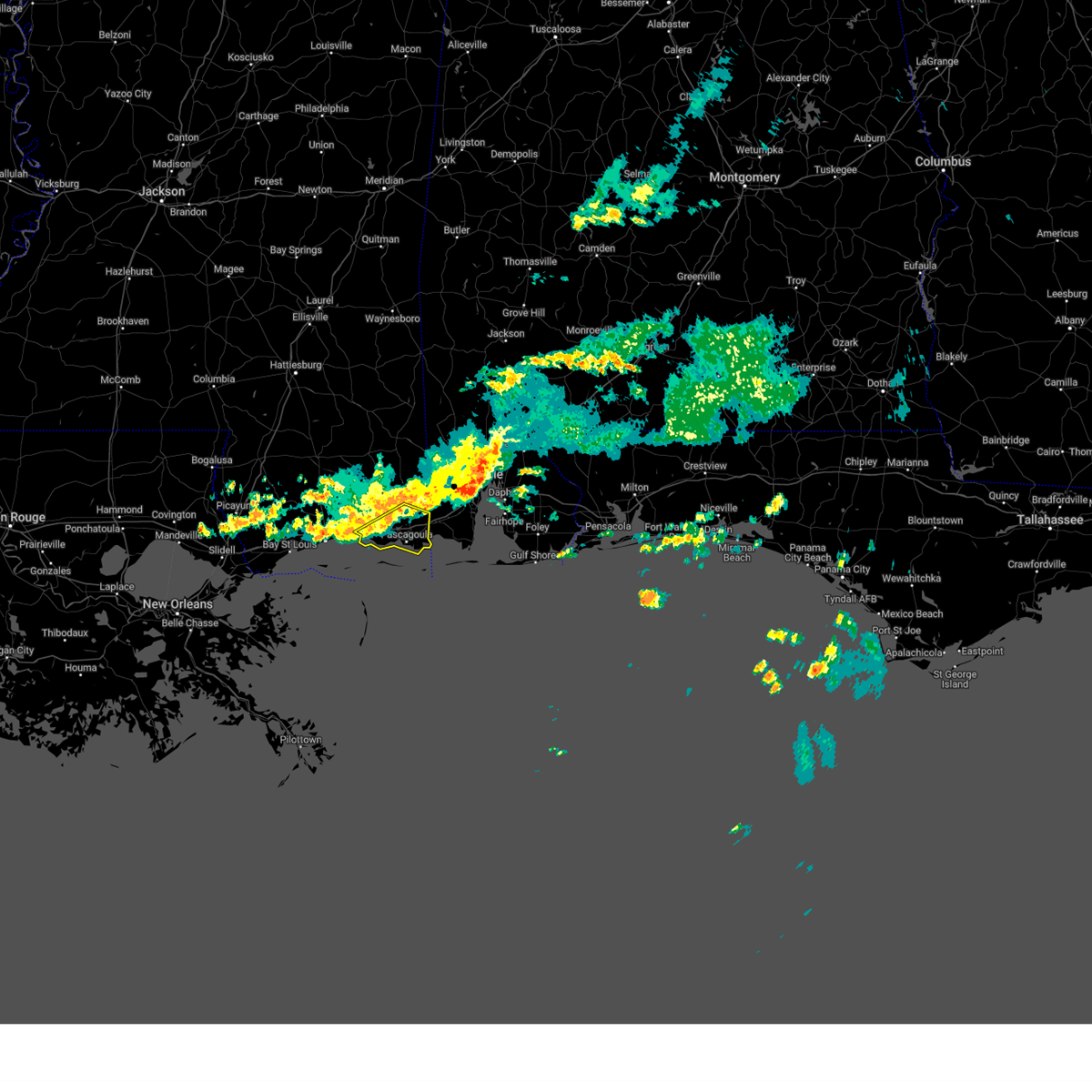
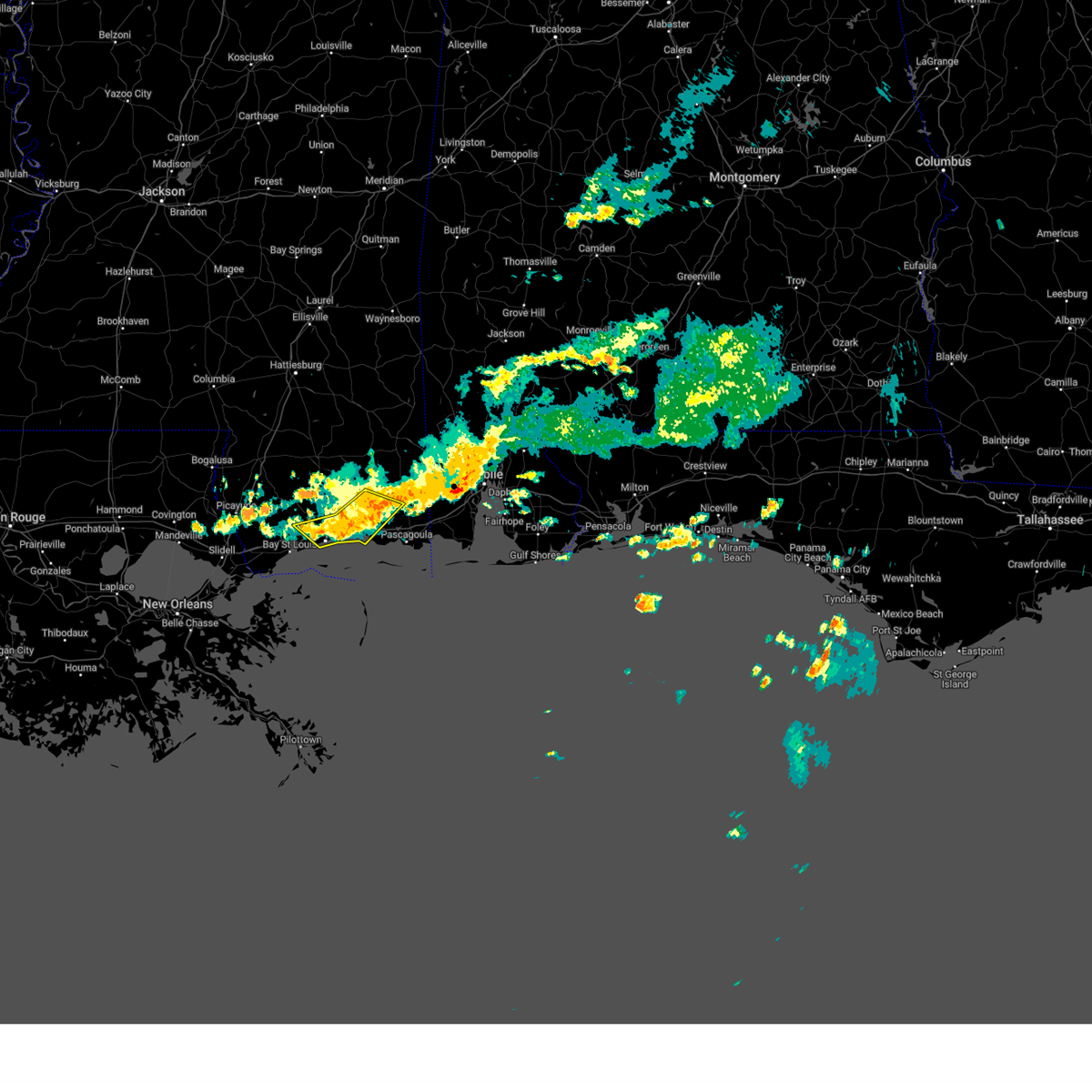
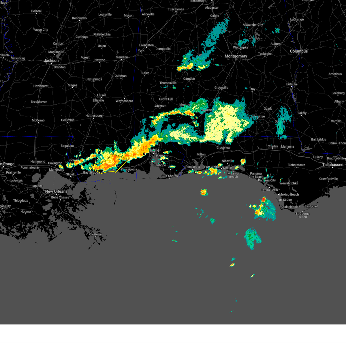
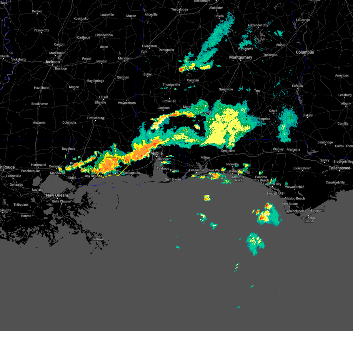
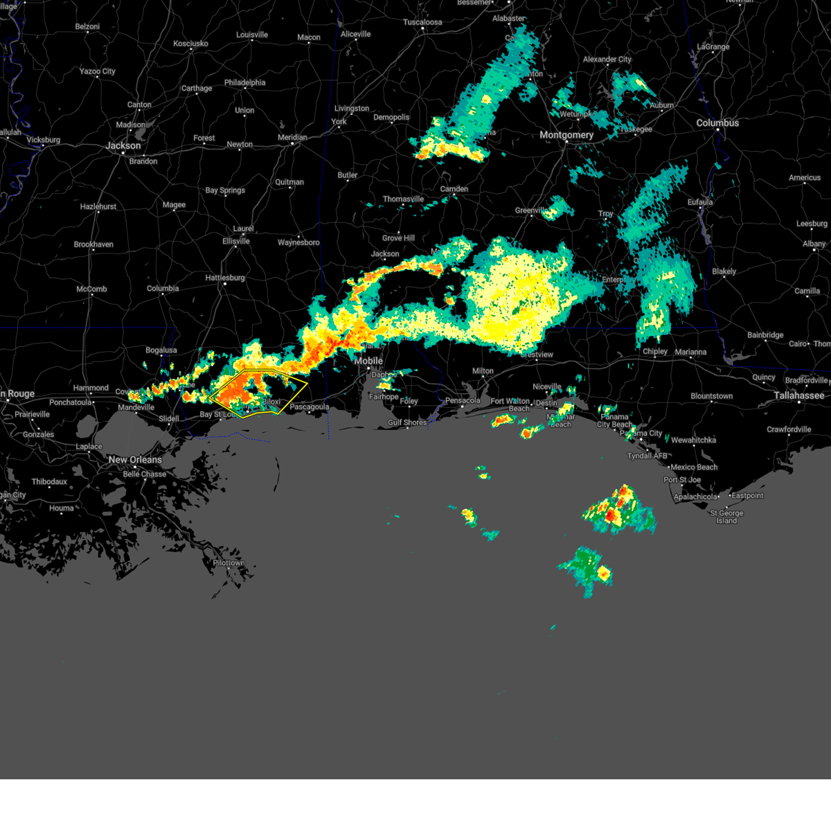
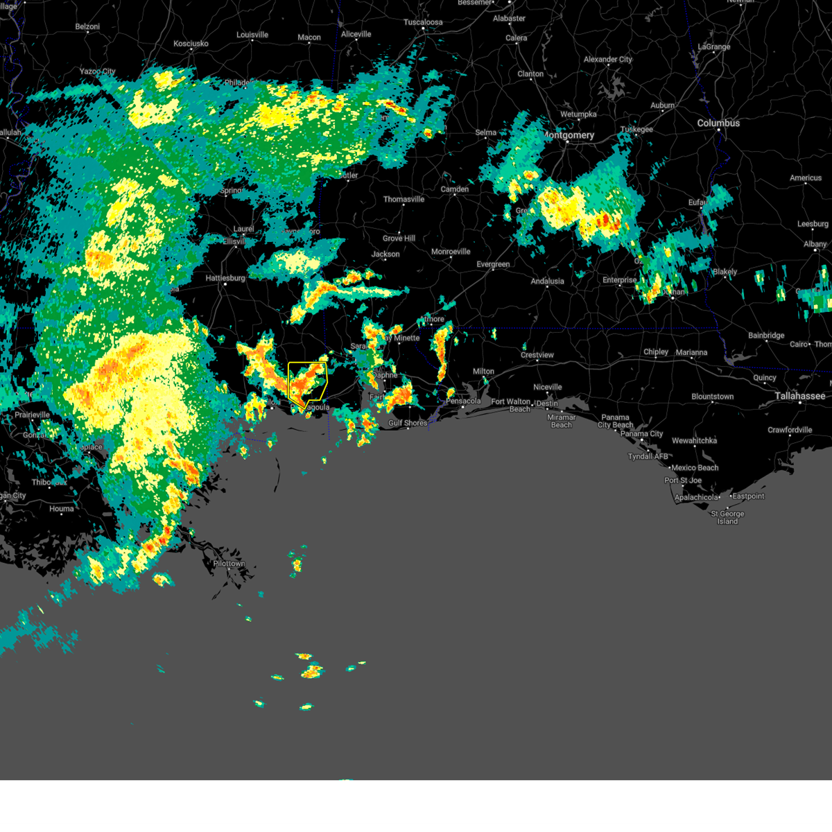
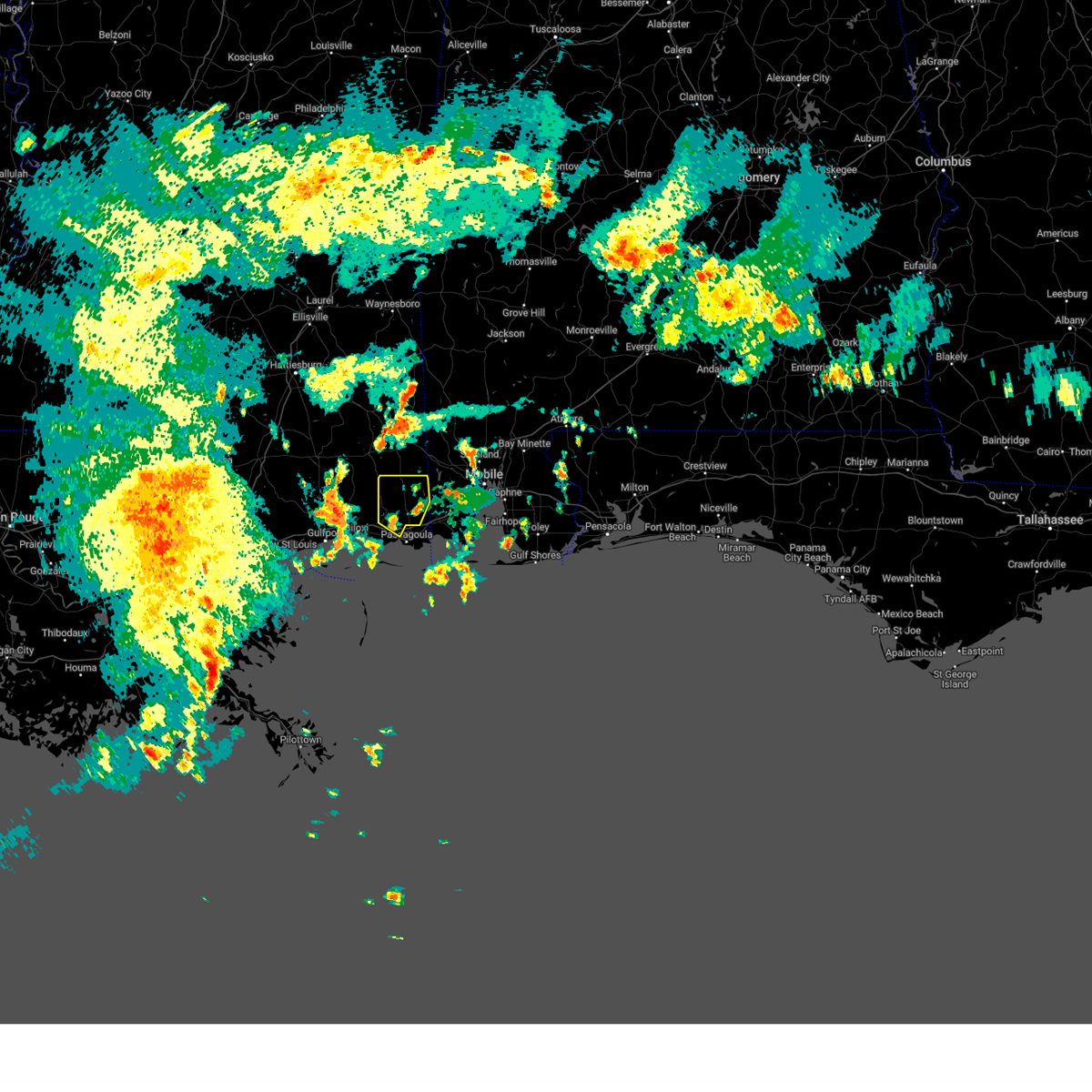
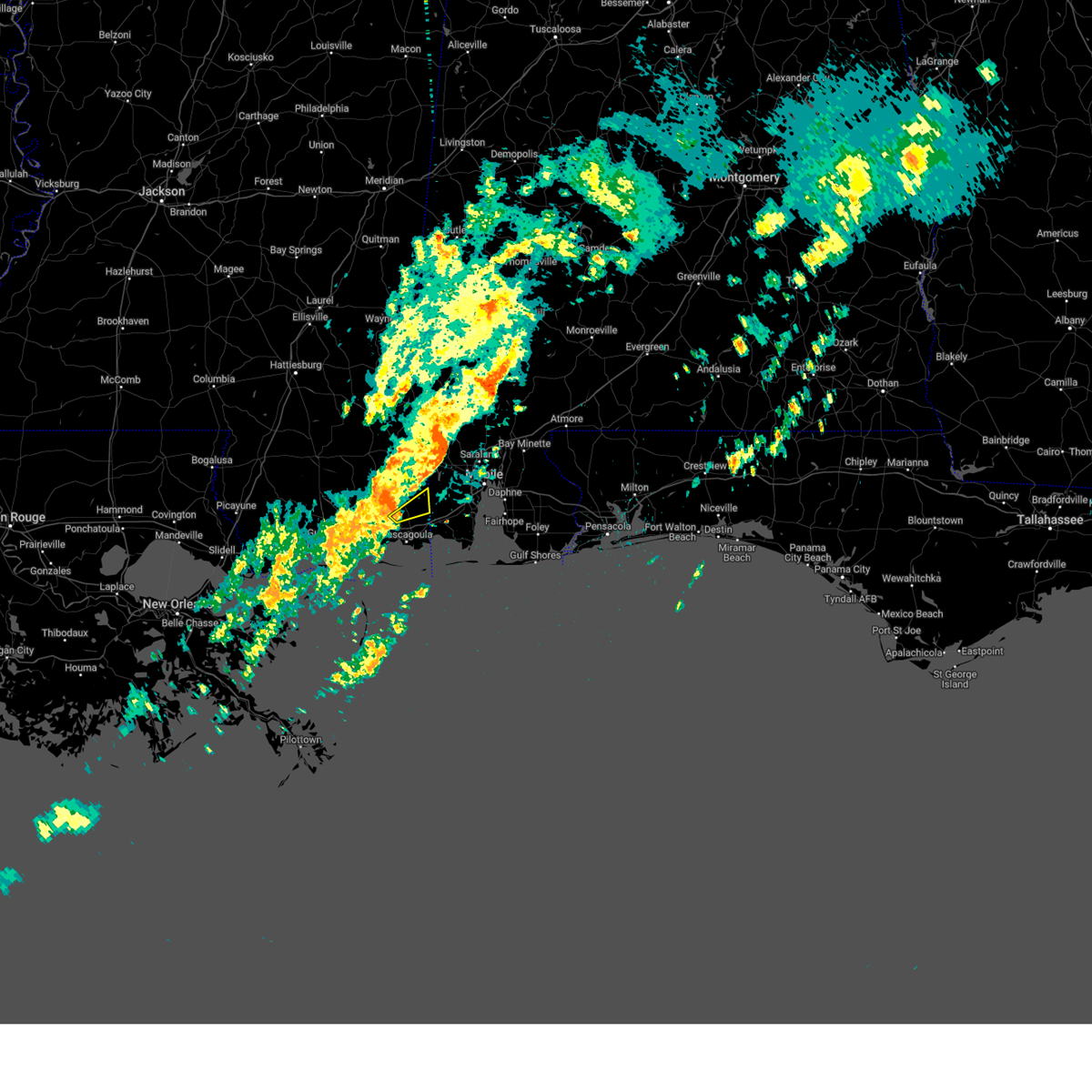
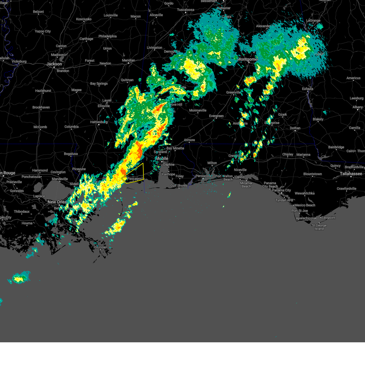
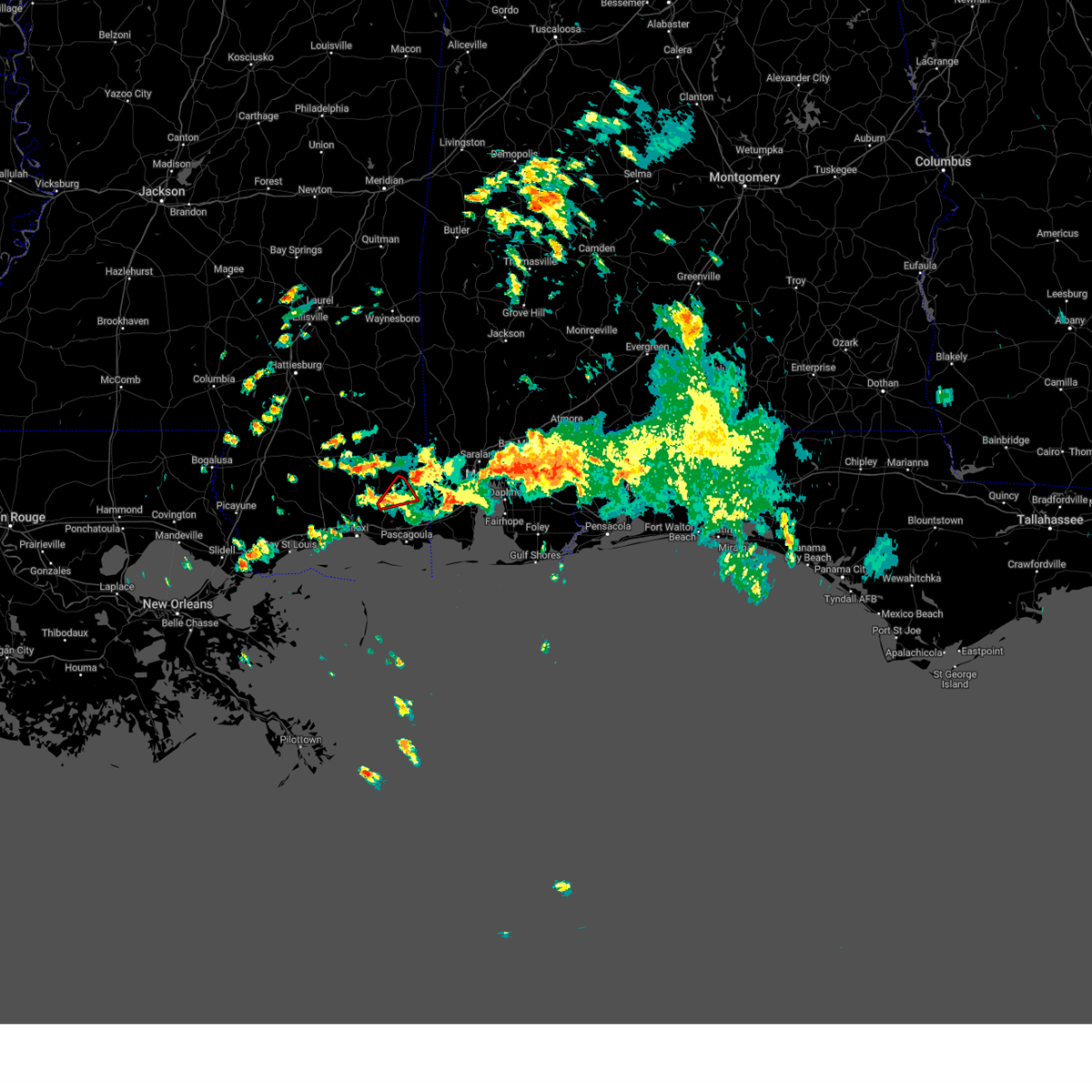
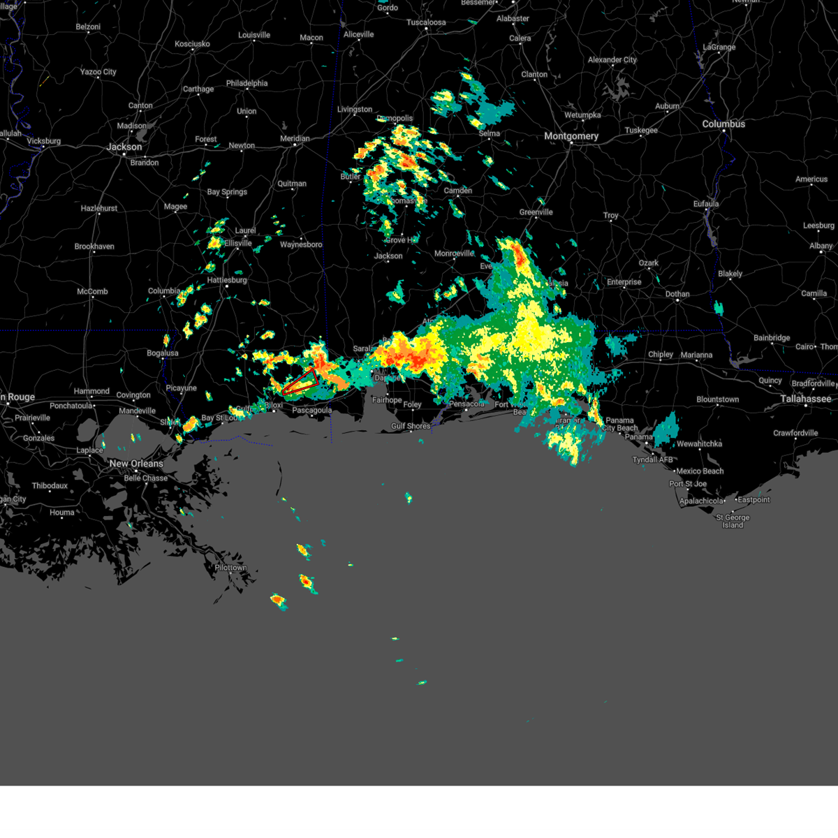
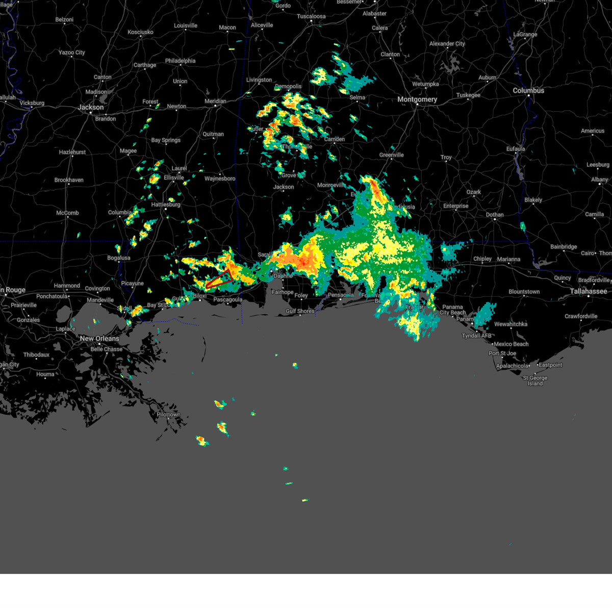
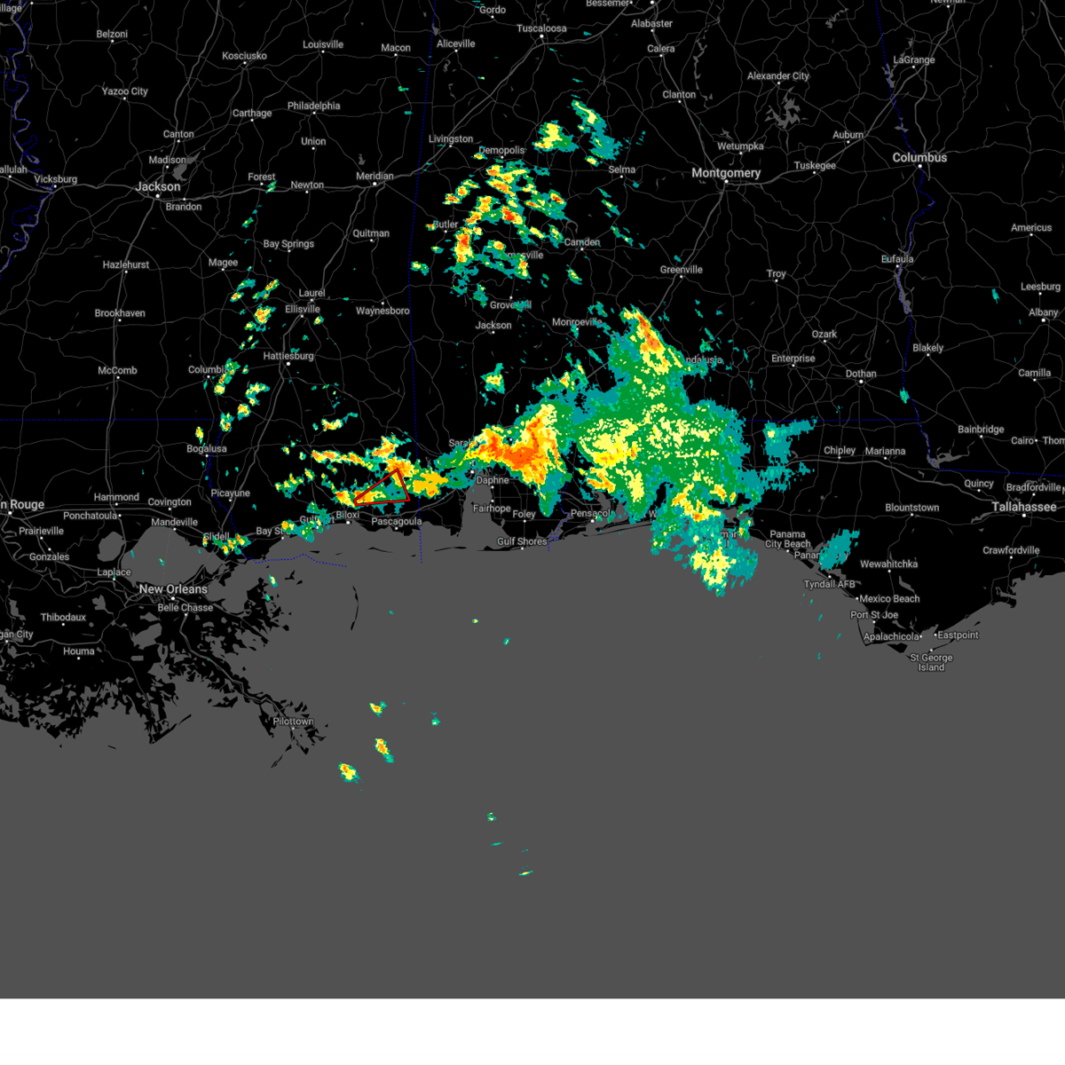
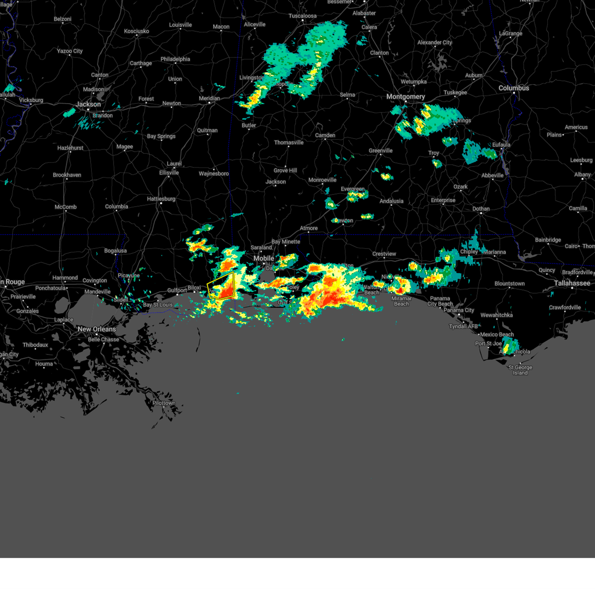
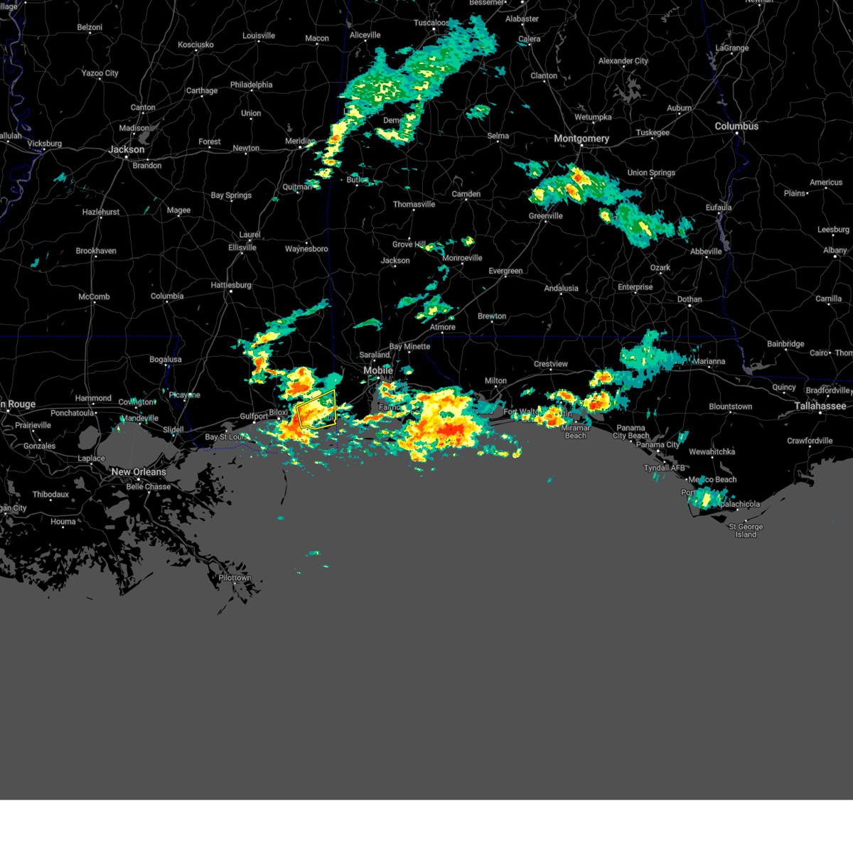
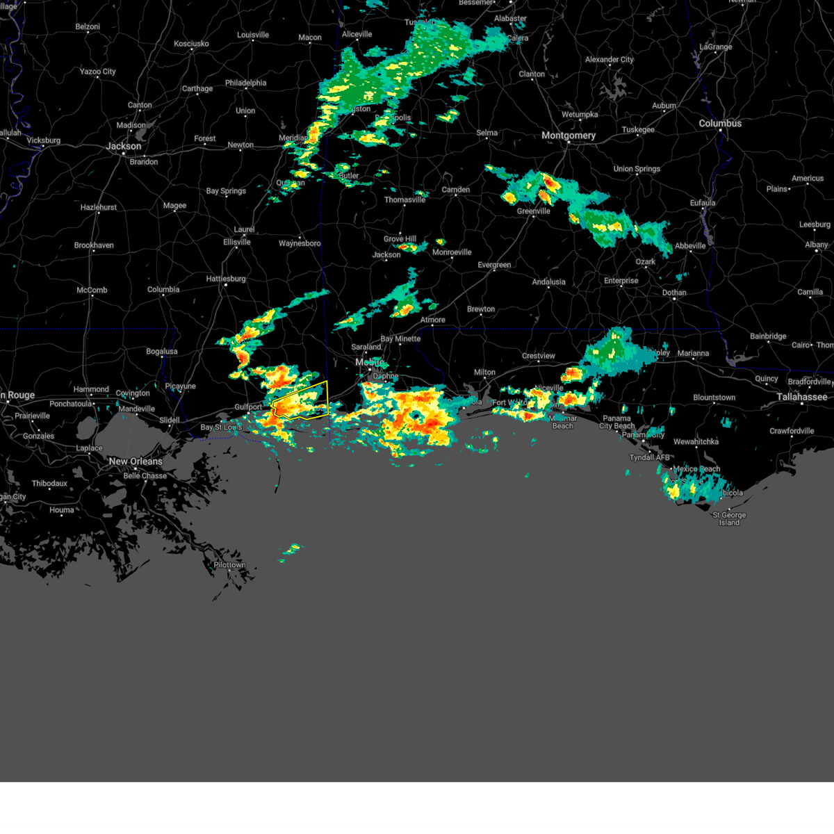
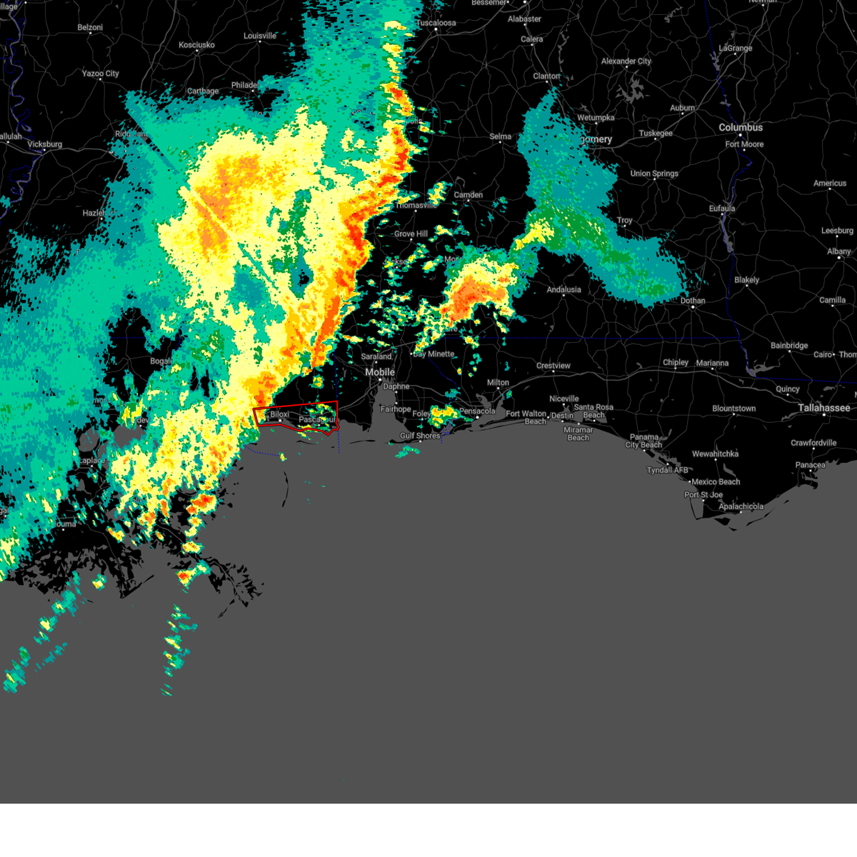
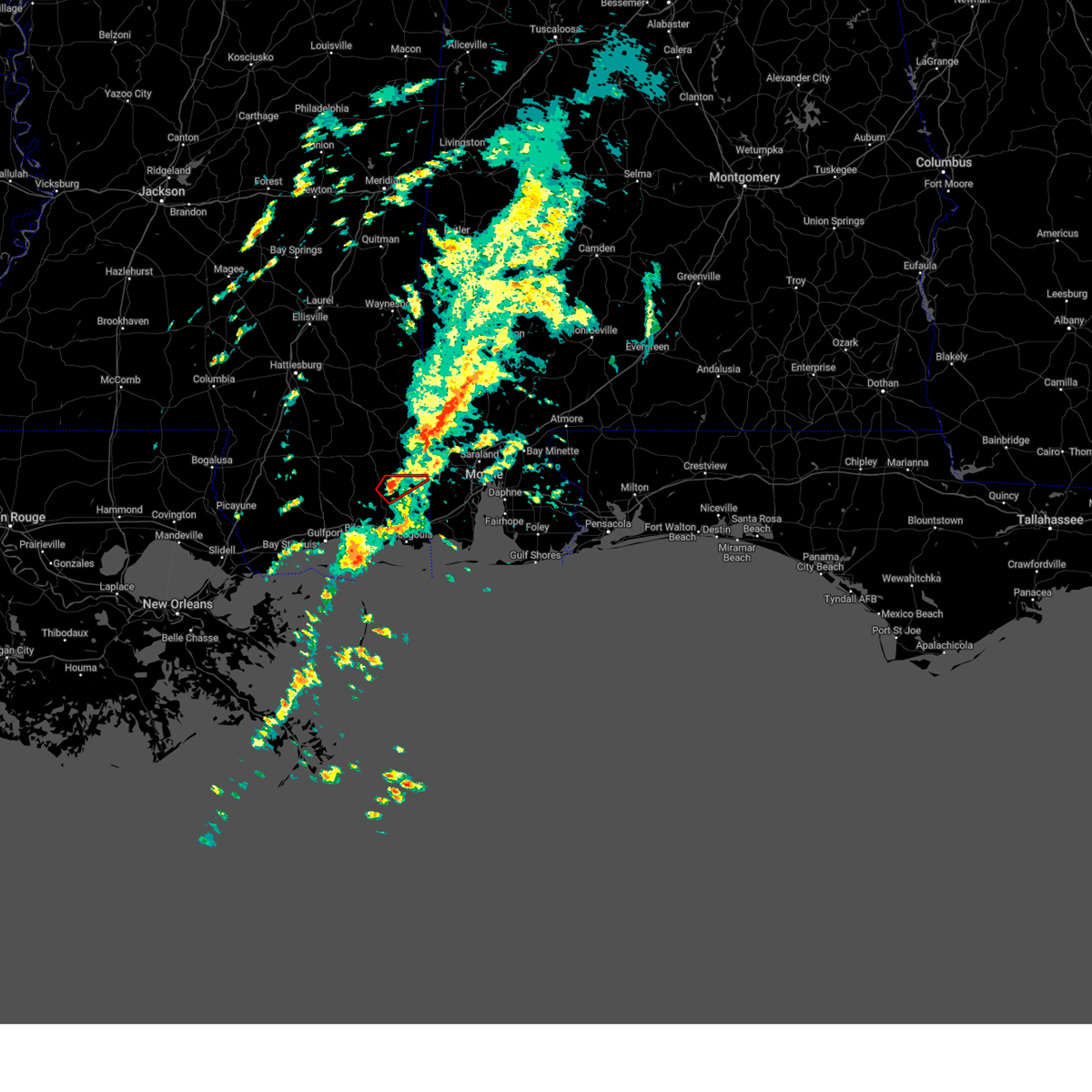
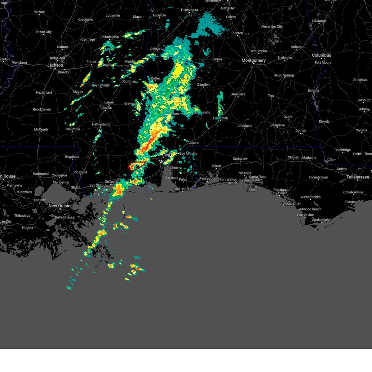
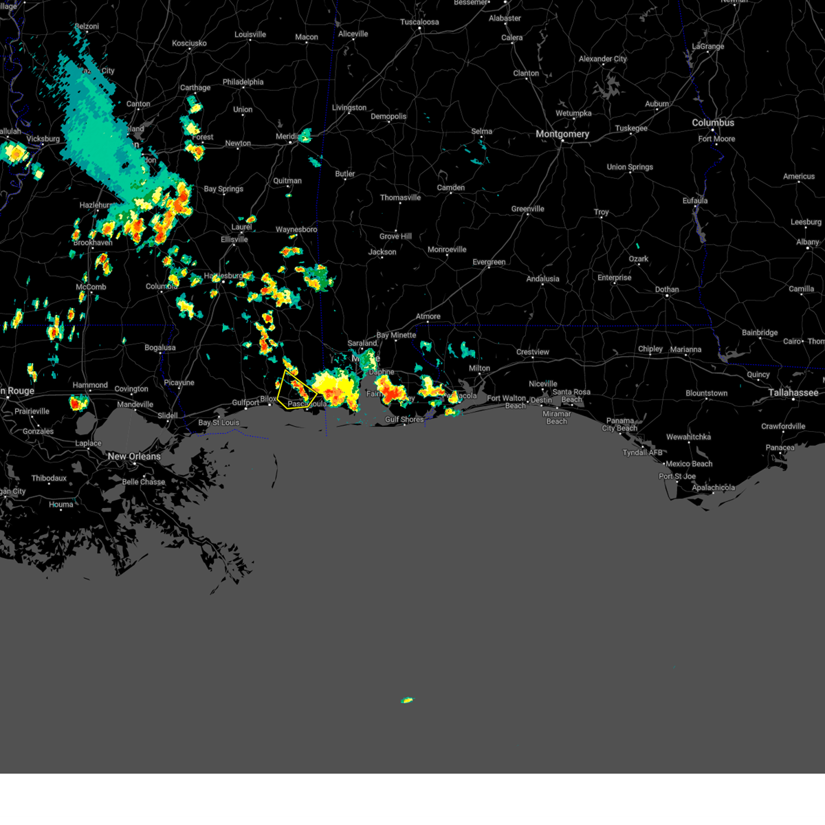
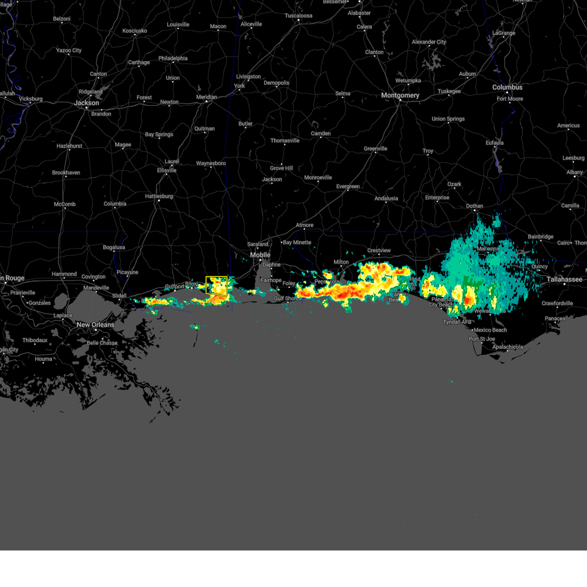
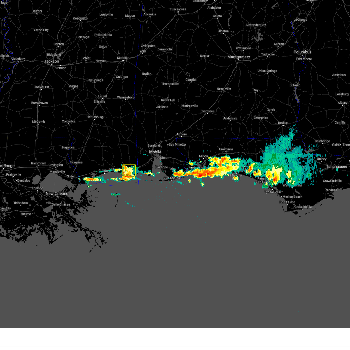
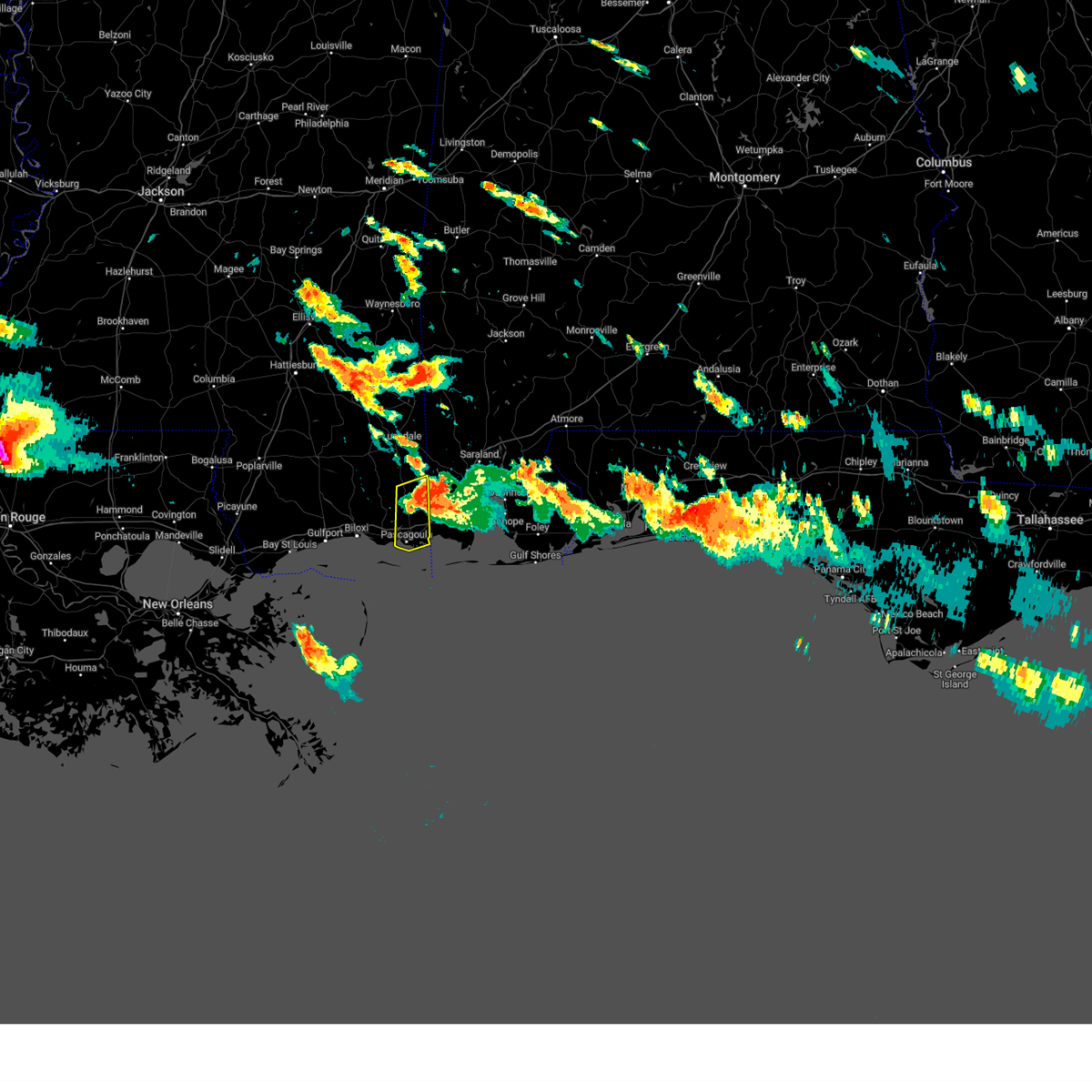
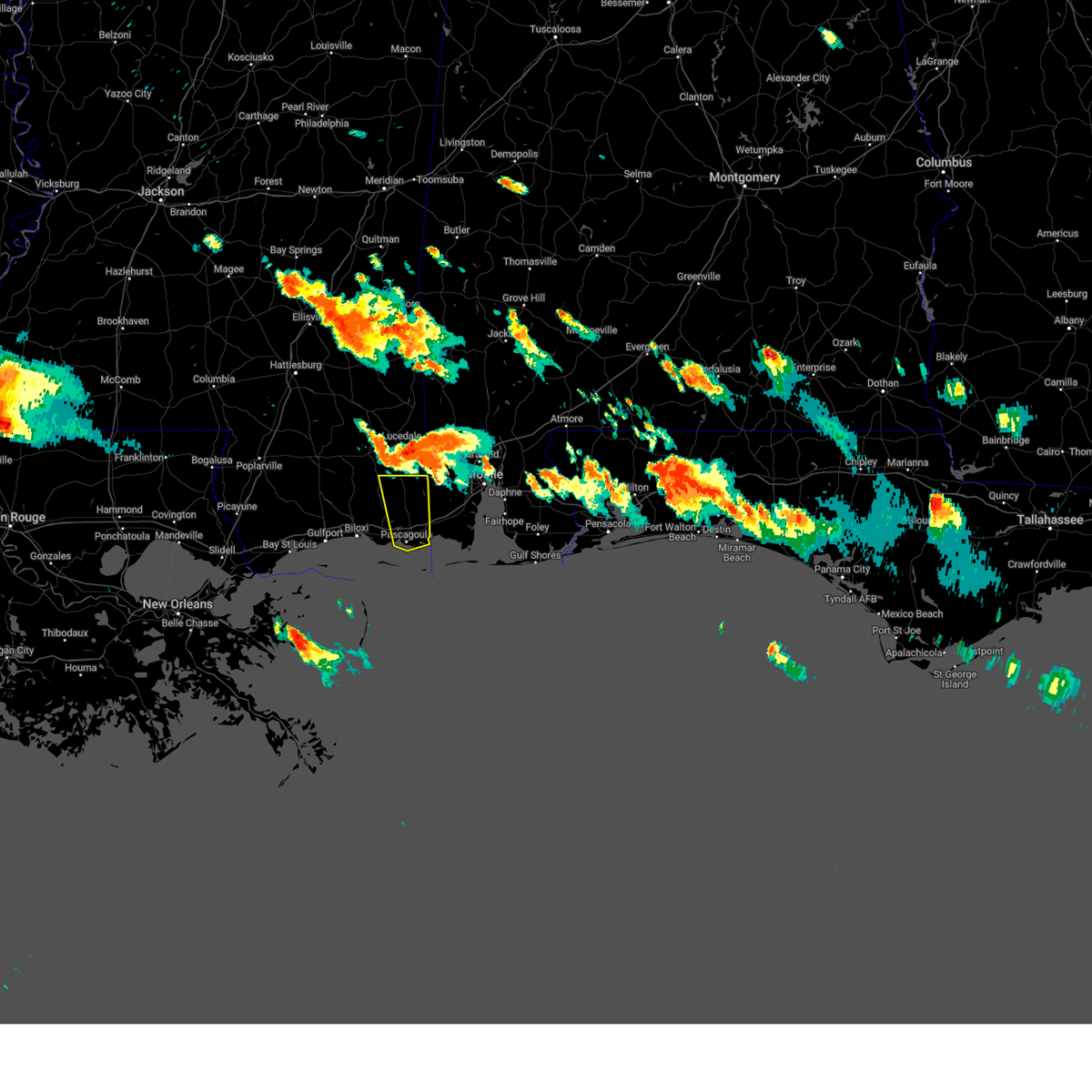
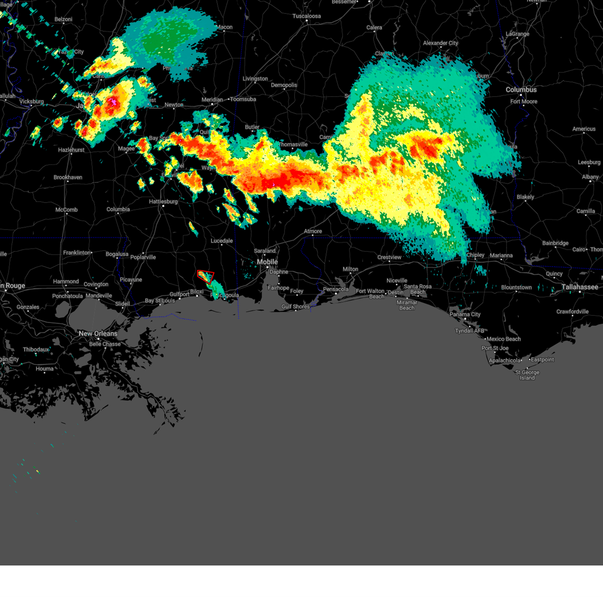
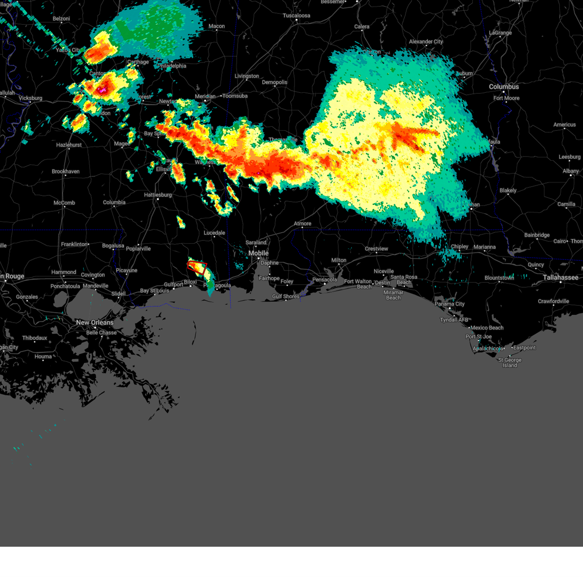
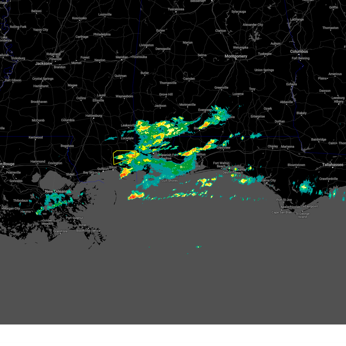
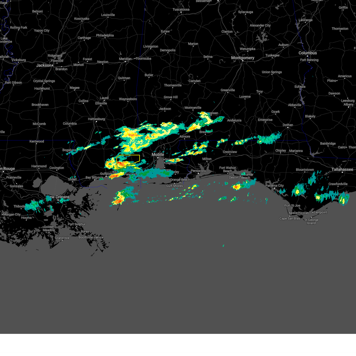
Hail Map for Vancleave, MS
The Vancleave, MS area has had 2 reports of on-the-ground hail by trained spotters, and has been under severe weather warnings 33 times during the past 12 months. Doppler radar has detected hail at or near Vancleave, MS on 48 occasions, including 5 occasions during the past year.
| Name: | Vancleave, MS |
| Where Located: | 37.8 miles WSW of Mobile, AL |
| Map: | Google Map for Vancleave, MS |
| Population: | 5886 |
| Housing Units: | 2343 |
| More Info: | Search Google for Vancleave, MS |
1
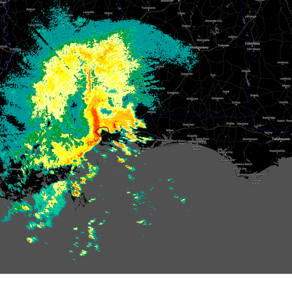
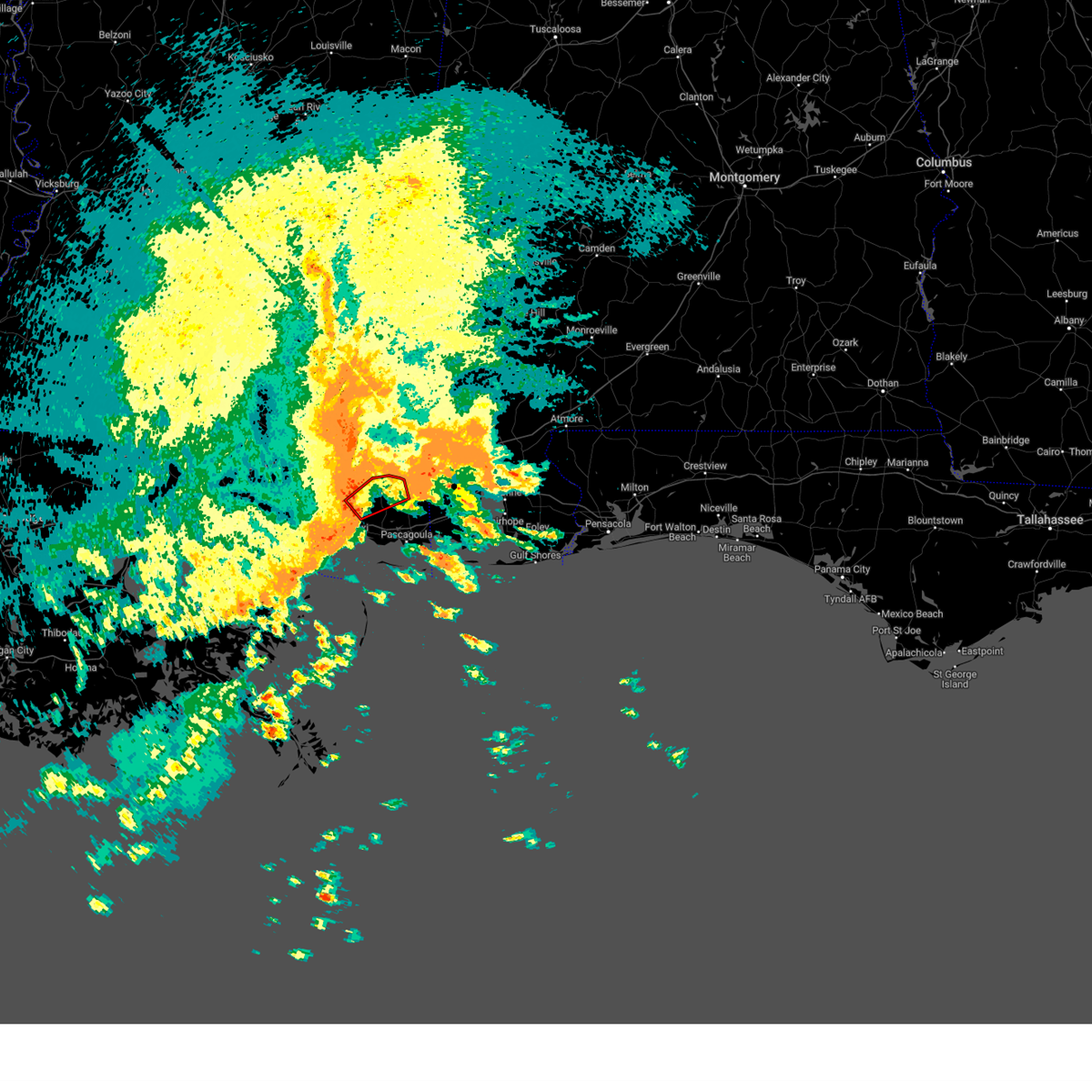
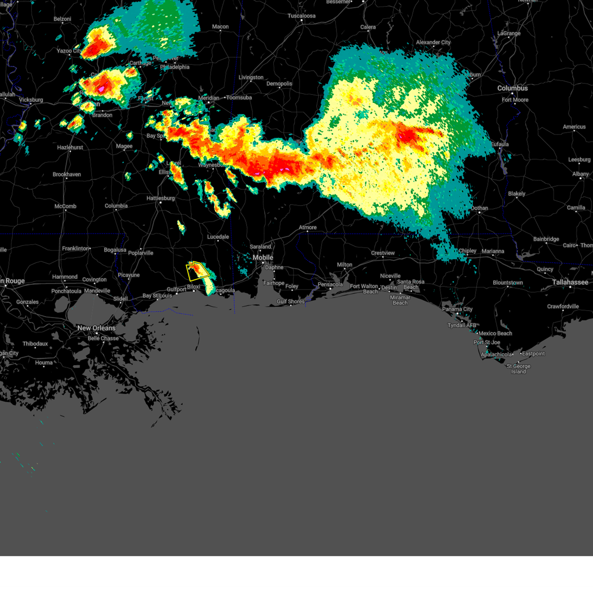
The Top Recent Hail Date for Vancleave, MS is Wednesday, August 14, 2024 (10th out of 48)

Hail and Wind Damage Spotted near Vancleave, MS
| Date / Time | Report Details |
|---|---|
| 6/25/2025 7:10 PM CDT |
 the severe thunderstorm warning has been cancelled and is no longer in effect the severe thunderstorm warning has been cancelled and is no longer in effect
|
| 6/25/2025 6:38 PM CDT | Svrlix the national weather service in new orleans has issued a * severe thunderstorm warning for, northeastern jackson county in southern mississippi, * until 730 pm cdt. * at 638 pm cdt, a severe thunderstorm was located near tanner williams, or 11 miles north of grand bay, moving west at 25 mph (radar indicated). Hazards include 60 mph wind gusts and quarter size hail. Hail damage to vehicles is expected. Expect wind damage to roofs, siding, and trees. |
| 6/9/2025 9:35 PM CDT |
 At 935 pm cdt, severe thunderstorms were located along a line extending from near hickory hills to near biloxi, moving east at 25 mph (radar indicated). Hazards include 60 mph wind gusts. Expect damage to roofs, siding, and trees. locations impacted include, gulfport, biloxi, ocean springs, long beach, st. martin, d'iberville, latimer, gulf hills, vancleave, and gulfport airport. this includes the following interstates, interstate 10 in mississippi between mile markers 33 and 57. Interstate 110 in mississippi between mile markers 1 and 4. At 935 pm cdt, severe thunderstorms were located along a line extending from near hickory hills to near biloxi, moving east at 25 mph (radar indicated). Hazards include 60 mph wind gusts. Expect damage to roofs, siding, and trees. locations impacted include, gulfport, biloxi, ocean springs, long beach, st. martin, d'iberville, latimer, gulf hills, vancleave, and gulfport airport. this includes the following interstates, interstate 10 in mississippi between mile markers 33 and 57. Interstate 110 in mississippi between mile markers 1 and 4.
|
| 6/9/2025 9:33 PM CDT |
 At 933 pm cdt, severe thunderstorms were located along a line extending from near i10 and i65 to theodore to near grand bay, moving southeast at 35 mph (radar indicated). Hazards include 60 mph wind gusts. Expect damage to roofs, siding, and trees. locations impacted include, hurley, big point, wade, and vancleave. This includes interstate 10 in mississippi near mile marker 76. At 933 pm cdt, severe thunderstorms were located along a line extending from near i10 and i65 to theodore to near grand bay, moving southeast at 35 mph (radar indicated). Hazards include 60 mph wind gusts. Expect damage to roofs, siding, and trees. locations impacted include, hurley, big point, wade, and vancleave. This includes interstate 10 in mississippi near mile marker 76.
|
| 6/9/2025 9:28 PM CDT |
 Svrlix the national weather service in new orleans has issued a * severe thunderstorm warning for, southern jackson county in southern mississippi, * until 1015 pm cdt. * at 928 pm cdt, severe thunderstorms were located along a line extending from near helena to near ocean springs, moving southeast at 25 mph (radar indicated). Hazards include 60 mph wind gusts. expect damage to roofs, siding, and trees Svrlix the national weather service in new orleans has issued a * severe thunderstorm warning for, southern jackson county in southern mississippi, * until 1015 pm cdt. * at 928 pm cdt, severe thunderstorms were located along a line extending from near helena to near ocean springs, moving southeast at 25 mph (radar indicated). Hazards include 60 mph wind gusts. expect damage to roofs, siding, and trees
|
| 6/9/2025 9:21 PM CDT |
 At 921 pm cdt, severe thunderstorms were located along a line extending from near vancleave to near gulfport, moving east at 25 mph (radar indicated). Hazards include 60 mph wind gusts. Expect damage to roofs, siding, and trees. locations impacted include, gulfport, biloxi, ocean springs, long beach, st. martin, d'iberville, latimer, gulf hills, vancleave, lyman, and gulfport airport. this includes the following interstates, interstate 10 in mississippi between mile markers 26 and 57. Interstate 110 in mississippi between mile markers 1 and 4. At 921 pm cdt, severe thunderstorms were located along a line extending from near vancleave to near gulfport, moving east at 25 mph (radar indicated). Hazards include 60 mph wind gusts. Expect damage to roofs, siding, and trees. locations impacted include, gulfport, biloxi, ocean springs, long beach, st. martin, d'iberville, latimer, gulf hills, vancleave, lyman, and gulfport airport. this includes the following interstates, interstate 10 in mississippi between mile markers 26 and 57. Interstate 110 in mississippi between mile markers 1 and 4.
|
| 6/9/2025 9:16 PM CDT |
 At 915 pm cdt, severe thunderstorms were located along a line extending from 6 miles west of vancleave to near gulfport, moving east at 40 mph (radar indicated). Hazards include 60 mph wind gusts. Expect damage to roofs, siding, and trees. locations impacted include, gulfport, biloxi, ocean springs, long beach, st. martin, d'iberville, latimer, gulf hills, vancleave, lyman, and gulfport airport. this includes the following interstates, interstate 10 in mississippi between mile markers 22 and 57. Interstate 110 in mississippi between mile markers 1 and 4. At 915 pm cdt, severe thunderstorms were located along a line extending from 6 miles west of vancleave to near gulfport, moving east at 40 mph (radar indicated). Hazards include 60 mph wind gusts. Expect damage to roofs, siding, and trees. locations impacted include, gulfport, biloxi, ocean springs, long beach, st. martin, d'iberville, latimer, gulf hills, vancleave, lyman, and gulfport airport. this includes the following interstates, interstate 10 in mississippi between mile markers 22 and 57. Interstate 110 in mississippi between mile markers 1 and 4.
|
| 6/9/2025 9:16 PM CDT |
 the severe thunderstorm warning has been cancelled and is no longer in effect the severe thunderstorm warning has been cancelled and is no longer in effect
|
| 6/9/2025 9:04 PM CDT |
 At 903 pm cdt, severe thunderstorms were located along a line extending from 8 miles northwest of latimer to near long beach, moving east at 30 mph (radar indicated). Hazards include 60 mph wind gusts and quarter size hail. Hail damage to vehicles is expected. expect wind damage to roofs, siding, and trees. locations impacted include, gulfport, biloxi, ocean springs, long beach, st. martin, d'iberville, saucier, latimer, gulf hills, vancleave, lyman, and gulfport airport. this includes the following interstates, interstate 10 in mississippi between mile markers 21 and 57. Interstate 110 in mississippi between mile markers 1 and 4. At 903 pm cdt, severe thunderstorms were located along a line extending from 8 miles northwest of latimer to near long beach, moving east at 30 mph (radar indicated). Hazards include 60 mph wind gusts and quarter size hail. Hail damage to vehicles is expected. expect wind damage to roofs, siding, and trees. locations impacted include, gulfport, biloxi, ocean springs, long beach, st. martin, d'iberville, saucier, latimer, gulf hills, vancleave, lyman, and gulfport airport. this includes the following interstates, interstate 10 in mississippi between mile markers 21 and 57. Interstate 110 in mississippi between mile markers 1 and 4.
|
| 6/9/2025 9:02 PM CDT |
 At 901 pm cdt, severe thunderstorms were located along a line extending from 8 miles east of saucier to 6 miles northeast of diamondhead, moving east at 25 mph (radar indicated). Hazards include 60 mph wind gusts and quarter size hail. Hail damage to vehicles is expected. expect wind damage to roofs, siding, and trees. locations impacted include, gulfport, biloxi, ocean springs, long beach, st. martin, d'iberville, saucier, latimer, gulf hills, vancleave, lyman, and gulfport airport. this includes the following interstates, interstate 10 in mississippi between mile markers 22 and 57. Interstate 110 in mississippi between mile markers 1 and 4. At 901 pm cdt, severe thunderstorms were located along a line extending from 8 miles east of saucier to 6 miles northeast of diamondhead, moving east at 25 mph (radar indicated). Hazards include 60 mph wind gusts and quarter size hail. Hail damage to vehicles is expected. expect wind damage to roofs, siding, and trees. locations impacted include, gulfport, biloxi, ocean springs, long beach, st. martin, d'iberville, saucier, latimer, gulf hills, vancleave, lyman, and gulfport airport. this includes the following interstates, interstate 10 in mississippi between mile markers 22 and 57. Interstate 110 in mississippi between mile markers 1 and 4.
|
| 6/9/2025 8:58 PM CDT |
 Svrlix the national weather service in new orleans has issued a * severe thunderstorm warning for, northeastern jackson county in southern mississippi, * until 945 pm cdt. * at 858 pm cdt, severe thunderstorms were located along a line extending from tanner williams to hurley to wade, moving southeast at 35 mph (radar indicated). Hazards include 60 mph wind gusts. expect damage to roofs, siding, and trees Svrlix the national weather service in new orleans has issued a * severe thunderstorm warning for, northeastern jackson county in southern mississippi, * until 945 pm cdt. * at 858 pm cdt, severe thunderstorms were located along a line extending from tanner williams to hurley to wade, moving southeast at 35 mph (radar indicated). Hazards include 60 mph wind gusts. expect damage to roofs, siding, and trees
|
| 6/9/2025 8:54 PM CDT |
 Svrlix the national weather service in new orleans has issued a * severe thunderstorm warning for, harrison county in southern mississippi, east central hancock county in southern mississippi, southwestern jackson county in southern mississippi, * until 945 pm cdt. * at 854 pm cdt, severe thunderstorms were located along a line extending from near saucier to near diamondhead, moving east at 25 mph (radar indicated). Hazards include 60 mph wind gusts. expect damage to roofs, siding, and trees Svrlix the national weather service in new orleans has issued a * severe thunderstorm warning for, harrison county in southern mississippi, east central hancock county in southern mississippi, southwestern jackson county in southern mississippi, * until 945 pm cdt. * at 854 pm cdt, severe thunderstorms were located along a line extending from near saucier to near diamondhead, moving east at 25 mph (radar indicated). Hazards include 60 mph wind gusts. expect damage to roofs, siding, and trees
|
| 5/28/2025 9:51 PM CDT |
 At 951 pm cdt, a severe thunderstorm was located near hickory hills, or near escatawpa, moving northeast at 30 mph (radar indicated). Hazards include 60 mph wind gusts and nickel size hail. Expect damage to roofs, siding, and trees. locations impacted include, wade, escatawpa, helena, hurley, big point, vancleave, hickory hills, gautier, and moss point. This includes interstate 10 in mississippi between mile markers 61 and 66. At 951 pm cdt, a severe thunderstorm was located near hickory hills, or near escatawpa, moving northeast at 30 mph (radar indicated). Hazards include 60 mph wind gusts and nickel size hail. Expect damage to roofs, siding, and trees. locations impacted include, wade, escatawpa, helena, hurley, big point, vancleave, hickory hills, gautier, and moss point. This includes interstate 10 in mississippi between mile markers 61 and 66.
|
| 5/28/2025 9:25 PM CDT |
 Svrlix the national weather service in new orleans has issued a * severe thunderstorm warning for, central jackson county in southern mississippi, * until 1045 pm cdt. * at 925 pm cdt, a severe thunderstorm was located over hickory hills, or near escatawpa, moving north at 15 mph (radar indicated). Hazards include 60 mph wind gusts and quarter size hail. Hail damage to vehicles is expected. Expect wind damage to roofs, siding, and trees. Svrlix the national weather service in new orleans has issued a * severe thunderstorm warning for, central jackson county in southern mississippi, * until 1045 pm cdt. * at 925 pm cdt, a severe thunderstorm was located over hickory hills, or near escatawpa, moving north at 15 mph (radar indicated). Hazards include 60 mph wind gusts and quarter size hail. Hail damage to vehicles is expected. Expect wind damage to roofs, siding, and trees.
|
| 4/6/2025 2:34 PM CDT |
 At 234 pm cdt, a severe thunderstorm was located near escatawpa, moving northeast at 45 mph (radar indicated). Hazards include 60 mph wind gusts. Expect damage to roofs, siding, and trees. Locations impacted include, big point, escatawpa, hickory hills, and vancleave. At 234 pm cdt, a severe thunderstorm was located near escatawpa, moving northeast at 45 mph (radar indicated). Hazards include 60 mph wind gusts. Expect damage to roofs, siding, and trees. Locations impacted include, big point, escatawpa, hickory hills, and vancleave.
|
| 4/6/2025 2:13 PM CDT |
 Svrlix the national weather service in new orleans has issued a * severe thunderstorm warning for, southern jackson county in southern mississippi, * until 245 pm cdt. * at 212 pm cdt, a severe thunderstorm was located over gulf park estates, or over ocean springs, moving northeast at 40 mph (radar indicated). Hazards include 60 mph wind gusts. expect damage to roofs, siding, and trees Svrlix the national weather service in new orleans has issued a * severe thunderstorm warning for, southern jackson county in southern mississippi, * until 245 pm cdt. * at 212 pm cdt, a severe thunderstorm was located over gulf park estates, or over ocean springs, moving northeast at 40 mph (radar indicated). Hazards include 60 mph wind gusts. expect damage to roofs, siding, and trees
|
| 3/30/2025 2:17 PM CDT | the tornado warning has been cancelled and is no longer in effect |
| 3/30/2025 2:06 PM CDT |
 At 206 pm cdt, a severe thunderstorm capable of producing a tornado was located over vancleave, or 9 miles northwest of escatawpa, moving northeast at 15 mph (radar indicated rotation). Hazards include tornado. Flying debris will be dangerous to those caught without shelter. mobile homes will be damaged or destroyed. damage to roofs, windows, and vehicles will occur. tree damage is likely. this dangerous storm will be near, vancleave around 210 pm cdt. wade around 220 pm cdt. Hurley around 230 pm cdt. At 206 pm cdt, a severe thunderstorm capable of producing a tornado was located over vancleave, or 9 miles northwest of escatawpa, moving northeast at 15 mph (radar indicated rotation). Hazards include tornado. Flying debris will be dangerous to those caught without shelter. mobile homes will be damaged or destroyed. damage to roofs, windows, and vehicles will occur. tree damage is likely. this dangerous storm will be near, vancleave around 210 pm cdt. wade around 220 pm cdt. Hurley around 230 pm cdt.
|
| 3/30/2025 1:56 PM CDT |
 At 156 pm cdt, a confirmed tornado was located near vancleave, or 11 miles northwest of escatawpa, moving northeast at 15 mph (law enforcement confirmed tornado). Hazards include damaging tornado. Flying debris will be dangerous to those caught without shelter. mobile homes will be damaged or destroyed. damage to roofs, windows, and vehicles will occur. tree damage is likely. This tornado will be near, vancleave around 200 pm cdt. At 156 pm cdt, a confirmed tornado was located near vancleave, or 11 miles northwest of escatawpa, moving northeast at 15 mph (law enforcement confirmed tornado). Hazards include damaging tornado. Flying debris will be dangerous to those caught without shelter. mobile homes will be damaged or destroyed. damage to roofs, windows, and vehicles will occur. tree damage is likely. This tornado will be near, vancleave around 200 pm cdt.
|
| 3/30/2025 1:53 PM CDT | Torlix the national weather service in new orleans has issued a * tornado warning for, northeastern jackson county in southern mississippi, * until 230 pm cdt. * at 153 pm cdt, a severe thunderstorm capable of producing a tornado was located near vancleave, or 11 miles northwest of escatawpa, moving northeast at 15 mph (radar indicated rotation). Hazards include tornado. Flying debris will be dangerous to those caught without shelter. mobile homes will be damaged or destroyed. damage to roofs, windows, and vehicles will occur. tree damage is likely. This dangerous storm will be near, vancleave around 200 pm cdt. |
| 3/30/2025 1:47 PM CDT |
 the tornado warning has been cancelled and is no longer in effect the tornado warning has been cancelled and is no longer in effect
|
| 3/30/2025 1:39 PM CDT |
 At 139 pm cdt, a confirmed tornado was located near latimer, or 8 miles northeast of st. martin, moving northeast at 15 mph (radar confirmed tornado). Hazards include damaging tornado. Flying debris will be dangerous to those caught without shelter. mobile homes will be damaged or destroyed. damage to roofs, windows, and vehicles will occur. tree damage is likely. This tornado will be near, vancleave around 145 pm cdt. At 139 pm cdt, a confirmed tornado was located near latimer, or 8 miles northeast of st. martin, moving northeast at 15 mph (radar confirmed tornado). Hazards include damaging tornado. Flying debris will be dangerous to those caught without shelter. mobile homes will be damaged or destroyed. damage to roofs, windows, and vehicles will occur. tree damage is likely. This tornado will be near, vancleave around 145 pm cdt.
|
| 3/30/2025 1:37 PM CDT | Em reports mobile home damaged on school land rd south of jim ramsay rd. likely tornad in jackson county MS, 7.9 miles E of Vancleave, MS |
| 3/30/2025 1:32 PM CDT |
 Torlix the national weather service in new orleans has issued a * tornado warning for, central jackson county in southern mississippi, * until 215 pm cdt. * at 132 pm cdt, a severe thunderstorm capable of producing a tornado was located near latimer, or 7 miles northeast of st. martin, moving northeast at 25 mph (radar indicated rotation). Hazards include tornado. Flying debris will be dangerous to those caught without shelter. mobile homes will be damaged or destroyed. damage to roofs, windows, and vehicles will occur. tree damage is likely. this dangerous storm will be near, vancleave around 135 pm cdt. Wade around 200 pm cdt. Torlix the national weather service in new orleans has issued a * tornado warning for, central jackson county in southern mississippi, * until 215 pm cdt. * at 132 pm cdt, a severe thunderstorm capable of producing a tornado was located near latimer, or 7 miles northeast of st. martin, moving northeast at 25 mph (radar indicated rotation). Hazards include tornado. Flying debris will be dangerous to those caught without shelter. mobile homes will be damaged or destroyed. damage to roofs, windows, and vehicles will occur. tree damage is likely. this dangerous storm will be near, vancleave around 135 pm cdt. Wade around 200 pm cdt.
|
| 3/15/2025 6:39 PM CDT | Svrlix the national weather service in new orleans has issued a * severe thunderstorm warning for, northwestern jackson county in southern mississippi, * until 700 pm cdt. * at 639 pm cdt, a severe thunderstorm was located 10 miles northwest of vancleave, or 17 miles north of st. martin, moving northeast at 65 mph (radar indicated). Hazards include 60 mph wind gusts and quarter size hail. Hail damage to vehicles is expected. Expect wind damage to roofs, siding, and trees. |
| 3/9/2025 3:17 AM CDT |
 the severe thunderstorm warning has been cancelled and is no longer in effect the severe thunderstorm warning has been cancelled and is no longer in effect
|
| 3/9/2025 2:58 AM CDT |
 At 157 am cst, a severe thunderstorm was located over gautier, or near moss point, moving east at 40 mph (radar indicated). Hazards include 60 mph wind gusts and quarter size hail. Hail damage to vehicles is expected. expect wind damage to roofs, siding, and trees. locations impacted include, gautier, hickory hills, escatawpa, moss point, helena, and vancleave. This includes interstate 10 in mississippi between mile markers 58 and 76. At 157 am cst, a severe thunderstorm was located over gautier, or near moss point, moving east at 40 mph (radar indicated). Hazards include 60 mph wind gusts and quarter size hail. Hail damage to vehicles is expected. expect wind damage to roofs, siding, and trees. locations impacted include, gautier, hickory hills, escatawpa, moss point, helena, and vancleave. This includes interstate 10 in mississippi between mile markers 58 and 76.
|
| 3/9/2025 2:45 AM CDT |
 Svrlix the national weather service in new orleans has issued a * severe thunderstorm warning for, southern jackson county in southern mississippi, * until 330 am cdt. * at 145 am cst, a severe thunderstorm was located over ocean springs, moving east at 35 mph (radar indicated). Hazards include 60 mph wind gusts and quarter size hail. Hail damage to vehicles is expected. Expect wind damage to roofs, siding, and trees. Svrlix the national weather service in new orleans has issued a * severe thunderstorm warning for, southern jackson county in southern mississippi, * until 330 am cdt. * at 145 am cst, a severe thunderstorm was located over ocean springs, moving east at 35 mph (radar indicated). Hazards include 60 mph wind gusts and quarter size hail. Hail damage to vehicles is expected. Expect wind damage to roofs, siding, and trees.
|
| 12/28/2024 10:28 PM CST | the tornado warning has been cancelled and is no longer in effect |
| 12/28/2024 10:13 PM CST |
 Torlix the national weather service in new orleans has issued a * tornado warning for, southeastern harrison county in southern mississippi, southern jackson county in southern mississippi, * until 1115 pm cst. * at 1012 pm cst, a severe thunderstorm capable of producing a tornado was located near gulfport, moving east at 40 mph (radar indicated rotation). Hazards include tornado. Flying debris will be dangerous to those caught without shelter. mobile homes will be damaged or destroyed. damage to roofs, windows, and vehicles will occur. tree damage is likely. this dangerous storm will be near, biloxi, ocean springs, st. martin, d'iberville, gulf hills, and latimer around 1020 pm cst. gulf park estates around 1030 pm cst. gautier, hickory hills, and vancleave around 1040 pm cst. moss point around 1045 pm cst. escatawpa around 1050 pm cst. helena around 1100 pm cst. other locations impacted by this tornadic thunderstorm include gulfport airport. this includes the following interstates, interstate 10 in mississippi between mile markers 35 and 76. Interstate 110 in mississippi between mile markers 1 and 4. Torlix the national weather service in new orleans has issued a * tornado warning for, southeastern harrison county in southern mississippi, southern jackson county in southern mississippi, * until 1115 pm cst. * at 1012 pm cst, a severe thunderstorm capable of producing a tornado was located near gulfport, moving east at 40 mph (radar indicated rotation). Hazards include tornado. Flying debris will be dangerous to those caught without shelter. mobile homes will be damaged or destroyed. damage to roofs, windows, and vehicles will occur. tree damage is likely. this dangerous storm will be near, biloxi, ocean springs, st. martin, d'iberville, gulf hills, and latimer around 1020 pm cst. gulf park estates around 1030 pm cst. gautier, hickory hills, and vancleave around 1040 pm cst. moss point around 1045 pm cst. escatawpa around 1050 pm cst. helena around 1100 pm cst. other locations impacted by this tornadic thunderstorm include gulfport airport. this includes the following interstates, interstate 10 in mississippi between mile markers 35 and 76. Interstate 110 in mississippi between mile markers 1 and 4.
|
| 12/27/2024 12:25 PM CST |
 At 1225 pm cst, a confirmed tornado was located near wade, or 14 miles north of escatawpa, moving northeast at 20 mph (radar confirmed tornado). Hazards include damaging tornado. Flying debris will be dangerous to those caught without shelter. mobile homes will be damaged or destroyed. damage to roofs, windows, and vehicles will occur. tree damage is likely. Locations impacted include, wade, hurley, and vancleave. At 1225 pm cst, a confirmed tornado was located near wade, or 14 miles north of escatawpa, moving northeast at 20 mph (radar confirmed tornado). Hazards include damaging tornado. Flying debris will be dangerous to those caught without shelter. mobile homes will be damaged or destroyed. damage to roofs, windows, and vehicles will occur. tree damage is likely. Locations impacted include, wade, hurley, and vancleave.
|
| 12/27/2024 12:18 PM CST |
 Torlix the national weather service in new orleans has issued a * tornado warning for, northeastern jackson county in southern mississippi, * until 1245 pm cst. * at 1218 pm cst, a severe thunderstorm capable of producing a tornado was located near wade, or 14 miles northwest of escatawpa, moving northeast at 20 mph (radar indicated rotation). Hazards include tornado. Flying debris will be dangerous to those caught without shelter. mobile homes will be damaged or destroyed. damage to roofs, windows, and vehicles will occur. tree damage is likely. This tornadic thunderstorm will remain over mainly rural areas of northeastern jackson county. Torlix the national weather service in new orleans has issued a * tornado warning for, northeastern jackson county in southern mississippi, * until 1245 pm cst. * at 1218 pm cst, a severe thunderstorm capable of producing a tornado was located near wade, or 14 miles northwest of escatawpa, moving northeast at 20 mph (radar indicated rotation). Hazards include tornado. Flying debris will be dangerous to those caught without shelter. mobile homes will be damaged or destroyed. damage to roofs, windows, and vehicles will occur. tree damage is likely. This tornadic thunderstorm will remain over mainly rural areas of northeastern jackson county.
|
| 8/14/2024 5:23 PM CDT |
 The storm which prompted the warning has weakened below severe limits, and no longer poses an immediate threat to life or property. therefore, the warning will be allowed to expire. however, gusty winds are still possible with this thunderstorm. to report severe weather, contact your nearest law enforcement agency. they will relay your report to the national weather service new orleans. The storm which prompted the warning has weakened below severe limits, and no longer poses an immediate threat to life or property. therefore, the warning will be allowed to expire. however, gusty winds are still possible with this thunderstorm. to report severe weather, contact your nearest law enforcement agency. they will relay your report to the national weather service new orleans.
|
| 8/14/2024 4:56 PM CDT | Tree damage near the corner of johns bayou rd and page r in jackson county MS, 1.8 miles NNW of Vancleave, MS |
| 8/14/2024 4:51 PM CDT |
 Svrlix the national weather service in new orleans has issued a * severe thunderstorm warning for, central jackson county in southern mississippi, * until 530 pm cdt. * at 450 pm cdt, a severe thunderstorm was located near vancleave, or near escatawpa, moving southwest at 5 mph (radar indicated). Hazards include 60 mph wind gusts and quarter size hail. Hail damage to vehicles is expected. Expect wind damage to roofs, siding, and trees. Svrlix the national weather service in new orleans has issued a * severe thunderstorm warning for, central jackson county in southern mississippi, * until 530 pm cdt. * at 450 pm cdt, a severe thunderstorm was located near vancleave, or near escatawpa, moving southwest at 5 mph (radar indicated). Hazards include 60 mph wind gusts and quarter size hail. Hail damage to vehicles is expected. Expect wind damage to roofs, siding, and trees.
|
| 6/4/2024 7:36 PM CDT | Widespread tree damage across the county from west to east... mainly north of i-1 in jackson county MS, 1.6 miles SE of Vancleave, MS |
| 6/4/2024 7:13 PM CDT |
 Svrlix the national weather service in new orleans has issued a * severe thunderstorm warning for, harrison county in southern mississippi, jackson county in southern mississippi, * until 800 pm cdt. * at 712 pm cdt, severe thunderstorms were located along a line extending from near mchenry to 7 miles southeast of bay st. louis, moving east at 35 mph (radar indicated). Hazards include 60 mph wind gusts. expect damage to roofs, siding, and trees Svrlix the national weather service in new orleans has issued a * severe thunderstorm warning for, harrison county in southern mississippi, jackson county in southern mississippi, * until 800 pm cdt. * at 712 pm cdt, severe thunderstorms were located along a line extending from near mchenry to 7 miles southeast of bay st. louis, moving east at 35 mph (radar indicated). Hazards include 60 mph wind gusts. expect damage to roofs, siding, and trees
|
| 5/17/2024 1:34 AM CDT |
 the severe thunderstorm warning has been cancelled and is no longer in effect the severe thunderstorm warning has been cancelled and is no longer in effect
|
| 5/17/2024 1:21 AM CDT |
 At 121 am cdt, severe thunderstorms were located along a line extending from near wade to 7 miles northwest of petit bois island, moving east at 50 mph (radar indicated). Hazards include 60 mph wind gusts. Expect damage to roofs, siding, and trees. locations impacted include, ocean springs, moss point, escatawpa, gautier, helena, vancleave, gulf park estates, hickory hills, and gulf hills. This includes interstate 10 in mississippi between mile markers 53 and 76. At 121 am cdt, severe thunderstorms were located along a line extending from near wade to 7 miles northwest of petit bois island, moving east at 50 mph (radar indicated). Hazards include 60 mph wind gusts. Expect damage to roofs, siding, and trees. locations impacted include, ocean springs, moss point, escatawpa, gautier, helena, vancleave, gulf park estates, hickory hills, and gulf hills. This includes interstate 10 in mississippi between mile markers 53 and 76.
|
| 5/17/2024 1:21 AM CDT |
 the severe thunderstorm warning has been cancelled and is no longer in effect the severe thunderstorm warning has been cancelled and is no longer in effect
|
| 5/17/2024 1:12 AM CDT |
 At 112 am cdt, severe thunderstorms were located along a line extending from 11 miles north of latimer to 7 miles southwest of gulf park estates, moving east at 40 mph (radar indicated). Hazards include 60 mph wind gusts. Expect damage to roofs, siding, and trees. locations impacted include, biloxi, ocean springs, moss point, st. martin, escatawpa, gautier, d'iberville, latimer, big point, helena, gulf hills, vancleave, gulf park estates, hickory hills, and wade. this includes the following interstates, interstate 10 in mississippi between mile markers 42 and 76. Interstate 110 in mississippi between mile markers 1 and 4. At 112 am cdt, severe thunderstorms were located along a line extending from 11 miles north of latimer to 7 miles southwest of gulf park estates, moving east at 40 mph (radar indicated). Hazards include 60 mph wind gusts. Expect damage to roofs, siding, and trees. locations impacted include, biloxi, ocean springs, moss point, st. martin, escatawpa, gautier, d'iberville, latimer, big point, helena, gulf hills, vancleave, gulf park estates, hickory hills, and wade. this includes the following interstates, interstate 10 in mississippi between mile markers 42 and 76. Interstate 110 in mississippi between mile markers 1 and 4.
|
| 5/17/2024 12:58 AM CDT |
 Svrlix the national weather service in new orleans has issued a * severe thunderstorm warning for, harrison county in southern mississippi, jackson county in southern mississippi, * until 200 am cdt. * at 1257 am cdt, severe thunderstorms were located along a line extending from 7 miles east of saucier to 13 miles south of biloxi, moving east at 40 mph (radar indicated). Hazards include 60 mph wind gusts. expect damage to roofs, siding, and trees Svrlix the national weather service in new orleans has issued a * severe thunderstorm warning for, harrison county in southern mississippi, jackson county in southern mississippi, * until 200 am cdt. * at 1257 am cdt, severe thunderstorms were located along a line extending from 7 miles east of saucier to 13 miles south of biloxi, moving east at 40 mph (radar indicated). Hazards include 60 mph wind gusts. expect damage to roofs, siding, and trees
|
| 5/10/2024 9:30 AM CDT |
 The storm which prompted the warning has weakened below severe limits, and no longer poses an immediate threat to life or property. therefore, the warning has been allowed to expire. however, small hail up to the size of a penny is still possible with this thunderstorm. The storm which prompted the warning has weakened below severe limits, and no longer poses an immediate threat to life or property. therefore, the warning has been allowed to expire. however, small hail up to the size of a penny is still possible with this thunderstorm.
|
| 5/10/2024 9:23 AM CDT |
 the severe thunderstorm warning has been cancelled and is no longer in effect the severe thunderstorm warning has been cancelled and is no longer in effect
|
| 5/10/2024 9:23 AM CDT |
 At 922 am cdt, a severe thunderstorm was located over hickory hills, or near escatawpa, moving east at 35 mph (radar indicated). Hazards include quarter size hail. Damage to vehicles is expected. locations impacted include, moss point, escatawpa, gautier, hickory hills, helena, and vancleave. This includes interstate 10 in mississippi between mile markers 59 and 73. At 922 am cdt, a severe thunderstorm was located over hickory hills, or near escatawpa, moving east at 35 mph (radar indicated). Hazards include quarter size hail. Damage to vehicles is expected. locations impacted include, moss point, escatawpa, gautier, hickory hills, helena, and vancleave. This includes interstate 10 in mississippi between mile markers 59 and 73.
|
| 5/10/2024 8:57 AM CDT |
 Svrlix the national weather service in new orleans has issued a * severe thunderstorm warning for, east central harrison county in southern mississippi, southern jackson county in southern mississippi, * until 930 am cdt. * at 857 am cdt, a severe thunderstorm was located over st. martin, moving east at 35 mph (radar indicated). Hazards include quarter size hail. damage to vehicles is expected Svrlix the national weather service in new orleans has issued a * severe thunderstorm warning for, east central harrison county in southern mississippi, southern jackson county in southern mississippi, * until 930 am cdt. * at 857 am cdt, a severe thunderstorm was located over st. martin, moving east at 35 mph (radar indicated). Hazards include quarter size hail. damage to vehicles is expected
|
| 4/10/2024 11:22 AM CDT |
 At 1121 am cdt, severe thunderstorms were located along a line extending from 12 miles southwest of lucedale to 4 miles west of vancleave to gulf park estates to 17 miles southeast of long beach, moving east at 50 mph (radar indicated). Hazards include 70 mph wind gusts. Expect considerable tree damage. damage is likely to mobile homes, roofs, and outbuildings. Locations impacted include, ocean springs, moss point, escatawpa, gautier, wade, helena, big point, hurley, vancleave, gulf park estates, hickory hills, and gulf hills. At 1121 am cdt, severe thunderstorms were located along a line extending from 12 miles southwest of lucedale to 4 miles west of vancleave to gulf park estates to 17 miles southeast of long beach, moving east at 50 mph (radar indicated). Hazards include 70 mph wind gusts. Expect considerable tree damage. damage is likely to mobile homes, roofs, and outbuildings. Locations impacted include, ocean springs, moss point, escatawpa, gautier, wade, helena, big point, hurley, vancleave, gulf park estates, hickory hills, and gulf hills.
|
| 4/10/2024 11:19 AM CDT |
 At 1119 am cdt, a severe thunderstorm capable of producing a tornado was located 8 miles northwest of vancleave, or 13 miles north of st. martin, moving northeast at 35 mph (radar indicated rotation). Hazards include tornado. Flying debris will be dangerous to those caught without shelter. mobile homes will be damaged or destroyed. damage to roofs, windows, and vehicles will occur. tree damage is likely. This tornadic thunderstorm will remain over mainly rural areas of northwestern jackson county. At 1119 am cdt, a severe thunderstorm capable of producing a tornado was located 8 miles northwest of vancleave, or 13 miles north of st. martin, moving northeast at 35 mph (radar indicated rotation). Hazards include tornado. Flying debris will be dangerous to those caught without shelter. mobile homes will be damaged or destroyed. damage to roofs, windows, and vehicles will occur. tree damage is likely. This tornadic thunderstorm will remain over mainly rural areas of northwestern jackson county.
|
| 4/10/2024 11:19 AM CDT |
 the tornado warning has been cancelled and is no longer in effect the tornado warning has been cancelled and is no longer in effect
|
| 4/10/2024 11:13 AM CDT |
 Svrlix the national weather service in new orleans has issued a * severe thunderstorm warning for, jackson county in southern mississippi, * until noon cdt. * at 1112 am cdt, severe thunderstorms were located along a line extending from 16 miles southwest of lucedale to 5 miles north of latimer to 4 miles south of st. martin to 12 miles south of long beach, moving east at 50 mph (radar indicated). Hazards include 70 mph wind gusts. Expect considerable tree damage. Damage is likely to mobile homes, roofs, and outbuildings. Svrlix the national weather service in new orleans has issued a * severe thunderstorm warning for, jackson county in southern mississippi, * until noon cdt. * at 1112 am cdt, severe thunderstorms were located along a line extending from 16 miles southwest of lucedale to 5 miles north of latimer to 4 miles south of st. martin to 12 miles south of long beach, moving east at 50 mph (radar indicated). Hazards include 70 mph wind gusts. Expect considerable tree damage. Damage is likely to mobile homes, roofs, and outbuildings.
|
| 4/10/2024 11:10 AM CDT |
 At 1110 am cdt, a severe thunderstorm capable of producing a tornado was located 5 miles north of latimer, or 9 miles north of st. martin, moving northeast at 35 mph (radar indicated rotation). Hazards include tornado. Flying debris will be dangerous to those caught without shelter. mobile homes will be damaged or destroyed. damage to roofs, windows, and vehicles will occur. tree damage is likely. This dangerous storm will be near, vancleave around 1120 am cdt. At 1110 am cdt, a severe thunderstorm capable of producing a tornado was located 5 miles north of latimer, or 9 miles north of st. martin, moving northeast at 35 mph (radar indicated rotation). Hazards include tornado. Flying debris will be dangerous to those caught without shelter. mobile homes will be damaged or destroyed. damage to roofs, windows, and vehicles will occur. tree damage is likely. This dangerous storm will be near, vancleave around 1120 am cdt.
|
| 4/10/2024 11:02 AM CDT |
 At 1102 am cdt, severe thunderstorms were located along a line extending from 10 miles southwest of mclain to 12 miles east of mchenry to 3 miles north of gulfport to 5 miles east of bay st. louis, moving east at 55 mph (radar indicated). Hazards include 70 mph wind gusts. Expect considerable tree damage. damage is likely to mobile homes, roofs, and outbuildings. locations impacted include, gulfport, biloxi, ocean springs, long beach, bay st. louis, waveland, st. Martin, diamondhead, d'iberville, wade, latimer, lyman, shoreline park, saucier, gulf hills, vancleave, gulf park estates, hickory hills, hurley, and gulfport airport. At 1102 am cdt, severe thunderstorms were located along a line extending from 10 miles southwest of mclain to 12 miles east of mchenry to 3 miles north of gulfport to 5 miles east of bay st. louis, moving east at 55 mph (radar indicated). Hazards include 70 mph wind gusts. Expect considerable tree damage. damage is likely to mobile homes, roofs, and outbuildings. locations impacted include, gulfport, biloxi, ocean springs, long beach, bay st. louis, waveland, st. Martin, diamondhead, d'iberville, wade, latimer, lyman, shoreline park, saucier, gulf hills, vancleave, gulf park estates, hickory hills, hurley, and gulfport airport.
|
| 4/10/2024 11:02 AM CDT |
 the severe thunderstorm warning has been cancelled and is no longer in effect the severe thunderstorm warning has been cancelled and is no longer in effect
|
| 4/10/2024 10:56 AM CDT |
 Torlix the national weather service in new orleans has issued a * tornado warning for, northeastern harrison county in southern mississippi, northwestern jackson county in southern mississippi, * until 1145 am cdt. * at 1056 am cdt, a severe thunderstorm capable of producing a tornado was located 4 miles north of biloxi, moving northeast at 35 mph (radar indicated rotation). Hazards include tornado. Flying debris will be dangerous to those caught without shelter. mobile homes will be damaged or destroyed. damage to roofs, windows, and vehicles will occur. tree damage is likely. This dangerous storm will be near, d'iberville and latimer around 1100 am cdt. Torlix the national weather service in new orleans has issued a * tornado warning for, northeastern harrison county in southern mississippi, northwestern jackson county in southern mississippi, * until 1145 am cdt. * at 1056 am cdt, a severe thunderstorm capable of producing a tornado was located 4 miles north of biloxi, moving northeast at 35 mph (radar indicated rotation). Hazards include tornado. Flying debris will be dangerous to those caught without shelter. mobile homes will be damaged or destroyed. damage to roofs, windows, and vehicles will occur. tree damage is likely. This dangerous storm will be near, d'iberville and latimer around 1100 am cdt.
|
| 4/10/2024 10:48 AM CDT |
 At 1048 am cdt, severe thunderstorms were located along a line extending from 3 miles east of maxie to near saucier to 6 miles northwest of long beach to 3 miles southwest of waveland, moving east at 55 mph (radar indicated). Hazards include 70 mph wind gusts. Expect considerable tree damage. damage is likely to mobile homes, roofs, and outbuildings. locations impacted include, gulfport, biloxi, ocean springs, long beach, bay st. louis, waveland, st. Martin, diamondhead, d'iberville, wade, latimer, kiln, lyman, shoreline park, saucier, gulf hills, vancleave, gulf park estates, hickory hills, and hurley. At 1048 am cdt, severe thunderstorms were located along a line extending from 3 miles east of maxie to near saucier to 6 miles northwest of long beach to 3 miles southwest of waveland, moving east at 55 mph (radar indicated). Hazards include 70 mph wind gusts. Expect considerable tree damage. damage is likely to mobile homes, roofs, and outbuildings. locations impacted include, gulfport, biloxi, ocean springs, long beach, bay st. louis, waveland, st. Martin, diamondhead, d'iberville, wade, latimer, kiln, lyman, shoreline park, saucier, gulf hills, vancleave, gulf park estates, hickory hills, and hurley.
|
| 4/10/2024 10:48 AM CDT |
 the severe thunderstorm warning has been cancelled and is no longer in effect the severe thunderstorm warning has been cancelled and is no longer in effect
|
| 4/10/2024 10:31 AM CDT |
 Svrlix the national weather service in new orleans has issued a * severe thunderstorm warning for, northeastern orleans parish in southeastern louisiana, southeastern st. tammany parish in southeastern louisiana, harrison county in southern mississippi, hancock county in southern mississippi, western jackson county in southern mississippi, eastern pearl river county in southern mississippi, * until 1130 am cdt. * at 1031 am cdt, severe thunderstorms were located along a line extending from 9 miles southeast of lumberton to 12 miles northeast of kiln to 4 miles northwest of shoreline park to 5 miles southwest of pearlington, moving east at 55 mph (radar indicated). Hazards include 70 mph wind gusts. Expect considerable tree damage. Damage is likely to mobile homes, roofs, and outbuildings. Svrlix the national weather service in new orleans has issued a * severe thunderstorm warning for, northeastern orleans parish in southeastern louisiana, southeastern st. tammany parish in southeastern louisiana, harrison county in southern mississippi, hancock county in southern mississippi, western jackson county in southern mississippi, eastern pearl river county in southern mississippi, * until 1130 am cdt. * at 1031 am cdt, severe thunderstorms were located along a line extending from 9 miles southeast of lumberton to 12 miles northeast of kiln to 4 miles northwest of shoreline park to 5 miles southwest of pearlington, moving east at 55 mph (radar indicated). Hazards include 70 mph wind gusts. Expect considerable tree damage. Damage is likely to mobile homes, roofs, and outbuildings.
|
| 2/3/2024 9:59 PM CST |
 At 958 pm cst, severe thunderstorms located along a line extending from 14 miles east of perkinston to 23 miles southwest of petit bois island, moving northeast at 30 mph (asos confirmed. at 930pm cst, a 59mph wind gust was reported at kgpt). Hazards include 60 mph wind gusts. Expect damage to roofs, siding, and trees. locations impacted include, biloxi, ocean springs, moss point, st. martin, escatawpa, gautier, d`iberville, wade, latimer, big point, helena, gulf hills, hurley, vancleave, gulf park estates, and hickory hills. this includes interstate 10 in mississippi between mile markers 47 and 76. hail threat, radar indicated max hail size, <. 75 in wind threat, observed max wind gust, 60 mph. At 958 pm cst, severe thunderstorms located along a line extending from 14 miles east of perkinston to 23 miles southwest of petit bois island, moving northeast at 30 mph (asos confirmed. at 930pm cst, a 59mph wind gust was reported at kgpt). Hazards include 60 mph wind gusts. Expect damage to roofs, siding, and trees. locations impacted include, biloxi, ocean springs, moss point, st. martin, escatawpa, gautier, d`iberville, wade, latimer, big point, helena, gulf hills, hurley, vancleave, gulf park estates, and hickory hills. this includes interstate 10 in mississippi between mile markers 47 and 76. hail threat, radar indicated max hail size, <. 75 in wind threat, observed max wind gust, 60 mph.
|
| 2/3/2024 9:41 PM CST |
 At 941 pm cst, severe thunderstorms were located along a line extending from 9 miles east of mchenry to 30 miles southwest of petit bois island, moving northeast at 30 mph (asos confirmed. at 930pm cst, a 59mph wind gust was reported at kgpt). Hazards include 60 mph wind gusts. expect damage to roofs, siding, and trees At 941 pm cst, severe thunderstorms were located along a line extending from 9 miles east of mchenry to 30 miles southwest of petit bois island, moving northeast at 30 mph (asos confirmed. at 930pm cst, a 59mph wind gust was reported at kgpt). Hazards include 60 mph wind gusts. expect damage to roofs, siding, and trees
|
| 8/27/2023 6:37 PM CDT |
 At 637 pm cdt, a severe thunderstorm was located near vancleave, or 11 miles north of ocean springs, moving southwest at 10 mph (radar indicated). Hazards include 60 mph wind gusts and quarter size hail. Hail damage to vehicles is expected. Expect wind damage to roofs, siding, and trees. At 637 pm cdt, a severe thunderstorm was located near vancleave, or 11 miles north of ocean springs, moving southwest at 10 mph (radar indicated). Hazards include 60 mph wind gusts and quarter size hail. Hail damage to vehicles is expected. Expect wind damage to roofs, siding, and trees.
|
| 7/11/2023 7:16 PM CDT |
 At 716 pm cdt, severe thunderstorms were located along a line extending from near lucedale to near hurley to near wade to near gulf hills, moving southeast at 30 mph (radar indicated). Hazards include 60 mph wind gusts. Expect damage to roofs, siding, and trees. locations impacted include, ocean springs, moss point, escatawpa, gautier, wade, big point, helena, gulf hills, hurley, vancleave, gulf park estates, hickory hills and latimer. this includes interstate 10 in mississippi between mile markers 51 and 76. hail threat, radar indicated max hail size, <. 75 in wind threat, radar indicated max wind gust, 60 mph. At 716 pm cdt, severe thunderstorms were located along a line extending from near lucedale to near hurley to near wade to near gulf hills, moving southeast at 30 mph (radar indicated). Hazards include 60 mph wind gusts. Expect damage to roofs, siding, and trees. locations impacted include, ocean springs, moss point, escatawpa, gautier, wade, big point, helena, gulf hills, hurley, vancleave, gulf park estates, hickory hills and latimer. this includes interstate 10 in mississippi between mile markers 51 and 76. hail threat, radar indicated max hail size, <. 75 in wind threat, radar indicated max wind gust, 60 mph.
|
| 7/11/2023 6:50 PM CDT |
 At 649 pm cdt, severe thunderstorms were located along a line extending from 7 miles southwest of leakesville to near lucedale to 11 miles northwest of wade to 11 miles north of latimer, moving southeast at 30 mph (radar indicated). Hazards include 60 mph wind gusts. expect damage to roofs, siding, and trees At 649 pm cdt, severe thunderstorms were located along a line extending from 7 miles southwest of leakesville to near lucedale to 11 miles northwest of wade to 11 miles north of latimer, moving southeast at 30 mph (radar indicated). Hazards include 60 mph wind gusts. expect damage to roofs, siding, and trees
|
| 6/19/2023 4:24 PM CDT |
 The severe thunderstorm warning for jackson county will expire at 430 pm cdt, the storms which prompted the warning have weakened below severe limits, and have exited the warned area. therefore, the warning will be allowed to expire. The severe thunderstorm warning for jackson county will expire at 430 pm cdt, the storms which prompted the warning have weakened below severe limits, and have exited the warned area. therefore, the warning will be allowed to expire.
|
| 6/19/2023 3:28 PM CDT |
 At 327 pm cdt, severe thunderstorms were located along a line extending from vancleave to near gautier, moving east at 25 mph (radar indicated). Hazards include 60 mph wind gusts and quarter size hail. Hail damage to vehicles is expected. Expect wind damage to roofs, siding, and trees. At 327 pm cdt, severe thunderstorms were located along a line extending from vancleave to near gautier, moving east at 25 mph (radar indicated). Hazards include 60 mph wind gusts and quarter size hail. Hail damage to vehicles is expected. Expect wind damage to roofs, siding, and trees.
|
| 6/19/2023 2:49 PM CDT |
 At 249 pm cdt, a severe thunderstorm was located over gautier, or near moss point, moving east at 30 mph (radar indicated). Hazards include 60 mph wind gusts and quarter size hail. Hail damage to vehicles is expected. Expect wind damage to roofs, siding, and trees. At 249 pm cdt, a severe thunderstorm was located over gautier, or near moss point, moving east at 30 mph (radar indicated). Hazards include 60 mph wind gusts and quarter size hail. Hail damage to vehicles is expected. Expect wind damage to roofs, siding, and trees.
|
| 6/19/2023 7:50 AM CDT |
 At 749 am cdt, a severe thunderstorm was located 10 miles east of saucier, or 13 miles north of biloxi, moving southeast at 15 mph (radar indicated). Hazards include 60 mph wind gusts and quarter size hail. Hail damage to vehicles is expected. expect wind damage to roofs, siding, and trees. Locations impacted include, latimer. At 749 am cdt, a severe thunderstorm was located 10 miles east of saucier, or 13 miles north of biloxi, moving southeast at 15 mph (radar indicated). Hazards include 60 mph wind gusts and quarter size hail. Hail damage to vehicles is expected. expect wind damage to roofs, siding, and trees. Locations impacted include, latimer.
|
| 6/19/2023 7:33 AM CDT |
 At 732 am cdt, a severe thunderstorm was located near mchenry, or 14 miles southeast of wiggins, moving southeast at 20 mph (radar indicated). Hazards include ping pong ball size hail and 60 mph wind gusts. People and animals outdoors will be injured. expect hail damage to roofs, siding, windows, and vehicles. Expect wind damage to roofs, siding, and trees. At 732 am cdt, a severe thunderstorm was located near mchenry, or 14 miles southeast of wiggins, moving southeast at 20 mph (radar indicated). Hazards include ping pong ball size hail and 60 mph wind gusts. People and animals outdoors will be injured. expect hail damage to roofs, siding, windows, and vehicles. Expect wind damage to roofs, siding, and trees.
|
| 6/17/2023 5:13 PM CDT |
 At 512 pm cdt, a severe thunderstorm was located near wade, or 12 miles northwest of escatawpa, moving south at 40 mph (radar indicated). Hazards include 60 mph wind gusts and quarter size hail. Hail damage to vehicles is expected. expect wind damage to roofs, siding, and trees. locations impacted include, biloxi, ocean springs, moss point, st. martin, escatawpa, gautier, wade, latimer, big point, helena, gulf hills, hurley, vancleave, gulf park estates and hickory hills. this includes interstate 10 in mississippi between mile markers 49 and 76. earlier storm produced hail up to the size of golf balls. hail threat, radar indicated max hail size, 1. 00 in wind threat, radar indicated max wind gust, 60 mph. At 512 pm cdt, a severe thunderstorm was located near wade, or 12 miles northwest of escatawpa, moving south at 40 mph (radar indicated). Hazards include 60 mph wind gusts and quarter size hail. Hail damage to vehicles is expected. expect wind damage to roofs, siding, and trees. locations impacted include, biloxi, ocean springs, moss point, st. martin, escatawpa, gautier, wade, latimer, big point, helena, gulf hills, hurley, vancleave, gulf park estates and hickory hills. this includes interstate 10 in mississippi between mile markers 49 and 76. earlier storm produced hail up to the size of golf balls. hail threat, radar indicated max hail size, 1. 00 in wind threat, radar indicated max wind gust, 60 mph.
|
| 6/17/2023 4:58 PM CDT |
 At 456 pm cdt, a severe thunderstorm was located near lucedale, moving south at 35 mph (radar indicated). Hazards include 60 mph wind gusts and half dollar size hail. Hail damage to vehicles is expected. Expect wind damage to roofs, siding, and trees. At 456 pm cdt, a severe thunderstorm was located near lucedale, moving south at 35 mph (radar indicated). Hazards include 60 mph wind gusts and half dollar size hail. Hail damage to vehicles is expected. Expect wind damage to roofs, siding, and trees.
|
| 6/17/2023 4:12 PM CDT |
 At 411 pm cdt, a severe thunderstorm was located over big point, or 8 miles northeast of escatawpa, moving southeast at 25 mph (radar indicated). Hazards include tennis ball size hail and 60 mph wind gusts. People and animals outdoors will be injured. expect hail damage to roofs, siding, windows, and vehicles. expect wind damage to roofs, siding, and trees. locations impacted include, moss point, escatawpa, gautier, wade, helena, big point, hurley, hickory hills and vancleave. This includes interstate 10 in mississippi between mile markers 64 and 76. At 411 pm cdt, a severe thunderstorm was located over big point, or 8 miles northeast of escatawpa, moving southeast at 25 mph (radar indicated). Hazards include tennis ball size hail and 60 mph wind gusts. People and animals outdoors will be injured. expect hail damage to roofs, siding, windows, and vehicles. expect wind damage to roofs, siding, and trees. locations impacted include, moss point, escatawpa, gautier, wade, helena, big point, hurley, hickory hills and vancleave. This includes interstate 10 in mississippi between mile markers 64 and 76.
|
| 6/17/2023 3:39 PM CDT |
 At 338 pm cdt, a severe thunderstorm was located 9 miles south of lucedale, moving southeast at 25 mph (radar indicated). Hazards include golf ball size hail and 60 mph wind gusts. People and animals outdoors will be injured. expect hail damage to roofs, siding, windows, and vehicles. Expect wind damage to roofs, siding, and trees. At 338 pm cdt, a severe thunderstorm was located 9 miles south of lucedale, moving southeast at 25 mph (radar indicated). Hazards include golf ball size hail and 60 mph wind gusts. People and animals outdoors will be injured. expect hail damage to roofs, siding, windows, and vehicles. Expect wind damage to roofs, siding, and trees.
|
| 6/16/2023 9:59 PM CDT |
 At 958 pm cdt, a severe thunderstorm capable of producing a tornado was located 8 miles north of latimer, or 12 miles north of st. martin, and is nearly stationary (radar indicated rotation). Hazards include tornado. Flying debris will be dangerous to those caught without shelter. mobile homes will be damaged or destroyed. damage to roofs, windows, and vehicles will occur. tree damage is likely. Locations impacted include, vancleave. At 958 pm cdt, a severe thunderstorm capable of producing a tornado was located 8 miles north of latimer, or 12 miles north of st. martin, and is nearly stationary (radar indicated rotation). Hazards include tornado. Flying debris will be dangerous to those caught without shelter. mobile homes will be damaged or destroyed. damage to roofs, windows, and vehicles will occur. tree damage is likely. Locations impacted include, vancleave.
|
| 6/16/2023 9:50 PM CDT |
 At 950 pm cdt, a severe thunderstorm capable of producing a tornado was located 8 miles north of latimer, or 12 miles north of st. martin, and is nearly stationary (radar indicated rotation). Hazards include tornado. Flying debris will be dangerous to those caught without shelter. mobile homes will be damaged or destroyed. damage to roofs, windows, and vehicles will occur. tree damage is likely. This tornadic thunderstorm will remain over mainly rural areas of northeastern harrison and west central jackson counties. At 950 pm cdt, a severe thunderstorm capable of producing a tornado was located 8 miles north of latimer, or 12 miles north of st. martin, and is nearly stationary (radar indicated rotation). Hazards include tornado. Flying debris will be dangerous to those caught without shelter. mobile homes will be damaged or destroyed. damage to roofs, windows, and vehicles will occur. tree damage is likely. This tornadic thunderstorm will remain over mainly rural areas of northeastern harrison and west central jackson counties.
|
| 6/16/2023 9:39 PM CDT |
 At 939 pm cdt, a severe thunderstorm was located 12 miles north of latimer, or 15 miles north of biloxi, and is nearly stationary (radar indicated). Hazards include 60 mph wind gusts and quarter size hail. Hail damage to vehicles is expected. expect wind damage to roofs, siding, and trees. Locations impacted include, latimer and vancleave. At 939 pm cdt, a severe thunderstorm was located 12 miles north of latimer, or 15 miles north of biloxi, and is nearly stationary (radar indicated). Hazards include 60 mph wind gusts and quarter size hail. Hail damage to vehicles is expected. expect wind damage to roofs, siding, and trees. Locations impacted include, latimer and vancleave.
|
| 6/16/2023 9:14 PM CDT |
 At 913 pm cdt, a severe thunderstorm was located 11 miles east of mchenry, or 16 miles southeast of wiggins, moving south at 5 mph (radar indicated). Hazards include 60 mph wind gusts and quarter size hail. Hail damage to vehicles is expected. Expect wind damage to roofs, siding, and trees. At 913 pm cdt, a severe thunderstorm was located 11 miles east of mchenry, or 16 miles southeast of wiggins, moving south at 5 mph (radar indicated). Hazards include 60 mph wind gusts and quarter size hail. Hail damage to vehicles is expected. Expect wind damage to roofs, siding, and trees.
|
| 4/27/2023 6:19 AM CDT |
 At 619 am cdt, a severe thunderstorm was located over escatawpa, moving northeast at 45 mph (radar indicated). Hazards include tennis ball size hail and 60 mph wind gusts. People and animals outdoors will be injured. expect hail damage to roofs, siding, windows, and vehicles. expect wind damage to roofs, siding, and trees. locations impacted include, moss point, escatawpa, wade, helena, big point, hurley, vancleave and hickory hills. this includes interstate 10 in mississippi between mile markers 68 and 71. thunderstorm damage threat, considerable hail threat, radar indicated max hail size, 2. 50 in wind threat, radar indicated max wind gust, 60 mph. At 619 am cdt, a severe thunderstorm was located over escatawpa, moving northeast at 45 mph (radar indicated). Hazards include tennis ball size hail and 60 mph wind gusts. People and animals outdoors will be injured. expect hail damage to roofs, siding, windows, and vehicles. expect wind damage to roofs, siding, and trees. locations impacted include, moss point, escatawpa, wade, helena, big point, hurley, vancleave and hickory hills. this includes interstate 10 in mississippi between mile markers 68 and 71. thunderstorm damage threat, considerable hail threat, radar indicated max hail size, 2. 50 in wind threat, radar indicated max wind gust, 60 mph.
|
| 4/27/2023 6:10 AM CDT |
 At 610 am cdt, a severe thunderstorm was located over hickory hills, or near escatawpa, moving northeast at 45 mph (radar indicated). Hazards include 60 mph wind gusts and quarter size hail. Hail damage to vehicles is expected. Expect wind damage to roofs, siding, and trees. At 610 am cdt, a severe thunderstorm was located over hickory hills, or near escatawpa, moving northeast at 45 mph (radar indicated). Hazards include 60 mph wind gusts and quarter size hail. Hail damage to vehicles is expected. Expect wind damage to roofs, siding, and trees.
|
| 4/15/2023 2:41 PM CDT |
 At 241 pm cdt, severe thunderstorms were located along a line extending from tanner williams to gautier, moving east at 55 mph (radar indicated). Hazards include 60 mph wind gusts and penny size hail. Expect damage to roofs, siding, and trees. locations impacted include, ocean springs, moss point, escatawpa, gautier, wade, helena, big point, hurley, vancleave, gulf park estates, hickory hills and gulf hills. This includes interstate 10 in mississippi between mile markers 55 and 76. At 241 pm cdt, severe thunderstorms were located along a line extending from tanner williams to gautier, moving east at 55 mph (radar indicated). Hazards include 60 mph wind gusts and penny size hail. Expect damage to roofs, siding, and trees. locations impacted include, ocean springs, moss point, escatawpa, gautier, wade, helena, big point, hurley, vancleave, gulf park estates, hickory hills and gulf hills. This includes interstate 10 in mississippi between mile markers 55 and 76.
|
| 4/15/2023 2:28 PM CDT | Large tree limbs down on powerline in vancleave... causing one to snap. time estimated by rada in jackson county MS, 1.6 miles SE of Vancleave, MS |
| 4/15/2023 2:28 PM CDT |
 At 228 pm cdt, severe thunderstorms were located along a line extending from near hurley to gulf park estates, moving east at 55 mph (radar indicated). Hazards include 60 mph wind gusts and penny size hail. Expect damage to roofs, siding, and trees. locations impacted include, biloxi, ocean springs, moss point, st. martin, escatawpa, gautier, d`iberville, wade, big point, helena, gulf hills, hurley, vancleave, gulf park estates, hickory hills and latimer. This includes interstate 10 in mississippi between mile markers 49 and 76. At 228 pm cdt, severe thunderstorms were located along a line extending from near hurley to gulf park estates, moving east at 55 mph (radar indicated). Hazards include 60 mph wind gusts and penny size hail. Expect damage to roofs, siding, and trees. locations impacted include, biloxi, ocean springs, moss point, st. martin, escatawpa, gautier, d`iberville, wade, big point, helena, gulf hills, hurley, vancleave, gulf park estates, hickory hills and latimer. This includes interstate 10 in mississippi between mile markers 49 and 76.
|
| 4/15/2023 2:12 PM CDT |
 At 212 pm cdt, severe thunderstorms were located along a line extending from 12 miles north of vancleave to near biloxi, moving east at 55 mph (radar indicated). Hazards include 60 mph wind gusts and penny size hail. expect damage to roofs, siding, and trees At 212 pm cdt, severe thunderstorms were located along a line extending from 12 miles north of vancleave to near biloxi, moving east at 55 mph (radar indicated). Hazards include 60 mph wind gusts and penny size hail. expect damage to roofs, siding, and trees
|
| 4/1/2023 2:50 PM CDT |
 At 250 pm cdt, a severe thunderstorm was located over hickory hills, or near escatawpa, moving east at 35 mph (radar indicated). Hazards include quarter size hail. Damage to vehicles is expected. locations impacted include, moss point, escatawpa, gautier, vancleave, hickory hills and helena. this includes interstate 10 in mississippi between mile markers 57 and 73. hail threat, radar indicated max hail size, 1. 00 in wind threat, radar indicated max wind gust, <50 mph. At 250 pm cdt, a severe thunderstorm was located over hickory hills, or near escatawpa, moving east at 35 mph (radar indicated). Hazards include quarter size hail. Damage to vehicles is expected. locations impacted include, moss point, escatawpa, gautier, vancleave, hickory hills and helena. this includes interstate 10 in mississippi between mile markers 57 and 73. hail threat, radar indicated max hail size, 1. 00 in wind threat, radar indicated max wind gust, <50 mph.
|
| 4/1/2023 2:47 PM CDT | Quarter sized hail reported 1.9 miles E of Vancleave, MS, picture of hail in vancleave estimated to be an inch in size shared by media via social media. |
| 4/1/2023 2:35 PM CDT |
 At 235 pm cdt, a severe thunderstorm was located near latimer, or 7 miles northeast of st. martin, moving east at 35 mph (radar indicated). Hazards include quarter size hail. damage to vehicles is expected At 235 pm cdt, a severe thunderstorm was located near latimer, or 7 miles northeast of st. martin, moving east at 35 mph (radar indicated). Hazards include quarter size hail. damage to vehicles is expected
|
| 3/27/2023 12:31 PM CDT |
 At 1230 pm cdt, a severe thunderstorm was located over hickory hills, or near escatawpa, moving east at 30 mph (radar indicated). Hazards include 60 mph wind gusts and quarter size hail. Hail damage to vehicles is expected. expect wind damage to roofs, siding, and trees. locations impacted include, moss point, escatawpa, hickory hills, helena and vancleave. this includes interstate 10 in mississippi between mile markers 60 and 76. hail threat, radar indicated max hail size, 1. 00 in wind threat, radar indicated max wind gust, 60 mph. At 1230 pm cdt, a severe thunderstorm was located over hickory hills, or near escatawpa, moving east at 30 mph (radar indicated). Hazards include 60 mph wind gusts and quarter size hail. Hail damage to vehicles is expected. expect wind damage to roofs, siding, and trees. locations impacted include, moss point, escatawpa, hickory hills, helena and vancleave. this includes interstate 10 in mississippi between mile markers 60 and 76. hail threat, radar indicated max hail size, 1. 00 in wind threat, radar indicated max wind gust, 60 mph.
|
| 3/27/2023 12:11 PM CDT |
 At 1211 pm cdt, a severe thunderstorm was located near gulf hills, or near ocean springs, moving east at 30 mph (radar indicated). Hazards include 60 mph wind gusts and quarter size hail. Hail damage to vehicles is expected. Expect wind damage to roofs, siding, and trees. At 1211 pm cdt, a severe thunderstorm was located near gulf hills, or near ocean springs, moving east at 30 mph (radar indicated). Hazards include 60 mph wind gusts and quarter size hail. Hail damage to vehicles is expected. Expect wind damage to roofs, siding, and trees.
|
| 3/27/2023 11:55 AM CDT |
 At 1155 am cdt, a severe thunderstorm was located over latimer, or over st. martin, moving east at 30 mph (radar indicated). Hazards include 60 mph wind gusts and quarter size hail. Hail damage to vehicles is expected. expect wind damage to roofs, siding, and trees. locations impacted include, biloxi, ocean springs, moss point, st. martin, gautier, d`iberville, latimer, gulf hills, vancleave, hickory hills and gulf park estates. this includes the following interstates, interstate 10 in mississippi between mile markers 43 and 66. interstate 110 in mississippi between mile markers 1 and 4. hail threat, radar indicated max hail size, 1. 00 in wind threat, radar indicated max wind gust, 60 mph. At 1155 am cdt, a severe thunderstorm was located over latimer, or over st. martin, moving east at 30 mph (radar indicated). Hazards include 60 mph wind gusts and quarter size hail. Hail damage to vehicles is expected. expect wind damage to roofs, siding, and trees. locations impacted include, biloxi, ocean springs, moss point, st. martin, gautier, d`iberville, latimer, gulf hills, vancleave, hickory hills and gulf park estates. this includes the following interstates, interstate 10 in mississippi between mile markers 43 and 66. interstate 110 in mississippi between mile markers 1 and 4. hail threat, radar indicated max hail size, 1. 00 in wind threat, radar indicated max wind gust, 60 mph.
|
| 3/27/2023 11:34 AM CDT |
 At 1133 am cdt, a severe thunderstorm was located near gulfport, moving east at 30 mph (radar indicated). Hazards include 60 mph wind gusts and quarter size hail. Hail damage to vehicles is expected. Expect wind damage to roofs, siding, and trees. At 1133 am cdt, a severe thunderstorm was located near gulfport, moving east at 30 mph (radar indicated). Hazards include 60 mph wind gusts and quarter size hail. Hail damage to vehicles is expected. Expect wind damage to roofs, siding, and trees.
|
| 3/27/2023 9:24 AM CDT |
 At 923 am cdt, a severe thunderstorm was located near latimer, or 8 miles northeast of st. martin, moving east at 25 mph (radar indicated). Hazards include 60 mph wind gusts and quarter size hail. Hail damage to vehicles is expected. Expect wind damage to roofs, siding, and trees. At 923 am cdt, a severe thunderstorm was located near latimer, or 8 miles northeast of st. martin, moving east at 25 mph (radar indicated). Hazards include 60 mph wind gusts and quarter size hail. Hail damage to vehicles is expected. Expect wind damage to roofs, siding, and trees.
|
| 3/27/2023 9:14 AM CDT |
 At 914 am cdt, a severe thunderstorm was located near latimer, or 7 miles north of st. martin, moving east at 25 mph (radar indicated). Hazards include 60 mph wind gusts and half dollar size hail. Hail damage to vehicles is expected. expect wind damage to roofs, siding, and trees. locations impacted include, biloxi, vancleave and latimer. hail threat, radar indicated max hail size, 1. 25 in wind threat, radar indicated max wind gust, 60 mph. At 914 am cdt, a severe thunderstorm was located near latimer, or 7 miles north of st. martin, moving east at 25 mph (radar indicated). Hazards include 60 mph wind gusts and half dollar size hail. Hail damage to vehicles is expected. expect wind damage to roofs, siding, and trees. locations impacted include, biloxi, vancleave and latimer. hail threat, radar indicated max hail size, 1. 25 in wind threat, radar indicated max wind gust, 60 mph.
|
| 3/27/2023 8:53 AM CDT |
 At 853 am cdt, a severe thunderstorm was located near lyman, or 8 miles north of gulfport, moving east at 25 mph (radar indicated). Hazards include golf ball size hail and 60 mph wind gusts. People and animals outdoors will be injured. expect hail damage to roofs, siding, windows, and vehicles. expect wind damage to roofs, siding, and trees. locations impacted include, gulfport, biloxi, vancleave and latimer. thunderstorm damage threat, considerable hail threat, radar indicated max hail size, 1. 75 in wind threat, radar indicated max wind gust, 60 mph. At 853 am cdt, a severe thunderstorm was located near lyman, or 8 miles north of gulfport, moving east at 25 mph (radar indicated). Hazards include golf ball size hail and 60 mph wind gusts. People and animals outdoors will be injured. expect hail damage to roofs, siding, windows, and vehicles. expect wind damage to roofs, siding, and trees. locations impacted include, gulfport, biloxi, vancleave and latimer. thunderstorm damage threat, considerable hail threat, radar indicated max hail size, 1. 75 in wind threat, radar indicated max wind gust, 60 mph.
|
| 3/27/2023 8:42 AM CDT |
 At 842 am cdt, a severe thunderstorm was located near lyman, or 8 miles north of gulfport, moving east at 25 mph (radar indicated). Hazards include 60 mph wind gusts and quarter size hail. Hail damage to vehicles is expected. Expect wind damage to roofs, siding, and trees. At 842 am cdt, a severe thunderstorm was located near lyman, or 8 miles north of gulfport, moving east at 25 mph (radar indicated). Hazards include 60 mph wind gusts and quarter size hail. Hail damage to vehicles is expected. Expect wind damage to roofs, siding, and trees.
|
| 3/12/2023 10:41 PM CDT |
 The severe thunderstorm warning for northern jackson county will expire at 1045 pm cdt, the storm which prompted the warning has weakened below severe limits, and has exited the warned area. therefore, the warning will be allowed to expire. The severe thunderstorm warning for northern jackson county will expire at 1045 pm cdt, the storm which prompted the warning has weakened below severe limits, and has exited the warned area. therefore, the warning will be allowed to expire.
|
| 3/12/2023 10:11 PM CDT |
 At 1010 pm cdt, a severe thunderstorm was located 8 miles northwest of vancleave, or 14 miles north of st. martin, moving northeast at 40 mph (radar indicated). Hazards include half dollar size hail. Damage to vehicles is expected. locations impacted include, hurley, wade, latimer and vancleave. hail threat, radar indicated max hail size, 1. 25 in wind threat, radar indicated max wind gust, <50 mph. At 1010 pm cdt, a severe thunderstorm was located 8 miles northwest of vancleave, or 14 miles north of st. martin, moving northeast at 40 mph (radar indicated). Hazards include half dollar size hail. Damage to vehicles is expected. locations impacted include, hurley, wade, latimer and vancleave. hail threat, radar indicated max hail size, 1. 25 in wind threat, radar indicated max wind gust, <50 mph.
|
| 3/12/2023 9:58 PM CDT |
 At 957 pm cdt, a severe thunderstorm was located near latimer, or 10 miles north of st. martin, moving northeast at 40 mph (radar indicated). Hazards include ping pong ball size hail. People and animals outdoors will be injured. Expect damage to roofs, siding, windows, and vehicles. At 957 pm cdt, a severe thunderstorm was located near latimer, or 10 miles north of st. martin, moving northeast at 40 mph (radar indicated). Hazards include ping pong ball size hail. People and animals outdoors will be injured. Expect damage to roofs, siding, windows, and vehicles.
|
| 3/12/2023 9:43 PM CDT |
 At 943 pm cdt, a severe thunderstorm was located over lyman, or 7 miles north of gulfport, moving east at 55 mph (radar indicated). Hazards include golf ball size hail. People and animals outdoors will be injured. expect damage to roofs, siding, windows, and vehicles. locations impacted include, gulfport, biloxi, d`iberville, latimer, vancleave, lyman and saucier. this includes interstate 10 in mississippi between mile markers 33 and 43. thunderstorm damage threat, considerable hail threat, radar indicated max hail size, 1. 75 in wind threat, radar indicated max wind gust, <50 mph. At 943 pm cdt, a severe thunderstorm was located over lyman, or 7 miles north of gulfport, moving east at 55 mph (radar indicated). Hazards include golf ball size hail. People and animals outdoors will be injured. expect damage to roofs, siding, windows, and vehicles. locations impacted include, gulfport, biloxi, d`iberville, latimer, vancleave, lyman and saucier. this includes interstate 10 in mississippi between mile markers 33 and 43. thunderstorm damage threat, considerable hail threat, radar indicated max hail size, 1. 75 in wind threat, radar indicated max wind gust, <50 mph.
|
| 3/12/2023 9:31 PM CDT |
 At 931 pm cdt, a severe thunderstorm was located near lyman, or 8 miles northwest of gulfport, moving east at 55 mph (radar indicated). Hazards include golf ball size hail. People and animals outdoors will be injured. expect damage to roofs, siding, windows, and vehicles. locations impacted include, gulfport, biloxi, ocean springs, long beach, st. martin, diamondhead, d`iberville, latimer, lyman, gulf hills, vancleave, hickory hills, saucier and gulfport airport. this includes the following interstates, interstate 10 in mississippi between mile markers 16 and 59. interstate 110 in mississippi between mile markers 2 and 4. thunderstorm damage threat, considerable hail threat, radar indicated max hail size, 1. 75 in wind threat, radar indicated max wind gust, <50 mph. At 931 pm cdt, a severe thunderstorm was located near lyman, or 8 miles northwest of gulfport, moving east at 55 mph (radar indicated). Hazards include golf ball size hail. People and animals outdoors will be injured. expect damage to roofs, siding, windows, and vehicles. locations impacted include, gulfport, biloxi, ocean springs, long beach, st. martin, diamondhead, d`iberville, latimer, lyman, gulf hills, vancleave, hickory hills, saucier and gulfport airport. this includes the following interstates, interstate 10 in mississippi between mile markers 16 and 59. interstate 110 in mississippi between mile markers 2 and 4. thunderstorm damage threat, considerable hail threat, radar indicated max hail size, 1. 75 in wind threat, radar indicated max wind gust, <50 mph.
|
| 3/12/2023 9:19 PM CDT |
 At 919 pm cdt, a severe thunderstorm was located near kiln, or near diamondhead, moving east at 55 mph (radar indicated). Hazards include quarter size hail. damage to vehicles is expected At 919 pm cdt, a severe thunderstorm was located near kiln, or near diamondhead, moving east at 55 mph (radar indicated). Hazards include quarter size hail. damage to vehicles is expected
|
| 12/30/2022 10:51 AM CST |
 At 1050 am cst, a severe thunderstorm was located near big point, or 11 miles northwest of grand bay, moving east at 45 mph (radar indicated). Hazards include 60 mph wind gusts. Expect damage to roofs, siding, and trees. locations impacted include, biloxi, ocean springs, moss point, escatawpa, st. martin, gautier, wade, big point, helena, gulf hills, hurley, vancleave, gulf park estates and hickory hills. this includes interstate 10 in mississippi between mile markers 51 and 76. hail threat, radar indicated max hail size, <. 75 in wind threat, radar indicated max wind gust, 60 mph. At 1050 am cst, a severe thunderstorm was located near big point, or 11 miles northwest of grand bay, moving east at 45 mph (radar indicated). Hazards include 60 mph wind gusts. Expect damage to roofs, siding, and trees. locations impacted include, biloxi, ocean springs, moss point, escatawpa, st. martin, gautier, wade, big point, helena, gulf hills, hurley, vancleave, gulf park estates and hickory hills. this includes interstate 10 in mississippi between mile markers 51 and 76. hail threat, radar indicated max hail size, <. 75 in wind threat, radar indicated max wind gust, 60 mph.
|
| 12/30/2022 10:26 AM CST |
 At 1025 am cst, a severe thunderstorm was located near wade, or 14 miles northwest of escatawpa, moving east at 45 mph (radar indicated). Hazards include 60 mph wind gusts. Expect damage to roofs, siding, and trees. locations impacted include, biloxi, ocean springs, moss point, st. martin, escatawpa, gautier, d`iberville, wade, latimer, big point, helena, gulf hills, hurley, vancleave, gulf park estates and hickory hills. this includes interstate 10 in mississippi between mile markers 47 and 76. hail threat, radar indicated max hail size, <. 75 in wind threat, radar indicated max wind gust, 60 mph. At 1025 am cst, a severe thunderstorm was located near wade, or 14 miles northwest of escatawpa, moving east at 45 mph (radar indicated). Hazards include 60 mph wind gusts. Expect damage to roofs, siding, and trees. locations impacted include, biloxi, ocean springs, moss point, st. martin, escatawpa, gautier, d`iberville, wade, latimer, big point, helena, gulf hills, hurley, vancleave, gulf park estates and hickory hills. this includes interstate 10 in mississippi between mile markers 47 and 76. hail threat, radar indicated max hail size, <. 75 in wind threat, radar indicated max wind gust, 60 mph.
|
| 12/30/2022 10:08 AM CST |
 At 1007 am cst, a severe thunderstorm was located 12 miles north of latimer, or 16 miles north of st. martin, moving east at 45 mph (radar indicated). Hazards include 60 mph wind gusts. expect damage to roofs, siding, and trees At 1007 am cst, a severe thunderstorm was located 12 miles north of latimer, or 16 miles north of st. martin, moving east at 45 mph (radar indicated). Hazards include 60 mph wind gusts. expect damage to roofs, siding, and trees
|
| 12/14/2022 6:00 PM CST |
 At 600 pm cst, a severe thunderstorm capable of producing a tornado was located over d`iberville, or over st. martin, moving northeast at 45 mph (radar indicated rotation). Hazards include tornado. Flying debris will be dangerous to those caught without shelter. mobile homes will be damaged or destroyed. damage to roofs, windows, and vehicles will occur. tree damage is likely. this dangerous storm will be near, vancleave around 625 pm cst. wade around 635 pm cst. hurley around 640 pm cst. this includes the following interstates, interstate 10 in mississippi between mile markers 41 and 54. Interstate 110 in mississippi between mile markers 3 and 4. At 600 pm cst, a severe thunderstorm capable of producing a tornado was located over d`iberville, or over st. martin, moving northeast at 45 mph (radar indicated rotation). Hazards include tornado. Flying debris will be dangerous to those caught without shelter. mobile homes will be damaged or destroyed. damage to roofs, windows, and vehicles will occur. tree damage is likely. this dangerous storm will be near, vancleave around 625 pm cst. wade around 635 pm cst. hurley around 640 pm cst. this includes the following interstates, interstate 10 in mississippi between mile markers 41 and 54. Interstate 110 in mississippi between mile markers 3 and 4.
|
| 12/14/2022 5:42 PM CST |
 At 542 pm cst, a severe thunderstorm capable of producing a tornado was located near gulfport, moving northeast at 45 mph (radar indicated rotation). Hazards include tornado. Flying debris will be dangerous to those caught without shelter. mobile homes will be damaged or destroyed. damage to roofs, windows, and vehicles will occur. tree damage is likely. this dangerous storm will be near, gulfport and biloxi around 555 pm cst. d`iberville around 600 pm cst. ocean springs, st. martin and gulf hills around 605 pm cst. latimer around 610 pm cst. vancleave around 625 pm cst. wade and hurley around 630 pm cst. other locations impacted by this tornadic thunderstorm include gulfport airport. this includes the following interstates, interstate 10 in mississippi between mile markers 37 and 54. Interstate 110 in mississippi between mile markers 1 and 4. At 542 pm cst, a severe thunderstorm capable of producing a tornado was located near gulfport, moving northeast at 45 mph (radar indicated rotation). Hazards include tornado. Flying debris will be dangerous to those caught without shelter. mobile homes will be damaged or destroyed. damage to roofs, windows, and vehicles will occur. tree damage is likely. this dangerous storm will be near, gulfport and biloxi around 555 pm cst. d`iberville around 600 pm cst. ocean springs, st. martin and gulf hills around 605 pm cst. latimer around 610 pm cst. vancleave around 625 pm cst. wade and hurley around 630 pm cst. other locations impacted by this tornadic thunderstorm include gulfport airport. this includes the following interstates, interstate 10 in mississippi between mile markers 37 and 54. Interstate 110 in mississippi between mile markers 1 and 4.
|
| 11/30/2022 4:43 AM CST |
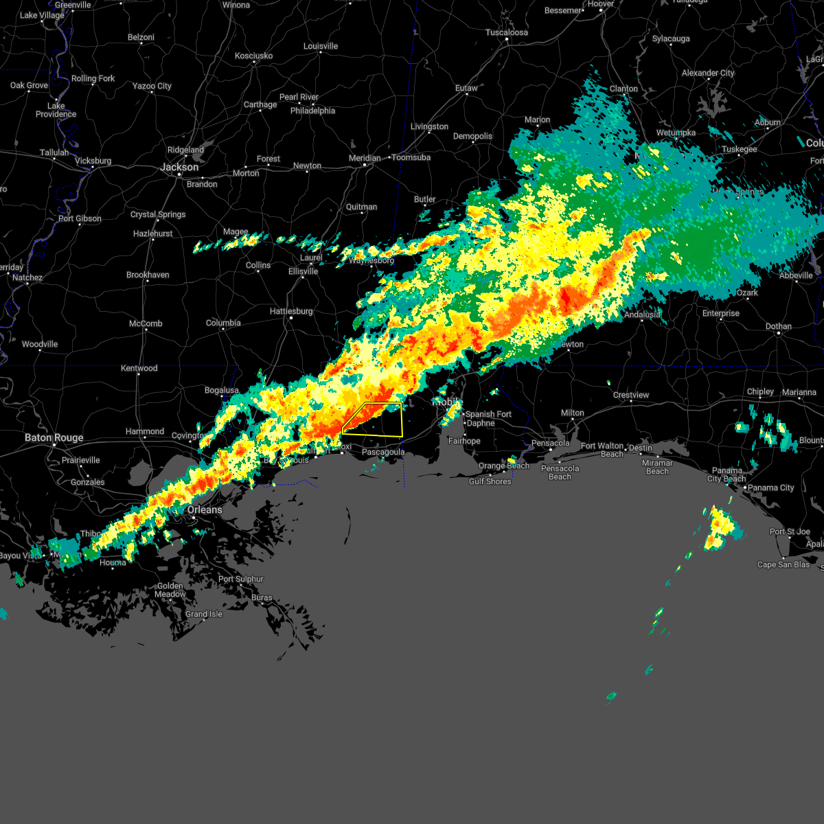 At 443 am cst, a severe thunderstorm was located over wade, or 10 miles north of escatawpa, moving east at 45 mph (radar indicated). Hazards include 60 mph wind gusts. expect damage to roofs, siding, and trees At 443 am cst, a severe thunderstorm was located over wade, or 10 miles north of escatawpa, moving east at 45 mph (radar indicated). Hazards include 60 mph wind gusts. expect damage to roofs, siding, and trees
|
| 11/26/2022 5:29 PM CST |
 At 528 pm cst, a severe thunderstorm was located 7 miles north of latimer, or 11 miles north of st. martin, moving northeast at 40 mph (radar indicated). Hazards include 60 mph wind gusts. Expect damage to roofs, siding, and trees. locations impacted include, biloxi, ocean springs, st. martin, d`iberville, latimer, gulf hills and vancleave. This includes interstate 10 in mississippi between mile markers 48 and 51. At 528 pm cst, a severe thunderstorm was located 7 miles north of latimer, or 11 miles north of st. martin, moving northeast at 40 mph (radar indicated). Hazards include 60 mph wind gusts. Expect damage to roofs, siding, and trees. locations impacted include, biloxi, ocean springs, st. martin, d`iberville, latimer, gulf hills and vancleave. This includes interstate 10 in mississippi between mile markers 48 and 51.
|
| 11/26/2022 5:09 PM CST |
 At 509 pm cst, a severe thunderstorm was located near biloxi, moving northeast at 35 mph (radar indicated). Hazards include 60 mph wind gusts. expect damage to roofs, siding, and trees At 509 pm cst, a severe thunderstorm was located near biloxi, moving northeast at 35 mph (radar indicated). Hazards include 60 mph wind gusts. expect damage to roofs, siding, and trees
|
| 10/29/2022 5:21 PM CDT |
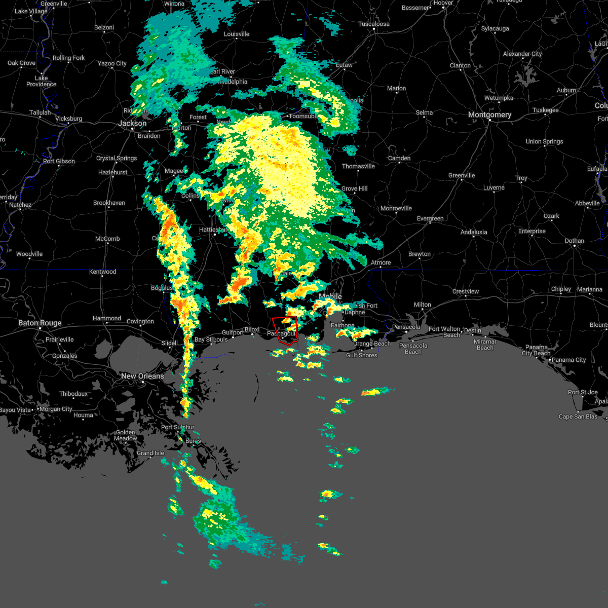 The tornado warning for southeastern jackson county will expire at 530 pm cdt, the storm which prompted the warning has weakened below severe limits, and no longer appears capable of producing a tornado. therefore, the warning will be allowed to expire. a tornado watch remains in effect until 700 pm cdt for southern mississippi. The tornado warning for southeastern jackson county will expire at 530 pm cdt, the storm which prompted the warning has weakened below severe limits, and no longer appears capable of producing a tornado. therefore, the warning will be allowed to expire. a tornado watch remains in effect until 700 pm cdt for southern mississippi.
|
| 10/29/2022 4:51 PM CDT |
 At 450 pm cdt, a severe thunderstorm capable of producing a tornado was located over petit bois island, or 13 miles south of moss point, moving north at 30 mph (radar indicated rotation). Hazards include tornado. Flying debris will be dangerous to those caught without shelter. mobile homes will be damaged or destroyed. damage to roofs, windows, and vehicles will occur. tree damage is likely. this dangerous storm will be near, moss point around 520 pm cdt. helena around 525 pm cdt. escatawpa around 530 pm cdt. This includes interstate 10 in mississippi between mile markers 64 and 76. At 450 pm cdt, a severe thunderstorm capable of producing a tornado was located over petit bois island, or 13 miles south of moss point, moving north at 30 mph (radar indicated rotation). Hazards include tornado. Flying debris will be dangerous to those caught without shelter. mobile homes will be damaged or destroyed. damage to roofs, windows, and vehicles will occur. tree damage is likely. this dangerous storm will be near, moss point around 520 pm cdt. helena around 525 pm cdt. escatawpa around 530 pm cdt. This includes interstate 10 in mississippi between mile markers 64 and 76.
|
| 10/29/2022 4:41 PM CDT |
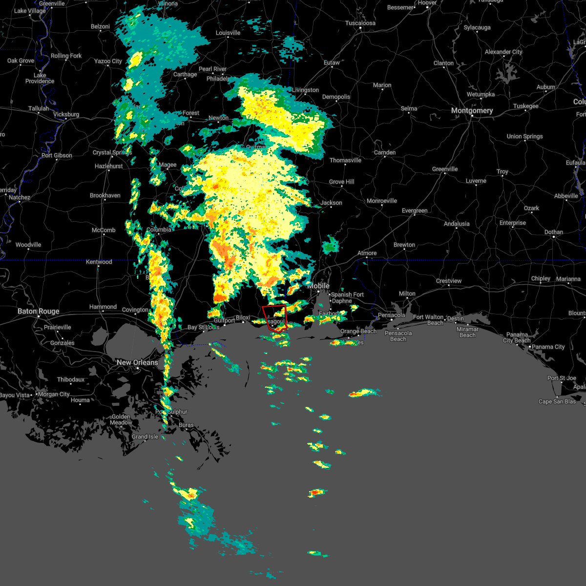 At 441 pm cdt, a severe thunderstorm capable of producing a tornado was located 7 miles north of petit bois island, or 7 miles south of moss point, moving north at 25 mph (radar indicated rotation). Hazards include tornado. Flying debris will be dangerous to those caught without shelter. mobile homes will be damaged or destroyed. damage to roofs, windows, and vehicles will occur. tree damage is likely. this dangerous storm will be near, gautier around 500 pm cdt. moss point around 505 pm cdt. helena and hickory hills around 510 pm cdt. escatawpa around 515 pm cdt. vancleave around 530 pm cdt. This includes interstate 10 in mississippi between mile markers 64 and 76. At 441 pm cdt, a severe thunderstorm capable of producing a tornado was located 7 miles north of petit bois island, or 7 miles south of moss point, moving north at 25 mph (radar indicated rotation). Hazards include tornado. Flying debris will be dangerous to those caught without shelter. mobile homes will be damaged or destroyed. damage to roofs, windows, and vehicles will occur. tree damage is likely. this dangerous storm will be near, gautier around 500 pm cdt. moss point around 505 pm cdt. helena and hickory hills around 510 pm cdt. escatawpa around 515 pm cdt. vancleave around 530 pm cdt. This includes interstate 10 in mississippi between mile markers 64 and 76.
|
| 10/29/2022 4:19 PM CDT |
 At 419 pm cdt, a confirmed tornado was located near wade, or 8 miles north of escatawpa, moving north at 25 mph (radar confirmed tornado). Hazards include damaging tornado. Flying debris will be dangerous to those caught without shelter. mobile homes will be damaged or destroyed. damage to roofs, windows, and vehicles will occur. tree damage is likely. Locations impacted include, hurley, big point, wade and vancleave. At 419 pm cdt, a confirmed tornado was located near wade, or 8 miles north of escatawpa, moving north at 25 mph (radar confirmed tornado). Hazards include damaging tornado. Flying debris will be dangerous to those caught without shelter. mobile homes will be damaged or destroyed. damage to roofs, windows, and vehicles will occur. tree damage is likely. Locations impacted include, hurley, big point, wade and vancleave.
|
| 10/29/2022 4:04 PM CDT |
 At 404 pm cdt, a severe thunderstorm capable of producing a tornado was located over wade, or 12 miles north of escatawpa, moving north at 25 mph (radar indicated rotation). Hazards include tornado. Flying debris will be dangerous to those caught without shelter. mobile homes will be damaged or destroyed. damage to roofs, windows, and vehicles will occur. tree damage is likely. This tornadic thunderstorm will remain over mainly rural areas of northeastern jackson county. At 404 pm cdt, a severe thunderstorm capable of producing a tornado was located over wade, or 12 miles north of escatawpa, moving north at 25 mph (radar indicated rotation). Hazards include tornado. Flying debris will be dangerous to those caught without shelter. mobile homes will be damaged or destroyed. damage to roofs, windows, and vehicles will occur. tree damage is likely. This tornadic thunderstorm will remain over mainly rural areas of northeastern jackson county.
|
| 10/29/2022 3:52 PM CDT |
 At 351 pm cdt, a severe thunderstorm capable of producing a tornado was located near wade, or 7 miles north of escatawpa, moving north at 25 mph (radar indicated rotation). Hazards include tornado. Flying debris will be dangerous to those caught without shelter. mobile homes will be damaged or destroyed. damage to roofs, windows, and vehicles will occur. tree damage is likely. this dangerous storm will be near, wade around 400 pm cdt. hurley around 405 pm cdt. This includes interstate 10 in mississippi between mile markers 60 and 71. At 351 pm cdt, a severe thunderstorm capable of producing a tornado was located near wade, or 7 miles north of escatawpa, moving north at 25 mph (radar indicated rotation). Hazards include tornado. Flying debris will be dangerous to those caught without shelter. mobile homes will be damaged or destroyed. damage to roofs, windows, and vehicles will occur. tree damage is likely. this dangerous storm will be near, wade around 400 pm cdt. hurley around 405 pm cdt. This includes interstate 10 in mississippi between mile markers 60 and 71.
|
| 10/29/2022 3:40 PM CDT |
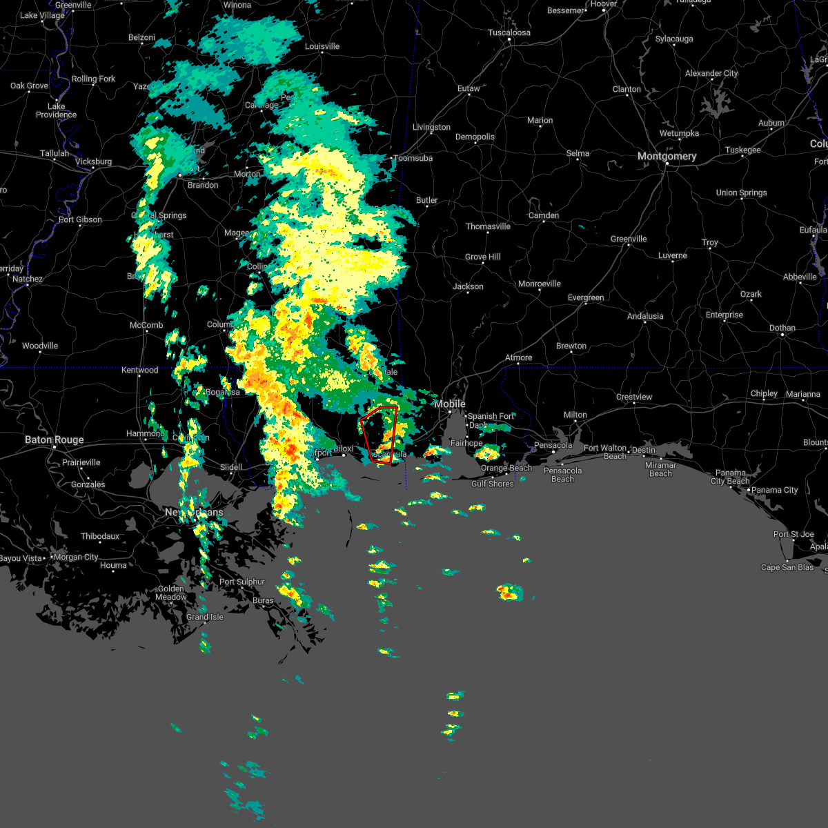 At 340 pm cdt, a severe thunderstorm capable of producing a tornado was located over escatawpa, moving north at 25 mph (radar indicated rotation). Hazards include tornado. Flying debris will be dangerous to those caught without shelter. mobile homes will be damaged or destroyed. damage to roofs, windows, and vehicles will occur. tree damage is likely. this dangerous storm will be near, big point around 350 pm cdt. vancleave around 355 pm cdt. wade around 400 pm cdt. hurley around 405 pm cdt. This includes interstate 10 in mississippi between mile markers 60 and 71. At 340 pm cdt, a severe thunderstorm capable of producing a tornado was located over escatawpa, moving north at 25 mph (radar indicated rotation). Hazards include tornado. Flying debris will be dangerous to those caught without shelter. mobile homes will be damaged or destroyed. damage to roofs, windows, and vehicles will occur. tree damage is likely. this dangerous storm will be near, big point around 350 pm cdt. vancleave around 355 pm cdt. wade around 400 pm cdt. hurley around 405 pm cdt. This includes interstate 10 in mississippi between mile markers 60 and 71.
|
| 10/29/2022 3:32 PM CDT |
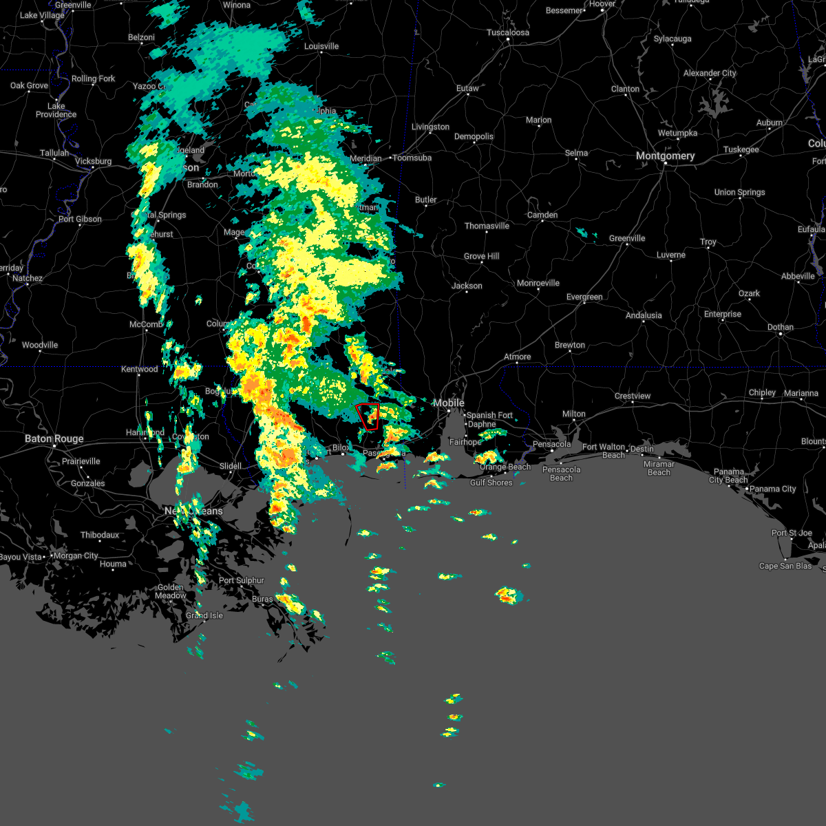 At 331 pm cdt, a tornado producing storm was located near vancleave, or 10 miles northwest of escatawpa, moving north at 25 mph (radar confirmed tornado). Hazards include damaging tornado. Flying debris will be dangerous to those caught without shelter. mobile homes will be damaged or destroyed. damage to roofs, windows, and vehicles will occur. tree damage is likely. This tornadic thunderstorm will remain over mainly rural areas of north central jackson county. At 331 pm cdt, a tornado producing storm was located near vancleave, or 10 miles northwest of escatawpa, moving north at 25 mph (radar confirmed tornado). Hazards include damaging tornado. Flying debris will be dangerous to those caught without shelter. mobile homes will be damaged or destroyed. damage to roofs, windows, and vehicles will occur. tree damage is likely. This tornadic thunderstorm will remain over mainly rural areas of north central jackson county.
|
| 10/29/2022 3:29 PM CDT |
 At 328 pm cdt, a confirmed tornado was located north-northeast vancleave, or 9 miles northwest of escatawpa, moving north at 25 mph (radar confirmed tornado). Hazards include damaging tornado. Flying debris will be dangerous to those caught without shelter. mobile homes will be damaged or destroyed. damage to roofs, windows, and vehicles will occur. tree damage is likely. this tornadic thunderstorm will remain over mainly rural areas of central jackson county. This includes interstate 10 in mississippi between mile markers 61 and 73. At 328 pm cdt, a confirmed tornado was located north-northeast vancleave, or 9 miles northwest of escatawpa, moving north at 25 mph (radar confirmed tornado). Hazards include damaging tornado. Flying debris will be dangerous to those caught without shelter. mobile homes will be damaged or destroyed. damage to roofs, windows, and vehicles will occur. tree damage is likely. this tornadic thunderstorm will remain over mainly rural areas of central jackson county. This includes interstate 10 in mississippi between mile markers 61 and 73.
|
| 10/29/2022 3:25 PM CDT |
 At 324 pm cdt, local emergency manager confirmed a tornado was located just north of downtown moss point, moving north at 25 mph (radar confirmed tornado). Hazards include damaging tornado. Flying debris will be dangerous to those caught without shelter. mobile homes will be damaged or destroyed. damage to roofs, windows, and vehicles will occur. tree damage is likely. this tornado will be near, hickory hills around 335 pm cdt. helena around 340 pm cdt. escatawpa around 345 pm cdt. big point around 355 pm cdt. vancleave around 400 pm cdt. wade around 405 pm cdt. This includes interstate 10 in mississippi between mile markers 61 and 73. At 324 pm cdt, local emergency manager confirmed a tornado was located just north of downtown moss point, moving north at 25 mph (radar confirmed tornado). Hazards include damaging tornado. Flying debris will be dangerous to those caught without shelter. mobile homes will be damaged or destroyed. damage to roofs, windows, and vehicles will occur. tree damage is likely. this tornado will be near, hickory hills around 335 pm cdt. helena around 340 pm cdt. escatawpa around 345 pm cdt. big point around 355 pm cdt. vancleave around 400 pm cdt. wade around 405 pm cdt. This includes interstate 10 in mississippi between mile markers 61 and 73.
|
| 10/29/2022 3:23 PM CDT |
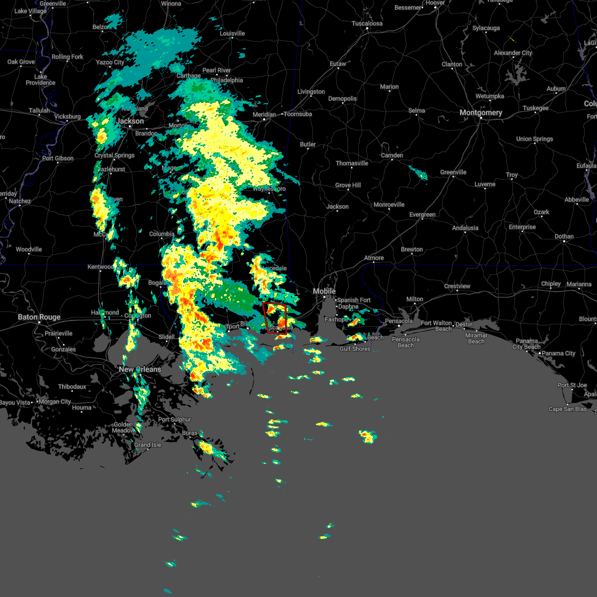 At 323 pm cdt, a severe thunderstorm capable of producing a tornado was located over vancleave, or near escatawpa, moving north at 25 mph (radar indicated rotation). Hazards include tornado. Flying debris will be dangerous to those caught without shelter. mobile homes will be damaged or destroyed. damage to roofs, windows, and vehicles will occur. tree damage is likely. this dangerous storm will be near, wade around 340 pm cdt. This includes interstate 10 in mississippi between mile markers 61 and 73. At 323 pm cdt, a severe thunderstorm capable of producing a tornado was located over vancleave, or near escatawpa, moving north at 25 mph (radar indicated rotation). Hazards include tornado. Flying debris will be dangerous to those caught without shelter. mobile homes will be damaged or destroyed. damage to roofs, windows, and vehicles will occur. tree damage is likely. this dangerous storm will be near, wade around 340 pm cdt. This includes interstate 10 in mississippi between mile markers 61 and 73.
|
| 10/29/2022 2:58 PM CDT |
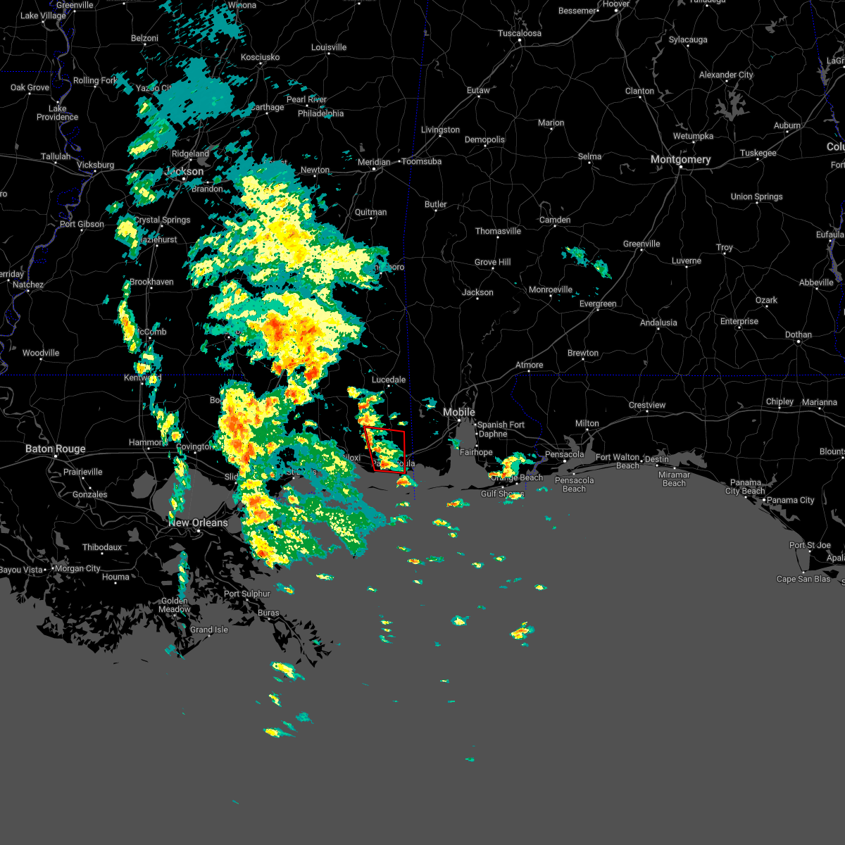 At 258 pm cdt, a severe thunderstorm capable of producing a tornado was located over gautier, or 7 miles west of moss point, moving north at 20 mph (radar indicated rotation). Hazards include tornado. Flying debris will be dangerous to those caught without shelter. mobile homes will be damaged or destroyed. damage to roofs, windows, and vehicles will occur. tree damage is likely. this dangerous storm will be near, escatawpa and hickory hills around 315 pm cdt. vancleave around 335 pm cdt. This includes interstate 10 in mississippi between mile markers 58 and 73. At 258 pm cdt, a severe thunderstorm capable of producing a tornado was located over gautier, or 7 miles west of moss point, moving north at 20 mph (radar indicated rotation). Hazards include tornado. Flying debris will be dangerous to those caught without shelter. mobile homes will be damaged or destroyed. damage to roofs, windows, and vehicles will occur. tree damage is likely. this dangerous storm will be near, escatawpa and hickory hills around 315 pm cdt. vancleave around 335 pm cdt. This includes interstate 10 in mississippi between mile markers 58 and 73.
|
| 10/29/2022 2:52 PM CDT |
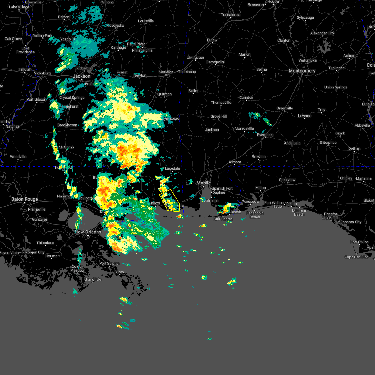 At 252 pm cdt, a severe thunderstorm was located over gautier, or near moss point, moving north at 25 mph (radar indicated). Hazards include 60 mph wind gusts. expect damage to roofs, siding, and trees At 252 pm cdt, a severe thunderstorm was located over gautier, or near moss point, moving north at 25 mph (radar indicated). Hazards include 60 mph wind gusts. expect damage to roofs, siding, and trees
|
| 8/17/2022 4:26 PM CDT |
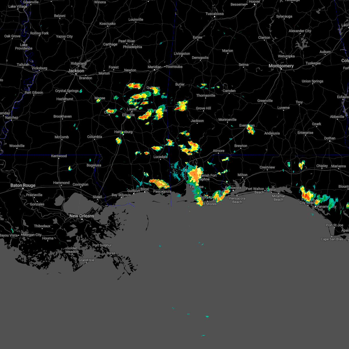 The severe thunderstorm warning for central jackson county will expire at 430 pm cdt, the storm which prompted the warning has weakened below severe limits, and no longer poses an immediate threat to life or property. therefore, the warning will be allowed to expire. however small hail is still possible with this thunderstorm. The severe thunderstorm warning for central jackson county will expire at 430 pm cdt, the storm which prompted the warning has weakened below severe limits, and no longer poses an immediate threat to life or property. therefore, the warning will be allowed to expire. however small hail is still possible with this thunderstorm.
|
| 8/17/2022 3:59 PM CDT |
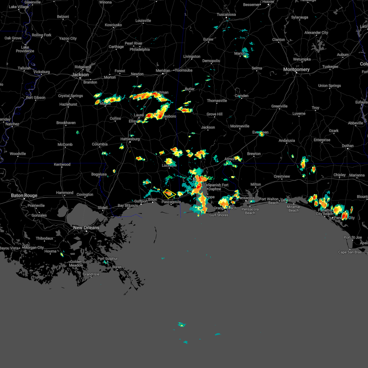 At 358 pm cdt, a severe thunderstorm was located over escatawpa, moving southeast at 10 mph (radar indicated). Hazards include 60 mph wind gusts and quarter size hail. Hail damage to vehicles is expected. expect wind damage to roofs, siding, and trees. locations impacted include, escatawpa, vancleave and hickory hills. hail threat, radar indicated max hail size, 1. 00 in wind threat, radar indicated max wind gust, 60 mph. At 358 pm cdt, a severe thunderstorm was located over escatawpa, moving southeast at 10 mph (radar indicated). Hazards include 60 mph wind gusts and quarter size hail. Hail damage to vehicles is expected. expect wind damage to roofs, siding, and trees. locations impacted include, escatawpa, vancleave and hickory hills. hail threat, radar indicated max hail size, 1. 00 in wind threat, radar indicated max wind gust, 60 mph.
|
| 8/17/2022 3:40 PM CDT |
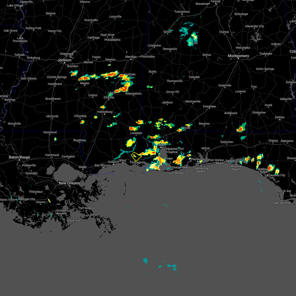 At 340 pm cdt, a severe thunderstorm was located over vancleave, or near escatawpa, moving southeast at 10 mph (radar indicated). Hazards include 60 mph wind gusts and quarter size hail. Hail damage to vehicles is expected. Expect wind damage to roofs, siding, and trees. At 340 pm cdt, a severe thunderstorm was located over vancleave, or near escatawpa, moving southeast at 10 mph (radar indicated). Hazards include 60 mph wind gusts and quarter size hail. Hail damage to vehicles is expected. Expect wind damage to roofs, siding, and trees.
|
| 8/1/2022 4:38 PM CDT |
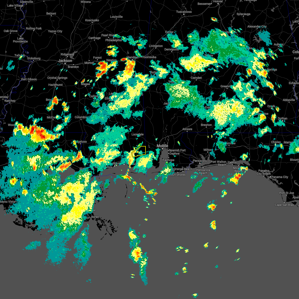 The severe thunderstorm warning for northeastern jackson county will expire at 445 pm cdt, the storm which prompted the warning has weakened below severe limits, and no longer poses an immediate threat to life or property. therefore, the warning will be allowed to expire. The severe thunderstorm warning for northeastern jackson county will expire at 445 pm cdt, the storm which prompted the warning has weakened below severe limits, and no longer poses an immediate threat to life or property. therefore, the warning will be allowed to expire.
|
| 8/1/2022 4:32 PM CDT |
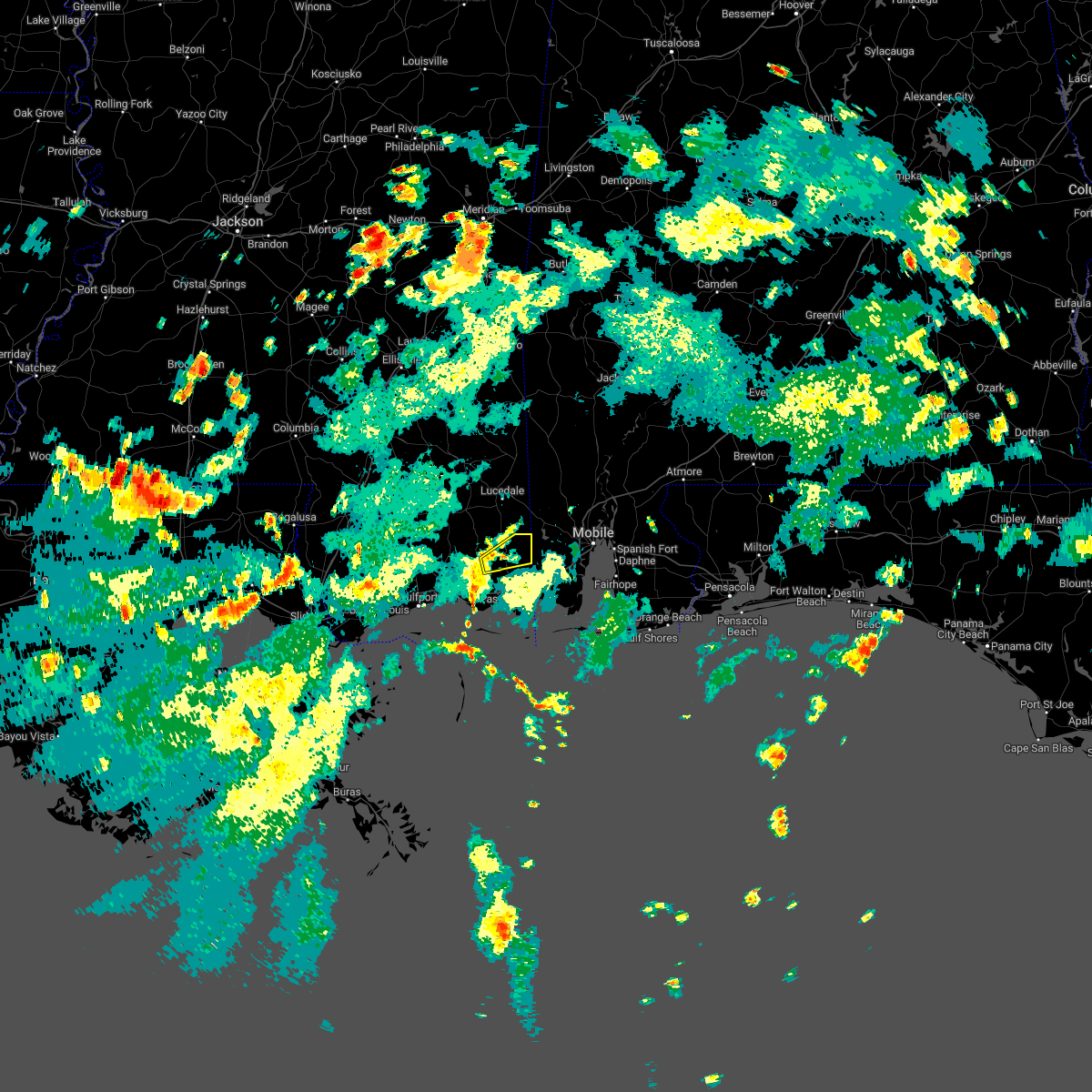 At 431 pm cdt, a severe thunderstorm was located near wade, or 7 miles north of escatawpa, moving east at 15 mph (radar indicated). Hazards include 60 mph wind gusts. Expect damage to roofs, siding, and trees. locations impacted include, hurley, big point, vancleave and wade. hail threat, radar indicated max hail size, <. 75 in wind threat, radar indicated max wind gust, 60 mph. At 431 pm cdt, a severe thunderstorm was located near wade, or 7 miles north of escatawpa, moving east at 15 mph (radar indicated). Hazards include 60 mph wind gusts. Expect damage to roofs, siding, and trees. locations impacted include, hurley, big point, vancleave and wade. hail threat, radar indicated max hail size, <. 75 in wind threat, radar indicated max wind gust, 60 mph.
|
| 8/1/2022 4:04 PM CDT |
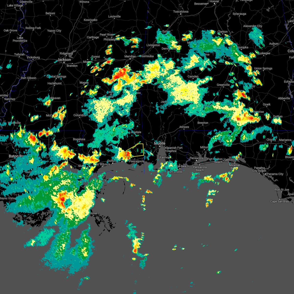 At 403 pm cdt, a severe thunderstorm was located near vancleave, or 11 miles northwest of escatawpa, moving east at 15 mph (radar indicated). Hazards include 60 mph wind gusts. expect damage to roofs, siding, and trees At 403 pm cdt, a severe thunderstorm was located near vancleave, or 11 miles northwest of escatawpa, moving east at 15 mph (radar indicated). Hazards include 60 mph wind gusts. expect damage to roofs, siding, and trees
|
| 5/6/2022 2:40 AM CDT |
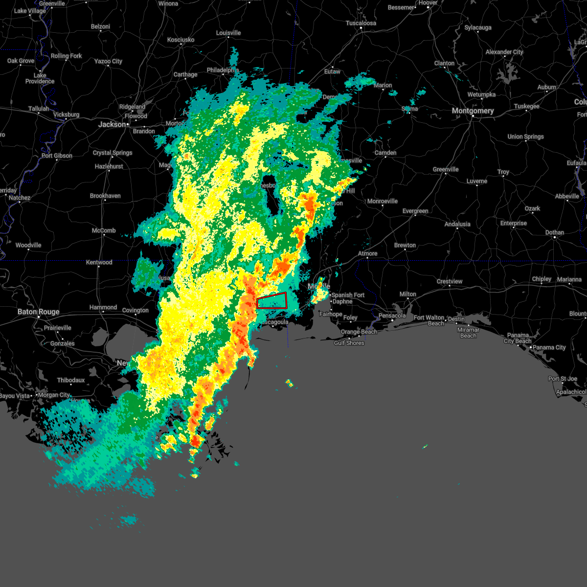 At 240 am cdt, a severe thunderstorm capable of producing a tornado was located near vancleave, or 11 miles northwest of escatawpa, moving east at 30 mph (radar indicated rotation). Hazards include tornado. Flying debris will be dangerous to those caught without shelter. mobile homes will be damaged or destroyed. damage to roofs, windows, and vehicles will occur. tree damage is likely. this dangerous storm will be near, wade around 300 am cdt. hurley around 305 am cdt. Big point around 310 am cdt. At 240 am cdt, a severe thunderstorm capable of producing a tornado was located near vancleave, or 11 miles northwest of escatawpa, moving east at 30 mph (radar indicated rotation). Hazards include tornado. Flying debris will be dangerous to those caught without shelter. mobile homes will be damaged or destroyed. damage to roofs, windows, and vehicles will occur. tree damage is likely. this dangerous storm will be near, wade around 300 am cdt. hurley around 305 am cdt. Big point around 310 am cdt.
|
| 4/13/2022 11:51 PM CDT |
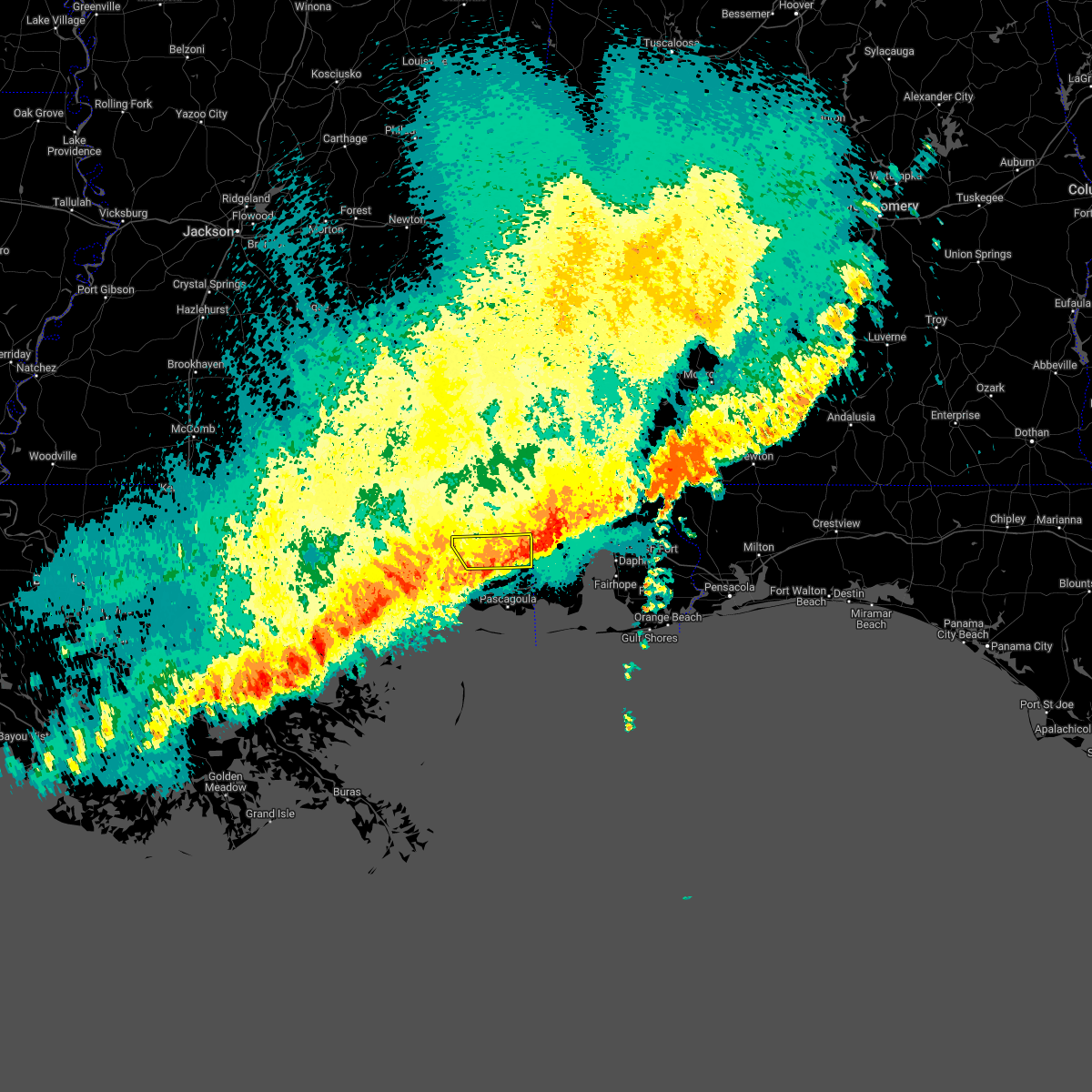 The severe thunderstorm warning for northern jackson county will expire at midnight cdt, the storm which prompted the warning has weakened below severe limits, and no longer poses an immediate threat to life or property. therefore, the warning will be allowed to expire. however heavy rain is still possible with this thunderstorm. a tornado watch remains in effect until midnight cdt for southern mississippi. The severe thunderstorm warning for northern jackson county will expire at midnight cdt, the storm which prompted the warning has weakened below severe limits, and no longer poses an immediate threat to life or property. therefore, the warning will be allowed to expire. however heavy rain is still possible with this thunderstorm. a tornado watch remains in effect until midnight cdt for southern mississippi.
|
| 4/13/2022 11:25 PM CDT |
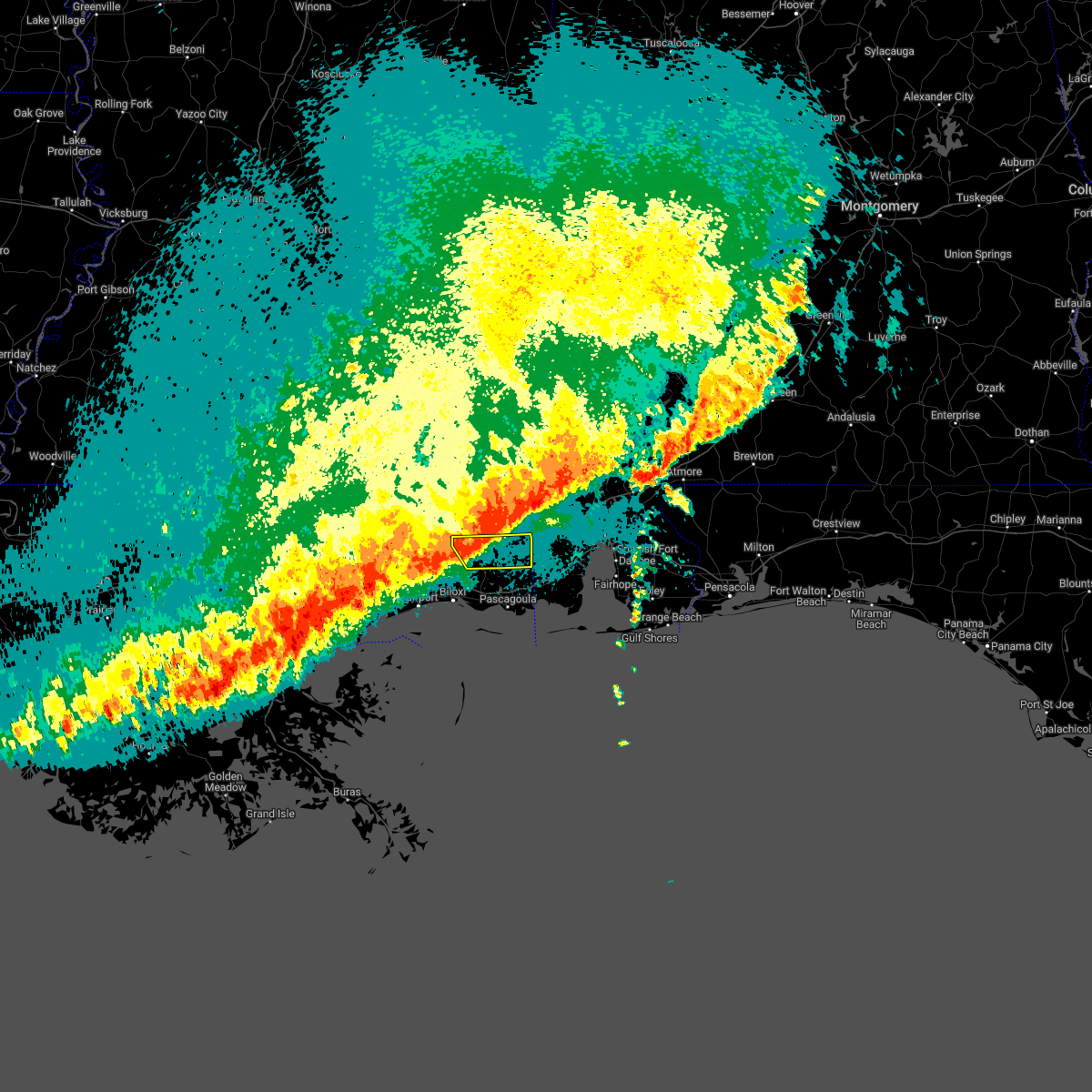 At 1125 pm cdt, a severe thunderstorm was located near wade, or 14 miles south of lucedale, moving southeast at 45 mph (radar indicated). Hazards include 60 mph wind gusts. expect damage to roofs, siding, and trees At 1125 pm cdt, a severe thunderstorm was located near wade, or 14 miles south of lucedale, moving southeast at 45 mph (radar indicated). Hazards include 60 mph wind gusts. expect damage to roofs, siding, and trees
|
| 3/30/2022 10:17 PM CDT |
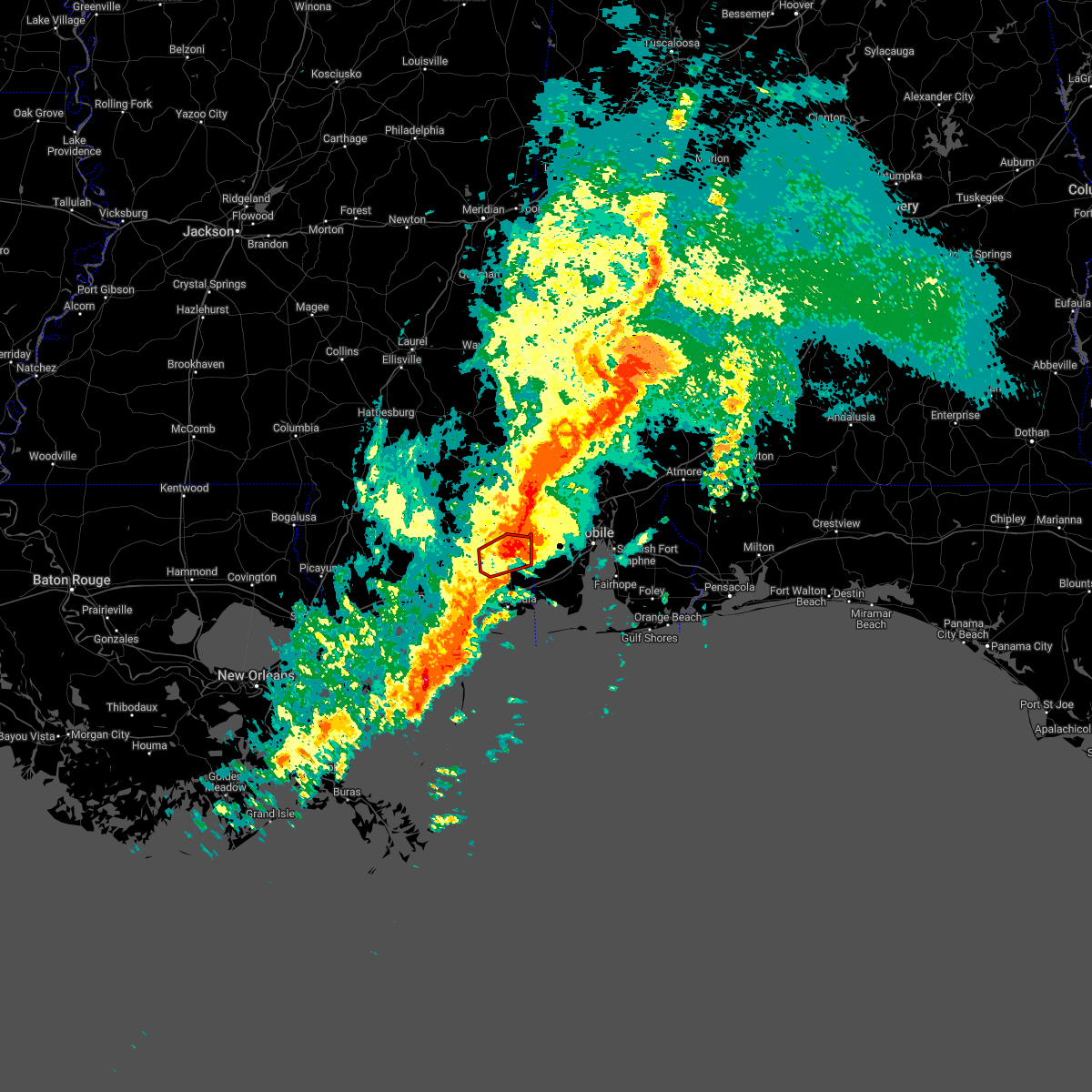 At 1017 pm cdt, a severe thunderstorm capable of producing a tornado was located over hurley, or 13 miles northeast of escatawpa, moving northeast at 45 mph (radar indicated rotation). Hazards include tornado and quarter size hail. Flying debris will be dangerous to those caught without shelter. mobile homes will be damaged or destroyed. damage to roofs, windows, and vehicles will occur. tree damage is likely. This tornadic thunderstorm will remain over mainly rural areas of northeastern jackson county. At 1017 pm cdt, a severe thunderstorm capable of producing a tornado was located over hurley, or 13 miles northeast of escatawpa, moving northeast at 45 mph (radar indicated rotation). Hazards include tornado and quarter size hail. Flying debris will be dangerous to those caught without shelter. mobile homes will be damaged or destroyed. damage to roofs, windows, and vehicles will occur. tree damage is likely. This tornadic thunderstorm will remain over mainly rural areas of northeastern jackson county.
|
| 3/30/2022 10:11 PM CDT |
 At 1011 pm cdt, a severe thunderstorm was located near wade, or near escatawpa, moving northeast at 35 mph (radar indicated). Hazards include 60 mph wind gusts and quarter size hail. Hail damage to vehicles is expected. Expect wind damage to roofs, siding, and trees. At 1011 pm cdt, a severe thunderstorm was located near wade, or near escatawpa, moving northeast at 35 mph (radar indicated). Hazards include 60 mph wind gusts and quarter size hail. Hail damage to vehicles is expected. Expect wind damage to roofs, siding, and trees.
|
| 3/30/2022 10:01 PM CDT |
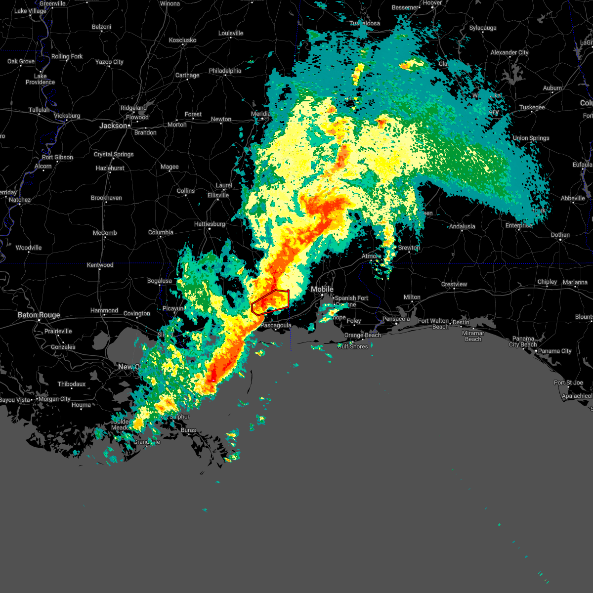 At 1000 pm cdt, a confirmed tornado was located near vancleave, or 9 miles northwest of escatawpa, moving northeast at 45 mph (radar confirmed tornado). Hazards include damaging tornado. Flying debris will be dangerous to those caught without shelter. mobile homes will be damaged or destroyed. damage to roofs, windows, and vehicles will occur. tree damage is likely. this tornado will be near, wade and big point around 1010 pm cdt. Hurley around 1015 pm cdt. At 1000 pm cdt, a confirmed tornado was located near vancleave, or 9 miles northwest of escatawpa, moving northeast at 45 mph (radar confirmed tornado). Hazards include damaging tornado. Flying debris will be dangerous to those caught without shelter. mobile homes will be damaged or destroyed. damage to roofs, windows, and vehicles will occur. tree damage is likely. this tornado will be near, wade and big point around 1010 pm cdt. Hurley around 1015 pm cdt.
|
| 3/30/2022 9:55 PM CDT | Reports of damage to a roof. *possible tornado damage in jackson county MS, 6.1 miles E of Vancleave, MS |
| 3/30/2022 9:53 PM CDT | Reports of two houses damaged. *possible tornado damage in jackson county MS, 9.1 miles E of Vancleave, MS |
| 3/30/2022 9:50 PM CDT |
 At 949 pm cdt, a confirmed tornado was located near latimer, or 9 miles northeast of st. martin, moving northeast at 45 mph (radar confirmed tornado). Hazards include damaging tornado. Flying debris will be dangerous to those caught without shelter. mobile homes will be damaged or destroyed. damage to roofs, windows, and vehicles will occur. tree damage is likely. this tornado will be near, vancleave around 1000 pm cdt. wade around 1010 pm cdt. hurley and big point around 1015 pm cdt. This includes interstate 10 in mississippi near mile marker 51. At 949 pm cdt, a confirmed tornado was located near latimer, or 9 miles northeast of st. martin, moving northeast at 45 mph (radar confirmed tornado). Hazards include damaging tornado. Flying debris will be dangerous to those caught without shelter. mobile homes will be damaged or destroyed. damage to roofs, windows, and vehicles will occur. tree damage is likely. this tornado will be near, vancleave around 1000 pm cdt. wade around 1010 pm cdt. hurley and big point around 1015 pm cdt. This includes interstate 10 in mississippi near mile marker 51.
|
| 3/30/2022 9:47 PM CDT |
 At 947 pm cdt, a severe thunderstorm capable of producing a tornado was located near latimer, or 7 miles northeast of st. martin, moving northeast at 45 mph (radar indicated rotation). Hazards include tornado. Flying debris will be dangerous to those caught without shelter. mobile homes will be damaged or destroyed. damage to roofs, windows, and vehicles will occur. tree damage is likely. this dangerous storm will be near, vancleave around 1000 pm cdt. wade around 1010 pm cdt. hurley and big point around 1015 pm cdt. This includes interstate 10 in mississippi near mile marker 51. At 947 pm cdt, a severe thunderstorm capable of producing a tornado was located near latimer, or 7 miles northeast of st. martin, moving northeast at 45 mph (radar indicated rotation). Hazards include tornado. Flying debris will be dangerous to those caught without shelter. mobile homes will be damaged or destroyed. damage to roofs, windows, and vehicles will occur. tree damage is likely. this dangerous storm will be near, vancleave around 1000 pm cdt. wade around 1010 pm cdt. hurley and big point around 1015 pm cdt. This includes interstate 10 in mississippi near mile marker 51.
|
| 8/30/2021 11:41 AM CDT |
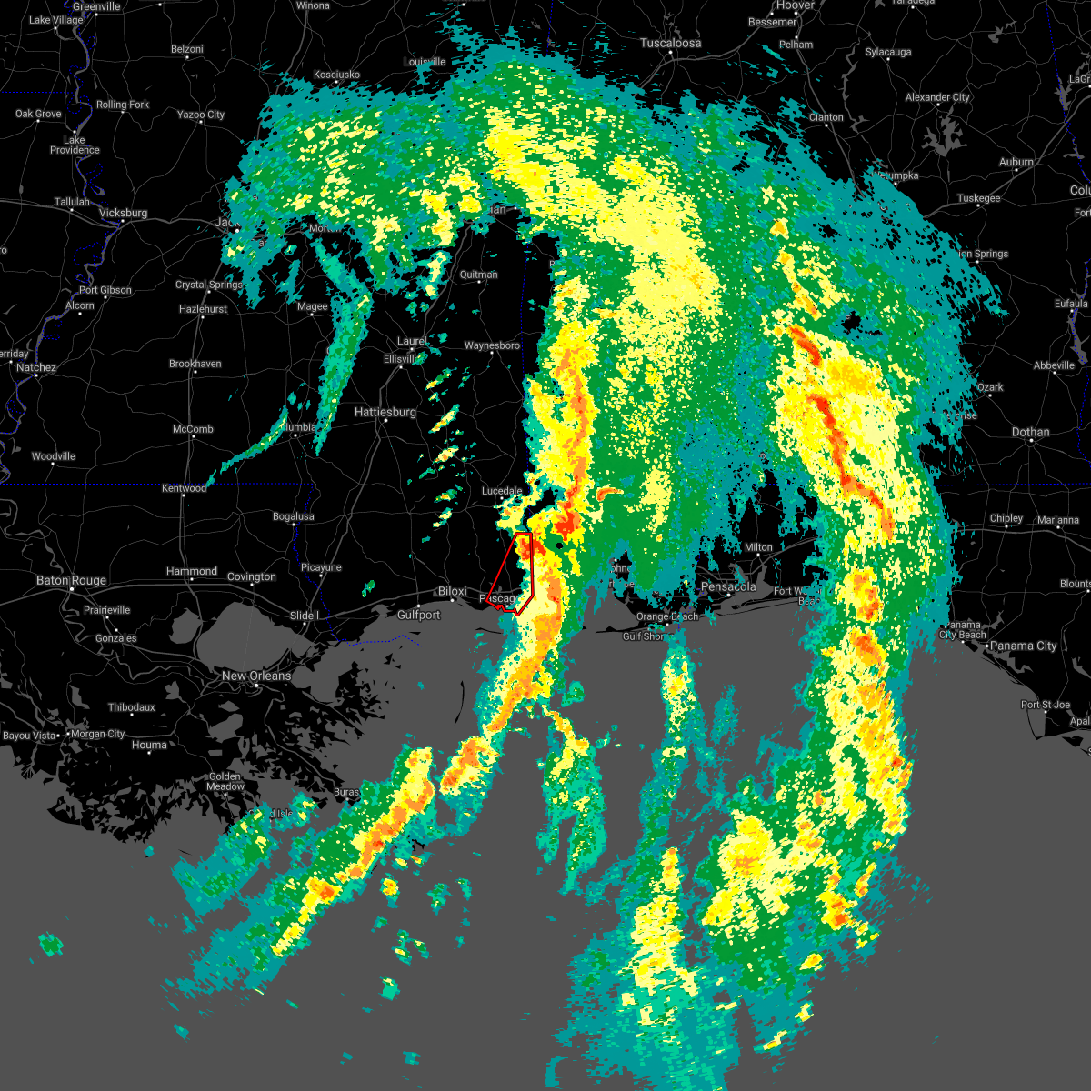 The tornado warning for eastern jackson county will expire at 1145 am cdt, the storm which prompted the warning has weakened below severe limits, and no longer appears capable of producing a tornado. therefore, the warning will be allowed to expire. a tornado watch remains in effect until 400 pm cdt for southern mississippi. The tornado warning for eastern jackson county will expire at 1145 am cdt, the storm which prompted the warning has weakened below severe limits, and no longer appears capable of producing a tornado. therefore, the warning will be allowed to expire. a tornado watch remains in effect until 400 pm cdt for southern mississippi.
|
| 8/30/2021 11:17 AM CDT |
 At 1116 am cdt, a severe thunderstorm capable of producing a tornado was located over moss point, moving northeast at 35 mph (radar indicated rotation). Hazards include tornado. Flying debris will be dangerous to those caught without shelter. mobile homes will be damaged or destroyed. damage to roofs, windows, and vehicles will occur. tree damage is likely. this dangerous storm will be near, escatawpa around 1125 am cdt. helena around 1130 am cdt. big point and wade around 1140 am cdt. hurley around 1145 am cdt. This includes interstate 10 in mississippi between mile markers 62 and 76. At 1116 am cdt, a severe thunderstorm capable of producing a tornado was located over moss point, moving northeast at 35 mph (radar indicated rotation). Hazards include tornado. Flying debris will be dangerous to those caught without shelter. mobile homes will be damaged or destroyed. damage to roofs, windows, and vehicles will occur. tree damage is likely. this dangerous storm will be near, escatawpa around 1125 am cdt. helena around 1130 am cdt. big point and wade around 1140 am cdt. hurley around 1145 am cdt. This includes interstate 10 in mississippi between mile markers 62 and 76.
|
| 8/30/2021 8:02 AM CDT |
 At 802 am cdt, a severe thunderstorm capable of producing a tornado was located near latimer, or near biloxi, moving northeast at 40 mph (radar indicated rotation). Hazards include tornado. Flying debris will be dangerous to those caught without shelter. mobile homes will be damaged or destroyed. damage to roofs, windows, and vehicles will occur. tree damage is likely. this dangerous storm will be near, latimer around 810 am cdt. this includes the following interstates, interstate 10 in mississippi between mile markers 39 and 51. Interstate 110 in mississippi between mile markers 3 and 4. At 802 am cdt, a severe thunderstorm capable of producing a tornado was located near latimer, or near biloxi, moving northeast at 40 mph (radar indicated rotation). Hazards include tornado. Flying debris will be dangerous to those caught without shelter. mobile homes will be damaged or destroyed. damage to roofs, windows, and vehicles will occur. tree damage is likely. this dangerous storm will be near, latimer around 810 am cdt. this includes the following interstates, interstate 10 in mississippi between mile markers 39 and 51. Interstate 110 in mississippi between mile markers 3 and 4.
|
| 5/11/2021 11:40 AM CDT |
 The severe thunderstorm warning for southwestern jackson county will expire at 1145 am cdt, the storm which prompted the warning has weakened below severe limits, and no longer poses an immediate threat to life or property. therefore, the warning will be allowed to expire. however gusty winds are still possible with this thunderstorm. The severe thunderstorm warning for southwestern jackson county will expire at 1145 am cdt, the storm which prompted the warning has weakened below severe limits, and no longer poses an immediate threat to life or property. therefore, the warning will be allowed to expire. however gusty winds are still possible with this thunderstorm.
|
| 5/11/2021 11:20 AM CDT |
 At 1120 am cdt, a severe thunderstorm was located over gulf hills, or near ocean springs, moving northeast at 35 mph (radar indicated). Hazards include 60 mph wind gusts. Expect damage to roofs, siding, and trees. locations impacted include, ocean springs, gautier, vancleave, gulf park estates, hickory hills and gulf hills. This includes interstate 10 in mississippi between mile markers 53 and 65. At 1120 am cdt, a severe thunderstorm was located over gulf hills, or near ocean springs, moving northeast at 35 mph (radar indicated). Hazards include 60 mph wind gusts. Expect damage to roofs, siding, and trees. locations impacted include, ocean springs, gautier, vancleave, gulf park estates, hickory hills and gulf hills. This includes interstate 10 in mississippi between mile markers 53 and 65.
|
| 5/11/2021 10:54 AM CDT |
 At 1053 am cdt, a severe thunderstorm was located near gulf park estates, or near ocean springs, moving north at 20 mph (radar indicated). Hazards include 60 mph wind gusts. expect damage to roofs, siding, and trees At 1053 am cdt, a severe thunderstorm was located near gulf park estates, or near ocean springs, moving north at 20 mph (radar indicated). Hazards include 60 mph wind gusts. expect damage to roofs, siding, and trees
|
| 4/24/2021 5:39 AM CDT |
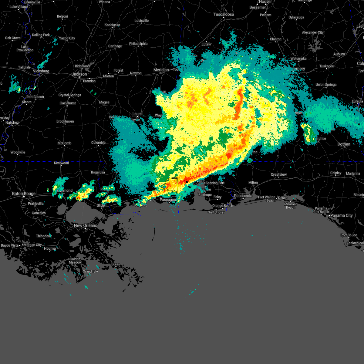 At 538 am cdt, a severe thunderstorm was located over big point, or near escatawpa, moving east at 35 mph (radar indicated). Hazards include 60 mph wind gusts. Expect damage to roofs, siding, and trees. Locations impacted include, big point, hurley, wade and vancleave. At 538 am cdt, a severe thunderstorm was located over big point, or near escatawpa, moving east at 35 mph (radar indicated). Hazards include 60 mph wind gusts. Expect damage to roofs, siding, and trees. Locations impacted include, big point, hurley, wade and vancleave.
|
| 4/24/2021 4:53 AM CDT |
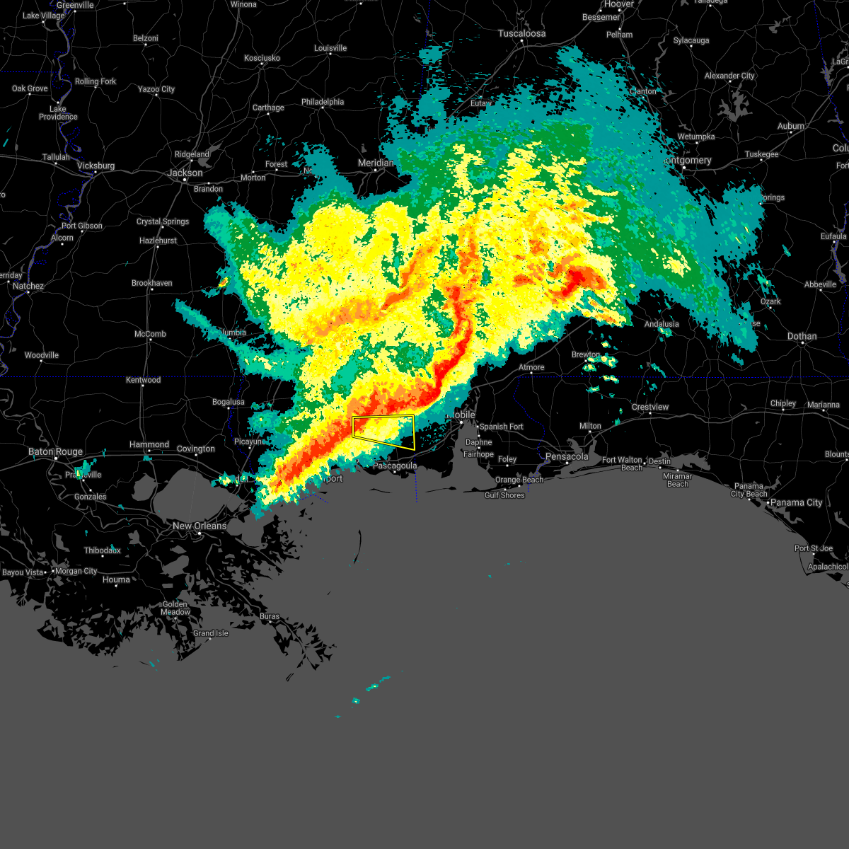 At 453 am cdt, a severe thunderstorm was located 11 miles northwest of vancleave, or 16 miles north of st. martin, moving east at 55 mph (radar indicated). Hazards include 60 mph wind gusts. expect damage to roofs, siding, and trees At 453 am cdt, a severe thunderstorm was located 11 miles northwest of vancleave, or 16 miles north of st. martin, moving east at 55 mph (radar indicated). Hazards include 60 mph wind gusts. expect damage to roofs, siding, and trees
|
| 4/15/2021 4:44 AM CDT |
 At 444 am cdt, severe thunderstorms were located along a line extending from near hickory hills to near gautier to 13 miles southwest of gulf park estates, moving east at 30 mph (radar indicated). Hazards include 60 mph wind gusts and quarter size hail. Hail damage to vehicles is expected. Expect wind damage to roofs, siding, and trees. At 444 am cdt, severe thunderstorms were located along a line extending from near hickory hills to near gautier to 13 miles southwest of gulf park estates, moving east at 30 mph (radar indicated). Hazards include 60 mph wind gusts and quarter size hail. Hail damage to vehicles is expected. Expect wind damage to roofs, siding, and trees.
|
| 4/15/2021 3:49 AM CDT |
 At 348 am cdt, a severe thunderstorm was located over gautier, or 7 miles east of ocean springs, moving east at 35 mph (radar indicated). Hazards include quarter size hail. damage to vehicles is expected At 348 am cdt, a severe thunderstorm was located over gautier, or 7 miles east of ocean springs, moving east at 35 mph (radar indicated). Hazards include quarter size hail. damage to vehicles is expected
|
| 4/10/2021 3:55 AM CDT |
 At 355 am cdt, a severe thunderstorm was located over gulfport, moving east at 45 mph (radar indicated). Hazards include 60 mph wind gusts and quarter size hail. Hail damage to vehicles is expected. Expect wind damage to roofs, siding, and trees. At 355 am cdt, a severe thunderstorm was located over gulfport, moving east at 45 mph (radar indicated). Hazards include 60 mph wind gusts and quarter size hail. Hail damage to vehicles is expected. Expect wind damage to roofs, siding, and trees.
|
| 4/10/2021 3:26 AM CDT |
 At 326 am cdt, severe thunderstorms were located along a line extending from near saucier to near lyman, moving east at 45 mph (radar indicated). Hazards include 40 mph wind gusts and quarter size hail. Hail damage to vehicles is expected. expect wind damage to roofs, siding, and trees. locations impacted include, gulfport, biloxi, st. Martin, d`iberville, latimer, vancleave, lyman, hickory hills and gulf hills. At 326 am cdt, severe thunderstorms were located along a line extending from near saucier to near lyman, moving east at 45 mph (radar indicated). Hazards include 40 mph wind gusts and quarter size hail. Hail damage to vehicles is expected. expect wind damage to roofs, siding, and trees. locations impacted include, gulfport, biloxi, st. Martin, d`iberville, latimer, vancleave, lyman, hickory hills and gulf hills.
|
| 4/10/2021 3:11 AM CDT |
 At 311 am cdt, severe thunderstorms were located along a line extending from 6 miles west of mchenry to saucier to near lyman, moving northeast at 55 mph (radar indicated). Hazards include 60 mph wind gusts and half dollar size hail. Hail damage to vehicles is expected. Expect wind damage to roofs, siding, and trees. At 311 am cdt, severe thunderstorms were located along a line extending from 6 miles west of mchenry to saucier to near lyman, moving northeast at 55 mph (radar indicated). Hazards include 60 mph wind gusts and half dollar size hail. Hail damage to vehicles is expected. Expect wind damage to roofs, siding, and trees.
|
| 3/17/2021 10:36 PM CDT |
 The severe thunderstorm warning for east central harrison and northwestern jackson counties will expire at 1045 pm cdt, the storm which prompted the warning has weakened below severe limits, and no longer poses an immediate threat to life or property. therefore, the warning will be allowed to expire. a tornado watch remains in effect until 1100 pm cdt for southern and southeastern mississippi. The severe thunderstorm warning for east central harrison and northwestern jackson counties will expire at 1045 pm cdt, the storm which prompted the warning has weakened below severe limits, and no longer poses an immediate threat to life or property. therefore, the warning will be allowed to expire. a tornado watch remains in effect until 1100 pm cdt for southern and southeastern mississippi.
|
| 3/17/2021 10:29 PM CDT |
 At 1029 pm cdt, a severe thunderstorm was located over latimer, or near st. martin, moving northeast at 45 mph (radar indicated). Hazards include 60 mph wind gusts. Expect damage to roofs, siding, and trees. locations impacted include, gulfport, biloxi, ocean springs, st. Martin, escatawpa, d`iberville, latimer, gulf hills, vancleave and hickory hills. At 1029 pm cdt, a severe thunderstorm was located over latimer, or near st. martin, moving northeast at 45 mph (radar indicated). Hazards include 60 mph wind gusts. Expect damage to roofs, siding, and trees. locations impacted include, gulfport, biloxi, ocean springs, st. Martin, escatawpa, d`iberville, latimer, gulf hills, vancleave and hickory hills.
|
| 3/17/2021 10:17 PM CDT |
 At 1017 pm cdt, a severe thunderstorm was located over biloxi, moving northeast at 45 mph (radar indicated). Hazards include 60 mph wind gusts. Expect damage to roofs, siding, and trees. locations impacted include, gulfport, biloxi, ocean springs, long beach, st. Martin, escatawpa, d`iberville, latimer, gulf hills, vancleave, hickory hills and gulfport airport. At 1017 pm cdt, a severe thunderstorm was located over biloxi, moving northeast at 45 mph (radar indicated). Hazards include 60 mph wind gusts. Expect damage to roofs, siding, and trees. locations impacted include, gulfport, biloxi, ocean springs, long beach, st. Martin, escatawpa, d`iberville, latimer, gulf hills, vancleave, hickory hills and gulfport airport.
|
| 3/17/2021 9:54 PM CDT |
 At 954 pm cdt, a severe thunderstorm was located near long beach, moving northeast at 45 mph (radar indicated). Hazards include 60 mph wind gusts. expect damage to roofs, siding, and trees At 954 pm cdt, a severe thunderstorm was located near long beach, moving northeast at 45 mph (radar indicated). Hazards include 60 mph wind gusts. expect damage to roofs, siding, and trees
|
| 12/4/2020 3:41 AM CST |
 The tornado warning for northeastern jackson county will expire at 345 am cst, the storm which prompted the warning has weakened below severe limits, and has exited the warned area. therefore, the warning will be allowed to expire. The tornado warning for northeastern jackson county will expire at 345 am cst, the storm which prompted the warning has weakened below severe limits, and has exited the warned area. therefore, the warning will be allowed to expire.
|
| 12/4/2020 3:17 AM CST |
 At 316 am cst, a severe thunderstorm capable of producing a tornado was located over big point, or 8 miles northeast of escatawpa, moving northeast at 20 mph (radar indicated rotation). Hazards include tornado. Flying debris will be dangerous to those caught without shelter. mobile homes will be damaged or destroyed. damage to roofs, windows, and vehicles will occur. tree damage is likely. This tornadic thunderstorm will remain over mainly rural areas of northeastern jackson county. At 316 am cst, a severe thunderstorm capable of producing a tornado was located over big point, or 8 miles northeast of escatawpa, moving northeast at 20 mph (radar indicated rotation). Hazards include tornado. Flying debris will be dangerous to those caught without shelter. mobile homes will be damaged or destroyed. damage to roofs, windows, and vehicles will occur. tree damage is likely. This tornadic thunderstorm will remain over mainly rural areas of northeastern jackson county.
|
| 12/4/2020 2:58 AM CST |
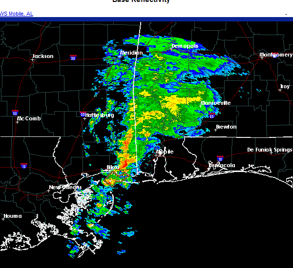 The national weather service in new orleans has issued a * tornado warning for. northeastern jackson county in southern mississippi. until 345 am cst. At 258 am cst, a severe thunderstorm capable of producing a tornado was located near escatawpa, moving northeast at 20 mph. The national weather service in new orleans has issued a * tornado warning for. northeastern jackson county in southern mississippi. until 345 am cst. At 258 am cst, a severe thunderstorm capable of producing a tornado was located near escatawpa, moving northeast at 20 mph.
|
| 11/26/2020 8:43 PM CST |
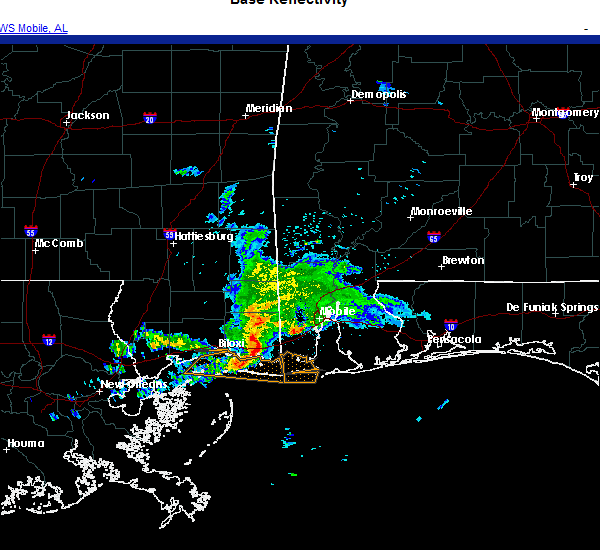 At 842 pm cst, a severe thunderstorm was located over moss point, moving east at 25 mph (radar indicated). Hazards include 60 mph wind gusts. expect damage to roofs, siding, and trees At 842 pm cst, a severe thunderstorm was located over moss point, moving east at 25 mph (radar indicated). Hazards include 60 mph wind gusts. expect damage to roofs, siding, and trees
|
| 7/15/2020 3:44 PM CDT |
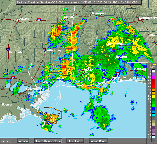 At 344 pm cdt, a severe thunderstorm was located 14 miles northwest of wade, or 14 miles southwest of lucedale, moving northwest at 15 mph (radar indicated). Hazards include 60 mph wind gusts. Expect damage to roofs, siding, and trees. This severe thunderstorm will remain over mainly rural areas of north central jackson county. At 344 pm cdt, a severe thunderstorm was located 14 miles northwest of wade, or 14 miles southwest of lucedale, moving northwest at 15 mph (radar indicated). Hazards include 60 mph wind gusts. Expect damage to roofs, siding, and trees. This severe thunderstorm will remain over mainly rural areas of north central jackson county.
|
| 7/15/2020 3:29 PM CDT |
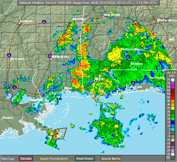 At 328 pm cdt, a severe thunderstorm was located 9 miles northwest of wade, or 15 miles southwest of lucedale, moving northwest at 15 mph (radar indicated). Hazards include 60 mph wind gusts. expect damage to roofs, siding, and trees At 328 pm cdt, a severe thunderstorm was located 9 miles northwest of wade, or 15 miles southwest of lucedale, moving northwest at 15 mph (radar indicated). Hazards include 60 mph wind gusts. expect damage to roofs, siding, and trees
|
| 7/8/2020 2:52 PM CDT |
 The severe thunderstorm warning for east central harrison and southwestern jackson counties will expire at 300 pm cdt, the storm which prompted the warning has weakened below severe limits, and no longer poses an immediate threat to life or property. therefore, the warning will be allowed to expire. however gusty winds are still possible with this thunderstorm. The severe thunderstorm warning for east central harrison and southwestern jackson counties will expire at 300 pm cdt, the storm which prompted the warning has weakened below severe limits, and no longer poses an immediate threat to life or property. therefore, the warning will be allowed to expire. however gusty winds are still possible with this thunderstorm.
|
| 7/8/2020 2:46 PM CDT |
 At 246 pm cdt, a severe thunderstorm was located over latimer, or near st. martin, moving southeast at 15 mph (radar indicated). Hazards include 60 mph wind gusts. Expect damage to roofs, siding, and trees. locations impacted include, ocean springs, st. Martin, gulf hills, vancleave, latimer and gulf park estates. At 246 pm cdt, a severe thunderstorm was located over latimer, or near st. martin, moving southeast at 15 mph (radar indicated). Hazards include 60 mph wind gusts. Expect damage to roofs, siding, and trees. locations impacted include, ocean springs, st. Martin, gulf hills, vancleave, latimer and gulf park estates.
|
| 7/8/2020 2:23 PM CDT |
 At 222 pm cdt, a severe thunderstorm was located near latimer, or 8 miles north of biloxi, moving southeast at 10 mph (radar indicated). Hazards include 60 mph wind gusts and penny size hail. expect damage to roofs, siding, and trees At 222 pm cdt, a severe thunderstorm was located near latimer, or 8 miles north of biloxi, moving southeast at 10 mph (radar indicated). Hazards include 60 mph wind gusts and penny size hail. expect damage to roofs, siding, and trees
|
| 6/24/2020 1:00 PM CDT |
 The national weather service in new orleans has issued a * tornado warning for. central jackson county in southern mississippi. until 130 pm cdt. At 100 pm cdt, a severe thunderstorm capable of producing a tornado was located over vancleave, or near escatawpa, moving northeast at. The national weather service in new orleans has issued a * tornado warning for. central jackson county in southern mississippi. until 130 pm cdt. At 100 pm cdt, a severe thunderstorm capable of producing a tornado was located over vancleave, or near escatawpa, moving northeast at.
|
| 6/24/2020 12:53 PM CDT |
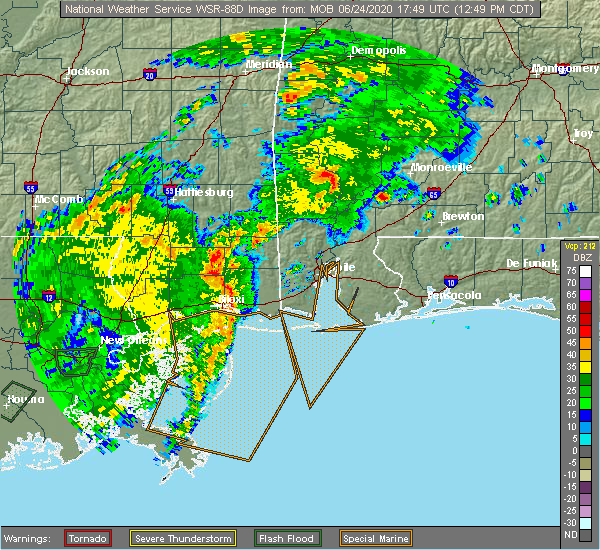 The national weather service in new orleans has issued a * tornado warning for. northern jackson county in southern mississippi. until 130 pm cdt. At 1253 pm cdt, a severe thunderstorm capable of producing a tornado was located 7 miles northwest of vancleave, or 12 miles. The national weather service in new orleans has issued a * tornado warning for. northern jackson county in southern mississippi. until 130 pm cdt. At 1253 pm cdt, a severe thunderstorm capable of producing a tornado was located 7 miles northwest of vancleave, or 12 miles.
|
| 6/7/2020 9:15 AM CDT |
 At 915 am cdt, a severe thunderstorm capable of producing a tornado was located over big point, or 7 miles northeast of escatawpa, moving west at 40 mph (radar indicated rotation). Hazards include tornado. Flying debris will be dangerous to those caught without shelter. mobile homes will be damaged or destroyed. damage to roofs, windows, and vehicles will occur. tree damage is likely. this dangerous storm will be near, wade around 920 am cdt. Vancleave around 930 am cdt. At 915 am cdt, a severe thunderstorm capable of producing a tornado was located over big point, or 7 miles northeast of escatawpa, moving west at 40 mph (radar indicated rotation). Hazards include tornado. Flying debris will be dangerous to those caught without shelter. mobile homes will be damaged or destroyed. damage to roofs, windows, and vehicles will occur. tree damage is likely. this dangerous storm will be near, wade around 920 am cdt. Vancleave around 930 am cdt.
|
| 4/19/2020 11:04 PM CDT |
 At 1104 pm cdt, a severe thunderstorm was located near big point, or 7 miles northwest of grand bay, moving southeast at 45 mph (radar indicated). Hazards include 60 mph wind gusts. Expect damage to roofs, siding, and trees. locations impacted include, ocean springs, moss point, escatawpa, st. Martin, gautier, helena, gulf hills, big point, gulf park estates, hickory hills, vancleave and latimer. At 1104 pm cdt, a severe thunderstorm was located near big point, or 7 miles northwest of grand bay, moving southeast at 45 mph (radar indicated). Hazards include 60 mph wind gusts. Expect damage to roofs, siding, and trees. locations impacted include, ocean springs, moss point, escatawpa, st. Martin, gautier, helena, gulf hills, big point, gulf park estates, hickory hills, vancleave and latimer.
|
| 4/19/2020 10:54 PM CDT |
 At 1053 pm cdt, a severe thunderstorm was located over wade, or 10 miles north of escatawpa, moving east at 45 mph (radar indicated). Hazards include 60 mph wind gusts. Expect damage to roofs, siding, and trees. locations impacted include, ocean springs, moss point, st. Martin, escatawpa, gautier, wade, latimer, big point, helena, gulf hills, hurley, vancleave, gulf park estates and hickory hills. At 1053 pm cdt, a severe thunderstorm was located over wade, or 10 miles north of escatawpa, moving east at 45 mph (radar indicated). Hazards include 60 mph wind gusts. Expect damage to roofs, siding, and trees. locations impacted include, ocean springs, moss point, st. Martin, escatawpa, gautier, wade, latimer, big point, helena, gulf hills, hurley, vancleave, gulf park estates and hickory hills.
|
| 4/19/2020 10:52 PM CDT | Several trees downed around 2300 bilbo road in vancleave due to straighline wind in jackson county MS, 7.2 miles SSE of Vancleave, MS |
| 4/19/2020 10:38 PM CDT |
 At 1038 pm cdt, a severe thunderstorm was located 8 miles northwest of vancleave, or 16 miles northwest of escatawpa, moving east at 40 mph (radar indicated). Hazards include 60 mph wind gusts. expect damage to roofs, siding, and trees At 1038 pm cdt, a severe thunderstorm was located 8 miles northwest of vancleave, or 16 miles northwest of escatawpa, moving east at 40 mph (radar indicated). Hazards include 60 mph wind gusts. expect damage to roofs, siding, and trees
|
| 6/7/2019 3:43 PM CDT |
 At 343 pm cdt, a severe thunderstorm was located over hickory hills, or 7 miles west of escatawpa, moving east at 25 mph (radar indicated). Hazards include 60 mph wind gusts and penny size hail. Expect damage to roofs, siding, and trees. locations impacted include, ocean springs, moss point, st. Martin, escatawpa, gautier, latimer, big point, helena, gulf hills, vancleave, gulf park estates, hickory hills and wade. At 343 pm cdt, a severe thunderstorm was located over hickory hills, or 7 miles west of escatawpa, moving east at 25 mph (radar indicated). Hazards include 60 mph wind gusts and penny size hail. Expect damage to roofs, siding, and trees. locations impacted include, ocean springs, moss point, st. Martin, escatawpa, gautier, latimer, big point, helena, gulf hills, vancleave, gulf park estates, hickory hills and wade.
|
| 6/7/2019 3:22 PM CDT |
 At 322 pm cdt, a severe thunderstorm was located over latimer, or near st. martin, moving east at 25 mph (radar indicated). Hazards include 60 mph wind gusts and penny size hail. expect damage to roofs, siding, and trees At 322 pm cdt, a severe thunderstorm was located over latimer, or near st. martin, moving east at 25 mph (radar indicated). Hazards include 60 mph wind gusts and penny size hail. expect damage to roofs, siding, and trees
|
| 6/7/2019 12:36 PM CDT |
 At 1235 pm cdt, a severe thunderstorm was located near vancleave, or near escatawpa, moving east at 30 mph (radar indicated). Hazards include 60 mph wind gusts. Expect damage to roofs, siding, and trees. Locations impacted include, escatawpa, hurley, big point, vancleave and wade. At 1235 pm cdt, a severe thunderstorm was located near vancleave, or near escatawpa, moving east at 30 mph (radar indicated). Hazards include 60 mph wind gusts. Expect damage to roofs, siding, and trees. Locations impacted include, escatawpa, hurley, big point, vancleave and wade.
|
| 6/7/2019 12:12 PM CDT |
 At 1212 pm cdt, a severe thunderstorm was located near vancleave, or 13 miles northwest of escatawpa, moving east at 35 mph (radar indicated). Hazards include 60 mph wind gusts. expect damage to roofs, siding, and trees At 1212 pm cdt, a severe thunderstorm was located near vancleave, or 13 miles northwest of escatawpa, moving east at 35 mph (radar indicated). Hazards include 60 mph wind gusts. expect damage to roofs, siding, and trees
|
| 6/7/2019 12:10 PM CDT |
 At 1209 pm cdt, a severe thunderstorm was located 7 miles northwest of vancleave, or 15 miles northeast of st. martin, moving east at 35 mph (radar indicated). Hazards include 60 mph wind gusts. Expect damage to roofs, siding, and trees. Locations impacted include, vancleave and latimer. At 1209 pm cdt, a severe thunderstorm was located 7 miles northwest of vancleave, or 15 miles northeast of st. martin, moving east at 35 mph (radar indicated). Hazards include 60 mph wind gusts. Expect damage to roofs, siding, and trees. Locations impacted include, vancleave and latimer.
|
| 6/7/2019 11:49 AM CDT |
 At 1149 am cdt, a severe thunderstorm was located 9 miles east of saucier, or 14 miles northwest of st. martin, moving east at 30 mph (radar indicated). Hazards include 60 mph wind gusts. expect damage to roofs, siding, and trees At 1149 am cdt, a severe thunderstorm was located 9 miles east of saucier, or 14 miles northwest of st. martin, moving east at 30 mph (radar indicated). Hazards include 60 mph wind gusts. expect damage to roofs, siding, and trees
|
| 5/11/2019 4:01 PM CDT |
 At 401 pm cdt, a severe thunderstorm capable of producing a tornado was located near vancleave, or 11 miles northwest of escatawpa, moving north at 15 mph (radar indicated rotation). Hazards include tornado. Flying debris will be dangerous to those caught without shelter. mobile homes will be damaged or destroyed. damage to roofs, windows, and vehicles will occur. tree damage is likely. This tornadic thunderstorm will remain over mainly rural areas of north central jackson county. At 401 pm cdt, a severe thunderstorm capable of producing a tornado was located near vancleave, or 11 miles northwest of escatawpa, moving north at 15 mph (radar indicated rotation). Hazards include tornado. Flying debris will be dangerous to those caught without shelter. mobile homes will be damaged or destroyed. damage to roofs, windows, and vehicles will occur. tree damage is likely. This tornadic thunderstorm will remain over mainly rural areas of north central jackson county.
|
| 5/11/2019 3:49 PM CDT |
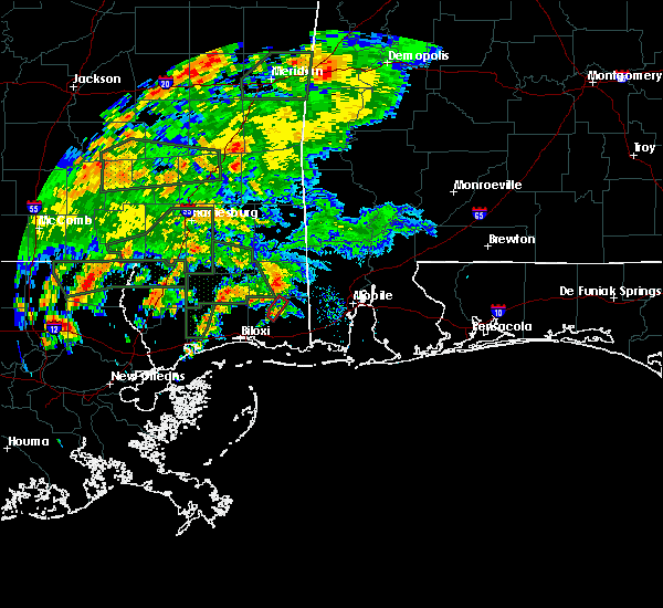 At 349 pm cdt, a severe thunderstorm capable of producing a tornado was located near vancleave, or 10 miles northwest of escatawpa, moving northeast at 15 mph (radar indicated rotation). Hazards include tornado. Flying debris will be dangerous to those caught without shelter. mobile homes will be damaged or destroyed. damage to roofs, windows, and vehicles will occur. tree damage is likely. This tornadic thunderstorm will remain over mainly rural areas of north central jackson county. At 349 pm cdt, a severe thunderstorm capable of producing a tornado was located near vancleave, or 10 miles northwest of escatawpa, moving northeast at 15 mph (radar indicated rotation). Hazards include tornado. Flying debris will be dangerous to those caught without shelter. mobile homes will be damaged or destroyed. damage to roofs, windows, and vehicles will occur. tree damage is likely. This tornadic thunderstorm will remain over mainly rural areas of north central jackson county.
|
| 5/11/2019 3:35 PM CDT |
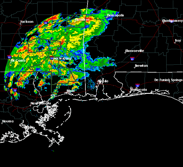 At 335 pm cdt, a severe thunderstorm capable of producing a tornado was located near vancleave, or 10 miles north of ocean springs, moving north at 15 mph (radar indicated rotation). Hazards include tornado. Flying debris will be dangerous to those caught without shelter. mobile homes will be damaged or destroyed. damage to roofs, windows, and vehicles will occur. tree damage is likely. This dangerous storm will be near, vancleave around 400 pm cdt. At 335 pm cdt, a severe thunderstorm capable of producing a tornado was located near vancleave, or 10 miles north of ocean springs, moving north at 15 mph (radar indicated rotation). Hazards include tornado. Flying debris will be dangerous to those caught without shelter. mobile homes will be damaged or destroyed. damage to roofs, windows, and vehicles will occur. tree damage is likely. This dangerous storm will be near, vancleave around 400 pm cdt.
|
| 11/1/2018 6:25 AM CDT |
 At 625 am cdt, severe thunderstorms were located along a line extending from near latimer to gulf park estates to 11 miles south of biloxi, moving east at 55 mph (radar indicated). Hazards include 60 mph wind gusts. expect damage to roofs, siding, and trees At 625 am cdt, severe thunderstorms were located along a line extending from near latimer to gulf park estates to 11 miles south of biloxi, moving east at 55 mph (radar indicated). Hazards include 60 mph wind gusts. expect damage to roofs, siding, and trees
|
| 11/1/2018 6:24 AM CDT |
 At 623 am cdt, severe thunderstorms were located along a line extending from 9 miles southwest of lucedale to near wade to near latimer, moving northeast at 50 mph (radar indicated). Hazards include 60 mph wind gusts. expect damage to roofs, siding, and trees At 623 am cdt, severe thunderstorms were located along a line extending from 9 miles southwest of lucedale to near wade to near latimer, moving northeast at 50 mph (radar indicated). Hazards include 60 mph wind gusts. expect damage to roofs, siding, and trees
|
| 11/1/2018 6:13 AM CDT |
 At 613 am cdt, severe thunderstorms were located along a line extending from 8 miles north of d`iberville to latimer to 8 miles southeast of gulfport, moving northeast at 55 mph (radar indicated). Hazards include 60 mph wind gusts. Expect damage to roofs, siding, and trees. locations impacted include, gulfport, biloxi, ocean springs, st. martin, d`iberville, wade, latimer, gulf hills, vancleave, lyman, hurley, gulf park estates and gulfport airport. A tornado watch remains in effect until 900 am cdt for southern and southeastern mississippi. At 613 am cdt, severe thunderstorms were located along a line extending from 8 miles north of d`iberville to latimer to 8 miles southeast of gulfport, moving northeast at 55 mph (radar indicated). Hazards include 60 mph wind gusts. Expect damage to roofs, siding, and trees. locations impacted include, gulfport, biloxi, ocean springs, st. martin, d`iberville, wade, latimer, gulf hills, vancleave, lyman, hurley, gulf park estates and gulfport airport. A tornado watch remains in effect until 900 am cdt for southern and southeastern mississippi.
|
| 11/1/2018 6:00 AM CDT |
 At 600 am cdt, severe thunderstorms were located along a line extending from near lyman to gulfport to 8 miles southeast of bay st. louis, moving northeast at 55 mph (radar indicated). Hazards include 60 mph wind gusts. expect damage to roofs, siding, and trees At 600 am cdt, severe thunderstorms were located along a line extending from near lyman to gulfport to 8 miles southeast of bay st. louis, moving northeast at 55 mph (radar indicated). Hazards include 60 mph wind gusts. expect damage to roofs, siding, and trees
|
| 6/28/2018 8:49 PM CDT |
 At 849 pm cdt, severe thunderstorms were located along a line extending from 13 miles south of mclain to hurley to near bayou la batre to near alabama port, moving southwest at 40 mph (radar indicated). Hazards include 60 mph wind gusts. expect damage to roofs, siding, and trees At 849 pm cdt, severe thunderstorms were located along a line extending from 13 miles south of mclain to hurley to near bayou la batre to near alabama port, moving southwest at 40 mph (radar indicated). Hazards include 60 mph wind gusts. expect damage to roofs, siding, and trees
|
| 5/17/2018 8:01 PM CDT | Local media relayed a report of downed powerline on scarbourgh roa in jackson county MS, 12.6 miles E of Vancleave, MS |
| 5/17/2018 1:15 PM CDT |
 At 1255 pm cdt, severe thunderstorms were located along a line extending from 8 miles west of wade to vancleave, moving east at 5 mph (radar indicated). Hazards include golf ball size hail and 60 mph wind gusts. People and animals outdoors will be injured. expect hail damage to roofs, siding, windows, and vehicles. Expect wind damage to roofs, siding, and trees. At 1255 pm cdt, severe thunderstorms were located along a line extending from 8 miles west of wade to vancleave, moving east at 5 mph (radar indicated). Hazards include golf ball size hail and 60 mph wind gusts. People and animals outdoors will be injured. expect hail damage to roofs, siding, windows, and vehicles. Expect wind damage to roofs, siding, and trees.
|
| 5/17/2018 12:56 PM CDT |
 At 1255 pm cdt, severe thunderstorms were located along a line extending from 8 miles west of wade to vancleave, moving east at 5 mph (radar indicated). Hazards include golf ball size hail and 60 mph wind gusts. People and animals outdoors will be injured. expect hail damage to roofs, siding, windows, and vehicles. Expect wind damage to roofs, siding, and trees. At 1255 pm cdt, severe thunderstorms were located along a line extending from 8 miles west of wade to vancleave, moving east at 5 mph (radar indicated). Hazards include golf ball size hail and 60 mph wind gusts. People and animals outdoors will be injured. expect hail damage to roofs, siding, windows, and vehicles. Expect wind damage to roofs, siding, and trees.
|
| 5/17/2018 12:55 PM CDT | Quarter sized hail reported 1.2 miles SSE of Vancleave, MS |
| 5/17/2018 12:44 PM CDT |
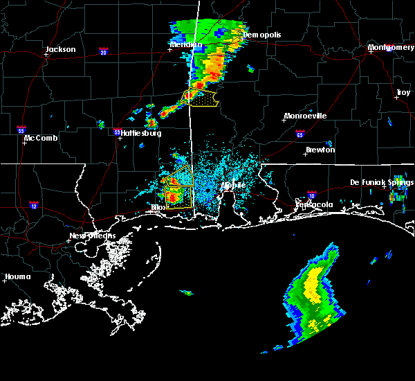 At 1243 pm cdt, severe thunderstorms were located along a line extending from 8 miles northwest of wade to vancleave, moving east at 15 mph (radar indicated). Hazards include 60 mph wind gusts and quarter size hail. Hail damage to vehicles is expected. expect wind damage to roofs, siding, and trees. Locations impacted include, escatawpa, wade, helena, hurley, big point, vancleave and hickory hills. At 1243 pm cdt, severe thunderstorms were located along a line extending from 8 miles northwest of wade to vancleave, moving east at 15 mph (radar indicated). Hazards include 60 mph wind gusts and quarter size hail. Hail damage to vehicles is expected. expect wind damage to roofs, siding, and trees. Locations impacted include, escatawpa, wade, helena, hurley, big point, vancleave and hickory hills.
|
| 5/17/2018 12:27 PM CDT |
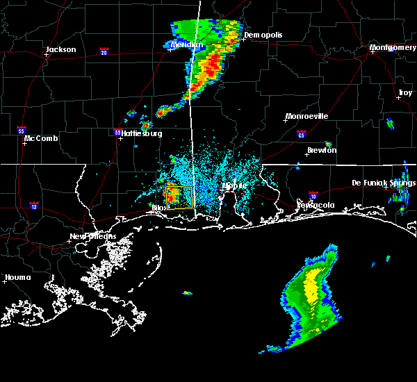 At 1226 pm cdt, severe thunderstorms were located along a line extending from 9 miles northwest of wade to vancleave, moving east at 15 mph (radar indicated). Hazards include 60 mph wind gusts and quarter size hail. Hail damage to vehicles is expected. Expect wind damage to roofs, siding, and trees. At 1226 pm cdt, severe thunderstorms were located along a line extending from 9 miles northwest of wade to vancleave, moving east at 15 mph (radar indicated). Hazards include 60 mph wind gusts and quarter size hail. Hail damage to vehicles is expected. Expect wind damage to roofs, siding, and trees.
|
| 4/14/2018 6:43 PM CDT |
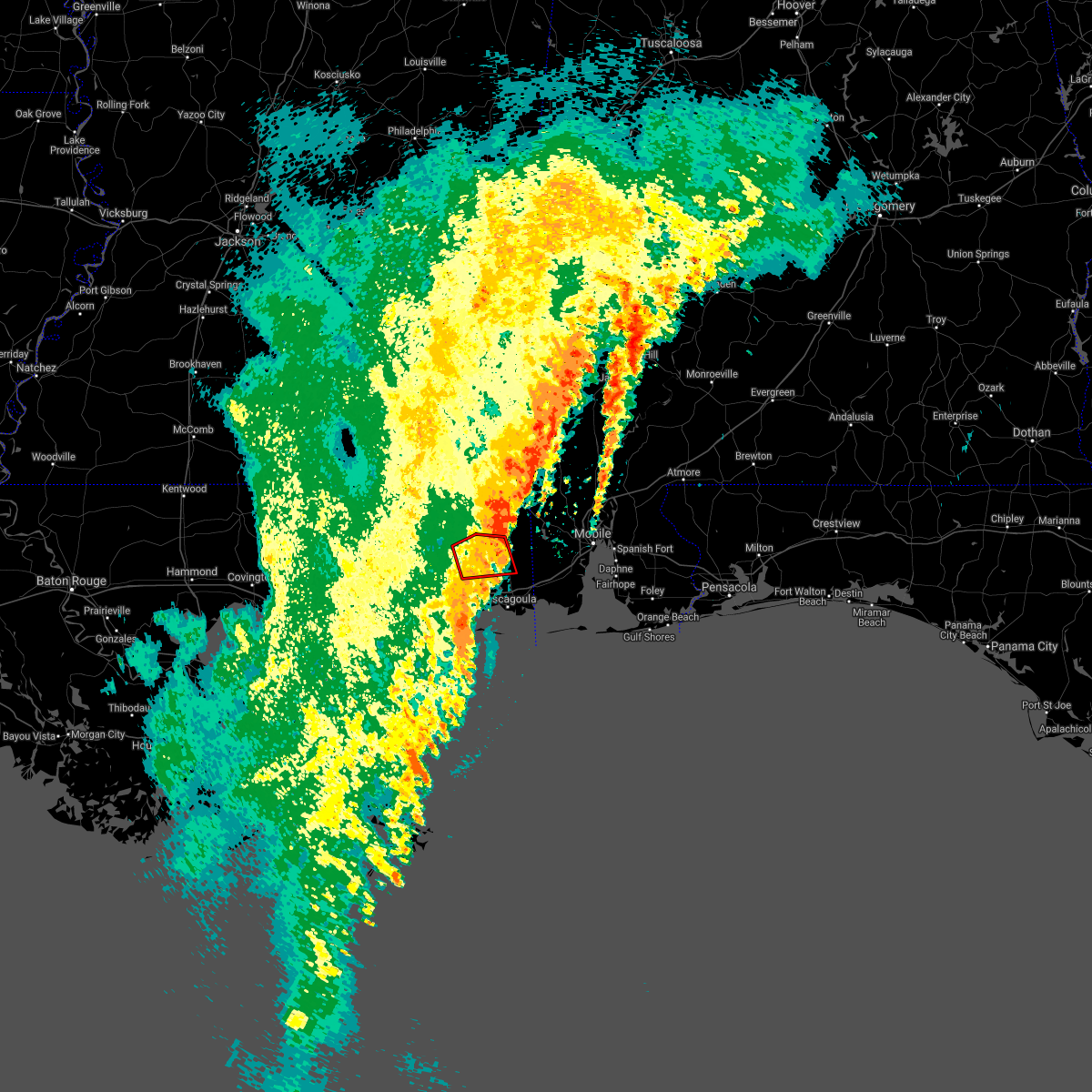 The tornado warning for northern jackson county will expire at 645 pm cdt, the storm which prompted the warning has weakened below severe limits, and no longer appears capable of producing a tornado. therefore, the warning will be allowed to expire. a tornado watch remains in effect until 700 pm cdt for southern and southeastern mississippi. The tornado warning for northern jackson county will expire at 645 pm cdt, the storm which prompted the warning has weakened below severe limits, and no longer appears capable of producing a tornado. therefore, the warning will be allowed to expire. a tornado watch remains in effect until 700 pm cdt for southern and southeastern mississippi.
|
| 4/14/2018 6:33 PM CDT |
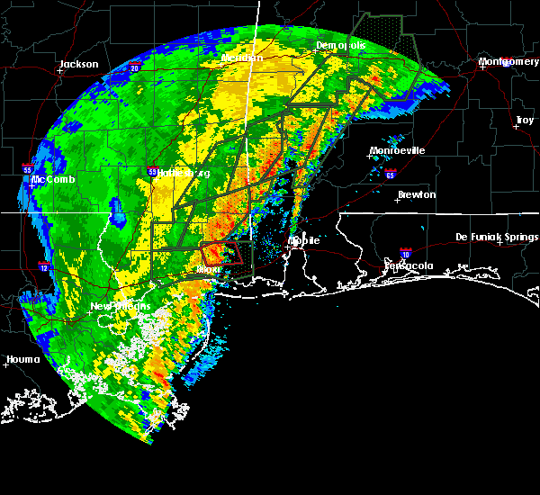 At 632 pm cdt, a severe thunderstorm capable of producing a tornado was located near wade, or 15 miles north of escatawpa, moving northeast at 30 mph (radar indicated rotation). Hazards include tornado. Flying debris will be dangerous to those caught without shelter. mobile homes will be damaged or destroyed. damage to roofs, windows, and vehicles will occur. tree damage is likely. This tornadic thunderstorm will remain over mainly rural areas of northern jackson county. At 632 pm cdt, a severe thunderstorm capable of producing a tornado was located near wade, or 15 miles north of escatawpa, moving northeast at 30 mph (radar indicated rotation). Hazards include tornado. Flying debris will be dangerous to those caught without shelter. mobile homes will be damaged or destroyed. damage to roofs, windows, and vehicles will occur. tree damage is likely. This tornadic thunderstorm will remain over mainly rural areas of northern jackson county.
|
| 4/14/2018 6:19 PM CDT | Trees reported down on wire rd. possible tornad in jackson county MS, 9.3 miles SSE of Vancleave, MS |
| 4/14/2018 6:16 PM CDT |
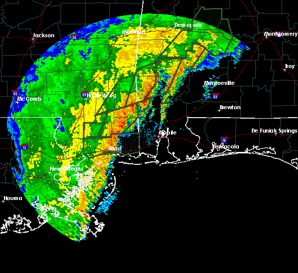 At 615 pm cdt, a severe thunderstorm capable of producing a tornado was located 8 miles northwest of vancleave, or 13 miles north of st. martin, moving east at 15 mph (radar indicated rotation). Hazards include tornado. Flying debris will be dangerous to those caught without shelter. mobile homes will be damaged or destroyed. damage to roofs, windows, and vehicles will occur. tree damage is likely. This dangerous storm will be near, vancleave and wade around 645 pm cdt. At 615 pm cdt, a severe thunderstorm capable of producing a tornado was located 8 miles northwest of vancleave, or 13 miles north of st. martin, moving east at 15 mph (radar indicated rotation). Hazards include tornado. Flying debris will be dangerous to those caught without shelter. mobile homes will be damaged or destroyed. damage to roofs, windows, and vehicles will occur. tree damage is likely. This dangerous storm will be near, vancleave and wade around 645 pm cdt.
|
| 10/22/2017 12:08 PM CDT |
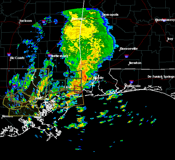 At 1208 pm cdt, a severe thunderstorm capable of producing a tornado was located 7 miles south of moss point, moving north at 15 mph (radar indicated rotation). Hazards include tornado. Flying debris will be dangerous to those caught without shelter. mobile homes will be damaged or destroyed. damage to roofs, windows, and vehicles will occur. tree damage is likely. This dangerous storm will be near, moss point and helena around 1230 pm cdt. At 1208 pm cdt, a severe thunderstorm capable of producing a tornado was located 7 miles south of moss point, moving north at 15 mph (radar indicated rotation). Hazards include tornado. Flying debris will be dangerous to those caught without shelter. mobile homes will be damaged or destroyed. damage to roofs, windows, and vehicles will occur. tree damage is likely. This dangerous storm will be near, moss point and helena around 1230 pm cdt.
|
| 10/22/2017 11:19 AM CDT |
 At 1118 am cdt, a severe thunderstorm capable of producing a tornado was located over wade, or 9 miles north of escatawpa, moving northeast at 20 mph (radar indicated rotation). Hazards include tornado. Flying debris will be dangerous to those caught without shelter. mobile homes will be damaged or destroyed. damage to roofs, windows, and vehicles will occur. tree damage is likely. this dangerous storm will be near, big point around 1125 am cdt. Hurley around 1135 am cdt. At 1118 am cdt, a severe thunderstorm capable of producing a tornado was located over wade, or 9 miles north of escatawpa, moving northeast at 20 mph (radar indicated rotation). Hazards include tornado. Flying debris will be dangerous to those caught without shelter. mobile homes will be damaged or destroyed. damage to roofs, windows, and vehicles will occur. tree damage is likely. this dangerous storm will be near, big point around 1125 am cdt. Hurley around 1135 am cdt.
|
| 10/7/2017 3:36 PM CDT |
 The tornado warning for central jackson county will expire at 345 pm cdt, the storm which prompted the warning has weakened below severe limits, and no longer appears capable of producing a tornado. therefore the warning will be allowed to expire. The tornado warning for central jackson county will expire at 345 pm cdt, the storm which prompted the warning has weakened below severe limits, and no longer appears capable of producing a tornado. therefore the warning will be allowed to expire.
|
| 10/7/2017 3:10 PM CDT |
 At 310 pm cdt, a severe thunderstorm capable of producing a tornado was located near hickory hills, or near moss point, moving northwest at 35 mph (radar indicated rotation). Hazards include tornado. Flying debris will be dangerous to those caught without shelter. mobile homes will be damaged or destroyed. damage to roofs, windows, and vehicles will occur. tree damage is likely. this dangerous storm will be near, hickory hills around 320 pm cdt. Vancleave around 330 pm cdt. At 310 pm cdt, a severe thunderstorm capable of producing a tornado was located near hickory hills, or near moss point, moving northwest at 35 mph (radar indicated rotation). Hazards include tornado. Flying debris will be dangerous to those caught without shelter. mobile homes will be damaged or destroyed. damage to roofs, windows, and vehicles will occur. tree damage is likely. this dangerous storm will be near, hickory hills around 320 pm cdt. Vancleave around 330 pm cdt.
|
| 8/30/2017 12:41 PM CDT |
 The tornado warning for central jackson county will expire at 1245 pm cdt, the storm which prompted the warning has moved out of the area. therefore the warning will be allowed to expire. a tornado watch remains in effect until 600 pm cdt for southern mississippi. to report severe weather, contact your nearest law enforcement agency. they will relay your report to the national weather service new orleans. The tornado warning for central jackson county will expire at 1245 pm cdt, the storm which prompted the warning has moved out of the area. therefore the warning will be allowed to expire. a tornado watch remains in effect until 600 pm cdt for southern mississippi. to report severe weather, contact your nearest law enforcement agency. they will relay your report to the national weather service new orleans.
|
| 8/30/2017 12:14 PM CDT |
 At 1214 pm cdt, a severe thunderstorm capable of producing a tornado was located over hickory hills, or 7 miles west of escatawpa, moving north at 45 mph (radar indicated rotation). Hazards include tornado. Flying debris will be dangerous to those caught without shelter. mobile homes will be damaged or destroyed. damage to roofs, windows, and vehicles will occur. tree damage is likely. this dangerous storm will be near, vancleave around 1230 pm cdt. Wade and hurley around 1235 pm cdt. At 1214 pm cdt, a severe thunderstorm capable of producing a tornado was located over hickory hills, or 7 miles west of escatawpa, moving north at 45 mph (radar indicated rotation). Hazards include tornado. Flying debris will be dangerous to those caught without shelter. mobile homes will be damaged or destroyed. damage to roofs, windows, and vehicles will occur. tree damage is likely. this dangerous storm will be near, vancleave around 1230 pm cdt. Wade and hurley around 1235 pm cdt.
|
| 8/30/2017 11:47 AM CDT |
 At 1147 am cdt, a confirmed tornado was located over gautier, or 7 miles east of ocean springs, moving northeast at 15 mph (emergency management confirmed tornado). Hazards include damaging tornado. Flying debris will be dangerous to those caught without shelter. mobile homes will be damaged or destroyed. damage to roofs, windows, and vehicles will occur. tree damage is likely. The tornado will be near, moss point, escatawpa, hickory hills and helena around 1215 pm cdt. At 1147 am cdt, a confirmed tornado was located over gautier, or 7 miles east of ocean springs, moving northeast at 15 mph (emergency management confirmed tornado). Hazards include damaging tornado. Flying debris will be dangerous to those caught without shelter. mobile homes will be damaged or destroyed. damage to roofs, windows, and vehicles will occur. tree damage is likely. The tornado will be near, moss point, escatawpa, hickory hills and helena around 1215 pm cdt.
|
| 6/29/2017 10:28 AM CDT |
 At 327 pm cdt, a severe thunderstorm capable of producing a tornado was located over vancleave, or 10 miles northwest of escatawpa, moving northeast at 10 mph (radar indicated rotation). Hazards include tornado. Flying debris will be dangerous to those caught without shelter. mobile homes will be damaged or destroyed. damage to roofs, windows, and vehicles will occur. tree damage is likely. This tornadic thunderstorm will remain over mainly rural areas of northwestern jackson county. At 327 pm cdt, a severe thunderstorm capable of producing a tornado was located over vancleave, or 10 miles northwest of escatawpa, moving northeast at 10 mph (radar indicated rotation). Hazards include tornado. Flying debris will be dangerous to those caught without shelter. mobile homes will be damaged or destroyed. damage to roofs, windows, and vehicles will occur. tree damage is likely. This tornadic thunderstorm will remain over mainly rural areas of northwestern jackson county.
|
| 6/29/2017 9:45 AM CDT |
 At 244 pm cdt, a severe thunderstorm capable of producing a tornado was located near gulf hills, or near ocean springs, moving northeast at 15 mph (radar indicated rotation). Hazards include tornado. Flying debris will be dangerous to those caught without shelter. mobile homes will be damaged or destroyed. damage to roofs, windows, and vehicles will occur. tree damage is likely. this dangerous storm will be near, hickory hills around 305 pm cdt. vancleave around 335 pm cdt. Wade around 345 pm cdt. At 244 pm cdt, a severe thunderstorm capable of producing a tornado was located near gulf hills, or near ocean springs, moving northeast at 15 mph (radar indicated rotation). Hazards include tornado. Flying debris will be dangerous to those caught without shelter. mobile homes will be damaged or destroyed. damage to roofs, windows, and vehicles will occur. tree damage is likely. this dangerous storm will be near, hickory hills around 305 pm cdt. vancleave around 335 pm cdt. Wade around 345 pm cdt.
|
| 4/3/2017 7:42 AM CDT |
 At 742 am cdt, a severe thunderstorm was located over hickory hills, or near escatawpa, moving east at 30 mph (radar indicated). Hazards include 60 mph wind gusts. expect damage to roofs, siding, and trees At 742 am cdt, a severe thunderstorm was located over hickory hills, or near escatawpa, moving east at 30 mph (radar indicated). Hazards include 60 mph wind gusts. expect damage to roofs, siding, and trees
|
| 4/3/2017 7:02 AM CDT |
 At 702 am cdt, a severe thunderstorm was located near lyman, or near gulfport, moving east at 40 mph (radar indicated). Hazards include 60 mph wind gusts. expect damage to roofs, siding, and trees At 702 am cdt, a severe thunderstorm was located near lyman, or near gulfport, moving east at 40 mph (radar indicated). Hazards include 60 mph wind gusts. expect damage to roofs, siding, and trees
|
| 3/30/2017 12:27 PM CDT |
 The tornado warning for central jackson county will expire at 1230 pm cdt, the tornado threat has diminished and the tornado warning has been cancelled. however, hail and damaging winds remain likely and a severe thunderstorm warning remains in effect for the area. The tornado warning for central jackson county will expire at 1230 pm cdt, the tornado threat has diminished and the tornado warning has been cancelled. however, hail and damaging winds remain likely and a severe thunderstorm warning remains in effect for the area.
|
| 3/30/2017 12:26 PM CDT |
 At 1225 pm cdt, severe thunderstorms were located along a line extending from 8 miles northwest of wade to 13 miles south of gautier, moving east at 20 mph (radar indicated). Hazards include 60 mph wind gusts and penny size hail. expect damage to roofs, siding, and trees At 1225 pm cdt, severe thunderstorms were located along a line extending from 8 miles northwest of wade to 13 miles south of gautier, moving east at 20 mph (radar indicated). Hazards include 60 mph wind gusts and penny size hail. expect damage to roofs, siding, and trees
|
| 3/30/2017 12:15 PM CDT |
 At 1214 pm cdt, a severe thunderstorm capable of producing a tornado was located over vancleave, or near escatawpa, moving northeast at 30 mph (radar indicated rotation). Hazards include tornado. Flying debris will be dangerous to those caught without shelter. mobile homes will be damaged or destroyed. damage to roofs, windows, and vehicles will occur. tree damage is likely. This dangerous storm will be near, wade, big point and hurley around 1230 pm cdt. At 1214 pm cdt, a severe thunderstorm capable of producing a tornado was located over vancleave, or near escatawpa, moving northeast at 30 mph (radar indicated rotation). Hazards include tornado. Flying debris will be dangerous to those caught without shelter. mobile homes will be damaged or destroyed. damage to roofs, windows, and vehicles will occur. tree damage is likely. This dangerous storm will be near, wade, big point and hurley around 1230 pm cdt.
|
| 3/30/2017 12:11 PM CDT |
 At 1207 pm cdt, rotation associated the tornado warning was located over vancleave, or 8 miles west of escatawpa, moving northeast at 30 mph. some weakening has occurred. however, the threat remains as another storm over mississippi sound with a possible waterspout moves onshore just west of gautier (radar indicated rotation). Hazards include tornado. Flying debris will be dangerous to those caught without shelter. mobile homes will be damaged or destroyed. damage to roofs, windows, and vehicles will occur. tree damage is likely. this tornado will be near, escatawpa around 1220 pm cdt. Wade, big point and hurley around 1230 pm cdt. At 1207 pm cdt, rotation associated the tornado warning was located over vancleave, or 8 miles west of escatawpa, moving northeast at 30 mph. some weakening has occurred. however, the threat remains as another storm over mississippi sound with a possible waterspout moves onshore just west of gautier (radar indicated rotation). Hazards include tornado. Flying debris will be dangerous to those caught without shelter. mobile homes will be damaged or destroyed. damage to roofs, windows, and vehicles will occur. tree damage is likely. this tornado will be near, escatawpa around 1220 pm cdt. Wade, big point and hurley around 1230 pm cdt.
|
| 3/30/2017 11:57 AM CDT |
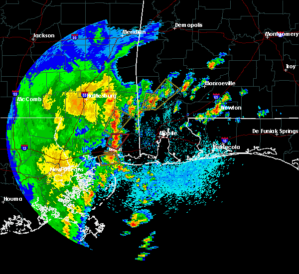 At 1157 am cdt, a confirmed tornado was located 10 miles northwest of vancleave, or 15 miles north of st. martin, moving northeast at 25 mph (emergency management confirmed tornado). Hazards include damaging tornado. Flying debris will be dangerous to those caught without shelter. mobile homes will be damaged or destroyed. damage to roofs, windows, and vehicles will occur. tree damage is likely. Locations impacted include, latimer and vancleave. At 1157 am cdt, a confirmed tornado was located 10 miles northwest of vancleave, or 15 miles north of st. martin, moving northeast at 25 mph (emergency management confirmed tornado). Hazards include damaging tornado. Flying debris will be dangerous to those caught without shelter. mobile homes will be damaged or destroyed. damage to roofs, windows, and vehicles will occur. tree damage is likely. Locations impacted include, latimer and vancleave.
|
| 3/30/2017 11:55 AM CDT |
 At 1155 am cdt, a confirmed tornado was located near gulf hills, or near ocean springs, moving northeast at 30 mph (emergency management confirmed tornado). Hazards include damaging tornado. Flying debris will be dangerous to those caught without shelter. mobile homes will be damaged or destroyed. damage to roofs, windows, and vehicles will occur. tree damage is likely. the tornado will be near, gautier around 1205 pm cdt. hickory hills around 1210 pm cdt. escatawpa and vancleave around 1220 pm cdt. Wade, big point and hurley around 1230 pm cdt. At 1155 am cdt, a confirmed tornado was located near gulf hills, or near ocean springs, moving northeast at 30 mph (emergency management confirmed tornado). Hazards include damaging tornado. Flying debris will be dangerous to those caught without shelter. mobile homes will be damaged or destroyed. damage to roofs, windows, and vehicles will occur. tree damage is likely. the tornado will be near, gautier around 1205 pm cdt. hickory hills around 1210 pm cdt. escatawpa and vancleave around 1220 pm cdt. Wade, big point and hurley around 1230 pm cdt.
|
| 3/30/2017 11:47 AM CDT | Thunderstorm wind gust...or possible tornado...downed a couple of trees near the latimer community in jackson county MS, 11.4 miles E of Vancleave, MS |
| 3/30/2017 11:42 AM CDT |
 At 1141 am cdt, a confirmed tornado was located near latimer, or 9 miles north of st. martin, moving northeast at 25 mph (emergency management confirmed tornado). Hazards include damaging tornado. Flying debris will be dangerous to those caught without shelter. mobile homes will be damaged or destroyed. damage to roofs, windows, and vehicles will occur. tree damage is likely. This tornadic thunderstorm will remain over mainly rural areas of northeastern harrison and northwestern jackson counties. At 1141 am cdt, a confirmed tornado was located near latimer, or 9 miles north of st. martin, moving northeast at 25 mph (emergency management confirmed tornado). Hazards include damaging tornado. Flying debris will be dangerous to those caught without shelter. mobile homes will be damaged or destroyed. damage to roofs, windows, and vehicles will occur. tree damage is likely. This tornadic thunderstorm will remain over mainly rural areas of northeastern harrison and northwestern jackson counties.
|
| 2/27/2017 4:40 PM CST |
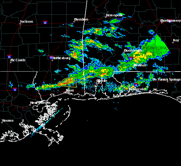 The severe thunderstorm warning for northeastern harrison and northwestern jackson counties will expire at 445 pm cst, the storm which prompted the warning has weakened below severe limits, and no longer pose an immediate threat to life or property. therefore the warning will be allowed to expire. however small hail is still possible with this thunderstorm. The severe thunderstorm warning for northeastern harrison and northwestern jackson counties will expire at 445 pm cst, the storm which prompted the warning has weakened below severe limits, and no longer pose an immediate threat to life or property. therefore the warning will be allowed to expire. however small hail is still possible with this thunderstorm.
|
| 2/27/2017 4:14 PM CST |
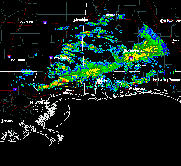 At 413 pm cst, a severe thunderstorm was located 10 miles east of mchenry, or 14 miles southeast of wiggins, moving east at 25 mph (radar indicated). Hazards include 60 mph wind gusts and quarter size hail. Hail damage to vehicles is expected. Expect wind damage to roofs, siding, and trees. At 413 pm cst, a severe thunderstorm was located 10 miles east of mchenry, or 14 miles southeast of wiggins, moving east at 25 mph (radar indicated). Hazards include 60 mph wind gusts and quarter size hail. Hail damage to vehicles is expected. Expect wind damage to roofs, siding, and trees.
|
| 2/7/2017 1:37 PM CST |
 At 137 pm cst, a severe thunderstorm was located over biloxi, moving east at 60 mph (emergency management). Hazards include half dollar size hail. damage to vehicles is expected At 137 pm cst, a severe thunderstorm was located over biloxi, moving east at 60 mph (emergency management). Hazards include half dollar size hail. damage to vehicles is expected
|
| 11/29/2016 1:00 AM CST |
 At 1259 am cst, severe thunderstorms were located along a line extending from biloxi to 14 miles southwest of gulf park estates, moving northeast at 50 mph (radar indicated). Hazards include 60 mph wind gusts. Expect damage to roofs. siding. And trees. At 1259 am cst, severe thunderstorms were located along a line extending from biloxi to 14 miles southwest of gulf park estates, moving northeast at 50 mph (radar indicated). Hazards include 60 mph wind gusts. Expect damage to roofs. siding. And trees.
|
| 7/20/2016 3:14 PM CDT |
 At 313 pm cdt, a severe thunderstorm was located over hickory hills, or near escatawpa, moving west at 15 mph (radar indicated). Hazards include 60 mph wind gusts and penny size hail. Expect damage to roofs. siding. And trees. At 313 pm cdt, a severe thunderstorm was located over hickory hills, or near escatawpa, moving west at 15 mph (radar indicated). Hazards include 60 mph wind gusts and penny size hail. Expect damage to roofs. siding. And trees.
|
| 6/17/2016 7:25 PM CDT |
 At 724 pm cdt, severe thunderstorms were located along a line extending from 7 miles northwest of latimer to near big point, moving south at 40 mph (radar indicated). Hazards include 60 mph wind gusts. Expect damage to roofs. siding. And trees. At 724 pm cdt, severe thunderstorms were located along a line extending from 7 miles northwest of latimer to near big point, moving south at 40 mph (radar indicated). Hazards include 60 mph wind gusts. Expect damage to roofs. siding. And trees.
|
| 4/28/2016 6:31 AM CDT |
 At 631 am cdt, a severe thunderstorm was located over st. martin, moving east at 25 mph (radar indicated). Hazards include ping pong ball size hail. People and animals outdoors will be injured. Expect damage to roofs, siding, windows, and vehicles. At 631 am cdt, a severe thunderstorm was located over st. martin, moving east at 25 mph (radar indicated). Hazards include ping pong ball size hail. People and animals outdoors will be injured. Expect damage to roofs, siding, windows, and vehicles.
|
| 3/17/2016 8:07 PM CDT |
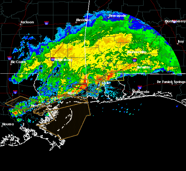 The tornado warning for northern jackson county will expire at 815 pm cdt, the storm which prompted the warning has moved out of the area. therefore the warning will be allowed to expire. a severe thunderstorm watch remains in effect until 1000 pm cdt for southern mississippi. The tornado warning for northern jackson county will expire at 815 pm cdt, the storm which prompted the warning has moved out of the area. therefore the warning will be allowed to expire. a severe thunderstorm watch remains in effect until 1000 pm cdt for southern mississippi.
|
| 3/17/2016 7:38 PM CDT |
 At 738 pm cdt, severe thunderstorms capable of producing both tornadoes and extensive straight line wind damage were located 8 miles west of wade, or 15 miles northwest of escatawpa, moving east at 45 mph (radar indicated rotation). Hazards include tornado. Flying debris will be dangerous to those caught without shelter. mobile homes will be damaged or destroyed. damage to roofs, windows and vehicles will occur. tree damage is likely. these dangerous storms will be near, wade and hurley around 755 pm cdt. Big point around 800 pm cdt. At 738 pm cdt, severe thunderstorms capable of producing both tornadoes and extensive straight line wind damage were located 8 miles west of wade, or 15 miles northwest of escatawpa, moving east at 45 mph (radar indicated rotation). Hazards include tornado. Flying debris will be dangerous to those caught without shelter. mobile homes will be damaged or destroyed. damage to roofs, windows and vehicles will occur. tree damage is likely. these dangerous storms will be near, wade and hurley around 755 pm cdt. Big point around 800 pm cdt.
|
| 2/23/2016 5:50 PM CST |
 At 549 pm cst, doppler radar indicated a severe thunderstorm capable of producing a tornado. this dangerous storm was located near hickory hills, or 7 miles west of escatawpa, and moving northeast at 15 mph. At 549 pm cst, doppler radar indicated a severe thunderstorm capable of producing a tornado. this dangerous storm was located near hickory hills, or 7 miles west of escatawpa, and moving northeast at 15 mph.
|
| 2/15/2016 2:59 PM CST |
 At 259 pm cst, a severe thunderstorm was located 8 miles north of latimer, or 12 miles north of st. martin, moving northeast at 50 mph (radar indicated). Hazards include quarter size hail. Damage to vehicles is expected. locations impacted include, biloxi, wade, latimer and vancleave. A tornado watch remains in effect until 600 pm cst for southeastern mississippi. At 259 pm cst, a severe thunderstorm was located 8 miles north of latimer, or 12 miles north of st. martin, moving northeast at 50 mph (radar indicated). Hazards include quarter size hail. Damage to vehicles is expected. locations impacted include, biloxi, wade, latimer and vancleave. A tornado watch remains in effect until 600 pm cst for southeastern mississippi.
|
| 2/15/2016 2:47 PM CST |
 At 247 pm cst, a severe thunderstorm was located near lyman, or 10 miles north of gulfport, moving northeast at 50 mph (radar indicated). Hazards include quarter size hail. damage to vehicles is expected At 247 pm cst, a severe thunderstorm was located near lyman, or 10 miles north of gulfport, moving northeast at 50 mph (radar indicated). Hazards include quarter size hail. damage to vehicles is expected
|
| 12/23/2015 5:32 AM CST |
 At 532 am cst, severe thunderstorms were located along a line extending from gulf hills to near gautier to 10 miles southeast of gulf park estates, moving northeast at 80 mph (radar indicated). Hazards include 60 mph wind gusts. Expect damage to roofs. Siding and trees. At 532 am cst, severe thunderstorms were located along a line extending from gulf hills to near gautier to 10 miles southeast of gulf park estates, moving northeast at 80 mph (radar indicated). Hazards include 60 mph wind gusts. Expect damage to roofs. Siding and trees.
|
| 8/8/2015 5:37 PM CDT |
 At 535 pm cdt, doppler radar indicated a severe thunderstorm capable of producing damaging winds. this storm was located over vancleave, or mainly over the northern half of jackson county, moving south at 25 mph. locations impacted include, ocean springs, moss point, st. martin, escatawpa, gautier, d`iberville, gulf hills, big point, helena, wade, latimer, gulf park estates, vancleave, hickory hills and hurley. At 535 pm cdt, doppler radar indicated a severe thunderstorm capable of producing damaging winds. this storm was located over vancleave, or mainly over the northern half of jackson county, moving south at 25 mph. locations impacted include, ocean springs, moss point, st. martin, escatawpa, gautier, d`iberville, gulf hills, big point, helena, wade, latimer, gulf park estates, vancleave, hickory hills and hurley.
|
| 8/8/2015 5:02 PM CDT |
 At 502 pm cdt, doppler radar indicated a severe thunderstorm capable of producing damaging winds in excess of 60 mph. this storm was located 13 miles southwest of lucedale, and moving south at 25 mph. At 502 pm cdt, doppler radar indicated a severe thunderstorm capable of producing damaging winds in excess of 60 mph. this storm was located 13 miles southwest of lucedale, and moving south at 25 mph.
|
| 5/16/2015 12:47 PM CDT | At 1247 pm cdt, doppler radar indicated a thunderstorm capable of producing a tornado. this dangerous storm was located over gulf hills, or near st. martin, and moving northeast at 5 mph. |
| 4/25/2015 2:53 PM CDT | The severe thunderstorm warning for east central harrison and southern jackson counties will expire at 300 pm cdt, the storms which prompted the warning will have moved out of the area by 3 pm cdt. therefore the warning will be allowed to expire. however small hail is still possible with these thunderstorms. |
| 4/25/2015 2:29 PM CDT | At 229 pm cdt, doppler radar indicated a line of severe thunderstorms capable of producing damaging winds in excess of 60 mph. these storms were located along a line extending from near gulfport to near gulf park estates, and moving east at 60 mph. |
| 4/25/2015 2:09 PM CDT | At 208 pm cdt, doppler radar indicated a severe thunderstorm capable of producing quarter size hail and damaging winds in excess of 60 mph. this storm was located over gautier, or near moss point, and moving northeast at 55 mph. |
| 12/20/2012 9:40 AM CST | Public reported to a local tv station wind damage to her home and saw rotation in the clouds outside her home after the event in jackson county MS, 1.2 miles SSE of Vancleave, MS |
| 7/3/2012 4:03 PM CDT | Large oak tree across the road at hwy 57 and jim ramsey. numerous limbs and debris down in the town of vancleav in jackson county MS, 1.2 miles SSE of Vancleave, MS |
| 1/1/0001 12:00 AM | Reports of power outages and blown transformers in vancleave in jackson county MS, 1.2 miles SSE of Vancleave, MS |
Hail Maps for Vancleave, MS
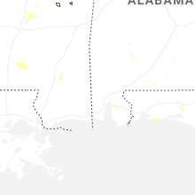
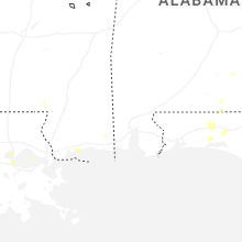
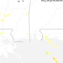
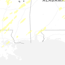


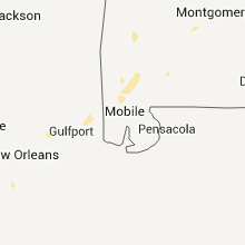


Connect with Interactive Hail Maps