

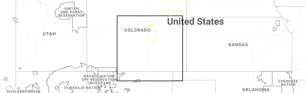
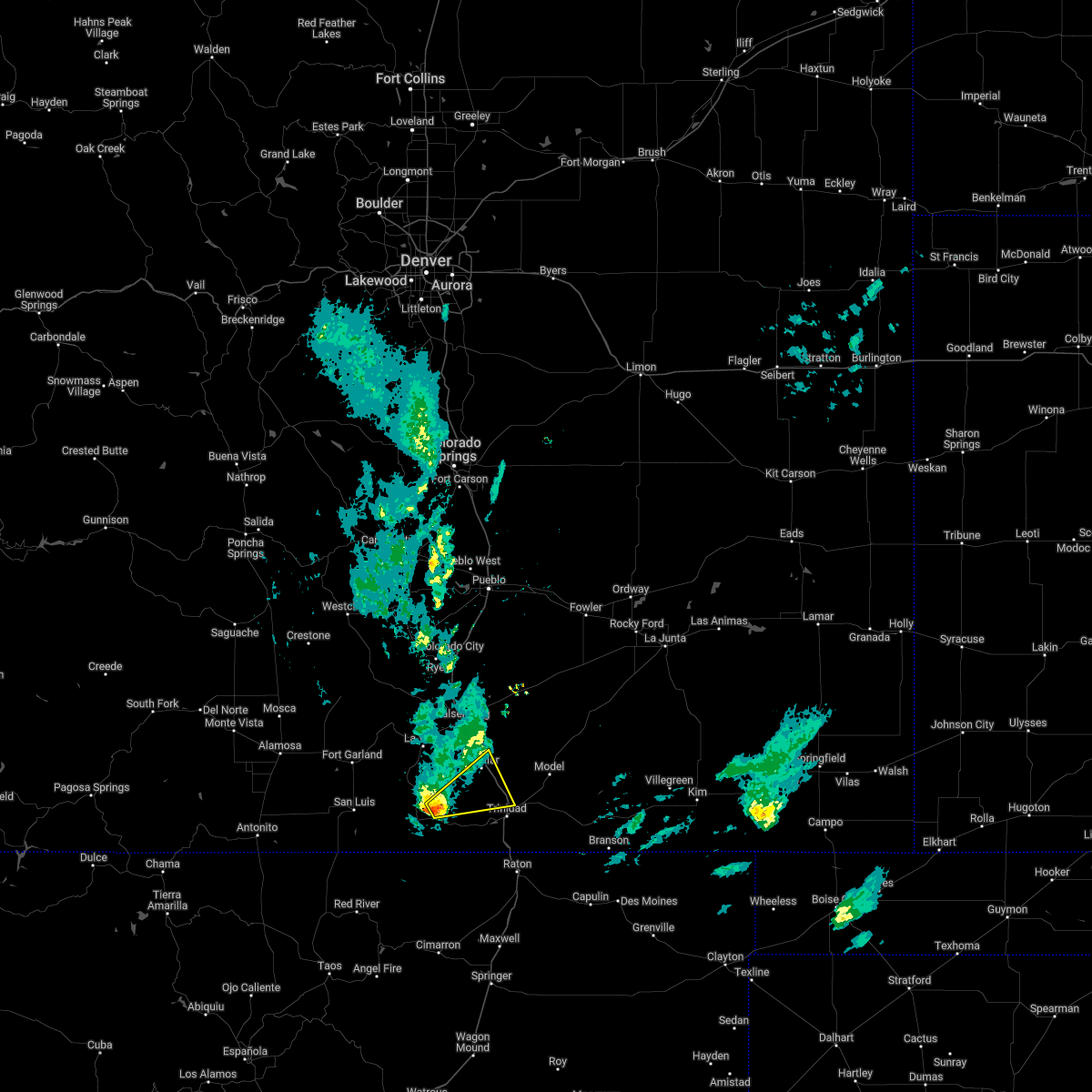
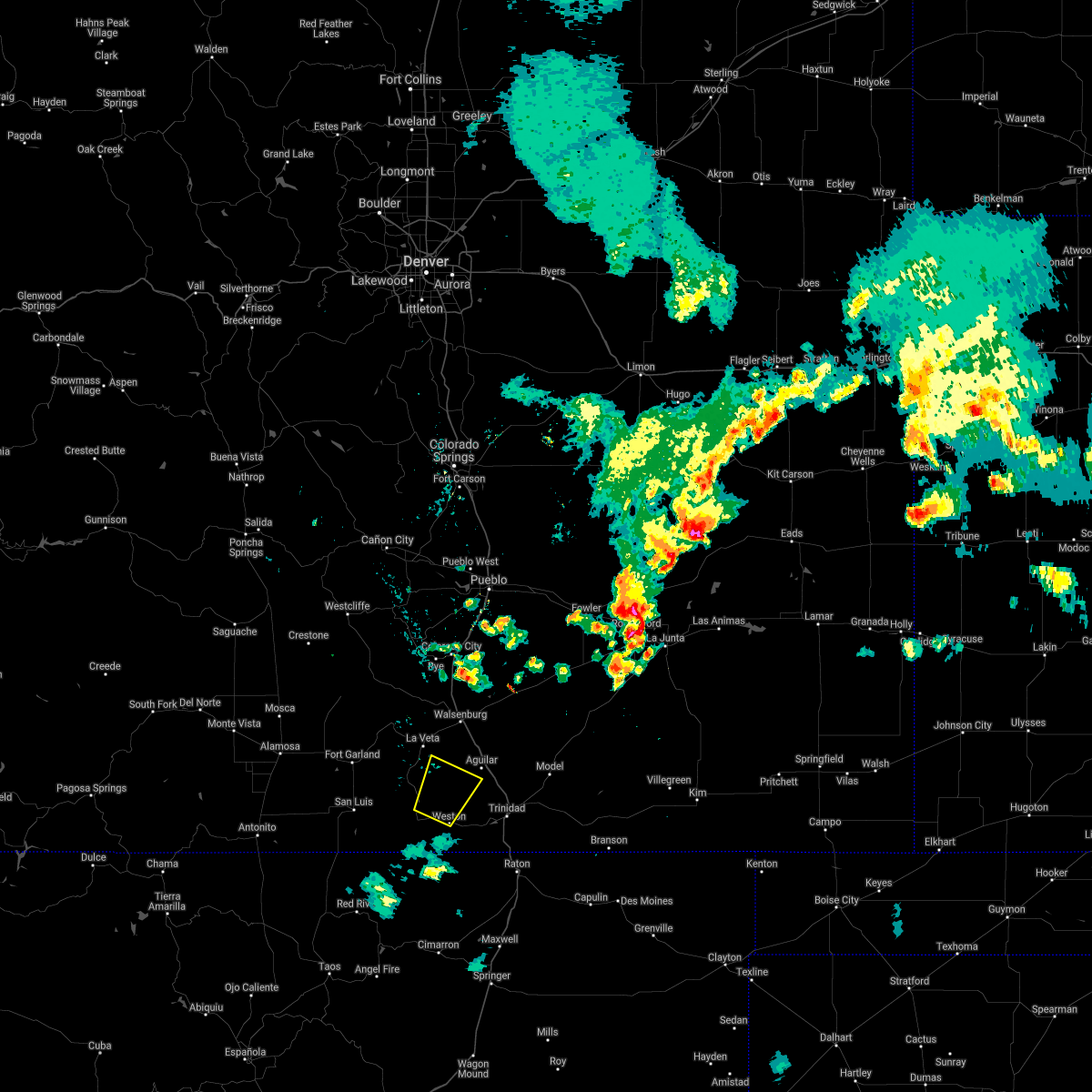
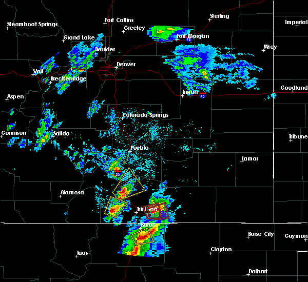
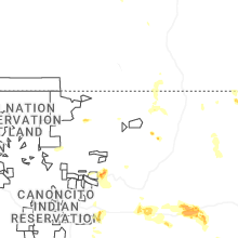
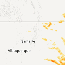
Hail Map for Weston, CO
The Weston, CO area has had 3 reports of on-the-ground hail by trained spotters, and has been under severe weather warnings 1 time during the past 12 months. Doppler radar has detected hail at or near Weston, CO on 66 occasions, including 5 occasions during the past year.
| Name: | Weston, CO |
| Where Located: | 64.2 miles NE of Taos, NM |
| Map: | Google Map for Weston, CO |
| Population: | 55 |
| Housing Units: | 47 |
| More Info: | Search Google for Weston, CO |
2
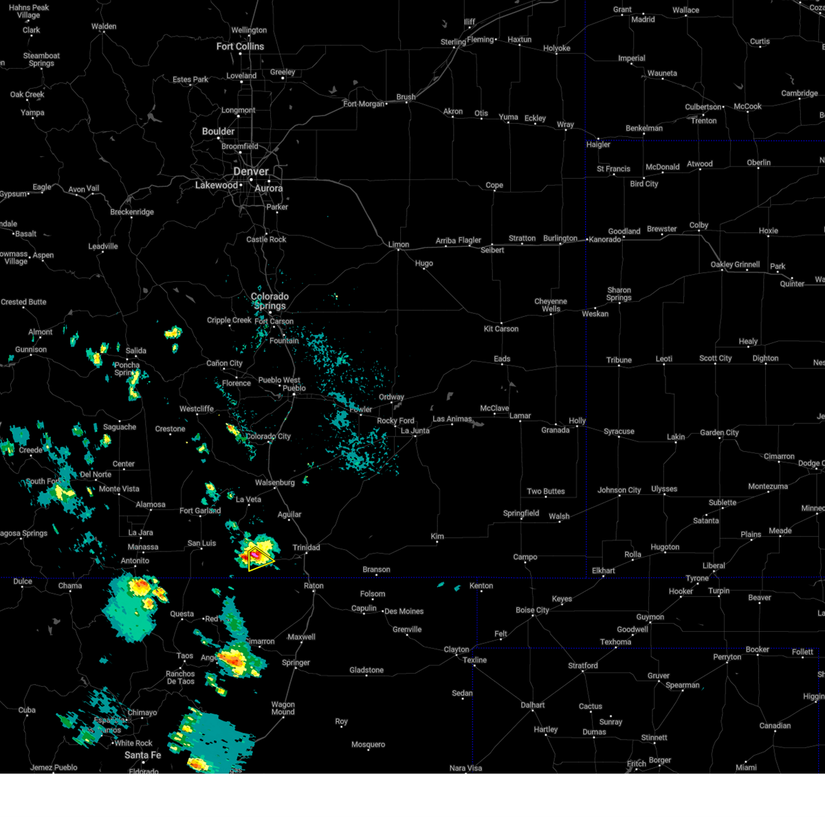
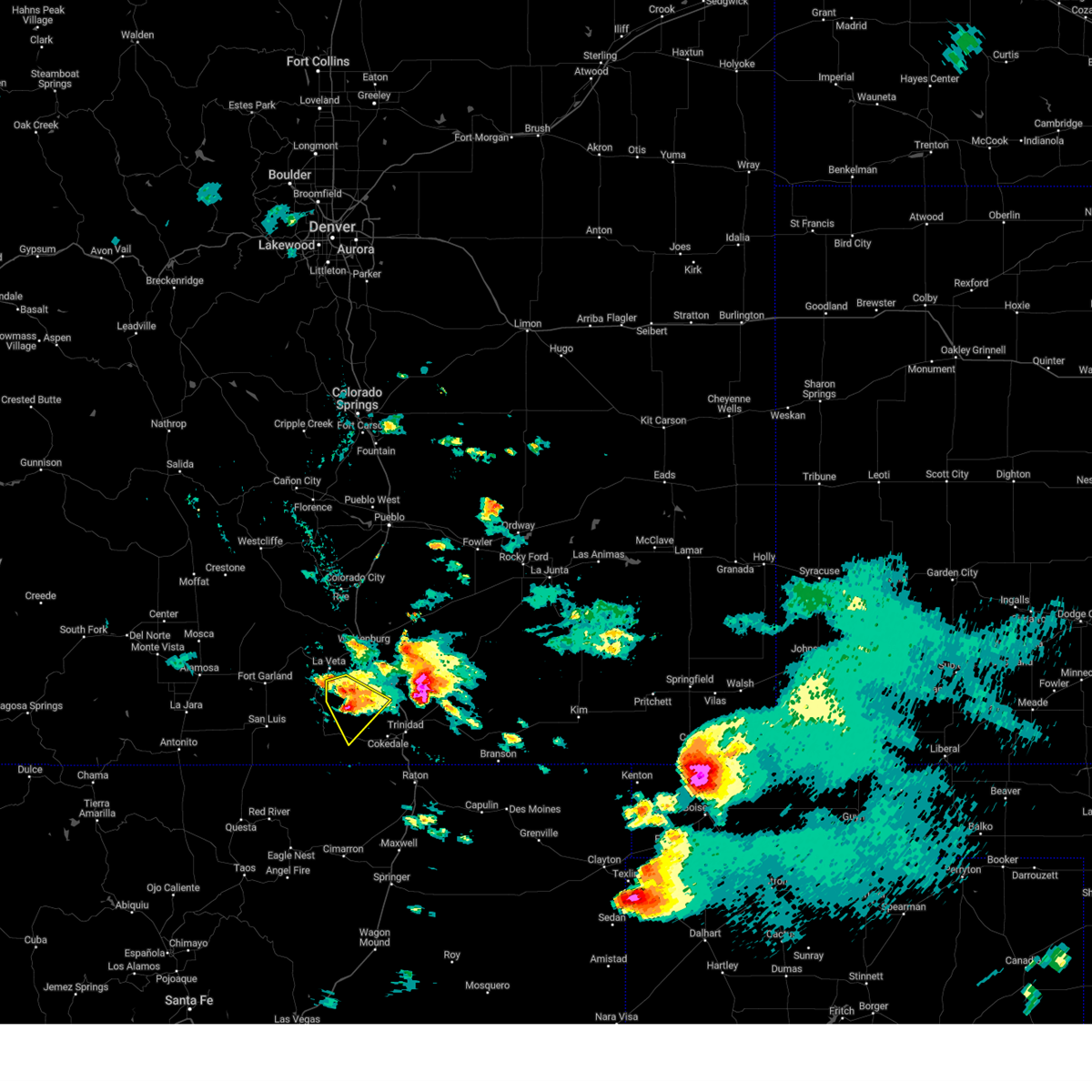
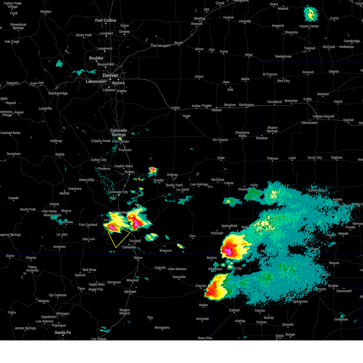
The Top Recent Hail Date for Weston, CO is Tuesday, June 24, 2025 (6th out of 66)
Hail and Wind Damage Spotted near Weston, CO
| Date / Time | Report Details |
|---|---|
| 6/9/2025 12:45 PM MDT |
 Svrpub the national weather service in pueblo has issued a * severe thunderstorm warning for, southwestern las animas county in southeastern colorado, * until 115 pm mdt. * at 1245 pm mdt, a severe thunderstorm was located near stonewall, or 25 miles west of trinidad, moving southeast at 5 mph (radar indicated). Hazards include 60 mph wind gusts and quarter size hail. Hail damage to vehicles is expected. Expect wind damage to roofs, siding, and trees. Svrpub the national weather service in pueblo has issued a * severe thunderstorm warning for, southwestern las animas county in southeastern colorado, * until 115 pm mdt. * at 1245 pm mdt, a severe thunderstorm was located near stonewall, or 25 miles west of trinidad, moving southeast at 5 mph (radar indicated). Hazards include 60 mph wind gusts and quarter size hail. Hail damage to vehicles is expected. Expect wind damage to roofs, siding, and trees.
|
| 7/7/2024 5:54 PM MDT |
 The storm which prompted the warning has weakened below severe limits, and has exited the warned area. therefore, the warning will be allowed to expire. however, small hail is still possible with this thunderstorm. a severe thunderstorm watch remains in effect until 1100 pm mdt for southeastern colorado. The storm which prompted the warning has weakened below severe limits, and has exited the warned area. therefore, the warning will be allowed to expire. however, small hail is still possible with this thunderstorm. a severe thunderstorm watch remains in effect until 1100 pm mdt for southeastern colorado.
|
| 7/7/2024 5:42 PM MDT |
 At 542 pm mdt, a severe thunderstorm was located 8 miles south of segundo, or 18 miles southwest of trinidad, moving east at 30 mph (radar indicated). Hazards include ping pong ball size hail and 60 mph wind gusts. People and animals outdoors will be injured. expect hail damage to roofs, siding, windows, and vehicles. expect wind damage to roofs, siding, and trees. Locations impacted include, starkville, segundo, and raton pass. At 542 pm mdt, a severe thunderstorm was located 8 miles south of segundo, or 18 miles southwest of trinidad, moving east at 30 mph (radar indicated). Hazards include ping pong ball size hail and 60 mph wind gusts. People and animals outdoors will be injured. expect hail damage to roofs, siding, windows, and vehicles. expect wind damage to roofs, siding, and trees. Locations impacted include, starkville, segundo, and raton pass.
|
| 7/7/2024 5:31 PM MDT |
 At 530 pm mdt, a severe thunderstorm was located near segundo, or 18 miles southwest of trinidad, moving east at 40 mph (radar indicated). Hazards include ping pong ball size hail and 60 mph wind gusts. People and animals outdoors will be injured. expect hail damage to roofs, siding, windows, and vehicles. expect wind damage to roofs, siding, and trees. Locations impacted include, starkville, segundo, raton pass, and weston. At 530 pm mdt, a severe thunderstorm was located near segundo, or 18 miles southwest of trinidad, moving east at 40 mph (radar indicated). Hazards include ping pong ball size hail and 60 mph wind gusts. People and animals outdoors will be injured. expect hail damage to roofs, siding, windows, and vehicles. expect wind damage to roofs, siding, and trees. Locations impacted include, starkville, segundo, raton pass, and weston.
|
| 7/7/2024 5:28 PM MDT |
 Svrpub the national weather service in pueblo has issued a * severe thunderstorm warning for, southwestern las animas county in southeastern colorado, * until 600 pm mdt. * at 527 pm mdt, a severe thunderstorm was located near segundo, or 19 miles southwest of trinidad, moving east at 45 mph (radar indicated). Hazards include 60 mph wind gusts and quarter size hail. Hail damage to vehicles is expected. Expect wind damage to roofs, siding, and trees. Svrpub the national weather service in pueblo has issued a * severe thunderstorm warning for, southwestern las animas county in southeastern colorado, * until 600 pm mdt. * at 527 pm mdt, a severe thunderstorm was located near segundo, or 19 miles southwest of trinidad, moving east at 45 mph (radar indicated). Hazards include 60 mph wind gusts and quarter size hail. Hail damage to vehicles is expected. Expect wind damage to roofs, siding, and trees.
|
| 7/7/2024 5:06 PM MDT |
 At 505 pm mdt, a severe thunderstorm was located 7 miles southwest of segundo, or 21 miles west of trinidad, moving east at 20 mph (radar indicated). Hazards include 60 mph wind gusts and half dollar size hail. Hail damage to vehicles is expected. expect wind damage to roofs, siding, and trees. Locations impacted include, segundo and weston. At 505 pm mdt, a severe thunderstorm was located 7 miles southwest of segundo, or 21 miles west of trinidad, moving east at 20 mph (radar indicated). Hazards include 60 mph wind gusts and half dollar size hail. Hail damage to vehicles is expected. expect wind damage to roofs, siding, and trees. Locations impacted include, segundo and weston.
|
| 7/7/2024 4:54 PM MDT |
 Svrpub the national weather service in pueblo has issued a * severe thunderstorm warning for, southwestern las animas county in southeastern colorado, * until 530 pm mdt. * at 453 pm mdt, a severe thunderstorm was located 8 miles southeast of stonewall, or 23 miles west of trinidad, moving east at 20 mph (radar indicated). Hazards include 60 mph wind gusts and half dollar size hail. Hail damage to vehicles is expected. Expect wind damage to roofs, siding, and trees. Svrpub the national weather service in pueblo has issued a * severe thunderstorm warning for, southwestern las animas county in southeastern colorado, * until 530 pm mdt. * at 453 pm mdt, a severe thunderstorm was located 8 miles southeast of stonewall, or 23 miles west of trinidad, moving east at 20 mph (radar indicated). Hazards include 60 mph wind gusts and half dollar size hail. Hail damage to vehicles is expected. Expect wind damage to roofs, siding, and trees.
|
| 6/9/2024 6:19 PM MDT |
 At 619 pm mdt, a severe thunderstorm was located near segundo, or 20 miles west of trinidad, moving west at 15 mph (radar indicated). Hazards include 60 mph wind gusts and half dollar size hail. Hail damage to vehicles is expected. expect wind damage to roofs, siding, and trees. Locations impacted include, segundo and weston. At 619 pm mdt, a severe thunderstorm was located near segundo, or 20 miles west of trinidad, moving west at 15 mph (radar indicated). Hazards include 60 mph wind gusts and half dollar size hail. Hail damage to vehicles is expected. expect wind damage to roofs, siding, and trees. Locations impacted include, segundo and weston.
|
| 6/9/2024 6:03 PM MDT |
 Svrpub the national weather service in pueblo has issued a * severe thunderstorm warning for, southwestern las animas county in southeastern colorado, * until 630 pm mdt. * at 603 pm mdt, a severe thunderstorm was located over segundo, or 16 miles west of trinidad, moving west at 15 mph (radar indicated). Hazards include 60 mph wind gusts and half dollar size hail. Hail damage to vehicles is expected. Expect wind damage to roofs, siding, and trees. Svrpub the national weather service in pueblo has issued a * severe thunderstorm warning for, southwestern las animas county in southeastern colorado, * until 630 pm mdt. * at 603 pm mdt, a severe thunderstorm was located over segundo, or 16 miles west of trinidad, moving west at 15 mph (radar indicated). Hazards include 60 mph wind gusts and half dollar size hail. Hail damage to vehicles is expected. Expect wind damage to roofs, siding, and trees.
|
| 7/20/2023 2:45 PM MDT |
 At 245 pm mdt, severe thunderstorms were located along a line extending from near gulnare to near boncarbo to 11 miles southeast of stonewall, moving east at 20 mph (radar indicated). Hazards include 60 mph wind gusts and quarter size hail. Hail damage to vehicles is expected. expect wind damage to roofs, siding, and trees. locations impacted include, trinidad, aguilar, cokedale, starkville, gulnare, boncarbo, segundo, hoehne and weston. hail threat, radar indicated max hail size, 1. 00 in wind threat, radar indicated max wind gust, 60 mph. At 245 pm mdt, severe thunderstorms were located along a line extending from near gulnare to near boncarbo to 11 miles southeast of stonewall, moving east at 20 mph (radar indicated). Hazards include 60 mph wind gusts and quarter size hail. Hail damage to vehicles is expected. expect wind damage to roofs, siding, and trees. locations impacted include, trinidad, aguilar, cokedale, starkville, gulnare, boncarbo, segundo, hoehne and weston. hail threat, radar indicated max hail size, 1. 00 in wind threat, radar indicated max wind gust, 60 mph.
|
| 7/20/2023 2:25 PM MDT |
 At 225 pm mdt, severe thunderstorms were located along a line extending from near gulnare to 8 miles northwest of segundo to 11 miles south of stonewall, moving east at 10 mph (radar indicated). Hazards include torrential rainfall, 60 mph wind gusts, and quarter size hail. Hail damage to vehicles is expected. Expect wind damage to roofs, siding, and trees. At 225 pm mdt, severe thunderstorms were located along a line extending from near gulnare to 8 miles northwest of segundo to 11 miles south of stonewall, moving east at 10 mph (radar indicated). Hazards include torrential rainfall, 60 mph wind gusts, and quarter size hail. Hail damage to vehicles is expected. Expect wind damage to roofs, siding, and trees.
|
| 7/13/2023 8:17 PM MDT |
 At 817 pm mdt, a severe thunderstorm was located near spanish peaks, or 15 miles southeast of indian creek on the southeastern spring burn scar, moving southeast at 20 mph (radar indicated). Hazards include quarter size hail. Damage to vehicles is expected. locations impacted include, gulnare, spanish peaks, cuchara pass and weston. hail threat, radar indicated max hail size, 1. 00 in wind threat, radar indicated max wind gust, <50 mph. At 817 pm mdt, a severe thunderstorm was located near spanish peaks, or 15 miles southeast of indian creek on the southeastern spring burn scar, moving southeast at 20 mph (radar indicated). Hazards include quarter size hail. Damage to vehicles is expected. locations impacted include, gulnare, spanish peaks, cuchara pass and weston. hail threat, radar indicated max hail size, 1. 00 in wind threat, radar indicated max wind gust, <50 mph.
|
| 7/13/2023 8:02 PM MDT |
 At 802 pm mdt, a severe thunderstorm was located over spanish peaks, or 10 miles southeast of indian creek on the southeastern spring burn scar, moving southeast at 20 mph (radar indicated). Hazards include golf ball size hail. People and animals outdoors will be injured. Expect damage to roofs, siding, windows, and vehicles. At 802 pm mdt, a severe thunderstorm was located over spanish peaks, or 10 miles southeast of indian creek on the southeastern spring burn scar, moving southeast at 20 mph (radar indicated). Hazards include golf ball size hail. People and animals outdoors will be injured. Expect damage to roofs, siding, windows, and vehicles.
|
| 5/4/2022 2:32 PM MDT |
 At 232 pm mdt, a severe thunderstorm was located 8 miles northeast of stonewall, or 20 miles west of trinidad, moving northeast at 20 mph (radar indicated). Hazards include 60 mph wind gusts and quarter size hail. Hail damage to vehicles is expected. Expect wind damage to roofs, siding, and trees. At 232 pm mdt, a severe thunderstorm was located 8 miles northeast of stonewall, or 20 miles west of trinidad, moving northeast at 20 mph (radar indicated). Hazards include 60 mph wind gusts and quarter size hail. Hail damage to vehicles is expected. Expect wind damage to roofs, siding, and trees.
|
| 5/22/2021 3:03 PM MDT |
 At 303 pm mdt, a severe thunderstorm was located near segundo, or 16 miles southwest of trinidad, moving northeast at 50 mph (radar indicated). Hazards include 60 mph wind gusts and quarter size hail. Hail damage to vehicles is expected. Expect wind damage to roofs, siding, and trees. At 303 pm mdt, a severe thunderstorm was located near segundo, or 16 miles southwest of trinidad, moving northeast at 50 mph (radar indicated). Hazards include 60 mph wind gusts and quarter size hail. Hail damage to vehicles is expected. Expect wind damage to roofs, siding, and trees.
|
| 6/6/2020 2:58 PM MDT |
 The severe thunderstorm warning for southeastern huerfano and southwestern las animas counties will expire at 300 pm mdt, the storm which prompted the warning has weakened below severe limits, and no longer poses an immediate threat to life or property. therefore, the warning will be allowed to expire. however gusty winds are still possible with this thunderstorm. a severe thunderstorm watch remains in effect until 800 pm mdt for southeastern colorado. The severe thunderstorm warning for southeastern huerfano and southwestern las animas counties will expire at 300 pm mdt, the storm which prompted the warning has weakened below severe limits, and no longer poses an immediate threat to life or property. therefore, the warning will be allowed to expire. however gusty winds are still possible with this thunderstorm. a severe thunderstorm watch remains in effect until 800 pm mdt for southeastern colorado.
|
| 6/6/2020 2:45 PM MDT |
 At 244 pm mdt, a severe thunderstorm was located near segundo, or 19 miles west of trinidad, moving northeast at 50 mph (radar indicated). Hazards include 70 mph wind gusts. Expect considerable tree damage. damage is likely to mobile homes, roofs, and outbuildings. Locations impacted include, walsenburg, aguilar, gulnare, boncarbo, stonewall, segundo and weston. At 244 pm mdt, a severe thunderstorm was located near segundo, or 19 miles west of trinidad, moving northeast at 50 mph (radar indicated). Hazards include 70 mph wind gusts. Expect considerable tree damage. damage is likely to mobile homes, roofs, and outbuildings. Locations impacted include, walsenburg, aguilar, gulnare, boncarbo, stonewall, segundo and weston.
|
| 6/6/2020 2:28 PM MDT |
 At 228 pm mdt, a severe thunderstorm was located 7 miles southeast of stonewall, or 25 miles west of trinidad, moving northeast at 60 mph (radar indicated). Hazards include 70 mph wind gusts. Expect considerable tree damage. Damage is likely to mobile homes, roofs, and outbuildings. At 228 pm mdt, a severe thunderstorm was located 7 miles southeast of stonewall, or 25 miles west of trinidad, moving northeast at 60 mph (radar indicated). Hazards include 70 mph wind gusts. Expect considerable tree damage. Damage is likely to mobile homes, roofs, and outbuildings.
|
| 8/30/2019 3:06 PM MDT |
 The severe thunderstorm warning for southwestern las animas county will expire at 315 pm mdt, the storm which prompted the warning has weakened below severe limits, and no longer poses an immediate threat to life or property. therefore, the warning will be allowed to expire. however heavy rain is still possible with this thunderstorm. The severe thunderstorm warning for southwestern las animas county will expire at 315 pm mdt, the storm which prompted the warning has weakened below severe limits, and no longer poses an immediate threat to life or property. therefore, the warning will be allowed to expire. however heavy rain is still possible with this thunderstorm.
|
| 8/30/2019 2:58 PM MDT |
 At 257 pm mdt, a severe thunderstorm was located near segundo, or 16 miles west of trinidad, moving southeast at 5 mph (radar indicated). Hazards include 60 mph wind gusts and penny size hail. Expect damage to roofs, siding, and trees. Locations impacted include, cokedale, segundo and boncarbo. At 257 pm mdt, a severe thunderstorm was located near segundo, or 16 miles west of trinidad, moving southeast at 5 mph (radar indicated). Hazards include 60 mph wind gusts and penny size hail. Expect damage to roofs, siding, and trees. Locations impacted include, cokedale, segundo and boncarbo.
|
| 8/30/2019 2:49 PM MDT |
 At 238 pm mdt, a severe thunderstorm was located near boncarbo, or 16 miles west of trinidad, and is nearly stationary (radar indicated). Hazards include 60 mph wind gusts and quarter size hail. Hail damage to vehicles is expected. Expect wind damage to roofs, siding, and trees. At 238 pm mdt, a severe thunderstorm was located near boncarbo, or 16 miles west of trinidad, and is nearly stationary (radar indicated). Hazards include 60 mph wind gusts and quarter size hail. Hail damage to vehicles is expected. Expect wind damage to roofs, siding, and trees.
|
| 8/30/2019 2:38 PM MDT |
 At 238 pm mdt, a severe thunderstorm was located near boncarbo, or 16 miles west of trinidad, and is nearly stationary (radar indicated). Hazards include 60 mph wind gusts and quarter size hail. Hail damage to vehicles is expected. Expect wind damage to roofs, siding, and trees. At 238 pm mdt, a severe thunderstorm was located near boncarbo, or 16 miles west of trinidad, and is nearly stationary (radar indicated). Hazards include 60 mph wind gusts and quarter size hail. Hail damage to vehicles is expected. Expect wind damage to roofs, siding, and trees.
|
| 8/26/2019 8:17 PM MDT |
 At 807 pm mdt, a severe thunderstorm was located near stonewall, or 25 miles west of trinidad, moving east at 20 mph (radar indicated). Hazards include 60 mph wind gusts and quarter size hail. Hail damage to vehicles is expected. Expect wind damage to roofs, siding, and trees. At 807 pm mdt, a severe thunderstorm was located near stonewall, or 25 miles west of trinidad, moving east at 20 mph (radar indicated). Hazards include 60 mph wind gusts and quarter size hail. Hail damage to vehicles is expected. Expect wind damage to roofs, siding, and trees.
|
| 8/26/2019 8:08 PM MDT |
 At 807 pm mdt, a severe thunderstorm was located near stonewall, or 25 miles west of trinidad, moving east at 20 mph (radar indicated). Hazards include 60 mph wind gusts and quarter size hail. Hail damage to vehicles is expected. Expect wind damage to roofs, siding, and trees. At 807 pm mdt, a severe thunderstorm was located near stonewall, or 25 miles west of trinidad, moving east at 20 mph (radar indicated). Hazards include 60 mph wind gusts and quarter size hail. Hail damage to vehicles is expected. Expect wind damage to roofs, siding, and trees.
|
| 6/2/2019 2:17 PM MDT |
 At 216 pm mdt, a severe thunderstorm was located near segundo, or 13 miles southwest of trinidad, moving northeast at 20 mph (radar indicated). Hazards include 60 mph wind gusts and half dollar size hail. Hail damage to vehicles is expected. expect wind damage to roofs, siding, and trees. Locations impacted include, cokedale, segundo, boncarbo and raton pass. At 216 pm mdt, a severe thunderstorm was located near segundo, or 13 miles southwest of trinidad, moving northeast at 20 mph (radar indicated). Hazards include 60 mph wind gusts and half dollar size hail. Hail damage to vehicles is expected. expect wind damage to roofs, siding, and trees. Locations impacted include, cokedale, segundo, boncarbo and raton pass.
|
| 6/2/2019 2:06 PM MDT |
 At 206 pm mdt, a severe thunderstorm was located near segundo, or 17 miles southwest of trinidad, moving east northeast at 25 mph (radar indicated). Hazards include 60 mph wind gusts and half dollar size hail. Hail damage to vehicles is expected. Expect wind damage to roofs, siding, and trees. At 206 pm mdt, a severe thunderstorm was located near segundo, or 17 miles southwest of trinidad, moving east northeast at 25 mph (radar indicated). Hazards include 60 mph wind gusts and half dollar size hail. Hail damage to vehicles is expected. Expect wind damage to roofs, siding, and trees.
|
| 8/8/2018 2:36 PM MDT |
 The severe thunderstorm warning for southwestern las animas county will expire at 245 pm mdt, the storm which prompted the warning has weakened below severe limits, and no longer poses an immediate threat to life or property. therefore, the warning will be allowed to expire. however gusty winds are still possible with this thunderstorm. The severe thunderstorm warning for southwestern las animas county will expire at 245 pm mdt, the storm which prompted the warning has weakened below severe limits, and no longer poses an immediate threat to life or property. therefore, the warning will be allowed to expire. however gusty winds are still possible with this thunderstorm.
|
| 8/8/2018 2:36 PM MDT |
 The severe thunderstorm warning for southwestern las animas county will expire at 245 pm mdt, the storm which prompted the warning has weakened below severe limits, and no longer poses an immediate threat to life or property. therefore, the warning will be allowed to expire. The severe thunderstorm warning for southwestern las animas county will expire at 245 pm mdt, the storm which prompted the warning has weakened below severe limits, and no longer poses an immediate threat to life or property. therefore, the warning will be allowed to expire.
|
| 8/8/2018 2:27 PM MDT |
 At 227 pm mdt, a severe thunderstorm was located 7 miles northwest of segundo, or 19 miles west of trinidad, moving east at 15 mph (radar indicated). Hazards include 60 mph wind gusts and half dollar size hail. Hail damage to vehicles is expected. expect wind damage to roofs, siding, and trees. This severe thunderstorm will remain over mainly rural areas of southwestern las animas county. At 227 pm mdt, a severe thunderstorm was located 7 miles northwest of segundo, or 19 miles west of trinidad, moving east at 15 mph (radar indicated). Hazards include 60 mph wind gusts and half dollar size hail. Hail damage to vehicles is expected. expect wind damage to roofs, siding, and trees. This severe thunderstorm will remain over mainly rural areas of southwestern las animas county.
|
| 8/8/2018 2:25 PM MDT |
 At 224 pm mdt, a severe thunderstorm was located near segundo, or 18 miles west of trinidad, moving south at 15 mph (radar indicated). Hazards include 60 mph wind gusts and half dollar size hail. Hail damage to vehicles is expected. Expect wind damage to roofs, siding, and trees. At 224 pm mdt, a severe thunderstorm was located near segundo, or 18 miles west of trinidad, moving south at 15 mph (radar indicated). Hazards include 60 mph wind gusts and half dollar size hail. Hail damage to vehicles is expected. Expect wind damage to roofs, siding, and trees.
|
| 8/8/2018 2:13 PM MDT |
 At 213 pm mdt, a severe thunderstorm was located over spanish peaks, or 26 miles northwest of trinidad, moving southeast at 10 mph (radar indicated). Hazards include 60 mph wind gusts and half dollar size hail. Hail damage to vehicles is expected. Expect wind damage to roofs, siding, and trees. At 213 pm mdt, a severe thunderstorm was located over spanish peaks, or 26 miles northwest of trinidad, moving southeast at 10 mph (radar indicated). Hazards include 60 mph wind gusts and half dollar size hail. Hail damage to vehicles is expected. Expect wind damage to roofs, siding, and trees.
|
| 8/7/2018 4:49 PM MDT |
 At 448 pm mdt, a severe thunderstorm was located near segundo, or 15 miles southwest of trinidad, moving southeast at 10 mph (radar indicated). Hazards include quarter size hail. Damage to vehicles is expected. Locations impacted include, cokedale, starkville, segundo, raton pass and weston. At 448 pm mdt, a severe thunderstorm was located near segundo, or 15 miles southwest of trinidad, moving southeast at 10 mph (radar indicated). Hazards include quarter size hail. Damage to vehicles is expected. Locations impacted include, cokedale, starkville, segundo, raton pass and weston.
|
| 8/7/2018 4:39 PM MDT |
 At 438 pm mdt, a severe thunderstorm was located near segundo, or 11 miles southwest of trinidad, moving southeast at 15 mph (radar indicated). Hazards include half dollar size hail. Damage to vehicles is expected. Locations impacted include, trinidad, cokedale, starkville, segundo, raton pass and weston. At 438 pm mdt, a severe thunderstorm was located near segundo, or 11 miles southwest of trinidad, moving southeast at 15 mph (radar indicated). Hazards include half dollar size hail. Damage to vehicles is expected. Locations impacted include, trinidad, cokedale, starkville, segundo, raton pass and weston.
|
| 8/7/2018 4:28 PM MDT |
 At 427 pm mdt, a severe thunderstorm was located over segundo, or 12 miles west of trinidad, moving southeast at 15 mph (radar indicated). Hazards include half dollar size hail. damage to vehicles is expected At 427 pm mdt, a severe thunderstorm was located over segundo, or 12 miles west of trinidad, moving southeast at 15 mph (radar indicated). Hazards include half dollar size hail. damage to vehicles is expected
|
| 8/7/2018 4:23 PM MDT |
 At 423 pm mdt, a severe thunderstorm was located over segundo, or 12 miles west of trinidad, moving southeast at 15 mph (radar indicated). Hazards include ping pong ball size hail. People and animals outdoors will be injured. expect damage to roofs, siding, windows, and vehicles. Locations impacted include, trinidad, cokedale, starkville, segundo, raton pass and weston. At 423 pm mdt, a severe thunderstorm was located over segundo, or 12 miles west of trinidad, moving southeast at 15 mph (radar indicated). Hazards include ping pong ball size hail. People and animals outdoors will be injured. expect damage to roofs, siding, windows, and vehicles. Locations impacted include, trinidad, cokedale, starkville, segundo, raton pass and weston.
|
| 8/7/2018 4:18 PM MDT |
 At 417 pm mdt, a severe thunderstorm was located near segundo, or 12 miles southwest of trinidad, moving southeast at 20 mph (radar indicated). Hazards include ping pong ball size hail. People and animals outdoors will be injured. expect damage to roofs, siding, windows, and vehicles. Locations impacted include, trinidad, cokedale, starkville, segundo, raton pass and weston. At 417 pm mdt, a severe thunderstorm was located near segundo, or 12 miles southwest of trinidad, moving southeast at 20 mph (radar indicated). Hazards include ping pong ball size hail. People and animals outdoors will be injured. expect damage to roofs, siding, windows, and vehicles. Locations impacted include, trinidad, cokedale, starkville, segundo, raton pass and weston.
|
| 8/7/2018 4:12 PM MDT | Hen Egg sized hail reported 5.2 miles WNW of Weston, CO |
| 8/7/2018 4:07 PM MDT |
 At 407 pm mdt, a severe thunderstorm was located over segundo, or 14 miles west of trinidad, moving southeast at 20 mph (radar indicated). Hazards include half dollar size hail. damage to vehicles is expected At 407 pm mdt, a severe thunderstorm was located over segundo, or 14 miles west of trinidad, moving southeast at 20 mph (radar indicated). Hazards include half dollar size hail. damage to vehicles is expected
|
| 6/30/2017 6:44 PM MDT |
 At 644 pm mdt, a severe thunderstorm was located near segundo, or 20 miles west of trinidad, moving east at 20 mph (radar indicated). Hazards include 60 mph wind gusts and quarter size hail. Hail damage to vehicles is expected. expect wind damage to roofs, siding, and trees. Locations impacted include, segundo and weston. At 644 pm mdt, a severe thunderstorm was located near segundo, or 20 miles west of trinidad, moving east at 20 mph (radar indicated). Hazards include 60 mph wind gusts and quarter size hail. Hail damage to vehicles is expected. expect wind damage to roofs, siding, and trees. Locations impacted include, segundo and weston.
|
| 6/30/2017 6:29 PM MDT |
 At 629 pm mdt, a severe thunderstorm was located near stonewall, or 25 miles west of trinidad, moving east at 20 mph (radar indicated). Hazards include 60 mph wind gusts and half dollar size hail. Hail damage to vehicles is expected. Expect wind damage to roofs, siding, and trees. At 629 pm mdt, a severe thunderstorm was located near stonewall, or 25 miles west of trinidad, moving east at 20 mph (radar indicated). Hazards include 60 mph wind gusts and half dollar size hail. Hail damage to vehicles is expected. Expect wind damage to roofs, siding, and trees.
|
| 6/30/2017 6:06 PM MDT |
 At 606 pm mdt, a severe thunderstorm was located near segundo, or 17 miles west of trinidad, moving east at 20 mph (radar indicated). Hazards include 60 mph wind gusts and quarter size hail. Hail damage to vehicles is expected. Expect wind damage to roofs, siding, and trees. At 606 pm mdt, a severe thunderstorm was located near segundo, or 17 miles west of trinidad, moving east at 20 mph (radar indicated). Hazards include 60 mph wind gusts and quarter size hail. Hail damage to vehicles is expected. Expect wind damage to roofs, siding, and trees.
|
| 8/20/2016 4:34 PM MDT |
 At 434 pm mdt, a severe thunderstorm was located near stonewall, or 27 miles west of trinidad, moving southwest at 5 mph (radar indicated). Hazards include 60 mph wind gusts and quarter size hail. Hail damage to vehicles is expected. expect wind damage to roofs, siding, and trees. Locations impacted include, stonewall. At 434 pm mdt, a severe thunderstorm was located near stonewall, or 27 miles west of trinidad, moving southwest at 5 mph (radar indicated). Hazards include 60 mph wind gusts and quarter size hail. Hail damage to vehicles is expected. expect wind damage to roofs, siding, and trees. Locations impacted include, stonewall.
|
| 8/20/2016 4:20 PM MDT |
 At 420 pm mdt, a severe thunderstorm was located near stonewall, or 27 miles west of trinidad, moving south at 10 mph (radar indicated). Hazards include 60 mph wind gusts and quarter size hail. Hail damage to vehicles is expected. Expect wind damage to roofs, siding, and trees. At 420 pm mdt, a severe thunderstorm was located near stonewall, or 27 miles west of trinidad, moving south at 10 mph (radar indicated). Hazards include 60 mph wind gusts and quarter size hail. Hail damage to vehicles is expected. Expect wind damage to roofs, siding, and trees.
|
| 7/14/2016 8:15 PM MDT |
 At 814 pm mdt, a severe thunderstorm was located near segundo, or 11 miles west of trinidad, moving east at 25 mph (radar indicated). Hazards include 60 mph wind gusts and quarter size hail. Hail damage to vehicles is expected. expect wind damage to roofs, siding, and trees. Locations impacted include, trinidad, cokedale, starkville, boncarbo, segundo and weston. At 814 pm mdt, a severe thunderstorm was located near segundo, or 11 miles west of trinidad, moving east at 25 mph (radar indicated). Hazards include 60 mph wind gusts and quarter size hail. Hail damage to vehicles is expected. expect wind damage to roofs, siding, and trees. Locations impacted include, trinidad, cokedale, starkville, boncarbo, segundo and weston.
|
| 7/14/2016 8:02 PM MDT |
 At 800 pm mdt, a severe thunderstorm was located near segundo, or 17 miles west of trinidad, moving east at 30 mph (radar indicated). Hazards include 60 mph wind gusts and half dollar size hail. Hail damage to vehicles is expected. expect wind damage to roofs, siding, and trees. Locations impacted include, trinidad, cokedale, starkville, boncarbo, segundo and weston. At 800 pm mdt, a severe thunderstorm was located near segundo, or 17 miles west of trinidad, moving east at 30 mph (radar indicated). Hazards include 60 mph wind gusts and half dollar size hail. Hail damage to vehicles is expected. expect wind damage to roofs, siding, and trees. Locations impacted include, trinidad, cokedale, starkville, boncarbo, segundo and weston.
|
| 7/14/2016 7:47 PM MDT |
 At 745 pm mdt, a severe thunderstorm was located near stonewall, or 22 miles west of trinidad, moving east-southeast at 20 mph. in addition, another severe thunderstorm was located 4 miles south of model, moving to the east-southeast at 20 mph (radar indicated). Hazards include 60 mph wind gusts and half dollar size hail. Hail damage to vehicles is expected. expect wind damage to roofs, siding, and trees. Locations impacted include, trinidad, cokedale, starkville, boncarbo, segundo and weston. At 745 pm mdt, a severe thunderstorm was located near stonewall, or 22 miles west of trinidad, moving east-southeast at 20 mph. in addition, another severe thunderstorm was located 4 miles south of model, moving to the east-southeast at 20 mph (radar indicated). Hazards include 60 mph wind gusts and half dollar size hail. Hail damage to vehicles is expected. expect wind damage to roofs, siding, and trees. Locations impacted include, trinidad, cokedale, starkville, boncarbo, segundo and weston.
|
| 7/14/2016 7:33 PM MDT |
 At 733 pm mdt, a severe thunderstorm was located near stonewall, or 21 miles west of trinidad, moving east at 25 mph (radar indicated). Hazards include ping pong ball size hail and 60 mph wind gusts. People and animals outdoors will be injured. expect hail damage to roofs, siding, windows, and vehicles. Expect wind damage to roofs, siding, and trees. At 733 pm mdt, a severe thunderstorm was located near stonewall, or 21 miles west of trinidad, moving east at 25 mph (radar indicated). Hazards include ping pong ball size hail and 60 mph wind gusts. People and animals outdoors will be injured. expect hail damage to roofs, siding, windows, and vehicles. Expect wind damage to roofs, siding, and trees.
|
| 6/13/2016 2:12 PM MDT |
 The severe thunderstorm warning for west central las animas and south central huerfano counties will expire at 215 pm mdt, the storm which prompted the warning has weakened below severe limits, and no longer pose an immediate threat to life or property. therefore the warning will be allowed to expire. however small hail is still possible with this thunderstorm. a tornado watch remains in effect until 900 pm mdt for southeastern colorado. The severe thunderstorm warning for west central las animas and south central huerfano counties will expire at 215 pm mdt, the storm which prompted the warning has weakened below severe limits, and no longer pose an immediate threat to life or property. therefore the warning will be allowed to expire. however small hail is still possible with this thunderstorm. a tornado watch remains in effect until 900 pm mdt for southeastern colorado.
|
| 6/13/2016 1:53 PM MDT |
 At 152 pm mdt, a severe thunderstorm was located 7 miles northeast of stonewall, or 23 miles west of trinidad, moving northeast at 20 mph (trained weather spotters). Hazards include 60 mph wind gusts and quarter size hail. Hail damage to vehicles is expected. expect wind damage to roofs, siding, and trees. locations impacted include, gulnare, spanish peaks and weston. one inch hail was reported at 148 pm 4 miles east northeast of stonewall. A tornado watch remains in effect until 900 pm mdt for southeastern colorado. At 152 pm mdt, a severe thunderstorm was located 7 miles northeast of stonewall, or 23 miles west of trinidad, moving northeast at 20 mph (trained weather spotters). Hazards include 60 mph wind gusts and quarter size hail. Hail damage to vehicles is expected. expect wind damage to roofs, siding, and trees. locations impacted include, gulnare, spanish peaks and weston. one inch hail was reported at 148 pm 4 miles east northeast of stonewall. A tornado watch remains in effect until 900 pm mdt for southeastern colorado.
|
| 6/13/2016 1:48 PM MDT | Quarter sized hail reported 5.6 miles ESE of Weston, CO, . |
| 6/13/2016 1:48 PM MDT |
 At 148 pm mdt, a severe thunderstorm was located near stonewall, or 23 miles west of trinidad, moving northeast at 20 mph (radar indicated). Hazards include 60 mph wind gusts and quarter size hail. Hail damage to vehicles is expected. Expect wind damage to roofs, siding, and trees. At 148 pm mdt, a severe thunderstorm was located near stonewall, or 23 miles west of trinidad, moving northeast at 20 mph (radar indicated). Hazards include 60 mph wind gusts and quarter size hail. Hail damage to vehicles is expected. Expect wind damage to roofs, siding, and trees.
|
| 6/23/2015 3:11 PM MDT |
 The severe thunderstorm warning for southwestern las animas and southern huerfano counties will expire at 315 pm mdt, the severe thunderstorm which prompted the warning has weakened. therefore the warning will be allowed to expire. The severe thunderstorm warning for southwestern las animas and southern huerfano counties will expire at 315 pm mdt, the severe thunderstorm which prompted the warning has weakened. therefore the warning will be allowed to expire.
|
| 6/23/2015 3:02 PM MDT |
 At 301 pm mdt, a severe thunderstorm was located near spanish peaks, or 24 miles west of trinidad, moving southeast at 10 mph (radar indicated). Hazards include 60 mph wind gusts and quarter size hail. Hail damage to vehicles is expected. expect wind damage to roofs, siding and trees. Locations impacted include, gulnare. At 301 pm mdt, a severe thunderstorm was located near spanish peaks, or 24 miles west of trinidad, moving southeast at 10 mph (radar indicated). Hazards include 60 mph wind gusts and quarter size hail. Hail damage to vehicles is expected. expect wind damage to roofs, siding and trees. Locations impacted include, gulnare.
|
| 6/23/2015 2:44 PM MDT |
 At 243 pm mdt, a severe thunderstorm was located near spanish peaks, or 24 miles northwest of trinidad, moving southeast at 15 mph (radar indicated). Hazards include 60 mph wind gusts and quarter size hail. Hail damage to vehicles is expected. Expect wind damage to roofs, siding and trees. At 243 pm mdt, a severe thunderstorm was located near spanish peaks, or 24 miles northwest of trinidad, moving southeast at 15 mph (radar indicated). Hazards include 60 mph wind gusts and quarter size hail. Hail damage to vehicles is expected. Expect wind damage to roofs, siding and trees.
|
| 6/16/2015 1:15 PM MDT |
 At 115 pm mdt, a severe thunderstorm was located near segundo, or 19 miles west of trinidad, moving south at 15 mph (radar indicated). Hazards include 60 mph wind gusts and quarter size hail. Hail damage to vehicles is expected. expect wind damage to roofs, siding and trees. Locations impacted include, segundo and weston. At 115 pm mdt, a severe thunderstorm was located near segundo, or 19 miles west of trinidad, moving south at 15 mph (radar indicated). Hazards include 60 mph wind gusts and quarter size hail. Hail damage to vehicles is expected. expect wind damage to roofs, siding and trees. Locations impacted include, segundo and weston.
|
| 6/16/2015 12:58 PM MDT |
 At 1258 pm mdt, a severe thunderstorm was located near segundo, or 19 miles west of trinidad, moving south at 10 mph (radar indicated). Hazards include 60 mph wind gusts and quarter size hail. Hail damage to vehicles is expected. Expect wind damage to roofs, siding and trees. At 1258 pm mdt, a severe thunderstorm was located near segundo, or 19 miles west of trinidad, moving south at 10 mph (radar indicated). Hazards include 60 mph wind gusts and quarter size hail. Hail damage to vehicles is expected. Expect wind damage to roofs, siding and trees.
|
| 6/6/2012 9:23 PM MDT | Quarter sized hail reported 2.4 miles NW of Weston, CO |
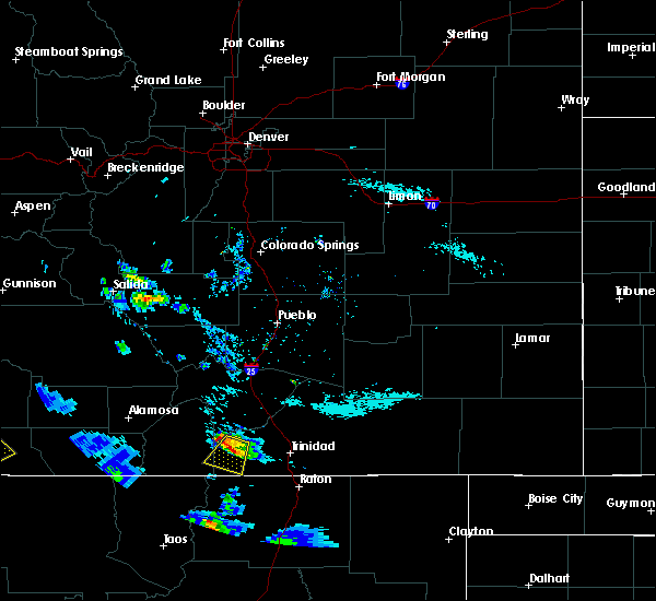
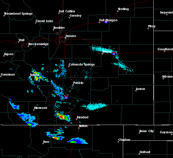
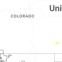
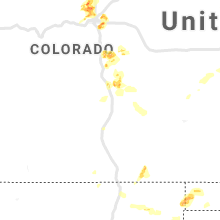
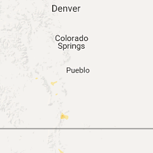
Hail Maps for Weston, CO


Connect with Interactive Hail Maps