

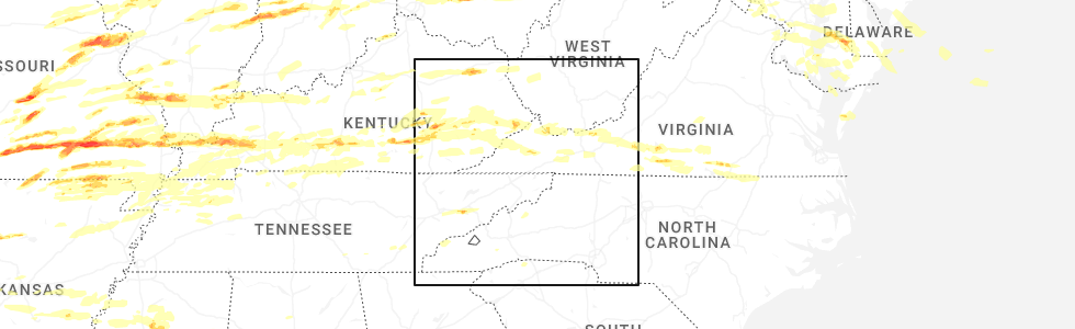
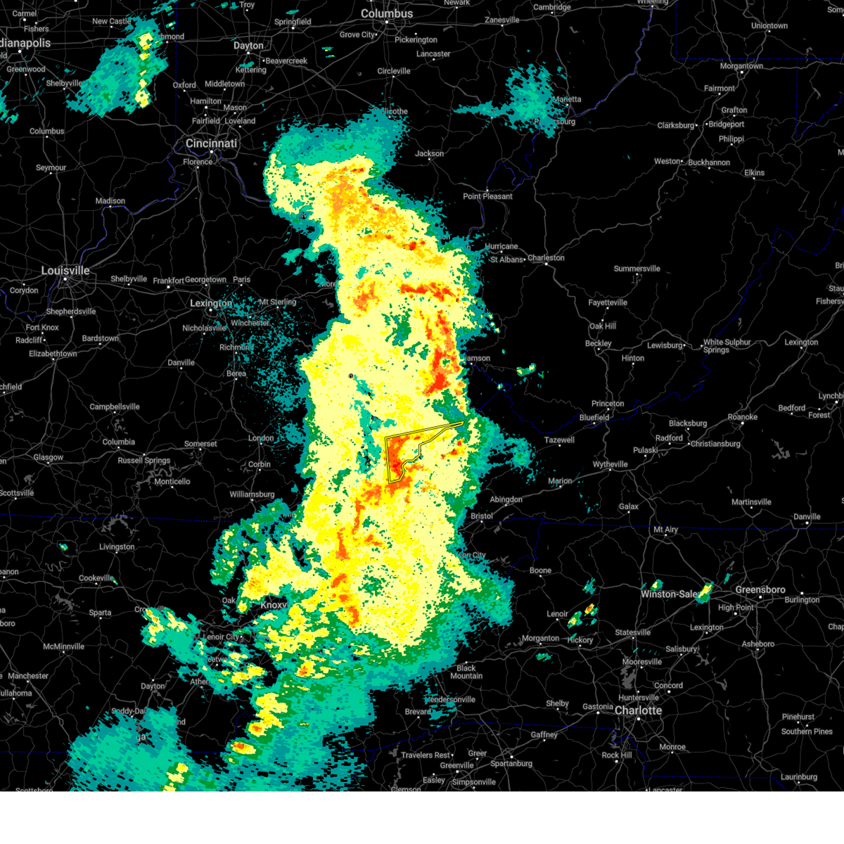
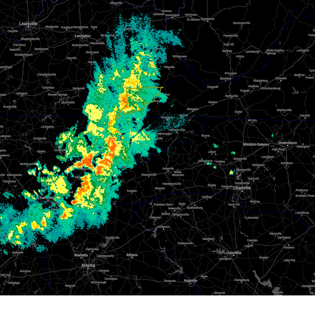
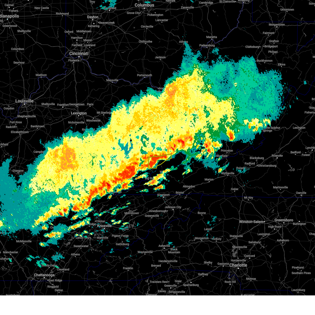
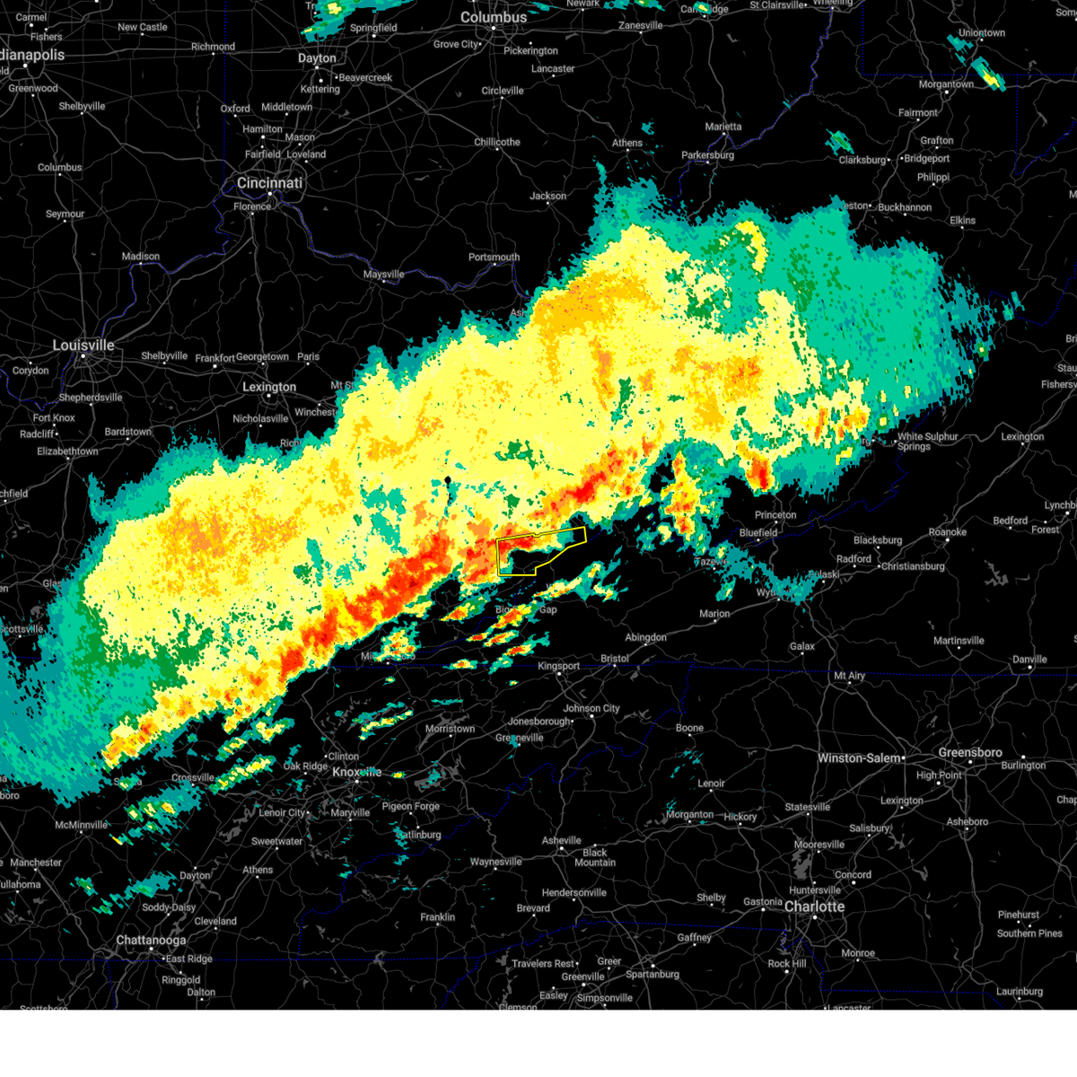
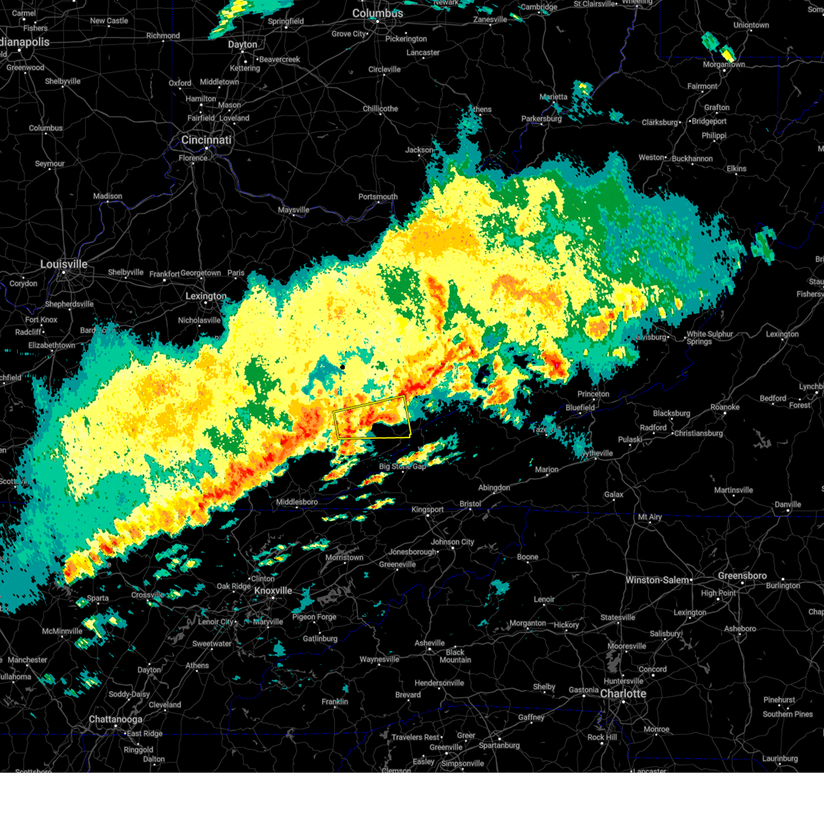
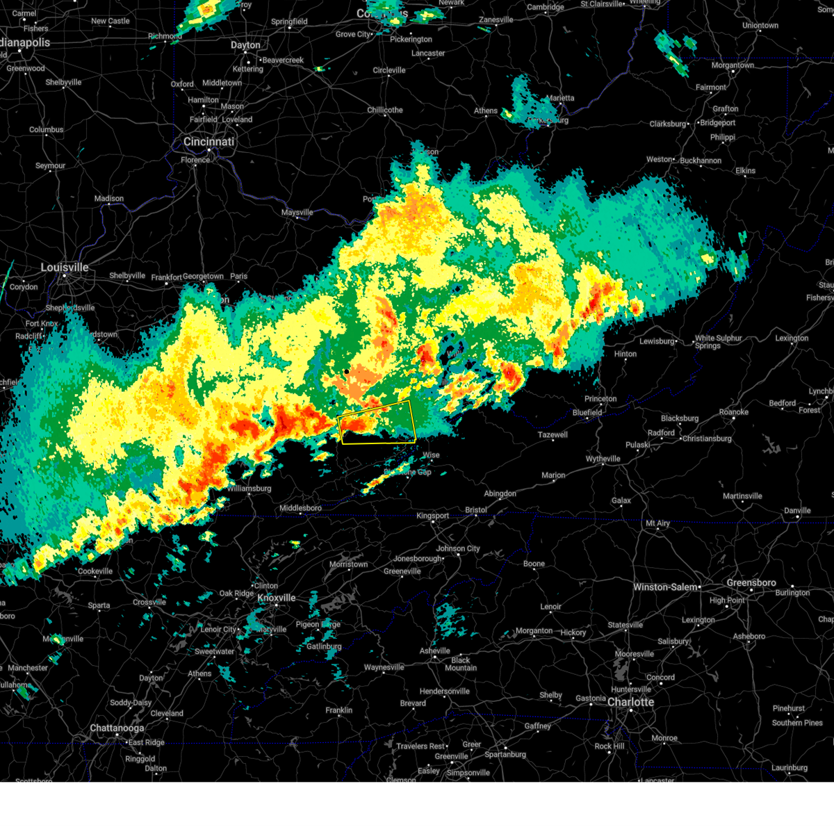
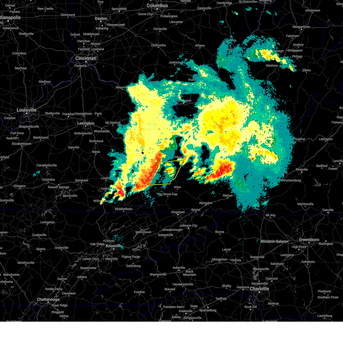
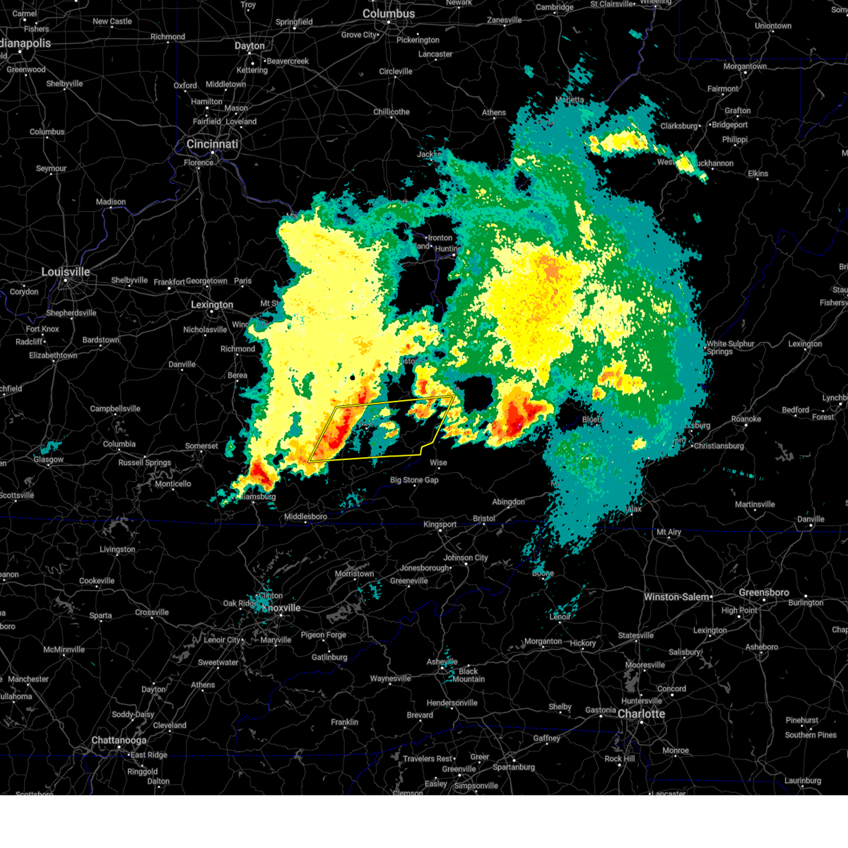
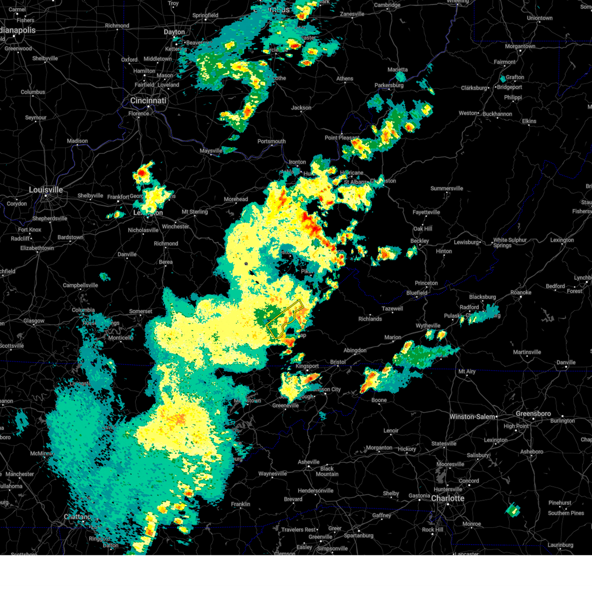
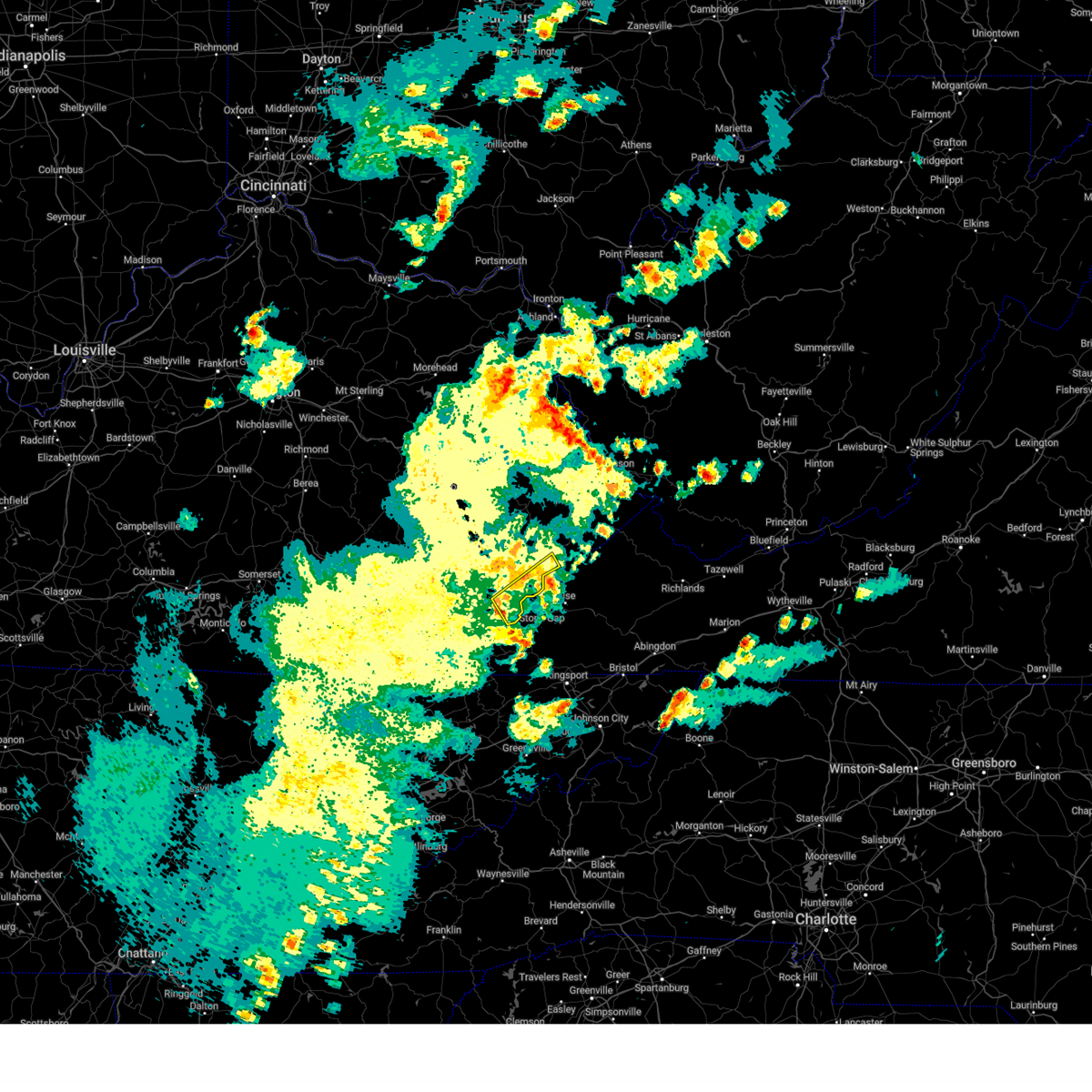
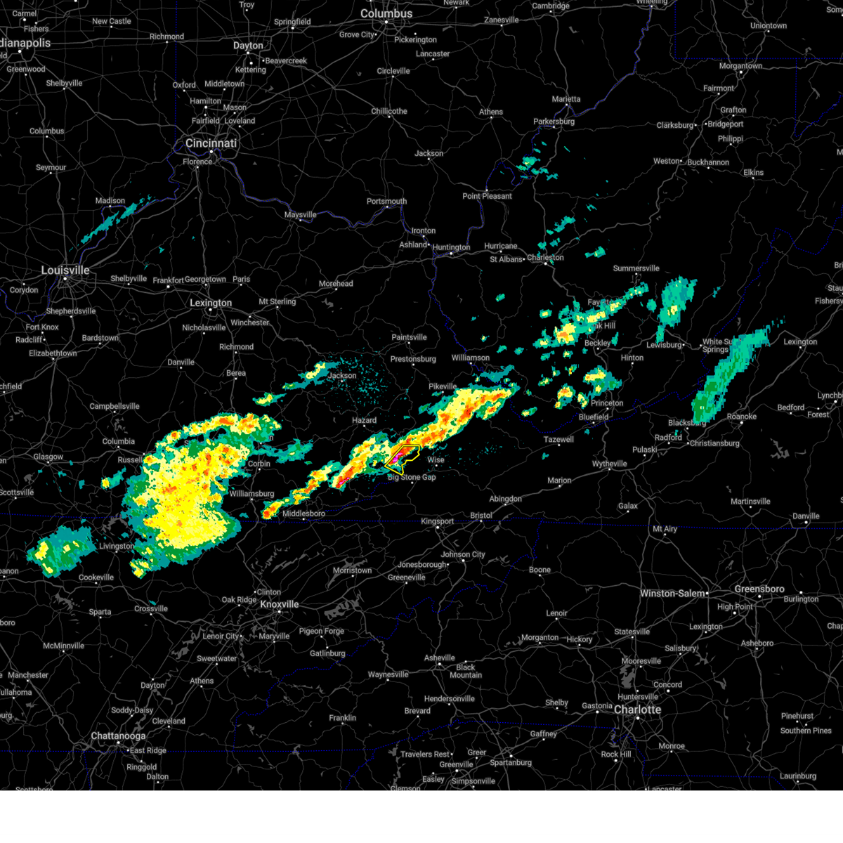
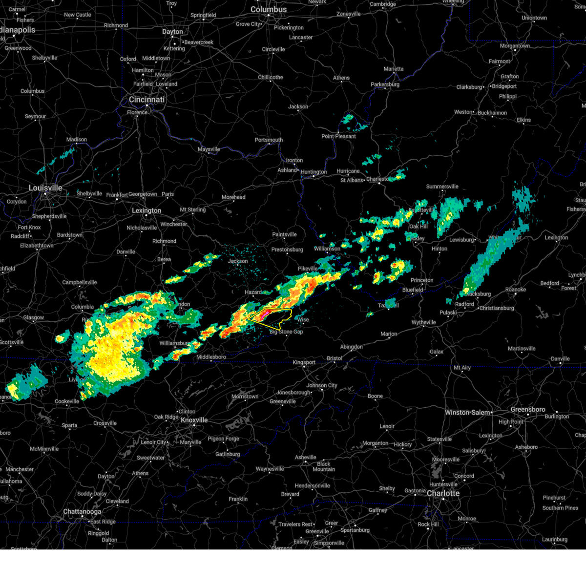
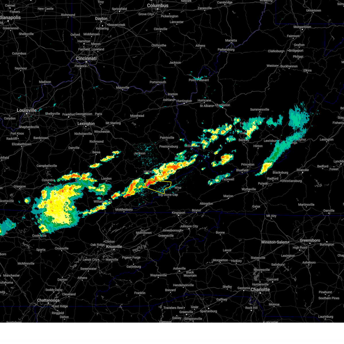
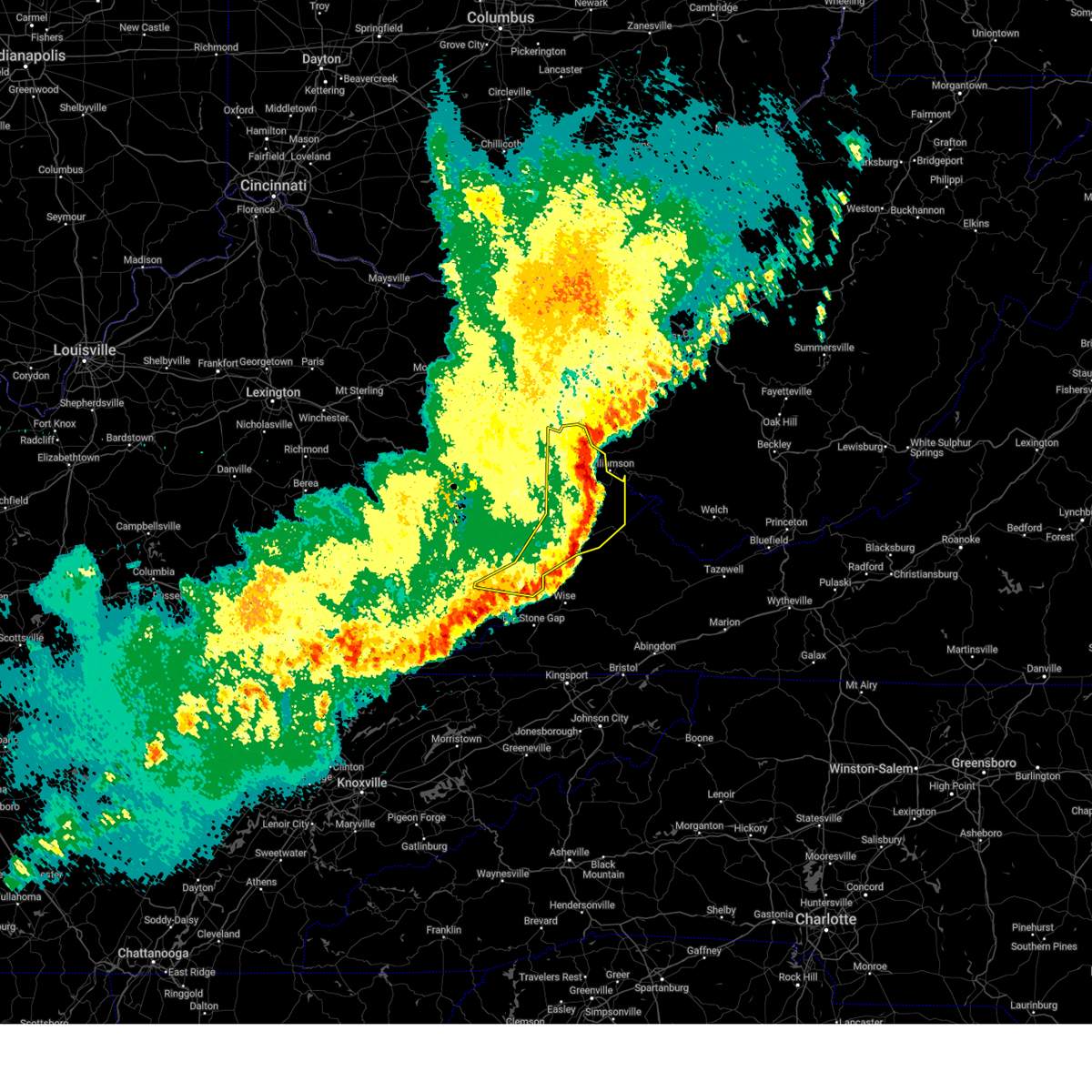
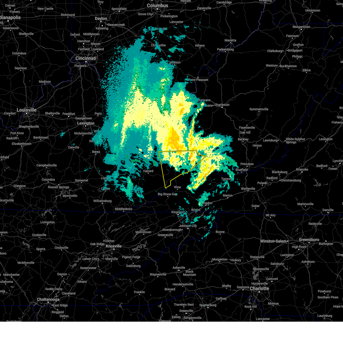
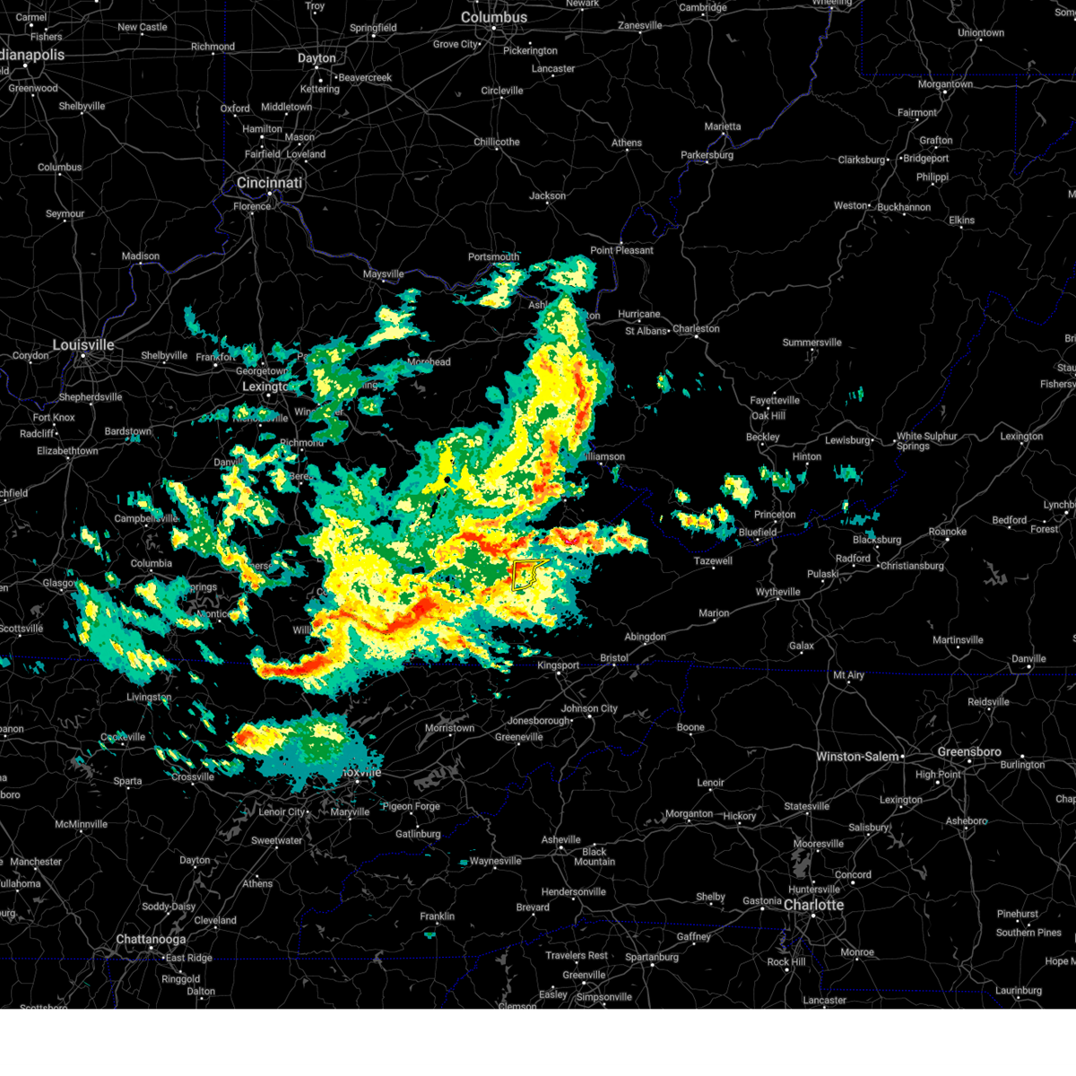
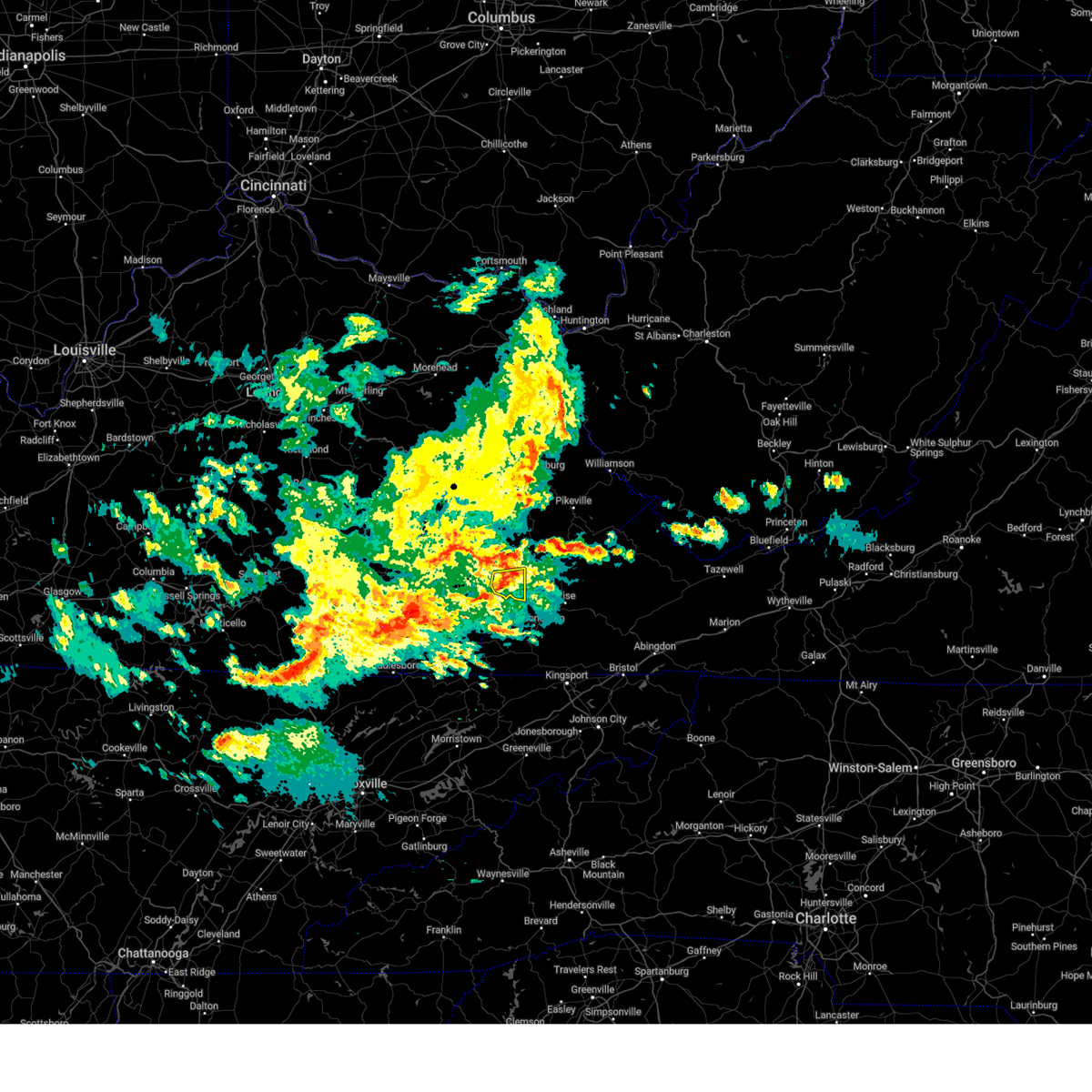
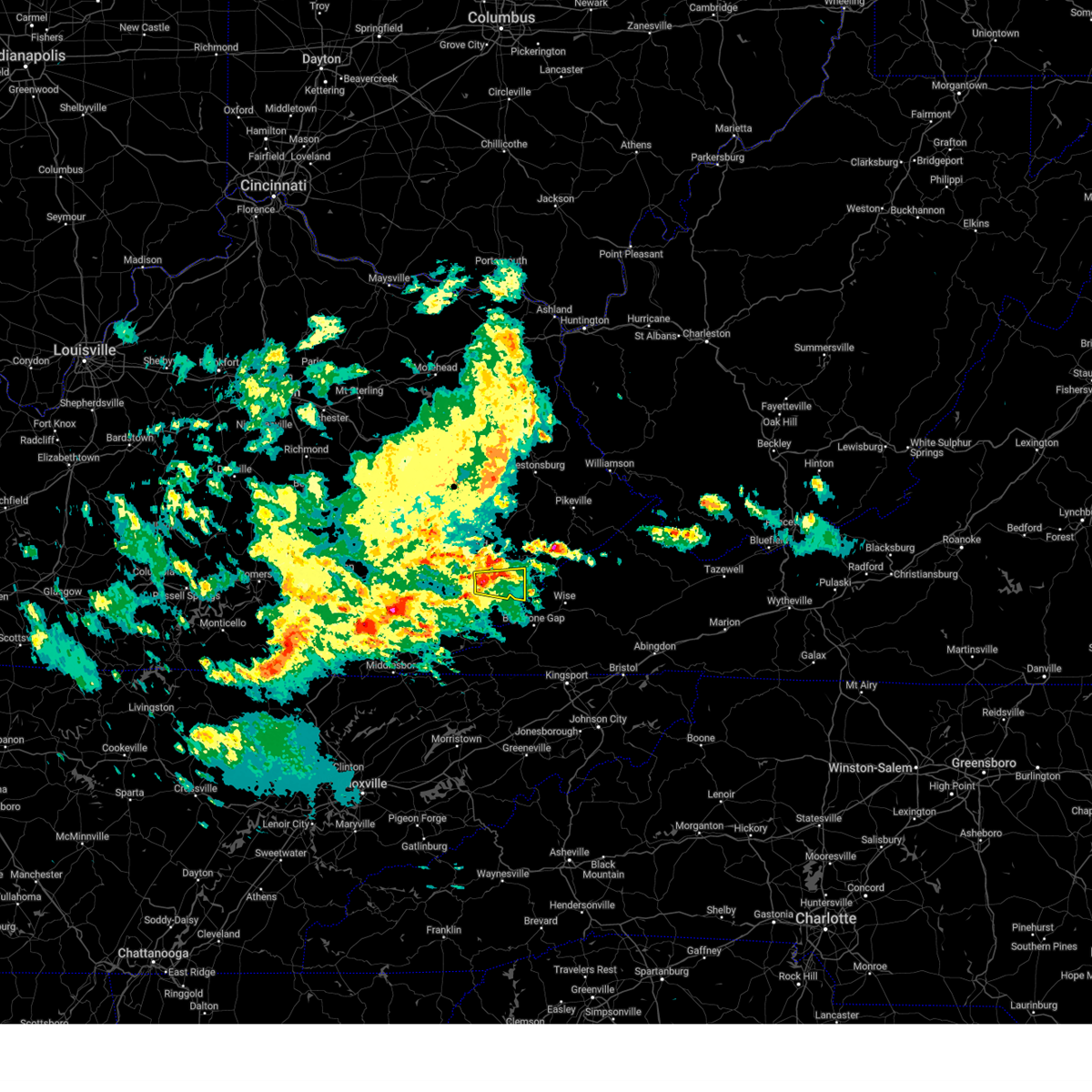
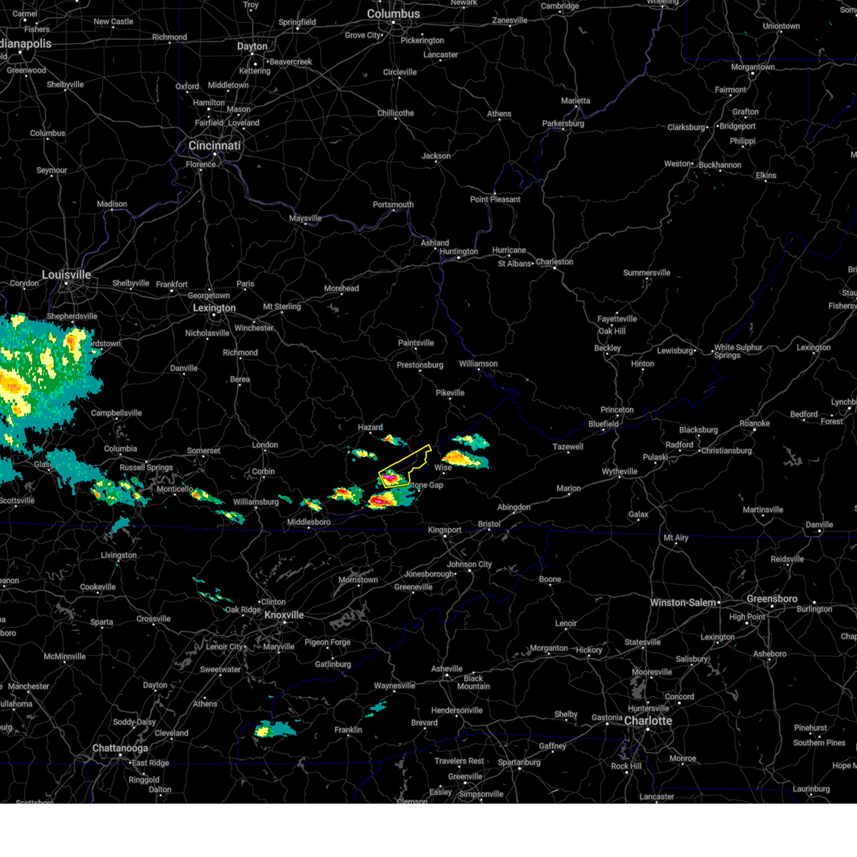
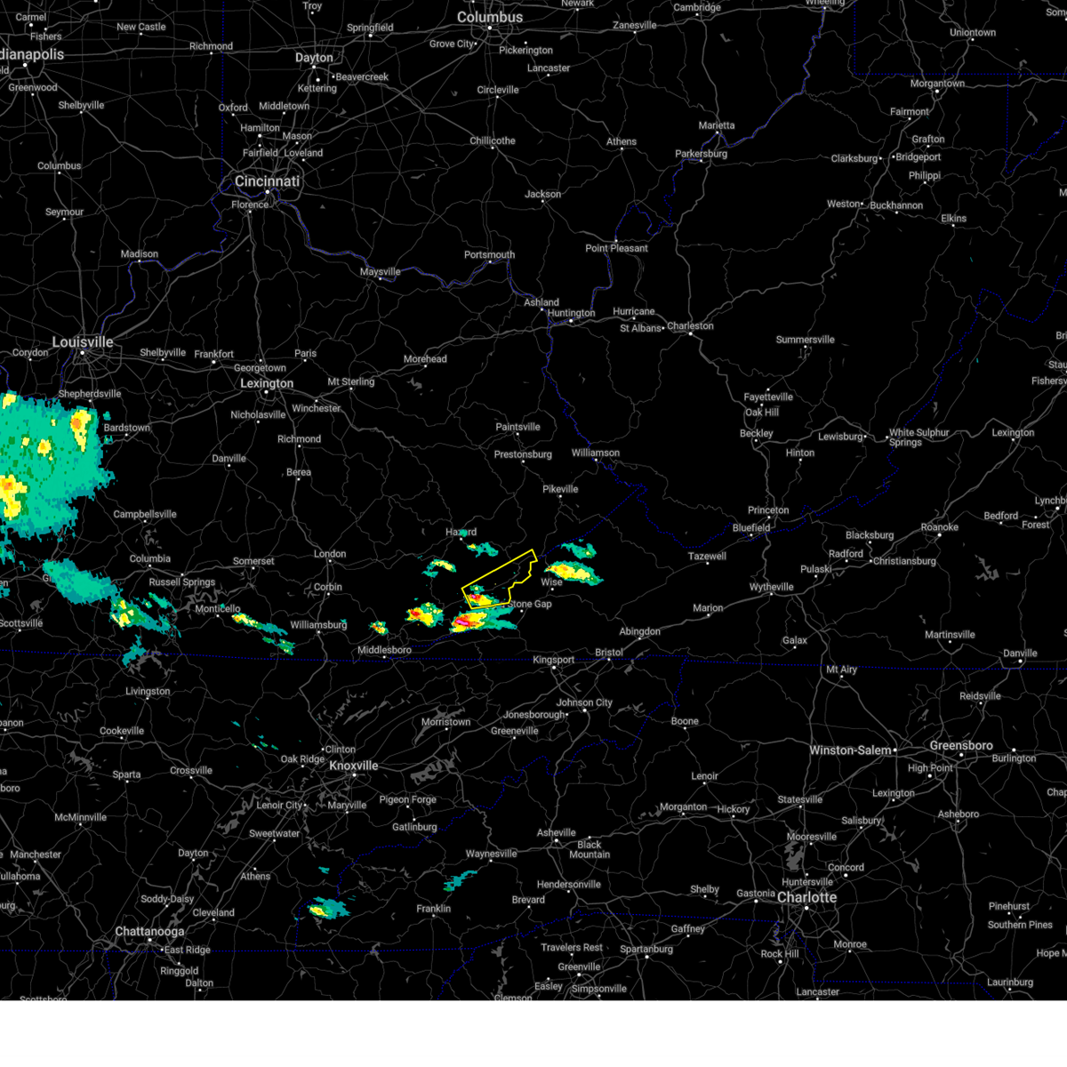
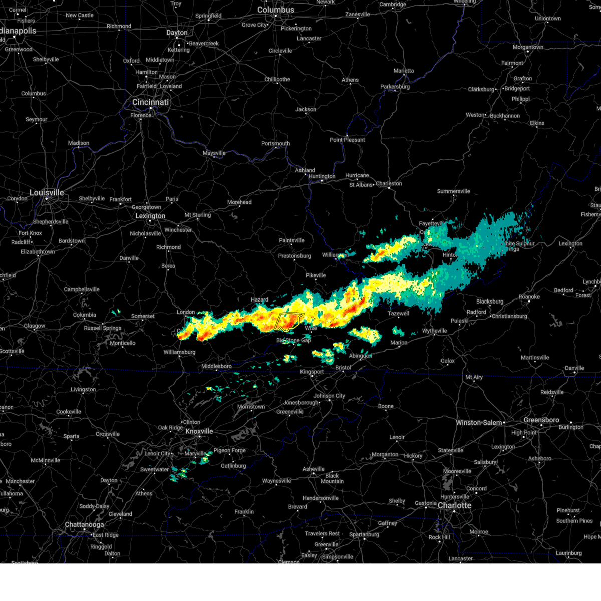
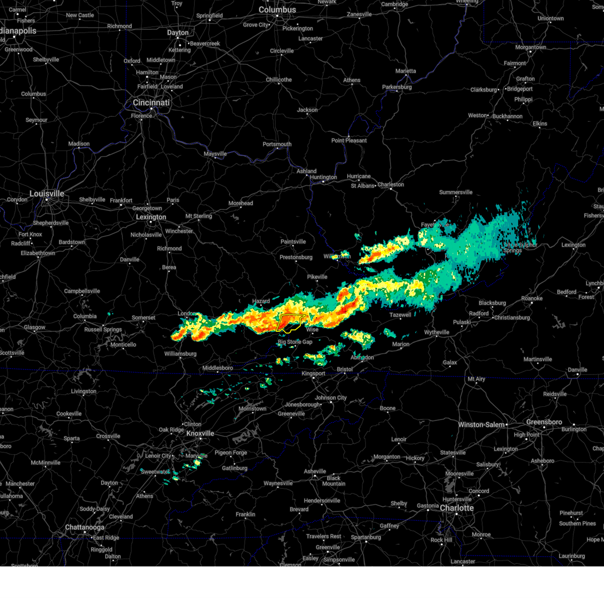
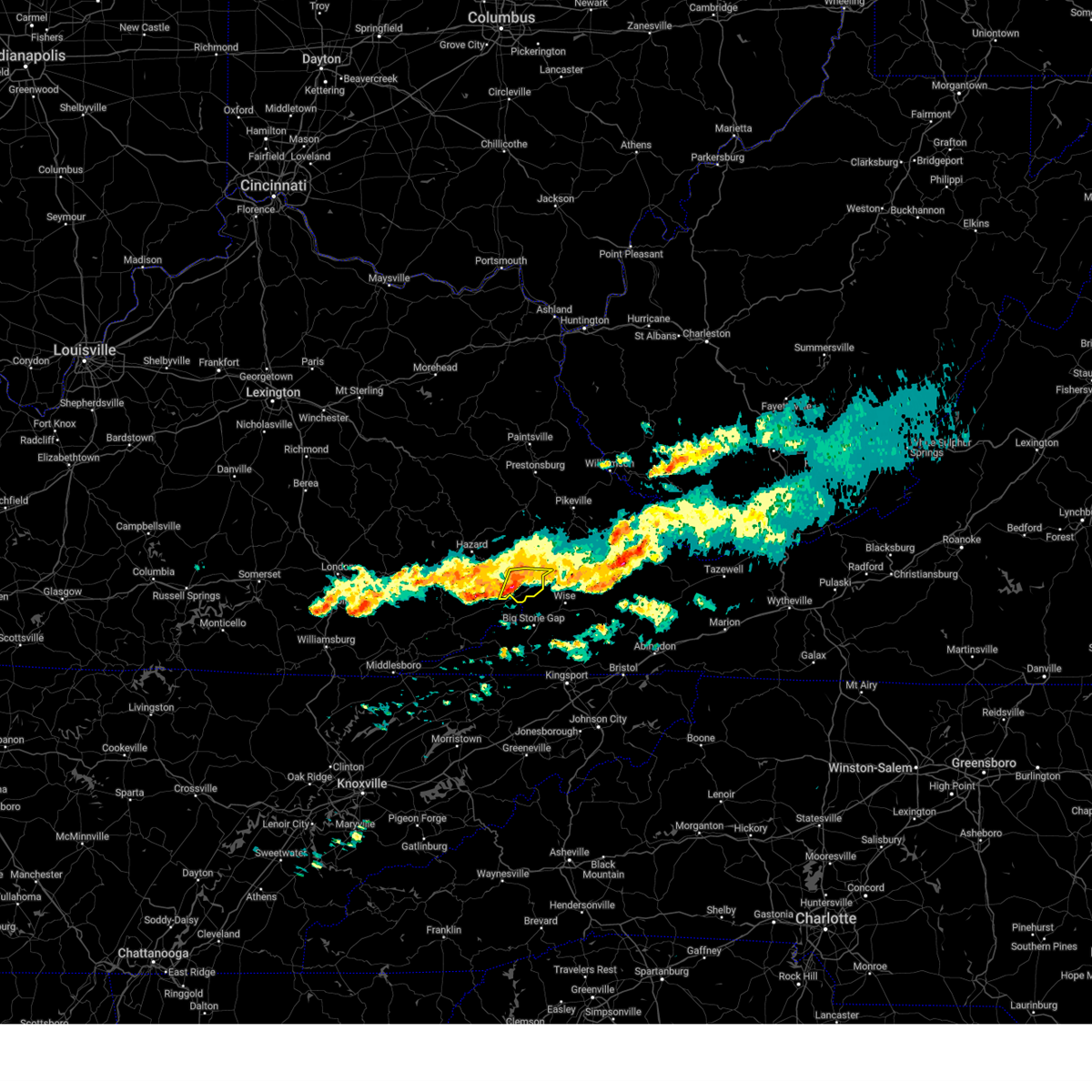
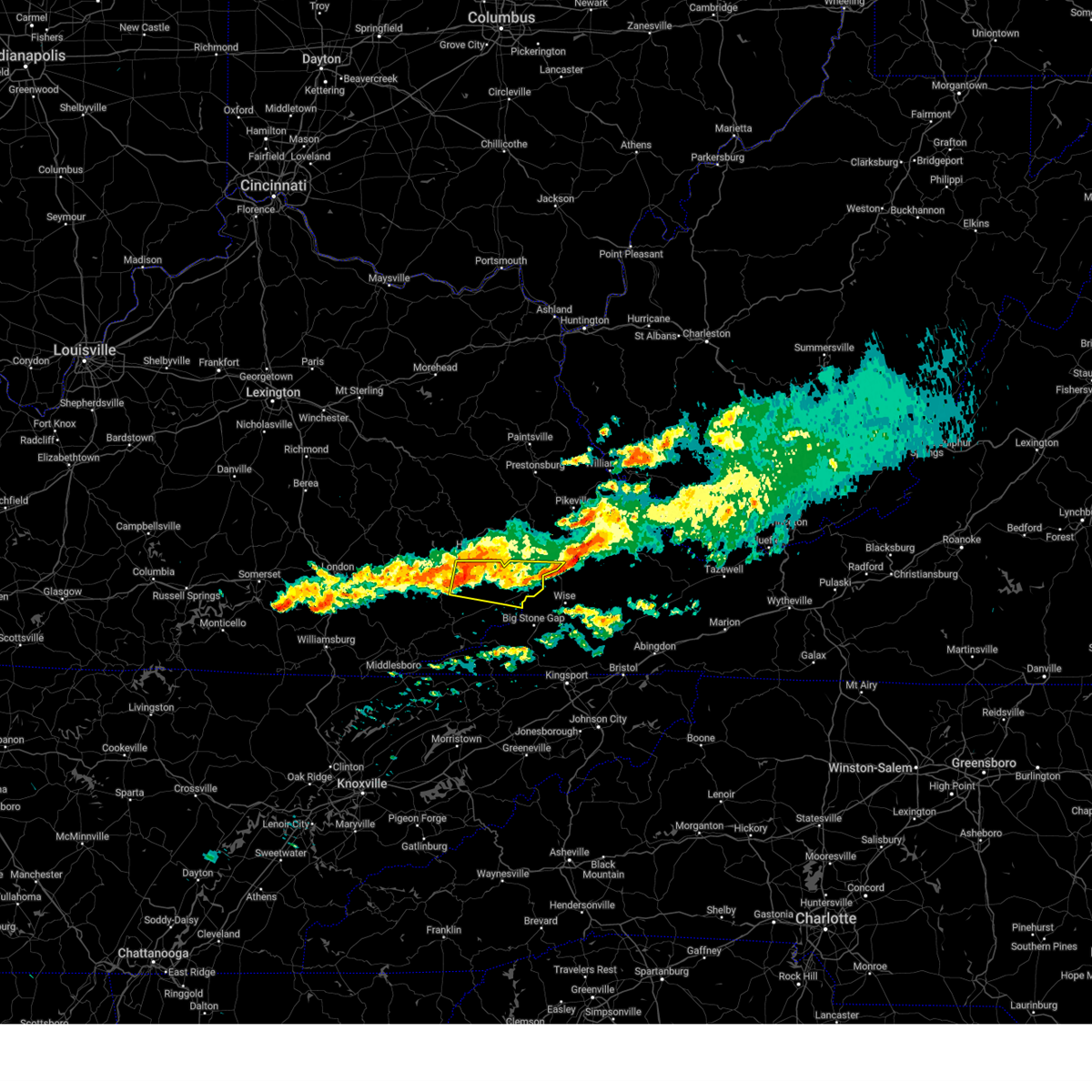
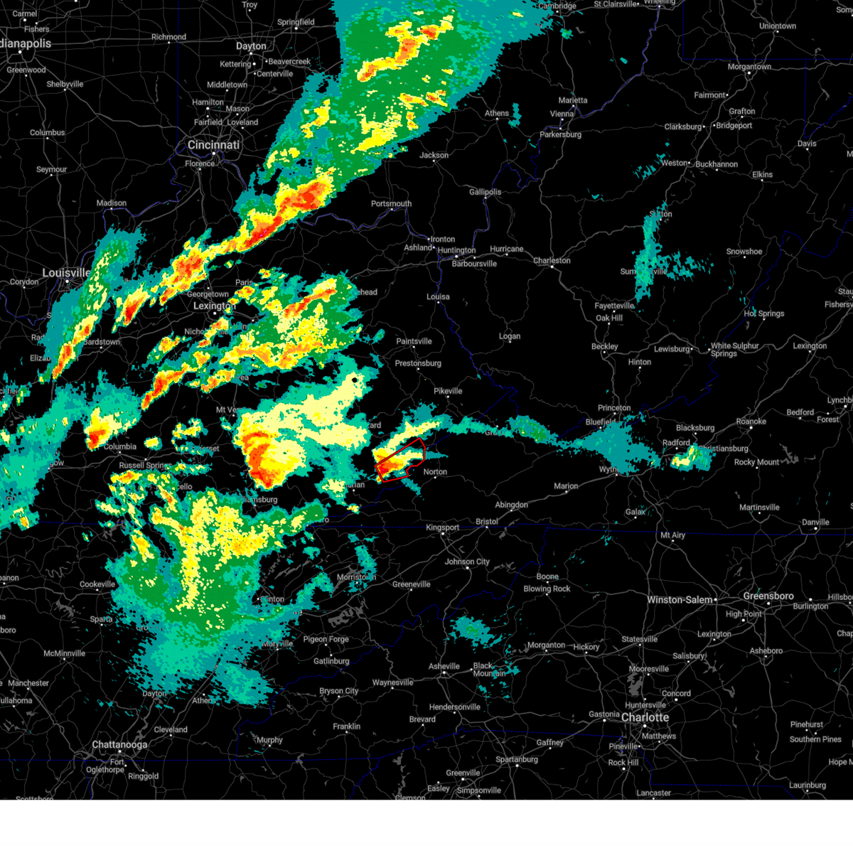
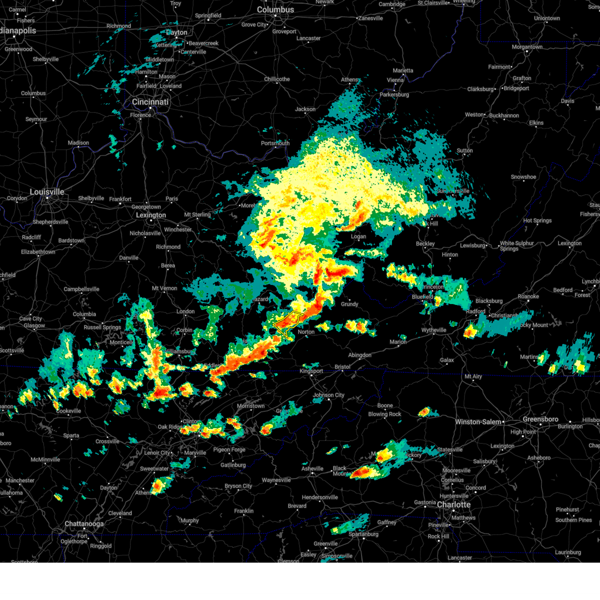
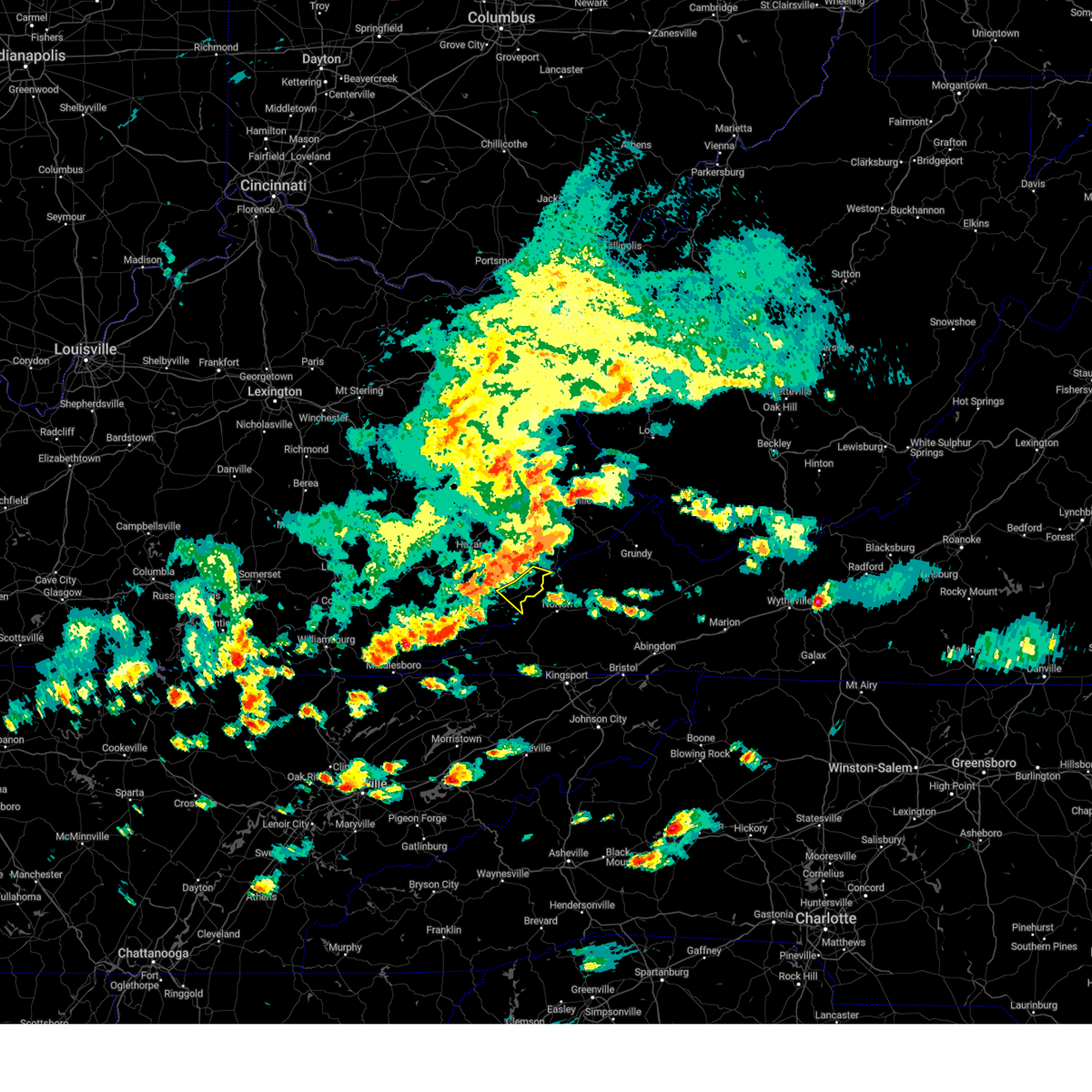
Hail Map for Whitesburg, KY
The Whitesburg, KY area has had 10 reports of on-the-ground hail by trained spotters, and has been under severe weather warnings 54 times during the past 12 months. Doppler radar has detected hail at or near Whitesburg, KY on 34 occasions, including 4 occasions during the past year.
| Name: | Whitesburg, KY |
| Where Located: | 49 miles NW of Bristol, TN |
| Map: | Google Map for Whitesburg, KY |
| Population: | 2139 |
| Housing Units: | 1005 |
| More Info: | Search Google for Whitesburg, KY |
5
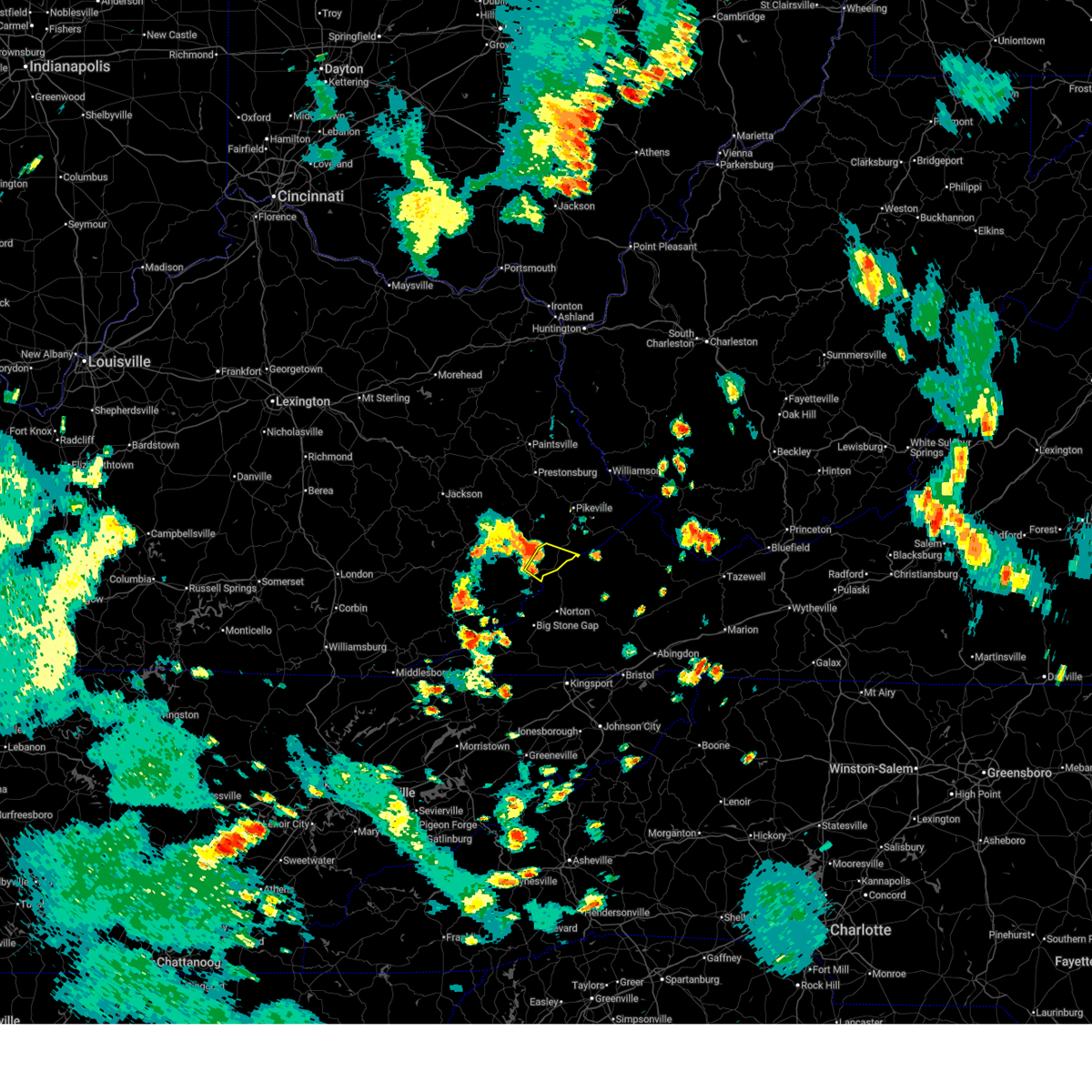
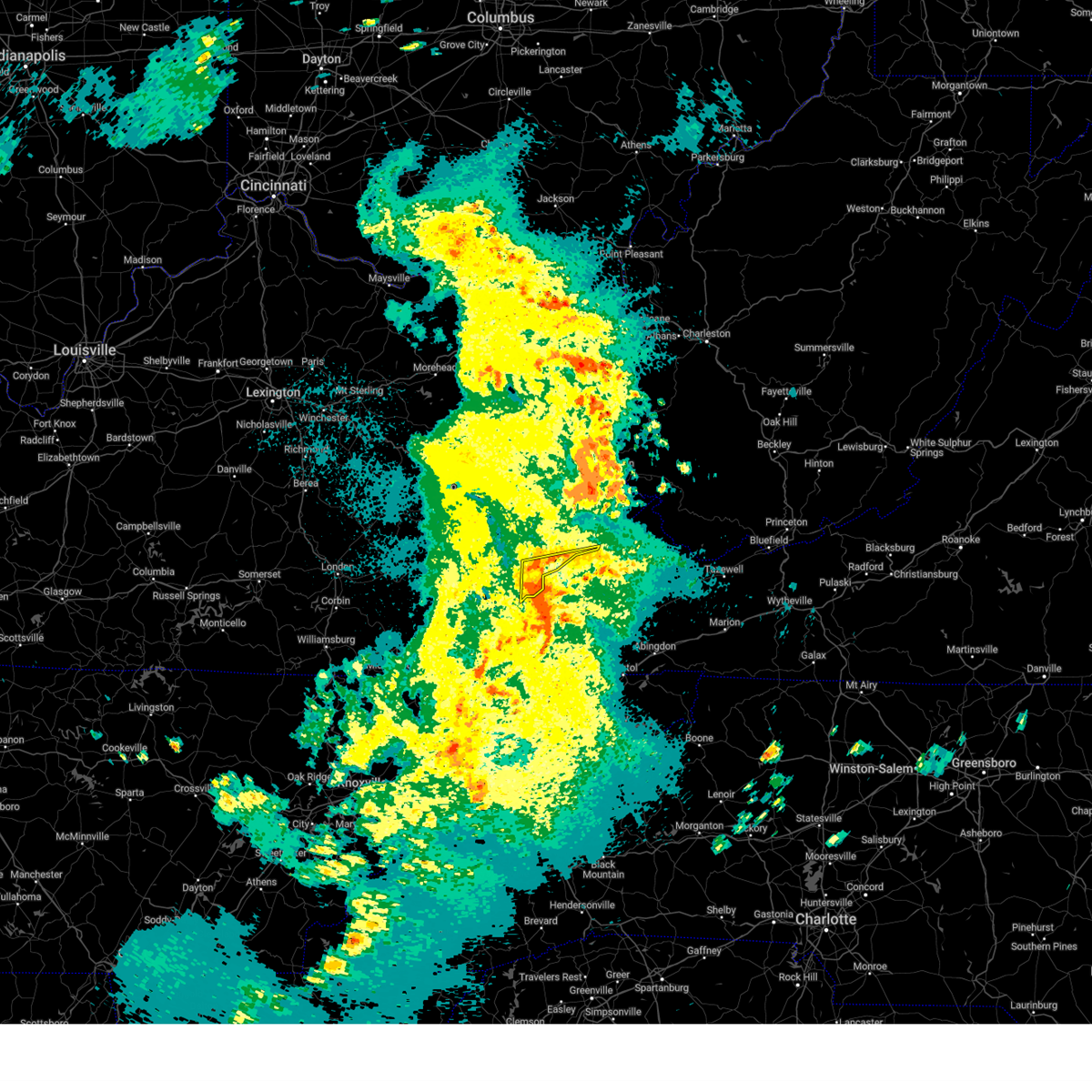
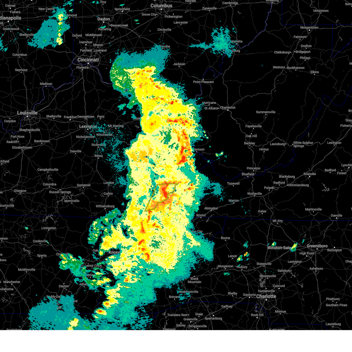
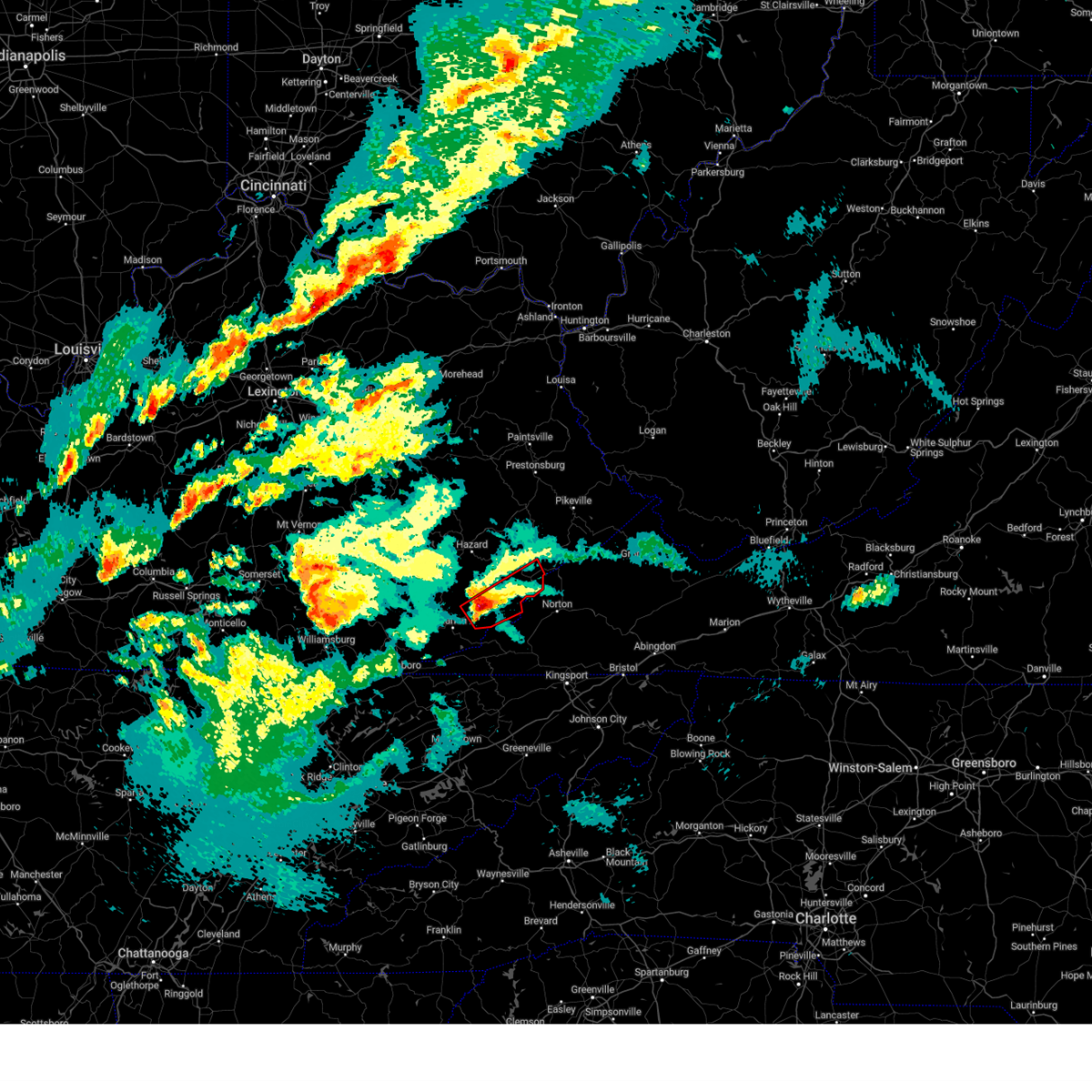
The Top Recent Hail Date for Whitesburg, KY is Friday, May 16, 2025 (3rd out of 34)
Hail and Wind Damage Spotted near Whitesburg, KY
| Date / Time | Report Details |
|---|---|
| 6/27/2025 7:40 PM EDT |
 Svrjkl the national weather service in jackson ky has issued a * severe thunderstorm warning for, northeastern letcher county in southeastern kentucky, southwestern pike county in southeastern kentucky, * until 815 pm edt. * at 740 pm edt, a severe thunderstorm was located over deane, or 8 miles north of whitesburg, moving southeast at 15 mph (radar indicated). Hazards include 60 mph wind gusts. Expect damage to roofs, siding, and trees. this severe thunderstorm will be near, fleming-neon around 745 pm edt. potters fork around 750 pm edt. fishpond lake around 755 pm edt. Jenkins around 800 pm edt. Svrjkl the national weather service in jackson ky has issued a * severe thunderstorm warning for, northeastern letcher county in southeastern kentucky, southwestern pike county in southeastern kentucky, * until 815 pm edt. * at 740 pm edt, a severe thunderstorm was located over deane, or 8 miles north of whitesburg, moving southeast at 15 mph (radar indicated). Hazards include 60 mph wind gusts. Expect damage to roofs, siding, and trees. this severe thunderstorm will be near, fleming-neon around 745 pm edt. potters fork around 750 pm edt. fishpond lake around 755 pm edt. Jenkins around 800 pm edt.
|
| 5/20/2025 11:30 PM EDT |
 At 1129 pm edt, severe thunderstorms were located along a line extending from ehkhorn mine to near norton, moving east at 50 mph (radar indicated). Hazards include 60 mph wind gusts and penny size hail. Expect damage to roofs, siding, and trees. Locations impacted include, whitesburg, jenkins, fleming-neon, winters, millstone, horn, shelby gap, hemphill, oven fork, wright, colly, and lucastown. At 1129 pm edt, severe thunderstorms were located along a line extending from ehkhorn mine to near norton, moving east at 50 mph (radar indicated). Hazards include 60 mph wind gusts and penny size hail. Expect damage to roofs, siding, and trees. Locations impacted include, whitesburg, jenkins, fleming-neon, winters, millstone, horn, shelby gap, hemphill, oven fork, wright, colly, and lucastown.
|
| 5/20/2025 11:30 PM EDT |
 the severe thunderstorm warning has been cancelled and is no longer in effect the severe thunderstorm warning has been cancelled and is no longer in effect
|
| 5/20/2025 11:17 PM EDT |
 The severe thunderstorm warning has expired. a new downstream warning has been issued. refer to that bulletin for further details. a tornado watch remains in effect until 200 am edt for southeastern kentucky. remember, a severe thunderstorm warning still remains in effect for northeastern harlan county in southeastern kentucky, letcher county in southeastern kentucky, south central pike county in southeastern kentucky until midnight edt. The severe thunderstorm warning has expired. a new downstream warning has been issued. refer to that bulletin for further details. a tornado watch remains in effect until 200 am edt for southeastern kentucky. remember, a severe thunderstorm warning still remains in effect for northeastern harlan county in southeastern kentucky, letcher county in southeastern kentucky, south central pike county in southeastern kentucky until midnight edt.
|
| 5/20/2025 11:13 PM EDT |
 Svrjkl the national weather service in jackson ky has issued a * severe thunderstorm warning for, northeastern harlan county in southeastern kentucky, letcher county in southeastern kentucky, south central pike county in southeastern kentucky, * until midnight edt. * at 1113 pm edt, severe thunderstorms were located along a line extending from jeremiah to big black mountain, moving east at 50 mph (radar indicated). Hazards include 60 mph wind gusts and penny size hail. Expect damage to roofs, siding, and trees. severe thunderstorms will be near, whitesburg around 1120 pm edt. jenkins around 1125 pm edt. gaskill around 1130 pm edt. Ashcamp around 1140 pm edt. Svrjkl the national weather service in jackson ky has issued a * severe thunderstorm warning for, northeastern harlan county in southeastern kentucky, letcher county in southeastern kentucky, south central pike county in southeastern kentucky, * until midnight edt. * at 1113 pm edt, severe thunderstorms were located along a line extending from jeremiah to big black mountain, moving east at 50 mph (radar indicated). Hazards include 60 mph wind gusts and penny size hail. Expect damage to roofs, siding, and trees. severe thunderstorms will be near, whitesburg around 1120 pm edt. jenkins around 1125 pm edt. gaskill around 1130 pm edt. Ashcamp around 1140 pm edt.
|
| 5/20/2025 11:08 PM EDT |
 At 1108 pm edt, severe thunderstorms were located along a line extending from hallie to rock house to near cranks, moving northeast at 45 mph (radar indicated). Hazards include 60 mph wind gusts and penny size hail. Expect damage to roofs, siding, and trees. Locations impacted include, whitesburg, cumberland, evarts, lynch, benham, blackey, bobs creek, oscaloosa, dizney, colly, louellen, and premium. At 1108 pm edt, severe thunderstorms were located along a line extending from hallie to rock house to near cranks, moving northeast at 45 mph (radar indicated). Hazards include 60 mph wind gusts and penny size hail. Expect damage to roofs, siding, and trees. Locations impacted include, whitesburg, cumberland, evarts, lynch, benham, blackey, bobs creek, oscaloosa, dizney, colly, louellen, and premium.
|
| 5/20/2025 11:08 PM EDT |
 the severe thunderstorm warning has been cancelled and is no longer in effect the severe thunderstorm warning has been cancelled and is no longer in effect
|
| 5/20/2025 10:57 PM EDT |
 At 1054 pm edt, severe thunderstorms were located along a line extending from leatherwood to near dizney to near peepace store, moving east at 55 mph (radar indicated). Hazards include 60 mph wind gusts and penny size hail. Expect damage to roofs, siding, and trees. Locations impacted include, cumberland, flint, oscaloosa, whitesburg and colly. At 1054 pm edt, severe thunderstorms were located along a line extending from leatherwood to near dizney to near peepace store, moving east at 55 mph (radar indicated). Hazards include 60 mph wind gusts and penny size hail. Expect damage to roofs, siding, and trees. Locations impacted include, cumberland, flint, oscaloosa, whitesburg and colly.
|
| 5/20/2025 10:57 PM EDT |
 the severe thunderstorm warning has been cancelled and is no longer in effect the severe thunderstorm warning has been cancelled and is no longer in effect
|
| 5/20/2025 10:32 PM EDT |
 Svrjkl the national weather service in jackson ky has issued a * severe thunderstorm warning for, harlan county in southeastern kentucky, southeastern bell county in southeastern kentucky, southern leslie county in southeastern kentucky, southern letcher county in southeastern kentucky, southeastern perry county in southeastern kentucky, * until 1115 pm edt. * at 1031 pm edt, severe thunderstorms were located along a line extending from near roark to tacky town to near noetown, moving east at 40 mph (radar indicated). Hazards include 60 mph wind gusts and penny size hail. Expect damage to roofs, siding, and trees. severe thunderstorms will be near, harlan around 1035 pm edt. napier around 1040 pm edt. evarts around 1045 pm edt. colts around 1050 pm edt. Other locations in the path of these severe thunderstorms include totz and cumberland. Svrjkl the national weather service in jackson ky has issued a * severe thunderstorm warning for, harlan county in southeastern kentucky, southeastern bell county in southeastern kentucky, southern leslie county in southeastern kentucky, southern letcher county in southeastern kentucky, southeastern perry county in southeastern kentucky, * until 1115 pm edt. * at 1031 pm edt, severe thunderstorms were located along a line extending from near roark to tacky town to near noetown, moving east at 40 mph (radar indicated). Hazards include 60 mph wind gusts and penny size hail. Expect damage to roofs, siding, and trees. severe thunderstorms will be near, harlan around 1035 pm edt. napier around 1040 pm edt. evarts around 1045 pm edt. colts around 1050 pm edt. Other locations in the path of these severe thunderstorms include totz and cumberland.
|
| 5/17/2025 1:37 AM EDT |
 The storm which prompted the warning has moved out of the area. therefore, the warning will be allowed to expire. a tornado watch remains in effect until 300 am edt for southeastern kentucky. The storm which prompted the warning has moved out of the area. therefore, the warning will be allowed to expire. a tornado watch remains in effect until 300 am edt for southeastern kentucky.
|
| 5/17/2025 1:33 AM EDT |
 At 133 am edt, a severe thunderstorm was located over chip, or 7 miles northeast of whitesburg, moving east at 40 mph (radar indicated). Hazards include 60 mph wind gusts and quarter size hail. Hail damage to vehicles is expected. expect wind damage to roofs, siding, and trees. this severe storm will be near, jenkins around 140 am edt. Other locations in the path of this severe thunderstorm include ashcamp. At 133 am edt, a severe thunderstorm was located over chip, or 7 miles northeast of whitesburg, moving east at 40 mph (radar indicated). Hazards include 60 mph wind gusts and quarter size hail. Hail damage to vehicles is expected. expect wind damage to roofs, siding, and trees. this severe storm will be near, jenkins around 140 am edt. Other locations in the path of this severe thunderstorm include ashcamp.
|
| 5/17/2025 1:22 AM EDT |
 Svrjkl the national weather service in jackson ky has issued a * severe thunderstorm warning for, northeastern letcher county in southeastern kentucky, southeastern knott county in southeastern kentucky, southwestern pike county in southeastern kentucky, * until 145 am edt. * at 122 am edt, a severe thunderstorm was located over tillie, or near whitesburg, moving east at 40 mph (radar indicated). Hazards include 60 mph wind gusts and quarter size hail. Hail damage to vehicles is expected. expect wind damage to roofs, siding, and trees. this severe thunderstorm will be near, whitesburg around 125 am edt. fleming-neon around 130 am edt. jenkins around 135 am edt. Beefhide around 140 am edt. Svrjkl the national weather service in jackson ky has issued a * severe thunderstorm warning for, northeastern letcher county in southeastern kentucky, southeastern knott county in southeastern kentucky, southwestern pike county in southeastern kentucky, * until 145 am edt. * at 122 am edt, a severe thunderstorm was located over tillie, or near whitesburg, moving east at 40 mph (radar indicated). Hazards include 60 mph wind gusts and quarter size hail. Hail damage to vehicles is expected. expect wind damage to roofs, siding, and trees. this severe thunderstorm will be near, whitesburg around 125 am edt. fleming-neon around 130 am edt. jenkins around 135 am edt. Beefhide around 140 am edt.
|
| 5/17/2025 1:09 AM EDT |
 The storm which prompted the warning has moved out of the area. therefore, the warning will be allowed to expire. a tornado watch remains in effect until 300 am edt for southeastern kentucky. The storm which prompted the warning has moved out of the area. therefore, the warning will be allowed to expire. a tornado watch remains in effect until 300 am edt for southeastern kentucky.
|
| 5/17/2025 12:52 AM EDT |
 Svrjkl the national weather service in jackson ky has issued a * severe thunderstorm warning for, northeastern leslie county in southeastern kentucky, northwestern letcher county in southeastern kentucky, southeastern perry county in southeastern kentucky, southern knott county in southeastern kentucky, * until 115 am edt. * at 1252 am edt, a severe thunderstorm was located over frew, or near hazard, moving east at 40 mph (radar indicated). Hazards include 60 mph wind gusts and quarter size hail. Hail damage to vehicles is expected. expect wind damage to roofs, siding, and trees. this severe thunderstorm will be near, hazard around 1255 am edt. vicco around 100 am edt. arminta around 105 am edt. bath around 110 am edt. Other locations in the path of this severe thunderstorm include isom. Svrjkl the national weather service in jackson ky has issued a * severe thunderstorm warning for, northeastern leslie county in southeastern kentucky, northwestern letcher county in southeastern kentucky, southeastern perry county in southeastern kentucky, southern knott county in southeastern kentucky, * until 115 am edt. * at 1252 am edt, a severe thunderstorm was located over frew, or near hazard, moving east at 40 mph (radar indicated). Hazards include 60 mph wind gusts and quarter size hail. Hail damage to vehicles is expected. expect wind damage to roofs, siding, and trees. this severe thunderstorm will be near, hazard around 1255 am edt. vicco around 100 am edt. arminta around 105 am edt. bath around 110 am edt. Other locations in the path of this severe thunderstorm include isom.
|
| 5/16/2025 2:15 PM EDT | Svrjkl the national weather service in jackson ky has issued a * severe thunderstorm warning for, northeastern letcher county in southeastern kentucky, east central knott county in southeastern kentucky, southeastern floyd county in southeastern kentucky, southern pike county in southeastern kentucky, * until 245 pm edt. * at 214 pm edt, severe thunderstorms were located along a line extending from near galveston to oven fork, moving east at 65 mph (radar indicated). Hazards include 60 mph wind gusts and nickel size hail. Expect damage to roofs, siding, and trees. severe thunderstorms will be near, pikeville around 220 pm edt. elkhorn city around 225 pm edt. phelps around 230 pm edt. Other locations in the path of these severe thunderstorms include argo. |
| 5/16/2025 2:15 PM EDT | The storms which prompted the warning have moved out of the area. therefore, the warning has been allowed to expire. a severe thunderstorm watch remains in effect until 600 pm edt for southeastern kentucky. to report severe weather, contact your nearest law enforcement agency. they will relay your report to the national weather service jackson ky. |
| 5/16/2025 2:05 PM EDT |
 the severe thunderstorm warning has been cancelled and is no longer in effect the severe thunderstorm warning has been cancelled and is no longer in effect
|
| 5/16/2025 2:05 PM EDT |
 At 204 pm edt, severe thunderstorms were located along a line extending from glo to slemp, moving east at 70 mph (radar indicated). Hazards include 60 mph wind gusts and nickel size hail. Expect damage to roofs, siding, and trees. Locations impacted include, whitesburg, pikeville and jenkins. At 204 pm edt, severe thunderstorms were located along a line extending from glo to slemp, moving east at 70 mph (radar indicated). Hazards include 60 mph wind gusts and nickel size hail. Expect damage to roofs, siding, and trees. Locations impacted include, whitesburg, pikeville and jenkins.
|
| 5/16/2025 1:44 PM EDT |
 Svrjkl the national weather service in jackson ky has issued a * severe thunderstorm warning for, leslie county in southeastern kentucky, letcher county in southeastern kentucky, perry county in southeastern kentucky, knott county in southeastern kentucky, southeastern floyd county in southeastern kentucky, south central breathitt county in southeastern kentucky, southwestern pike county in southeastern kentucky, southeastern clay county in southeastern kentucky, * until 215 pm edt. * at 144 pm edt, severe thunderstorms were located along a line extending from dice to roark, moving east at 70 mph (radar indicated). Hazards include 60 mph wind gusts and quarter size hail. Hail damage to vehicles is expected. expect wind damage to roofs, siding, and trees. severe thunderstorms will be near, hazard around 150 pm edt. vicco around 155 pm edt. bath around 200 pm edt. Other locations in the path of these severe thunderstorms include letcher and democrat. Svrjkl the national weather service in jackson ky has issued a * severe thunderstorm warning for, leslie county in southeastern kentucky, letcher county in southeastern kentucky, perry county in southeastern kentucky, knott county in southeastern kentucky, southeastern floyd county in southeastern kentucky, south central breathitt county in southeastern kentucky, southwestern pike county in southeastern kentucky, southeastern clay county in southeastern kentucky, * until 215 pm edt. * at 144 pm edt, severe thunderstorms were located along a line extending from dice to roark, moving east at 70 mph (radar indicated). Hazards include 60 mph wind gusts and quarter size hail. Hail damage to vehicles is expected. expect wind damage to roofs, siding, and trees. severe thunderstorms will be near, hazard around 150 pm edt. vicco around 155 pm edt. bath around 200 pm edt. Other locations in the path of these severe thunderstorms include letcher and democrat.
|
| 5/2/2025 7:57 PM EDT |
 The storm which prompted the warning has moved out of the area. therefore, the warning will be allowed to expire. however, small hail and gusty winds are still possible with this thunderstorm. a severe thunderstorm watch remains in effect until 900 pm edt for southeastern kentucky. The storm which prompted the warning has moved out of the area. therefore, the warning will be allowed to expire. however, small hail and gusty winds are still possible with this thunderstorm. a severe thunderstorm watch remains in effect until 900 pm edt for southeastern kentucky.
|
| 5/2/2025 7:49 PM EDT |
 At 749 pm edt, a severe thunderstorm was located over maggard, or near whitesburg, moving northeast at 55 mph (radar indicated). Hazards include 60 mph wind gusts. Expect damage to roofs, siding, and trees. this severe storm will be near, whitesburg around 755 pm edt. Other locations in the path of this severe thunderstorm include fishpond lake and jenkins. At 749 pm edt, a severe thunderstorm was located over maggard, or near whitesburg, moving northeast at 55 mph (radar indicated). Hazards include 60 mph wind gusts. Expect damage to roofs, siding, and trees. this severe storm will be near, whitesburg around 755 pm edt. Other locations in the path of this severe thunderstorm include fishpond lake and jenkins.
|
| 5/2/2025 7:37 PM EDT | Svrjkl the national weather service in jackson ky has issued a * severe thunderstorm warning for, northeastern harlan county in southeastern kentucky, central letcher county in southeastern kentucky, * until 800 pm edt. * at 736 pm edt, a severe thunderstorm was located over closplint, or 16 miles east of harlan, moving northeast at 55 mph (law enforcement reported instances of numerous trees down and a tractor trailer blown over). Hazards include 60 mph wind gusts. Expect damage to roofs, siding, and trees. this severe thunderstorm will be near, benham around 740 pm edt. partridge around 745 pm edt. Day around 750 pm edt. |
| 4/15/2025 12:45 AM EDT | Quarter sized hail reported 4.9 miles NNW of Whitesburg, KY, corrects hail report from eolia. social media picture of hail scattered on the ground in eolia. multiple stones of at least quarter-size visible. time estimated via rad |
| 4/15/2025 12:40 AM EDT |
 At 1239 am edt, a severe thunderstorm was located over partridge, or 7 miles southwest of whitesburg, moving east at 40 mph (radar indicated). Hazards include ping pong ball size hail and 60 mph wind gusts. People and animals outdoors will be injured. expect hail damage to roofs, siding, windows, and vehicles. expect wind damage to roofs, siding, and trees. This severe storm will be near, day around 1245 am edt. At 1239 am edt, a severe thunderstorm was located over partridge, or 7 miles southwest of whitesburg, moving east at 40 mph (radar indicated). Hazards include ping pong ball size hail and 60 mph wind gusts. People and animals outdoors will be injured. expect hail damage to roofs, siding, windows, and vehicles. expect wind damage to roofs, siding, and trees. This severe storm will be near, day around 1245 am edt.
|
| 4/15/2025 12:40 AM EDT |
 the severe thunderstorm warning has been cancelled and is no longer in effect the severe thunderstorm warning has been cancelled and is no longer in effect
|
| 4/15/2025 12:29 AM EDT |
 At 1229 am edt, a severe thunderstorm was located over delphia, or 13 miles southwest of whitesburg, moving east at 40 mph (radar indicated). Hazards include 60 mph wind gusts and half dollar size hail. Hail damage to vehicles is expected. expect wind damage to roofs, siding, and trees. this severe storm will be near, flint around 1235 am edt. day around 1240 am edt. Other locations in the path of this severe thunderstorm include oven fork. At 1229 am edt, a severe thunderstorm was located over delphia, or 13 miles southwest of whitesburg, moving east at 40 mph (radar indicated). Hazards include 60 mph wind gusts and half dollar size hail. Hail damage to vehicles is expected. expect wind damage to roofs, siding, and trees. this severe storm will be near, flint around 1235 am edt. day around 1240 am edt. Other locations in the path of this severe thunderstorm include oven fork.
|
| 4/15/2025 12:20 AM EDT |
 Svrjkl the national weather service in jackson ky has issued a * severe thunderstorm warning for, northeastern harlan county in southeastern kentucky, east central leslie county in southeastern kentucky, southwestern letcher county in southeastern kentucky, southeastern perry county in southeastern kentucky, * until 100 am edt. * at 1219 am edt, a severe thunderstorm was located over leatherwood, or 13 miles southeast of hyden, moving east at 40 mph (radar indicated). Hazards include 60 mph wind gusts and quarter size hail. Hail damage to vehicles is expected. expect wind damage to roofs, siding, and trees. this severe thunderstorm will be near, slemp around 1225 am edt. defeated creek around 1230 am edt. flint around 1235 am edt. Other locations in the path of this severe thunderstorm include maggard and oven fork. Svrjkl the national weather service in jackson ky has issued a * severe thunderstorm warning for, northeastern harlan county in southeastern kentucky, east central leslie county in southeastern kentucky, southwestern letcher county in southeastern kentucky, southeastern perry county in southeastern kentucky, * until 100 am edt. * at 1219 am edt, a severe thunderstorm was located over leatherwood, or 13 miles southeast of hyden, moving east at 40 mph (radar indicated). Hazards include 60 mph wind gusts and quarter size hail. Hail damage to vehicles is expected. expect wind damage to roofs, siding, and trees. this severe thunderstorm will be near, slemp around 1225 am edt. defeated creek around 1230 am edt. flint around 1235 am edt. Other locations in the path of this severe thunderstorm include maggard and oven fork.
|
| 3/31/2025 2:37 AM EDT |
 The storms which prompted the warning have moved out of the area. therefore, the warning will be allowed to expire. a severe thunderstorm watch remains in effect until 600 am edt for southeastern and northeastern kentucky. The storms which prompted the warning have moved out of the area. therefore, the warning will be allowed to expire. a severe thunderstorm watch remains in effect until 600 am edt for southeastern and northeastern kentucky.
|
| 3/31/2025 2:28 AM EDT |
 At 228 am edt, severe thunderstorms were located along a line extending from inez to chloe to maggard, moving east at 60 mph (radar indicated). Hazards include 60 mph wind gusts and penny size hail. Expect damage to roofs, siding, and trees. Locations impacted include, huddy and phelps. At 228 am edt, severe thunderstorms were located along a line extending from inez to chloe to maggard, moving east at 60 mph (radar indicated). Hazards include 60 mph wind gusts and penny size hail. Expect damage to roofs, siding, and trees. Locations impacted include, huddy and phelps.
|
| 3/31/2025 2:28 AM EDT |
 the severe thunderstorm warning has been cancelled and is no longer in effect the severe thunderstorm warning has been cancelled and is no longer in effect
|
| 3/31/2025 2:06 AM EDT |
 Svrjkl the national weather service in jackson ky has issued a * severe thunderstorm warning for, martin county in northeastern kentucky, eastern leslie county in southeastern kentucky, letcher county in southeastern kentucky, southeastern johnson county in northeastern kentucky, southeastern perry county in southeastern kentucky, knott county in southeastern kentucky, floyd county in southeastern kentucky, pike county in southeastern kentucky, southeastern magoffin county in southeastern kentucky, * until 245 am edt. * at 206 am edt, severe thunderstorms were located along a line extending from thealka to raven to daisy, moving east at 50 mph (radar indicated). Hazards include 60 mph wind gusts and penny size hail. Expect damage to roofs, siding, and trees. severe thunderstorms will be near, alvin around 210 am edt. flint around 215 am edt. farraday around 220 am edt. jenkins around 225 am edt. Other locations in the path of these severe thunderstorms include rockhouse and huddy. Svrjkl the national weather service in jackson ky has issued a * severe thunderstorm warning for, martin county in northeastern kentucky, eastern leslie county in southeastern kentucky, letcher county in southeastern kentucky, southeastern johnson county in northeastern kentucky, southeastern perry county in southeastern kentucky, knott county in southeastern kentucky, floyd county in southeastern kentucky, pike county in southeastern kentucky, southeastern magoffin county in southeastern kentucky, * until 245 am edt. * at 206 am edt, severe thunderstorms were located along a line extending from thealka to raven to daisy, moving east at 50 mph (radar indicated). Hazards include 60 mph wind gusts and penny size hail. Expect damage to roofs, siding, and trees. severe thunderstorms will be near, alvin around 210 am edt. flint around 215 am edt. farraday around 220 am edt. jenkins around 225 am edt. Other locations in the path of these severe thunderstorms include rockhouse and huddy.
|
| 2/16/2025 10:30 AM EST |
 however, gusty winds are still possible with these thunderstorms however, gusty winds are still possible with these thunderstorms
|
| 2/16/2025 10:03 AM EST |
 the severe thunderstorm warning has been cancelled and is no longer in effect the severe thunderstorm warning has been cancelled and is no longer in effect
|
| 2/16/2025 10:03 AM EST |
 At 1002 am est, severe thunderstorms were located along a line extending from near endicott to 6 miles north of wise, moving northeast at 55 mph (radar indicated). Hazards include 60 mph wind gusts. Expect damage to roofs, siding, and trees. Locations impacted include, pikeville, kimper, huddy, paw paw and majestic. At 1002 am est, severe thunderstorms were located along a line extending from near endicott to 6 miles north of wise, moving northeast at 55 mph (radar indicated). Hazards include 60 mph wind gusts. Expect damage to roofs, siding, and trees. Locations impacted include, pikeville, kimper, huddy, paw paw and majestic.
|
| 2/16/2025 9:28 AM EST |
 Svrjkl the national weather service in jackson ky has issued a * severe thunderstorm warning for, northeastern harlan county in southeastern kentucky, letcher county in southeastern kentucky, eastern perry county in southeastern kentucky, knott county in southeastern kentucky, floyd county in southeastern kentucky, southeastern breathitt county in southeastern kentucky, pike county in southeastern kentucky, southeastern magoffin county in southeastern kentucky, * until 1030 am est. * at 928 am est, severe thunderstorms were located along a line extending from daisydell to 6 miles southeast of pennington gap, moving east at 60 mph (radar indicated). Hazards include 60 mph wind gusts. Expect damage to roofs, siding, and trees. severe thunderstorms will be near, whitesburg around 935 am est. estill around 940 am est. jenkins around 945 am est. Other locations in the path of these severe thunderstorms include pikeville, rockhouse and elkhorn city. Svrjkl the national weather service in jackson ky has issued a * severe thunderstorm warning for, northeastern harlan county in southeastern kentucky, letcher county in southeastern kentucky, eastern perry county in southeastern kentucky, knott county in southeastern kentucky, floyd county in southeastern kentucky, southeastern breathitt county in southeastern kentucky, pike county in southeastern kentucky, southeastern magoffin county in southeastern kentucky, * until 1030 am est. * at 928 am est, severe thunderstorms were located along a line extending from daisydell to 6 miles southeast of pennington gap, moving east at 60 mph (radar indicated). Hazards include 60 mph wind gusts. Expect damage to roofs, siding, and trees. severe thunderstorms will be near, whitesburg around 935 am est. estill around 940 am est. jenkins around 945 am est. Other locations in the path of these severe thunderstorms include pikeville, rockhouse and elkhorn city.
|
| 2/6/2025 8:35 PM EST |
 the severe thunderstorm warning has been cancelled and is no longer in effect the severe thunderstorm warning has been cancelled and is no longer in effect
|
| 2/6/2025 8:26 PM EST |
 The storm which prompted the warning has moved out of the area. therefore, the warning will be allowed to expire. a severe thunderstorm watch remains in effect until midnight est for southeastern kentucky. to report severe weather, contact your nearest law enforcement agency. they will relay your report to the national weather service jackson ky. The storm which prompted the warning has moved out of the area. therefore, the warning will be allowed to expire. a severe thunderstorm watch remains in effect until midnight est for southeastern kentucky. to report severe weather, contact your nearest law enforcement agency. they will relay your report to the national weather service jackson ky.
|
| 2/6/2025 8:24 PM EST |
 Svrjkl the national weather service in jackson ky has issued a * severe thunderstorm warning for, central letcher county in southeastern kentucky, * until 900 pm est. * at 823 pm est, a severe thunderstorm was located over eolia, or near whitesburg, moving east at 35 mph (radar indicated). Hazards include 60 mph wind gusts and nickel size hail. Expect damage to roofs, siding, and trees. This severe thunderstorm will remain over mainly rural areas of central letcher county. Svrjkl the national weather service in jackson ky has issued a * severe thunderstorm warning for, central letcher county in southeastern kentucky, * until 900 pm est. * at 823 pm est, a severe thunderstorm was located over eolia, or near whitesburg, moving east at 35 mph (radar indicated). Hazards include 60 mph wind gusts and nickel size hail. Expect damage to roofs, siding, and trees. This severe thunderstorm will remain over mainly rural areas of central letcher county.
|
| 2/6/2025 8:11 PM EST |
 At 811 pm est, a severe thunderstorm was located over skyline, or 9 miles west of whitesburg, moving east at 30 mph (radar indicated). Hazards include 60 mph wind gusts and quarter size hail. Hail damage to vehicles is expected. expect wind damage to roofs, siding, and trees. this severe storm will be near, flint around 815 pm est. Whitesburg around 820 pm est. At 811 pm est, a severe thunderstorm was located over skyline, or 9 miles west of whitesburg, moving east at 30 mph (radar indicated). Hazards include 60 mph wind gusts and quarter size hail. Hail damage to vehicles is expected. expect wind damage to roofs, siding, and trees. this severe storm will be near, flint around 815 pm est. Whitesburg around 820 pm est.
|
| 2/6/2025 8:00 PM EST |
 Svrjkl the national weather service in jackson ky has issued a * severe thunderstorm warning for, southwestern letcher county in southeastern kentucky, southeastern perry county in southeastern kentucky, * until 830 pm est. * at 800 pm est, a severe thunderstorm was located over slemp, or 13 miles southeast of hazard, moving east at 30 mph (radar indicated). Hazards include 60 mph wind gusts and quarter size hail. Hail damage to vehicles is expected. expect wind damage to roofs, siding, and trees. this severe thunderstorm will be near, defeated creek around 805 pm est. blackey around 810 pm est. oscaloosa around 815 pm est. Whitesburg around 820 pm est. Svrjkl the national weather service in jackson ky has issued a * severe thunderstorm warning for, southwestern letcher county in southeastern kentucky, southeastern perry county in southeastern kentucky, * until 830 pm est. * at 800 pm est, a severe thunderstorm was located over slemp, or 13 miles southeast of hazard, moving east at 30 mph (radar indicated). Hazards include 60 mph wind gusts and quarter size hail. Hail damage to vehicles is expected. expect wind damage to roofs, siding, and trees. this severe thunderstorm will be near, defeated creek around 805 pm est. blackey around 810 pm est. oscaloosa around 815 pm est. Whitesburg around 820 pm est.
|
| 2/6/2025 5:12 PM EST |
 the severe thunderstorm warning has been cancelled and is no longer in effect the severe thunderstorm warning has been cancelled and is no longer in effect
|
| 2/6/2025 5:12 PM EST |
 At 511 pm est, a severe thunderstorm was located over cumberland, or 14 miles southwest of whitesburg, moving east at 40 mph (radar indicated). Hazards include 60 mph wind gusts and half dollar size hail. Hail damage to vehicles is expected. expect wind damage to roofs, siding, and trees. this severe storm will be near, cumberland around 515 pm est. kings creek around 520 pm est. Day around 525 pm est. At 511 pm est, a severe thunderstorm was located over cumberland, or 14 miles southwest of whitesburg, moving east at 40 mph (radar indicated). Hazards include 60 mph wind gusts and half dollar size hail. Hail damage to vehicles is expected. expect wind damage to roofs, siding, and trees. this severe storm will be near, cumberland around 515 pm est. kings creek around 520 pm est. Day around 525 pm est.
|
| 2/6/2025 5:05 PM EST |
 Svrjkl the national weather service in jackson ky has issued a * severe thunderstorm warning for, northeastern harlan county in southeastern kentucky, southern letcher county in southeastern kentucky, southern perry county in southeastern kentucky, * until 530 pm est. * at 505 pm est, a severe thunderstorm was located over diane, or 14 miles northeast of harlan, moving east at 35 mph (radar indicated). Hazards include 60 mph wind gusts and quarter size hail. Hail damage to vehicles is expected. expect wind damage to roofs, siding, and trees. this severe thunderstorm will be near, cumberland around 510 pm est. lynch around 515 pm est. kings creek around 520 pm est. Other locations in the path of this severe thunderstorm include day. Svrjkl the national weather service in jackson ky has issued a * severe thunderstorm warning for, northeastern harlan county in southeastern kentucky, southern letcher county in southeastern kentucky, southern perry county in southeastern kentucky, * until 530 pm est. * at 505 pm est, a severe thunderstorm was located over diane, or 14 miles northeast of harlan, moving east at 35 mph (radar indicated). Hazards include 60 mph wind gusts and quarter size hail. Hail damage to vehicles is expected. expect wind damage to roofs, siding, and trees. this severe thunderstorm will be near, cumberland around 510 pm est. lynch around 515 pm est. kings creek around 520 pm est. Other locations in the path of this severe thunderstorm include day.
|
| 2/6/2025 10:14 AM EST |
 The severe thunderstorm which prompted the warning has moved out of the warned area. therefore, the warning will be allowed to expire. a tornado watch remains in effect until 1100 am est for southeastern kentucky. to report severe weather, contact your nearest law enforcement agency. they will relay your report to the national weather service jackson ky. The severe thunderstorm which prompted the warning has moved out of the warned area. therefore, the warning will be allowed to expire. a tornado watch remains in effect until 1100 am est for southeastern kentucky. to report severe weather, contact your nearest law enforcement agency. they will relay your report to the national weather service jackson ky.
|
| 2/6/2025 10:08 AM EST |
 At 1007 am est, a severe thunderstorm was located over eolia, or near whitesburg, moving east at 60 mph (radar indicated). Hazards include 60 mph wind gusts. Expect damage to roofs, siding, and trees. This severe thunderstorm will remain over mainly rural areas of central letcher county. At 1007 am est, a severe thunderstorm was located over eolia, or near whitesburg, moving east at 60 mph (radar indicated). Hazards include 60 mph wind gusts. Expect damage to roofs, siding, and trees. This severe thunderstorm will remain over mainly rural areas of central letcher county.
|
| 2/6/2025 10:08 AM EST |
 the severe thunderstorm warning has been cancelled and is no longer in effect the severe thunderstorm warning has been cancelled and is no longer in effect
|
| 2/6/2025 9:49 AM EST |
 Svrjkl the national weather service in jackson ky has issued a * severe thunderstorm warning for, northeastern harlan county in southeastern kentucky, east central leslie county in southeastern kentucky, letcher county in southeastern kentucky, southeastern perry county in southeastern kentucky, * until 1015 am est. * at 948 am est, a severe thunderstorm was located over slemp, or 12 miles south of hazard, moving east at 60 mph (radar indicated). Hazards include 60 mph wind gusts. Expect damage to roofs, siding, and trees. this severe thunderstorm will be near, flint around 955 am est. whitesburg around 1000 am est. Whitco around 1005 am est. Svrjkl the national weather service in jackson ky has issued a * severe thunderstorm warning for, northeastern harlan county in southeastern kentucky, east central leslie county in southeastern kentucky, letcher county in southeastern kentucky, southeastern perry county in southeastern kentucky, * until 1015 am est. * at 948 am est, a severe thunderstorm was located over slemp, or 12 miles south of hazard, moving east at 60 mph (radar indicated). Hazards include 60 mph wind gusts. Expect damage to roofs, siding, and trees. this severe thunderstorm will be near, flint around 955 am est. whitesburg around 1000 am est. Whitco around 1005 am est.
|
| 7/31/2024 8:20 PM EDT |
 The storms which prompted the warning have moved out of the area. therefore, the warning will be allowed to expire. however, gusty winds are still possible with these thunderstorms. The storms which prompted the warning have moved out of the area. therefore, the warning will be allowed to expire. however, gusty winds are still possible with these thunderstorms.
|
| 7/31/2024 8:10 PM EDT | At 810 pm edt, severe thunderstorms were located along a line extending from pikeville to mayking, moving east at 45 mph (radar indicated). Hazards include 60 mph wind gusts. Expect damage to roofs, siding, and trees. these severe storms will be near, pikeville around 815 pm edt. Other locations in the path of these severe thunderstorms include phyllis, elkhorn city and toonerville. |
| 7/31/2024 7:57 PM EDT | The storms which prompted the warning have moved out of the area. therefore, the warning will be allowed to expire. however, a new warning was issued. |
| 7/31/2024 7:56 PM EDT | Svrjkl the national weather service in jackson ky has issued a * severe thunderstorm warning for, letcher county in southeastern kentucky, southeastern knott county in southeastern kentucky, southeastern floyd county in southeastern kentucky, southern pike county in southeastern kentucky, * until 830 pm edt. * at 756 pm edt, severe thunderstorms were located along a line extending from honaker to isom, moving east at 55 mph (radar indicated). Hazards include 60 mph wind gusts. Expect damage to roofs, siding, and trees. severe thunderstorms will be near, pikeville around 800 pm edt. jenkins around 805 pm edt. rockhouse around 810 pm edt. elkhorn city around 815 pm edt. Other locations in the path of these severe thunderstorms include toonerville. |
| 7/31/2024 7:47 PM EDT | the severe thunderstorm warning has been cancelled and is no longer in effect |
| 7/31/2024 7:47 PM EDT | At 747 pm edt, severe thunderstorms were located along a line extending from printer to pine top, moving southeast at 45 mph (radar indicated). Hazards include 60 mph wind gusts. Expect damage to roofs, siding, and trees. Locations impacted include, wheelwright and sergent. |
| 7/31/2024 7:28 PM EDT |
 Svrjkl the national weather service in jackson ky has issued a * severe thunderstorm warning for, north central letcher county in southeastern kentucky, northeastern perry county in southeastern kentucky, knott county in southeastern kentucky, central floyd county in southeastern kentucky, southeastern breathitt county in southeastern kentucky, west central pike county in southeastern kentucky, southeastern magoffin county in southeastern kentucky, * until 800 pm edt. * at 728 pm edt, severe thunderstorms were located along a line extending from fredville to fisty, moving southeast at 45 mph (radar indicated). Hazards include 60 mph wind gusts. Expect damage to roofs, siding, and trees. severe thunderstorms will be near, hindman around 735 pm edt. estill around 740 pm edt. dana around 745 pm edt. Other locations in the path of these severe thunderstorms include wheelwright. Svrjkl the national weather service in jackson ky has issued a * severe thunderstorm warning for, north central letcher county in southeastern kentucky, northeastern perry county in southeastern kentucky, knott county in southeastern kentucky, central floyd county in southeastern kentucky, southeastern breathitt county in southeastern kentucky, west central pike county in southeastern kentucky, southeastern magoffin county in southeastern kentucky, * until 800 pm edt. * at 728 pm edt, severe thunderstorms were located along a line extending from fredville to fisty, moving southeast at 45 mph (radar indicated). Hazards include 60 mph wind gusts. Expect damage to roofs, siding, and trees. severe thunderstorms will be near, hindman around 735 pm edt. estill around 740 pm edt. dana around 745 pm edt. Other locations in the path of these severe thunderstorms include wheelwright.
|
| 5/27/2024 3:30 AM EDT |
 The storms which prompted the warning have weakened below severe limits, and no longer pose an immediate threat to life or property. therefore, the warning has been allowed to expire. however, gusty winds are still possible with these thunderstorms. a tornado watch remains in effect until 600 am edt for southeastern kentucky. The storms which prompted the warning have weakened below severe limits, and no longer pose an immediate threat to life or property. therefore, the warning has been allowed to expire. however, gusty winds are still possible with these thunderstorms. a tornado watch remains in effect until 600 am edt for southeastern kentucky.
|
| 5/27/2024 3:20 AM EDT |
 At 320 am edt, severe thunderstorms were located along a line extending from drew to flint to highsplint to 7 miles west of sneedville, moving east at 45 mph (radar indicated). Hazards include 60 mph wind gusts. Expect damage to roofs, siding, and trees. Locations impacted include, whitesburg, harlan, letcher, bath, cumberland, loyall, evarts, fleming-neon, lynch, benham, vicco, and wallins creek. At 320 am edt, severe thunderstorms were located along a line extending from drew to flint to highsplint to 7 miles west of sneedville, moving east at 45 mph (radar indicated). Hazards include 60 mph wind gusts. Expect damage to roofs, siding, and trees. Locations impacted include, whitesburg, harlan, letcher, bath, cumberland, loyall, evarts, fleming-neon, lynch, benham, vicco, and wallins creek.
|
| 5/27/2024 3:20 AM EDT |
 the severe thunderstorm warning has been cancelled and is no longer in effect the severe thunderstorm warning has been cancelled and is no longer in effect
|
| 5/27/2024 3:04 AM EDT |
 At 303 am edt, severe thunderstorms were located along a line extending from elic to leatherwood to near rosspoint to near harrogate, moving east at 45 mph (radar indicated). Hazards include 60 mph wind gusts. Expect damage to roofs, siding, and trees. Locations impacted include, harlan, whitesburg, lynch and fleming-neon. At 303 am edt, severe thunderstorms were located along a line extending from elic to leatherwood to near rosspoint to near harrogate, moving east at 45 mph (radar indicated). Hazards include 60 mph wind gusts. Expect damage to roofs, siding, and trees. Locations impacted include, harlan, whitesburg, lynch and fleming-neon.
|
| 5/27/2024 3:04 AM EDT |
 the severe thunderstorm warning has been cancelled and is no longer in effect the severe thunderstorm warning has been cancelled and is no longer in effect
|
| 5/27/2024 2:43 AM EDT |
 Svrjkl the national weather service in jackson ky has issued a * severe thunderstorm warning for, harlan county in southeastern kentucky, bell county in southeastern kentucky, eastern knox county in southeastern kentucky, southeastern owsley county in southeastern kentucky, leslie county in southeastern kentucky, letcher county in southeastern kentucky, perry county in southeastern kentucky, southern knott county in southeastern kentucky, southeastern clay county in southeastern kentucky, * until 330 am edt. * at 242 am edt, severe thunderstorms were located along a line extending from mosley bend to asher to stony fork junction to near fonde, moving east at 45 mph (radar indicated). Hazards include 60 mph wind gusts and penny size hail. Expect damage to roofs, siding, and trees. severe thunderstorms will be near, hazard around 250 am edt. vicco around 255 am edt. evarts around 300 am edt. Other locations in the path of these severe thunderstorms include letcher, bath and whitesburg. Svrjkl the national weather service in jackson ky has issued a * severe thunderstorm warning for, harlan county in southeastern kentucky, bell county in southeastern kentucky, eastern knox county in southeastern kentucky, southeastern owsley county in southeastern kentucky, leslie county in southeastern kentucky, letcher county in southeastern kentucky, perry county in southeastern kentucky, southern knott county in southeastern kentucky, southeastern clay county in southeastern kentucky, * until 330 am edt. * at 242 am edt, severe thunderstorms were located along a line extending from mosley bend to asher to stony fork junction to near fonde, moving east at 45 mph (radar indicated). Hazards include 60 mph wind gusts and penny size hail. Expect damage to roofs, siding, and trees. severe thunderstorms will be near, hazard around 250 am edt. vicco around 255 am edt. evarts around 300 am edt. Other locations in the path of these severe thunderstorms include letcher, bath and whitesburg.
|
| 5/26/2024 3:13 PM EDT |
 A severe thunderstorm watch remains in effect until 900 pm edt for southeastern kentucky. to report severe weather, contact your nearest law enforcement agency. they will relay your report to the national weather service jackson ky. A severe thunderstorm watch remains in effect until 900 pm edt for southeastern kentucky. to report severe weather, contact your nearest law enforcement agency. they will relay your report to the national weather service jackson ky.
|
| 5/26/2024 3:03 PM EDT | Numerous reports of trees and power lines down throughout the count in letcher county KY, 2.6 miles E of Whitesburg, KY |
| 5/26/2024 3:01 PM EDT |
 At 301 pm edt, severe thunderstorms were located along a line extending from ivis to tillie to maggard, moving east at 60 mph (radar indicated). Hazards include 70 mph wind gusts and nickel size hail. Expect considerable tree damage. damage is likely to mobile homes, roofs, and outbuildings. Locations impacted include, whitesburg and jenkins. At 301 pm edt, severe thunderstorms were located along a line extending from ivis to tillie to maggard, moving east at 60 mph (radar indicated). Hazards include 70 mph wind gusts and nickel size hail. Expect considerable tree damage. damage is likely to mobile homes, roofs, and outbuildings. Locations impacted include, whitesburg and jenkins.
|
| 5/26/2024 3:01 PM EDT |
 the severe thunderstorm warning has been cancelled and is no longer in effect the severe thunderstorm warning has been cancelled and is no longer in effect
|
| 5/26/2024 2:59 PM EDT |
 A tornado watch remains in effect until 400 pm edt for southeastern kentucky. a severe thunderstorm watch remains in effect until 900 pm edt for southeastern kentucky. A tornado watch remains in effect until 400 pm edt for southeastern kentucky. a severe thunderstorm watch remains in effect until 900 pm edt for southeastern kentucky.
|
| 5/26/2024 2:37 PM EDT |
 the severe thunderstorm warning has been cancelled and is no longer in effect the severe thunderstorm warning has been cancelled and is no longer in effect
|
| 5/26/2024 2:37 PM EDT |
 At 236 pm edt, severe thunderstorms were located along a line extending from avawam to pine mountain to near cubage, moving northeast at 55 mph (radar indicated). Hazards include 60 mph wind gusts and nickel size hail. Expect damage to roofs, siding, and trees. Locations impacted include, harlan, cumberland, letcher, whitesburg, farraday and fleming-neon. At 236 pm edt, severe thunderstorms were located along a line extending from avawam to pine mountain to near cubage, moving northeast at 55 mph (radar indicated). Hazards include 60 mph wind gusts and nickel size hail. Expect damage to roofs, siding, and trees. Locations impacted include, harlan, cumberland, letcher, whitesburg, farraday and fleming-neon.
|
| 5/26/2024 2:34 PM EDT |
 Svrjkl the national weather service in jackson ky has issued a * severe thunderstorm warning for, north central harlan county in southeastern kentucky, central leslie county in southeastern kentucky, letcher county in southeastern kentucky, southeastern perry county in southeastern kentucky, southern knott county in southeastern kentucky, * until 315 pm edt. * at 233 pm edt, a severe thunderstorm was located over smilax, or near hyden, moving east at 55 mph (radar indicated). Hazards include 70 mph wind gusts and nickel size hail. Expect considerable tree damage. damage is likely to mobile homes, roofs, and outbuildings. this severe thunderstorm will be near, cornettsville around 240 pm edt. vicco around 245 pm edt. letcher around 250 pm edt. Other locations in the path of this severe thunderstorm include bath, may and fleming-neon. Svrjkl the national weather service in jackson ky has issued a * severe thunderstorm warning for, north central harlan county in southeastern kentucky, central leslie county in southeastern kentucky, letcher county in southeastern kentucky, southeastern perry county in southeastern kentucky, southern knott county in southeastern kentucky, * until 315 pm edt. * at 233 pm edt, a severe thunderstorm was located over smilax, or near hyden, moving east at 55 mph (radar indicated). Hazards include 70 mph wind gusts and nickel size hail. Expect considerable tree damage. damage is likely to mobile homes, roofs, and outbuildings. this severe thunderstorm will be near, cornettsville around 240 pm edt. vicco around 245 pm edt. letcher around 250 pm edt. Other locations in the path of this severe thunderstorm include bath, may and fleming-neon.
|
| 5/26/2024 2:05 PM EDT |
 Svrjkl the national weather service in jackson ky has issued a * severe thunderstorm warning for, harlan county in southeastern kentucky, bell county in southeastern kentucky, eastern knox county in southeastern kentucky, leslie county in southeastern kentucky, letcher county in southeastern kentucky, southeastern perry county in southeastern kentucky, southeastern clay county in southeastern kentucky, * until 300 pm edt. * at 205 pm edt, severe thunderstorms were located along a line extending from lipps to near new tazewell, moving east at 60 mph (radar indicated). Hazards include 60 mph wind gusts and nickel size hail. Expect damage to roofs, siding, and trees. severe thunderstorms will be near, wallins creek around 210 pm edt. harlan around 215 pm edt. napier around 220 pm edt. evarts around 225 pm edt. Other locations in the path of these severe thunderstorms include totz and letcher. Svrjkl the national weather service in jackson ky has issued a * severe thunderstorm warning for, harlan county in southeastern kentucky, bell county in southeastern kentucky, eastern knox county in southeastern kentucky, leslie county in southeastern kentucky, letcher county in southeastern kentucky, southeastern perry county in southeastern kentucky, southeastern clay county in southeastern kentucky, * until 300 pm edt. * at 205 pm edt, severe thunderstorms were located along a line extending from lipps to near new tazewell, moving east at 60 mph (radar indicated). Hazards include 60 mph wind gusts and nickel size hail. Expect damage to roofs, siding, and trees. severe thunderstorms will be near, wallins creek around 210 pm edt. harlan around 215 pm edt. napier around 220 pm edt. evarts around 225 pm edt. Other locations in the path of these severe thunderstorms include totz and letcher.
|
| 4/2/2024 7:56 PM EDT |
 Torjkl the national weather service in jackson ky has issued a * tornado warning for, northeastern harlan county in southeastern kentucky, central letcher county in southeastern kentucky, southwestern pike county in southeastern kentucky, * until 845 pm edt. * at 756 pm edt, a severe thunderstorm capable of producing a tornado was located over maggard, or 7 miles southwest of whitesburg, moving northeast at 45 mph (radar indicated rotation). Hazards include tornado and quarter size hail. Flying debris will be dangerous to those caught without shelter. mobile homes will be damaged or destroyed. damage to roofs, windows, and vehicles will occur. tree damage is likely. this dangerous storm will be near, whitesburg around 800 pm edt. mayking around 805 pm edt. fishpond lake around 810 pm edt. jenkins around 815 pm edt. Other locations in the path of this tornadic thunderstorm include shelby gap. Torjkl the national weather service in jackson ky has issued a * tornado warning for, northeastern harlan county in southeastern kentucky, central letcher county in southeastern kentucky, southwestern pike county in southeastern kentucky, * until 845 pm edt. * at 756 pm edt, a severe thunderstorm capable of producing a tornado was located over maggard, or 7 miles southwest of whitesburg, moving northeast at 45 mph (radar indicated rotation). Hazards include tornado and quarter size hail. Flying debris will be dangerous to those caught without shelter. mobile homes will be damaged or destroyed. damage to roofs, windows, and vehicles will occur. tree damage is likely. this dangerous storm will be near, whitesburg around 800 pm edt. mayking around 805 pm edt. fishpond lake around 810 pm edt. jenkins around 815 pm edt. Other locations in the path of this tornadic thunderstorm include shelby gap.
|
| 4/2/2024 7:46 PM EDT |
 At 746 pm edt, a severe thunderstorm capable of producing a tornado was located over cumberland, or 14 miles southwest of whitesburg, moving northeast at 45 mph (radar indicated rotation). Hazards include tornado and quarter size hail. Flying debris will be dangerous to those caught without shelter. mobile homes will be damaged or destroyed. damage to roofs, windows, and vehicles will occur. tree damage is likely. Locations impacted include, whitesburg, cumberland, lynch, benham, winters, millstone, oscaloosa, flint, oven fork, wright, colly, and craftsville. At 746 pm edt, a severe thunderstorm capable of producing a tornado was located over cumberland, or 14 miles southwest of whitesburg, moving northeast at 45 mph (radar indicated rotation). Hazards include tornado and quarter size hail. Flying debris will be dangerous to those caught without shelter. mobile homes will be damaged or destroyed. damage to roofs, windows, and vehicles will occur. tree damage is likely. Locations impacted include, whitesburg, cumberland, lynch, benham, winters, millstone, oscaloosa, flint, oven fork, wright, colly, and craftsville.
|
| 4/2/2024 7:37 PM EDT |
 At 737 pm edt, a severe thunderstorm capable of producing a tornado was located over louellen, or 13 miles northeast of harlan, moving northeast at 50 mph (radar indicated rotation). Hazards include tornado and quarter size hail. Flying debris will be dangerous to those caught without shelter. mobile homes will be damaged or destroyed. damage to roofs, windows, and vehicles will occur. tree damage is likely. Locations impacted include, cumberland, lynch, flint, dongola, whitesburg and colly. At 737 pm edt, a severe thunderstorm capable of producing a tornado was located over louellen, or 13 miles northeast of harlan, moving northeast at 50 mph (radar indicated rotation). Hazards include tornado and quarter size hail. Flying debris will be dangerous to those caught without shelter. mobile homes will be damaged or destroyed. damage to roofs, windows, and vehicles will occur. tree damage is likely. Locations impacted include, cumberland, lynch, flint, dongola, whitesburg and colly.
|
| 4/2/2024 7:19 PM EDT |
 At 718 pm edt, a severe thunderstorm capable of producing a tornado was located over elcomb, or over harlan, moving northeast at 50 mph (radar indicated rotation). Hazards include tornado and ping pong ball size hail. Flying debris will be dangerous to those caught without shelter. mobile homes will be damaged or destroyed. damage to roofs, windows, and vehicles will occur. tree damage is likely. this dangerous storm will be near, evarts around 725 pm edt. colts around 730 pm edt. Other locations in the path of this tornadic thunderstorm include cumberland, benham, lynch and flint. At 718 pm edt, a severe thunderstorm capable of producing a tornado was located over elcomb, or over harlan, moving northeast at 50 mph (radar indicated rotation). Hazards include tornado and ping pong ball size hail. Flying debris will be dangerous to those caught without shelter. mobile homes will be damaged or destroyed. damage to roofs, windows, and vehicles will occur. tree damage is likely. this dangerous storm will be near, evarts around 725 pm edt. colts around 730 pm edt. Other locations in the path of this tornadic thunderstorm include cumberland, benham, lynch and flint.
|
| 4/2/2024 7:19 PM EDT |
 the tornado warning has been cancelled and is no longer in effect the tornado warning has been cancelled and is no longer in effect
|
| 4/2/2024 7:14 PM EDT |
 Torjkl the national weather service in jackson ky has issued a * tornado warning for, harlan county in southeastern kentucky, east central bell county in southeastern kentucky, western letcher county in southeastern kentucky, southeastern perry county in southeastern kentucky, * until 800 pm edt. * at 714 pm edt, a severe thunderstorm capable of producing a tornado was located over kentenia, or near harlan, moving northeast at 50 mph (radar indicated rotation). Hazards include tornado and ping pong ball size hail. Flying debris will be dangerous to those caught without shelter. mobile homes will be damaged or destroyed. damage to roofs, windows, and vehicles will occur. tree damage is likely. this dangerous storm will be near, harlan around 720 pm edt. evarts around 725 pm edt. colts around 730 pm edt. Other locations in the path of this tornadic thunderstorm include totz, cumberland and lynch. Torjkl the national weather service in jackson ky has issued a * tornado warning for, harlan county in southeastern kentucky, east central bell county in southeastern kentucky, western letcher county in southeastern kentucky, southeastern perry county in southeastern kentucky, * until 800 pm edt. * at 714 pm edt, a severe thunderstorm capable of producing a tornado was located over kentenia, or near harlan, moving northeast at 50 mph (radar indicated rotation). Hazards include tornado and ping pong ball size hail. Flying debris will be dangerous to those caught without shelter. mobile homes will be damaged or destroyed. damage to roofs, windows, and vehicles will occur. tree damage is likely. this dangerous storm will be near, harlan around 720 pm edt. evarts around 725 pm edt. colts around 730 pm edt. Other locations in the path of this tornadic thunderstorm include totz, cumberland and lynch.
|
| 3/6/2024 10:07 AM EST |
 Torjkl the national weather service in jackson ky has issued a * this is a test message. tornado warning for, montgomery county in east central kentucky, mccreary county in south central kentucky, rowan county in east central kentucky, morgan county in southeastern kentucky, bath county in east central kentucky, leslie county in southeastern kentucky, estill county in east central kentucky, pulaski county in south central kentucky, rockcastle county in south central kentucky, clay county in southeastern kentucky, elliott county in east central kentucky, wayne county in south central kentucky, harlan county in southeastern kentucky, knox county in southeastern kentucky, owsley county in southeastern kentucky, jackson county in southeastern kentucky, knott county in southeastern kentucky, floyd county in southeastern kentucky, whitley county in south central kentucky, menifee county in east central kentucky, lee county in southeastern kentucky, fleming county in east central kentucky, wolfe county in southeastern kentucky, powell county in east central kentucky, laurel county in south central kentucky, martin county in northeastern kentucky, bell county in southeastern kentucky, johnson county in northeastern kentucky, letcher county in southeastern kentucky, perry county in southeastern kentucky, breathitt county in southeastern kentucky, pike county in southeastern kentucky, magoffin county in southeastern kentucky, * this is a test message. until 1030 am est. * this is a test message. repeat, this is a test tornado warning message. there is no severe weather occuring at this time. this test warning message is part of the annual kentucky tornado drill. if this were an actual severe weather event, you would be given information about the hazard. the national weather service, kentucky emergency management angency, and the kentucky weather preparedness committee, encourges the use of this time to activate and review your severe weather safety plans. repeating, this has been a test tornado warning message for the 2024 kentucky tornado drill. this concludes the test. * this is a test message. Torjkl the national weather service in jackson ky has issued a * this is a test message. tornado warning for, montgomery county in east central kentucky, mccreary county in south central kentucky, rowan county in east central kentucky, morgan county in southeastern kentucky, bath county in east central kentucky, leslie county in southeastern kentucky, estill county in east central kentucky, pulaski county in south central kentucky, rockcastle county in south central kentucky, clay county in southeastern kentucky, elliott county in east central kentucky, wayne county in south central kentucky, harlan county in southeastern kentucky, knox county in southeastern kentucky, owsley county in southeastern kentucky, jackson county in southeastern kentucky, knott county in southeastern kentucky, floyd county in southeastern kentucky, whitley county in south central kentucky, menifee county in east central kentucky, lee county in southeastern kentucky, fleming county in east central kentucky, wolfe county in southeastern kentucky, powell county in east central kentucky, laurel county in south central kentucky, martin county in northeastern kentucky, bell county in southeastern kentucky, johnson county in northeastern kentucky, letcher county in southeastern kentucky, perry county in southeastern kentucky, breathitt county in southeastern kentucky, pike county in southeastern kentucky, magoffin county in southeastern kentucky, * this is a test message. until 1030 am est. * this is a test message. repeat, this is a test tornado warning message. there is no severe weather occuring at this time. this test warning message is part of the annual kentucky tornado drill. if this were an actual severe weather event, you would be given information about the hazard. the national weather service, kentucky emergency management angency, and the kentucky weather preparedness committee, encourges the use of this time to activate and review your severe weather safety plans. repeating, this has been a test tornado warning message for the 2024 kentucky tornado drill. this concludes the test. * this is a test message.
|
| 7/29/2023 4:28 PM EDT |
 The severe thunderstorm warning for northeastern harlan, letcher and southeastern perry counties will expire at 430 pm edt, the storm which prompted the warning has weakened below severe limits, and no longer poses an immediate threat to life or property. therefore, the warning will be allowed to expire. however gusty winds are still possible with this thunderstorm. a severe thunderstorm watch remains in effect until 1000 pm edt for southeastern kentucky. The severe thunderstorm warning for northeastern harlan, letcher and southeastern perry counties will expire at 430 pm edt, the storm which prompted the warning has weakened below severe limits, and no longer poses an immediate threat to life or property. therefore, the warning will be allowed to expire. however gusty winds are still possible with this thunderstorm. a severe thunderstorm watch remains in effect until 1000 pm edt for southeastern kentucky.
|
| 7/29/2023 4:21 PM EDT |
 At 421 pm edt, a severe thunderstorm was located over maggard, or 7 miles south of whitesburg, moving southeast at 30 mph (radar indicated). Hazards include 60 mph wind gusts. Expect damage to roofs, siding, and trees. locations impacted include, whitesburg, cumberland, jenkins, fleming-neon, lynch, benham, winters, horn, oscaloosa, arthur, colly and louellen. hail threat, radar indicated max hail size, <. 75 in wind threat, radar indicated max wind gust, 60 mph. At 421 pm edt, a severe thunderstorm was located over maggard, or 7 miles south of whitesburg, moving southeast at 30 mph (radar indicated). Hazards include 60 mph wind gusts. Expect damage to roofs, siding, and trees. locations impacted include, whitesburg, cumberland, jenkins, fleming-neon, lynch, benham, winters, horn, oscaloosa, arthur, colly and louellen. hail threat, radar indicated max hail size, <. 75 in wind threat, radar indicated max wind gust, 60 mph.
|
| 7/29/2023 4:16 PM EDT |
 At 416 pm edt, a severe thunderstorm was located over maggard, or 7 miles southwest of whitesburg, moving southeast at 25 mph (radar indicated). Hazards include 60 mph wind gusts. Expect damage to roofs, siding, and trees. this severe thunderstorm will remain over mainly rural areas of northeastern harlan, letcher, east central leslie and southeastern perry counties. hail threat, radar indicated max hail size, <. 75 in wind threat, radar indicated max wind gust, 60 mph. At 416 pm edt, a severe thunderstorm was located over maggard, or 7 miles southwest of whitesburg, moving southeast at 25 mph (radar indicated). Hazards include 60 mph wind gusts. Expect damage to roofs, siding, and trees. this severe thunderstorm will remain over mainly rural areas of northeastern harlan, letcher, east central leslie and southeastern perry counties. hail threat, radar indicated max hail size, <. 75 in wind threat, radar indicated max wind gust, 60 mph.
|
| 7/29/2023 4:07 PM EDT |
 At 407 pm edt, a severe thunderstorm was located over kings creek, or 7 miles southwest of whitesburg, moving southeast at 30 mph (radar indicated). Hazards include 60 mph wind gusts. Expect damage to roofs, siding, and trees. this severe storm will be near, maggard around 410 pm edt. hail threat, radar indicated max hail size, <. 75 in wind threat, radar indicated max wind gust, 60 mph. At 407 pm edt, a severe thunderstorm was located over kings creek, or 7 miles southwest of whitesburg, moving southeast at 30 mph (radar indicated). Hazards include 60 mph wind gusts. Expect damage to roofs, siding, and trees. this severe storm will be near, maggard around 410 pm edt. hail threat, radar indicated max hail size, <. 75 in wind threat, radar indicated max wind gust, 60 mph.
|
| 7/29/2023 3:59 PM EDT |
 At 359 pm edt, a severe thunderstorm was located over skyline, or 7 miles west of whitesburg, moving southeast at 30 mph (radar indicated). Hazards include 60 mph wind gusts. Expect damage to roofs, siding, and trees. this severe thunderstorm will be near, kings creek around 405 pm edt. maggard around 410 pm edt. hail threat, radar indicated max hail size, <. 75 in wind threat, radar indicated max wind gust, 60 mph. At 359 pm edt, a severe thunderstorm was located over skyline, or 7 miles west of whitesburg, moving southeast at 30 mph (radar indicated). Hazards include 60 mph wind gusts. Expect damage to roofs, siding, and trees. this severe thunderstorm will be near, kings creek around 405 pm edt. maggard around 410 pm edt. hail threat, radar indicated max hail size, <. 75 in wind threat, radar indicated max wind gust, 60 mph.
|
| 7/29/2023 3:47 PM EDT |
 At 347 pm edt, a severe thunderstorm was located over roxana, or near whitesburg, moving southeast at 25 mph (radar indicated). Hazards include 60 mph wind gusts. Expect damage to roofs, siding, and trees. locations impacted include, premium, oscaloosa, whitesburg, day and eolia. hail threat, radar indicated max hail size, <. 75 in wind threat, radar indicated max wind gust, 60 mph. At 347 pm edt, a severe thunderstorm was located over roxana, or near whitesburg, moving southeast at 25 mph (radar indicated). Hazards include 60 mph wind gusts. Expect damage to roofs, siding, and trees. locations impacted include, premium, oscaloosa, whitesburg, day and eolia. hail threat, radar indicated max hail size, <. 75 in wind threat, radar indicated max wind gust, 60 mph.
|
| 7/29/2023 3:20 PM EDT |
 At 319 pm edt, a severe thunderstorm was located over jeff, or near hazard, moving southeast at 25 mph (radar indicated). Hazards include 60 mph wind gusts. Expect damage to roofs, siding, and trees. this severe thunderstorm will be near, vicco around 325 pm edt. cornettsville around 330 pm edt. red star around 335 pm edt. other locations in the path of this severe thunderstorm include blackey, letcher and roxana. hail threat, radar indicated max hail size, <. 75 in wind threat, radar indicated max wind gust, 60 mph. At 319 pm edt, a severe thunderstorm was located over jeff, or near hazard, moving southeast at 25 mph (radar indicated). Hazards include 60 mph wind gusts. Expect damage to roofs, siding, and trees. this severe thunderstorm will be near, vicco around 325 pm edt. cornettsville around 330 pm edt. red star around 335 pm edt. other locations in the path of this severe thunderstorm include blackey, letcher and roxana. hail threat, radar indicated max hail size, <. 75 in wind threat, radar indicated max wind gust, 60 mph.
|
| 5/16/2023 5:20 PM EDT |
 The severe thunderstorm warning for northeastern harlan and southern letcher counties will expire at 530 pm edt, the storms which prompted the warning have moved out of the area. therefore, the warning will be allowed to expire. a severe thunderstorm watch remains in effect until 800 pm edt for southeastern kentucky. The severe thunderstorm warning for northeastern harlan and southern letcher counties will expire at 530 pm edt, the storms which prompted the warning have moved out of the area. therefore, the warning will be allowed to expire. a severe thunderstorm watch remains in effect until 800 pm edt for southeastern kentucky.
|
| 5/16/2023 5:03 PM EDT |
 At 503 pm edt, severe thunderstorms were located along a line extending from wright to day to linefork, moving southeast at 45 mph (radar indicated). Hazards include 60 mph wind gusts and quarter size hail. Hail damage to vehicles is expected. expect wind damage to roofs, siding, and trees. these severe thunderstorms will remain over mainly rural areas of northeastern harlan and southern letcher counties. hail threat, radar indicated max hail size, 1. 00 in wind threat, radar indicated max wind gust, 60 mph. At 503 pm edt, severe thunderstorms were located along a line extending from wright to day to linefork, moving southeast at 45 mph (radar indicated). Hazards include 60 mph wind gusts and quarter size hail. Hail damage to vehicles is expected. expect wind damage to roofs, siding, and trees. these severe thunderstorms will remain over mainly rural areas of northeastern harlan and southern letcher counties. hail threat, radar indicated max hail size, 1. 00 in wind threat, radar indicated max wind gust, 60 mph.
|
| 5/16/2023 4:18 PM EDT |
 At 418 pm edt, a severe thunderstorm was located over bulan, or over hazard, moving east at 40 mph (radar indicated). Hazards include two inch hail and 60 mph wind gusts. People and animals outdoors will be injured. expect hail damage to roofs, siding, windows, and vehicles. expect wind damage to roofs, siding, and trees. this severe storm will be near, elic around 425 pm edt. vicco around 430 pm edt. amburgey around 435 pm edt. Other locations in the path of this severe thunderstorm include bath and may. At 418 pm edt, a severe thunderstorm was located over bulan, or over hazard, moving east at 40 mph (radar indicated). Hazards include two inch hail and 60 mph wind gusts. People and animals outdoors will be injured. expect hail damage to roofs, siding, windows, and vehicles. expect wind damage to roofs, siding, and trees. this severe storm will be near, elic around 425 pm edt. vicco around 430 pm edt. amburgey around 435 pm edt. Other locations in the path of this severe thunderstorm include bath and may.
|
| 5/16/2023 4:15 PM EDT |
 At 414 pm edt, a severe thunderstorm was located over hazard, moving east at 40 mph (radar indicated). Hazards include ping pong ball size hail and 60 mph wind gusts. People and animals outdoors will be injured. expect hail damage to roofs, siding, windows, and vehicles. expect wind damage to roofs, siding, and trees. this severe storm will be near, bulan around 420 pm edt. cordia around 425 pm edt. Other locations in the path of this severe thunderstorm include vicco, amburgey, spider and bath. At 414 pm edt, a severe thunderstorm was located over hazard, moving east at 40 mph (radar indicated). Hazards include ping pong ball size hail and 60 mph wind gusts. People and animals outdoors will be injured. expect hail damage to roofs, siding, windows, and vehicles. expect wind damage to roofs, siding, and trees. this severe storm will be near, bulan around 420 pm edt. cordia around 425 pm edt. Other locations in the path of this severe thunderstorm include vicco, amburgey, spider and bath.
|
| 5/16/2023 4:07 PM EDT |
 At 406 pm edt, a severe thunderstorm was located over krypton, or 7 miles northwest of hazard, moving east at 40 mph (radar indicated). Hazards include 60 mph wind gusts and half dollar size hail. Hail damage to vehicles is expected. expect wind damage to roofs, siding, and trees. this severe thunderstorm will be near, hazard around 415 pm edt. bulan around 420 pm edt. cordia around 425 pm edt. Other locations in the path of this severe thunderstorm include vicco, amburgey and bath. At 406 pm edt, a severe thunderstorm was located over krypton, or 7 miles northwest of hazard, moving east at 40 mph (radar indicated). Hazards include 60 mph wind gusts and half dollar size hail. Hail damage to vehicles is expected. expect wind damage to roofs, siding, and trees. this severe thunderstorm will be near, hazard around 415 pm edt. bulan around 420 pm edt. cordia around 425 pm edt. Other locations in the path of this severe thunderstorm include vicco, amburgey and bath.
|
| 8/14/2022 9:00 PM EDT |
 At 858 pm edt, a severe thunderstorm was located over amburgey, or near hindman, moving southeast at 35 mph (radar indicated). Hazards include 60 mph wind gusts and quarter size hail. Hail damage to vehicles is expected. expect wind damage to roofs, siding, and trees. this severe storm will be near, bath around 905 pm edt. colson around 910 pm edt. other locations in the path of this severe thunderstorm include polly and whitesburg. hail threat, radar indicated max hail size, 1. 00 in wind threat, radar indicated max wind gust, 60 mph. At 858 pm edt, a severe thunderstorm was located over amburgey, or near hindman, moving southeast at 35 mph (radar indicated). Hazards include 60 mph wind gusts and quarter size hail. Hail damage to vehicles is expected. expect wind damage to roofs, siding, and trees. this severe storm will be near, bath around 905 pm edt. colson around 910 pm edt. other locations in the path of this severe thunderstorm include polly and whitesburg. hail threat, radar indicated max hail size, 1. 00 in wind threat, radar indicated max wind gust, 60 mph.
|
| 8/14/2022 8:50 PM EDT |
 At 850 pm edt, a severe thunderstorm was located over carrie, or over hindman, moving southeast at 35 mph (radar indicated). Hazards include 60 mph wind gusts and quarter size hail. Hail damage to vehicles is expected. expect wind damage to roofs, siding, and trees. this severe thunderstorm will be near, leburn around 855 pm edt. brinkley around 900 pm edt. bath around 905 pm edt. colson around 910 pm edt. other locations in the path of this severe thunderstorm include polly. hail threat, radar indicated max hail size, 1. 00 in wind threat, radar indicated max wind gust, 60 mph. At 850 pm edt, a severe thunderstorm was located over carrie, or over hindman, moving southeast at 35 mph (radar indicated). Hazards include 60 mph wind gusts and quarter size hail. Hail damage to vehicles is expected. expect wind damage to roofs, siding, and trees. this severe thunderstorm will be near, leburn around 855 pm edt. brinkley around 900 pm edt. bath around 905 pm edt. colson around 910 pm edt. other locations in the path of this severe thunderstorm include polly. hail threat, radar indicated max hail size, 1. 00 in wind threat, radar indicated max wind gust, 60 mph.
|
| 8/5/2022 5:57 PM EDT |
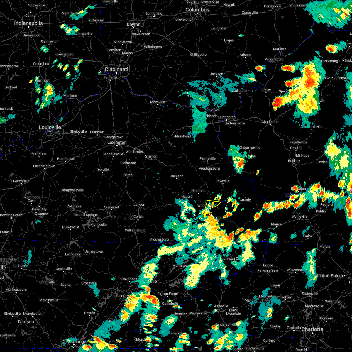 At 557 pm edt, a severe thunderstorm was located over colly, or near whitesburg, moving northeast at 35 mph (radar indicated). Hazards include 60 mph wind gusts. Expect damage to roofs, siding, and trees. this severe storm will be near, mayking around 600 pm edt. other locations in the path of this severe thunderstorm include wright, fleming-neon and jenkins. hail threat, radar indicated max hail size, <. 75 in wind threat, radar indicated max wind gust, 60 mph. At 557 pm edt, a severe thunderstorm was located over colly, or near whitesburg, moving northeast at 35 mph (radar indicated). Hazards include 60 mph wind gusts. Expect damage to roofs, siding, and trees. this severe storm will be near, mayking around 600 pm edt. other locations in the path of this severe thunderstorm include wright, fleming-neon and jenkins. hail threat, radar indicated max hail size, <. 75 in wind threat, radar indicated max wind gust, 60 mph.
|
| 8/5/2022 5:40 PM EDT |
 At 540 pm edt, a severe thunderstorm was located over lewis creek, or 9 miles south of whitesburg, moving northeast at 40 mph (radar indicated). Hazards include 60 mph wind gusts and penny size hail. Expect damage to roofs, siding, and trees. this severe thunderstorm will be near, eolia around 550 pm edt. whitesburg around 555 pm edt. mayking around 600 pm edt. other locations in the path of this severe thunderstorm include whitaker and jenkins. hail threat, radar indicated max hail size, 0. 75 in wind threat, radar indicated max wind gust, 60 mph. At 540 pm edt, a severe thunderstorm was located over lewis creek, or 9 miles south of whitesburg, moving northeast at 40 mph (radar indicated). Hazards include 60 mph wind gusts and penny size hail. Expect damage to roofs, siding, and trees. this severe thunderstorm will be near, eolia around 550 pm edt. whitesburg around 555 pm edt. mayking around 600 pm edt. other locations in the path of this severe thunderstorm include whitaker and jenkins. hail threat, radar indicated max hail size, 0. 75 in wind threat, radar indicated max wind gust, 60 mph.
|
| 7/23/2022 6:44 PM EDT |
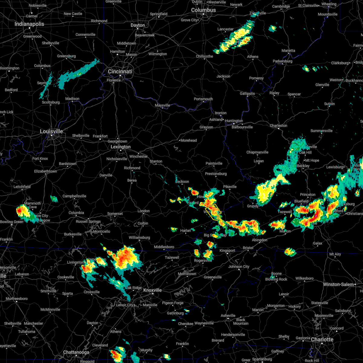 At 644 pm edt, a severe thunderstorm was located over crown, or over whitesburg, moving south at 5 mph (radar indicated). Hazards include 60 mph wind gusts and quarter size hail. Hail damage to vehicles is expected. expect wind damage to roofs, siding, and trees. locations impacted include, bellcraft, marlowe, whitesburg, ermine and ice. hail threat, radar indicated max hail size, 1. 00 in wind threat, radar indicated max wind gust, 60 mph. At 644 pm edt, a severe thunderstorm was located over crown, or over whitesburg, moving south at 5 mph (radar indicated). Hazards include 60 mph wind gusts and quarter size hail. Hail damage to vehicles is expected. expect wind damage to roofs, siding, and trees. locations impacted include, bellcraft, marlowe, whitesburg, ermine and ice. hail threat, radar indicated max hail size, 1. 00 in wind threat, radar indicated max wind gust, 60 mph.
|
| 7/23/2022 6:29 PM EDT |
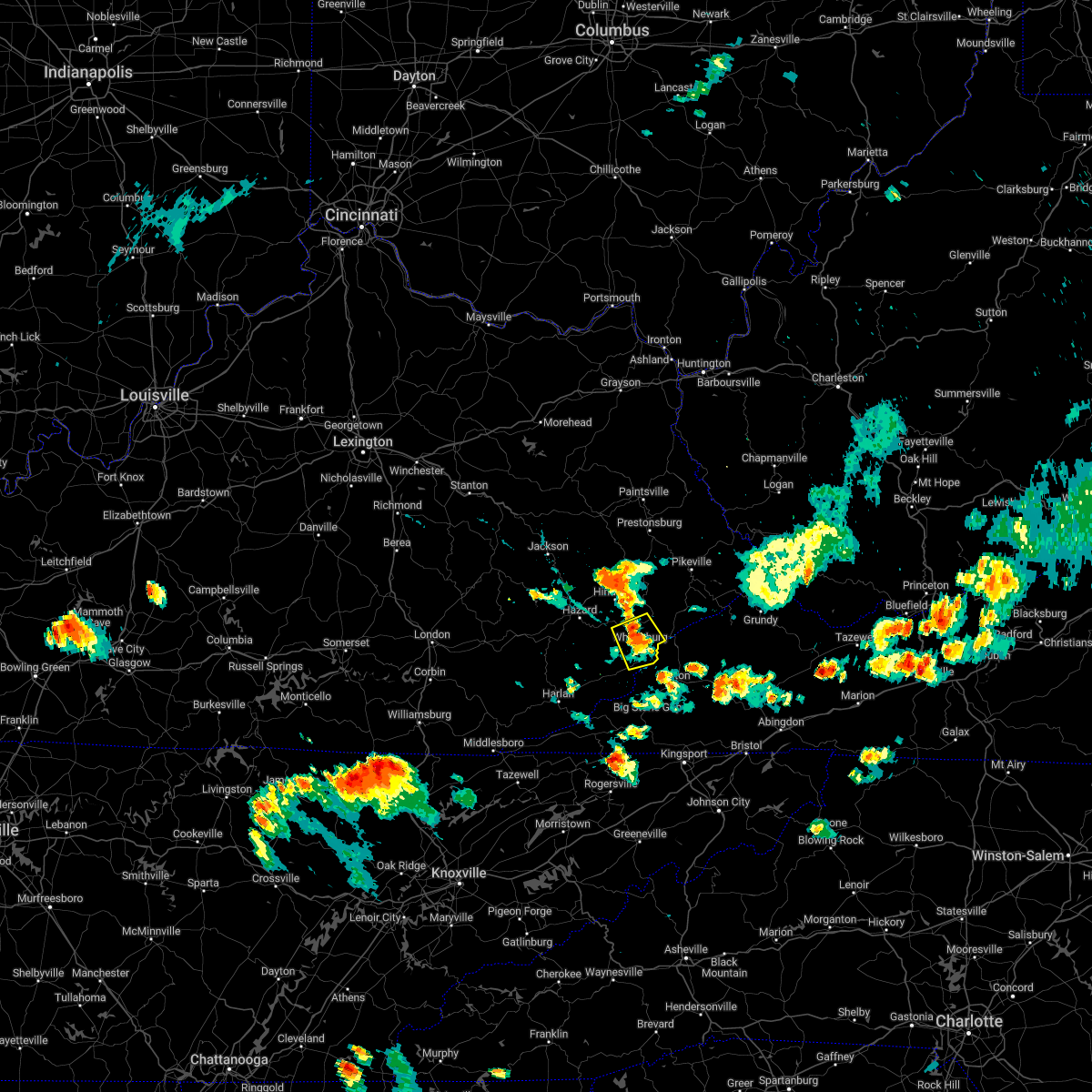 At 629 pm edt, a severe thunderstorm was located over tillie, or near whitesburg, moving south at 5 mph (radar indicated). Hazards include 60 mph wind gusts and quarter size hail. Hail damage to vehicles is expected. expect wind damage to roofs, siding, and trees. this severe thunderstorm will be near, southdown around 640 pm edt. van around 645 pm edt. other locations in the path of this severe thunderstorm include crown and whitesburg. hail threat, radar indicated max hail size, 1. 00 in wind threat, radar indicated max wind gust, 60 mph. At 629 pm edt, a severe thunderstorm was located over tillie, or near whitesburg, moving south at 5 mph (radar indicated). Hazards include 60 mph wind gusts and quarter size hail. Hail damage to vehicles is expected. expect wind damage to roofs, siding, and trees. this severe thunderstorm will be near, southdown around 640 pm edt. van around 645 pm edt. other locations in the path of this severe thunderstorm include crown and whitesburg. hail threat, radar indicated max hail size, 1. 00 in wind threat, radar indicated max wind gust, 60 mph.
|
| 7/6/2022 8:23 PM EDT |
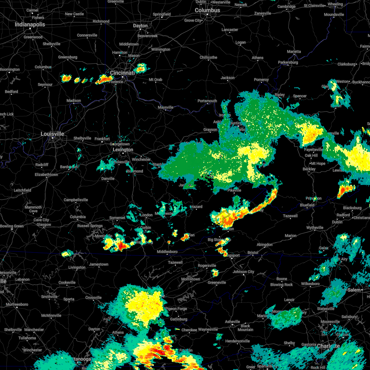 The severe thunderstorm warning for northeastern letcher county will expire at 830 pm edt, the storms which prompted the warning have weakened below severe limits, and no longer pose an immediate threat to life or property. therefore, the warning will be allowed to expire. The severe thunderstorm warning for northeastern letcher county will expire at 830 pm edt, the storms which prompted the warning have weakened below severe limits, and no longer pose an immediate threat to life or property. therefore, the warning will be allowed to expire.
|
| 7/6/2022 8:17 PM EDT |
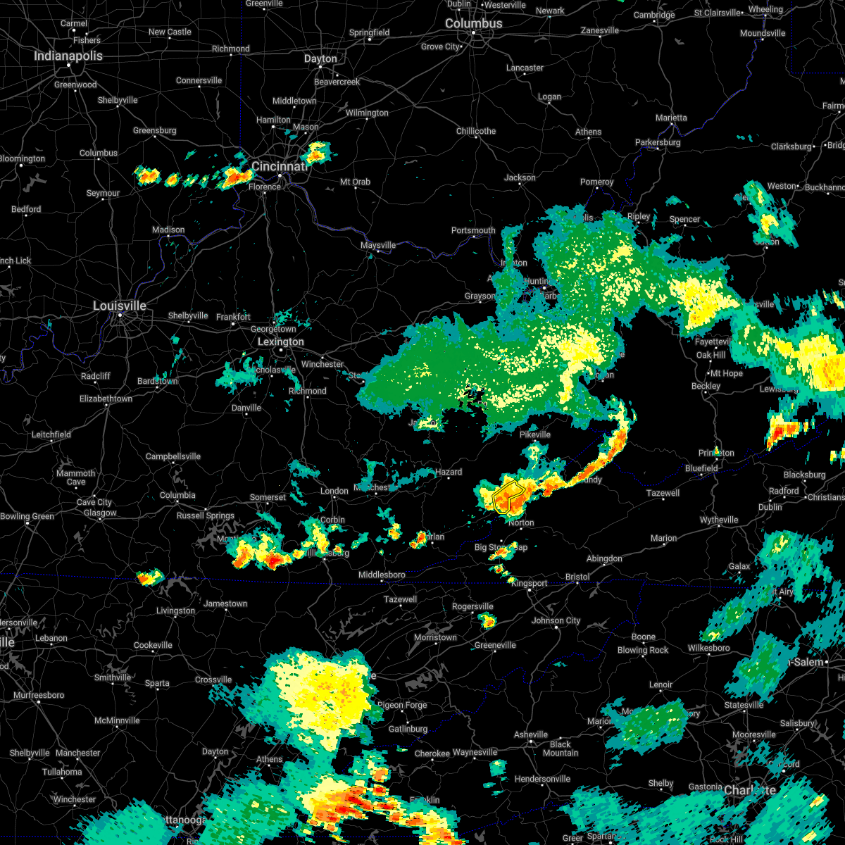 At 817 pm edt, severe thunderstorms were located along a line extending from near clintwood to oven fork, moving southeast at 35 mph (radar indicated). Hazards include 60 mph wind gusts and nickel size hail. Expect damage to roofs, siding, and trees. these severe thunderstorms will remain over mainly rural areas of northeastern letcher county. hail threat, radar indicated max hail size, 0. 88 in wind threat, radar indicated max wind gust, 60 mph. At 817 pm edt, severe thunderstorms were located along a line extending from near clintwood to oven fork, moving southeast at 35 mph (radar indicated). Hazards include 60 mph wind gusts and nickel size hail. Expect damage to roofs, siding, and trees. these severe thunderstorms will remain over mainly rural areas of northeastern letcher county. hail threat, radar indicated max hail size, 0. 88 in wind threat, radar indicated max wind gust, 60 mph.
|
| 7/6/2022 8:03 PM EDT |
 At 803 pm edt, severe thunderstorms were located along a line extending from dunham to flint, moving southeast at 30 mph (radar indicated). Hazards include 60 mph wind gusts and nickel size hail. Expect damage to roofs, siding, and trees. these severe storms will be near, jenkins around 810 pm edt. other locations in the path of these severe thunderstorms include oven fork. hail threat, radar indicated max hail size, 0. 88 in wind threat, radar indicated max wind gust, 60 mph. At 803 pm edt, severe thunderstorms were located along a line extending from dunham to flint, moving southeast at 30 mph (radar indicated). Hazards include 60 mph wind gusts and nickel size hail. Expect damage to roofs, siding, and trees. these severe storms will be near, jenkins around 810 pm edt. other locations in the path of these severe thunderstorms include oven fork. hail threat, radar indicated max hail size, 0. 88 in wind threat, radar indicated max wind gust, 60 mph.
|
| 7/6/2022 7:55 PM EDT | Multiple trees down in the isom are in letcher county KY, 6.5 miles SE of Whitesburg, KY |
| 7/6/2022 7:53 PM EDT |
 At 753 pm edt, severe thunderstorms were located along a line extending from ehkhorn mine to hallie, moving southeast at 25 mph (radar indicated). Hazards include 60 mph wind gusts and nickel size hail. Expect damage to roofs, siding, and trees. severe thunderstorms will be near, fleming-neon around 800 pm edt. jenkins around 805 pm edt. burdine around 810 pm edt. other locations in the path of these severe thunderstorms include day and oven fork. hail threat, radar indicated max hail size, 0. 88 in wind threat, radar indicated max wind gust, 60 mph. At 753 pm edt, severe thunderstorms were located along a line extending from ehkhorn mine to hallie, moving southeast at 25 mph (radar indicated). Hazards include 60 mph wind gusts and nickel size hail. Expect damage to roofs, siding, and trees. severe thunderstorms will be near, fleming-neon around 800 pm edt. jenkins around 805 pm edt. burdine around 810 pm edt. other locations in the path of these severe thunderstorms include day and oven fork. hail threat, radar indicated max hail size, 0. 88 in wind threat, radar indicated max wind gust, 60 mph.
|
| 6/17/2022 2:36 PM EDT |
 The severe thunderstorm warning for southeastern martin, letcher, east central perry, southern knott, southeastern floyd and pike counties will expire at 245 pm edt, the storms which prompted the warning have moved out of the area. therefore, the warning will be allowed to expire. however gusty winds are still possible with these thunderstorms. a severe thunderstorm watch remains in effect until 300 pm edt for southeastern and northeastern kentucky. The severe thunderstorm warning for southeastern martin, letcher, east central perry, southern knott, southeastern floyd and pike counties will expire at 245 pm edt, the storms which prompted the warning have moved out of the area. therefore, the warning will be allowed to expire. however gusty winds are still possible with these thunderstorms. a severe thunderstorm watch remains in effect until 300 pm edt for southeastern and northeastern kentucky.
|
| 6/17/2022 2:01 PM EDT |
 At 200 pm edt, severe thunderstorms were located along a line extending from near delbarton to carcassonne, moving southeast at 40 mph (radar indicated). Hazards include 60 mph wind gusts and penny size hail. Expect damage to roofs, siding, and trees. severe thunderstorms will be near, oscaloosa around 210 pm edt. whitesburg around 215 pm edt. eolia around 220 pm edt. hail threat, radar indicated max hail size, 0. 75 in wind threat, radar indicated max wind gust, 60 mph. At 200 pm edt, severe thunderstorms were located along a line extending from near delbarton to carcassonne, moving southeast at 40 mph (radar indicated). Hazards include 60 mph wind gusts and penny size hail. Expect damage to roofs, siding, and trees. severe thunderstorms will be near, oscaloosa around 210 pm edt. whitesburg around 215 pm edt. eolia around 220 pm edt. hail threat, radar indicated max hail size, 0. 75 in wind threat, radar indicated max wind gust, 60 mph.
|
| 6/17/2022 1:38 PM EDT |
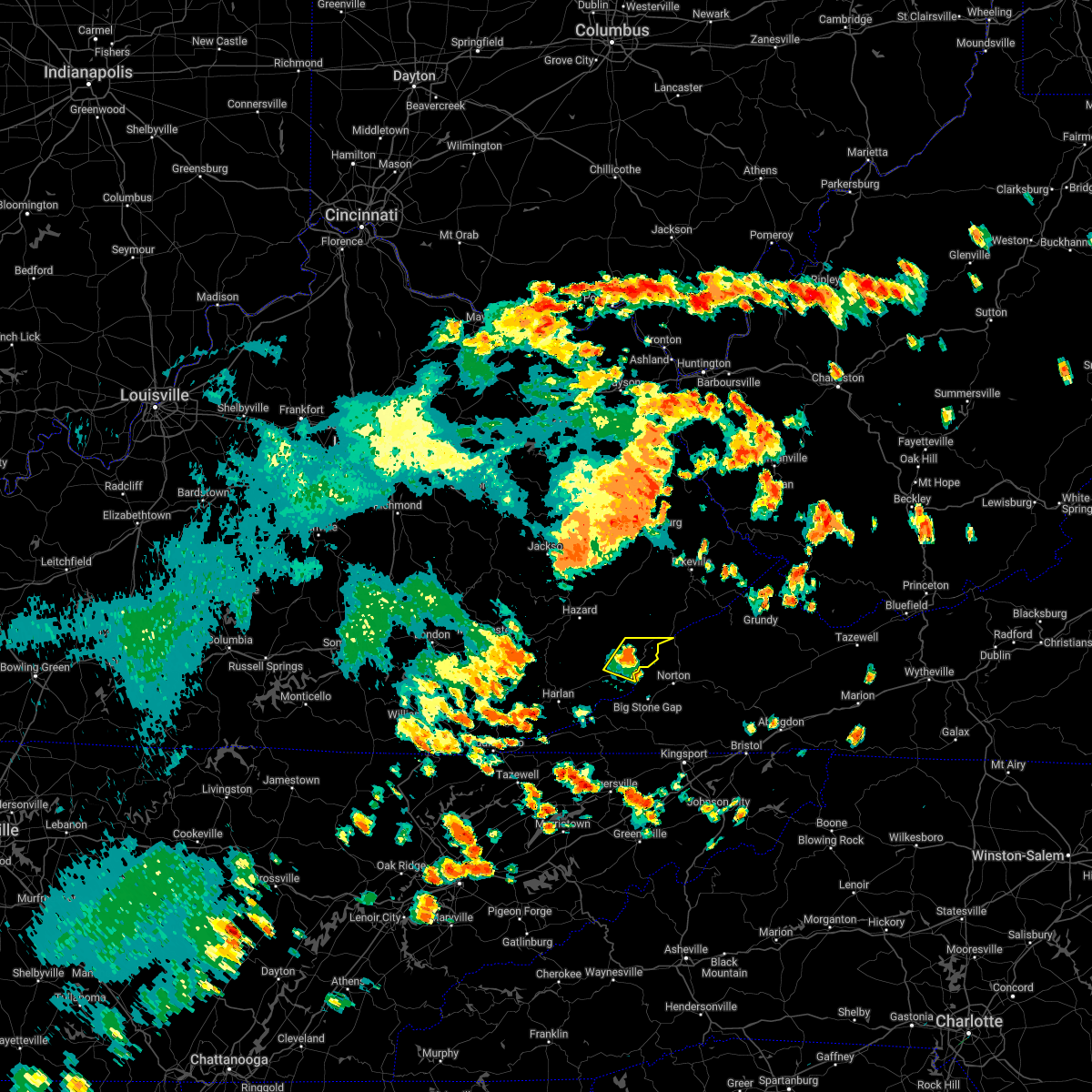 At 137 pm edt, a severe thunderstorm was located over oven fork, or near whitesburg, moving east at 40 mph (radar indicated). Hazards include 60 mph wind gusts and penny size hail. Expect damage to roofs, siding, and trees. this severe thunderstorm will remain over mainly rural areas of northeastern harlan and southern letcher counties. hail threat, radar indicated max hail size, 0. 75 in wind threat, radar indicated max wind gust, 60 mph. At 137 pm edt, a severe thunderstorm was located over oven fork, or near whitesburg, moving east at 40 mph (radar indicated). Hazards include 60 mph wind gusts and penny size hail. Expect damage to roofs, siding, and trees. this severe thunderstorm will remain over mainly rural areas of northeastern harlan and southern letcher counties. hail threat, radar indicated max hail size, 0. 75 in wind threat, radar indicated max wind gust, 60 mph.
|
| 6/17/2022 1:21 PM EDT |
 At 121 pm edt, a severe thunderstorm was located over lilley cornett woods, or 9 miles west of whitesburg, moving east at 40 mph (radar indicated). Hazards include 60 mph wind gusts and penny size hail. Expect damage to roofs, siding, and trees. this severe thunderstorm will be near, flint around 125 pm edt. oscaloosa around 130 pm edt. whitesburg around 135 pm edt. eolia around 140 pm edt. hail threat, radar indicated max hail size, 0. 75 in wind threat, radar indicated max wind gust, 60 mph. At 121 pm edt, a severe thunderstorm was located over lilley cornett woods, or 9 miles west of whitesburg, moving east at 40 mph (radar indicated). Hazards include 60 mph wind gusts and penny size hail. Expect damage to roofs, siding, and trees. this severe thunderstorm will be near, flint around 125 pm edt. oscaloosa around 130 pm edt. whitesburg around 135 pm edt. eolia around 140 pm edt. hail threat, radar indicated max hail size, 0. 75 in wind threat, radar indicated max wind gust, 60 mph.
|
| 3/23/2022 3:07 PM EDT |
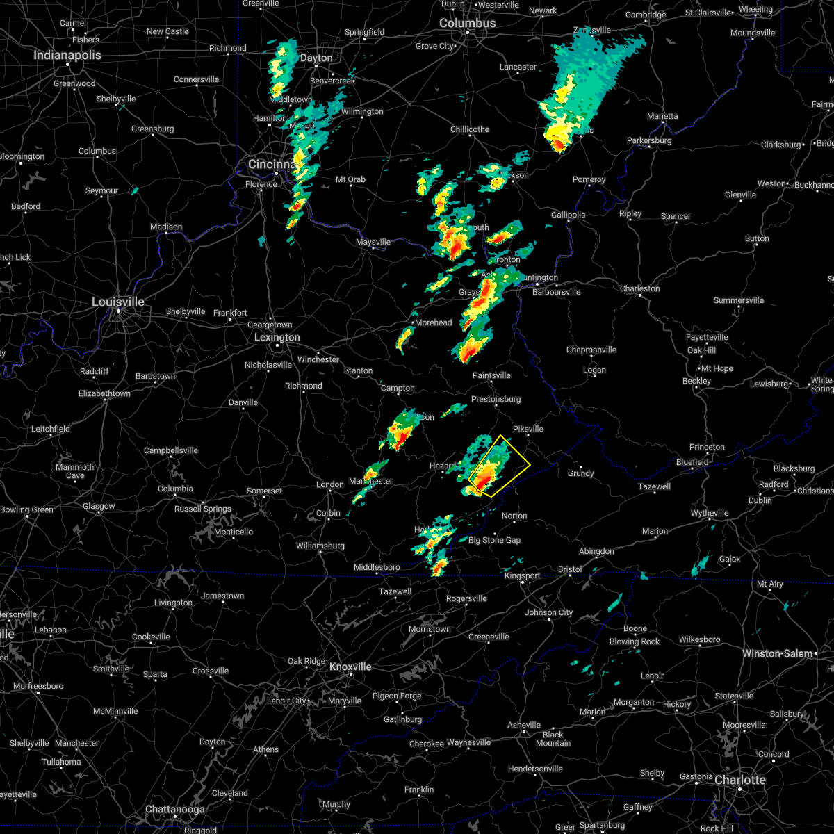 At 307 pm edt, a severe thunderstorm was located over democrat, or 9 miles north of whitesburg, moving northeast at 60 mph (radar indicated). Hazards include 60 mph wind gusts and quarter size hail. Hail damage to vehicles is expected. expect wind damage to roofs, siding, and trees. Locations impacted include, greenleaf, wheelwright and beaver. At 307 pm edt, a severe thunderstorm was located over democrat, or 9 miles north of whitesburg, moving northeast at 60 mph (radar indicated). Hazards include 60 mph wind gusts and quarter size hail. Hail damage to vehicles is expected. expect wind damage to roofs, siding, and trees. Locations impacted include, greenleaf, wheelwright and beaver.
|
| 3/23/2022 2:45 PM EDT |
 At 245 pm edt, a severe thunderstorm was located over delphia, or 14 miles southwest of whitesburg, moving northeast at 60 mph (radar indicated). Hazards include 60 mph wind gusts and quarter size hail. Hail damage to vehicles is expected. expect wind damage to roofs, siding, and trees. this severe thunderstorm will be near, defeated creek around 250 pm edt. letcher around 255 pm edt. van around 300 pm edt. polly around 305 pm edt. Other locations in the path of this severe thunderstorm include deane and wheelwright. At 245 pm edt, a severe thunderstorm was located over delphia, or 14 miles southwest of whitesburg, moving northeast at 60 mph (radar indicated). Hazards include 60 mph wind gusts and quarter size hail. Hail damage to vehicles is expected. expect wind damage to roofs, siding, and trees. this severe thunderstorm will be near, defeated creek around 250 pm edt. letcher around 255 pm edt. van around 300 pm edt. polly around 305 pm edt. Other locations in the path of this severe thunderstorm include deane and wheelwright.
|
| 9/22/2021 10:53 AM EDT |
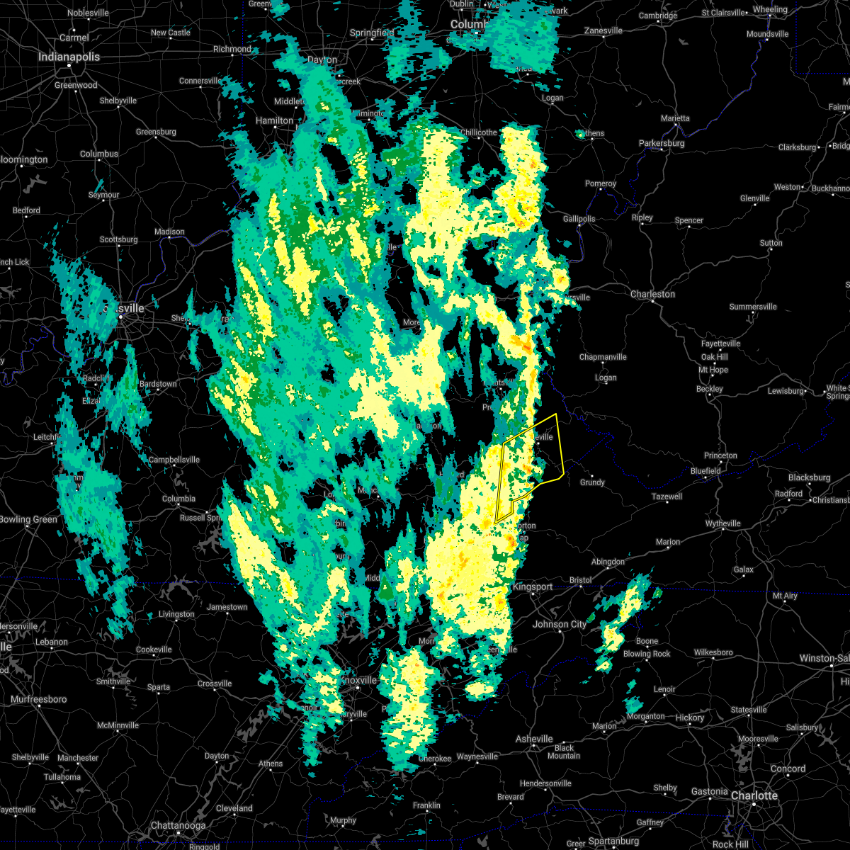 The severe thunderstorm warning for eastern letcher, east central knott, southeastern floyd and western pike counties will expire at 1100 am edt, the storms which prompted the warning have weakened below severe limits, and no longer pose an immediate threat to life or property. therefore, the warning will be allowed to expire. however gusty winds are still possible with these thunderstorms. The severe thunderstorm warning for eastern letcher, east central knott, southeastern floyd and western pike counties will expire at 1100 am edt, the storms which prompted the warning have weakened below severe limits, and no longer pose an immediate threat to life or property. therefore, the warning will be allowed to expire. however gusty winds are still possible with these thunderstorms.
|
| 9/22/2021 10:45 AM EDT |
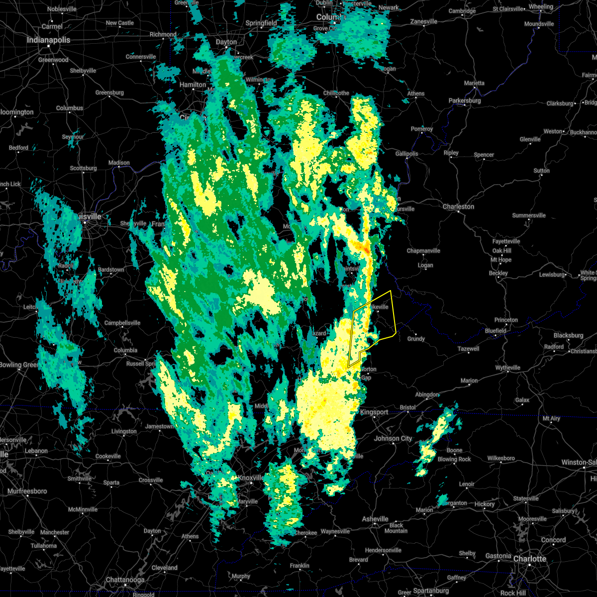 At 1043 am edt, severe thunderstorms were located along a line extending from pleasant to near wright, moving northeast at 50 mph (radar indicated). Hazards include 60 mph wind gusts. Expect damage to roofs, siding, and trees. locations impacted include, adamson, shelby gap, ashcamp, rockhouse and elkhorn city. hail threat, radar indicated max hail size, <. 75 in wind threat, radar indicated max wind gust, 60 mph. At 1043 am edt, severe thunderstorms were located along a line extending from pleasant to near wright, moving northeast at 50 mph (radar indicated). Hazards include 60 mph wind gusts. Expect damage to roofs, siding, and trees. locations impacted include, adamson, shelby gap, ashcamp, rockhouse and elkhorn city. hail threat, radar indicated max hail size, <. 75 in wind threat, radar indicated max wind gust, 60 mph.
|
| 9/22/2021 10:13 AM EDT |
 At 1013 am edt, severe thunderstorms were located along a line extending from mid to holmes mill, moving northeast at 50 mph (radar indicated). Hazards include 60 mph wind gusts. Expect damage to roofs, siding, and trees. severe thunderstorms will be near, lewis creek around 1025 am edt. maggard around 1030 am edt. other locations in the path of these severe thunderstorms include eolia, jenkins and adamson. hail threat, radar indicated max hail size, <. 75 in wind threat, radar indicated max wind gust, 60 mph. At 1013 am edt, severe thunderstorms were located along a line extending from mid to holmes mill, moving northeast at 50 mph (radar indicated). Hazards include 60 mph wind gusts. Expect damage to roofs, siding, and trees. severe thunderstorms will be near, lewis creek around 1025 am edt. maggard around 1030 am edt. other locations in the path of these severe thunderstorms include eolia, jenkins and adamson. hail threat, radar indicated max hail size, <. 75 in wind threat, radar indicated max wind gust, 60 mph.
|
| 9/22/2021 10:06 AM EDT |
 At 1006 am edt, severe thunderstorms were located along a line extending from fredville to hallie, moving northeast at 40 mph (radar indicated). Hazards include 60 mph wind gusts. Expect damage to roofs, siding, and trees. locations impacted include, fredville, carbon glow, isom, bath, democrat and deane. hail threat, radar indicated max hail size, <. 75 in wind threat, radar indicated max wind gust, 60 mph. At 1006 am edt, severe thunderstorms were located along a line extending from fredville to hallie, moving northeast at 40 mph (radar indicated). Hazards include 60 mph wind gusts. Expect damage to roofs, siding, and trees. locations impacted include, fredville, carbon glow, isom, bath, democrat and deane. hail threat, radar indicated max hail size, <. 75 in wind threat, radar indicated max wind gust, 60 mph.
|
| 9/22/2021 9:27 AM EDT |
 At 927 am edt, severe thunderstorms were located along a line extending from barwick to near bledsoe, moving northeast at 40 mph (radar indicated). Hazards include 60 mph wind gusts. Expect damage to roofs, siding, and trees. severe thunderstorms will be near, wolf coal around 930 am edt. ned around 935 am edt. hardshell around 940 am edt. big laurel around 945 am edt. other locations in the path of these severe thunderstorms include leatherwood and delphia. hail threat, radar indicated max hail size, <. 75 in wind threat, radar indicated max wind gust, 60 mph. At 927 am edt, severe thunderstorms were located along a line extending from barwick to near bledsoe, moving northeast at 40 mph (radar indicated). Hazards include 60 mph wind gusts. Expect damage to roofs, siding, and trees. severe thunderstorms will be near, wolf coal around 930 am edt. ned around 935 am edt. hardshell around 940 am edt. big laurel around 945 am edt. other locations in the path of these severe thunderstorms include leatherwood and delphia. hail threat, radar indicated max hail size, <. 75 in wind threat, radar indicated max wind gust, 60 mph.
|
| 6/21/2021 7:06 PM EDT |
 The severe thunderstorm warning for northeastern harlan and southeastern letcher counties will expire at 715 pm edt, the storm which prompted the warning has moved out of the area. therefore, the warning will be allowed to expire. however gusty winds are still possible with this thunderstorm. a severe thunderstorm watch remains in effect until 900 pm edt for southeastern kentucky. The severe thunderstorm warning for northeastern harlan and southeastern letcher counties will expire at 715 pm edt, the storm which prompted the warning has moved out of the area. therefore, the warning will be allowed to expire. however gusty winds are still possible with this thunderstorm. a severe thunderstorm watch remains in effect until 900 pm edt for southeastern kentucky.
|
| 6/21/2021 6:49 PM EDT |
 At 649 pm edt, a severe thunderstorm was located near big stone gap, or 8 miles west of norton, moving east at 55 mph (radar indicated). Hazards include 60 mph wind gusts. Expect damage to roofs, siding, and trees. This severe thunderstorm will remain over mainly rural areas of northeastern harlan and southeastern letcher counties. At 649 pm edt, a severe thunderstorm was located near big stone gap, or 8 miles west of norton, moving east at 55 mph (radar indicated). Hazards include 60 mph wind gusts. Expect damage to roofs, siding, and trees. This severe thunderstorm will remain over mainly rural areas of northeastern harlan and southeastern letcher counties.
|
| 6/21/2021 6:34 PM EDT |
 At 634 pm edt, a severe thunderstorm was located over closplint, or 16 miles north of jonesville, moving east at 55 mph (radar indicated). Hazards include 60 mph wind gusts. Expect damage to roofs, siding, and trees. This severe thunderstorm will be near, lynch around 640 pm edt. At 634 pm edt, a severe thunderstorm was located over closplint, or 16 miles north of jonesville, moving east at 55 mph (radar indicated). Hazards include 60 mph wind gusts. Expect damage to roofs, siding, and trees. This severe thunderstorm will be near, lynch around 640 pm edt.
|
| 4/9/2020 2:28 AM EDT |
 The severe thunderstorm warning for northeastern harlan, letcher and southeastern perry counties will expire at 230 am edt, the storms which prompted the warning have weakened below severe limits, and have exited the warned area. therefore, the warning will be allowed to expire. The severe thunderstorm warning for northeastern harlan, letcher and southeastern perry counties will expire at 230 am edt, the storms which prompted the warning have weakened below severe limits, and have exited the warned area. therefore, the warning will be allowed to expire.
|
| 4/9/2020 2:14 AM EDT |
 At 213 am edt, severe thunderstorms were located along a line extending from tillie to hiram, moving east at 50 mph (radar indicated). Hazards include 60 mph wind gusts and penny size hail. expect damage to roofs, siding, and trees At 213 am edt, severe thunderstorms were located along a line extending from tillie to hiram, moving east at 50 mph (radar indicated). Hazards include 60 mph wind gusts and penny size hail. expect damage to roofs, siding, and trees
|
| 4/9/2020 1:55 AM EDT |
 The severe thunderstorm warning for letcher, perry, knott, floyd, southeastern breathitt, pike and southeastern magoffin counties will expire at 200 am edt, the storms which prompted the warning are still capable of producing damaging winds and hail. the warning will be allowed to expire at its designated time, but has been replaced with a new severe thunderstorm warning in effect until 6:15 am edt. a tornado watch remains in effect until 400 am edt for southeastern and northeastern kentucky. The severe thunderstorm warning for letcher, perry, knott, floyd, southeastern breathitt, pike and southeastern magoffin counties will expire at 200 am edt, the storms which prompted the warning are still capable of producing damaging winds and hail. the warning will be allowed to expire at its designated time, but has been replaced with a new severe thunderstorm warning in effect until 6:15 am edt. a tornado watch remains in effect until 400 am edt for southeastern and northeastern kentucky.
|
| 4/9/2020 1:52 AM EDT |
 At 152 am edt, severe thunderstorms were located along a line extending from hinch to near garden village to democrat to hoskinston, moving southeast at 55 mph (radar indicated). Hazards include 60 mph wind gusts and penny size hail. expect damage to roofs, siding, and trees At 152 am edt, severe thunderstorms were located along a line extending from hinch to near garden village to democrat to hoskinston, moving southeast at 55 mph (radar indicated). Hazards include 60 mph wind gusts and penny size hail. expect damage to roofs, siding, and trees
|
| 4/9/2020 1:42 AM EDT |
 At 141 am edt, severe thunderstorms were located along a line extending from near red jacket to osborn to soft shell to near hazard, moving southeast at 45 mph (radar indicated). Hazards include 60 mph wind gusts and penny size hail. Expect damage to roofs, siding, and trees. Locations impacted include, pikeville, hazard, prestonsburg, whitesburg, hindman, letcher, estill, bath, cumberland, jenkins, coal run village and elkhorn city. At 141 am edt, severe thunderstorms were located along a line extending from near red jacket to osborn to soft shell to near hazard, moving southeast at 45 mph (radar indicated). Hazards include 60 mph wind gusts and penny size hail. Expect damage to roofs, siding, and trees. Locations impacted include, pikeville, hazard, prestonsburg, whitesburg, hindman, letcher, estill, bath, cumberland, jenkins, coal run village and elkhorn city.
|
| 4/9/2020 1:18 AM EDT |
 At 118 am edt, severe thunderstorms were located along a line extending from near oppy to dotson to lunah to canoe, moving southeast at 45 mph (radar indicated). Hazards include 60 mph wind gusts and penny size hail. expect damage to roofs, siding, and trees At 118 am edt, severe thunderstorms were located along a line extending from near oppy to dotson to lunah to canoe, moving southeast at 45 mph (radar indicated). Hazards include 60 mph wind gusts and penny size hail. expect damage to roofs, siding, and trees
|
| 6/24/2019 5:42 PM EDT |
 At 542 pm edt, severe thunderstorms were located along a line extending from bosco to defeated creek, moving east at 40 mph (radar indicated). Hazards include 60 mph wind gusts. expect damage to roofs, siding, and trees At 542 pm edt, severe thunderstorms were located along a line extending from bosco to defeated creek, moving east at 40 mph (radar indicated). Hazards include 60 mph wind gusts. expect damage to roofs, siding, and trees
|
| 6/22/2019 12:17 AM EDT |
 A severe thunderstorm warning remains in effect until 1230 am edt for harlan. letcher. southeastern leslie and southeastern perry counties. at 1215 am edt, severe thunderstorms were located along a line extending from chappell to near jonesville, moving east at 45 mph. hazard. 60 mph wind gusts and penny size hail. A severe thunderstorm warning remains in effect until 1230 am edt for harlan. letcher. southeastern leslie and southeastern perry counties. at 1215 am edt, severe thunderstorms were located along a line extending from chappell to near jonesville, moving east at 45 mph. hazard. 60 mph wind gusts and penny size hail.
|
| 6/22/2019 12:14 AM EDT |
 A severe thunderstorm warning remains in effect until 1230 am edt for harlan. letcher. southern leslie. southeastern perry and south central knott counties. at 1213 am edt, severe thunderstorms were located along a line extending from chappell to near sneedville, moving east at 45 mph. hazard. 60 mph wind gusts and penny size hail. A severe thunderstorm warning remains in effect until 1230 am edt for harlan. letcher. southern leslie. southeastern perry and south central knott counties. at 1213 am edt, severe thunderstorms were located along a line extending from chappell to near sneedville, moving east at 45 mph. hazard. 60 mph wind gusts and penny size hail.
|
| 6/21/2019 11:51 PM EDT |
 The national weather service in jackson ky has issued a * severe thunderstorm warning for. harlan county in southeastern kentucky. northeastern bell county in southeastern kentucky. letcher county in southeastern kentucky. Leslie county in southeastern kentucky. The national weather service in jackson ky has issued a * severe thunderstorm warning for. harlan county in southeastern kentucky. northeastern bell county in southeastern kentucky. letcher county in southeastern kentucky. Leslie county in southeastern kentucky.
|
| 6/21/2019 11:51 PM EDT |
 At 1150 pm edt, severe thunderstorms were located along a line extending from ice cliff to 7 miles south of cubage, moving east at 45 mph (radar indicated). Hazards include 60 mph wind gusts and penny size hail. expect damage to roofs, siding, and trees At 1150 pm edt, severe thunderstorms were located along a line extending from ice cliff to 7 miles south of cubage, moving east at 45 mph (radar indicated). Hazards include 60 mph wind gusts and penny size hail. expect damage to roofs, siding, and trees
|
| 5/26/2019 8:27 PM EDT |
 The severe thunderstorm warning for letcher, southeastern floyd and southwestern pike counties will expire at 830 pm edt, the storm which prompted the warning has moved out of the area. therefore, the warning will be allowed to expire. a severe thunderstorm watch remains in effect until 900 pm edt for southeastern kentucky. remember, a severe thunderstorm warning still remains in effect for portions of pike county. The severe thunderstorm warning for letcher, southeastern floyd and southwestern pike counties will expire at 830 pm edt, the storm which prompted the warning has moved out of the area. therefore, the warning will be allowed to expire. a severe thunderstorm watch remains in effect until 900 pm edt for southeastern kentucky. remember, a severe thunderstorm warning still remains in effect for portions of pike county.
|
| 5/26/2019 7:57 PM EDT |
 At 756 pm edt, a severe thunderstorm was located over mcroberts, or 11 miles northeast of whitesburg, moving east at 45 mph (radar indicated). Hazards include 60 mph wind gusts. Expect damage to roofs, siding, and trees. Locations impacted include, whitesburg, letcher, jenkins, elkhorn city, wheelwright, fleming-neon, blackey, winters, horn, oscaloosa, van and colly. At 756 pm edt, a severe thunderstorm was located over mcroberts, or 11 miles northeast of whitesburg, moving east at 45 mph (radar indicated). Hazards include 60 mph wind gusts. Expect damage to roofs, siding, and trees. Locations impacted include, whitesburg, letcher, jenkins, elkhorn city, wheelwright, fleming-neon, blackey, winters, horn, oscaloosa, van and colly.
|
| 5/26/2019 7:32 PM EDT |
 At 731 pm edt, a severe thunderstorm was located over amburgey, or over hindman, moving east at 45 mph (radar indicated). Hazards include 60 mph wind gusts. expect damage to roofs, siding, and trees At 731 pm edt, a severe thunderstorm was located over amburgey, or over hindman, moving east at 45 mph (radar indicated). Hazards include 60 mph wind gusts. expect damage to roofs, siding, and trees
|
| 6/26/2018 10:55 AM EDT |
 At 1054 am edt, a severe thunderstorm was located over oscaloosa, or near whitesburg, moving east at 35 mph (radar indicated). Hazards include 60 mph wind gusts. Expect damage to roofs, siding, and trees. Locations impacted include, whitesburg, letcher, cumberland, jenkins, fleming-neon, blackey, winters, horn, oscaloosa, van, colly and isom. At 1054 am edt, a severe thunderstorm was located over oscaloosa, or near whitesburg, moving east at 35 mph (radar indicated). Hazards include 60 mph wind gusts. Expect damage to roofs, siding, and trees. Locations impacted include, whitesburg, letcher, cumberland, jenkins, fleming-neon, blackey, winters, horn, oscaloosa, van, colly and isom.
|
| 6/26/2018 10:39 AM EDT |
 At 1039 am edt, a severe thunderstorm was located over bluefield, or 11 miles southeast of hazard, moving east at 35 mph (radar indicated). Hazards include 60 mph wind gusts. expect damage to roofs, siding, and trees At 1039 am edt, a severe thunderstorm was located over bluefield, or 11 miles southeast of hazard, moving east at 35 mph (radar indicated). Hazards include 60 mph wind gusts. expect damage to roofs, siding, and trees
|
| 6/25/2018 2:26 PM EDT |
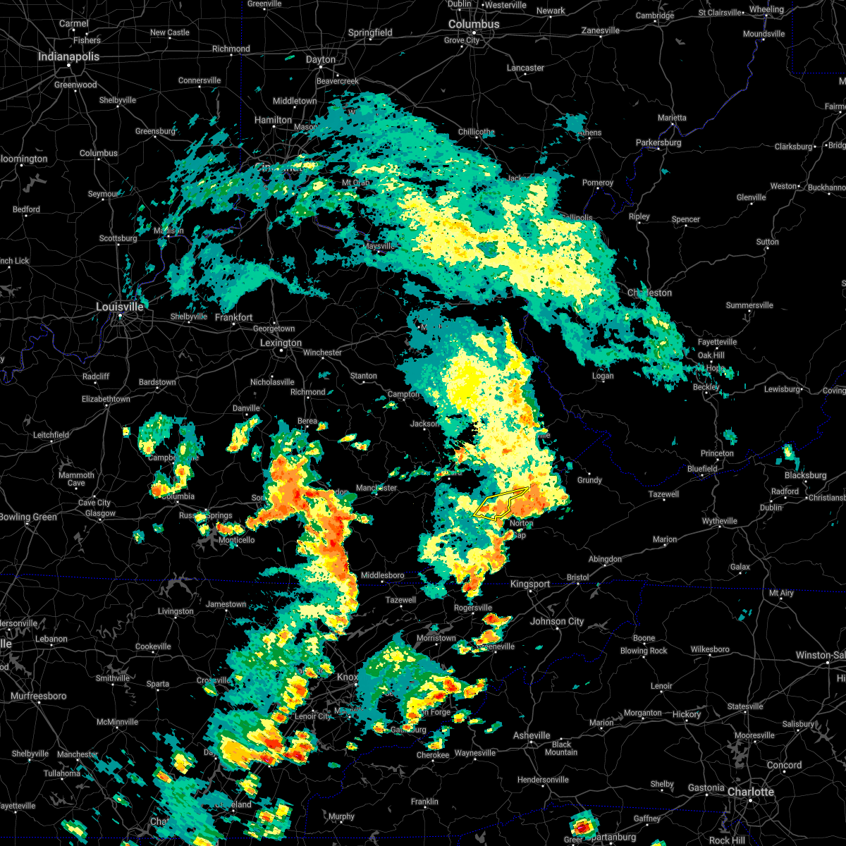 The severe thunderstorm warning for central letcher county will expire at 230 pm edt. the storm which prompted the warning has weakened below severe limits, and has exited the warned area. therefore, the warning will be allowed to expire. However heavy rain is still possible with this thunderstorm. The severe thunderstorm warning for central letcher county will expire at 230 pm edt. the storm which prompted the warning has weakened below severe limits, and has exited the warned area. therefore, the warning will be allowed to expire. However heavy rain is still possible with this thunderstorm.
|
| 6/25/2018 1:49 PM EDT |
 At 149 pm edt, a severe thunderstorm was located over day, or near whitesburg, moving east at 20 mph (radar indicated). Hazards include 60 mph wind gusts. Expect damage to roofs, siding, and trees. Locations impacted include, whitesburg, jenkins, winters, oscaloosa, flint, oven fork, wright, colly, fishpond lake, bellcraft, trailer and payne gap. At 149 pm edt, a severe thunderstorm was located over day, or near whitesburg, moving east at 20 mph (radar indicated). Hazards include 60 mph wind gusts. Expect damage to roofs, siding, and trees. Locations impacted include, whitesburg, jenkins, winters, oscaloosa, flint, oven fork, wright, colly, fishpond lake, bellcraft, trailer and payne gap.
|
| 6/25/2018 1:32 PM EDT |
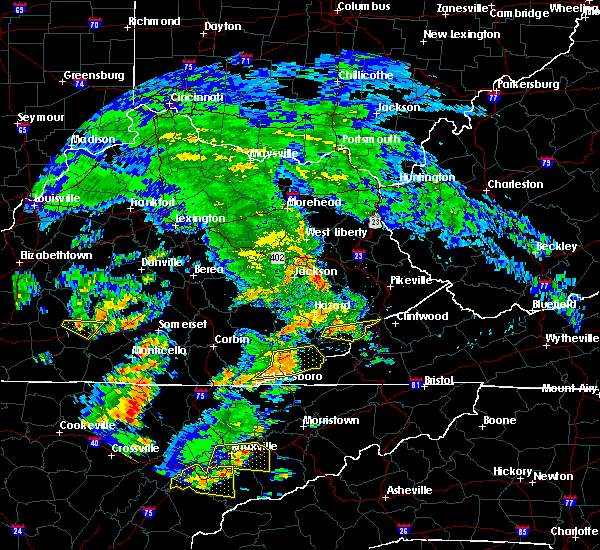 At 132 pm edt, a severe thunderstorm was located over skyline, or 9 miles southwest of whitesburg, moving east at 20 mph (radar indicated). Hazards include 60 mph wind gusts. expect damage to roofs, siding, and trees At 132 pm edt, a severe thunderstorm was located over skyline, or 9 miles southwest of whitesburg, moving east at 20 mph (radar indicated). Hazards include 60 mph wind gusts. expect damage to roofs, siding, and trees
|
| 4/4/2018 1:38 AM EDT |
 At 137 am edt, severe thunderstorms were located along a line extending from tillie to near pennington gap, moving east at 60 mph (radar indicated). Hazards include 60 mph wind gusts. Expect damage to roofs, siding, and trees. Locations impacted include, whitesburg, letcher, cumberland, jenkins, elkhorn city, evarts, fleming-neon, lynch, benham, blackey, bobs creek, van, dizney, colly, louellen, premium, sergent, gilley, clutts and shields. At 137 am edt, severe thunderstorms were located along a line extending from tillie to near pennington gap, moving east at 60 mph (radar indicated). Hazards include 60 mph wind gusts. Expect damage to roofs, siding, and trees. Locations impacted include, whitesburg, letcher, cumberland, jenkins, elkhorn city, evarts, fleming-neon, lynch, benham, blackey, bobs creek, van, dizney, colly, louellen, premium, sergent, gilley, clutts and shields.
|
| 4/4/2018 1:28 AM EDT |
 At 126 am edt, severe thunderstorms were located along a line extending from ulvah to martins fork lake, moving east at 60 mph (62 mph gust reported at harlan awos). Hazards include 60 mph wind gusts. Expect damage to roofs, siding, and trees. Locations impacted include, whitesburg, harlan, letcher, cumberland, jenkins, loyall, elkhorn city, evarts, fleming-neon, lynch, benham, blackey, big fork, bobs creek, leatherwood, van, dizney, colly, louellen and premium. At 126 am edt, severe thunderstorms were located along a line extending from ulvah to martins fork lake, moving east at 60 mph (62 mph gust reported at harlan awos). Hazards include 60 mph wind gusts. Expect damage to roofs, siding, and trees. Locations impacted include, whitesburg, harlan, letcher, cumberland, jenkins, loyall, elkhorn city, evarts, fleming-neon, lynch, benham, blackey, big fork, bobs creek, leatherwood, van, dizney, colly, louellen and premium.
|
| 4/4/2018 1:14 AM EDT |
 At 114 am edt, severe thunderstorms were located along a line extending from cutshin to near hensley store, moving east at 60 mph (radar indicated). Hazards include 60 mph wind gusts. expect damage to roofs, siding, and trees At 114 am edt, severe thunderstorms were located along a line extending from cutshin to near hensley store, moving east at 60 mph (radar indicated). Hazards include 60 mph wind gusts. expect damage to roofs, siding, and trees
|
| 7/6/2017 7:16 PM EDT |
 At 716 pm edt, severe thunderstorms were located along a line extending from redfox to lynch to near cranks, moving east at 55 mph (radar indicated). Hazards include 60 mph wind gusts. Expect damage to roofs, siding, and trees. Locations impacted include, whitesburg, harlan, letcher, cumberland, evarts, lynch, benham, blackey, bobs creek, van, dizney, colly, louellen, premium, clutts, shields, black mountain, smith, whitco and southdown. At 716 pm edt, severe thunderstorms were located along a line extending from redfox to lynch to near cranks, moving east at 55 mph (radar indicated). Hazards include 60 mph wind gusts. Expect damage to roofs, siding, and trees. Locations impacted include, whitesburg, harlan, letcher, cumberland, evarts, lynch, benham, blackey, bobs creek, van, dizney, colly, louellen, premium, clutts, shields, black mountain, smith, whitco and southdown.
|
| 7/6/2017 7:01 PM EDT |
 At 701 pm edt, severe thunderstorms were located along a line extending from diablock to arthur to mary alice, moving east at 55 mph (radar indicated). Hazards include 60 mph wind gusts and quarter size hail. Hail damage to vehicles is expected. Expect wind damage to roofs, siding, and trees. At 701 pm edt, severe thunderstorms were located along a line extending from diablock to arthur to mary alice, moving east at 55 mph (radar indicated). Hazards include 60 mph wind gusts and quarter size hail. Hail damage to vehicles is expected. Expect wind damage to roofs, siding, and trees.
|
| 5/27/2017 6:40 PM EDT |
 The severe thunderstorm warning for northeastern letcher county will expire at 645 pm edt, the storm which prompted the warning has weakened below severe limits, and no longer poses an immediate threat to life or property. therefore the warning will be allowed to expire. however heavy rain is still possible with this thunderstorm. a severe thunderstorm watch remains in effect until 1000 pm edt for southeastern kentucky. to report severe weather, contact your nearest law enforcement agency. they will relay your report to the national weather service jackson ky. The severe thunderstorm warning for northeastern letcher county will expire at 645 pm edt, the storm which prompted the warning has weakened below severe limits, and no longer poses an immediate threat to life or property. therefore the warning will be allowed to expire. however heavy rain is still possible with this thunderstorm. a severe thunderstorm watch remains in effect until 1000 pm edt for southeastern kentucky. to report severe weather, contact your nearest law enforcement agency. they will relay your report to the national weather service jackson ky.
|
| 5/27/2017 6:35 PM EDT | A tree was blown dow in letcher county KY, 1.5 miles NNW of Whitesburg, KY |
| 5/27/2017 6:32 PM EDT |
 At 631 pm edt, a severe thunderstorm was located over democrat, or 8 miles north of whitesburg, moving east at 30 mph (radar indicated). Hazards include 60 mph wind gusts and quarter size hail. Hail damage to vehicles is expected. expect wind damage to roofs, siding, and trees. Locations impacted include, whitesburg, fleming-neon, winters, millstone, horn, van, hemphill, wright, colly, lucastown, craftsville, premium, fishpond lake, beefhide, chip, cromona, bellcraft, potters fork, trailer and payne gap. At 631 pm edt, a severe thunderstorm was located over democrat, or 8 miles north of whitesburg, moving east at 30 mph (radar indicated). Hazards include 60 mph wind gusts and quarter size hail. Hail damage to vehicles is expected. expect wind damage to roofs, siding, and trees. Locations impacted include, whitesburg, fleming-neon, winters, millstone, horn, van, hemphill, wright, colly, lucastown, craftsville, premium, fishpond lake, beefhide, chip, cromona, bellcraft, potters fork, trailer and payne gap.
|
| 5/27/2017 6:27 PM EDT | Large tree down blocking both lanes of a roadwa in letcher county KY, 2 miles E of Whitesburg, KY |
| 5/27/2017 6:27 PM EDT | Trees blown dow in letcher county KY, 2.6 miles ENE of Whitesburg, KY |
| 5/27/2017 6:10 PM EDT |
 At 610 pm edt, a severe thunderstorm was located over amburgey, or near hindman, moving east at 30 mph (radar indicated). Hazards include 60 mph wind gusts and quarter size hail. Hail damage to vehicles is expected. Expect wind damage to roofs, siding, and trees. At 610 pm edt, a severe thunderstorm was located over amburgey, or near hindman, moving east at 30 mph (radar indicated). Hazards include 60 mph wind gusts and quarter size hail. Hail damage to vehicles is expected. Expect wind damage to roofs, siding, and trees.
|
| 5/20/2017 9:08 PM EDT |
 At 907 pm edt, severe thunderstorms were located along a line extending from falcon to swamp branch to dotson to near waldo, moving northeast at 30 mph (radar indicated). Hazards include 60 mph wind gusts and quarter size hail. Hail damage to vehicles is expected. Expect wind damage to roofs, siding, and trees. At 907 pm edt, severe thunderstorms were located along a line extending from falcon to swamp branch to dotson to near waldo, moving northeast at 30 mph (radar indicated). Hazards include 60 mph wind gusts and quarter size hail. Hail damage to vehicles is expected. Expect wind damage to roofs, siding, and trees.
|
| 3/21/2017 6:45 PM EDT | Golf Ball sized hail reported 5 miles NNE of Whitesburg, KY, golf ball size hail along buttermilk road |
| 3/1/2017 10:25 AM EST |
 The severe thunderstorm warning for northeastern harlan, letcher, east central leslie, southeastern perry and southern pike counties will expire at 1030 am est, the storms which prompted the warning have weakened below severe limits, and no longer pose an immediate threat to life or property. therefore the warning will be allowed to expire. a severe thunderstorm watch remains in effect until 100 pm est for southeastern kentucky. The severe thunderstorm warning for northeastern harlan, letcher, east central leslie, southeastern perry and southern pike counties will expire at 1030 am est, the storms which prompted the warning have weakened below severe limits, and no longer pose an immediate threat to life or property. therefore the warning will be allowed to expire. a severe thunderstorm watch remains in effect until 100 pm est for southeastern kentucky.
|
| 3/1/2017 10:19 AM EST |
 At 1019 am est, severe thunderstorms were located along a line extending from woodman to breaks interstate to blair, moving east at 55 mph (radar indicated). Hazards include 70 mph wind gusts. Expect considerable tree damage. damage is likely to mobile homes, roofs, and outbuildings. Locations impacted include, whitesburg, letcher, cumberland, jenkins, elkhorn city, fleming-neon, lynch, benham, blackey, big fork, leatherwood, van, jamboree, colly, premium, sergent, gilley, clutts, biggs and yeaddiss. At 1019 am est, severe thunderstorms were located along a line extending from woodman to breaks interstate to blair, moving east at 55 mph (radar indicated). Hazards include 70 mph wind gusts. Expect considerable tree damage. damage is likely to mobile homes, roofs, and outbuildings. Locations impacted include, whitesburg, letcher, cumberland, jenkins, elkhorn city, fleming-neon, lynch, benham, blackey, big fork, leatherwood, van, jamboree, colly, premium, sergent, gilley, clutts, biggs and yeaddiss.
|
| 3/1/2017 10:08 AM EST |
 At 1007 am est, severe thunderstorms were located along a line extending from delbarton to near fishtrap lake to skyline, moving east at 60 mph (radar indicated). Hazards include 70 mph wind gusts. Expect considerable tree damage. damage is likely to mobile homes, roofs, and outbuildings. Locations impacted include, pikeville, hazard, whitesburg, hyden, letcher, bath, cumberland, jenkins, elkhorn city, wheelwright, fleming-neon, lynch, pippa passes, benham, forest hills, vicco, blackey, big fork, cody and premium. At 1007 am est, severe thunderstorms were located along a line extending from delbarton to near fishtrap lake to skyline, moving east at 60 mph (radar indicated). Hazards include 70 mph wind gusts. Expect considerable tree damage. damage is likely to mobile homes, roofs, and outbuildings. Locations impacted include, pikeville, hazard, whitesburg, hyden, letcher, bath, cumberland, jenkins, elkhorn city, wheelwright, fleming-neon, lynch, pippa passes, benham, forest hills, vicco, blackey, big fork, cody and premium.
|
| 3/1/2017 9:56 AM EST |
 At 956 am est, severe thunderstorms were located along a line extending from hatfield station to shelbiana to near slemp, moving east at 60 mph (radar indicated). Hazards include 70 mph wind gusts. Expect considerable tree damage. damage is likely to mobile homes, roofs, and outbuildings. Locations impacted include, pikeville, hazard, whitesburg, hindman, hyden, letcher, bath, cumberland, jenkins, coal run village, elkhorn city, wheelwright, fleming-neon, lynch, pippa passes, benham, forest hills, vicco, warfield and blackey. At 956 am est, severe thunderstorms were located along a line extending from hatfield station to shelbiana to near slemp, moving east at 60 mph (radar indicated). Hazards include 70 mph wind gusts. Expect considerable tree damage. damage is likely to mobile homes, roofs, and outbuildings. Locations impacted include, pikeville, hazard, whitesburg, hindman, hyden, letcher, bath, cumberland, jenkins, coal run village, elkhorn city, wheelwright, fleming-neon, lynch, pippa passes, benham, forest hills, vicco, warfield and blackey.
|
| 3/1/2017 9:25 AM EST |
 At 925 am est, severe thunderstorms were located along a line extending from ulysses to evanston to tanksley, moving east at 60 mph (radar indicated). Hazards include 70 mph wind gusts. Expect considerable tree damage. Damage is likely to mobile homes, roofs, and outbuildings. At 925 am est, severe thunderstorms were located along a line extending from ulysses to evanston to tanksley, moving east at 60 mph (radar indicated). Hazards include 70 mph wind gusts. Expect considerable tree damage. Damage is likely to mobile homes, roofs, and outbuildings.
|
| 8/15/2016 3:35 PM EDT |
 At 334 pm edt, severe thunderstorms were located along a line extending from near lynch to lewis creek to blair to diane, moving north at 40 mph (radar indicated). Hazards include 60 mph wind gusts. Expect damage to roofs. siding. and trees. locations impacted include, letcher, cumberland, lynch, benham, blackey, delphia, partridge, clover fork, arthur, maggard, gilley, shields, roxana, highsplint, defeated creek, diane, ice, holmes mill, kingdom come s. p. And big black mountain. At 334 pm edt, severe thunderstorms were located along a line extending from near lynch to lewis creek to blair to diane, moving north at 40 mph (radar indicated). Hazards include 60 mph wind gusts. Expect damage to roofs. siding. and trees. locations impacted include, letcher, cumberland, lynch, benham, blackey, delphia, partridge, clover fork, arthur, maggard, gilley, shields, roxana, highsplint, defeated creek, diane, ice, holmes mill, kingdom come s. p. And big black mountain.
|
| 8/15/2016 3:13 PM EDT |
 At 312 pm edt, severe thunderstorms were located along a line extending from 8 miles southwest of big stone gap to 6 miles south of clover fork to near pennington gap, moving north at 35 mph (radar indicated). Hazards include 60 mph wind gusts. Expect damage to roofs. siding. And trees. At 312 pm edt, severe thunderstorms were located along a line extending from 8 miles southwest of big stone gap to 6 miles south of clover fork to near pennington gap, moving north at 35 mph (radar indicated). Hazards include 60 mph wind gusts. Expect damage to roofs. siding. And trees.
|
| 6/23/2016 7:21 PM EDT |
 At 720 pm edt, a severe thunderstorm was located over hollybush, or 7 miles east of hindman, moving southeast at 55 mph (radar indicated). Hazards include 70 mph wind gusts. Expect considerable tree damage. damage is likely to mobile homes, roofs, and outbuildings. locations impacted include, pikeville, whitesburg, hindman, letcher, estill, bath, wheelwright, fleming-neon, martin, pippa passes, wayland, vicco, blackey, greenleaf, carbon glow, gunlock, gander, ehkhorn mine, east mcdowell and alphoretta. A tornado watch remains in effect until 1000 pm edt for southeastern kentucky. At 720 pm edt, a severe thunderstorm was located over hollybush, or 7 miles east of hindman, moving southeast at 55 mph (radar indicated). Hazards include 70 mph wind gusts. Expect considerable tree damage. damage is likely to mobile homes, roofs, and outbuildings. locations impacted include, pikeville, whitesburg, hindman, letcher, estill, bath, wheelwright, fleming-neon, martin, pippa passes, wayland, vicco, blackey, greenleaf, carbon glow, gunlock, gander, ehkhorn mine, east mcdowell and alphoretta. A tornado watch remains in effect until 1000 pm edt for southeastern kentucky.
|
| 6/23/2016 7:07 PM EDT |
 At 706 pm edt, a severe thunderstorm was located over elmrock, or 10 miles north of hindman, moving southeast at 55 mph (radar indicated). Hazards include 70 mph wind gusts. Expect considerable tree damage. Damage is likely to mobile homes, roofs, and outbuildings. At 706 pm edt, a severe thunderstorm was located over elmrock, or 10 miles north of hindman, moving southeast at 55 mph (radar indicated). Hazards include 70 mph wind gusts. Expect considerable tree damage. Damage is likely to mobile homes, roofs, and outbuildings.
|
| 6/22/2016 1:36 PM EDT |
 The severe thunderstorm warning for southeastern knott and letcher counties will expire at 145 pm edt, the storm which prompted the warning has moved out of the area. therefore the warning will be allowed to expire. however gusty winds are still possible with any additional thunderstorms. The severe thunderstorm warning for southeastern knott and letcher counties will expire at 145 pm edt, the storm which prompted the warning has moved out of the area. therefore the warning will be allowed to expire. however gusty winds are still possible with any additional thunderstorms.
|
| 6/22/2016 1:09 PM EDT |
 At 108 pm edt, a severe thunderstorm was located over redfox, or 8 miles northwest of whitesburg, moving southeast at 25 mph (radar indicated). Hazards include 60 mph wind gusts and penny size hail. Expect damage to roofs. siding. And trees. At 108 pm edt, a severe thunderstorm was located over redfox, or 8 miles northwest of whitesburg, moving southeast at 25 mph (radar indicated). Hazards include 60 mph wind gusts and penny size hail. Expect damage to roofs. siding. And trees.
|
| 5/2/2016 4:09 PM EDT |
 The severe thunderstorm warning for southeastern perry, northeastern harlan and letcher counties will expire at 415 pm edt, the storm which prompted the warning has weakened below severe limits, and no longer pose an immediate threat to life or property. therefore the warning will be allowed to expire. however gusty winds and heavy rain are still possible with this thunderstorm. a severe thunderstorm watch remains in effect until 1000 pm edt for southeastern kentucky. The severe thunderstorm warning for southeastern perry, northeastern harlan and letcher counties will expire at 415 pm edt, the storm which prompted the warning has weakened below severe limits, and no longer pose an immediate threat to life or property. therefore the warning will be allowed to expire. however gusty winds and heavy rain are still possible with this thunderstorm. a severe thunderstorm watch remains in effect until 1000 pm edt for southeastern kentucky.
|
| 5/2/2016 4:03 PM EDT |
 At 403 pm edt, a severe thunderstorm was located over banks, or 13 miles west of whitesburg, moving northeast at 45 mph (radar indicated). Hazards include 60 mph wind gusts and quarter size hail. Hail damage to vehicles is expected. expect wind damage to roofs, siding, and trees. locations impacted include, whitesburg, letcher, cumberland, lynch, benham, blackey, delphia, partridge, carbon glow, gander, maggard, gilley, arminta, colly, roxana, defeated creek, bellcraft, ice, lucastown and kingdom come s. P At 403 pm edt, a severe thunderstorm was located over banks, or 13 miles west of whitesburg, moving northeast at 45 mph (radar indicated). Hazards include 60 mph wind gusts and quarter size hail. Hail damage to vehicles is expected. expect wind damage to roofs, siding, and trees. locations impacted include, whitesburg, letcher, cumberland, lynch, benham, blackey, delphia, partridge, carbon glow, gander, maggard, gilley, arminta, colly, roxana, defeated creek, bellcraft, ice, lucastown and kingdom come s. P
|
| 5/2/2016 3:48 PM EDT |
 At 348 pm edt, a severe thunderstorm was located over big laurel, or 12 miles north of harlan, moving northeast at 45 mph (radar indicated). Hazards include 60 mph wind gusts and quarter size hail. Hail damage to vehicles is expected. Expect wind damage to roofs, siding, and trees. At 348 pm edt, a severe thunderstorm was located over big laurel, or 12 miles north of harlan, moving northeast at 45 mph (radar indicated). Hazards include 60 mph wind gusts and quarter size hail. Hail damage to vehicles is expected. Expect wind damage to roofs, siding, and trees.
|
| 5/2/2016 3:45 PM EDT | Golf Ball sized hail reported 4.9 miles SW of Whitesburg, KY |
| 5/2/2016 2:58 PM EDT | Quarter sized hail reported 0.9 miles E of Whitesburg, KY, information obtained from social media site. |
| 5/2/2016 2:58 PM EDT | Half Dollar sized hail reported 1.3 miles W of Whitesburg, KY, information obtained via social media site. |
| 5/2/2016 2:45 PM EDT | Golf Ball sized hail reported 4.9 miles SW of Whitesburg, KY |
| 5/2/2016 2:36 PM EDT | Half Dollar sized hail reported 0.9 miles E of Whitesburg, KY, quarter size and larger hail reported on social media. |
| 5/2/2016 2:32 PM EDT |
 At 232 pm edt, a severe thunderstorm was located over crown, or over whitesburg, moving east at 25 mph (radar indicated). Hazards include 60 mph wind gusts and half dollar size hail. Hail damage to vehicles is expected. Expect wind damage to roofs, siding, and trees. At 232 pm edt, a severe thunderstorm was located over crown, or over whitesburg, moving east at 25 mph (radar indicated). Hazards include 60 mph wind gusts and half dollar size hail. Hail damage to vehicles is expected. Expect wind damage to roofs, siding, and trees.
|
| 7/14/2015 8:50 PM EDT |
 At 849 pm edt, severe thunderstorms were located along a line extending from trammel to near norton to clutts to near viper, moving southeast at 45 mph (radar indicated). Hazards include 60 mph wind gusts. Expect damage to roofs. siding and trees. locations impacted include, whitesburg, cumberland, jenkins, fleming-neon, lynch, benham, blackey, greenleaf, partridge, carbon glow, gander, ehkhorn mine, roxana, defeated creek, speight, cromona, mayking, omaha, big black mountain and premium. this includes the following highways, u. s. highway 23 in letcher county between mile markers 1 and 7. u. s. Highway 23 in pike county between mile markers 0 and 3. At 849 pm edt, severe thunderstorms were located along a line extending from trammel to near norton to clutts to near viper, moving southeast at 45 mph (radar indicated). Hazards include 60 mph wind gusts. Expect damage to roofs. siding and trees. locations impacted include, whitesburg, cumberland, jenkins, fleming-neon, lynch, benham, blackey, greenleaf, partridge, carbon glow, gander, ehkhorn mine, roxana, defeated creek, speight, cromona, mayking, omaha, big black mountain and premium. this includes the following highways, u. s. highway 23 in letcher county between mile markers 1 and 7. u. s. Highway 23 in pike county between mile markers 0 and 3.
|
| 7/14/2015 8:27 PM EDT |
 At 827 pm edt, severe thunderstorms were located along a line extending from near davenport to near wise to indian bottom to toulouse, moving southeast at 30 mph (radar indicated). Hazards include 60 mph wind gusts and penny size hail. Expect damage to roofs. siding and trees. Locations impacted include,. At 827 pm edt, severe thunderstorms were located along a line extending from near davenport to near wise to indian bottom to toulouse, moving southeast at 30 mph (radar indicated). Hazards include 60 mph wind gusts and penny size hail. Expect damage to roofs. siding and trees. Locations impacted include,.
|
| 7/14/2015 8:15 PM EDT | Trees were blown down onto pert ck r in letcher county KY, 1.3 miles W of Whitesburg, KY |
| 7/14/2015 8:15 PM EDT | Trees were blown down onto hampton br r in letcher county KY, 2.5 miles SE of Whitesburg, KY |
| 7/14/2015 8:10 PM EDT | A tree was blown down onto a hous in letcher county KY, 6.8 miles SE of Whitesburg, KY |
| 7/14/2015 7:53 PM EDT |
 At 753 pm edt, severe thunderstorms were located along a line extending from near breaks interstate to speight to talcum to turkey, moving southeast at 35 mph (radar indicated). Hazards include 60 mph wind gusts and nickel size hail. Expect damage to roofs. Siding and trees. At 753 pm edt, severe thunderstorms were located along a line extending from near breaks interstate to speight to talcum to turkey, moving southeast at 35 mph (radar indicated). Hazards include 60 mph wind gusts and nickel size hail. Expect damage to roofs. Siding and trees.
|
| 7/14/2015 7:36 PM EDT |
 At 736 pm edt, severe thunderstorms were located along a line extending from woodman to phyllis to near garden village to near melvin to near noble, moving southeast at 40 mph (radar indicated). Hazards include quarter size hail and 60 mph wind gusts. Hail damage to vehicles is expected. expect wind damage to roofs, siding and trees. locations impacted include, pikeville, whitesburg, hindman, estill, jenkins, coal run village, elkhorn city, wheelwright, fleming-neon, martin, pippa passes, forest hills, wayland, allen, chloe, stoll, ehkhorn mine, evanston, east mcdowell and alphoretta. this includes the following highways, bert t. combs mountain parkway between mile markers 55 and 66. kentucky highway 80 in floyd county between mile markers 1 and 11. kentucky highway 80 in knott county between mile markers 4 and 20. u. s. highway 119 in pike county between mile markers 1 and 24. u. s. highway 23 in floyd county between mile markers 1 and 10. u. s. highway 23 in letcher county between mile markers 1 and 7. u. s. Highway 23 in pike county between mile markers 0 and 32. At 736 pm edt, severe thunderstorms were located along a line extending from woodman to phyllis to near garden village to near melvin to near noble, moving southeast at 40 mph (radar indicated). Hazards include quarter size hail and 60 mph wind gusts. Hail damage to vehicles is expected. expect wind damage to roofs, siding and trees. locations impacted include, pikeville, whitesburg, hindman, estill, jenkins, coal run village, elkhorn city, wheelwright, fleming-neon, martin, pippa passes, forest hills, wayland, allen, chloe, stoll, ehkhorn mine, evanston, east mcdowell and alphoretta. this includes the following highways, bert t. combs mountain parkway between mile markers 55 and 66. kentucky highway 80 in floyd county between mile markers 1 and 11. kentucky highway 80 in knott county between mile markers 4 and 20. u. s. highway 119 in pike county between mile markers 1 and 24. u. s. highway 23 in floyd county between mile markers 1 and 10. u. s. highway 23 in letcher county between mile markers 1 and 7. u. s. Highway 23 in pike county between mile markers 0 and 32.
|
| 7/14/2015 6:47 PM EDT |
 At 645 pm edt, severe thunderstorms were located along a line extending from 6 miles northwest of mount gay-shamrock to hode to hammond to kerz to ballot to kernie to murphyfork, moving southeast at 55 mph (radar indicated). Hazards include half dollar size hail and 70 mph wind gusts. Hail damage to vehicles is expected. expect considerable tree damage. Wind damage is also likely to mobile homes, roofs and outbuildings. At 645 pm edt, severe thunderstorms were located along a line extending from 6 miles northwest of mount gay-shamrock to hode to hammond to kerz to ballot to kernie to murphyfork, moving southeast at 55 mph (radar indicated). Hazards include half dollar size hail and 70 mph wind gusts. Hail damage to vehicles is expected. expect considerable tree damage. Wind damage is also likely to mobile homes, roofs and outbuildings.
|
| 7/14/2015 5:09 AM EDT |
 At 508 am edt, radar indicated a severe thunderstorm located over flint. this storm was nearly stationary. storm hazards include, winds to 60 mph, quarter size hail, locations impacted include, whitesburg, letcher, cumberland, lynch, benham, blackey, partridge, carbon glow, gander, arminta, colly, roxana, defeated creek, bellcraft, mayking, ice, kingdom come s.p, . lilley cornett woods, trailer and premium. At 508 am edt, radar indicated a severe thunderstorm located over flint. this storm was nearly stationary. storm hazards include, winds to 60 mph, quarter size hail, locations impacted include, whitesburg, letcher, cumberland, lynch, benham, blackey, partridge, carbon glow, gander, arminta, colly, roxana, defeated creek, bellcraft, mayking, ice, kingdom come s.p, . lilley cornett woods, trailer and premium.
|
| 7/14/2015 4:56 AM EDT |
 At 456 am edt, radar indicated a severe thunderstorm located over daisy, moving east at 45 mph. storm hazards include, winds to 60 mph, quarter size hail,. At 456 am edt, radar indicated a severe thunderstorm located over daisy, moving east at 45 mph. storm hazards include, winds to 60 mph, quarter size hail,.
|
| 7/13/2015 5:23 PM EDT |
 A severe thunderstorm warning remains in effect until 600 pm edt for letcher. eastern laurel. southeastern perry. southern clay. southern knott. southeastern floyd. northeastern knox. harlan. southwestern pike. leslie and eastern bell counties. at 521 pm edt. Severe thunderstorms were located along a line extending from near shelbiana to amburgey to jeff to near causey to. A severe thunderstorm warning remains in effect until 600 pm edt for letcher. eastern laurel. southeastern perry. southern clay. southern knott. southeastern floyd. northeastern knox. harlan. southwestern pike. leslie and eastern bell counties. at 521 pm edt. Severe thunderstorms were located along a line extending from near shelbiana to amburgey to jeff to near causey to.
|
| 7/13/2015 5:15 PM EDT | Large tree limbs were blown dow in letcher county KY, 2.5 miles NE of Whitesburg, KY |
| 7/13/2015 5:04 PM EDT | A tree was blown down onto ky highway in letcher county KY, 6.8 miles SE of Whitesburg, KY |
| 7/13/2015 4:55 PM EDT |
 At 455 pm edt, severe thunderstorms were located along a line extending from near galveston to amburgey to diablock to near causey to cottongin, moving southeast at 45 mph (radar indicated). Hazards include 60 mph wind gusts and penny size hail. Expect damage to roofs. Siding and trees. At 455 pm edt, severe thunderstorms were located along a line extending from near galveston to amburgey to diablock to near causey to cottongin, moving southeast at 45 mph (radar indicated). Hazards include 60 mph wind gusts and penny size hail. Expect damage to roofs. Siding and trees.
|
| 6/21/2015 4:53 PM EDT |
 At 453 pm edt, severe thunderstorms were located along a line extending from near wise to lynch to incline, moving east at 25 mph (radar indicated). Hazards include quarter size hail and 60 mph wind gusts. Hail damage to vehicles is expected. expect wind damage to roofs, siding and trees. locations impacted include, whitesburg, cumberland, lynch, benham, jonesburg, delphia, gano, partridge, clover fork, arthur, big laurel, gilley, shields, rileyville, colly, roxana, highsplint, defeated creek, diane and leonard. this includes u. s. Highway 23 in letcher county near mile marker 1. At 453 pm edt, severe thunderstorms were located along a line extending from near wise to lynch to incline, moving east at 25 mph (radar indicated). Hazards include quarter size hail and 60 mph wind gusts. Hail damage to vehicles is expected. expect wind damage to roofs, siding and trees. locations impacted include, whitesburg, cumberland, lynch, benham, jonesburg, delphia, gano, partridge, clover fork, arthur, big laurel, gilley, shields, rileyville, colly, roxana, highsplint, defeated creek, diane and leonard. this includes u. s. Highway 23 in letcher county near mile marker 1.
|
| 6/21/2015 4:28 PM EDT |
 At 428 pm edt, severe thunderstorms were located along a line extending from near payne gap to linefork to napier, moving east at 35 mph (radar indicated). Hazards include quarter size hail and 60 mph wind gusts. Hail damage to vehicles is expected. Expect wind damage to roofs, siding and trees. At 428 pm edt, severe thunderstorms were located along a line extending from near payne gap to linefork to napier, moving east at 35 mph (radar indicated). Hazards include quarter size hail and 60 mph wind gusts. Hail damage to vehicles is expected. Expect wind damage to roofs, siding and trees.
|
| 6/21/2015 4:17 PM EDT |
 At 417 pm edt, severe thunderstorms were located along a line extending from near partridge to near callaway, moving southeast at 35 mph (radar indicated). Hazards include 60 mph wind gusts. Expect damage to roofs. siding and trees. locations impacted include, whitesburg, harlan, cumberland, jenkins, loyall, evarts, fleming-neon, lynch, benham, vicco, wallins creek, blackey, sunshine, smith, carbon glow, gander, south wallins, ehkhorn mine, wendover and tway. this includes the following highways, u. s. highway 23 in letcher county between mile markers 1 and 7. u. s. Highway 23 in pike county between mile markers 0 and 6. At 417 pm edt, severe thunderstorms were located along a line extending from near partridge to near callaway, moving southeast at 35 mph (radar indicated). Hazards include 60 mph wind gusts. Expect damage to roofs. siding and trees. locations impacted include, whitesburg, harlan, cumberland, jenkins, loyall, evarts, fleming-neon, lynch, benham, vicco, wallins creek, blackey, sunshine, smith, carbon glow, gander, south wallins, ehkhorn mine, wendover and tway. this includes the following highways, u. s. highway 23 in letcher county between mile markers 1 and 7. u. s. Highway 23 in pike county between mile markers 0 and 6.
|
| 6/21/2015 4:15 PM EDT | Tree down in whitesbur in letcher county KY, 0.9 miles E of Whitesburg, KY |
| 6/21/2015 4:02 PM EDT |
 At 401 pm edt, severe thunderstorms were located along a line extending from premium to mills, moving southeast at 35 mph (radar indicated). Hazards include quarter size hail and 60 mph wind gusts. Hail damage to vehicles is expected. Expect wind damage to roofs, siding and trees. At 401 pm edt, severe thunderstorms were located along a line extending from premium to mills, moving southeast at 35 mph (radar indicated). Hazards include quarter size hail and 60 mph wind gusts. Hail damage to vehicles is expected. Expect wind damage to roofs, siding and trees.
|
| 6/16/2015 4:42 PM EDT |
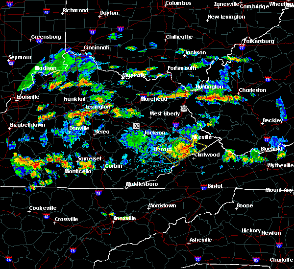 At 441 pm edt, severe thunderstorms were located along a line extending from near virgie to adamson to near payne gap to ice, moving southeast at 30 mph (radar indicated). Hazards include 60 mph wind gusts. Expect damage to roofs. siding and trees. locations impacted include, pikeville, whitesburg, jenkins, elkhorn city, wheelwright, fleming-neon, hi hat, chloe, winters, ehkhorn mine, fishpond lake, fishtrap lake, ashcamp, whitaker, buckingham, shelbiana, garden village, tolliver town, osborn and colly. this includes the following highways, u. s. highway 23 in letcher county between mile markers 1 and 7. u. s. Highway 23 in pike county between mile markers 0 and 24. At 441 pm edt, severe thunderstorms were located along a line extending from near virgie to adamson to near payne gap to ice, moving southeast at 30 mph (radar indicated). Hazards include 60 mph wind gusts. Expect damage to roofs. siding and trees. locations impacted include, pikeville, whitesburg, jenkins, elkhorn city, wheelwright, fleming-neon, hi hat, chloe, winters, ehkhorn mine, fishpond lake, fishtrap lake, ashcamp, whitaker, buckingham, shelbiana, garden village, tolliver town, osborn and colly. this includes the following highways, u. s. highway 23 in letcher county between mile markers 1 and 7. u. s. Highway 23 in pike county between mile markers 0 and 24.
|
| 6/16/2015 4:18 PM EDT |
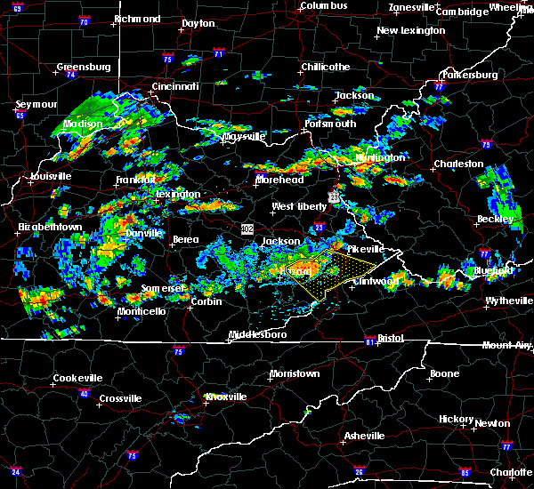 At 417 pm edt, severe thunderstorms were located along a line extending from craynor to greenleaf to polly to near gander, moving southeast at 30 mph (radar indicated). Hazards include 60 mph wind gusts. Expect damage to roofs. Siding and trees. At 417 pm edt, severe thunderstorms were located along a line extending from craynor to greenleaf to polly to near gander, moving southeast at 30 mph (radar indicated). Hazards include 60 mph wind gusts. Expect damage to roofs. Siding and trees.
|
| 4/25/2015 11:08 PM EDT | At 1107 pm edt, a severe thunderstorm was located over oscaloosa, or near whitesburg, moving east at 40 mph (radar indicated). Hazards include half dollar size hail and 60 mph wind gusts. Hail damage to vehicles is expected. expect wind damage to roofs, siding and trees. locations impacted include, whitesburg, jenkins, fleming-neon, blackey, partridge, carbon glow, winters, fishpond lake, whitaker, tolliver town, colly, gaskill, roxana, defeated creek, bellcraft, cromona, mayking, ice, lucastown and wright. this includes u. s. highway 23 in letcher county between mile markers 1 and 4. 1. 25in. |
| 4/25/2015 10:57 PM EDT | At 1056 pm edt, a severe thunderstorm was located over red star, or 10 miles west of whitesburg, moving southeast at 50 mph (radar indicated). Hazards include quarter size hail and 60 mph wind gusts. Hail damage to vehicles is expected. expect wind damage to roofs, siding and trees. locations impacted include, whitesburg, jenkins, fleming-neon, vicco, blackey, partridge, carbon glow, gander, winters, amelia, fishpond lake, smithsboro, whitaker, elic, arminta, tolliver town, colly, gaskill, roxana and defeated creek. this includes u. s. highway 23 in letcher county between mile markers 1 and 4. 1. 00in. |
| 4/25/2015 10:44 PM EDT | At 1043 pm edt, a severe thunderstorm was located over diablock, or near hazard, moving southeast at 40 mph (radar indicated). Hazards include quarter size hail and 60 mph wind gusts. Hail damage to vehicles is expected. Expect wind damage to roofs, siding and trees. |
| 4/25/2015 10:24 PM EDT | Quarter sized hail reported 0.9 miles E of Whitesburg, KY |
| 4/25/2015 10:18 PM EDT | At 1017 pm edt, a severe thunderstorm was located over gays creek, or 10 miles north of hyden, moving east at 35 mph (radar indicated). Hazards include quarter size hail and 60 mph wind gusts. Hail damage to vehicles is expected. expect wind damage to roofs, siding and trees. Locations impacted include,. |
| 4/25/2015 9:36 PM EDT | At 935 pm edt, a severe thunderstorm was located over valjean, or 12 miles southeast of booneville, moving east at 50 mph (radar indicated). Hazards include half dollar size hail and 60 mph wind gusts. Hail damage to vehicles is expected. Expect wind damage to roofs, siding and trees. |
| 4/25/2015 7:50 PM EDT | At 748 pm edt, a severe thunderstorm was located over wooton, or over hyden, moving east at 30 mph (radar indicated. at 7:45 pm...quarter sized hail was reported in hyden). Hazards include quarter size hail and 60 mph wind gusts. Hail damage to vehicles is expected. expect wind damage to roofs, siding and trees. Locations impacted include,. |
| 4/25/2015 7:36 PM EDT | At 735 pm edt, a severe thunderstorm was located over hosea, or near hyden, moving east at 35 mph (radar indicated). Hazards include quarter size hail and 60 mph wind gusts. Hail damage to vehicles is expected. Expect wind damage to roofs, siding and trees. |
| 4/29/2014 9:52 PM EDT | Quarter sized hail reported 4.9 miles SW of Whitesburg, KY, this is a public report via twitter. |
| 6/13/2013 1:37 PM EDT | Trees down on highway 931s at cowa in letcher county KY, 4.3 miles NNE of Whitesburg, KY |
| 8/3/2012 1:49 PM EDT | A tree was downed on school hill roa in letcher county KY, 0.9 miles E of Whitesburg, KY |
| 4/3/2012 3:57 PM EDT | Dispatch reports downed power lines and flash flooding problems in the sand lick and smoot creek areas. two people trapped in home and one person trapped in a ca in letcher county KY, 2.5 miles SE of Whitesburg, KY |
| 1/1/0001 12:00 AM | Several trees downed on hwy 119 near little cowan cree in letcher county KY, 2.5 miles NE of Whitesburg, KY |
| 1/1/0001 12:00 AM | Quarter sized hail reported 6.8 miles SE of Whitesburg, KY, quarter size hail was reported at daniels branch in isom. |
| 1/1/0001 12:00 AM | Hwy 160 closed temporarily due to a tree across the roa in letcher county KY, 6.8 miles SE of Whitesburg, KY |
Hail Maps for Whitesburg, KY
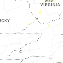

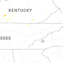


Connect with Interactive Hail Maps