

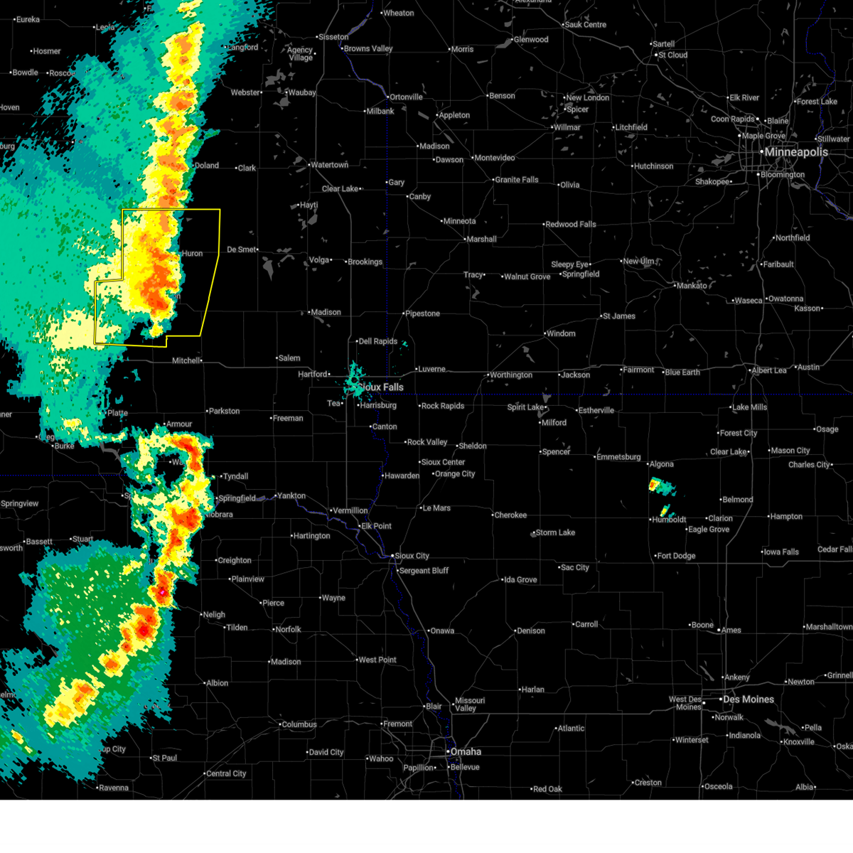
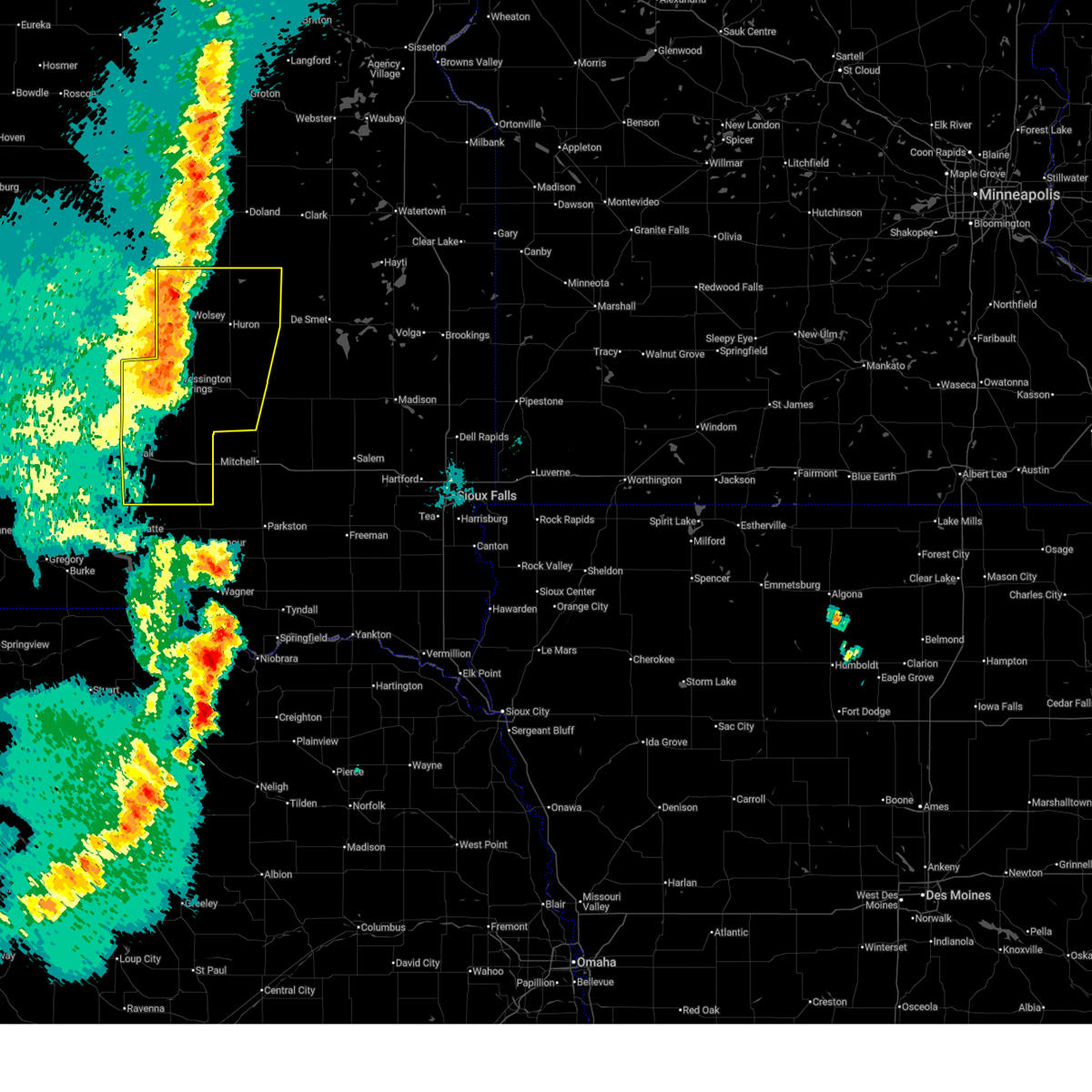
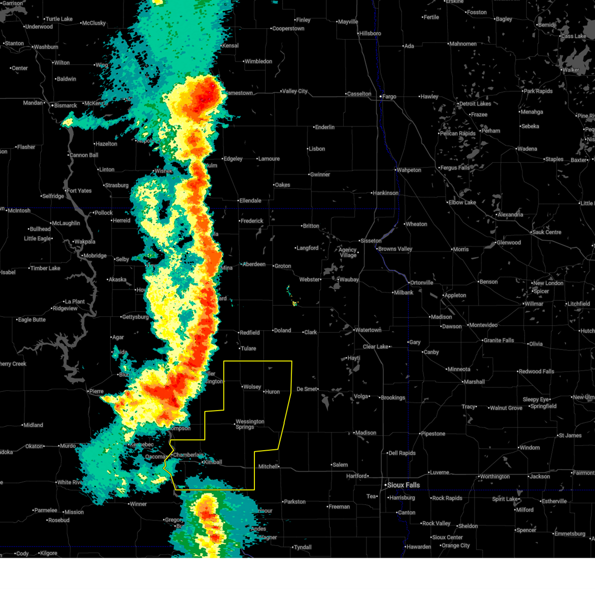
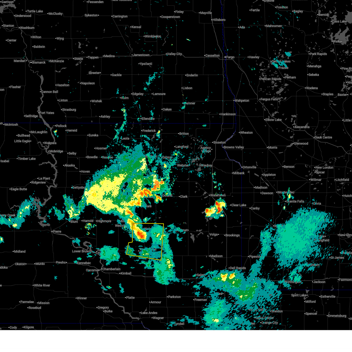
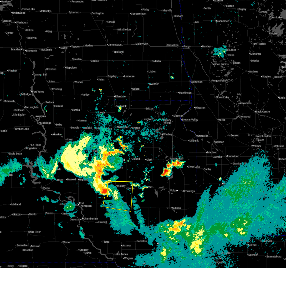
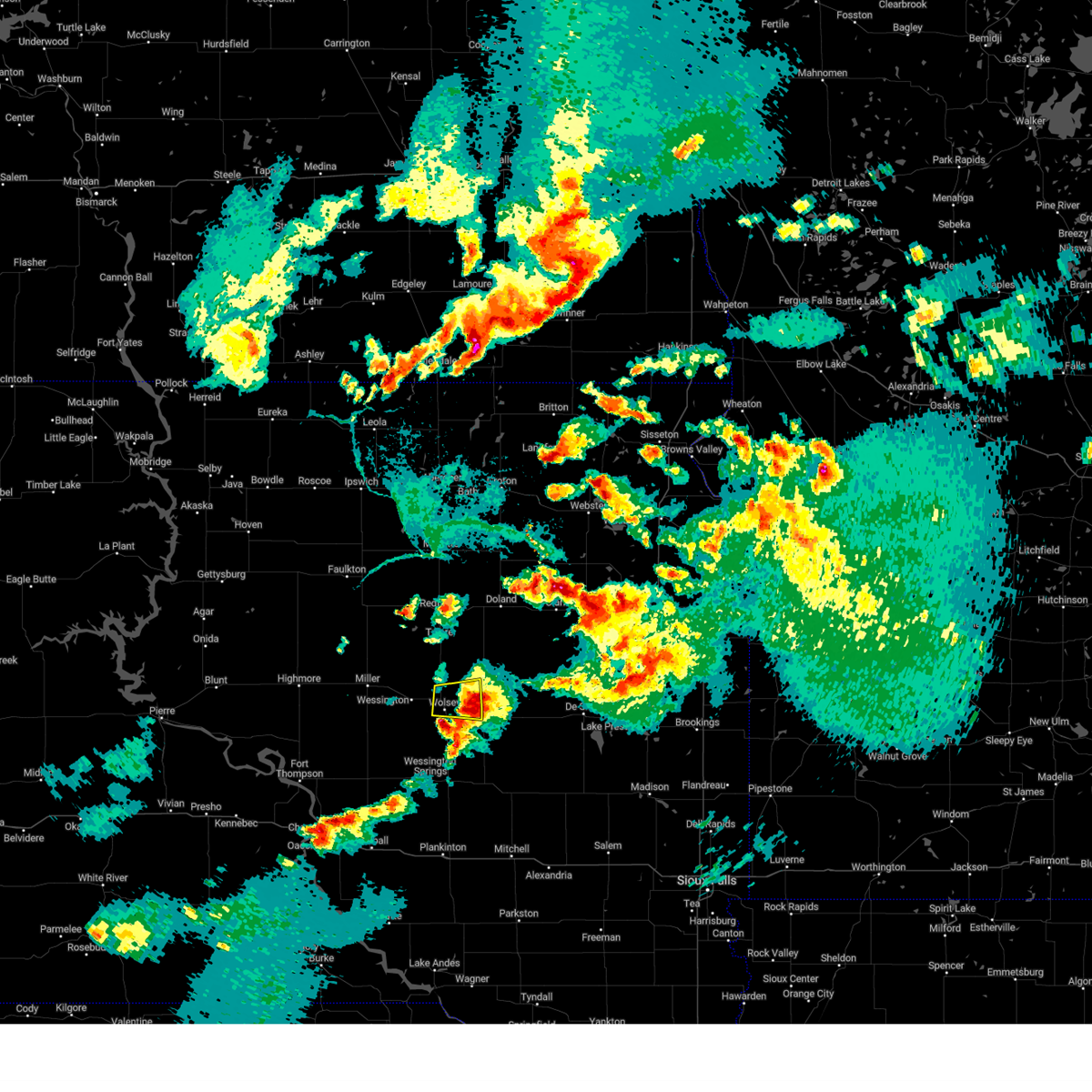
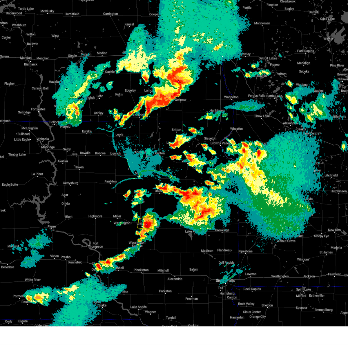
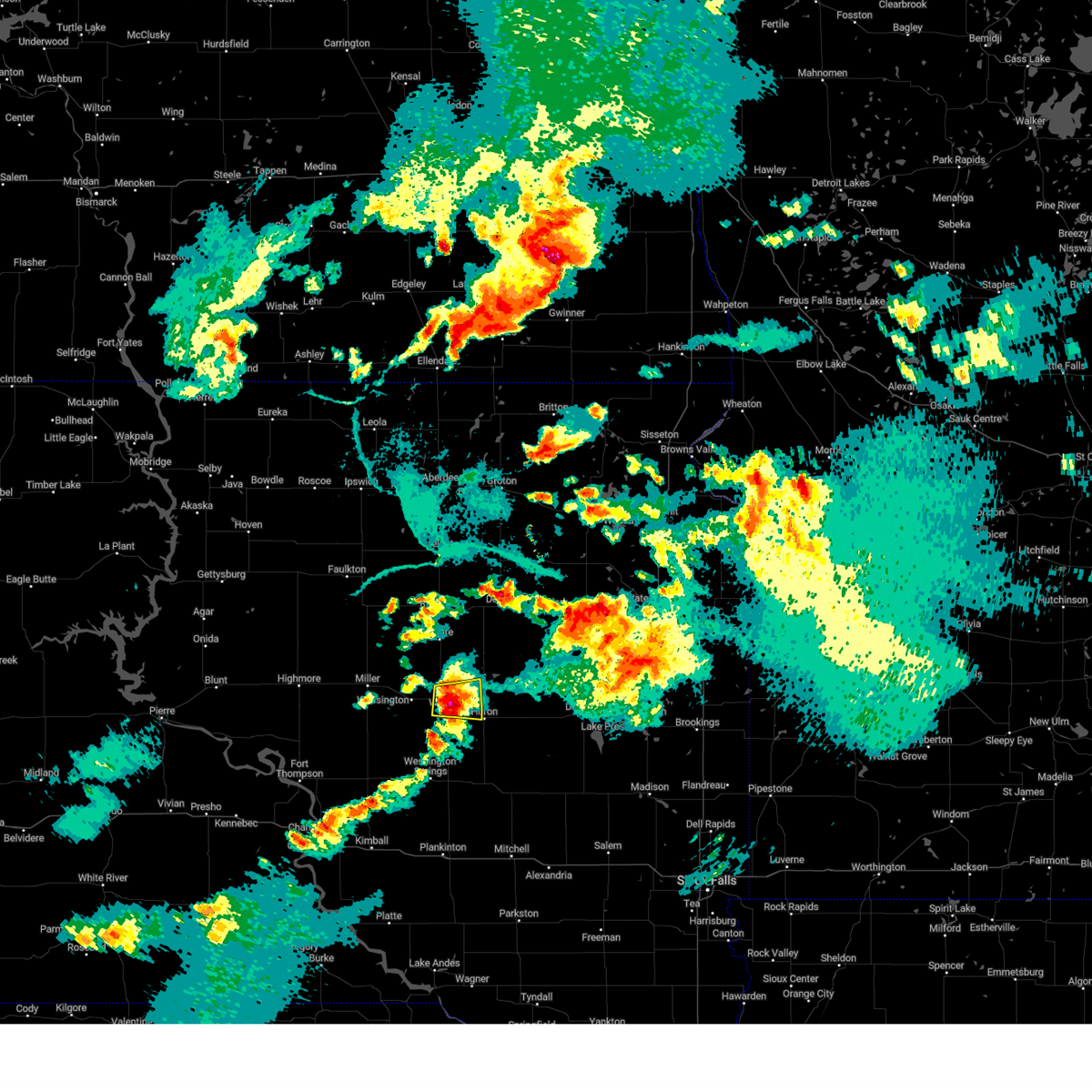
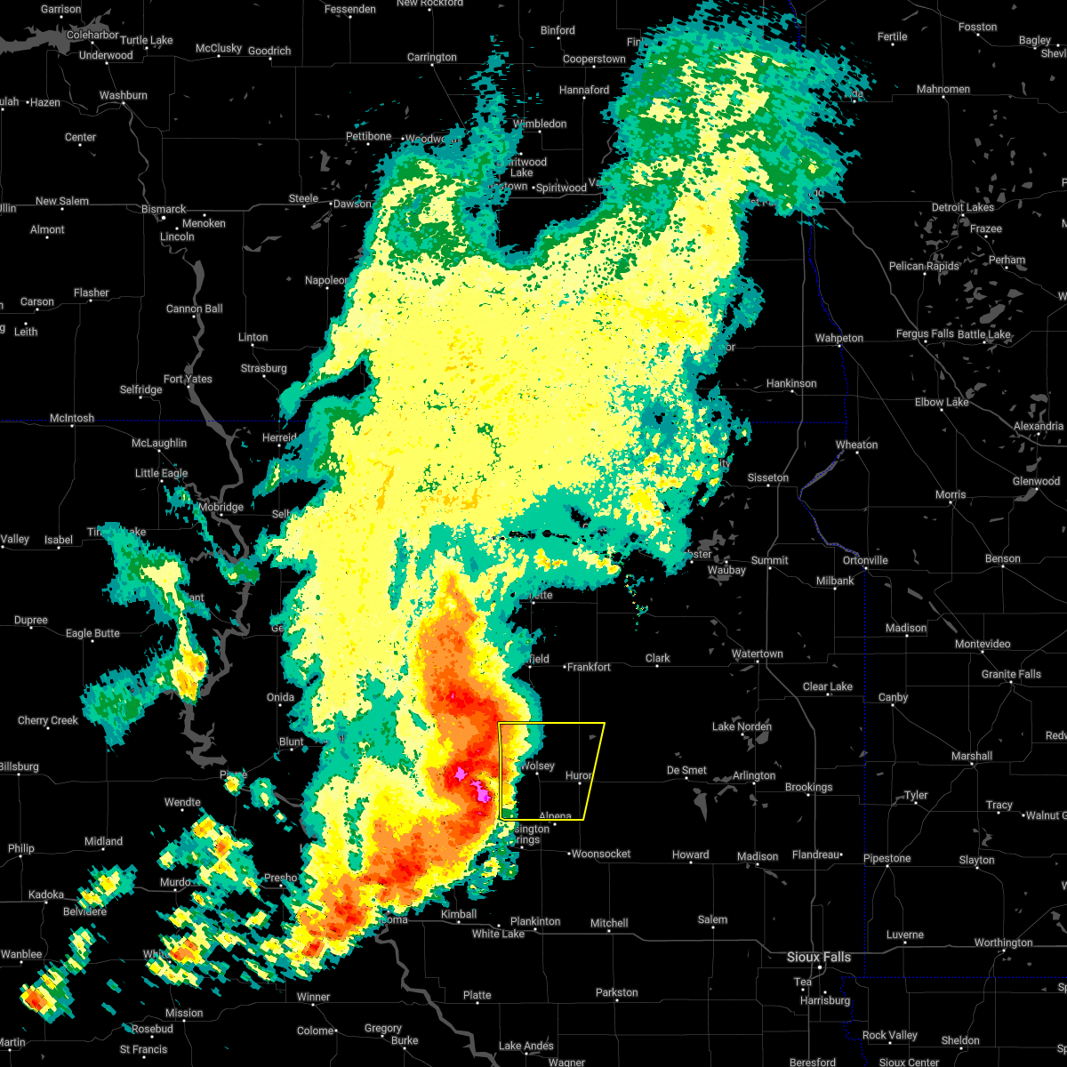
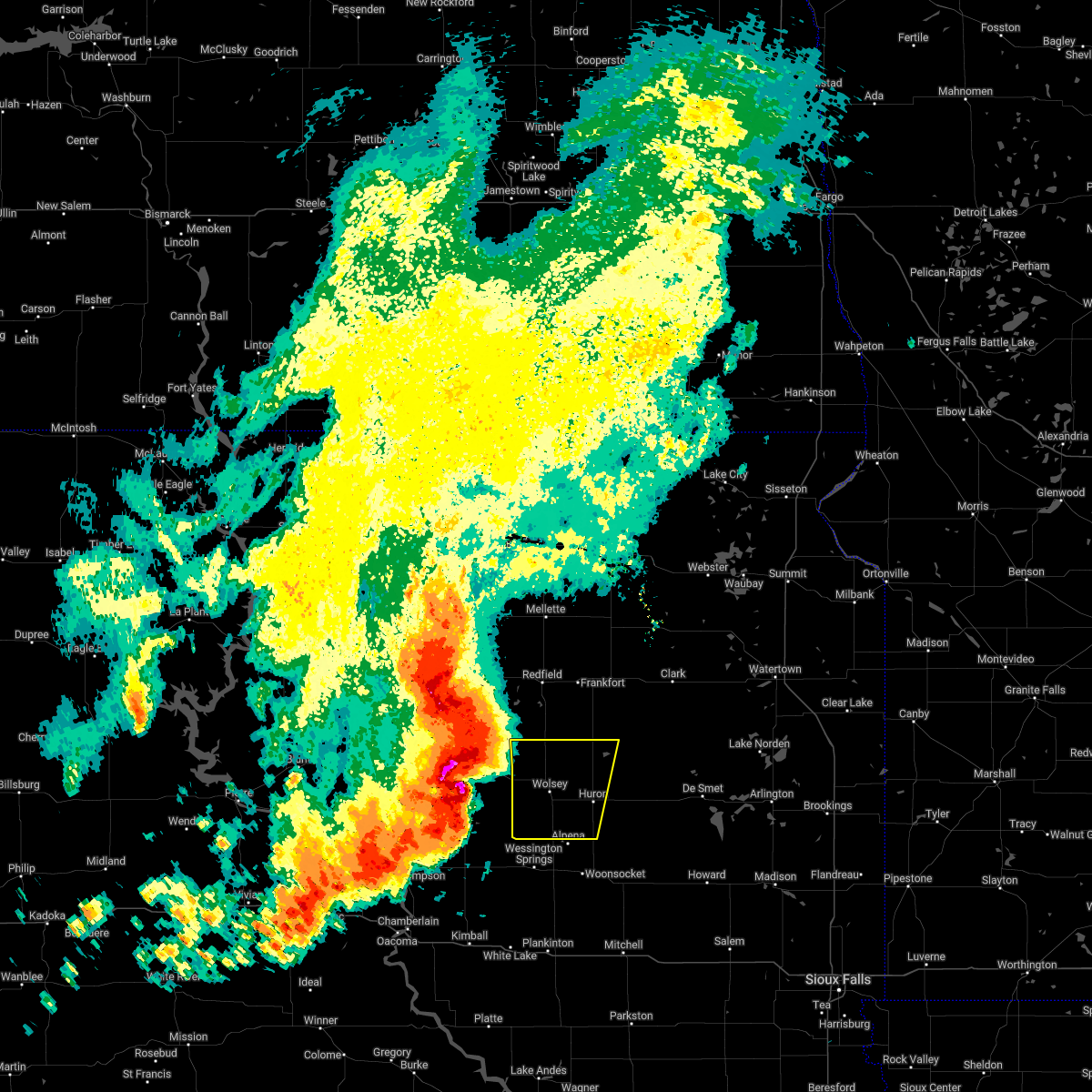
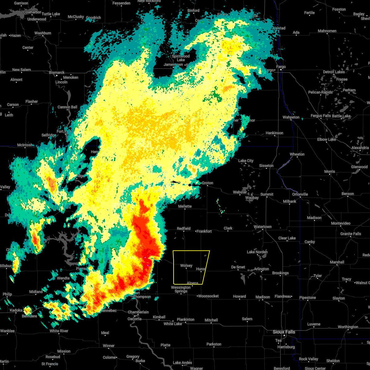
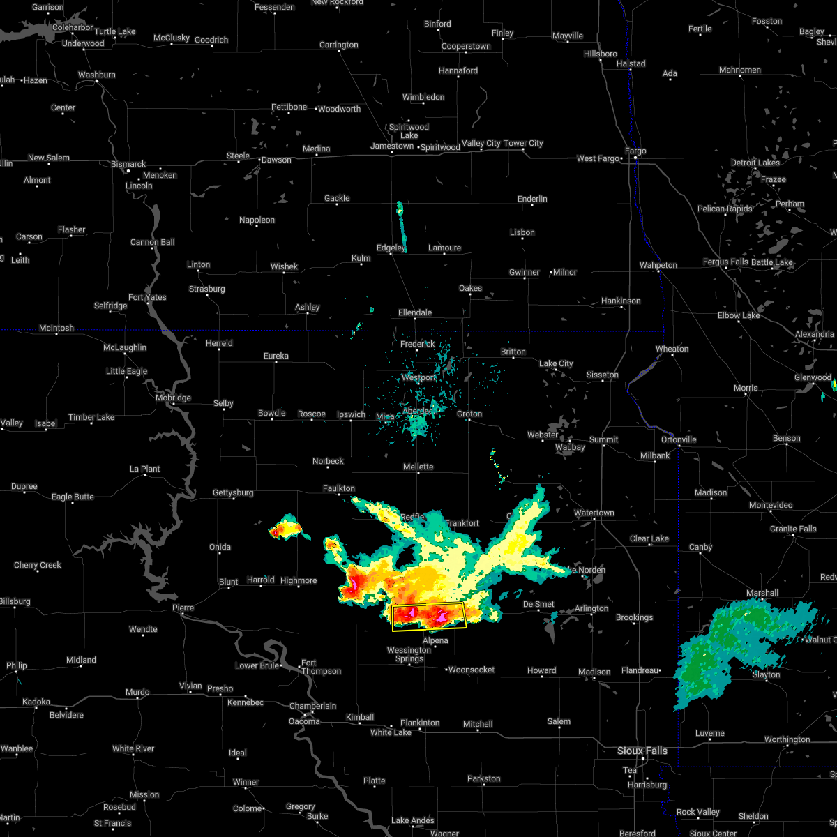
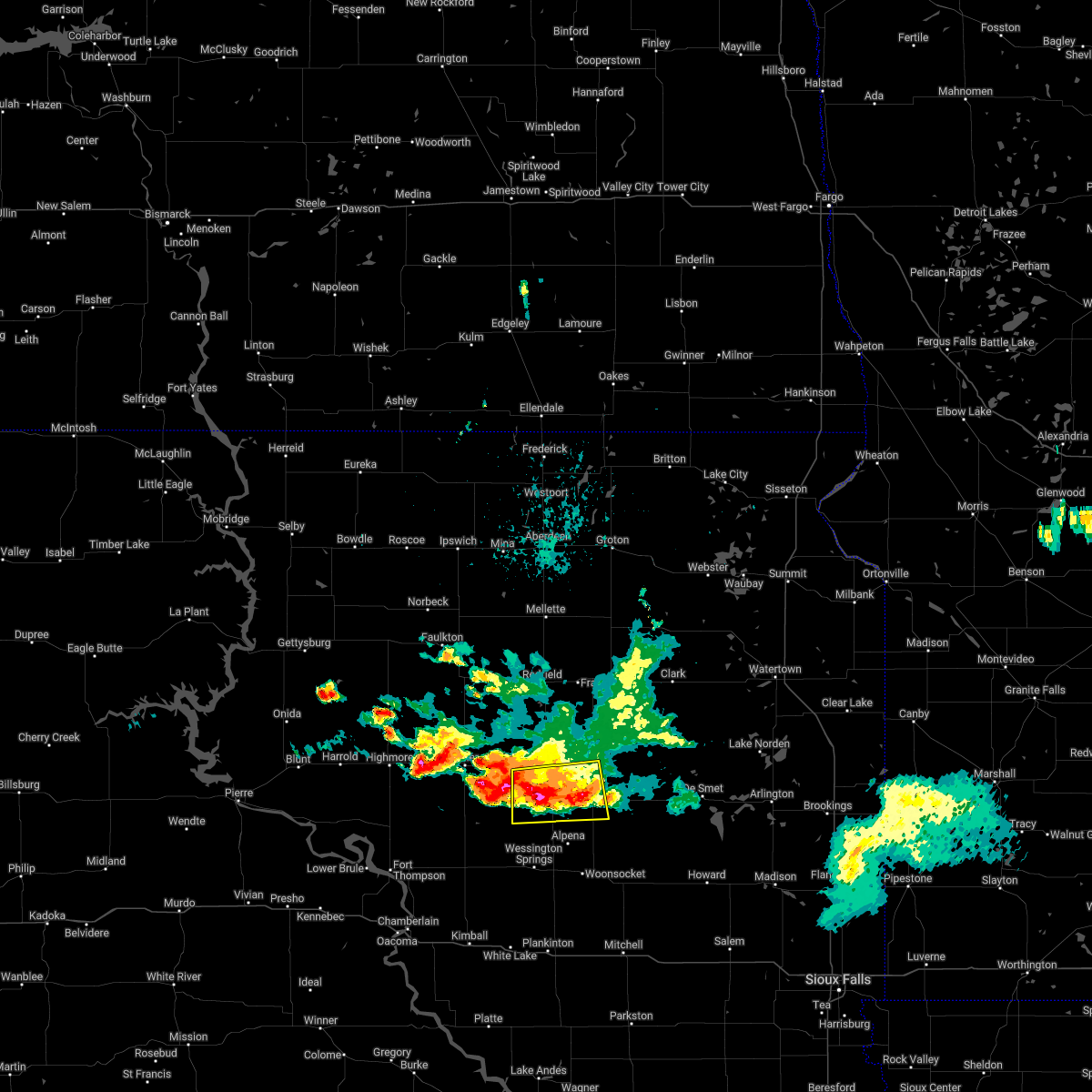
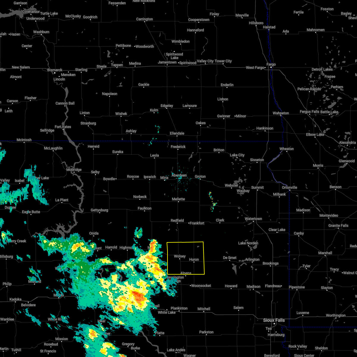
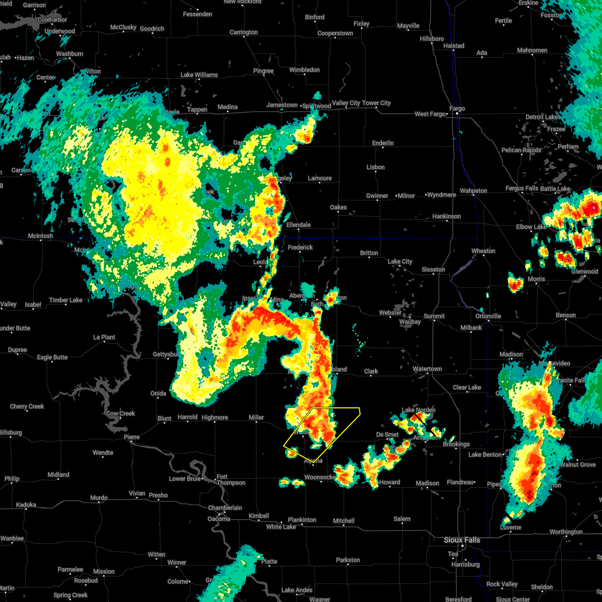
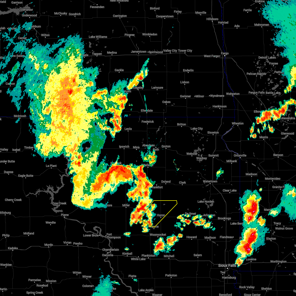
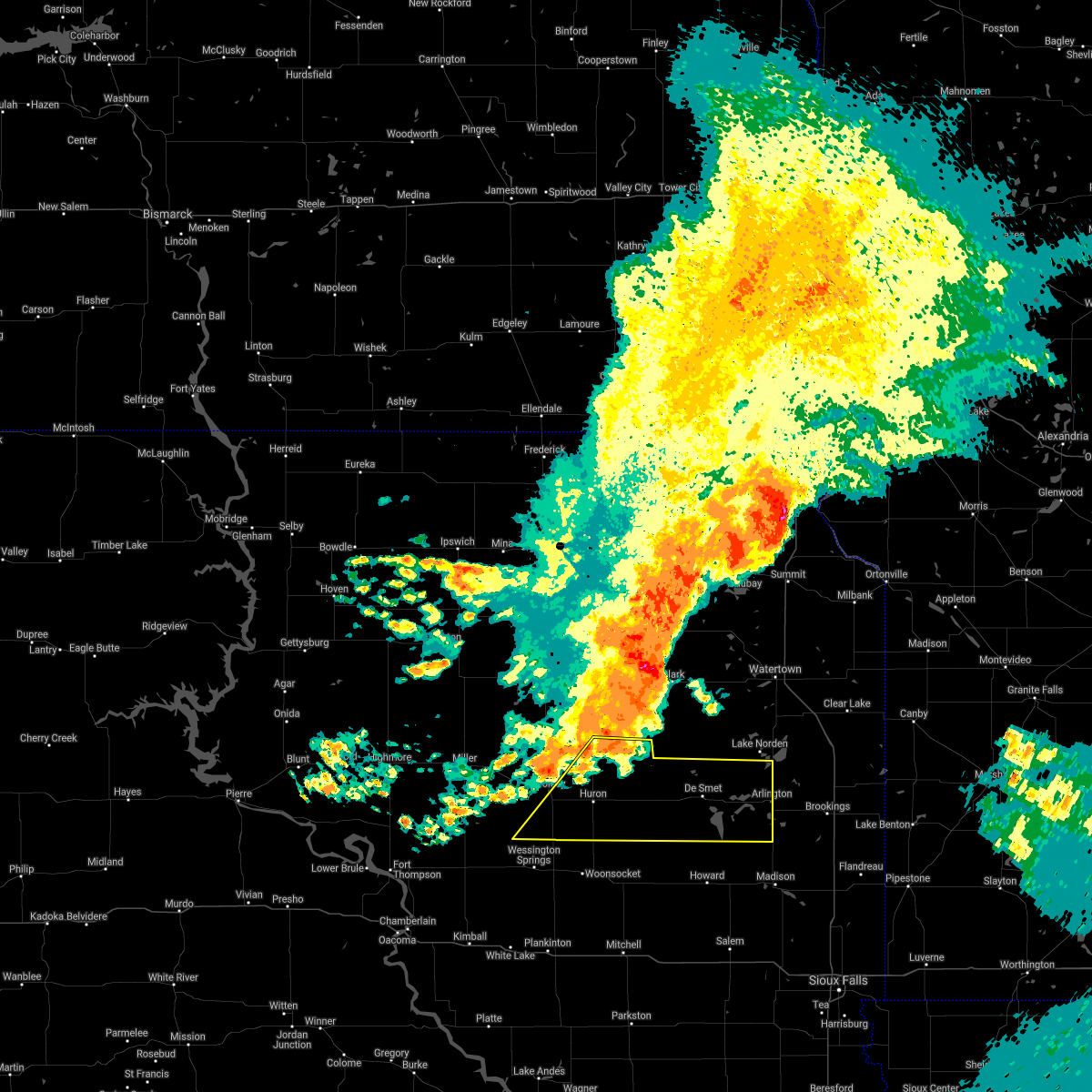
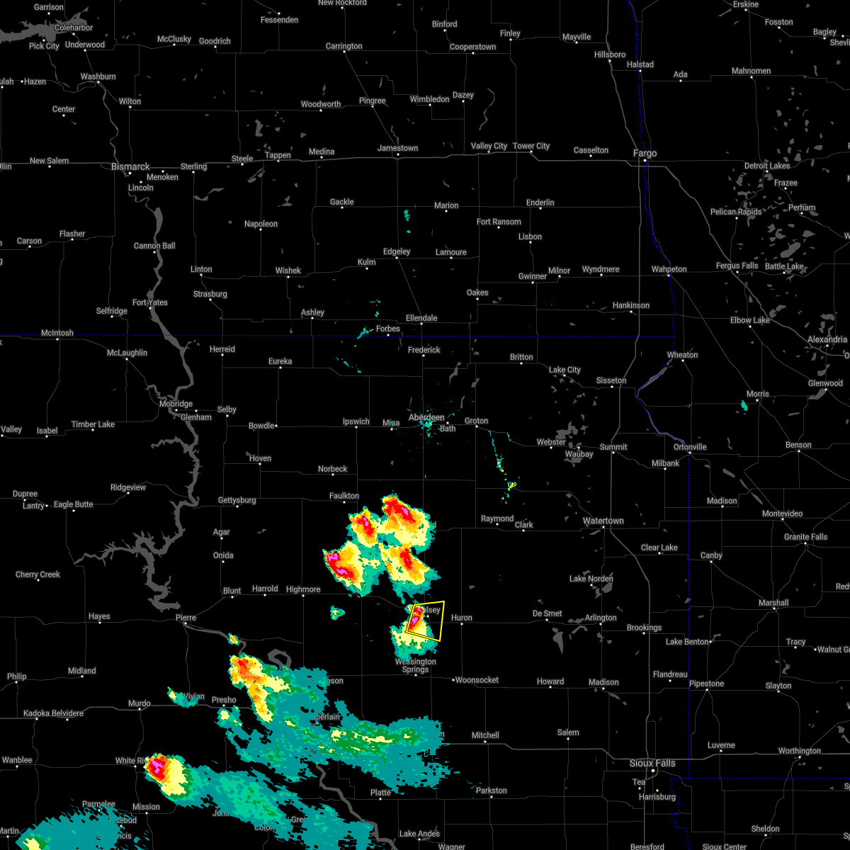
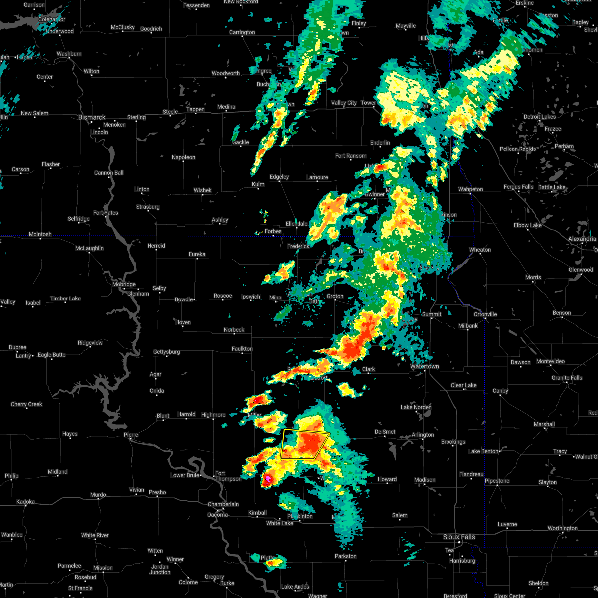
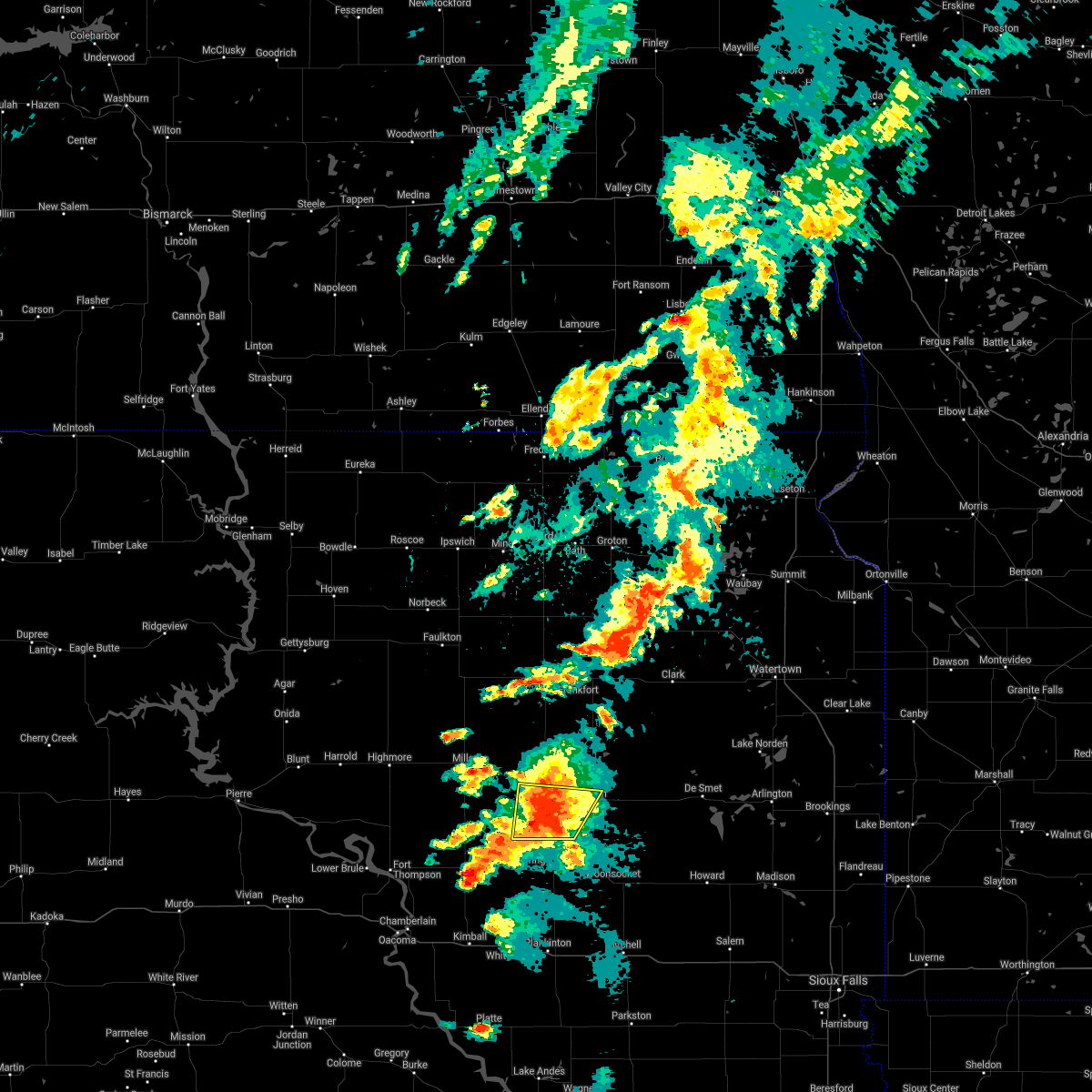
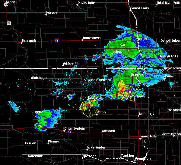
Hail Map for Wolsey, SD
The Wolsey, SD area has had 16 reports of on-the-ground hail by trained spotters, and has been under severe weather warnings 5 times during the past 12 months. Doppler radar has detected hail at or near Wolsey, SD on 49 occasions, including 3 occasions during the past year.
| Name: | Wolsey, SD |
| Where Located: | 72.5 miles S of Aberdeen, SD |
| Map: | Google Map for Wolsey, SD |
| Population: | 376 |
| Housing Units: | 194 |
| More Info: | Search Google for Wolsey, SD |
1
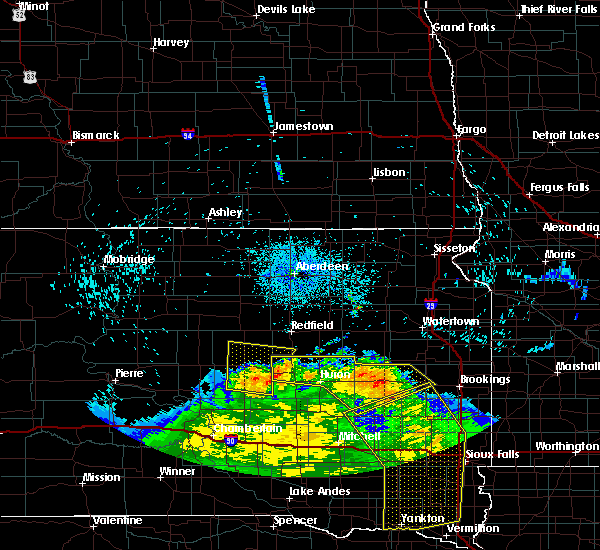
The Top Recent Hail Date for Wolsey, SD is Monday, July 29, 2024 (28th out of 49)

Hail and Wind Damage Spotted near Wolsey, SD
| Date / Time | Report Details |
|---|---|
| 7/9/2025 10:40 PM CDT |
 At 1040 pm cdt, severe thunderstorms were located along a line extending from near clark colony to 9 miles northwest of yale to 12 miles south of cavour to letcher, moving east at 45 mph (trained weather spotters. at 1034 pm, a 61 mph wind gust was recorded at the huron asos). Hazards include 60 mph wind gusts and penny size hail. Expect damage to roofs, siding, and trees. these severe storms will be near, letcher, cavour, yale, and forestburg around 1045 pm cdt. Other locations impacted by these severe thunderstorms include broadland. At 1040 pm cdt, severe thunderstorms were located along a line extending from near clark colony to 9 miles northwest of yale to 12 miles south of cavour to letcher, moving east at 45 mph (trained weather spotters. at 1034 pm, a 61 mph wind gust was recorded at the huron asos). Hazards include 60 mph wind gusts and penny size hail. Expect damage to roofs, siding, and trees. these severe storms will be near, letcher, cavour, yale, and forestburg around 1045 pm cdt. Other locations impacted by these severe thunderstorms include broadland.
|
| 7/9/2025 10:31 PM CDT | Mesonet station 164 sd rwis wolse in beadle county SD, 3.7 miles SSE of Wolsey, SD |
| 7/9/2025 10:21 PM CDT |
 At 1021 pm cdt, severe thunderstorms were located along a line extending from near frankfort to near hitchcock to near alpena to 11 miles south of wessington springs, moving east at 30 mph (trained weather spotters. at 1010 pm, a 60 mph wind gusts was recorded at the sdsu mesonet site in wessington). Hazards include 60 mph wind gusts and penny size hail. Expect damage to roofs, siding, and trees. these severe storms will be near, alpena, lane, and virgil around 1025 pm cdt. huron around 1030 pm cdt. woonsocket around 1035 pm cdt. storla around 1040 pm cdt. cavour around 1050 pm cdt. letcher, yale, and forestburg around 1055 pm cdt. Other locations impacted by these severe thunderstorms include broadland. At 1021 pm cdt, severe thunderstorms were located along a line extending from near frankfort to near hitchcock to near alpena to 11 miles south of wessington springs, moving east at 30 mph (trained weather spotters. at 1010 pm, a 60 mph wind gusts was recorded at the sdsu mesonet site in wessington). Hazards include 60 mph wind gusts and penny size hail. Expect damage to roofs, siding, and trees. these severe storms will be near, alpena, lane, and virgil around 1025 pm cdt. huron around 1030 pm cdt. woonsocket around 1035 pm cdt. storla around 1040 pm cdt. cavour around 1050 pm cdt. letcher, yale, and forestburg around 1055 pm cdt. Other locations impacted by these severe thunderstorms include broadland.
|
| 7/9/2025 9:30 PM CDT |
 Svrfsd the national weather service in sioux falls has issued a * severe thunderstorm warning for, sanborn county in east central south dakota, beadle county in east central south dakota, aurora county in south central south dakota, jerauld county in central south dakota, brule county in south central south dakota, * until 1100 pm cdt. * at 929 pm cdt, severe thunderstorms were located along a line extending from near zell to 6 miles northeast of vayland to pleasant valley country church to 6 miles west of crow creek housing, moving east at 25 mph (radar indicated). Hazards include 60 mph wind gusts and quarter size hail. Hail damage to vehicles is expected. expect wind damage to roofs, siding, and trees. severe thunderstorms will be near, wessington around 935 pm cdt. Other locations in the path of these severe thunderstorms include wolsey, hitchcock, virgil, wessington springs, huron, alpena, lane, white lake and cavour. Svrfsd the national weather service in sioux falls has issued a * severe thunderstorm warning for, sanborn county in east central south dakota, beadle county in east central south dakota, aurora county in south central south dakota, jerauld county in central south dakota, brule county in south central south dakota, * until 1100 pm cdt. * at 929 pm cdt, severe thunderstorms were located along a line extending from near zell to 6 miles northeast of vayland to pleasant valley country church to 6 miles west of crow creek housing, moving east at 25 mph (radar indicated). Hazards include 60 mph wind gusts and quarter size hail. Hail damage to vehicles is expected. expect wind damage to roofs, siding, and trees. severe thunderstorms will be near, wessington around 935 pm cdt. Other locations in the path of these severe thunderstorms include wolsey, hitchcock, virgil, wessington springs, huron, alpena, lane, white lake and cavour.
|
| 6/29/2025 6:51 AM CDT |
 The storm which prompted the warning has weakened below severe limits, and no longer poses an immediate threat to life or property. therefore, the warning will be allowed to expire. however, gusty winds to 50 mph are still possible with this thunderstorm. the strongest winds may occur within the rain and outflow ahead of the thunderstorm. The storm which prompted the warning has weakened below severe limits, and no longer poses an immediate threat to life or property. therefore, the warning will be allowed to expire. however, gusty winds to 50 mph are still possible with this thunderstorm. the strongest winds may occur within the rain and outflow ahead of the thunderstorm.
|
| 6/29/2025 6:29 AM CDT |
 Svrfsd the national weather service in sioux falls has issued a * severe thunderstorm warning for, northwestern sanborn county in east central south dakota, southwestern beadle county in east central south dakota, jerauld county in central south dakota, * until 700 am cdt. * at 629 am cdt, a severe thunderstorm was located near virgil, or 17 miles southwest of huron, moving east at 45 mph (radar indicated). Hazards include 60 mph wind gusts. Expect damage to roofs, siding, and trees. this severe thunderstorm will be near, alpena and virgil around 635 am cdt. Huron around 645 am cdt. Svrfsd the national weather service in sioux falls has issued a * severe thunderstorm warning for, northwestern sanborn county in east central south dakota, southwestern beadle county in east central south dakota, jerauld county in central south dakota, * until 700 am cdt. * at 629 am cdt, a severe thunderstorm was located near virgil, or 17 miles southwest of huron, moving east at 45 mph (radar indicated). Hazards include 60 mph wind gusts. Expect damage to roofs, siding, and trees. this severe thunderstorm will be near, alpena and virgil around 635 am cdt. Huron around 645 am cdt.
|
| 7/14/2024 4:14 AM CDT |
 The storms which prompted the warning have weakened below severe limits, and no longer pose an immediate threat to life or property. therefore, the warning will be allowed to expire. however, gusty winds and heavy rain are still possible with these thunderstorms. a severe thunderstorm watch remains in effect until 800 am cdt for south central, central, southeastern and east central south dakota. The storms which prompted the warning have weakened below severe limits, and no longer pose an immediate threat to life or property. therefore, the warning will be allowed to expire. however, gusty winds and heavy rain are still possible with these thunderstorms. a severe thunderstorm watch remains in effect until 800 am cdt for south central, central, southeastern and east central south dakota.
|
| 7/14/2024 3:50 AM CDT |
 At 348 am cdt, severe thunderstorms were located along a line extending from de smet to canova to 6 miles south of clayton, moving east at 50 mph (trained weather spotters. at 336 am, the huron regional airport asos recorded a 62 mph wind gust). Hazards include 70 mph wind gusts. Expect considerable tree damage. damage is likely to mobile homes, roofs, and outbuildings. Locations impacted include, mitchell, huron, chamberlain, plankinton, kimball, lake vermillion state recreation area, lake thompson state recreation area, salem, de smet, wessington springs, arlington, howard, canistota, woonsocket, alexandria, lake preston, bridgewater, montrose, mount vernon, and emery. At 348 am cdt, severe thunderstorms were located along a line extending from de smet to canova to 6 miles south of clayton, moving east at 50 mph (trained weather spotters. at 336 am, the huron regional airport asos recorded a 62 mph wind gust). Hazards include 70 mph wind gusts. Expect considerable tree damage. damage is likely to mobile homes, roofs, and outbuildings. Locations impacted include, mitchell, huron, chamberlain, plankinton, kimball, lake vermillion state recreation area, lake thompson state recreation area, salem, de smet, wessington springs, arlington, howard, canistota, woonsocket, alexandria, lake preston, bridgewater, montrose, mount vernon, and emery.
|
| 7/14/2024 3:19 AM CDT |
 At 318 am cdt, severe thunderstorms were located along a line extending from near yale to near artesian to near parkston, moving east at 50 mph (trained weather spotters. at 257 am, an sddot site 3 nnw of wolsey recorded a 70 mph wind gust). Hazards include 70 mph wind gusts. Expect considerable tree damage. damage is likely to mobile homes, roofs, and outbuildings. Locations impacted include, alexandria, ethan, iroquois, fulton, fedora, carthage, roswell, farmer, emery, vilas, de smet, howard, spencer in mccook county, canova, lake thompson state recreation area, bridgewater, salem, lake preston, canistota, oldham, montrose and hetland. At 318 am cdt, severe thunderstorms were located along a line extending from near yale to near artesian to near parkston, moving east at 50 mph (trained weather spotters. at 257 am, an sddot site 3 nnw of wolsey recorded a 70 mph wind gust). Hazards include 70 mph wind gusts. Expect considerable tree damage. damage is likely to mobile homes, roofs, and outbuildings. Locations impacted include, alexandria, ethan, iroquois, fulton, fedora, carthage, roswell, farmer, emery, vilas, de smet, howard, spencer in mccook county, canova, lake thompson state recreation area, bridgewater, salem, lake preston, canistota, oldham, montrose and hetland.
|
| 7/14/2024 3:02 AM CDT |
 Svrfsd the national weather service in sioux falls has issued a * severe thunderstorm warning for, davison county in southeastern south dakota, kingsbury county in east central south dakota, sanborn county in east central south dakota, beadle county in east central south dakota, aurora county in south central south dakota, jerauld county in central south dakota, miner county in east central south dakota, mccook county in southeastern south dakota, hanson county in southeastern south dakota, brule county in south central south dakota, * until 415 am cdt. * at 301 am cdt, severe thunderstorms were located along a line extending from 9 miles northwest of huron to near woonsocket to near corsica, moving east at 50 mph (radar indicated). Hazards include 70 mph wind gusts. Expect considerable tree damage. damage is likely to mobile homes, roofs, and outbuildings. severe thunderstorms will be near, huron, woonsocket, mount vernon, letcher, forestburg, and loomis around 305 am cdt. mitchell and cavour around 310 am cdt. ethan, artesian, and yale around 315 am cdt. iroquois around 320 am cdt. Other locations in the path of these severe thunderstorms include fulton, fedora, alexandria, carthage, roswell, vilas, farmer, de smet, howard, emery, spencer in mccook county and canova. Svrfsd the national weather service in sioux falls has issued a * severe thunderstorm warning for, davison county in southeastern south dakota, kingsbury county in east central south dakota, sanborn county in east central south dakota, beadle county in east central south dakota, aurora county in south central south dakota, jerauld county in central south dakota, miner county in east central south dakota, mccook county in southeastern south dakota, hanson county in southeastern south dakota, brule county in south central south dakota, * until 415 am cdt. * at 301 am cdt, severe thunderstorms were located along a line extending from 9 miles northwest of huron to near woonsocket to near corsica, moving east at 50 mph (radar indicated). Hazards include 70 mph wind gusts. Expect considerable tree damage. damage is likely to mobile homes, roofs, and outbuildings. severe thunderstorms will be near, huron, woonsocket, mount vernon, letcher, forestburg, and loomis around 305 am cdt. mitchell and cavour around 310 am cdt. ethan, artesian, and yale around 315 am cdt. iroquois around 320 am cdt. Other locations in the path of these severe thunderstorms include fulton, fedora, alexandria, carthage, roswell, vilas, farmer, de smet, howard, emery, spencer in mccook county and canova.
|
| 7/14/2024 2:57 AM CDT | The wolsey sddot site recorded a 70 mph wind gus in beadle county SD, 3.7 miles SSE of Wolsey, SD |
| 7/14/2024 2:44 AM CDT |
 At 242 am cdt, severe thunderstorms were located along a line extending from near burdette to 7 miles northwest of wessington springs to 10 miles southwest of grass ranch colony, moving southeast at 60 mph (radar indicated. at 235 pm, the chamberlain asos recorded a 60 mph wind gust). Hazards include 70 mph wind gusts. Expect considerable tree damage. damage is likely to mobile homes, roofs, and outbuildings. Locations impacted include, wessington springs, white lake, wessington, lane, plankinton, wolsey, alpena, virgil, aurora center, woonsocket, stickney, storla, hitchcock, huron, mount vernon, letcher, forestburg, mitchell and loomis. At 242 am cdt, severe thunderstorms were located along a line extending from near burdette to 7 miles northwest of wessington springs to 10 miles southwest of grass ranch colony, moving southeast at 60 mph (radar indicated. at 235 pm, the chamberlain asos recorded a 60 mph wind gust). Hazards include 70 mph wind gusts. Expect considerable tree damage. damage is likely to mobile homes, roofs, and outbuildings. Locations impacted include, wessington springs, white lake, wessington, lane, plankinton, wolsey, alpena, virgil, aurora center, woonsocket, stickney, storla, hitchcock, huron, mount vernon, letcher, forestburg, mitchell and loomis.
|
| 7/14/2024 2:06 AM CDT |
 Svrfsd the national weather service in sioux falls has issued a * severe thunderstorm warning for, davison county in southeastern south dakota, western kingsbury county in east central south dakota, sanborn county in east central south dakota, beadle county in east central south dakota, aurora county in south central south dakota, jerauld county in central south dakota, brule county in south central south dakota, * until 300 am cdt. * at 206 am cdt, severe thunderstorms were located along a line extending from 9 miles east of stone lake to 7 miles northeast of stephan to 9 miles north of hamill, moving southeast at 60 mph (radar indicated). Hazards include 70 mph wind gusts. Expect considerable tree damage. damage is likely to mobile homes, roofs, and outbuildings. severe thunderstorms will be near, lake francis case around 210 am cdt. chamberlain around 215 am cdt. Other locations in the path of these severe thunderstorms include kimball, wessington, grass ranch colony, wessington springs, white lake and lane. Svrfsd the national weather service in sioux falls has issued a * severe thunderstorm warning for, davison county in southeastern south dakota, western kingsbury county in east central south dakota, sanborn county in east central south dakota, beadle county in east central south dakota, aurora county in south central south dakota, jerauld county in central south dakota, brule county in south central south dakota, * until 300 am cdt. * at 206 am cdt, severe thunderstorms were located along a line extending from 9 miles east of stone lake to 7 miles northeast of stephan to 9 miles north of hamill, moving southeast at 60 mph (radar indicated). Hazards include 70 mph wind gusts. Expect considerable tree damage. damage is likely to mobile homes, roofs, and outbuildings. severe thunderstorms will be near, lake francis case around 210 am cdt. chamberlain around 215 am cdt. Other locations in the path of these severe thunderstorms include kimball, wessington, grass ranch colony, wessington springs, white lake and lane.
|
| 6/2/2024 8:26 PM CDT |
 The storm which prompted the warning has weakened below severe limits, and no longer poses an immediate threat to life or property. therefore, the warning will be allowed to expire. however, gusty winds and heavy rain are still possible with this thunderstorm. a severe thunderstorm watch remains in effect until midnight cdt for east central south dakota. The storm which prompted the warning has weakened below severe limits, and no longer poses an immediate threat to life or property. therefore, the warning will be allowed to expire. however, gusty winds and heavy rain are still possible with this thunderstorm. a severe thunderstorm watch remains in effect until midnight cdt for east central south dakota.
|
| 6/2/2024 8:18 PM CDT |
 At 817 pm cdt, a severe thunderstorm was located near wolsey, or 10 miles northwest of huron, moving east at 30 mph. quarter size hail was reported at 815 pm cdt in wolsey (emergency management). Hazards include 60 mph wind gusts and quarter size hail. Hail damage to vehicles is expected. expect wind damage to roofs, siding, and trees. This severe thunderstorm will remain over mainly rural areas of central beadle county, including the following locations, broadland. At 817 pm cdt, a severe thunderstorm was located near wolsey, or 10 miles northwest of huron, moving east at 30 mph. quarter size hail was reported at 815 pm cdt in wolsey (emergency management). Hazards include 60 mph wind gusts and quarter size hail. Hail damage to vehicles is expected. expect wind damage to roofs, siding, and trees. This severe thunderstorm will remain over mainly rural areas of central beadle county, including the following locations, broadland.
|
| 6/2/2024 8:15 PM CDT | Quarter sized hail reported 0.2 miles W of Wolsey, SD, hail up to the size of quarters for a brief time. |
| 6/2/2024 8:13 PM CDT |
 At 813 pm cdt, a severe thunderstorm was located near wolsey, or 11 miles northwest of huron, moving east at 30 mph (radar indicated). Hazards include 60 mph wind gusts and quarter size hail. Hail damage to vehicles is expected. expect wind damage to roofs, siding, and trees. This severe storm will be near, huron around 820 pm cdt. At 813 pm cdt, a severe thunderstorm was located near wolsey, or 11 miles northwest of huron, moving east at 30 mph (radar indicated). Hazards include 60 mph wind gusts and quarter size hail. Hail damage to vehicles is expected. expect wind damage to roofs, siding, and trees. This severe storm will be near, huron around 820 pm cdt.
|
| 6/2/2024 8:08 PM CDT |
 At 808 pm cdt, a severe thunderstorm was located near wolsey, or 13 miles northwest of huron, moving east at 30 mph (radar indicated). Hazards include 60 mph wind gusts and quarter size hail. Hail damage to vehicles is expected. expect wind damage to roofs, siding, and trees. Locations impacted include, huron. At 808 pm cdt, a severe thunderstorm was located near wolsey, or 13 miles northwest of huron, moving east at 30 mph (radar indicated). Hazards include 60 mph wind gusts and quarter size hail. Hail damage to vehicles is expected. expect wind damage to roofs, siding, and trees. Locations impacted include, huron.
|
| 6/2/2024 7:54 PM CDT |
 Svrfsd the national weather service in sioux falls has issued a * severe thunderstorm warning for, northwestern beadle county in east central south dakota, * until 830 pm cdt. * at 754 pm cdt, a severe thunderstorm was located near wessington, or 18 miles east of miller, moving east at 30 mph (radar indicated). Hazards include 60 mph wind gusts and quarter size hail. Hail damage to vehicles is expected. expect wind damage to roofs, siding, and trees. this severe thunderstorm will be near, wolsey around 800 pm cdt. Other locations in the path of this severe thunderstorm include huron. Svrfsd the national weather service in sioux falls has issued a * severe thunderstorm warning for, northwestern beadle county in east central south dakota, * until 830 pm cdt. * at 754 pm cdt, a severe thunderstorm was located near wessington, or 18 miles east of miller, moving east at 30 mph (radar indicated). Hazards include 60 mph wind gusts and quarter size hail. Hail damage to vehicles is expected. expect wind damage to roofs, siding, and trees. this severe thunderstorm will be near, wolsey around 800 pm cdt. Other locations in the path of this severe thunderstorm include huron.
|
| 8/10/2023 5:48 PM CDT | Quarter sized hail reported 10.6 miles SSE of Wolsey, SD, report and photo via social media. largest stone quarter sized. time estimated via radar. |
| 6/24/2023 2:27 AM CDT |
 At 226 am cdt, a severe thunderstorm was located 7 miles southwest of virgil, or 19 miles southwest of huron, moving northeast at 40 mph (radar indicated). Hazards include 60 mph wind gusts. Expect damage to roofs, siding, and trees. this severe storm will be near, wolsey and virgil around 240 am cdt. other locations impacted by this severe thunderstorm include broadland and wessington. hail threat, radar indicated max hail size, <. 75 in wind threat, radar indicated max wind gust, 60 mph. At 226 am cdt, a severe thunderstorm was located 7 miles southwest of virgil, or 19 miles southwest of huron, moving northeast at 40 mph (radar indicated). Hazards include 60 mph wind gusts. Expect damage to roofs, siding, and trees. this severe storm will be near, wolsey and virgil around 240 am cdt. other locations impacted by this severe thunderstorm include broadland and wessington. hail threat, radar indicated max hail size, <. 75 in wind threat, radar indicated max wind gust, 60 mph.
|
| 6/24/2023 2:06 AM CDT |
 At 205 am cdt, a severe thunderstorm was located 9 miles south of rosehill dam, or 25 miles south of miller, moving northeast at 50 mph (radar indicated). Hazards include 60 mph wind gusts. Expect damage to roofs, siding, and trees. this severe thunderstorm will be near, wessington around 225 am cdt. virgil around 230 am cdt. wolsey around 235 am cdt. huron around 245 am cdt. other locations impacted by this severe thunderstorm include broadland. hail threat, radar indicated max hail size, <. 75 in wind threat, radar indicated max wind gust, 60 mph. At 205 am cdt, a severe thunderstorm was located 9 miles south of rosehill dam, or 25 miles south of miller, moving northeast at 50 mph (radar indicated). Hazards include 60 mph wind gusts. Expect damage to roofs, siding, and trees. this severe thunderstorm will be near, wessington around 225 am cdt. virgil around 230 am cdt. wolsey around 235 am cdt. huron around 245 am cdt. other locations impacted by this severe thunderstorm include broadland. hail threat, radar indicated max hail size, <. 75 in wind threat, radar indicated max wind gust, 60 mph.
|
| 8/2/2022 8:07 PM CDT |
 At 806 pm cdt, severe thunderstorms were located along a line extending from 8 miles south of artesian to 10 miles west of carthage to near wolsey, moving east at 55 mph (radar indicated). Hazards include 70 mph wind gusts. Expect considerable tree damage. damage is likely to mobile homes, roofs, and outbuildings. these severe storms will be near, artesian around 810 pm cdt. iroquois, carthage and fedora around 815 pm cdt. roswell around 820 pm cdt. cavour and yale around 825 pm cdt. lake thompson state recreation area, de smet, howard and vilas around 830 pm cdt. lake preston around 840 pm cdt. other locations impacted by these severe thunderstorms include bancroft, broadland and erwin. thunderstorm damage threat, considerable hail threat, radar indicated max hail size, <. 75 in wind threat, radar indicated max wind gust, 70 mph. At 806 pm cdt, severe thunderstorms were located along a line extending from 8 miles south of artesian to 10 miles west of carthage to near wolsey, moving east at 55 mph (radar indicated). Hazards include 70 mph wind gusts. Expect considerable tree damage. damage is likely to mobile homes, roofs, and outbuildings. these severe storms will be near, artesian around 810 pm cdt. iroquois, carthage and fedora around 815 pm cdt. roswell around 820 pm cdt. cavour and yale around 825 pm cdt. lake thompson state recreation area, de smet, howard and vilas around 830 pm cdt. lake preston around 840 pm cdt. other locations impacted by these severe thunderstorms include bancroft, broadland and erwin. thunderstorm damage threat, considerable hail threat, radar indicated max hail size, <. 75 in wind threat, radar indicated max wind gust, 70 mph.
|
| 8/2/2022 7:56 PM CDT |
 At 754 pm cdt, severe thunderstorms were located along a line extending from near loomis to 10 miles north of forestburg to near wolsey, moving northeast at 65 mph (radar indicated). Hazards include 60 mph wind gusts. the strongest winds may be occurring ahead of the rainfall. Expect damage to roofs, siding, and trees. severe thunderstorms will be near, cavour around 805 pm cdt. huron, carthage and yale around 810 pm cdt. iroquois and artesian around 815 pm cdt. fedora and roswell around 820 pm cdt. lake thompson state recreation area, de smet and vilas around 825 pm cdt. howard and lake preston around 830 pm cdt. other locations impacted by these severe thunderstorms include bancroft, broadland and erwin. hail threat, radar indicated max hail size, <. 75 in wind threat, radar indicated max wind gust, 60 mph. At 754 pm cdt, severe thunderstorms were located along a line extending from near loomis to 10 miles north of forestburg to near wolsey, moving northeast at 65 mph (radar indicated). Hazards include 60 mph wind gusts. the strongest winds may be occurring ahead of the rainfall. Expect damage to roofs, siding, and trees. severe thunderstorms will be near, cavour around 805 pm cdt. huron, carthage and yale around 810 pm cdt. iroquois and artesian around 815 pm cdt. fedora and roswell around 820 pm cdt. lake thompson state recreation area, de smet and vilas around 825 pm cdt. howard and lake preston around 830 pm cdt. other locations impacted by these severe thunderstorms include bancroft, broadland and erwin. hail threat, radar indicated max hail size, <. 75 in wind threat, radar indicated max wind gust, 60 mph.
|
| 7/5/2022 1:40 PM CDT | Trained spotter relayed via county emergency manage in beadle county SD, 0.2 miles W of Wolsey, SD |
| 7/5/2022 1:40 PM CDT | Mesonet station 164 sd rwis wolse in beadle county SD, 3.7 miles SSE of Wolsey, SD |
| 7/5/2022 1:10 PM CDT |
 At 109 pm cdt, a severe thunderstorm was located over rosehill dam, or 17 miles southeast of miller, moving southeast at 40 mph. this is a destructive storm for wessington, wolsey, virgil and huron (radar indicated). Hazards include 80 mph wind gusts and two inch hail. Flying debris will be dangerous to those caught without shelter. mobile homes will be heavily damaged. expect considerable damage to roofs, windows, and vehicles. extensive tree damage and power outages are likely. this severe storm will be near, wolsey around 125 pm cdt. virgil around 135 pm cdt. other locations impacted by this severe thunderstorm include broadland. thunderstorm damage threat, destructive hail threat, radar indicated max hail size, 2. 00 in wind threat, radar indicated max wind gust, 80 mph. At 109 pm cdt, a severe thunderstorm was located over rosehill dam, or 17 miles southeast of miller, moving southeast at 40 mph. this is a destructive storm for wessington, wolsey, virgil and huron (radar indicated). Hazards include 80 mph wind gusts and two inch hail. Flying debris will be dangerous to those caught without shelter. mobile homes will be heavily damaged. expect considerable damage to roofs, windows, and vehicles. extensive tree damage and power outages are likely. this severe storm will be near, wolsey around 125 pm cdt. virgil around 135 pm cdt. other locations impacted by this severe thunderstorm include broadland. thunderstorm damage threat, destructive hail threat, radar indicated max hail size, 2. 00 in wind threat, radar indicated max wind gust, 80 mph.
|
| 7/5/2022 12:51 PM CDT |
 At 1249 pm cdt, a severe thunderstorm was located near st. lawrence, or near miller, moving east at 35 mph. this is a destructive storm for wessington, wosley, virgil, and huron (trained weather spotters. at 1238 pm cdt, there was a measured wind gust of 87 mph 1 mile north of ree heights). Hazards include 80 mph wind gusts and two inch hail. Flying debris will be dangerous to those caught without shelter. mobile homes will be heavily damaged. expect considerable damage to roofs, windows, and vehicles. extensive tree damage and power outages are likely. this severe storm will be near, wessington around 105 pm cdt. wolsey around 125 pm cdt. virgil around 135 pm cdt. huron around 145 pm cdt. Other locations impacted by this severe thunderstorm include broadland. At 1249 pm cdt, a severe thunderstorm was located near st. lawrence, or near miller, moving east at 35 mph. this is a destructive storm for wessington, wosley, virgil, and huron (trained weather spotters. at 1238 pm cdt, there was a measured wind gust of 87 mph 1 mile north of ree heights). Hazards include 80 mph wind gusts and two inch hail. Flying debris will be dangerous to those caught without shelter. mobile homes will be heavily damaged. expect considerable damage to roofs, windows, and vehicles. extensive tree damage and power outages are likely. this severe storm will be near, wessington around 105 pm cdt. wolsey around 125 pm cdt. virgil around 135 pm cdt. huron around 145 pm cdt. Other locations impacted by this severe thunderstorm include broadland.
|
| 7/5/2022 12:39 PM CDT |
 At 1238 pm cdt, a severe thunderstorm was located near miller, moving southeast at 45 mph. this is a destructive storm for wessington, wosley, and huron (trained weather spotters). Hazards include 80 mph wind gusts and two inch hail. Flying debris will be dangerous to those caught without shelter. mobile homes will be heavily damaged. expect considerable damage to roofs, windows, and vehicles. extensive tree damage and power outages are likely. this severe thunderstorm will be near, wessington around 105 pm cdt. wolsey around 120 pm cdt. virgil around 125 pm cdt. huron around 135 pm cdt. Other locations impacted by this severe thunderstorm include broadland. At 1238 pm cdt, a severe thunderstorm was located near miller, moving southeast at 45 mph. this is a destructive storm for wessington, wosley, and huron (trained weather spotters). Hazards include 80 mph wind gusts and two inch hail. Flying debris will be dangerous to those caught without shelter. mobile homes will be heavily damaged. expect considerable damage to roofs, windows, and vehicles. extensive tree damage and power outages are likely. this severe thunderstorm will be near, wessington around 105 pm cdt. wolsey around 120 pm cdt. virgil around 125 pm cdt. huron around 135 pm cdt. Other locations impacted by this severe thunderstorm include broadland.
|
| 7/3/2022 3:16 PM CDT |
 At 315 pm cdt, a severe thunderstorm was located near huron, moving east at 40 mph (trained weather spotters). Hazards include ping pong ball size hail. at 254 pm ping pong ball size hail was reported near wolsey. People and animals outdoors will be injured. expect damage to roofs, siding, windows, and vehicles. locations impacted include, huron, wolsey and virgil. hail threat, observed max hail size, 1. 50 in wind threat, radar indicated max wind gust, <50 mph. At 315 pm cdt, a severe thunderstorm was located near huron, moving east at 40 mph (trained weather spotters). Hazards include ping pong ball size hail. at 254 pm ping pong ball size hail was reported near wolsey. People and animals outdoors will be injured. expect damage to roofs, siding, windows, and vehicles. locations impacted include, huron, wolsey and virgil. hail threat, observed max hail size, 1. 50 in wind threat, radar indicated max wind gust, <50 mph.
|
| 7/3/2022 2:59 PM CDT |
 At 259 pm cdt, a severe thunderstorm was located over wolsey, or 12 miles west of huron, moving east at 30 mph (radar indicated). Hazards include ping pong ball size hail and 60 mph wind gusts. People and animals outdoors will be injured. expect hail damage to roofs, siding, windows, and vehicles. expect wind damage to roofs, siding, and trees. locations impacted include, huron. hail threat, radar indicated max hail size, 1. 50 in wind threat, radar indicated max wind gust, 60 mph. At 259 pm cdt, a severe thunderstorm was located over wolsey, or 12 miles west of huron, moving east at 30 mph (radar indicated). Hazards include ping pong ball size hail and 60 mph wind gusts. People and animals outdoors will be injured. expect hail damage to roofs, siding, windows, and vehicles. expect wind damage to roofs, siding, and trees. locations impacted include, huron. hail threat, radar indicated max hail size, 1. 50 in wind threat, radar indicated max wind gust, 60 mph.
|
| 7/3/2022 2:54 PM CDT | Ping Pong Ball sized hail reported 1.9 miles ENE of Wolsey, SD |
| 7/3/2022 2:54 PM CDT |
 At 254 pm cdt, a severe thunderstorm was located over wolsey, or 14 miles west of huron, moving northeast at 25 mph (radar indicated). Hazards include 60 mph wind gusts and quarter size hail. Hail damage to vehicles is expected. expect wind damage to roofs, siding, and trees. this severe thunderstorm will be near, wolsey around 300 pm cdt. other locations in the path of this severe thunderstorm include huron. hail threat, radar indicated max hail size, 1. 00 in wind threat, radar indicated max wind gust, 60 mph. At 254 pm cdt, a severe thunderstorm was located over wolsey, or 14 miles west of huron, moving northeast at 25 mph (radar indicated). Hazards include 60 mph wind gusts and quarter size hail. Hail damage to vehicles is expected. expect wind damage to roofs, siding, and trees. this severe thunderstorm will be near, wolsey around 300 pm cdt. other locations in the path of this severe thunderstorm include huron. hail threat, radar indicated max hail size, 1. 00 in wind threat, radar indicated max wind gust, 60 mph.
|
| 6/29/2022 7:23 PM CDT |
 At 722 pm cdt, severe thunderstorms were located along a line extending from near burdette to near vayland to 11 miles west of wessington springs, moving northeast at 65 mph (radar indicated). Hazards include 60 mph wind gusts and penny size hail. Expect damage to roofs, siding, and trees. severe thunderstorms will be near, wessington around 730 pm cdt. other locations in the path of these severe thunderstorms include wolsey, virgil, huron and cavour. hail threat, radar indicated max hail size, 0. 75 in wind threat, radar indicated max wind gust, 60 mph. At 722 pm cdt, severe thunderstorms were located along a line extending from near burdette to near vayland to 11 miles west of wessington springs, moving northeast at 65 mph (radar indicated). Hazards include 60 mph wind gusts and penny size hail. Expect damage to roofs, siding, and trees. severe thunderstorms will be near, wessington around 730 pm cdt. other locations in the path of these severe thunderstorms include wolsey, virgil, huron and cavour. hail threat, radar indicated max hail size, 0. 75 in wind threat, radar indicated max wind gust, 60 mph.
|
| 6/20/2022 9:21 PM CDT |
 At 920 pm cdt, a severe thunderstorm was located 9 miles northwest of yale, or 12 miles north of huron, moving northeast at 65 mph (weather instrument. at 9:13pm, a 65mph wind gust was recorded at the huron airport). Hazards include 60 mph wind gusts and quarter size hail. Hail damage to vehicles is expected. expect wind damage to roofs, siding, and trees. this severe thunderstorm will remain over mainly rural areas of central beadle county, including the following locations, broadland. hail threat, radar indicated max hail size, 1. 00 in wind threat, observed max wind gust, 60 mph. At 920 pm cdt, a severe thunderstorm was located 9 miles northwest of yale, or 12 miles north of huron, moving northeast at 65 mph (weather instrument. at 9:13pm, a 65mph wind gust was recorded at the huron airport). Hazards include 60 mph wind gusts and quarter size hail. Hail damage to vehicles is expected. expect wind damage to roofs, siding, and trees. this severe thunderstorm will remain over mainly rural areas of central beadle county, including the following locations, broadland. hail threat, radar indicated max hail size, 1. 00 in wind threat, observed max wind gust, 60 mph.
|
| 6/20/2022 9:01 PM CDT |
 At 900 pm cdt, a severe thunderstorm was located over virgil, or 9 miles southwest of huron, moving northeast at 45 mph (radar indicated). Hazards include 60 mph wind gusts and half dollar size hail. Hail damage to vehicles is expected. expect wind damage to roofs, siding, and trees. this severe thunderstorm will be near, huron around 915 pm cdt. hail threat, radar indicated max hail size, 1. 25 in wind threat, radar indicated max wind gust, 60 mph. At 900 pm cdt, a severe thunderstorm was located over virgil, or 9 miles southwest of huron, moving northeast at 45 mph (radar indicated). Hazards include 60 mph wind gusts and half dollar size hail. Hail damage to vehicles is expected. expect wind damage to roofs, siding, and trees. this severe thunderstorm will be near, huron around 915 pm cdt. hail threat, radar indicated max hail size, 1. 25 in wind threat, radar indicated max wind gust, 60 mph.
|
| 6/13/2022 1:50 AM CDT |
 At 150 am cdt, severe thunderstorms were located along a line extending from near yale to near iroquois to near carthage, moving northeast at 50 mph (radar indicated). Hazards include 70 mph wind gusts. Expect considerable tree damage. damage is likely to mobile homes, roofs, and outbuildings. Locations impacted include, de smet, lake thompson state recreation area, lake preston, oldham, badger, hetland and arlington. At 150 am cdt, severe thunderstorms were located along a line extending from near yale to near iroquois to near carthage, moving northeast at 50 mph (radar indicated). Hazards include 70 mph wind gusts. Expect considerable tree damage. damage is likely to mobile homes, roofs, and outbuildings. Locations impacted include, de smet, lake thompson state recreation area, lake preston, oldham, badger, hetland and arlington.
|
| 6/13/2022 1:29 AM CDT |
 At 128 am cdt, severe thunderstorms were located along a line extending from near huron to 12 miles south of cavour to near forestburg, moving northeast at 55 mph (trained weather spotters. a gust to 64 mph was reported near lane around 120 am). Hazards include 70 mph wind gusts. Expect considerable tree damage. damage is likely to mobile homes, roofs, and outbuildings. these severe storms will be near, cavour around 140 am cdt. Other locations in the path of these severe thunderstorms include iroquois, yale, carthage, de smet, lake thompson state recreation area, lake preston, oldham, badger, hetland and arlington. At 128 am cdt, severe thunderstorms were located along a line extending from near huron to 12 miles south of cavour to near forestburg, moving northeast at 55 mph (trained weather spotters. a gust to 64 mph was reported near lane around 120 am). Hazards include 70 mph wind gusts. Expect considerable tree damage. damage is likely to mobile homes, roofs, and outbuildings. these severe storms will be near, cavour around 140 am cdt. Other locations in the path of these severe thunderstorms include iroquois, yale, carthage, de smet, lake thompson state recreation area, lake preston, oldham, badger, hetland and arlington.
|
| 6/13/2022 1:24 AM CDT |
 At 123 am cdt, severe thunderstorms were located along a line extending from near virgil to 9 miles east of alpena to near forestburg, moving northeast at 55 mph (radar indicated). Hazards include 60 mph wind gusts. Expect damage to roofs, siding, and trees. severe thunderstorms will be near, cavour around 140 am cdt. Other locations in the path of these severe thunderstorms include iroquois, yale, carthage, de smet, lake thompson state recreation area, lake preston, oldham, badger, hetland and arlington. At 123 am cdt, severe thunderstorms were located along a line extending from near virgil to 9 miles east of alpena to near forestburg, moving northeast at 55 mph (radar indicated). Hazards include 60 mph wind gusts. Expect damage to roofs, siding, and trees. severe thunderstorms will be near, cavour around 140 am cdt. Other locations in the path of these severe thunderstorms include iroquois, yale, carthage, de smet, lake thompson state recreation area, lake preston, oldham, badger, hetland and arlington.
|
| 5/30/2022 12:26 AM CDT |
 At 1225 am cdt, a severe thunderstorm was located near alpena, or 8 miles southwest of huron, moving northeast at 30 mph (at 12:09 am, an observation site east of wessington springs recorded a wind gust of 58 mph). Hazards include 60 mph wind gusts and quarter size hail. Hail damage to vehicles is expected. expect wind damage to roofs, siding, and trees. this severe thunderstorm will be near, wolsey around 1235 am cdt. huron around 1245 am cdt. other locations in the path of this severe thunderstorm include cavour and yale. hail threat, radar indicated max hail size, 1. 00 in wind threat, observed max wind gust, 60 mph. At 1225 am cdt, a severe thunderstorm was located near alpena, or 8 miles southwest of huron, moving northeast at 30 mph (at 12:09 am, an observation site east of wessington springs recorded a wind gust of 58 mph). Hazards include 60 mph wind gusts and quarter size hail. Hail damage to vehicles is expected. expect wind damage to roofs, siding, and trees. this severe thunderstorm will be near, wolsey around 1235 am cdt. huron around 1245 am cdt. other locations in the path of this severe thunderstorm include cavour and yale. hail threat, radar indicated max hail size, 1. 00 in wind threat, observed max wind gust, 60 mph.
|
| 5/29/2022 12:46 AM CDT |
 At 1246 am cdt, severe thunderstorms were located along a line extending from 8 miles southeast of hitchcock to 10 miles east of alpena to near letcher, moving northeast at 65 mph (radar indicated). Hazards include 60 mph wind gusts. Expect damage to roofs, siding, and trees. locations impacted include, huron, hitchcock, cavour and yale. hail threat, radar indicated max hail size, <. 75 in wind threat, radar indicated max wind gust, 60 mph. At 1246 am cdt, severe thunderstorms were located along a line extending from 8 miles southeast of hitchcock to 10 miles east of alpena to near letcher, moving northeast at 65 mph (radar indicated). Hazards include 60 mph wind gusts. Expect damage to roofs, siding, and trees. locations impacted include, huron, hitchcock, cavour and yale. hail threat, radar indicated max hail size, <. 75 in wind threat, radar indicated max wind gust, 60 mph.
|
| 5/29/2022 12:18 AM CDT |
 At 1217 am cdt, severe thunderstorms were located along a line extending from near rosehill dam to 10 miles west of storla to near stickney, moving northeast at 50 mph (trained weather spotters. a 71 mph wind gust was reported near plankinton around 1207 am). Hazards include 70 mph wind gusts. Expect considerable tree damage. damage is likely to mobile homes, roofs, and outbuildings. severe thunderstorms will be near, wessington springs and wessington around 1225 am cdt. mount vernon, lane and virgil around 1230 am cdt. woonsocket, wolsey and storla around 1235 am cdt. other locations in the path of these severe thunderstorms include alpena, mitchell, huron, loomis, letcher, hitchcock, forestburg, artesian and cavour. thunderstorm damage threat, considerable hail threat, radar indicated max hail size, <. 75 in wind threat, radar indicated max wind gust, 70 mph. At 1217 am cdt, severe thunderstorms were located along a line extending from near rosehill dam to 10 miles west of storla to near stickney, moving northeast at 50 mph (trained weather spotters. a 71 mph wind gust was reported near plankinton around 1207 am). Hazards include 70 mph wind gusts. Expect considerable tree damage. damage is likely to mobile homes, roofs, and outbuildings. severe thunderstorms will be near, wessington springs and wessington around 1225 am cdt. mount vernon, lane and virgil around 1230 am cdt. woonsocket, wolsey and storla around 1235 am cdt. other locations in the path of these severe thunderstorms include alpena, mitchell, huron, loomis, letcher, hitchcock, forestburg, artesian and cavour. thunderstorm damage threat, considerable hail threat, radar indicated max hail size, <. 75 in wind threat, radar indicated max wind gust, 70 mph.
|
| 5/12/2022 5:15 PM CDT |
 At 513 pm cdt, severe thunderstorms were located along a line extending from 9 miles southeast of hitchcock to 6 miles northwest of carthage, moving northeast at 65 mph. these are destructive storms for iraquois, bancroft, and yale (radar indicated. at 5 pm cdt, a 90 mph wind gust was reported at the huron airport). Hazards include 90 mph wind gusts and half dollar size hail. You are in a life-threatening situation. flying debris may be deadly to those caught without shelter. mobile homes will be heavily damaged or destroyed. homes and businesses will have substantial roof and window damage. expect extensive tree damage and power outages. These severe thunderstorms will remain over mainly rural areas of western kingsbury, sanborn, beadle and western miner counties, including the following locations, bancroft and broadland. At 513 pm cdt, severe thunderstorms were located along a line extending from 9 miles southeast of hitchcock to 6 miles northwest of carthage, moving northeast at 65 mph. these are destructive storms for iraquois, bancroft, and yale (radar indicated. at 5 pm cdt, a 90 mph wind gust was reported at the huron airport). Hazards include 90 mph wind gusts and half dollar size hail. You are in a life-threatening situation. flying debris may be deadly to those caught without shelter. mobile homes will be heavily damaged or destroyed. homes and businesses will have substantial roof and window damage. expect extensive tree damage and power outages. These severe thunderstorms will remain over mainly rural areas of western kingsbury, sanborn, beadle and western miner counties, including the following locations, bancroft and broadland.
|
| 5/12/2022 5:03 PM CDT |
 At 503 pm cdt, severe thunderstorms were located along a line extending from near wolsey to 6 miles north of artesian, moving northeast at 65 mph (radar indicated). Hazards include 70 mph wind gusts and half dollar size hail. Hail damage to vehicles is expected. expect considerable tree damage. wind damage is also likely to mobile homes, roofs, and outbuildings. these severe storms will be near, carthage around 510 pm cdt. cavour around 515 pm cdt. iroquois, yale and hitchcock around 520 pm cdt. Other locations impacted by these severe thunderstorms include bancroft and broadland. At 503 pm cdt, severe thunderstorms were located along a line extending from near wolsey to 6 miles north of artesian, moving northeast at 65 mph (radar indicated). Hazards include 70 mph wind gusts and half dollar size hail. Hail damage to vehicles is expected. expect considerable tree damage. wind damage is also likely to mobile homes, roofs, and outbuildings. these severe storms will be near, carthage around 510 pm cdt. cavour around 515 pm cdt. iroquois, yale and hitchcock around 520 pm cdt. Other locations impacted by these severe thunderstorms include bancroft and broadland.
|
| 5/12/2022 4:58 PM CDT |
 At 458 pm cdt, a severe thunderstorm capable of producing a tornado was located near wolsey, or 8 miles west of huron, moving north at 70 mph (radar indicated rotation). Hazards include tornado and quarter size hail. Flying debris will be dangerous to those caught without shelter. mobile homes will be damaged or destroyed. damage to roofs, windows, and vehicles will occur. tree damage is likely. This dangerous storm will be near, hitchcock around 510 pm cdt. At 458 pm cdt, a severe thunderstorm capable of producing a tornado was located near wolsey, or 8 miles west of huron, moving north at 70 mph (radar indicated rotation). Hazards include tornado and quarter size hail. Flying debris will be dangerous to those caught without shelter. mobile homes will be damaged or destroyed. damage to roofs, windows, and vehicles will occur. tree damage is likely. This dangerous storm will be near, hitchcock around 510 pm cdt.
|
| 5/12/2022 4:46 PM CDT |
 At 446 pm cdt, severe thunderstorms were located along a line extending from 6 miles north of wessington springs to near letcher, moving northeast at 65 mph (radar indicated). Hazards include 70 mph wind gusts and half dollar size hail. Hail damage to vehicles is expected. expect considerable tree damage. wind damage is also likely to mobile homes, roofs, and outbuildings. severe thunderstorms will be near, alpena and forestburg around 450 pm cdt. artesian, fedora and virgil around 455 pm cdt. wolsey around 500 pm cdt. huron and carthage around 505 pm cdt. cavour around 510 pm cdt. iroquois and hitchcock around 515 pm cdt. Other locations impacted by these severe thunderstorms include bancroft and broadland. At 446 pm cdt, severe thunderstorms were located along a line extending from 6 miles north of wessington springs to near letcher, moving northeast at 65 mph (radar indicated). Hazards include 70 mph wind gusts and half dollar size hail. Hail damage to vehicles is expected. expect considerable tree damage. wind damage is also likely to mobile homes, roofs, and outbuildings. severe thunderstorms will be near, alpena and forestburg around 450 pm cdt. artesian, fedora and virgil around 455 pm cdt. wolsey around 500 pm cdt. huron and carthage around 505 pm cdt. cavour around 510 pm cdt. iroquois and hitchcock around 515 pm cdt. Other locations impacted by these severe thunderstorms include bancroft and broadland.
|
| 5/12/2022 1:38 AM CDT |
 At 138 am cdt, a severe thunderstorm was located near wessington springs, or 24 miles north of plankinton, moving north at 45 mph (radar indicated). Hazards include 60 mph wind gusts and quarter size hail. Hail damage to vehicles is expected. Expect wind damage to roofs, siding, and trees. At 138 am cdt, a severe thunderstorm was located near wessington springs, or 24 miles north of plankinton, moving north at 45 mph (radar indicated). Hazards include 60 mph wind gusts and quarter size hail. Hail damage to vehicles is expected. Expect wind damage to roofs, siding, and trees.
|
| 10/9/2021 4:45 PM CDT |
 At 444 pm cdt, a severe thunderstorm was located near huron, moving northeast at 40 mph (radar indicated). Hazards include 60 mph wind gusts and quarter size hail. Hail damage to vehicles is expected. expect wind damage to roofs, siding, and trees. this severe storm will be near, huron around 455 pm cdt. cavour around 500 pm cdt. other locations impacted by this severe thunderstorm include broadland. hail threat, radar indicated max hail size, 1. 00 in wind threat, radar indicated max wind gust, 60 mph. At 444 pm cdt, a severe thunderstorm was located near huron, moving northeast at 40 mph (radar indicated). Hazards include 60 mph wind gusts and quarter size hail. Hail damage to vehicles is expected. expect wind damage to roofs, siding, and trees. this severe storm will be near, huron around 455 pm cdt. cavour around 500 pm cdt. other locations impacted by this severe thunderstorm include broadland. hail threat, radar indicated max hail size, 1. 00 in wind threat, radar indicated max wind gust, 60 mph.
|
| 10/9/2021 4:23 PM CDT |
 At 423 pm cdt, a severe thunderstorm was located near alpena, or 18 miles southwest of huron, moving northeast at 35 mph (radar indicated). Hazards include 60 mph wind gusts and quarter size hail. Hail damage to vehicles is expected. expect wind damage to roofs, siding, and trees. this severe thunderstorm will be near, alpena around 430 pm cdt. virgil around 435 pm cdt. huron around 455 pm cdt. cavour around 505 pm cdt. other locations impacted by this severe thunderstorm include broadland. hail threat, radar indicated max hail size, 1. 00 in wind threat, radar indicated max wind gust, 60 mph. At 423 pm cdt, a severe thunderstorm was located near alpena, or 18 miles southwest of huron, moving northeast at 35 mph (radar indicated). Hazards include 60 mph wind gusts and quarter size hail. Hail damage to vehicles is expected. expect wind damage to roofs, siding, and trees. this severe thunderstorm will be near, alpena around 430 pm cdt. virgil around 435 pm cdt. huron around 455 pm cdt. cavour around 505 pm cdt. other locations impacted by this severe thunderstorm include broadland. hail threat, radar indicated max hail size, 1. 00 in wind threat, radar indicated max wind gust, 60 mph.
|
| 8/26/2021 9:22 AM CDT |
 At 921 am cdt, severe thunderstorms were located along a line extending from near wallace to near clark to 12 miles northwest of yale, moving east at 45 mph (trained weather spotters. a gust to 73 mph was recorded in huron around 909 am). Hazards include 70 mph wind gusts. Expect considerable tree damage. damage is likely to mobile homes, roofs, and outbuildings. these severe storms will be near, yale around 935 am cdt. other locations in the path of these severe thunderstorms include de smet, lake preston, badger and hetland. thunderstorm damage threat, considerable hail threat, radar indicated max hail size, <. 75 in wind threat, radar indicated max wind gust, 70 mph. At 921 am cdt, severe thunderstorms were located along a line extending from near wallace to near clark to 12 miles northwest of yale, moving east at 45 mph (trained weather spotters. a gust to 73 mph was recorded in huron around 909 am). Hazards include 70 mph wind gusts. Expect considerable tree damage. damage is likely to mobile homes, roofs, and outbuildings. these severe storms will be near, yale around 935 am cdt. other locations in the path of these severe thunderstorms include de smet, lake preston, badger and hetland. thunderstorm damage threat, considerable hail threat, radar indicated max hail size, <. 75 in wind threat, radar indicated max wind gust, 70 mph.
|
| 8/26/2021 9:18 AM CDT |
 At 918 am cdt, severe thunderstorms were located along a line extending from near bradley to near clark to 12 miles northwest of yale, moving east at 45 mph (radar indicated). Hazards include 70 mph wind gusts. Expect considerable tree damage. damage is likely to mobile homes, roofs, and outbuildings. severe thunderstorms will be near, yale around 930 am cdt. other locations in the path of these severe thunderstorms include de smet, lake preston, badger and hetland. thunderstorm damage threat, considerable hail threat, radar indicated max hail size, <. 75 in wind threat, radar indicated max wind gust, 70 mph. At 918 am cdt, severe thunderstorms were located along a line extending from near bradley to near clark to 12 miles northwest of yale, moving east at 45 mph (radar indicated). Hazards include 70 mph wind gusts. Expect considerable tree damage. damage is likely to mobile homes, roofs, and outbuildings. severe thunderstorms will be near, yale around 930 am cdt. other locations in the path of these severe thunderstorms include de smet, lake preston, badger and hetland. thunderstorm damage threat, considerable hail threat, radar indicated max hail size, <. 75 in wind threat, radar indicated max wind gust, 70 mph.
|
| 7/25/2021 7:30 PM CDT |
 At 729 pm cdt, a severe thunderstorm was located near wolsey, or 15 miles west of huron, moving east at 35 mph (radar indicated). Hazards include 60 mph wind gusts and quarter size hail. Hail damage to vehicles is expected. expect wind damage to roofs, siding, and trees. This severe storm will be near, virgil around 740 pm cdt. At 729 pm cdt, a severe thunderstorm was located near wolsey, or 15 miles west of huron, moving east at 35 mph (radar indicated). Hazards include 60 mph wind gusts and quarter size hail. Hail damage to vehicles is expected. expect wind damage to roofs, siding, and trees. This severe storm will be near, virgil around 740 pm cdt.
|
| 7/25/2021 7:19 PM CDT |
 At 718 pm cdt, a severe thunderstorm was located near wessington, or 18 miles southeast of miller, moving east at 35 mph (radar indicated). Hazards include 60 mph wind gusts and quarter size hail. Hail damage to vehicles is expected. expect wind damage to roofs, siding, and trees. this severe thunderstorm will be near, wolsey around 735 pm cdt. virgil around 740 pm cdt. Other locations impacted by this severe thunderstorm include broadland. At 718 pm cdt, a severe thunderstorm was located near wessington, or 18 miles southeast of miller, moving east at 35 mph (radar indicated). Hazards include 60 mph wind gusts and quarter size hail. Hail damage to vehicles is expected. expect wind damage to roofs, siding, and trees. this severe thunderstorm will be near, wolsey around 735 pm cdt. virgil around 740 pm cdt. Other locations impacted by this severe thunderstorm include broadland.
|
| 6/11/2021 4:21 AM CDT |
 The severe thunderstorm warning for western beadle and jerauld counties will expire at 430 am cdt, the storms which prompted the warning have weakened below severe limits, and have exited the warned area. therefore, the warning will be allowed to expire. a severe thunderstorm watch remains in effect until 700 am cdt for central and east central south dakota. The severe thunderstorm warning for western beadle and jerauld counties will expire at 430 am cdt, the storms which prompted the warning have weakened below severe limits, and have exited the warned area. therefore, the warning will be allowed to expire. a severe thunderstorm watch remains in effect until 700 am cdt for central and east central south dakota.
|
| 6/11/2021 3:58 AM CDT |
 At 358 am cdt, severe thunderstorms were located along a line extending from 7 miles west of spottswood to near virgil to 11 miles south of wessington springs, moving east at 50 mph (radar indicated). Hazards include 60 mph wind gusts. Expect damage to roofs, siding, and trees. these severe storms will be near, alpena and virgil around 405 am cdt. hitchcock around 415 am cdt. Other locations impacted by these severe thunderstorms include broadland. At 358 am cdt, severe thunderstorms were located along a line extending from 7 miles west of spottswood to near virgil to 11 miles south of wessington springs, moving east at 50 mph (radar indicated). Hazards include 60 mph wind gusts. Expect damage to roofs, siding, and trees. these severe storms will be near, alpena and virgil around 405 am cdt. hitchcock around 415 am cdt. Other locations impacted by these severe thunderstorms include broadland.
|
| 6/11/2021 3:26 AM CDT |
 At 326 am cdt, severe thunderstorms were located along a line extending from 8 miles southwest of polo to near miller dale colony to shelby, moving east at 30 mph (radar indicated). Hazards include 60 mph wind gusts and quarter size hail. Hail damage to vehicles is expected. expect wind damage to roofs, siding, and trees. severe thunderstorms will be near, wessington around 400 am cdt. wolsey and virgil around 425 am cdt. hitchcock around 430 am cdt. Other locations impacted by these severe thunderstorms include broadland. At 326 am cdt, severe thunderstorms were located along a line extending from 8 miles southwest of polo to near miller dale colony to shelby, moving east at 30 mph (radar indicated). Hazards include 60 mph wind gusts and quarter size hail. Hail damage to vehicles is expected. expect wind damage to roofs, siding, and trees. severe thunderstorms will be near, wessington around 400 am cdt. wolsey and virgil around 425 am cdt. hitchcock around 430 am cdt. Other locations impacted by these severe thunderstorms include broadland.
|
| 8/30/2020 7:25 PM CDT |
 The severe thunderstorm warning for southwestern beadle county will expire at 730 pm cdt, the storms which prompted the warning have moved out of the area. therefore, the warning will be allowed to expire. however small hail and heavy rain are still possible with these thunderstorms. a severe thunderstorm watch remains in effect until midnight cdt for east central south dakota. remember, a tornado warning still remains in effect for southern beadle county. The severe thunderstorm warning for southwestern beadle county will expire at 730 pm cdt, the storms which prompted the warning have moved out of the area. therefore, the warning will be allowed to expire. however small hail and heavy rain are still possible with these thunderstorms. a severe thunderstorm watch remains in effect until midnight cdt for east central south dakota. remember, a tornado warning still remains in effect for southern beadle county.
|
| 8/30/2020 7:11 PM CDT |
 At 711 pm cdt, severe thunderstorms were located along a line extending from near virgil to 6 miles north of wessington springs, moving east at 25 mph (radar indicated). Hazards include 60 mph wind gusts and quarter size hail. Hail damage to vehicles is expected. expect wind damage to roofs, siding, and trees. These severe storms will be near, huron around 730 pm cdt. At 711 pm cdt, severe thunderstorms were located along a line extending from near virgil to 6 miles north of wessington springs, moving east at 25 mph (radar indicated). Hazards include 60 mph wind gusts and quarter size hail. Hail damage to vehicles is expected. expect wind damage to roofs, siding, and trees. These severe storms will be near, huron around 730 pm cdt.
|
| 8/30/2020 6:56 PM CDT |
 At 656 pm cdt, severe thunderstorms were located along a line extending from near wolsey to near gann valley, moving east at 35 mph (radar indicated). Hazards include 60 mph wind gusts and quarter size hail. Hail damage to vehicles is expected. expect wind damage to roofs, siding, and trees. these severe storms will be near, wolsey around 705 pm cdt. virgil around 715 pm cdt. huron and wessington springs around 730 pm cdt. lane around 740 pm cdt. Other locations impacted by these severe thunderstorms include broadland. At 656 pm cdt, severe thunderstorms were located along a line extending from near wolsey to near gann valley, moving east at 35 mph (radar indicated). Hazards include 60 mph wind gusts and quarter size hail. Hail damage to vehicles is expected. expect wind damage to roofs, siding, and trees. these severe storms will be near, wolsey around 705 pm cdt. virgil around 715 pm cdt. huron and wessington springs around 730 pm cdt. lane around 740 pm cdt. Other locations impacted by these severe thunderstorms include broadland.
|
| 8/30/2020 6:32 PM CDT |
 At 632 pm cdt, severe thunderstorms were located along a line extending from 9 miles northeast of vayland to 7 miles north of gann valley, moving east at 40 mph (radar indicated). Hazards include golf ball size hail and 60 mph wind gusts. People and animals outdoors will be injured. expect hail damage to roofs, siding, windows, and vehicles. expect wind damage to roofs, siding, and trees. severe thunderstorms will be near, hitchcock around 650 pm cdt. wessington springs around 705 pm cdt. huron around 710 pm cdt. lane around 715 pm cdt. Other locations impacted by these severe thunderstorms include broadland. At 632 pm cdt, severe thunderstorms were located along a line extending from 9 miles northeast of vayland to 7 miles north of gann valley, moving east at 40 mph (radar indicated). Hazards include golf ball size hail and 60 mph wind gusts. People and animals outdoors will be injured. expect hail damage to roofs, siding, windows, and vehicles. expect wind damage to roofs, siding, and trees. severe thunderstorms will be near, hitchcock around 650 pm cdt. wessington springs around 705 pm cdt. huron around 710 pm cdt. lane around 715 pm cdt. Other locations impacted by these severe thunderstorms include broadland.
|
| 8/28/2020 12:54 AM CDT | Storm damage reported in beadle county SD, 3.7 miles SSE of Wolsey, SD |
| 8/9/2020 2:08 AM CDT |
 The severe thunderstorm warning for kingsbury, northeastern sanborn, beadle, northwestern miner and west central brookings counties will expire at 215 am cdt, the storms which prompted the warning have weakened below severe limits, and no longer pose an immediate threat to life or property. therefore, the warning will be allowed to expire. however gusty winds are still possible with these thunderstorms. a severe thunderstorm watch remains in effect until 500 am cdt for east central south dakota. The severe thunderstorm warning for kingsbury, northeastern sanborn, beadle, northwestern miner and west central brookings counties will expire at 215 am cdt, the storms which prompted the warning have weakened below severe limits, and no longer pose an immediate threat to life or property. therefore, the warning will be allowed to expire. however gusty winds are still possible with these thunderstorms. a severe thunderstorm watch remains in effect until 500 am cdt for east central south dakota.
|
| 8/9/2020 1:55 AM CDT |
 At 155 am cdt, severe thunderstorms were located along a line extending from near hitchcock to 10 miles southeast of carpenter to near lake thompson state recreation area, moving northeast at 55 mph (radar indicated). Hazards include 70 mph wind gusts and penny size hail. Expect considerable tree damage. damage is likely to mobile homes, roofs, and outbuildings. these severe storms will be near, lake thompson state recreation area, lake preston and oldham around 200 am cdt. hetland around 210 am cdt. arlington and badger around 215 am cdt. Other locations impacted by these severe thunderstorms include bancroft, broadland and erwin. At 155 am cdt, severe thunderstorms were located along a line extending from near hitchcock to 10 miles southeast of carpenter to near lake thompson state recreation area, moving northeast at 55 mph (radar indicated). Hazards include 70 mph wind gusts and penny size hail. Expect considerable tree damage. damage is likely to mobile homes, roofs, and outbuildings. these severe storms will be near, lake thompson state recreation area, lake preston and oldham around 200 am cdt. hetland around 210 am cdt. arlington and badger around 215 am cdt. Other locations impacted by these severe thunderstorms include bancroft, broadland and erwin.
|
| 8/9/2020 1:32 AM CDT |
 At 132 am cdt, severe thunderstorms were located along a line extending from near wessington to near cavour to near carthage, moving northeast at 55 mph (radar indicated). Hazards include 70 mph wind gusts and penny size hail. Expect considerable tree damage. damage is likely to mobile homes, roofs, and outbuildings. severe thunderstorms will be near, carthage, cavour and yale around 140 am cdt. iroquois around 145 am cdt. lake thompson state recreation area and hitchcock around 155 am cdt. lake preston and oldham around 200 am cdt. hetland around 210 am cdt. arlington and badger around 215 am cdt. Other locations impacted by these severe thunderstorms include bancroft, broadland and erwin. At 132 am cdt, severe thunderstorms were located along a line extending from near wessington to near cavour to near carthage, moving northeast at 55 mph (radar indicated). Hazards include 70 mph wind gusts and penny size hail. Expect considerable tree damage. damage is likely to mobile homes, roofs, and outbuildings. severe thunderstorms will be near, carthage, cavour and yale around 140 am cdt. iroquois around 145 am cdt. lake thompson state recreation area and hitchcock around 155 am cdt. lake preston and oldham around 200 am cdt. hetland around 210 am cdt. arlington and badger around 215 am cdt. Other locations impacted by these severe thunderstorms include bancroft, broadland and erwin.
|
| 8/9/2020 1:23 AM CDT |
 At 123 am cdt, severe thunderstorms were located along a line extending from near wolsey to 9 miles south of huron to near artesian, moving northeast at 45 mph (radar indicated). Hazards include 70 mph wind gusts and penny size hail. Expect considerable tree damage. damage is likely to mobile homes, roofs, and outbuildings. these severe storms will be near, artesian around 130 am cdt. cavour around 135 am cdt. huron and carthage around 140 am cdt. Other locations impacted by these severe thunderstorms include broadland. At 123 am cdt, severe thunderstorms were located along a line extending from near wolsey to 9 miles south of huron to near artesian, moving northeast at 45 mph (radar indicated). Hazards include 70 mph wind gusts and penny size hail. Expect considerable tree damage. damage is likely to mobile homes, roofs, and outbuildings. these severe storms will be near, artesian around 130 am cdt. cavour around 135 am cdt. huron and carthage around 140 am cdt. Other locations impacted by these severe thunderstorms include broadland.
|
| 8/9/2020 12:56 AM CDT |
 At 1256 am cdt, severe thunderstorms were located along a line extending from near pleasant valley country church to near wessington springs to near storla, moving northeast at 45 mph (radar indicated). Hazards include 60 mph wind gusts and penny size hail. Expect damage to roofs, siding, and trees. severe thunderstorms will be near, lane around 100 am cdt. alpena and forestburg around 110 am cdt. artesian around 120 am cdt. wolsey and virgil around 125 am cdt. cavour around 135 am cdt. huron and carthage around 140 am cdt. Other locations impacted by these severe thunderstorms include broadland. At 1256 am cdt, severe thunderstorms were located along a line extending from near pleasant valley country church to near wessington springs to near storla, moving northeast at 45 mph (radar indicated). Hazards include 60 mph wind gusts and penny size hail. Expect damage to roofs, siding, and trees. severe thunderstorms will be near, lane around 100 am cdt. alpena and forestburg around 110 am cdt. artesian around 120 am cdt. wolsey and virgil around 125 am cdt. cavour around 135 am cdt. huron and carthage around 140 am cdt. Other locations impacted by these severe thunderstorms include broadland.
|
| 7/8/2020 10:46 PM CDT |
 At 1046 pm cdt, severe thunderstorms were located along a line extending from near hitchcock to virgil, and another line from willow lake to iroquois moving northeast at 25 mph (radar indicated). Hazards include 60 mph wind gusts and quarter size hail. Hail damage to vehicles is expected. Expect wind damage to roofs, siding, and trees. At 1046 pm cdt, severe thunderstorms were located along a line extending from near hitchcock to virgil, and another line from willow lake to iroquois moving northeast at 25 mph (radar indicated). Hazards include 60 mph wind gusts and quarter size hail. Hail damage to vehicles is expected. Expect wind damage to roofs, siding, and trees.
|
| 7/8/2020 10:32 PM CDT |
 At 1032 pm cdt, a severe thunderstorm was located over wolsey, or 14 miles west of huron, moving northeast at 30 mph (radar indicated). Hazards include 60 mph wind gusts and quarter size hail. Hail damage to vehicles is expected. expect wind damage to roofs, siding, and trees. this severe thunderstorm will be near, wolsey around 1040 pm cdt. Other locations impacted by this severe thunderstorm include broadland. At 1032 pm cdt, a severe thunderstorm was located over wolsey, or 14 miles west of huron, moving northeast at 30 mph (radar indicated). Hazards include 60 mph wind gusts and quarter size hail. Hail damage to vehicles is expected. expect wind damage to roofs, siding, and trees. this severe thunderstorm will be near, wolsey around 1040 pm cdt. Other locations impacted by this severe thunderstorm include broadland.
|
| 6/4/2020 8:56 PM CDT | Quarter sized hail reported 5 miles NW of Wolsey, SD, dime to quarter sized hail near wolsey mn. |
| 6/4/2020 8:49 PM CDT |
 At 849 pm cdt, a severe thunderstorm was located over wolsey, or 12 miles west of huron, moving southeast at 35 mph (radar indicated). Hazards include 60 mph wind gusts and quarter size hail. Hail damage to vehicles is expected. expect wind damage to roofs, siding, and trees. this severe storm will be near, virgil around 900 pm cdt. Other locations impacted by this severe thunderstorm include broadland. At 849 pm cdt, a severe thunderstorm was located over wolsey, or 12 miles west of huron, moving southeast at 35 mph (radar indicated). Hazards include 60 mph wind gusts and quarter size hail. Hail damage to vehicles is expected. expect wind damage to roofs, siding, and trees. this severe storm will be near, virgil around 900 pm cdt. Other locations impacted by this severe thunderstorm include broadland.
|
| 6/4/2020 8:41 PM CDT |
 At 840 pm cdt, a severe thunderstorm was located near wolsey, or 17 miles west of huron, moving southeast at 35 mph (radar indicated). Hazards include 60 mph wind gusts and quarter size hail. Hail damage to vehicles is expected. expect wind damage to roofs, siding, and trees. this severe storm will be near, wolsey around 850 pm cdt. virgil around 900 pm cdt. Other locations impacted by this severe thunderstorm include broadland. At 840 pm cdt, a severe thunderstorm was located near wolsey, or 17 miles west of huron, moving southeast at 35 mph (radar indicated). Hazards include 60 mph wind gusts and quarter size hail. Hail damage to vehicles is expected. expect wind damage to roofs, siding, and trees. this severe storm will be near, wolsey around 850 pm cdt. virgil around 900 pm cdt. Other locations impacted by this severe thunderstorm include broadland.
|
| 6/4/2020 8:31 PM CDT |
 At 831 pm cdt, a severe thunderstorm was located near wessington, or 17 miles east of miller, moving southeast at 35 mph (radar indicated). Hazards include 60 mph wind gusts and half dollar size hail. Hail damage to vehicles is expected. expect wind damage to roofs, siding, and trees. this severe storm will be near, wolsey around 850 pm cdt. virgil around 900 pm cdt. Other locations impacted by this severe thunderstorm include broadland. At 831 pm cdt, a severe thunderstorm was located near wessington, or 17 miles east of miller, moving southeast at 35 mph (radar indicated). Hazards include 60 mph wind gusts and half dollar size hail. Hail damage to vehicles is expected. expect wind damage to roofs, siding, and trees. this severe storm will be near, wolsey around 850 pm cdt. virgil around 900 pm cdt. Other locations impacted by this severe thunderstorm include broadland.
|
| 6/4/2020 8:23 PM CDT |
 At 823 pm cdt, a severe thunderstorm was located over spottswood, or 16 miles south of redfield, moving southeast at 25 mph (radar indicated). Hazards include 60 mph wind gusts and quarter size hail. Hail damage to vehicles is expected. expect wind damage to roofs, siding, and trees. this severe thunderstorm will be near, hitchcock around 835 pm cdt. wolsey around 900 pm cdt. Other locations impacted by this severe thunderstorm include broadland. At 823 pm cdt, a severe thunderstorm was located over spottswood, or 16 miles south of redfield, moving southeast at 25 mph (radar indicated). Hazards include 60 mph wind gusts and quarter size hail. Hail damage to vehicles is expected. expect wind damage to roofs, siding, and trees. this severe thunderstorm will be near, hitchcock around 835 pm cdt. wolsey around 900 pm cdt. Other locations impacted by this severe thunderstorm include broadland.
|
| 8/17/2019 7:35 PM CDT |
 The severe thunderstorm warning for southwestern beadle county will expire at 745 pm cdt. the storm which prompted the warning has weakened below severe limits, and no longer poses an immediate threat to life or property. therefore, the warning will be allowed to expire. A severe thunderstorm watch remains in effect until 100 am cdt for. The severe thunderstorm warning for southwestern beadle county will expire at 745 pm cdt. the storm which prompted the warning has weakened below severe limits, and no longer poses an immediate threat to life or property. therefore, the warning will be allowed to expire. A severe thunderstorm watch remains in effect until 100 am cdt for.
|
| 8/17/2019 7:12 PM CDT |
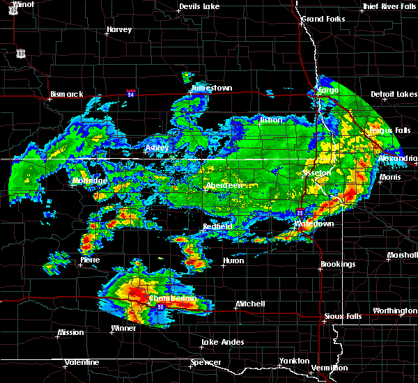 At 712 pm cdt, a severe thunderstorm was located near wessington, or 15 miles southeast of miller, moving east at 15 mph (radar indicated). Hazards include 60 mph wind gusts and half dollar size hail. Hail damage to vehicles is expected. expect wind damage to roofs, siding, and trees. this severe thunderstorm will be near, wessington around 715 pm cdt. Wolsey around 745 pm cdt. At 712 pm cdt, a severe thunderstorm was located near wessington, or 15 miles southeast of miller, moving east at 15 mph (radar indicated). Hazards include 60 mph wind gusts and half dollar size hail. Hail damage to vehicles is expected. expect wind damage to roofs, siding, and trees. this severe thunderstorm will be near, wessington around 715 pm cdt. Wolsey around 745 pm cdt.
|
| 7/28/2019 6:59 PM CDT |
 At 640 pm cdt, a severe thunderstorm was located near wolsey, or 14 miles northwest of huron, moving southeast at 55 mph (radar indicated). Hazards include 60 mph wind gusts and quarter size hail. Hail damage to vehicles is expected. expect wind damage to roofs, siding, and trees. this severe thunderstorm will be near, huron around 655 pm cdt. cavour around 705 pm cdt. Other locations impacted by this severe thunderstorm include bancroft and broadland. At 640 pm cdt, a severe thunderstorm was located near wolsey, or 14 miles northwest of huron, moving southeast at 55 mph (radar indicated). Hazards include 60 mph wind gusts and quarter size hail. Hail damage to vehicles is expected. expect wind damage to roofs, siding, and trees. this severe thunderstorm will be near, huron around 655 pm cdt. cavour around 705 pm cdt. Other locations impacted by this severe thunderstorm include bancroft and broadland.
|
| 7/28/2019 6:40 PM CDT |
 At 640 pm cdt, a severe thunderstorm was located near wolsey, or 14 miles northwest of huron, moving southeast at 55 mph (radar indicated). Hazards include 60 mph wind gusts and quarter size hail. Hail damage to vehicles is expected. expect wind damage to roofs, siding, and trees. this severe thunderstorm will be near, huron around 655 pm cdt. cavour around 705 pm cdt. Other locations impacted by this severe thunderstorm include bancroft and broadland. At 640 pm cdt, a severe thunderstorm was located near wolsey, or 14 miles northwest of huron, moving southeast at 55 mph (radar indicated). Hazards include 60 mph wind gusts and quarter size hail. Hail damage to vehicles is expected. expect wind damage to roofs, siding, and trees. this severe thunderstorm will be near, huron around 655 pm cdt. cavour around 705 pm cdt. Other locations impacted by this severe thunderstorm include bancroft and broadland.
|
| 7/20/2019 6:42 AM CDT |
 The severe thunderstorm warning for northwestern davison, western kingsbury, sanborn, beadle, aurora, jerauld, northwestern miner and brule counties will expire at 645 am cdt, the storms which prompted the warning have moved out of the area. therefore, the warning will be allowed to expire. a severe thunderstorm watch remains in effect until 1100 am cdt for south central, central, southeastern and east central south dakota. remember, a severe thunderstorm warning still remains in effect for portions of davison, kingsbury, sanborn, beadle, aurora, and miner counties until 715 am cdt. The severe thunderstorm warning for northwestern davison, western kingsbury, sanborn, beadle, aurora, jerauld, northwestern miner and brule counties will expire at 645 am cdt, the storms which prompted the warning have moved out of the area. therefore, the warning will be allowed to expire. a severe thunderstorm watch remains in effect until 1100 am cdt for south central, central, southeastern and east central south dakota. remember, a severe thunderstorm warning still remains in effect for portions of davison, kingsbury, sanborn, beadle, aurora, and miner counties until 715 am cdt.
|
| 7/20/2019 6:12 AM CDT |
 At 611 am cdt, severe thunderstorms were located along a line extending from near carpenter to 9 miles south of cavour to near kimball, moving east at 35 mph (radar indicated. at 604 am, huron airport reported a wind gust of 62 mph). Hazards include 70 mph wind gusts and quarter size hail. Hail damage to vehicles is expected. expect considerable tree damage. wind damage is also likely to mobile homes, roofs, and outbuildings. these severe storms will be near, white lake around 635 am cdt. plankinton and carthage around 645 am cdt. Other locations impacted by these severe thunderstorms include bancroft, broadland and pukwana. At 611 am cdt, severe thunderstorms were located along a line extending from near carpenter to 9 miles south of cavour to near kimball, moving east at 35 mph (radar indicated. at 604 am, huron airport reported a wind gust of 62 mph). Hazards include 70 mph wind gusts and quarter size hail. Hail damage to vehicles is expected. expect considerable tree damage. wind damage is also likely to mobile homes, roofs, and outbuildings. these severe storms will be near, white lake around 635 am cdt. plankinton and carthage around 645 am cdt. Other locations impacted by these severe thunderstorms include bancroft, broadland and pukwana.
|
| 7/20/2019 5:55 AM CDT |
 At 555 am cdt, severe thunderstorms were located along a line extending from 7 miles west of carpenter to near alpena to 8 miles east of chamberlain, moving east at 35 mph (radar indicated). Hazards include 60 mph wind gusts and penny size hail. Expect damage to roofs, siding, and trees. severe thunderstorms will be near, alpena around 600 am cdt. white lake around 630 am cdt. plankinton and carthage around 645 am cdt. Other locations impacted by these severe thunderstorms include bancroft, broadland and pukwana. At 555 am cdt, severe thunderstorms were located along a line extending from 7 miles west of carpenter to near alpena to 8 miles east of chamberlain, moving east at 35 mph (radar indicated). Hazards include 60 mph wind gusts and penny size hail. Expect damage to roofs, siding, and trees. severe thunderstorms will be near, alpena around 600 am cdt. white lake around 630 am cdt. plankinton and carthage around 645 am cdt. Other locations impacted by these severe thunderstorms include bancroft, broadland and pukwana.
|
| 7/20/2019 5:46 AM CDT |
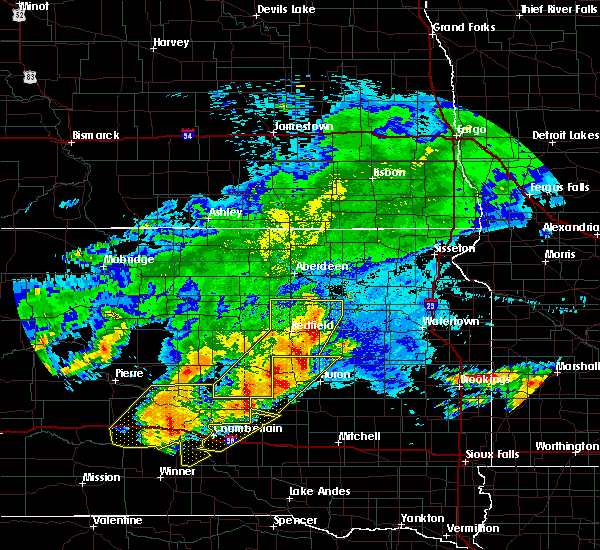 At 546 am cdt, severe thunderstorms were located along a line extending from 6 miles south of spink colony to 6 miles northeast of gann valley, moving east at 40 mph (radar indicated). Hazards include 60 mph wind gusts and penny size hail. Expect damage to roofs, siding, and trees. These severe thunderstorms will remain over mainly rural areas of western beadle and northwestern jerauld counties, including the following locations, broadland. At 546 am cdt, severe thunderstorms were located along a line extending from 6 miles south of spink colony to 6 miles northeast of gann valley, moving east at 40 mph (radar indicated). Hazards include 60 mph wind gusts and penny size hail. Expect damage to roofs, siding, and trees. These severe thunderstorms will remain over mainly rural areas of western beadle and northwestern jerauld counties, including the following locations, broadland.
|
| 7/20/2019 5:43 AM CDT | Rwis statio in beadle county SD, 3.7 miles SSE of Wolsey, SD |
| 7/20/2019 5:23 AM CDT |
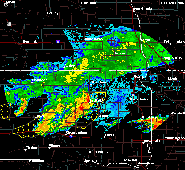 At 523 am cdt, severe thunderstorms were located along a line extending from near tulare to near etbauer hill, moving east at 40 mph (radar indicated). Hazards include 60 mph wind gusts and penny size hail. Expect damage to roofs, siding, and trees. severe thunderstorms will be near, hitchcock around 540 am cdt. Other locations impacted by these severe thunderstorms include broadland. At 523 am cdt, severe thunderstorms were located along a line extending from near tulare to near etbauer hill, moving east at 40 mph (radar indicated). Hazards include 60 mph wind gusts and penny size hail. Expect damage to roofs, siding, and trees. severe thunderstorms will be near, hitchcock around 540 am cdt. Other locations impacted by these severe thunderstorms include broadland.
|
| 7/13/2019 6:46 PM CDT |
 At 644 pm cdt, a severe thunderstorm was located over huron, moving southeast at 30 mph. this is a very dangerous storm (instrument measured). Hazards include 80 mph wind gusts and half dollar size hail. Flying debris will be dangerous to those caught without shelter. mobile homes will be heavily damaged. expect considerable damage to roofs, windows, and vehicles. extensive tree damage and power outages are likely. this severe storm will be near, cavour and areas south of cavour around 700 pm cdt. other locations impacted by this severe thunderstorm include virgil. This storm produced 76 mph winds at huron regional airport at 639 pm cdt. At 644 pm cdt, a severe thunderstorm was located over huron, moving southeast at 30 mph. this is a very dangerous storm (instrument measured). Hazards include 80 mph wind gusts and half dollar size hail. Flying debris will be dangerous to those caught without shelter. mobile homes will be heavily damaged. expect considerable damage to roofs, windows, and vehicles. extensive tree damage and power outages are likely. this severe storm will be near, cavour and areas south of cavour around 700 pm cdt. other locations impacted by this severe thunderstorm include virgil. This storm produced 76 mph winds at huron regional airport at 639 pm cdt.
|
| 7/13/2019 6:32 PM CDT |
 At 631 pm cdt, a severe thunderstorm was located near huron, moving southeast at 35 mph. this is a very dangerous storm (radar indicated). Hazards include 80 mph wind gusts and half dollar size hail. Flying debris will be dangerous to those caught without shelter. mobile homes will be heavily damaged. expect considerable damage to roofs, windows, and vehicles. extensive tree damage and power outages are likely. this severe storm will be near, huron around 635 pm cdt. other locations impacted by this severe thunderstorm include broadland. very high winds are about to move into huron. Take shelter now!. At 631 pm cdt, a severe thunderstorm was located near huron, moving southeast at 35 mph. this is a very dangerous storm (radar indicated). Hazards include 80 mph wind gusts and half dollar size hail. Flying debris will be dangerous to those caught without shelter. mobile homes will be heavily damaged. expect considerable damage to roofs, windows, and vehicles. extensive tree damage and power outages are likely. this severe storm will be near, huron around 635 pm cdt. other locations impacted by this severe thunderstorm include broadland. very high winds are about to move into huron. Take shelter now!.
|
| 7/13/2019 6:22 PM CDT |
 The national weather service in sioux falls has issued a * severe thunderstorm warning for. beadle county in east central south dakota. until 700 pm cdt. At 621 pm cdt, a severe thunderstorm was located near wolsey, or 11 miles northwest of huron, moving southeast at 35 mph. The national weather service in sioux falls has issued a * severe thunderstorm warning for. beadle county in east central south dakota. until 700 pm cdt. At 621 pm cdt, a severe thunderstorm was located near wolsey, or 11 miles northwest of huron, moving southeast at 35 mph.
|
| 7/13/2019 6:13 PM CDT | Several 6 to 12 inch diameter limbs removed from mature tree in beadle county SD, 6.3 miles S of Wolsey, SD |
| 7/13/2019 6:08 PM CDT |
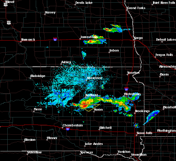 At 603 pm cdt, a severe thunderstorm was located 7 miles south of spottswood, or 20 miles northwest of huron, moving southeast at 25 mph (radar indicated). Hazards include 70 mph wind gusts and quarter size hail. Hail damage to vehicles is expected. expect considerable tree damage. wind damage is also likely to mobile homes, roofs, and outbuildings. this severe storm will be near, wolsey around 625 pm cdt. Other locations impacted by this severe thunderstorm include broadland. At 603 pm cdt, a severe thunderstorm was located 7 miles south of spottswood, or 20 miles northwest of huron, moving southeast at 25 mph (radar indicated). Hazards include 70 mph wind gusts and quarter size hail. Hail damage to vehicles is expected. expect considerable tree damage. wind damage is also likely to mobile homes, roofs, and outbuildings. this severe storm will be near, wolsey around 625 pm cdt. Other locations impacted by this severe thunderstorm include broadland.
|
| 7/13/2019 5:47 PM CDT |
 At 545 pm cdt, a severe thunderstorm was located 7 miles west of spottswood, or 17 miles east of miller, moving southeast at 25 mph (radar indicated). Hazards include 60 mph wind gusts and quarter size hail. Hail damage to vehicles is expected. expect wind damage to roofs, siding, and trees. this severe thunderstorm will be near, wolsey around 625 pm cdt. Other locations impacted by this severe thunderstorm include broadland. At 545 pm cdt, a severe thunderstorm was located 7 miles west of spottswood, or 17 miles east of miller, moving southeast at 25 mph (radar indicated). Hazards include 60 mph wind gusts and quarter size hail. Hail damage to vehicles is expected. expect wind damage to roofs, siding, and trees. this severe thunderstorm will be near, wolsey around 625 pm cdt. Other locations impacted by this severe thunderstorm include broadland.
|
| 7/13/2019 7:56 AM CDT |
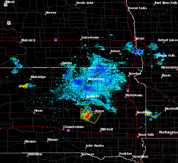 At 755 am cdt, a severe thunderstorm was located near virgil, or 15 miles southwest of huron, moving east at 30 mph (radar indicated). Hazards include 60 mph wind gusts and quarter size hail. Hail damage to vehicles is expected. expect wind damage to roofs, siding, and trees. this severe thunderstorm will be near, virgil around 805 am cdt. Alpena around 815 am cdt. At 755 am cdt, a severe thunderstorm was located near virgil, or 15 miles southwest of huron, moving east at 30 mph (radar indicated). Hazards include 60 mph wind gusts and quarter size hail. Hail damage to vehicles is expected. expect wind damage to roofs, siding, and trees. this severe thunderstorm will be near, virgil around 805 am cdt. Alpena around 815 am cdt.
|
| 7/13/2019 7:43 AM CDT |
 At 743 am cdt, a severe thunderstorm was located near wolsey, or 18 miles west of huron, moving southeast at 20 mph (radar indicated). Hazards include 60 mph wind gusts and quarter size hail. Hail damage to vehicles is expected. expect wind damage to roofs, siding, and trees. this severe storm will be near, wolsey around 755 am cdt. Virgil around 800 am cdt. At 743 am cdt, a severe thunderstorm was located near wolsey, or 18 miles west of huron, moving southeast at 20 mph (radar indicated). Hazards include 60 mph wind gusts and quarter size hail. Hail damage to vehicles is expected. expect wind damage to roofs, siding, and trees. this severe storm will be near, wolsey around 755 am cdt. Virgil around 800 am cdt.
|
| 7/13/2019 7:21 AM CDT |
 At 720 am cdt, a severe thunderstorm was located over wessington, or 13 miles east of miller, moving southeast at 25 mph (radar indicated). Hazards include 60 mph wind gusts and quarter size hail. Hail damage to vehicles is expected. expect wind damage to roofs, siding, and trees. this severe thunderstorm will be near, wolsey around 755 am cdt. virgil around 800 am cdt. Other locations impacted by this severe thunderstorm include broadland. At 720 am cdt, a severe thunderstorm was located over wessington, or 13 miles east of miller, moving southeast at 25 mph (radar indicated). Hazards include 60 mph wind gusts and quarter size hail. Hail damage to vehicles is expected. expect wind damage to roofs, siding, and trees. this severe thunderstorm will be near, wolsey around 755 am cdt. virgil around 800 am cdt. Other locations impacted by this severe thunderstorm include broadland.
|
| 8/26/2018 10:41 PM CDT |
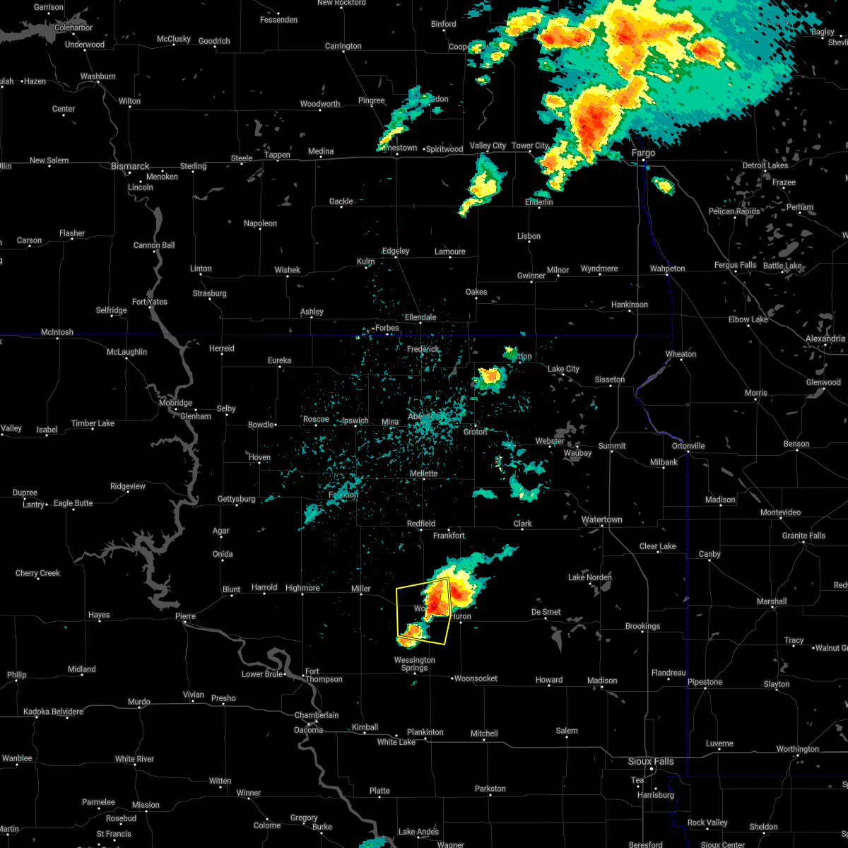 The severe thunderstorm warning for western beadle county will expire at 1045 pm cdt. the storm which prompted the warning has weakened below severe limits, and no longer poses an immediate threat to life or property. therefore, the warning will be allowed to expire. However nickel size hail is still possible with this thunderstorm. The severe thunderstorm warning for western beadle county will expire at 1045 pm cdt. the storm which prompted the warning has weakened below severe limits, and no longer poses an immediate threat to life or property. therefore, the warning will be allowed to expire. However nickel size hail is still possible with this thunderstorm.
|
| 8/26/2018 10:22 PM CDT |
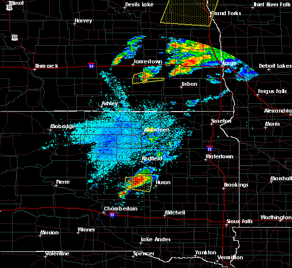 At 1021 pm cdt, a severe thunderstorm was located near wessington, or 18 miles west of huron, moving east at 40 mph (trained weather spotters. at 1020 pm cdt...trained spotters reported quarter size hail 2 miles southeast of wessington). Hazards include 60 mph wind gusts and quarter size hail. Hail damage to vehicles is expected. expect wind damage to roofs, siding, and trees. this severe storm will be near, wolsey around 1030 pm cdt. Other locations impacted by this severe thunderstorm include broadland. At 1021 pm cdt, a severe thunderstorm was located near wessington, or 18 miles west of huron, moving east at 40 mph (trained weather spotters. at 1020 pm cdt...trained spotters reported quarter size hail 2 miles southeast of wessington). Hazards include 60 mph wind gusts and quarter size hail. Hail damage to vehicles is expected. expect wind damage to roofs, siding, and trees. this severe storm will be near, wolsey around 1030 pm cdt. Other locations impacted by this severe thunderstorm include broadland.
|
| 8/26/2018 10:18 PM CDT |
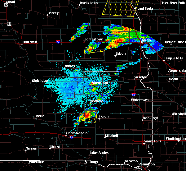 At 1018 pm cdt, a severe thunderstorm was located near wessington, or 19 miles east of miller, moving east at 35 mph (radar indicated). Hazards include 60 mph wind gusts and quarter size hail. Hail damage to vehicles is expected. expect wind damage to roofs, siding, and trees. this severe storm will be near, wolsey around 1030 pm cdt. Other locations impacted by this severe thunderstorm include broadland. At 1018 pm cdt, a severe thunderstorm was located near wessington, or 19 miles east of miller, moving east at 35 mph (radar indicated). Hazards include 60 mph wind gusts and quarter size hail. Hail damage to vehicles is expected. expect wind damage to roofs, siding, and trees. this severe storm will be near, wolsey around 1030 pm cdt. Other locations impacted by this severe thunderstorm include broadland.
|
| 8/26/2018 10:03 PM CDT |
 At 1003 pm cdt, a severe thunderstorm was located near wessington, or 13 miles southeast of miller, moving east at 30 mph (radar indicated). Hazards include 60 mph wind gusts and quarter size hail. Hail damage to vehicles is expected. expect wind damage to roofs, siding, and trees. this severe thunderstorm will be near, wolsey around 1030 pm cdt. Other locations impacted by this severe thunderstorm include broadland. At 1003 pm cdt, a severe thunderstorm was located near wessington, or 13 miles southeast of miller, moving east at 30 mph (radar indicated). Hazards include 60 mph wind gusts and quarter size hail. Hail damage to vehicles is expected. expect wind damage to roofs, siding, and trees. this severe thunderstorm will be near, wolsey around 1030 pm cdt. Other locations impacted by this severe thunderstorm include broadland.
|
| 8/25/2018 11:24 PM CDT |
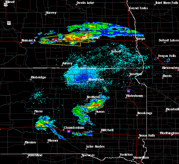 The severe thunderstorm warning for northwestern beadle county will expire at 1130 pm cdt, the storm which prompted the warning has moved out of the area. therefore, the warning will be allowed to expire. however gusty winds up to 50 mph are still possible through midnight as rain lingering behind this thunderstorm moves through. to report severe weather, contact your nearest law enforcement agency. they will relay your report to the national weather service sioux falls. The severe thunderstorm warning for northwestern beadle county will expire at 1130 pm cdt, the storm which prompted the warning has moved out of the area. therefore, the warning will be allowed to expire. however gusty winds up to 50 mph are still possible through midnight as rain lingering behind this thunderstorm moves through. to report severe weather, contact your nearest law enforcement agency. they will relay your report to the national weather service sioux falls.
|
| 8/25/2018 11:09 PM CDT |
 At 1109 pm cdt, a severe thunderstorm was located near spottswood, or 18 miles south of redfield, moving northeast at 45 mph (radar indicated). Hazards include 60 mph wind gusts. Expect damage to roofs, siding, and trees. This severe thunderstorm will remain over mainly rural areas of northwestern beadle county, including the following locations, broadland. At 1109 pm cdt, a severe thunderstorm was located near spottswood, or 18 miles south of redfield, moving northeast at 45 mph (radar indicated). Hazards include 60 mph wind gusts. Expect damage to roofs, siding, and trees. This severe thunderstorm will remain over mainly rural areas of northwestern beadle county, including the following locations, broadland.
|
| 8/25/2018 10:55 PM CDT |
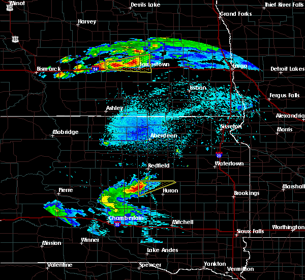 At 1055 pm cdt, a severe thunderstorm was located near wessington, or 13 miles east of miller, moving northeast at 50 mph (radar indicated). Hazards include 60 mph wind gusts and penny size hail. Expect damage to roofs, siding, and trees. this severe thunderstorm will be near, hitchcock around 1115 pm cdt. Other locations impacted by this severe thunderstorm include broadland. At 1055 pm cdt, a severe thunderstorm was located near wessington, or 13 miles east of miller, moving northeast at 50 mph (radar indicated). Hazards include 60 mph wind gusts and penny size hail. Expect damage to roofs, siding, and trees. this severe thunderstorm will be near, hitchcock around 1115 pm cdt. Other locations impacted by this severe thunderstorm include broadland.
|
| 6/1/2018 8:18 PM CDT |
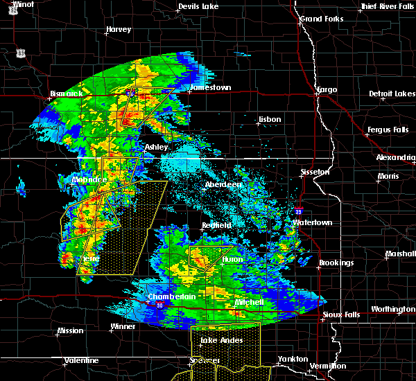 At 817 pm cdt, a severe thunderstorm was located near wolsey, or 14 miles west of huron, moving northeast at 25 mph (radar indicated). Hazards include 60 mph wind gusts and penny size hail. Expect damage to roofs, siding, and trees. this severe storm will be near, hitchcock around 845 pm cdt. Other locations impacted by this severe thunderstorm include broadland. At 817 pm cdt, a severe thunderstorm was located near wolsey, or 14 miles west of huron, moving northeast at 25 mph (radar indicated). Hazards include 60 mph wind gusts and penny size hail. Expect damage to roofs, siding, and trees. this severe storm will be near, hitchcock around 845 pm cdt. Other locations impacted by this severe thunderstorm include broadland.
|
| 6/1/2018 8:00 PM CDT |
 The national weather service in sioux falls has issued a * severe thunderstorm warning for. western beadle county in east central south dakota. until 845 pm cdt. At 800 pm cdt, a severe thunderstorm was located over wolsey, or 14 miles west of huron, moving northeast at 40 mph. The national weather service in sioux falls has issued a * severe thunderstorm warning for. western beadle county in east central south dakota. until 845 pm cdt. At 800 pm cdt, a severe thunderstorm was located over wolsey, or 14 miles west of huron, moving northeast at 40 mph.
|
| 7/22/2017 12:25 AM CDT |
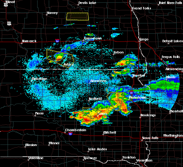 The severe thunderstorm warning for western beadle county will expire at 1230 am cdt, the storm which prompted the warning has weakened below severe limits, and no longer poses an immediate threat to life or property. therefore the warning will be allowed to expire. The severe thunderstorm warning for western beadle county will expire at 1230 am cdt, the storm which prompted the warning has weakened below severe limits, and no longer poses an immediate threat to life or property. therefore the warning will be allowed to expire.
|
| 7/22/2017 12:04 AM CDT |
 At 1204 am cdt, a severe thunderstorm was located near wolsey, or 11 miles northwest of huron, moving southeast at 40 mph (radar indicated). Hazards include 70 mph wind gusts and quarter size hail. Hail damage to vehicles is expected. expect considerable tree damage. wind damage is also likely to mobile homes, roofs, and outbuildings. this severe storm will be near, huron around 1220 am cdt. Other locations impacted by this severe thunderstorm include broadland. At 1204 am cdt, a severe thunderstorm was located near wolsey, or 11 miles northwest of huron, moving southeast at 40 mph (radar indicated). Hazards include 70 mph wind gusts and quarter size hail. Hail damage to vehicles is expected. expect considerable tree damage. wind damage is also likely to mobile homes, roofs, and outbuildings. this severe storm will be near, huron around 1220 am cdt. Other locations impacted by this severe thunderstorm include broadland.
|
| 7/21/2017 11:43 PM CDT |
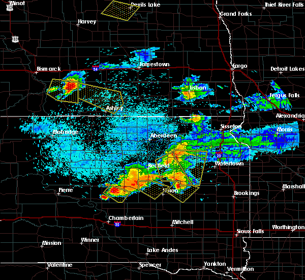 At 1142 pm cdt, a severe thunderstorm was located 8 miles southwest of spottswood, or 17 miles east of miller, moving southeast at 40 mph (radar indicated). Hazards include 70 mph wind gusts and quarter size hail. Hail damage to vehicles is expected. expect considerable tree damage. wind damage is also likely to mobile homes, roofs, and outbuildings. this severe thunderstorm will be near, wolsey around 1205 am cdt. huron around 1220 am cdt. Other locations impacted by this severe thunderstorm include broadland. At 1142 pm cdt, a severe thunderstorm was located 8 miles southwest of spottswood, or 17 miles east of miller, moving southeast at 40 mph (radar indicated). Hazards include 70 mph wind gusts and quarter size hail. Hail damage to vehicles is expected. expect considerable tree damage. wind damage is also likely to mobile homes, roofs, and outbuildings. this severe thunderstorm will be near, wolsey around 1205 am cdt. huron around 1220 am cdt. Other locations impacted by this severe thunderstorm include broadland.
|
| 7/21/2017 11:25 PM CDT |
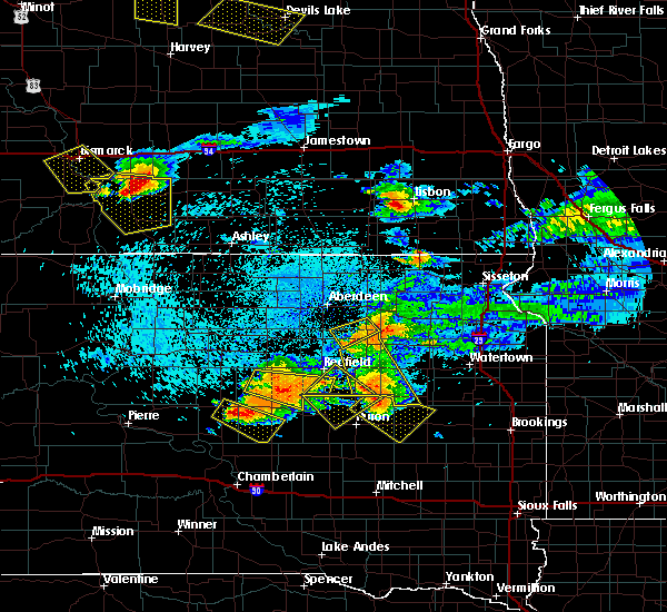 The severe thunderstorm warning for northwestern beadle county will expire at 1130 pm cdt, the storm which prompted the warning has moved out of the area. therefore the warning will be allowed to expire. The severe thunderstorm warning for northwestern beadle county will expire at 1130 pm cdt, the storm which prompted the warning has moved out of the area. therefore the warning will be allowed to expire.
|
| 7/21/2017 11:06 PM CDT |
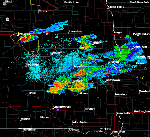 At 1106 pm cdt, a severe thunderstorm was located near hitchcock, or 16 miles northwest of huron, moving southeast at 30 mph. this is a very dangerous storm (radar indicated). Hazards include 80 mph wind gusts and half dollar size hail. Flying debris will be dangerous to those caught without shelter. mobile homes will be heavily damaged. expect considerable damage to roofs, windows, and vehicles. extensive tree damage and power outages are likely. This severe thunderstorm will remain over mainly rural areas of northwestern beadle county, including the following locations: broadland. At 1106 pm cdt, a severe thunderstorm was located near hitchcock, or 16 miles northwest of huron, moving southeast at 30 mph. this is a very dangerous storm (radar indicated). Hazards include 80 mph wind gusts and half dollar size hail. Flying debris will be dangerous to those caught without shelter. mobile homes will be heavily damaged. expect considerable damage to roofs, windows, and vehicles. extensive tree damage and power outages are likely. This severe thunderstorm will remain over mainly rural areas of northwestern beadle county, including the following locations: broadland.
|
| 7/21/2017 10:45 PM CDT |
 At 1045 pm cdt, a severe thunderstorm was located near spottswood, or 12 miles south of redfield, moving southeast at 30 mph. this is a very dangerous storm (radar indicated). Hazards include 80 mph wind gusts and half dollar size hail. Flying debris will be dangerous to those caught without shelter. mobile homes will be heavily damaged. expect considerable damage to roofs, windows, and vehicles. extensive tree damage and power outages are likely. this severe thunderstorm will be near, hitchcock around 1100 pm cdt. Other locations impacted by this severe thunderstorm include broadland. At 1045 pm cdt, a severe thunderstorm was located near spottswood, or 12 miles south of redfield, moving southeast at 30 mph. this is a very dangerous storm (radar indicated). Hazards include 80 mph wind gusts and half dollar size hail. Flying debris will be dangerous to those caught without shelter. mobile homes will be heavily damaged. expect considerable damage to roofs, windows, and vehicles. extensive tree damage and power outages are likely. this severe thunderstorm will be near, hitchcock around 1100 pm cdt. Other locations impacted by this severe thunderstorm include broadland.
|
| 7/19/2017 11:38 AM CDT |
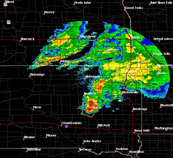 At 1121 am cdt, a severe thunderstorm was located near virgil, or near huron, moving southeast at 55 mph. this is a very dangerous storm (radar indicated). Hazards include 80 mph wind gusts and quarter size hail. Flying debris will be dangerous to those caught without shelter. mobile homes will be heavily damaged. expect considerable damage to roofs, windows, and vehicles. extensive tree damage and power outages are likely. this severe storm will be near, huron around 1125 am cdt. cavour around 1135 am cdt. other locations impacted by this severe thunderstorm include broadland. This storm has a history of strong, damaging winds west and northwest of beadle county. At 1121 am cdt, a severe thunderstorm was located near virgil, or near huron, moving southeast at 55 mph. this is a very dangerous storm (radar indicated). Hazards include 80 mph wind gusts and quarter size hail. Flying debris will be dangerous to those caught without shelter. mobile homes will be heavily damaged. expect considerable damage to roofs, windows, and vehicles. extensive tree damage and power outages are likely. this severe storm will be near, huron around 1125 am cdt. cavour around 1135 am cdt. other locations impacted by this severe thunderstorm include broadland. This storm has a history of strong, damaging winds west and northwest of beadle county.
|
| 7/19/2017 11:22 AM CDT |
 At 1121 am cdt, a severe thunderstorm was located near virgil, or near huron, moving southeast at 55 mph. this is a very dangerous storm (radar indicated). Hazards include 80 mph wind gusts and quarter size hail. Flying debris will be dangerous to those caught without shelter. mobile homes will be heavily damaged. expect considerable damage to roofs, windows, and vehicles. extensive tree damage and power outages are likely. this severe storm will be near, huron around 1125 am cdt. cavour around 1135 am cdt. other locations impacted by this severe thunderstorm include broadland. This storm has a history of strong, damaging winds west and northwest of beadle county. At 1121 am cdt, a severe thunderstorm was located near virgil, or near huron, moving southeast at 55 mph. this is a very dangerous storm (radar indicated). Hazards include 80 mph wind gusts and quarter size hail. Flying debris will be dangerous to those caught without shelter. mobile homes will be heavily damaged. expect considerable damage to roofs, windows, and vehicles. extensive tree damage and power outages are likely. this severe storm will be near, huron around 1125 am cdt. cavour around 1135 am cdt. other locations impacted by this severe thunderstorm include broadland. This storm has a history of strong, damaging winds west and northwest of beadle county.
|
| 7/19/2017 10:53 AM CDT |
 At 1053 am cdt, a severe thunderstorm was located near vayland, or 8 miles east of miller, moving southeast at 55 mph. this is a very dangerous storm (radar indicated). Hazards include 80 mph wind gusts and quarter size hail. Flying debris will be dangerous to those caught without shelter. mobile homes will be heavily damaged. expect considerable damage to roofs, windows, and vehicles. extensive tree damage and power outages are likely. this severe thunderstorm will be near, wessington around 1100 am cdt. wolsey around 1115 am cdt. virgil around 1120 am cdt. huron around 1125 am cdt. Other locations impacted by this severe thunderstorm include broadland. At 1053 am cdt, a severe thunderstorm was located near vayland, or 8 miles east of miller, moving southeast at 55 mph. this is a very dangerous storm (radar indicated). Hazards include 80 mph wind gusts and quarter size hail. Flying debris will be dangerous to those caught without shelter. mobile homes will be heavily damaged. expect considerable damage to roofs, windows, and vehicles. extensive tree damage and power outages are likely. this severe thunderstorm will be near, wessington around 1100 am cdt. wolsey around 1115 am cdt. virgil around 1120 am cdt. huron around 1125 am cdt. Other locations impacted by this severe thunderstorm include broadland.
|
| 7/17/2017 10:21 PM CDT |
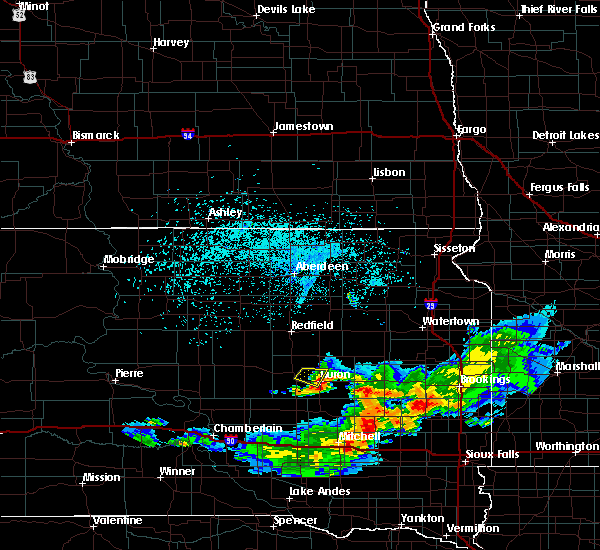 The severe thunderstorm warning for central beadle county will expire at 1030 pm cdt, the storm which prompted the warning has weakened below severe limits, and has exited the warned area. therefore, the warning will be allowed to expire. however gusty winds to 40 mph are still possible with this thunderstorm. to report severe weather, contact your nearest law enforcement agency. they will relay your report to the national weather service sioux falls. The severe thunderstorm warning for central beadle county will expire at 1030 pm cdt, the storm which prompted the warning has weakened below severe limits, and has exited the warned area. therefore, the warning will be allowed to expire. however gusty winds to 40 mph are still possible with this thunderstorm. to report severe weather, contact your nearest law enforcement agency. they will relay your report to the national weather service sioux falls.
|
| 7/17/2017 10:01 PM CDT |
 At 948 pm cdt, a severe thunderstorm was located near wolsey, or 11 miles northwest of huron, moving southeast at 20 mph (radar indicated). Hazards include half dollar size hail. Damage to vehicles is expected. this severe thunderstorm will be near, huron around 1025 pm cdt. Other locations impacted by this severe thunderstorm include broadland. At 948 pm cdt, a severe thunderstorm was located near wolsey, or 11 miles northwest of huron, moving southeast at 20 mph (radar indicated). Hazards include half dollar size hail. Damage to vehicles is expected. this severe thunderstorm will be near, huron around 1025 pm cdt. Other locations impacted by this severe thunderstorm include broadland.
|
| 7/17/2017 9:49 PM CDT |
 At 948 pm cdt, a severe thunderstorm was located near wolsey, or 11 miles northwest of huron, moving southeast at 20 mph (radar indicated). Hazards include half dollar size hail. Damage to vehicles is expected. this severe thunderstorm will be near, huron around 1025 pm cdt. Other locations impacted by this severe thunderstorm include broadland. At 948 pm cdt, a severe thunderstorm was located near wolsey, or 11 miles northwest of huron, moving southeast at 20 mph (radar indicated). Hazards include half dollar size hail. Damage to vehicles is expected. this severe thunderstorm will be near, huron around 1025 pm cdt. Other locations impacted by this severe thunderstorm include broadland.
|
| 7/17/2017 8:21 PM CDT |
 At 821 pm cdt, a severe thunderstorm was located near wolsey, or 10 miles northwest of huron, moving east at 35 mph (radar indicated). Hazards include 60 mph wind gusts and quarter size hail. Hail damage to vehicles is expected. expect wind damage to roofs, siding, and trees. this severe thunderstorm will be near, huron around 840 pm cdt. Other locations impacted by this severe thunderstorm include broadland. At 821 pm cdt, a severe thunderstorm was located near wolsey, or 10 miles northwest of huron, moving east at 35 mph (radar indicated). Hazards include 60 mph wind gusts and quarter size hail. Hail damage to vehicles is expected. expect wind damage to roofs, siding, and trees. this severe thunderstorm will be near, huron around 840 pm cdt. Other locations impacted by this severe thunderstorm include broadland.
|
| 7/17/2017 7:04 PM CDT |
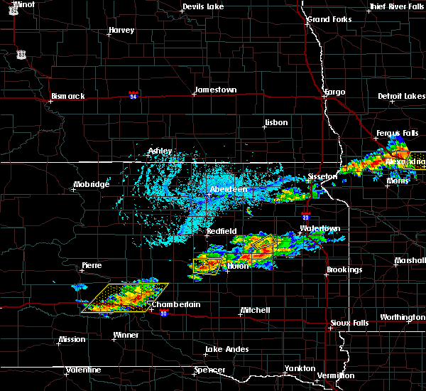 At 702 pm cdt, a severe thunderstorm was located near wolsey, or 16 miles west of huron, moving east at 30 mph (radar indicated). Hazards include 60 mph wind gusts and quarter size hail. at 7 pm, nickel size hail was reported southeast of wessington. Hail damage to vehicles is expected. expect wind damage to roofs, siding, and trees. This severe thunderstorm will remain over mainly rural areas of northwestern beadle county, including the following locations: broadland. At 702 pm cdt, a severe thunderstorm was located near wolsey, or 16 miles west of huron, moving east at 30 mph (radar indicated). Hazards include 60 mph wind gusts and quarter size hail. at 7 pm, nickel size hail was reported southeast of wessington. Hail damage to vehicles is expected. expect wind damage to roofs, siding, and trees. This severe thunderstorm will remain over mainly rural areas of northwestern beadle county, including the following locations: broadland.
|
| 7/17/2017 7:02 PM CDT | Quarter sized hail reported 7.6 miles ESE of Wolsey, SD, hail up to the size of quarters and wind gusts estimated at 60 mph. some tree branches blown down and corn was tipped. |
| 7/17/2017 6:50 PM CDT |
 At 650 pm cdt, a severe thunderstorm was located near wessington, or 18 miles east of miller, moving east at 20 mph (radar indicated). Hazards include 60 mph wind gusts and quarter size hail. Hail damage to vehicles is expected. expect wind damage to roofs, siding, and trees. this severe thunderstorm will be near, wolsey around 715 pm cdt. Other locations impacted by this severe thunderstorm include broadland. At 650 pm cdt, a severe thunderstorm was located near wessington, or 18 miles east of miller, moving east at 20 mph (radar indicated). Hazards include 60 mph wind gusts and quarter size hail. Hail damage to vehicles is expected. expect wind damage to roofs, siding, and trees. this severe thunderstorm will be near, wolsey around 715 pm cdt. Other locations impacted by this severe thunderstorm include broadland.
|
| 6/11/2017 4:05 AM CDT | Golf Ball sized hail reported 0.2 miles W of Wolsey, SD, report via social media. |
| 6/11/2017 3:48 AM CDT |
 At 347 am cdt, a severe thunderstorm was located over virgil, or 11 miles southwest of huron, moving northeast at 50 mph (radar indicated). Hazards include ping pong ball size hail and 60 mph wind gusts. People and animals outdoors will be injured. expect hail damage to roofs, siding, windows, and vehicles. expect wind damage to roofs, siding, and trees. this severe storm will be near, huron around 405 am cdt. cavour around 410 am cdt. Other locations impacted by this severe thunderstorm include broadland. At 347 am cdt, a severe thunderstorm was located over virgil, or 11 miles southwest of huron, moving northeast at 50 mph (radar indicated). Hazards include ping pong ball size hail and 60 mph wind gusts. People and animals outdoors will be injured. expect hail damage to roofs, siding, windows, and vehicles. expect wind damage to roofs, siding, and trees. this severe storm will be near, huron around 405 am cdt. cavour around 410 am cdt. Other locations impacted by this severe thunderstorm include broadland.
|
| 6/11/2017 3:25 AM CDT |
 At 325 am cdt, a severe thunderstorm was located near rosehill dam, or 24 miles southeast of miller, moving northeast at 55 mph (radar indicated). Hazards include ping pong ball size hail and 60 mph wind gusts. People and animals outdoors will be injured. expect hail damage to roofs, siding, windows, and vehicles. expect wind damage to roofs, siding, and trees. this severe thunderstorm will be near, wolsey and virgil around 340 am cdt. huron around 355 am cdt. Other locations impacted by this severe thunderstorm include broadland. At 325 am cdt, a severe thunderstorm was located near rosehill dam, or 24 miles southeast of miller, moving northeast at 55 mph (radar indicated). Hazards include ping pong ball size hail and 60 mph wind gusts. People and animals outdoors will be injured. expect hail damage to roofs, siding, windows, and vehicles. expect wind damage to roofs, siding, and trees. this severe thunderstorm will be near, wolsey and virgil around 340 am cdt. huron around 355 am cdt. Other locations impacted by this severe thunderstorm include broadland.
|
| 6/11/2017 3:20 AM CDT |
 At 320 am cdt, a severe thunderstorm was located near rosehill dam, or 17 miles southeast of miller, moving northeast at 60 mph (radar indicated). Hazards include ping pong ball size hail and 60 mph wind gusts. People and animals outdoors will be injured. expect hail damage to roofs, siding, windows, and vehicles. expect wind damage to roofs, siding, and trees. this severe storm will be near, wolsey around 330 am cdt. Other locations impacted by this severe thunderstorm include broadland. At 320 am cdt, a severe thunderstorm was located near rosehill dam, or 17 miles southeast of miller, moving northeast at 60 mph (radar indicated). Hazards include ping pong ball size hail and 60 mph wind gusts. People and animals outdoors will be injured. expect hail damage to roofs, siding, windows, and vehicles. expect wind damage to roofs, siding, and trees. this severe storm will be near, wolsey around 330 am cdt. Other locations impacted by this severe thunderstorm include broadland.
|
| 6/11/2017 3:03 AM CDT |
 At 303 am cdt, a severe thunderstorm was located over pleasant valley country church, or 17 miles south of miller, moving northeast at 60 mph (radar indicated). Hazards include ping pong ball size hail and 60 mph wind gusts. People and animals outdoors will be injured. expect hail damage to roofs, siding, windows, and vehicles. expect wind damage to roofs, siding, and trees. this severe thunderstorm will be near, wessington around 320 am cdt. wolsey around 330 am cdt. Other locations impacted by this severe thunderstorm include broadland. At 303 am cdt, a severe thunderstorm was located over pleasant valley country church, or 17 miles south of miller, moving northeast at 60 mph (radar indicated). Hazards include ping pong ball size hail and 60 mph wind gusts. People and animals outdoors will be injured. expect hail damage to roofs, siding, windows, and vehicles. expect wind damage to roofs, siding, and trees. this severe thunderstorm will be near, wessington around 320 am cdt. wolsey around 330 am cdt. Other locations impacted by this severe thunderstorm include broadland.
|
| 8/14/2016 11:53 PM CDT |
 The severe thunderstorm warning for western sanborn, northern aurora, beadle, northern brule and jerauld counties will expire at midnight cdt, the storms which prompted the warning have weakened below severe limits, and no longer pose an immediate threat to life or property. therefore, the warning will be allowed to expire. however gusty winds are still possible with these thunderstorms. a severe thunderstorm watch remains in effect until 100 am cdt for south central and central south dakota. The severe thunderstorm warning for western sanborn, northern aurora, beadle, northern brule and jerauld counties will expire at midnight cdt, the storms which prompted the warning have weakened below severe limits, and no longer pose an immediate threat to life or property. therefore, the warning will be allowed to expire. however gusty winds are still possible with these thunderstorms. a severe thunderstorm watch remains in effect until 100 am cdt for south central and central south dakota.
|
| 8/14/2016 11:39 PM CDT |
 At 1139 pm cdt, severe thunderstorms were located along a line extending from near tulare to 8 miles northeast of gann valley to 6 miles southeast of chamberlain, moving east at 60 mph (radar indicated). Hazards include 60 mph wind gusts. Expect damage to roofs. siding. and trees. these severe storms will be near, hitchcock around 1145 pm cdt. wessington springs around 1155 pm cdt. woonsocket, white lake and lane around 1200 am cdt. Other locations impacted by these severe thunderstorms include broadland and pukwana. At 1139 pm cdt, severe thunderstorms were located along a line extending from near tulare to 8 miles northeast of gann valley to 6 miles southeast of chamberlain, moving east at 60 mph (radar indicated). Hazards include 60 mph wind gusts. Expect damage to roofs. siding. and trees. these severe storms will be near, hitchcock around 1145 pm cdt. wessington springs around 1155 pm cdt. woonsocket, white lake and lane around 1200 am cdt. Other locations impacted by these severe thunderstorms include broadland and pukwana.
|
| 8/14/2016 11:09 PM CDT |
 At 1108 pm cdt, severe thunderstorms were located along a line extending from cottonwood lake to 6 miles southwest of pleasant valley country church to near oacoma, moving east at 65 mph (radar indicated). Hazards include 60 mph wind gusts. Expect damage to roofs. siding. and trees. severe thunderstorms will be near, kimball and wessington springs around 1130 pm cdt. white lake, alpena and lane around 1140 pm cdt. woonsocket around 1145 pm cdt. plankinton around 1155 pm cdt. aurora center around 1200 am cdt. Other locations impacted by these severe thunderstorms include broadland and pukwana. At 1108 pm cdt, severe thunderstorms were located along a line extending from cottonwood lake to 6 miles southwest of pleasant valley country church to near oacoma, moving east at 65 mph (radar indicated). Hazards include 60 mph wind gusts. Expect damage to roofs. siding. and trees. severe thunderstorms will be near, kimball and wessington springs around 1130 pm cdt. white lake, alpena and lane around 1140 pm cdt. woonsocket around 1145 pm cdt. plankinton around 1155 pm cdt. aurora center around 1200 am cdt. Other locations impacted by these severe thunderstorms include broadland and pukwana.
|
| 7/22/2016 4:21 PM CDT |
 At 421 pm cdt, a severe thunderstorm was located over spottswood, or 14 miles south of redfield, moving southeast at 25 mph (radar indicated). Hazards include 70 mph wind gusts and ping pong ball size hail. People and animals outdoors will be injured. expect hail damage to roofs, siding, windows, and vehicles. expect considerable tree damage. wind damage is also likely to mobile homes, roofs, and outbuildings. this severe storm will be near, hitchcock around 430 pm cdt. Other locations impacted by this severe thunderstorm include broadland. At 421 pm cdt, a severe thunderstorm was located over spottswood, or 14 miles south of redfield, moving southeast at 25 mph (radar indicated). Hazards include 70 mph wind gusts and ping pong ball size hail. People and animals outdoors will be injured. expect hail damage to roofs, siding, windows, and vehicles. expect considerable tree damage. wind damage is also likely to mobile homes, roofs, and outbuildings. this severe storm will be near, hitchcock around 430 pm cdt. Other locations impacted by this severe thunderstorm include broadland.
|
| 7/22/2016 4:05 PM CDT |
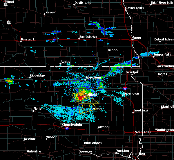 At 405 pm cdt, a severe thunderstorm was located near tulare, or 12 miles south of redfield, moving southeast at 30 mph (radar indicated). Hazards include 70 mph wind gusts and quarter size hail. Hail damage to vehicles is expected. expect considerable tree damage. wind damage is also likely to mobile homes, roofs, and outbuildings. this severe thunderstorm will be near, hitchcock around 420 pm cdt. wolsey around 445 pm cdt. Other locations impacted by this severe thunderstorm include broadland. At 405 pm cdt, a severe thunderstorm was located near tulare, or 12 miles south of redfield, moving southeast at 30 mph (radar indicated). Hazards include 70 mph wind gusts and quarter size hail. Hail damage to vehicles is expected. expect considerable tree damage. wind damage is also likely to mobile homes, roofs, and outbuildings. this severe thunderstorm will be near, hitchcock around 420 pm cdt. wolsey around 445 pm cdt. Other locations impacted by this severe thunderstorm include broadland.
|
| 7/5/2016 4:29 PM CDT |
 At 427 pm cdt, a severe thunderstorm was located over virgil, or 10 miles southwest of huron, moving east at 45 mph. this is a very dangerous storm (radar indicated). Hazards include 80 mph wind gusts and two inch hail. Flying debris will be dangerous to those caught without shelter. mobile homes will be heavily damaged. expect considerable damage to roofs, windows, and vehicles. extensive tree damage and power outages are likely. this severe thunderstorm will remain over mainly rural areas south of huron and east of virgil of southern beadle county. At 425 pm cdt, a trained spotter 2 miles west northwest of virgil reported golf ball size hail and 60 mph winds. At 427 pm cdt, a severe thunderstorm was located over virgil, or 10 miles southwest of huron, moving east at 45 mph. this is a very dangerous storm (radar indicated). Hazards include 80 mph wind gusts and two inch hail. Flying debris will be dangerous to those caught without shelter. mobile homes will be heavily damaged. expect considerable damage to roofs, windows, and vehicles. extensive tree damage and power outages are likely. this severe thunderstorm will remain over mainly rural areas south of huron and east of virgil of southern beadle county. At 425 pm cdt, a trained spotter 2 miles west northwest of virgil reported golf ball size hail and 60 mph winds.
|
| 7/5/2016 4:25 PM CDT | Golf Ball sized hail reported 7.6 miles N of Wolsey, SD, . |
| 7/5/2016 4:25 PM CDT | . in beadle county SD, 7.6 miles N of Wolsey, SD |
| 7/5/2016 4:20 PM CDT | Baseball sized hail reported 6.9 miles N of Wolsey, SD, relayed by wfo abr. |
| 7/5/2016 4:20 PM CDT | Hen Egg sized hail reported 3.5 miles N of Wolsey, SD, social media report. |
| 7/5/2016 4:20 PM CDT |
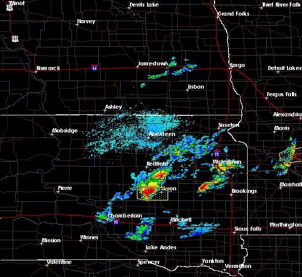 At 418 pm cdt, a severe thunderstorm was located near virgil, or 15 miles west of huron, moving east at 45 mph. this is a very dangerous storm (radar indicated). Hazards include 80 mph wind gusts and two inch hail. Flying debris will be dangerous to those caught without shelter. mobile homes will be heavily damaged. expect considerable damage to roofs, windows, and vehicles. extensive tree damage and power outages are likely. this severe storm will be near, virgil around 425 pm cdt. At 410 pm cdt, quarter size hail was reported by a national weather service cooperative observer 2 miles south southeast of wessington. At 418 pm cdt, a severe thunderstorm was located near virgil, or 15 miles west of huron, moving east at 45 mph. this is a very dangerous storm (radar indicated). Hazards include 80 mph wind gusts and two inch hail. Flying debris will be dangerous to those caught without shelter. mobile homes will be heavily damaged. expect considerable damage to roofs, windows, and vehicles. extensive tree damage and power outages are likely. this severe storm will be near, virgil around 425 pm cdt. At 410 pm cdt, quarter size hail was reported by a national weather service cooperative observer 2 miles south southeast of wessington.
|
| 7/5/2016 4:03 PM CDT |
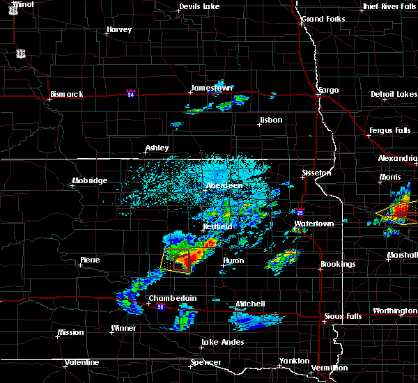 At 402 pm cdt, a severe thunderstorm was located near rosehill dam, or 17 miles southeast of miller, moving east at 45 mph (radar indicated). Hazards include two inch hail and 70 mph wind gusts. People and animals outdoors will be injured. expect hail damage to roofs, siding, windows, and vehicles. expect considerable tree damage. wind damage is also likely to mobile homes, roofs, and outbuildings. this severe thunderstorm will be near, wolsey around 415 pm cdt. virgil around 420 pm cdt. Huron around 435 pm cdt. At 402 pm cdt, a severe thunderstorm was located near rosehill dam, or 17 miles southeast of miller, moving east at 45 mph (radar indicated). Hazards include two inch hail and 70 mph wind gusts. People and animals outdoors will be injured. expect hail damage to roofs, siding, windows, and vehicles. expect considerable tree damage. wind damage is also likely to mobile homes, roofs, and outbuildings. this severe thunderstorm will be near, wolsey around 415 pm cdt. virgil around 420 pm cdt. Huron around 435 pm cdt.
|
| 5/25/2016 7:55 PM CDT |
 The severe thunderstorm warning for central beadle, northwestern sanborn and northeastern jerauld counties will expire at 800 pm cdt, the storms which prompted the warning have weakened below severe limits, and no longer pose an immediate threat to life or property. therefore the warning will be allowed to expire. however heavy rain is still possible with these thunderstorms. to report severe weather, contact your nearest law enforcement agency. they will relay your report to the national weather service sioux falls. The severe thunderstorm warning for central beadle, northwestern sanborn and northeastern jerauld counties will expire at 800 pm cdt, the storms which prompted the warning have weakened below severe limits, and no longer pose an immediate threat to life or property. therefore the warning will be allowed to expire. however heavy rain is still possible with these thunderstorms. to report severe weather, contact your nearest law enforcement agency. they will relay your report to the national weather service sioux falls.
|
| 5/25/2016 7:35 PM CDT |
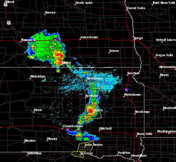 At 735 pm cdt, severe thunderstorms were located along a line extending from near hitchcock to 6 miles west of huron to near alpena, moving east at 30 mph (radar indicated). Hazards include 60 mph wind gusts and quarter size hail. Hail damage to vehicles is expected. expect wind damage to roofs, siding, and trees. these severe storms will be near, huron around 745 pm cdt. cavour around 800 pm cdt. Other locations impacted by these severe thunderstorms include broadland. At 735 pm cdt, severe thunderstorms were located along a line extending from near hitchcock to 6 miles west of huron to near alpena, moving east at 30 mph (radar indicated). Hazards include 60 mph wind gusts and quarter size hail. Hail damage to vehicles is expected. expect wind damage to roofs, siding, and trees. these severe storms will be near, huron around 745 pm cdt. cavour around 800 pm cdt. Other locations impacted by these severe thunderstorms include broadland.
|
| 5/25/2016 7:08 PM CDT |
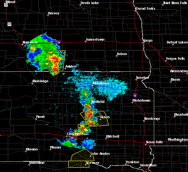 At 708 pm cdt, severe thunderstorms were located along a line extending from near spottswood to near alpena, moving east at 35 mph (radar indicated). Hazards include 60 mph wind gusts and half dollar size hail. Hail damage to vehicles is expected. expect wind damage to roofs, siding, and trees. severe thunderstorms will be near, alpena around 720 pm cdt. hitchcock around 725 pm cdt. cavour around 750 pm cdt. Other locations impacted by these severe thunderstorms include broadland. At 708 pm cdt, severe thunderstorms were located along a line extending from near spottswood to near alpena, moving east at 35 mph (radar indicated). Hazards include 60 mph wind gusts and half dollar size hail. Hail damage to vehicles is expected. expect wind damage to roofs, siding, and trees. severe thunderstorms will be near, alpena around 720 pm cdt. hitchcock around 725 pm cdt. cavour around 750 pm cdt. Other locations impacted by these severe thunderstorms include broadland.
|
| 5/25/2016 6:57 PM CDT |
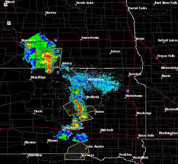 At 656 pm cdt, a severe thunderstorm was located near wessington, or 15 miles east of miller, moving east at 40 mph (radar indicated). Hazards include ping pong ball size hail and 60 mph wind gusts. People and animals outdoors will be injured. expect hail damage to roofs, siding, windows, and vehicles. expect wind damage to roofs, siding, and trees. this severe storm will be near, hitchcock around 715 pm cdt. Other locations impacted by this severe thunderstorm include broadland. At 656 pm cdt, a severe thunderstorm was located near wessington, or 15 miles east of miller, moving east at 40 mph (radar indicated). Hazards include ping pong ball size hail and 60 mph wind gusts. People and animals outdoors will be injured. expect hail damage to roofs, siding, windows, and vehicles. expect wind damage to roofs, siding, and trees. this severe storm will be near, hitchcock around 715 pm cdt. Other locations impacted by this severe thunderstorm include broadland.
|
| 5/25/2016 6:37 PM CDT |
 At 637 pm cdt, a severe thunderstorm was located near st. lawrence, or near miller, moving east at 40 mph (radar indicated). Hazards include ping pong ball size hail and 60 mph wind gusts. People and animals outdoors will be injured. expect hail damage to roofs, siding, windows, and vehicles. expect wind damage to roofs, siding, and trees. this severe thunderstorm will be near, wessington around 655 pm cdt. hitchcock around 715 pm cdt. Other locations impacted by this severe thunderstorm include broadland. At 637 pm cdt, a severe thunderstorm was located near st. lawrence, or near miller, moving east at 40 mph (radar indicated). Hazards include ping pong ball size hail and 60 mph wind gusts. People and animals outdoors will be injured. expect hail damage to roofs, siding, windows, and vehicles. expect wind damage to roofs, siding, and trees. this severe thunderstorm will be near, wessington around 655 pm cdt. hitchcock around 715 pm cdt. Other locations impacted by this severe thunderstorm include broadland.
|
| 7/28/2015 1:26 AM CDT |
 The severe thunderstorm warning for northeastern brule, jerauld, western beadle and western aurora counties will expire at 130 am cdt, the storms which prompted the warning are weakening below severe limits, and no longer pose an immediate threat to life or property. therefore the warning will be allowed to expire. a severe thunderstorm watch remains in effect until 500 am cdt for southeastern south dakota. The severe thunderstorm warning for northeastern brule, jerauld, western beadle and western aurora counties will expire at 130 am cdt, the storms which prompted the warning are weakening below severe limits, and no longer pose an immediate threat to life or property. therefore the warning will be allowed to expire. a severe thunderstorm watch remains in effect until 500 am cdt for southeastern south dakota.
|
| 7/28/2015 1:09 AM CDT |
 At 108 am cdt, severe thunderstorms were located along a line extending from near wolsey to near grass ranch colony, moving east at 35 mph (radar indicated). Hazards include 60 mph wind gusts and penny size hail. Expect damage to roofs. siding and trees. these severe storms will be near, wolsey around 115 am cdt. huron around 125 am cdt. Other locations impacted by these severe thunderstorms include broadland and pukwana. At 108 am cdt, severe thunderstorms were located along a line extending from near wolsey to near grass ranch colony, moving east at 35 mph (radar indicated). Hazards include 60 mph wind gusts and penny size hail. Expect damage to roofs. siding and trees. these severe storms will be near, wolsey around 115 am cdt. huron around 125 am cdt. Other locations impacted by these severe thunderstorms include broadland and pukwana.
|
| 7/28/2015 12:40 AM CDT |
 At 1240 am cdt, severe thunderstorms were located along a line extending from near vayland to 8 miles west of kimball, moving east at 35 mph (radar indicated). Hazards include 60 mph wind gusts and penny size hail. Expect damage to roofs. siding and trees. severe thunderstorms will be near, wessington around 1245 am cdt. grass ranch colony around 100 am cdt. wolsey around 105 am cdt. white lake around 115 am cdt. huron around 125 am cdt. Other locations impacted by these severe thunderstorms include broadland and pukwana. At 1240 am cdt, severe thunderstorms were located along a line extending from near vayland to 8 miles west of kimball, moving east at 35 mph (radar indicated). Hazards include 60 mph wind gusts and penny size hail. Expect damage to roofs. siding and trees. severe thunderstorms will be near, wessington around 1245 am cdt. grass ranch colony around 100 am cdt. wolsey around 105 am cdt. white lake around 115 am cdt. huron around 125 am cdt. Other locations impacted by these severe thunderstorms include broadland and pukwana.
|
| 7/25/2015 8:53 PM CDT |
 The severe thunderstorm warning for northeastern jerauld, west central kingsbury, beadle and northwestern sanborn counties will expire at 900 pm cdt, the storm which prompted the warning is moving out of the area. therefore the warning will be allowed to expire. however gusty winds are still possible with this thunderstorm. a tornado watch remains in effect until 1100 pm cdt for east central south dakota. The severe thunderstorm warning for northeastern jerauld, west central kingsbury, beadle and northwestern sanborn counties will expire at 900 pm cdt, the storm which prompted the warning is moving out of the area. therefore the warning will be allowed to expire. however gusty winds are still possible with this thunderstorm. a tornado watch remains in effect until 1100 pm cdt for east central south dakota.
|
| 7/25/2015 8:38 PM CDT |
 At 838 pm cdt, a severe thunderstorm was located near carthage, or 21 miles southwest of lake thompson state recreation area, moving southeast at 25 mph (radar indicated). Hazards include 70 mph wind gusts. Expect considerable tree damage. damage is likely to mobile homes, roofs and outbuildings. this severe thunderstorm will remain over mainly rural areas of northeastern jerauld, west central kingsbury, beadle and northwestern sanborn counties, including the following locations, broadland. A tornado watch remains in effect until 1100 pm cdt for east central south dakota. At 838 pm cdt, a severe thunderstorm was located near carthage, or 21 miles southwest of lake thompson state recreation area, moving southeast at 25 mph (radar indicated). Hazards include 70 mph wind gusts. Expect considerable tree damage. damage is likely to mobile homes, roofs and outbuildings. this severe thunderstorm will remain over mainly rural areas of northeastern jerauld, west central kingsbury, beadle and northwestern sanborn counties, including the following locations, broadland. A tornado watch remains in effect until 1100 pm cdt for east central south dakota.
|
| 7/25/2015 8:14 PM CDT |
 At 813 pm cdt, a severe thunderstorm was located near huron, moving southeast at 50 mph (radar indicated). Hazards include 70 mph wind gusts and quarter size hail. Hail damage to vehicles is expected. expect considerable tree damage. wind damage is also likely to mobile homes, roofs and outbuildings. this severe thunderstorm will be near, cavour around 825 pm cdt. other locations impacted by this severe thunderstorm include broadland. A tornado watch remains in effect until 1100 pm cdt for east central south dakota. At 813 pm cdt, a severe thunderstorm was located near huron, moving southeast at 50 mph (radar indicated). Hazards include 70 mph wind gusts and quarter size hail. Hail damage to vehicles is expected. expect considerable tree damage. wind damage is also likely to mobile homes, roofs and outbuildings. this severe thunderstorm will be near, cavour around 825 pm cdt. other locations impacted by this severe thunderstorm include broadland. A tornado watch remains in effect until 1100 pm cdt for east central south dakota.
|
| 6/27/2015 8:17 PM CDT |
 At 815 pm cdt, a severe thunderstorm was located near huron, moving south at 30 mph (trained weather spotters. at 803 pm cdt golfball size hail was reported 2 miles east of woolsey). Hazards include golf ball size hail and 60 mph wind gusts. People and animals outdoors will be injured. expect hail damage to roofs, siding, windows and vehicles. expect wind damage to roofs, siding and trees. This severe storm will be near, huron and virgil around 820 pm cdt. At 815 pm cdt, a severe thunderstorm was located near huron, moving south at 30 mph (trained weather spotters. at 803 pm cdt golfball size hail was reported 2 miles east of woolsey). Hazards include golf ball size hail and 60 mph wind gusts. People and animals outdoors will be injured. expect hail damage to roofs, siding, windows and vehicles. expect wind damage to roofs, siding and trees. This severe storm will be near, huron and virgil around 820 pm cdt.
|
| 6/27/2015 8:07 PM CDT |
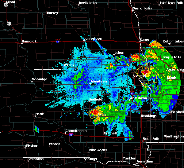 At 807 pm cdt, a severe thunderstorm was located near wolsey, or 9 miles northwest of huron, moving southeast at 30 mph (trained weather spotters). Hazards include golf ball size hail and 60 mph wind gusts. People and animals outdoors will be injured. expect hail damage to roofs, siding, windows and vehicles. expect wind damage to roofs, siding and trees. this severe thunderstorm will be near, huron and virgil around 820 pm cdt. Other locations impacted by this severe thunderstorm include broadland. At 807 pm cdt, a severe thunderstorm was located near wolsey, or 9 miles northwest of huron, moving southeast at 30 mph (trained weather spotters). Hazards include golf ball size hail and 60 mph wind gusts. People and animals outdoors will be injured. expect hail damage to roofs, siding, windows and vehicles. expect wind damage to roofs, siding and trees. this severe thunderstorm will be near, huron and virgil around 820 pm cdt. Other locations impacted by this severe thunderstorm include broadland.
|
| 6/27/2015 8:05 PM CDT |
 At 804 pm cdt, a severe thunderstorm was located 8 miles northeast of wolsey, or 11 miles northwest of huron, moving southeast at 35 mph (trained weather spotters. at 759 pm cdt a 60 mph wind gust was reported 4 miles south southwest of hitchcock). Hazards include two inch hail and 60 mph wind gusts. People and animals outdoors will be injured. expect hail damage to roofs, siding, windows and vehicles. expect wind damage to roofs, siding and trees. this severe storm will be near, huron around 815 pm cdt. Other locations impacted by this severe thunderstorm include broadland. At 804 pm cdt, a severe thunderstorm was located 8 miles northeast of wolsey, or 11 miles northwest of huron, moving southeast at 35 mph (trained weather spotters. at 759 pm cdt a 60 mph wind gust was reported 4 miles south southwest of hitchcock). Hazards include two inch hail and 60 mph wind gusts. People and animals outdoors will be injured. expect hail damage to roofs, siding, windows and vehicles. expect wind damage to roofs, siding and trees. this severe storm will be near, huron around 815 pm cdt. Other locations impacted by this severe thunderstorm include broadland.
|
| 6/27/2015 8:03 PM CDT | Golf Ball sized hail reported 2.7 miles WNW of Wolsey, SD |
| 6/27/2015 7:50 PM CDT |
 At 750 pm cdt, a severe thunderstorm was located over hitchcock, or 18 miles south of redfield, moving southeast at 35 mph (radar indicated). Hazards include two inch hail and 60 mph wind gusts. People and animals outdoors will be injured. expect hail damage to roofs, siding, windows and vehicles. expect wind damage to roofs, siding and trees. this severe storm will be near, huron around 815 pm cdt. Other locations impacted by this severe thunderstorm include broadland. At 750 pm cdt, a severe thunderstorm was located over hitchcock, or 18 miles south of redfield, moving southeast at 35 mph (radar indicated). Hazards include two inch hail and 60 mph wind gusts. People and animals outdoors will be injured. expect hail damage to roofs, siding, windows and vehicles. expect wind damage to roofs, siding and trees. this severe storm will be near, huron around 815 pm cdt. Other locations impacted by this severe thunderstorm include broadland.
|
| 6/27/2015 7:38 PM CDT |
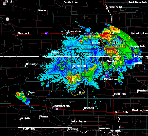 At 738 pm cdt, a severe thunderstorm was located near spottswood, or 12 miles south of redfield, moving southeast at 35 mph (radar indicated). Hazards include 60 mph wind gusts and half dollar size hail. Hail damage to vehicles is expected. expect wind damage to roofs, siding and trees. this severe thunderstorm will be near, hitchcock around 750 pm cdt. huron around 815 pm cdt. Other locations impacted by this severe thunderstorm include broadland. At 738 pm cdt, a severe thunderstorm was located near spottswood, or 12 miles south of redfield, moving southeast at 35 mph (radar indicated). Hazards include 60 mph wind gusts and half dollar size hail. Hail damage to vehicles is expected. expect wind damage to roofs, siding and trees. this severe thunderstorm will be near, hitchcock around 750 pm cdt. huron around 815 pm cdt. Other locations impacted by this severe thunderstorm include broadland.
|
| 6/20/2015 2:12 AM CDT |
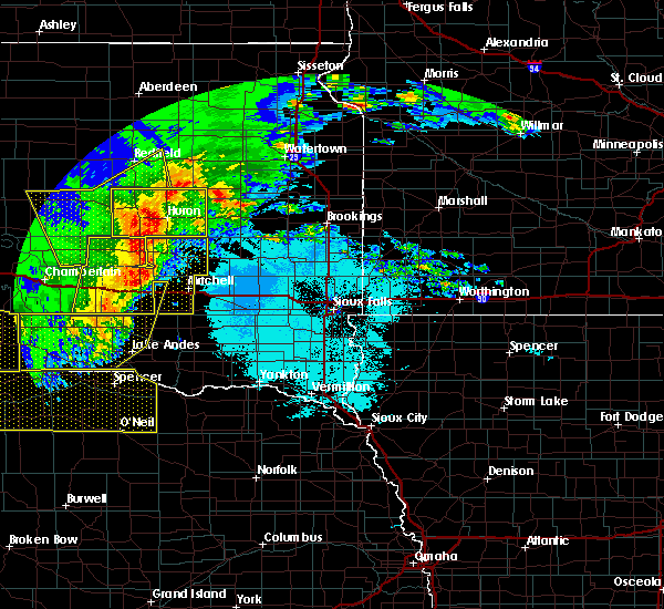 At 212 am cdt, severe thunderstorms were located along a line extending from near polo to 7 miles northeast of wessington to near wolsey to 6 miles northeast of alpena, moving east at 65 mph. these are very dangerous storms (radar indicated). Hazards include 80 mph wind gusts. Flying debris will be dangerous to those caught without shelter. mobile homes will be heavily damaged. expect considerable damage to roofs, windows and vehicles. extensive tree damage and power outages are likely. these severe storms will be near, wolsey around 215 am cdt. hitchcock around 220 am cdt. huron and cavour around 225 am cdt. yale around 230 am cdt. Other locations impacted by these severe thunderstorms include broadland. At 212 am cdt, severe thunderstorms were located along a line extending from near polo to 7 miles northeast of wessington to near wolsey to 6 miles northeast of alpena, moving east at 65 mph. these are very dangerous storms (radar indicated). Hazards include 80 mph wind gusts. Flying debris will be dangerous to those caught without shelter. mobile homes will be heavily damaged. expect considerable damage to roofs, windows and vehicles. extensive tree damage and power outages are likely. these severe storms will be near, wolsey around 215 am cdt. hitchcock around 220 am cdt. huron and cavour around 225 am cdt. yale around 230 am cdt. Other locations impacted by these severe thunderstorms include broadland.
|
| 6/20/2015 1:53 AM CDT |
 At 152 am cdt, severe thunderstorms were located along a line extending from near redfield to near wolsey to near wessington springs, moving east at 60 mph. these are very dangerous storms (radar indicated). Hazards include 80 mph wind gusts. Flying debris will be dangerous to those caught without shelter. mobile homes will be heavily damaged. expect considerable damage to roofs, windows and vehicles. extensive tree damage and power outages are likely. severe thunderstorms will be near, huron around 205 am cdt. cavour and yale around 215 am cdt. Other locations impacted by these severe thunderstorms include broadland. At 152 am cdt, severe thunderstorms were located along a line extending from near redfield to near wolsey to near wessington springs, moving east at 60 mph. these are very dangerous storms (radar indicated). Hazards include 80 mph wind gusts. Flying debris will be dangerous to those caught without shelter. mobile homes will be heavily damaged. expect considerable damage to roofs, windows and vehicles. extensive tree damage and power outages are likely. severe thunderstorms will be near, huron around 205 am cdt. cavour and yale around 215 am cdt. Other locations impacted by these severe thunderstorms include broadland.
|
| 6/19/2015 4:00 PM CDT |
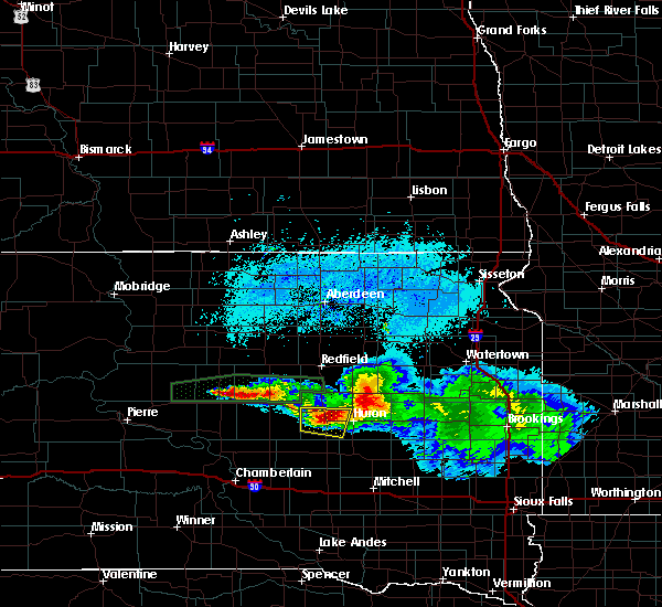 At 400 pm cdt, a severe thunderstorm was located near wolsey, or 10 miles west of huron, moving east at 20 mph (radar indicated). Hazards include 60 mph wind gusts and half dollar size hail. Hail damage to vehicles is expected. expect wind damage to roofs, siding and trees. this severe storm will be near, huron around 415 pm cdt. At 358 pm cdt, nickel sized hail was reported 1 mile east of wolsey. At 400 pm cdt, a severe thunderstorm was located near wolsey, or 10 miles west of huron, moving east at 20 mph (radar indicated). Hazards include 60 mph wind gusts and half dollar size hail. Hail damage to vehicles is expected. expect wind damage to roofs, siding and trees. this severe storm will be near, huron around 415 pm cdt. At 358 pm cdt, nickel sized hail was reported 1 mile east of wolsey.
|
| 6/19/2015 3:57 PM CDT |
 At 357 pm cdt, a severe thunderstorm was located over wolsey, or 11 miles west of huron, moving east at 20 mph (radar indicated). Hazards include 60 mph wind gusts and half dollar size hail. Hail damage to vehicles is expected. expect wind damage to roofs, siding and trees. this severe storm will be near, virgil around 405 pm cdt. Huron around 415 pm cdt. At 357 pm cdt, a severe thunderstorm was located over wolsey, or 11 miles west of huron, moving east at 20 mph (radar indicated). Hazards include 60 mph wind gusts and half dollar size hail. Hail damage to vehicles is expected. expect wind damage to roofs, siding and trees. this severe storm will be near, virgil around 405 pm cdt. Huron around 415 pm cdt.
|
| 6/19/2015 3:43 PM CDT |
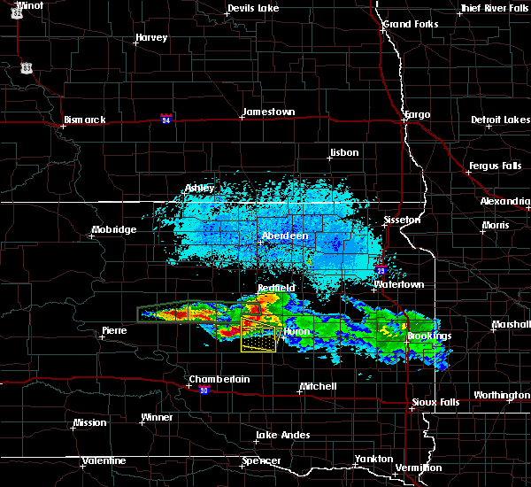 At 343 pm cdt, a severe thunderstorm was located near wolsey, or 15 miles west of huron, moving east at 20 mph (radar indicated). Hazards include 60 mph wind gusts and half dollar size hail. Hail damage to vehicles is expected. expect wind damage to roofs, siding and trees. this severe thunderstorm will be near, wolsey around 355 pm cdt. virgil around 405 pm cdt. Huron around 415 pm cdt. At 343 pm cdt, a severe thunderstorm was located near wolsey, or 15 miles west of huron, moving east at 20 mph (radar indicated). Hazards include 60 mph wind gusts and half dollar size hail. Hail damage to vehicles is expected. expect wind damage to roofs, siding and trees. this severe thunderstorm will be near, wolsey around 355 pm cdt. virgil around 405 pm cdt. Huron around 415 pm cdt.
|
| 6/19/2015 3:22 PM CDT |
 At 321 pm cdt, a severe thunderstorm was located over wessington, or 17 miles east of miller, moving east at 30 mph (radar indicated). Hazards include 70 mph wind gusts and ping pong ball size hail. People and animals outdoors will be injured. expect hail damage to roofs, siding, windows and vehicles. expect considerable tree damage. wind damage is also likely to mobile homes, roofs and outbuildings. this severe storm will be near, wolsey around 340 pm cdt. virgil around 345 pm cdt. Other locations impacted by this severe thunderstorm include broadland. At 321 pm cdt, a severe thunderstorm was located over wessington, or 17 miles east of miller, moving east at 30 mph (radar indicated). Hazards include 70 mph wind gusts and ping pong ball size hail. People and animals outdoors will be injured. expect hail damage to roofs, siding, windows and vehicles. expect considerable tree damage. wind damage is also likely to mobile homes, roofs and outbuildings. this severe storm will be near, wolsey around 340 pm cdt. virgil around 345 pm cdt. Other locations impacted by this severe thunderstorm include broadland.
|
| 6/19/2015 3:06 PM CDT |
 At 306 pm cdt, a severe thunderstorm was located over vayland, or 9 miles southeast of miller, moving east at 35 mph (radar indicated). Hazards include ping pong ball size hail and 60 mph wind gusts. People and animals outdoors will be injured. expect hail damage to roofs, siding, windows and vehicles. expect wind damage to roofs, siding and trees. this severe thunderstorm will be near, wessington around 315 pm cdt. wolsey around 340 pm cdt. virgil around 345 pm cdt. Other locations impacted by this severe thunderstorm include broadland. At 306 pm cdt, a severe thunderstorm was located over vayland, or 9 miles southeast of miller, moving east at 35 mph (radar indicated). Hazards include ping pong ball size hail and 60 mph wind gusts. People and animals outdoors will be injured. expect hail damage to roofs, siding, windows and vehicles. expect wind damage to roofs, siding and trees. this severe thunderstorm will be near, wessington around 315 pm cdt. wolsey around 340 pm cdt. virgil around 345 pm cdt. Other locations impacted by this severe thunderstorm include broadland.
|
| 6/21/2013 2:28 PM CDT | Golf Ball sized hail reported 1.4 miles S of Wolsey, SD |
| 6/13/2012 7:05 PM CDT | Tennis Ball sized hail reported 0.2 miles W of Wolsey, SD, measured stones at 2.5 inches an hour after they fell. |
| 6/13/2012 7:03 PM CDT | Quarter sized hail reported 6.2 miles N of Wolsey, SD |
| 5/5/2012 10:45 AM CDT | Quarter sized hail reported 4.3 miles E of Wolsey, SD, a few quarter size and many smaller stones. hail covered the ground. |
| 1/1/0001 12:00 AM | Winds estimated at 60 mph knocked some small branches down from trees in spotters yar in beadle county SD, 0.2 miles W of Wolsey, SD |
| 1/1/0001 12:00 AM | Storm damage reported in beadle county SD, 4.7 miles ENE of Wolsey, SD |
| 1/1/0001 12:00 AM | Half Dollar sized hail reported 0.7 miles SSW of Wolsey, SD |
| 1/1/0001 12:00 AM | Quarter sized hail reported 5.8 miles WNW of Wolsey, SD |
Hail Maps for Wolsey, SD


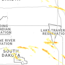


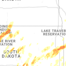


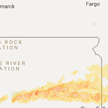


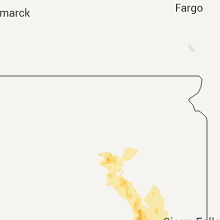

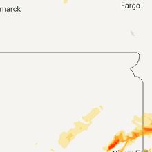


Connect with Interactive Hail Maps