

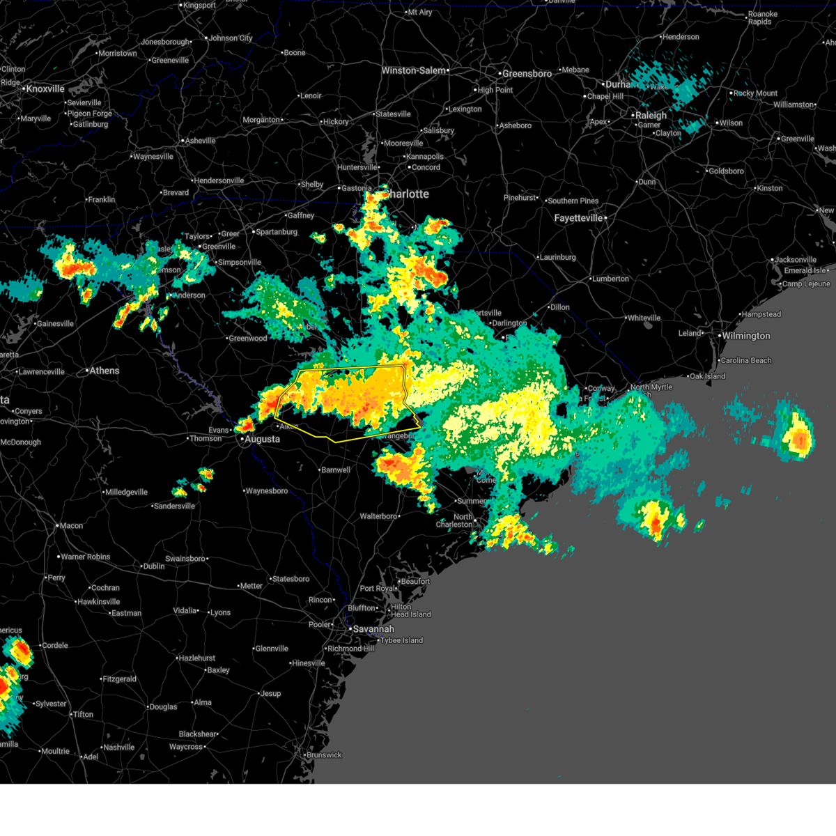
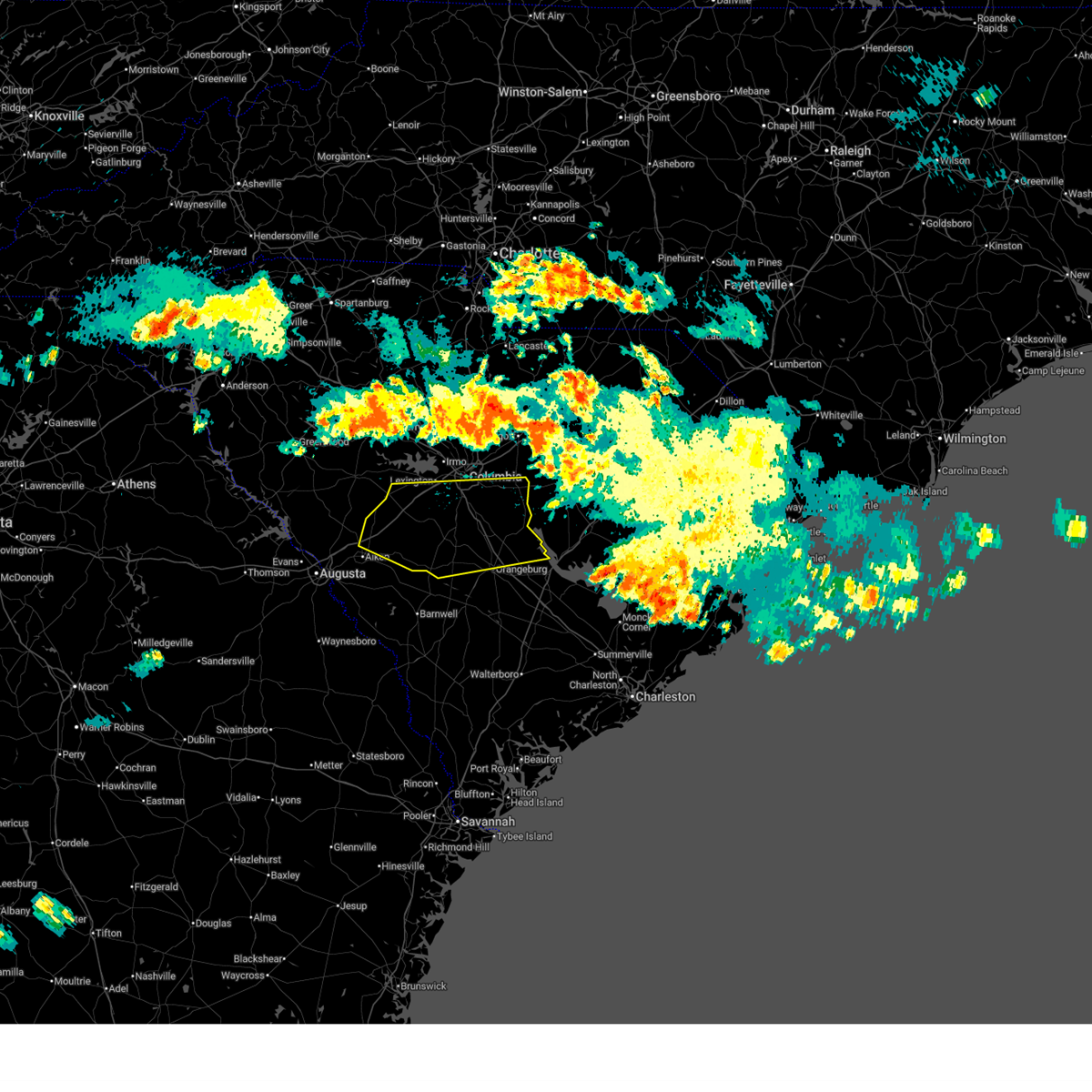
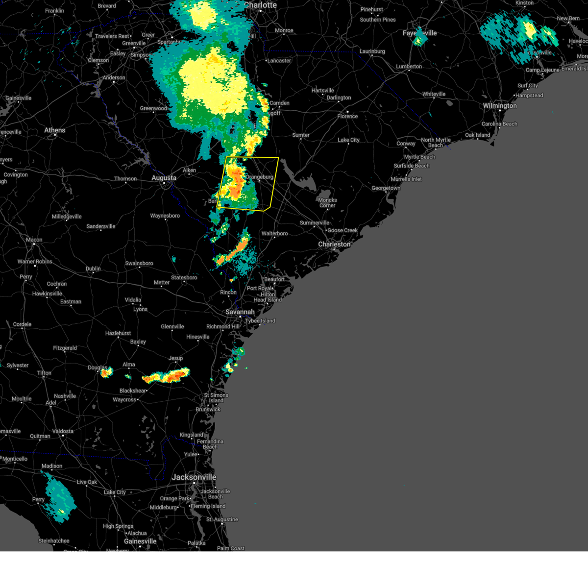
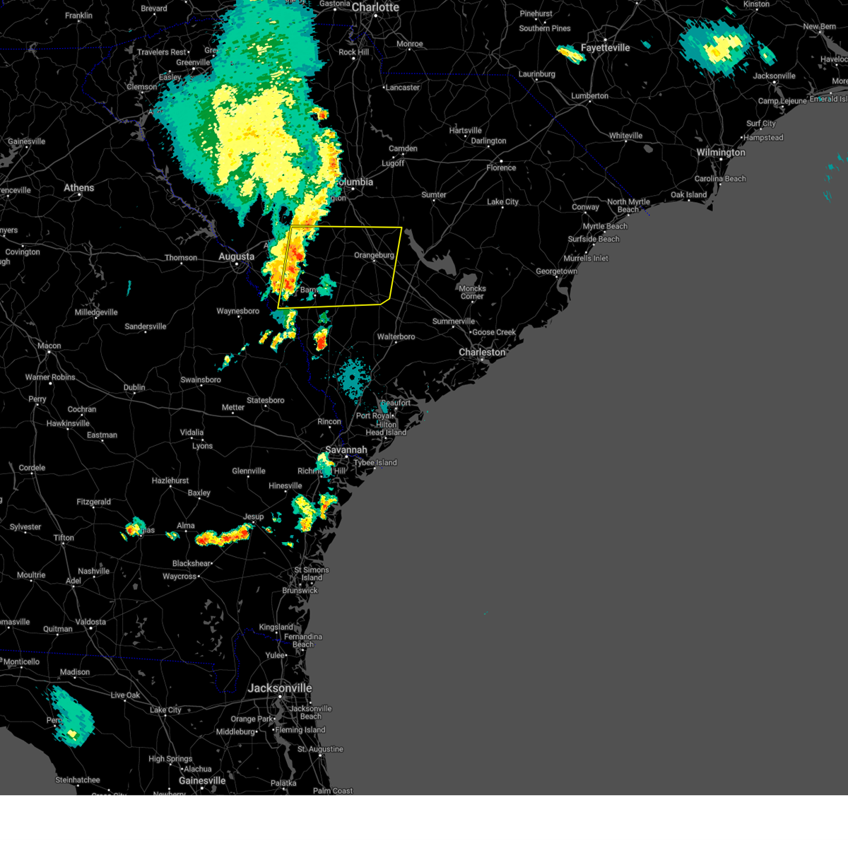
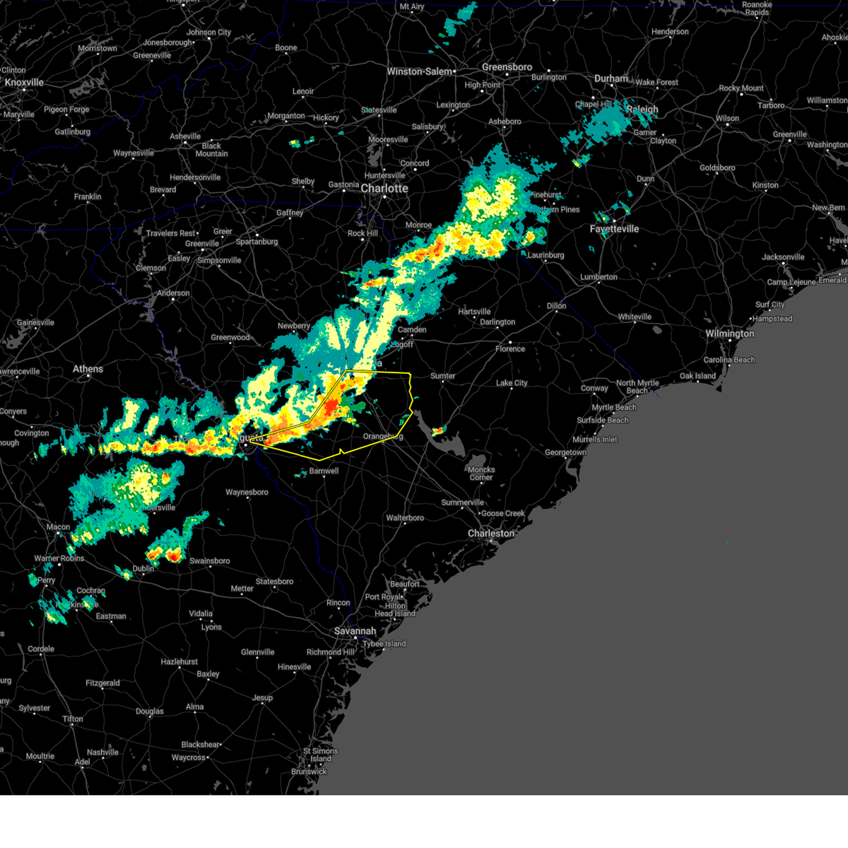
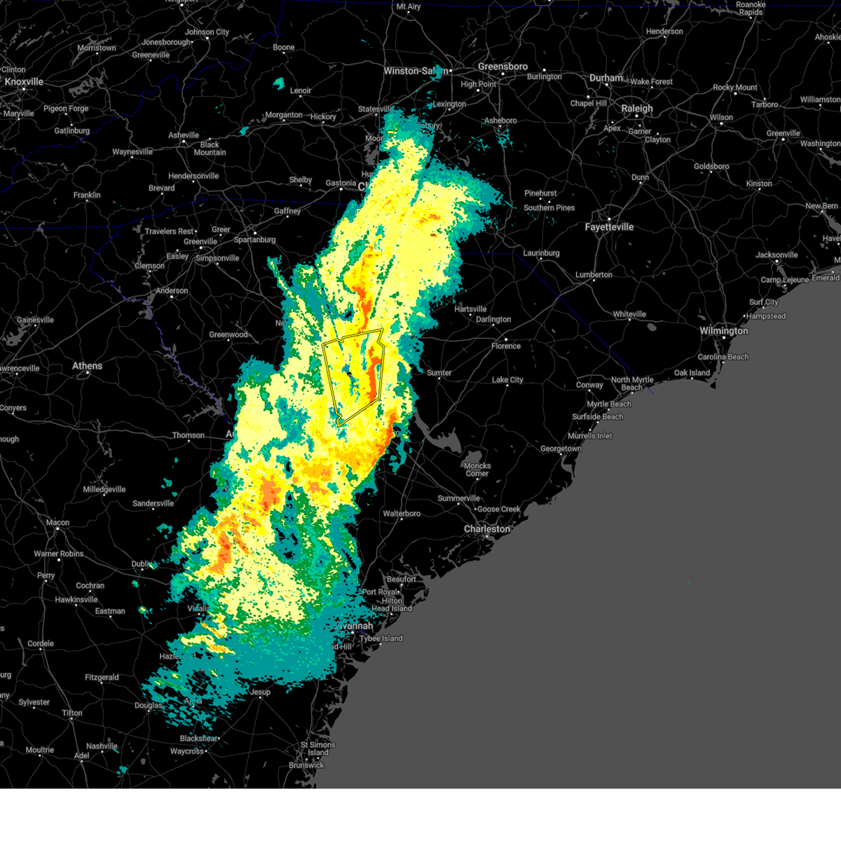
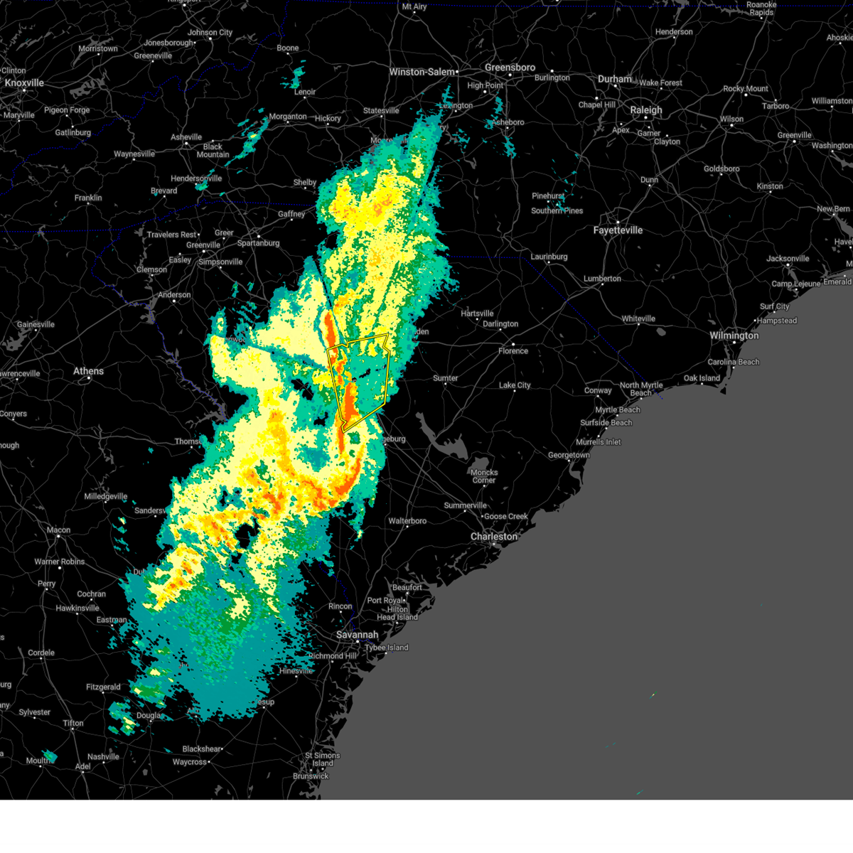
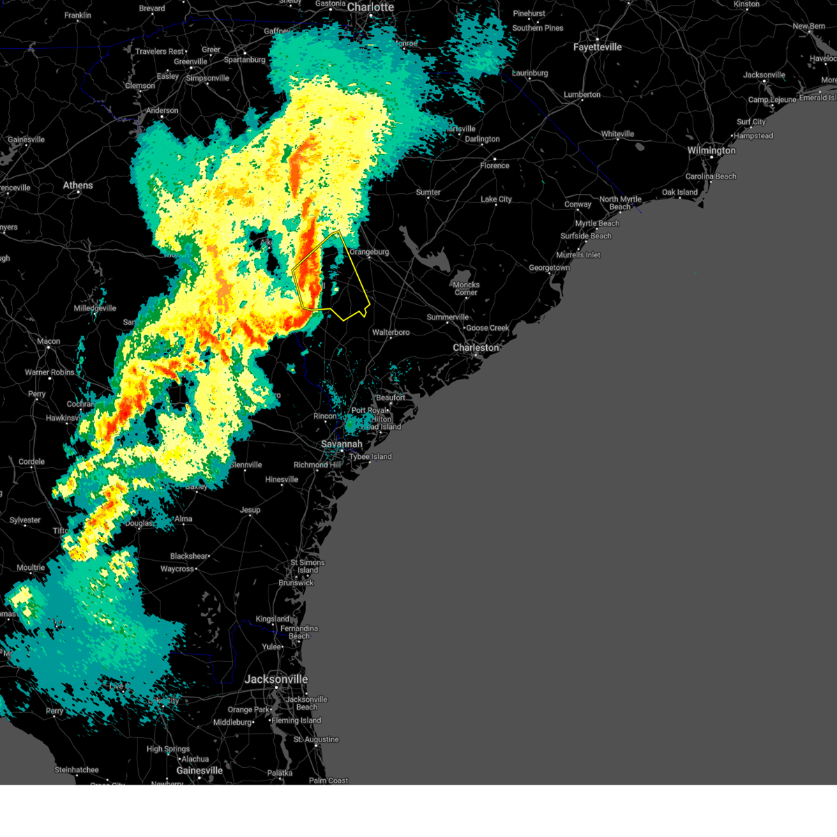
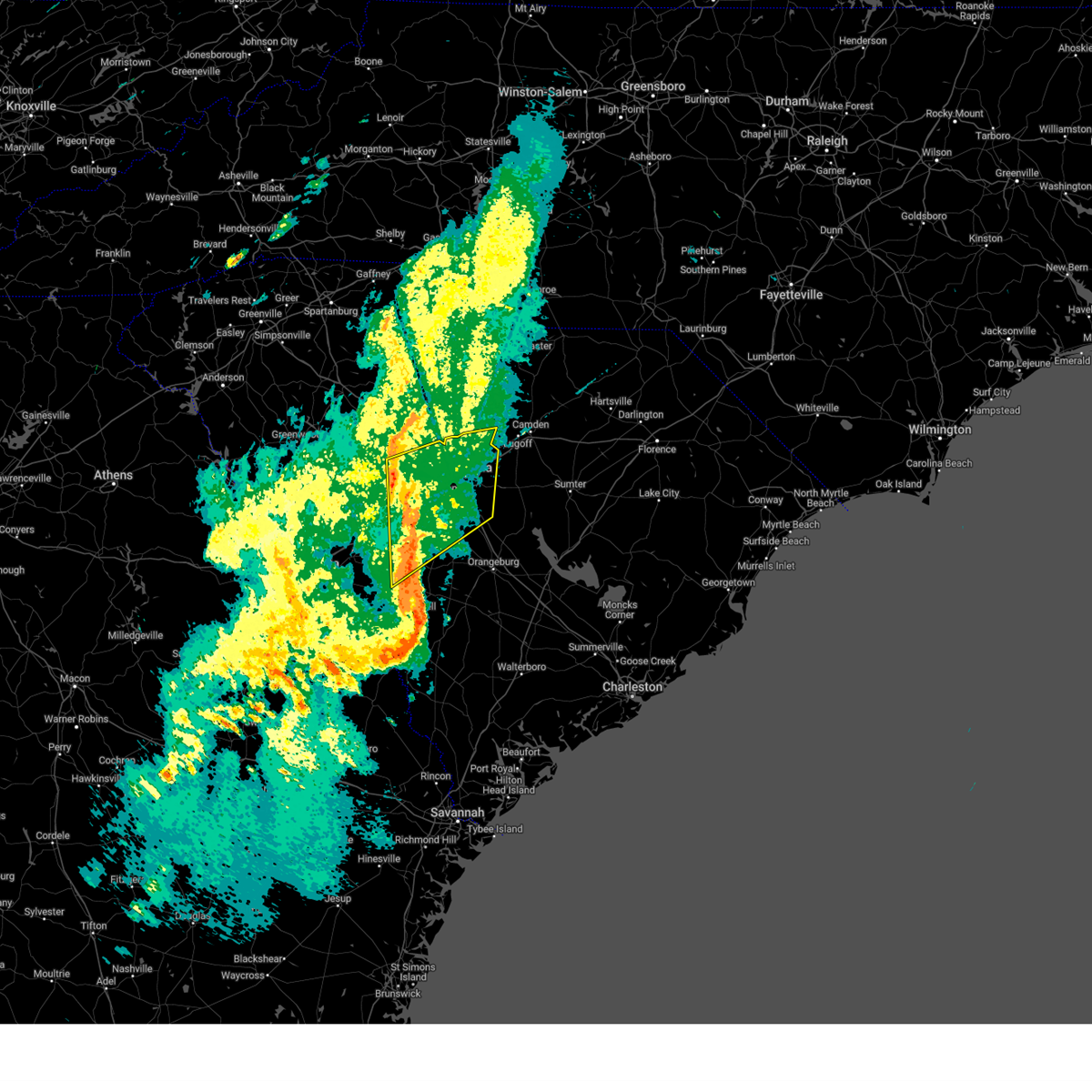
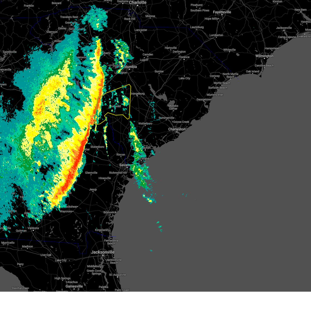
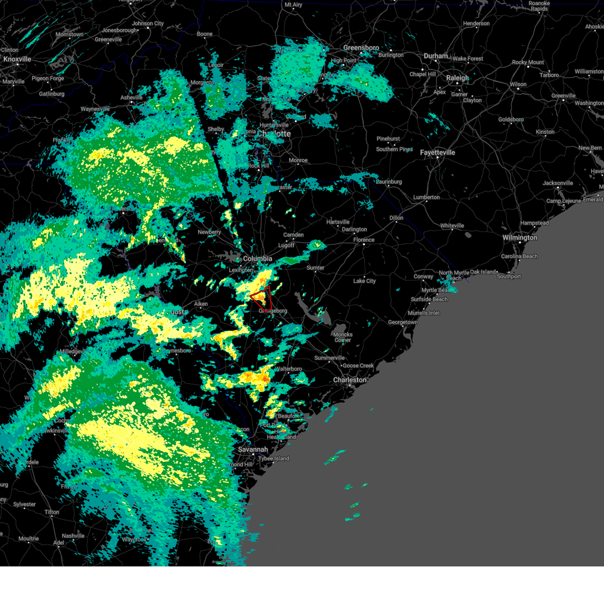
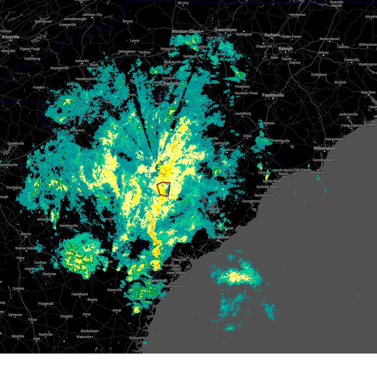
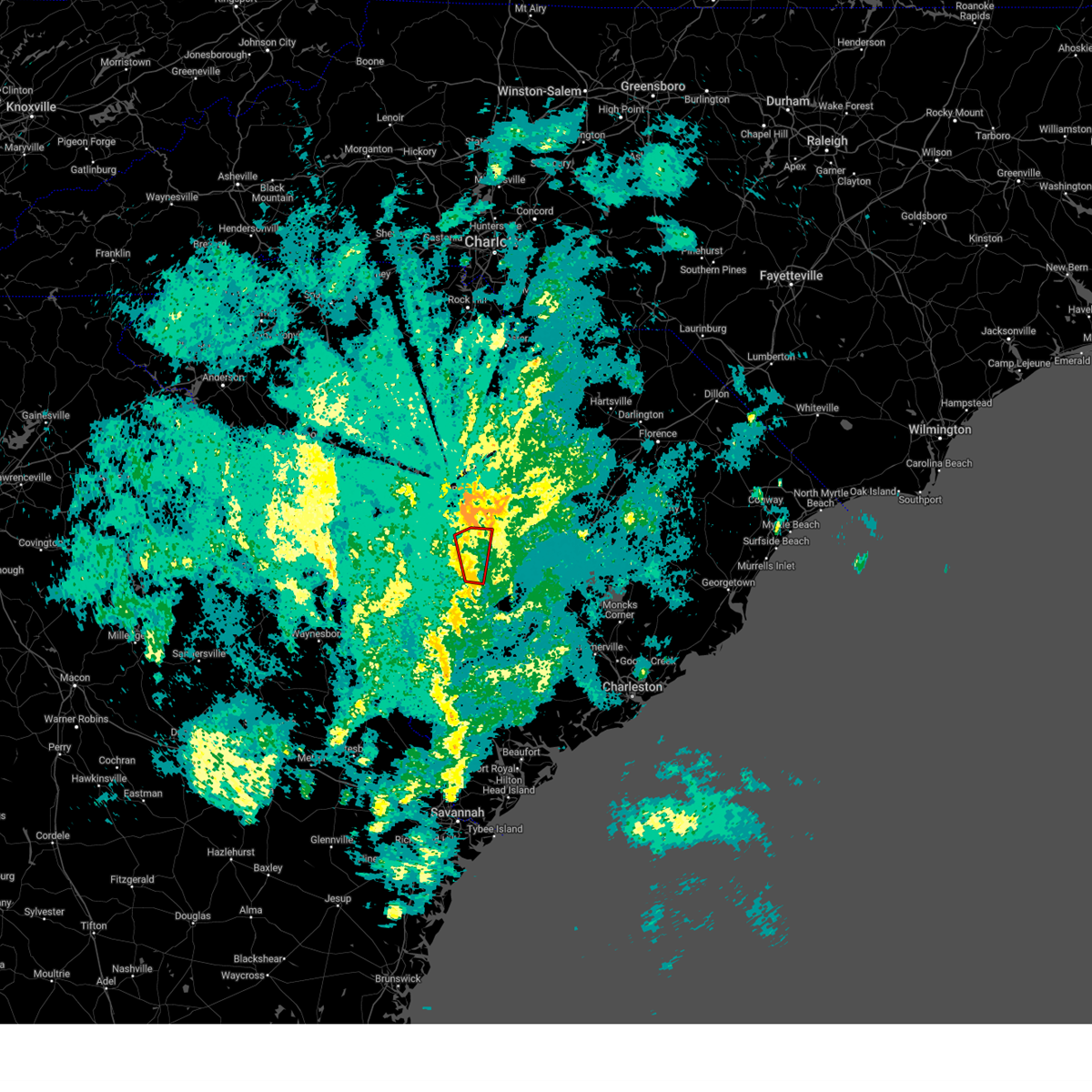
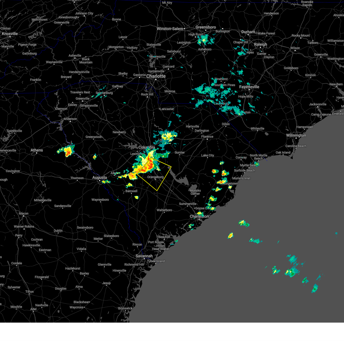
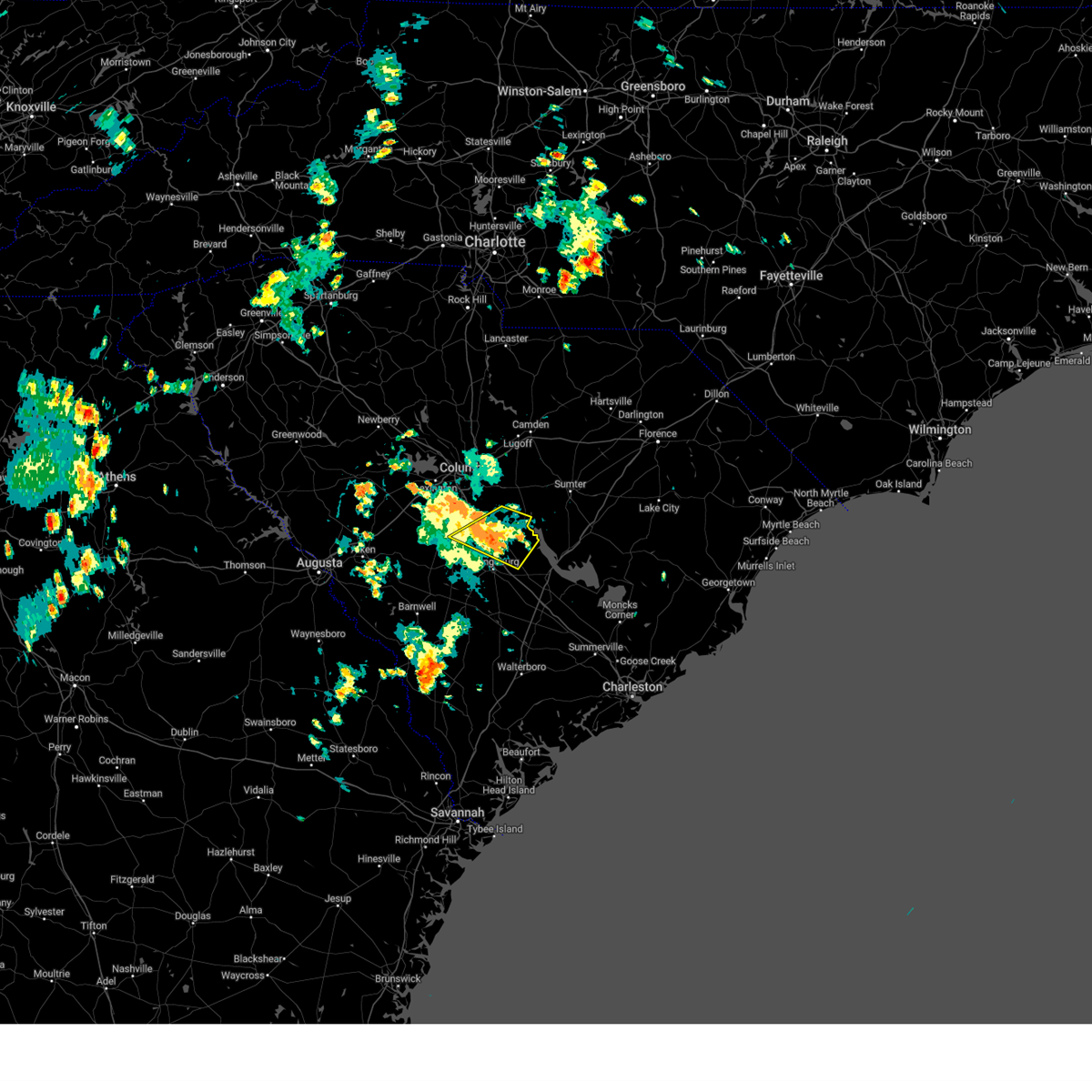
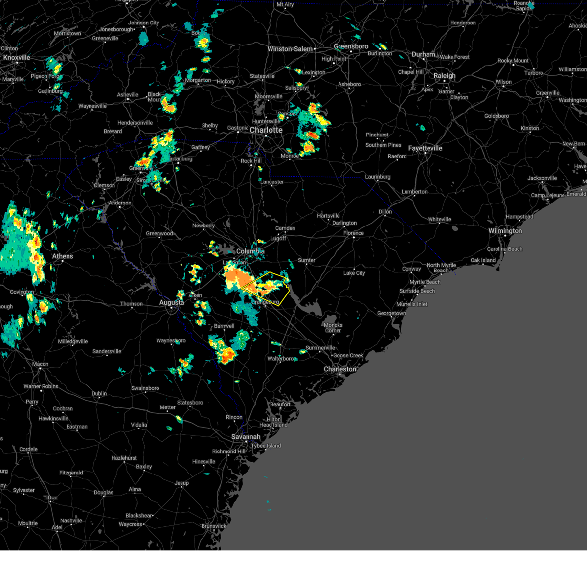
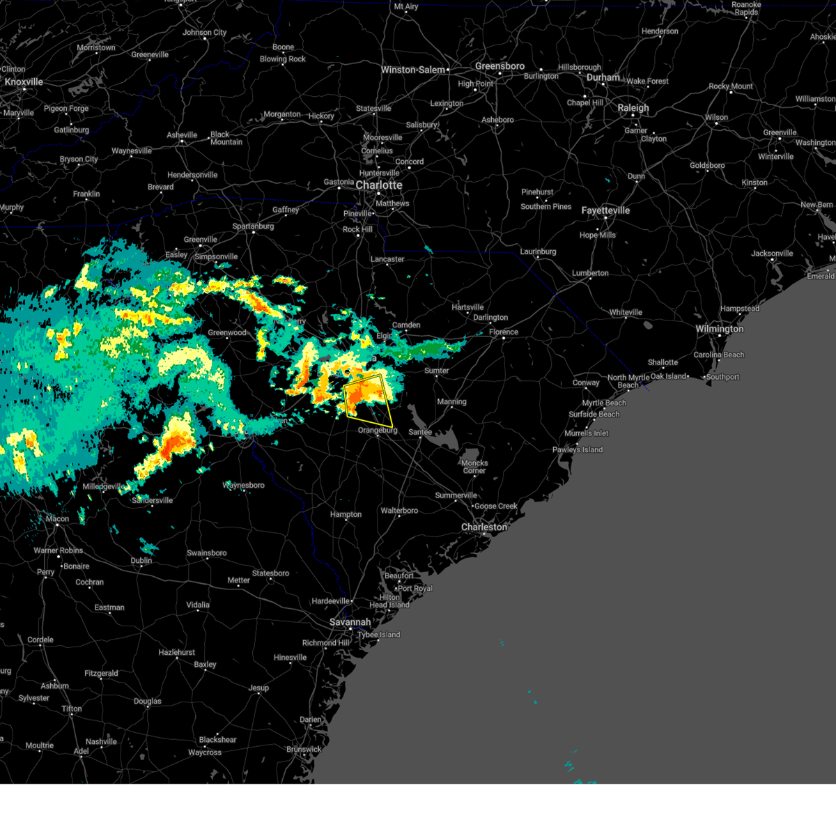
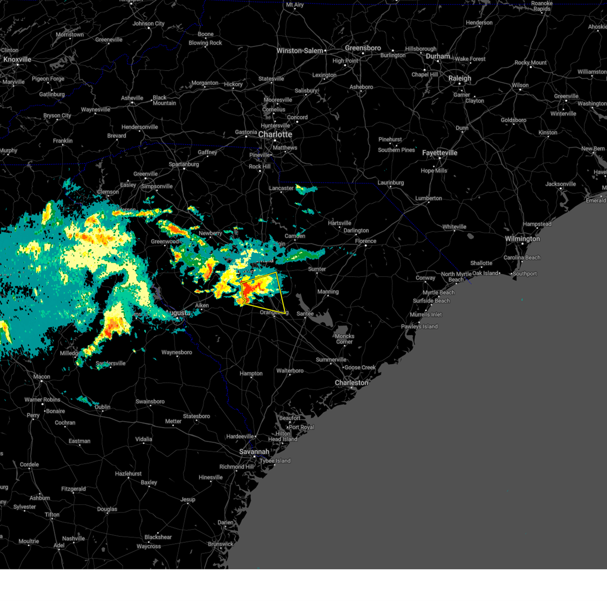
Hail Map for Woodford, SC
The Woodford, SC area has had 0 reports of on-the-ground hail by trained spotters, and has been under severe weather warnings 36 times during the past 12 months. Doppler radar has detected hail at or near Woodford, SC on 48 occasions, including 1 occasion during the past year.
| Name: | Woodford, SC |
| Where Located: | 51.5 miles ENE of Augusta, GA |
| Map: | Google Map for Woodford, SC |
| Population: | 185 |
| Housing Units: | 87 |
| More Info: | Search Google for Woodford, SC |
0
The Top Recent Hail Date for Woodford, SC is Wednesday, July 9, 2025 (48th out of 48)

Hail and Wind Damage Spotted near Woodford, SC
| Date / Time | Report Details |
|---|---|
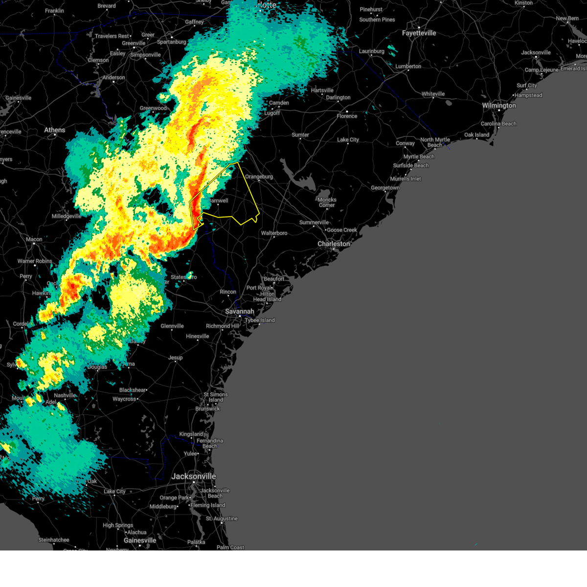
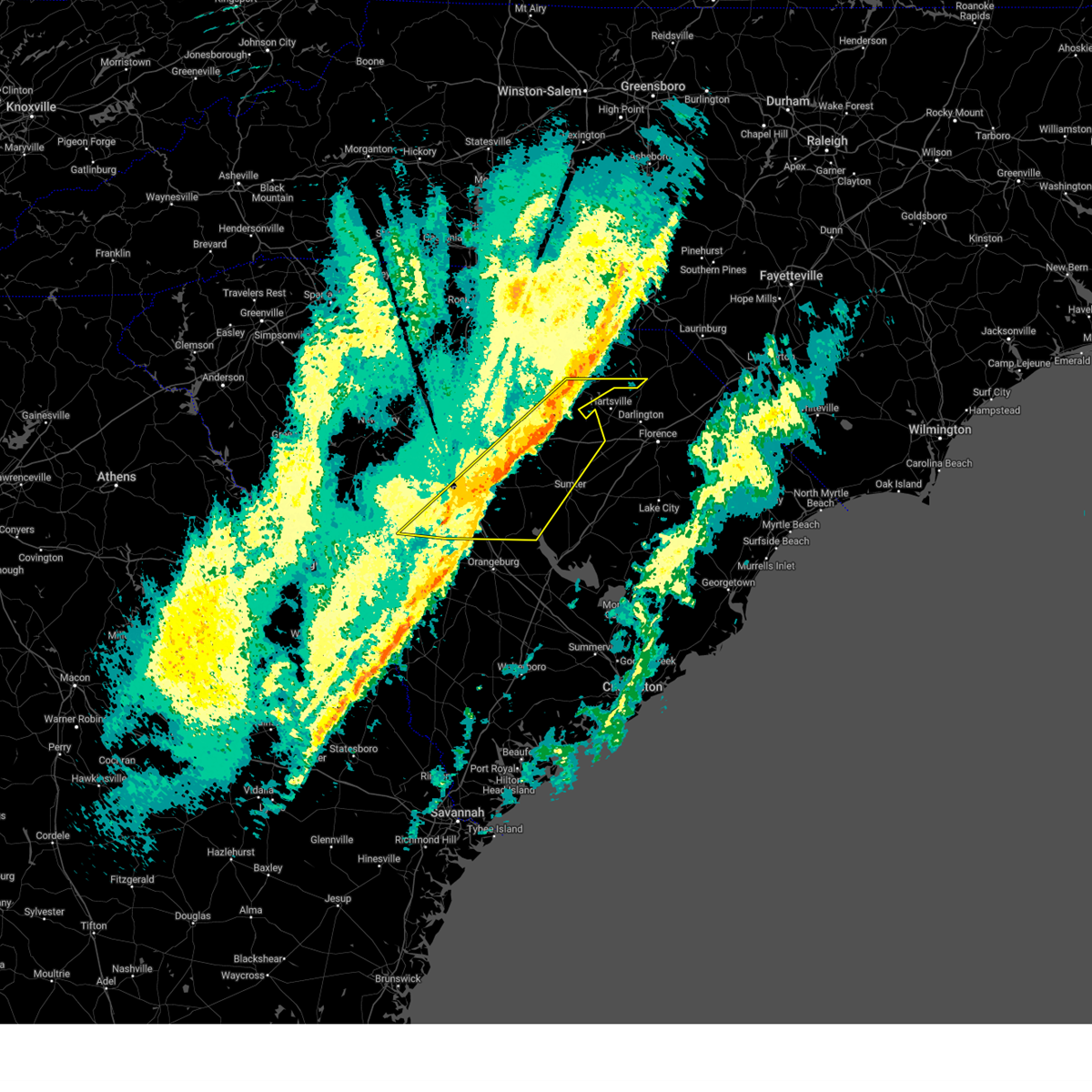
| 7/9/2025 5:04 PM EDT | At 504 pm edt, a severe thunderstorm was located 11 miles southwest of gaston, or 17 miles south of red bank, moving northeast at 10 mph (radar indicated). Hazards include 60 mph wind gusts and penny size hail. Expect damage to trees and powerlines. Locations impacted include, swansea, wagener, north, pelion, salley, neeses, perry, woodford, livingston, perry airport, lexington county airport at pelion, peachtree rock, and thor. |
| 7/9/2025 4:45 PM EDT | Svrcae the national weather service in columbia has issued a * severe thunderstorm warning for, northwestern calhoun county in central south carolina, southeastern lexington county in central south carolina, east central aiken county in central south carolina, northwestern orangeburg county in central south carolina, * until 530 pm edt. * at 445 pm edt, a severe thunderstorm was located 13 miles east of aiken state park, or 20 miles north of denmark, moving northeast at 10 mph (radar indicated). Hazards include 60 mph wind gusts and penny size hail. expect damage to trees and powerlines |
| 6/25/2025 9:29 PM EDT |
 The storms which prompted the warning have moved out of the area. therefore, the warning will be allowed to expire. however, heavy rain is still possible with these thunderstorms. a severe thunderstorm watch remains in effect until midnight edt for central south carolina. The storms which prompted the warning have moved out of the area. therefore, the warning will be allowed to expire. however, heavy rain is still possible with these thunderstorms. a severe thunderstorm watch remains in effect until midnight edt for central south carolina.
|
| 6/25/2025 8:27 PM EDT |
 Svrcae the national weather service in columbia has issued a * severe thunderstorm warning for, calhoun county in central south carolina, lexington county in central south carolina, northeastern aiken county in central south carolina, northern orangeburg county in central south carolina, southeastern richland county in central south carolina, * until 930 pm edt. * at 827 pm edt, severe thunderstorms were located along a line extending from near horrel hill to near batesburg-leesville, moving southeast at 35 mph (radar indicated). Hazards include 60 mph wind gusts. expect damage to trees and powerlines Svrcae the national weather service in columbia has issued a * severe thunderstorm warning for, calhoun county in central south carolina, lexington county in central south carolina, northeastern aiken county in central south carolina, northern orangeburg county in central south carolina, southeastern richland county in central south carolina, * until 930 pm edt. * at 827 pm edt, severe thunderstorms were located along a line extending from near horrel hill to near batesburg-leesville, moving southeast at 35 mph (radar indicated). Hazards include 60 mph wind gusts. expect damage to trees and powerlines
|
| 6/7/2025 9:38 PM EDT |
 At 938 pm edt, severe thunderstorms were located along a line extending from 11 miles south of gaston to 7 miles east of barnwell, moving east at 50 mph (radar indicated). Hazards include 60 mph wind gusts. Expect damage to trees and powerlines. locations impacted include, orangeburg, barnwell, bamberg, denmark, brookdale, blackville, st. matthews, branchville, claflin college, south carolina state university, orangeburg county airport, barnwell state park, edisto gardens, swansea, north, springfield, hilda, cameron, salley, and neeses. This includes interstate 26 between mile markers 132 and 158. At 938 pm edt, severe thunderstorms were located along a line extending from 11 miles south of gaston to 7 miles east of barnwell, moving east at 50 mph (radar indicated). Hazards include 60 mph wind gusts. Expect damage to trees and powerlines. locations impacted include, orangeburg, barnwell, bamberg, denmark, brookdale, blackville, st. matthews, branchville, claflin college, south carolina state university, orangeburg county airport, barnwell state park, edisto gardens, swansea, north, springfield, hilda, cameron, salley, and neeses. This includes interstate 26 between mile markers 132 and 158.
|
| 6/7/2025 9:09 PM EDT |
 Svrcae the national weather service in columbia has issued a * severe thunderstorm warning for, central calhoun county in central south carolina, barnwell county in central south carolina, bamberg county in central south carolina, southeastern lexington county in central south carolina, eastern aiken county in central south carolina, orangeburg county in central south carolina, * until 1000 pm edt. * at 908 pm edt, severe thunderstorms were located along a line extending from 8 miles north of aiken state park to near savannah river site, moving east at 50 mph (radar indicated). Hazards include 60 mph wind gusts. these storms have a history of producing widespread damaging winds. expect damage to trees and powerlines Svrcae the national weather service in columbia has issued a * severe thunderstorm warning for, central calhoun county in central south carolina, barnwell county in central south carolina, bamberg county in central south carolina, southeastern lexington county in central south carolina, eastern aiken county in central south carolina, orangeburg county in central south carolina, * until 1000 pm edt. * at 908 pm edt, severe thunderstorms were located along a line extending from 8 miles north of aiken state park to near savannah river site, moving east at 50 mph (radar indicated). Hazards include 60 mph wind gusts. these storms have a history of producing widespread damaging winds. expect damage to trees and powerlines
|
| 5/30/2025 4:10 PM EDT |
 Svrcae the national weather service in columbia has issued a * severe thunderstorm warning for, calhoun county in central south carolina, northeastern barnwell county in central south carolina, southeastern lexington county in central south carolina, central aiken county in central south carolina, northwestern orangeburg county in central south carolina, southeastern richland county in central south carolina, * until 500 pm edt. * at 409 pm edt, severe thunderstorms were located along a line extending from columbia metro airport to 7 miles northeast of aiken state park to near clearwater, moving east at 35 mph (radar indicated). Hazards include 60 mph wind gusts and quarter size hail. Hail damage to vehicles is expected. Expect wind damage to trees and powerlines. Svrcae the national weather service in columbia has issued a * severe thunderstorm warning for, calhoun county in central south carolina, northeastern barnwell county in central south carolina, southeastern lexington county in central south carolina, central aiken county in central south carolina, northwestern orangeburg county in central south carolina, southeastern richland county in central south carolina, * until 500 pm edt. * at 409 pm edt, severe thunderstorms were located along a line extending from columbia metro airport to 7 miles northeast of aiken state park to near clearwater, moving east at 35 mph (radar indicated). Hazards include 60 mph wind gusts and quarter size hail. Hail damage to vehicles is expected. Expect wind damage to trees and powerlines.
|
| 3/31/2025 4:26 PM EDT |
 Svrcae the national weather service in columbia has issued a * severe thunderstorm warning for, calhoun county in central south carolina, southwestern clarendon county in central south carolina, eastern barnwell county in central south carolina, bamberg county in central south carolina, southeastern lexington county in central south carolina, orangeburg county in central south carolina, * until 530 pm edt. * at 426 pm edt, severe thunderstorms were located along a line extending from near sandy run to near sycamore, moving east at 40 mph (radar indicated). Hazards include 60 mph wind gusts and penny size hail. expect damage to trees and powerlines Svrcae the national weather service in columbia has issued a * severe thunderstorm warning for, calhoun county in central south carolina, southwestern clarendon county in central south carolina, eastern barnwell county in central south carolina, bamberg county in central south carolina, southeastern lexington county in central south carolina, orangeburg county in central south carolina, * until 530 pm edt. * at 426 pm edt, severe thunderstorms were located along a line extending from near sandy run to near sycamore, moving east at 40 mph (radar indicated). Hazards include 60 mph wind gusts and penny size hail. expect damage to trees and powerlines
|
| 3/31/2025 4:21 PM EDT | At 421 pm edt, severe thunderstorms were located along a line extending from near newberry county airport to 7 miles northeast of batesburg-leesville to near citizens park, moving east at 50 mph (radar indicated). Hazards include 60 mph wind gusts. Expect damage to trees and powerlines. locations impacted include, newberry, little mountain, cedar grove fire station, bundrick island, putnam's landing, salley, savannah river site badge office, summit, jackson, batesburg-leesville, lexington, aiken mall, camp kinard, perry, new holland, samaria fire station, cedar pond campground, perry airport, stoney hill, and chapin. this includes the following highways, interstate 20 in south carolina between mile markers 20 and 59. Interstate 26 between mile markers 77 and 91. |
| 3/31/2025 4:21 PM EDT | the severe thunderstorm warning has been cancelled and is no longer in effect |
| 3/31/2025 4:07 PM EDT |
 the severe thunderstorm warning has been cancelled and is no longer in effect the severe thunderstorm warning has been cancelled and is no longer in effect
|
| 3/31/2025 4:07 PM EDT |
 At 406 pm edt, severe thunderstorms were located along a line extending from near saluda to near aiken municipal airport to near jackson, moving east at 45 mph (radar indicated). Hazards include 60 mph wind gusts. Expect damage to trees and powerlines. locations impacted include, little mountain, cedar grove fire station, savannah river site badge office, summit, batesburg-leesville, johnston, camp kinard, edgefield county airport, new holland, samaria fire station, saluda, stoney hill, harmony, hopeland gardens, prosperity, burnettown, dreher island state park, williston, lake murray shores, and circle fire station. this includes the following highways, interstate 20 in south carolina between mile markers 10 and 59. Interstate 26 between mile markers 77 and 91. At 406 pm edt, severe thunderstorms were located along a line extending from near saluda to near aiken municipal airport to near jackson, moving east at 45 mph (radar indicated). Hazards include 60 mph wind gusts. Expect damage to trees and powerlines. locations impacted include, little mountain, cedar grove fire station, savannah river site badge office, summit, batesburg-leesville, johnston, camp kinard, edgefield county airport, new holland, samaria fire station, saluda, stoney hill, harmony, hopeland gardens, prosperity, burnettown, dreher island state park, williston, lake murray shores, and circle fire station. this includes the following highways, interstate 20 in south carolina between mile markers 10 and 59. Interstate 26 between mile markers 77 and 91.
|
| 3/31/2025 3:45 PM EDT |
 Svrcae the national weather service in columbia has issued a * severe thunderstorm warning for, central richmond county in east central georgia, southern newberry county in central south carolina, edgefield county in central south carolina, northeastern barnwell county in central south carolina, lexington county in central south carolina, saluda county in central south carolina, aiken county in central south carolina, northwestern orangeburg county in central south carolina, * until 445 pm edt. * at 345 pm edt, severe thunderstorms were located along a line extending from 8 miles south of ninety six historic site to near edgefield to near south augusta, moving east at 45 mph (radar indicated). Hazards include 60 mph wind gusts. expect damage to trees and powerlines Svrcae the national weather service in columbia has issued a * severe thunderstorm warning for, central richmond county in east central georgia, southern newberry county in central south carolina, edgefield county in central south carolina, northeastern barnwell county in central south carolina, lexington county in central south carolina, saluda county in central south carolina, aiken county in central south carolina, northwestern orangeburg county in central south carolina, * until 445 pm edt. * at 345 pm edt, severe thunderstorms were located along a line extending from 8 miles south of ninety six historic site to near edgefield to near south augusta, moving east at 45 mph (radar indicated). Hazards include 60 mph wind gusts. expect damage to trees and powerlines
|
| 3/16/2025 8:25 AM EDT |
 The storms which prompted the warning have weakened below severe limits, and no longer pose an immediate threat to life or property. therefore, the warning will be allowed to expire. a tornado watch remains in effect until 1000 am edt for central south carolina. a tornado watch also remains in effect until 200 pm edt for central south carolina. The storms which prompted the warning have weakened below severe limits, and no longer pose an immediate threat to life or property. therefore, the warning will be allowed to expire. a tornado watch remains in effect until 1000 am edt for central south carolina. a tornado watch also remains in effect until 200 pm edt for central south carolina.
|
| 3/16/2025 7:54 AM EDT |
 At 754 am edt, severe thunderstorms were located along a line extending from 7 miles southwest of fairfield county airport to 11 miles south of gaston, moving northeast at 40 mph (radar indicated). Hazards include 60 mph wind gusts. Expect damage to trees and powerlines. locations impacted include, arcadia lakes, cayce, bundrick island, white rock, irmo, st. andrews, lexington, cayce riverwalk, columbia international university, pine ridge, cedar creek fire station, dixiana, harbison state forest, blythewood, seven oaks, olympia, dentsville, lake murray marina, oak grove, and sesquicentennial state park. this includes the following highways, interstate 126 between mile markers 0 and 3. interstate 20 in south carolina between mile markers 51 and 81. interstate 26 between mile markers 92 and 131. Interstate 77 between mile markers 0 and 29. At 754 am edt, severe thunderstorms were located along a line extending from 7 miles southwest of fairfield county airport to 11 miles south of gaston, moving northeast at 40 mph (radar indicated). Hazards include 60 mph wind gusts. Expect damage to trees and powerlines. locations impacted include, arcadia lakes, cayce, bundrick island, white rock, irmo, st. andrews, lexington, cayce riverwalk, columbia international university, pine ridge, cedar creek fire station, dixiana, harbison state forest, blythewood, seven oaks, olympia, dentsville, lake murray marina, oak grove, and sesquicentennial state park. this includes the following highways, interstate 126 between mile markers 0 and 3. interstate 20 in south carolina between mile markers 51 and 81. interstate 26 between mile markers 92 and 131. Interstate 77 between mile markers 0 and 29.
|
| 3/16/2025 7:54 AM EDT |
 the severe thunderstorm warning has been cancelled and is no longer in effect the severe thunderstorm warning has been cancelled and is no longer in effect
|
| 3/16/2025 7:31 AM EDT |
 the severe thunderstorm warning has been cancelled and is no longer in effect the severe thunderstorm warning has been cancelled and is no longer in effect
|
| 3/16/2025 7:31 AM EDT |
 At 730 am edt, severe thunderstorms were located along a line extending from 6 miles north of blackville to allendale, moving northeast at 55 mph (radar indicated). Hazards include 60 mph wind gusts. Expect damage to trees and powerlines. Locations impacted include, cope, livingston, govan, bamberg, elko, olar, neeses, kline, hilda, williston, barnwell, ehrhardt, snelling, norway, springfield, denmark, north, bamberg county airport, blackville, and barnwell state park. At 730 am edt, severe thunderstorms were located along a line extending from 6 miles north of blackville to allendale, moving northeast at 55 mph (radar indicated). Hazards include 60 mph wind gusts. Expect damage to trees and powerlines. Locations impacted include, cope, livingston, govan, bamberg, elko, olar, neeses, kline, hilda, williston, barnwell, ehrhardt, snelling, norway, springfield, denmark, north, bamberg county airport, blackville, and barnwell state park.
|
| 3/16/2025 7:25 AM EDT |
 Svrcae the national weather service in columbia has issued a * severe thunderstorm warning for, south central newberry county in central south carolina, northwestern calhoun county in central south carolina, lexington county in central south carolina, east central saluda county in central south carolina, northeastern aiken county in central south carolina, northwestern orangeburg county in central south carolina, central richland county in central south carolina, * until 830 am edt. * at 724 am edt, severe thunderstorms were located along a line extending from near dreher island state park to near williston, moving northeast at 40 mph (radar indicated). Hazards include 60 mph wind gusts. expect damage to trees and powerlines Svrcae the national weather service in columbia has issued a * severe thunderstorm warning for, south central newberry county in central south carolina, northwestern calhoun county in central south carolina, lexington county in central south carolina, east central saluda county in central south carolina, northeastern aiken county in central south carolina, northwestern orangeburg county in central south carolina, central richland county in central south carolina, * until 830 am edt. * at 724 am edt, severe thunderstorms were located along a line extending from near dreher island state park to near williston, moving northeast at 40 mph (radar indicated). Hazards include 60 mph wind gusts. expect damage to trees and powerlines
|
| 3/16/2025 7:12 AM EDT |
 Svrcae the national weather service in columbia has issued a * severe thunderstorm warning for, east central burke county in east central georgia, barnwell county in central south carolina, bamberg county in central south carolina, southeastern aiken county in central south carolina, western orangeburg county in central south carolina, * until 800 am edt. * at 711 am edt, severe thunderstorms were located along a line extending from near williston to burtons ferry landing, moving northeast at 55 mph (radar indicated). Hazards include 60 mph wind gusts. expect damage to trees and powerlines Svrcae the national weather service in columbia has issued a * severe thunderstorm warning for, east central burke county in east central georgia, barnwell county in central south carolina, bamberg county in central south carolina, southeastern aiken county in central south carolina, western orangeburg county in central south carolina, * until 800 am edt. * at 711 am edt, severe thunderstorms were located along a line extending from near williston to burtons ferry landing, moving northeast at 55 mph (radar indicated). Hazards include 60 mph wind gusts. expect damage to trees and powerlines
|
| 3/5/2025 8:08 AM EST |
 The storms which prompted the warning have weakened below severe limits, and no longer pose an immediate threat to life or property. therefore, the warning will be allowed to expire. a tornado watch remains in effect until 100 pm est for central south carolina. remember, a severe thunderstorm warning still remains in effect for northeastern lexington county until 8:30am. The storms which prompted the warning have weakened below severe limits, and no longer pose an immediate threat to life or property. therefore, the warning will be allowed to expire. a tornado watch remains in effect until 100 pm est for central south carolina. remember, a severe thunderstorm warning still remains in effect for northeastern lexington county until 8:30am.
|
| 3/5/2025 7:46 AM EST |
 the severe thunderstorm warning has been cancelled and is no longer in effect the severe thunderstorm warning has been cancelled and is no longer in effect
|
| 3/5/2025 7:46 AM EST |
 At 745 am est, severe thunderstorms were located along a line extending from 7 miles south of red bank to 6 miles south of barnwell, moving northeast at 45 mph (radar indicated). Hazards include 60 mph wind gusts. Expect damage to trees and powerlines. locations impacted include, govan, salley, elko, olar, wagener, gaston, hilda, thor, ehrhardt, perry, prince of orange mall, edisto, north, aiken gopher tortoise heritage preserve, perry airport, cope, new zion, lexington county airport at pelion, livingston, and lexington acres pond. This includes interstate 26 between mile markers 119 and 139. At 745 am est, severe thunderstorms were located along a line extending from 7 miles south of red bank to 6 miles south of barnwell, moving northeast at 45 mph (radar indicated). Hazards include 60 mph wind gusts. Expect damage to trees and powerlines. locations impacted include, govan, salley, elko, olar, wagener, gaston, hilda, thor, ehrhardt, perry, prince of orange mall, edisto, north, aiken gopher tortoise heritage preserve, perry airport, cope, new zion, lexington county airport at pelion, livingston, and lexington acres pond. This includes interstate 26 between mile markers 119 and 139.
|
| 3/5/2025 7:25 AM EST |
 Svrcae the national weather service in columbia has issued a * severe thunderstorm warning for, east central burke county in east central georgia, northwestern calhoun county in central south carolina, barnwell county in central south carolina, bamberg county in central south carolina, southern lexington county in central south carolina, eastern aiken county in central south carolina, western orangeburg county in central south carolina, * until 815 am est. * at 724 am est, severe thunderstorms were located along a line extending from 9 miles southeast of batesburg-leesville to near millett, moving east at 40 mph (radar indicated). Hazards include 60 mph wind gusts. expect damage to trees and powerlines Svrcae the national weather service in columbia has issued a * severe thunderstorm warning for, east central burke county in east central georgia, northwestern calhoun county in central south carolina, barnwell county in central south carolina, bamberg county in central south carolina, southern lexington county in central south carolina, eastern aiken county in central south carolina, western orangeburg county in central south carolina, * until 815 am est. * at 724 am est, severe thunderstorms were located along a line extending from 9 miles southeast of batesburg-leesville to near millett, moving east at 40 mph (radar indicated). Hazards include 60 mph wind gusts. expect damage to trees and powerlines
|
| 2/16/2025 8:10 AM EST |
 At 810 am est, severe thunderstorms were located along a line extending from 8 miles southeast of mt pisgah to near sandy run, moving east at 50 mph (radar indicated). Hazards include 60 mph wind gusts. Expect damage to trees and powerlines. locations impacted include, columbia, sumter, west columbia, cayce, forest acres, camden, bishopville, dentsville, shaw air base, mcentire air base, south congaree, pine ridge, st. matthews, gaston, arcadia lakes, eastover, lugoff, oakland, mulberry, and sesquicentennial state park. this includes the following highways, interstate 126 near mile marker 3. interstate 20 in south carolina between mile markers 72 and 126. interstate 26 between mile markers 112 and 137. Interstate 77 between mile markers 0 and 18. At 810 am est, severe thunderstorms were located along a line extending from 8 miles southeast of mt pisgah to near sandy run, moving east at 50 mph (radar indicated). Hazards include 60 mph wind gusts. Expect damage to trees and powerlines. locations impacted include, columbia, sumter, west columbia, cayce, forest acres, camden, bishopville, dentsville, shaw air base, mcentire air base, south congaree, pine ridge, st. matthews, gaston, arcadia lakes, eastover, lugoff, oakland, mulberry, and sesquicentennial state park. this includes the following highways, interstate 126 near mile marker 3. interstate 20 in south carolina between mile markers 72 and 126. interstate 26 between mile markers 112 and 137. Interstate 77 between mile markers 0 and 18.
|
| 2/16/2025 8:10 AM EST |
 the severe thunderstorm warning has been cancelled and is no longer in effect the severe thunderstorm warning has been cancelled and is no longer in effect
|
| 2/16/2025 7:26 AM EST |
 Svrcae the national weather service in columbia has issued a * severe thunderstorm warning for, central fairfield county in central south carolina, southwestern lancaster county in central south carolina, lee county in central south carolina, calhoun county in central south carolina, southeastern chesterfield county in central south carolina, lexington county in central south carolina, western sumter county in central south carolina, northeastern aiken county in central south carolina, northwestern orangeburg county in central south carolina, richland county in central south carolina, kershaw county in central south carolina, * until 830 am est. * at 725 am est, severe thunderstorms were located along a line extending from 7 miles southwest of great falls to 6 miles southeast of ridge spring, moving east at 55 mph (radar indicated). Hazards include 60 mph wind gusts. expect damage to trees and powerlines Svrcae the national weather service in columbia has issued a * severe thunderstorm warning for, central fairfield county in central south carolina, southwestern lancaster county in central south carolina, lee county in central south carolina, calhoun county in central south carolina, southeastern chesterfield county in central south carolina, lexington county in central south carolina, western sumter county in central south carolina, northeastern aiken county in central south carolina, northwestern orangeburg county in central south carolina, richland county in central south carolina, kershaw county in central south carolina, * until 830 am est. * at 725 am est, severe thunderstorms were located along a line extending from 7 miles southwest of great falls to 6 miles southeast of ridge spring, moving east at 55 mph (radar indicated). Hazards include 60 mph wind gusts. expect damage to trees and powerlines
|
| 12/29/2024 9:11 AM EST |
 The storms which prompted the warning have weakened below severe limits. therefore, the warning will be allowed to expire. The storms which prompted the warning have weakened below severe limits. therefore, the warning will be allowed to expire.
|
| 12/29/2024 8:58 AM EST |
 the severe thunderstorm warning has been cancelled and is no longer in effect the severe thunderstorm warning has been cancelled and is no longer in effect
|
| 12/29/2024 8:58 AM EST |
 At 857 am est, severe thunderstorms were located along a line extending from 14 miles west of edisto gardens to sycamore, moving east at 45 mph (radar indicated). Hazards include 60 mph wind gusts. Expect damage to trees and powerlines. Locations impacted include, barnwell, bamberg, denmark, blackville, barnwell state park, rivers bridge state park, north, springfield, hilda, neeses, norway, olar, kline, elko, woodford, livingston, govan, bamberg county airport, and barnwell county airport. At 857 am est, severe thunderstorms were located along a line extending from 14 miles west of edisto gardens to sycamore, moving east at 45 mph (radar indicated). Hazards include 60 mph wind gusts. Expect damage to trees and powerlines. Locations impacted include, barnwell, bamberg, denmark, blackville, barnwell state park, rivers bridge state park, north, springfield, hilda, neeses, norway, olar, kline, elko, woodford, livingston, govan, bamberg county airport, and barnwell county airport.
|
| 12/29/2024 8:08 AM EST |
 Svrcae the national weather service in columbia has issued a * severe thunderstorm warning for, northeastern burke county in east central georgia, barnwell county in central south carolina, western bamberg county in central south carolina, southeastern aiken county in central south carolina, northwestern orangeburg county in central south carolina, * until 915 am est. * at 808 am est, severe thunderstorms were located along a line extending from aiken mall to near sardis, moving east at 45 mph (radar indicated). Hazards include 60 mph wind gusts. expect damage to trees and powerlines Svrcae the national weather service in columbia has issued a * severe thunderstorm warning for, northeastern burke county in east central georgia, barnwell county in central south carolina, western bamberg county in central south carolina, southeastern aiken county in central south carolina, northwestern orangeburg county in central south carolina, * until 915 am est. * at 808 am est, severe thunderstorms were located along a line extending from aiken mall to near sardis, moving east at 45 mph (radar indicated). Hazards include 60 mph wind gusts. expect damage to trees and powerlines
|
| 9/27/2024 1:49 AM EDT |
 At 149 am edt, a severe thunderstorm capable of producing a tornado was located near brookdale, moving northwest at 45 mph (radar indicated rotation). Hazards include tornado. Flying debris will be dangerous to those caught without shelter. mobile homes will be damaged or destroyed. damage to roofs, windows, and vehicles will occur. tree damage is likely. this tornadic thunderstorm will remain over mainly rural areas of west central calhoun and north central orangeburg counties, including the following locations, woodford. This includes interstate 26 between mile markers 131 and 138. At 149 am edt, a severe thunderstorm capable of producing a tornado was located near brookdale, moving northwest at 45 mph (radar indicated rotation). Hazards include tornado. Flying debris will be dangerous to those caught without shelter. mobile homes will be damaged or destroyed. damage to roofs, windows, and vehicles will occur. tree damage is likely. this tornadic thunderstorm will remain over mainly rural areas of west central calhoun and north central orangeburg counties, including the following locations, woodford. This includes interstate 26 between mile markers 131 and 138.
|
| 9/27/2024 1:38 AM EDT |
 Torcae the national weather service in columbia has issued a * tornado warning for, west central calhoun county in central south carolina, north central orangeburg county in central south carolina, * until 215 am edt. * at 137 am edt, a severe thunderstorm capable of producing a tornado was located over orangeburg county airport, or over orangeburg, moving northwest at 45 mph (radar indicated rotation). Hazards include tornado. Flying debris will be dangerous to those caught without shelter. mobile homes will be damaged or destroyed. damage to roofs, windows, and vehicles will occur. tree damage is likely. this dangerous storm will be near, orangeburg and brookdale around 145 am edt. other locations impacted by this tornadic thunderstorm include wilkinson heights, prince of orange mall, woodford, and edisto. This includes interstate 26 between mile markers 131 and 143. Torcae the national weather service in columbia has issued a * tornado warning for, west central calhoun county in central south carolina, north central orangeburg county in central south carolina, * until 215 am edt. * at 137 am edt, a severe thunderstorm capable of producing a tornado was located over orangeburg county airport, or over orangeburg, moving northwest at 45 mph (radar indicated rotation). Hazards include tornado. Flying debris will be dangerous to those caught without shelter. mobile homes will be damaged or destroyed. damage to roofs, windows, and vehicles will occur. tree damage is likely. this dangerous storm will be near, orangeburg and brookdale around 145 am edt. other locations impacted by this tornadic thunderstorm include wilkinson heights, prince of orange mall, woodford, and edisto. This includes interstate 26 between mile markers 131 and 143.
|
| 9/26/2024 11:09 AM EDT |
 At 1109 am edt, a confirmed tornado was located 7 miles northwest of edisto gardens, or 7 miles northwest of orangeburg, moving north at 30 mph (emergency management confirmed tornado). Hazards include damaging tornado. Flying debris will be dangerous to those caught without shelter. mobile homes will be damaged or destroyed. damage to roofs, windows, and vehicles will occur. tree damage is likely. locations impacted include, woodford and edisto. This includes interstate 26 between mile markers 134 and 139. At 1109 am edt, a confirmed tornado was located 7 miles northwest of edisto gardens, or 7 miles northwest of orangeburg, moving north at 30 mph (emergency management confirmed tornado). Hazards include damaging tornado. Flying debris will be dangerous to those caught without shelter. mobile homes will be damaged or destroyed. damage to roofs, windows, and vehicles will occur. tree damage is likely. locations impacted include, woodford and edisto. This includes interstate 26 between mile markers 134 and 139.
|
| 9/26/2024 10:56 AM EDT |
 Torcae the national weather service in columbia has issued a * tornado warning for, west central calhoun county in central south carolina, north central orangeburg county in central south carolina, * until 1130 am edt. * at 1056 am edt, a severe thunderstorm capable of producing a tornado was located near edisto gardens, or near orangeburg, moving north at 30 mph (radar indicated rotation). Hazards include tornado. Flying debris will be dangerous to those caught without shelter. mobile homes will be damaged or destroyed. damage to roofs, windows, and vehicles will occur. tree damage is likely. this tornadic thunderstorm will remain over mainly rural areas of west central calhoun and north central orangeburg counties, including the following locations, cordova, woodford, and edisto. This includes interstate 26 between mile markers 134 and 139. Torcae the national weather service in columbia has issued a * tornado warning for, west central calhoun county in central south carolina, north central orangeburg county in central south carolina, * until 1130 am edt. * at 1056 am edt, a severe thunderstorm capable of producing a tornado was located near edisto gardens, or near orangeburg, moving north at 30 mph (radar indicated rotation). Hazards include tornado. Flying debris will be dangerous to those caught without shelter. mobile homes will be damaged or destroyed. damage to roofs, windows, and vehicles will occur. tree damage is likely. this tornadic thunderstorm will remain over mainly rural areas of west central calhoun and north central orangeburg counties, including the following locations, cordova, woodford, and edisto. This includes interstate 26 between mile markers 134 and 139.
|
| 8/13/2024 1:41 PM EDT |
 Svrcae the national weather service in columbia has issued a * severe thunderstorm warning for, calhoun county in central south carolina, southeastern lexington county in central south carolina, southwestern sumter county in central south carolina, central orangeburg county in central south carolina, south central richland county in central south carolina, * until 230 pm edt. * at 141 pm edt, a severe thunderstorm was located near sandy run, or 15 miles north of brookdale, moving southeast at 20 mph (radar indicated). Hazards include 60 mph wind gusts. expect damage to trees and powerlines Svrcae the national weather service in columbia has issued a * severe thunderstorm warning for, calhoun county in central south carolina, southeastern lexington county in central south carolina, southwestern sumter county in central south carolina, central orangeburg county in central south carolina, south central richland county in central south carolina, * until 230 pm edt. * at 141 pm edt, a severe thunderstorm was located near sandy run, or 15 miles north of brookdale, moving southeast at 20 mph (radar indicated). Hazards include 60 mph wind gusts. expect damage to trees and powerlines
|
| 6/4/2024 3:58 PM EDT |
 The storms which prompted the warning have weakened below severe limits, and no longer pose an immediate threat to life or property. therefore, the warning will be allowed to expire. however, gusty winds are still possible with these thunderstorms. The storms which prompted the warning have weakened below severe limits, and no longer pose an immediate threat to life or property. therefore, the warning will be allowed to expire. however, gusty winds are still possible with these thunderstorms.
|
| 6/4/2024 3:37 PM EDT |
 Svrcae the national weather service in columbia has issued a * severe thunderstorm warning for, calhoun county in central south carolina, southeastern lexington county in central south carolina, north central orangeburg county in central south carolina, southeastern richland county in central south carolina, * until 400 pm edt. * at 337 pm edt, severe thunderstorms were located along a line extending from 7 miles south of sandy run to near st. matthews, moving northeast at 30 mph (radar indicated). Hazards include 60 mph wind gusts and penny size hail. expect damage to trees and powerlines Svrcae the national weather service in columbia has issued a * severe thunderstorm warning for, calhoun county in central south carolina, southeastern lexington county in central south carolina, north central orangeburg county in central south carolina, southeastern richland county in central south carolina, * until 400 pm edt. * at 337 pm edt, severe thunderstorms were located along a line extending from 7 miles south of sandy run to near st. matthews, moving northeast at 30 mph (radar indicated). Hazards include 60 mph wind gusts and penny size hail. expect damage to trees and powerlines
|
| 5/15/2024 4:46 PM EDT |
 Svrcae the national weather service in columbia has issued a * severe thunderstorm warning for, east central edgefield county in central south carolina, northeastern barnwell county in central south carolina, southern lexington county in central south carolina, central aiken county in central south carolina, northwestern orangeburg county in central south carolina, * until 530 pm edt. * at 445 pm edt, a severe thunderstorm was located over aiken municipal airport, or 7 miles northeast of aiken, moving east at 40 mph (radar indicated). Hazards include 60 mph wind gusts and quarter size hail. Hail damage to vehicles is expected. Expect wind damage to trees and powerlines. Svrcae the national weather service in columbia has issued a * severe thunderstorm warning for, east central edgefield county in central south carolina, northeastern barnwell county in central south carolina, southern lexington county in central south carolina, central aiken county in central south carolina, northwestern orangeburg county in central south carolina, * until 530 pm edt. * at 445 pm edt, a severe thunderstorm was located over aiken municipal airport, or 7 miles northeast of aiken, moving east at 40 mph (radar indicated). Hazards include 60 mph wind gusts and quarter size hail. Hail damage to vehicles is expected. Expect wind damage to trees and powerlines.
|
| 5/9/2024 4:26 AM EDT |
 At 426 am edt, severe thunderstorms were located along a line extending from near poinsett state park to 10 miles northwest of orangeburg, moving east at 45 mph (radar indicated). Hazards include 60 mph wind gusts. Expect damage to trees and powerlines. locations impacted include, sumter, orangeburg, south sumter, mcentire air base, brookdale, st. matthews, eastover, orangeburg county airport, congaree national park, hopkins, claflin college, horrel hill, south carolina state university, sandy run, gadsden, millwood, poinsett state park, edisto gardens, mulberry, and swansea. this includes the following highways, interstate 20 in south carolina between mile markers 25 and 26. interstate 26 between mile markers 123 and 150. Interstate 95 between mile markers 133 and 137. At 426 am edt, severe thunderstorms were located along a line extending from near poinsett state park to 10 miles northwest of orangeburg, moving east at 45 mph (radar indicated). Hazards include 60 mph wind gusts. Expect damage to trees and powerlines. locations impacted include, sumter, orangeburg, south sumter, mcentire air base, brookdale, st. matthews, eastover, orangeburg county airport, congaree national park, hopkins, claflin college, horrel hill, south carolina state university, sandy run, gadsden, millwood, poinsett state park, edisto gardens, mulberry, and swansea. this includes the following highways, interstate 20 in south carolina between mile markers 25 and 26. interstate 26 between mile markers 123 and 150. Interstate 95 between mile markers 133 and 137.
|
| 5/9/2024 3:57 AM EDT |
 Svrcae the national weather service in columbia has issued a * severe thunderstorm warning for, calhoun county in central south carolina, northwestern clarendon county in central south carolina, southern lexington county in central south carolina, southern sumter county in central south carolina, northeastern aiken county in central south carolina, northwestern orangeburg county in central south carolina, southeastern richland county in central south carolina, * until 500 am edt. * at 357 am edt, severe thunderstorms were located along a line extending from near forest acres to 12 miles southeast of batesburg-leesville, moving east at 45 mph (radar indicated). Hazards include 60 mph wind gusts. expect damage to trees and powerlines Svrcae the national weather service in columbia has issued a * severe thunderstorm warning for, calhoun county in central south carolina, northwestern clarendon county in central south carolina, southern lexington county in central south carolina, southern sumter county in central south carolina, northeastern aiken county in central south carolina, northwestern orangeburg county in central south carolina, southeastern richland county in central south carolina, * until 500 am edt. * at 357 am edt, severe thunderstorms were located along a line extending from near forest acres to 12 miles southeast of batesburg-leesville, moving east at 45 mph (radar indicated). Hazards include 60 mph wind gusts. expect damage to trees and powerlines
|
| 2/28/2024 7:03 PM EST | Svrcae the national weather service in columbia has issued a * severe thunderstorm warning for, lee county in central south carolina, calhoun county in central south carolina, western clarendon county in central south carolina, southeastern lexington county in central south carolina, sumter county in central south carolina, east central aiken county in central south carolina, orangeburg county in central south carolina, southeastern richland county in central south carolina, * until 800 pm est. * at 702 pm est, severe thunderstorms were located along a line extending from kellytown to near mcentire air base to near aiken state park, moving east at 50 mph (radar indicated). Hazards include 60 mph wind gusts. expect damage to trees and powerlines |
| 2/28/2024 6:36 PM EST | At 636 pm est, severe thunderstorms were located along a line extending from 8 miles south of batesburg-leesville to near wrens, moving southeast at 30 mph (radar indicated). Hazards include 60 mph wind gusts. Expect damage to trees and powerlines. locations impacted include, aiken, north augusta, waynesboro, savannah river site, aiken mall, fort eisenhower, augusta, plant vogtle, clearwater, belvedere, hephzibah, williston, new ellenton, jackson, glendale, gough, south augusta, midtown, summerville, and augusta mall. this includes the following highways, interstate 20 in south carolina near mile marker 8, and between mile markers 11 and 36. interstate 520 in georgia between mile markers 2 and 15. Interstate 520 in south carolina between mile markers 16 and 22. |
| 2/28/2024 6:18 PM EST | Svrcae the national weather service in columbia has issued a * severe thunderstorm warning for, southeastern mcduffie county in east central georgia, southern columbia county in east central georgia, northwestern burke county in east central georgia, richmond county in east central georgia, southern edgefield county in central south carolina, central barnwell county in central south carolina, southeastern saluda county in central south carolina, aiken county in central south carolina, northwestern orangeburg county in central south carolina, * until 715 pm est. * at 617 pm est, severe thunderstorms were located along a line extending from near batesburg-leesville to 6 miles north of stapleton, moving southeast at 30 mph (radar indicated). Hazards include 60 mph wind gusts. expect damage to trees and powerlines |
| 8/7/2023 7:13 PM EDT |
 At 711 pm edt, a line of severe thunderstorms was located in central orangeburg county moving east at 40 mph. another line of thunderstorms was moving into the county from the west at 40 mph (radar indicated). Hazards include 60-70 mph wind gusts. Expect considerable tree damage. Damage is likely to mobile homes, roofs, and outbuildings. At 711 pm edt, a line of severe thunderstorms was located in central orangeburg county moving east at 40 mph. another line of thunderstorms was moving into the county from the west at 40 mph (radar indicated). Hazards include 60-70 mph wind gusts. Expect considerable tree damage. Damage is likely to mobile homes, roofs, and outbuildings.
|
| 7/20/2023 9:38 PM EDT |
 At 937 pm edt, severe thunderstorms were located along a line extending from 11 miles south of sandy run to near rivers bridge state park to near hiltonia, moving southeast at 45 mph (radar indicated). Hazards include 60 mph wind gusts. Expect damage to trees and powerlines. locations impacted include, orangeburg, bamberg, denmark, brookdale, st. matthews, holly hill, branchville, bowman, elloree, santee state park, claflin college, south carolina state university, orangeburg county airport, rivers bridge state park, edisto gardens, santee, north, ehrhardt, cameron and neeses. this includes the following highways, interstate 26 between mile markers 133 and 169. interstate 95 between mile markers 85 and 103. hail threat, radar indicated max hail size, <. 75 in wind threat, radar indicated max wind gust, 60 mph. At 937 pm edt, severe thunderstorms were located along a line extending from 11 miles south of sandy run to near rivers bridge state park to near hiltonia, moving southeast at 45 mph (radar indicated). Hazards include 60 mph wind gusts. Expect damage to trees and powerlines. locations impacted include, orangeburg, bamberg, denmark, brookdale, st. matthews, holly hill, branchville, bowman, elloree, santee state park, claflin college, south carolina state university, orangeburg county airport, rivers bridge state park, edisto gardens, santee, north, ehrhardt, cameron and neeses. this includes the following highways, interstate 26 between mile markers 133 and 169. interstate 95 between mile markers 85 and 103. hail threat, radar indicated max hail size, <. 75 in wind threat, radar indicated max wind gust, 60 mph.
|
| 7/20/2023 9:12 PM EDT |
 At 911 pm edt, severe thunderstorms were located along a line extending from 14 miles northeast of aiken state park to near barnwell to near perkins, moving southeast at 65 mph (radar indicated). Hazards include 60 mph wind gusts. expect damage to trees and powerlines At 911 pm edt, severe thunderstorms were located along a line extending from 14 miles northeast of aiken state park to near barnwell to near perkins, moving southeast at 65 mph (radar indicated). Hazards include 60 mph wind gusts. expect damage to trees and powerlines
|
| 7/20/2023 8:54 PM EDT |
 At 853 pm edt, severe thunderstorms were located along a line extending from near ridge spring to near savannah river site to near waynesboro, moving east at 60 mph (radar indicated). Hazards include 60 mph wind gusts. Expect damage to trees and powerlines. locations impacted include, aiken, waynesboro, barnwell, denmark, savannah river site, aiken mall, plant vogtle, hephzibah, williston, blackville, new ellenton, jackson, sardis, midville, gough, citizens park, barnwell state park, alexander, burke county airport and mcbean. this includes interstate 20 in south carolina between mile markers 24 and 41. hail threat, radar indicated max hail size, <. 75 in wind threat, radar indicated max wind gust, 60 mph. At 853 pm edt, severe thunderstorms were located along a line extending from near ridge spring to near savannah river site to near waynesboro, moving east at 60 mph (radar indicated). Hazards include 60 mph wind gusts. Expect damage to trees and powerlines. locations impacted include, aiken, waynesboro, barnwell, denmark, savannah river site, aiken mall, plant vogtle, hephzibah, williston, blackville, new ellenton, jackson, sardis, midville, gough, citizens park, barnwell state park, alexander, burke county airport and mcbean. this includes interstate 20 in south carolina between mile markers 24 and 41. hail threat, radar indicated max hail size, <. 75 in wind threat, radar indicated max wind gust, 60 mph.
|
| 7/20/2023 8:29 PM EDT |
 At 829 pm edt, severe thunderstorms were located along a line extending from near saluda to near glendale to near wrens, moving east at 60 mph (radar indicated). Hazards include 60 mph wind gusts. expect damage to trees and powerlines At 829 pm edt, severe thunderstorms were located along a line extending from near saluda to near glendale to near wrens, moving east at 60 mph (radar indicated). Hazards include 60 mph wind gusts. expect damage to trees and powerlines
|
| 6/27/2023 1:06 AM EDT |
 At 105 am edt, severe thunderstorms were located along a line extending from near gaston to near aiken municipal airport to near graniteville, moving southeast at 15 mph (radar indicated). Hazards include 60 mph wind gusts and quarter size hail. Hail damage to vehicles is expected. expect wind damage to trees and powerlines. locations impacted include, aiken, aiken mall, new ellenton, gaston, usc aiken, aiken municipal airport, citizens park, gloverville, aiken state park, graniteville, burnettown, swansea, wagener, pelion, salley, perry, woodford, windsor, thor and vaucluse. this includes the following highways, interstate 20 in south carolina between mile markers 7 and 35. interstate 26 between mile markers 124 and 131. hail threat, radar indicated max hail size, 1. 00 in wind threat, radar indicated max wind gust, 60 mph. At 105 am edt, severe thunderstorms were located along a line extending from near gaston to near aiken municipal airport to near graniteville, moving southeast at 15 mph (radar indicated). Hazards include 60 mph wind gusts and quarter size hail. Hail damage to vehicles is expected. expect wind damage to trees and powerlines. locations impacted include, aiken, aiken mall, new ellenton, gaston, usc aiken, aiken municipal airport, citizens park, gloverville, aiken state park, graniteville, burnettown, swansea, wagener, pelion, salley, perry, woodford, windsor, thor and vaucluse. this includes the following highways, interstate 20 in south carolina between mile markers 7 and 35. interstate 26 between mile markers 124 and 131. hail threat, radar indicated max hail size, 1. 00 in wind threat, radar indicated max wind gust, 60 mph.
|
| 6/27/2023 12:44 AM EDT |
 At 1244 am edt, severe thunderstorms were located along a line extending from near red bank to near aiken municipal airport to near clarks hill recreation area, moving southeast at 15 mph (radar indicated). Hazards include 60 mph wind gusts and quarter size hail. Hail damage to vehicles is expected. Expect wind damage to trees and powerlines. At 1244 am edt, severe thunderstorms were located along a line extending from near red bank to near aiken municipal airport to near clarks hill recreation area, moving southeast at 15 mph (radar indicated). Hazards include 60 mph wind gusts and quarter size hail. Hail damage to vehicles is expected. Expect wind damage to trees and powerlines.
|
| 6/27/2023 12:18 AM EDT |
 At 1217 am edt, a cluster of severe thunderstorms was located between parksville and gilbert, moving east at 30 mph (radar indicated). Hazards include 60 mph wind gusts and quarter size hail. Hail damage to vehicles is expected. expect wind damage to trees and powerlines. locations impacted include, lexington, cayce, batesburg-leesville, red bank, oak grove, edgefield, johnston, south congaree, ridge spring, saluda county airport, edgefield county airport, columbia metro airport, aiken municipal airport, swansea, wagener, pelion, gilbert, summit, monetta and perry. this includes interstate 20 in south carolina between mile markers 20 and 57. hail threat, radar indicated max hail size, 1. 00 in wind threat, radar indicated max wind gust, 60 mph. At 1217 am edt, a cluster of severe thunderstorms was located between parksville and gilbert, moving east at 30 mph (radar indicated). Hazards include 60 mph wind gusts and quarter size hail. Hail damage to vehicles is expected. expect wind damage to trees and powerlines. locations impacted include, lexington, cayce, batesburg-leesville, red bank, oak grove, edgefield, johnston, south congaree, ridge spring, saluda county airport, edgefield county airport, columbia metro airport, aiken municipal airport, swansea, wagener, pelion, gilbert, summit, monetta and perry. this includes interstate 20 in south carolina between mile markers 20 and 57. hail threat, radar indicated max hail size, 1. 00 in wind threat, radar indicated max wind gust, 60 mph.
|
| 6/26/2023 11:56 PM EDT |
 At 1154 pm edt, a cluster of severe thunderstorms was located between mccormick and batesburg-leesville, moving east at 30 mph (radar indicated). Hazards include 60 mph wind gusts and quarter size hail. Hail damage to vehicles is expected. Expect wind damage to trees and powerlines. At 1154 pm edt, a cluster of severe thunderstorms was located between mccormick and batesburg-leesville, moving east at 30 mph (radar indicated). Hazards include 60 mph wind gusts and quarter size hail. Hail damage to vehicles is expected. Expect wind damage to trees and powerlines.
|
| 3/26/2023 11:28 PM EDT |
 At 1128 pm edt, a severe thunderstorm was located 8 miles south of gaston, or 16 miles south of red bank, moving east at 30 mph (radar indicated). Hazards include ping pong ball size hail and 60 mph wind gusts. People and animals outdoors will be injured. expect hail damage to roofs, siding, windows, and vehicles. expect wind damage to trees and powerlines. locations impacted include, st. matthews, gaston, congaree national park, hopkins, sandy run, swansea, cameron, woodford, new zion and lexington acres pond. This includes interstate 26 between mile markers 120 and 144. At 1128 pm edt, a severe thunderstorm was located 8 miles south of gaston, or 16 miles south of red bank, moving east at 30 mph (radar indicated). Hazards include ping pong ball size hail and 60 mph wind gusts. People and animals outdoors will be injured. expect hail damage to roofs, siding, windows, and vehicles. expect wind damage to trees and powerlines. locations impacted include, st. matthews, gaston, congaree national park, hopkins, sandy run, swansea, cameron, woodford, new zion and lexington acres pond. This includes interstate 26 between mile markers 120 and 144.
|
| 3/26/2023 11:13 PM EDT |
 At 1113 pm edt, a severe thunderstorm was located 12 miles northeast of aiken state park, or 18 miles south of red bank, moving east at 45 mph (radar indicated). Hazards include 60 mph wind gusts and quarter size hail. Hail damage to vehicles is expected. Expect wind damage to trees and powerlines. At 1113 pm edt, a severe thunderstorm was located 12 miles northeast of aiken state park, or 18 miles south of red bank, moving east at 45 mph (radar indicated). Hazards include 60 mph wind gusts and quarter size hail. Hail damage to vehicles is expected. Expect wind damage to trees and powerlines.
|
| 3/26/2023 10:57 PM EDT |
 At 1057 pm edt, a severe thunderstorm capable of producing a tornado was located 12 miles southwest of gaston, or 16 miles south of red bank, moving east at 30 mph (radar indicated rotation). Hazards include tornado and half dollar size hail. Flying debris will be dangerous to those caught without shelter. mobile homes will be damaged or destroyed. damage to roofs, windows, and vehicles will occur. tree damage is likely. Locations impacted include, gaston, swansea, north, pelion, perry, woodford, perry airport, thor, lexington county airport at pelion and peachtree rock. At 1057 pm edt, a severe thunderstorm capable of producing a tornado was located 12 miles southwest of gaston, or 16 miles south of red bank, moving east at 30 mph (radar indicated rotation). Hazards include tornado and half dollar size hail. Flying debris will be dangerous to those caught without shelter. mobile homes will be damaged or destroyed. damage to roofs, windows, and vehicles will occur. tree damage is likely. Locations impacted include, gaston, swansea, north, pelion, perry, woodford, perry airport, thor, lexington county airport at pelion and peachtree rock.
|
| 3/26/2023 10:44 PM EDT |
 At 1044 pm edt, a severe thunderstorm capable of producing a tornado was located 11 miles northeast of aiken state park, or 18 miles southwest of red bank, moving east at 30 mph (radar indicated rotation). Hazards include tornado and half dollar size hail. Flying debris will be dangerous to those caught without shelter. mobile homes will be damaged or destroyed. damage to roofs, windows, and vehicles will occur. Tree damage is likely. At 1044 pm edt, a severe thunderstorm capable of producing a tornado was located 11 miles northeast of aiken state park, or 18 miles southwest of red bank, moving east at 30 mph (radar indicated rotation). Hazards include tornado and half dollar size hail. Flying debris will be dangerous to those caught without shelter. mobile homes will be damaged or destroyed. damage to roofs, windows, and vehicles will occur. Tree damage is likely.
|
| 3/26/2023 8:58 AM EDT |
 At 858 am edt, a severe thunderstorm was located 11 miles northeast of aiken state park, or 16 miles southeast of batesburg-leesville, moving northeast at 40 mph (radar indicated). Hazards include 60 mph wind gusts and quarter size hail. Hail damage to vehicles is expected. Expect wind damage to trees and powerlines. At 858 am edt, a severe thunderstorm was located 11 miles northeast of aiken state park, or 16 miles southeast of batesburg-leesville, moving northeast at 40 mph (radar indicated). Hazards include 60 mph wind gusts and quarter size hail. Hail damage to vehicles is expected. Expect wind damage to trees and powerlines.
|
| 1/4/2023 10:54 AM EST |
 At 1053 am est, a severe thunderstorm capable of producing a tornado was located 9 miles south of gaston, or 17 miles northwest of brookdale, moving east at 40 mph (radar indicated rotation). Hazards include tornado. Flying debris will be dangerous to those caught without shelter. mobile homes will be damaged or destroyed. damage to roofs, windows, and vehicles will occur. tree damage is likely. this dangerous storm will be near, st. matthews around 1120 am est. other locations impacted by this tornadic thunderstorm include woodford and swansea. This includes interstate 26 between mile markers 128 and 140. At 1053 am est, a severe thunderstorm capable of producing a tornado was located 9 miles south of gaston, or 17 miles northwest of brookdale, moving east at 40 mph (radar indicated rotation). Hazards include tornado. Flying debris will be dangerous to those caught without shelter. mobile homes will be damaged or destroyed. damage to roofs, windows, and vehicles will occur. tree damage is likely. this dangerous storm will be near, st. matthews around 1120 am est. other locations impacted by this tornadic thunderstorm include woodford and swansea. This includes interstate 26 between mile markers 128 and 140.
|
| 1/4/2023 10:42 AM EST |
 At 1041 am est, a severe thunderstorm capable of producing a tornado was located 13 miles southwest of gaston, or 19 miles south of red bank, moving east at 45 mph (radar indicated rotation). Hazards include tornado. Flying debris will be dangerous to those caught without shelter. mobile homes will be damaged or destroyed. damage to roofs, windows, and vehicles will occur. tree damage is likely. locations impacted include, swansea, north, woodford and thor. This includes interstate 26 between mile markers 127 and 130. At 1041 am est, a severe thunderstorm capable of producing a tornado was located 13 miles southwest of gaston, or 19 miles south of red bank, moving east at 45 mph (radar indicated rotation). Hazards include tornado. Flying debris will be dangerous to those caught without shelter. mobile homes will be damaged or destroyed. damage to roofs, windows, and vehicles will occur. tree damage is likely. locations impacted include, swansea, north, woodford and thor. This includes interstate 26 between mile markers 127 and 130.
|
| 1/4/2023 10:35 AM EST |
 At 1034 am est, severe thunderstorms were located along a line extending from 9 miles south of red bank to near blackville to near martin, moving east at 45 mph (radar indicated. this storm has a history of producing wind damage). Hazards include 70 mph wind gusts. Expect considerable tree damage. Damage is likely to mobile homes, roofs, and outbuildings. At 1034 am est, severe thunderstorms were located along a line extending from 9 miles south of red bank to near blackville to near martin, moving east at 45 mph (radar indicated. this storm has a history of producing wind damage). Hazards include 70 mph wind gusts. Expect considerable tree damage. Damage is likely to mobile homes, roofs, and outbuildings.
|
| 1/4/2023 10:32 AM EST |
 At 1031 am est, a severe thunderstorm capable of producing a tornado was located 10 miles northeast of aiken state park, or 21 miles south of red bank, moving east at 45 mph (radar indicated rotation). Hazards include tornado. Flying debris will be dangerous to those caught without shelter. mobile homes will be damaged or destroyed. damage to roofs, windows, and vehicles will occur. tree damage is likely. this tornadic thunderstorm will remain over mainly rural areas of west central calhoun, southeastern lexington, east central aiken and northwestern orangeburg counties, including the following locations, perry airport, thor, perry, salley, north, wagener, woodford, swansea and livingston. This includes interstate 26 between mile markers 127 and 130. At 1031 am est, a severe thunderstorm capable of producing a tornado was located 10 miles northeast of aiken state park, or 21 miles south of red bank, moving east at 45 mph (radar indicated rotation). Hazards include tornado. Flying debris will be dangerous to those caught without shelter. mobile homes will be damaged or destroyed. damage to roofs, windows, and vehicles will occur. tree damage is likely. this tornadic thunderstorm will remain over mainly rural areas of west central calhoun, southeastern lexington, east central aiken and northwestern orangeburg counties, including the following locations, perry airport, thor, perry, salley, north, wagener, woodford, swansea and livingston. This includes interstate 26 between mile markers 127 and 130.
|
| 11/11/2022 3:22 AM EST |
 At 322 am est, a severe thunderstorm capable of producing a tornado was located 10 miles northwest of brookdale, moving north at 40 mph (radar indicated rotation). Hazards include tornado. Flying debris will be dangerous to those caught without shelter. mobile homes will be damaged or destroyed. damage to roofs, windows, and vehicles will occur. tree damage is likely. this dangerous storm will be near, sandy run around 340 am est. gaston around 345 am est. sc state farmer`s market around 350 am est. south congaree, pine ridge and columbia metro airport around 355 am est. cayce, springdale, oak grove, red bank, riverbanks zoo, west columbia riverwalk, sc state fair grounds and five points around 400 am est. lexington, west columbia and st. andrews around 405 am est. columbia, highway 6 at lake murray dam and columbia international university around 410 am est. irmo around 415 am est. other locations impacted by this tornadic thunderstorm include seven oaks, new zion, lexington county airport at pelion, olympia, rosewood, lexington acres pond, peachtree rock, cayce riverwalk, edmund and silver lake. this includes the following highways, interstate 126 between mile markers 0 and 3. interstate 20 in south carolina between mile markers 48 and 71. interstate 26 between mile markers 104 and 142. Interstate 77 between mile markers 0 and 7. At 322 am est, a severe thunderstorm capable of producing a tornado was located 10 miles northwest of brookdale, moving north at 40 mph (radar indicated rotation). Hazards include tornado. Flying debris will be dangerous to those caught without shelter. mobile homes will be damaged or destroyed. damage to roofs, windows, and vehicles will occur. tree damage is likely. this dangerous storm will be near, sandy run around 340 am est. gaston around 345 am est. sc state farmer`s market around 350 am est. south congaree, pine ridge and columbia metro airport around 355 am est. cayce, springdale, oak grove, red bank, riverbanks zoo, west columbia riverwalk, sc state fair grounds and five points around 400 am est. lexington, west columbia and st. andrews around 405 am est. columbia, highway 6 at lake murray dam and columbia international university around 410 am est. irmo around 415 am est. other locations impacted by this tornadic thunderstorm include seven oaks, new zion, lexington county airport at pelion, olympia, rosewood, lexington acres pond, peachtree rock, cayce riverwalk, edmund and silver lake. this includes the following highways, interstate 126 between mile markers 0 and 3. interstate 20 in south carolina between mile markers 48 and 71. interstate 26 between mile markers 104 and 142. Interstate 77 between mile markers 0 and 7.
|
| 8/3/2022 4:41 PM EDT |
 The severe thunderstorm warning for west central calhoun, southeastern lexington and north central orangeburg counties will expire at 445 pm edt, the storm which prompted the warning has weakened below severe limits, and has exited the warned area. therefore, the warning will be allowed to expire. remember, a severe thunderstorm warning still remains in effect for central and southern orangeburg county. The severe thunderstorm warning for west central calhoun, southeastern lexington and north central orangeburg counties will expire at 445 pm edt, the storm which prompted the warning has weakened below severe limits, and has exited the warned area. therefore, the warning will be allowed to expire. remember, a severe thunderstorm warning still remains in effect for central and southern orangeburg county.
|
| 8/3/2022 4:04 PM EDT |
 At 404 pm edt, a severe thunderstorm was located 10 miles south of sandy run, or 14 miles northwest of brookdale, moving west at 15 mph (radar indicated). Hazards include 60 mph wind gusts and penny size hail. expect damage to trees and powerlines At 404 pm edt, a severe thunderstorm was located 10 miles south of sandy run, or 14 miles northwest of brookdale, moving west at 15 mph (radar indicated). Hazards include 60 mph wind gusts and penny size hail. expect damage to trees and powerlines
|
| 7/8/2022 5:33 PM EDT |
 At 532 pm edt, a severe thunderstorm was located 12 miles southwest of gaston, or 18 miles south of red bank, moving south at 5 mph (radar indicated). Hazards include 60 mph wind gusts and penny size hail. expect damage to trees and powerlines At 532 pm edt, a severe thunderstorm was located 12 miles southwest of gaston, or 18 miles south of red bank, moving south at 5 mph (radar indicated). Hazards include 60 mph wind gusts and penny size hail. expect damage to trees and powerlines
|
| 7/8/2022 4:27 PM EDT |
 At 426 pm edt, a severe thunderstorm was located 10 miles south of gaston, or 17 miles northwest of orangeburg, moving southwest at 5 mph (radar indicated). Hazards include 60 mph wind gusts. expect damage to trees and powerlines At 426 pm edt, a severe thunderstorm was located 10 miles south of gaston, or 17 miles northwest of orangeburg, moving southwest at 5 mph (radar indicated). Hazards include 60 mph wind gusts. expect damage to trees and powerlines
|
| 7/7/2022 6:58 PM EDT |
 At 657 pm edt, a severe thunderstorm was located 8 miles east of aiken state park, or 19 miles northwest of denmark, moving east at 20 mph (radar indicated). Hazards include 60 mph wind gusts and penny size hail. expect damage to trees and powerlines At 657 pm edt, a severe thunderstorm was located 8 miles east of aiken state park, or 19 miles northwest of denmark, moving east at 20 mph (radar indicated). Hazards include 60 mph wind gusts and penny size hail. expect damage to trees and powerlines
|
| 6/23/2022 9:12 PM EDT |
 At 912 pm edt, a severe thunderstorm was located 7 miles south of sandy run, or 14 miles northwest of brookdale, moving southeast at 20 mph (radar indicated). Hazards include 60 mph wind gusts. expect damage to trees and powerlines At 912 pm edt, a severe thunderstorm was located 7 miles south of sandy run, or 14 miles northwest of brookdale, moving southeast at 20 mph (radar indicated). Hazards include 60 mph wind gusts. expect damage to trees and powerlines
|
| 6/17/2022 7:04 PM EDT |
 At 704 pm edt, severe thunderstorms were located along a line extending from 6 miles south of gadsden to 12 miles east of aiken state park, moving southeast at 30 mph (radar indicated). Hazards include 60 mph wind gusts. expect damage to trees and powerlines At 704 pm edt, severe thunderstorms were located along a line extending from 6 miles south of gadsden to 12 miles east of aiken state park, moving southeast at 30 mph (radar indicated). Hazards include 60 mph wind gusts. expect damage to trees and powerlines
|
| 5/6/2022 5:42 PM EDT |
 At 542 pm edt, a severe thunderstorm was located near elloree, or 12 miles northeast of brookdale, moving northeast at 70 mph (radar indicated). Hazards include ping pong ball size hail and 60 mph wind gusts. People and animals outdoors will be injured. expect hail damage to roofs, siding, windows, and vehicles. expect wind damage to trees and powerlines. locations impacted include, orangeburg, mcentire air base, brookdale, st. matthews, holly hill, branchville, summerton, bowman, eastover, elloree, congaree national park, santee state park, claflin college, south carolina state university, orangeburg county airport, sandy run, gadsden, edisto gardens, santee and swansea. this includes the following highways, interstate 26 between mile markers 124 and 169. interstate 95 between mile markers 85 and 109. hail threat, radar indicated max hail size, 1. 50 in wind threat, radar indicated max wind gust, 60 mph. At 542 pm edt, a severe thunderstorm was located near elloree, or 12 miles northeast of brookdale, moving northeast at 70 mph (radar indicated). Hazards include ping pong ball size hail and 60 mph wind gusts. People and animals outdoors will be injured. expect hail damage to roofs, siding, windows, and vehicles. expect wind damage to trees and powerlines. locations impacted include, orangeburg, mcentire air base, brookdale, st. matthews, holly hill, branchville, summerton, bowman, eastover, elloree, congaree national park, santee state park, claflin college, south carolina state university, orangeburg county airport, sandy run, gadsden, edisto gardens, santee and swansea. this includes the following highways, interstate 26 between mile markers 124 and 169. interstate 95 between mile markers 85 and 109. hail threat, radar indicated max hail size, 1. 50 in wind threat, radar indicated max wind gust, 60 mph.
|
| 5/6/2022 5:35 PM EDT |
 At 534 pm edt, a severe thunderstorm was located near brookdale, moving northeast at 70 mph (radar indicated). Hazards include 70 mph wind gusts and half dollar size hail. Hail damage to vehicles is expected. expect considerable tree damage. wind damage is also likely to mobile homes, roofs, and outbuildings. locations impacted include, orangeburg, bamberg, denmark, mcentire air base, brookdale, st. matthews, holly hill, branchville, summerton, bowman, eastover, elloree, santee state park, orangeburg county airport, congaree national park, claflin college, south carolina state university, sandy run, gadsden and edisto gardens. this includes the following highways, interstate 26 between mile markers 124 and 169. interstate 95 between mile markers 85 and 109. thunderstorm damage threat, considerable hail threat, radar indicated max hail size, 1. 25 in wind threat, observed max wind gust, 70 mph. At 534 pm edt, a severe thunderstorm was located near brookdale, moving northeast at 70 mph (radar indicated). Hazards include 70 mph wind gusts and half dollar size hail. Hail damage to vehicles is expected. expect considerable tree damage. wind damage is also likely to mobile homes, roofs, and outbuildings. locations impacted include, orangeburg, bamberg, denmark, mcentire air base, brookdale, st. matthews, holly hill, branchville, summerton, bowman, eastover, elloree, santee state park, orangeburg county airport, congaree national park, claflin college, south carolina state university, sandy run, gadsden and edisto gardens. this includes the following highways, interstate 26 between mile markers 124 and 169. interstate 95 between mile markers 85 and 109. thunderstorm damage threat, considerable hail threat, radar indicated max hail size, 1. 25 in wind threat, observed max wind gust, 70 mph.
|
| 5/6/2022 5:25 PM EDT |
 At 524 pm edt, a severe thunderstorm was located near edisto gardens, or near orangeburg, moving northeast at 70 mph (radar indicated). Hazards include 70 mph wind gusts and half dollar size hail. Hail damage to vehicles is expected. expect considerable tree damage. Wind damage is also likely to mobile homes, roofs, and outbuildings. At 524 pm edt, a severe thunderstorm was located near edisto gardens, or near orangeburg, moving northeast at 70 mph (radar indicated). Hazards include 70 mph wind gusts and half dollar size hail. Hail damage to vehicles is expected. expect considerable tree damage. Wind damage is also likely to mobile homes, roofs, and outbuildings.
|
| 5/1/2022 9:34 PM EDT |
 At 933 pm edt, severe thunderstorms were located along a line extending from congaree national park to 7 miles south of gaston, moving east at 25 mph (radar indicated). Hazards include ping pong ball size hail and 60 mph wind gusts. People and animals outdoors will be injured. expect hail damage to roofs, siding, windows, and vehicles. expect wind damage to trees and powerlines. locations impacted include, cayce, gaston, sc state farmer`s market, congaree national park, sandy run, gadsden, swansea, pelion, woodford, new zion, lexington acres pond, silver lake and dixiana. this includes the following highways, interstate 26 between mile markers 117 and 133. interstate 77 between mile markers 2 and 3. hail threat, radar indicated max hail size, 1. 50 in wind threat, radar indicated max wind gust, 60 mph. At 933 pm edt, severe thunderstorms were located along a line extending from congaree national park to 7 miles south of gaston, moving east at 25 mph (radar indicated). Hazards include ping pong ball size hail and 60 mph wind gusts. People and animals outdoors will be injured. expect hail damage to roofs, siding, windows, and vehicles. expect wind damage to trees and powerlines. locations impacted include, cayce, gaston, sc state farmer`s market, congaree national park, sandy run, gadsden, swansea, pelion, woodford, new zion, lexington acres pond, silver lake and dixiana. this includes the following highways, interstate 26 between mile markers 117 and 133. interstate 77 between mile markers 2 and 3. hail threat, radar indicated max hail size, 1. 50 in wind threat, radar indicated max wind gust, 60 mph.
|
| 5/1/2022 9:12 PM EDT |
 At 911 pm edt, severe thunderstorms were located along a line extending from near sandy run to 7 miles southwest of gaston, moving east at 25 mph (radar indicated). Hazards include ping pong ball size hail and 60 mph wind gusts. People and animals outdoors will be injured. expect hail damage to roofs, siding, windows, and vehicles. Expect wind damage to trees and powerlines. At 911 pm edt, severe thunderstorms were located along a line extending from near sandy run to 7 miles southwest of gaston, moving east at 25 mph (radar indicated). Hazards include ping pong ball size hail and 60 mph wind gusts. People and animals outdoors will be injured. expect hail damage to roofs, siding, windows, and vehicles. Expect wind damage to trees and powerlines.
|
| 4/5/2022 6:57 PM EDT |
 The severe thunderstorm warning for northwestern calhoun, southeastern lexington, northwestern orangeburg and southeastern richland counties will expire at 700 pm edt, the storms which prompted the warning have weakened below severe limits, and no longer pose an immediate threat to life or property. therefore, the warning will be allowed to expire. however gusty winds are still possible with these thunderstorms. a tornado watch remains in effect until 900 pm edt for central south carolina. remember, a tornado warning still remains in effect for southeastern orangeburg county until 715 pm. The severe thunderstorm warning for northwestern calhoun, southeastern lexington, northwestern orangeburg and southeastern richland counties will expire at 700 pm edt, the storms which prompted the warning have weakened below severe limits, and no longer pose an immediate threat to life or property. therefore, the warning will be allowed to expire. however gusty winds are still possible with these thunderstorms. a tornado watch remains in effect until 900 pm edt for central south carolina. remember, a tornado warning still remains in effect for southeastern orangeburg county until 715 pm.
|
| 4/5/2022 6:40 PM EDT |
 At 640 pm edt, severe thunderstorms were located along a line extending from near sandy run to near denmark, moving east at 45 mph (radar indicated). Hazards include 60 mph wind gusts. Expect damage to trees and powerlines. locations impacted include, orangeburg, cayce, mcentire air base, brookdale, st. matthews, gaston, congaree national park, hopkins, claflin college, horrel hill, south carolina state university, orangeburg county airport, sandy run, gadsden, edisto gardens, swansea, north, neeses, norway and woodford. this includes the following highways, interstate 26 between mile markers 117 and 149. interstate 77 between mile markers 2 and 3. hail threat, radar indicated max hail size, <. 75 in wind threat, radar indicated max wind gust, 60 mph. At 640 pm edt, severe thunderstorms were located along a line extending from near sandy run to near denmark, moving east at 45 mph (radar indicated). Hazards include 60 mph wind gusts. Expect damage to trees and powerlines. locations impacted include, orangeburg, cayce, mcentire air base, brookdale, st. matthews, gaston, congaree national park, hopkins, claflin college, horrel hill, south carolina state university, orangeburg county airport, sandy run, gadsden, edisto gardens, swansea, north, neeses, norway and woodford. this includes the following highways, interstate 26 between mile markers 117 and 149. interstate 77 between mile markers 2 and 3. hail threat, radar indicated max hail size, <. 75 in wind threat, radar indicated max wind gust, 60 mph.
|
| 4/5/2022 6:09 PM EDT |
 At 608 pm edt, severe thunderstorms were located along a line extending from 11 miles southwest of red bank to near barnwell state park, moving east at 50 mph (radar indicated). Hazards include 60 mph wind gusts. expect damage to trees and powerlines At 608 pm edt, severe thunderstorms were located along a line extending from 11 miles southwest of red bank to near barnwell state park, moving east at 50 mph (radar indicated). Hazards include 60 mph wind gusts. expect damage to trees and powerlines
|
| 7/18/2021 9:09 PM EDT |
 At 906 pm edt, severe thunderstorms were located along a line extending from ridge spring to 11 miles north of blackville, moving northeast at 30 mph (radar indicated). Hazards include 60 mph wind gusts. Expect damage to roofs, siding, and trees. locations impacted include, aiken, lexington, batesburg-leesville, red bank, edgefield, saluda, johnston, gaston, ridge spring, edgefield county airport, saluda county airport, aiken municipal airport, aiken state park, swansea, wagener, north, pelion, gilbert, summit and salley. This includes interstate 20 in south carolina between mile markers 14 and 54. At 906 pm edt, severe thunderstorms were located along a line extending from ridge spring to 11 miles north of blackville, moving northeast at 30 mph (radar indicated). Hazards include 60 mph wind gusts. Expect damage to roofs, siding, and trees. locations impacted include, aiken, lexington, batesburg-leesville, red bank, edgefield, saluda, johnston, gaston, ridge spring, edgefield county airport, saluda county airport, aiken municipal airport, aiken state park, swansea, wagener, north, pelion, gilbert, summit and salley. This includes interstate 20 in south carolina between mile markers 14 and 54.
|
| 7/18/2021 8:31 PM EDT |
 At 831 pm edt, severe thunderstorms were located along a line extending from near graniteville to near barnwell, moving northeast at 40 mph (radar indicated). Hazards include 60 mph wind gusts. expect damage to roofs, siding, and trees At 831 pm edt, severe thunderstorms were located along a line extending from near graniteville to near barnwell, moving northeast at 40 mph (radar indicated). Hazards include 60 mph wind gusts. expect damage to roofs, siding, and trees
|
| 6/14/2021 10:05 PM EDT |
 At 1004 pm edt, a severe thunderstorm was located 8 miles south of gaston, or 17 miles southeast of red bank, and is nearly stationary (radar indicated). Hazards include 60 mph wind gusts and quarter size hail. Hail damage to vehicles is expected. expect wind damage to roofs, siding, and trees. locations impacted include, swansea and woodford. This includes interstate 26 between mile markers 131 and 134. At 1004 pm edt, a severe thunderstorm was located 8 miles south of gaston, or 17 miles southeast of red bank, and is nearly stationary (radar indicated). Hazards include 60 mph wind gusts and quarter size hail. Hail damage to vehicles is expected. expect wind damage to roofs, siding, and trees. locations impacted include, swansea and woodford. This includes interstate 26 between mile markers 131 and 134.
|
| 6/14/2021 9:49 PM EDT |
 At 947 pm edt, severe thunderstorms were located along a line extending from gadsden to 10 miles south of sandy run, moving east at 15 mph (radar indicated). Hazards include 60 mph wind gusts and quarter size hail. Hail damage to vehicles is expected. expect wind damage to roofs, siding, and trees. locations impacted include, orangeburg, brookdale, st. matthews, gadsden, congaree national park, sandy run, swansea, woodford, prince of orange mall and fort motte. This includes interstate 26 between mile markers 125 and 146. At 947 pm edt, severe thunderstorms were located along a line extending from gadsden to 10 miles south of sandy run, moving east at 15 mph (radar indicated). Hazards include 60 mph wind gusts and quarter size hail. Hail damage to vehicles is expected. expect wind damage to roofs, siding, and trees. locations impacted include, orangeburg, brookdale, st. matthews, gadsden, congaree national park, sandy run, swansea, woodford, prince of orange mall and fort motte. This includes interstate 26 between mile markers 125 and 146.
|
| 6/14/2021 9:27 PM EDT |
 At 927 pm edt, severe thunderstorms were located along a line extending from near congaree national park to 9 miles southwest of sandy run, moving east at 15 mph (radar indicated). Hazards include 60 mph wind gusts and quarter size hail. Hail damage to vehicles is expected. Expect wind damage to roofs, siding, and trees. At 927 pm edt, severe thunderstorms were located along a line extending from near congaree national park to 9 miles southwest of sandy run, moving east at 15 mph (radar indicated). Hazards include 60 mph wind gusts and quarter size hail. Hail damage to vehicles is expected. Expect wind damage to roofs, siding, and trees.
|
| 5/4/2021 6:28 PM EDT |
 The severe thunderstorm warning for northern burke, richmond, barnwell, southeastern lexington, aiken and northwestern orangeburg counties will expire at 630 pm edt, the storms which prompted the warning have weakened below severe limits or have exited the warned area. therefore, the warning will be allowed to expire. however gusty winds and heavy rain are still possible with these thunderstorms. a severe thunderstorm watch remains in effect until 900 pm edt for east central georgia, and central south carolina. to report severe weather, contact your nearest law enforcement agency. they will relay your report to the national weather service columbia. The severe thunderstorm warning for northern burke, richmond, barnwell, southeastern lexington, aiken and northwestern orangeburg counties will expire at 630 pm edt, the storms which prompted the warning have weakened below severe limits or have exited the warned area. therefore, the warning will be allowed to expire. however gusty winds and heavy rain are still possible with these thunderstorms. a severe thunderstorm watch remains in effect until 900 pm edt for east central georgia, and central south carolina. to report severe weather, contact your nearest law enforcement agency. they will relay your report to the national weather service columbia.
|
| 5/4/2021 5:57 PM EDT |
 At 529 pm edt, severe thunderstorms were located along a line extending from 8 miles southwest of red bank to near hephzibah, moving southeast at 25 mph. additional isolated severe thunderstorms were also located ahead of this line (radar indicated). Hazards include 60 mph wind gusts. expect damage to roofs, siding, and trees At 529 pm edt, severe thunderstorms were located along a line extending from 8 miles southwest of red bank to near hephzibah, moving southeast at 25 mph. additional isolated severe thunderstorms were also located ahead of this line (radar indicated). Hazards include 60 mph wind gusts. expect damage to roofs, siding, and trees
|
| 5/4/2021 5:57 PM EDT |
 At 556 pm edt, severe thunderstorms were located along a line extending from 11 miles northwest of orangeburg to near hephzibah, moving southeast at 30 mph (radar indicated). Hazards include 60 mph wind gusts. Expect damage to roofs, siding, and trees. locations impacted include, aiken, north augusta, waynesboro, savannah river site, aiken mall, plant vogtle, clearwater, hephzibah, williston, blackville, new ellenton, jackson, gaston, south augusta, citizens park, augusta regional airport, alexander, burke county airport, mcbean and gloverville. this includes the following highways, interstate 520 in georgia between mile markers 6 and 15. Interstate 520 in south carolina near mile marker 16. At 556 pm edt, severe thunderstorms were located along a line extending from 11 miles northwest of orangeburg to near hephzibah, moving southeast at 30 mph (radar indicated). Hazards include 60 mph wind gusts. Expect damage to roofs, siding, and trees. locations impacted include, aiken, north augusta, waynesboro, savannah river site, aiken mall, plant vogtle, clearwater, hephzibah, williston, blackville, new ellenton, jackson, gaston, south augusta, citizens park, augusta regional airport, alexander, burke county airport, mcbean and gloverville. this includes the following highways, interstate 520 in georgia between mile markers 6 and 15. Interstate 520 in south carolina near mile marker 16.
|
| 5/4/2021 5:30 PM EDT |
 At 529 pm edt, severe thunderstorms were located along a line extending from 8 miles southwest of red bank to near hephzibah, moving southeast at 25 mph. additional isolated severe thunderstorms were also located ahead of this line (radar indicated). Hazards include 60 mph wind gusts. expect damage to roofs, siding, and trees At 529 pm edt, severe thunderstorms were located along a line extending from 8 miles southwest of red bank to near hephzibah, moving southeast at 25 mph. additional isolated severe thunderstorms were also located ahead of this line (radar indicated). Hazards include 60 mph wind gusts. expect damage to roofs, siding, and trees
|
| 3/28/2021 3:49 PM EDT |
 At 348 pm edt, severe thunderstorms were located along a line extending from near fort jackson to near sandy run to 13 miles west of edisto gardens, moving east at 55 mph (radar indicated. at 343 pm a wind gust to 58 mph was reported at columbia owens airport). Hazards include 60 mph wind gusts. expect damage to roofs, siding, and trees At 348 pm edt, severe thunderstorms were located along a line extending from near fort jackson to near sandy run to 13 miles west of edisto gardens, moving east at 55 mph (radar indicated. at 343 pm a wind gust to 58 mph was reported at columbia owens airport). Hazards include 60 mph wind gusts. expect damage to roofs, siding, and trees
|
| 8/5/2020 2:50 PM EDT |
 The severe thunderstorm warning for northwestern bamberg and northwestern orangeburg counties will expire at 300 pm edt, the storms which prompted the warning have weakened below severe limits, and no longer pose an immediate threat to life or property. therefore, the warning will be allowed to expire. to report severe weather, contact your nearest law enforcement agency. they will relay your report to the national weather service columbia. The severe thunderstorm warning for northwestern bamberg and northwestern orangeburg counties will expire at 300 pm edt, the storms which prompted the warning have weakened below severe limits, and no longer pose an immediate threat to life or property. therefore, the warning will be allowed to expire. to report severe weather, contact your nearest law enforcement agency. they will relay your report to the national weather service columbia.
|
| 8/5/2020 2:30 PM EDT |
 At 229 pm edt, severe thunderstorms were located along a line extending from 11 miles south of gaston to 7 miles north of denmark, moving east at 10 mph (radar indicated). Hazards include 60 mph wind gusts and quarter size hail. Hail damage to vehicles is expected. expect wind damage to roofs, siding, and trees. Locations impacted include, north, neeses, norway, woodford and livingston. At 229 pm edt, severe thunderstorms were located along a line extending from 11 miles south of gaston to 7 miles north of denmark, moving east at 10 mph (radar indicated). Hazards include 60 mph wind gusts and quarter size hail. Hail damage to vehicles is expected. expect wind damage to roofs, siding, and trees. Locations impacted include, north, neeses, norway, woodford and livingston.
|
| 8/5/2020 2:12 PM EDT |
 At 212 pm edt, severe thunderstorms were located along a line extending from 12 miles south of gaston to 6 miles northeast of blackville, moving east at 10 mph (radar indicated). Hazards include 60 mph wind gusts and nickel size hail. expect damage to roofs, siding, and trees At 212 pm edt, severe thunderstorms were located along a line extending from 12 miles south of gaston to 6 miles northeast of blackville, moving east at 10 mph (radar indicated). Hazards include 60 mph wind gusts and nickel size hail. expect damage to roofs, siding, and trees
|
| 6/28/2020 9:42 PM EDT |
 At 942 pm edt, a severe thunderstorm was located 8 miles west of edisto gardens, or 8 miles west of orangeburg, moving southeast at 40 mph (radar indicated). Hazards include 60 mph wind gusts. Expect damage to roofs, siding, and trees. locations impacted include, orangeburg, brookdale, st. matthews, orangeburg county airport, claflin college, edisto gardens, south carolina state university, north, cameron, neeses, norway, rowesville, woodford, cordova, livingston, yonder field, wilkinson heights, prince of orange mall, edisto and creston. This includes interstate 26 between mile markers 133 and 159. At 942 pm edt, a severe thunderstorm was located 8 miles west of edisto gardens, or 8 miles west of orangeburg, moving southeast at 40 mph (radar indicated). Hazards include 60 mph wind gusts. Expect damage to roofs, siding, and trees. locations impacted include, orangeburg, brookdale, st. matthews, orangeburg county airport, claflin college, edisto gardens, south carolina state university, north, cameron, neeses, norway, rowesville, woodford, cordova, livingston, yonder field, wilkinson heights, prince of orange mall, edisto and creston. This includes interstate 26 between mile markers 133 and 159.
|
| 6/28/2020 9:18 PM EDT |
 At 918 pm edt, a severe thunderstorm was located 14 miles southwest of gaston, or 19 miles south of red bank, moving east at 40 mph (radar indicated). Hazards include 60 mph wind gusts. expect damage to roofs, siding, and trees At 918 pm edt, a severe thunderstorm was located 14 miles southwest of gaston, or 19 miles south of red bank, moving east at 40 mph (radar indicated). Hazards include 60 mph wind gusts. expect damage to roofs, siding, and trees
|
| 6/27/2020 8:05 PM EDT |
 At 805 pm edt, severe thunderstorms were located along a line extending from 9 miles northeast of aiken state park to 6 miles south of williston to near plant vogtle, moving east at 50 mph (radar indicated). Hazards include 60 mph wind gusts. Expect damage to roofs, siding, and trees. locations impacted include, orangeburg, barnwell, bamberg, denmark, savannah river site, plant vogtle, brookdale, williston, blackville, branchville, claflin college, south carolina state university, orangeburg county airport, barnwell state park, rivers bridge state park, edisto gardens, wagener, north, ehrhardt and springfield. This includes interstate 26 between mile markers 142 and 147. At 805 pm edt, severe thunderstorms were located along a line extending from 9 miles northeast of aiken state park to 6 miles south of williston to near plant vogtle, moving east at 50 mph (radar indicated). Hazards include 60 mph wind gusts. Expect damage to roofs, siding, and trees. locations impacted include, orangeburg, barnwell, bamberg, denmark, savannah river site, plant vogtle, brookdale, williston, blackville, branchville, claflin college, south carolina state university, orangeburg county airport, barnwell state park, rivers bridge state park, edisto gardens, wagener, north, ehrhardt and springfield. This includes interstate 26 between mile markers 142 and 147.
|
| 6/27/2020 7:42 PM EDT |
 At 742 pm edt, severe thunderstorms were located along a line extending from near edgefield county airport to near jackson to 9 miles north of gough, moving east at 40 mph (radar indicated). Hazards include 60 mph wind gusts. expect damage to roofs, siding, and trees At 742 pm edt, severe thunderstorms were located along a line extending from near edgefield county airport to near jackson to 9 miles north of gough, moving east at 40 mph (radar indicated). Hazards include 60 mph wind gusts. expect damage to roofs, siding, and trees
|
| 5/22/2020 4:39 PM EDT |
 The severe thunderstorm warning for northwestern calhoun, southeastern lexington, northwestern orangeburg and southern richland counties will expire at 445 pm edt, the storm which prompted the warning has weakened below severe limits, and no longer poses an immediate threat to life or property. therefore, the warning will be allowed to expire. a severe thunderstorm watch remains in effect until 800 pm edt for central south carolina. The severe thunderstorm warning for northwestern calhoun, southeastern lexington, northwestern orangeburg and southern richland counties will expire at 445 pm edt, the storm which prompted the warning has weakened below severe limits, and no longer poses an immediate threat to life or property. therefore, the warning will be allowed to expire. a severe thunderstorm watch remains in effect until 800 pm edt for central south carolina.
|
| 5/22/2020 4:11 PM EDT |
 At 411 pm edt, a severe thunderstorm was located 11 miles south of gaston, or 17 miles northwest of orangeburg, moving east at 15 mph (radar indicated). Hazards include 60 mph wind gusts and quarter size hail. Hail damage to vehicles is expected. Expect wind damage to roofs, siding, and trees. At 411 pm edt, a severe thunderstorm was located 11 miles south of gaston, or 17 miles northwest of orangeburg, moving east at 15 mph (radar indicated). Hazards include 60 mph wind gusts and quarter size hail. Hail damage to vehicles is expected. Expect wind damage to roofs, siding, and trees.
|
| 4/13/2020 5:56 AM EDT |
 At 555 am edt, a confirmed large and extremely dangerous tornado was located 10 miles north of blackville, or 14 miles northwest of denmark, moving northeast at 50 mph. multiple tornadoes possible. this storm has a history of tornadoes. this is a particularly dangerous situation. take cover now! (radar confirmed tornado). Hazards include damaging tornado. You are in a life-threatening situation. flying debris may be deadly to those caught without shelter. mobile homes will be destroyed. considerable damage to homes, businesses, and vehicles is likely and complete destruction is possible. this tornadic thunderstorm will remain over mainly rural areas of west central calhoun, northeastern barnwell, southeastern lexington, northwestern bamberg, east central aiken and northwestern orangeburg counties, including the following locations, norway, springfield, livingston, salley, north, neeses and woodford. This includes interstate 26 between mile markers 134 and 145. At 555 am edt, a confirmed large and extremely dangerous tornado was located 10 miles north of blackville, or 14 miles northwest of denmark, moving northeast at 50 mph. multiple tornadoes possible. this storm has a history of tornadoes. this is a particularly dangerous situation. take cover now! (radar confirmed tornado). Hazards include damaging tornado. You are in a life-threatening situation. flying debris may be deadly to those caught without shelter. mobile homes will be destroyed. considerable damage to homes, businesses, and vehicles is likely and complete destruction is possible. this tornadic thunderstorm will remain over mainly rural areas of west central calhoun, northeastern barnwell, southeastern lexington, northwestern bamberg, east central aiken and northwestern orangeburg counties, including the following locations, norway, springfield, livingston, salley, north, neeses and woodford. This includes interstate 26 between mile markers 134 and 145.
|
| 2/6/2020 4:27 PM EST |
 At 427 pm est, severe thunderstorms were located along a line extending from near carolina sandhills wildlife refuge to 8 miles southeast of goodale state park to near eastover, moving east at 55 mph (radar indicated). Hazards include 60 mph wind gusts. Expect damage to roofs, siding, and trees. locations impacted include, columbia, sumter, cayce, camden, bishopville, south sumter, shaw air base, mcentire air base, gaston, eastover, lugoff, oakland, mulberry, fort jackson, congaree national park, hopkins, cassatt, horrel hill, carolina sandhills wildlife refuge and sc state farmer`s market. this includes the following highways, interstate 20 in south carolina between mile markers 79 and 119. interstate 26 between mile markers 117 and 132. Interstate 77 between mile markers 2 and 12. At 427 pm est, severe thunderstorms were located along a line extending from near carolina sandhills wildlife refuge to 8 miles southeast of goodale state park to near eastover, moving east at 55 mph (radar indicated). Hazards include 60 mph wind gusts. Expect damage to roofs, siding, and trees. locations impacted include, columbia, sumter, cayce, camden, bishopville, south sumter, shaw air base, mcentire air base, gaston, eastover, lugoff, oakland, mulberry, fort jackson, congaree national park, hopkins, cassatt, horrel hill, carolina sandhills wildlife refuge and sc state farmer`s market. this includes the following highways, interstate 20 in south carolina between mile markers 79 and 119. interstate 26 between mile markers 117 and 132. Interstate 77 between mile markers 2 and 12.
|
| 2/6/2020 4:07 PM EST |
 At 407 pm est, severe thunderstorms were located along a line extending from 13 miles northeast of aiken state park to near perkins, moving east at 75 mph (radar indicated). Hazards include 60 mph wind gusts. expect damage to roofs, siding, and trees At 407 pm est, severe thunderstorms were located along a line extending from 13 miles northeast of aiken state park to near perkins, moving east at 75 mph (radar indicated). Hazards include 60 mph wind gusts. expect damage to roofs, siding, and trees
|
| 2/6/2020 4:02 PM EST |
 At 402 pm est, severe thunderstorms were located along a line extending from kershaw to near elgin to sandy run, moving east at 55 mph (radar indicated). Hazards include 60 mph wind gusts. expect damage to roofs, siding, and trees At 402 pm est, severe thunderstorms were located along a line extending from kershaw to near elgin to sandy run, moving east at 55 mph (radar indicated). Hazards include 60 mph wind gusts. expect damage to roofs, siding, and trees
|
| 1/11/2020 10:24 PM EST |
 At 1022 pm est, likely severe thunderstorms extended from the columbia area southwards to along the aiken and orangeburg county line. movement was northeast near 70 mph (radar indicated). Hazards include 60 mph wind gusts. expect damage to roofs, siding, and trees At 1022 pm est, likely severe thunderstorms extended from the columbia area southwards to along the aiken and orangeburg county line. movement was northeast near 70 mph (radar indicated). Hazards include 60 mph wind gusts. expect damage to roofs, siding, and trees
|
| 10/31/2019 6:46 PM EDT |
 At 646 pm edt, severe thunderstorms were located along a line extending from 6 miles south of sandy run to 6 miles northwest of edisto gardens to bamberg, moving east at 55 mph (radar indicated). Hazards include 60 mph wind gusts. expect damage to roofs, siding, and trees At 646 pm edt, severe thunderstorms were located along a line extending from 6 miles south of sandy run to 6 miles northwest of edisto gardens to bamberg, moving east at 55 mph (radar indicated). Hazards include 60 mph wind gusts. expect damage to roofs, siding, and trees
|
| 7/13/2019 6:59 PM EDT |
 At 659 pm edt, severe thunderstorms were located along a line extending from 7 miles south of sandy run to 7 miles northwest of orangeburg, moving southeast at 20 mph (radar indicated). Hazards include 60 mph wind gusts. expect damage to roofs, siding, and trees At 659 pm edt, severe thunderstorms were located along a line extending from 7 miles south of sandy run to 7 miles northwest of orangeburg, moving southeast at 20 mph (radar indicated). Hazards include 60 mph wind gusts. expect damage to roofs, siding, and trees
|
| 7/3/2019 9:26 PM EDT |
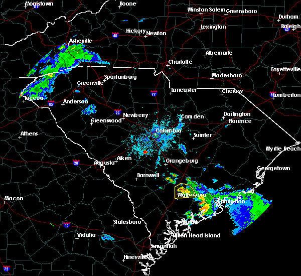 At 926 pm edt, a severe thunderstorm was located 9 miles southwest of gaston, or 15 miles south of red bank, moving east at 10 mph (radar indicated). Hazards include 60 mph wind gusts and quarter size hail. Hail damage to vehicles is expected. Expect wind damage to roofs, siding, and trees. At 926 pm edt, a severe thunderstorm was located 9 miles southwest of gaston, or 15 miles south of red bank, moving east at 10 mph (radar indicated). Hazards include 60 mph wind gusts and quarter size hail. Hail damage to vehicles is expected. Expect wind damage to roofs, siding, and trees.
|
| 6/22/2019 6:31 PM EDT |
 At 631 pm edt, severe thunderstorms were located along a line extending from near sandy run to 8 miles north of blackville, moving east at 35 mph (radar indicated). Hazards include 60 mph wind gusts and penny size hail. expect damage to roofs, siding, and trees At 631 pm edt, severe thunderstorms were located along a line extending from near sandy run to 8 miles north of blackville, moving east at 35 mph (radar indicated). Hazards include 60 mph wind gusts and penny size hail. expect damage to roofs, siding, and trees
|
| 6/22/2019 4:43 AM EDT |
 At 442 am edt, severe thunderstorms were located along a line extending from near st. matthews to near ulmer, moving southeast at 45 mph (radar indicated). Hazards include 70 mph wind gusts. Expect considerable tree damage. damage is likely to mobile homes, roofs, and outbuildings. locations impacted include, orangeburg, barnwell, bamberg, denmark, savannah river site, brookdale, williston, blackville, st. Matthews, claflin college, south carolina state university, orangeburg county airport, barnwell state park, edisto gardens, north, springfield, hilda, cameron, salley and neeses. At 442 am edt, severe thunderstorms were located along a line extending from near st. matthews to near ulmer, moving southeast at 45 mph (radar indicated). Hazards include 70 mph wind gusts. Expect considerable tree damage. damage is likely to mobile homes, roofs, and outbuildings. locations impacted include, orangeburg, barnwell, bamberg, denmark, savannah river site, brookdale, williston, blackville, st. Matthews, claflin college, south carolina state university, orangeburg county airport, barnwell state park, edisto gardens, north, springfield, hilda, cameron, salley and neeses.
|
| 6/22/2019 4:05 AM EDT |
 At 404 am edt, severe thunderstorms were located along a line extending from near red bank to new ellenton, moving east at 45 mph (radar indicated). Hazards include 70 mph wind gusts. Expect considerable tree damage. Damage is likely to mobile homes, roofs, and outbuildings. At 404 am edt, severe thunderstorms were located along a line extending from near red bank to new ellenton, moving east at 45 mph (radar indicated). Hazards include 70 mph wind gusts. Expect considerable tree damage. Damage is likely to mobile homes, roofs, and outbuildings.
|
| 6/20/2019 4:54 PM EDT |
 At 454 pm edt, severe thunderstorms were located along a line extending from near sandy run to glendale, moving east at 40 mph (radar indicated). Hazards include 60 mph wind gusts and penny size hail. expect damage to roofs, siding, and trees At 454 pm edt, severe thunderstorms were located along a line extending from near sandy run to glendale, moving east at 40 mph (radar indicated). Hazards include 60 mph wind gusts and penny size hail. expect damage to roofs, siding, and trees
|
| 6/8/2019 3:52 PM EDT |
 At 352 pm edt, a severe thunderstorm was located 11 miles southwest of gaston, or 16 miles south of red bank, moving north at 25 mph (radar indicated). Hazards include 60 mph wind gusts and quarter size hail. Hail damage to vehicles is expected. expect wind damage to roofs, siding, and trees. Locations impacted include, swansea, wagener, north, pelion, neeses, perry, woodford, livingston, perry airport and thor. At 352 pm edt, a severe thunderstorm was located 11 miles southwest of gaston, or 16 miles south of red bank, moving north at 25 mph (radar indicated). Hazards include 60 mph wind gusts and quarter size hail. Hail damage to vehicles is expected. expect wind damage to roofs, siding, and trees. Locations impacted include, swansea, wagener, north, pelion, neeses, perry, woodford, livingston, perry airport and thor.
|
| 6/8/2019 3:25 PM EDT |
 At 324 pm edt, a severe thunderstorm was located 12 miles north of blackville, or 15 miles north of denmark, moving north at 25 mph (radar indicated). Hazards include 60 mph wind gusts and quarter size hail. Hail damage to vehicles is expected. Expect wind damage to roofs, siding, and trees. At 324 pm edt, a severe thunderstorm was located 12 miles north of blackville, or 15 miles north of denmark, moving north at 25 mph (radar indicated). Hazards include 60 mph wind gusts and quarter size hail. Hail damage to vehicles is expected. Expect wind damage to roofs, siding, and trees.
|
| 8/6/2018 2:34 PM EDT |
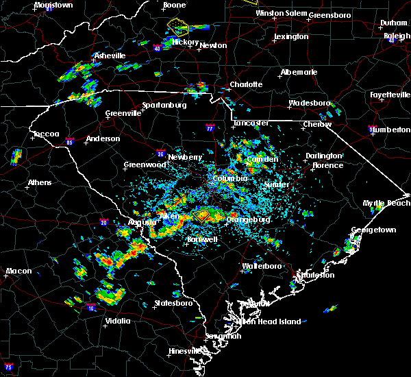 At 234 pm edt, a severe thunderstorm was located 16 miles northeast of blackville, or 17 miles north of denmark, moving south at 10 mph (radar indicated). Hazards include 60 mph wind gusts and penny size hail. Expect damage to roofs, siding, and trees. Locations impacted include, north and woodford. At 234 pm edt, a severe thunderstorm was located 16 miles northeast of blackville, or 17 miles north of denmark, moving south at 10 mph (radar indicated). Hazards include 60 mph wind gusts and penny size hail. Expect damage to roofs, siding, and trees. Locations impacted include, north and woodford.
|
| 8/6/2018 2:18 PM EDT |
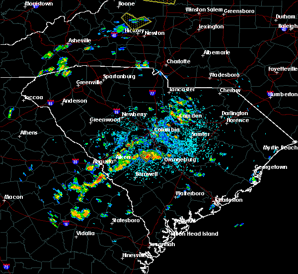 At 217 pm edt, a severe thunderstorm was located 13 miles south of gaston, or 19 miles northwest of orangeburg, moving southwest at 10 mph (radar indicated). Hazards include 60 mph wind gusts and penny size hail. expect damage to roofs, siding, and trees At 217 pm edt, a severe thunderstorm was located 13 miles south of gaston, or 19 miles northwest of orangeburg, moving southwest at 10 mph (radar indicated). Hazards include 60 mph wind gusts and penny size hail. expect damage to roofs, siding, and trees
|
| 8/5/2018 4:56 PM EDT |
 The severe thunderstorm warning for northeastern barnwell, southern lexington, northeastern aiken and northwestern orangeburg counties will expire at 500 pm edt, the storms which prompted the warning have weakened below severe limits, and no longer pose an immediate threat to life or property. therefore, the warning will be allowed to expire. however gusty winds and frequent lightning strikes are still possible with these thunderstorms. to report severe weather, contact your nearest law enforcement agency. they will relay your report to the national weather service columbia. The severe thunderstorm warning for northeastern barnwell, southern lexington, northeastern aiken and northwestern orangeburg counties will expire at 500 pm edt, the storms which prompted the warning have weakened below severe limits, and no longer pose an immediate threat to life or property. therefore, the warning will be allowed to expire. however gusty winds and frequent lightning strikes are still possible with these thunderstorms. to report severe weather, contact your nearest law enforcement agency. they will relay your report to the national weather service columbia.
|
| 8/5/2018 4:18 PM EDT |
 At 417 pm edt, severe thunderstorms were located along a line extending from 10 miles southwest of red bank to 7 miles east of aiken, moving south at 10 mph (radar indicated). Hazards include 60 mph wind gusts and penny size hail. expect damage to roofs, siding, and trees At 417 pm edt, severe thunderstorms were located along a line extending from 10 miles southwest of red bank to 7 miles east of aiken, moving south at 10 mph (radar indicated). Hazards include 60 mph wind gusts and penny size hail. expect damage to roofs, siding, and trees
|
| 7/26/2018 5:16 PM EDT |
 At 516 pm edt, a severe thunderstorm was located 8 miles west of st. matthews, or 11 miles northwest of brookdale, moving southeast at 25 mph (radar indicated). Hazards include 60 mph wind gusts and quarter size hail. Hail damage to vehicles is expected. Expect wind damage to roofs, siding, and trees. At 516 pm edt, a severe thunderstorm was located 8 miles west of st. matthews, or 11 miles northwest of brookdale, moving southeast at 25 mph (radar indicated). Hazards include 60 mph wind gusts and quarter size hail. Hail damage to vehicles is expected. Expect wind damage to roofs, siding, and trees.
|
| 6/25/2018 8:49 PM EDT |
 At 847 pm edt, severe thunderstorms were located along a line extending from 8 miles northwest of gourdin to 7 miles southeast of elloree to near brookdale, moving southeast at 20 mph (radar indicated). Hazards include 60 mph wind gusts and quarter size hail. Hail damage to vehicles is expected. expect wind damage to roofs, siding, and trees. locations impacted include, orangeburg, manning, brookdale, st. matthews, holly hill, summerton, bowman, elloree, santee, north, cameron, neeses, eutawville, woodford, vance, cordova, livingston, wilkinson heights and edisto. this includes the following highways, interstate 26 between mile markers 136 and 169. Interstate 95 between mile markers 85 and 130. At 847 pm edt, severe thunderstorms were located along a line extending from 8 miles northwest of gourdin to 7 miles southeast of elloree to near brookdale, moving southeast at 20 mph (radar indicated). Hazards include 60 mph wind gusts and quarter size hail. Hail damage to vehicles is expected. expect wind damage to roofs, siding, and trees. locations impacted include, orangeburg, manning, brookdale, st. matthews, holly hill, summerton, bowman, elloree, santee, north, cameron, neeses, eutawville, woodford, vance, cordova, livingston, wilkinson heights and edisto. this includes the following highways, interstate 26 between mile markers 136 and 169. Interstate 95 between mile markers 85 and 130.
|
| 6/25/2018 8:14 PM EDT |
 At 813 pm edt, severe thunderstorms were located along a line extending from near manning to near elloree to 10 miles south of gaston, moving southeast at 20 mph (radar indicated). Hazards include 70 mph wind gusts and quarter size hail. Hail damage to vehicles is expected. expect considerable tree damage. Wind damage is also likely to mobile homes, roofs, and outbuildings. At 813 pm edt, severe thunderstorms were located along a line extending from near manning to near elloree to 10 miles south of gaston, moving southeast at 20 mph (radar indicated). Hazards include 70 mph wind gusts and quarter size hail. Hail damage to vehicles is expected. expect considerable tree damage. Wind damage is also likely to mobile homes, roofs, and outbuildings.
|
| 6/25/2018 7:41 PM EDT |
 The national weather service in columbia has issued a * severe thunderstorm warning for. calhoun county in central south carolina. clarendon county in central south carolina. southeastern lexington county in central south carolina. Southwestern sumter county in central south carolina. The national weather service in columbia has issued a * severe thunderstorm warning for. calhoun county in central south carolina. clarendon county in central south carolina. southeastern lexington county in central south carolina. Southwestern sumter county in central south carolina.
|
| 6/25/2018 7:30 PM EDT |
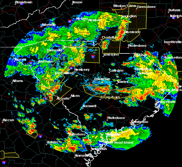 At 730 pm edt, severe thunderstorms were located along a line extending from near gaston to 13 miles southeast of eastover, moving southeast at 25 mph (radar indicated). Hazards include 60 mph wind gusts and quarter size hail. Hail damage to vehicles is expected. expect wind damage to roofs, siding, and trees. locations impacted include, st. matthews, gaston, swansea, north, pelion, cameron and woodford. this includes the following highways, interstate 20 in south carolina near mile marker 47. Interstate 26 between mile markers 120 and 145. At 730 pm edt, severe thunderstorms were located along a line extending from near gaston to 13 miles southeast of eastover, moving southeast at 25 mph (radar indicated). Hazards include 60 mph wind gusts and quarter size hail. Hail damage to vehicles is expected. expect wind damage to roofs, siding, and trees. locations impacted include, st. matthews, gaston, swansea, north, pelion, cameron and woodford. this includes the following highways, interstate 20 in south carolina near mile marker 47. Interstate 26 between mile markers 120 and 145.
|
| 6/25/2018 7:13 PM EDT |
 At 713 pm edt, severe thunderstorms were located along a line extending from near gaston to 7 miles southeast of eastover, moving southeast at 25 mph (radar indicated). Hazards include 60 mph wind gusts and quarter size hail. Hail damage to vehicles is expected. Expect wind damage to roofs, siding, and trees. At 713 pm edt, severe thunderstorms were located along a line extending from near gaston to 7 miles southeast of eastover, moving southeast at 25 mph (radar indicated). Hazards include 60 mph wind gusts and quarter size hail. Hail damage to vehicles is expected. Expect wind damage to roofs, siding, and trees.
|
| 6/3/2018 11:25 PM EDT |
 At 1123 pm edt, a likely severe thunderstorm was located near gaston, moving east at 25 mph and toward northwest calhoun county (radar indicated). Hazards include 60 mph wind gusts and quarter size hail. Hail damage to vehicles is expected. Expect wind damage to roofs, siding, and trees. At 1123 pm edt, a likely severe thunderstorm was located near gaston, moving east at 25 mph and toward northwest calhoun county (radar indicated). Hazards include 60 mph wind gusts and quarter size hail. Hail damage to vehicles is expected. Expect wind damage to roofs, siding, and trees.
|
| 4/15/2018 2:46 PM EDT |
 At 245 pm edt, thunderstorms with wind gusts of 40 to 60 mph were in parts of western orangeburg county, moving northward at 50 mph (radar indicated). Hazards include 60 mph wind gusts. Expect damage to roofs, siding, and trees. locations impacted include, orangeburg, bamberg, denmark, brookdale, branchville, swansea, north, ehrhardt, neeses, norway, rowesville, woodford, cordova, livingston, cope, edisto and wilkinson heights. this includes interstate 26 between mile markers 123 and 127. A tornado watch remains in effect until 700 pm edt for central south carolina. At 245 pm edt, thunderstorms with wind gusts of 40 to 60 mph were in parts of western orangeburg county, moving northward at 50 mph (radar indicated). Hazards include 60 mph wind gusts. Expect damage to roofs, siding, and trees. locations impacted include, orangeburg, bamberg, denmark, brookdale, branchville, swansea, north, ehrhardt, neeses, norway, rowesville, woodford, cordova, livingston, cope, edisto and wilkinson heights. this includes interstate 26 between mile markers 123 and 127. A tornado watch remains in effect until 700 pm edt for central south carolina.
|
| 4/15/2018 2:31 PM EDT |
 At 229 pm edt, likely severe thunderstorms were just southwest of north in western orangeburg county and in the area extending from williston and blackville in northern barnwell county. movement was northeast near 50 mph (radar indicated). Hazards include 60 mph wind gusts. Expect damage to roofs, siding, and trees. locations impacted include, orangeburg, bamberg, denmark, brookdale, williston, blackville, branchville, swansea, north, ehrhardt, springfield, hilda, salley, neeses, norway, rowesville, olar, elko, woodford and cordova. this includes interstate 26 between mile markers 123 and 127. A tornado watch remains in effect until 700 pm edt for central south carolina. At 229 pm edt, likely severe thunderstorms were just southwest of north in western orangeburg county and in the area extending from williston and blackville in northern barnwell county. movement was northeast near 50 mph (radar indicated). Hazards include 60 mph wind gusts. Expect damage to roofs, siding, and trees. locations impacted include, orangeburg, bamberg, denmark, brookdale, williston, blackville, branchville, swansea, north, ehrhardt, springfield, hilda, salley, neeses, norway, rowesville, olar, elko, woodford and cordova. this includes interstate 26 between mile markers 123 and 127. A tornado watch remains in effect until 700 pm edt for central south carolina.
|
| 4/15/2018 2:13 PM EDT |
 At 212 pm edt, likely severe thunderstorms were in the savannah river site moving northeast near 50 mph (radar indicated). Hazards include 60 mph wind gusts. expect damage to roofs, siding, and trees At 212 pm edt, likely severe thunderstorms were in the savannah river site moving northeast near 50 mph (radar indicated). Hazards include 60 mph wind gusts. expect damage to roofs, siding, and trees
|
| 9/1/2017 2:13 PM EDT |
 At 213 pm edt, a severe thunderstorm was located 11 miles south of gaston, or 19 miles northwest of orangeburg, moving northeast at 30 mph (radar indicated). Hazards include 60 mph wind gusts and nickel size hail. expect damage to roofs, siding, and trees At 213 pm edt, a severe thunderstorm was located 11 miles south of gaston, or 19 miles northwest of orangeburg, moving northeast at 30 mph (radar indicated). Hazards include 60 mph wind gusts and nickel size hail. expect damage to roofs, siding, and trees
|
| 7/23/2017 8:03 PM EDT |
 At 802 pm edt, a severe thunderstorm was located near gaston, or 13 miles south of red bank, moving east at 20 mph (radar indicated). Hazards include 60 mph wind gusts and quarter size hail. Hail damage to vehicles is expected. Expect wind damage to roofs, siding, and trees. At 802 pm edt, a severe thunderstorm was located near gaston, or 13 miles south of red bank, moving east at 20 mph (radar indicated). Hazards include 60 mph wind gusts and quarter size hail. Hail damage to vehicles is expected. Expect wind damage to roofs, siding, and trees.
|
| 7/23/2017 6:54 PM EDT |
 At 653 pm edt, a severe thunderstorm was located near gloverville, or near clearwater, moving east at 10 mph (radar indicated). Hazards include 60 mph wind gusts and quarter size hail. Hail damage to vehicles is expected. expect wind damage to roofs, siding, and trees. Locations impacted include, aiken, north augusta, clearwater, belvedere, williston, new ellenton, gloverville, burnettown, swansea, wagener, north, pelion, springfield, salley, neeses, monetta, perry, woodford, livingston and windsor. At 653 pm edt, a severe thunderstorm was located near gloverville, or near clearwater, moving east at 10 mph (radar indicated). Hazards include 60 mph wind gusts and quarter size hail. Hail damage to vehicles is expected. expect wind damage to roofs, siding, and trees. Locations impacted include, aiken, north augusta, clearwater, belvedere, williston, new ellenton, gloverville, burnettown, swansea, wagener, north, pelion, springfield, salley, neeses, monetta, perry, woodford, livingston and windsor.
|
| 7/23/2017 6:49 PM EDT |
 At 648 pm edt, a severe thunderstorm was located over clearwater, moving east at 10 mph (radar indicated). Hazards include 60 mph wind gusts and quarter size hail. Hail damage to vehicles is expected. Expect wind damage to roofs, siding, and trees. At 648 pm edt, a severe thunderstorm was located over clearwater, moving east at 10 mph (radar indicated). Hazards include 60 mph wind gusts and quarter size hail. Hail damage to vehicles is expected. Expect wind damage to roofs, siding, and trees.
|
| 7/20/2017 5:22 PM EDT |
 The severe thunderstorm warning for south central lexington, northeastern aiken and northwestern orangeburg counties will expire at 530 pm edt, the storm which prompted the warning has weakened below severe limits, and no longer poses an immediate threat to life or property. therefore the warning will be allowed to expire. The severe thunderstorm warning for south central lexington, northeastern aiken and northwestern orangeburg counties will expire at 530 pm edt, the storm which prompted the warning has weakened below severe limits, and no longer poses an immediate threat to life or property. therefore the warning will be allowed to expire.
|
| 7/20/2017 4:46 PM EDT |
 At 446 pm edt, a severe thunderstorm was located 10 miles northwest of orangeburg, and is nearly stationary (radar indicated). Hazards include 60 mph wind gusts and quarter size hail. Hail damage to vehicles is expected. Expect wind damage to roofs, siding, and trees. At 446 pm edt, a severe thunderstorm was located 10 miles northwest of orangeburg, and is nearly stationary (radar indicated). Hazards include 60 mph wind gusts and quarter size hail. Hail damage to vehicles is expected. Expect wind damage to roofs, siding, and trees.
|
| 7/18/2017 6:31 PM EDT |
 At 630 pm edt, a severe thunderstorm was located 14 miles south of gaston, or 19 miles northwest of orangeburg, moving southwest at 15 mph (radar indicated). Hazards include 60 mph wind gusts and quarter size hail. Hail damage to vehicles is expected. Expect wind damage to roofs, siding, and trees. At 630 pm edt, a severe thunderstorm was located 14 miles south of gaston, or 19 miles northwest of orangeburg, moving southwest at 15 mph (radar indicated). Hazards include 60 mph wind gusts and quarter size hail. Hail damage to vehicles is expected. Expect wind damage to roofs, siding, and trees.
|
| 7/15/2017 6:32 PM EDT |
 At 629 pm edt, thunderstorms extended from near swansea southward to near springfield. movement was east near 20 mph. some of the thunderstorms may contain wind gusts of 40 to 60 mph (radar indicated). Hazards include 40 to 60 mph wind gusts. Expect damage to roofs, siding, and trees. Locations impacted include, north, springfield, salley, and woodford. At 629 pm edt, thunderstorms extended from near swansea southward to near springfield. movement was east near 20 mph. some of the thunderstorms may contain wind gusts of 40 to 60 mph (radar indicated). Hazards include 40 to 60 mph wind gusts. Expect damage to roofs, siding, and trees. Locations impacted include, north, springfield, salley, and woodford.
|
| 7/15/2017 5:53 PM EDT |
 At 551 pm edt, thunderstorms extended from northeast aiken county around wagener to near pelion. movement was northeast near 10 mph. some of the storms likely contained wind gusts near 60 mph (radar indicated). Hazards include 60 mph wind gusts. expect damage to roofs, siding, and trees At 551 pm edt, thunderstorms extended from northeast aiken county around wagener to near pelion. movement was northeast near 10 mph. some of the storms likely contained wind gusts near 60 mph (radar indicated). Hazards include 60 mph wind gusts. expect damage to roofs, siding, and trees
|
| 5/28/2017 8:22 PM EDT |
 The severe thunderstorm warning for southeastern lexington and northwestern orangeburg counties will expire at 830 pm edt, the storm which prompted the warning has moved out of the area. therefore the warning will be allowed to expire. a severe thunderstorm watch remains in effect until 100 am edt for central south carolina. The severe thunderstorm warning for southeastern lexington and northwestern orangeburg counties will expire at 830 pm edt, the storm which prompted the warning has moved out of the area. therefore the warning will be allowed to expire. a severe thunderstorm watch remains in effect until 100 am edt for central south carolina.
|
| 5/28/2017 8:12 PM EDT |
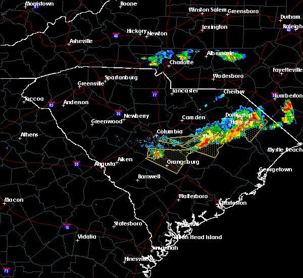 At 811 pm edt, a severe thunderstorm was located near gaston, or 14 miles south of cayce, moving east at 40 mph (radar indicated). Hazards include 60 mph wind gusts and quarter size hail. Hail damage to vehicles is expected. expect wind damage to roofs, siding, and trees. Locations impacted include, swansea and woodford. At 811 pm edt, a severe thunderstorm was located near gaston, or 14 miles south of cayce, moving east at 40 mph (radar indicated). Hazards include 60 mph wind gusts and quarter size hail. Hail damage to vehicles is expected. expect wind damage to roofs, siding, and trees. Locations impacted include, swansea and woodford.
|
| 5/28/2017 8:09 PM EDT |
 The national weather service in columbia has issued a * severe thunderstorm warning for. calhoun county in central south carolina. southeastern lexington county in central south carolina. southwestern sumter county in central south carolina. Northwestern orangeburg county in central south carolina. The national weather service in columbia has issued a * severe thunderstorm warning for. calhoun county in central south carolina. southeastern lexington county in central south carolina. southwestern sumter county in central south carolina. Northwestern orangeburg county in central south carolina.
|
| 5/28/2017 8:09 PM EDT |
 At 809 pm edt, a severe thunderstorm was located 10 miles south of gaston, or 16 miles northwest of orangeburg, moving east at 40 mph (radar indicated). Hazards include 60 mph wind gusts and quarter size hail. Hail damage to vehicles is expected. Expect wind damage to roofs, siding, and trees. At 809 pm edt, a severe thunderstorm was located 10 miles south of gaston, or 16 miles northwest of orangeburg, moving east at 40 mph (radar indicated). Hazards include 60 mph wind gusts and quarter size hail. Hail damage to vehicles is expected. Expect wind damage to roofs, siding, and trees.
|
| 5/28/2017 7:42 PM EDT |
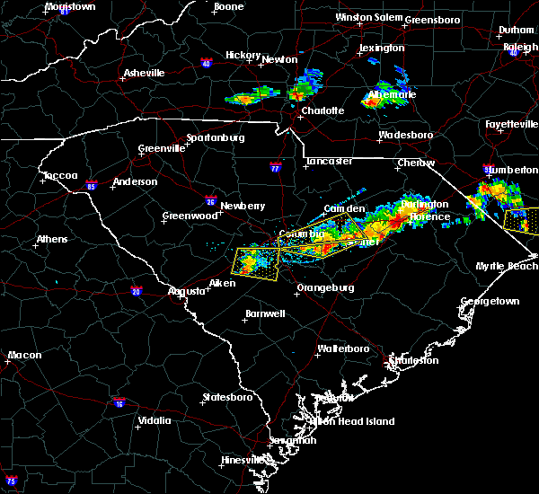 At 742 pm edt, a severe thunderstorm was located 13 miles southwest of red bank, moving east at 40 mph (radar indicated). Hazards include 70 mph wind gusts and ping pong ball size hail. People and animals outdoors will be injured. expect hail damage to roofs, siding, windows, and vehicles. expect considerable tree damage. wind damage is also likely to mobile homes, roofs, and outbuildings. Locations impacted include, red bank, south congaree, pine ridge, gaston, swansea, pelion, gilbert, summit and woodford. At 742 pm edt, a severe thunderstorm was located 13 miles southwest of red bank, moving east at 40 mph (radar indicated). Hazards include 70 mph wind gusts and ping pong ball size hail. People and animals outdoors will be injured. expect hail damage to roofs, siding, windows, and vehicles. expect considerable tree damage. wind damage is also likely to mobile homes, roofs, and outbuildings. Locations impacted include, red bank, south congaree, pine ridge, gaston, swansea, pelion, gilbert, summit and woodford.
|
| 5/28/2017 7:39 PM EDT |
 At 738 pm edt, a severe thunderstorm was located 12 miles southeast of leesville, or 13 miles southeast of batesburg, moving east at 50 mph (radar indicated). Hazards include 70 mph wind gusts and quarter size hail. Hail damage to vehicles is expected. expect considerable tree damage. wind damage is also likely to mobile homes, roofs, and outbuildings. Locations impacted include, red bank, south congaree, pine ridge, gaston, swansea, pelion, gilbert, summit and woodford. At 738 pm edt, a severe thunderstorm was located 12 miles southeast of leesville, or 13 miles southeast of batesburg, moving east at 50 mph (radar indicated). Hazards include 70 mph wind gusts and quarter size hail. Hail damage to vehicles is expected. expect considerable tree damage. wind damage is also likely to mobile homes, roofs, and outbuildings. Locations impacted include, red bank, south congaree, pine ridge, gaston, swansea, pelion, gilbert, summit and woodford.
|
| 5/28/2017 7:26 PM EDT |
 At 725 pm edt, a severe thunderstorm was located 7 miles southeast of ridge spring, or 10 miles south of batesburg, moving east at 40 mph (radar indicated). Hazards include 60 mph wind gusts and quarter size hail. Hail damage to vehicles is expected. Expect wind damage to roofs, siding, and trees. At 725 pm edt, a severe thunderstorm was located 7 miles southeast of ridge spring, or 10 miles south of batesburg, moving east at 40 mph (radar indicated). Hazards include 60 mph wind gusts and quarter size hail. Hail damage to vehicles is expected. Expect wind damage to roofs, siding, and trees.
|
| 4/5/2017 4:27 PM EDT |
 The severe thunderstorm warning for calhoun. southeastern lexington and north central orangeburg counties will expire at 430 pm edt. the storms which prompted the warning have moved out of the area. therefore the warning will be allowed to expire. However gusty winds and heavy rain are still possible with these thunderstorms. The severe thunderstorm warning for calhoun. southeastern lexington and north central orangeburg counties will expire at 430 pm edt. the storms which prompted the warning have moved out of the area. therefore the warning will be allowed to expire. However gusty winds and heavy rain are still possible with these thunderstorms.
|
| 4/5/2017 3:25 PM EDT |
 The severe thunderstorm warning for northeastern barnwell, aiken and northwestern orangeburg counties will expire at 330 pm edt, the storms which prompted the warning have moved out of the area. therefore the warning will be allowed to expire. however gusty winds and heavy rain are still possible with these thunderstorms. a tornado watch remains in effect until 800 pm edt for east central georgia, and central south carolina. The severe thunderstorm warning for northeastern barnwell, aiken and northwestern orangeburg counties will expire at 330 pm edt, the storms which prompted the warning have moved out of the area. therefore the warning will be allowed to expire. however gusty winds and heavy rain are still possible with these thunderstorms. a tornado watch remains in effect until 800 pm edt for east central georgia, and central south carolina.
|
| 4/5/2017 3:25 PM EDT |
 At 325 pm edt, severe thunderstorms were located along a line extending from near cayce to 10 miles southwest of gaston, moving east at 35 mph (radar indicated). Hazards include 60 mph wind gusts and quarter size hail. Hail damage to vehicles is expected. Expect wind damage to roofs, siding, and trees. At 325 pm edt, severe thunderstorms were located along a line extending from near cayce to 10 miles southwest of gaston, moving east at 35 mph (radar indicated). Hazards include 60 mph wind gusts and quarter size hail. Hail damage to vehicles is expected. Expect wind damage to roofs, siding, and trees.
|
| 4/5/2017 2:32 PM EDT |
 At 232 pm edt, severe thunderstorms were located along a line extending from 14 miles southwest of red bank to 6 miles west of new ellenton, moving east at 30 mph (radar indicated). Hazards include 70 mph wind gusts and ping pong ball size hail. People and animals outdoors will be injured. expect hail damage to roofs, siding, windows, and vehicles. expect considerable tree damage. Wind damage is also likely to mobile homes, roofs, and outbuildings. At 232 pm edt, severe thunderstorms were located along a line extending from 14 miles southwest of red bank to 6 miles west of new ellenton, moving east at 30 mph (radar indicated). Hazards include 70 mph wind gusts and ping pong ball size hail. People and animals outdoors will be injured. expect hail damage to roofs, siding, windows, and vehicles. expect considerable tree damage. Wind damage is also likely to mobile homes, roofs, and outbuildings.
|
| 4/3/2017 4:46 PM EDT |
 At 444 pm edt, severe thunderstorms were located along a line extending from 8 miles southeast of gaston to near ashton, moving northeast at 30 mph (radar indicated). Hazards include 70 mph wind gusts and quarter size hail. Hail damage to vehicles is expected. expect considerable tree damage. wind damage is also likely to mobile homes, roofs, and outbuildings. locations impacted include, orangeburg, bamberg, denmark, brookdale, st. matthews, branchville, bowman, north, ehrhardt, springfield, cameron, neeses, norway, rowesville, olar, woodford, cordova, livingston, cope and govan. multiple wind damage reports hve been received with this line of thunderstorms this afternoon. A tornado watch remains in effect until 900 pm edt for central south carolina. At 444 pm edt, severe thunderstorms were located along a line extending from 8 miles southeast of gaston to near ashton, moving northeast at 30 mph (radar indicated). Hazards include 70 mph wind gusts and quarter size hail. Hail damage to vehicles is expected. expect considerable tree damage. wind damage is also likely to mobile homes, roofs, and outbuildings. locations impacted include, orangeburg, bamberg, denmark, brookdale, st. matthews, branchville, bowman, north, ehrhardt, springfield, cameron, neeses, norway, rowesville, olar, woodford, cordova, livingston, cope and govan. multiple wind damage reports hve been received with this line of thunderstorms this afternoon. A tornado watch remains in effect until 900 pm edt for central south carolina.
|
| 4/3/2017 4:18 PM EDT |
 At 418 pm edt, severe thunderstorms were located along a line extending from 12 miles southwest of gaston to near sycamore, moving northeast at 60 mph (radar indicated). Hazards include 70 mph wind gusts and quarter size hail. Hail damage to vehicles is expected. expect considerable tree damage. Wind damage is also likely to mobile homes, roofs, and outbuildings. At 418 pm edt, severe thunderstorms were located along a line extending from 12 miles southwest of gaston to near sycamore, moving northeast at 60 mph (radar indicated). Hazards include 70 mph wind gusts and quarter size hail. Hail damage to vehicles is expected. expect considerable tree damage. Wind damage is also likely to mobile homes, roofs, and outbuildings.
|
| 3/21/2017 10:31 PM EDT |
 At 1030 pm edt, a severe thunderstorm was located near aiken, moving east at 35 mph (radar indicated). Hazards include 70 mph wind gusts. Expect considerable tree damage. Damage is likely to mobile homes, roofs, and outbuildings. At 1030 pm edt, a severe thunderstorm was located near aiken, moving east at 35 mph (radar indicated). Hazards include 70 mph wind gusts. Expect considerable tree damage. Damage is likely to mobile homes, roofs, and outbuildings.
|
| 8/1/2016 9:38 PM EDT |
 The severe thunderstorm warning for north central orangeburg, northwestern calhoun and southeastern lexington counties will expire at 945 pm edt, the storms which prompted the warning have weakened below severe limits, and no longer pose an immediate threat to life or property. therefore the warning will be allowed to expire. however heavy rain and frequent lightning is still possible with these thunderstorms. to report severe weather, contact your nearest law enforcement agency. they will relay your report to the national weather service columbia. The severe thunderstorm warning for north central orangeburg, northwestern calhoun and southeastern lexington counties will expire at 945 pm edt, the storms which prompted the warning have weakened below severe limits, and no longer pose an immediate threat to life or property. therefore the warning will be allowed to expire. however heavy rain and frequent lightning is still possible with these thunderstorms. to report severe weather, contact your nearest law enforcement agency. they will relay your report to the national weather service columbia.
|
| 8/1/2016 9:06 PM EDT |
 At 905 pm edt, severe thunderstorms were located along a line extending from near pine ridge to 12 miles south of gaston, moving southeast at 10 mph (radar indicated). Hazards include 60 mph wind gusts. Expect damage to roofs. siding. and trees. locations impacted include, west columbia, orangeburg, cayce, springdale, south congaree, pine ridge, st. Matthews, gaston, swansea, north, pelion and woodford. At 905 pm edt, severe thunderstorms were located along a line extending from near pine ridge to 12 miles south of gaston, moving southeast at 10 mph (radar indicated). Hazards include 60 mph wind gusts. Expect damage to roofs. siding. and trees. locations impacted include, west columbia, orangeburg, cayce, springdale, south congaree, pine ridge, st. Matthews, gaston, swansea, north, pelion and woodford.
|
| 8/1/2016 8:41 PM EDT |
 At 841 pm edt, severe thunderstorms were located along a line extending from near cayce to 15 miles southwest of gaston, moving southeast at 15 mph (radar indicated). Hazards include 60 mph wind gusts and penny size hail. Expect damage to roofs. siding. And trees. At 841 pm edt, severe thunderstorms were located along a line extending from near cayce to 15 miles southwest of gaston, moving southeast at 15 mph (radar indicated). Hazards include 60 mph wind gusts and penny size hail. Expect damage to roofs. siding. And trees.
|
| 7/7/2016 10:42 PM EDT |
 At 1041 pm edt, a severe thunderstorm was located near oakland, or 7 miles west of sumter, moving southeast at 35 mph (radar indicated). Hazards include 70 mph wind gusts. Expect considerable tree damage. Damage is likely to mobile homes, roofs, and outbuildings. At 1041 pm edt, a severe thunderstorm was located near oakland, or 7 miles west of sumter, moving southeast at 35 mph (radar indicated). Hazards include 70 mph wind gusts. Expect considerable tree damage. Damage is likely to mobile homes, roofs, and outbuildings.
|
| 7/5/2016 5:17 PM EDT |
 At 515 pm edt, a line of thunderstorms extended from lancaster county southward through columbia and swansea. movement was east northeastward near 35 mph. some of the storms likely contained wind gusts of 40 to 60 mph (radar indicated). Hazards include 60 mph wind gusts. Expect damage to roofs. siding. and trees. locations impacted include, columbia, orangeburg, cayce, forest acres, lancaster, camden, springdale, st. andrews, dentsville, oak grove, woodfields, brookdale, pageland, south congaree, pine ridge, st. Matthews, kershaw, gaston and elgin. At 515 pm edt, a line of thunderstorms extended from lancaster county southward through columbia and swansea. movement was east northeastward near 35 mph. some of the storms likely contained wind gusts of 40 to 60 mph (radar indicated). Hazards include 60 mph wind gusts. Expect damage to roofs. siding. and trees. locations impacted include, columbia, orangeburg, cayce, forest acres, lancaster, camden, springdale, st. andrews, dentsville, oak grove, woodfields, brookdale, pageland, south congaree, pine ridge, st. Matthews, kershaw, gaston and elgin.
|
| 7/5/2016 5:05 PM EDT |
 At 504 pm edt, severe thunderstorms were located along a line extending from 8 miles northeast of winnsboro to 15 miles southeast of batesburg-leesville, moving northeast at 75 mph (radar indicated). Hazards include 60 mph wind gusts. Expect damage to roofs. siding. And trees. At 504 pm edt, severe thunderstorms were located along a line extending from 8 miles northeast of winnsboro to 15 miles southeast of batesburg-leesville, moving northeast at 75 mph (radar indicated). Hazards include 60 mph wind gusts. Expect damage to roofs. siding. And trees.
|
| 6/17/2016 3:24 PM EDT |
 At 323 pm edt, a severe thunderstorm was located 10 miles northeast of williston, or 19 miles northwest of denmark, moving east at 40 mph (radar indicated). Hazards include 70 mph wind gusts and half dollar size hail. Hail damage to vehicles is expected. expect considerable tree damage. wind damage is also likely to mobile homes, roofs, and outbuildings. locations impacted include, orangeburg, bamberg, denmark, brookdale, williston, blackville, new ellenton, st. Matthews, holly hill, branchville, bowman, elloree, santee, swansea, wagener, north, pelion, springfield, hilda and cameron. At 323 pm edt, a severe thunderstorm was located 10 miles northeast of williston, or 19 miles northwest of denmark, moving east at 40 mph (radar indicated). Hazards include 70 mph wind gusts and half dollar size hail. Hail damage to vehicles is expected. expect considerable tree damage. wind damage is also likely to mobile homes, roofs, and outbuildings. locations impacted include, orangeburg, bamberg, denmark, brookdale, williston, blackville, new ellenton, st. Matthews, holly hill, branchville, bowman, elloree, santee, swansea, wagener, north, pelion, springfield, hilda and cameron.
|
| 6/17/2016 3:13 PM EDT |
 At 313 pm edt, a severe thunderstorm was located near bowman, or 9 miles southeast of orangeburg, moving east at 30 mph (radar indicated). Hazards include 60 mph wind gusts and quarter size hail. Hail damage to vehicles is expected. expect wind damage to roofs, siding, and trees. locations impacted include, orangeburg, bamberg, denmark, brookdale, williston, blackville, new ellenton, st. Matthews, holly hill, branchville, bowman, elloree, santee, swansea, wagener, north, pelion, springfield, hilda and cameron. At 313 pm edt, a severe thunderstorm was located near bowman, or 9 miles southeast of orangeburg, moving east at 30 mph (radar indicated). Hazards include 60 mph wind gusts and quarter size hail. Hail damage to vehicles is expected. expect wind damage to roofs, siding, and trees. locations impacted include, orangeburg, bamberg, denmark, brookdale, williston, blackville, new ellenton, st. Matthews, holly hill, branchville, bowman, elloree, santee, swansea, wagener, north, pelion, springfield, hilda and cameron.
|
| 6/17/2016 2:43 PM EDT |
 At 243 pm edt, a severe thunderstorm was located 9 miles north of bamberg, moving east at 30 mph (radar indicated). Hazards include 60 mph wind gusts and quarter size hail. Hail damage to vehicles is expected. Expect wind damage to roofs, siding, and trees. At 243 pm edt, a severe thunderstorm was located 9 miles north of bamberg, moving east at 30 mph (radar indicated). Hazards include 60 mph wind gusts and quarter size hail. Hail damage to vehicles is expected. Expect wind damage to roofs, siding, and trees.
|
| 6/14/2016 3:23 PM EDT |
 At 323 pm edt, a severe thunderstorm was located near gaston, or 12 miles south of red bank, moving east at 10 mph (radar indicated). Hazards include 60 mph wind gusts and penny size hail. Expect damage to roofs. siding. and trees. Locations impacted include, gaston, swansea, wagener, north, pelion, neeses, perry, woodford and livingston. At 323 pm edt, a severe thunderstorm was located near gaston, or 12 miles south of red bank, moving east at 10 mph (radar indicated). Hazards include 60 mph wind gusts and penny size hail. Expect damage to roofs. siding. and trees. Locations impacted include, gaston, swansea, wagener, north, pelion, neeses, perry, woodford and livingston.
|
| 6/14/2016 3:07 PM EDT |
 At 306 pm edt, a severe thunderstorm was located 8 miles southwest of gaston, or 11 miles south of red bank, moving east at 10 mph (radar indicated). Hazards include 60 mph wind gusts. Expect damage to roofs. siding. And trees. At 306 pm edt, a severe thunderstorm was located 8 miles southwest of gaston, or 11 miles south of red bank, moving east at 10 mph (radar indicated). Hazards include 60 mph wind gusts. Expect damage to roofs. siding. And trees.
|
| 8/6/2015 6:43 PM EDT |
 At 642 pm edt, doppler radar indicated a severe thunderstorm capable of producing damaging winds in excess of 60 mph. this storm was located 8 miles southeast of gaston, or 17 miles south of cayce, and moving east at 25 mph. nickel size hail may also accompany the damaging winds. At 642 pm edt, doppler radar indicated a severe thunderstorm capable of producing damaging winds in excess of 60 mph. this storm was located 8 miles southeast of gaston, or 17 miles south of cayce, and moving east at 25 mph. nickel size hail may also accompany the damaging winds.
|
| 8/6/2015 6:42 PM EDT |
 At 642 pm edt, doppler radar indicated a severe thunderstorm capable of producing damaging winds in excess of 60 mph. this storm was located 8 miles southeast of gaston, or 17 miles south of cayce, and moving east at 25 mph. nickel size hail may also accompany the damaging winds. At 642 pm edt, doppler radar indicated a severe thunderstorm capable of producing damaging winds in excess of 60 mph. this storm was located 8 miles southeast of gaston, or 17 miles south of cayce, and moving east at 25 mph. nickel size hail may also accompany the damaging winds.
|
| 8/6/2015 5:48 PM EDT |
 At 548 pm edt, doppler radar indicated a line of severe thunderstorms capable of producing damaging winds in excess of 60 mph. these storms were located along a line extending from 8 miles south of prosperity to near garfield, and moving east at 25 mph. At 548 pm edt, doppler radar indicated a line of severe thunderstorms capable of producing damaging winds in excess of 60 mph. these storms were located along a line extending from 8 miles south of prosperity to near garfield, and moving east at 25 mph.
|
| 7/19/2015 7:26 PM EDT |
 At 725 pm edt, doppler radar indicated a line of severe thunderstorms capable of producing damaging winds in excess of 60 mph. these storms were located along a line extending from 8 miles south of lugoff to 6 miles south of ridge spring, and moving southeast at 15 mph. * these severe thunderstorms will remain over mainly rural areas of northeastern barnwell, calhoun, central aiken, lexington, southwestern sumter, south central kershaw, southeastern richland, east central edgefield and northwestern orangeburg counties, including the following locations, salley, wedgewood, woodford, springfield, pelion, livingston, wagener, neeses, gilbert and swansea. At 725 pm edt, doppler radar indicated a line of severe thunderstorms capable of producing damaging winds in excess of 60 mph. these storms were located along a line extending from 8 miles south of lugoff to 6 miles south of ridge spring, and moving southeast at 15 mph. * these severe thunderstorms will remain over mainly rural areas of northeastern barnwell, calhoun, central aiken, lexington, southwestern sumter, south central kershaw, southeastern richland, east central edgefield and northwestern orangeburg counties, including the following locations, salley, wedgewood, woodford, springfield, pelion, livingston, wagener, neeses, gilbert and swansea.
|
| 7/2/2015 5:03 PM EDT |
 At 502 pm edt, doppler radar indicated a line of severe thunderstorms capable of producing damaging winds in excess of 60 mph. these storms were located along a line extending from 11 miles south of heath springs to near cayce to 15 miles southwest of gaston, moving east at 30 mph. locations impacted include, columbia, cayce, forest acres, camden, woodfields, dentsville, pine ridge, st. matthews, gaston, arcadia lakes, eastover, woodfield, five points, fort jackson, lugoff, swansea, north, neeses, woodford and livingston. At 502 pm edt, doppler radar indicated a line of severe thunderstorms capable of producing damaging winds in excess of 60 mph. these storms were located along a line extending from 11 miles south of heath springs to near cayce to 15 miles southwest of gaston, moving east at 30 mph. locations impacted include, columbia, cayce, forest acres, camden, woodfields, dentsville, pine ridge, st. matthews, gaston, arcadia lakes, eastover, woodfield, five points, fort jackson, lugoff, swansea, north, neeses, woodford and livingston.
|
| 7/2/2015 4:29 PM EDT |
 At 429 pm edt, doppler radar indicated a line of severe thunderstorms capable of producing damaging winds in excess of 60 mph. these storms were located along a line extending from 7 miles southwest of great falls to near irmo to 6 miles east of leesville, and moving southeast at 30 mph. At 429 pm edt, doppler radar indicated a line of severe thunderstorms capable of producing damaging winds in excess of 60 mph. these storms were located along a line extending from 7 miles southwest of great falls to near irmo to 6 miles east of leesville, and moving southeast at 30 mph.
|
| 6/27/2015 6:14 PM EDT |
 At 613 pm edt, doppler radar indicated a line of severe thunderstorms capable of producing damaging winds in excess of 60 mph. these storms were located along a line extending from near dentsville to columbia to near wagener, and moving east at 40 mph. At 613 pm edt, doppler radar indicated a line of severe thunderstorms capable of producing damaging winds in excess of 60 mph. these storms were located along a line extending from near dentsville to columbia to near wagener, and moving east at 40 mph.
|
| 6/27/2015 6:02 PM EDT |
 At 601 pm edt, doppler radar indicated a line of severe thunderstorms capable of producing damaging winds in excess of 60 mph. these storms were located along a line extending from st. andrews to south congaree to 17 miles southwest of gaston, moving east at 45 mph. locations impacted include, columbia, lexington, west columbia, cayce, irmo, forest acres, springdale, st. andrews, dentsville, oak grove, woodfields, red bank, south congaree, pine ridge, gaston, arcadia lakes, eastover, fort jackson, woodfield and five points. At 601 pm edt, doppler radar indicated a line of severe thunderstorms capable of producing damaging winds in excess of 60 mph. these storms were located along a line extending from st. andrews to south congaree to 17 miles southwest of gaston, moving east at 45 mph. locations impacted include, columbia, lexington, west columbia, cayce, irmo, forest acres, springdale, st. andrews, dentsville, oak grove, woodfields, red bank, south congaree, pine ridge, gaston, arcadia lakes, eastover, fort jackson, woodfield and five points.
|
| 6/27/2015 5:42 PM EDT |
 At 541 pm edt, doppler radar indicated a line of severe thunderstorms capable of producing damaging winds in excess of 60 mph. these storms were located along a line extending from 8 miles northwest of lexington to 12 miles south of batesburg-leesville, and moving east at 40 mph. At 541 pm edt, doppler radar indicated a line of severe thunderstorms capable of producing damaging winds in excess of 60 mph. these storms were located along a line extending from 8 miles northwest of lexington to 12 miles south of batesburg-leesville, and moving east at 40 mph.
|
| 6/18/2015 2:57 PM EDT | At 256 pm edt, doppler radar indicated a line of severe thunderstorms capable of producing quarter size hail and damaging winds in excess of 60 mph. these storms were located along a line extending from mulberry to 9 miles east of aiken, and moving east northeast at 20 mph. |
| 4/19/2015 5:08 PM EDT | this alert has expired |
| 4/19/2015 4:42 PM EDT | this alert has expired |
| 4/19/2015 4:42 PM EDT | At 439 pm edt, national weather service doppler radar indicated a line of severe thunderstorms capable of producing damaging winds in excess of 60 mph. these storms were located along a line extending from 19 miles north of blackville to 25 miles south of denmark, or along a line extending from 20 miles east of aiken to 7 miles northwest of hampton, and moving northeast at 30 mph. * some communities in the warning area include st. matthews, orangeburg, gaston, denmark, brookdale, branchville, bowman, blackville and bamberg. |
| 7/27/2012 4:00 PM EDT | Highway patrol reported trees down along highway 178 at johnson king road and mack edisto roa in lexington county SC, 4.7 miles ESE of Woodford, SC |
| 1/1/0001 12:00 AM | Emergency manager reported trees down along hwy 321 from woodford to north from bow echo wind in orangeburg county SC, 0.2 miles WSW of Woodford, SC |
| 1/1/0001 12:00 AM | Trees down in roadway us 321 at pinegrove road reported by sc highway patro in orangeburg county SC, 0.8 miles S of Woodford, SC |
| 1/1/0001 12:00 AM | Highway patrol reported a tree down along hwy 178 two miles north of the town of nort in orangeburg county SC, 2.2 miles NNE of Woodford, SC |
| 1/1/0001 12:00 AM | Trees down on bull swamp road in calhoun county SC, 7.1 miles W of Woodford, SC |
Hail Maps for Woodford, SC


Connect with Interactive Hail Maps