

Hail Map Southern St. Louis July 8, 2012
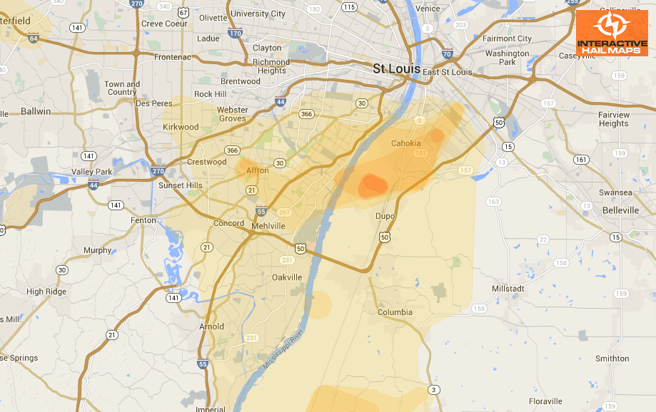
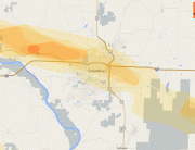
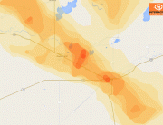
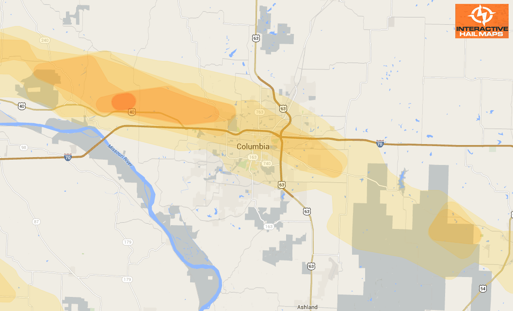
Here is a map for the hail that fell in southern St. Louis on July 8, 2012. The Blue markers are reports of 1.75 inch hail and the green marker is reported 1.00 inch hail. The blue hail swath is radar indicated severe hail. Use Interactive hail maps to find hail throughout the US.
Cities Most Affected by Hail Storms of 7/8/2012
| Hail Size | Demographics of Zip Codes Affected | ||||||
|---|---|---|---|---|---|---|---|
| City | Count | Average | Largest | Pop Density | House Value | Income | Age |
| Madisonville, KY | 2 | 1.75 | 1.75 | 161 | $63k | $32.1k | 40.2 |
| Bedford, IN | 1 | 1.75 | 1.75 | 152 | $76k | $35.9k | 41.9 |
| Fredericksburg, VA | 1 | 1.75 | 1.75 | 607 | $136k | $57.8k | 35.1 |
| Olive Branch, IL | 1 | 1.75 | 1.75 | 11 | $60k | $30.8k | 46.1 |
| Dupo, IL | 1 | 1.75 | 1.75 | 652 | $72k | $41.9k | 36.5 |
Connect with Interactive Hail Maps