

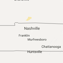
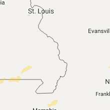
Hail Map for Monday, February 6, 2017

Number of Impacted Households on 2/6/2017
0
Impacted by 1" or Larger Hail
0
Impacted by 1.75" or Larger Hail
0
Impacted by 2.5" or Larger Hail
Square Miles of Populated Area Impacted on 2/6/2017
0
Impacted by 1" or Larger Hail
0
Impacted by 1.75" or Larger Hail
0
Impacted by 2.5" or Larger Hail


Cities Most Affected by Hail Storms of 2/6/2017
| Hail Size | Demographics of Zip Codes Affected | ||||||
|---|---|---|---|---|---|---|---|
| City | Count | Average | Largest | Pop Density | House Value | Income | Age |
Hail and Wind Damage Spotted on 2/6/2017
Filter by Report Type:Hail ReportsWind Reports
Arkansas
| Local Time | Report Details |
|---|---|
| 12:51 AM CST | Quarter sized hail reported near Mountain Home, AR, 81.7 miles SE of Springfield, MO |
| 3:52 AM CST | Quarter sized hail reported near Little Rock, AR, 13.6 miles W of Little Rock, AR |
| 4:00 AM CST | Large trees and power lines dow in saline county AR, 23.7 miles W of Little Rock, AR |
Tennessee
| Local Time | Report Details |
|---|---|
| 1:35 AM CST | A 62 mph wind gust was reported at the penitentiary. flag pole is dow in lauderdale county TN, 44.9 miles NE of Memphis, TN |
Connect with Interactive Hail Maps